Trails in Switzerland
15,064 hiking trails, each with its route, climb, walking time and grade.
All trails, page 101 of 314
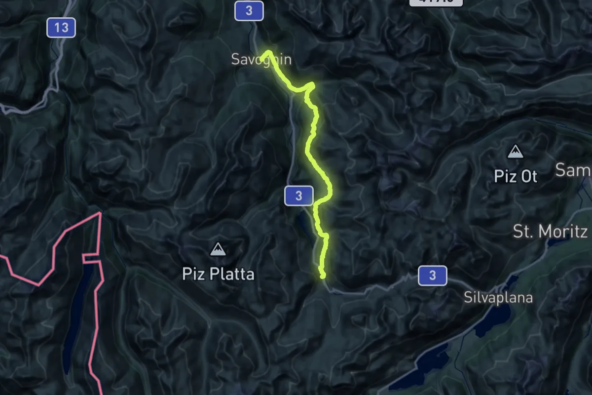
Demanding · Summit
Senda Segantini - Etappe 1
40.8 km · ↑ 2015 m · 14 h
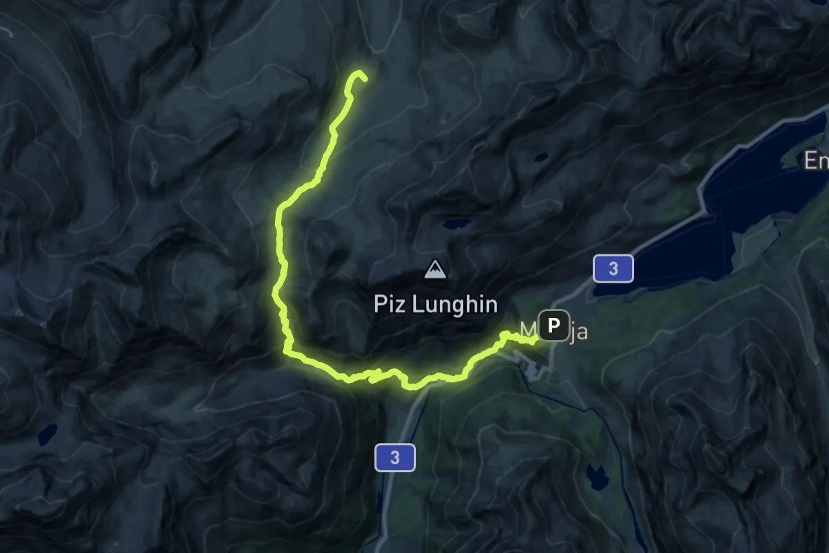
Demanding · Summit
Senda Segantini - Etappe 2
23.9 km · ↑ 1509 m · 8 h 55 min
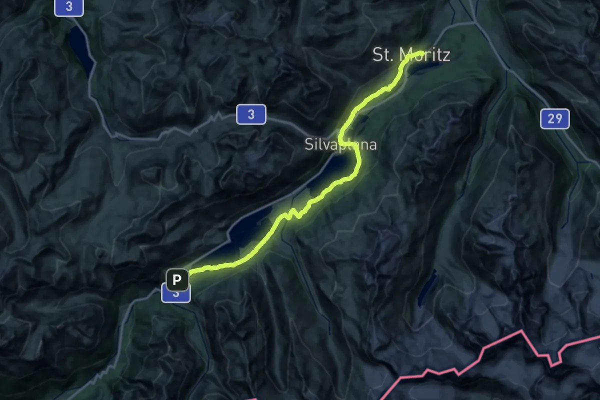
Demanding · Trail
Senda Segantini - Etappe 3
20.1 km · ↑ 452 m · 6 h 1 min
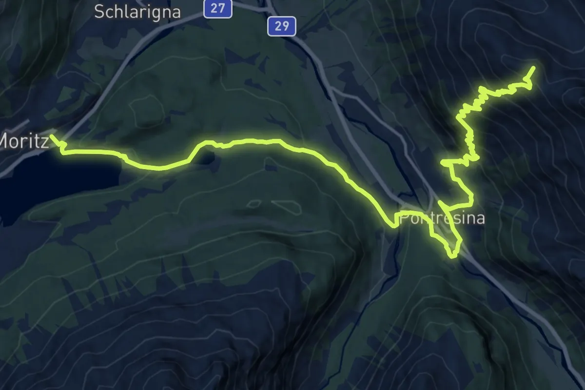
Demanding · Summit
Senda Segantini - Etappe 4
22.7 km · ↑ 1234 m · 8 h 2 min
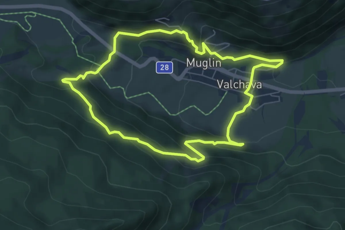
Easy · Trail
Senda Trafögl
5.4 km · ↑ 294 m · 1 h 59 min
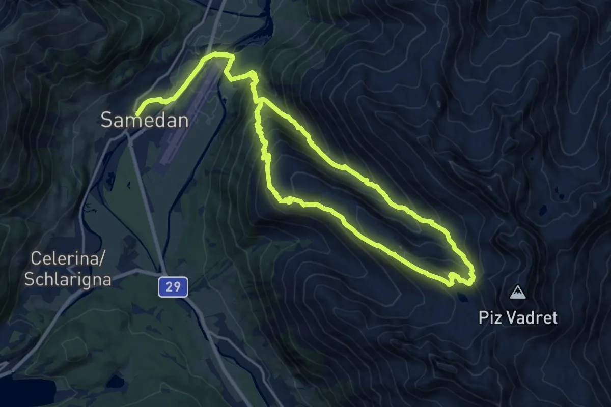
Demanding · Trail
Senda Val Champagna
14.7 km · ↑ 851 m · 5 h 40 min
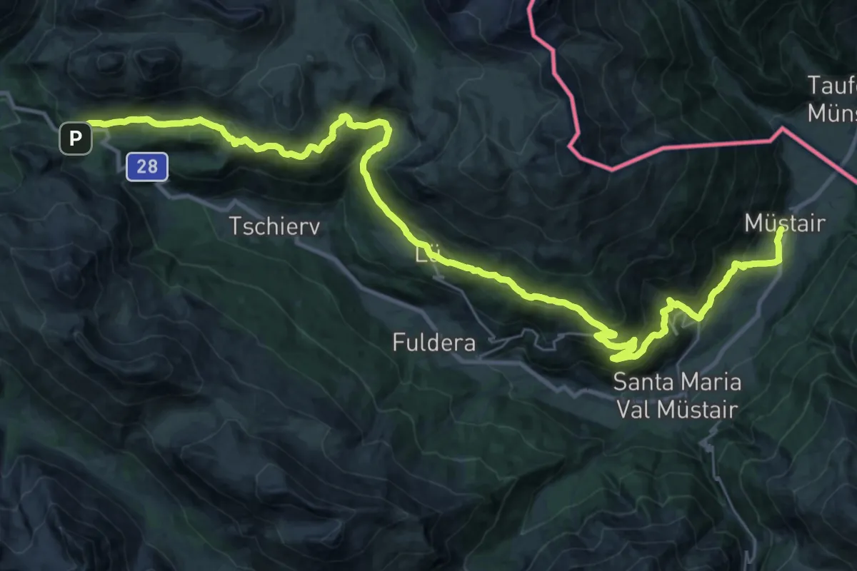
Demanding · Trail
Senda Val Müstair
19.0 km · ↑ 467 m · 6 h 13 min
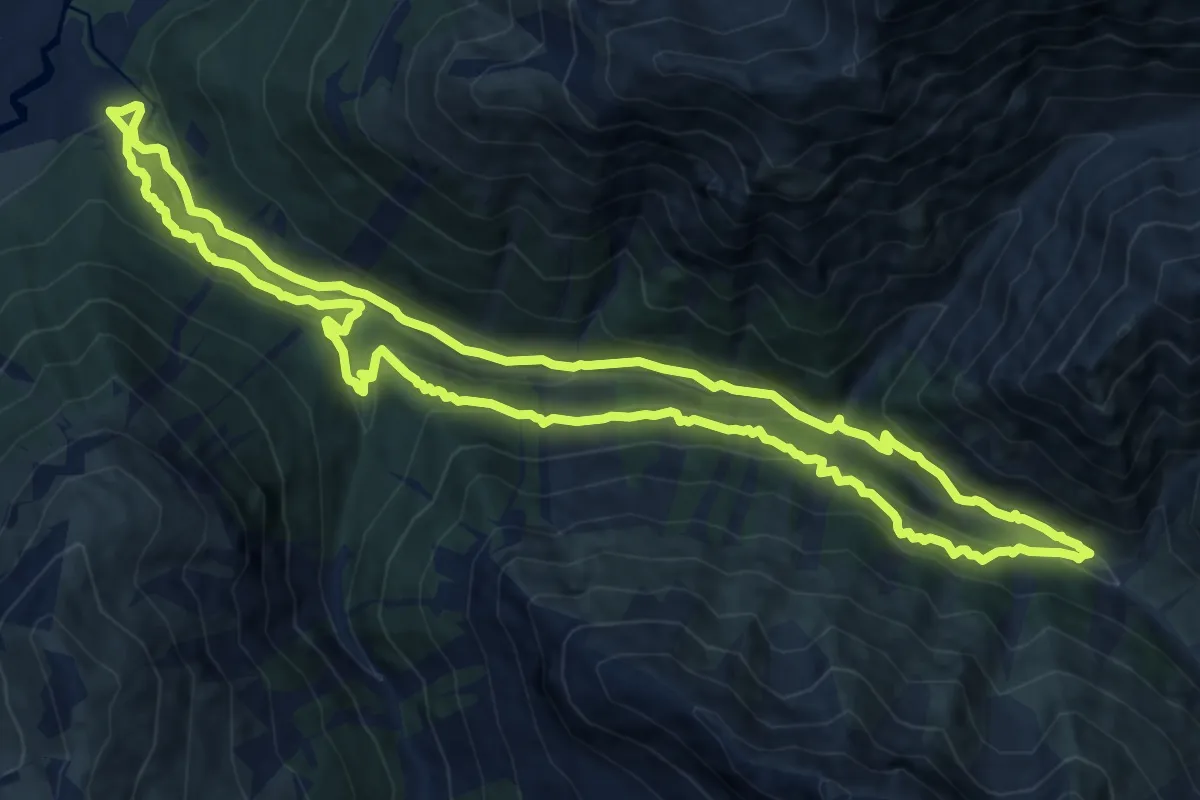
Medium · Trail
Senda Val Trupchun
12.7 km · ↑ 598 m · 4 h 29 min
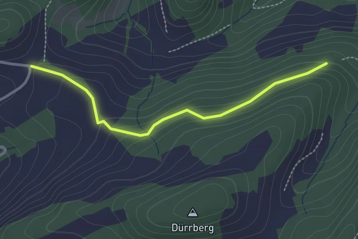
Easy · Trail
Seniorewägli
2.3 km · ↑ 110 m · 47 min
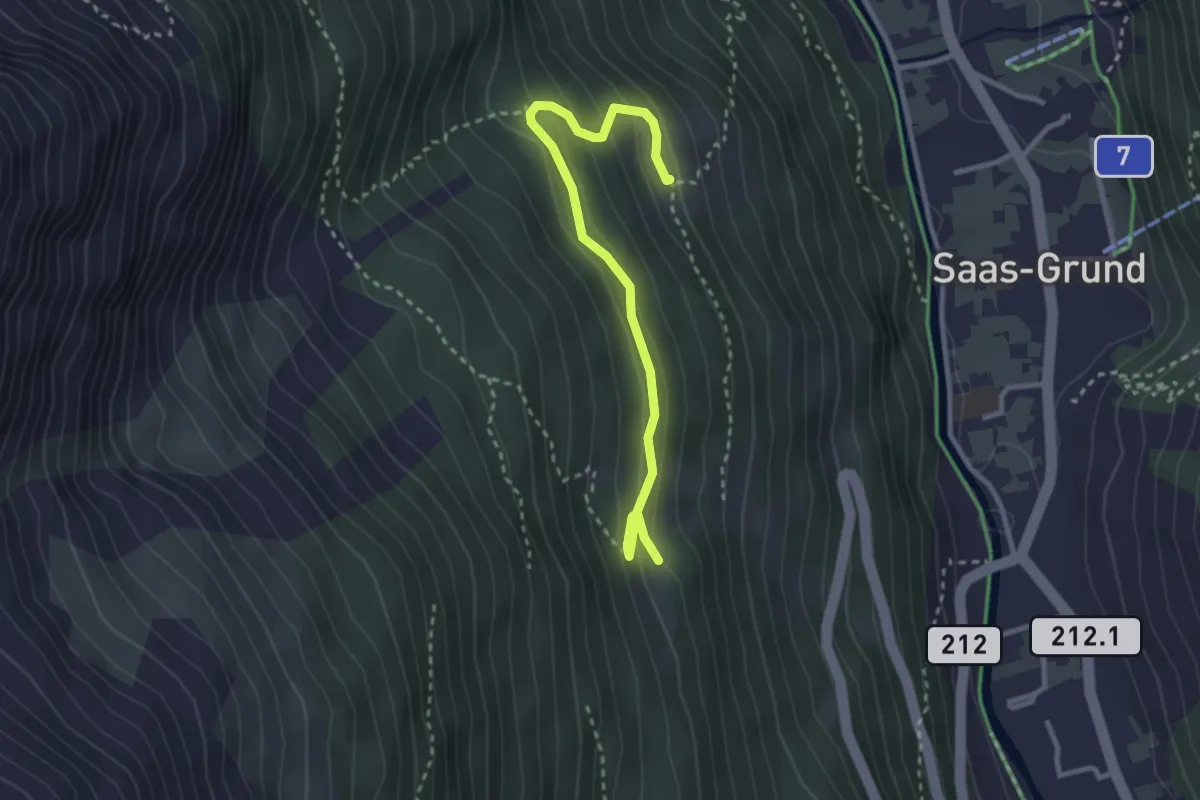
Medium · Trail
Senng - Bärenfalle
3.1 km · ↑ 187 m · 1 h 8 min
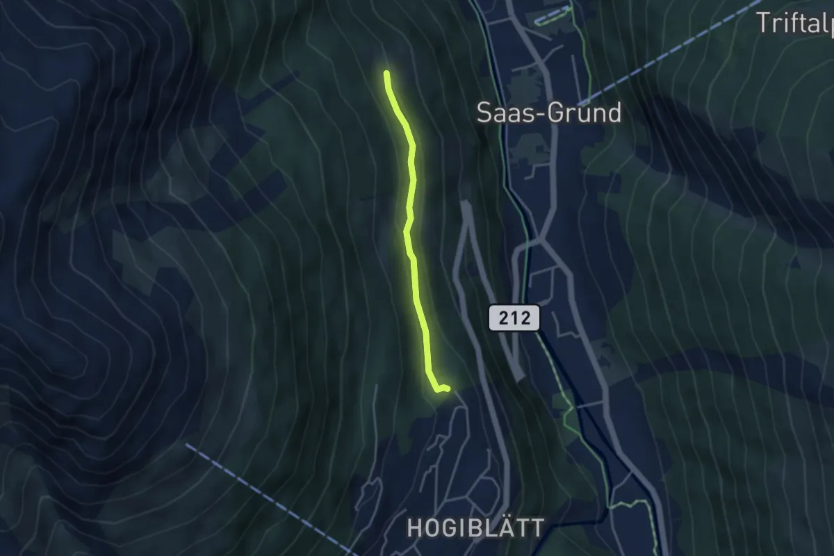
Easy · Trail
Senng - Saas-Fee
2.9 km · ↑ 68 m · 50 min
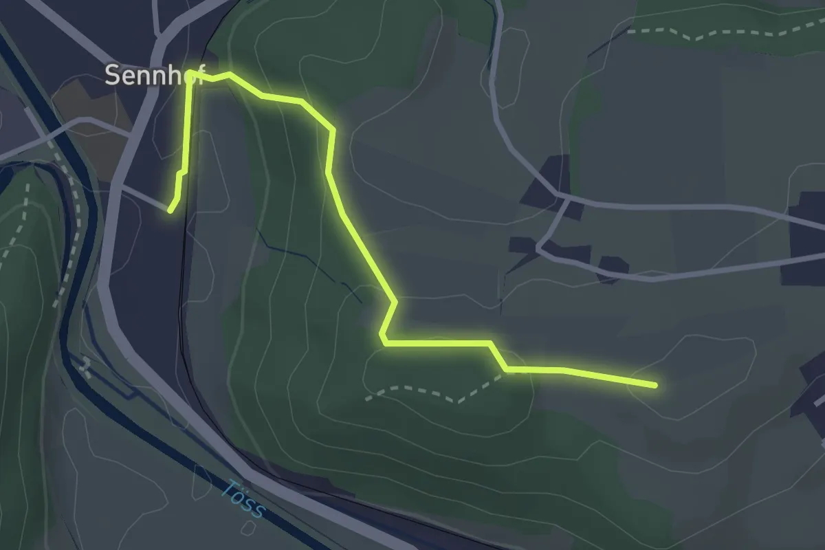
Easy · Trail
Sennhof Bhf - Sässel
2.8 km · ↑ 120 m · 56 min
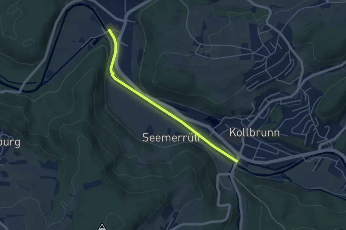
Easy · Trail
Sennhof – Kollbrunn
3.8 km · ↑ 29 m · 57 min
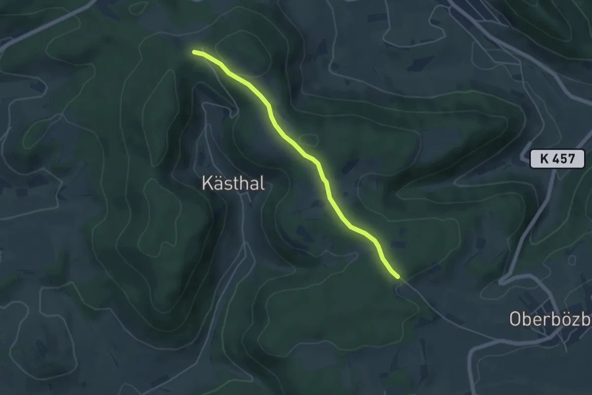
Easy · Trail
Sennhütten - Binzacher
4.4 km · ↑ 94 m · 1 h 14 min
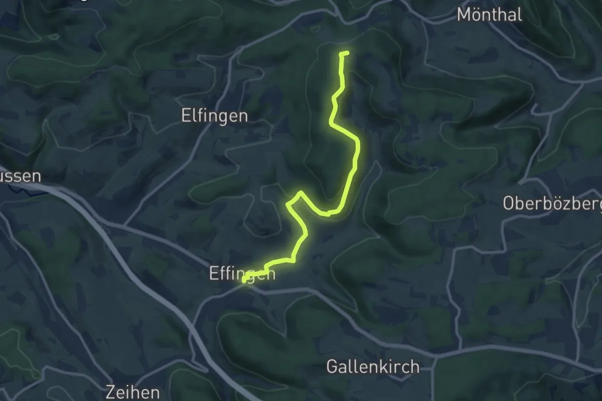
Medium · Trail
Sennhütten - Effingen
9.4 km · ↑ 285 m · 2 h 50 min
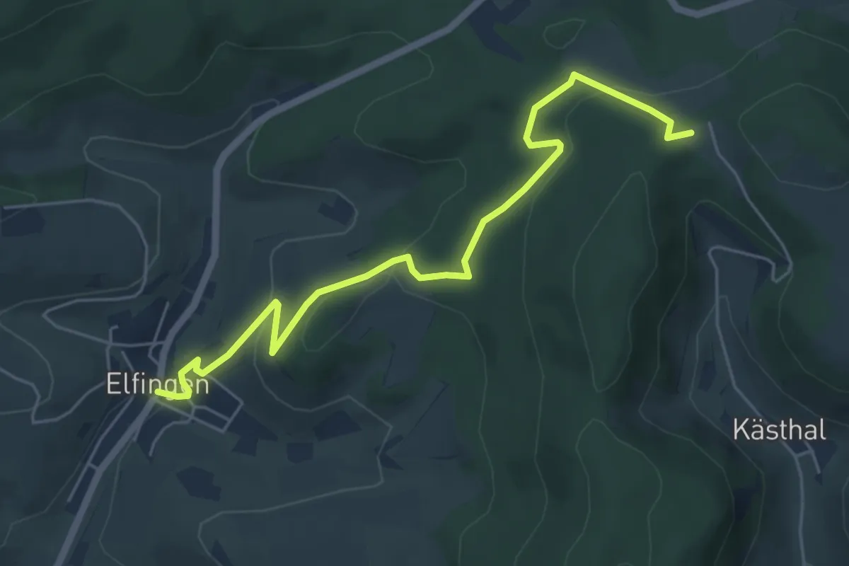
Easy · Trail
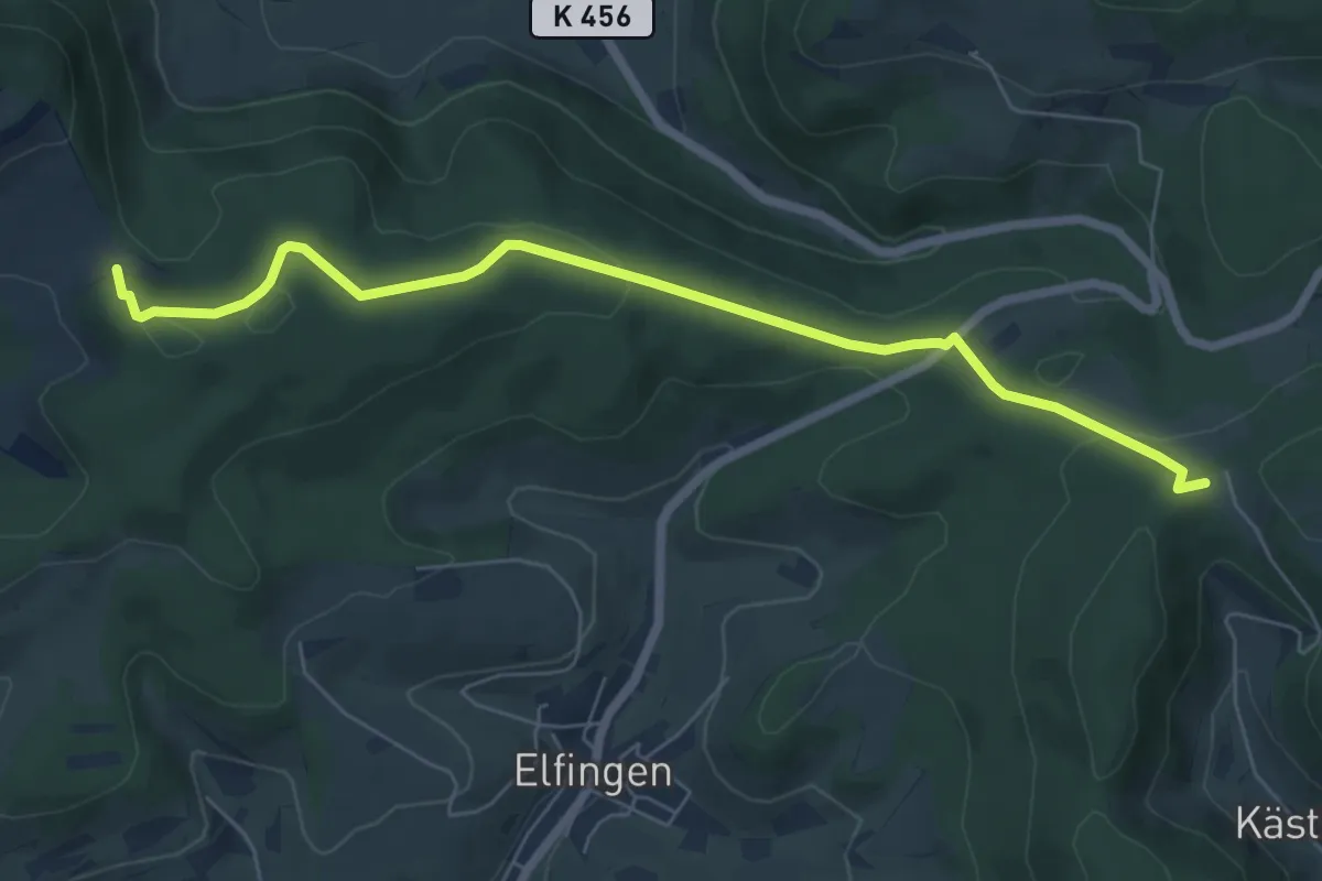
Sennhütten - Elfingen Postauto
5.7 km · ↑ 202 m · 1 h 48 min
Easy · Trail
Sennhütten - Solbacher
6.8 km · ↑ 177 m · 1 h 59 min
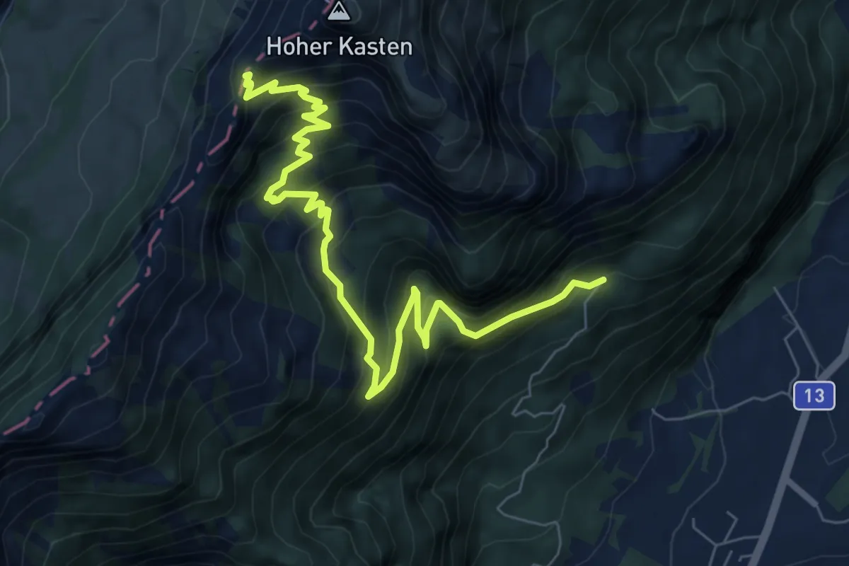
Medium · Trail
- Sennwald
8.3 km · ↑ 775 m · 3 h 38 min
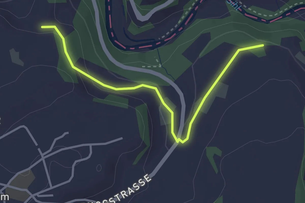
Easy · Trail
Sennweid - Neuhaus
3.0 km · ↑ 84 m · 54 min
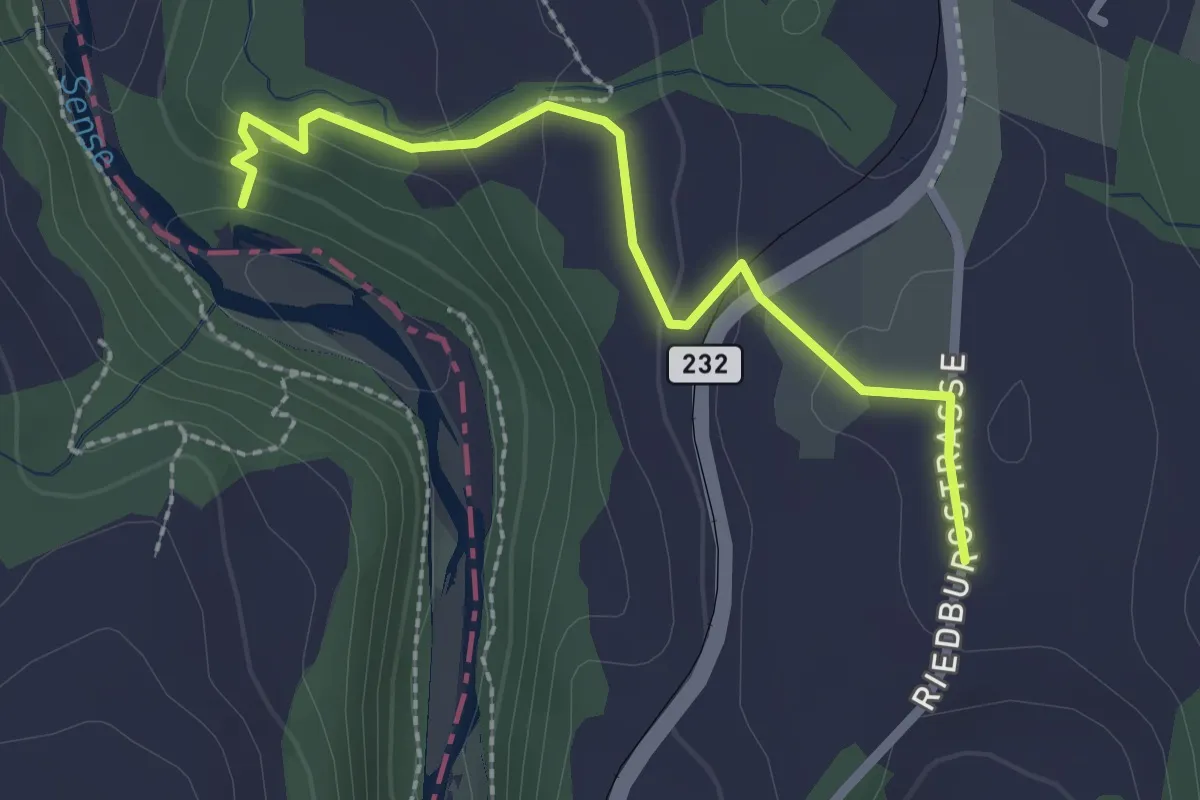
Easy · Trail
Sensegraben (Büffel) - Riedburg
2.4 km · ↑ 75 m · 44 min
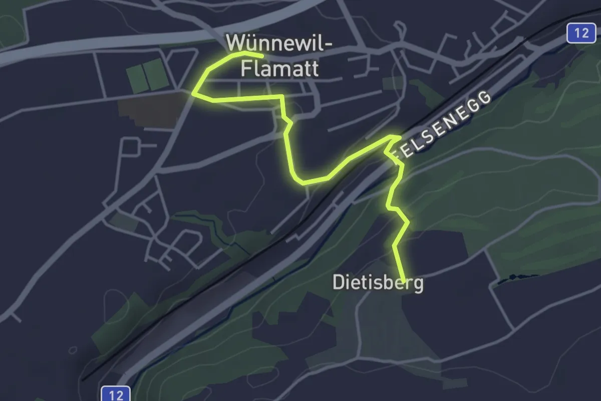
Easy · Trail
Sensler Bauernpfad Wünnewil
3.9 km · ↑ 98 m · 1 h 8 min
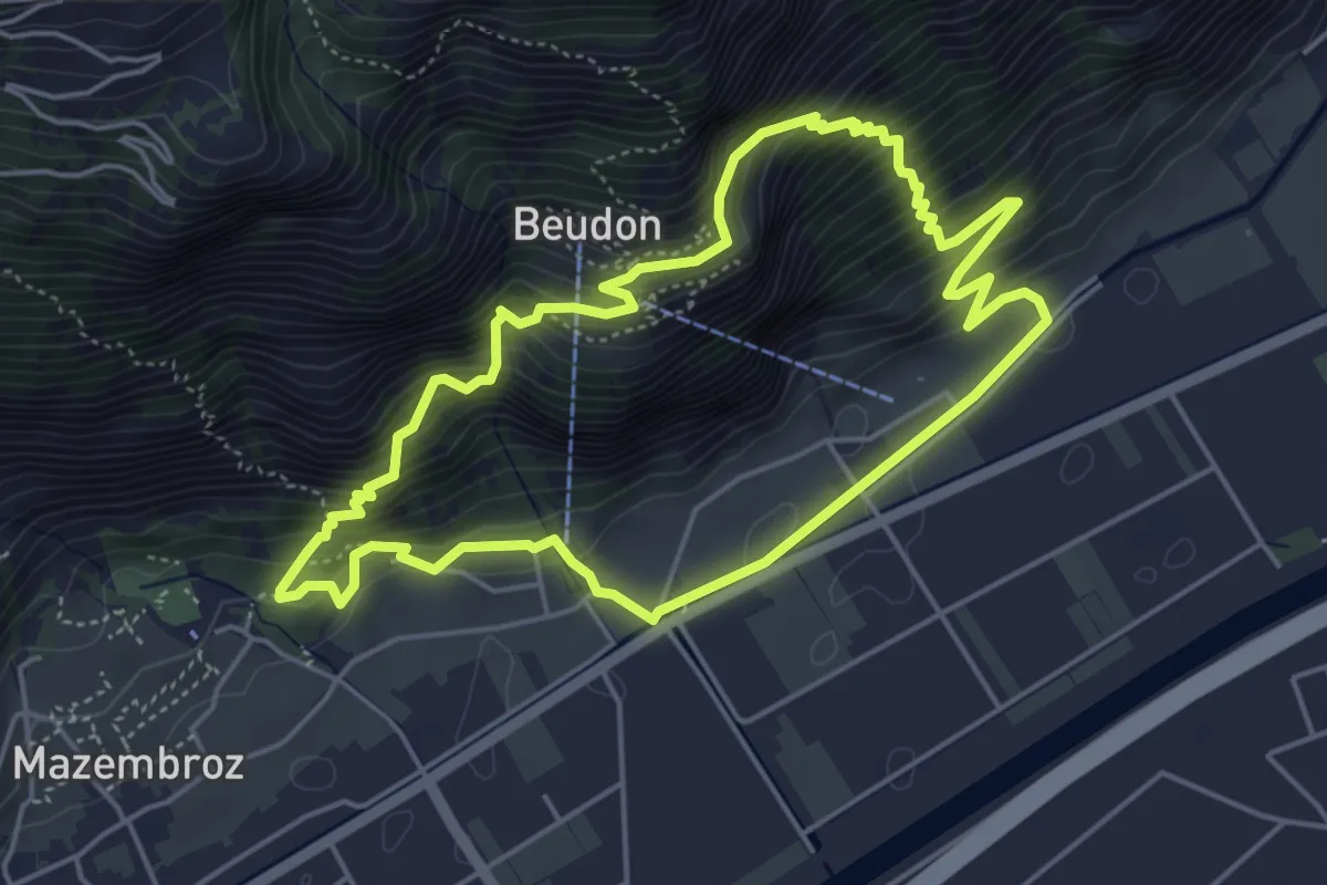
Medium · Trail
Sentier à travers les âges
4.8 km · ↑ 502 m · 2 h 18 min
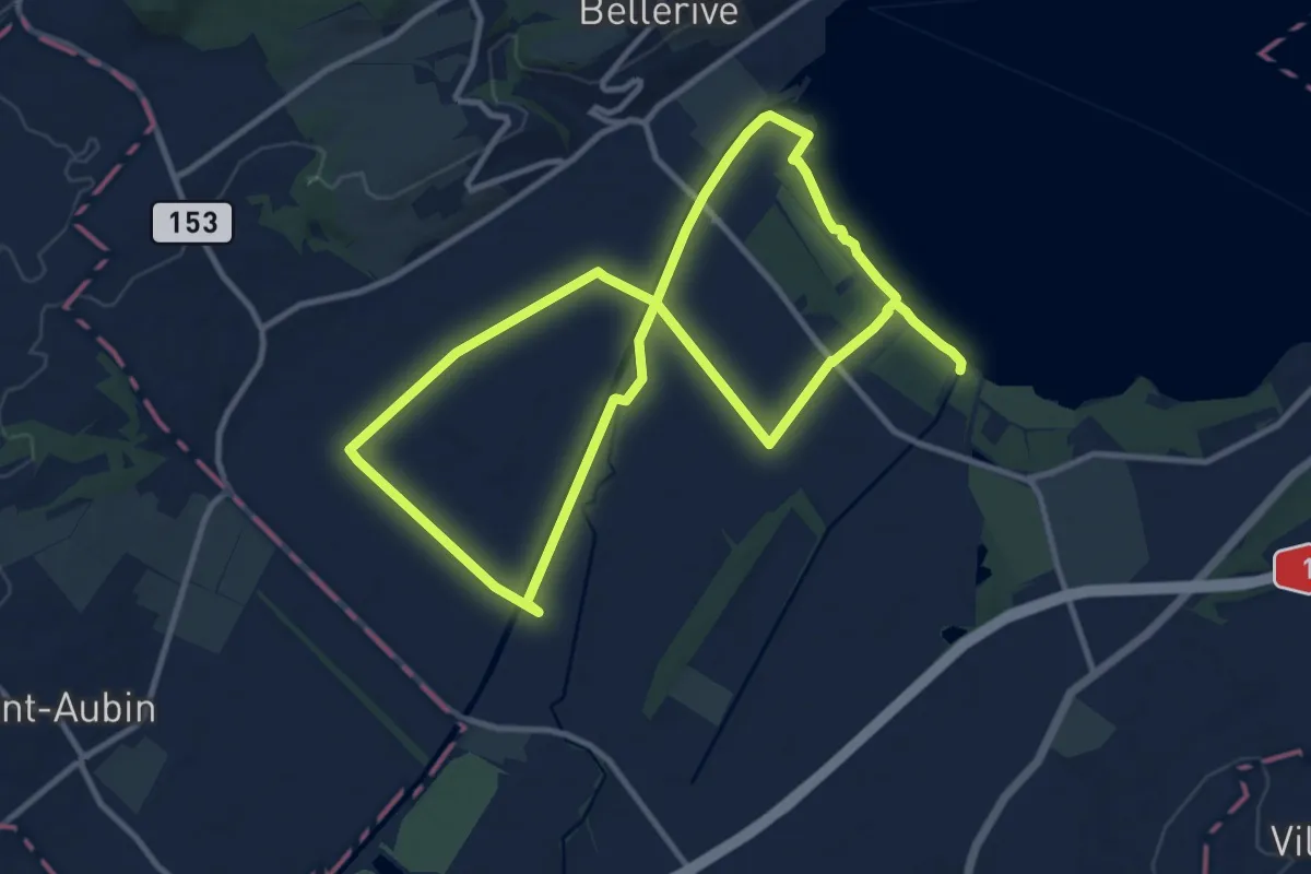
Demanding · Trail
Sentier Au fil de l'eau
20.8 km · ↑ 26 m · 4 h 58 min
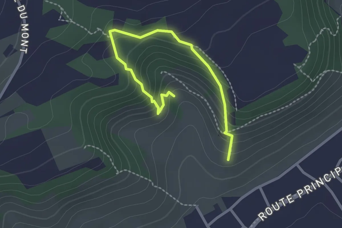
Easy · Trail
Sentier Botanique
2.5 km · ↑ 216 m · 1 h 3 min
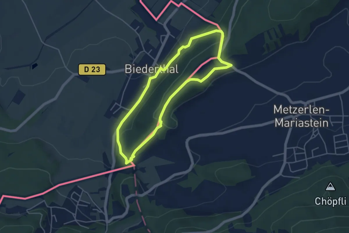
Easy · Trail
Sentier circulaire Biederthal
3.6 km · ↑ 137 m · 1 h 11 min
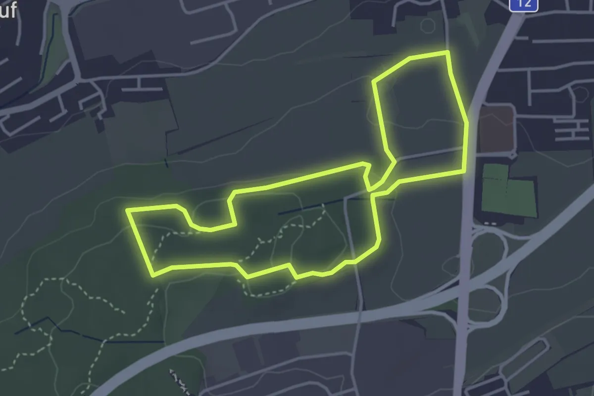
Easy · Trail
Sentier - découverte Givisiez (à pied)
3.6 km · ↑ 83 m · 1 h 5 min
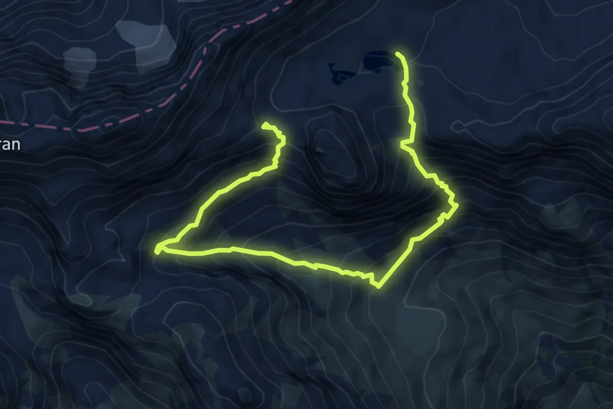
Demanding · Summit
Sentier de découverte géographique
8.9 km · ↑ 971 m · 4 h 12 min
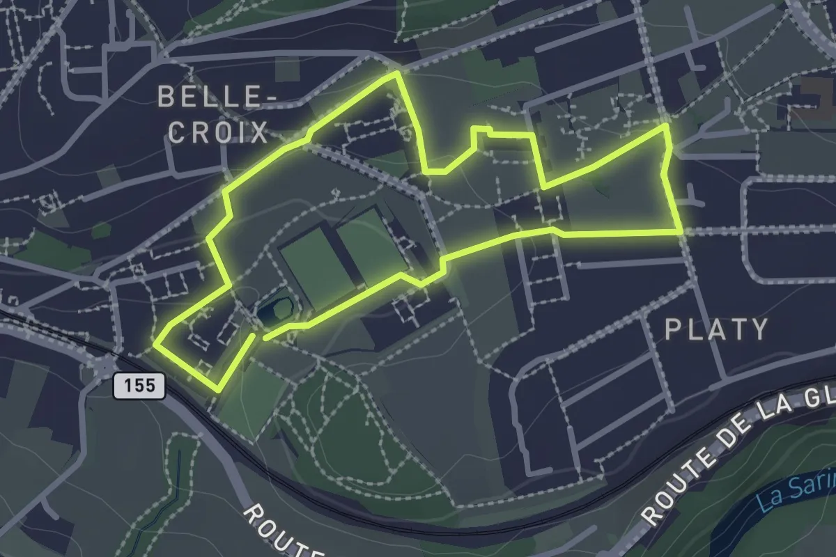
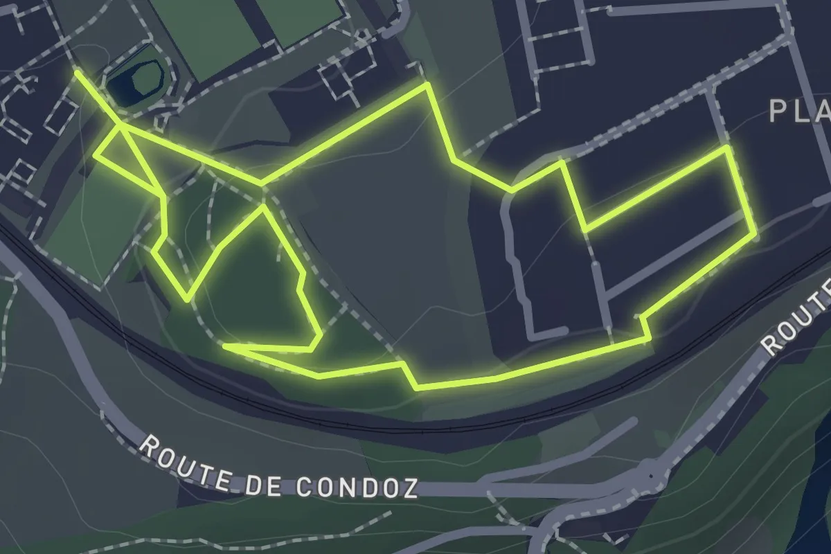
Easy · Trail
Sentier de la biodiversité - Faune & flore
2.3 km · ↑ 46 m · 41 min
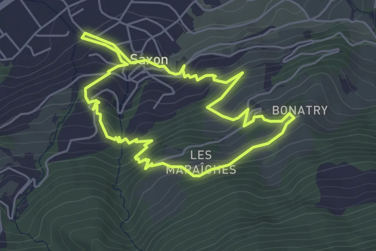
Easy · Trail
Sentier de la biodiversité - Nasti & Yuki
2.1 km · ↑ 34 m · 37 min
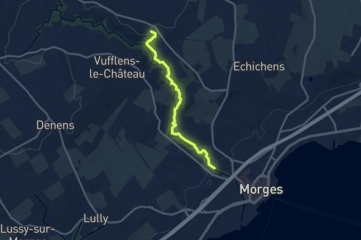
Easy · Trail
Sentier de l'Abricot
4.3 km · ↑ 313 m · 1 h 45 min
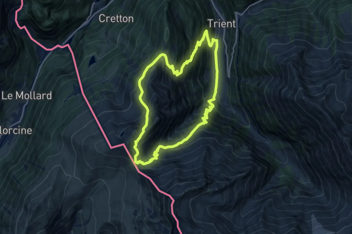
Easy · Trail
Sentier de la Morges
6.2 km · ↑ 120 m · 1 h 44 min
Demanding · Summit
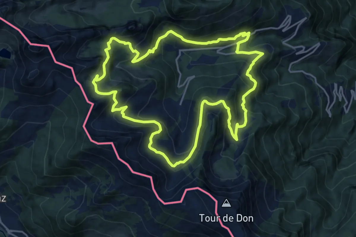
Sentier des Alpages
11.0 km · ↑ 1018 m · 4 h 58 min
Demanding · Trail
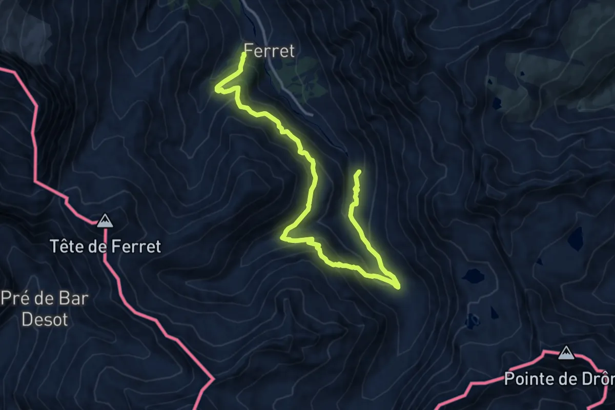
Sentier des alpages de Vionnaz
13.4 km · ↑ 842 m · 5 h 11 min
Demanding · Trail
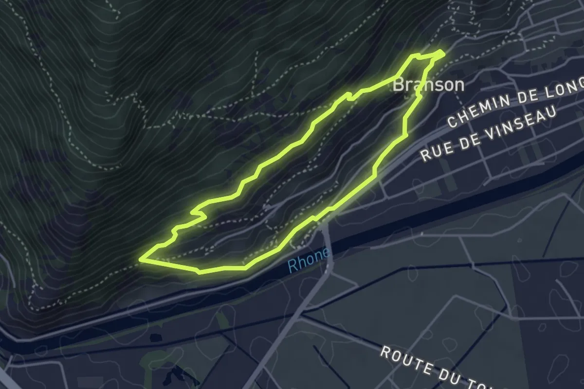
Sentier des Bergers
15.6 km · ↑ 1151 m · 6 h 11 min
Medium · Trail
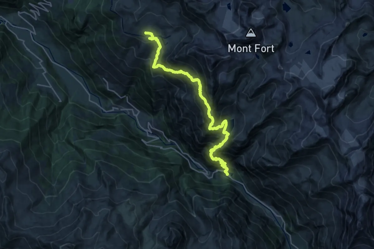
Sentier des bulbocodes
3.5 km · ↑ 200 m · 1 h 19 min
Demanding · Trail
Sentier des Chamois
11.4 km · ↑ 1571 m · 5 h 51 min
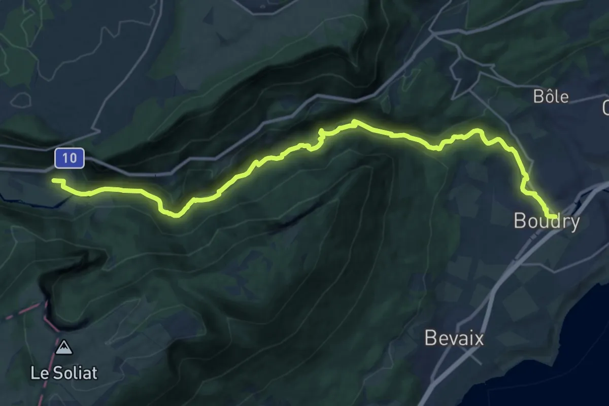
Demanding · Trail
Sentier des Gorges de l'Areuse
23.4 km · ↑ 654 m · 6 h 56 min
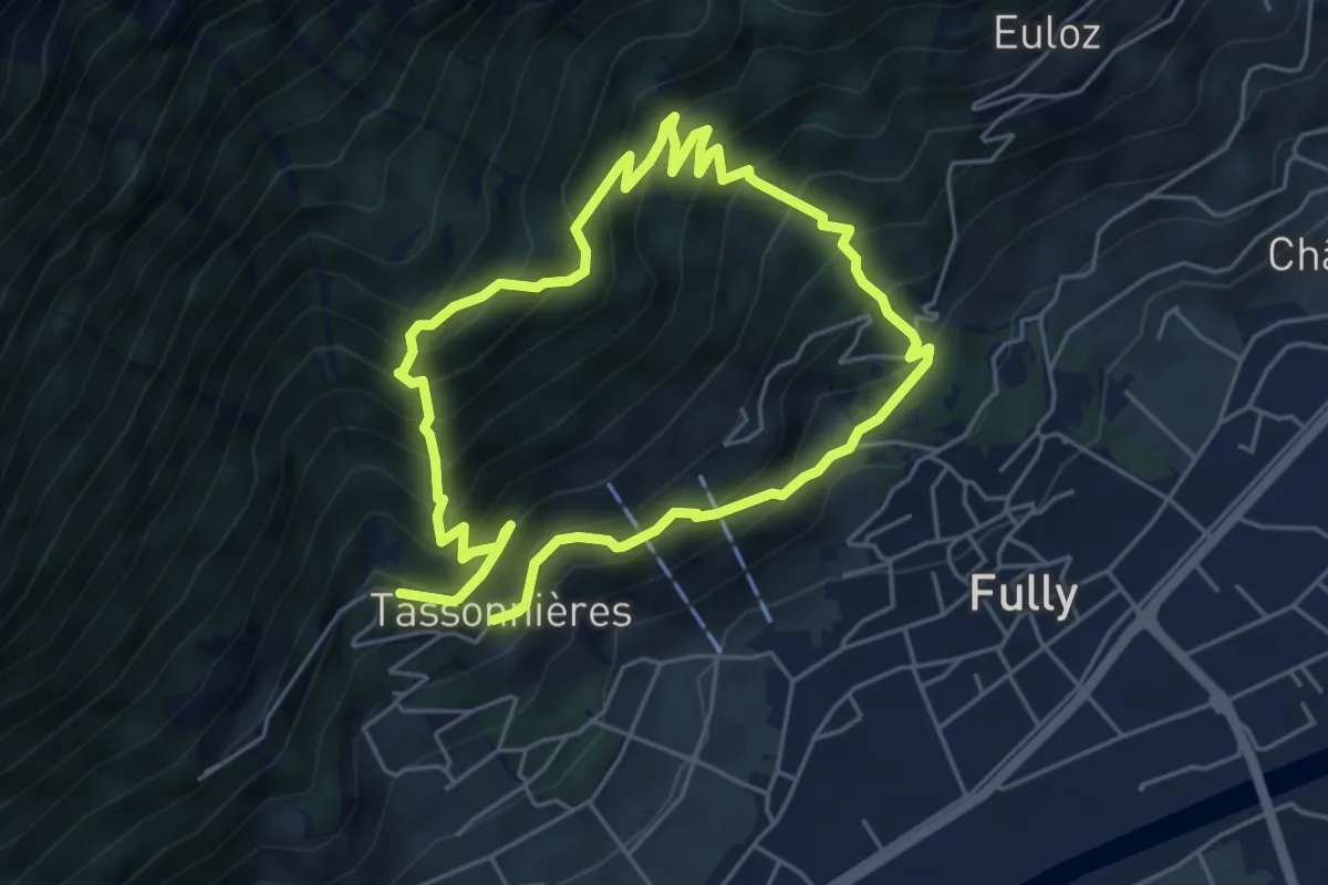
Demanding · Trail
Sentier des la Sylve et Goliath
9.2 km · ↑ 999 m · 4 h 21 min
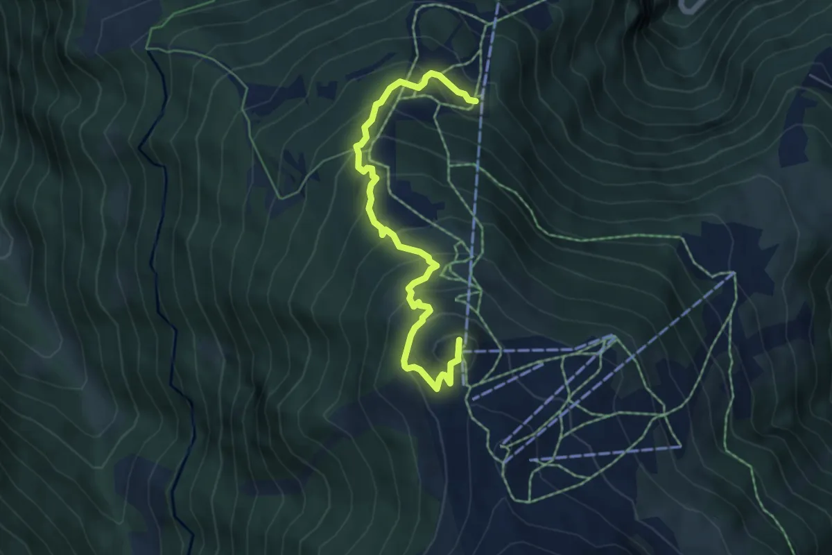
Medium · Summit
Sentier des Marmottes
5.8 km · ↑ 438 m · 2 h 19 min
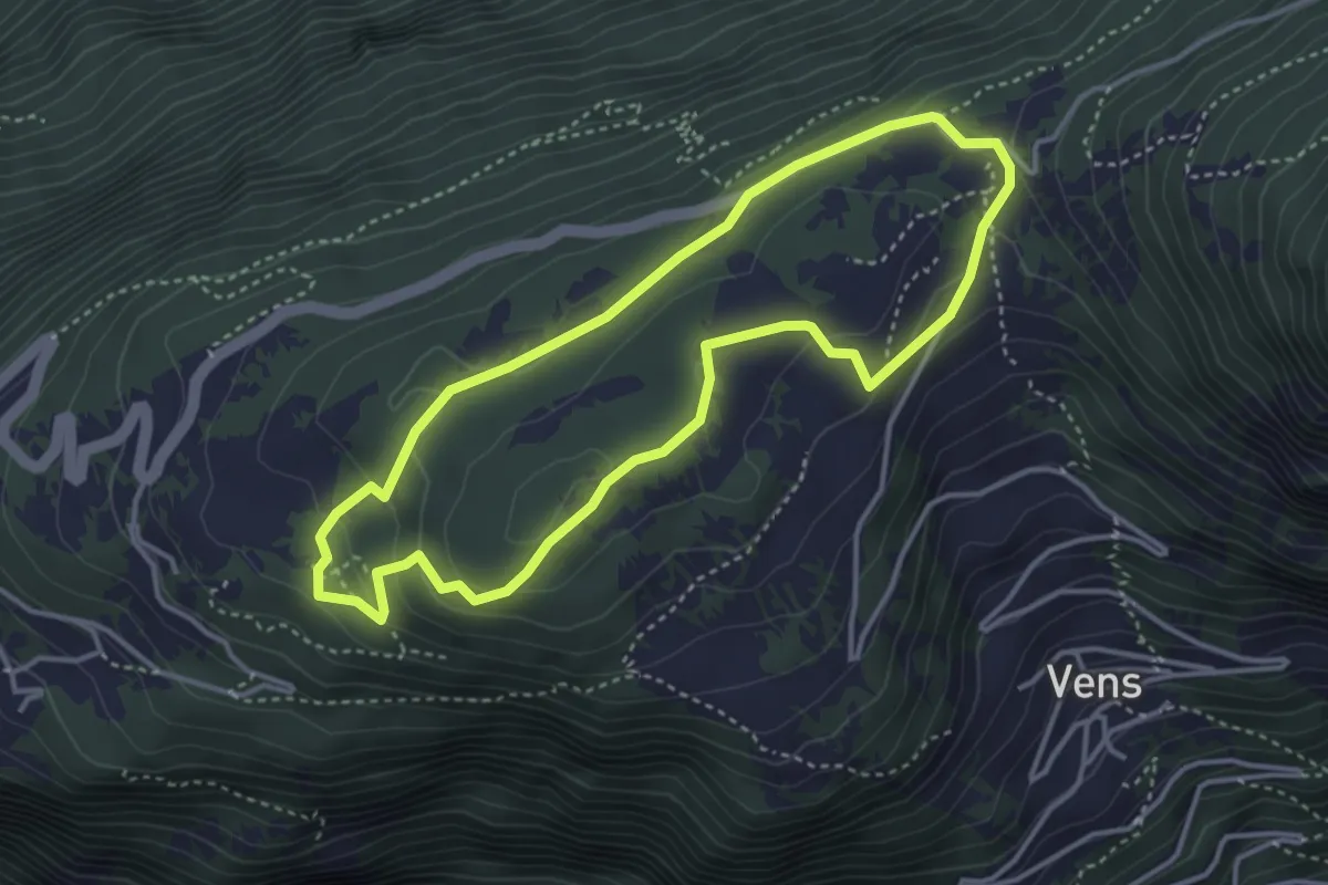
Medium · Trail
Sentier des mines
3.6 km · ↑ 133 m · 1 h 11 min
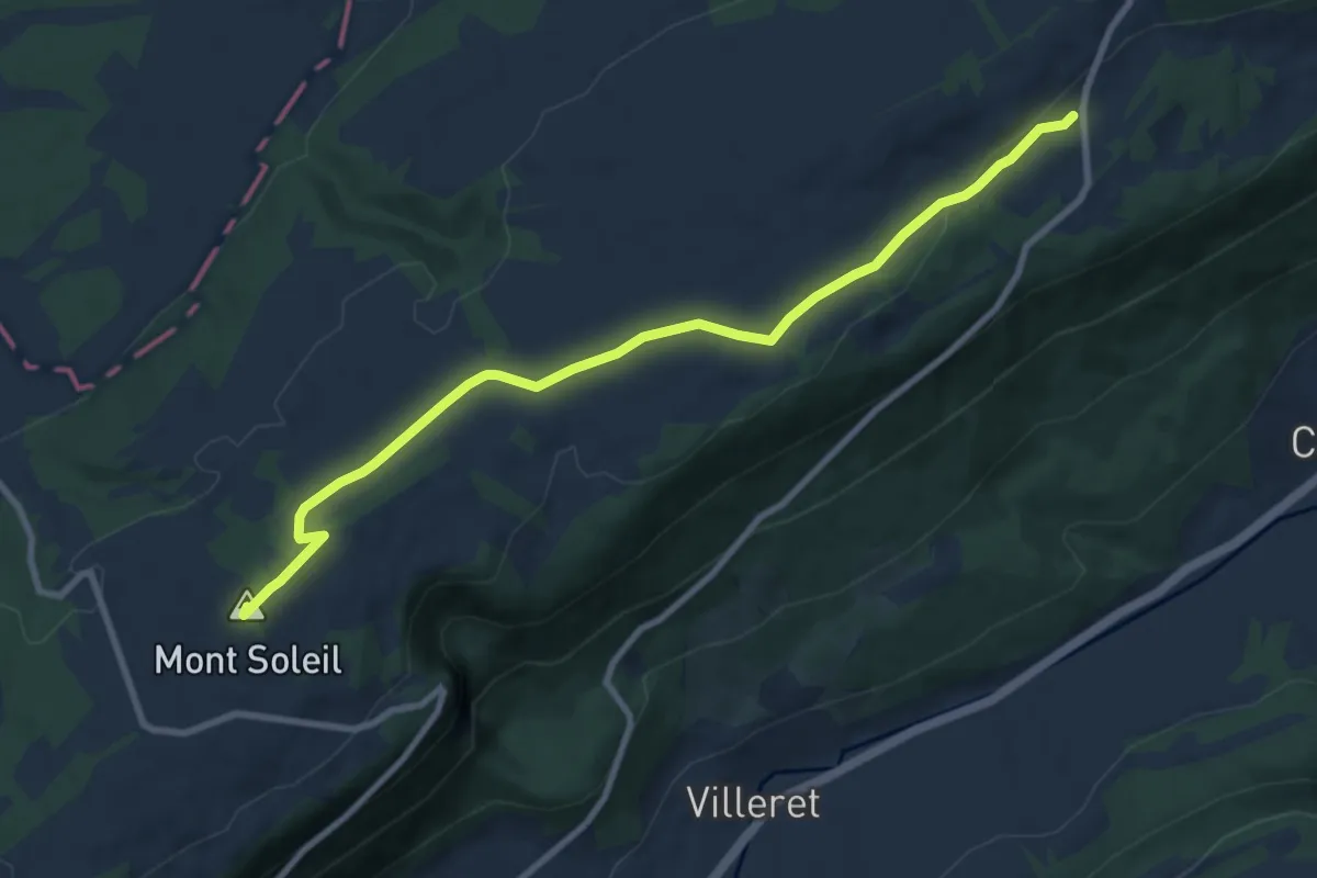
Medium · Summit
Sentier des Monts
9.3 km · ↑ 143 m · 2 h 30 min
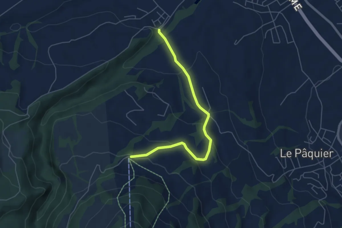
Easy · Trail
Sentier des Pauvres
5.2 km · ↑ 177 m · 1 h 37 min
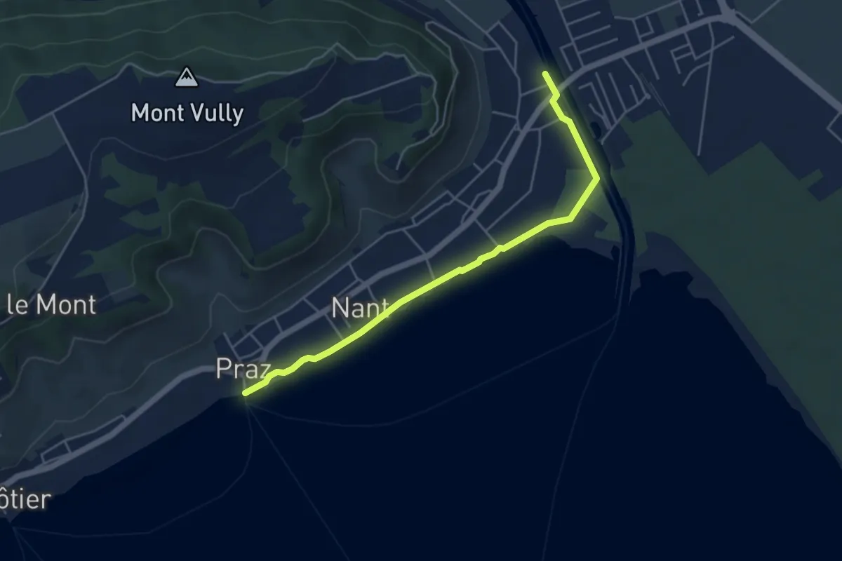
Easy · Trail
Sentier des Rives
4.7 km · ↑ 0 m · 1 h 6 min
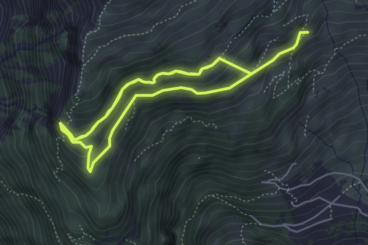
Medium · Trail
sentier des sculptures
9.2 km · ↑ 732 m · 3 h 45 min
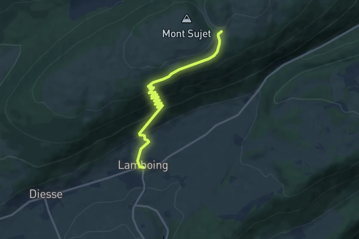
Medium · Trail
sentier des sculptures
8.1 km · ↑ 475 m · 2 h 57 min
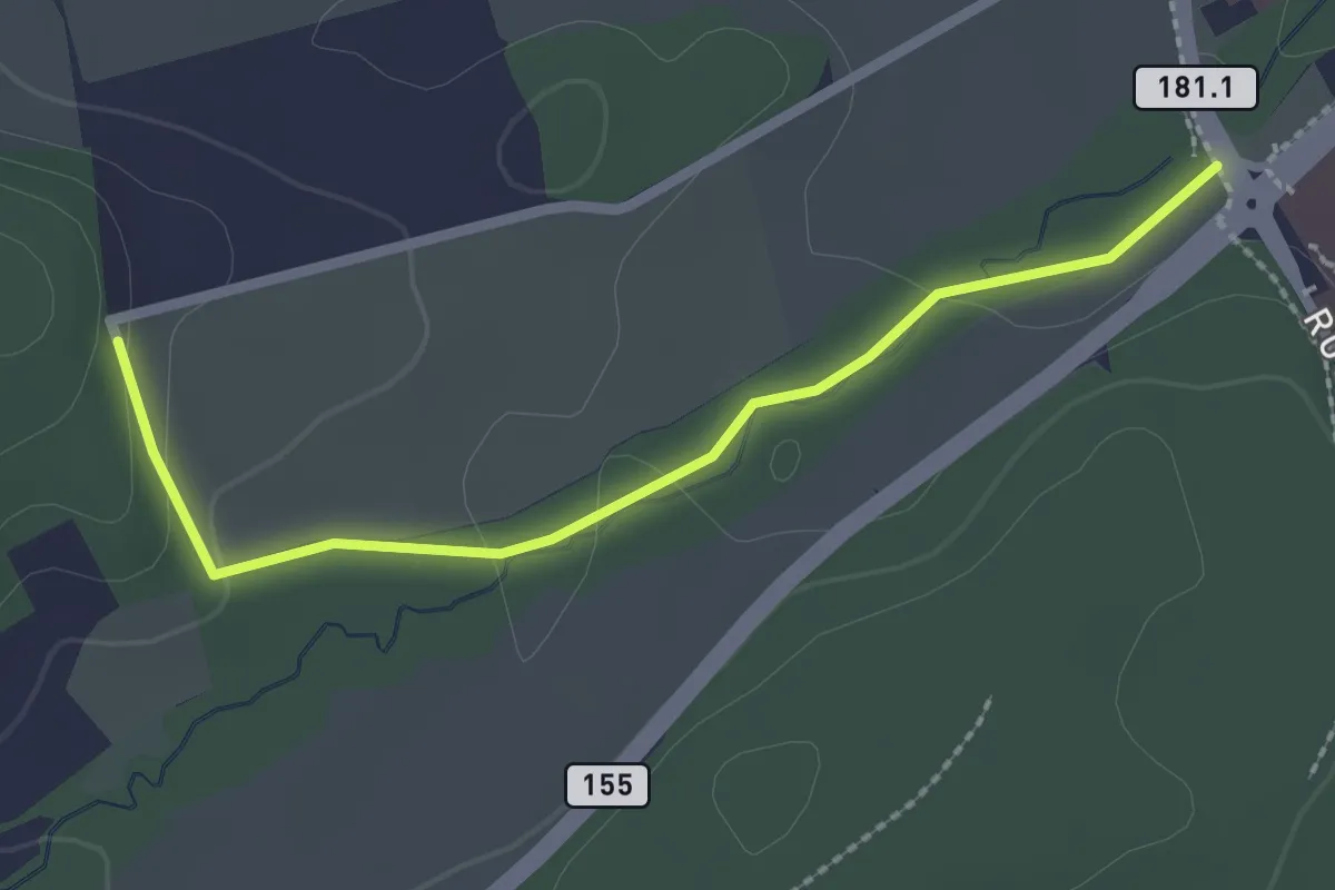
Easy · Trail
Sentier des Sculptures
2.3 km · ↑ 49 m · 39 min
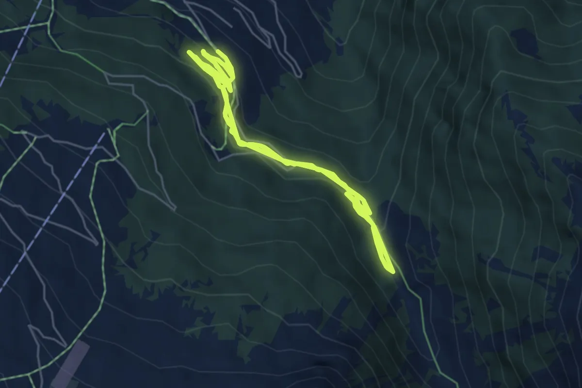
Medium · Trail
Sentier des Sens La Tzoumaz
6.9 km · ↑ 211 m · 2 h 9 min
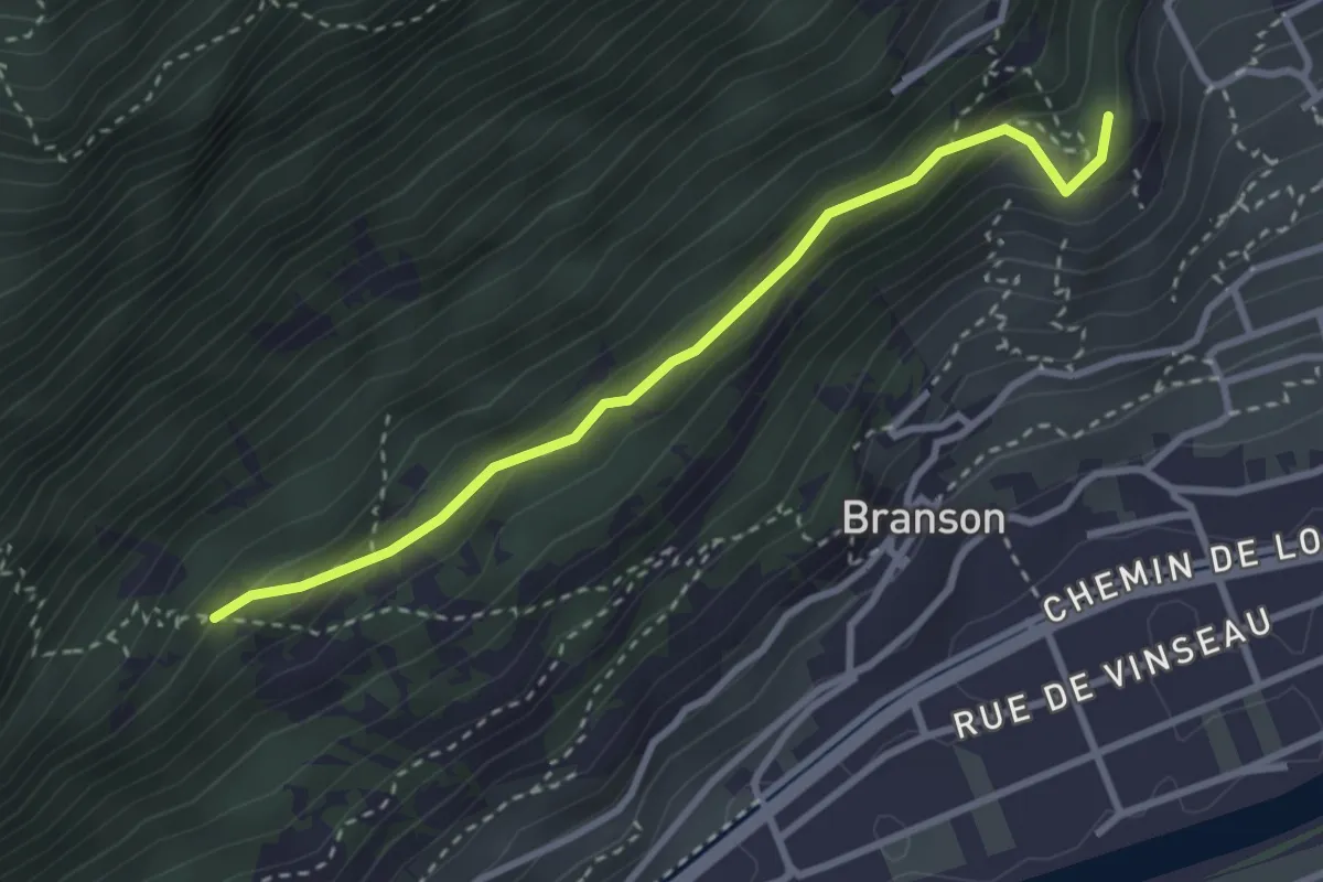
Medium · Trail
Sentier des Visions Célestes
3.0 km · ↑ 213 m · 1 h 10 min