Trails in Switzerland
15,064 hiking trails, each with its route, climb, walking time and grade.
All trails, page 100 of 314
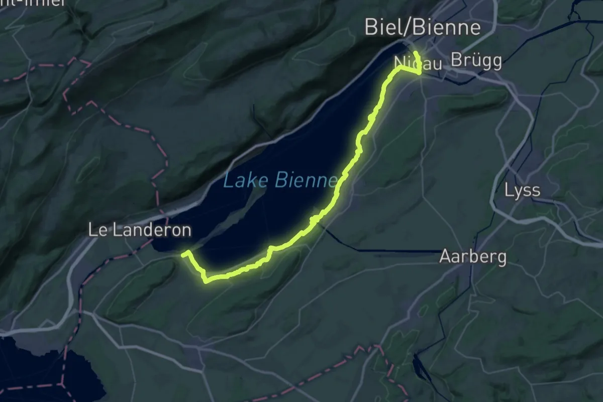
Demanding · Trail
Seeland-Solothurn-Weg
20.7 km · ↑ 276 m · 5 h 46 min
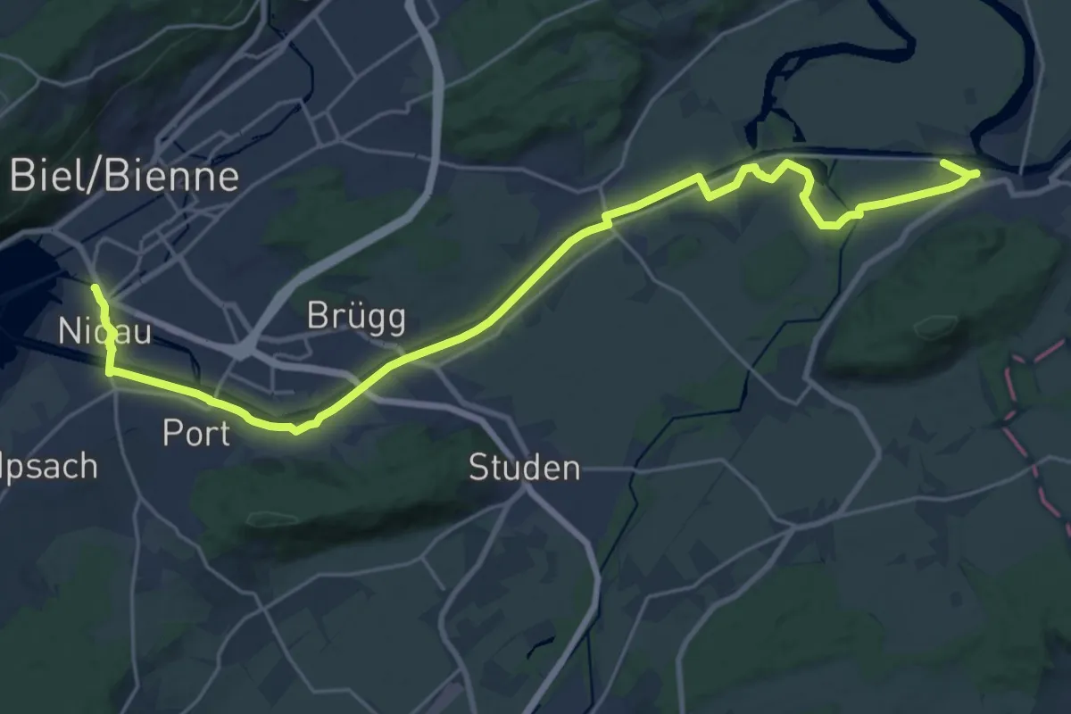
Demanding · Trail
Seeland-Solothurn-Weg
26.2 km · ↑ 50 m · 6 h 17 min
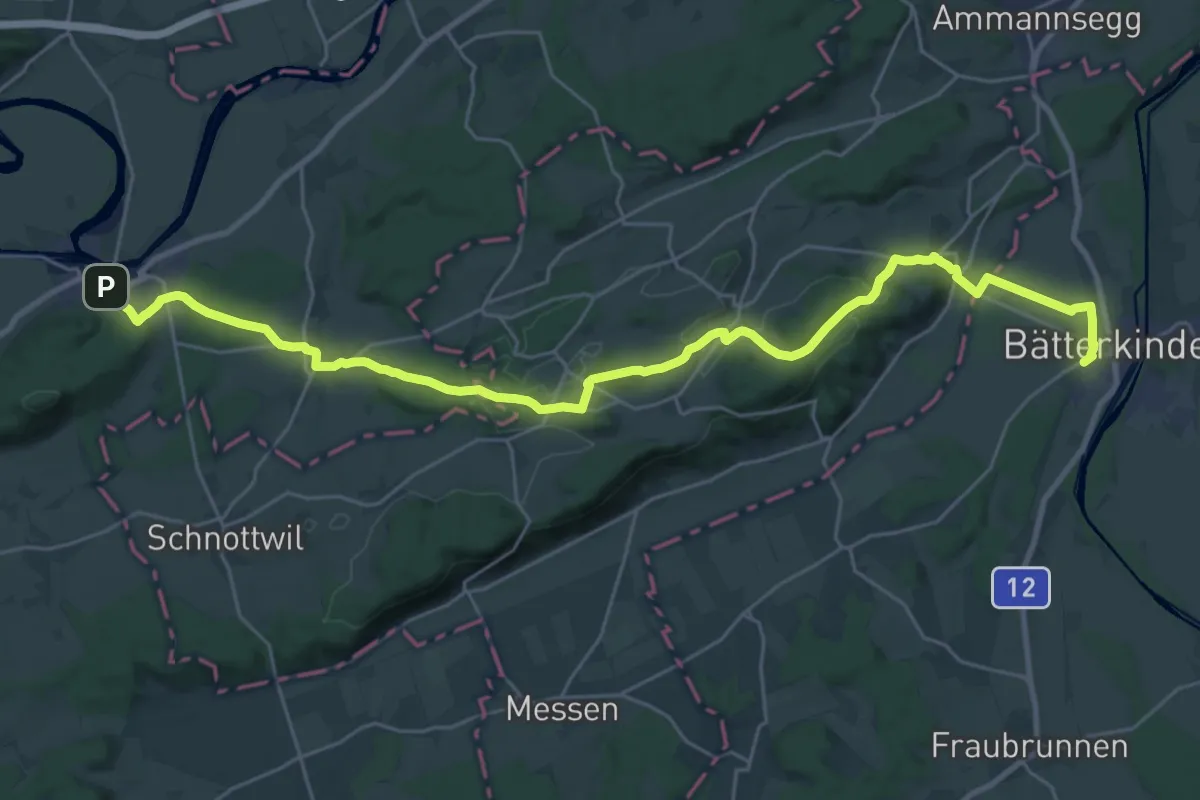
Medium · Trail
Seeland-Solothurn-Weg
15.9 km · ↑ 347 m · 4 h 42 min
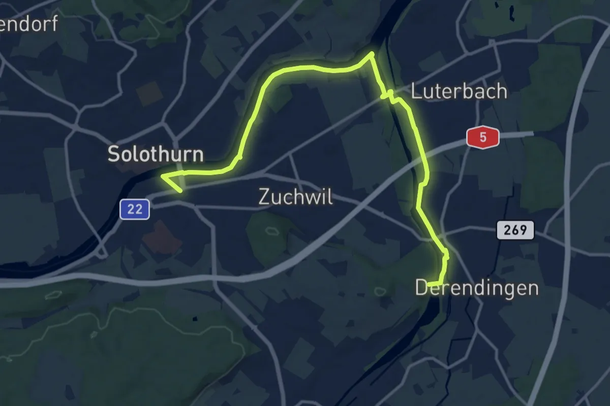
Medium · Summit
Seeland-Solothurn-Weg
13.6 km · ↑ 49 m · 3 h 19 min
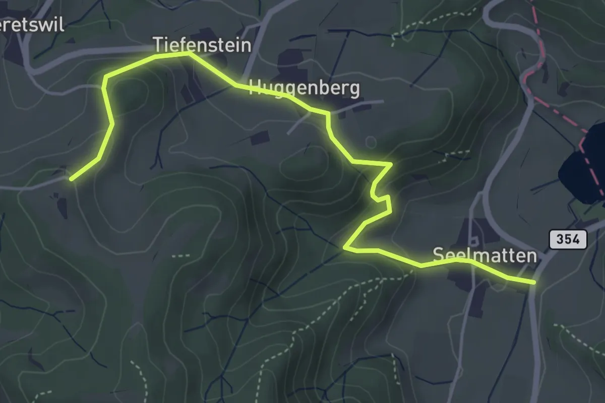
Easy · Trail
Seelmatten – Hüttstall
5.2 km · ↑ 227 m · 1 h 44 min
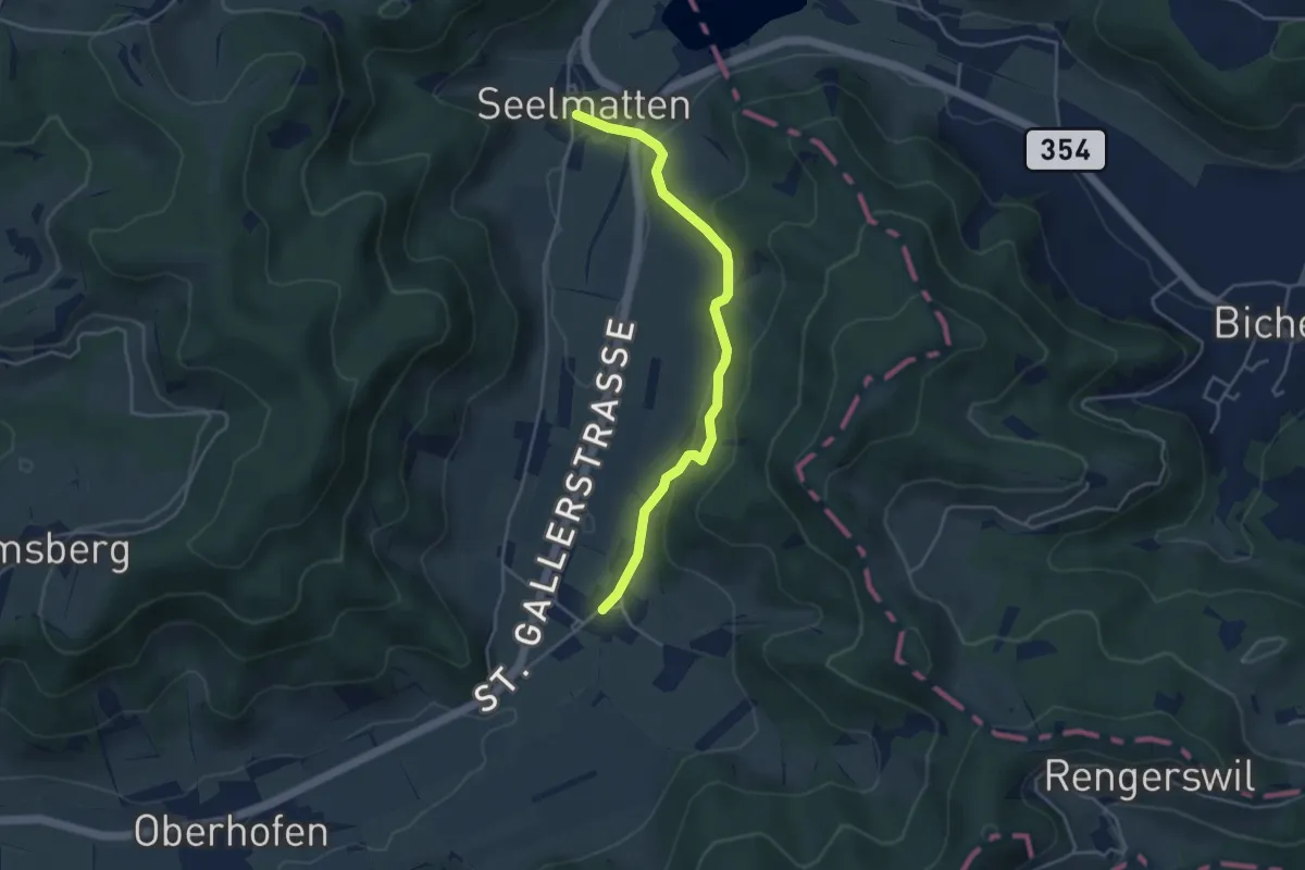
Easy · Trail
Seelmatten – Neubrunn
4.1 km · ↑ 143 m · 1 h 16 min
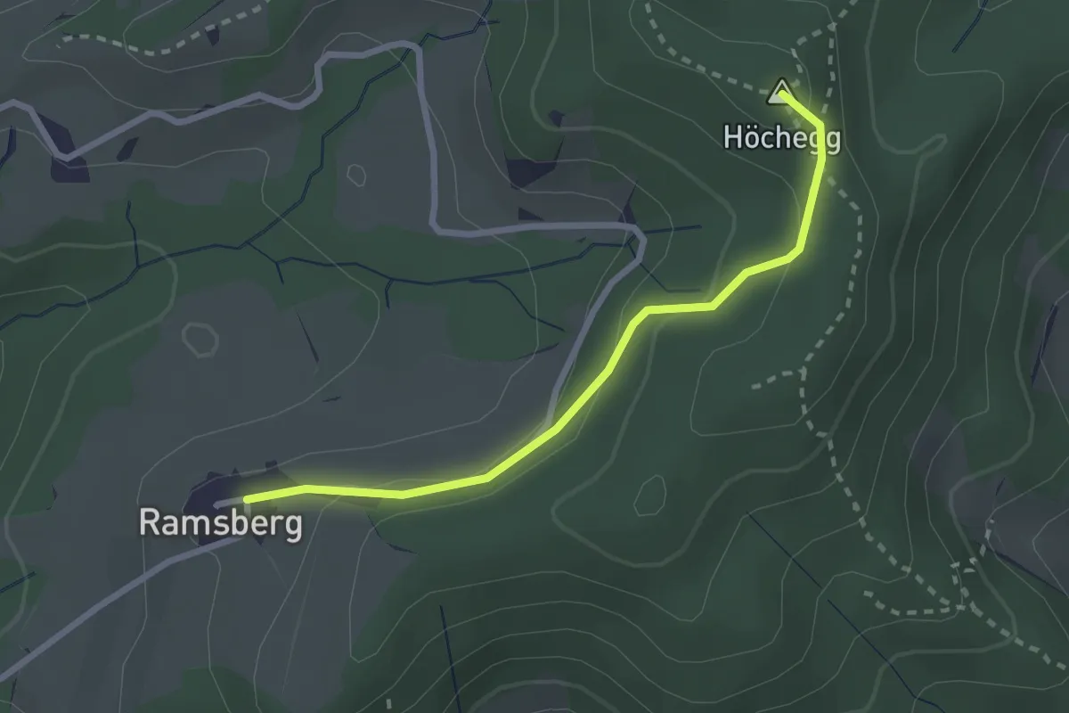
Easy · Summit
Seelmatten – Ramsberg
2.4 km · ↑ 101 m · 47 min
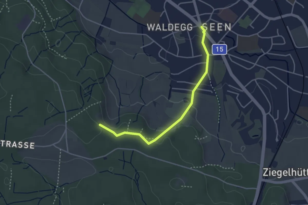
Easy · Trail
Seen – Paradis
3.2 km · ↑ 95 m · 58 min
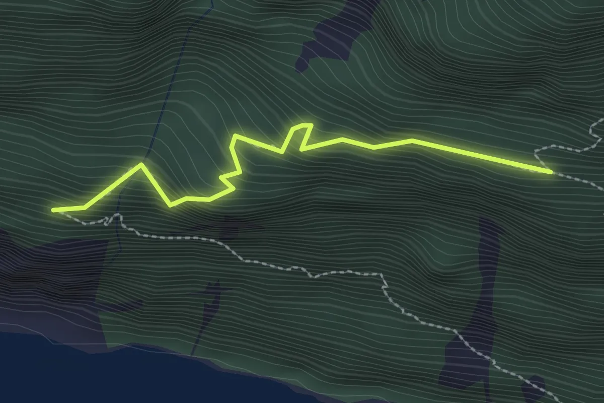
Medium · Trail
Seerenwad - Bidem
2.4 km · ↑ 454 m · 1 h 33 min
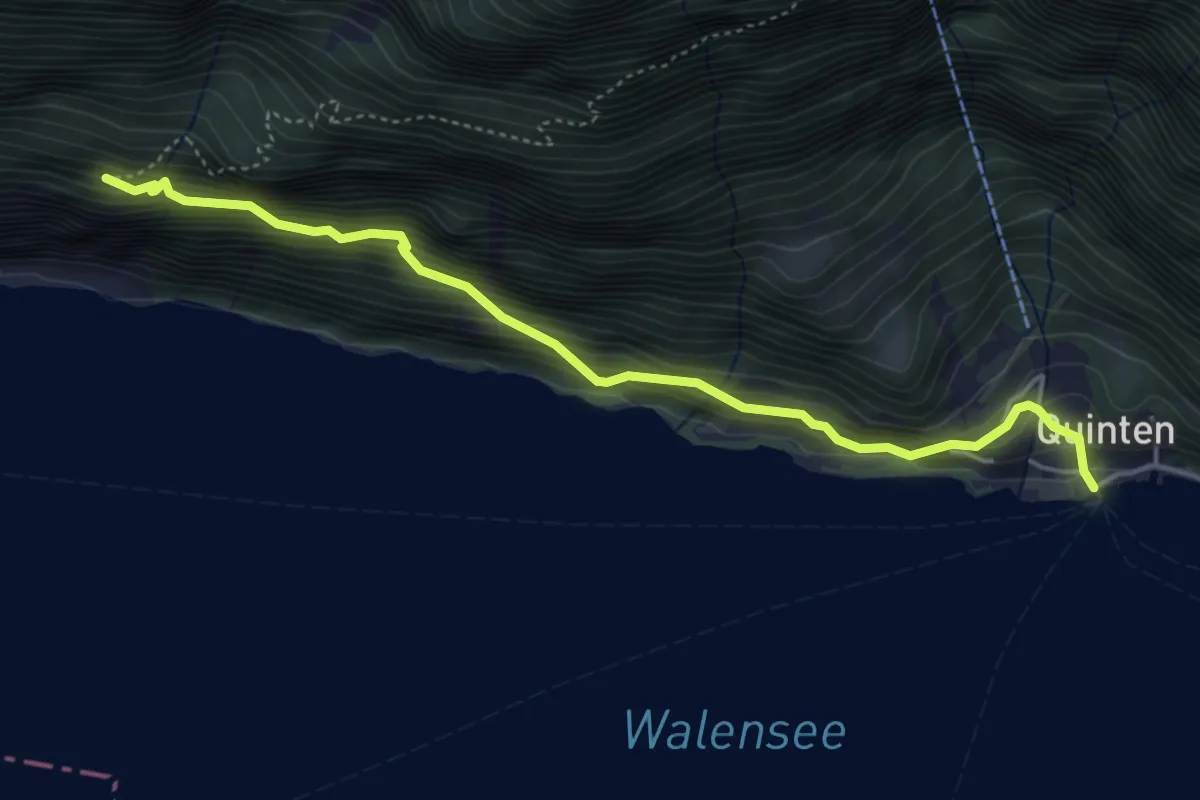
Medium · Trail
Seerenwald - Quinten
4.7 km · ↑ 456 m · 2 h 6 min
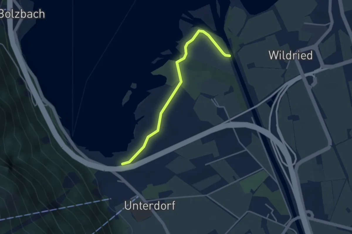
Easy · Trail
Seerestaurant-Schanz
3.1 km · ↑ 4 m · 44 min
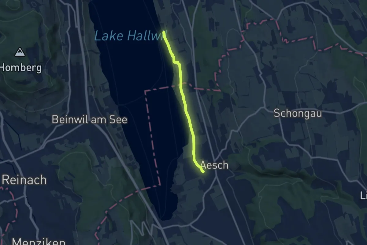
Easy · Trail
Seerose - Aesch
7.0 km · ↑ 43 m · 1 h 44 min
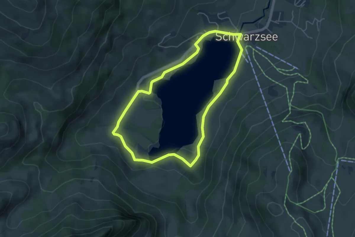
Easy · Trail
Seerundgang
4.1 km · ↑ 73 m · 1 h 11 min
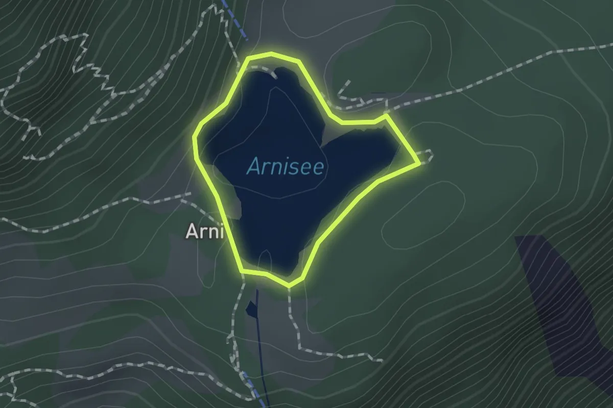
Easy · Trail
Seerundgang
1.0 km · ↑ 19 m · 18 min
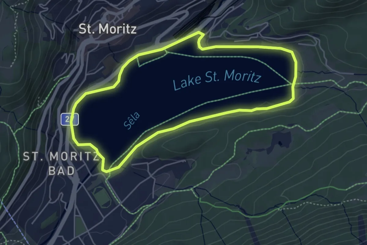
Easy · Trail
Seerundgang
4.3 km · ↑ 12 m · 1 h 6 min
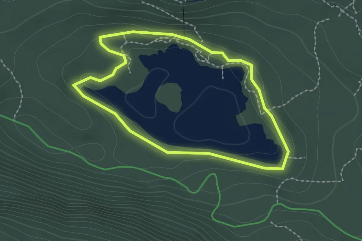
Easy · Trail
Seerundgang
1.8 km · ↑ 33 m · 31 min
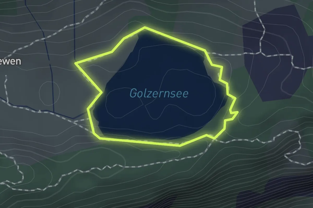
Easy · Trail
Seerundgang Golzerensee
1.2 km · ↑ 23 m · 20 min
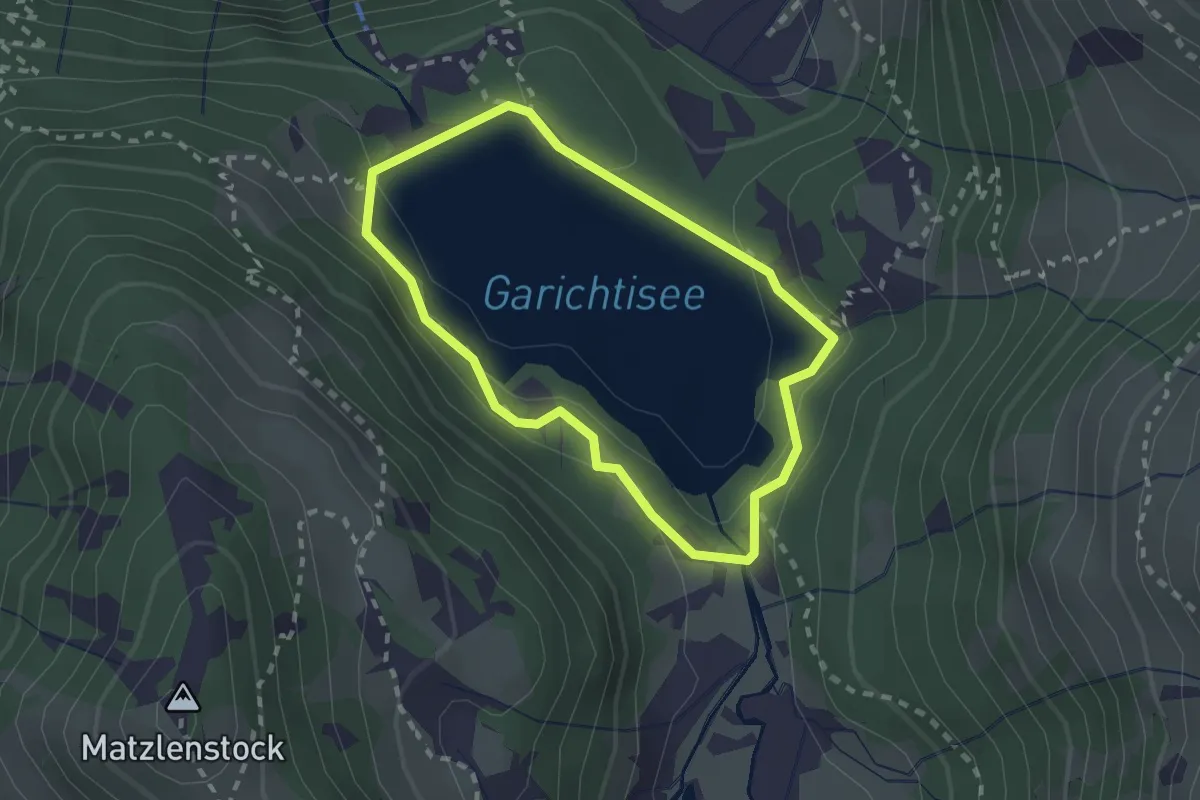
Easy · Trail
Seerundweg
1.9 km · ↑ 113 m · 43 min
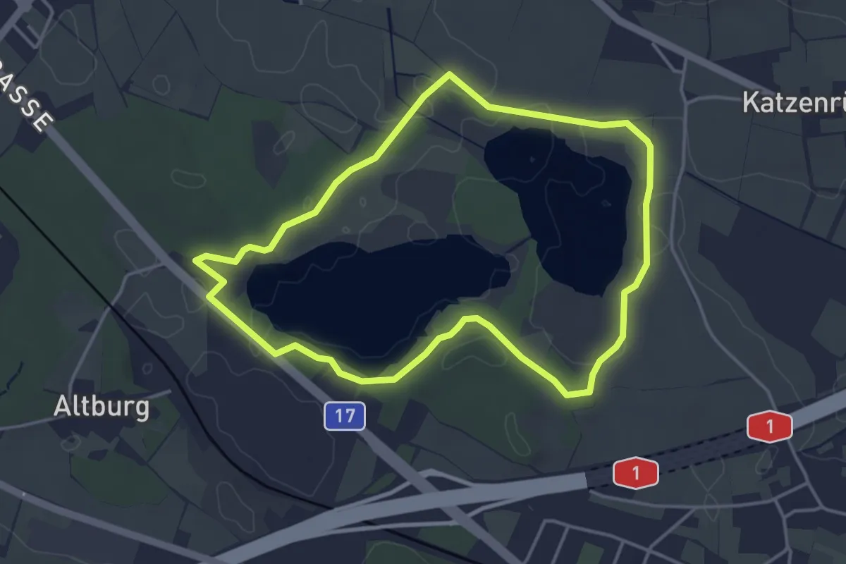
Easy · Trail
Seerundweg
3.8 km · ↑ 31 m · 1 h 2 min
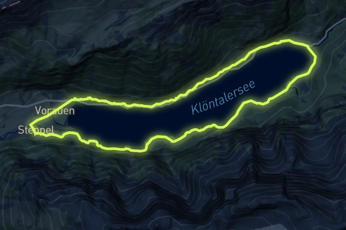
Medium · Trail
Seerundweg Klöntal
12.5 km · ↑ 786 m · 4 h 49 min
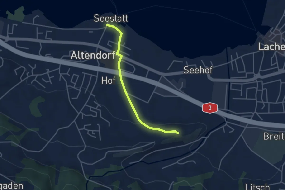
Easy · Trail
Seestatt Altendorf - St. Johann
2.9 km · ↑ 72 m · 51 min
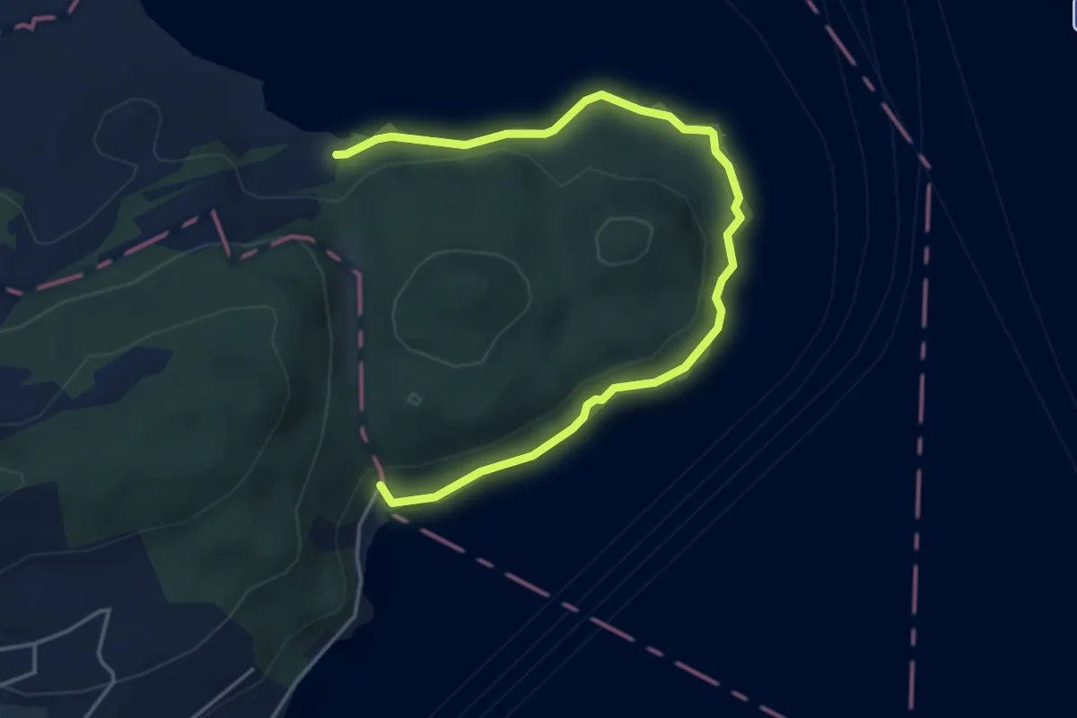
Easy · Trail
Seeuferweg
5.0 km · ↑ 110 m · 1 h 26 min
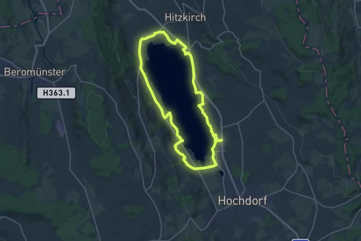
Demanding · Trail
Seeuferweg Baldeggersee
29.2 km · ↑ 256 m · 7 h 27 min
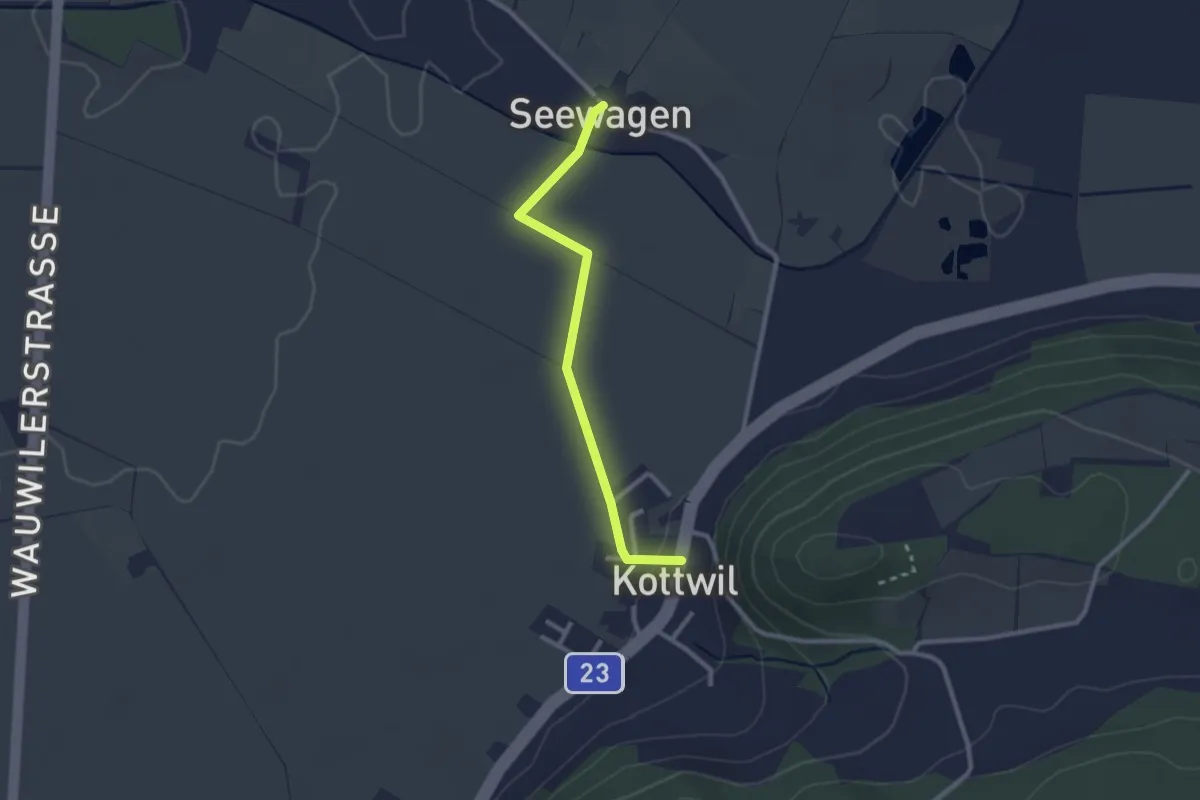
Easy · Trail
Seewagen - Kottwil
2.4 km · ↑ 14 m · 36 min
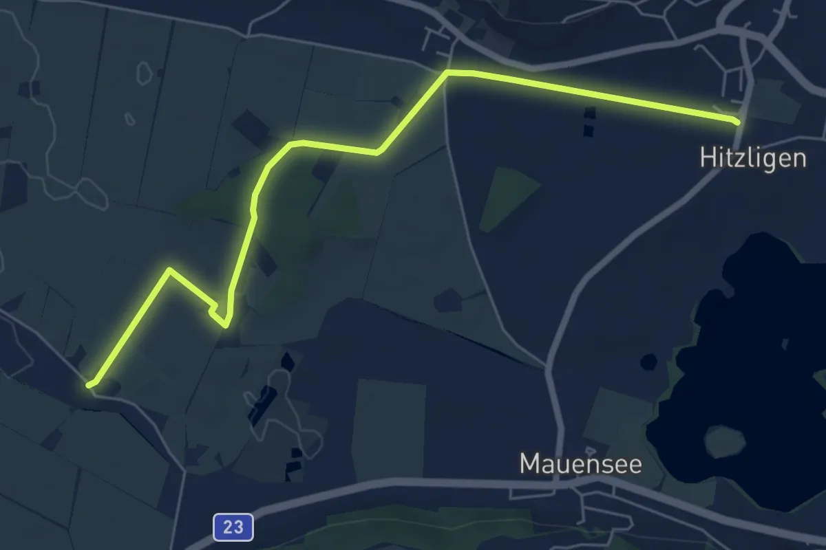
Easy · Trail
Seewagen - St. Erhard (Bahnhof)
6.8 km · ↑ 18 m · 1 h 38 min
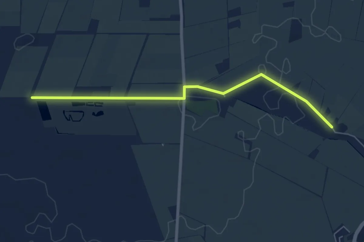
Easy · Trail
Seewagen - Wauwilermoos
5.1 km · ↑ 9 m · 1 h 13 min
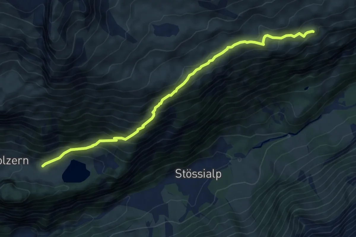
Medium · Trail
Seewen - Öfeli
7.8 km · ↑ 611 m · 3 h 10 min
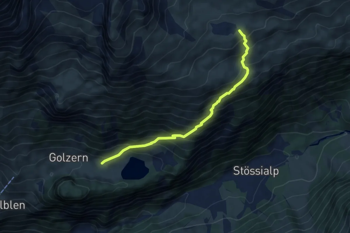
Medium · Cabin
Seewen - Windgällenhütte
5.6 km · ↑ 595 m · 2 h 37 min
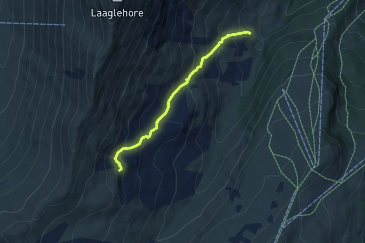
Medium · Trail
Seitengraben - Obere Lochberg
4.3 km · ↑ 366 m · 1 h 49 min
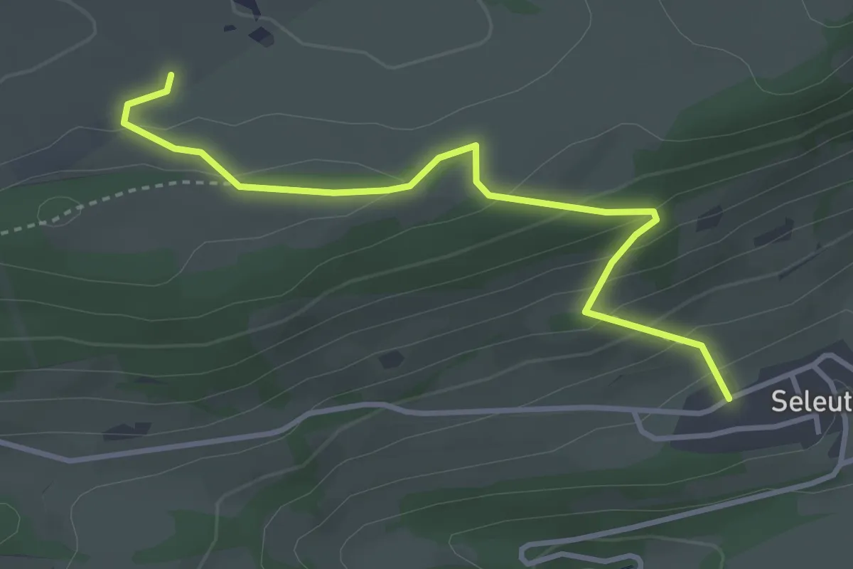
Easy · Trail
Seleute - fixme
3.5 km · ↑ 228 m · 1 h 20 min
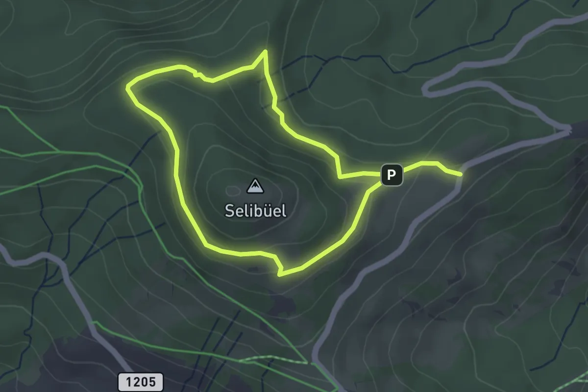
Easy · Trail
Selibüel Rundweg
6.0 km · ↑ 216 m · 1 h 53 min
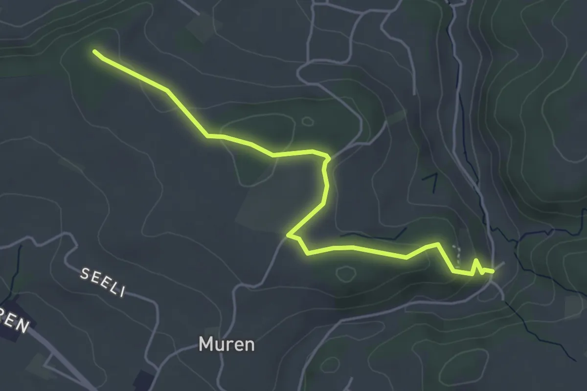
Easy · Trail
Seligraben - Pfaffenhölzli
4.7 km · ↑ 126 m · 1 h 23 min
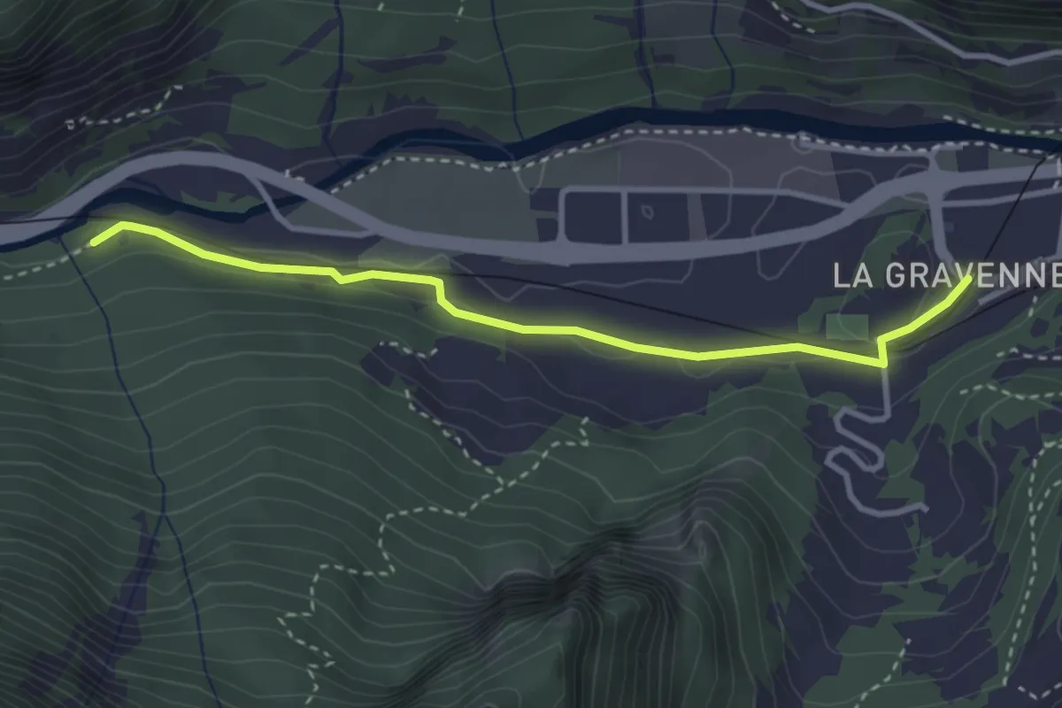
Easy · Trail
Sembrancher - Gare > Les Trappistes
3.3 km · ↑ 53 m · 53 min
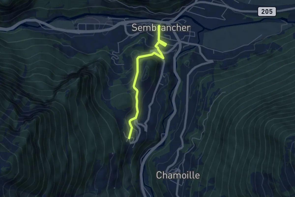
Easy · Trail
Sembrancher > La Garde
4.4 km · ↑ 237 m · 1 h 34 min
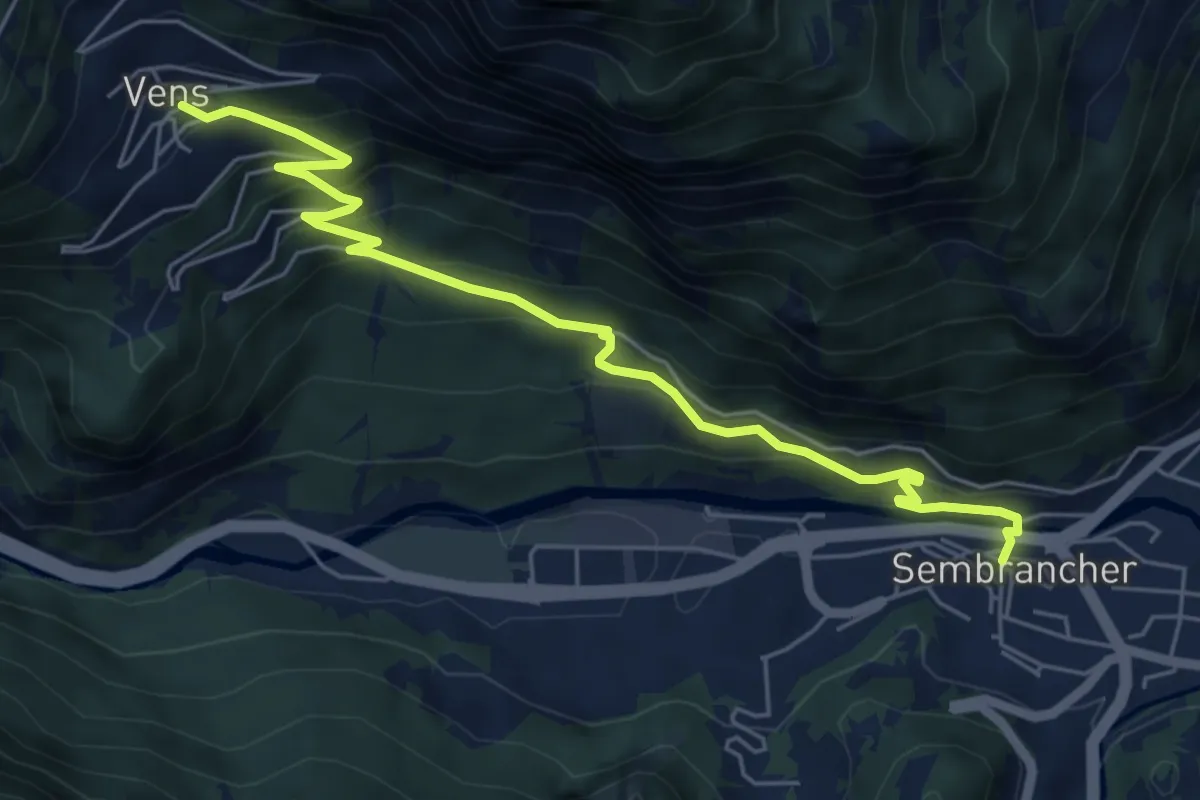
Medium · Trail
Sembrancher > Vens
6.5 km · ↑ 469 m · 2 h 34 min
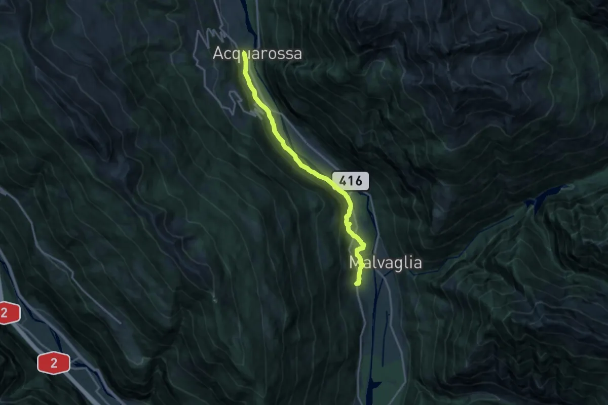
Medium · Trail
Semione - Acquarossa
13.7 km · ↑ 363 m · 4 h 1 min
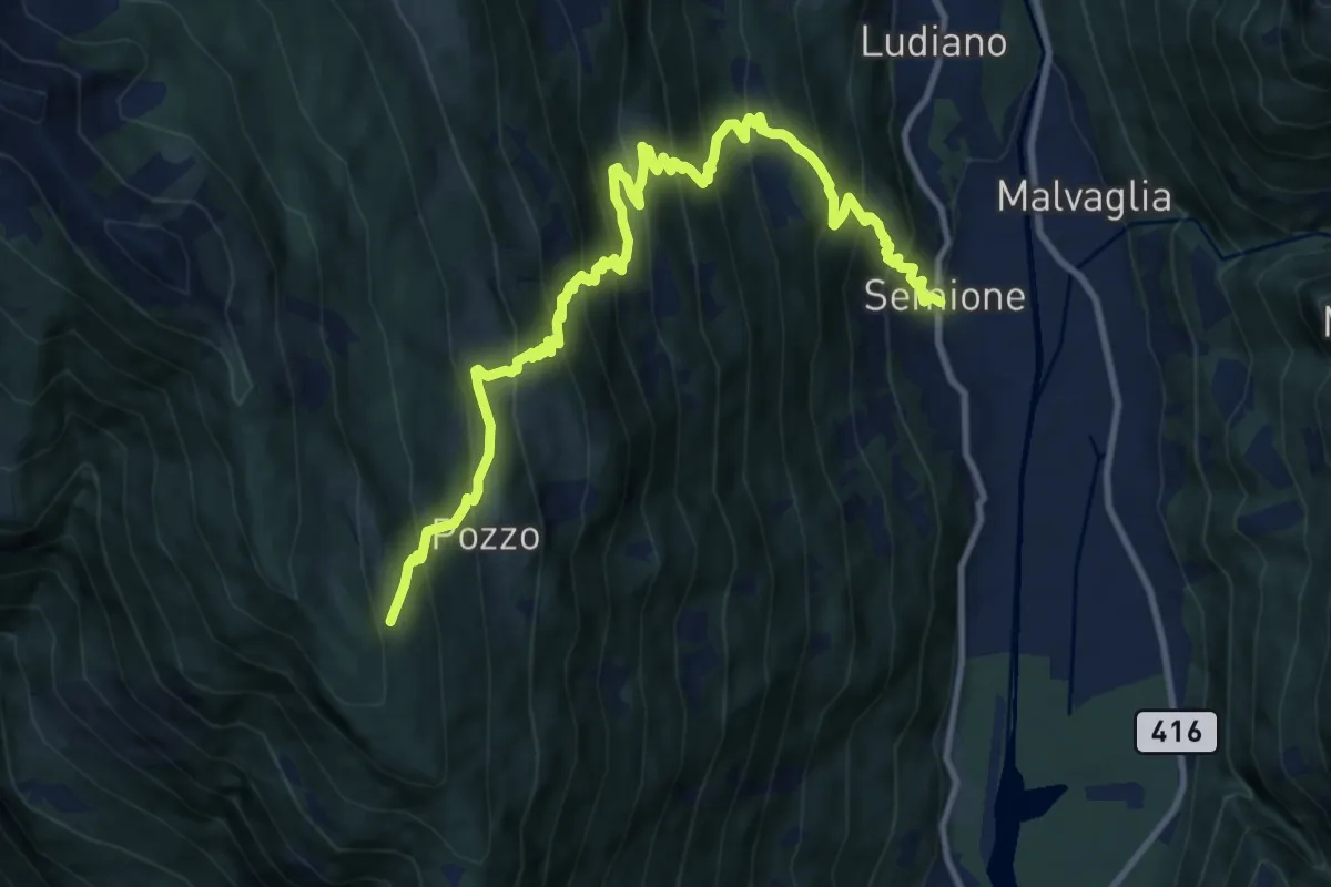
Demanding · Cabin
Semione - Capanna Pian d'Alpe
13.5 km · ↑ 1427 m · 6 h 17 min
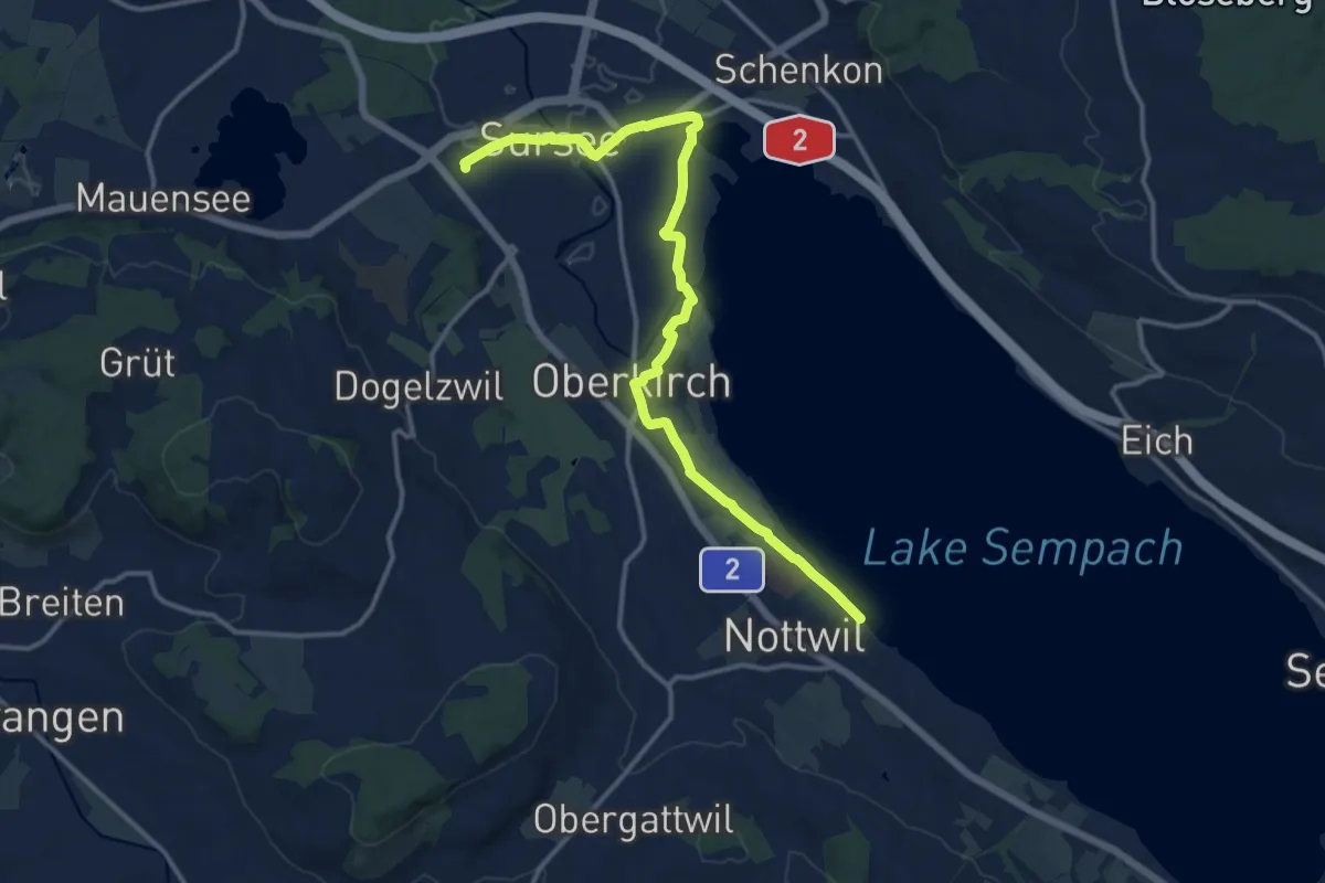
Medium · Trail
Sempachersee-Moosweg
14.6 km · ↑ 44 m · 3 h 33 min
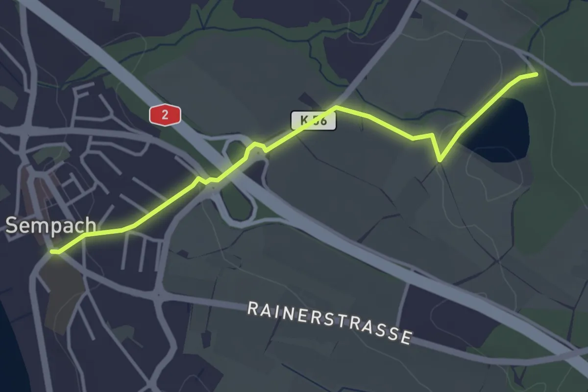
Easy · Trail
Sempach - Steinibüel
3.5 km · ↑ 57 m · 57 min
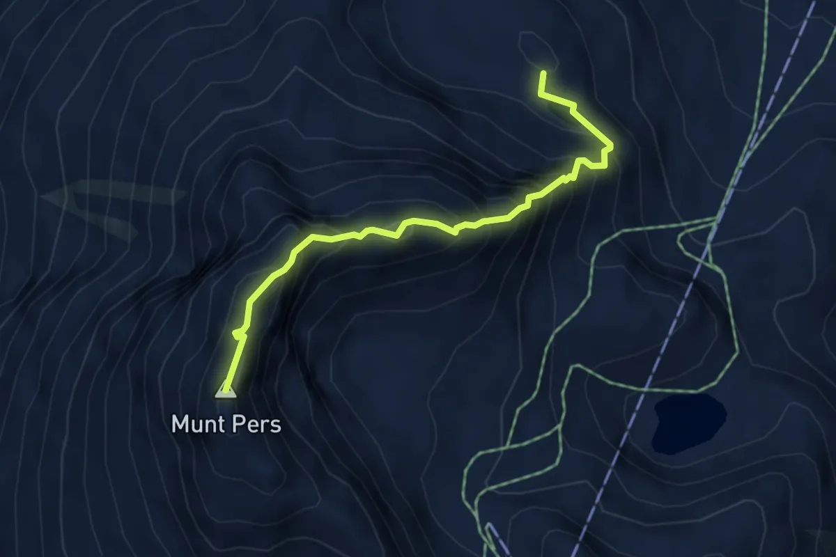
Expert · Summit
Senda dal Diavel
4.4 km · ↑ 588 m · 2 h 19 min
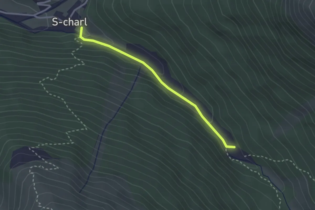
Medium · Trail
Senda dal muglin
2.4 km · ↑ 89 m · 45 min
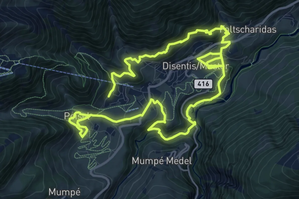
Medium · Trail
Senda Desertina
12.4 km · ↑ 656 m · 4 h 31 min
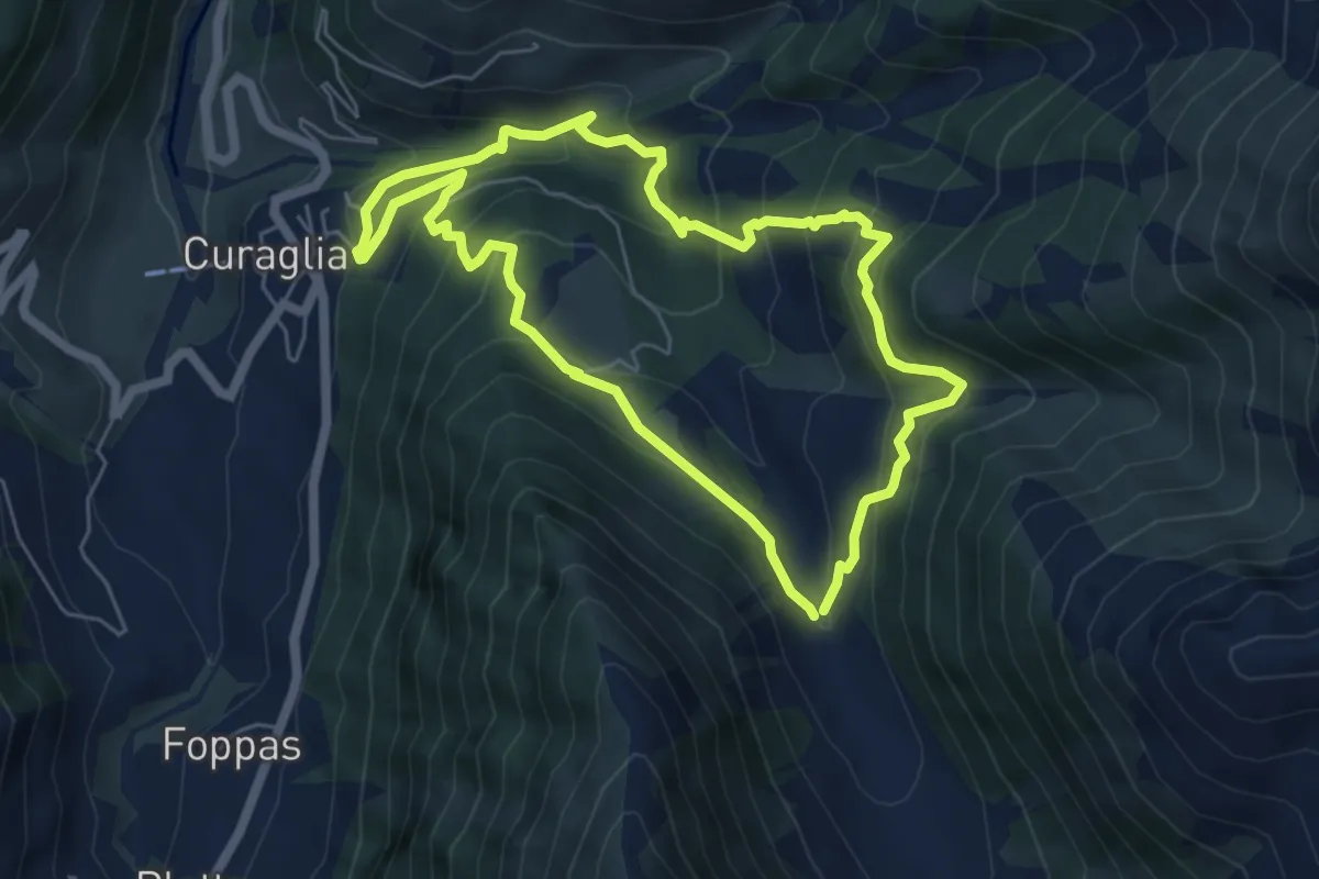
Medium · Trail
Senda dils senns
5.6 km · ↑ 410 m · 2 h 17 min
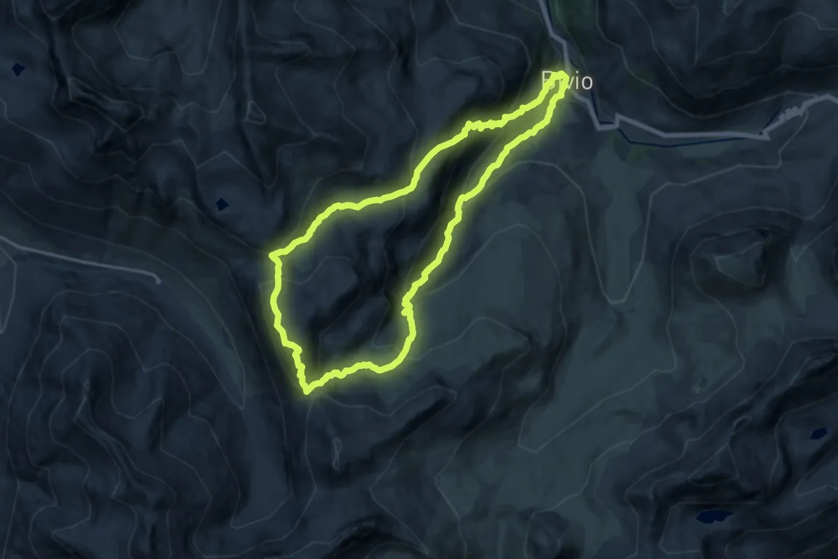
Demanding · Summit
Senda Leg Columban
13.9 km · ↑ 1001 m · 5 h 39 min
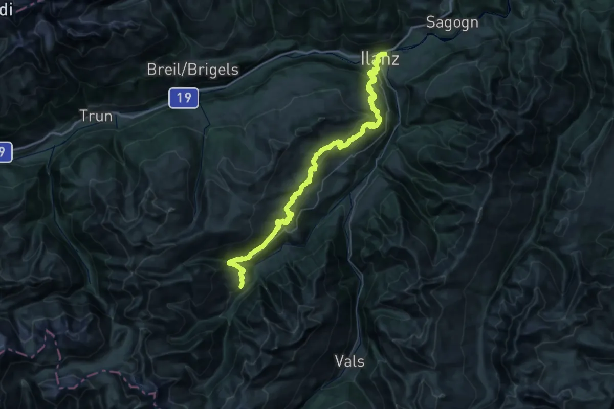
Demanding · Trail
Senda Lumneziana Vrin Ilanz
25.7 km · ↑ 883 m · 8 h 43 min
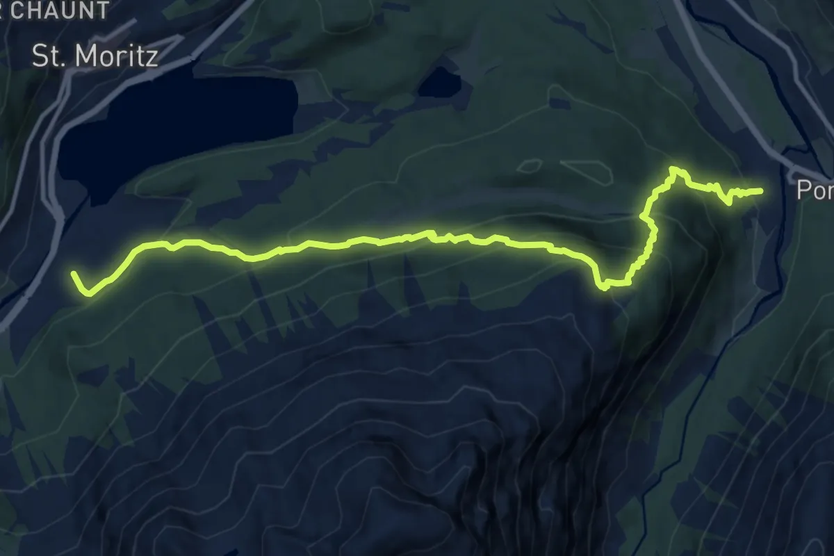
Demanding · Trail
Senda Muottas da Schlarigna
12.4 km · ↑ 890 m · 4 h 52 min
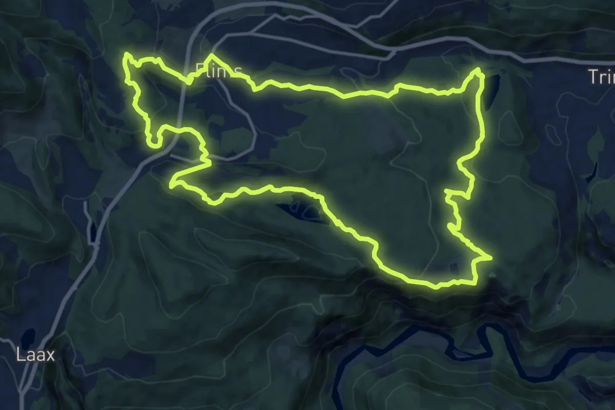
Medium · Trail
Senda quatter lags da Flem
14.8 km · ↑ 534 m · 4 h 52 min
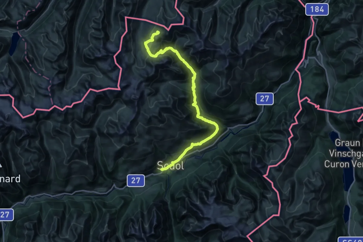
Demanding · Summit
Senda Scuol-Samnaun
52.0 km · ↑ 2854 m · 18 h 28 min