Trails in Switzerland
15,064 hiking trails, each with its route, climb, walking time and grade.
All trails, page 99 of 314
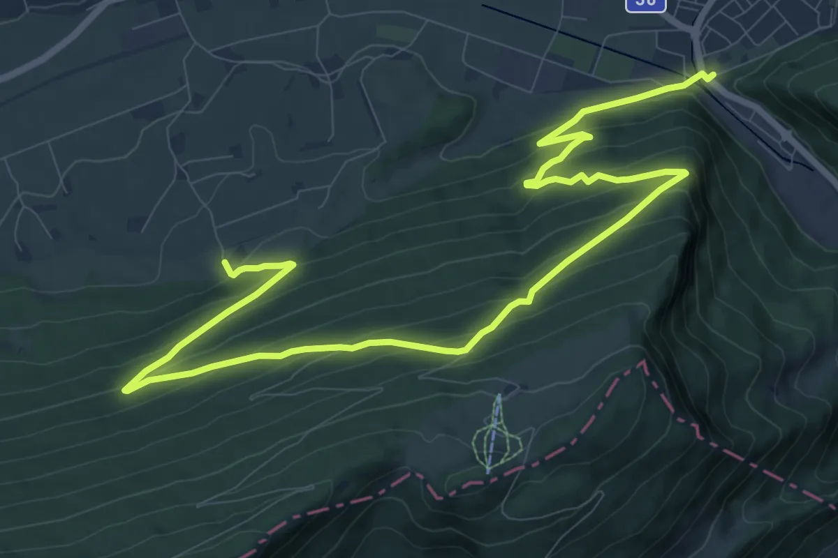
Medium · Trail
Schwängimatt - Klus
14.9 km · ↑ 783 m · 5 h 13 min
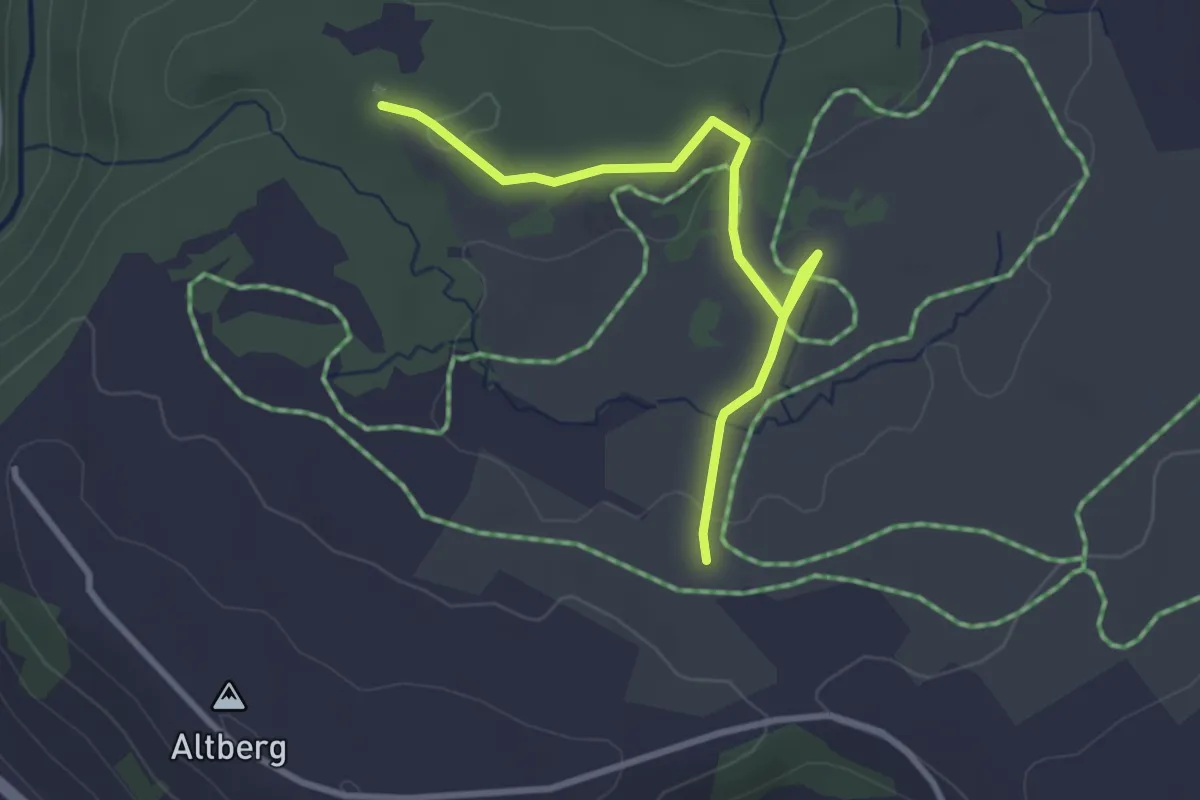
Easy · Trail
Schwantenau
3.1 km · ↑ 33 m · 47 min
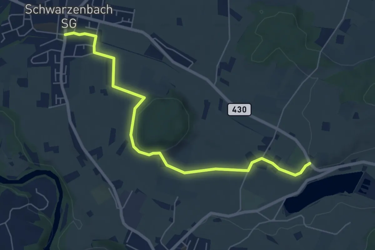
Easy · Trail
Schwarzenbach - Bettenau
6.1 km · ↑ 105 m · 1 h 40 min
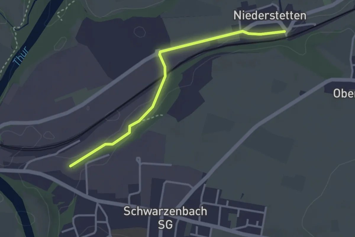
Easy · Trail
Schwarzenbach Bhf - Niederstetten
3.0 km · ↑ 51 m · 49 min
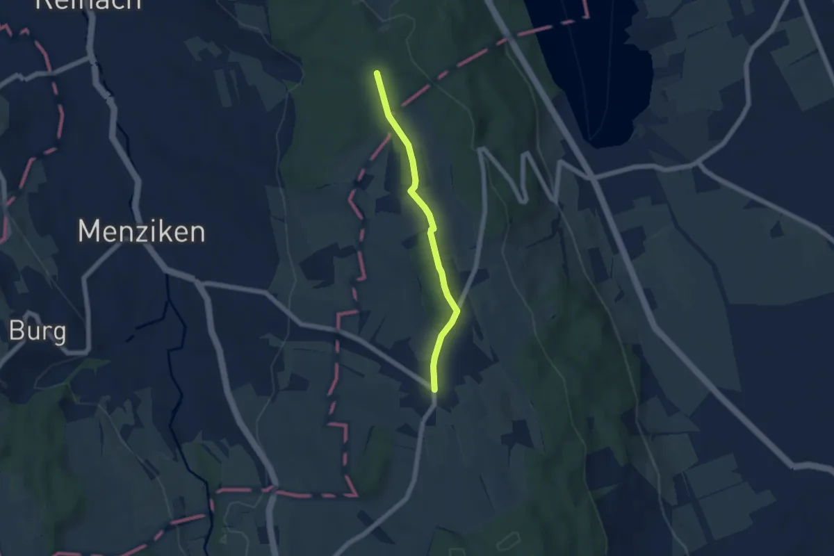
Easy · Trail
Schwarzenbach - Breitholz
4.3 km · ↑ 84 m · 1 h 12 min
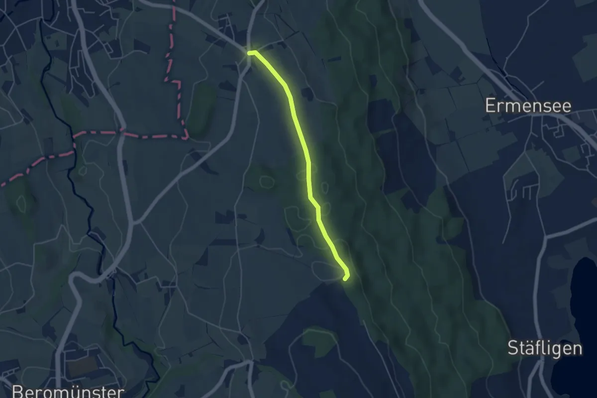
Easy · Trail
Schwarzenbach - Erlosen
4.1 km · ↑ 43 m · 1 h 4 min
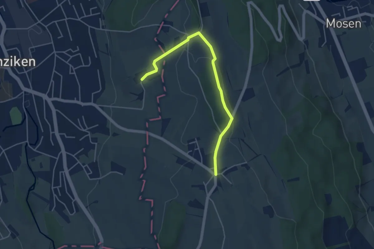
Easy · Trail
Schwarzenbach - Trolerhof
4.1 km · ↑ 69 m · 1 h 8 min
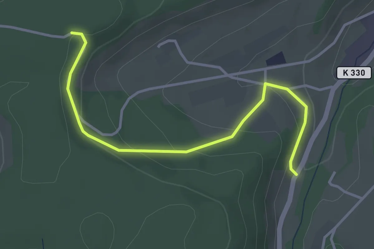
Easy · Trail
Schwarzenberg - Brünnelichrüz
3.2 km · ↑ 143 m · 1 h 4 min
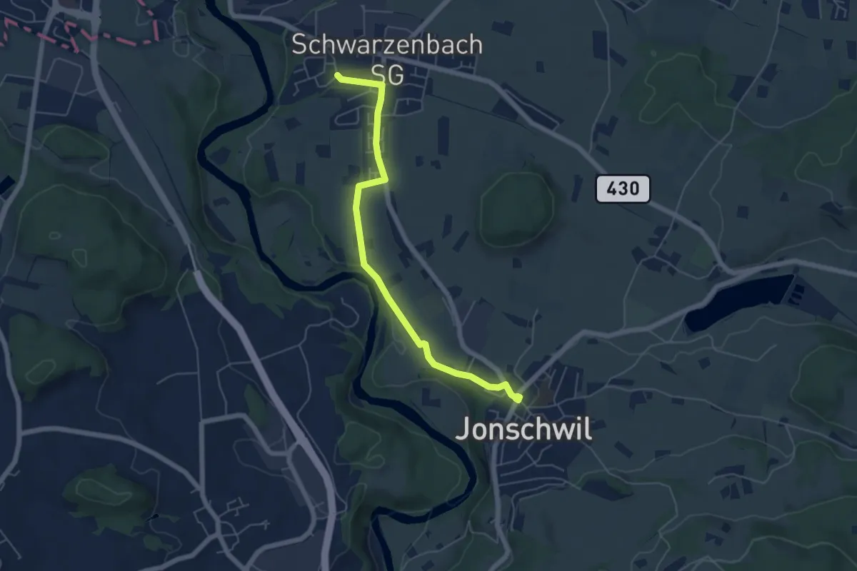
Easy · Trail
Schwarzenberg - Jonschwil
5.5 km · ↑ 73 m · 1 h 28 min
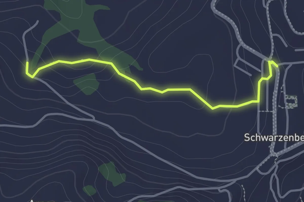
Easy · Trail
Schwarzenberg - Niederlehn
2.8 km · ↑ 93 m · 52 min
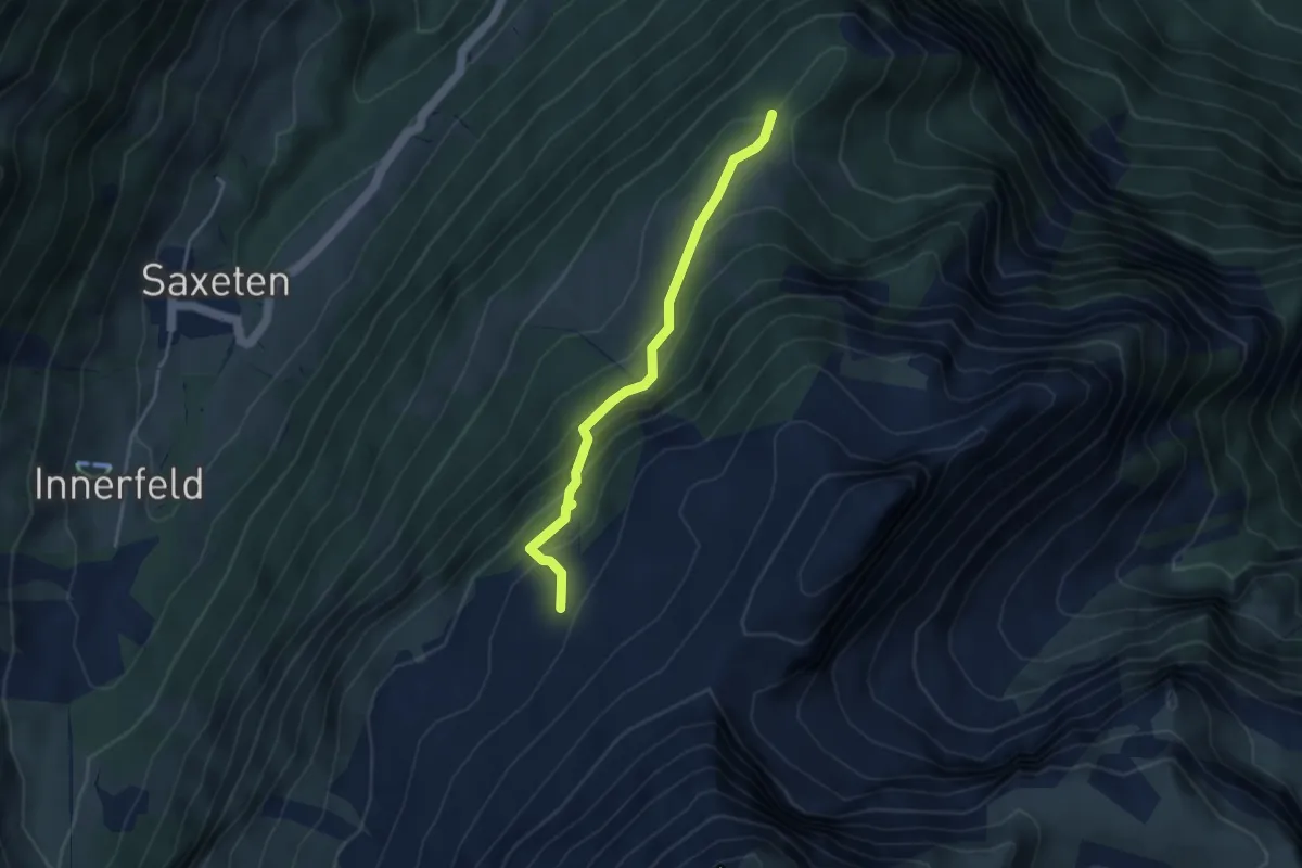
Medium · Trail
Schwarzhore - Bällen
3.5 km · ↑ 310 m · 1 h 30 min
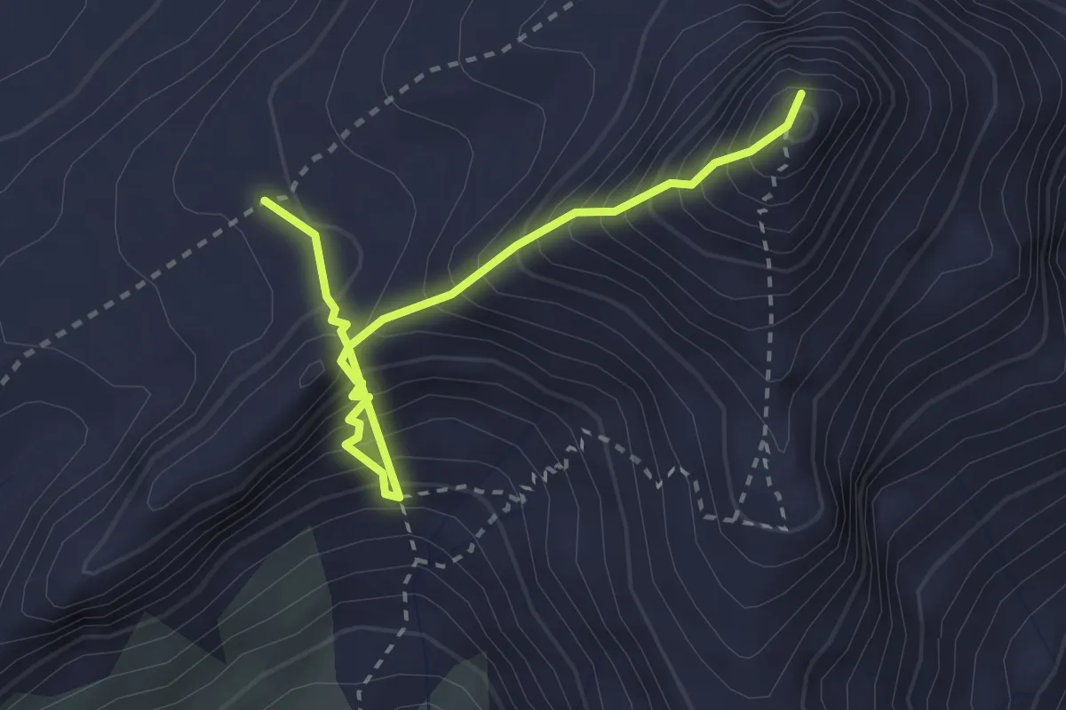
Expert · Summit
Schwarzhorn – Klettersteig
3.0 km · ↑ 548 m · 1 h 54 min
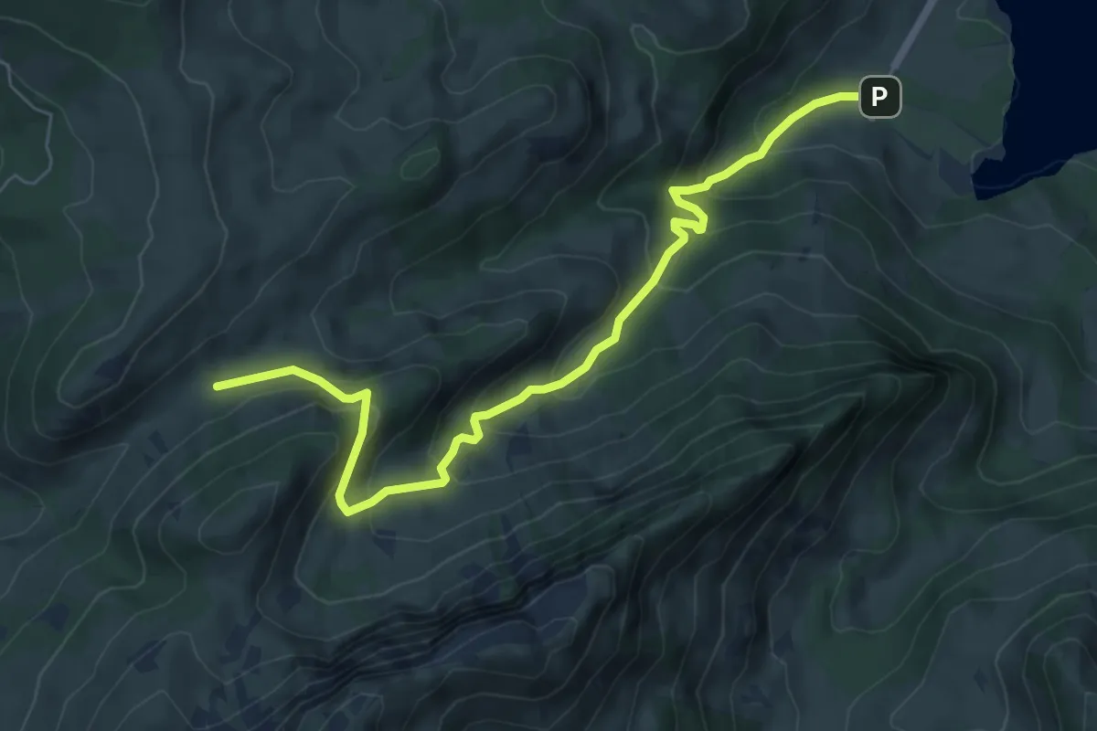
Medium · Cabin
Schwarzsee Bad Seeweid - fixme
7.1 km · ↑ 577 m · 2 h 56 min
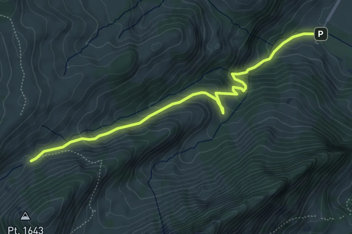
Medium · Cabin
Schwarzsee Bad Seeweid - fixme
6.1 km · ↑ 372 m · 2 h 15 min
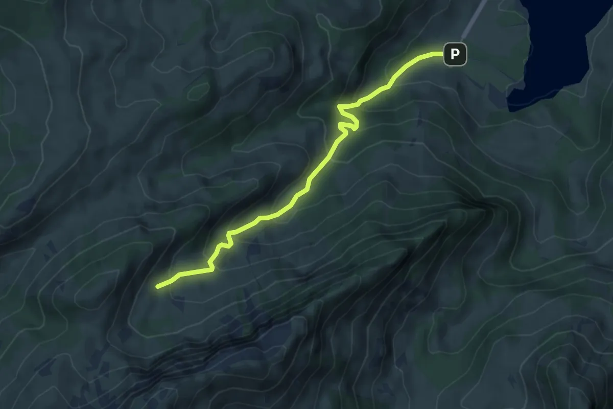
Medium · Cabin
Schwarzsee Bad Seeweid - Patraflon
5.3 km · ↑ 425 m · 2 h 10 min
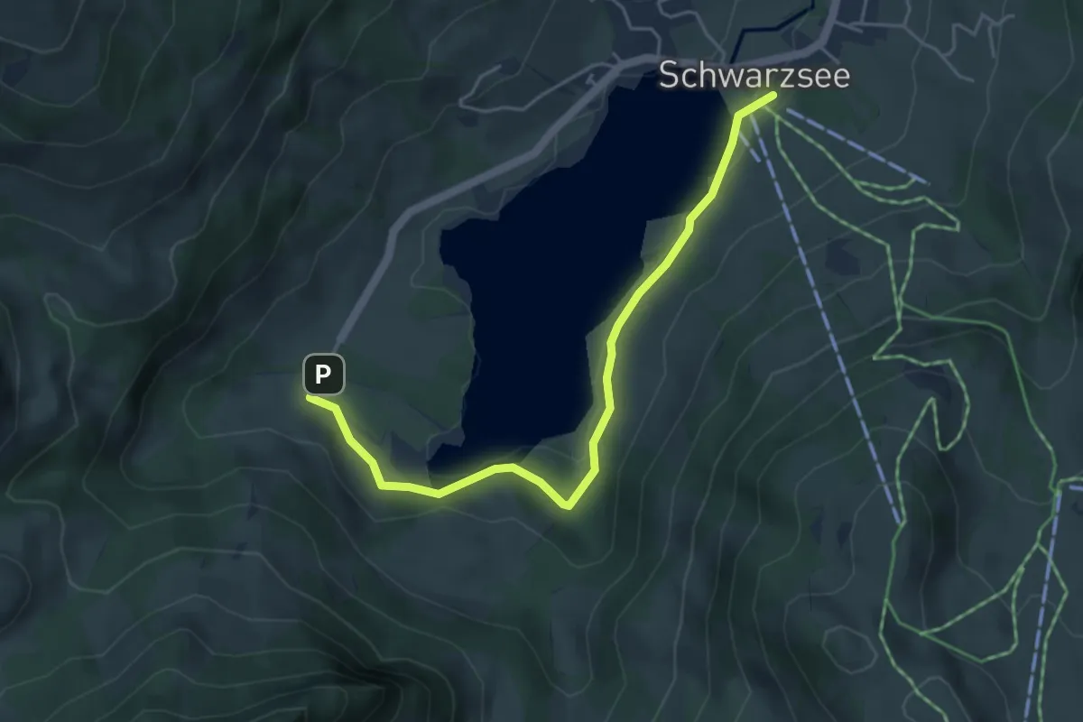
Easy · Trail
Schwarzsee Bad Seeweid - Schwarzsee Gypsern
4.7 km · ↑ 149 m · 1 h 26 min
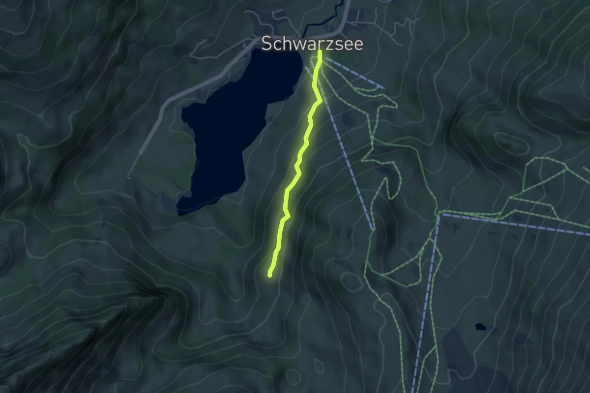
Easy · Trail
Schwarzsee Gypsera - fixme
3.3 km · ↑ 216 m · 1 h 15 min
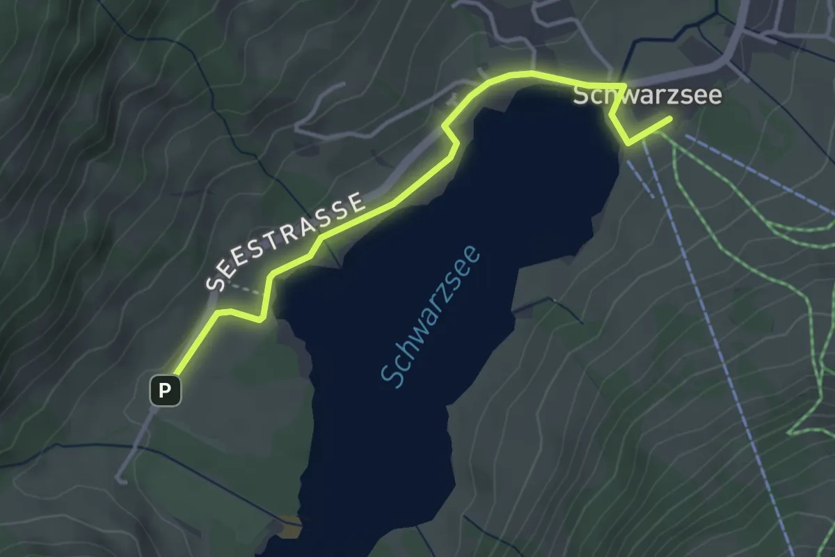
Easy · Trail
Schwarzsee Gypsera - Schwarzsee Bad
3.6 km · ↑ 30 m · 55 min
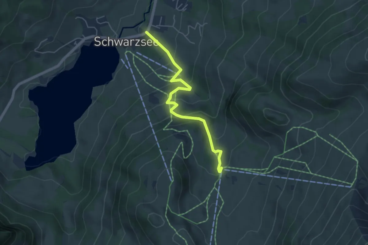
Easy · Trail
Schwarzsee - Riggisalp
4.4 km · ↑ 289 m · 1 h 40 min
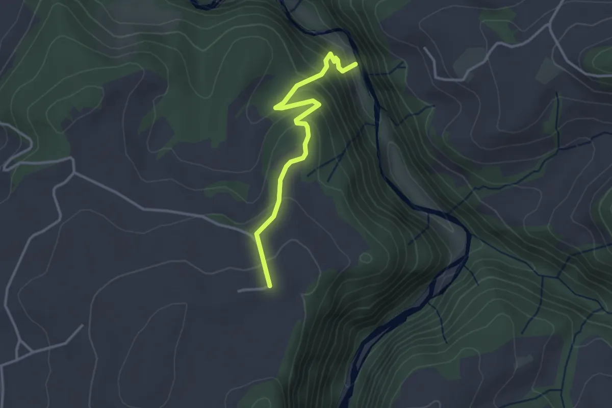
Easy · Trail
Schwarzwassergraben - Nidegg
3.0 km · ↑ 234 m · 1 h 13 min
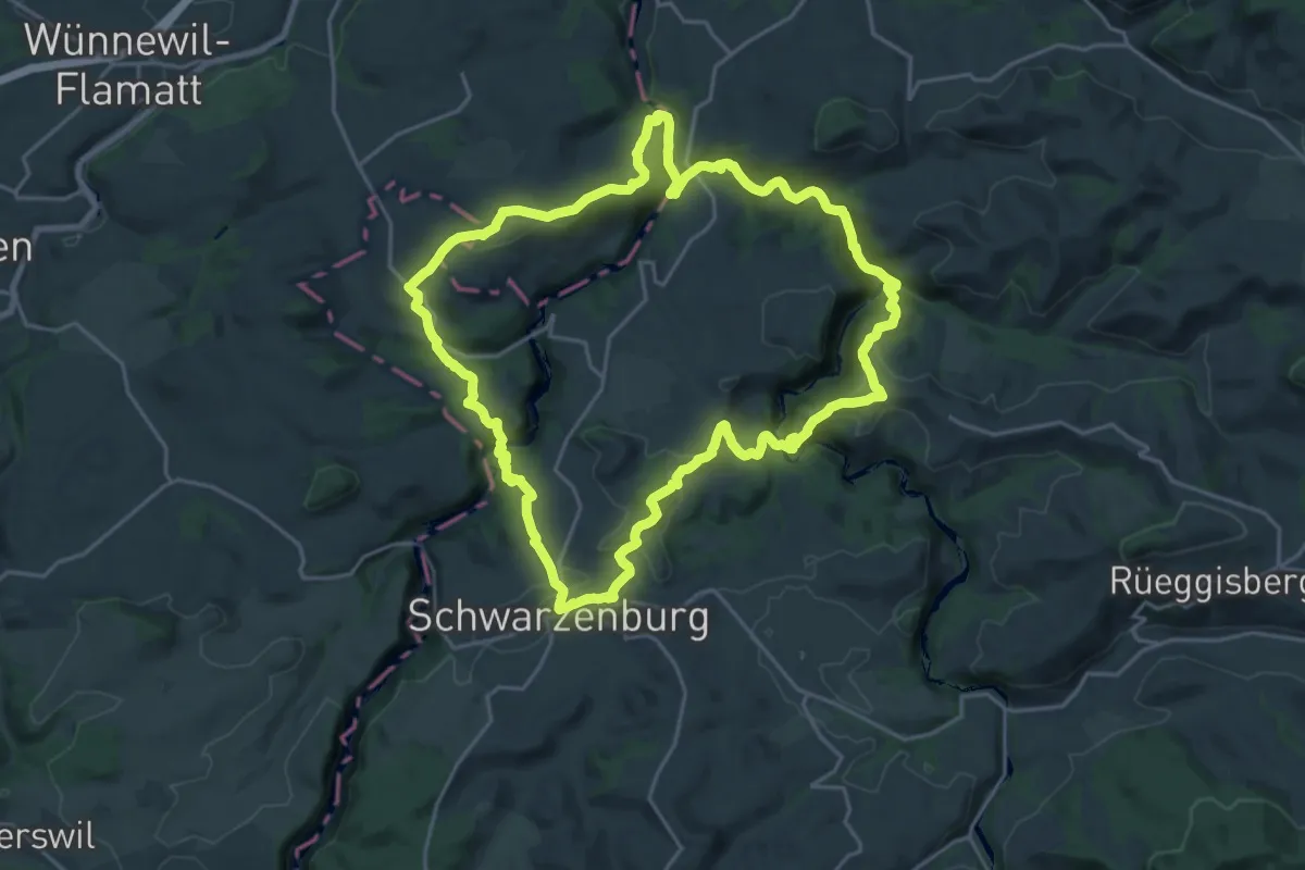
Demanding · Trail
Schwarzwasser Sense Schluchtenweg
21.9 km · ↑ 939 m · 7 h 31 min
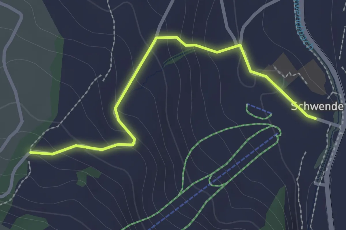
Easy · Trail
Schwende - Bellisweid
2.4 km · ↑ 122 m · 49 min
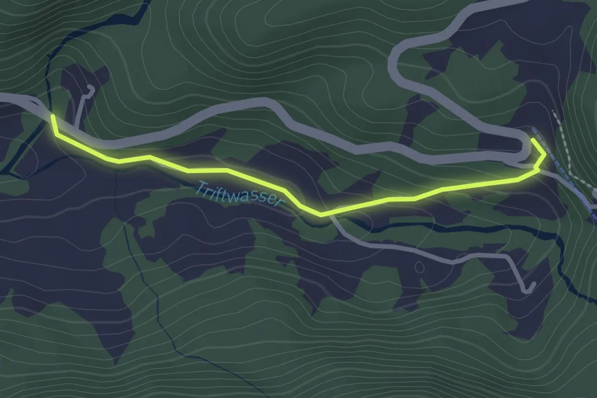
Easy · Trail
Schwendi - Nessental
2.3 km · ↑ 93 m · 44 min
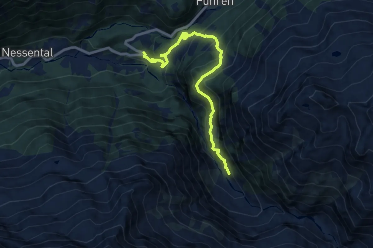
Medium · Trail
Schwendi - Underi Trift
9.4 km · ↑ 792 m · 3 h 57 min
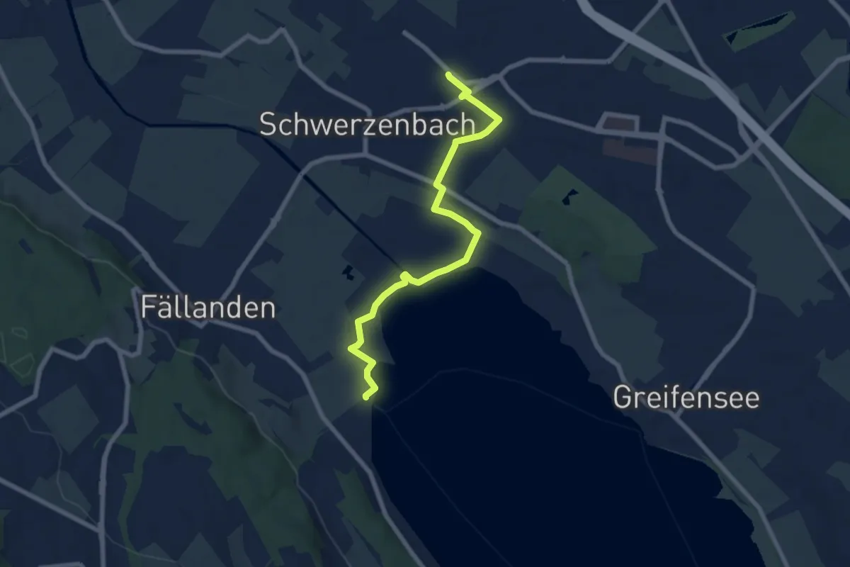
Easy · Trail
Schwerzenbach - Fällanden Rohr
6.7 km · ↑ 23 m · 1 h 38 min
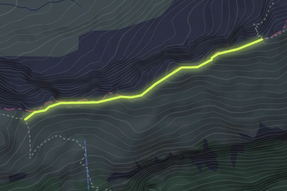
Demanding · Trail
Schwiren - Inner Baberg
2.8 km · ↑ 301 m · 1 h 19 min
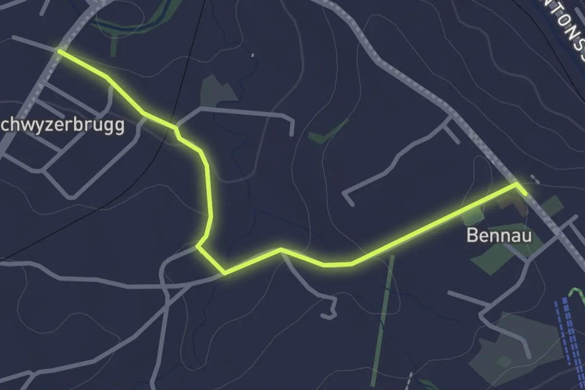
Easy · Trail
Schwyzerbrüggli - Bennau
2.7 km · ↑ 40 m · 43 min
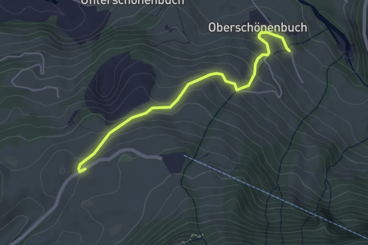
Easy · Trail
Schwyzerhöchi - Ober-Schönenbuch
4.1 km · ↑ 213 m · 1 h 25 min
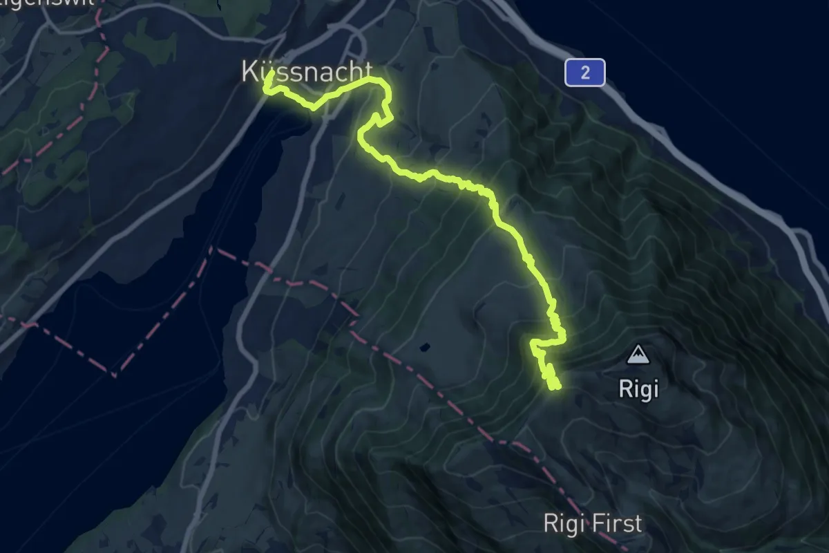
Demanding · Trail
Schwyzer Höhenweg - Etappe 1
16.7 km · ↑ 1217 m · 6 h 34 min
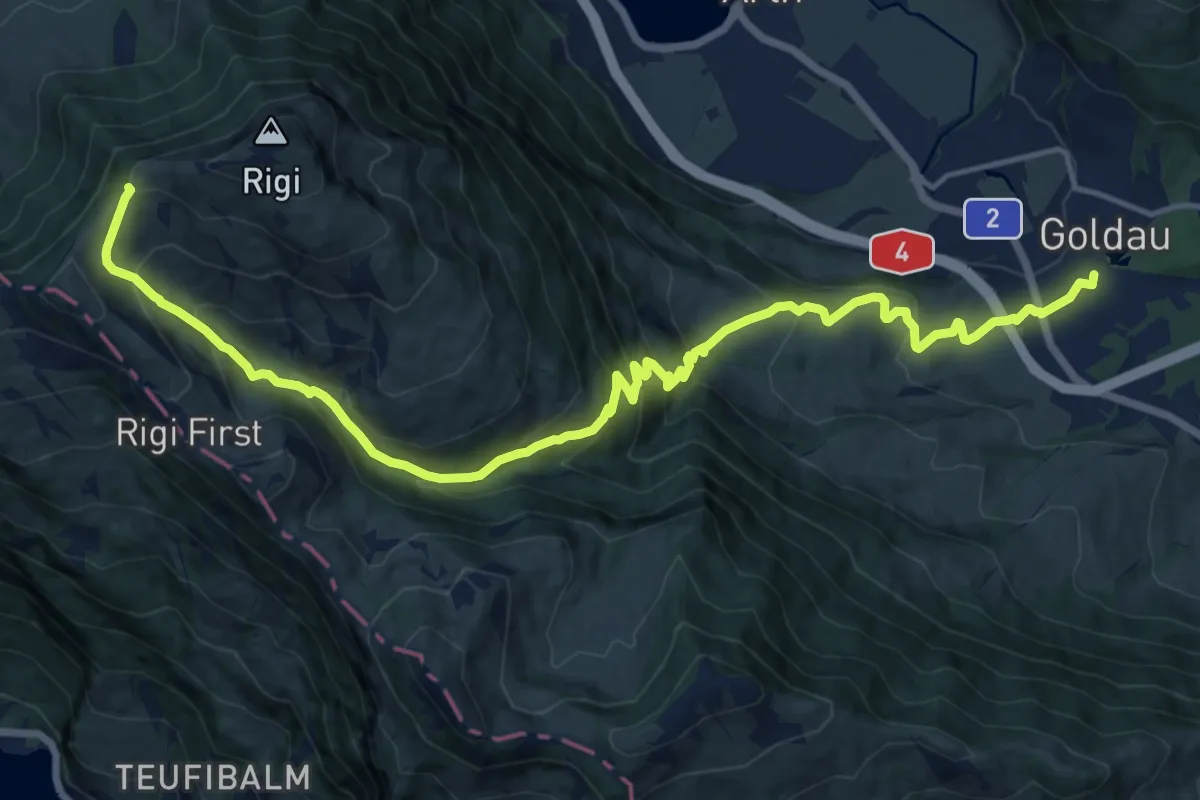
Demanding · Trail
Schwyzer Höhenweg - Etappe 2
17.8 km · ↑ 1122 m · 6 h 38 min
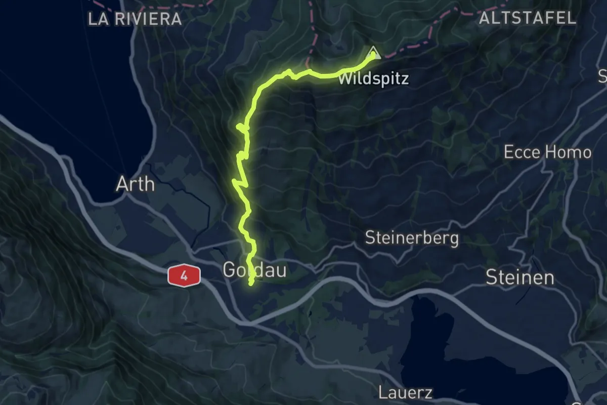
Demanding · Summit
Schwyzer Höhenweg - Etappe 3
14.1 km · ↑ 1207 m · 5 h 57 min
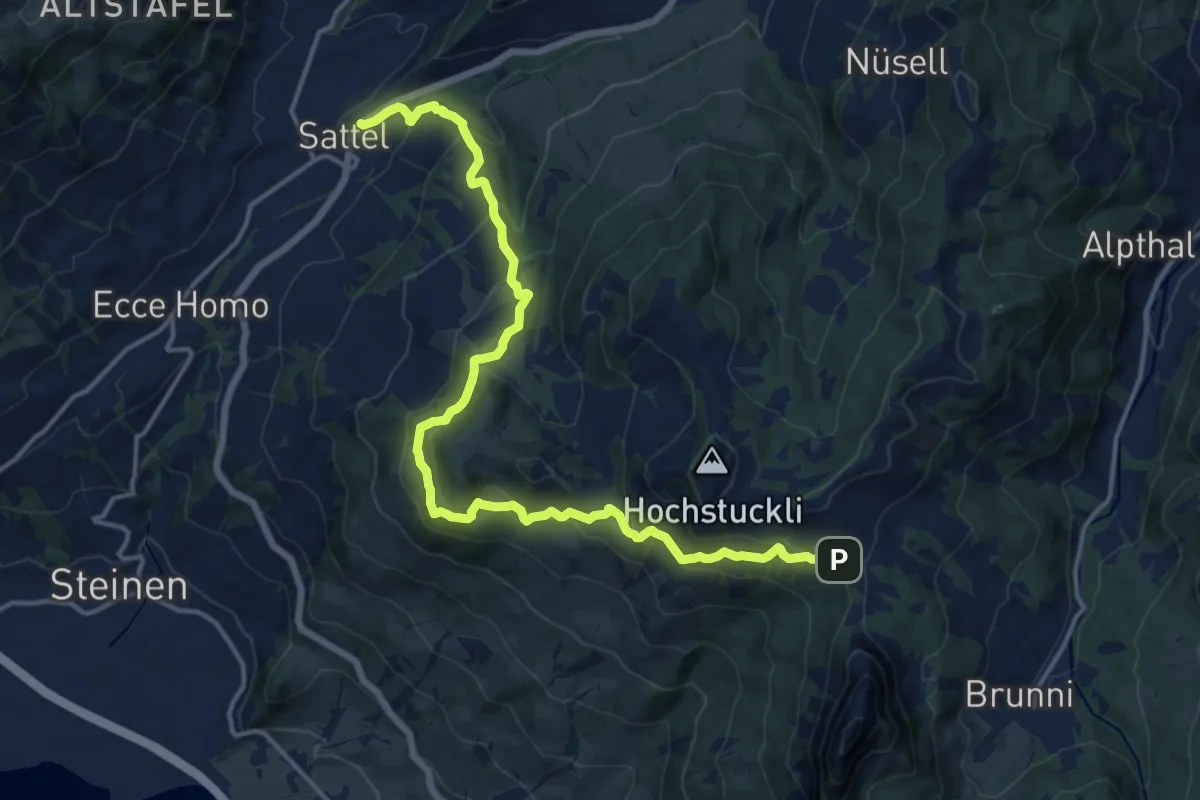
Demanding · Trail
Schwyzer Höhenweg - Etappe 4
17.1 km · ↑ 897 m · 5 h 59 min
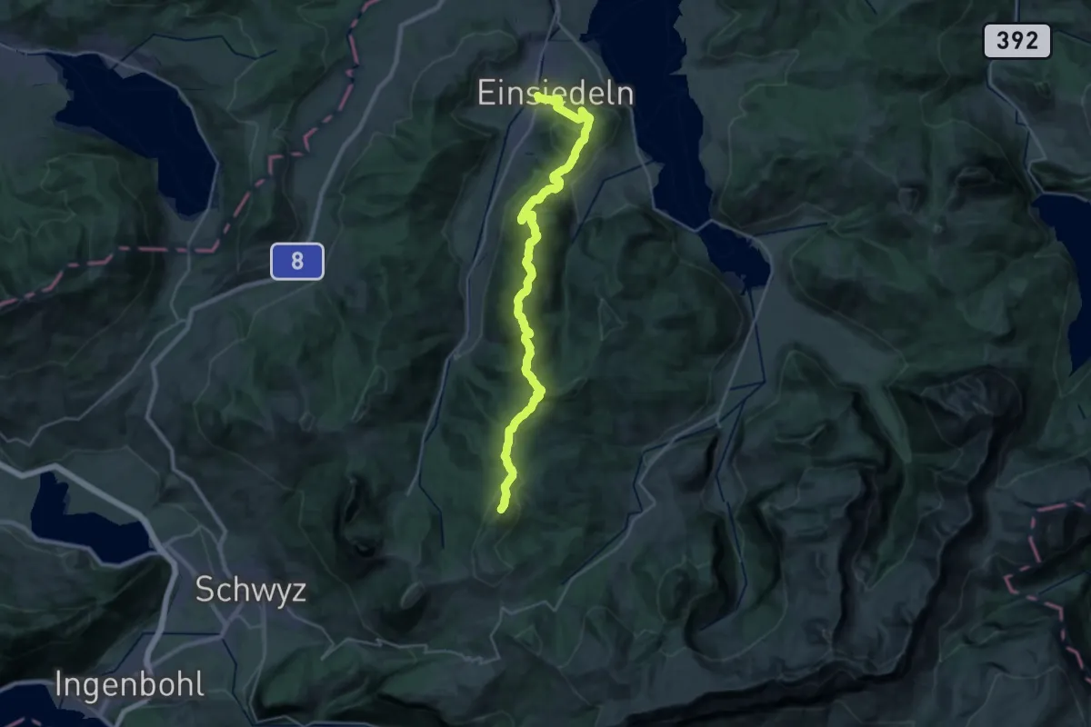
Demanding · Summit
Schwyzer Höhenweg - Etappe 5
28.8 km · ↑ 1471 m · 10 h
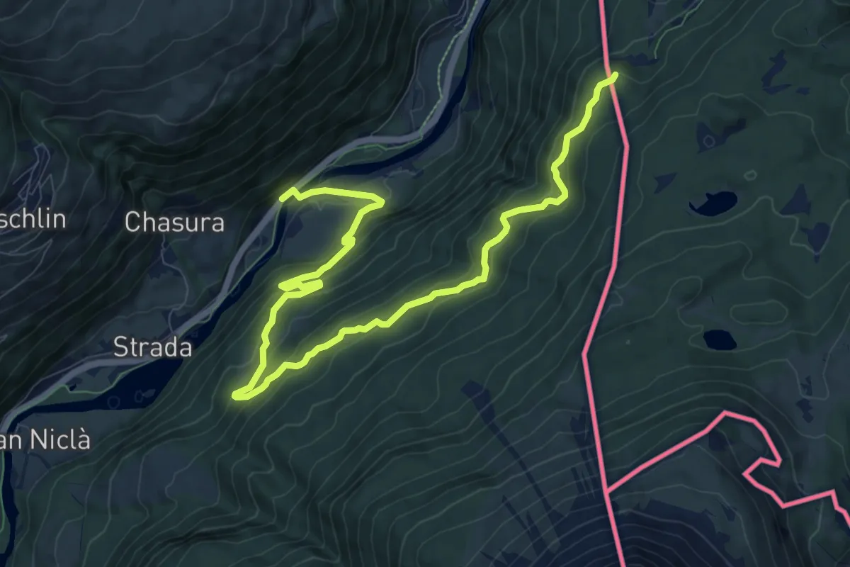
Medium · Trail
Sclamischot - Plan da la Scorza
12.2 km · ↑ 710 m · 4 h 25 min
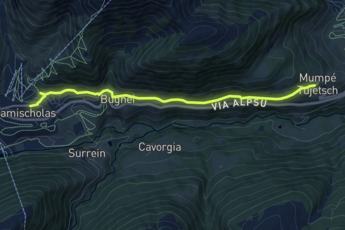
Medium · Trail
Sedrun - Mumpé Tujetsch
9.3 km · ↑ 338 m · 2 h 56 min
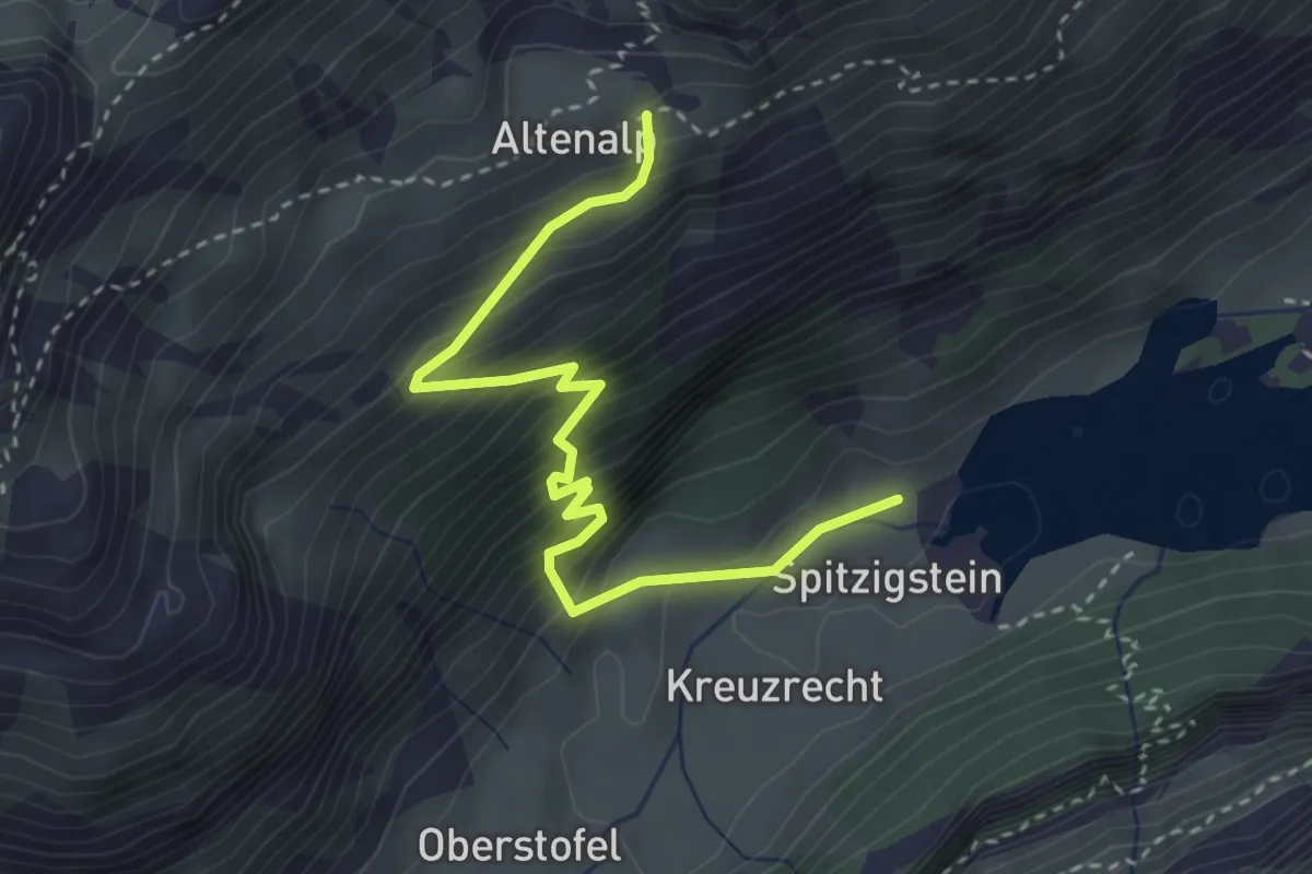
Demanding · Trail
Seealp - Altenalp
3.5 km · ↑ 504 m · 1 h 55 min
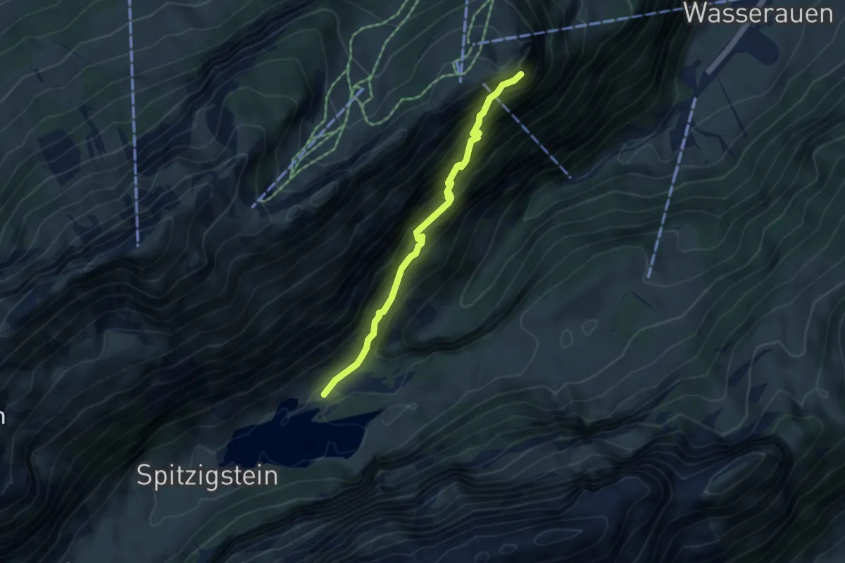
Demanding · Cabin
Seealpsee - Äscher
4.1 km · ↑ 536 m · 2 h 7 min
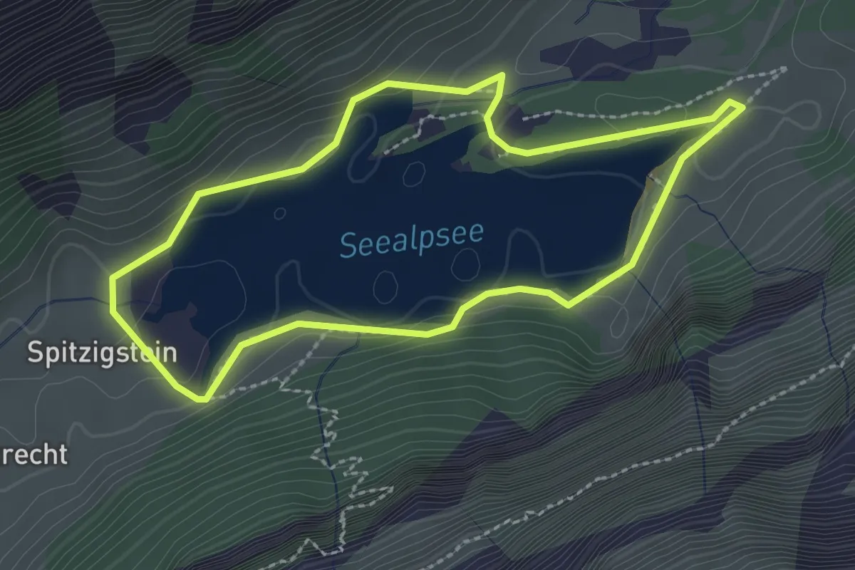
Easy · Trail
Seealpsee Rondom
2.2 km · ↑ 60 m · 41 min
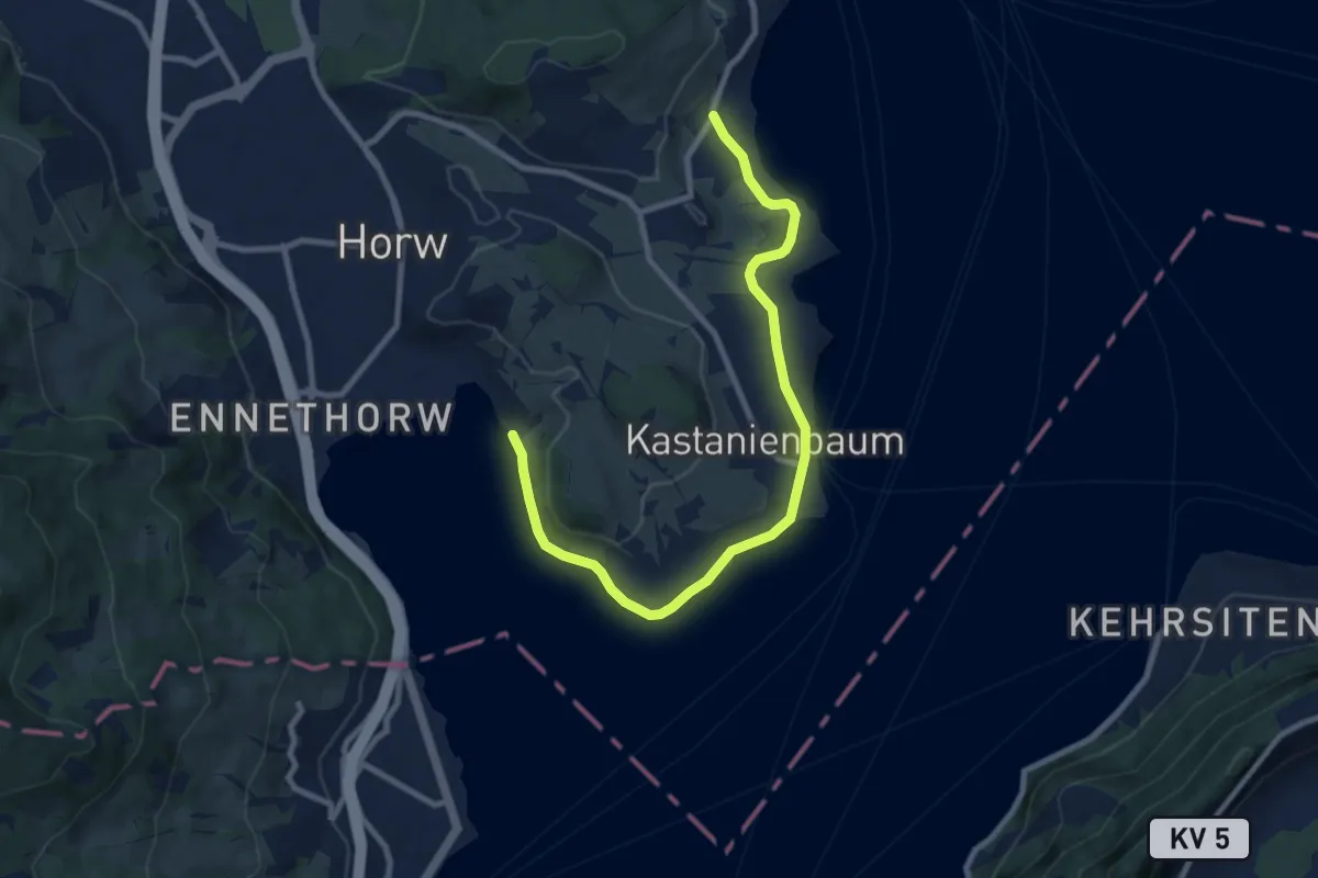
Medium · Trail
Seeben - Kastanienbaum
9.7 km · ↑ 85 m · 2 h 28 min
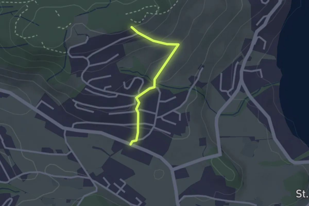
Easy · Trail
Seeblick - Felmis
2.0 km · ↑ 110 m · 43 min
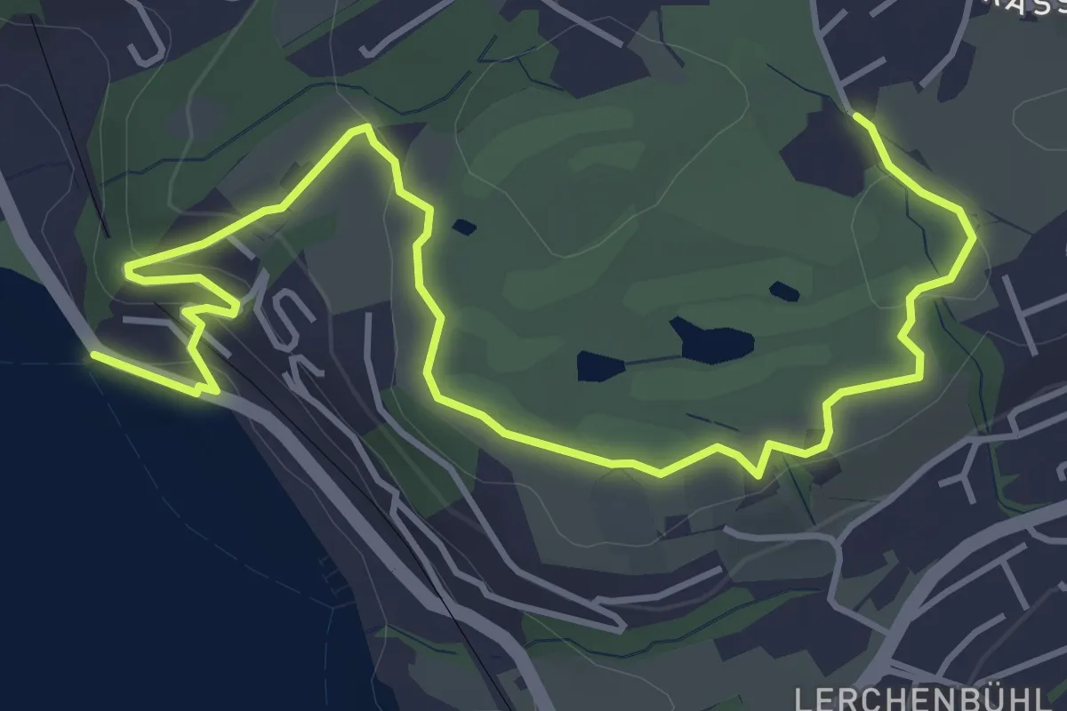
Easy · Trail
Seeburg - Bad
5.7 km · ↑ 155 m · 1 h 40 min
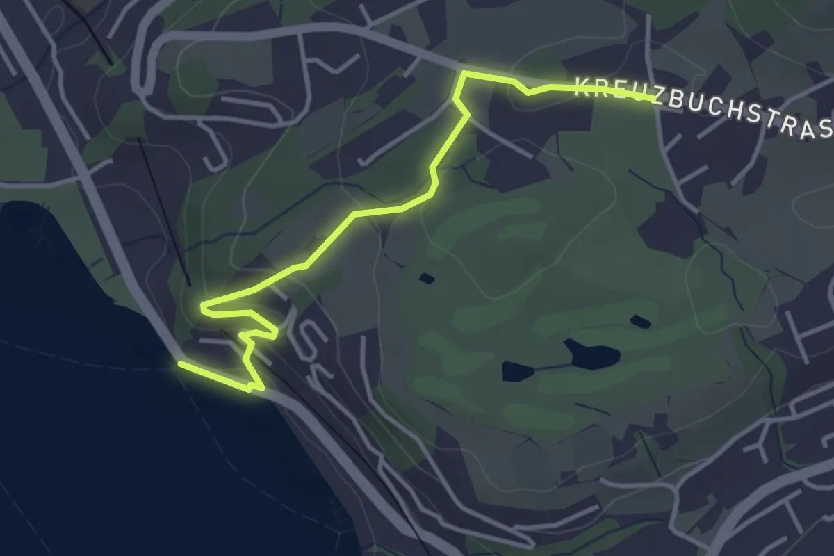
Easy · Trail
Seeburg - Buchmatt
3.8 km · ↑ 138 m · 1 h 11 min
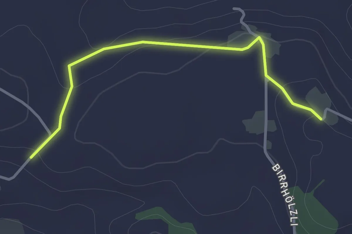
Easy · Trail
Seeburg - Bueche
2.8 km · ↑ 41 m · 45 min
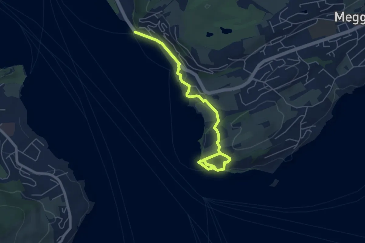
Easy · Trail
Seeburg - Meggenhorn
5.6 km · ↑ 209 m · 1 h 47 min
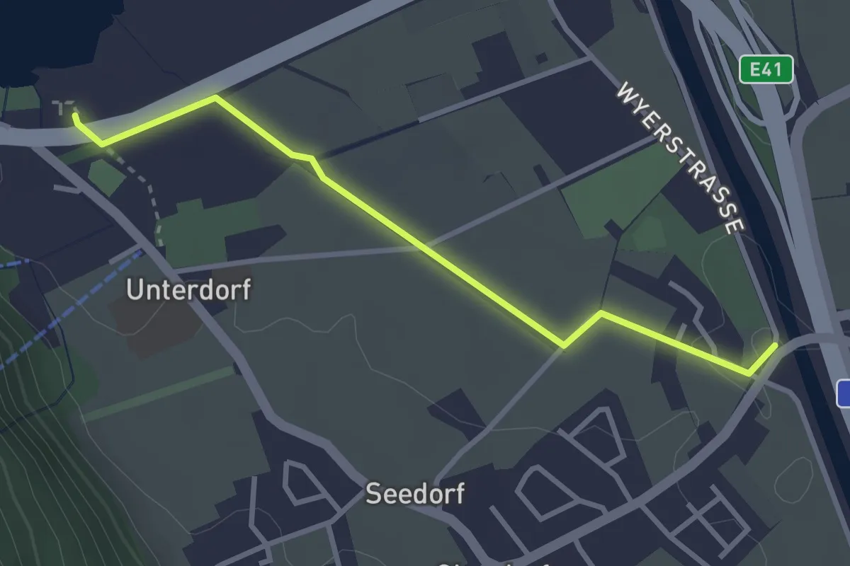
Easy · Trail
Seedorfer Brücke-Seerestaurant
3.0 km · ↑ 4 m · 43 min
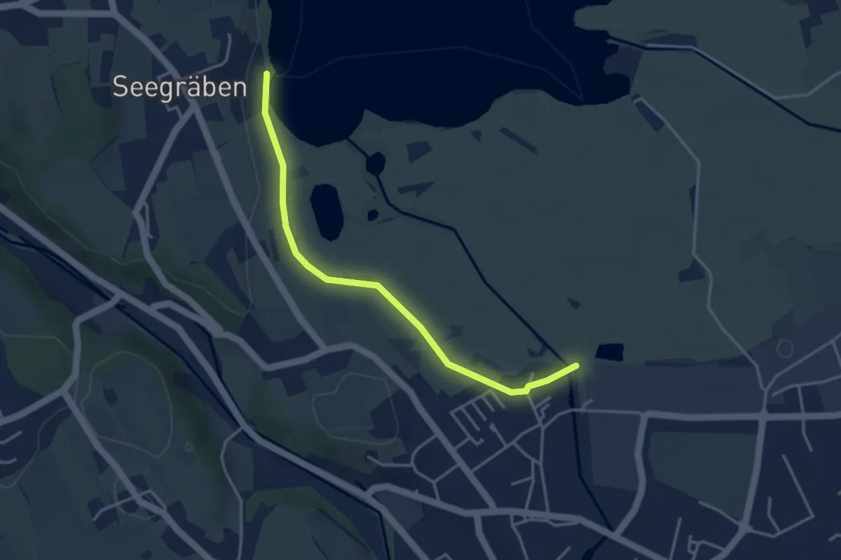
Easy · Trail
Seegräben Landungssteg - Robenhausen
3.5 km · ↑ 4 m · 50 min
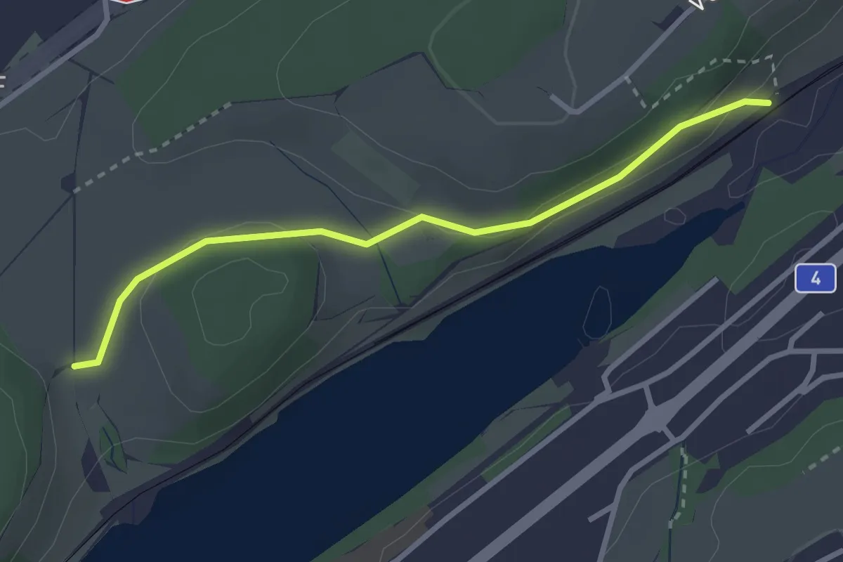
Easy · Trail
Seehof - Rotsee Ost
2.7 km · ↑ 45 m · 45 min
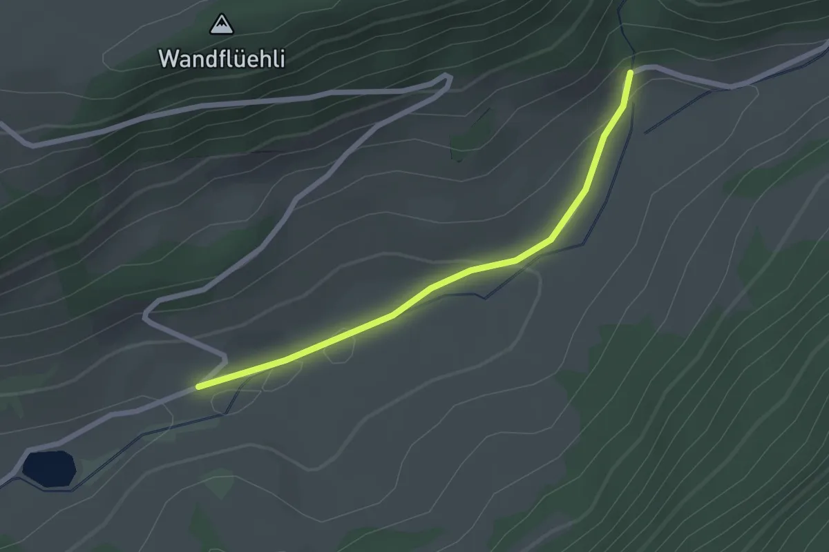
Easy · Trail
Seehof/Stägen - fixme
2.1 km · ↑ 60 m · 37 min