Trails in Switzerland
15,064 hiking trails, each with its route, climb, walking time and grade.
All trails, page 98 of 314
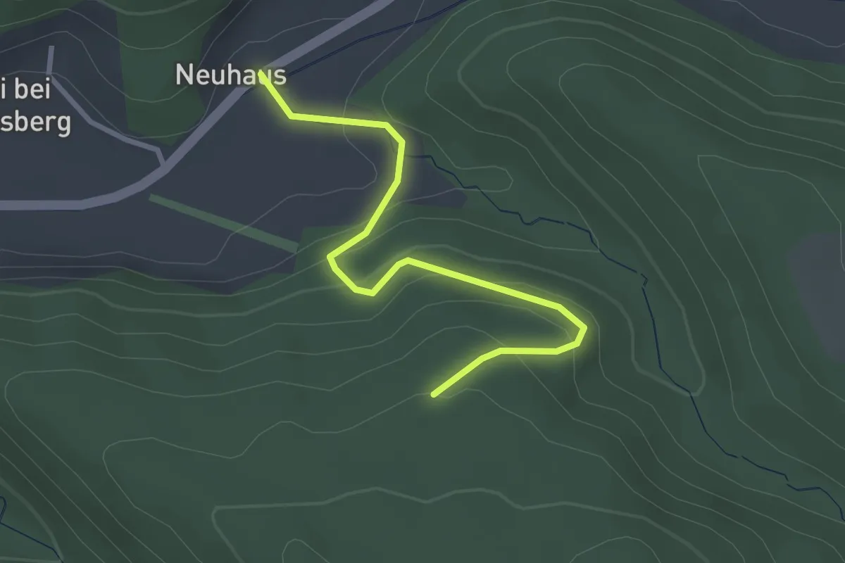
Easy · Trail
Schönenbodenwald - Neuhus
2.9 km · ↑ 179 m · 1 h 4 min
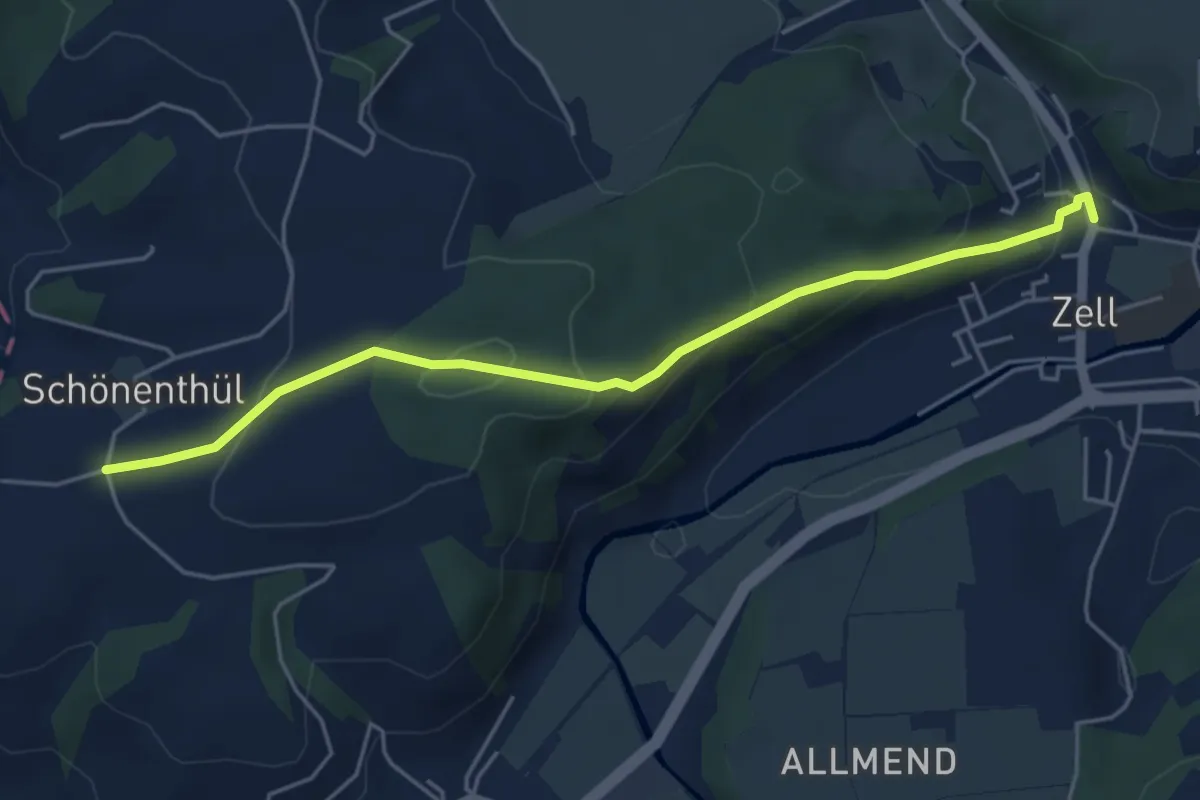
Easy · Trail
Schönentüel - Zell
5.0 km · ↑ 179 m · 1 h 34 min
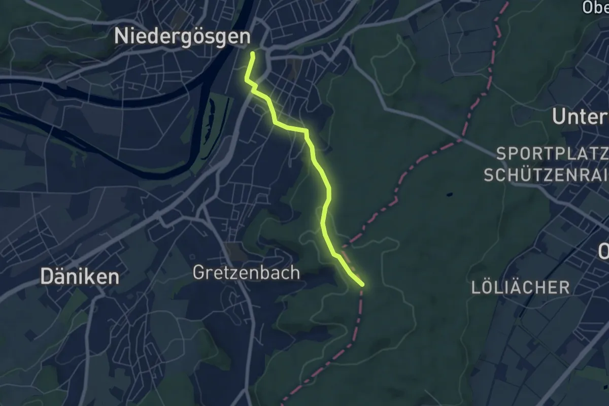
Easy · Trail
Schönenwerd - Im Tann
4.9 km · ↑ 135 m · 1 h 27 min
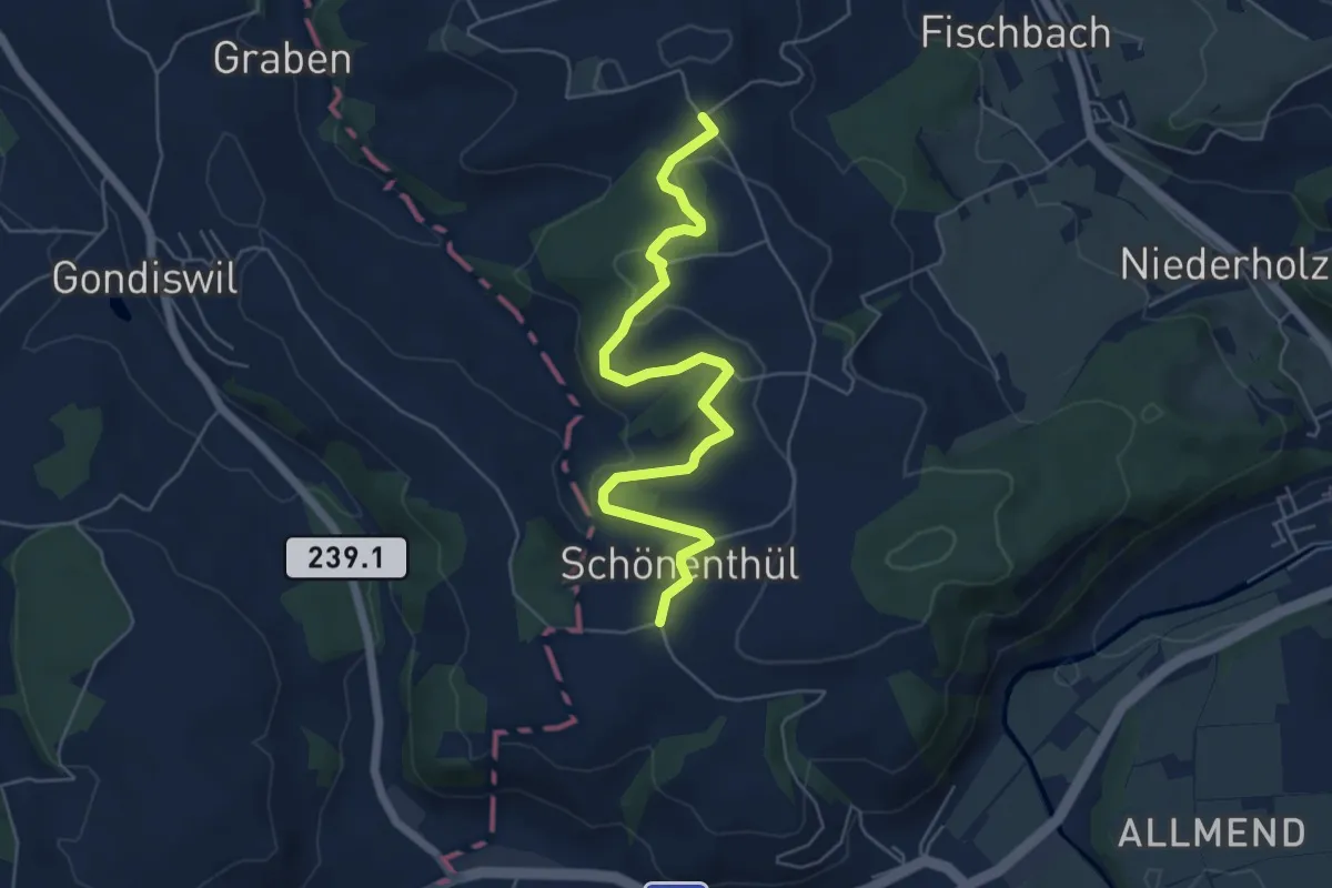
Easy · Trail
Schönetüel - Schwandmatt
6.1 km · ↑ 163 m · 1 h 48 min
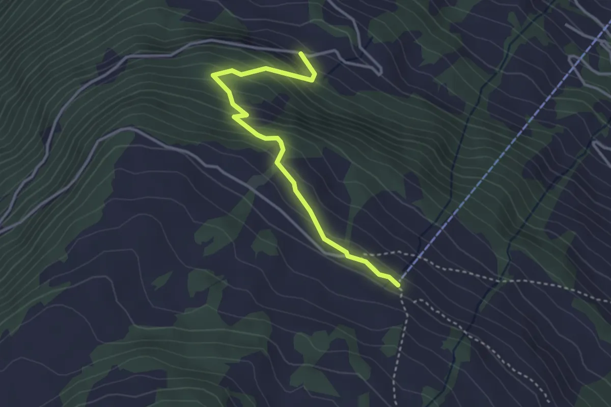
Easy · Trail
Schönhalden Flums
3.3 km · ↑ 257 m · 1 h 20 min
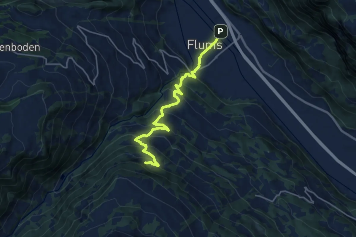
Demanding · Trail
Schönhalden Flums
12.2 km · ↑ 820 m · 4 h 40 min
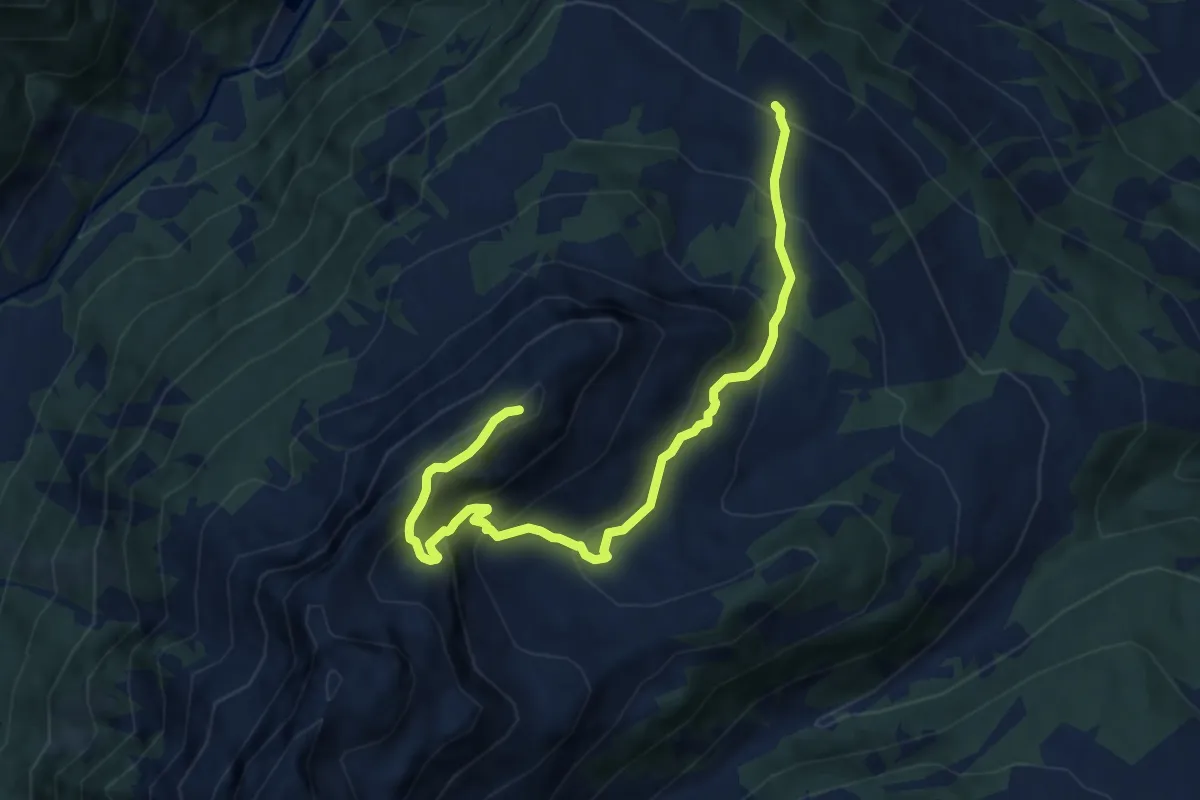
Medium · Summit
Schönhalden Guscha
9.5 km · ↑ 668 m · 3 h 42 min
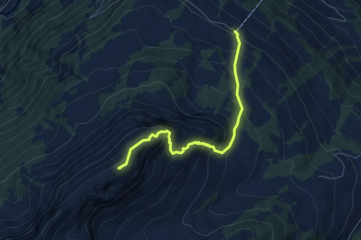
Medium · Summit
Schönhalden Guscha
6.0 km · ↑ 641 m · 2 h 48 min
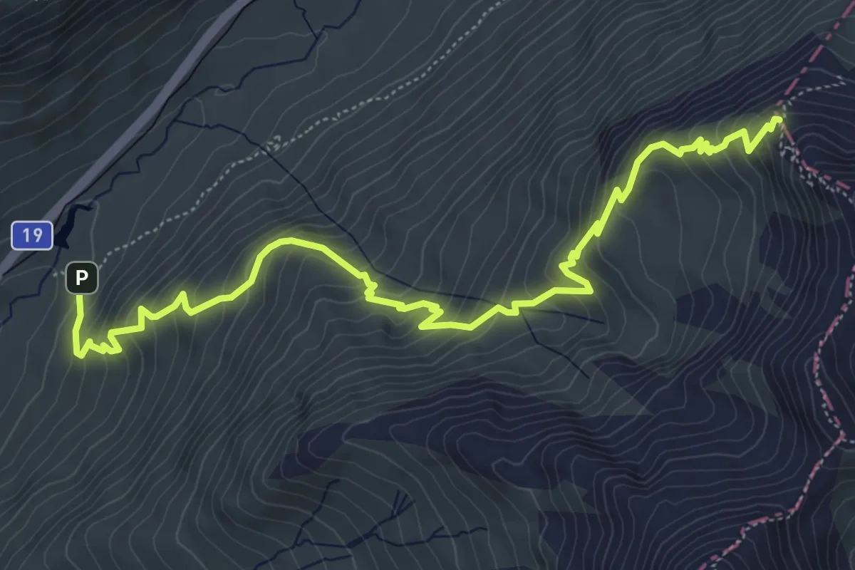
Medium · Trail
Schöni - Pazolalücke
7.3 km · ↑ 684 m · 3 h 13 min
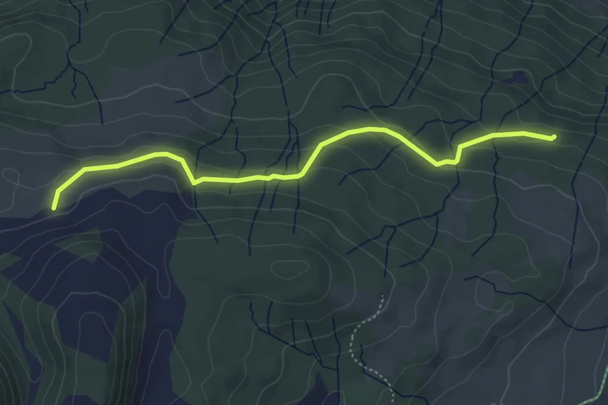
Easy · Trail
Schöntobel - fixme
4.7 km · ↑ 175 m · 1 h 30 min
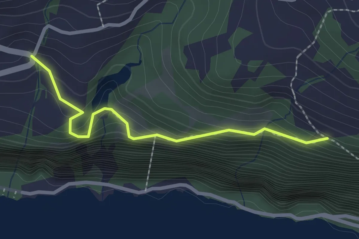
Medium · Trail
Schöpfsack - Lehni
2.1 km · ↑ 158 m · 50 min
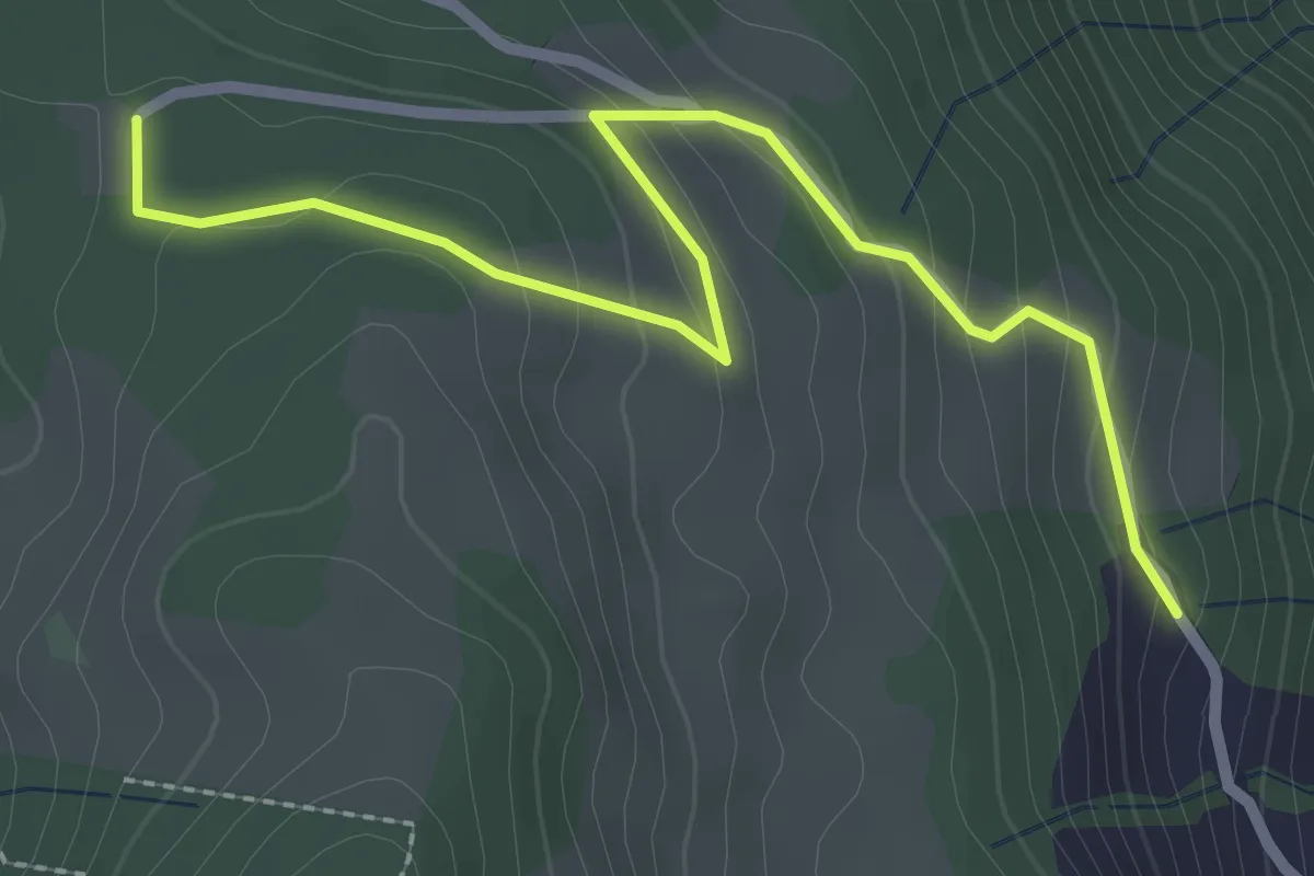
Easy · Trail
Schornerain - Cholerhütte
2.9 km · ↑ 140 m · 59 min
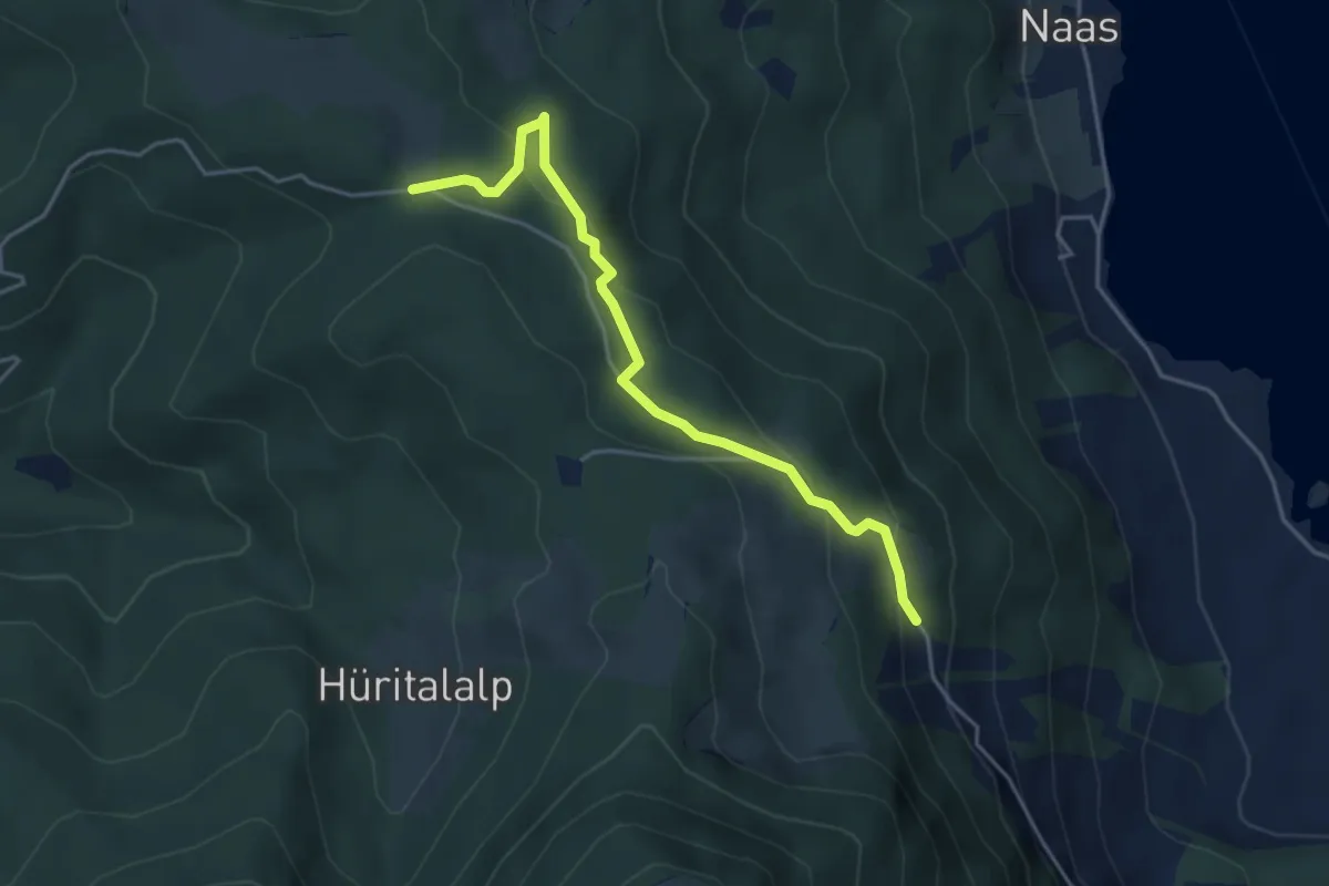
Easy · Trail
Schornerain - Rossalmig
4.3 km · ↑ 202 m · 1 h 27 min
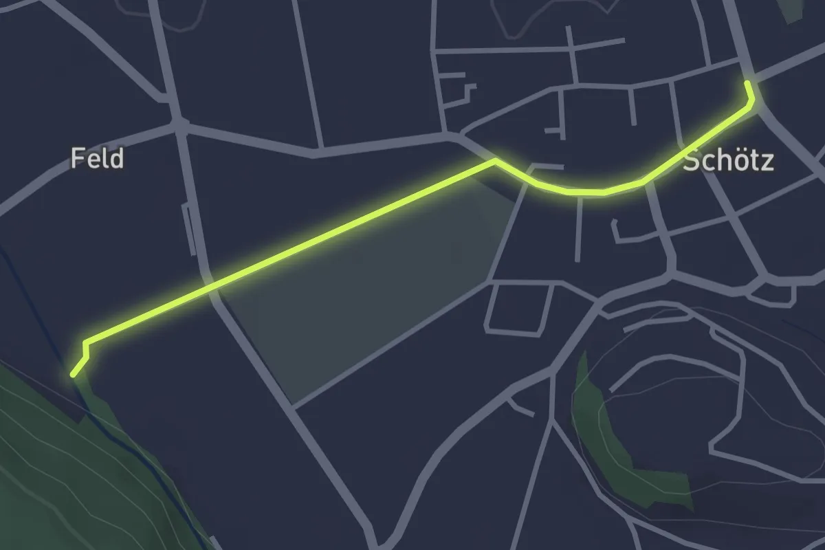
Easy · Trail
Schötz - Luterenächer
2.9 km · ↑ 8 m · 42 min
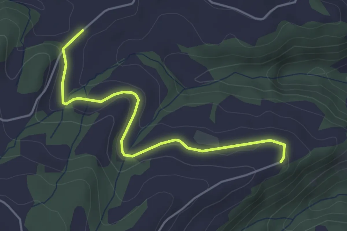
Easy · Trail
Schrufenegg - Hasenschwand
3.9 km · ↑ 73 m · 1 h 5 min
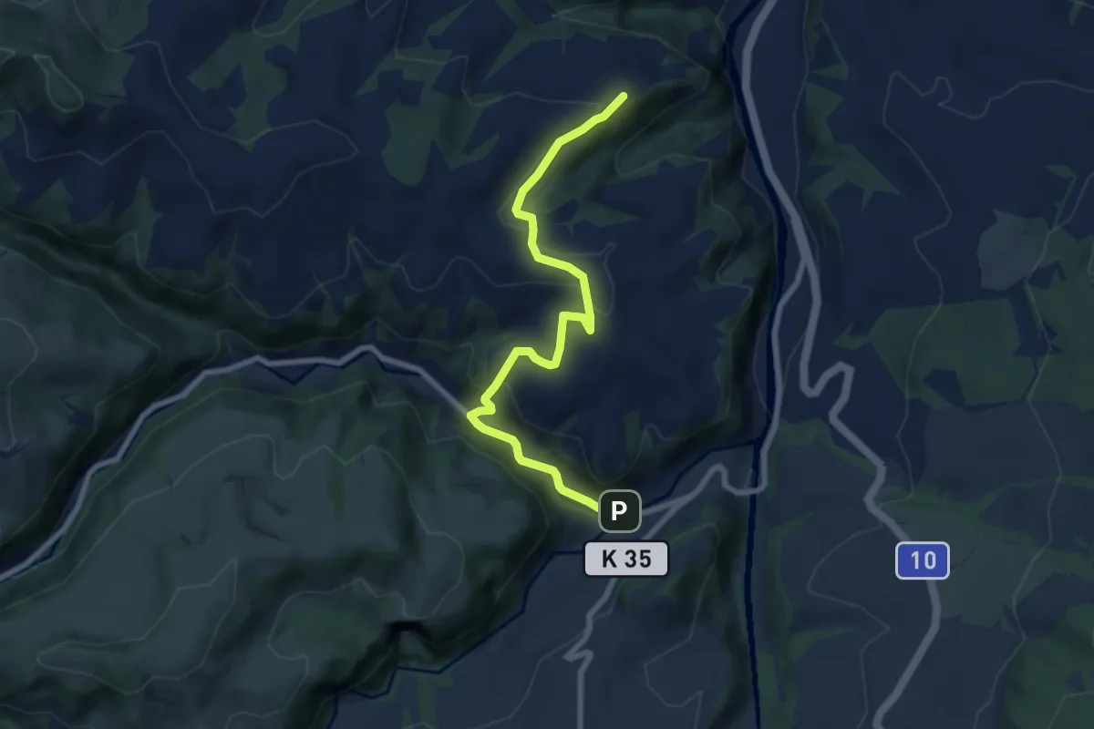
Easy · Trail
Schrufenegg - Mühliacher
7.4 km · ↑ 237 m · 2 h 15 min
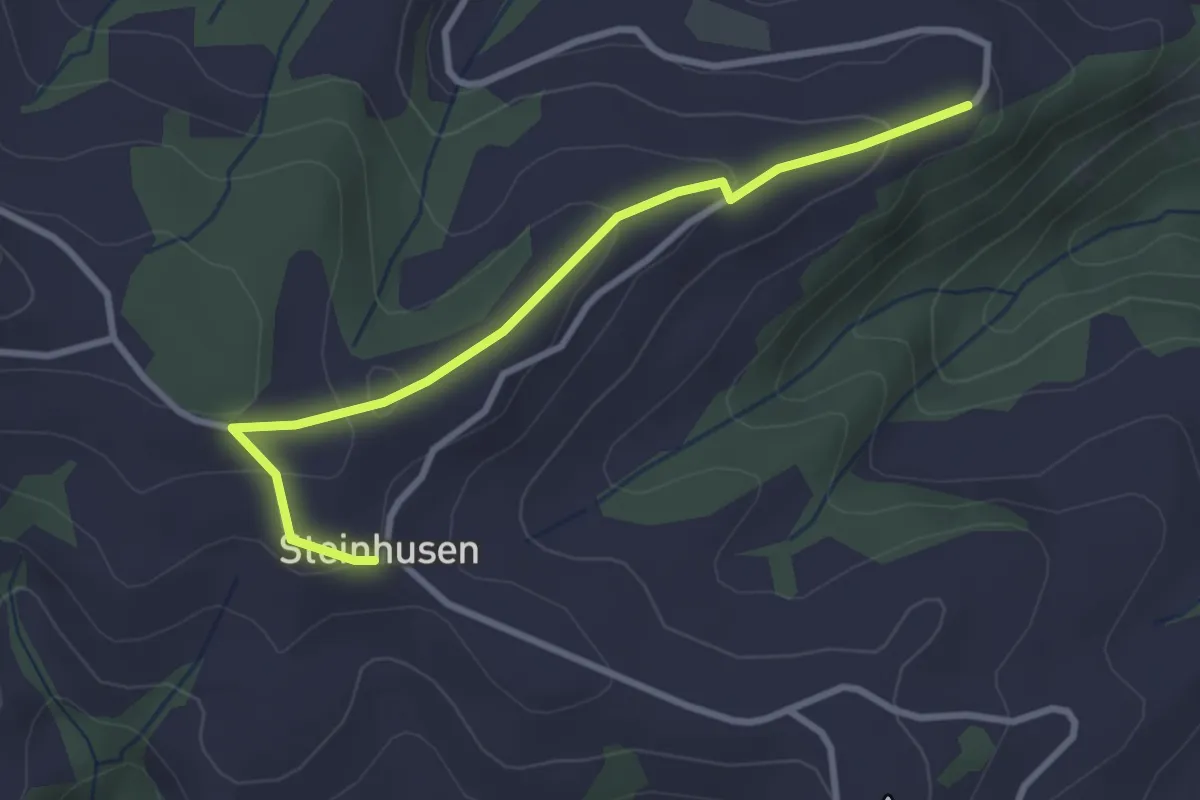
Easy · Trail
Schrufenegg - Steinhusen
3.0 km · ↑ 123 m · 59 min
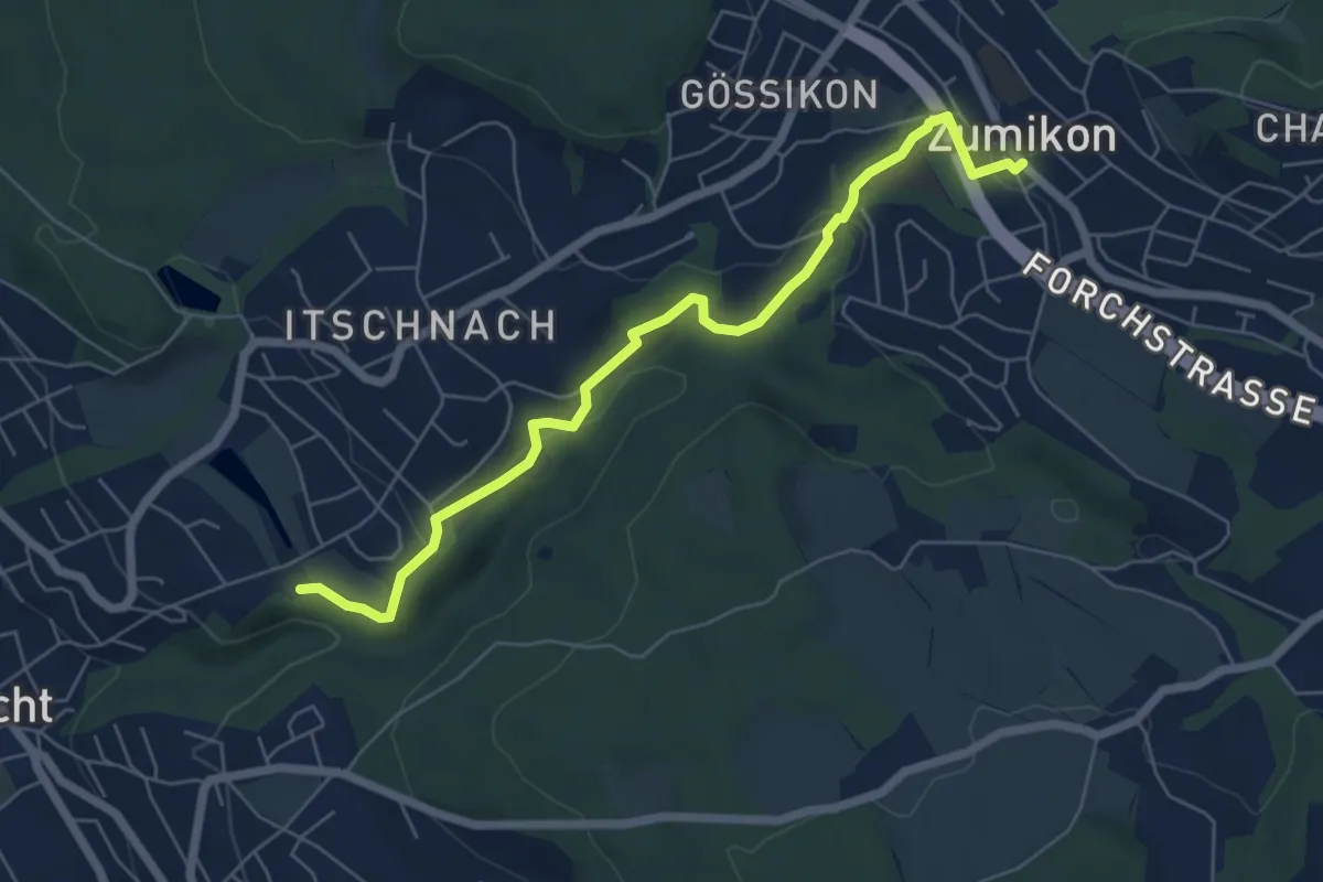
Easy · Trail
Schübelweiher - Zumikon
6.3 km · ↑ 177 m · 1 h 53 min
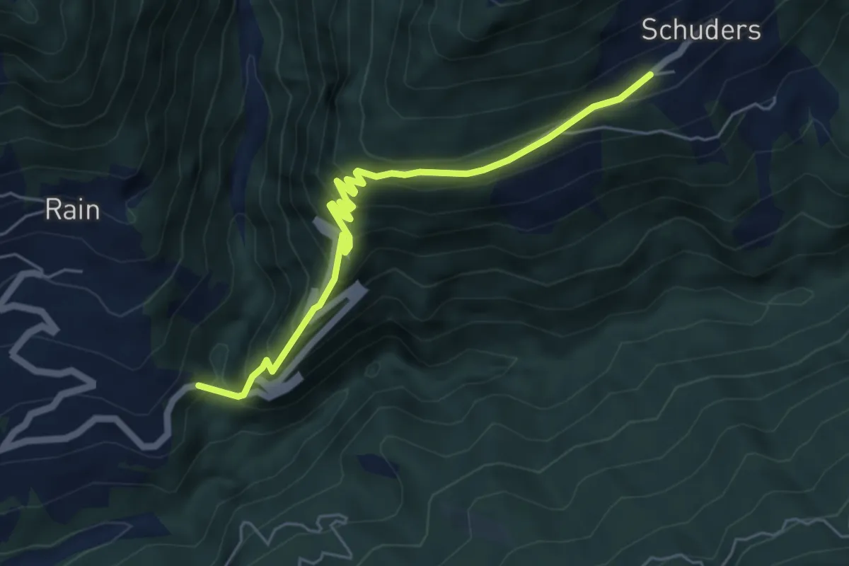
Medium · Trail
Schuders-Bushalt Salginatobelbrücke
5.4 km · ↑ 515 m · 2 h 24 min
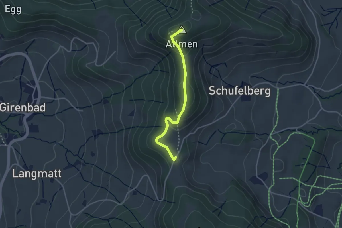
Easy · Summit
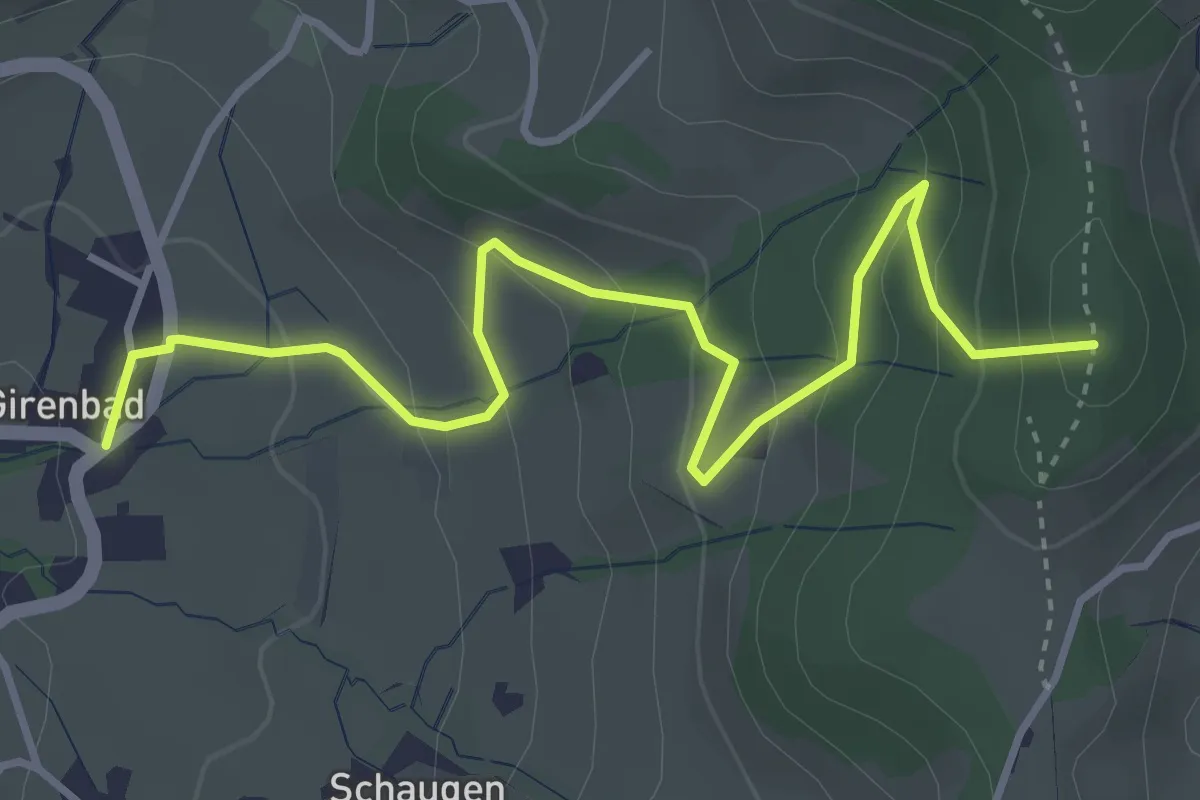
Schufelberger Egg - Allmen
2.6 km · ↑ 110 m · 51 min
Easy · Summit
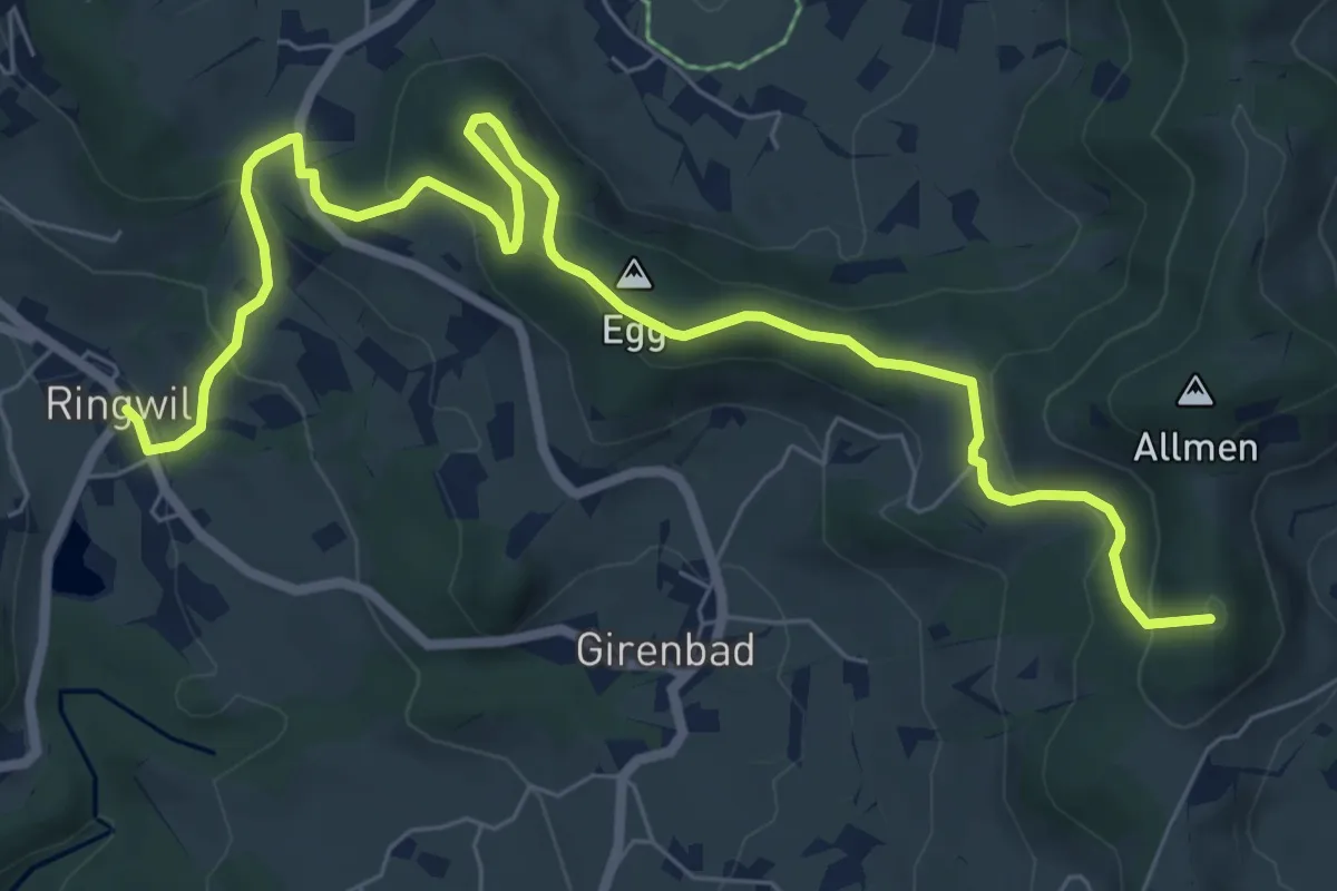
Schufelberger Egg - Girenbad
4.3 km · ↑ 267 m · 1 h 36 min
Medium · Summit
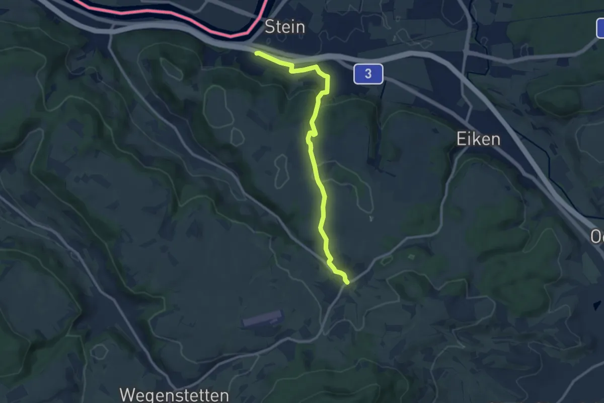
Schufelberger Egg - Ringwil
9.0 km · ↑ 376 m · 2 h 57 min
Medium · Trail
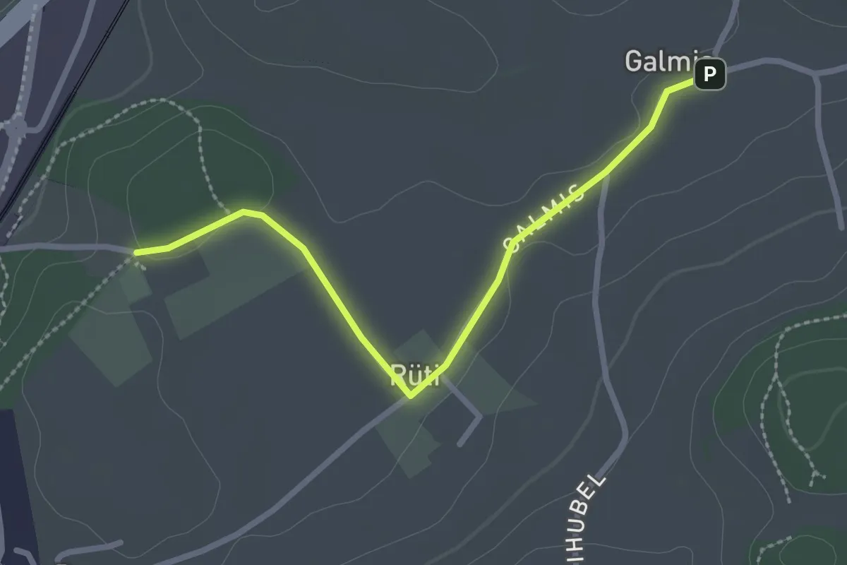
Schupfart - Stein
8.9 km · ↑ 272 m · 2 h 41 min
Easy · Trail
Schüracher - Galmis
2.5 km · ↑ 24 m · 39 min
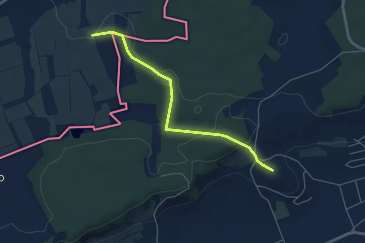
Easy · Trail
Schürlibuck - Berwangen
4.1 km · ↑ 93 m · 1 h 11 min
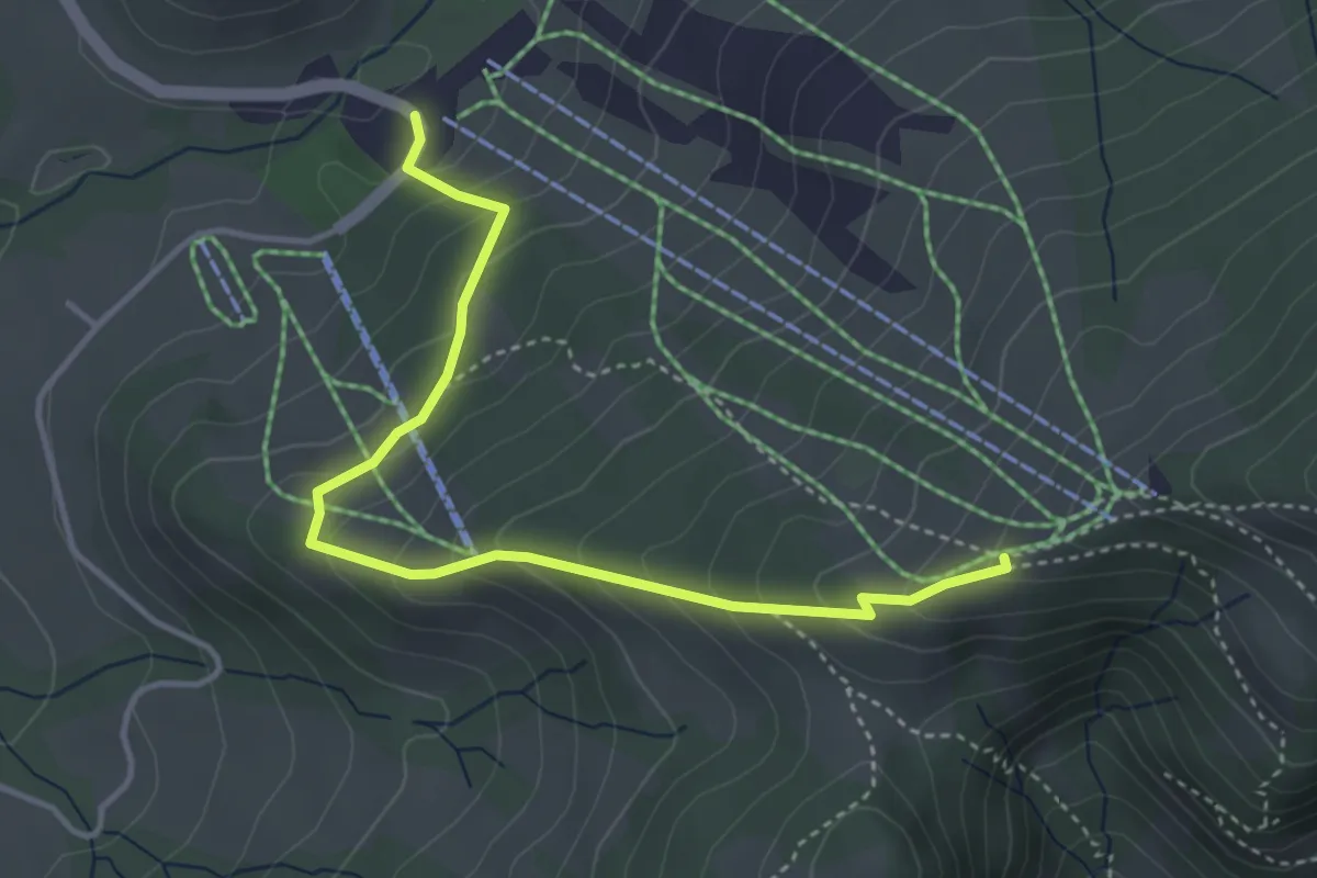
Easy · Cabin
Schutt-Obere Amännig
4.1 km · ↑ 311 m · 1 h 38 min
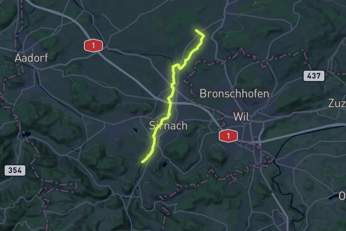
Medium · Trail
Schwabenweg
17.8 km · ↑ 144 m · 4 h 30 min
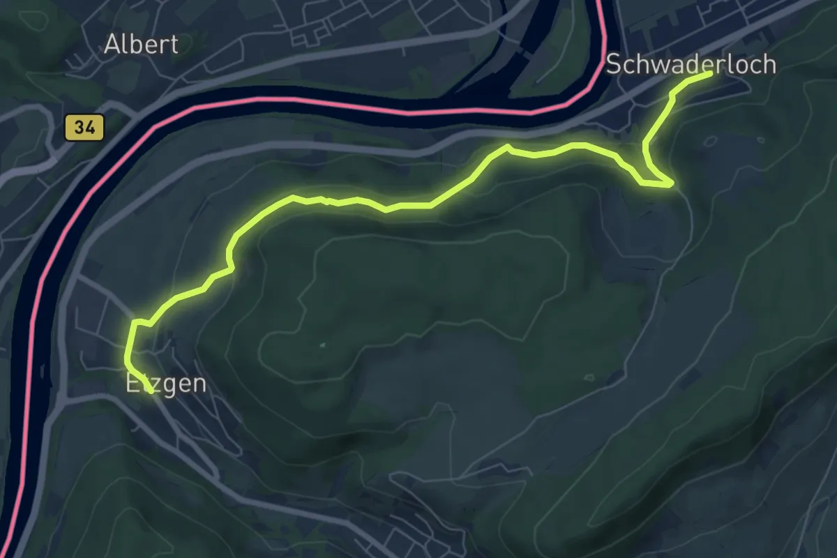
Medium · Trail
Schwaderloch - Etzgen Dorf
8.1 km · ↑ 322 m · 2 h 37 min
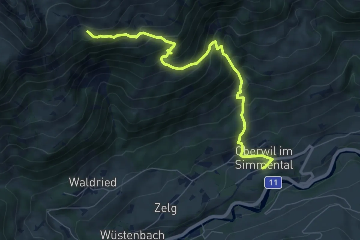
Medium · Trail
Schwadrei - Oberwil
7.2 km · ↑ 797 m · 3 h 26 min
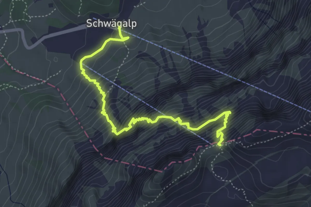
Demanding · Cabin
Schwägalp - Tierwies
5.7 km · ↑ 872 m · 3 h 14 min
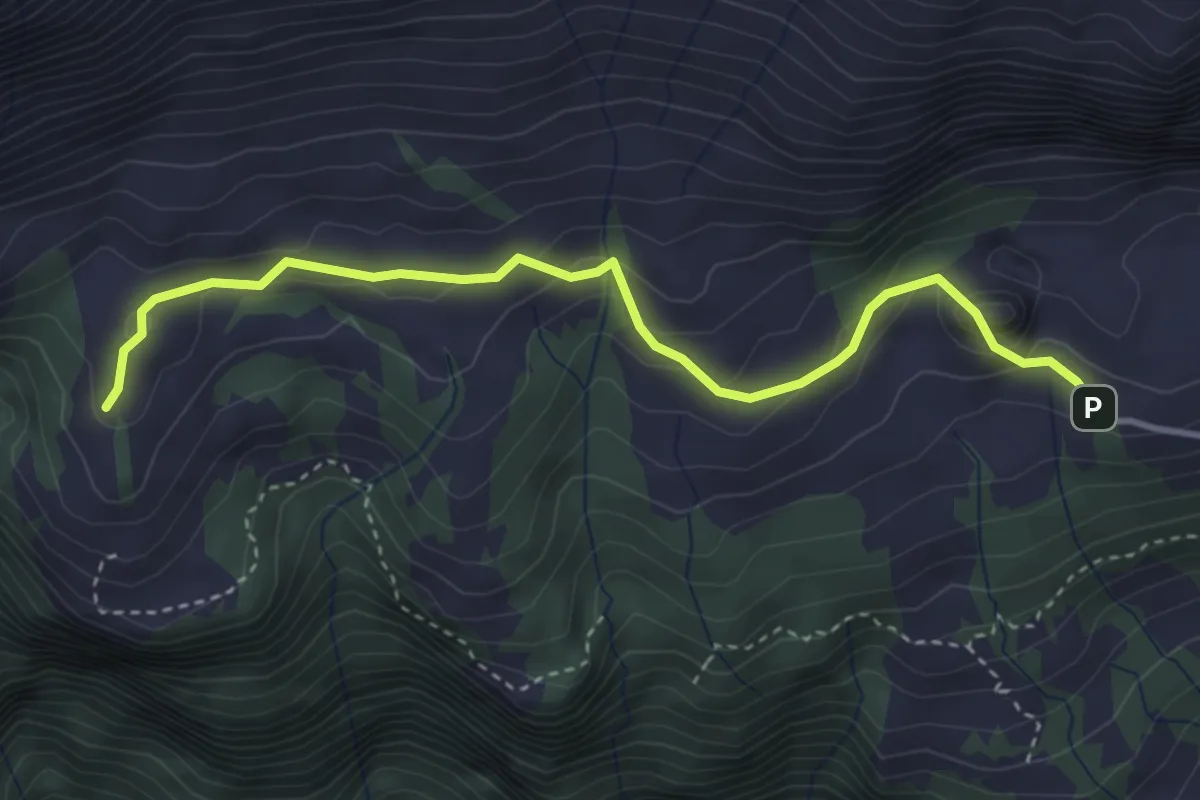
Easy · Trail
Schwaldis - Hochrugg
3.8 km · ↑ 203 m · 1 h 20 min
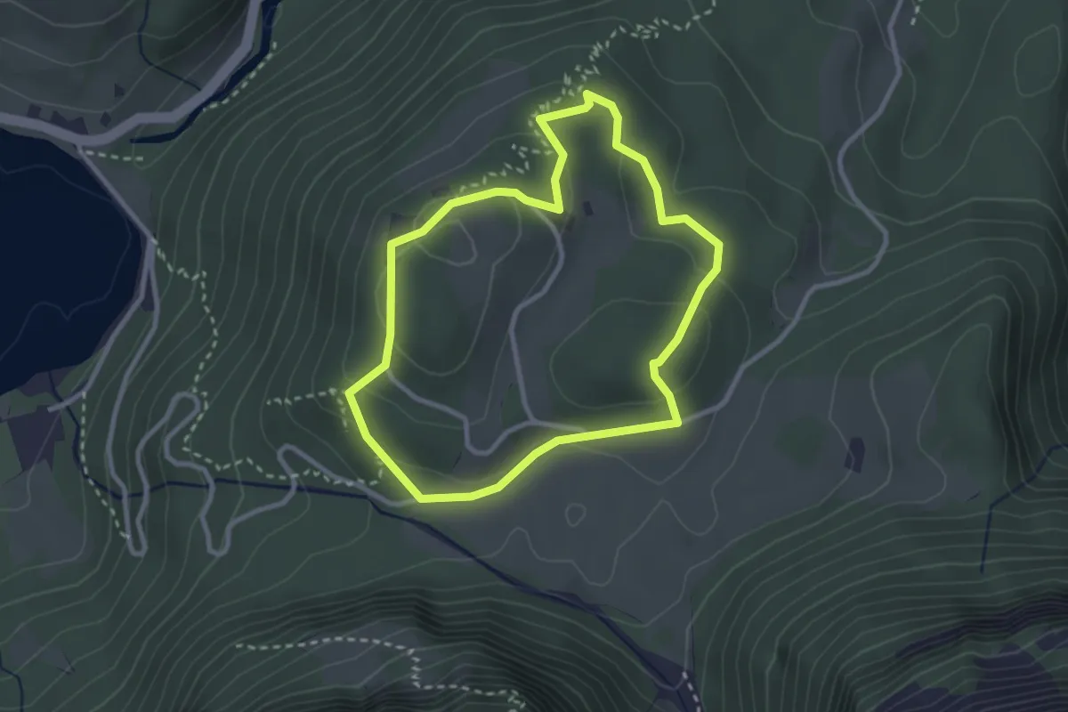
Easy · Trail
Schwammhöchi Rundweg
2.7 km · ↑ 82 m · 50 min
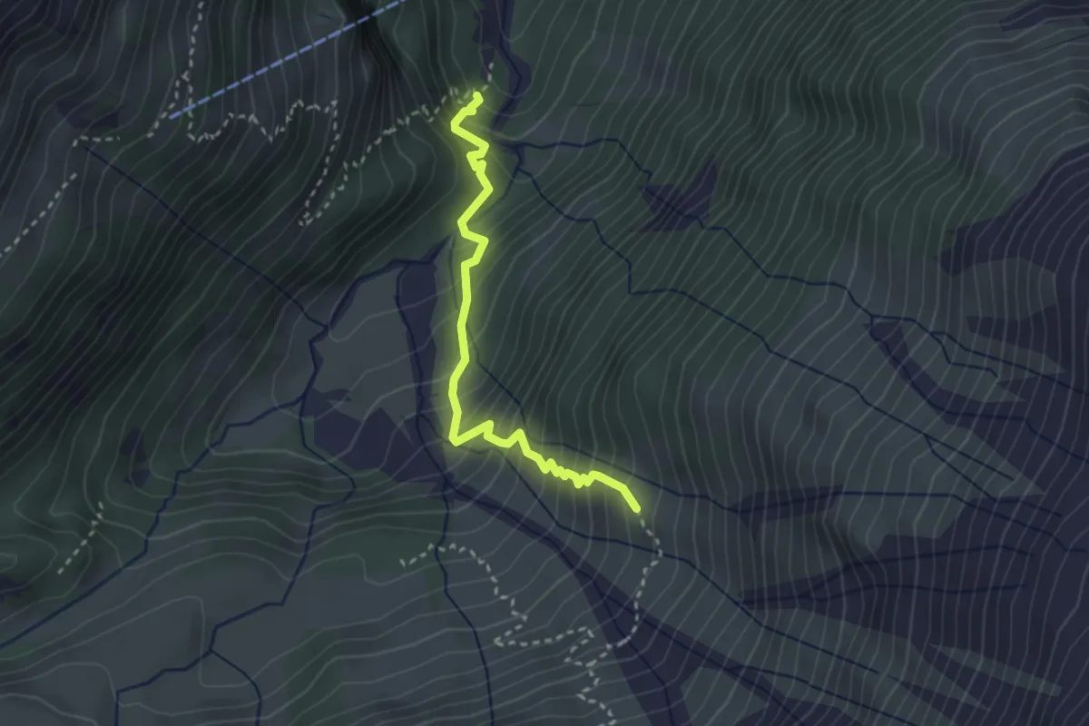
Expert · Trail
Schwand - Bergwerk
2.9 km · ↑ 388 m · 1 h 31 min
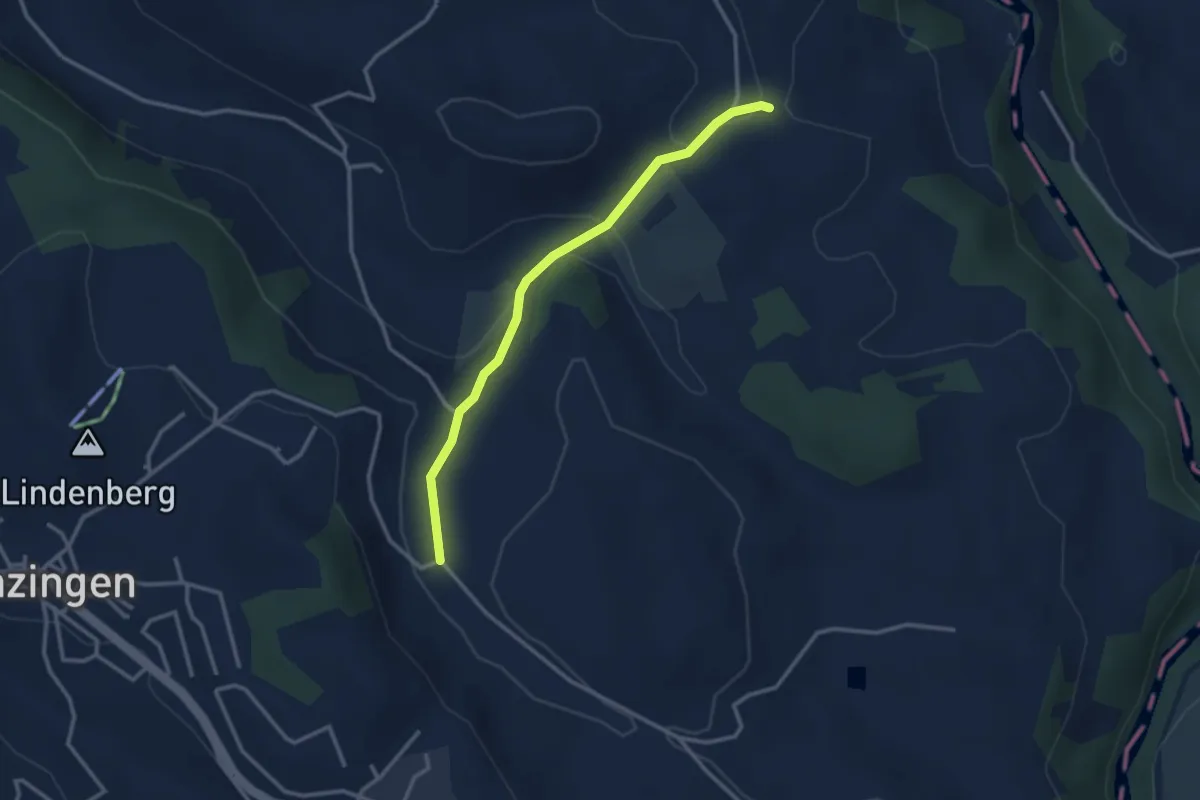
Easy · Trail
Schwand - Brättigen
2.9 km · ↑ 85 m · 52 min
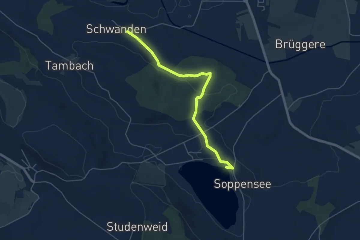
Easy · Trail
Schwande-Soppensee
4.7 km · ↑ 57 m · 1 h 14 min
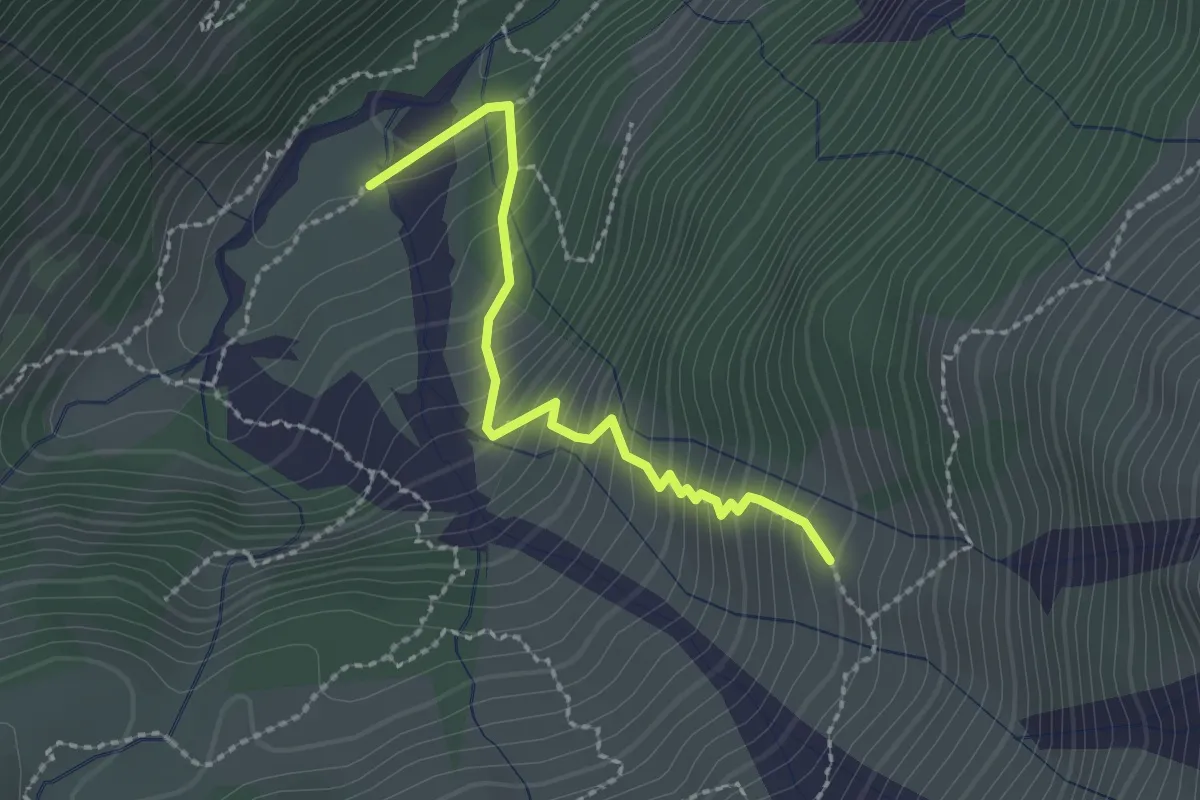
Expert · Trail
Schwand - fixme
2.2 km · ↑ 304 m · 1 h 11 min
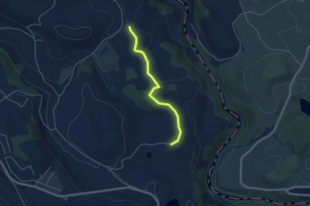
Easy · Trail
Schwand - Hintercher
3.3 km · ↑ 58 m · 54 min
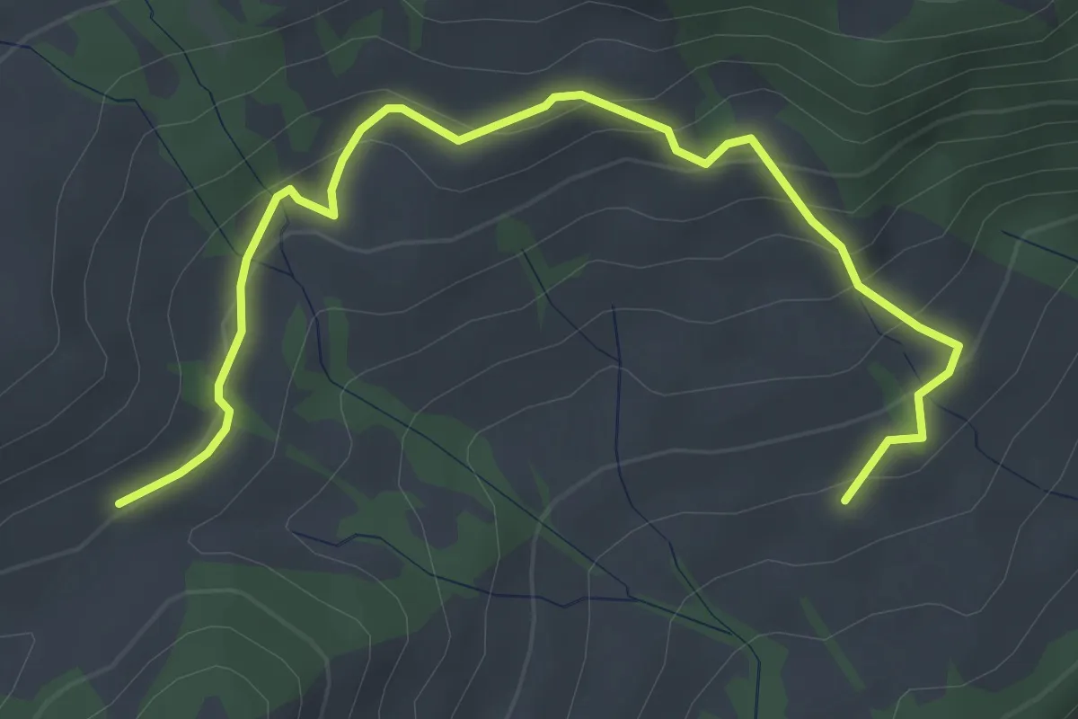
Easy · Trail
Schwändiegg - Hilferenpass
4.2 km · ↑ 238 m · 1 h 30 min
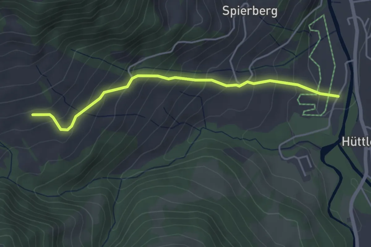
Easy · Trail
Schwändiegg - Torbach
3.9 km · ↑ 283 m · 1 h 32 min
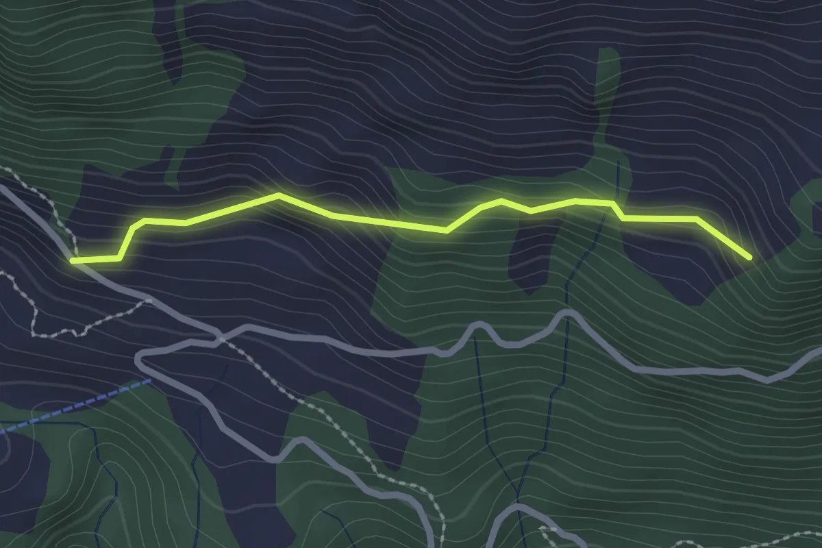
Easy · Trail
Schwandi - Lütoldsmatt
2.0 km · ↑ 160 m · 49 min
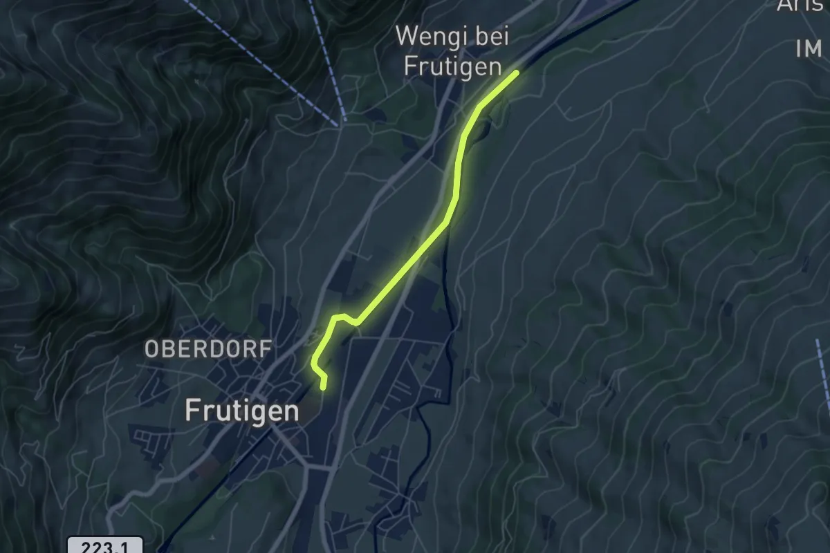
Easy · Trail
Schwandisteg - Frutigen
5.1 km · ↑ 47 m · 1 h 18 min
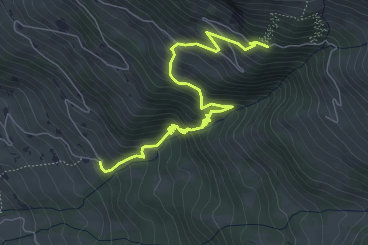
Medium · Trail
Schwand - Laubbärgli
6.2 km · ↑ 552 m · 2 h 39 min
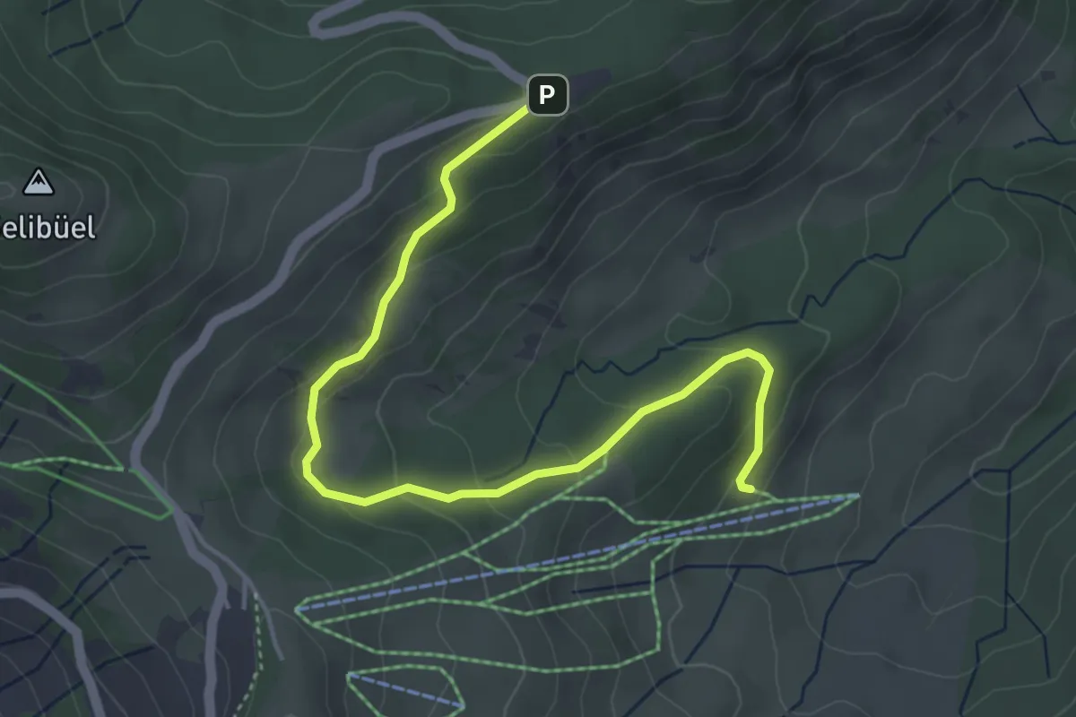
Easy · Trail
Schwändli - Gurnigel Berghaus
4.8 km · ↑ 213 m · 1 h 36 min
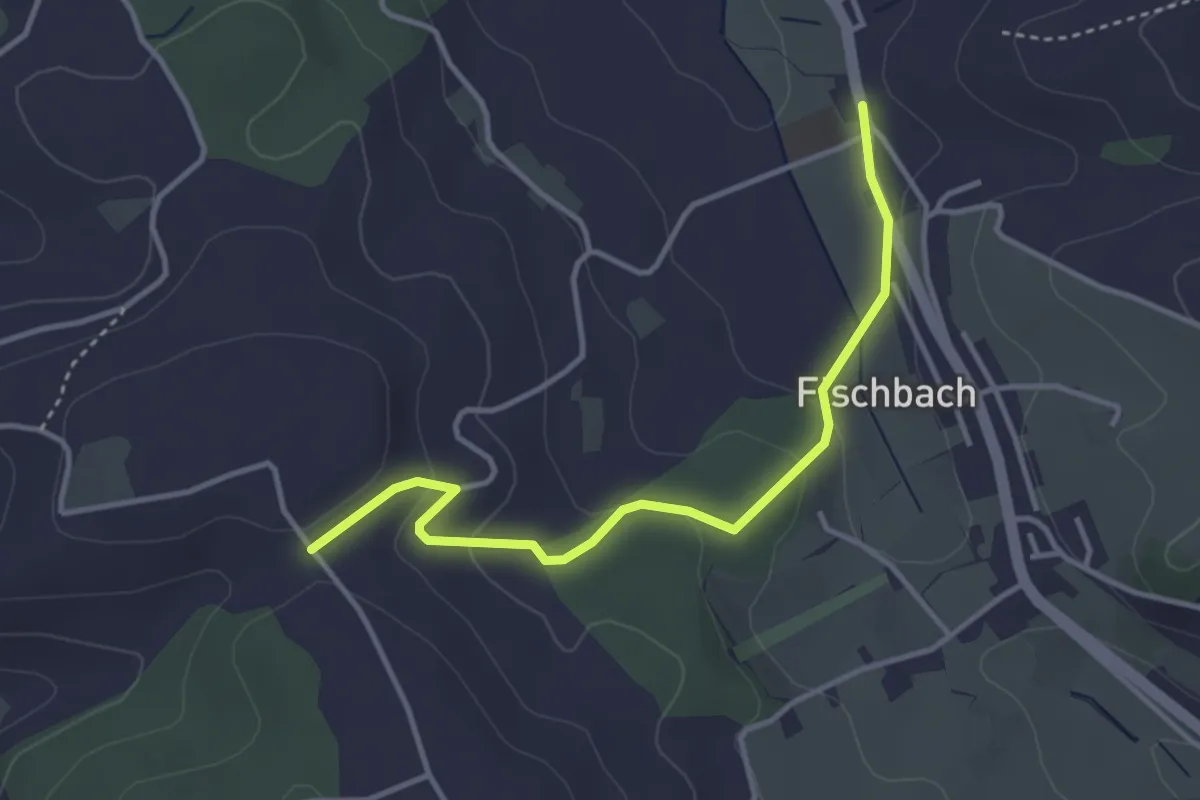
Easy · Trail
Schwandmatt - Fischbach
3.6 km · ↑ 111 m · 1 h 6 min
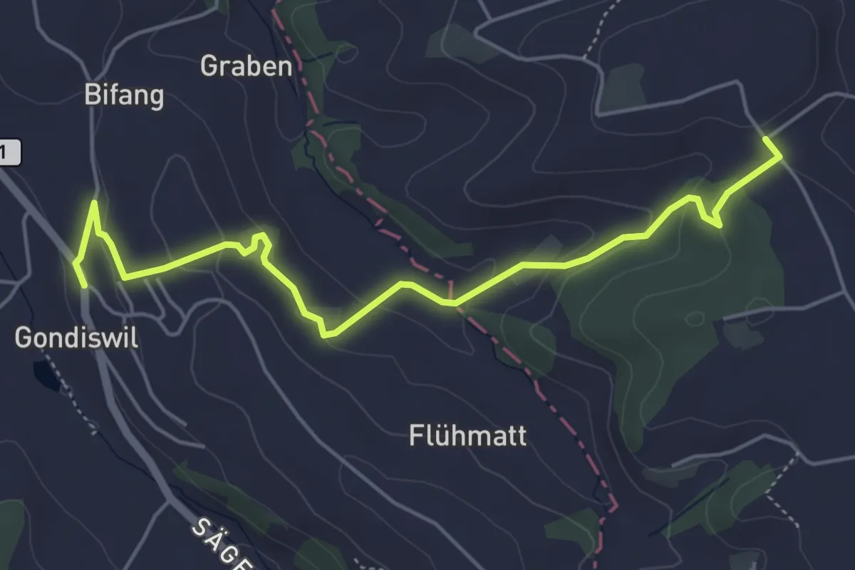
Easy · Trail
Schwandmatt - Gondiswil
5.3 km · ↑ 177 m · 1 h 38 min
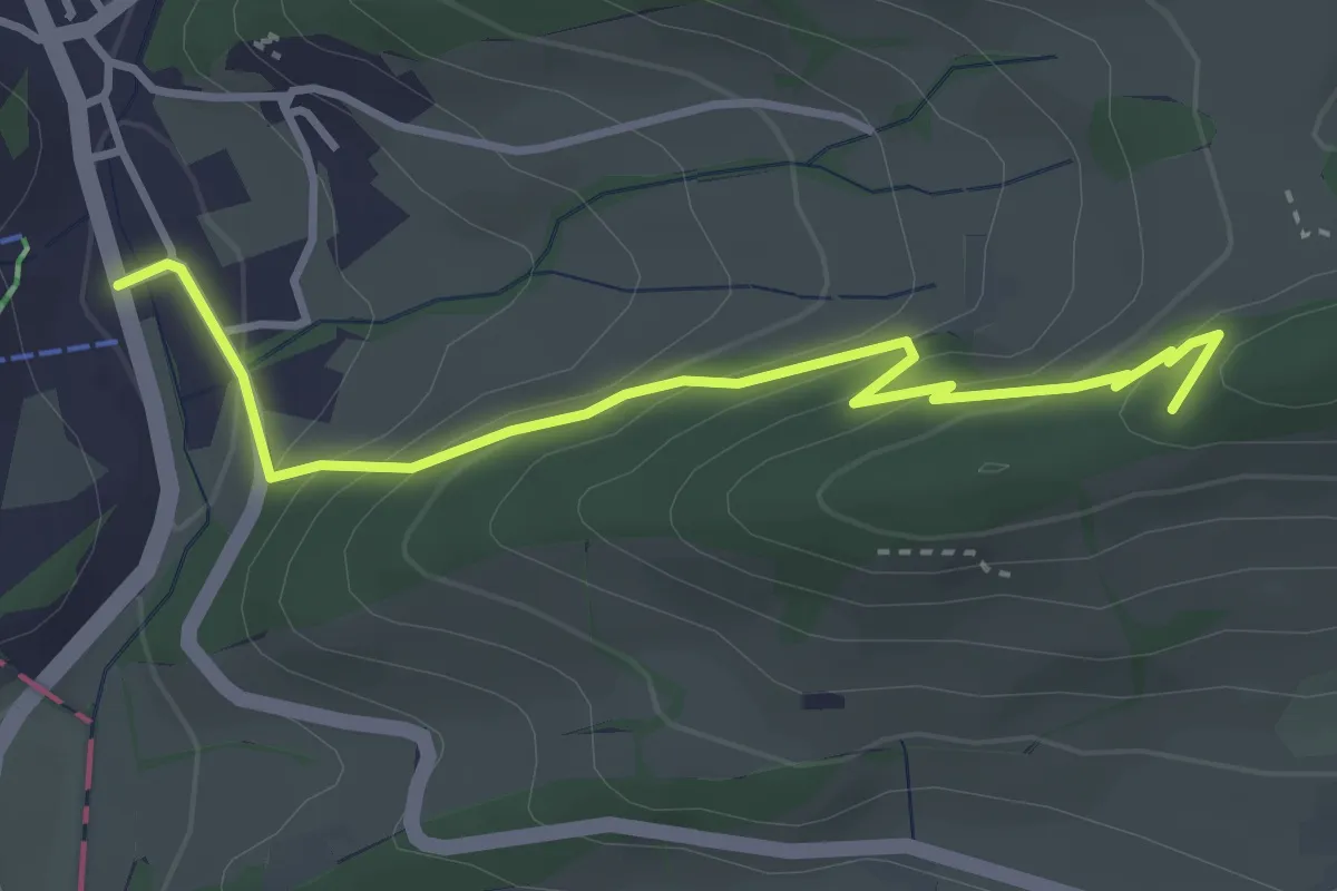
Easy · Trail
Schwängifüeli - Langenbruck
3.6 km · ↑ 219 m · 1 h 20 min
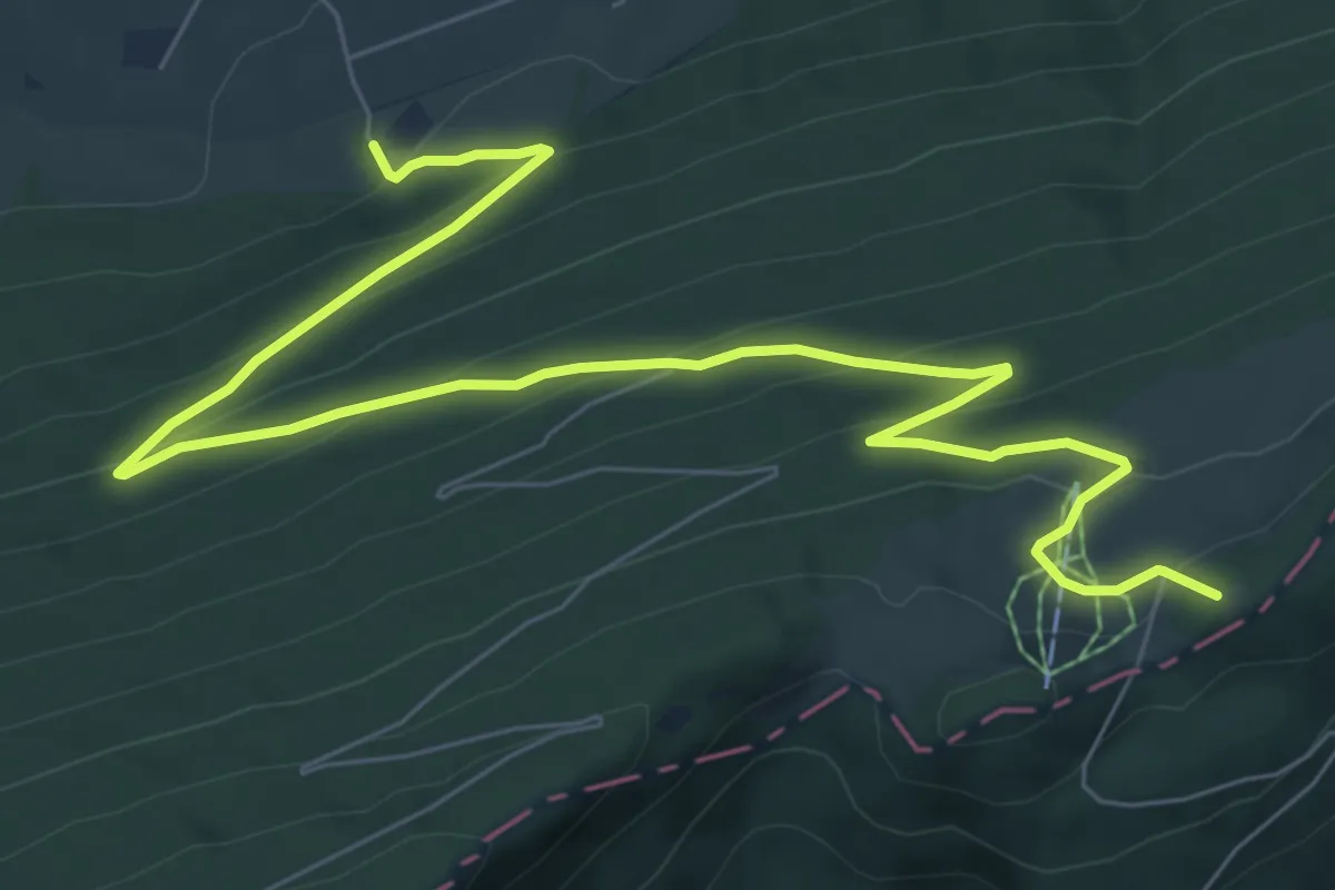
Medium · Summit
Schwängimatt - Burgmätteli
9.8 km · ↑ 490 m · 3 h 23 min
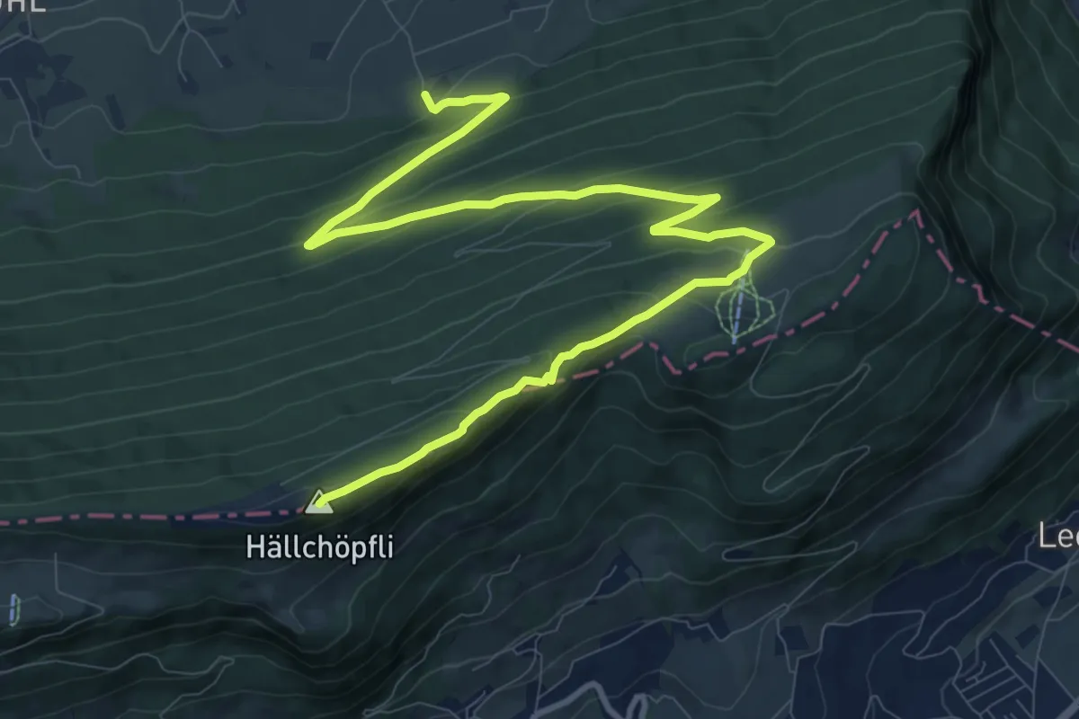
Medium · Summit
Schwängimatt - Hellchöpfli
13.3 km · ↑ 624 m · 4 h 30 min