Trails in Switzerland
15,064 hiking trails, each with its route, climb, walking time and grade.
All trails, page 97 of 314
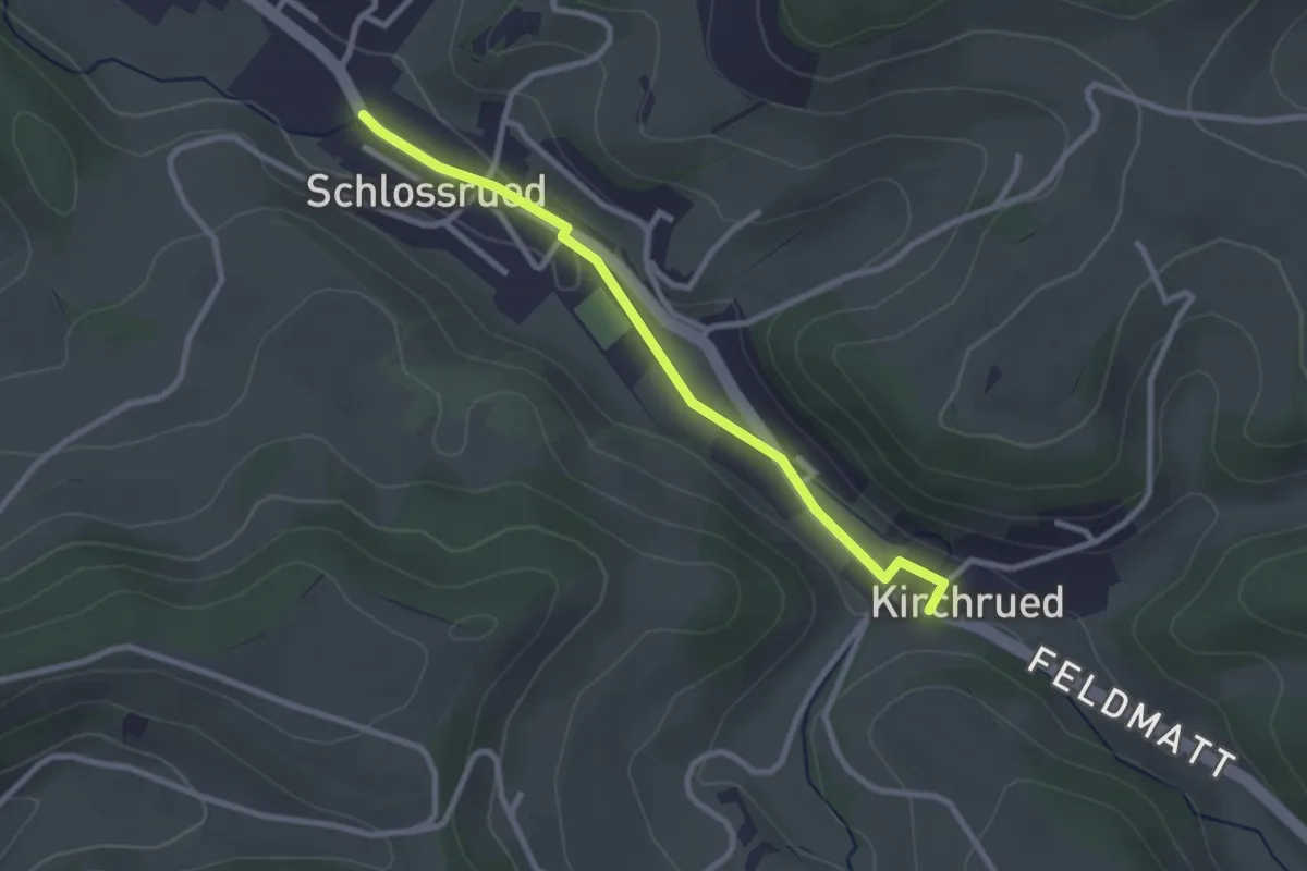
Easy · Trail
Schlossrued - Kirchrued
2.6 km · ↑ 25 m · 40 min
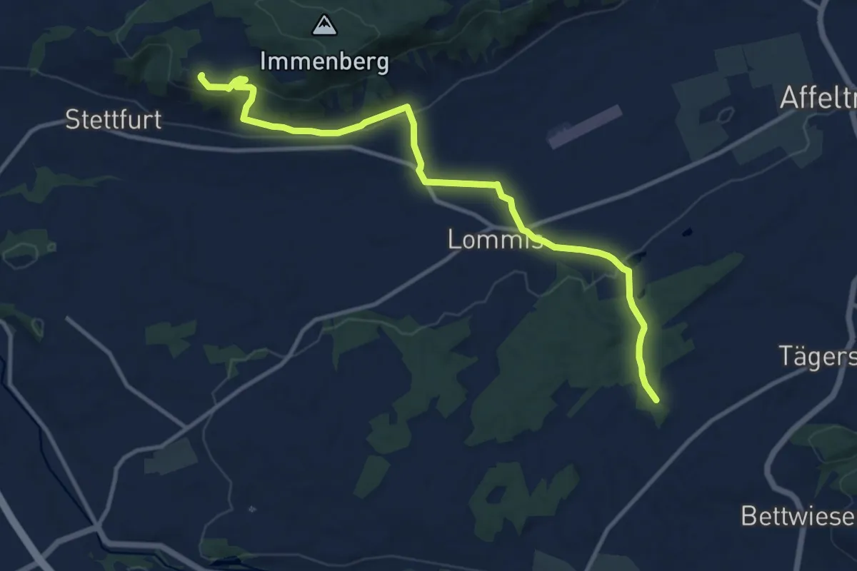
Medium · Trail
Schloss Sonnenberg - Lommis - Thürn
11.6 km · ↑ 261 m · 3 h 18 min
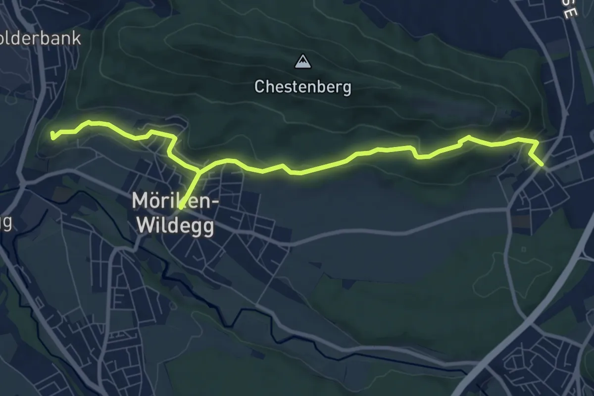
Medium · Summit
Schloss Wildegg - Brunegg
9.5 km · ↑ 315 m · 2 h 55 min
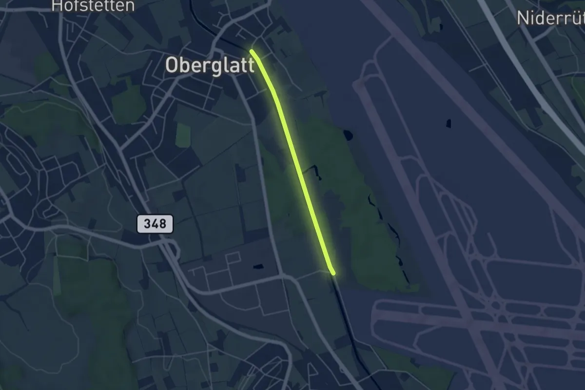
Easy · Trail
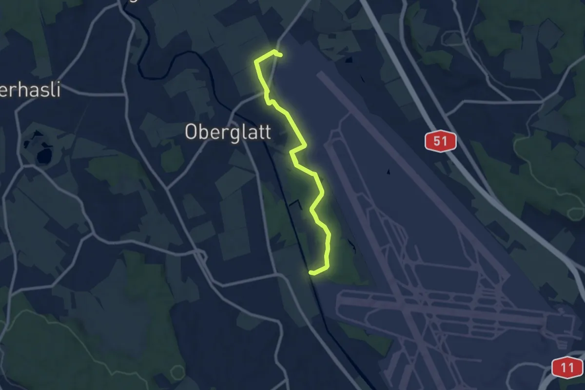
Schlosswinkel - Oberglatt Brücke
3.8 km · ↑ 17 m · 56 min
Easy · Trail
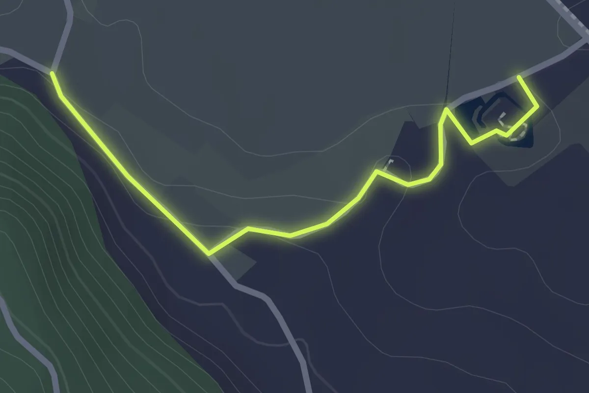
Schlosswinkel - Pistenende
7.8 km · ↑ 27 m · 1 h 54 min
Easy · Trail
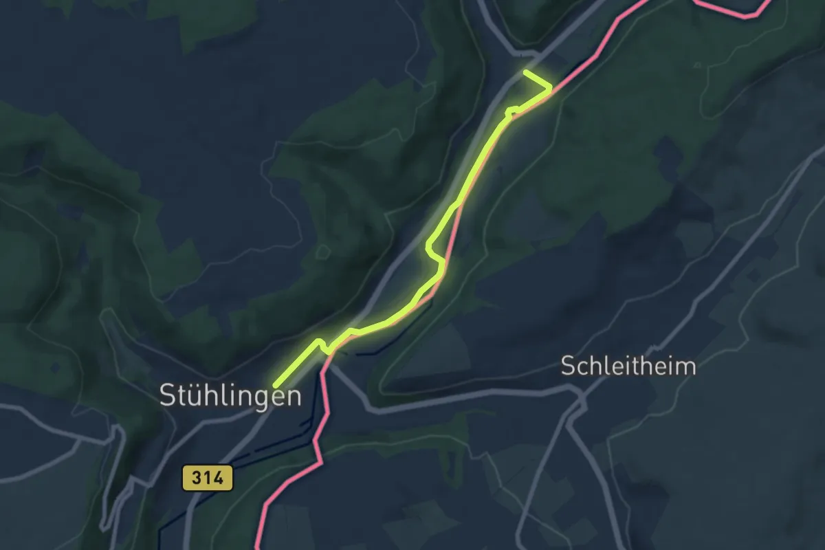
Schloss Wyher - Vorder Brästenegg
2.1 km · ↑ 38 m · 34 min
Easy · Trail
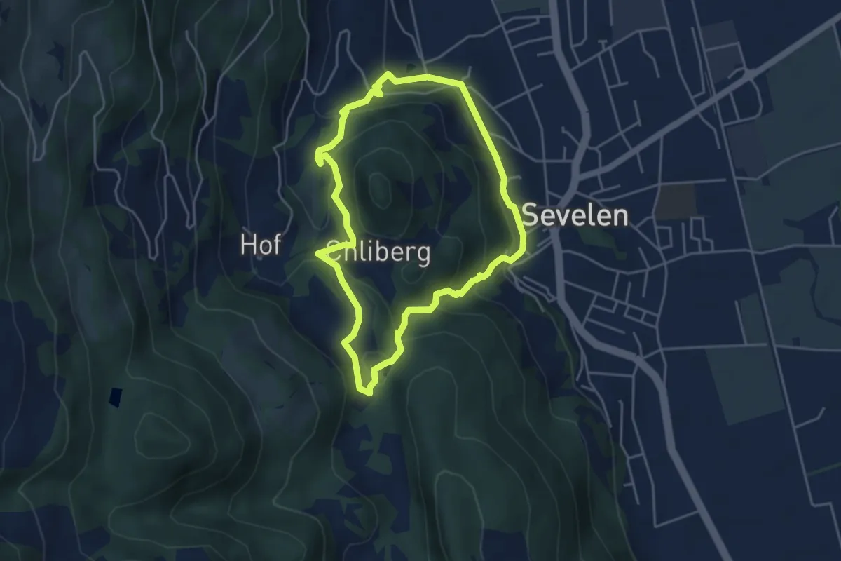
Schluchtensteig Etappe 1 [Stühlingen - Blumberg]
6.9 km · ↑ 72 m · 1 h 47 min
Medium · Summit
Schluchtenweg
3.9 km · ↑ 207 m · 1 h 25 min
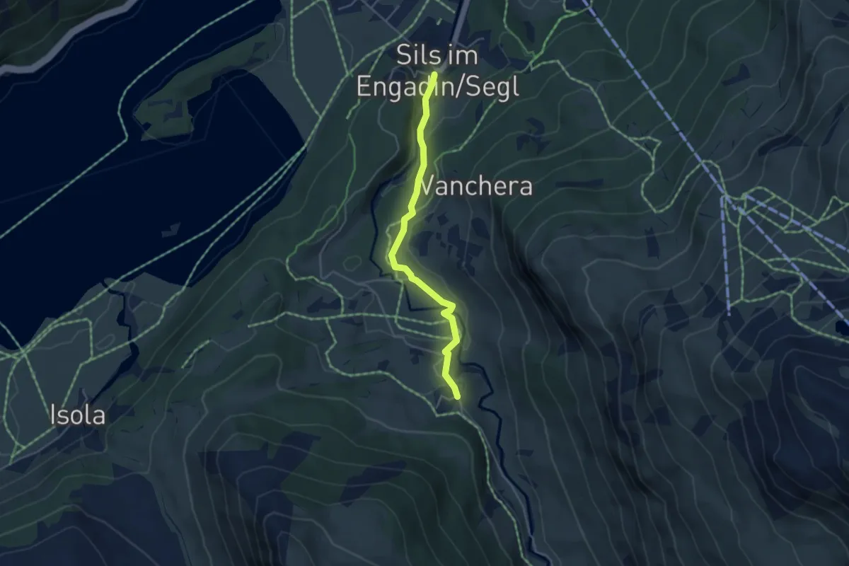
Easy · Trail
Schluchtweg
4.0 km · ↑ 132 m · 1 h 13 min
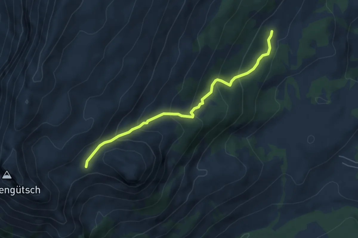
Medium · Cabin
Schlund - fixme
5.0 km · ↑ 354 m · 1 h 57 min
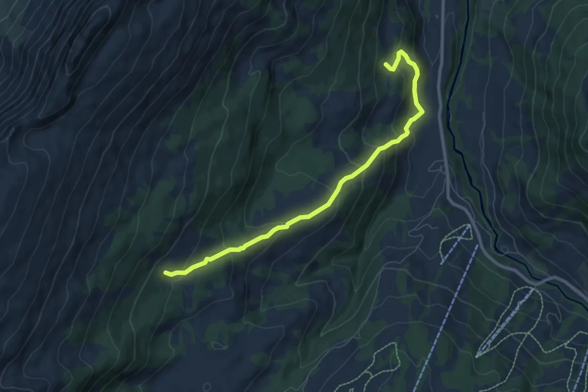
Medium · Trail
Schlund - fixme
7.5 km · ↑ 491 m · 2 h 50 min
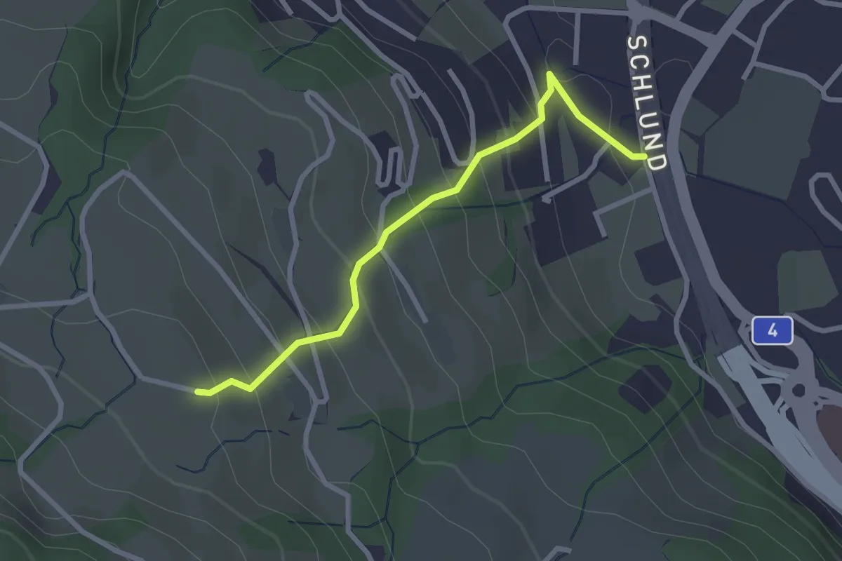
Easy · Trail
Schlund - Himmelrich
2.5 km · ↑ 222 m · 1 h 4 min
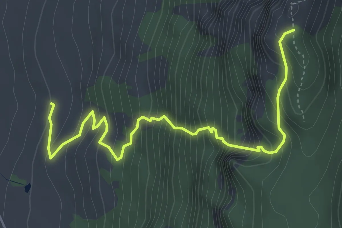
Expert · Trail
Schlund - Rüchiloch
4.8 km · ↑ 740 m · 2 h 45 min
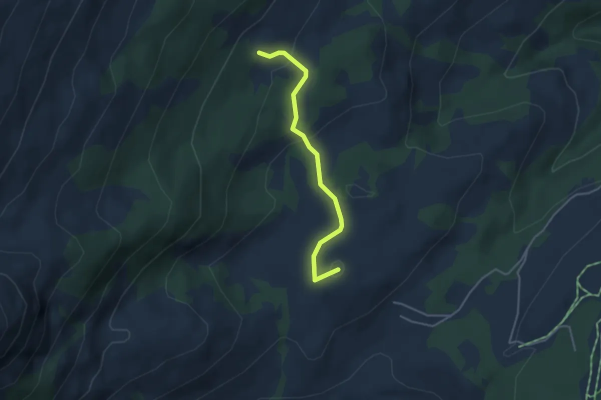
Easy · Summit
Schlund - Wagliseiboden
3.1 km · ↑ 99 m · 56 min
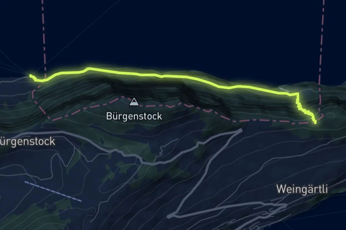
Demanding · Trail
Schlüsselhorn - Untermatt? / Kehrsiten? - fixme
7.9 km · ↑ 821 m · 3 h 38 min
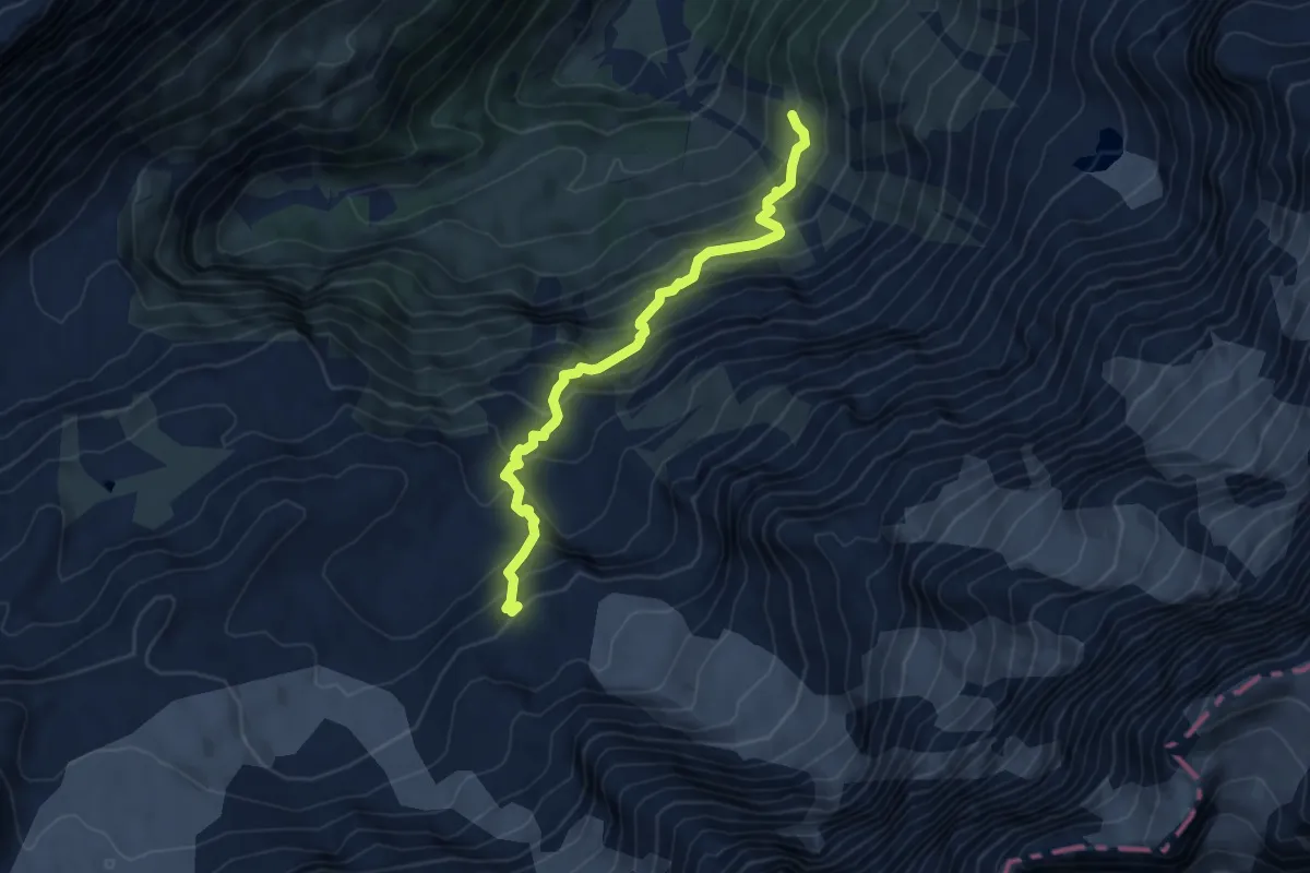
Expert · Cabin
Schmadrihütte - Schwand
5.7 km · ↑ 622 m · 2 h 42 min
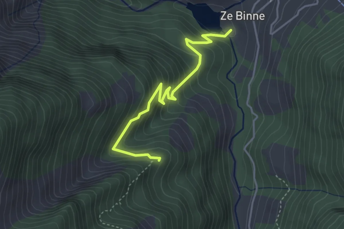
Medium · Trail
Schmalegga-Za Binne
3.6 km · ↑ 383 m · 1 h 41 min
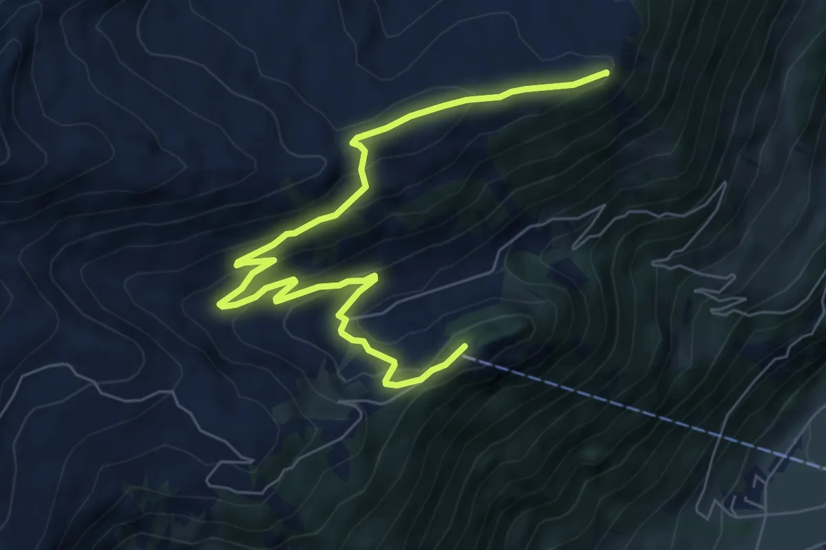
Medium · Summit
Schmetterlingspfad Lungern
8.0 km · ↑ 405 m · 2 h 46 min
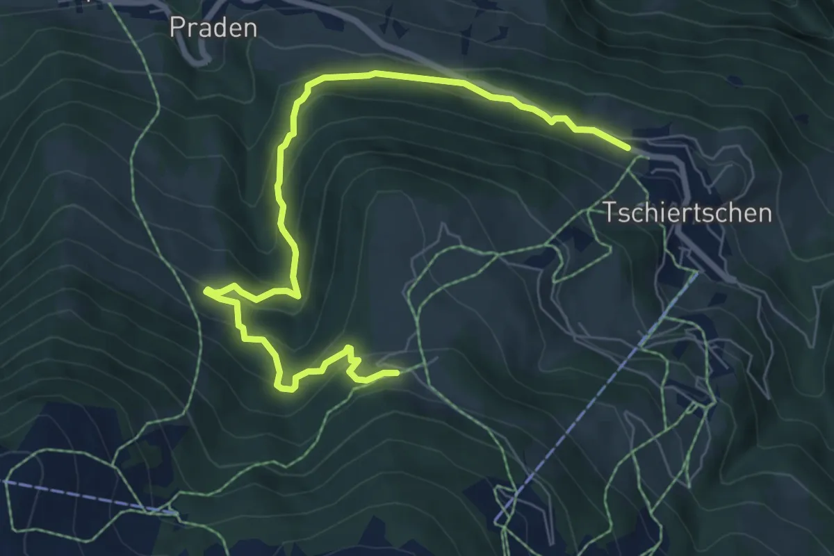
Medium · Trail
Schmetterlingsweg
8.0 km · ↑ 564 m · 3 h 7 min
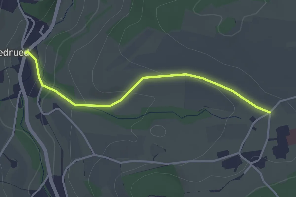
Easy · Trail
Schmidrued - Hasel
2.8 km · ↑ 102 m · 54 min
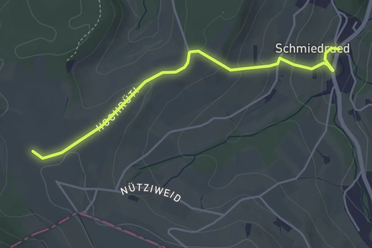
Easy · Trail
Schmidrued - Nütziweid
3.8 km · ↑ 127 m · 1 h 11 min
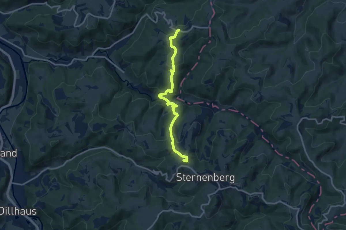
Medium · Summit
Schmidrüti – Sternenberg
8.1 km · ↑ 407 m · 2 h 48 min
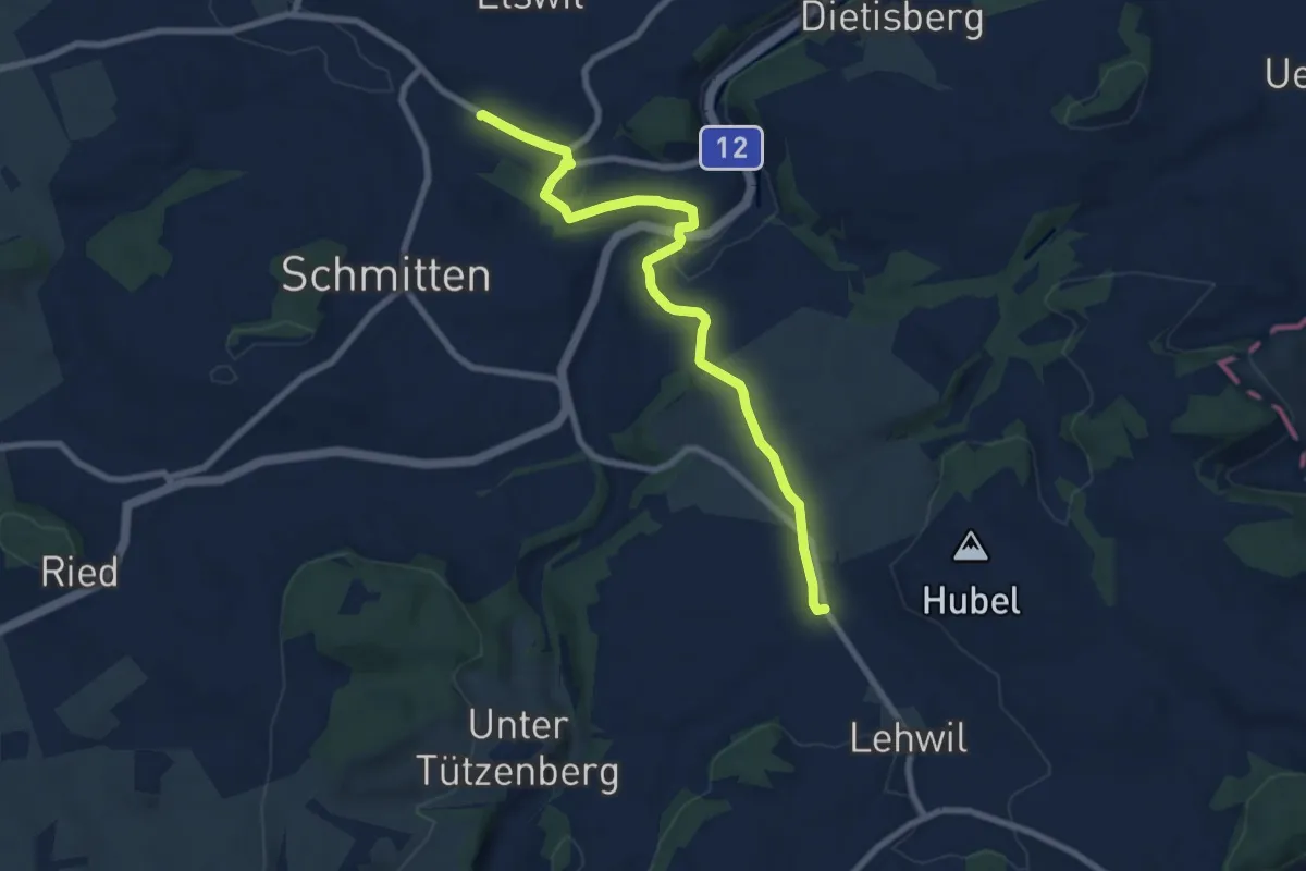
Medium · Trail
Schmitten Station - Niedermuhren
8.3 km · ↑ 157 m · 2 h 18 min
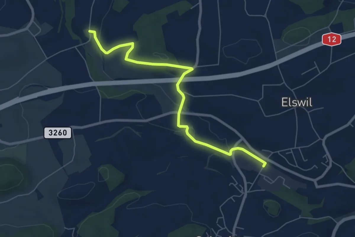
Easy · Trail
Schmitten Station - Richterswil
6.4 km · ↑ 98 m · 1 h 44 min
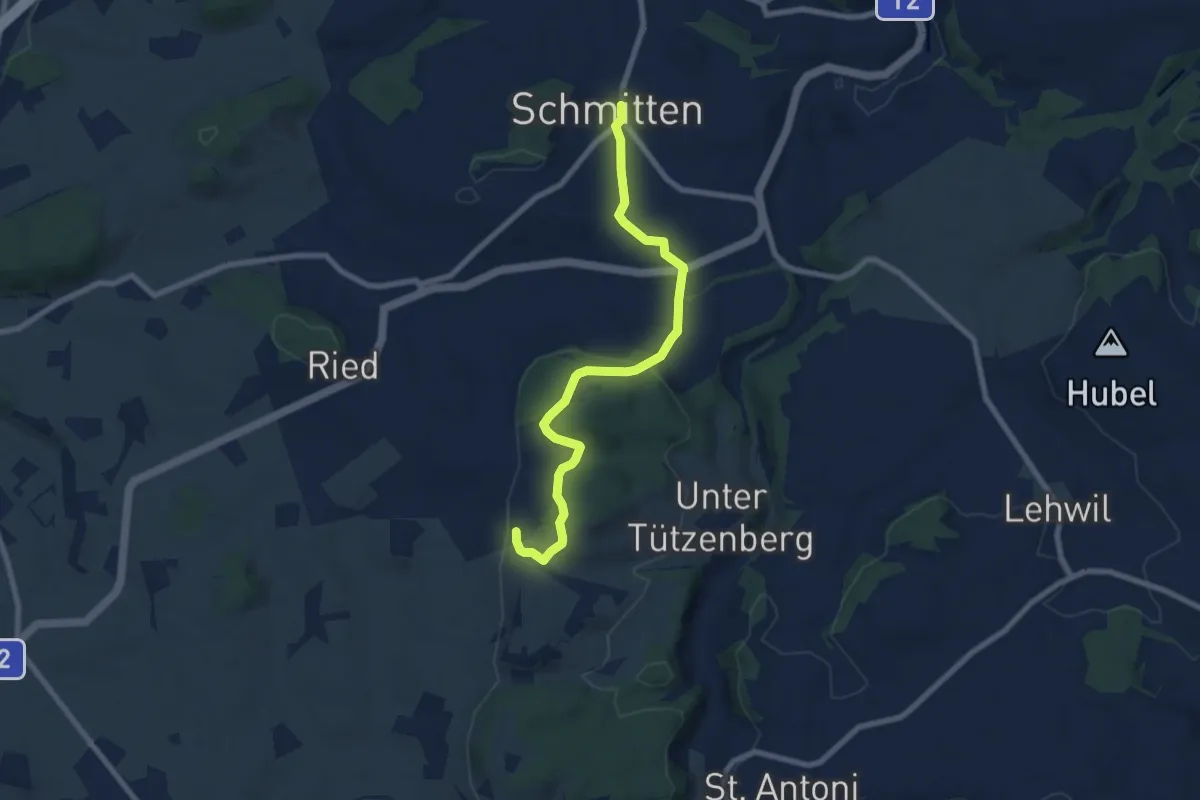
Easy · Trail
Schmitten - Wiler
7.8 km · ↑ 267 m · 2 h 25 min
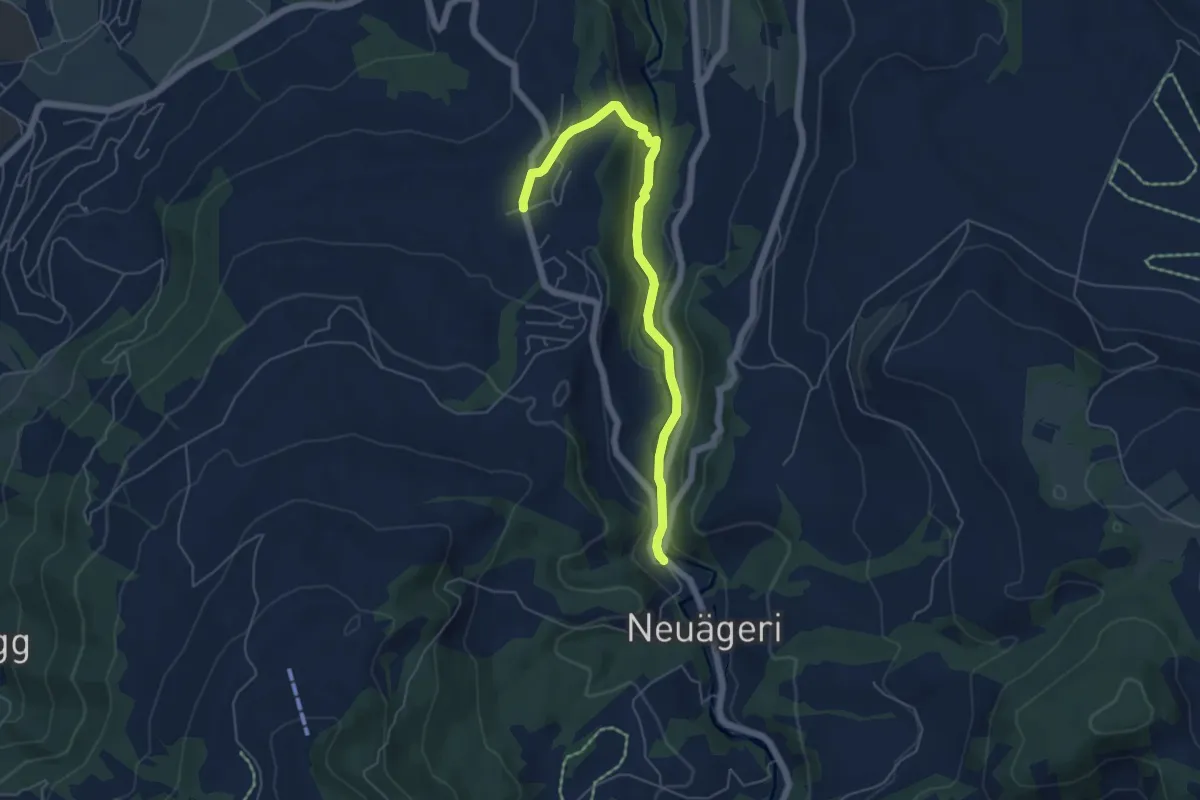
Easy · Trail
Schmittli - Allenwinden
5.6 km · ↑ 136 m · 1 h 37 min
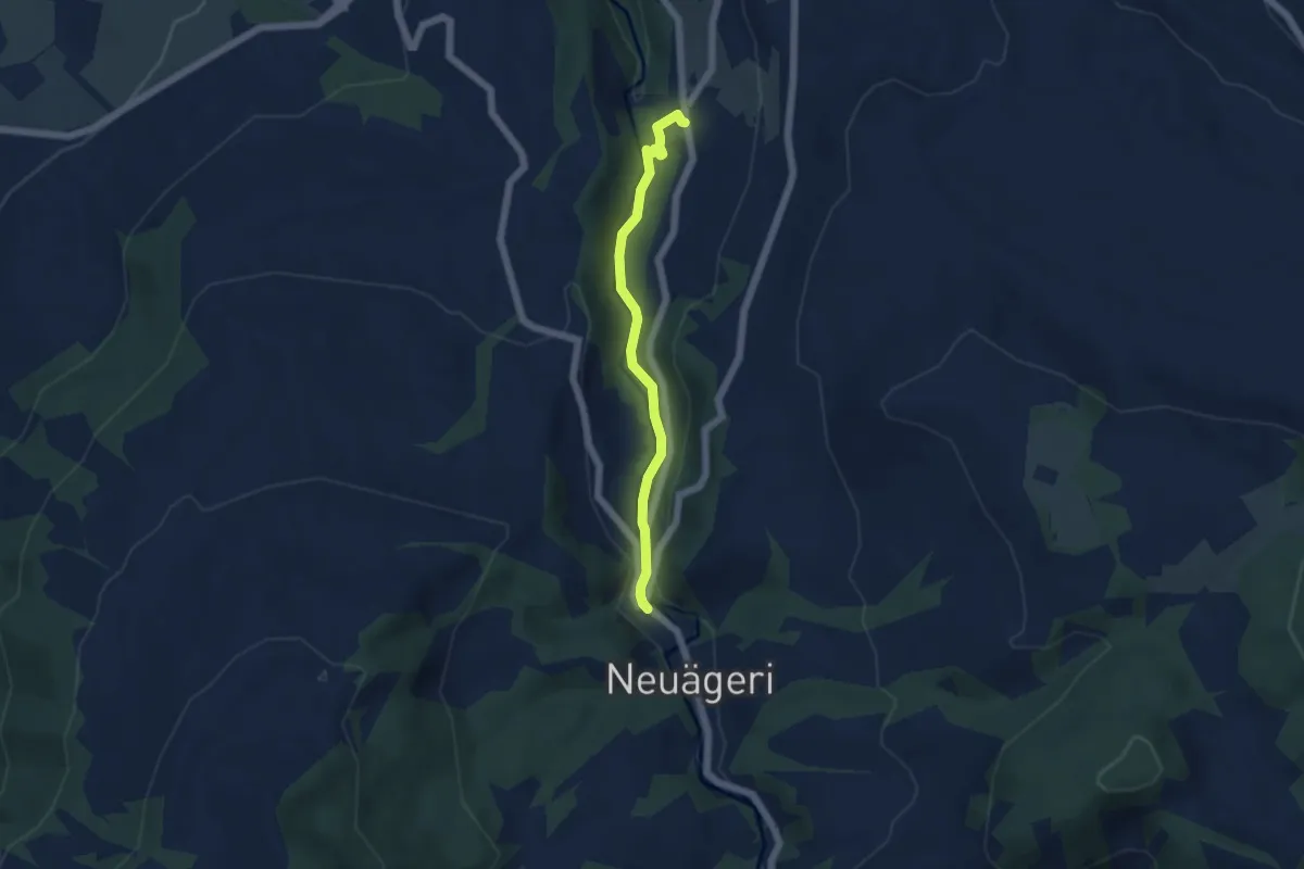
Easy · Trail
Schmittli - fixme
4.6 km · ↑ 118 m · 1 h 21 min
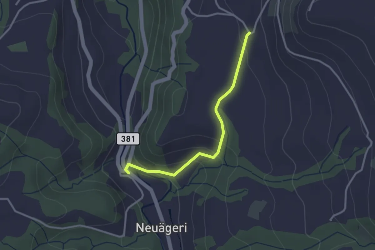
Easy · Trail
Schmittli - Heiterstalden
2.5 km · ↑ 99 m · 49 min
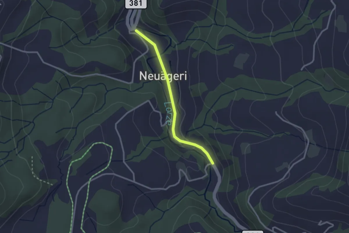
Easy · Trail
Schmittli - Mülischwändi Brücke
2.1 km · ↑ 36 m · 35 min
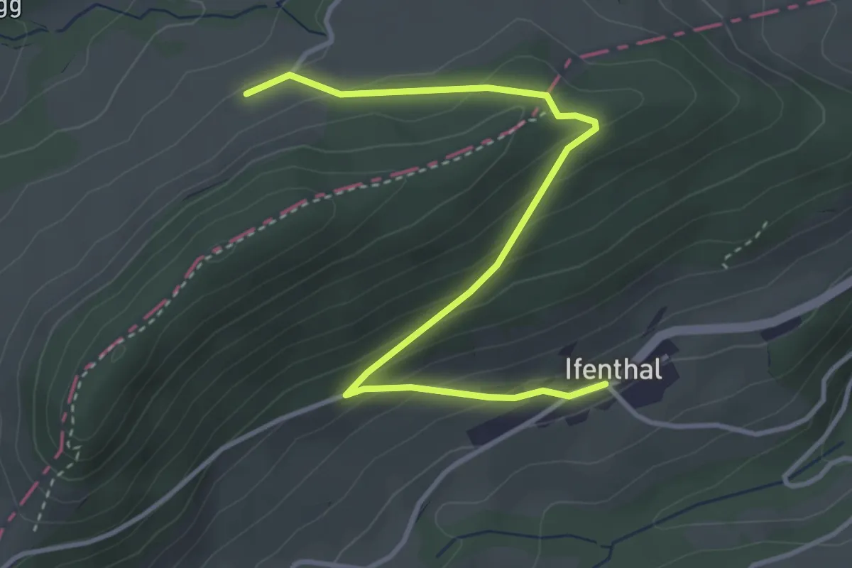
Easy · Trail
Schmutzberg - Ifenthal
4.0 km · ↑ 216 m · 1 h 25 min
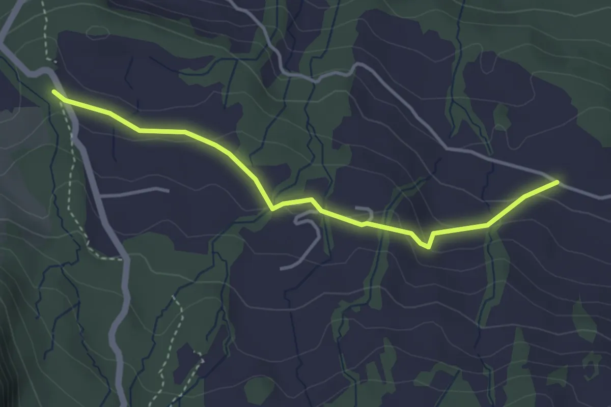
Easy · Trail
Schnäggenburg - Schwändi
3.5 km · ↑ 90 m · 1 h 1 min
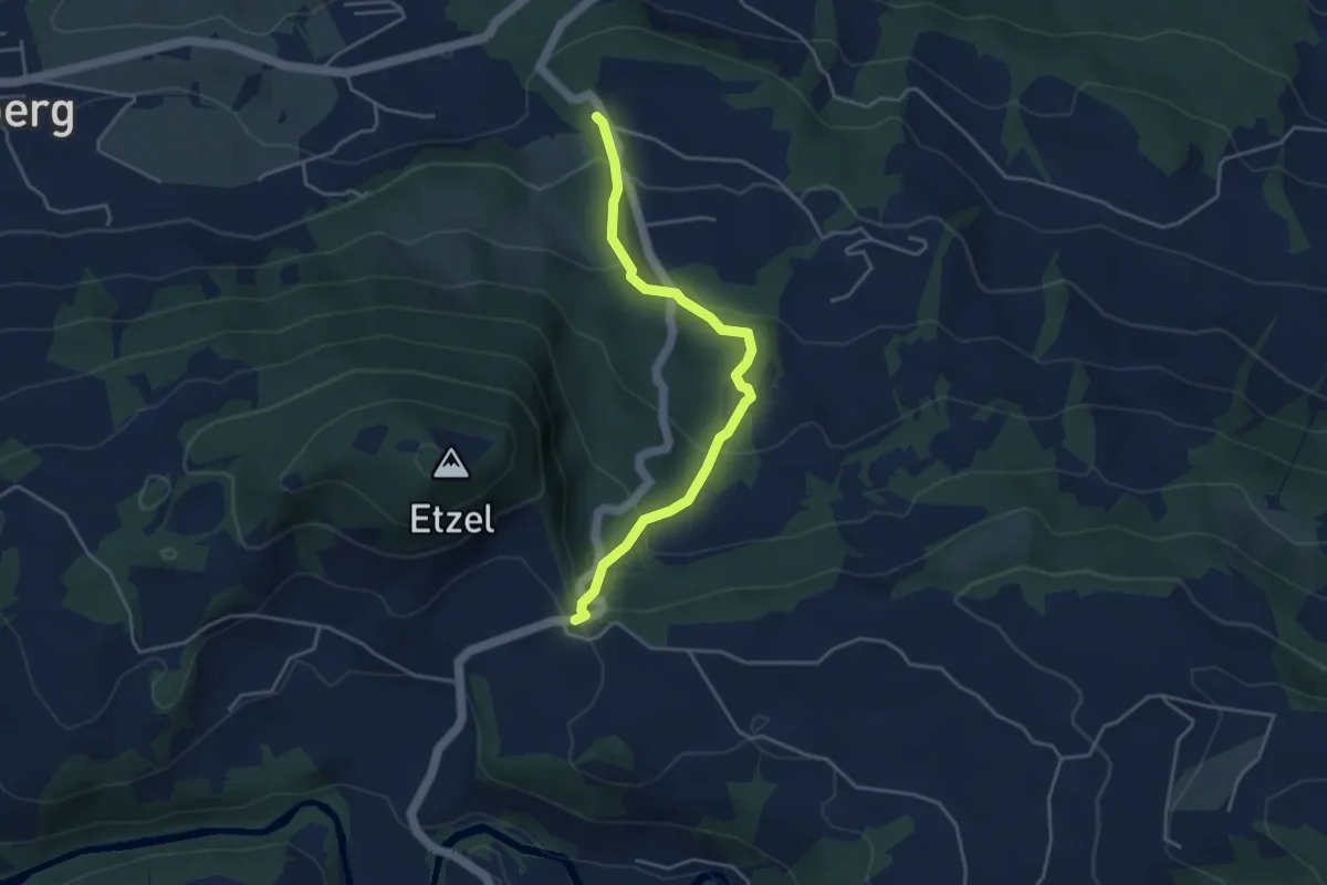
Easy · Trail
Schnäggenburg - St. Meinrad
4.0 km · ↑ 214 m · 1 h 24 min
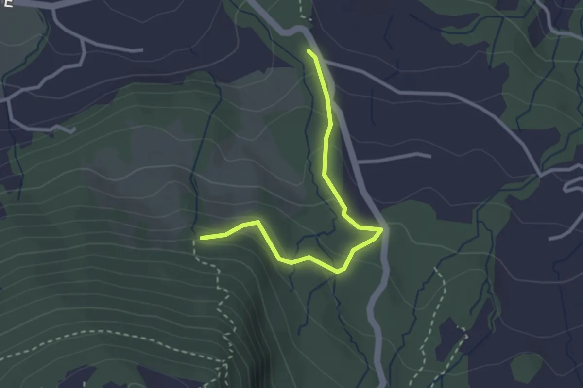
Easy · Trail
Schnäggenburg - Strickli
2.5 km · ↑ 140 m · 54 min
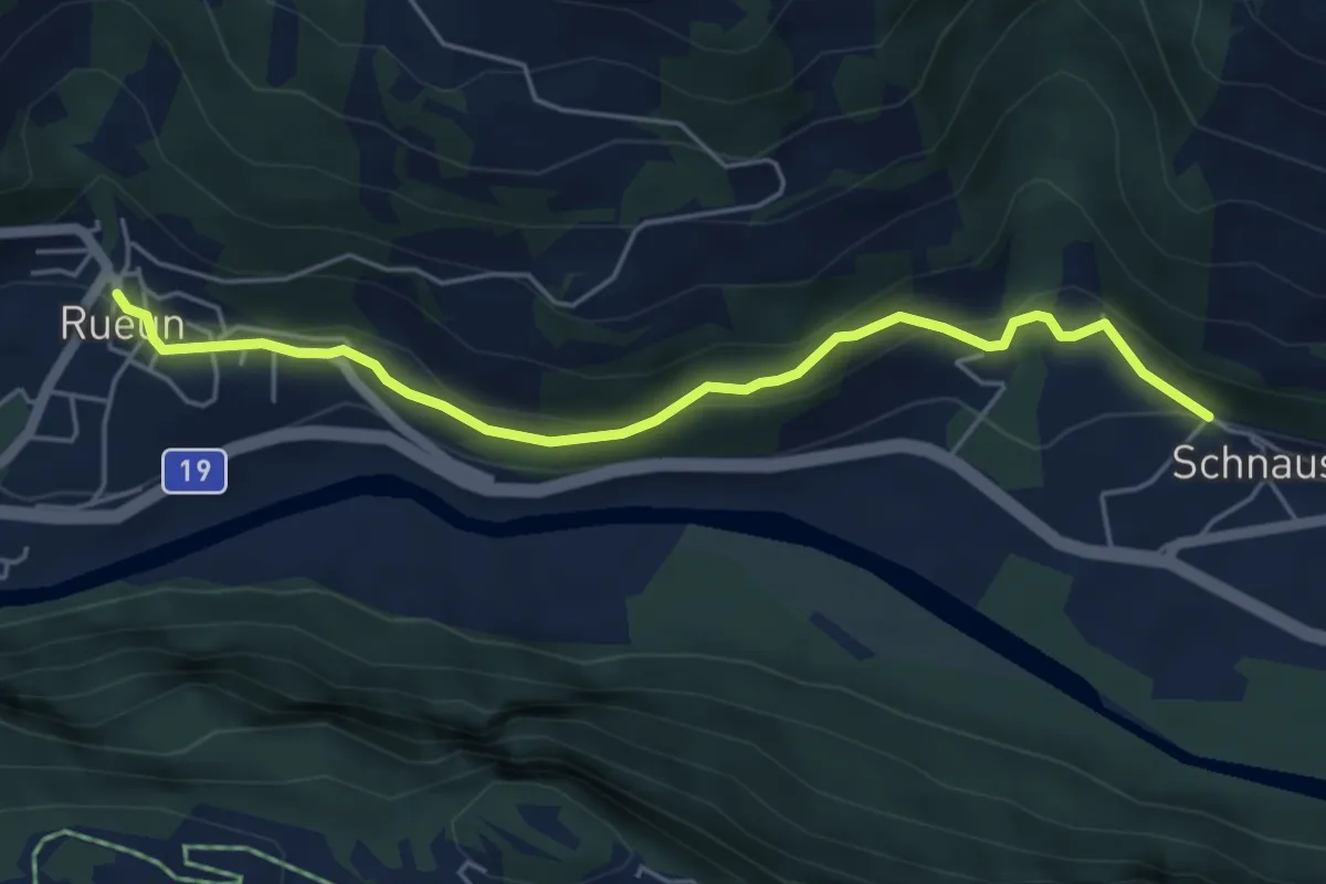
Easy · Trail
Schnaus - Rueun
5.1 km · ↑ 186 m · 1 h 36 min
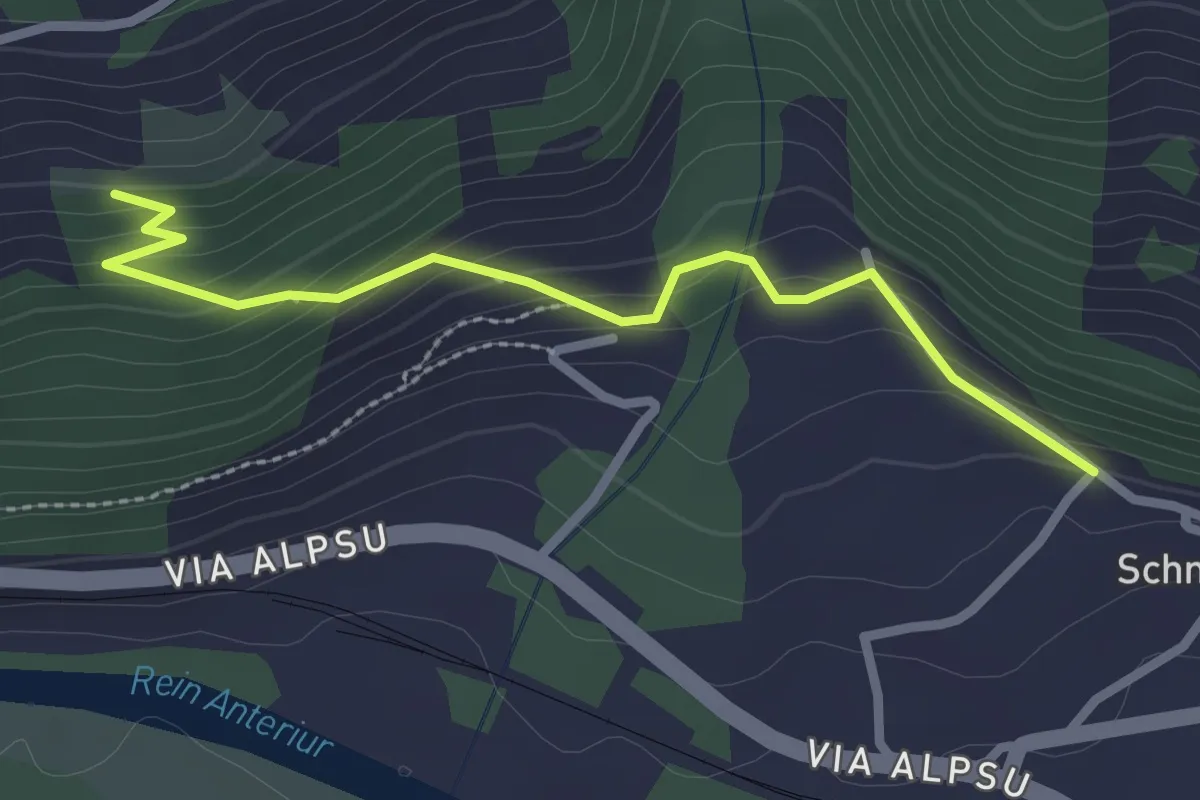
Easy · Trail
Schnaus - Siat
2.6 km · ↑ 152 m · 56 min
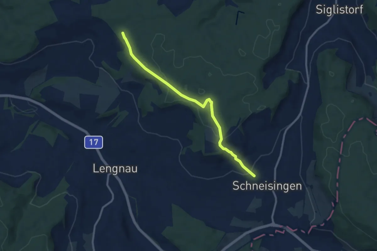
Easy · Trail
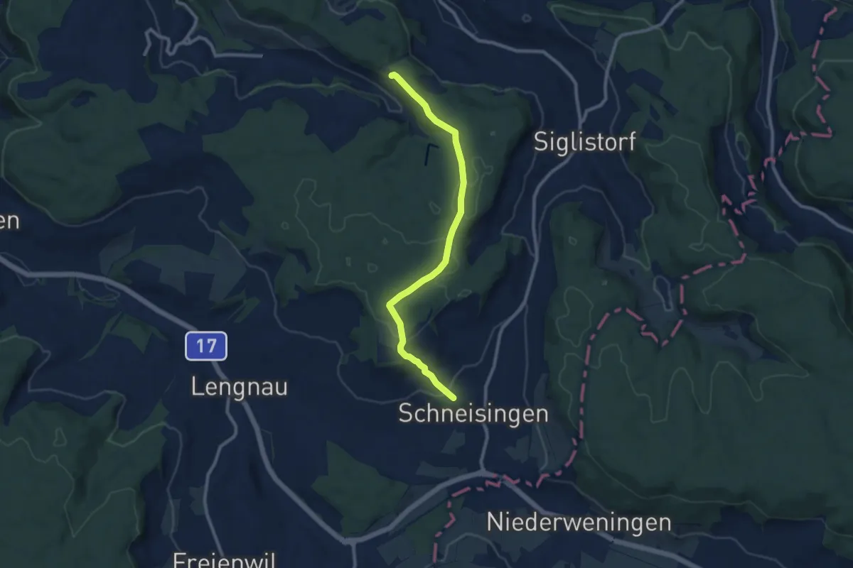
Schneisingen - Althau
7.5 km · ↑ 162 m · 2 h 7 min
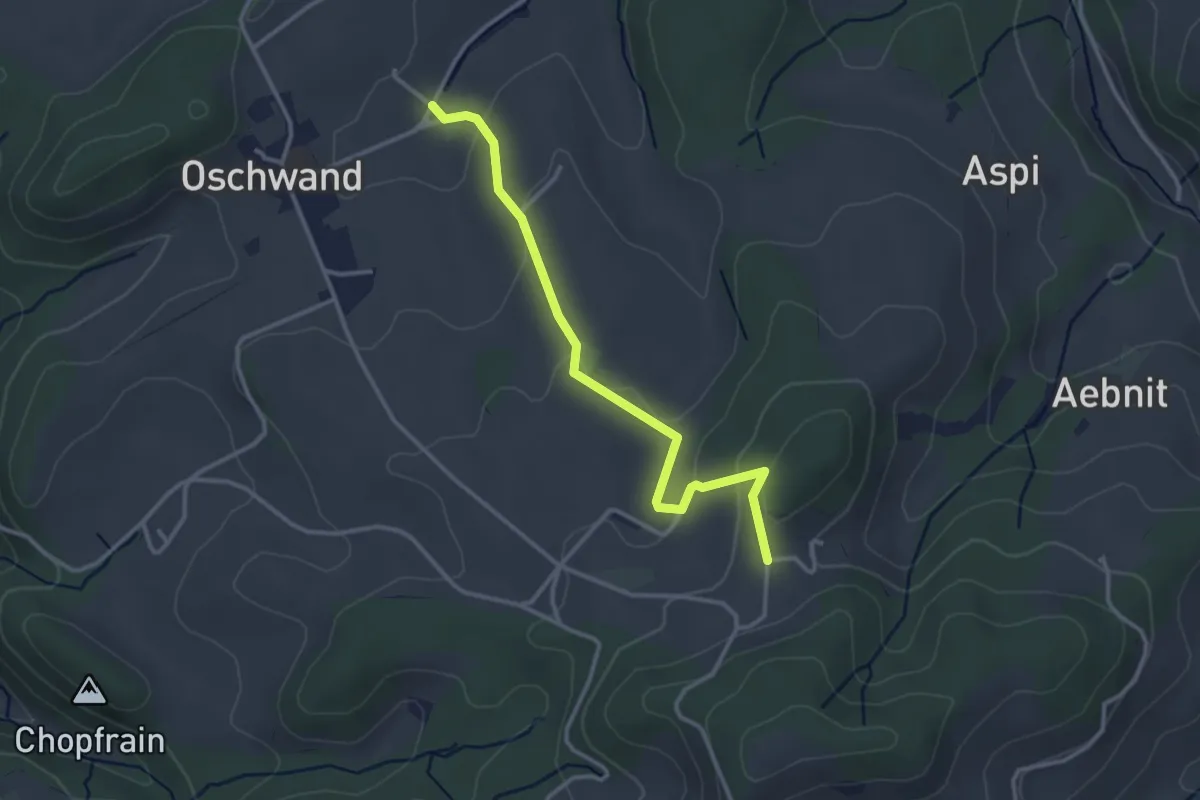
Medium · Trail
Schneisingen - Mühlibach
9.2 km · ↑ 201 m · 2 h 36 min
Easy · Trail
Schnerzenbach - Wanntalhöchi
3.2 km · ↑ 102 m · 58 min
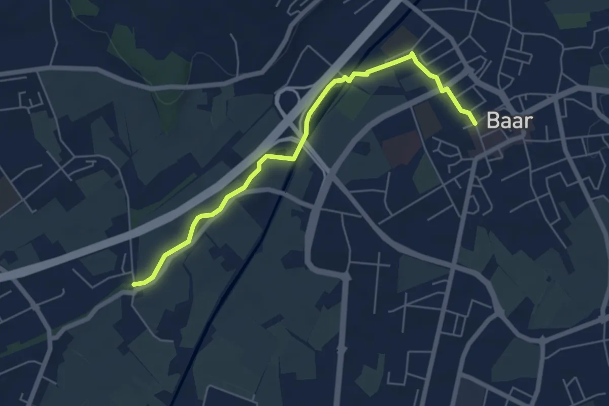
Easy · Trail
Schochenmühle - Baar
5.2 km · ↑ 17 m · 1 h 15 min
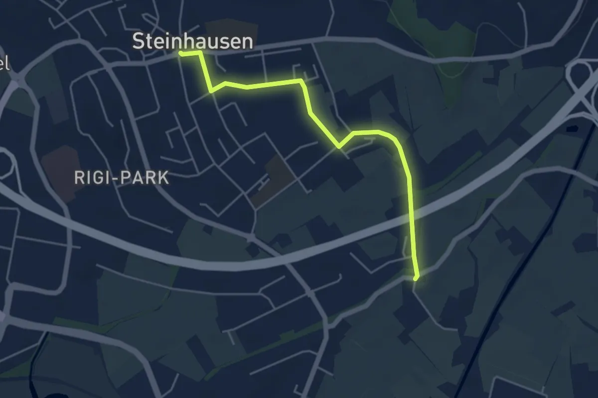
Easy · Trail
Schochenmühle - Steinhausen
4.2 km · ↑ 4 m · 1 h
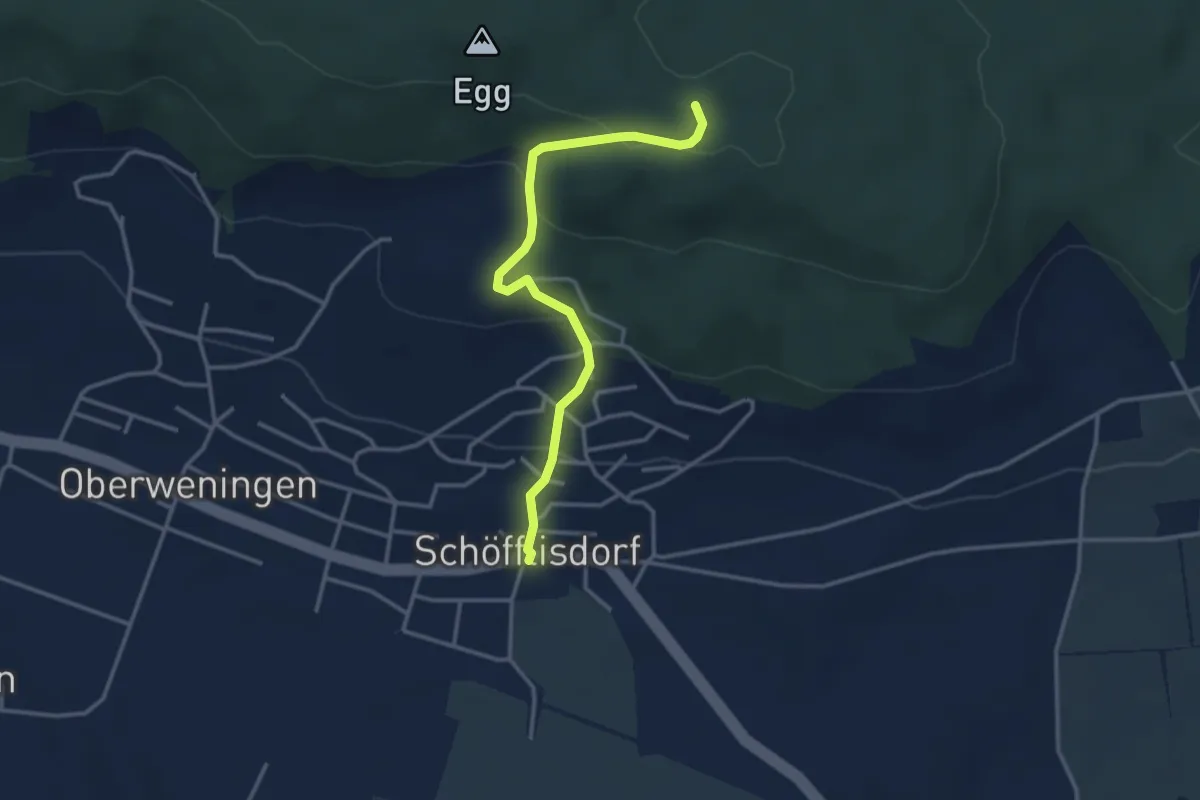
Easy · Trail
Schöfflisdorf - Schöfflisdorfer Platte
3.3 km · ↑ 181 m · 1 h 11 min
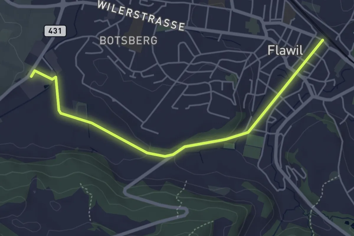
Easy · Trail
Schoggiweg
4.9 km · ↑ 61 m · 1 h 17 min
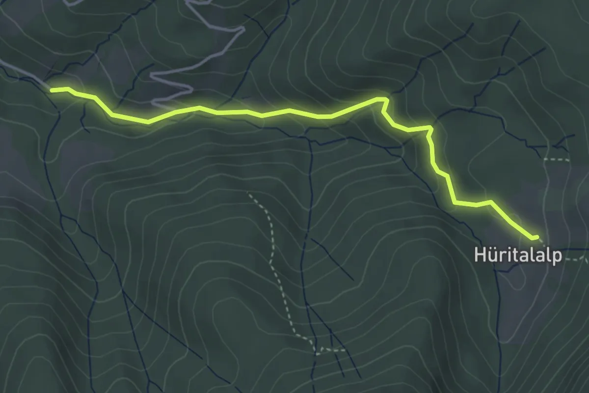
Easy · Trail
Schönalp Hütte - Hürtal Hütte
4.0 km · ↑ 249 m · 1 h 30 min
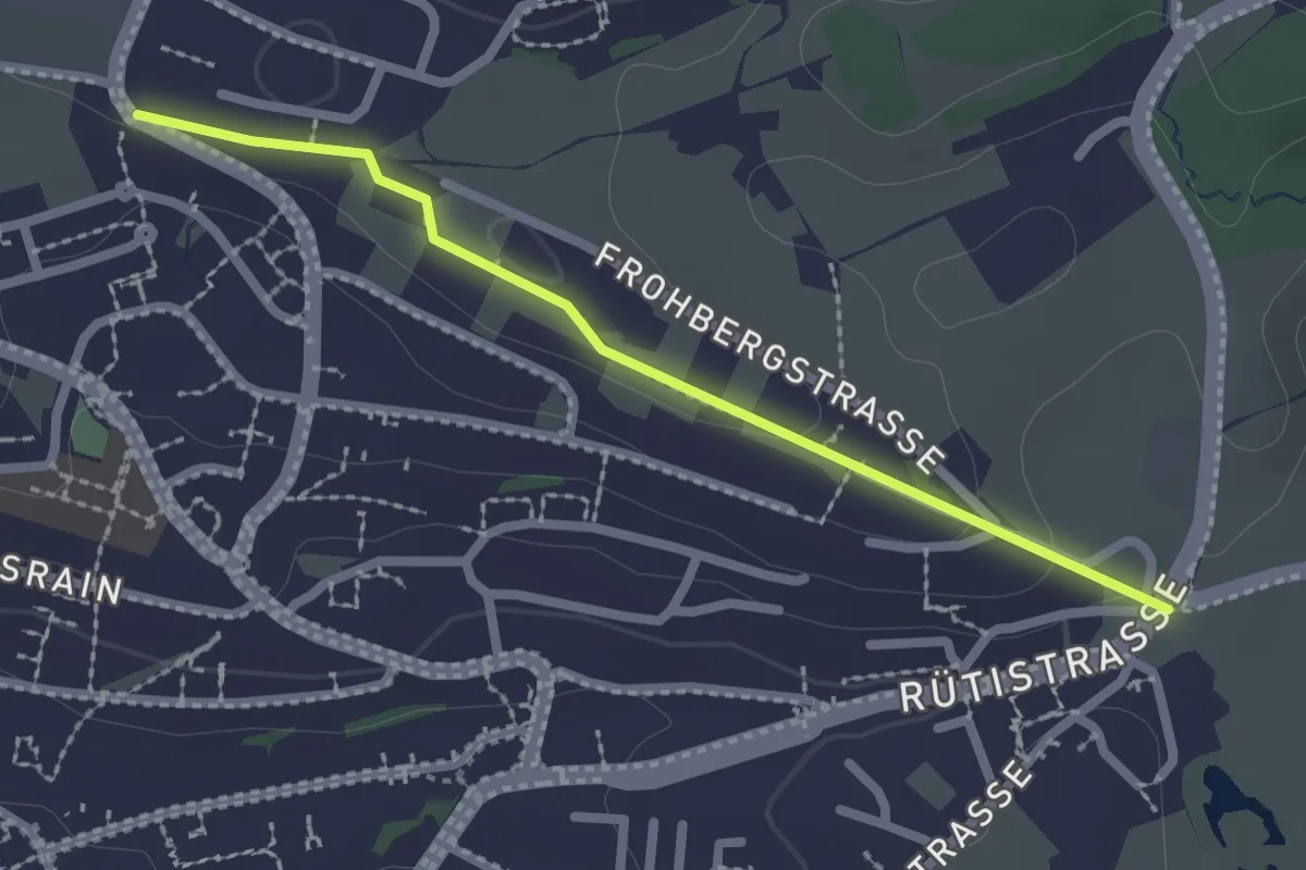
Easy · Trail
Schönau - Rotenweg
2.2 km · ↑ 29 m · 35 min
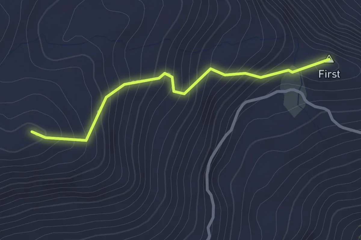
Easy · Summit
Schönbüel - Breitenfeld
2.3 km · ↑ 217 m · 1 h 1 min
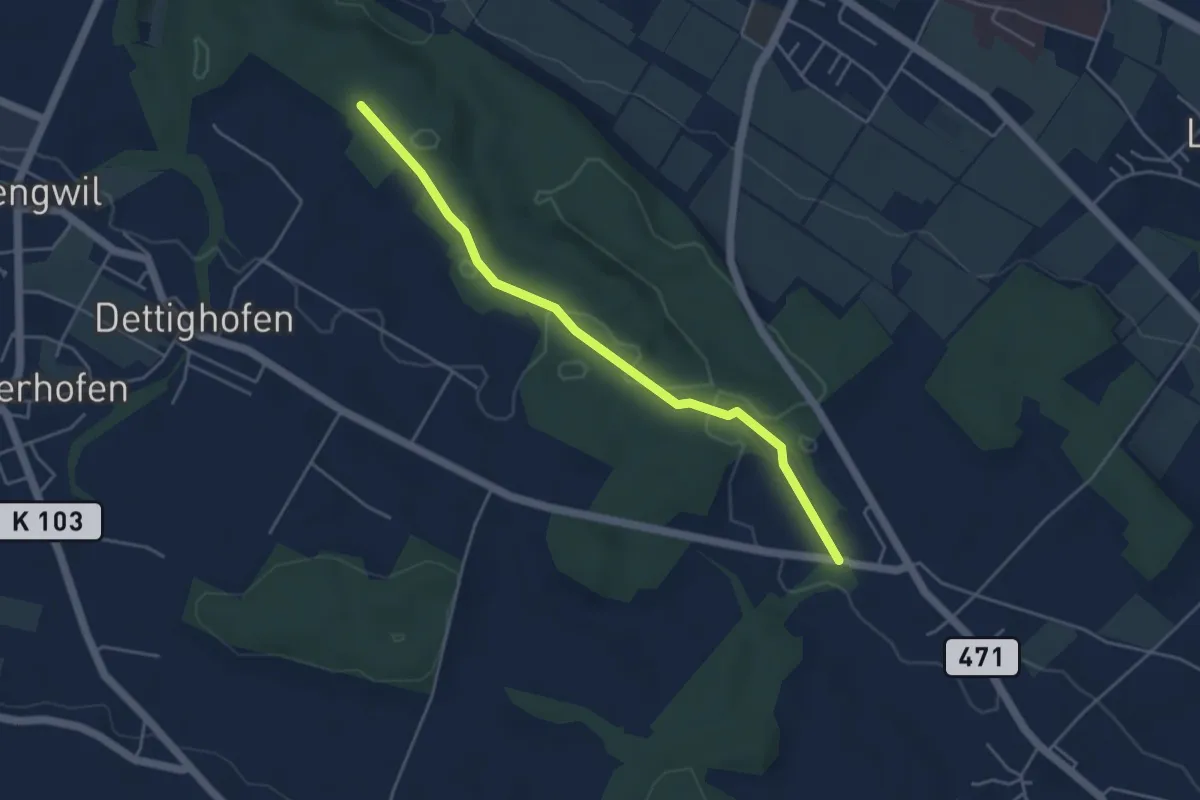
Easy · Trail
Schönenbaumgarten - Liebburg
4.3 km · ↑ 25 m · 1 h 5 min
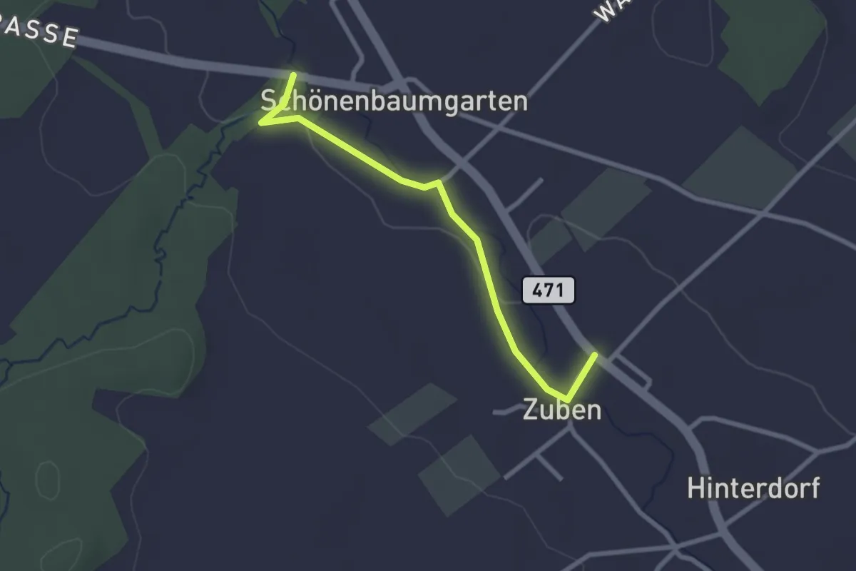
Easy · Trail
Schönenbaumgarten - Zuben
2.4 km · ↑ 23 m · 37 min
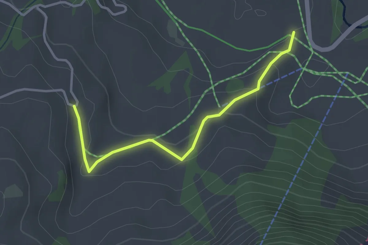
Easy · Trail
Schönenboden - Schlacht
2.8 km · ↑ 117 m · 55 min