Trails in Switzerland
15,064 hiking trails, each with its route, climb, walking time and grade.
All trails, page 96 of 314
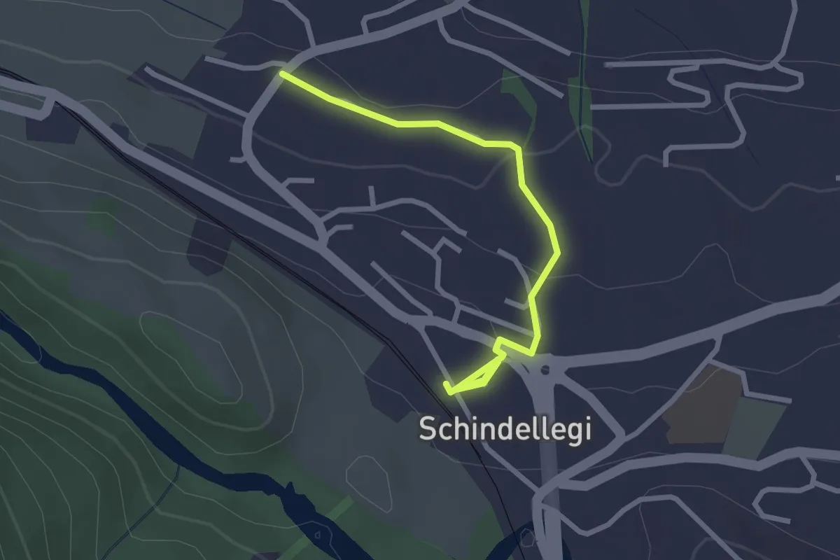
Easy · Trail
Schindellegi (Bhf) - Äsch
2.6 km · ↑ 77 m · 47 min
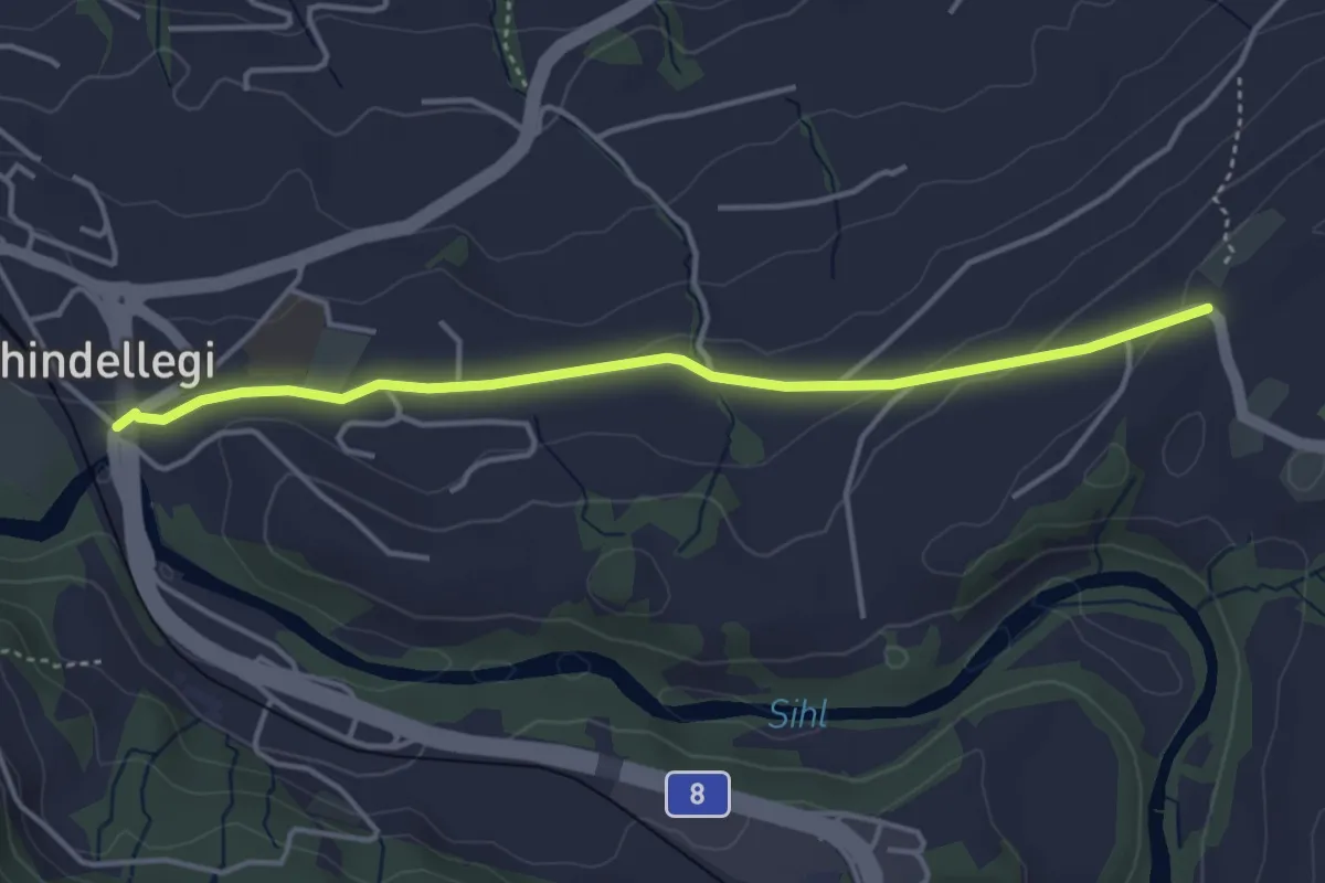
Easy · Trail
Schindellegi - Chastenegg
4.0 km · ↑ 78 m · 1 h 7 min
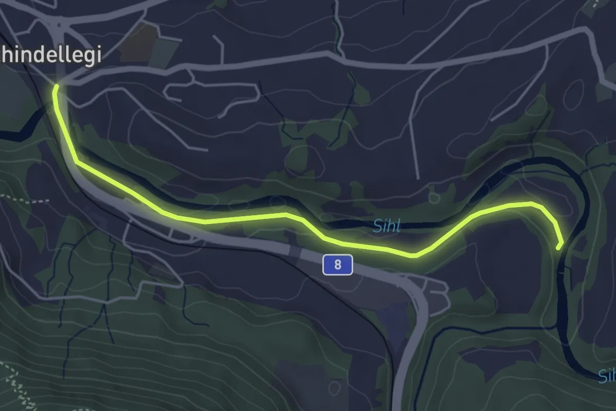
Easy · Trail
Schindellegi - Dreiwässeren
4.6 km · ↑ 63 m · 1 h 14 min
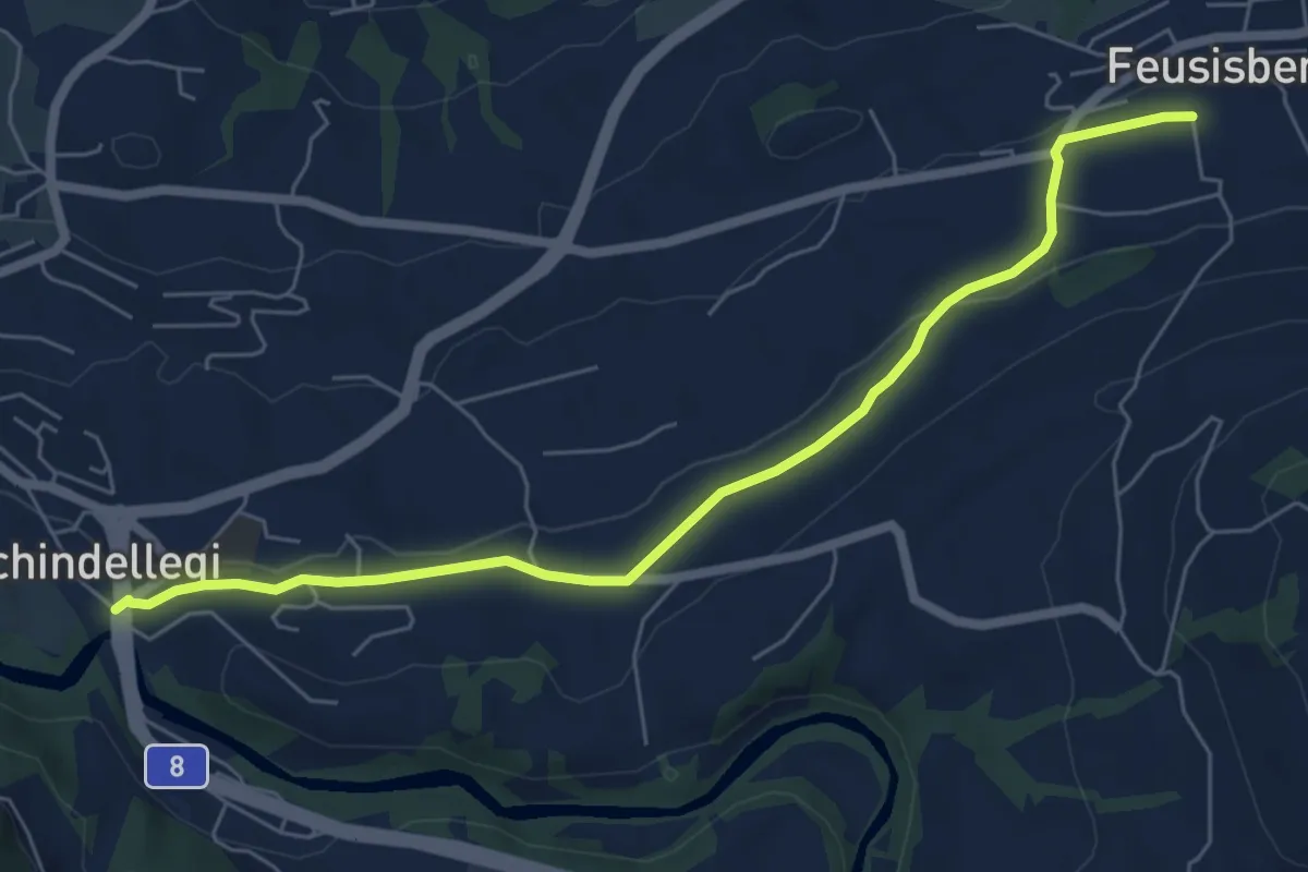
Easy · Trail
Schindellegi - Feusisberg (Moos)
6.6 km · ↑ 94 m · 1 h 45 min
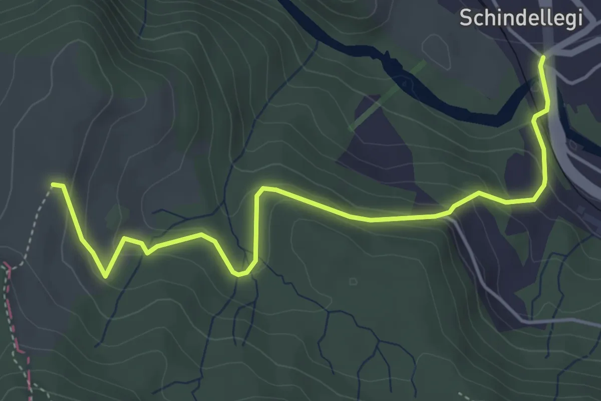
Easy · Trail
Schindellegi - Rossberg
4.9 km · ↑ 284 m · 1 h 46 min
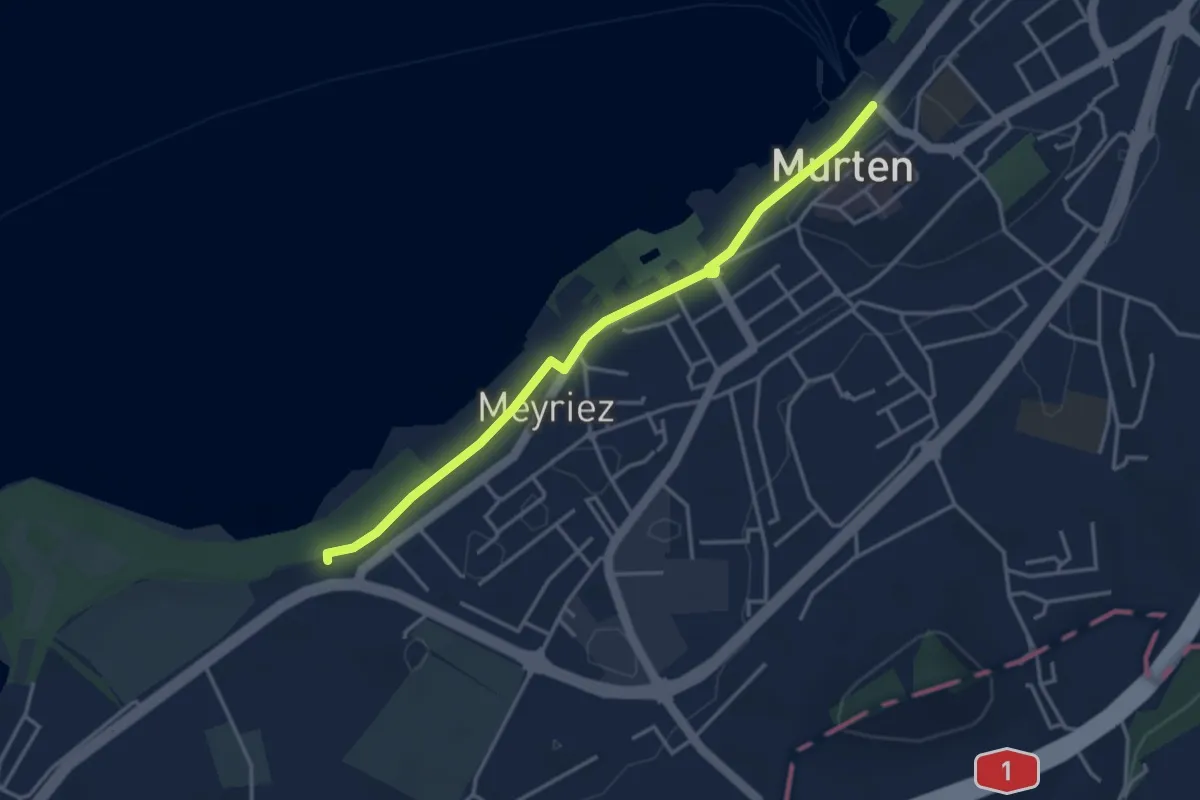
Easy · Trail
Schlacht-Denkmal
3.8 km · ↑ 9 m · 54 min
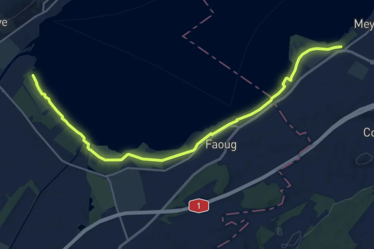
Medium · Trail
Schlacht-Denkmal - fixme
13.4 km · ↑ 31 m · 3 h 14 min
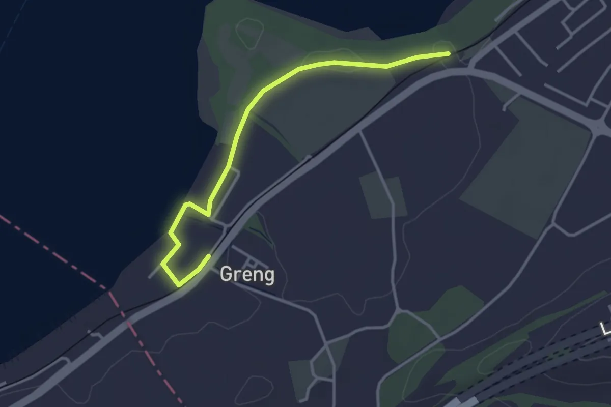
Easy · Trail
Schlacht-Denkmal - fixme
3.4 km · ↑ 13 m · 50 min
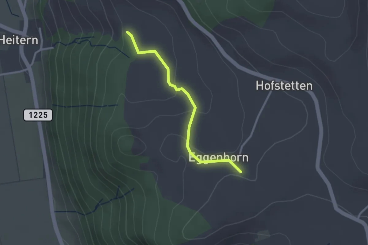
Easy · Trail
Schlatt - Chieffere
2.3 km · ↑ 73 m · 41 min
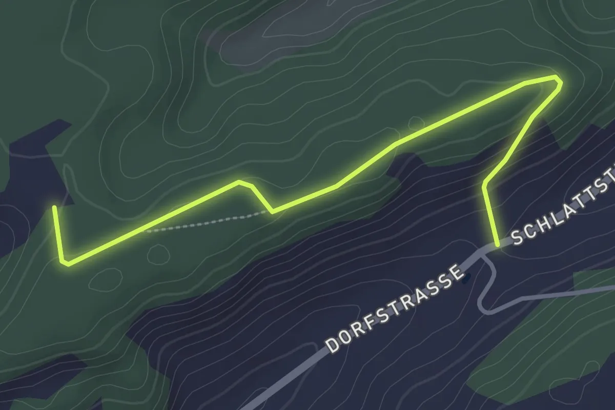
Easy · Trail
Schlatt - Giger
3.4 km · ↑ 113 m · 1 h 3 min
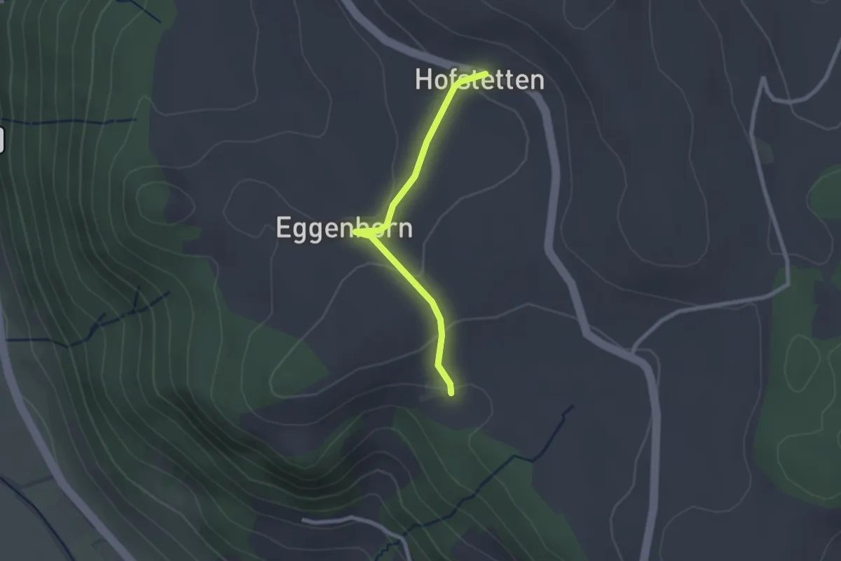
Easy · Trail
Schlatt - Hostete
2.1 km · ↑ 67 m · 38 min
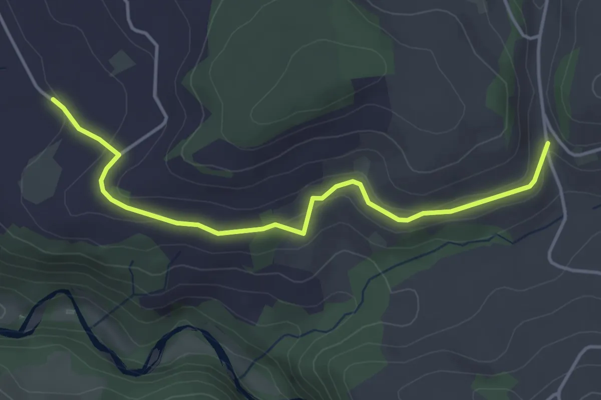
Easy · Trail
Schlatt - Längacher
4.1 km · ↑ 92 m · 1 h 10 min
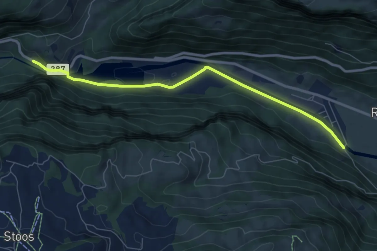
Easy · Trail
Schlattli - Bläckerli
6.5 km · ↑ 156 m · 1 h 52 min
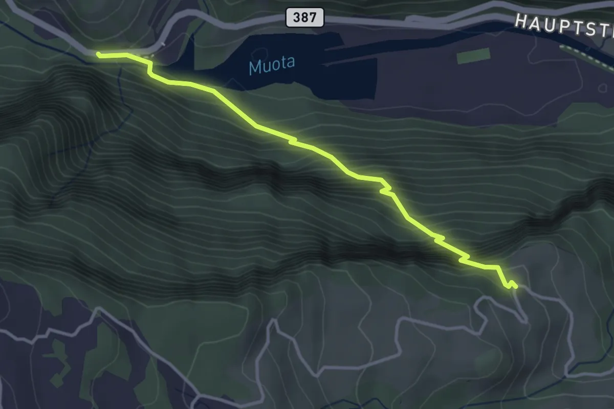
Medium · Trail
Schlattli - Chälenberg
3.5 km · ↑ 496 m · 1 h 54 min
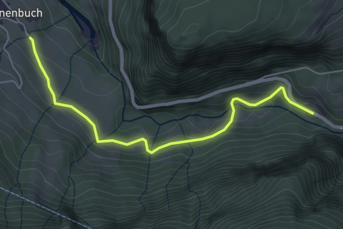
Easy · Trail
Schlattli - Ober-Schönenbuch
4.7 km · ↑ 194 m · 1 h 31 min
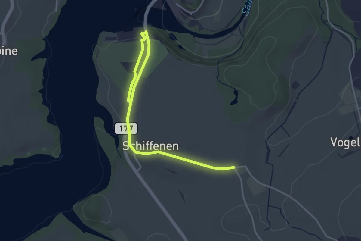
Easy · Trail
Schlattli - Schiffenen / Camping
4.0 km · ↑ 37 m · 1 h 1 min
Easy · Trail
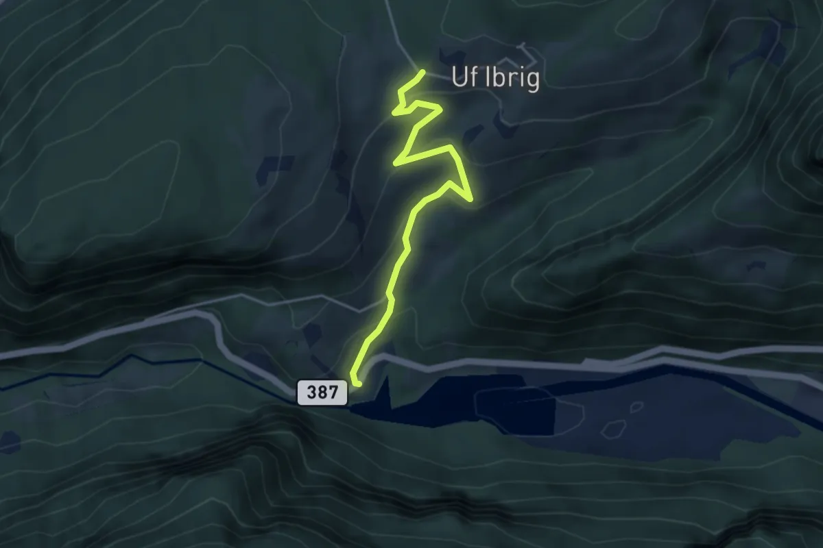
Schlattli - Uf Ibrig
3.8 km · ↑ 197 m · 1 h 20 min
Easy · Summit
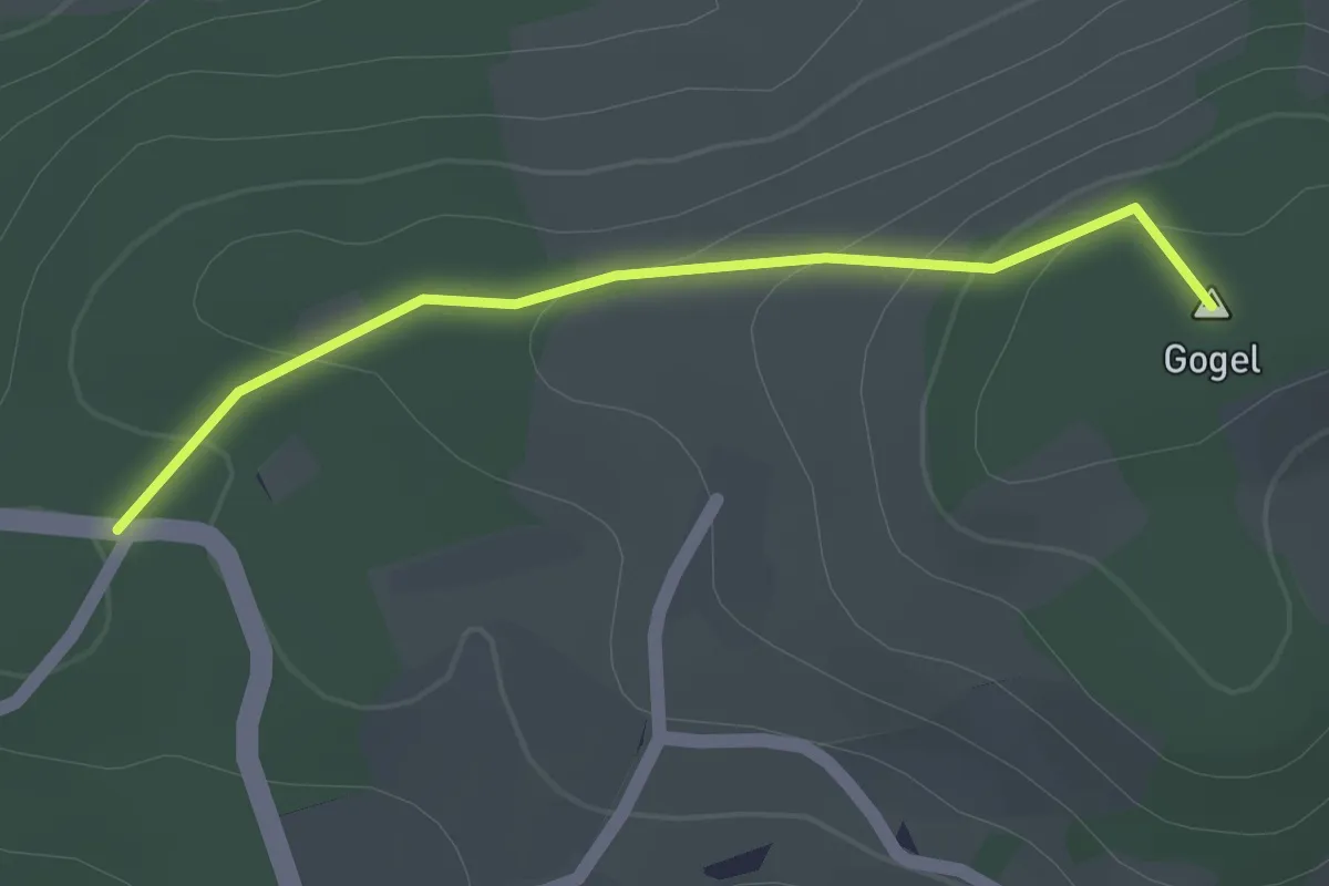
Schlegel - Junkerschloss
1.5 km · ↑ 58 m · 29 min
Easy · Trail
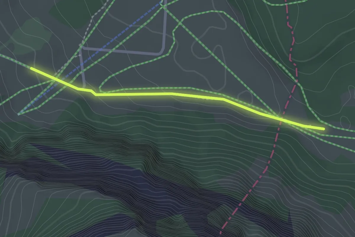
Schlegi - Untertrübsee
2.1 km · ↑ 74 m · 39 min
Easy · Trail
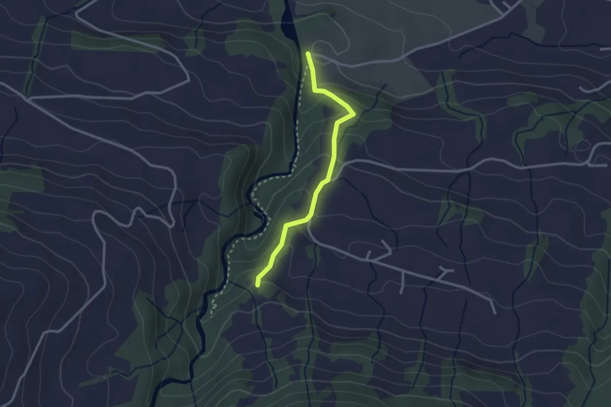
Schleipfenmüli - Nüschwändi
2.3 km · ↑ 154 m · 53 min
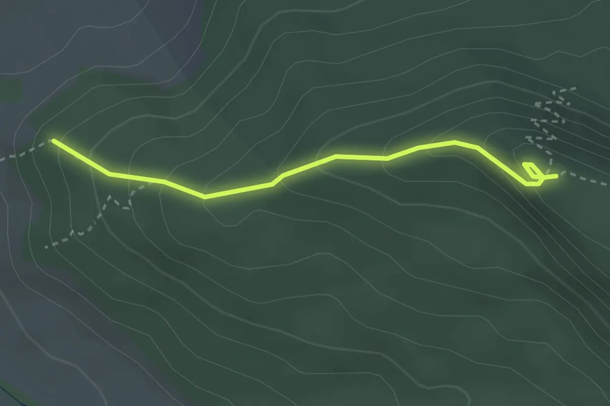
Easy · Trail
Schleitheimer Randenturm - Eschenhau
2.7 km · ↑ 236 m · 1 h 9 min
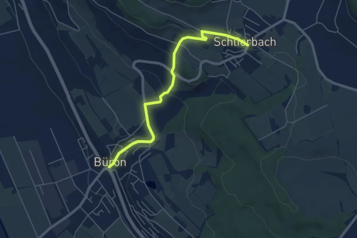
Easy · Trail
Schlierbach - Büron
4.8 km · ↑ 192 m · 1 h 33 min
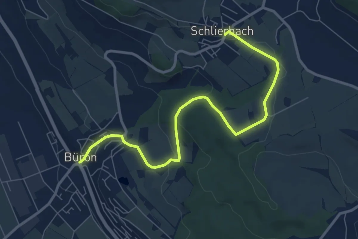
Easy · Trail
Schlierbach - Büron
7.2 km · ↑ 197 m · 2 h 8 min
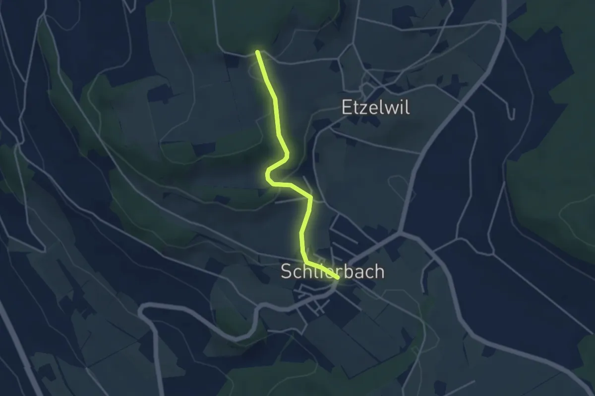
Easy · Trail
Schlierbach - Gschweich
3.1 km · ↑ 111 m · 58 min
Easy · Trail
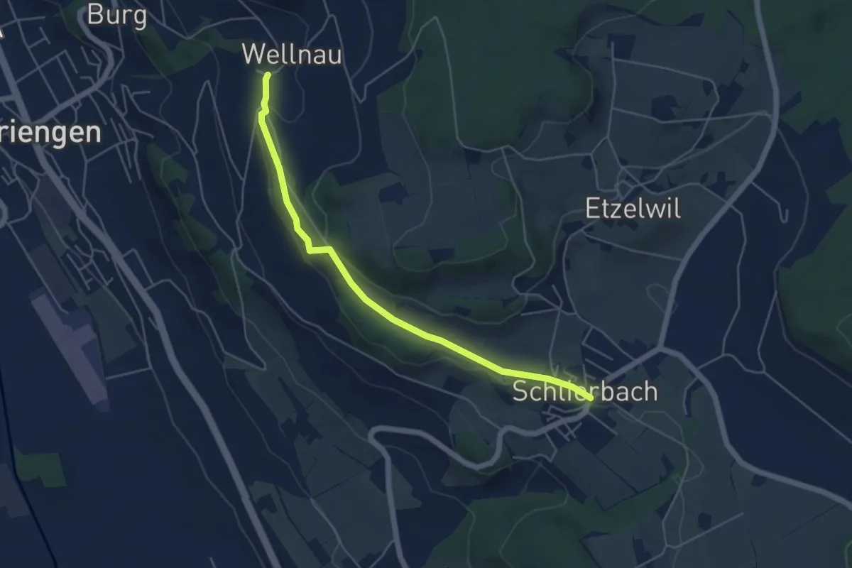
Schlierbach - Wellnau
4.9 km · ↑ 102 m · 1 h 23 min
Easy · Trail
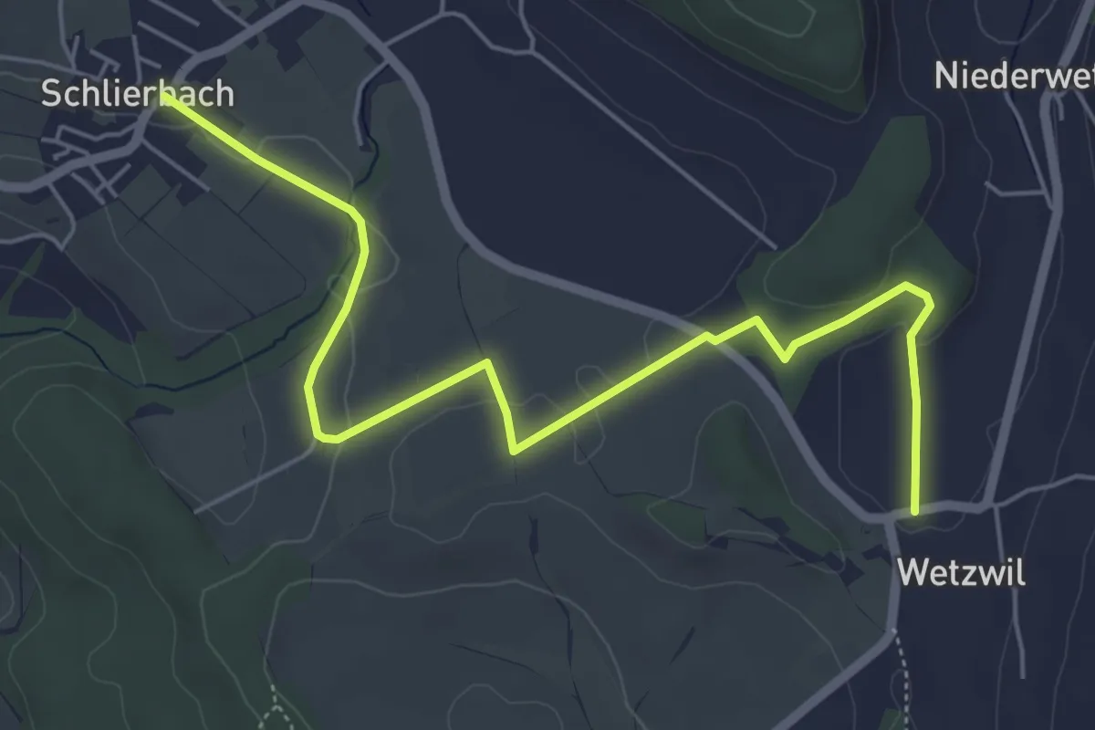
Schlierbach - Wetzwil
6.3 km · ↑ 78 m · 1 h 39 min
Easy · Trail
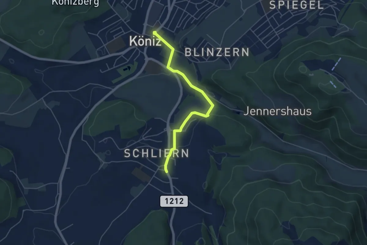
Schliern - Köniz
4.8 km · ↑ 145 m · 1 h 27 min
Easy · Trail
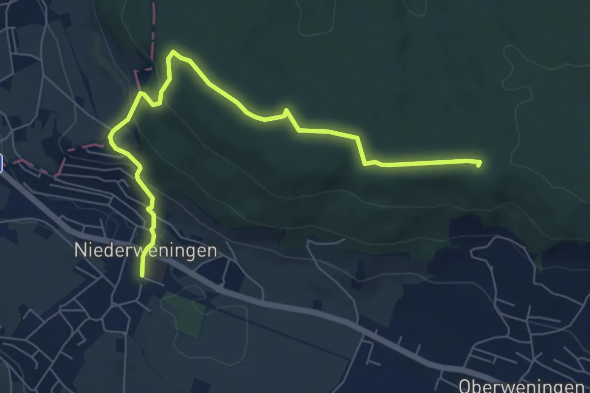
Schliniker Platten - Niederweningen Dorf
6.9 km · ↑ 228 m · 2 h 8 min
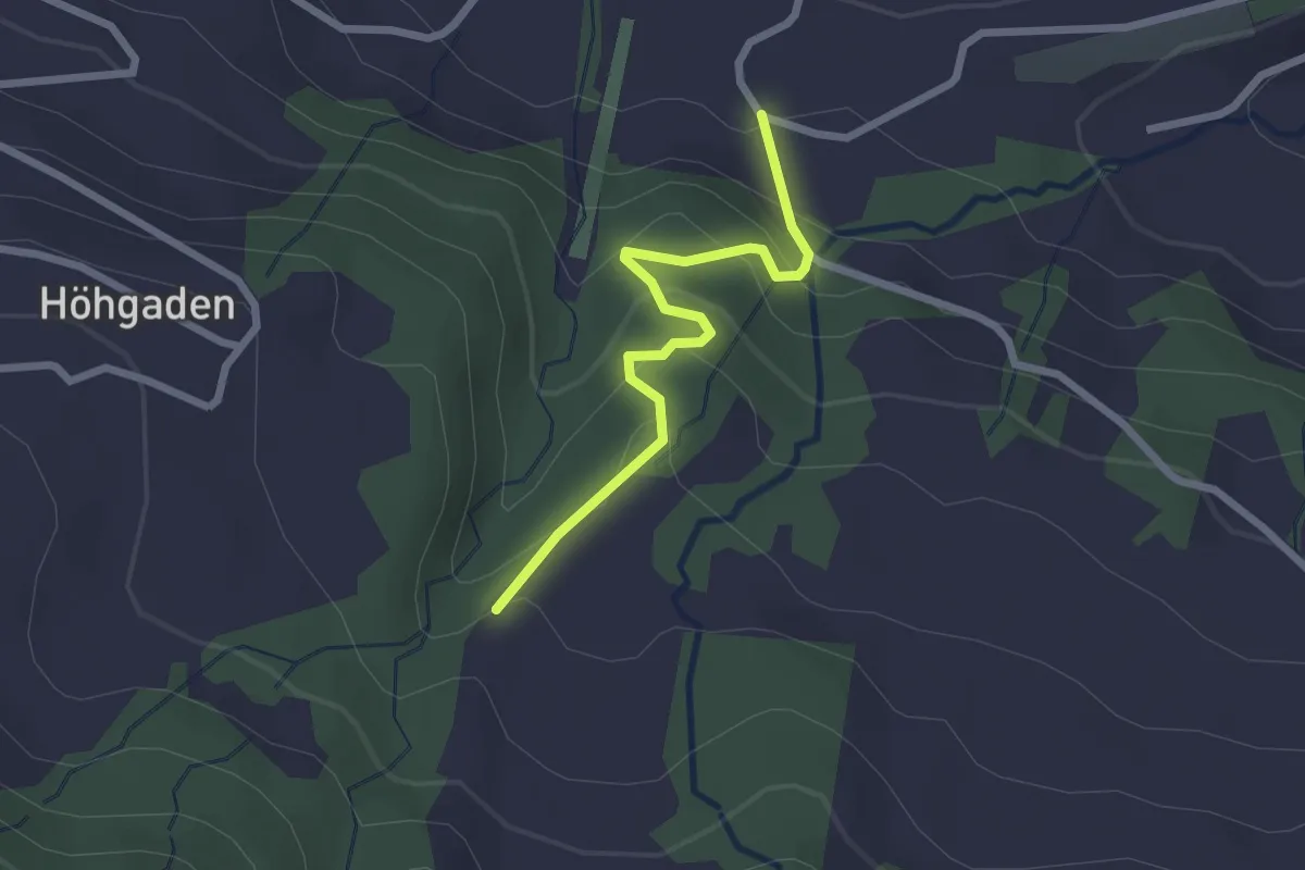
Easy · Trail
Schlipf - Autis
2.2 km · ↑ 139 m · 49 min
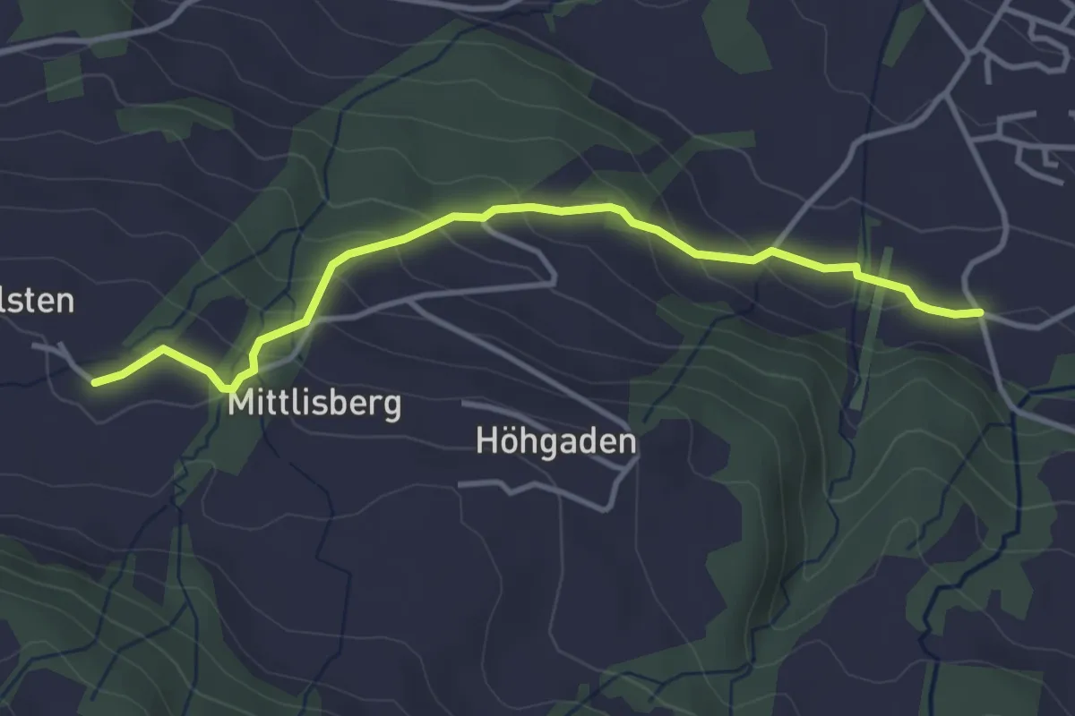
Easy · Trail
Schlipf - Bilsten
3.7 km · ↑ 193 m · 1 h 17 min
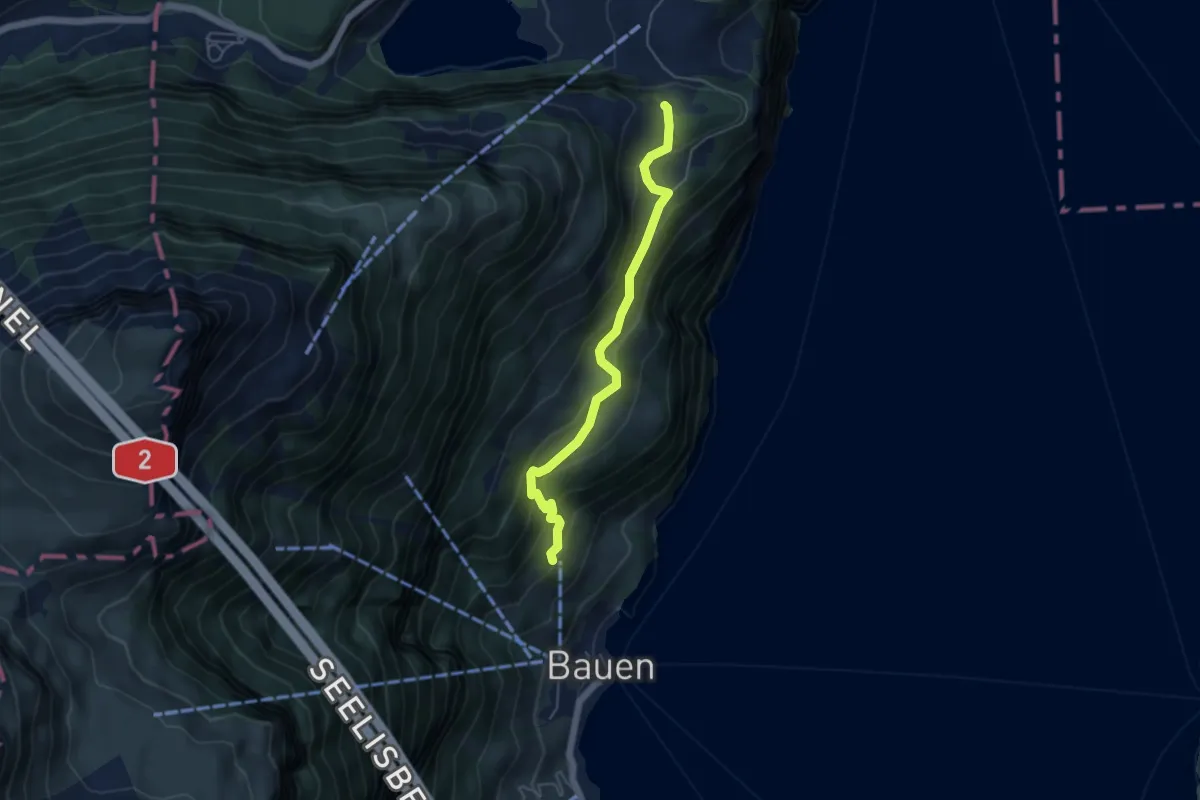
Medium · Trail
Schloss Beroldingen - Hinter Barchi
4.8 km · ↑ 353 m · 1 h 53 min
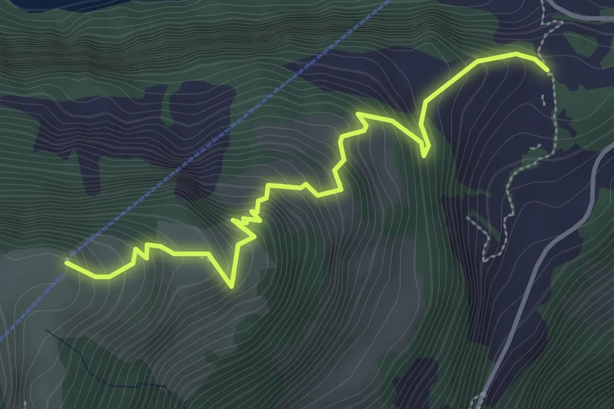
Medium · Trail
Schloss Beroldingen - Weid
3.6 km · ↑ 414 m · 1 h 44 min
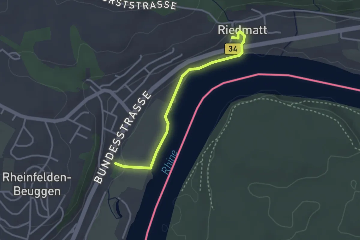
Easy · Trail
Schloss Beuggen - Bei der Tschamberhöhle
2.7 km · ↑ 47 m · 44 min
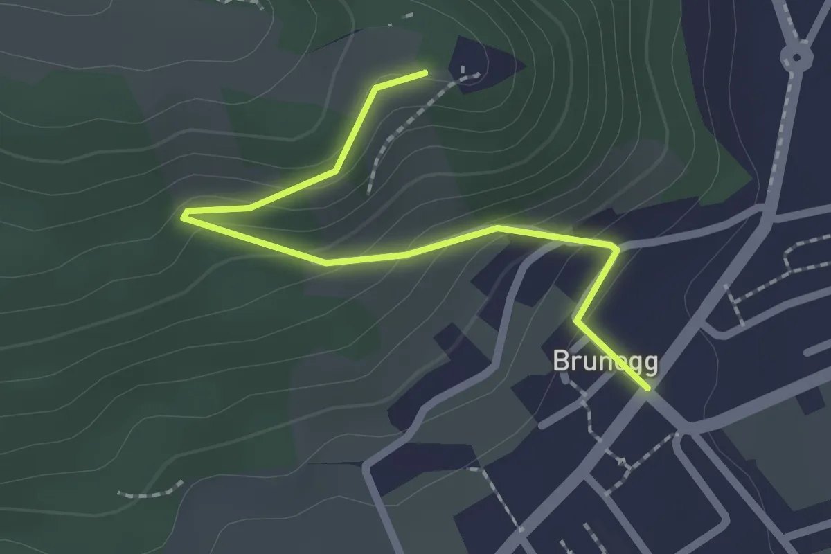
Easy · Trail
Schloss Brunegg - Brunegg
2.1 km · ↑ 118 m · 45 min
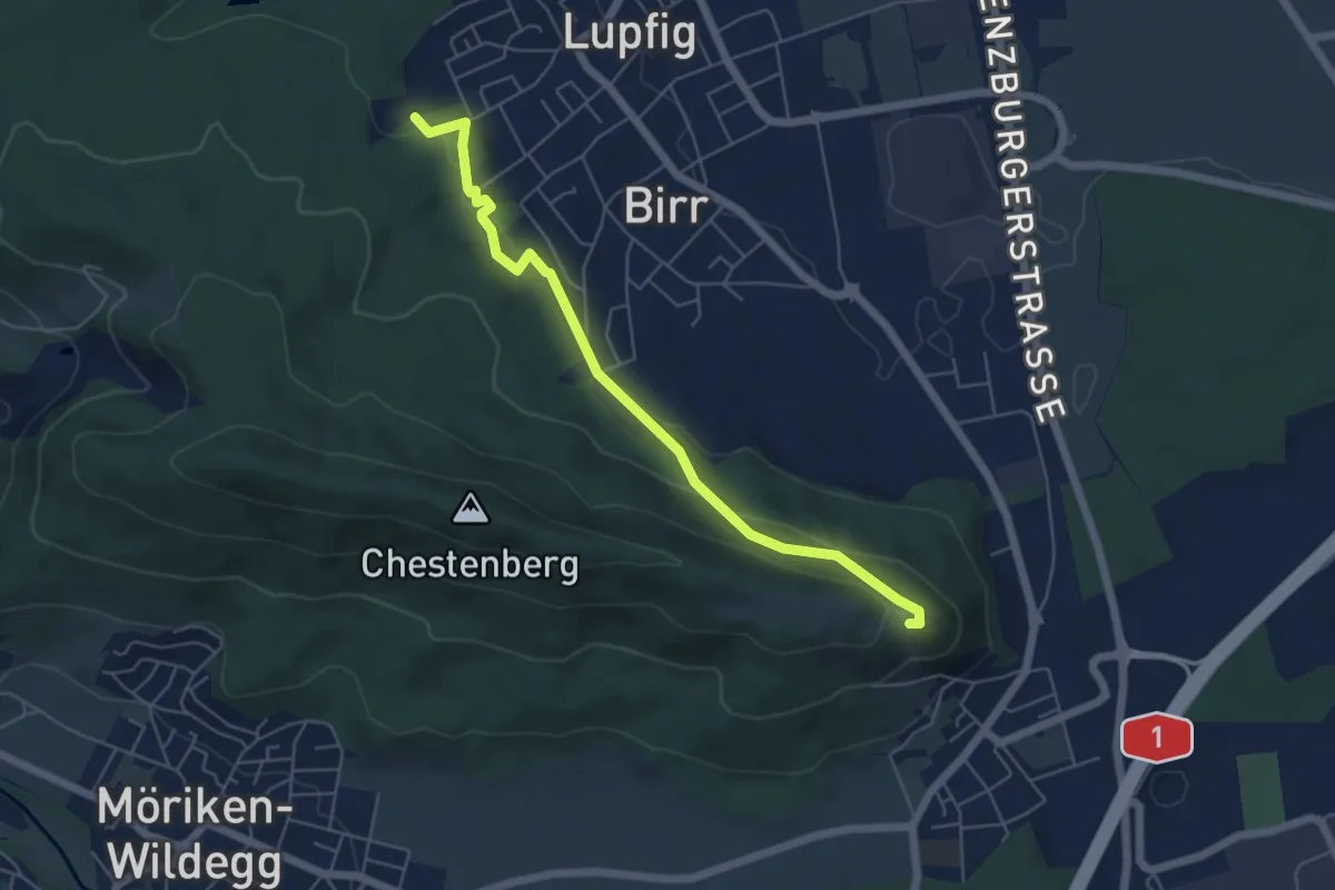
Medium · Trail
Schloss Brunegg - Lupfig Weihermatten
5.6 km · ↑ 208 m · 1 h 46 min
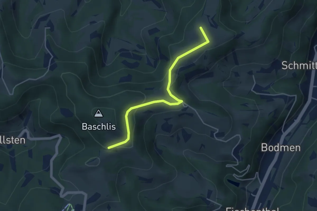
Easy · Summit
Schloss - Ghöchweid
3.6 km · ↑ 130 m · 1 h 8 min
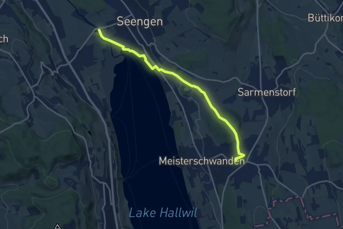
Medium · Trail
Schloss Hallwil - Fahrwangen
10.7 km · ↑ 174 m · 2 h 55 min
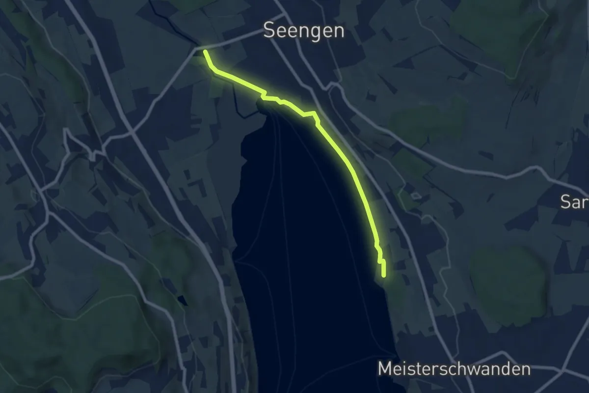
Easy · Trail
Schloss Hallwil - Strandbad Tennwil
6.4 km · ↑ 33 m · 1 h 35 min
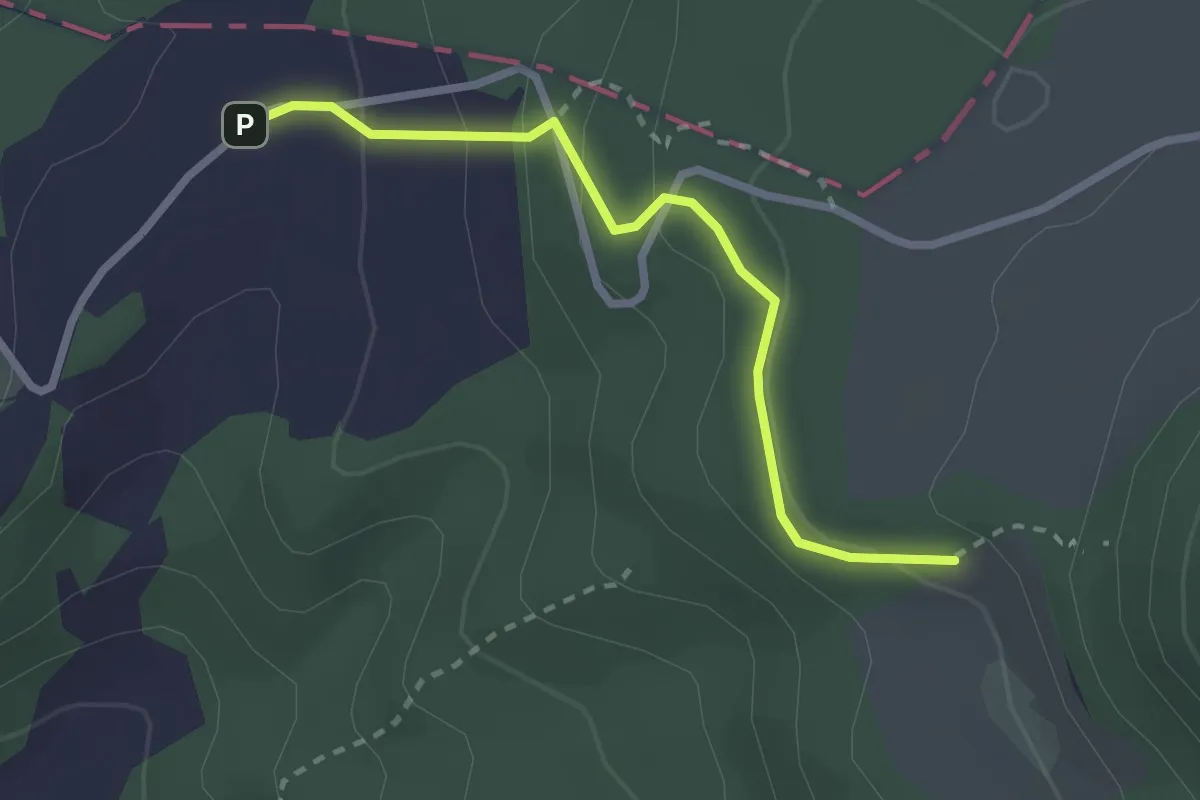
Easy · Trail
Schlosshof - Schartenmatt
2.4 km · ↑ 133 m · 52 min
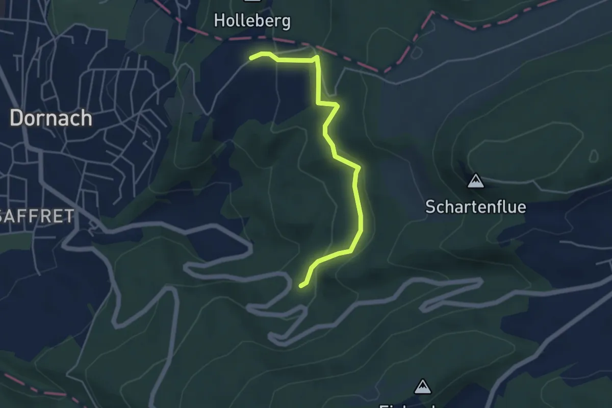
Easy · Trail
Schlosshof - Woll
3.9 km · ↑ 171 m · 1 h 18 min
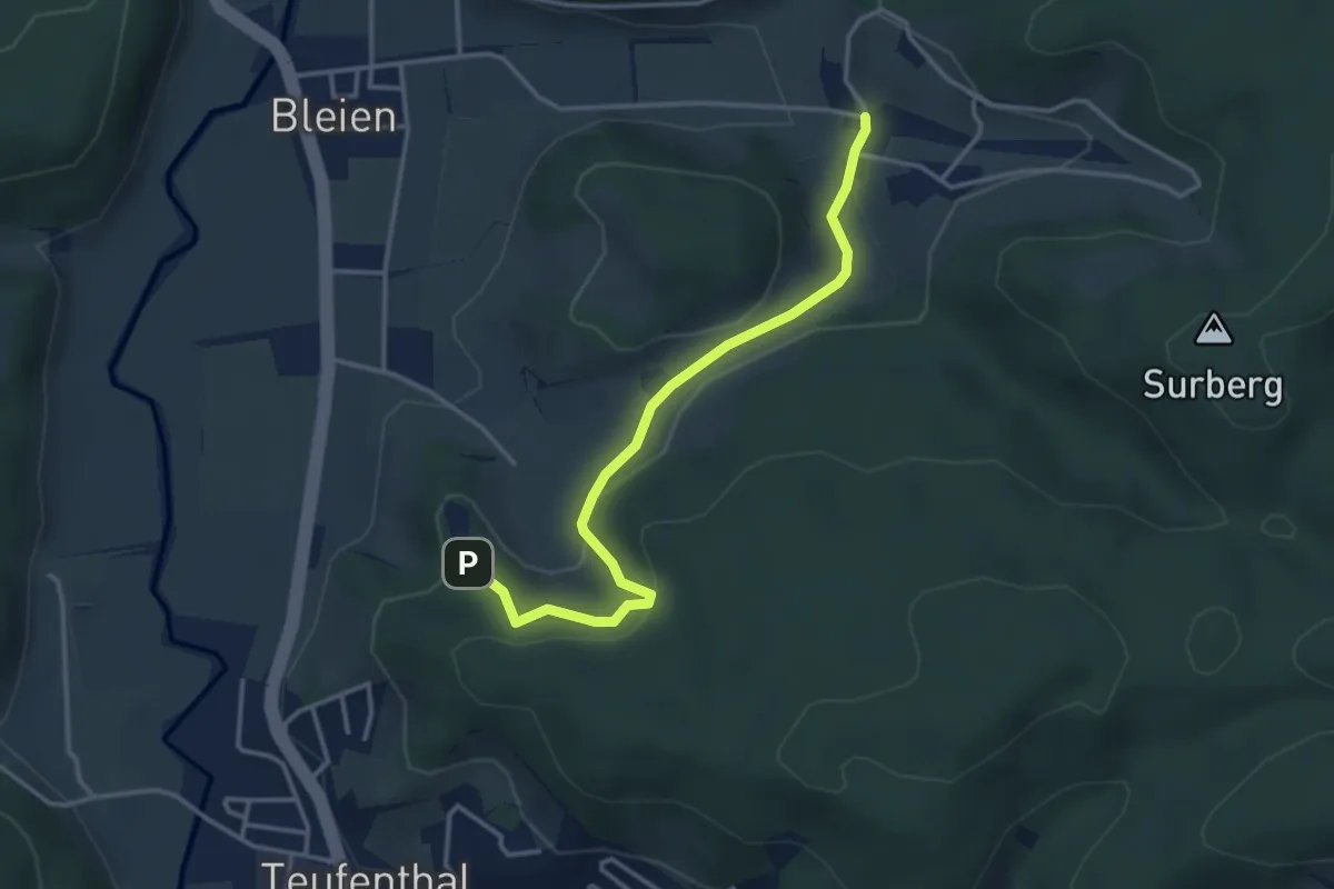
Easy · Trail
Schloss Liebegg - Refental
3.6 km · ↑ 154 m · 1 h 10 min
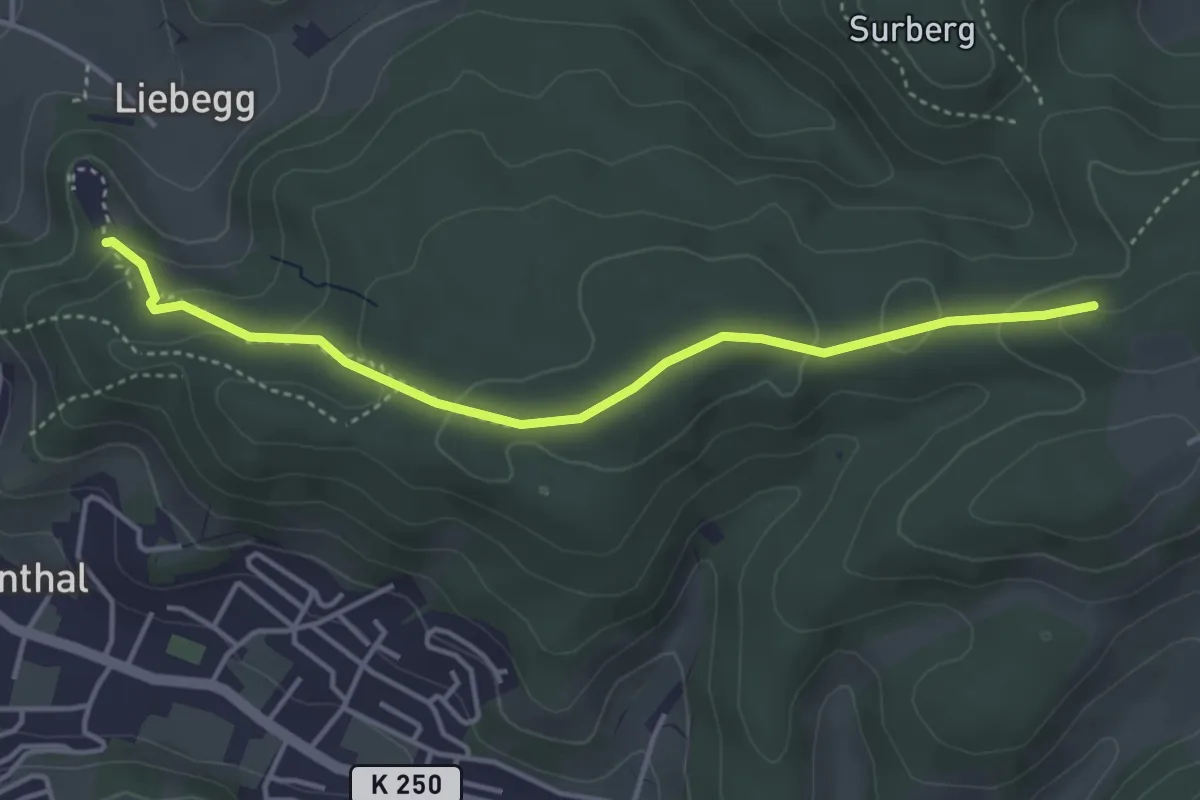
Easy · Trail
Schloss Liebegg - Sieben Zwingstein
4.0 km · ↑ 127 m · 1 h 14 min
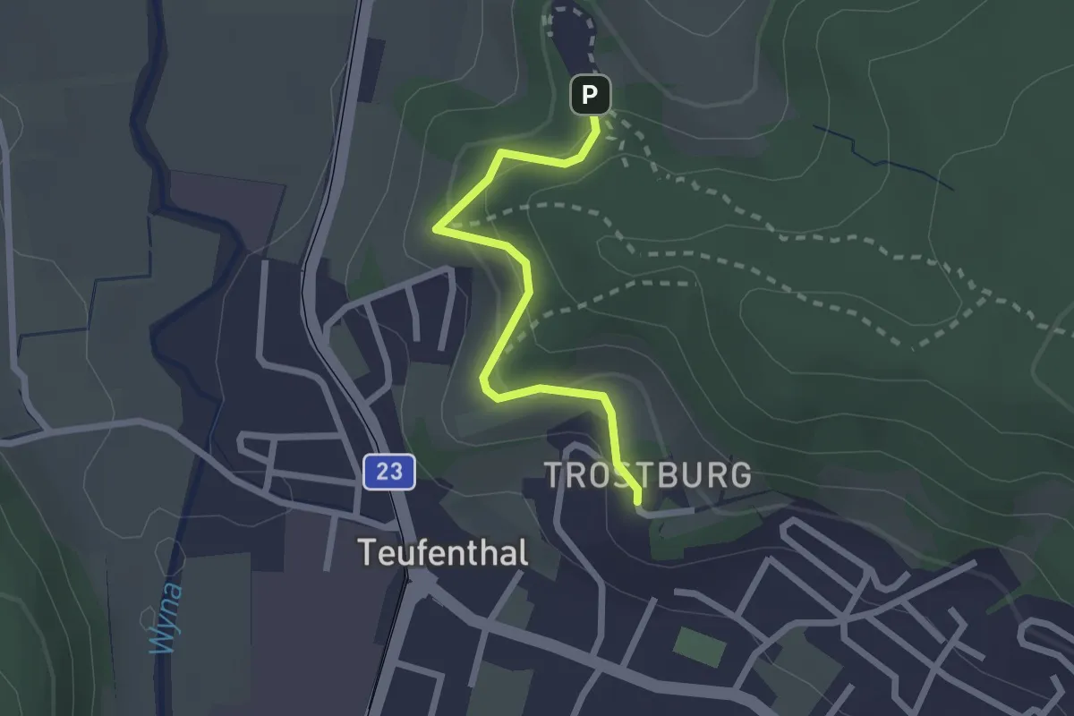
Easy · Trail
Schloss Liebegg - Trostburg
2.0 km · ↑ 126 m · 45 min
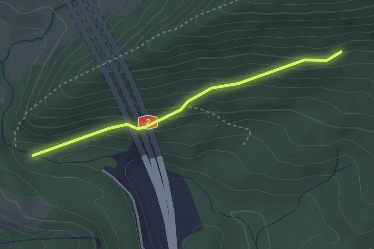
Easy · Trail
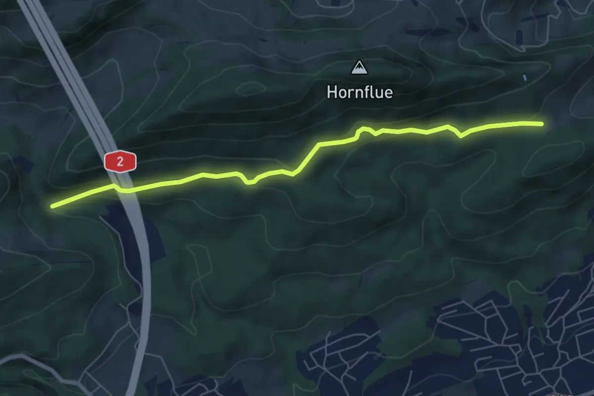
Schlössli - fixme
2.6 km · ↑ 153 m · 57 min
Easy · Trail
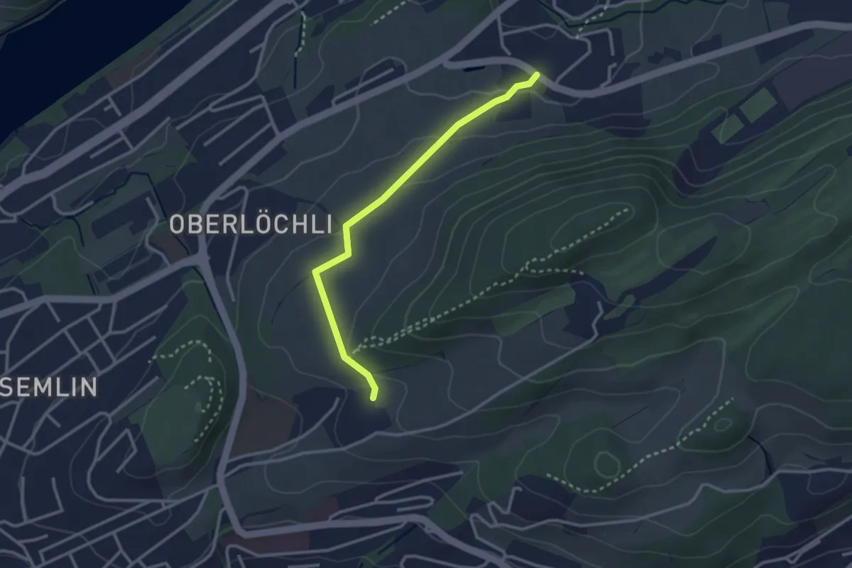
Schlössli - Rumpelhöchi
6.3 km · ↑ 263 m · 2 h 3 min
Easy · Trail
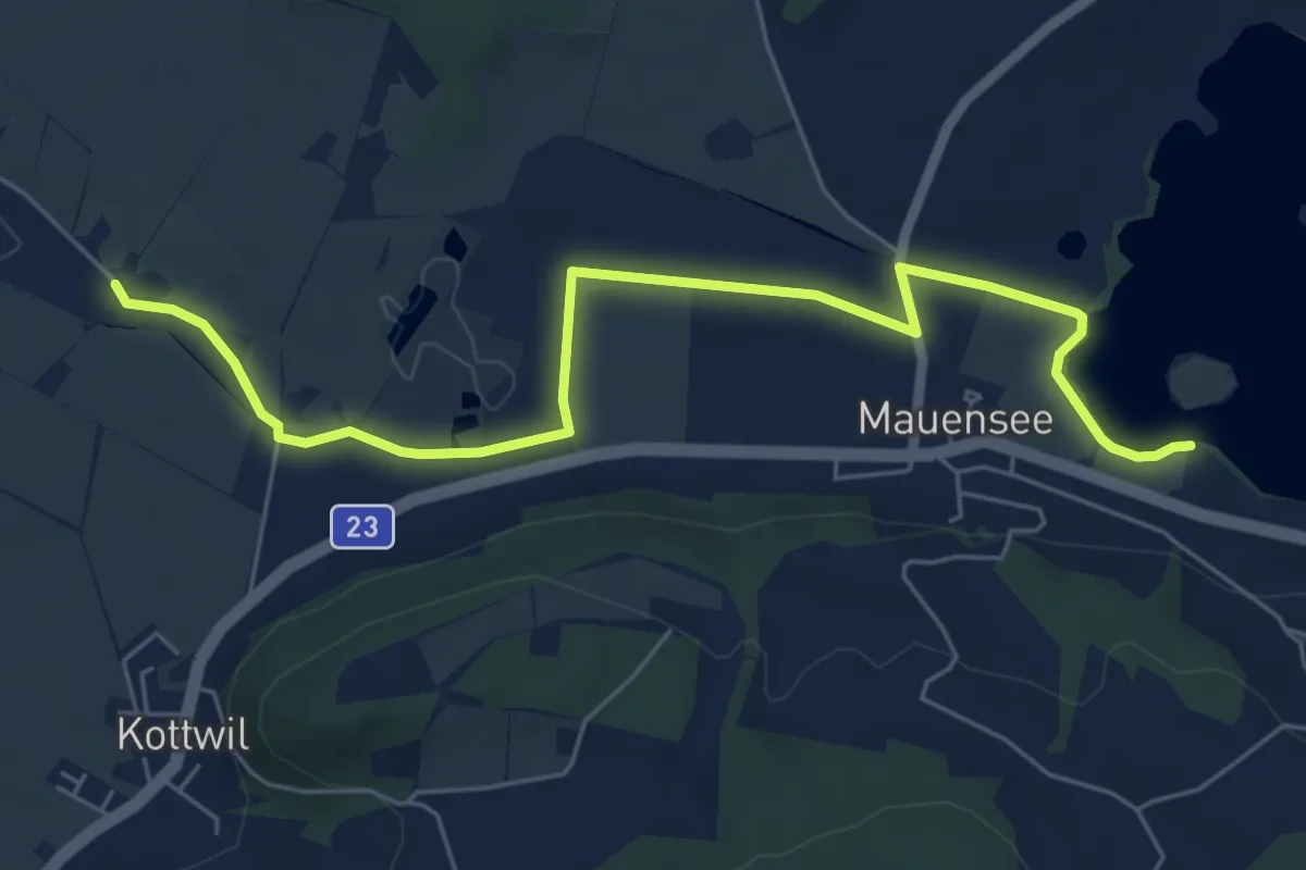
Schlössli - Uteneberg
2.8 km · ↑ 73 m · 48 min
Easy · Trail
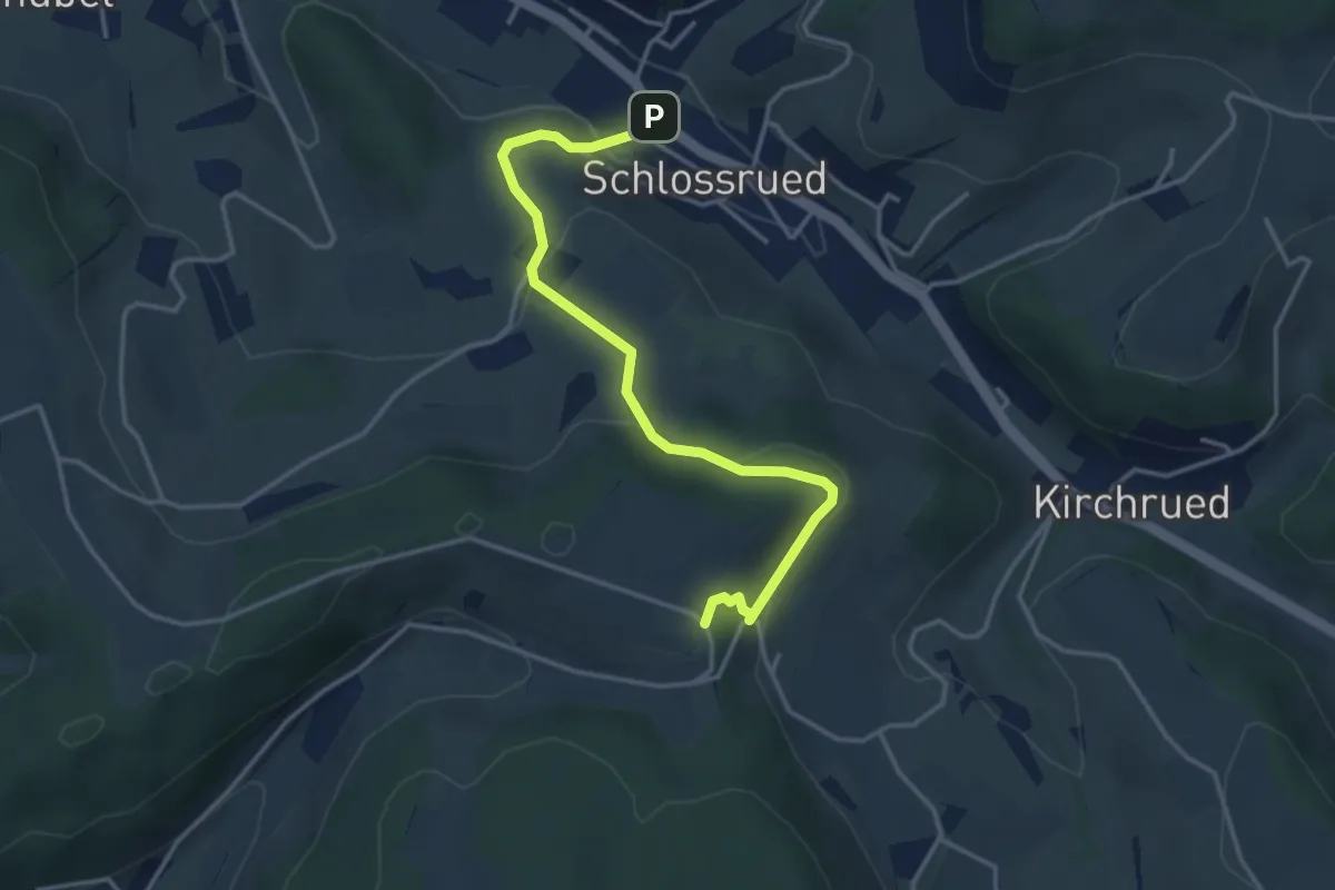
Schloss Mauensee - Seewagen
6.7 km · ↑ 4 m · 1 h 36 min
Easy · Trail
Schlossrued - Bänkelloch
3.9 km · ↑ 148 m · 1 h 14 min