Trails in Switzerland
15,064 hiking trails, each with its route, climb, walking time and grade.
All trails, page 95 of 314
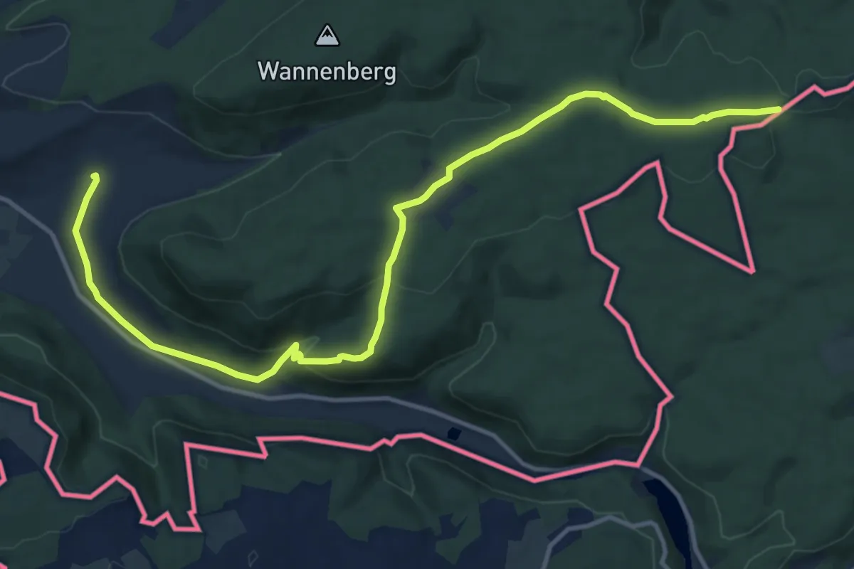
Medium · Trail
Schaffhauser Grenzweg
13.5 km · ↑ 349 m · 3 h 56 min
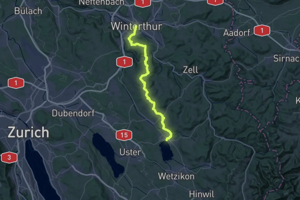
Demanding · Pilgrim path
Schaffhauser-Zürcher-Weg
23.1 km · ↑ 550 m · 6 h 55 min
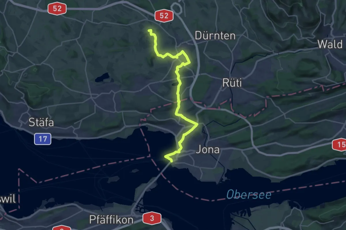
Medium · Summit
Schaffhauser-Zürcher-Weg
10.5 km · ↑ 218 m · 3 h 2 min
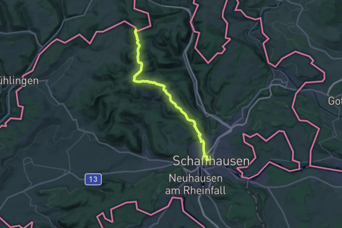
Medium · Pilgrim path
Schaffhauser-Zürcher-Weg
13.5 km · ↑ 89 m · 3 h 49 min
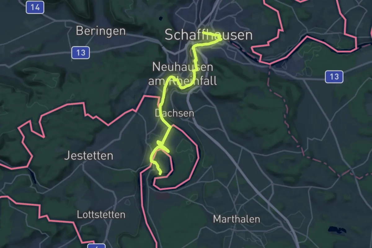
Medium · Pilgrim path
Schaffhauser-Zürcher-Weg
11.4 km · ↑ 118 m · 3 h 8 min
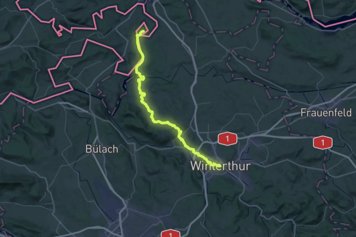
Demanding · Pilgrim path
Schaffhauser-Zürcher-Weg
27.4 km · ↑ 376 m · 7 h 43 min
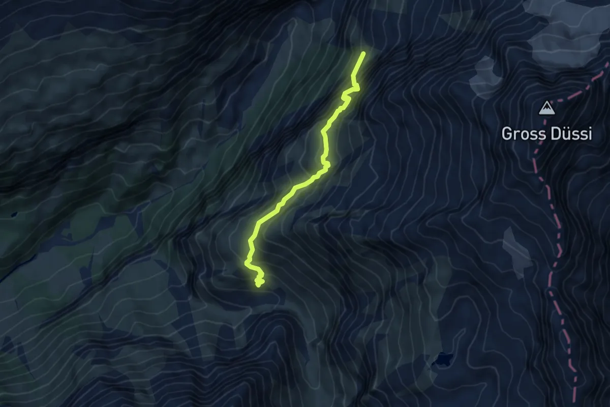
Expert · Cabin
Schafweg
5.1 km · ↑ 652 m · 2 h 37 min
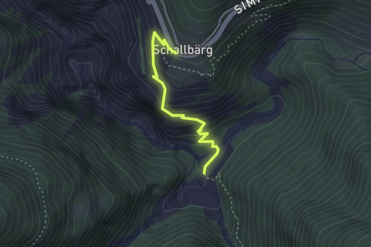
Medium · Trail
Schallberg - Grund
2.7 km · ↑ 248 m · 1 h 10 min
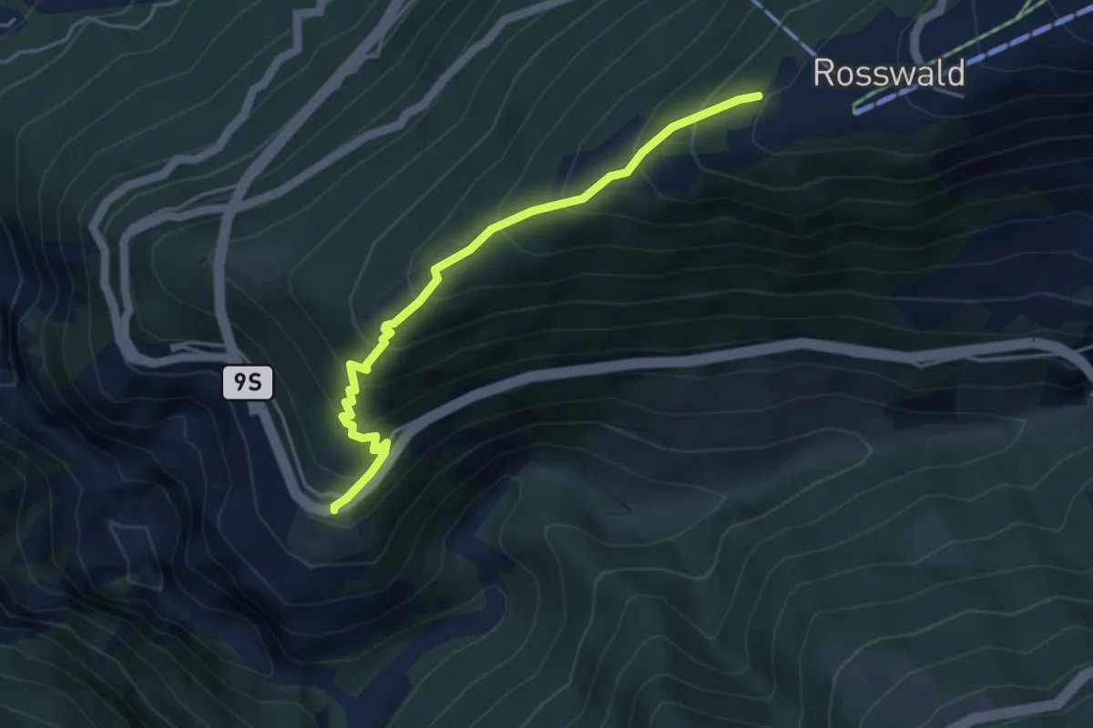
Medium · Trail
Schallberg - Rosswald
4.2 km · ↑ 464 m · 2 h
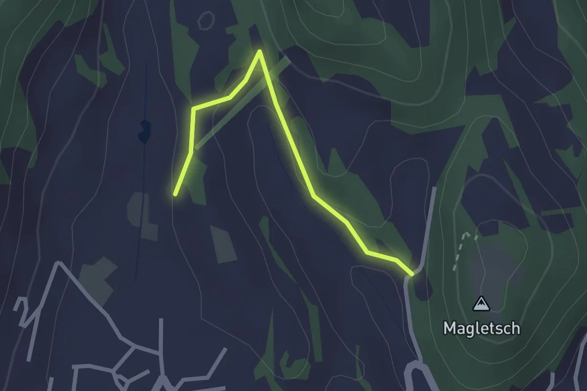
Easy · Trail
Schaner Riet - Gretschins - fixme
2.1 km · ↑ 50 m · 36 min
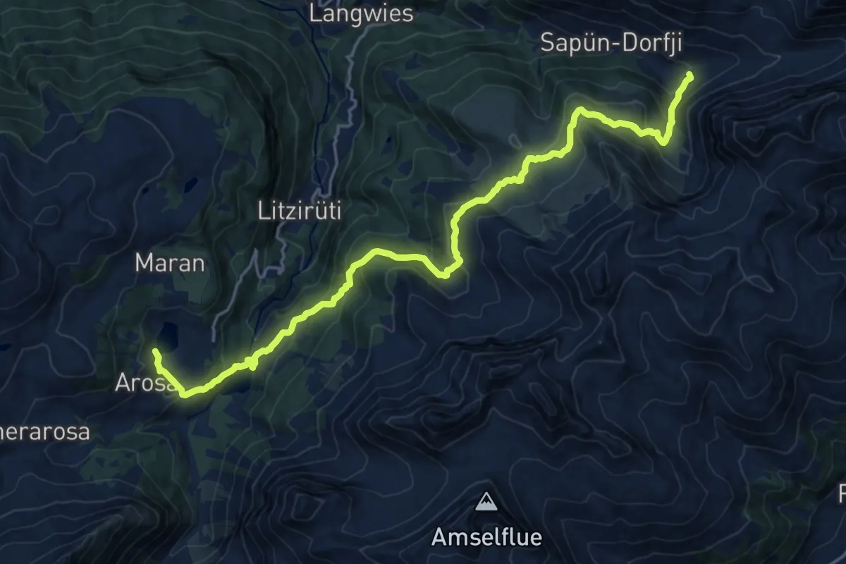
Demanding · Summit
Schanfigger Höhenweg - Etappe 1
21.1 km · ↑ 1072 m · 7 h 18 min
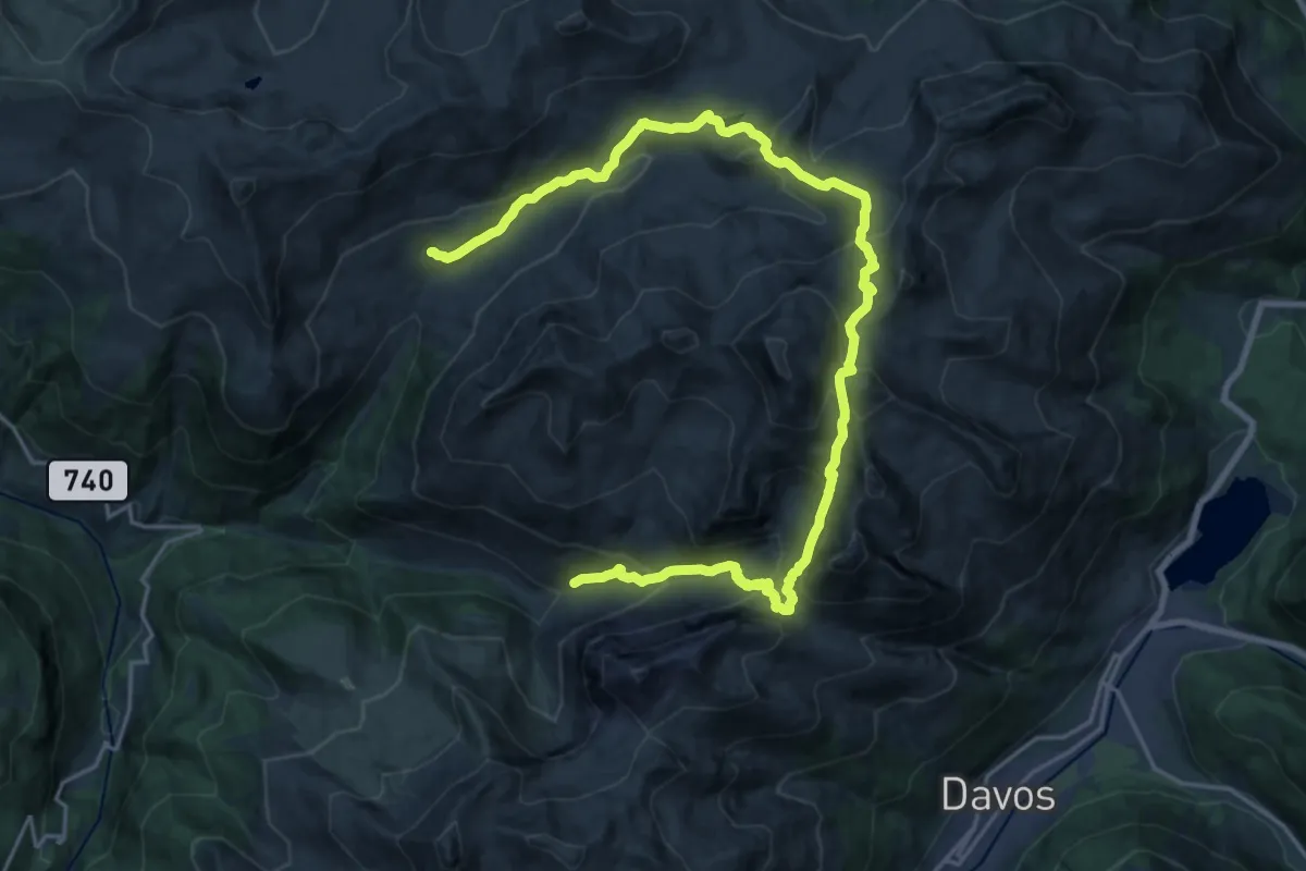
Demanding · Cabin
Schanfigger Höhenweg - Etappe 2
13.3 km · ↑ 819 m · 5 h 8 min
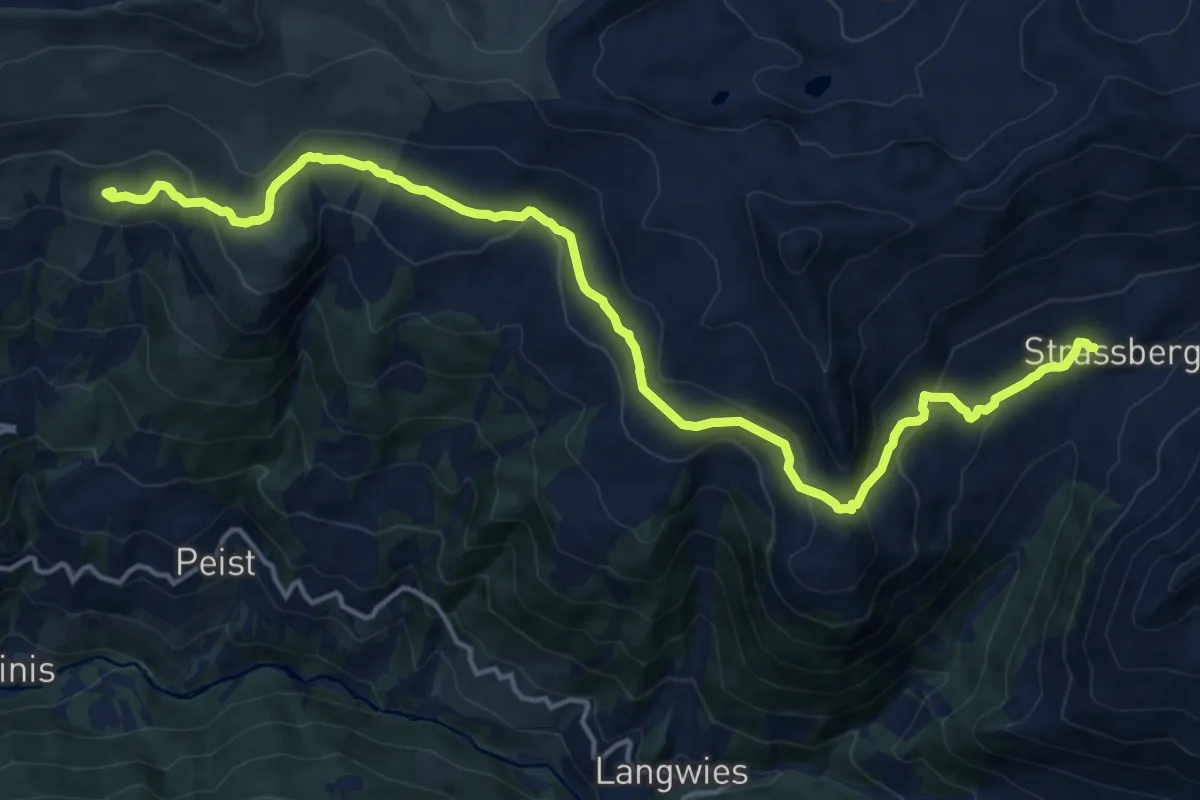
Medium · Cabin
Schanfigger Höhenweg - Etappe 3
17.8 km · ↑ 685 m · 5 h 41 min
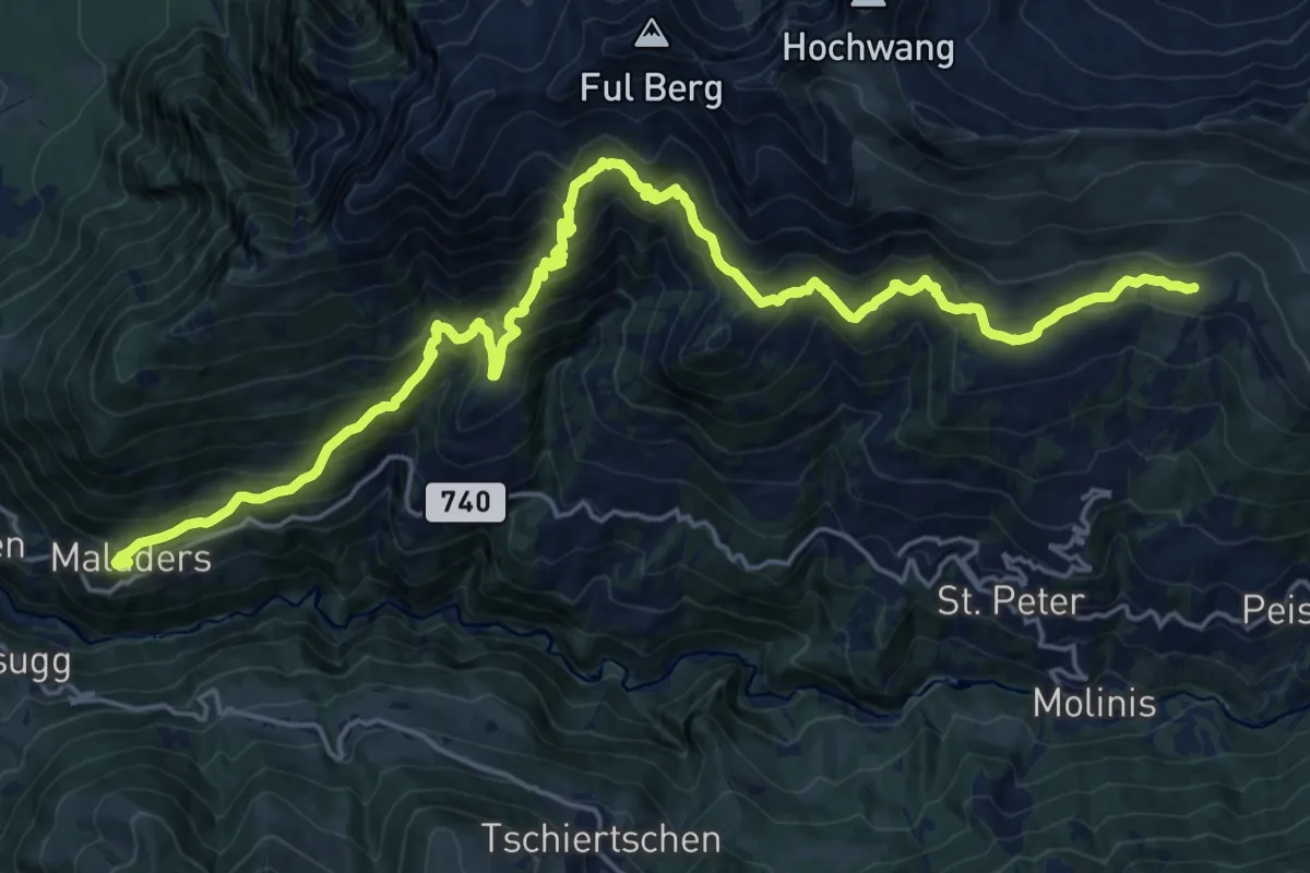
Demanding · Cabin
Schanfigger Höhenweg - Etappe 4
12.8 km · ↑ 1347 m · 5 h 38 min
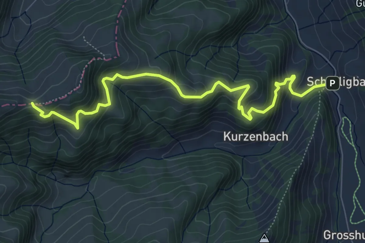
Medium · Trail
Schärligbad - Geissholle
7.2 km · ↑ 579 m · 2 h 57 min
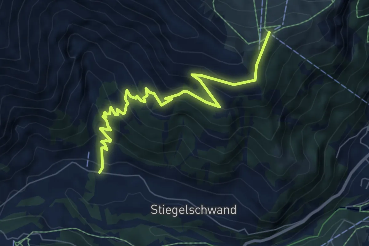
Medium · Trail
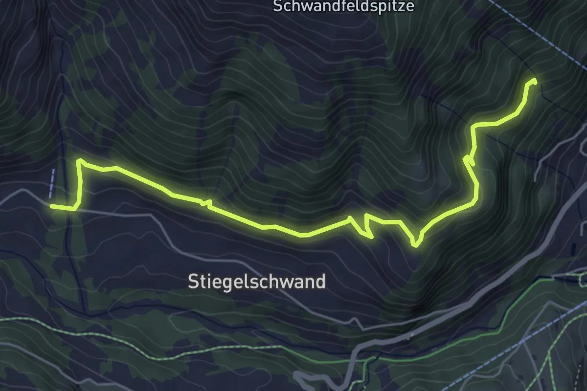
Schärmtanne - Tschentenalp
7.3 km · ↑ 500 m · 2 h 48 min
Easy · Trail
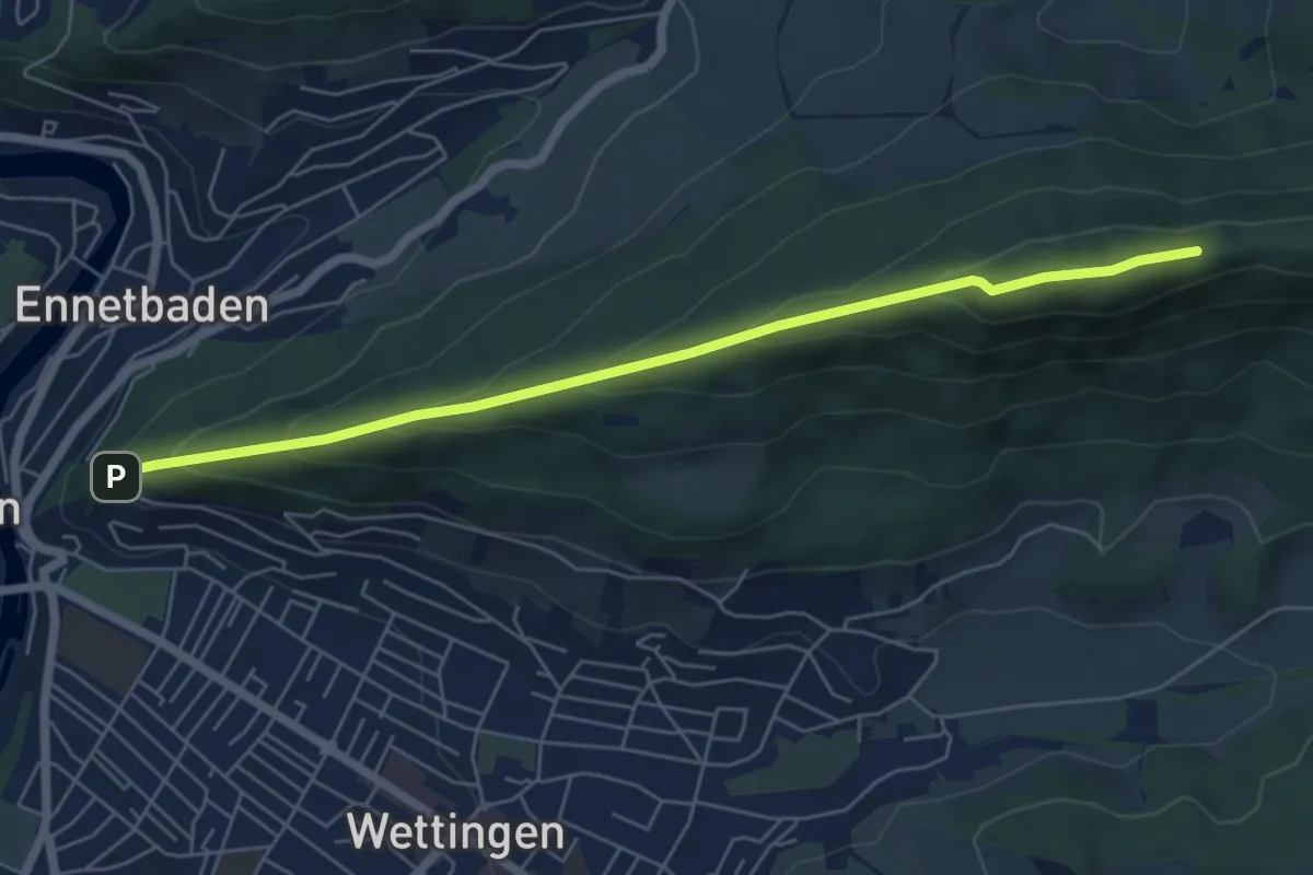
Schärmtanne - Uelisgraben
6.0 km · ↑ 273 m · 2 h 1 min
Demanding · Trail
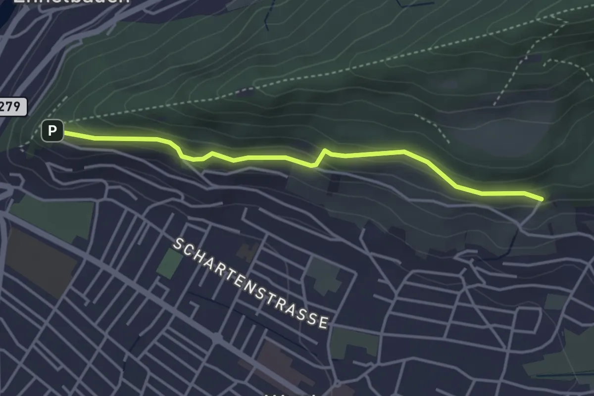
Schartenfels-Lägerensattel(Gratweg)
6.0 km · ↑ 362 m · 2 h 12 min
Easy · Trail
Schartenfels - Mooshalden
3.6 km · ↑ 153 m · 1 h 11 min
Easy · Trail
Scharzenbrünnen - Mösli
2.4 km · ↑ 51 m · 41 min
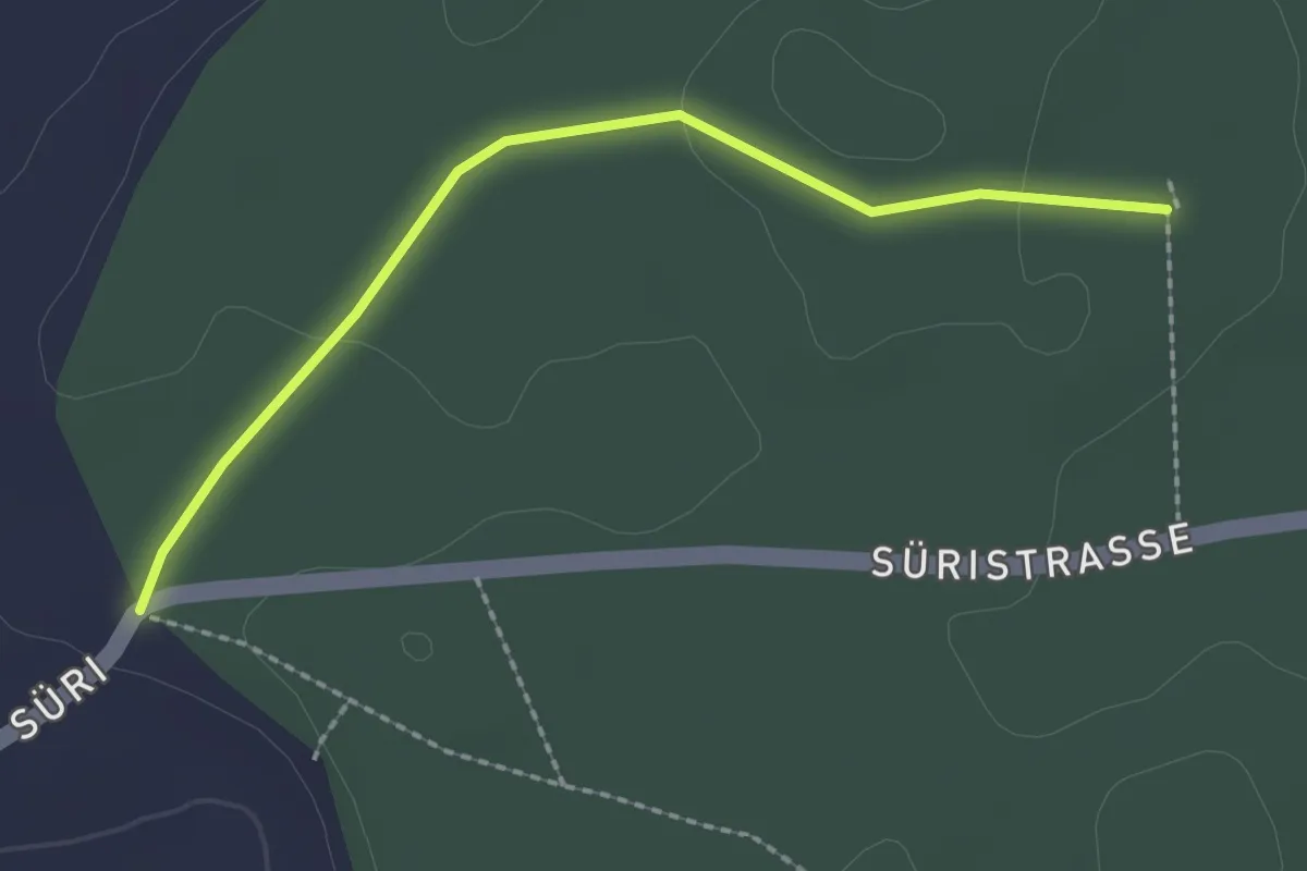
Easy · Trail
Scharzenbrünnen - Süri
2.2 km · ↑ 26 m · 34 min
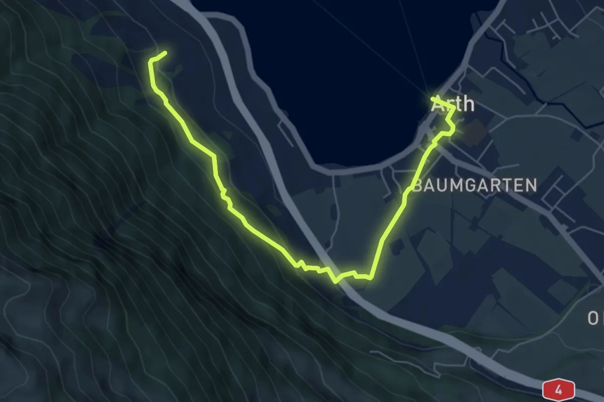
Easy · Trail
Schattenberg - Arth
6.4 km · ↑ 253 m · 2 h 3 min
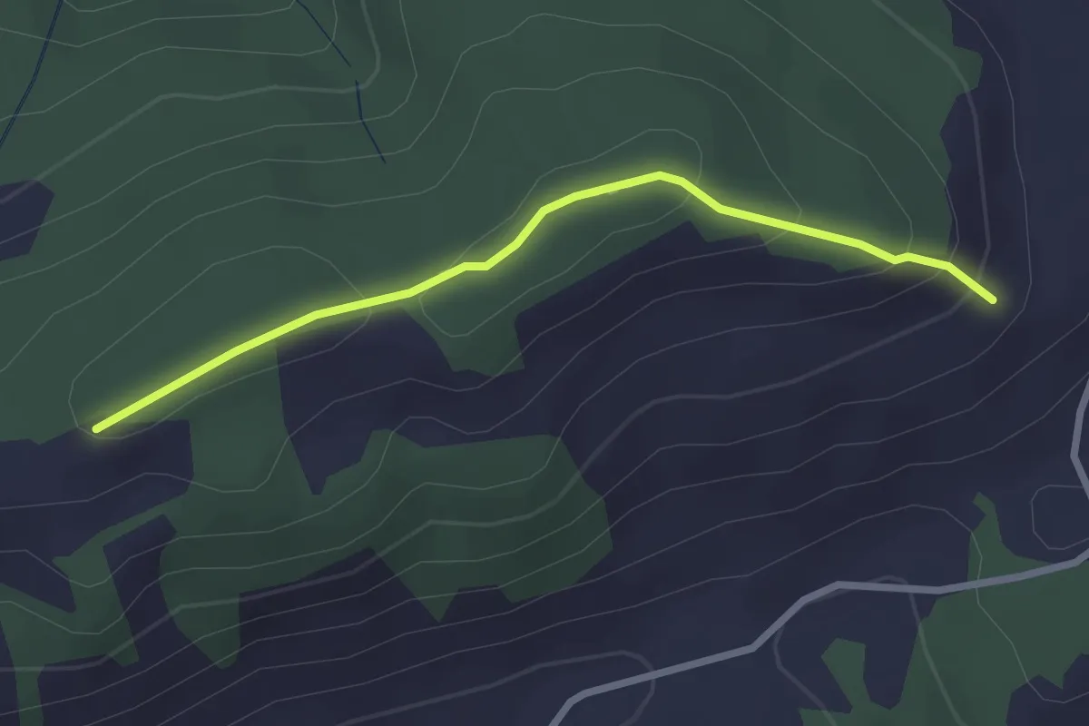
Easy · Trail
Schattenweg
2.5 km · ↑ 88 m · 47 min
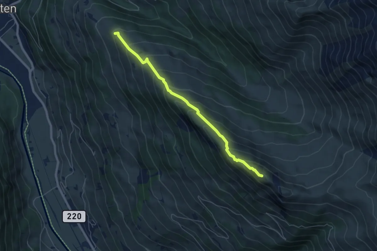
Medium · Summit
Schatthorn - Gibel
5.5 km · ↑ 487 m · 2 h 21 min
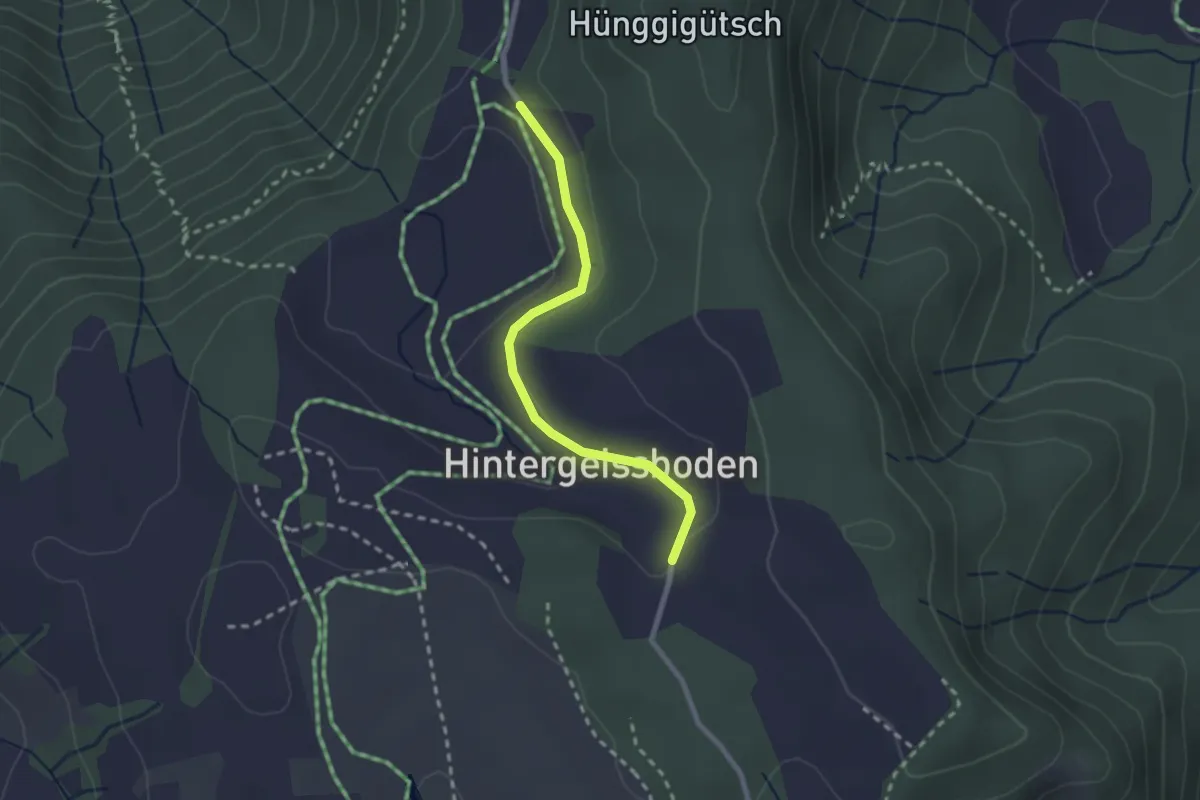
Easy · Trail
Schattwäldli - Hinter Geissboden
2.2 km · ↑ 37 m · 36 min
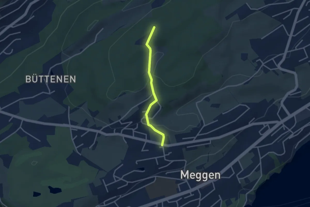
Easy · Trail
Scheidegg - Meggen Zentrum
2.4 km · ↑ 87 m · 45 min
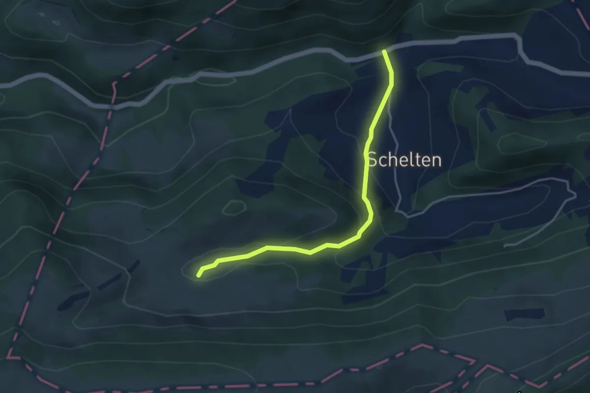
Easy · Trail
Schelten / Mühle - Muolte
3.6 km · ↑ 193 m · 1 h 16 min
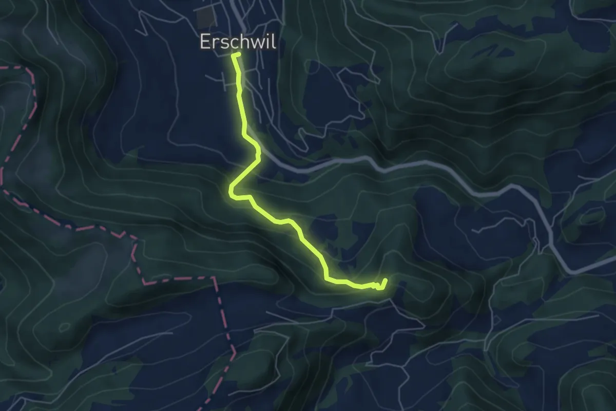
Medium · Summit
Schemelhof - Erschwil Dorf
4.8 km · ↑ 363 m · 1 h 55 min
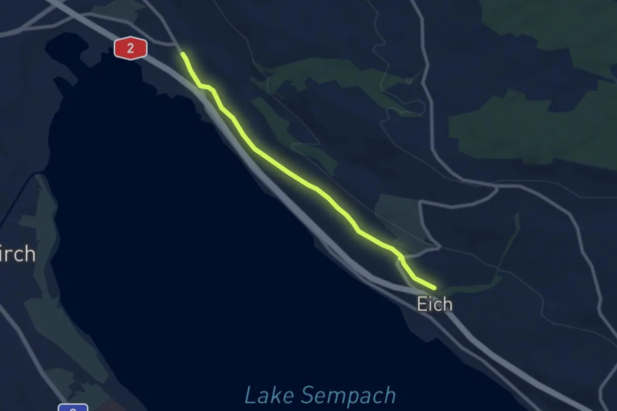
Easy · Trail
Schenkon - Eich
6.5 km · ↑ 76 m · 1 h 42 min
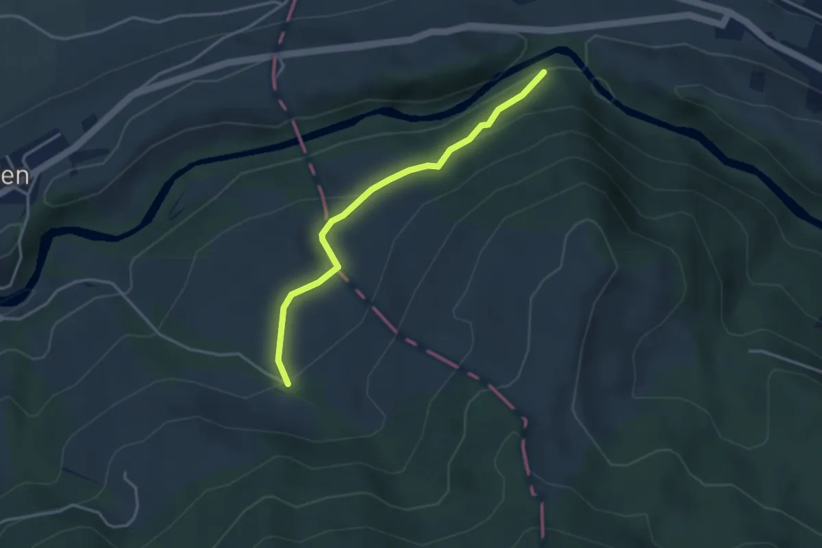
Easy · Trail
Scherenbrugg - Örischwand
3.1 km · ↑ 136 m · 1 h 2 min
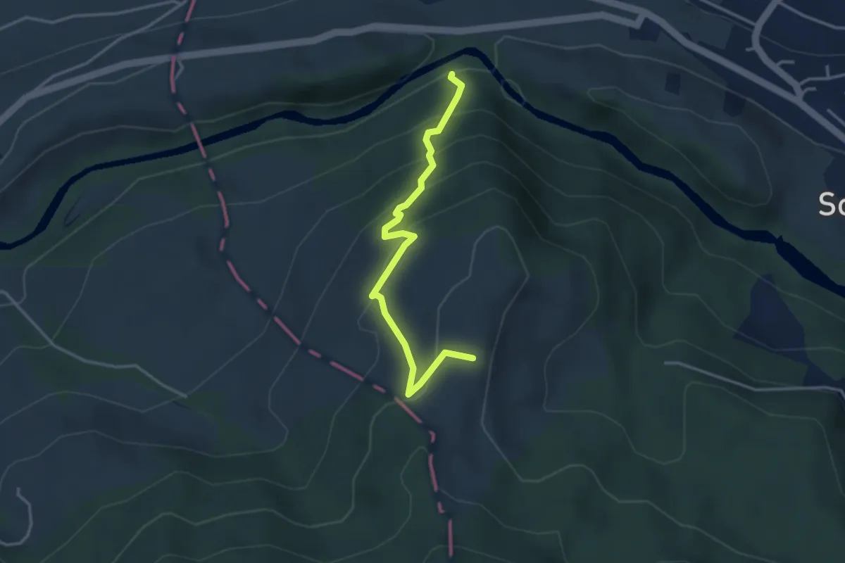
Easy · Trail
Scherenbrugg - Rossberg
3.3 km · ↑ 290 m · 1 h 24 min
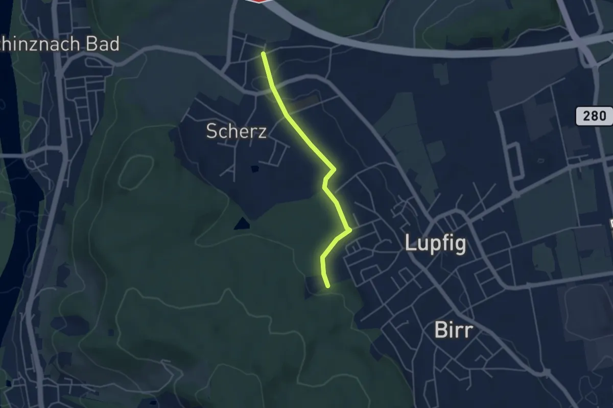
Easy · Trail
Scherz - Lupfig Weiermatten
3.7 km · ↑ 65 m · 1 h
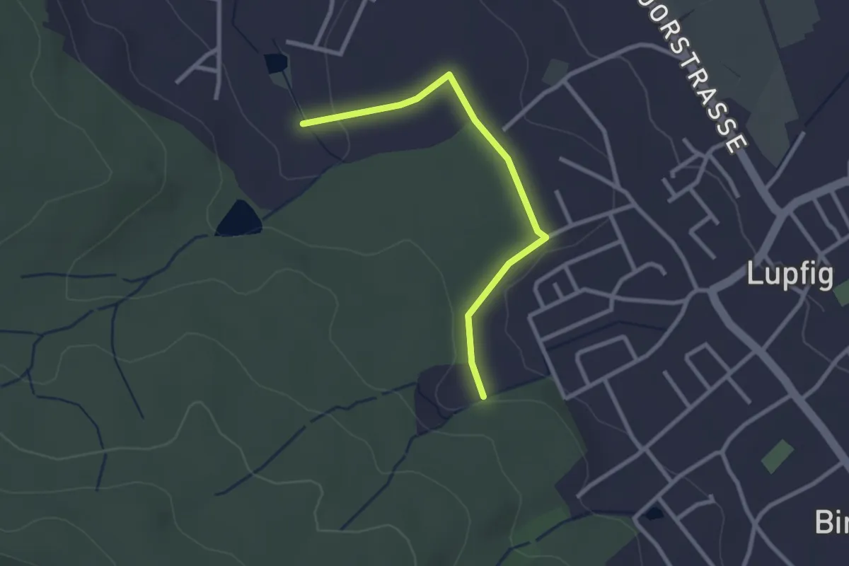
Easy · Trail
Scherz Weiermatt - Lupfig Weihermatten
2.5 km · ↑ 35 m · 40 min
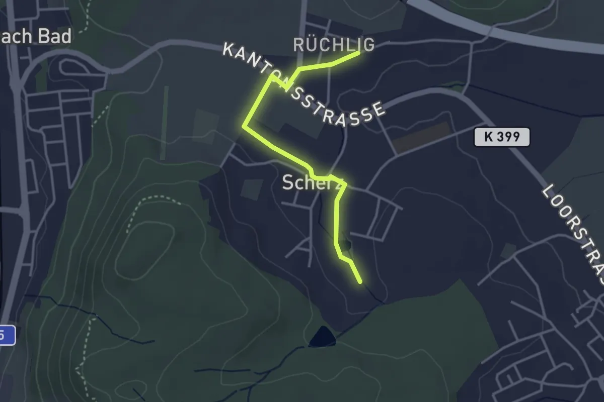
Easy · Trail
Scherz - Weihermatt
3.1 km · ↑ 37 m · 48 min
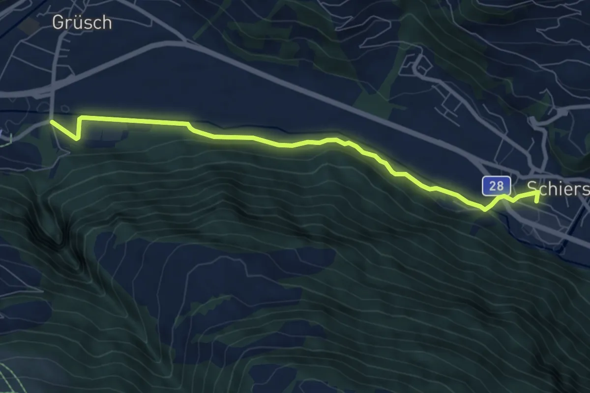
Easy · Trail
Schiers - Überlandquart
7.6 km · ↑ 121 m · 2 h 3 min
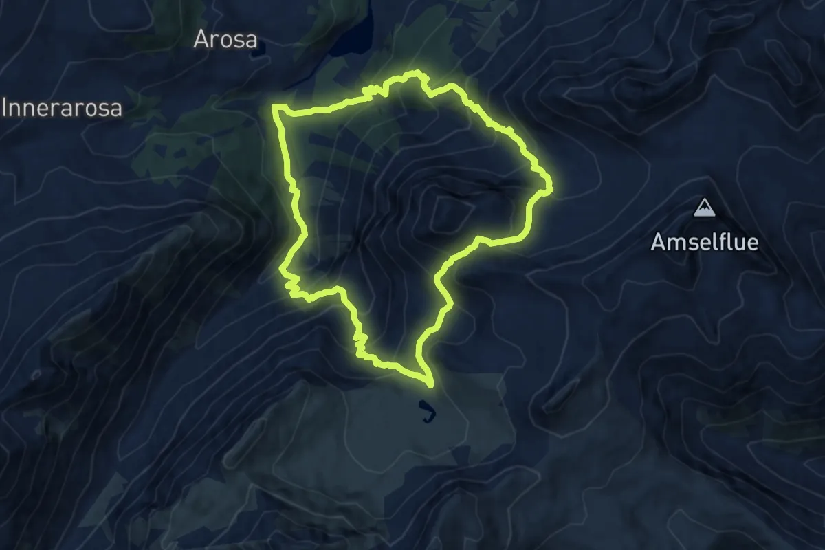
Demanding · Trail
Schiesshorn-Weg
10.2 km · ↑ 844 m · 4 h 22 min
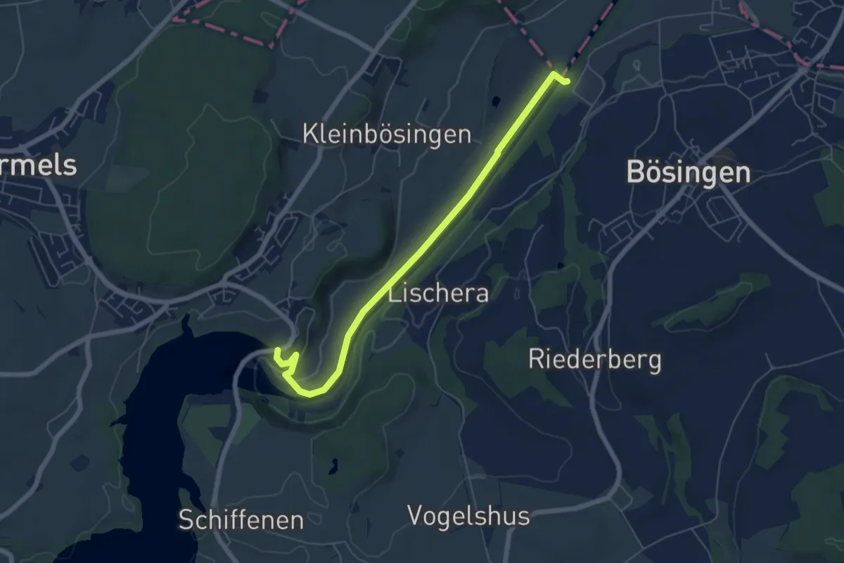
Easy · Trail
Schiffenen / Staumauer - Auriedsteg
6.0 km · ↑ 66 m · 1 h 34 min
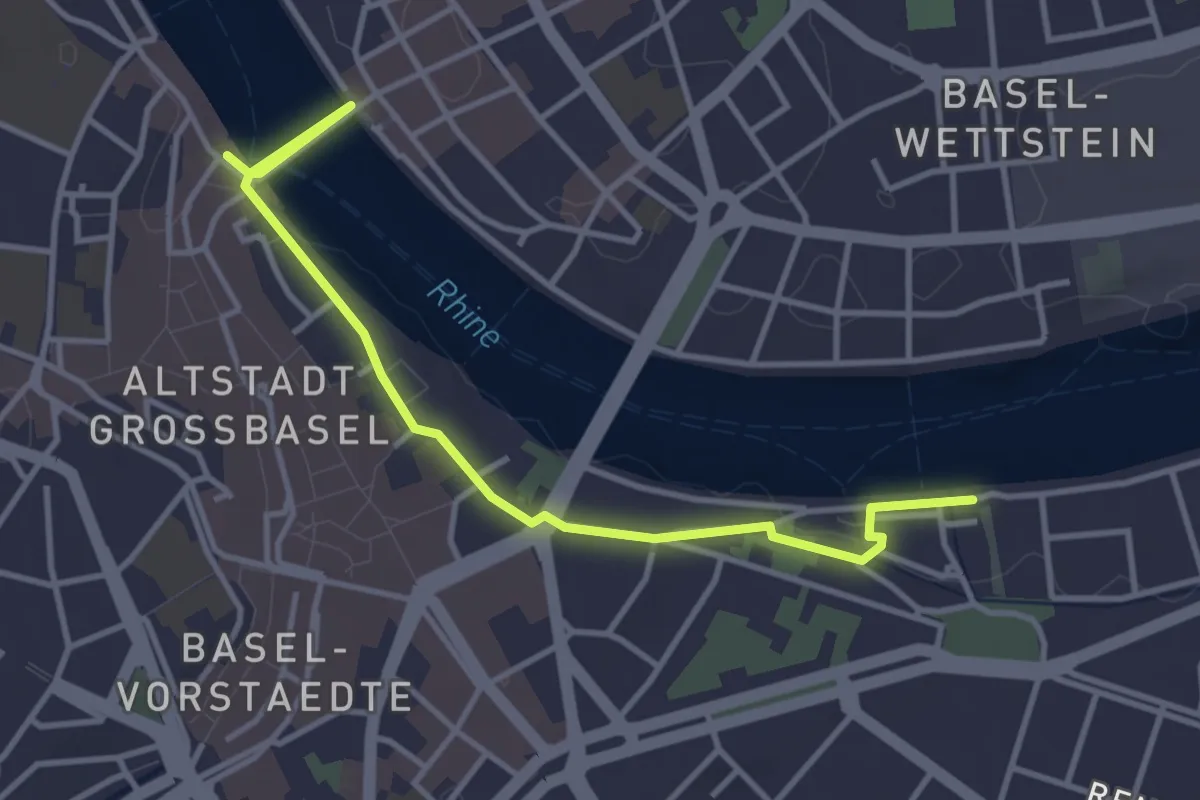
Easy · Trail
Schifflände-St. Alban
4.0 km · ↑ 55 m · 1 h 4 min
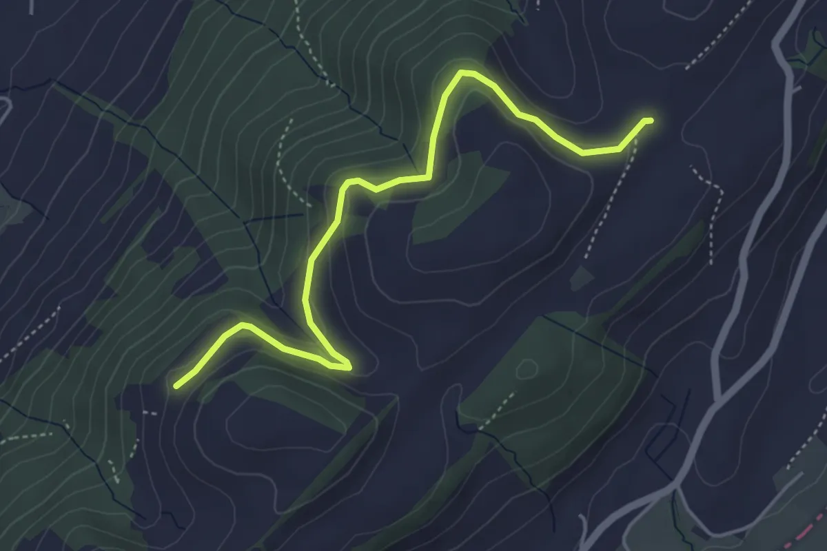
Easy · Trail
Schiffmannshof - Hinter Charen
4.6 km · ↑ 147 m · 1 h 25 min
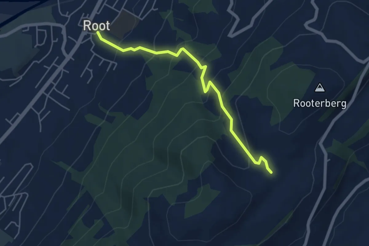
Medium · Trail
Schiffmannshof - Root
4.2 km · ↑ 341 m · 1 h 44 min
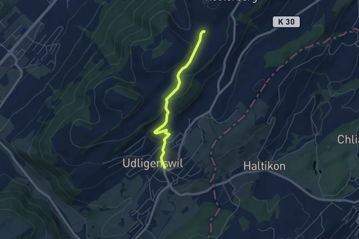
Easy · Trail
Schiffmannshof-Udligenswil
4.4 km · ↑ 177 m · 1 h 26 min
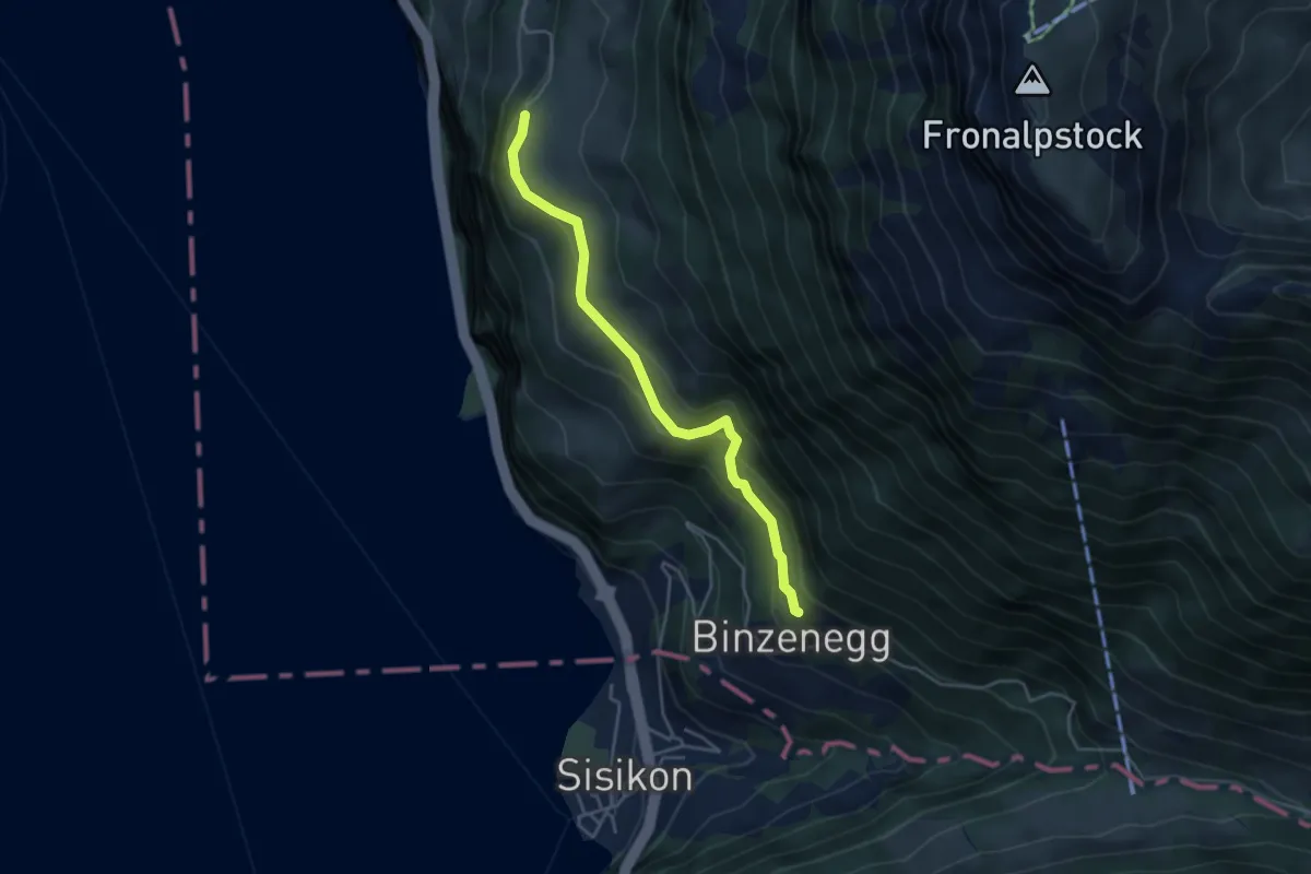
Easy · Trail
Schilti - Fronwald
4.0 km · ↑ 247 m · 1 h 29 min
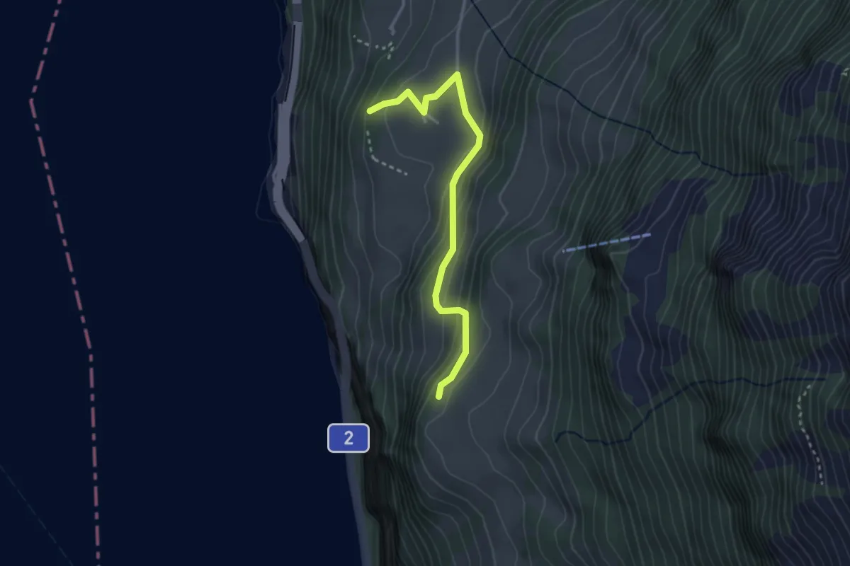
Easy · Trail
Schilti - Mattli
2.9 km · ↑ 156 m · 1 h 2 min
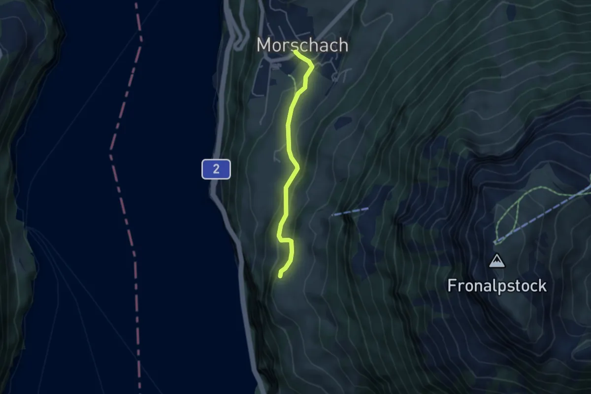
Easy · Trail
Schilti - Morschach
3.7 km · ↑ 167 m · 1 h 14 min
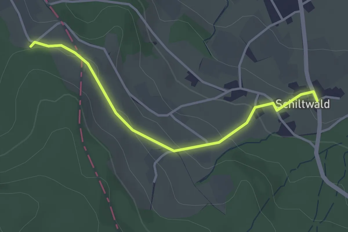
Easy · Trail
Schiltwald - Chare
3.0 km · ↑ 94 m · 55 min
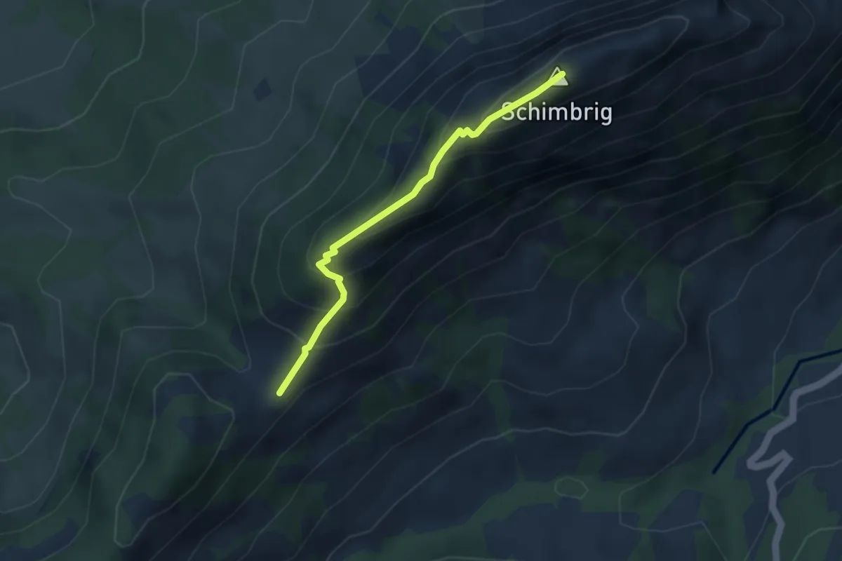
Medium · Summit
Schimbrig Bad - Ob. Looegg
3.1 km · ↑ 296 m · 1 h 23 min
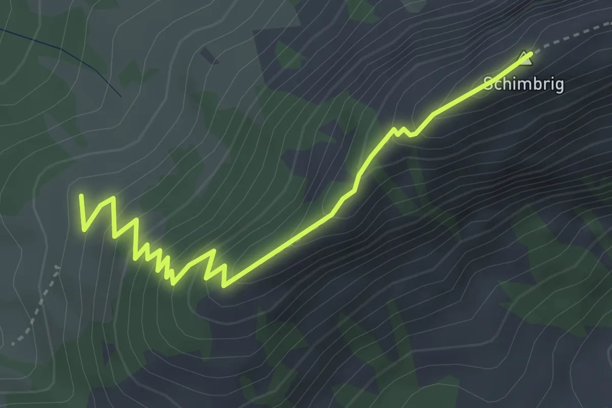
Medium · Summit
Schimbrig Bad - Schimbrig
3.9 km · ↑ 349 m · 1 h 41 min
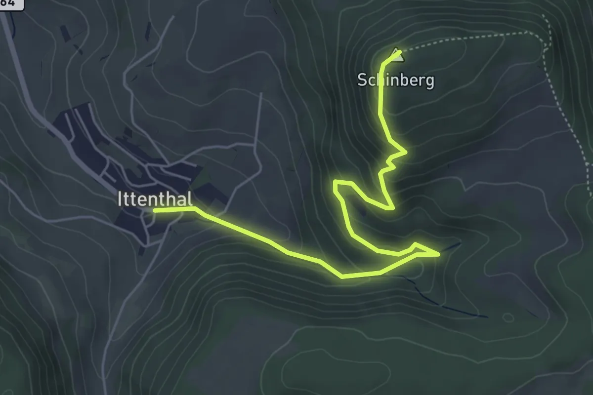
Medium · Summit
Schinberg Abz. - Ittenthal
5.8 km · ↑ 331 m · 2 h 5 min