Trails in Switzerland
15,064 hiking trails, each with its route, climb, walking time and grade.
All trails, page 94 of 314
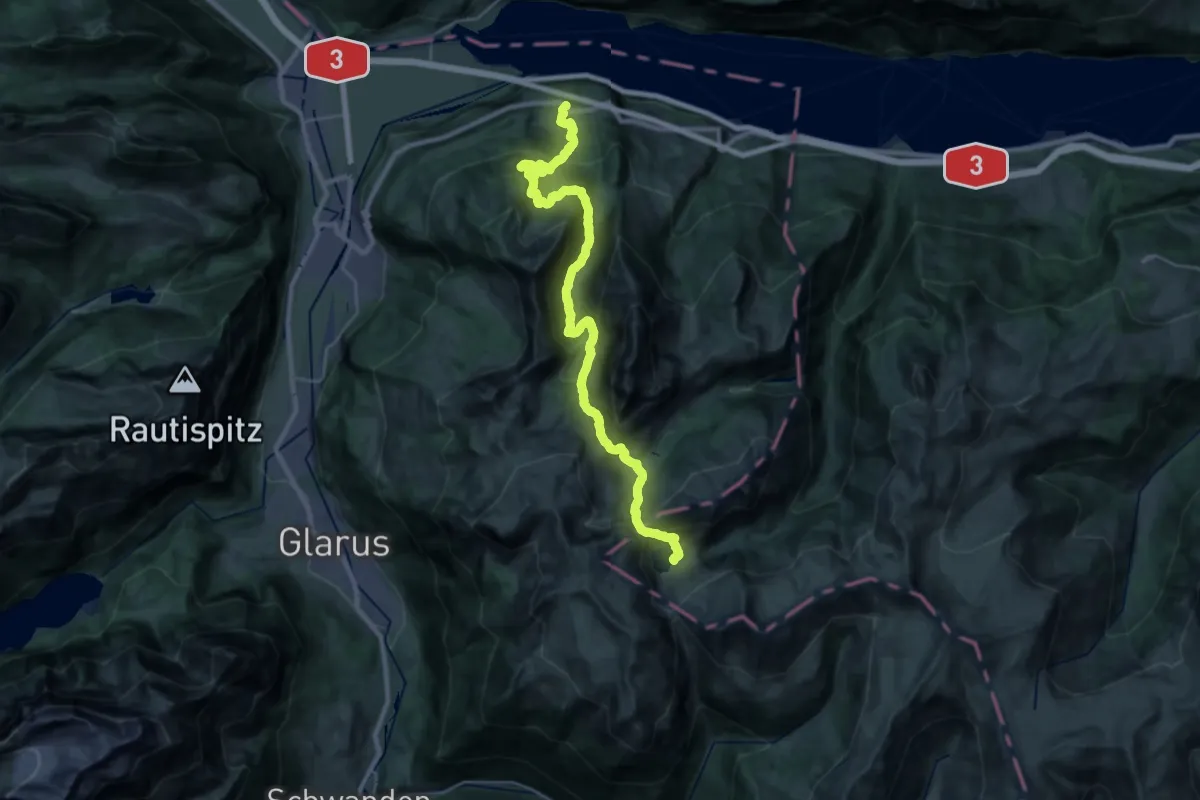
Demanding · Cabin
Sardona-Welterbe-Weg Etappe 1
15.4 km · ↑ 1748 m · 7 h 6 min
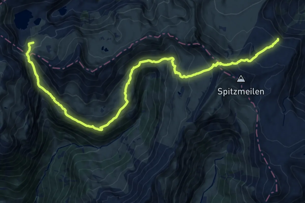
Demanding · Summit
Sardona-Welterbe-Weg Etappe 2
23.3 km · ↑ 1518 m · 8 h 47 min
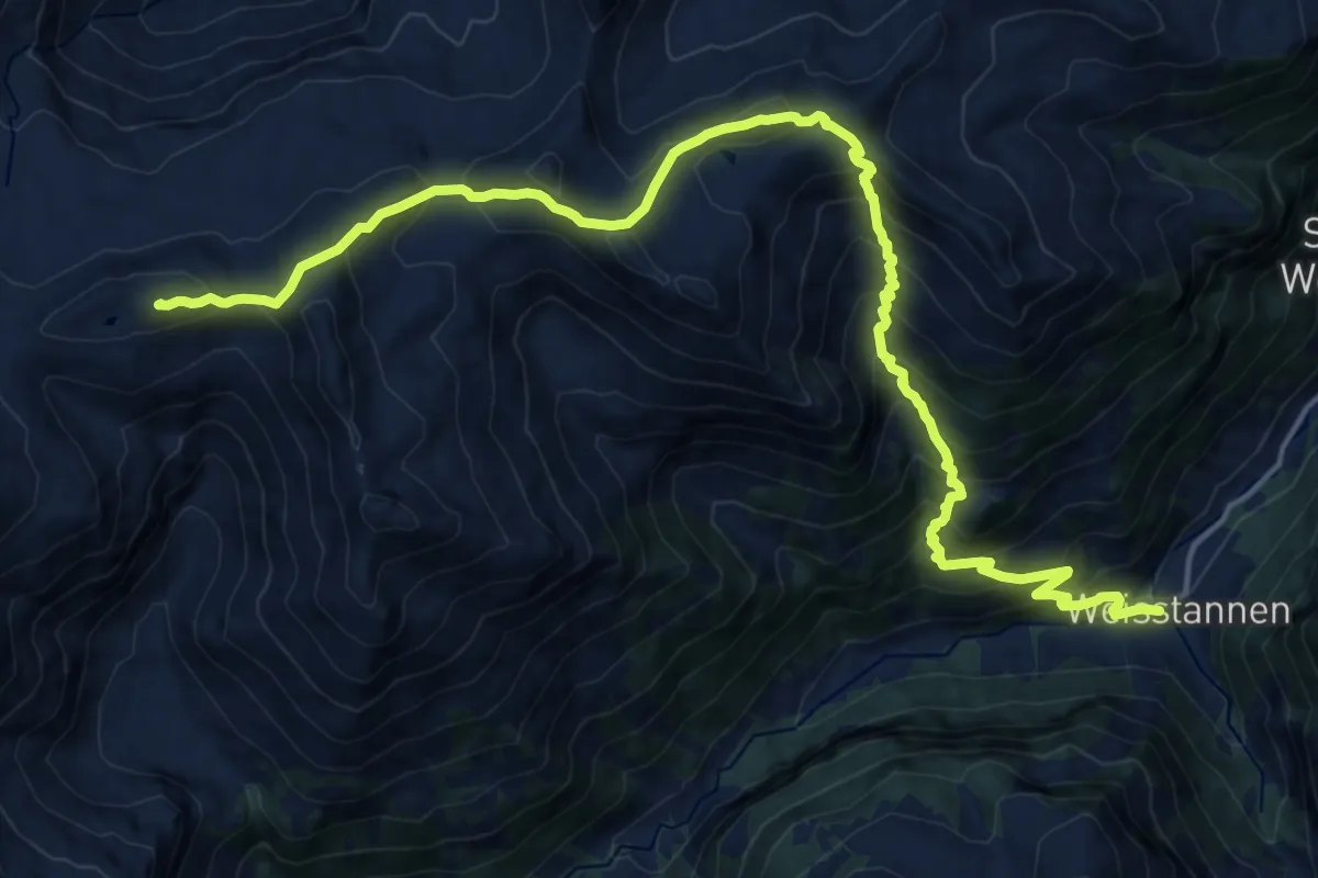
Demanding · Summit
Sardona-Welterbe-Weg Etappe 3
20.7 km · ↑ 1713 m · 8 h 36 min
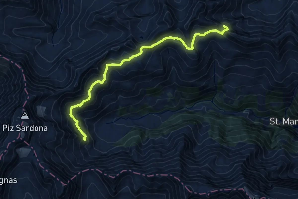
Demanding · Summit
Sardona-Welterbe-Weg Etappe 4
16.7 km · ↑ 971 m · 6 h 3 min
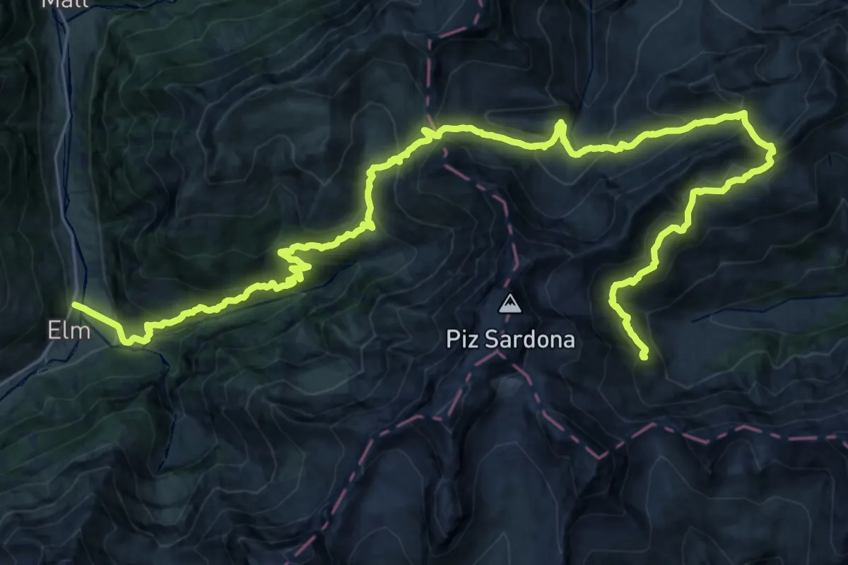
Demanding · Cabin
Sardona-Welterbe-Weg Etappe 5
19.6 km · ↑ 2003 m · 8 h 39 min
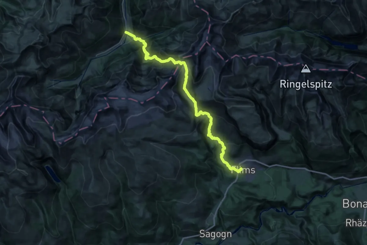
Demanding · Trail
Sardona-Welterbe-Weg Etappe 6
20.0 km · ↑ 1596 m · 8 h 31 min
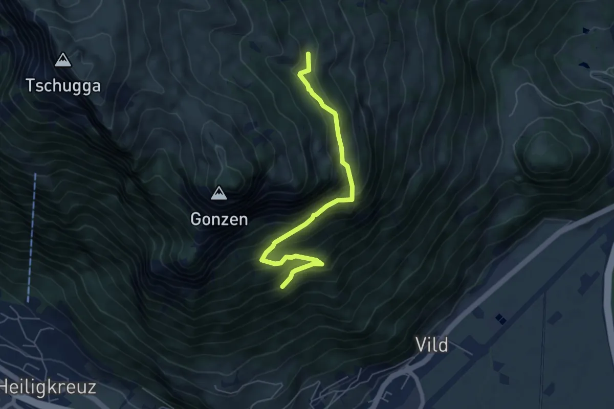
Expert · Trail
Sargans Gonzen blau
5.5 km · ↑ 545 m · 2 h 28 min
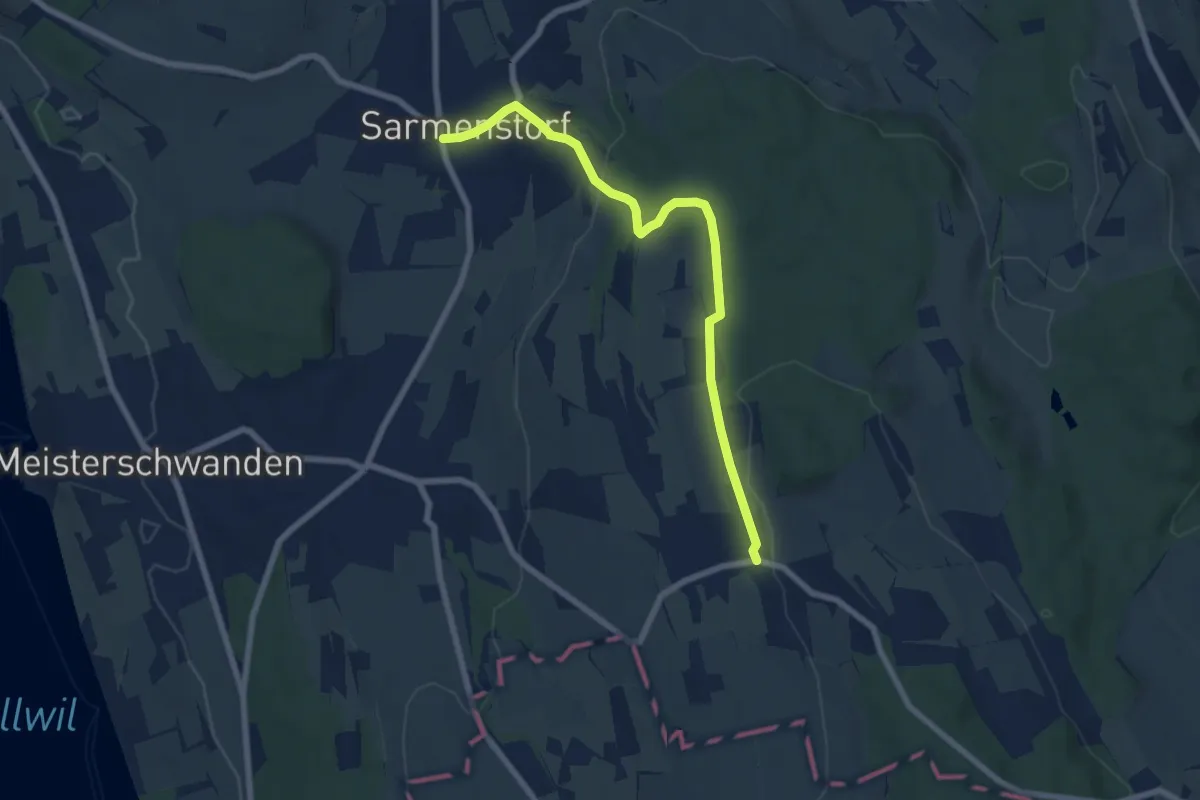
Easy · Trail
Sarmenstorf - Bettwil
7.1 km · ↑ 180 m · 2 h 4 min
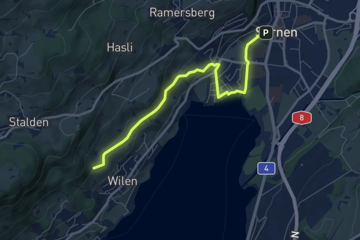
Easy · Trail
Sarnen - Giglen/Wilen
6.7 km · ↑ 176 m · 1 h 58 min
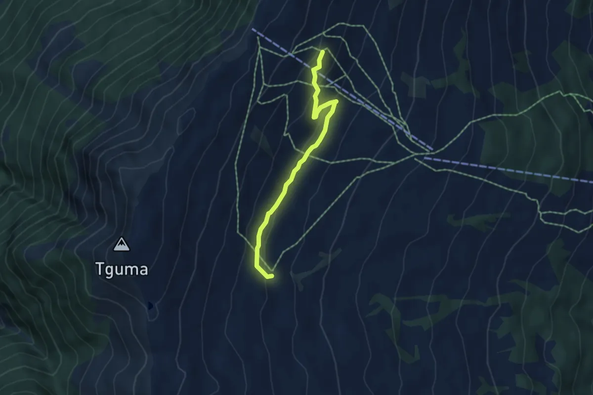
Easy · Trail
Sarner Alp-Parsiras
4.4 km · ↑ 169 m · 1 h 24 min
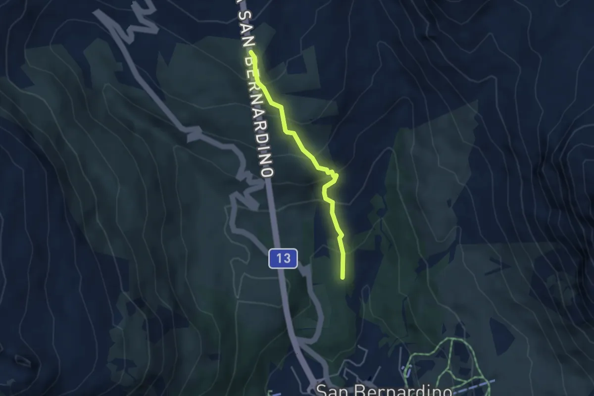
Easy · Trail
Sass de la Golp - Gareida
3.4 km · ↑ 299 m · 1 h 27 min
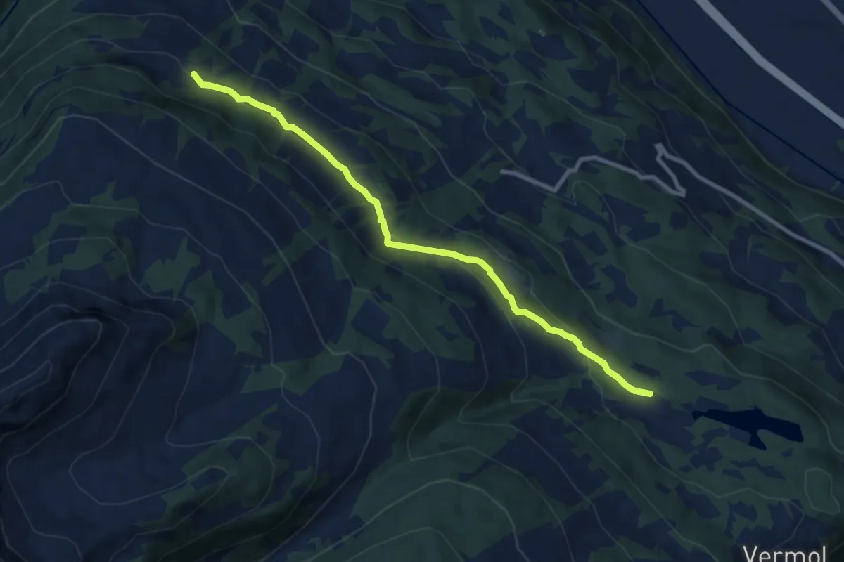
Medium · Trail
Sässliwiesen Parmort
8.5 km · ↑ 361 m · 2 h 48 min
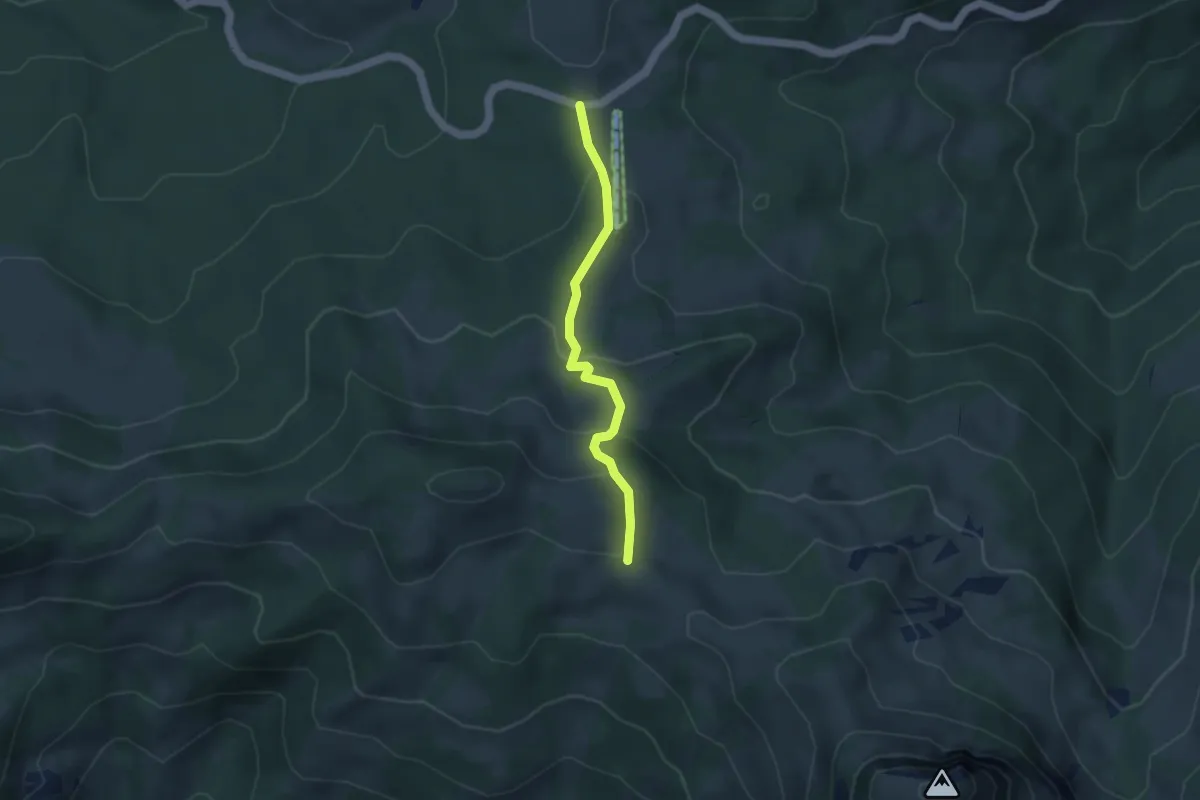
Easy · Trail
Sattelegg - Egg
3.5 km · ↑ 171 m · 1 h 12 min
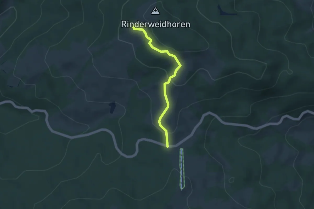
Easy · Trail
Sattelegg - Rinderweidhorn
3.0 km · ↑ 136 m · 1 h 1 min
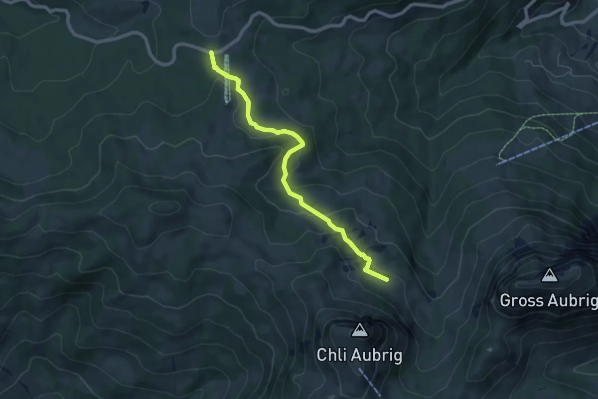
Easy · Trail
Sattelegg - Unter Alten
5.6 km · ↑ 152 m · 1 h 40 min
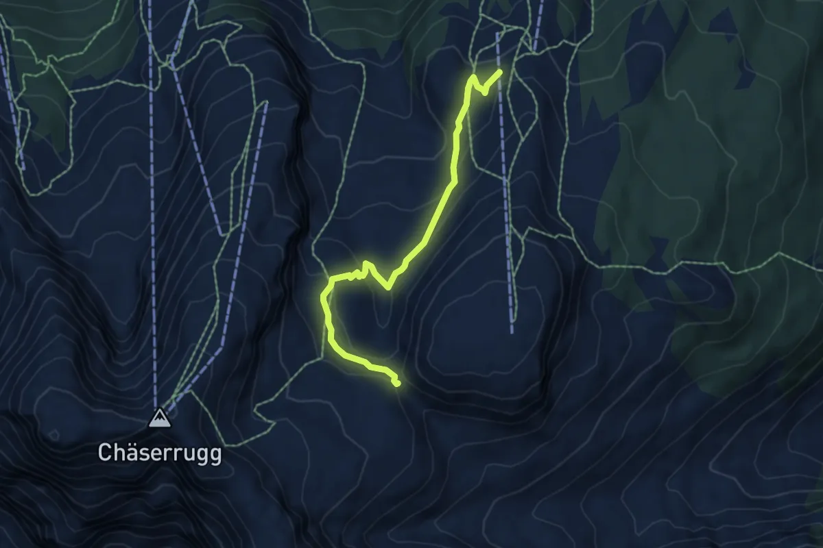
Medium · Trail
Sattel - fixme
5.6 km · ↑ 273 m · 1 h 55 min
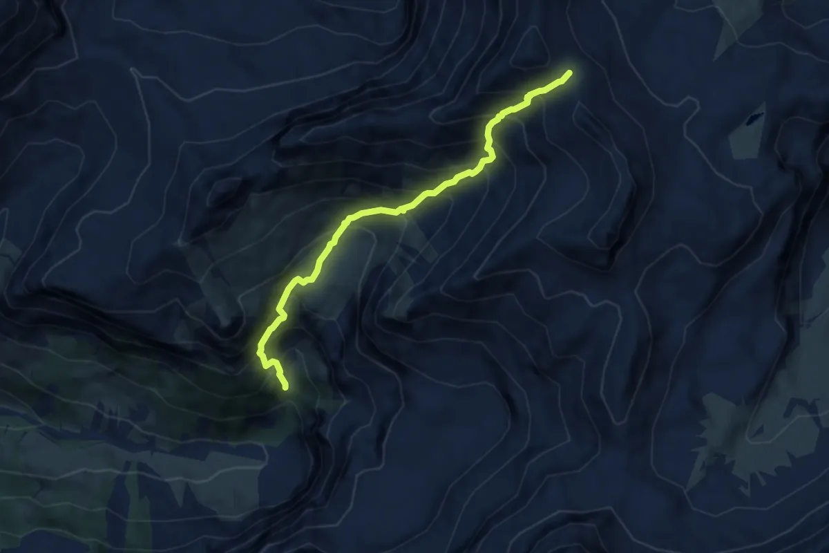
Demanding · Trail
Sattel - Glütschnessli
7.3 km · ↑ 1026 m · 3 h 57 min
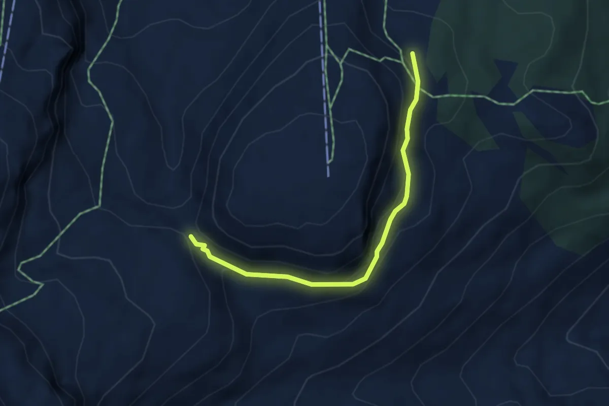
Medium · Trail
Sattel - Inggadells
3.9 km · ↑ 208 m · 1 h 22 min
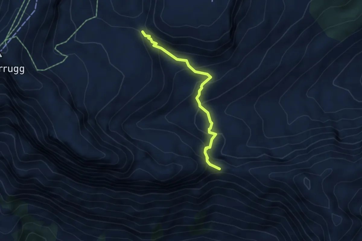
Medium · Trail
Sattel–Nideri
3.8 km · ↑ 354 m · 1 h 40 min
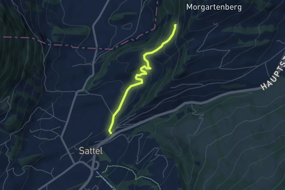
Easy · Trail
Sattel - Rapperen
4.5 km · ↑ 210 m · 1 h 31 min
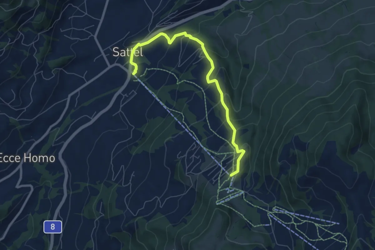
Medium · Trail
Sattel Talstation - Mostelberg
6.9 km · ↑ 397 m · 2 h 29 min
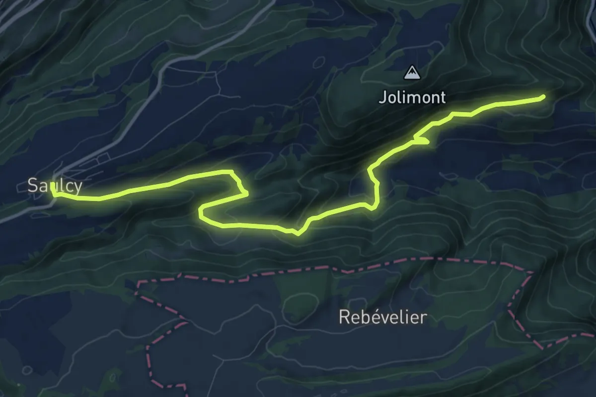
Medium · Trail
Saulcy - fixme
12.6 km · ↑ 632 m · 4 h 21 min
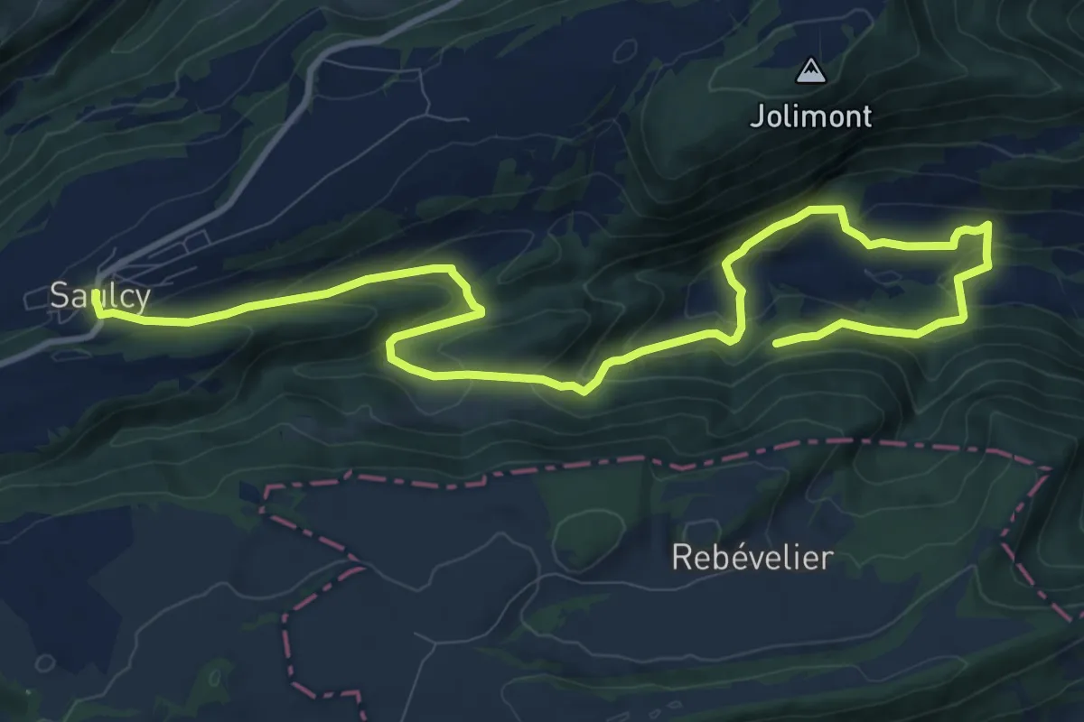
Medium · Trail
Saulcy - fixme
14.2 km · ↑ 689 m · 4 h 51 min
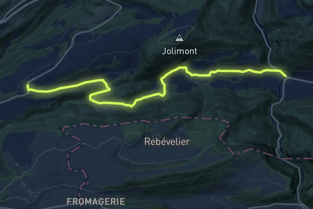
Medium · Trail
Saulcy - Undervelier
14.5 km · ↑ 666 m · 4 h 52 min
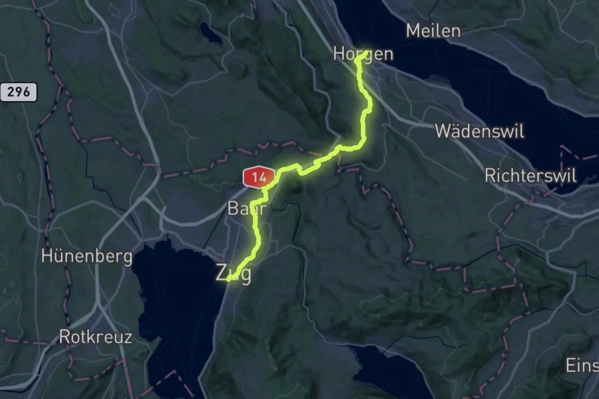
Medium · Trail
Saumweg
17.4 km · ↑ 376 m · 5 h 10 min
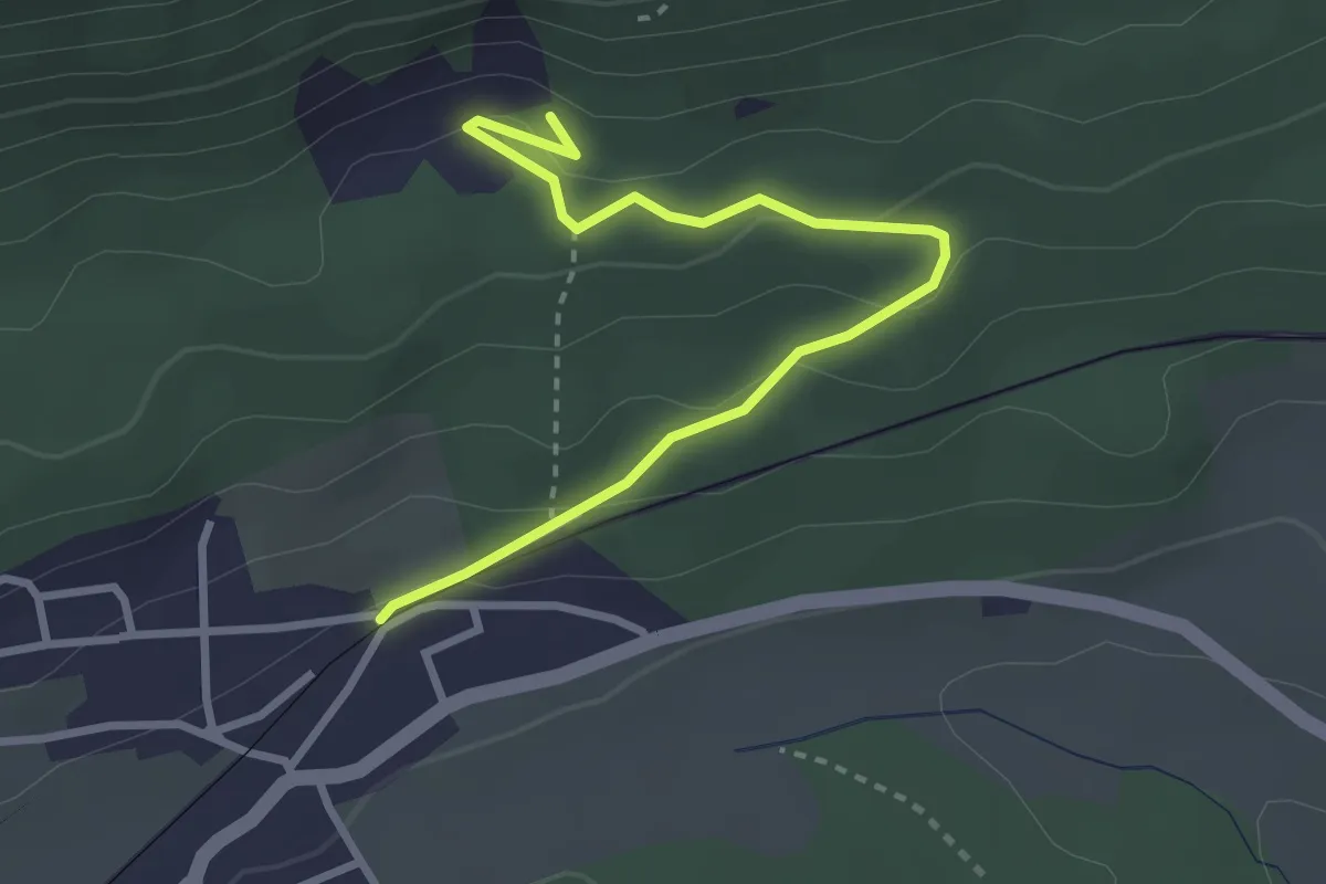
Easy · Trail
Saurierspuren
3.2 km · ↑ 125 m · 1 h 2 min
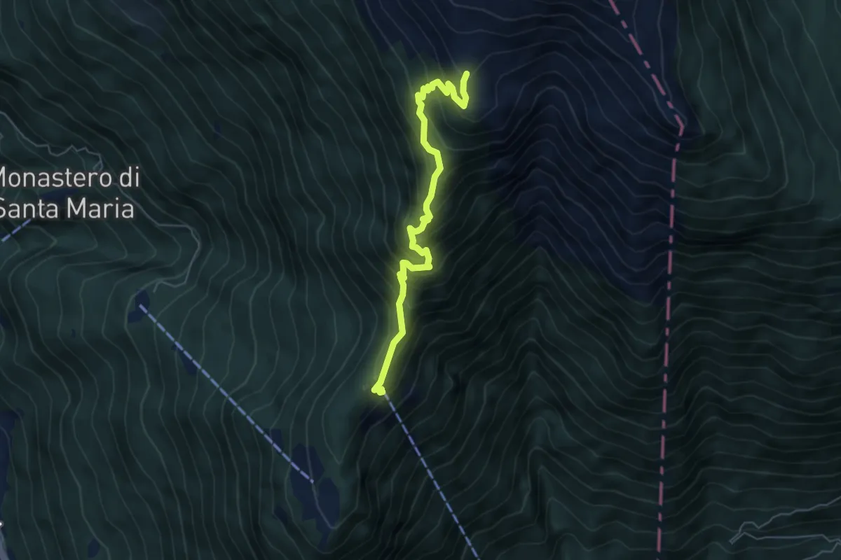
Medium · Cabin
Saurù Brogoldone
5.5 km · ↑ 668 m · 2 h 45 min
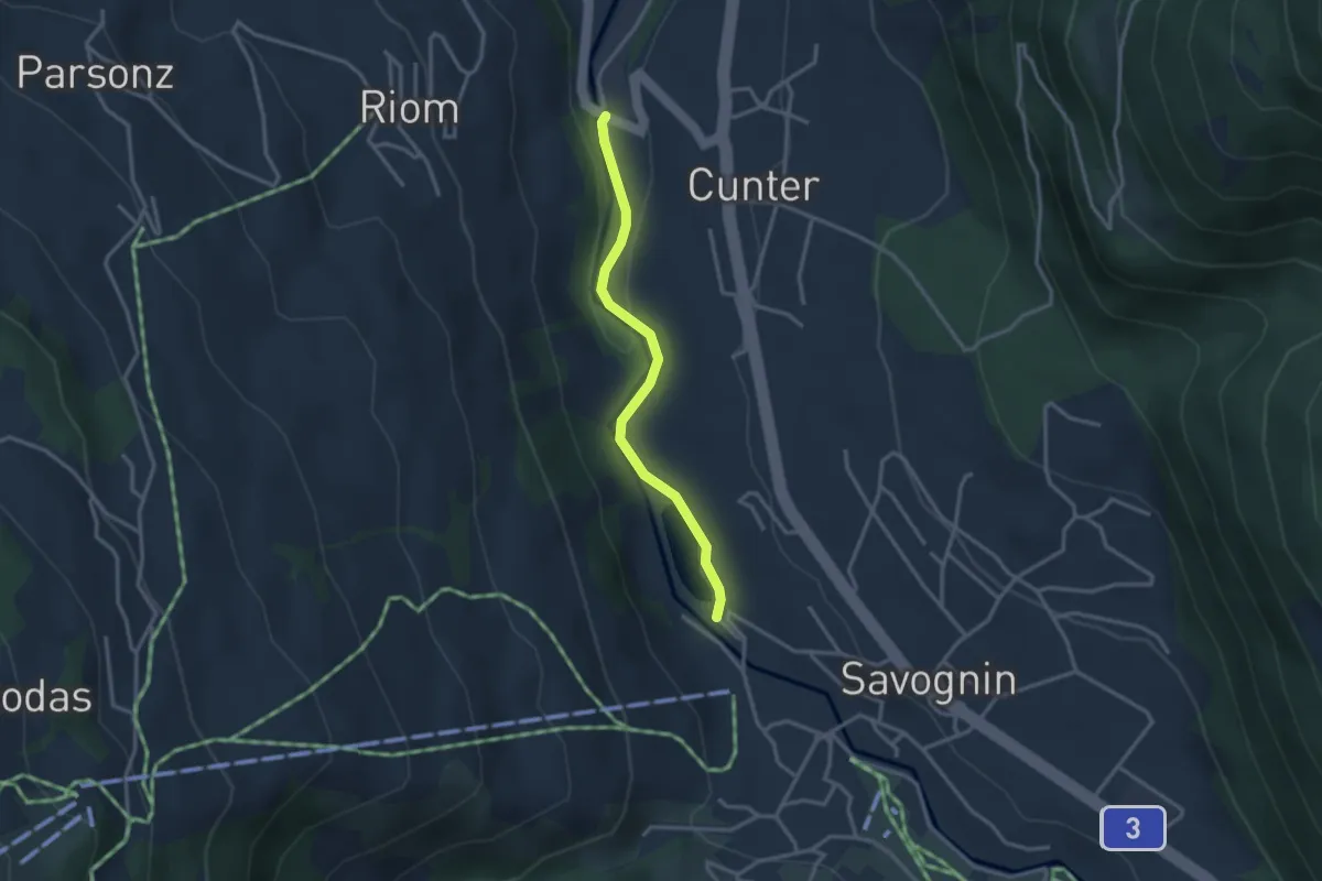
Easy · Trail
Savognin Lai Barnagn - Punt
2.8 km · ↑ 42 m · 45 min
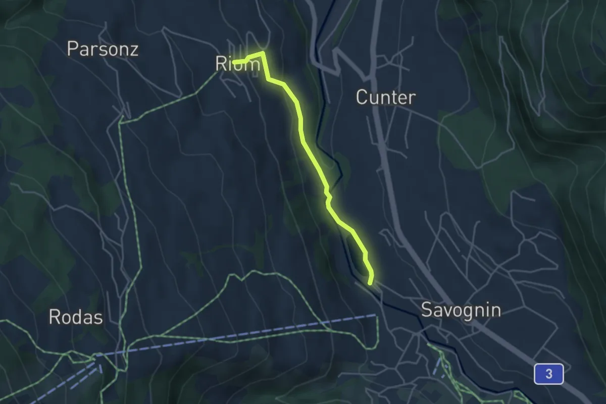
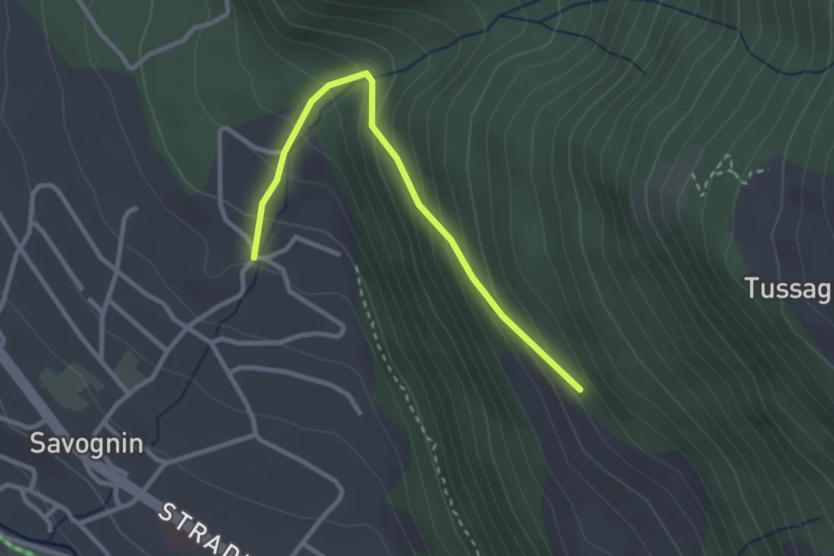
Easy · Trail
Savognin Lai Barnagn - Riom
3.4 km · ↑ 104 m · 1 h 1 min
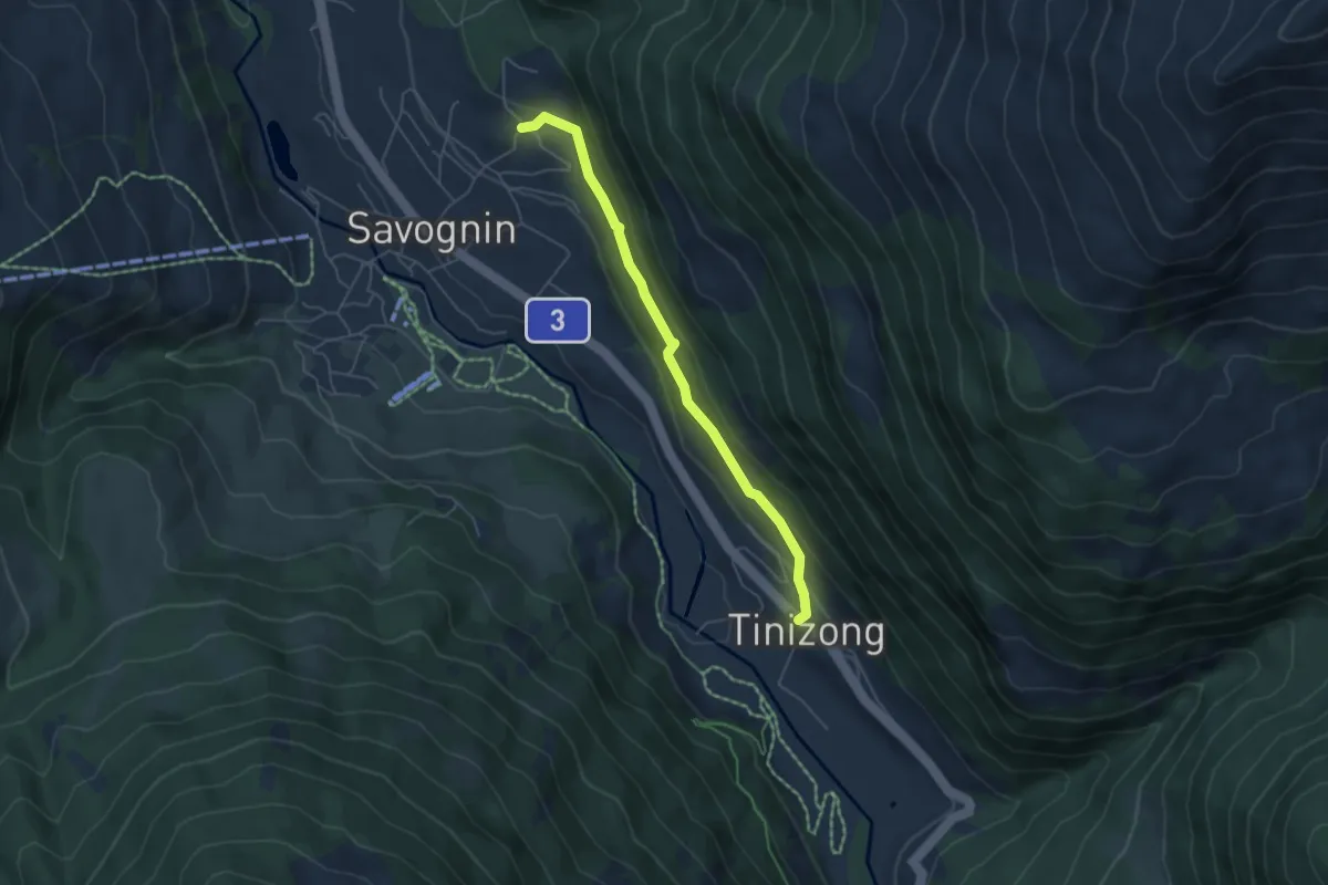
Easy · Trail
Savognin Soras - Rundal
2.6 km · ↑ 249 m · 1 h 10 min
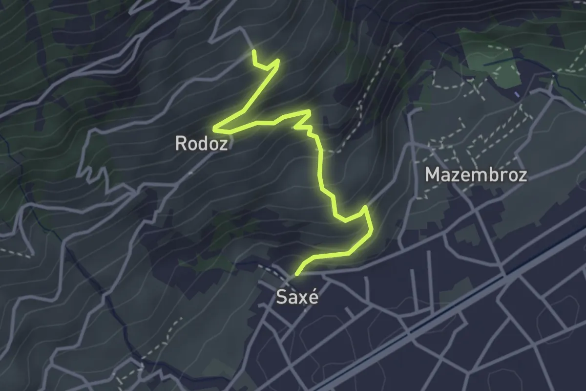
Medium · Trail
Savognin Soras - Tinizong
4.9 km · ↑ 222 m · 1 h 38 min
Easy · Trail
Saxé - Buitonne
3.1 km · ↑ 317 m · 1 h 24 min
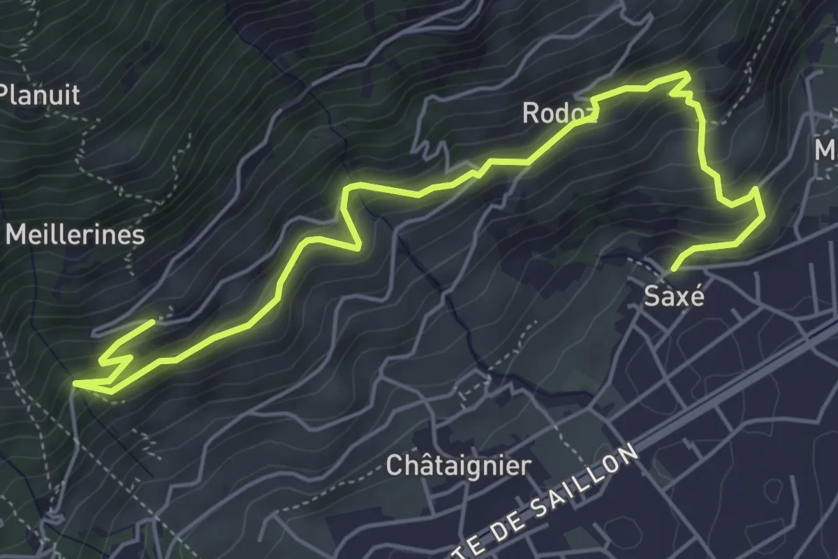
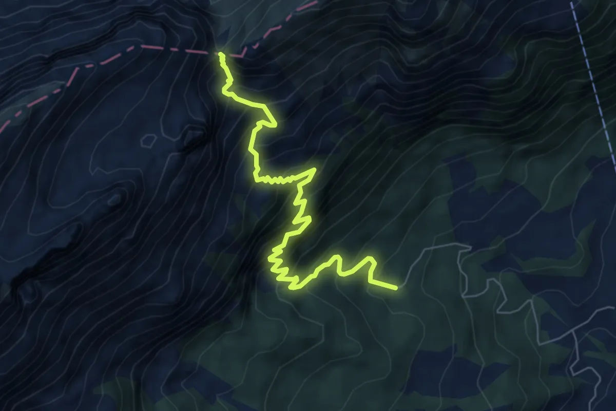
Medium · Trail
Saxé - Eulo
6.4 km · ↑ 575 m · 2 h 46 min
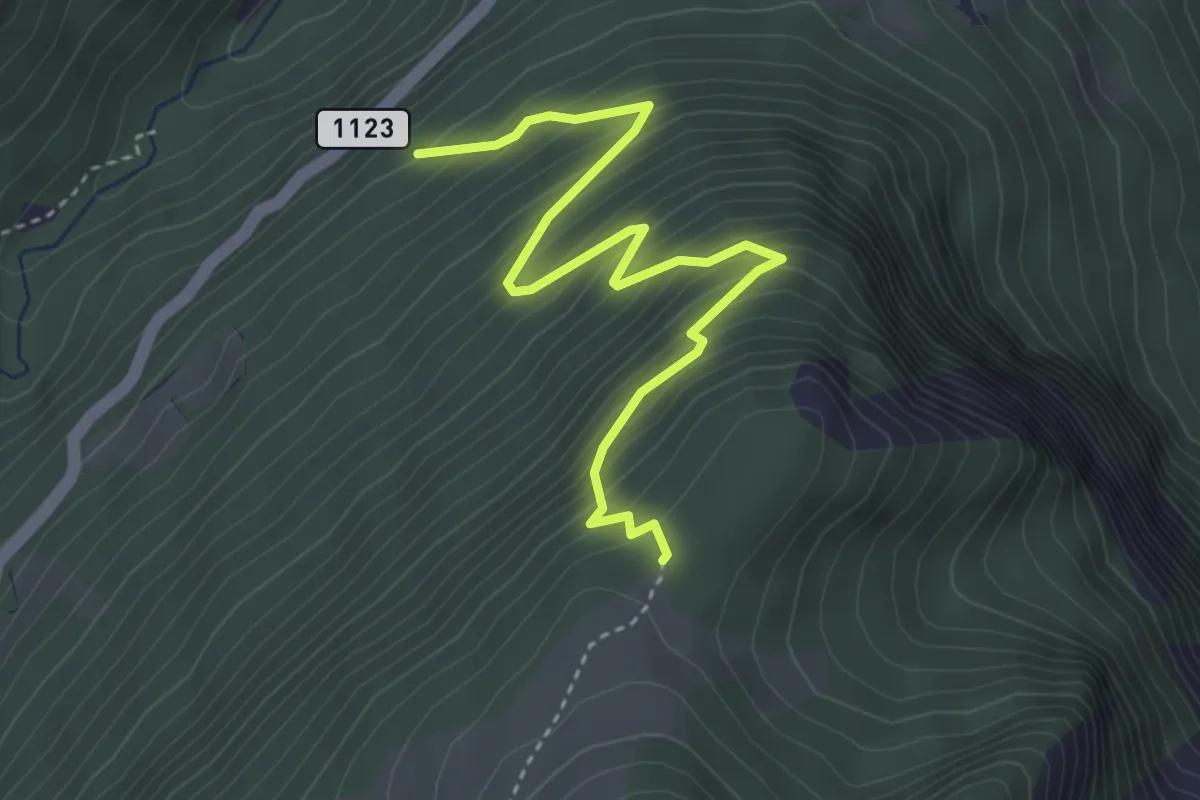
Demanding · Trail
Saxerlücke Süd
7.1 km · ↑ 925 m · 3 h 40 min
Medium · Trail
Saxetwald - Schwarzhore
4.1 km · ↑ 502 m · 2 h 4 min
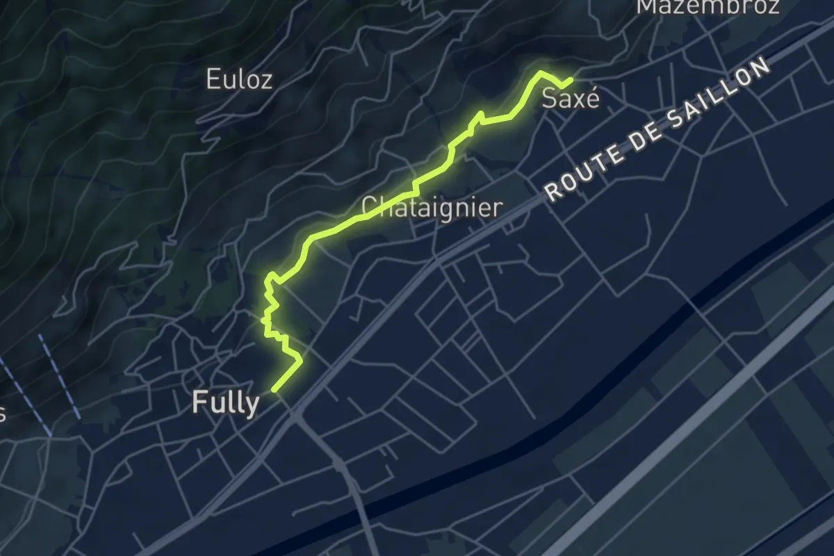
Demanding · Trail
Saxé > Vers l'Eglise - Fully
4.5 km · ↑ 119 m · 1 h 19 min
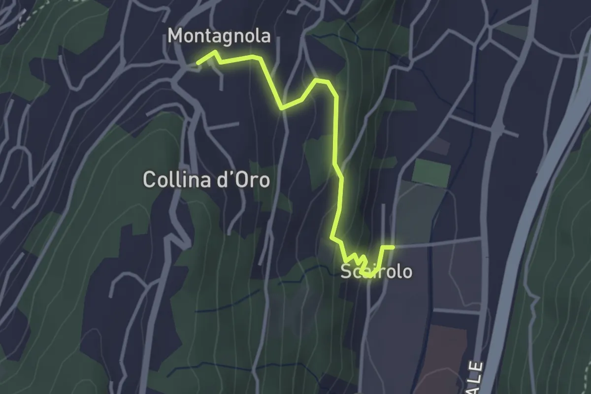
Easy · Trail
Scairolo - Montagnola
2.8 km · ↑ 163 m · 1 h 1 min
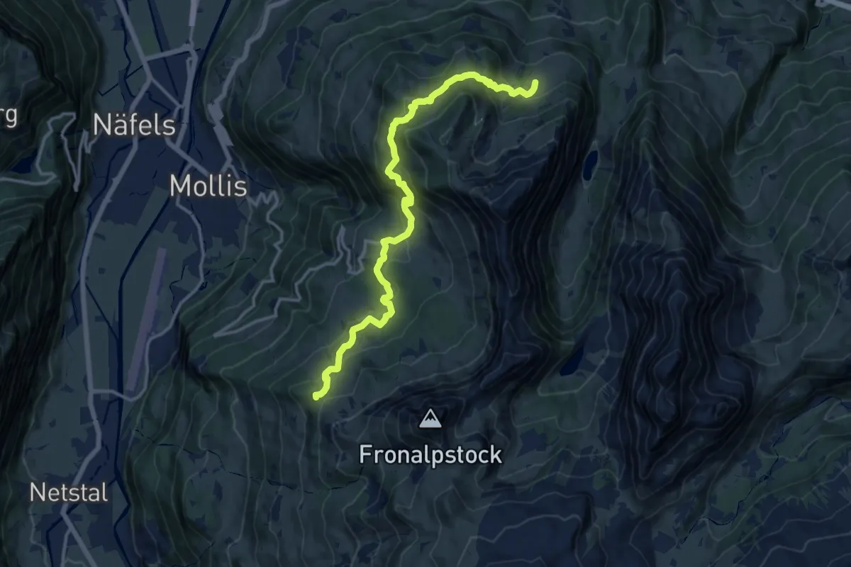
Demanding · Trail
Schabziger Höhenweg
14.1 km · ↑ 819 m · 5 h 6 min
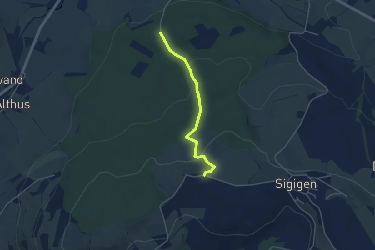
Easy · Trail
Schächbüehl - Schächbüehl
3.0 km · ↑ 99 m · 56 min
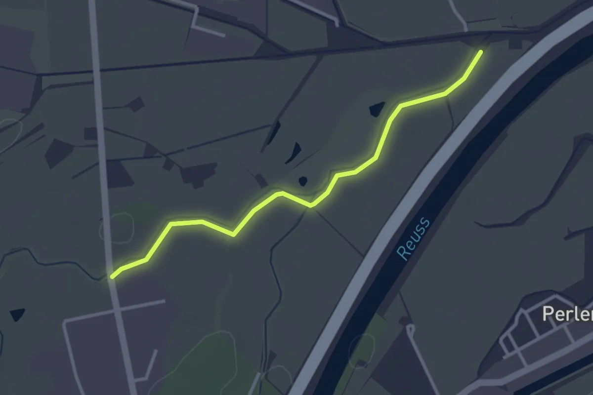
Easy · Trail
Schachen - Burg
2.9 km · ↑ 4 m · 41 min
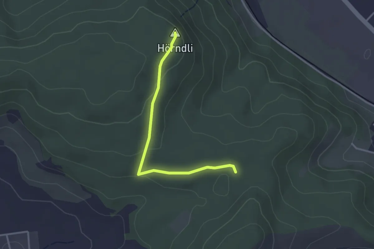
Easy · Summit
Schachen - Hörndli
2.8 km · ↑ 60 m · 47 min
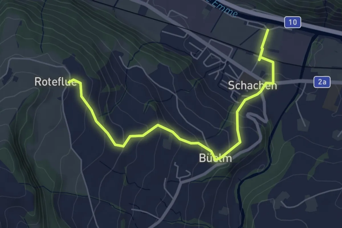
Easy · Trail
Schachen - Rotenflue
5.7 km · ↑ 244 m · 1 h 52 min
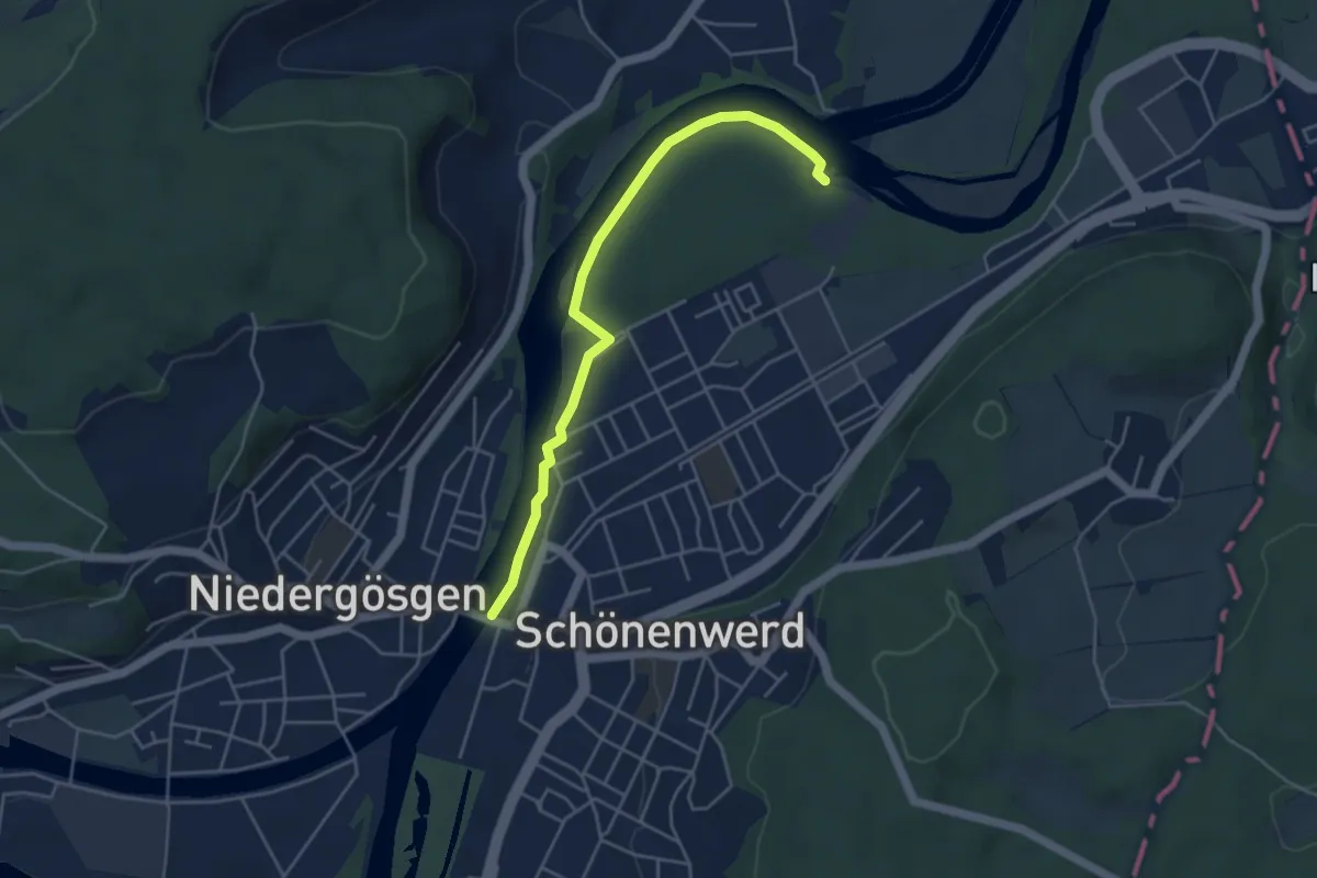
Easy · Trail
Schachenwald- Schönenwerd
4.5 km · ↑ 0 m · 1 h 4 min
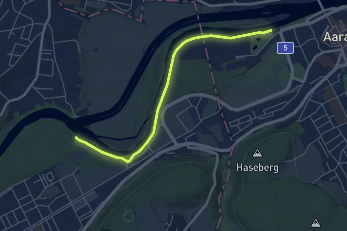
Easy · Trail
Schachenwald-Süffelsteg
5.2 km · ↑ 4 m · 1 h 14 min
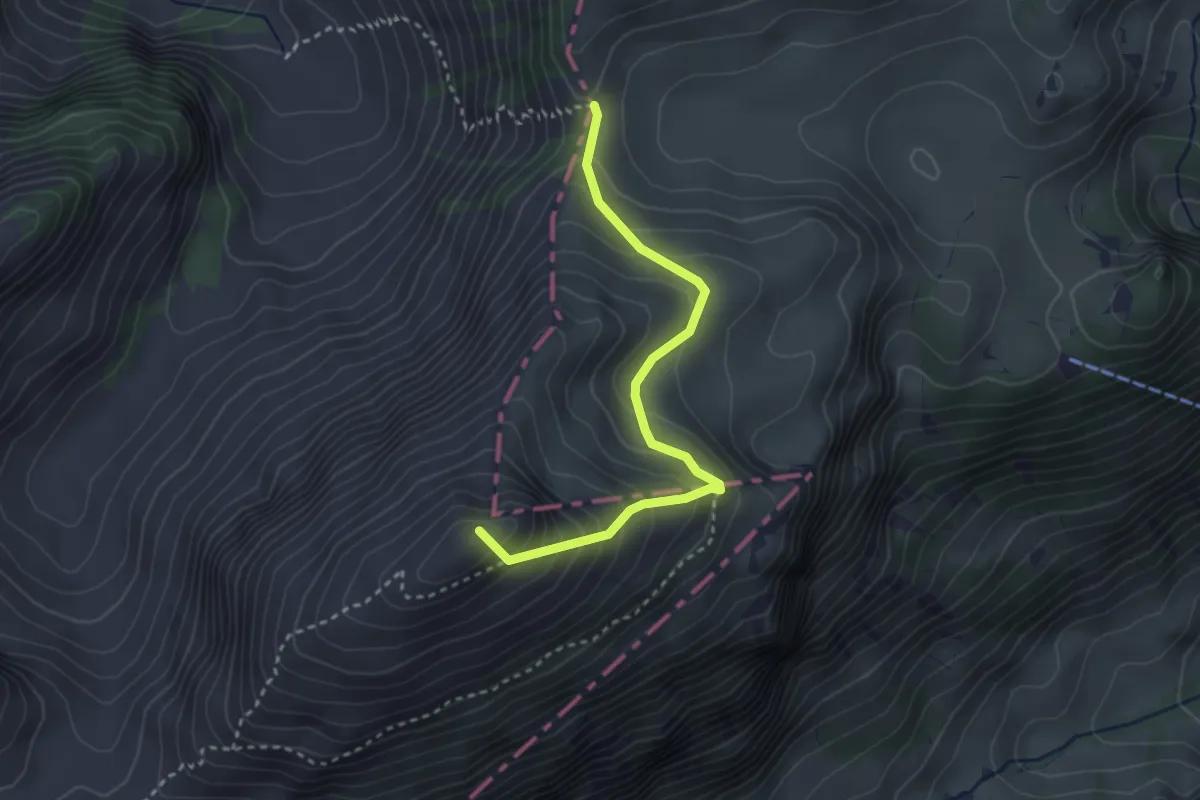
Demanding · Summit
Schafarnisch - Chänelpass
3.1 km · ↑ 301 m · 1 h 22 min
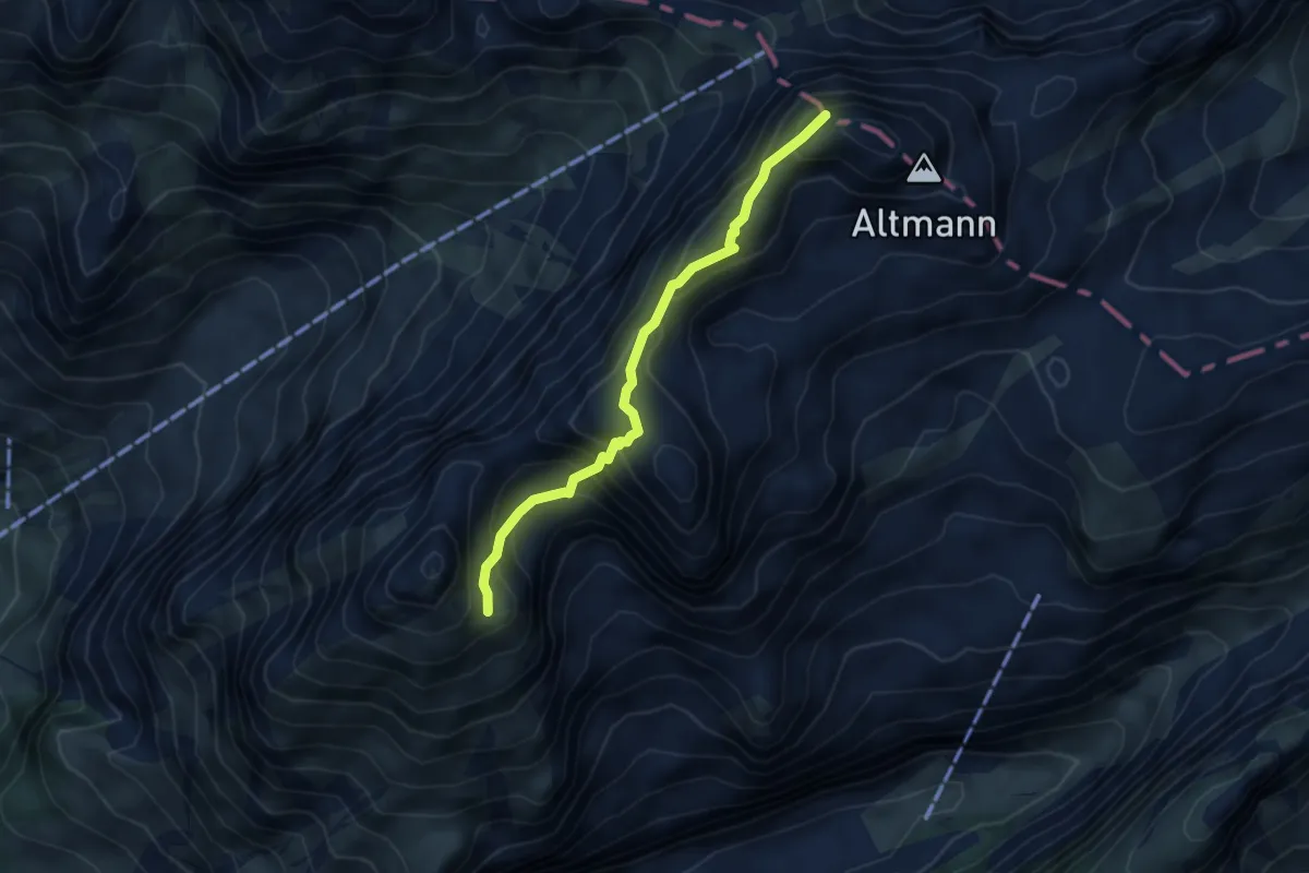
Expert · Summit
Schafbergsattel - Altmannsattel
4.2 km · ↑ 385 m · 1 h 49 min
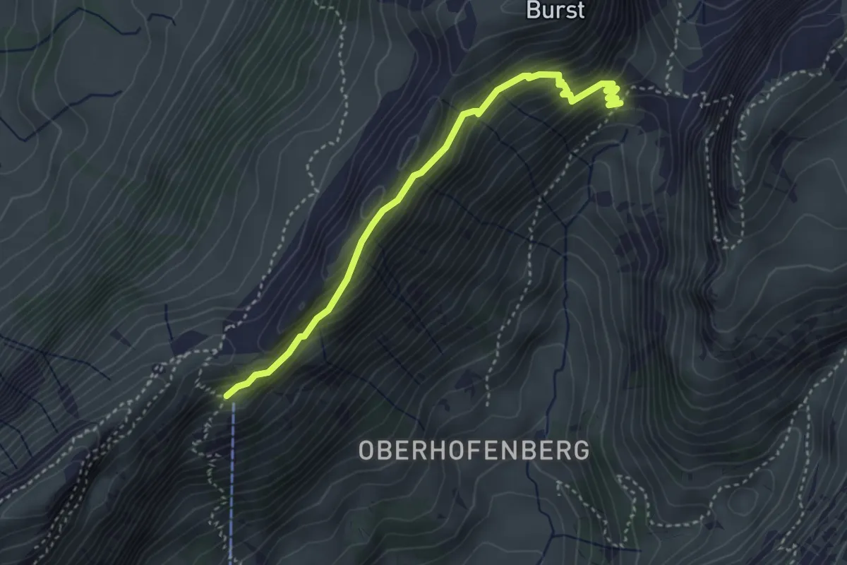
Medium · Trail
Schäferhüttli - fixme
3.6 km · ↑ 329 m · 1 h 34 min
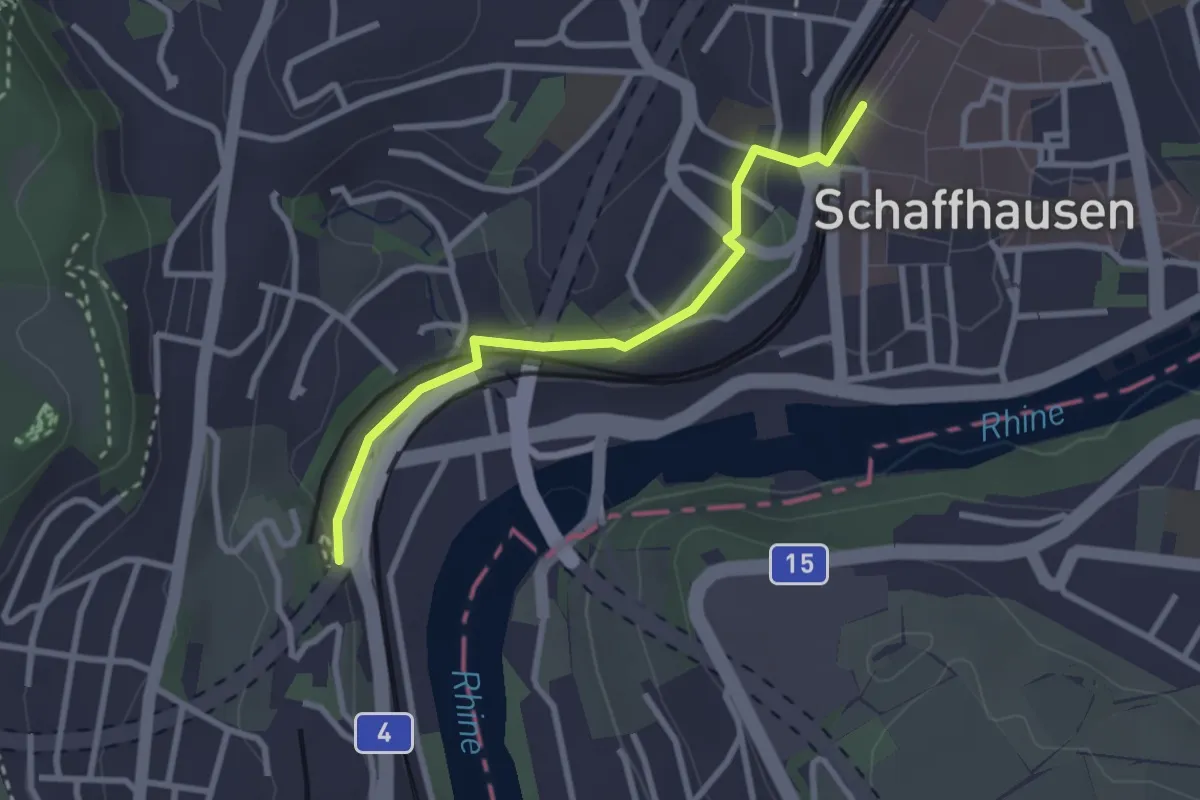
Easy · Trail
Schaffhausen - Charlottefels
2.6 km · ↑ 56 m · 44 min