Trails in Switzerland
15,064 hiking trails, each with its route, climb, walking time and grade.
All trails, page 93 of 314
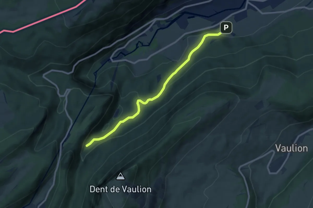
Easy · Trail
Saigne Geret-Les Revines
6.9 km · ↑ 231 m · 2 h 7 min
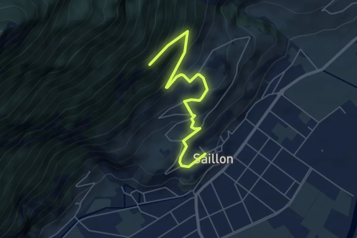
Medium · Trail
Saillon - fixme
5.0 km · ↑ 426 m · 2 h 6 min
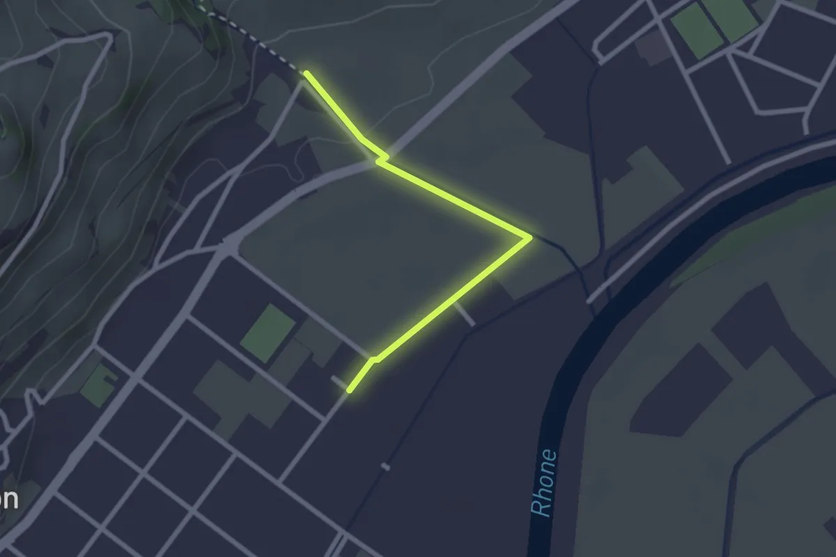
Easy · Trail
Saillon Les Bains - Les Moulins Gorges de La Salentse
2.2 km · ↑ 23 m · 34 min
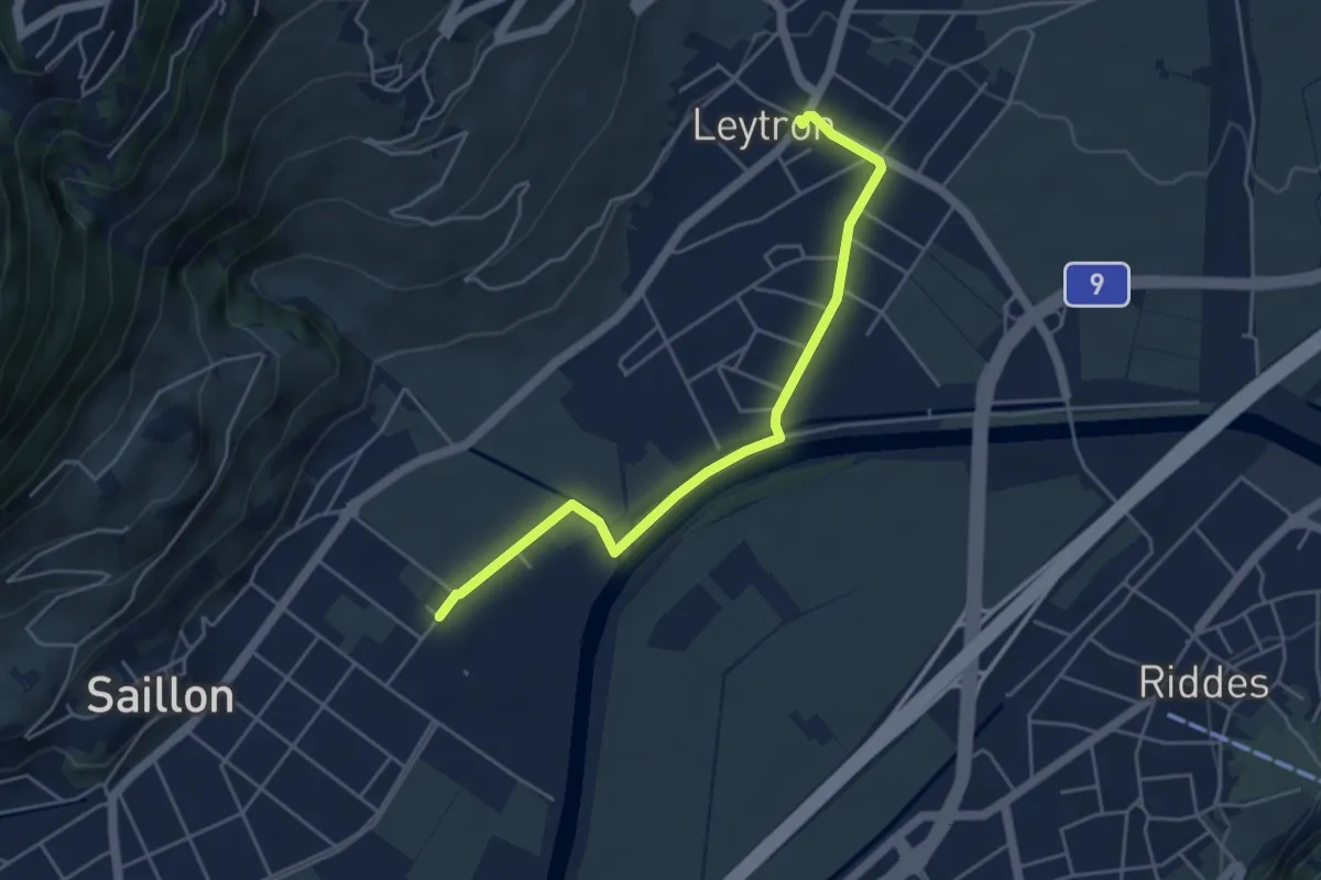
Easy · Trail
Saillon Les Bains - Leytron
4.7 km · ↑ 22 m · 1 h 10 min
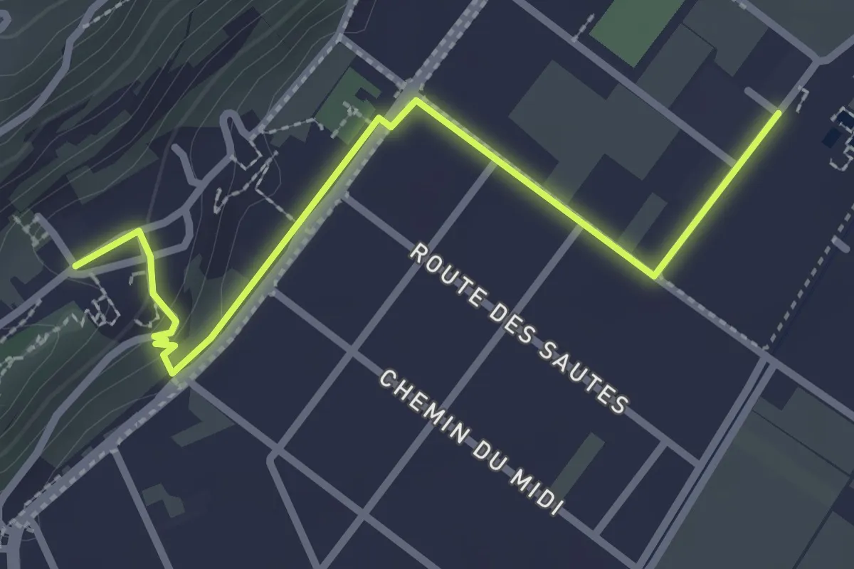
Easy · Trail
Saillon Les Bains - Saillon
2.8 km · ↑ 52 m · 46 min
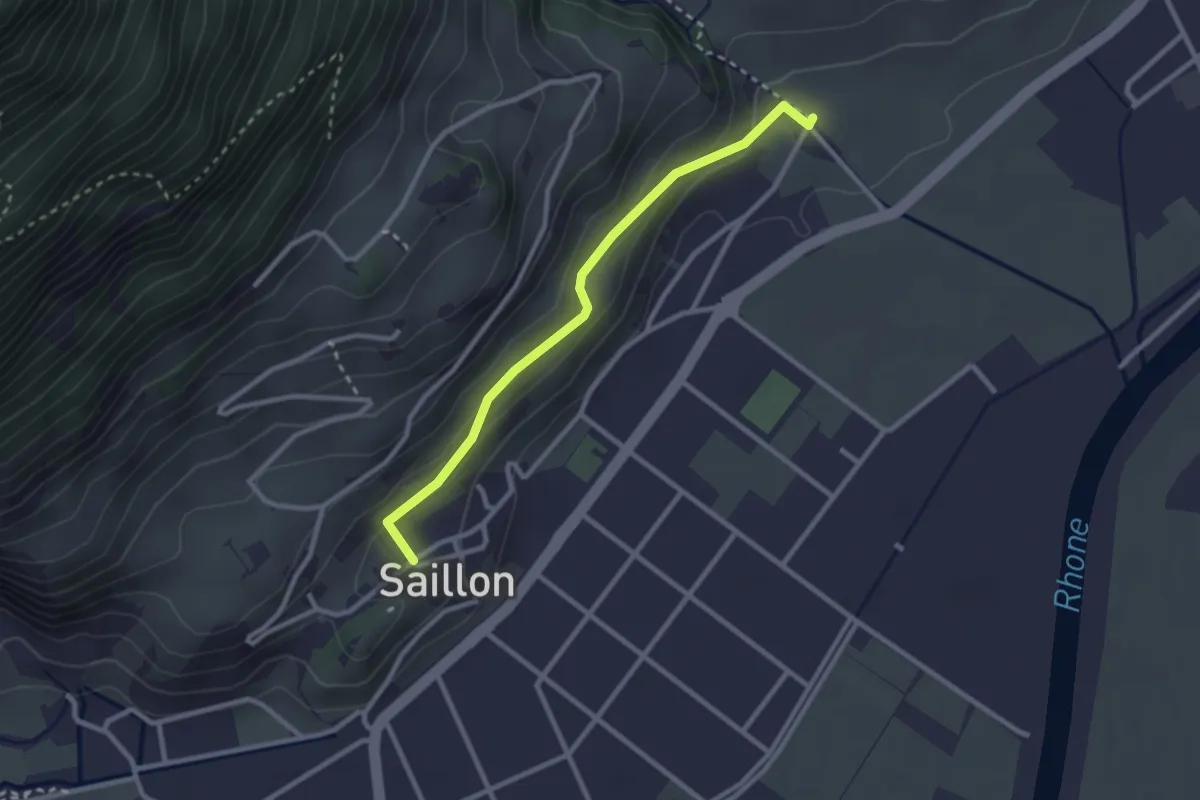
Easy · Trail
Saillon - Les Moulins Gorges de La Salentse
2.6 km · ↑ 132 m · 54 min
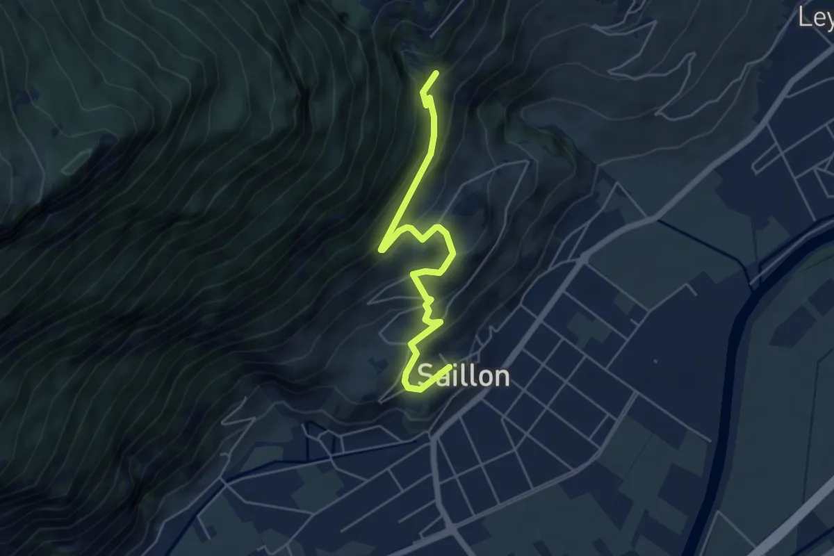
Medium · Trail
Saillon - Passerelle à Farinet
5.1 km · ↑ 356 m · 1 h 59 min
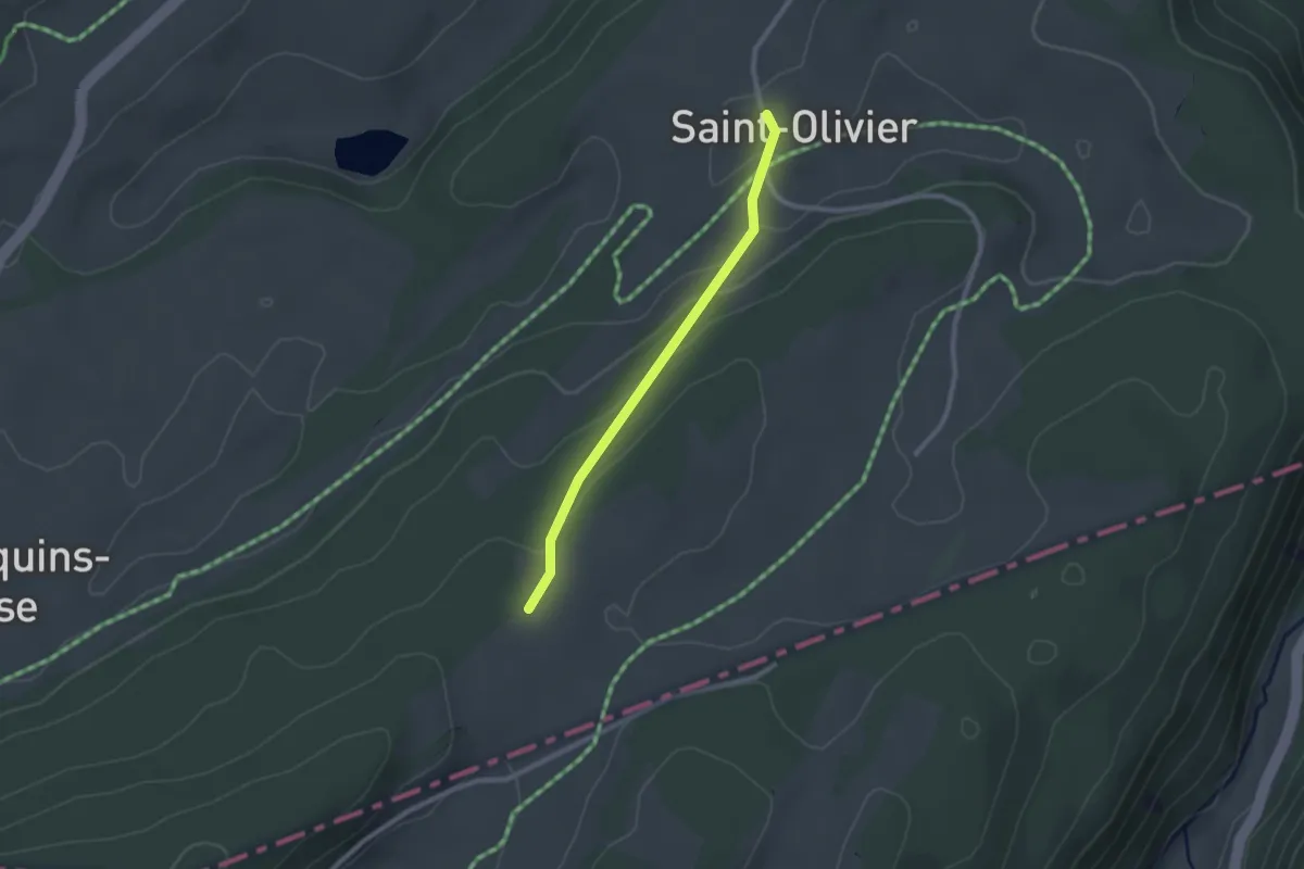
Easy · Trail
Saint Olivier - fixme
2.2 km · ↑ 67 m · 39 min
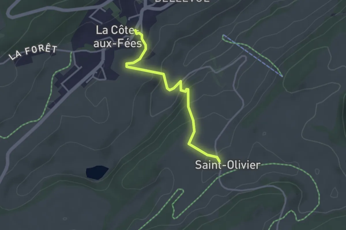
Easy · Trail
Saint Olivier - La Côte-aux-Fées
2.9 km · ↑ 139 m · 59 min
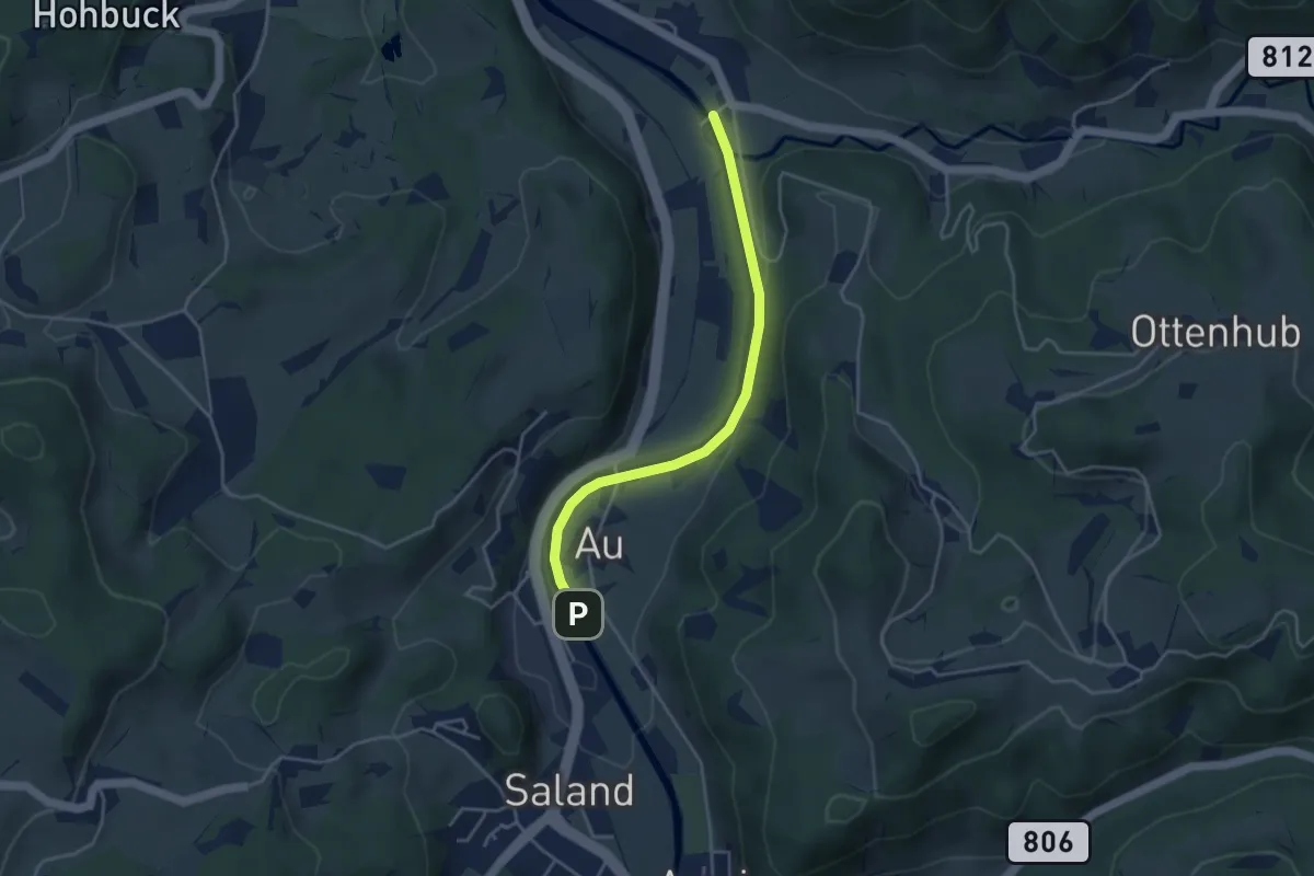
Easy · Trail
Saland – Tablat
3.7 km · ↑ 33 m · 57 min
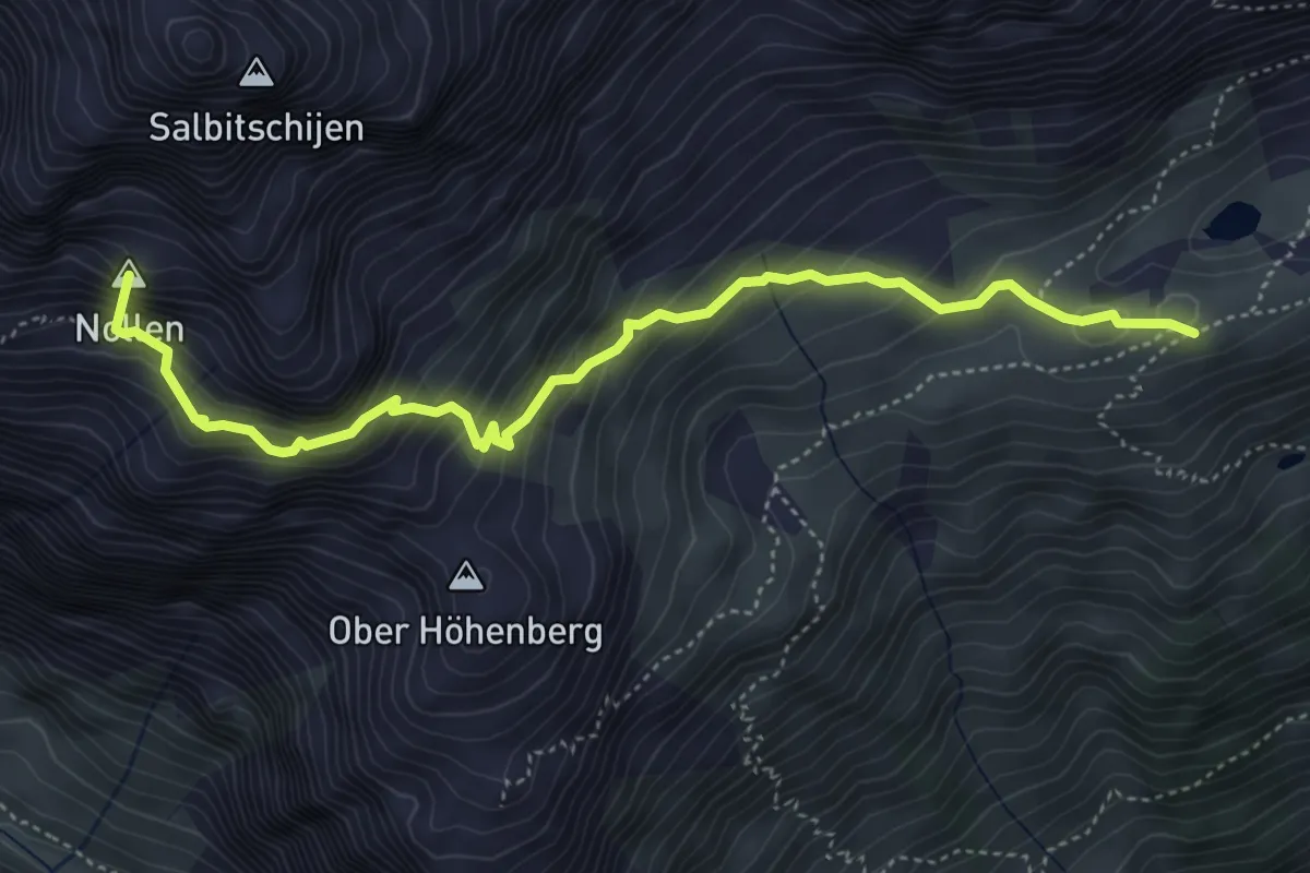
Expert · Summit
Salbithütte - Salbitbiwak
5.1 km · ↑ 538 m · 2 h 21 min
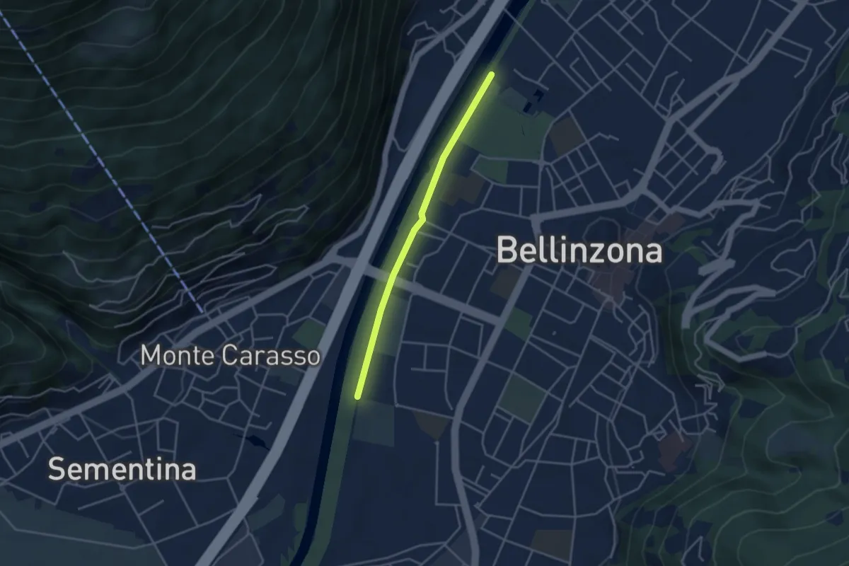
Easy · Trail
Saleggi - Bellinzona/Piscina
3.3 km · ↑ 8 m · 48 min
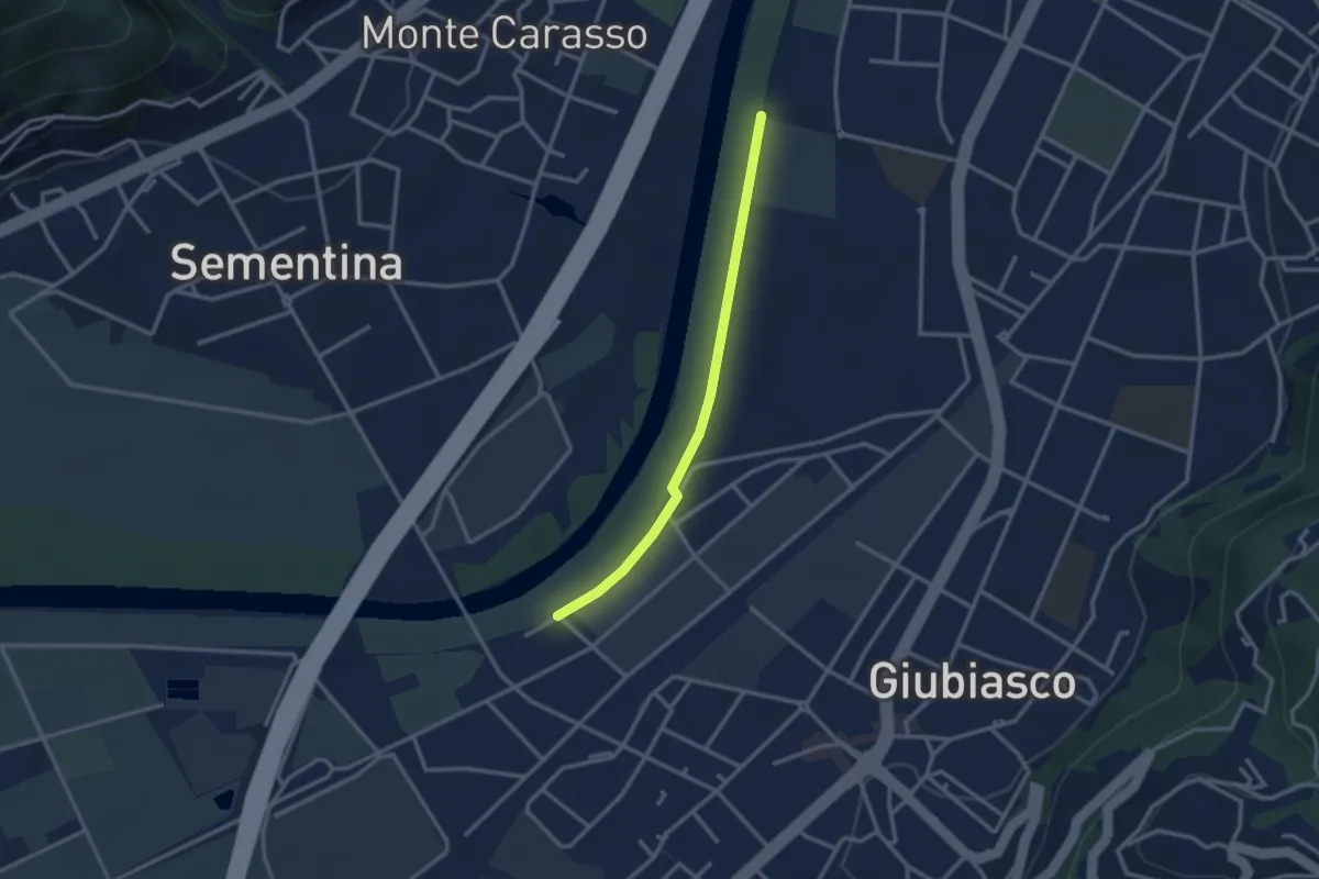
Easy · Trail
Saleggi - Giubiasco/Centrale FFS
2.7 km · ↑ 0 m · 38 min
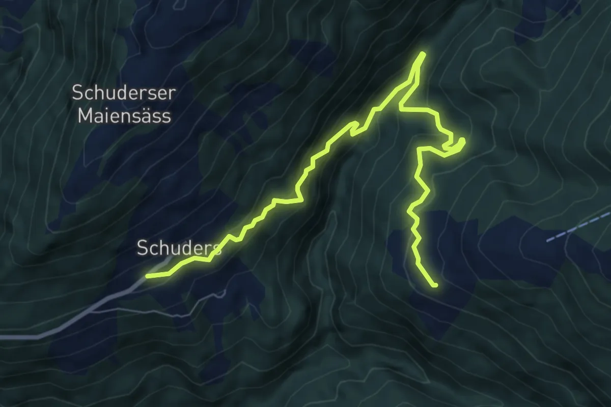
Medium · Trail
Salfsch-Schuders
8.7 km · ↑ 740 m · 3 h 39 min
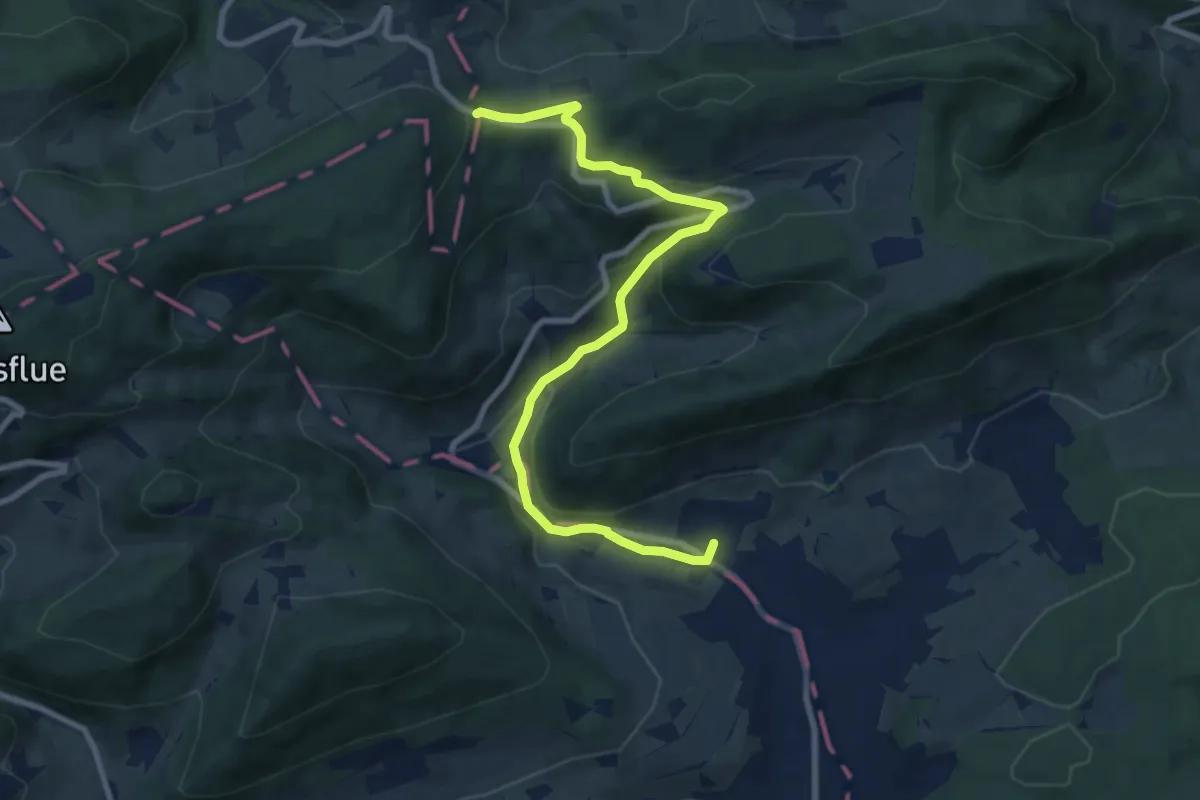
Medium · Trail
Salhöhe - Obererlinsbach
8.9 km · ↑ 358 m · 2 h 53 min
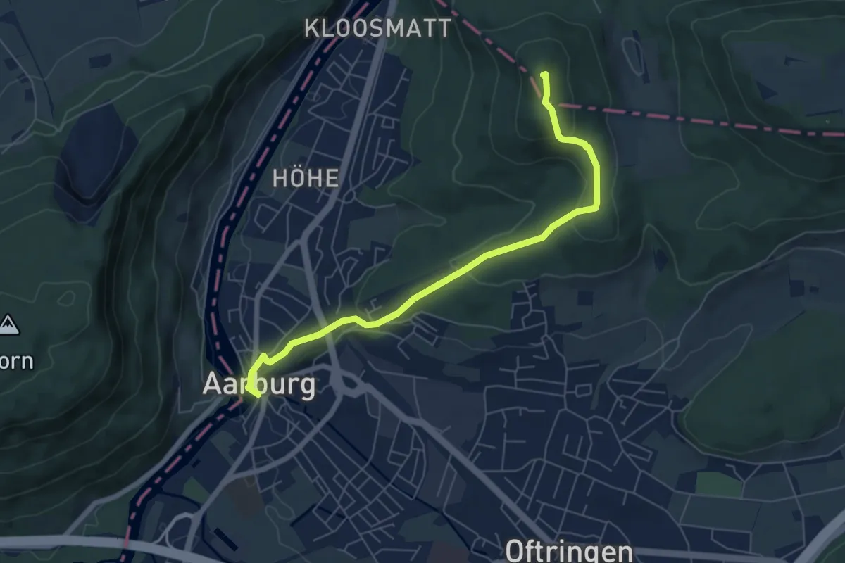
Easy · Trail
Sälischlössli - Aarburg
6.3 km · ↑ 251 m · 2 h 2 min
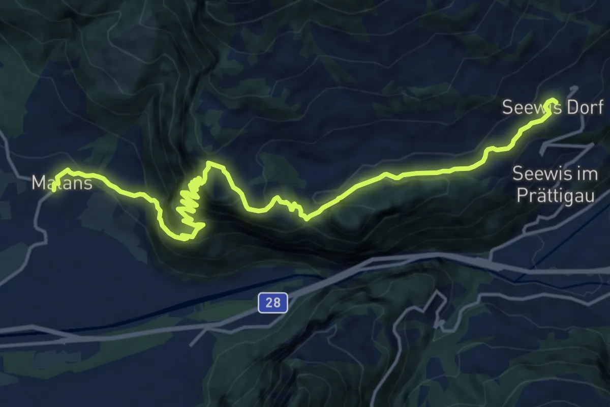
Demanding · Trail
Salisweg
16.6 km · ↑ 1363 m · 6 h 53 min
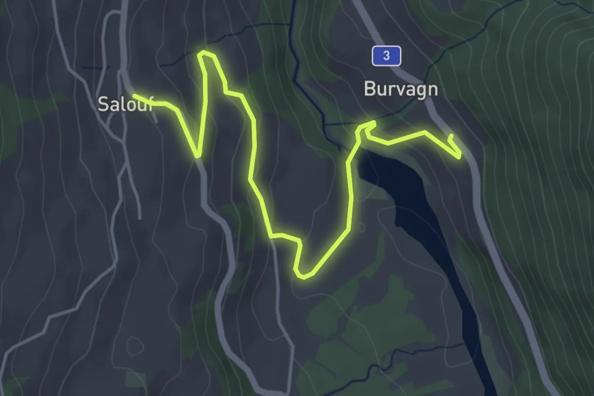
Easy · Trail
Salouf - Burvagn
5.1 km · ↑ 212 m · 1 h 40 min
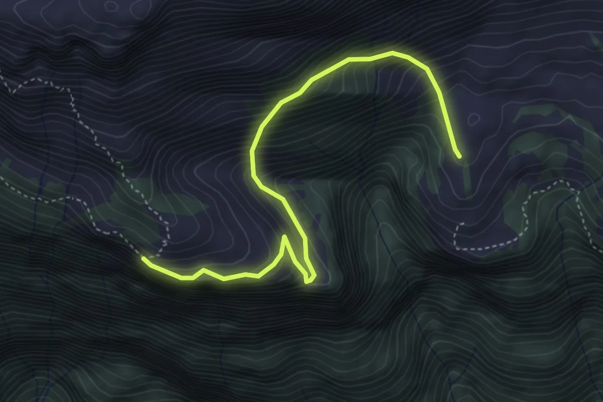
Medium · Trail
Säls - Schwaldis
4.6 km · ↑ 485 m · 2 h 8 min
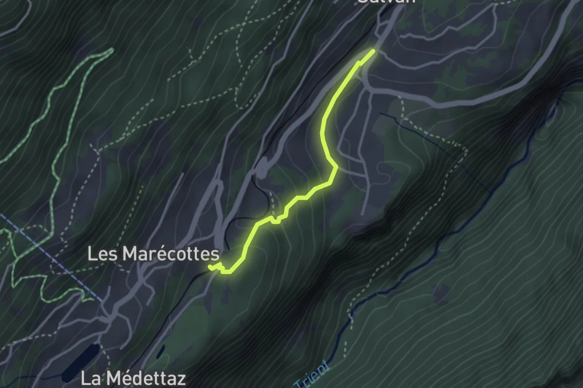
Easy · Trail
Salvan -> Les Marécottes Gare
2.6 km · ↑ 131 m · 54 min
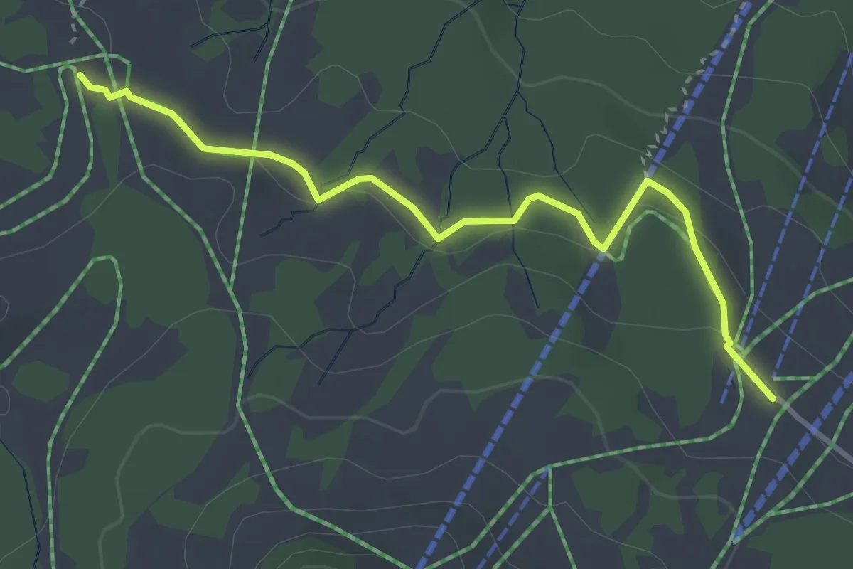
Easy · Trail
Salwiden - Rossweid
3.4 km · ↑ 91 m · 1 h 1 min
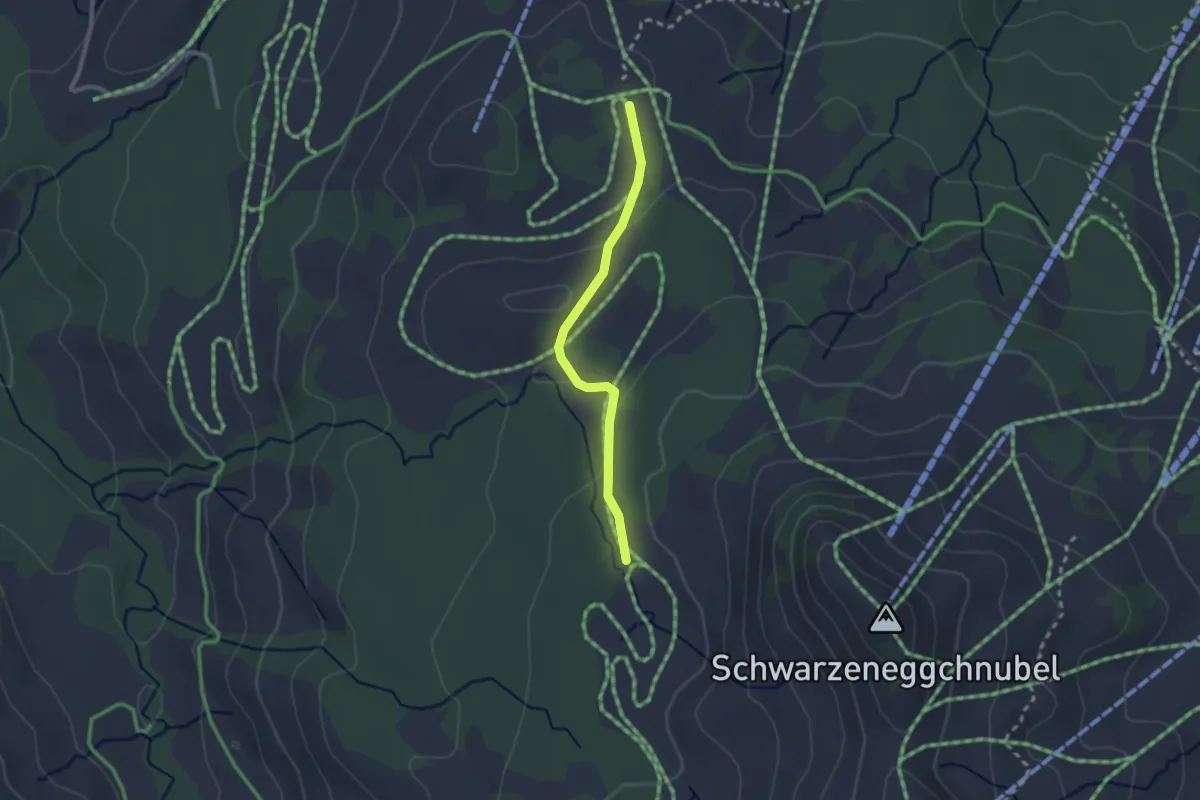
Easy · Trail
Salwiden - Türnli
2.2 km · ↑ 55 m · 38 min
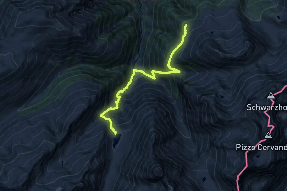
Demanding · Trail
Salzgräb - Heiligkreuz - Einigehitte
12.6 km · ↑ 1381 m · 5 h 58 min
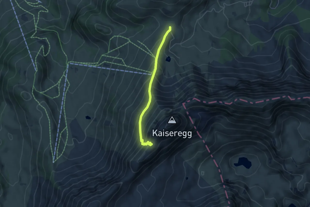
Medium · Cabin
Salzmatt - Kaisereggpass
4.0 km · ↑ 410 m · 1 h 51 min
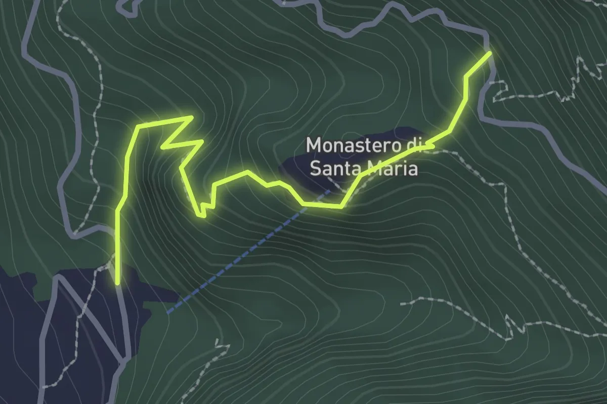
Medium · Trail
S.Ambrogio Monastero
2.5 km · ↑ 291 m · 1 h 14 min
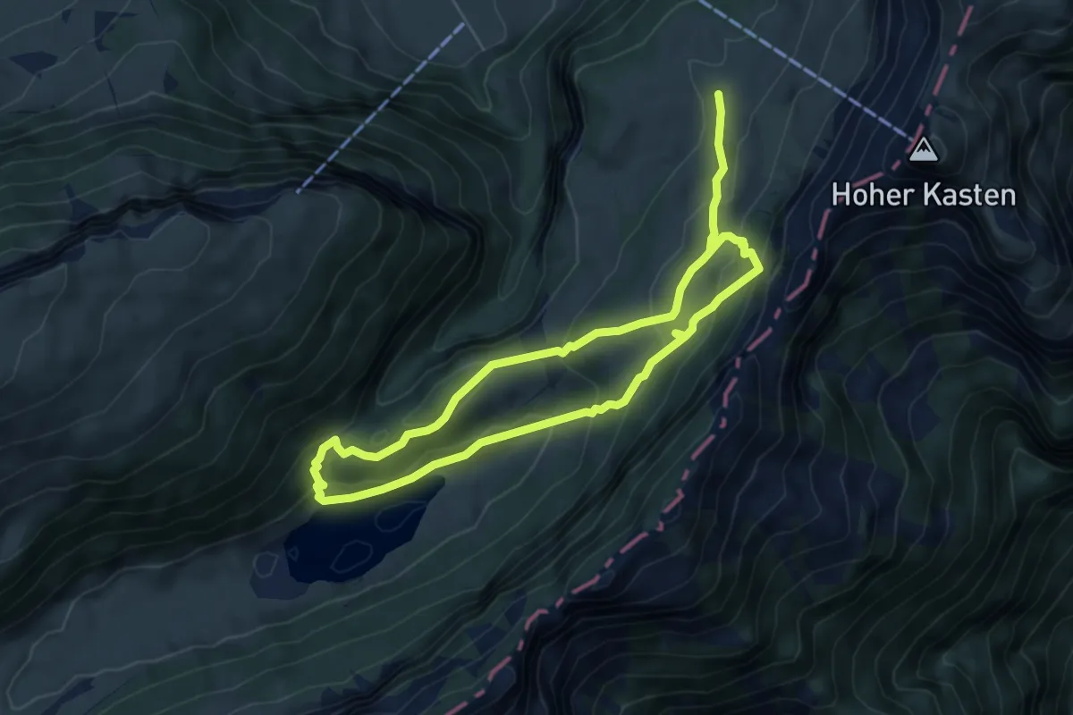
Medium · Trail
Sämtisersee
9.8 km · ↑ 565 m · 3 h 33 min
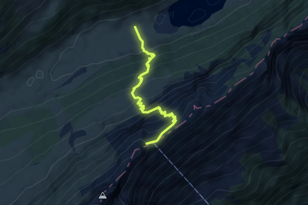
Medium · Summit
Sämtisersee - Staubern
4.2 km · ↑ 526 m · 2 h 8 min
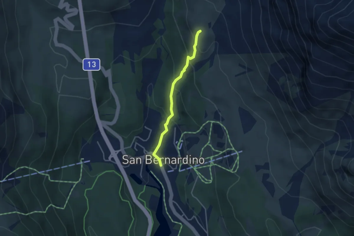
Easy · Trail
San Bernardino - ?
2.7 km · ↑ 195 m · 1 h 3 min
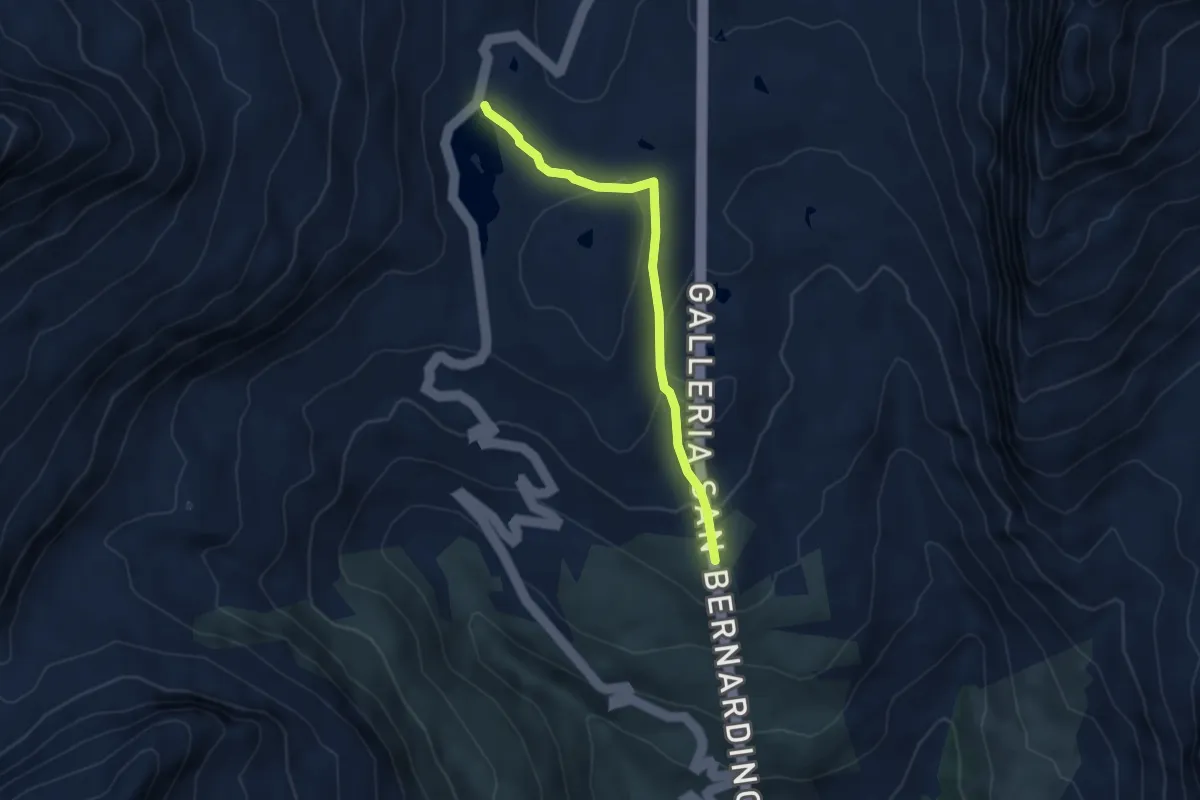
Easy · Trail
San Bernardino-Saas de la Golp
4.3 km · ↑ 146 m · 1 h 20 min
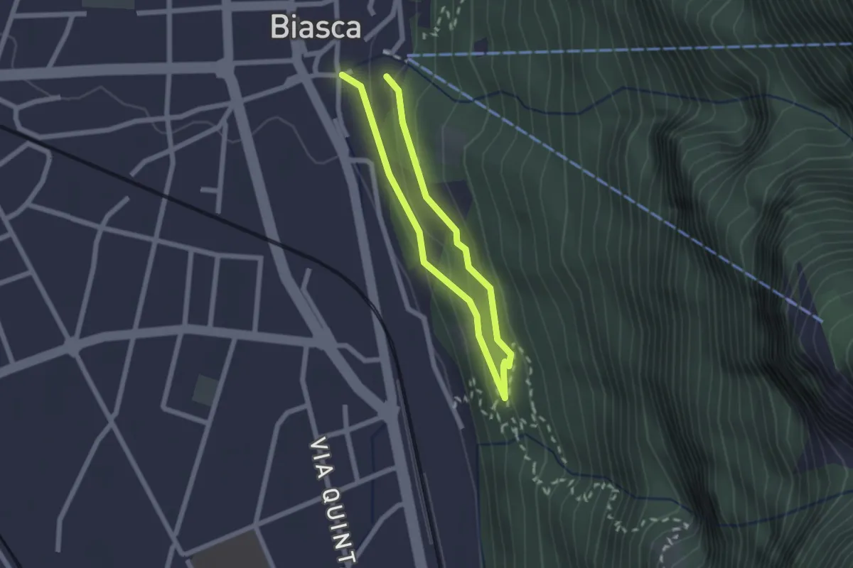
Easy · Trail
San Carlo-San Pietro
1.5 km · ↑ 93 m · 35 min
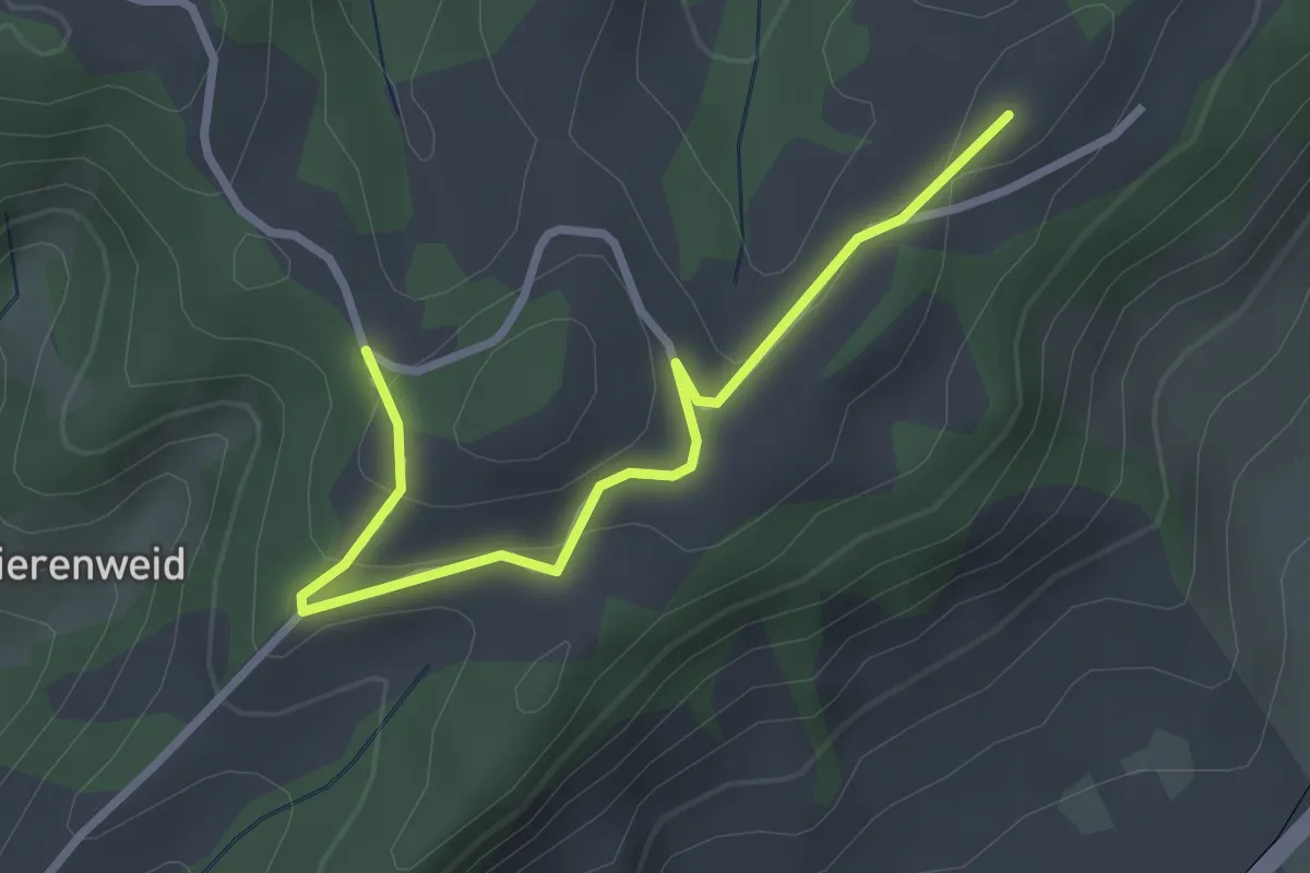
Easy · Trail
Sandbach - St.Anna
2.9 km · ↑ 134 m · 59 min
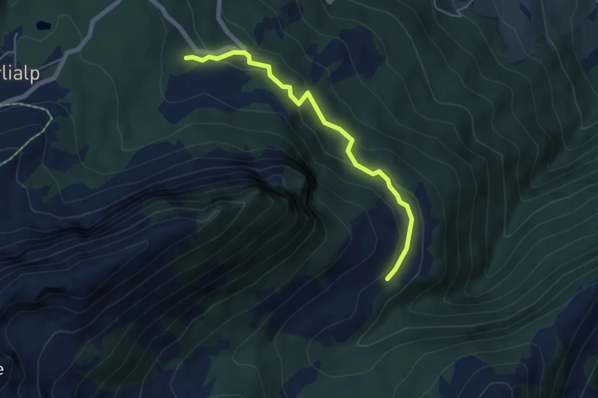
Easy · Trail
Sandboden - Brosmatt
4.3 km · ↑ 264 m · 1 h 35 min
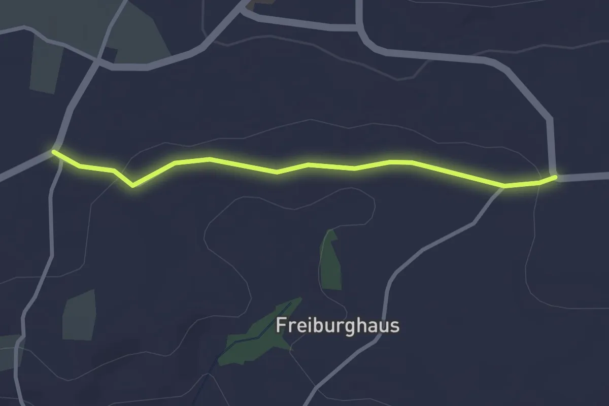
Easy · Trail
Sandgrube - Brüggelbach
2.5 km · ↑ 37 m · 41 min
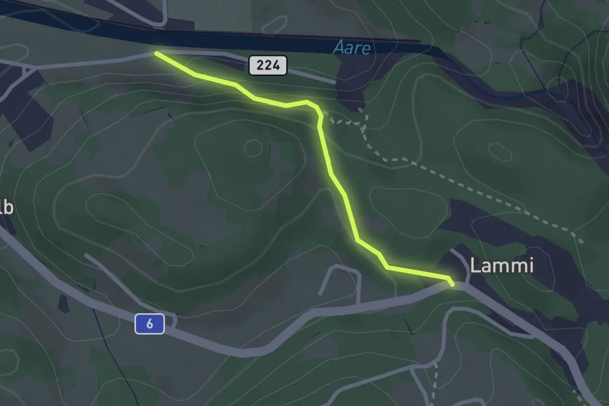
Easy · Trail
Sandsteg - Lammi
2.1 km · ↑ 117 m · 44 min
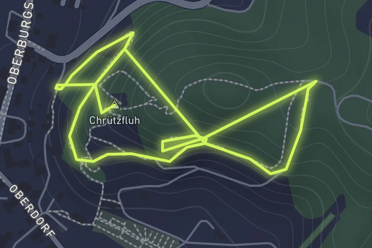
Easy · Summit
Sandstein Lehrpfad
3.4 km · ↑ 310 m · 1 h 29 min
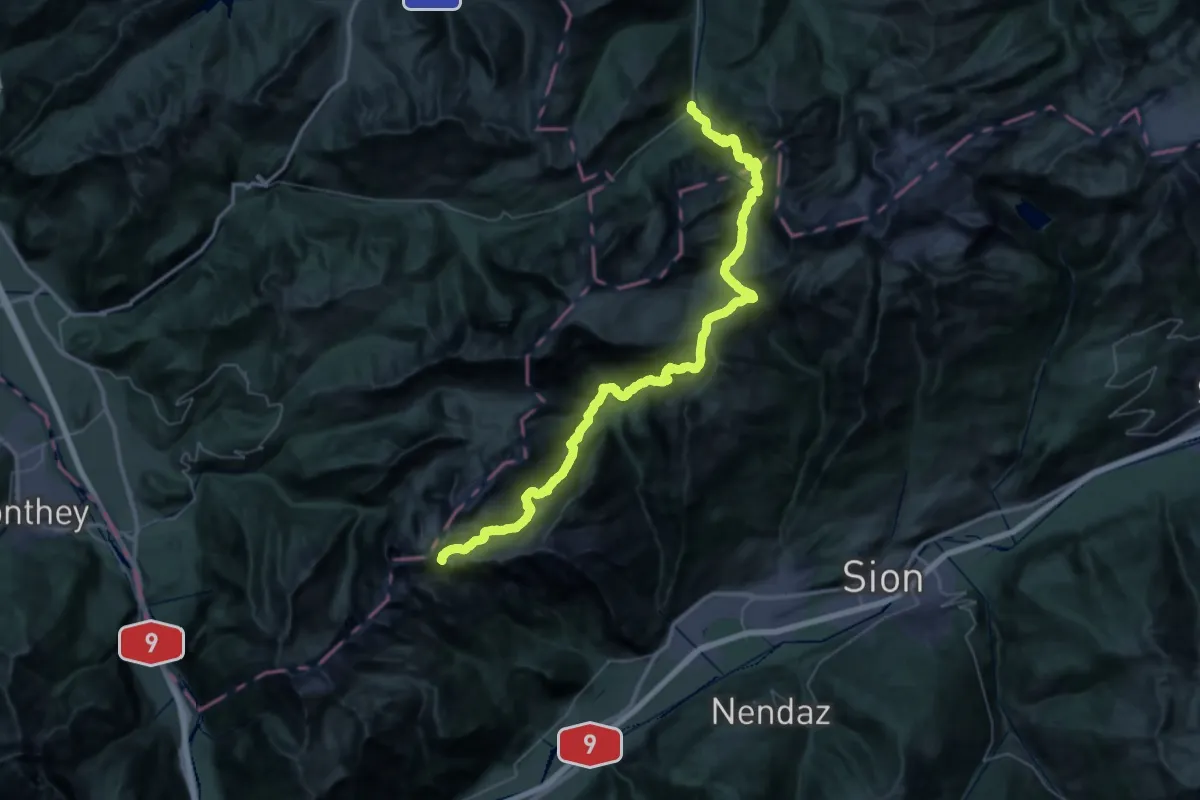
Demanding · Summit
Sanetsch-Muveran-Weg
62.5 km · ↑ 3991 m · 23 h 25 min
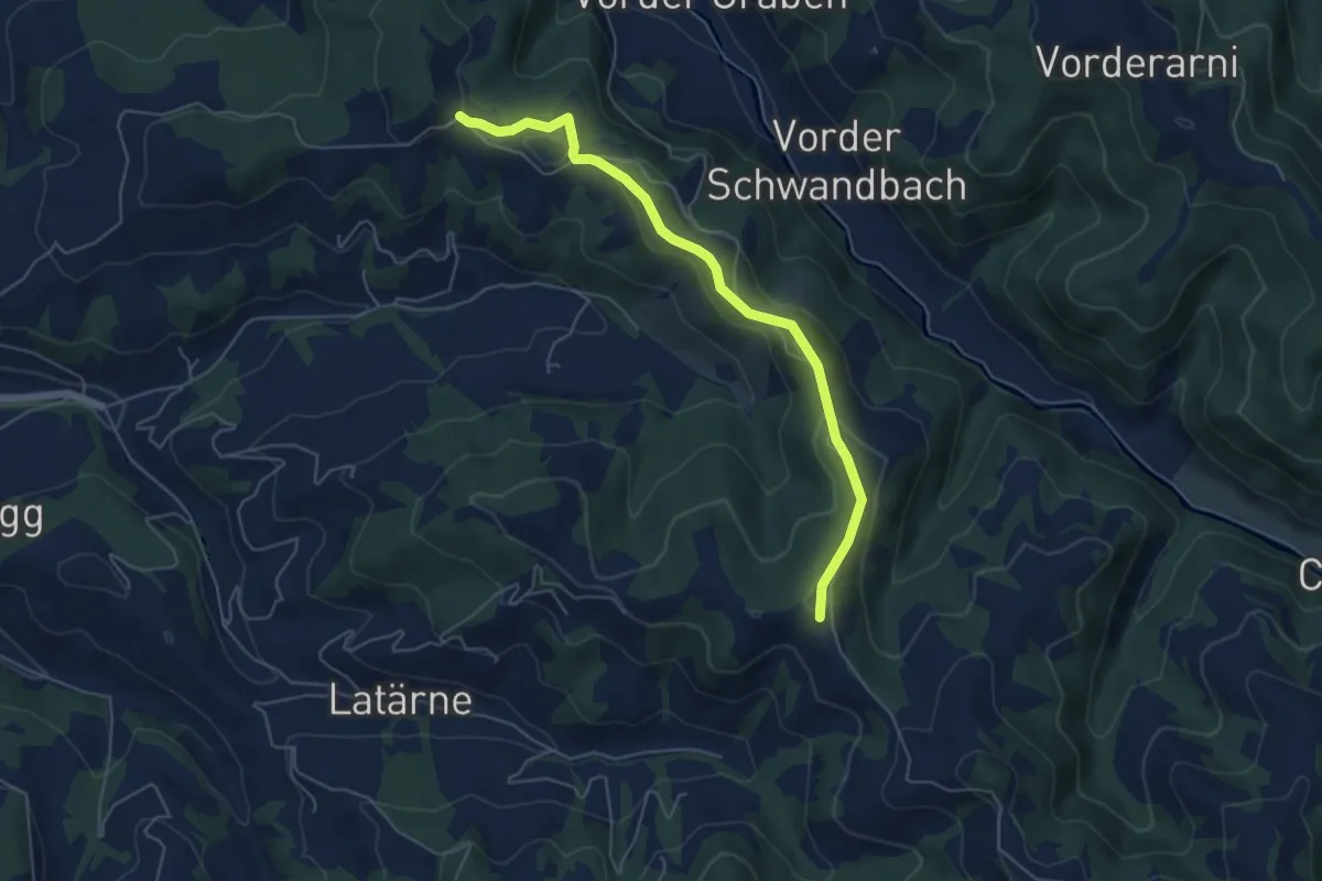
Easy · Trail
Sänggli - Sparenegg
5.5 km · ↑ 182 m · 1 h 41 min
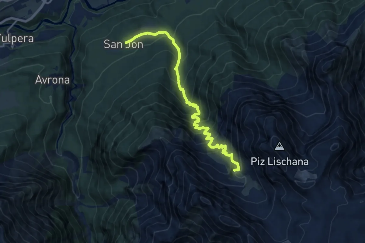
Demanding · Cabin
San Jon - Chamonna Lischana
10.6 km · ↑ 1087 m · 4 h 52 min
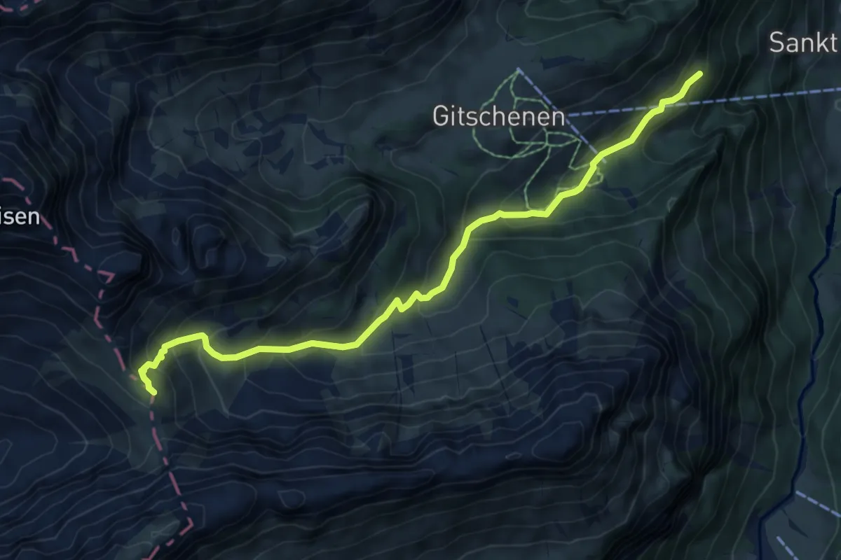
Medium · Trail
Sankt Jakob - Sinsgäuer Schonegg
7.4 km · ↑ 554 m · 2 h 57 min
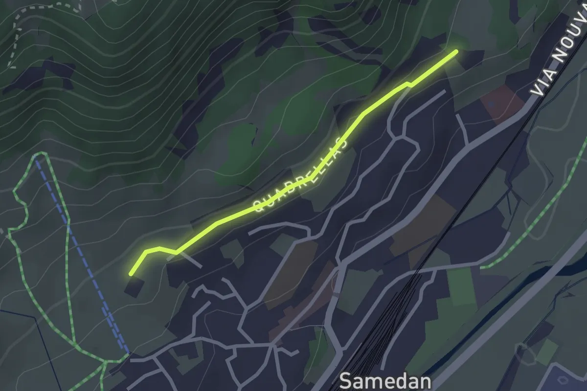
Easy · Trail
San Peter - Muntarütsch
2.2 km · ↑ 33 m · 36 min
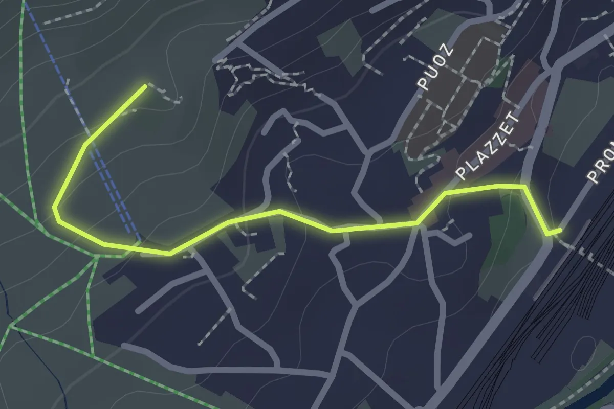
Easy · Trail
San Peter - Samedan Staziun
2.1 km · ↑ 84 m · 40 min
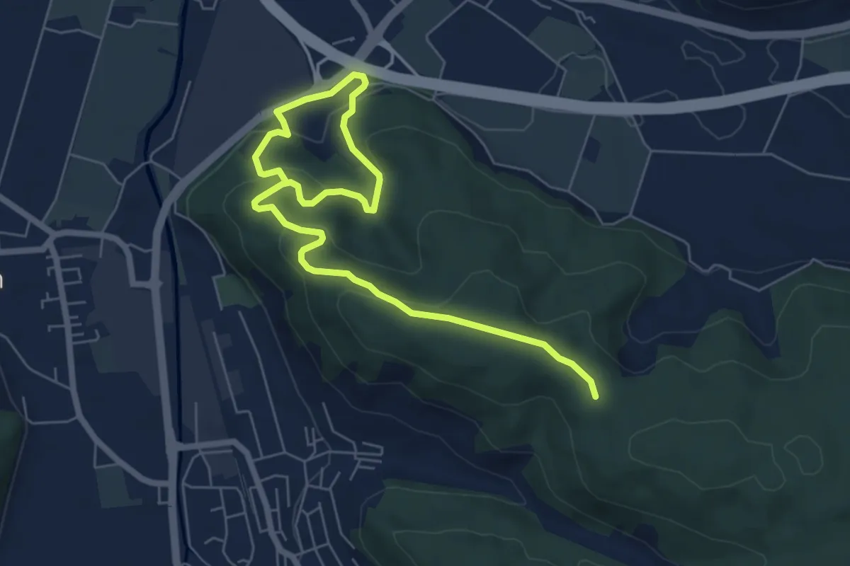
Easy · Trail
Santeberg Nord - Dagmersellen
7.9 km · ↑ 317 m · 2 h 33 min
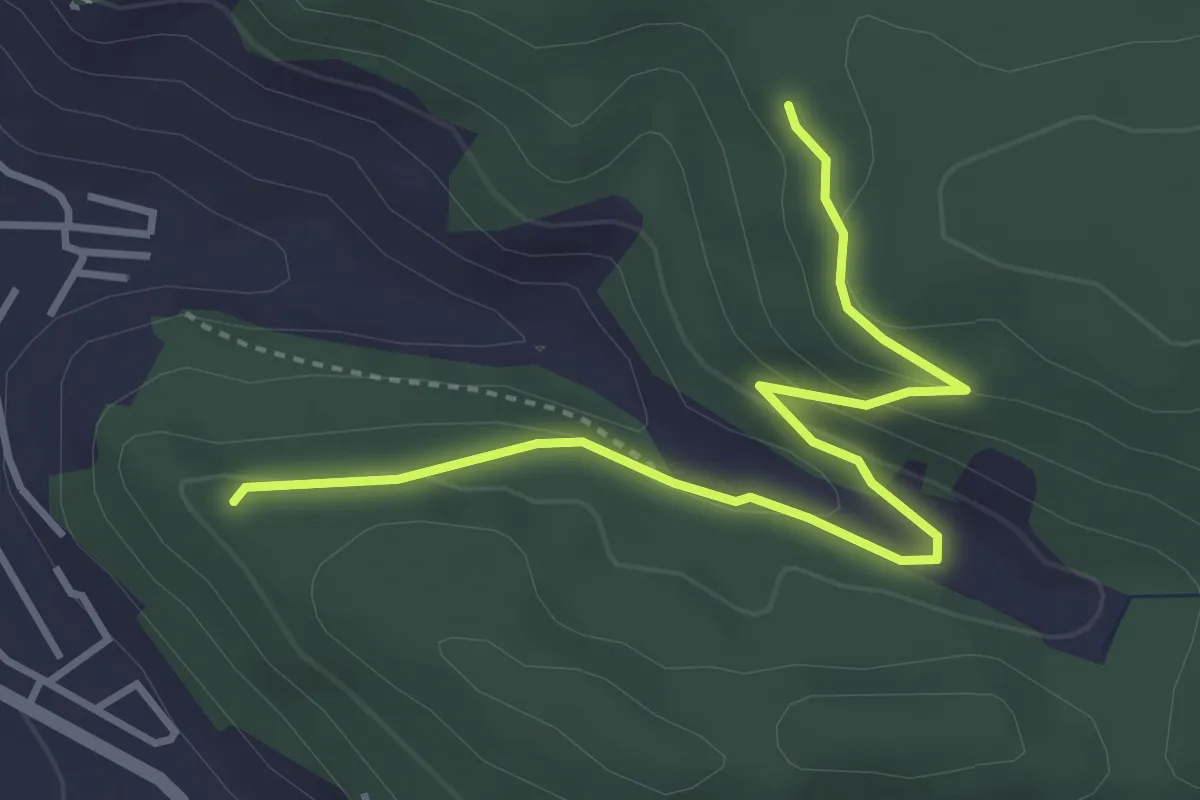
Easy · Trail
Santeberg Süd - Buechlegi
3.9 km · ↑ 144 m · 1 h 14 min
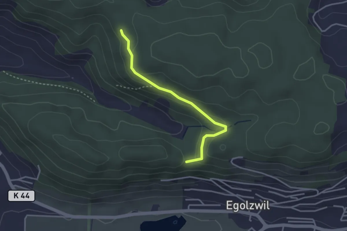
Easy · Trail
Santeberg Süd - Fuchsetanz
2.8 km · ↑ 77 m · 49 min
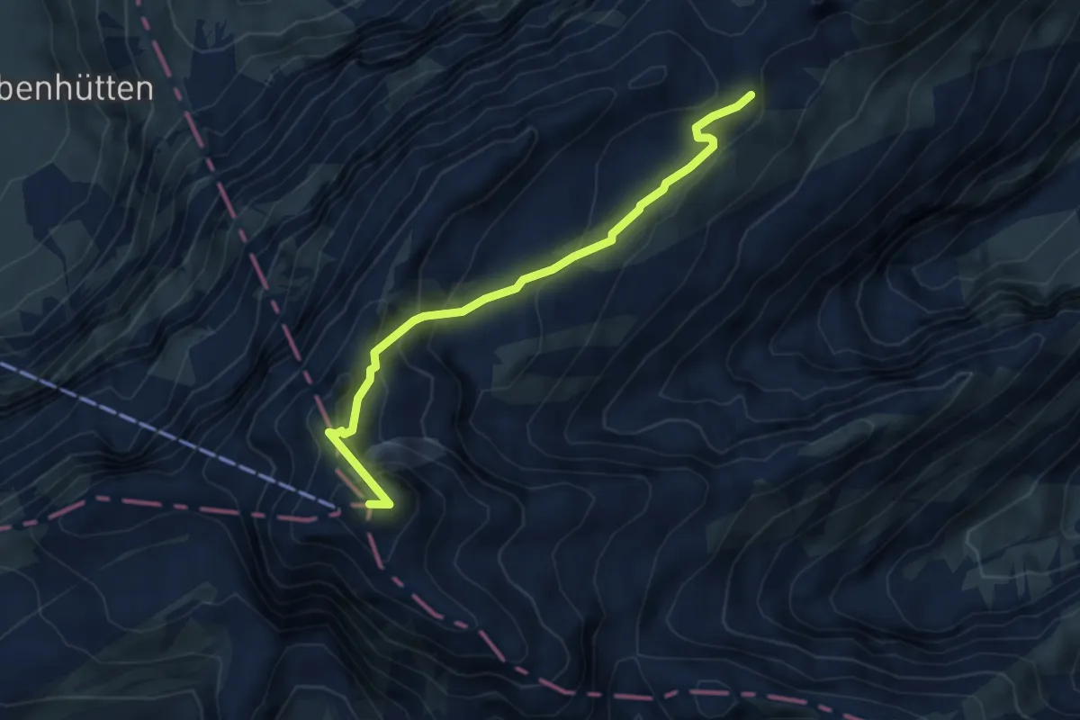
Demanding · Summit
Säntis - Höchnideri
4.4 km · ↑ 341 m · 1 h 47 min
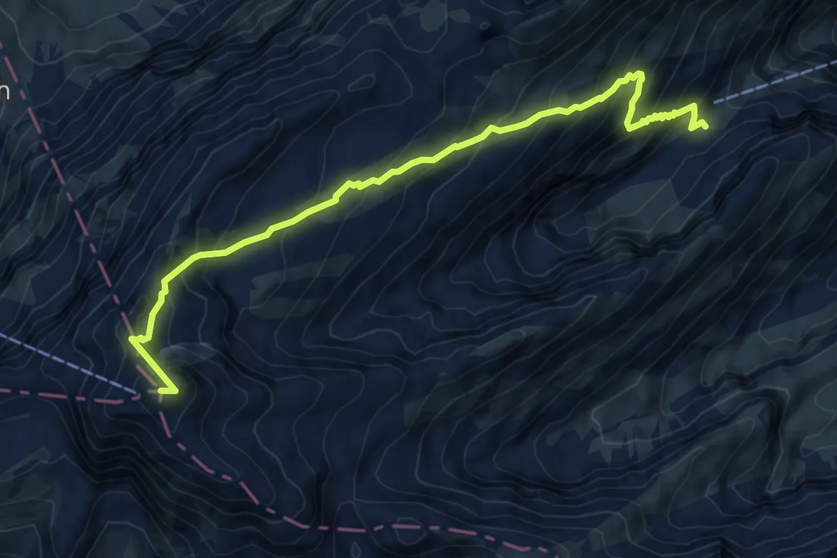
Demanding · Summit
Säntis - Mesmer
7.4 km · ↑ 799 m · 3 h 29 min
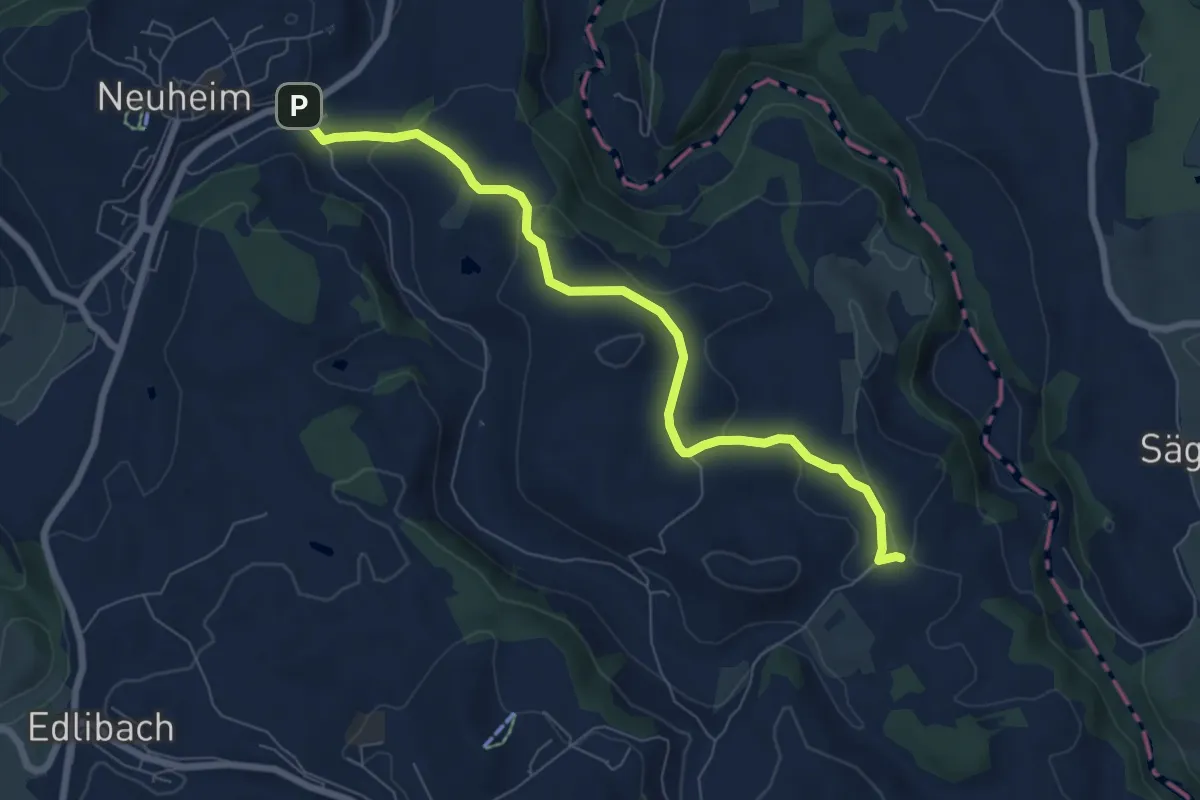
Easy · Trail
Sarbach - Schwand
7.4 km · ↑ 156 m · 2 h 5 min
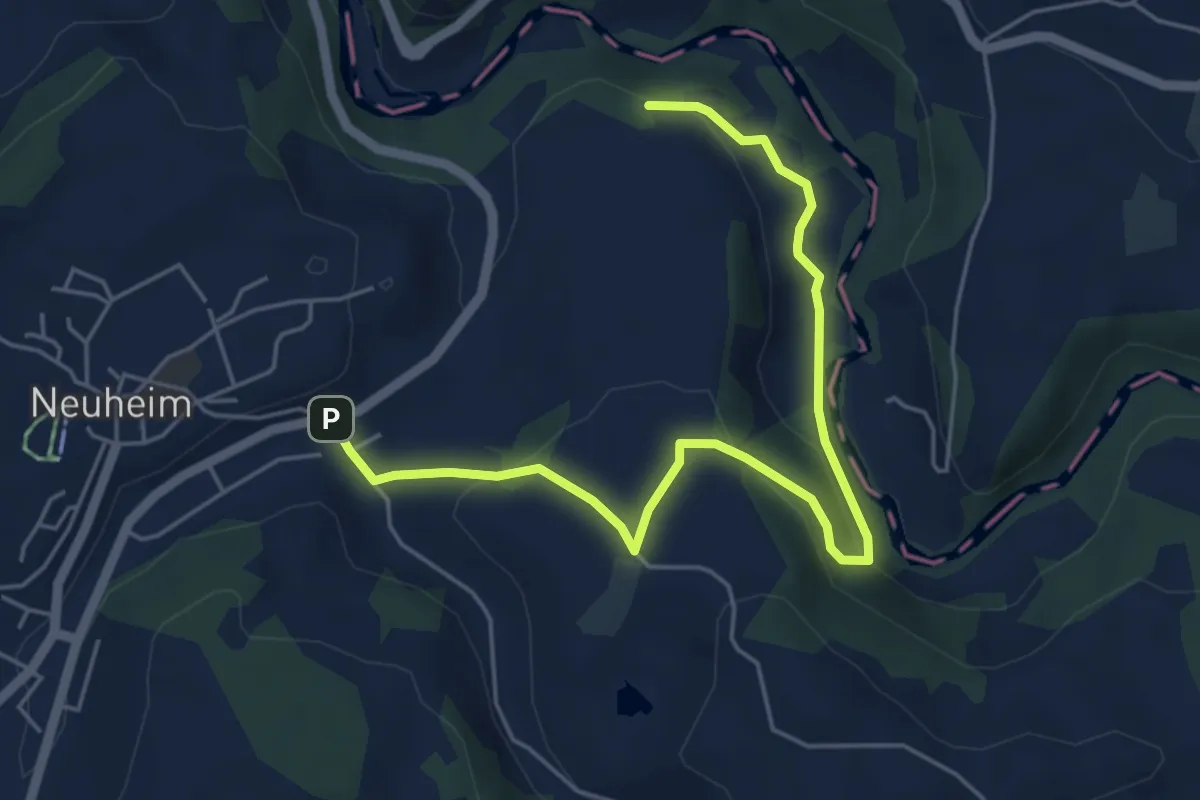
Easy · Trail
Sarbach - Sennweid
5.9 km · ↑ 190 m · 1 h 48 min