Trails in Switzerland
15,064 hiking trails, each with its route, climb, walking time and grade.
All trails, page 92 of 314
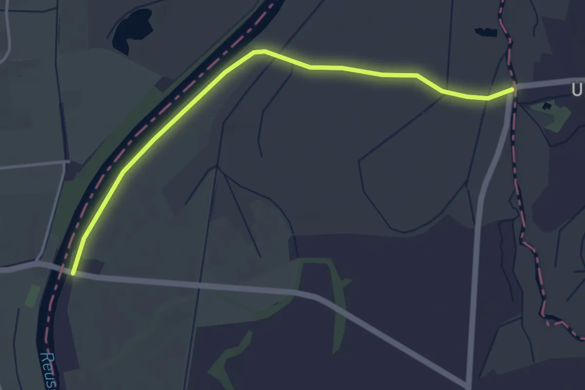
Easy · Trail
Rüsspitz - Brücke Mühlau
4.0 km · ↑ 0 m · 56 min
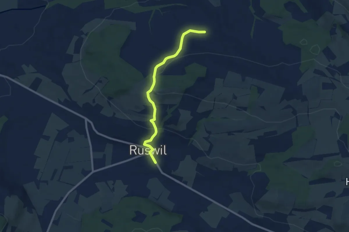
Easy · Trail
Ruswil - Etzenerle
5.9 km · ↑ 215 m · 1 h 51 min
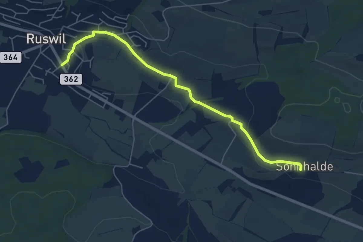
Easy · Trail
Ruswil - Sonnhalden
5.1 km · ↑ 111 m · 1 h 27 min
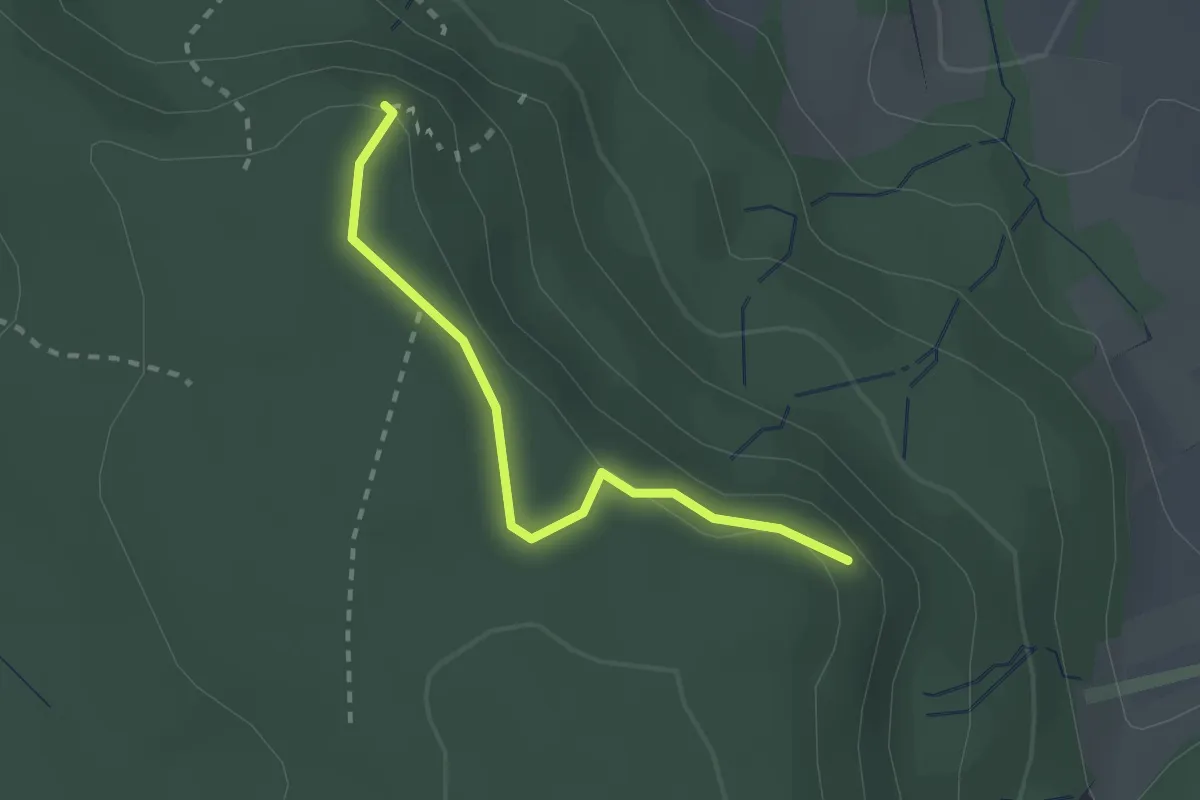
Easy · Trail
Rütelbuck - Schaffhuser
2.1 km · ↑ 38 m · 35 min
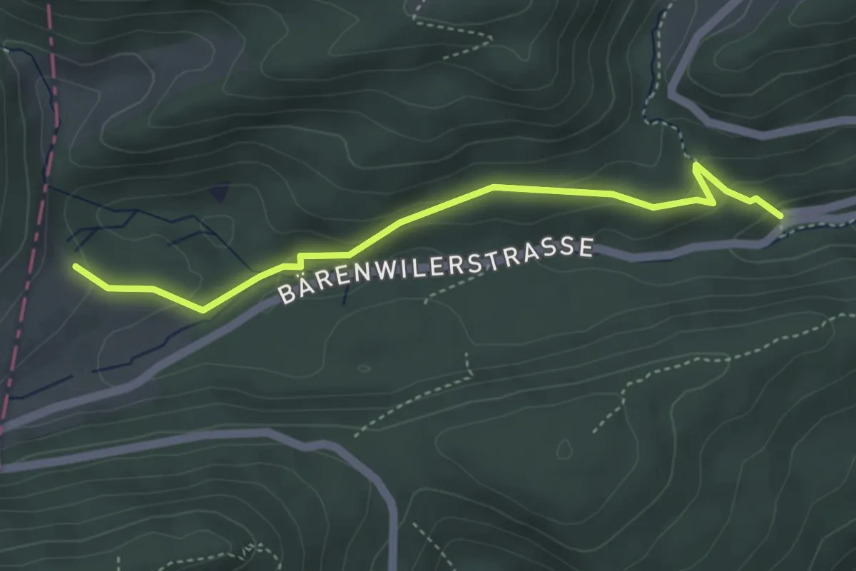
Medium · Trail
Rüteli - Allerheiligen Rank
3.9 km · ↑ 193 m · 1 h 21 min
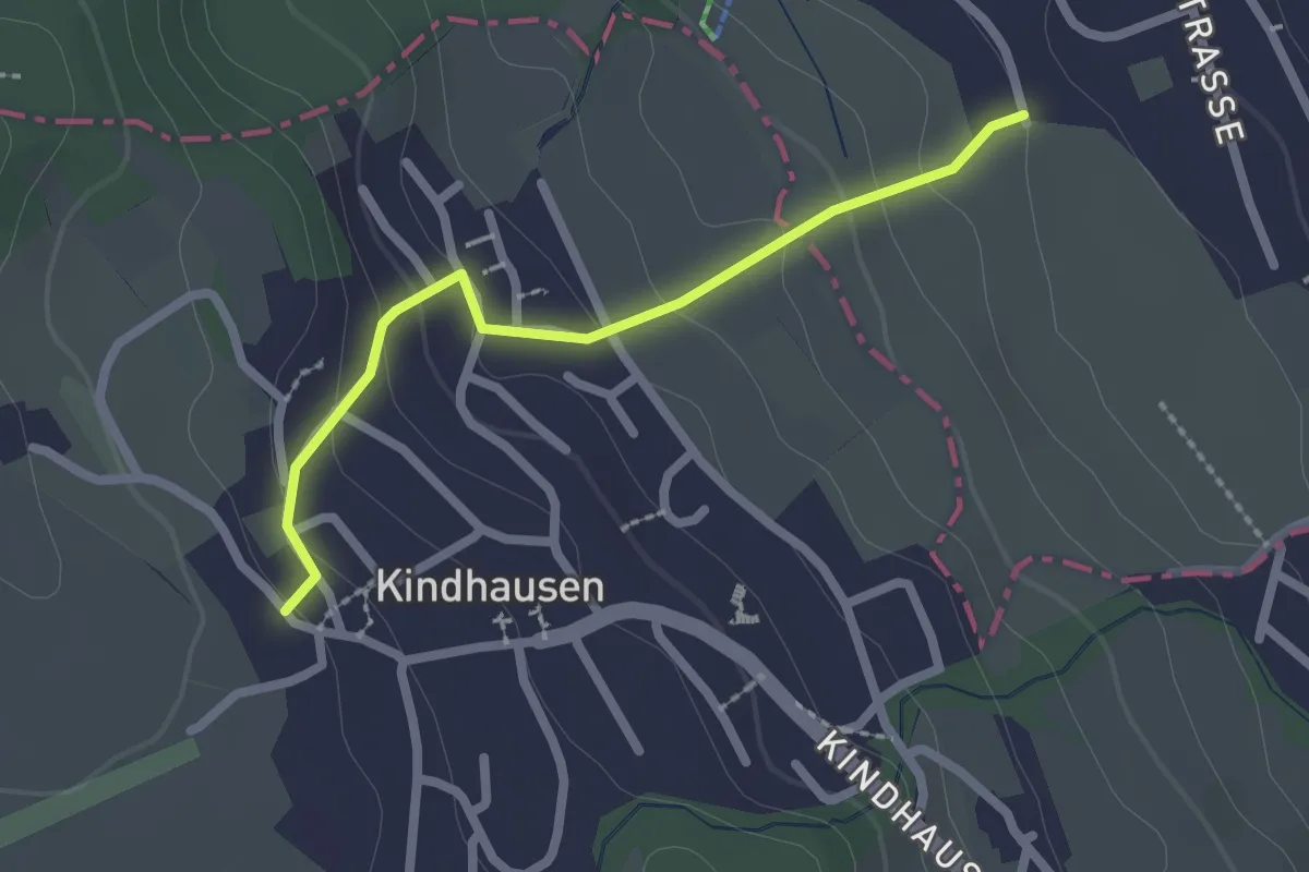
Easy · Trail
Rüteren - Kindhausen
2.1 km · ↑ 118 m · 45 min
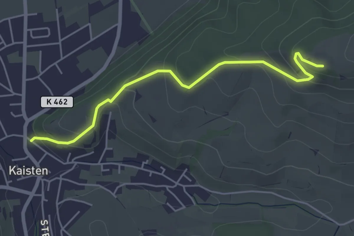
Easy · Trail
Rütihof - Kaisten
4.4 km · ↑ 193 m · 1 h 27 min
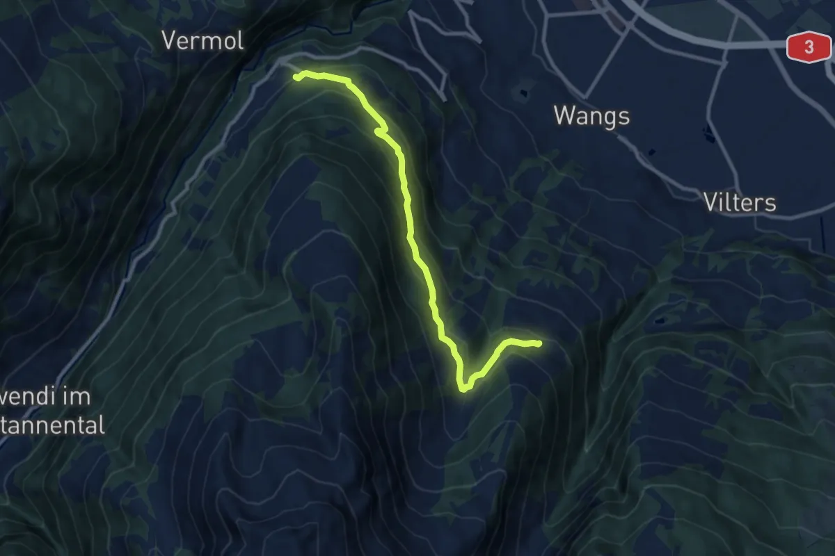
Medium · Trail
Rütiwald - Garschlu
9.5 km · ↑ 504 m · 3 h 20 min
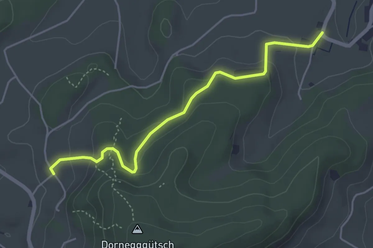
Easy · Trail
RütschelenWil - Dornegg
4.2 km · ↑ 200 m · 1 h 25 min
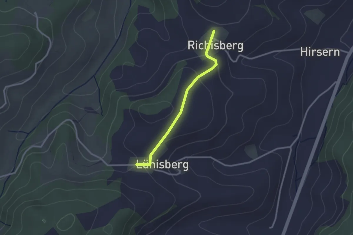
Easy · Trail
Ryschberg-Lünschberg
2.2 km · ↑ 56 m · 38 min
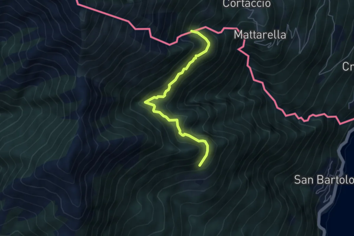
Demanding · Trail
S04a Bivio S04 Prati d'Agro - Alpe Rescerasca CH (fino al Confine Italo-Svizzero)
4.8 km · ↑ 463 m · 2 h 9 min
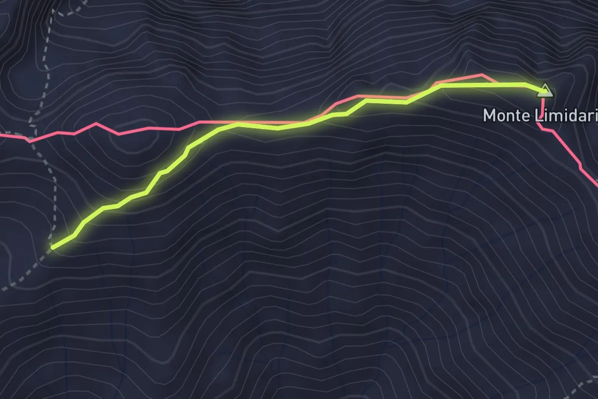
Demanding · Summit
S10 Cavaglio - Le Biuse - Monte Limidario
2.8 km · ↑ 279 m · 1 h 16 min
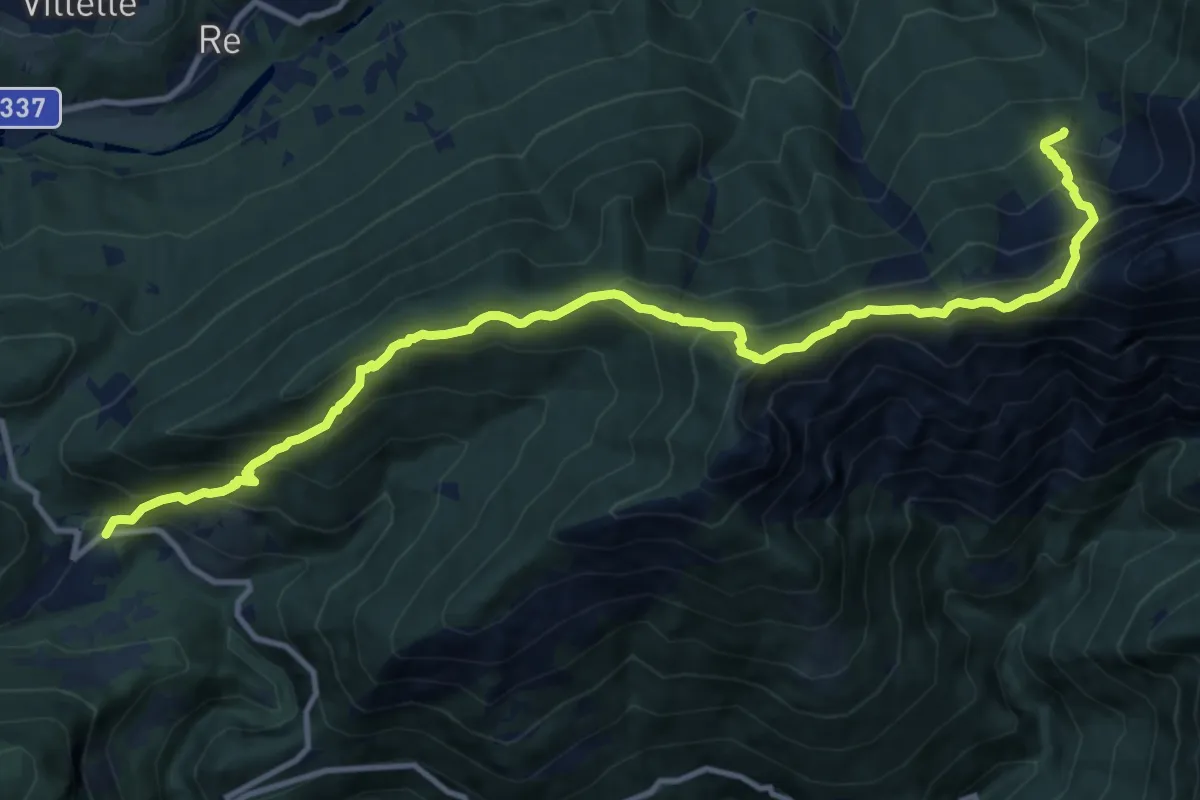
Demanding · Trail
S18 - Finero - Alpe Pluni - Pian di Strii - Alpe L'Alpino
13.7 km · ↑ 1361 m · 6 h 11 min
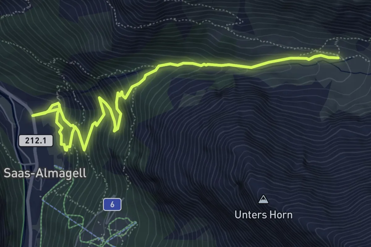
Medium · Cabin
Saas-Almagell - Almagelleralp
8.1 km · ↑ 612 m · 3 h 14 min
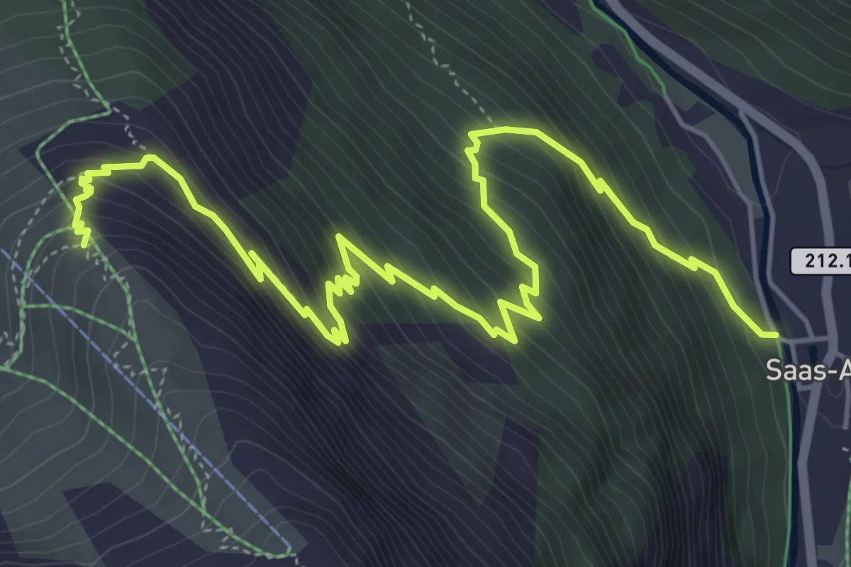
Medium · Trail
Saas-Almagell - Berghaus Plattjen
7.2 km · ↑ 706 m · 3 h 14 min
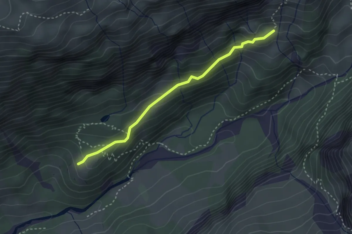
Medium · Trail
Saasalp - Hotel Maderanertal
2.8 km · ↑ 176 m · 1 h 3 min
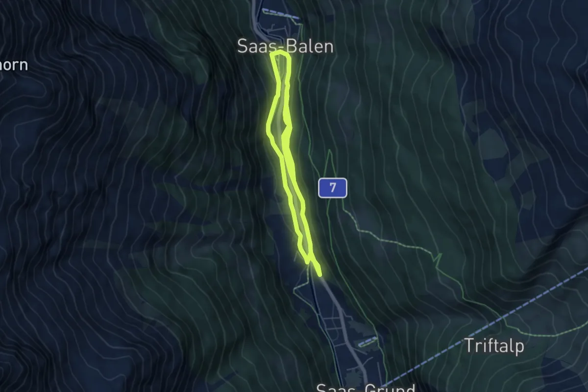
Medium · Trail
Saas-Balen - Bidermatten
10.4 km · ↑ 285 m · 3 h 4 min
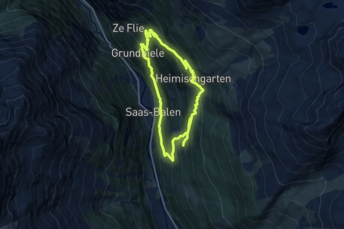
Demanding · Trail
Saas-Balen - Heimsichgarten
15.5 km · ↑ 1290 m · 6 h 27 min
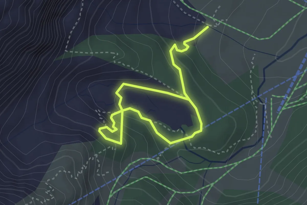
Medium · Trail
Saas-Fee - Gletschergrotte
4.5 km · ↑ 284 m · 1 h 40 min
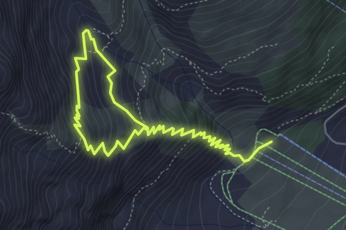
Medium · Trail
Saas-Fee - Hannig
6.6 km · ↑ 756 m · 3 h 12 min
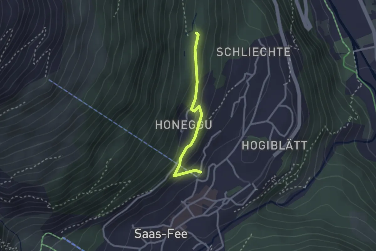
Easy · Trail
Saas-Fee - Melchbode
2.1 km · ↑ 113 m · 45 min
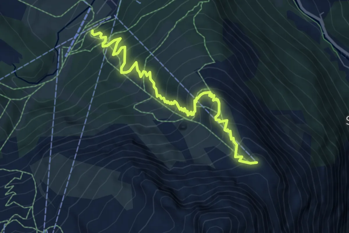
Medium · Trail
Saas-Fee - Plattjen
7.8 km · ↑ 747 m · 3 h 27 min
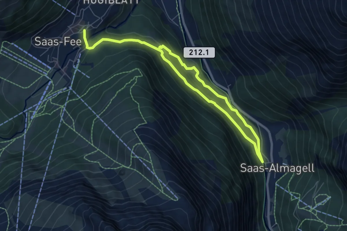
Medium · Trail
Saas-Fee - Saas-Almagell
10.1 km · ↑ 367 m · 3 h 11 min
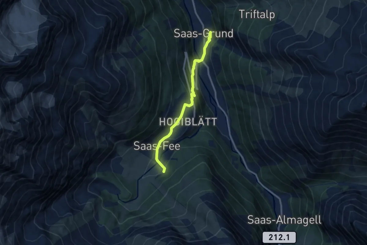
Easy · Trail
Saas-Grund - Saas-Fee
7.2 km · ↑ 319 m · 2 h 24 min
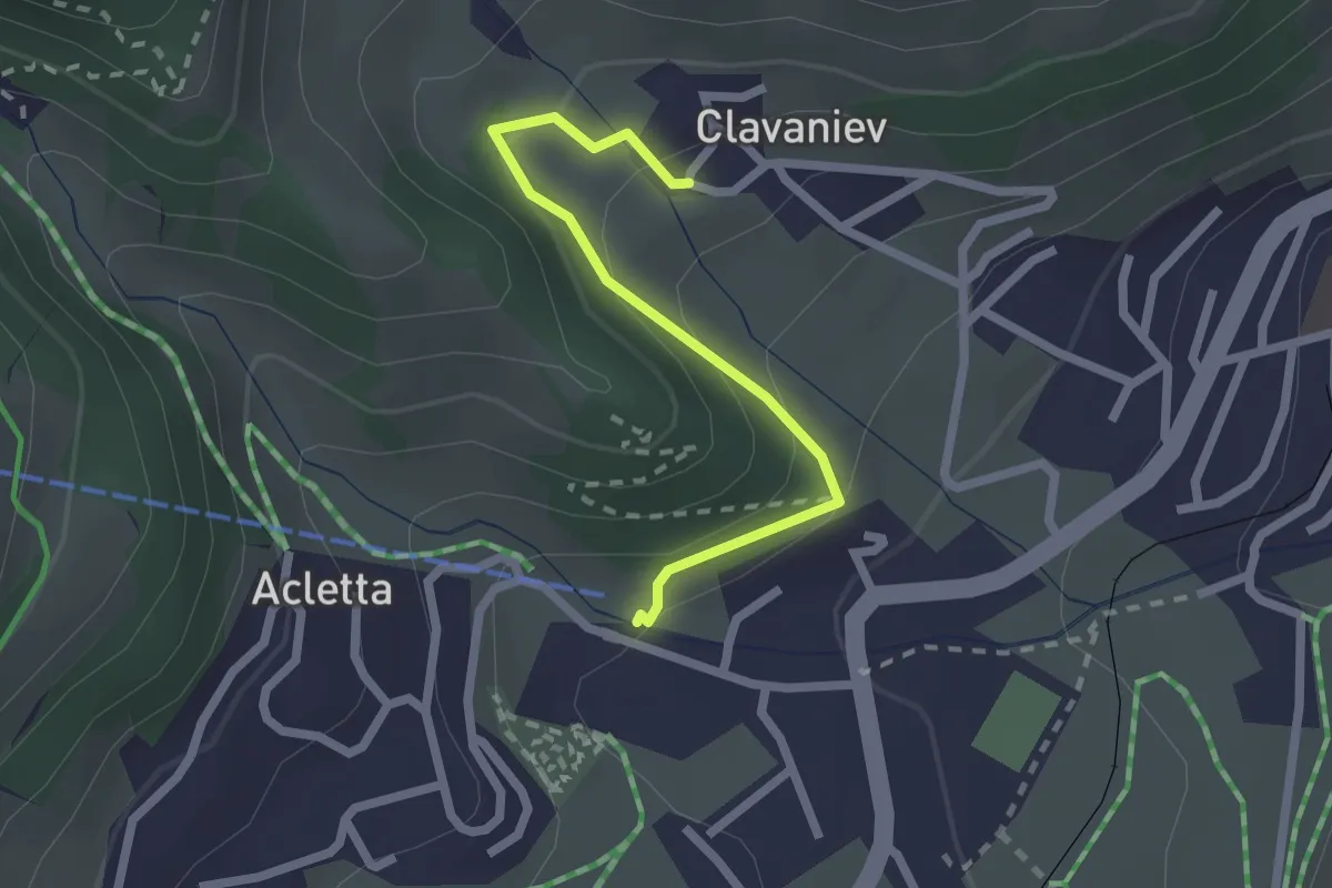
Easy · Trail
Sa Catrina - Clavaniev
2.1 km · ↑ 142 m · 48 min
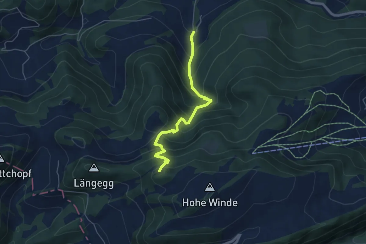
Medium · Trail
SAC Jubiläumswägli
4.5 km · ↑ 499 m · 2 h 9 min
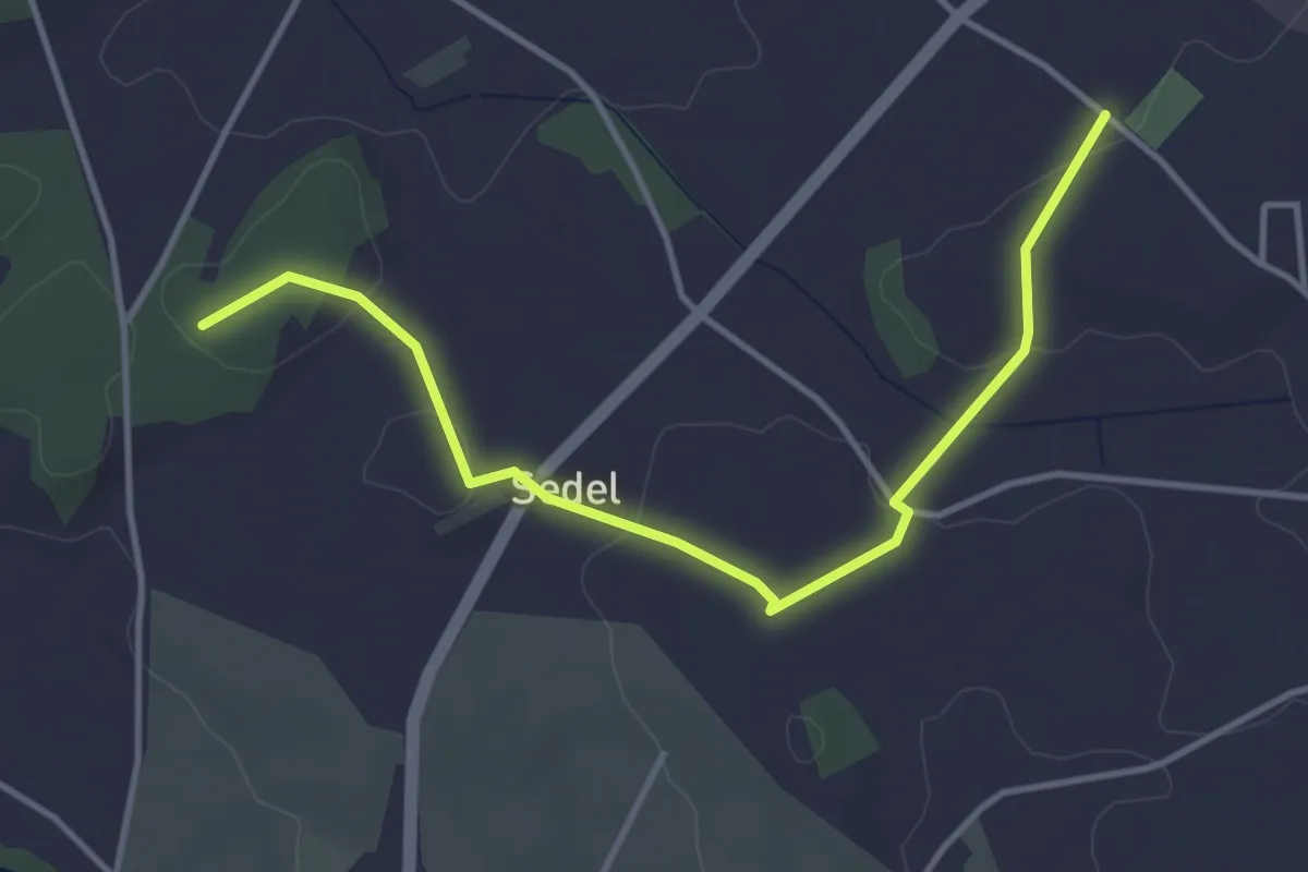
Easy · Trail
Sädel
4.1 km · ↑ 60 m · 1 h 6 min
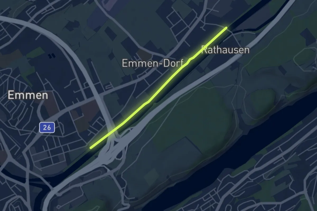
Easy · Trail
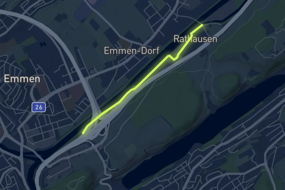
Sädelbrücke - Rathausen
3.9 km · ↑ 0 m · 55 min
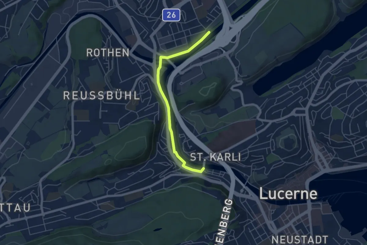
Easy · Trail
Sädelbrücke - Rathausen Brücke
4.1 km · ↑ 13 m · 1 h
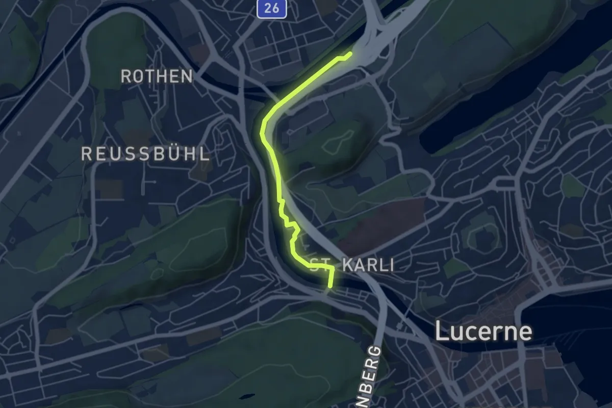
Easy · Trail
Sädelbrücke - St. Karli
4.9 km · ↑ 39 m · 1 h 14 min
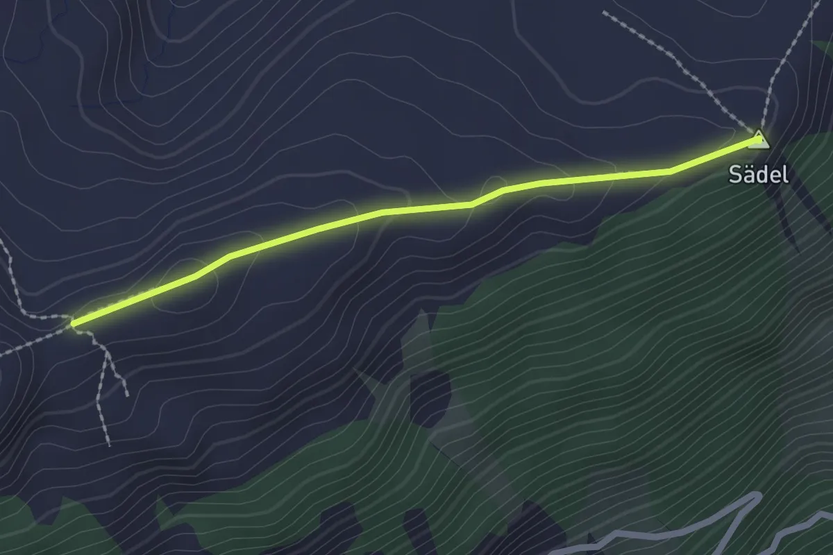
Easy · Trail
Sädelbrücke - St.Karli
4.5 km · ↑ 69 m · 1 h 12 min
Easy · Summit
Sädel - Dundelegg
2.0 km · ↑ 80 m · 39 min
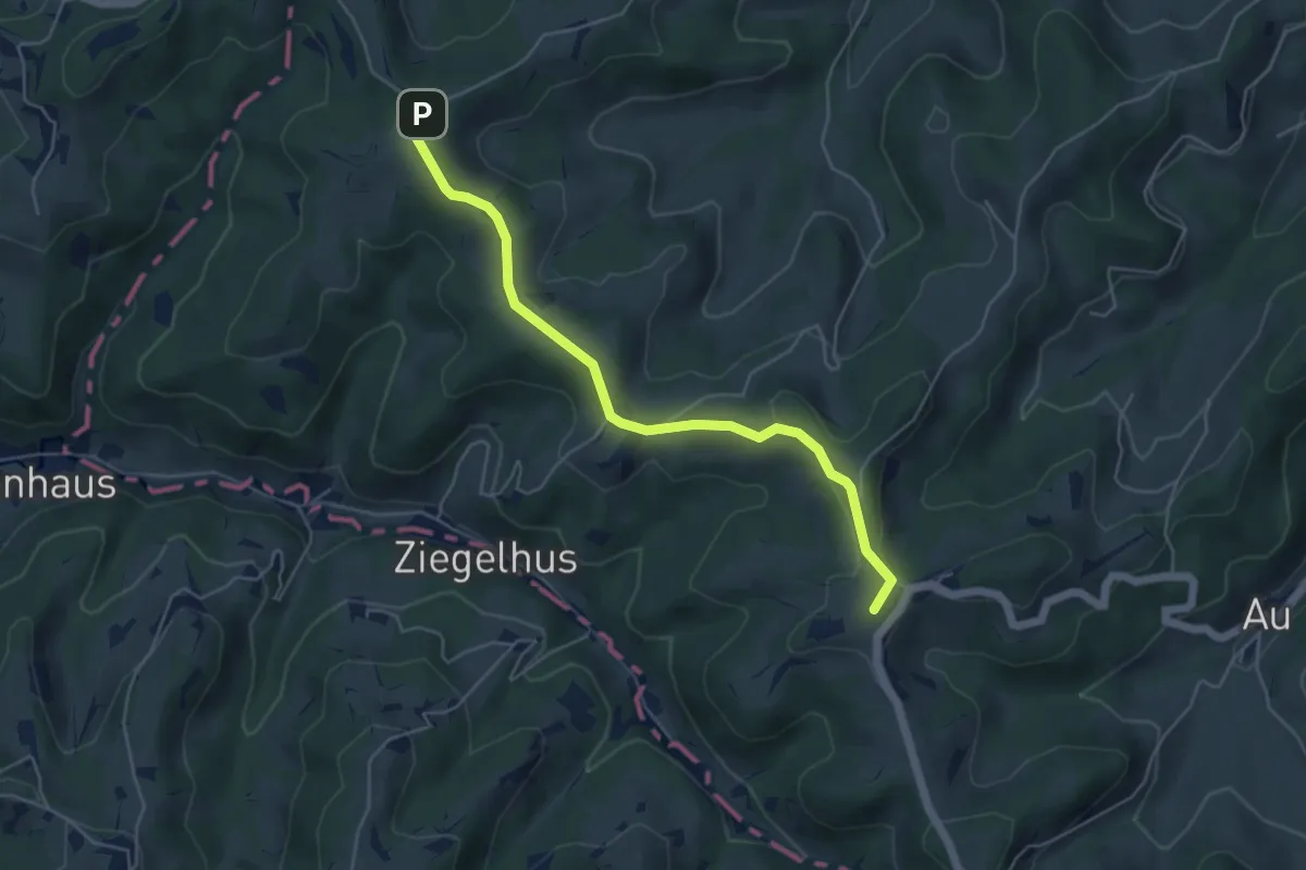
Easy · Summit
Sädelegg-Rotbühl
5.0 km · ↑ 103 m · 1 h 24 min
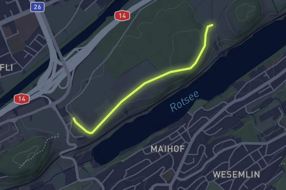
Easy · Trail
Sädel - Seehof
3.3 km · ↑ 63 m · 55 min
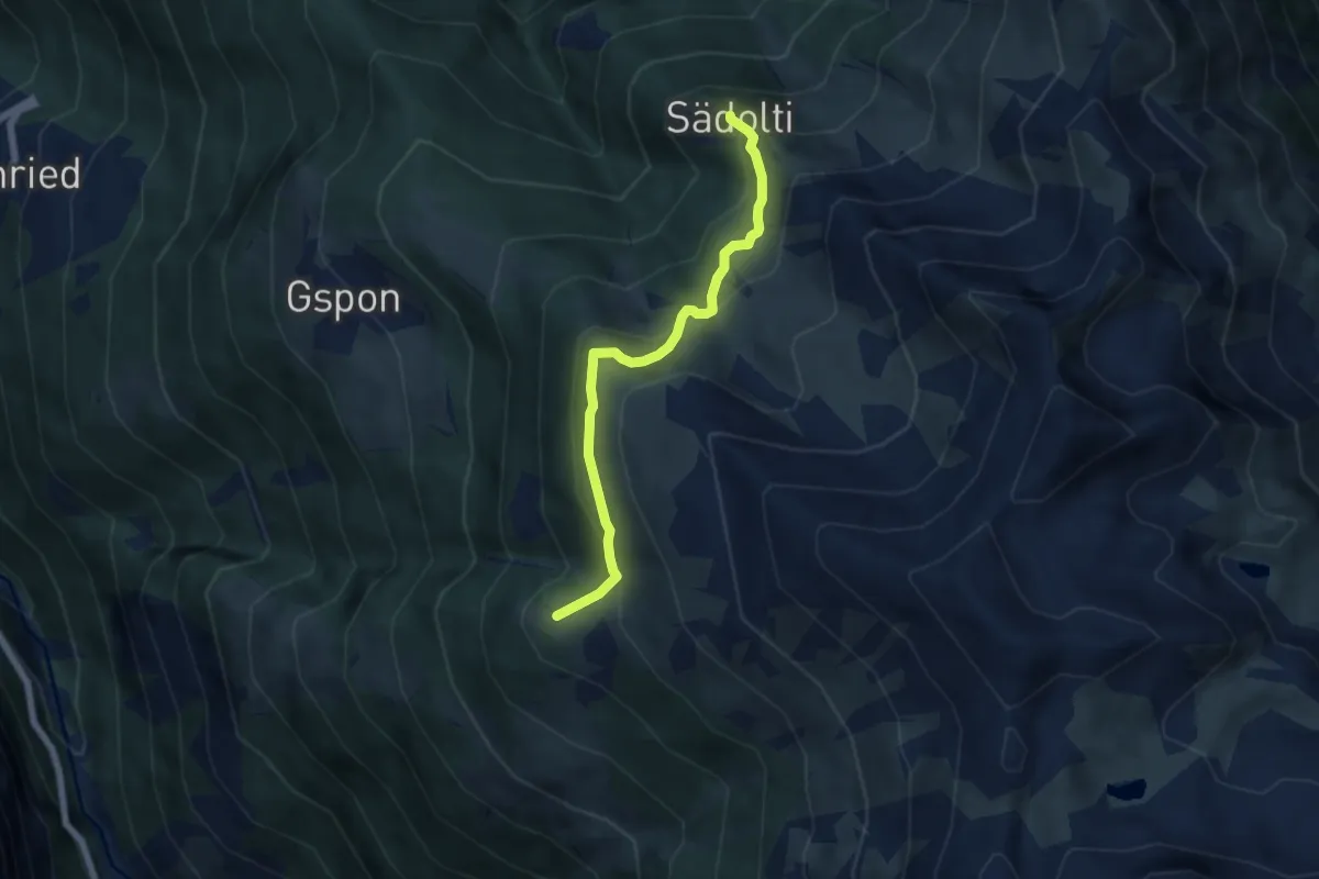
Medium · Trail
Sädolti - Häüschbiele
5.5 km · ↑ 429 m · 2 h 14 min
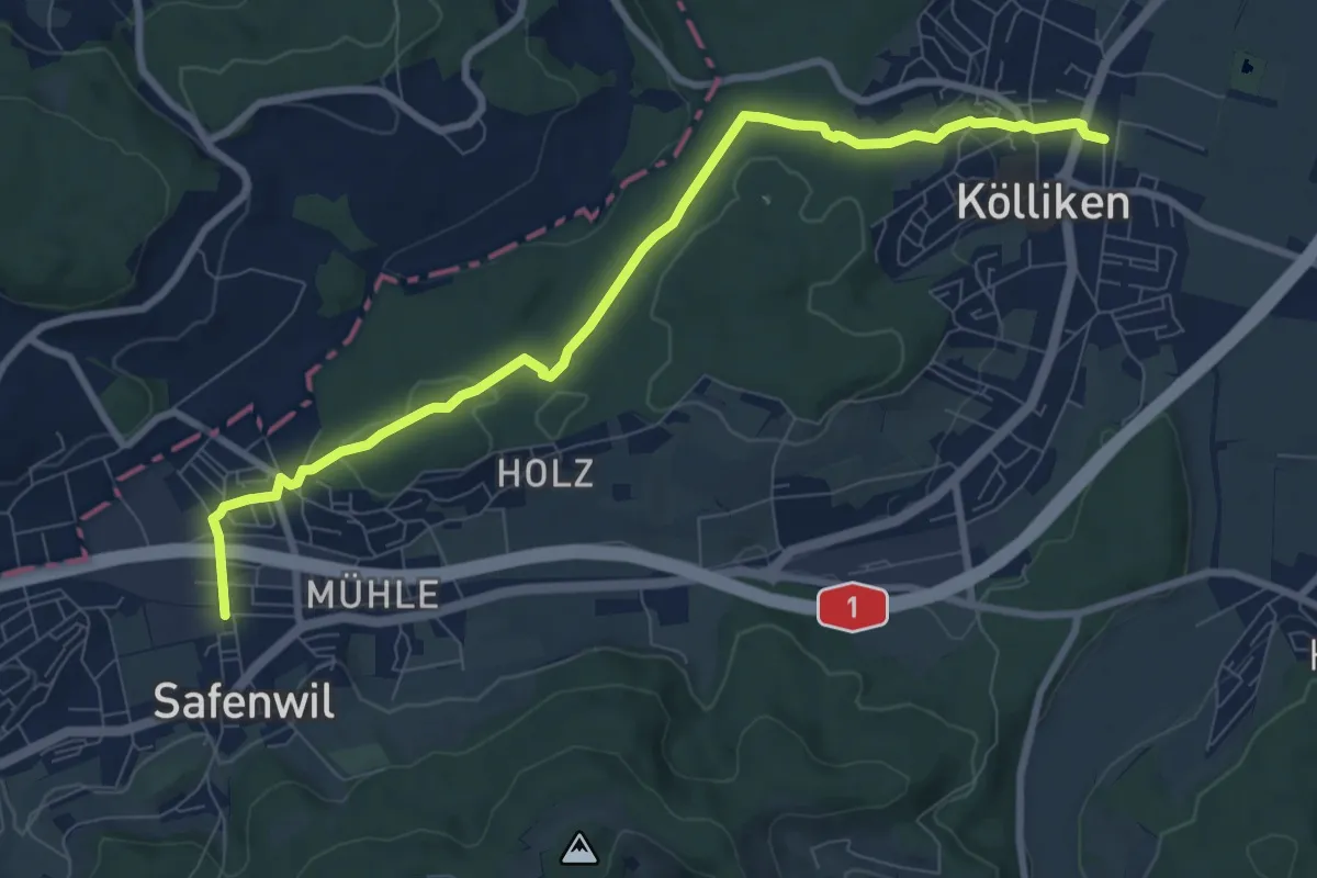
Medium · Trail
Safenwil - Kölliken
9.0 km · ↑ 180 m · 2 h 31 min
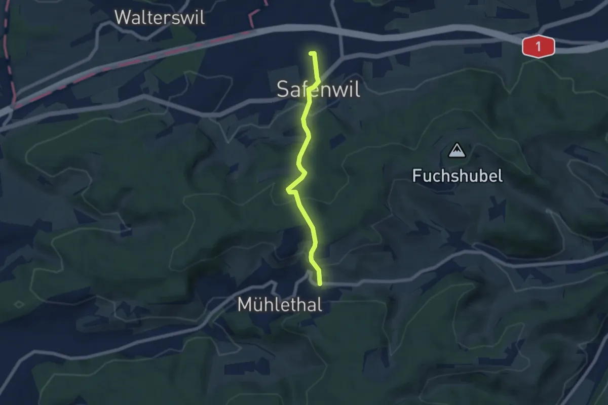
Easy · Trail
Safenwil - Linden
4.8 km · ↑ 236 m · 1 h 38 min
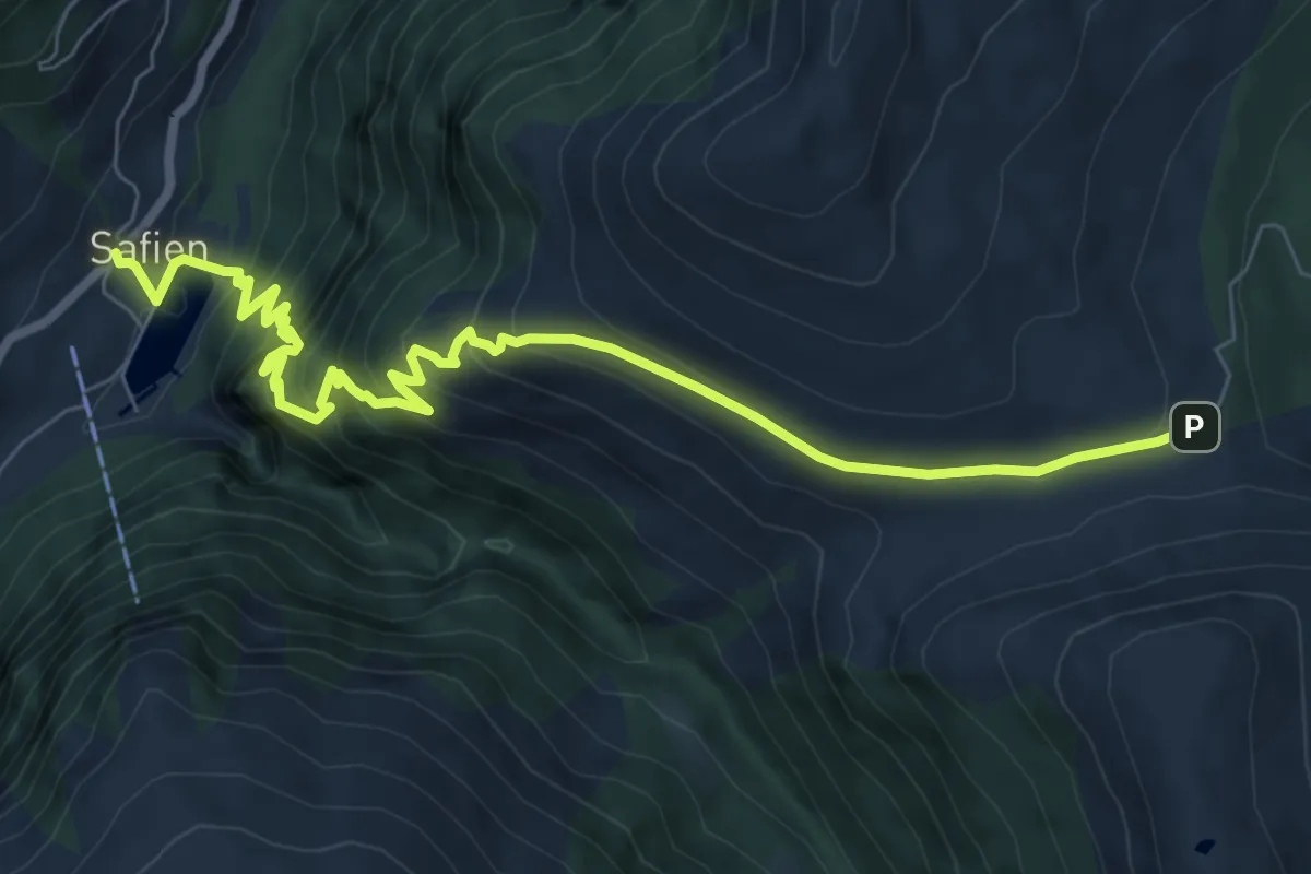
Medium · Trail
Safien Platz-Glaspass
8.9 km · ↑ 750 m · 3 h 44 min
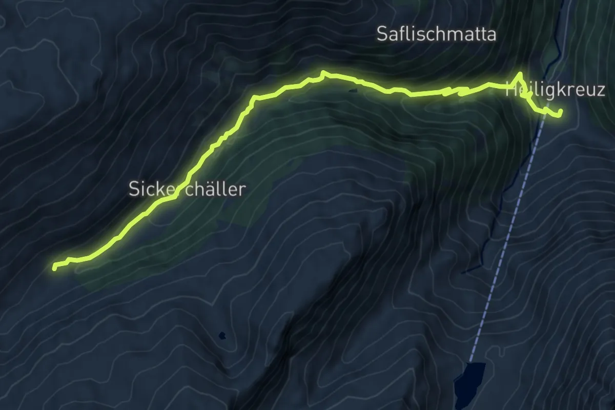
Medium · Trail
Saflischbachweg
10.0 km · ↑ 756 m · 4 h
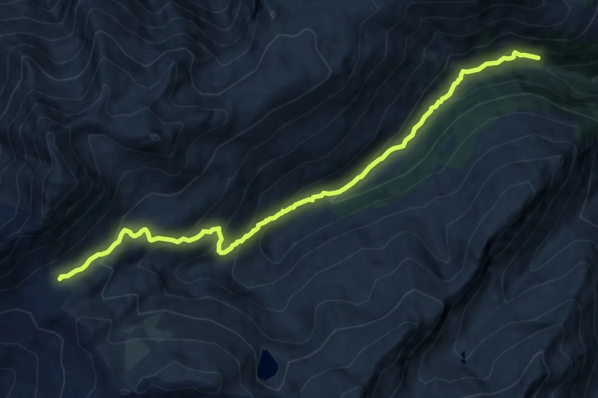
Medium · Trail
Saflischpass-Chelliwald
12.3 km · ↑ 797 m · 4 h 38 min
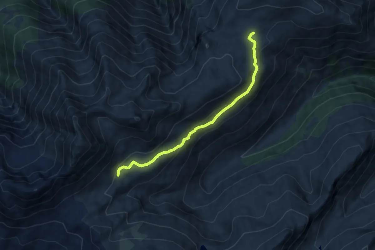
Easy · Trail
Saflischpass - Furggerchäller
7.7 km · ↑ 249 m · 2 h 21 min
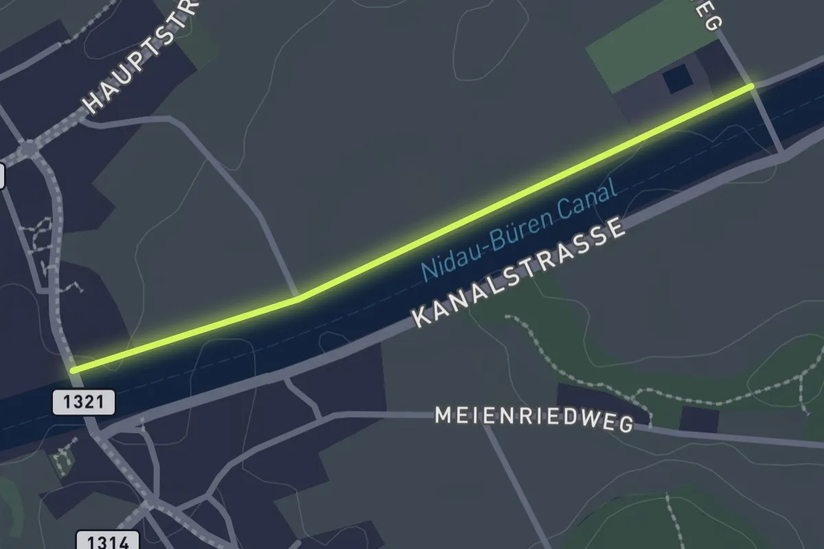
Easy · Trail
Safnerenbrügg - Gottstatt
2.2 km · ↑ 0 m · 31 min
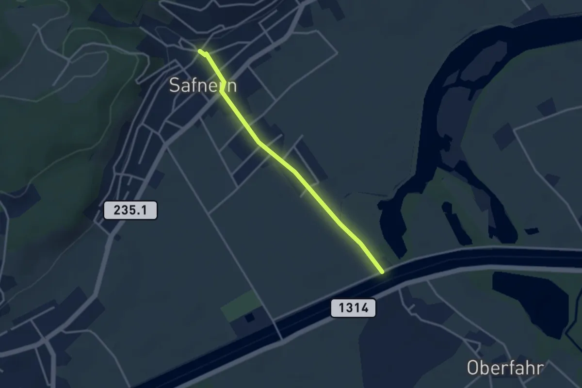
Easy · Trail
Safnern - Nidau-Büren-Kanal
2.8 km · ↑ 19 m · 42 min
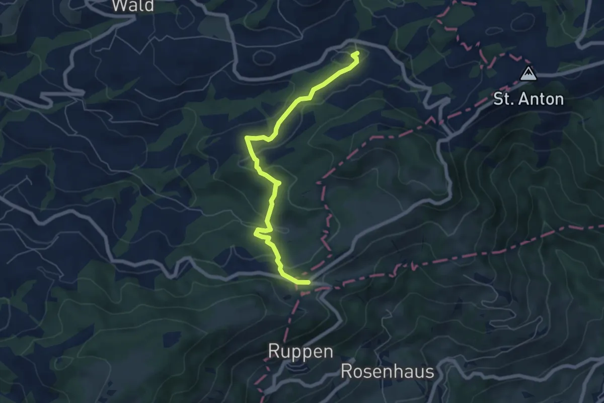
Easy · Trail
Säge-Landmark
5.8 km · ↑ 214 m · 1 h 50 min
Medium · Trail
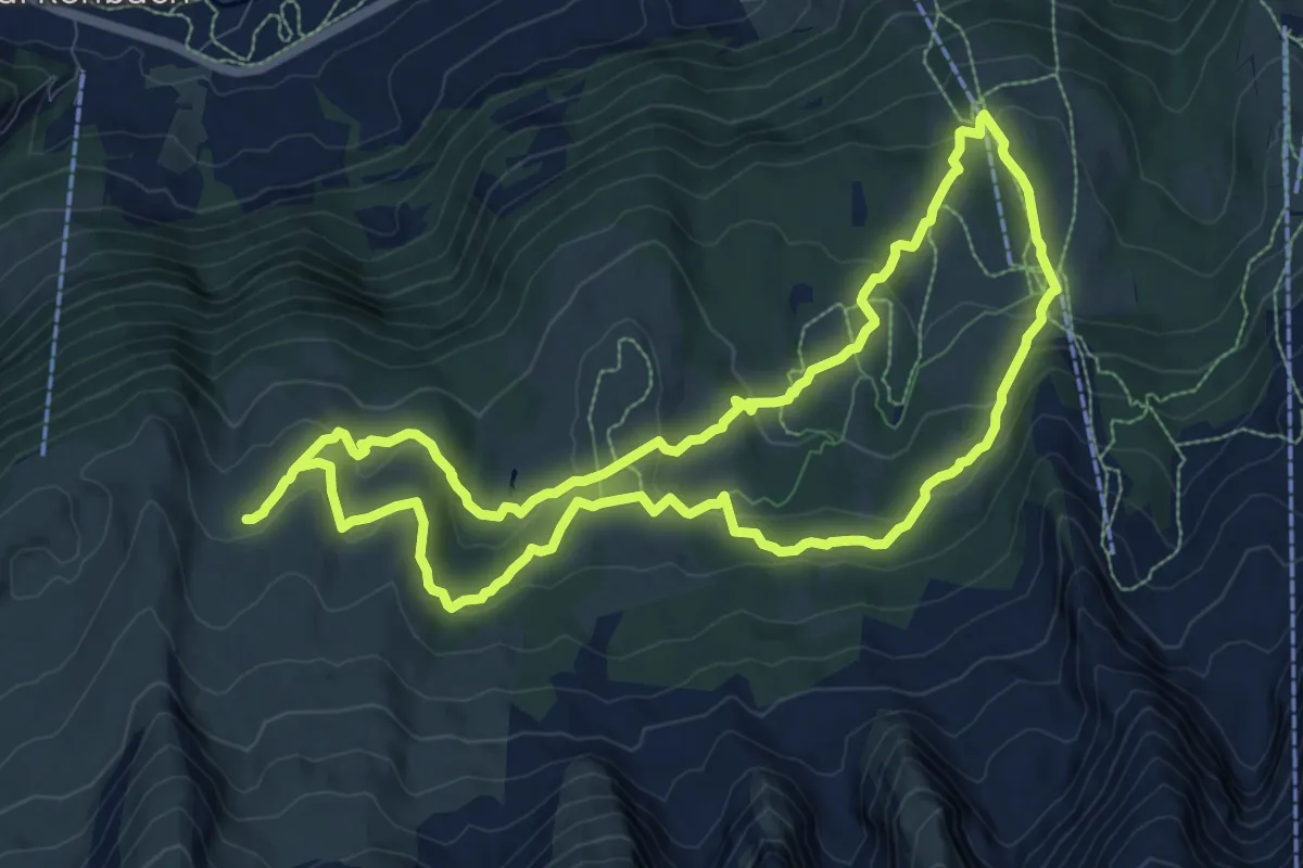
Sagenweg
10.0 km · ↑ 322 m · 3 h 12 min
Easy · Trail
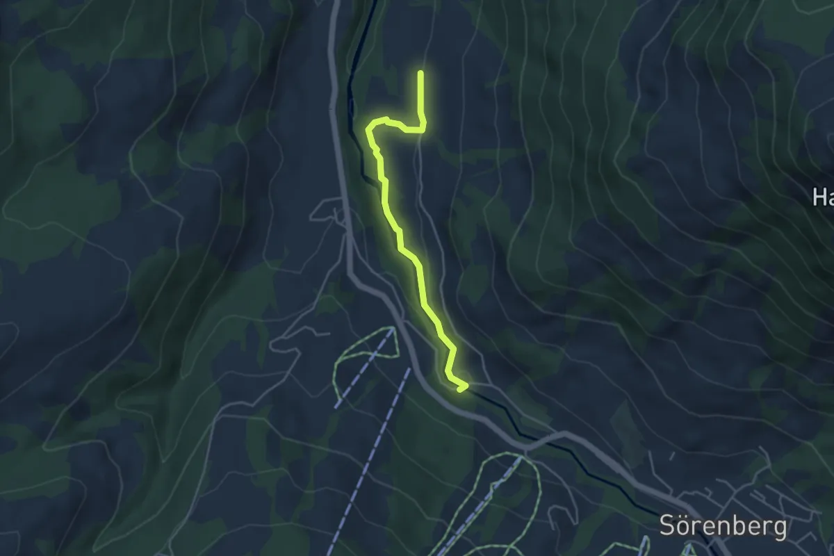
Sägerei - Sörenbärgli
3.7 km · ↑ 66 m · 1 h 1 min
Easy · Trail
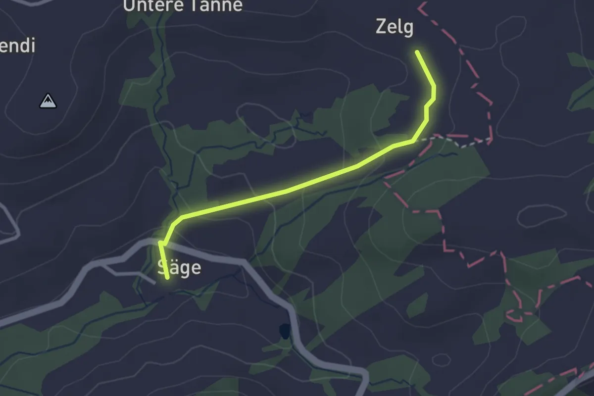
Säge-Zelg
2.4 km · ↑ 104 m · 47 min
Easy · Trail
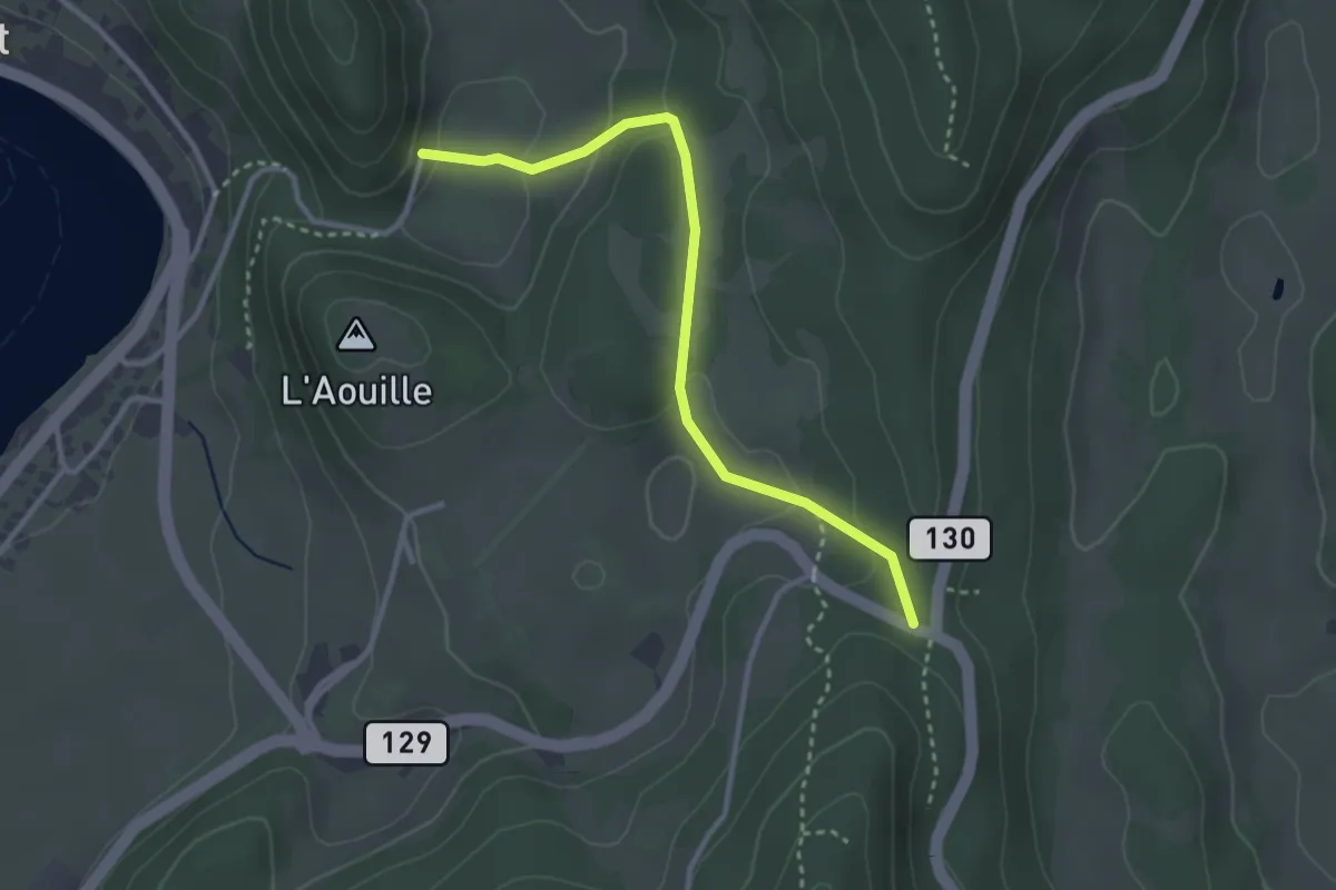
Sagne Vuognard-Pétra Félix
3.1 km · ↑ 102 m · 57 min