Trails in Switzerland
15,064 hiking trails, each with its route, climb, walking time and grade.
All trails, page 91 of 314
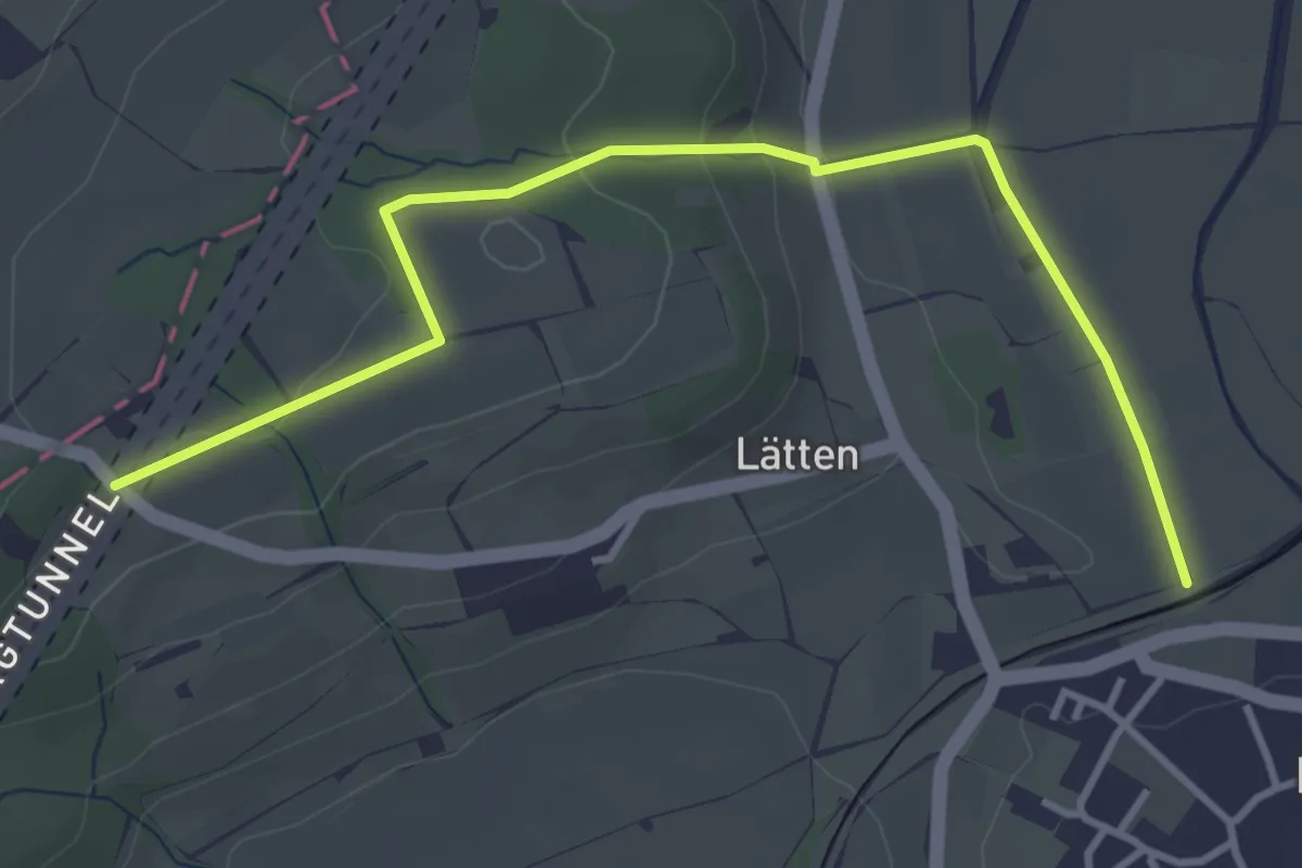
Easy · Trail
Rundweg
4.1 km · ↑ 113 m · 1 h 13 min
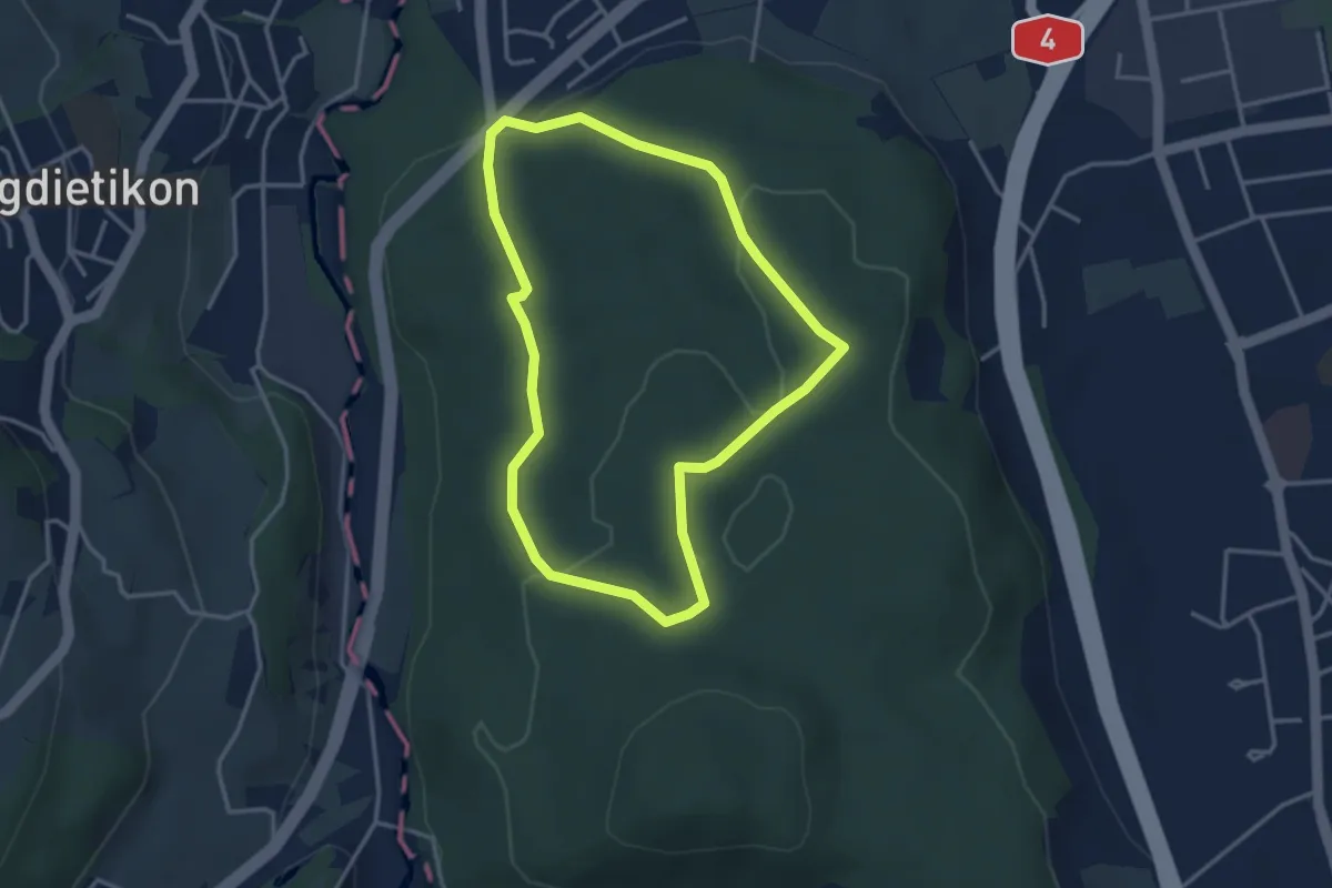
Easy · Trail
Rundweg
3.2 km · ↑ 69 m · 57 min
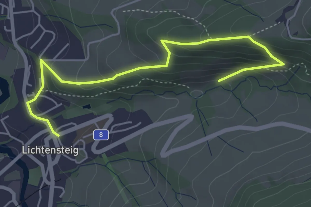
Medium · Trail
Rundweg
4.9 km · ↑ 371 m · 1 h 58 min
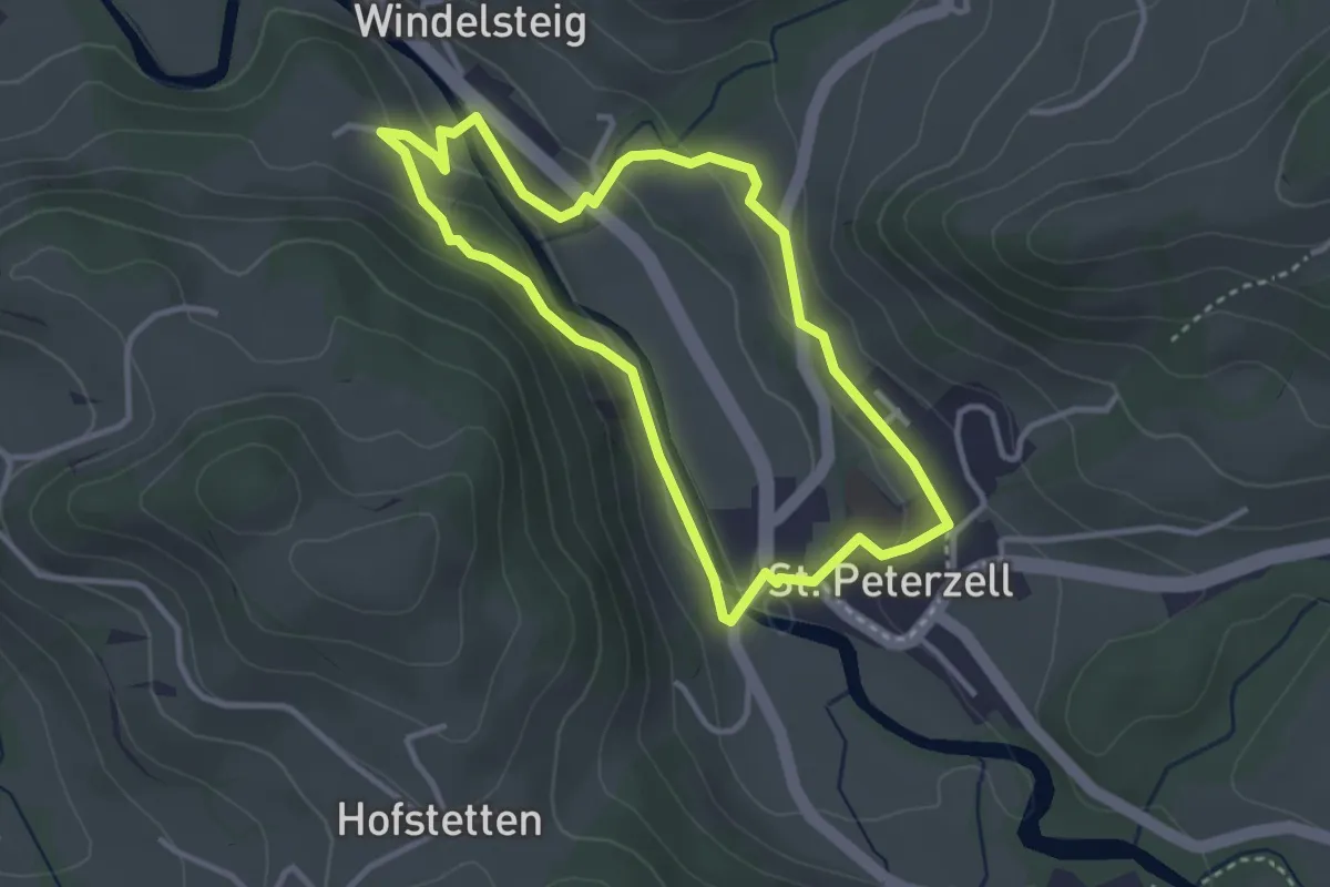
Easy · Trail
Rundweg 1
3.0 km · ↑ 77 m · 55 min
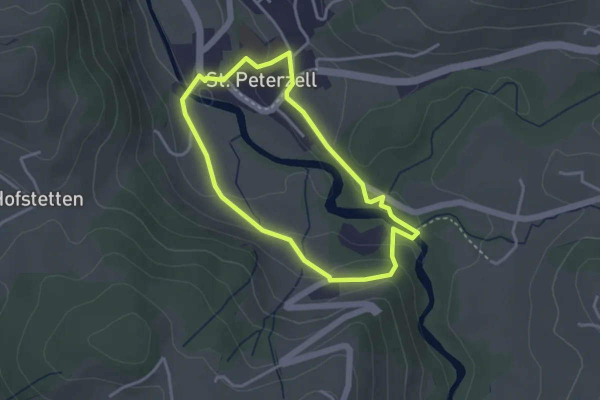
Easy · Trail
Rundweg 2
2.5 km · ↑ 75 m · 48 min
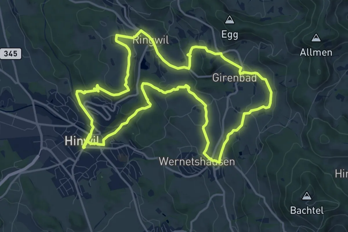
Medium · Trail
Rundweg 3-Wachten
11.9 km · ↑ 331 m · 3 h 41 min
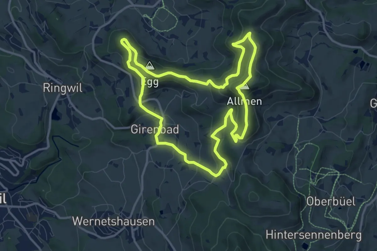
Medium · Summit
Rundweg 4-Quellen
8.9 km · ↑ 424 m · 3 h 9 min
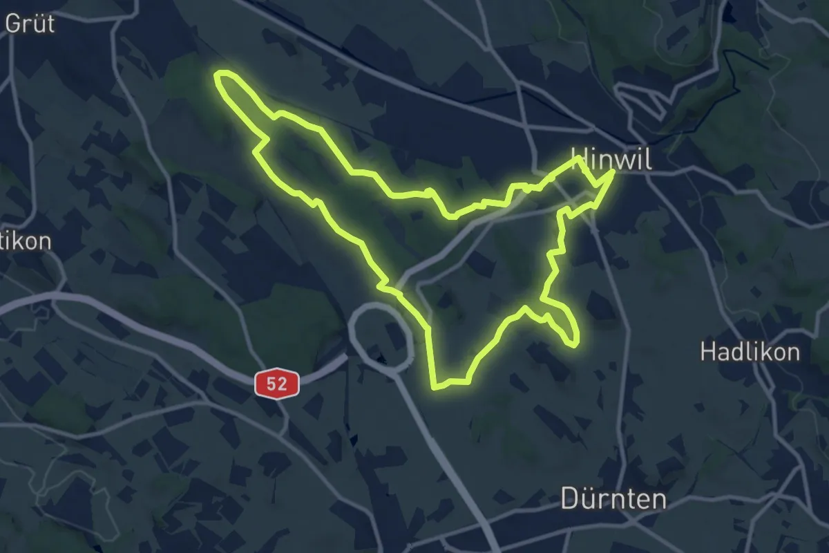
Medium · Trail
Rundweg 7-Riede
11.0 km · ↑ 92 m · 2 h 58 min
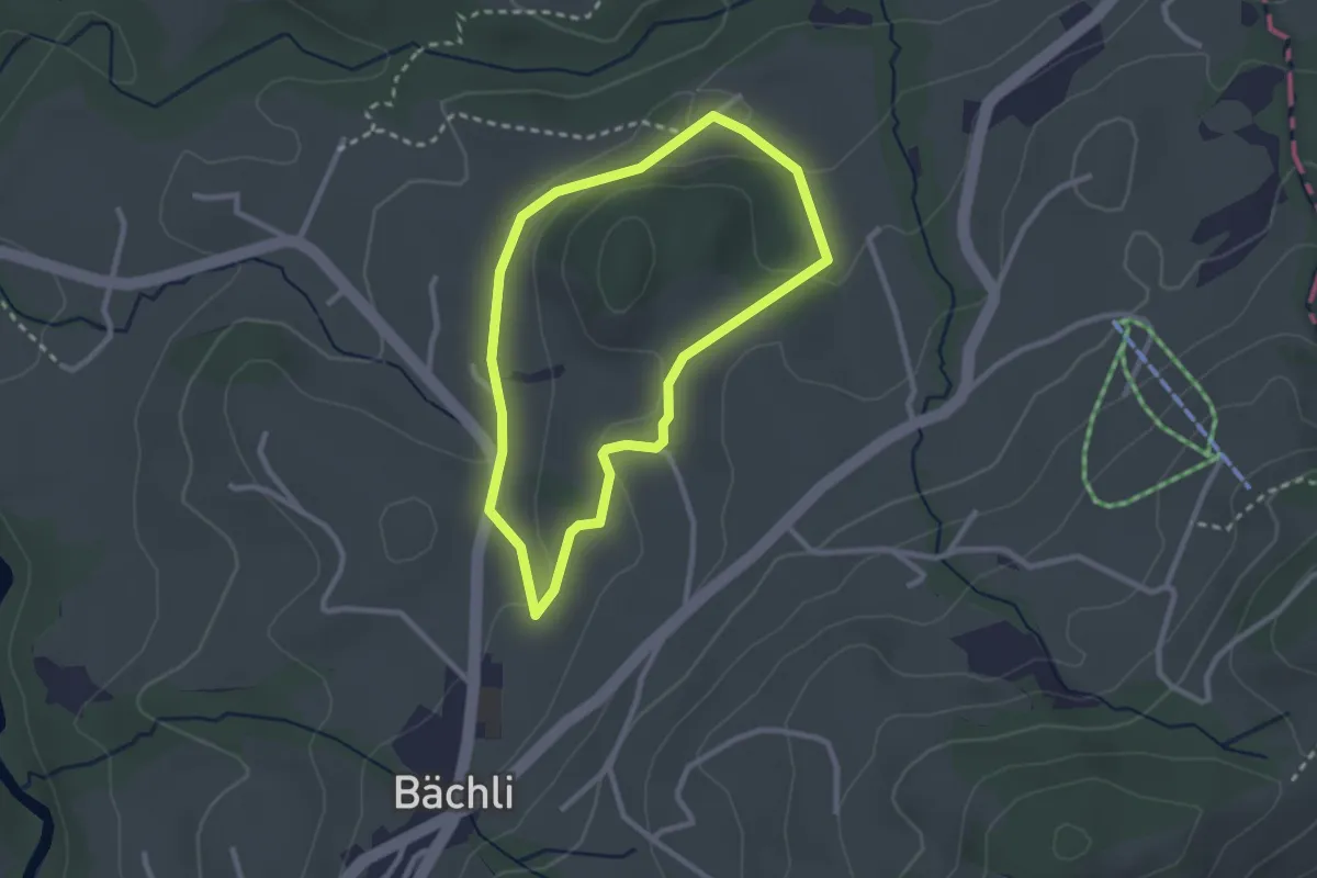
Easy · Trail
Rundweg B1
2.3 km · ↑ 50 m · 41 min
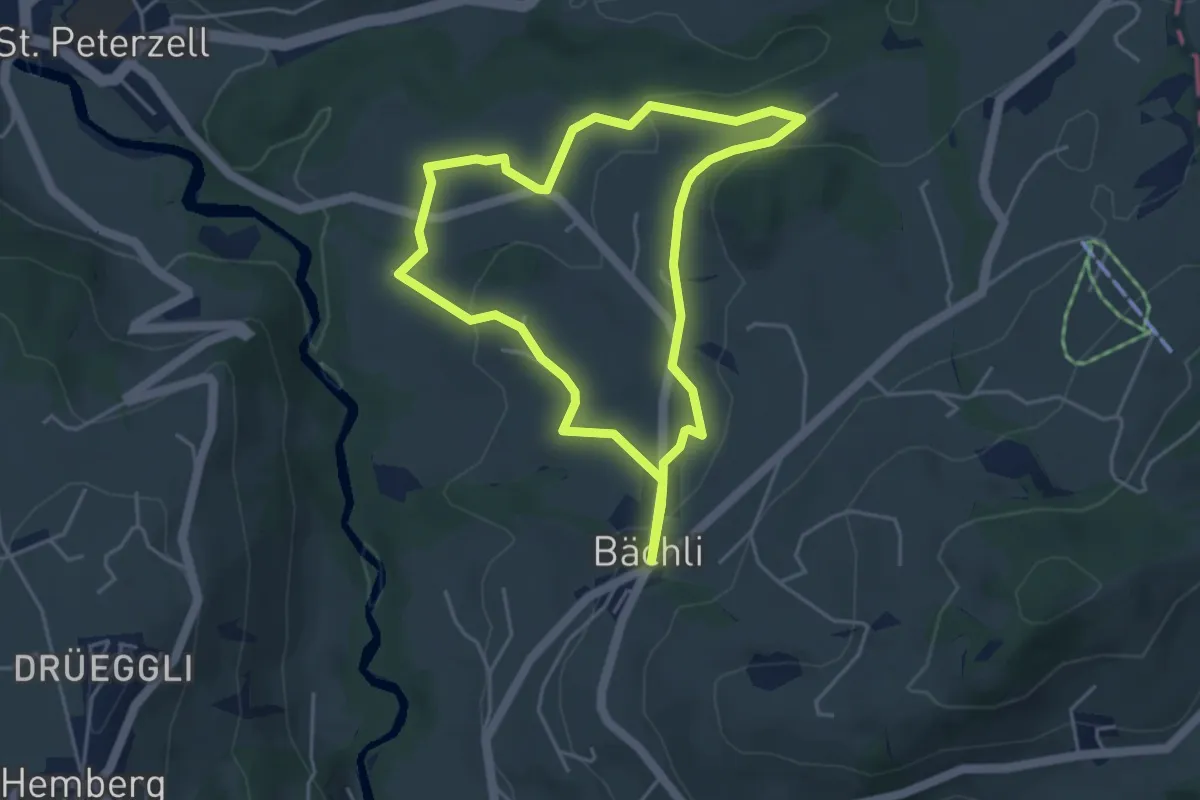
Easy · Trail
Rundweg B2
4.1 km · ↑ 97 m · 1 h 14 min
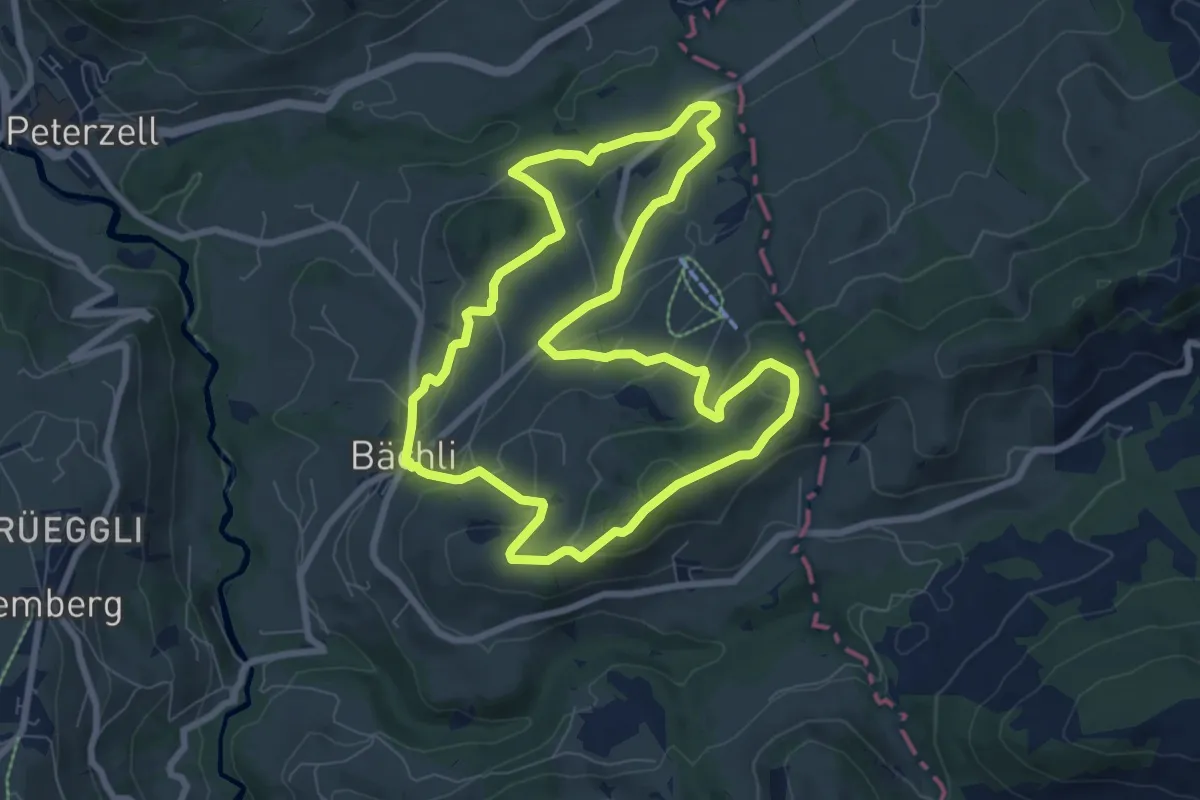
Easy · Trail
Rundweg B3
7.7 km · ↑ 316 m · 2 h 36 min
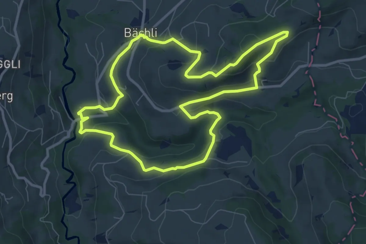
Medium · Trail
Rundweg B4
7.4 km · ↑ 338 m · 2 h 35 min
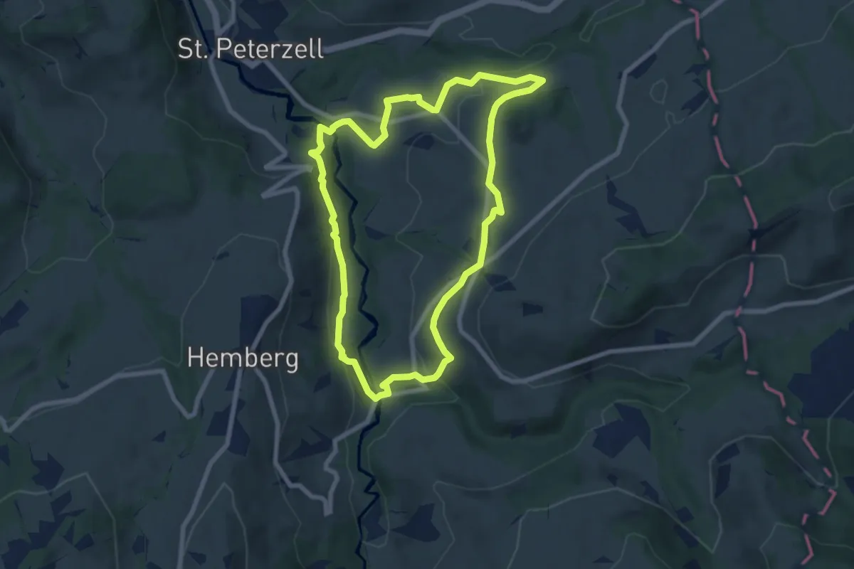
Easy · Trail
Rundweg B5
6.7 km · ↑ 196 m · 2 h 6 min
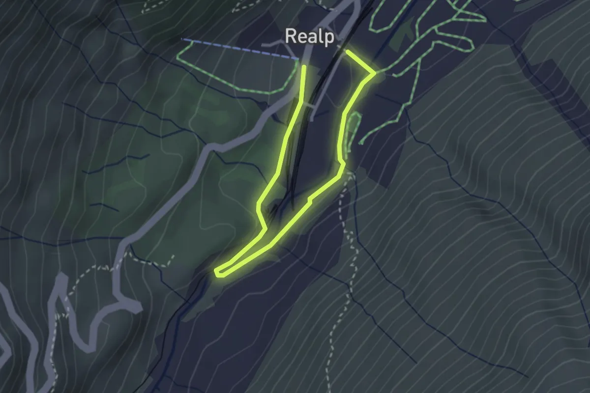
Demanding · Trail
Rundweg Biel
3.7 km · ↑ 77 m · 1 h 2 min
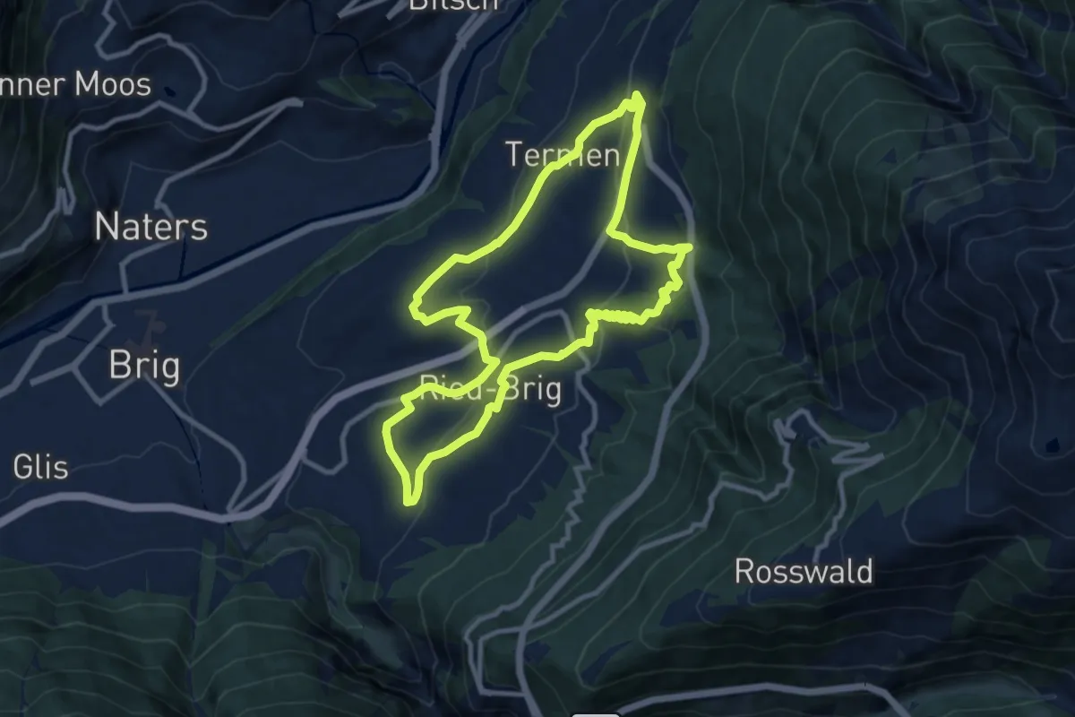
Medium · Trail
Rundweg Brigerberg
9.5 km · ↑ 377 m · 3 h 11 min
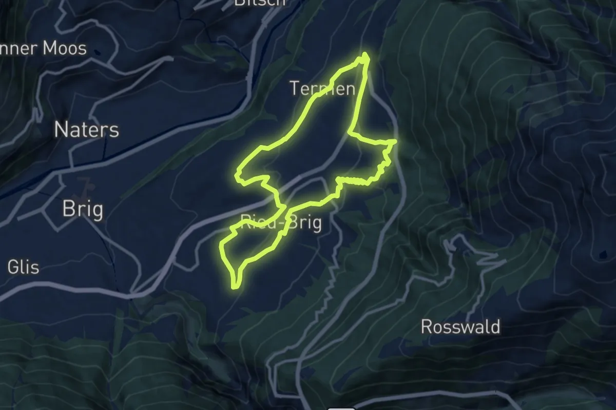
Medium · Trail
Rundweg Brigerberg
9.5 km · ↑ 377 m · 3 h 11 min
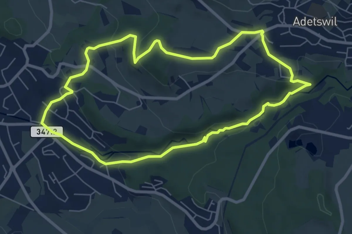
Easy · Trail
Rundweg Burgholz
5.5 km · ↑ 170 m · 1 h 45 min
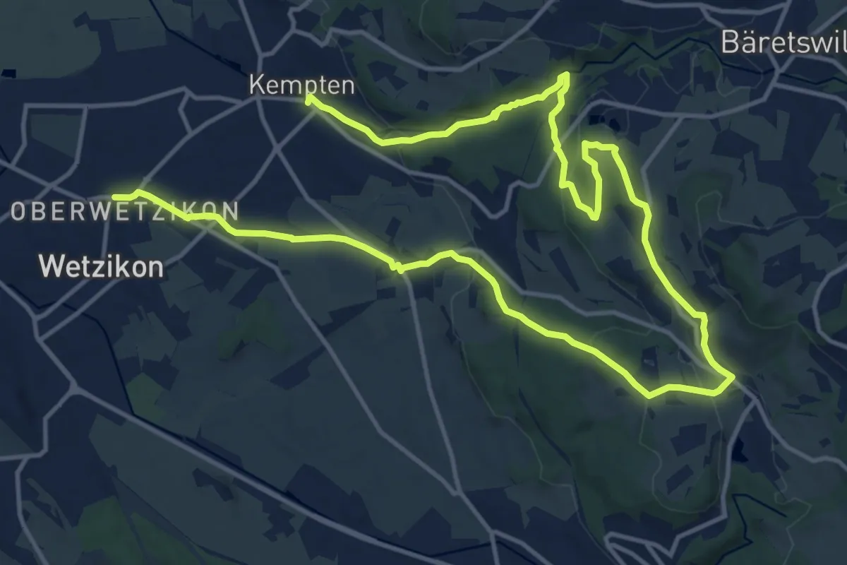
Medium · Trail
Rundweg Chämtnertobel
10.5 km · ↑ 265 m · 3 h 12 min
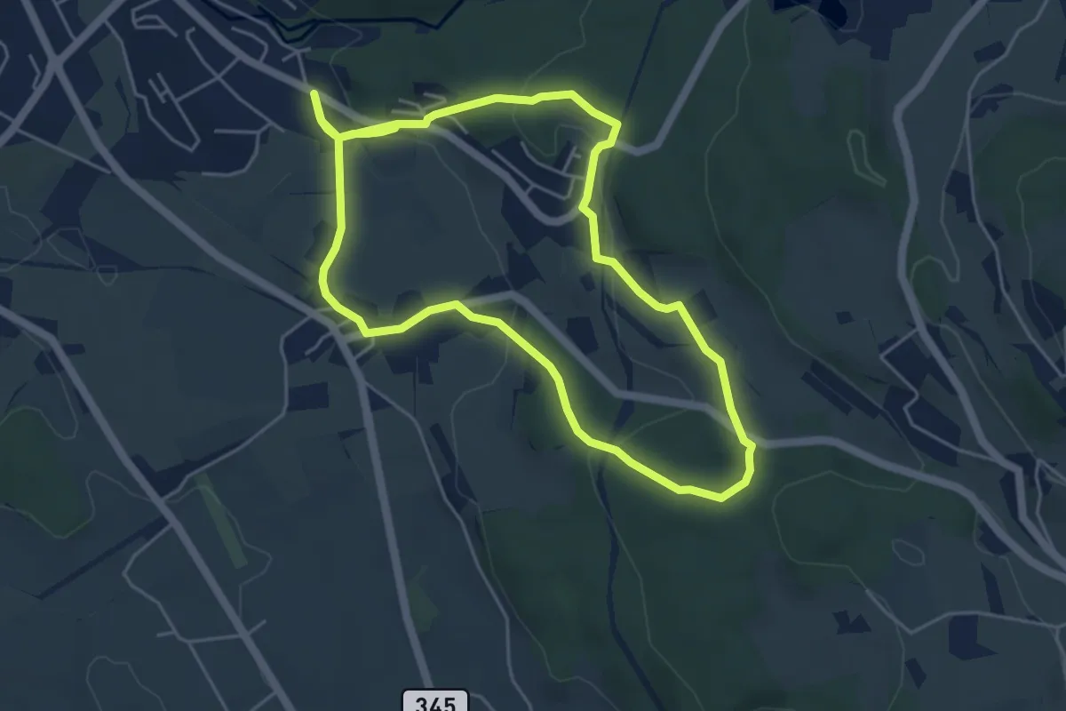
Easy · Trail
Rundweg Emmetschloo
4.6 km · ↑ 157 m · 1 h 29 min
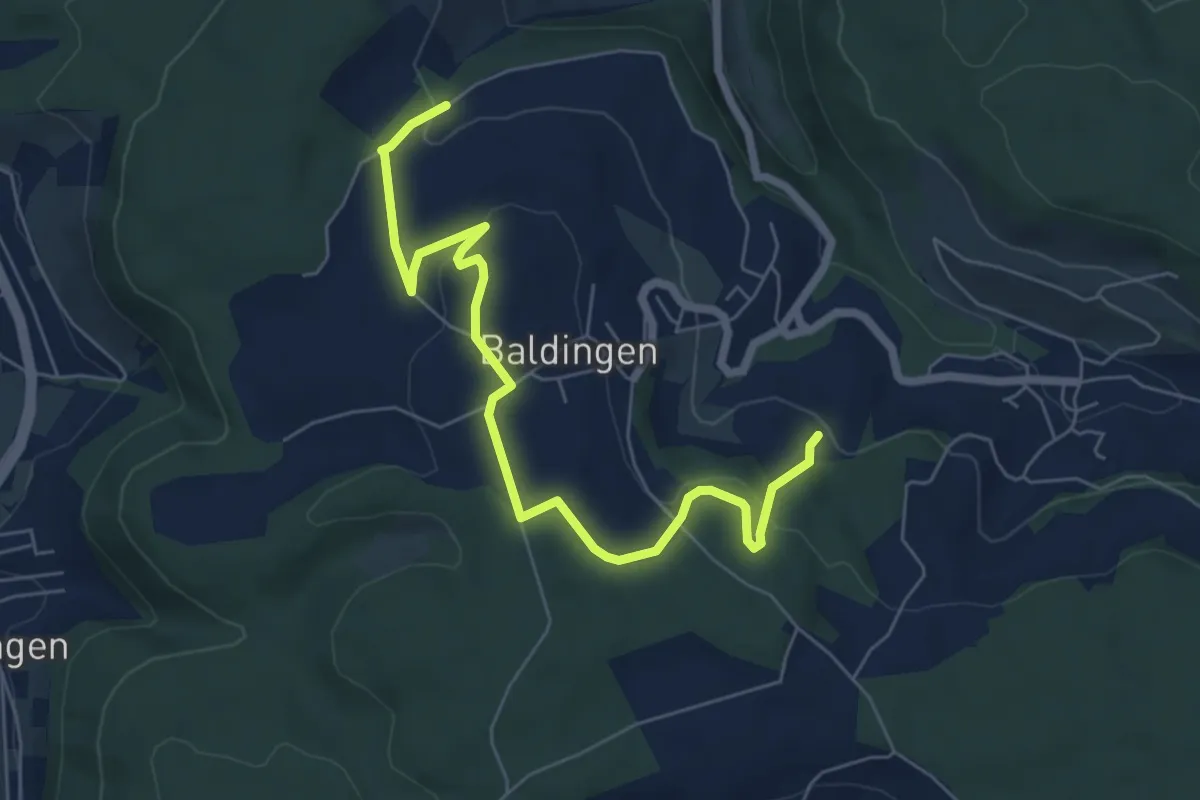
Easy · Trail
Rundweg - fixme
6.9 km · ↑ 180 m · 2 h 1 min
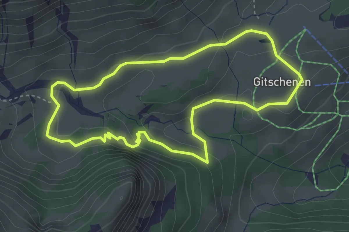
Easy · Summit
Rundweg Gitschenen
3.2 km · ↑ 84 m · 59 min
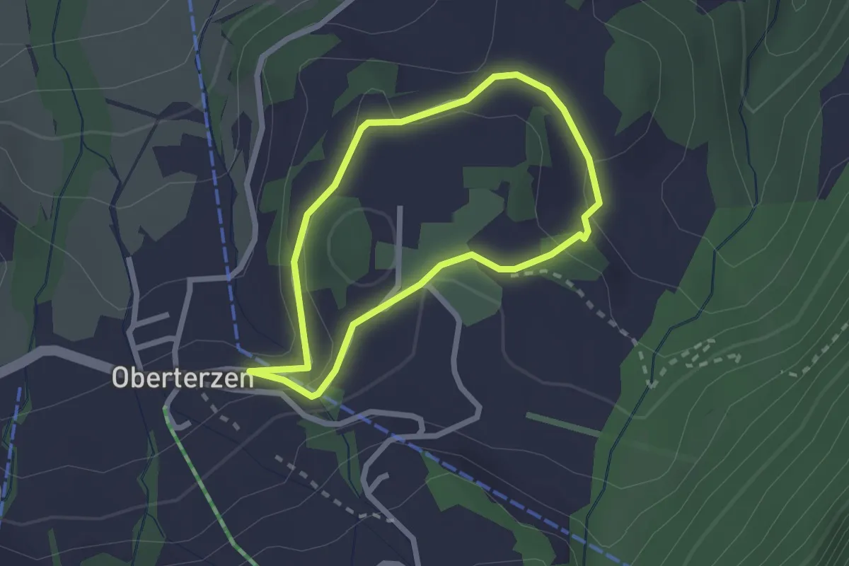
Easy · Trail
Rundweg Gubs
1.9 km · ↑ 64 m · 36 min
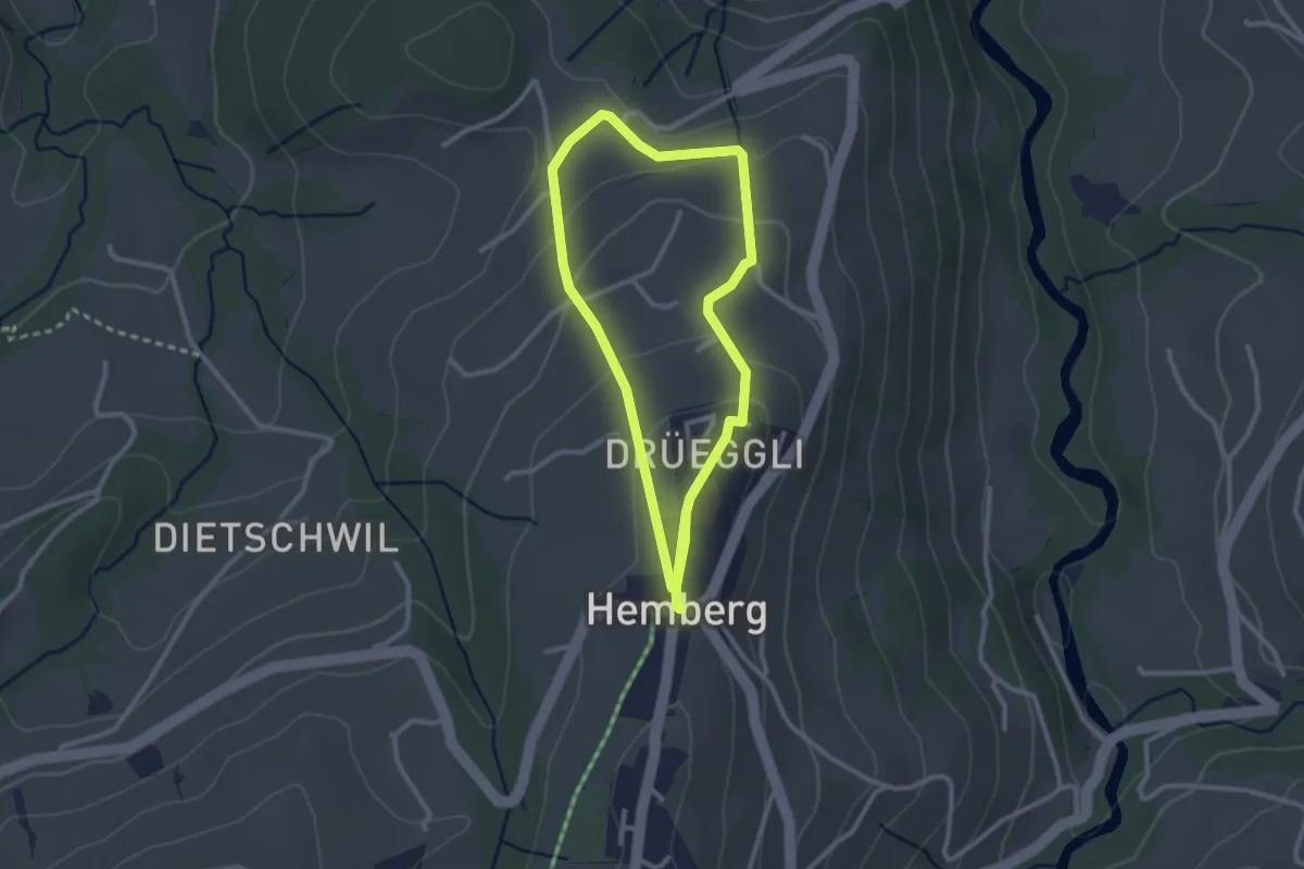
Easy · Trail
Rundweg H1
2.5 km · ↑ 83 m · 48 min
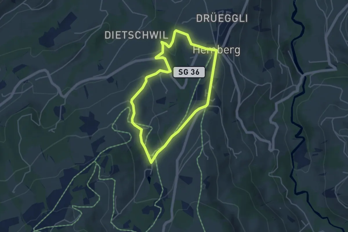
Easy · Trail
Rundweg H2
3.6 km · ↑ 109 m · 1 h 8 min
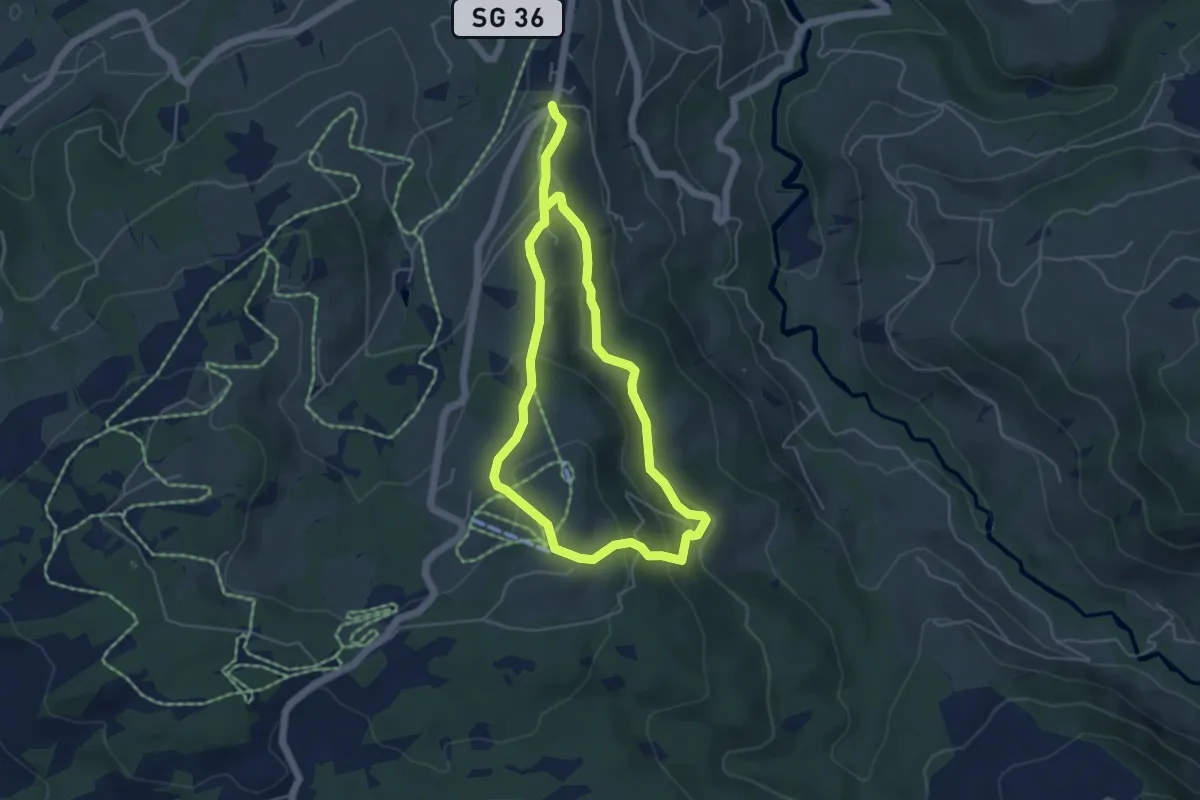
Easy · Trail
Rundweg H4
4.5 km · ↑ 200 m · 1 h 33 min
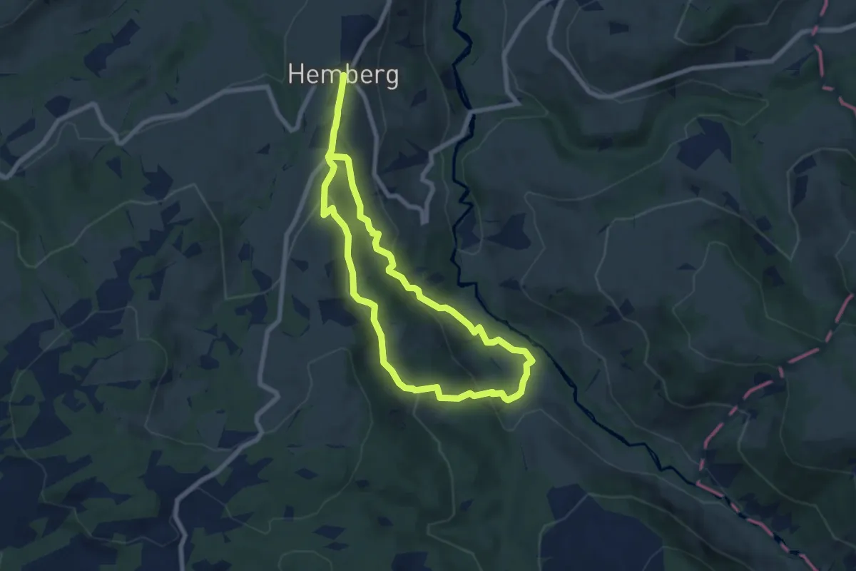
Easy · Trail
Rundweg H5
6.3 km · ↑ 255 m · 2 h 7 min
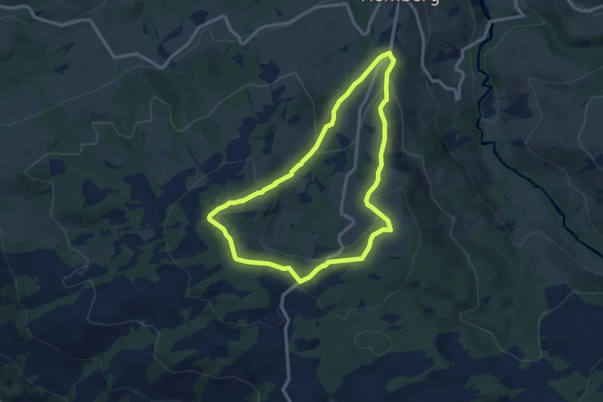
Easy · Trail
Rundweg H6
6.4 km · ↑ 221 m · 2 h 5 min
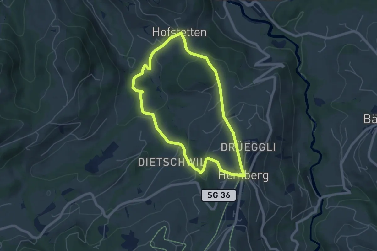
Easy · Trail
Rundweg H7
4.7 km · ↑ 182 m · 1 h 34 min
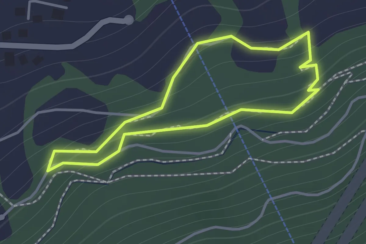
Easy · Trail
Rundweg Kastanienselve
1.0 km · ↑ 85 m · 26 min
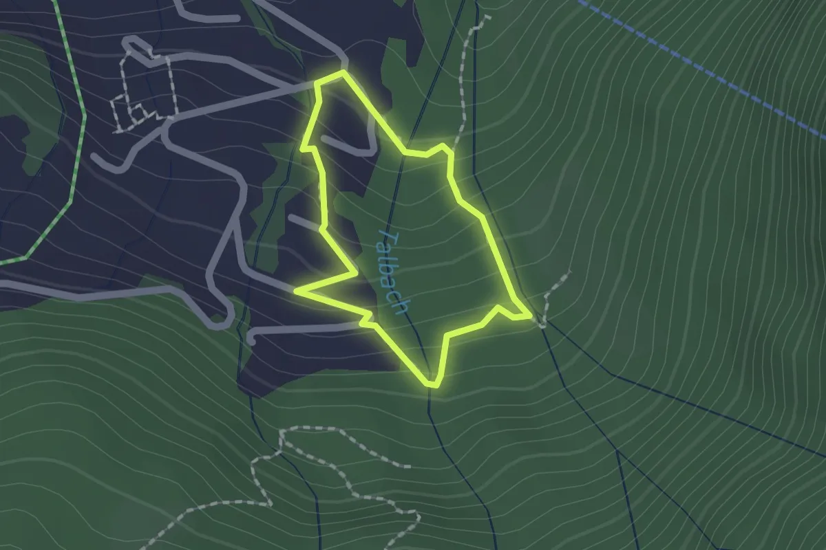
Easy · Trail
Rundweg Männis
1.2 km · ↑ 100 m · 31 min
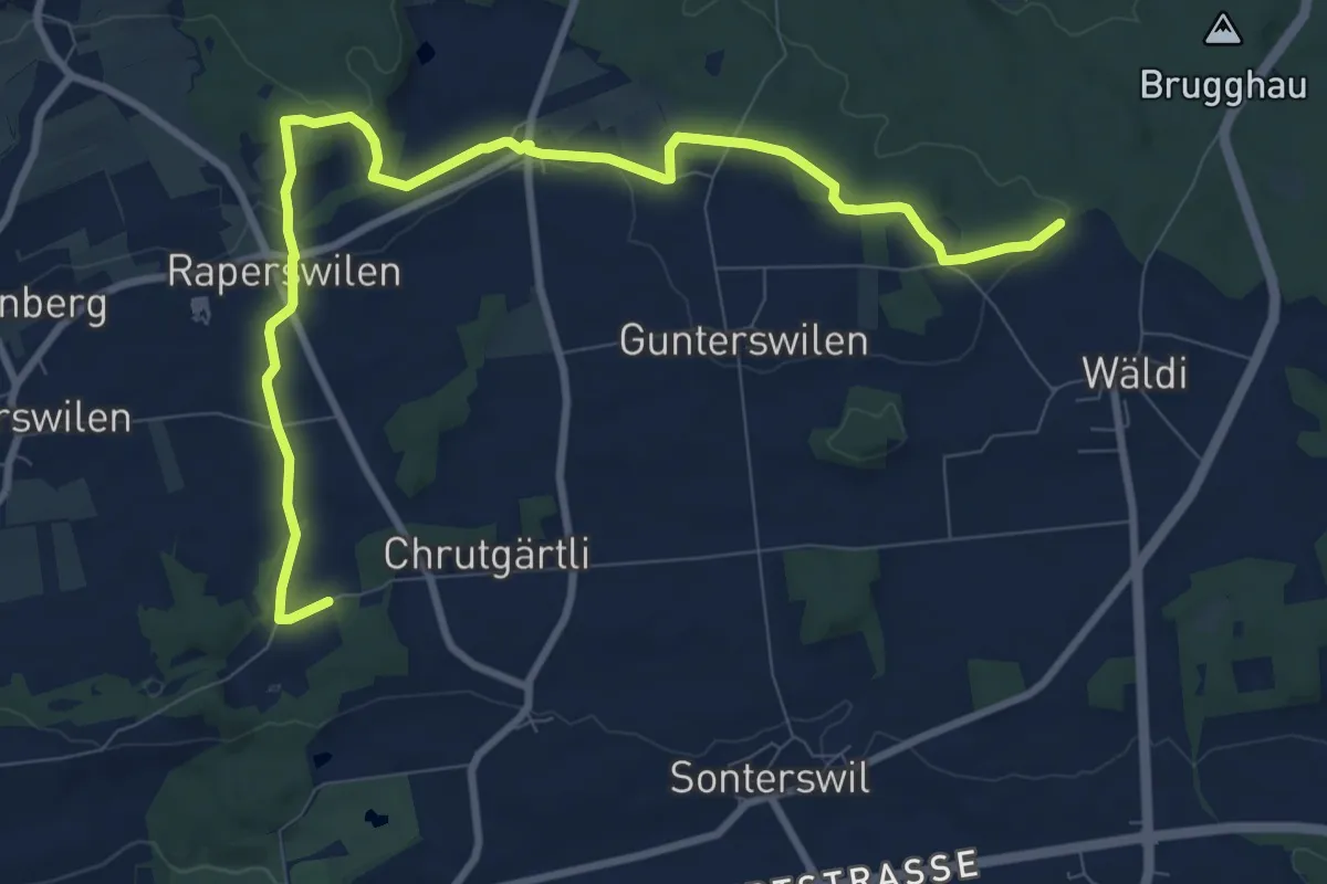
Easy · Trail
Rundweg Napoleonturm
5.4 km · ↑ 70 m · 1 h 32 min
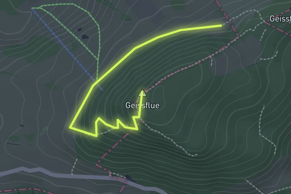
Easy · Summit
Rundweg Schafmatt
2.7 km · ↑ 132 m · 55 min
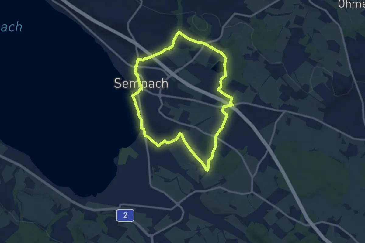
Easy · Trail
Rundweg Sempach
7.3 km · ↑ 85 m · 2 h
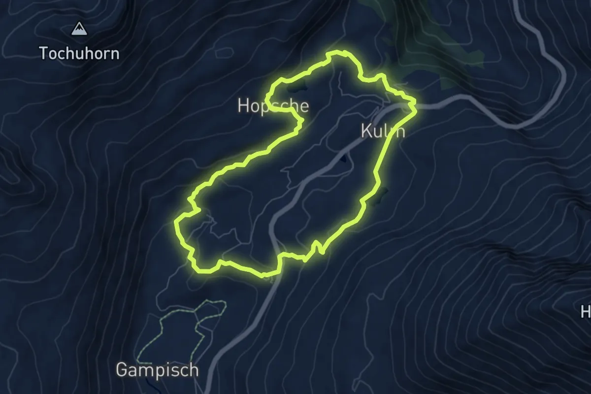
Medium · Trail
Rundweg Simplon-Bergalpe
7.0 km · ↑ 296 m · 2 h 23 min
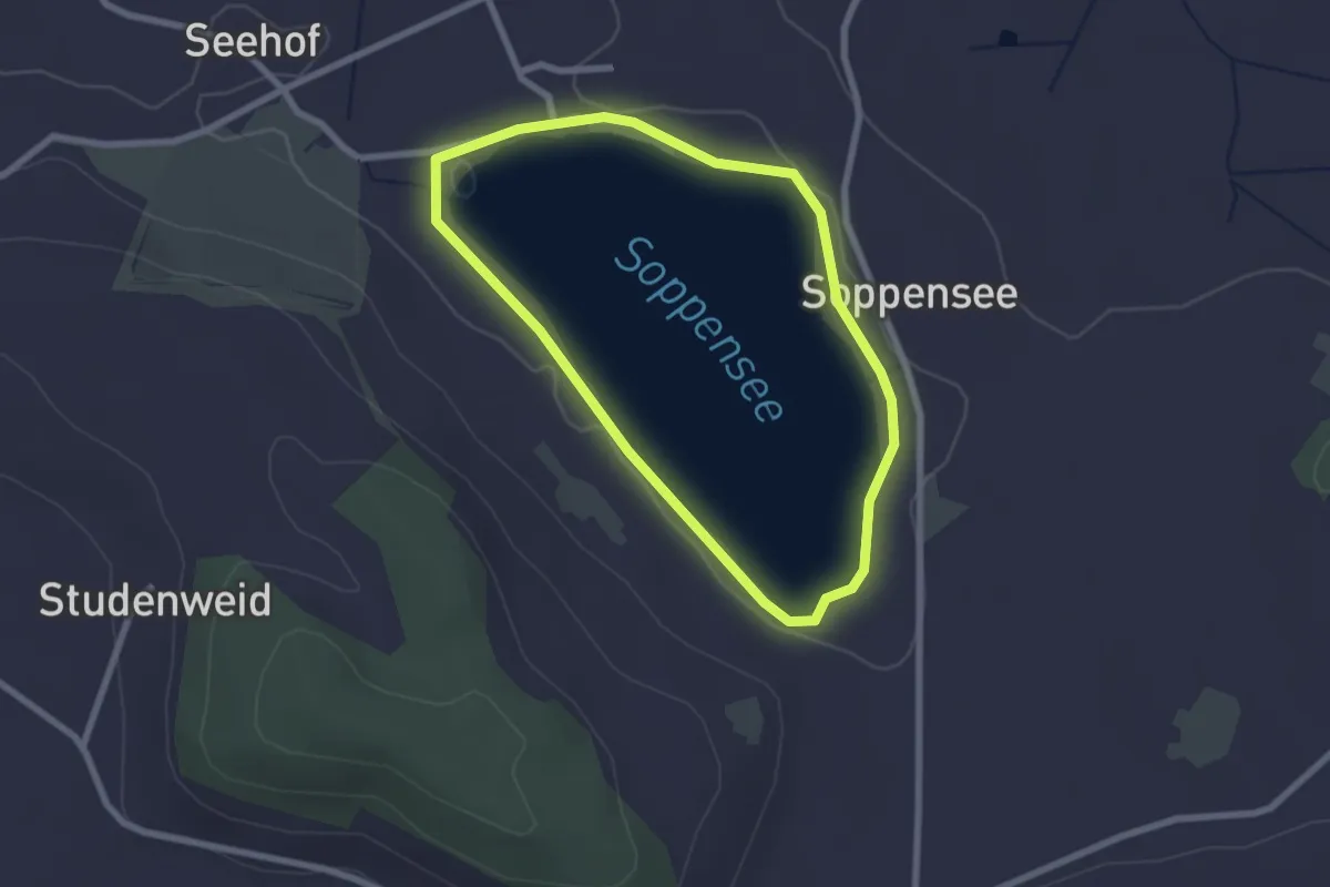
Easy · Trail
Rundweg Soppensee
2.2 km · ↑ 0 m · 33 min
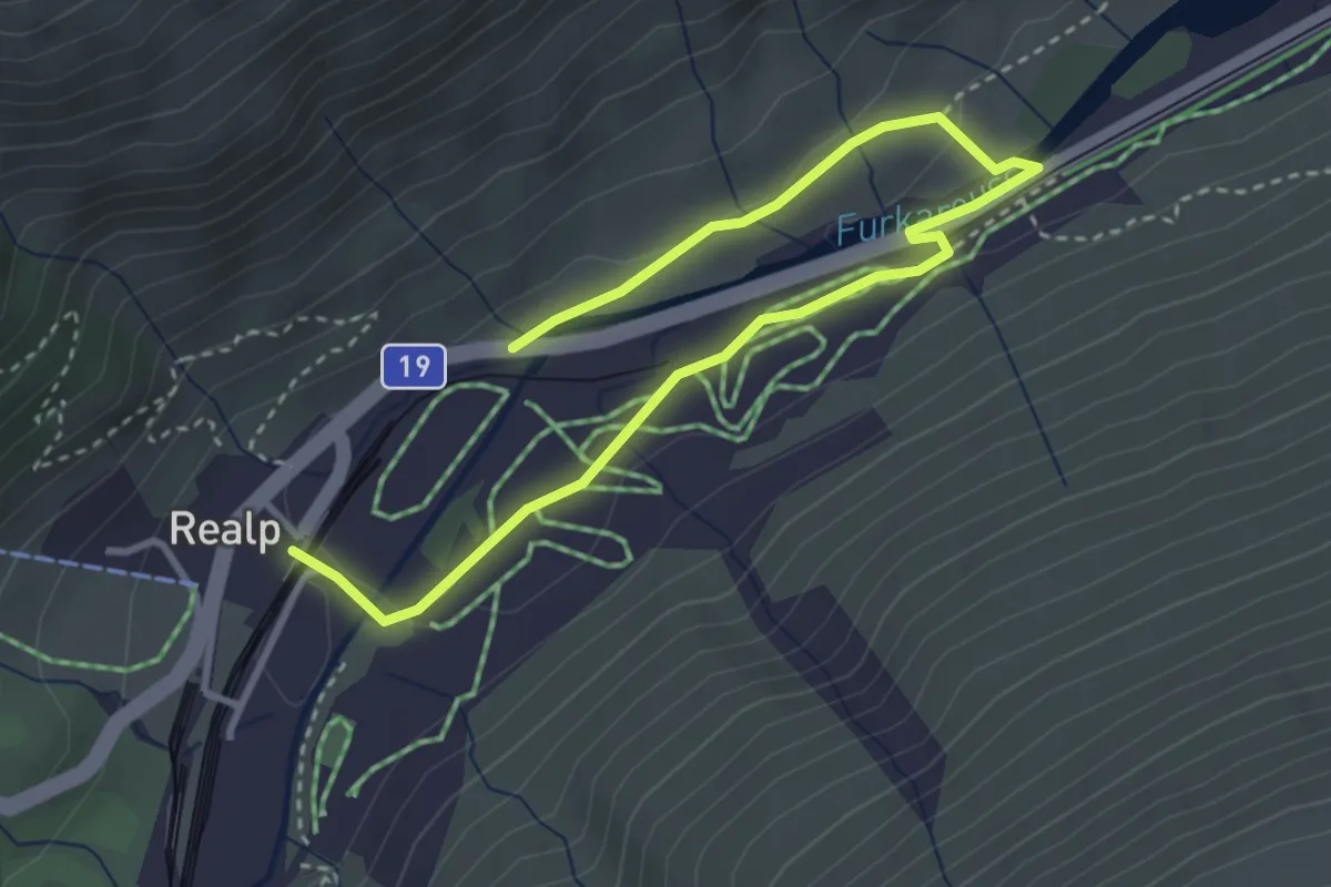
Easy · Trail
Rundweg Steinbergen
4.3 km · ↑ 61 m · 1 h 10 min
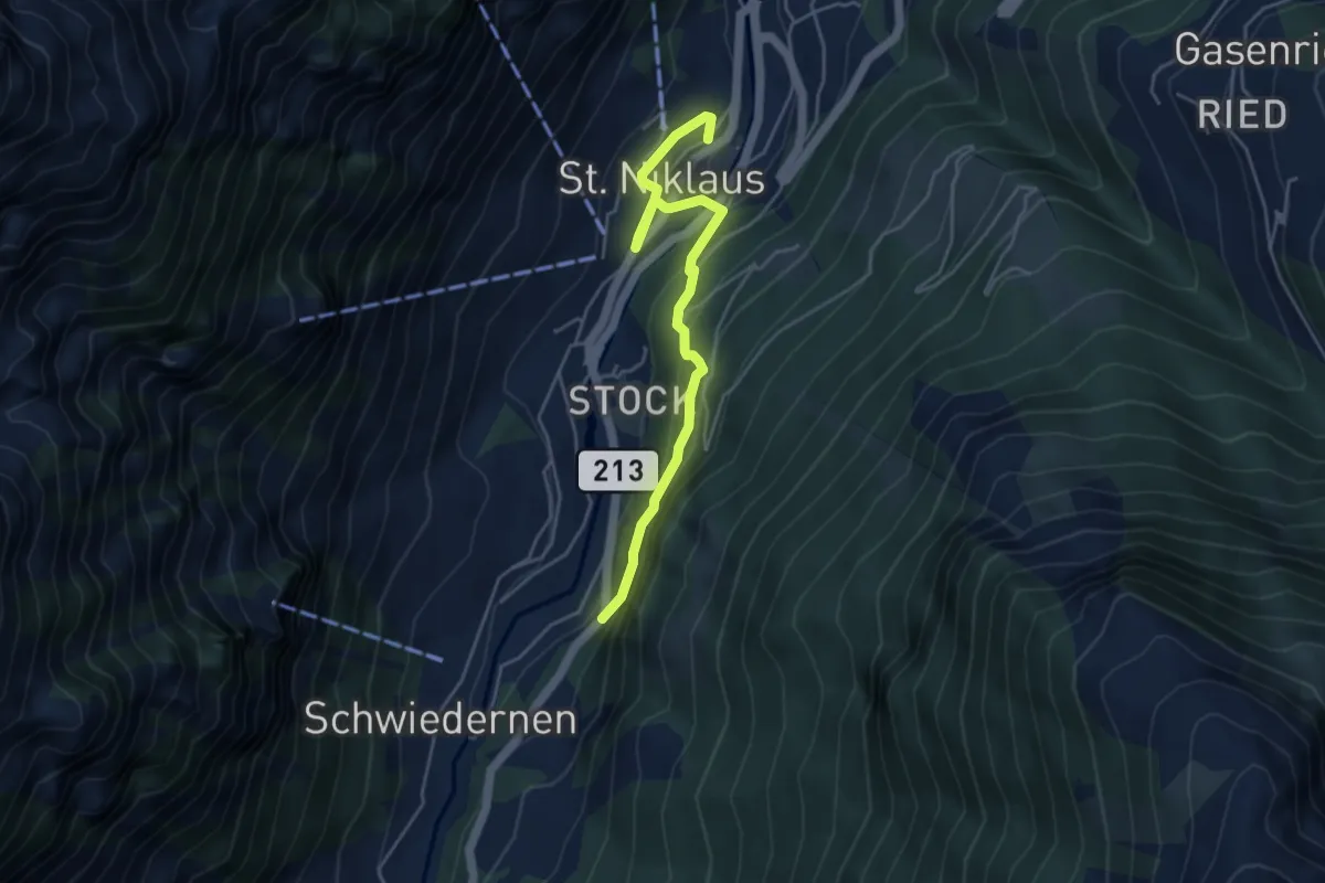
Easy · Trail
Rundweg St. Niklaus
4.7 km · ↑ 318 m · 1 h 49 min
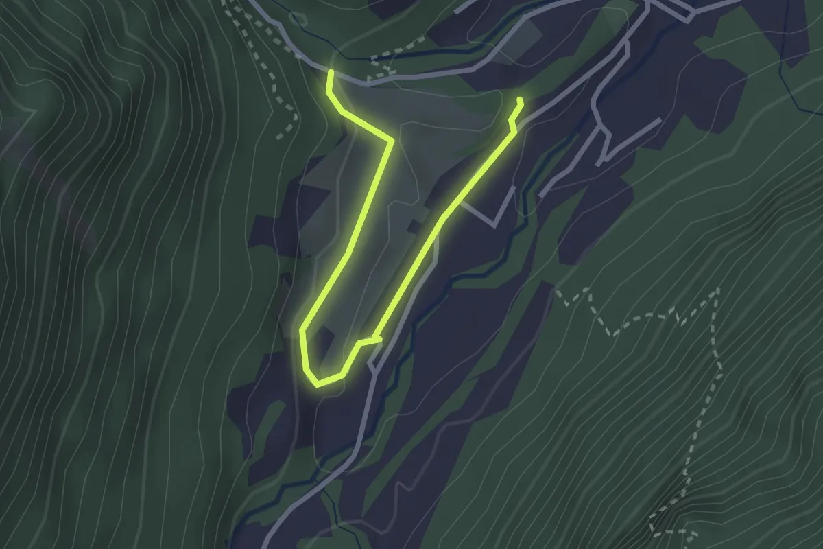
Easy · Trail
Rundweg Tamin
1.4 km · ↑ 18 m · 25 min
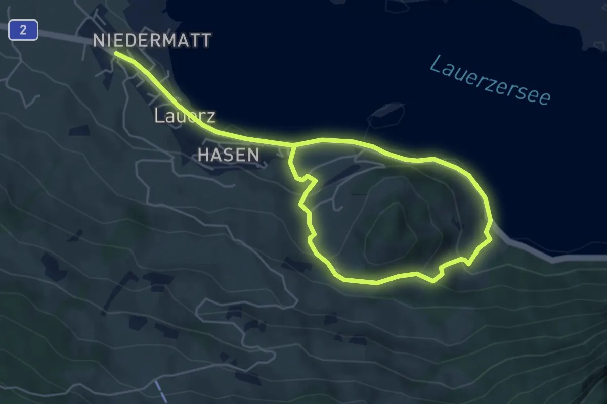
Easy · Trail
Rundweg Weidstein
7.8 km · ↑ 318 m · 2 h 32 min
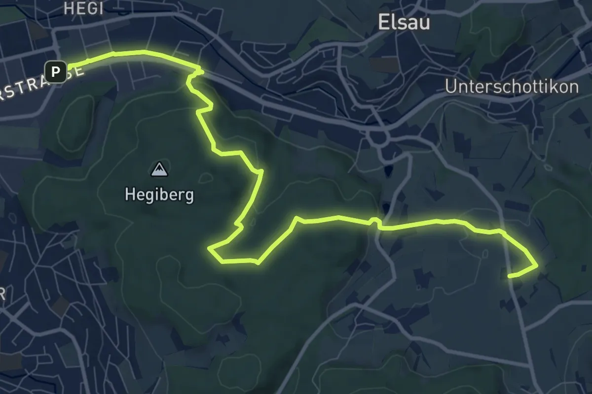
Medium · Trail
Rundweg Winterthur: Etappe Hegiberg
11.9 km · ↑ 232 m · 3 h 19 min
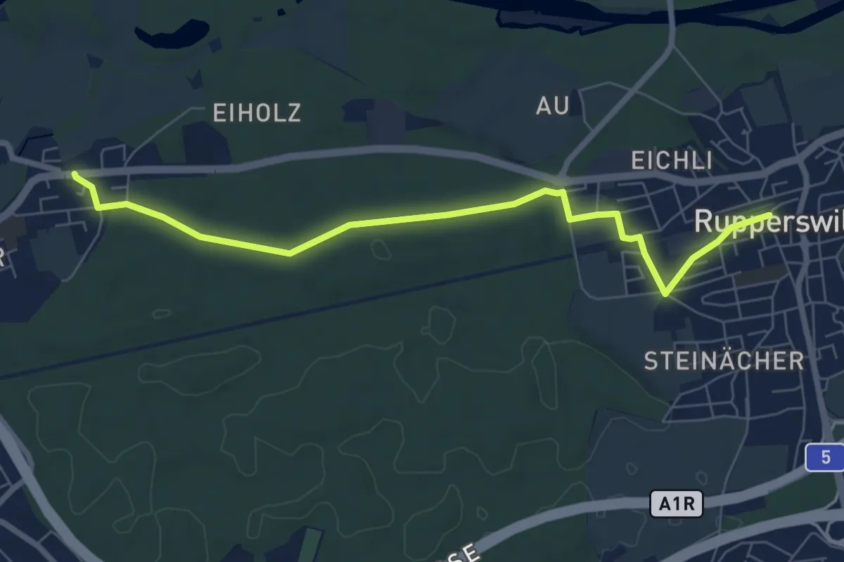
Easy · Trail
Rupperswil - Rohr
7.2 km · ↑ 51 m · 1 h 48 min
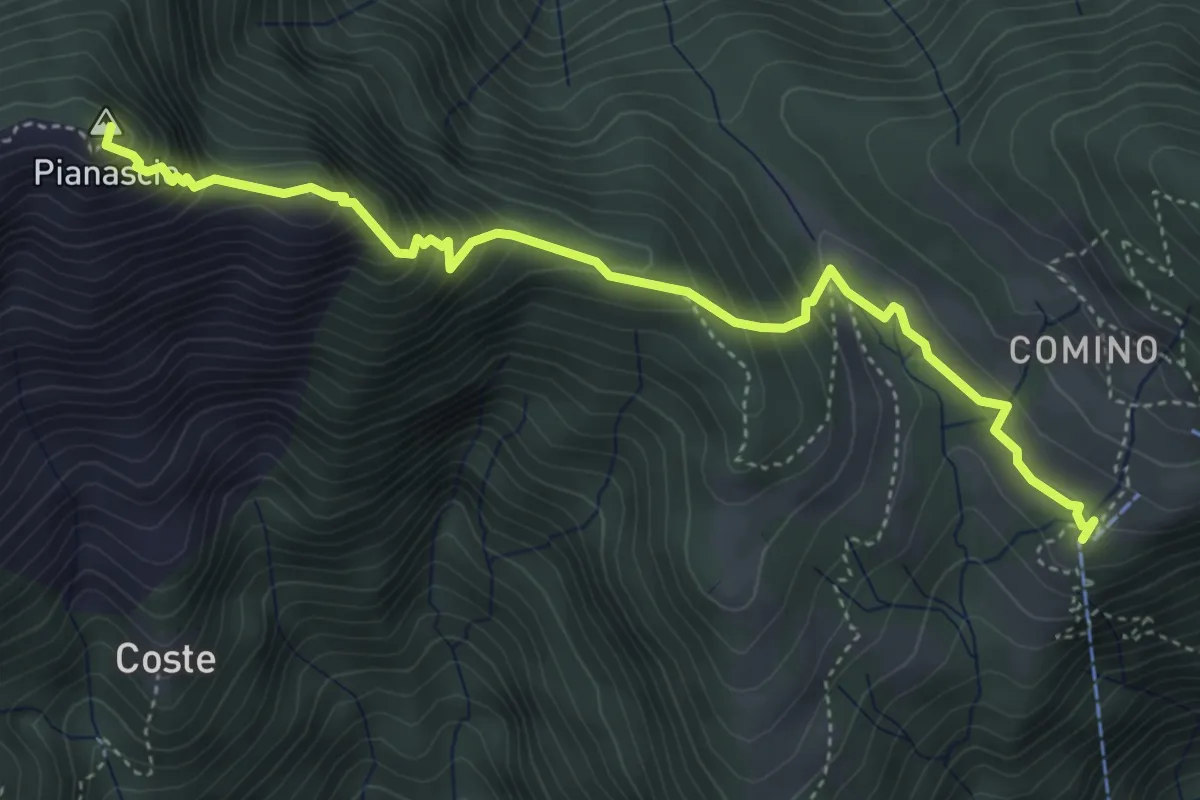
Demanding · Summit
Ruscada Comino
4.8 km · ↑ 433 m · 2 h 5 min
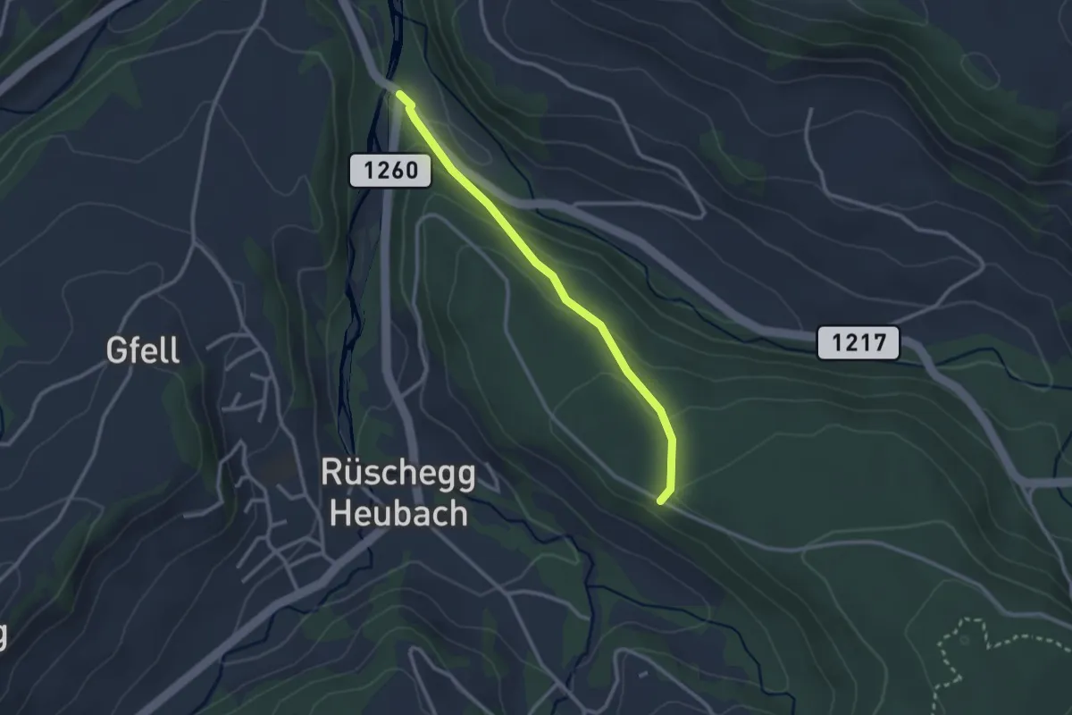
Easy · Trail
Rüschegg / Rütiplötsch - Längeneiwald
2.5 km · ↑ 125 m · 51 min
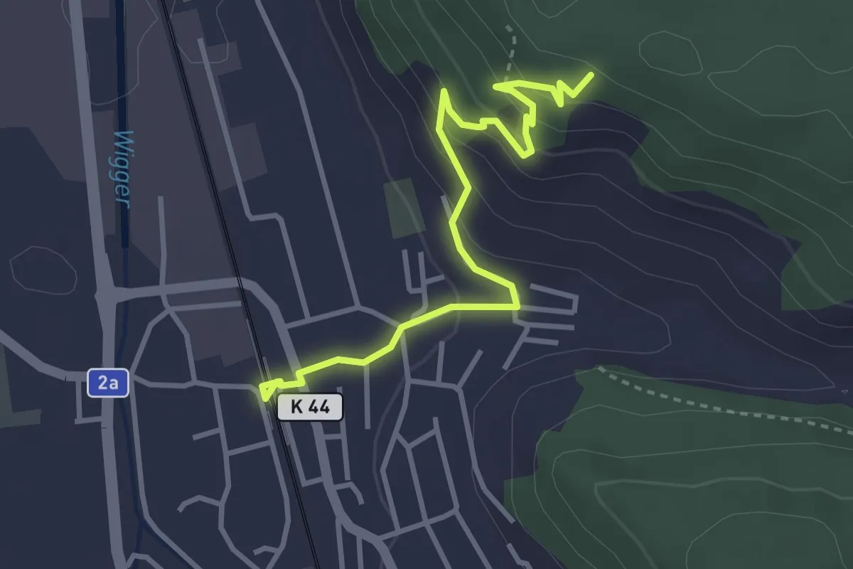
Easy · Trail
Rüsle - Nebikon (Bahnhof)
3.5 km · ↑ 189 m · 1 h 14 min
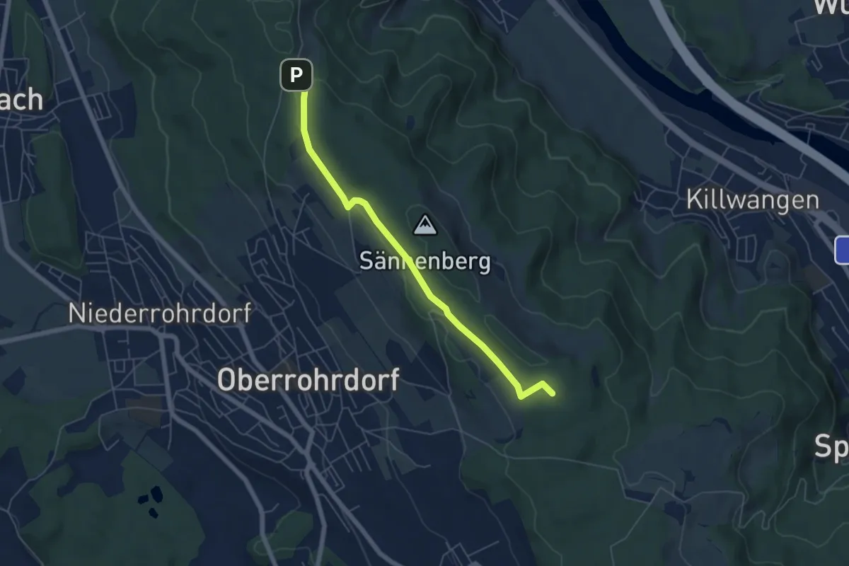
Easy · Trail
Rüsler - Hinterhau
5.5 km · ↑ 90 m · 1 h 30 min
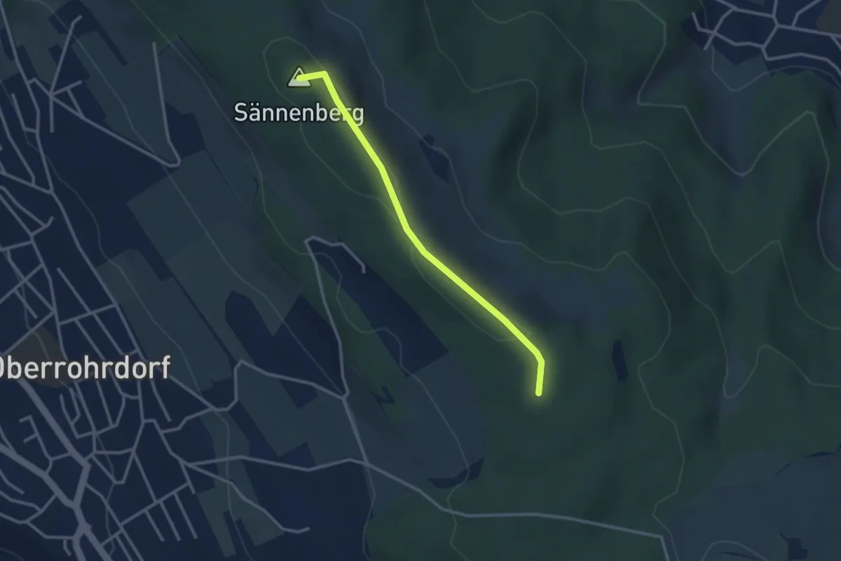
Easy · Summit
Rüsler - Hinterhau
2.7 km · ↑ 13 m · 40 min
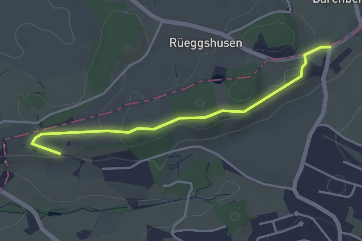
Easy · Trail
Rüssel - Schwösterrain
3.0 km · ↑ 61 m · 50 min
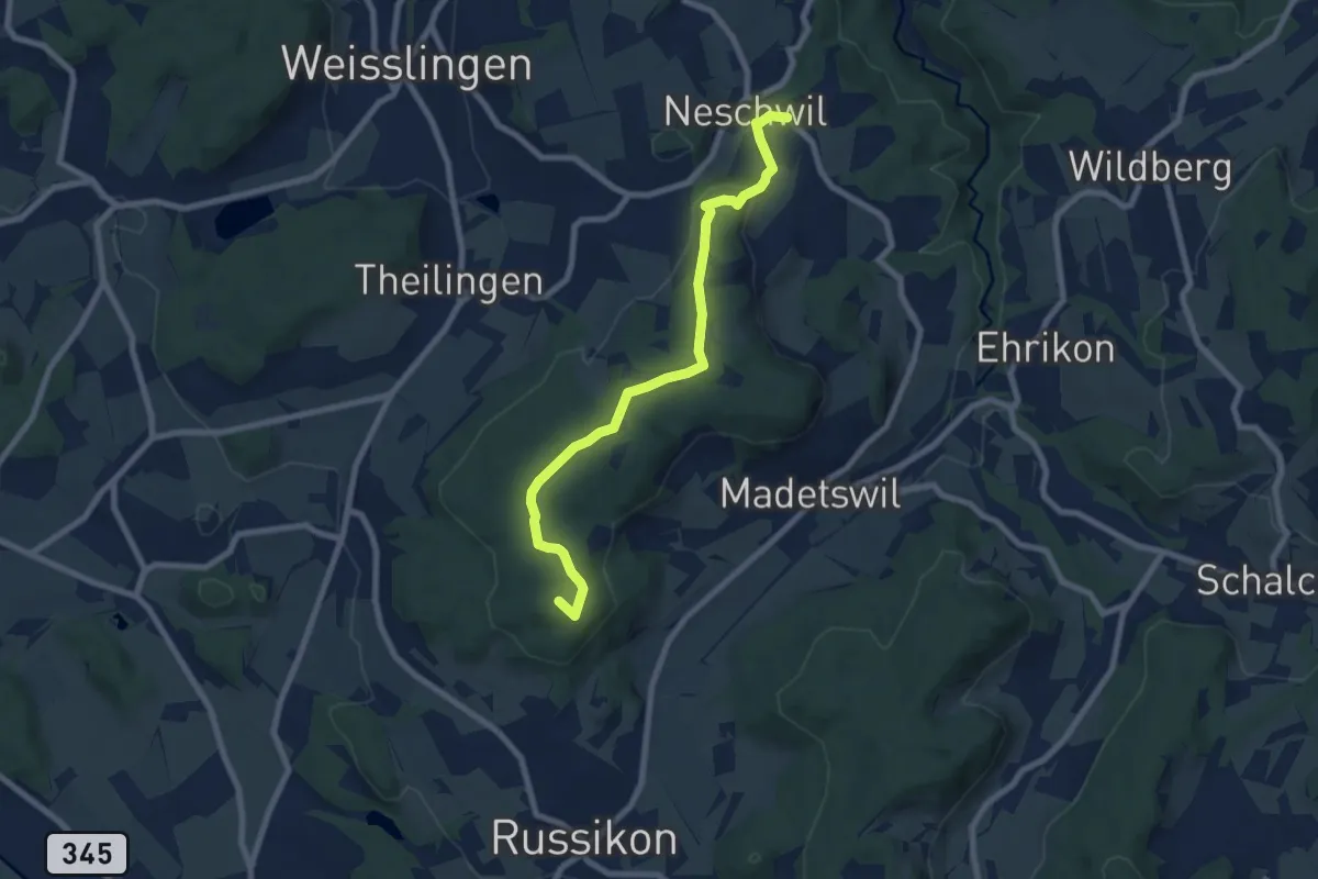
Easy · Summit
Russikon – Neschwil
7.8 km · ↑ 171 m · 2 h 12 min