Trails in Switzerland
15,064 hiking trails, each with its route, climb, walking time and grade.
All trails, page 90 of 314
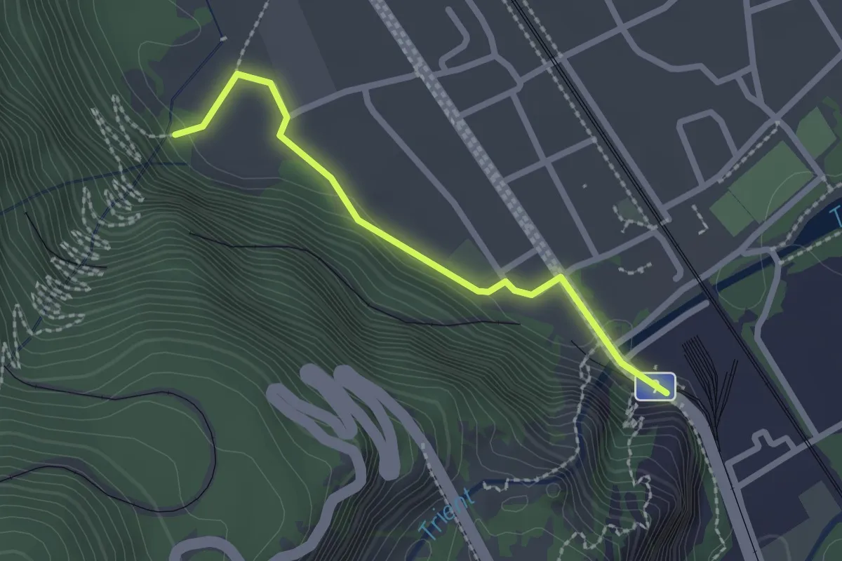
Easy · Trail
Route des Diligences
2.1 km · ↑ 68 m · 38 min
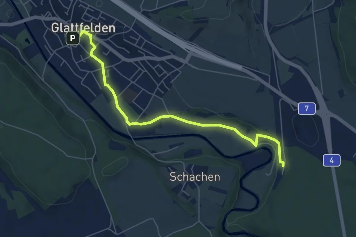
Easy · Trail
Route Hundig
5.7 km · ↑ 75 m · 1 h 31 min
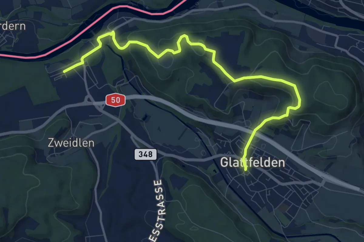
Medium · Trail
Route Laubberg
11.4 km · ↑ 424 m · 3 h 37 min
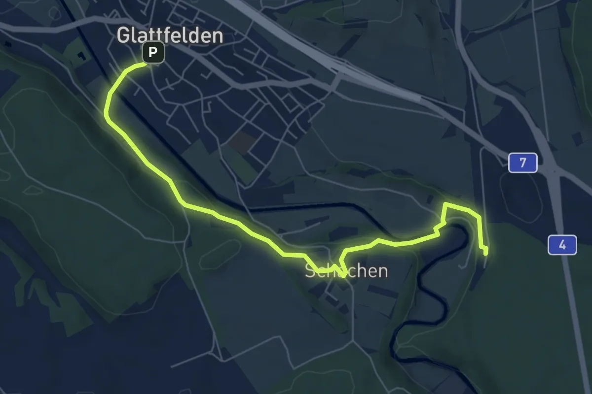
Easy · Trail
Route Schachen
7.0 km · ↑ 186 m · 2 h 3 min
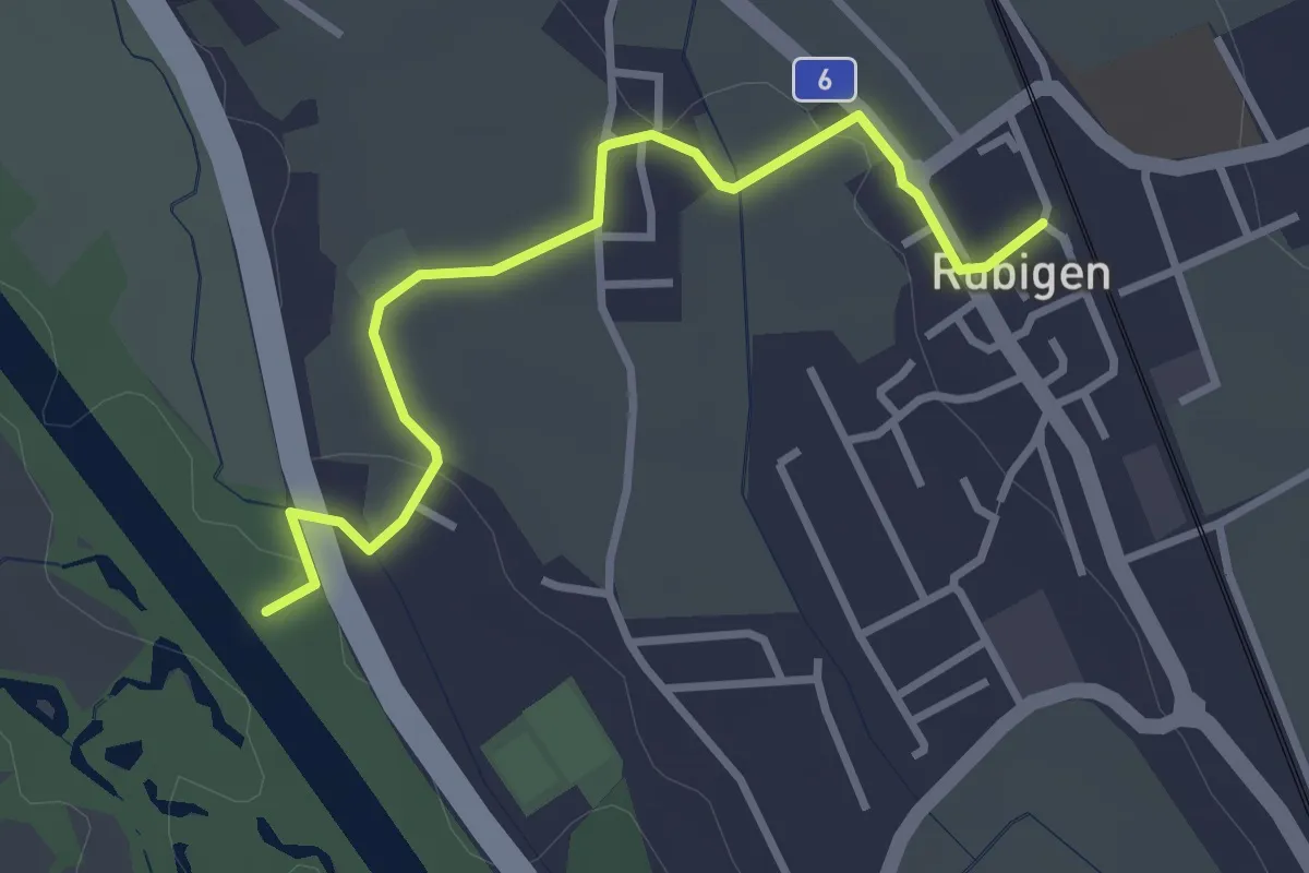
Easy · Trail
Rubigen - ?
3.2 km · ↑ 28 m · 49 min
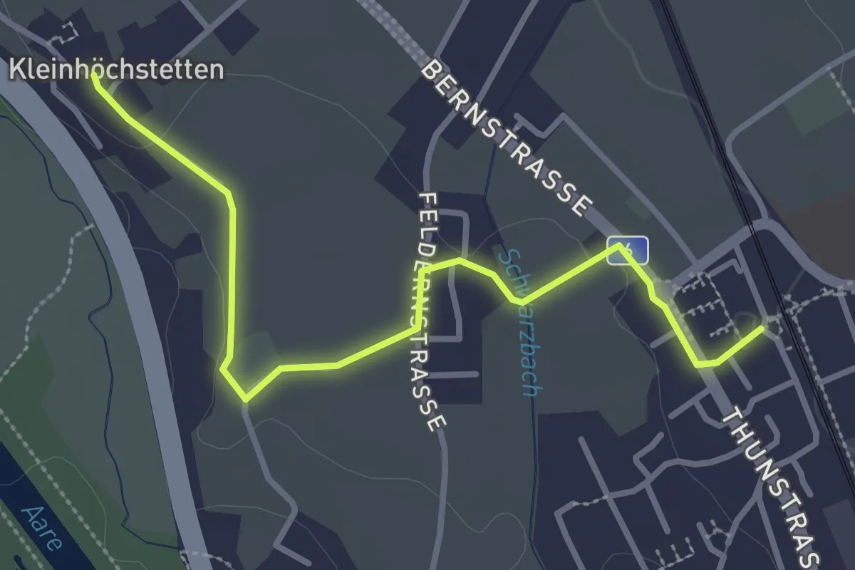
Easy · Trail
Rubigen - Kleinhöchstetten
3.3 km · ↑ 31 m · 50 min
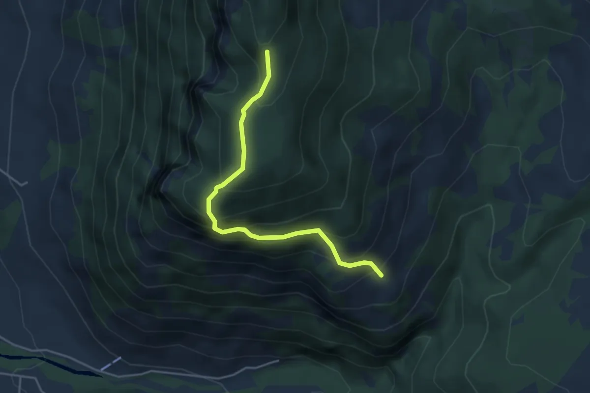
Medium · Trail
Rüchiloch - Vorder Rüchi
3.6 km · ↑ 370 m · 1 h 39 min
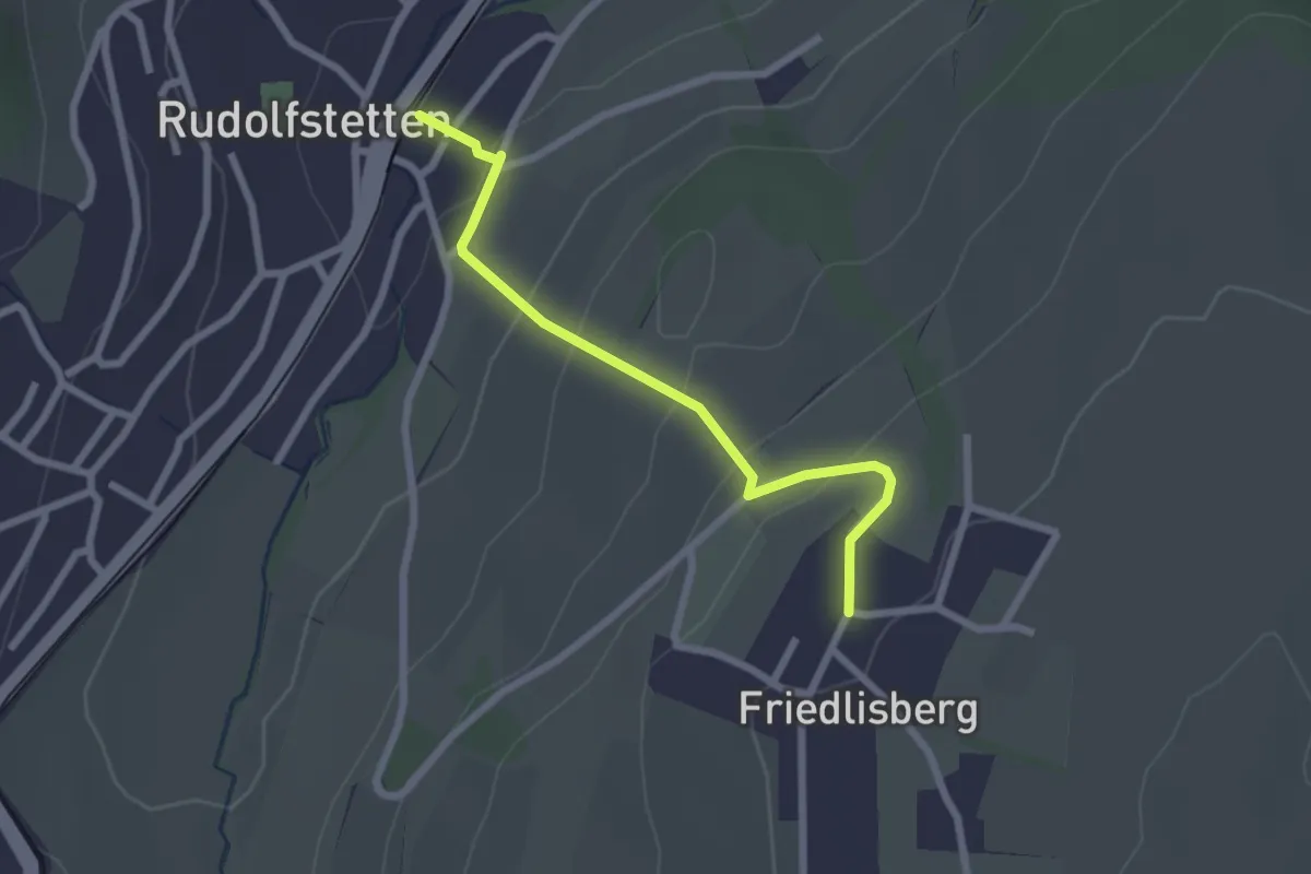
Easy · Trail
Rudolfstetten - Friedlisberg
2.3 km · ↑ 122 m · 49 min
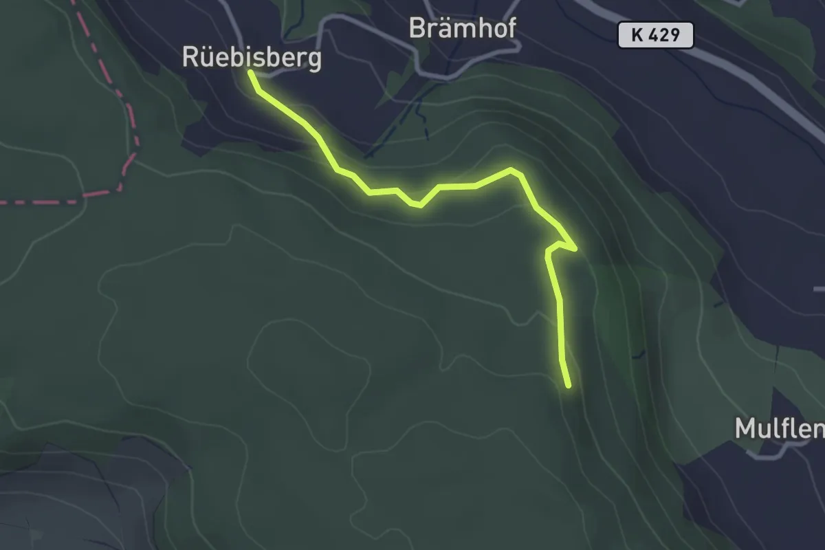
Easy · Trail
Rüeblisberg - Mulflenflue
2.7 km · ↑ 110 m · 52 min
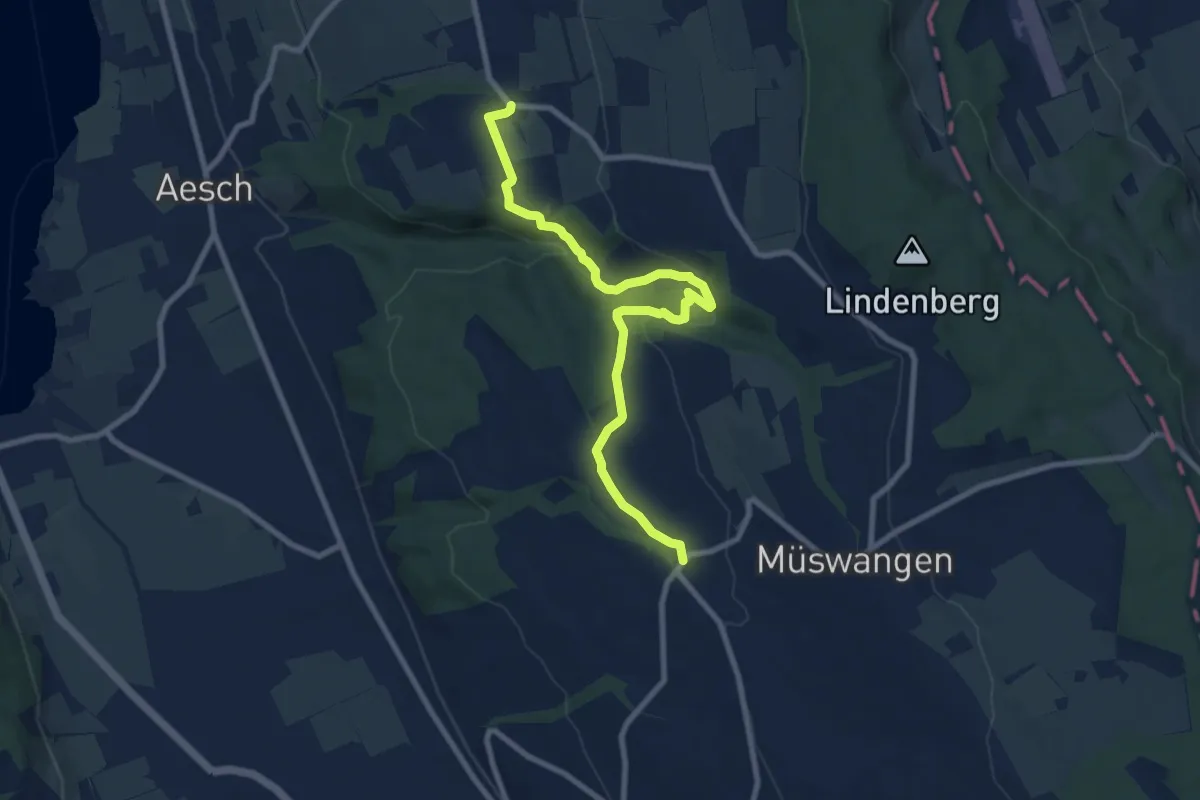
Medium · Trail
Rüediken - Hämikon
9.2 km · ↑ 233 m · 2 h 41 min
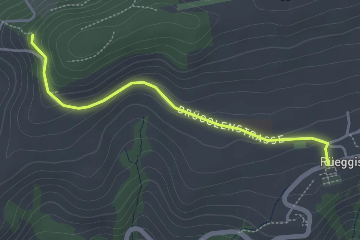
Easy · Trail
Rüeggisberg - Riedstettwald
2.7 km · ↑ 91 m · 50 min
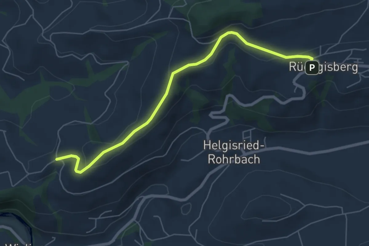
Easy · Trail
Rüeggisberg - Schwanden
5.7 km · ↑ 200 m · 1 h 47 min
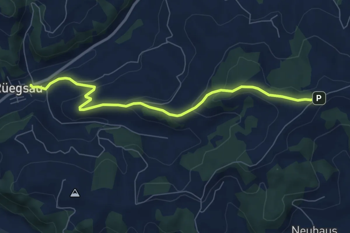
Easy · Trail
Rüegsau - Egg Schulhaus
6.5 km · ↑ 258 m · 2 h 6 min
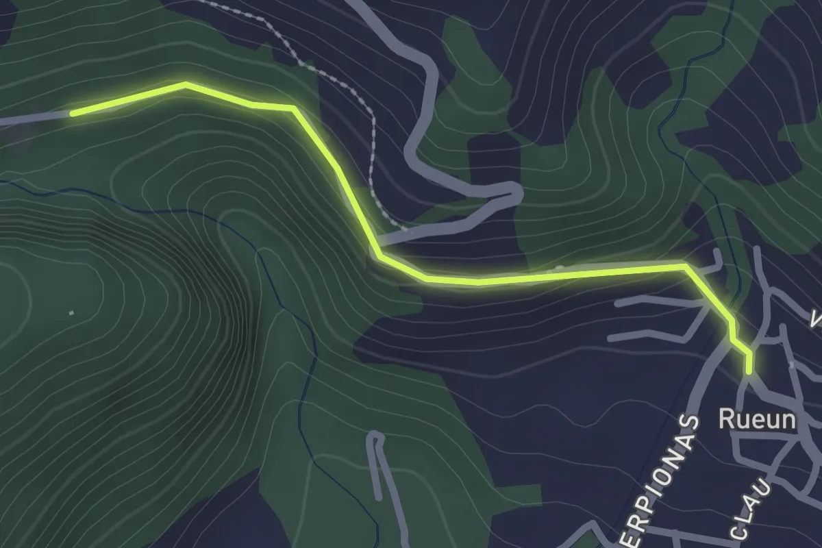
Easy · Trail
Rueun - Andiast
2.1 km · ↑ 99 m · 43 min
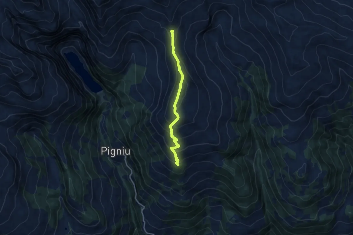
Medium · Summit
Rueun - Fuorcla da Ranasca
9.5 km · ↑ 615 m · 3 h 35 min
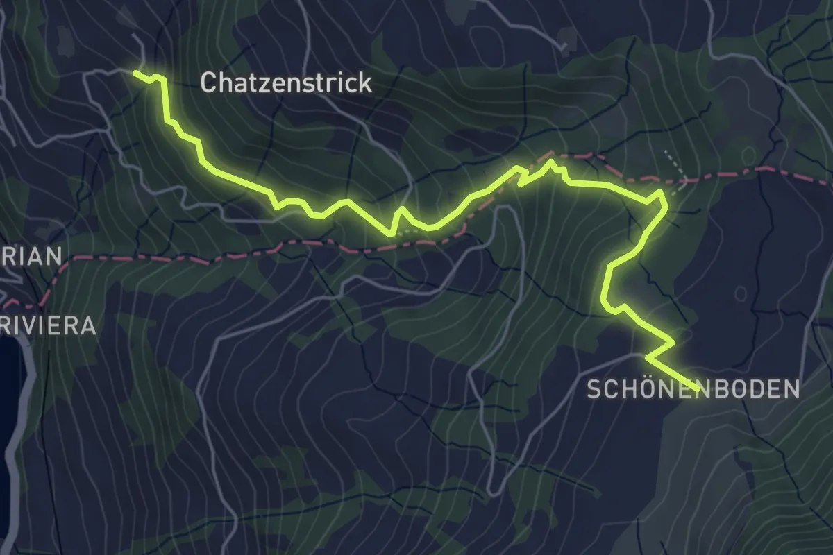
Medium · Trail
Rufiberg - Utenberg
6.1 km · ↑ 425 m · 2 h 22 min
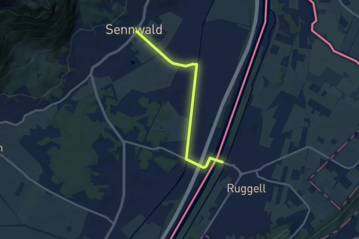
Easy · Trail
Ruggell - Sennwald
6.4 km · ↑ 22 m · 1 h 34 min
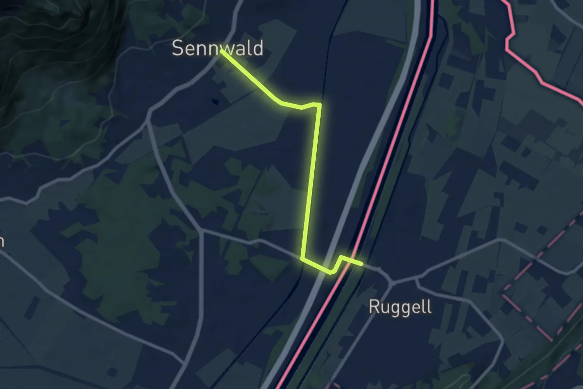
Easy · Trail
Ruggell - Sennwald (CH)
6.4 km · ↑ 22 m · 1 h 34 min
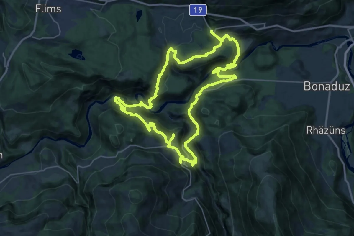
Demanding · Trail
Ruinaulta Sut
20.8 km · ↑ 1127 m · 7 h 40 min
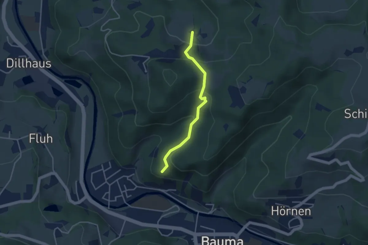
Easy · Trail
Ruine Altlandenberg – Chämmerli
2.8 km · ↑ 173 m · 1 h 2 min
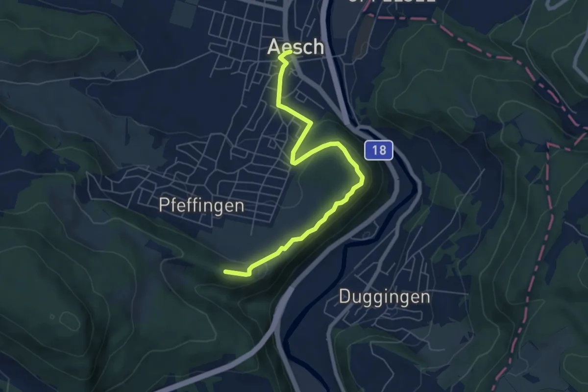
Easy · Trail
Ruine Pfeffingen - Aesch
6.1 km · ↑ 194 m · 1 h 51 min
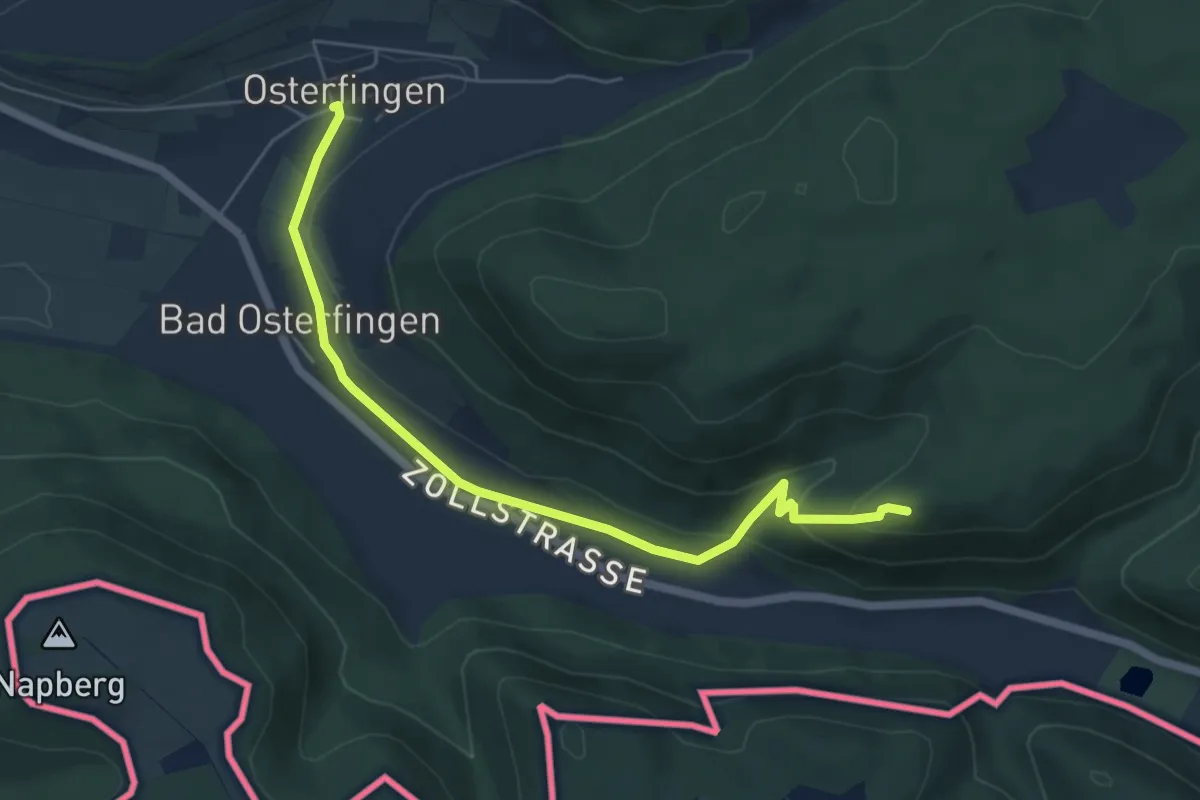
Easy · Trail
Ruine Radegg - Osterfingen
5.8 km · ↑ 218 m · 1 h 50 min
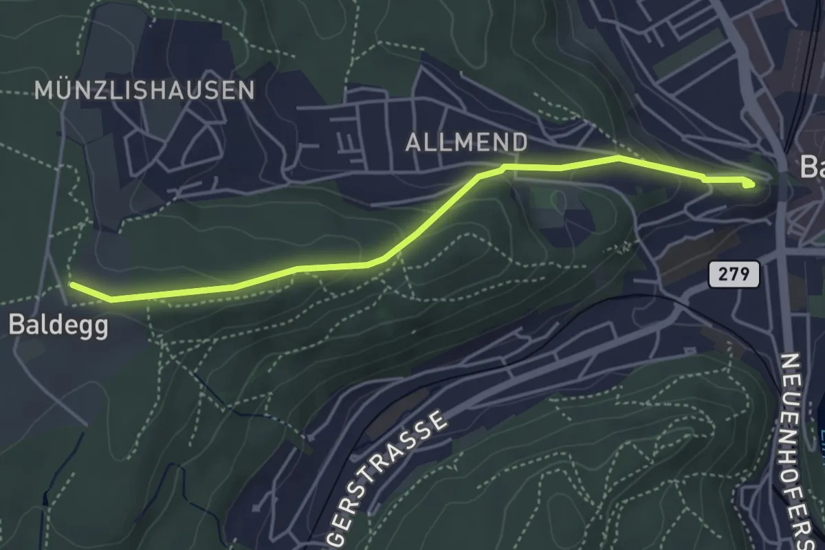
Easy · Trail
Ruine Stein-Baldegg
4.2 km · ↑ 150 m · 1 h 19 min
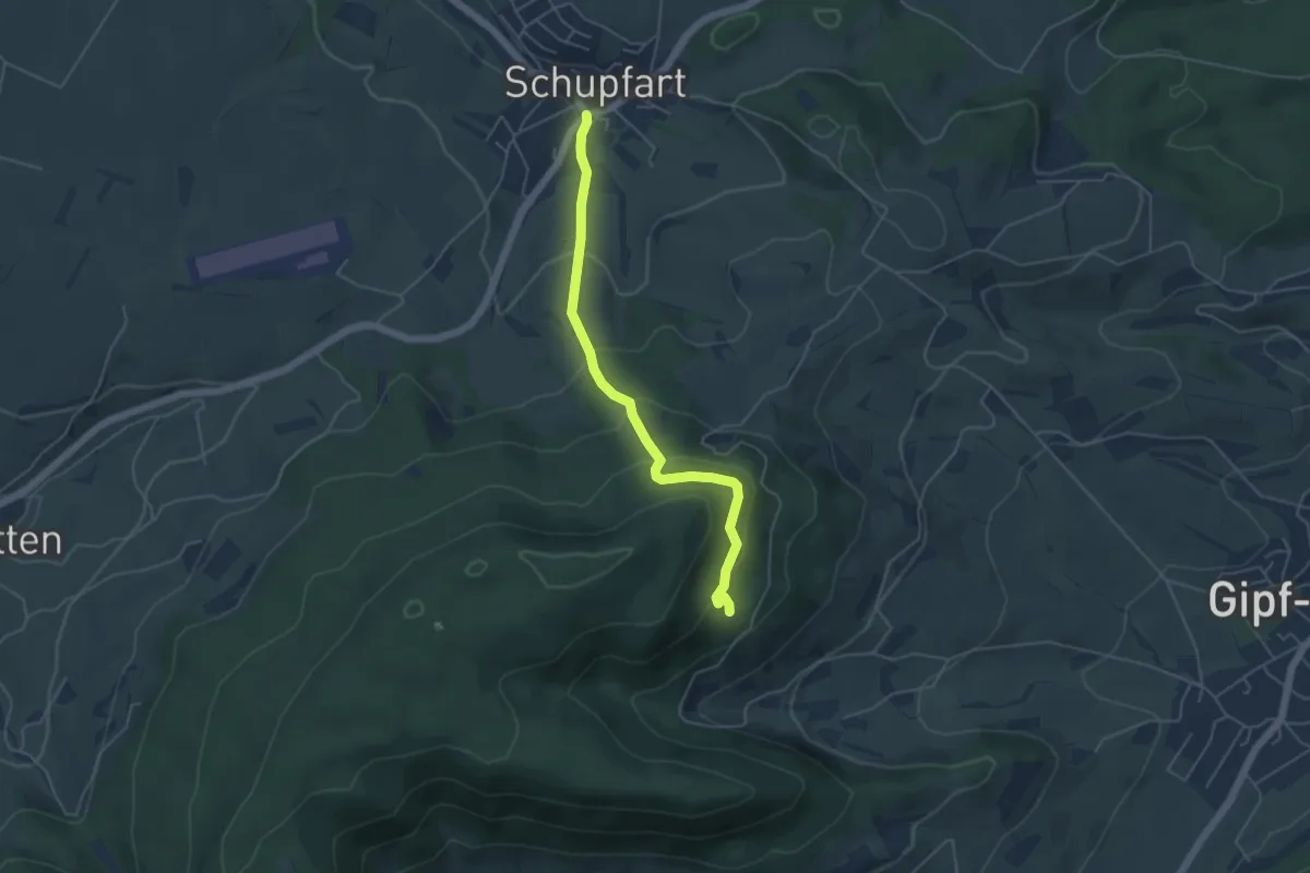
Easy · Trail
Ruine Tierstein - Schupfart Postauto
4.6 km · ↑ 291 m · 1 h 43 min
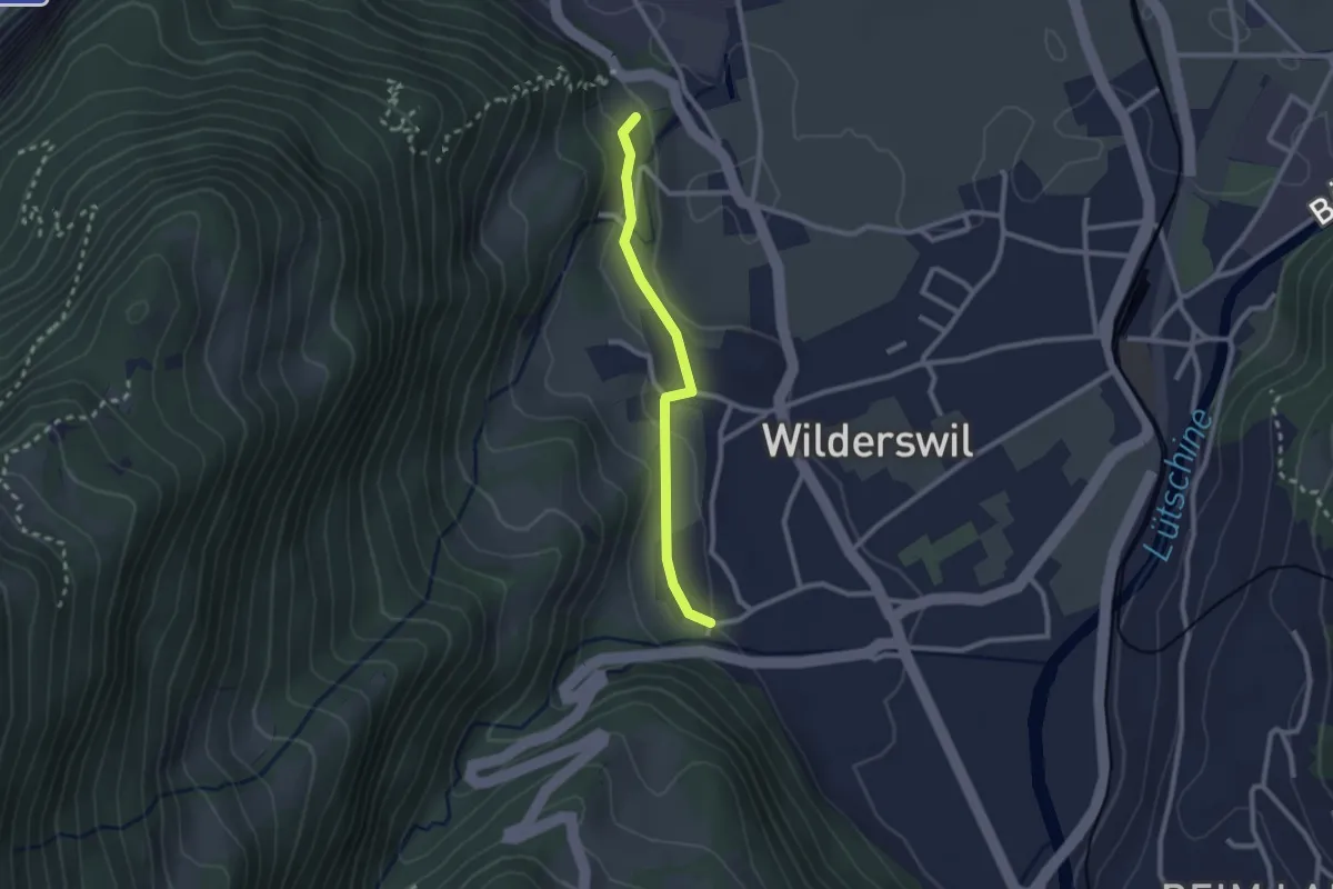
Easy · Trail
Ruine Unspannen - Mühle
2.2 km · ↑ 50 m · 37 min
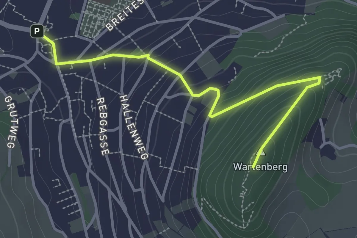
Medium · Summit
Ruine Wartenberg - Mittenza
3.2 km · ↑ 171 m · 1 h 8 min
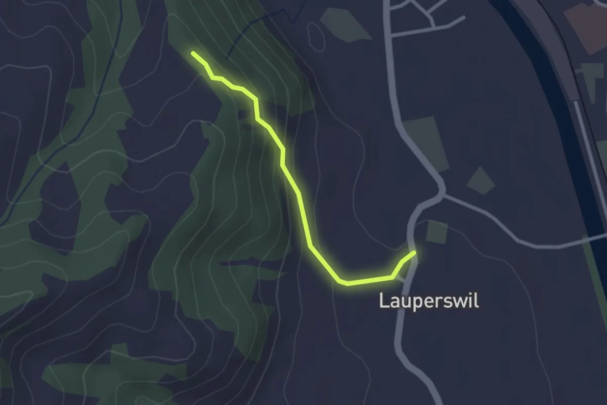
Easy · Trail
Ruine Wartenstein - Lauperswil
2.1 km · ↑ 136 m · 48 min
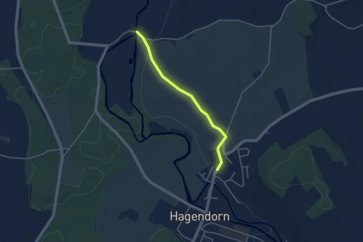
Easy · Trail
Rumentikon-Frauental
2.7 km · ↑ 38 m · 43 min
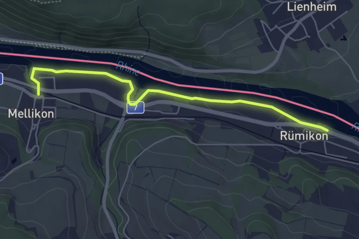
Easy · Trail
Rümikon Rheinufer - Mellikon Bahnhof
4.8 km · ↑ 26 m · 1 h 11 min
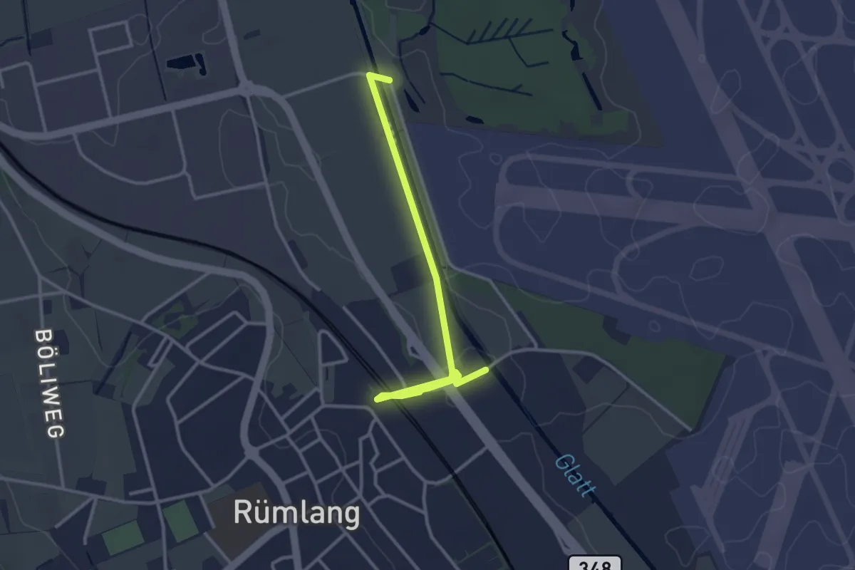
Easy · Trail
Rümlang - Schlosswinkel
3.2 km · ↑ 18 m · 48 min
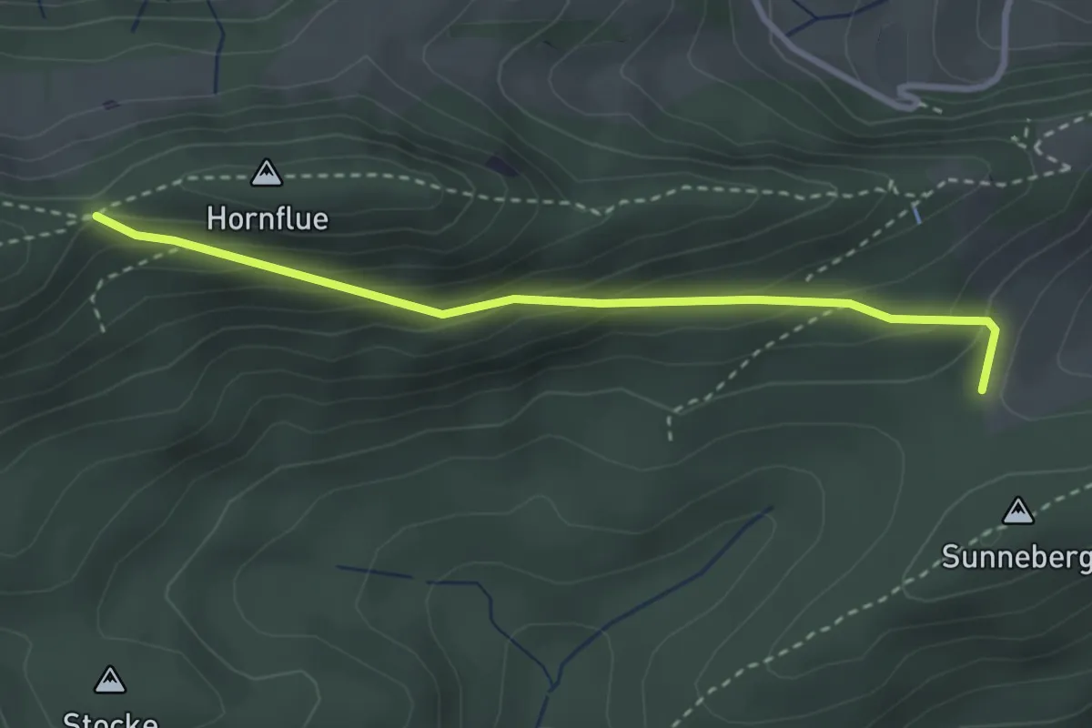
Easy · Trail
Rumpelhöchi - Homberglücke
3.0 km · ↑ 214 m · 1 h 10 min
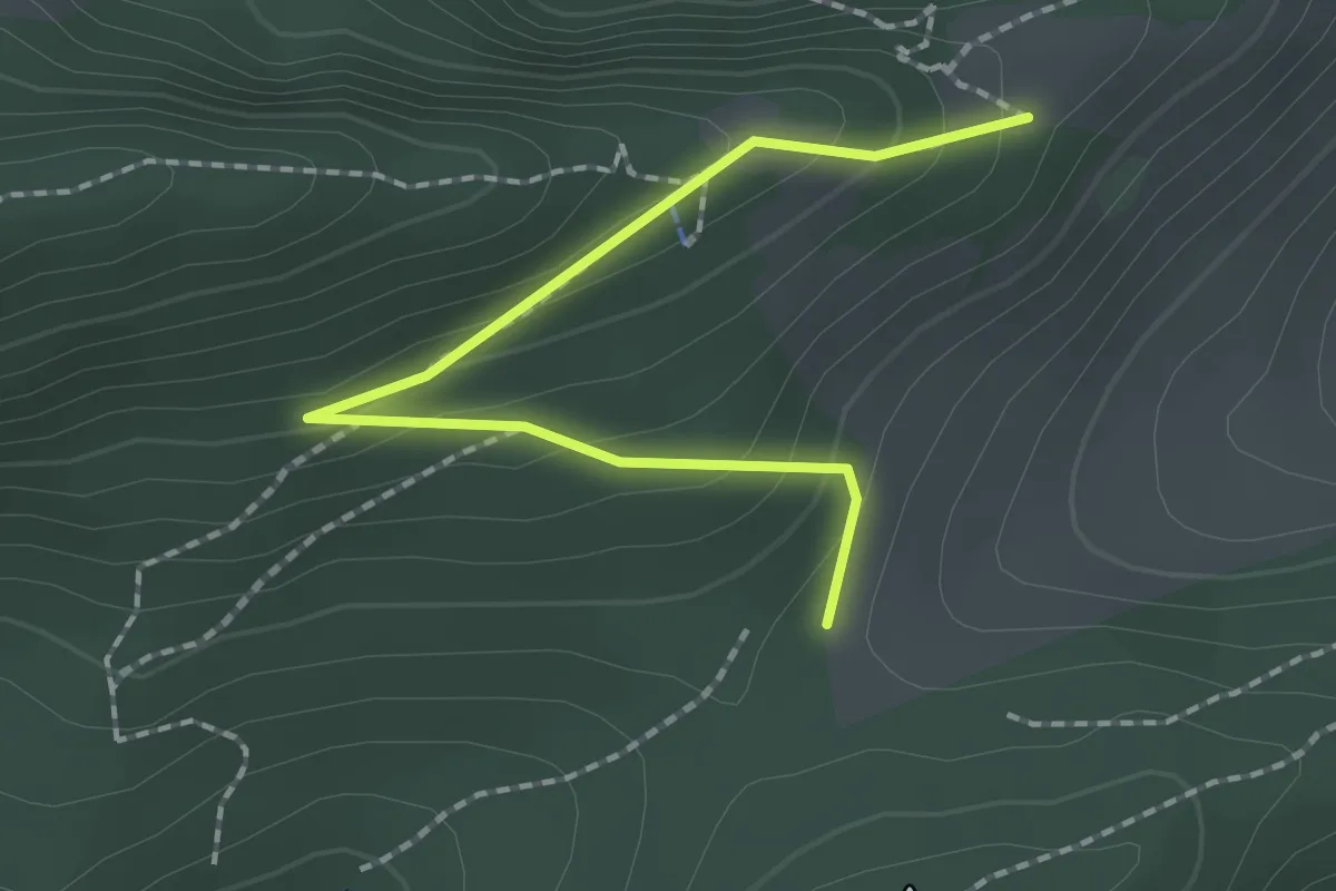
Easy · Trail
Rumpelhöchi -Naturfreundehaus Rumpelweide
2.0 km · ↑ 126 m · 45 min
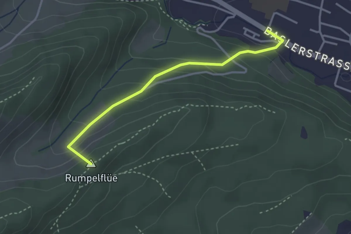
Easy · Summit
Rumpelhöchi - Trimbach
2.9 km · ↑ 181 m · 1 h 4 min
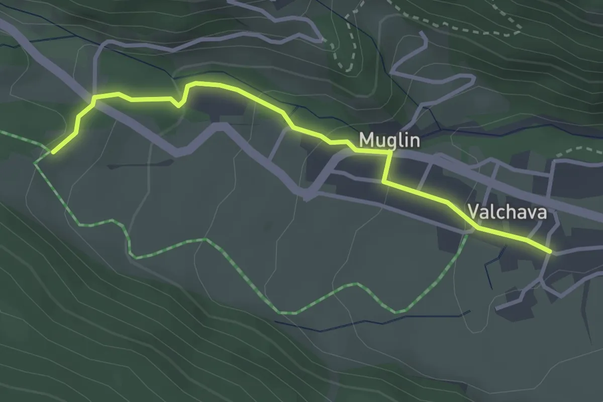
Easy · Trail
Runca - Valchava
2.9 km · ↑ 125 m · 58 min
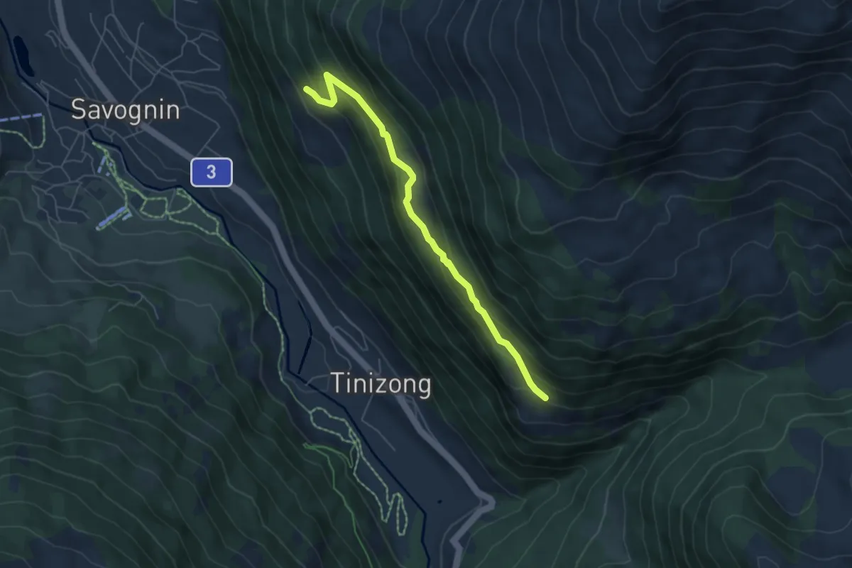
Medium · Trail
Rundal - Proschen Dafora
5.5 km · ↑ 358 m · 2 h 4 min
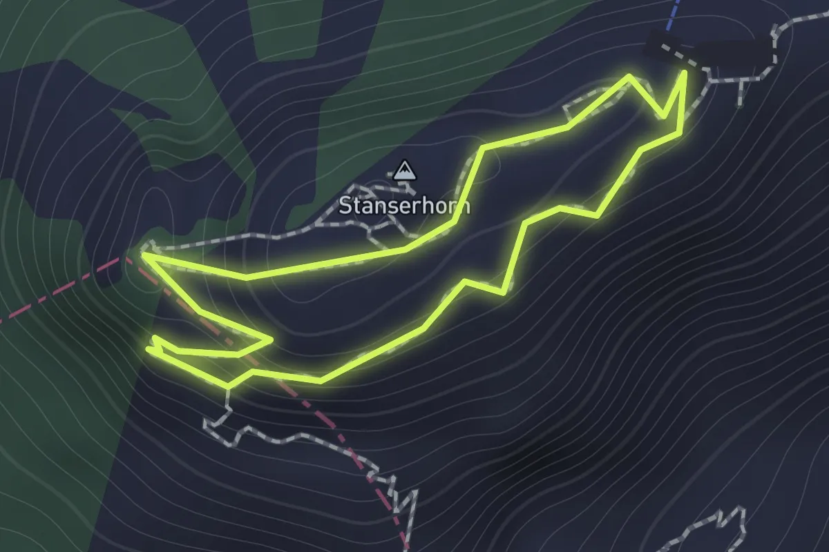
Easy · Summit
Rundgang /circular trail
1.0 km · ↑ 121 m · 31 min
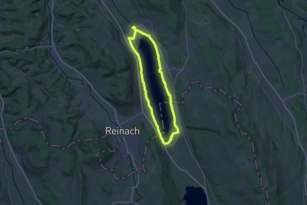
Demanding · Trail
Rundgang Hallwilersee
21.1 km · ↑ 137 m · 5 h 34 min
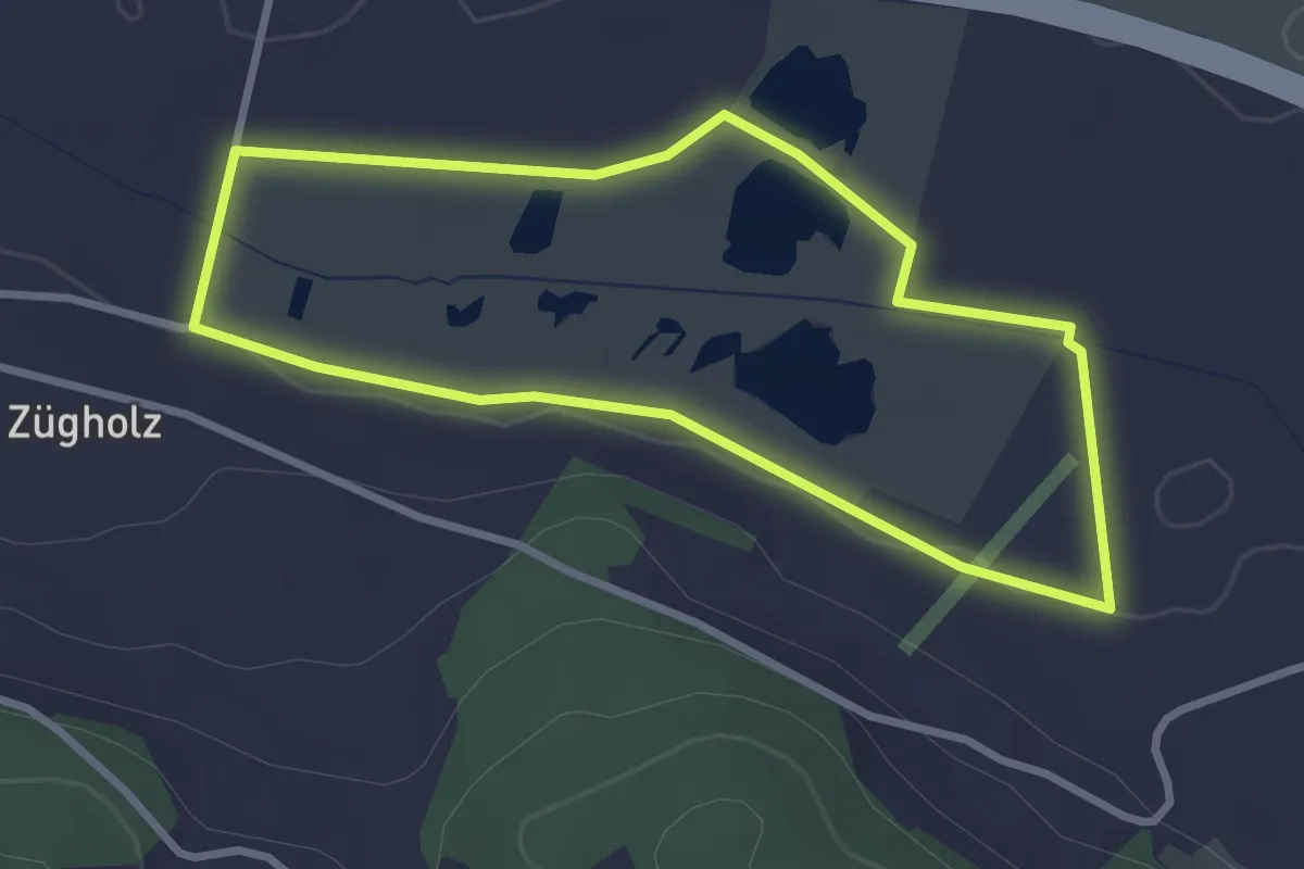
Easy · Trail
Rundgang Moos
2.8 km · ↑ 5 m · 42 min
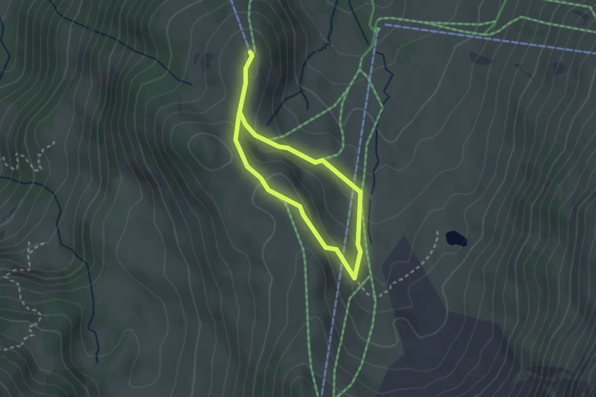
Easy · Trail
Rundgang Riggisalp
1.9 km · ↑ 61 m · 36 min
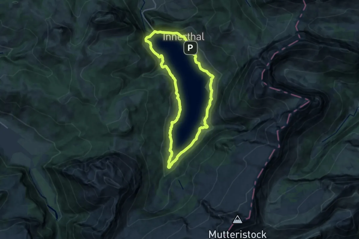
Medium · Trail
Rundgang Wägitalersee
12.7 km · ↑ 399 m · 4 h 2 min
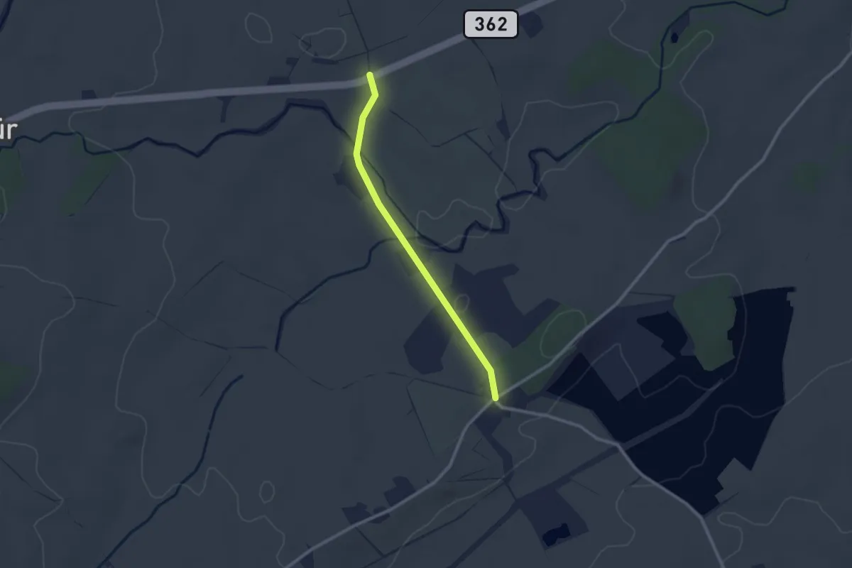
Easy · Trail
Rund um Emmen
2.2 km · ↑ 14 m · 33 min
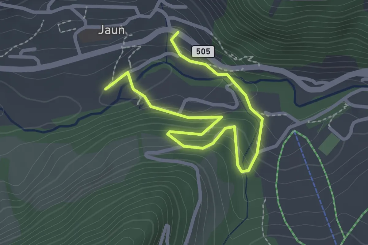
Easy · Trail
Rund um Jaun
2.8 km · ↑ 170 m · 1 h 2 min
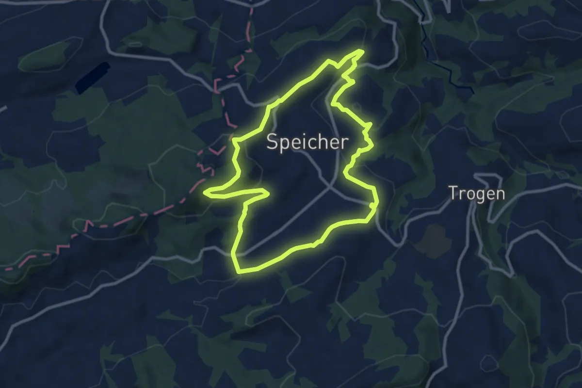
Medium · Trail
Rund um Speicher
8.2 km · ↑ 246 m · 2 h 35 min
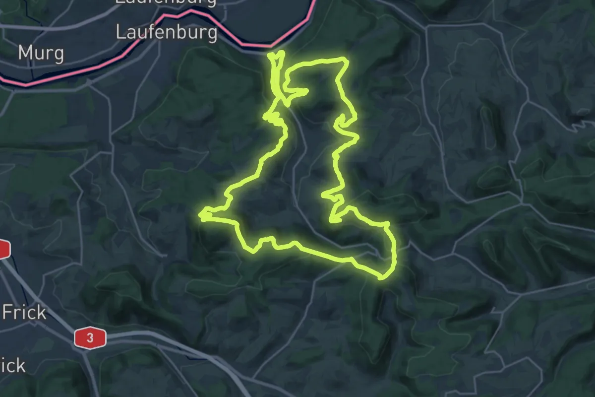
Demanding · Summit
Rund um Sulz
23.8 km · ↑ 758 m · 7 h 36 min
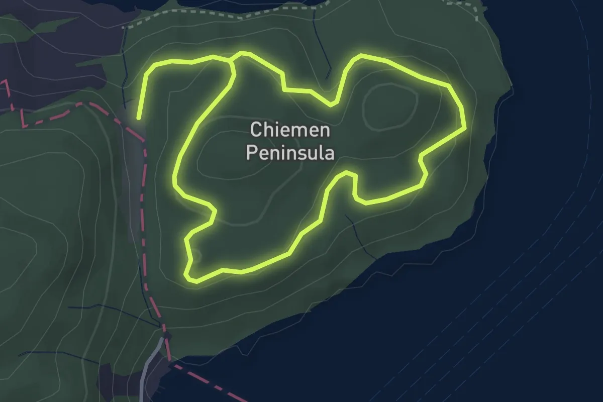
Easy · Trail
Rundwanderung Chiemenwald
5.9 km · ↑ 231 m · 1 h 54 min
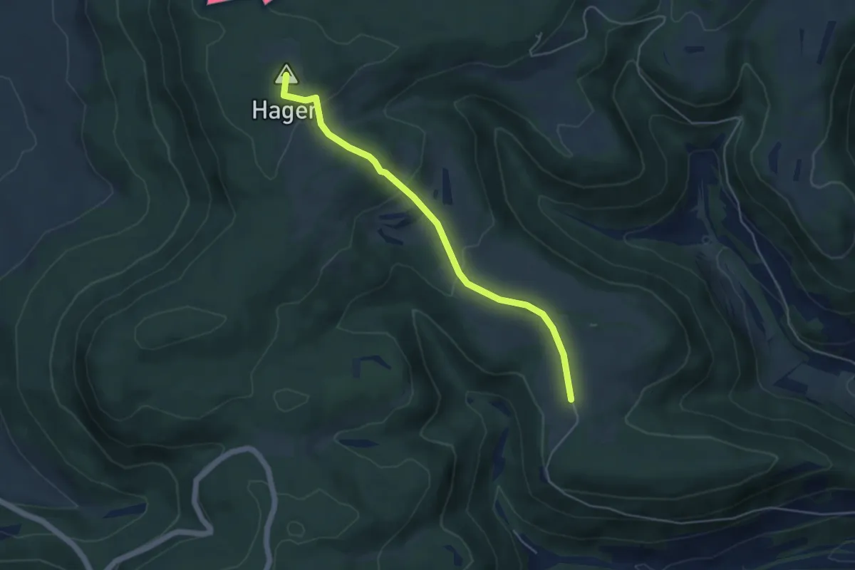
Easy · Summit
Rundwanderweg
4.5 km · ↑ 154 m · 1 h 23 min
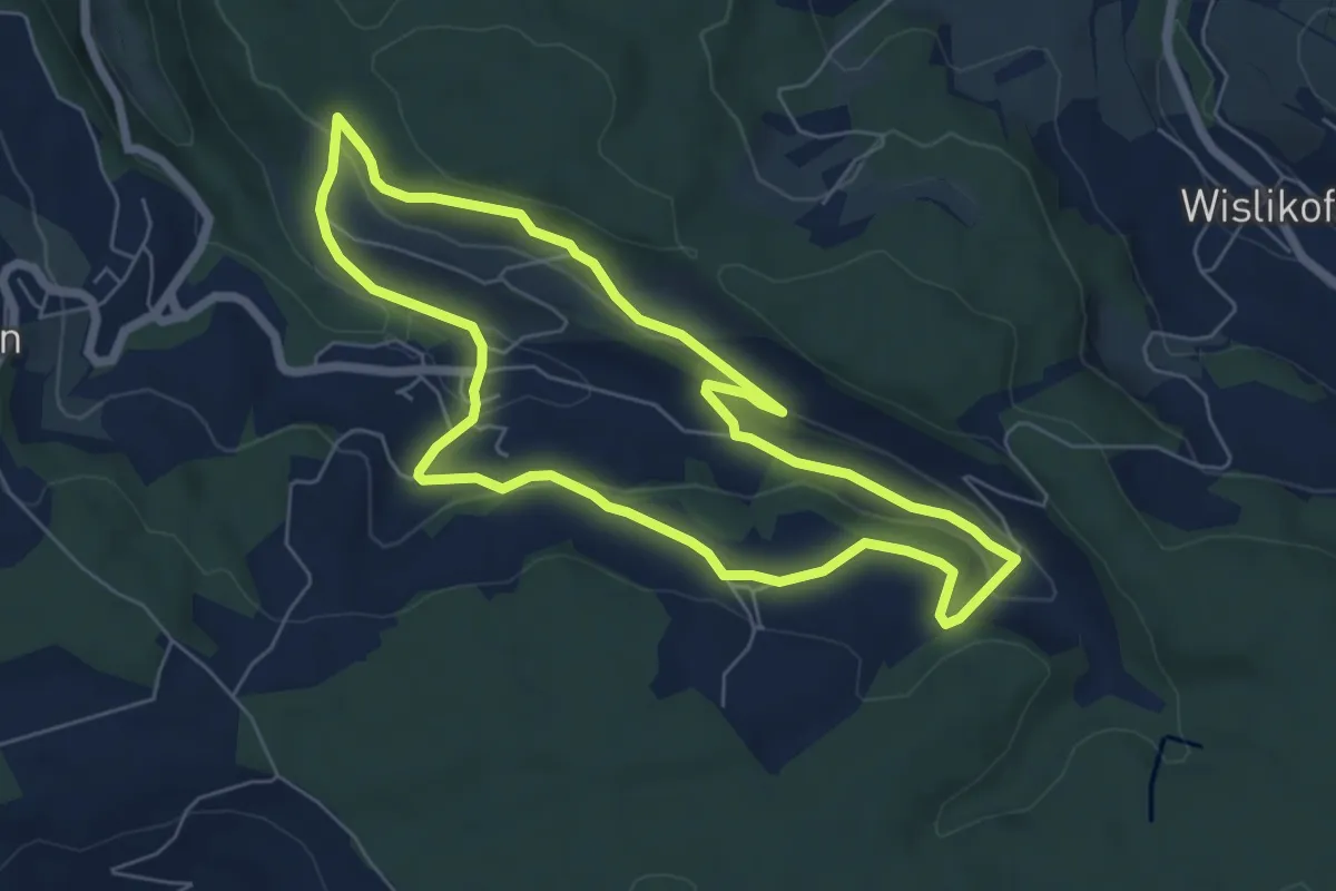
Easy · Trail
Rundwanderweg Gemeinde Böbikon
6.0 km · ↑ 164 m · 1 h 51 min
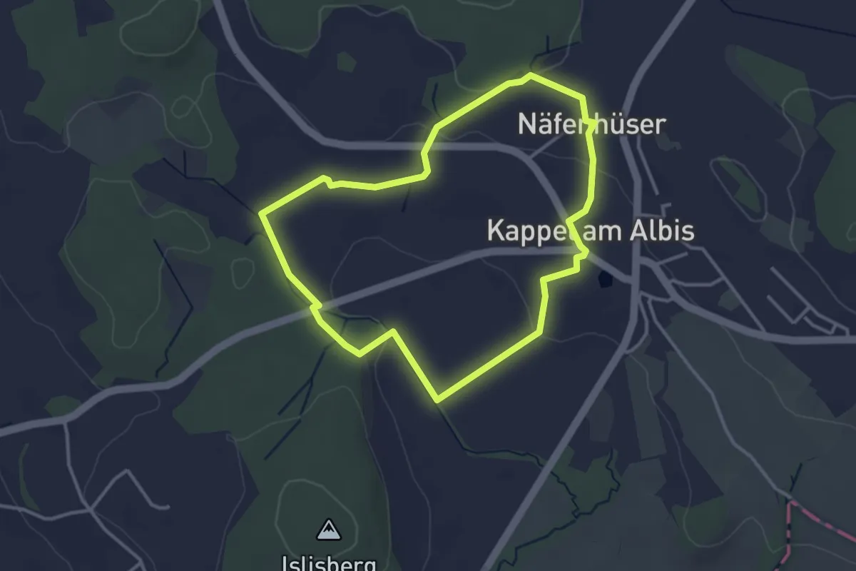
Easy · Trail
Rund-Wanderweg Kloster Kappel
3.1 km · ↑ 59 m · 55 min