Trails in Switzerland
15,064 hiking trails, each with its route, climb, walking time and grade.
All trails, page 89 of 314
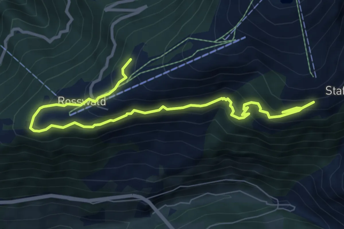
Medium · Trail
Rosswald - Stafel
8.4 km · ↑ 643 m · 3 h 23 min
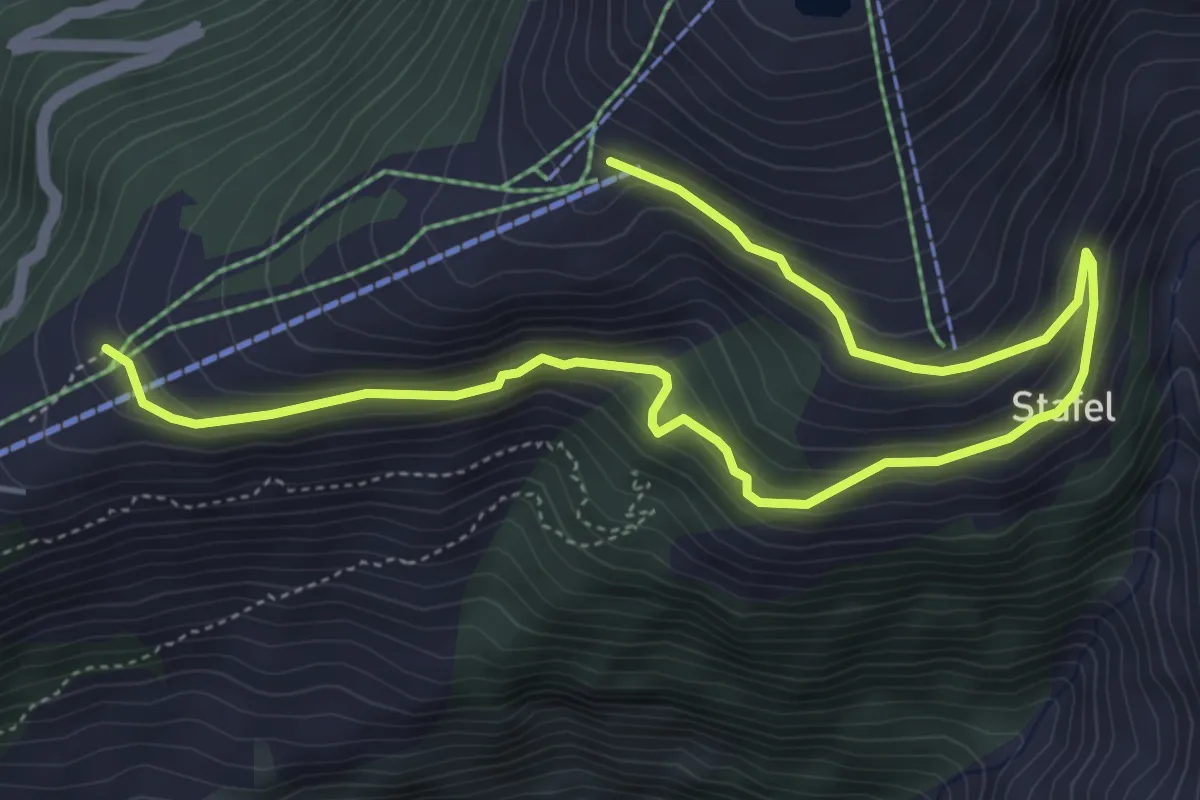
Medium · Trail
Rosswald - Stafel - Fleschboden
6.7 km · ↑ 362 m · 2 h 22 min
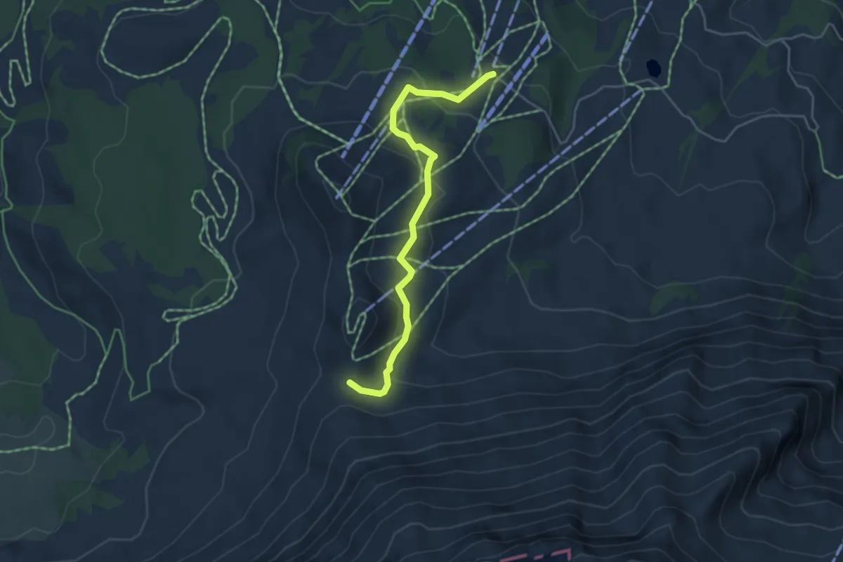
Medium · Trail
Rossweid - Blattenegg
4.3 km · ↑ 186 m · 1 h 25 min
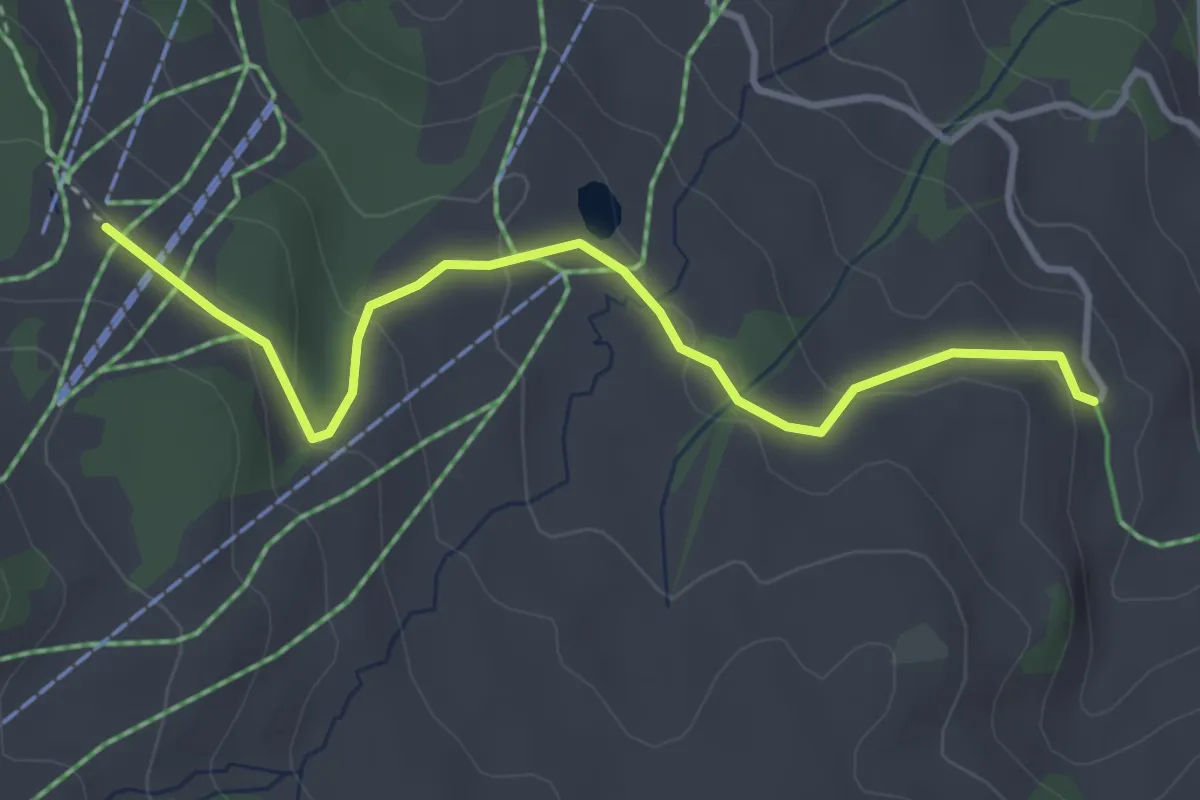
Easy · Trail
Rossweid - Schlacht
3.7 km · ↑ 129 m · 1 h 9 min
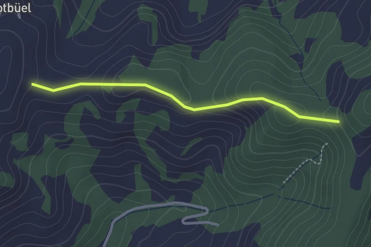
Easy · Trail
Rotebüelegg - Flüehüsli
2.1 km · ↑ 67 m · 39 min
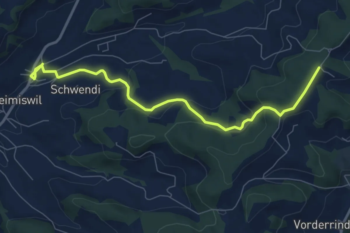
Easy · Trail
Rotenbaum - Heimiswil
7.1 km · ↑ 242 m · 2 h 11 min
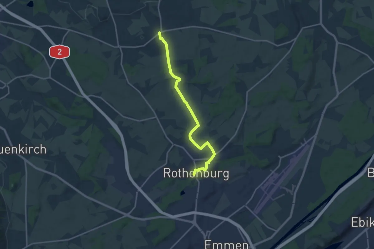
Medium · Trail
Rotenburg - Rain
11.5 km · ↑ 106 m · 2 h 57 min
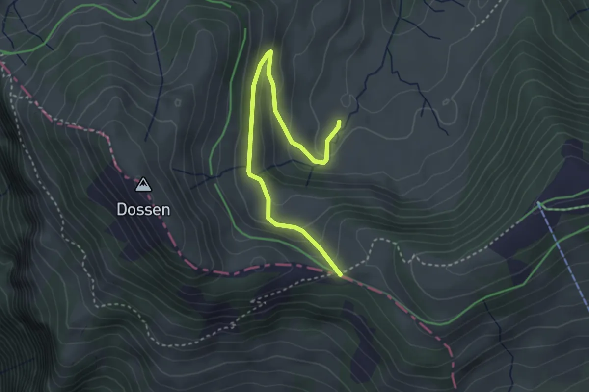
Easy · Trail
Rotenflue Allmig - Hinder Dossen
3.3 km · ↑ 173 m · 1 h 10 min
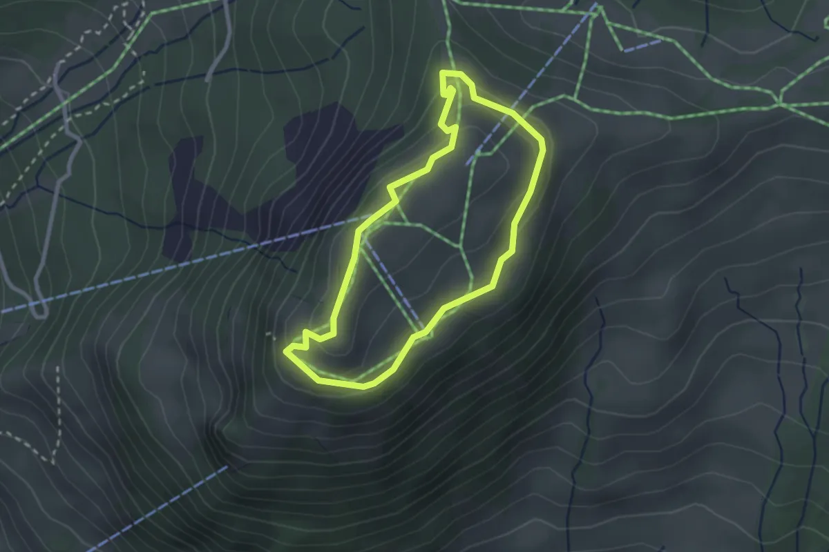
Easy · Trail
Rotenflue Rundweg
2.2 km · ↑ 106 m · 47 min
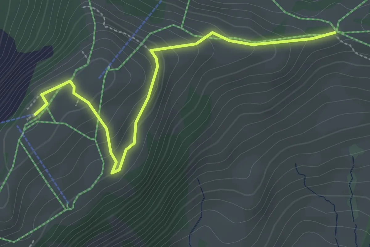
Easy · Trail
Rotenflue (Station) - Müsliegg
3.0 km · ↑ 211 m · 1 h 10 min
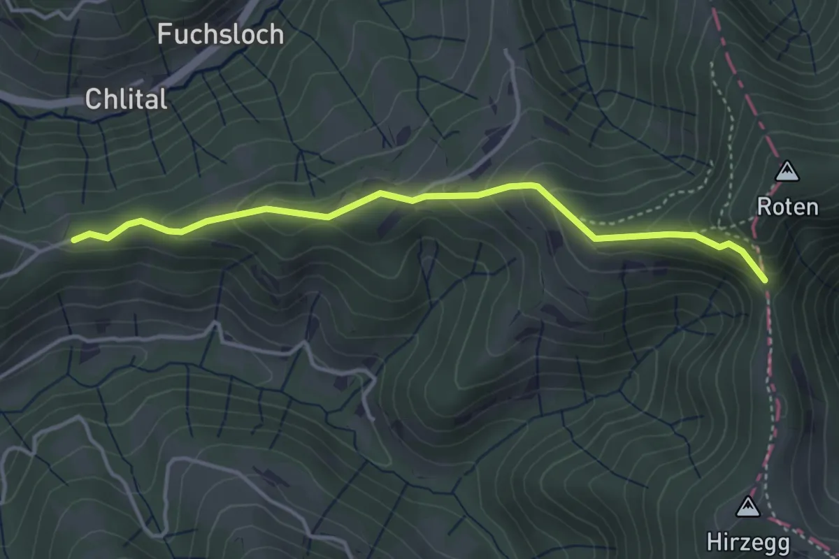
Medium · Trail
Rotengübel - Burstel
3.7 km · ↑ 276 m · 1 h 29 min
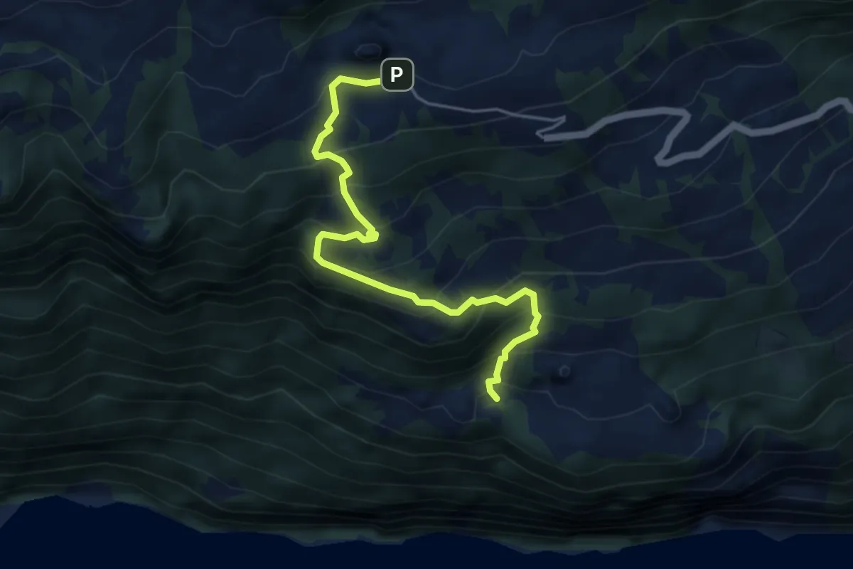
Medium · Trail
rote Raute
4.5 km · ↑ 464 m · 2 h 5 min
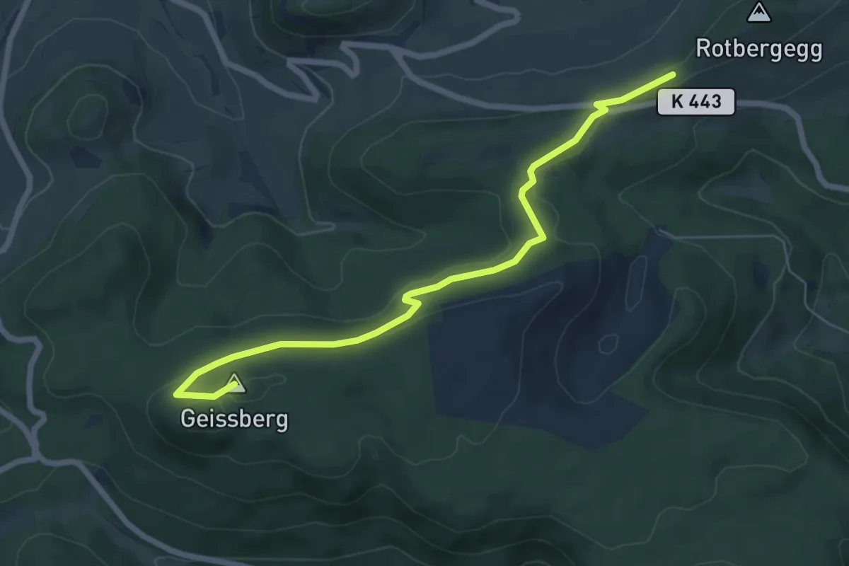
Easy · Summit
Rothbergegg - Geissberg Chameren
6.4 km · ↑ 135 m · 1 h 49 min
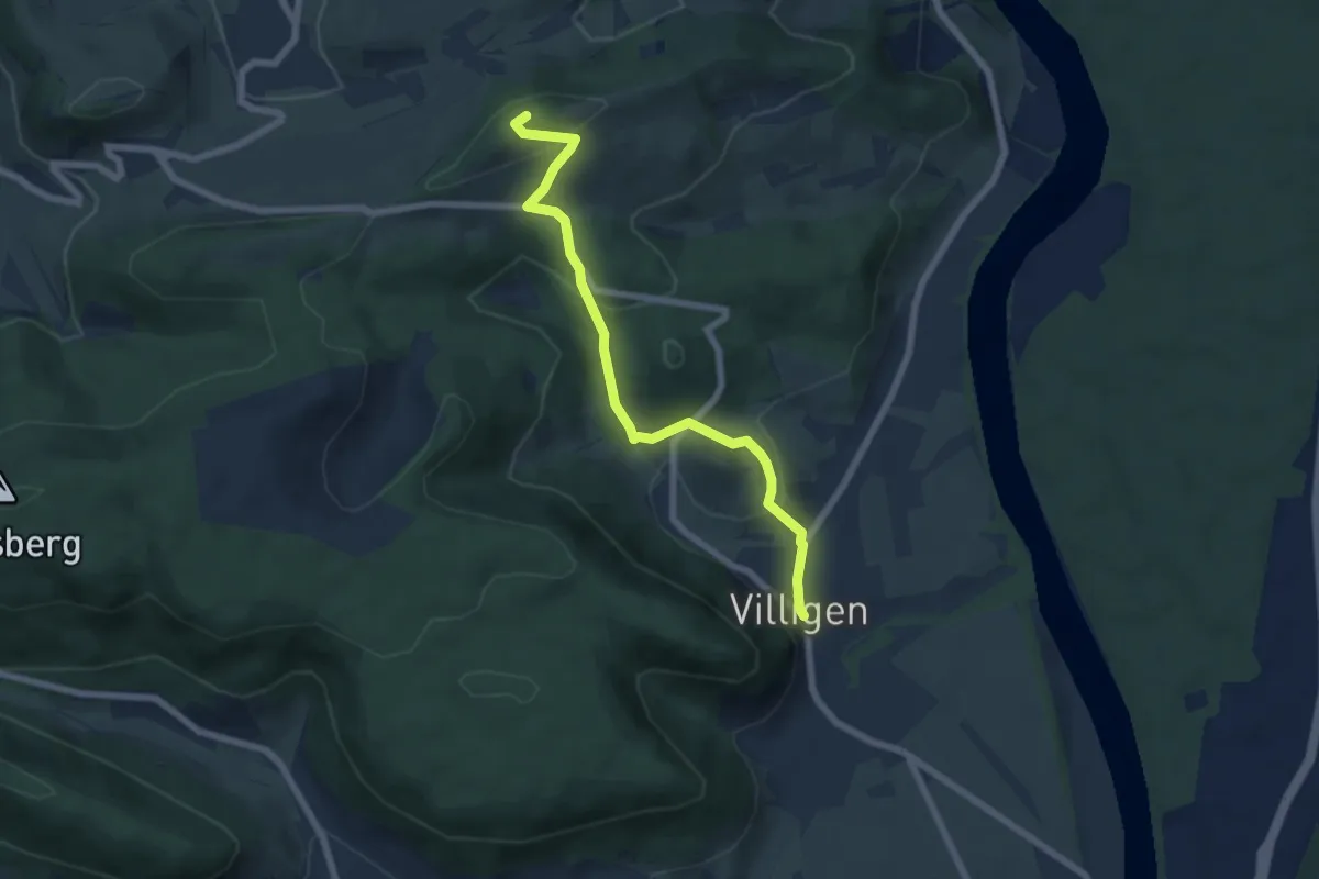
Easy · Summit
Rothberg - Villigen
6.3 km · ↑ 278 m · 2 h 6 min
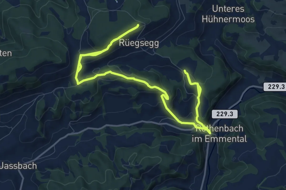
Demanding · Trail
Röthenbach
18.4 km · ↑ 652 m · 5 h 45 min
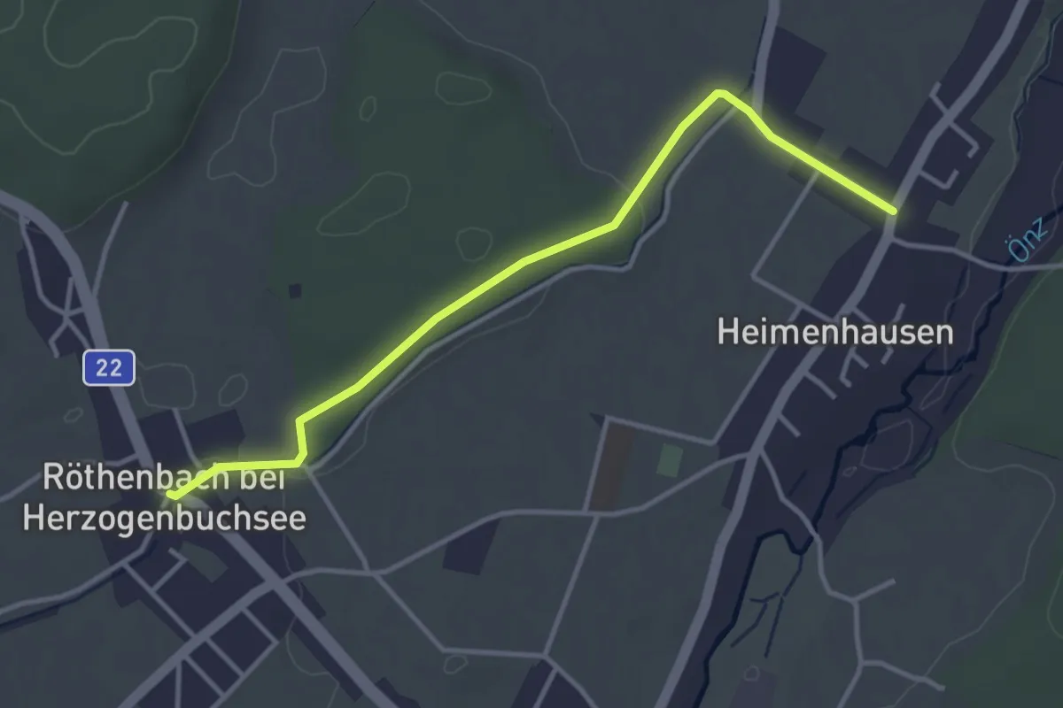
Easy · Trail
Röthenbach - Heimenhausen
3.7 km · ↑ 28 m · 56 min
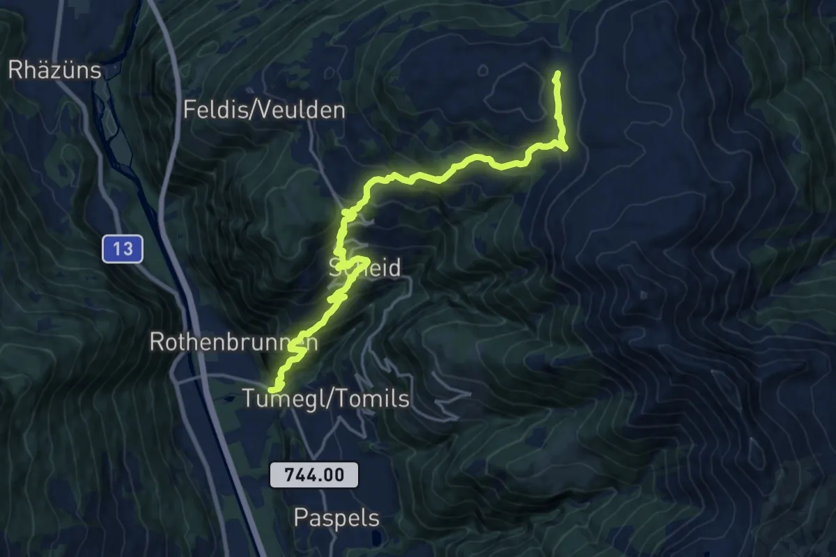
Demanding · Cabin
Rothenbrunnen Mulens Esmer Skihütte
18.4 km · ↑ 1412 m · 7 h 24 min
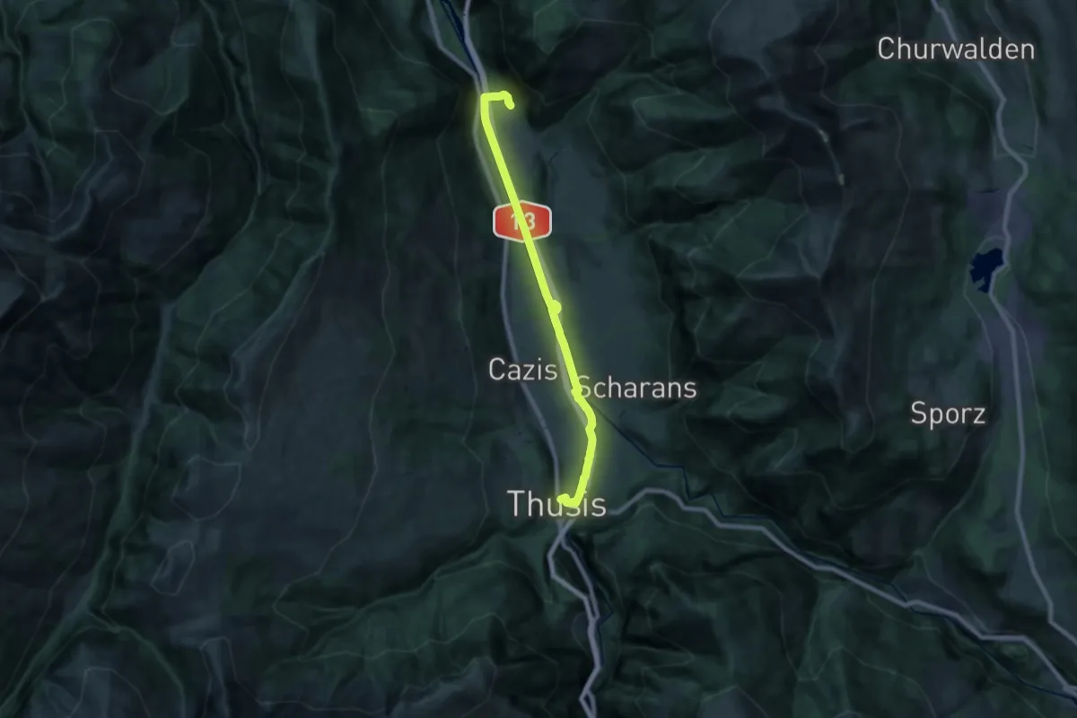
Demanding · Trail
Rothenbrunnen-Thusis
19.7 km · ↑ 117 m · 4 h 55 min
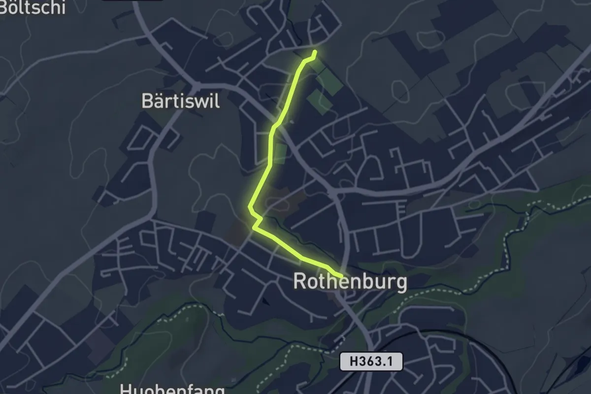
Easy · Trail
Rothenburg - Chärns
2.6 km · ↑ 12 m · 38 min
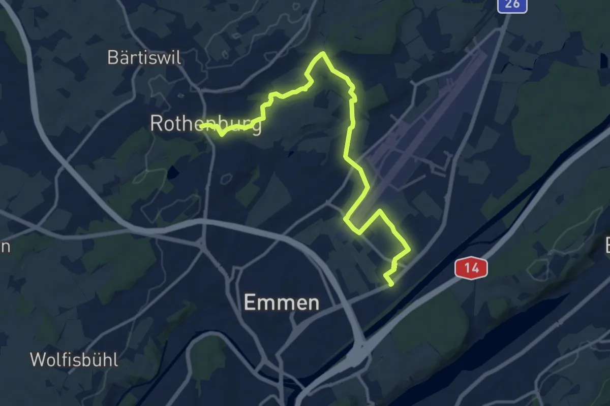
Medium · Trail
Rothenburg - Emmen
12.5 km · ↑ 120 m · 3 h 13 min
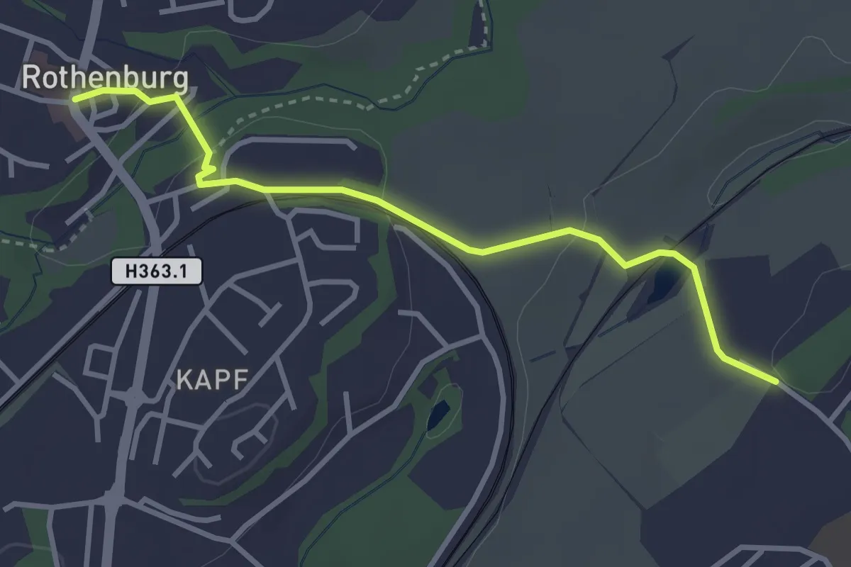
Easy · Trail
Rothenburg - Neu Adligen
3.2 km · ↑ 73 m · 54 min
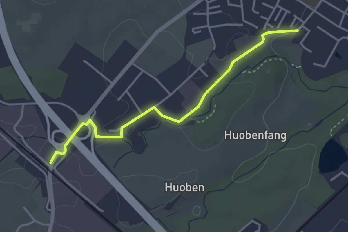
Easy · Trail
Rothenburg Station - Huobenfangstrasse
3.3 km · ↑ 22 m · 50 min
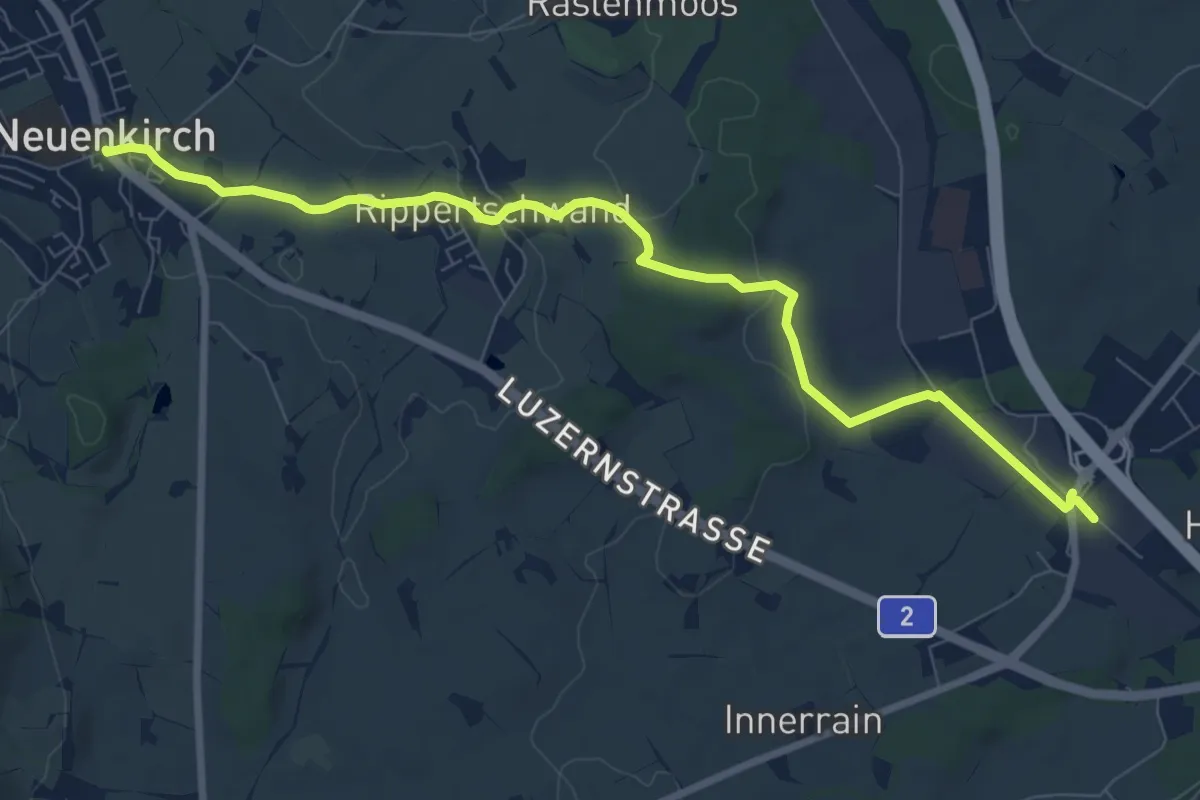
Medium · Trail
Rothenburg Station - Neuenkirch
9.1 km · ↑ 108 m · 2 h 23 min
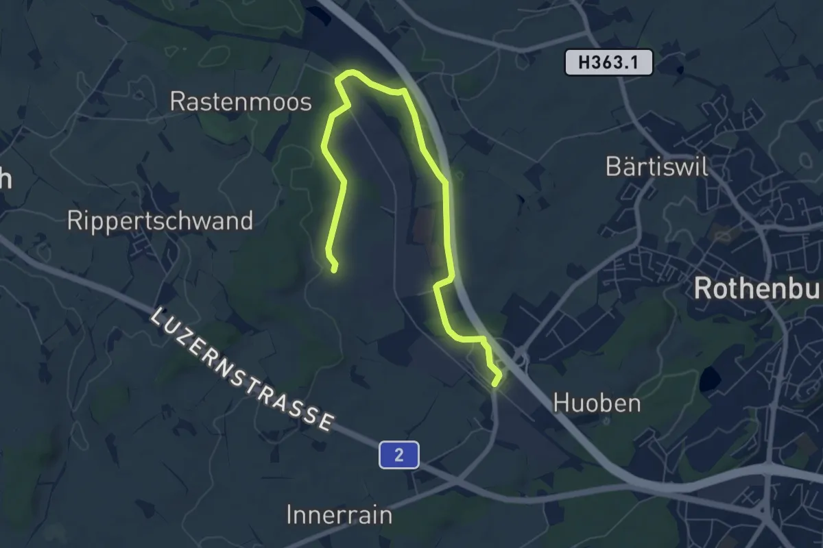
Medium · Trail
Rothenburg Station - Ober Wahligen
8.0 km · ↑ 59 m · 2 h 1 min
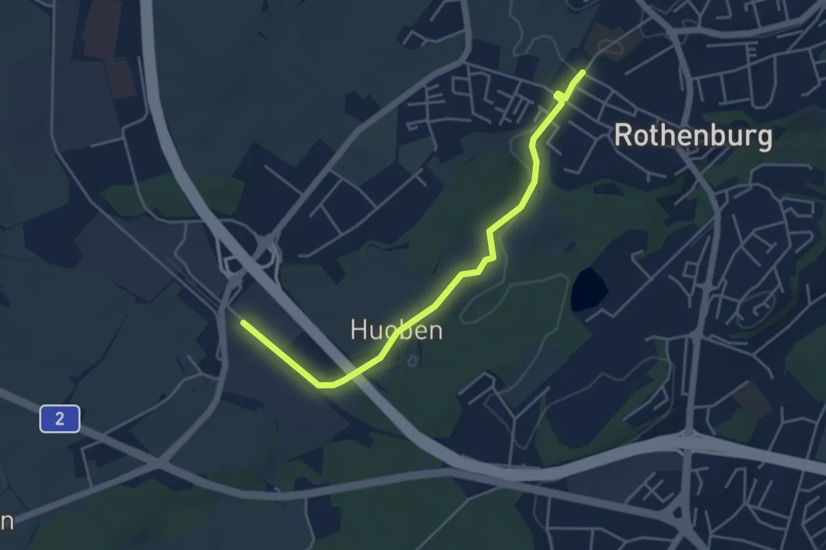
Easy · Trail
Rothenburg Station - Rothenburg (Schulhaus Gerbematt)
4.1 km · ↑ 20 m · 1 h 1 min
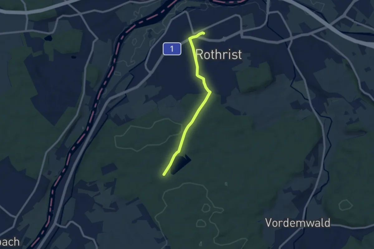
Easy · Trail
Rothrist - Langholz
5.9 km · ↑ 107 m · 1 h 38 min
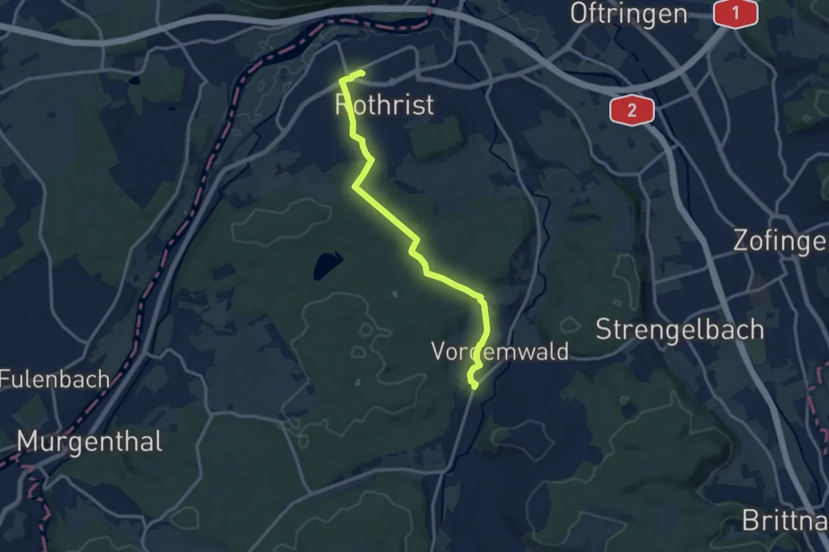
Medium · Trail
Rothrist - Vordemwald
10.2 km · ↑ 200 m · 2 h 50 min
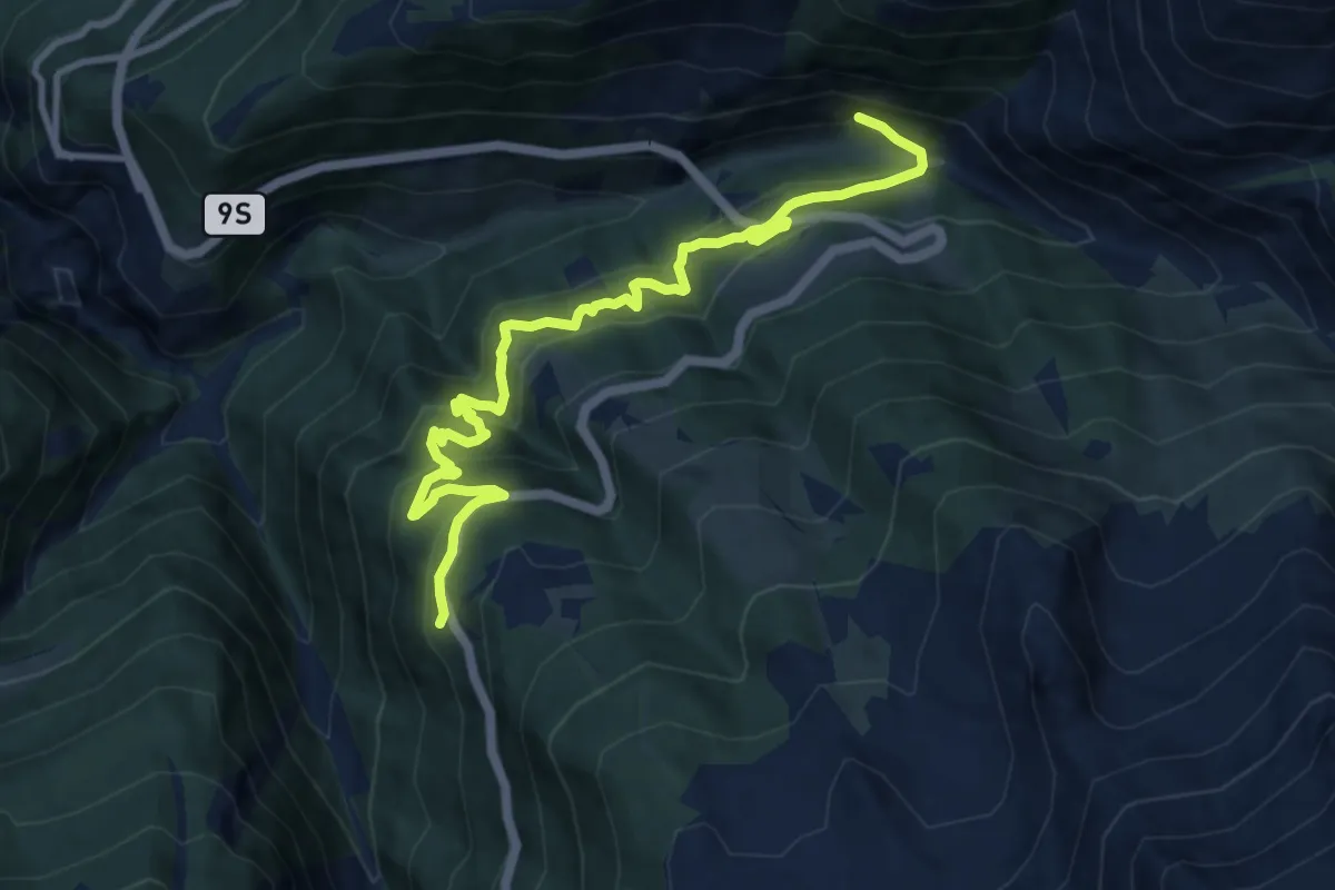
Demanding · Trail
Rothwald - Ganterbrigga
11.4 km · ↑ 824 m · 4 h 28 min
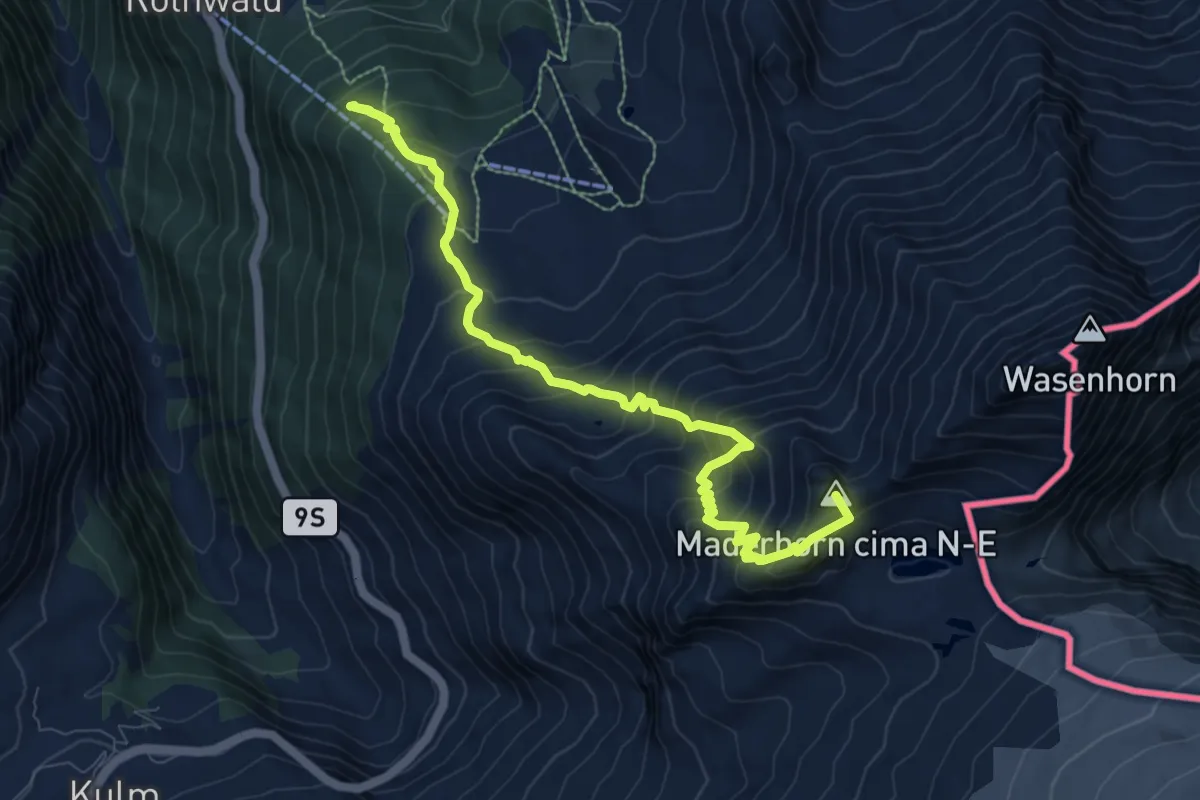
Demanding · Summit
Rothwald - Monte-Leone Hütte SAC
10.1 km · ↑ 1169 m · 4 h 55 min
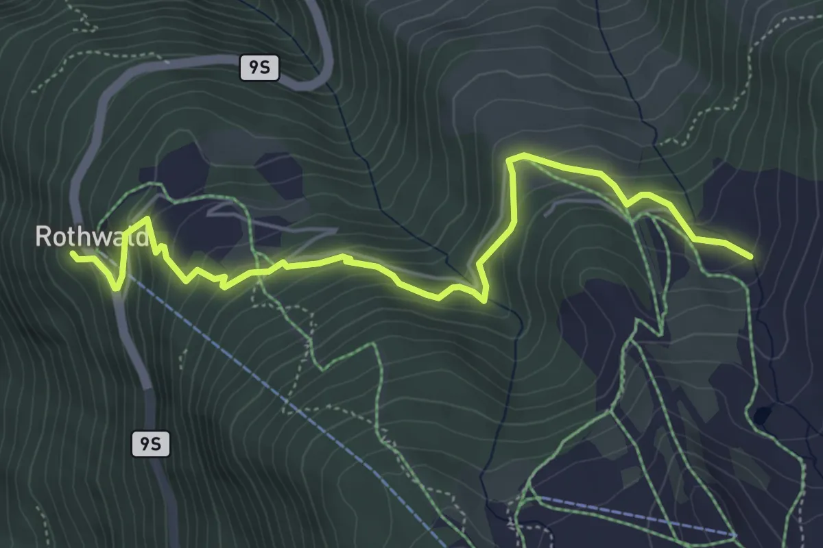
Medium · Trail
Rothwald - Wintrigmatte
5.7 km · ↑ 409 m · 2 h 14 min
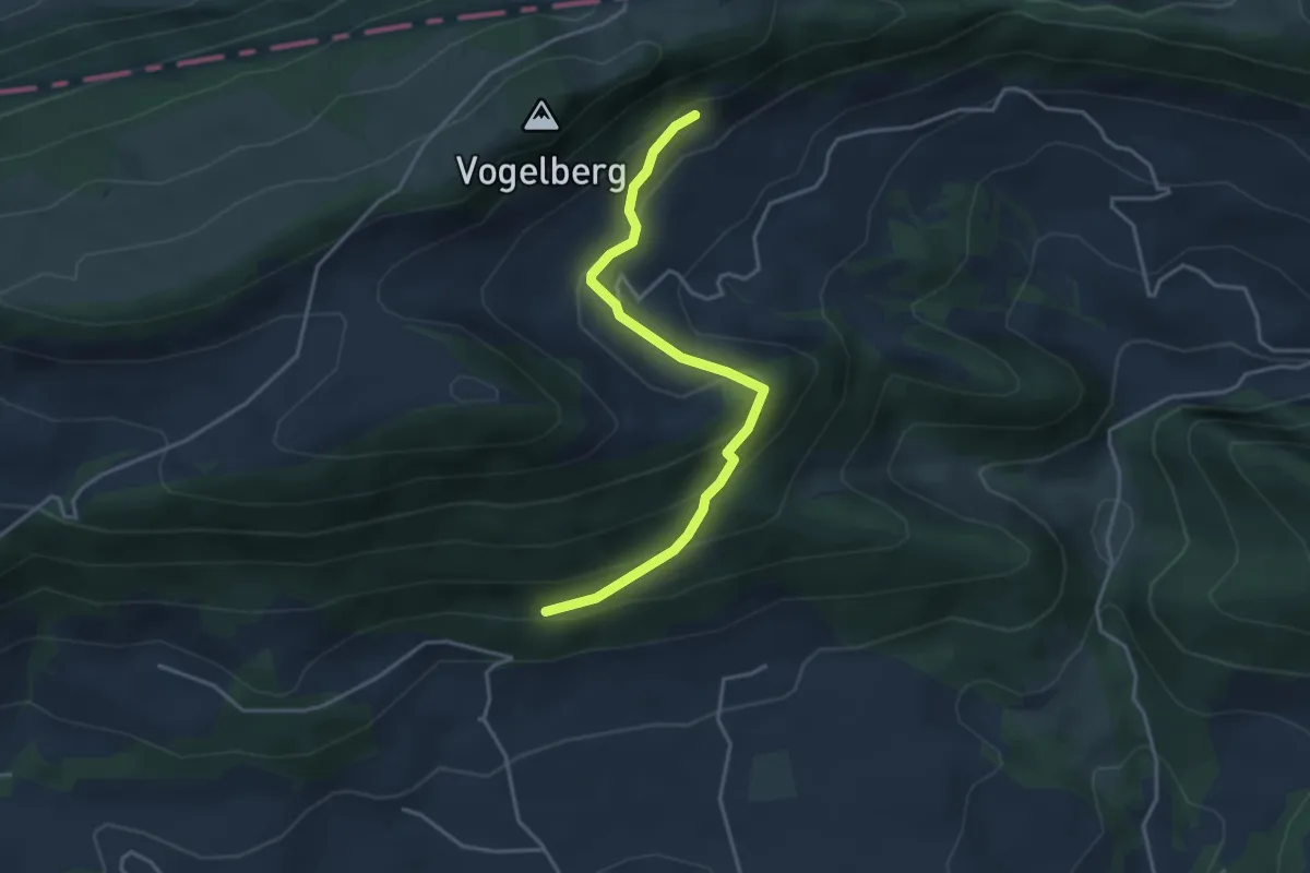
Easy · Trail
Rotisegg - Berghaus Obere Wechten
3.7 km · ↑ 215 m · 1 h 21 min
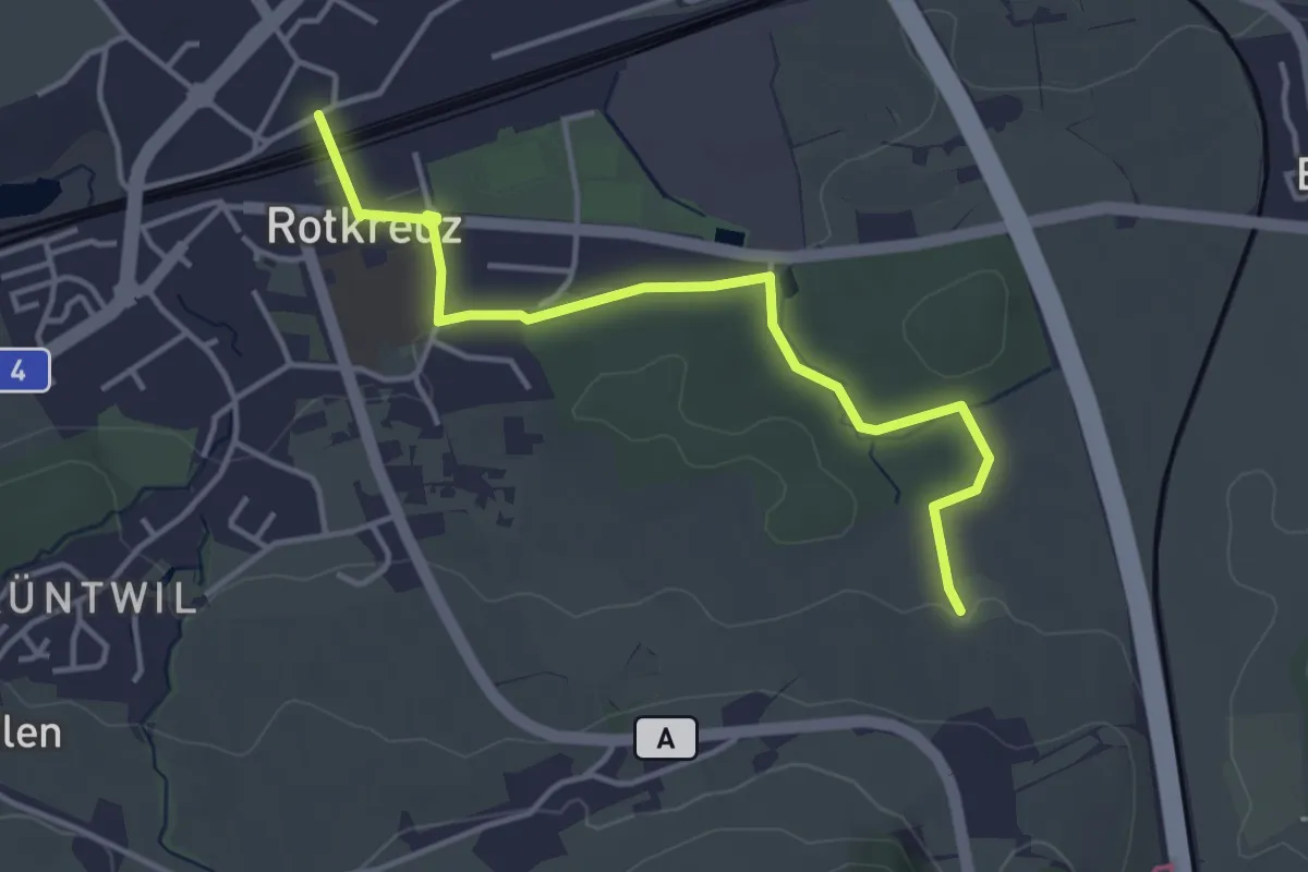
Easy · Trail
Rotkreuz - Auleten
4.1 km · ↑ 36 m · 1 h 3 min
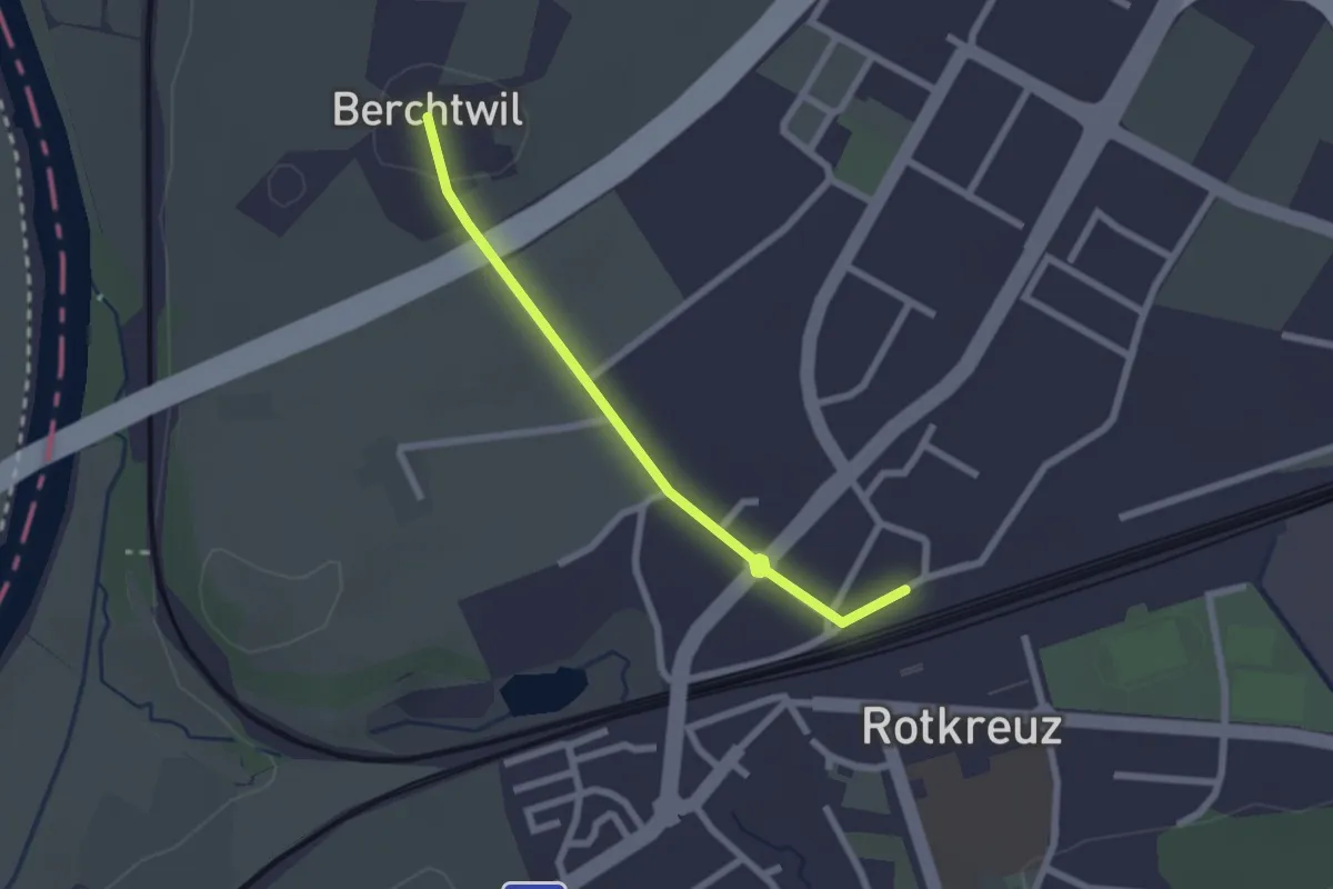
Easy · Trail
Rotkreuz - Berchtwil
2.2 km · ↑ 19 m · 33 min
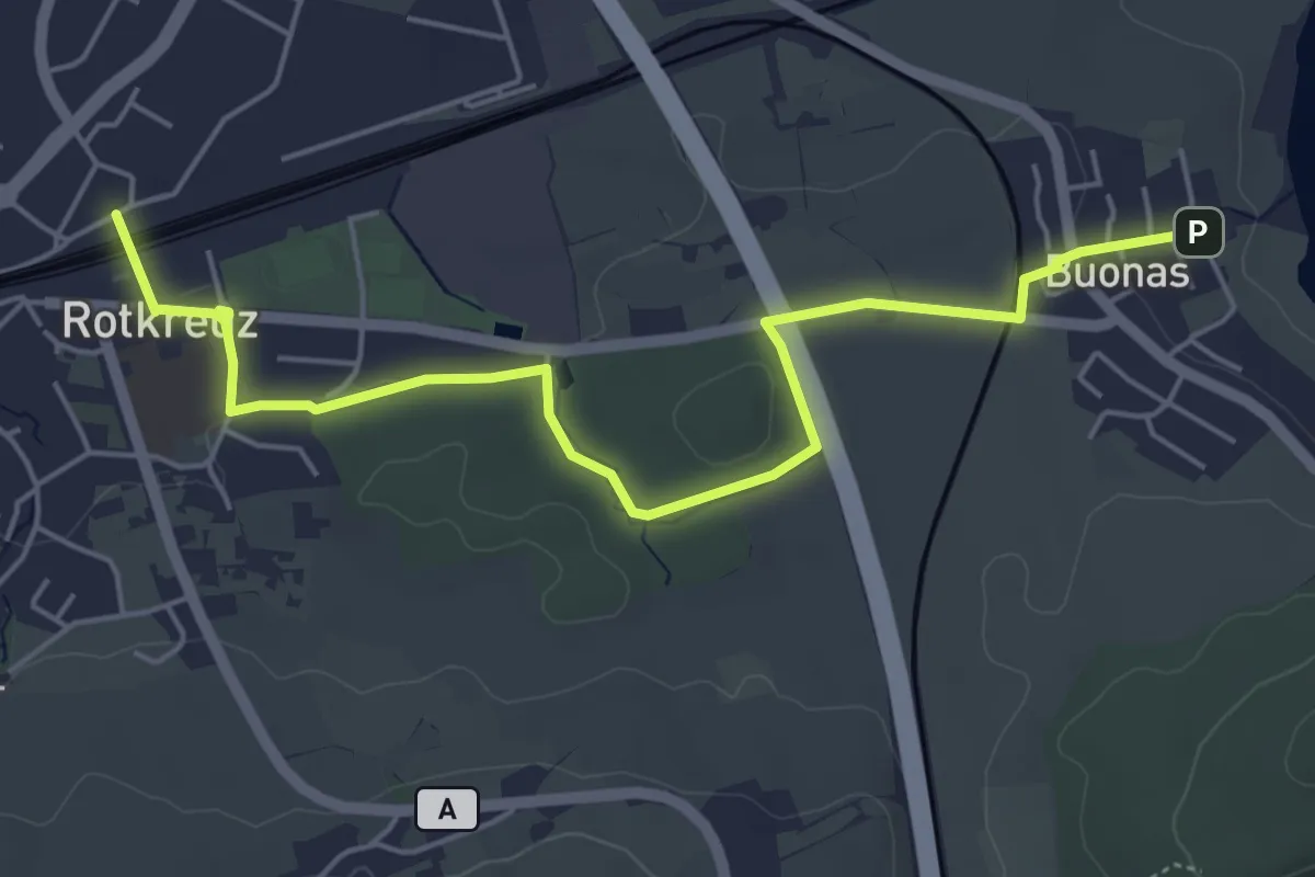
Easy · Trail
Rotkreuz - Buonas
5.8 km · ↑ 70 m · 1 h 32 min
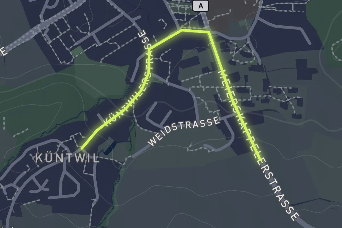
Easy · Trail
Rotkreuz - Chüntwil
2.1 km · ↑ 52 m · 36 min
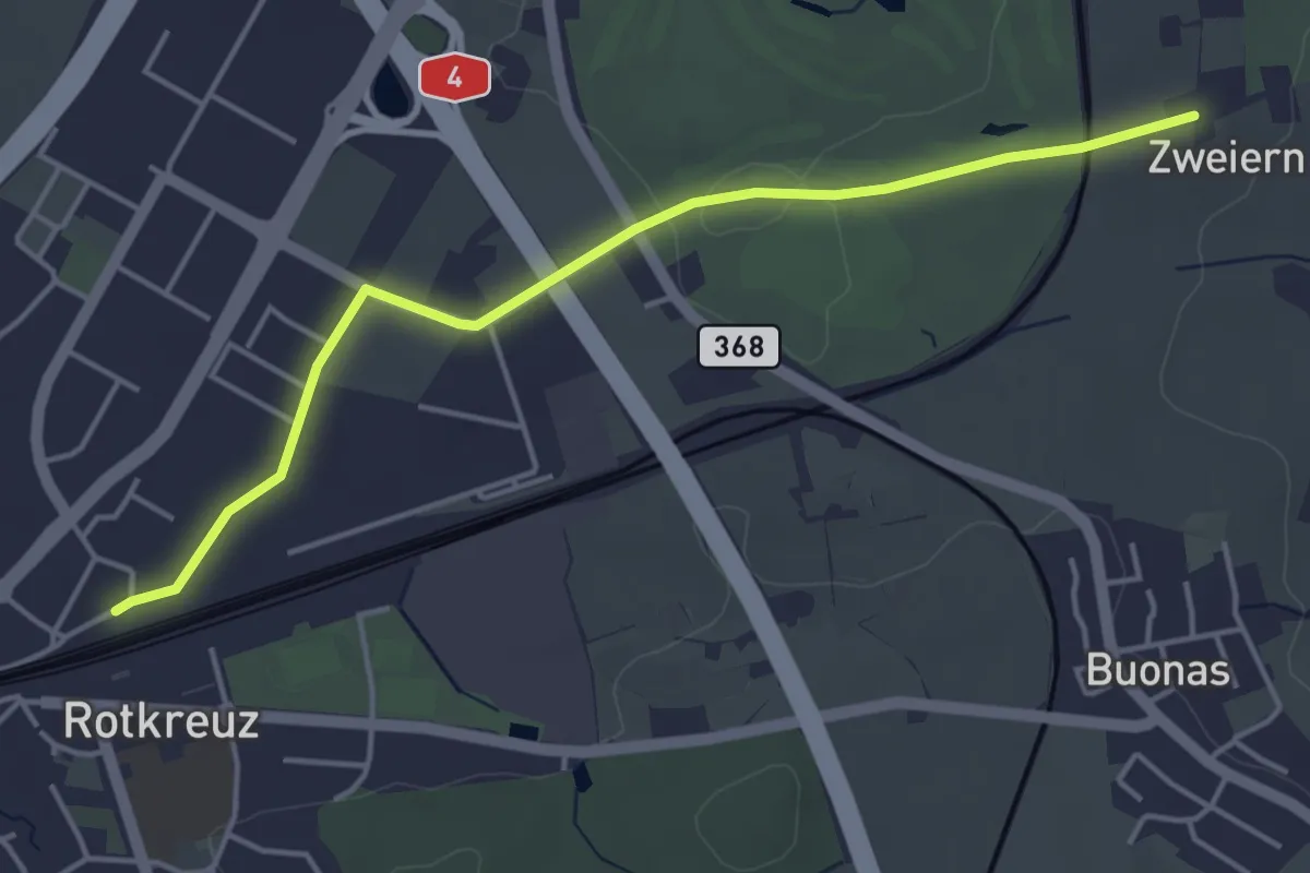
Easy · Trail
Rotkreuz - Zwijeren
4.5 km · ↑ 17 m · 1 h 6 min
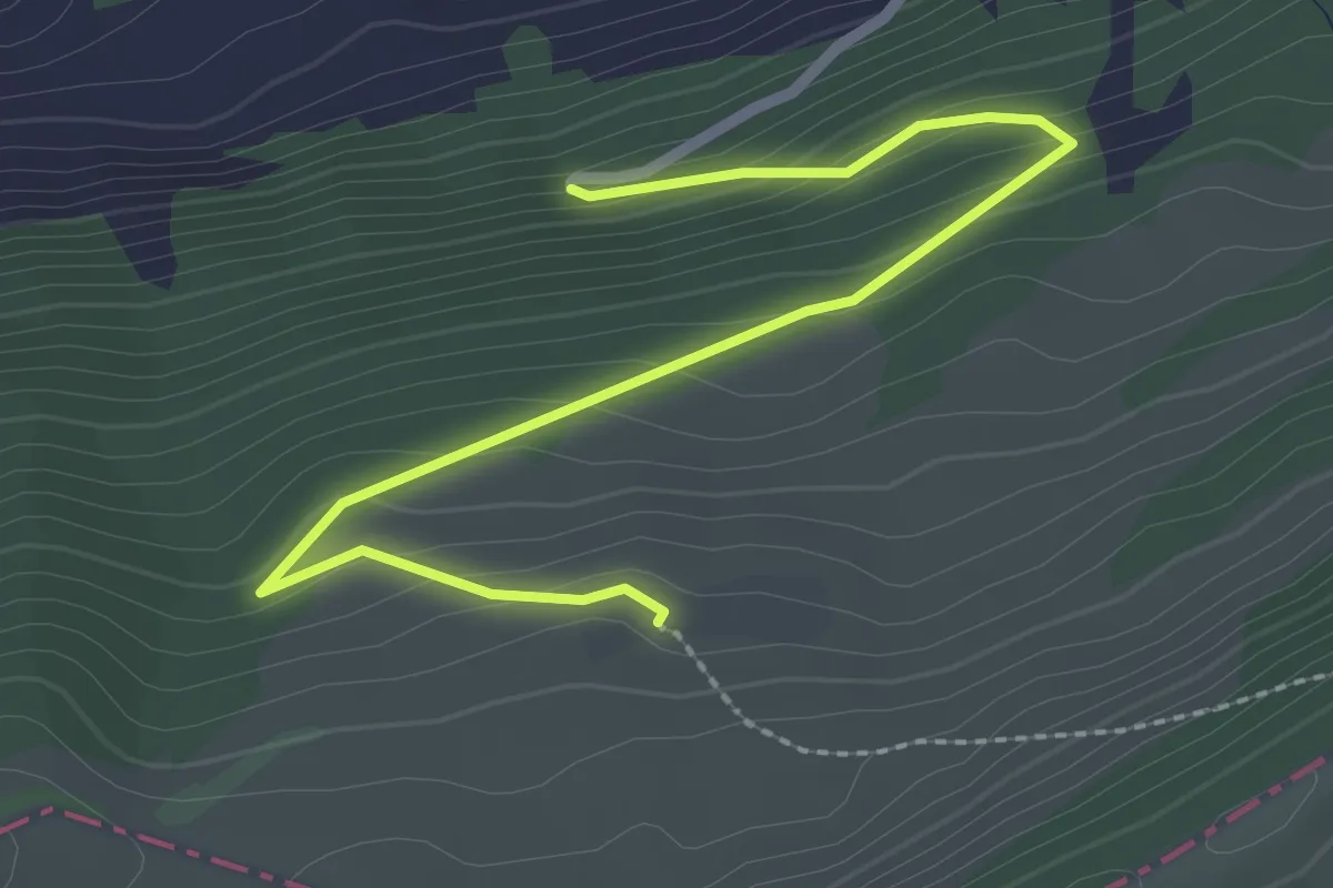
Easy · Trail
Rotlach - fixme
2.9 km · ↑ 171 m · 1 h 3 min
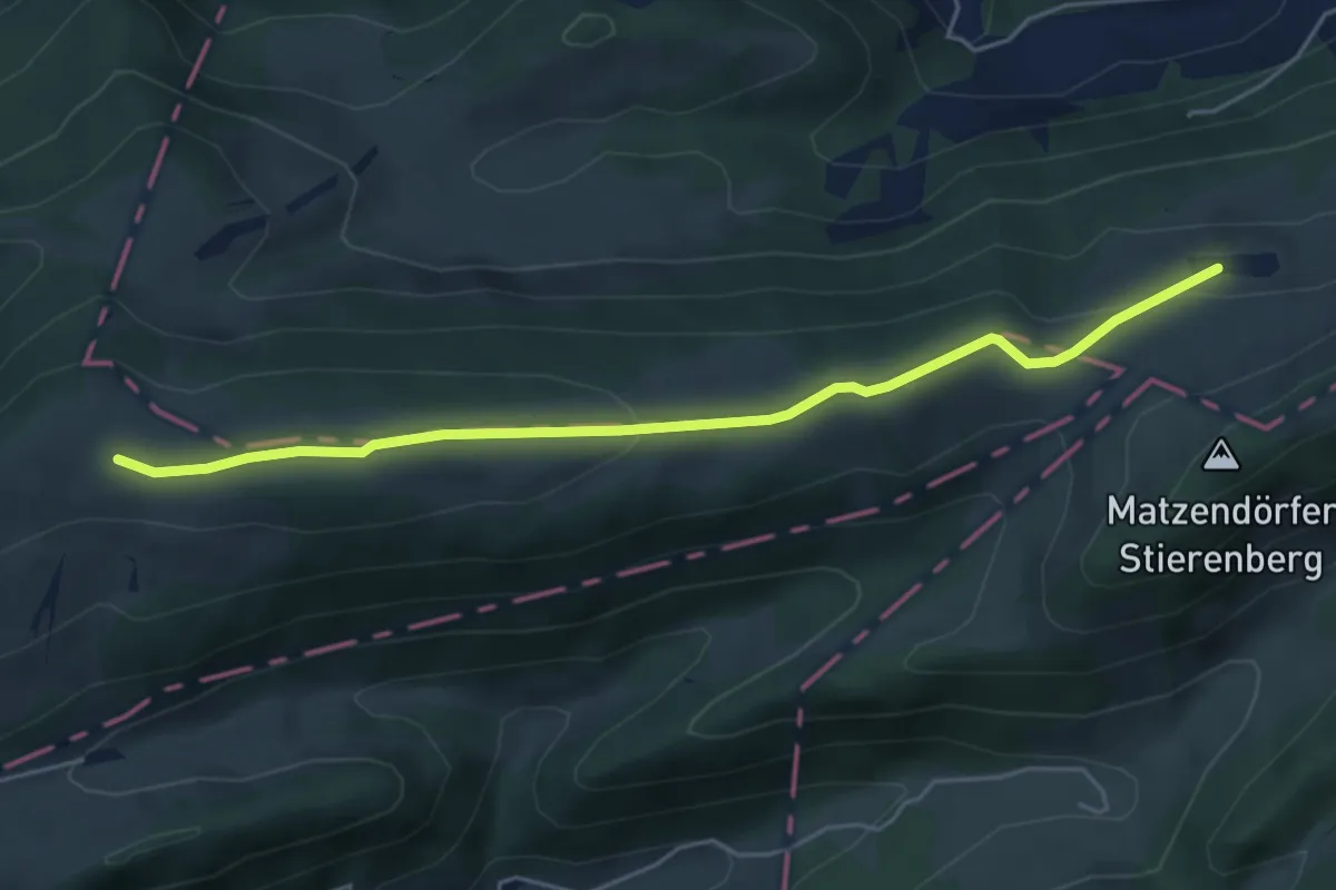
Easy · Trail
Rotlach - Schönenberg
5.0 km · ↑ 133 m · 1 h 29 min
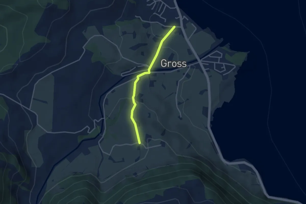
Easy · Trail
Rotmoos - Gross
2.8 km · ↑ 95 m · 51 min
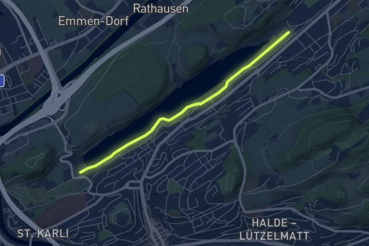
Easy · Trail
Rotsee West (Süd) - Rotsee Ost (Süd)
5.9 km · ↑ 38 m · 1 h 29 min
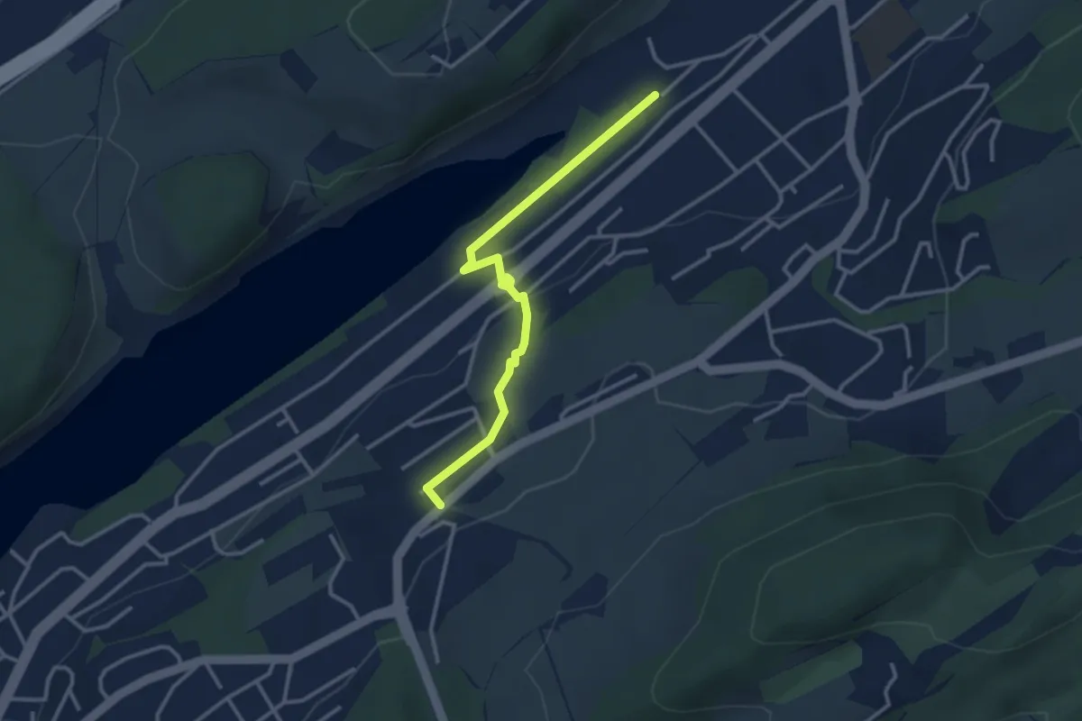
Easy · Trail
Rotsee West - Unterlöchli
3.2 km · ↑ 66 m · 53 min
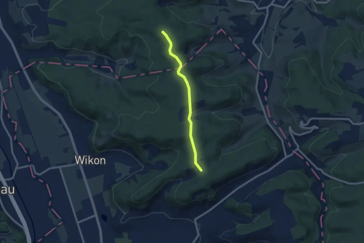
Easy · Trail
Rottannhubel - Giger
4.9 km · ↑ 96 m · 1 h 22 min
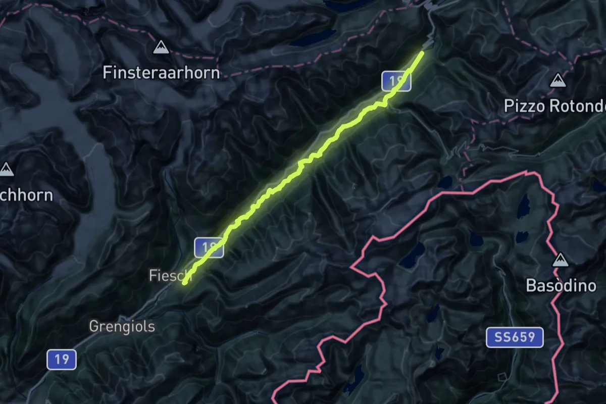
Demanding · Trail
Rottenweg
24.9 km · ↑ 272 m · 6 h 54 min
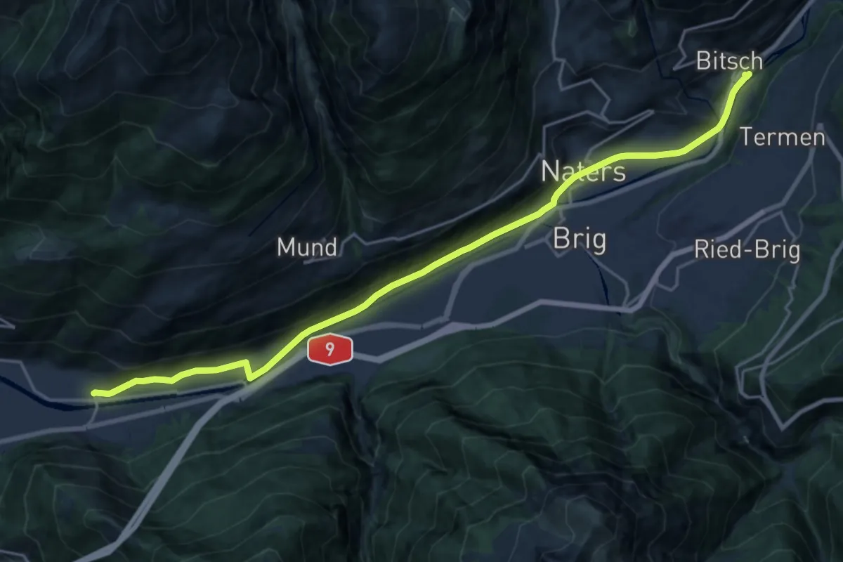
Demanding · Trail
Rotten-Weg Bitsch–Lalden
20.7 km · ↑ 223 m · 5 h 22 min
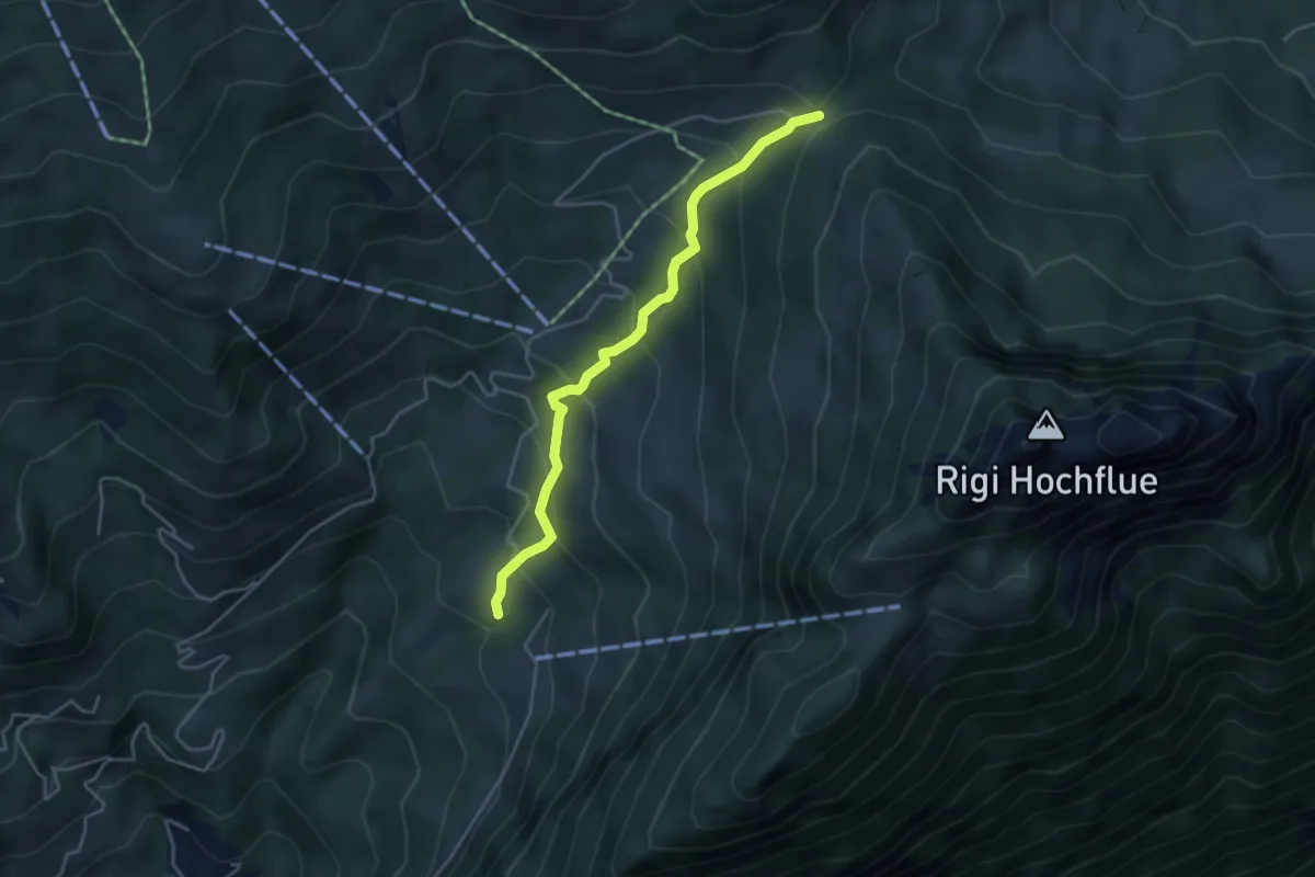
Medium · Trail
Rotzingel - Gätterli
4.1 km · ↑ 324 m · 1 h 40 min
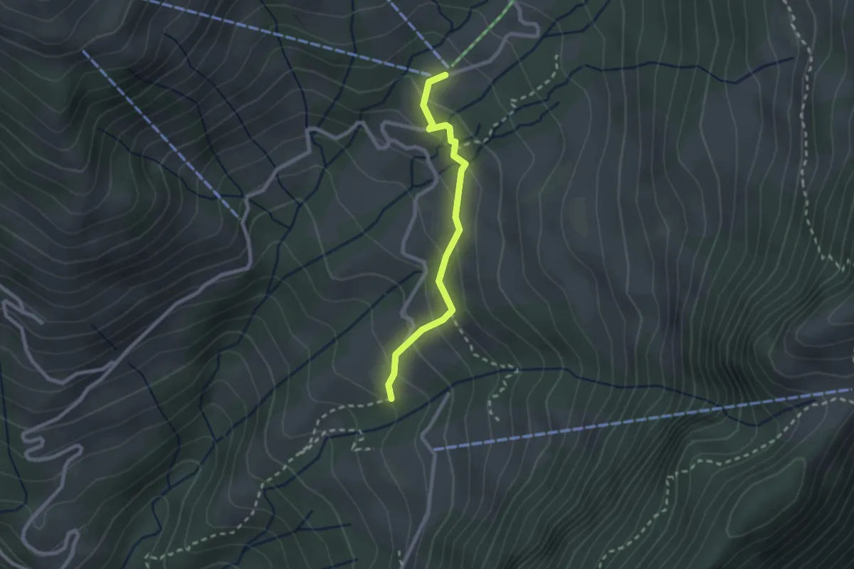
Easy · Trail
Rotzingel - Gschwänd Talstation LSB
2.1 km · ↑ 154 m · 50 min
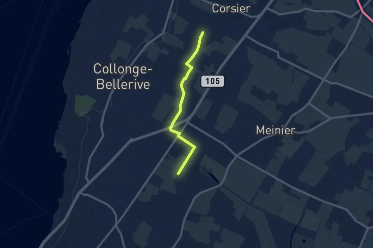
Easy · Trail
Rouelbeau - Les Bouchilles
5.1 km · ↑ 13 m · 1 h 14 min
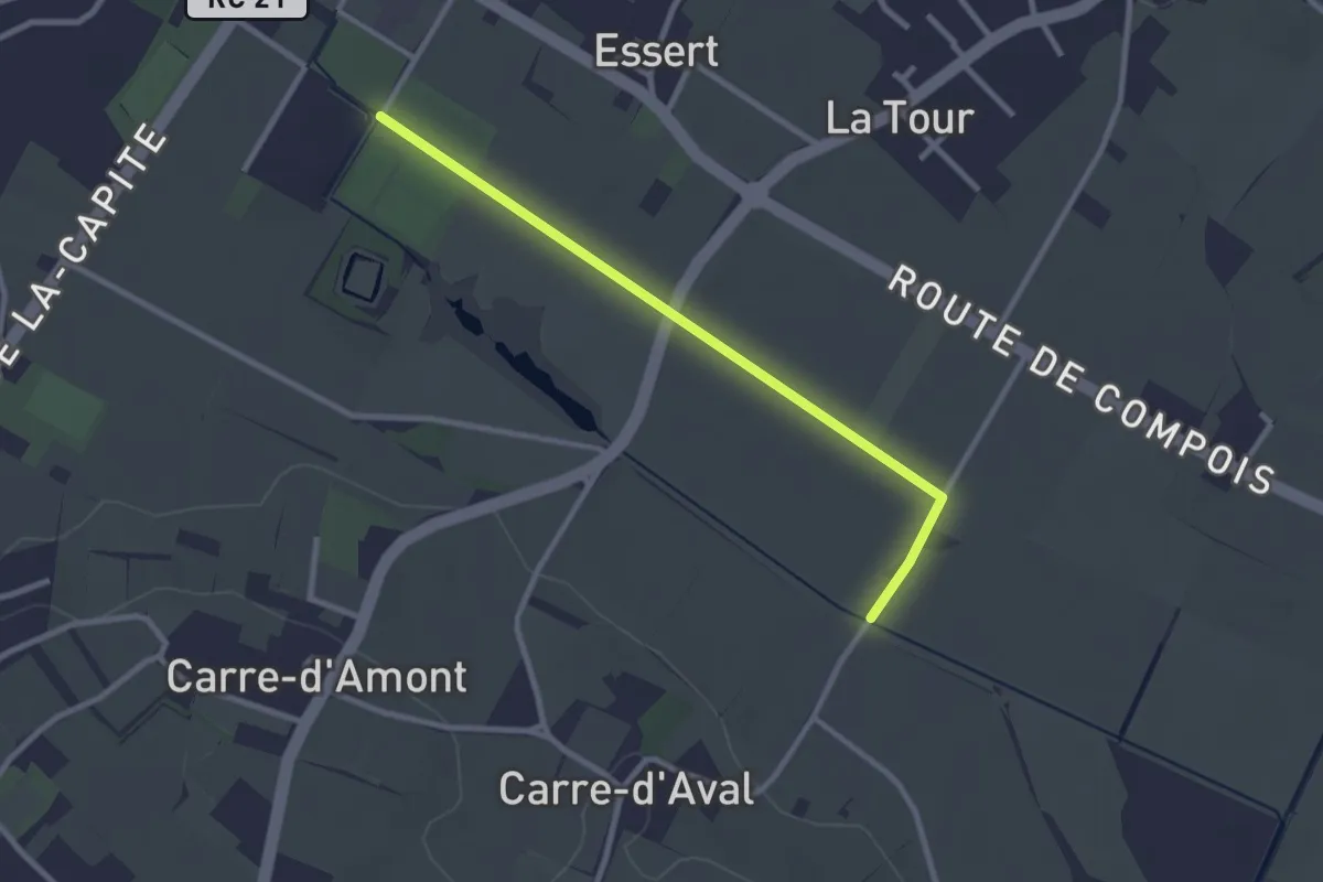
Easy · Trail
Rouelbeau - Pré de la Donnaz
2.7 km · ↑ 0 m · 38 min