Trails in Switzerland
15,064 hiking trails, each with its route, climb, walking time and grade.
All trails, page 88 of 314
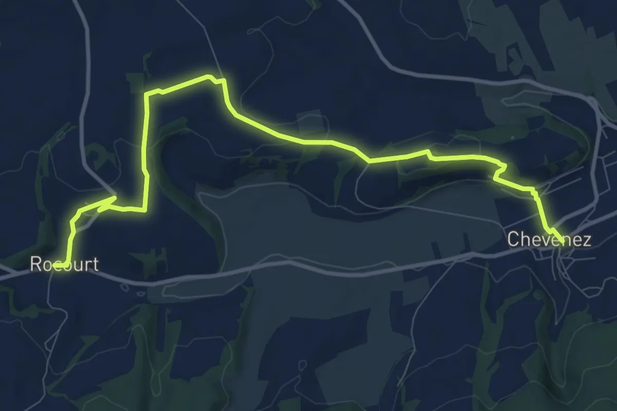
Medium · Trail
Rocourt - fixme
10.9 km · ↑ 183 m · 2 h 59 min
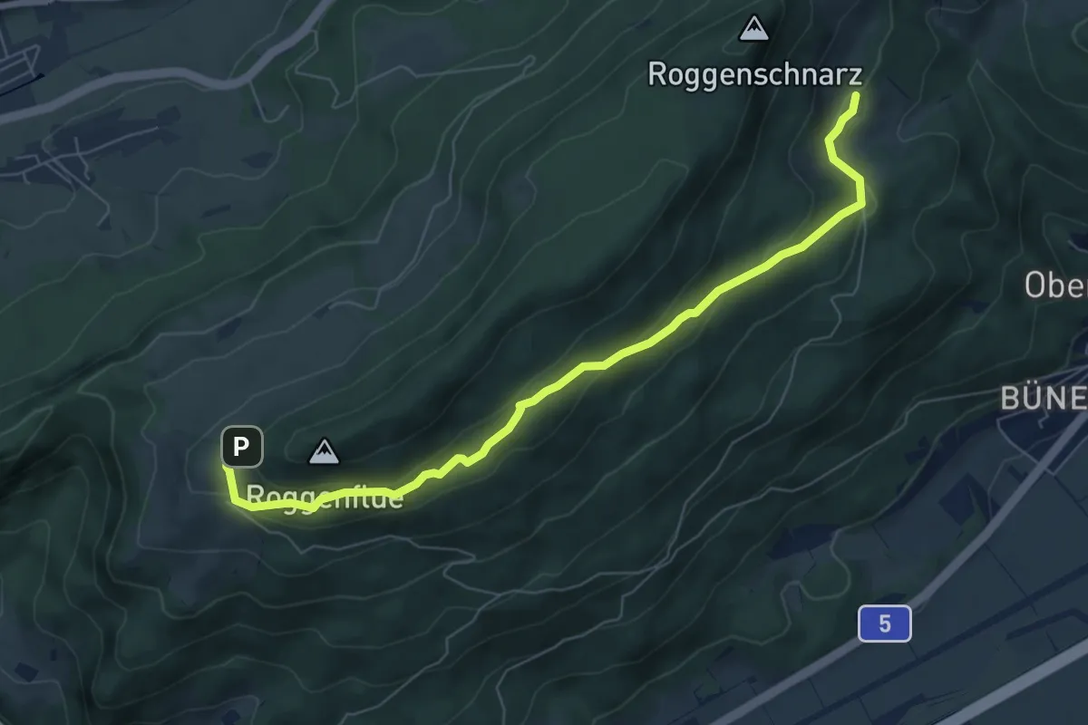
Medium · Trail
Roggenweid -Buchsiter Alp
7.3 km · ↑ 277 m · 2 h 19 min
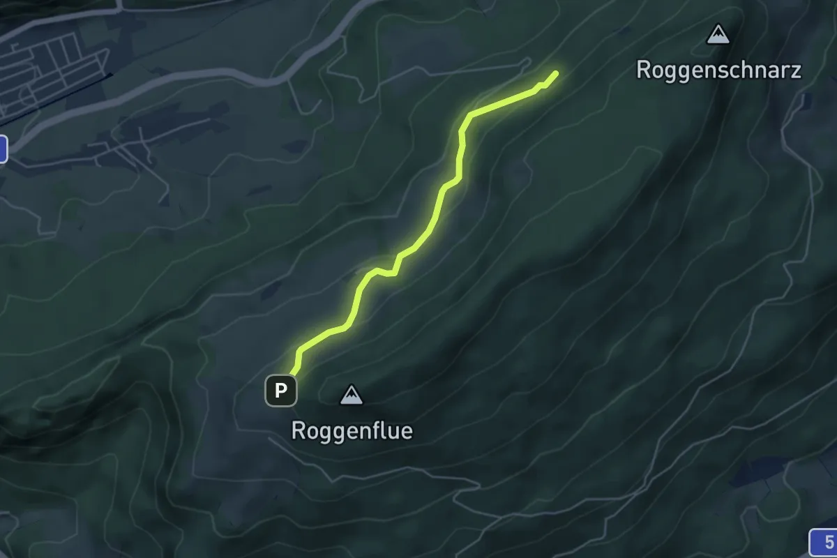
Easy · Trail
Roggenweid - Tufft
4.3 km · ↑ 146 m · 1 h 19 min
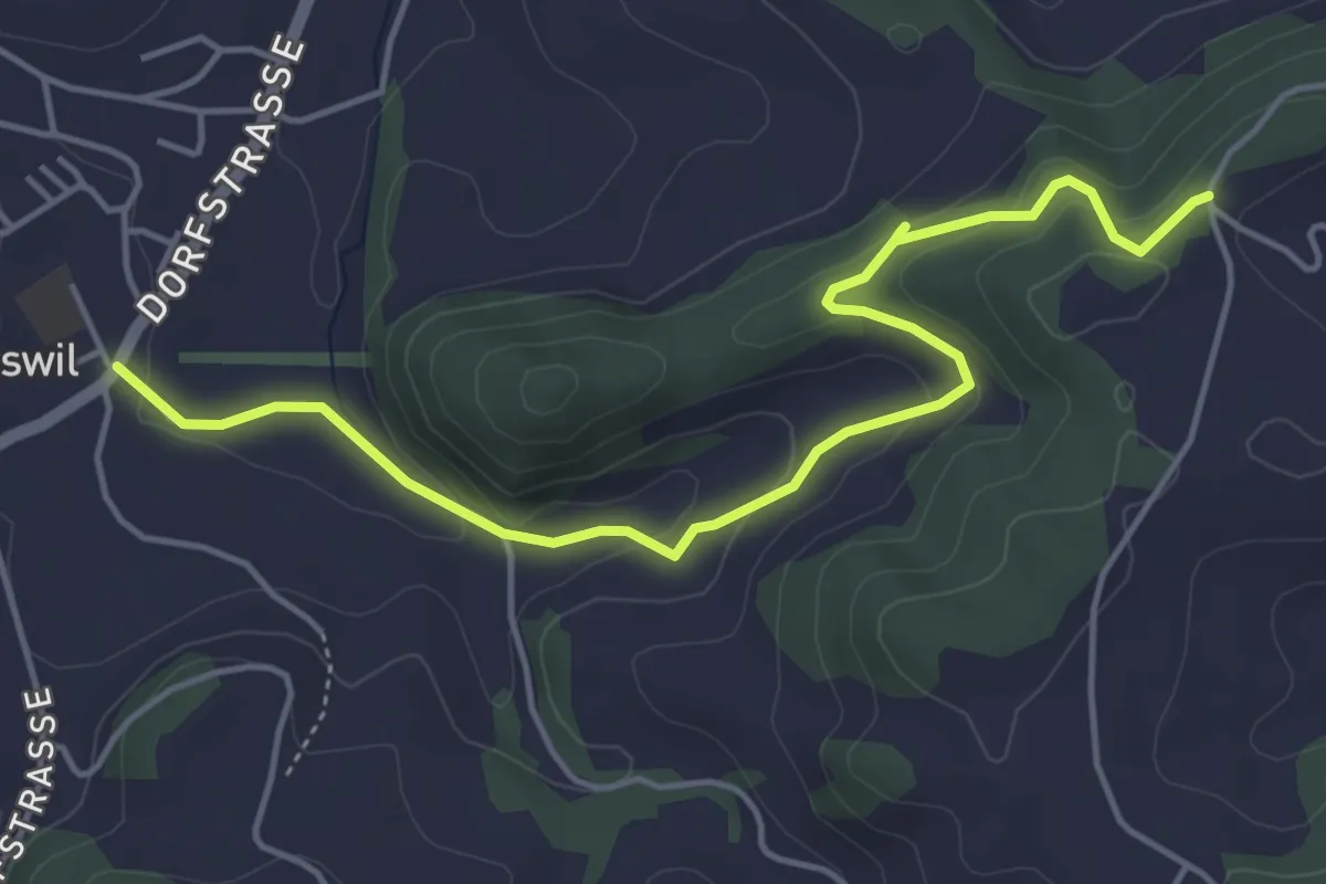
Easy · Trail
Roggliswil - Äberdingen
5.1 km · ↑ 208 m · 1 h 40 min
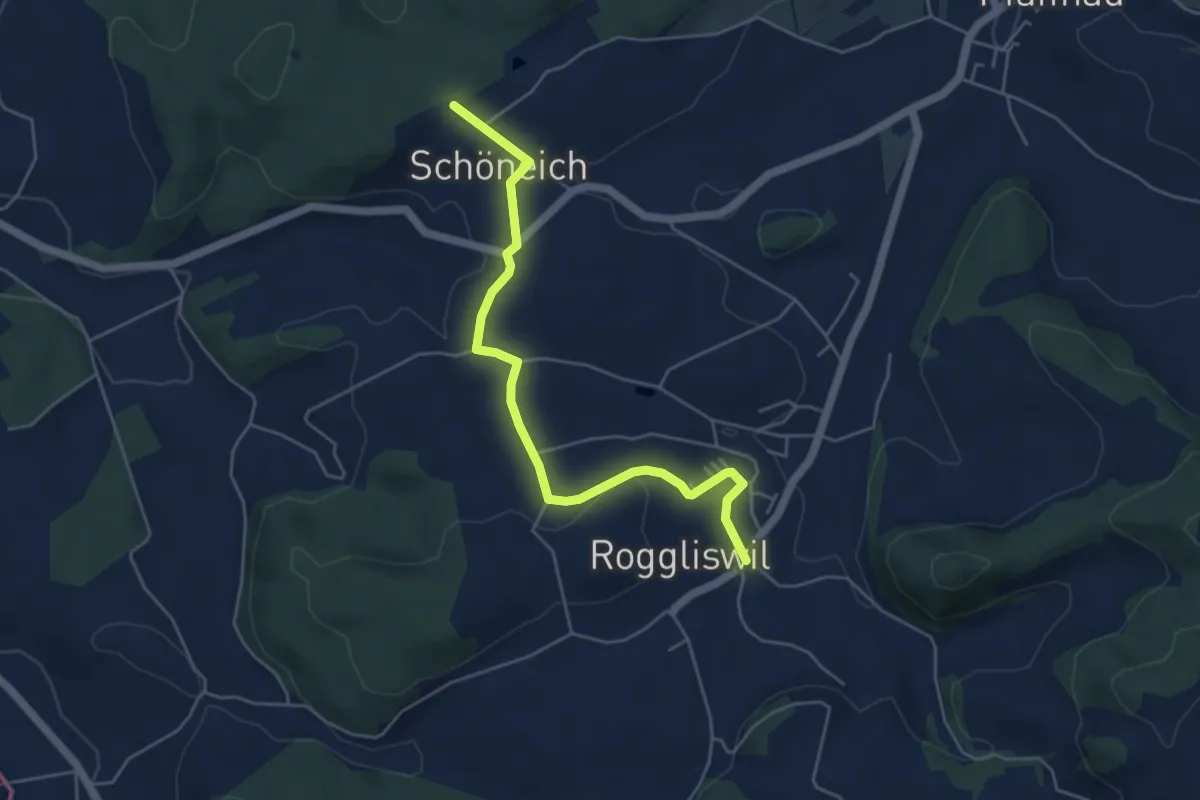
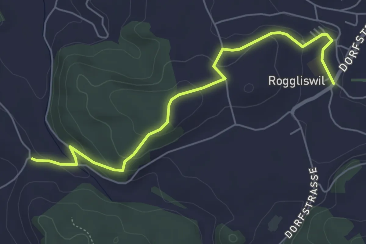
Easy · Trail
Roggliswil - Chüewald
5.1 km · ↑ 100 m · 1 h 26 min
Easy · Trail
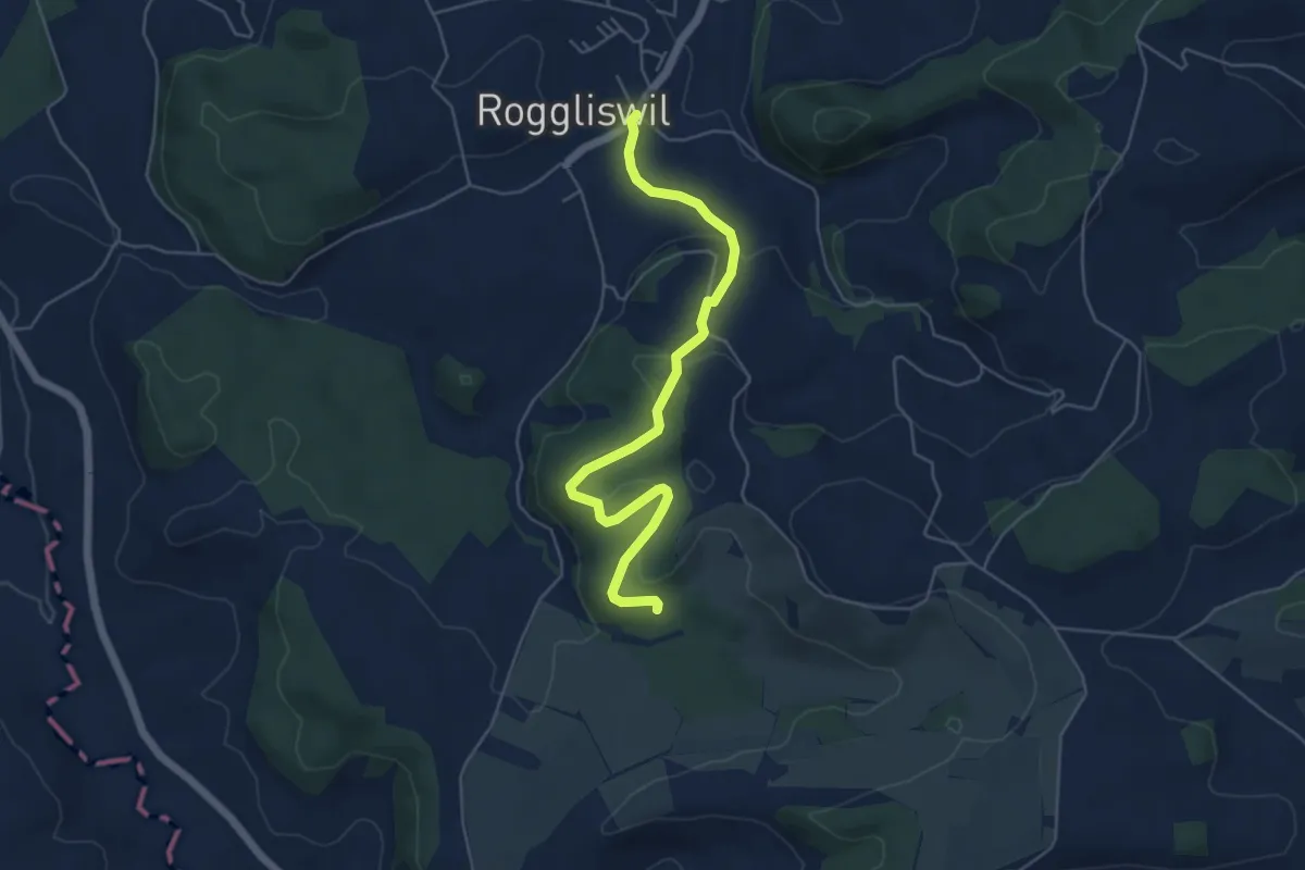
Roggliswil - Ober Berghof
5.5 km · ↑ 175 m · 1 h 41 min
Easy · Trail
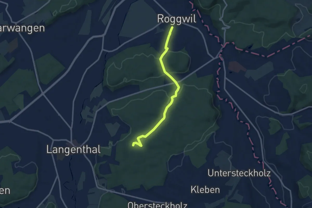
Roggliswil - Stempechwald
5.5 km · ↑ 138 m · 1 h 36 min
Medium · Trail
Roggwil - Haslibrunnen
8.1 km · ↑ 153 m · 2 h 15 min
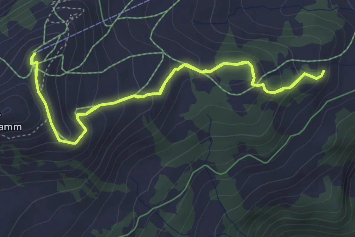
Medium · Trail
Rohan Rothirsch Erlebnisweg
7.0 km · ↑ 542 m · 2 h 50 min
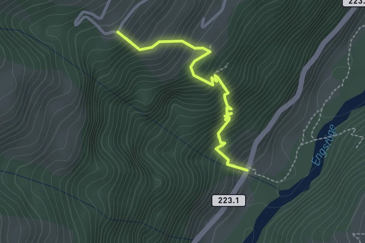
Medium · Trail
Rohrbach - Gempelen
2.2 km · ↑ 337 m · 1 h 15 min
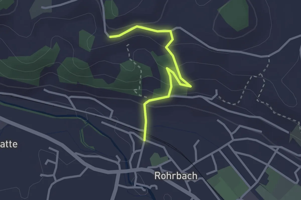
Easy · Trail
Rohrbach Station - Gitziloch
2.3 km · ↑ 167 m · 54 min
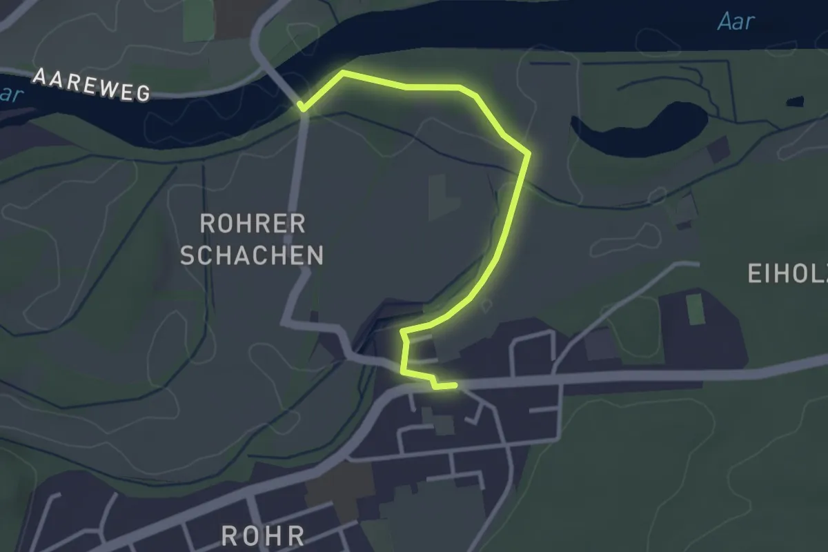
Easy · Trail
Rohr - Brücke Biberstein
2.8 km · ↑ 18 m · 42 min
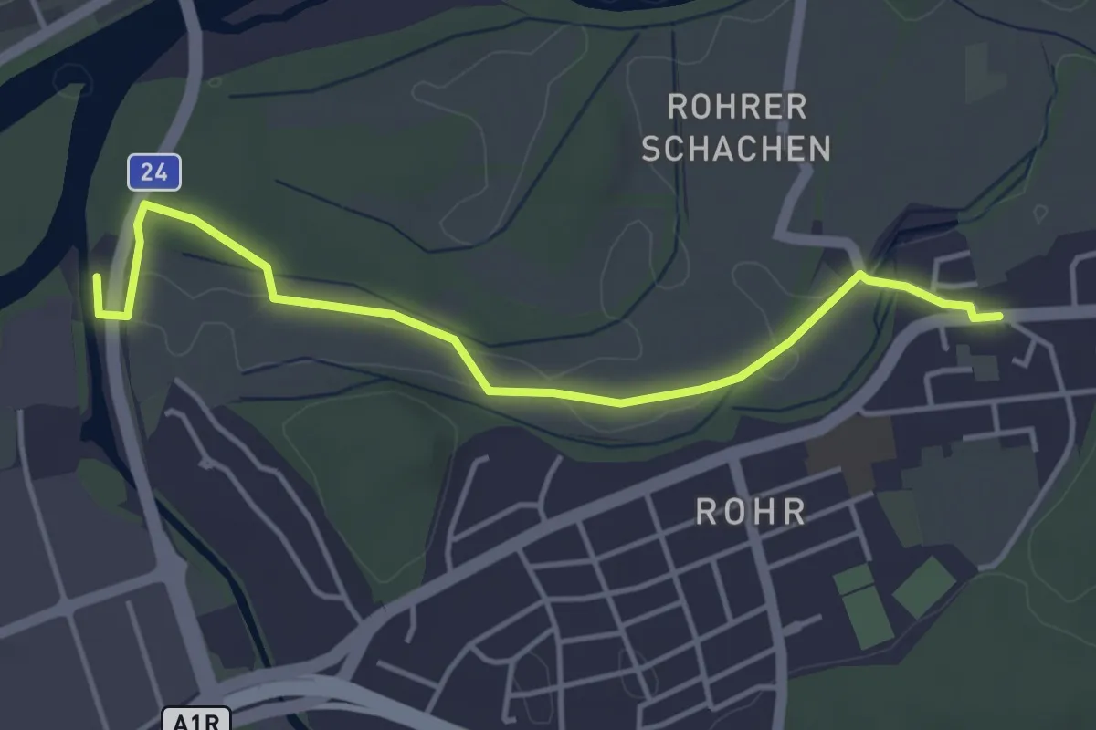
Easy · Trail
Rohr - Suhremündung
4.2 km · ↑ 28 m · 1 h 3 min
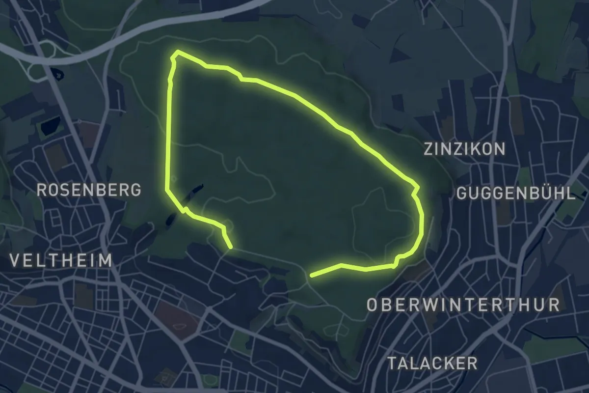
Medium · Trail
Römerholz Rundweg
9.7 km · ↑ 164 m · 2 h 39 min
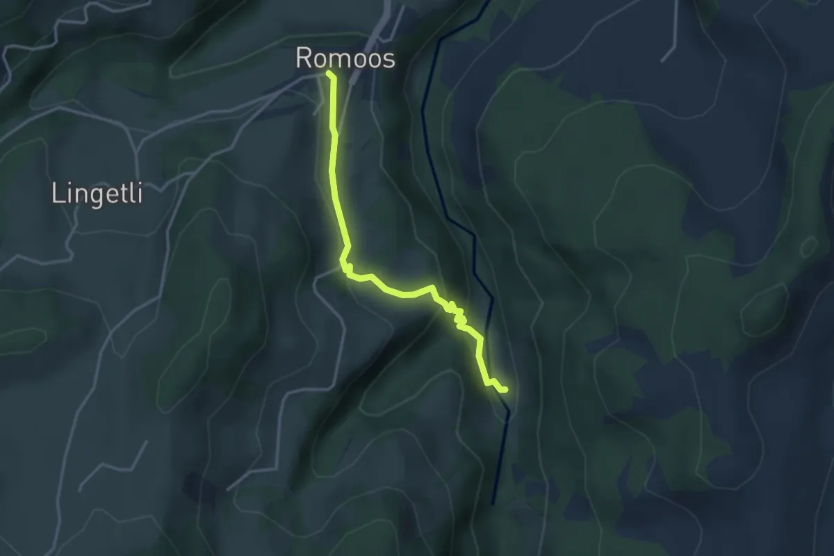
Easy · Trail
Romoos - Gadenstatt
3.1 km · ↑ 177 m · 1 h 7 min
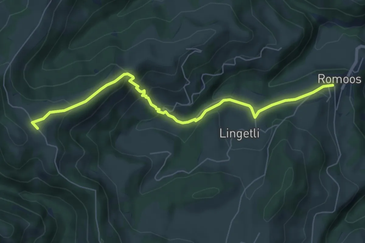
Medium · Trail
Romoos - Holzwäge
6.2 km · ↑ 348 m · 2 h 13 min
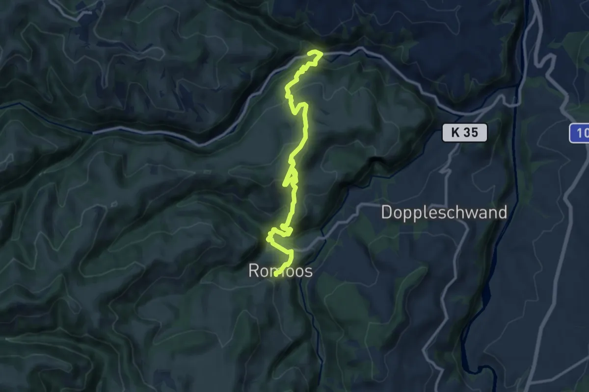
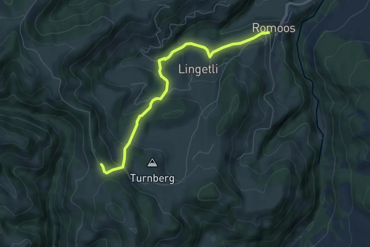
Medium · Trail
Romoos - Löchli
10.2 km · ↑ 712 m · 3 h 57 min
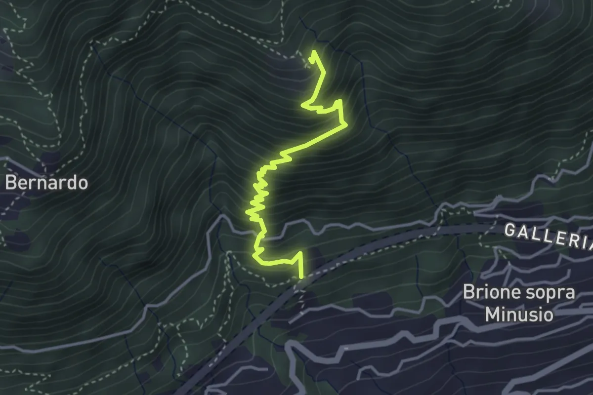
Easy · Trail
Romoos - Schwändi
6.0 km · ↑ 281 m · 2 h 2 min
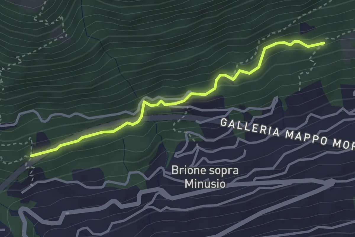
Medium · Trail
Ronco di Bosco - ?
3.6 km · ↑ 476 m · 1 h 53 min
Easy · Trail
Ronco di Bosco - Capella rota
3.0 km · ↑ 162 m · 1 h 4 min
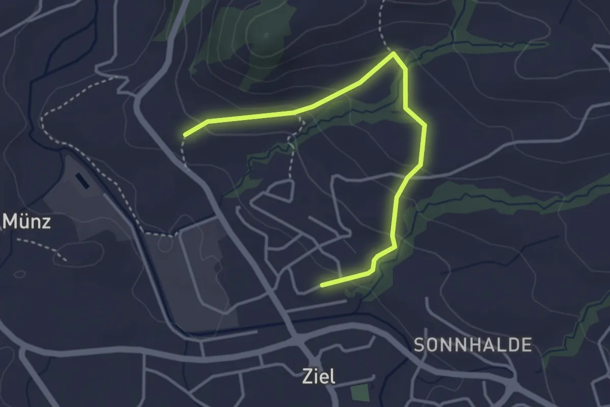
Easy · Trail
Rondom Appezöll
3.5 km · ↑ 172 m · 1 h 12 min
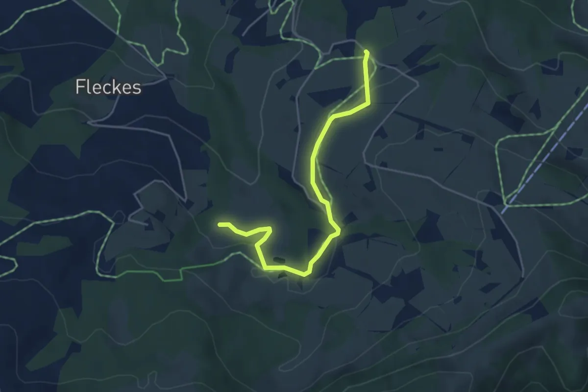
Easy · Trail
Rondom Kau
2.0 km · ↑ 27 m · 34 min
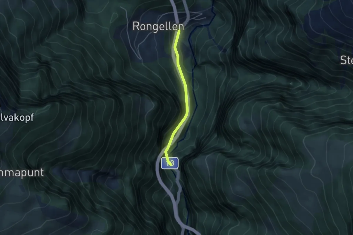
Easy · Trail
Rongellen-Viamala-Schlucht
3.1 km · ↑ 213 m · 1 h 12 min
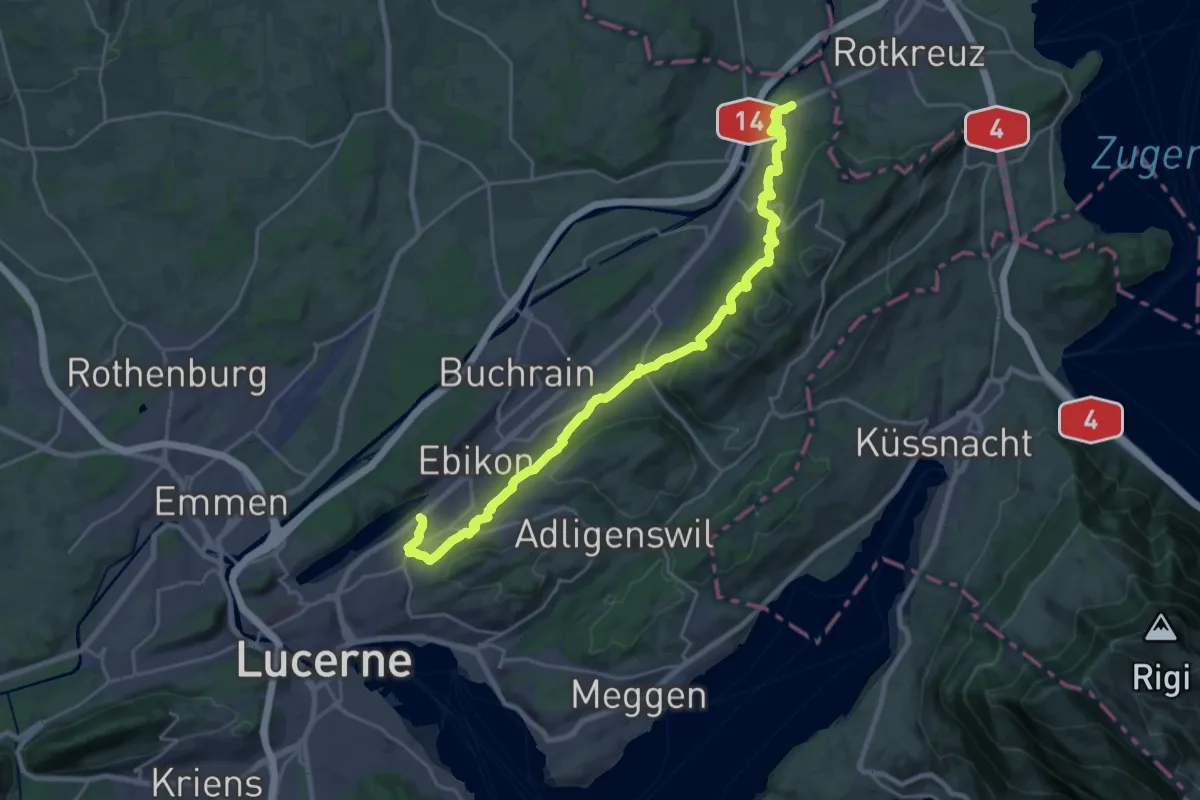
Medium · Trail
Rontaler Höhenweg
13.2 km · ↑ 557 m · 4 h 30 min
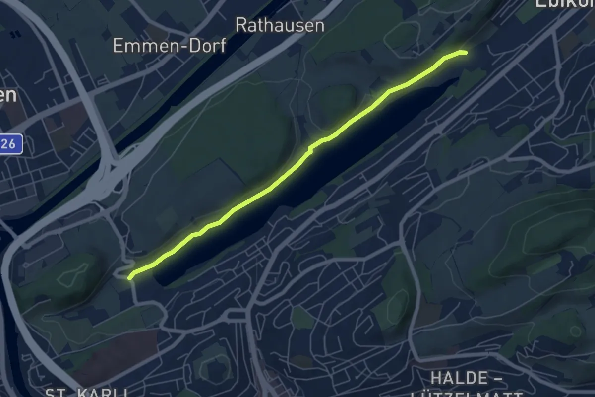
Easy · Trail
Rootsee West - Rotsee Ost
5.8 km · ↑ 95 m · 1 h 34 min
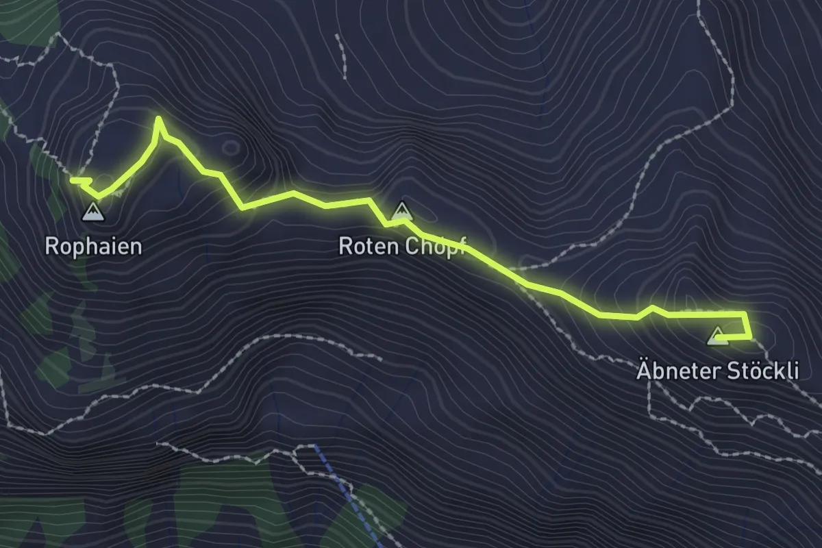
Expert · Summit
Rophaien - Firtiggrätli
2.4 km · ↑ 211 m · 1 h 2 min
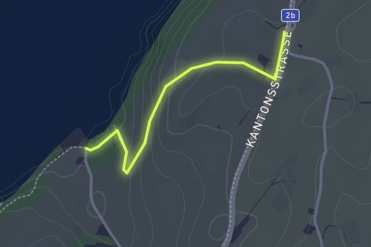
Easy · Trail
Rörli - Langizil
2.2 km · ↑ 71 m · 40 min
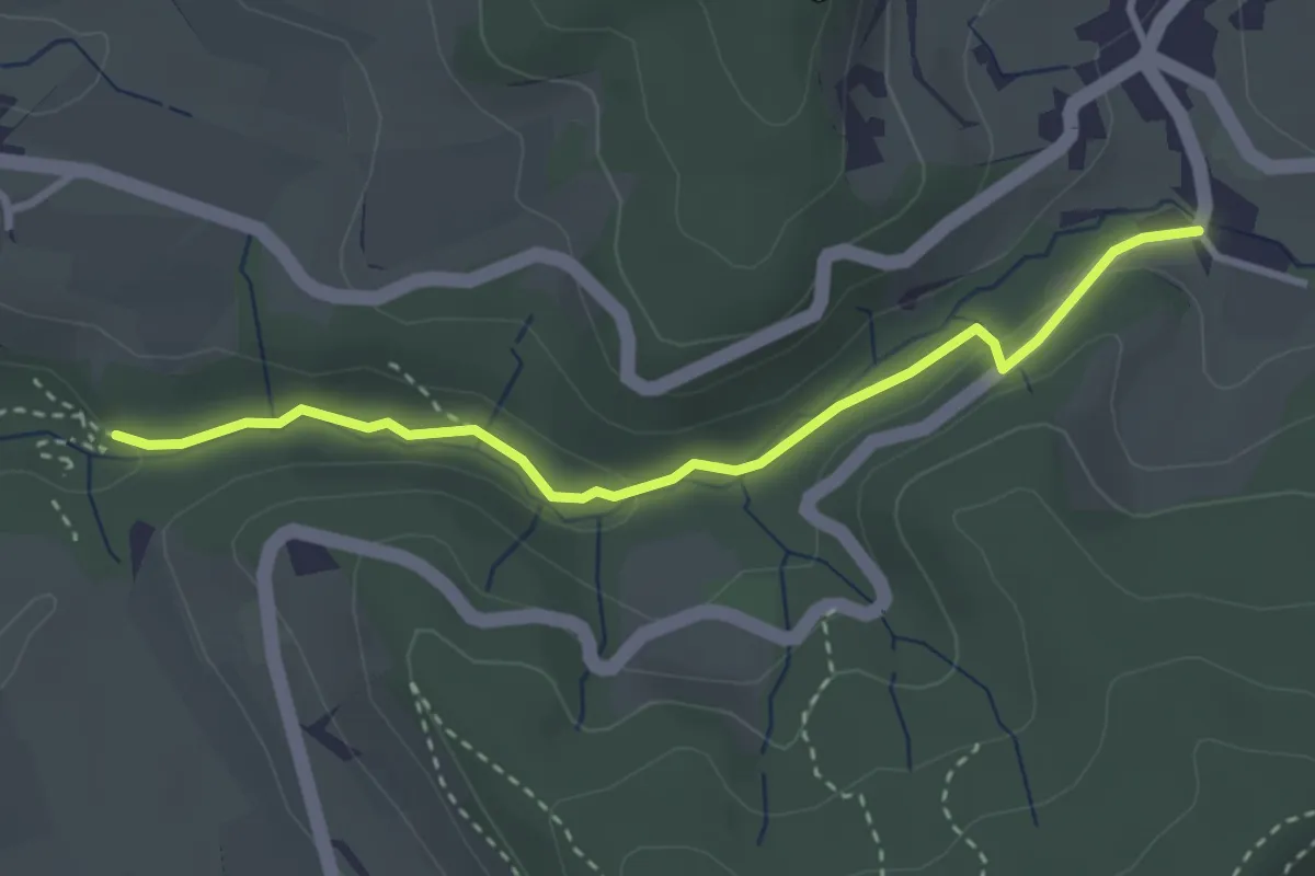
Easy · Trail
Rörlitobel – Unterschlatt
3.1 km · ↑ 63 m · 52 min
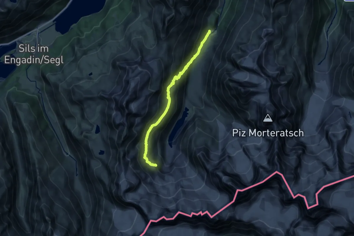
Demanding · Cabin
Roseg - Chamanna Coaz
16.6 km · ↑ 880 m · 5 h 50 min
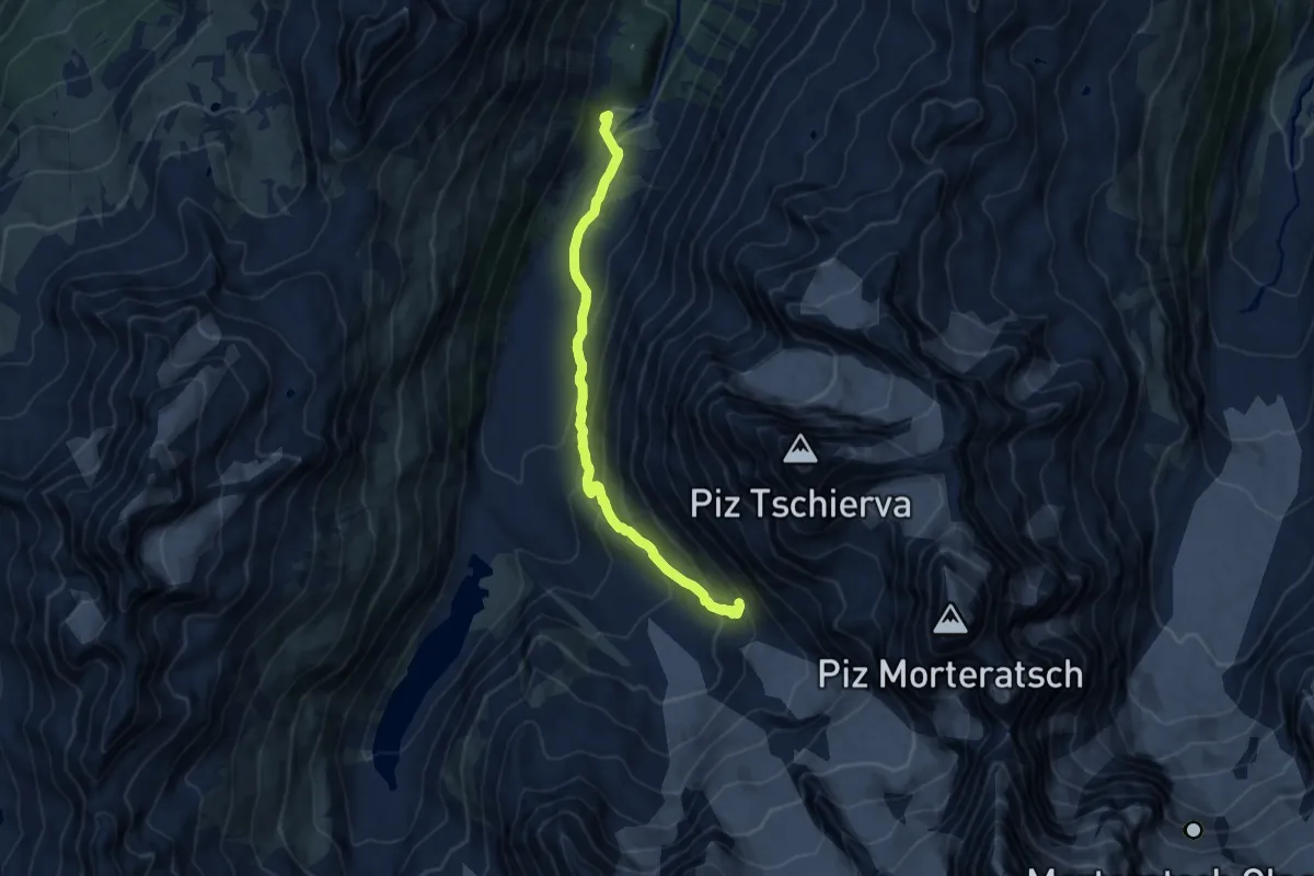
Medium · Cabin
Roseg - Chamanna da Tschierva
10.1 km · ↑ 597 m · 3 h 41 min
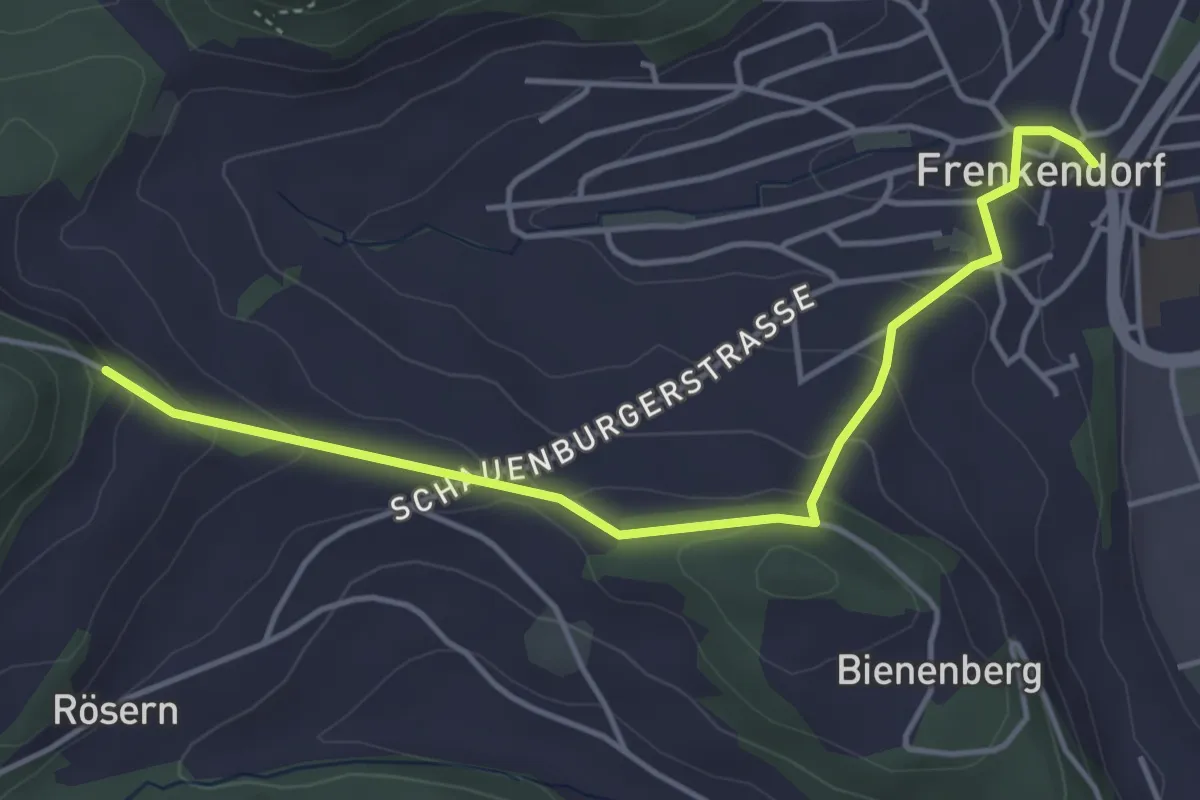
Easy · Trail
Rosenberg - Frenkendorf
4.5 km · ↑ 174 m · 1 h 26 min
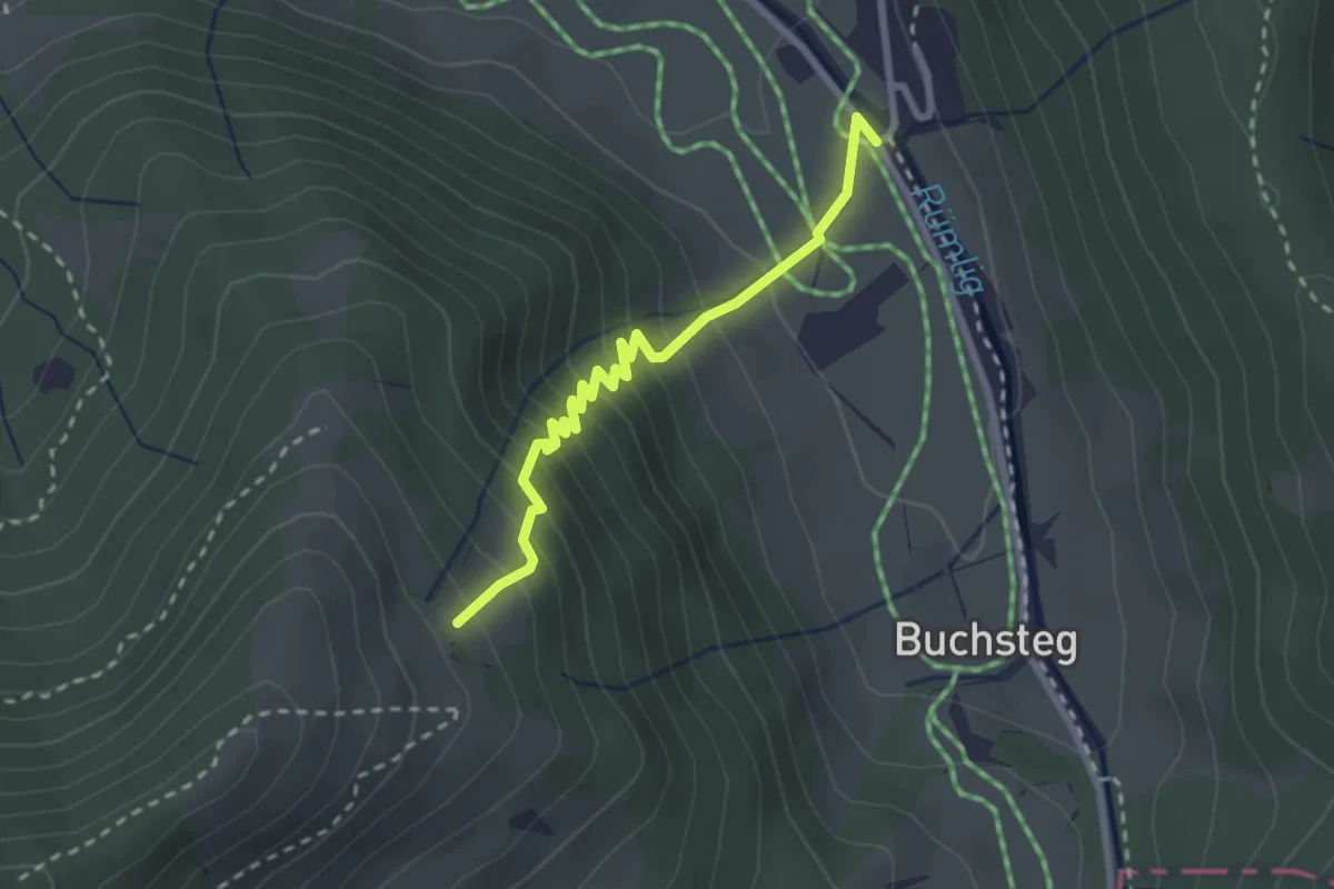
Medium · Trail
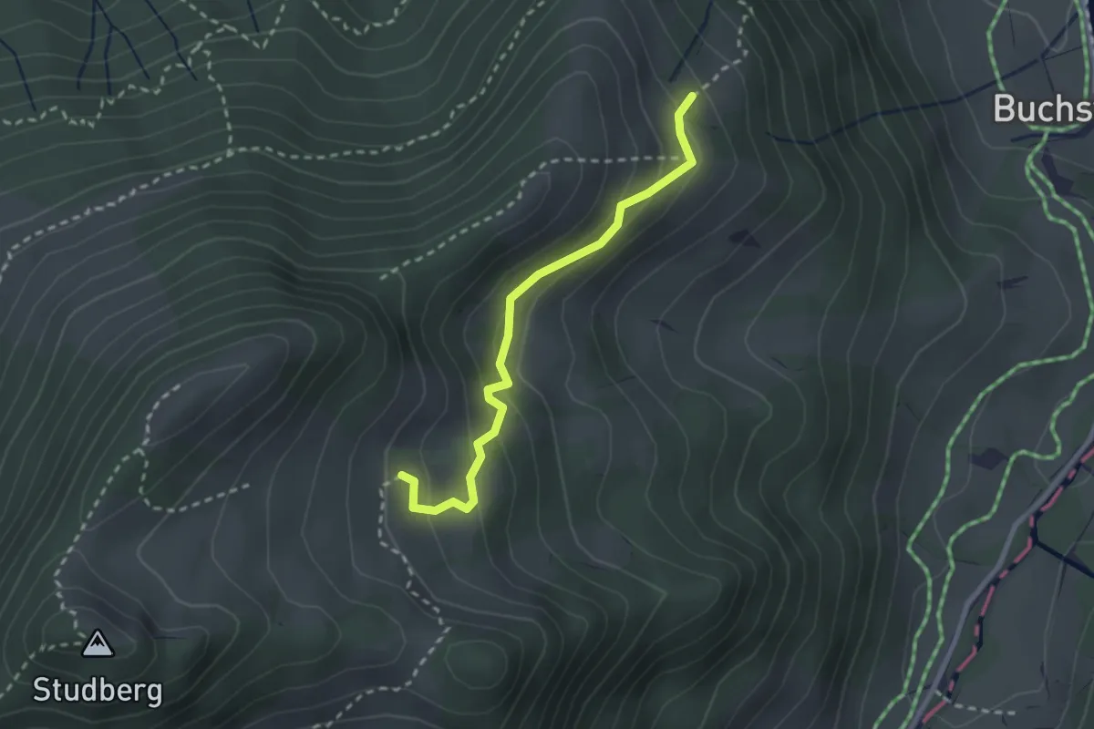
Rosenboden - Gantersei
2.5 km · ↑ 288 m · 1 h 13 min
Easy · Trail
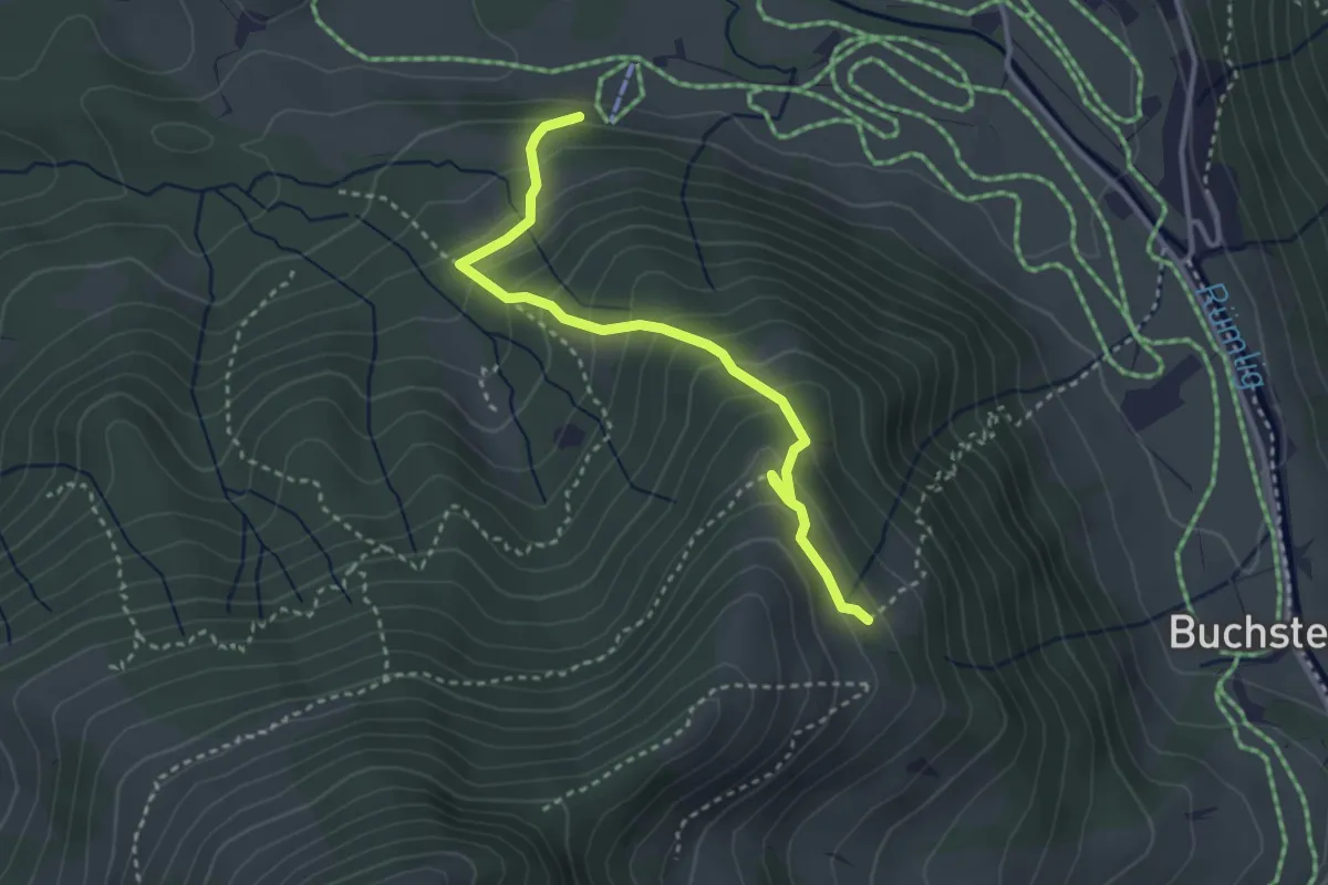
Rosenboden - Gumm
2.4 km · ↑ 181 m · 58 min
Medium · Trail
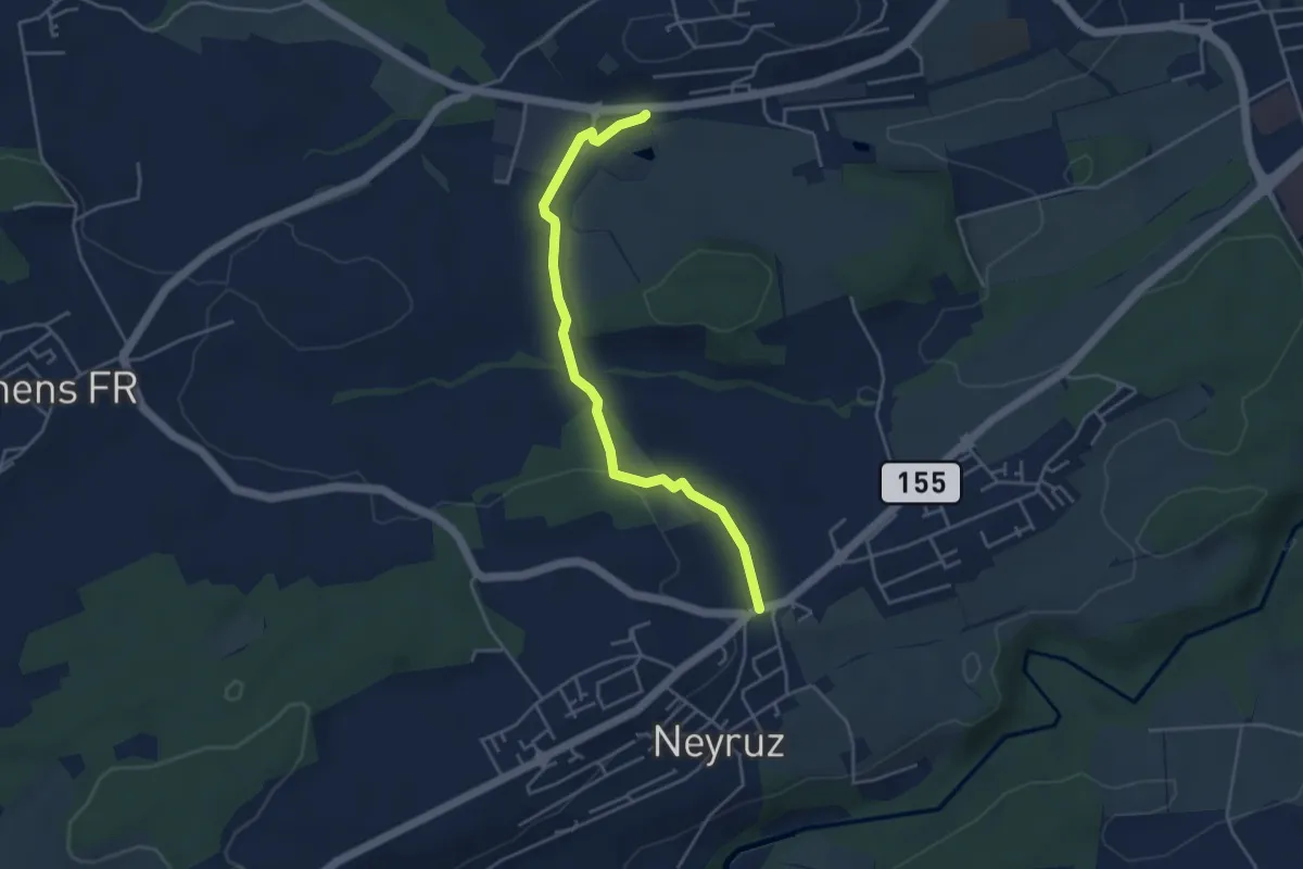
Rosenboden - Meienstoss
3.3 km · ↑ 313 m · 1 h 27 min
Easy · Trail
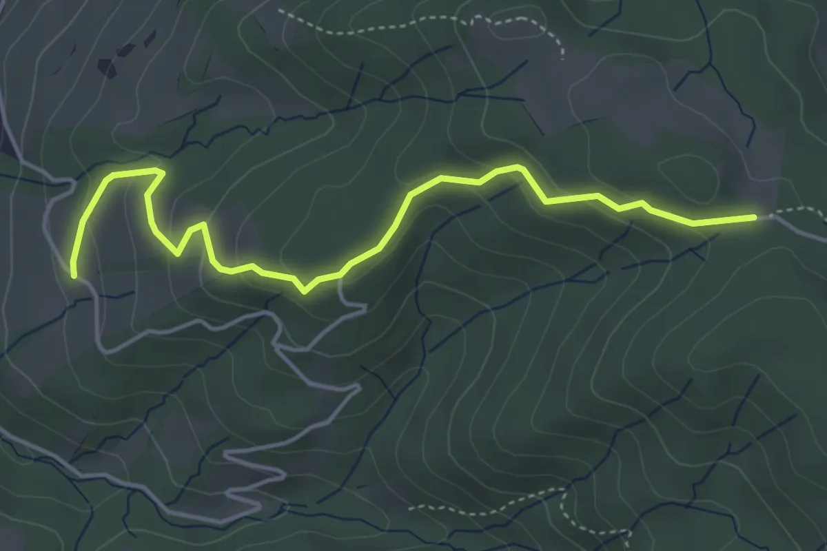
Rosé - Neyruz
4.2 km · ↑ 80 m · 1 h 10 min
Easy · Trail
Rossallmig - Illenberg
4.5 km · ↑ 201 m · 1 h 30 min
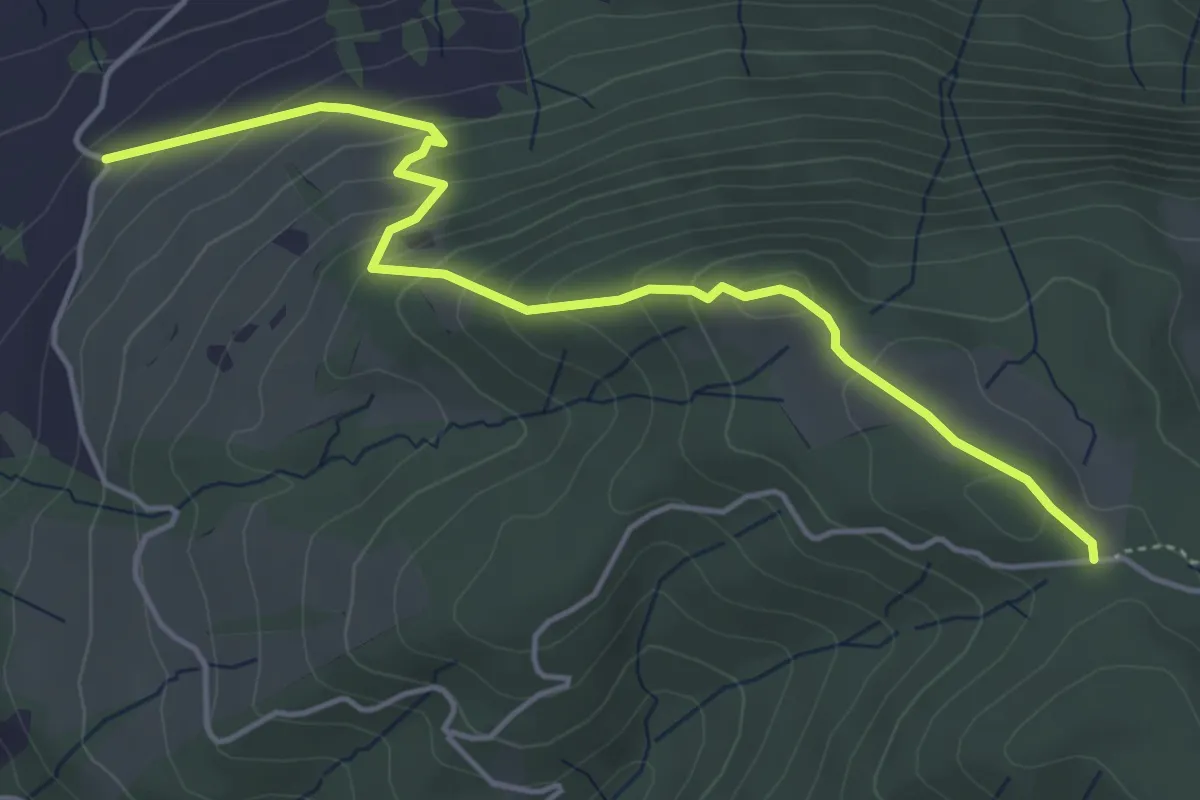
Easy · Trail
Rossallmig - Resti
4.9 km · ↑ 305 m · 1 h 49 min
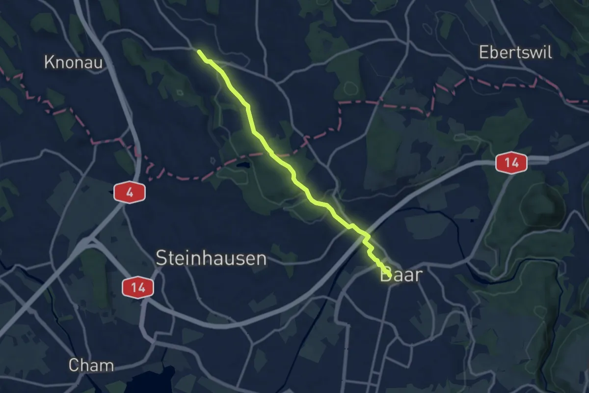
Medium · Trail
Rossau - Baar
10.0 km · ↑ 174 m · 2 h 45 min
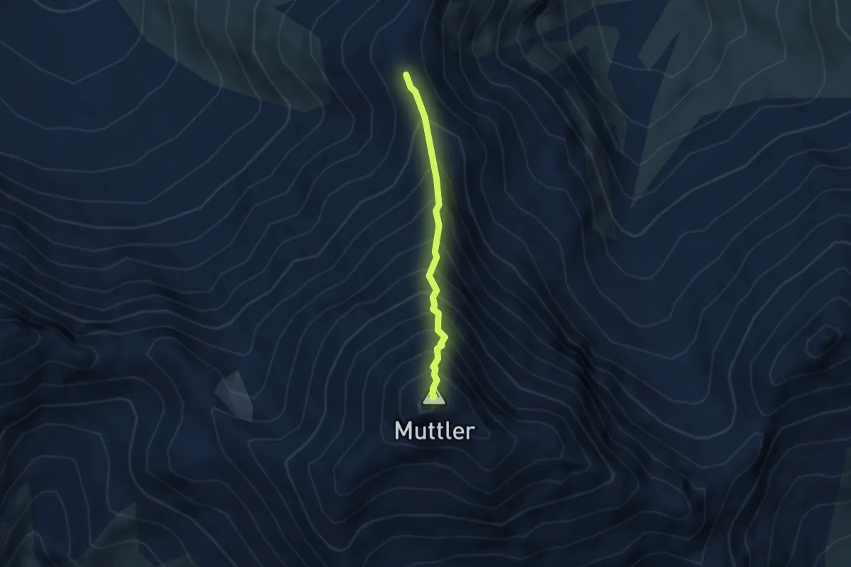
Demanding · Summit
Rossbodenjoch - Muttler
2.7 km · ↑ 523 m · 1 h 47 min
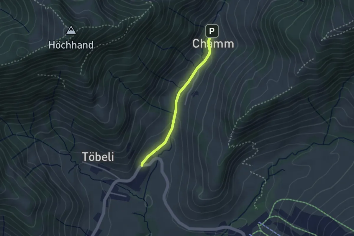
Easy · Trail
Rossfallen-Chamm
2.3 km · ↑ 58 m · 40 min
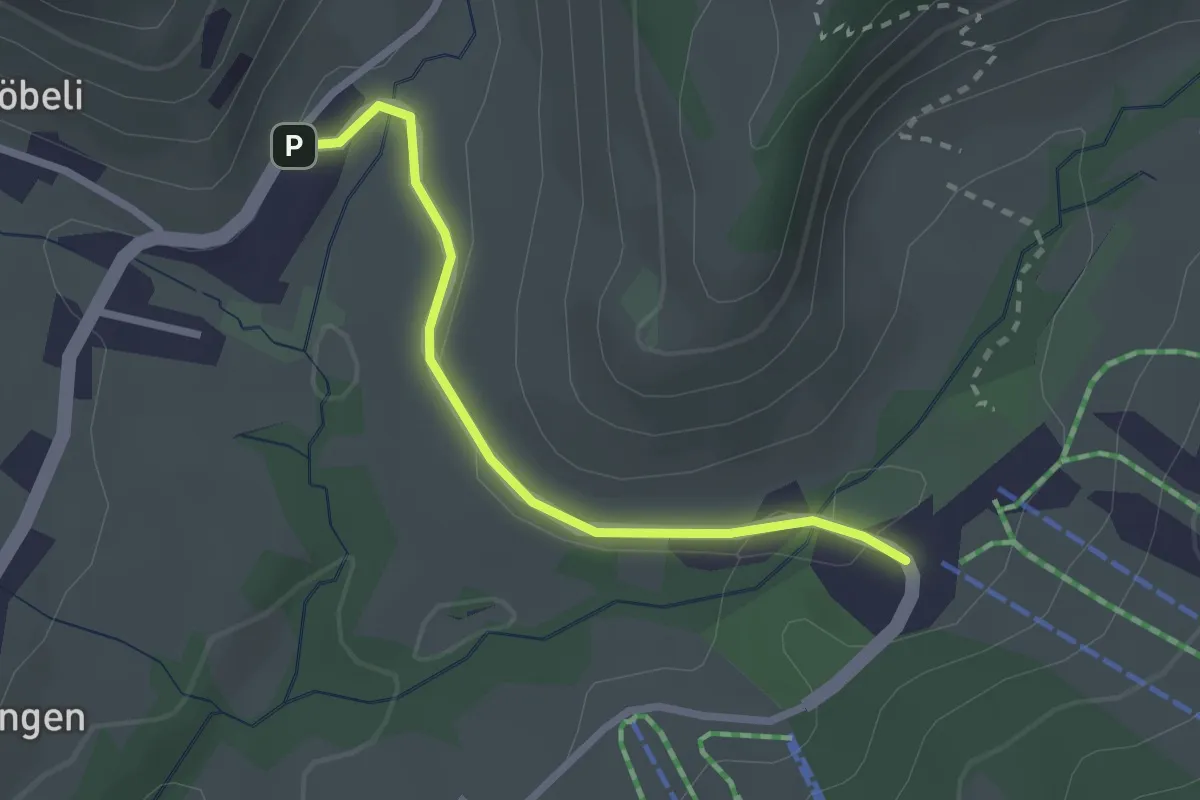
Easy · Cabin
Rossfallen-Schutt
2.3 km · ↑ 34 m · 37 min
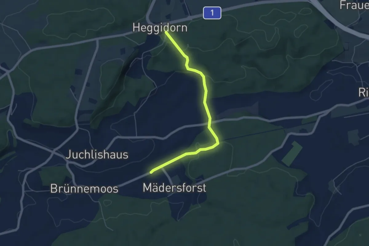
Easy · Trail
Rosshäusern/Station - Heggidorn
5.3 km · ↑ 157 m · 1 h 35 min
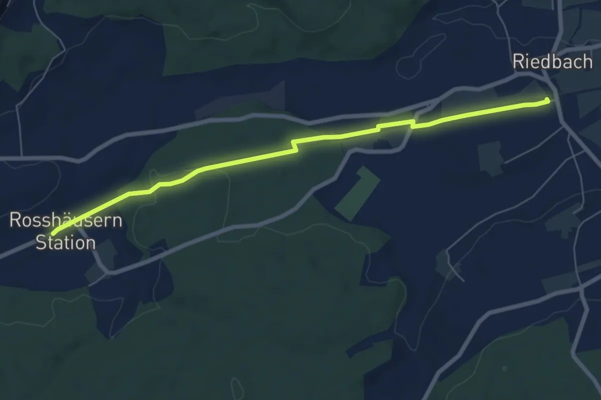
Easy · Trail
Rosshäusern/Station - Riedbach/Station
6.4 km · ↑ 72 m · 1 h 40 min
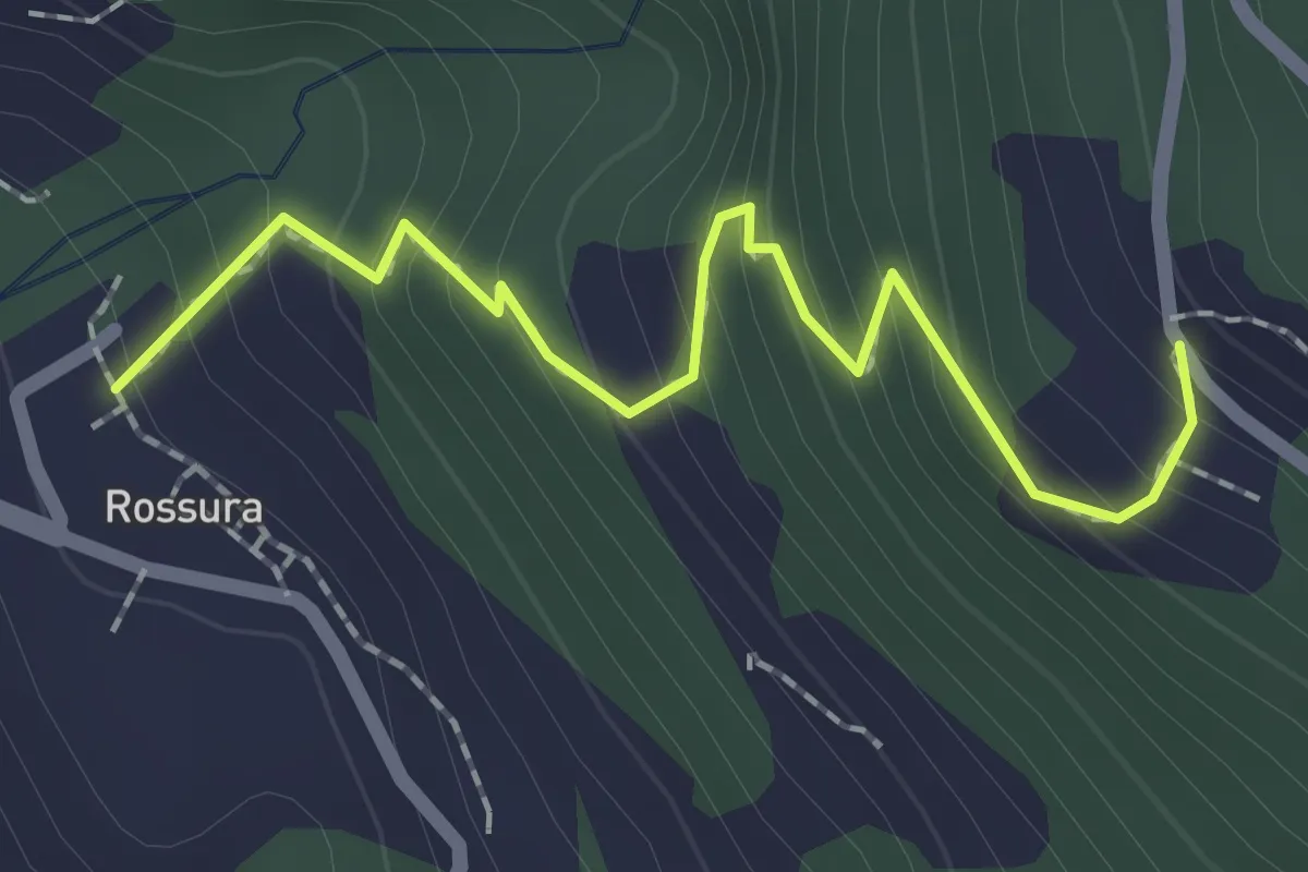
Easy · Trail
Rossura - fixme
2.0 km · ↑ 219 m · 58 min
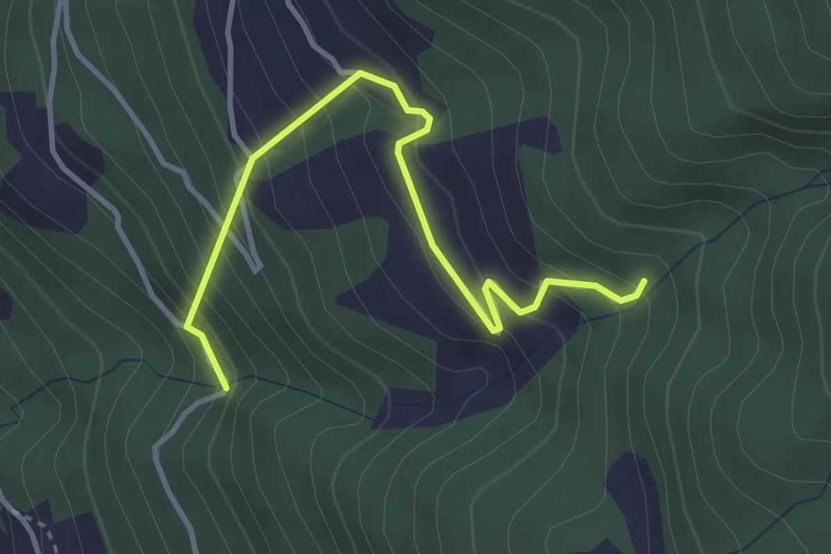
Medium · Trail
Rossura - Tengia
3.4 km · ↑ 372 m · 1 h 36 min
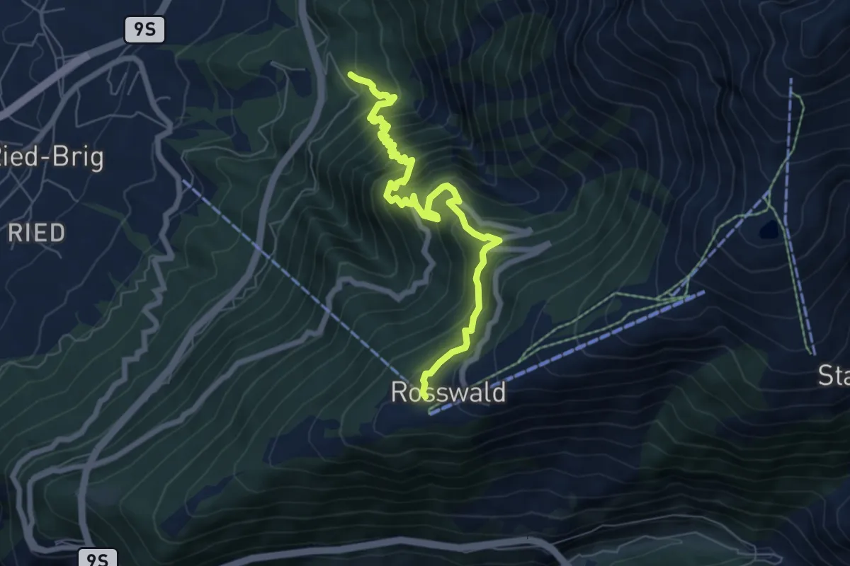
Demanding · Trail
Rosswald - Burgspitz
7.0 km · ↑ 814 m · 3 h 24 min
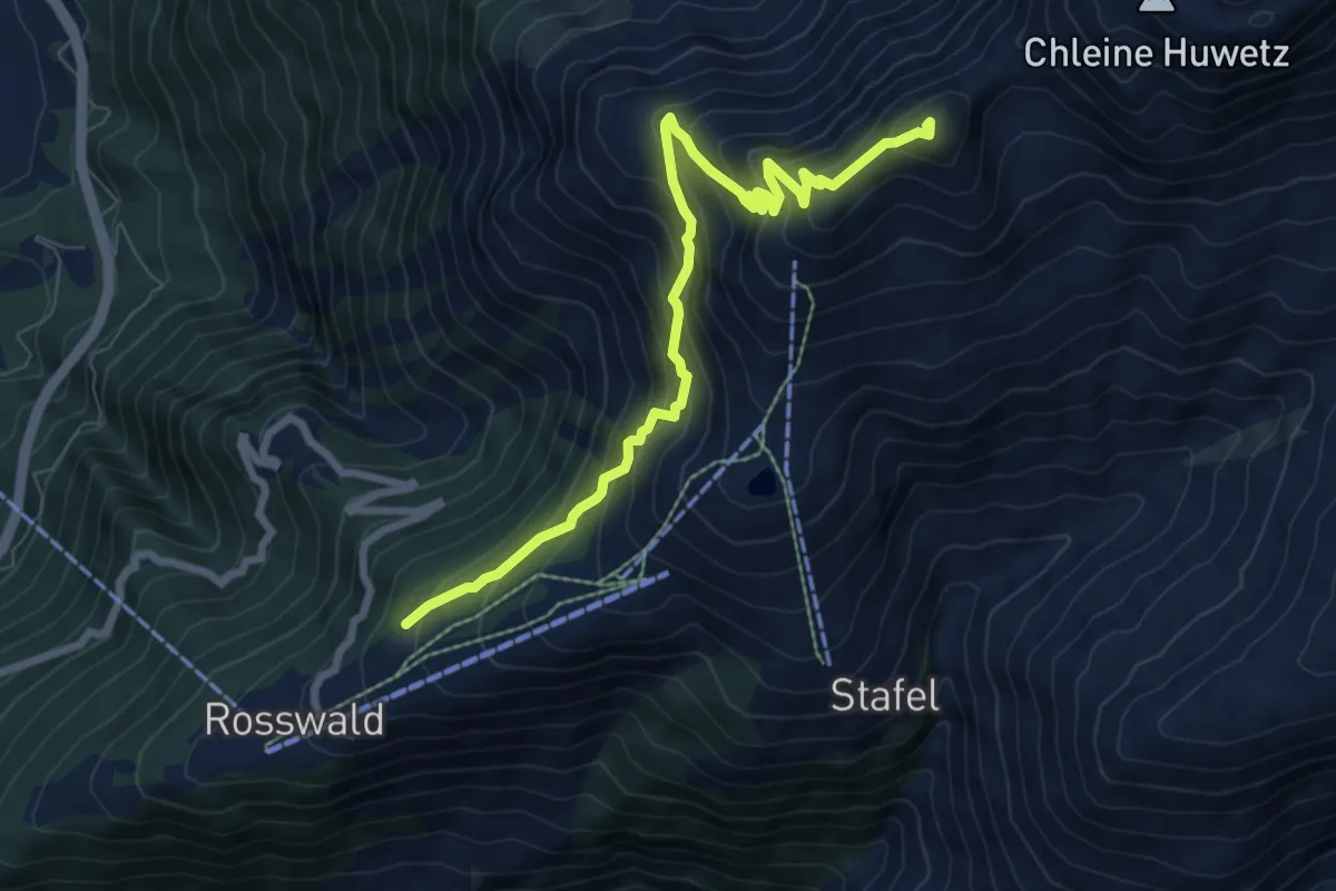
Demanding · Summit
Rosswald - Füllhorn
8.2 km · ↑ 871 m · 3 h 50 min
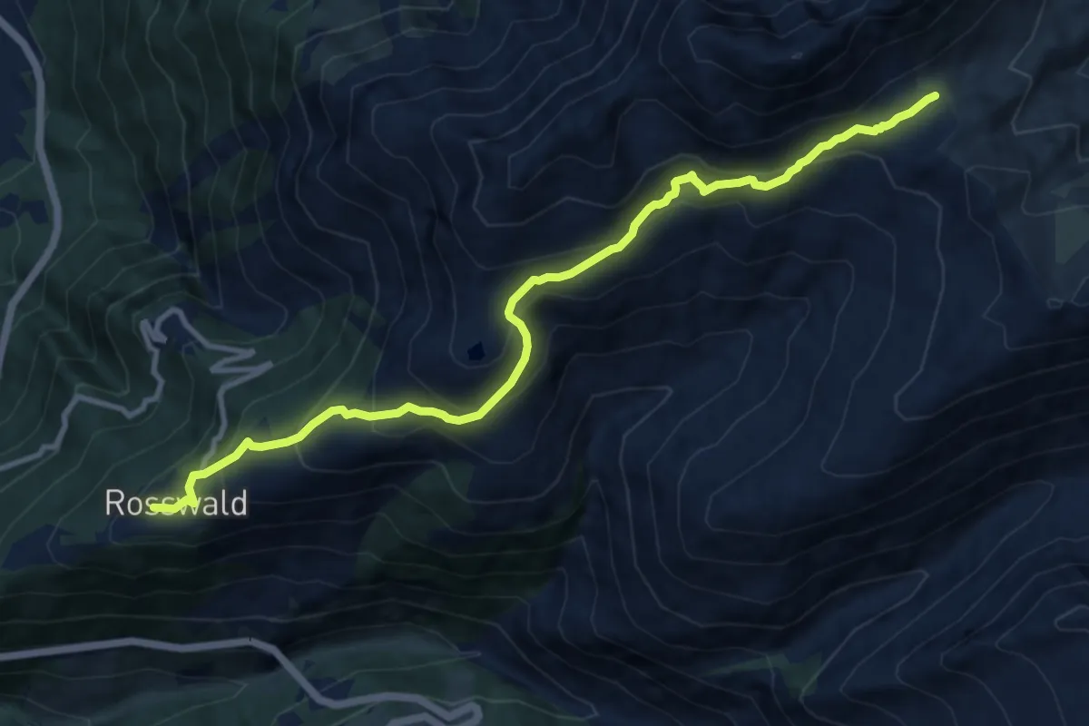
Demanding · Trail
Rosswald-Saflischpass
11.2 km · ↑ 847 m · 4 h 29 min