Trails in Switzerland
15,064 hiking trails, each with its route, climb, walking time and grade.
All trails, page 87 of 314
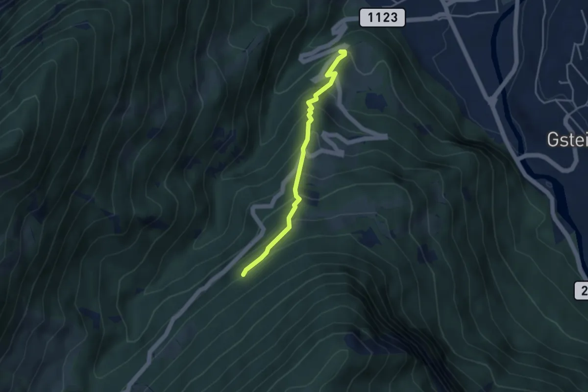
Medium · Trail
Ried - Saxetwald
3.2 km · ↑ 350 m · 1 h 31 min
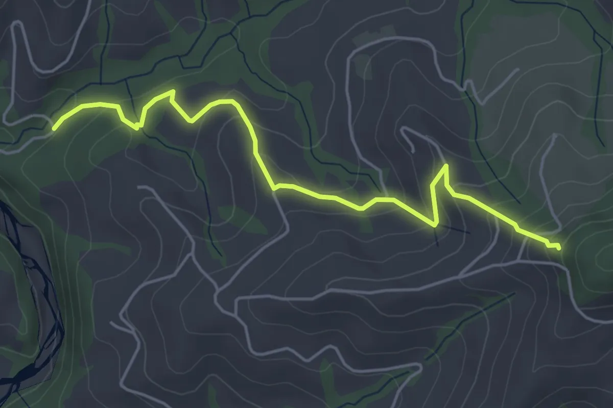
Easy · Trail
Riedstettwald - Schwandbachbrücke
5.0 km · ↑ 264 m · 1 h 45 min
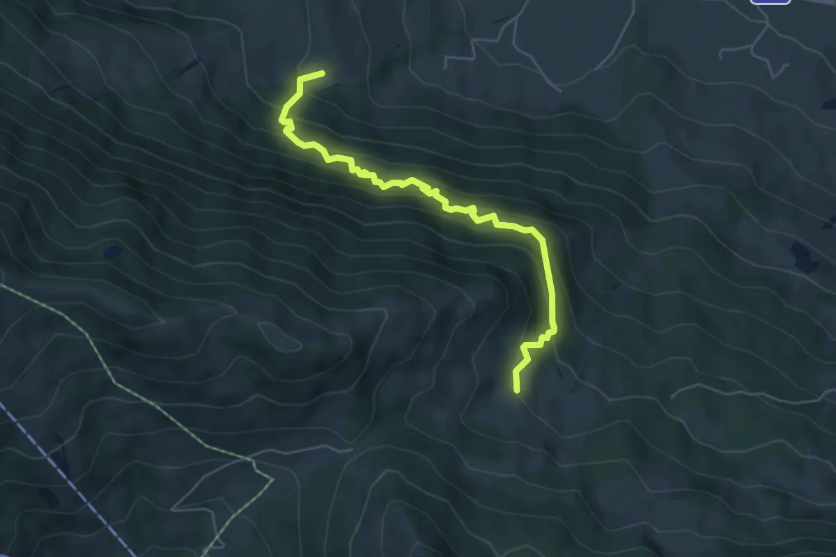
Medium · Trail
Ried/Twäriberg - Truben
5.2 km · ↑ 568 m · 2 h 28 min
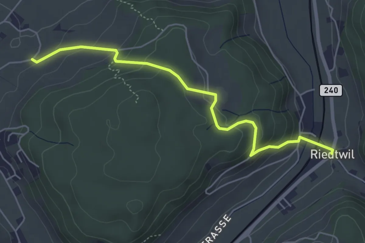
Easy · Trail
Riedtwil - Eggen
4.9 km · ↑ 252 m · 1 h 43 min
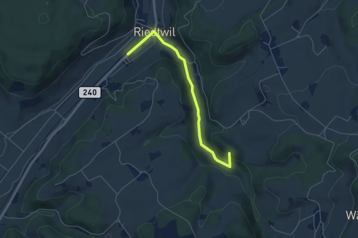
Easy · Summit
Riedtwil - Mutzgraben
4.4 km · ↑ 130 m · 1 h 20 min
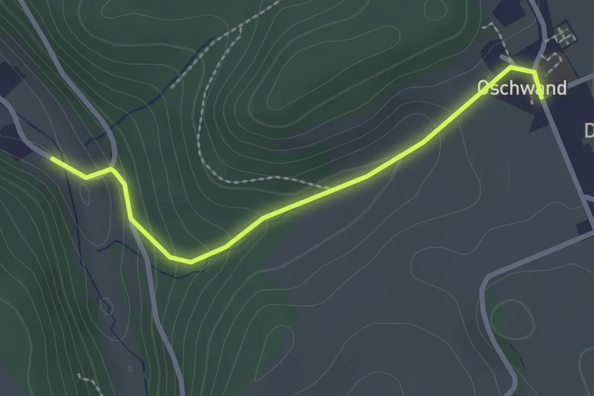
Easy · Trail
Riedtwil - Oschwand
2.3 km · ↑ 115 m · 47 min
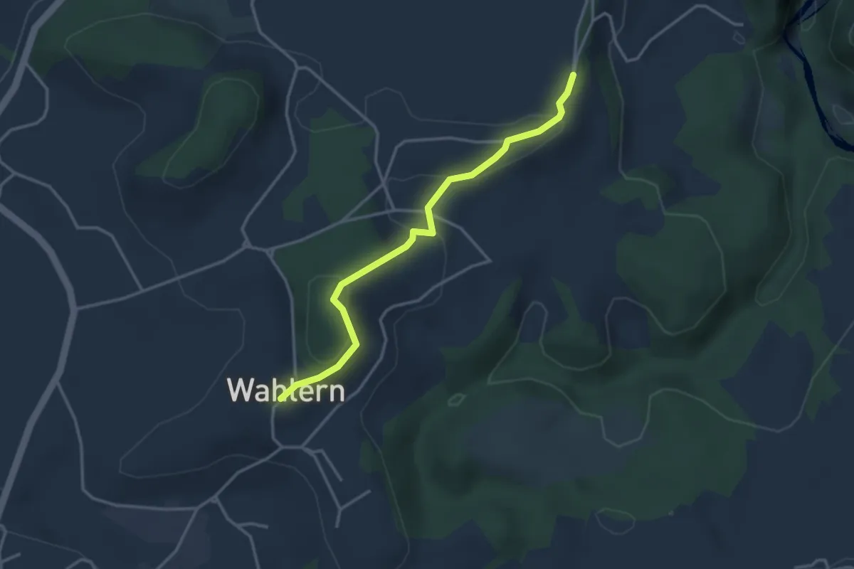
Easy · Trail
Ried - Wahlern
3.2 km · ↑ 103 m · 59 min
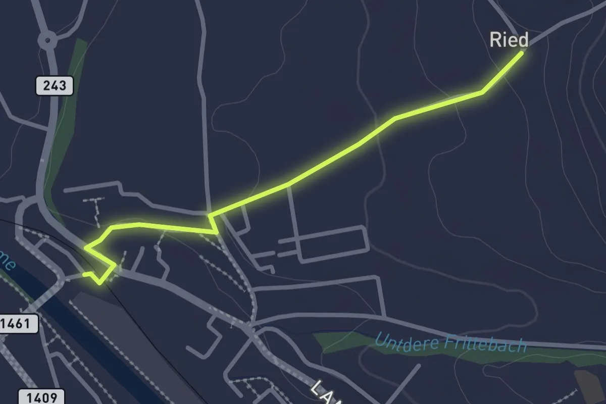
Easy · Trail
Ried - Zollbrügg
2.5 km · ↑ 50 m · 42 min
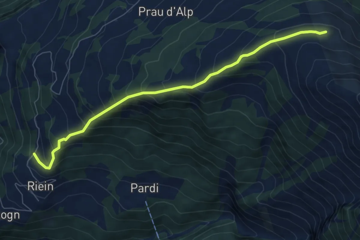
Medium · Trail
Riein Dutjer Alp
7.1 km · ↑ 697 m · 3 h 11 min
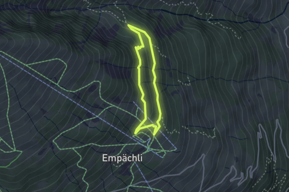
Easy · Trail
Riesenwaldweg
2.1 km · ↑ 101 m · 45 min
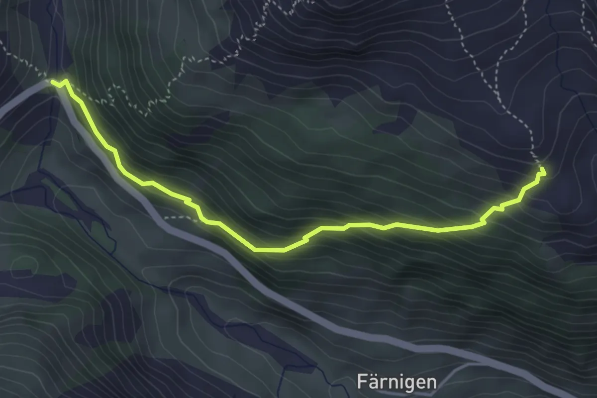
Medium · Trail
Rieter - Gitzichrummenflue
4.2 km · ↑ 362 m · 1 h 46 min
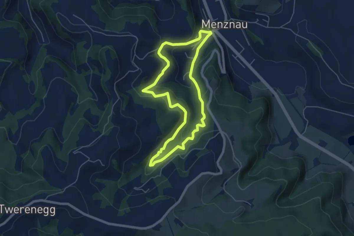
Easy · Trail
Rieterweg
4.7 km · ↑ 256 m · 1 h 43 min
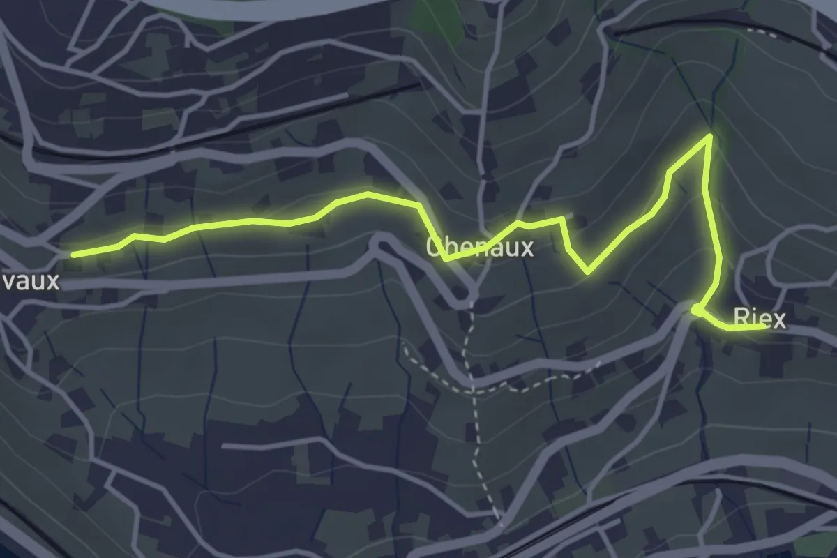
Easy · Trail
Riex - Grandvaux
4.2 km · ↑ 151 m · 1 h 19 min
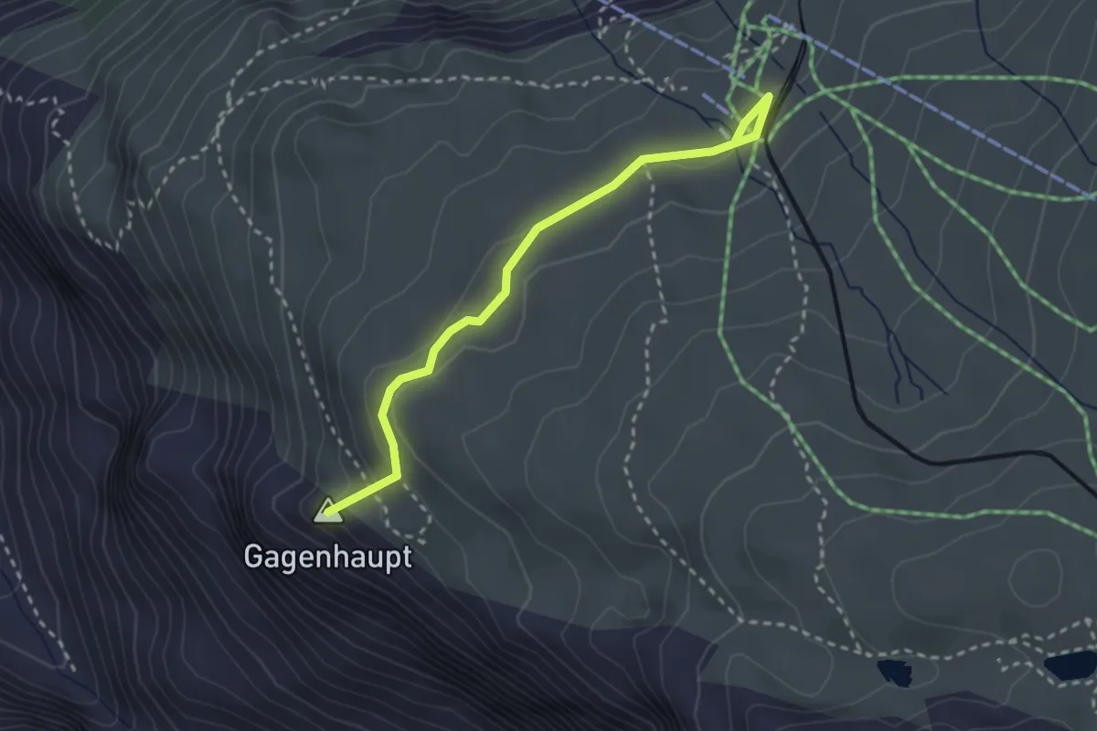
Medium · Summit
Riffelseeweg
2.7 km · ↑ 96 m · 51 min
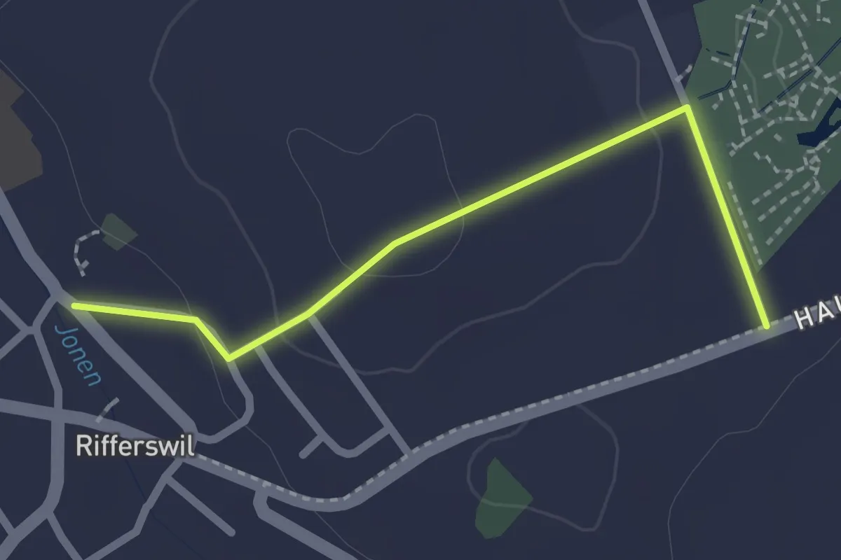
Easy · Trail
Rifferswil - Selegger Moor
2.0 km · ↑ 40 m · 34 min
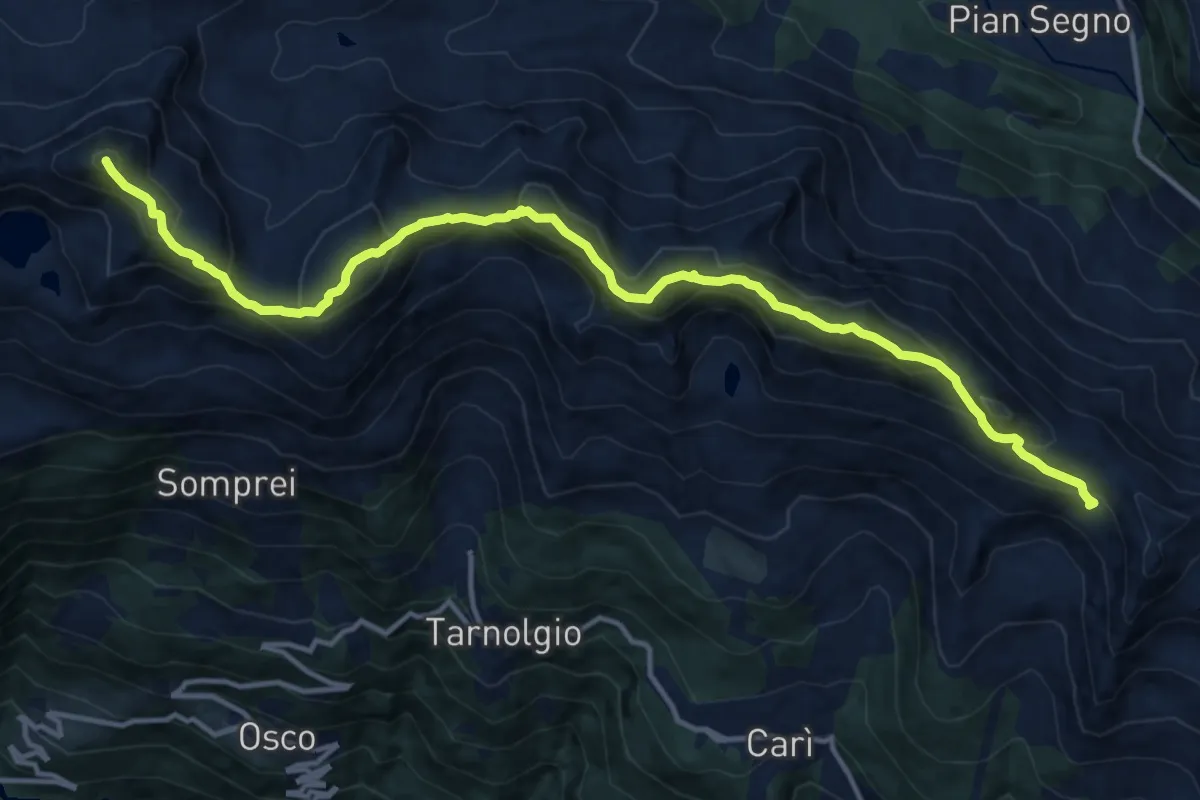
Expert · Summit
Rifugio Gana Rossa - Alpe Carorescio
15.4 km · ↑ 1424 m · 6 h 43 min
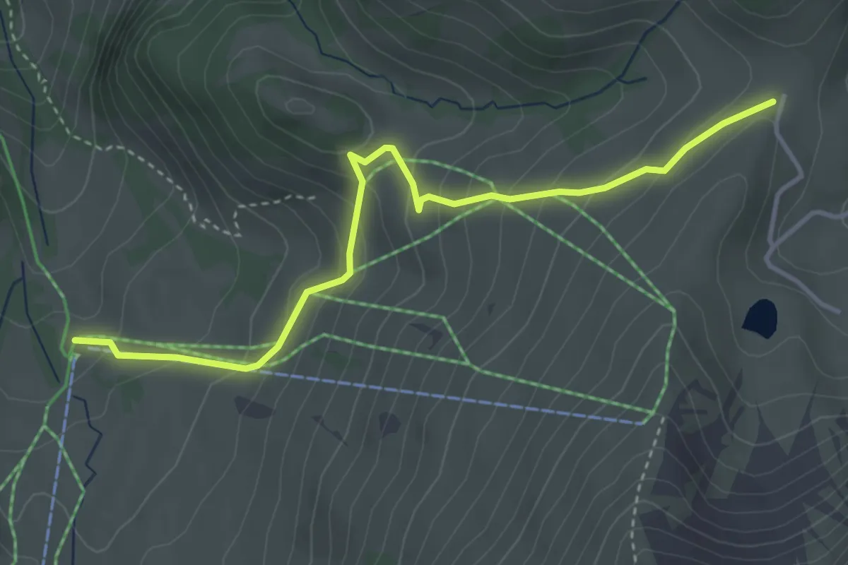
Easy · Cabin
Riggisalp - Salzmatt
4.0 km · ↑ 279 m · 1 h 33 min
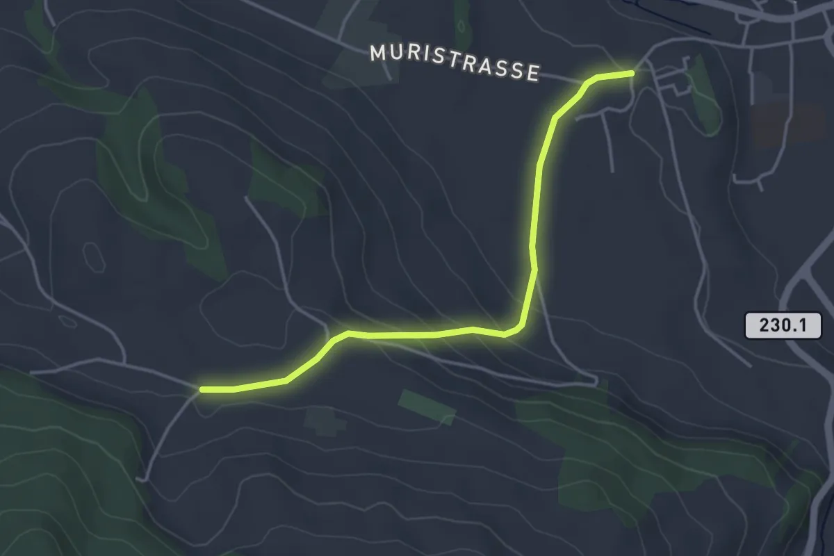
Easy · Trail
Riggisberg Schloss - Hohlenweg
3.8 km · ↑ 132 m · 1 h 11 min
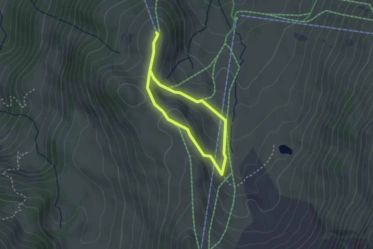
Easy · Trail
Riggli Weg
1.9 km · ↑ 61 m · 36 min
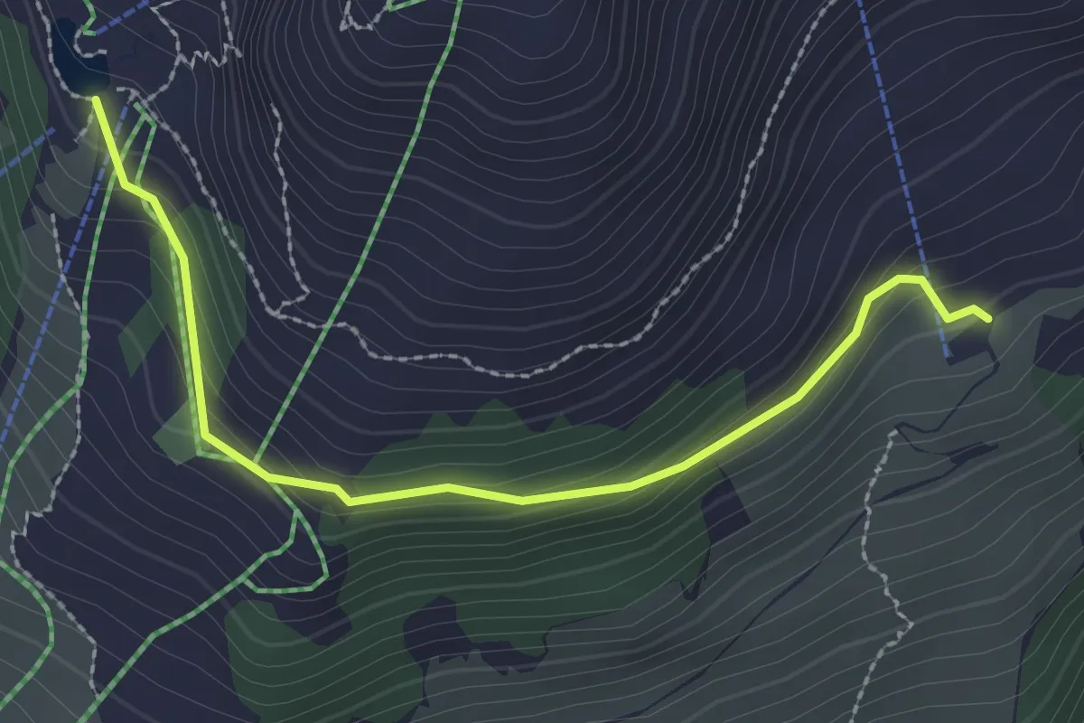
Easy · Cabin
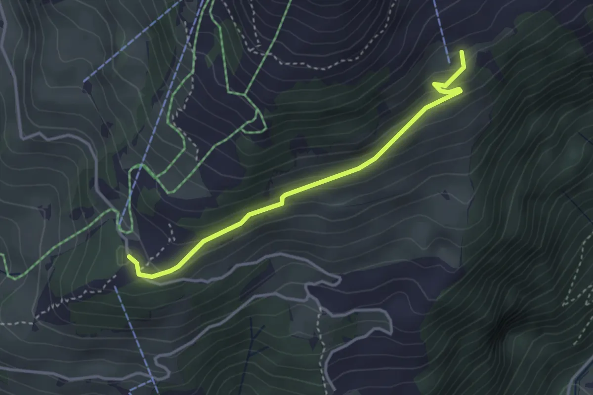
Rigidalstaffel - Brunnihütte
2.5 km · ↑ 145 m · 55 min
Easy · Trail
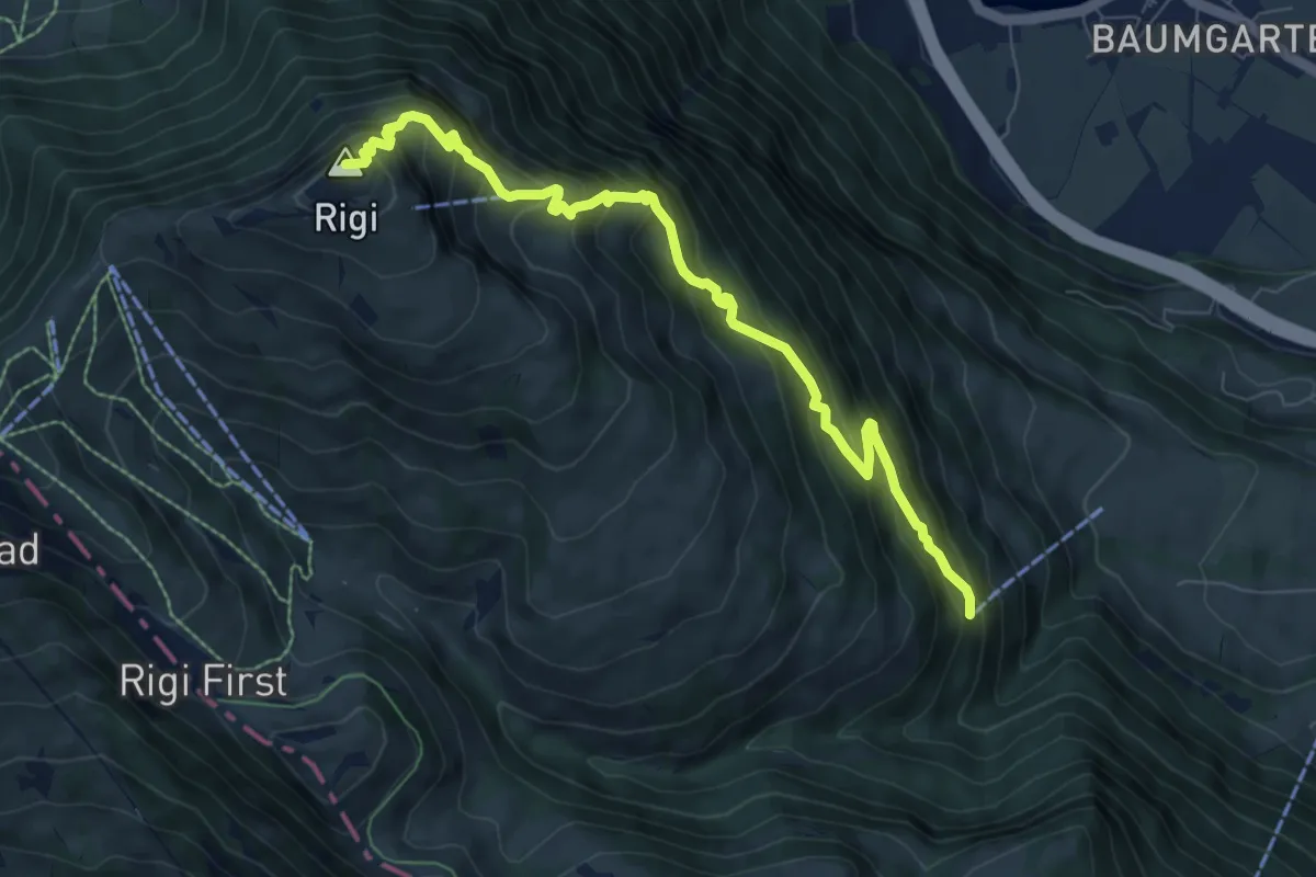
Rigidalstaffel - Ristis
3.3 km · ↑ 173 m · 1 h 9 min
Demanding · Summit
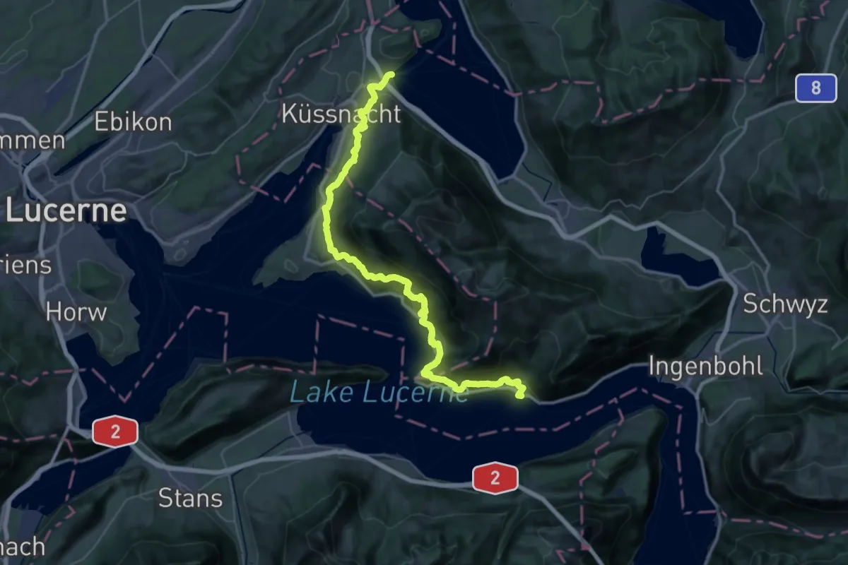
Rigi Kulm - Dächli
8.0 km · ↑ 861 m · 3 h 45 min
Demanding · Trail
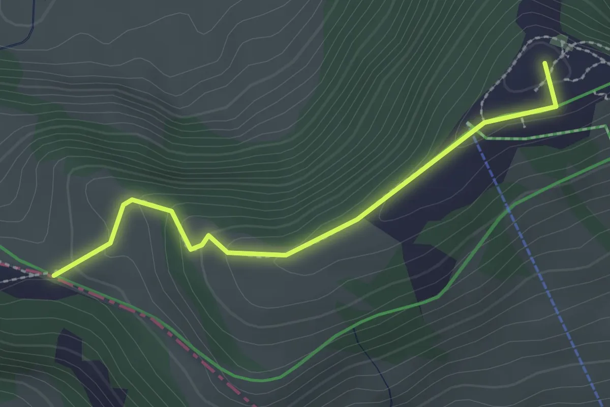
Rigi Lehnenweg
22.4 km · ↑ 1180 m · 8 h 10 min
Medium · Summit
Rigi Scheidegg - Hinter Dossen
2.3 km · ↑ 94 m · 45 min
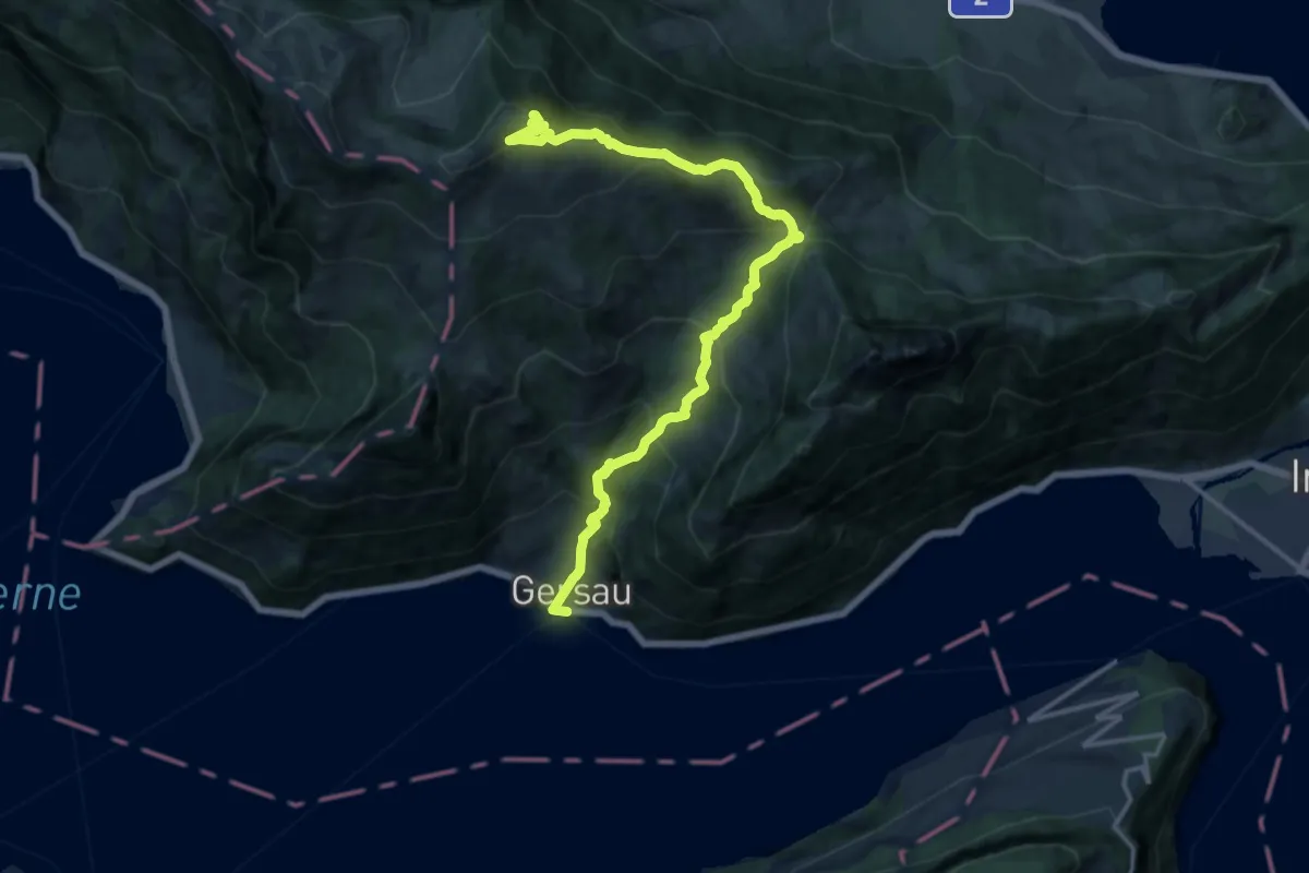
Demanding · Trail
Rigi Scheidegg Weg
16.0 km · ↑ 1276 m · 6 h 32 min
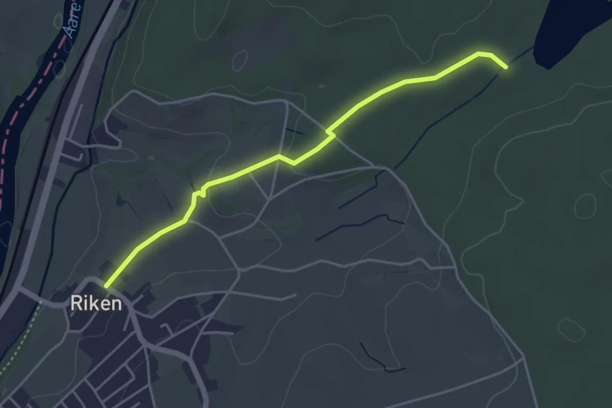
Easy · Trail
Riken - Langholz
3.9 km · ↑ 55 m · 1 h 3 min
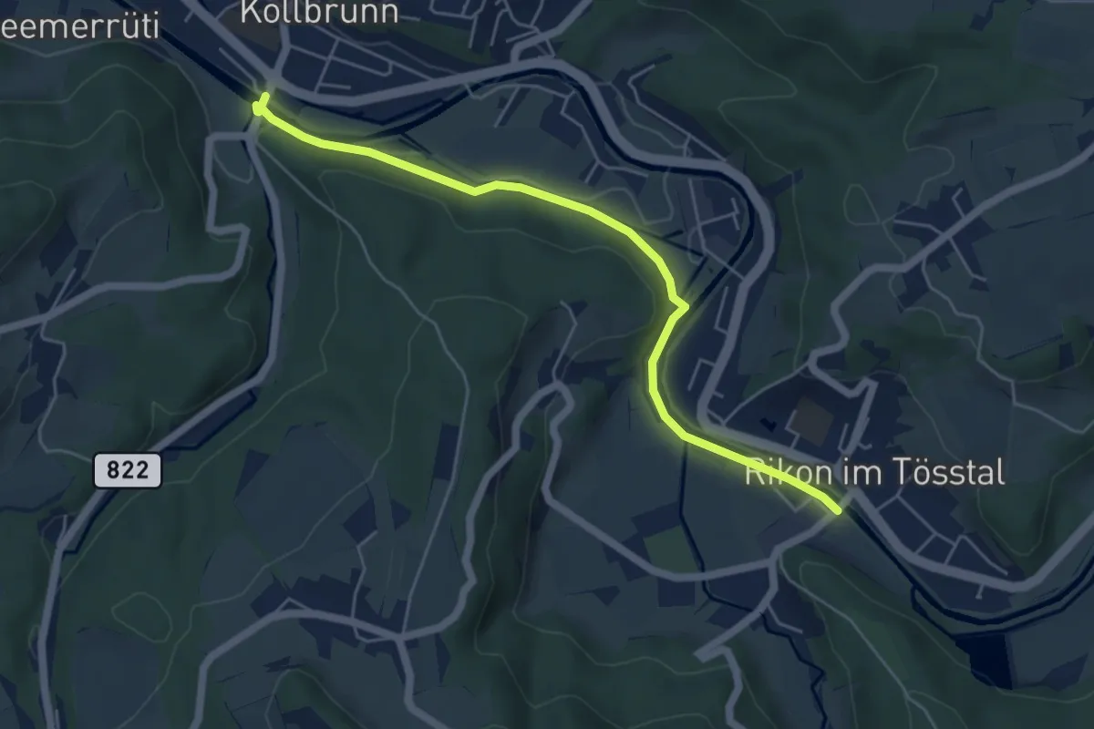
Easy · Trail
Rikon Brücke – Kollbrunn
5.3 km · ↑ 86 m · 1 h 27 min
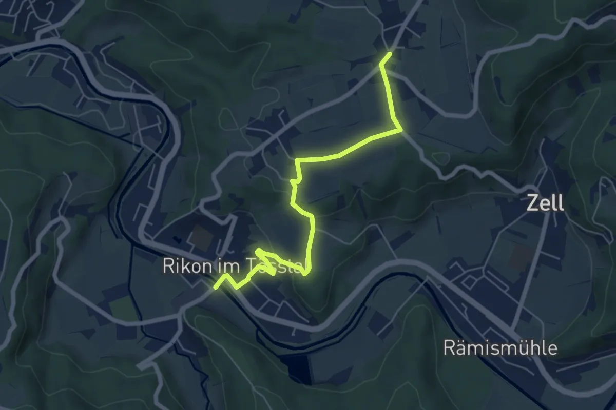
Easy · Trail
Rikon Brücke – Ober Langenhard
5.6 km · ↑ 123 m · 1 h 35 min
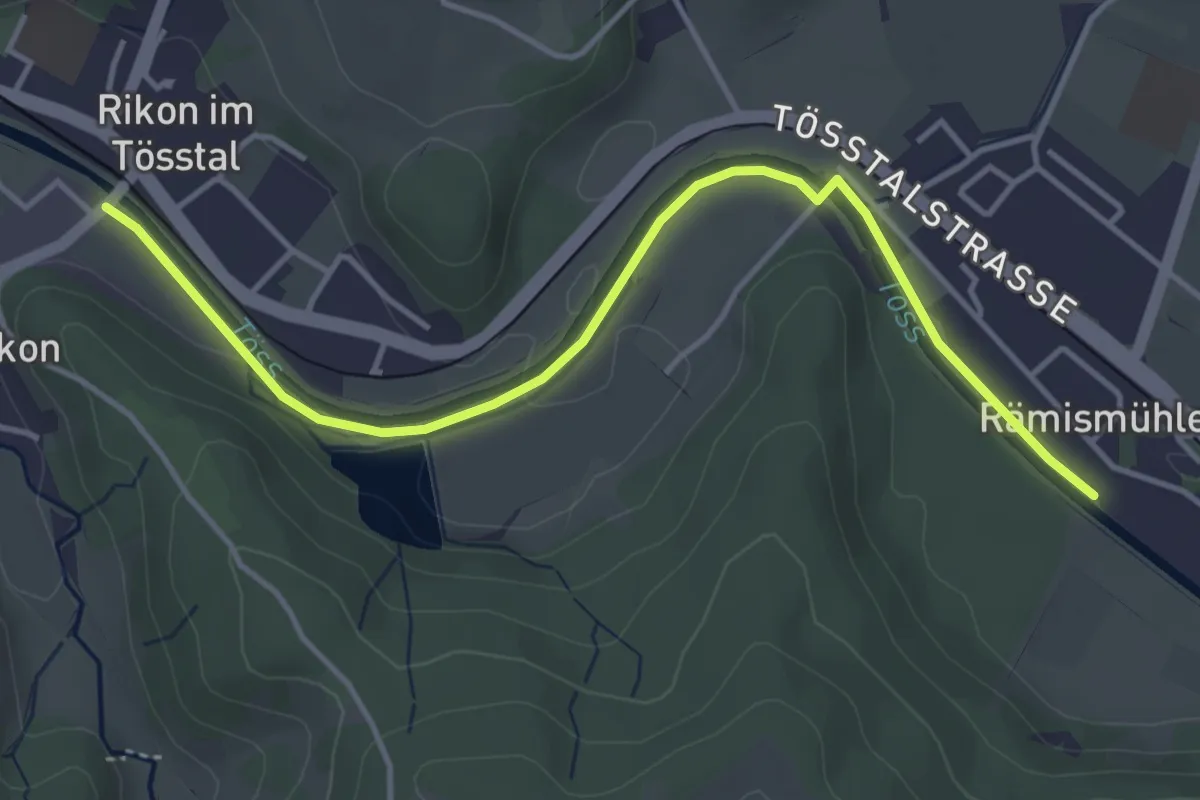
Easy · Trail
Rikon Brücke – Rämismühle
4.5 km · ↑ 27 m · 1 h 7 min
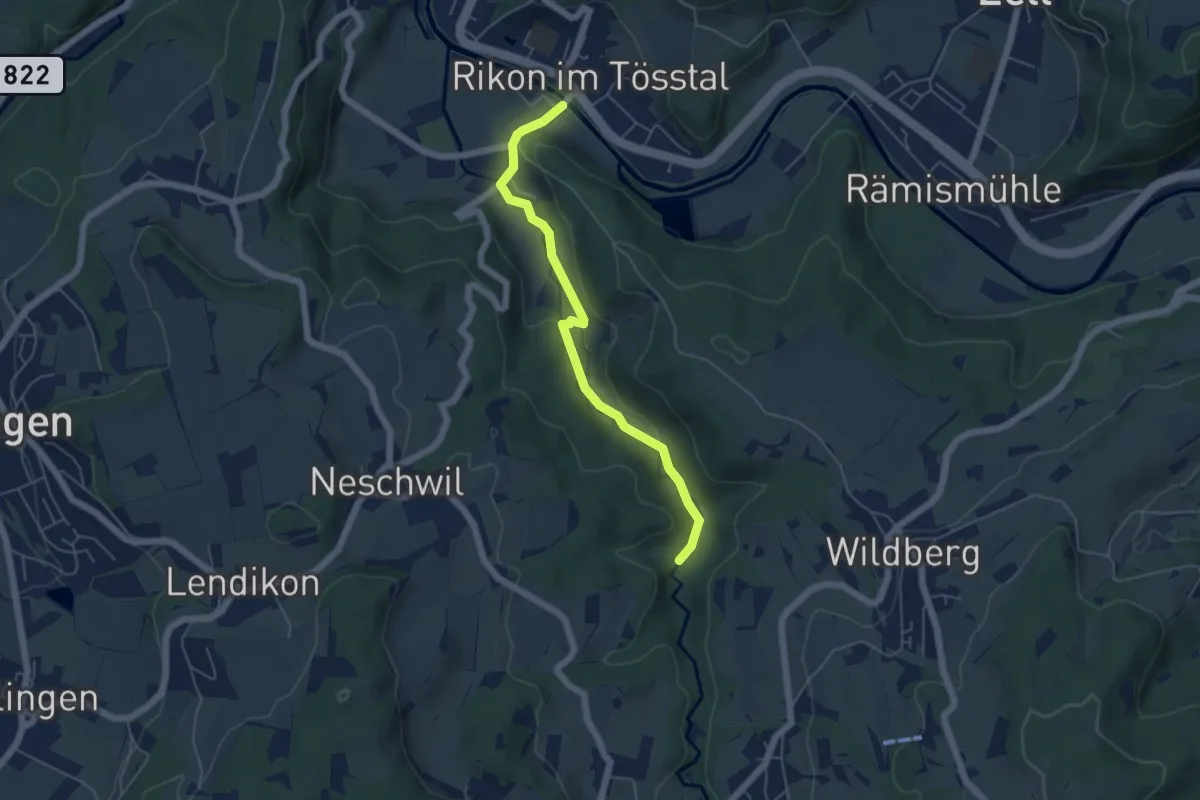
Easy · Trail
Rikon Brücke – Tobel
5.0 km · ↑ 69 m · 1 h 20 min
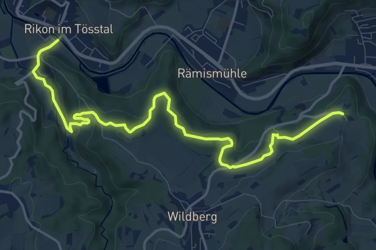
Medium · Trail
Rikon Brücke – Tössegg
12.1 km · ↑ 320 m · 3 h 33 min
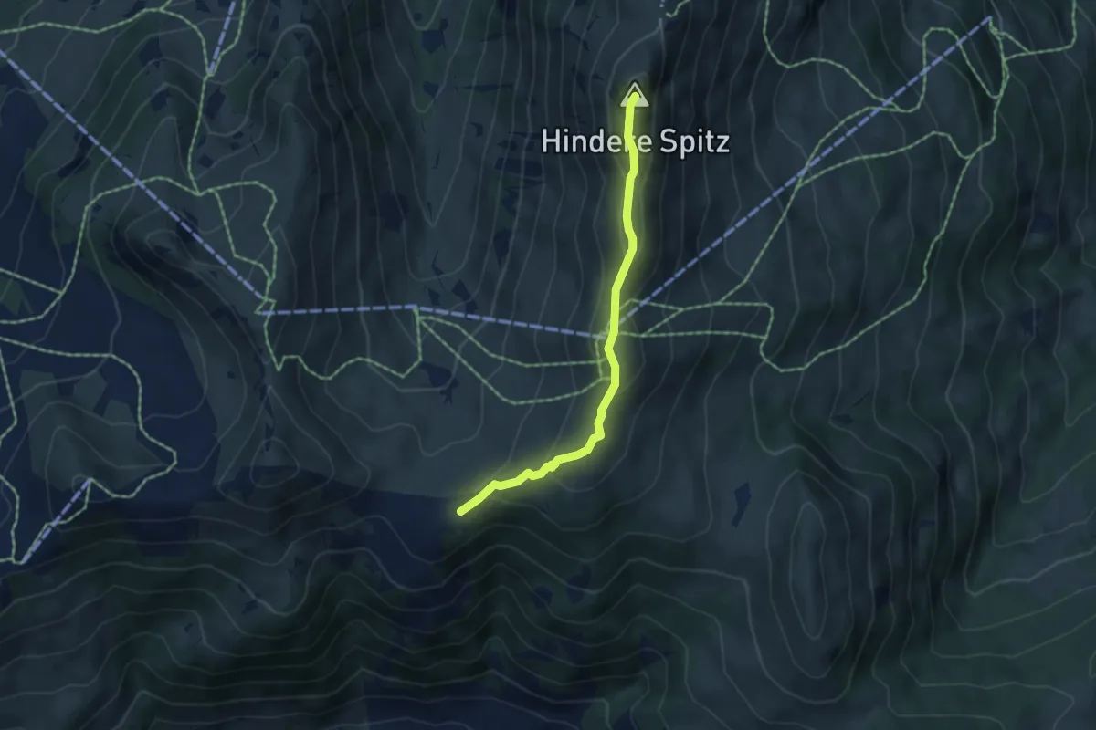
Medium · Summit
Rinderberg - Parwengen
4.4 km · ↑ 213 m · 1 h 30 min
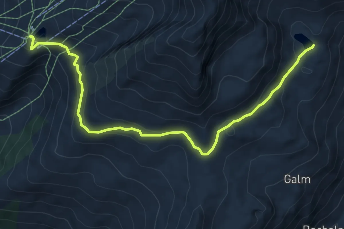
Medium · Trail
Rinderhütten Wysse See
8.3 km · ↑ 305 m · 2 h 37 min
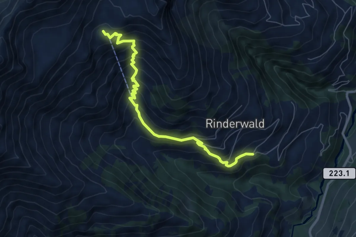
Medium · Trail
Rinderwald - Otterealp
7.1 km · ↑ 678 m · 3 h 8 min
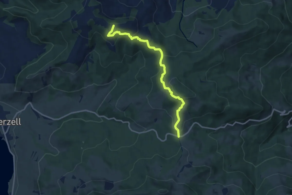
Medium · Trail
Rinderweidhorn - Gueteregg
8.5 km · ↑ 345 m · 2 h 46 min
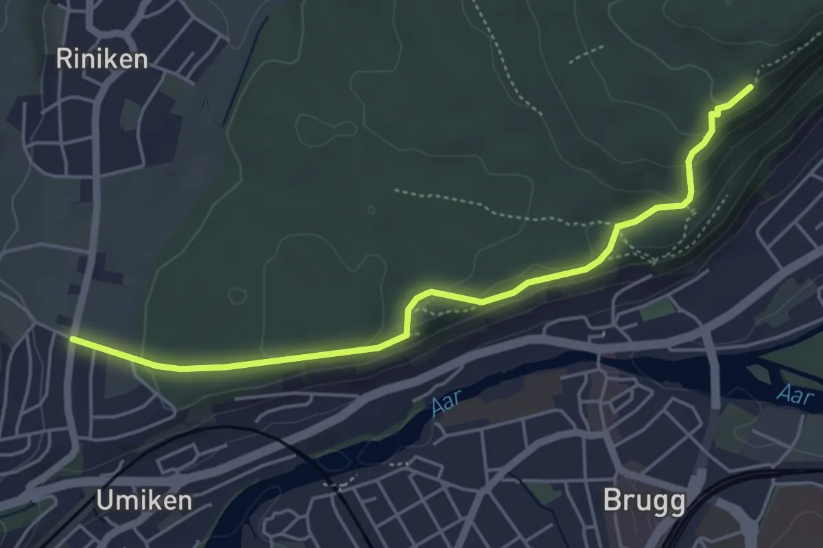
Easy · Trail
Riniken - Alpenzeiger
4.9 km · ↑ 107 m · 1 h 23 min
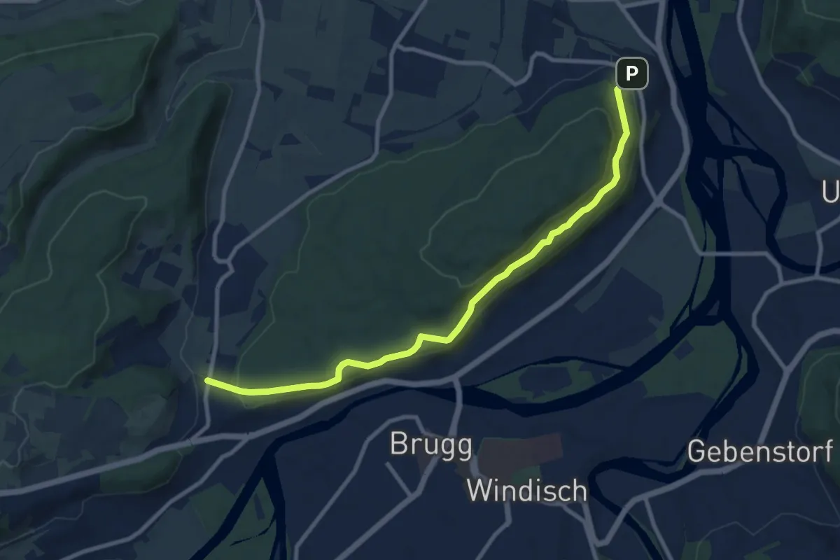
Medium · Trail
Riniken - Vorder Rein
9.2 km · ↑ 217 m · 2 h 39 min
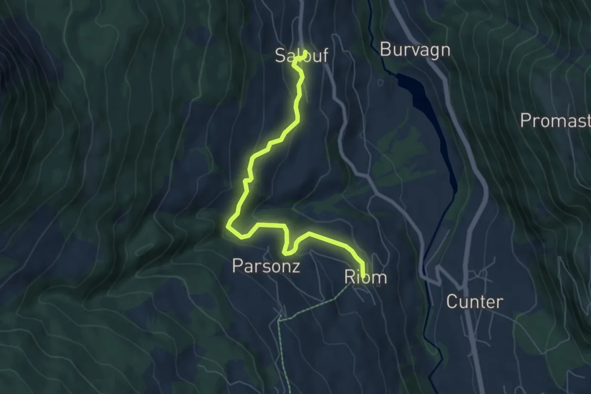
Easy · Trail
Riom - Salouf
6.5 km · ↑ 313 m · 2 h 12 min
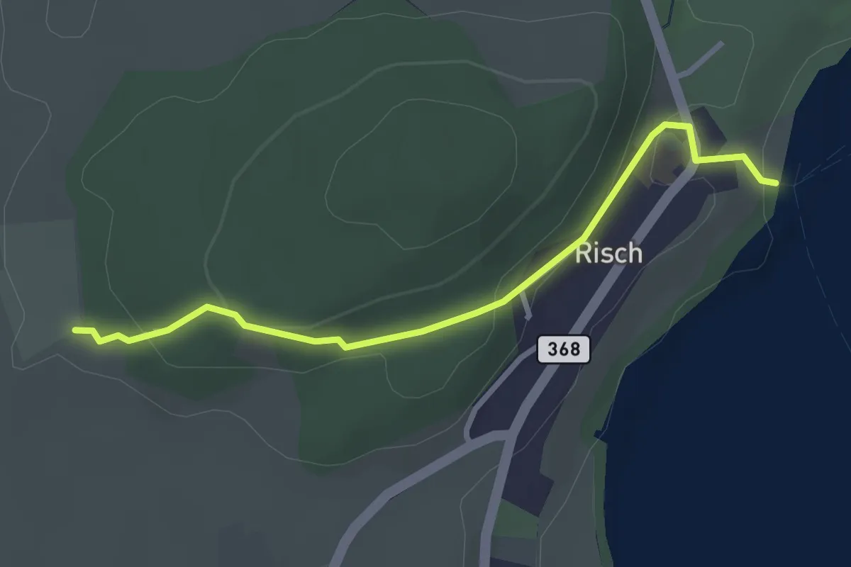
Easy · Trail
Risch - Brüglen
2.9 km · ↑ 104 m · 54 min
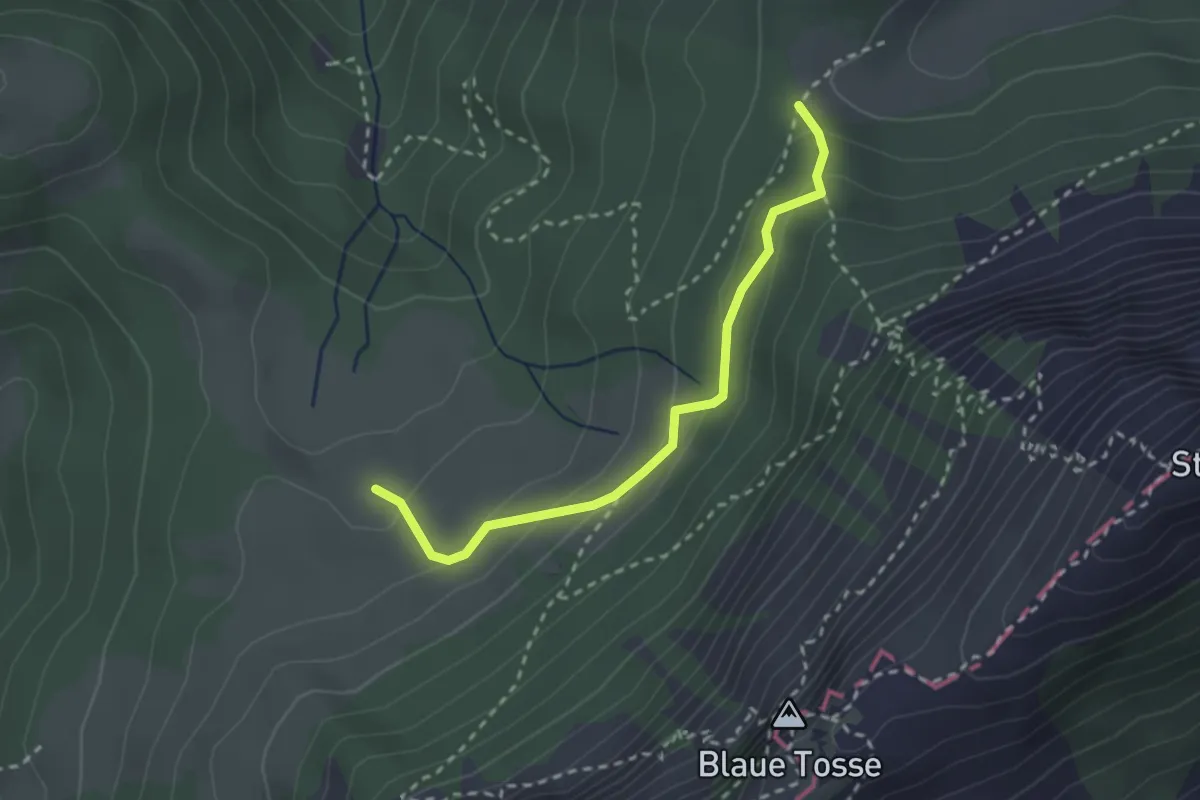
Medium · Trail
Risete - Risetenegg
2.5 km · ↑ 136 m · 53 min
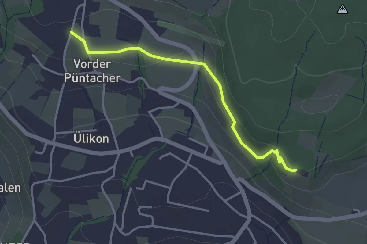
Easy · Trail
Risi - Püntacher
2.8 km · ↑ 100 m · 52 min
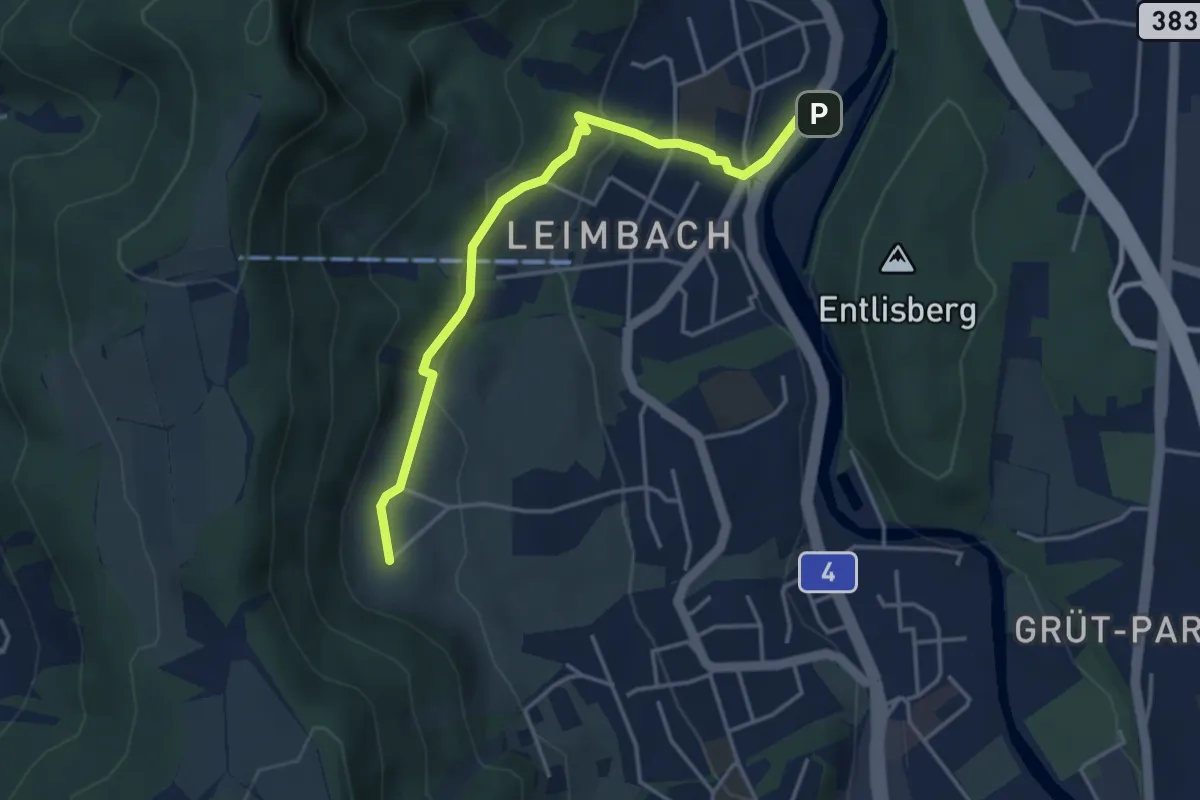
Medium · Trail
Ris - Leimbach
3.9 km · ↑ 160 m · 1 h 16 min
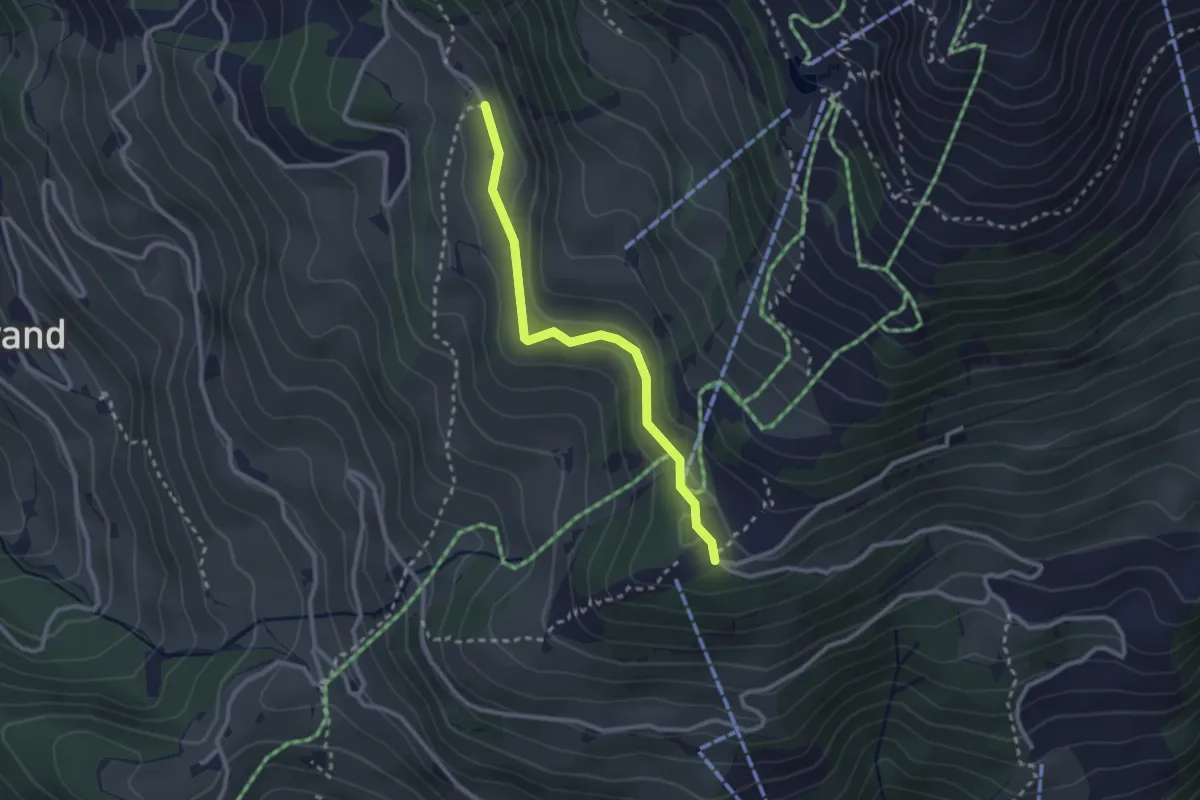
Easy · Trail
Ristis - Chruteren
2.5 km · ↑ 75 m · 45 min
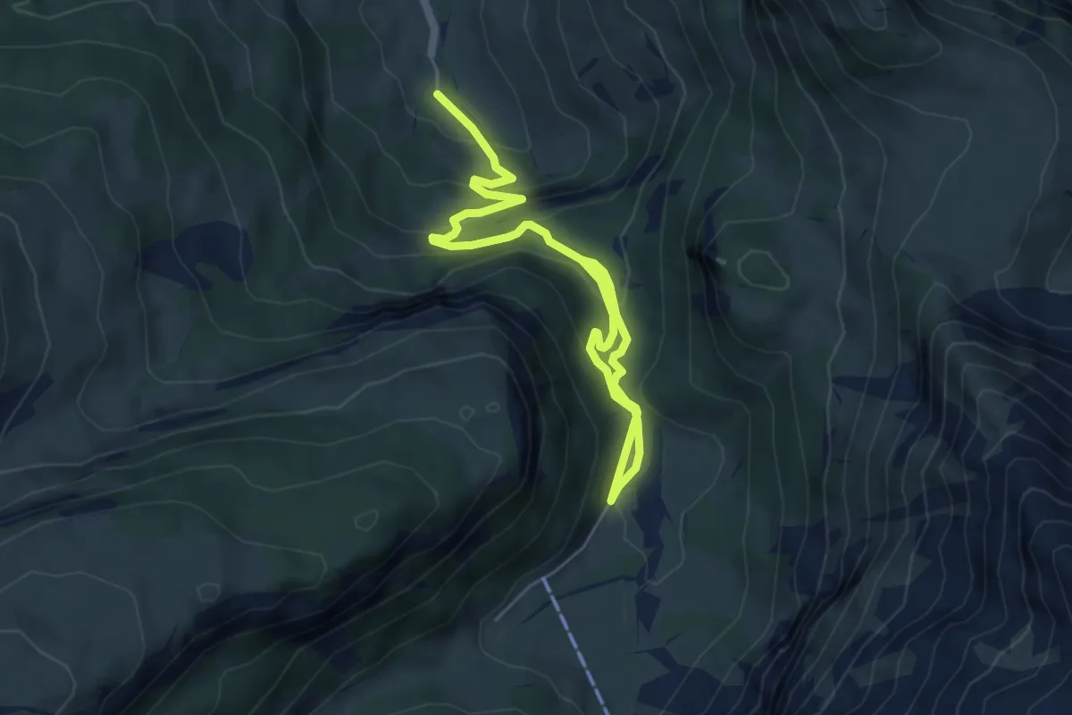
Medium · Trail
Ritzdole-Iffigen Läger
7.0 km · ↑ 419 m · 2 h 34 min
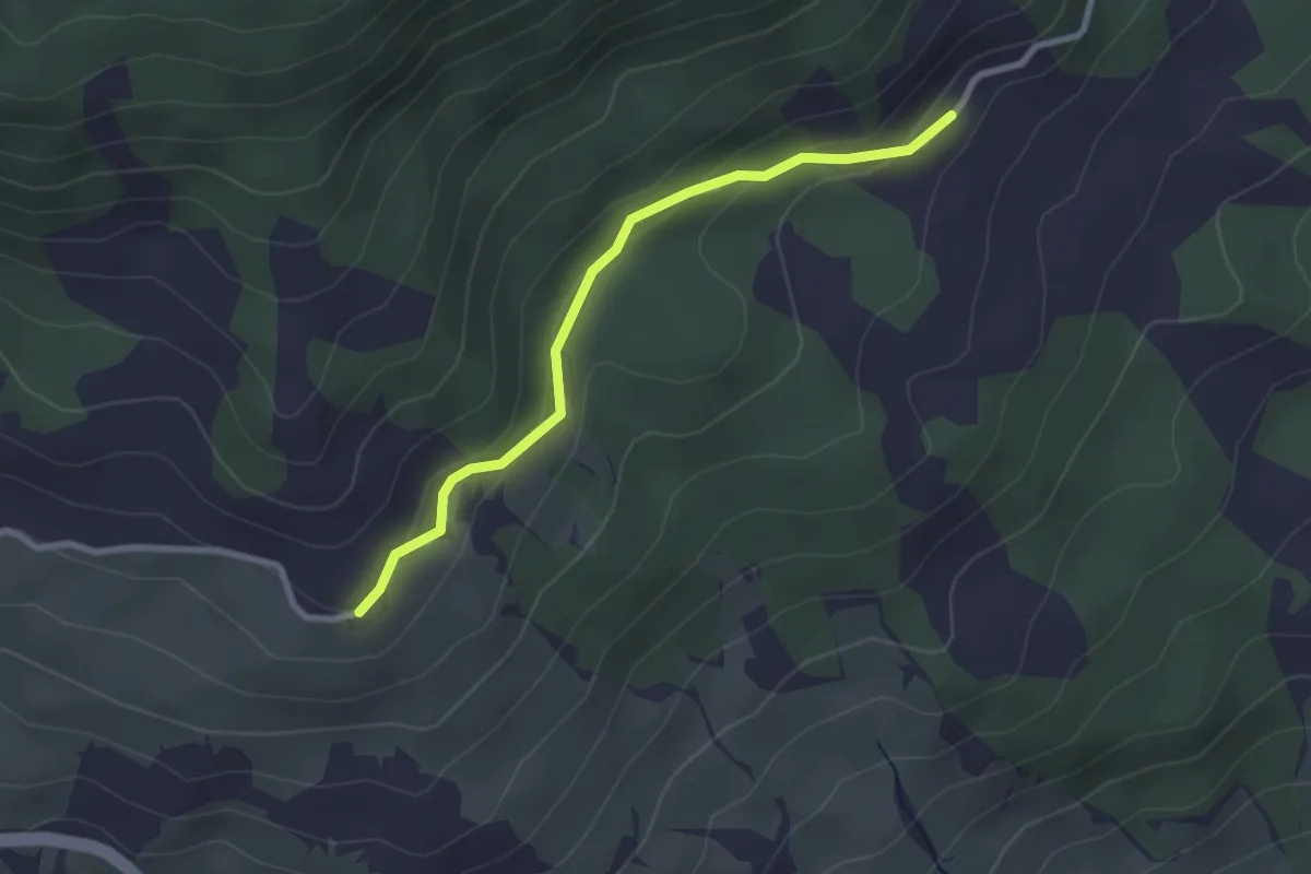
Easy · Trail
Ritzenmatt - Hohnegg
2.5 km · ↑ 93 m · 48 min
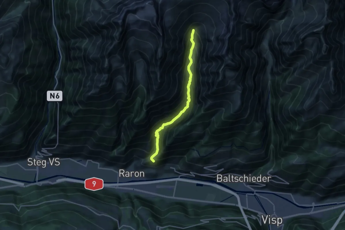
Expert · Trail
Ritzibodo - Reemistafel
14.4 km · ↑ 1266 m · 6 h 9 min
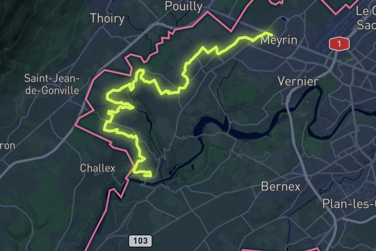
Demanding · Trail
Rive droite
19.3 km · ↑ 264 m · 5 h 25 min
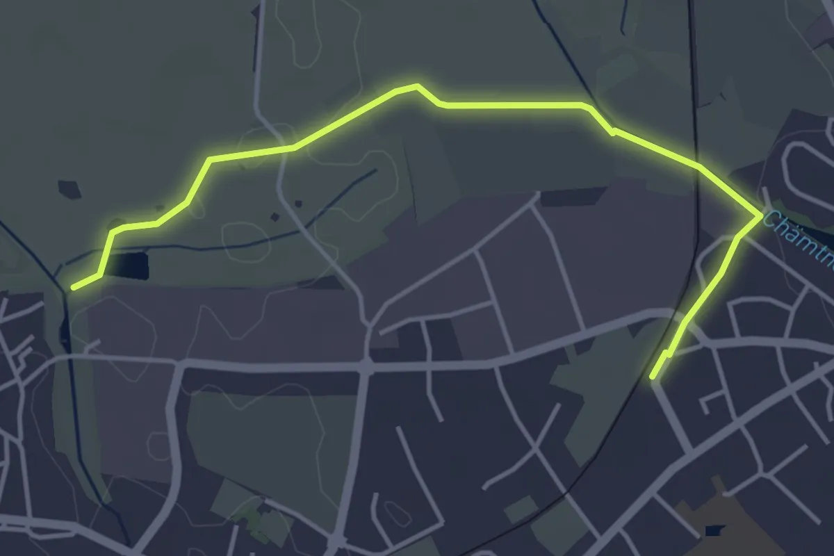
Easy · Trail
Robenhausen - Kempten
4.3 km · ↑ 22 m · 1 h 4 min