Trails in Switzerland
15,064 hiking trails, each with its route, climb, walking time and grade.
All trails, page 103 of 314
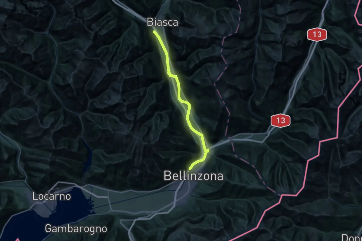
Demanding · Trail
Sentiero Riviera
21.6 km · ↑ 79 m · 5 h 32 min
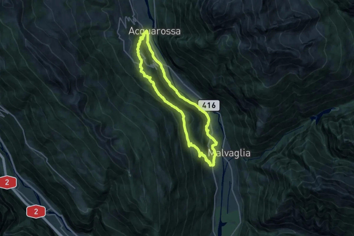
Medium · Trail
Sentiero storico 1
14.7 km · ↑ 735 m · 5 h 17 min
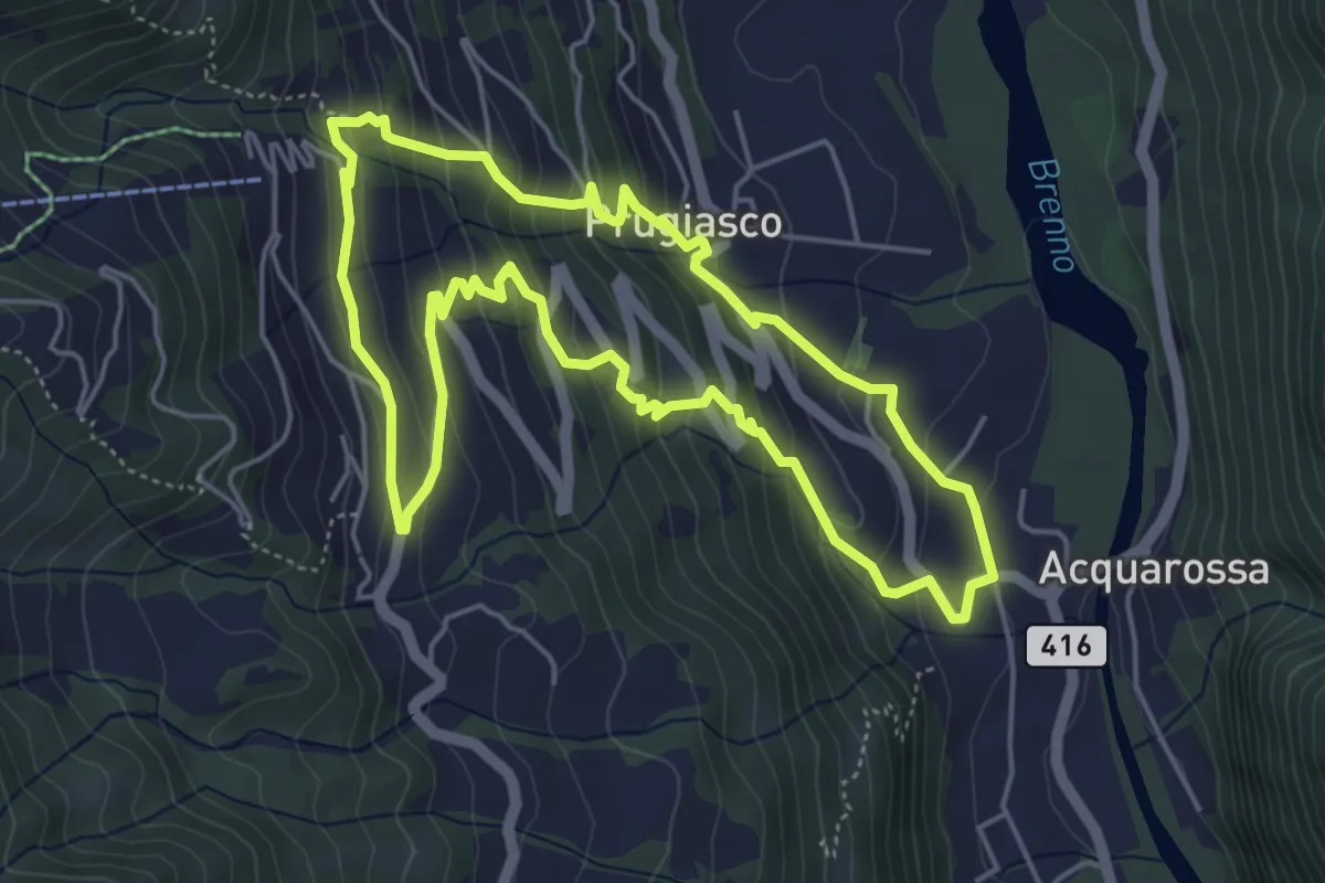
Medium · Trail
Sentiero storico 2
5.0 km · ↑ 360 m · 2 h 2 min
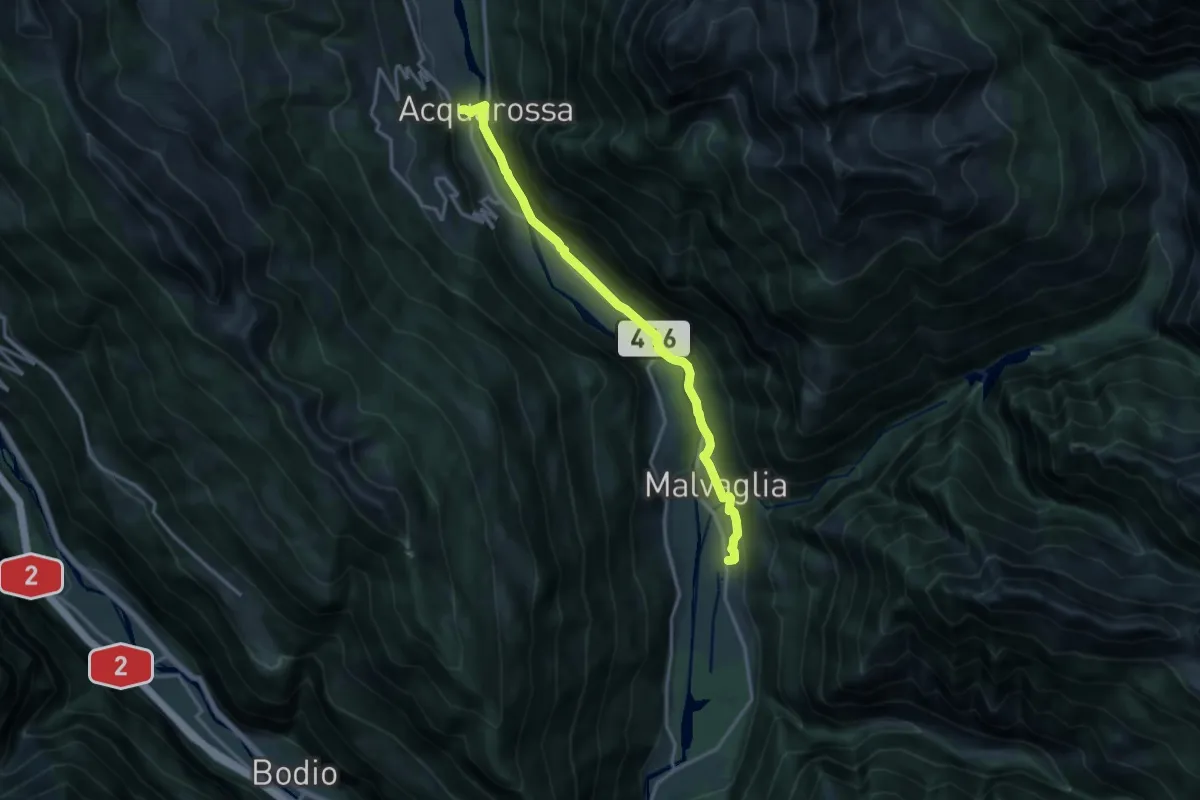
Medium · Trail
Sentiero storico 3
15.2 km · ↑ 314 m · 4 h 16 min
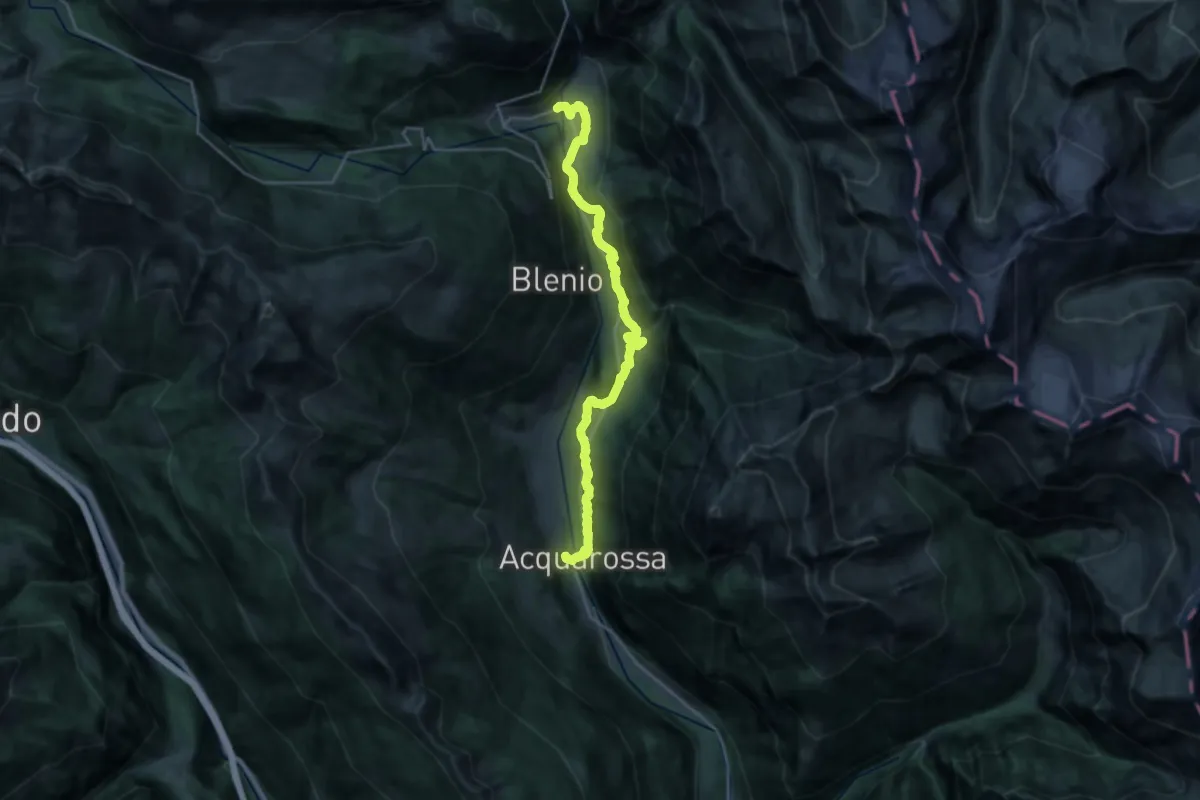
Demanding · Trail
Sentiero storico 4
24.1 km · ↑ 913 m · 7 h 40 min
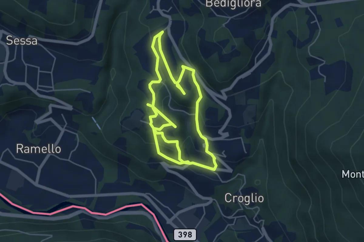
Medium · Trail
sentiero tracce d'uomo
8.8 km · ↑ 387 m · 2 h 55 min
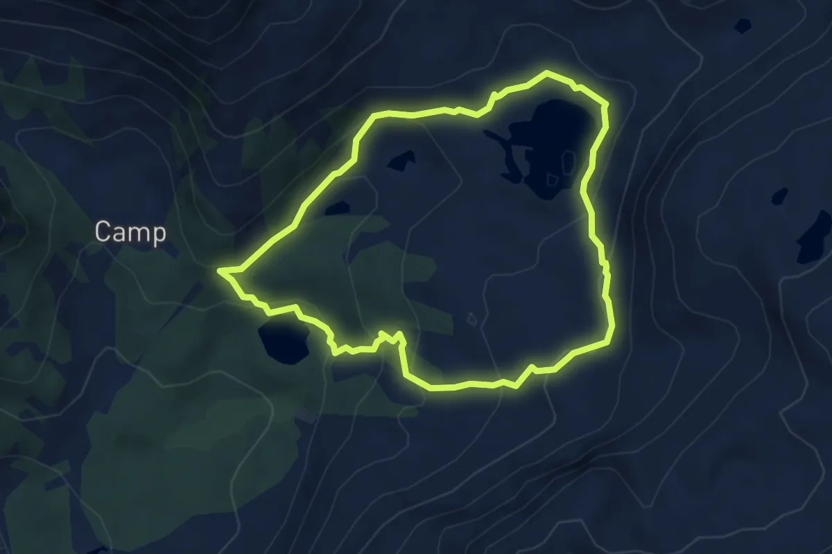
Medium · Trail
Sentiero Val da Camp
4.5 km · ↑ 271 m · 1 h 43 min
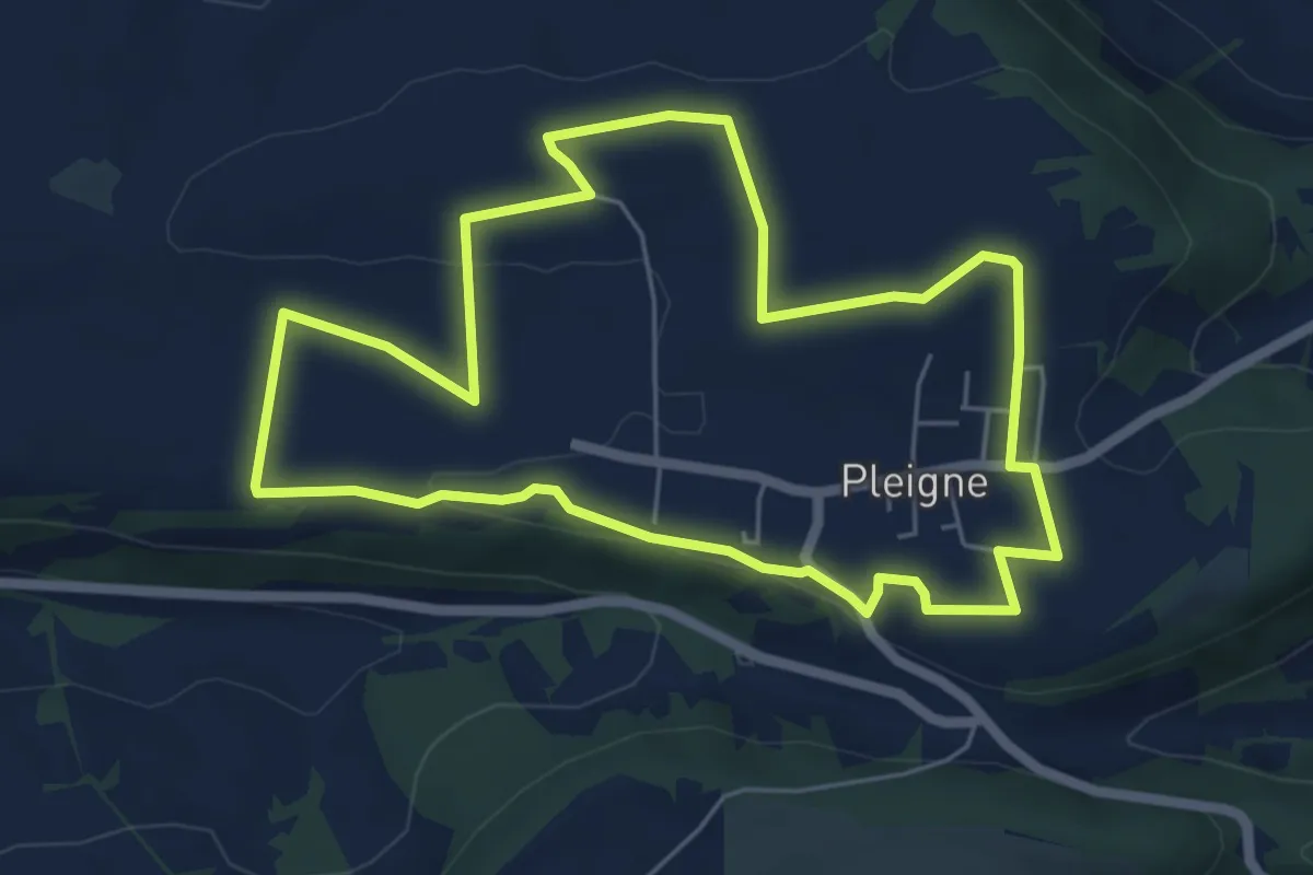
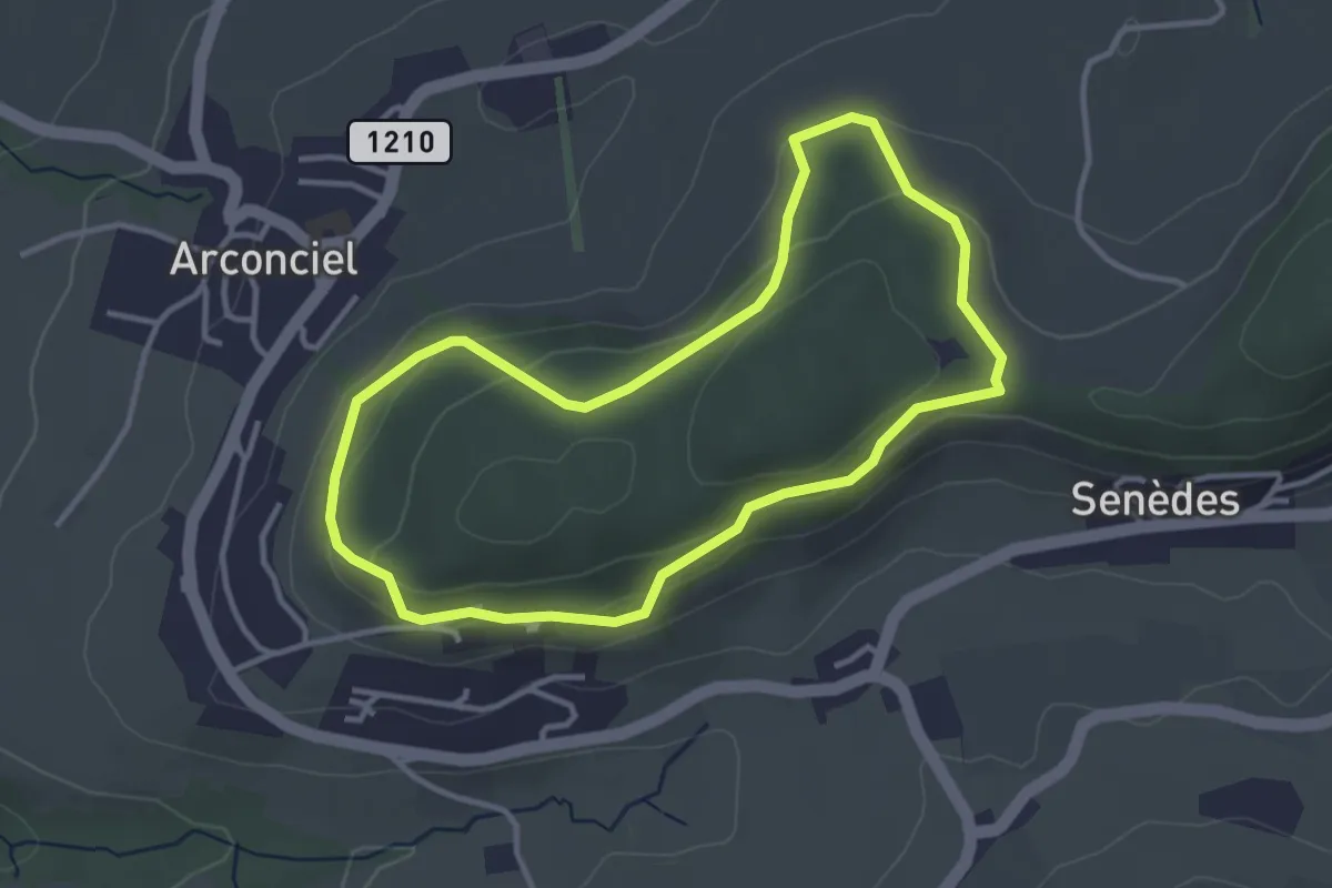
Easy · Trail
Sentier panoramique
5.7 km · ↑ 63 m · 1 h 33 min
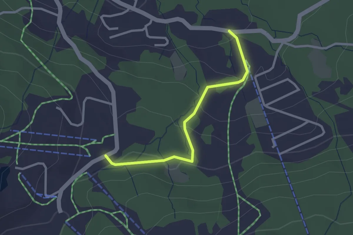
Easy · Trail
Sentier panoramique de Monternau
3.3 km · ↑ 101 m · 1 h 2 min
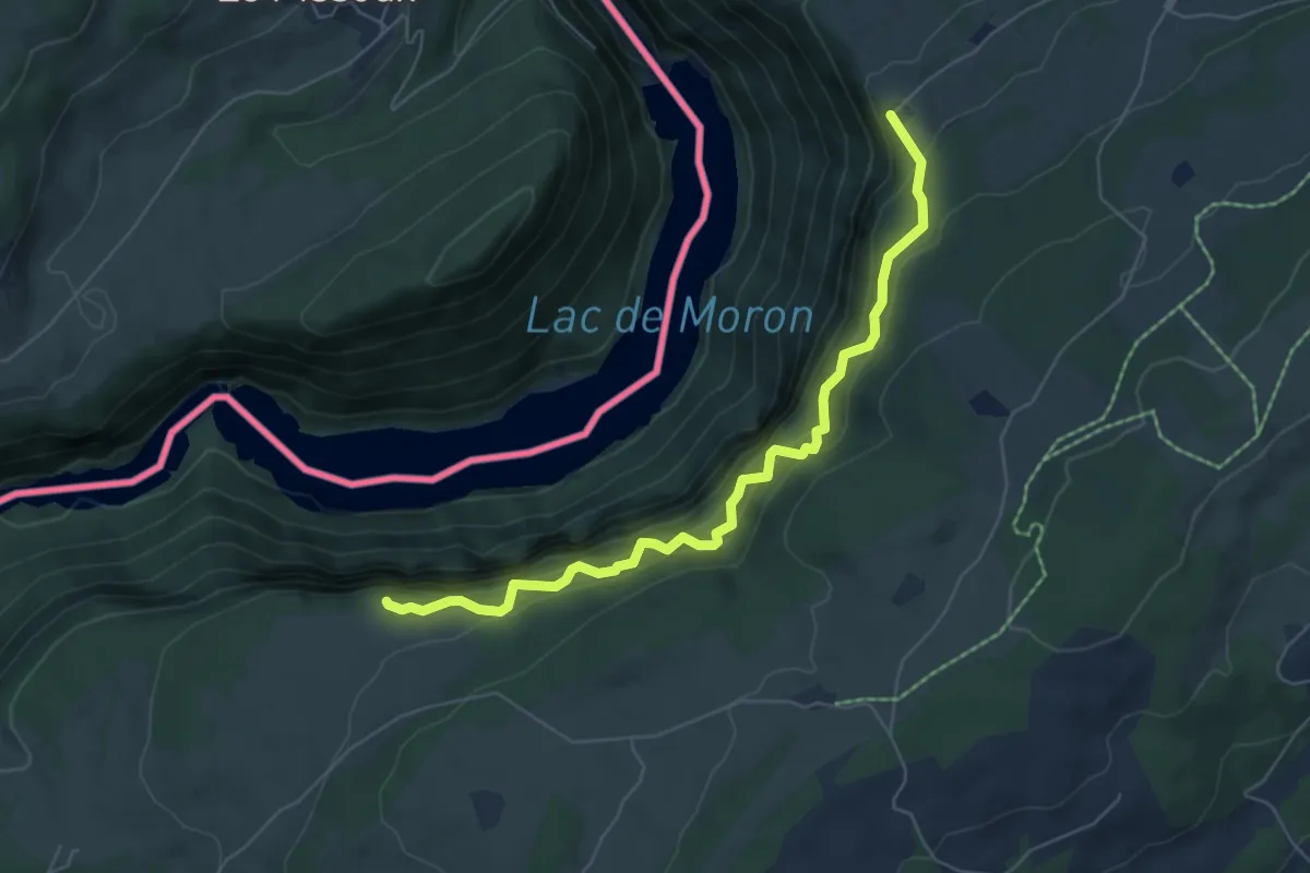
Easy · Trail
Sentier panoramique des Paccots
1.1 km · ↑ 10 m · 20 min
Demanding · Trail
Sentier Pillichody
6.1 km · ↑ 995 m · 3 h 36 min
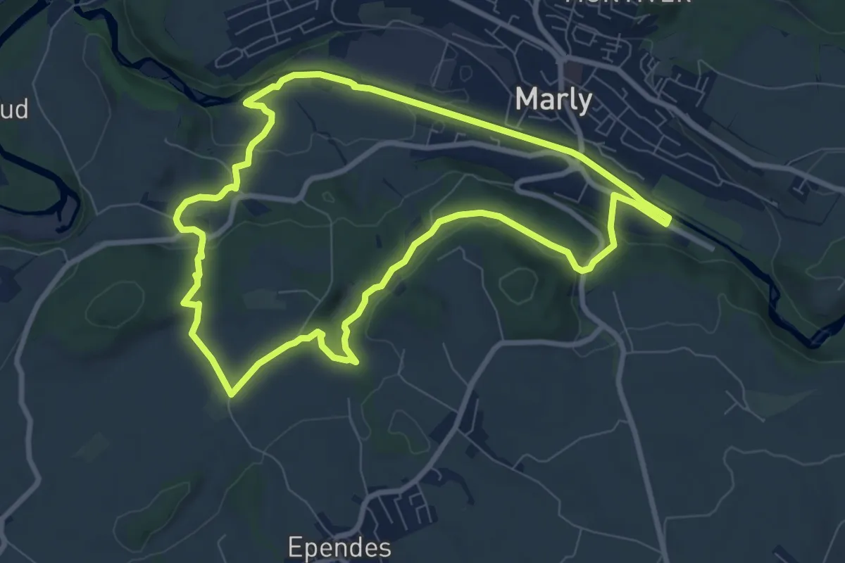
Medium · Trail
Sentier planétaire Marly
8.0 km · ↑ 156 m · 2 h 20 min
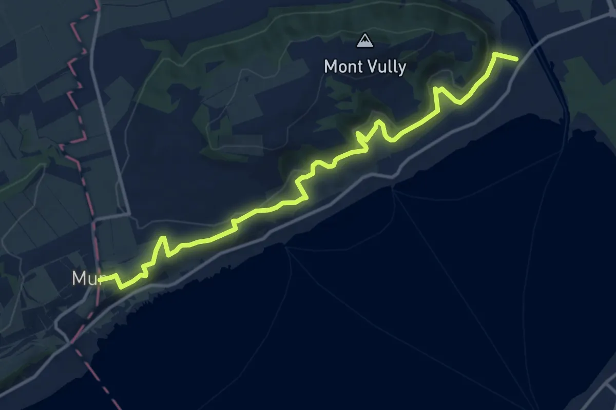
Medium · Trail
Sentier Viticole
12.3 km · ↑ 414 m · 3 h 49 min
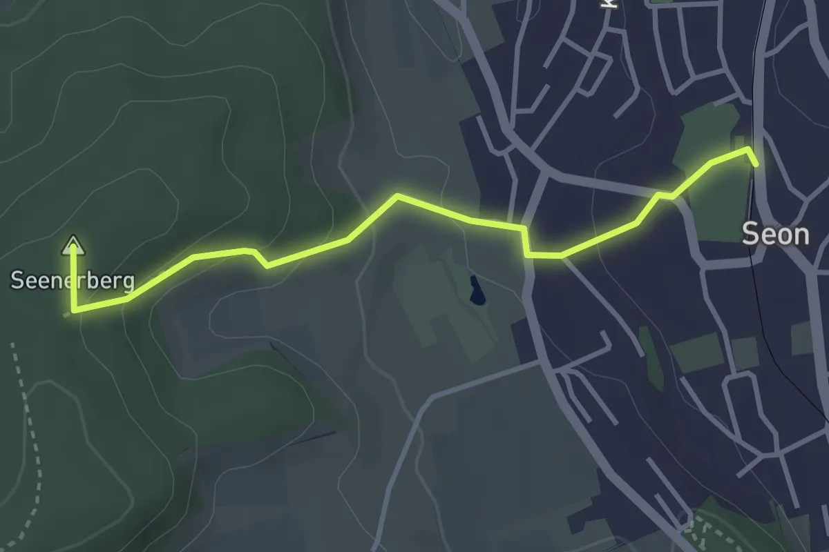
Easy · Summit
Seon - Breitenberg
3.2 km · ↑ 142 m · 1 h 3 min
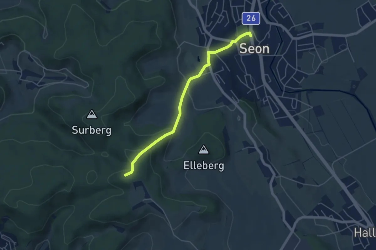
Easy · Trail
Seon - Sieben Zwingstein
4.2 km · ↑ 166 m · 1 h 22 min
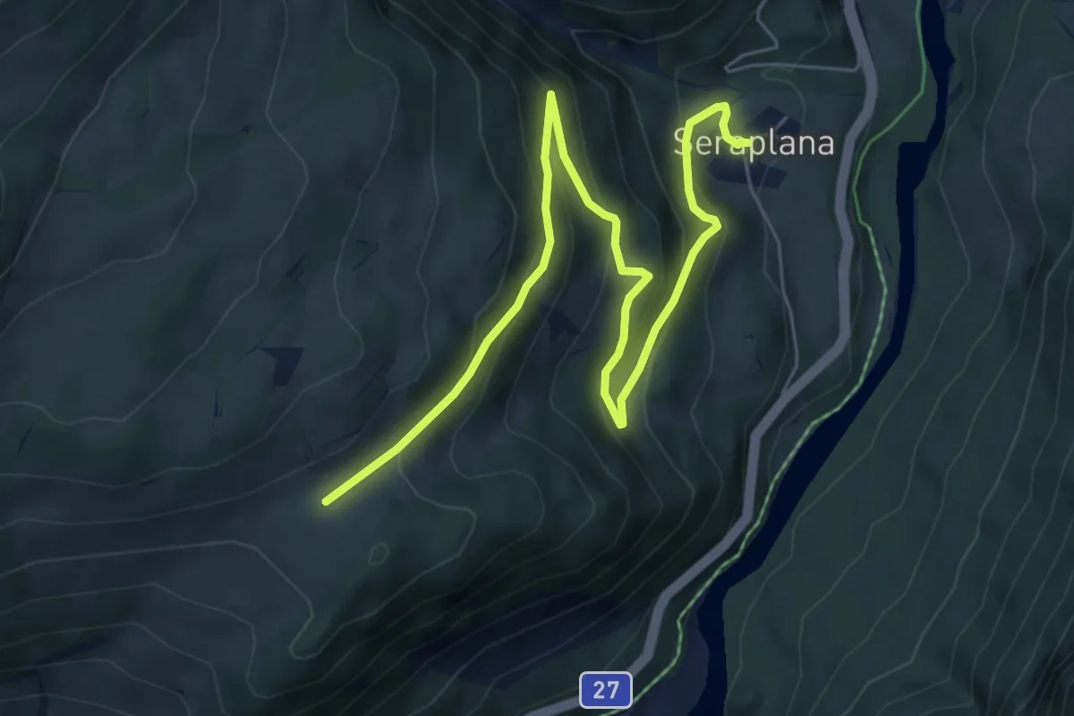
Medium · Trail
Seraplana - Motta
7.7 km · ↑ 430 m · 2 h 44 min
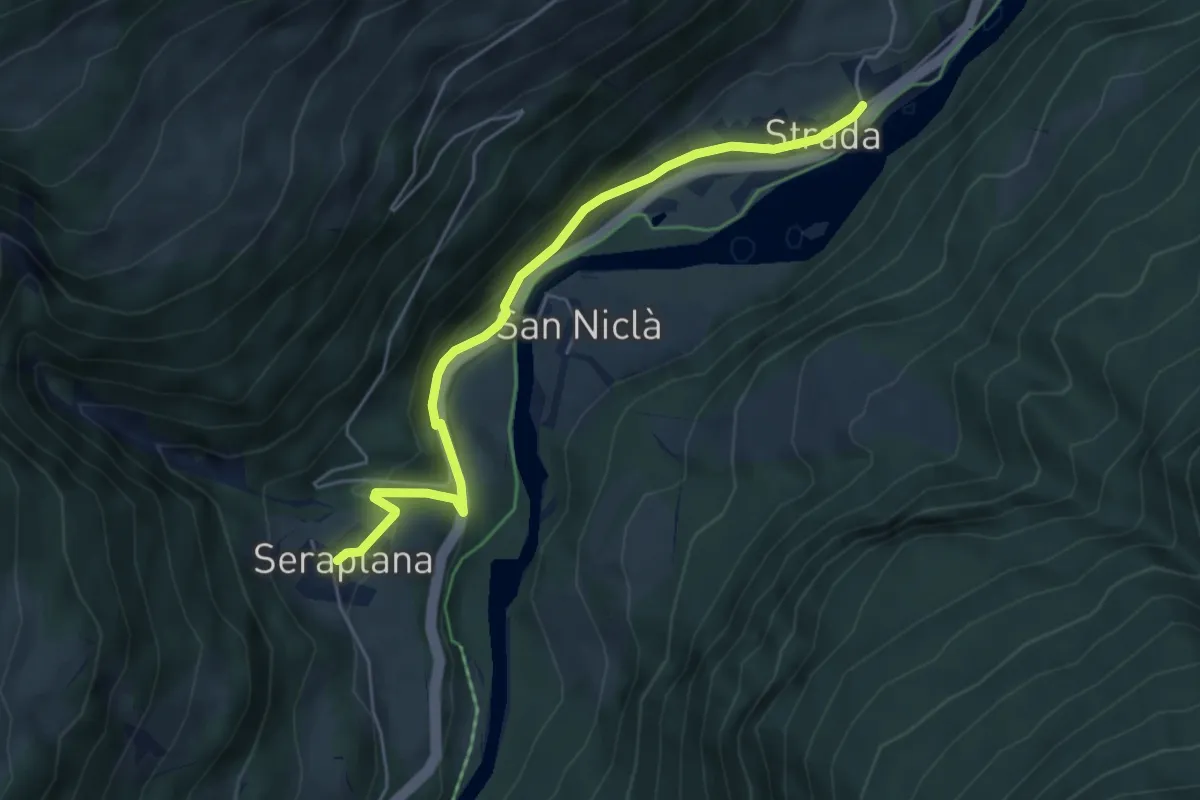
Easy · Trail
Seraplana - Strada
5.0 km · ↑ 161 m · 1 h 32 min
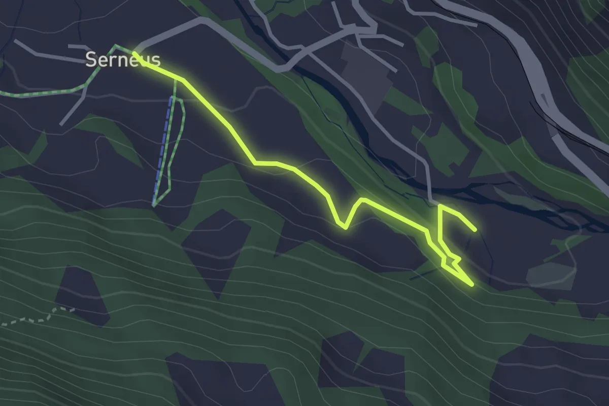
Easy · Trail
Serneus - Bad Serneus
3.2 km · ↑ 113 m · 1 h
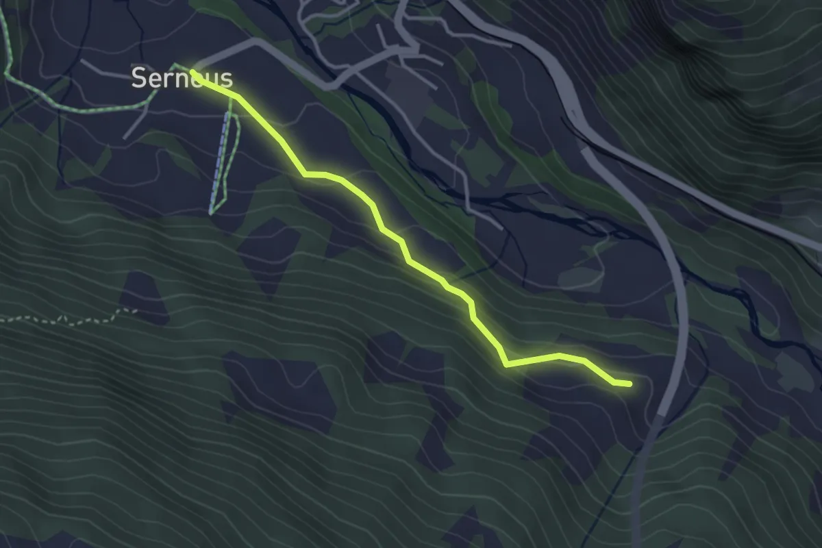
Easy · Trail
Serneus - Sunniberg
3.3 km · ↑ 151 m · 1 h 6 min
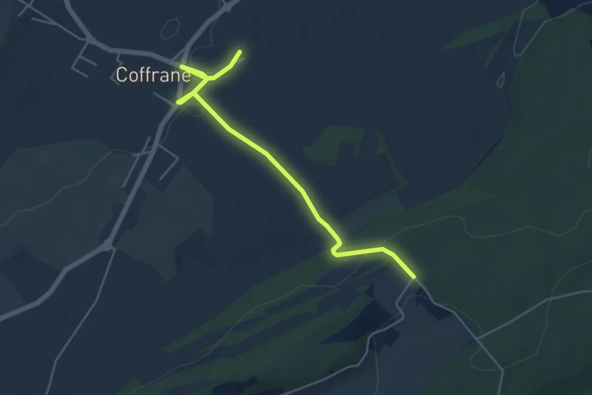
Easy · Trail
Serroue - Coffrane
4.2 km · ↑ 49 m · 1 h 6 min
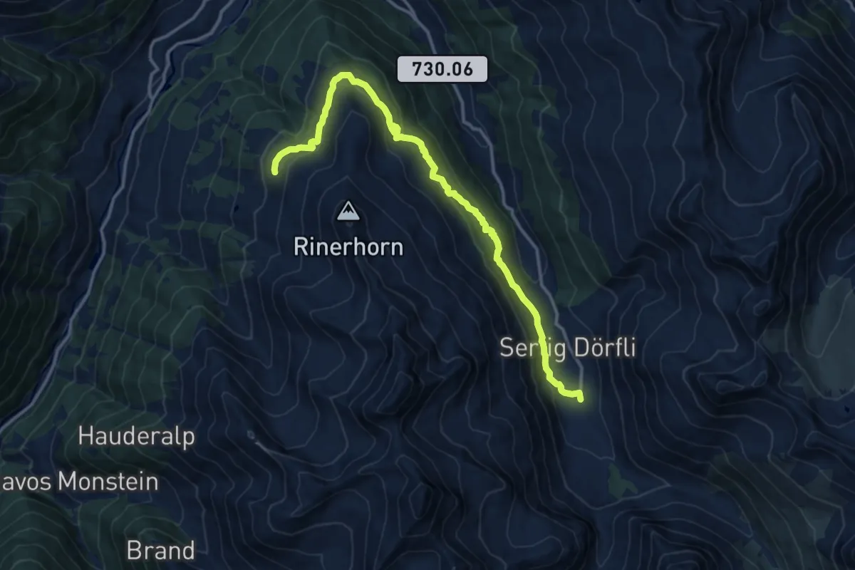
Medium · Trail
Sertig Sand - Jetzmeder Rinerhorn
14.5 km · ↑ 574 m · 4 h 39 min
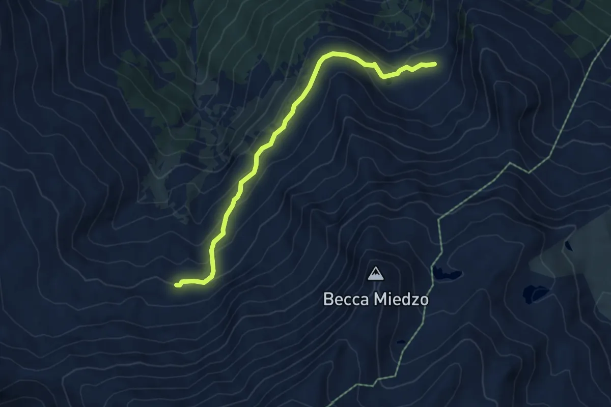
Medium · Trail
Servay-vers Col de Mille
5.6 km · ↑ 287 m · 1 h 57 min
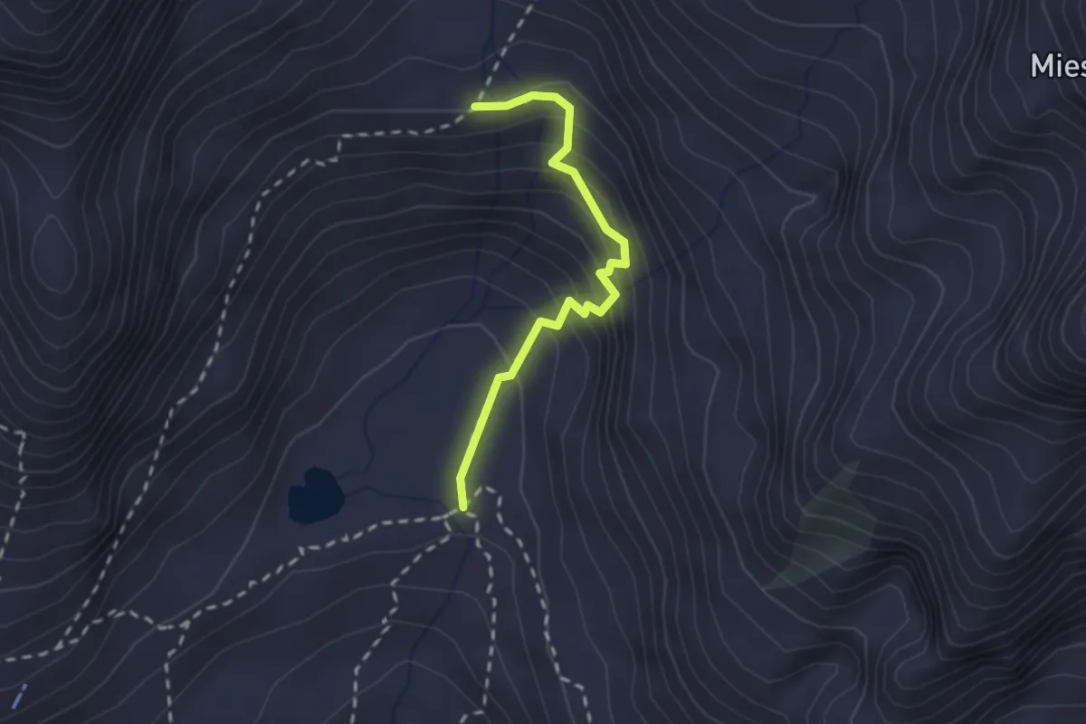
Demanding · Trail
Sewenalp - Sewenstöss
2.0 km · ↑ 232 m · 59 min
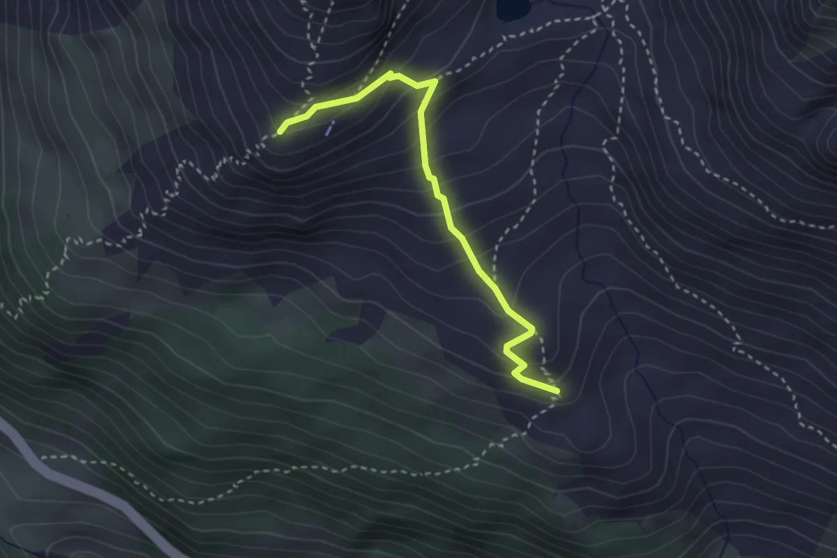
Medium · Cabin
Sewenhütte SAC - Rieter
2.9 km · ↑ 300 m · 1 h 20 min
Medium · Cabin
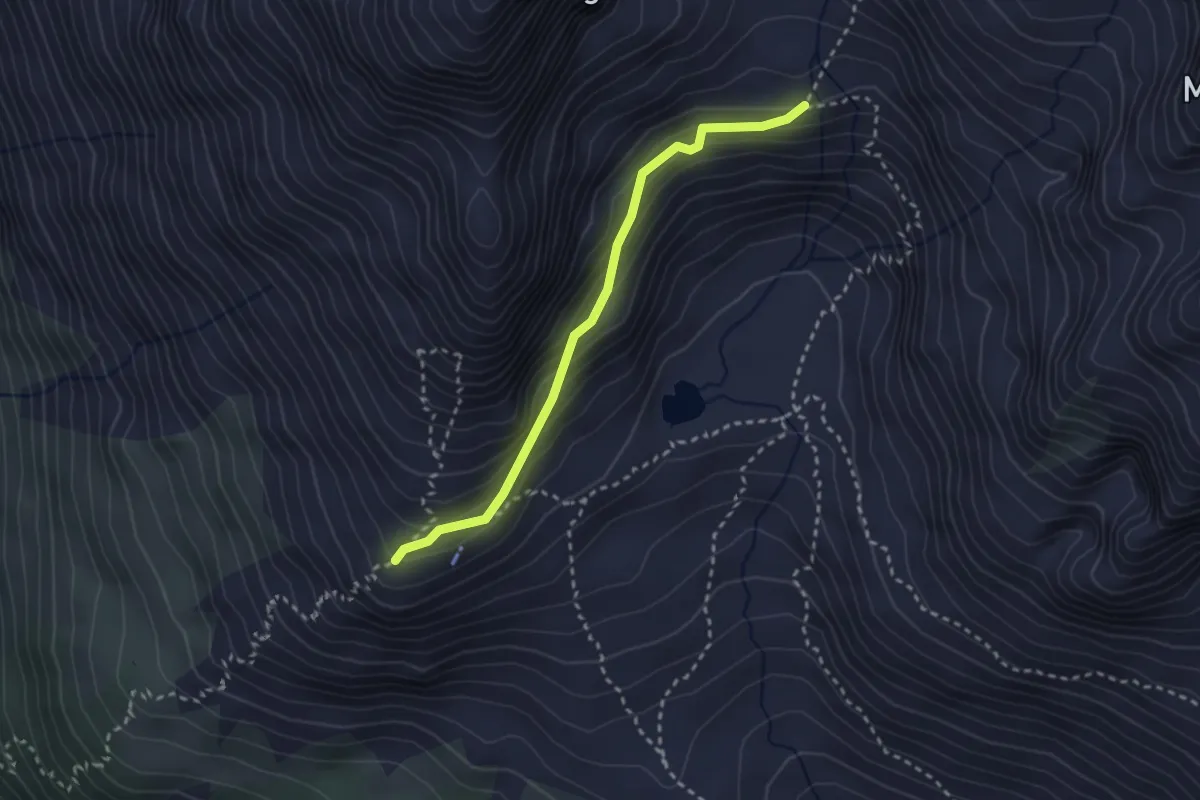
Sewenstöss - Sewenhütte SAC
2.7 km · ↑ 187 m · 1 h 2 min
Medium · Trail
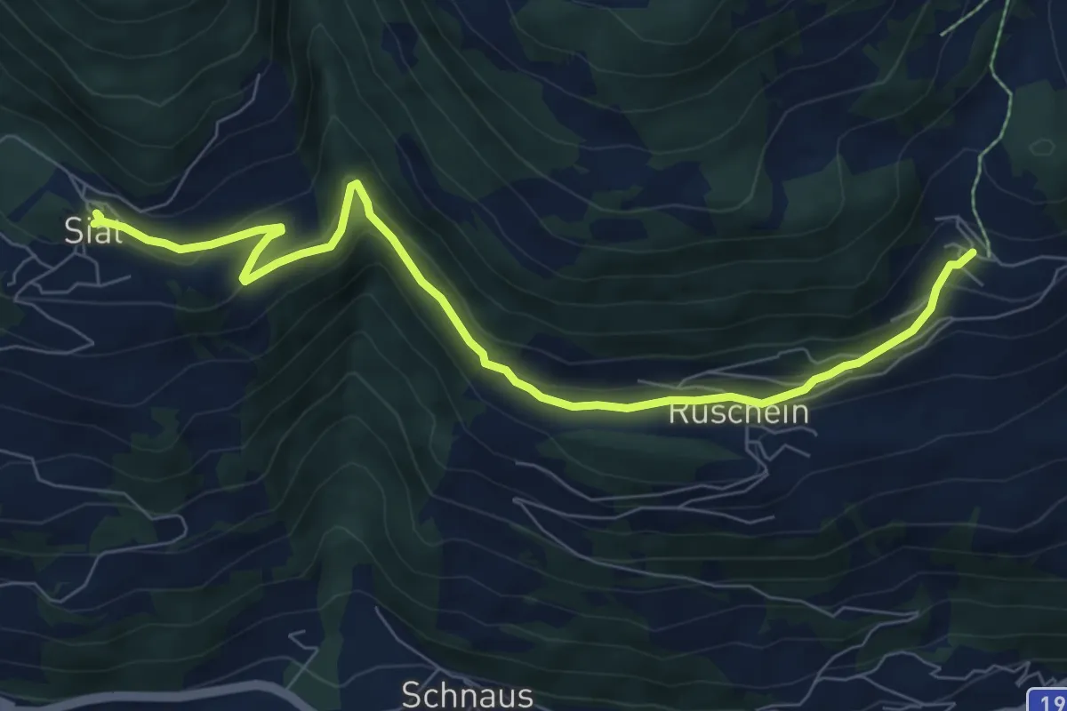
Siat - Ruschein - Ladir
8.4 km · ↑ 361 m · 2 h 46 min
Medium · Trail
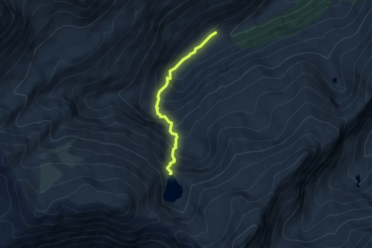
Sickerchäller - Blausee
4.0 km · ↑ 415 m · 1 h 51 min
Medium · Trail
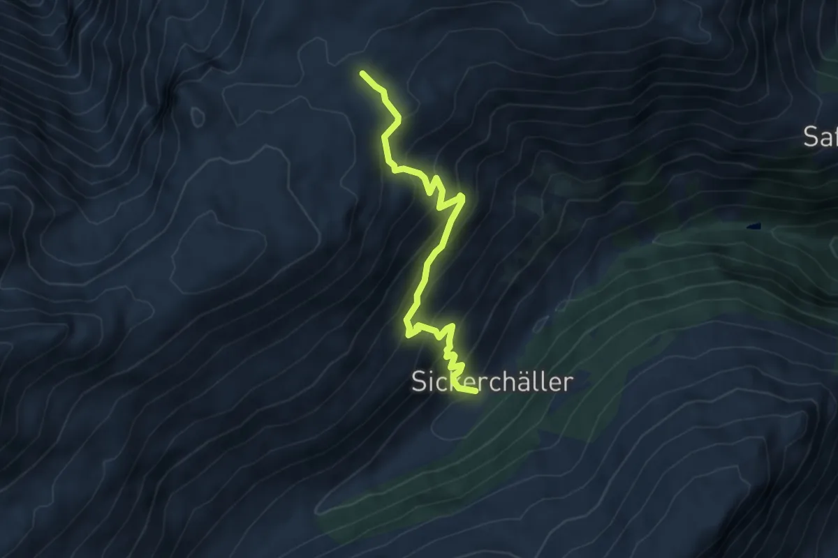
Sickerchäller - Furggerchäller
5.2 km · ↑ 485 m · 2 h 17 min
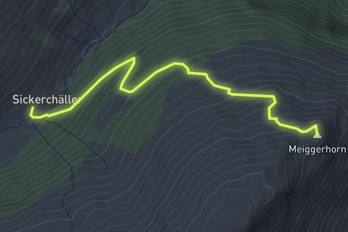
Medium · Summit
Sickerchäller - Meiggerhorn
4.6 km · ↑ 381 m · 1 h 54 min
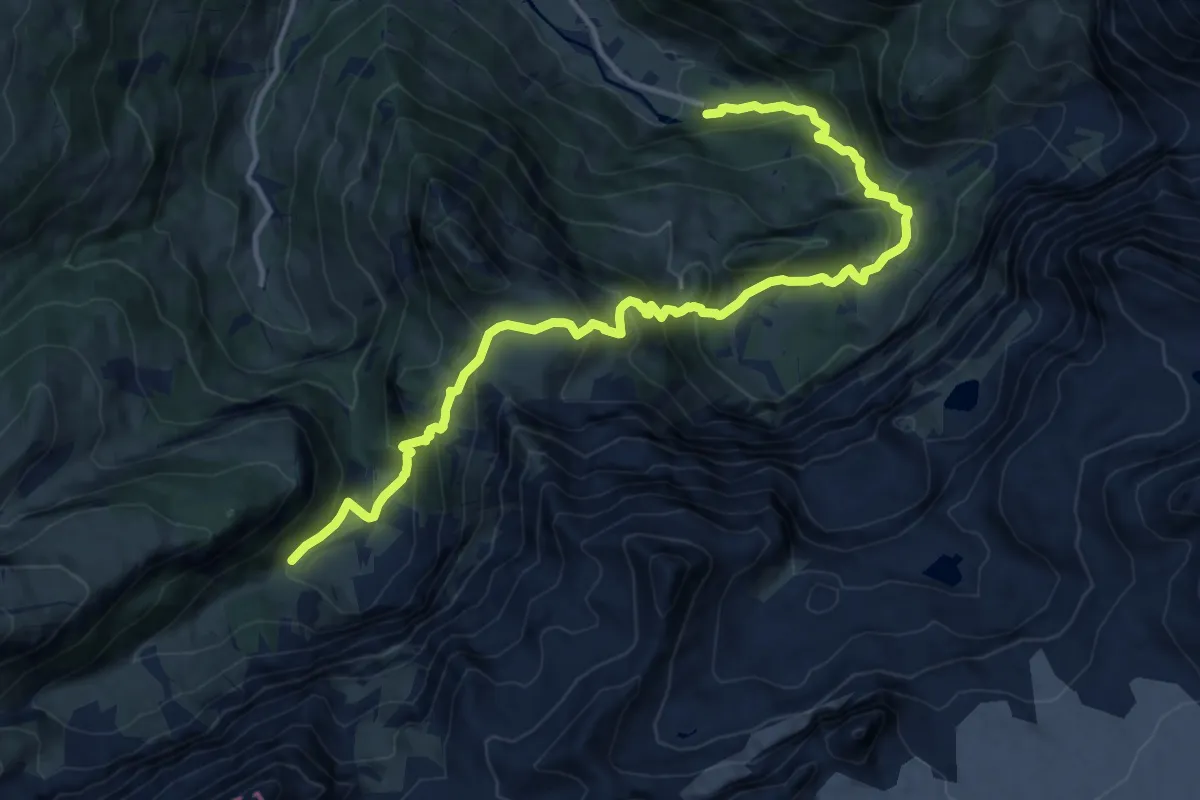
Demanding · Cabin
Siebenbrunnen-Weg
16.2 km · ↑ 1201 m · 6 h 25 min
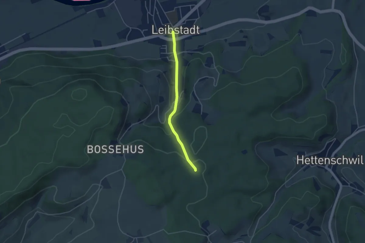
Easy · Trail
Siebenwegen - Leibstadt Postauto
3.4 km · ↑ 164 m · 1 h 9 min
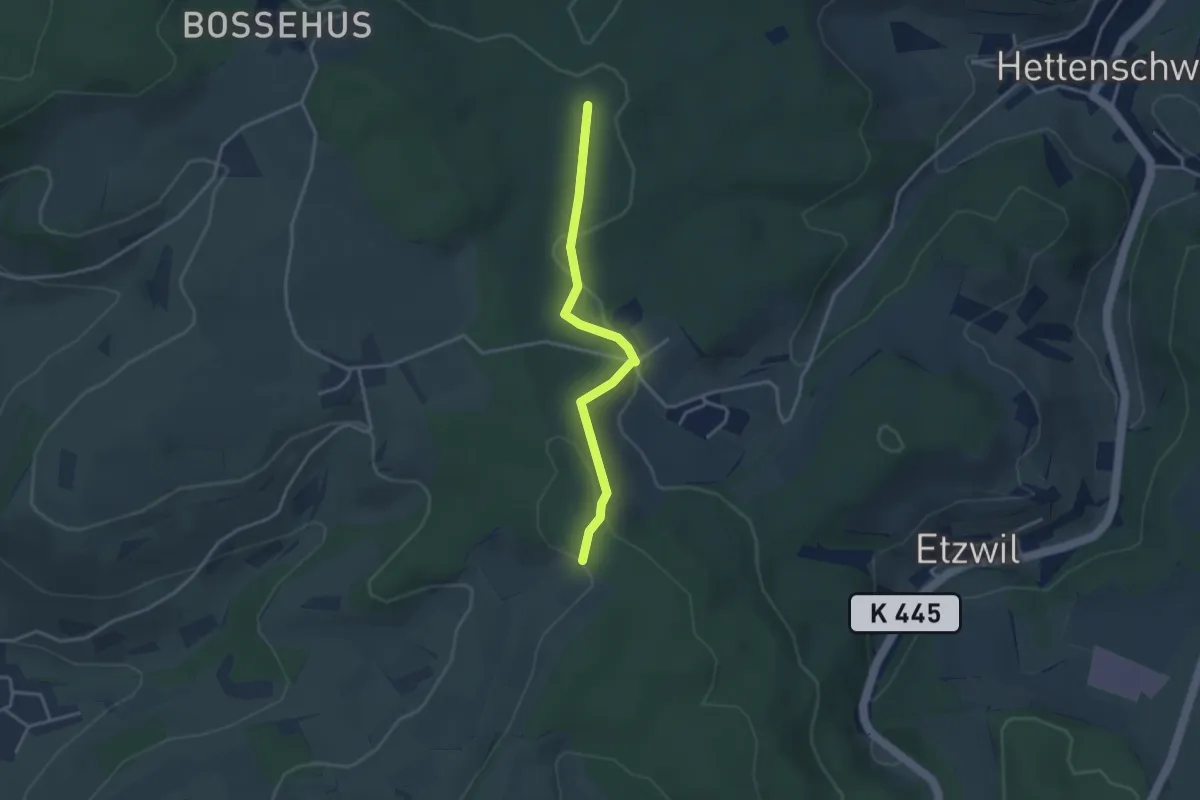
Easy · Trail
Siebenwegen - Pt. 547
3.2 km · ↑ 89 m · 57 min
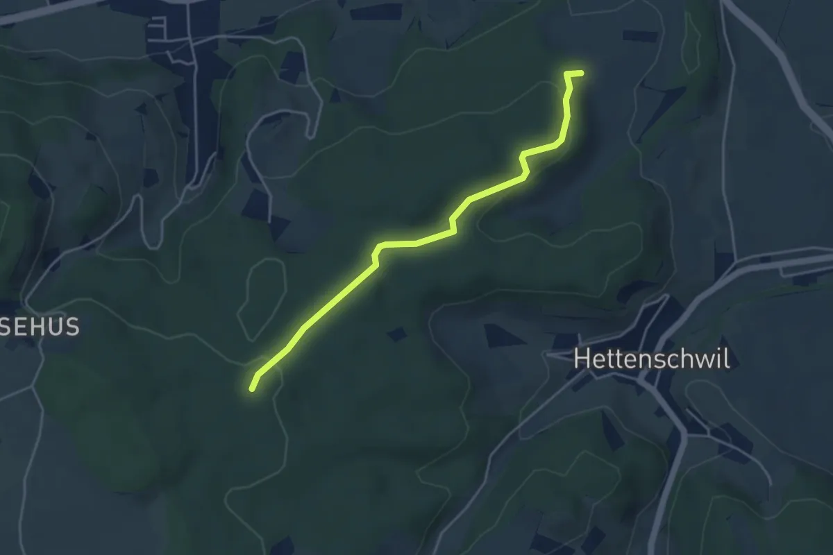
Easy · Trail
Siebenwegen - Regenhalden
4.0 km · ↑ 100 m · 1 h 9 min
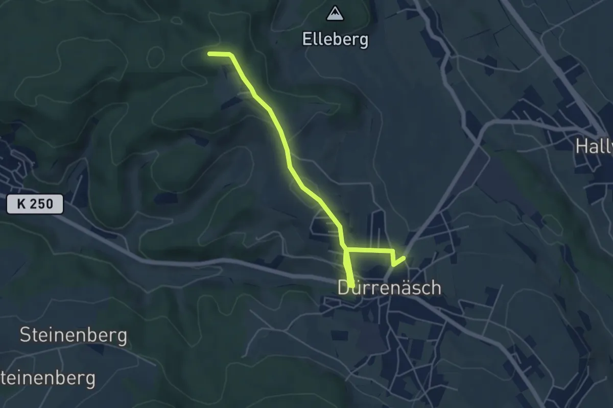
Easy · Trail
Sieben Zwingstein - Dürrenäsch
5.0 km · ↑ 125 m · 1 h 27 min
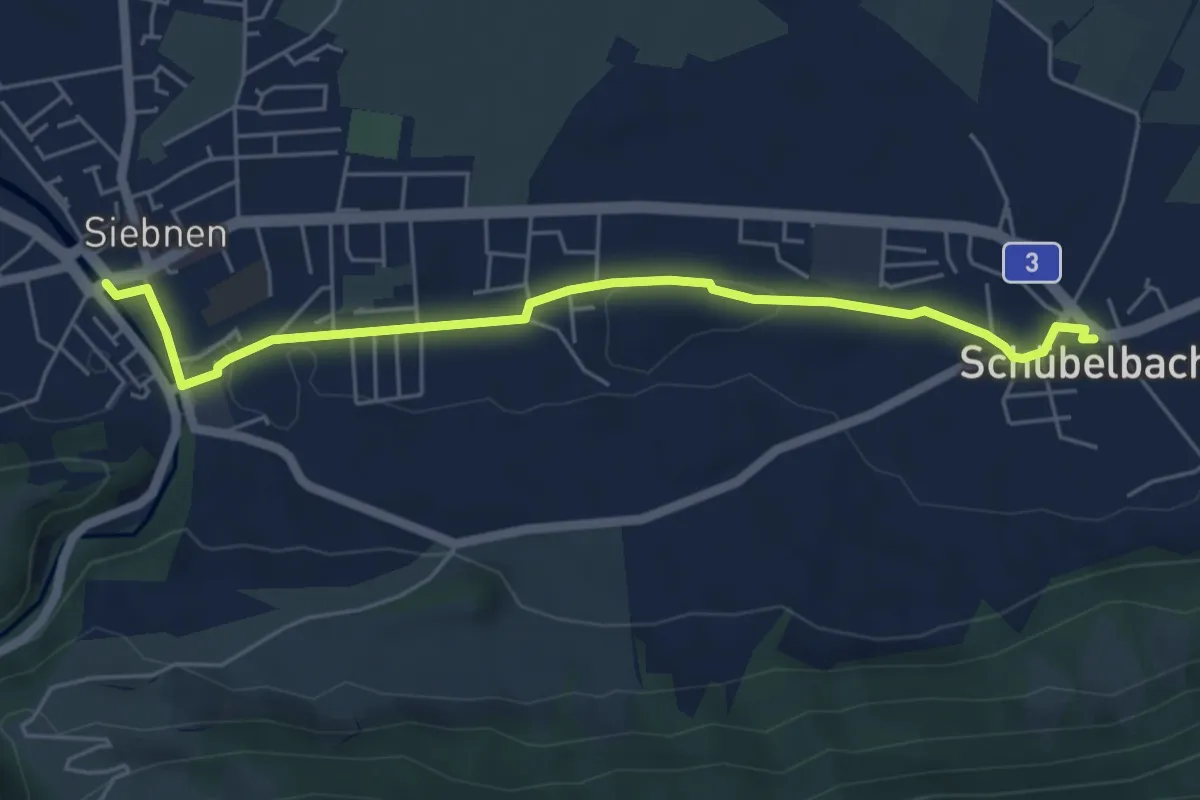
Easy · Trail
Siebnen - Schübelbach
5.6 km · ↑ 32 m · 1 h 23 min
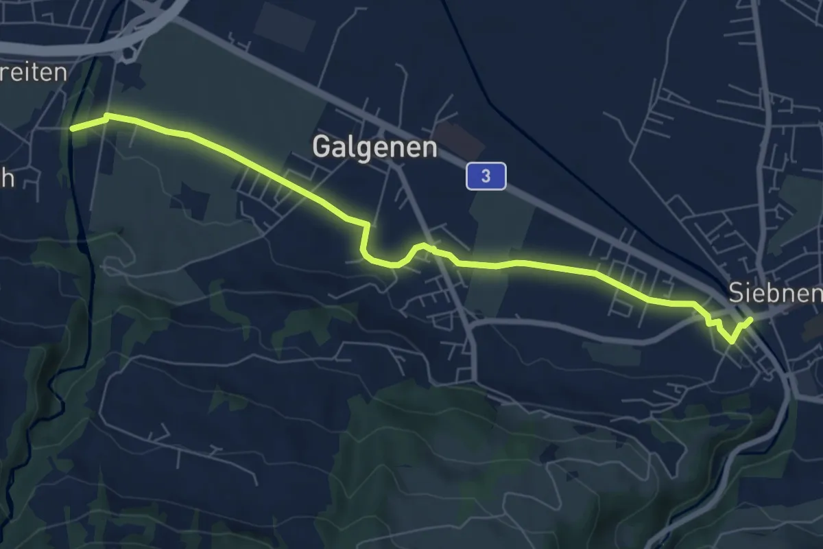
Easy · Trail
Siebnen - Steinegg
7.4 km · ↑ 35 m · 1 h 49 min
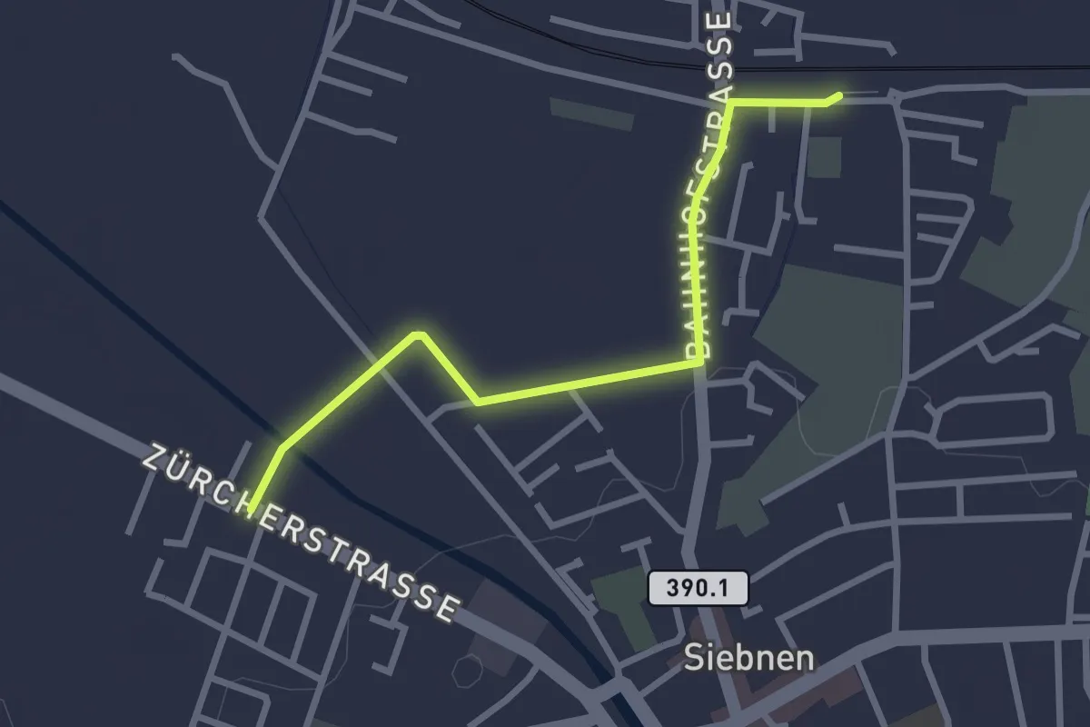
Easy · Trail
Siebnen-Wangen Bhf - Stegweg
2.6 km · ↑ 4 m · 37 min
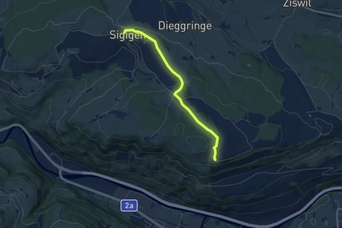
Easy · Trail
Sigigen - Tschäpperslehn
5.6 km · ↑ 120 m · 1 h 35 min
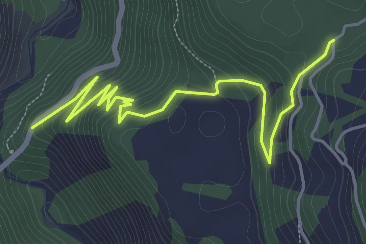
Easy · Trail
Sigl Ault - Brücke Versamer Tobel
4.3 km · ↑ 235 m · 1 h 32 min
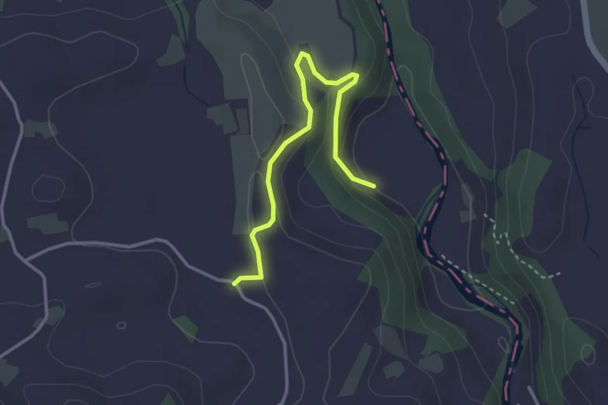
Easy · Trail
Sihlmatt - Schwand
3.0 km · ↑ 115 m · 57 min
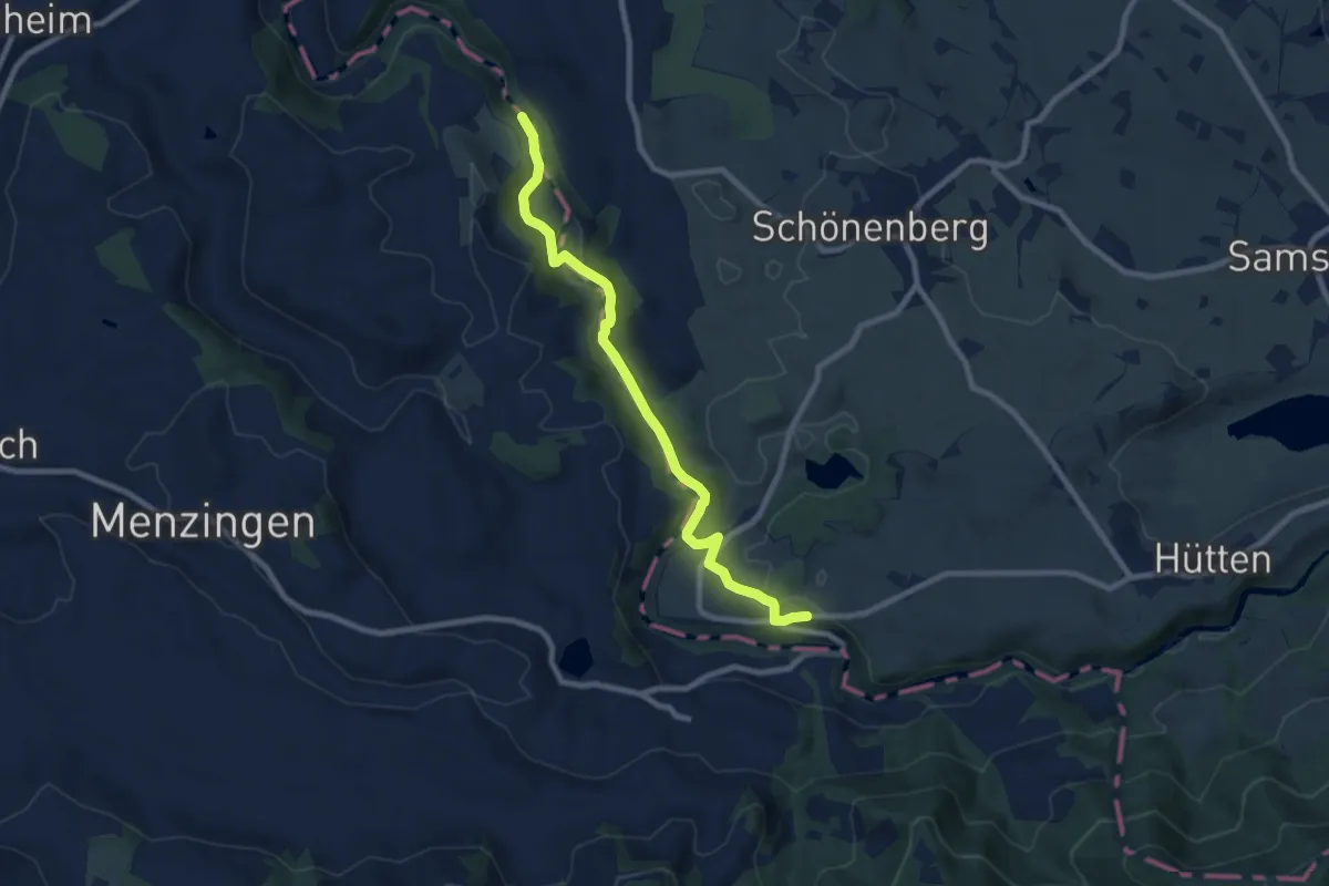
Medium · Trail
Sihlsprung-Finsterseehalden
8.4 km · ↑ 241 m · 2 h 31 min
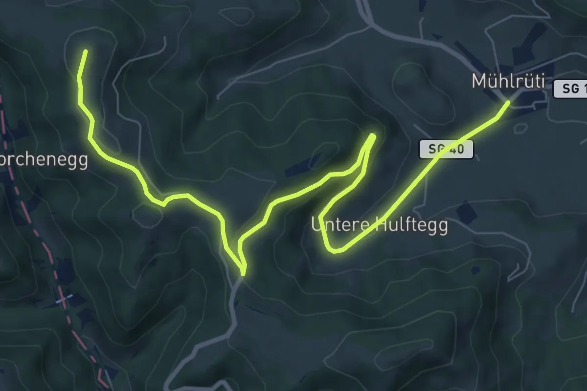
Medium · Summit
Silberbüel - Hulftegg
9.1 km · ↑ 315 m · 2 h 50 min
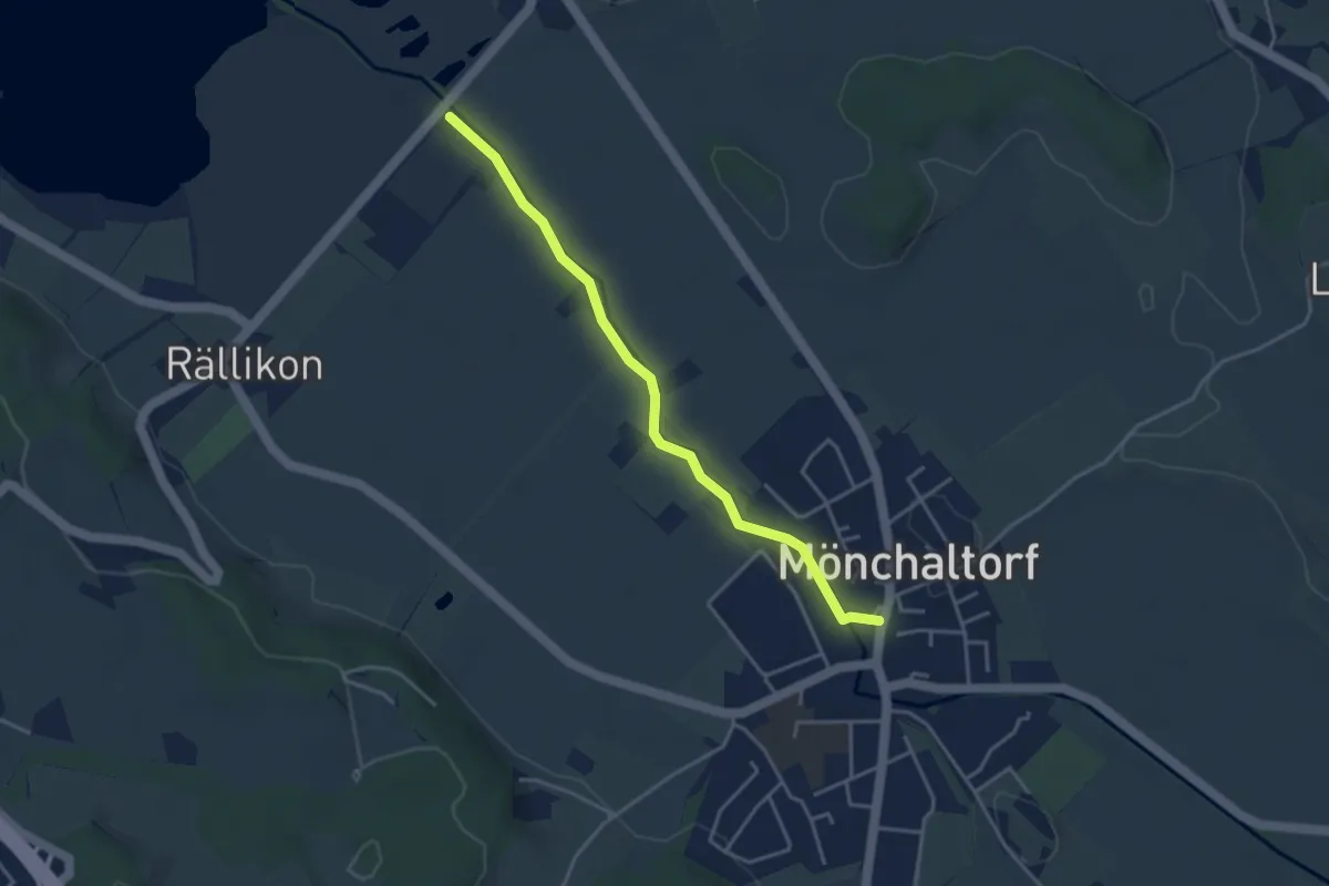
Easy · Trail
Silberweide - Mönchaltorf
3.7 km · ↑ 4 m · 53 min
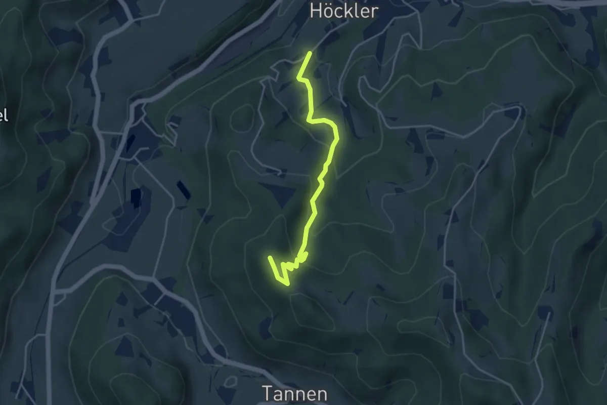
Easy · Summit
Silisegg - Hohenegg
3.7 km · ↑ 261 m · 1 h 26 min
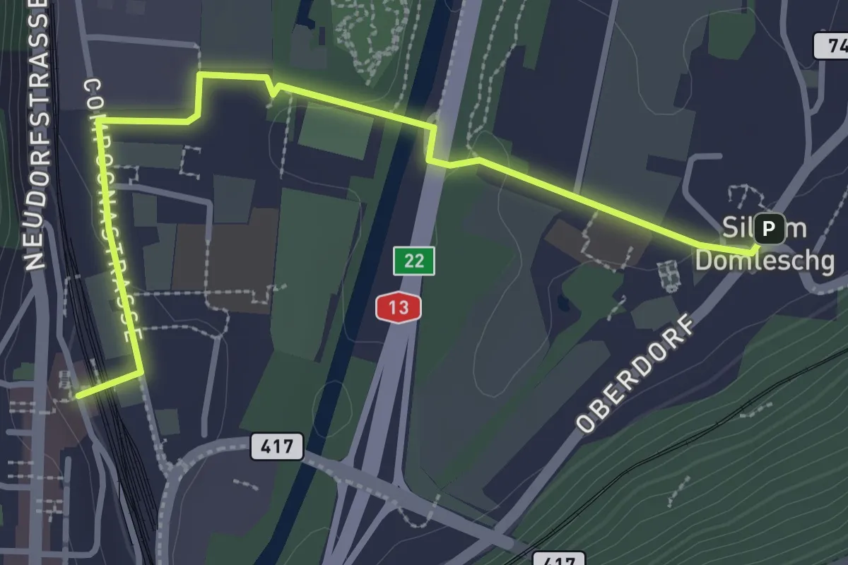
Easy · Trail
Sils-Thusis
3.4 km · ↑ 31 m · 52 min
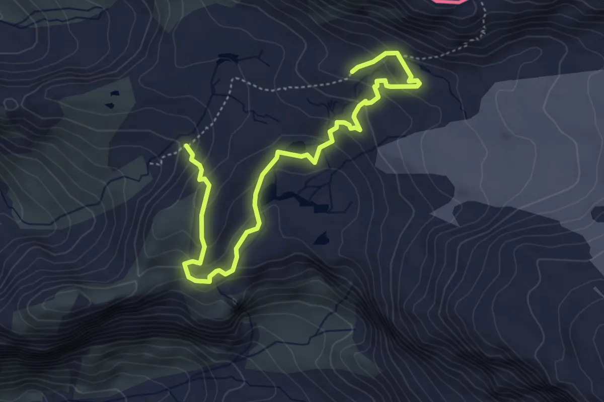
Demanding · Trail
Silvretta Gletscherlehrpfad
5.4 km · ↑ 340 m · 2 h 1 min
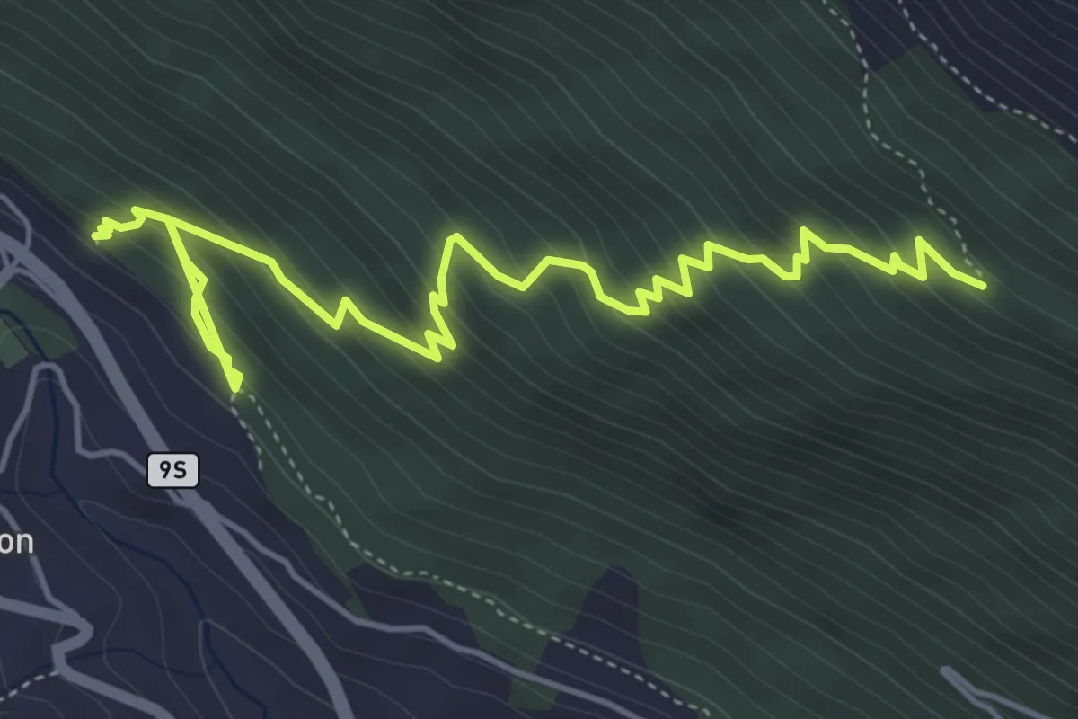
Medium · Trail
Simplo Dorf - Chastelbergpass
6.2 km · ↑ 609 m · 2 h 47 min
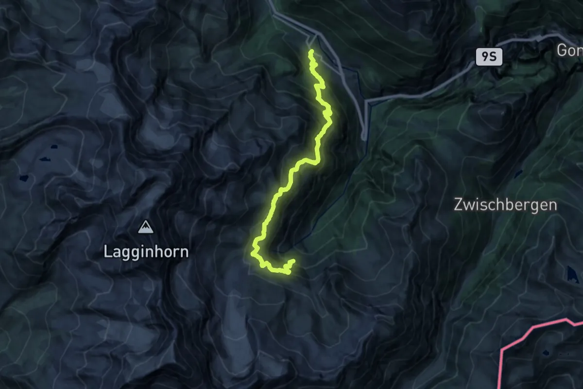
Demanding · Trail
Simplon Dorf - Bidumji
9.2 km · ↑ 1114 m · 4 h 28 min