Trails in Switzerland
15,064 hiking trails, each with its route, climb, walking time and grade.
All trails, page 104 of 314
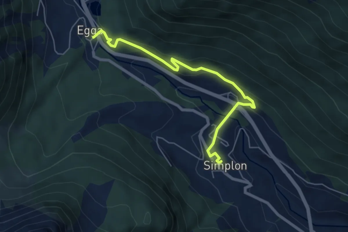
Easy · Trail
Simplon Dorf - Egga
5.1 km · ↑ 216 m · 1 h 40 min
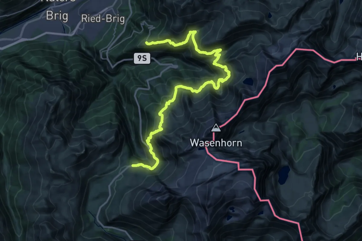
Demanding · Trail
Simplon-Höhenweg
17.9 km · ↑ 1394 m · 7 h 27 min
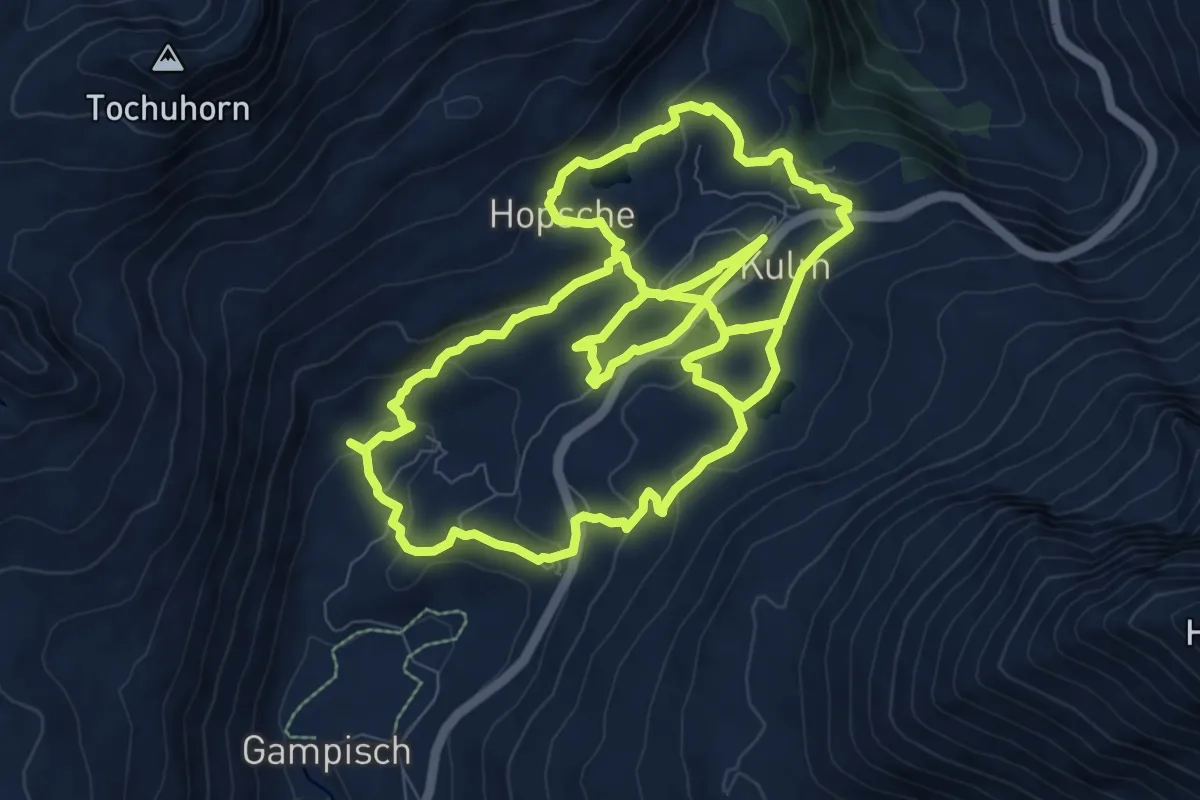
Demanding · Trail
Simplonpass
21.4 km · ↑ 762 m · 6 h 43 min
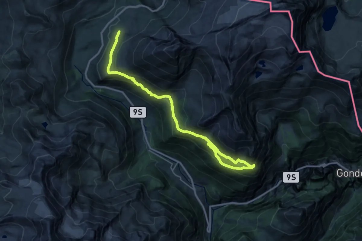
Medium · Trail
Simplonpass - Chastelbergpass
11.4 km · ↑ 728 m · 4 h 22 min
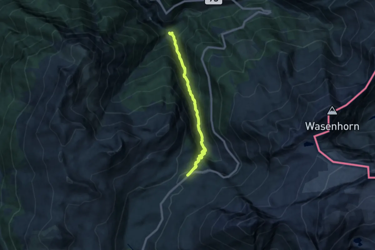
Demanding · Trail
Simplonpass - Grund
11.3 km · ↑ 950 m · 4 h 43 min
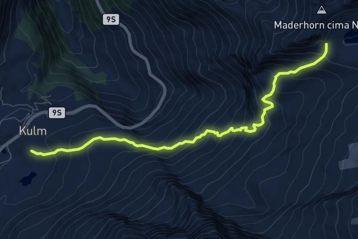
Demanding · Trail
Simplonpass - Mäderlicke
8.7 km · ↑ 817 m · 3 h 49 min
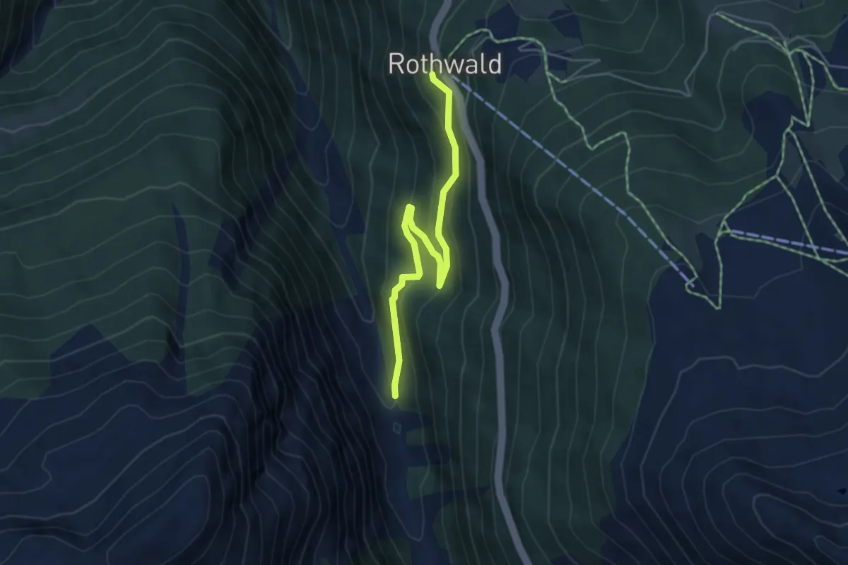
Easy · Trail
Simplonpass - Rothwald
4.6 km · ↑ 283 m · 1 h 42 min
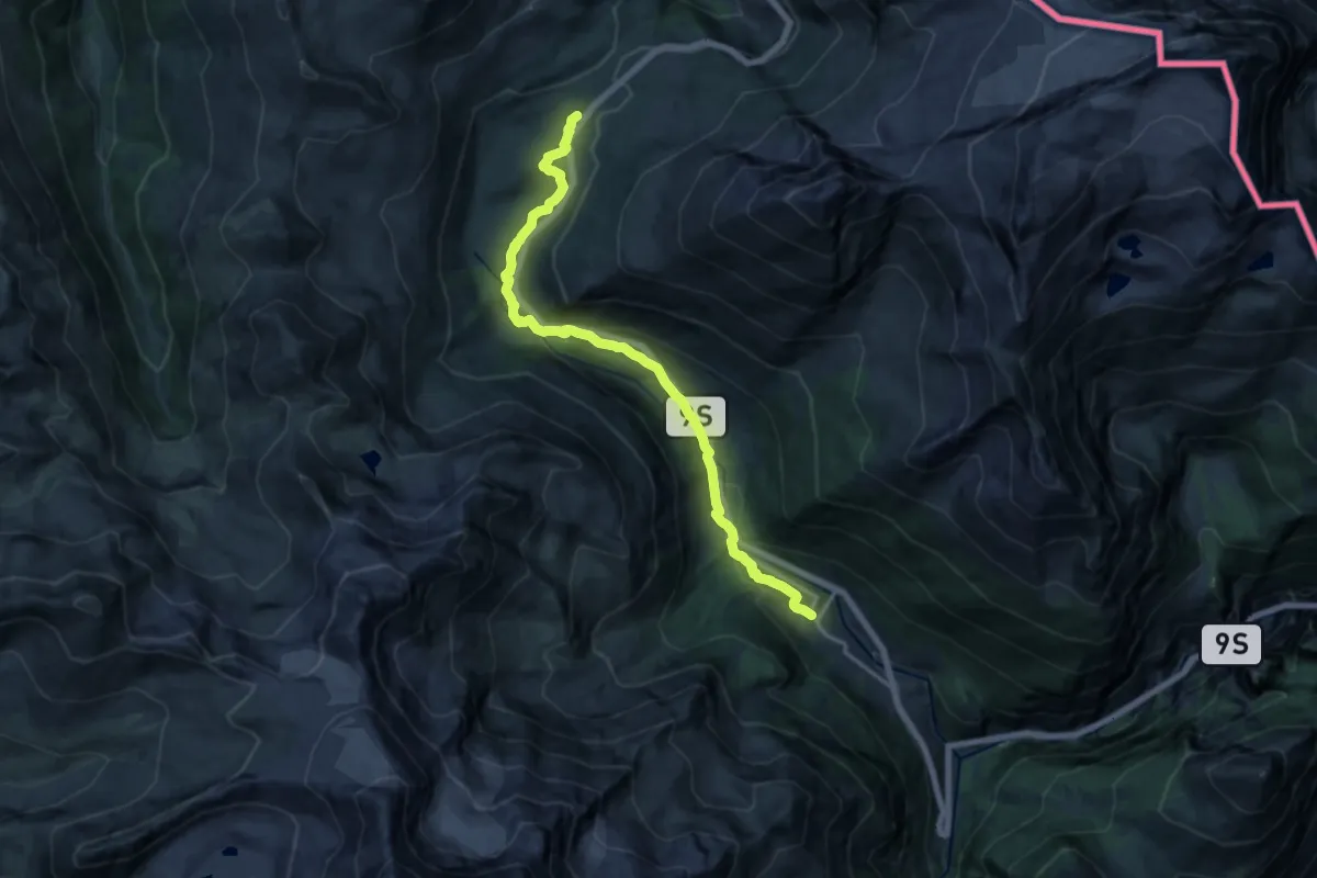
Medium · Trail
Simplonpass-Simplon Dorf
16.1 km · ↑ 515 m · 4 h 55 min
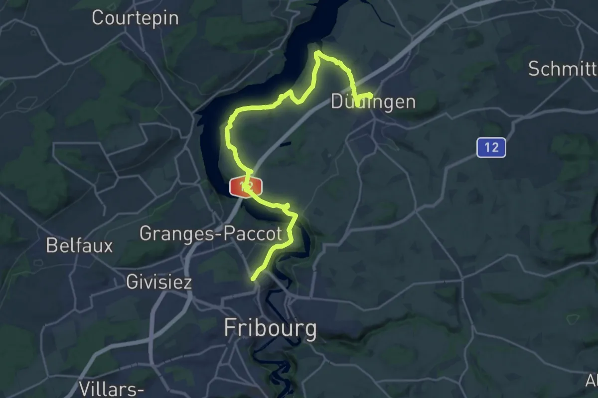
Demanding · Trail
Sinn- und Klangweg / Sentier des sens et des sons
21.4 km · ↑ 495 m · 6 h 7 min
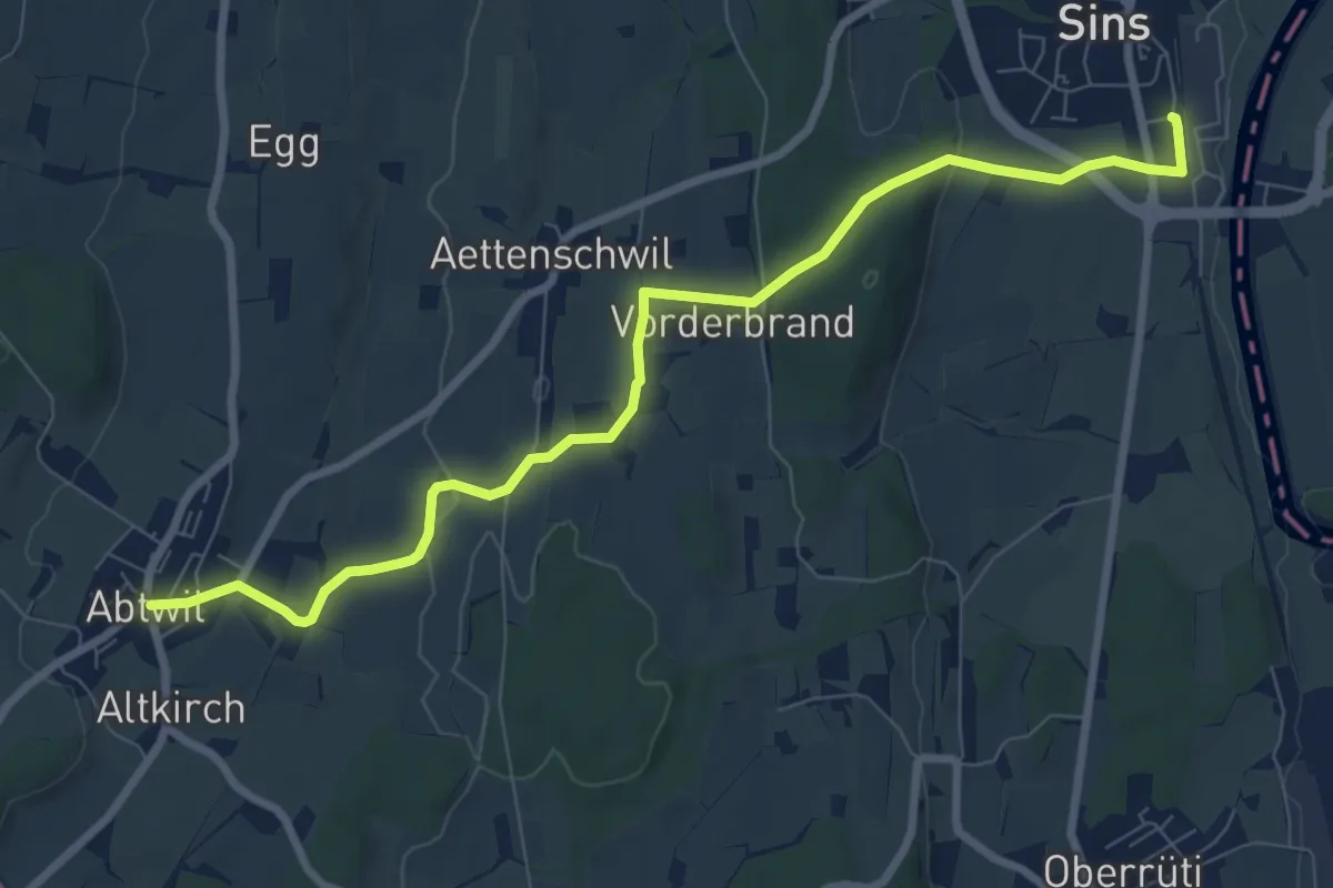
Medium · Trail
Sins - Abtwil
8.8 km · ↑ 159 m · 2 h 25 min
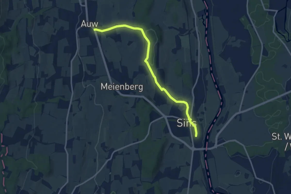
Medium · Trail
Sins - Auw
8.6 km · ↑ 152 m · 2 h 21 min
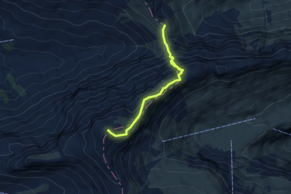
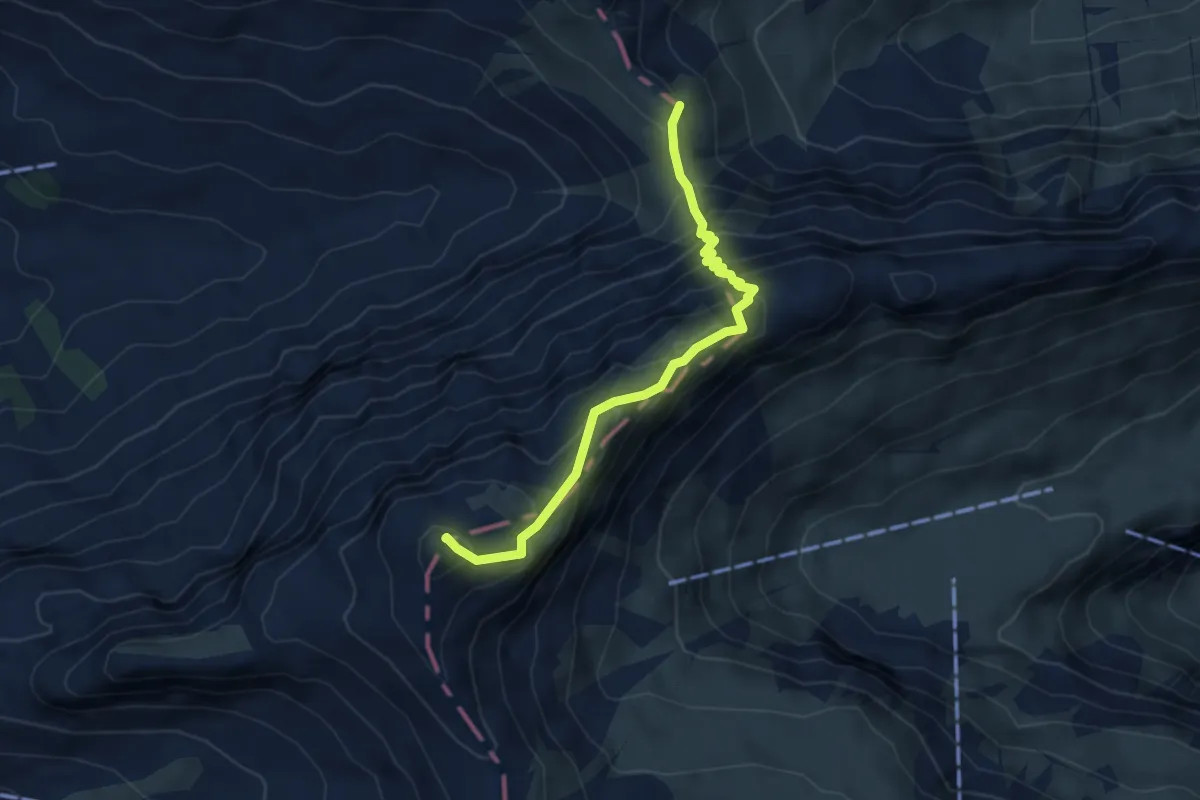
Demanding · Summit
Sinsgäuer Schonegg - Chaiserstuel
4.3 km · ↑ 510 m · 2 h 7 min
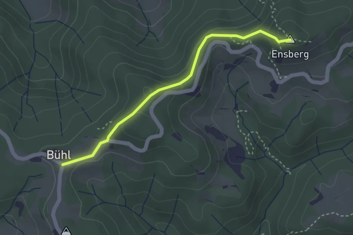
Demanding · Summit
Sinsgäuer Schonegg - Oberalp
4.3 km · ↑ 510 m · 2 h 7 min
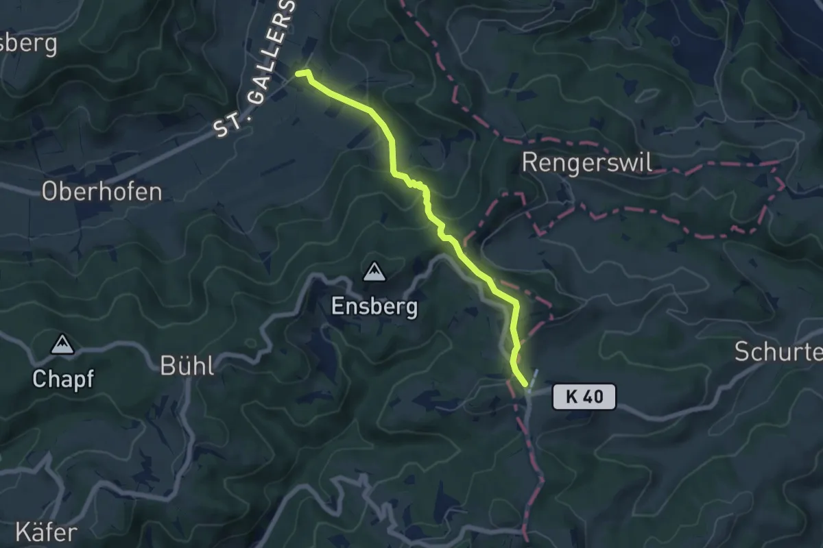
Easy · Summit
Sitzberg – Büel
2.8 km · ↑ 127 m · 57 min
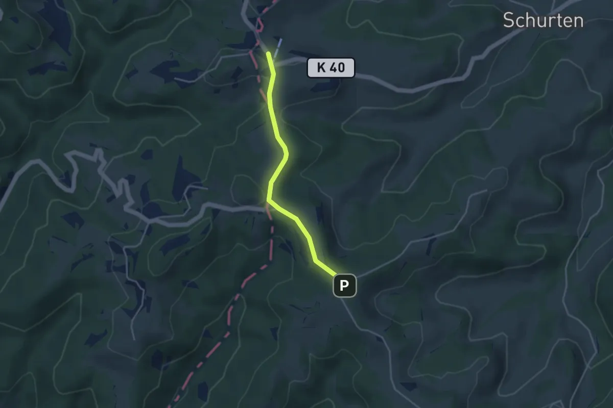
Easy · Trail
Sitzberg – Neubrunn
5.3 km · ↑ 278 m · 1 h 52 min
Easy · Trail
Sitzberg - Sädelegg
3.1 km · ↑ 64 m · 53 min
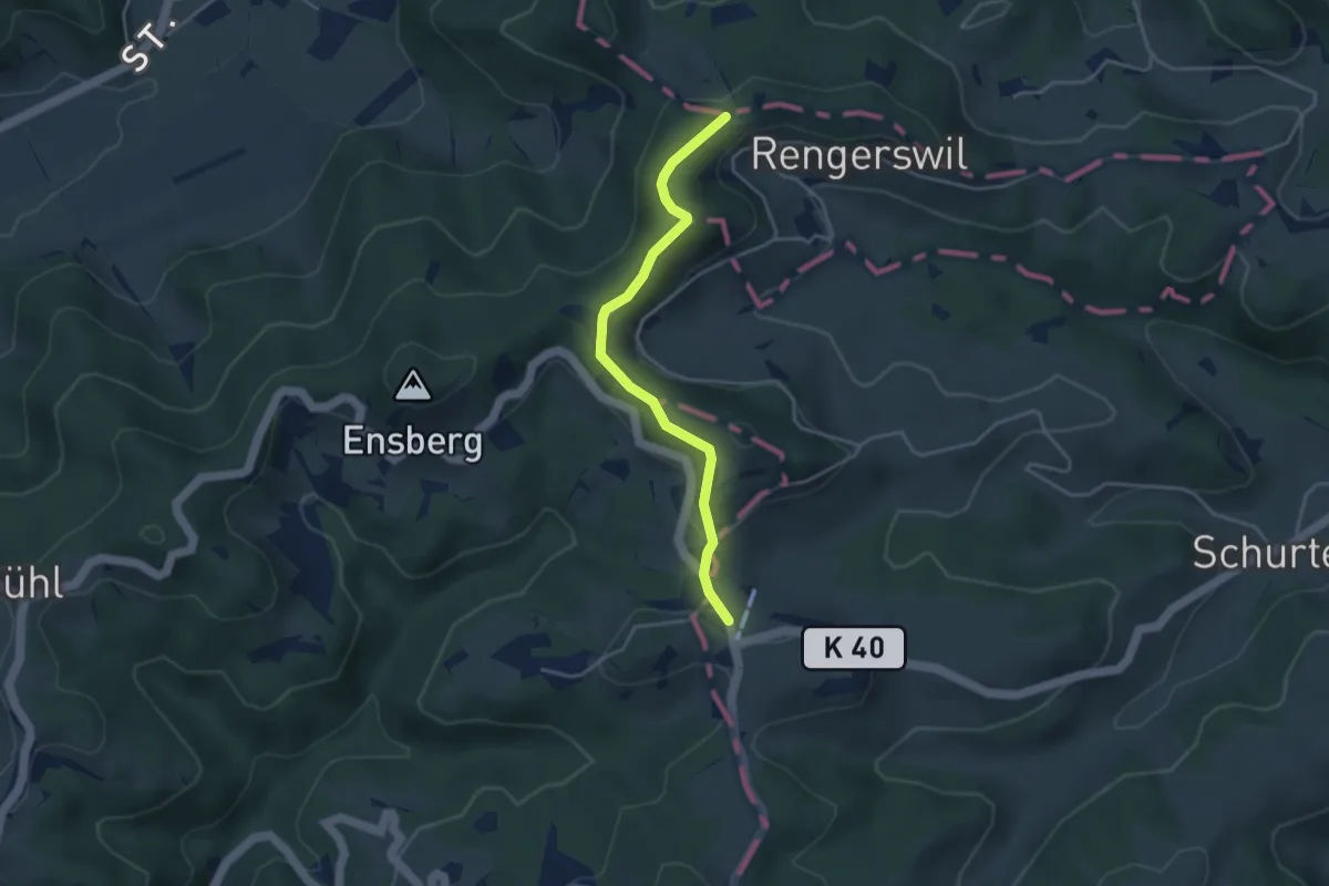
Easy · Trail
Sitzberg - Wolfsgrueb
3.7 km · ↑ 123 m · 1 h 8 min
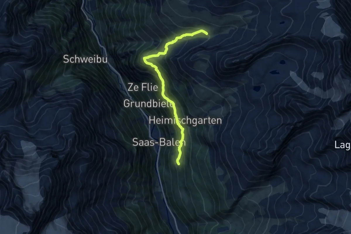
Demanding · Trail
Siwibudu - Tewaldji
11.8 km · ↑ 935 m · 4 h 48 min
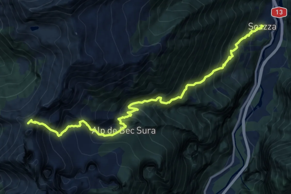
Demanding · Trail
Soazza Buffalora
16.1 km · ↑ 1731 m · 7 h 33 min
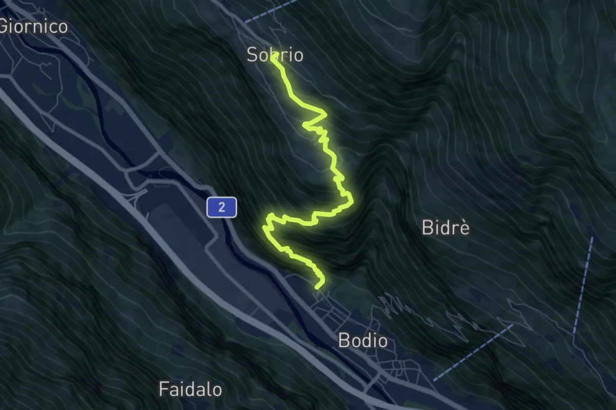
Expert · Trail
Sobrio Bodio
7.6 km · ↑ 834 m · 3 h 36 min
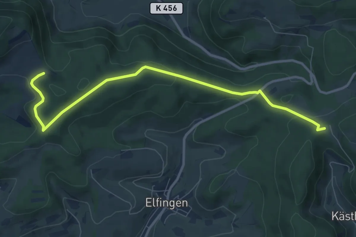
Medium · Trail
Solbacher - Sennhütten
8.2 km · ↑ 224 m · 2 h 26 min
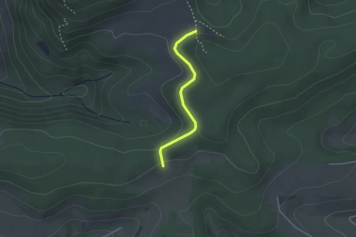
Easy · Trail
Solbacher - Wettacher
2.2 km · ↑ 48 m · 38 min
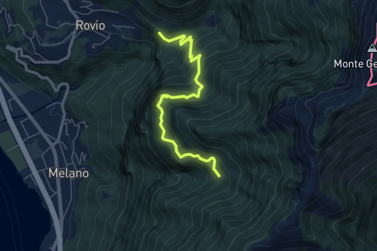
Medium · Trail
Soldino-Alpe di Melano
5.4 km · ↑ 670 m · 2 h 44 min
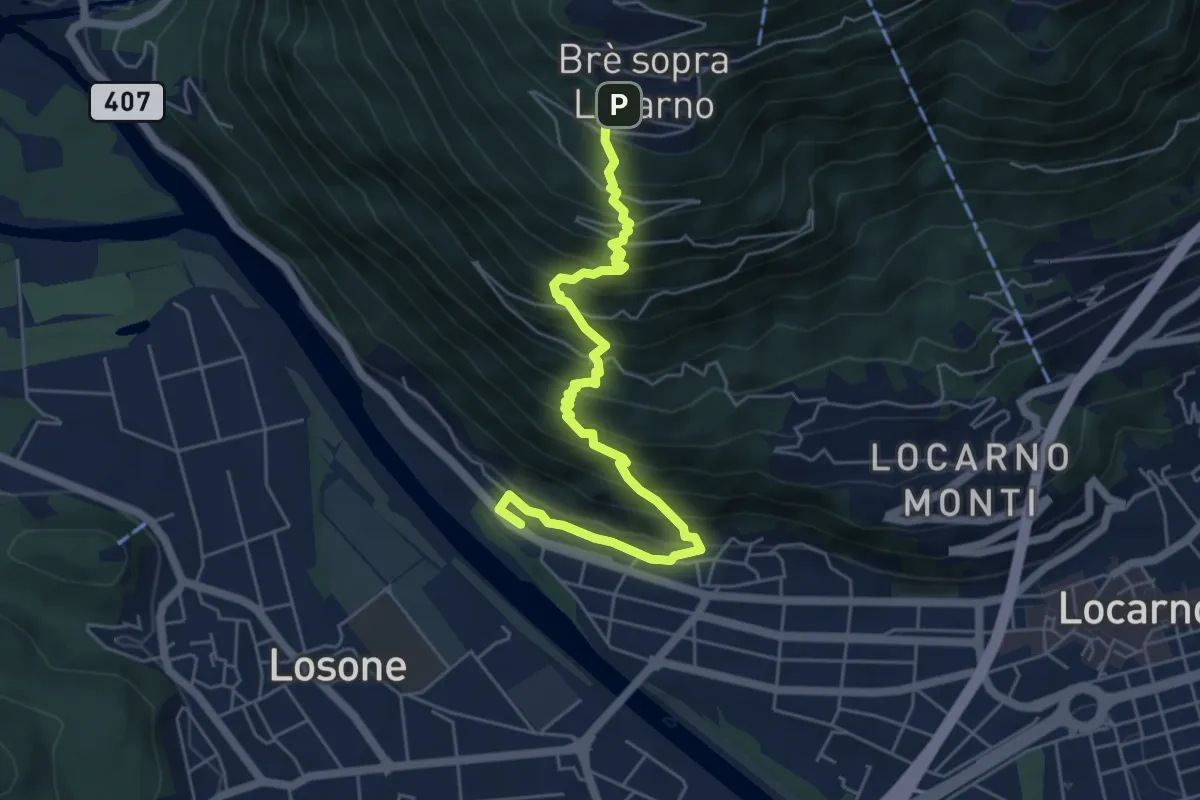
Medium · Trail
Solduno S. Martino-Brè
6.3 km · ↑ 774 m · 3 h 10 min
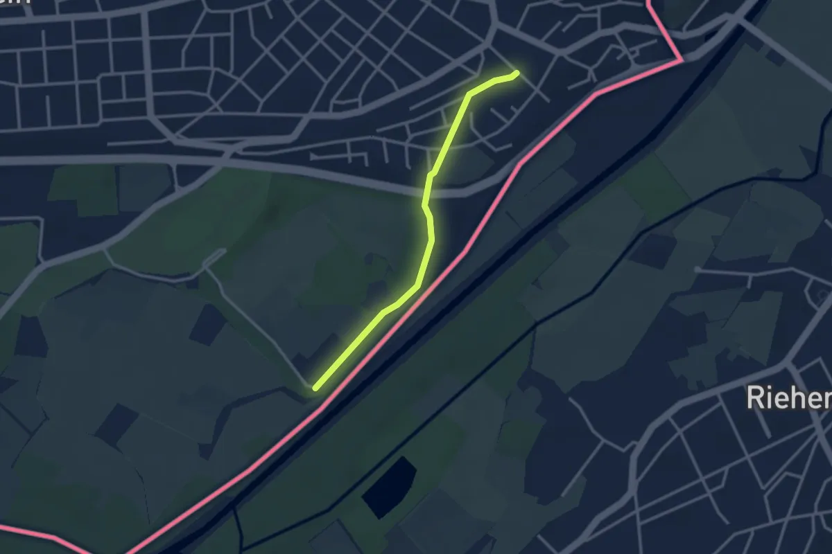
Easy · Trail
Soleck - Bahnhof Weil am Rhein Ost
2.6 km · ↑ 19 m · 39 min
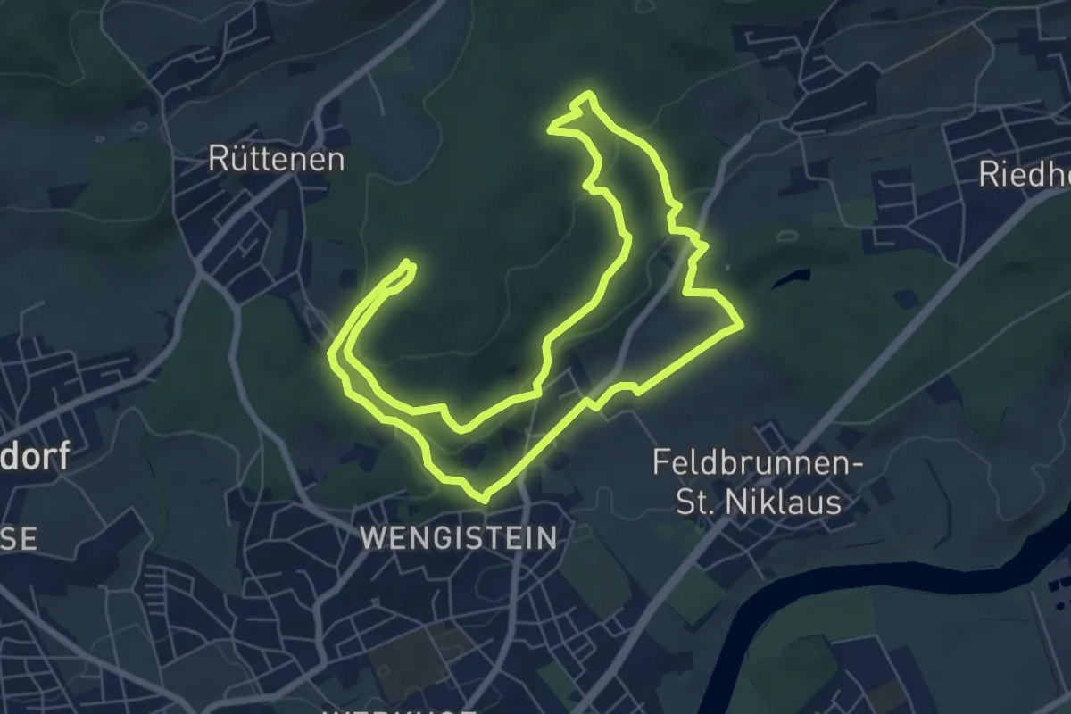
Medium · Trail
Solothurner Megalithweg
6.8 km · ↑ 219 m · 2 h 11 min
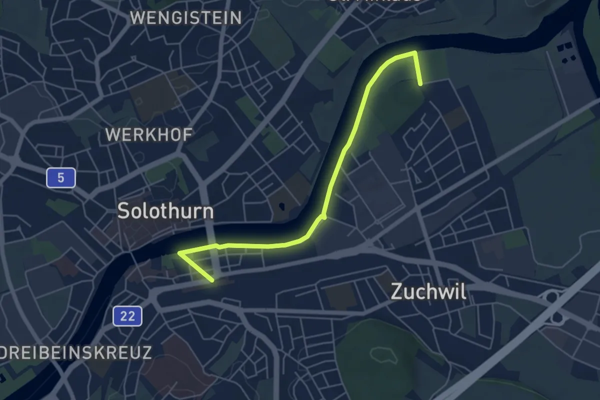
Easy · Trail
Solothurner Uferweg
5.2 km · ↑ 4 m · 1 h 14 min
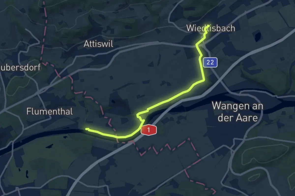
Medium · Trail
Solothurn - Wiedlisbach
9.8 km · ↑ 77 m · 2 h 29 min
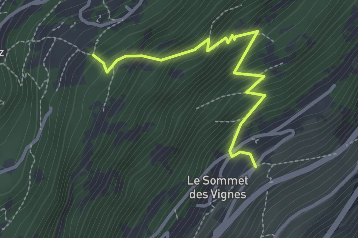
Medium · Trail
Sommet des Vignes > Closuit - Laboureau
2.5 km · ↑ 301 m · 1 h 14 min
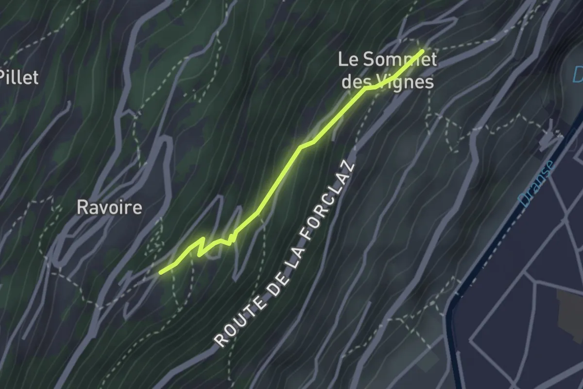
Easy · Trail
Sommet des Vignes > Planojan
2.4 km · ↑ 237 m · 1 h 5 min
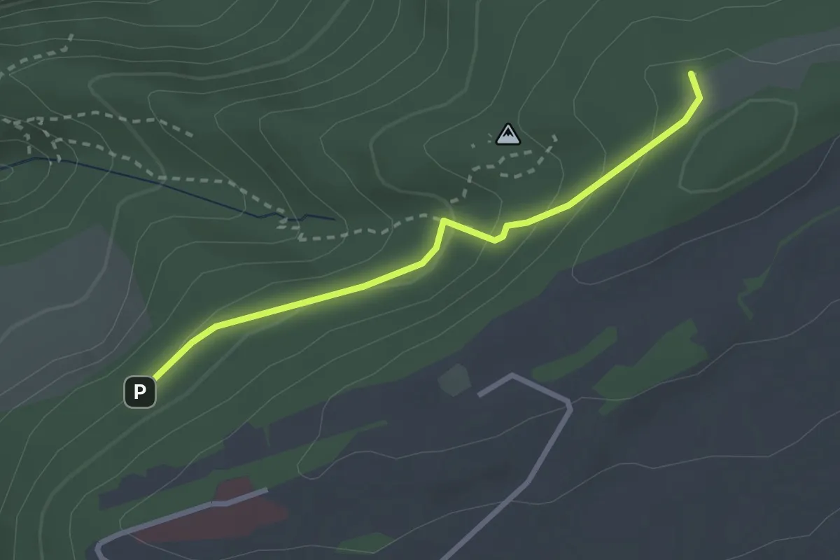
Easy · Trail
Sommêtres - fixme
2.5 km · ↑ 139 m · 53 min
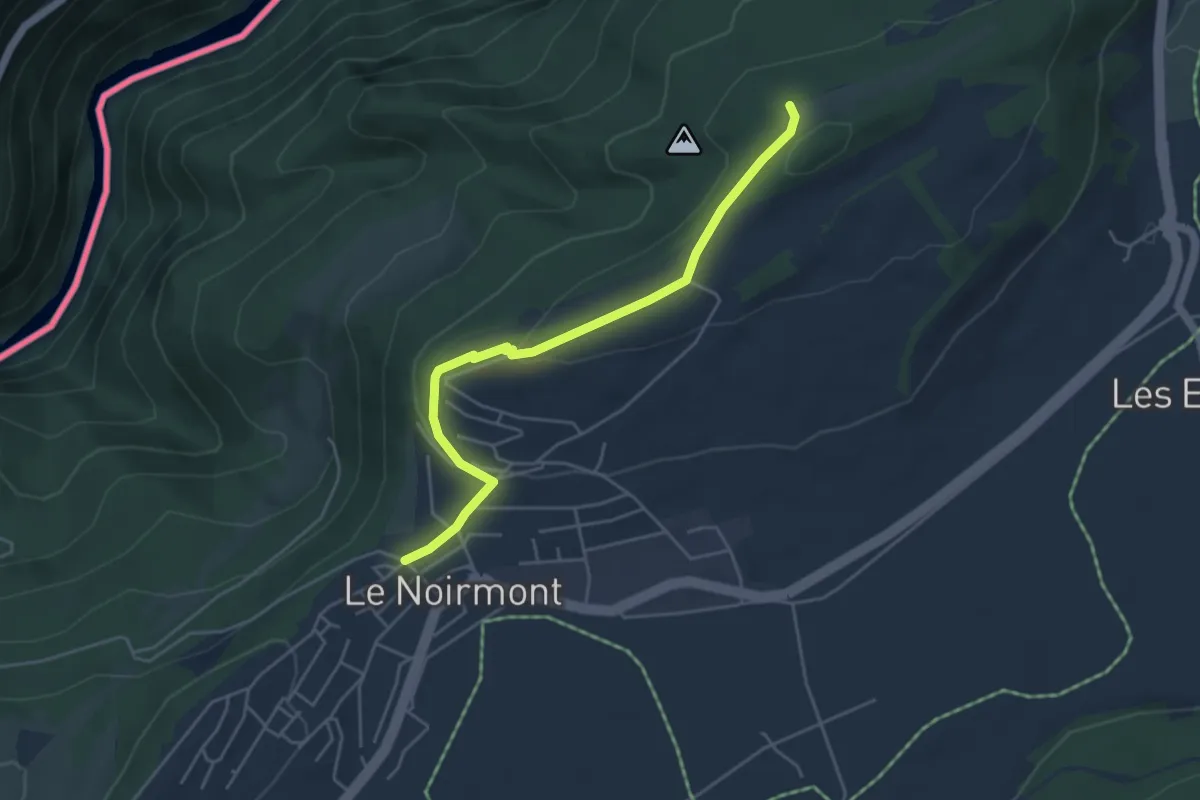
Easy · Trail
Sommêtres - fixme
4.5 km · ↑ 126 m · 1 h 21 min
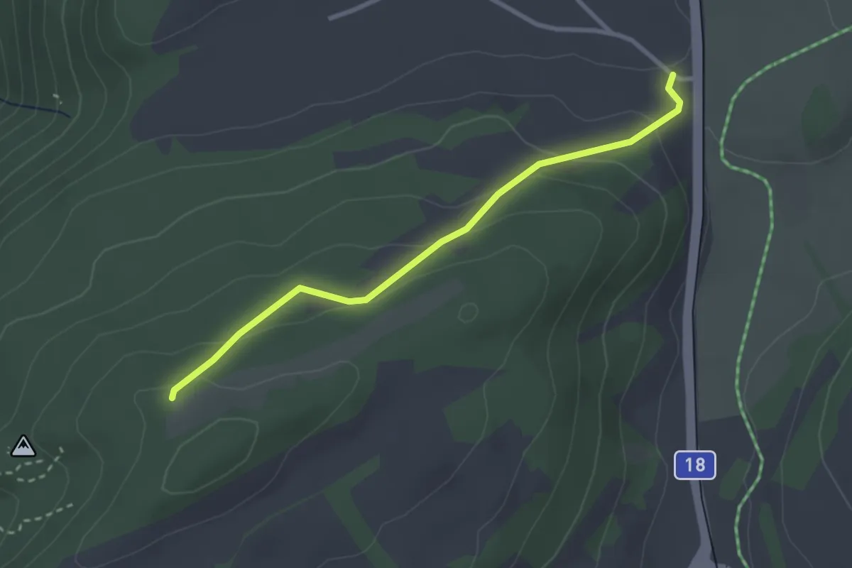
Easy · Trail
Sommêtres - Muriaux halte CJ
2.8 km · ↑ 126 m · 56 min
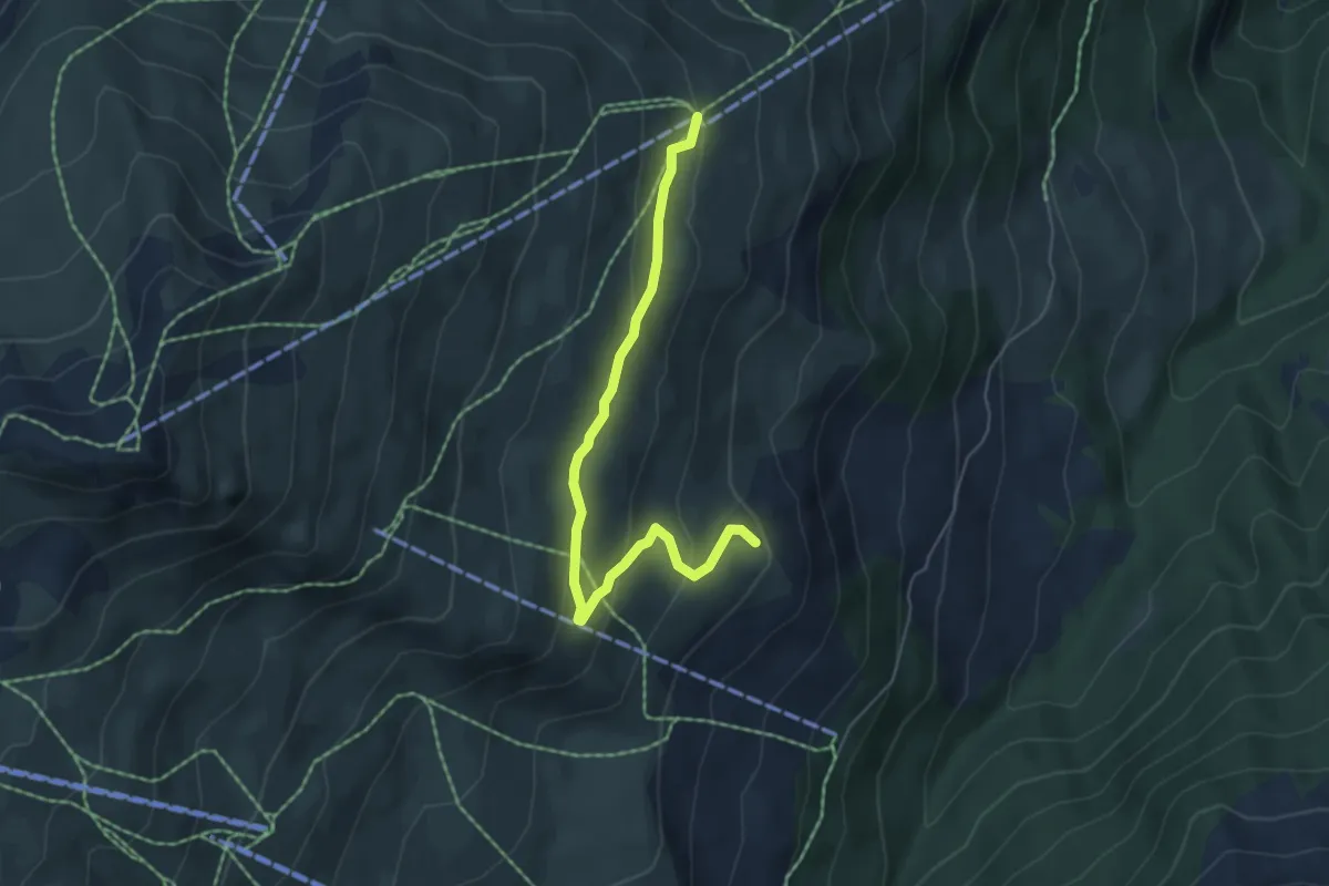
Easy · Trail
Somtgant - Alp Nalades
5.3 km · ↑ 210 m · 1 h 42 min
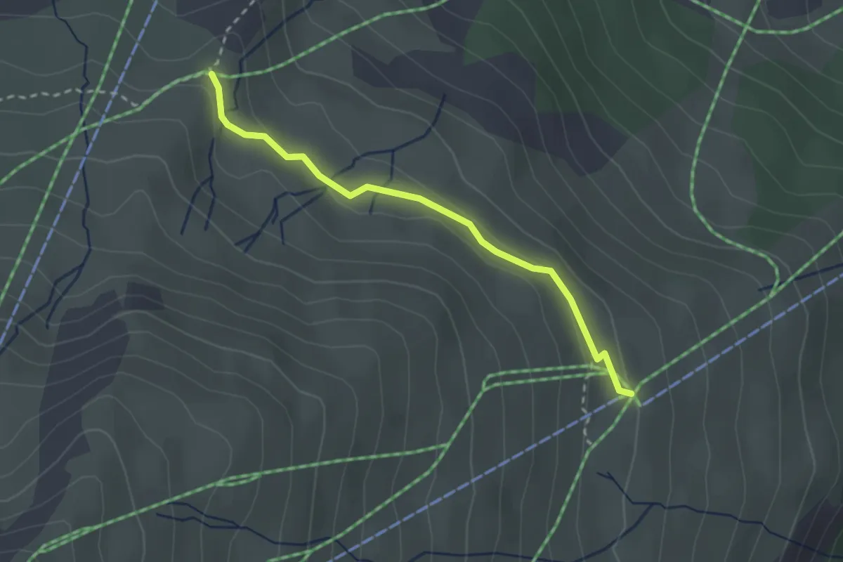
Easy · Trail
Somtgant - Mot Laritg
2.5 km · ↑ 63 m · 43 min
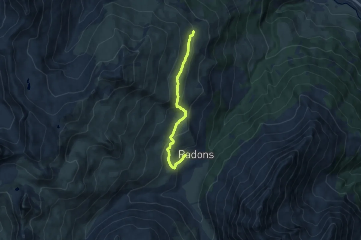
Medium · Trail
Somtgant - Radons
8.7 km · ↑ 340 m · 2 h 48 min
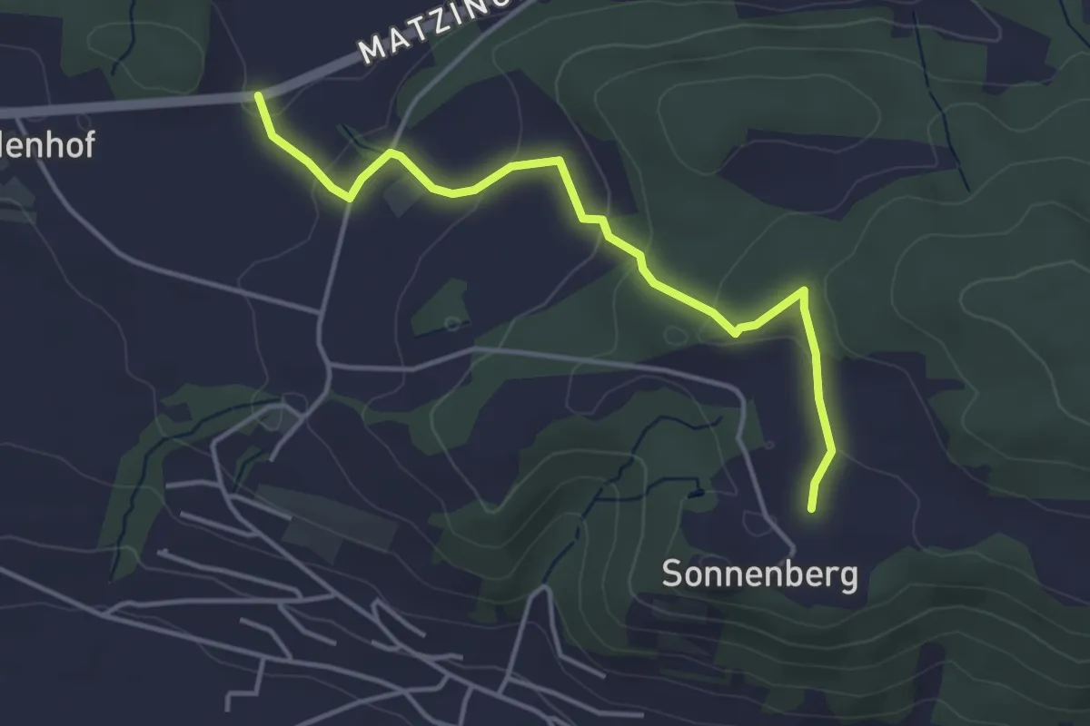
Easy · Trail
Sonnenberg - Chöll
3.9 km · ↑ 130 m · 1 h 13 min
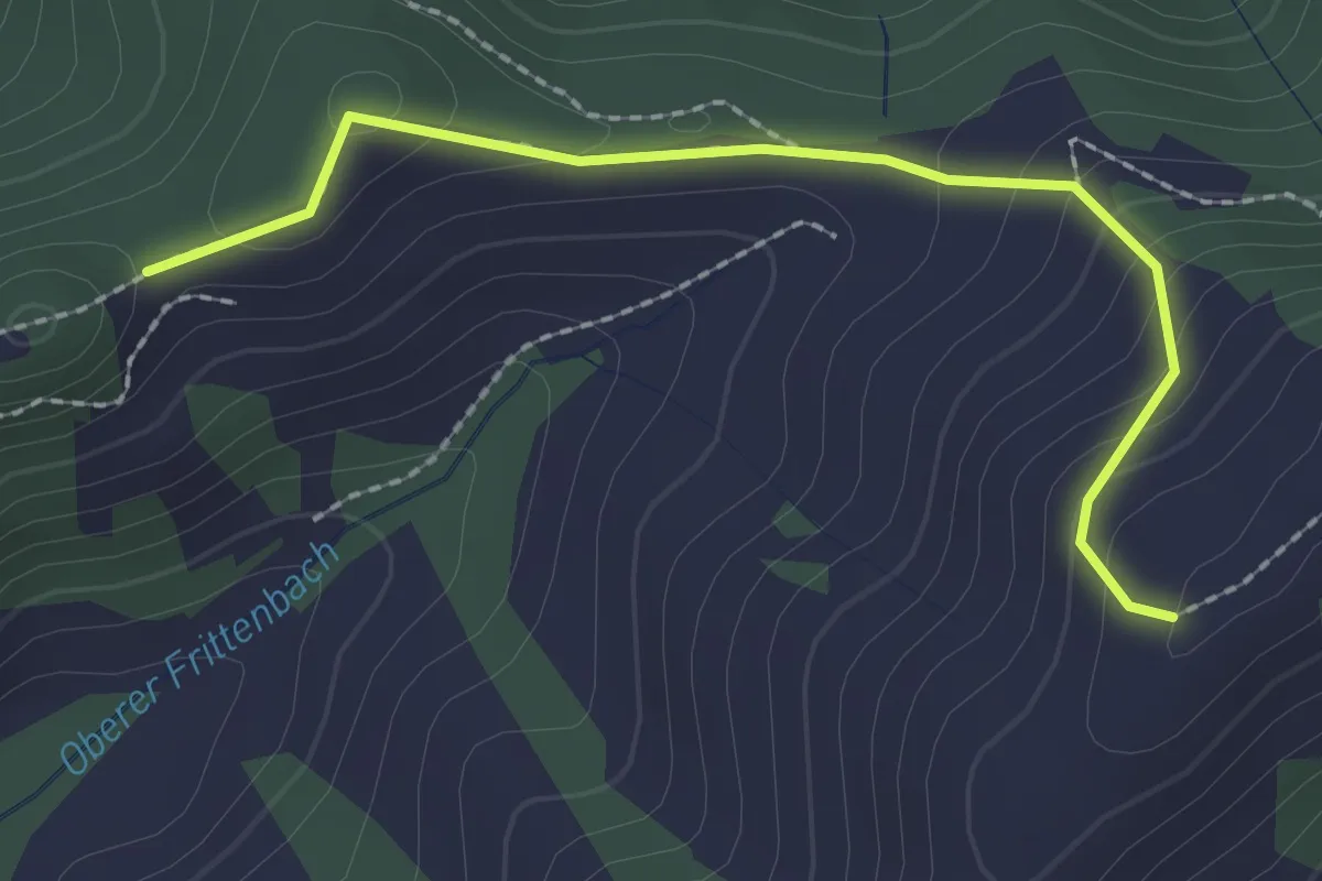
Easy · Trail
Sonnenberg - Ober Rafrüti
2.2 km · ↑ 123 m · 48 min
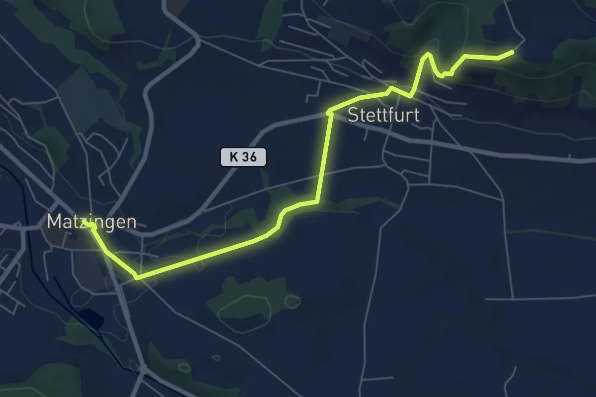
Easy · Trail
Sonnenberg - Stettfurt - Matzingen
6.6 km · ↑ 202 m · 2 h
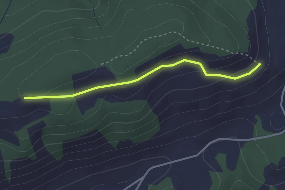
Easy · Trail
Sonnenweg
2.4 km · ↑ 87 m · 46 min
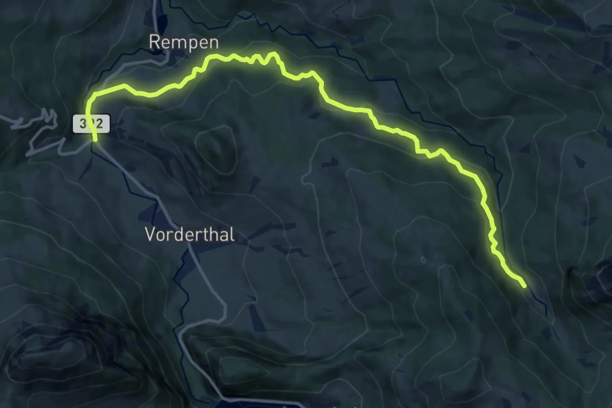
Medium · Trail
Sonne - Ramseli
13.7 km · ↑ 600 m · 4 h 32 min
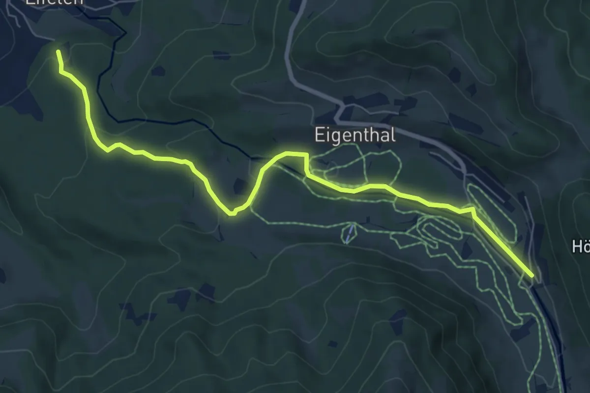
Easy · Trail
Sonnhalde - Linden - Meiestoss - Moos
7.3 km · ↑ 180 m · 2 h 7 min
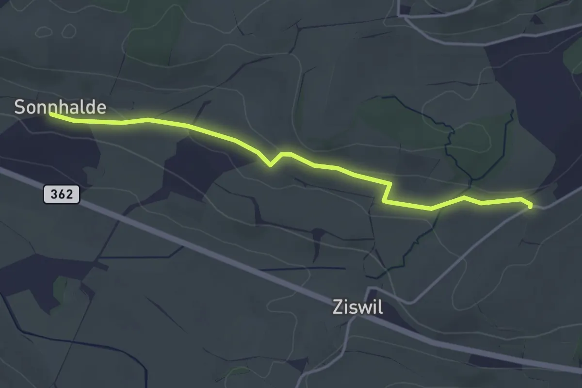
Easy · Trail
Sonnhalden - Hueb
3.9 km · ↑ 60 m · 1 h 2 min
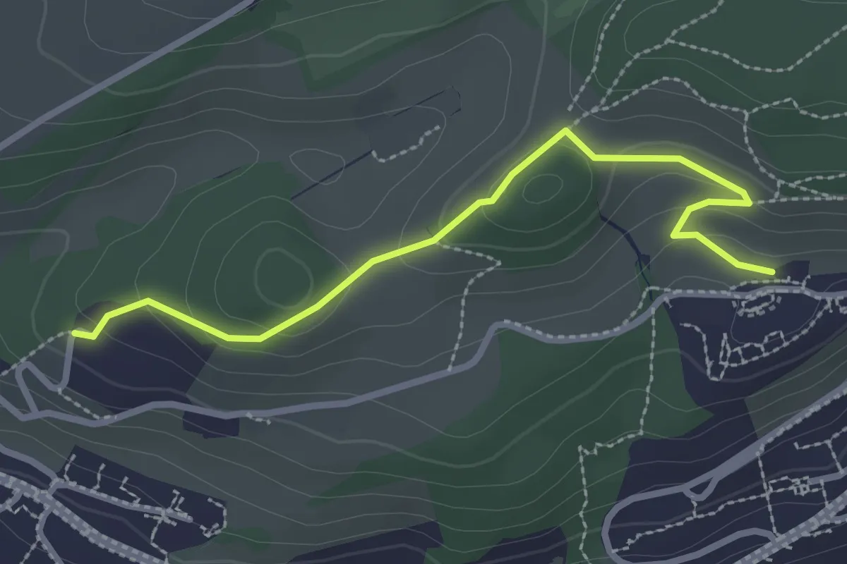
Easy · Trail
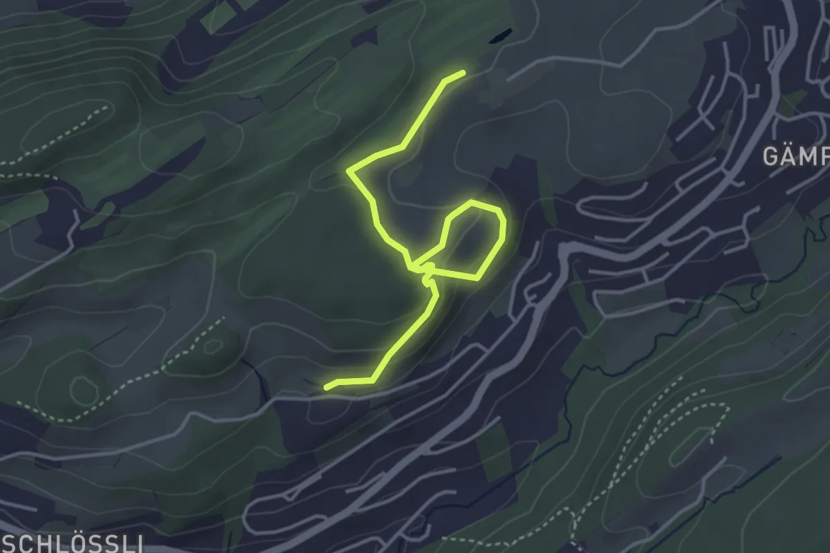
Sonnmatt - Gerlisberg
2.7 km · ↑ 127 m · 54 min
Easy · Trail
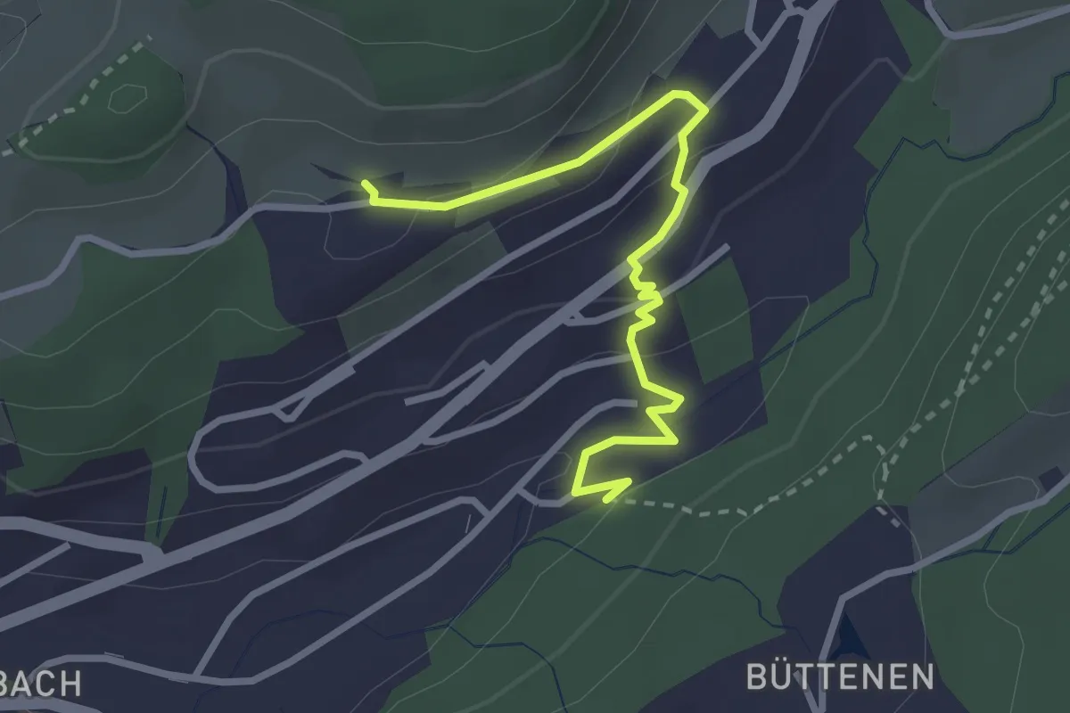
Sonnmatt - Talacheri
4.1 km · ↑ 138 m · 1 h 16 min
Easy · Trail
Sonnmatt - Würzenbach
2.8 km · ↑ 108 m · 54 min
Easy · Trail
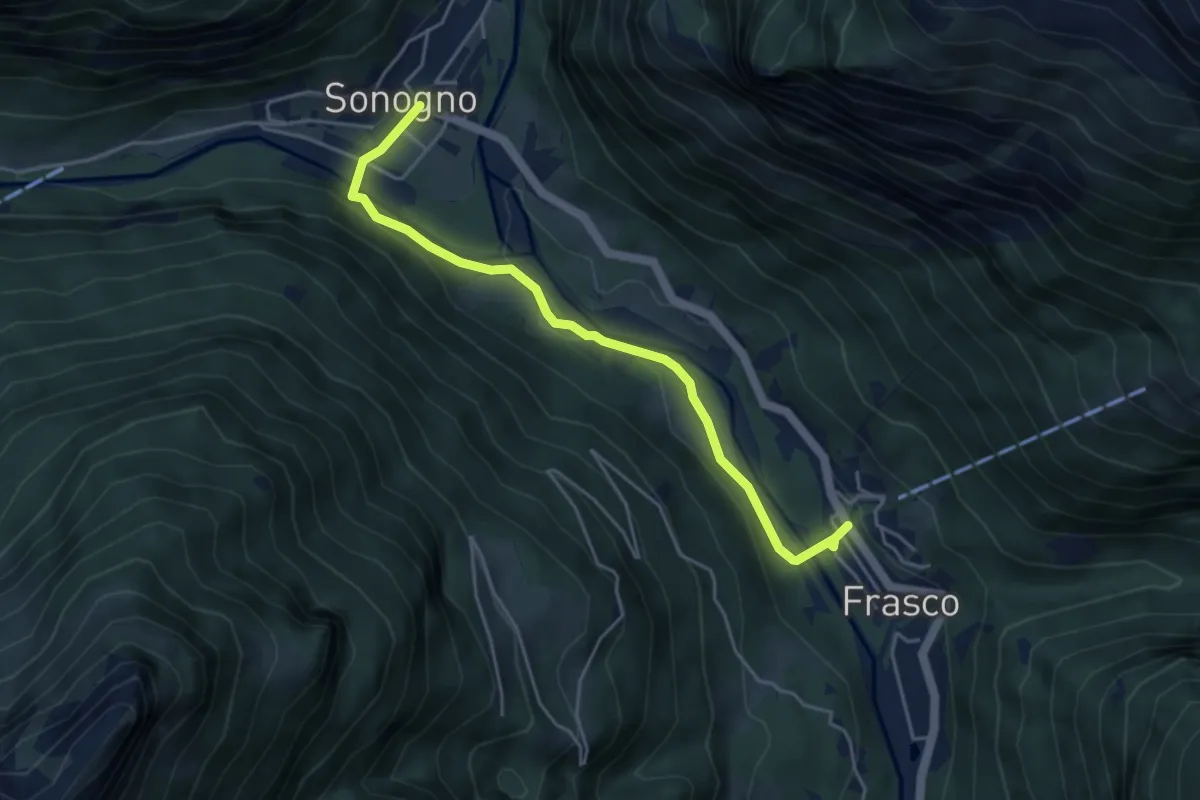
Sonogno - Frasco
4.5 km · ↑ 164 m · 1 h 26 min
Medium · Trail
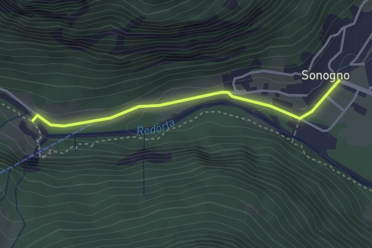
Sonogno - Froda
2.7 km · ↑ 48 m · 44 min