Trails in Switzerland
15,064 hiking trails, each with its route, climb, walking time and grade.
All trails, page 105 of 314
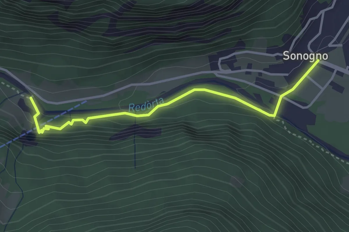
Medium · Trail
Sonogno - Froda
3.2 km · ↑ 175 m · 1 h 9 min
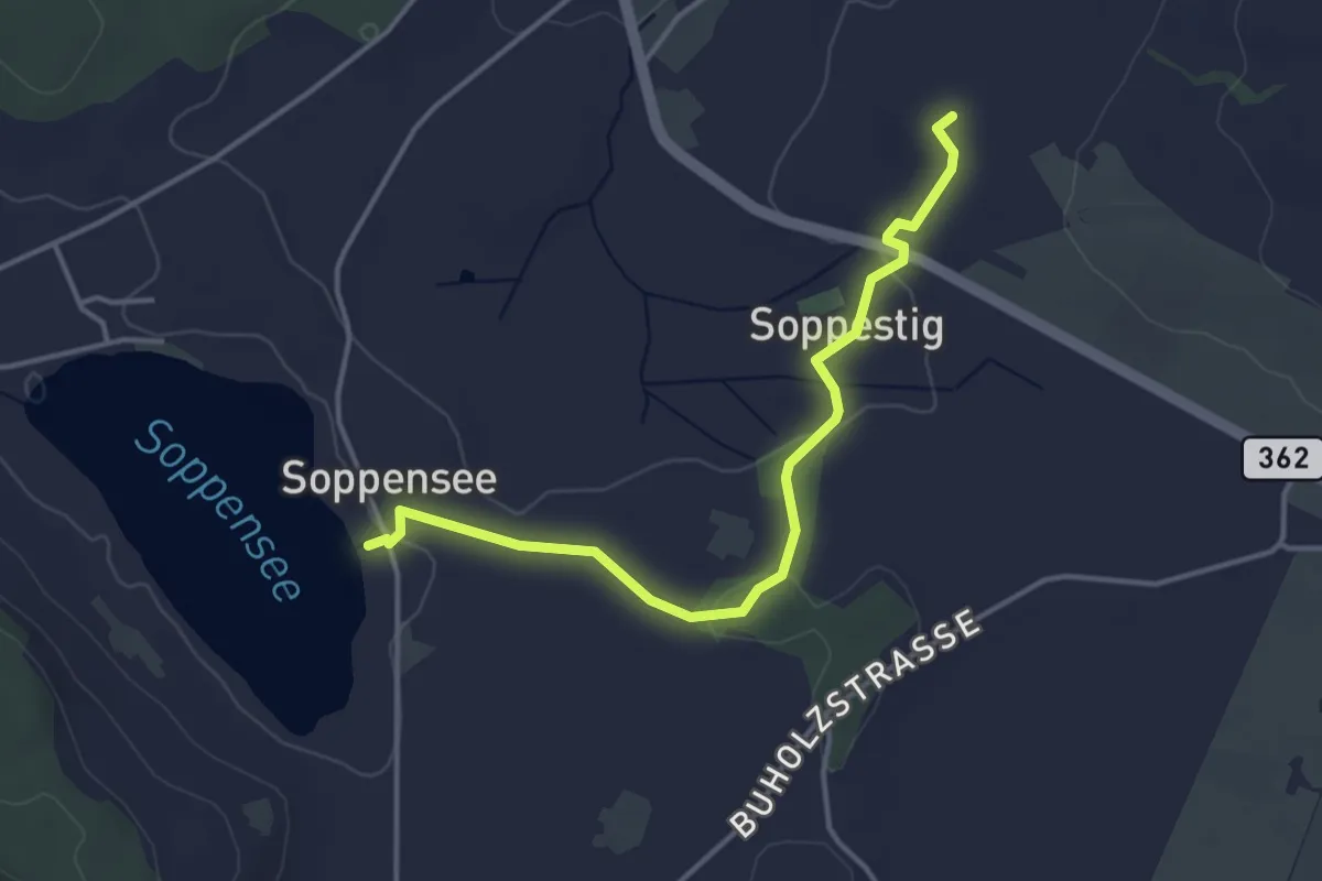
Easy · Trail
Soppensee-St.Ulrich
4.0 km · ↑ 46 m · 1 h 2 min
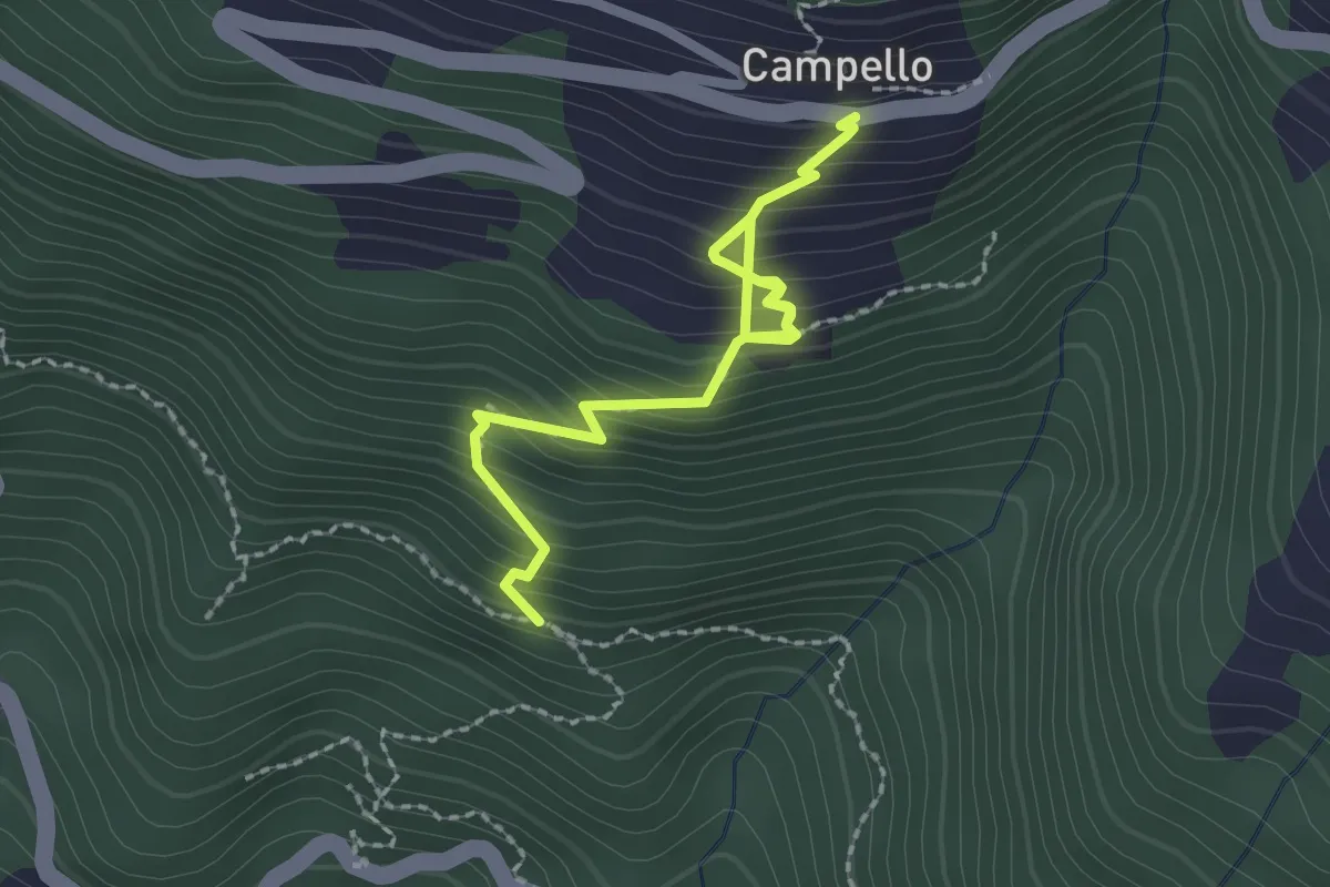
Medium · Trail
Sopra Fontanè - Campello
2.6 km · ↑ 354 m · 1 h 23 min
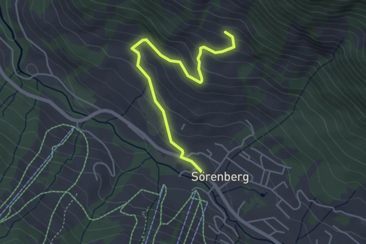
Easy · Trail
Sörenberg - Alpweidstall
4.0 km · ↑ 222 m · 1 h 26 min
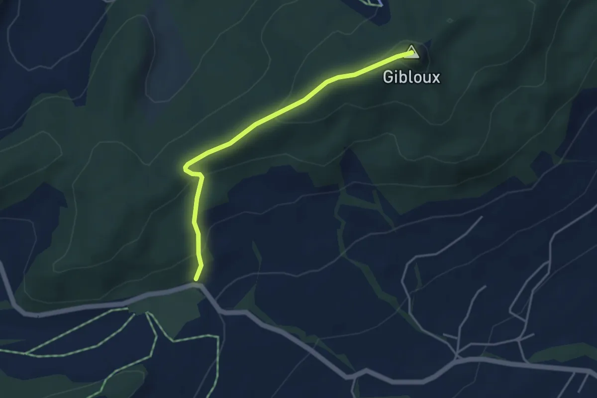
Easy · Summit
Sorens Camping - Le Gibloux
3.7 km · ↑ 185 m · 1 h 16 min
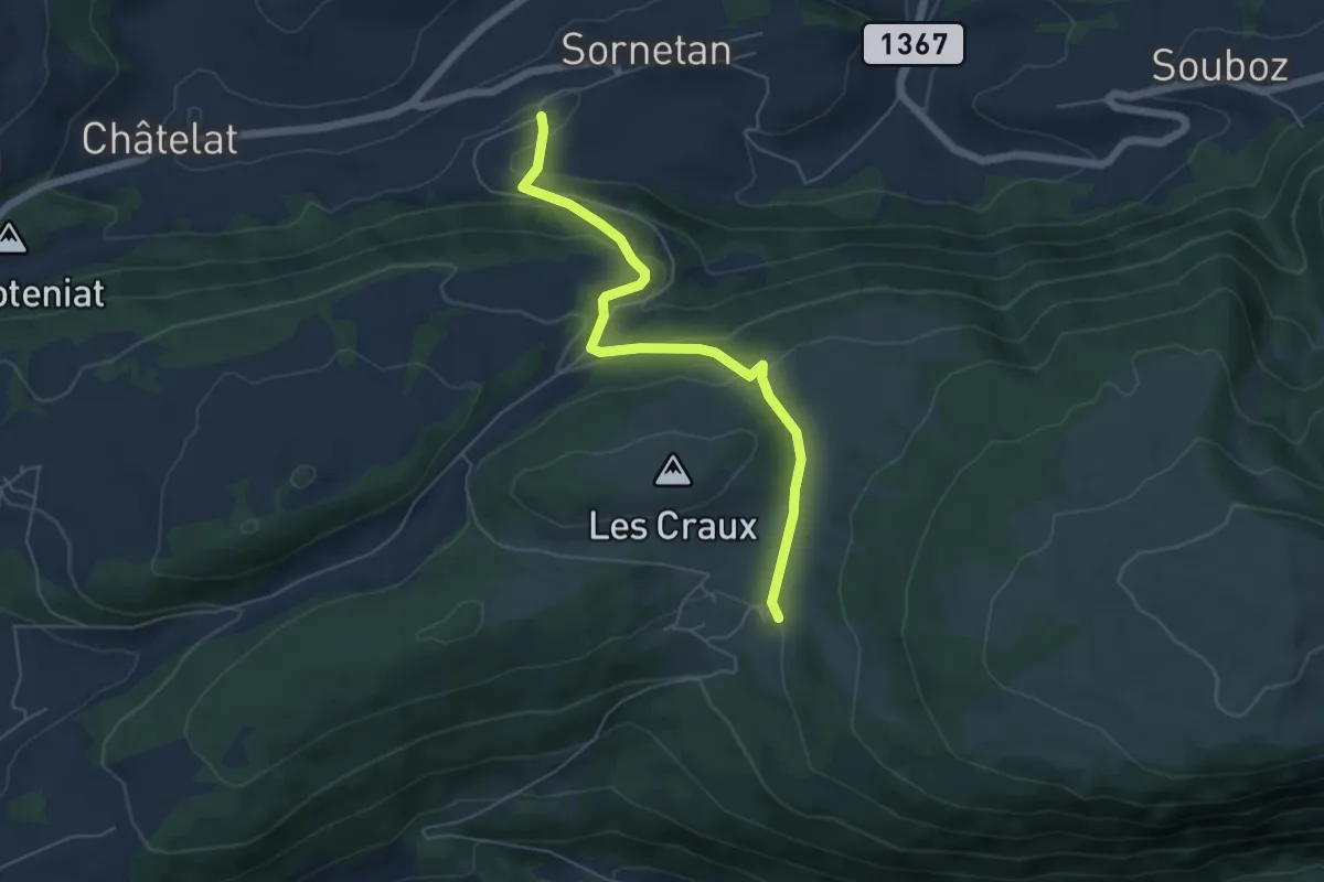
Easy · Trail
Sornetan - Montagne de Saules
5.5 km · ↑ 241 m · 1 h 50 min
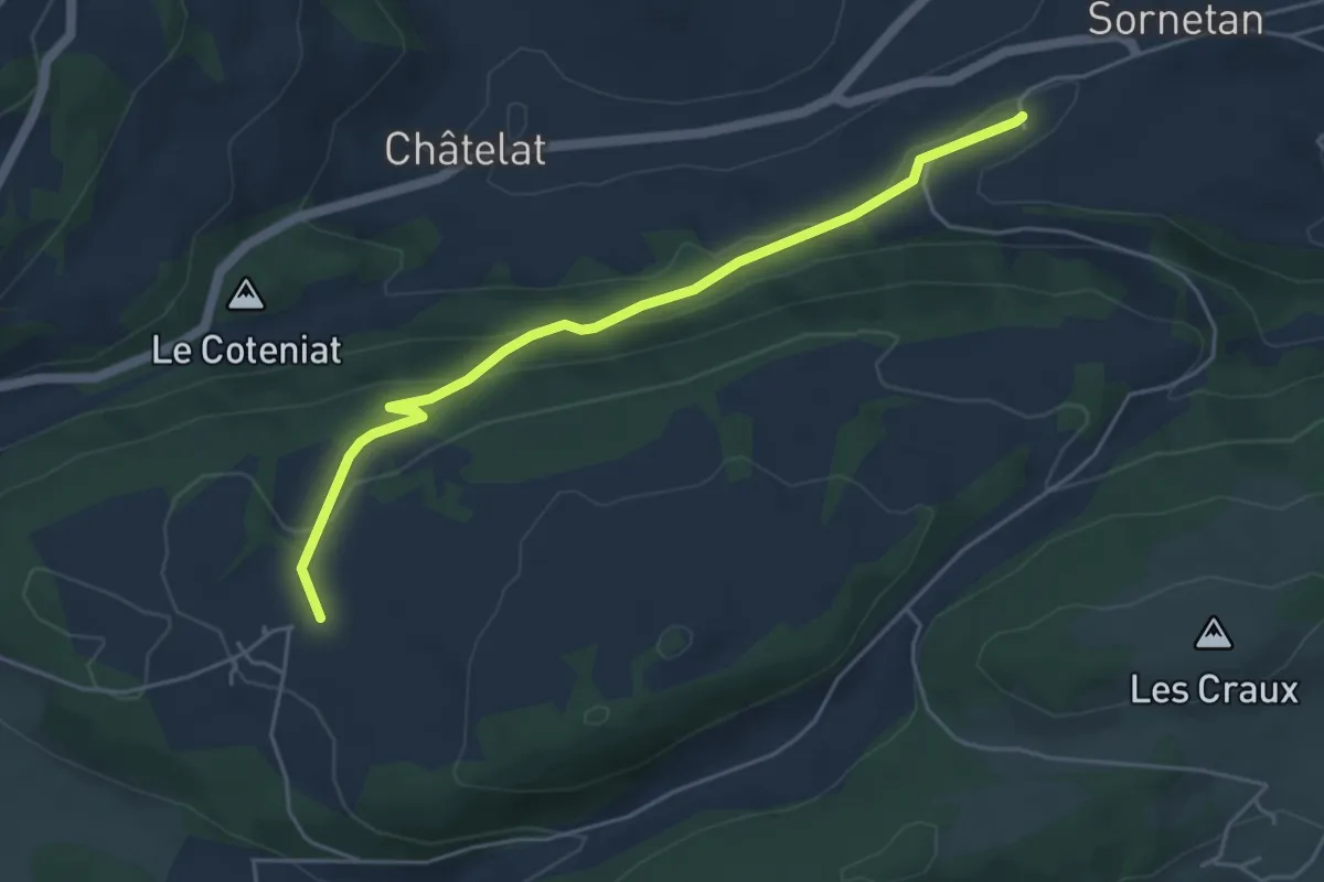
Easy · Trail
Sornetan - Moron
4.9 km · ↑ 184 m · 1 h 33 min
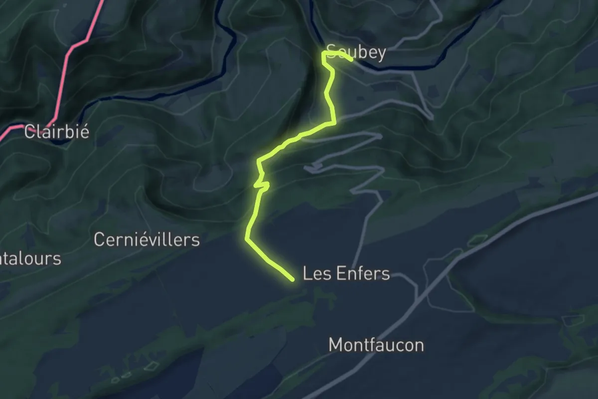
Medium · Trail
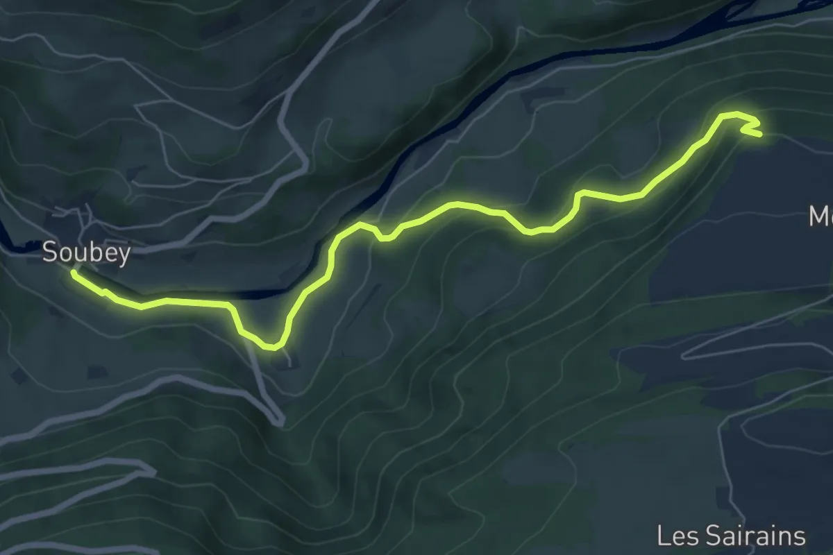
Soubey - Les Enfers
7.0 km · ↑ 476 m · 2 h 41 min
Easy · Trail
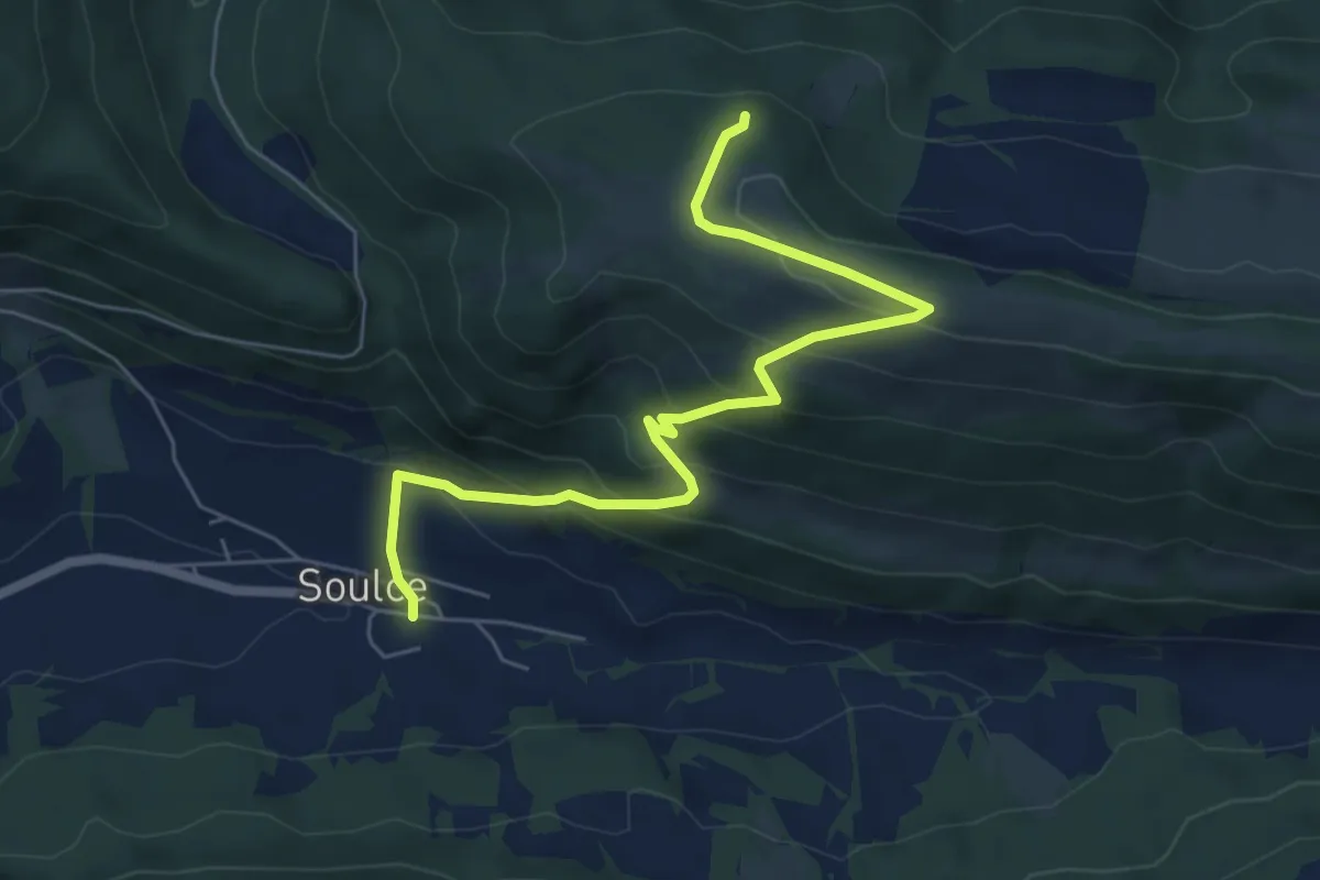
Soubey - Montfavergier
6.9 km · ↑ 306 m · 2 h 18 min
Medium · Trail
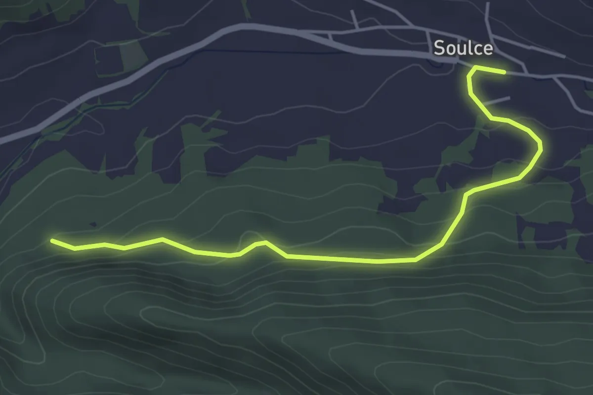
Soulce - fixme
6.5 km · ↑ 445 m · 2 h 30 min
Easy · Trail
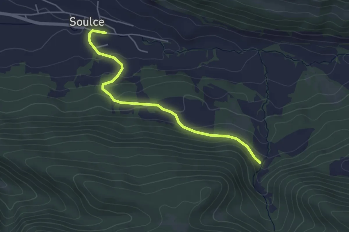
Soulce - fixme
4.5 km · ↑ 233 m · 1 h 34 min
Easy · Trail
Soulce - fixme
3.9 km · ↑ 169 m · 1 h 18 min
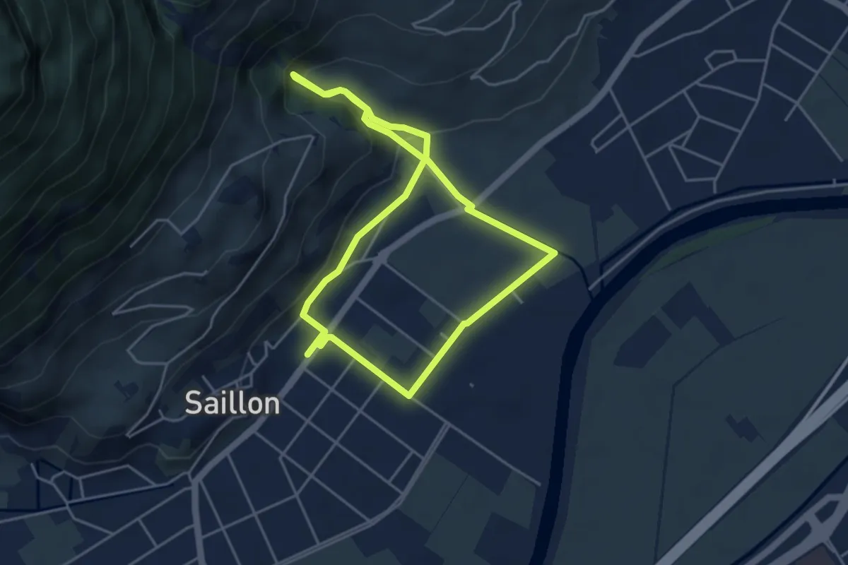
Easy · Trail
Source des bains - tête du géant
4.0 km · ↑ 109 m · 1 h 14 min
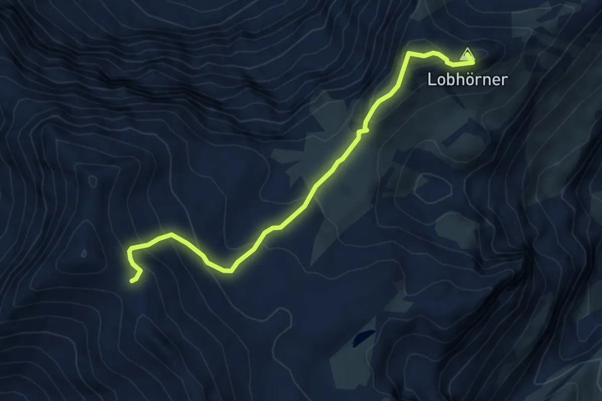
Medium · Summit
Sousegg - Sattel
5.7 km · ↑ 421 m · 2 h 16 min
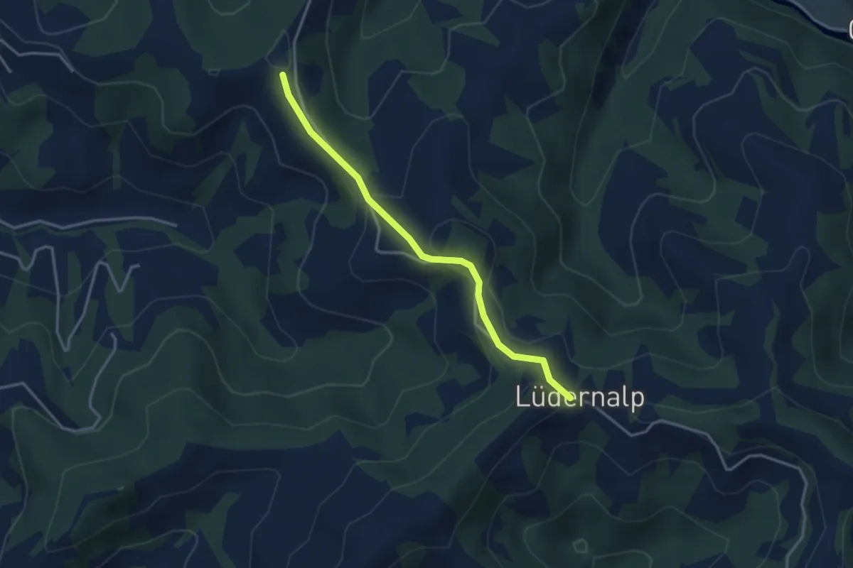
Easy · Trail
Sparenegg - Lüderenalp
3.1 km · ↑ 116 m · 59 min
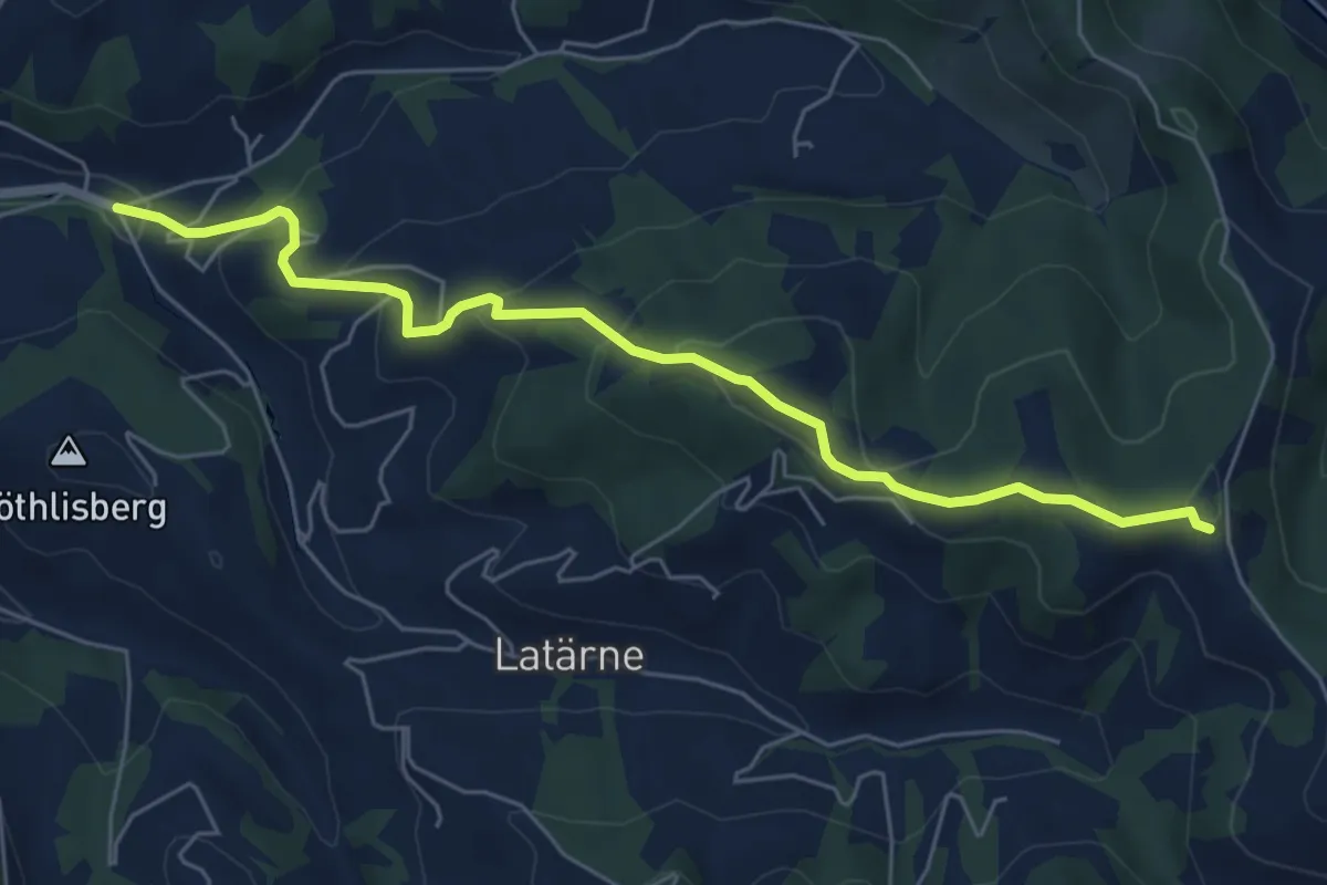
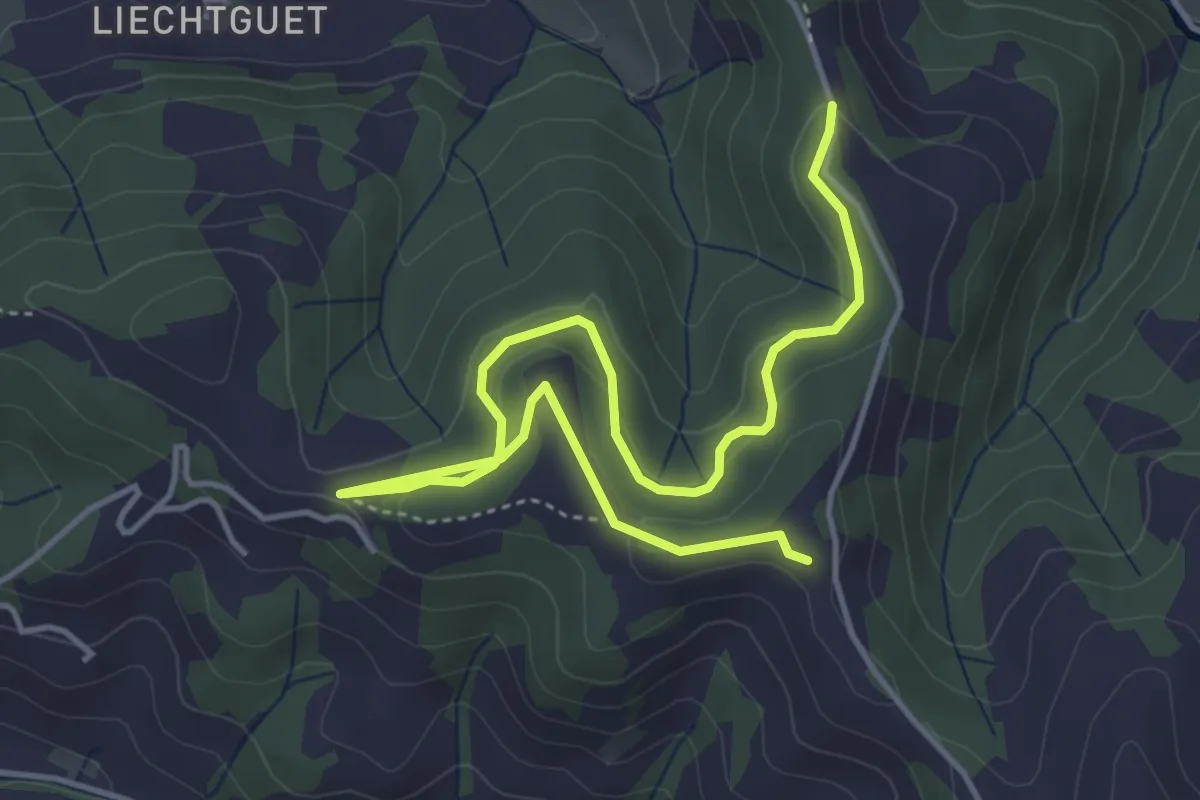
Medium · Trail
Sparenegg - Tal
6.2 km · ↑ 337 m · 2 h 12 min
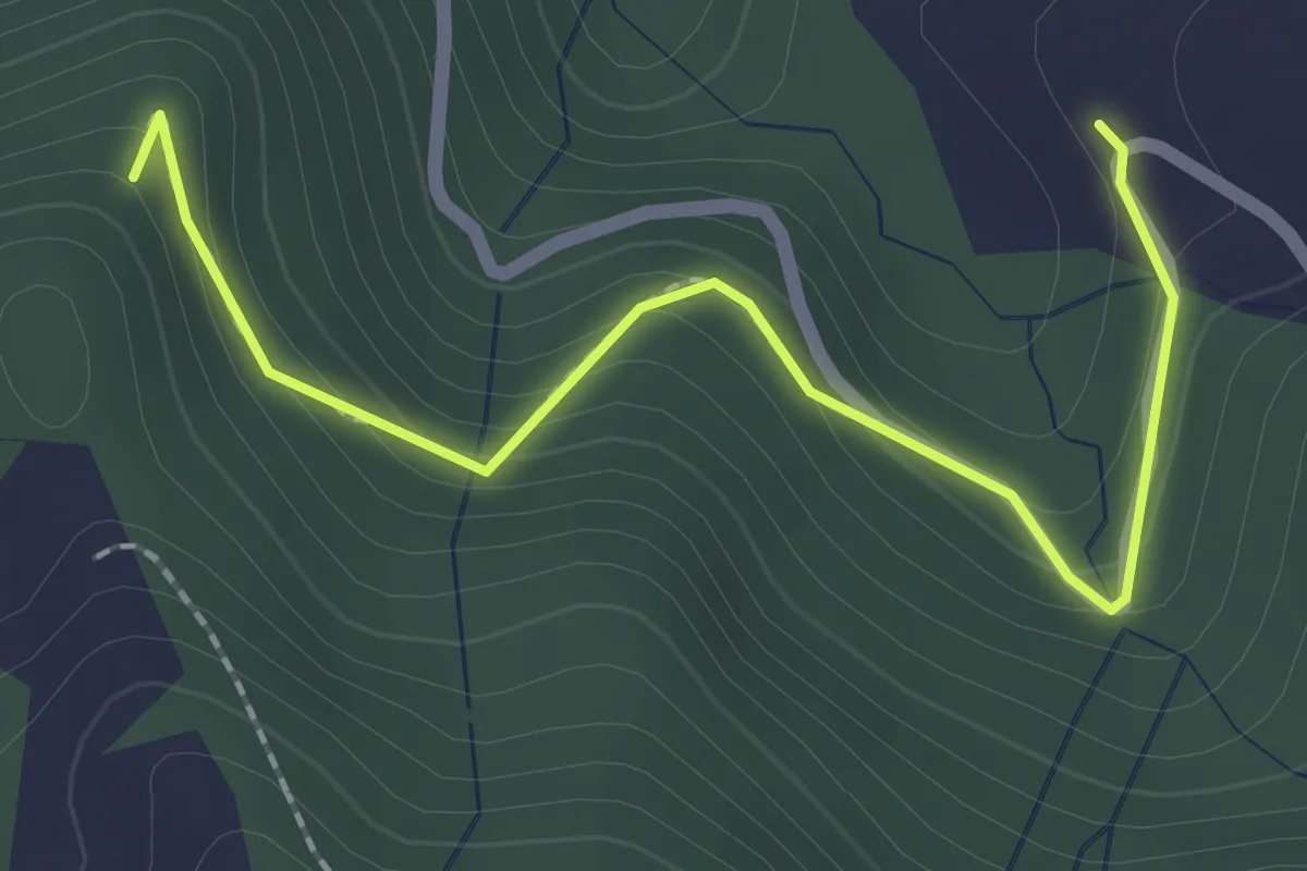
Easy · Trail
Sparenegg - Zueguet
5.6 km · ↑ 229 m · 1 h 49 min
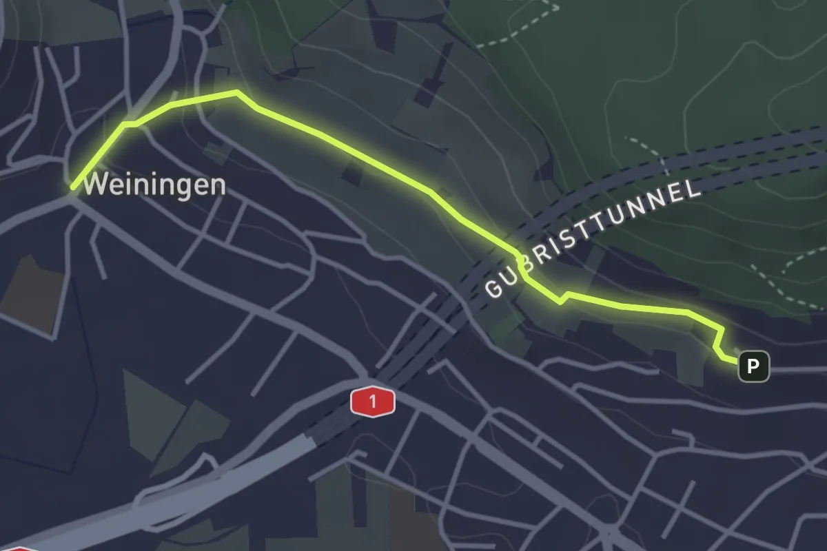
Easy · Trail
Sparenweid - Widenwald
2.2 km · ↑ 151 m · 51 min
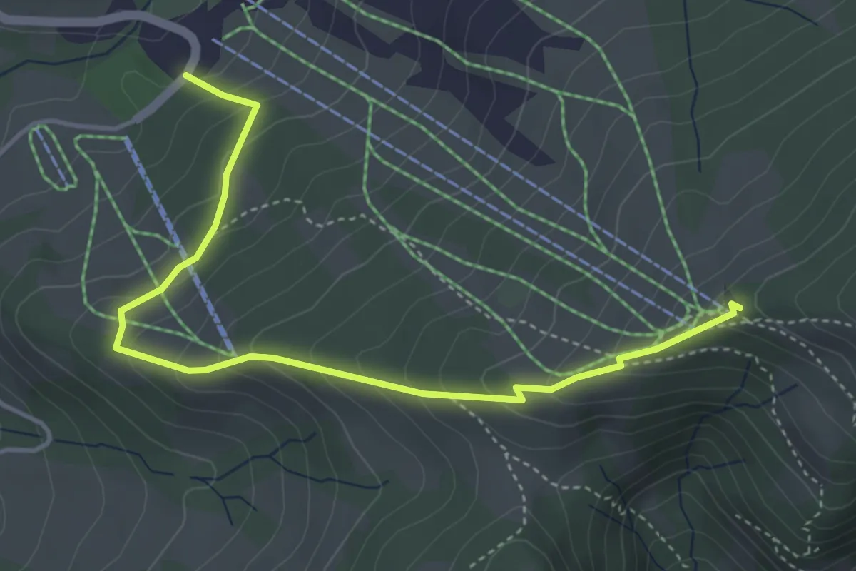
Easy · Trail
Sparrenberg - Weiningen
3.3 km · ↑ 94 m · 59 min
Medium · Cabin
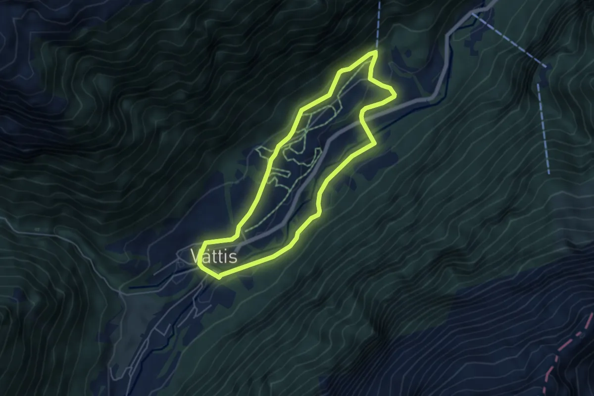
Spatz Männi Erlebnisweg
4.5 km · ↑ 336 m · 1 h 48 min
Easy · Trail
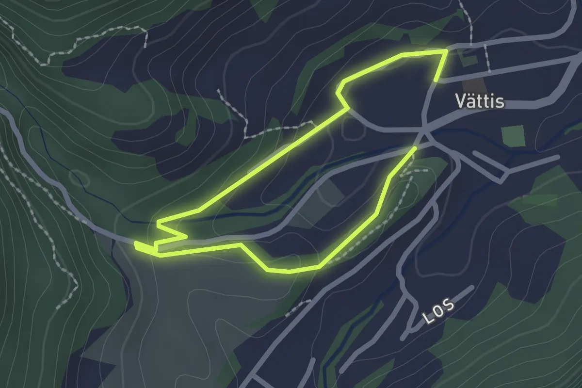
Spazier Rundweg Radein
4.6 km · ↑ 104 m · 1 h 22 min
Easy · Trail
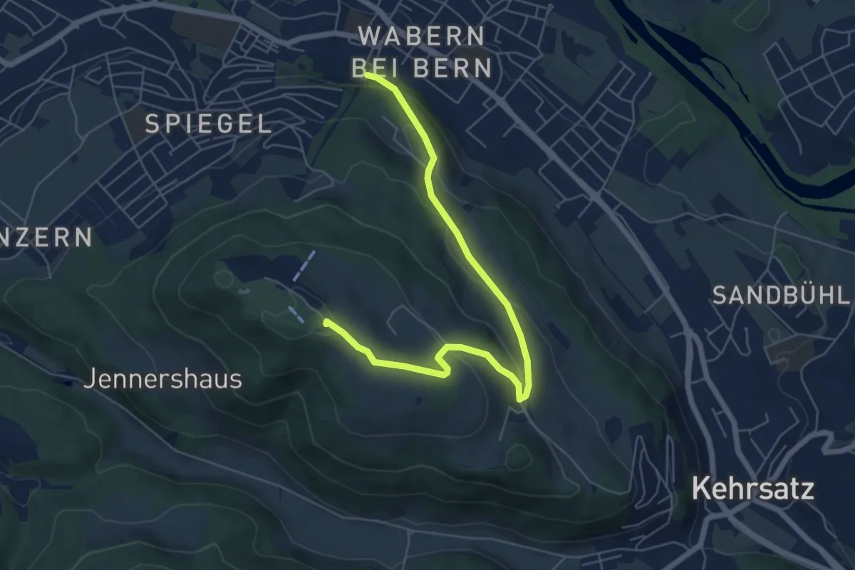
Spazier Rundweg Tamina
1.5 km · ↑ 47 m · 28 min
Easy · Summit
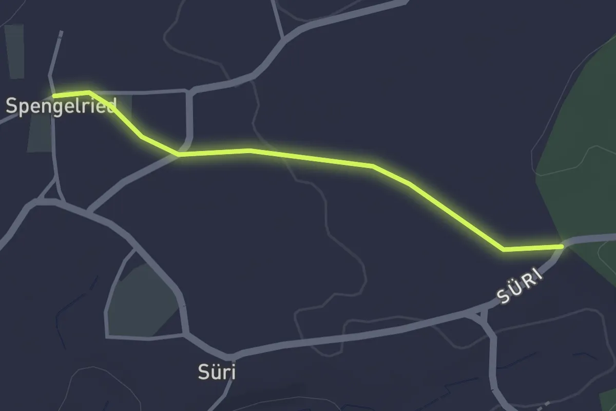
Spazierweg
6.4 km · ↑ 269 m · 2 h 5 min
Easy · Trail
Spengelried - Süri
2.8 km · ↑ 22 m · 43 min
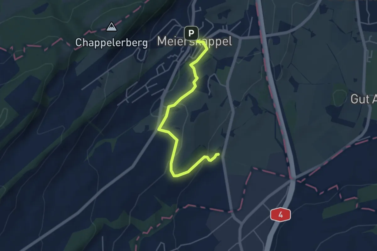
Easy · Trail
Spichte - Meierskappel
4.1 km · ↑ 112 m · 1 h 13 min
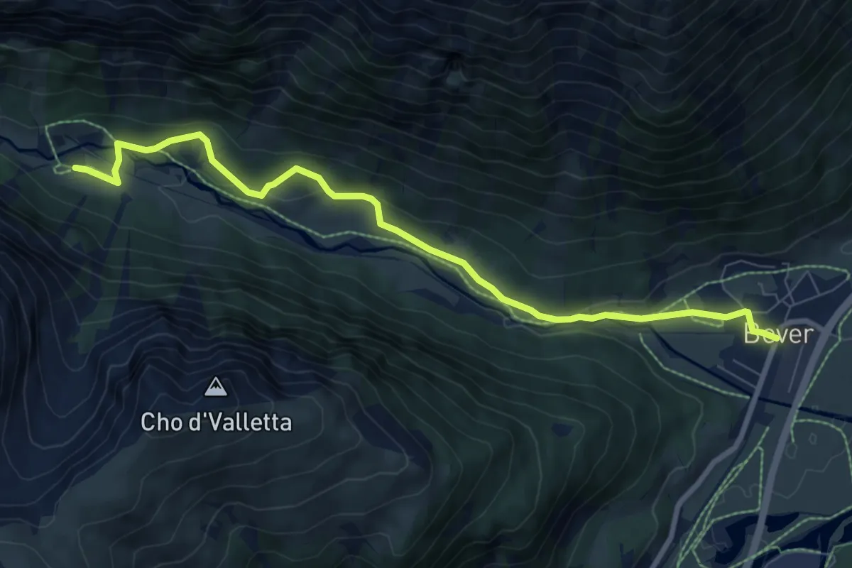
Medium · Trail
Spinas-Bever
8.4 km · ↑ 229 m · 2 h 28 min
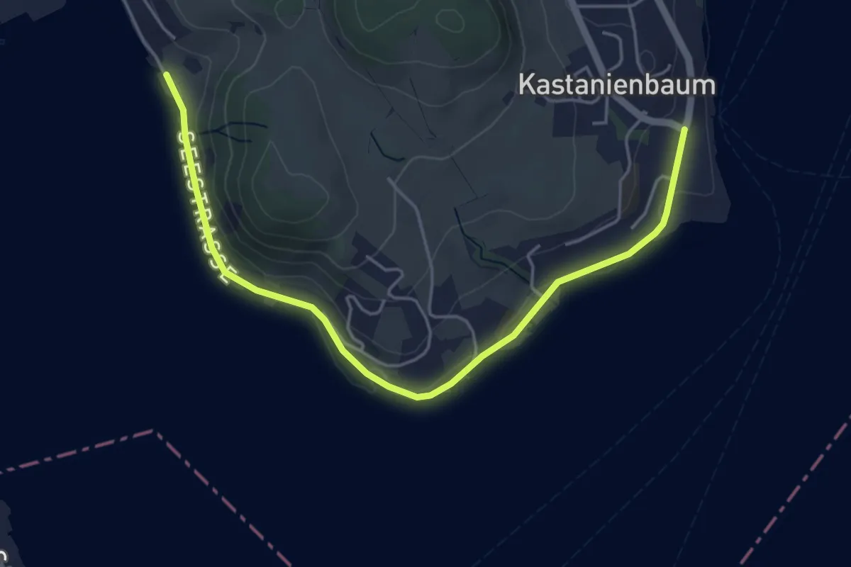
Easy · Trail
Spissenegg - Seeben
5.1 km · ↑ 36 m · 1 h 17 min
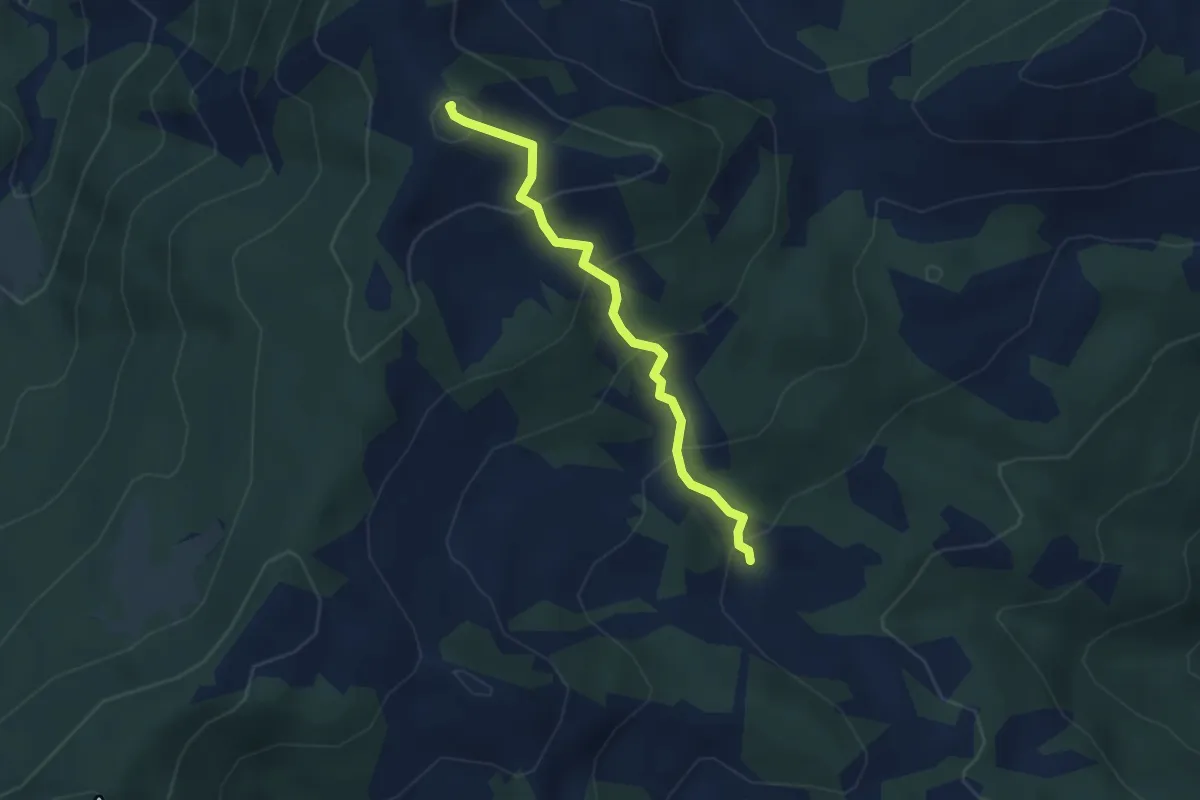
Easy · Summit
Spital - In den Blätzen
3.2 km · ↑ 256 m · 1 h 18 min
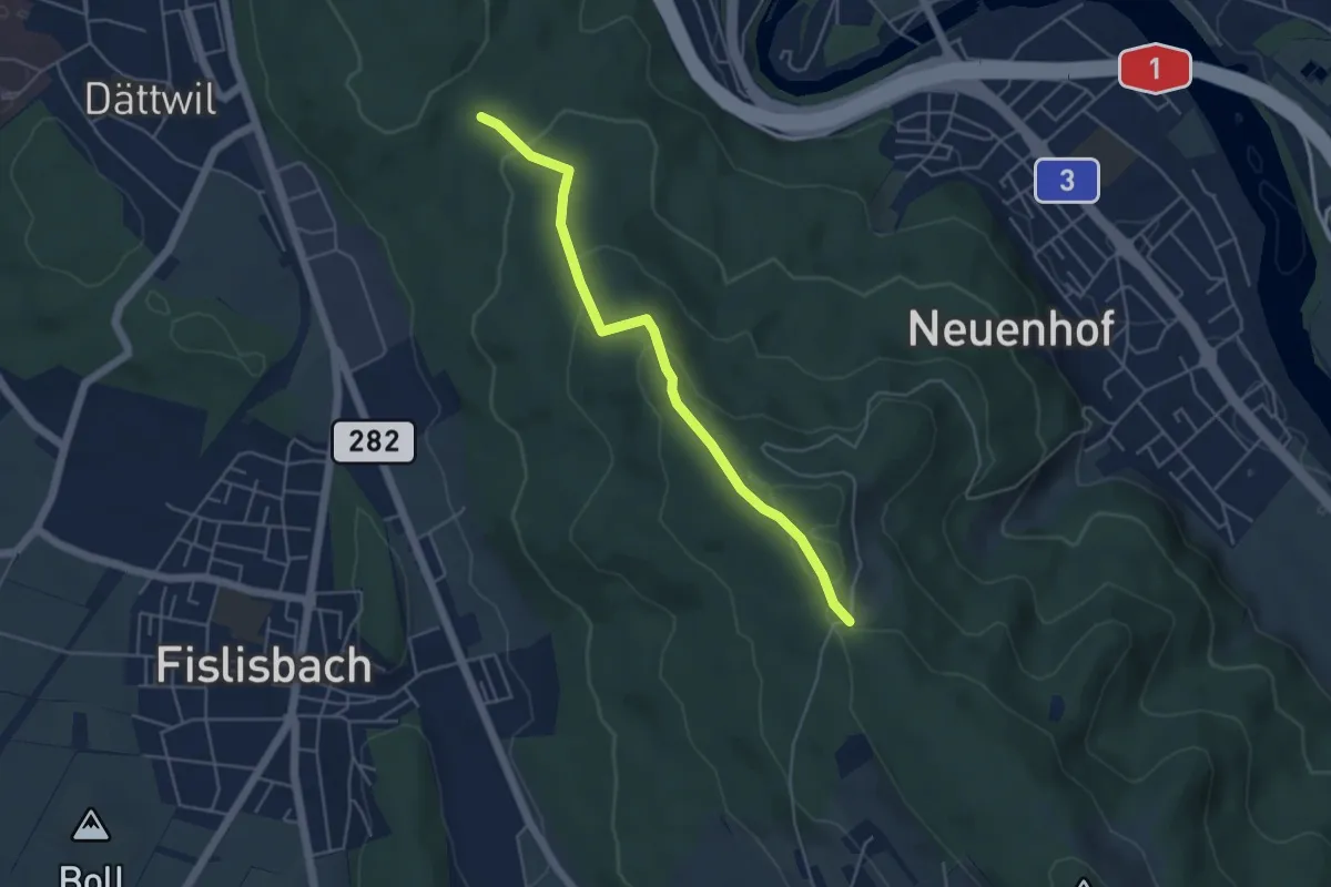
Easy · Trail
Spittelau - Rüsler
4.6 km · ↑ 168 m · 1 h 27 min
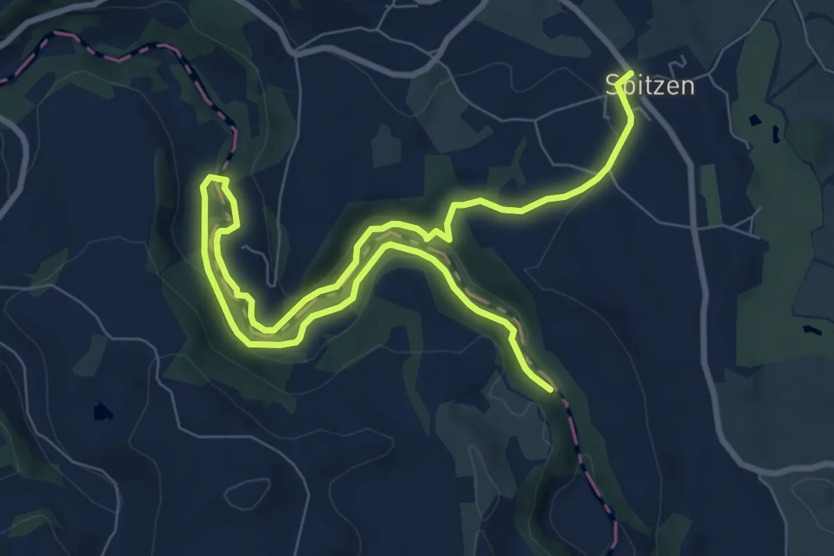
Medium · Trail
Spitzen-Sihlsprung
11.1 km · ↑ 218 m · 3 h 6 min
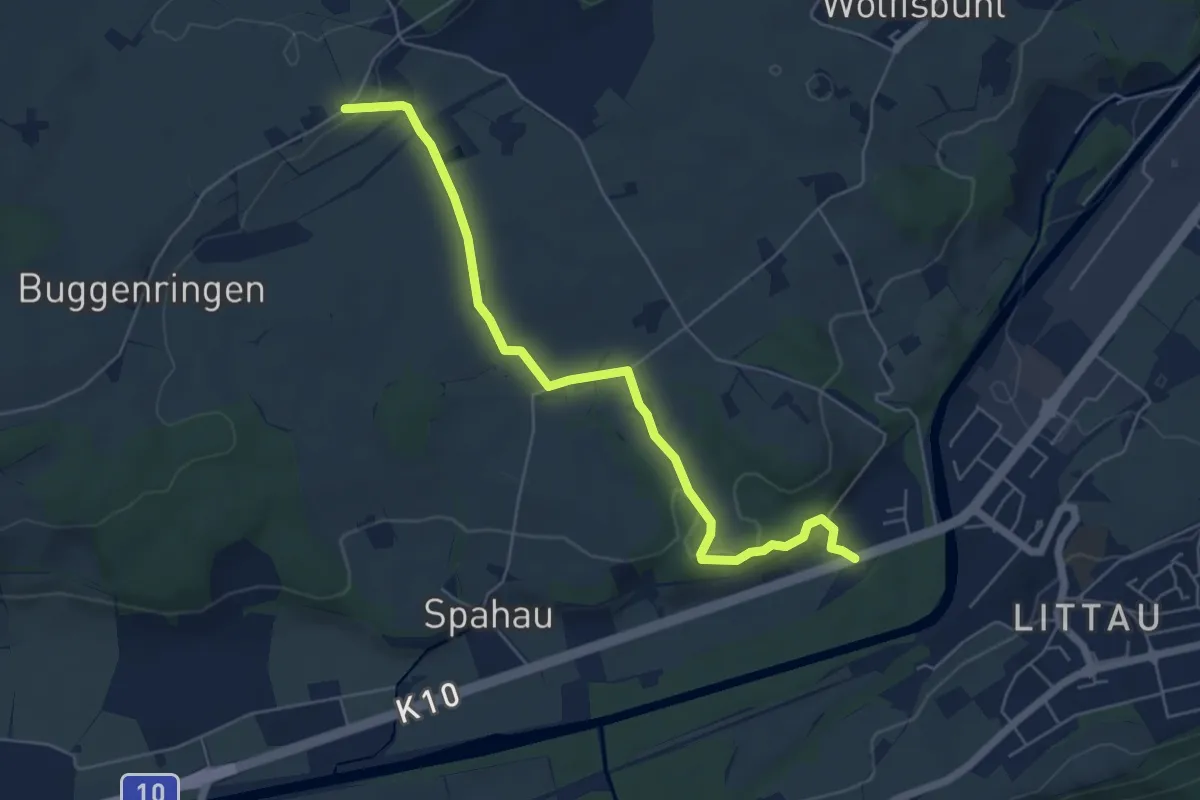
Easy · Trail
Spitzfluhhof - Torenberg
6.0 km · ↑ 97 m · 1 h 37 min
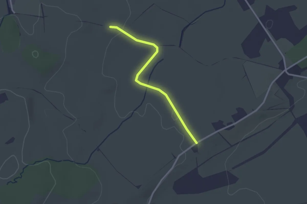
Easy · Trail
Spitzhof-Schwand
2.3 km · ↑ 14 m · 34 min
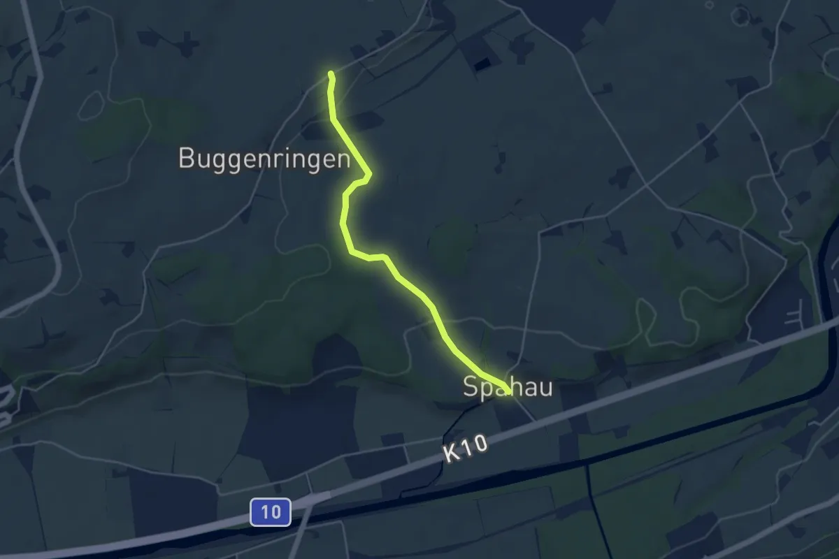
Easy · Trail
Spitzhof-Spahau
4.1 km · ↑ 84 m · 1 h 9 min
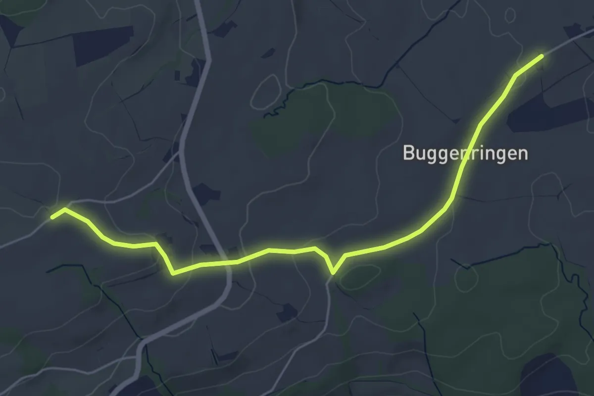
Easy · Trail
Spitzhof - Zinggen
5.4 km · ↑ 101 m · 1 h 30 min
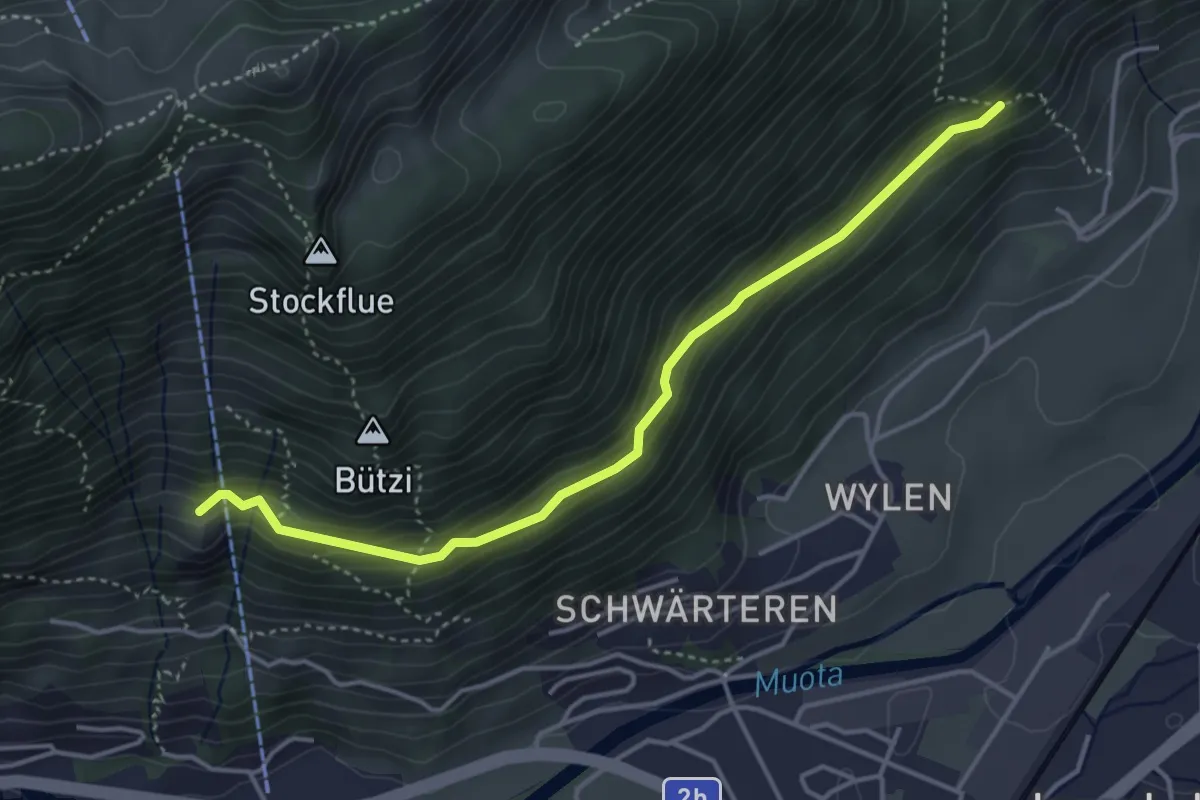
Medium · Trail
Spitz - Stöck
4.1 km · ↑ 229 m · 1 h 28 min
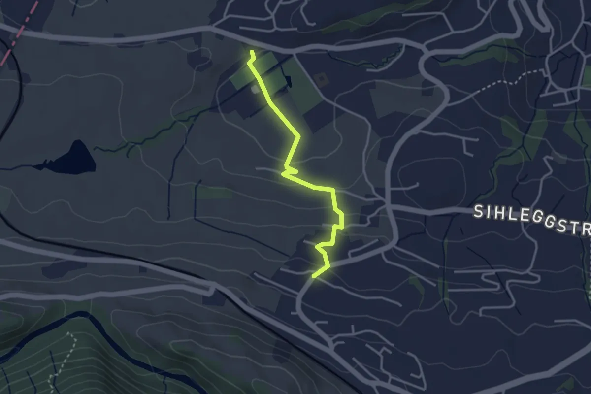
Easy · Trail
Sportplatz Erlen - Äsch
2.8 km · ↑ 95 m · 52 min
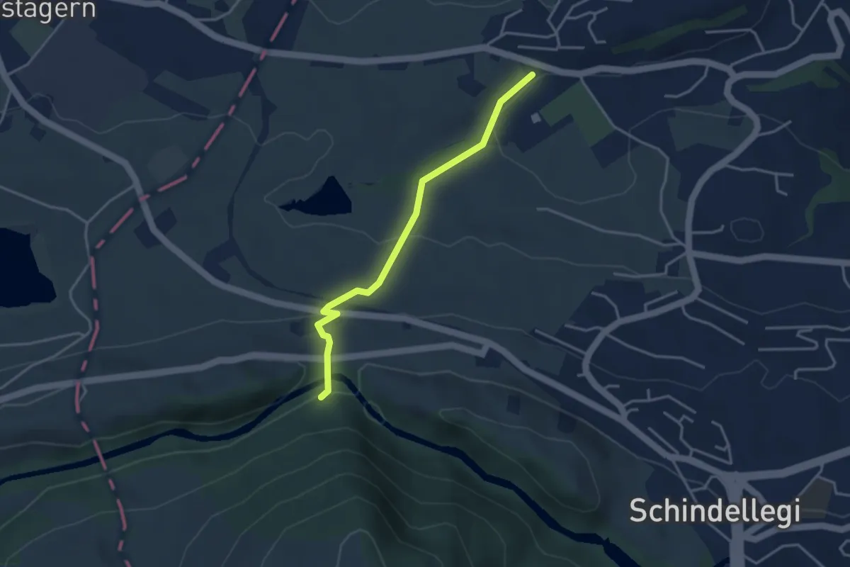
Easy · Trail
Sportplatz Erlen - Scheerenbrugg
3.3 km · ↑ 144 m · 1 h 6 min
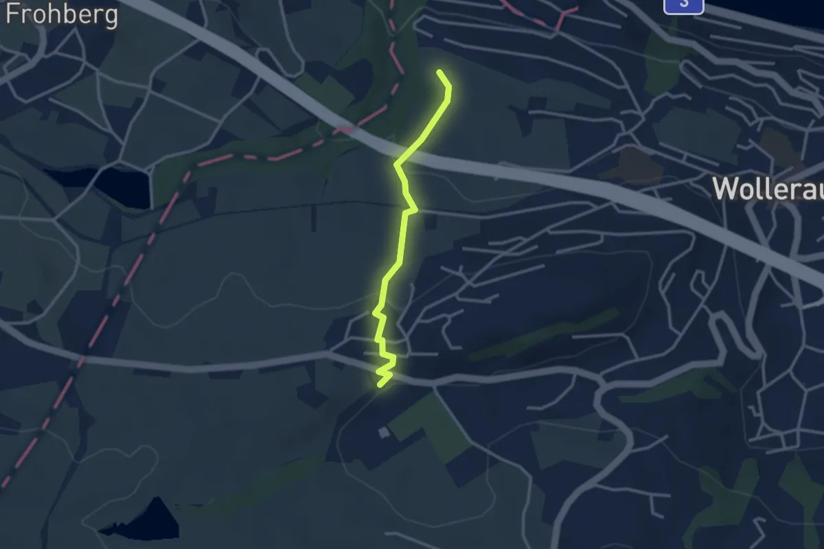
Easy · Trail
Sportplatz Erlen - Schwalbenboden
2.6 km · ↑ 94 m · 49 min
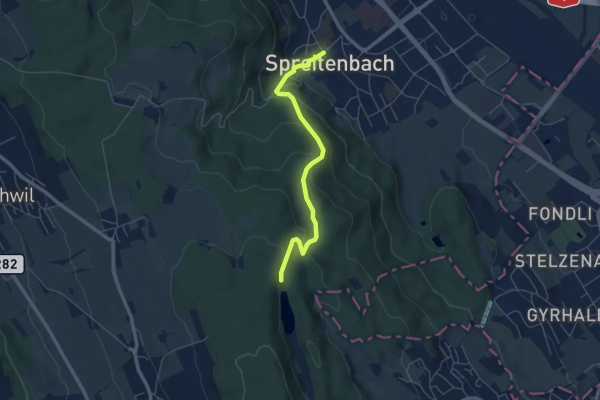
Easy · Trail
Spreitenbach - Egelsee
5.1 km · ↑ 280 m · 1 h 48 min
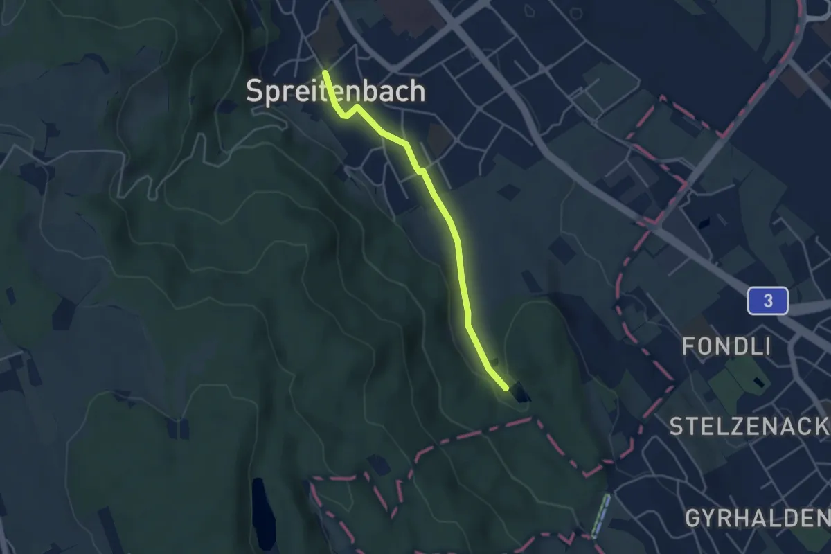
Easy · Trail
Spreitenbach - Franzosenweier
3.6 km · ↑ 40 m · 57 min
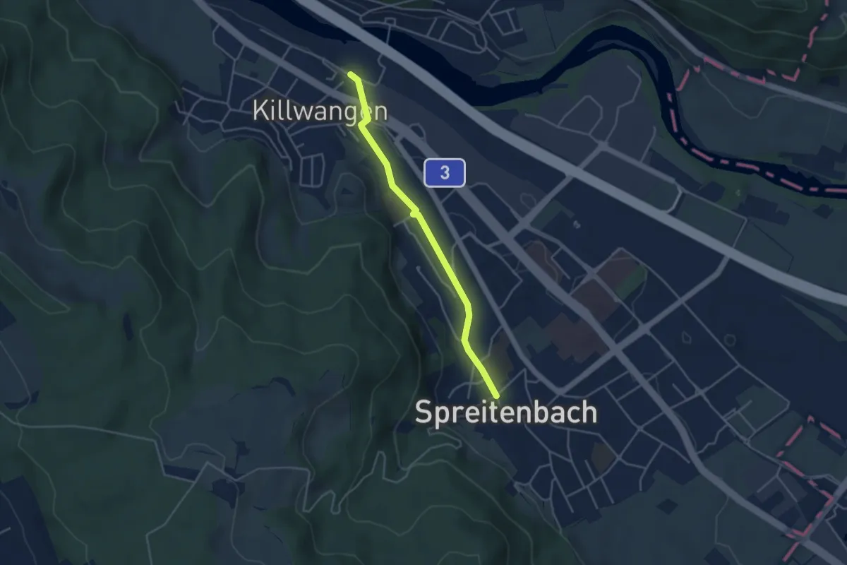
Easy · Trail
Spreitenbach - Killwangen
3.7 km · ↑ 24 m · 55 min
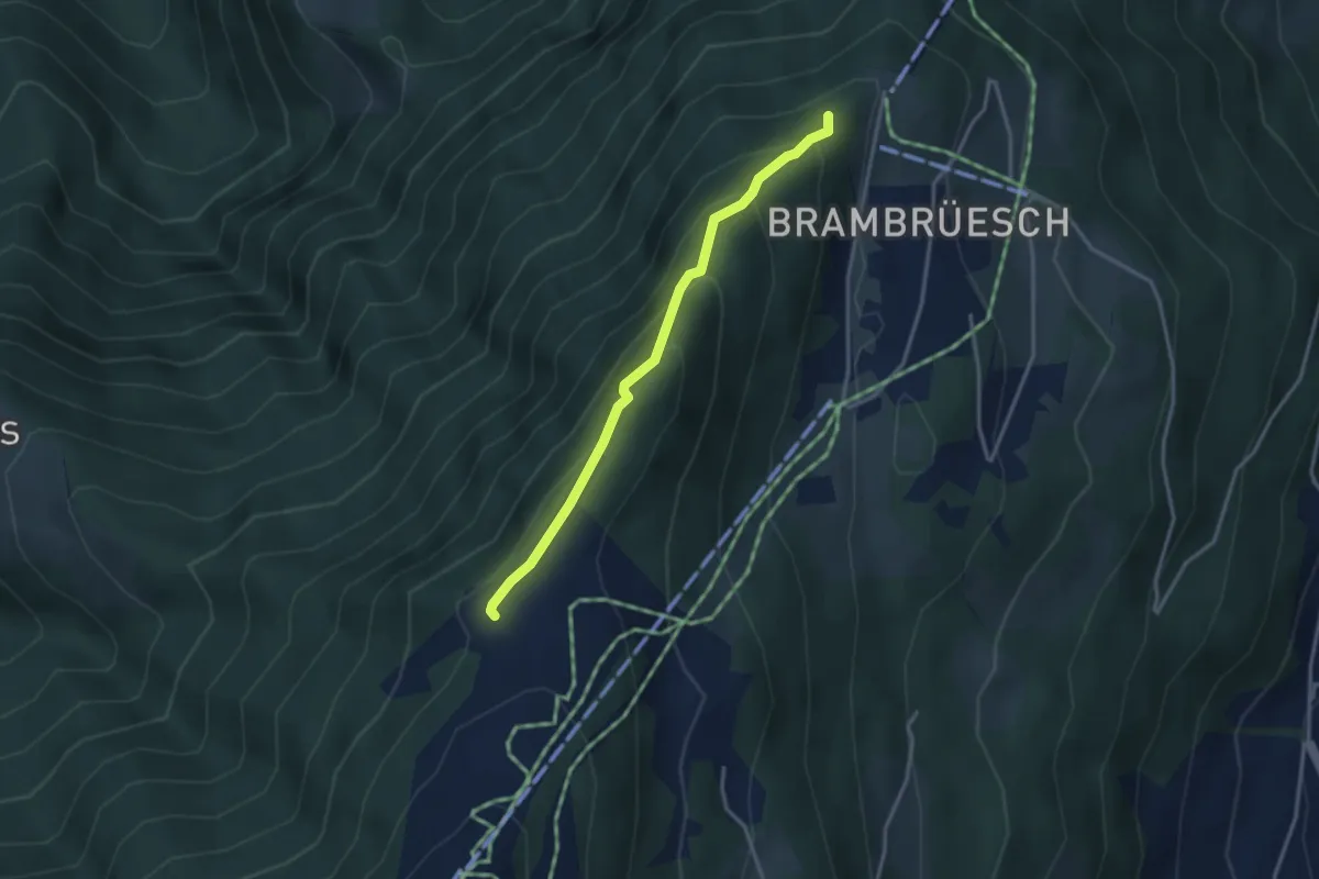
Easy · Trail
Spundisköpf See - Spundisköpf? / Känzeli? - fixme
3.0 km · ↑ 224 m · 1 h 12 min
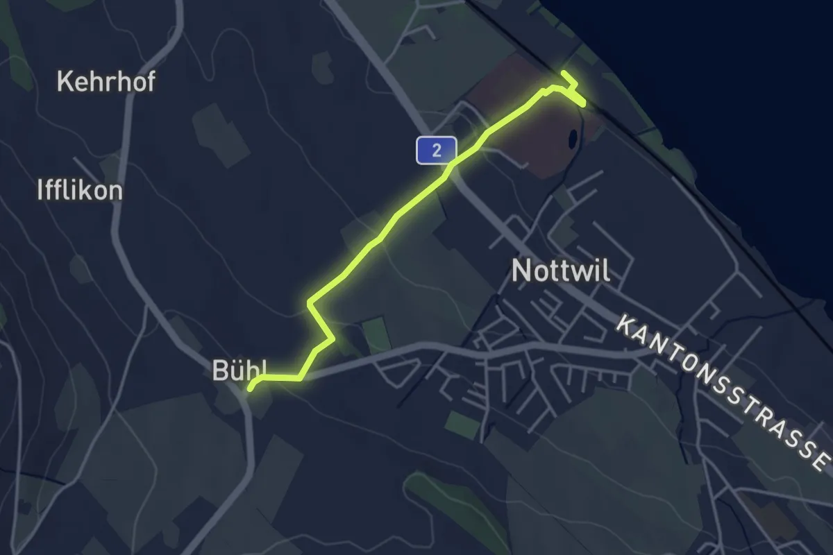
Easy · Trail
SPZ - Büel
3.4 km · ↑ 75 m · 58 min
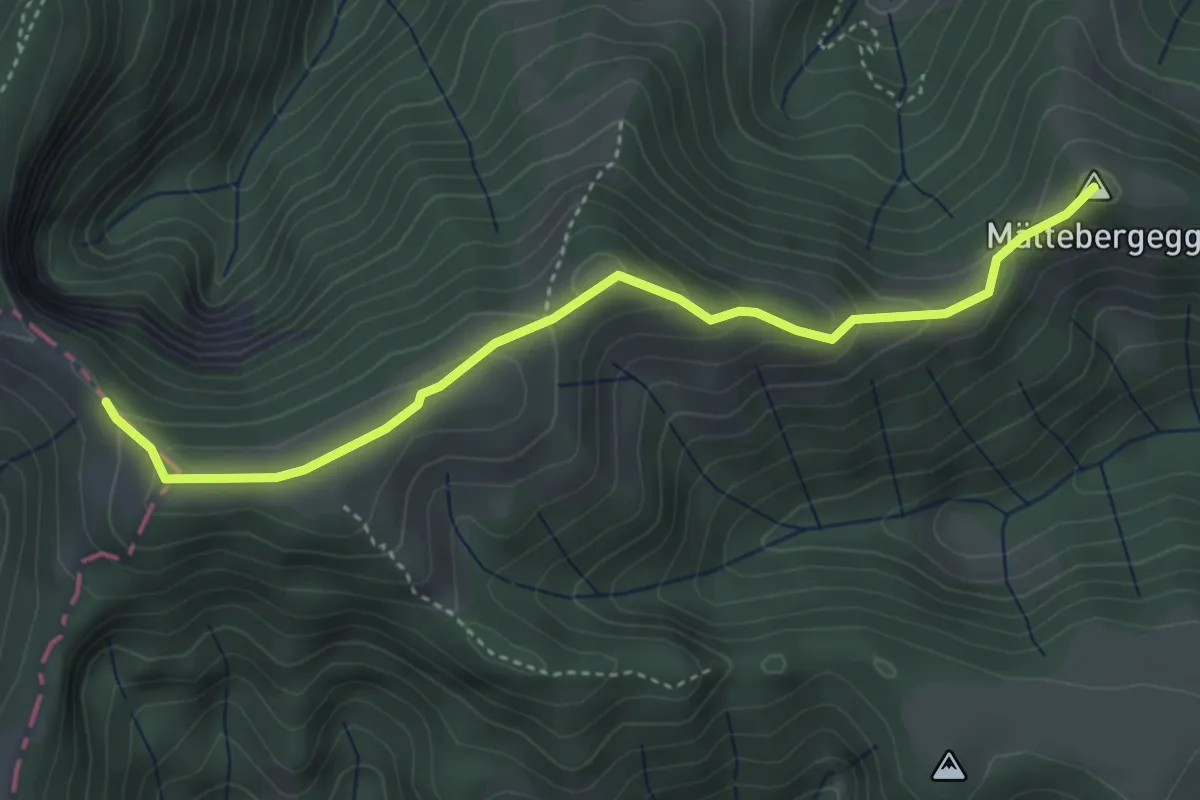
Easy · Summit
Stächelegg - Holzwäge
4.1 km · ↑ 224 m · 1 h 27 min
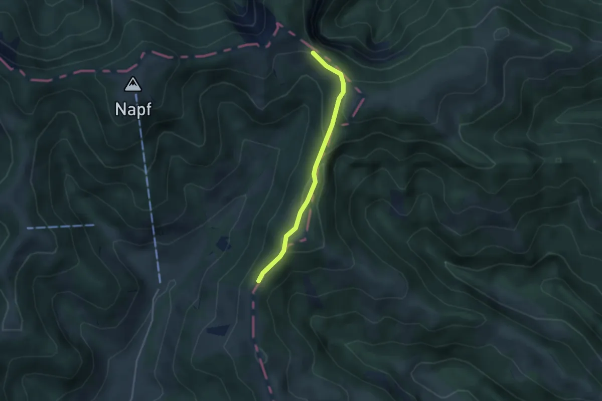
Easy · Trail
Stächelegg - Trimle
2.8 km · ↑ 118 m · 56 min
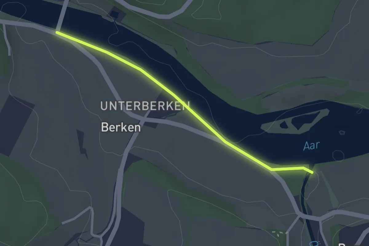
Easy · Trail
Stadönz-Berkenbrücke
2.4 km · ↑ 0 m · 35 min
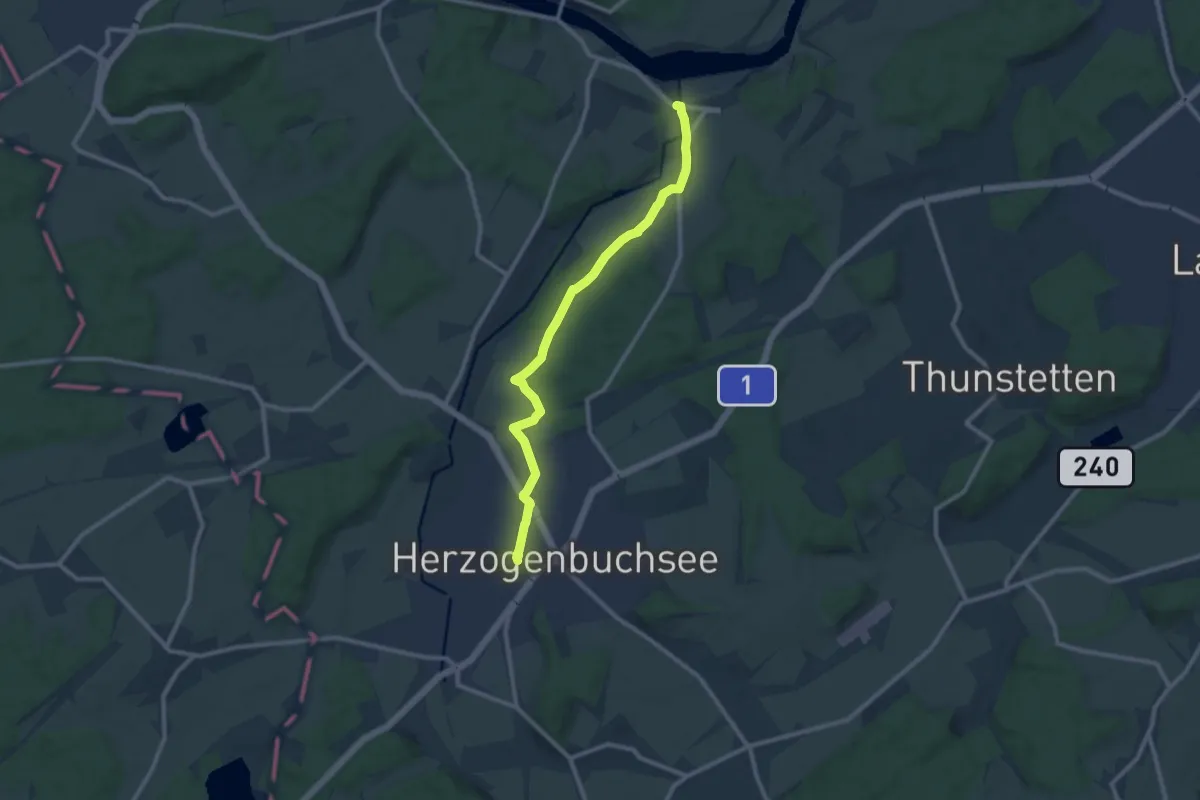
Medium · Trail
Stadönz - Herzogenbuchsee
10.3 km · ↑ 107 m · 2 h 40 min
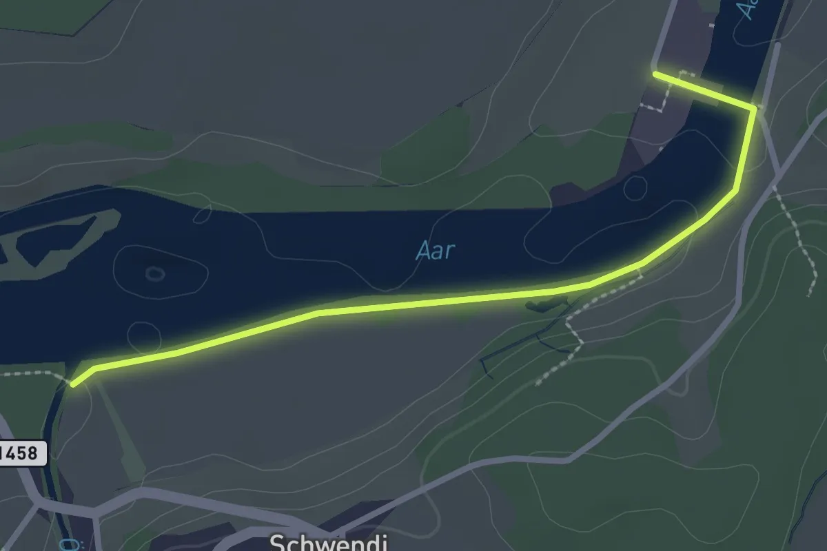
Easy · Trail
Stadönz - Kraftwerk Bannwil
2.7 km · ↑ 0 m · 38 min