Trails in Switzerland
15,064 hiking trails, each with its route, climb, walking time and grade.
All trails, page 106 of 314
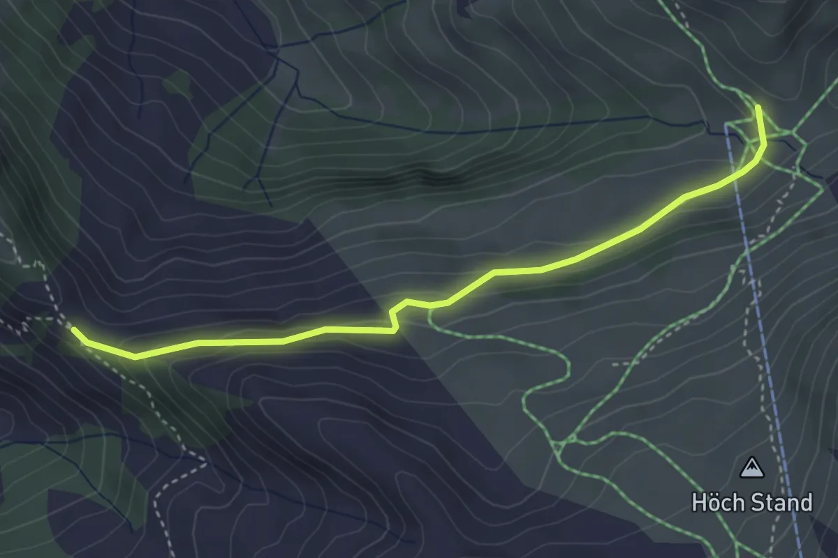
Medium · Trail
Stafel - Bärenfallen
3.7 km · ↑ 163 m · 1 h 14 min
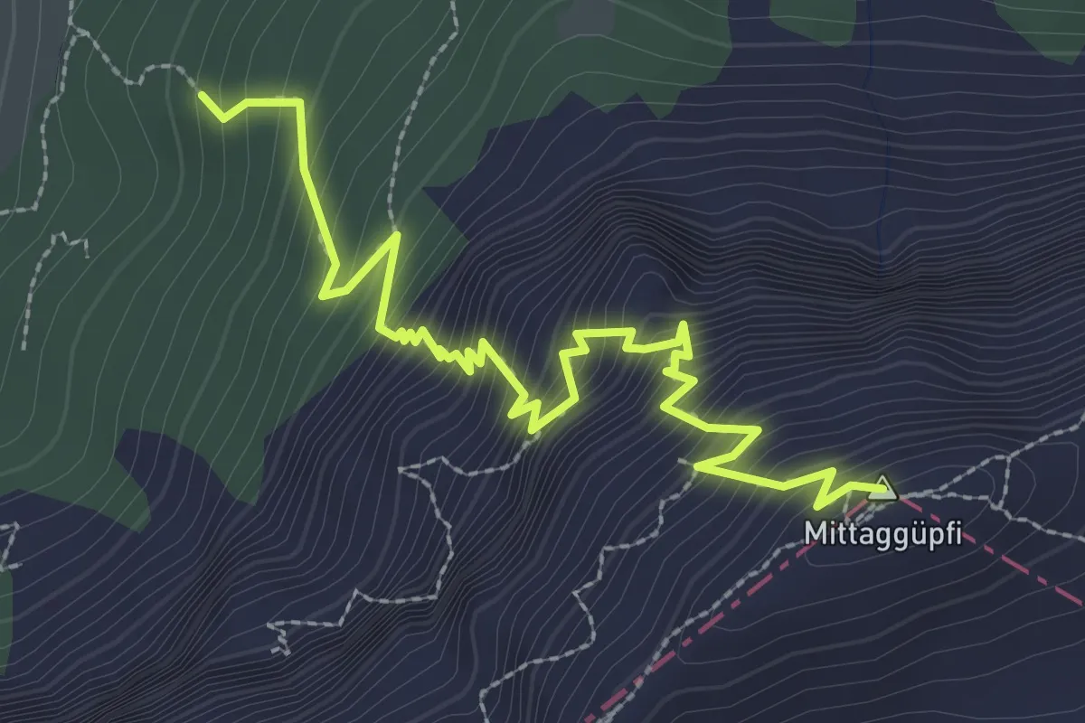
Demanding · Summit
Stäfeli-Mittaggüpfi
3.2 km · ↑ 516 m · 1 h 53 min
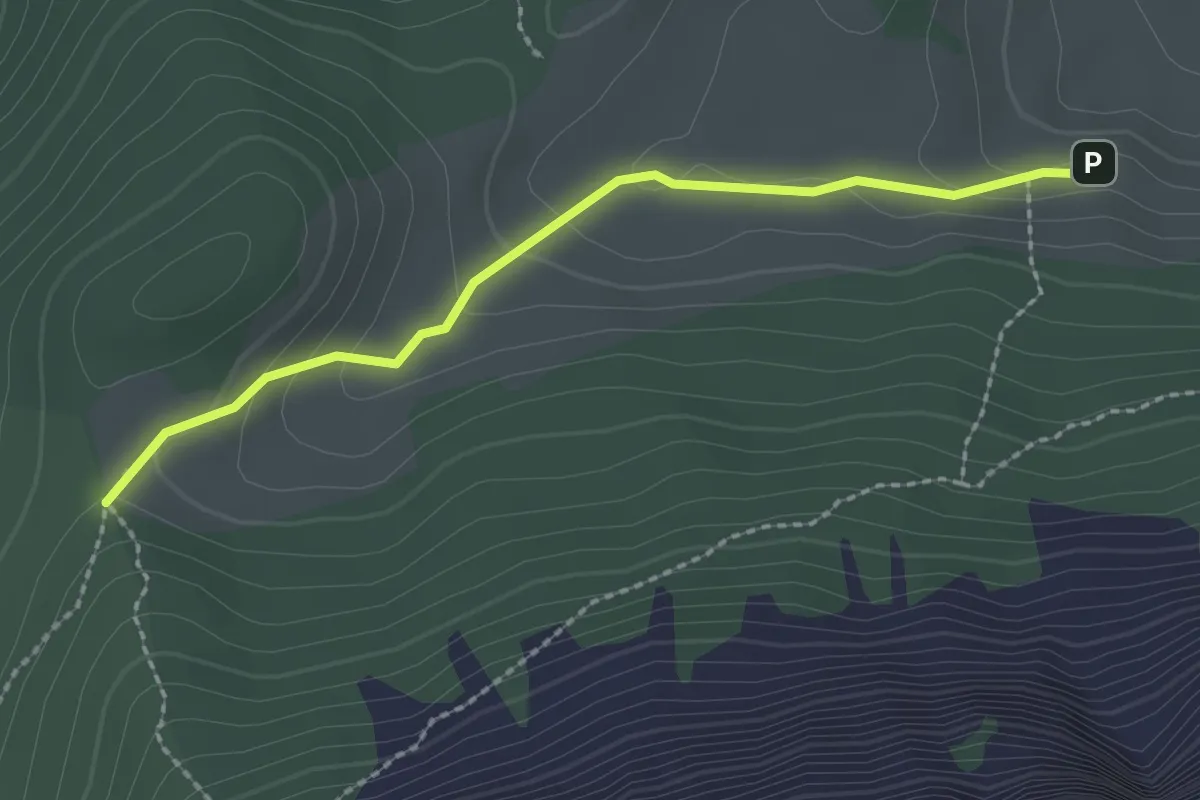
Easy · Trail
Stäfeli - Risetenegg
2.2 km · ↑ 110 m · 45 min
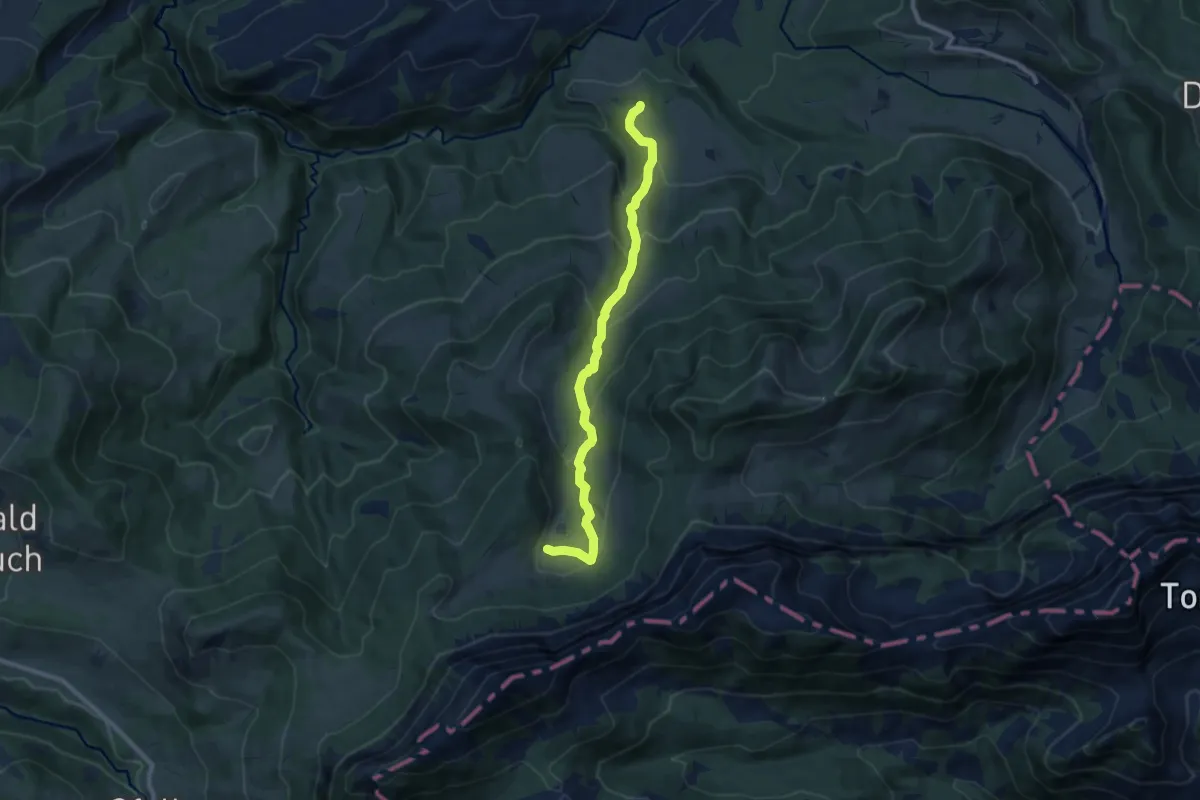
Medium · Trail
Stäfeli - Wassermoos
9.0 km · ↑ 501 m · 3 h 12 min
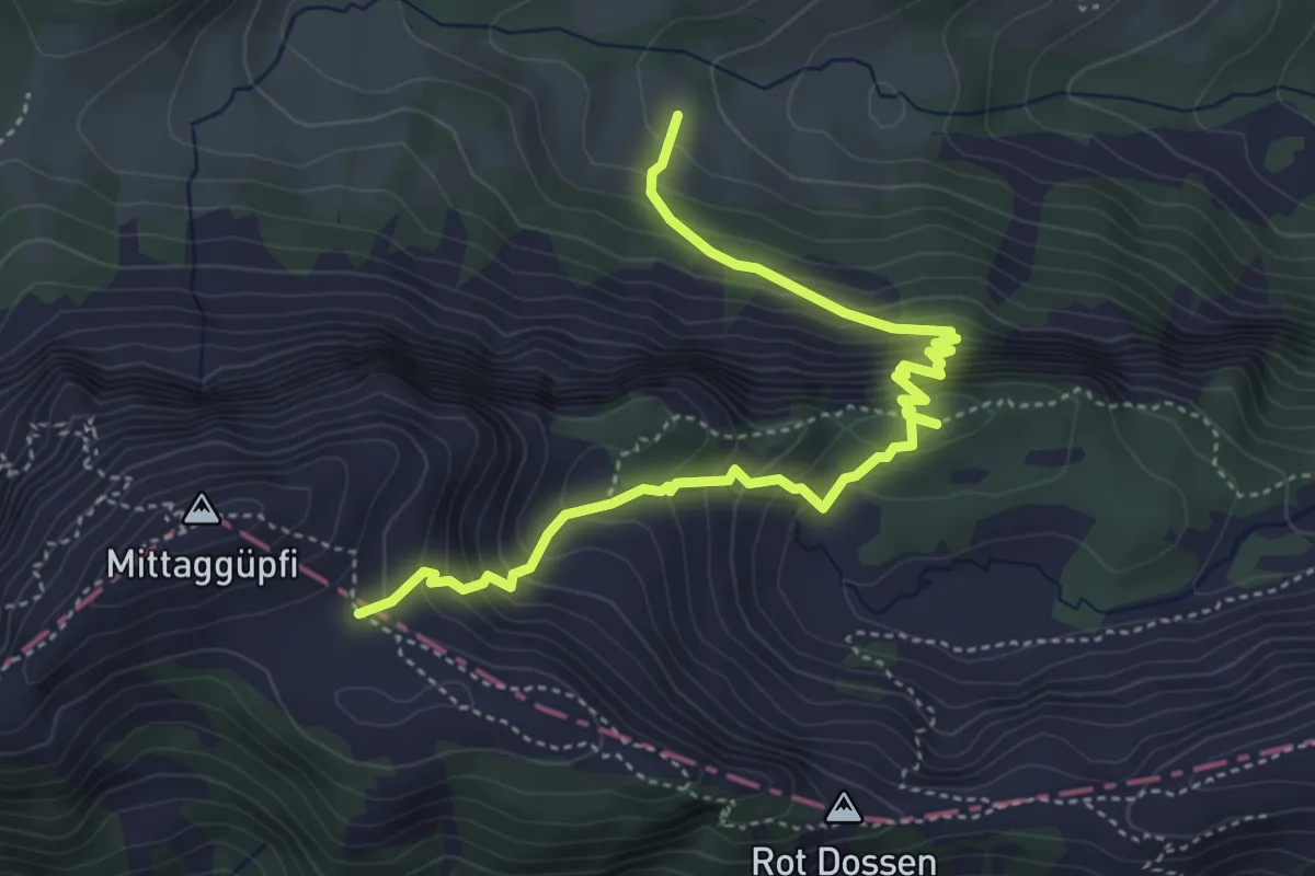
Medium · Trail
Stafel - Oberalp - 1805
5.1 km · ↑ 584 m · 2 h 27 min
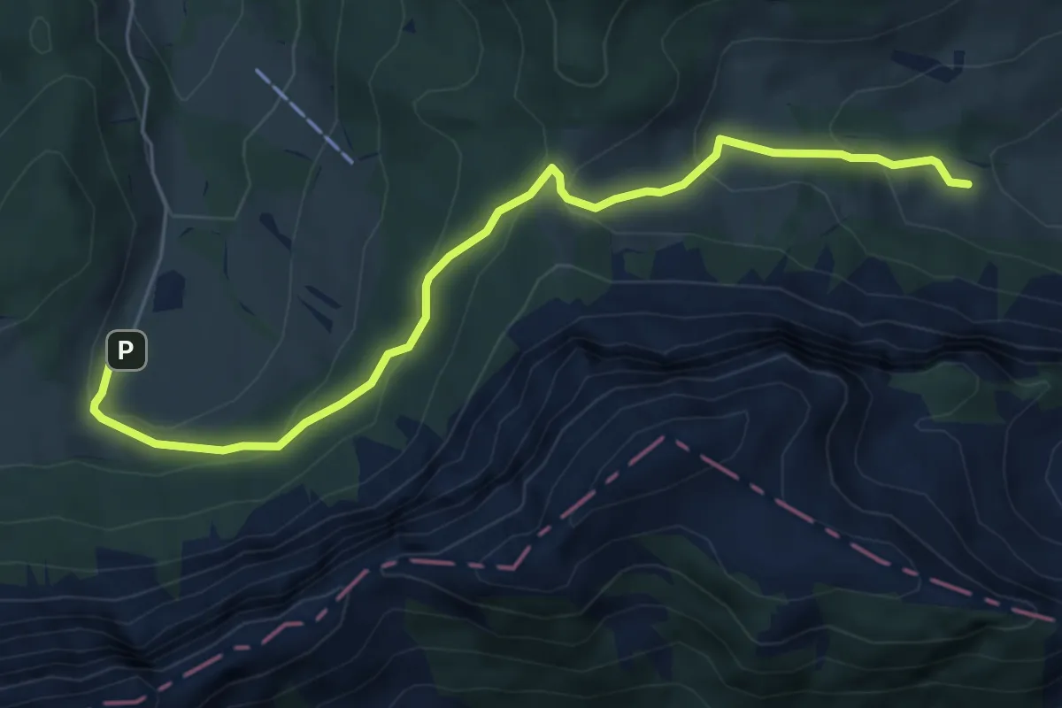
Easy · Trail
Stafel - Trochenmattsattel - Stäfeli
6.3 km · ↑ 318 m · 2 h 10 min
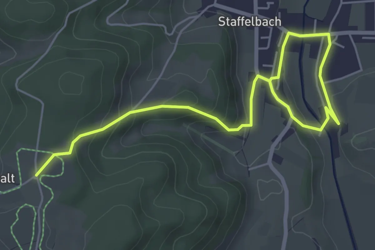
Easy · Trail
Staffelbach - Büel - Uf em Chalt
6.1 km · ↑ 191 m · 1 h 52 min
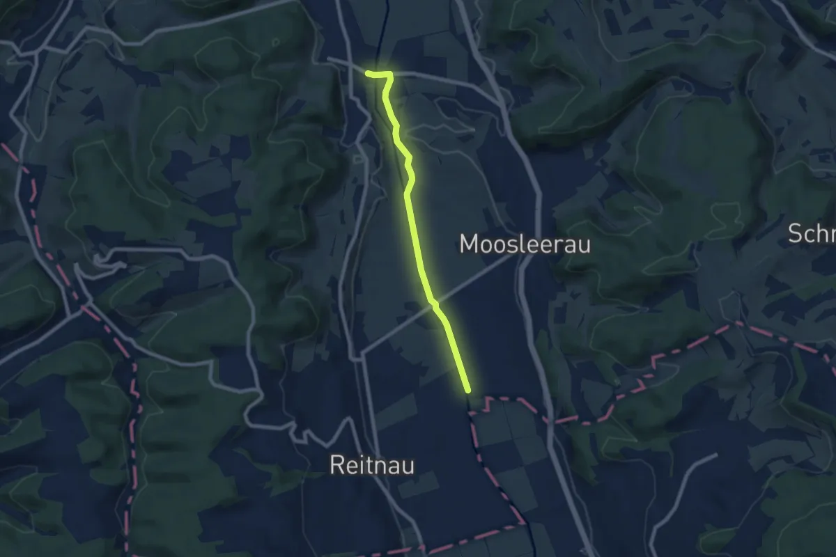
Easy · Trail
Staffelbach - Suhrenthaler
6.5 km · ↑ 19 m · 1 h 34 min
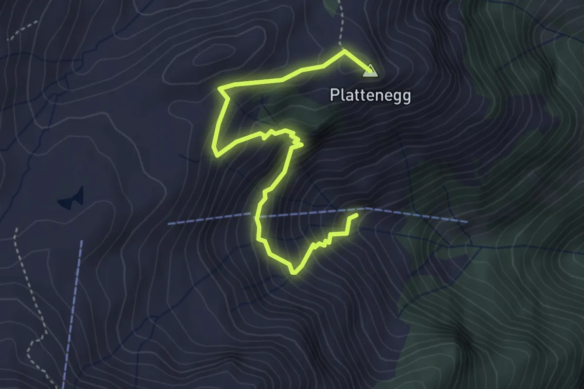
Medium · Summit
Staffel - Bödmen
4.3 km · ↑ 433 m · 1 h 57 min
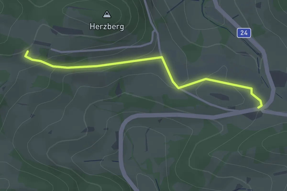
Easy · Trail
Staffelegg-Herzberg
2.7 km · ↑ 83 m · 49 min
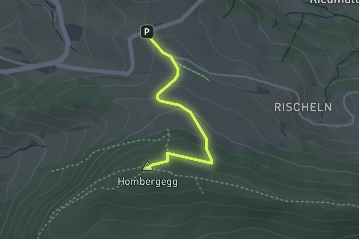
Easy · Summit
Staffelegg Parkplatz - Hombergegg
2.4 km · ↑ 123 m · 50 min
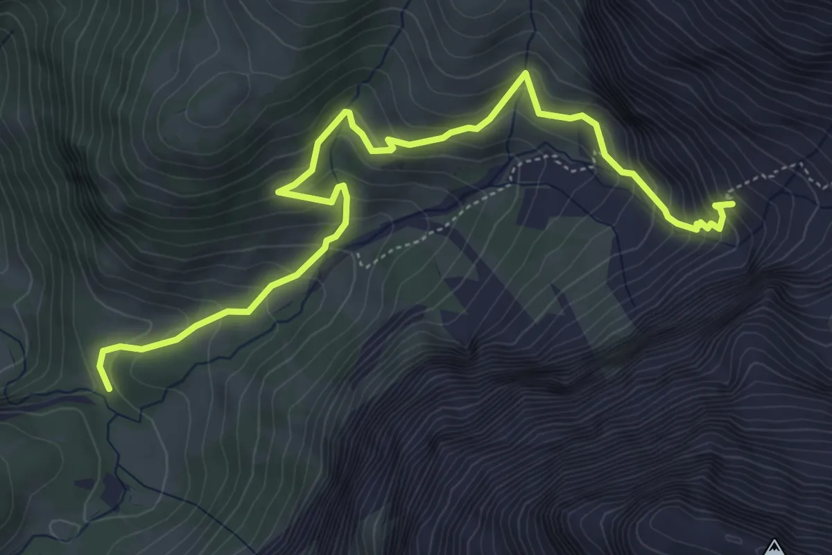
Medium · Cabin
Stalde - Ammertenhütte
6.2 km · ↑ 536 m · 2 h 38 min
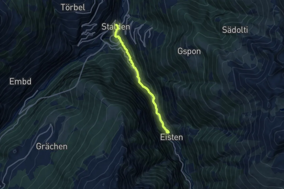
Medium · Trail
Stalden - Eisten
9.3 km · ↑ 608 m · 3 h 31 min
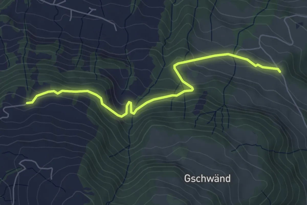
Easy · Trail
Stalden - Grabenegg
5.6 km · ↑ 290 m · 1 h 57 min
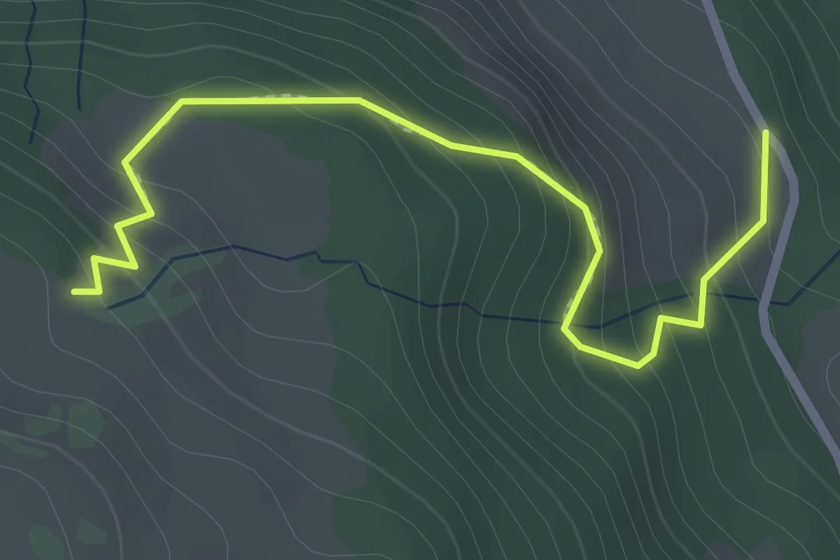
Easy · Trail
Staldenhöhe - Gschwänd
2.4 km · ↑ 226 m · 1 h 3 min
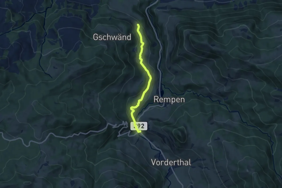
Medium · Trail
Staldenhöhe - Sonne (Vorderthal)
8.0 km · ↑ 283 m · 2 h 30 min
Medium · Trail
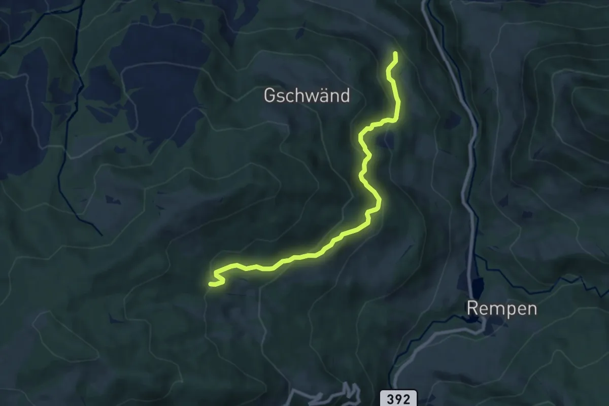
Staldenhöhe - Tuggner Hüttli
7.6 km · ↑ 424 m · 2 h 42 min
Demanding · Trail
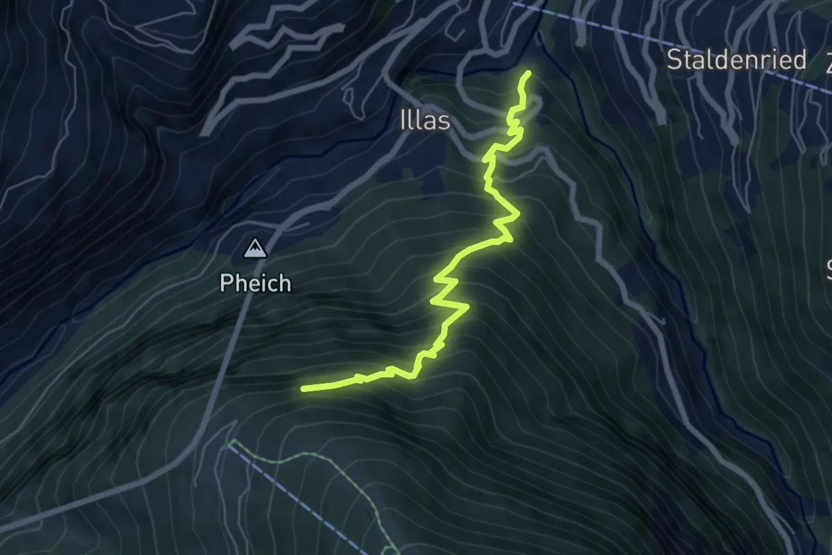
Stalden - Hohtschuggen
5.9 km · ↑ 907 m · 3 h 22 min
Easy · Trail
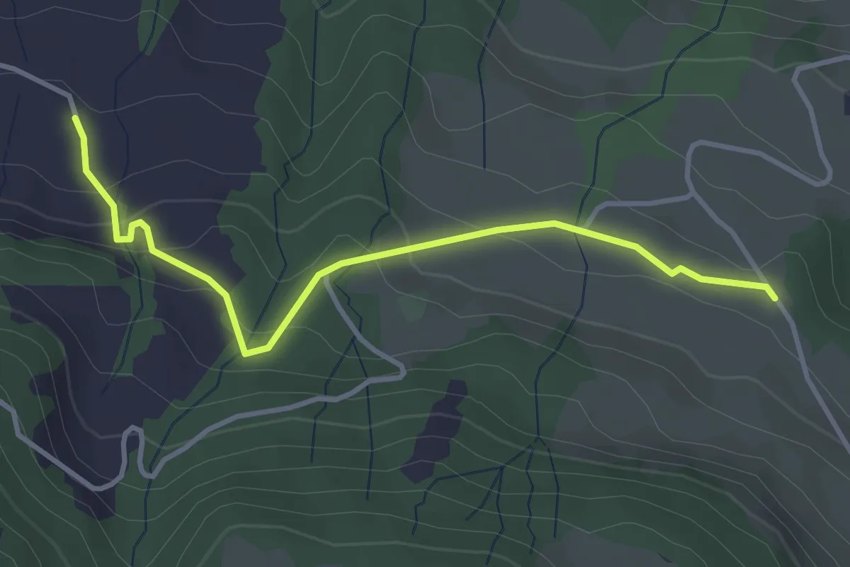
Stalden - Moos
3.5 km · ↑ 192 m · 1 h 15 min
Demanding · Trail
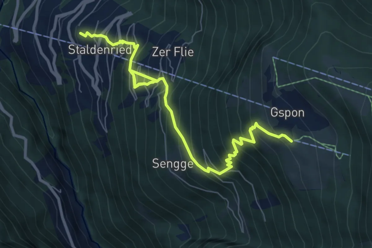
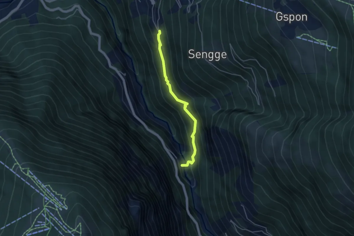
Staldenried - Gspon
8.1 km · ↑ 963 m · 3 h 59 min
Medium · Trail
Staldenried - Raftgarten
3.7 km · ↑ 359 m · 1 h 38 min
Medium · Trail
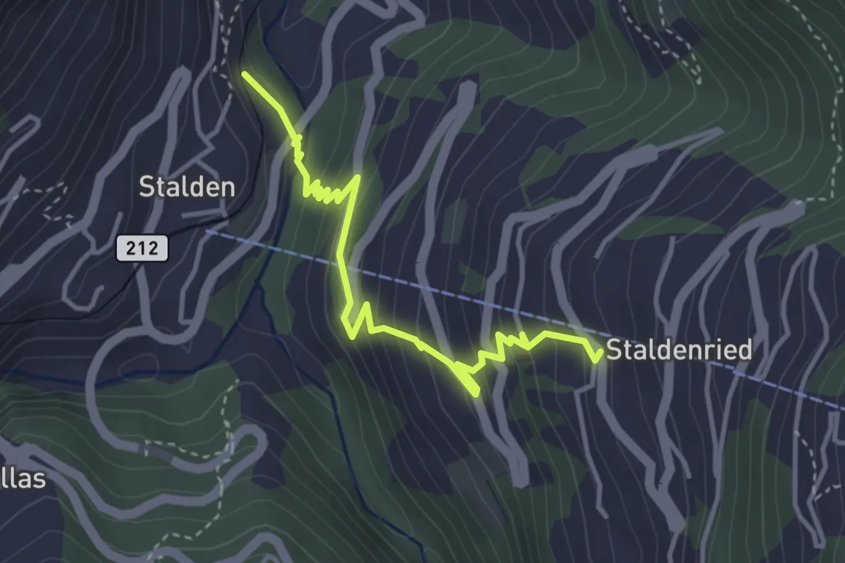
Stalden - Staldenried
3.7 km · ↑ 344 m · 1 h 38 min
Demanding · Trail
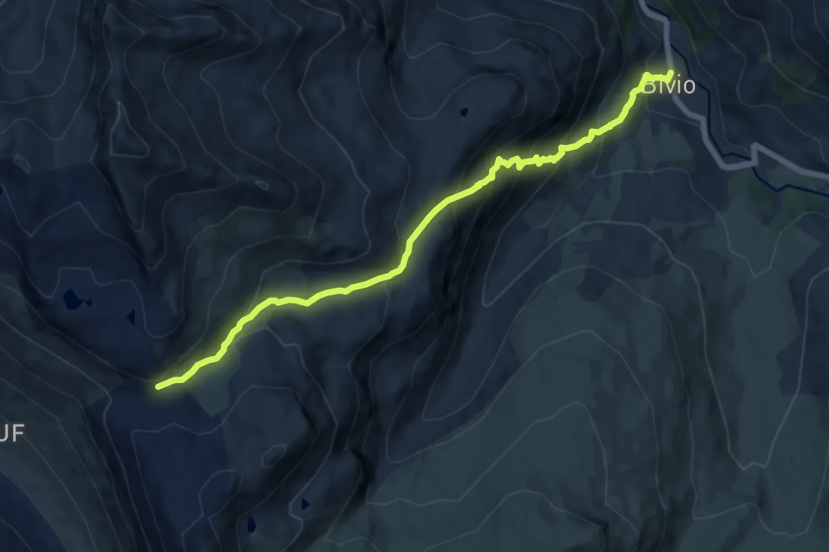
Stallerberg - Bivio
10.6 km · ↑ 815 m · 4 h 16 min
Demanding · Trail
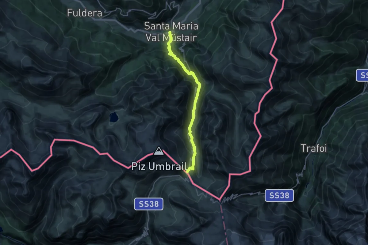
Sta. Maria - Pass Umbrail
16.6 km · ↑ 1234 m · 6 h 35 min
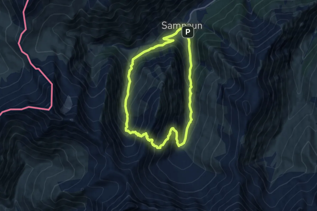
Demanding · Trail
Stammerjoch-Weg
9.8 km · ↑ 804 m · 4 h 12 min
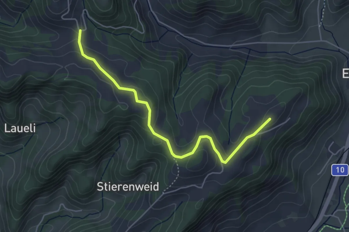
Easy · Trail
St.Anna - Bödeli
4.5 km · ↑ 156 m · 1 h 24 min
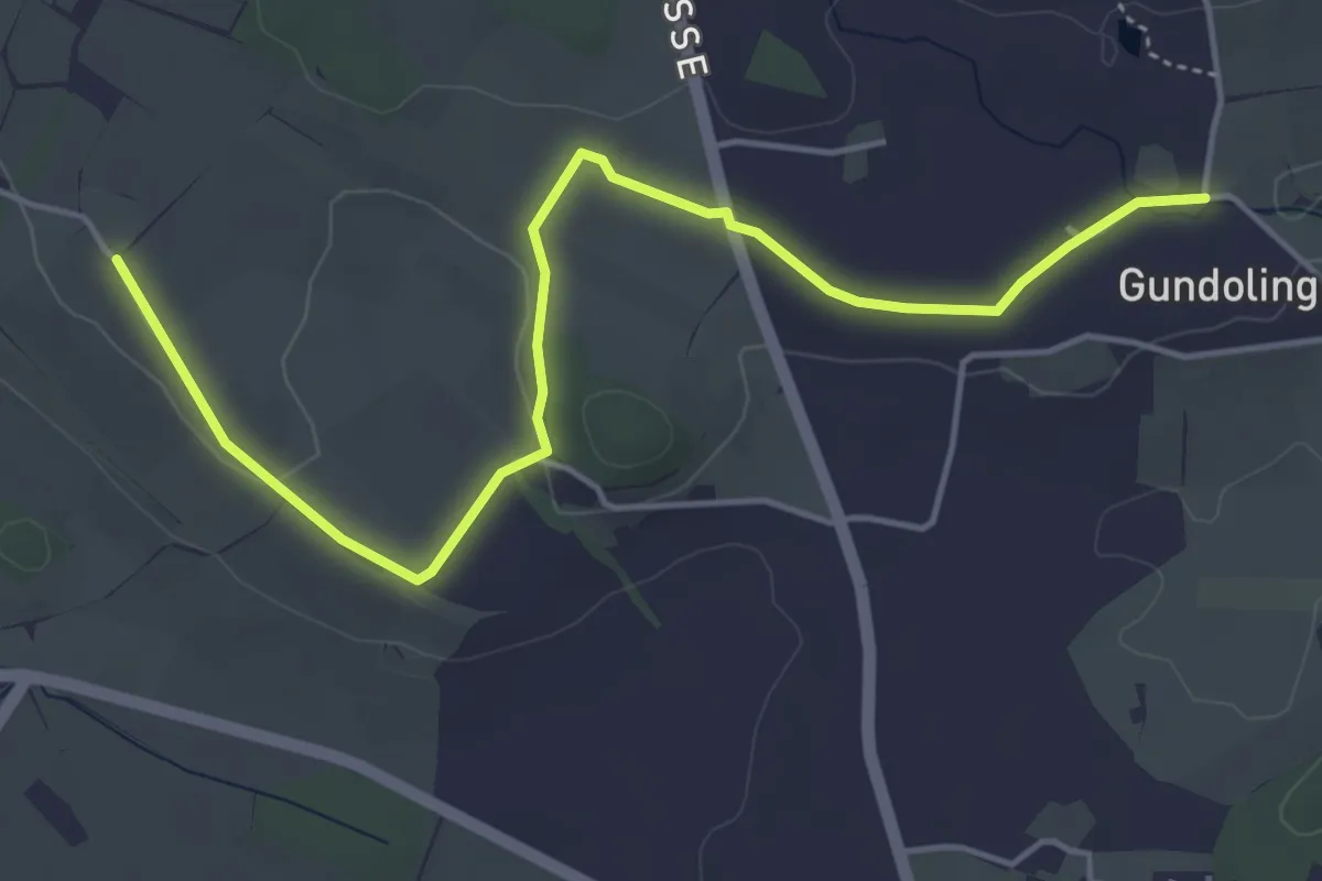
Easy · Trail
St.Anna - Gundolinge
5.3 km · ↑ 39 m · 1 h 20 min
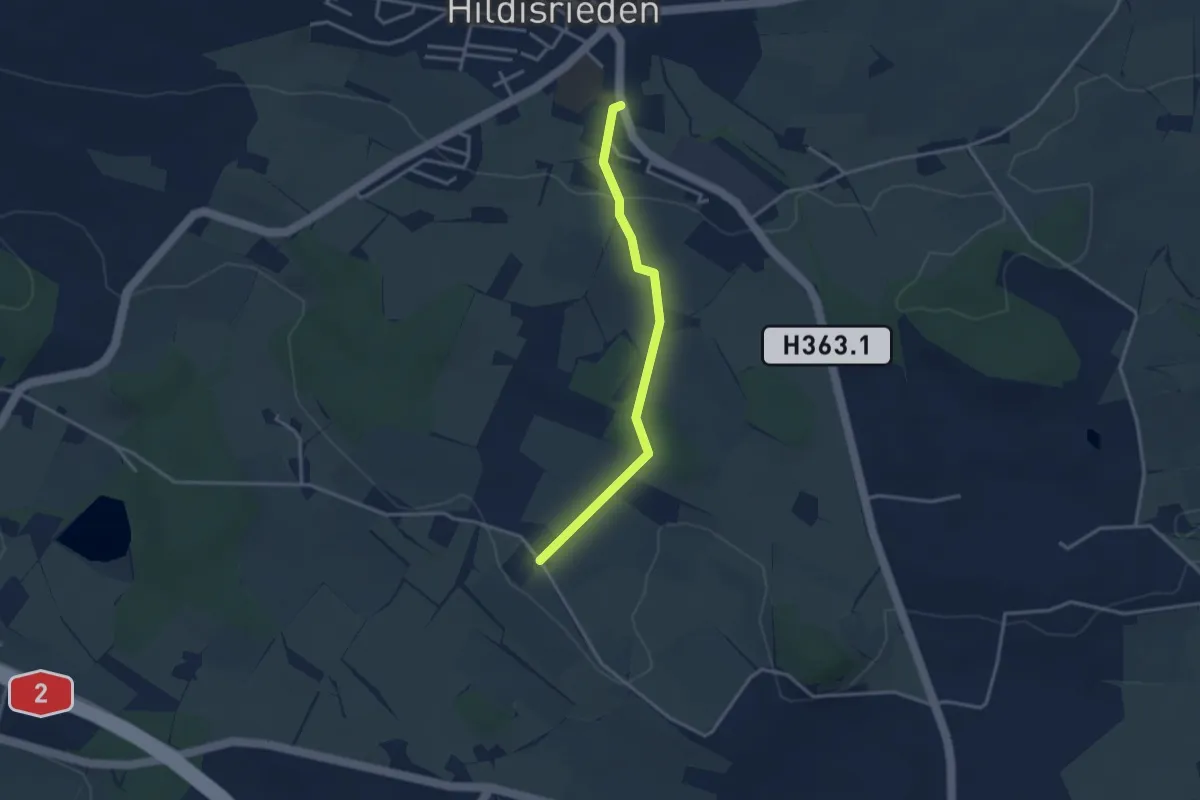
Easy · Trail
St. Anna - Hildisrieden
3.1 km · ↑ 72 m · 53 min
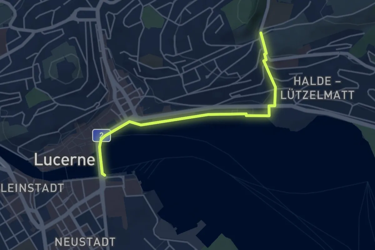
Easy · Trail
St. Anna - Luzern
4.3 km · ↑ 95 m · 1 h 13 min
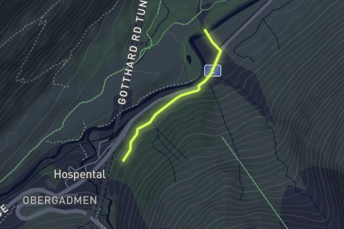
Easy · Trail
St. Annawald-Rüssenbiel
2.5 km · ↑ 72 m · 44 min
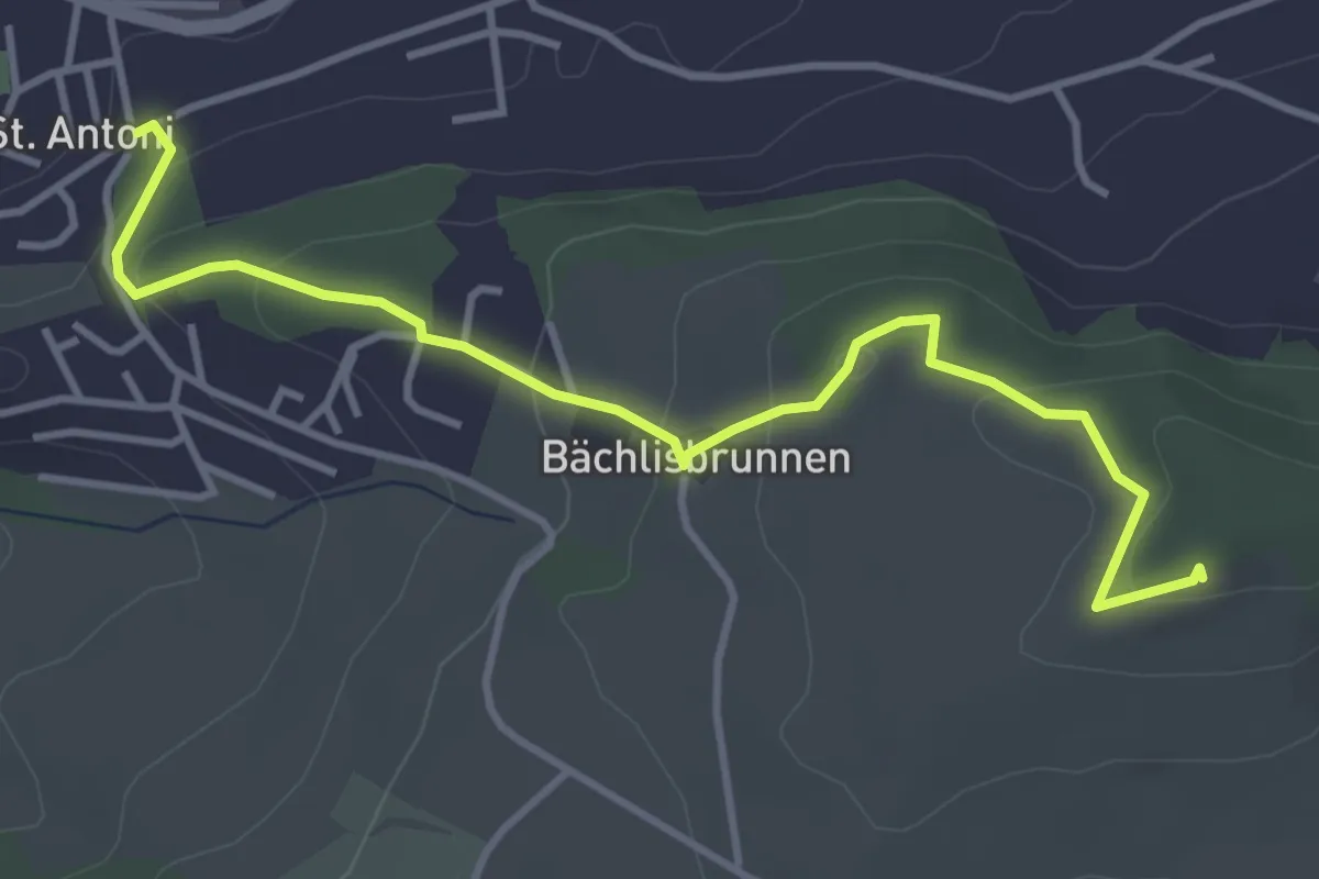
Easy · Trail
St. Antoni - Chutz
4.3 km · ↑ 154 m · 1 h 20 min
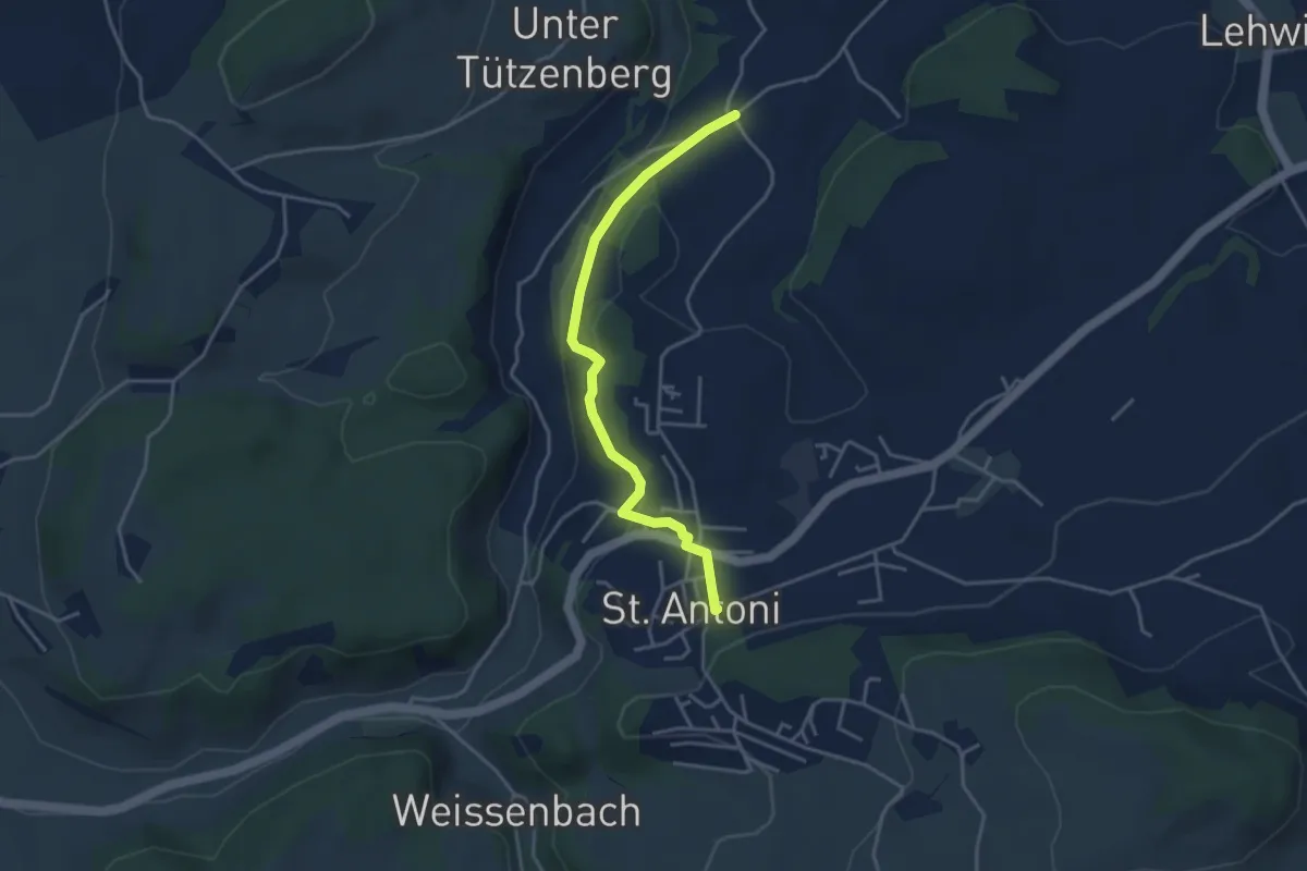
Easy · Trail
St. Antoni - Meinzishaus
3.8 km · ↑ 154 m · 1 h 14 min
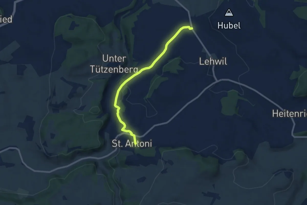
Easy · Trail
St. Antoni - Niedermuhren
6.8 km · ↑ 177 m · 1 h 59 min
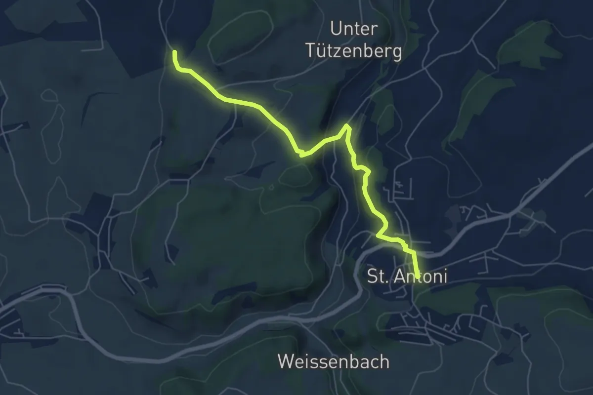
Easy · Trail
St. Antoni - Wiler
5.8 km · ↑ 279 m · 1 h 59 min
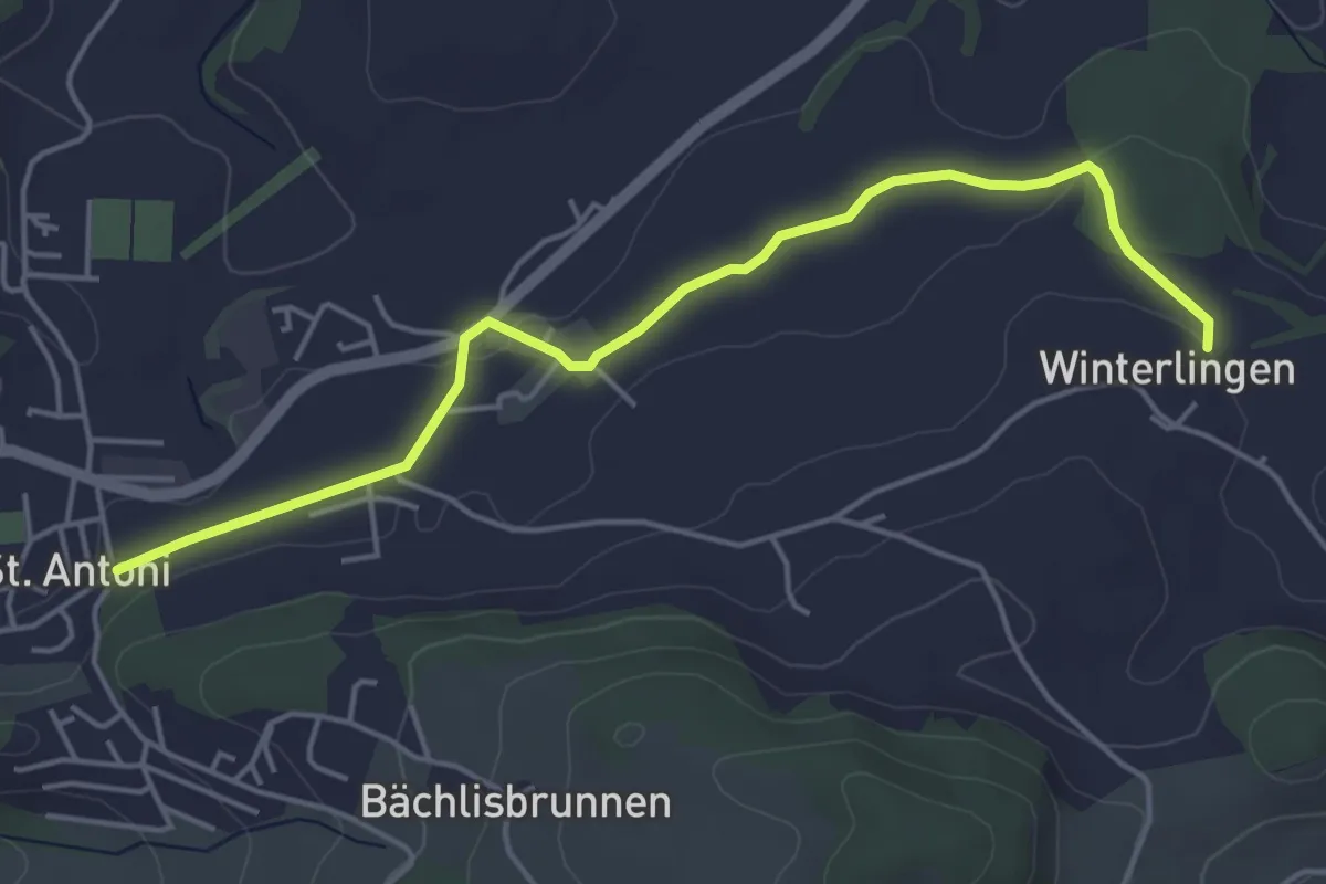
Easy · Trail
St. Antoni - Winterlingen
4.9 km · ↑ 62 m · 1 h 17 min
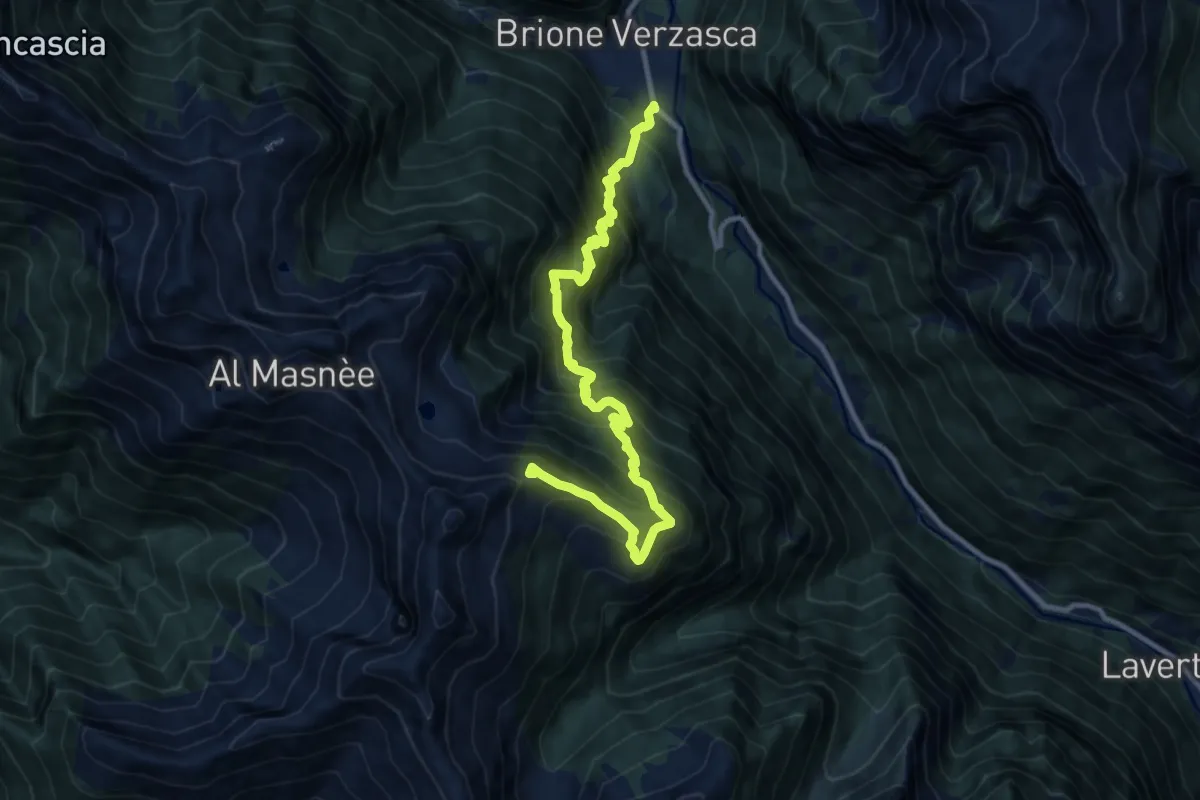
Demanding · Summit
Starlaresc Brione
12.2 km · ↑ 1633 m · 6 h 25 min
Expert · Trail
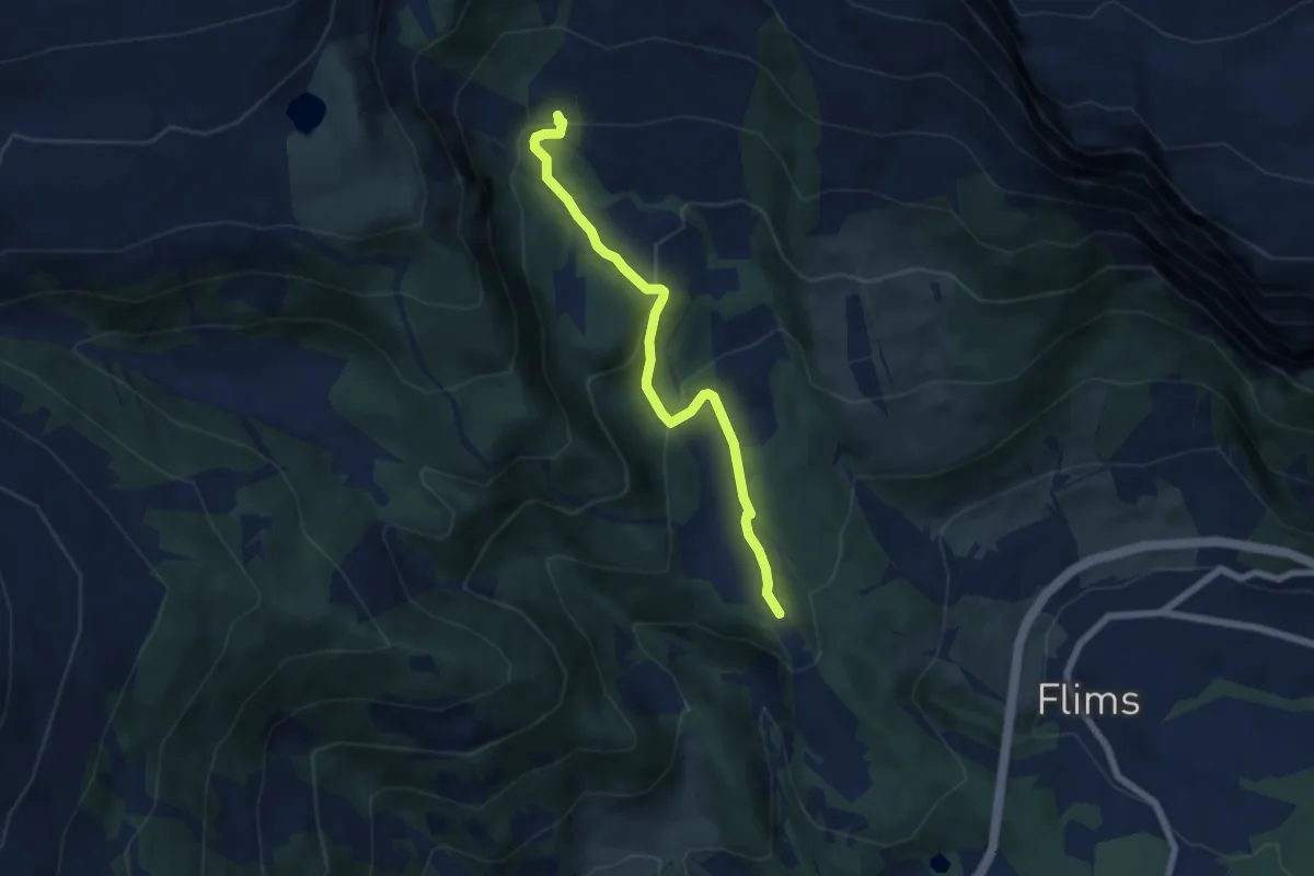
Startgels - Runca
6.2 km · ↑ 280 m · 2 h 5 min
Medium · Trail
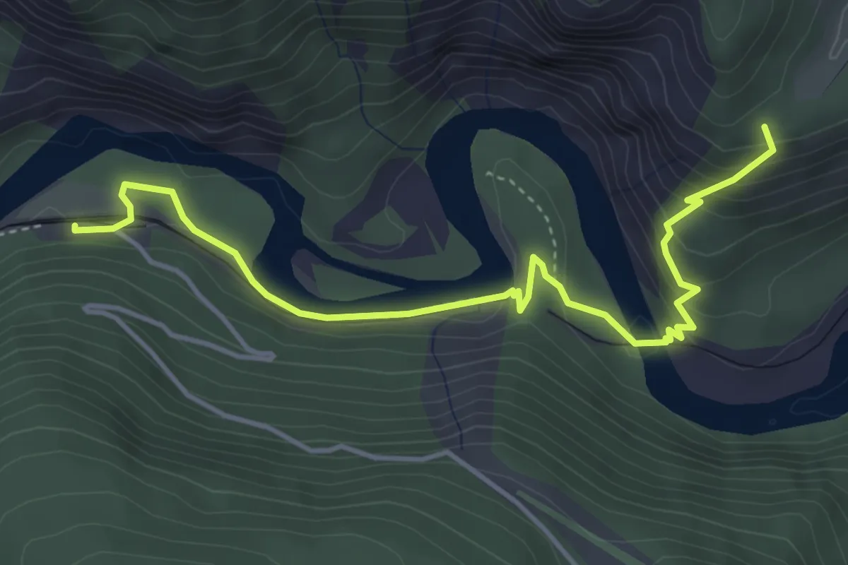
Station Versam-Ransum
4.6 km · ↑ 216 m · 1 h 34 min
Easy · Trail
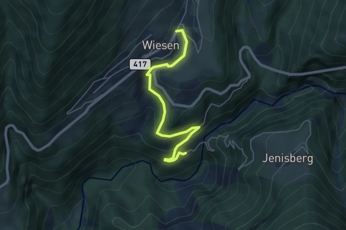
Stat. Wiesen - Wiesen
4.3 km · ↑ 244 m · 1 h 33 min
Medium · Summit
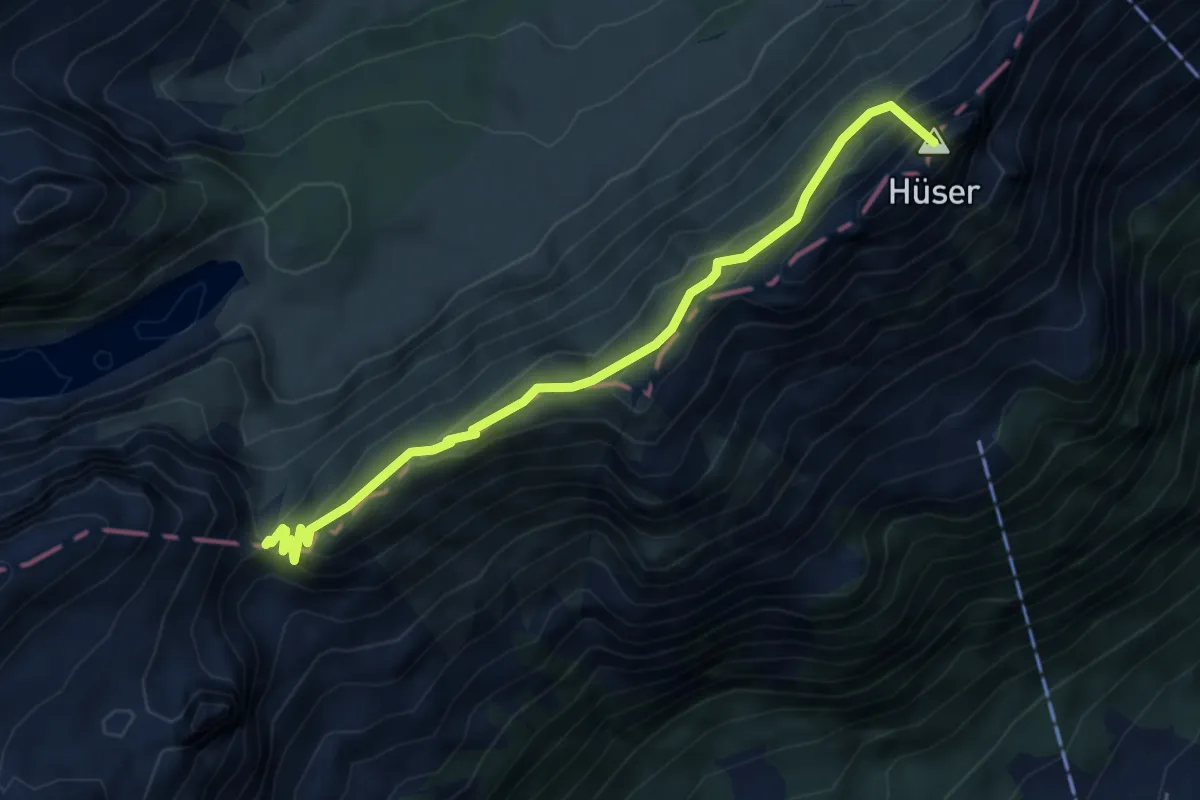
Staubern - Saxerlücke
5.1 km · ↑ 506 m · 2 h 18 min
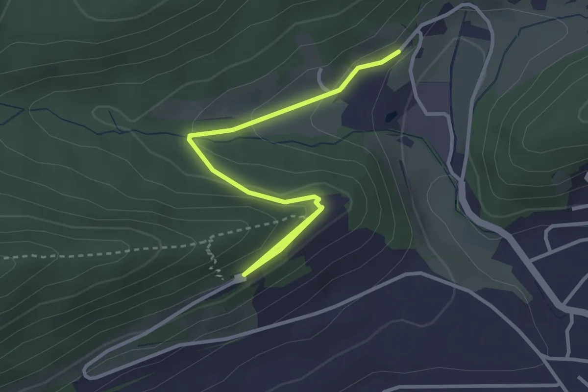
Easy · Trail
Staufen - Schafisheim
3.2 km · ↑ 114 m · 1 h
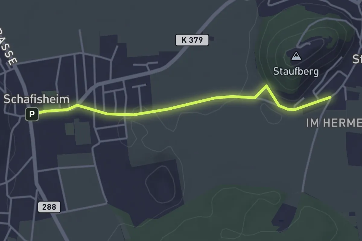
Easy · Trail
Staufen - Schafisheim
3.4 km · ↑ 15 m · 49 min
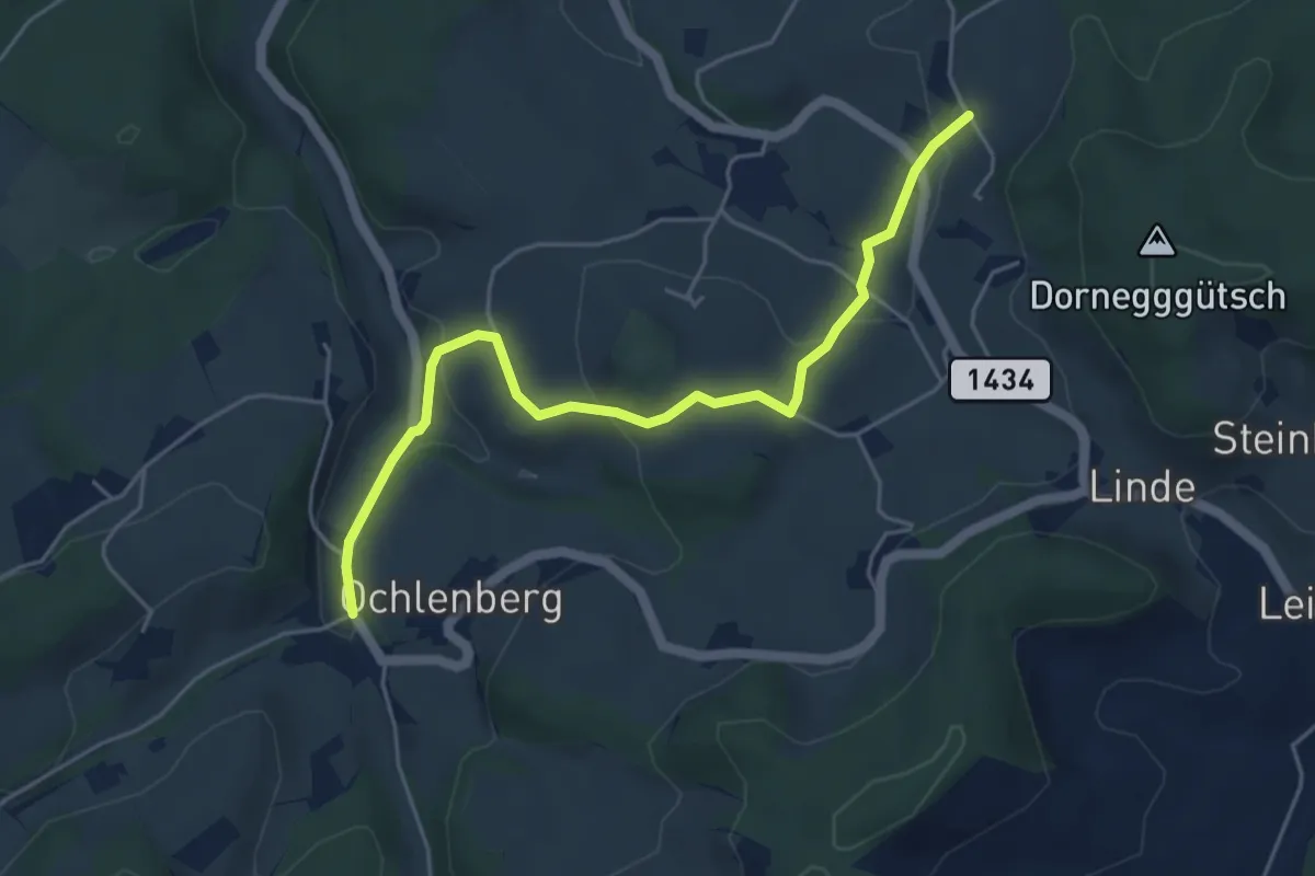
Easy · Trail
Stauffenbach - Dornegg
5.1 km · ↑ 188 m · 1 h 37 min
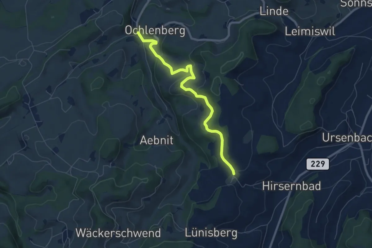
Easy · Trail
Stauffenbach - Ryschberg
6.7 km · ↑ 213 m · 2 h 3 min
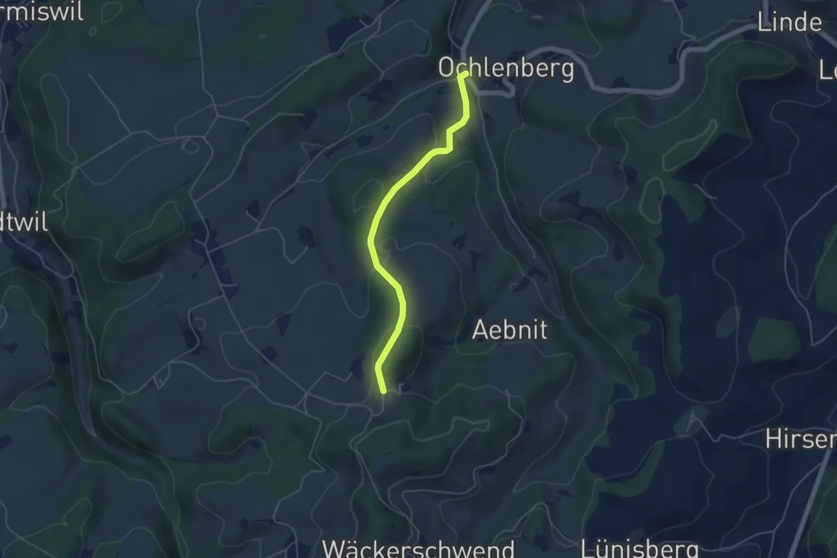
Easy · Trail
Stauffenbach - Wanntalhöchi
4.4 km · ↑ 181 m · 1 h 26 min
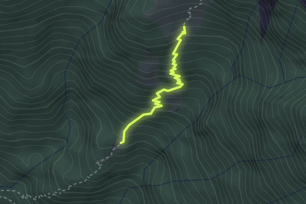
Medium · Cabin
Stavello - Odro
2.0 km · ↑ 316 m · 1 h 10 min
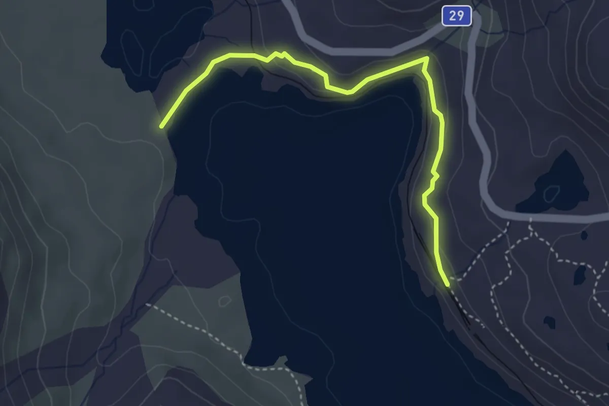
Easy · Trail
Stazione Ospizio Bernina-Spartiaque
3.7 km · ↑ 83 m · 1 h 3 min
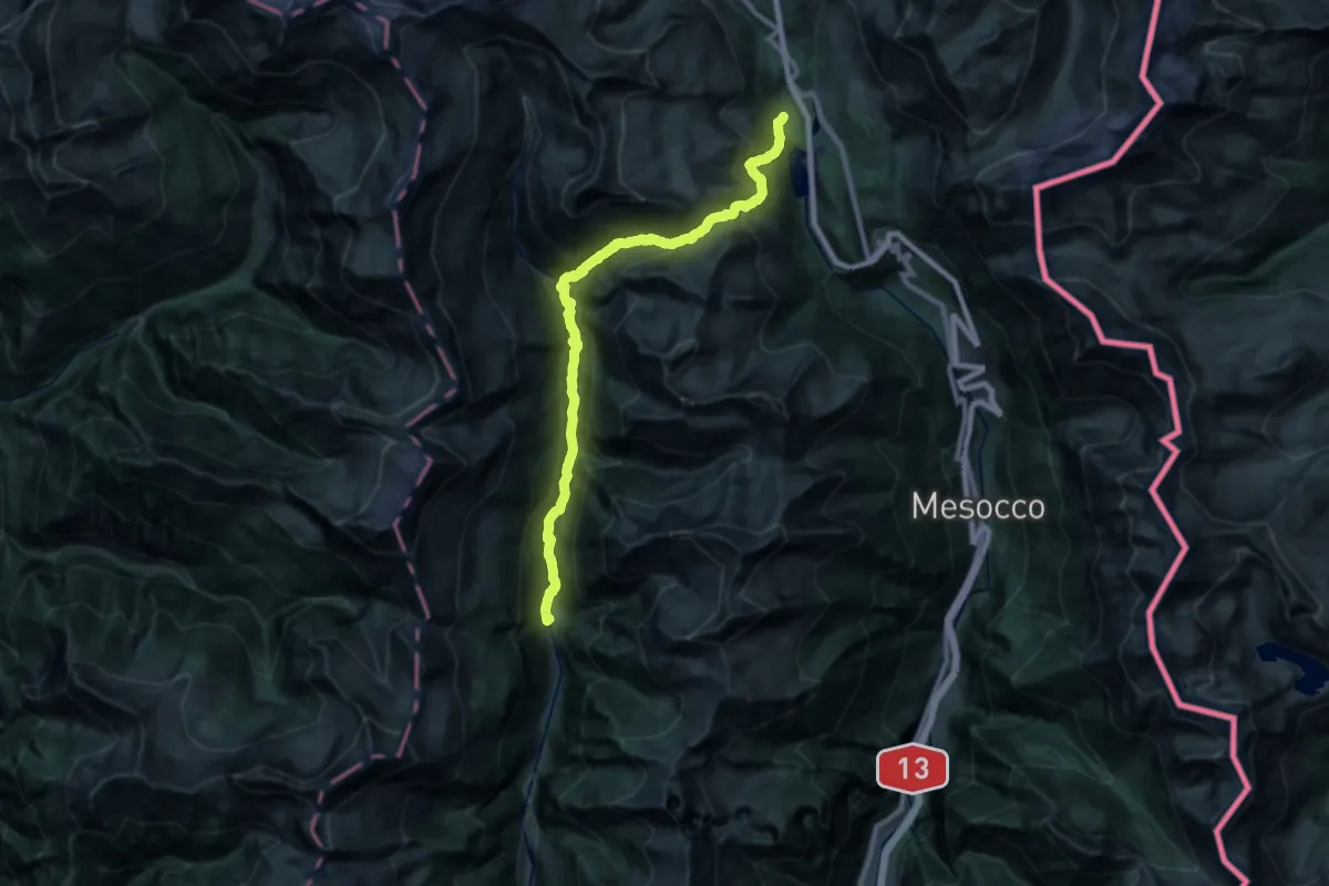
Medium · Trail
St. Bernardino Rossa
14.2 km · ↑ 746 m · 5 h 28 min