Trails in Switzerland
15,064 hiking trails, each with its route, climb, walking time and grade.
All trails, page 107 of 314
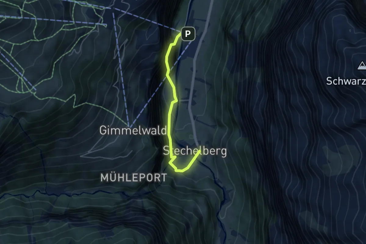
Easy · Trail
Stechelberg / Rütti - Schilthornbahn
4.0 km · ↑ 224 m · 1 h 26 min
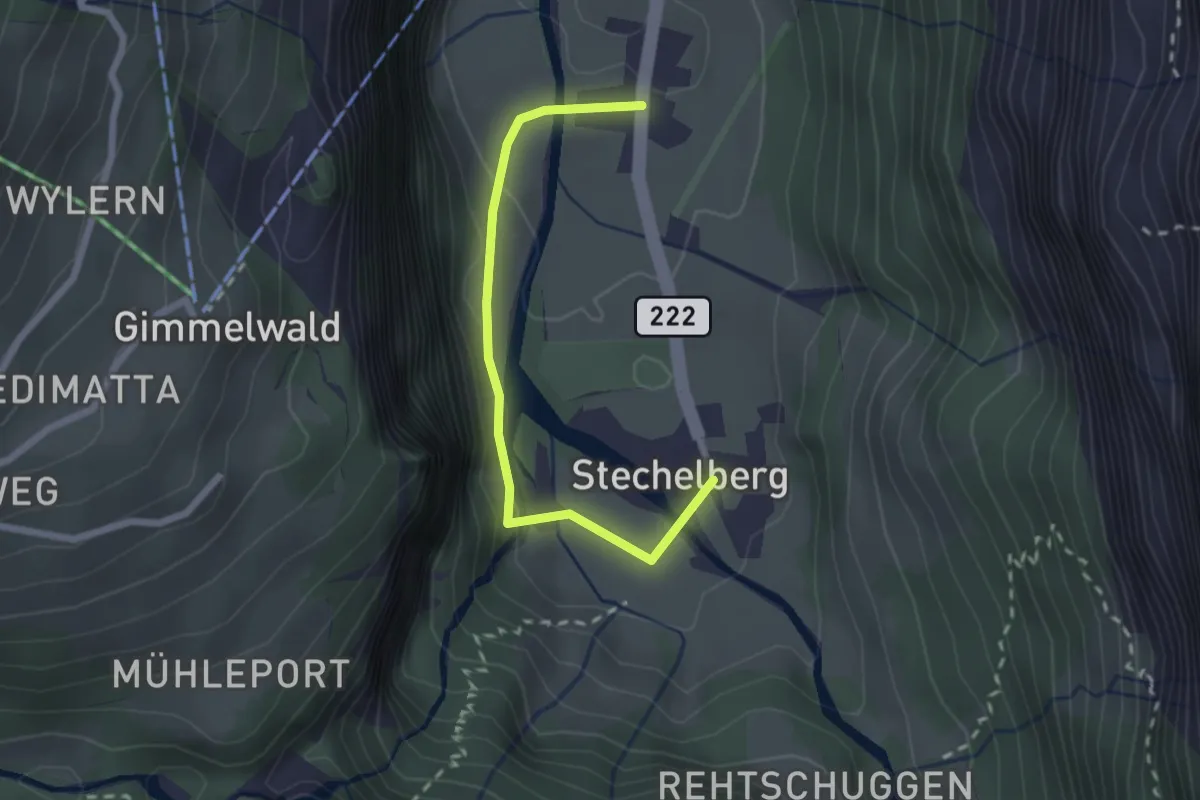
Easy · Trail
Stechelberg / Rütti - Stechelberg / Post
2.2 km · ↑ 102 m · 44 min
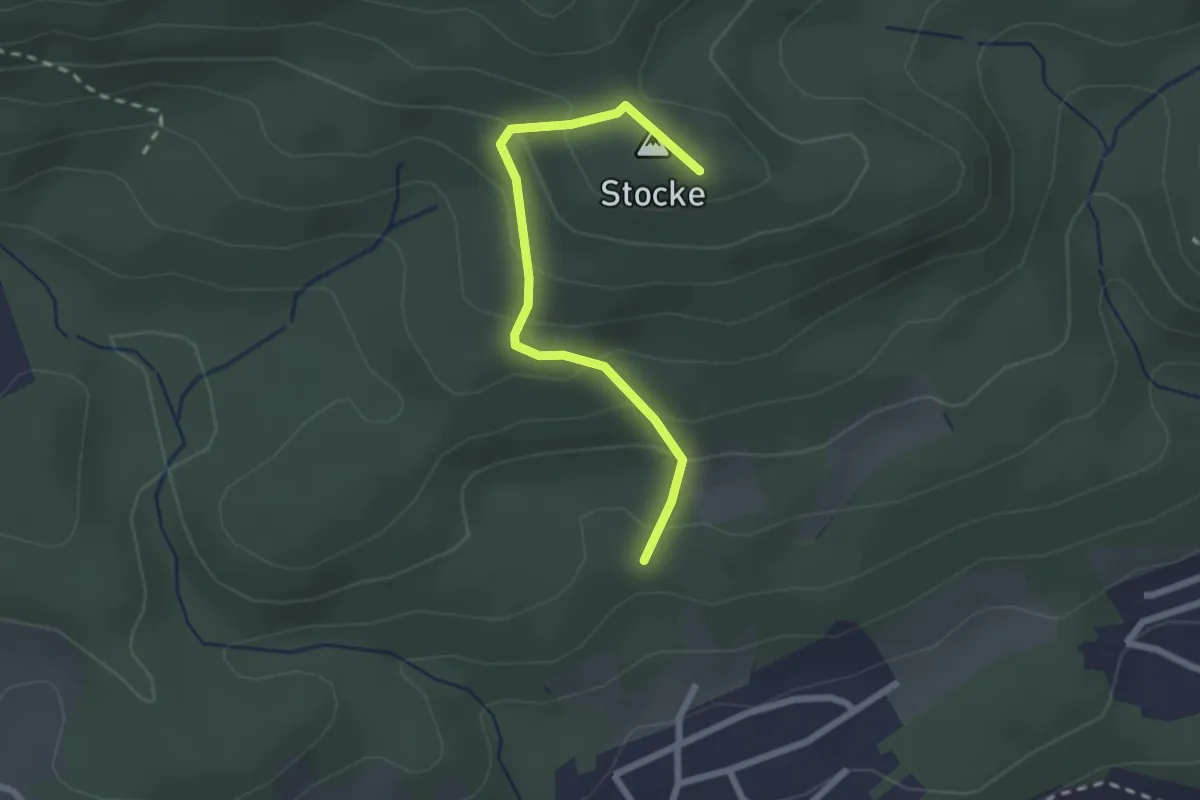
Easy · Summit
Steckenberg - Homberglücke
2.2 km · ↑ 151 m · 51 min
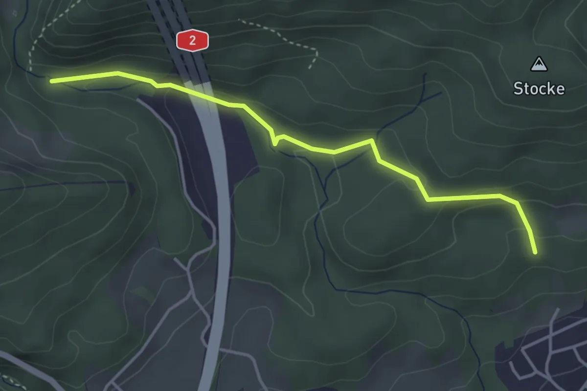
Easy · Trail
Steckenberg - Schlössli
3.8 km · ↑ 105 m · 1 h 7 min
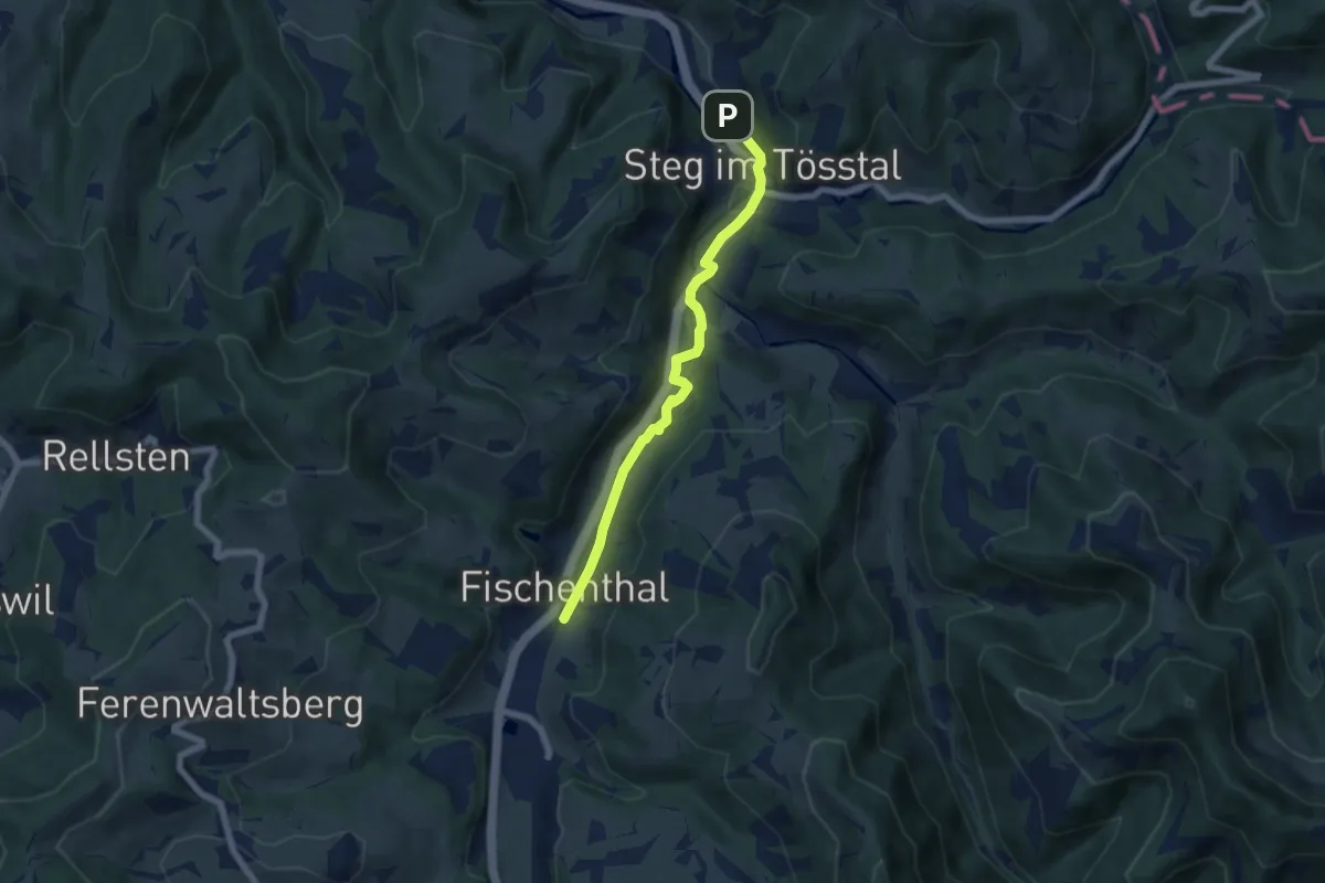
Easy · Trail
Steg - Fischenthal
5.9 km · ↑ 64 m · 1 h 33 min
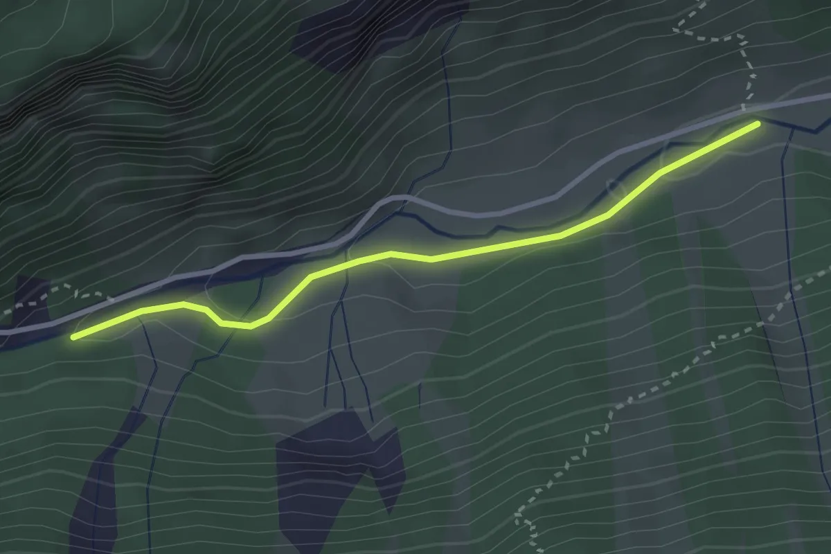
Easy · Trail
Steglaui - Horwen
2.7 km · ↑ 72 m · 48 min
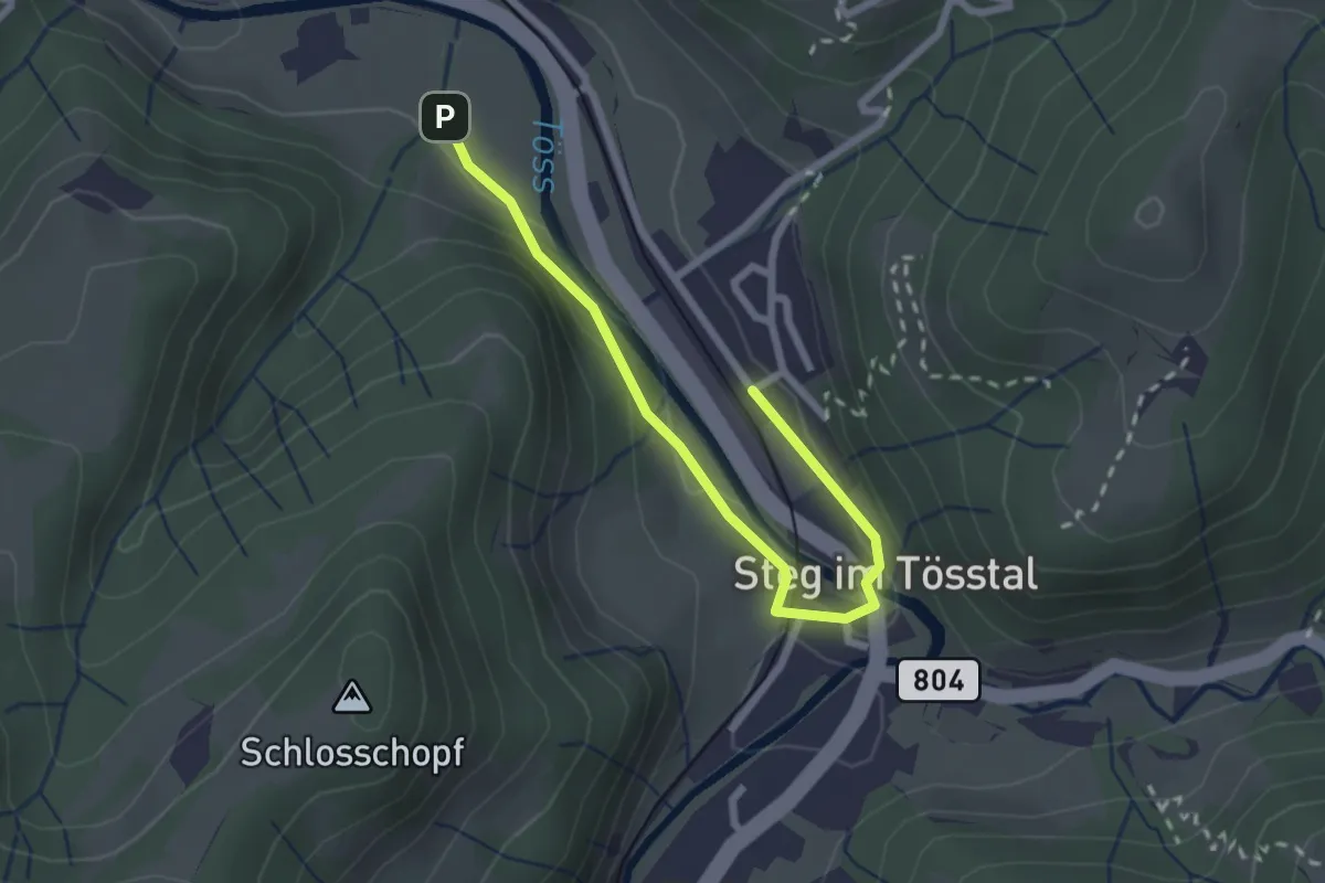
Easy · Trail
Steg - Lipperschwendi? / Wila? / Turbenthal? - fixme
2.5 km · ↑ 68 m · 44 min
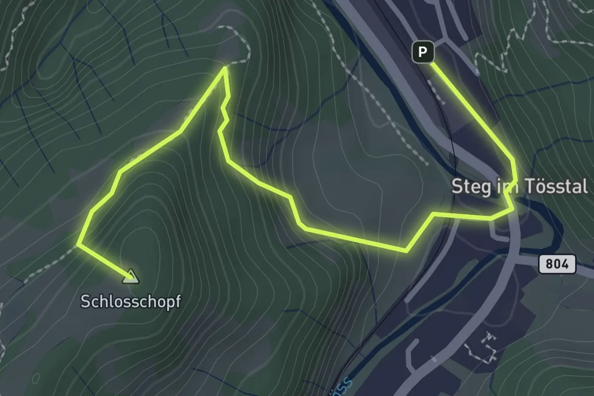
Easy · Summit
Steg - Schloss
3.2 km · ↑ 241 m · 1 h 16 min
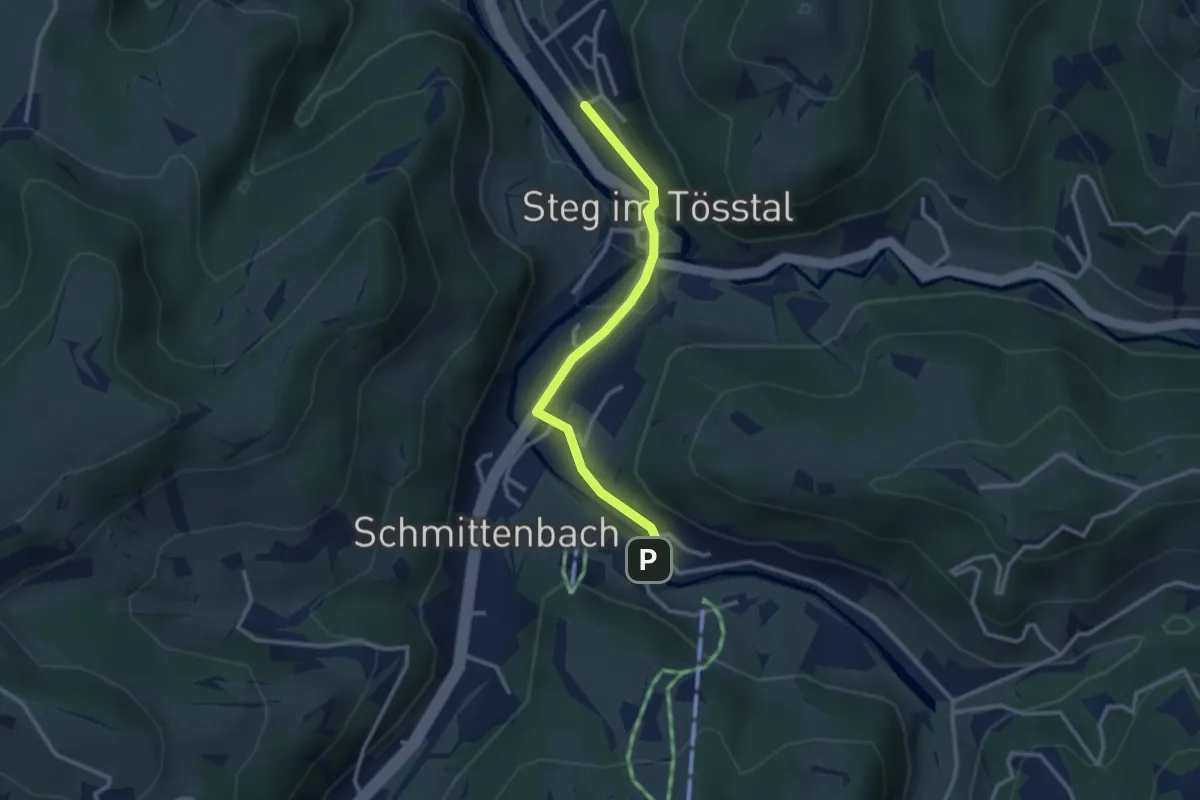
Easy · Trail
Steg Station-Breitenmatt P
2.7 km · ↑ 50 m · 45 min
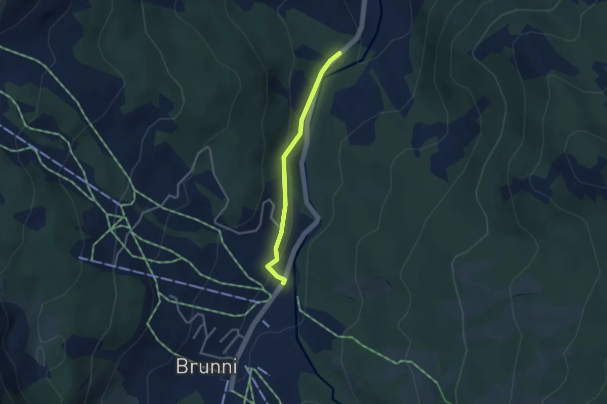
Easy · Trail
Stei-Brunni
2.3 km · ↑ 77 m · 43 min
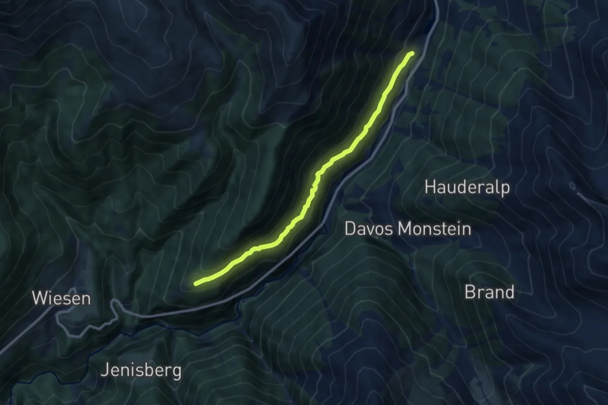
Medium · Trail
Steig - Ardusch
8.7 km · ↑ 504 m · 3 h 8 min
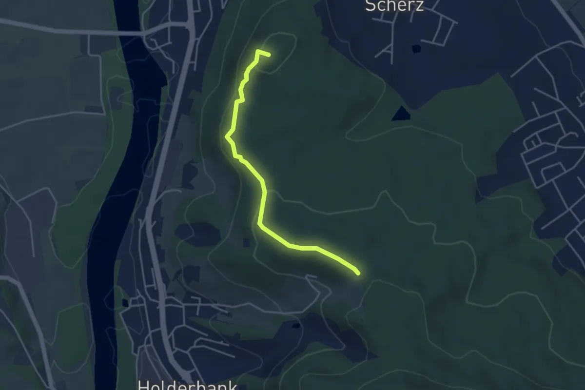
Easy · Summit
Steinbruch Lättestude - Chärnenberg
3.6 km · ↑ 172 m · 1 h 14 min
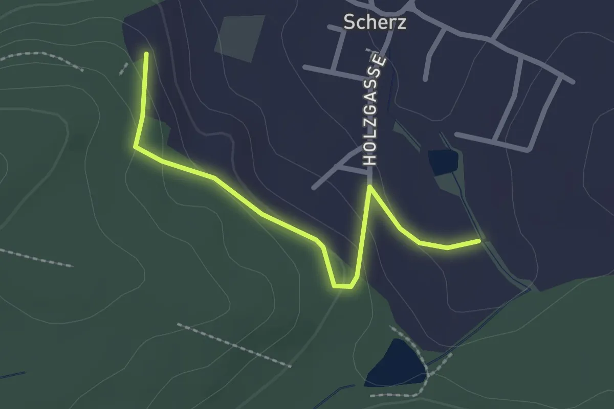
Easy · Trail
Steinbruch Lättestude - Scherz Weihermatt
2.2 km · ↑ 81 m · 41 min
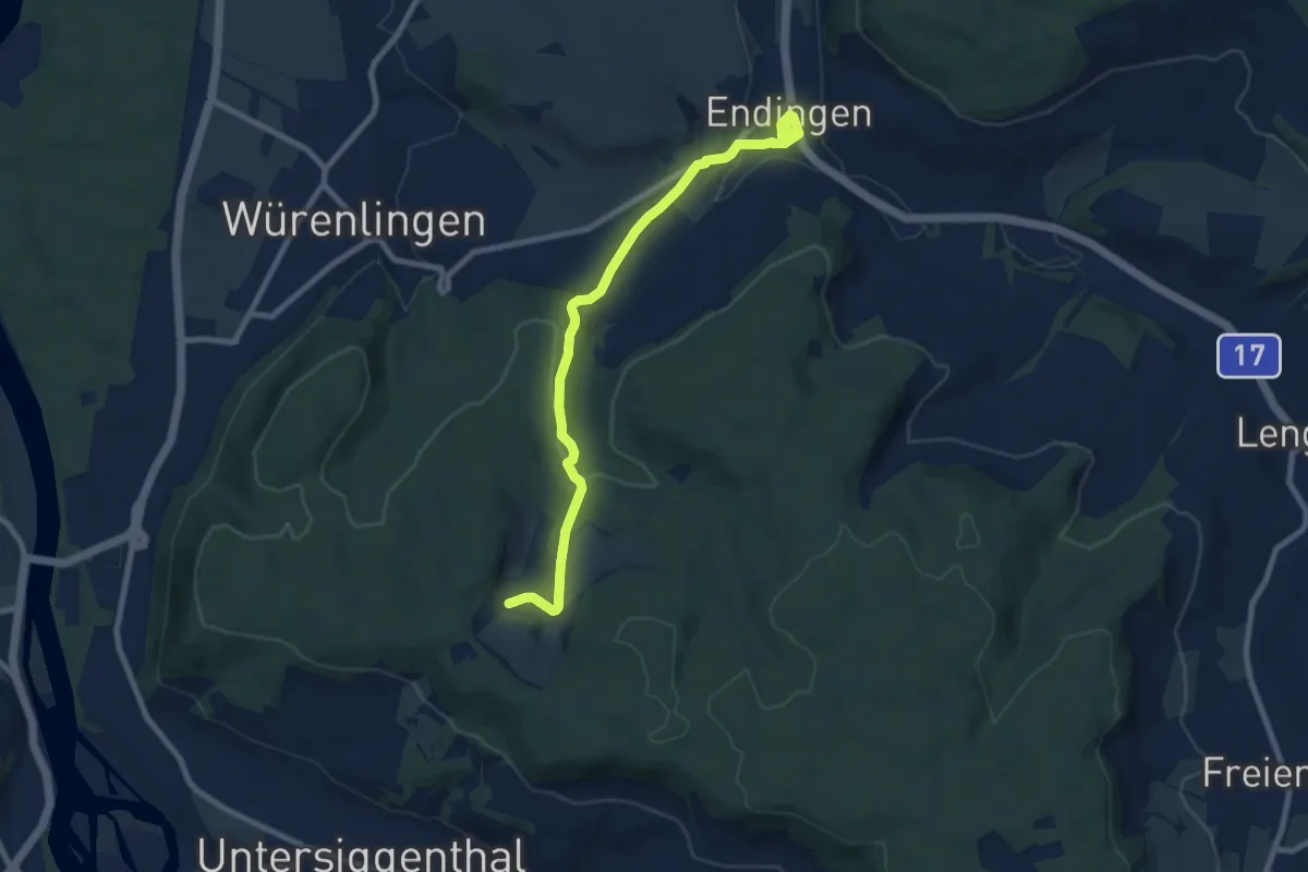
Medium · Trail
Steinenbüel - Endingen
8.8 km · ↑ 163 m · 2 h 26 min
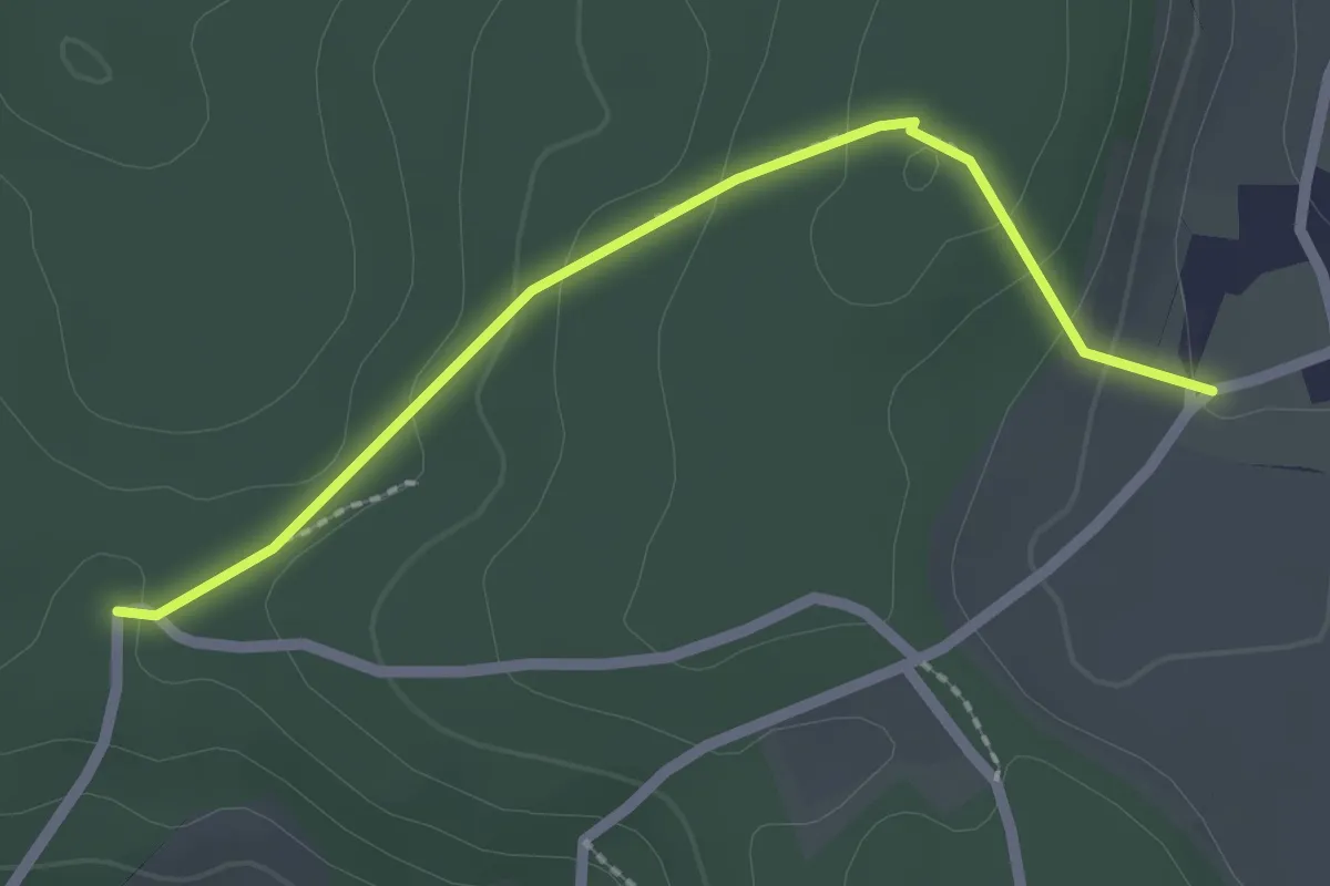
Easy · Trail
Steinenbüel - Rotchrütz
2.2 km · ↑ 93 m · 43 min
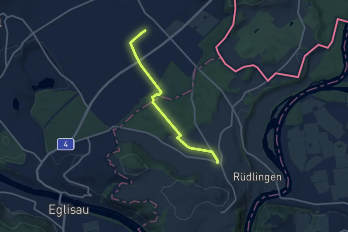
Easy · Trail
Steinenkreuz - Rafz (Bahnhof)
7.4 km · ↑ 57 m · 1 h 52 min
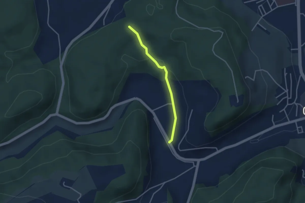
Easy · Trail
Steingruebe - Siebenwegeplatz
2.4 km · ↑ 62 m · 42 min
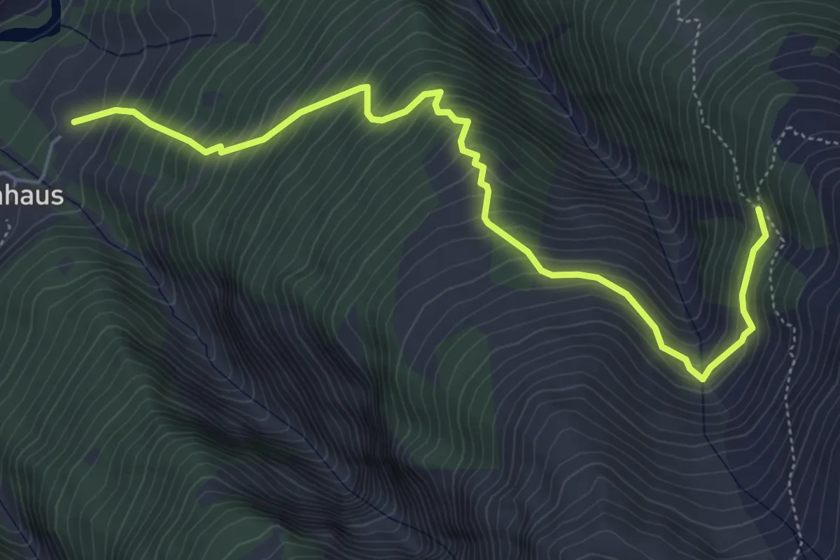
Demanding · Trail
Steinhaus - Ärnergale
6.2 km · ↑ 809 m · 3 h 13 min
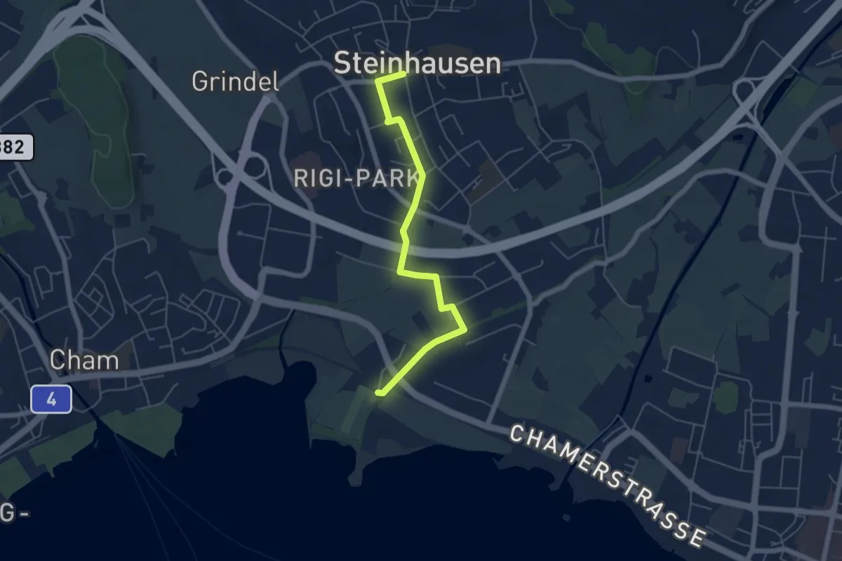
Easy · Trail
Steinhausen - Chollermülli
5.2 km · ↑ 21 m · 1 h 16 min
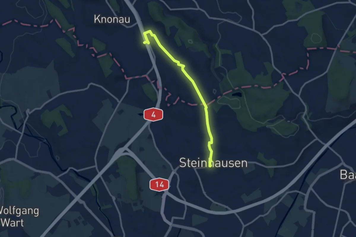
Medium · Trail
Steinhausen - Knonau
8.0 km · ↑ 108 m · 2 h 7 min
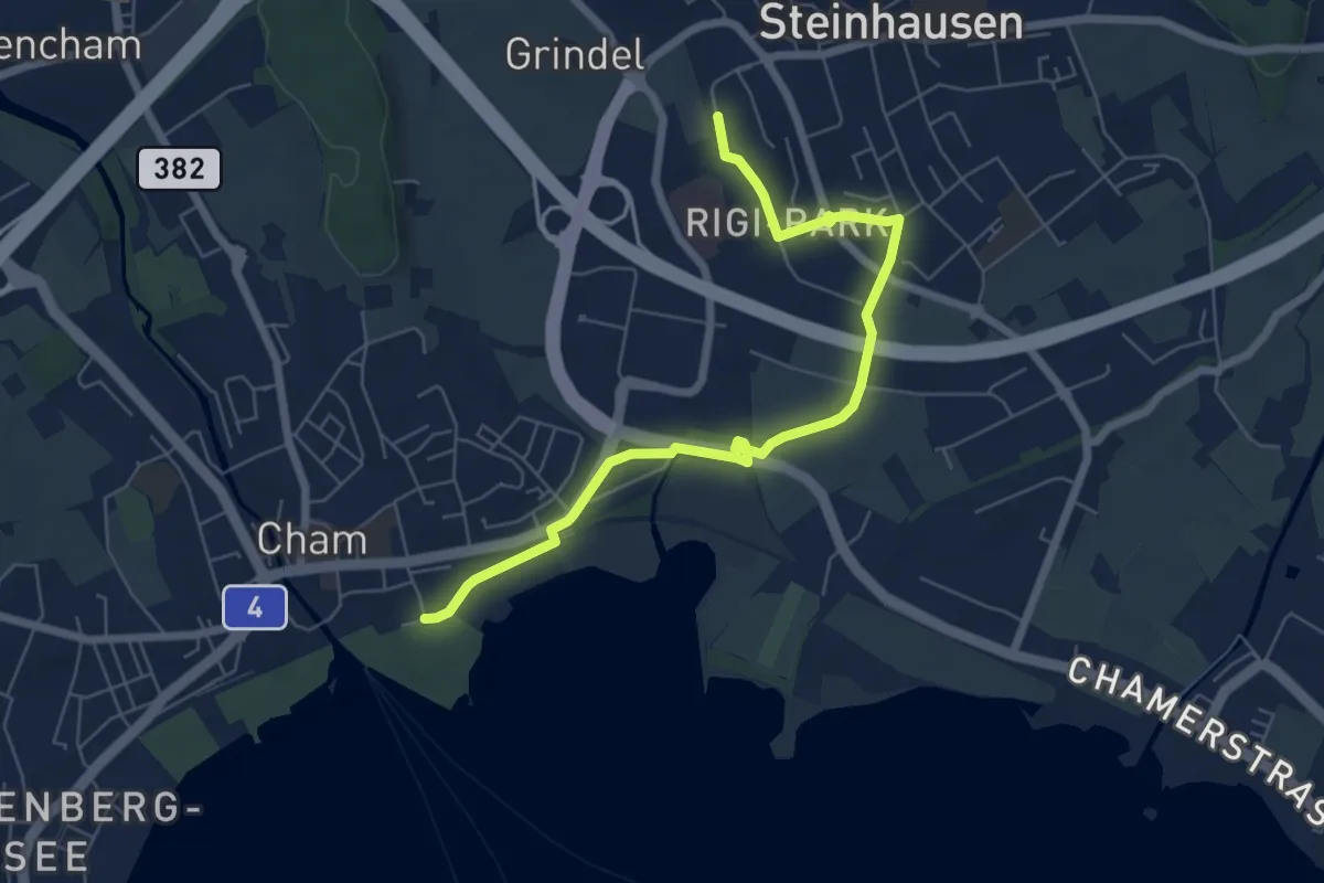
Easy · Trail
Steinhausen SBB - Cham
6.9 km · ↑ 35 m · 1 h 42 min
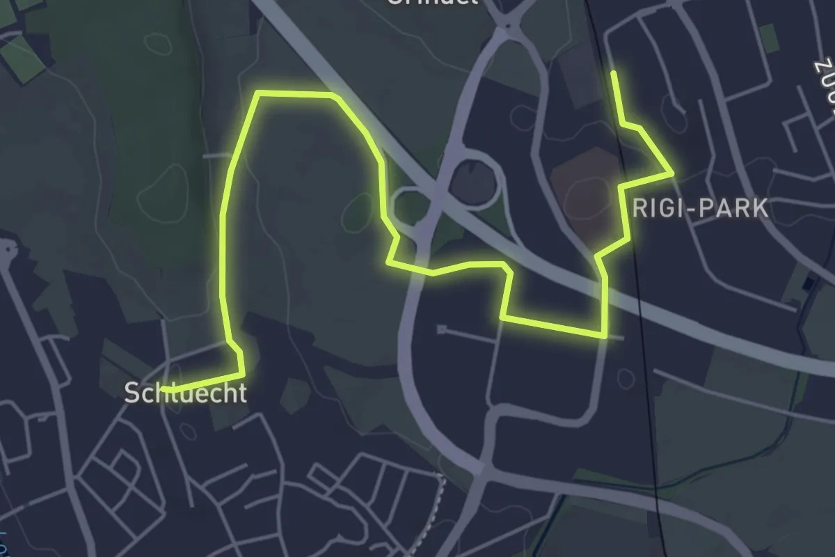
Easy · Trail
Steinhausen - Schluecht
6.5 km · ↑ 49 m · 1 h 38 min
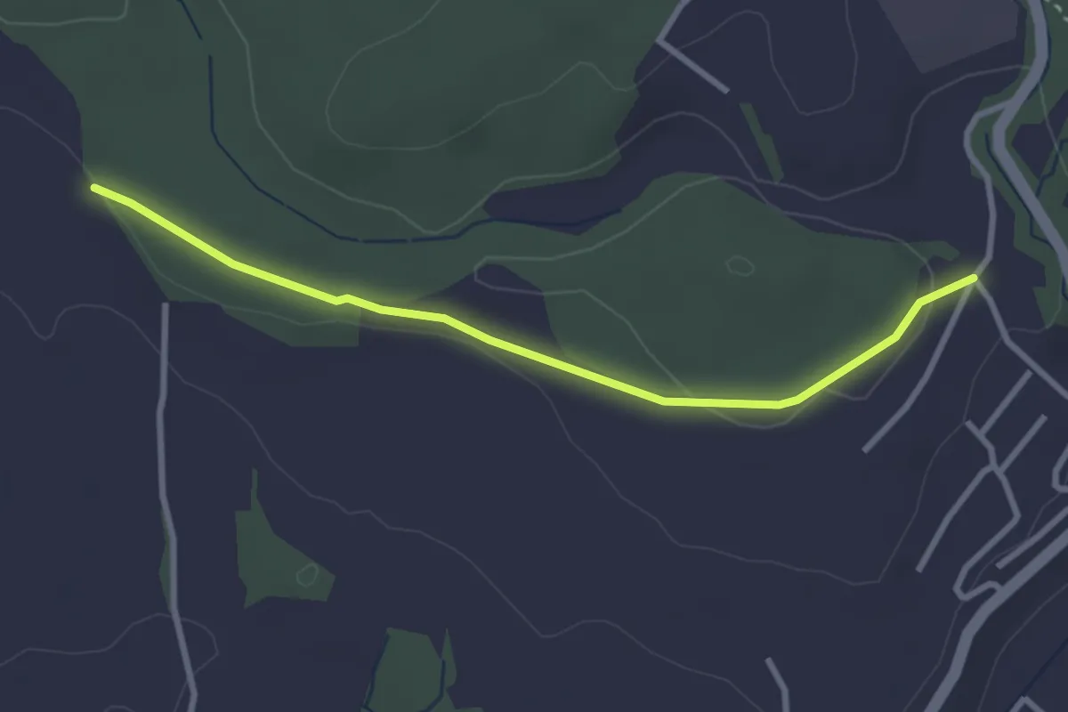
Easy · Trail
Steinhauserwald - Banäbni
3.0 km · ↑ 52 m · 49 min
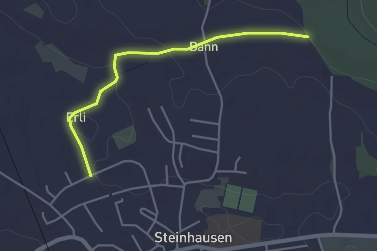
Easy · Trail
Steinhauserwald - Erligütsch
3.1 km · ↑ 35 m · 49 min
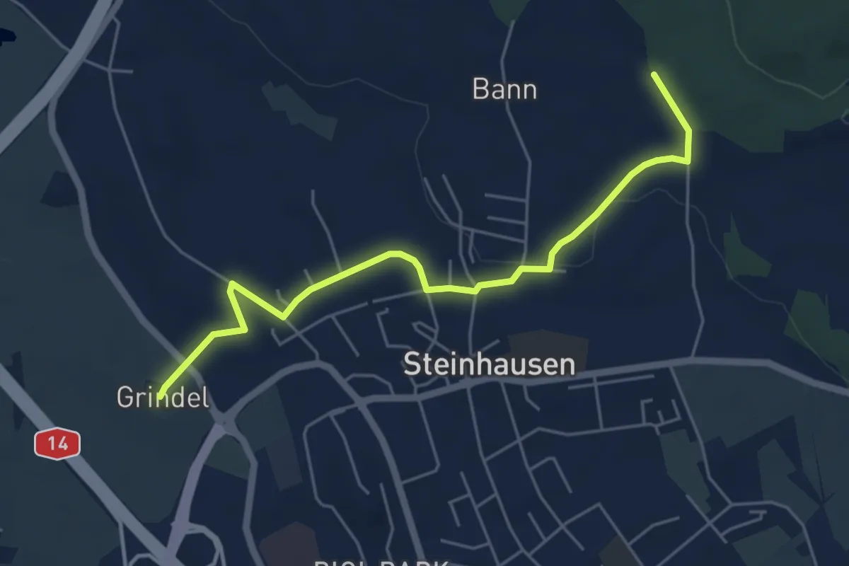
Easy · Trail
Steinhauserwald - Grindel
5.2 km · ↑ 60 m · 1 h 22 min
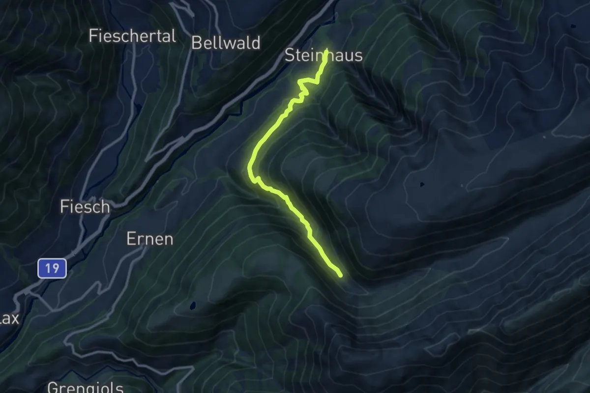
Medium · Trail
Steinhaus - Milebach
9.2 km · ↑ 761 m · 3 h 49 min
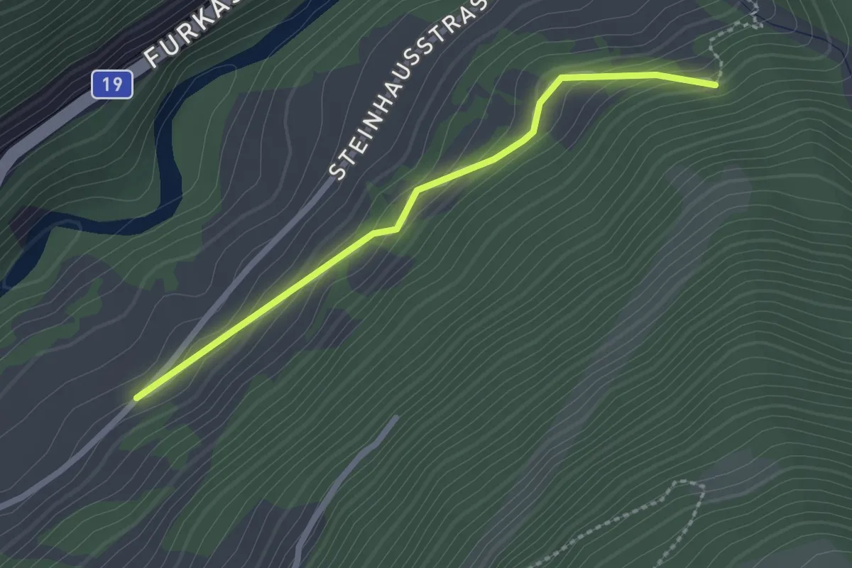
Easy · Trail
Steinhaus - Mühlebach
2.2 km · ↑ 118 m · 46 min
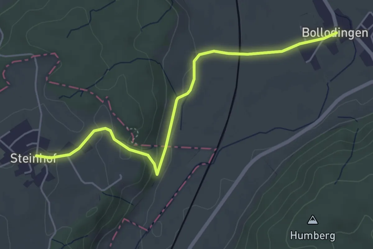
Easy · Trail
Steinhof - Bollodingen
4.9 km · ↑ 86 m · 1 h 21 min
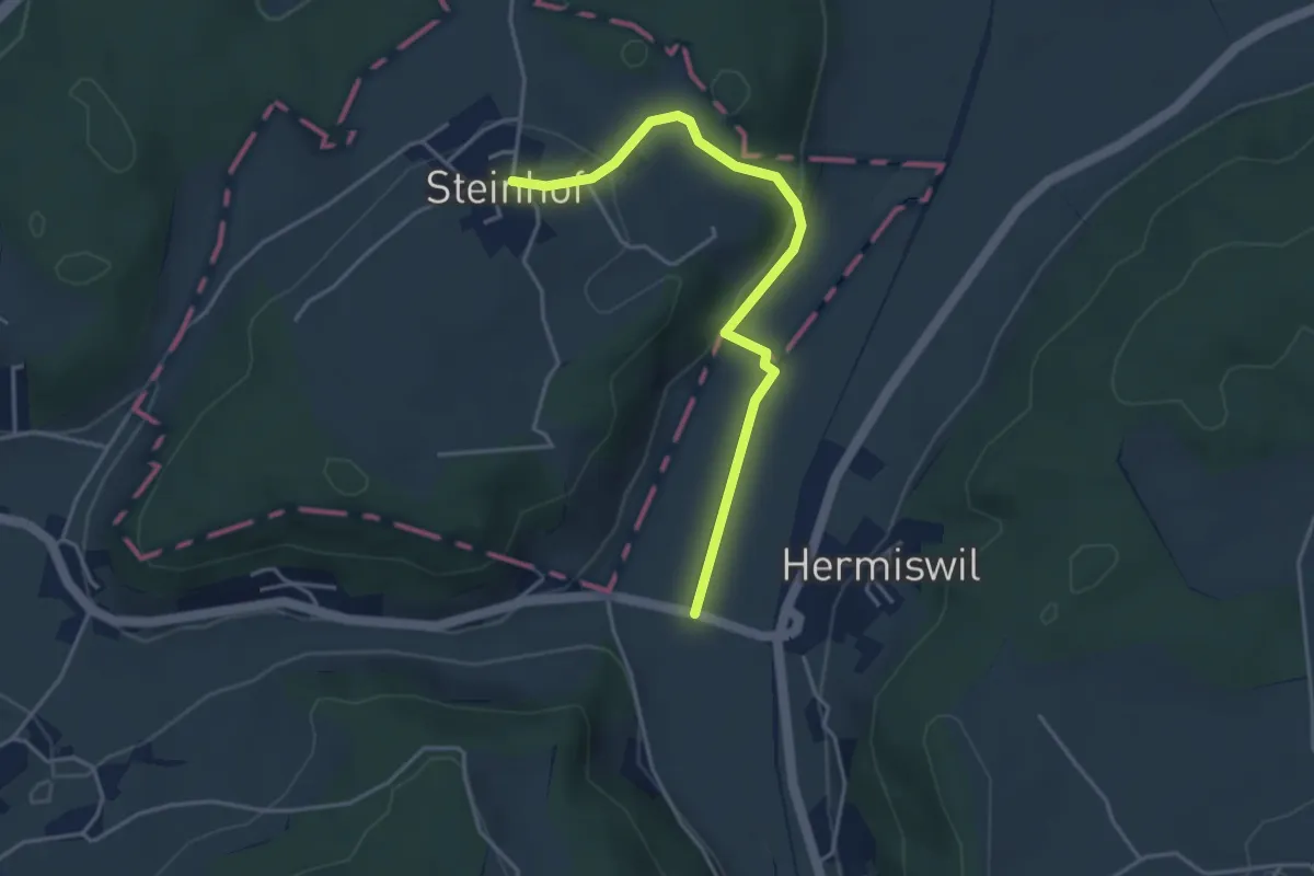
Easy · Trail
Steinhof - Nidermatten
4.0 km · ↑ 94 m · 1 h 9 min
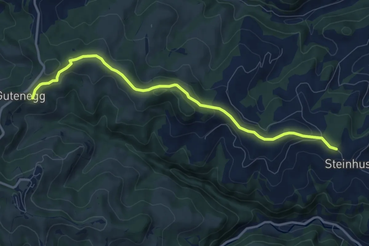
Medium · Trail
Steinhusen - Guetenegg
8.6 km · ↑ 203 m · 2 h 28 min
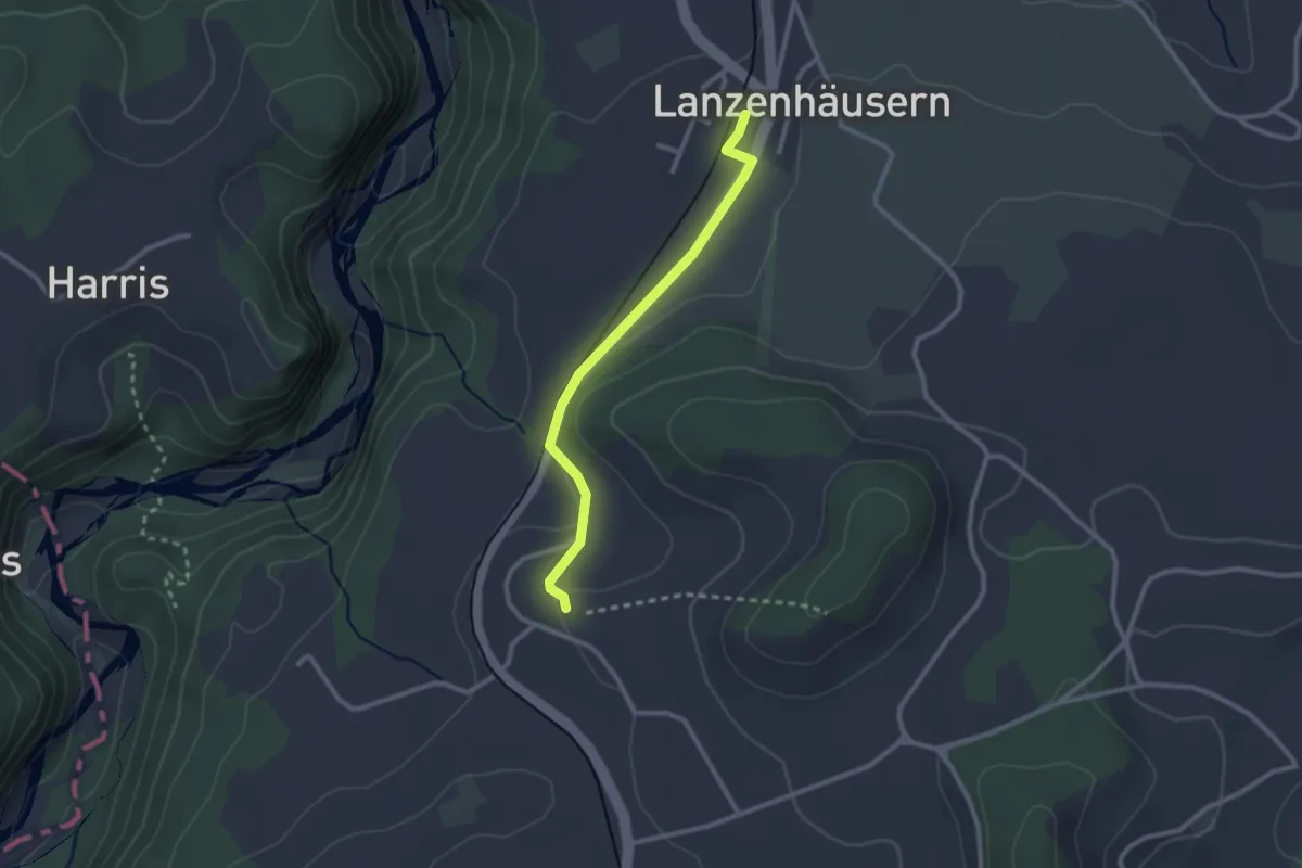
Easy · Trail
Steinhus - Lanzenhäusern
2.4 km · ↑ 30 m · 38 min
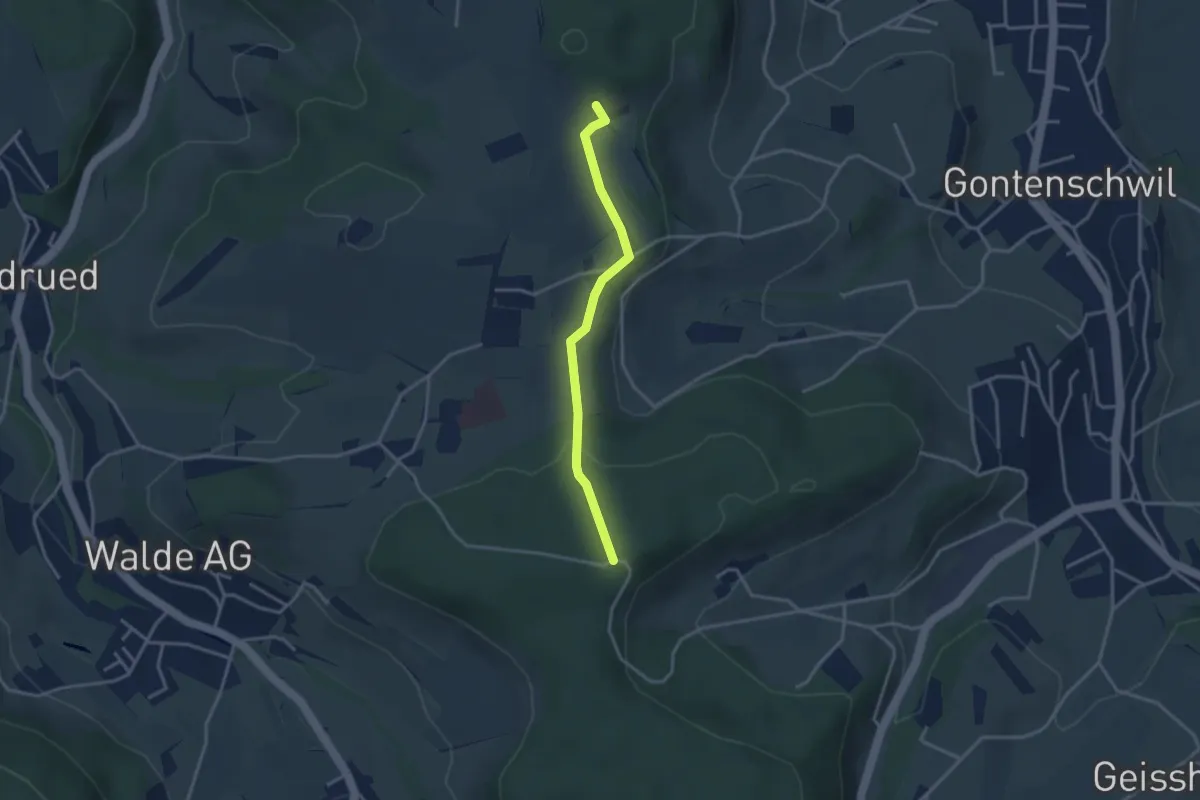
Easy · Trail
Steinig - Brünnelichrüz
3.0 km · ↑ 57 m · 50 min
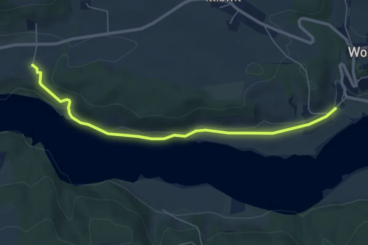
Easy · Trail
Steinisweg - Hofe
5.3 km · ↑ 112 m · 1 h 30 min
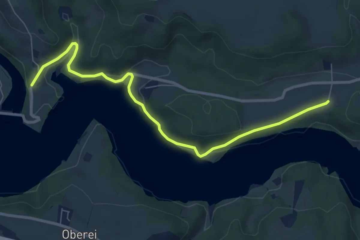
Easy · Trail
Steinisweg - Wickacker
7.0 km · ↑ 177 m · 2 h 2 min
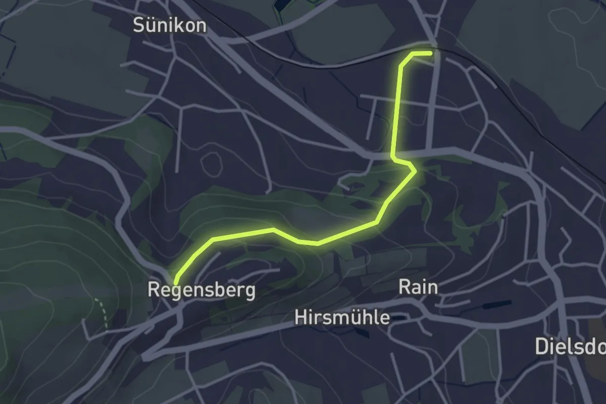
Easy · Trail
Steinmaur Bahnhof - Regensberg Bus
3.0 km · ↑ 164 m · 1 h 4 min
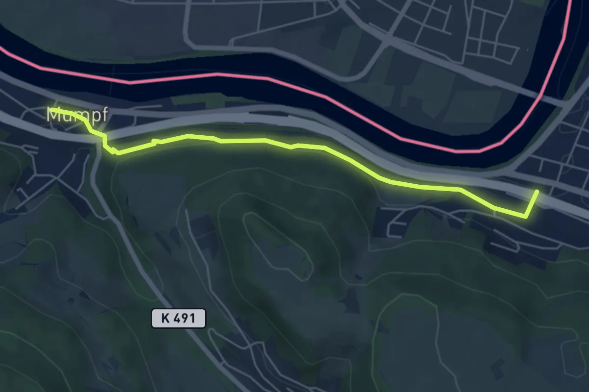
Easy · Trail
Stein Säckingen - Mumpf
5.1 km · ↑ 111 m · 1 h 26 min
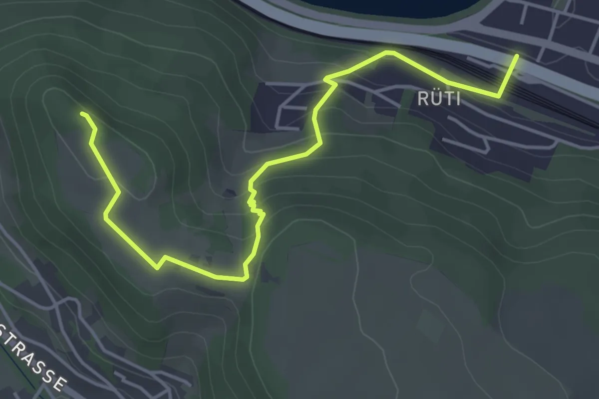
Easy · Trail
Stein Säckingen - Mumpferflue
4.7 km · ↑ 229 m · 1 h 36 min
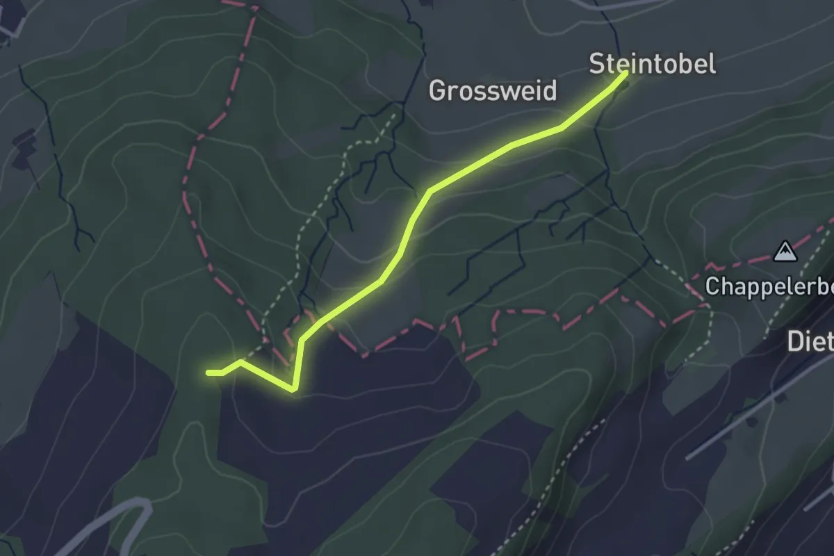
Easy · Trail
Steintobel - Mittler Sonderi
2.9 km · ↑ 164 m · 1 h 3 min
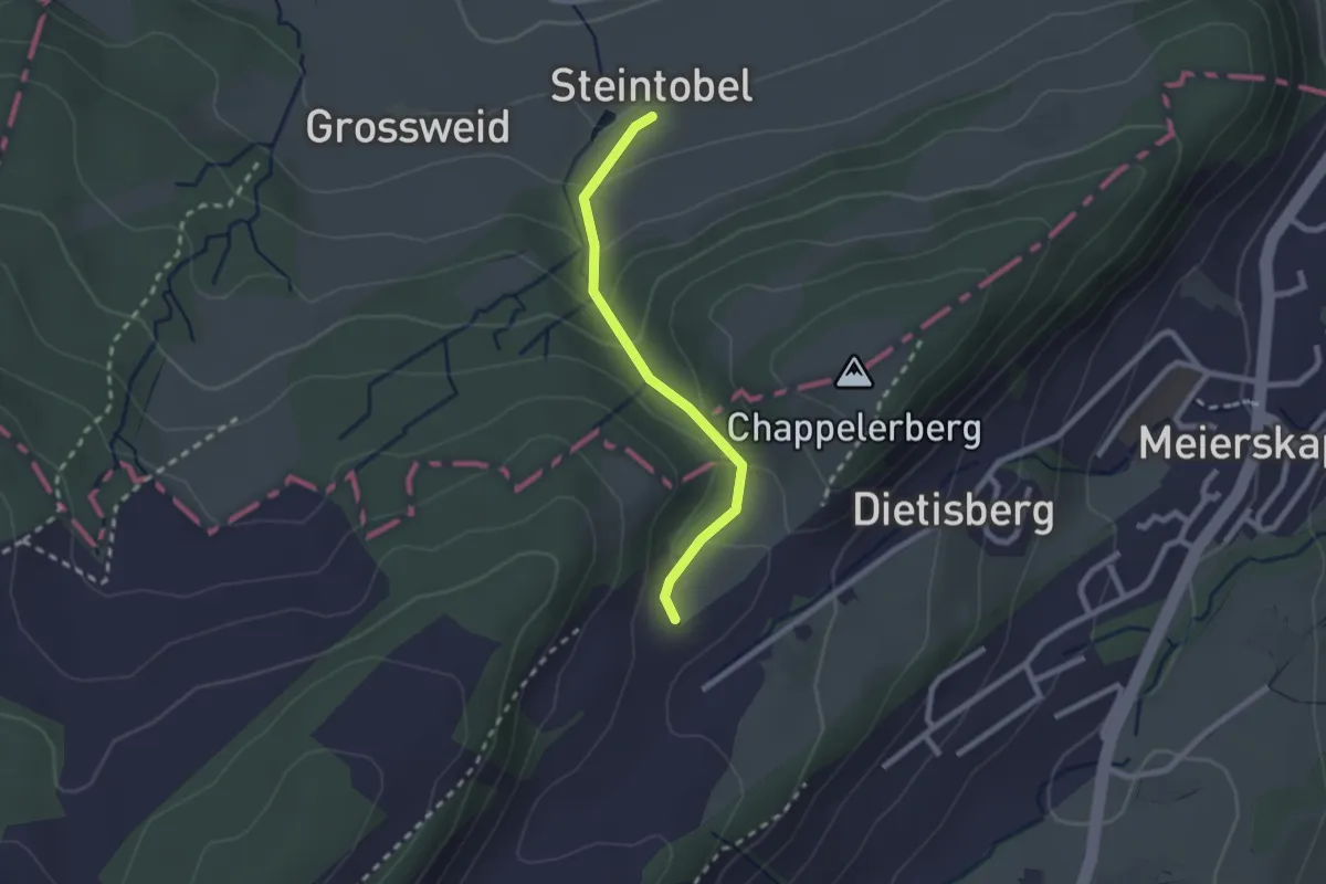
Easy · Trail
Steintobel - Obertal
2.0 km · ↑ 124 m · 45 min
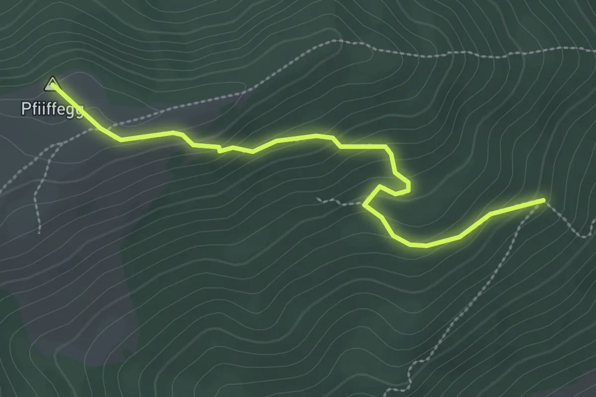
Easy · Summit
Steinwänd - Alp Pfiiffegg
3.0 km · ↑ 177 m · 1 h 5 min
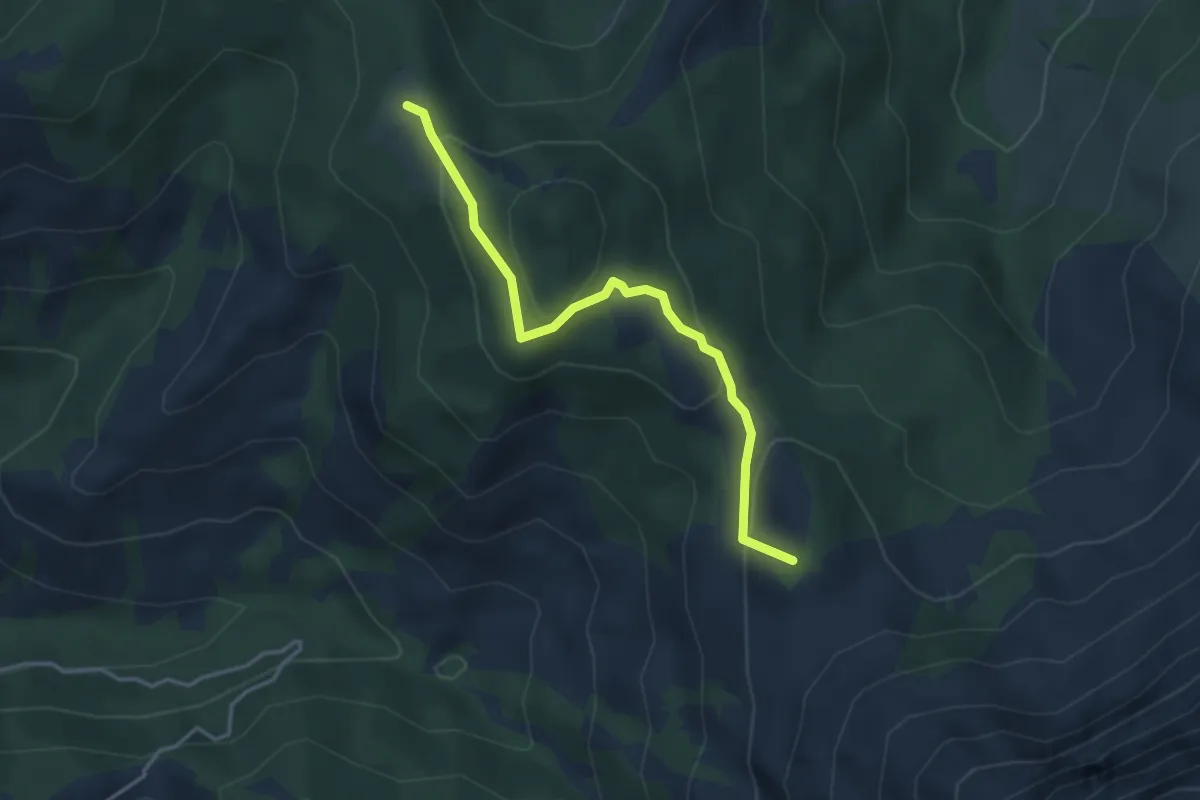
Easy · Summit
Steinwang - Hürnli
3.6 km · ↑ 176 m · 1 h 15 min
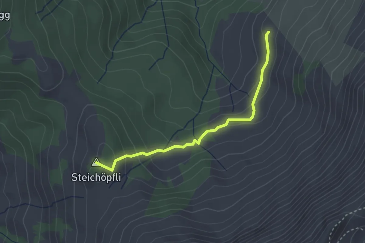
Easy · Summit
Steinwang - Vorder Bättenalp
2.8 km · ↑ 142 m · 57 min
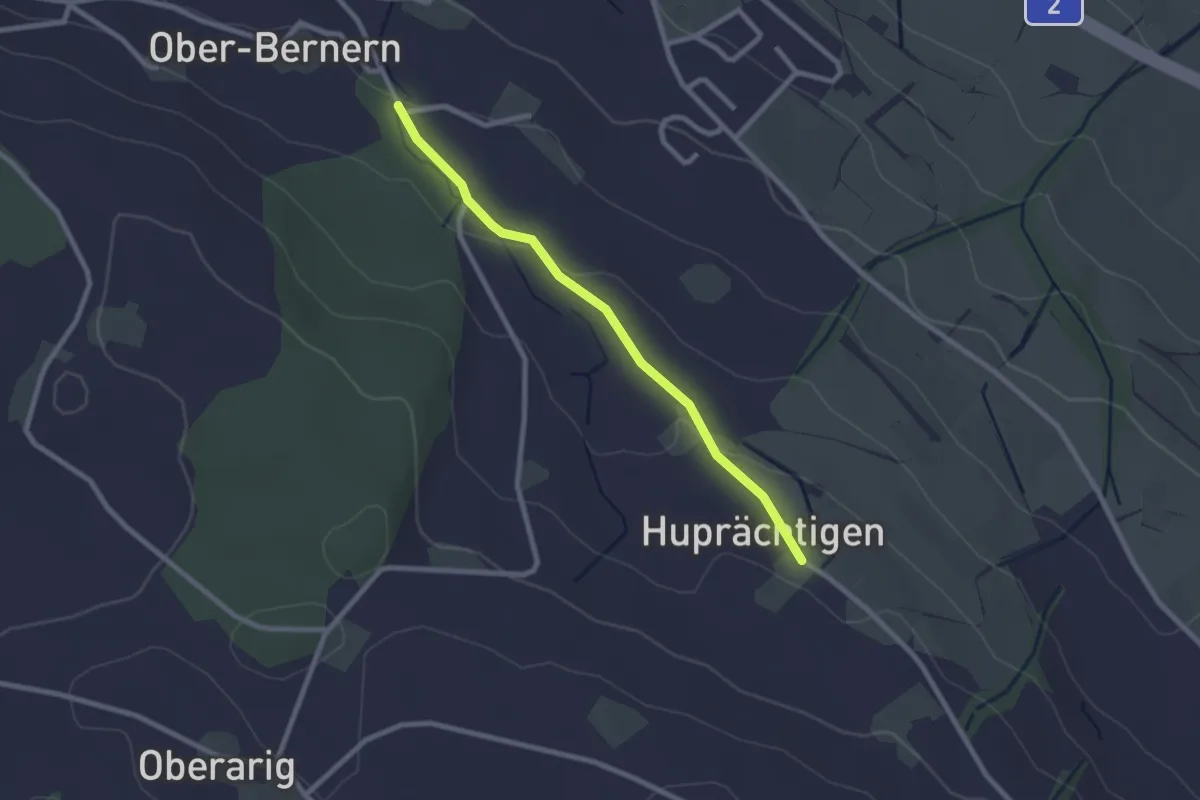
Easy · Trail
Steinweid - Huprächigen
2.3 km · ↑ 48 m · 39 min
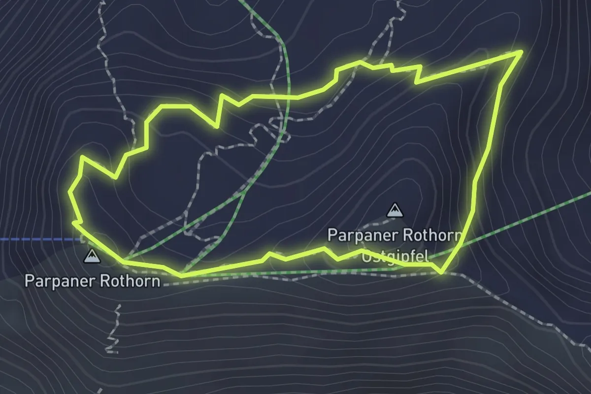
Demanding · Summit
Steinwichtelweg
2.0 km · ↑ 112 m · 44 min
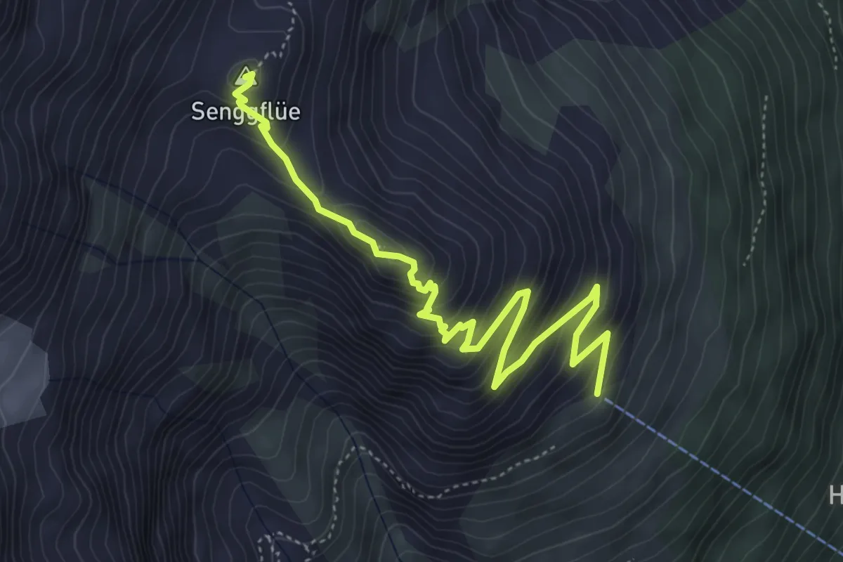
Medium · Summit
Steinwildpfad
5.5 km · ↑ 412 m · 2 h 12 min
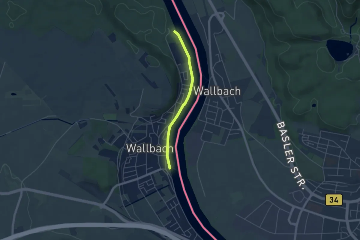
Easy · Trail
Stelli - Wallbach
3.8 km · ↑ 0 m · 54 min
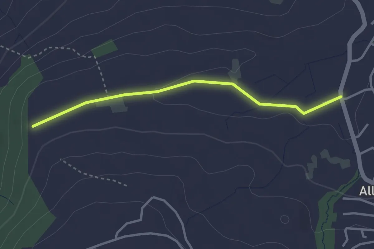
Easy · Trail
Steren - Allenwinden
2.7 km · ↑ 25 m · 41 min
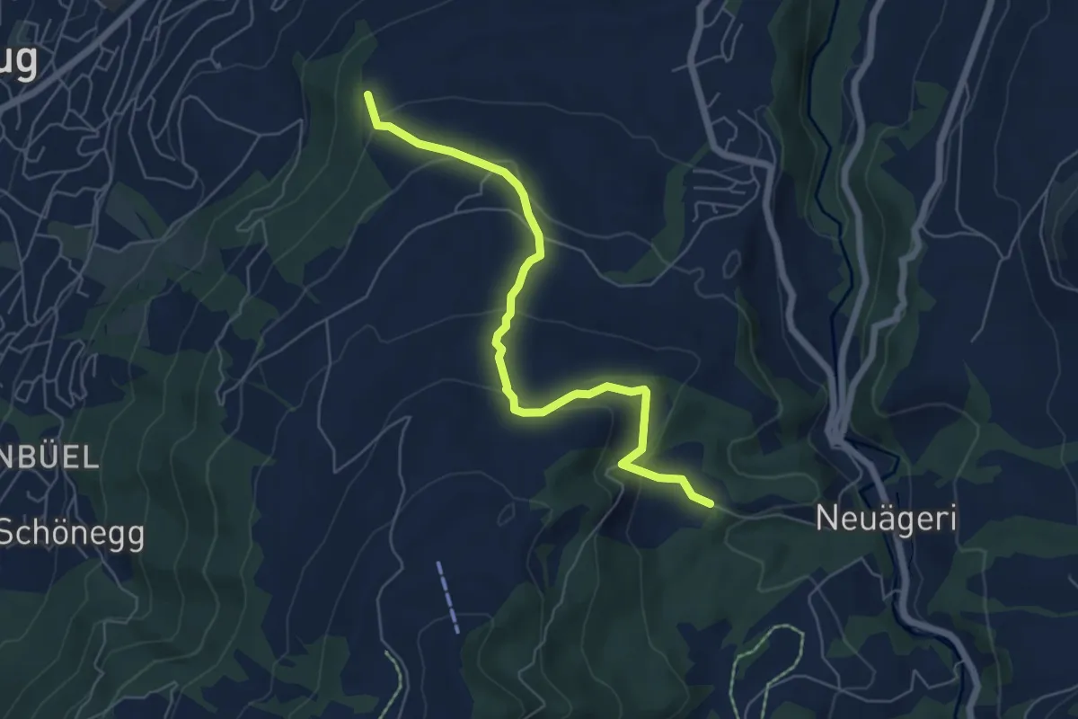
Easy · Trail
Steren-Unter Brunegg
6.0 km · ↑ 296 m · 2 h 3 min