Trails in Switzerland
15,064 hiking trails, each with its route, climb, walking time and grade.
All trails, page 108 of 314
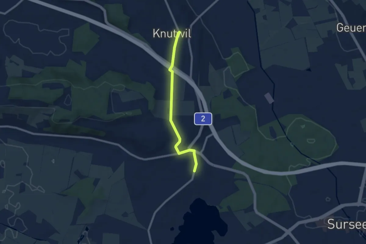
Easy · Trail
St. Erhard - Knutwil
5.2 km · ↑ 66 m · 1 h 22 min
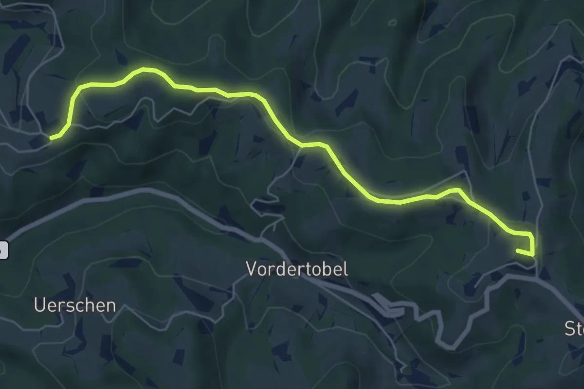
Easy · Summit
Sternenberg – Manzenhueb
5.7 km · ↑ 168 m · 1 h 43 min
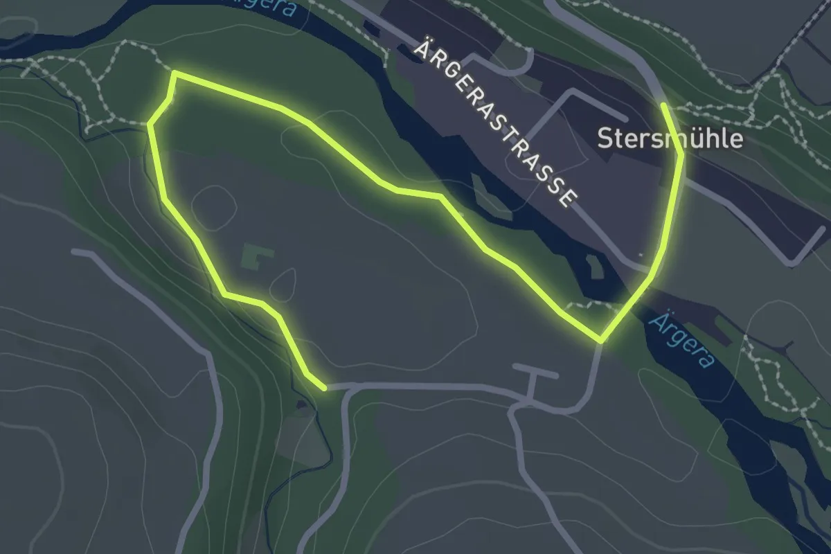
Easy · Trail
Stersmühle - Brädelen, Nesslerabach
3.3 km · ↑ 48 m · 53 min
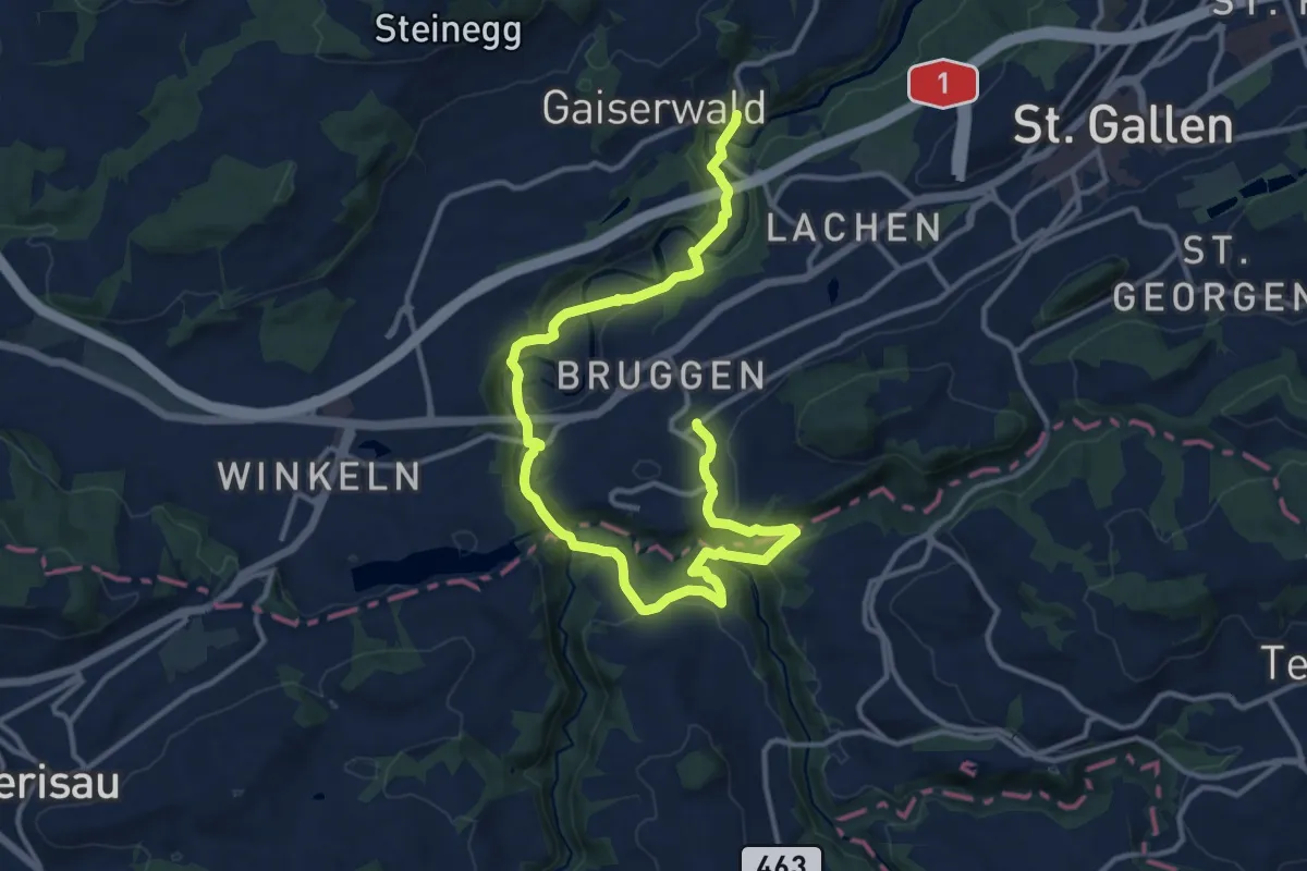
Demanding · Trail
St.Galler Brückenweg
16.6 km · ↑ 523 m · 5 h 3 min
Demanding · Trail
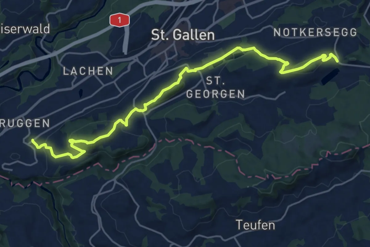
St. Galler Panoramaweg
17.7 km · ↑ 725 m · 5 h 44 min
Medium · Trail
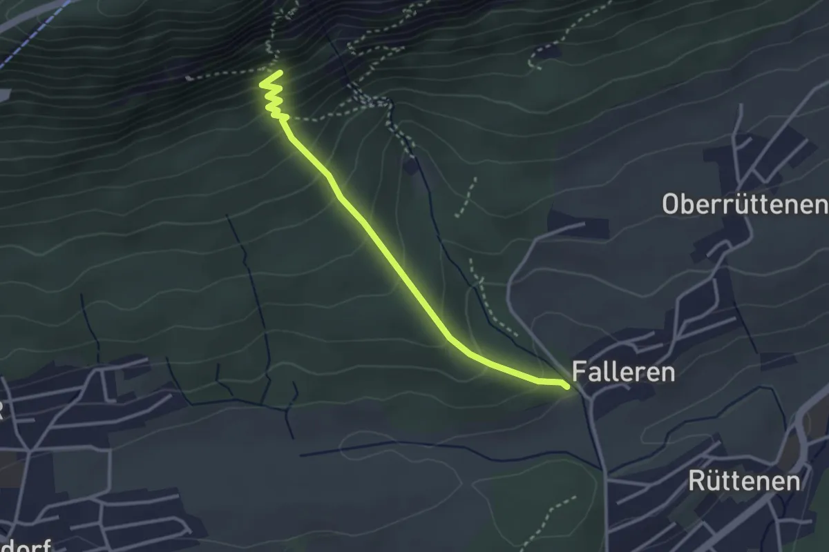
Stiegenlos - Falleren
2.9 km · ↑ 257 m · 1 h 15 min
Medium · Trail
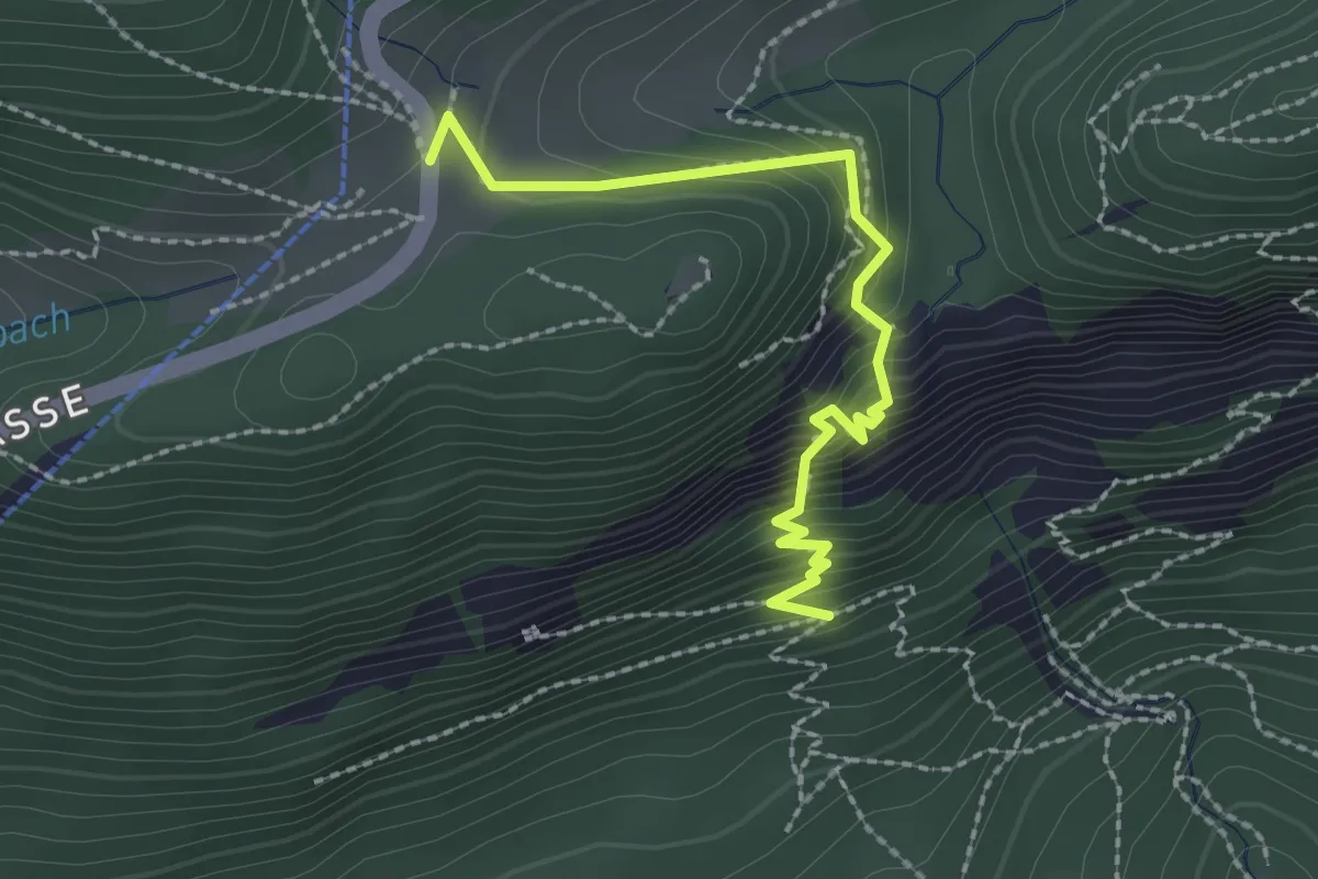
Stiegenlos - Nesselboden
2.3 km · ↑ 302 m · 1 h 12 min
Medium · Trail
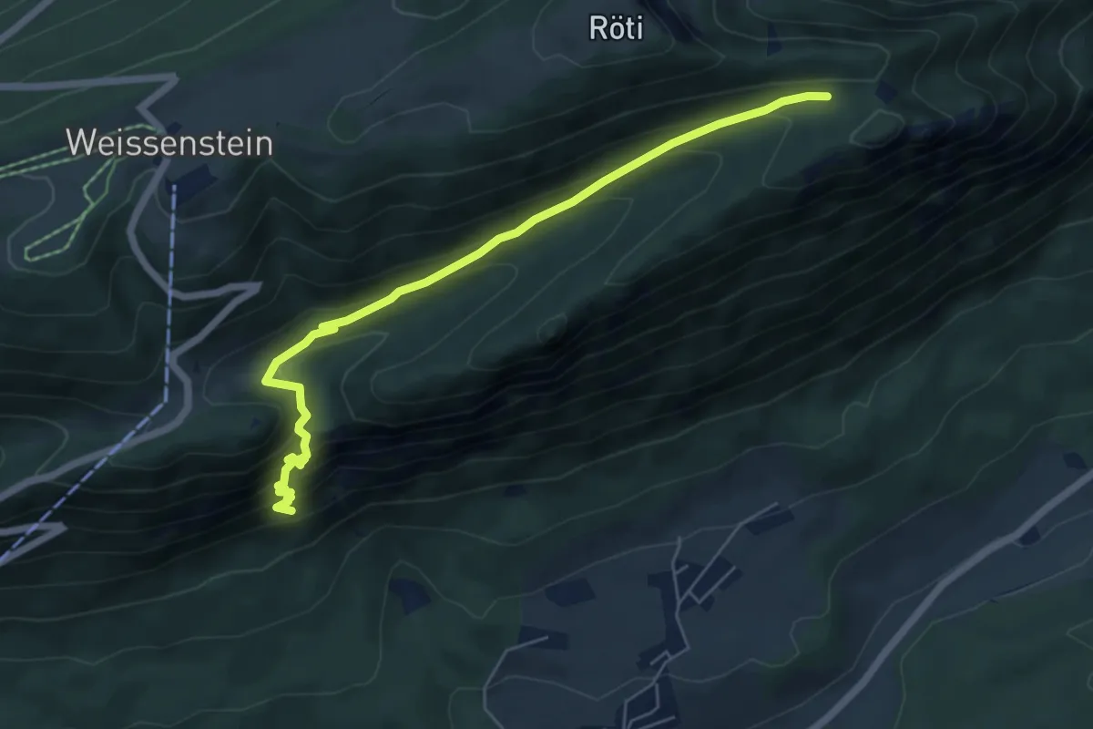
Stiegenlos - Nesselbodenröti
6.2 km · ↑ 503 m · 2 h 33 min
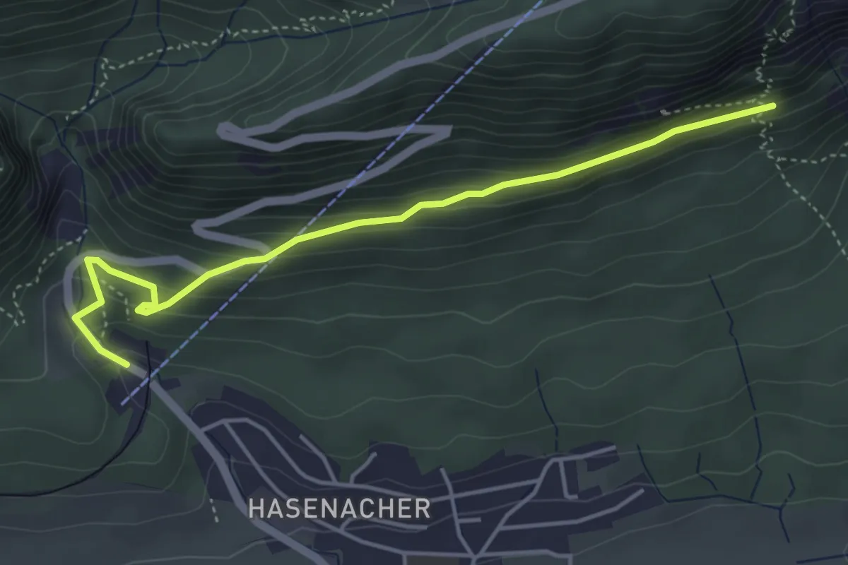
Easy · Trail
Stiegenlos - Oberdorf Talstation Gondelbahn
4.4 km · ↑ 229 m · 1 h 33 min
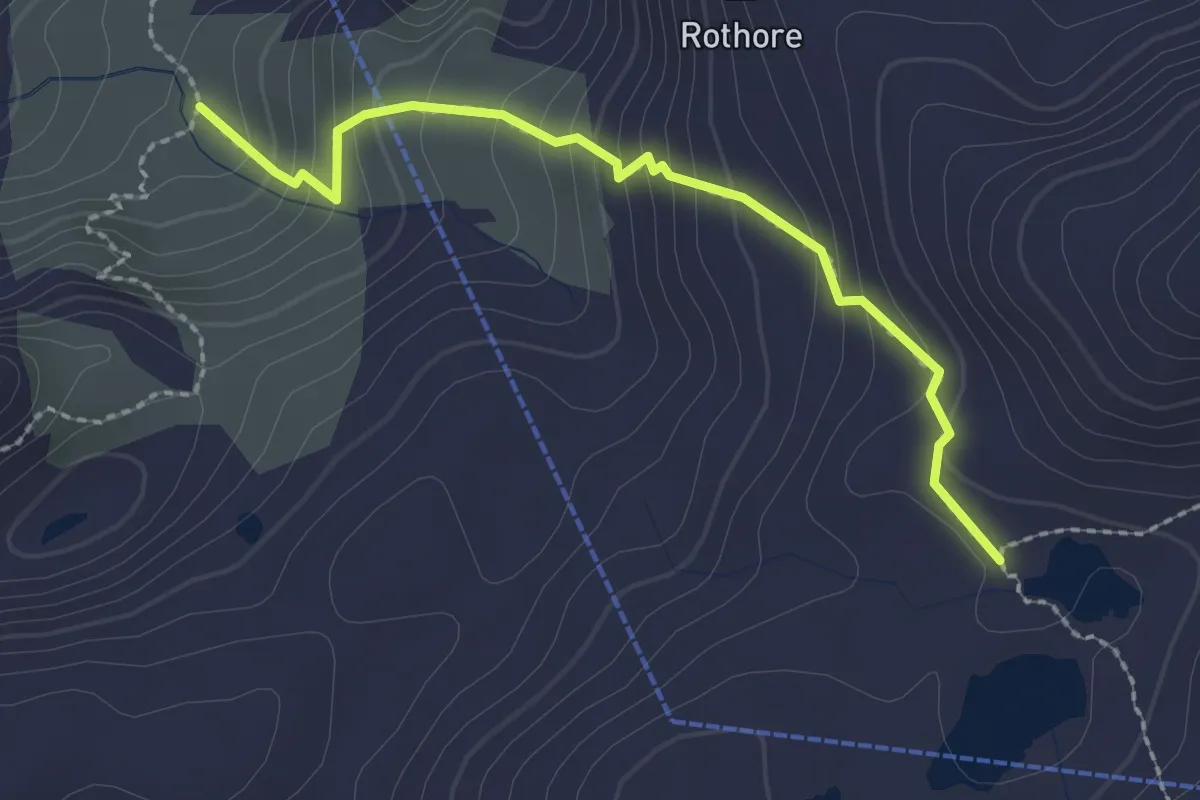
Medium · Trail
Stierenläger-Rawilseeleni
2.3 km · ↑ 226 m · 1 h 3 min
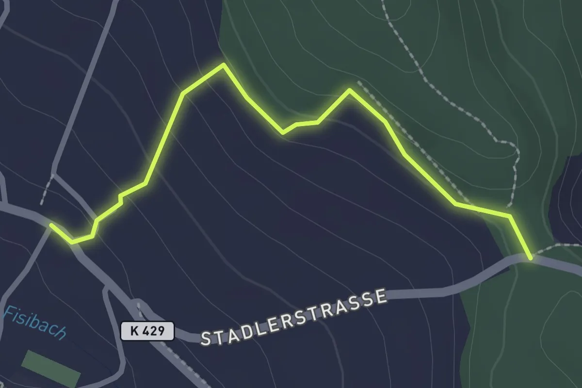
Easy · Trail
Stig - Neu Bachs
2.3 km · ↑ 98 m · 45 min
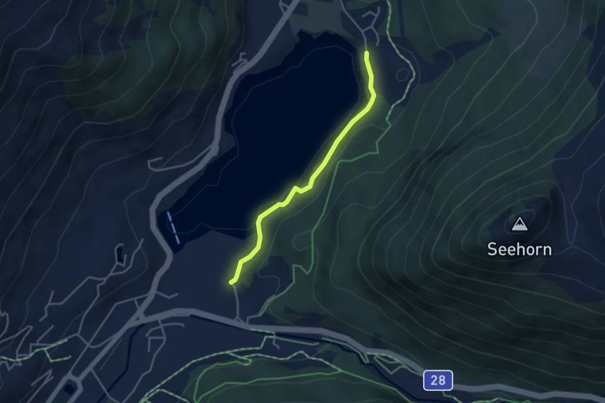
Easy · Trail
Stilli - Höhwald
3.1 km · ↑ 61 m · 52 min
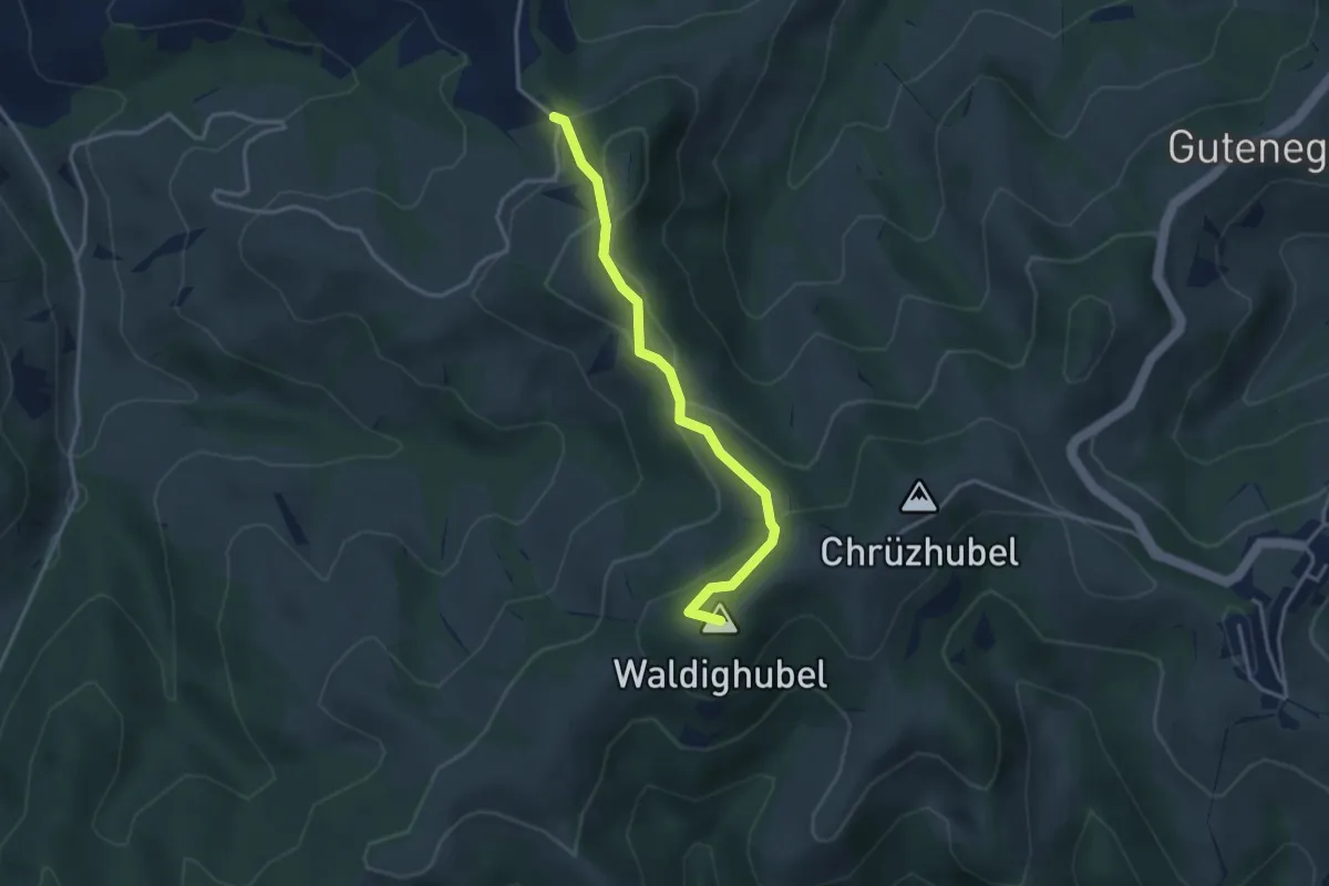
Easy · Summit
St.Joder - Gmeinalp
3.3 km · ↑ 204 m · 1 h 13 min
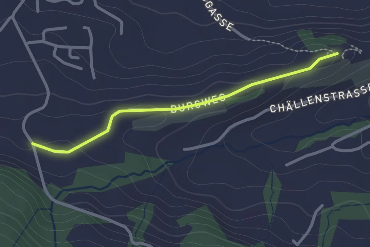
Easy · Trail
St. Johann - Schlipf
2.0 km · ↑ 51 m · 36 min
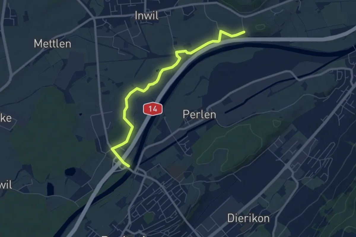
Easy · Trail
St.Katrine - Perlenbrücke
6.9 km · ↑ 18 m · 1 h 40 min
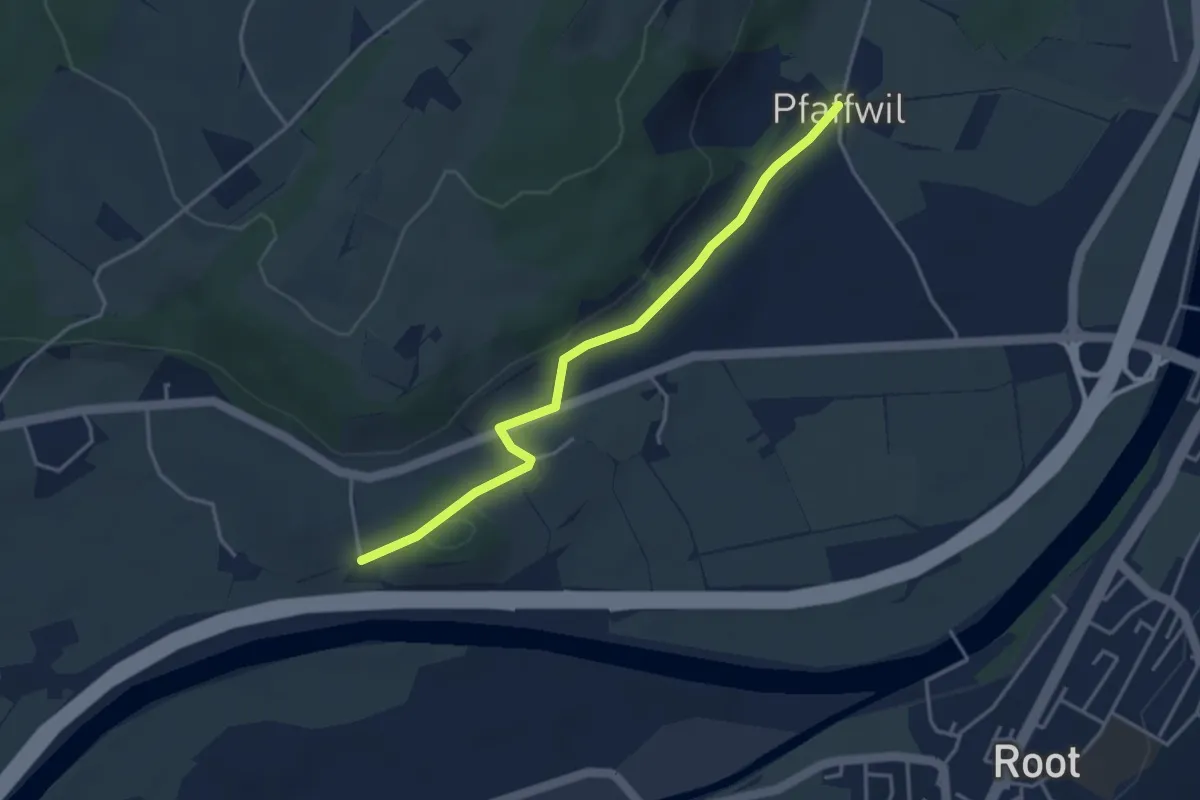
Easy · Trail
St.Katrine - Pfaffwil
3.7 km · ↑ 61 m · 1 h 1 min
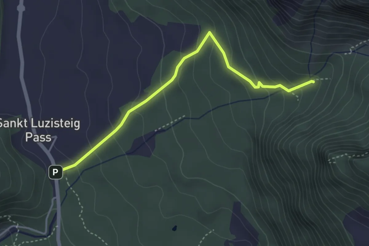
Easy · Trail
St. Luzisteig Enderlinhütte
3.8 km · ↑ 240 m · 1 h 26 min
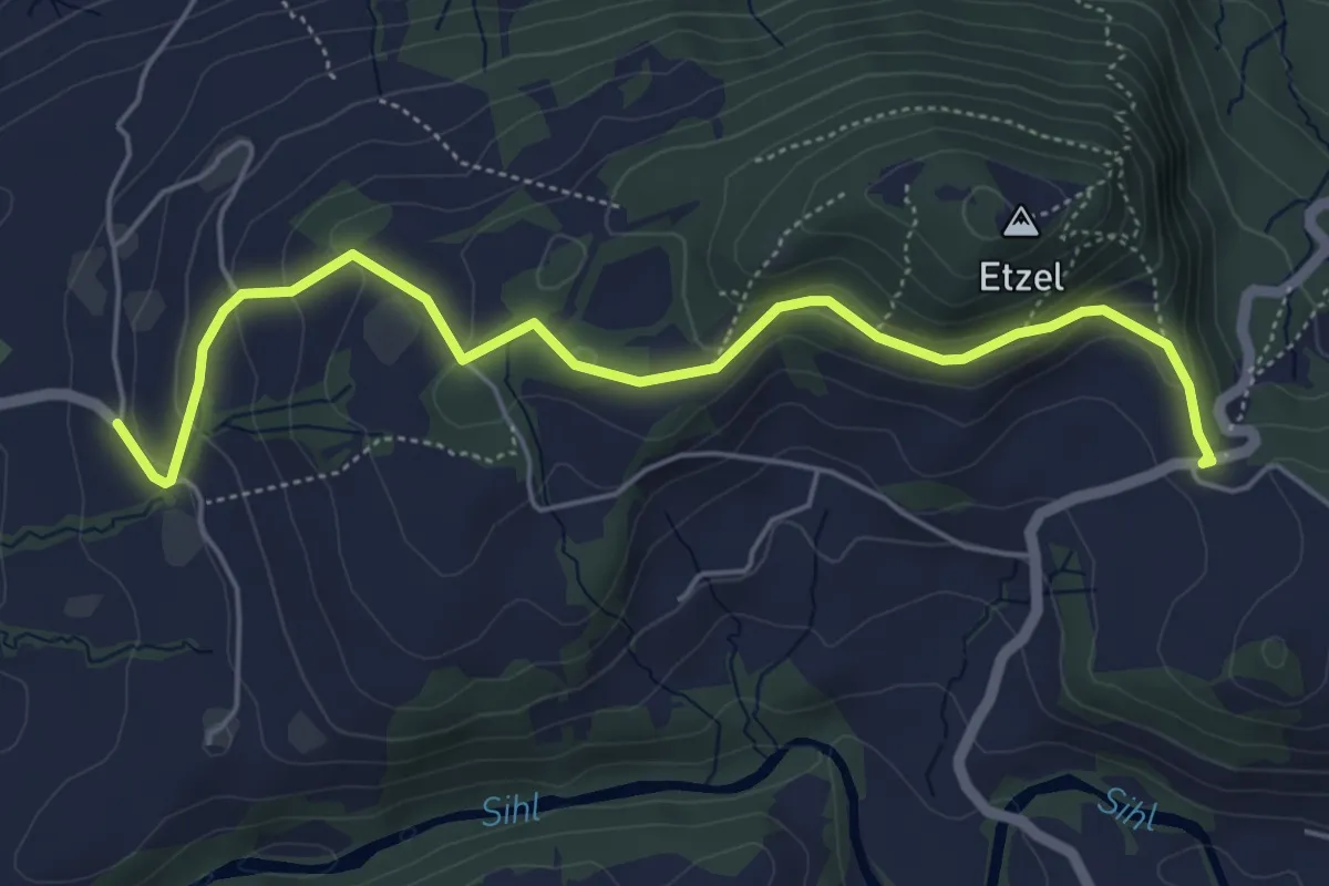
Easy · Trail
St. Meinrad - Büel
5.6 km · ↑ 254 m · 1 h 53 min
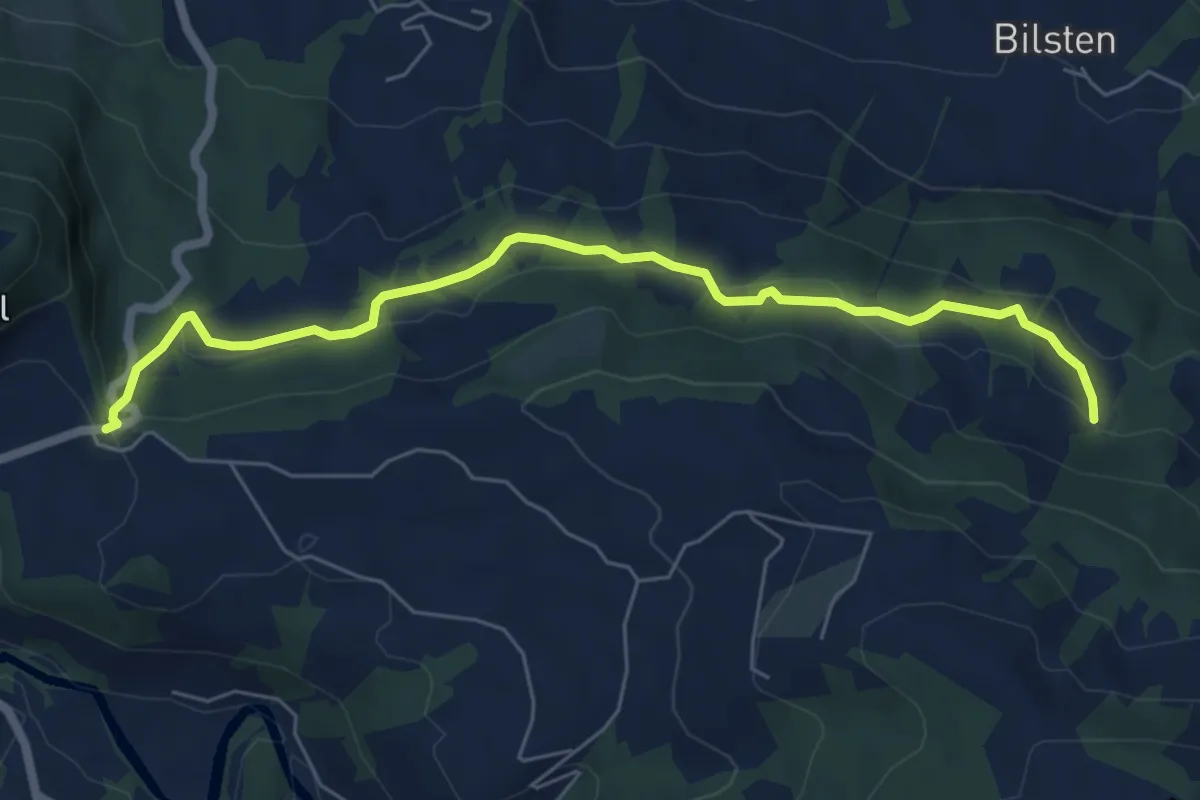
Easy · Trail
St. Meinrad - Chlos
6.5 km · ↑ 229 m · 2 h 1 min
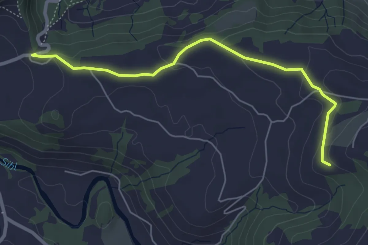
Easy · Trail
St. Meinrad - Chörnlisegg
5.0 km · ↑ 116 m · 1 h 25 min
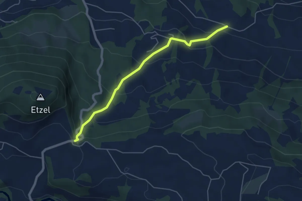
Easy · Trail
St. Meinrad - Schwändi
4.4 km · ↑ 252 m · 1 h 35 min
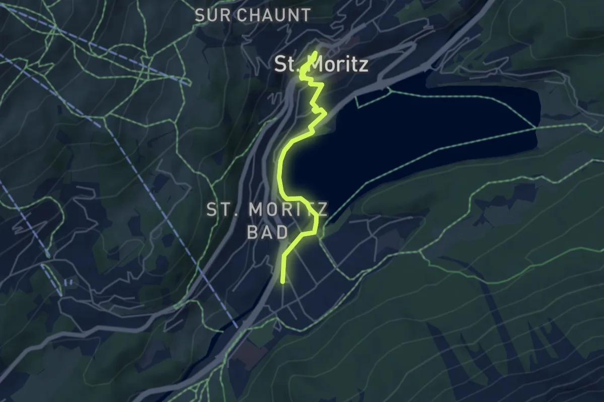
Easy · Trail
St. Moritz-Dorf - St. Moritz-Bad
4.5 km · ↑ 112 m · 1 h 18 min
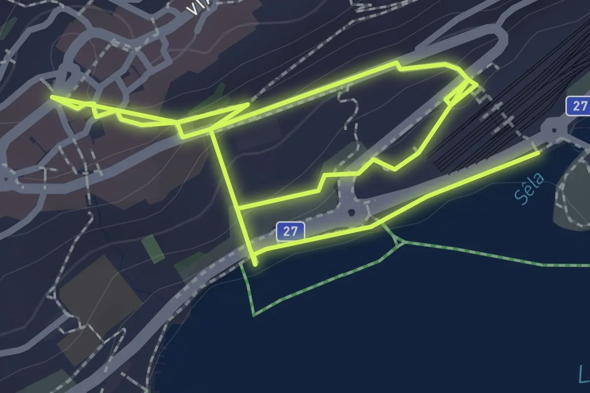
Easy · Trail
St. Moritz-Dorf - St. Moritz Bahnhof
4.2 km · ↑ 166 m · 1 h 21 min
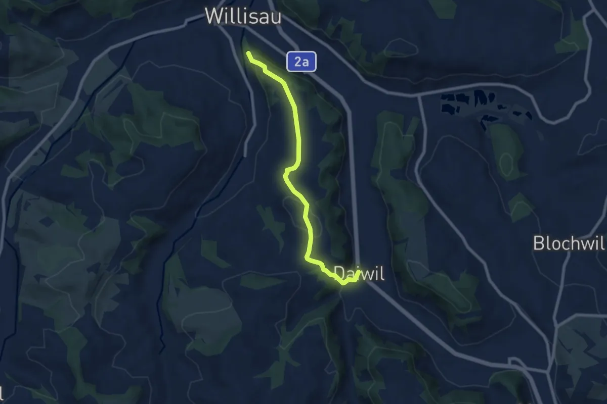
Easy · Trail
St. Niklausen - Daiwil
6.6 km · ↑ 249 m · 2 h 6 min
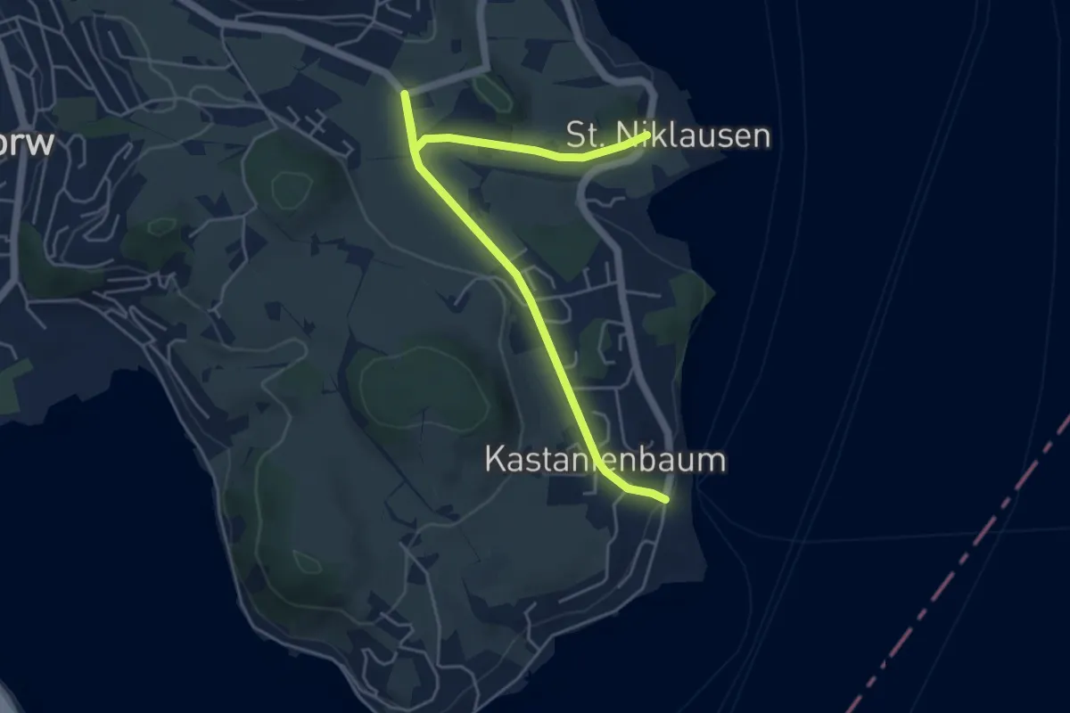
Easy · Trail
St.Niklausen - Grämlis
5.4 km · ↑ 74 m · 1 h 26 min
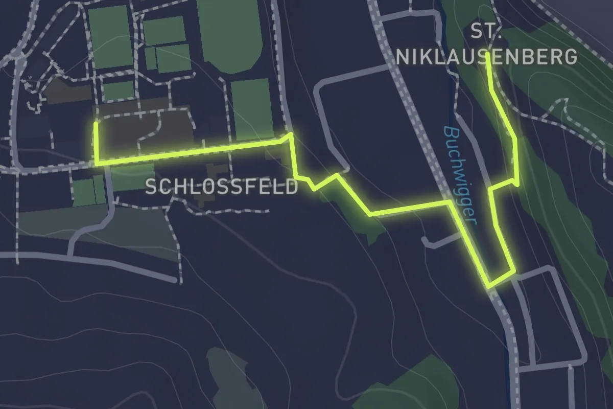
Easy · Trail
St. Niklausen - Schlossfeld
2.5 km · ↑ 60 m · 43 min
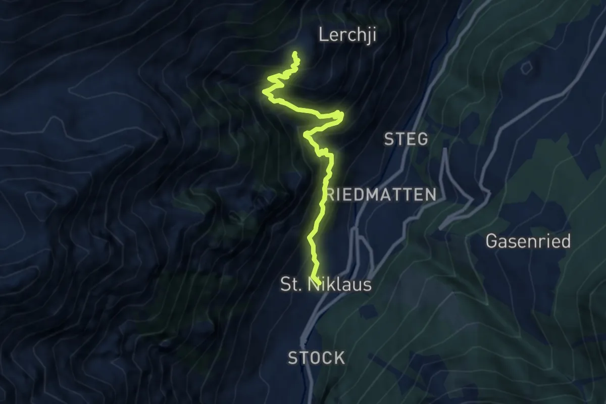
Demanding · Trail
St. Niklaus - Jungu
8.0 km · ↑ 1074 m · 4 h 12 min
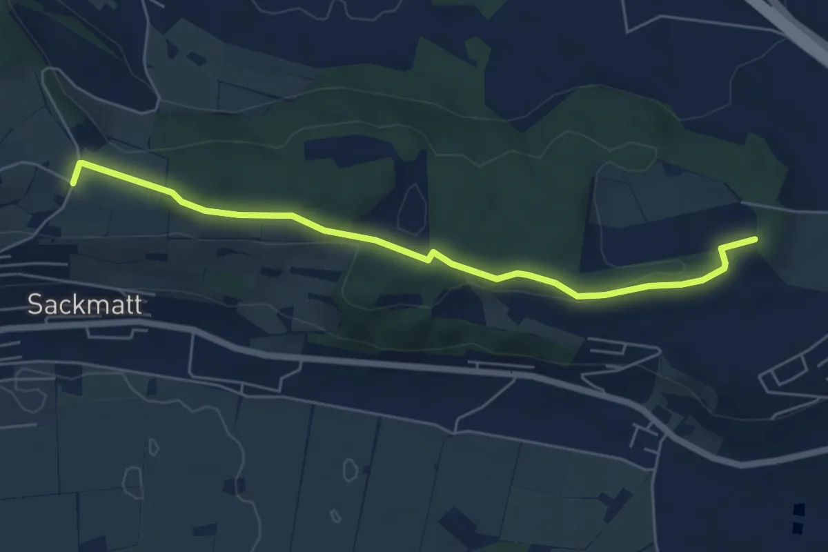
Easy · Trail
Stockacher - Berg
5.6 km · ↑ 73 m · 1 h 29 min
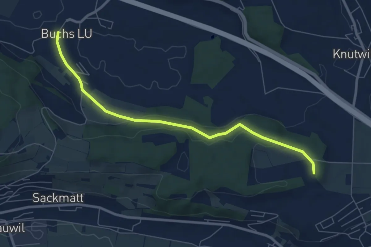
Easy · Trail
Stockacher - Buchs
6.4 km · ↑ 130 m · 1 h 47 min
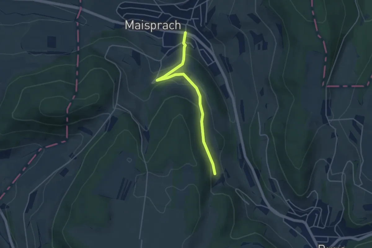
Easy · Trail
Stockacher - Maisprach
3.7 km · ↑ 134 m · 1 h 10 min
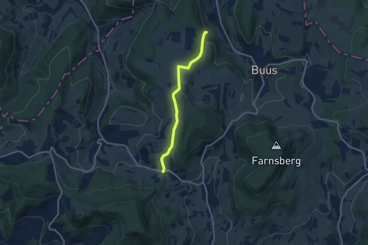
Easy · Trail
Stockacher - Rickenbacher-Höchi
6.3 km · ↑ 130 m · 1 h 47 min
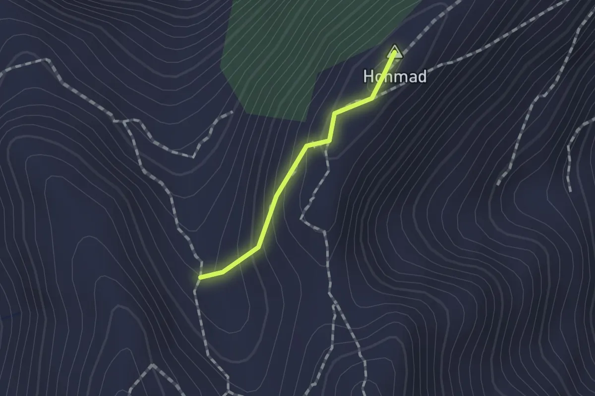
Demanding · Summit
Stockalp - Höchdossen
0.9 km · ↑ 78 m · 24 min
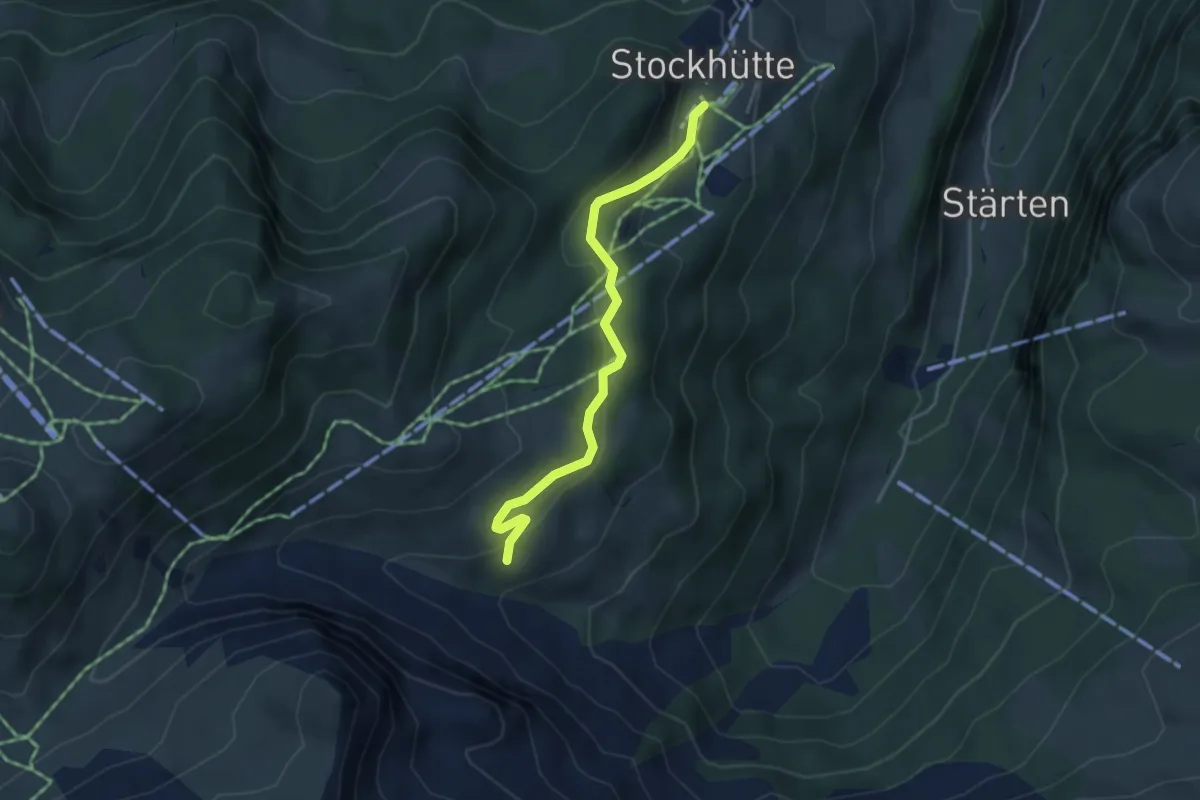
Easy · Trail
Stockhütte - Lochhütte
3.8 km · ↑ 164 m · 1 h 15 min
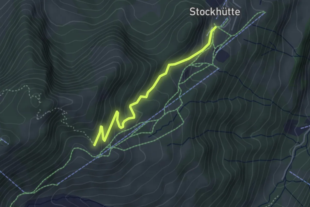
Easy · Trail
Stockhütte - Twäregg
3.7 km · ↑ 268 m · 1 h 27 min
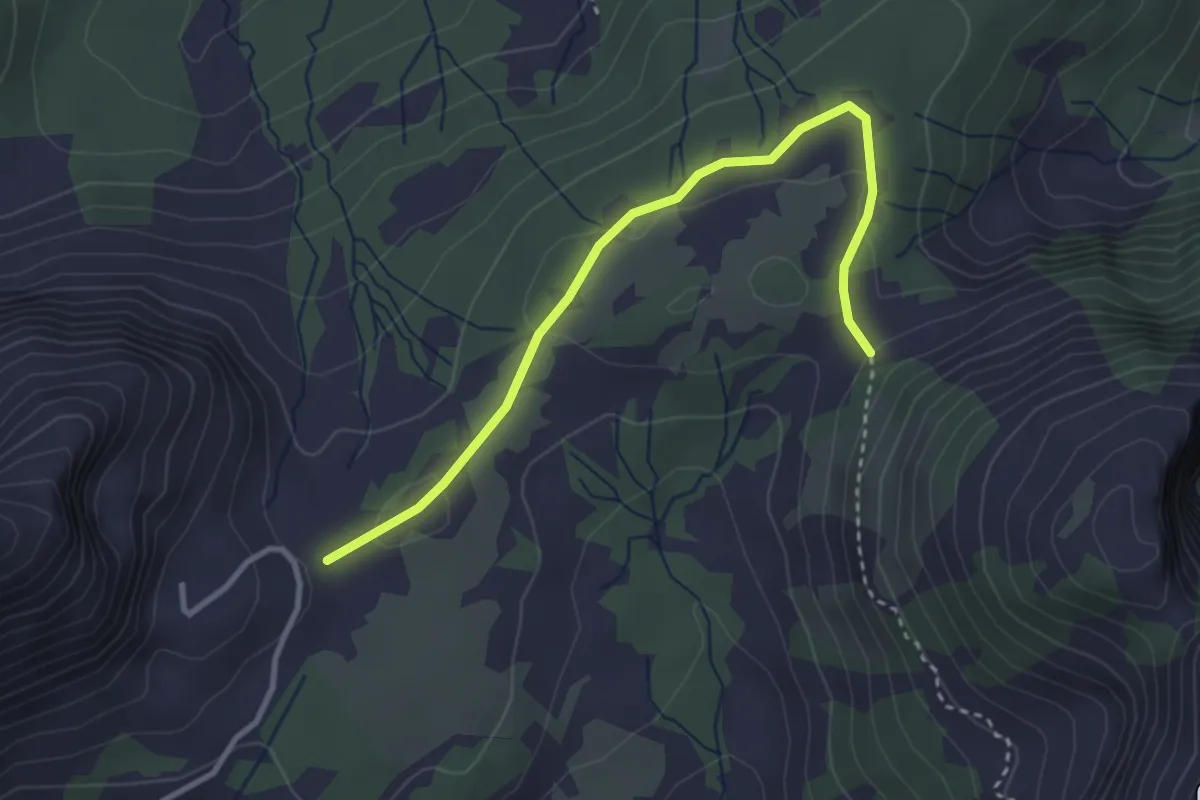
Easy · Trail
Stöcklersiten - ?
3.3 km · ↑ 61 m · 55 min
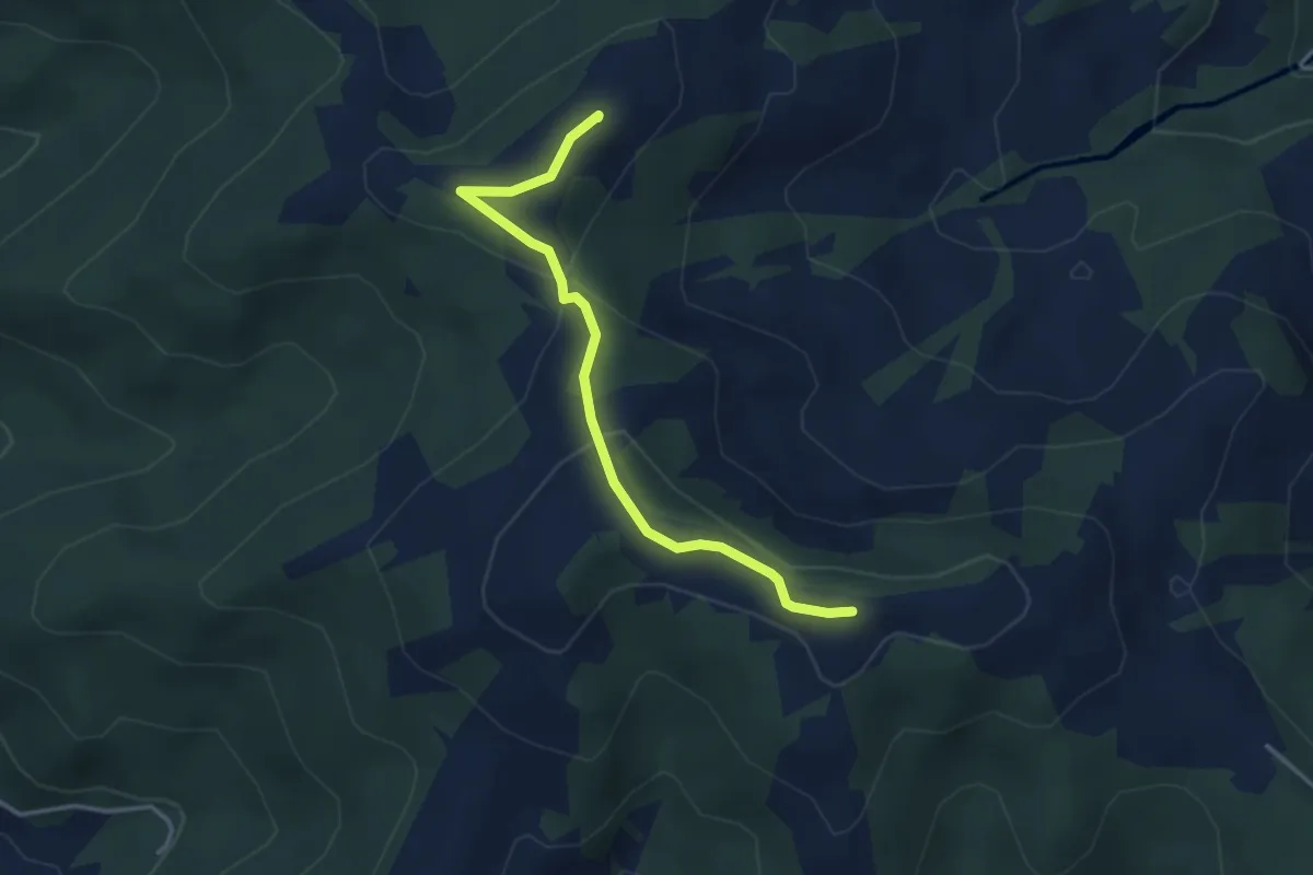
Easy · Summit
Stöcklichrüz - Gueteregg
3.4 km · ↑ 125 m · 1 h 5 min
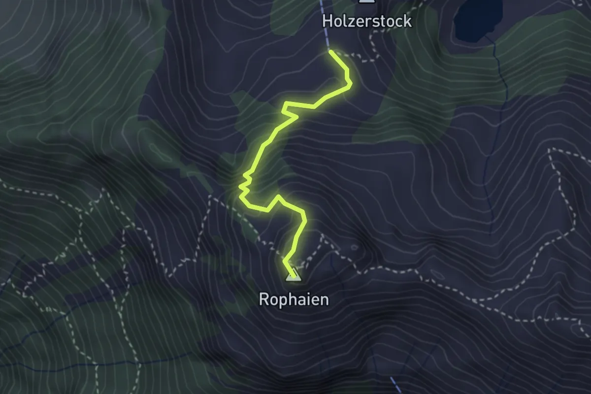
Demanding · Summit
Stock - Rophaien
2.5 km · ↑ 315 m · 1 h 17 min
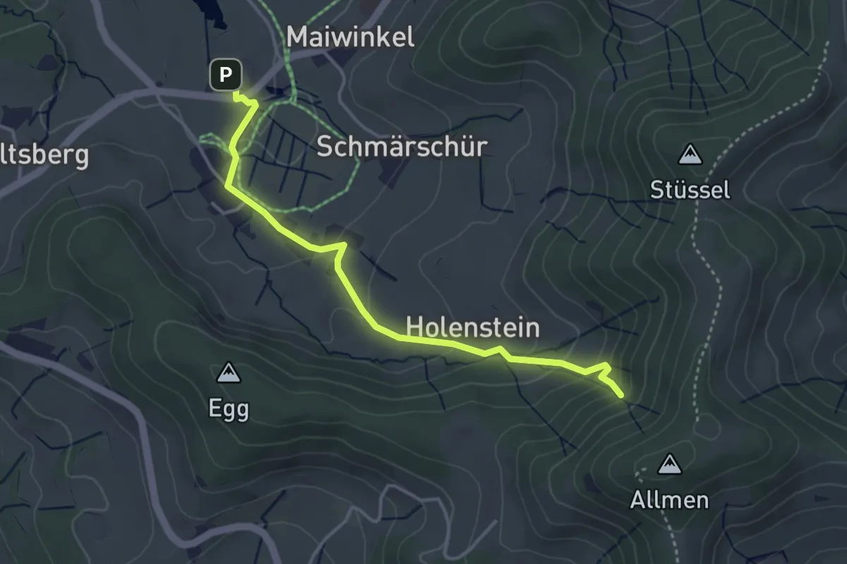
Easy · Trail
Stockrüti - Täuferhöhle
3.8 km · ↑ 180 m · 1 h 17 min
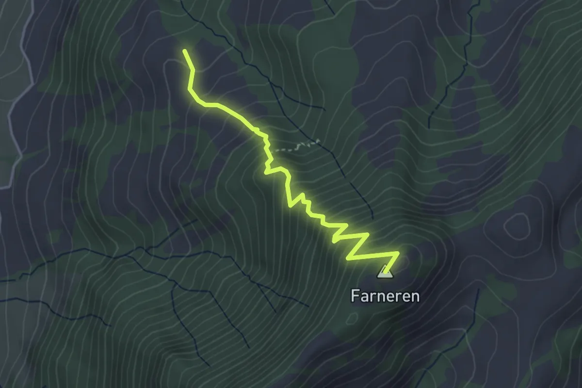
Medium · Summit
Stolen - Farneren
3.7 km · ↑ 471 m · 1 h 53 min
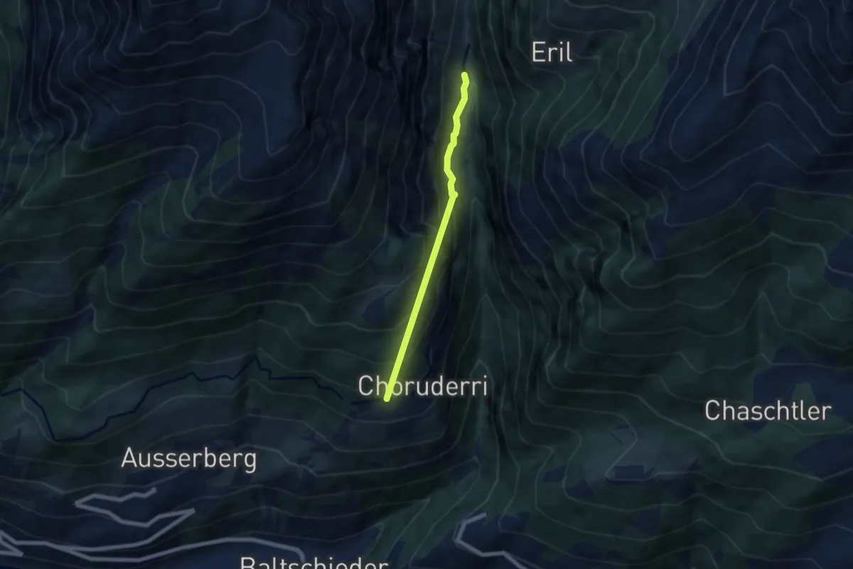
Medium · Trail
Stolleneingang Süd - Ze Steinu
5.2 km · ↑ 642 m · 2 h 37 min
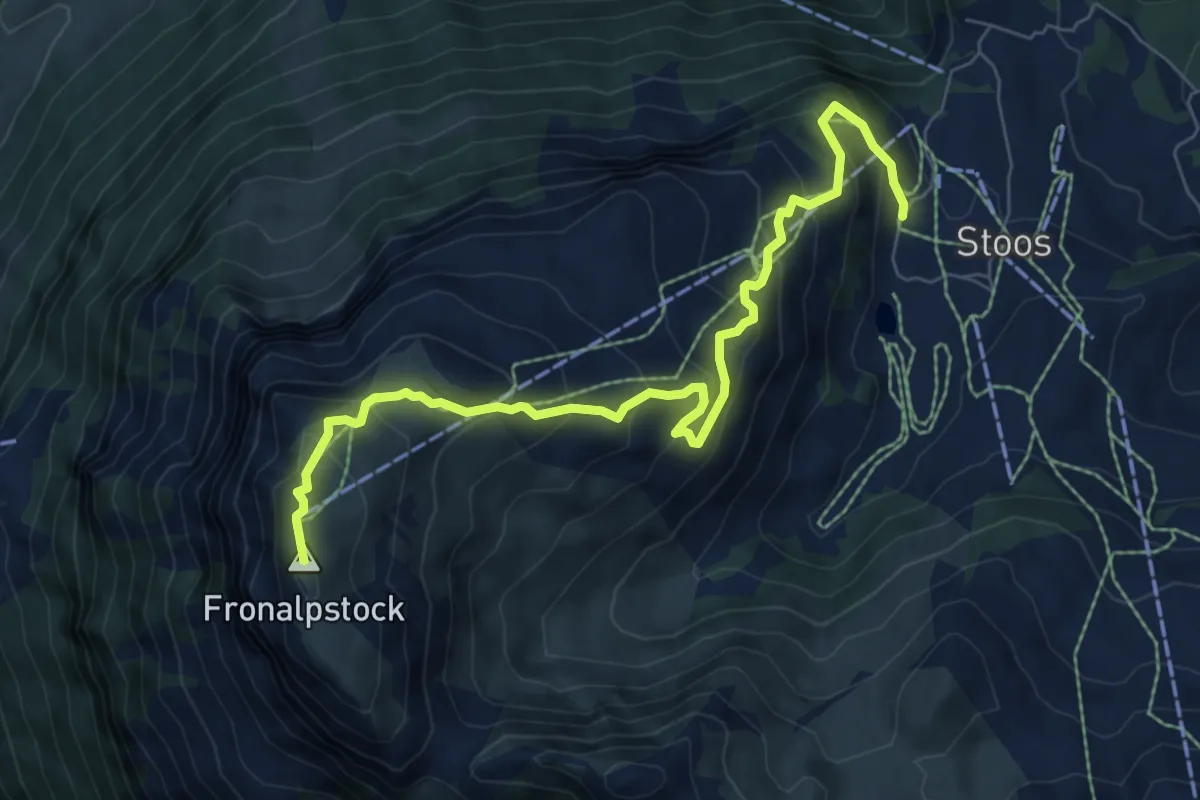
Medium · Summit
Stoos - Fronalpstock
8.0 km · ↑ 570 m · 3 h 7 min
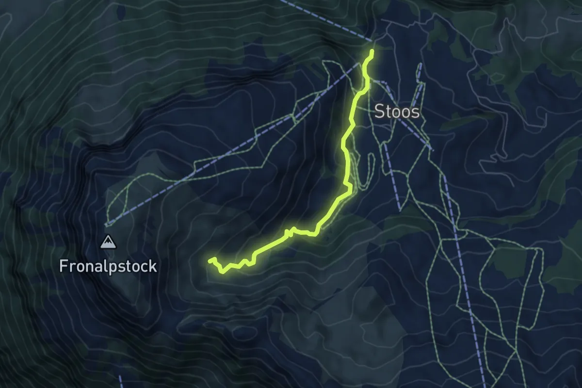
Easy · Trail
Stoos - Obere Frontalhütte
5.5 km · ↑ 317 m · 2 h
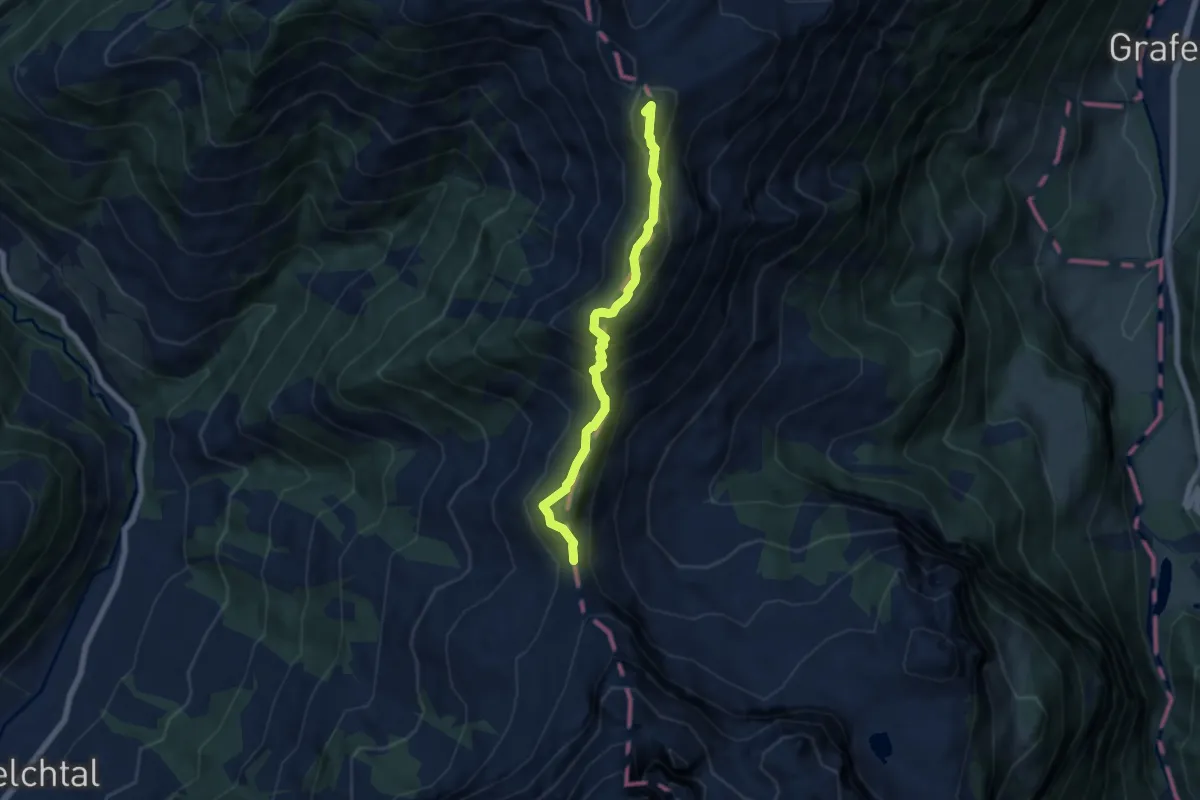
Expert · Summit
Storeggpass - Gräfimatt
6.2 km · ↑ 562 m · 2 h 41 min
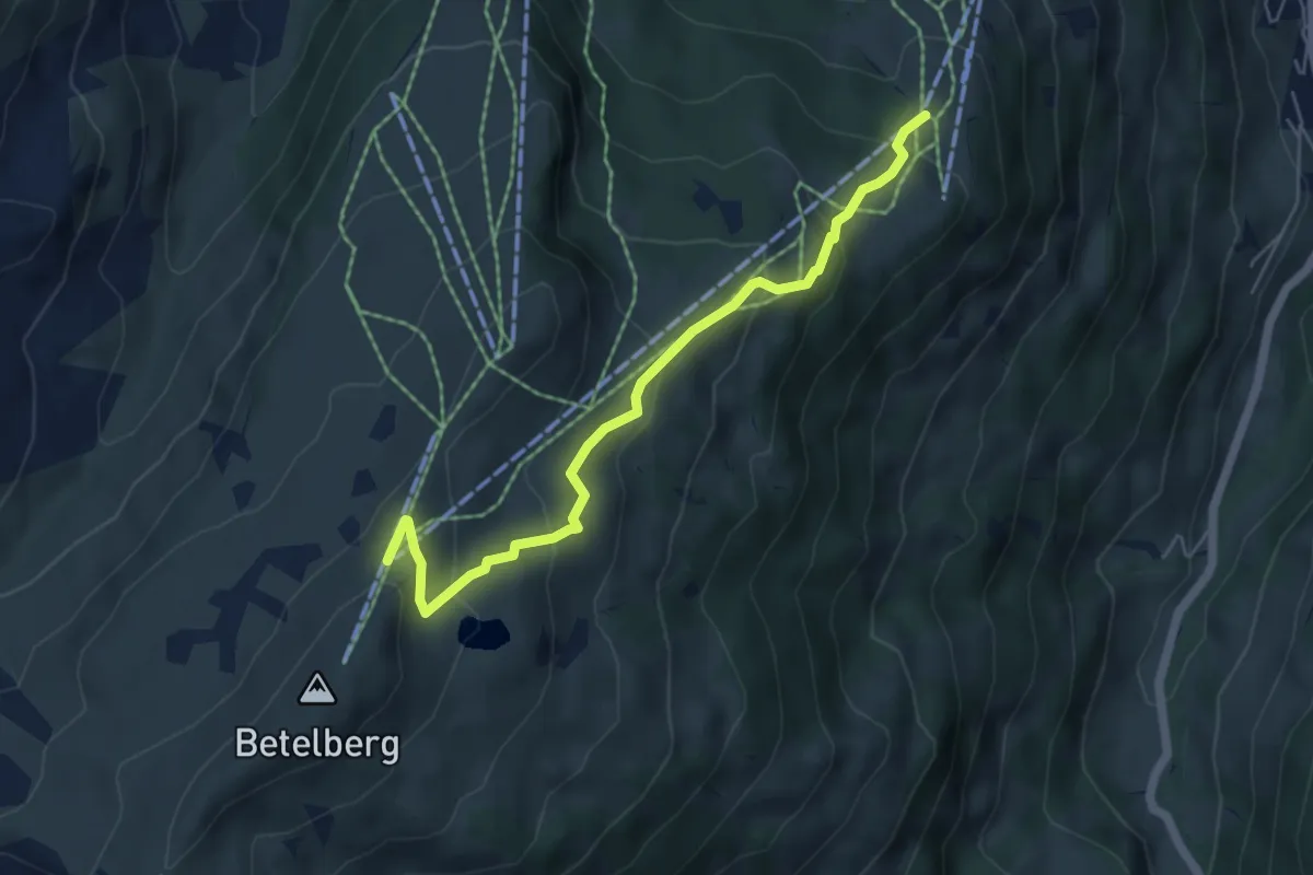
Medium · Trail
Stoss - Betelberg / Leiterli
5.5 km · ↑ 339 m · 2 h 2 min
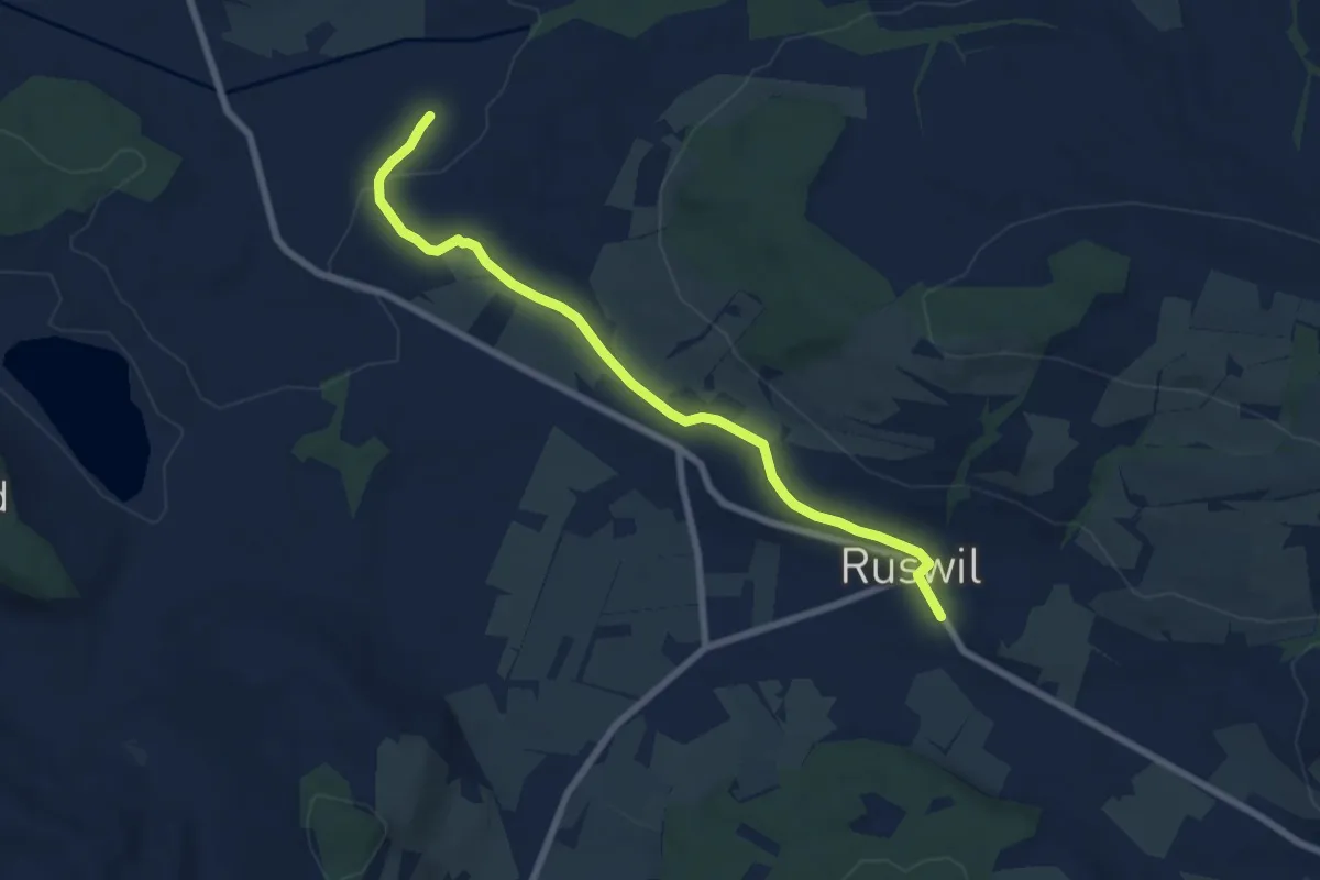
Easy · Trail
St.Ottilien - Ruswil
7.3 km · ↑ 130 m · 2 h 1 min
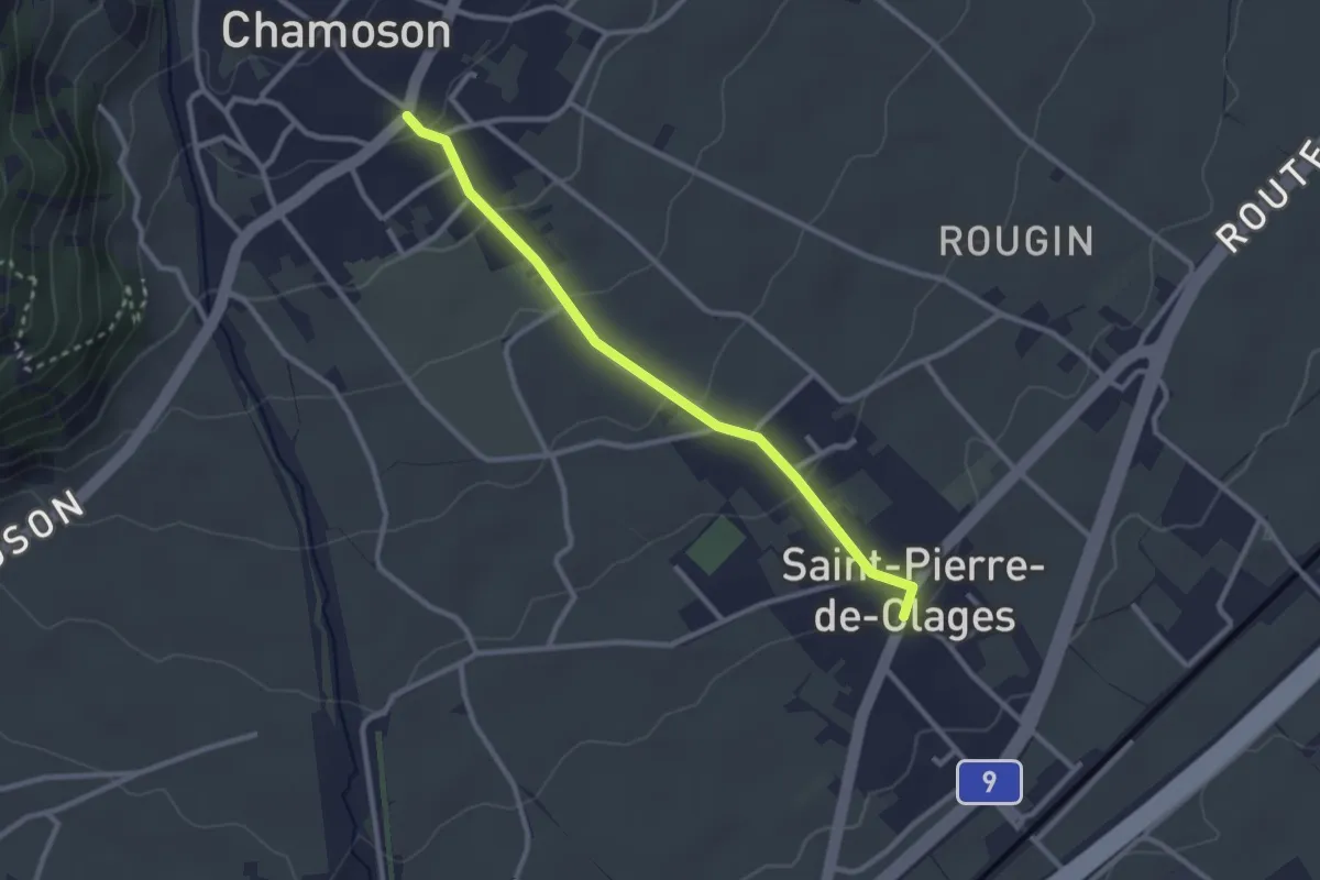
Easy · Trail
St-Pierre-de-Clages - Chamoson
2.7 km · ↑ 103 m · 52 min
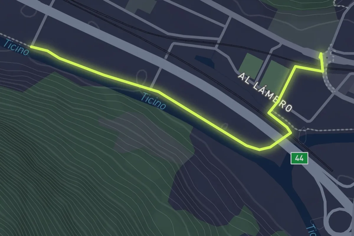
Easy · Trail
Strada Bassa
3.0 km · ↑ 8 m · 44 min
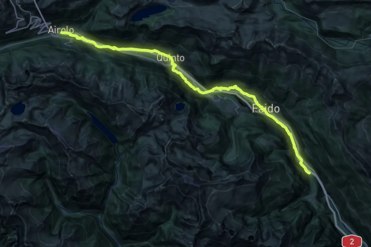
Demanding · Trail
Strada Bassa
25.5 km · ↑ 723 m · 8 h 12 min