Trails in Switzerland
15,064 hiking trails, each with its route, climb, walking time and grade.
All trails, page 109 of 314
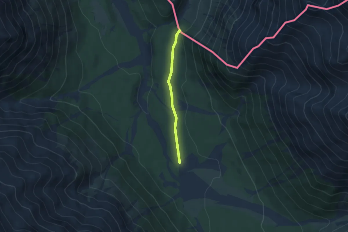
Easy · Trail
Strada del vino e del sale
2.8 km · ↑ 51 m · 47 min
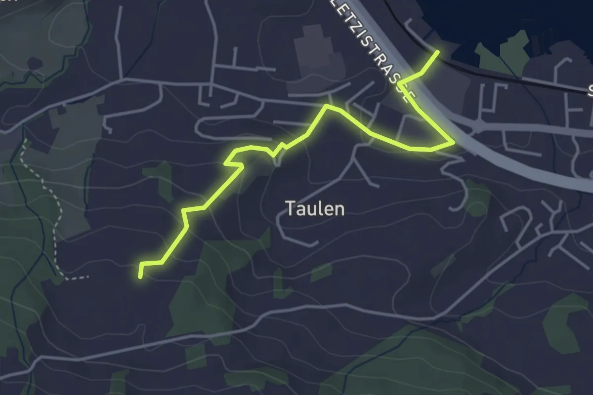
Easy · Trail
Strandbad Altendorf - Flügenberg
3.9 km · ↑ 154 m · 1 h 15 min
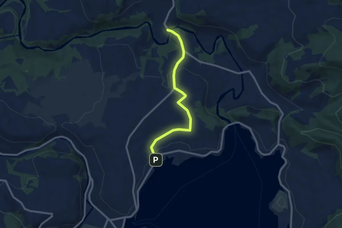
Easy · Trail
Strandbad Einsiedeln - Tüfelsbrugg
5.7 km · ↑ 99 m · 1 h 33 min
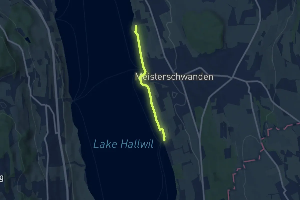
Easy · Trail
Strandbad Tennwil - Seerose
4.7 km · ↑ 26 m · 1 h 10 min
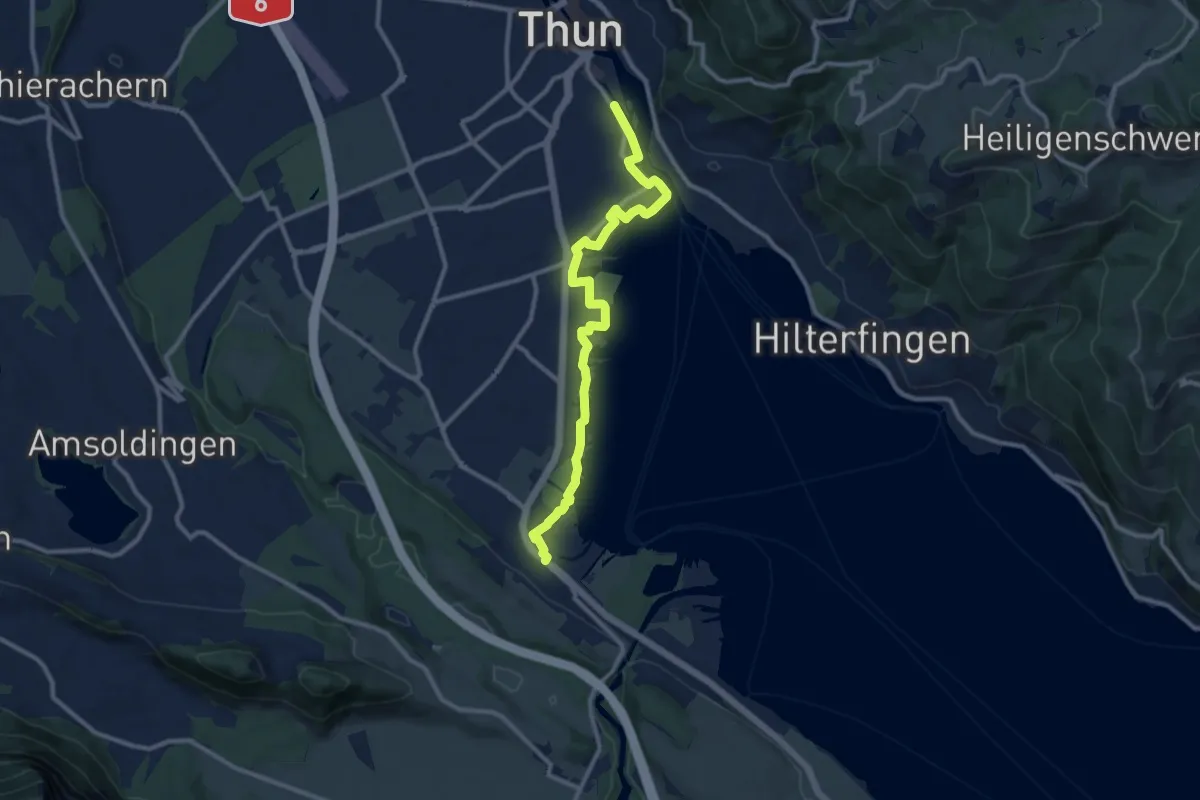
Medium · Trail
Strandweg Thun
11.0 km · ↑ 22 m · 2 h 38 min
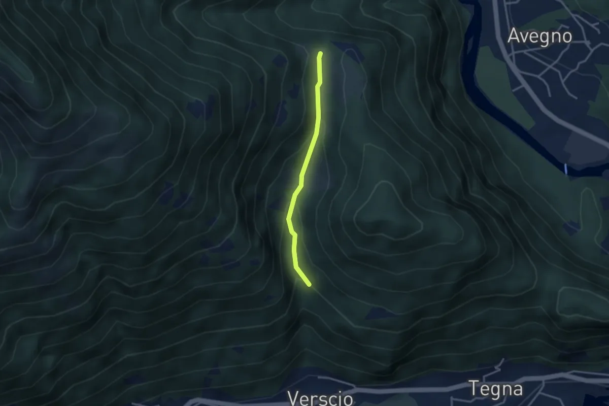
Easy · Trail
Streccia-Monte Zucchero
2.5 km · ↑ 127 m · 53 min
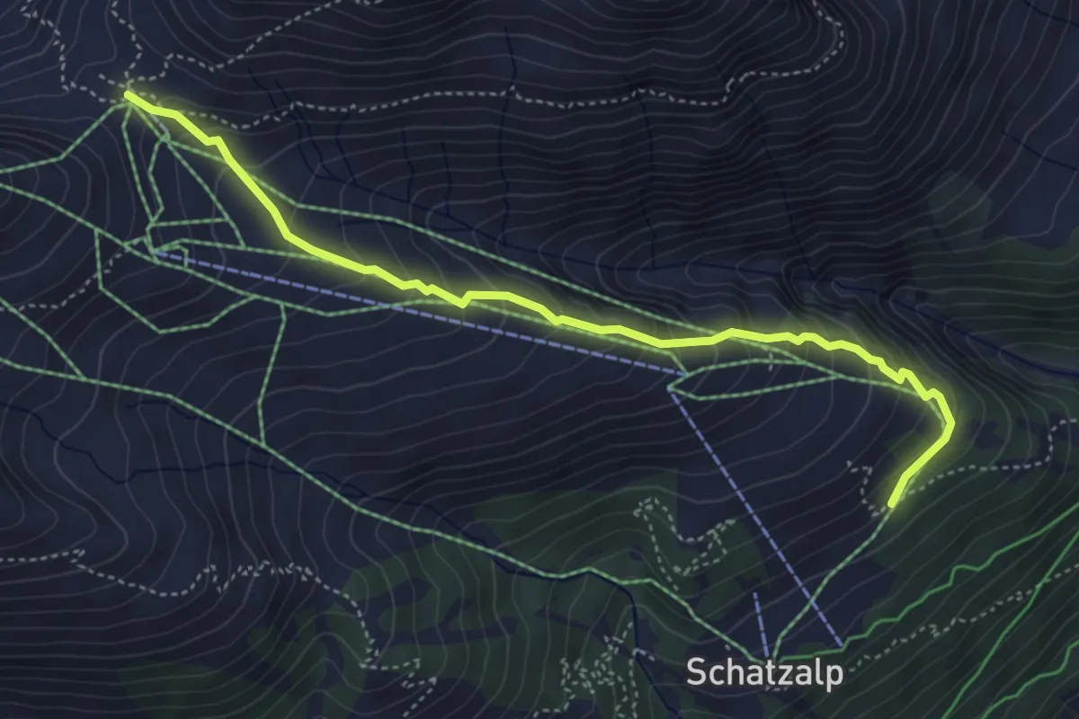
Medium · Cabin
Strelaalp - Strelapass
4.8 km · ↑ 410 m · 2 h 2 min
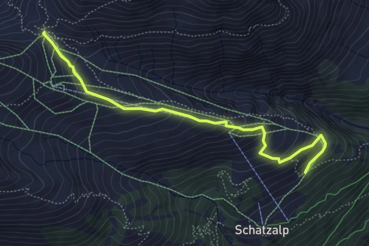
Medium · Cabin
Strelaalp - Strelapass
5.4 km · ↑ 412 m · 2 h 10 min
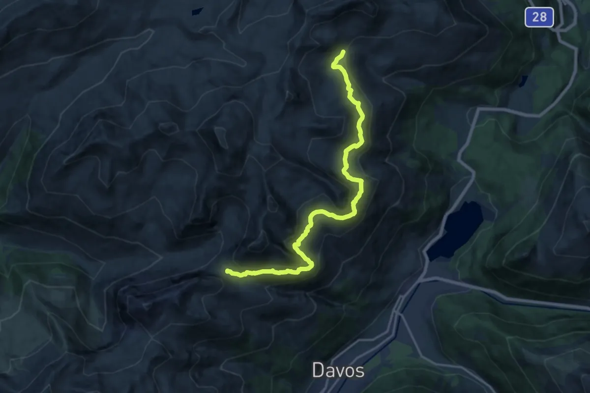
Medium · Cabin
Strelapass - Parsennhütte
15.9 km · ↑ 728 m · 5 h 20 min
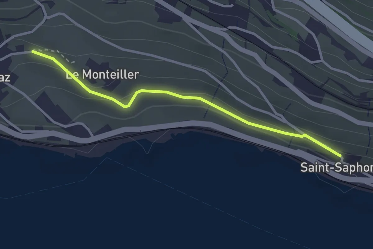
Easy · Trail
St-Saphorin - Rivaz
2.6 km · ↑ 101 m · 51 min
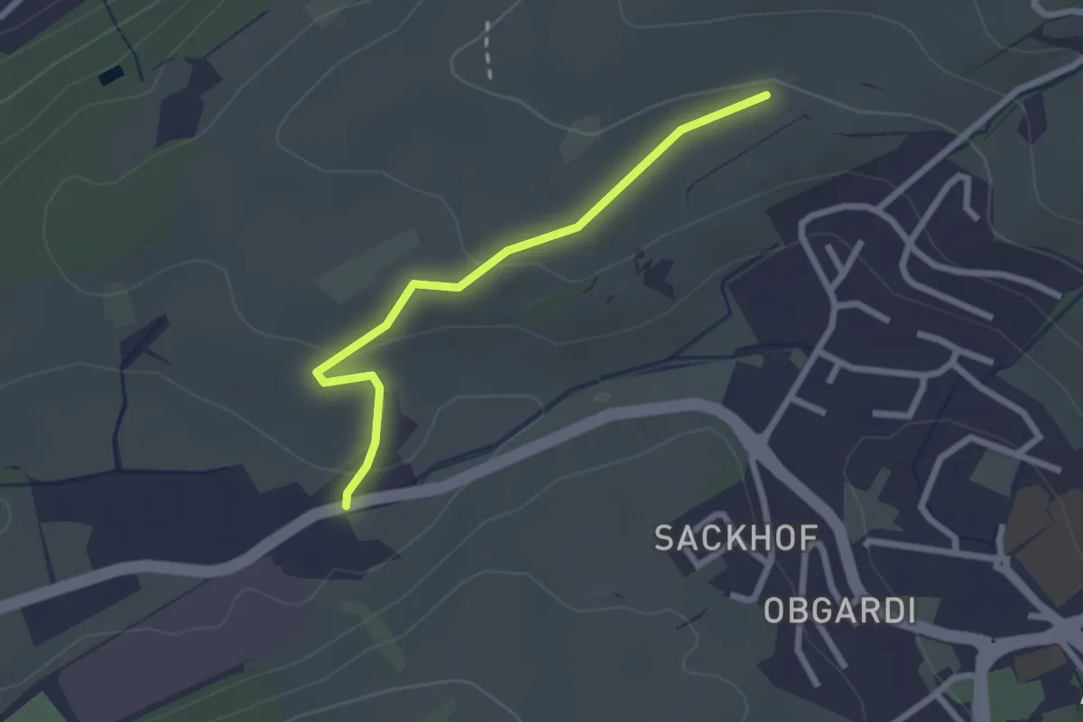
Easy · Trail
Stube - Lätten
2.3 km · ↑ 61 m · 40 min
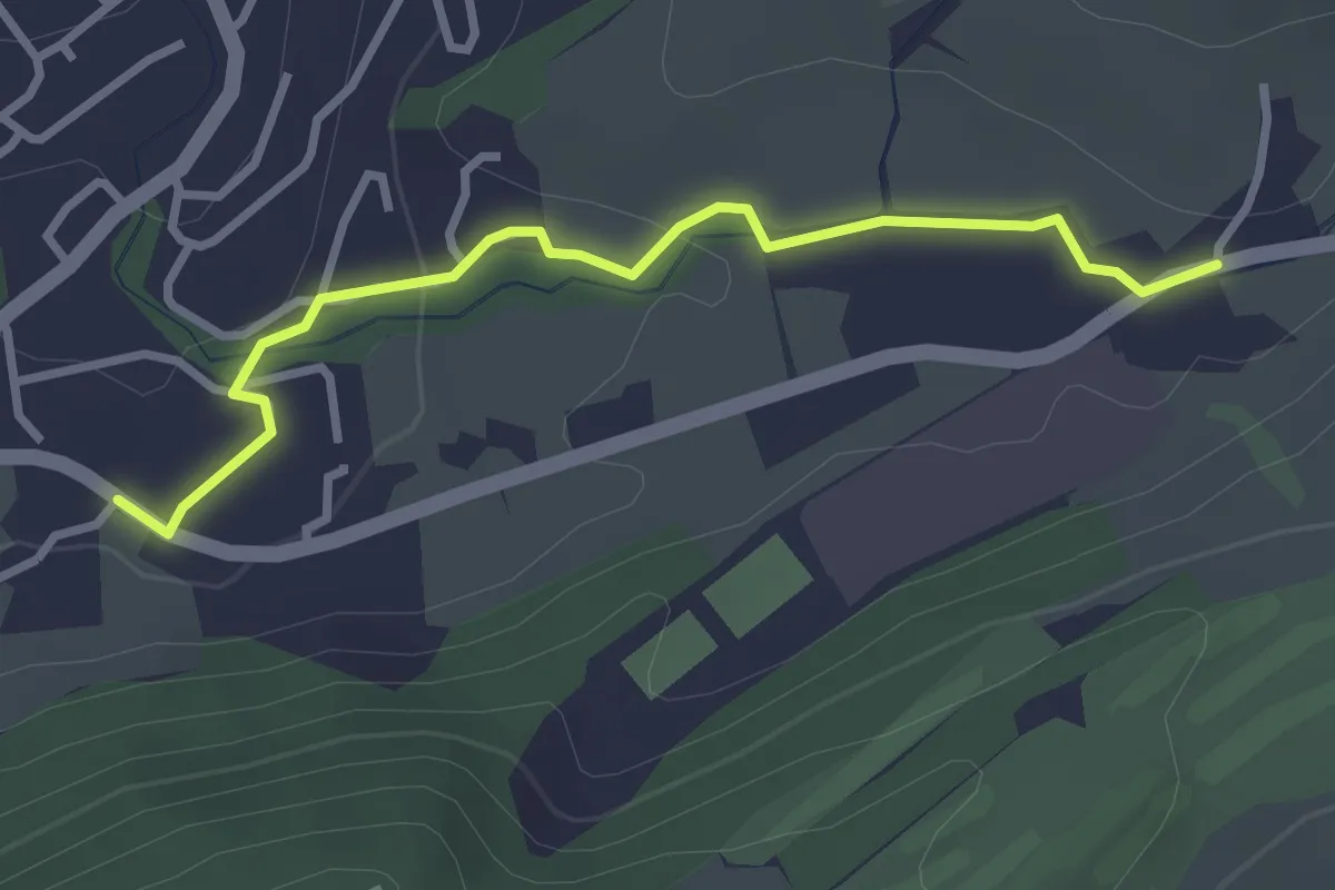
Easy · Trail
Stube - Schlössli
3.0 km · ↑ 57 m · 50 min
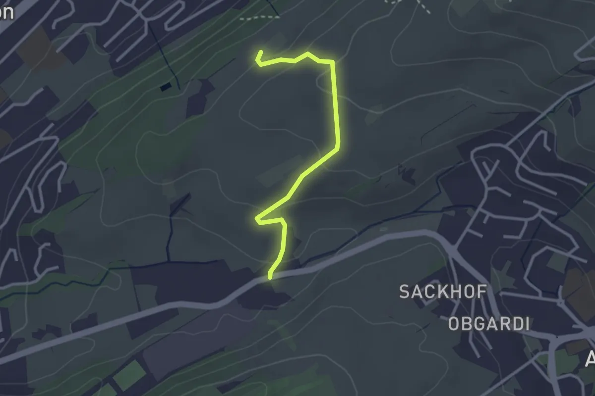
Easy · Trail
Stube - Under Äbrüti
2.5 km · ↑ 111 m · 51 min
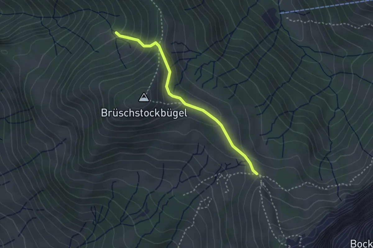
Medium · Trail
Stuckliwald - Schwarzenegghöchi
2.9 km · ↑ 199 m · 1 h 7 min
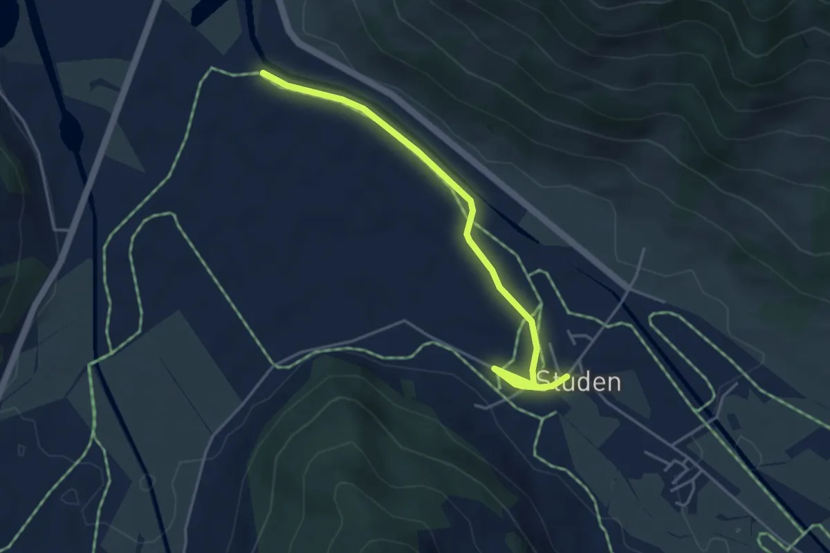
Easy · Trail
Studen - Breitried
4.1 km · ↑ 0 m · 59 min
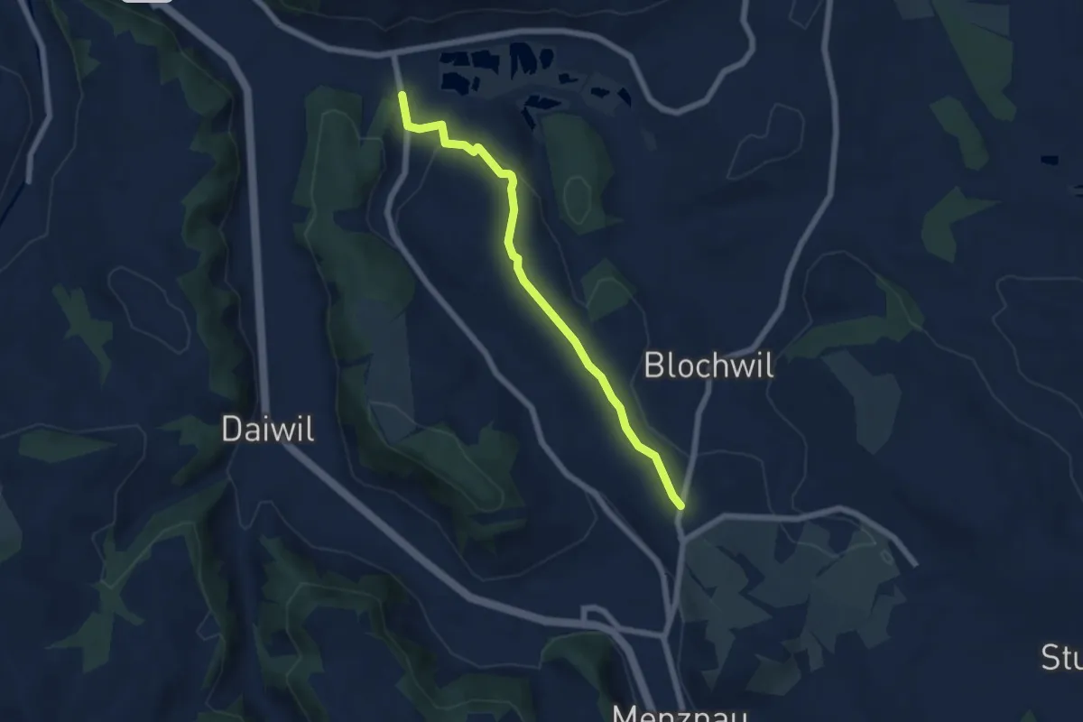
Easy · Trail
Studenweid - Ostergau
5.6 km · ↑ 120 m · 1 h 35 min
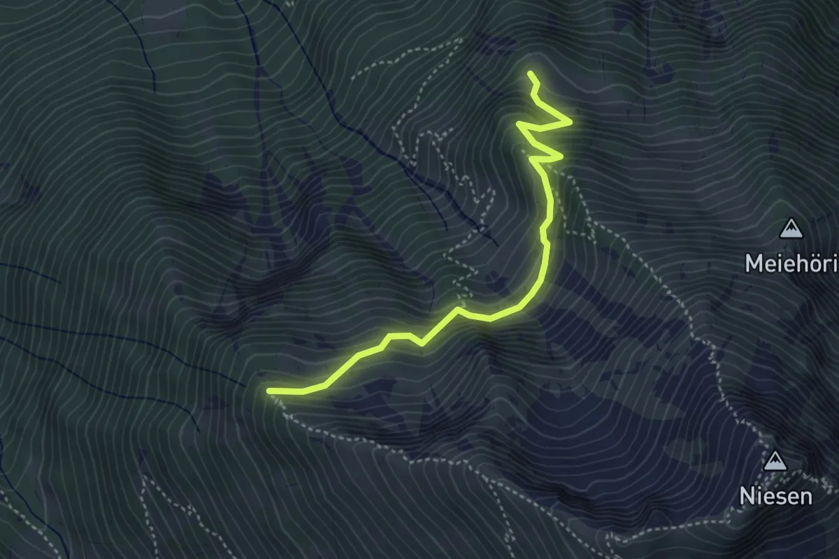
Medium · Trail
Stueffistein - Vorder Ahorni
4.0 km · ↑ 443 m · 1 h 54 min
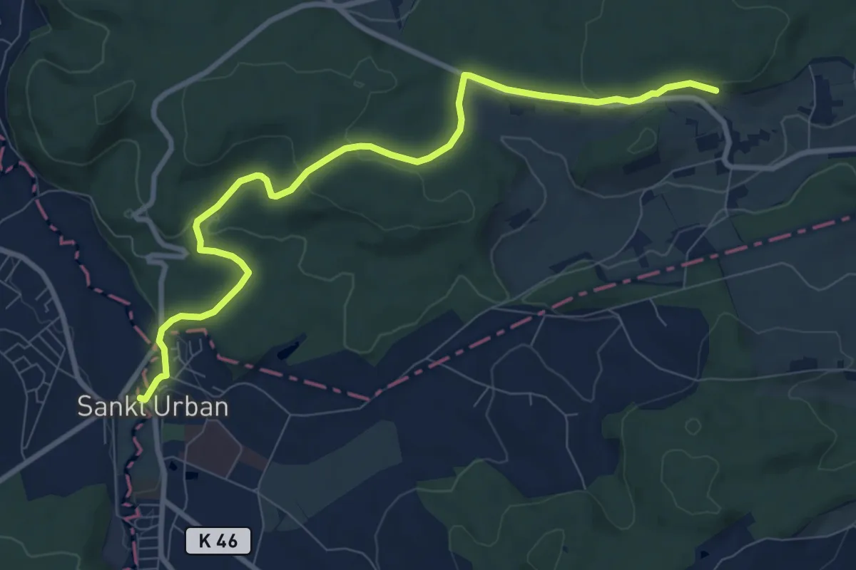
Medium · Trail
St. Urban - Balzenwil
9.5 km · ↑ 210 m · 2 h 41 min
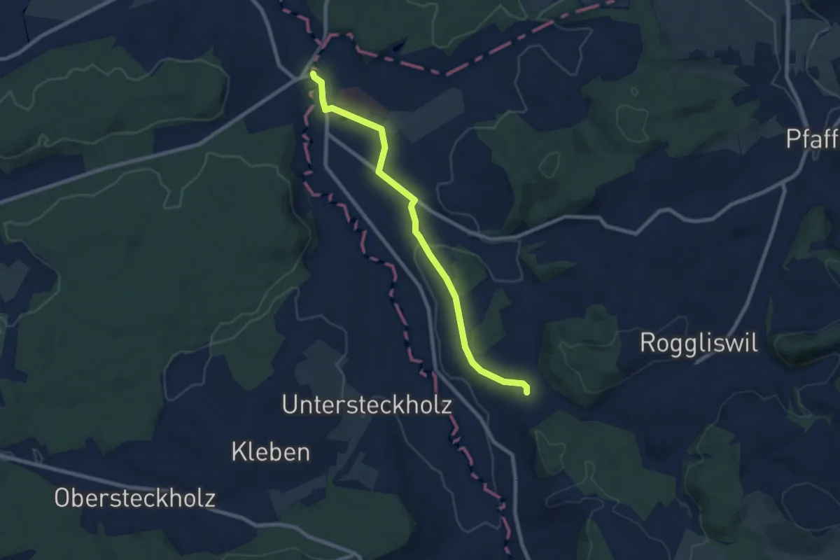
Easy · Trail
St. Urban - Ober Berghof
7.7 km · ↑ 107 m · 2 h 3 min
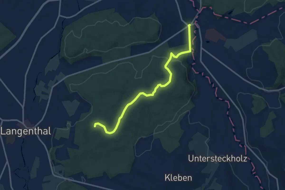
Medium · Trail
St. Urban - Zankhölzli- Haslibrunnen
8.3 km · ↑ 115 m · 2 h 13 min
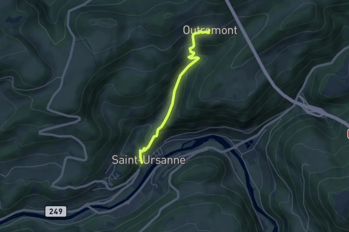
Easy · Trail
St-Ursanne Ville - Outremont
4.2 km · ↑ 295 m · 1 h 38 min
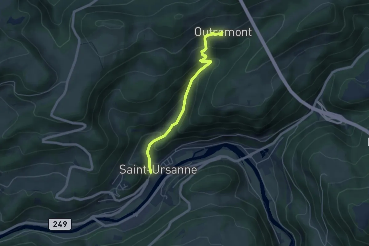
Easy · Trail
St-Ursanne Ville - Outremont
4.2 km · ↑ 293 m · 1 h 37 min
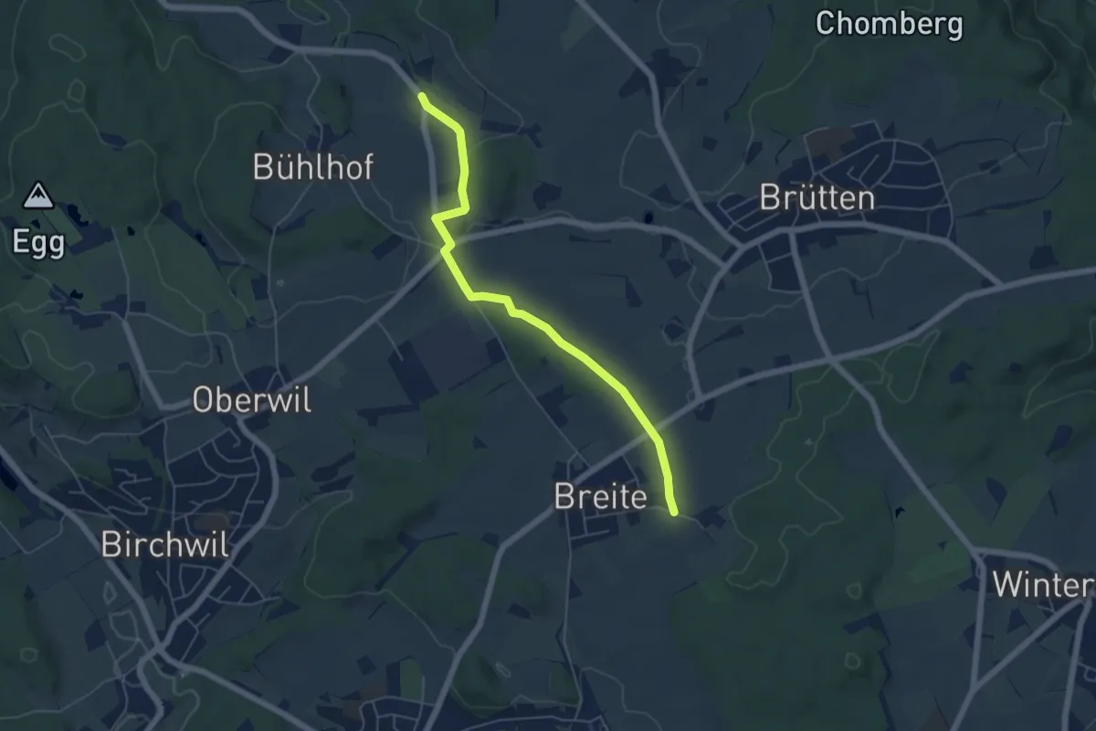
Easy · Trail
Stürzikon - Breite
5.4 km · ↑ 47 m · 1 h 22 min
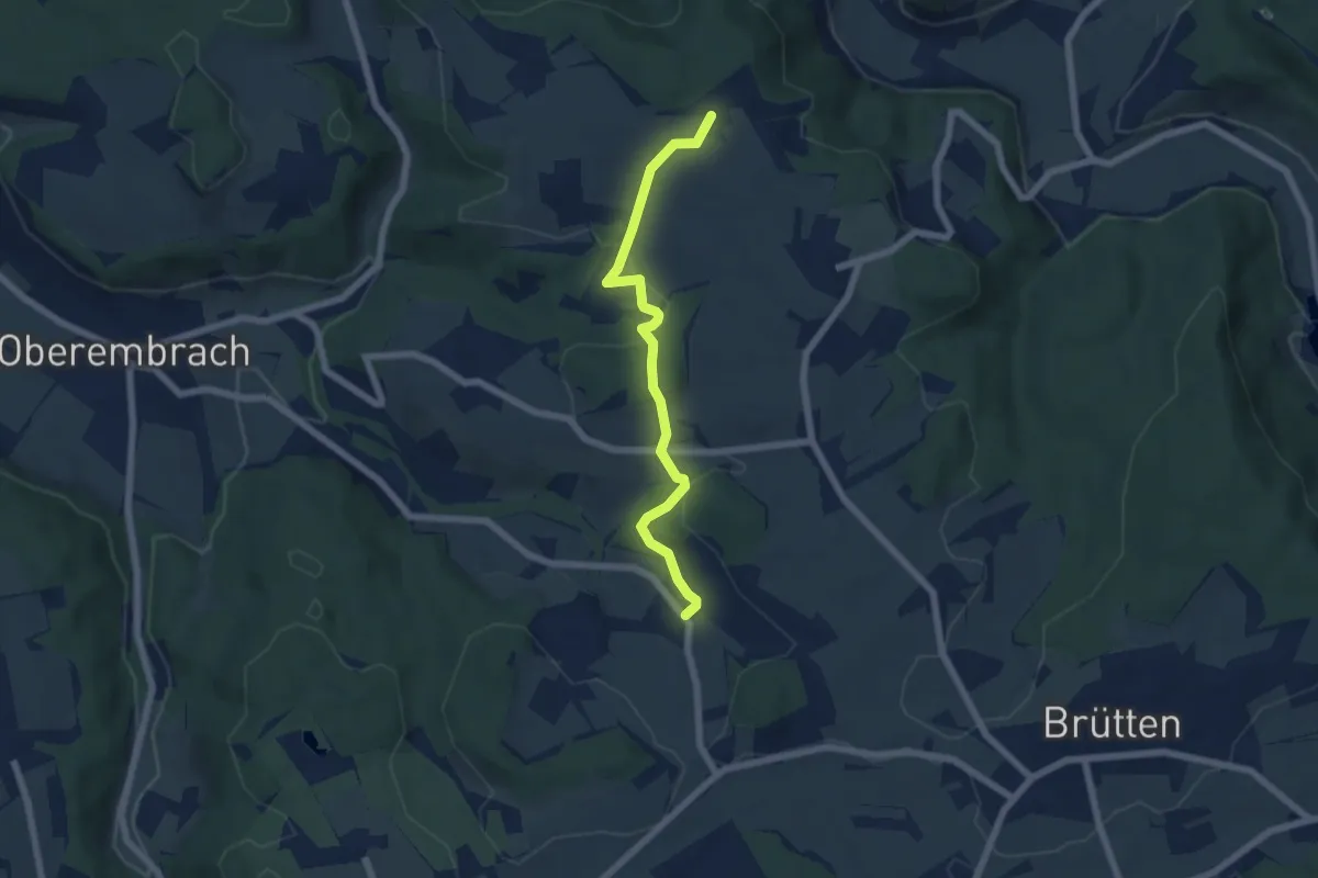
Easy · Trail
Stürzikon - Stiegen
5.7 km · ↑ 189 m · 1 h 46 min
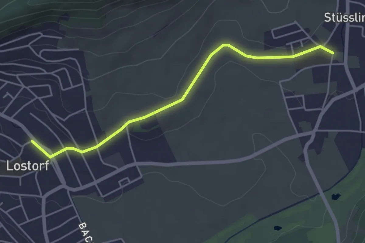
Easy · Trail
Stüsslingen - Lostorf
4.1 km · ↑ 58 m · 1 h 6 min
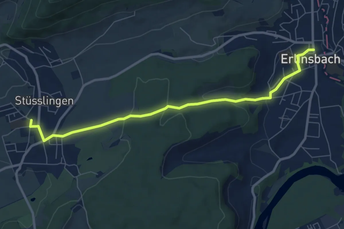
Easy · Trail
Stüsslingen - Niedererlinsbach
7.1 km · ↑ 186 m · 2 h 5 min
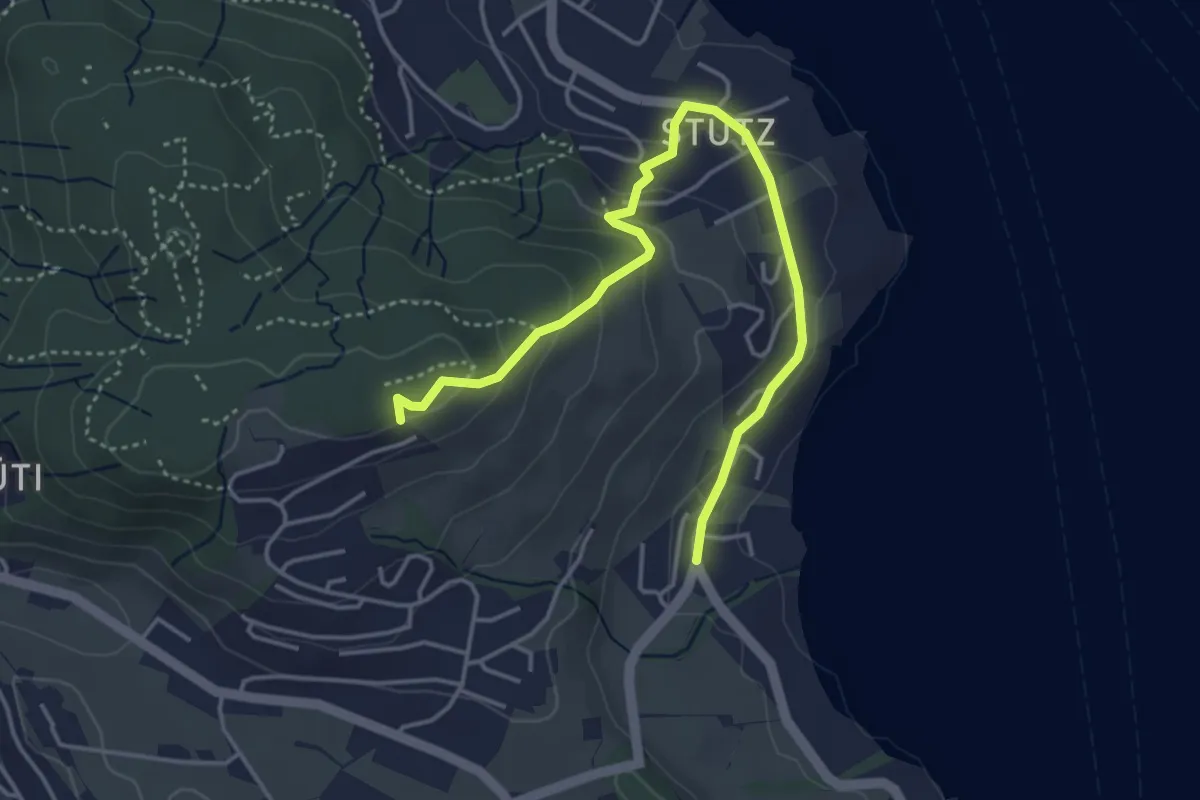
Easy · Trail
Stutz - Seeblick
4.6 km · ↑ 199 m · 1 h 31 min
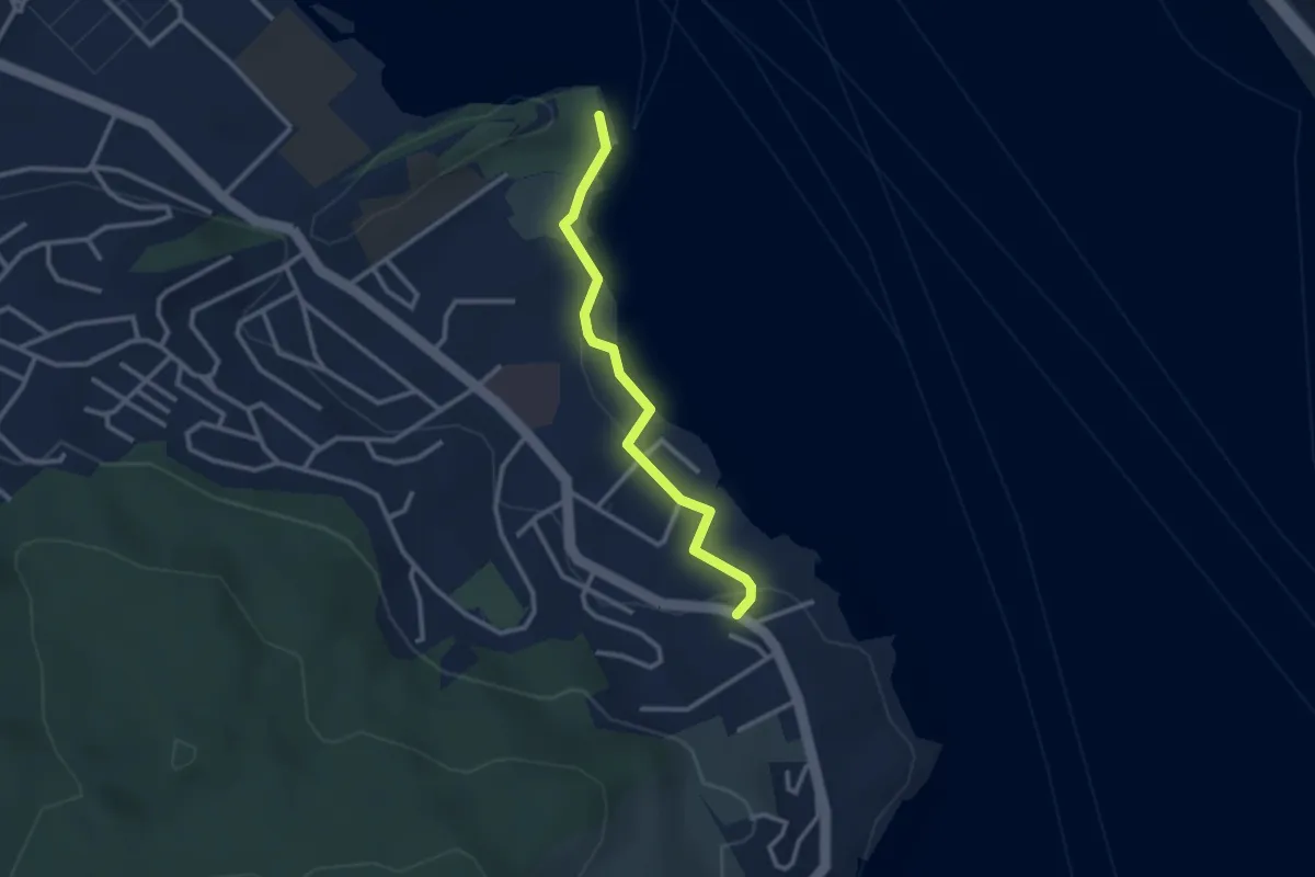
Easy · Trail
Stutz - Tribschen
2.6 km · ↑ 17 m · 39 min
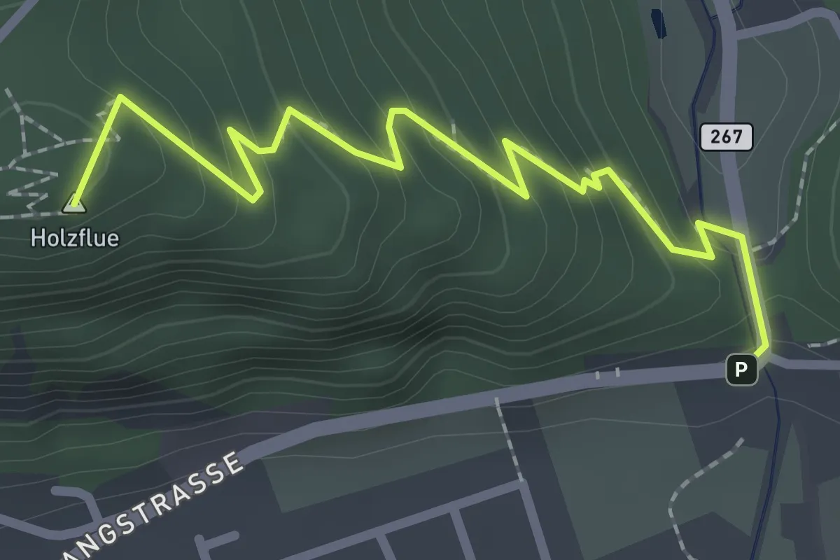
Easy · Summit
St. Wolfgang - fixme
2.4 km · ↑ 182 m · 58 min
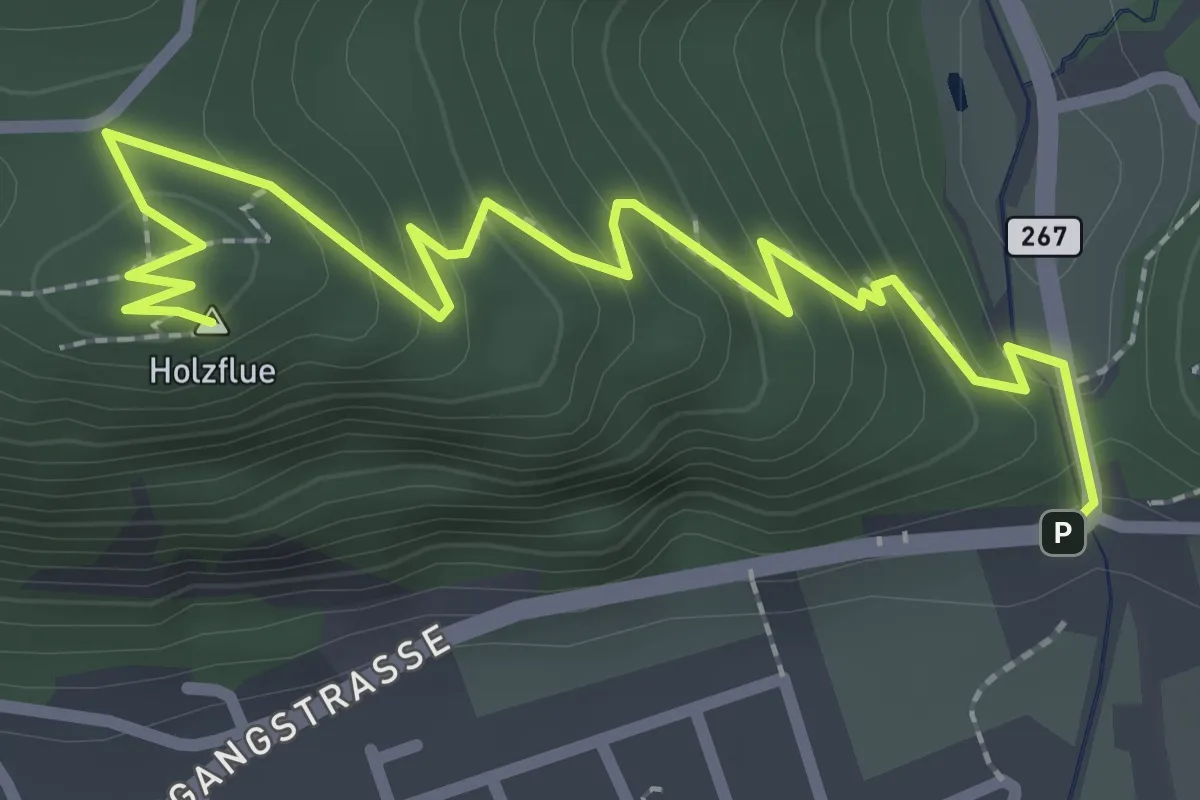
Easy · Summit
St. Wolfgang - Holzflue
3.1 km · ↑ 185 m · 1 h 8 min
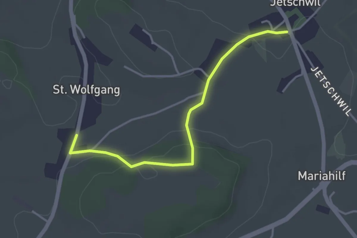
Easy · Trail
St. Wolfgang - Jetschwil
3.3 km · ↑ 75 m · 57 min
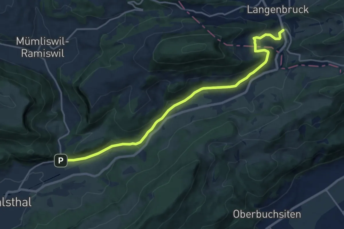
Medium · Trail
St. Wolfgang - Langenbruck
13.0 km · ↑ 462 m · 4 h 4 min
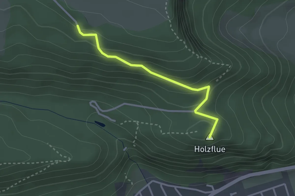
Easy · Summit
St. Wolfgang - Oberberg
2.4 km · ↑ 143 m · 53 min
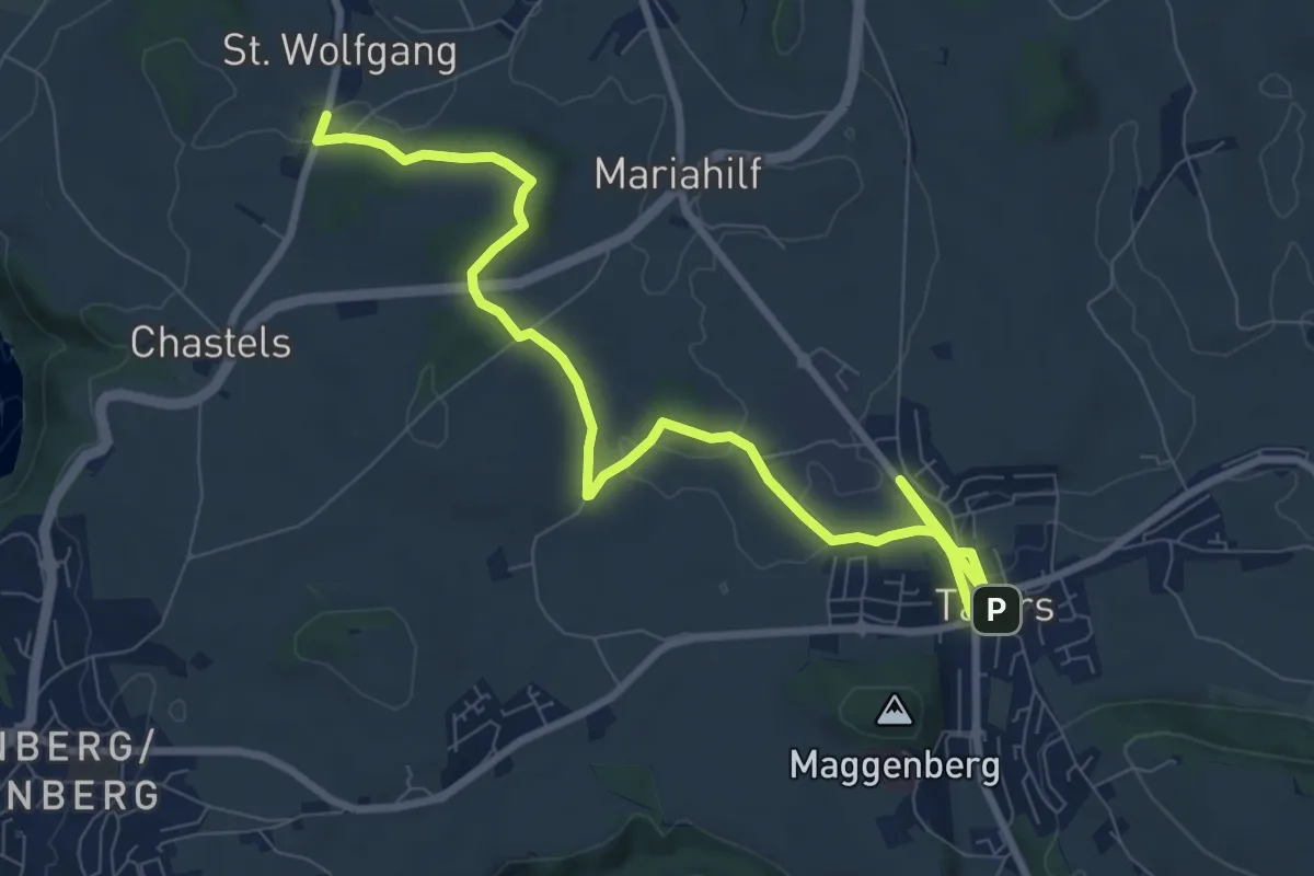
Medium · Trail
St. Wolfgang - Tafers
10.6 km · ↑ 114 m · 2 h 44 min
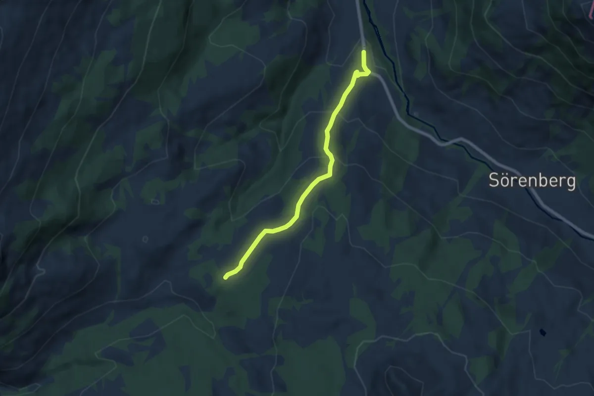
Medium · Trail
Sudelhöchi - Salwidili
6.0 km · ↑ 346 m · 2 h 9 min
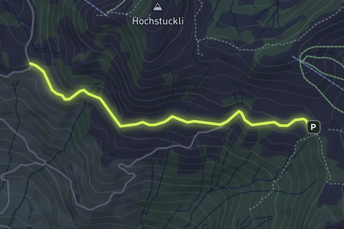
Easy · Trail
südlich Mostelegg - Haggenegg
4.3 km · ↑ 195 m · 1 h 26 min
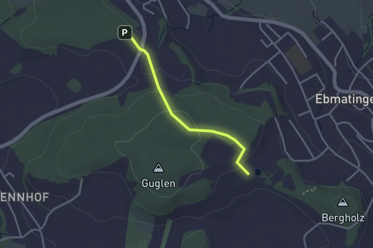
Easy · Trail
Süessblätz - Herrenholz
2.3 km · ↑ 84 m · 43 min
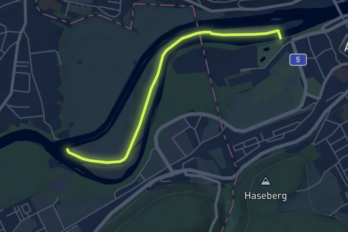
Easy · Trail
Süffelsteg - Erlinsbach Stauwehr
4.9 km · ↑ 17 m · 1 h 11 min
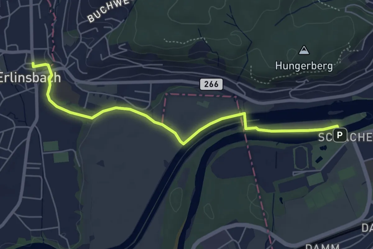
Easy · Trail
Süffelsteg - Niedererlinsbach
5.3 km · ↑ 34 m · 1 h 20 min
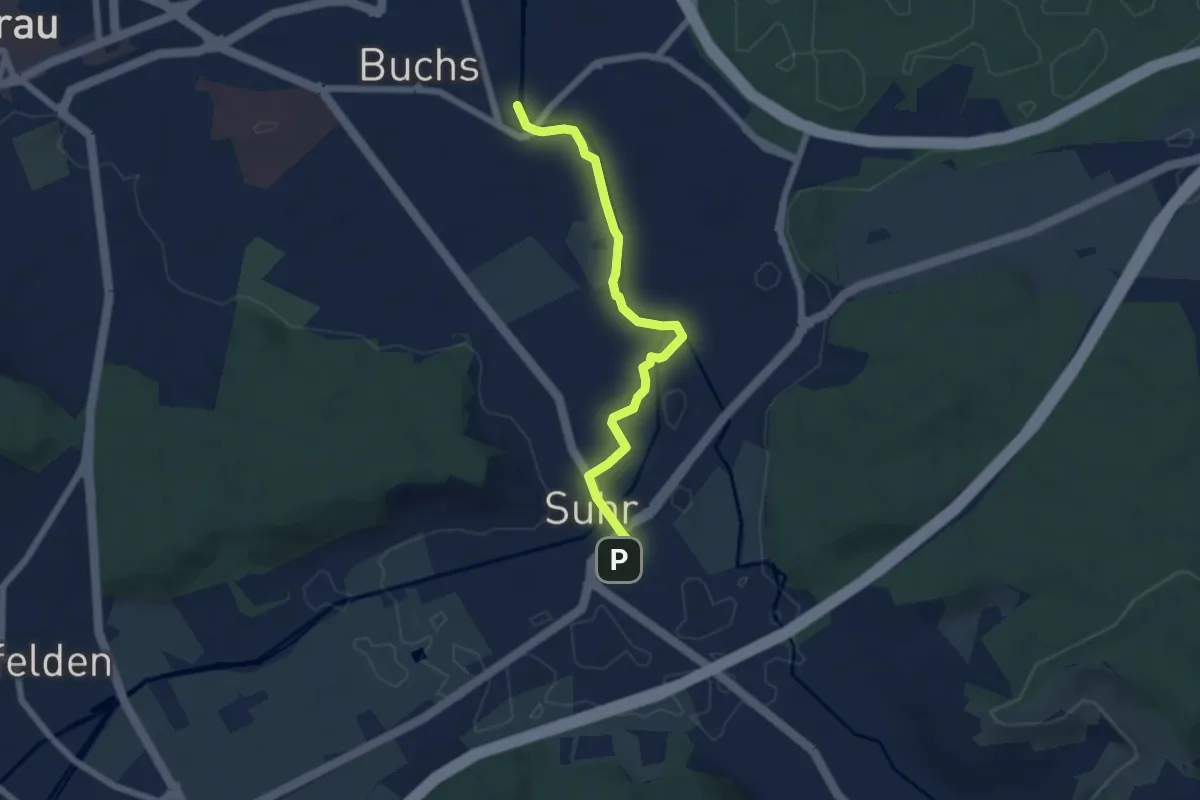
Easy · Trail
Suhr - Buchs
5.8 km · ↑ 13 m · 1 h 23 min
Easy · Trail
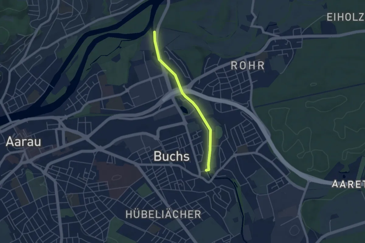
Suhremündung - Buchs
4.0 km · ↑ 13 m · 59 min
Easy · Trail
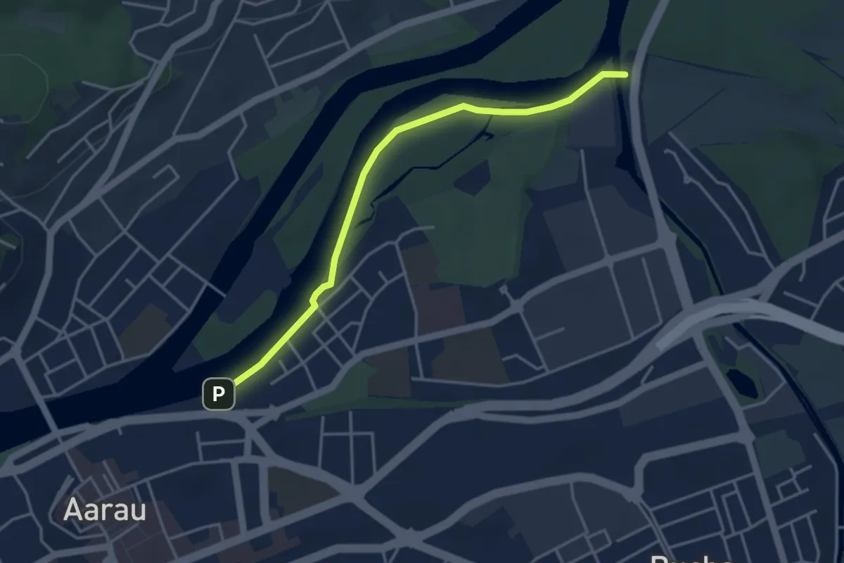
Suhremündung-Süffelsteg
3.7 km · ↑ 0 m · 52 min
Demanding · Trail
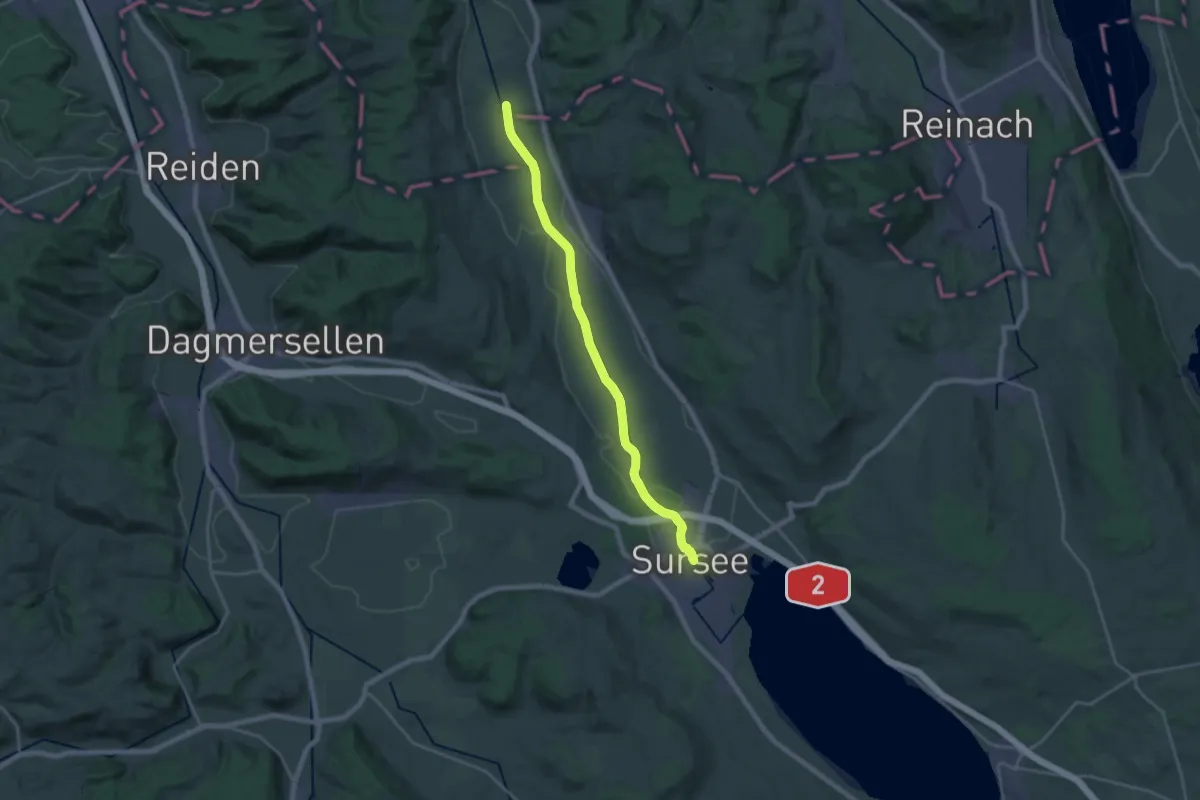
Suhrenuferweg
21.5 km · ↑ 44 m · 5 h 11 min
Easy · Trail
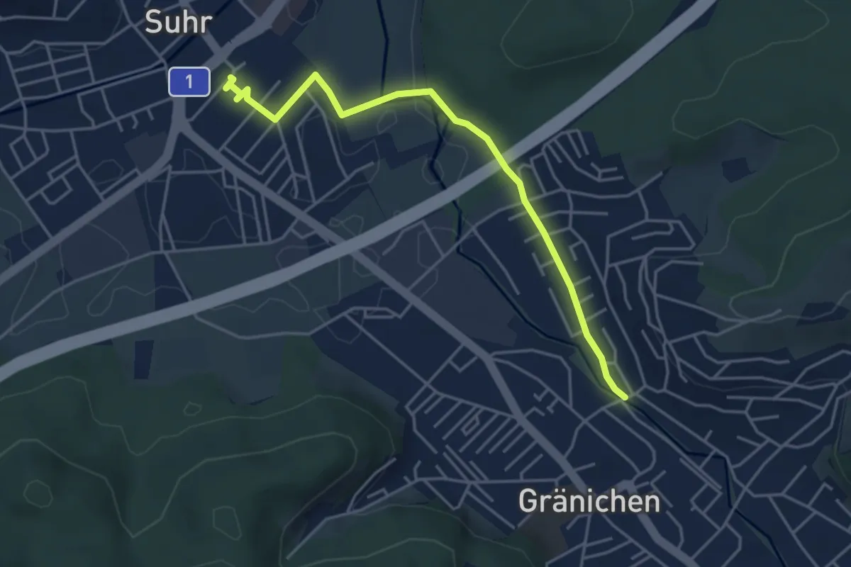
Suhr - Gränichen
4.3 km · ↑ 29 m · 1 h 5 min
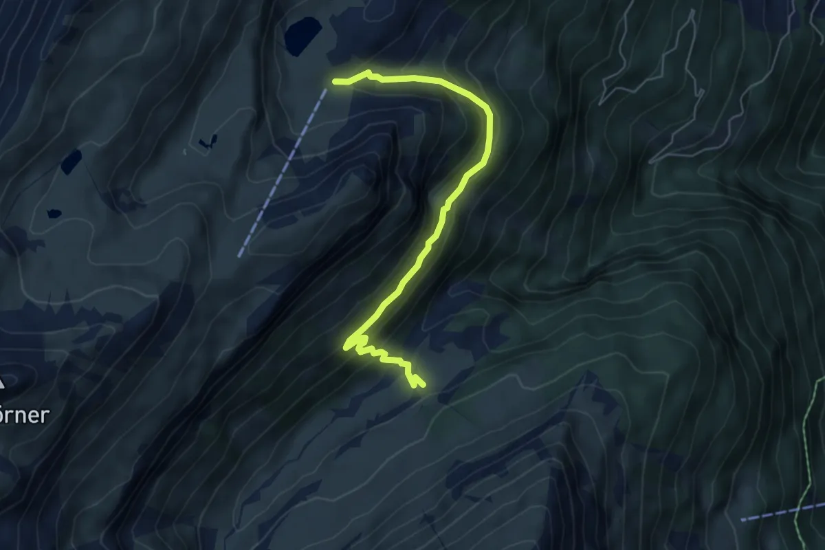
Expert · Trail
Suls - Floschwald/Sausmatten
5.8 km · ↑ 385 m · 2 h 11 min
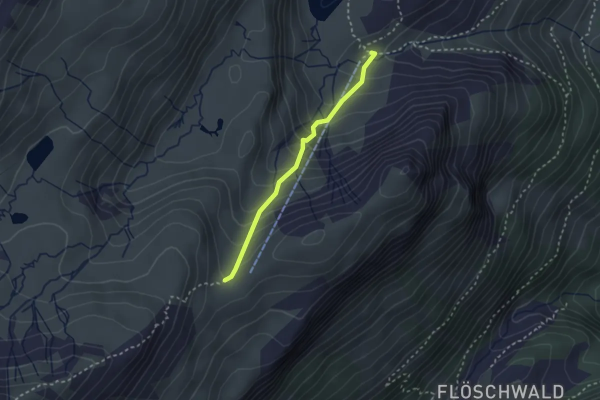
Medium · Trail
Suls - Sousegg
2.2 km · ↑ 248 m · 1 h 4 min
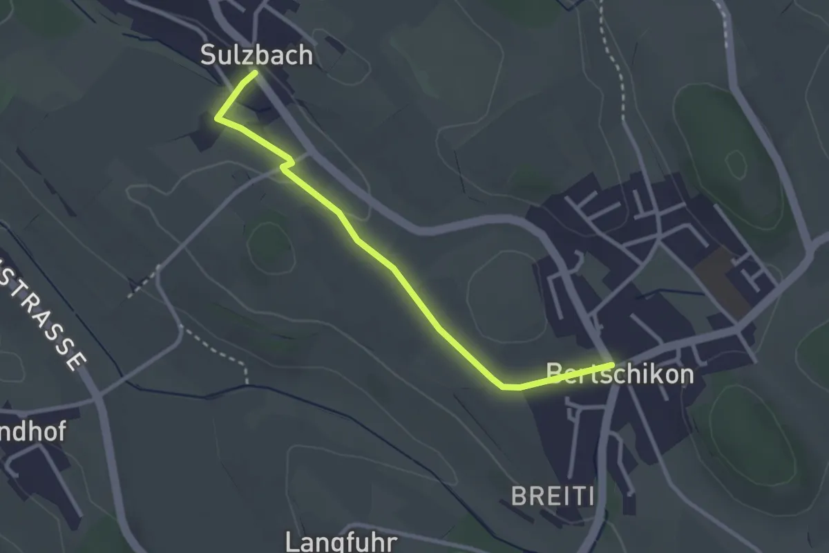
Easy · Trail
Sulzbach - Bertschikon
2.8 km · ↑ 32 m · 44 min
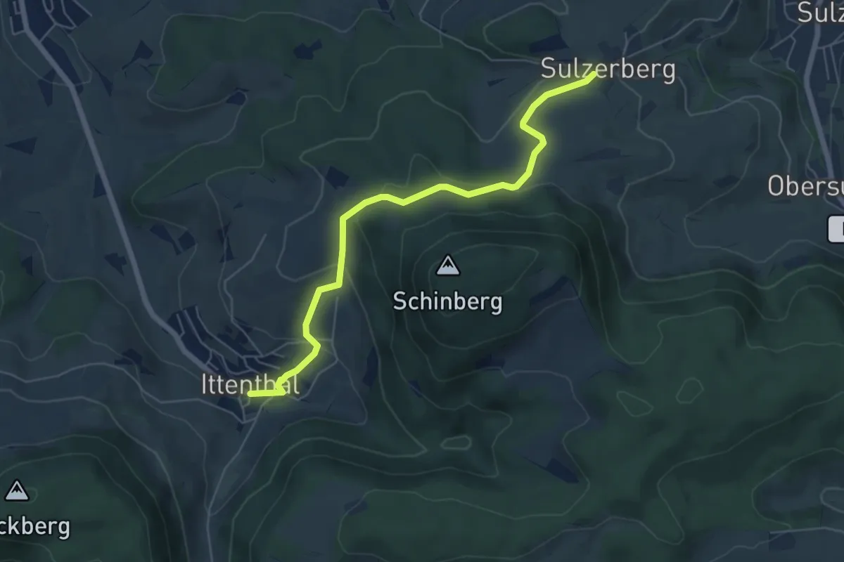
Easy · Trail
Sulzerberg - Ittenthal
5.9 km · ↑ 228 m · 1 h 53 min