Trails in Switzerland
15,064 hiking trails, each with its route, climb, walking time and grade.
All trails, page 110 of 314
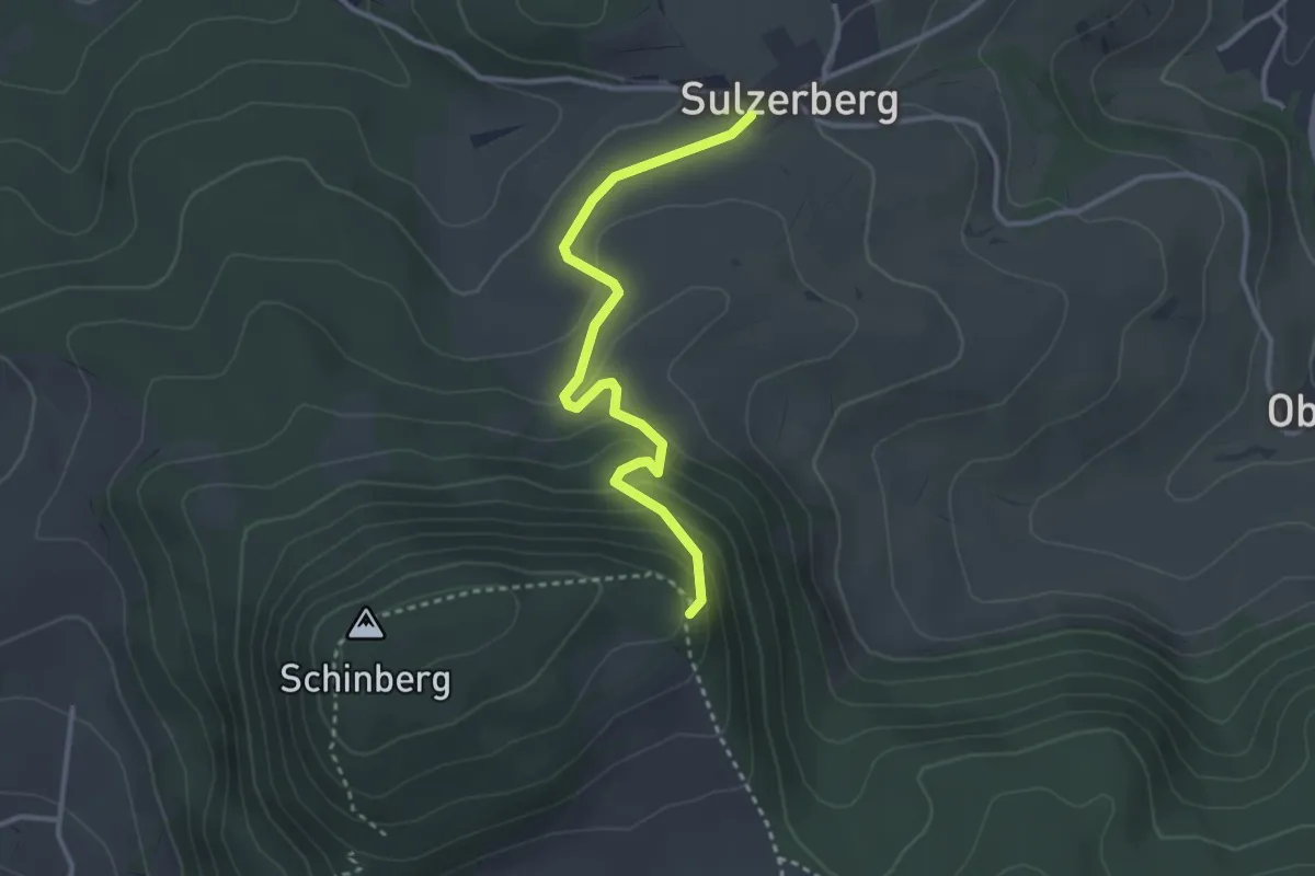
Easy · Trail
Sulzerberg - Schinberg Abz.
3.1 km · ↑ 162 m · 1 h 5 min
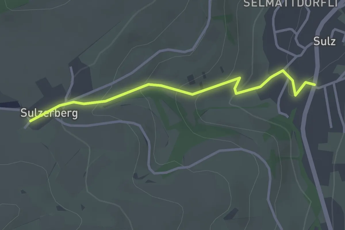
Easy · Trail
Sulzerberg - Sulz
2.6 km · ↑ 124 m · 53 min
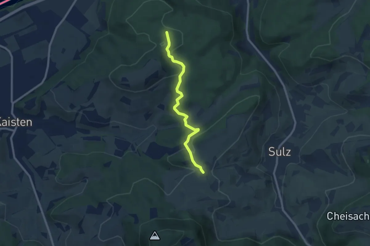
Easy · Trail
Sulzerberg - Waldhaus
5.5 km · ↑ 119 m · 1 h 33 min
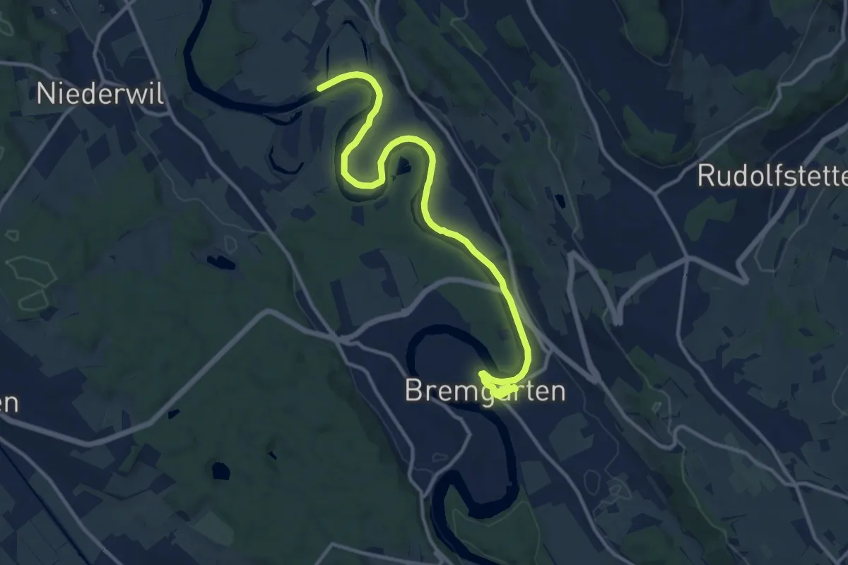
Medium · Trail
Sulz Fähre - Bremgarten
12.8 km · ↑ 73 m · 3 h 11 min
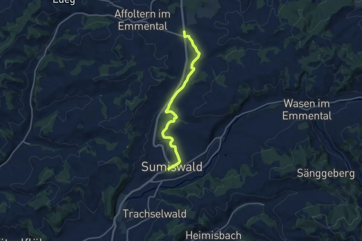
Medium · Trail
Sumiswald - Affoltern / Weier
10.6 km · ↑ 178 m · 2 h 54 min
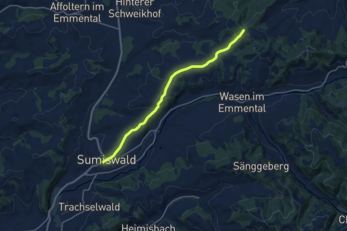
Medium · Trail
Sumiswald - Flüewald
11.3 km · ↑ 270 m · 3 h 16 min
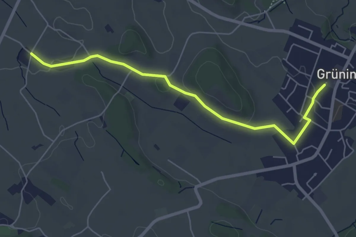
Easy · Trail
Summerau - Grüningen
5.1 km · ↑ 55 m · 1 h 19 min
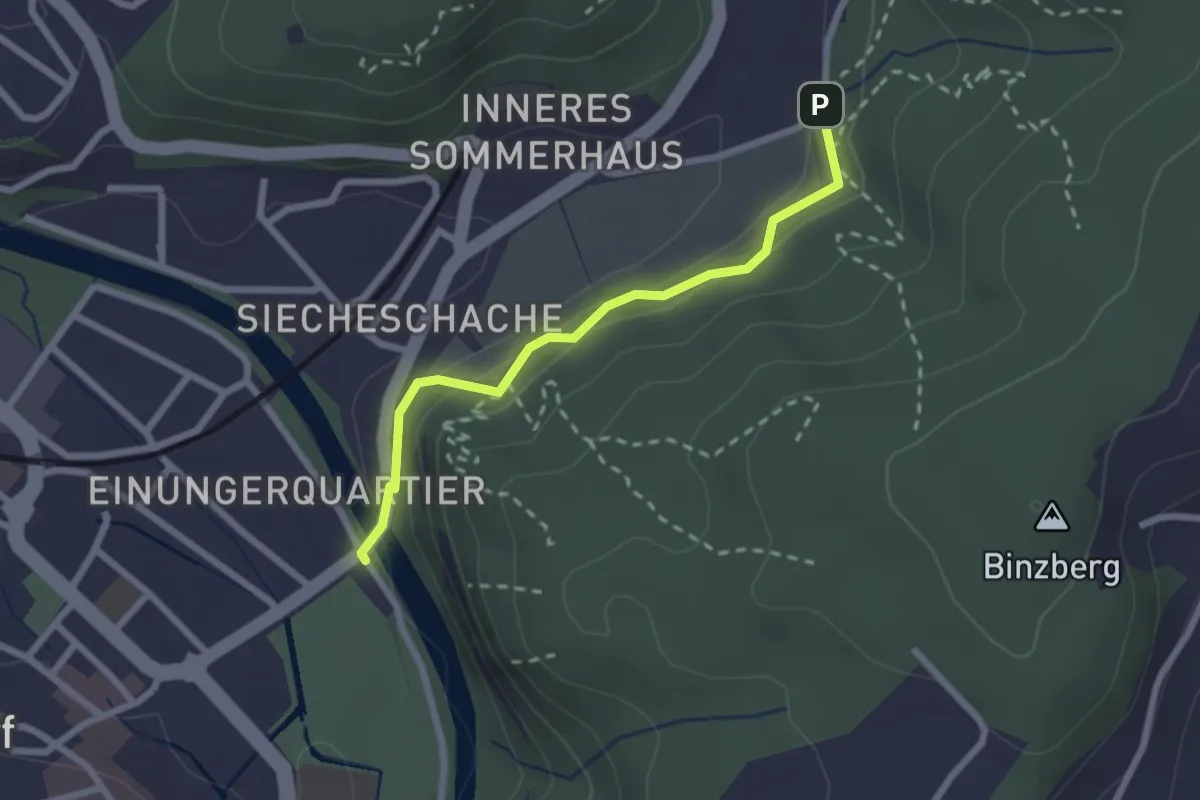
Easy · Trail
Summerhus - Wynigebrügg
2.2 km · ↑ 76 m · 41 min
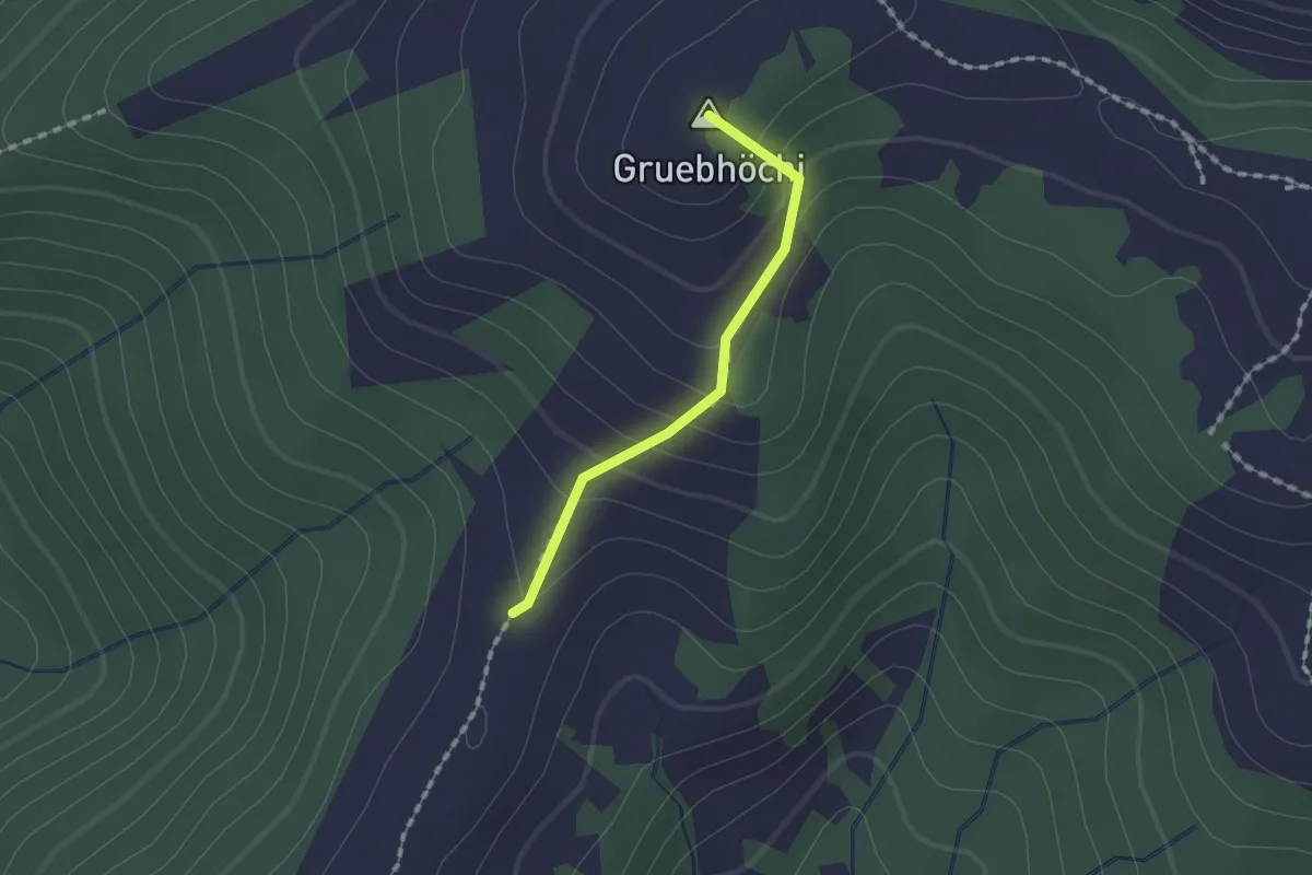
Easy · Summit
Summerig - Gueteregg
1.3 km · ↑ 96 m · 30 min
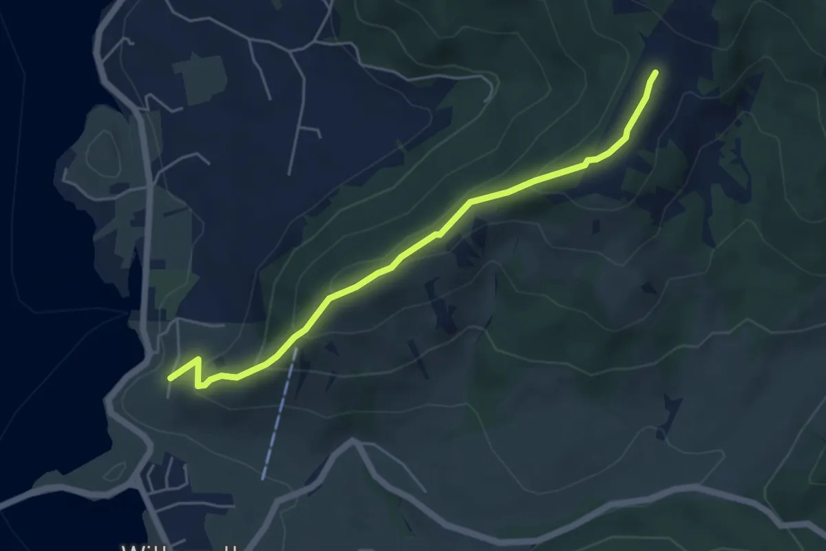
Easy · Trail
Sunnberg - Summerig
4.7 km · ↑ 284 m · 1 h 44 min
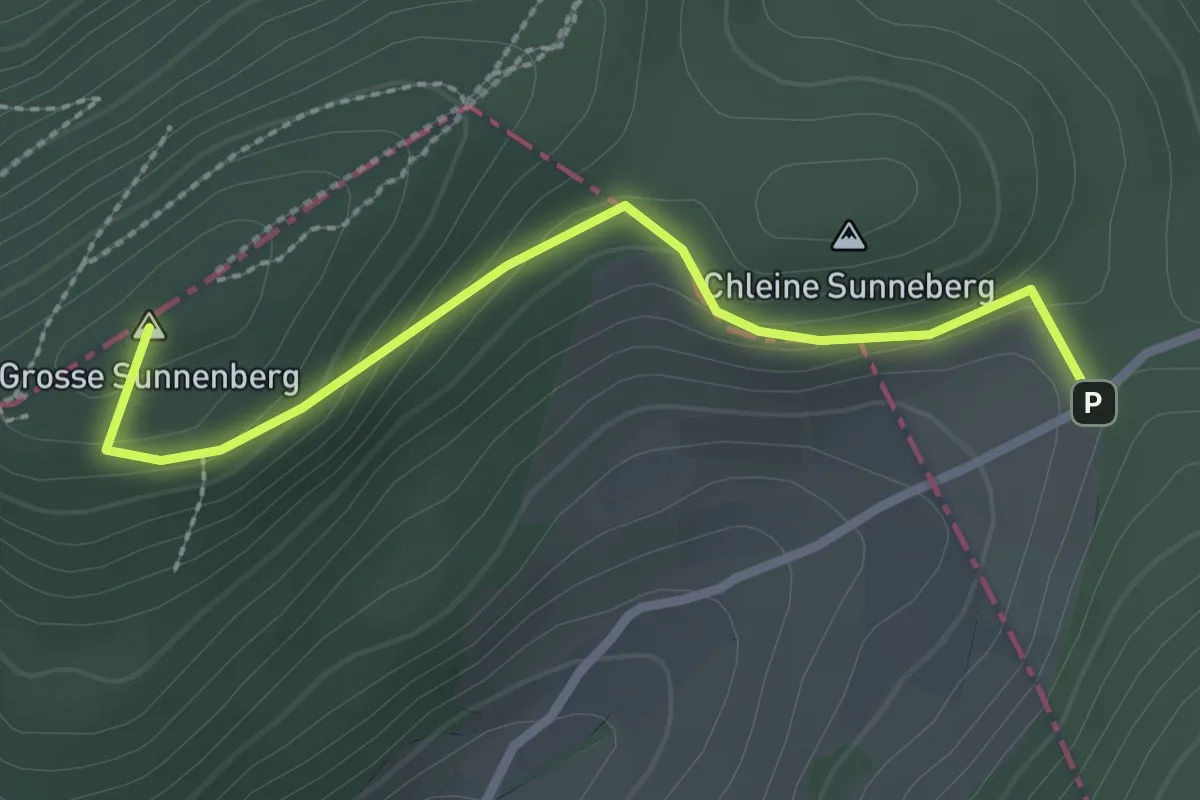
Easy · Summit
Sunnenberg - Egg
2.5 km · ↑ 113 m · 51 min
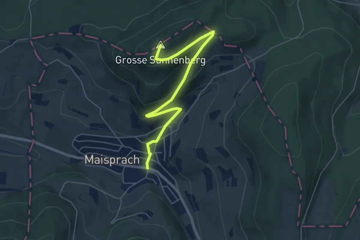
Easy · Summit
Sunnenberg - Maisprach
5.2 km · ↑ 255 m · 1 h 47 min
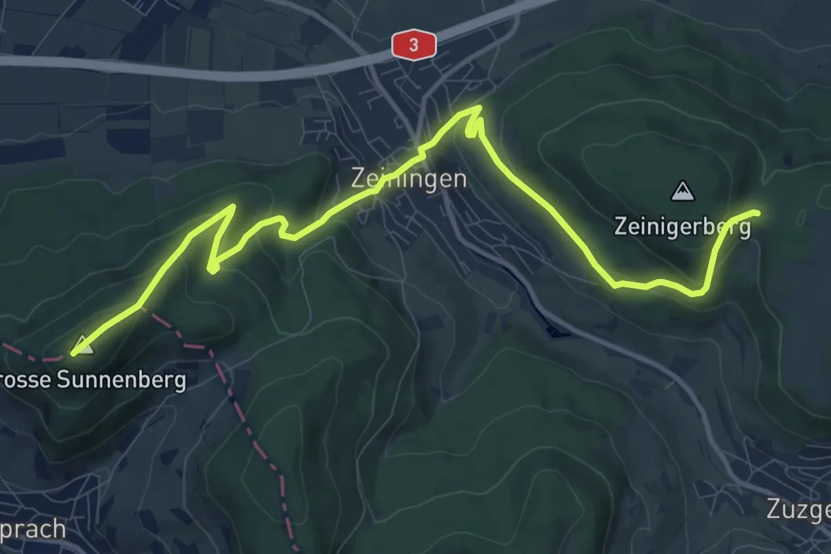
Medium · Summit
Sunnenberg - Spitzgraben
12.1 km · ↑ 590 m · 4 h 8 min
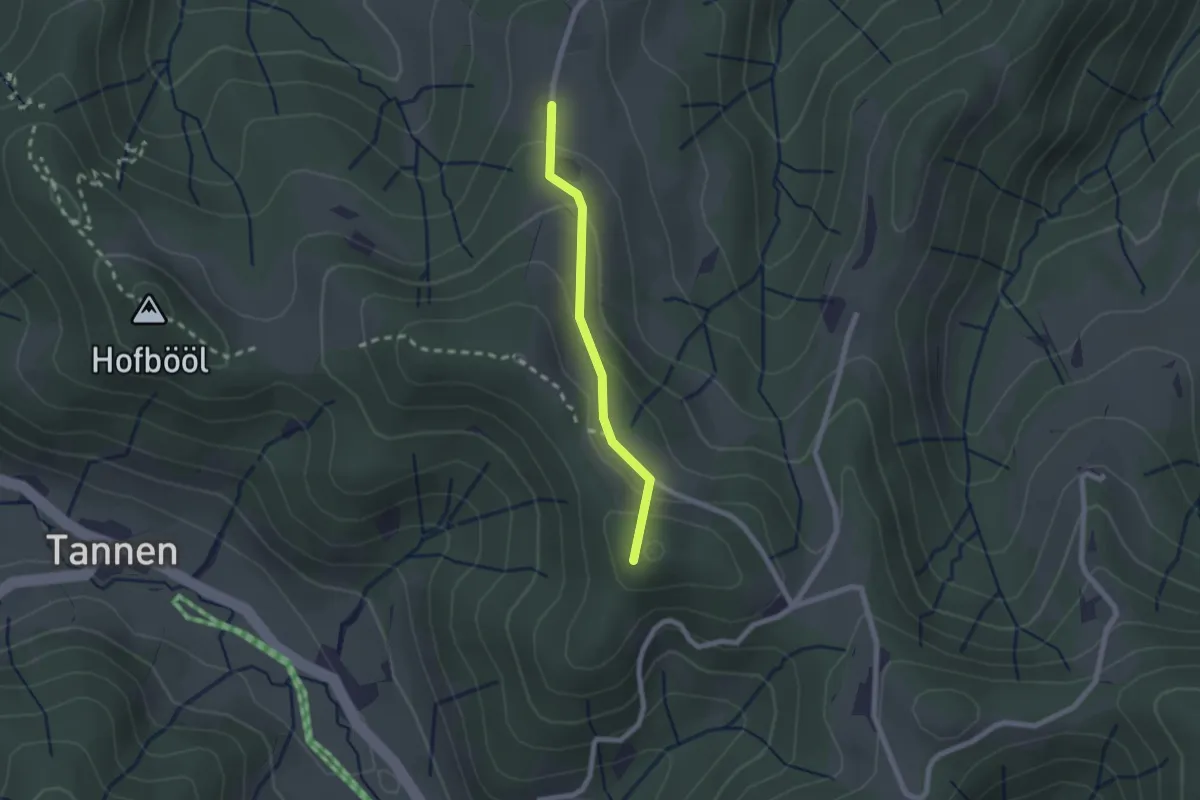
Easy · Summit
Sunnenhof - Ober Wolfsberg
1.8 km · ↑ 91 m · 37 min
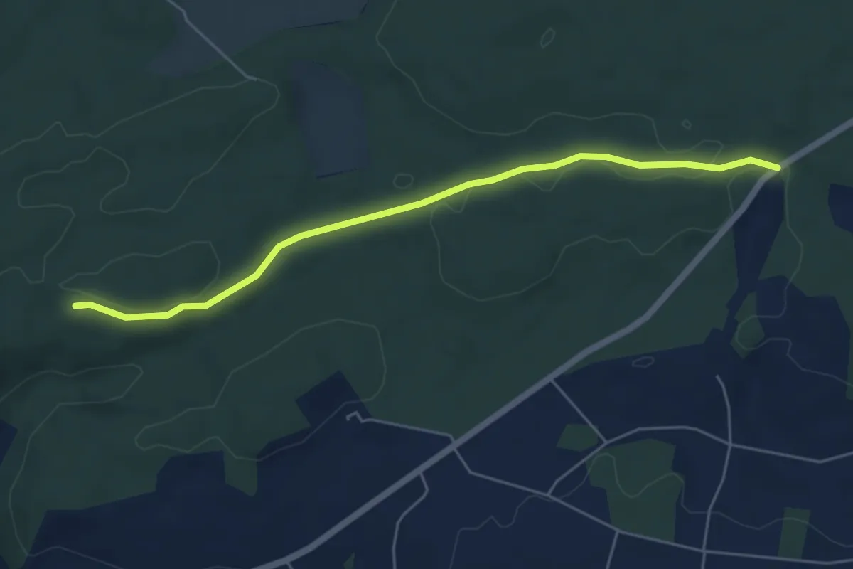
Easy · Trail
Sunnenrain - Bim Stundstei
5.3 km · ↑ 72 m · 1 h 25 min
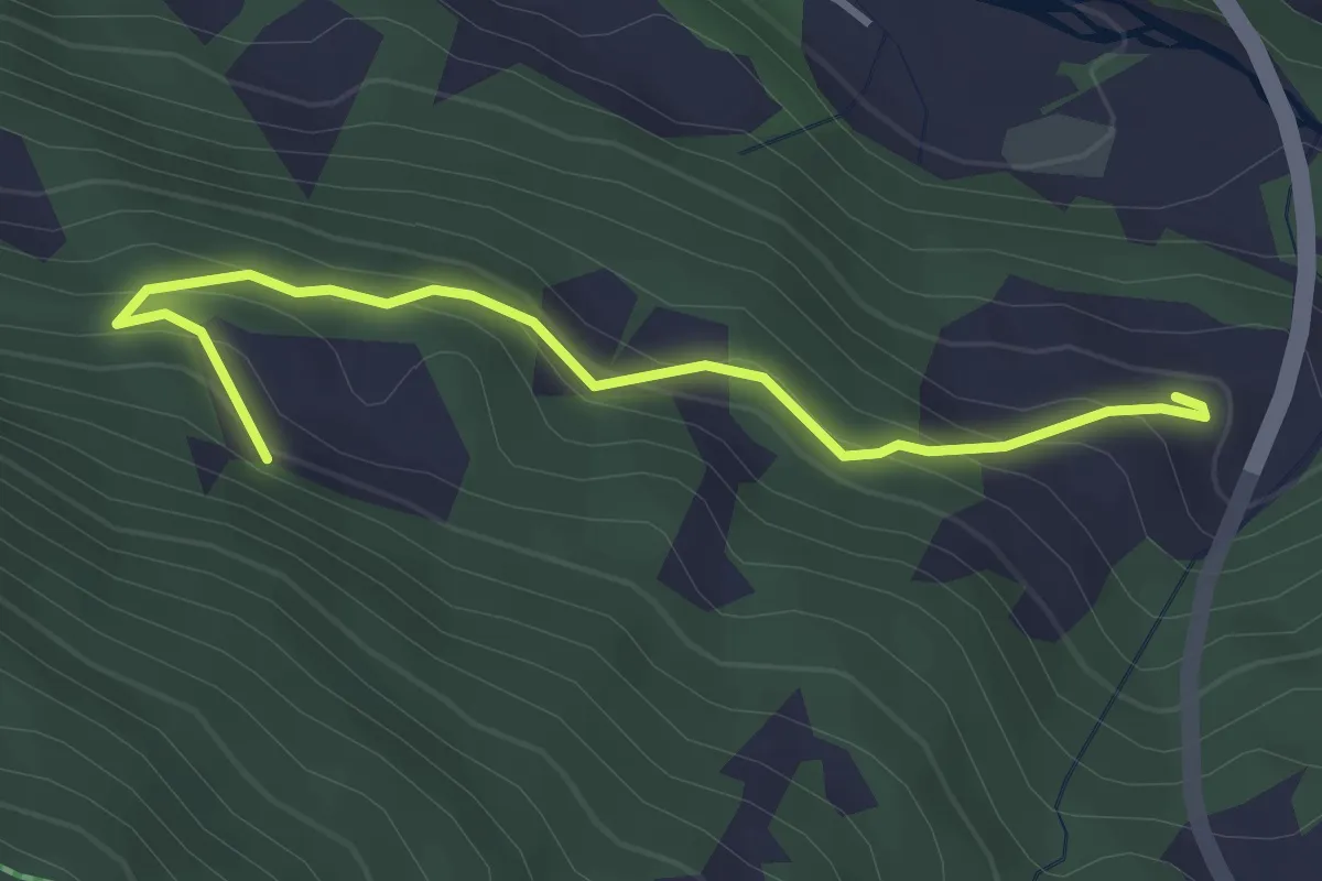
Easy · Trail
Sunniberg - Grossrüti
3.4 km · ↑ 226 m · 1 h 18 min
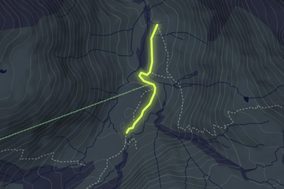
Easy · Trail
Sunnsbühl - Vermigel
2.1 km · ↑ 77 m · 40 min
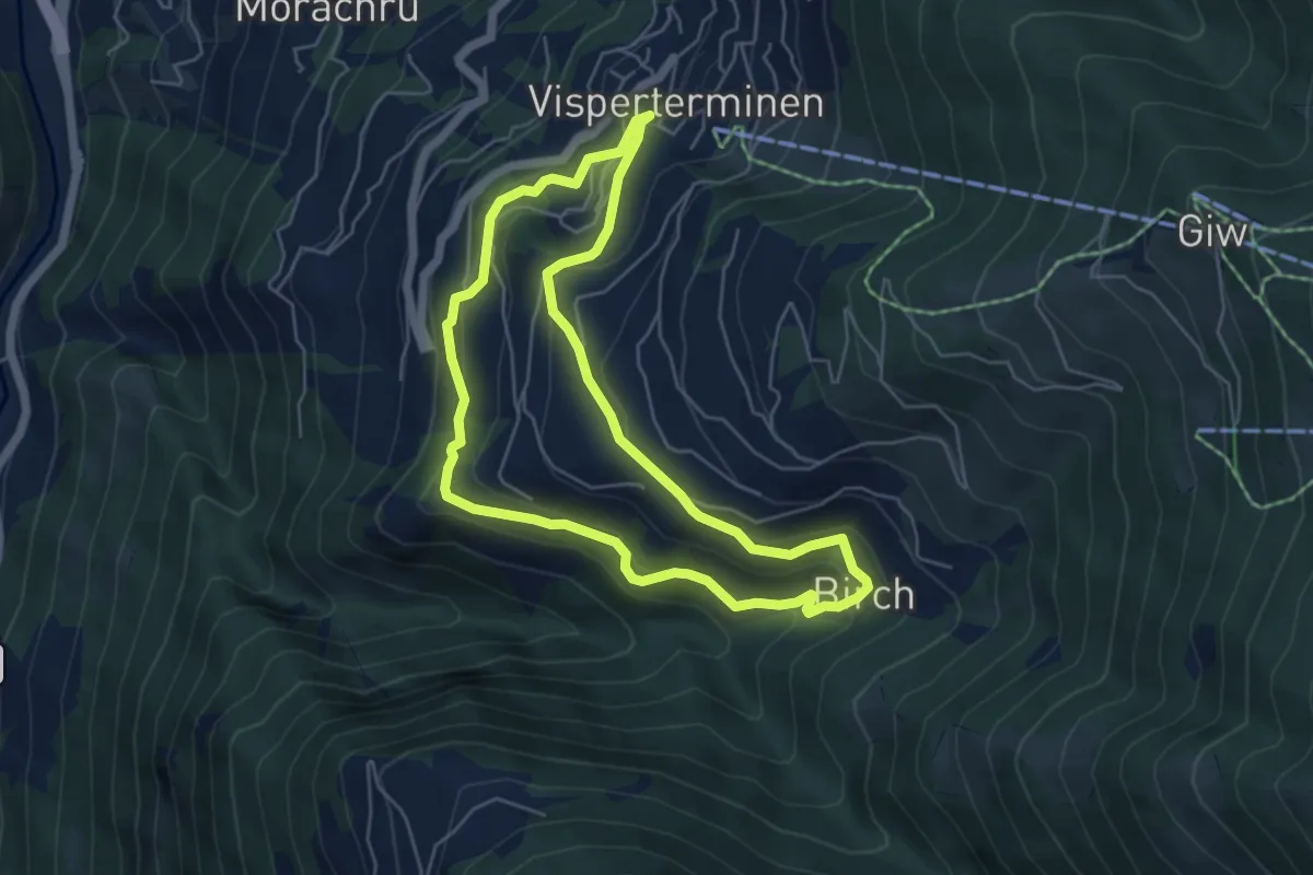
Medium · Trail
Suone Beitra
5.1 km · ↑ 281 m · 1 h 53 min
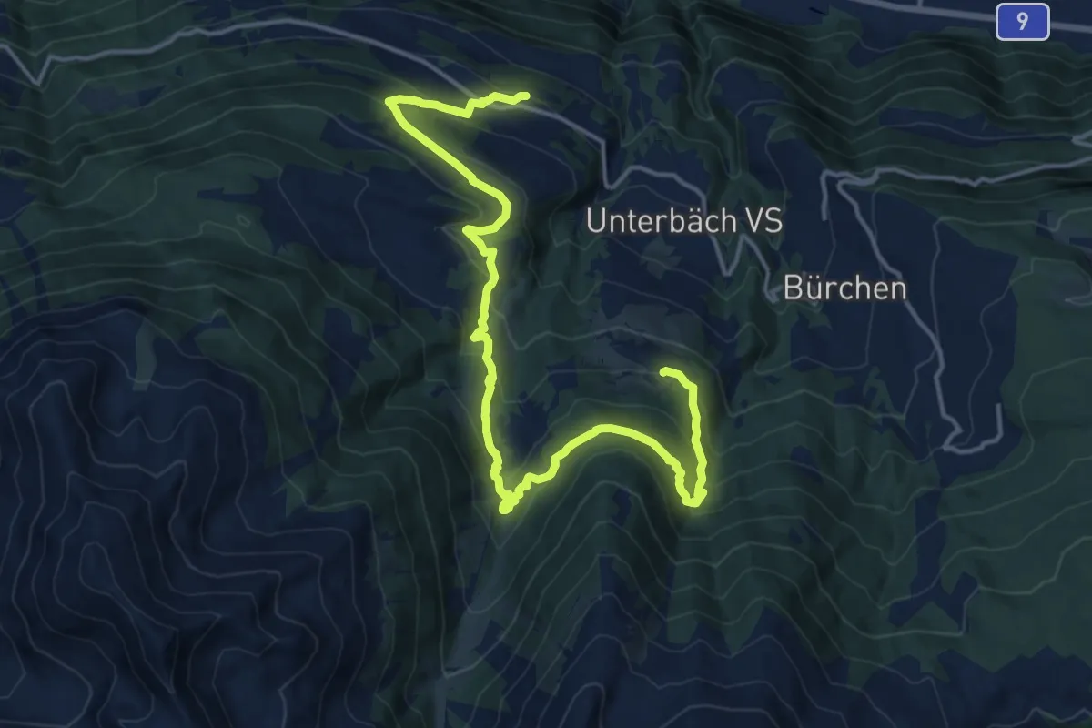
Demanding · Trail
Suonenweg Brandalp-Eischoll
18.4 km · ↑ 1017 m · 6 h 33 min
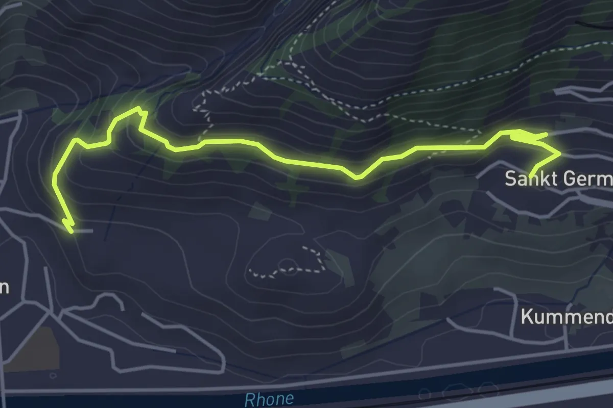
Easy · Trail
Suonenweg "NIWA"
4.5 km · ↑ 300 m · 1 h 43 min
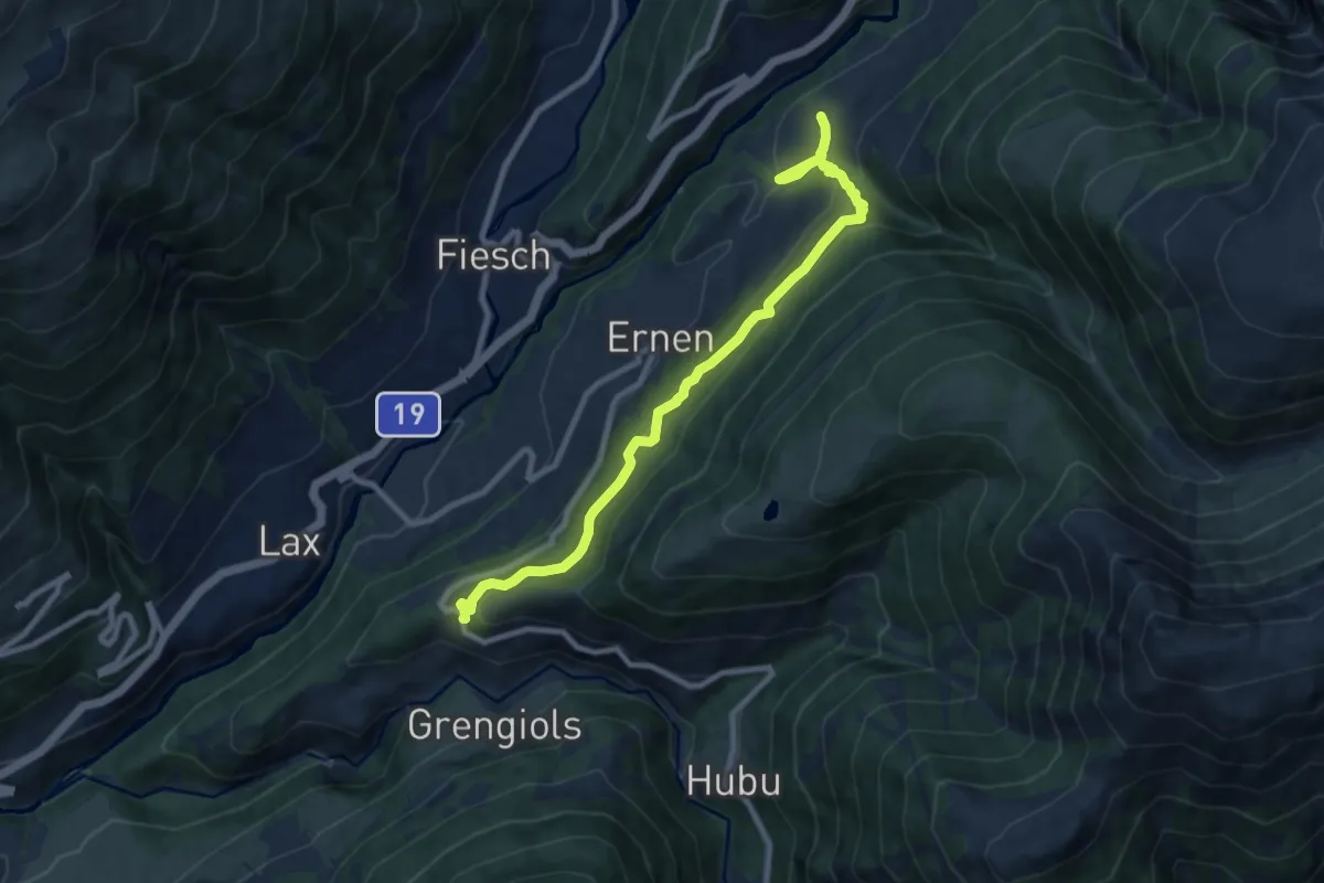
Medium · Trail
Suonenweg Trusera
9.5 km · ↑ 706 m · 3 h 47 min
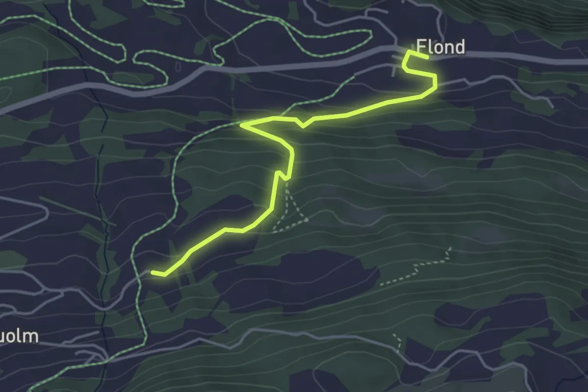
Easy · Trail
Surcolm Flond
4.1 km · ↑ 239 m · 1 h 30 min
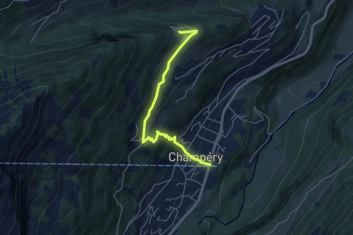
Medium · Trail
Sur Cou-Champery
4.3 km · ↑ 343 m · 1 h 46 min
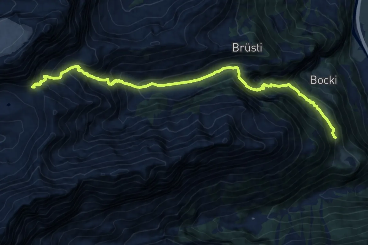
Demanding · Trail
Surenpass
16.7 km · ↑ 1535 m · 7 h 16 min
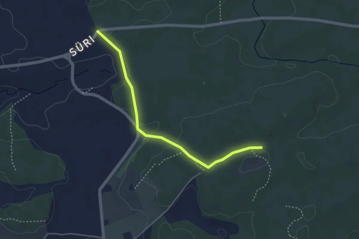
Easy · Trail
Süri - Mösli
3.6 km · ↑ 74 m · 1 h
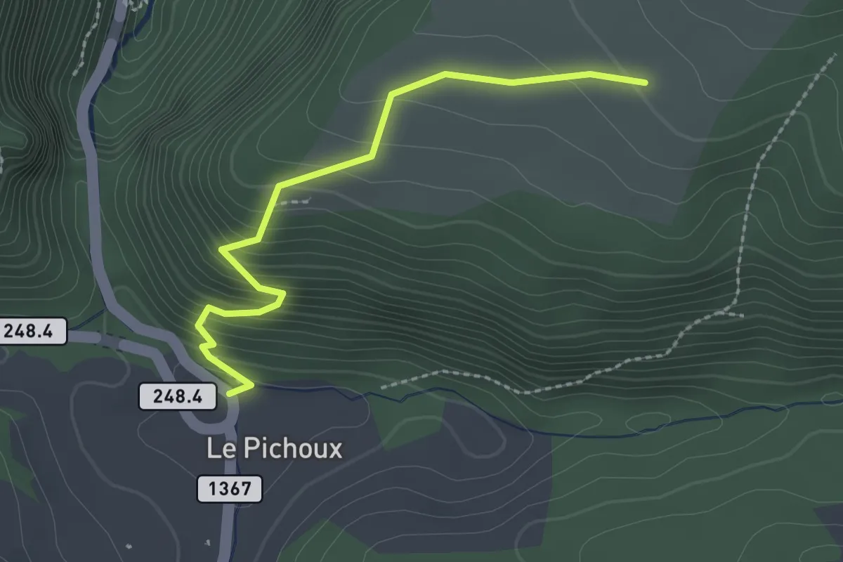
Easy · Trail
Sur la Côte - Le Pichoux
2.3 km · ↑ 208 m · 1 h
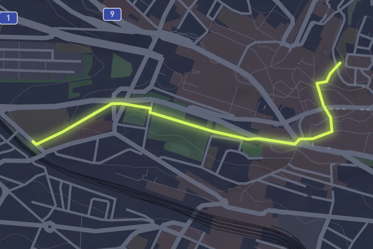
Easy · Pilgrim path
Sur les pas des Huguenots et des Vaudois du Piémont
1.6 km · ↑ 0 m · 26 min
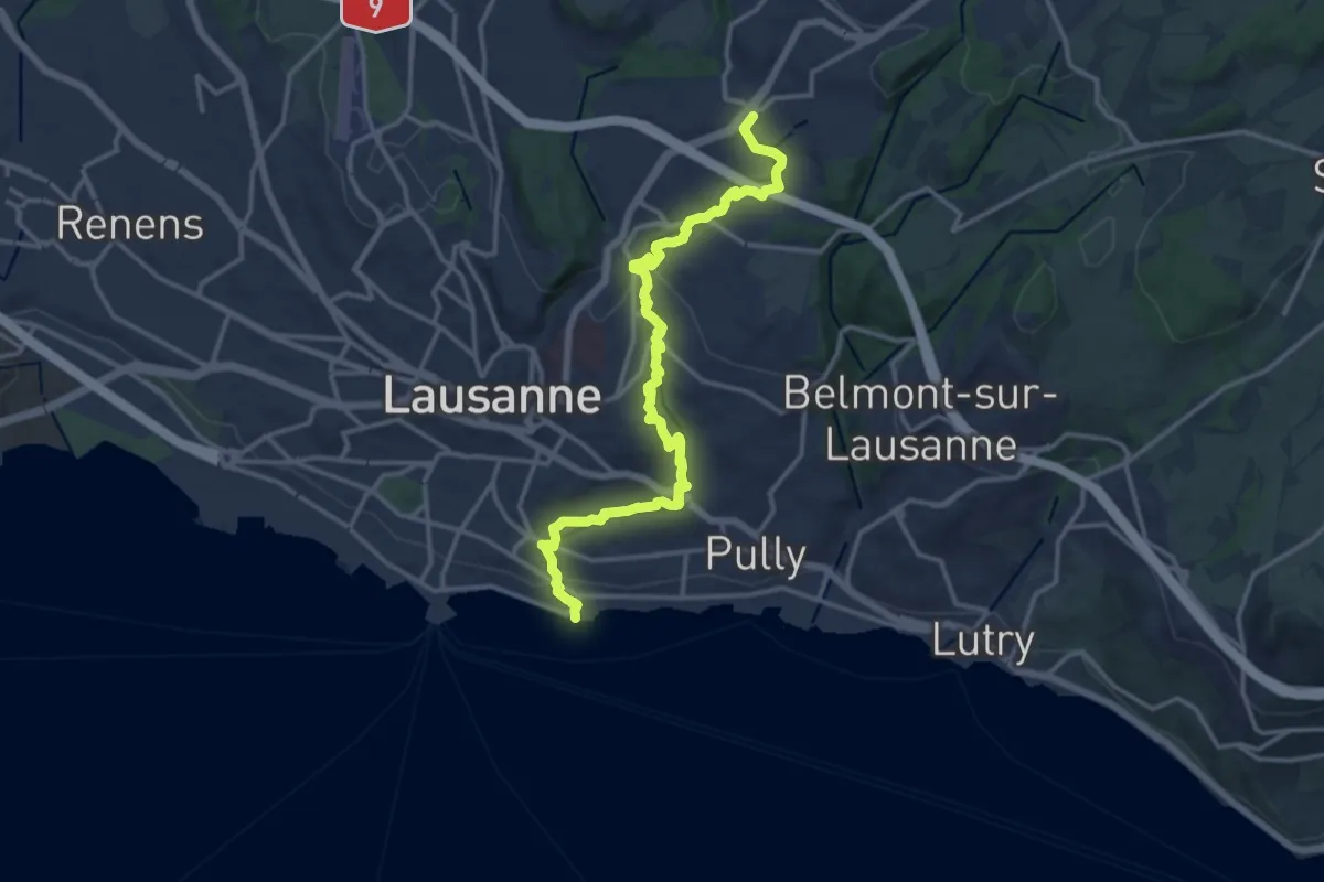
Medium · Trail
Sur les traces du renard
15.9 km · ↑ 380 m · 4 h 34 min
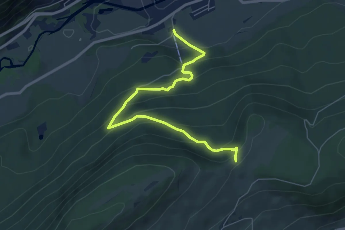
Medium · Trail
Sur le Voué-
6.1 km · ↑ 410 m · 2 h 20 min
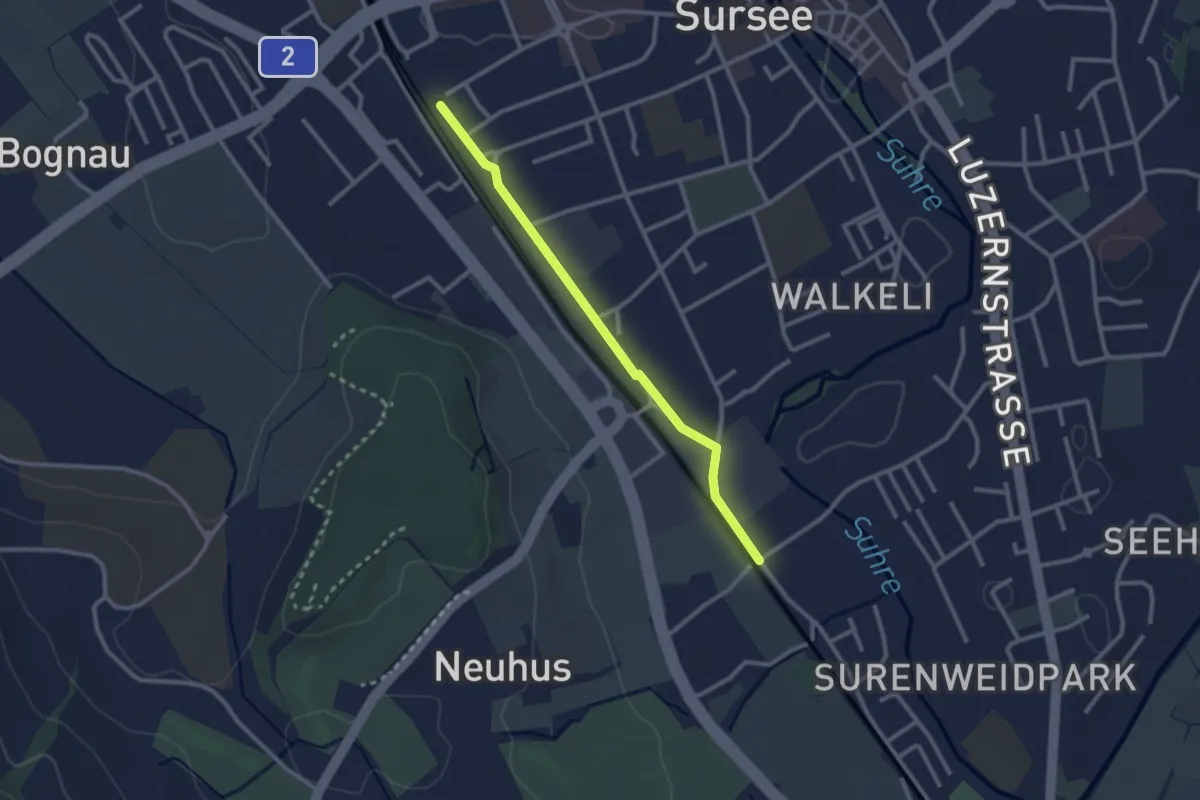
Easy · Trail
Sursee (Bahnhof) - Münigen/Calida
2.5 km · ↑ 0 m · 35 min
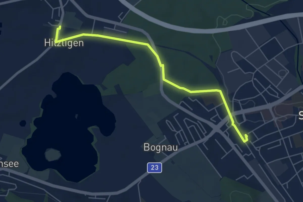
Easy · Trail
Sursee Bahnhof - St. Erhard
5.2 km · ↑ 27 m · 1 h 17 min
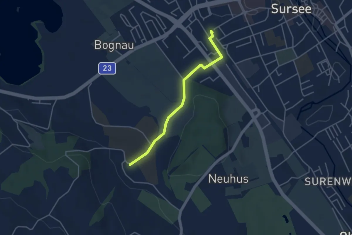
Easy · Trail
Sursee (Bahnhof) - Unterleidenberg
3.1 km · ↑ 43 m · 49 min
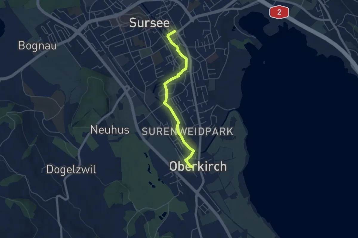
Easy · Trail
Sursee (Oberstadt) - Oberkirch (Bahnhof)
4.6 km · ↑ 10 m · 1 h 7 min
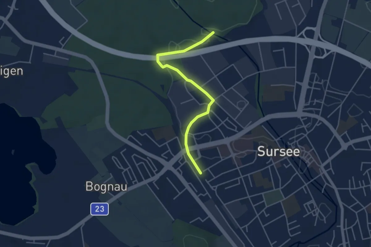
Easy · Trail
Surseerwald - Sursee Station
3.8 km · ↑ 20 m · 57 min
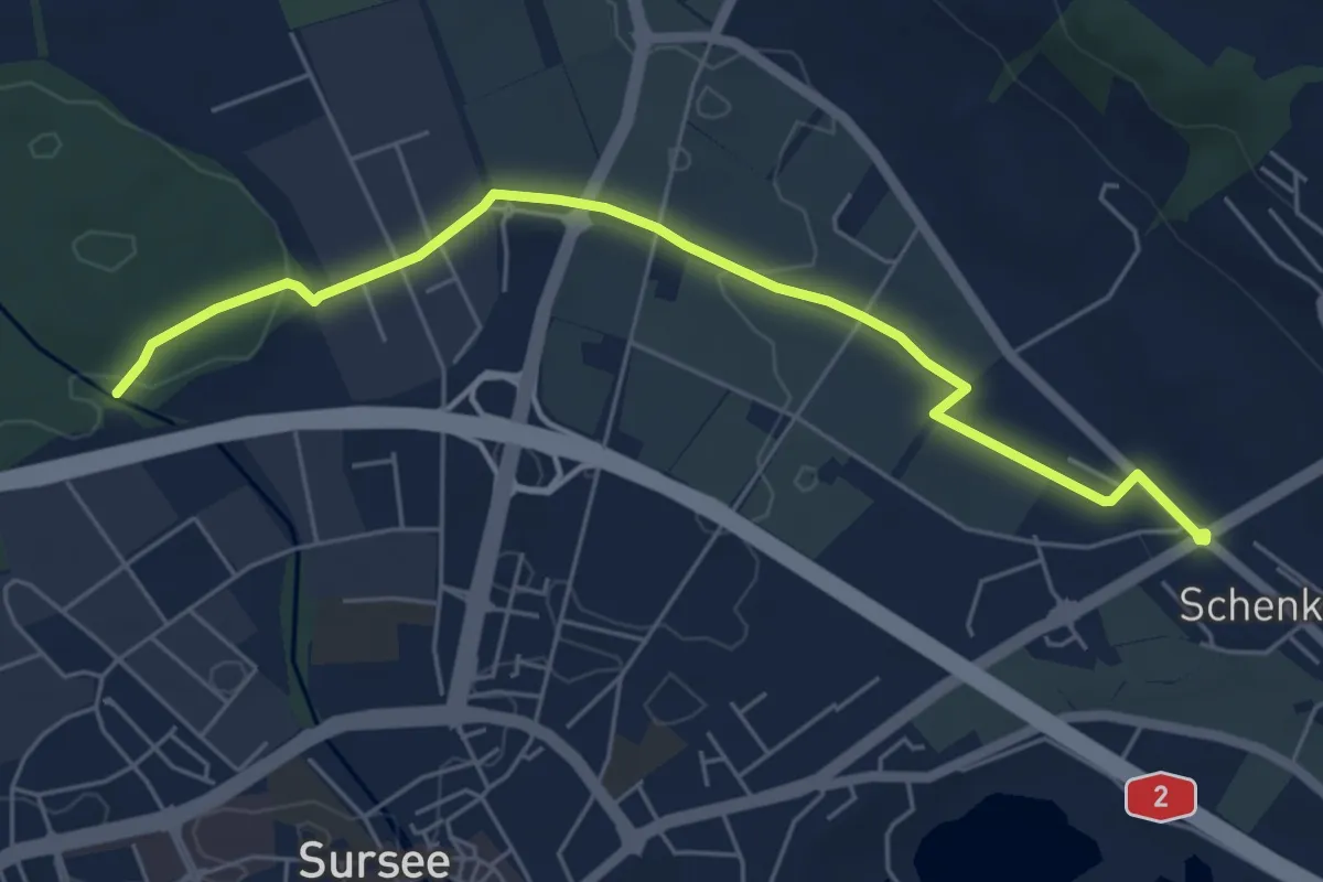
Easy · Trail
Surseerwald - Zellfeld
5.9 km · ↑ 40 m · 1 h 29 min
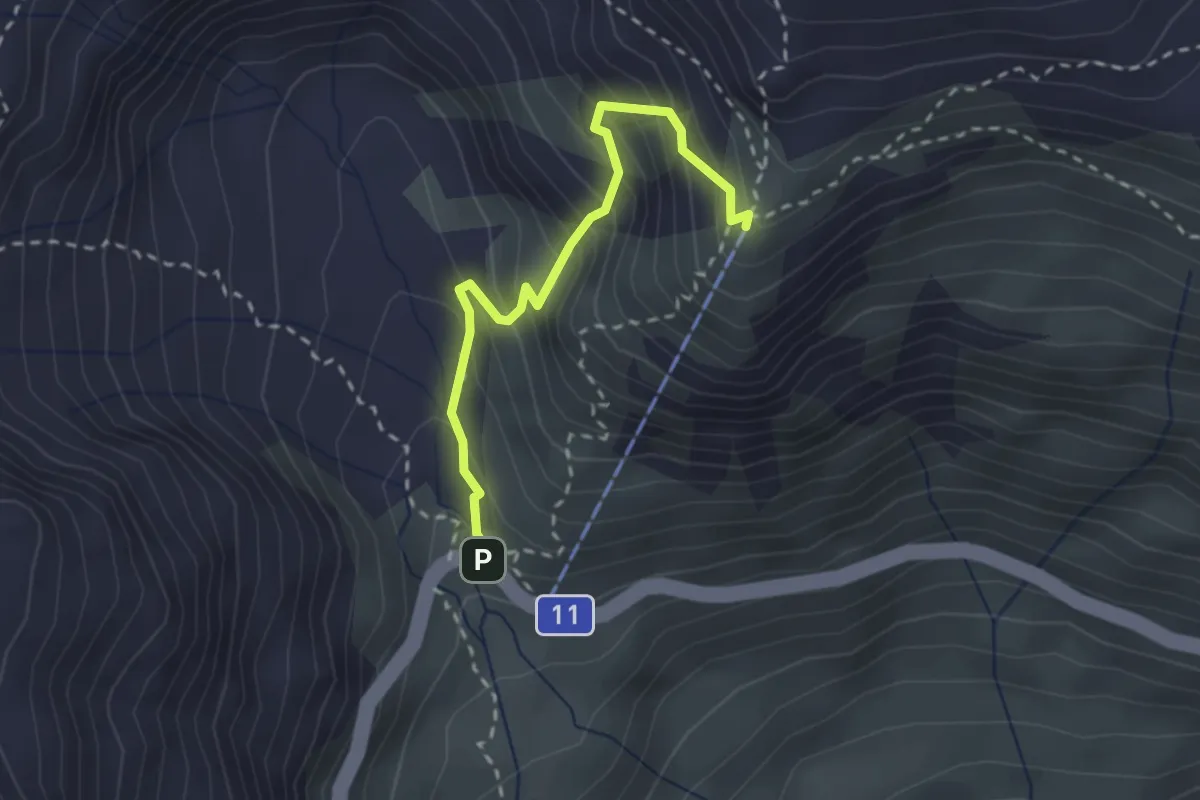
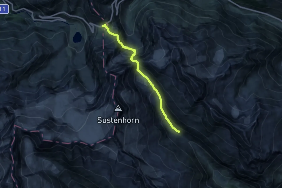
Demanding · Summit
Sustenbrüggli - Sustlihütte SAC
2.5 km · ↑ 310 m · 1 h 15 min
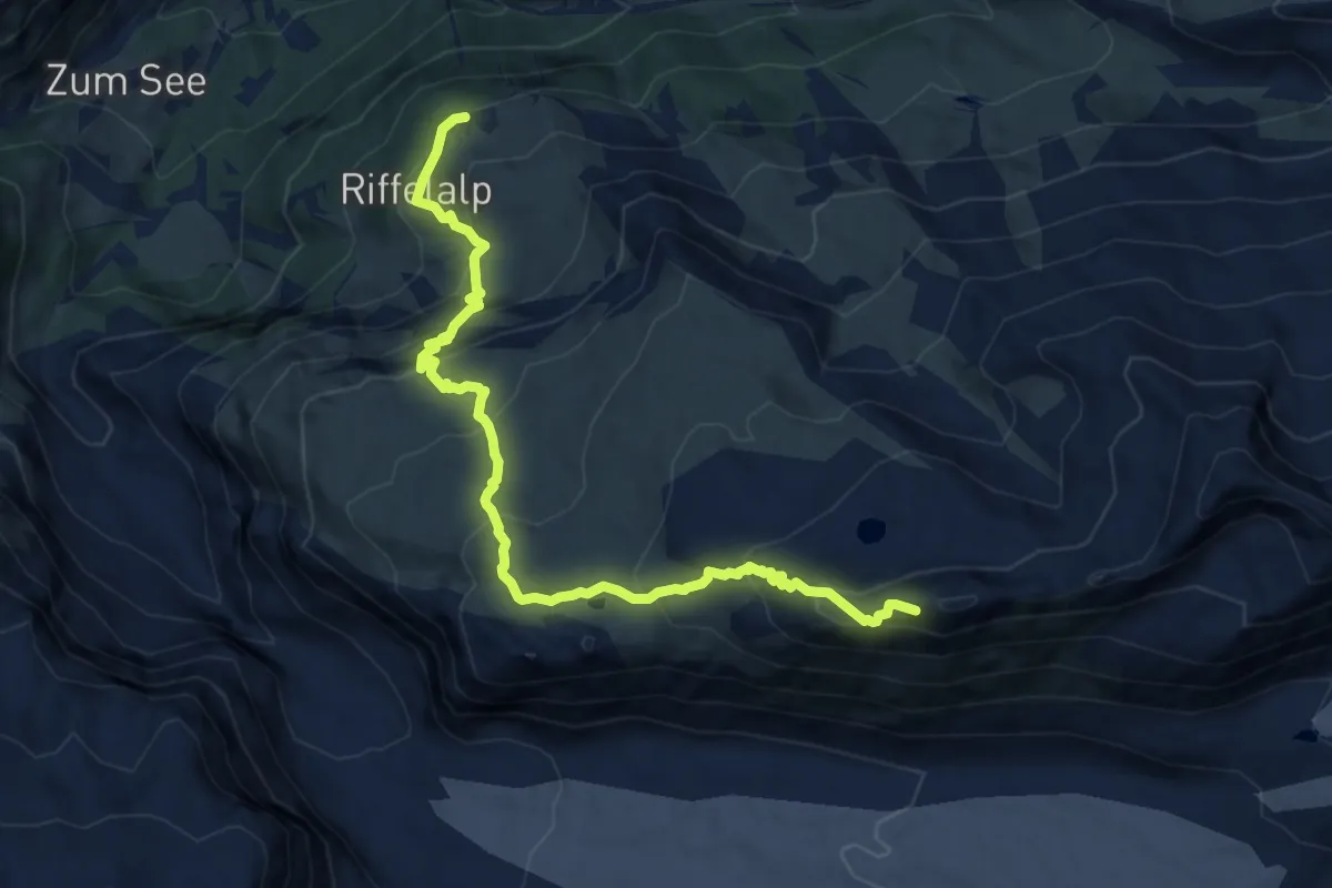
Expert · Cabin
Sustenpass - Voralphütte
12.7 km · ↑ 1272 m · 5 h 45 min
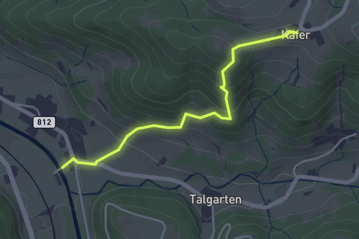
Demanding · Trail
Swiss Top Walk
11.8 km · ↑ 888 m · 4 h 43 min
Easy · Trail
Tablat – Chäfer
3.2 km · ↑ 227 m · 1 h 16 min
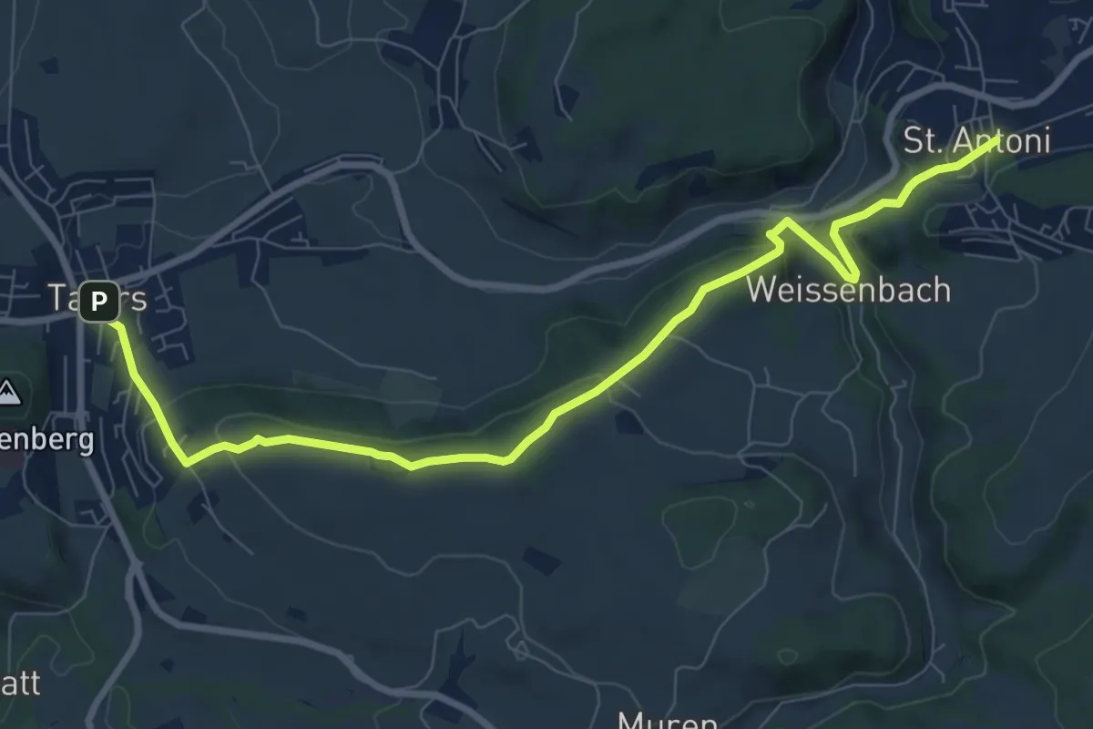
Medium · Trail
Tafers - St. Antoni
9.6 km · ↑ 363 m · 3 h 3 min
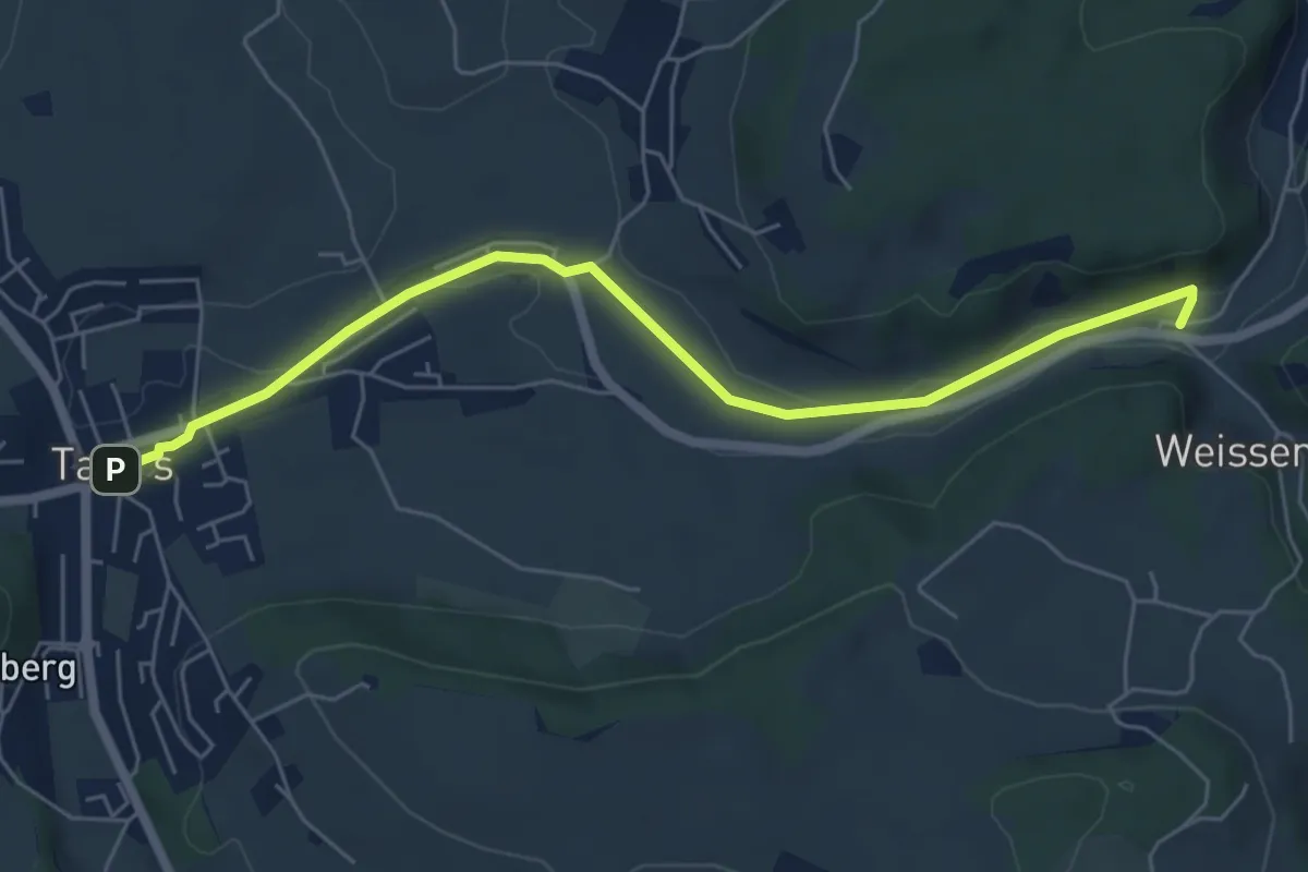
Easy · Trail
Tafers - Weissenbach / Bus
6.2 km · ↑ 35 m · 1 h 32 min
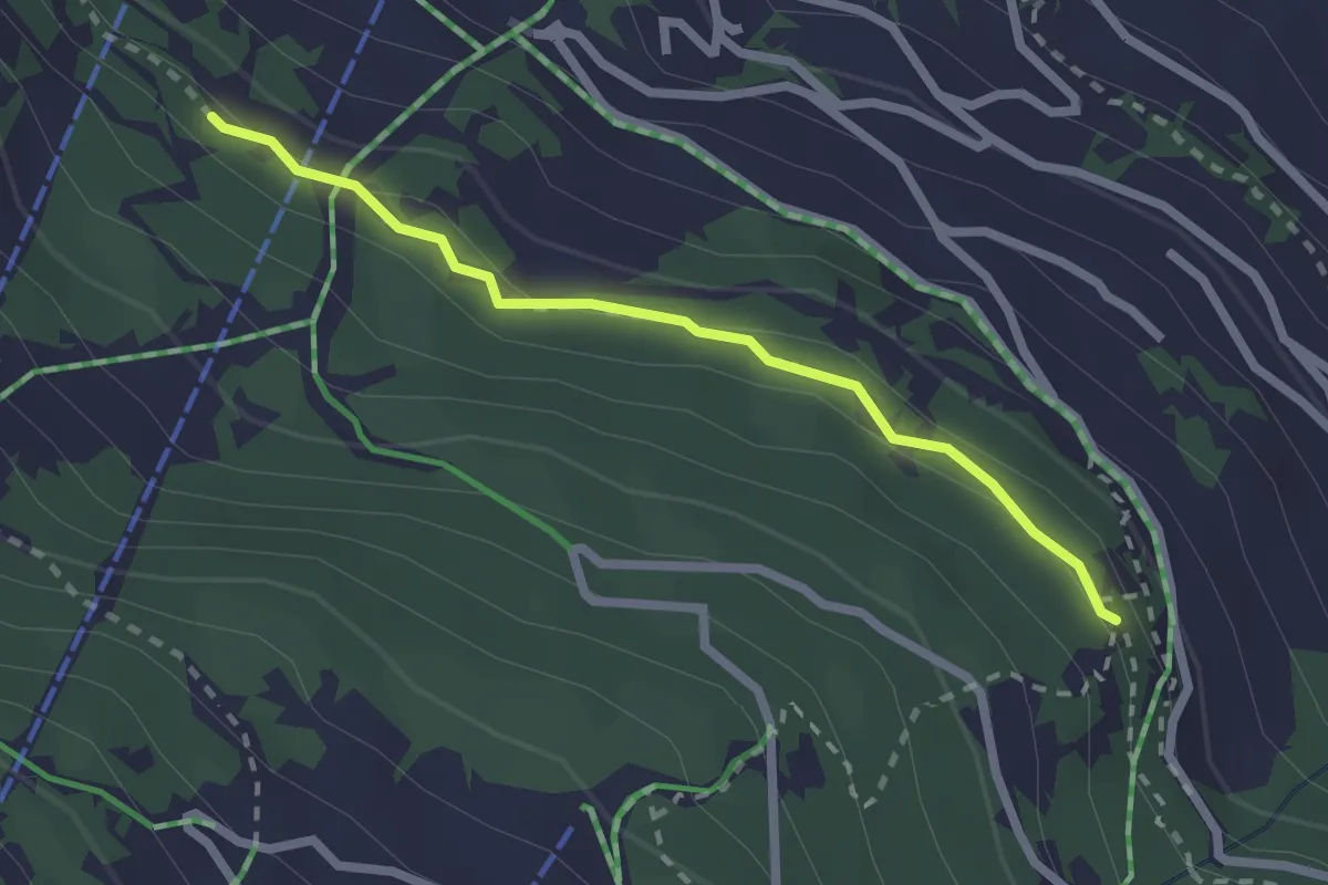
Easy · Trail
Taillay - Les Chablotays
2.2 km · ↑ 59 m · 39 min
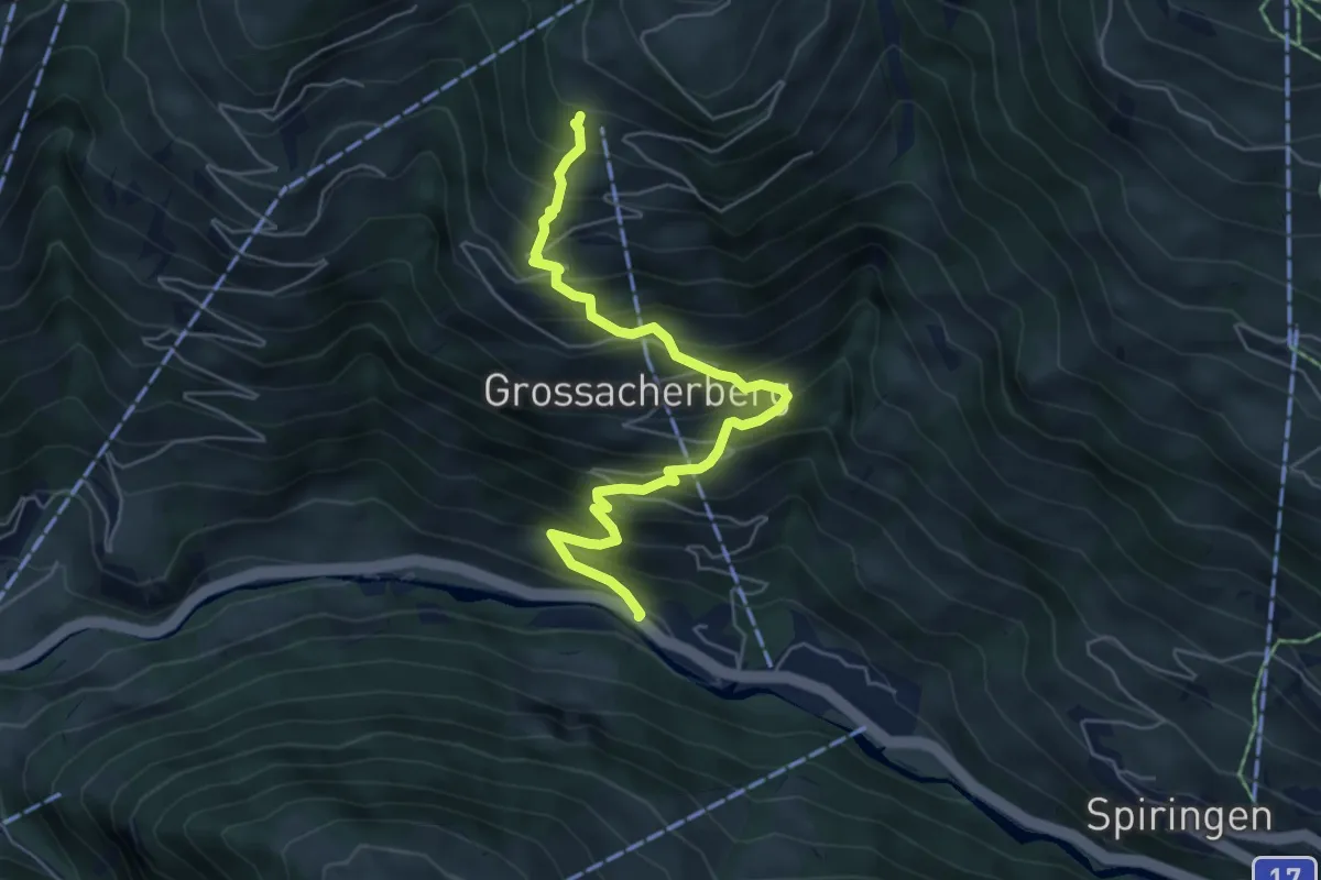
Medium · Trail
Talacheren - Chessel
5.8 km · ↑ 700 m · 2 h 54 min
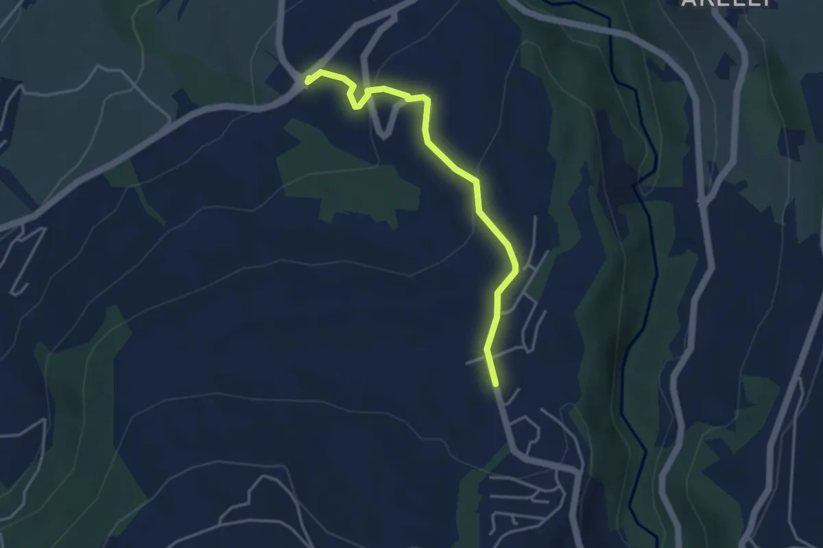
Easy · Trail
Talacher - Grüt Allenwinden
3.4 km · ↑ 114 m · 1 h 3 min
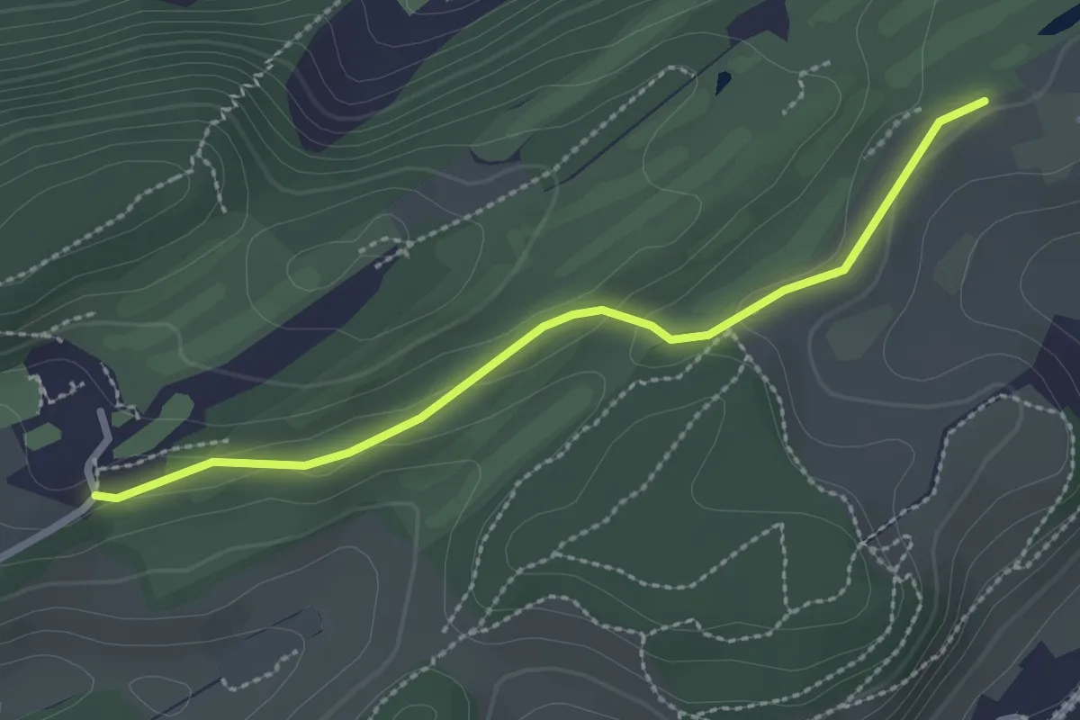
Easy · Trail
Talacheri - Dietschiberg
2.5 km · ↑ 44 m · 41 min
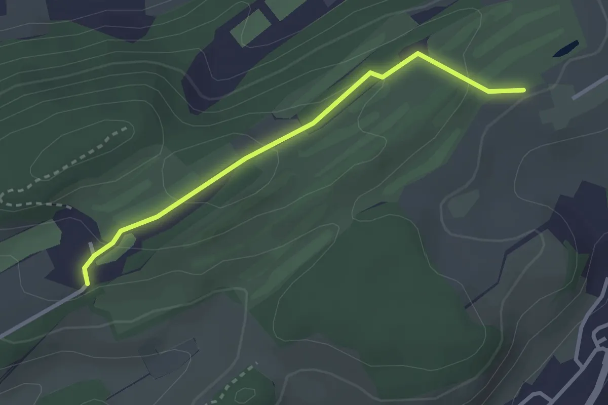
Easy · Trail
Talacheri - Dietschiberg
2.6 km · ↑ 95 m · 49 min
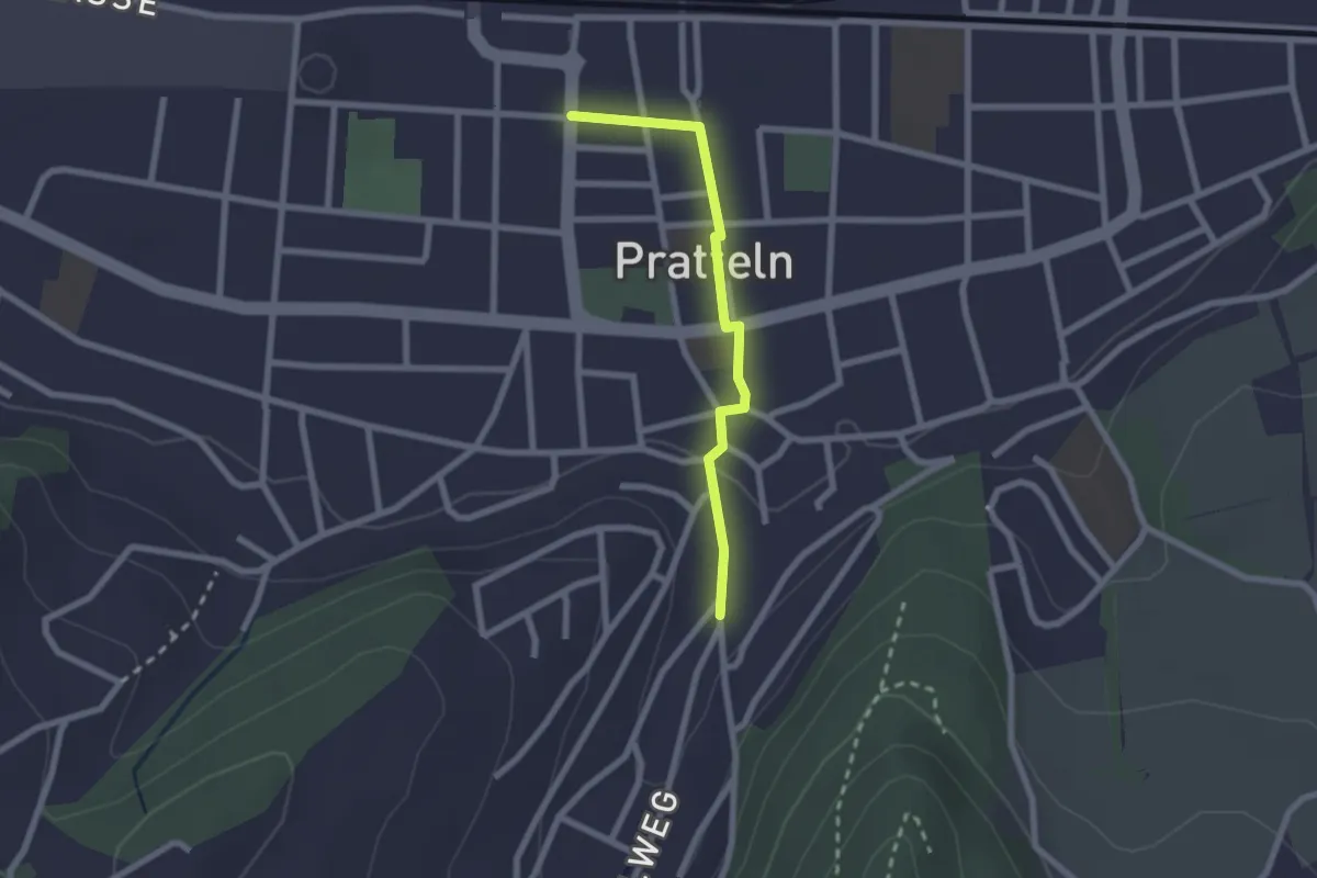
Easy · Trail
Talbach - Pratteln Tramstation
2.0 km · ↑ 23 m · 32 min
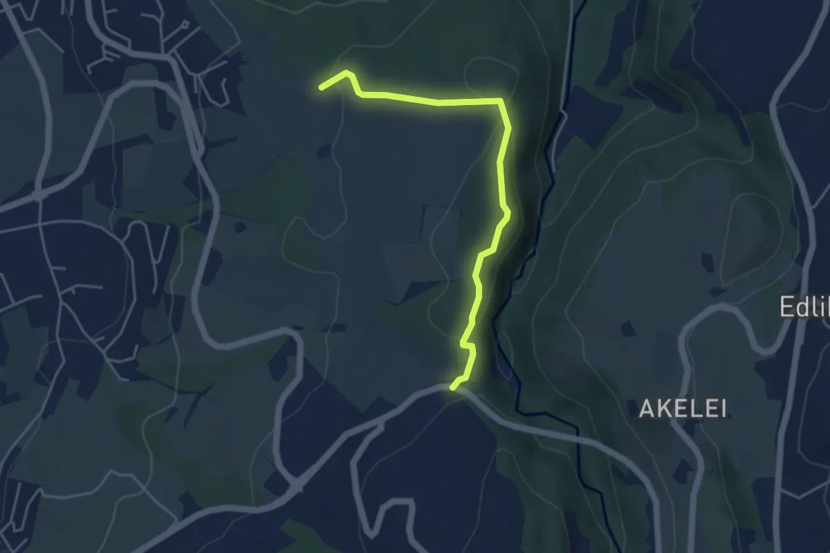
Easy · Trail
Talbrücke - Ober Allmend
3.9 km · ↑ 130 m · 1 h 12 min