Trails in Switzerland
15,064 hiking trails, each with its route, climb, walking time and grade.
All trails, page 111 of 314
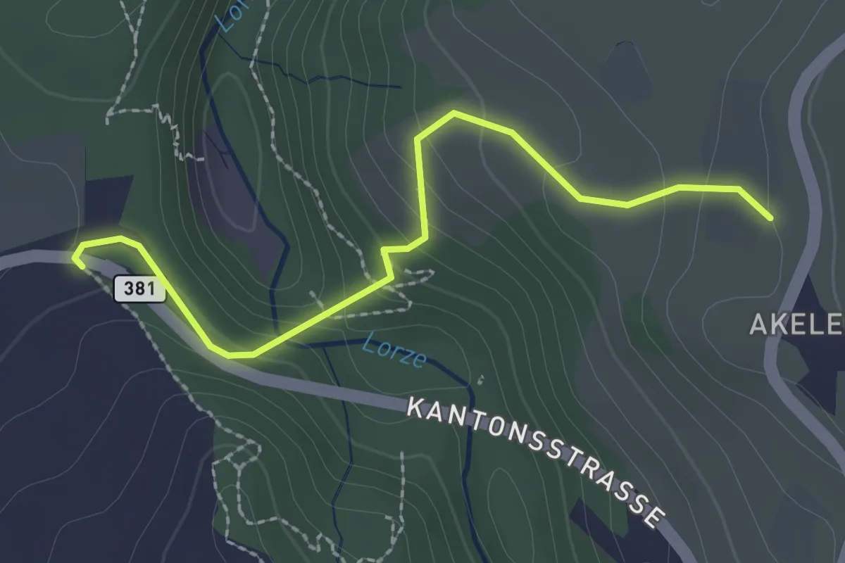
Easy · Trail
Talbrücke - Wulfligen
2.4 km · ↑ 152 m · 53 min
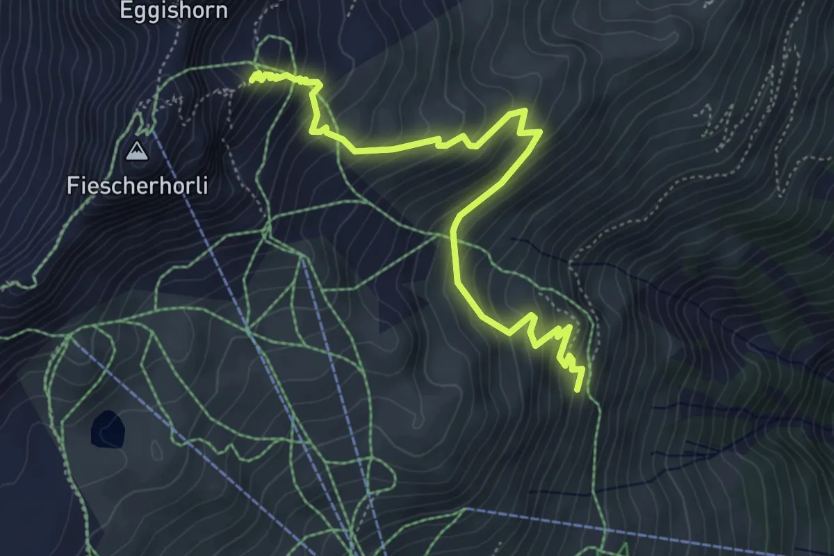
Demanding · Trail
Talegga
5.6 km · ↑ 541 m · 2 h 30 min
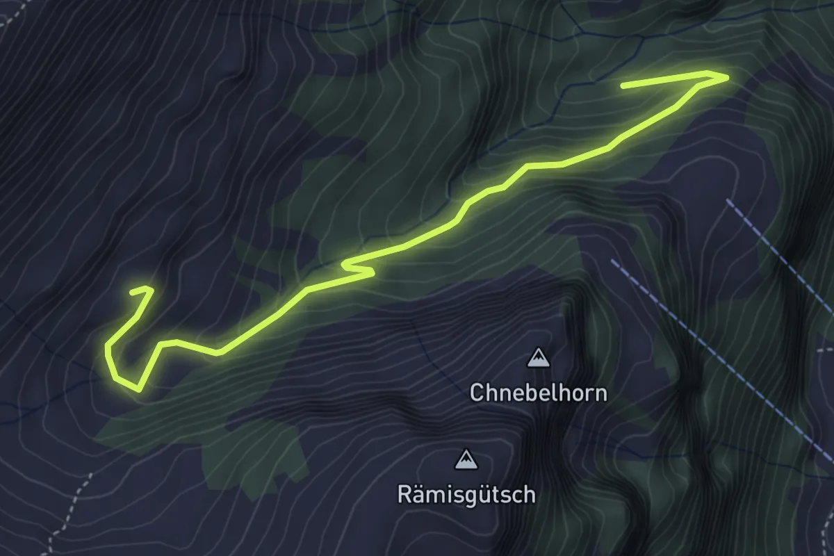
Medium · Trail
Talischwendli - Arni
5.0 km · ↑ 418 m · 2 h 6 min
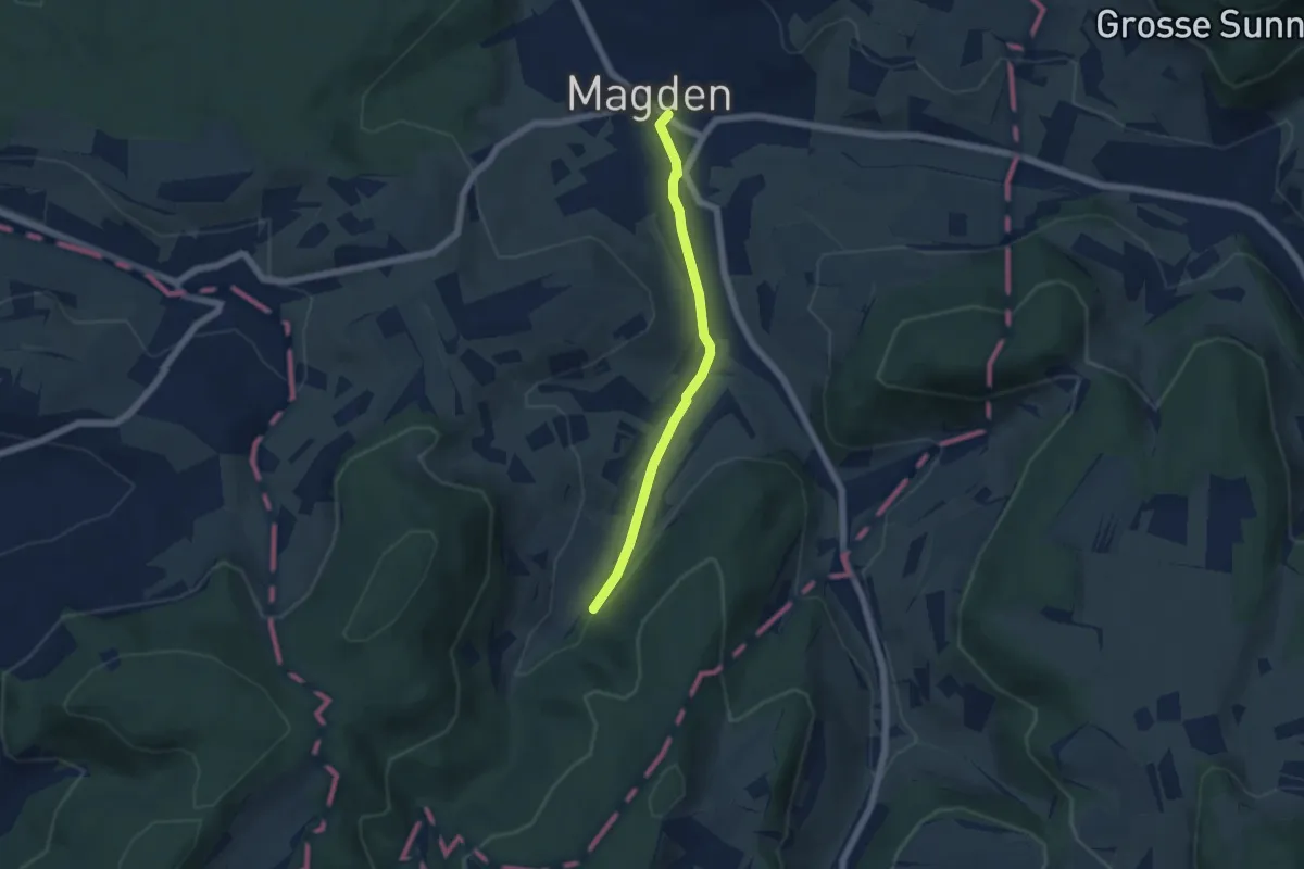
Easy · Trail
Tal - Magden
4.8 km · ↑ 74 m · 1 h 18 min
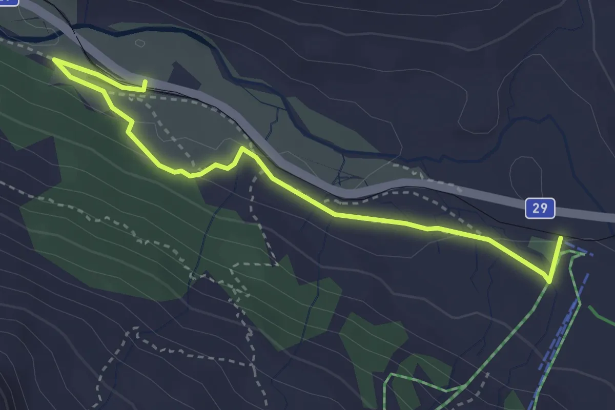
Easy · Trail
Talstation Diavolezza-Bernina Suot
3.6 km · ↑ 77 m · 1 h 1 min
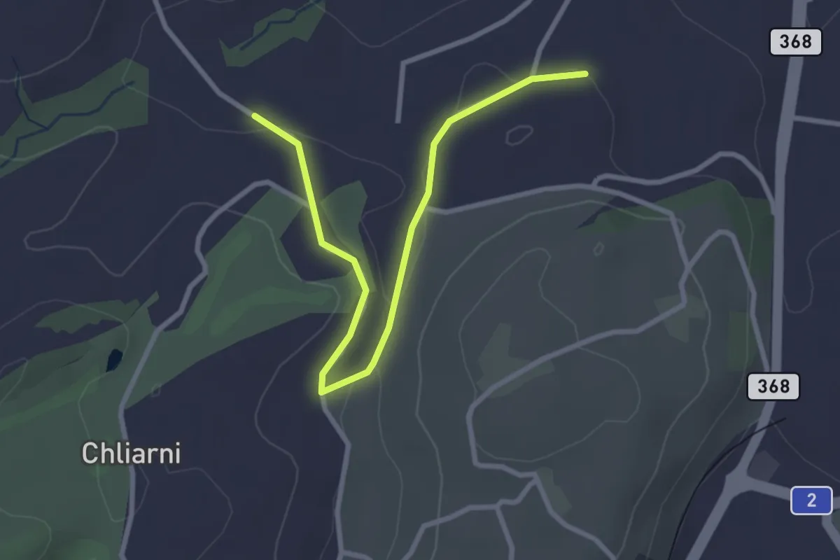
Easy · Trail
Tal - St. Martin
3.1 km · ↑ 51 m · 50 min
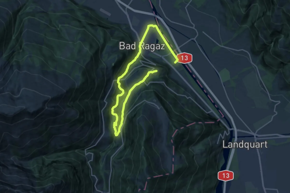
Medium · Trail
Taminaschlucht Rundweg
11.3 km · ↑ 393 m · 3 h 48 min
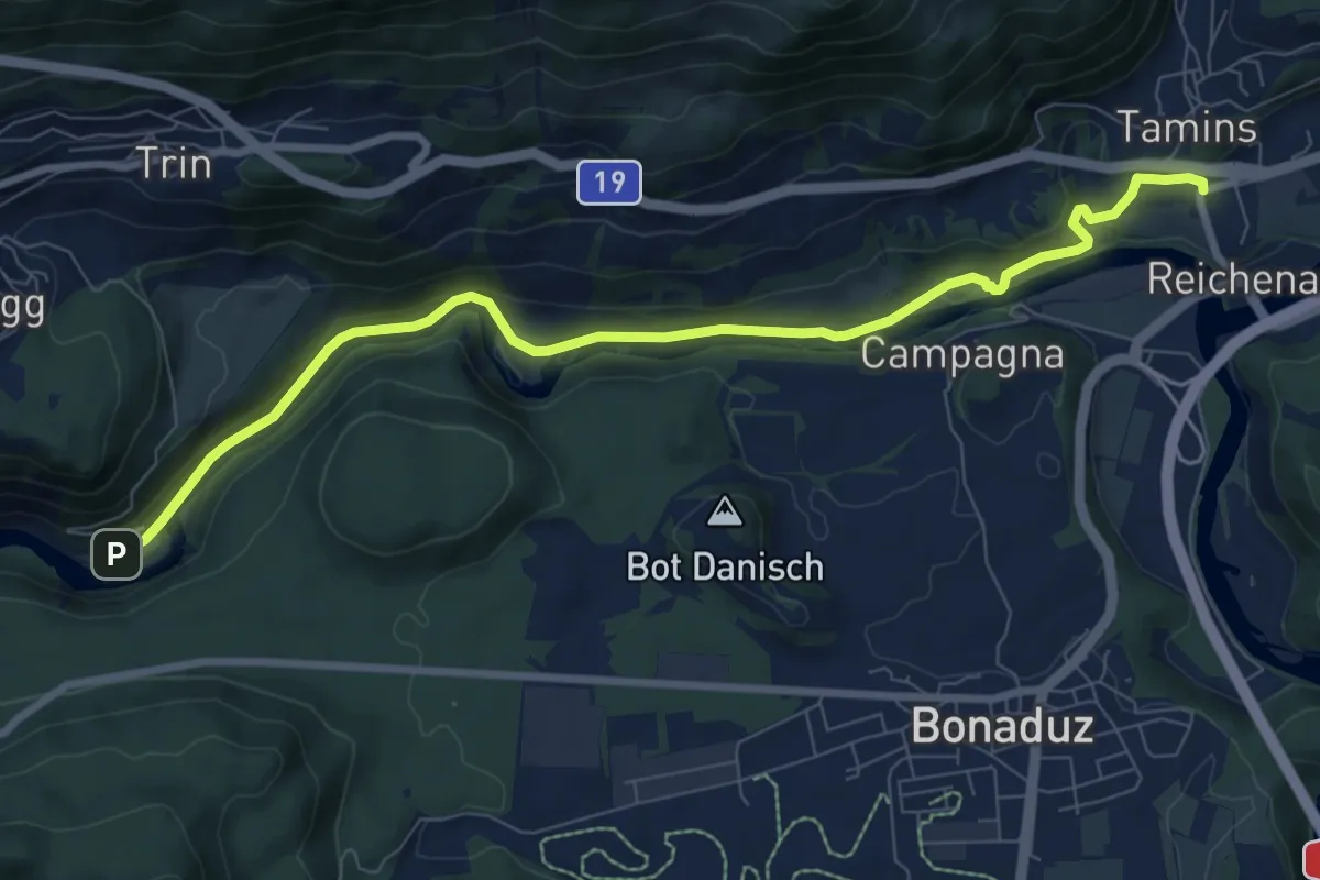
Medium · Trail
Tamins Post - Trin
8.9 km · ↑ 175 m · 2 h 29 min
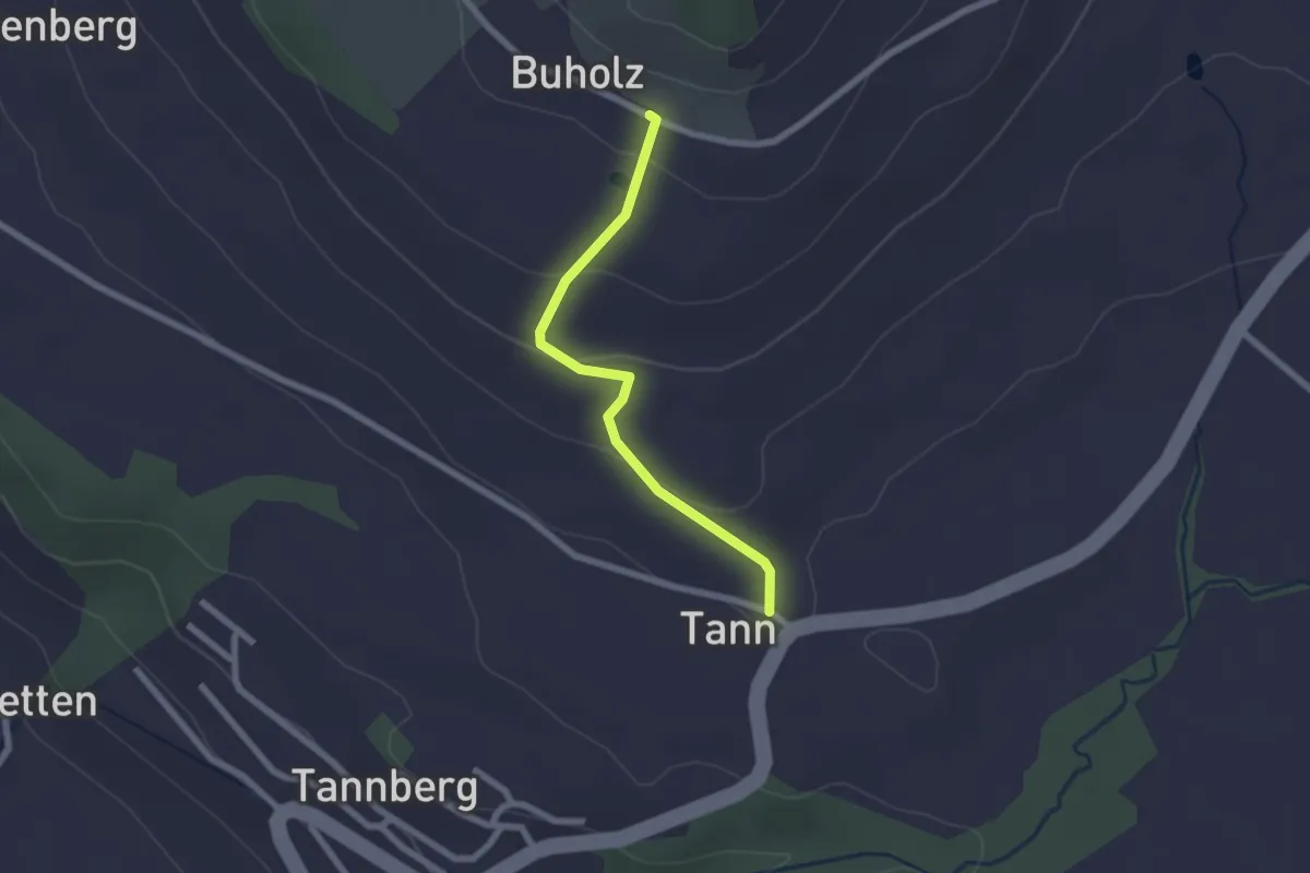
Easy · Trail
Tann - Buholz
2.0 km · ↑ 91 m · 40 min
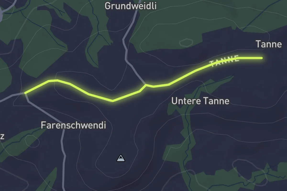
Easy · Trail
Tanne-Bühl
2.4 km · ↑ 32 m · 39 min
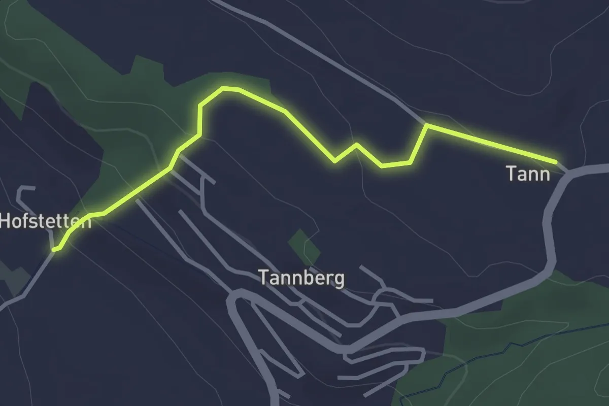
Easy · Trail
Tann - Hofstette
2.9 km · ↑ 123 m · 57 min
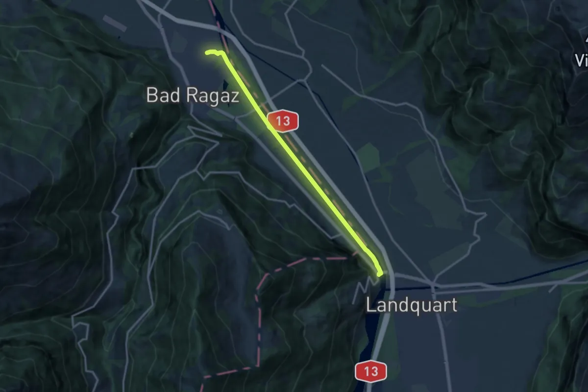
Medium · Trail
Tardisbrugg- Bad Ragaz
11.2 km · ↑ 26 m · 2 h 42 min
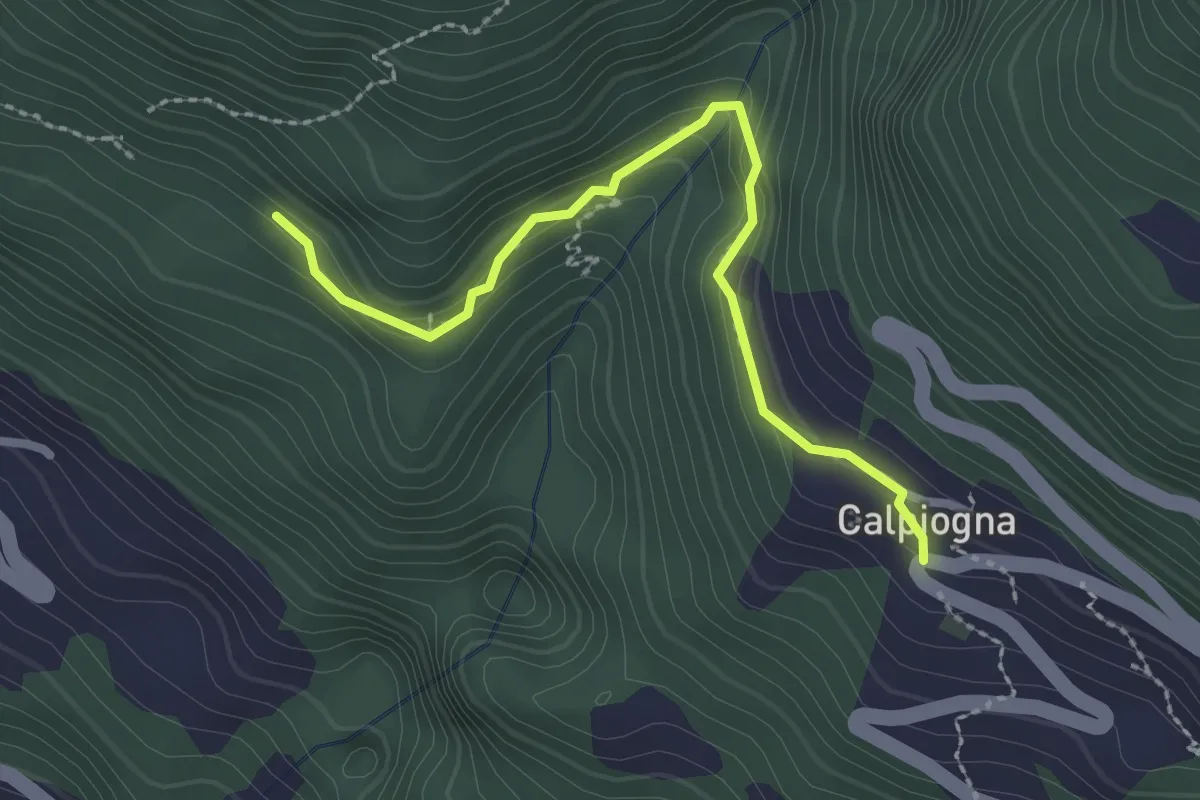
Medium · Trail
Targnett - Calpiogna/Posta
2.5 km · ↑ 152 m · 55 min
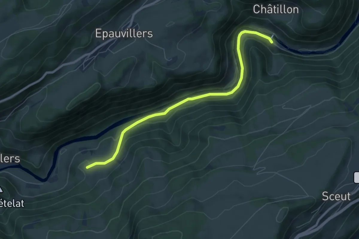
Easy · Trail
Tariche - Le Poye
6.7 km · ↑ 163 m · 1 h 56 min
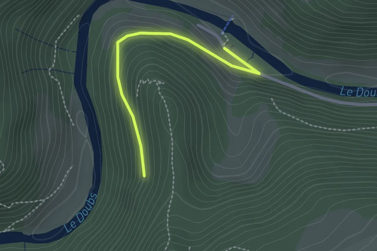
Easy · Trail
Tariche - Les Errauts
2.1 km · ↑ 107 m · 44 min
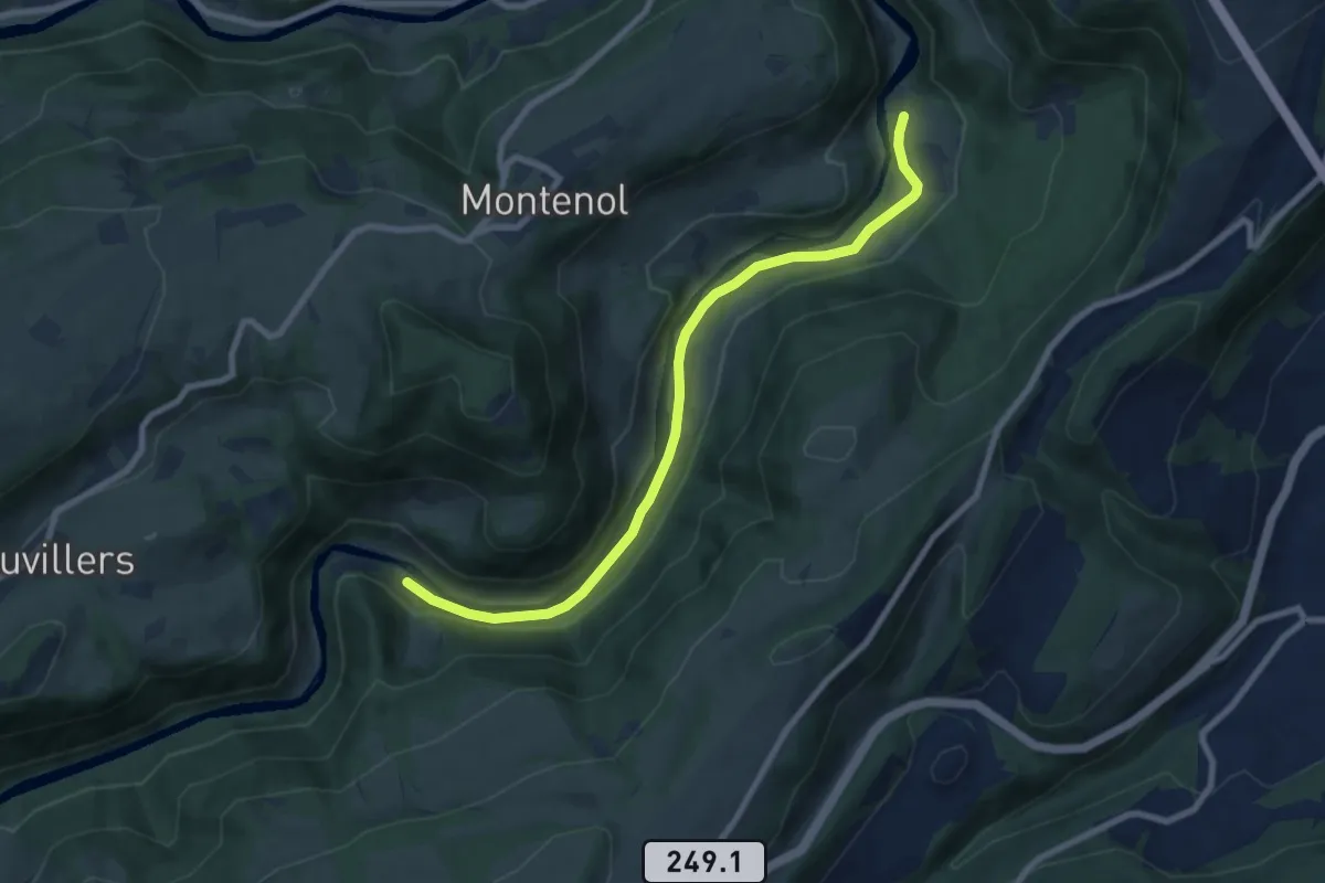
Medium · Trail
Tariche - Pont de Ravines
8.2 km · ↑ 141 m · 2 h 14 min
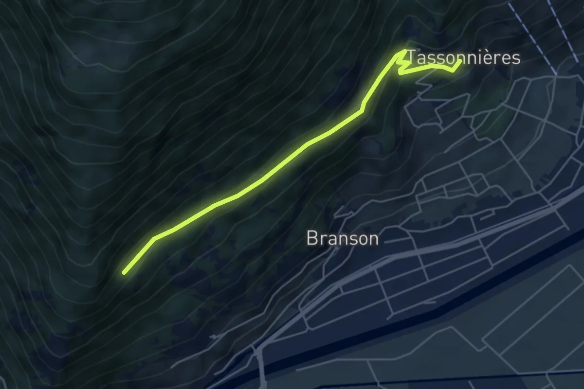
Easy · Trail
Tassonnières > ?
4.8 km · ↑ 228 m · 1 h 38 min
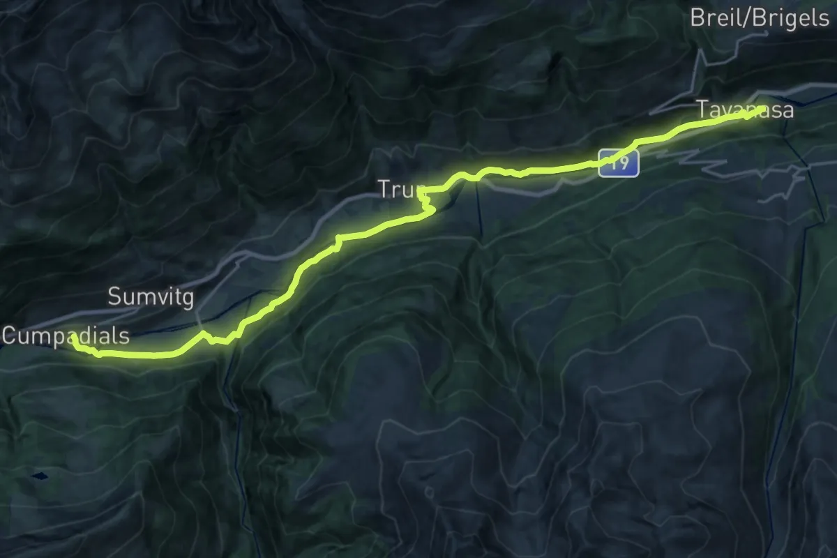
Demanding · Trail
Tavanasa Cumpadials
26.5 km · ↑ 333 m · 6 h 59 min
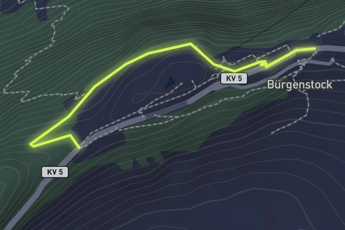
Easy · Trail
Taverna - Bürgenstock
2.1 km · ↑ 149 m · 49 min
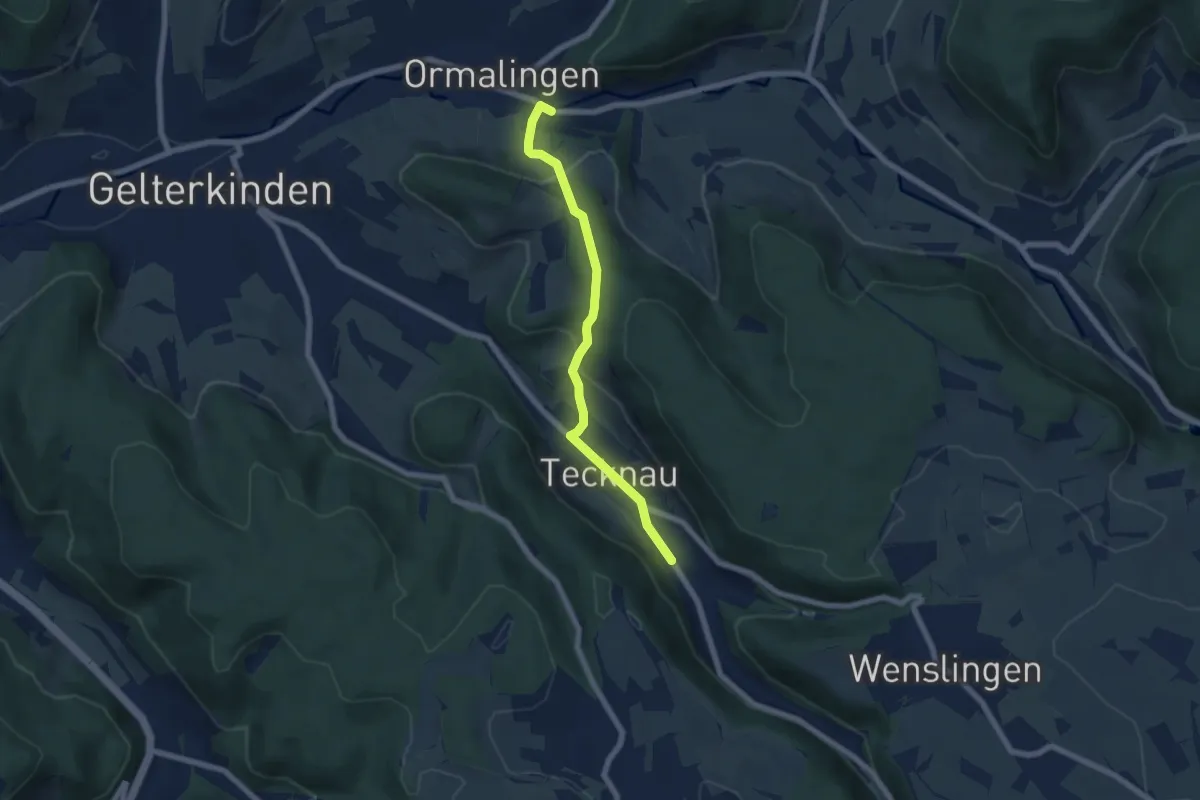
Easy · Trail
Tecknau - Ormalingen
6.0 km · ↑ 281 m · 2 h 2 min
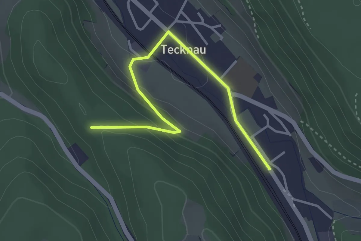
Easy · Trail
Tecknau - Ruine Schneidegg
3.2 km · ↑ 123 m · 1 h 1 min
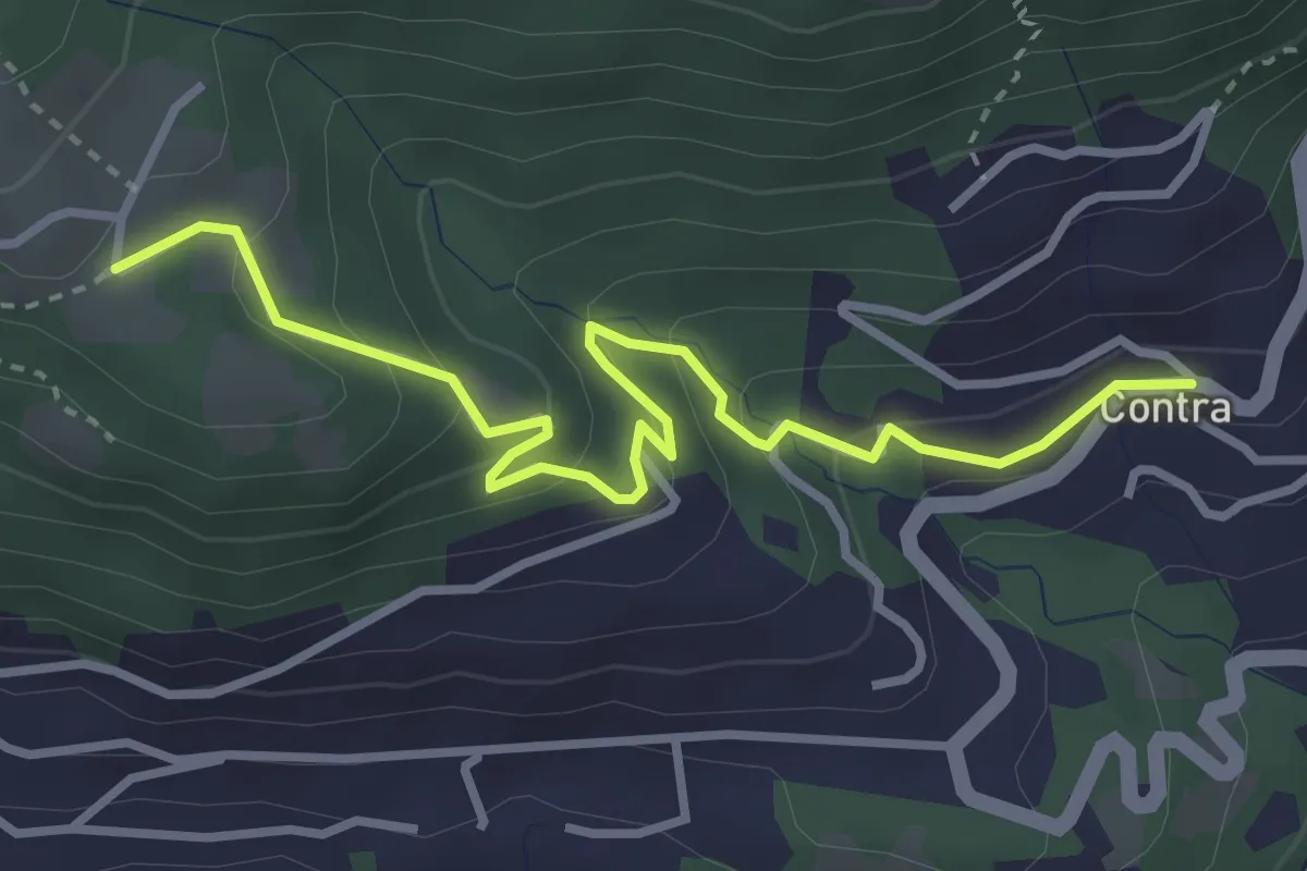
Easy · Trail
Tendrasca - Contra
3.7 km · ↑ 261 m · 1 h 26 min
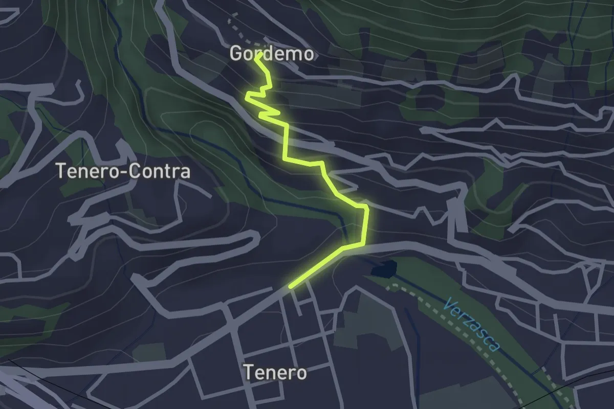
Easy · Trail
Tenero - Gordemo
2.2 km · ↑ 173 m · 53 min
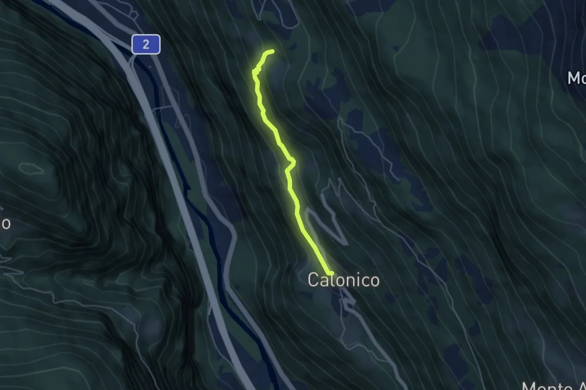
Medium · Trail
Tengia- Calonico
3.8 km · ↑ 243 m · 1 h 25 min
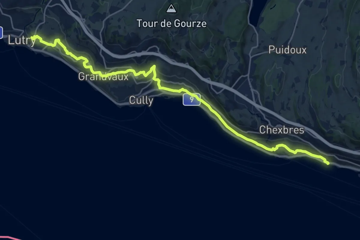
Demanding · Trail
Terasses de Lavaux
22.3 km · ↑ 788 m · 6 h 58 min
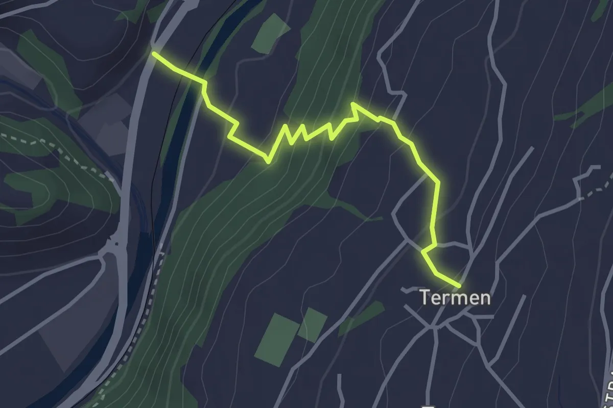
Easy · Trail
Termen - Bitsch
3.0 km · ↑ 261 m · 1 h 16 min
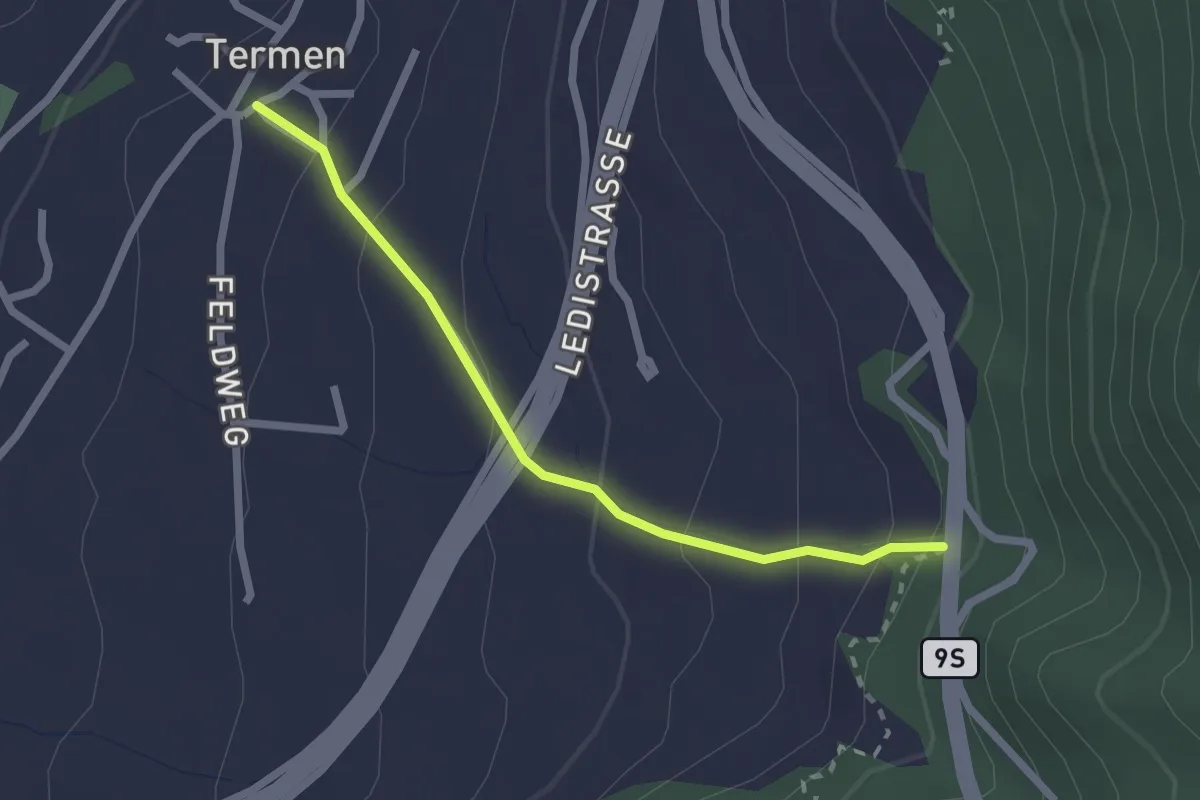
Easy · Trail
Termen - Gunzi
2.2 km · ↑ 160 m · 51 min
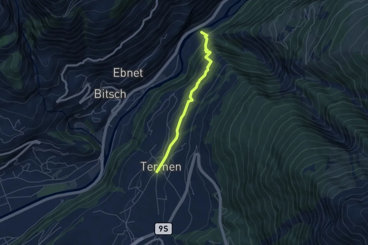
Easy · Trail
Termen - Tunetschgrabe
4.8 km · ↑ 276 m · 1 h 43 min
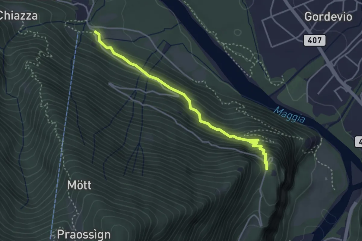
Medium · Trail
Terra di Fuori - Furcola di Dunzio
3.4 km · ↑ 307 m · 1 h 28 min
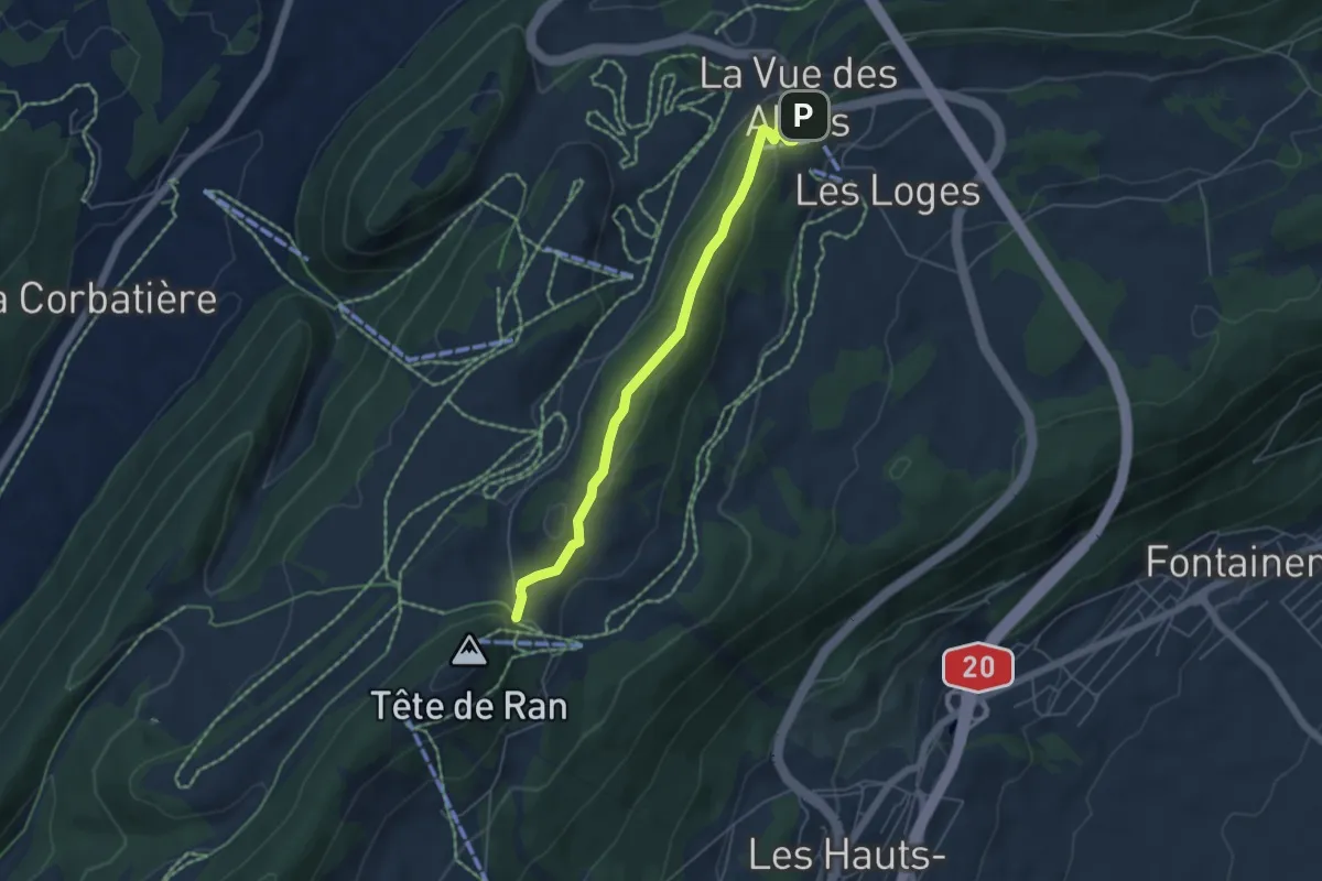
Easy · Trail
Tête de Ran-Vue des Alpes
4.9 km · ↑ 148 m · 1 h 29 min
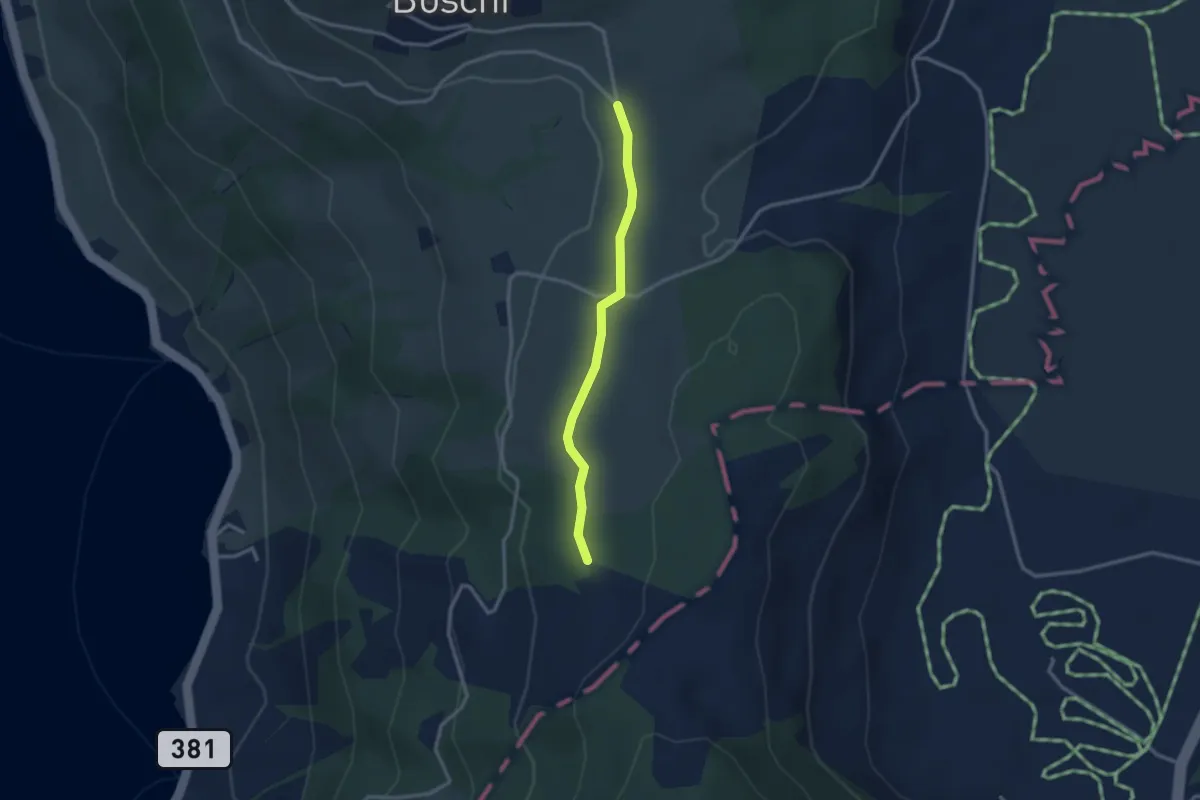
Easy · Trail
Teufiwald Süd - Ob Tännli
2.5 km · ↑ 23 m · 39 min
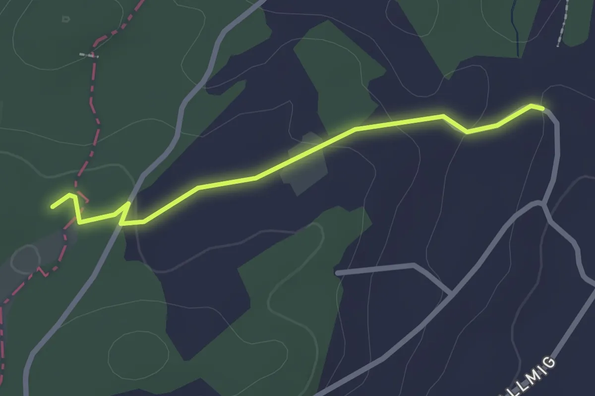
Easy · Trail
Teufried - Sunnehöfli
2.0 km · ↑ 39 m · 33 min
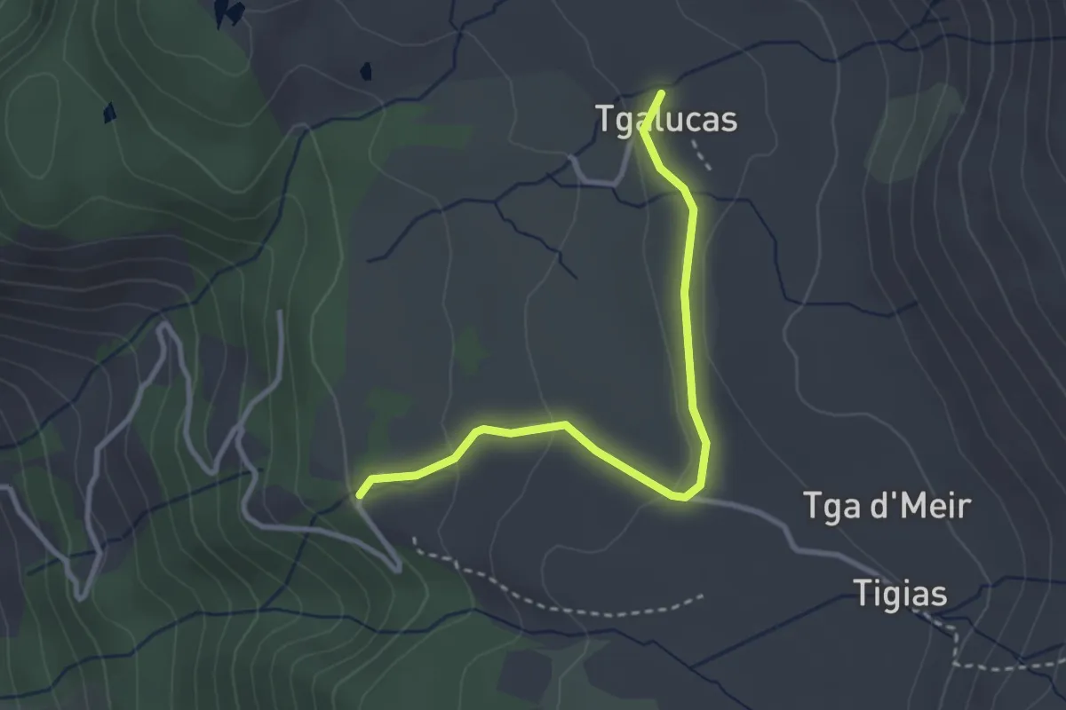
Easy · Trail
Tgalucas - Parkplatz Vanstag
2.9 km · ↑ 73 m · 51 min
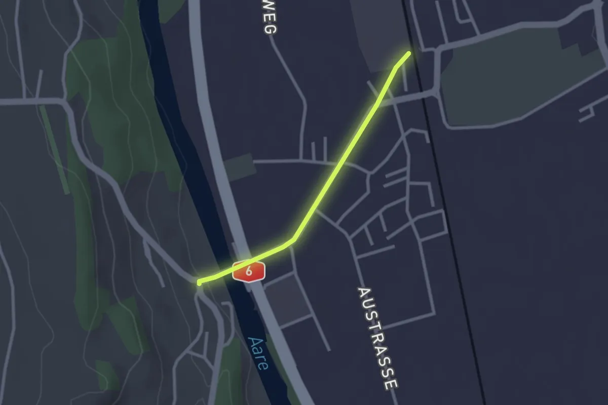
Easy · Trail
Thalgutbrücke - Wichtrach
2.1 km · ↑ 12 m · 31 min
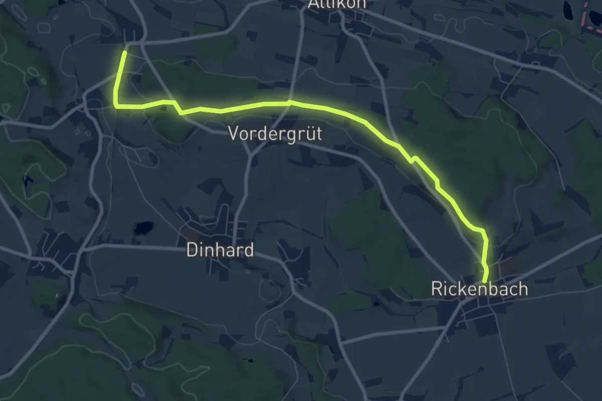
Medium · Trail
Thalheim-Altikon – Rickenbach
8.7 km · ↑ 151 m · 2 h 23 min
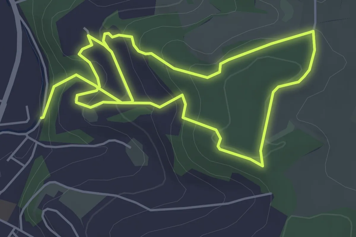
Medium · Trail
Themen_Weg Leuenberg
8.4 km · ↑ 374 m · 2 h 47 min
Medium · Trail
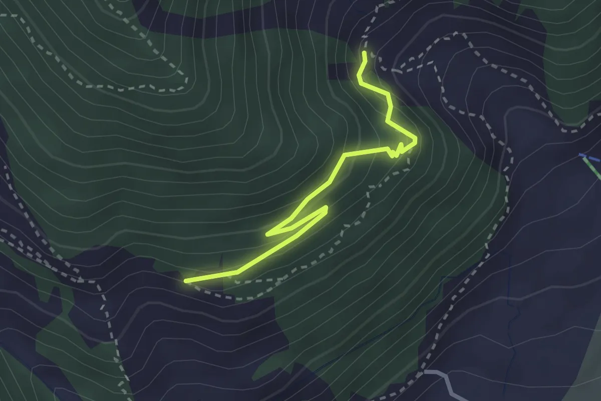
Themenweg Schutzwald
2.6 km · ↑ 258 m · 1 h 10 min
Easy · Trail
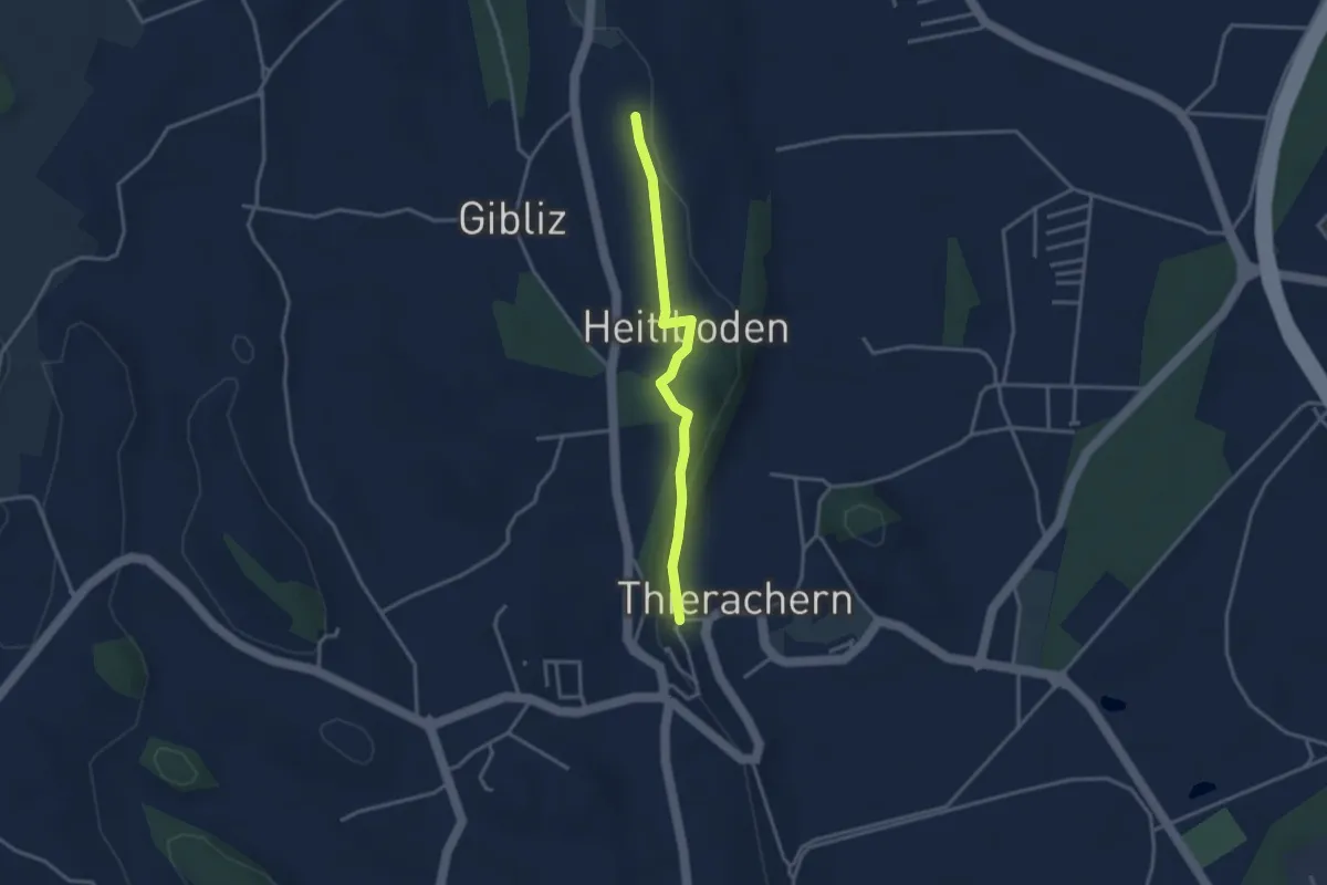
Thierachern-Willerüti
3.0 km · ↑ 62 m · 51 min
Medium · Summit
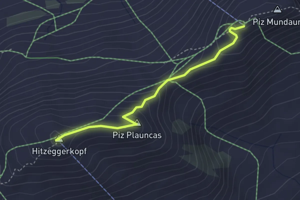
THinzeggen Piz Mundaun
3.2 km · ↑ 191 m · 1 h 10 min
Easy · Trail
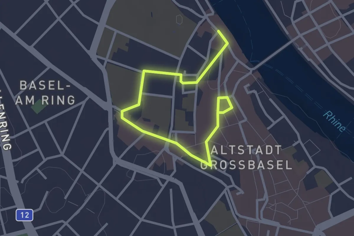
Thomas Platter Rundgang
3.7 km · ↑ 32 m · 57 min
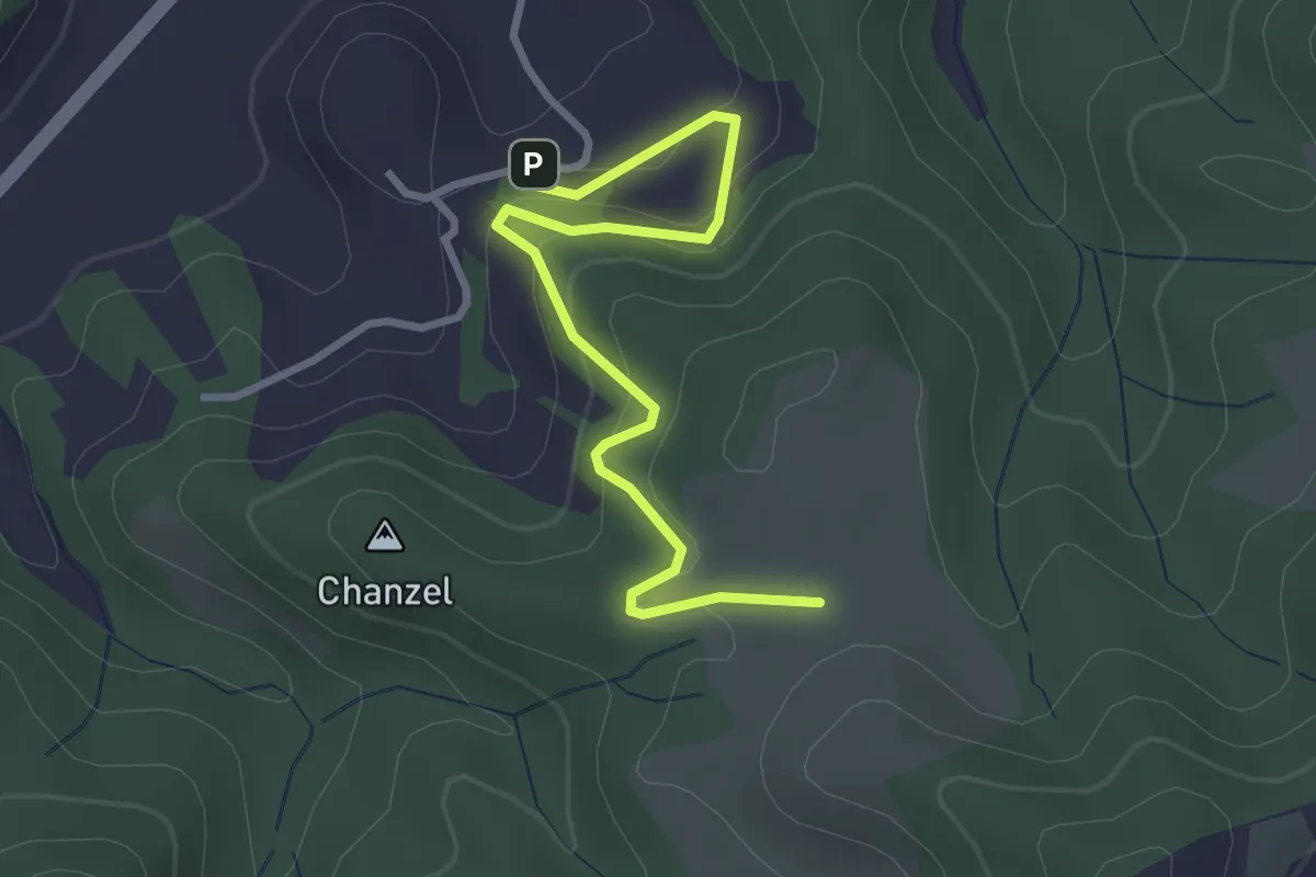
Easy · Trail
Thorberg - Schwändi
3.2 km · ↑ 218 m · 1 h 14 min
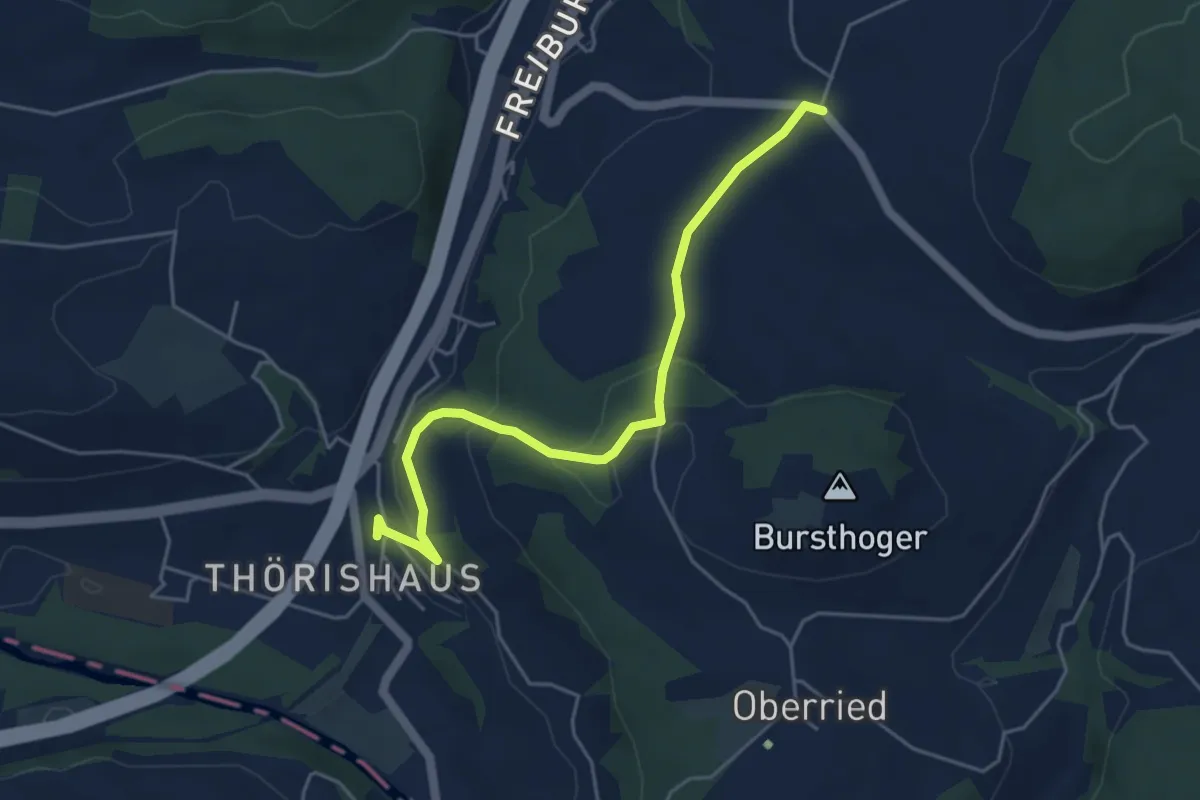
Easy · Trail
Thörishaus - Liebewil
4.9 km · ↑ 176 m · 1 h 32 min
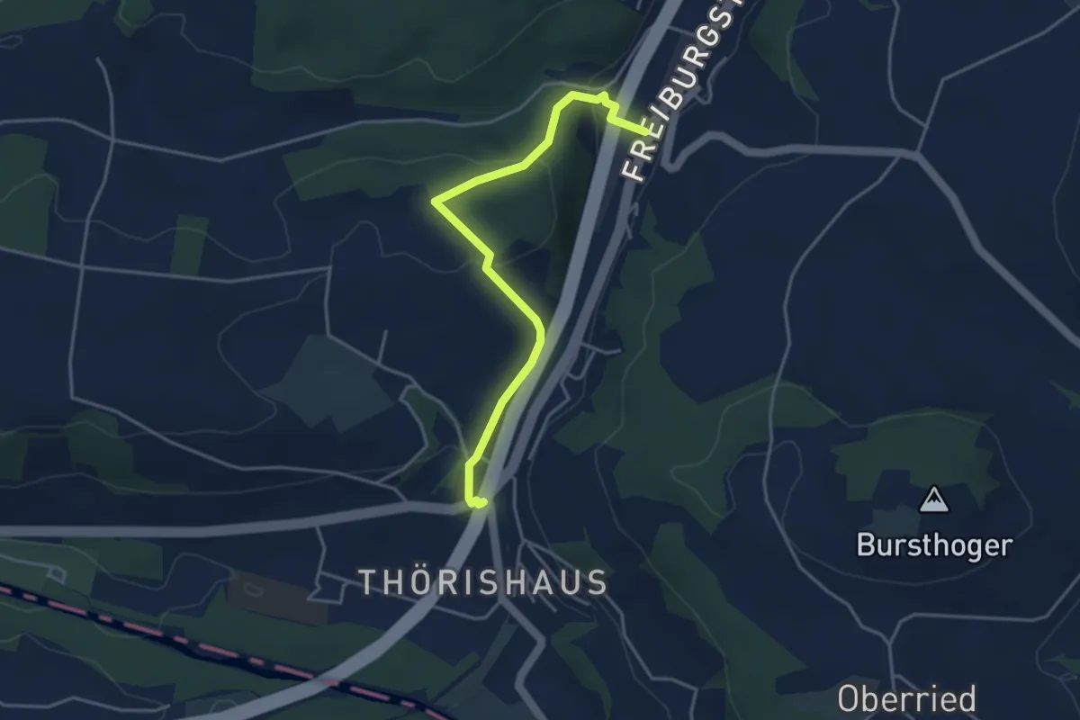
Easy · Trail
Thörishaus/Station - Thörishaus
4.0 km · ↑ 138 m · 1 h 15 min
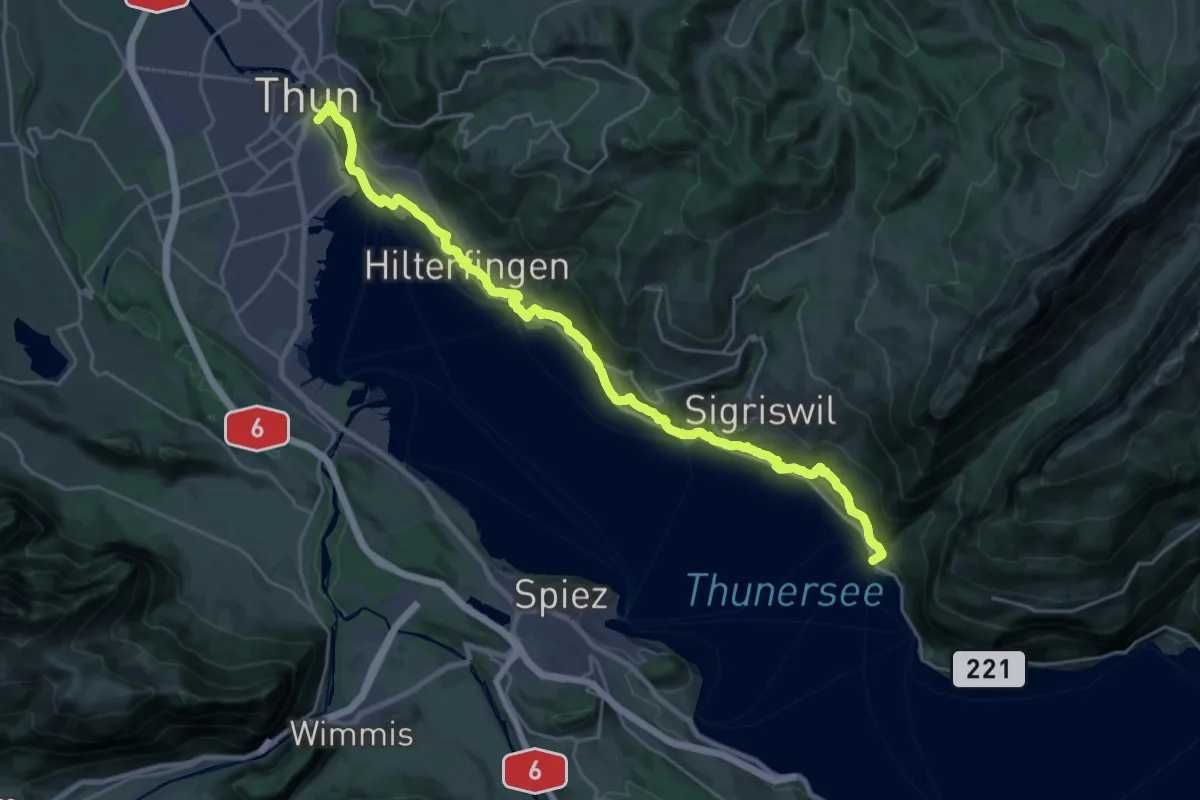
Medium · Trail
Thun - Merligen
13.3 km · ↑ 502 m · 4 h 25 min
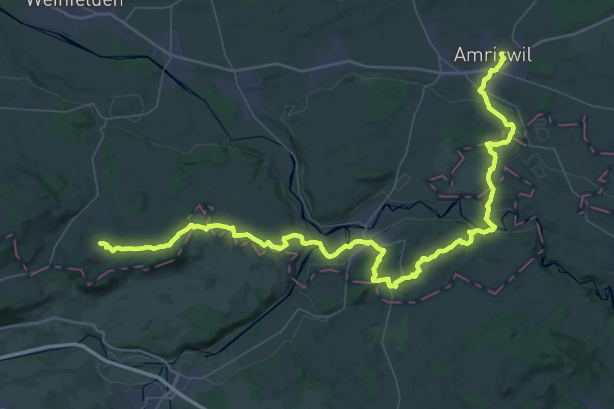
Demanding · Summit
Thurgauer Panoramaweg
55.3 km · ↑ 1041 m · 15 h 19 min
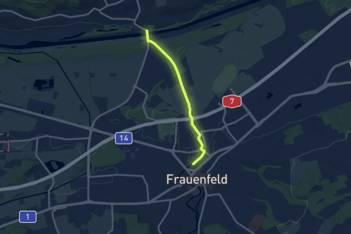
Easy · Trail
Thurgauer Rebenweg
5.8 km · ↑ 24 m · 1 h 25 min
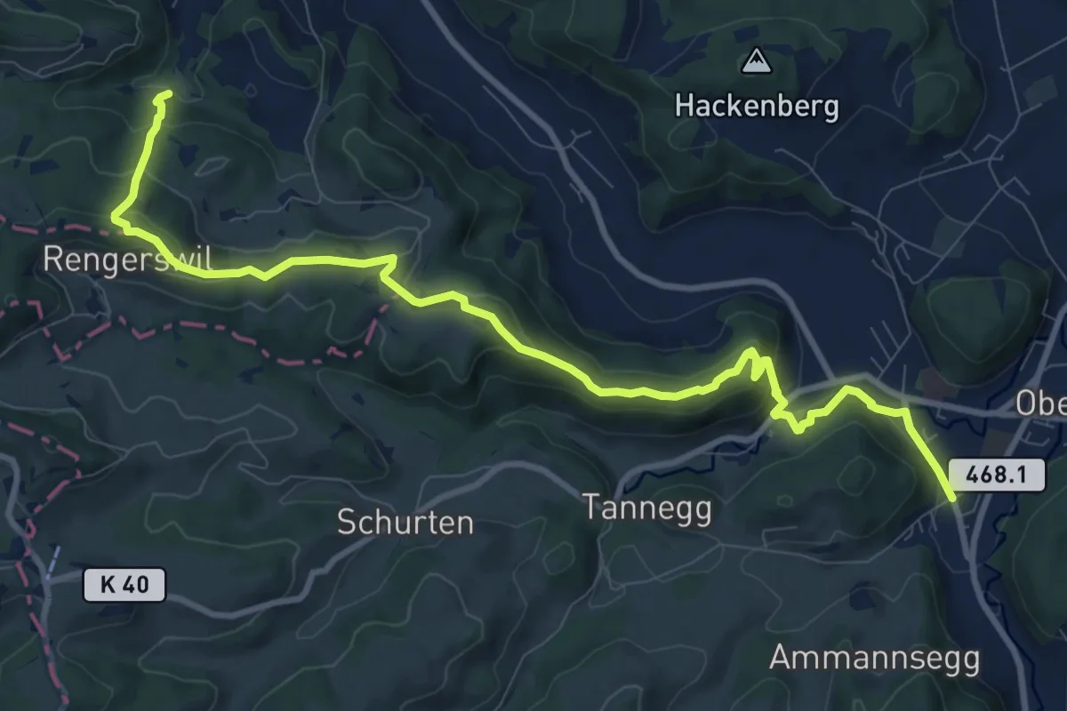
Medium · Trail
Thurgauer Rundwanderweg
11.3 km · ↑ 457 m · 3 h 39 min
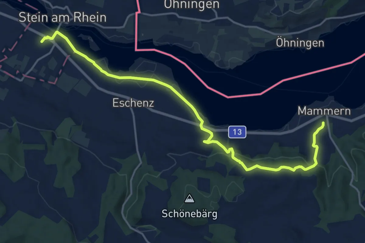
Medium · Trail
Thurgauer Rundwanderweg
13.4 km · ↑ 380 m · 4 h