Trails in Switzerland
15,064 hiking trails, each with its route, climb, walking time and grade.
All trails, page 112 of 314
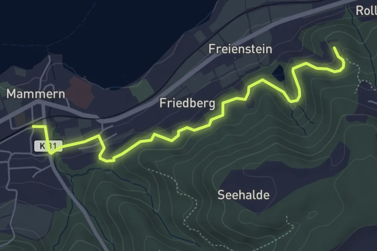
Easy · Trail
Thurgauer Rundwanderweg
5.7 km · ↑ 265 m · 1 h 55 min
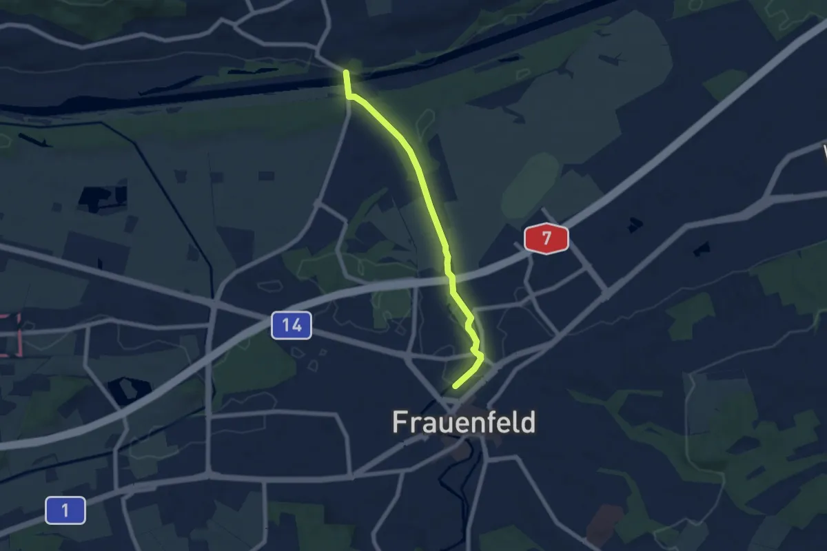
Easy · Trail
Thurgauer Rundwanderweg
5.8 km · ↑ 24 m · 1 h 25 min
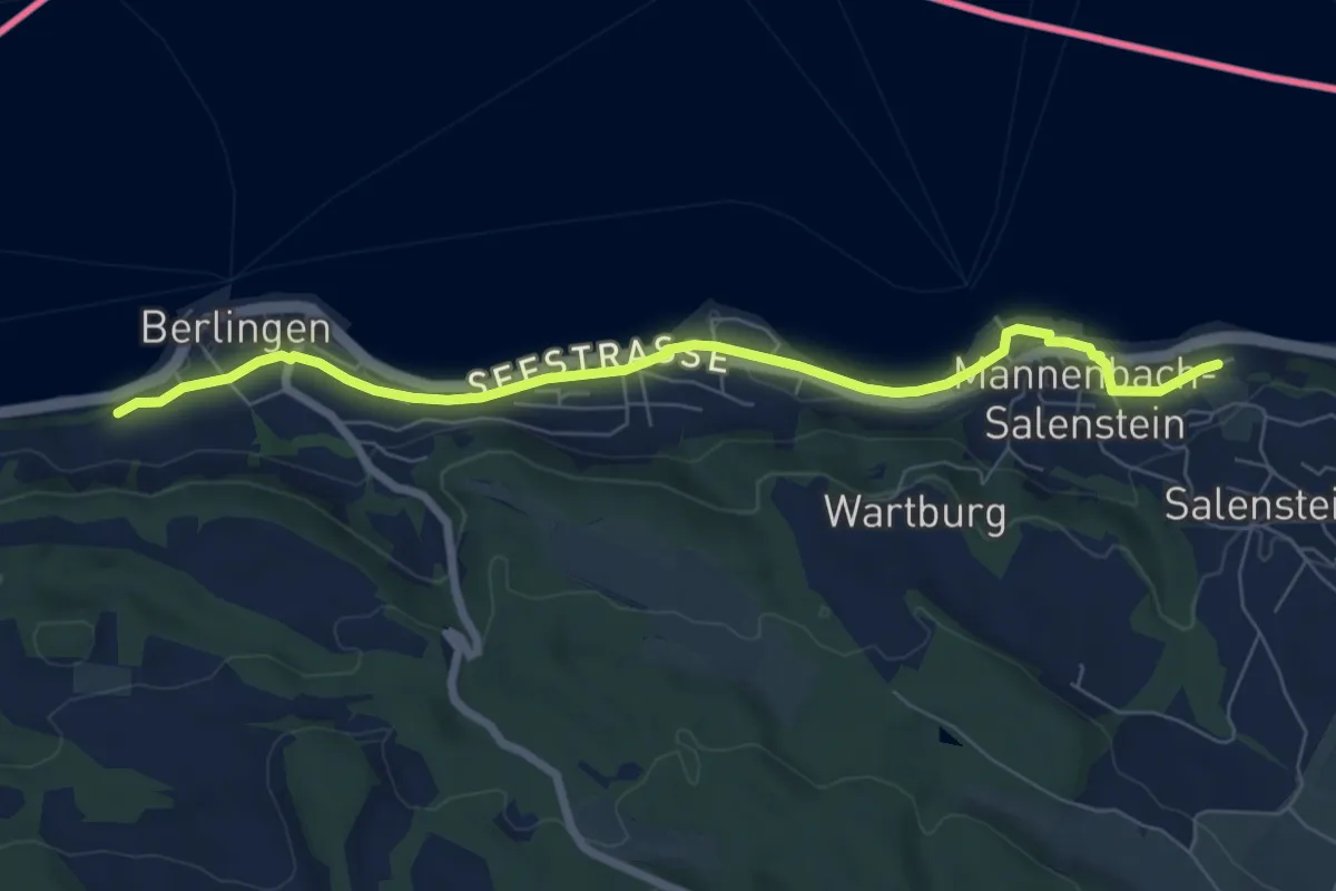
Easy · Trail
Thurgauer Rundwanderweg
7.3 km · ↑ 49 m · 1 h 50 min
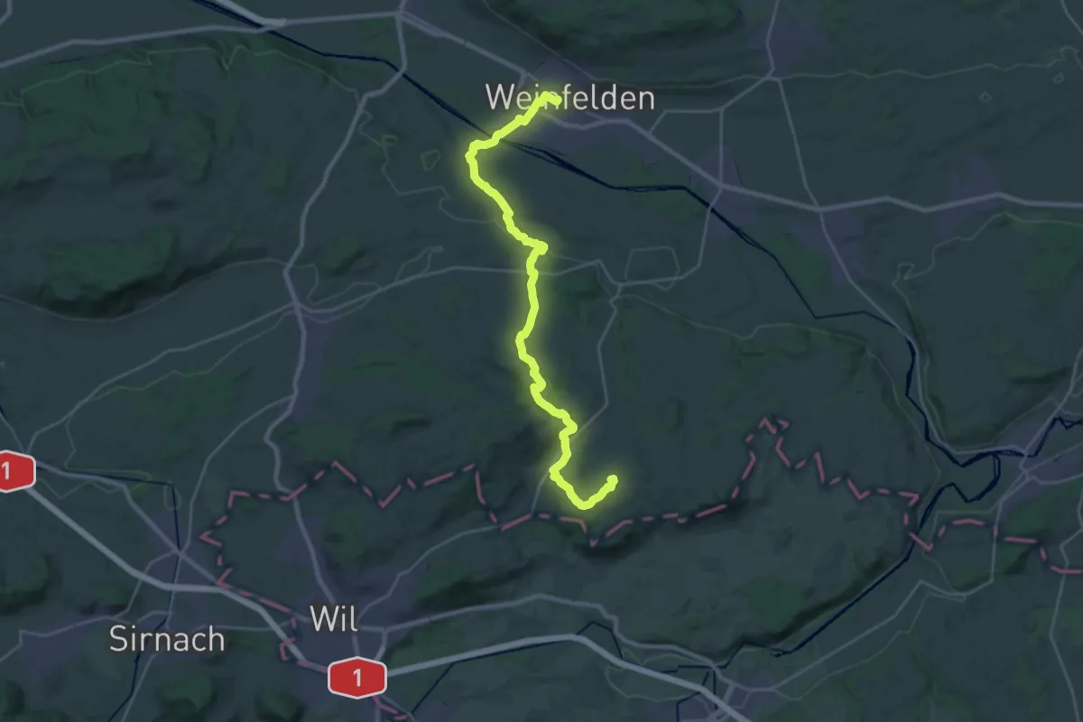
Demanding · Summit
Thurgauer Vermessungsweg
28.9 km · ↑ 628 m · 8 h 11 min
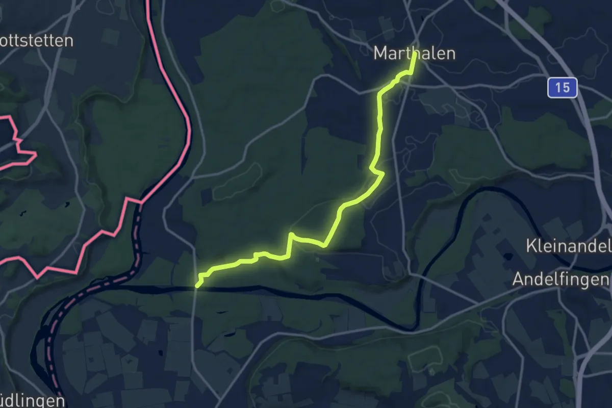
Medium · Trail
Thurhau - Marthalen Dorf
12.4 km · ↑ 183 m · 3 h 20 min
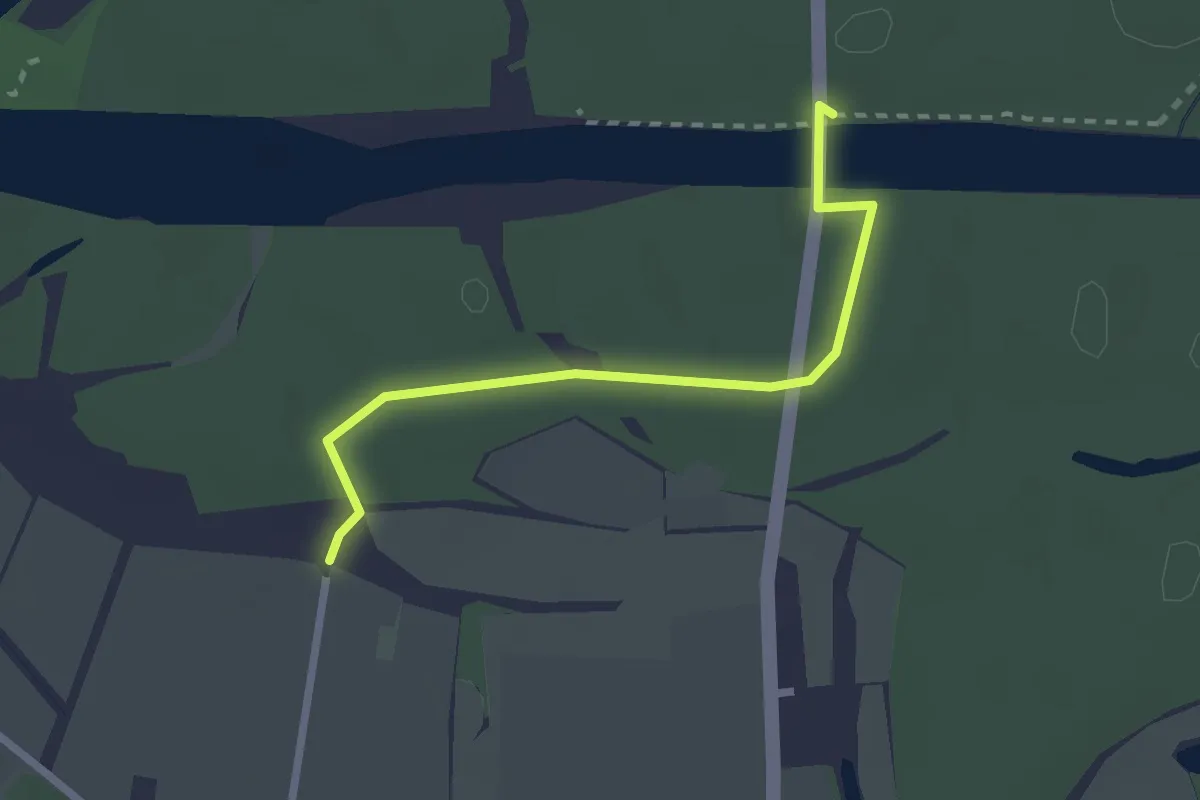
Easy · Trail
Thurhau - Thurhof
2.3 km · ↑ 23 m · 36 min
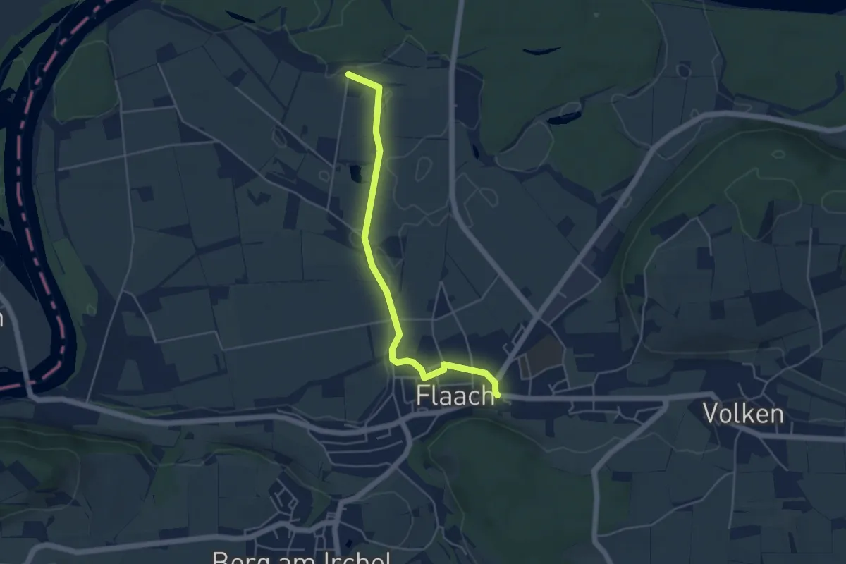
Easy · Trail
Thurhof - Flaach
4.5 km · ↑ 17 m · 1 h 6 min
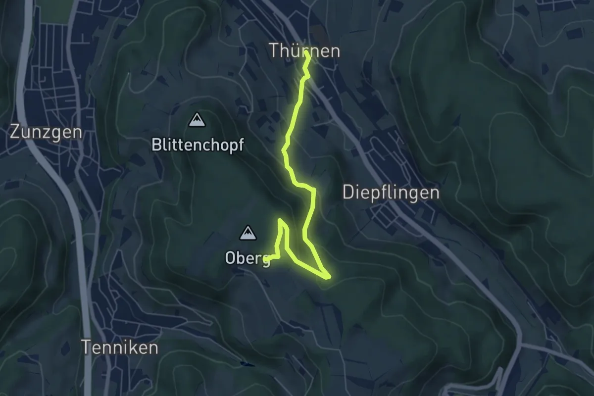
Easy · Trail
Thürnen - Gisiberg
5.7 km · ↑ 289 m · 1 h 58 min
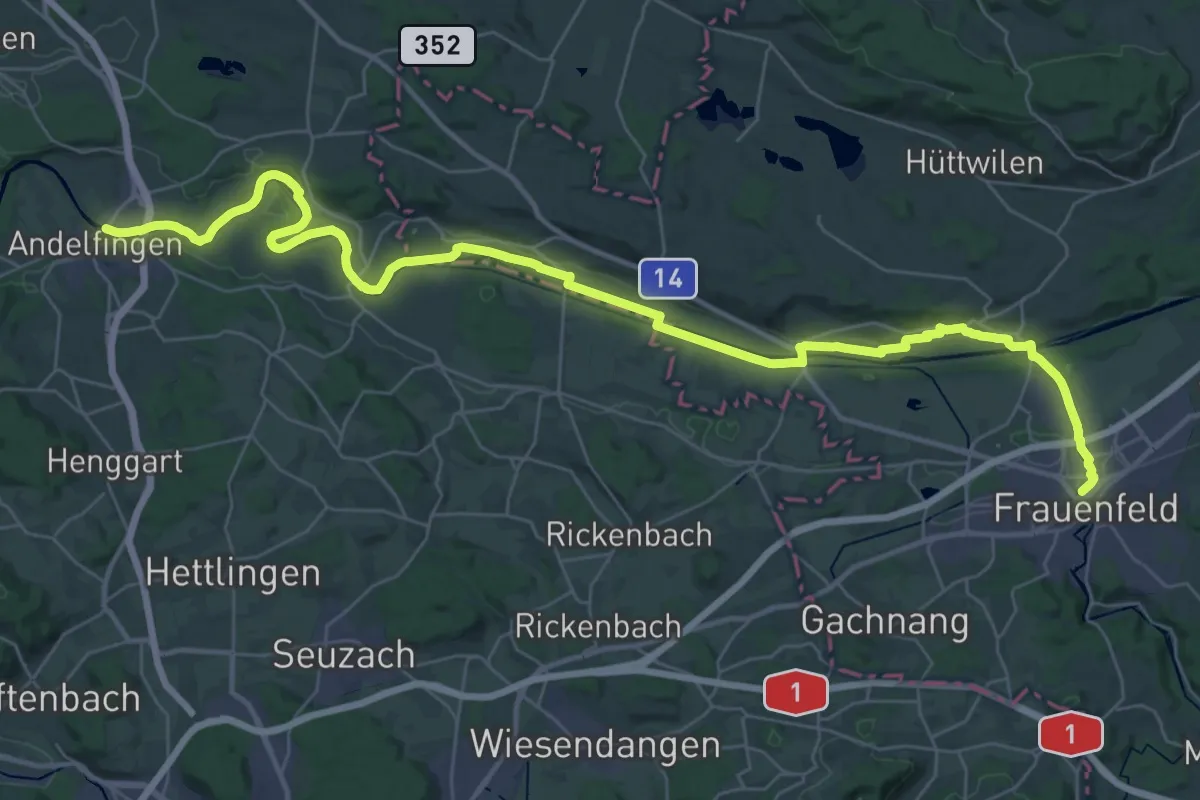
Demanding · Trail
Thurweg
23.2 km · ↑ 157 m · 6 h 7 min
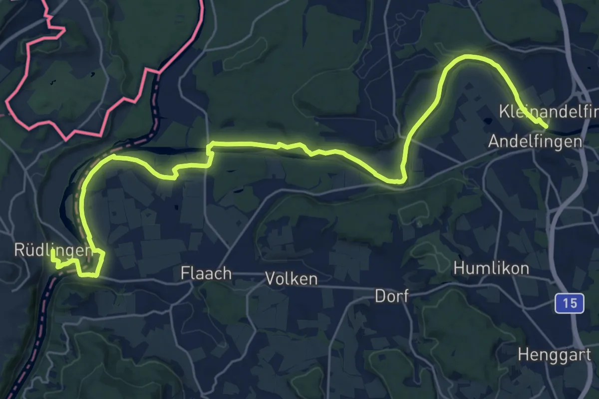
Demanding · Trail
Thurweg
27.8 km · ↑ 213 m · 7 h 2 min
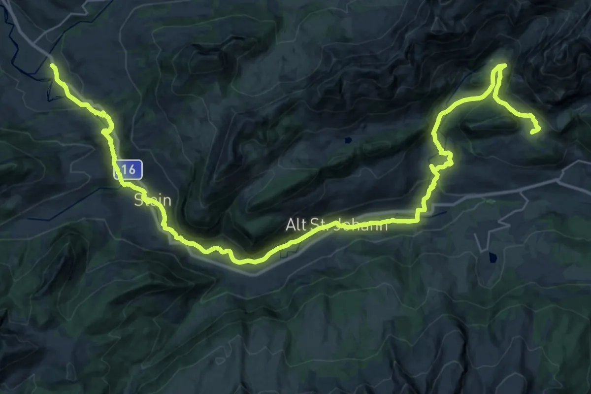
Demanding · Trail
Thurweg
20.3 km · ↑ 847 m · 6 h 37 min
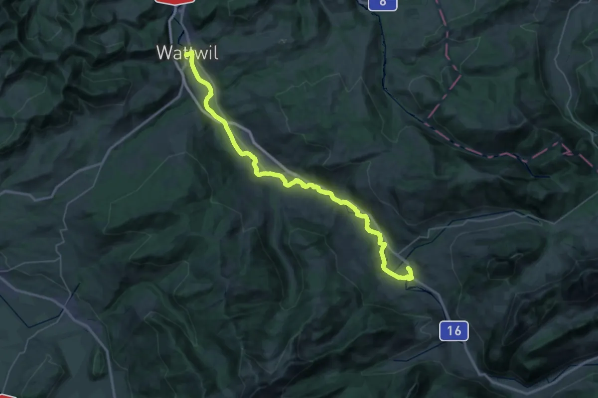
Medium · Trail
Thurweg
16.0 km · ↑ 84 m · 4 h 15 min
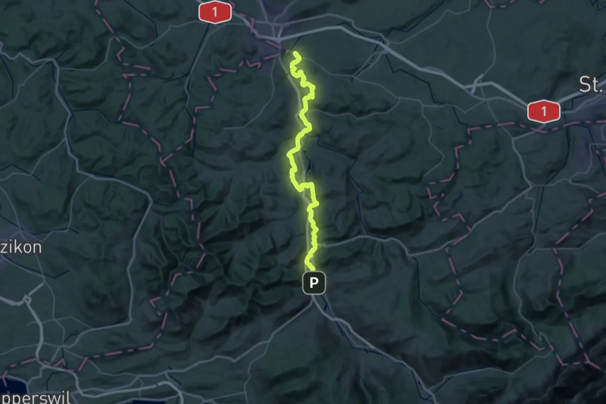
Demanding · Trail
Thurweg
25.5 km · ↑ 543 m · 7 h 35 min
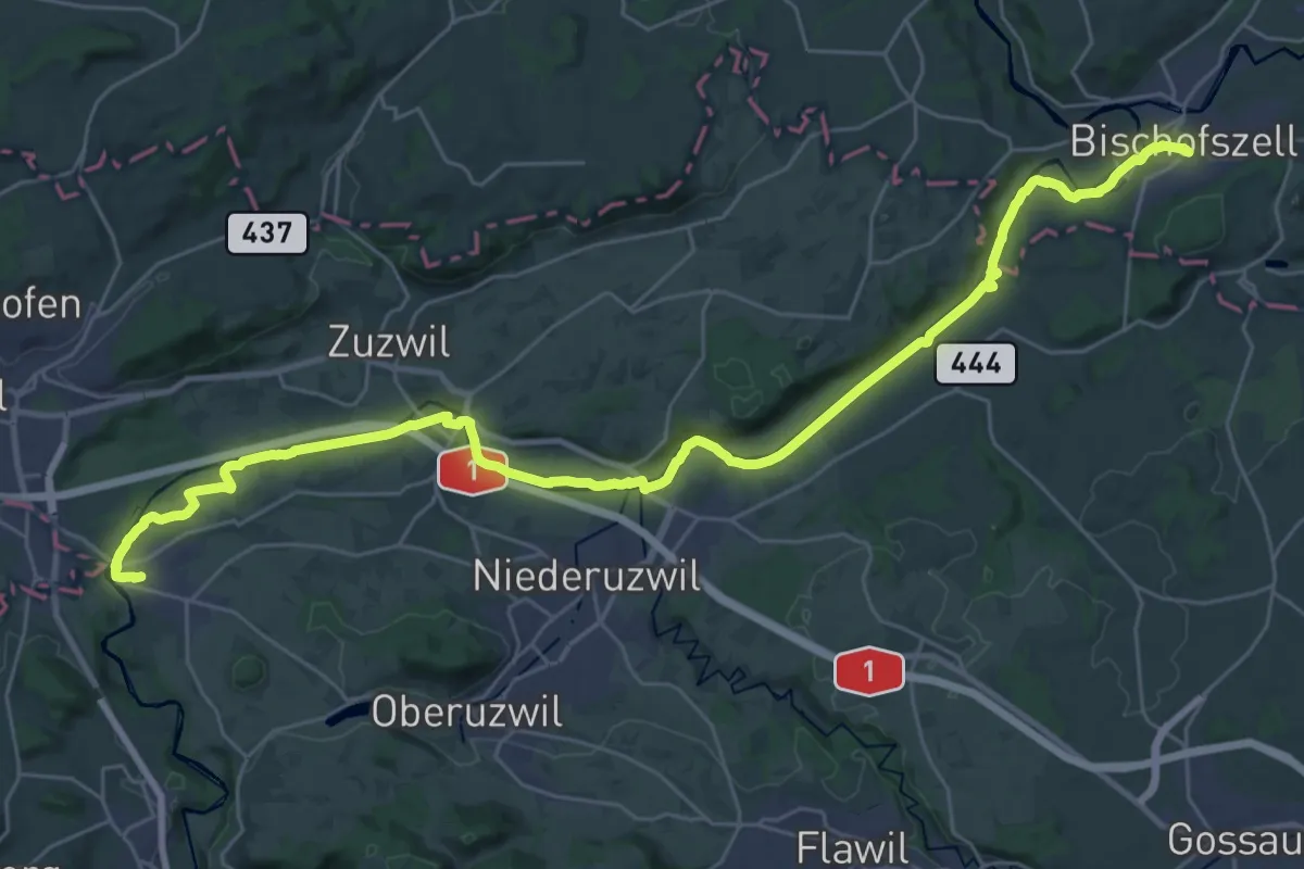
Demanding · Trail
Thurweg
18.5 km · ↑ 137 m · 4 h 54 min
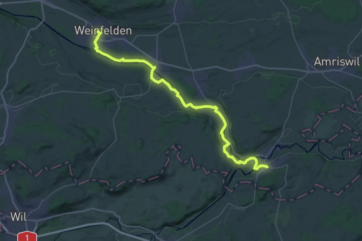
Demanding · Trail
Thurweg
18.8 km · ↑ 197 m · 5 h 5 min
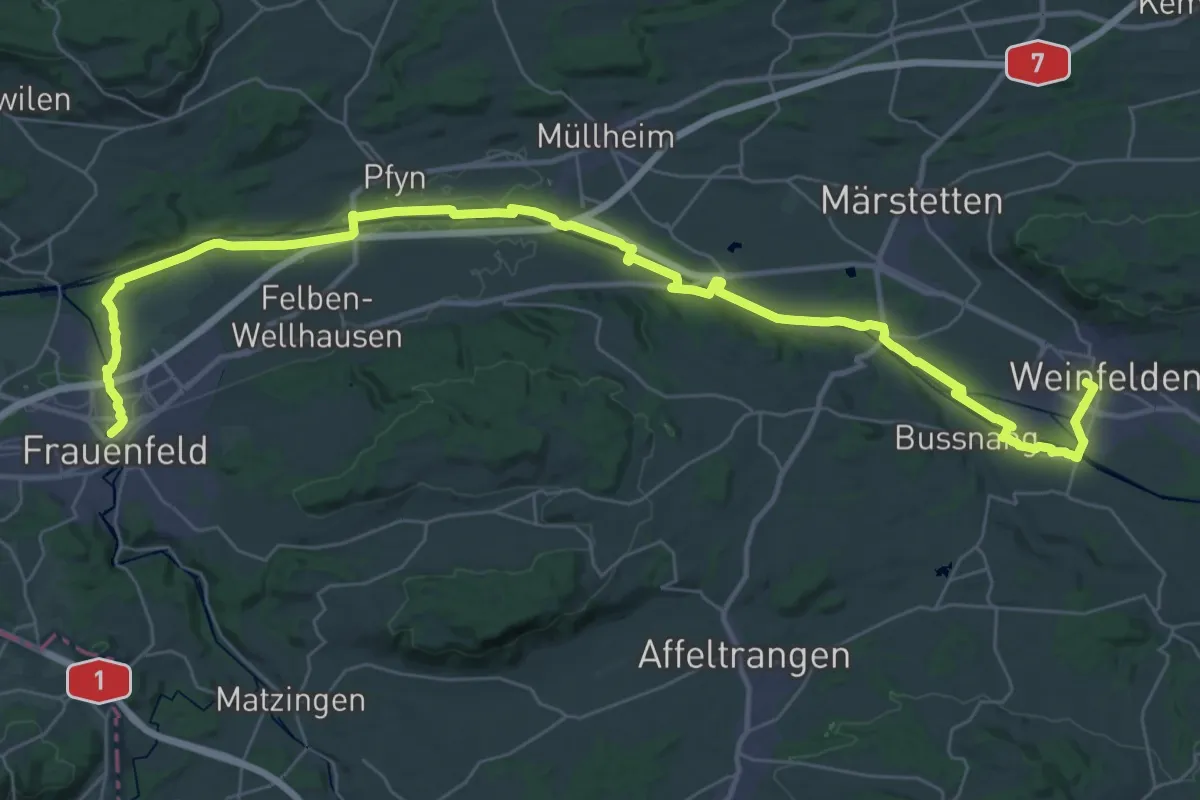
Demanding · Trail
Thurweg
23.5 km · ↑ 68 m · 6 h 3 min
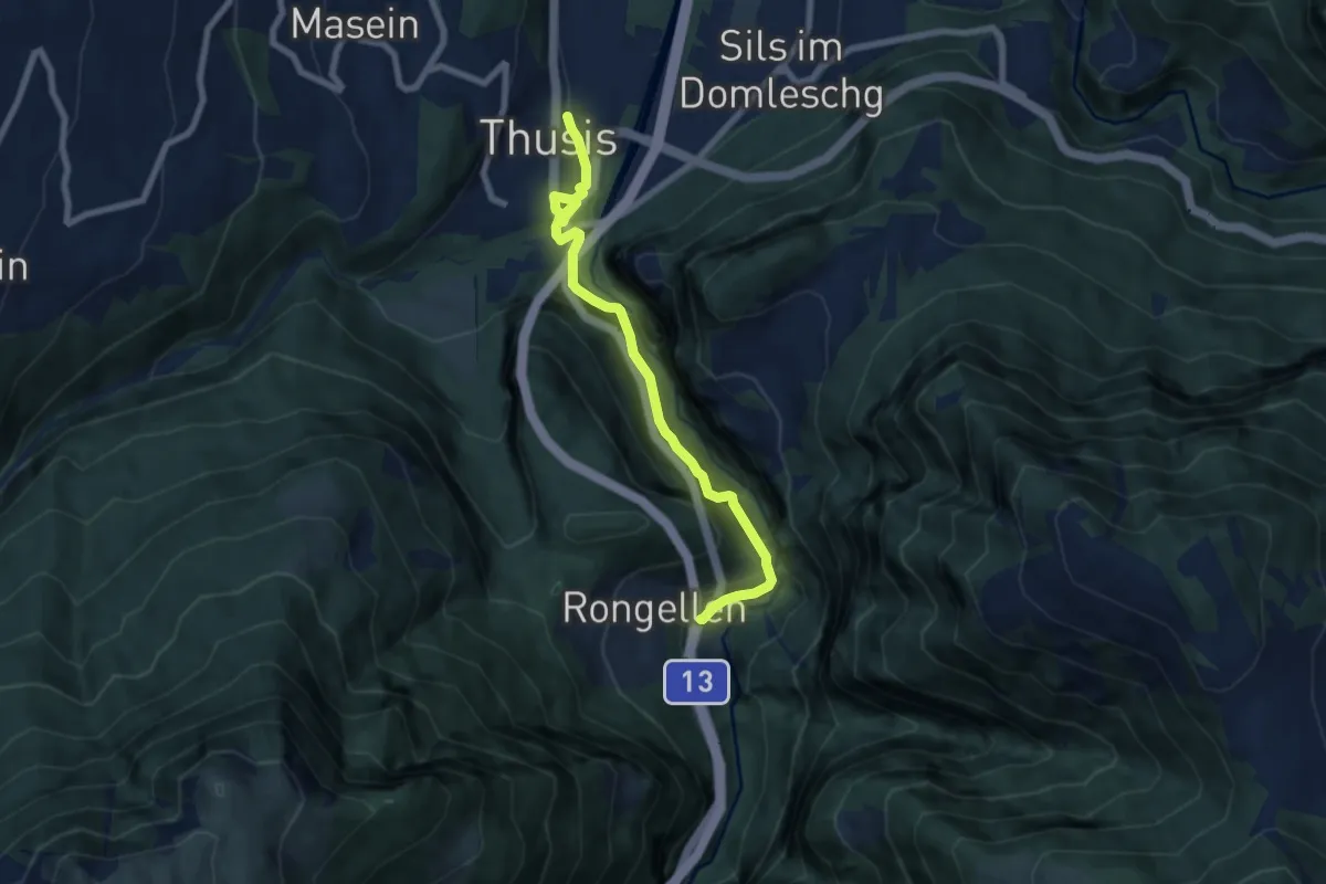
Medium · Trail
Thusis-Rongellen
7.4 km · ↑ 522 m · 2 h 53 min
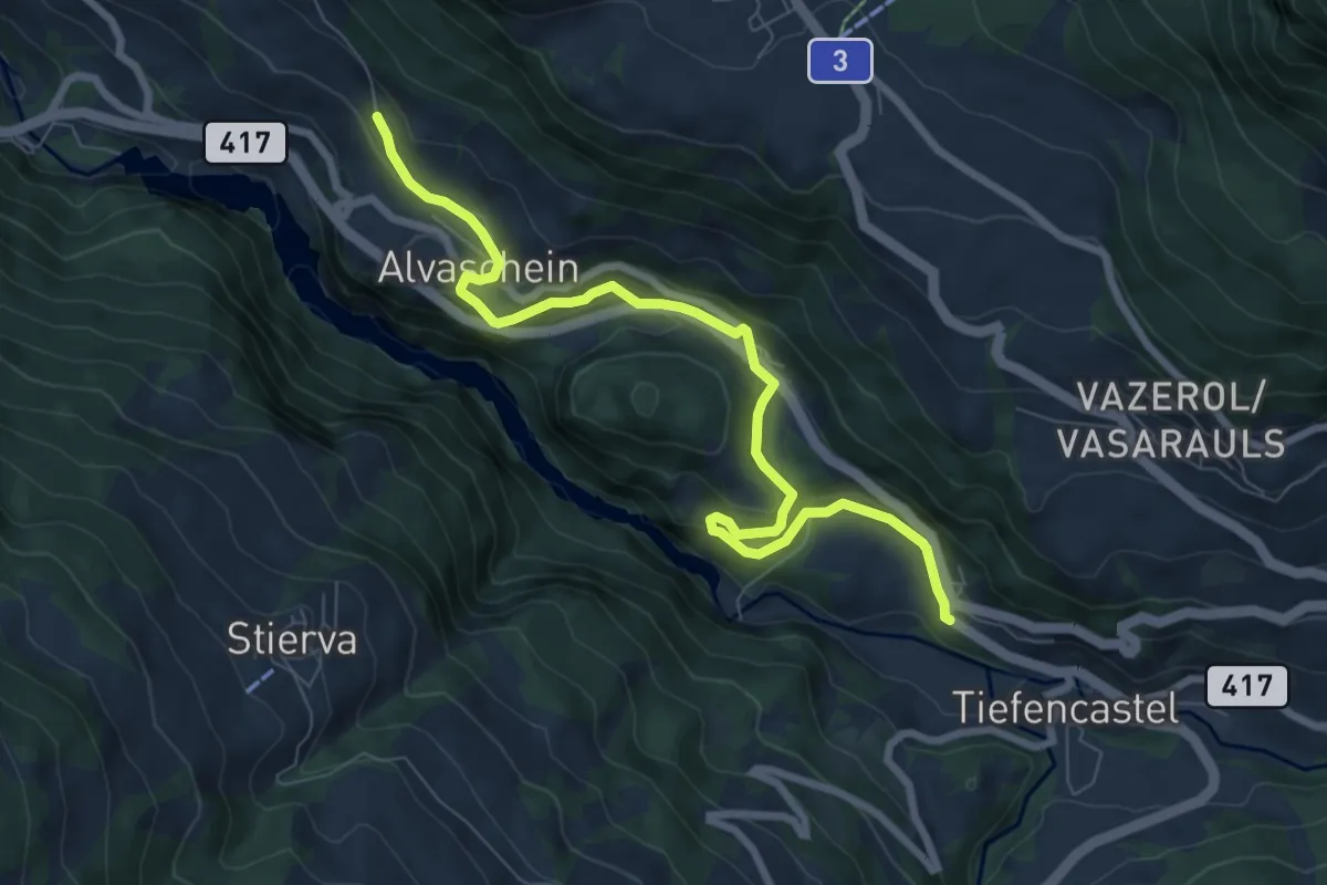
Medium · Trail
Tiefencastel-Alvaschein
8.4 km · ↑ 226 m · 2 h 28 min
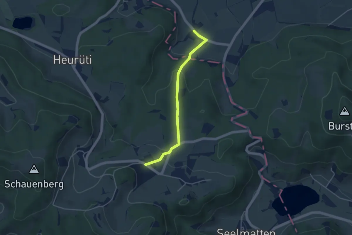
Easy · Trail
Tiefenstein - Illtishusen
3.3 km · ↑ 141 m · 1 h 5 min
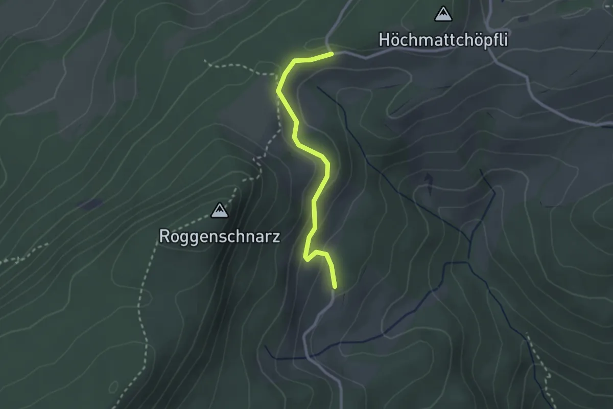
Easy · Trail
Tiefmatt - Buchsiter Alp
2.2 km · ↑ 93 m · 44 min
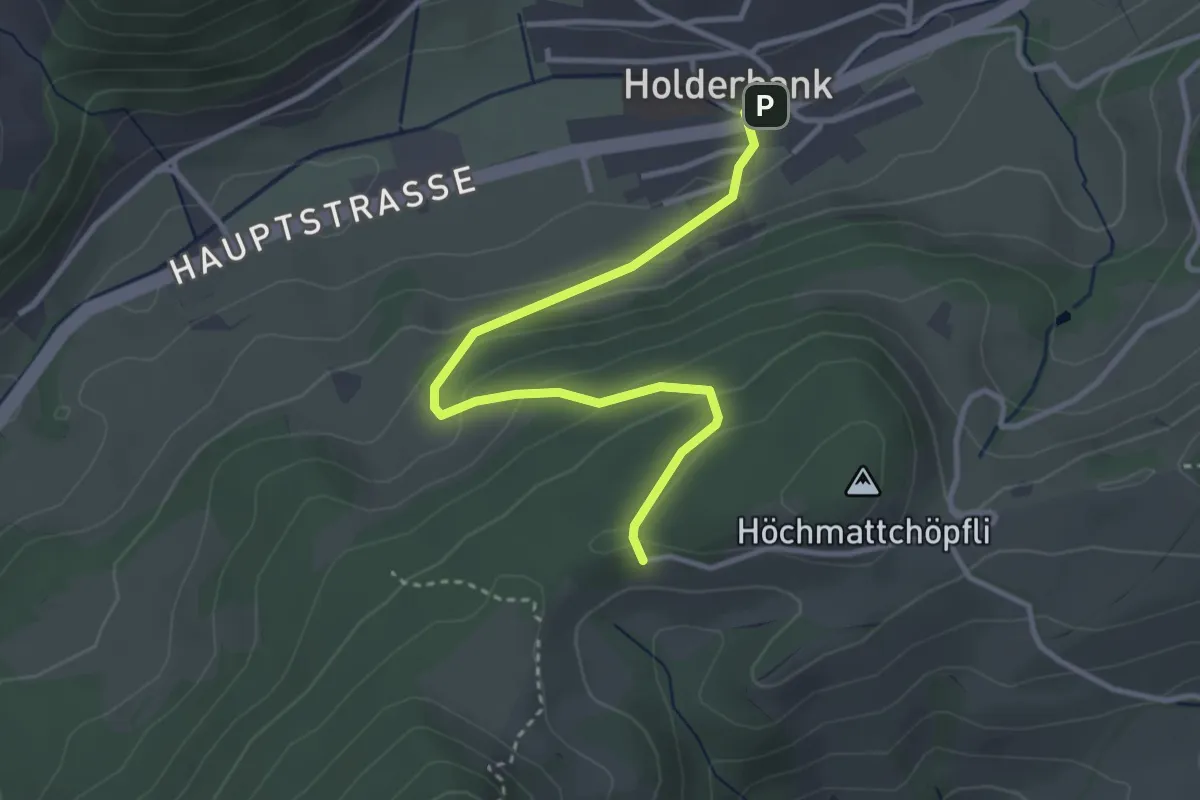
Easy · Trail
Tiefmatt - Holderbank
3.4 km · ↑ 157 m · 1 h 9 min
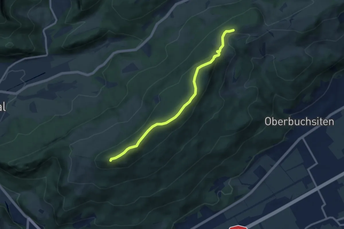
Easy · Summit
Tiefmatt - Roggenflue
6.7 km · ↑ 247 m · 2 h 8 min
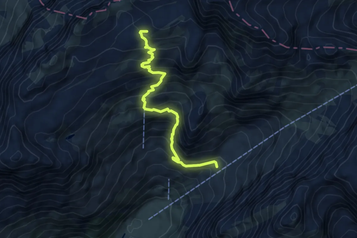
Demanding · Summit
Tierwies - Langebüel
6.0 km · ↑ 661 m · 2 h 51 min
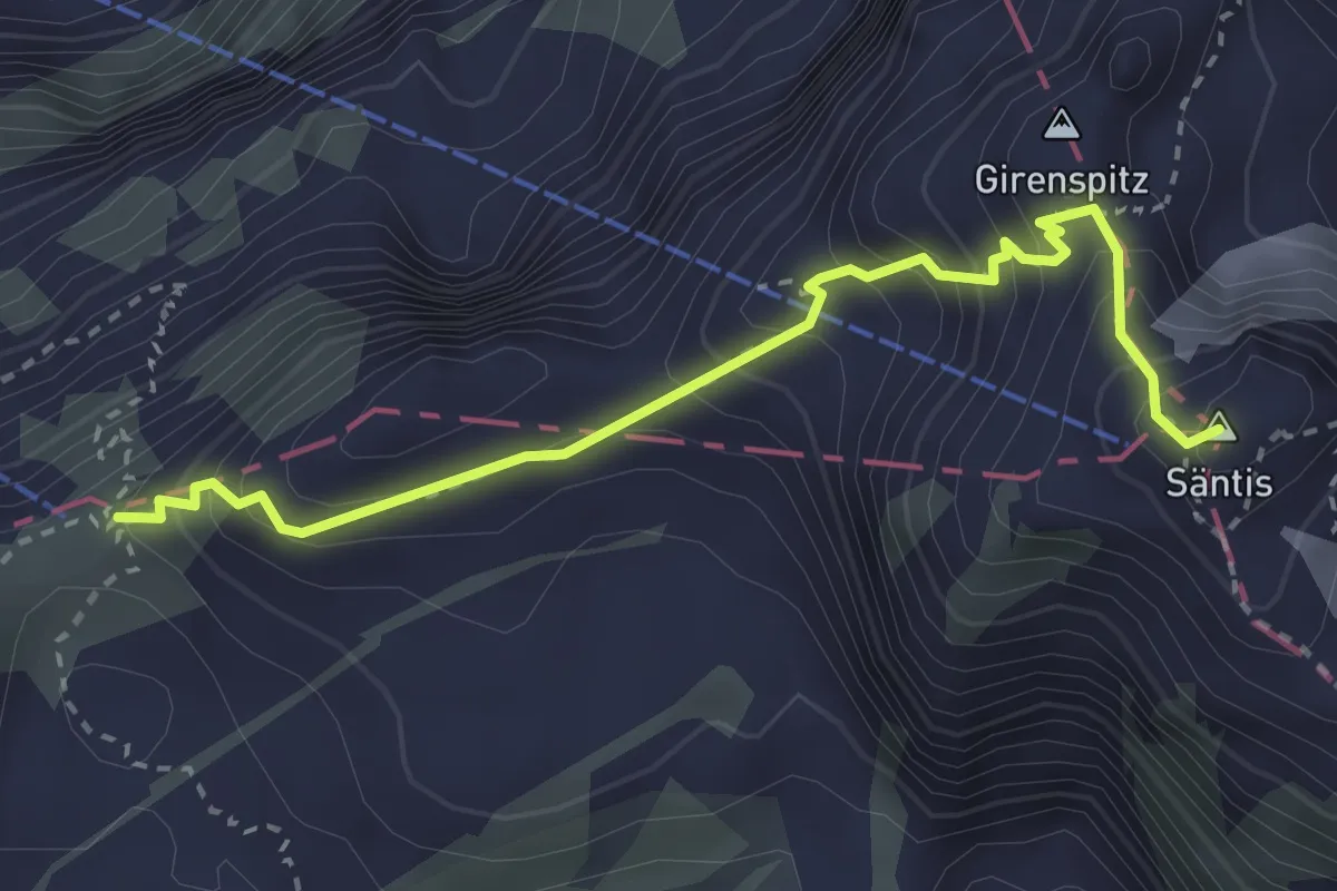
Demanding · Summit
Tierwies - Säntis
3.1 km · ↑ 425 m · 1 h 39 min
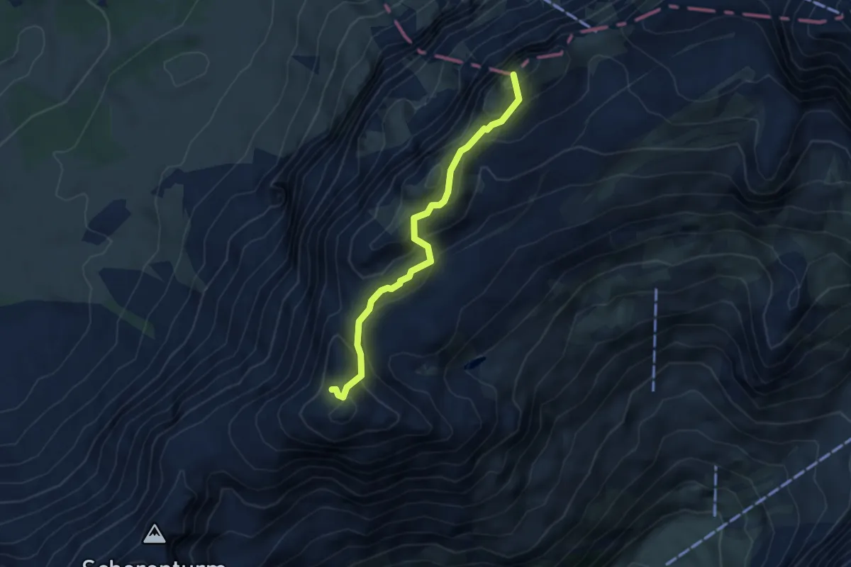
Demanding · Summit
Tierwies - Stoos Sattel
3.8 km · ↑ 397 m · 1 h 45 min
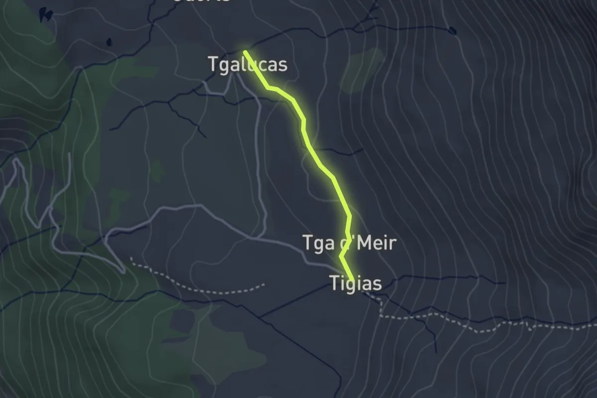
Easy · Trail
Tigias - Tgalucas
2.1 km · ↑ 52 m · 37 min
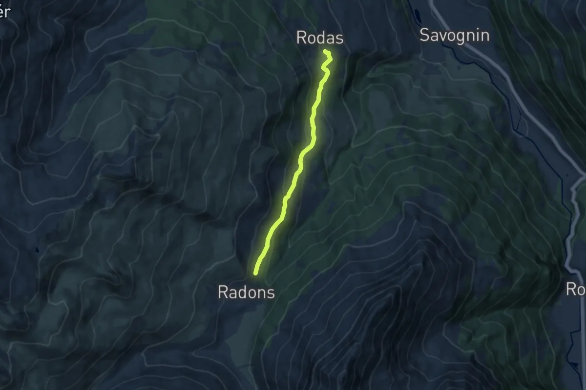
Medium · Trail
Tigia - Tigignas Bergrestaurant
8.1 km · ↑ 352 m · 2 h 40 min
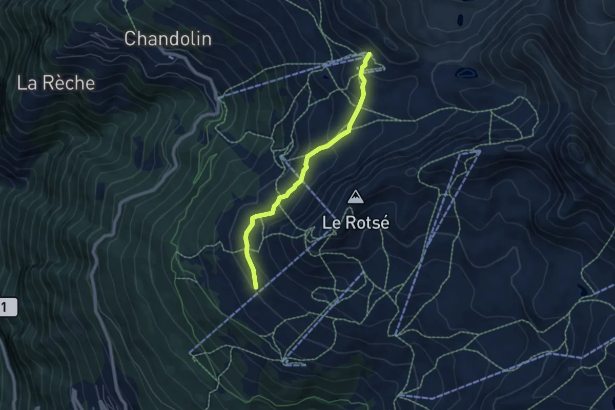
Medium · Trail
Tignousa-Le Tsapé
5.1 km · ↑ 270 m · 1 h 47 min
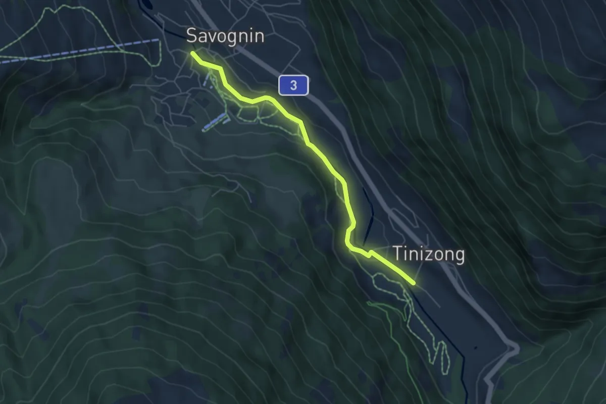
Easy · Trail
Tinizong Gravas - Savognin Punt Crap
5.2 km · ↑ 82 m · 1 h 24 min
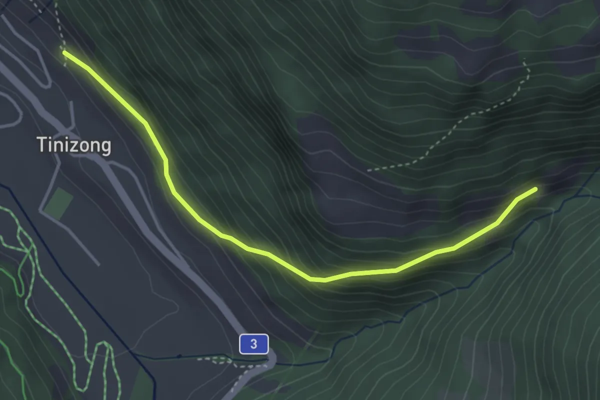
Medium · Trail
Tinizong - Proschen Davains
3.8 km · ↑ 283 m · 1 h 31 min
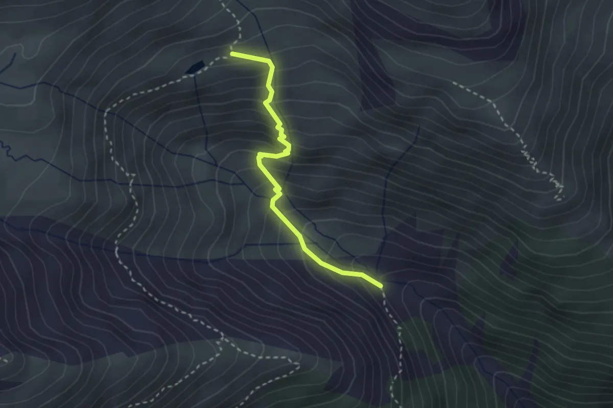
Medium · Trail
Tiolas - Lag Serein
2.5 km · ↑ 331 m · 1 h 19 min
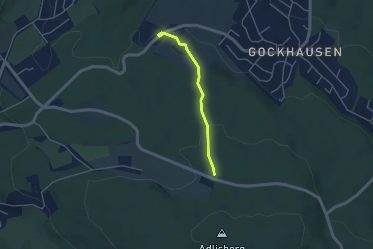
Easy · Trail
Tobelhof - Hinteradlisberg
2.4 km · ↑ 63 m · 43 min
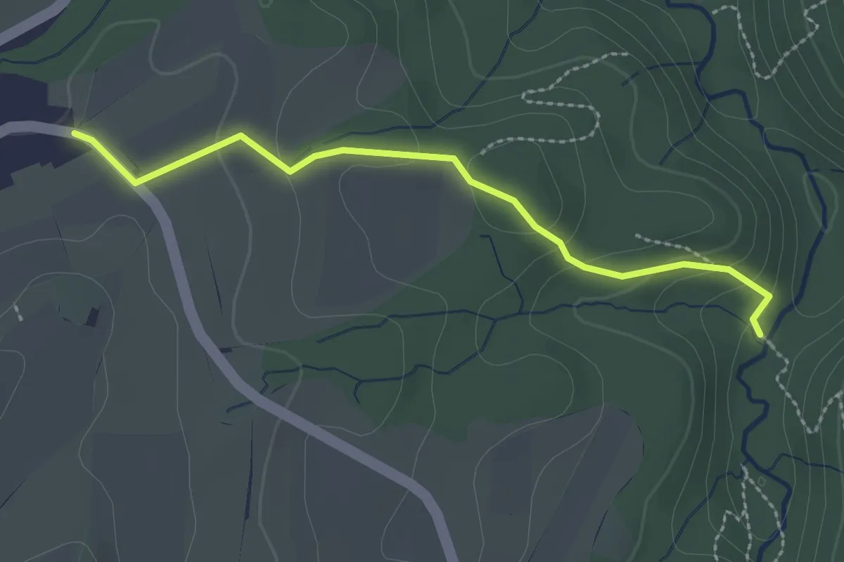
Easy · Trail
Tobel – Neschwil
2.4 km · ↑ 100 m · 48 min
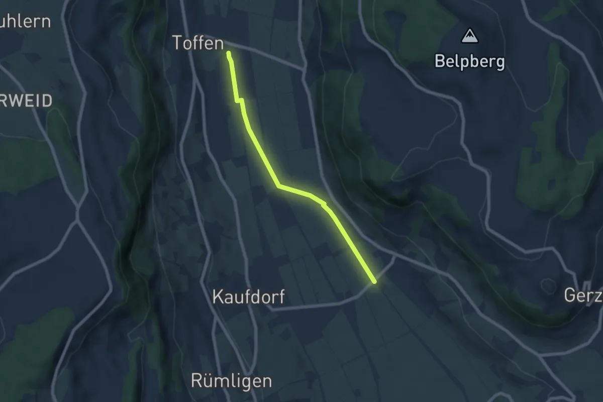
Easy · Trail
Toffen/Station - Gelterfingen
5.5 km · ↑ 4 m · 1 h 19 min
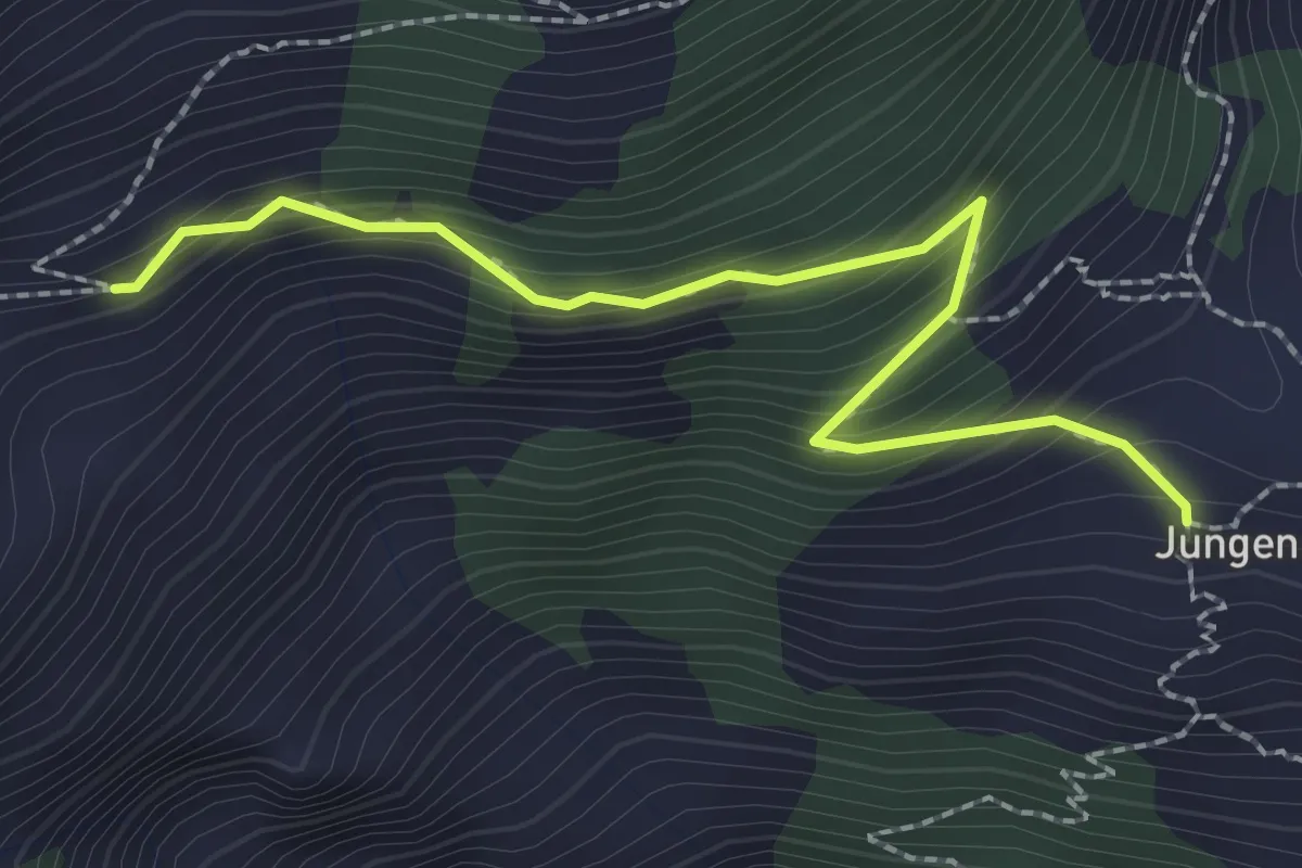
Medium · Trail
Topali-Weisshorn-Höhenweg
2.4 km · ↑ 225 m · 1 h 4 min
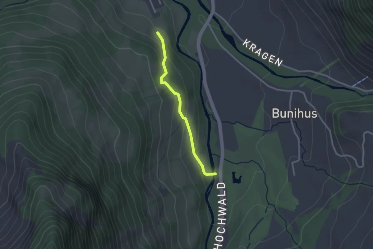
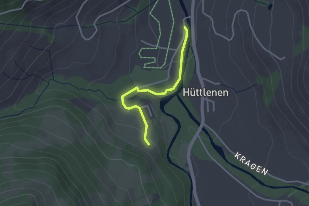
Easy · Trail
Torbach - Hinter Torbach
2.1 km · ↑ 104 m · 43 min
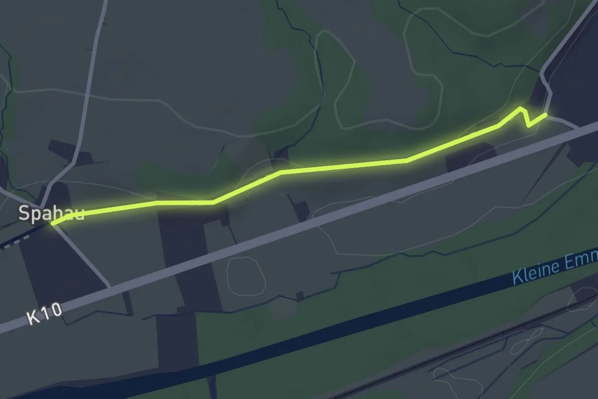
Easy · Trail
Torbach - Hinter Torbach
2.3 km · ↑ 52 m · 40 min
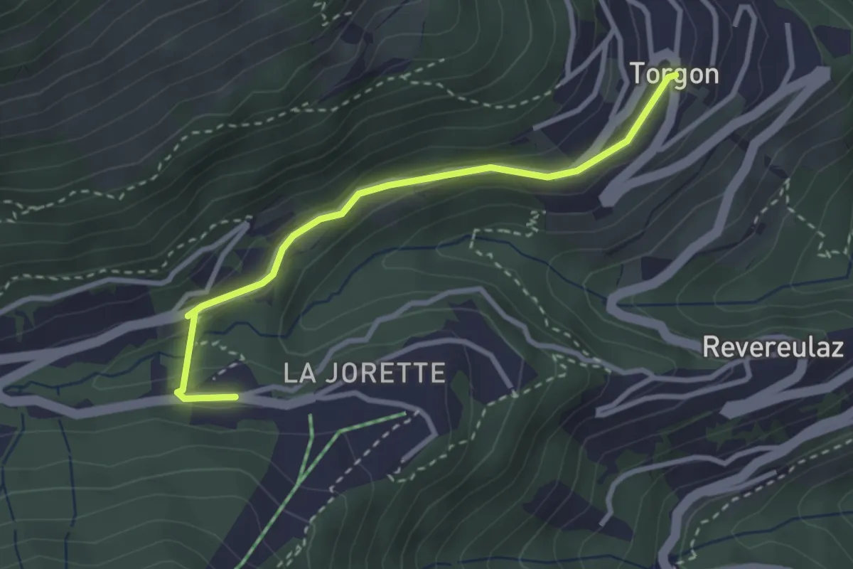
Easy · Trail
Torenberg - Spahau
2.5 km · ↑ 30 m · 39 min
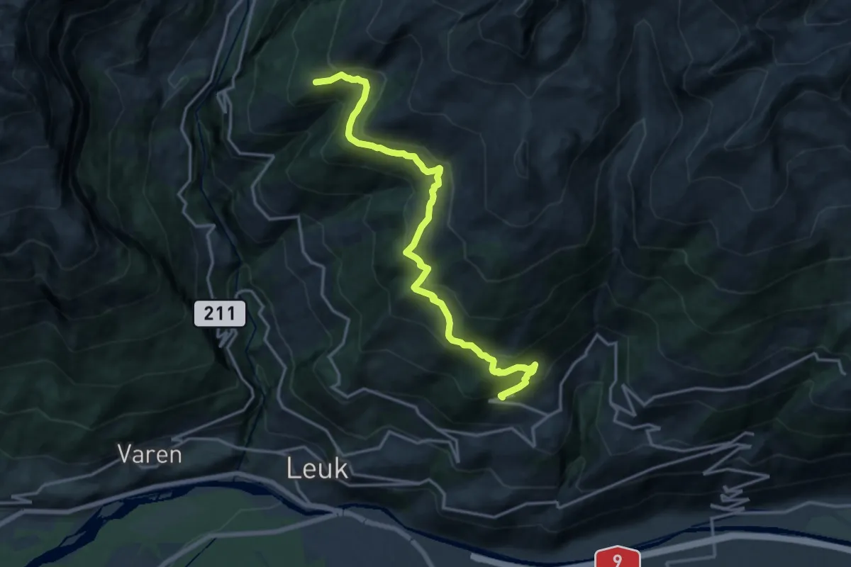
Easy · Trail
Torgon village - Torgon/La Jorette
2.9 km · ↑ 74 m · 50 min
Demanding · Trail
Torrentalp Guttet
15.3 km · ↑ 894 m · 5 h 33 min
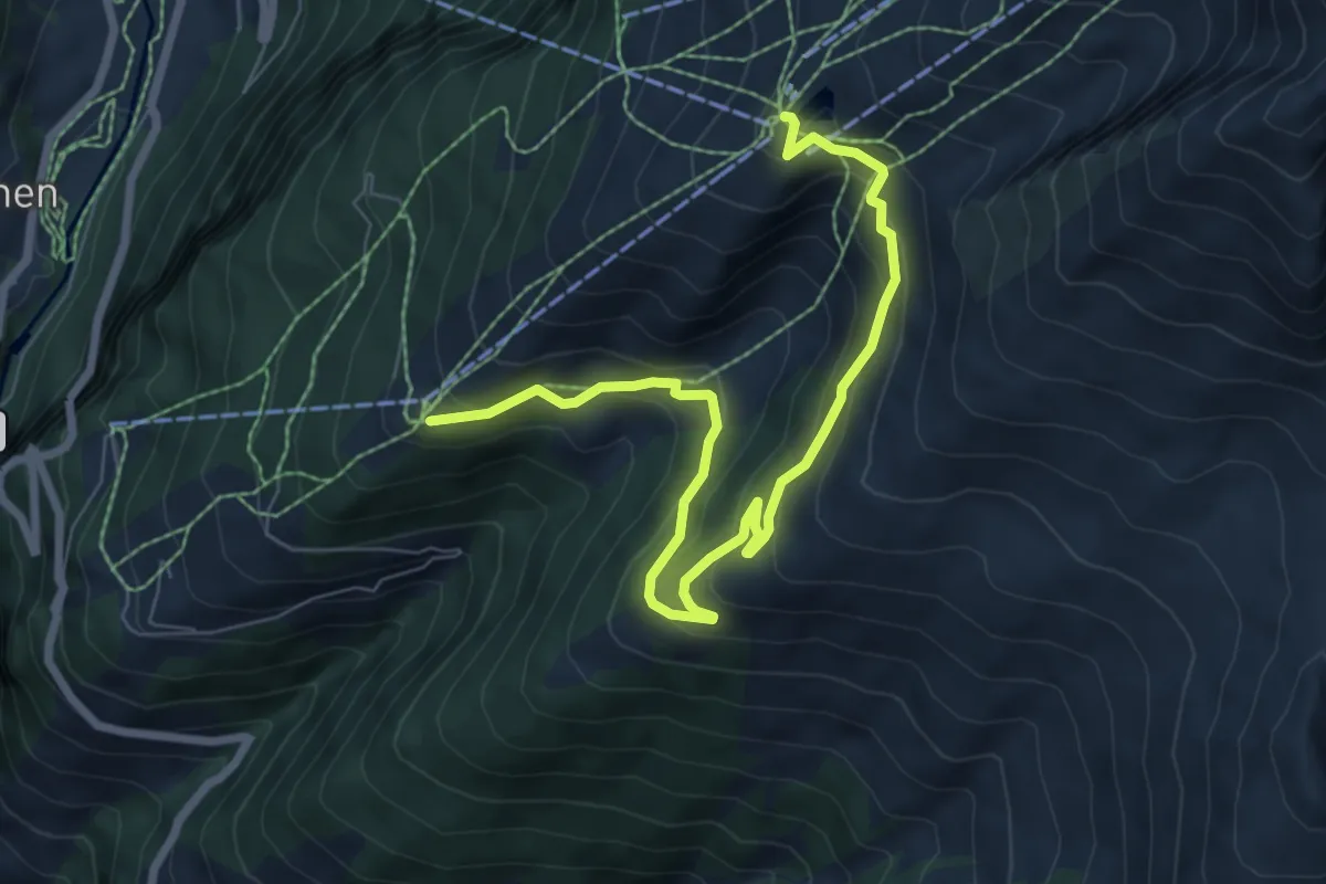
Medium · Trail
Torrentalp Rinderhütten
8.4 km · ↑ 452 m · 2 h 57 min
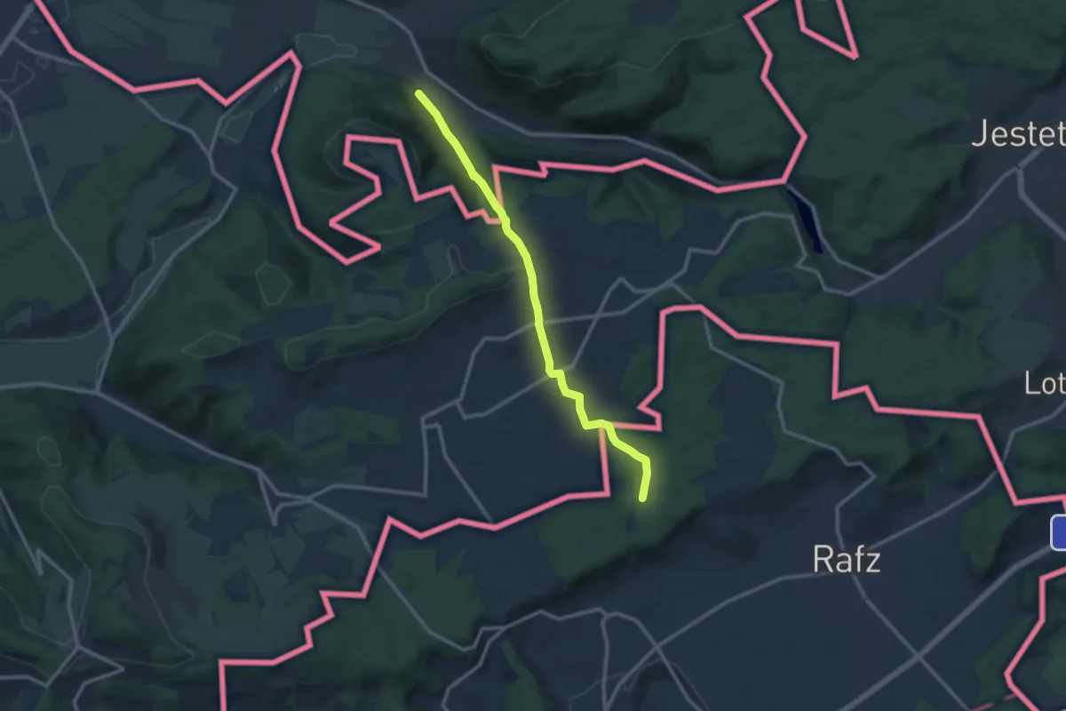
Medium · Trail
Tössegg-Klettgau-Weg
10.2 km · ↑ 306 m · 3 h 4 min
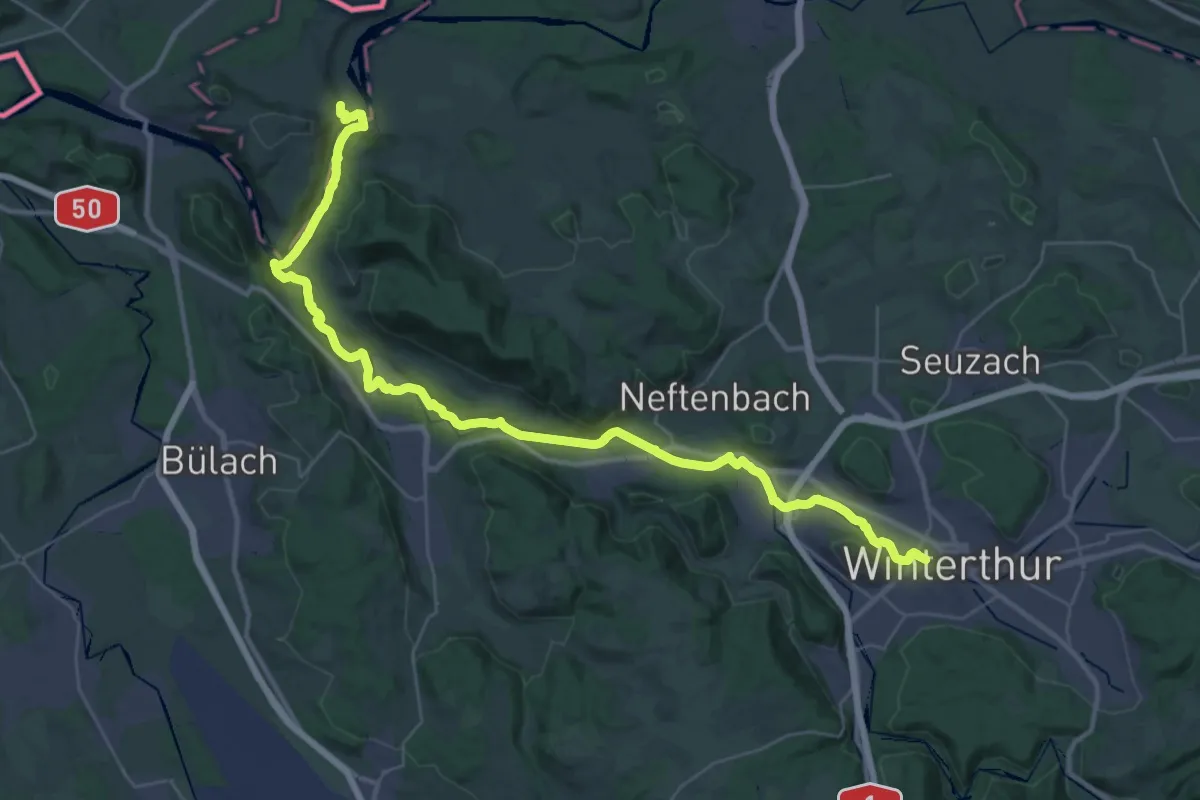
Demanding · Trail
Tössegg-Klettgau-Weg
21.3 km · ↑ 271 m · 5 h 57 min
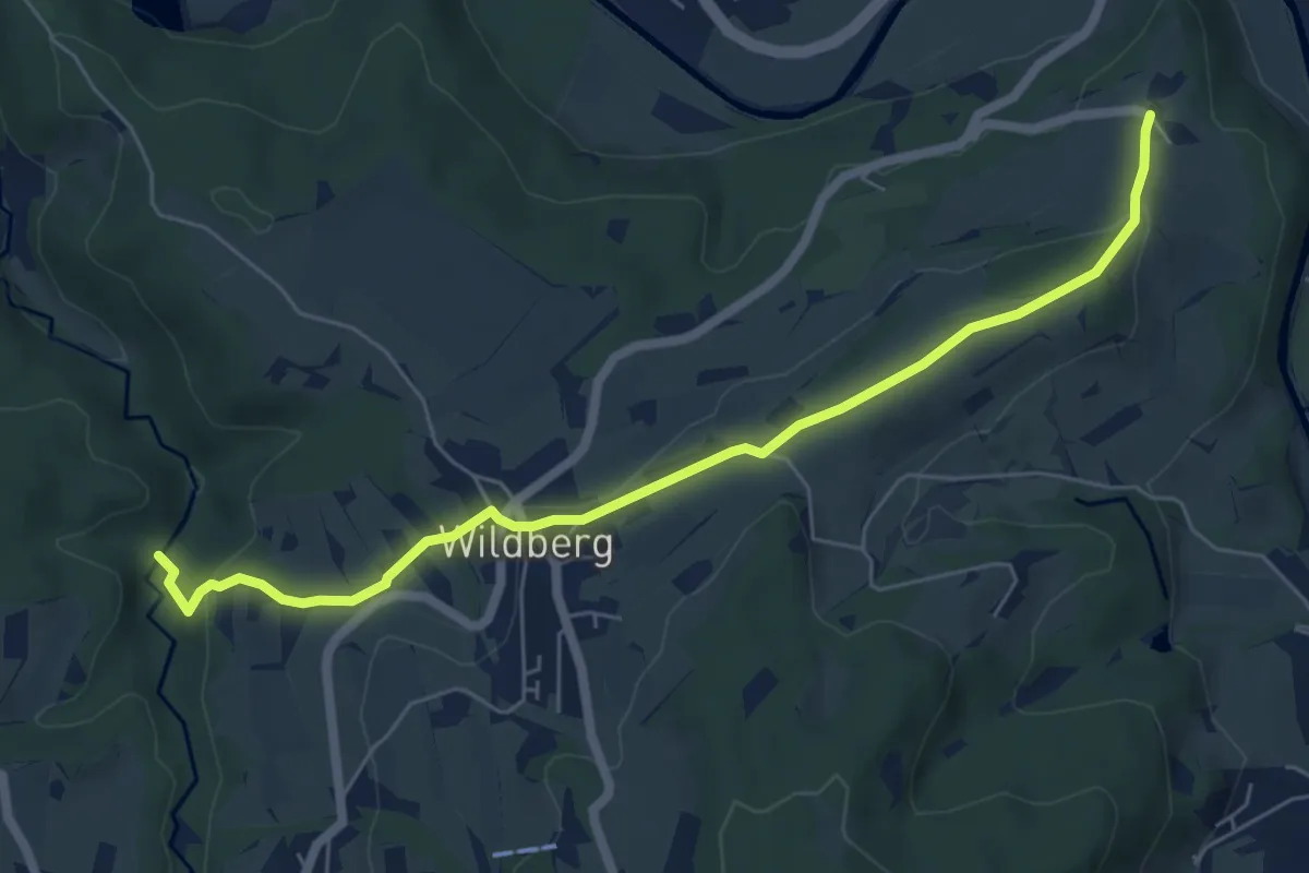
Easy · Trail
Tössegg – Tobel
6.5 km · ↑ 190 m · 1 h 57 min
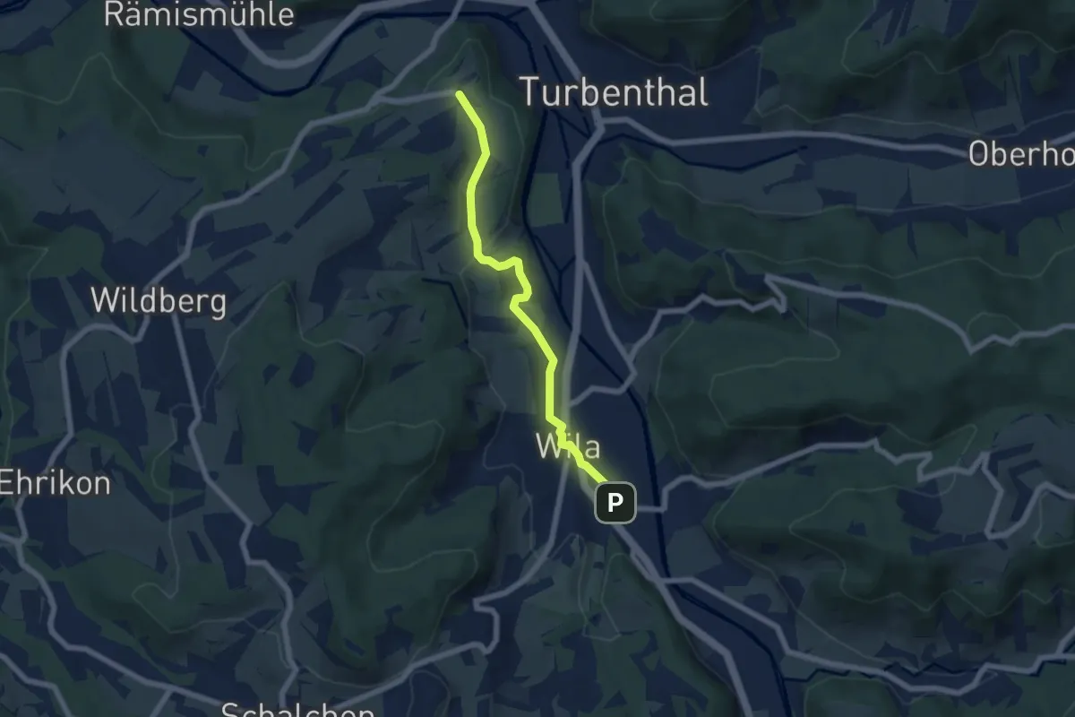
Easy · Trail
Tössegg – Wila Stn.
5.5 km · ↑ 74 m · 1 h 27 min
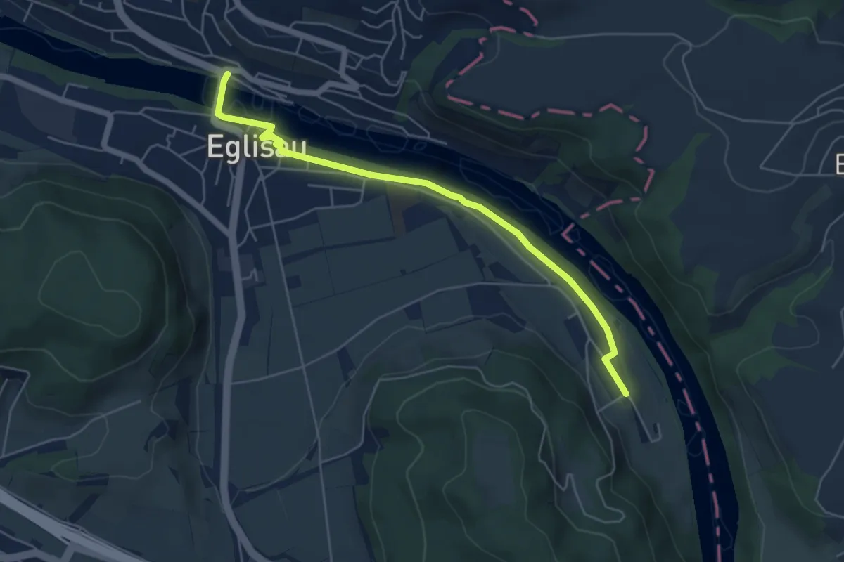
Easy · Trail
Tössriederen - Eglisau Brücke
5.3 km · ↑ 115 m · 1 h 30 min
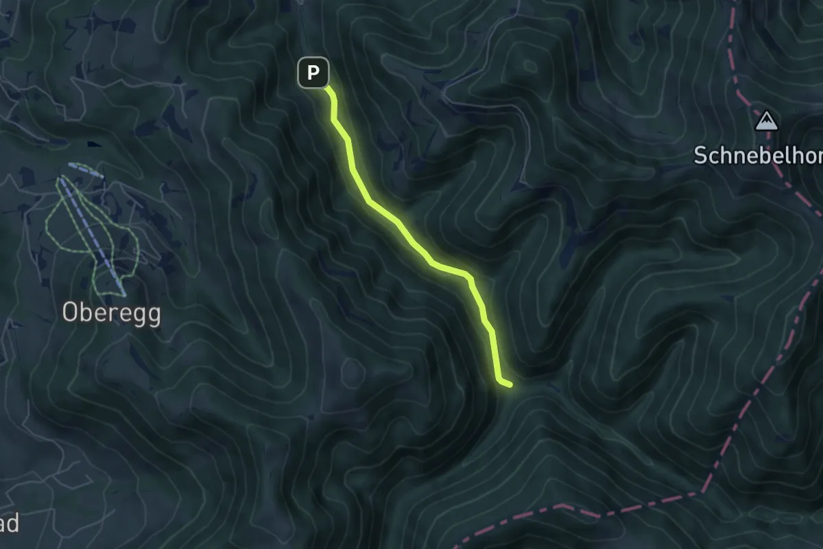
Easy · Trail
Tössscheidi - Buri
4.4 km · ↑ 128 m · 1 h 19 min
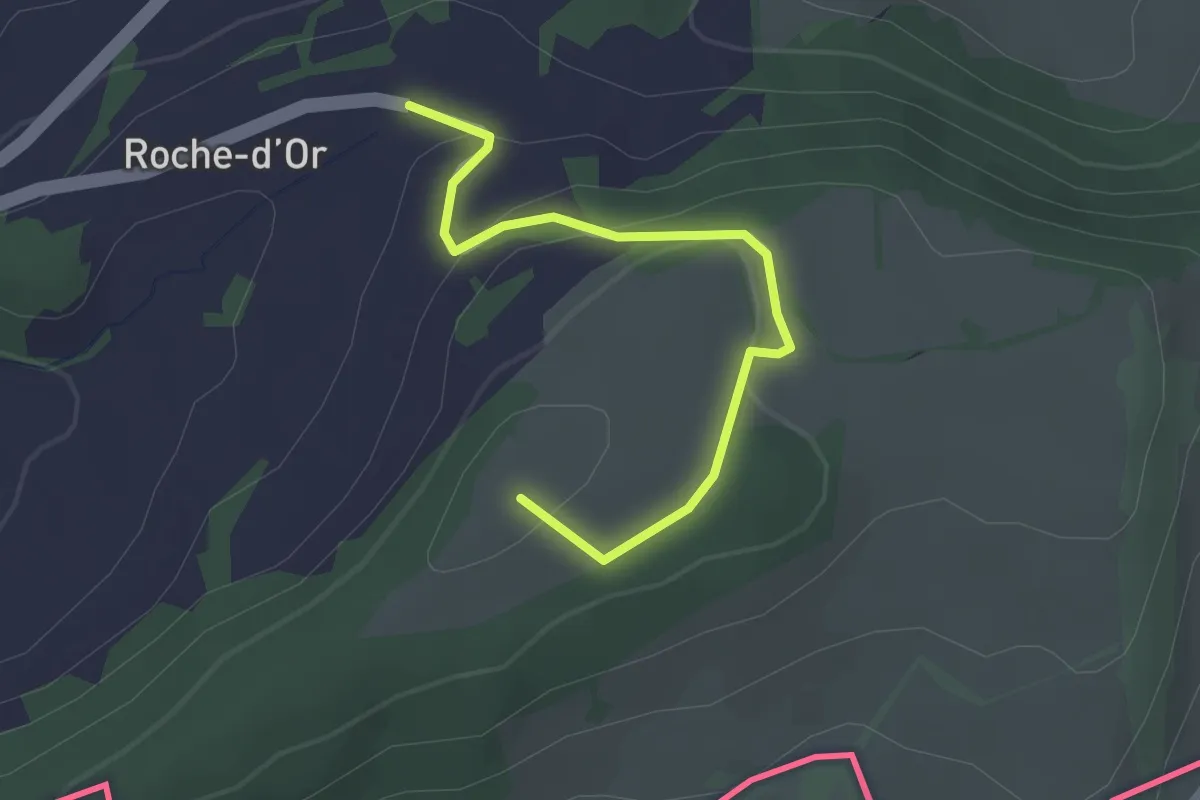
Easy · Trail
Tour de Faux d'Enson - fixme
2.6 km · ↑ 85 m · 48 min