Trails in Switzerland
15,064 hiking trails, each with its route, climb, walking time and grade.
All trails, page 115 of 314
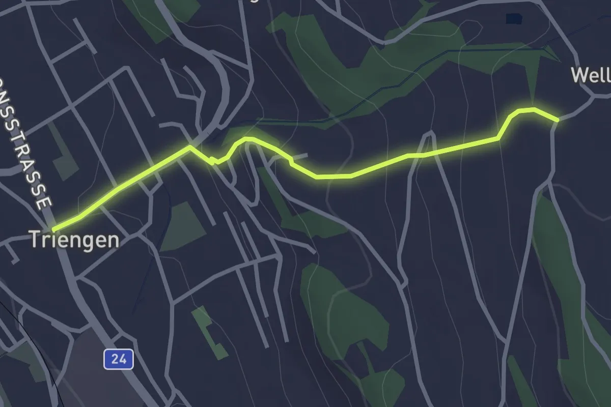
Easy · Trail
Triengen - Wellnau
2.6 km · ↑ 176 m · 1 h
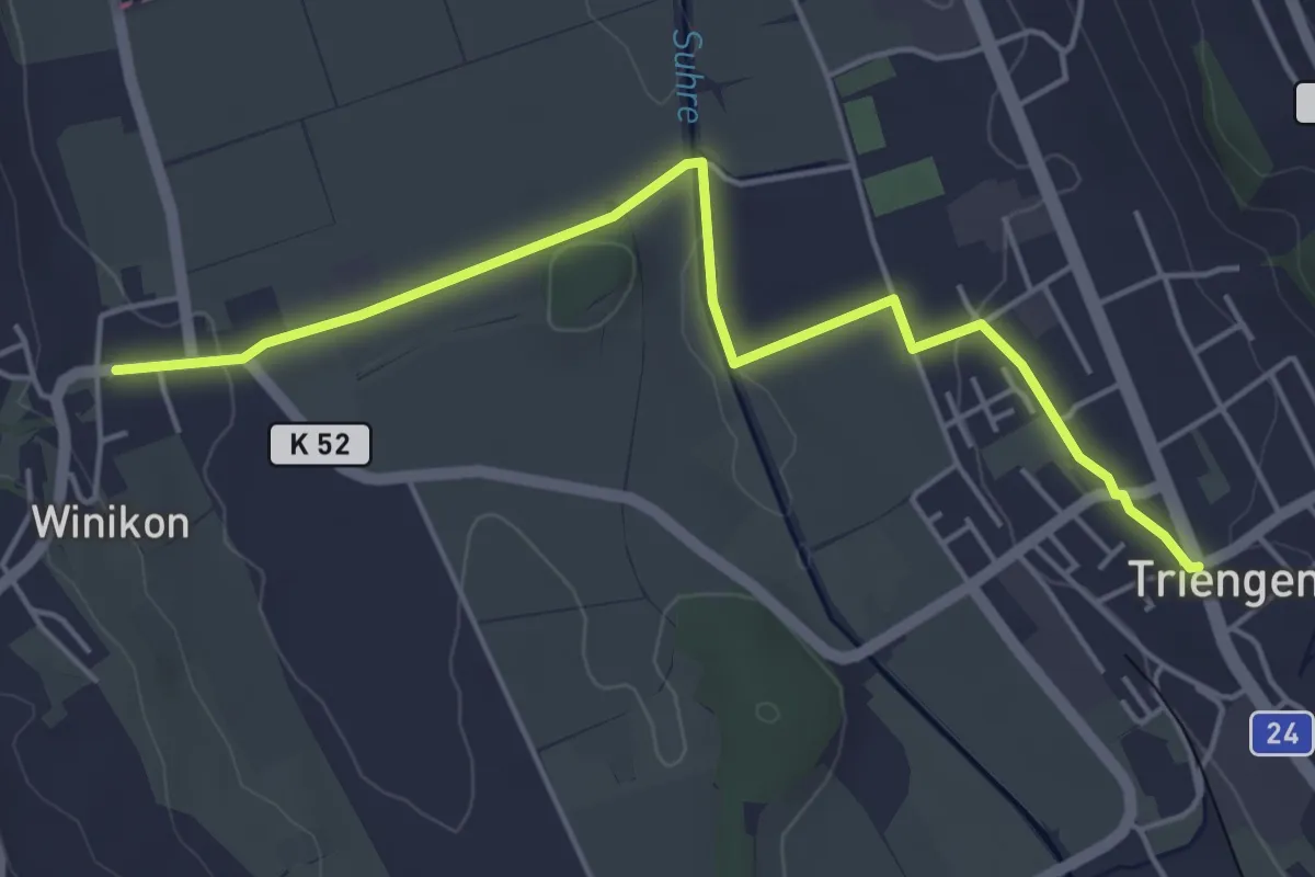
Easy · Trail
Triengen - Winikon
5.1 km · ↑ 59 m · 1 h 20 min
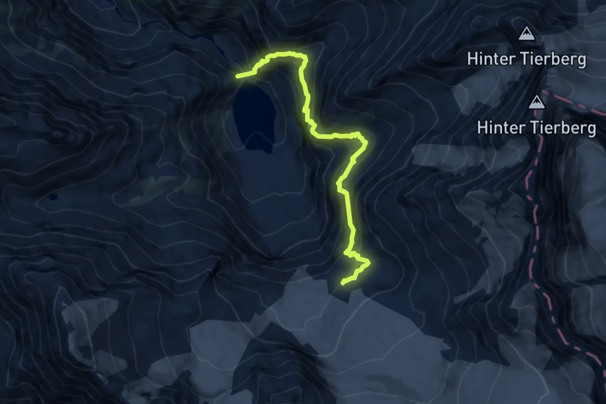
Expert · Cabin
Triftbrücke - Trifthütte
9.6 km · ↑ 1140 m · 4 h 44 min
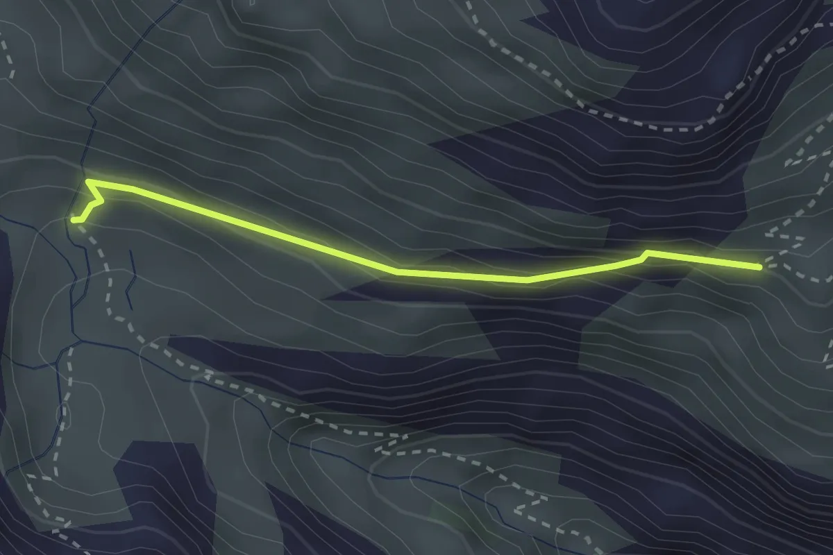
Medium · Trail
Triftenwaeng
2.4 km · ↑ 147 m · 54 min
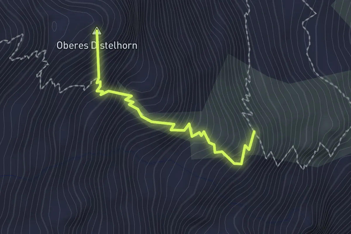
Expert · Summit
Trift - Mischabelhütte
1.8 km · ↑ 342 m · 1 h 10 min
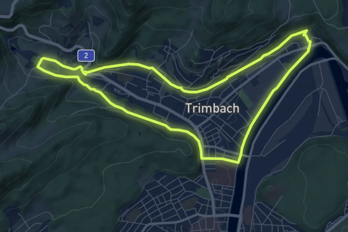
Medium · Trail
Trimbacher Rundwanderweg
8.1 km · ↑ 143 m · 2 h 20 min
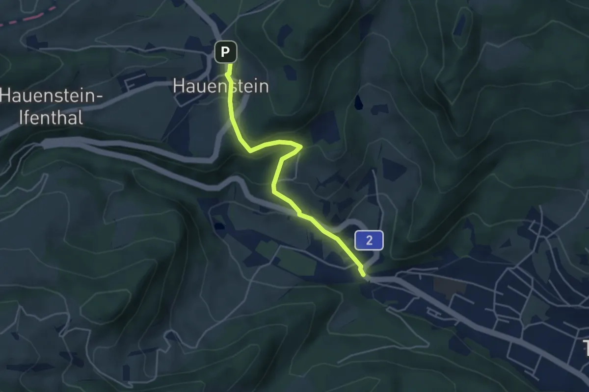
Easy · Trail
Trimbach - Hauenstein
3.8 km · ↑ 245 m · 1 h 26 min
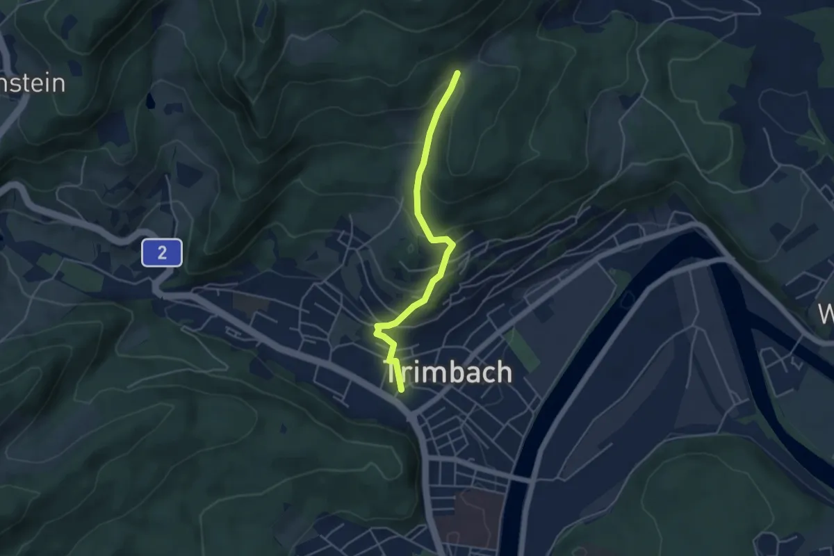
Easy · Trail
Trimbach - Mahrenacker
4.1 km · ↑ 247 m · 1 h 30 min
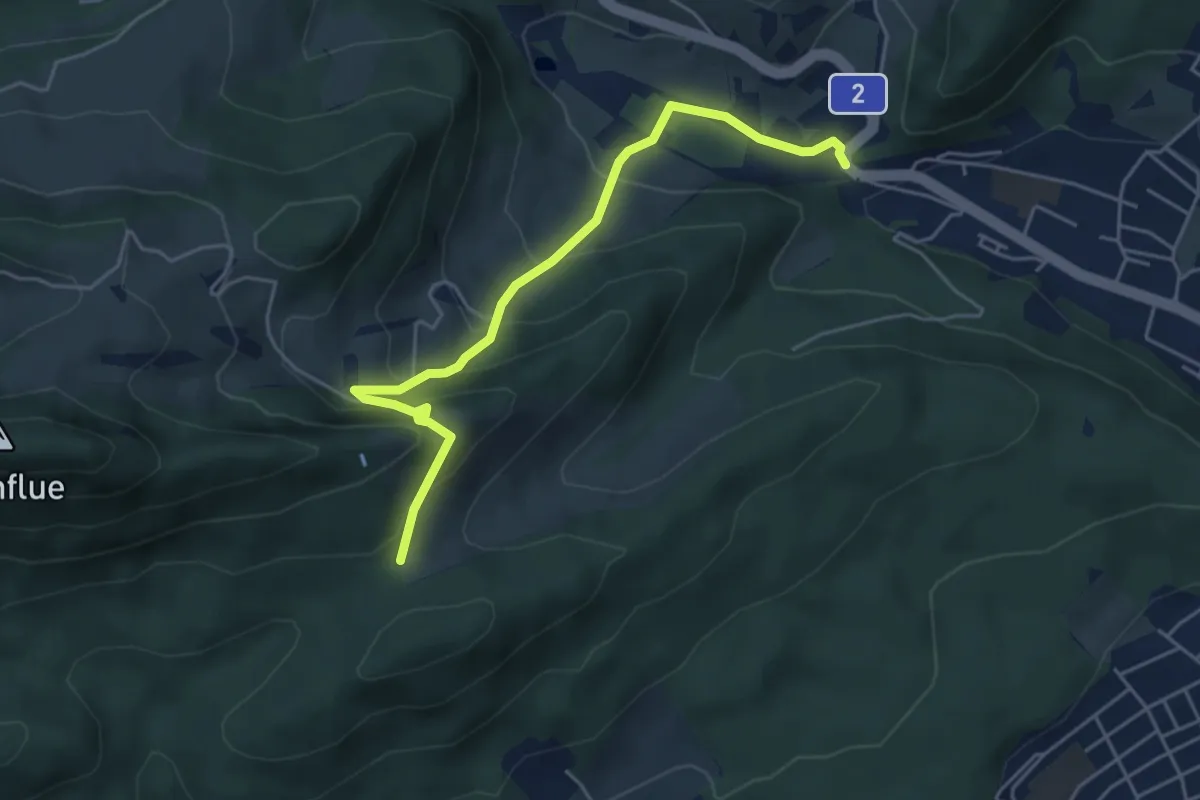
Easy · Trail
Trimbach - Rumpelhöchi
5.0 km · ↑ 304 m · 1 h 50 min
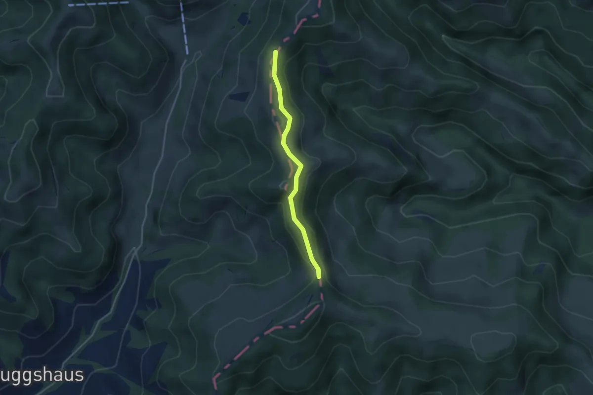
Easy · Trail
Trimle - Hängelenflue
2.9 km · ↑ 91 m · 53 min
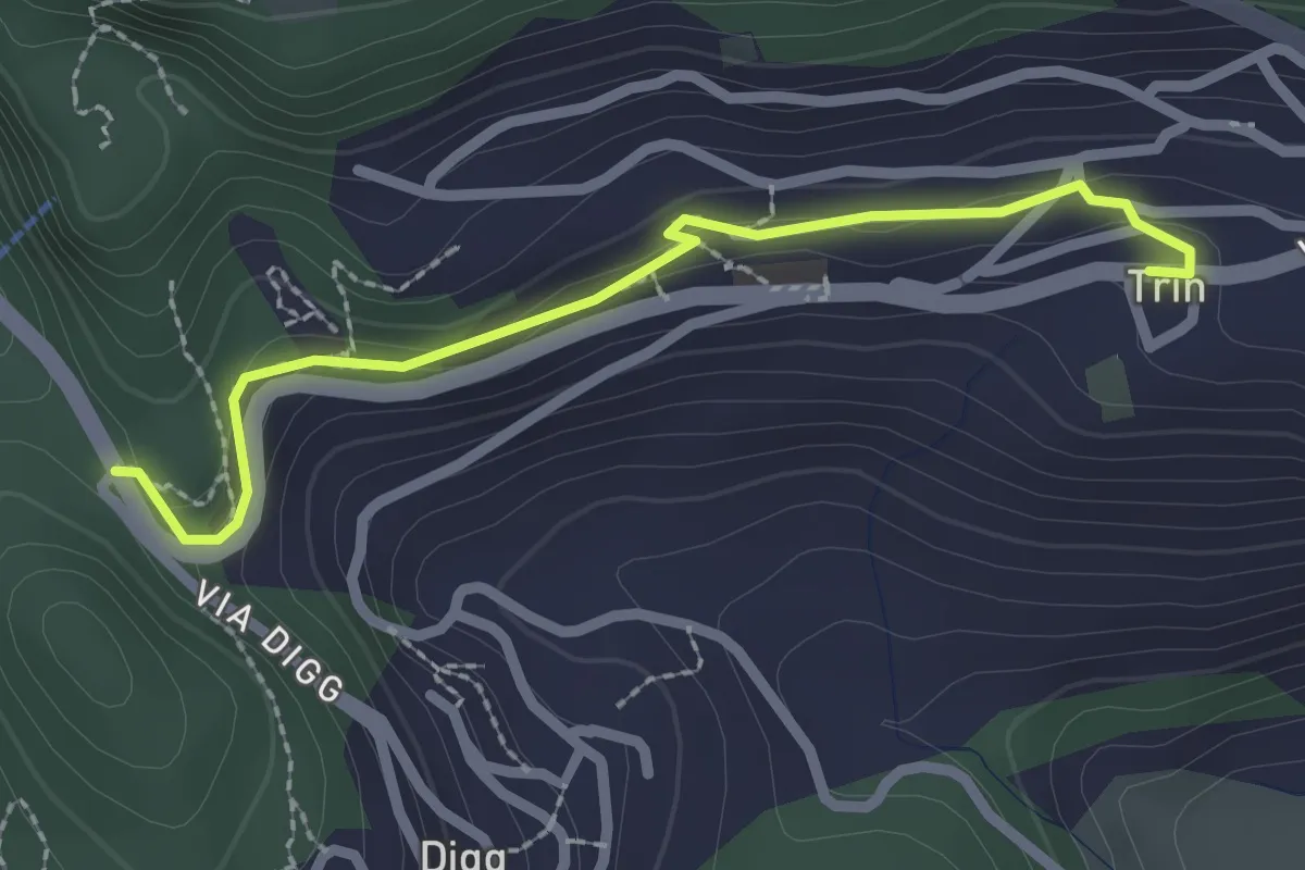
Easy · Trail
Trin - Porclis
2.4 km · ↑ 46 m · 39 min
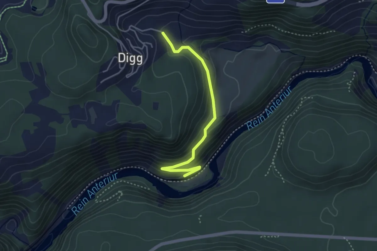
Easy · Trail
Trin Station - Trin
3.5 km · ↑ 151 m · 1 h 9 min
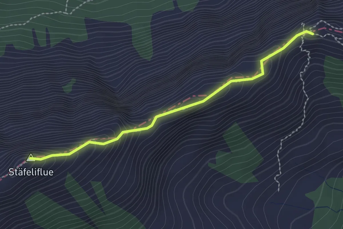
Demanding · Summit
Tripolihütte - Kanapee
2.3 km · ↑ 215 m · 1 h 1 min
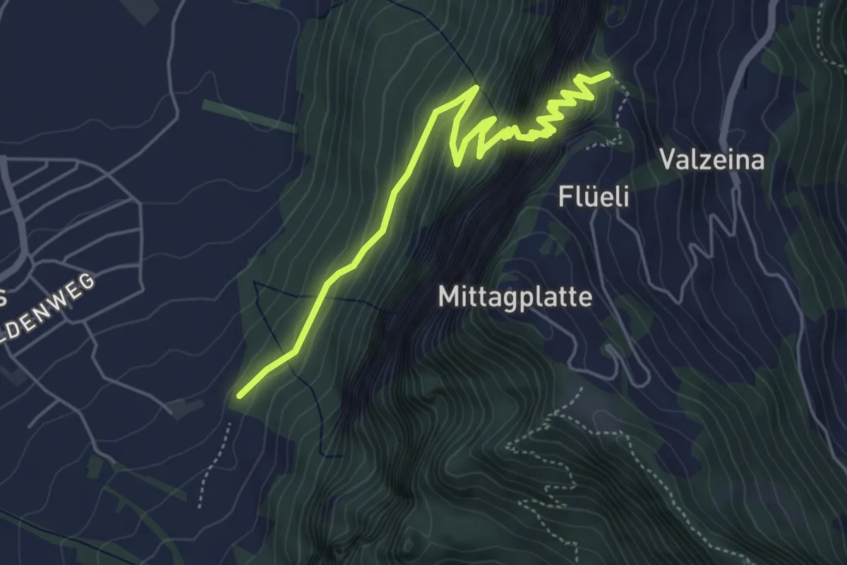
Expert · Trail
Trit
5.5 km · ↑ 974 m · 3 h 25 min
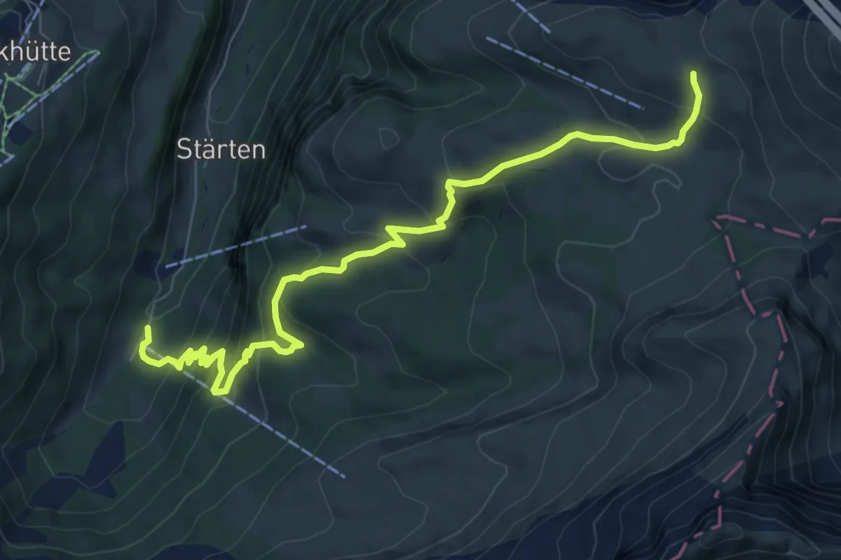
Medium · Trail
Tritthütte - Cholstrasse
8.5 km · ↑ 576 m · 3 h 15 min
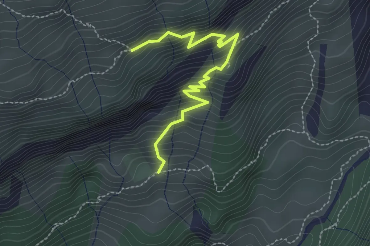
Medium · Trail
Tritt - Saasalp
2.5 km · ↑ 310 m · 1 h 16 min
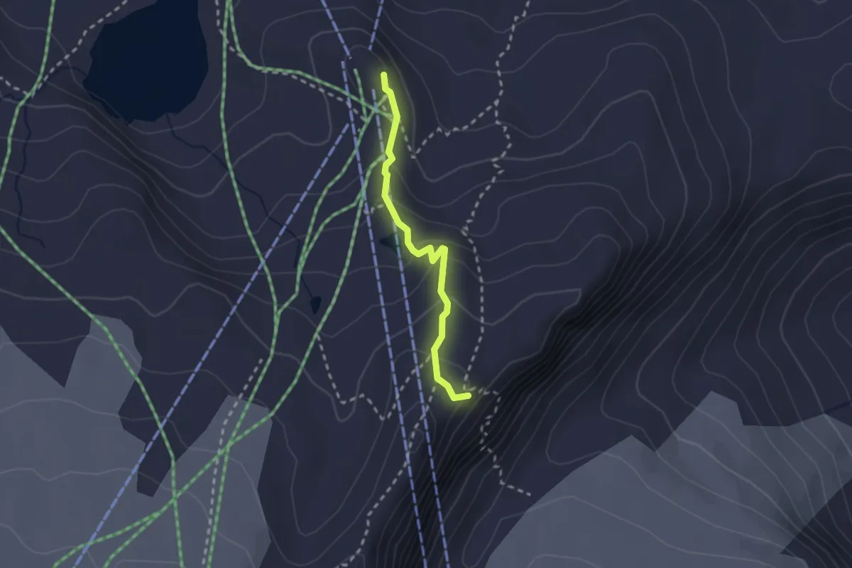
Medium · Cabin
Trockerner Steg - Gandegghütte
2.1 km · ↑ 133 m · 47 min
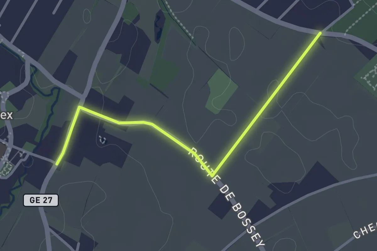
Easy · Trail
Troinex - Grande Tuillière
2.8 km · ↑ 19 m · 42 min
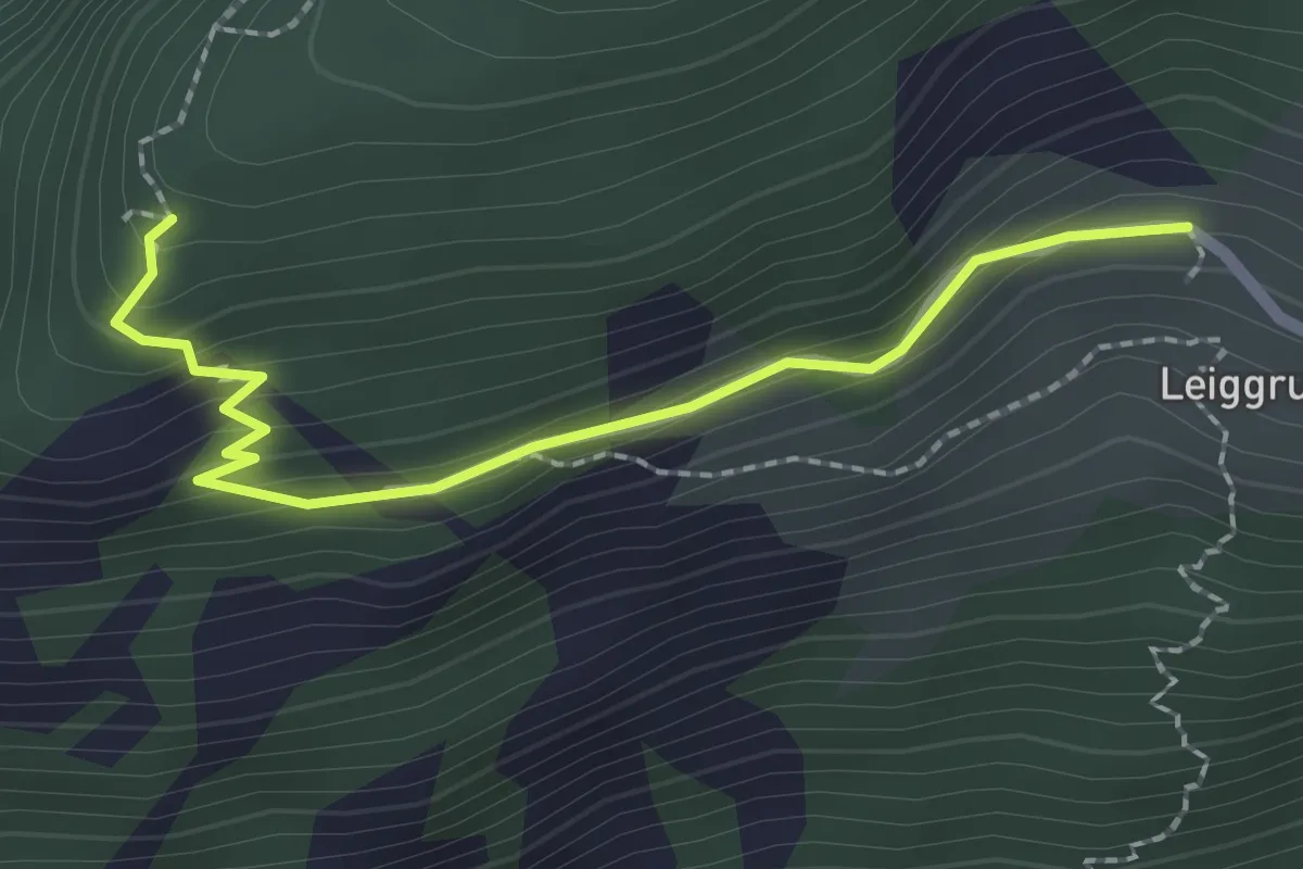
Medium · Trail
Trosibodo - Leiggern
2.2 km · ↑ 139 m · 50 min
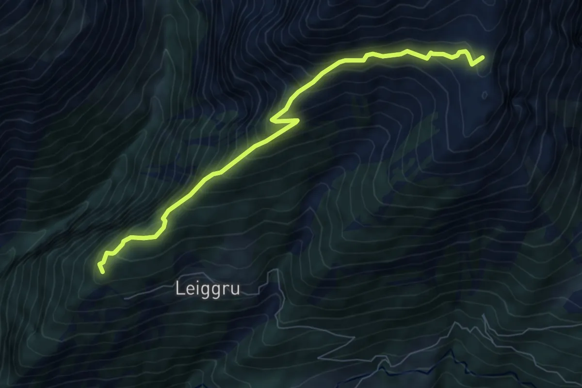
Medium · Trail
Trosibodo - Wiwannihütte
7.8 km · ↑ 798 m · 3 h 34 min
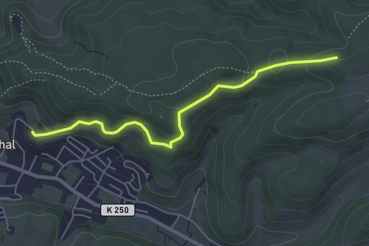
Easy · Trail
Trostburg - Sieben Zwingstein
4.4 km · ↑ 201 m · 1 h 29 min
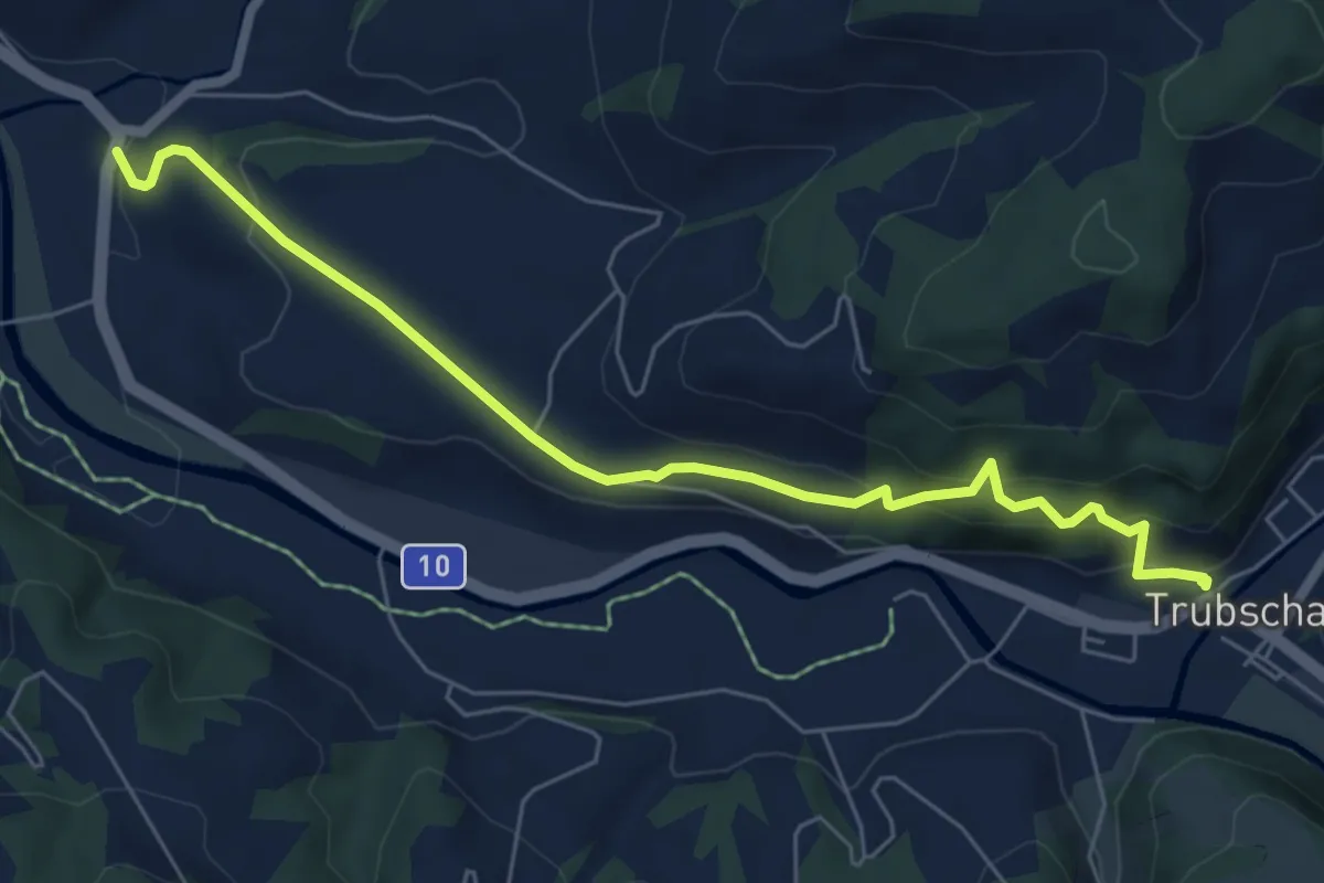
Medium · Trail
Trubschachen - Bärau
6.5 km · ↑ 412 m · 2 h 26 min
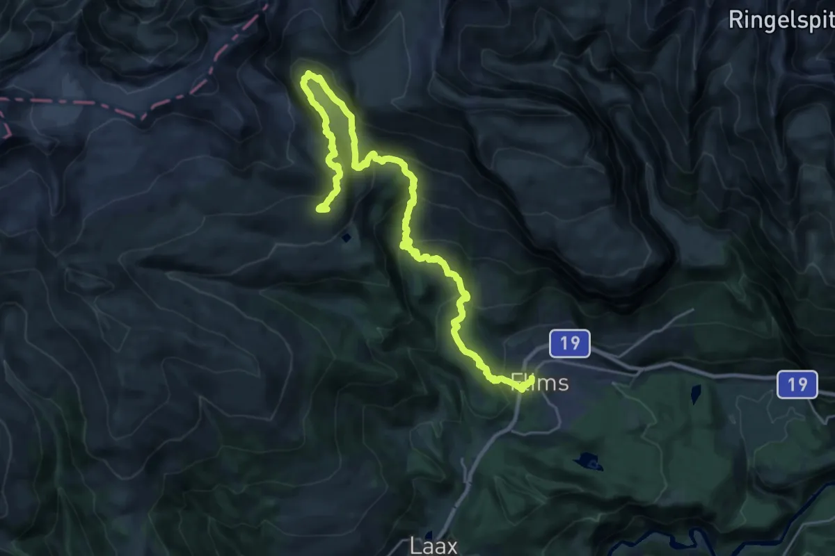
Demanding · Trail
Trutg dil Flem – Flimser Wasserweg
13.9 km · ↑ 1208 m · 5 h 35 min
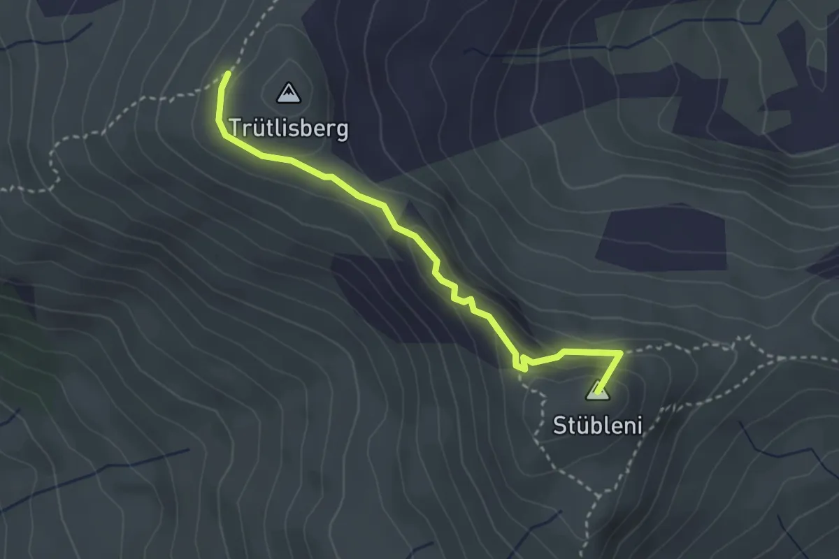
Demanding · Summit
Trütlisbergpass - Gryden
3.0 km · ↑ 124 m · 59 min
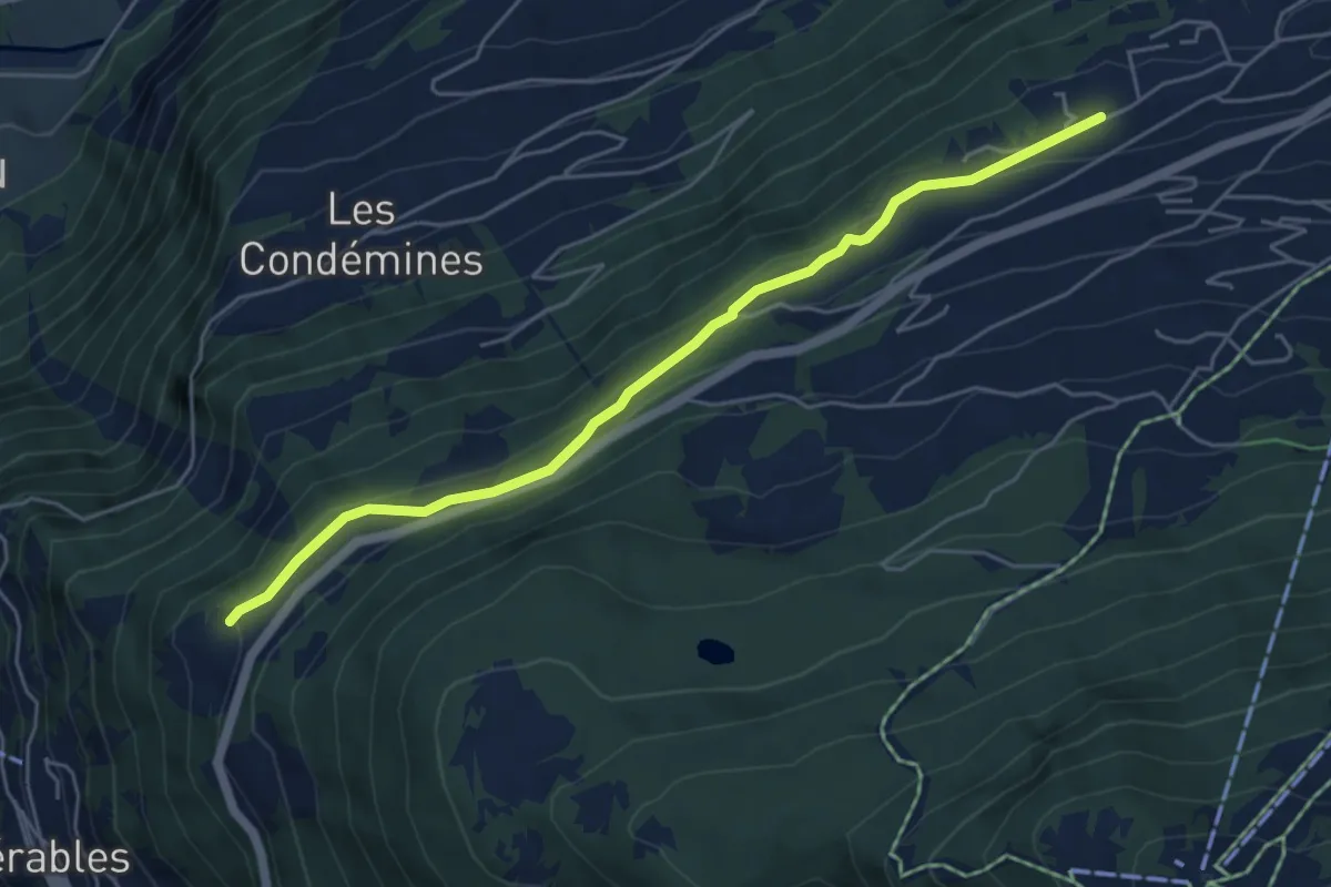
Easy · Trail
Tsamandon - Les Crêtaux
5.4 km · ↑ 160 m · 1 h 37 min
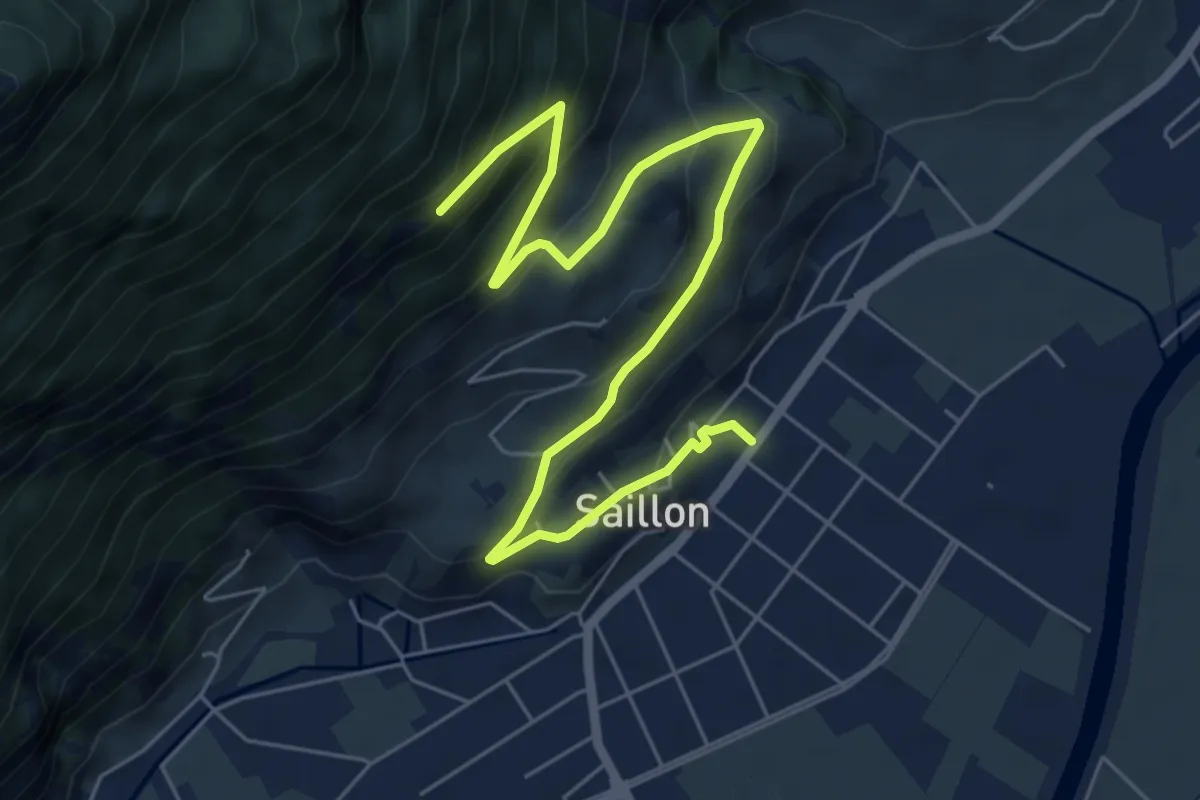
Medium · Trail
Tsanton jeurneyre
7.7 km · ↑ 489 m · 2 h 53 min
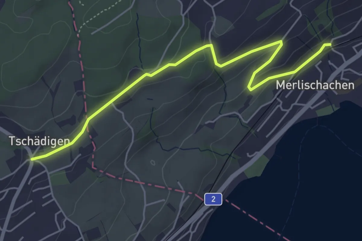
Easy · Trail
Tschädigen - Merlischachen
5.3 km · ↑ 158 m · 1 h 35 min
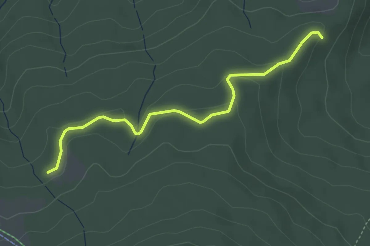
Easy · Trail
Tscharner - Marchweg Pt. 1105
3.7 km · ↑ 132 m · 1 h 10 min
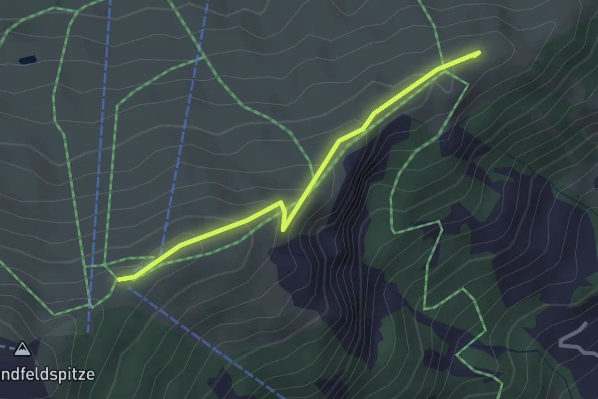
Easy · Trail
Tschentenegg - Tschentenalp
2.4 km · ↑ 140 m · 53 min
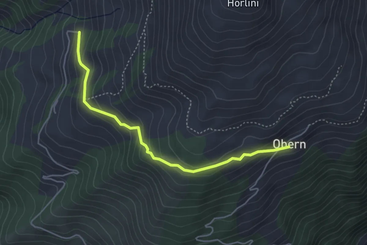
Easy · Trail
Tschermilong Uberu
4.1 km · ↑ 223 m · 1 h 27 min
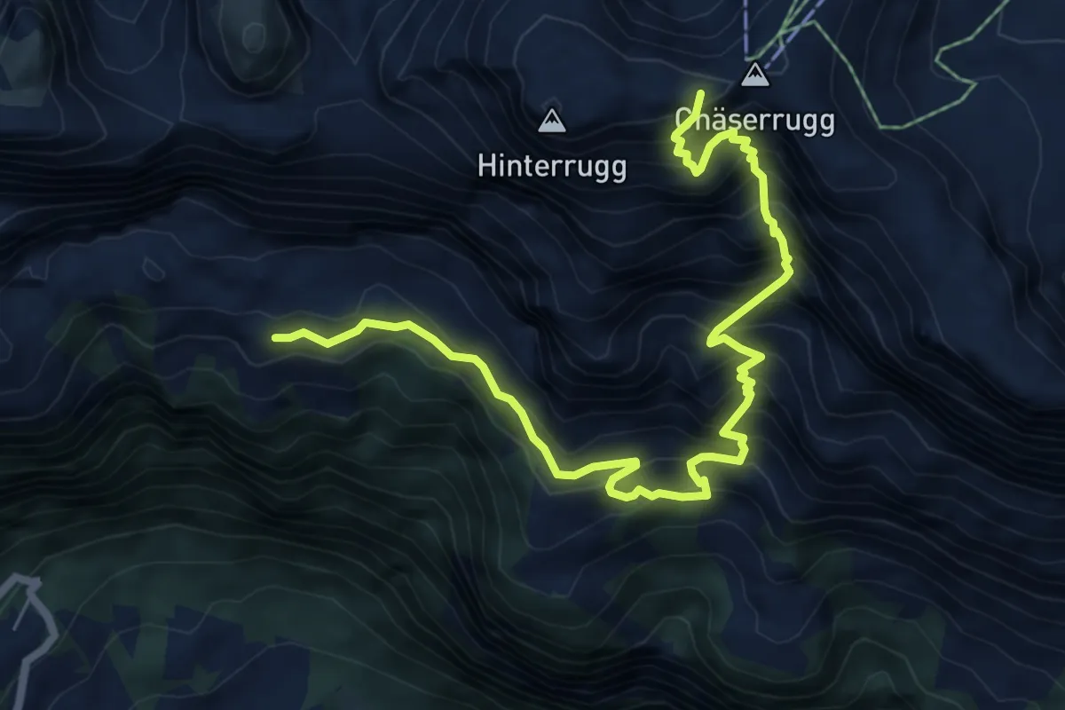
Demanding · Cabin
Tschingla Chäserugg
7.7 km · ↑ 1043 m · 4 h 4 min
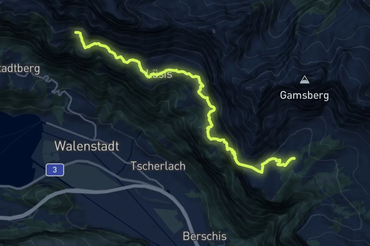
Demanding · Trail
Tschingla Sennis
15.7 km · ↑ 1238 m · 6 h 24 min
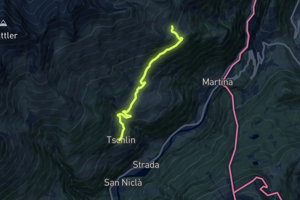
Medium · Trail
Tschlin - Alp Tea
10.9 km · ↑ 632 m · 3 h 57 min
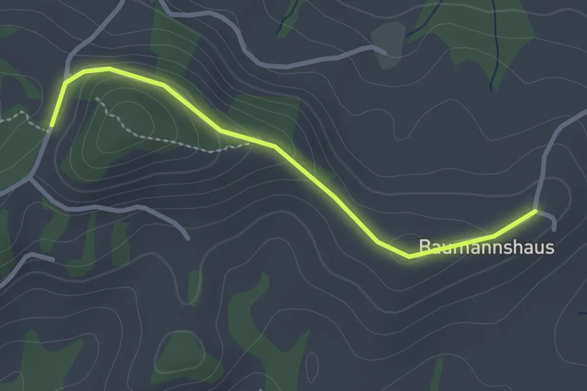
Easy · Trail
Tschuggen - Bumishus
2.3 km · ↑ 64 m · 41 min
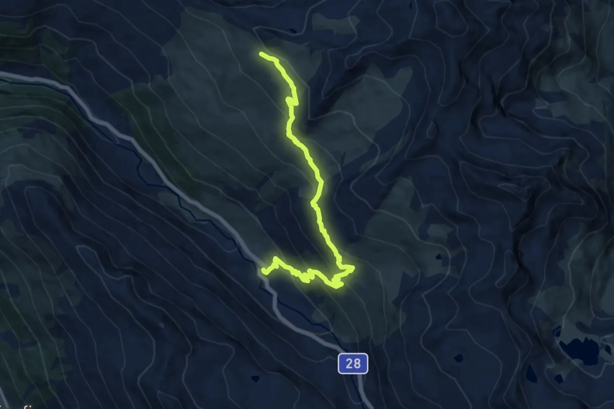
Medium · Trail
Tschuggen - Pischa
10.6 km · ↑ 607 m · 3 h 49 min
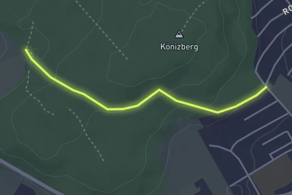
Easy · Trail
Tubentränke - Köniz/Ober Buchsee
2.7 km · ↑ 94 m · 51 min
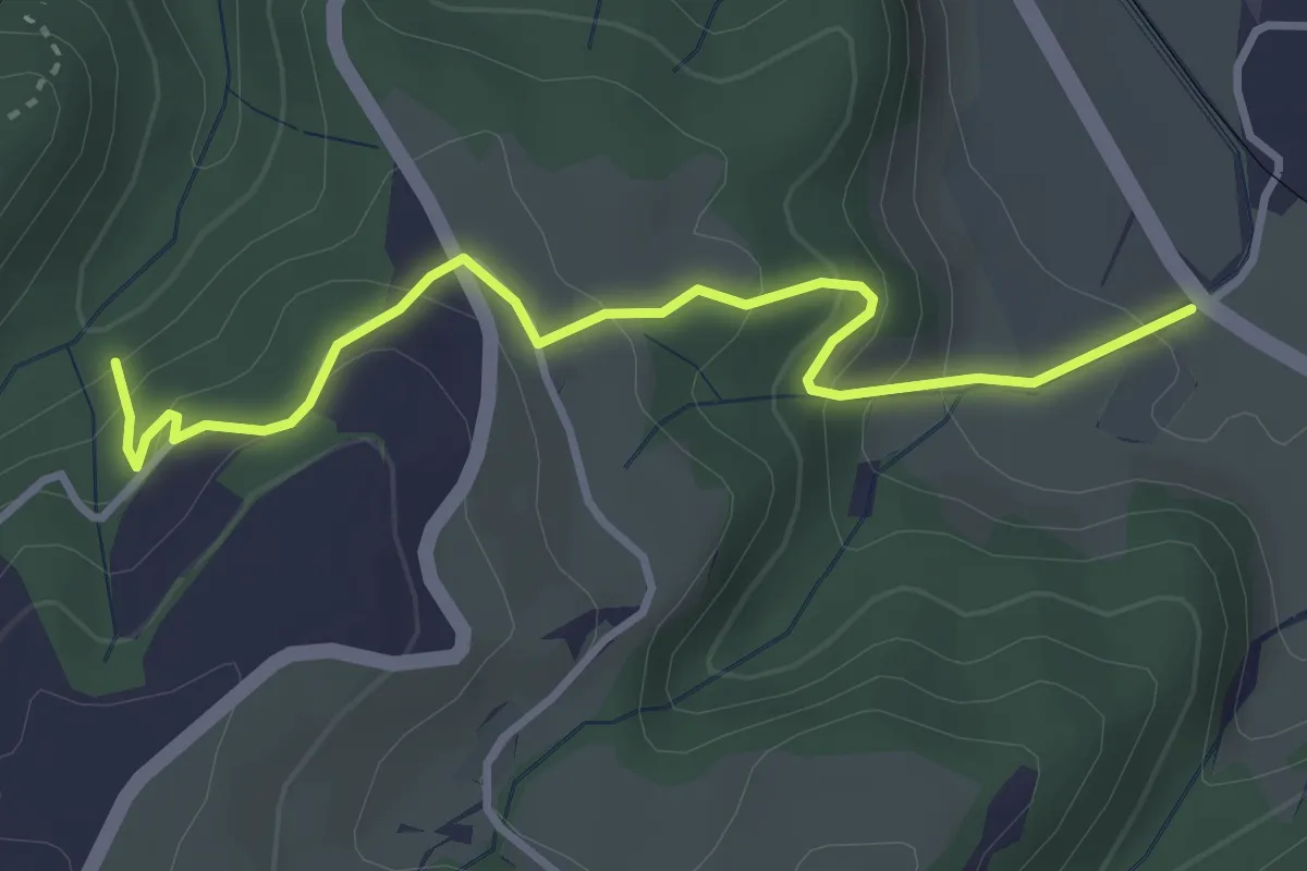
Easy · Trail
Tuetensee - Ricken
3.6 km · ↑ 272 m · 1 h 26 min
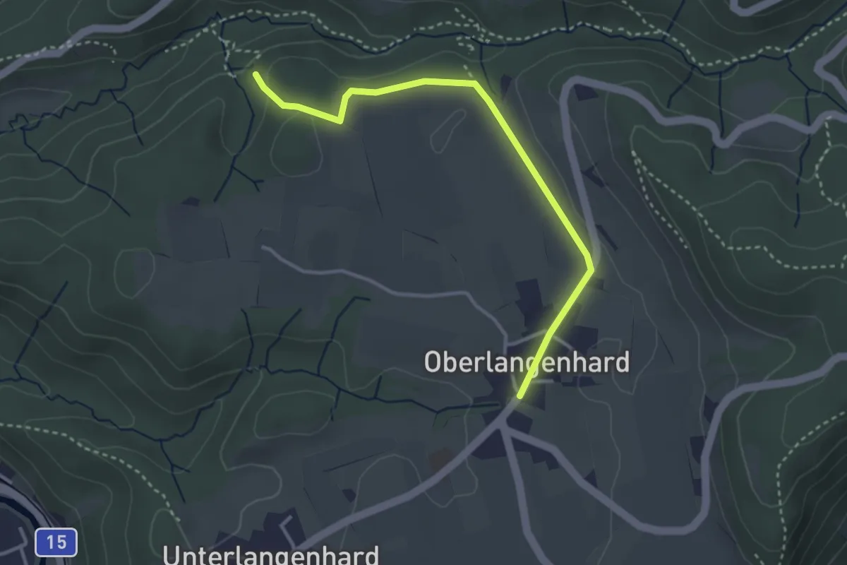
Easy · Trail
Tüfels Chilen - Oberlangenhard
3.3 km · ↑ 69 m · 56 min
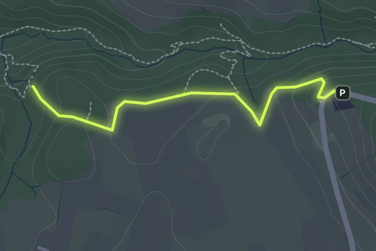
Easy · Trail
Tüfels Chilen - Wolfbrunnen
2.3 km · ↑ 82 m · 44 min
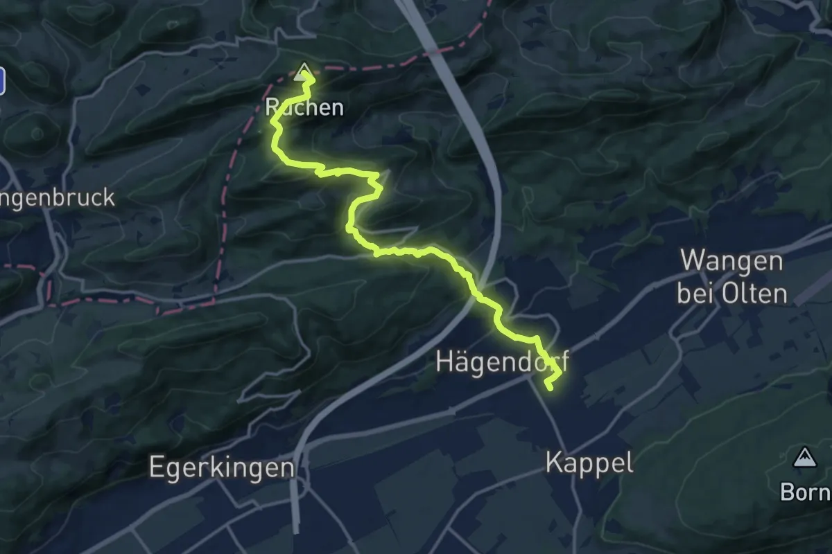
Demanding · Summit
Tüfelschlucht-Belchen-Weg
14.7 km · ↑ 809 m · 5 h 14 min
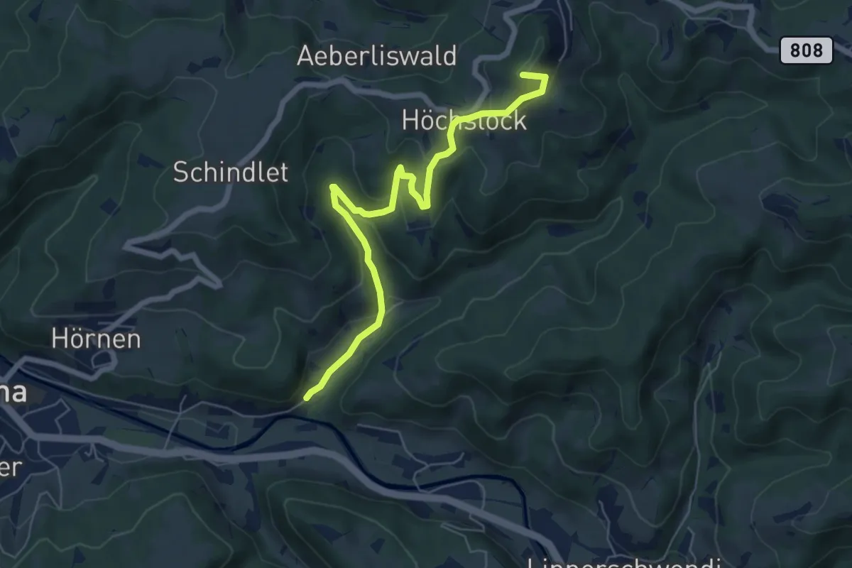
Easy · Summit
Tüfenbach - Sternenberg
6.2 km · ↑ 309 m · 2 h 8 min
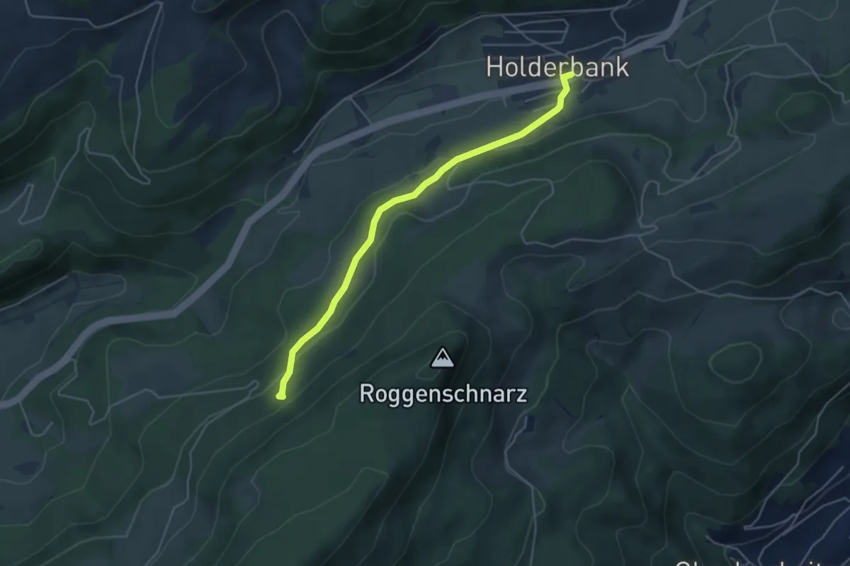
Easy · Trail
Tufft - Holderbank
4.4 km · ↑ 141 m · 1 h 21 min
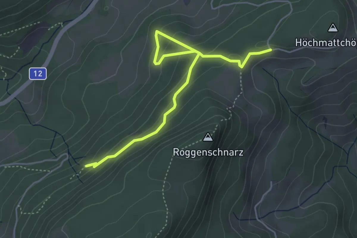
Easy · Trail
Tufft - Tiefmatt
4.9 km · ↑ 292 m · 1 h 47 min
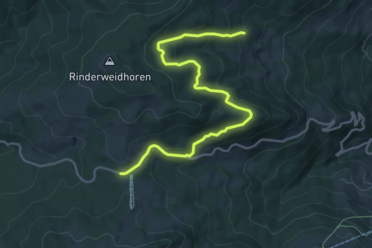
Medium · Trail
Tuggner Hüttli - Sattelegg
9.3 km · ↑ 386 m · 3 h 2 min
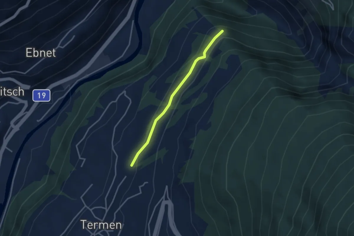
Easy · Trail
Tunetschweg
2.5 km · ↑ 89 m · 47 min
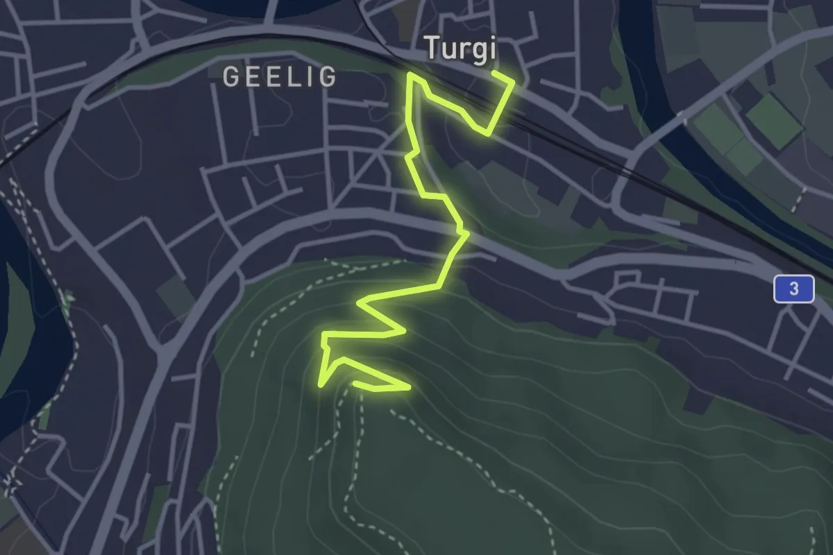
Easy · Trail
Turgi - Gebenstorfer Horn
3.7 km · ↑ 193 m · 1 h 17 min
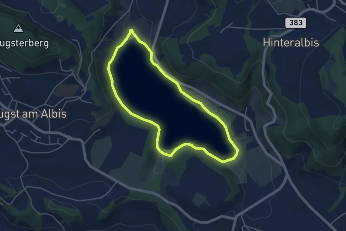
Easy · Trail
Türlerseerundweg
3.7 km · ↑ 39 m · 1 h
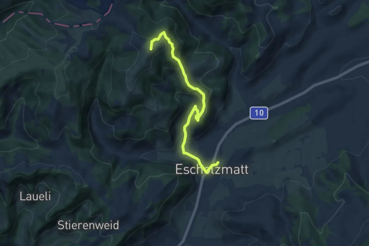
Medium · Summit
Turner - Escholzmatt
7.1 km · ↑ 406 m · 2 h 34 min