Trails in Switzerland
15,064 hiking trails, each with its route, climb, walking time and grade.
All trails, page 116 of 314
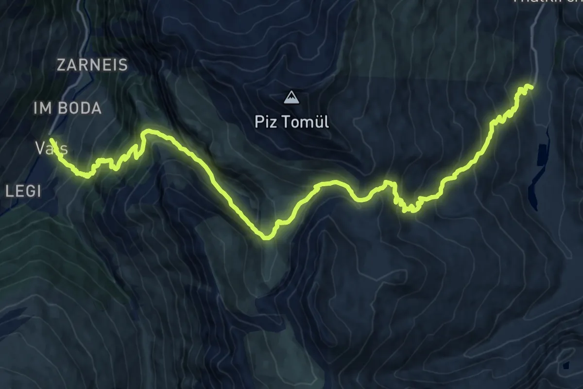
Demanding · Cabin
Turrahus-Vals
12.8 km · ↑ 1199 m · 5 h 34 min
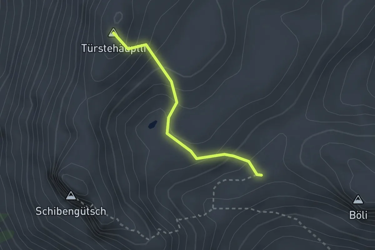
Easy · Summit
Türstenhäuptli - Chlus
2.0 km · ↑ 212 m · 55 min
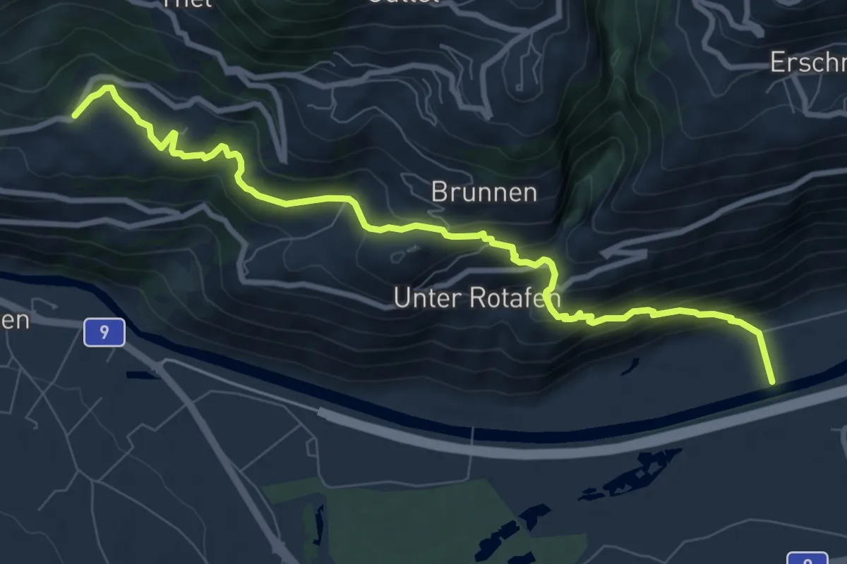
Medium · Trail
Turtmann Brentjong
9.3 km · ↑ 566 m · 3 h 25 min
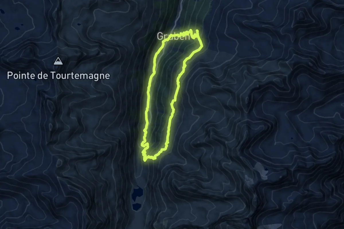
Demanding · Trail
Turtmanntaler Aussichtsweg
11.5 km · ↑ 729 m · 4 h 27 min
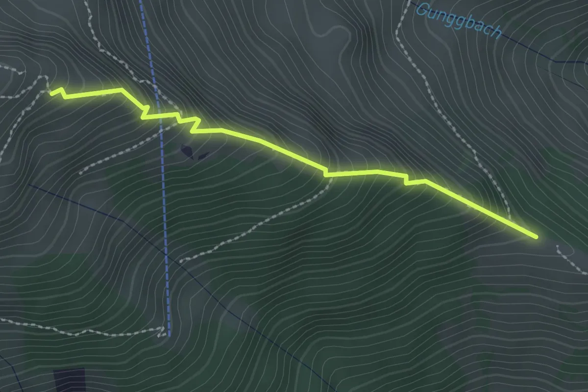
Medium · Trail
Tussweide - Gunggstand
2.3 km · ↑ 355 m · 1 h 19 min
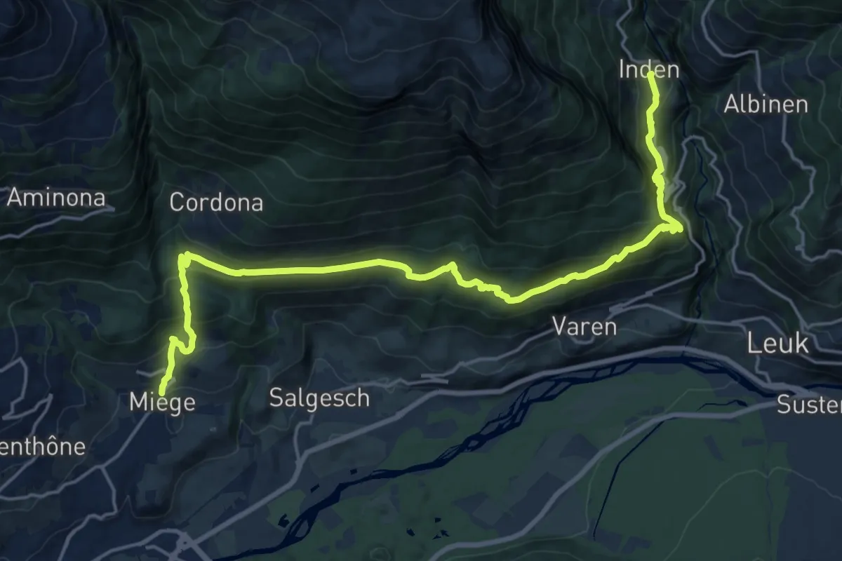
Demanding · Trail
Über die Raspille
10.6 km · ↑ 998 m · 4 h 36 min
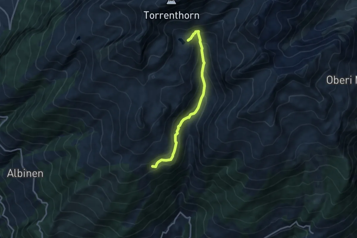
Medium · Trail
Uberu Wysse See
8.6 km · ↑ 533 m · 3 h 11 min
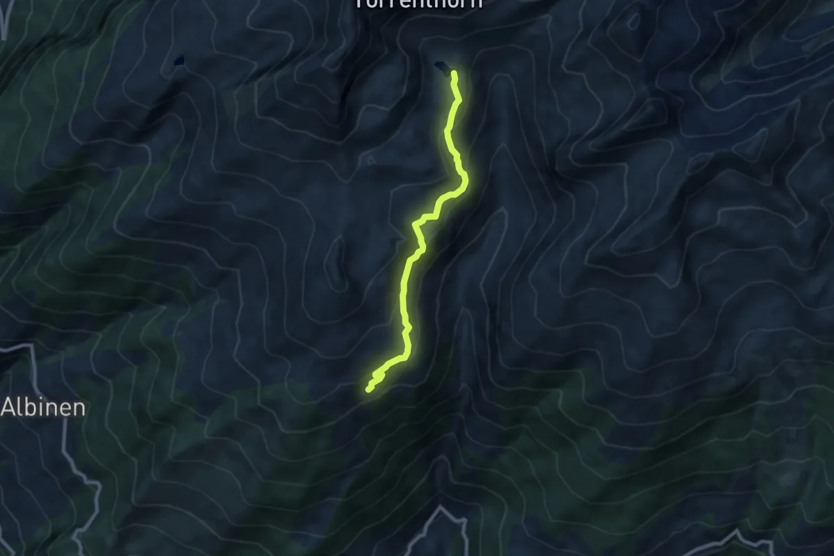
Medium · Trail
Uberu Wysse See
7.5 km · ↑ 369 m · 2 h 33 min
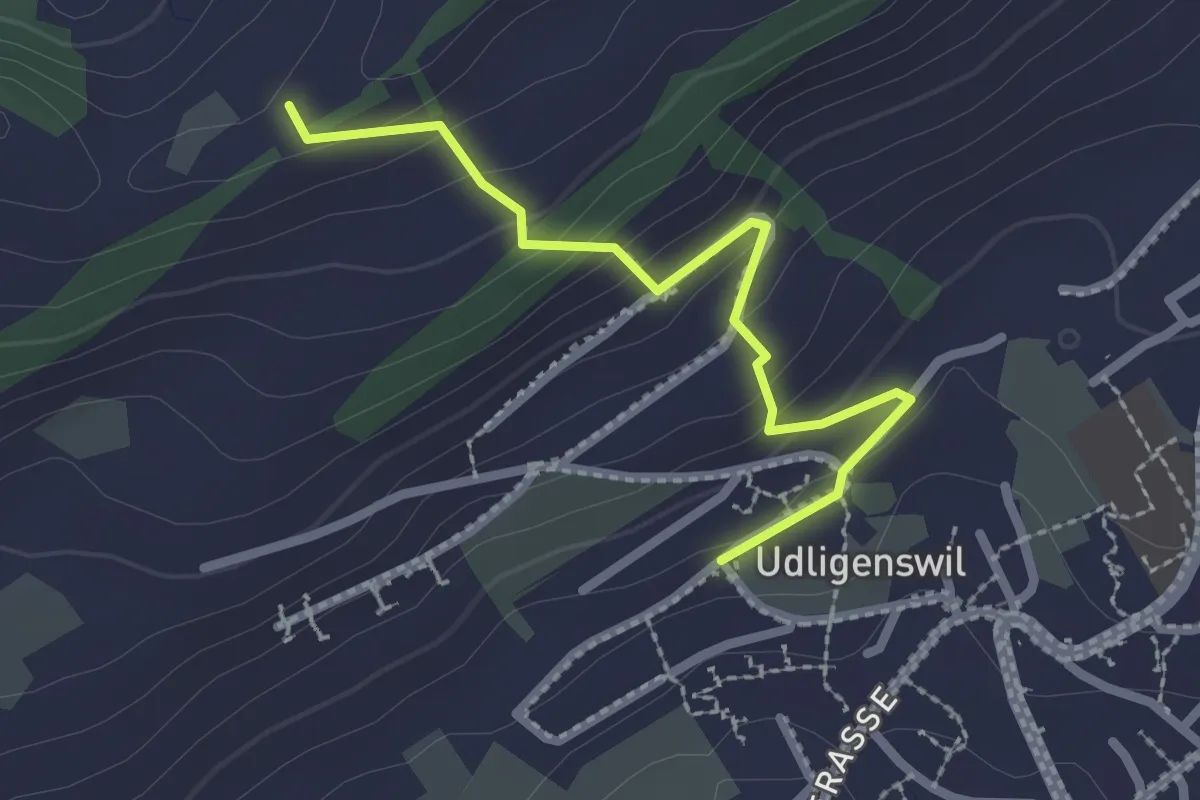
Easy · Trail
Udligenswil - Gabelegg
2.4 km · ↑ 139 m · 52 min
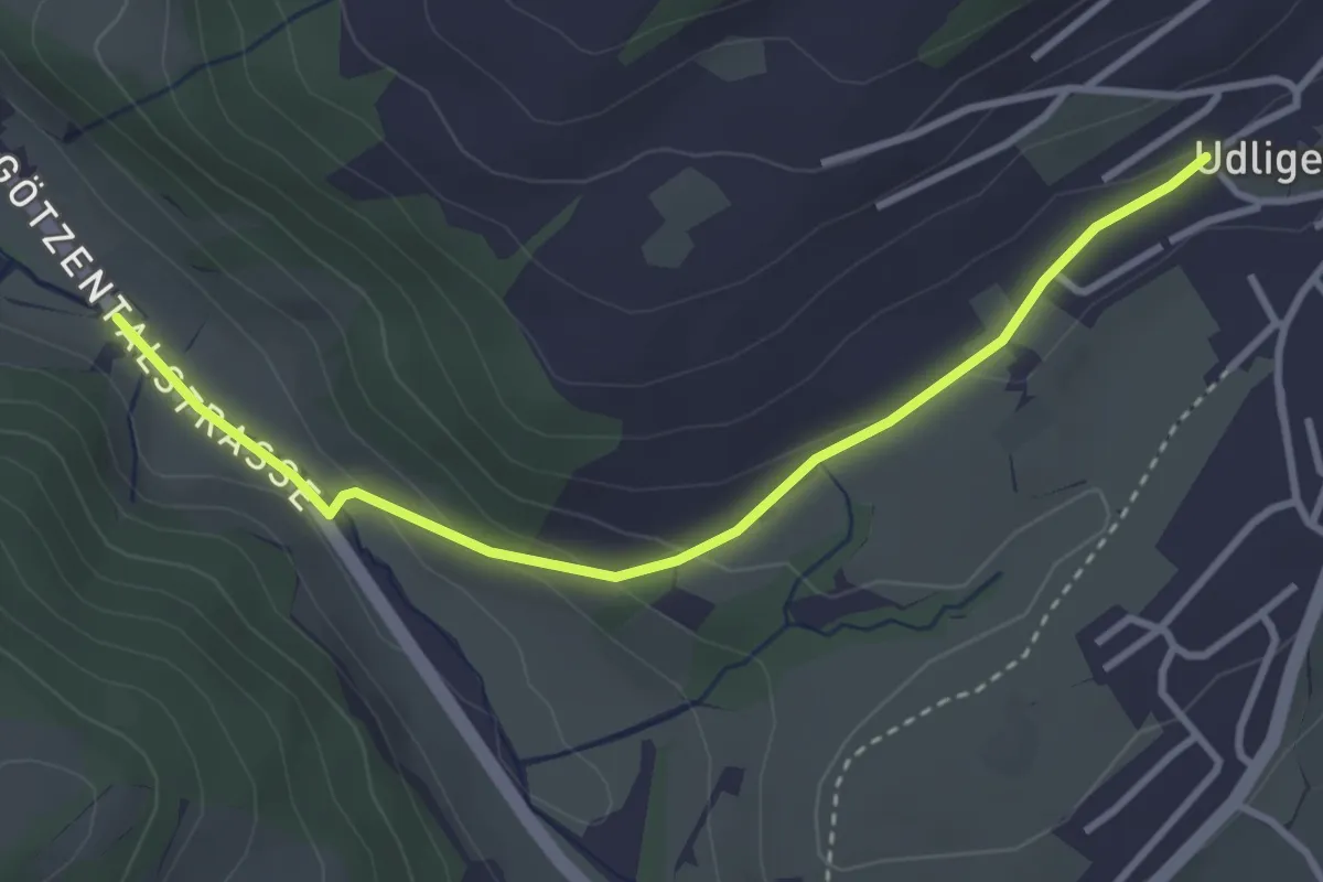
Easy · Trail
Udligenswil - Götzetal
3.4 km · ↑ 106 m · 1 h 2 min
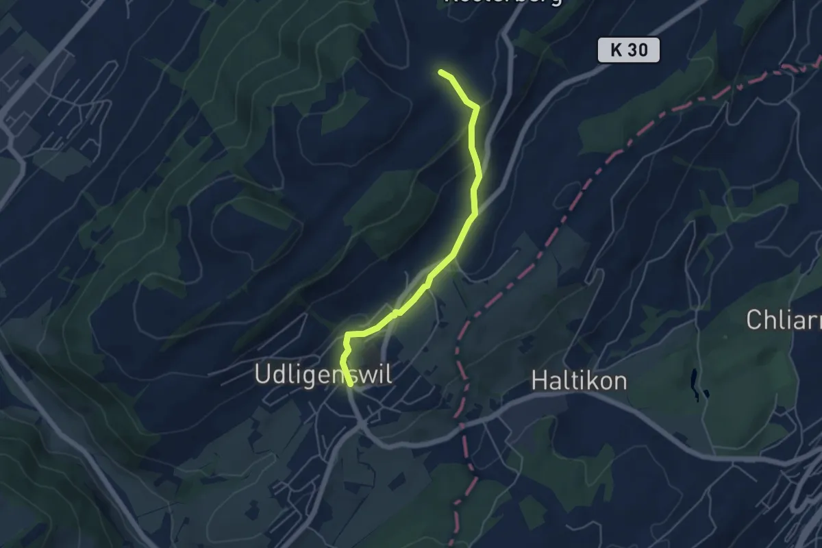
Easy · Trail
Udligenswil - Schiffmannshof
4.3 km · ↑ 145 m · 1 h 20 min
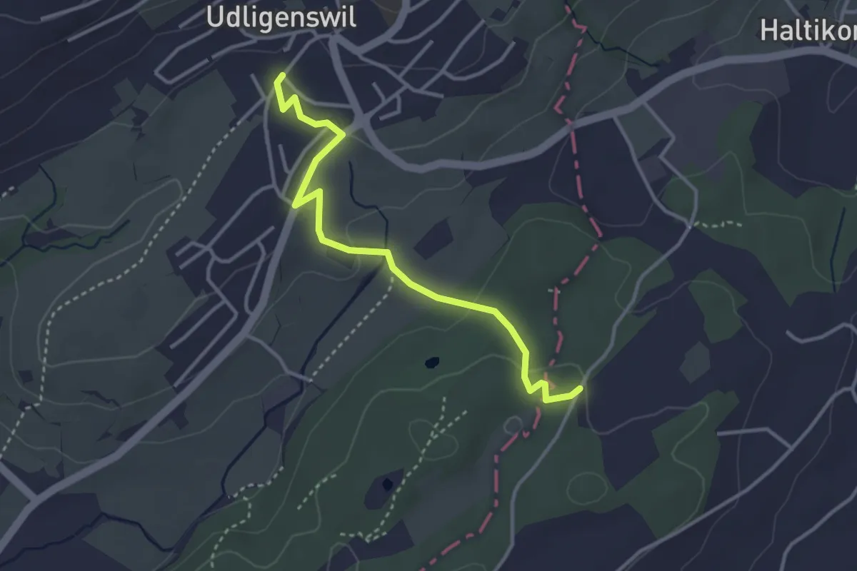
Easy · Trail
Udligenswil - Teufried
3.4 km · ↑ 82 m · 58 min
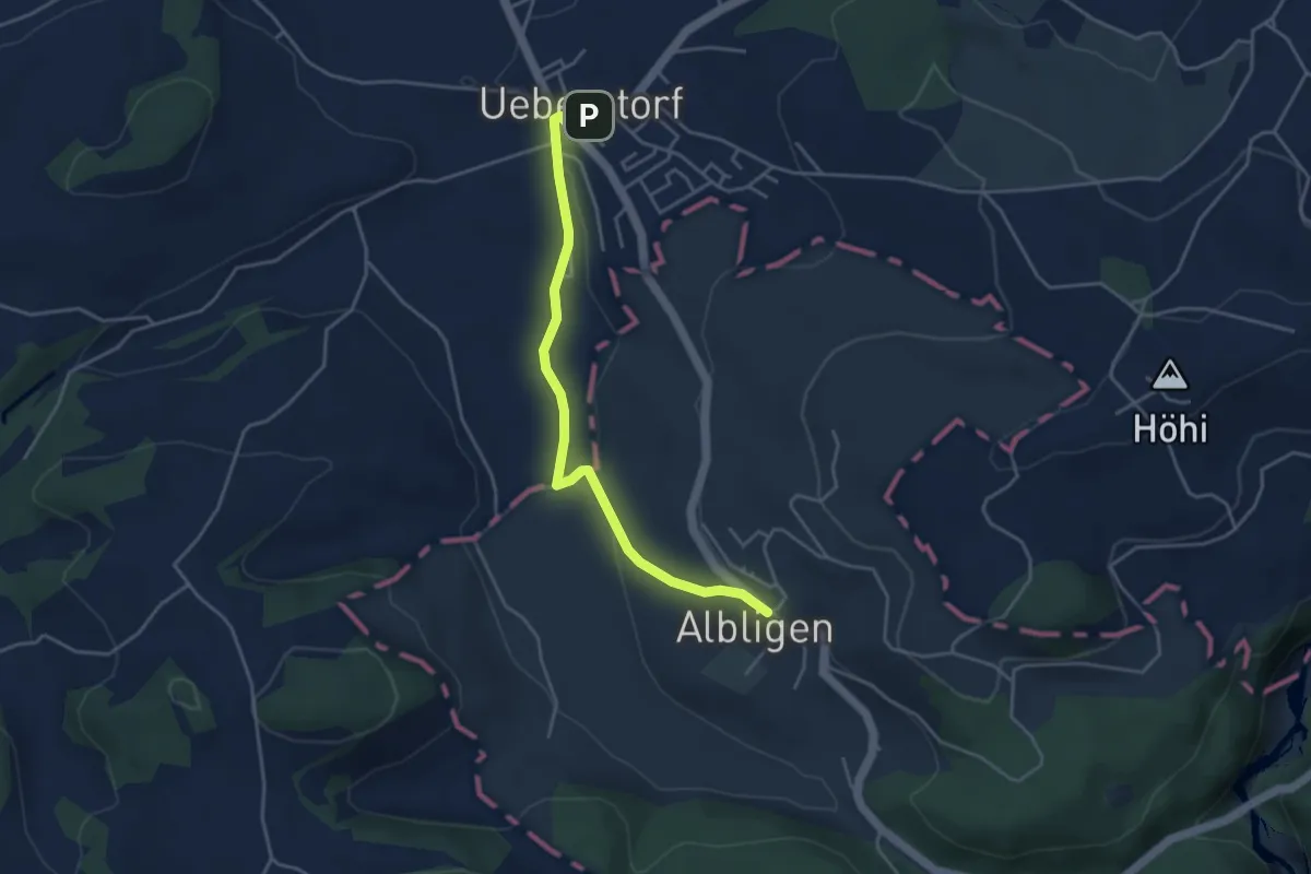
Easy · Trail
Ueberstorf - Albligen
4.1 km · ↑ 81 m · 1 h 9 min
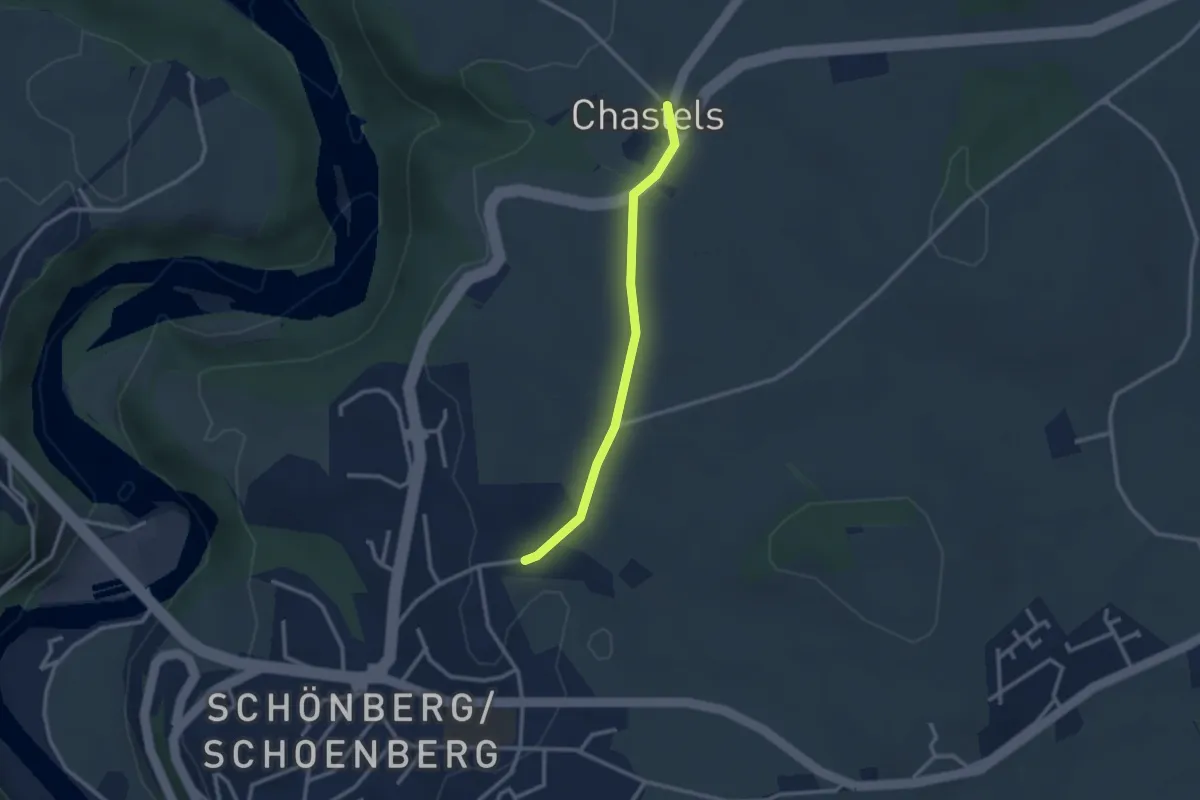
Easy · Trail
Uebewil - Kastels
2.4 km · ↑ 43 m · 40 min
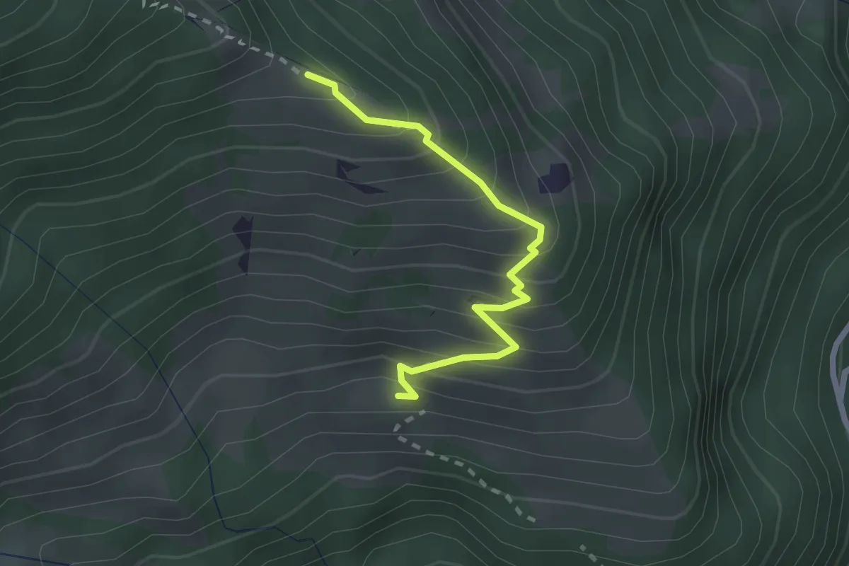
Medium · Trail
Ueblenberg - Tussweide
2.2 km · ↑ 274 m · 1 h 7 min
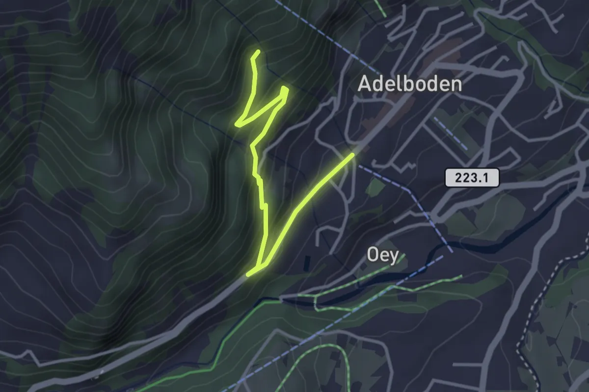
Easy · Trail
Uelisgraben - Adelboden
3.3 km · ↑ 219 m · 1 h 16 min
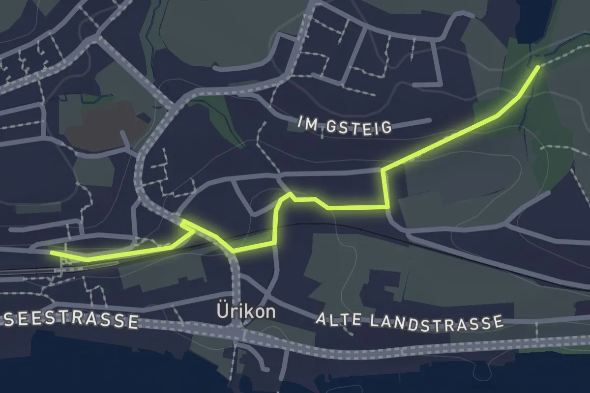
Easy · Trail
Uerikon - Chatzentobel
2.4 km · ↑ 43 m · 40 min
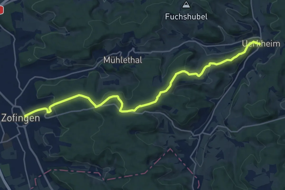
Medium · Trail
Uerkheim - Neudorf - Zofingen
15.4 km · ↑ 482 m · 4 h 41 min
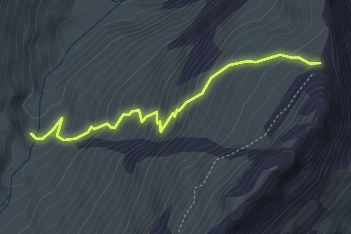
Medium · Trail
Ueschinem - Gratsattel
3.8 km · ↑ 413 m · 1 h 48 min
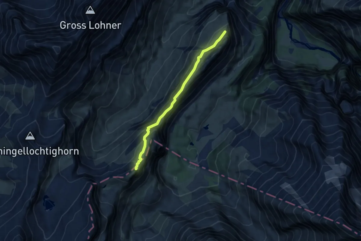
Medium · Summit
Üeschinengrat - Schwarzgrätli
7.4 km · ↑ 506 m · 2 h 50 min
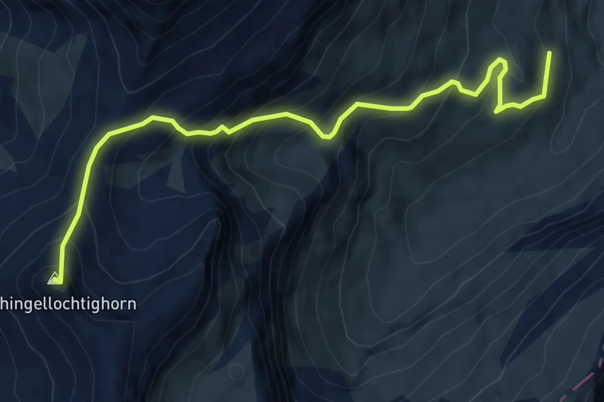
Medium · Summit
Üeschinenhütte - Engstligengrat
7.0 km · ↑ 738 m · 3 h 15 min
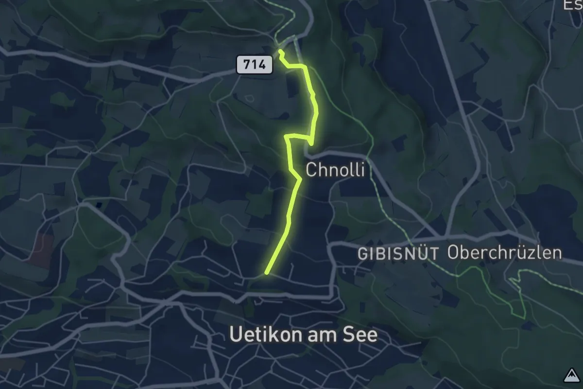
Easy · Trail
Uetikon Brand - Vorderpfannenstiel
3.9 km · ↑ 168 m · 1 h 17 min
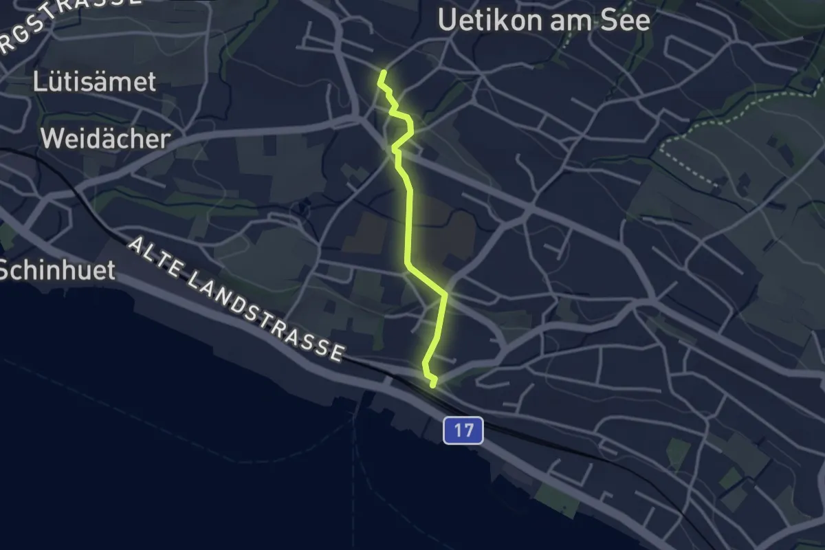
Easy · Trail
Uetikon Grossdorf - Uetikon Bahnhof
2.3 km · ↑ 52 m · 39 min
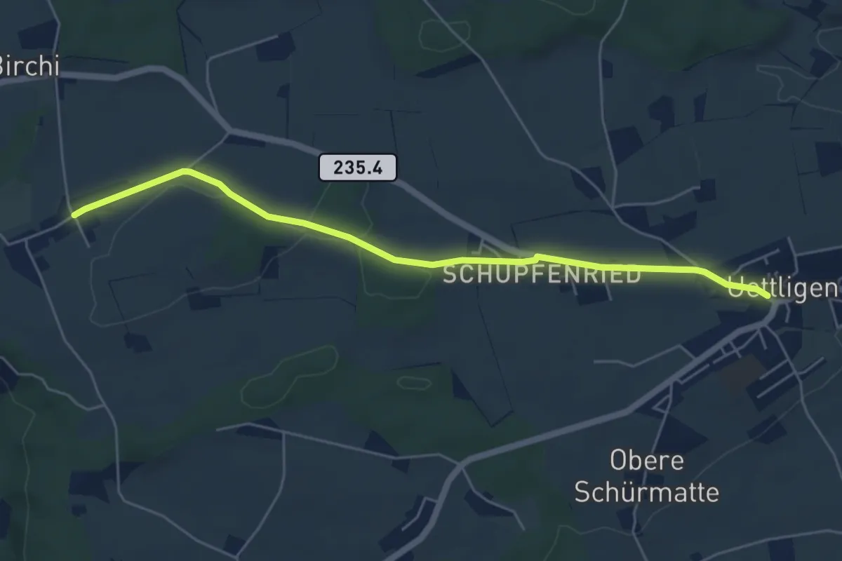
Easy · Trail
Uettligen/Linde - Möriswil
5.5 km · ↑ 46 m · 1 h 24 min
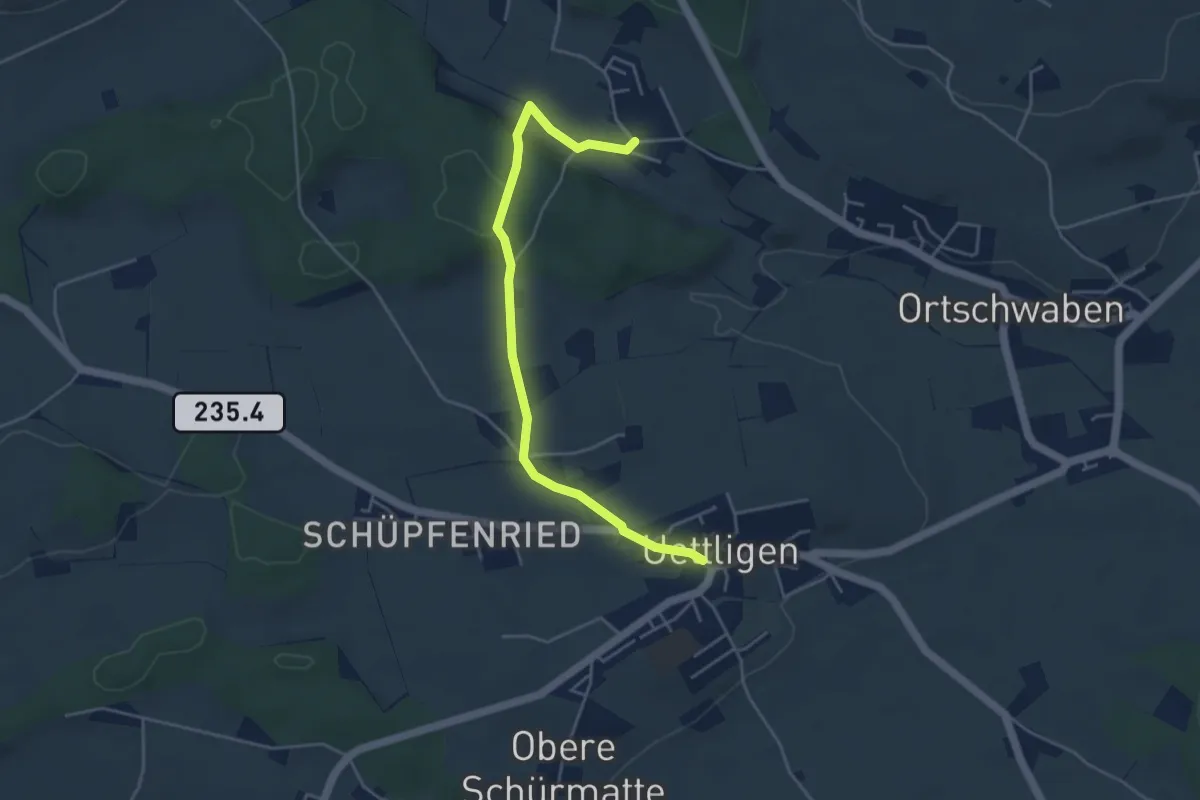
Easy · Trail
Uettligen/Linde - Weissenstein
4.6 km · ↑ 64 m · 1 h 13 min
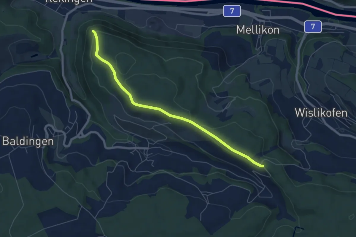
Easy · Trail
Uf der Nurren - Mülibach
5.8 km · ↑ 128 m · 1 h 39 min
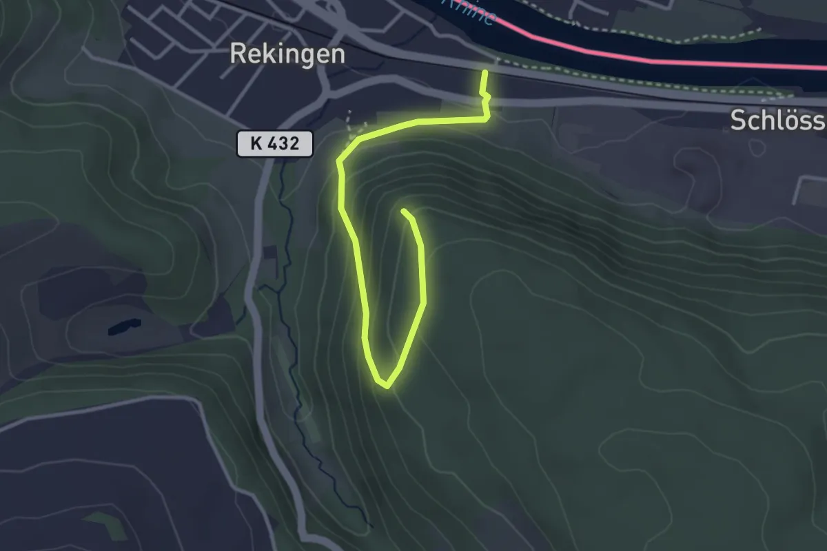
Easy · Trail
Uf der Nurren - Rekingen
3.3 km · ↑ 231 m · 1 h 17 min
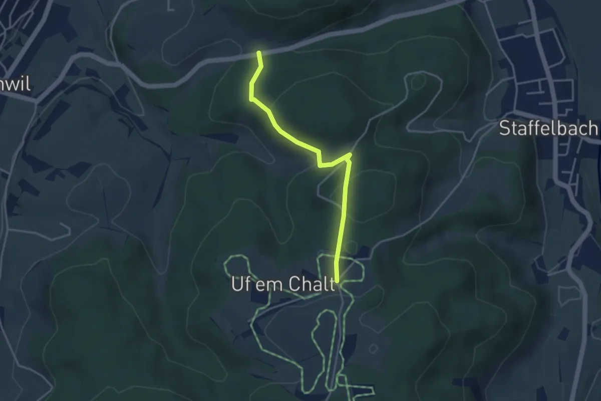
Easy · Trail
Ufem Chalt - Breiten
3.1 km · ↑ 99 m · 57 min
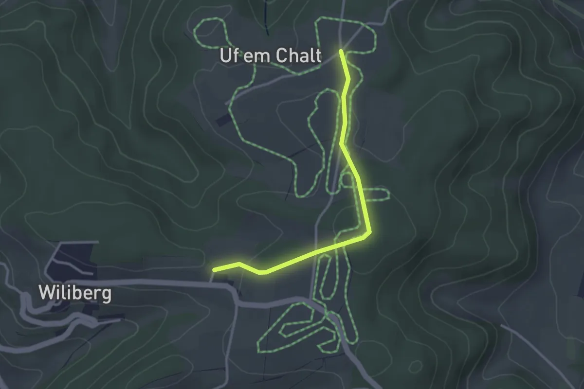
Easy · Trail
Uf em Chalt - Wiliberg
2.7 km · ↑ 70 m · 47 min
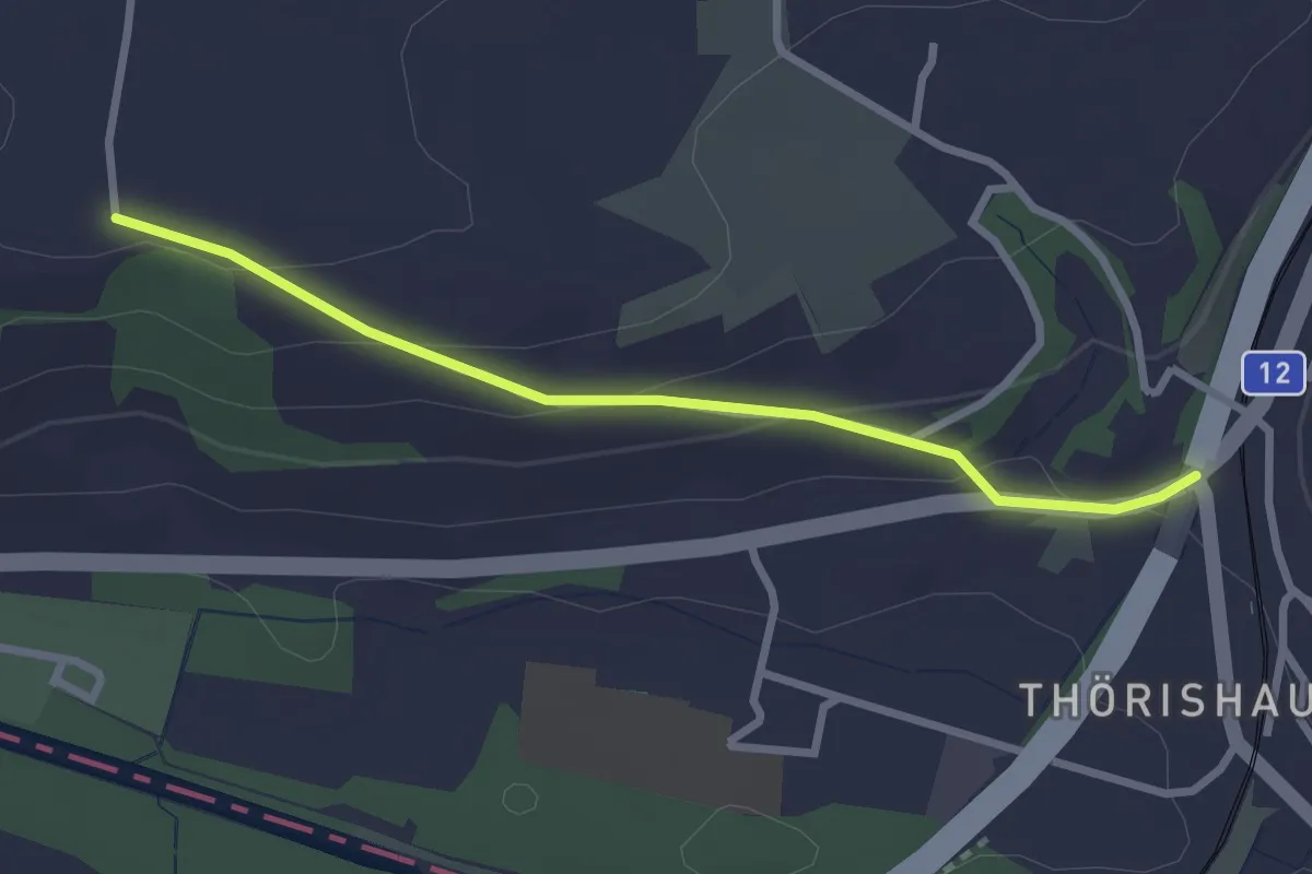
Easy · Trail
Ufem Shoren - Thörishaus
2.6 km · ↑ 85 m · 49 min
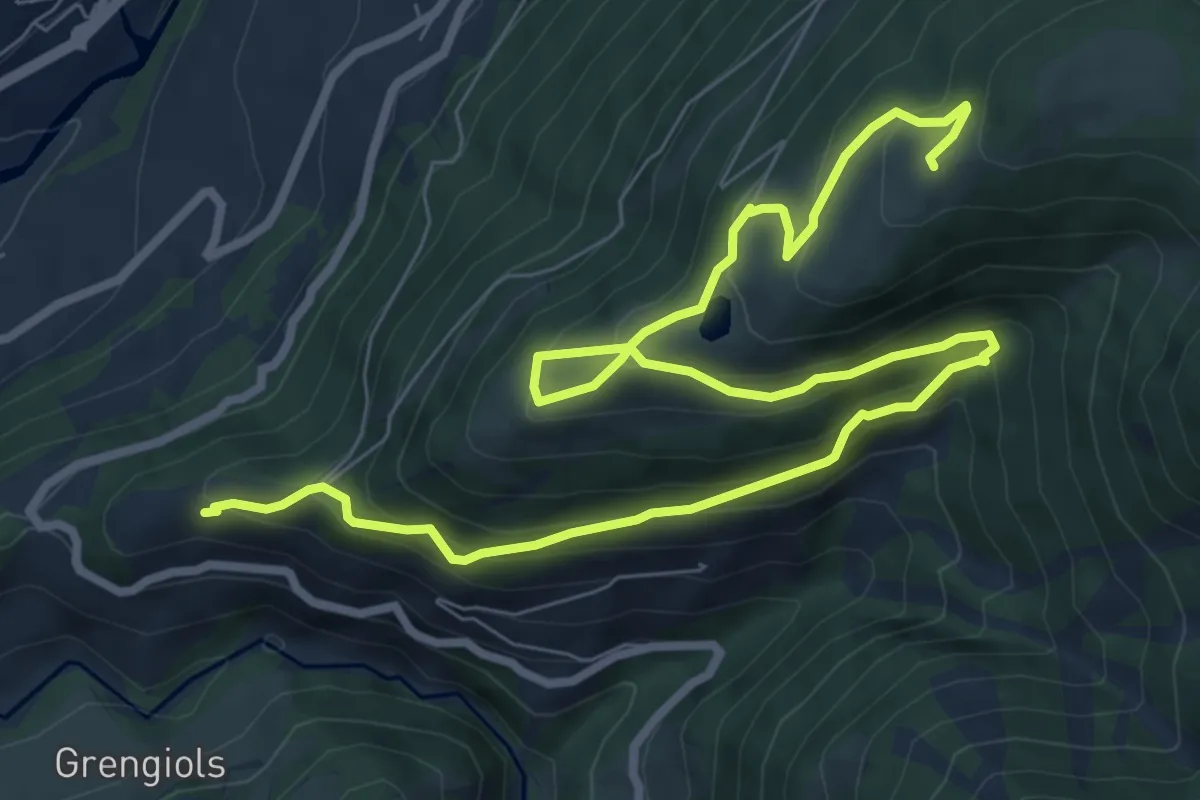
Medium · Trail
Uf en Egga
11.5 km · ↑ 799 m · 4 h 26 min
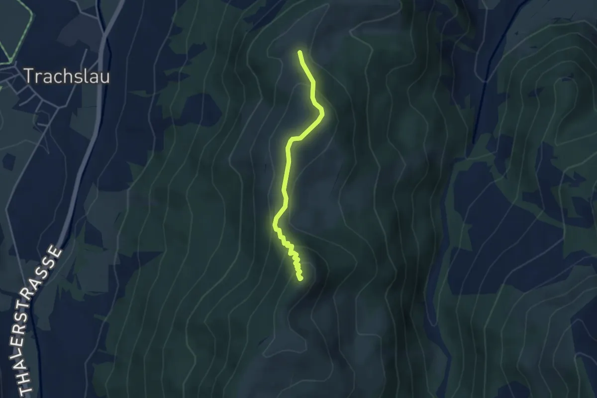
Easy · Summit
Ufen Tritt - Amselspitz
3.2 km · ↑ 246 m · 1 h 17 min
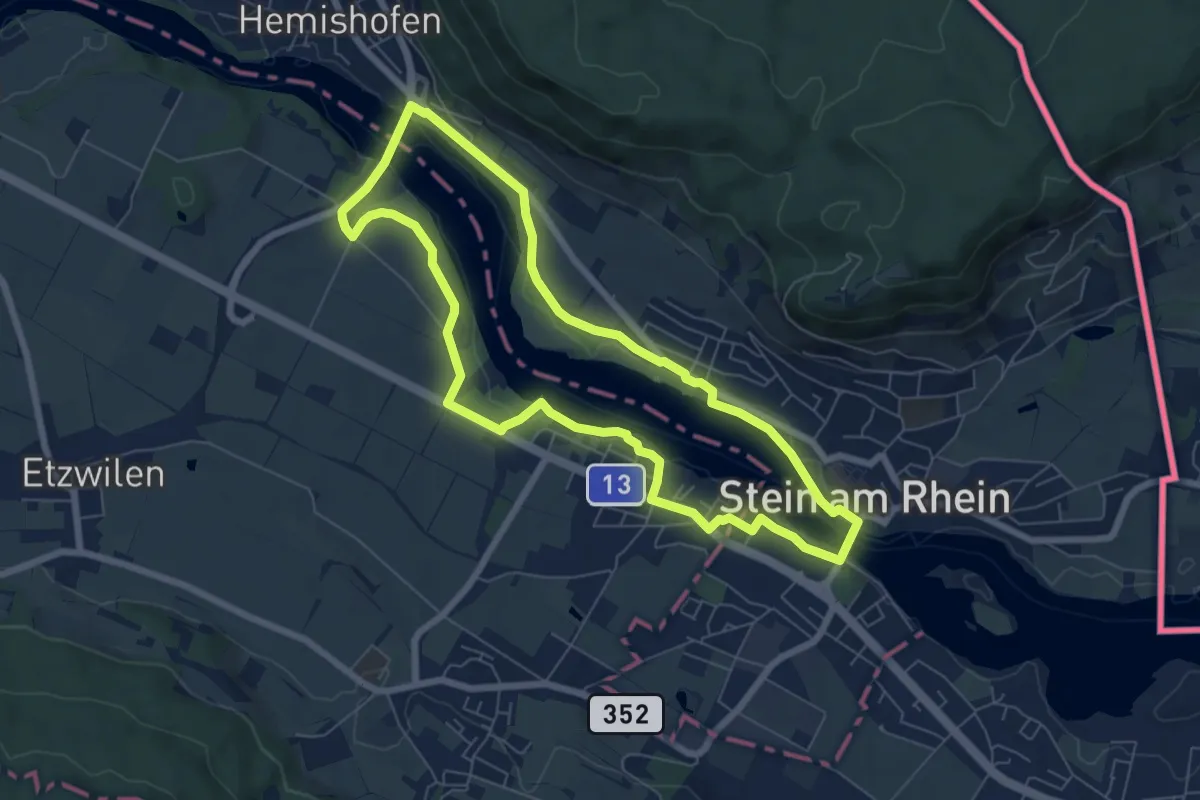
Easy · Trail
Uferrundweg Stein am Rhein
6.6 km · ↑ 72 m · 1 h 48 min
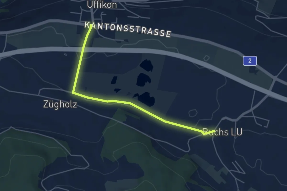
Easy · Trail
Uffikon- Buchs
4.2 km · ↑ 23 m · 1 h 2 min
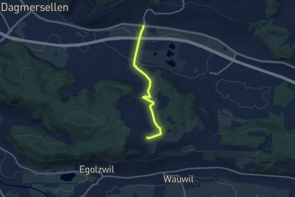
Easy · Trail
Uffikon - Chätzigerhöchi
5.7 km · ↑ 210 m · 1 h 47 min
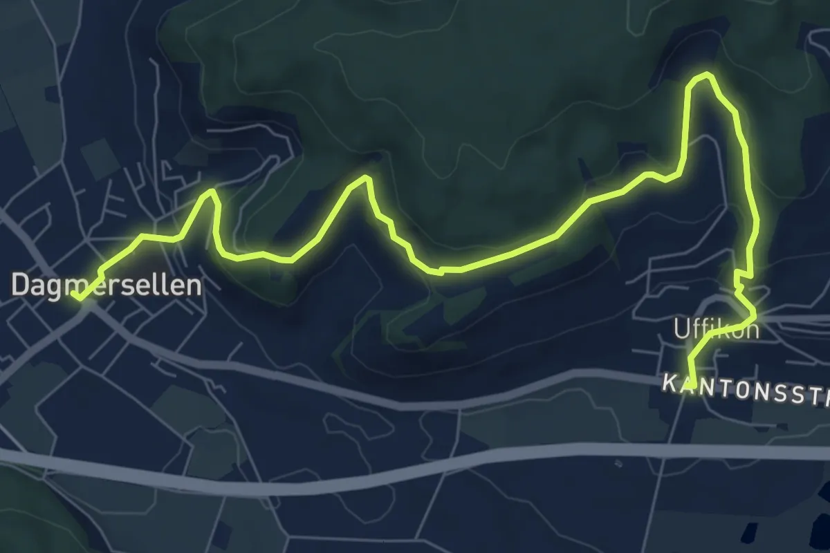
Medium · Trail
Uffikon- Dagmersellen
9.6 km · ↑ 465 m · 3 h 17 min
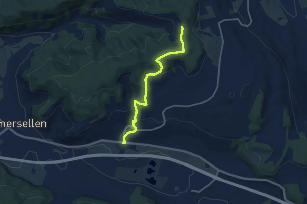
Easy · Trail
Uffikon - Lätten
6.7 km · ↑ 302 m · 2 h 14 min
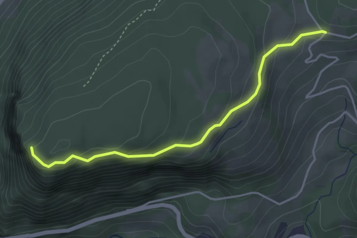
Easy · Trail
Uf Ibrig - Gibelhorn
3.6 km · ↑ 203 m · 1 h 17 min
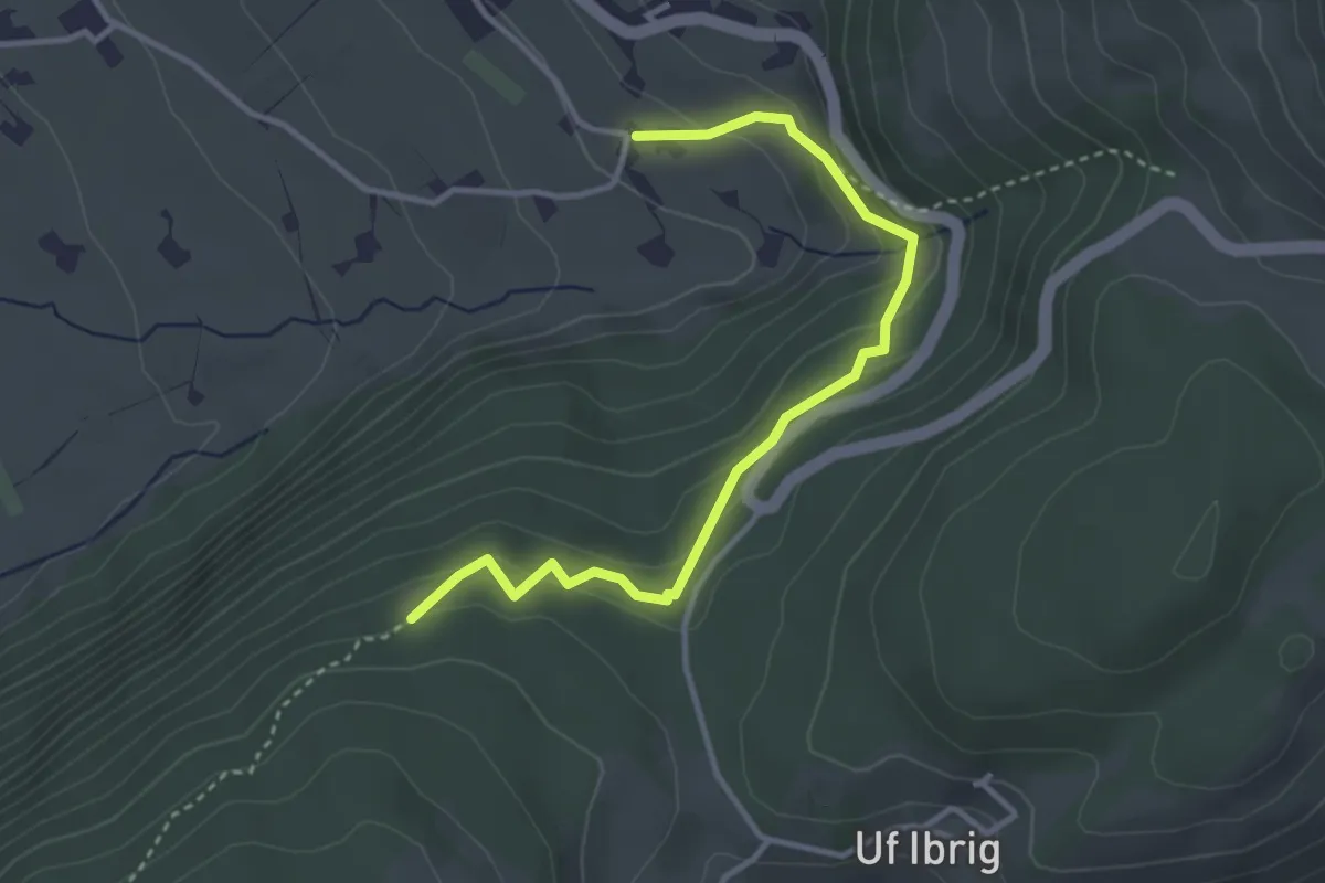
Easy · Trail
Uf Ibrig - Perfiden? - fixme
3.6 km · ↑ 188 m · 1 h 15 min
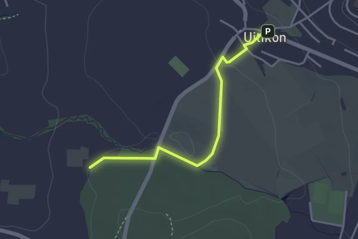
Easy · Trail
Uitikon - Leerbreiti
2.9 km · ↑ 41 m · 46 min
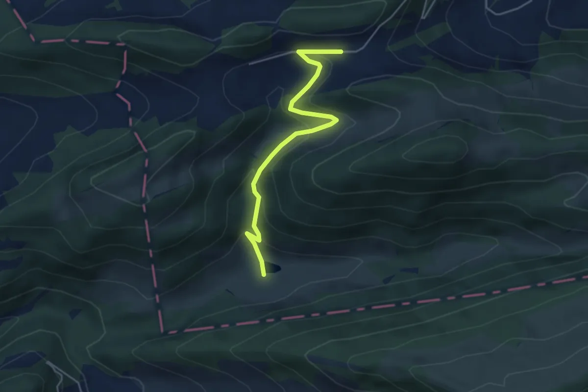
Easy · Trail
Ulmethöhe - Bogental
4.1 km · ↑ 261 m · 1 h 32 min
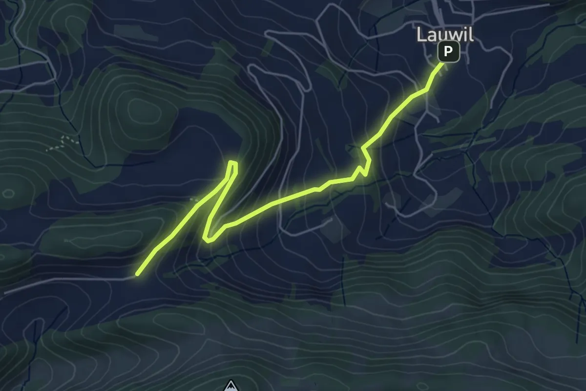
Medium · Trail
Ulmethöhe - fixme
5.1 km · ↑ 359 m · 1 h 59 min
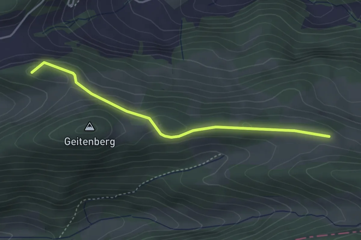
Easy · Summit
Ulmethöhe - Grauboden
3.5 km · ↑ 83 m · 1 h 1 min
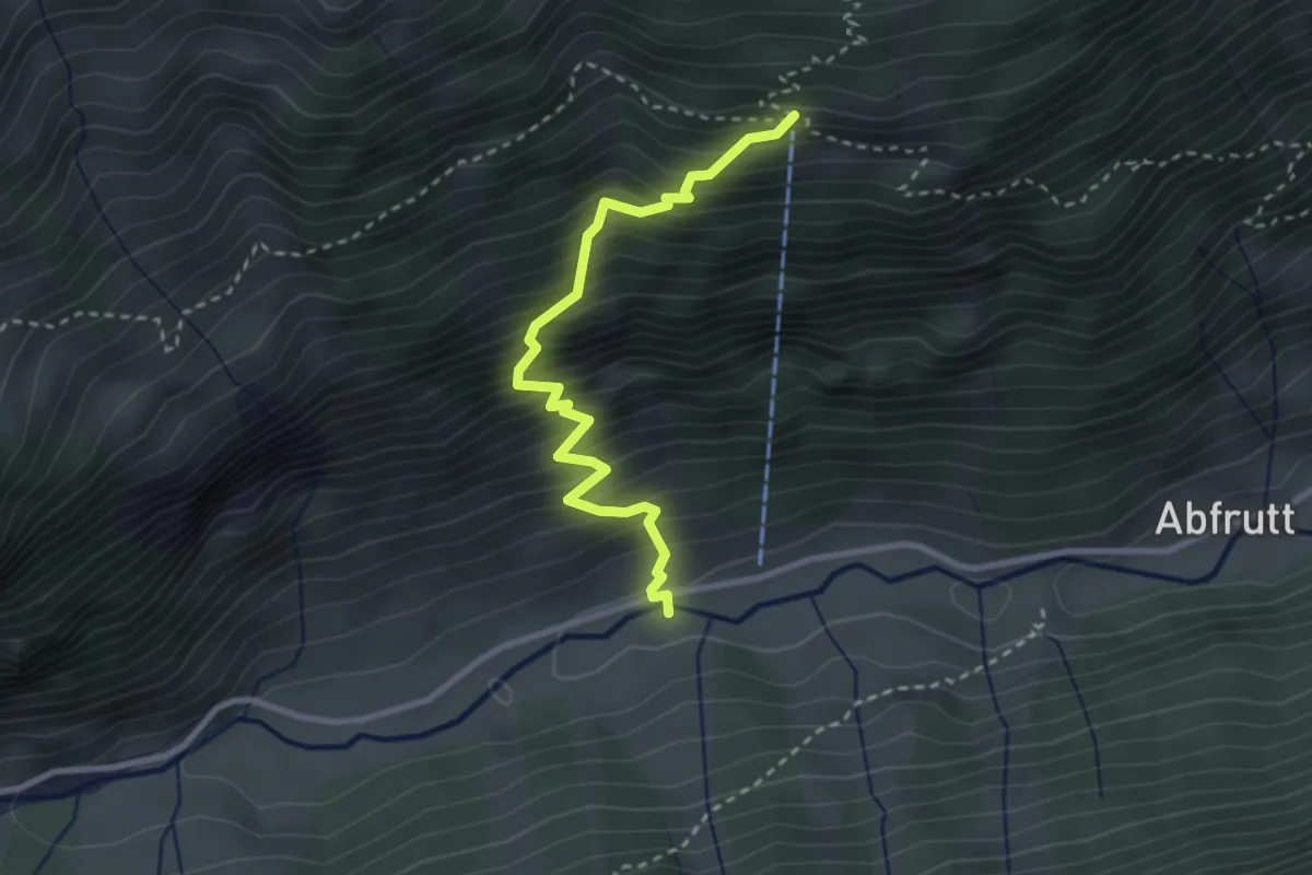
Medium · Trail
Ulmi - Regliberg
2.9 km · ↑ 494 m · 1 h 46 min
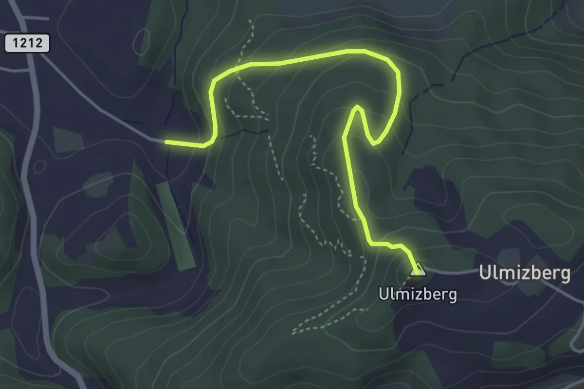
Easy · Summit
Ulmizberg - Platten
4.2 km · ↑ 291 m · 1 h 38 min
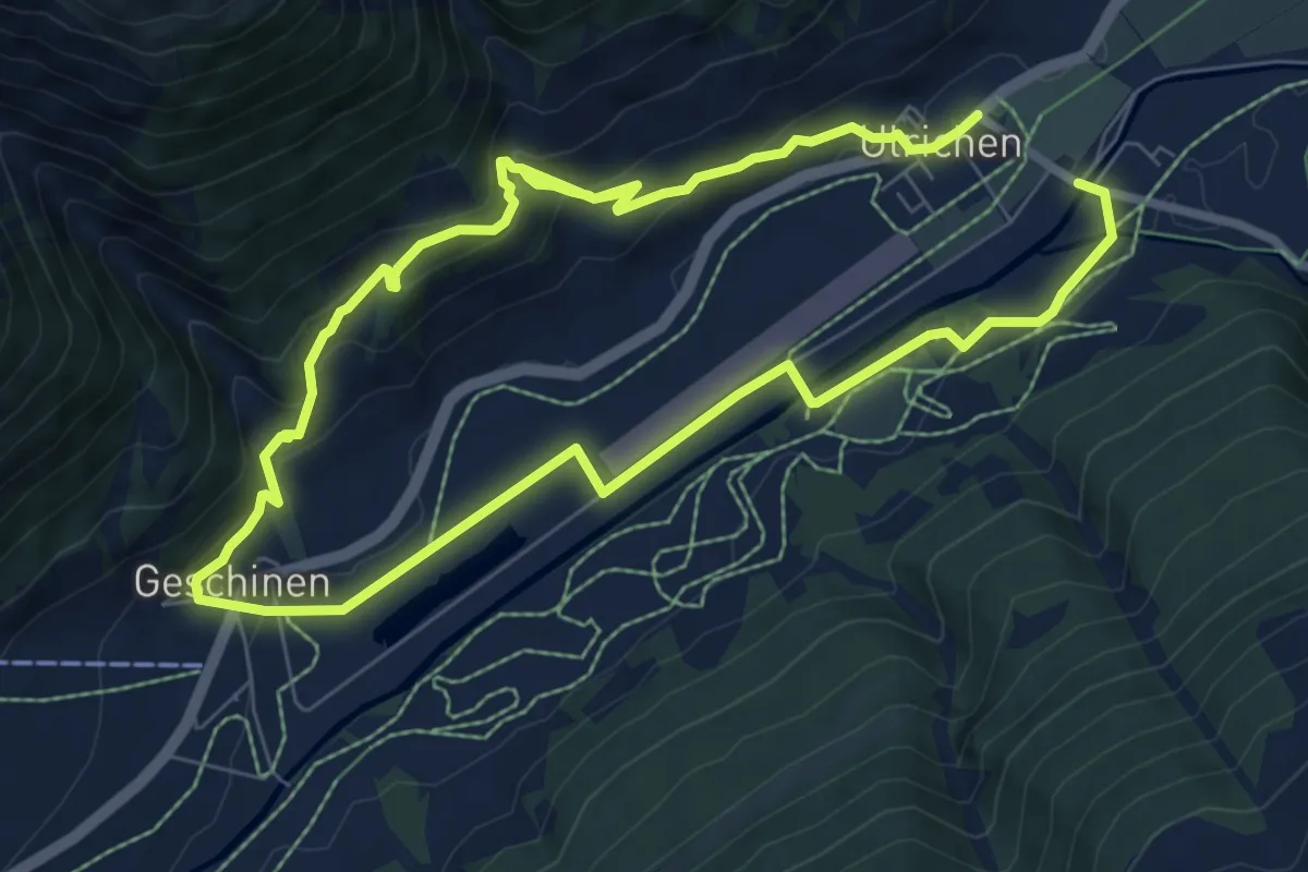
Medium · Trail
Ulrichen - Geschinen
14.7 km · ↑ 632 m · 4 h 50 min
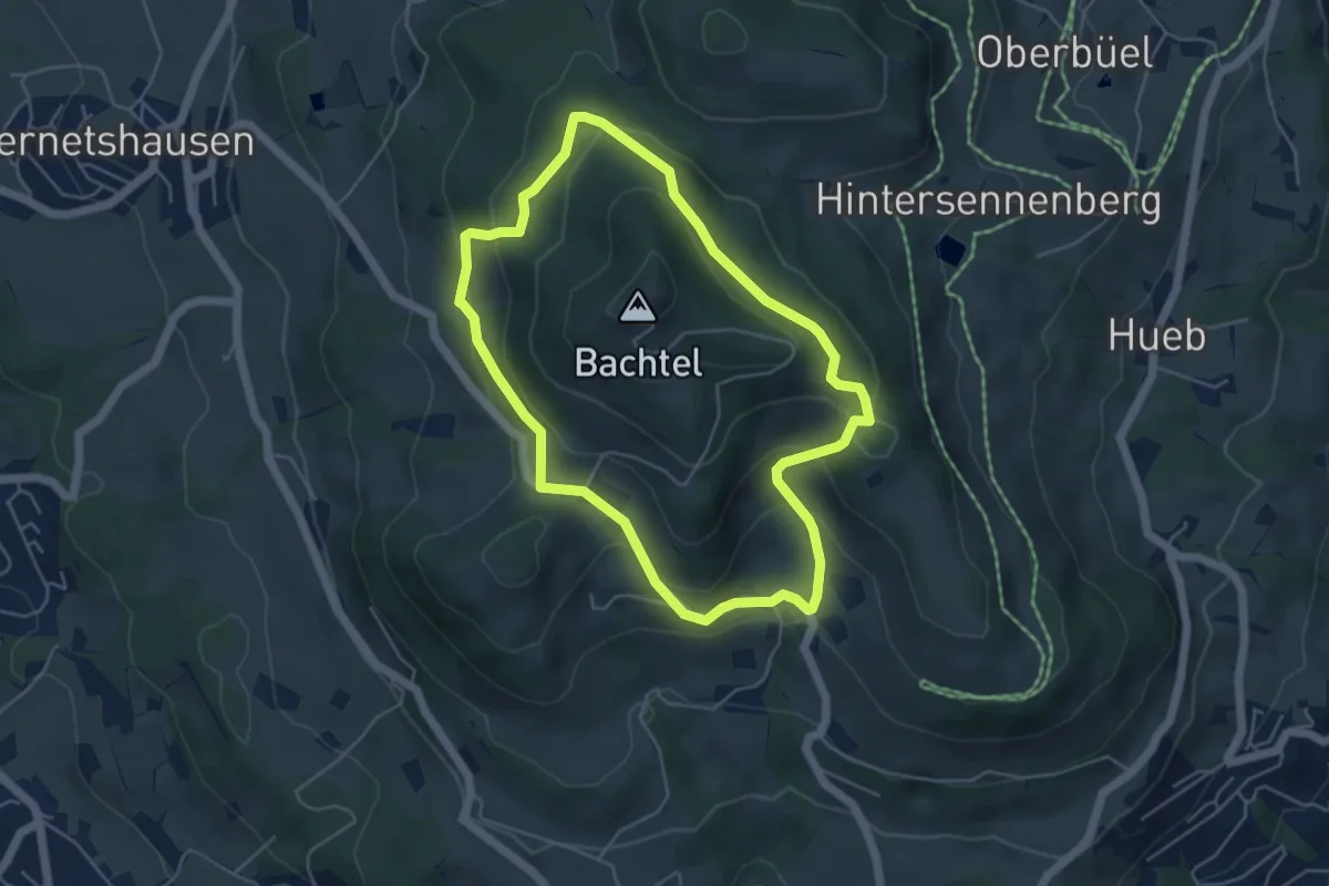
Easy · Summit
Um den Bachtel
4.7 km · ↑ 233 m · 1 h 40 min
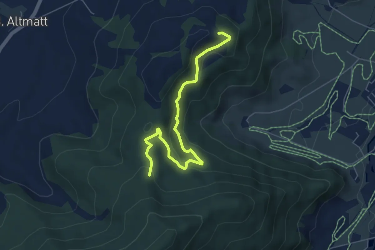
Easy · Trail
Umleitung Chätzer - Schwyzeren bei Schiessgefahr
5.3 km · ↑ 231 m · 1 h 45 min