Trails in Switzerland
15,064 hiking trails, each with its route, climb, walking time and grade.
All trails, page 117 of 314
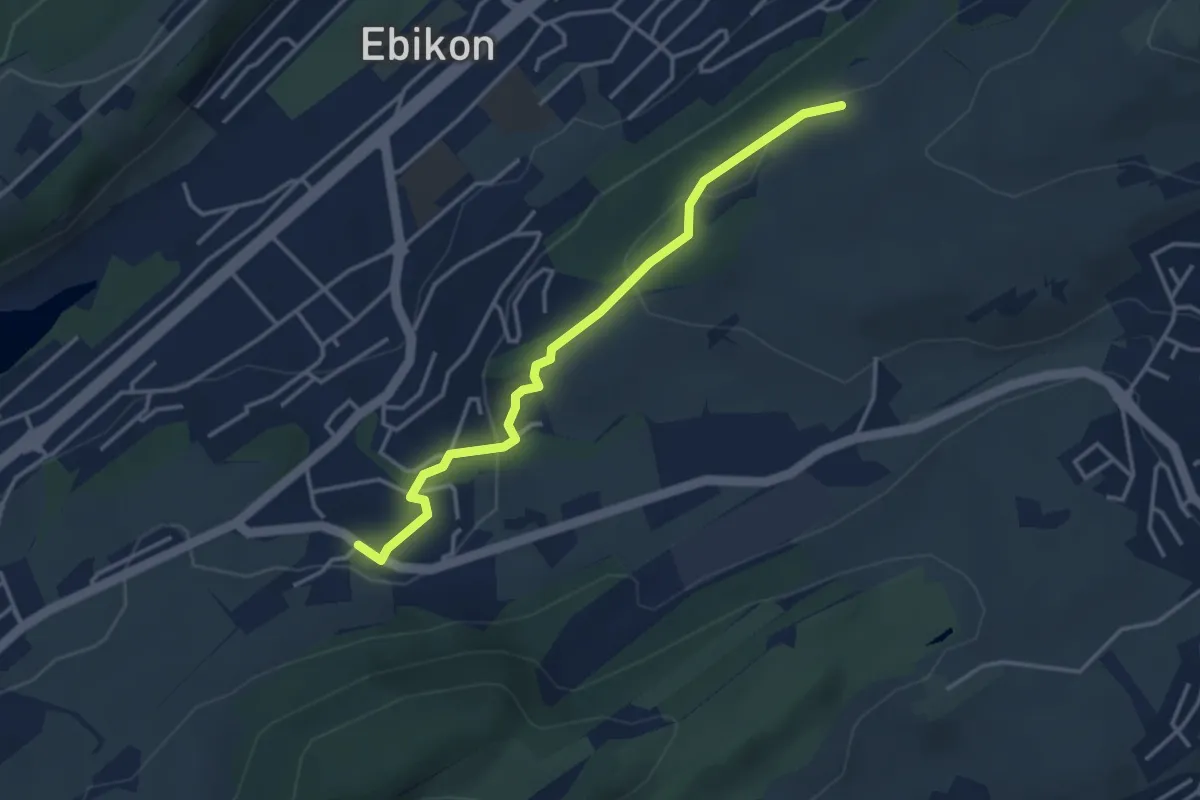
Easy · Trail
Under Äbrüti - Schlössli
3.5 km · ↑ 113 m · 1 h 5 min
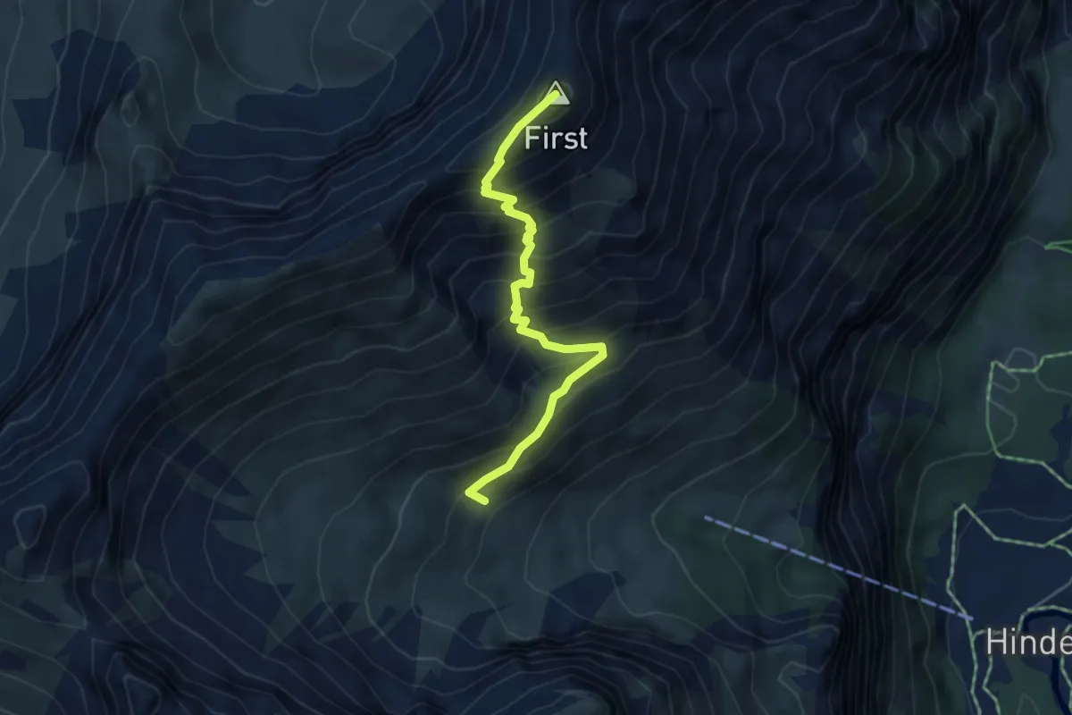
Medium · Summit
Undere Allme - First - Stand
4.4 km · ↑ 593 m · 2 h 20 min
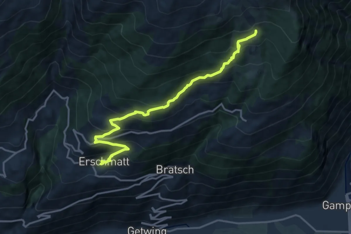
Medium · Trail
Underi Fäsilalpu Erschmatt
10.5 km · ↑ 791 m · 4 h 12 min
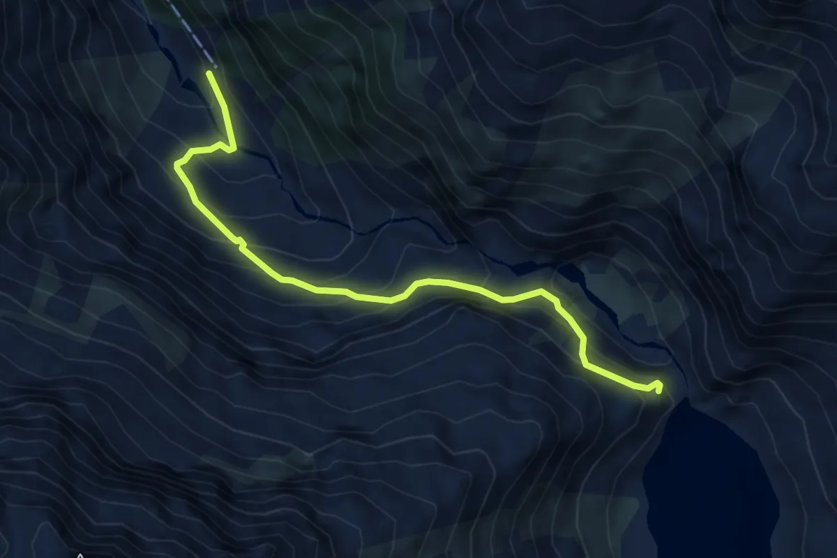
Medium · Trail
Underi Trift - Triftbrücke
5.3 km · ↑ 605 m · 2 h 34 min
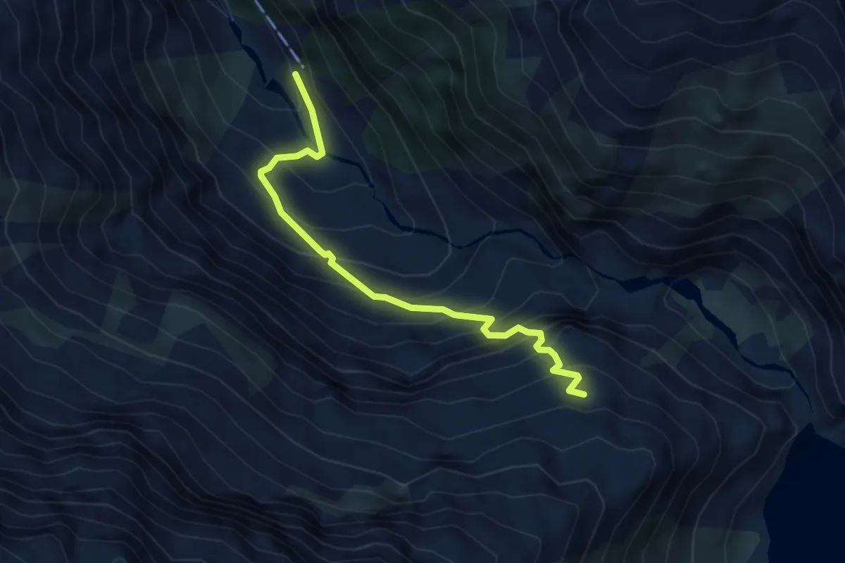
Medium · Cabin
Underi Trift - Windegghütte
4.2 km · ↑ 518 m · 2 h 6 min
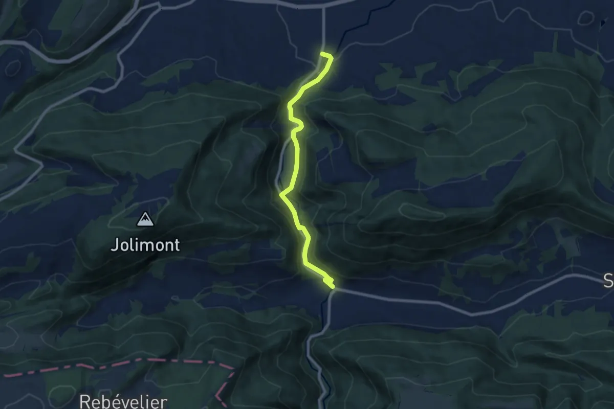
Easy · Trail
Undervelier - Berlincourt
7.2 km · ↑ 281 m · 2 h 19 min
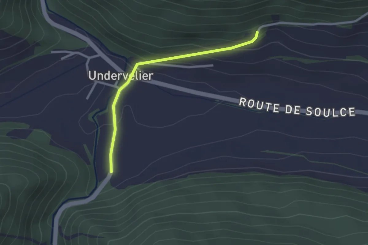
Easy · Trail
Undervelier - fixme
2.1 km · ↑ 102 m · 43 min
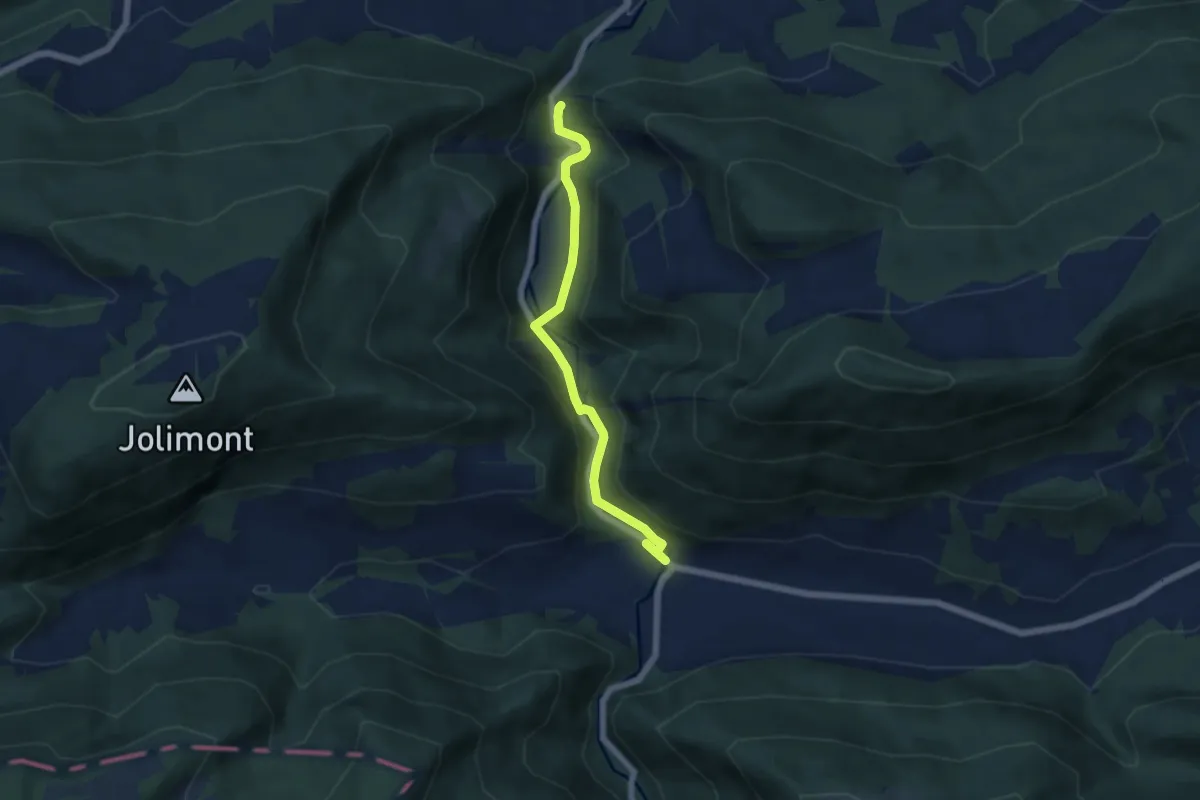
Easy · Trail
Undervelier - fixme
5.4 km · ↑ 236 m · 1 h 47 min
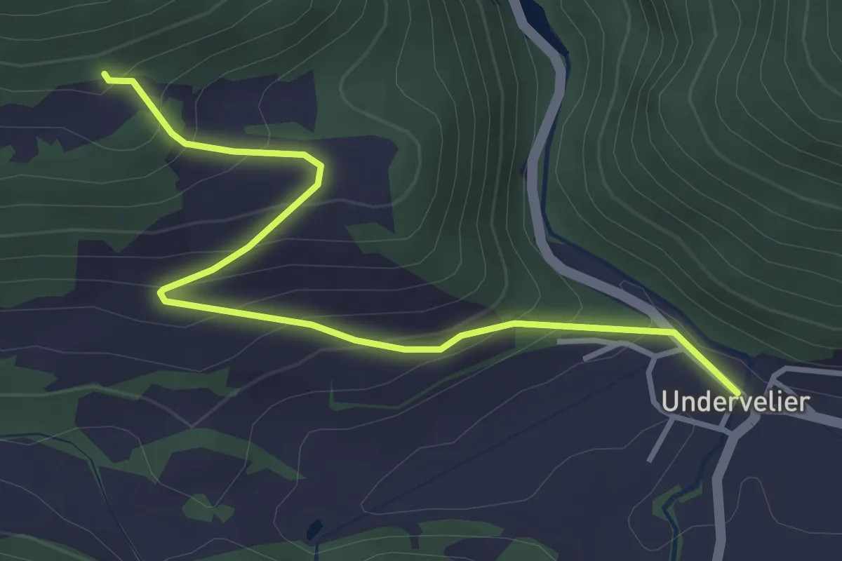
Easy · Trail
Undervelier - fixme
3.7 km · ↑ 249 m · 1 h 25 min
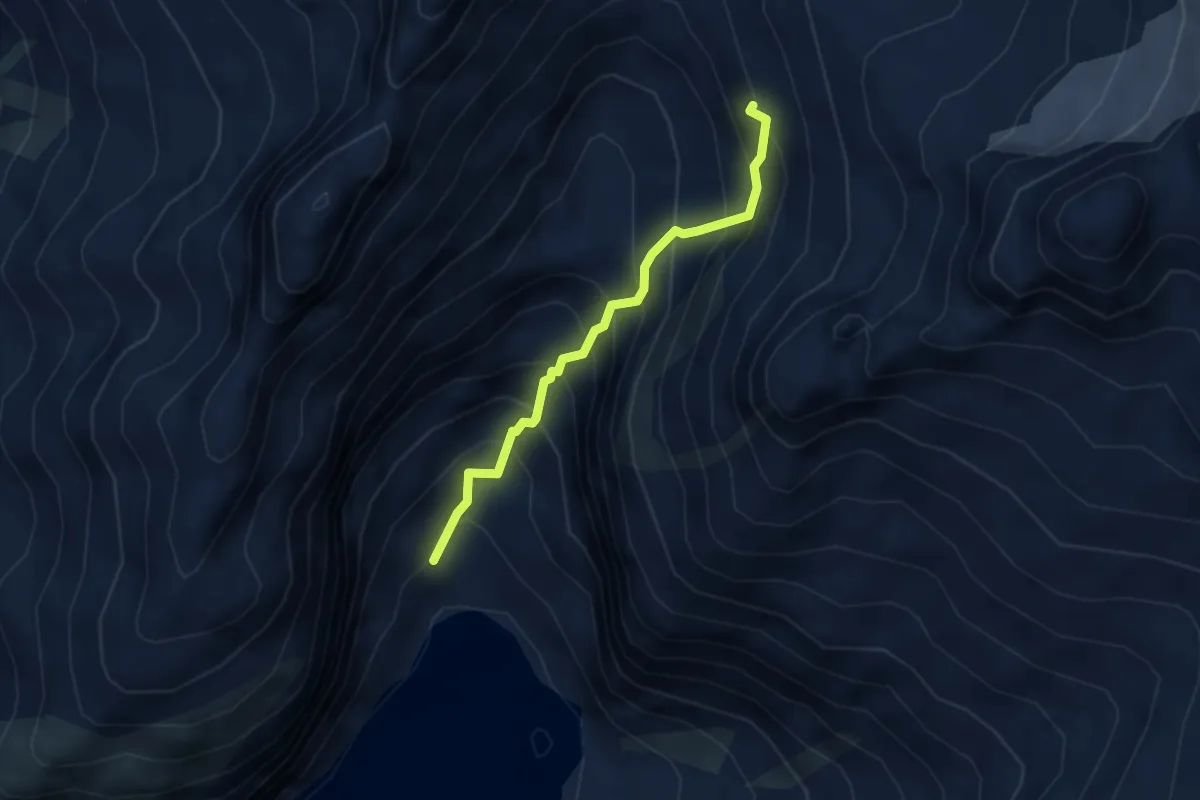
Medium · Cabin
Undrists Diechter - Gelmer Hütte
3.0 km · ↑ 529 m · 1 h 51 min
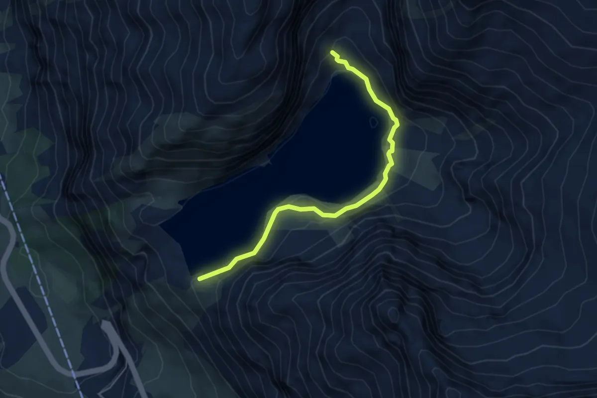
Demanding · Trail
Undrists Diechter - Gelmersee
4.7 km · ↑ 156 m · 1 h 27 min
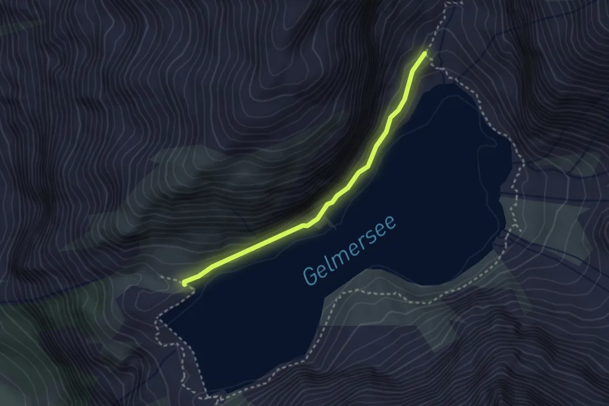
Demanding · Trail
Undrists Diechter - Gelmersee
2.7 km · ↑ 92 m · 50 min
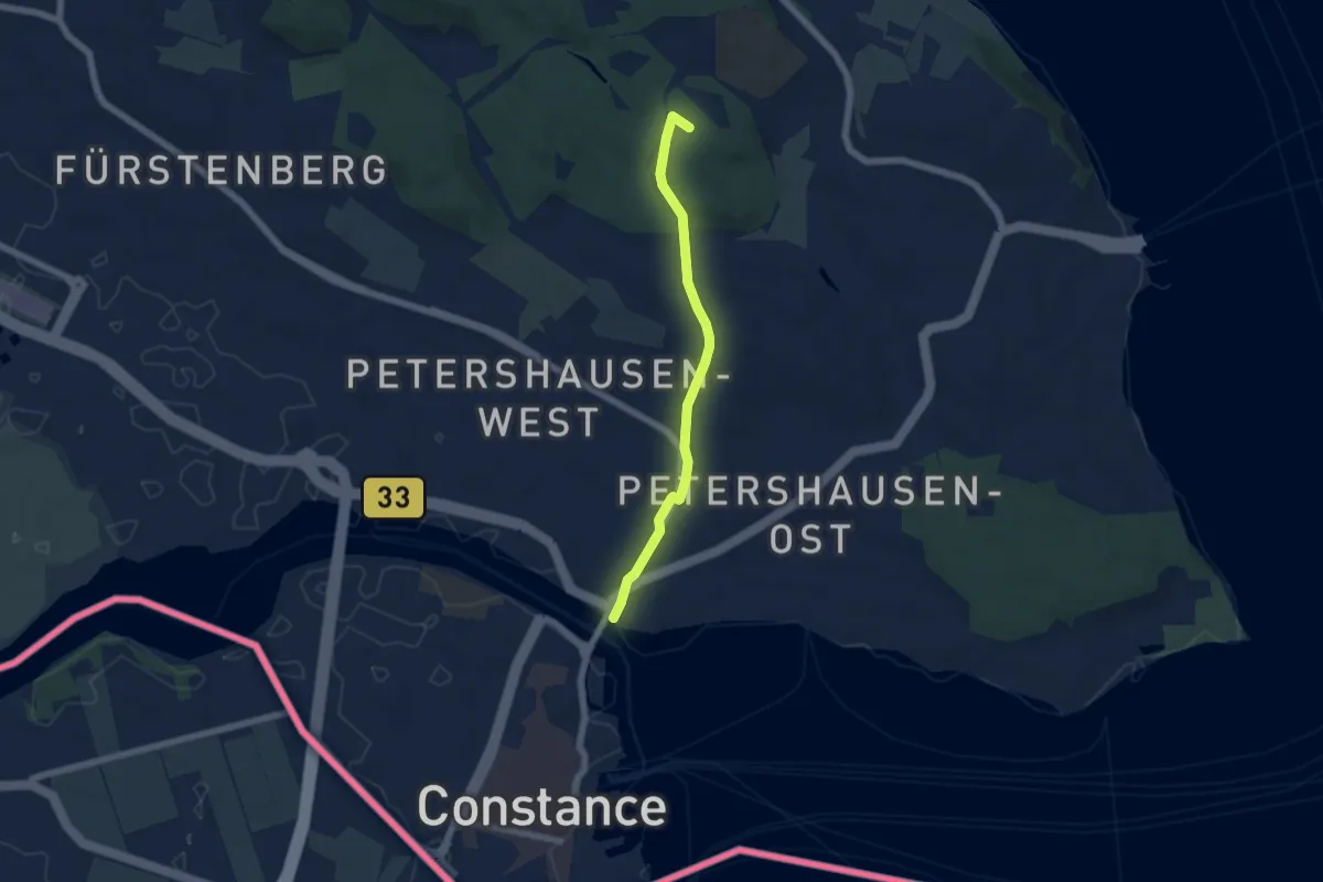
Easy · Summit
Uni Haupteingang - Konstanz Rheinbrücke Nord
5.1 km · ↑ 62 m · 1 h 21 min
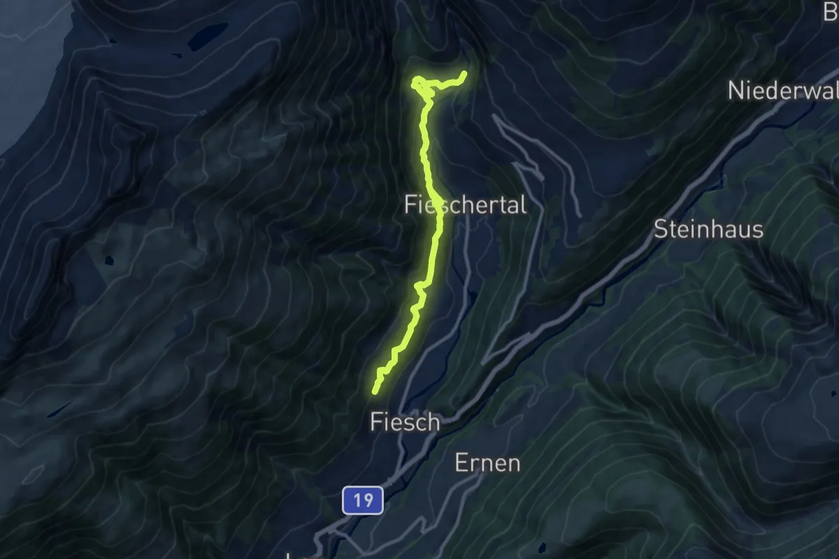
Medium · Trail
Unnerbärg - Fiesch
10.8 km · ↑ 703 m · 4 h 5 min
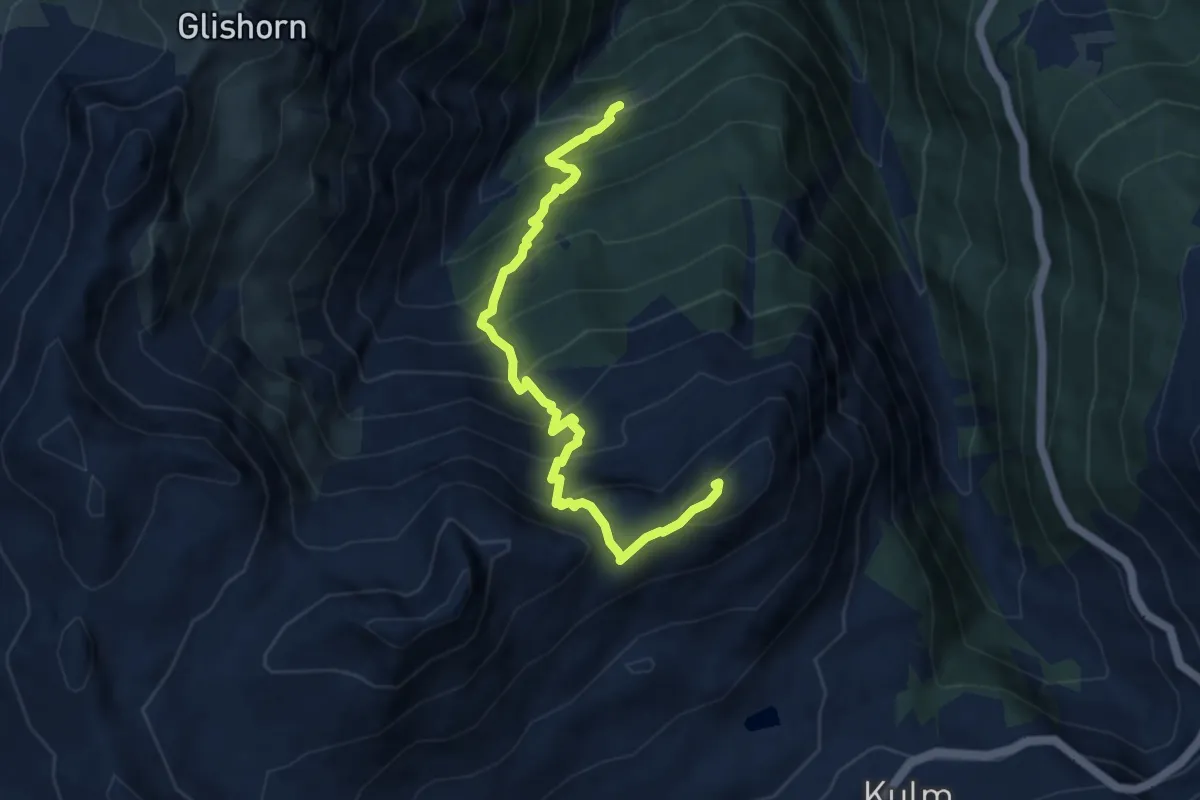
Demanding · Summit
Unners Nesseltal - Staldhorn
8.1 km · ↑ 998 m · 4 h 5 min
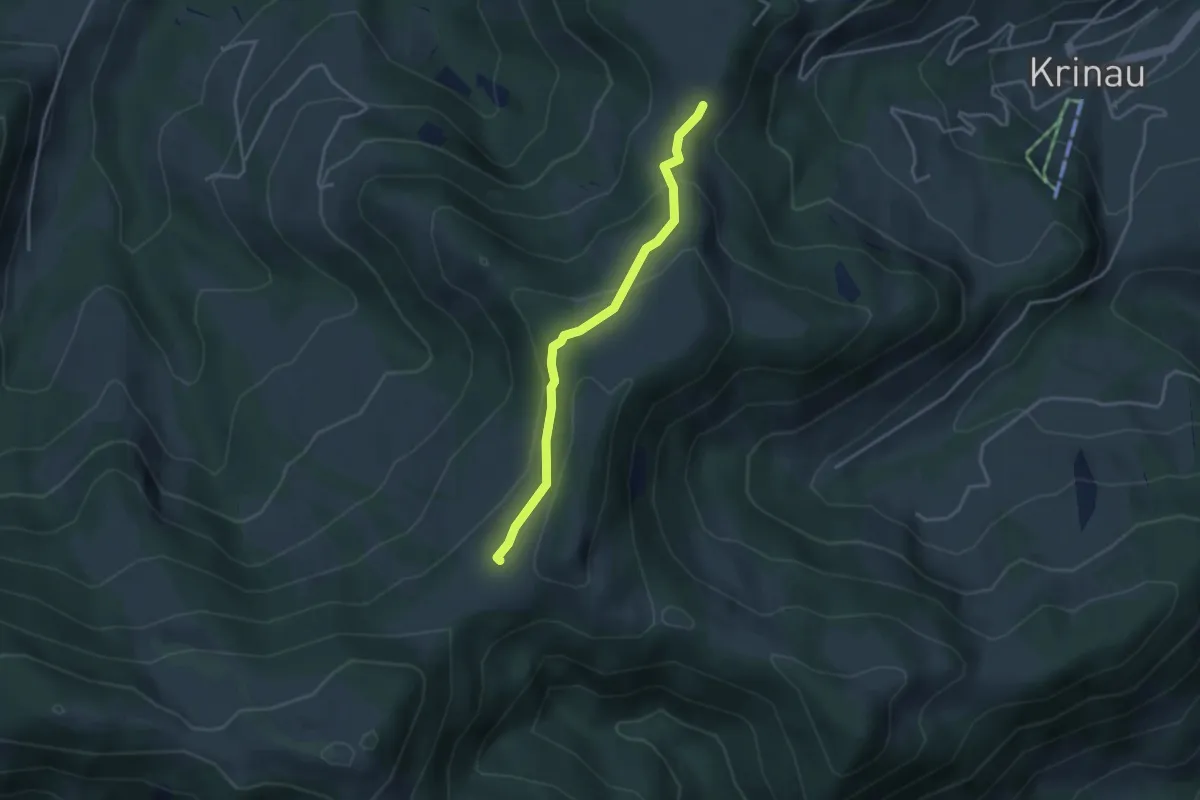
Easy · Cabin
Unter Alpli - Schwämmli
3.3 km · ↑ 142 m · 1 h 6 min
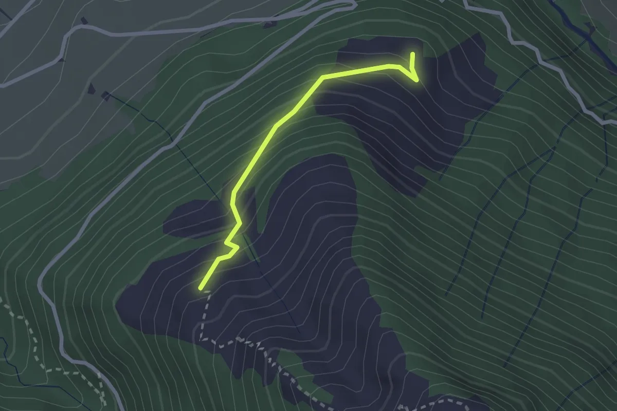
Easy · Trail
Unter Büelen - Barfeld
2.0 km · ↑ 237 m · 1 h
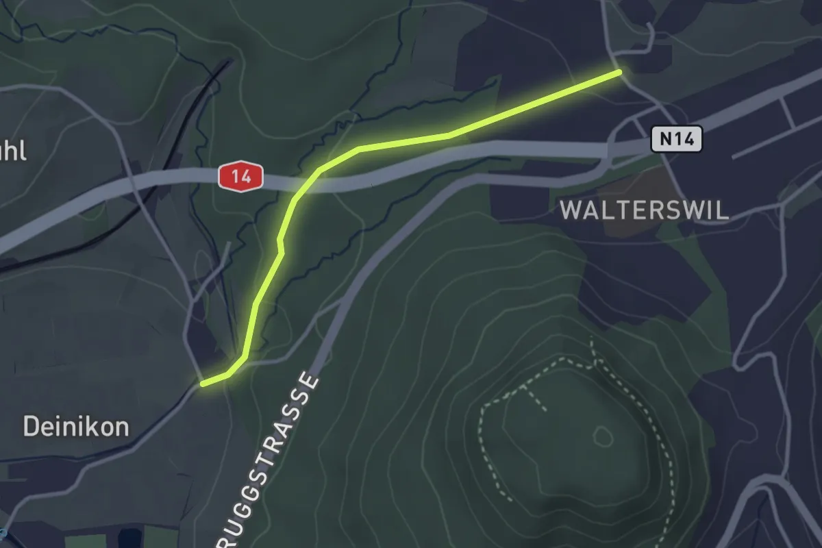
Easy · Trail
Unter Büessikon-Deinikon
2.9 km · ↑ 73 m · 50 min
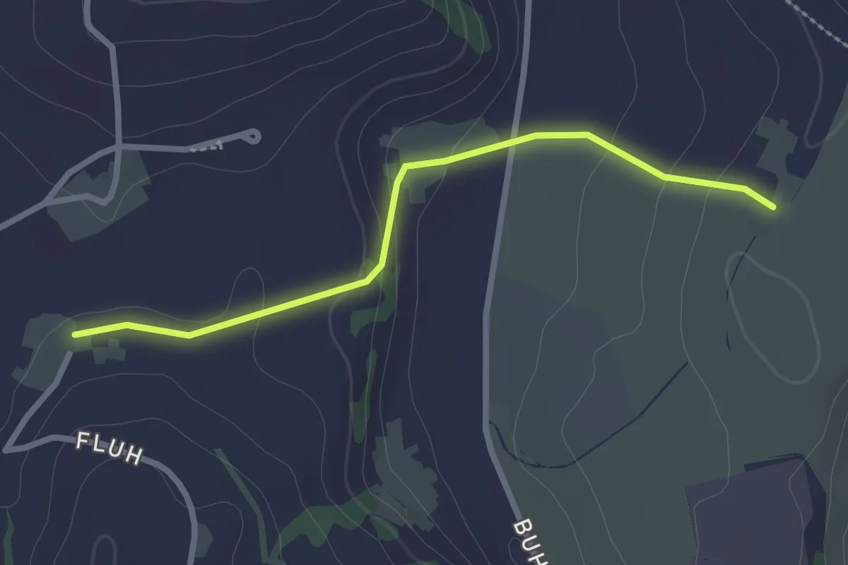
Easy · Trail
Unter Chriesbaumen - Burg
2.4 km · ↑ 74 m · 44 min
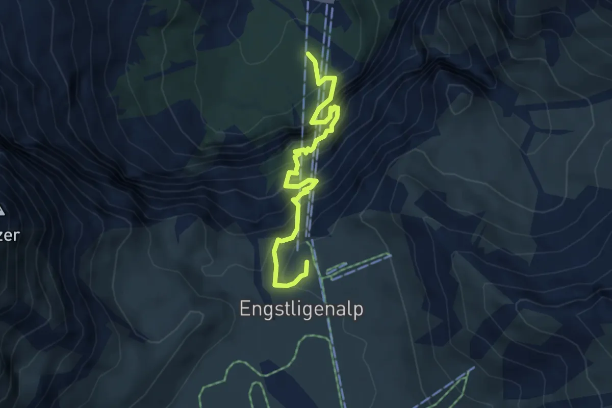
Medium · Trail
Unter dem Birg - Engstligenalp
4.5 km · ↑ 735 m · 2 h 40 min
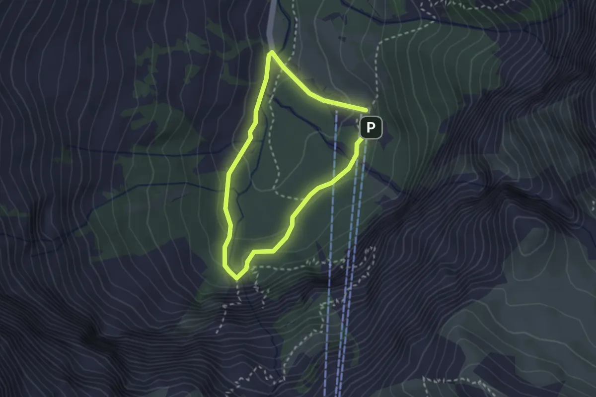
Easy · Trail
Unter dem Birg - Engstligenfall
2.1 km · ↑ 93 m · 43 min
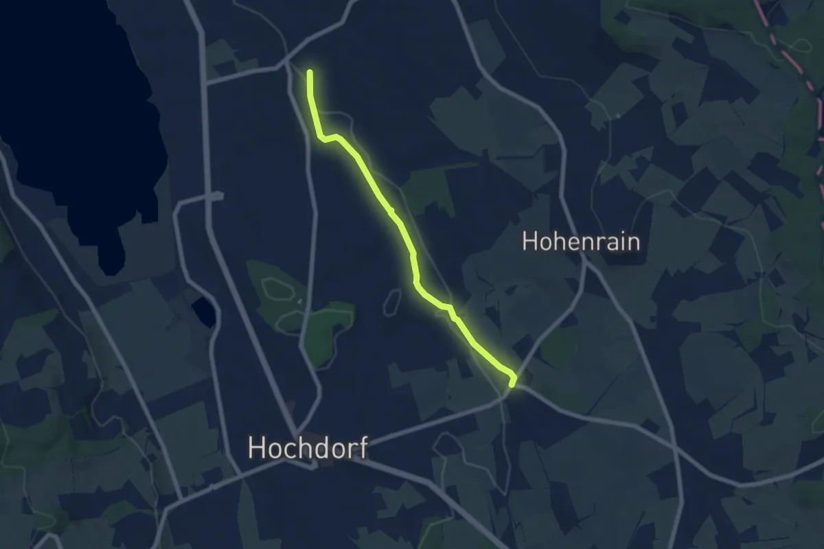
Easy · Trail
Unterebersol - Ferren
5.7 km · ↑ 55 m · 1 h 28 min
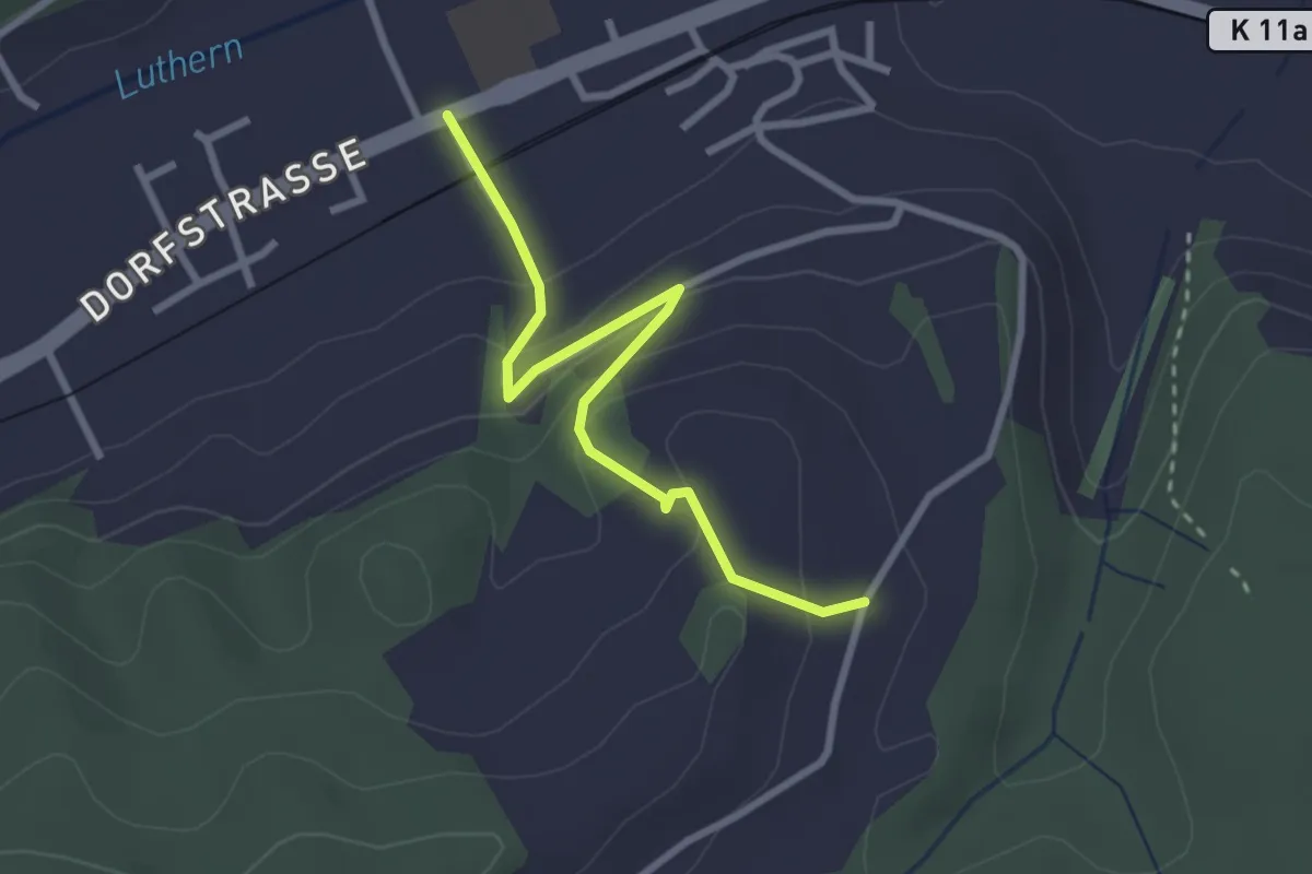
Easy · Trail
Unteregg - Gettnau
2.8 km · ↑ 129 m · 56 min
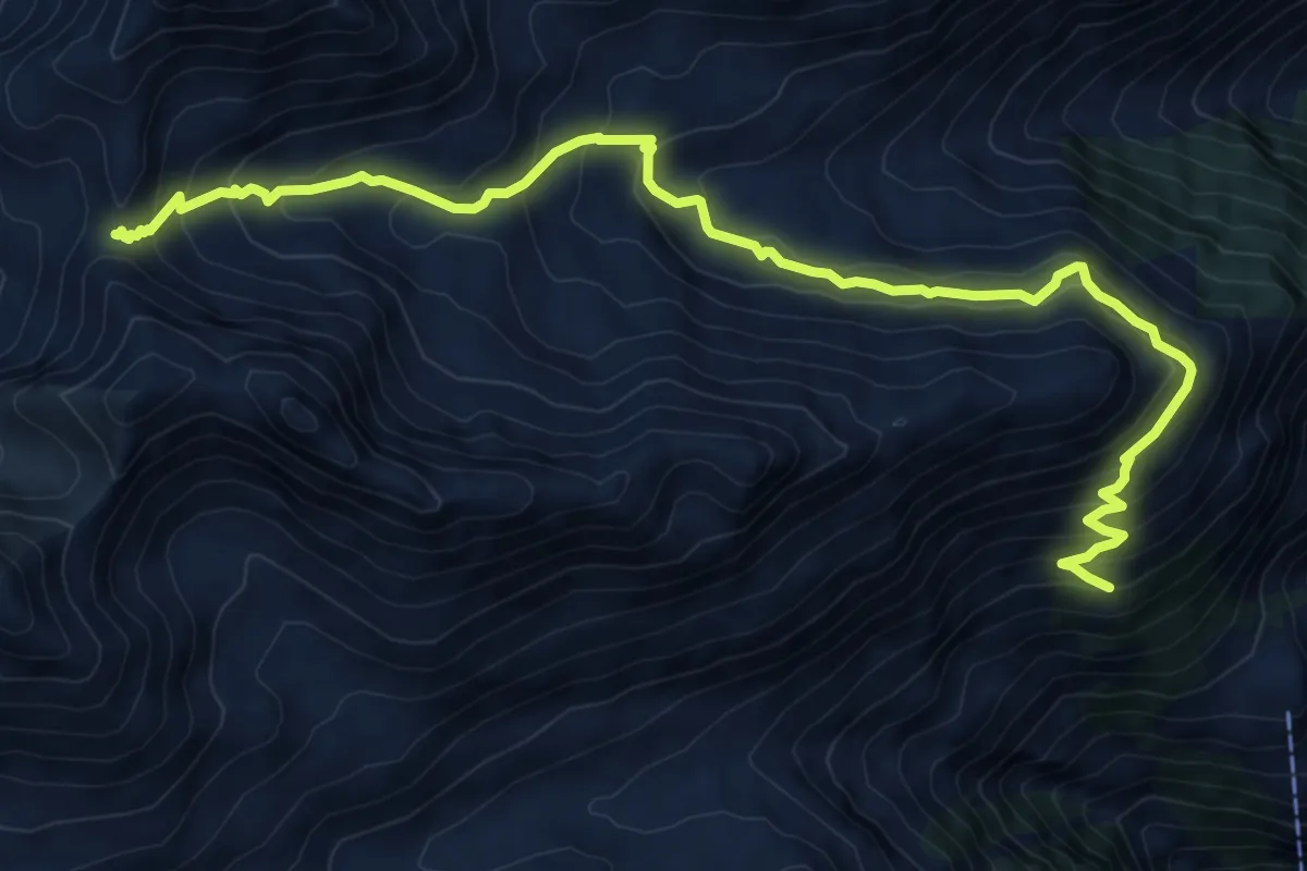
Demanding · Trail
Untere Läger-Augstbordpass
10.8 km · ↑ 790 m · 4 h 16 min
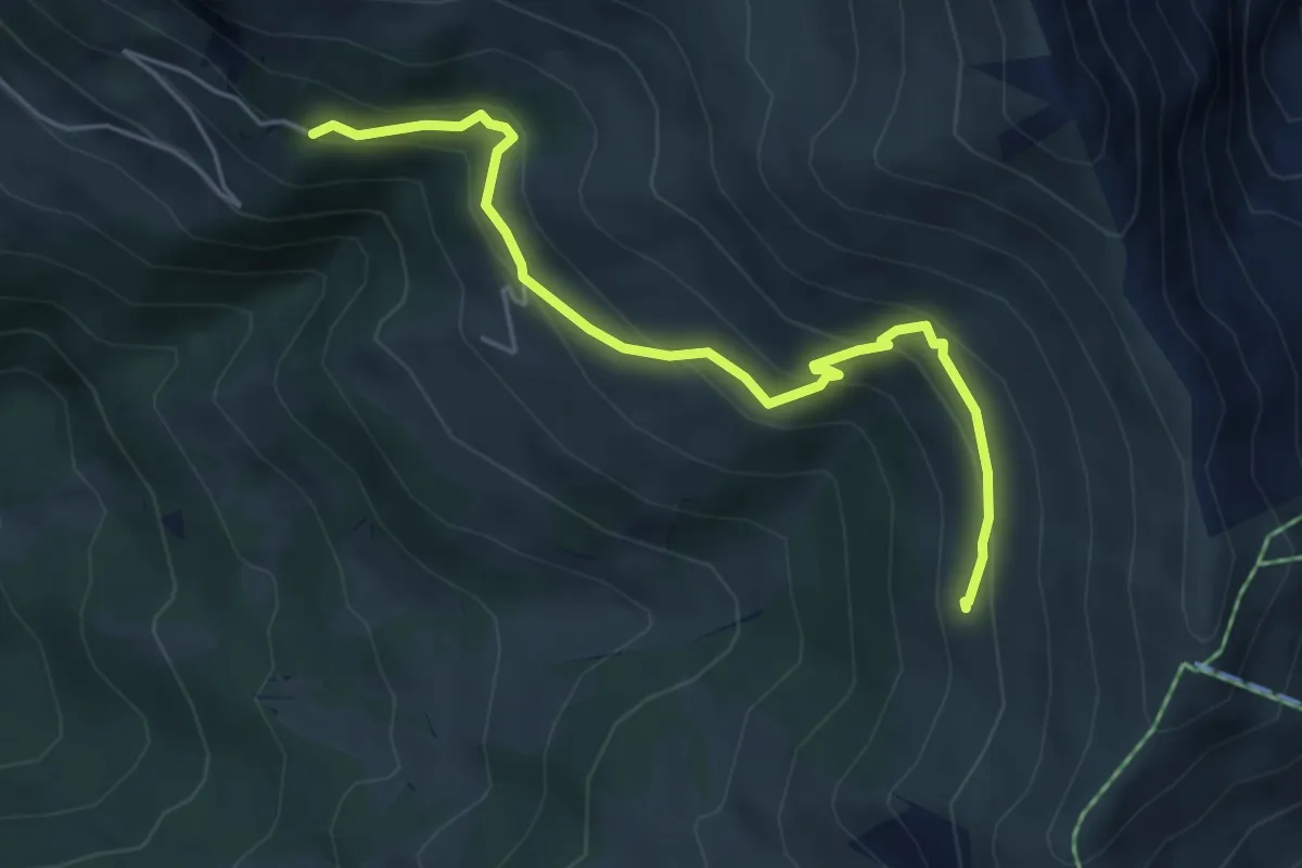
Medium · Trail
Untere Lavey - Laubbärgli
5.1 km · ↑ 341 m · 1 h 57 min
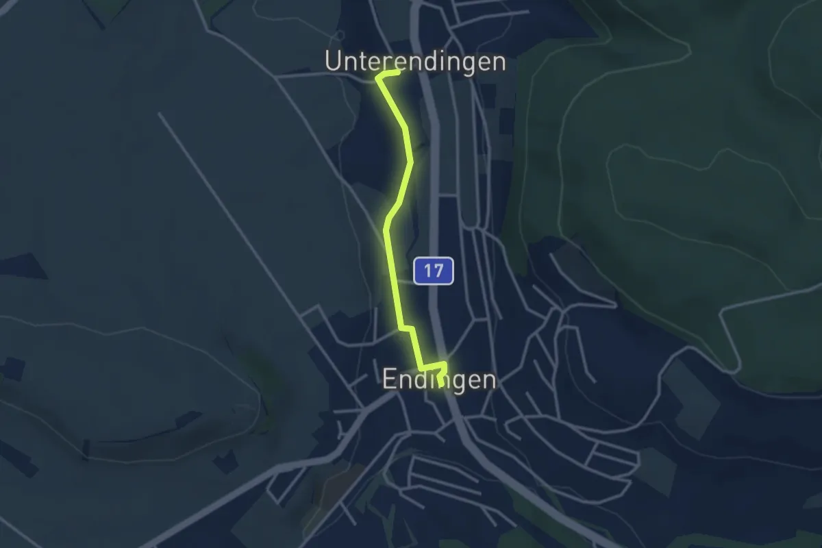
Easy · Trail
Unterendingen - Endingen
2.5 km · ↑ 9 m · 36 min
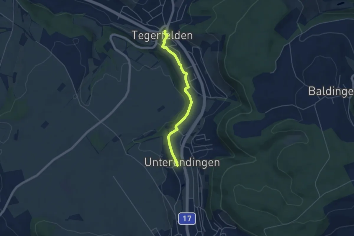
Easy · Trail
Unterendingen - Tegerfelden
4.0 km · ↑ 47 m · 1 h 3 min
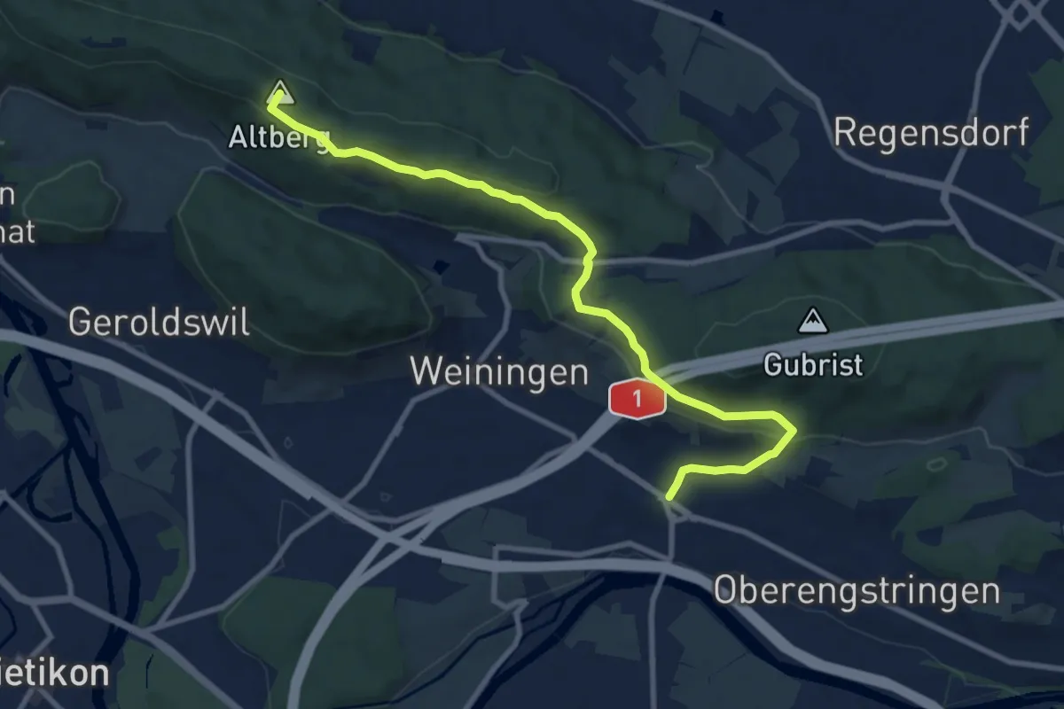
Medium · Summit
Unterengstringen - Altberg
9.6 km · ↑ 372 m · 3 h 4 min
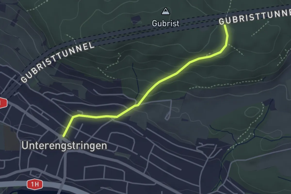
Easy · Trail
Unterengstringen - Glaubeneich
3.4 km · ↑ 169 m · 1 h 10 min
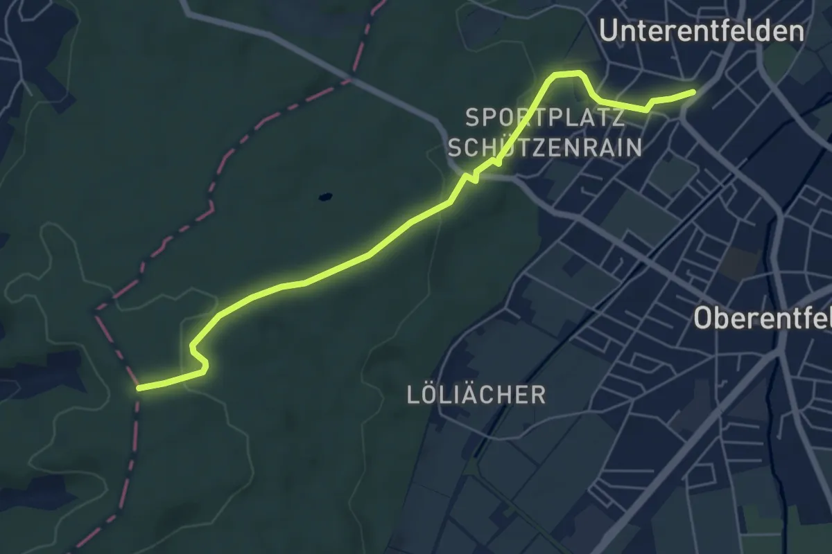
Easy · Trail
Unterentfelden Oberdorf - Im Tann
5.9 km · ↑ 93 m · 1 h 35 min
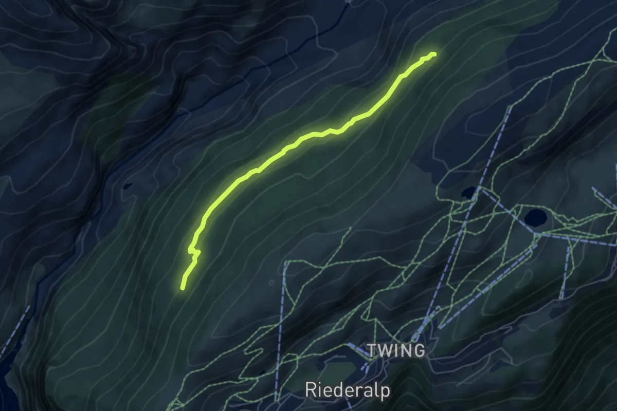
Demanding · Trail
Unterer Aletschweg
5.3 km · ↑ 234 m · 1 h 46 min
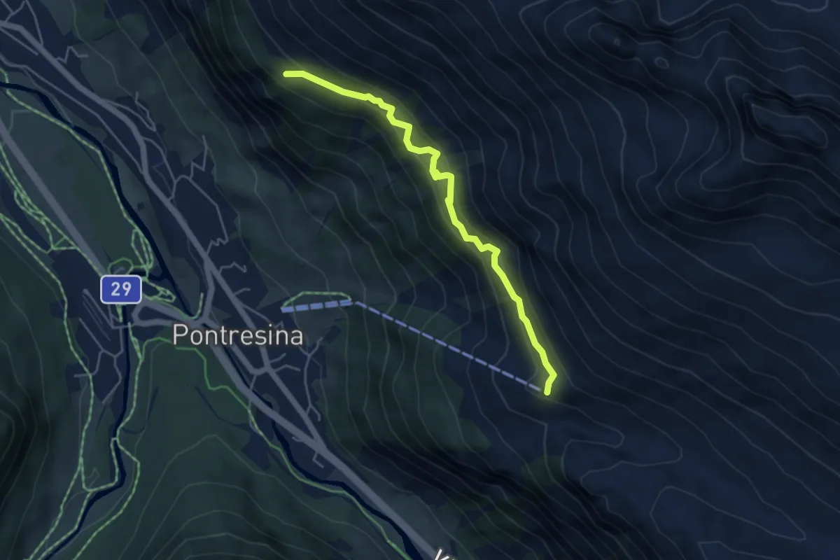
Medium · Cabin
Unterer Schafberg - Bergstation Alp Languard
4.6 km · ↑ 360 m · 1 h 52 min
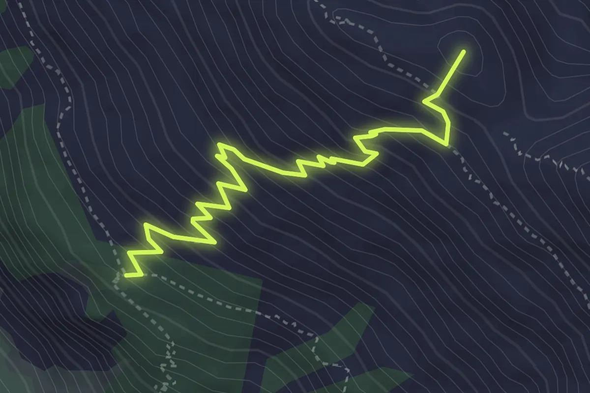
Medium · Summit
Unterer Schafberg - Chna. Segantini
4.3 km · ↑ 512 m · 2 h 7 min
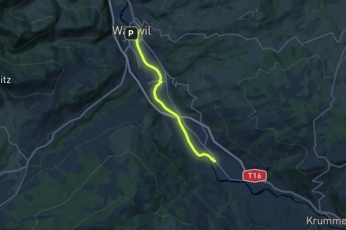
Medium · Trail
Unterer Thurweg
11.1 km · ↑ 17 m · 2 h 40 min
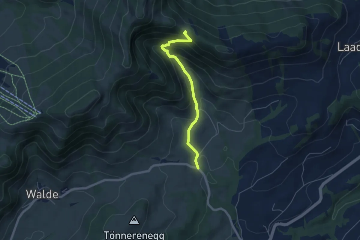
Medium · Trail
Untere Tweralp-Bodenwis
4.5 km · ↑ 306 m · 1 h 43 min
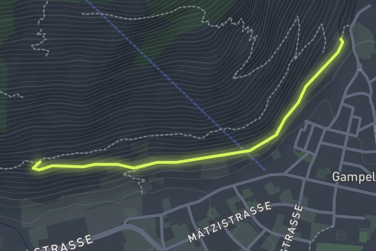
Easy · Trail
Untere Wasserleitung
2.4 km · ↑ 82 m · 45 min
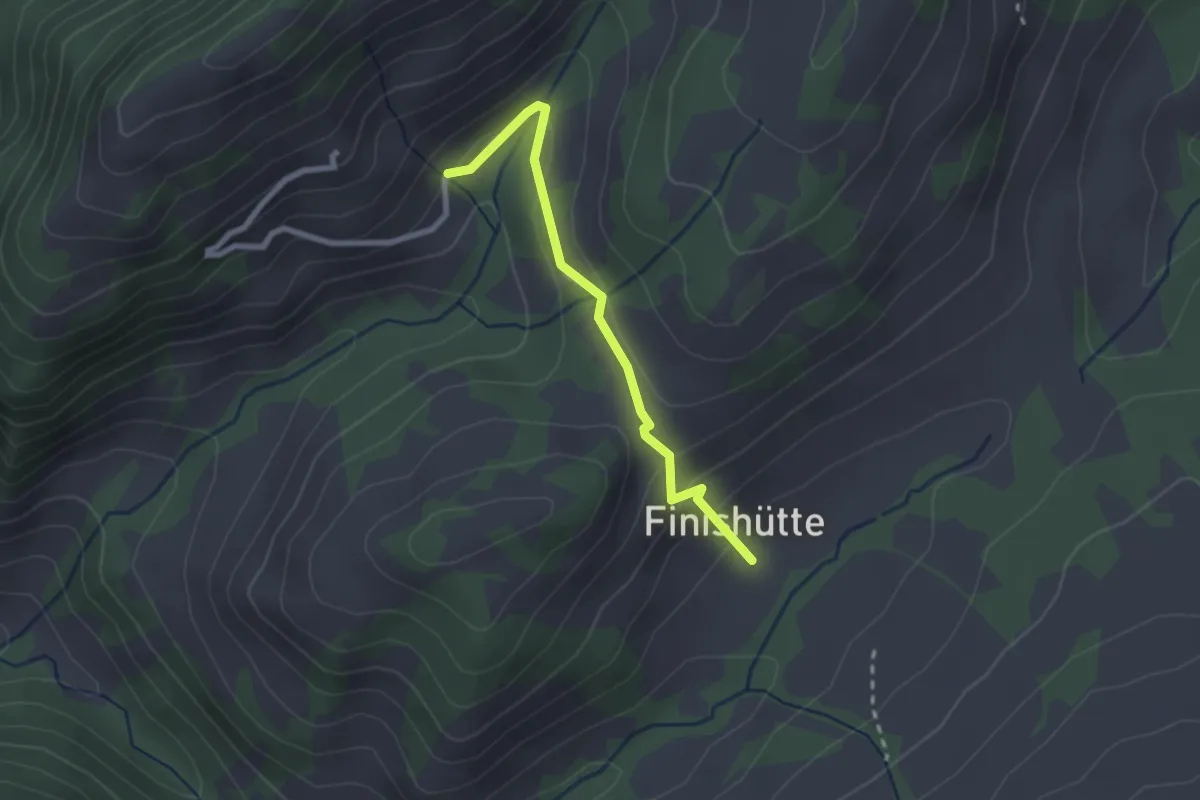
Easy · Trail
Unter Farneren - Finishütte
2.3 km · ↑ 138 m · 50 min
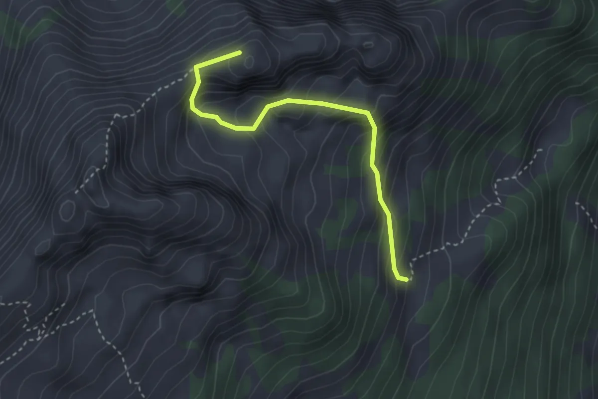
Medium · Summit
Unter Gummen - fixme
3.0 km · ↑ 352 m · 1 h 28 min
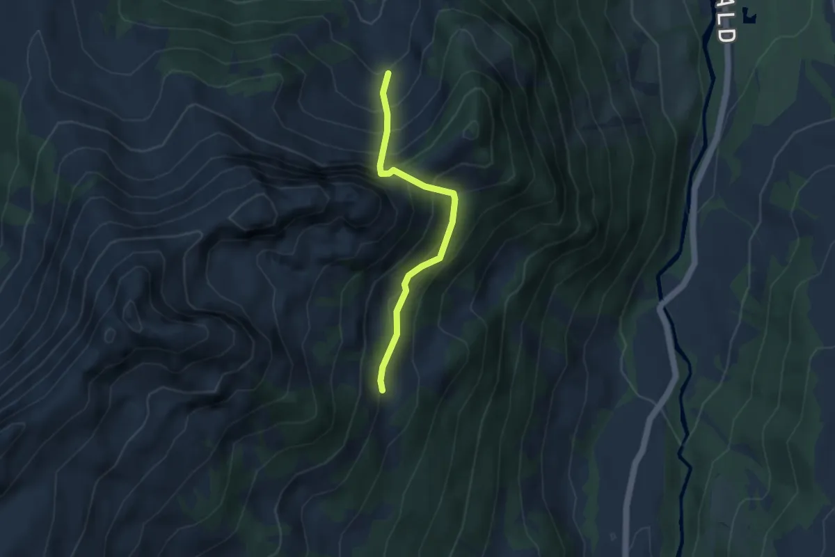
Medium · Trail
Unter Gummen - fixme
3.2 km · ↑ 394 m · 1 h 37 min
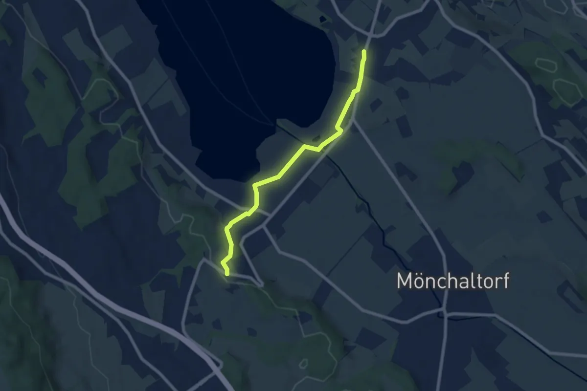
Easy · Trail
Unterhalden - Riedikon
5.8 km · ↑ 64 m · 1 h 30 min
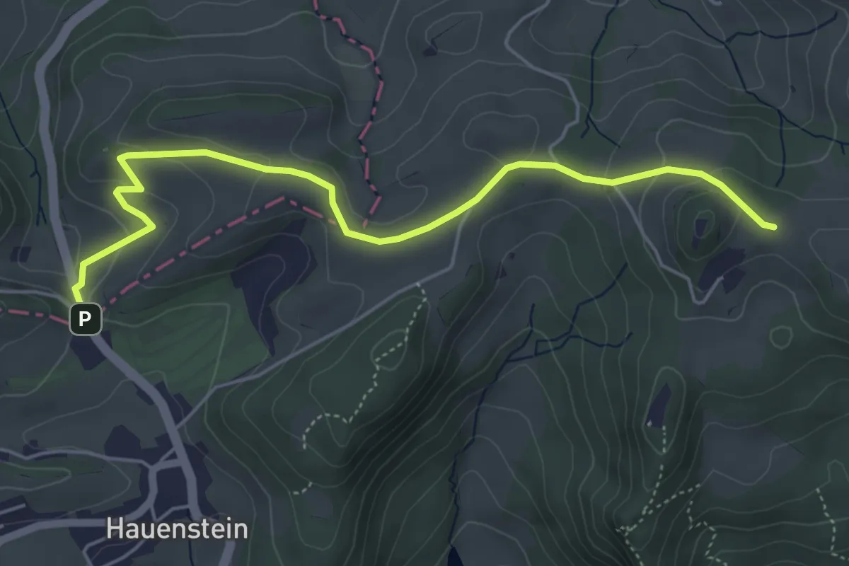
Easy · Trail
Unter Hauenstein - Frohburg
5.5 km · ↑ 188 m · 1 h 42 min
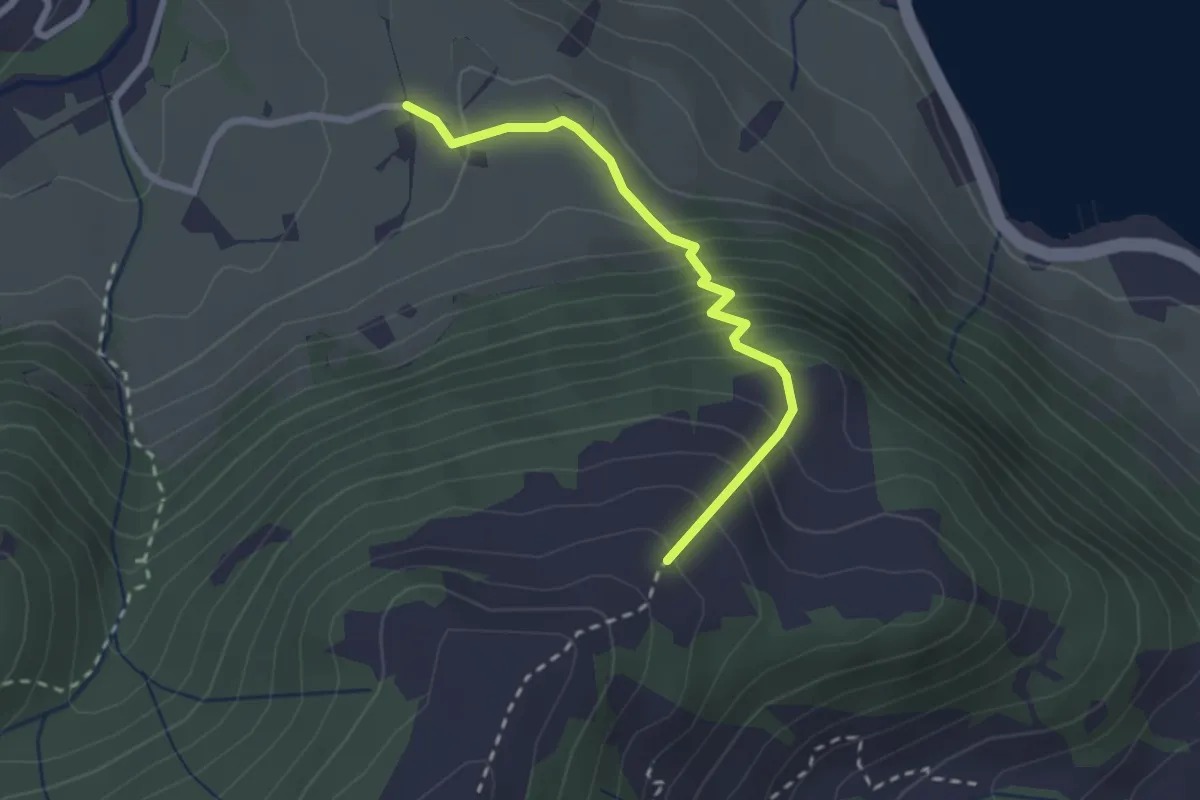
Demanding · Trail
Unter Hummel - Rotmoos
2.3 km · ↑ 271 m · 1 h 8 min
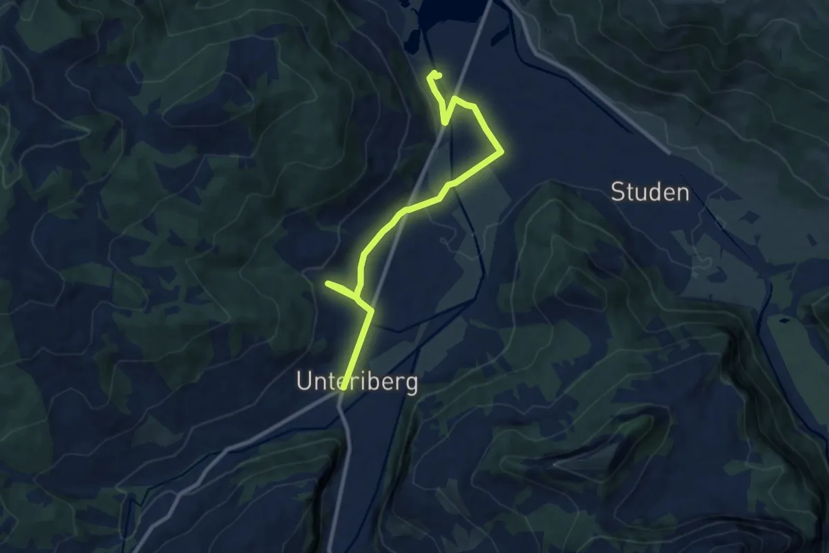
Medium · Trail
Unteriberg-Stöcken - Minsterbrücke
9.3 km · ↑ 125 m · 2 h 28 min
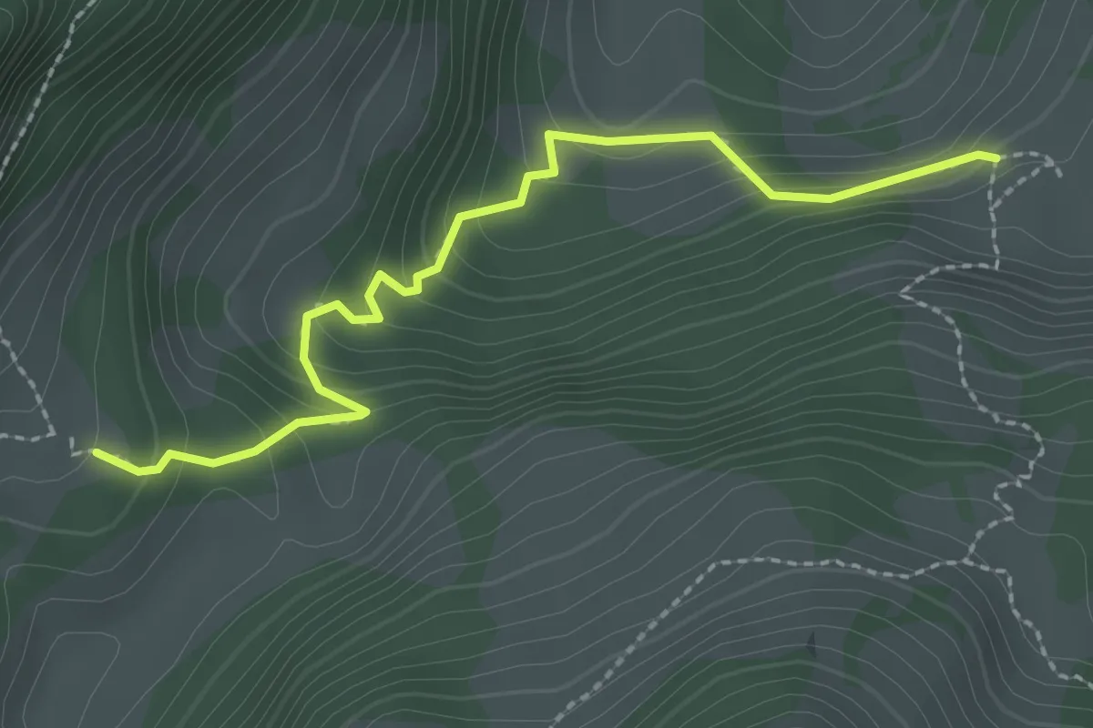
Easy · Cabin
Unteri (Steinigi) Rippa - fixme
2.5 km · ↑ 203 m · 1 h 1 min
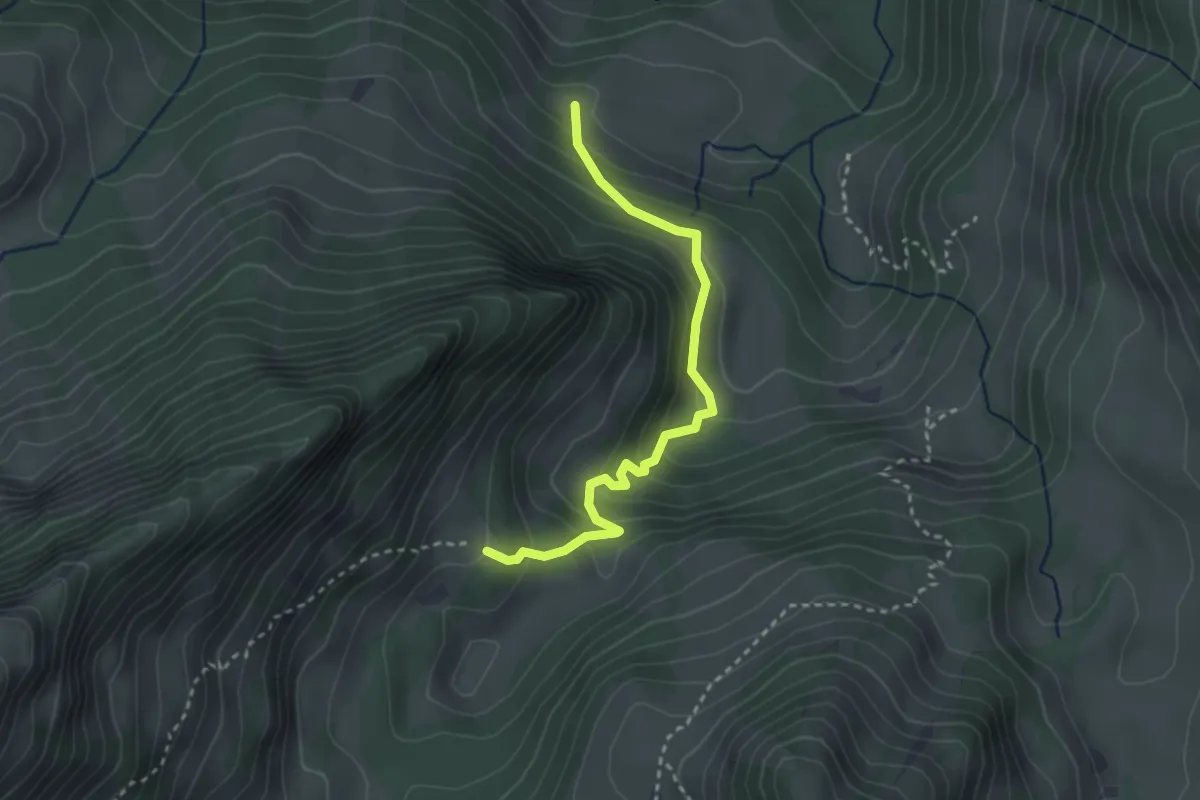
Easy · Cabin
Unteri (Steinigi) Rippa - Hubel Rippa
2.9 km · ↑ 247 m · 1 h 14 min
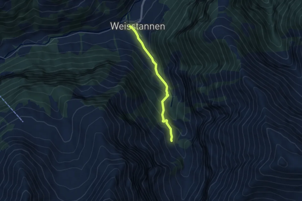
Medium · Trail
Unterlavtina-Weisstannen
4.1 km · ↑ 351 m · 1 h 44 min
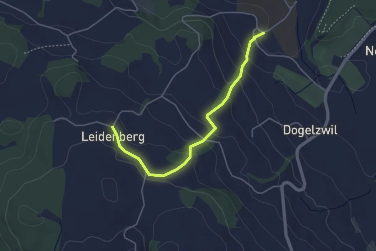
Medium · Trail
Unter Leidenberg - Leidenberg
3.6 km · ↑ 162 m · 1 h 12 min
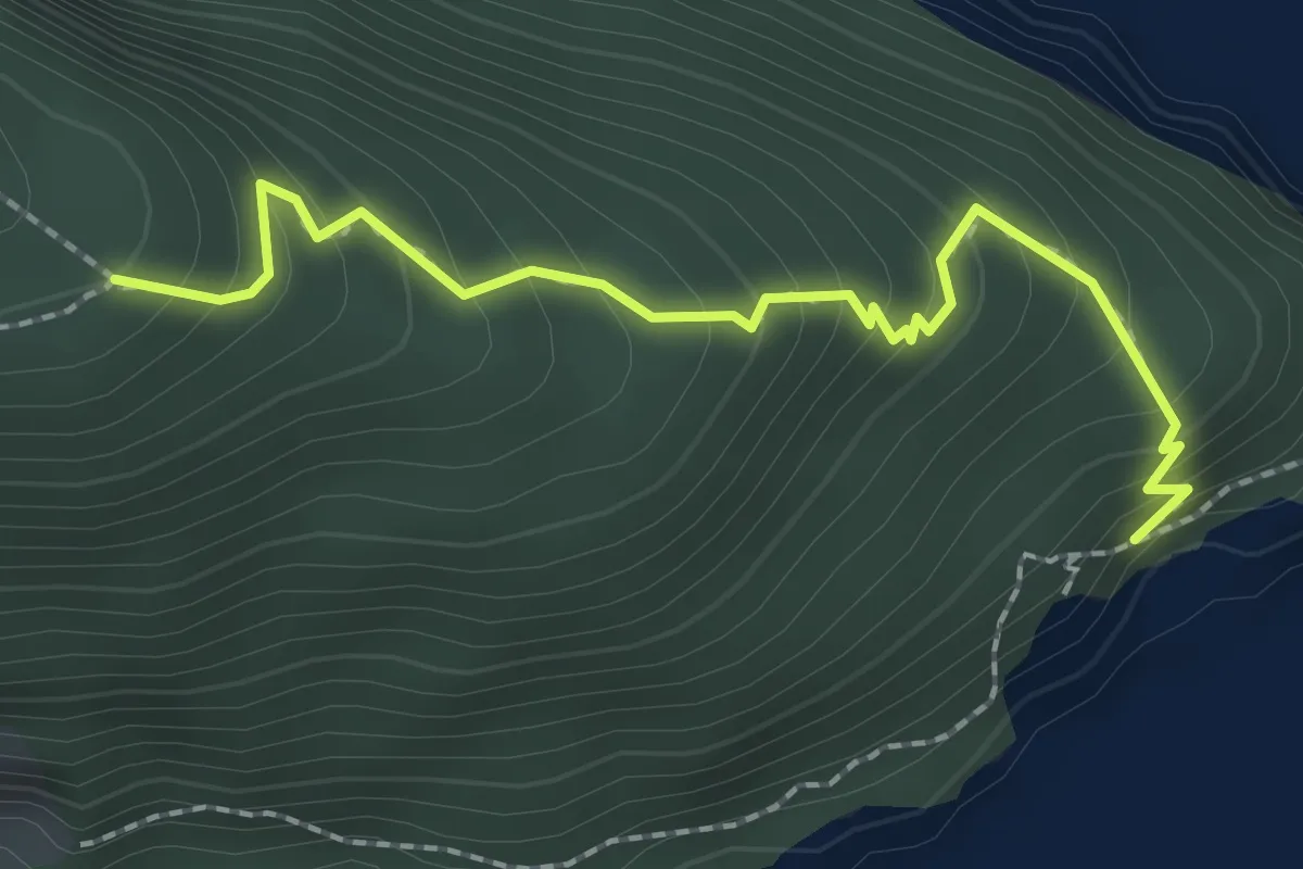
Medium · Trail
Unter Nas - Timmer Boden
2.3 km · ↑ 255 m · 1 h 5 min