Trails in Switzerland
15,064 hiking trails, each with its route, climb, walking time and grade.
All trails, page 118 of 314
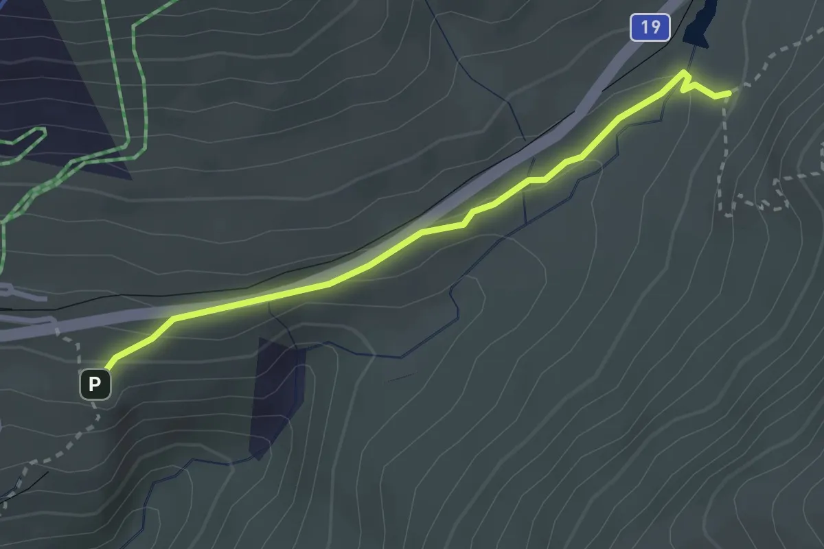
Medium · Trail
Unter Nätschen - Schöni
2.7 km · ↑ 95 m · 51 min
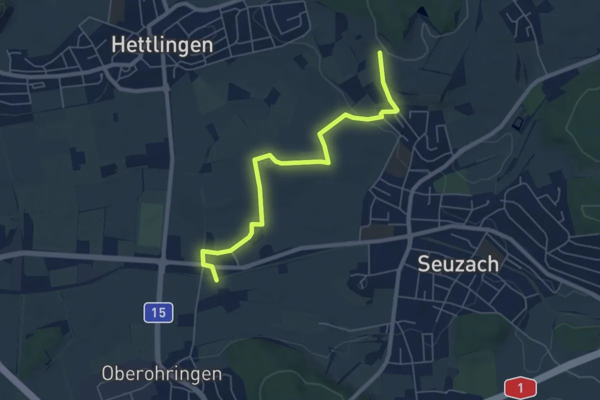
Easy · Trail
Unterohringen – Heimenstein
5.4 km · ↑ 62 m · 1 h 24 min
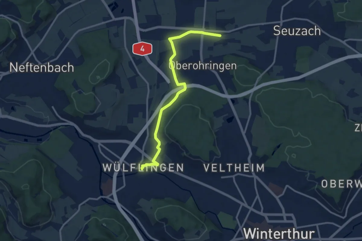
Medium · Trail
Unterohringen - Winterthur Wülflingen
8.8 km · ↑ 86 m · 2 h 16 min
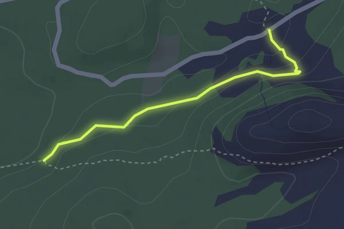
Demanding · Cabin
Unter Roggenloch - Stägen
2.7 km · ↑ 105 m · 51 min
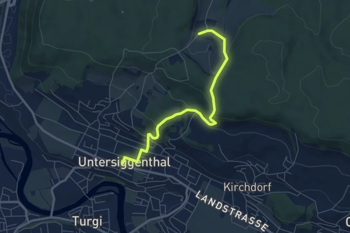
Easy · Trail
Untersiggenthal - Steinenbüel
6.0 km · ↑ 242 m · 1 h 57 min
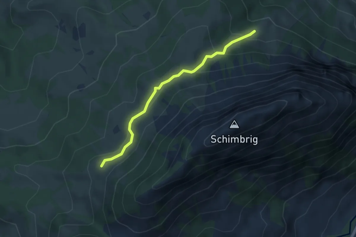
Easy · Trail
Unter Stettili - Schimbrig Bad
3.5 km · ↑ 188 m · 1 h 15 min
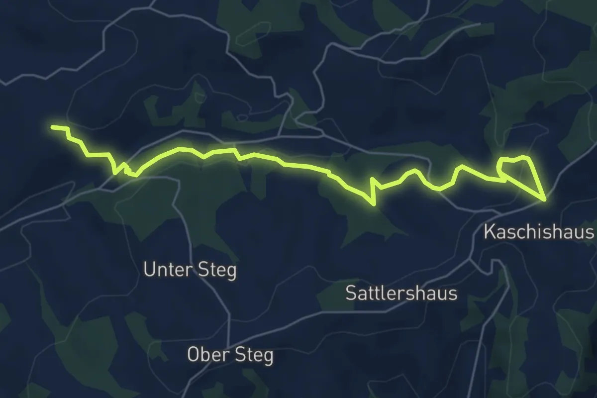
Easy · Trail
Unter Tannen - Schoneeg Dräjerhüsli
6.6 km · ↑ 168 m · 1 h 55 min
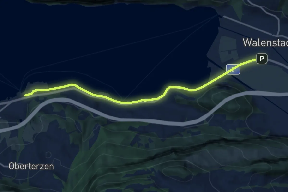
Medium · Trail
Unterterzen-Walenstadt
9.7 km · ↑ 51 m · 2 h 23 min
Medium · Trail
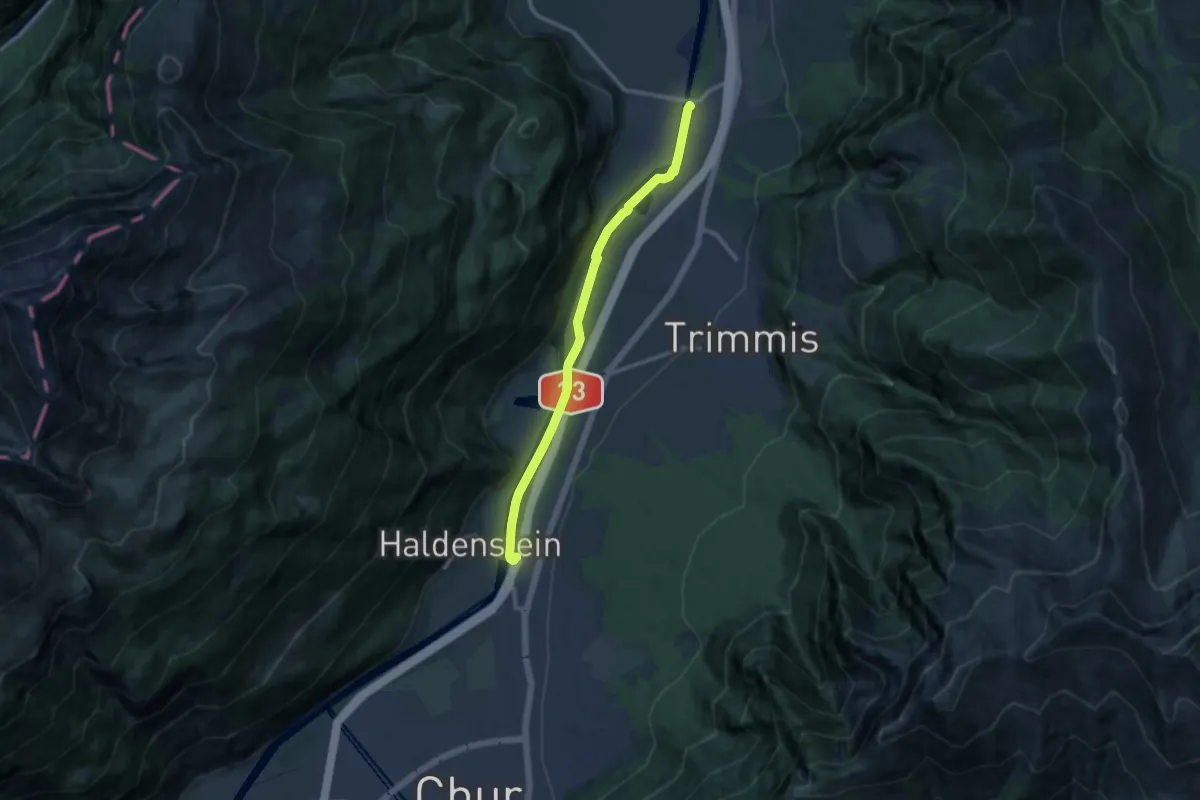
Untervaz Bahnhof - Haldenstein Station
10.8 km · ↑ 70 m · 2 h 42 min
Medium · Trail
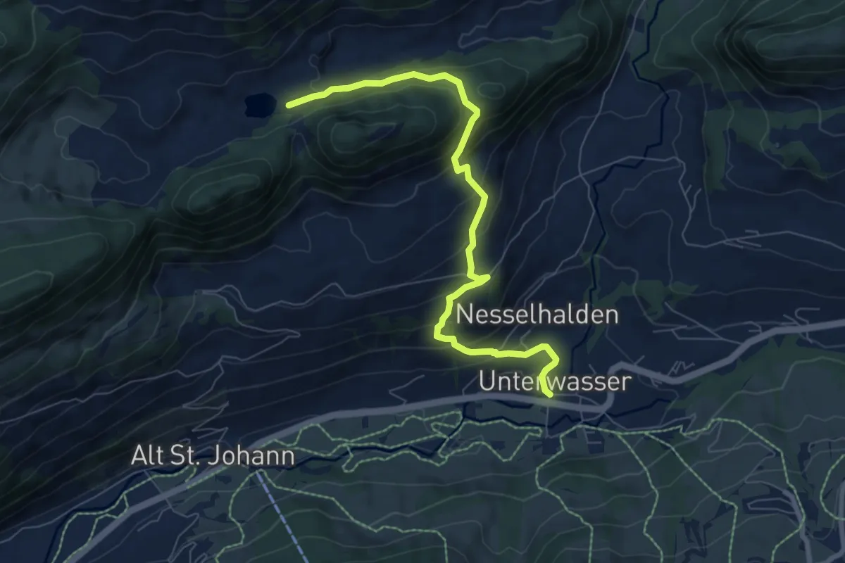
Unterwasser-Halden-Egerten-Gräppelensee
7.6 km · ↑ 512 m · 2 h 55 min
Easy · Trail
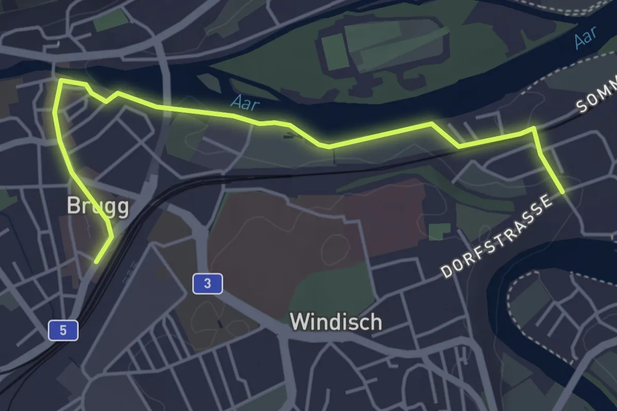
Unterwindisch-Brugg
4.6 km · ↑ 24 m · 1 h 9 min
Easy · Trail
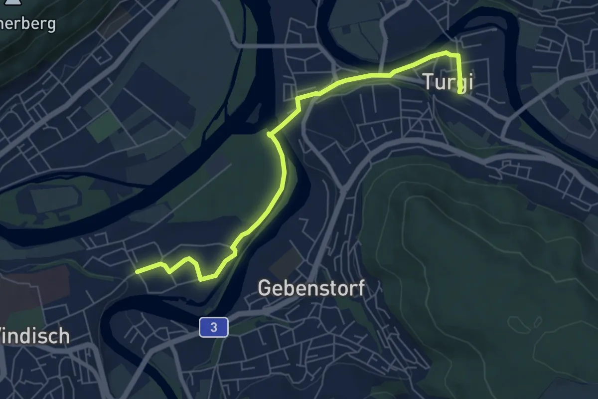
Unterwindisch - Turgi
6.5 km · ↑ 45 m · 1 h 38 min
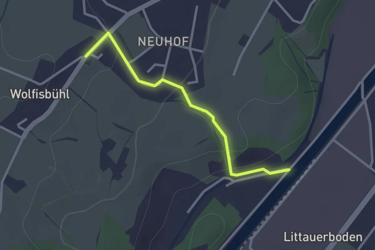
Easy · Trail
Unter Wolfisbüel - Emmenweid
2.2 km · ↑ 72 m · 41 min
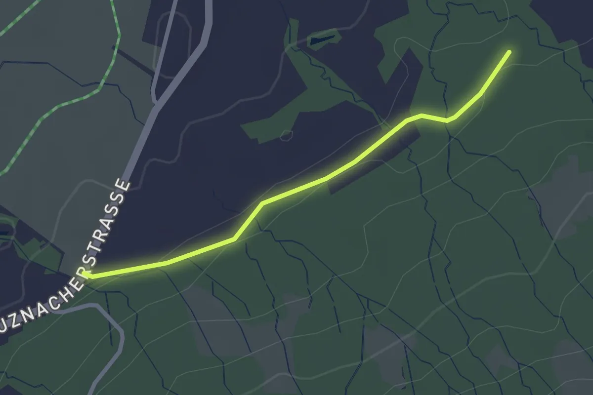
Easy · Trail
Unt. Stosslegi - Eich? - fixme
2.2 km · ↑ 29 m · 35 min
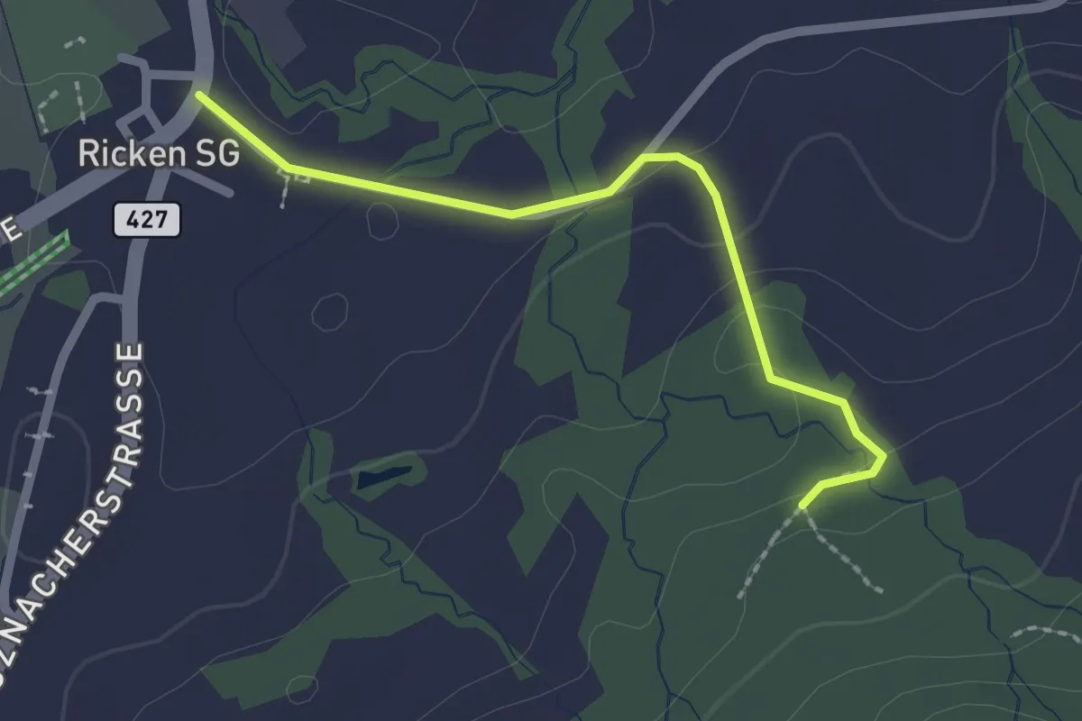
Easy · Trail
Unt. Stosslegi - Ricken
2.0 km · ↑ 40 m · 33 min
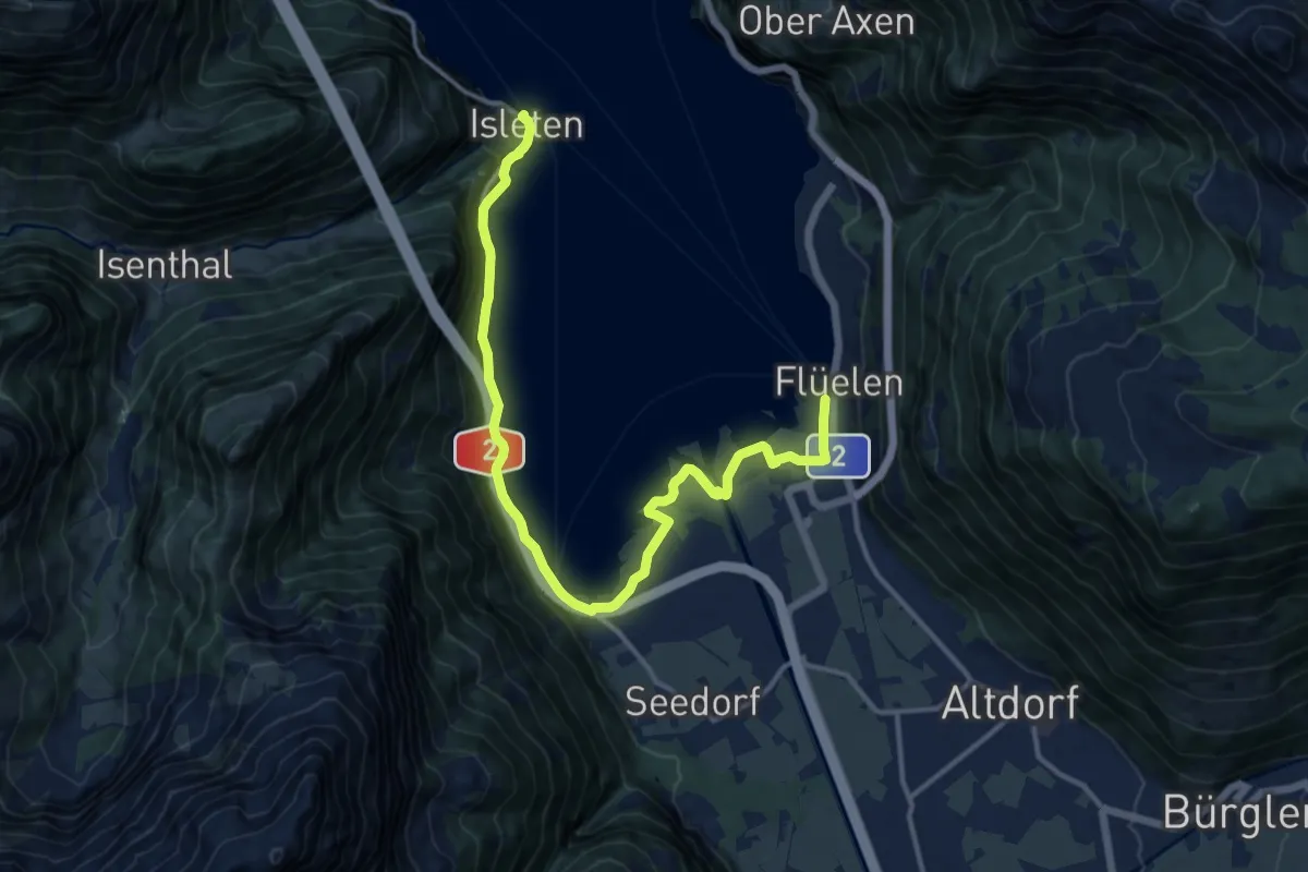
Medium · Trail
Urnersee-Uferweg
14.9 km · ↑ 181 m · 3 h 55 min
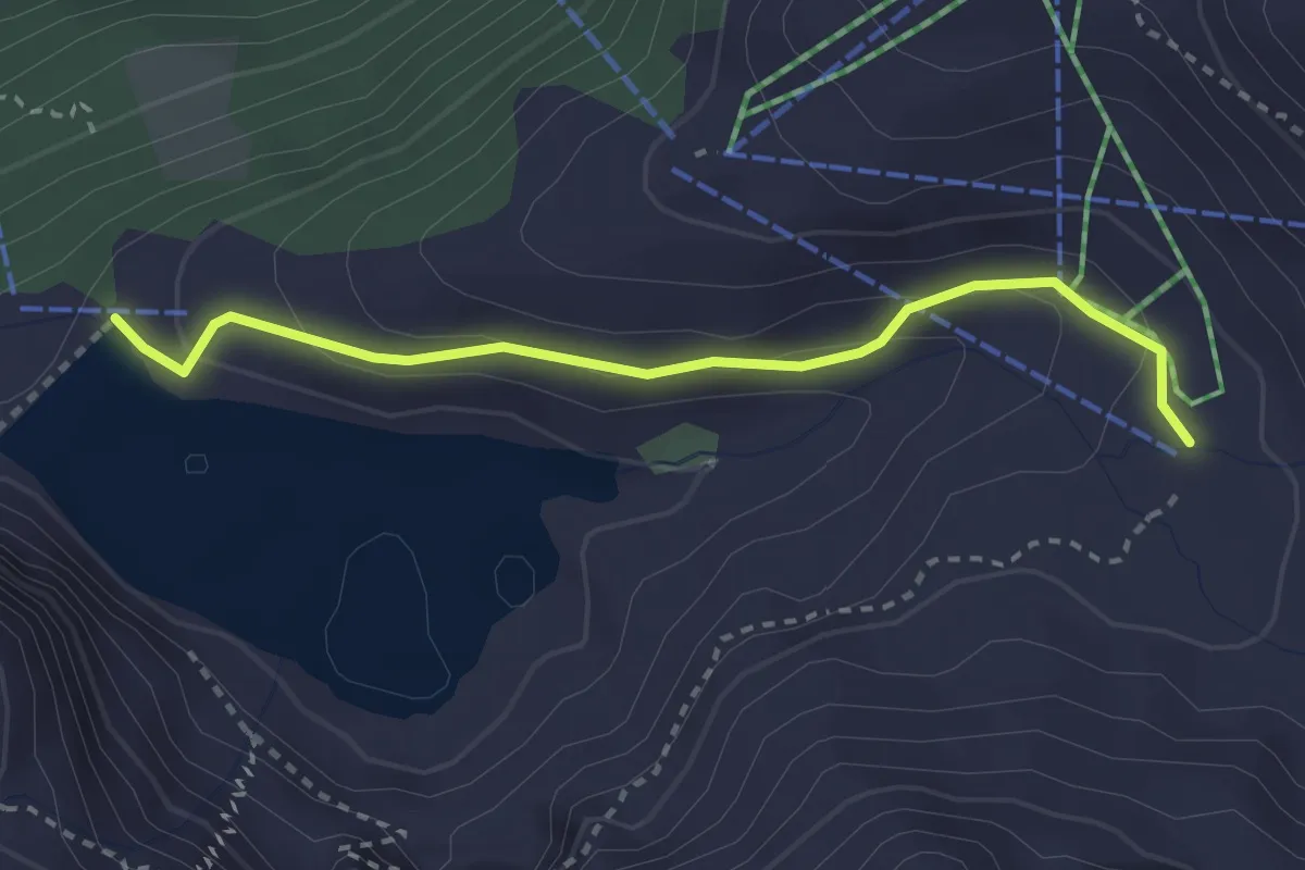
Easy · Cabin
Urnerstaffel - Banalpsee
2.8 km · ↑ 104 m · 54 min
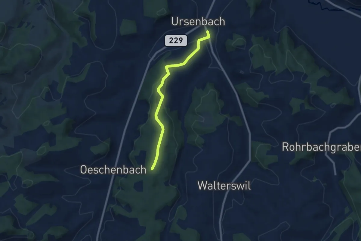
Easy · Trail
Ursenbach-Bergwald
5.8 km · ↑ 193 m · 1 h 47 min
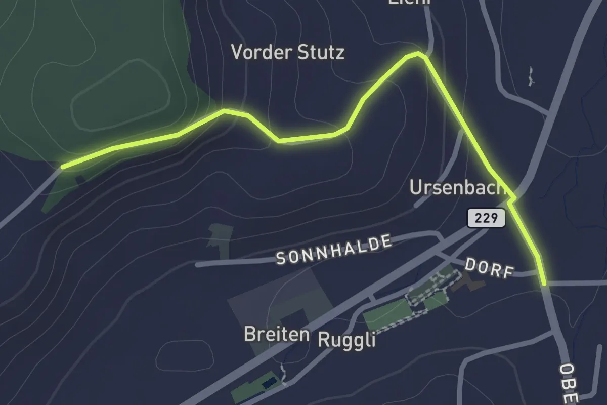
Easy · Trail
Ursenbach-Chaserentürli
2.5 km · ↑ 92 m · 47 min
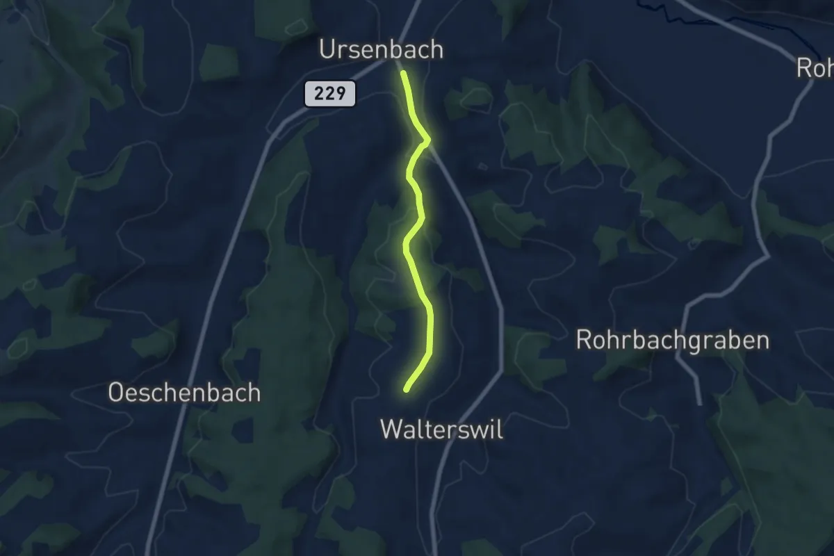
Easy · Trail
Ursenbach-Egg
4.9 km · ↑ 150 m · 1 h 29 min
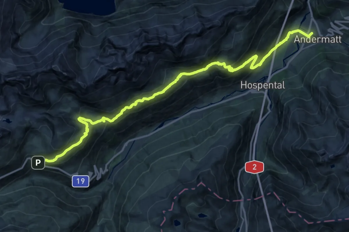
Medium · Trail
Ursener Höhenweg
15.8 km · ↑ 519 m · 5 h 26 min
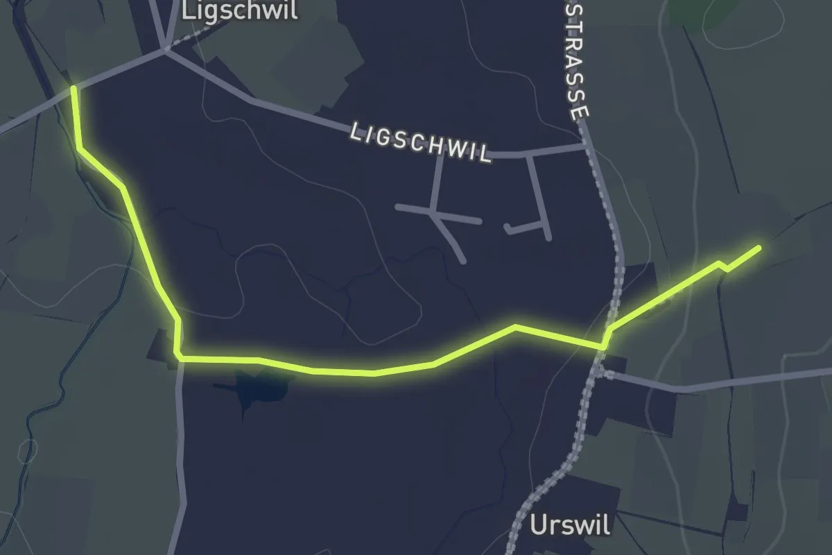
Easy · Trail
Urswil - Ligschwil
2.5 km · ↑ 25 m · 39 min
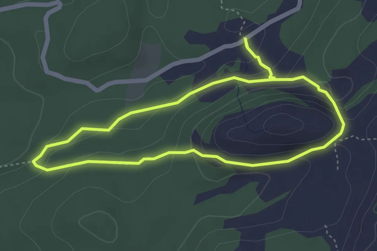
Demanding · Summit
Urwaldspur
3.3 km · ↑ 175 m · 1 h 13 min
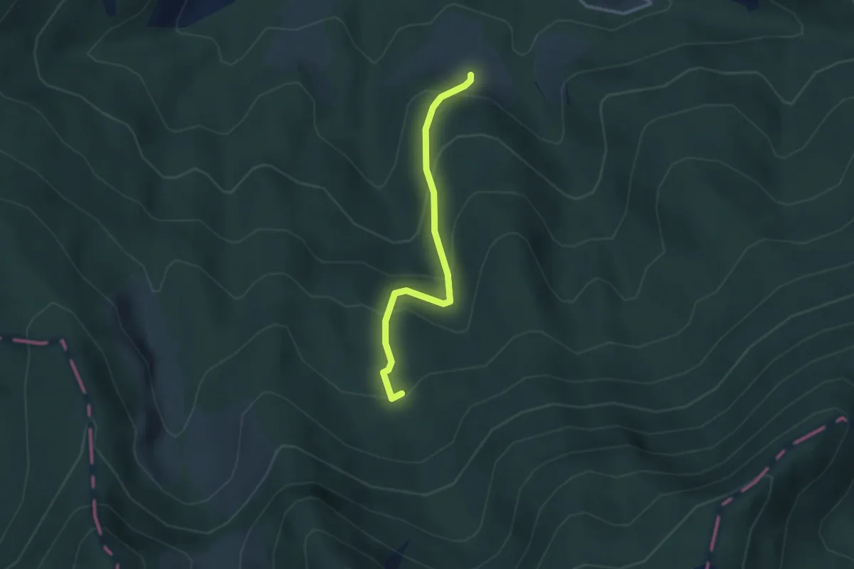
Easy · Trail
Urzlenboden - Fang
2.8 km · ↑ 262 m · 1 h 14 min
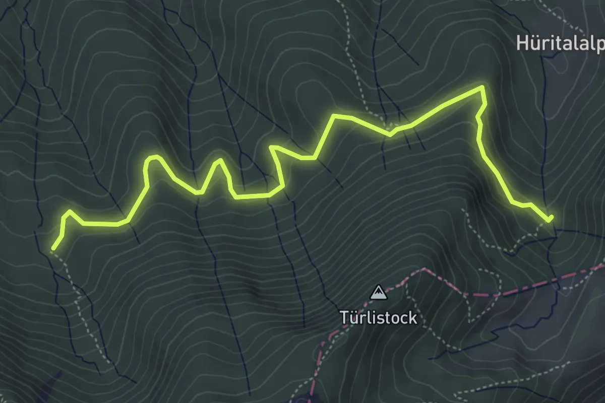
Medium · Trail
Urzlenboden - Geissfaren
6.5 km · ↑ 390 m · 2 h 23 min
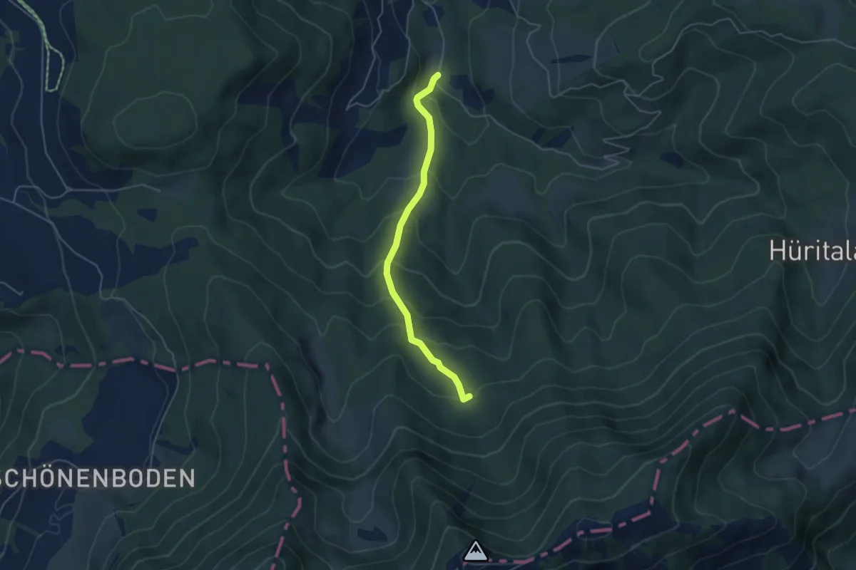
Easy · Trail
Urzlenboden - Stutzhütte
4.2 km · ↑ 317 m · 1 h 41 min
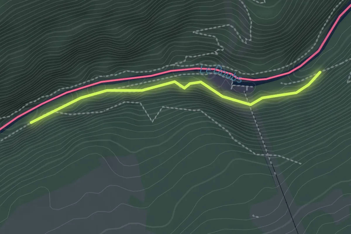
Easy · Trail
Usine du Châtelot - Moulins Calame
2.2 km · ↑ 81 m · 41 min
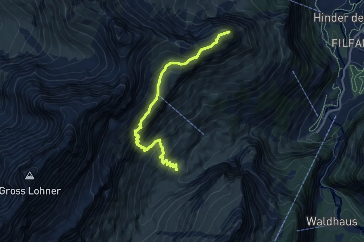
Medium · Summit
Ussere Üschene - Alpschelenhubel
7.5 km · ↑ 674 m · 3 h 14 min
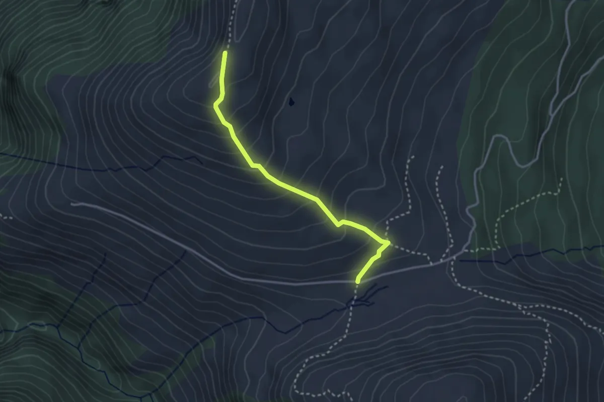
Medium · Trail
Usser Glass-Glaser Grat
2.9 km · ↑ 246 m · 1 h 13 min
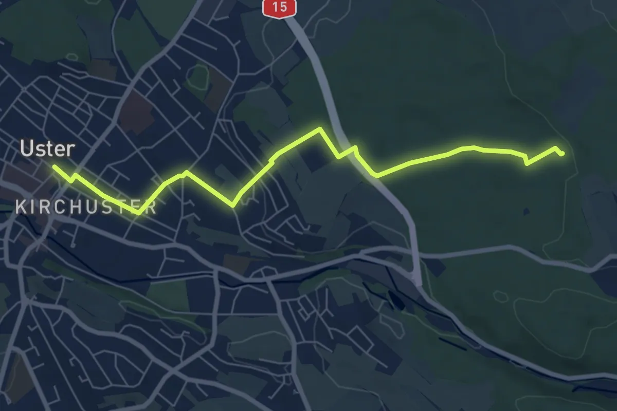
Easy · Trail
Uster - Römerbrünneli
6.7 km · ↑ 94 m · 1 h 47 min
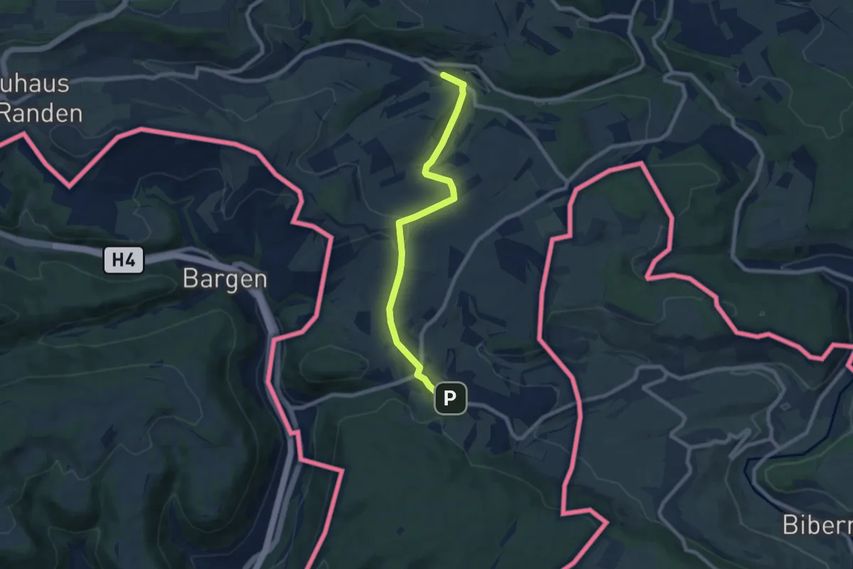
Easy · Trail
Uttenhofen Fuchsbrunnen - Wiechs am Randen
7.2 km · ↑ 139 m · 2 h
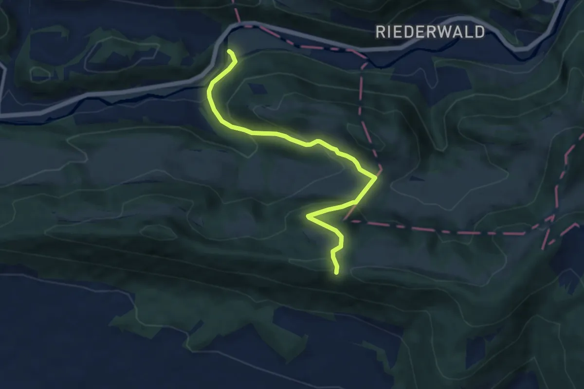
Medium · Trail
Vadry - fixme
7.8 km · ↑ 415 m · 2 h 44 min
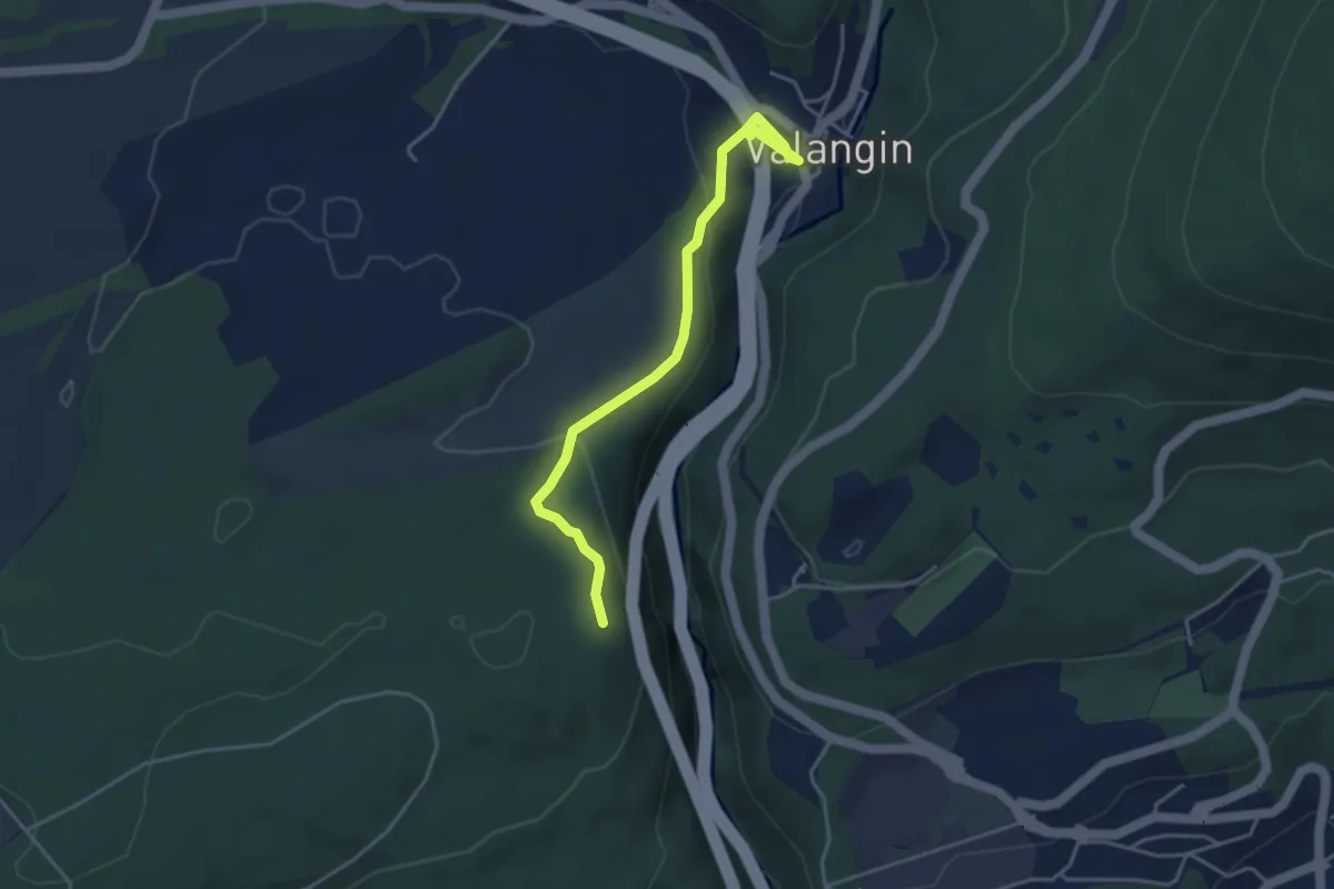
Easy · Trail
Valangin - Le Gibet (par les Esserts)
4.0 km · ↑ 146 m · 1 h 16 min
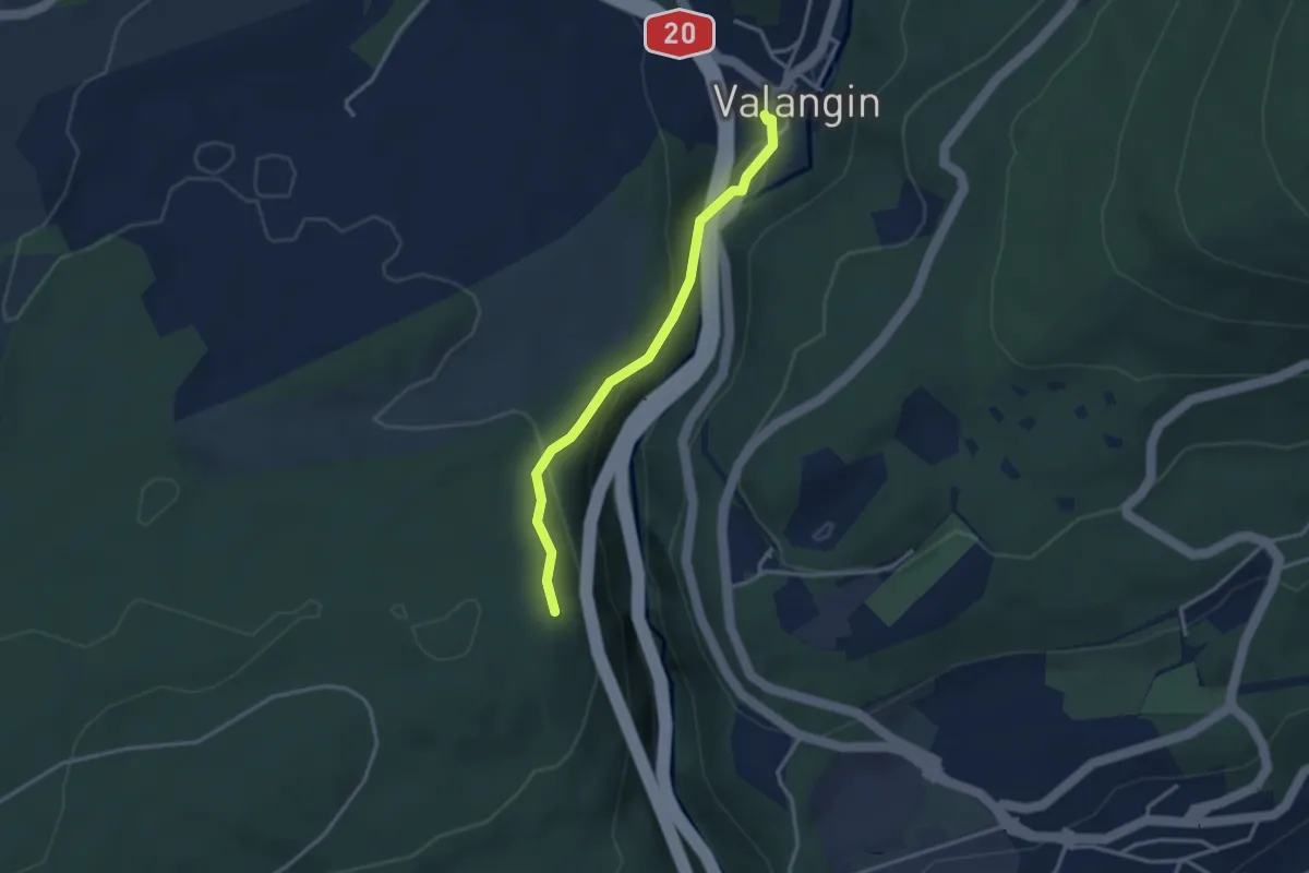
Easy · Trail
Valangin - Le Gibet (sentier des gorges)
2.9 km · ↑ 136 m · 59 min
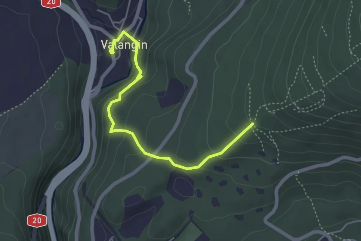
Easy · Trail
Valangin - Les 3 Bornes
3.9 km · ↑ 213 m · 1 h 22 min
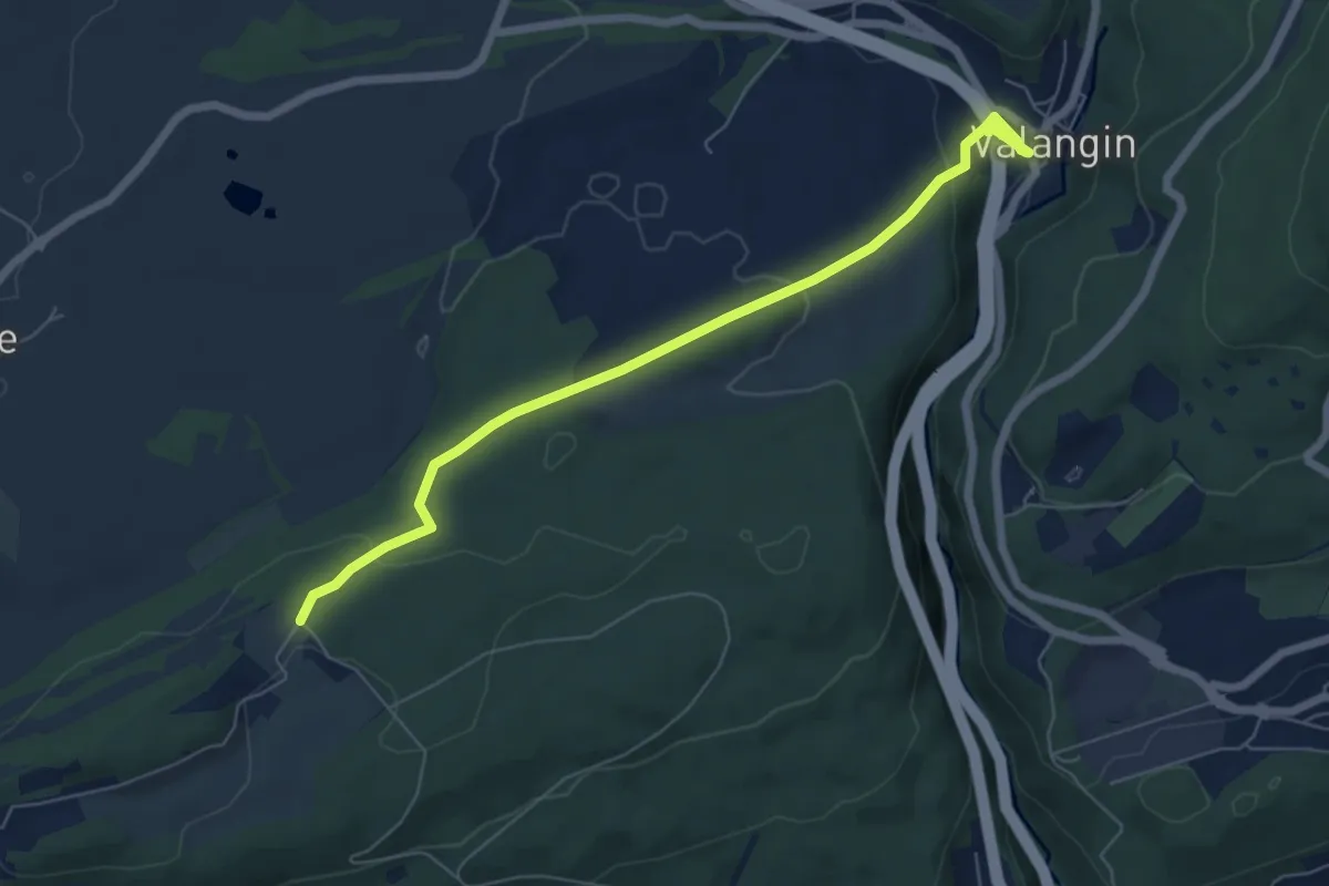
Easy · Trail
Valangin - Serroue
6.5 km · ↑ 168 m · 1 h 54 min
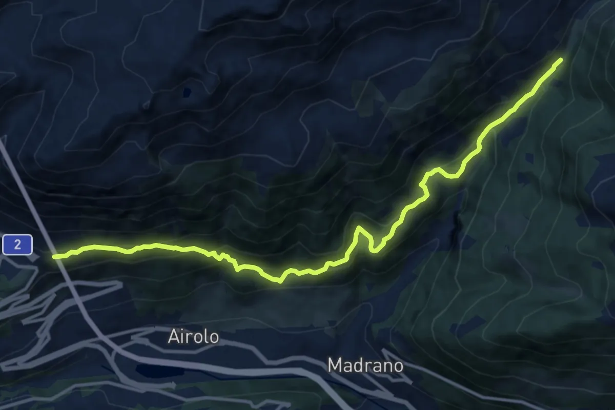
Demanding · Trail
Val Canaria-Airolo
12.5 km · ↑ 997 m · 5 h 6 min
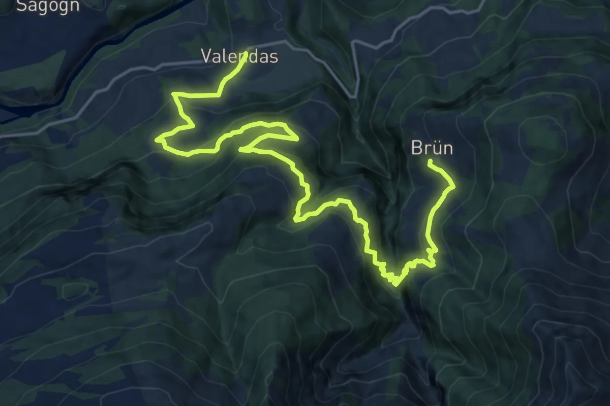
Demanding · Trail
Valendas Brün
17.6 km · ↑ 1121 m · 6 h 35 min
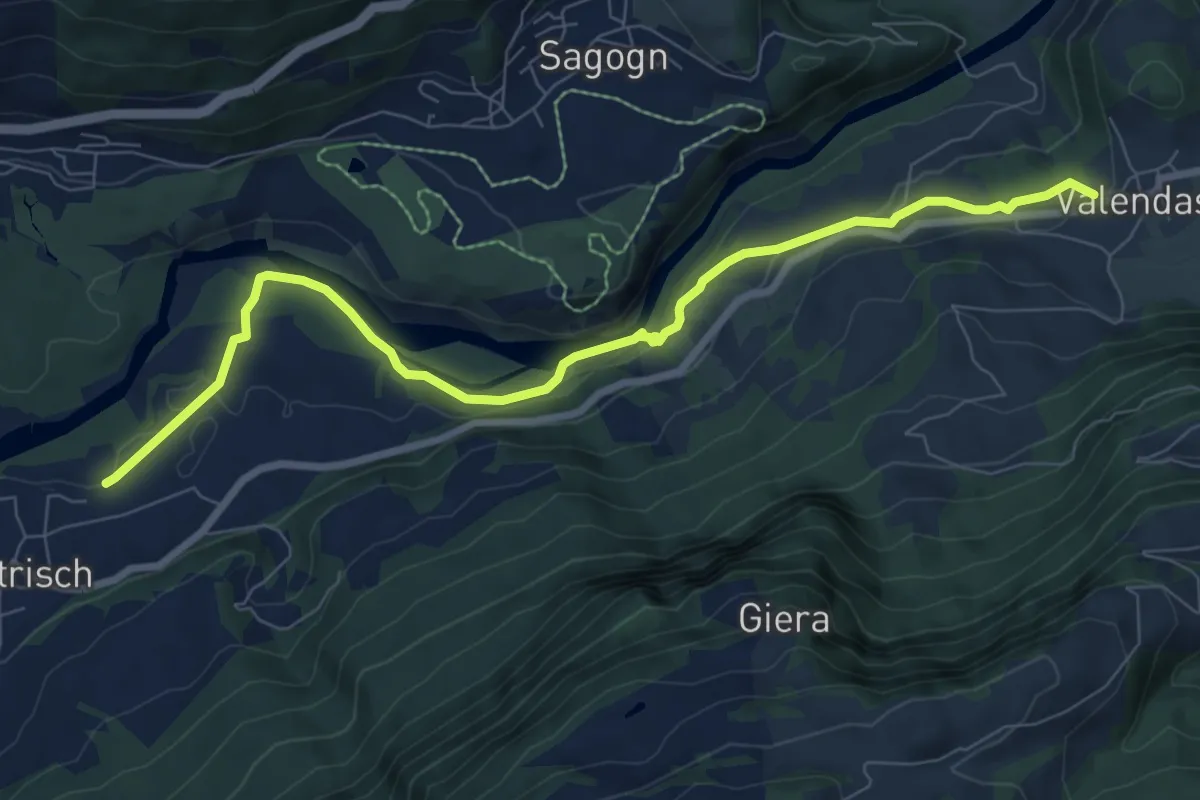
Medium · Trail
Valendas-Castrisch
8.6 km · ↑ 171 m · 2 h 25 min
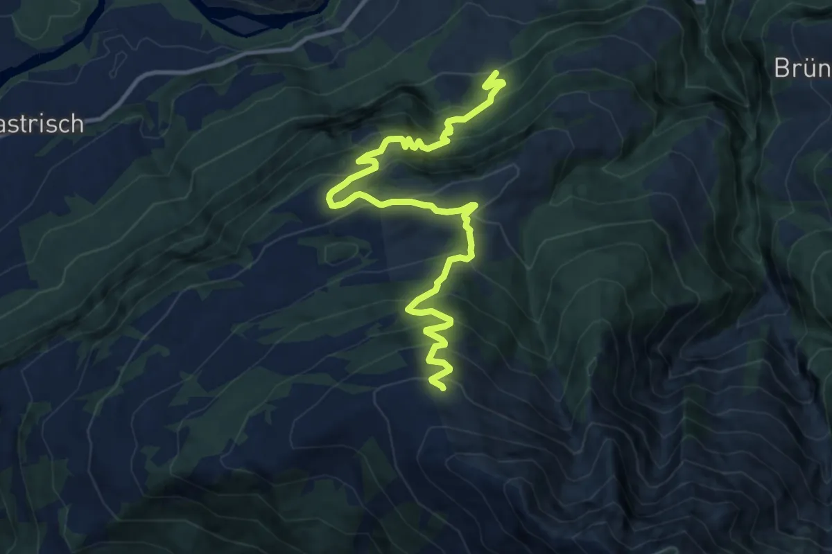
Demanding · Trail
Valendas Dutjer Alp
12.3 km · ↑ 1082 m · 5 h 15 min
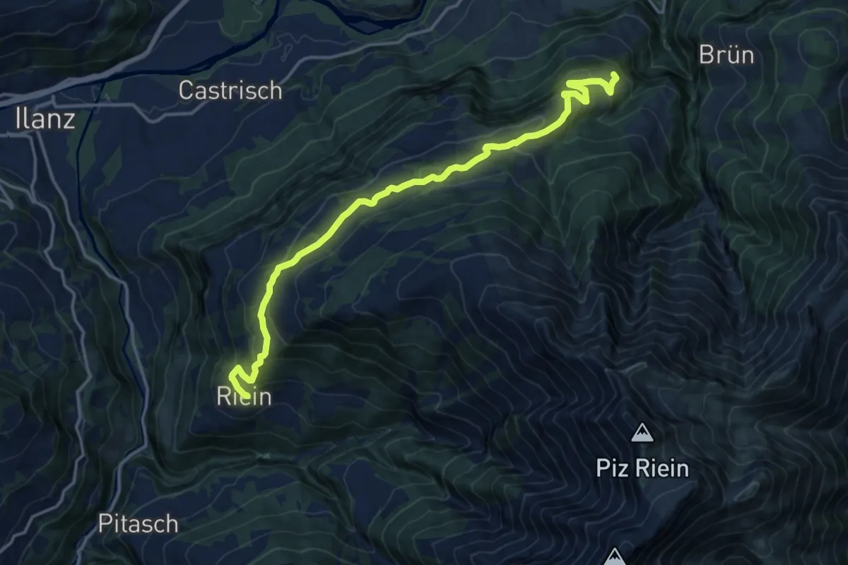
Medium · Trail
Valendas Riein
15.5 km · ↑ 760 m · 5 h 18 min
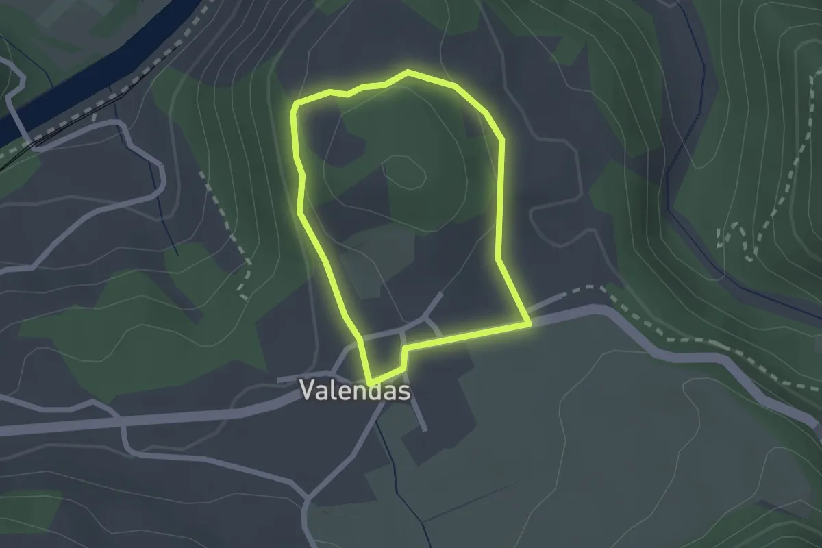
Easy · Trail
Valendas Rundwanderung
1.6 km · ↑ 44 m · 30 min
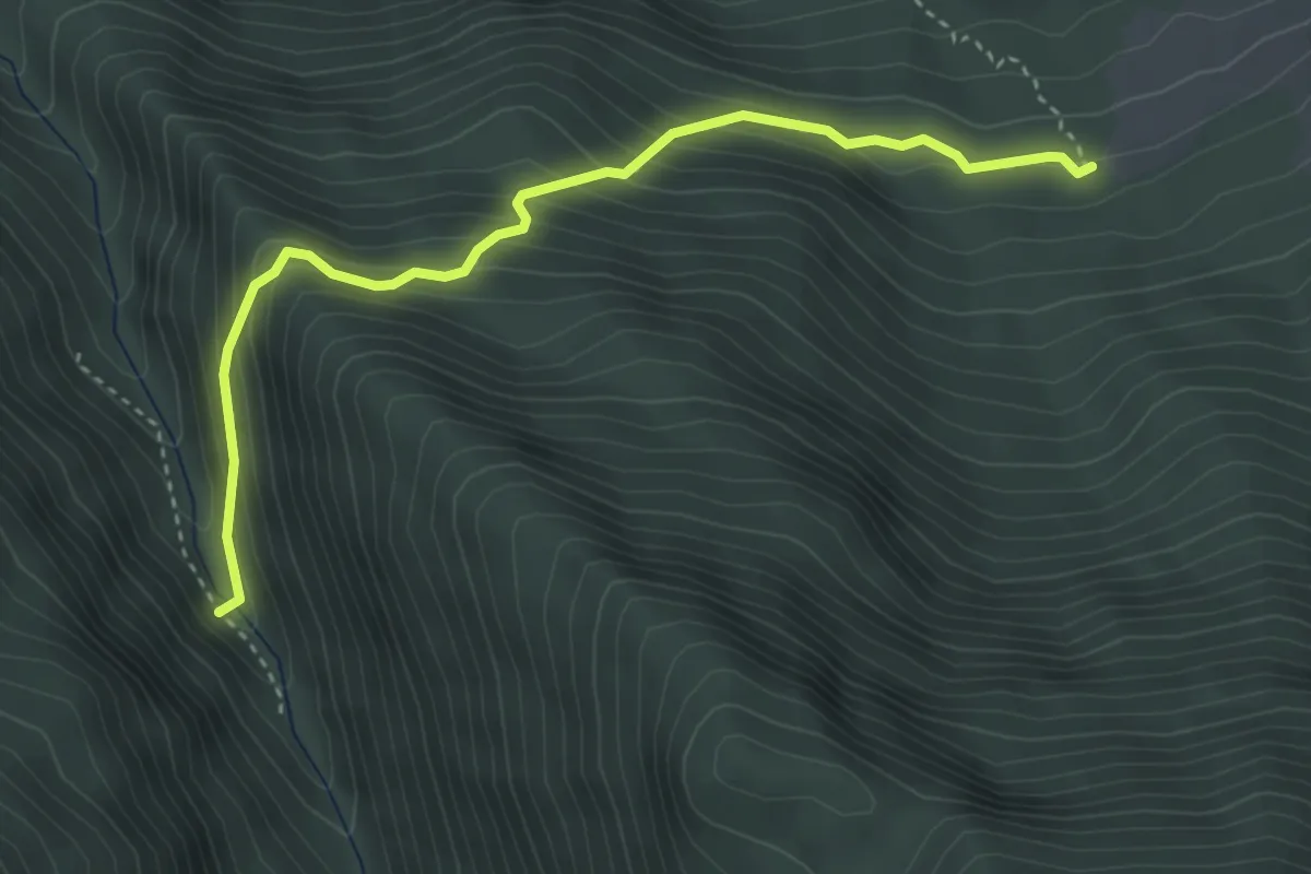
Easy · Trail
Vallatscha - Alp Sampuoir
3.8 km · ↑ 304 m · 1 h 34 min
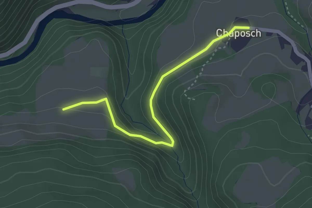
Easy · Trail
Vallatscha - Chaposch
3.2 km · ↑ 100 m · 59 min
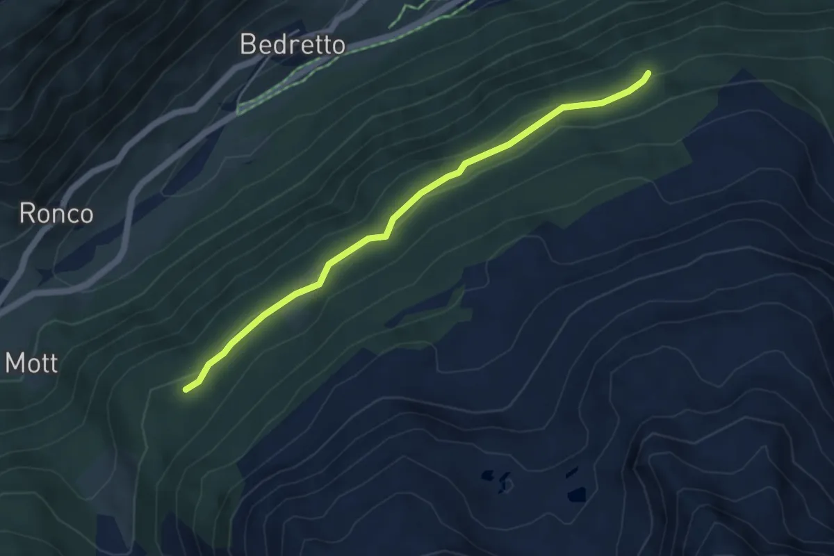
Easy · Trail
Vallegia Osasco
4.5 km · ↑ 189 m · 1 h 28 min
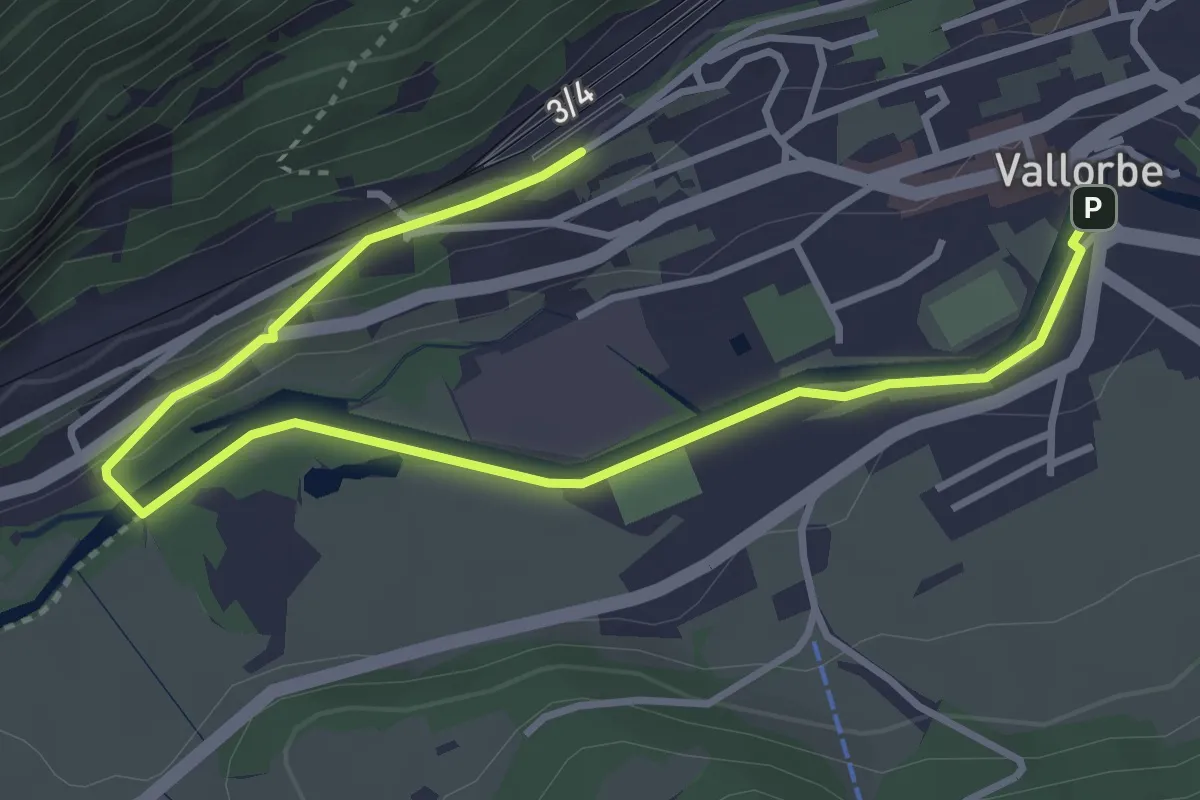
Easy · Trail
Valllorbe - Vallorbe Gare
4.6 km · ↑ 60 m · 1 h 12 min
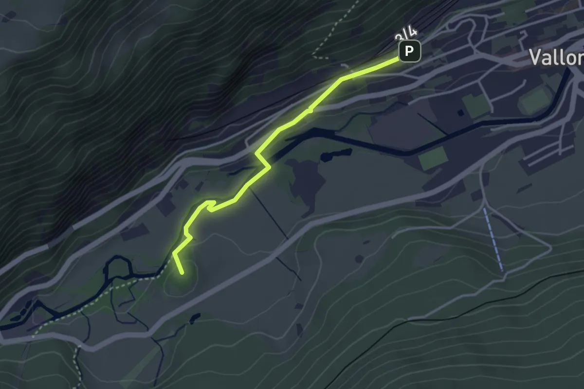
Easy · Summit
Vallorbe Gare - Grottes de l'Orbe (rive droite)
3.1 km · ↑ 75 m · 54 min
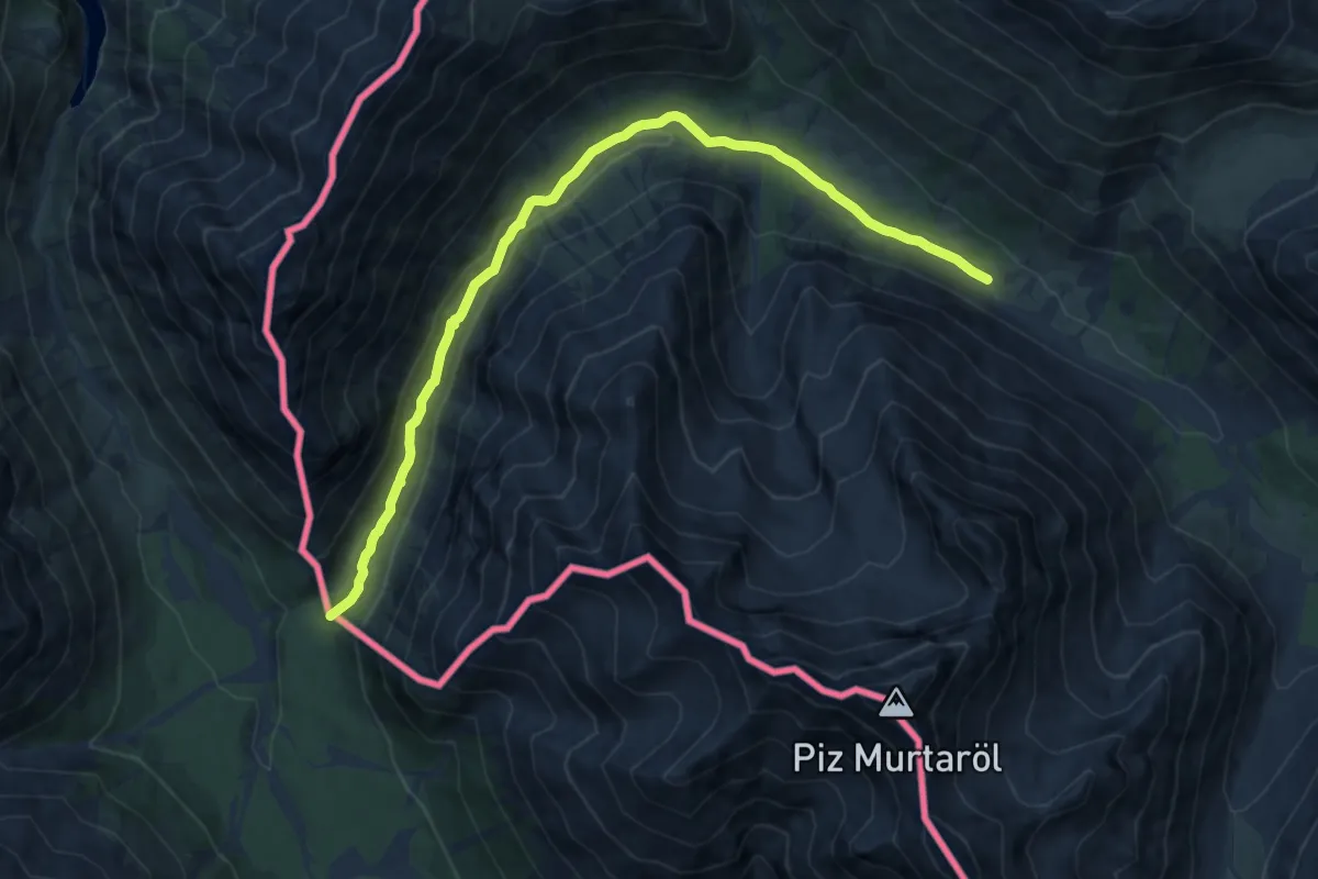
Medium · Trail
Val Mora - Grenze (- San Giacomo di Fraele)
11.4 km · ↑ 150 m · 3 h 1 min