Trails in Switzerland
15,064 hiking trails, each with its route, climb, walking time and grade.
All trails, page 119 of 314
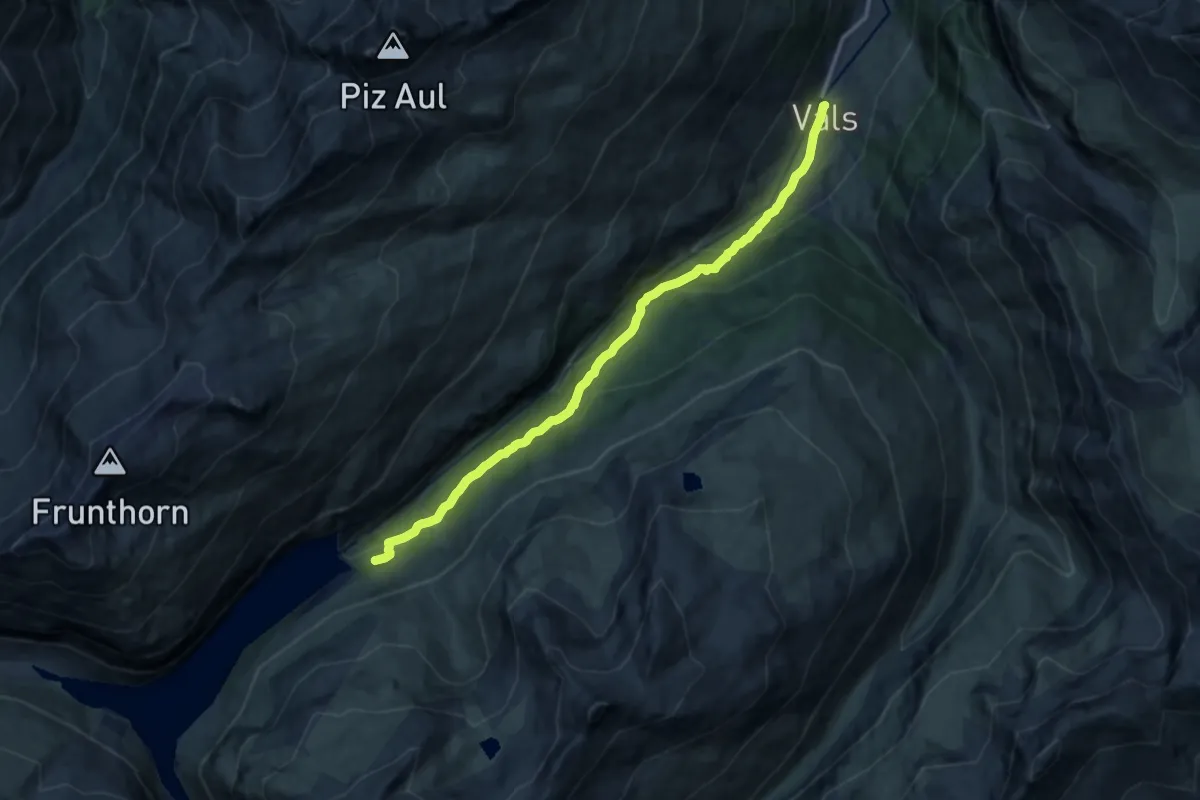
Demanding · Trail
Vals-Zervreila
13.5 km · ↑ 820 m · 4 h 58 min
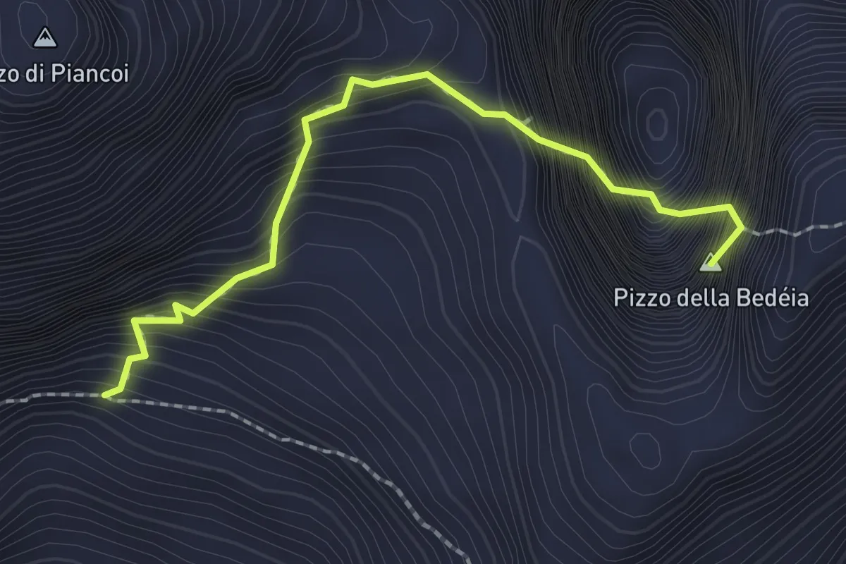
Expert · Summit
Variante N. Balesta
2.1 km · ↑ 415 m · 1 h 24 min
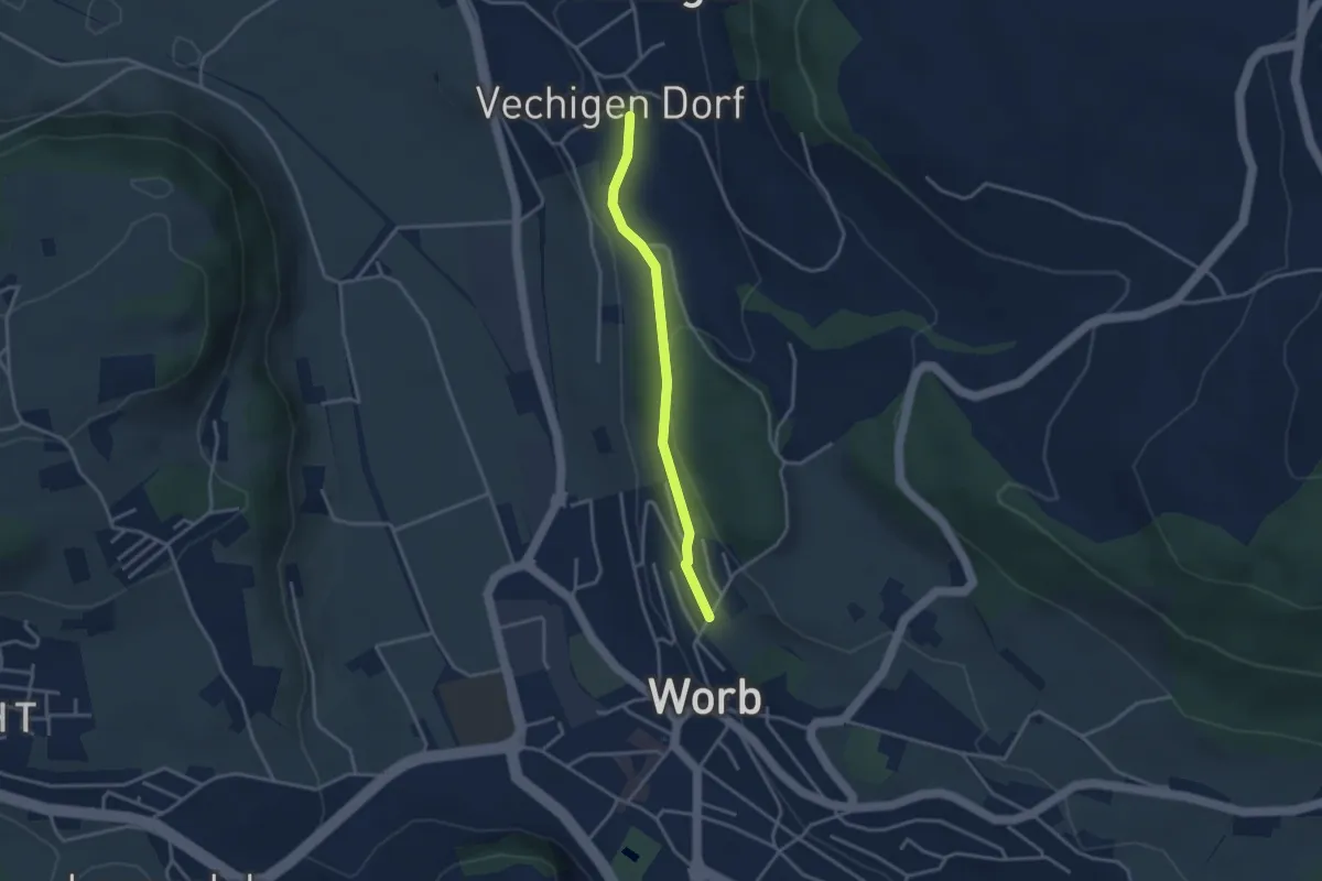
Easy · Trail
Vechingen - Egghalde
3.0 km · ↑ 77 m · 53 min
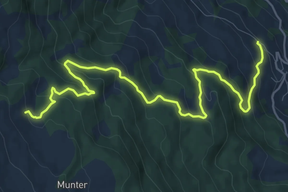
Medium · Trail
Veia Dartschapetta
12.5 km · ↑ 665 m · 4 h 24 min
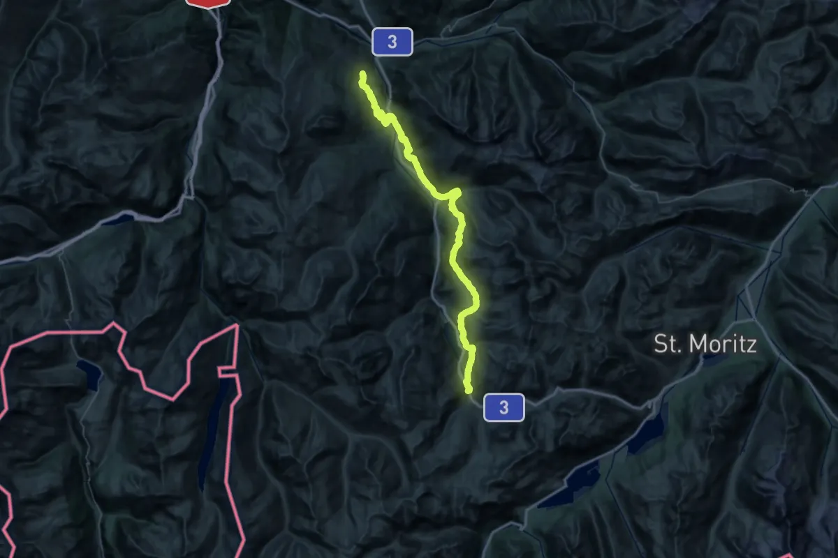
Demanding · Summit
Veia Surmirana
58.0 km · ↑ 2634 m · 19 h 24 min
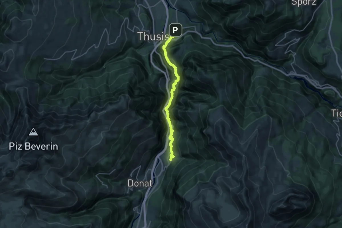
Demanding · Trail
Veia Traversina
9.1 km · ↑ 1041 m · 4 h 21 min
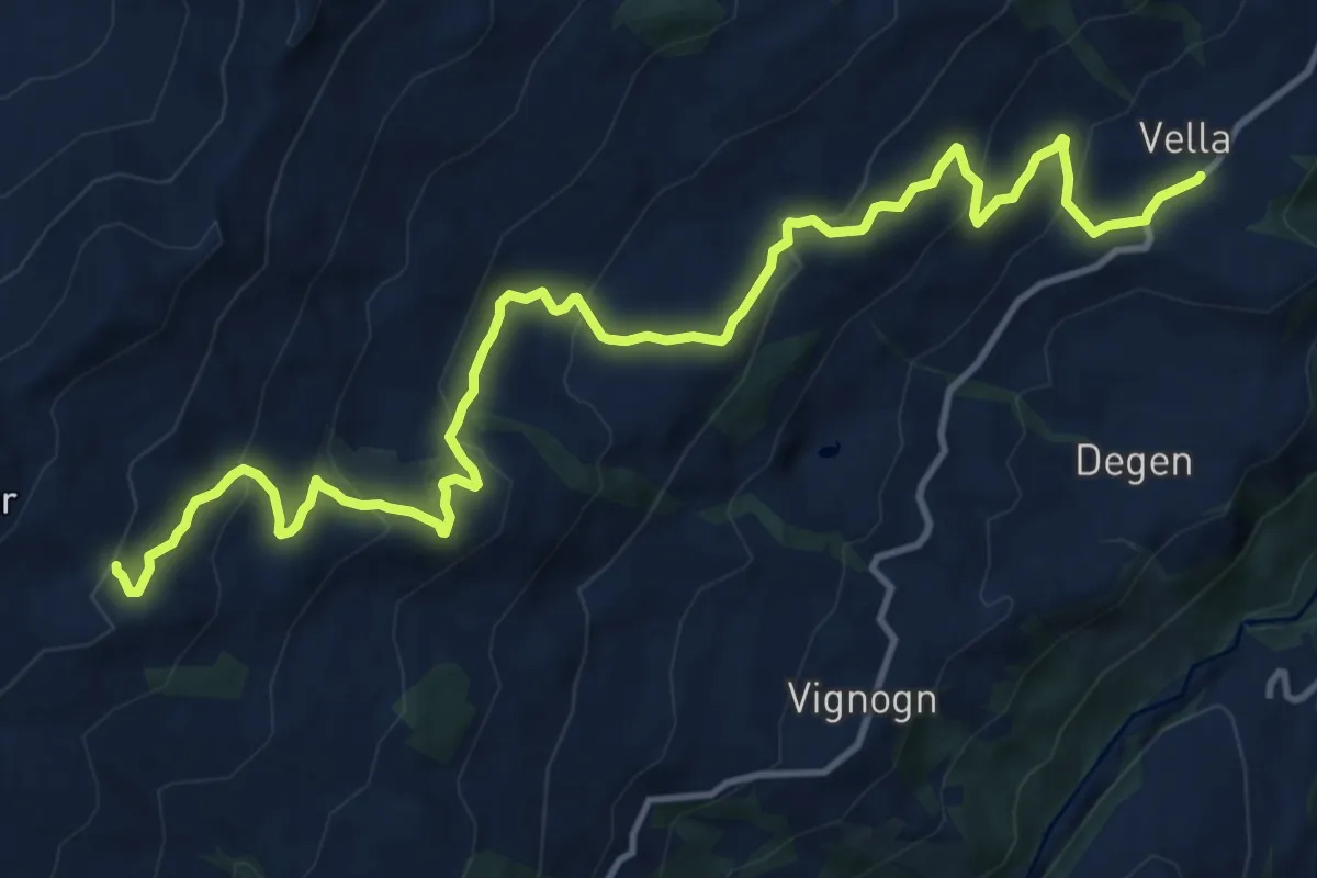
Medium · Trail
Vella Alp Sezner
15.4 km · ↑ 746 m · 5 h 15 min
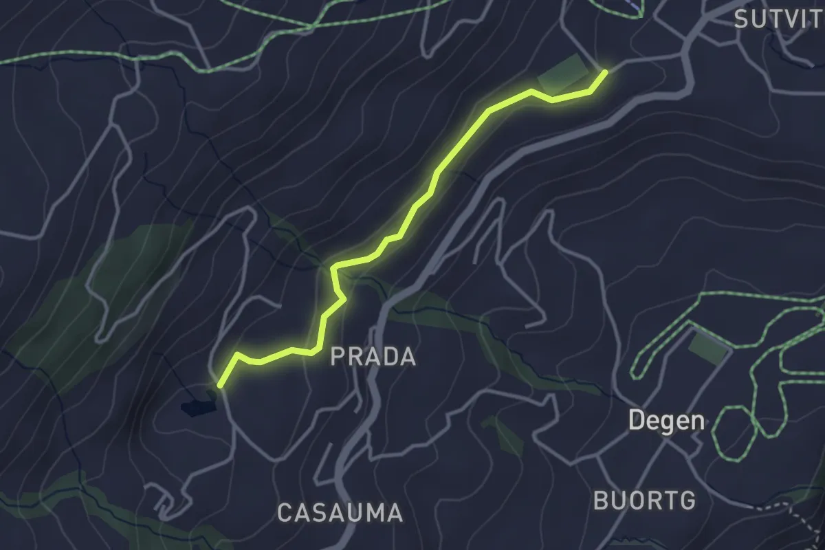
Easy · Trail
Vella Davos Munt
3.1 km · ↑ 81 m · 55 min
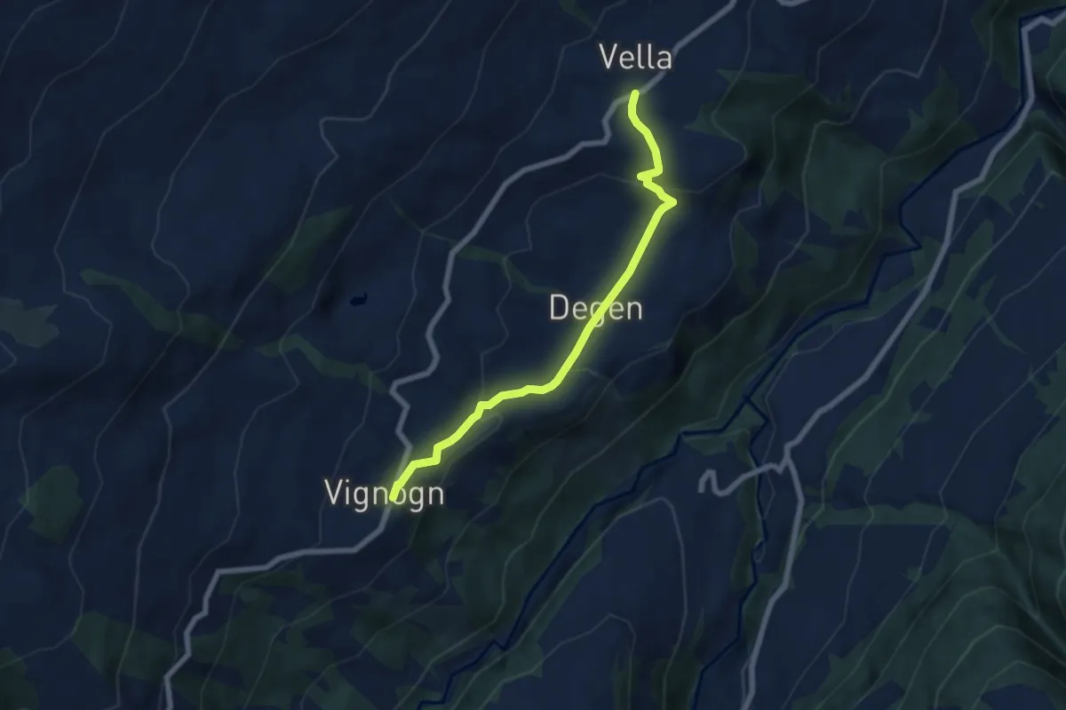
Easy · Trail
Vella Degen Vignon
6.2 km · ↑ 232 m · 1 h 58 min
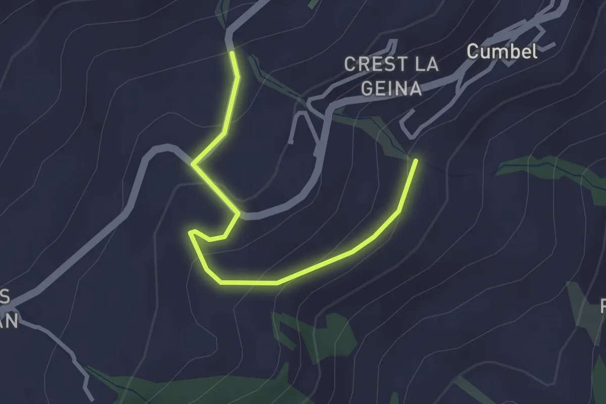
Easy · Trail
Vella Peiden
2.6 km · ↑ 122 m · 53 min
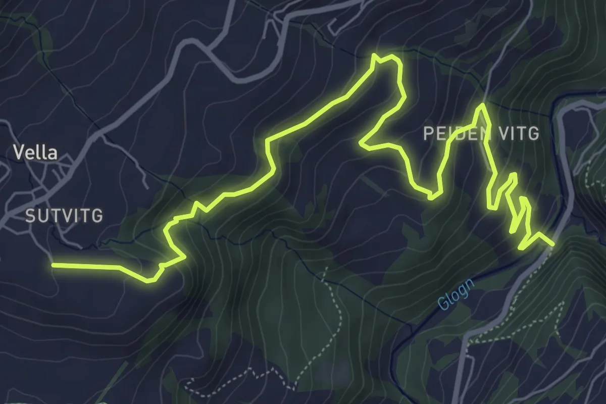
Medium · Trail
Vella Peiden
9.4 km · ↑ 465 m · 3 h 13 min
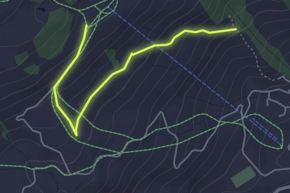
Medium · Trail
Vella Triel
3.7 km · ↑ 211 m · 1 h 20 min
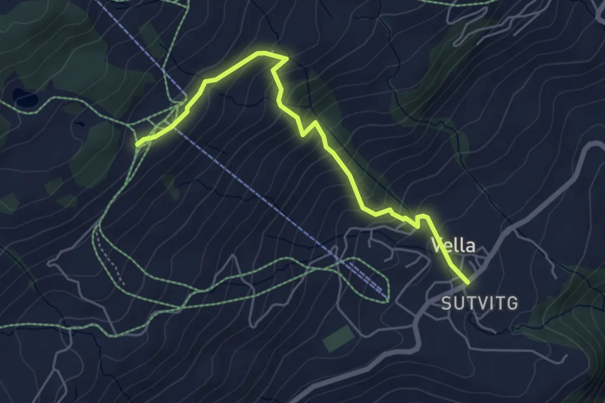
Medium · Trail
Vella Triel
4.8 km · ↑ 360 m · 1 h 54 min
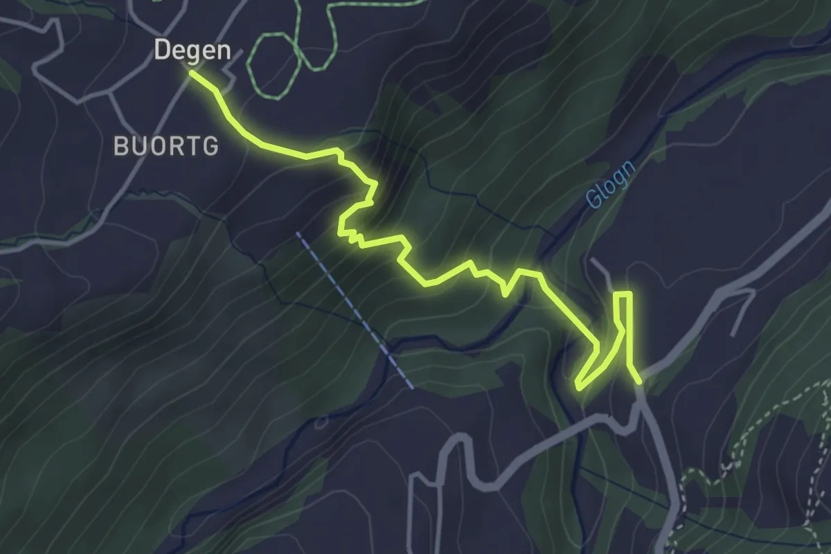
Medium · Trail
Vella Uors
4.3 km · ↑ 315 m · 1 h 42 min
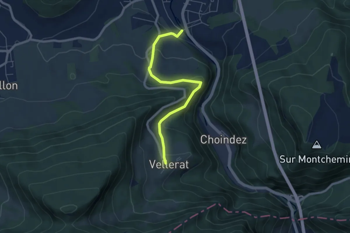
Easy · Trail
Vellerat - fixme
5.2 km · ↑ 255 m · 1 h 47 min
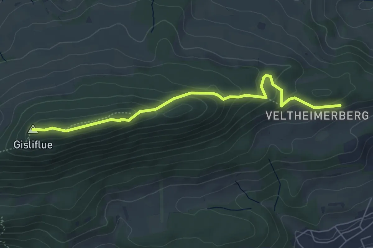
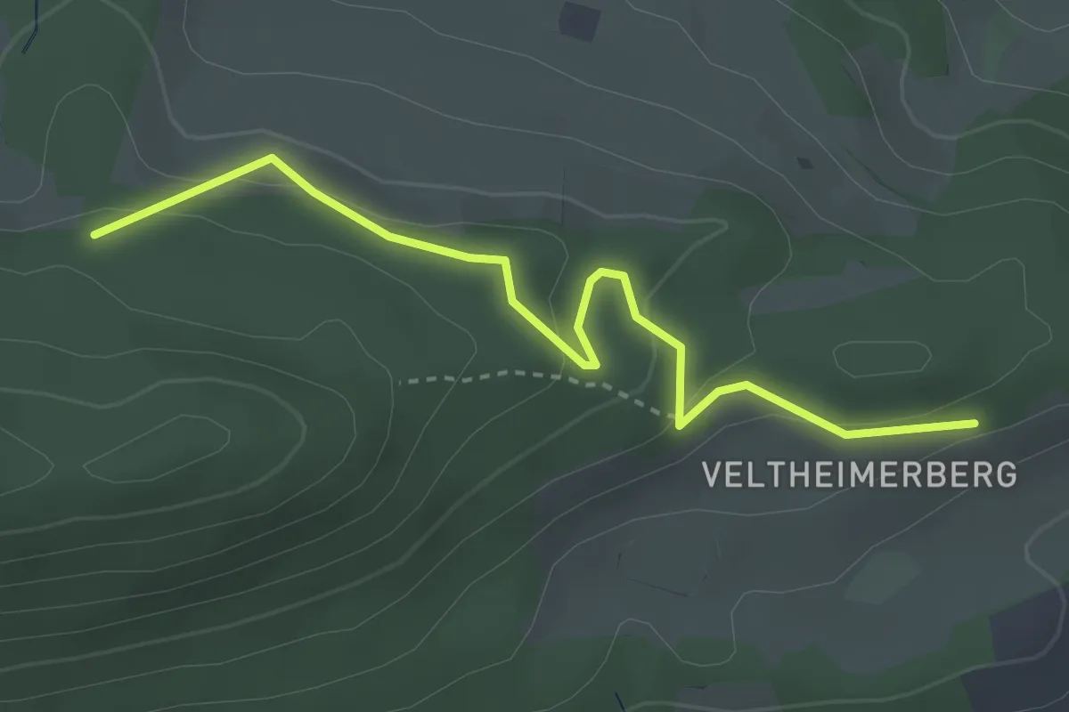
Easy · Summit
Veltheimerberg - Gisliflue
5.1 km · ↑ 220 m · 1 h 41 min
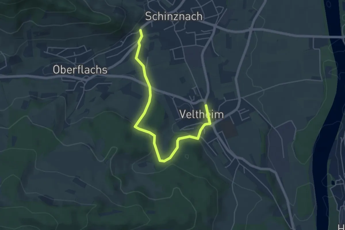
Easy · Trail
Veltheimerberg - Naturfreundehaus
3.3 km · ↑ 135 m · 1 h 5 min
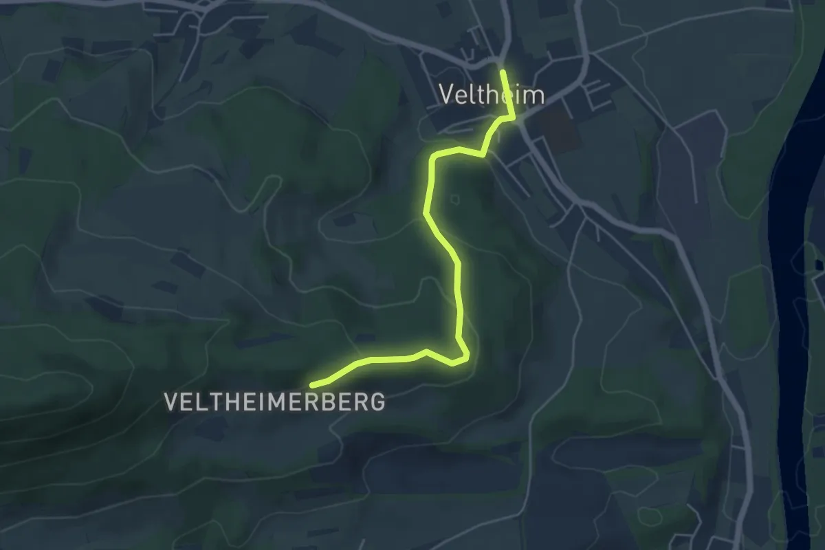
Easy · Trail
Veltheim - Schinznach-Dorf
5.0 km · ↑ 138 m · 1 h 29 min
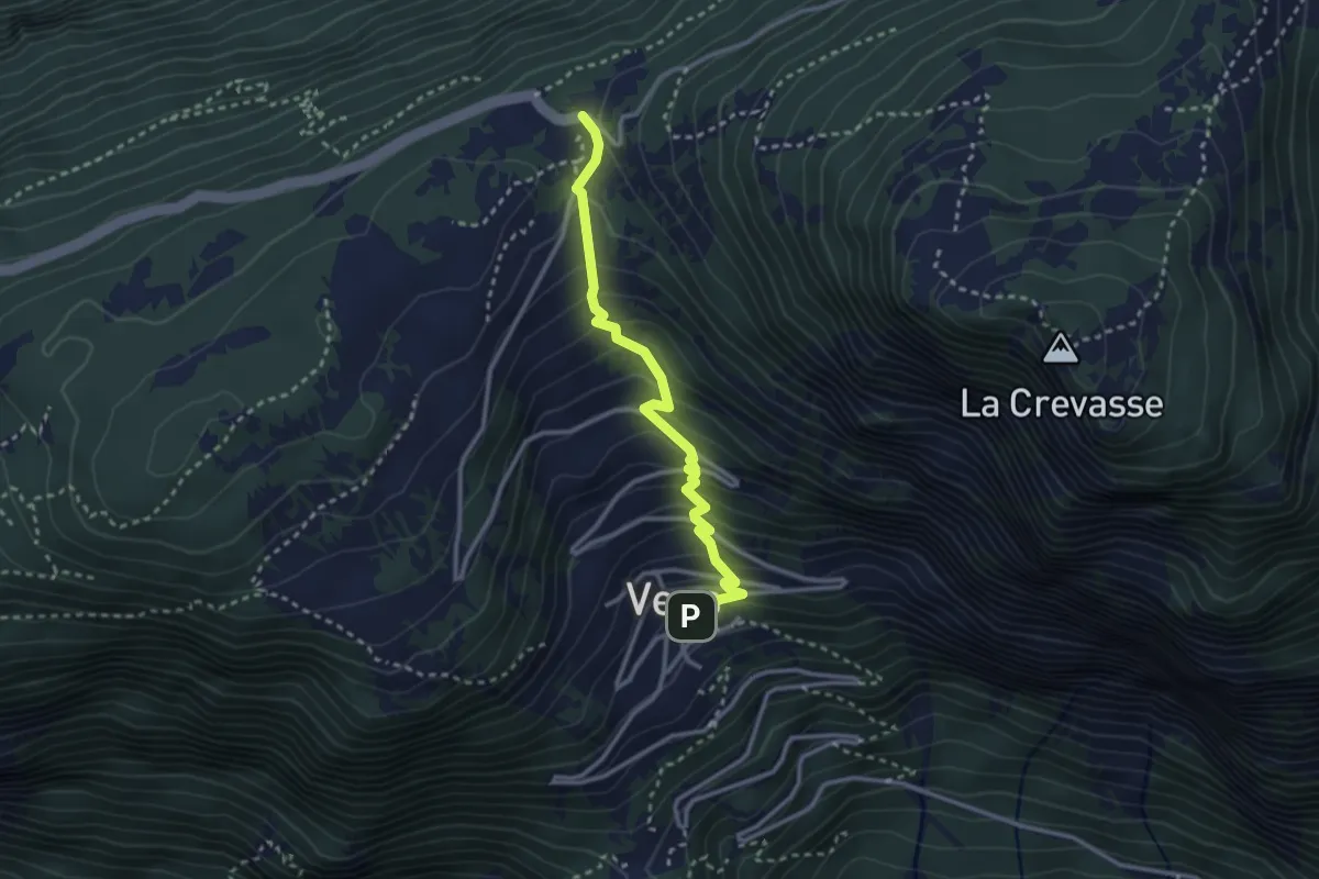
Easy · Trail
Veltheim - Veltheimerberg
4.4 km · ↑ 173 m · 1 h 24 min
Easy · Trail
Vens - Col des Planches
2.9 km · ↑ 287 m · 1 h 18 min
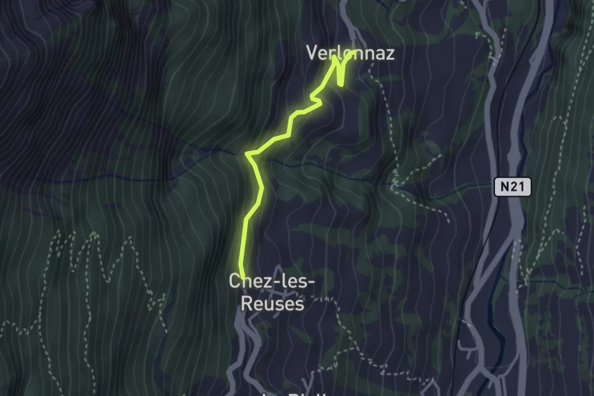
Easy · Trail
Verlonne > Chez les Reuses
2.6 km · ↑ 207 m · 1 h 4 min
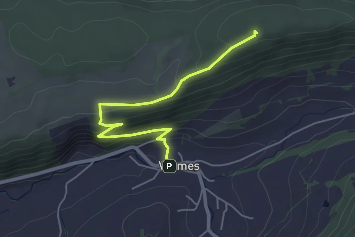
Easy · Summit
Vermes - fixme
4.1 km · ↑ 232 m · 1 h 29 min
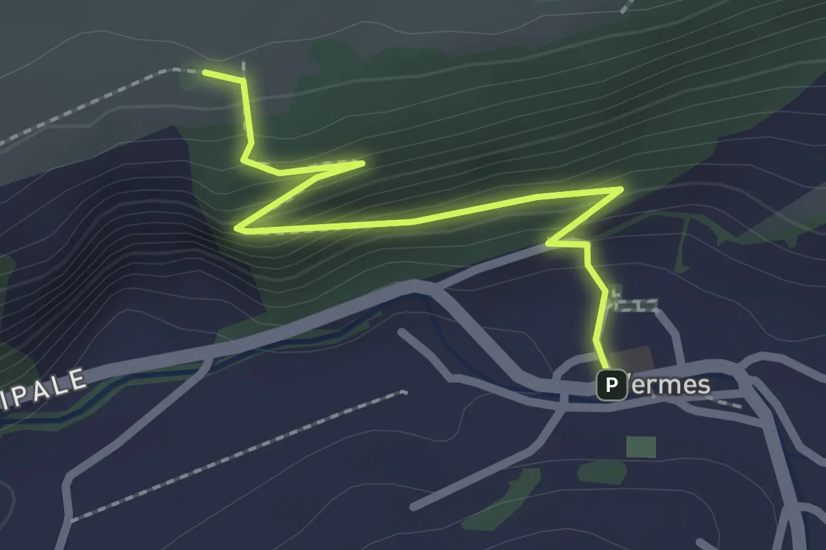
Easy · Trail
Vermes - fixme
2.2 km · ↑ 159 m · 51 min
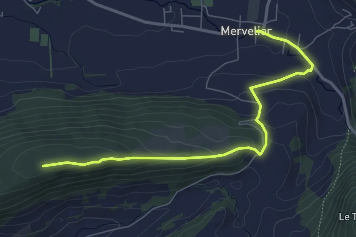
Easy · Summit
Vermes - Merveilier
6.1 km · ↑ 221 m · 1 h 55 min
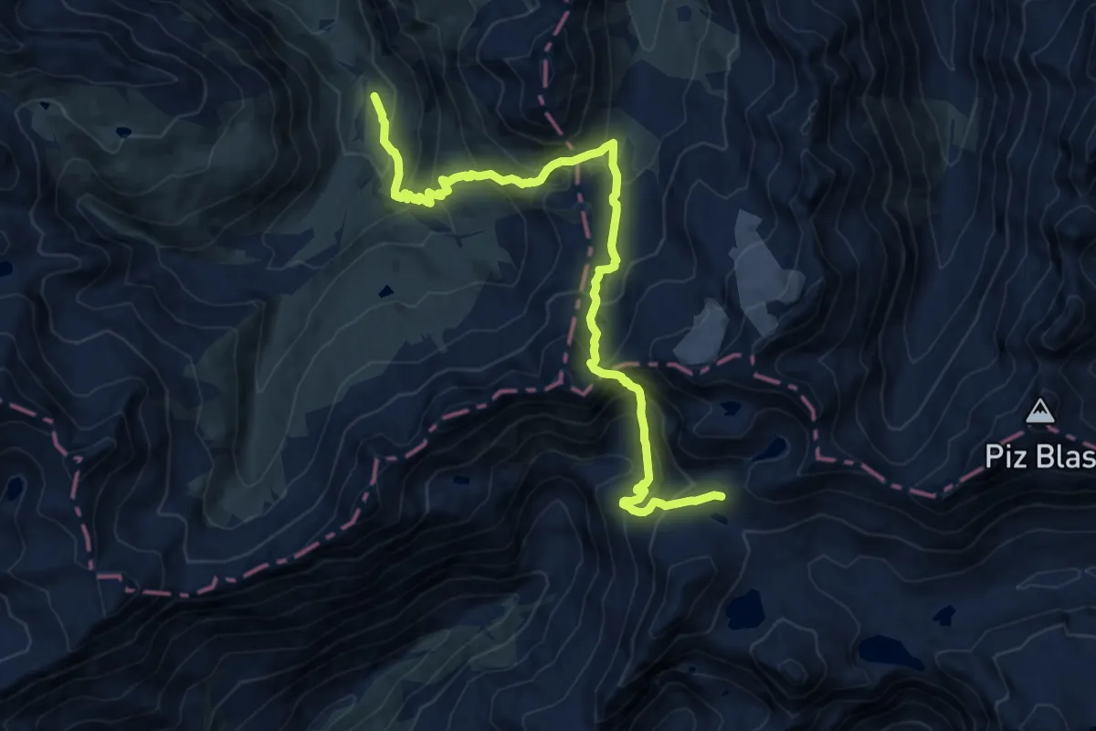
Expert · Cabin
Vermigel - Capanna Cadlimo
15.2 km · ↑ 1292 m · 6 h 23 min
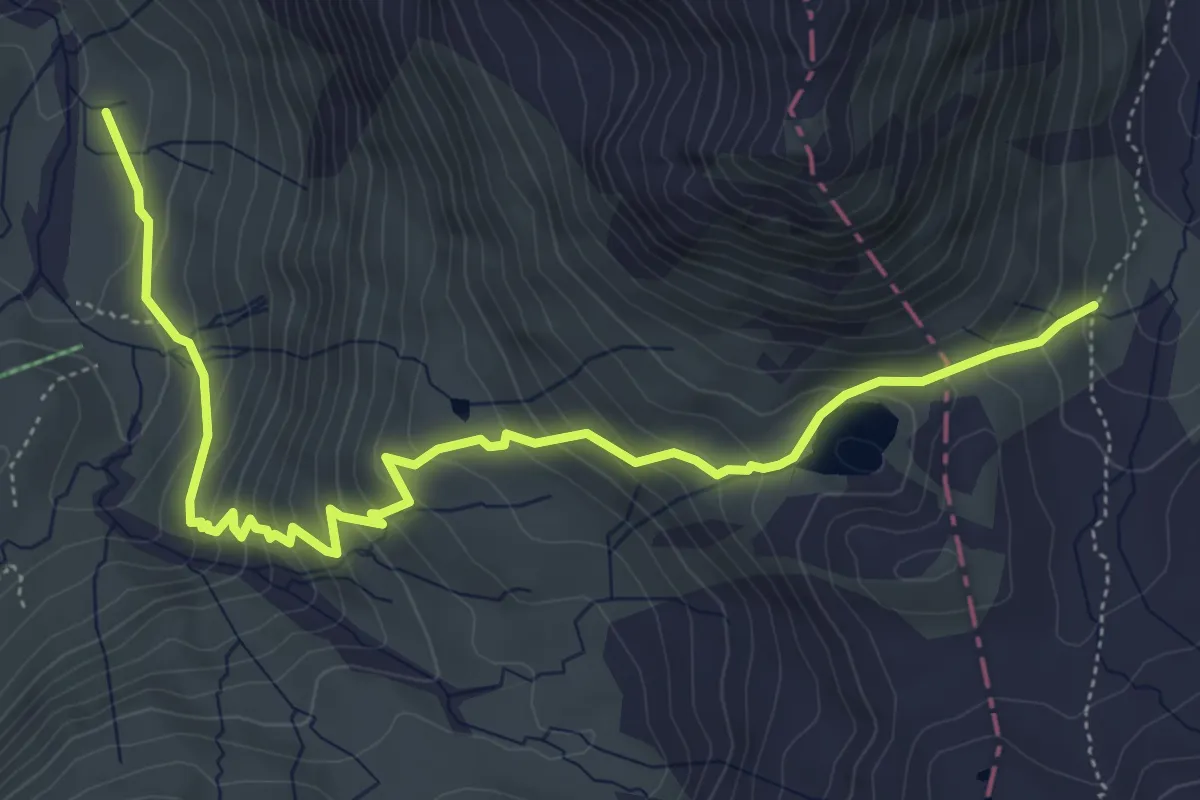
Medium · Trail
Vermigel - Maighelspass
6.4 km · ↑ 525 m · 2 h 39 min
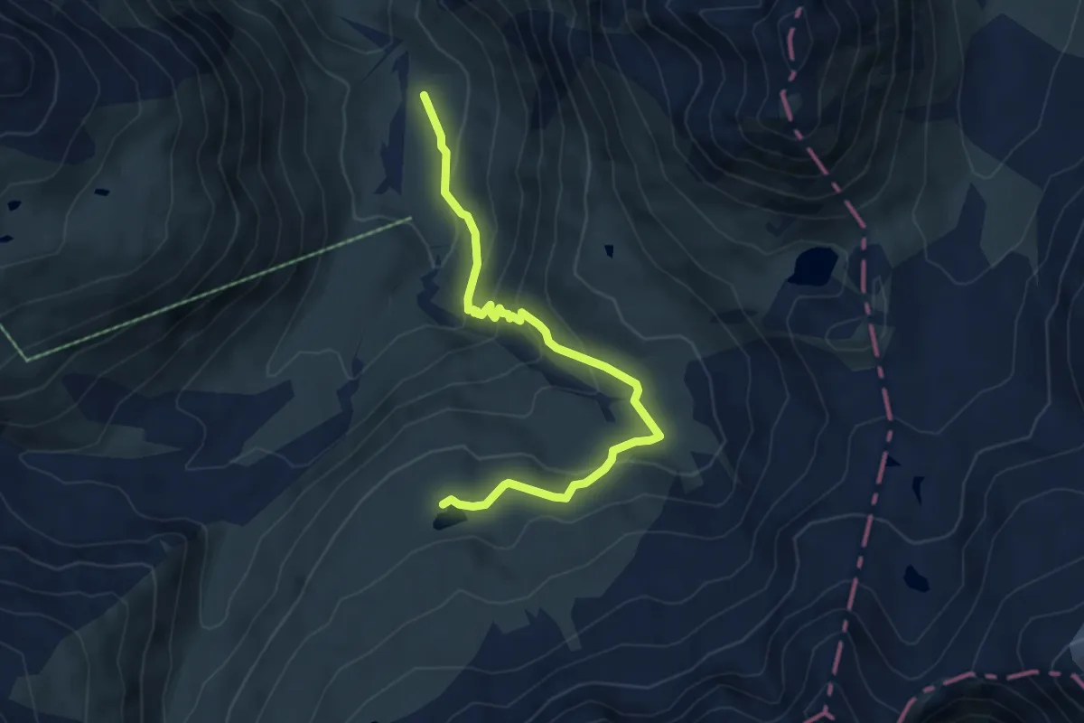
Medium · Trail
Vermigel - Wildenmattensee
5.7 km · ↑ 326 m · 2 h 3 min
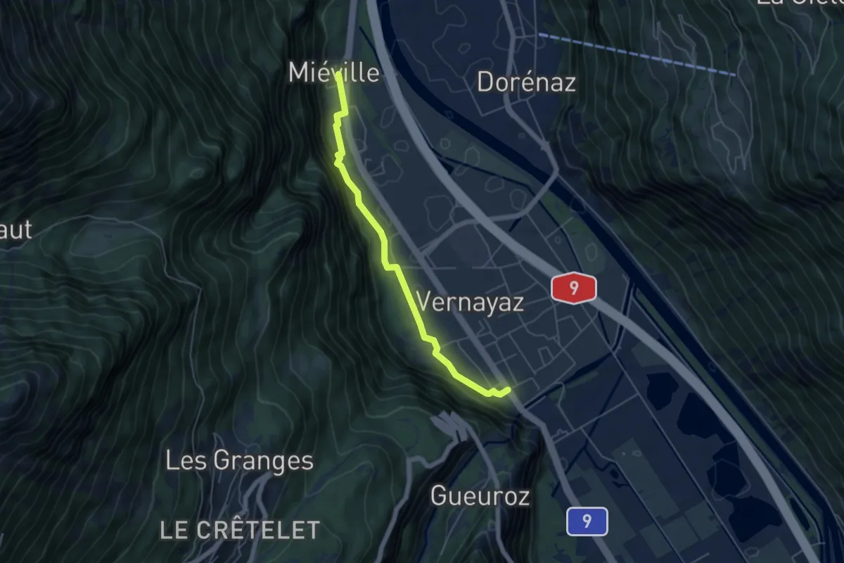
Easy · Trail
Vernayaz - Miéville
4.9 km · ↑ 127 m · 1 h 25 min
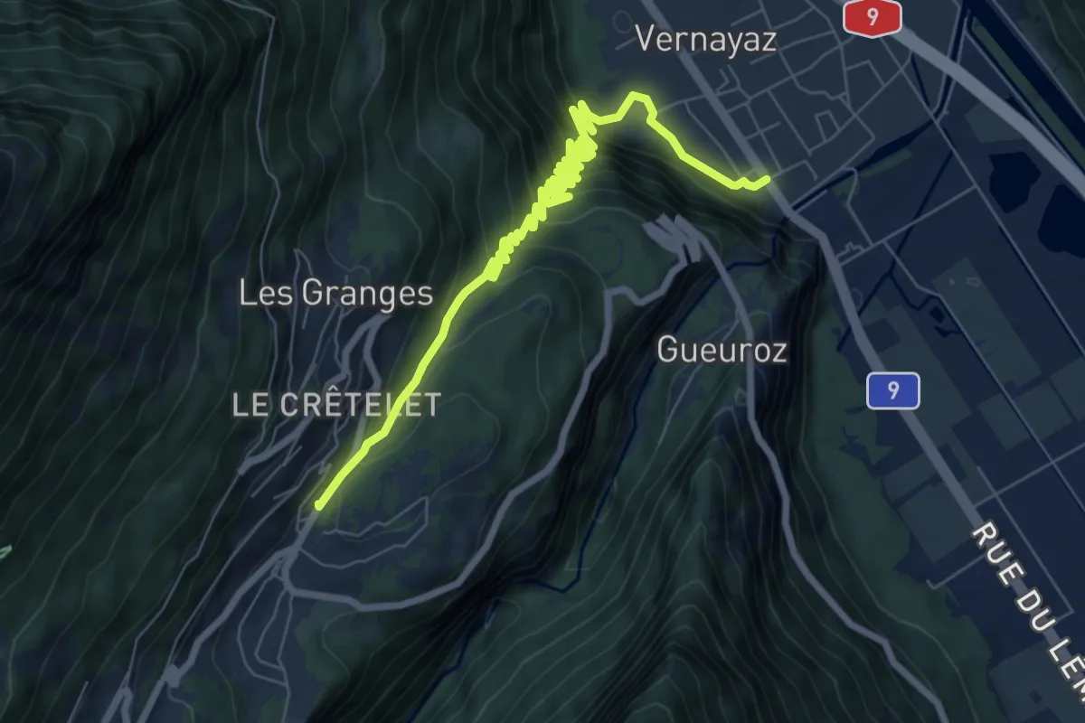
Medium · Trail
Vernayaz -> Salvan, gare
9.0 km · ↑ 623 m · 3 h 28 min
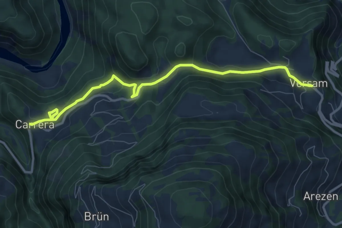
Medium · Trail
Versam - Carerra
8.2 km · ↑ 215 m · 2 h 24 min
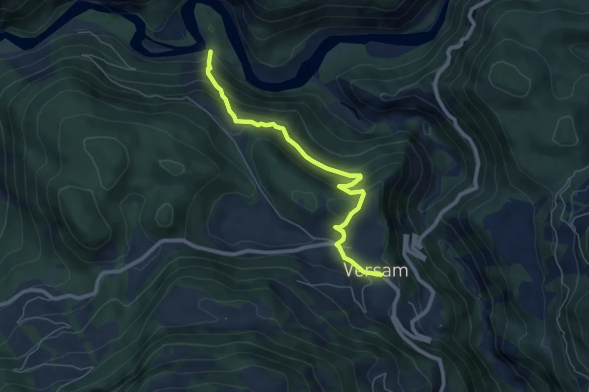
Medium · Trail
Versam Chrummwag
5.5 km · ↑ 430 m · 2 h 14 min
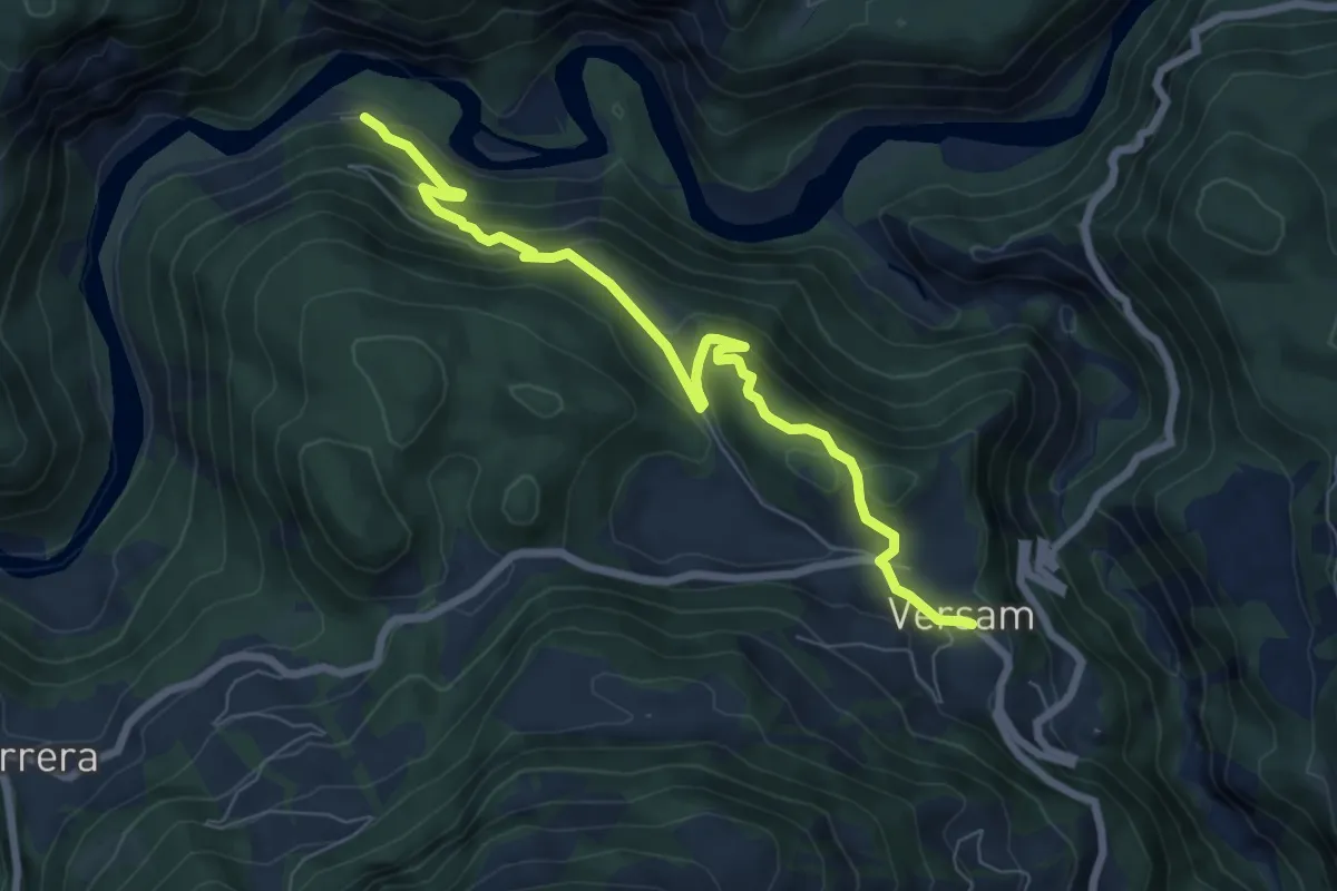
Medium · Trail
Versam Station - Versam
7.4 km · ↑ 444 m · 2 h 43 min
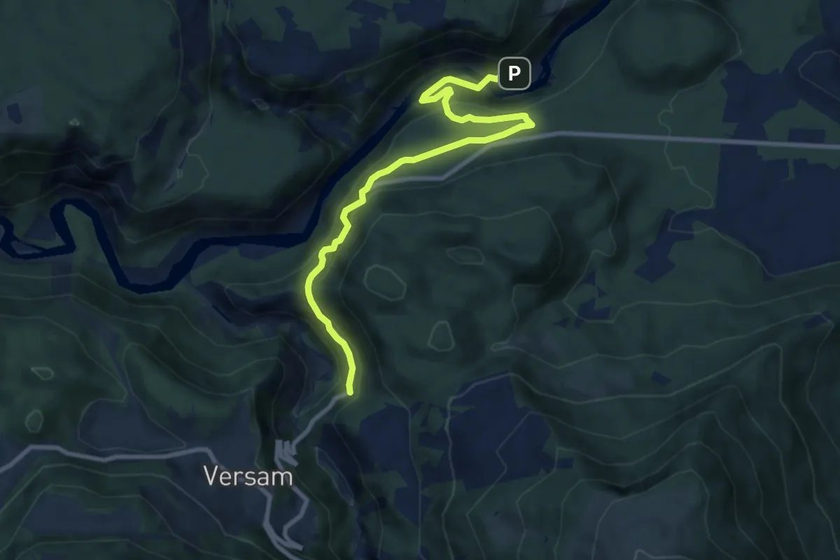
Medium · Trail
Versam Trin Stazion
9.2 km · ↑ 575 m · 3 h 25 min
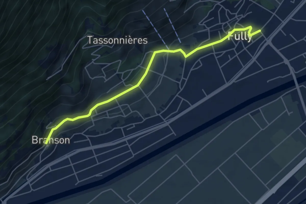
Easy · Trail
Vers l'Église - Fully > Branson - Village
5.2 km · ↑ 135 m · 1 h 32 min
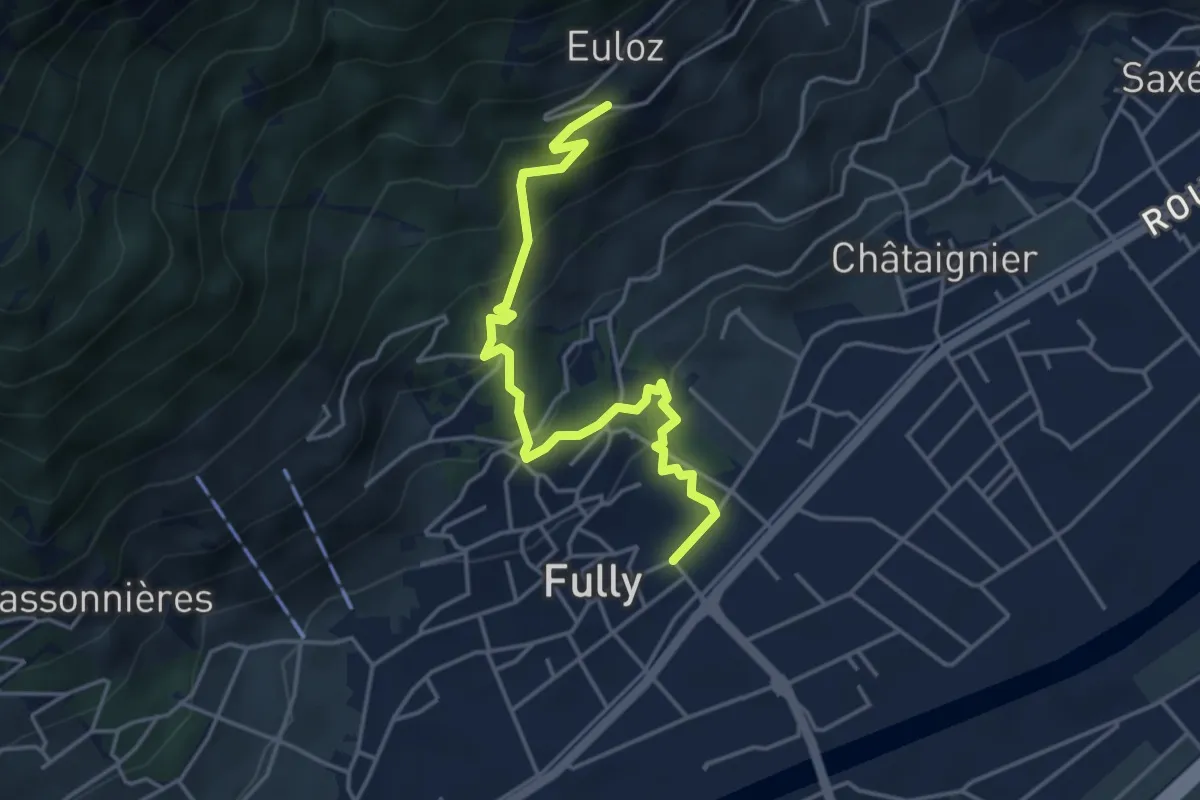
Medium · Trail
Vers l'Eglise - Fully > Eulo
4.5 km · ↑ 341 m · 1 h 48 min
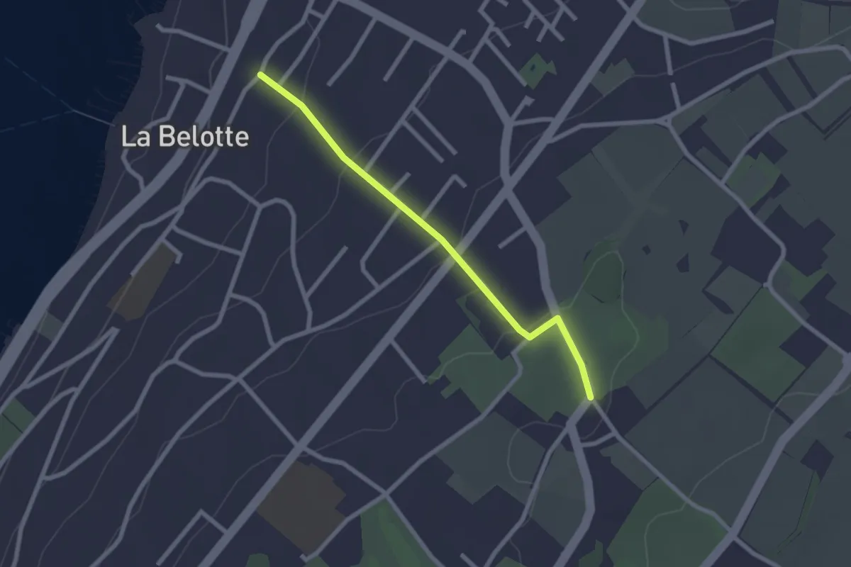
Easy · Trail
Vésenaz - Pressy
2.3 km · ↑ 69 m · 41 min
Easy · Trail
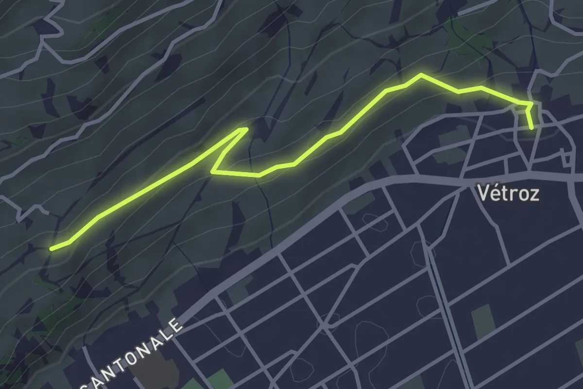
Vétroz - fixme
3.4 km · ↑ 112 m · 1 h 2 min
Easy · Trail
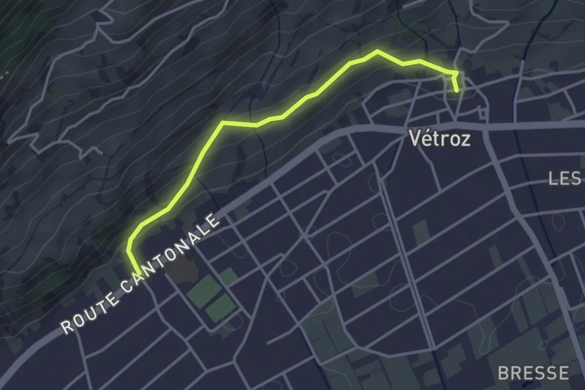
Vétroz - Magnot
3.2 km · ↑ 150 m · 1 h 5 min
Medium · Trail
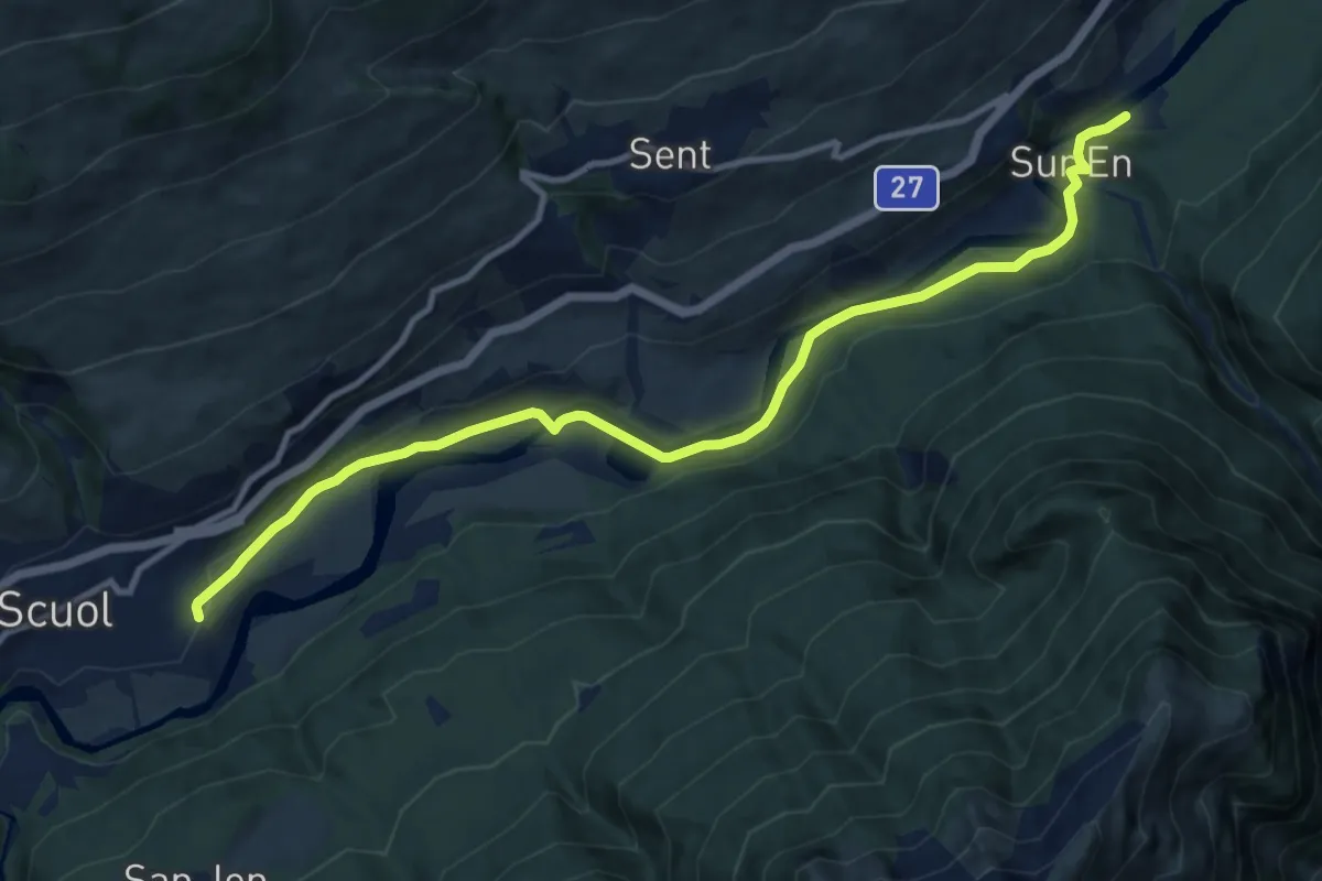
Via a l’En
11.6 km · ↑ 188 m · 3 h 8 min
Demanding · Summit
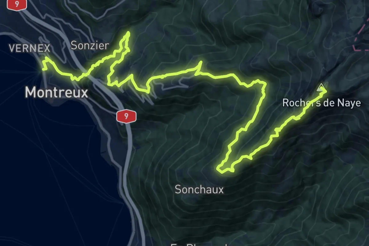
Via Alpina
26.6 km · ↑ 2058 m · 10 h 44 min
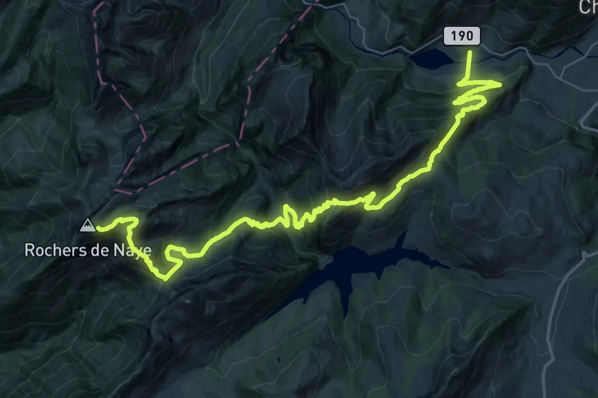
Demanding · Trail
Via Alpina
18.7 km · ↑ 754 m · 6 h 50 min
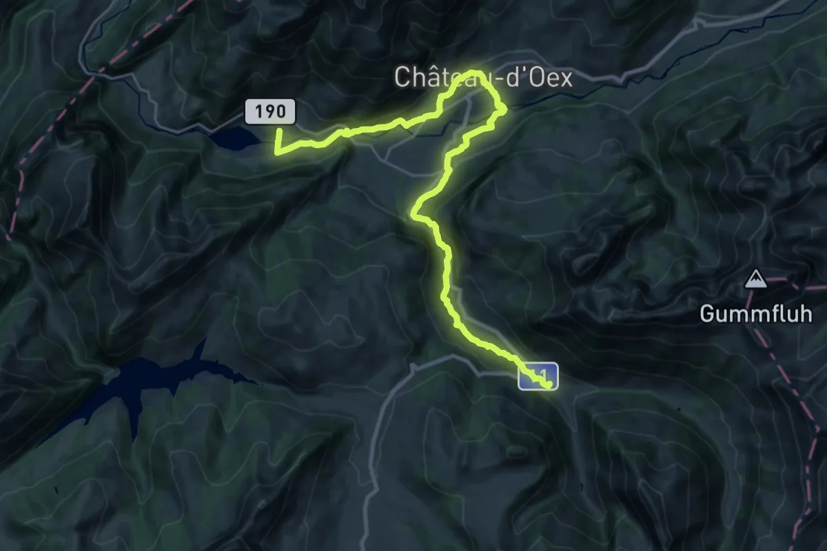
Medium · Trail
Via Alpina
13.6 km · ↑ 550 m · 4 h 28 min
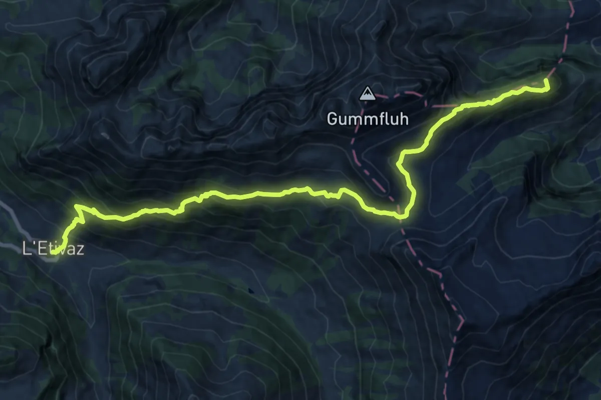
Demanding · Summit
Via Alpina
17.0 km · ↑ 1147 m · 6 h 30 min
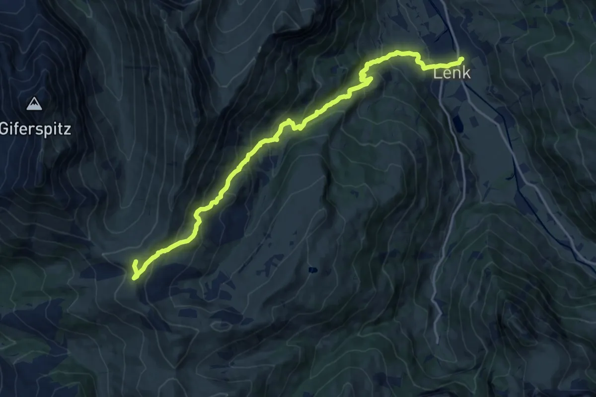
Demanding · Summit
Via Alpina
17.4 km · ↑ 1112 m · 6 h 31 min
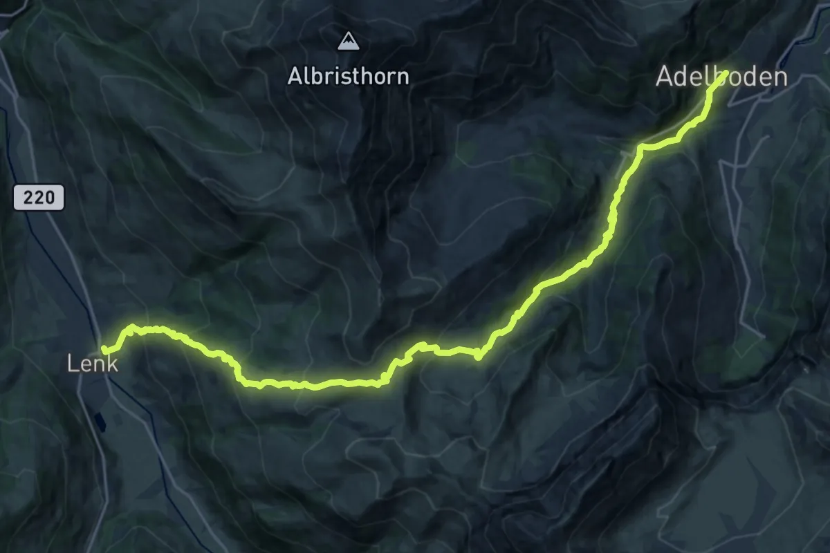
Demanding · Trail
Via Alpina
13.6 km · ↑ 961 m · 5 h 20 min
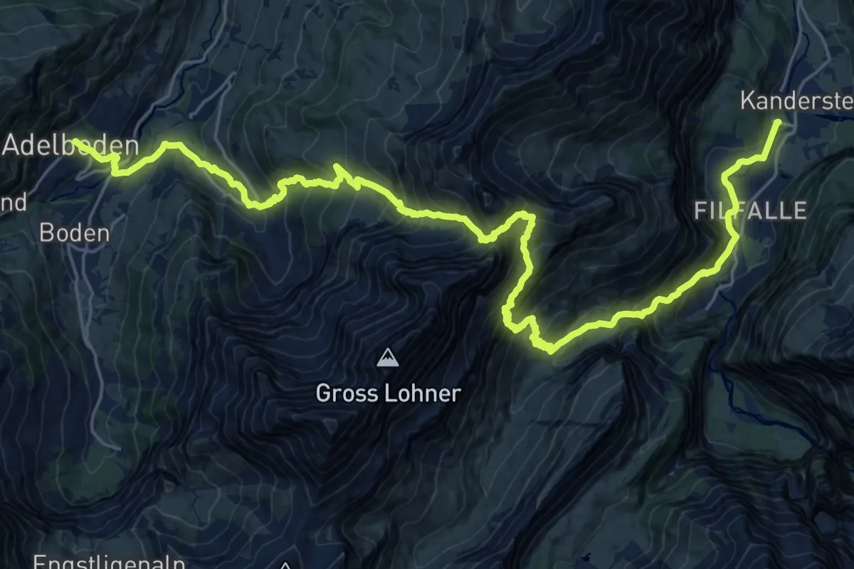
Demanding · Trail
Via Alpina
15.9 km · ↑ 1365 m · 6 h 51 min
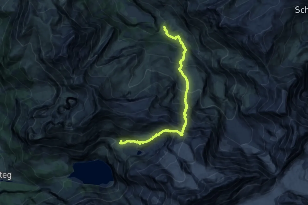
Demanding · Summit
Via Alpina
17.4 km · ↑ 2083 m · 8 h 37 min
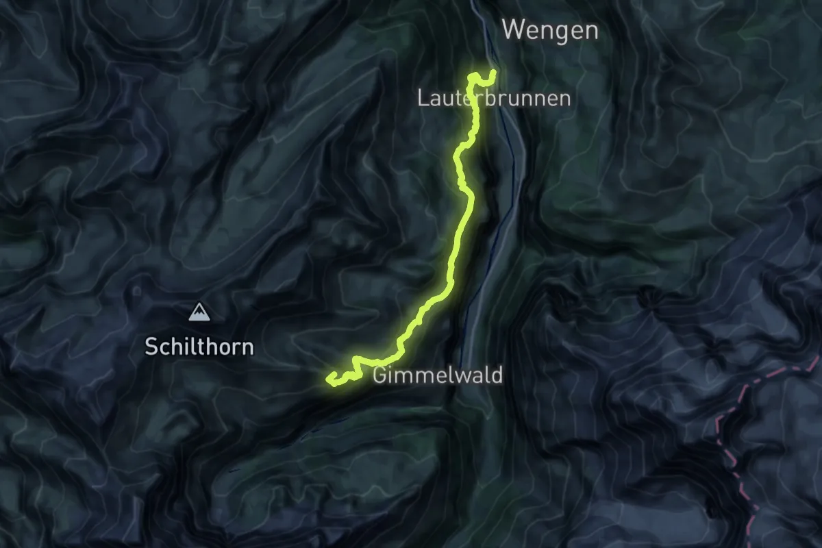
Demanding · Summit
Via Alpina
19.3 km · ↑ 1831 m · 8 h 32 min