Trails in Switzerland
15,064 hiking trails, each with its route, climb, walking time and grade.
All trails, page 124 of 314
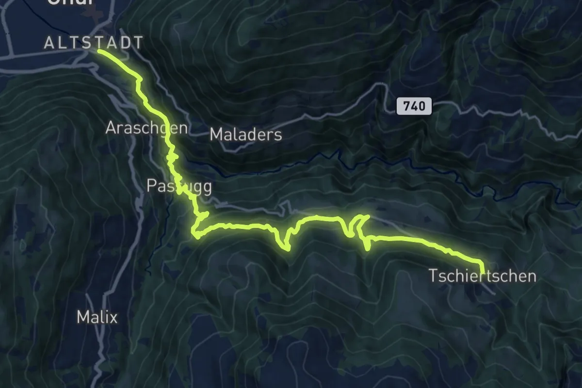
Medium · Pilgrim path
Via son Giachen
10.9 km · ↑ 253 m · 3 h 38 min
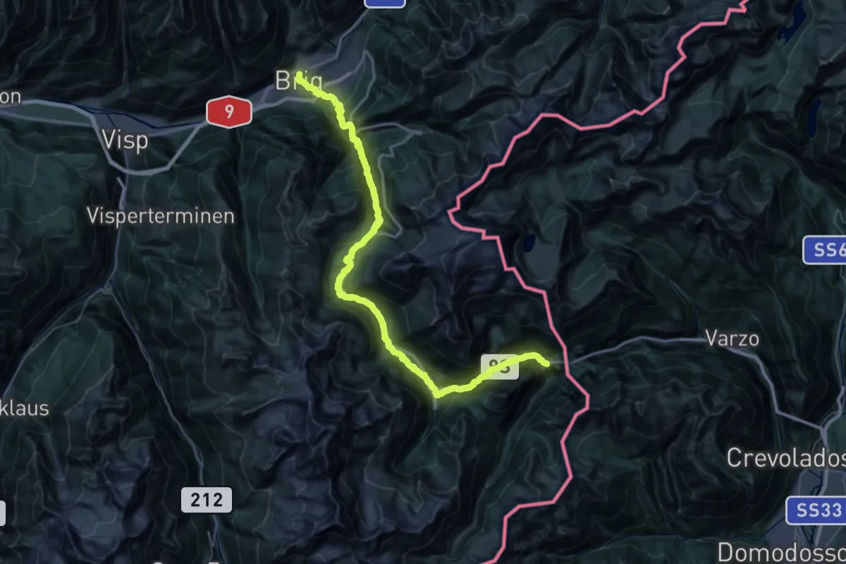
Demanding · Trail
ViaStockalper
29.9 km · ↑ 2093 m · 11 h 48 min
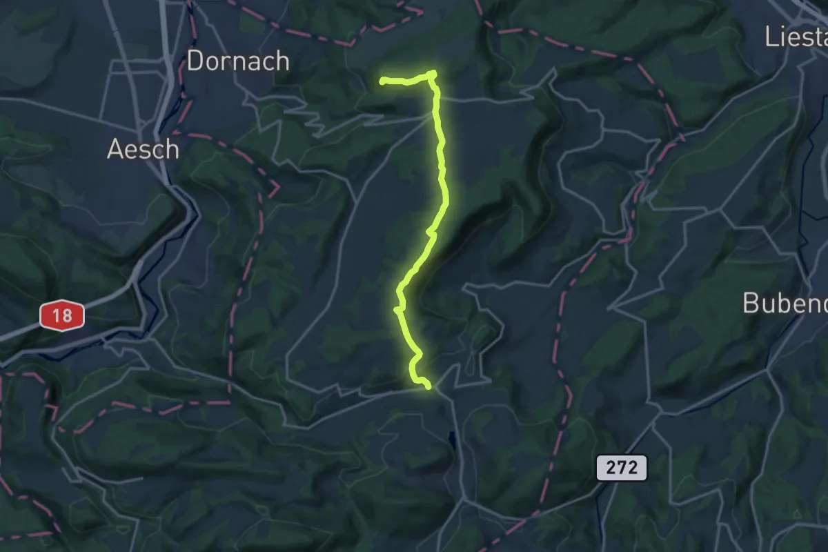
Medium · Summit
ViaSurprise - Etappe 1
13.2 km · ↑ 392 m · 3 h 58 min
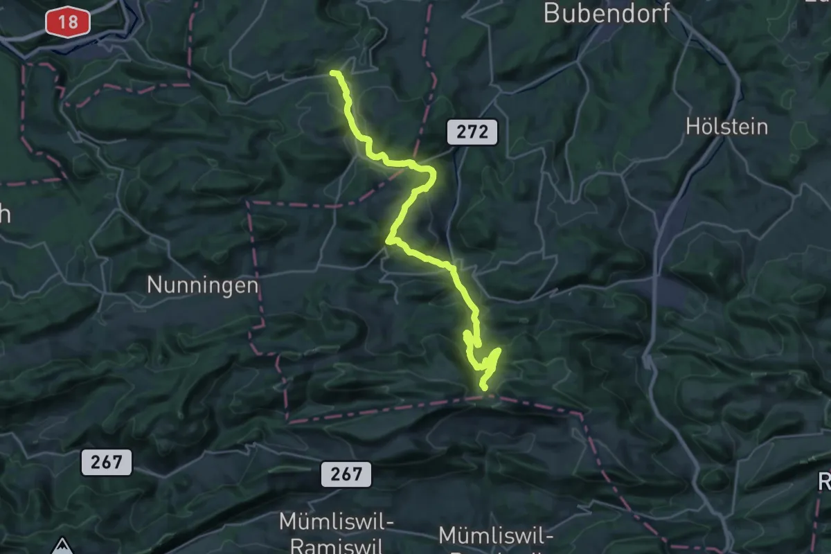
Demanding · Trail
ViaSurprise - Etappe 2
24.7 km · ↑ 985 m · 7 h 58 min
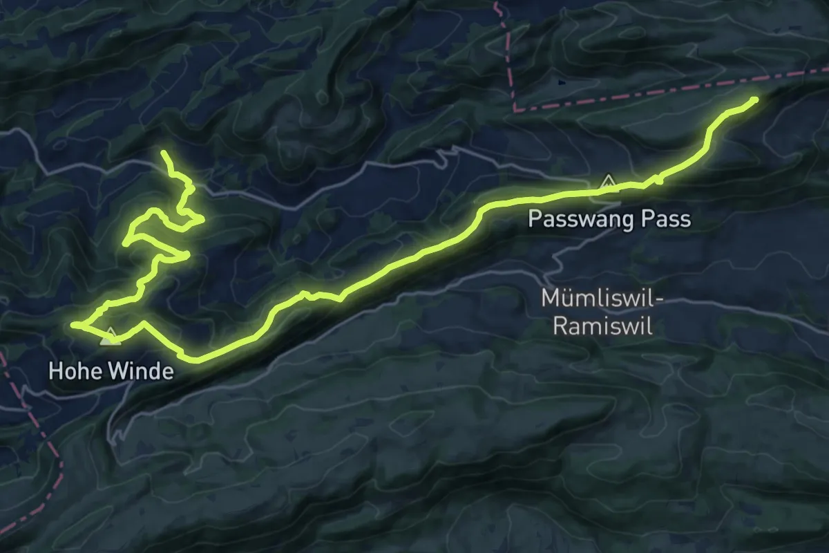
Demanding · Summit
ViaSurprise - Etappe 3
30.2 km · ↑ 1475 m · 10 h 20 min
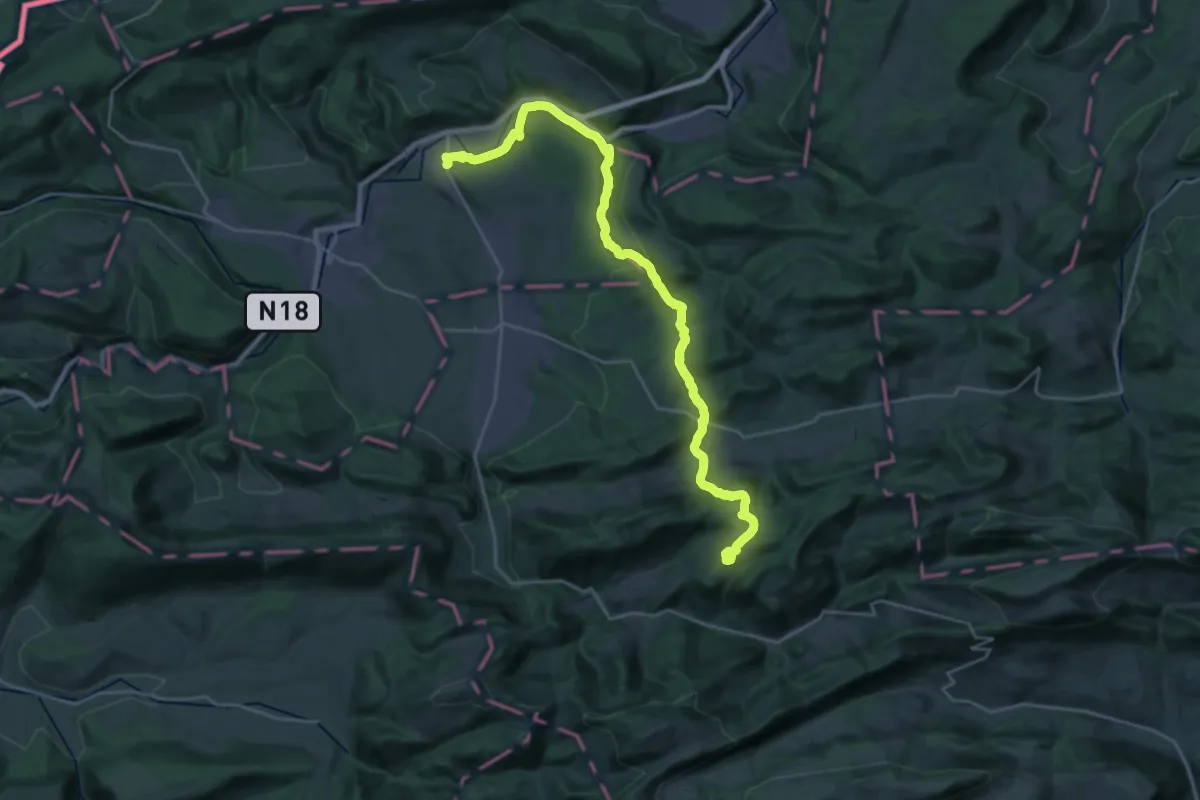
Demanding · Summit
ViaSurprise - Etappe 4
28.6 km · ↑ 884 m · 8 h 40 min
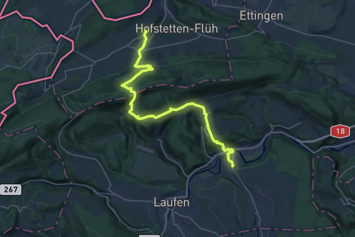
Demanding · Trail
ViaSurprise - Etappe 5
22.1 km · ↑ 965 m · 7 h 19 min
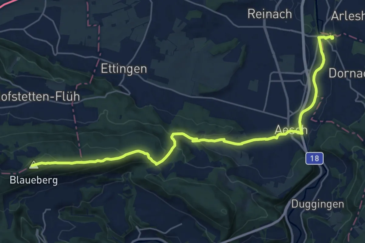
Demanding · Summit
ViaSurprise - Etappe 6
21.7 km · ↑ 583 m · 6 h 23 min
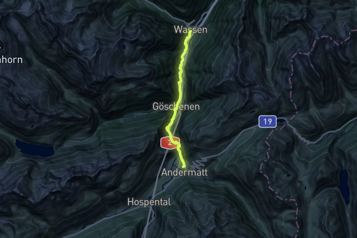
Demanding · Trail
ViaSuworow
19.8 km · ↑ 953 m · 6 h 44 min
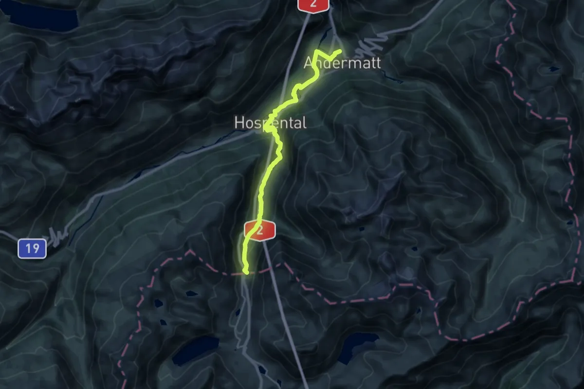
Demanding · Summit
ViaSuworow
18.4 km · ↑ 533 m · 5 h 31 min
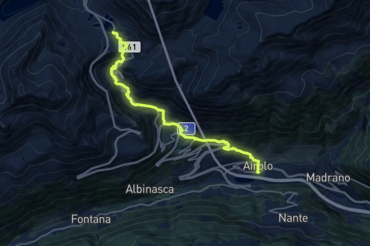
Demanding · Trail
ViaSuworow
13.6 km · ↑ 939 m · 5 h 14 min
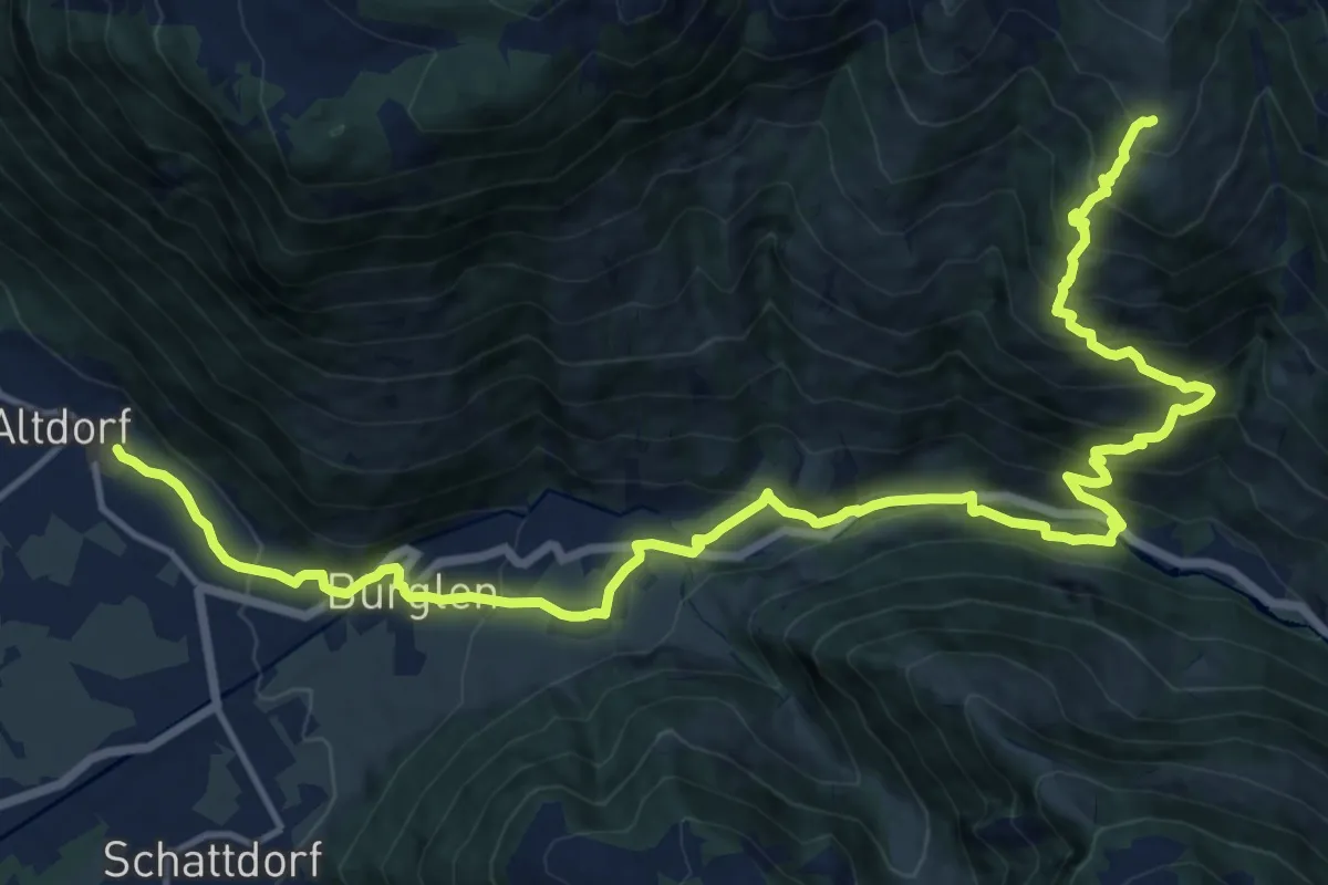
Demanding · Trail
ViaSuworow
19.3 km · ↑ 1252 m · 7 h 16 min
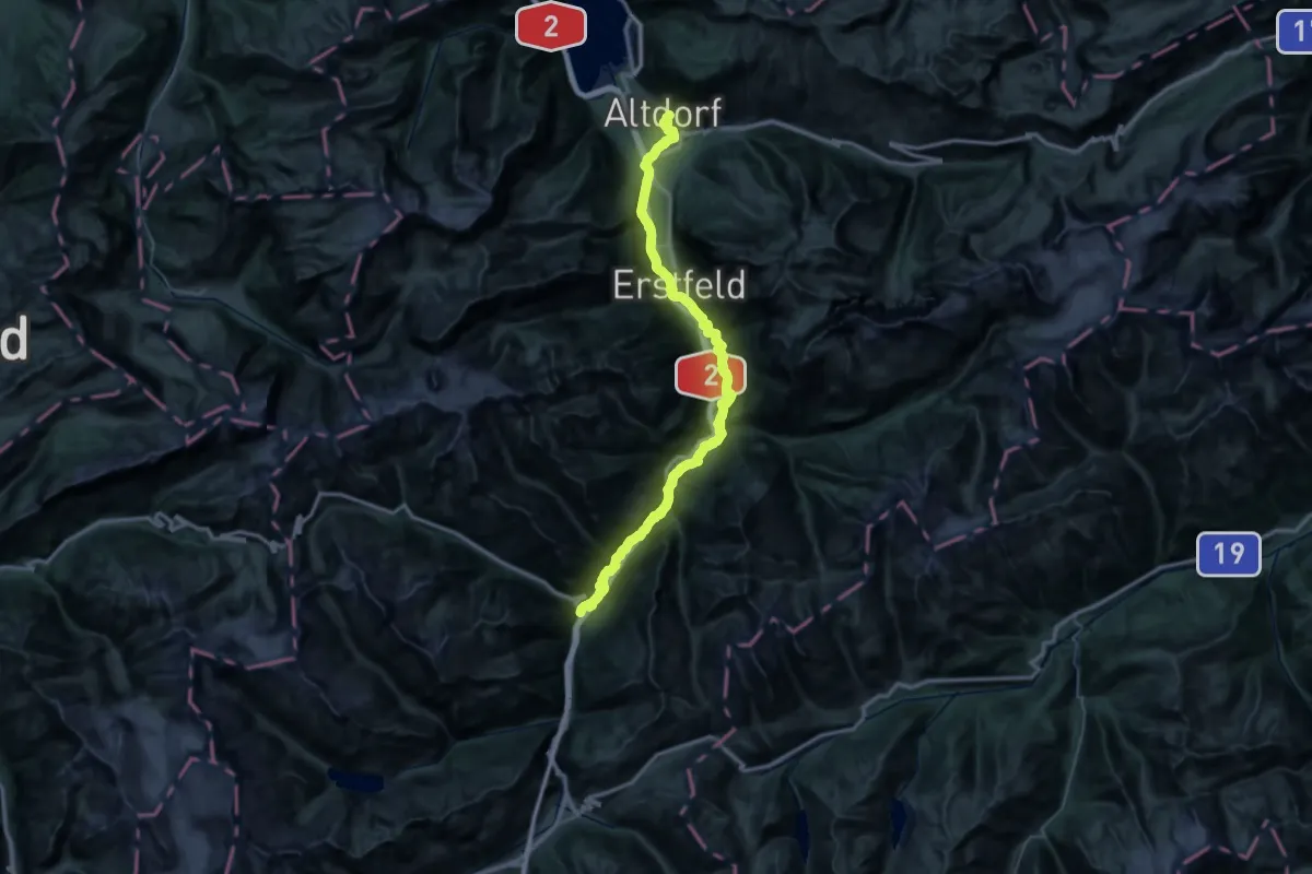
Demanding · Trail
ViaSuworow
27.5 km · ↑ 640 m · 8 h 29 min
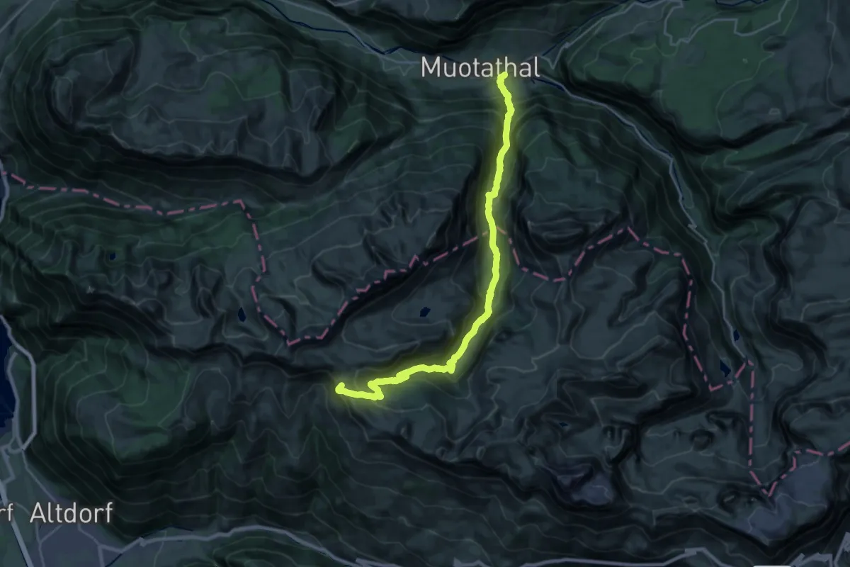
Demanding · Summit
ViaSuworow
23.7 km · ↑ 1628 m · 9 h 8 min
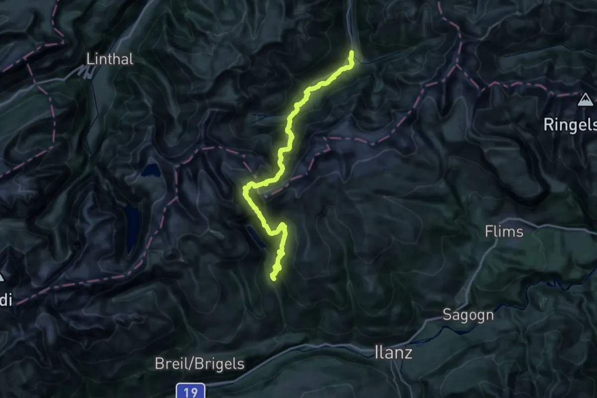
Demanding · Trail
ViaSuworow
22.3 km · ↑ 1304 m · 8 h 34 min
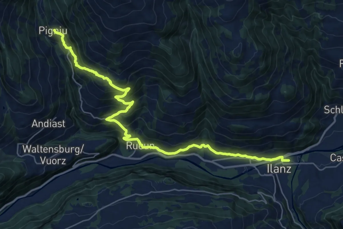
Demanding · Trail
ViaSuworow
12.1 km · ↑ 1013 m · 4 h 55 min
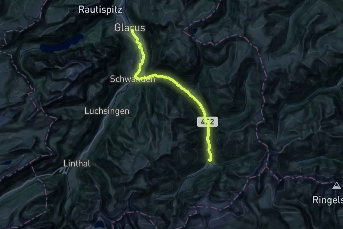
Demanding · Trail
ViaSuworow
21.2 km · ↑ 240 m · 6 h 5 min
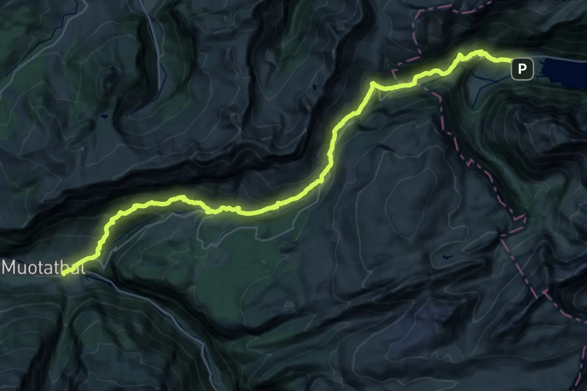
Demanding · Trail
ViaSuworow
18.2 km · ↑ 839 m · 6 h 29 min
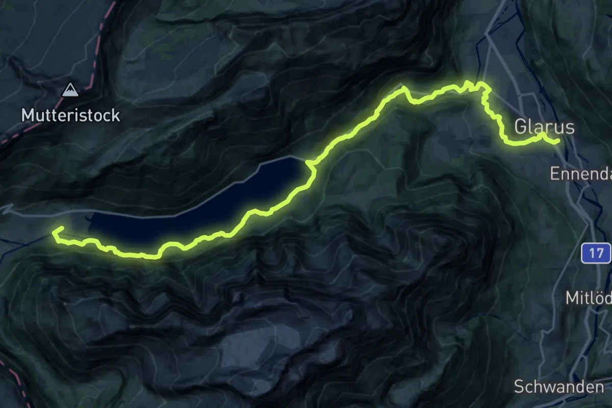
Demanding · Trail
ViaSuworow
14.5 km · ↑ 849 m · 5 h 17 min
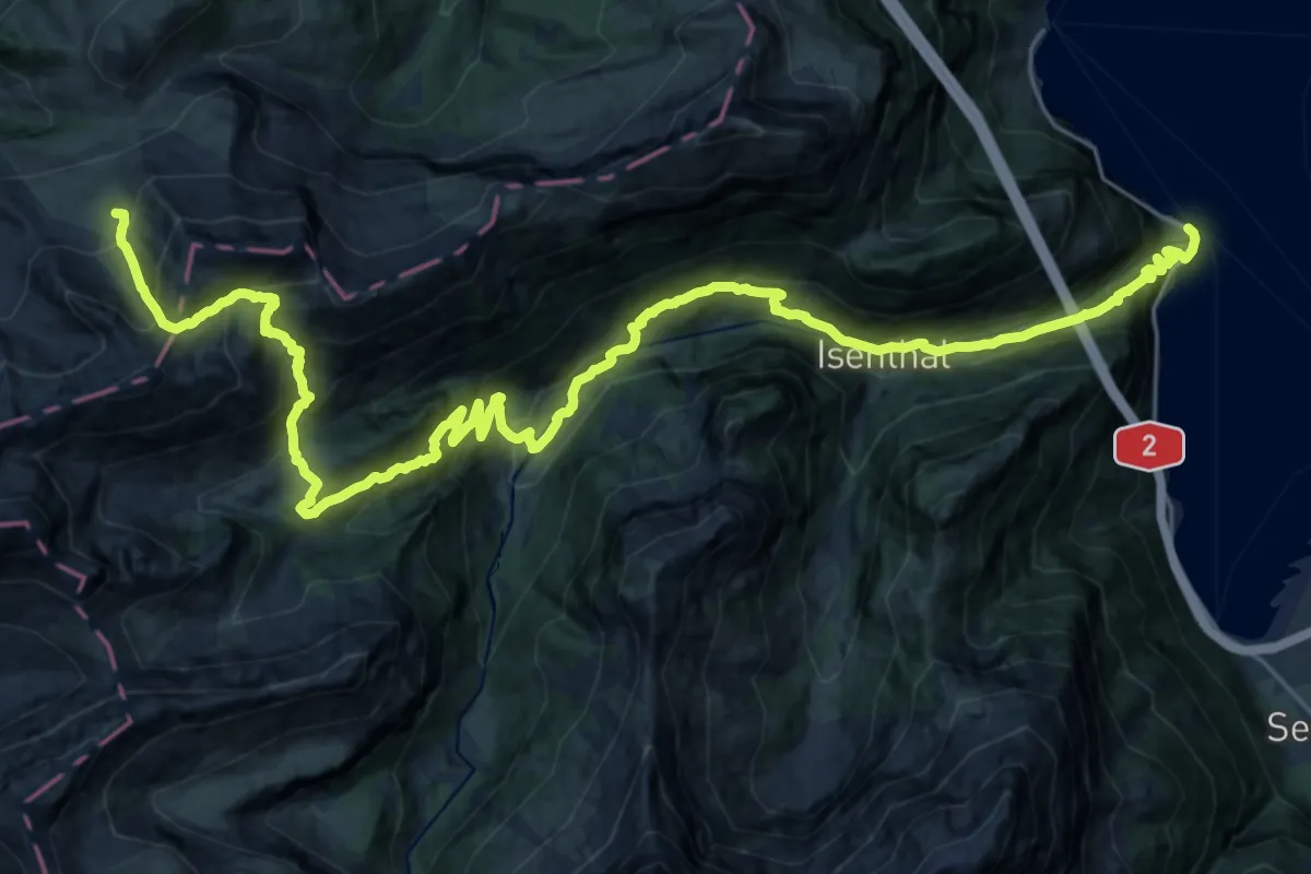
Demanding · Summit
ViaUrschweiz
32.6 km · ↑ 2343 m · 12 h 46 min
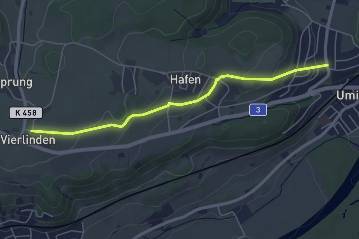
Easy · Trail
Vier Linden - Riniken
4.4 km · ↑ 113 m · 1 h 18 min
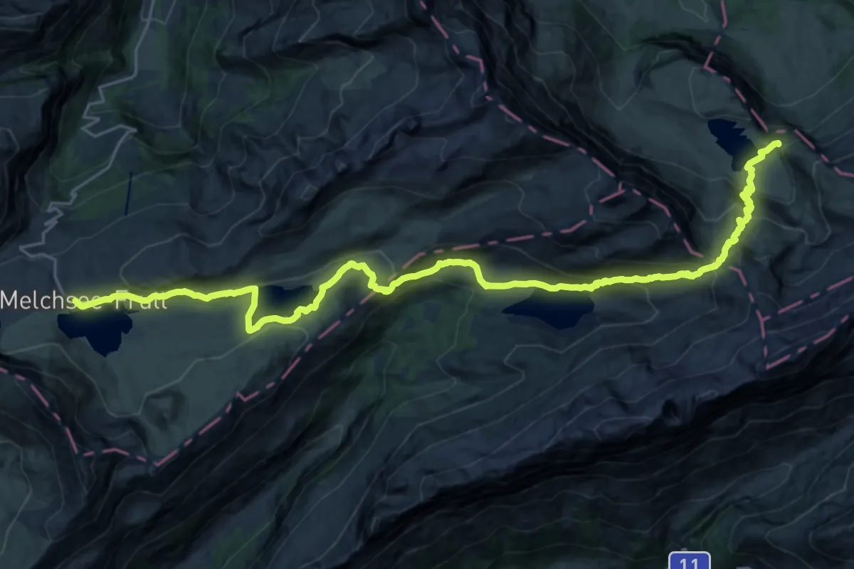
Medium · Trail
Vier-Seen-Wanderung
14.5 km · ↑ 738 m · 5 h 9 min
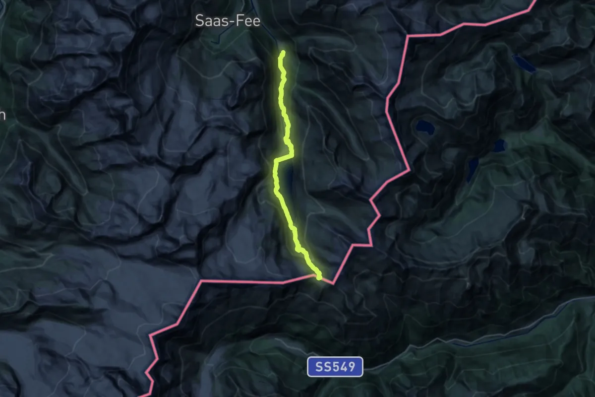
Demanding · Trail
Vie Storiche Monte Moro Saas Almagell
13.5 km · ↑ 1376 m · 5 h 47 min
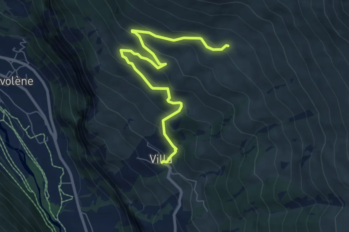
Medium · Trail
Villa - Cotter
6.6 km · ↑ 527 m · 2 h 42 min
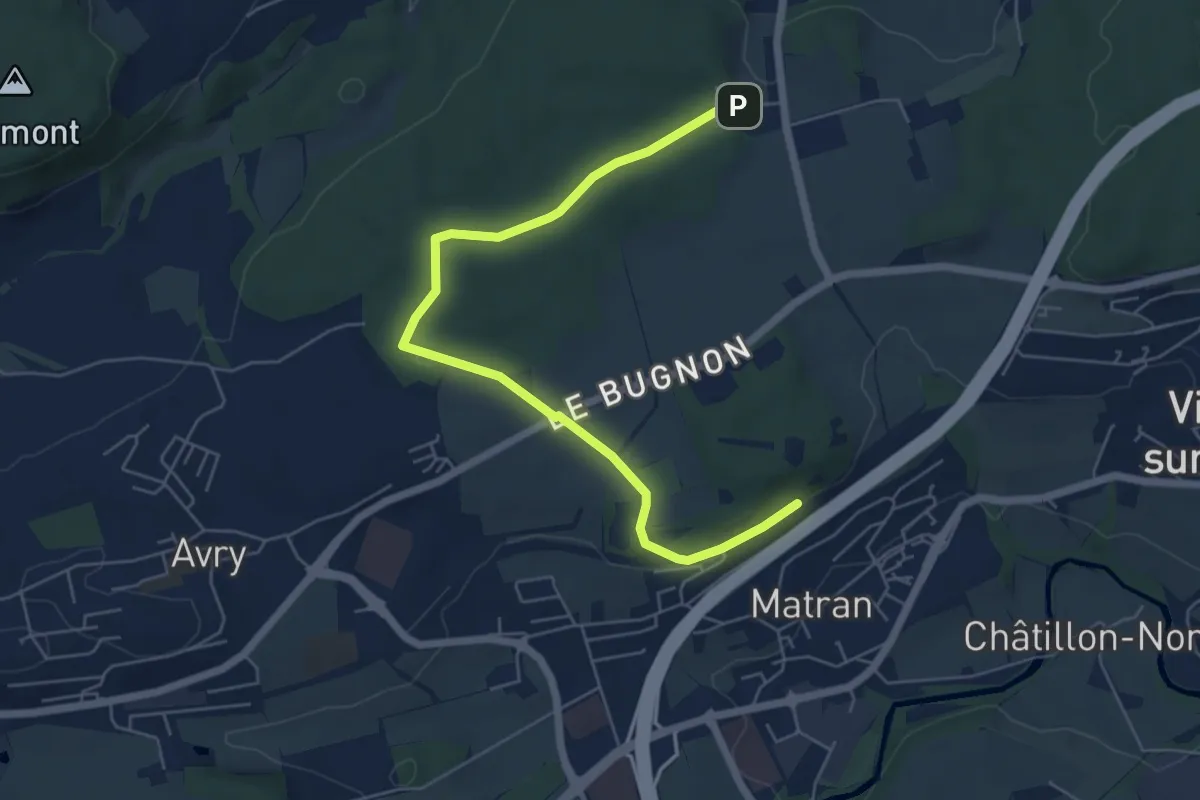
Easy · Trail
Village suisse - Matran
6.5 km · ↑ 79 m · 1 h 42 min
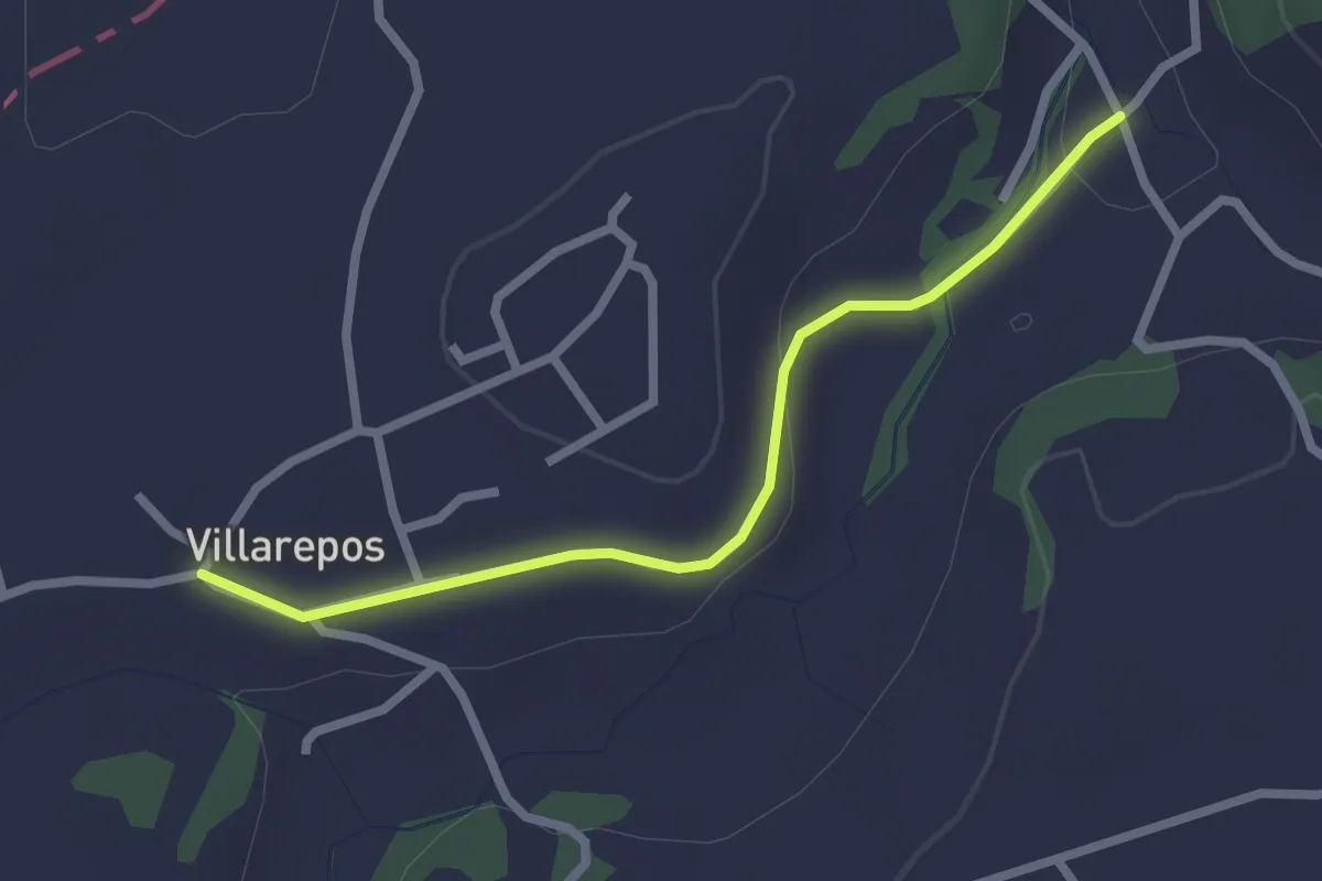
Easy · Trail
Villarepos - Chandossel
2.4 km · ↑ 29 m · 37 min
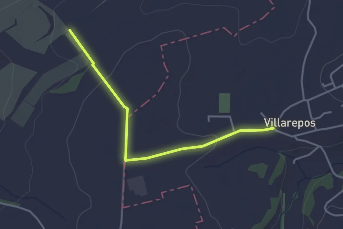
Easy · Trail
Villarepos - La Porte de l'Est
3.1 km · ↑ 54 m · 51 min
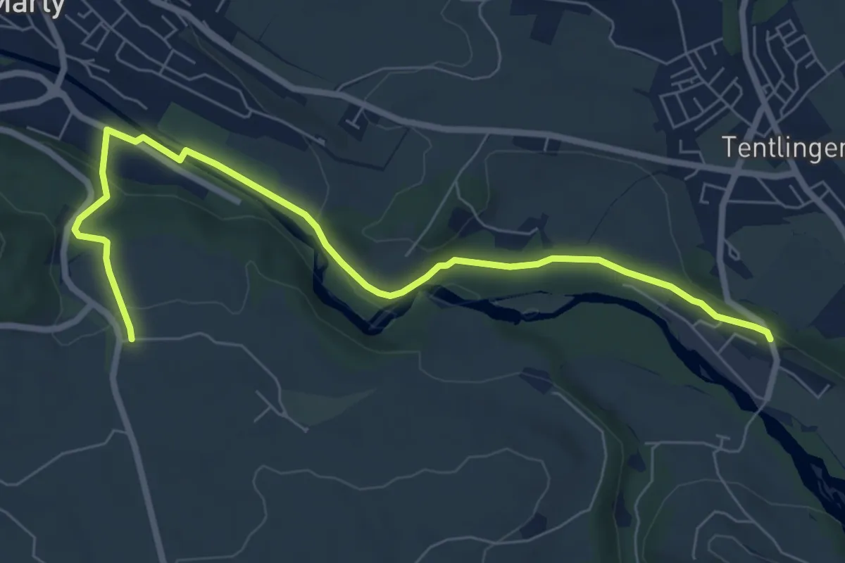
Easy · Trail
Villarsel-sur-Marly - Stersmühle
7.8 km · ↑ 182 m · 2 h 14 min
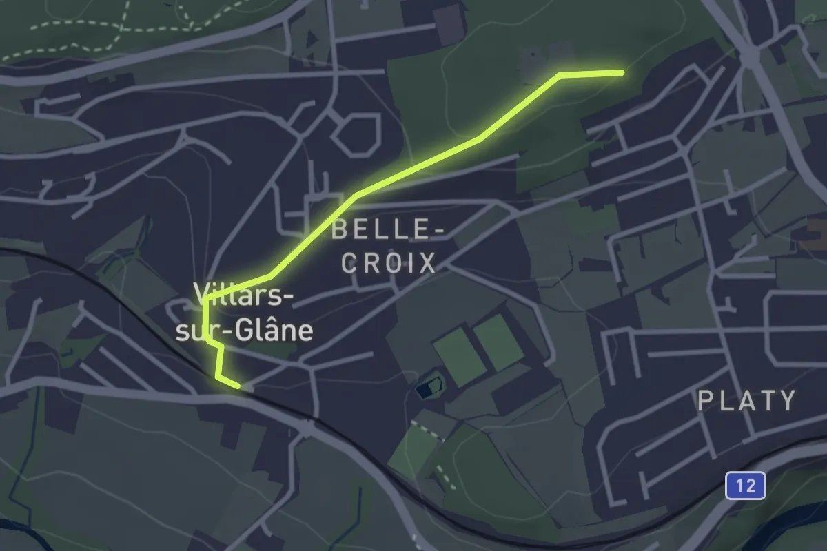
Easy · Trail
Villars-sur-Glâne Bois de Belle-Croix - Villars-sur-Glâne
2.5 km · ↑ 89 m · 47 min
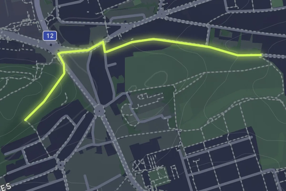
Easy · Trail
Villars-sur-Glâne Grand-Pré - Villars-sur-Glâne Bois de Belle-Croix
2.2 km · ↑ 57 m · 38 min
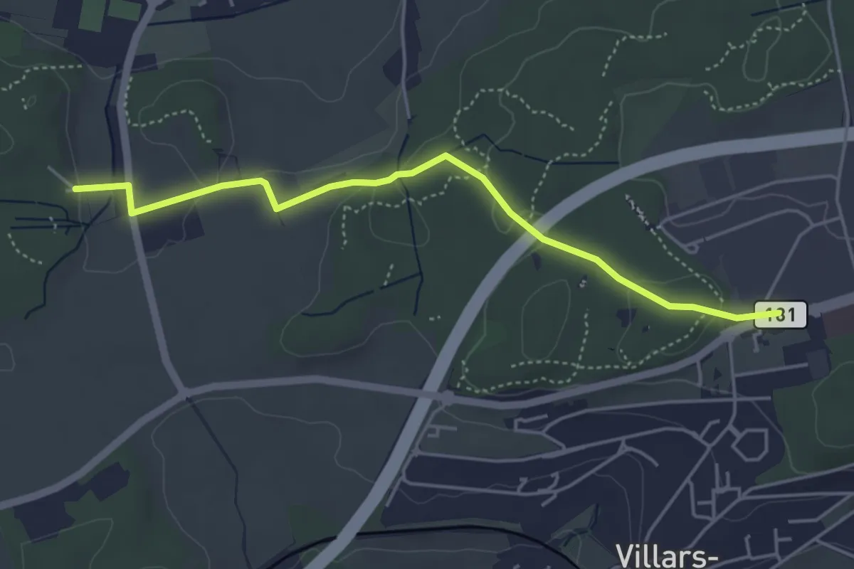
Easy · Trail
Villars-sur-Glâne Moncor - Corminboeuf Village Suisse
4.6 km · ↑ 101 m · 1 h 18 min
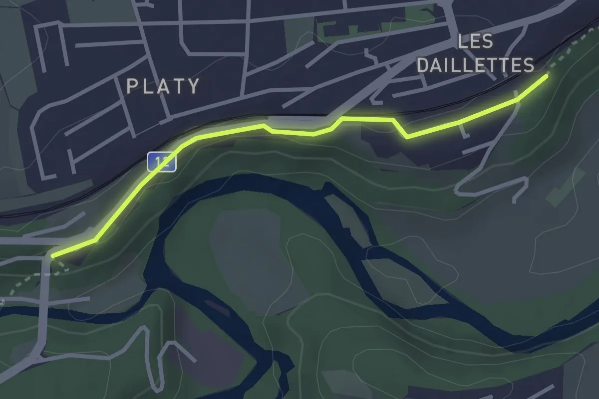
Easy · Trail
Villars-sur-Glâne Pont de la Glâne - Villars-sur-Gâne Planafaye
2.7 km · ↑ 41 m · 43 min
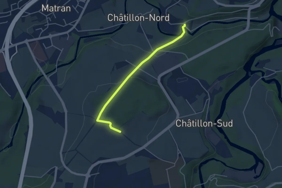
Easy · Trail
Villars-sur-Glâne Ste. Appoline - Monterban
3.7 km · ↑ 134 m · 1 h 10 min
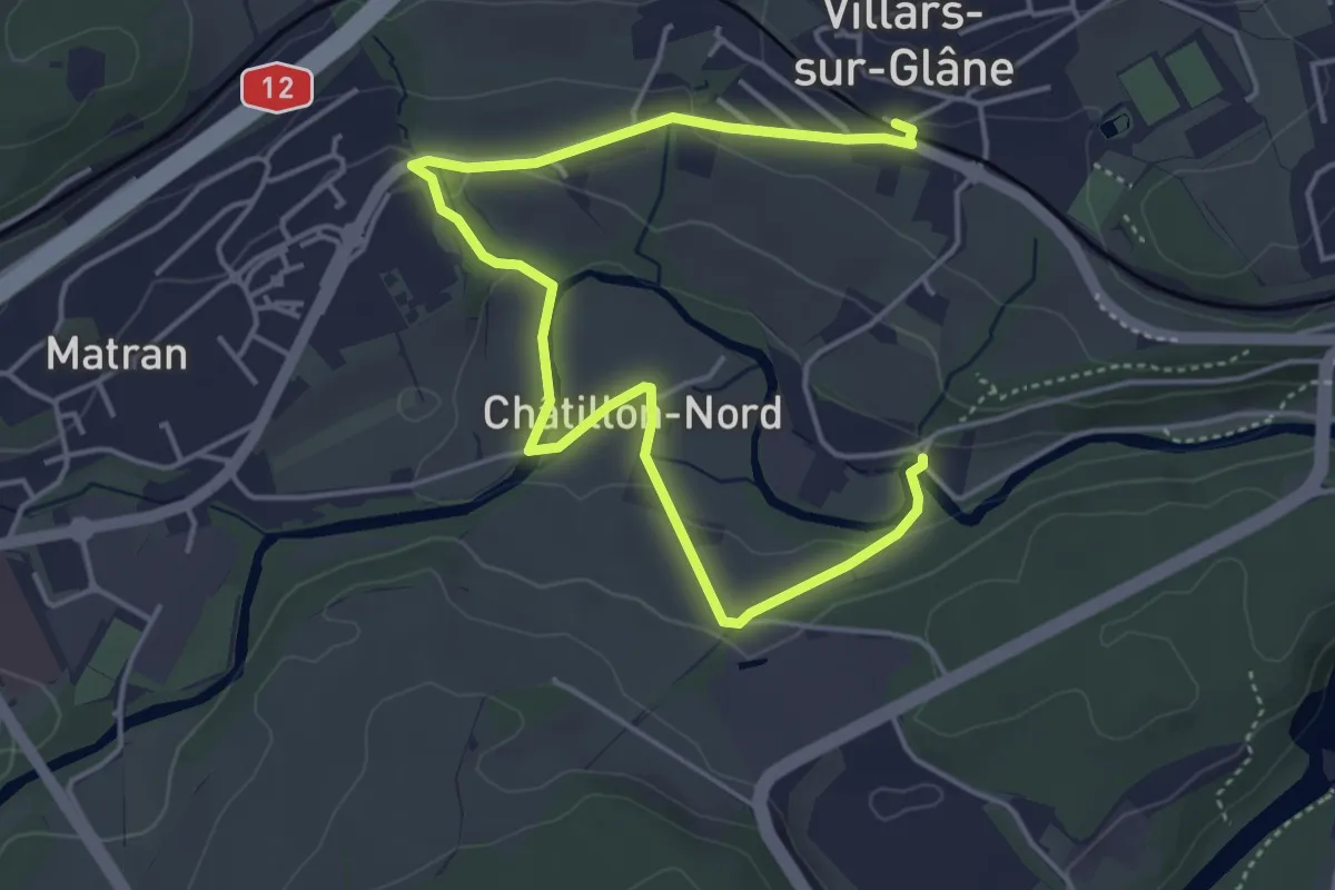
Easy · Trail
Villars-sur-Glâne Ste. Appoline - Villars-sur-Glâne
5.8 km · ↑ 115 m · 1 h 37 min
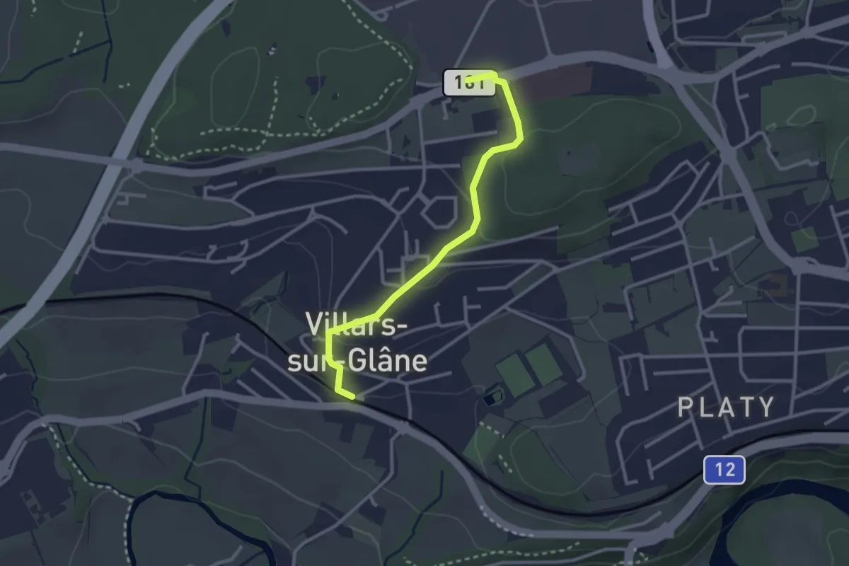
Easy · Trail
Villars-sur-Glâne - Villars-sur-Glâne Moncor
2.7 km · ↑ 76 m · 48 min
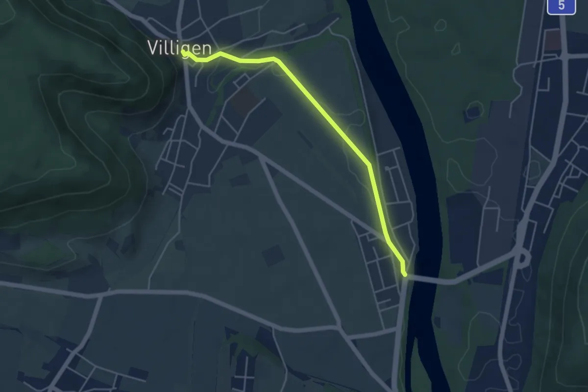
Easy · Trail
Villigen - Stilli
4.0 km · ↑ 38 m · 1 h 2 min
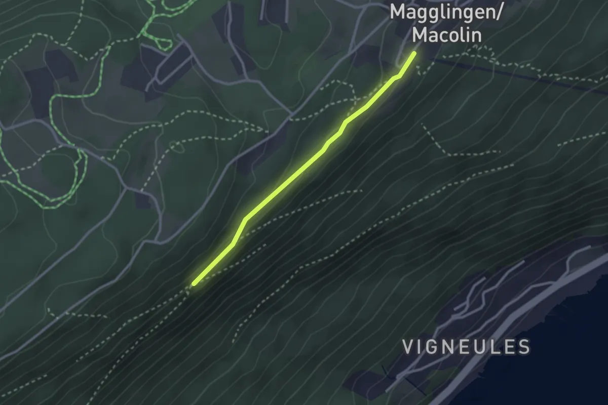
Easy · Trail
Vingelzberg - Magglingen/Macolin
2.4 km · ↑ 51 m · 41 min
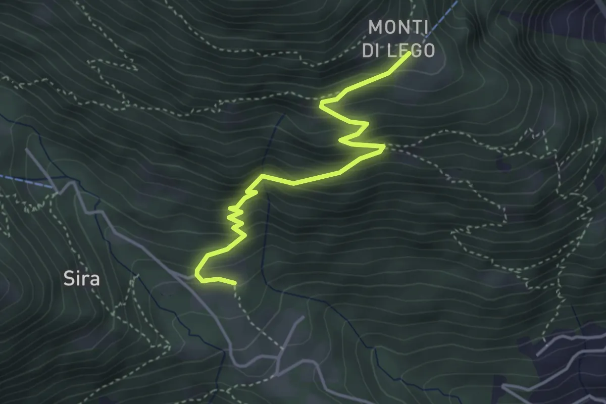
Medium · Cabin
Viona - Monti di Lego
3.9 km · ↑ 378 m · 1 h 44 min
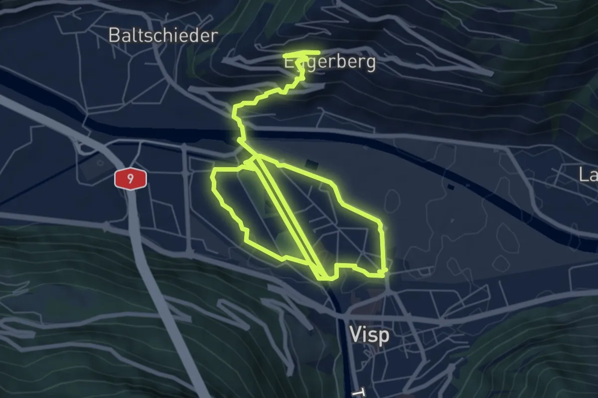
Medium · Trail
Visp - Eggerberg
13.0 km · ↑ 203 m · 3 h 30 min
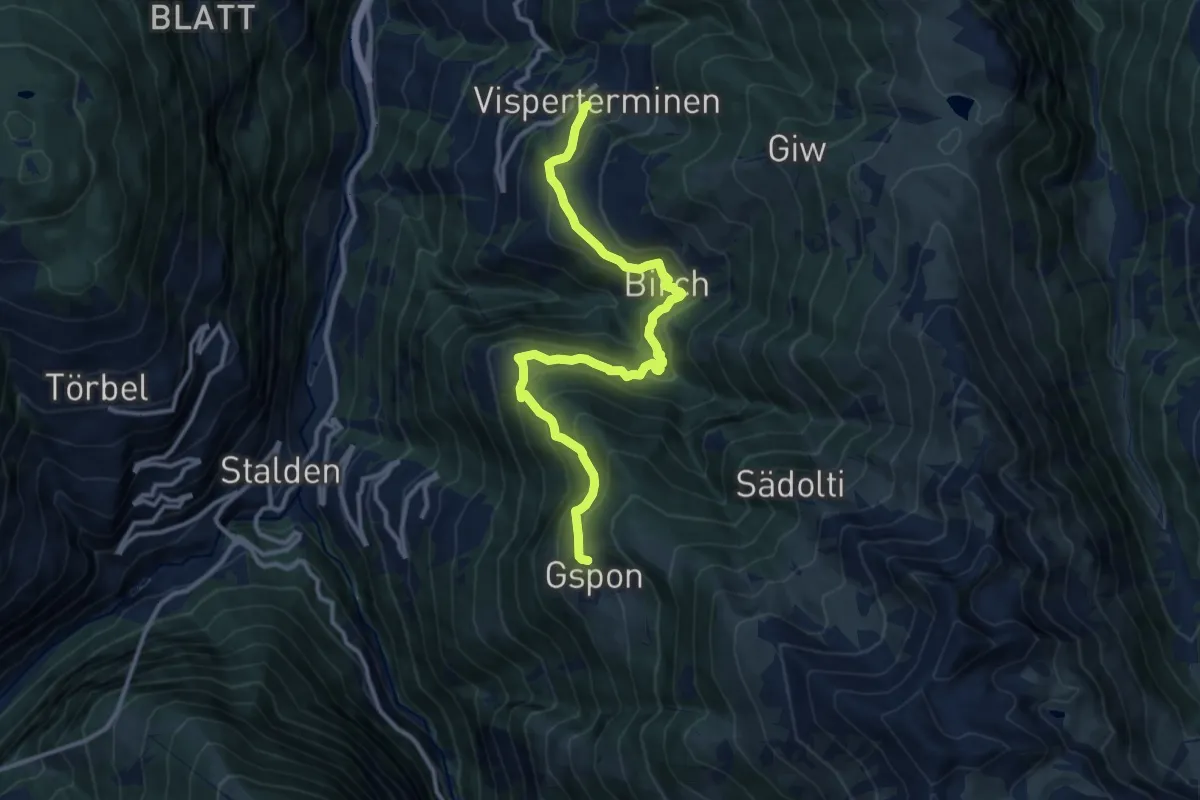
Demanding · Trail
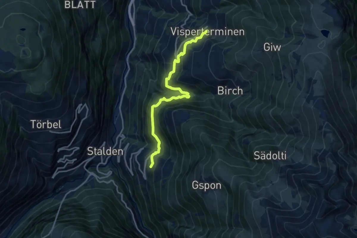
Visperterminen - Gspon
13.0 km · ↑ 912 m · 5 h 2 min
Demanding · Trail
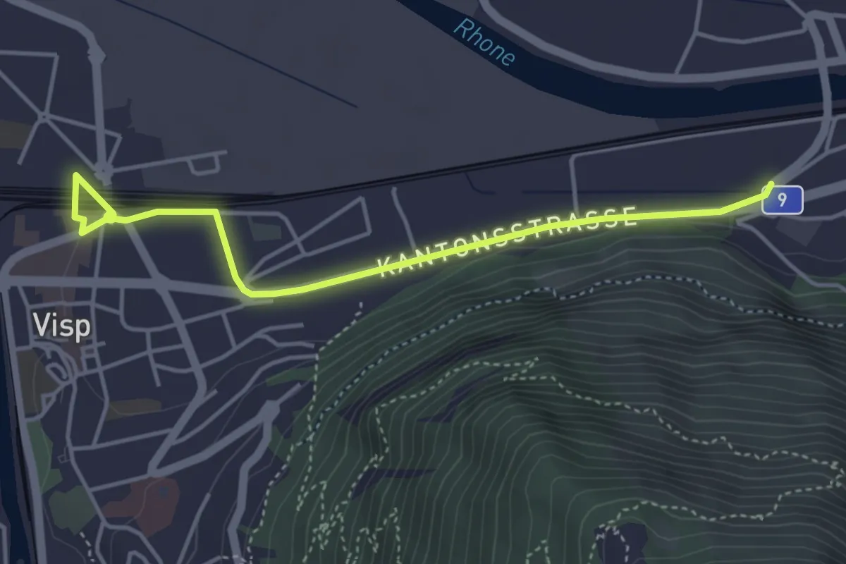
Visperterminen - Staldenried
11.1 km · ↑ 900 m · 4 h 35 min
Easy · Trail
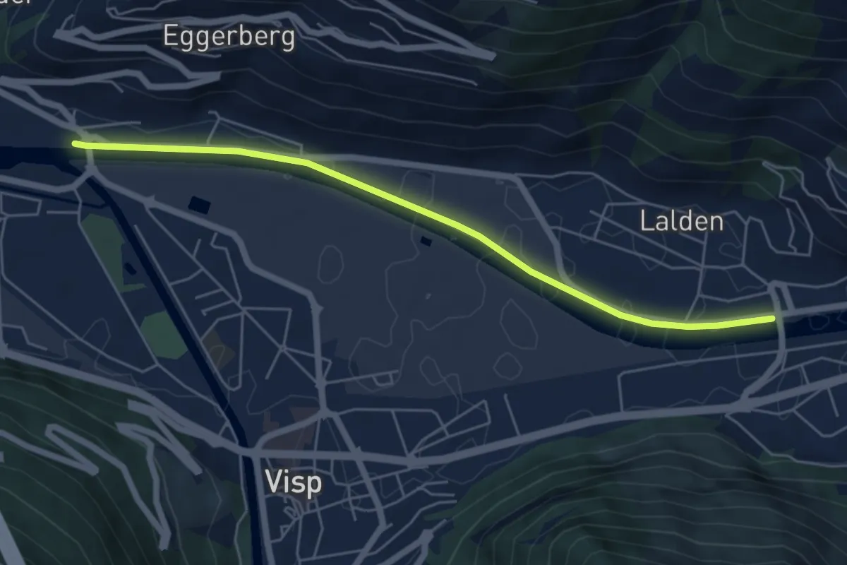
Visp - Eyholz
4.4 km · ↑ 35 m · 1 h 7 min
Easy · Trail
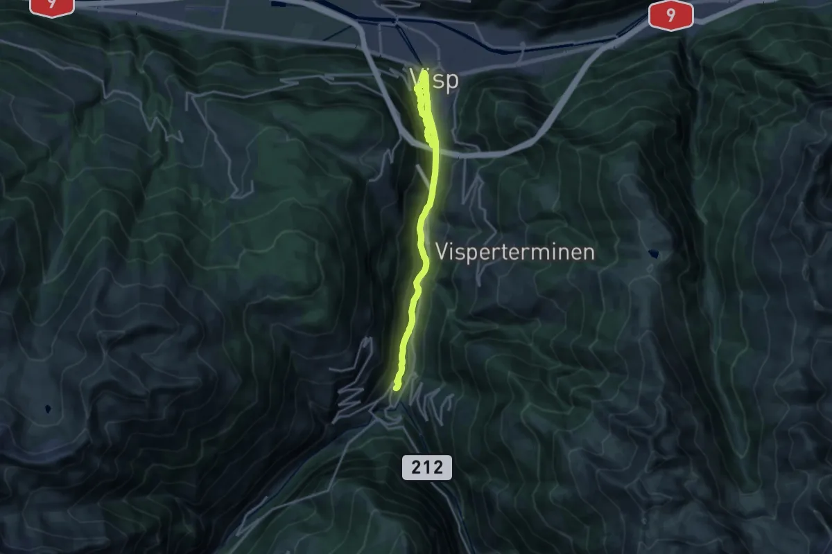
Visp - Lalden
5.6 km · ↑ 4 m · 1 h 19 min
Medium · Trail
Visp - Stalden
17.6 km · ↑ 712 m · 5 h 42 min
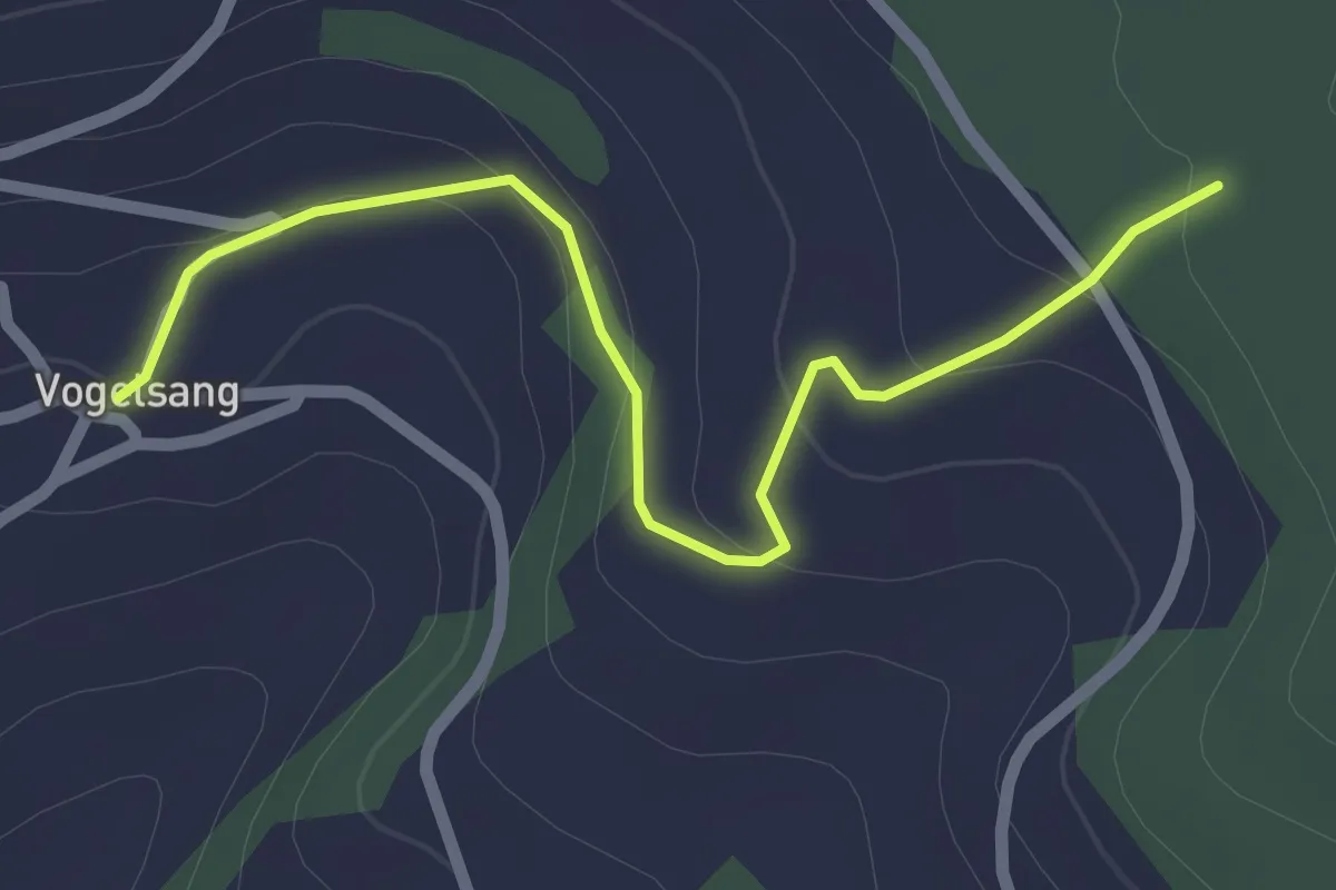
Easy · Trail
Vogelsang - Althau
2.3 km · ↑ 80 m · 44 min
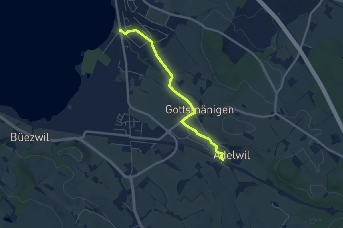
Easy · Trail
Vogelwarte - Adelwil
4.8 km · ↑ 17 m · 1 h 10 min
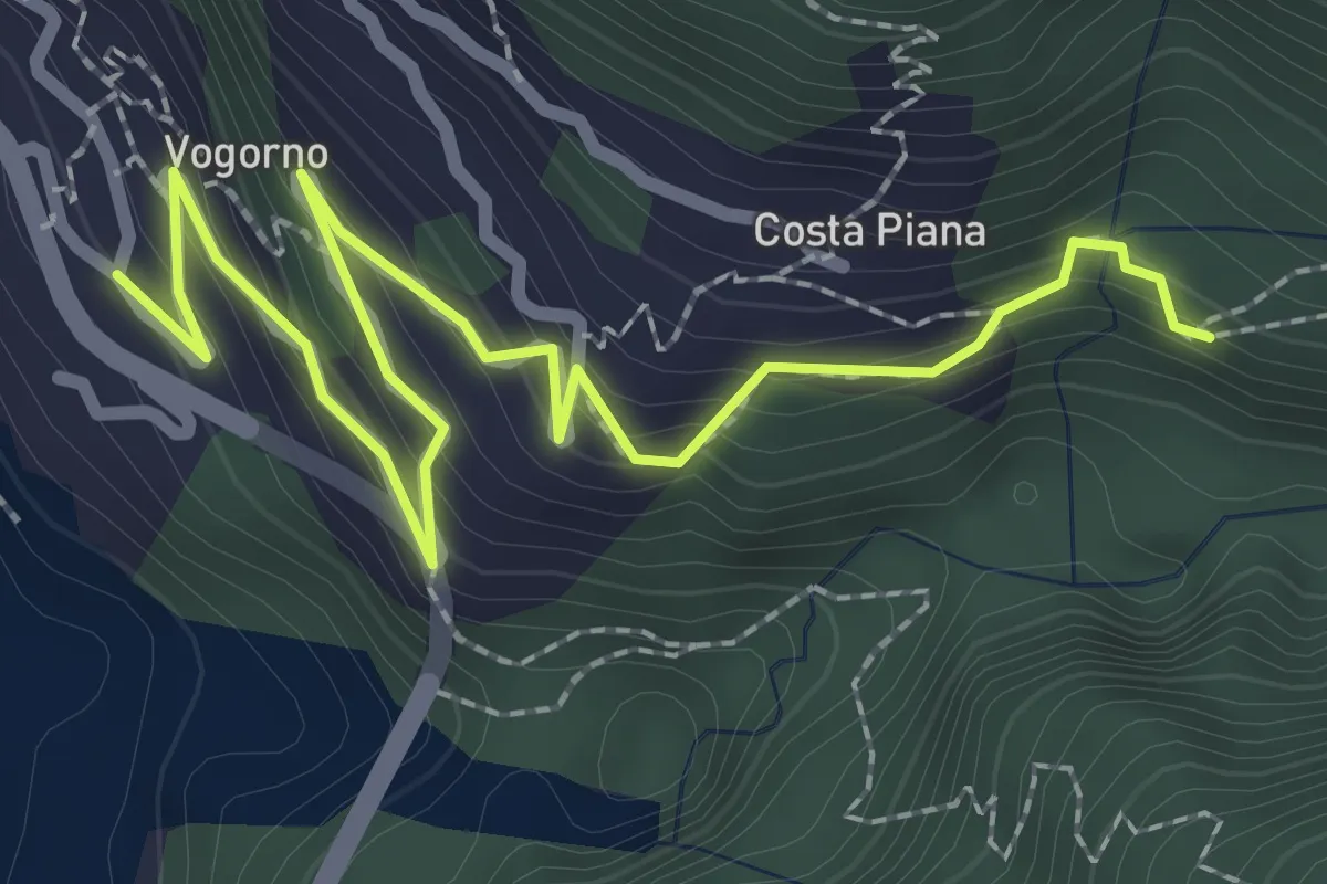
Medium · Trail
Vogorno - Colletta
3.1 km · ↑ 239 m · 1 h 15 min
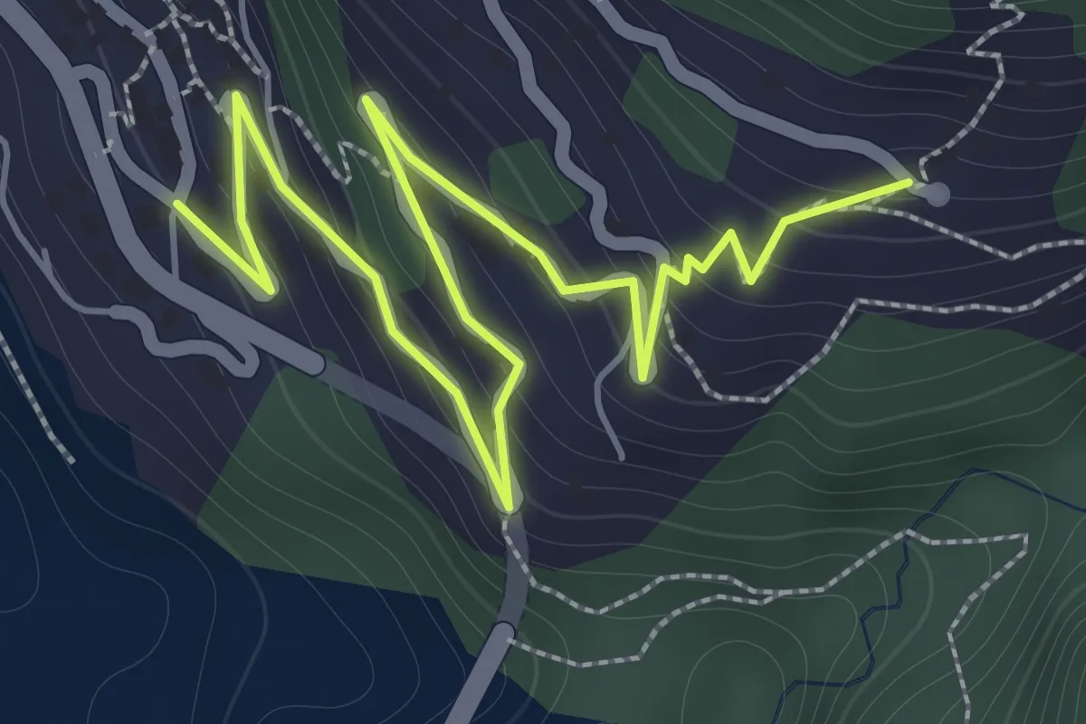
Medium · Trail
Vogorno - Costapiana
2.5 km · ↑ 220 m · 1 h 5 min