Trails in Switzerland
15,064 hiking trails, each with its route, climb, walking time and grade.
All trails, page 125 of 314
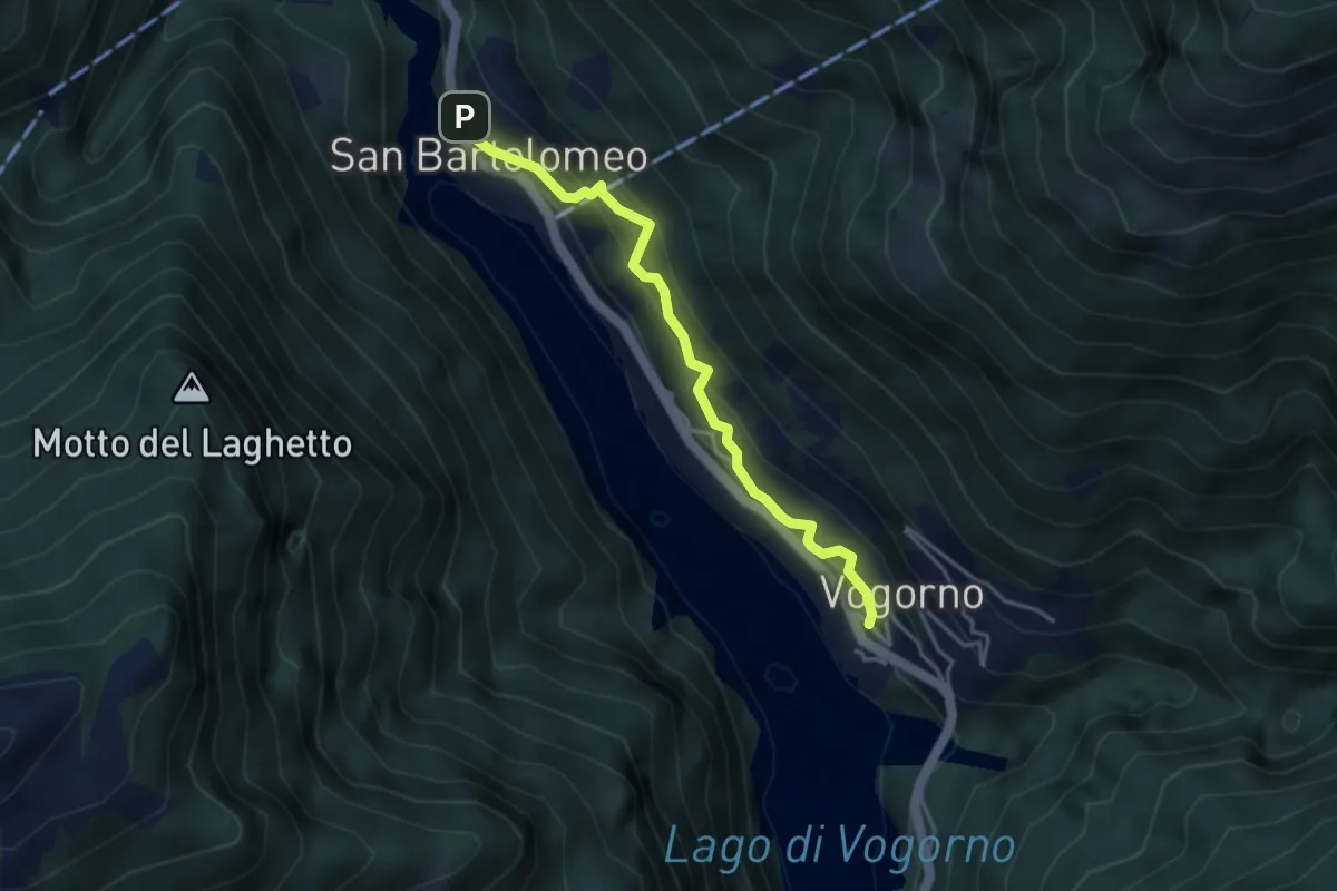
Medium · Trail
Vogorno - S. Bartolomeo
3.7 km · ↑ 350 m · 1 h 38 min
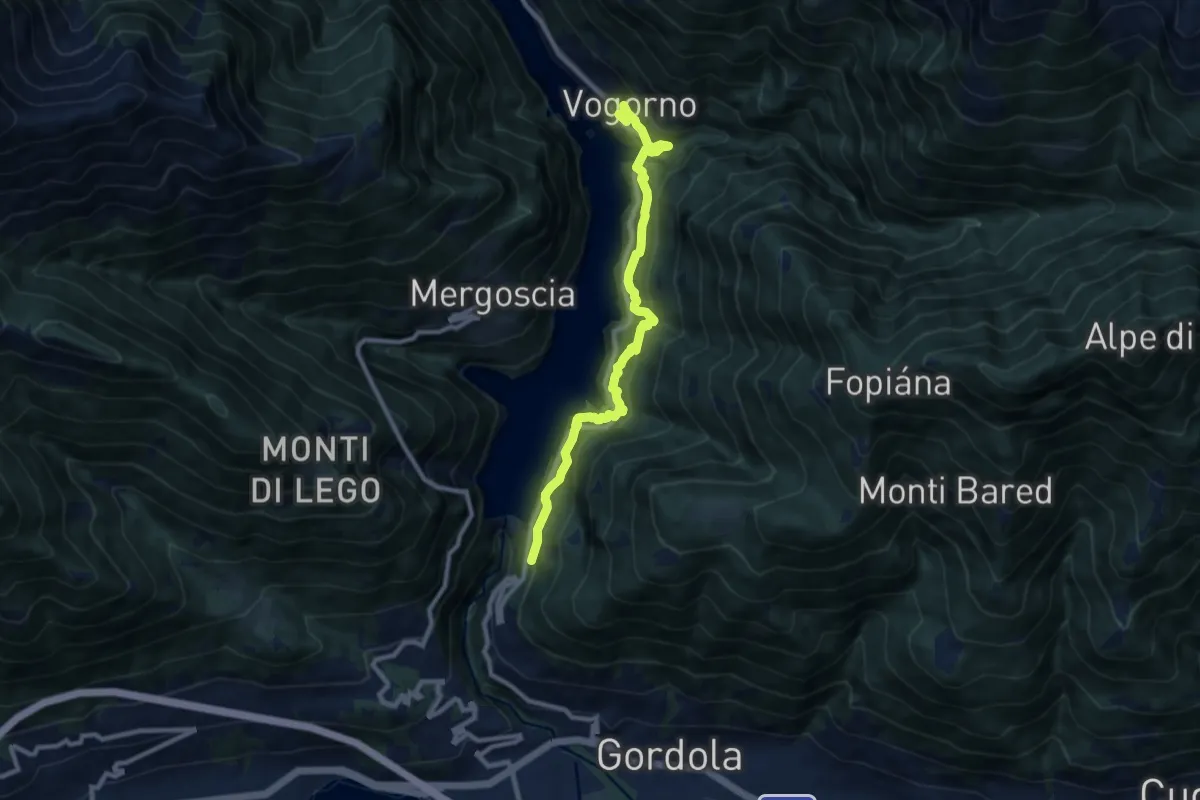
Demanding · Trail
Vogorno Selvatica
9.4 km · ↑ 976 m · 4 h 21 min
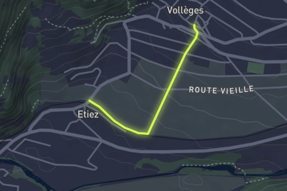
Easy · Trail
Vollèges > Etiez
2.3 km · ↑ 89 m · 44 min
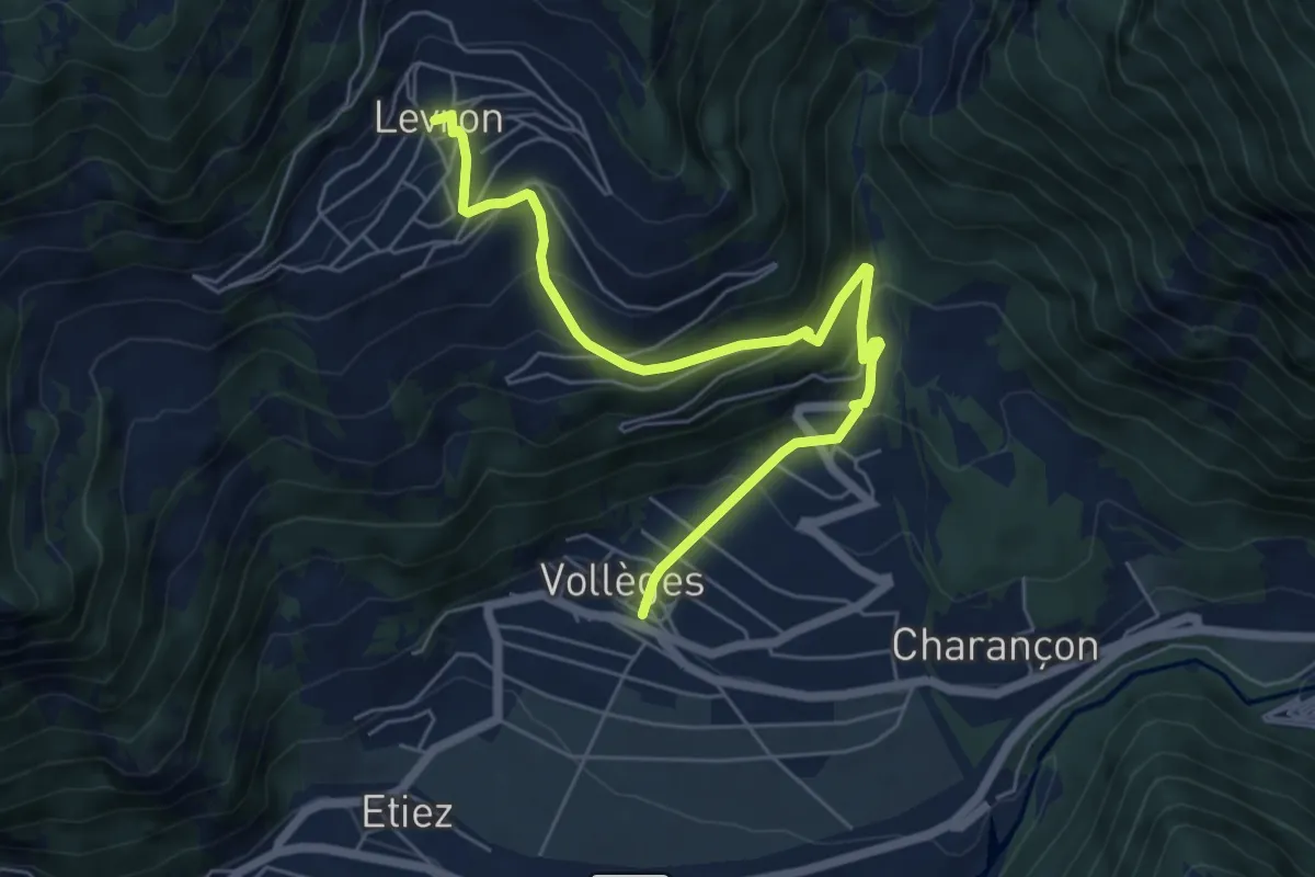
Medium · Trail
Vollèges - Levron
6.5 km · ↑ 460 m · 2 h 32 min
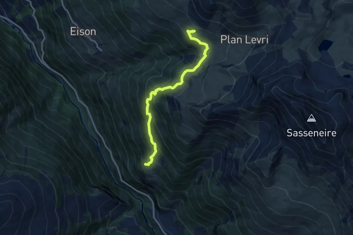
Medium · Trail
Volvovron - L'A Vieille
8.3 km · ↑ 704 m · 3 h 29 min
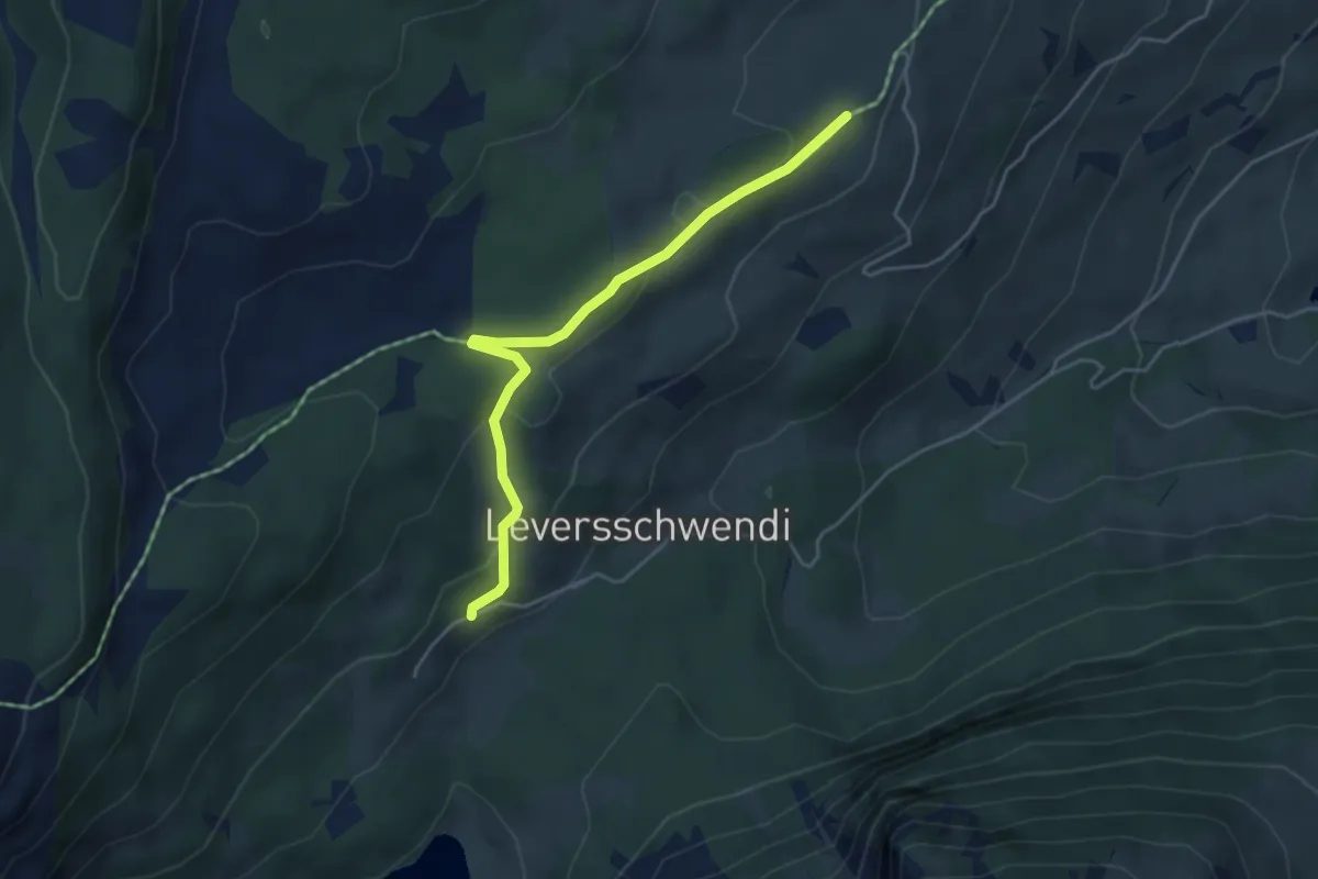
Easy · Trail
Voralp - fixme
4.3 km · ↑ 142 m · 1 h 19 min
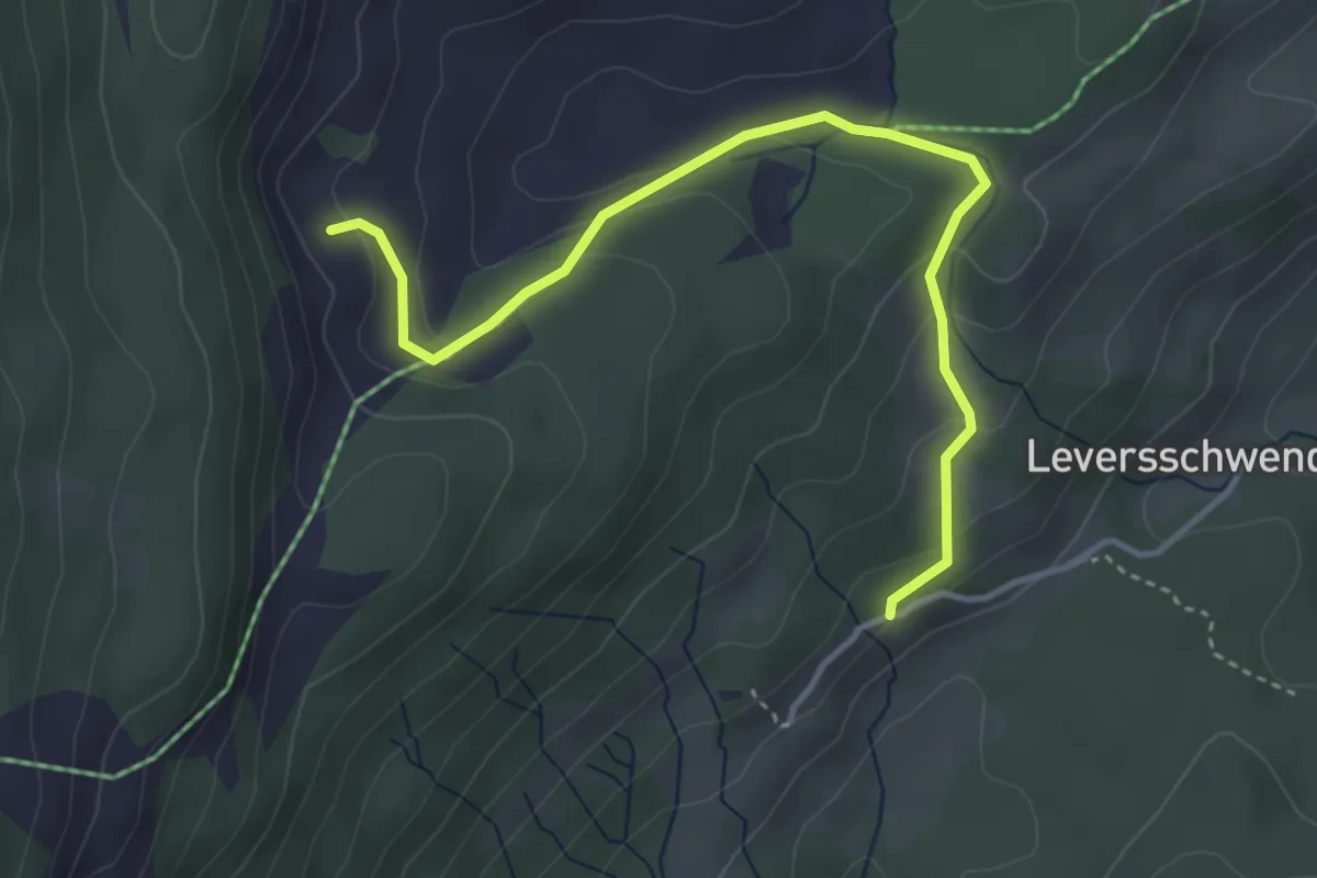
Easy · Trail
Voralp - Hinter Witi
4.1 km · ↑ 174 m · 1 h 20 min
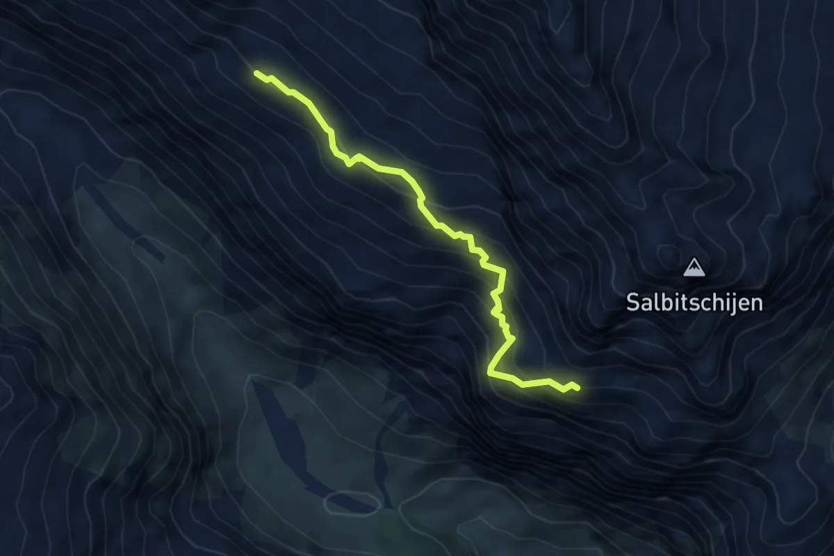
Expert · Trail
Voralphütte - Salbitbiwak
4.8 km · ↑ 561 m · 2 h 21 min
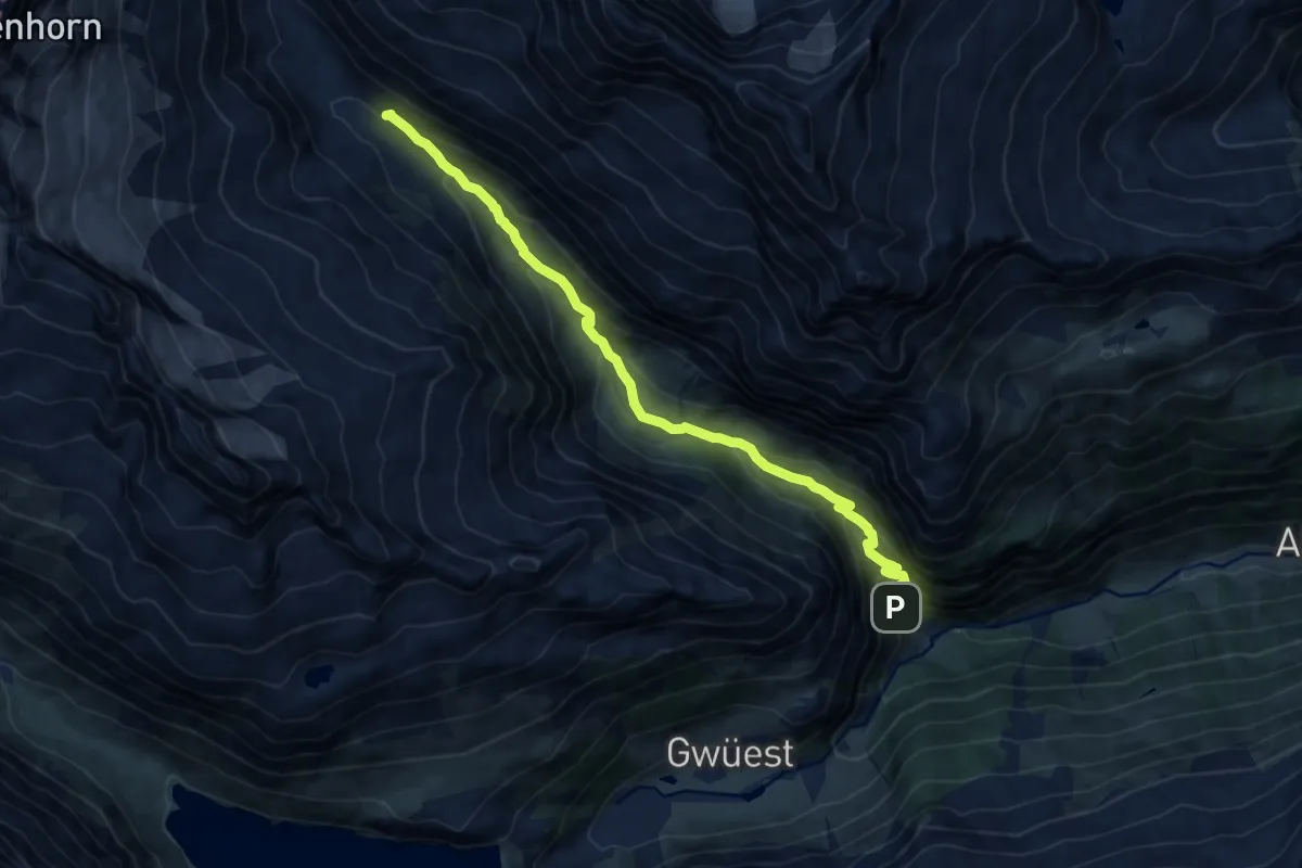
Medium · Cabin
Voralpkurve - Voralphütte
11.7 km · ↑ 748 m · 4 h 23 min
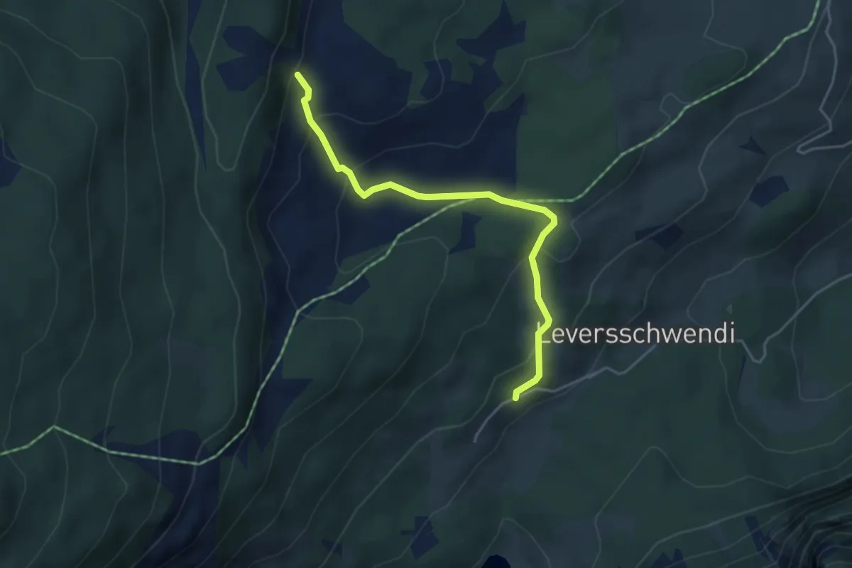
Easy · Trail
Voralp - Lochgatter
4.1 km · ↑ 230 m · 1 h 28 min
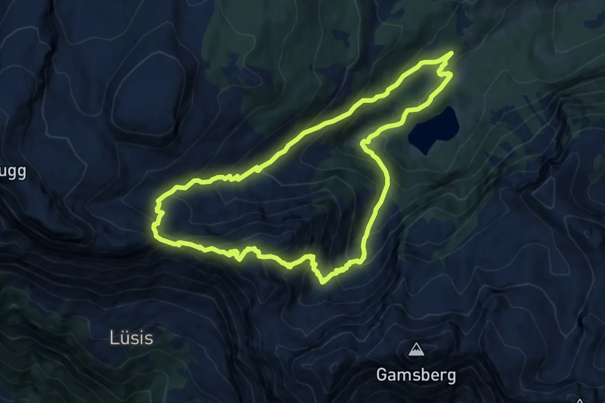
Demanding · Summit
Voralp - Niederipass - Höchst - Voralp
10.6 km · ↑ 890 m · 4 h 35 min
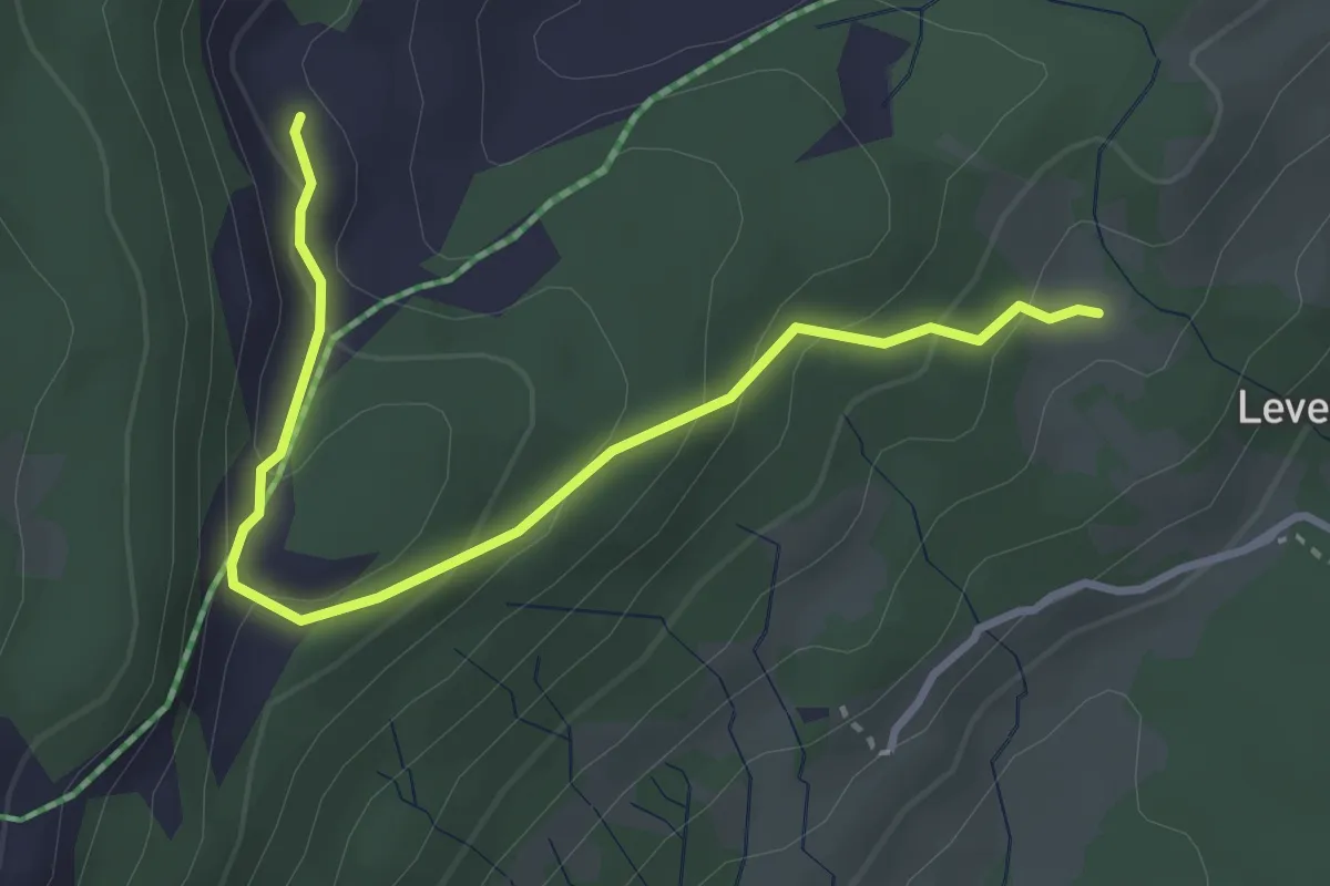
Easy · Trail
Voralp See Nord rot
3.5 km · ↑ 199 m · 1 h 15 min
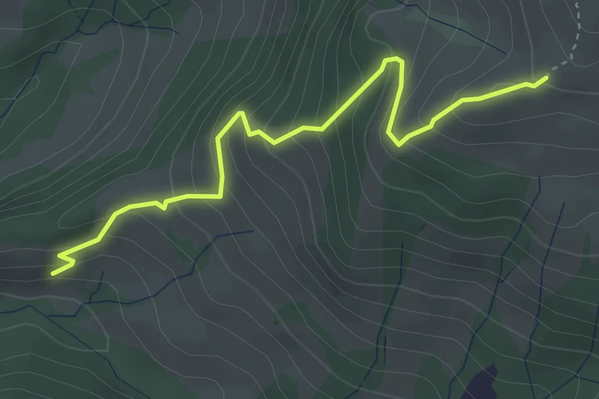
Medium · Trail
Vord. Chrumfluh - Wildegg
3.6 km · ↑ 385 m · 1 h 42 min
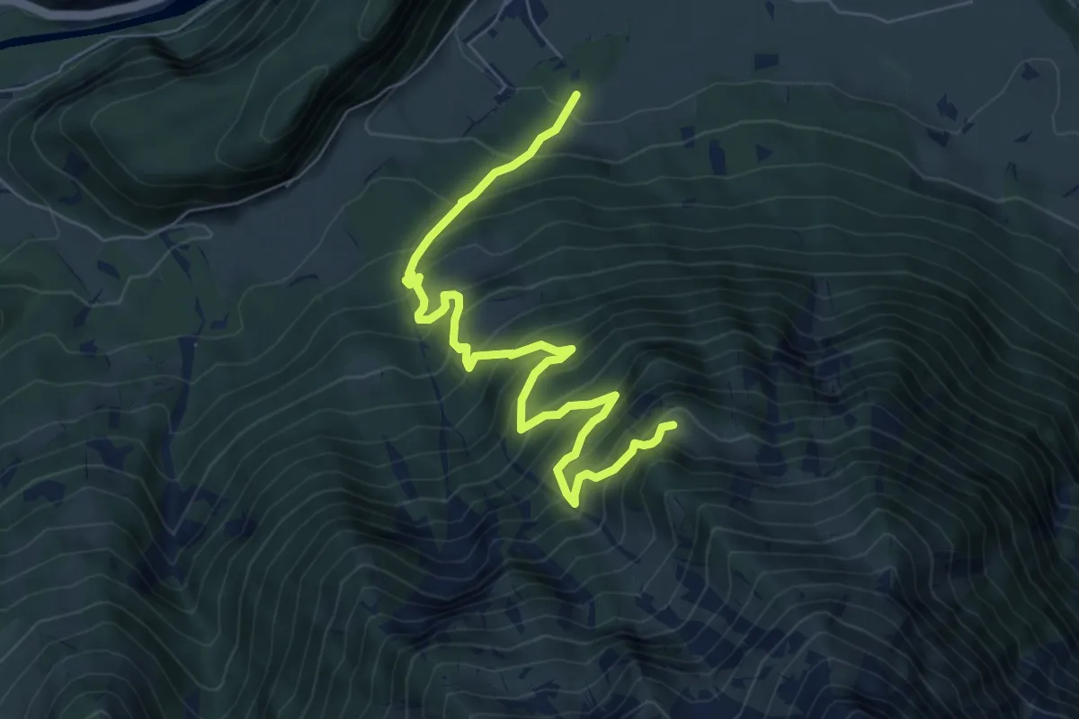
Demanding · Trail
Vorder Ahorni - Bruchwald
7.9 km · ↑ 900 m · 3 h 48 min
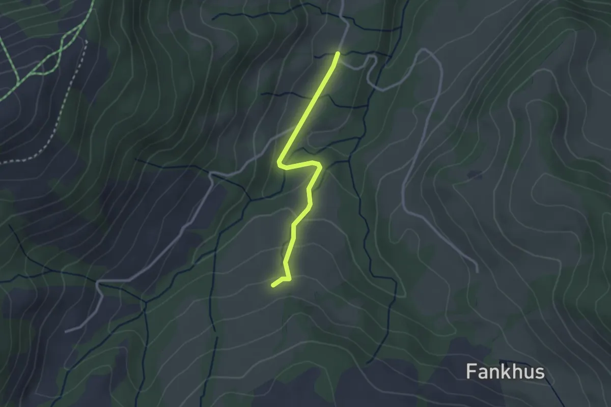
Easy · Trail
Vorder Angst - Angstboden
2.4 km · ↑ 89 m · 46 min
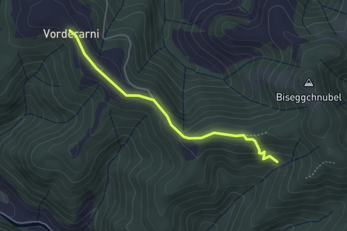
Easy · Trail
Vorderarni- Chuttelbad
3.6 km · ↑ 165 m · 1 h 13 min
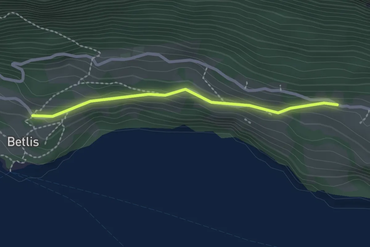
Easy · Trail
Vorderbetlis - Betlis Strahlegg
2.0 km · ↑ 100 m · 41 min
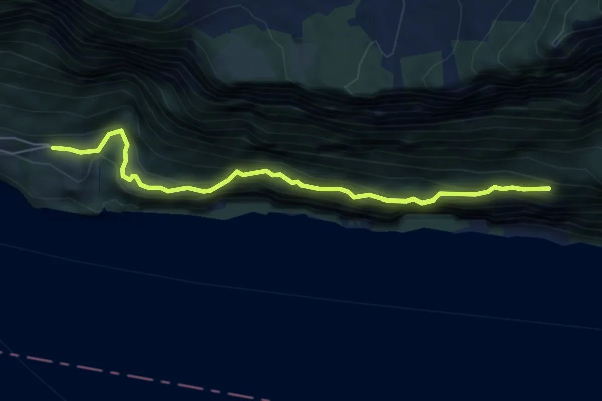
Medium · Trail
Vorderbetlis - Seerenwald
5.4 km · ↑ 521 m · 2 h 24 min
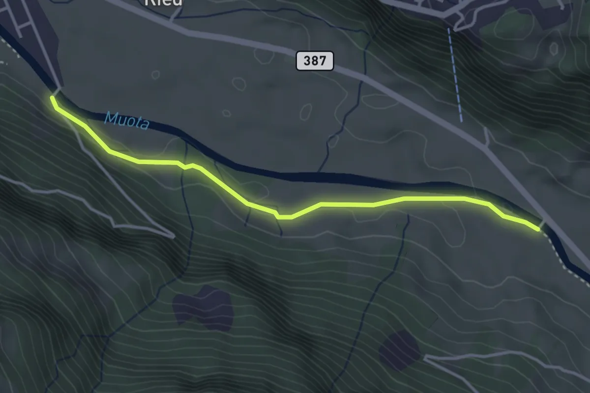
Easy · Trail
Vordere Brügg - Bläckerli
3.5 km · ↑ 34 m · 55 min
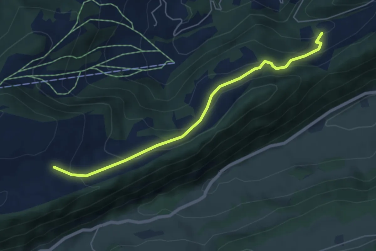
Medium · Trail
Vorder Erzberg - fixme
4.8 km · ↑ 323 m · 1 h 50 min
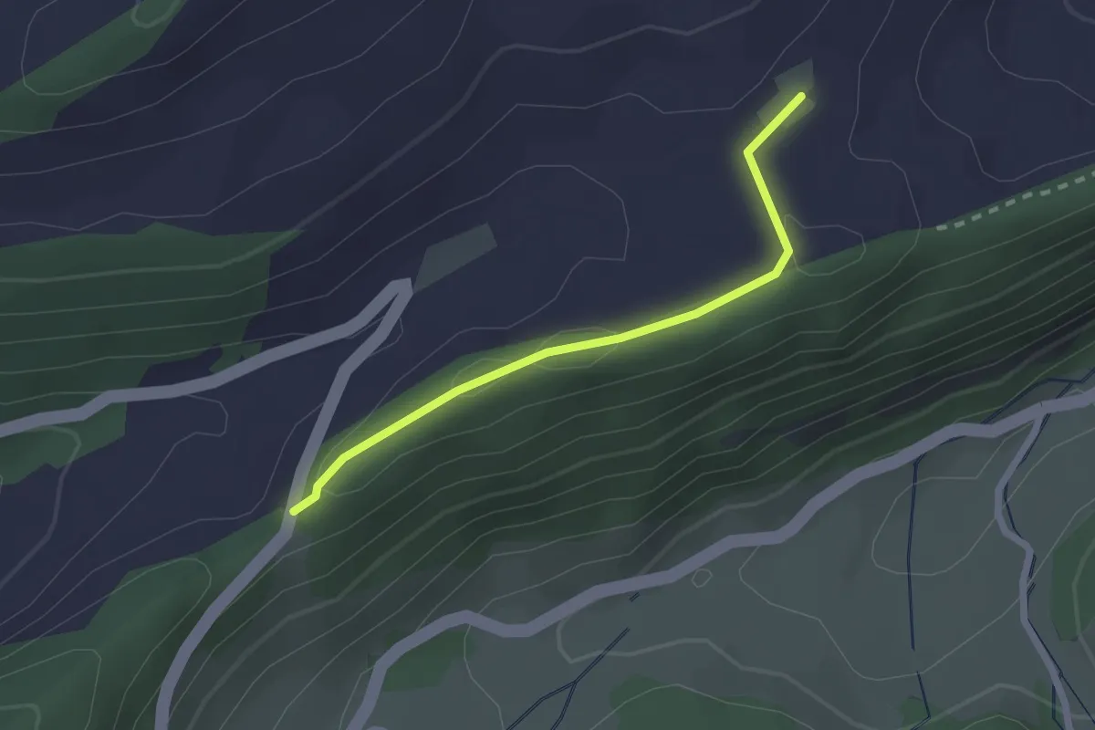
Easy · Trail
Vorder Erzberg - Scheltenpass
2.0 km · ↑ 29 m · 32 min
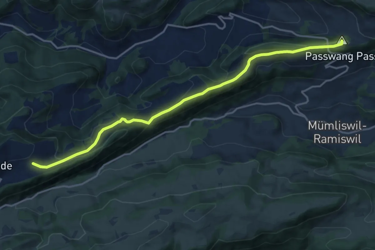
Medium · Summit
Vorder Erzberg - Zingelen
11.9 km · ↑ 429 m · 3 h 44 min
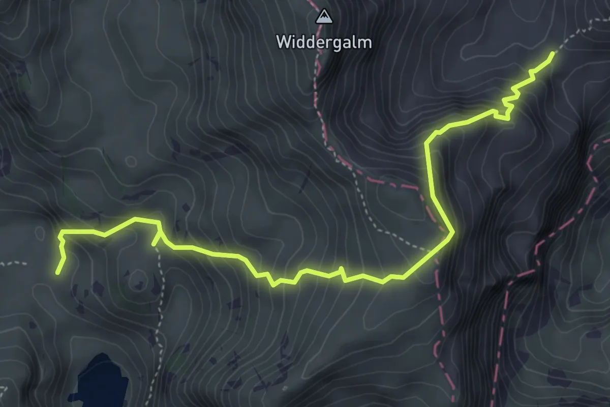
Medium · Trail
Vordere Walop - Chüearnisch
5.4 km · ↑ 632 m · 2 h 38 min
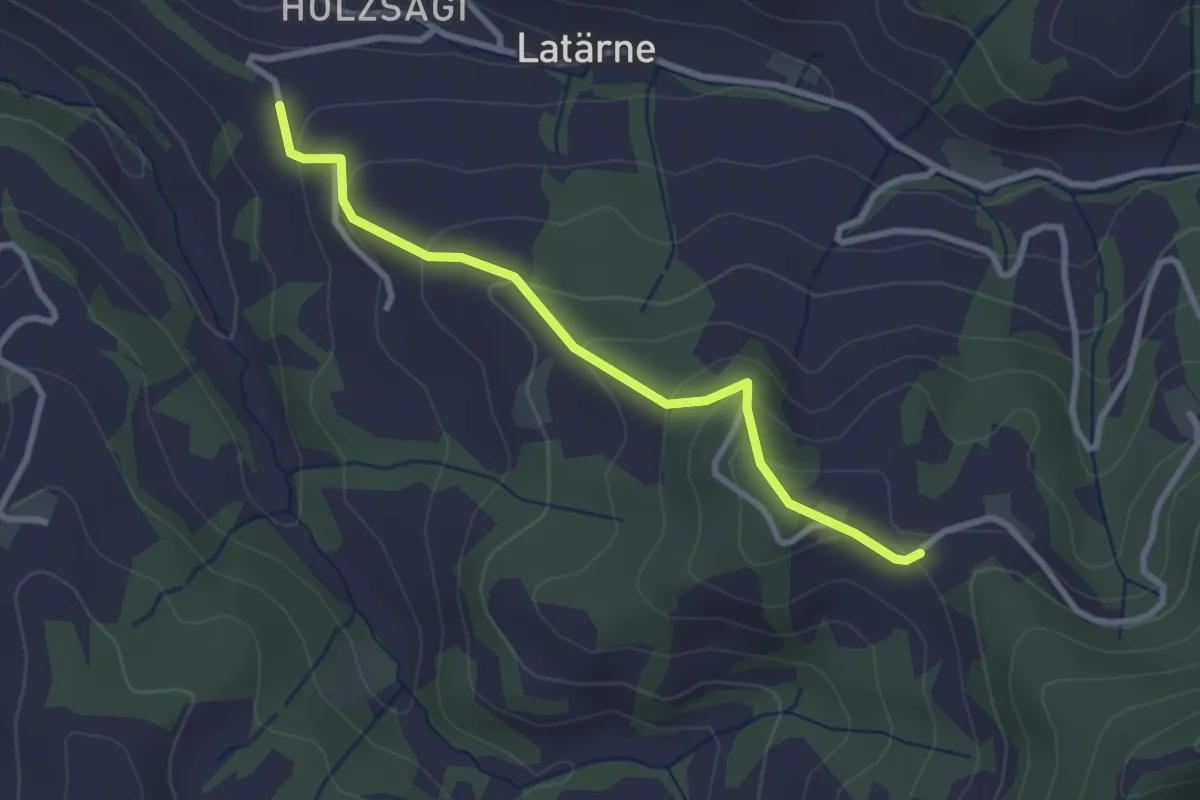
Easy · Trail
Vorderholz - Leimboden
2.8 km · ↑ 153 m · 59 min
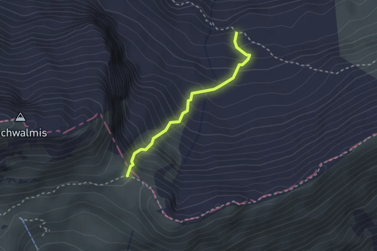
Demanding · Trail
Vorderjochli - Färnital
2.0 km · ↑ 368 m · 1 h 16 min
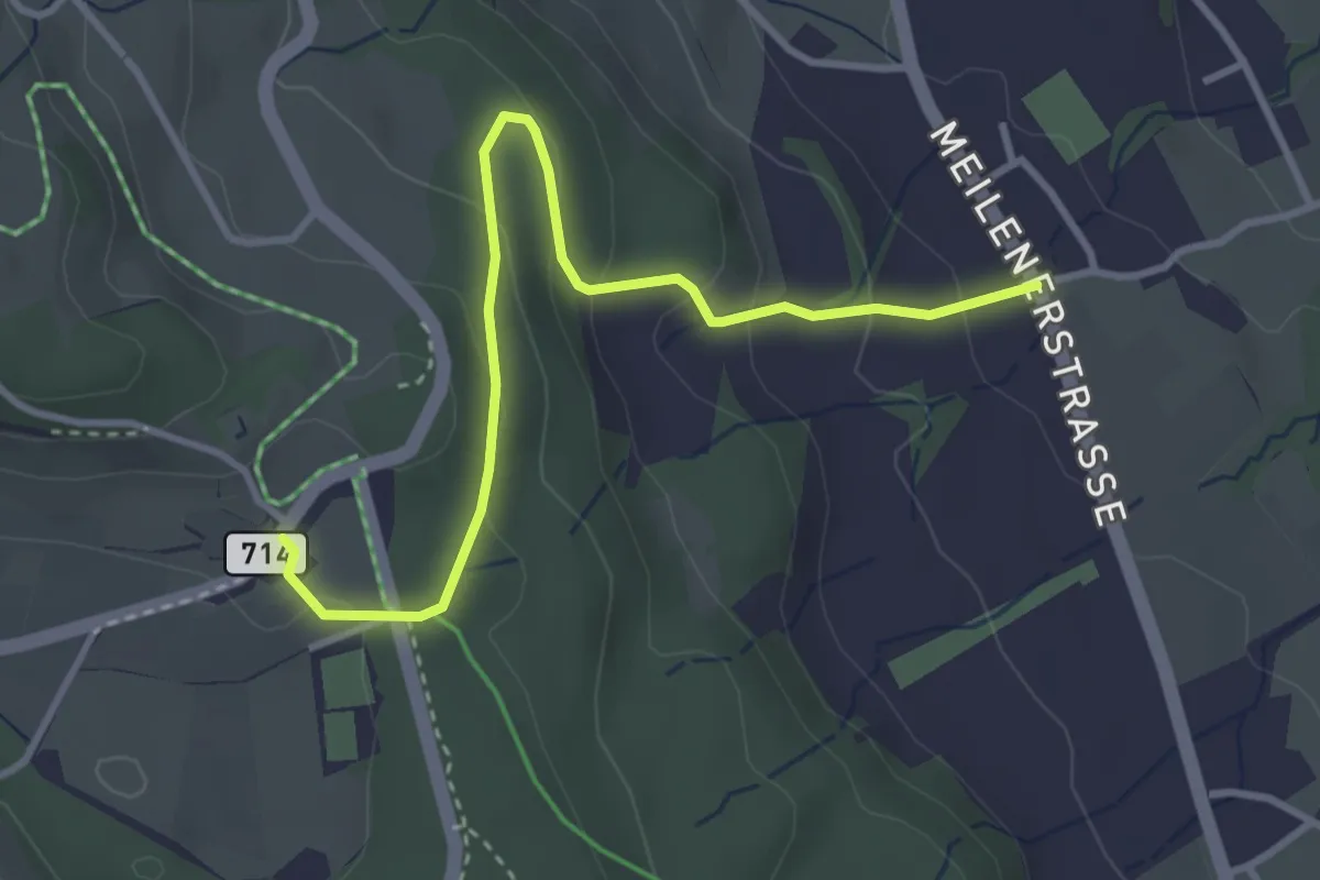
Easy · Trail
Vorderpfannenstiel - Innervollikon
3.7 km · ↑ 177 m · 1 h 15 min
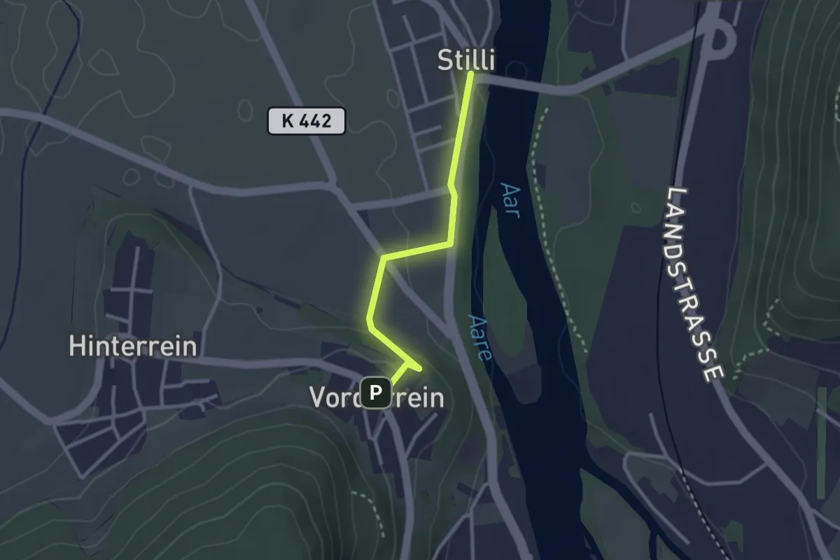
Easy · Trail
Vorder Rein - Stilli
2.3 km · ↑ 57 m · 40 min
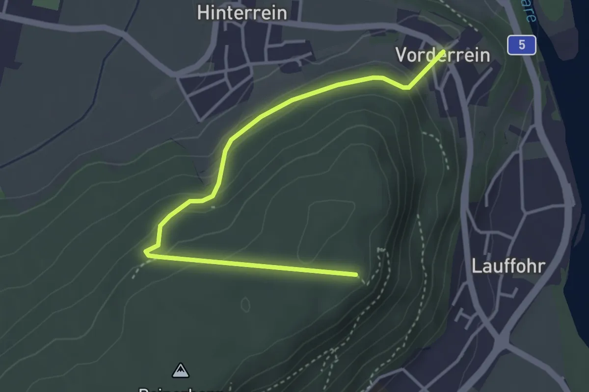
Easy · Trail
Vorder Rein - Ufem Berg
4.0 km · ↑ 180 m · 1 h 20 min
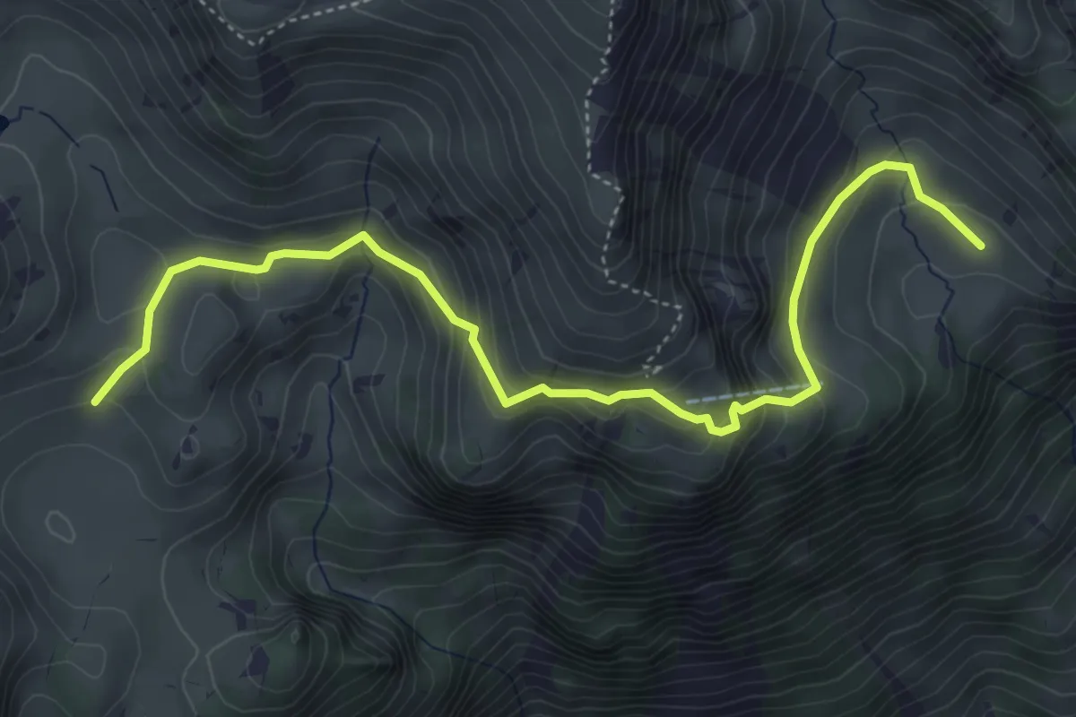
Medium · Trail
Vorder Richisalp - Alpigen
5.3 km · ↑ 358 m · 2 h 2 min
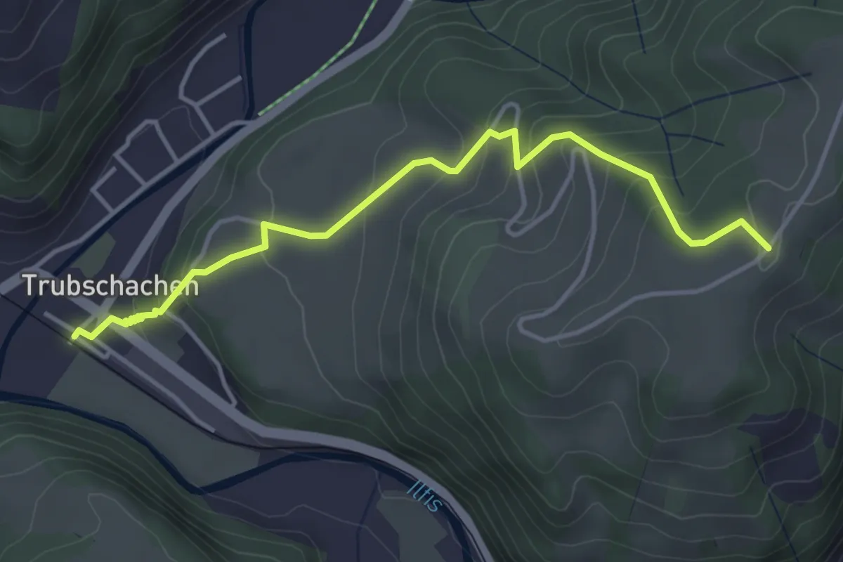
Easy · Trail
Vorder Risisegg
4.1 km · ↑ 268 m · 1 h 33 min
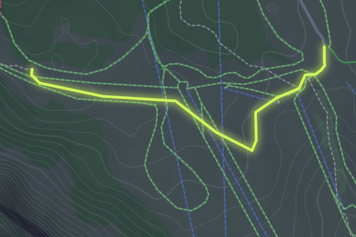
Easy · Trail
Vorder Staffel - Schlegi
2.3 km · ↑ 34 m · 37 min
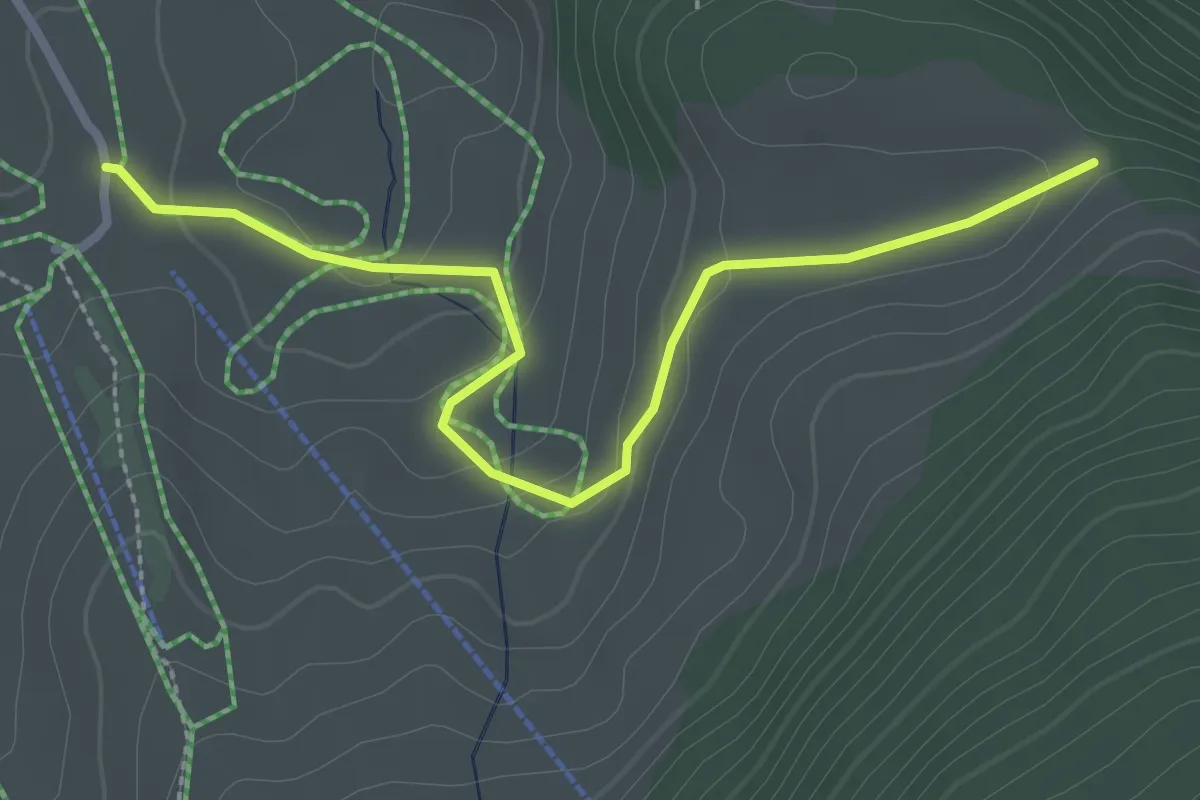
Easy · Trail
Vorder Staffel - Trauboden
2.9 km · ↑ 84 m · 52 min
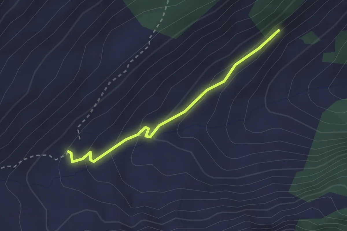
Easy · Trail
Vorderstöcken - fixme
2.2 km · ↑ 122 m · 47 min
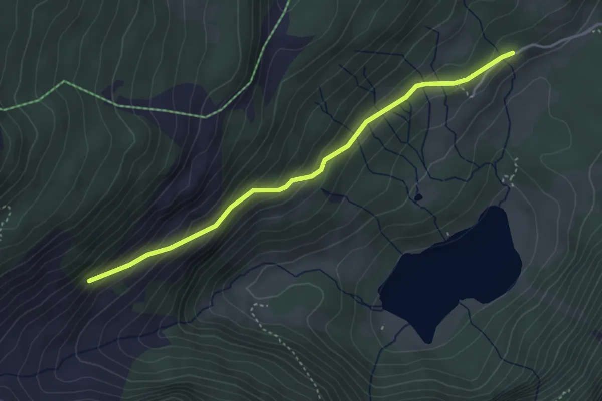
Easy · Trail
Vorderstöcken - Voralp
3.8 km · ↑ 251 m · 1 h 26 min
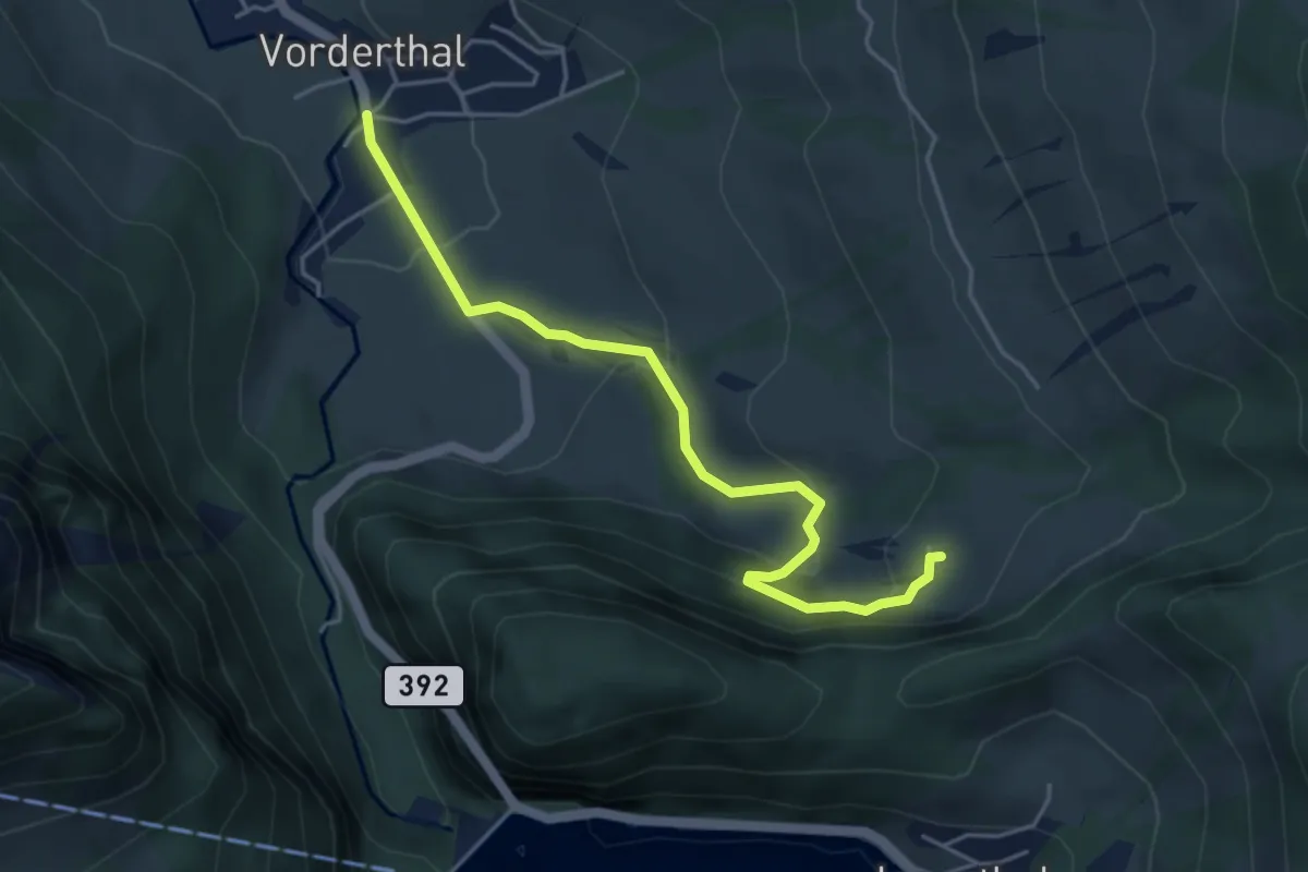
Easy · Trail
Vorderthal - Ober Ruostel
4.6 km · ↑ 183 m · 1 h 29 min
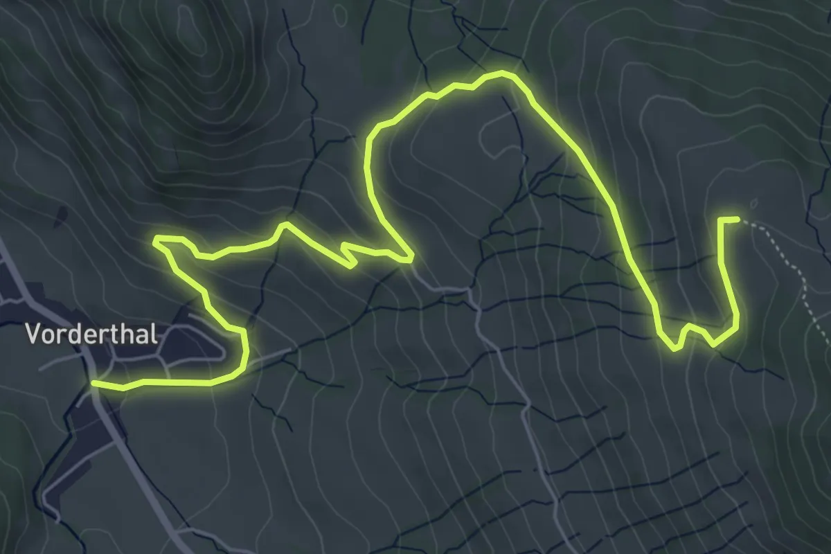
Medium · Summit
Vorderthal - Rötstock
8.6 km · ↑ 430 m · 2 h 57 min
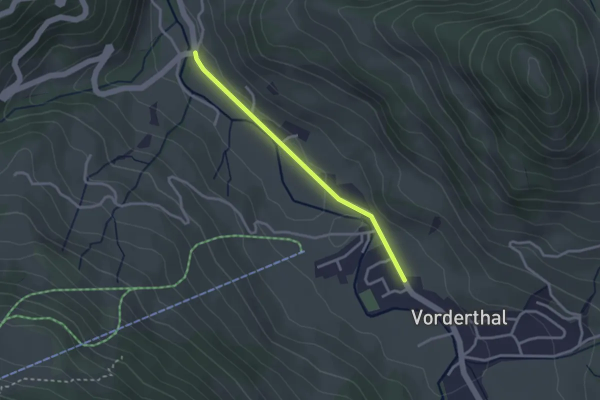
Easy · Trail
Vorderthal - Sonne (Vorderthal)
2.3 km · ↑ 14 m · 34 min
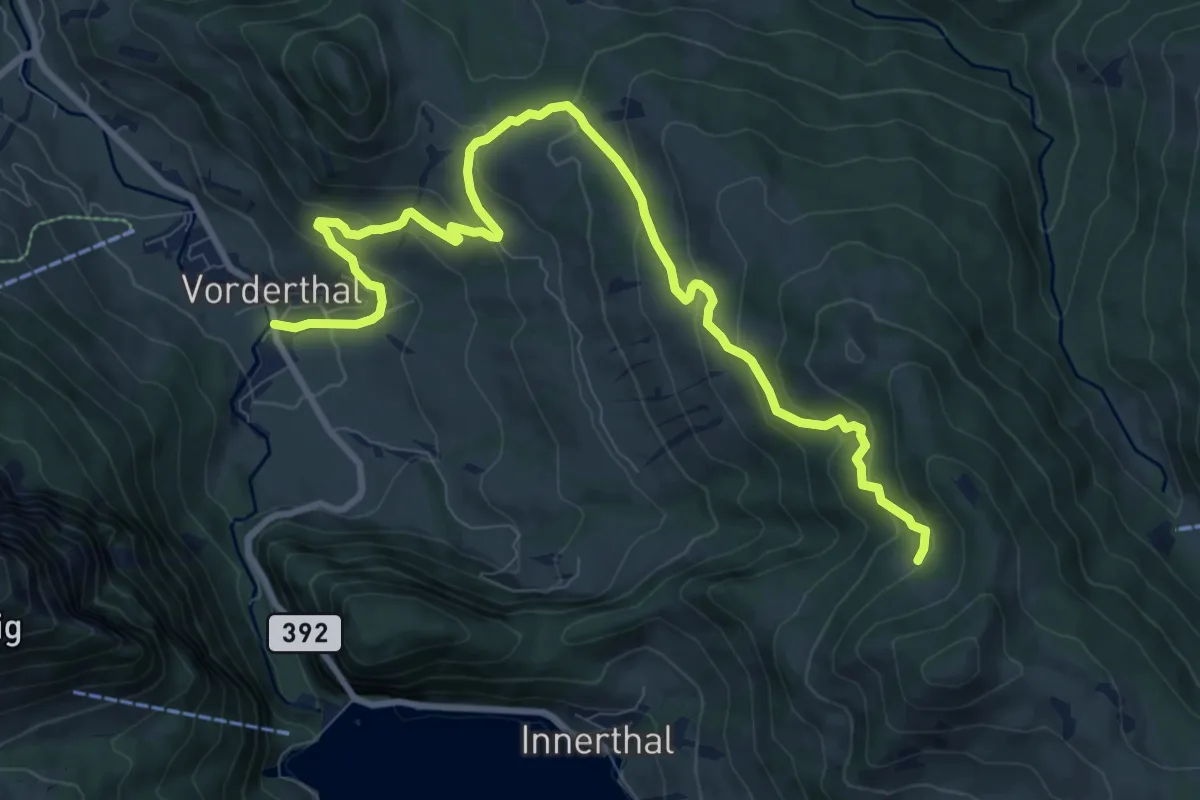
Medium · Trail
Vorderthal - Stuckliwald
11.1 km · ↑ 604 m · 3 h 55 min
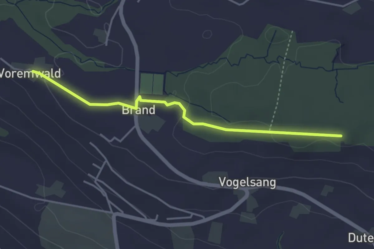
Easy · Trail
Voremwald - Eichwald
3.7 km · ↑ 61 m · 1 h
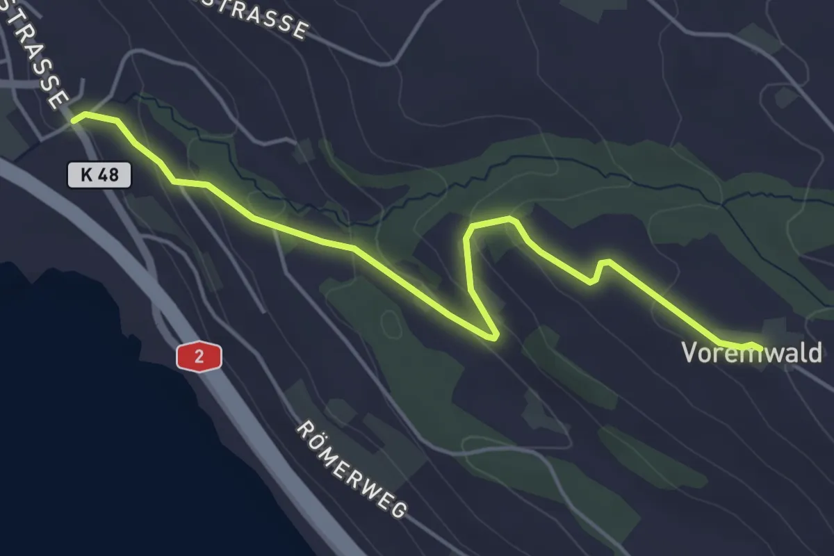
Easy · Trail
Voremwald - Schenkon
4.8 km · ↑ 167 m · 1 h 30 min
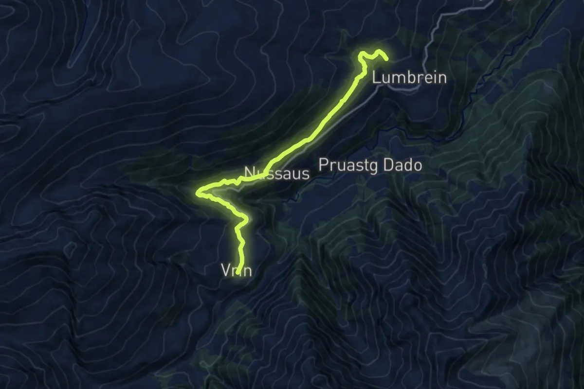
Medium · Trail
Vrin-Stumiaus
13.7 km · ↑ 717 m · 4 h 47 min
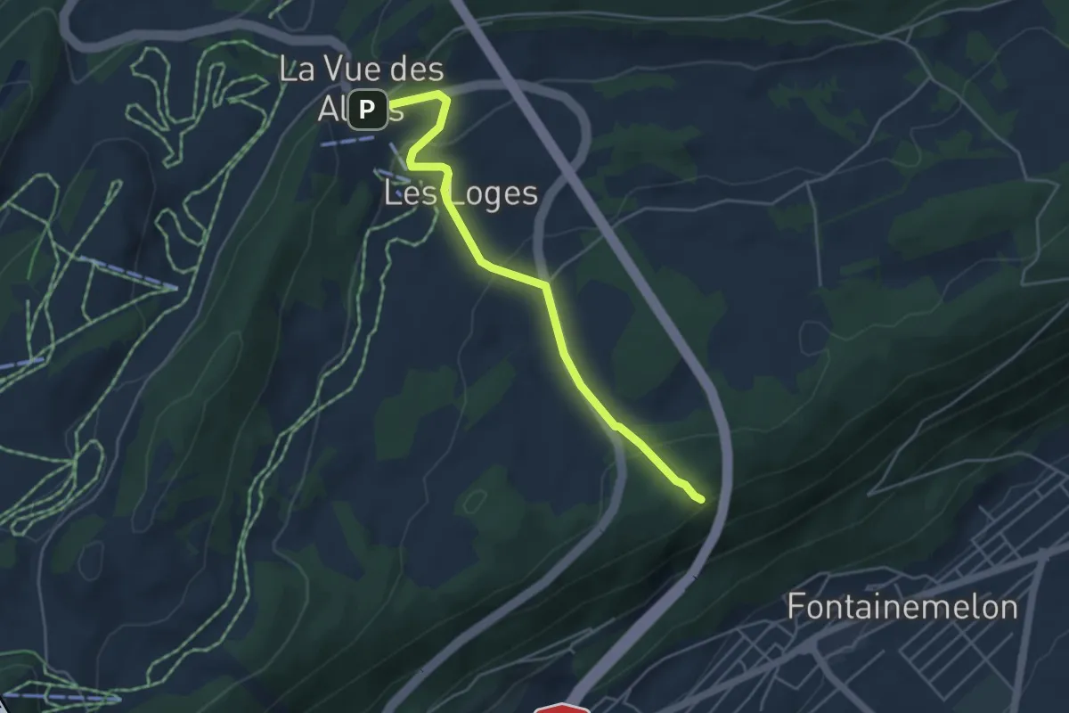
Easy · Trail
Vue des Alpes-Cernier
4.4 km · ↑ 169 m · 1 h 24 min
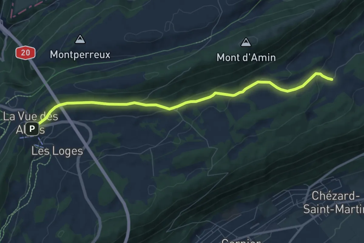
Medium · Trail
Vue des Alpes - La Pouette Mange
8.3 km · ↑ 222 m · 2 h 26 min
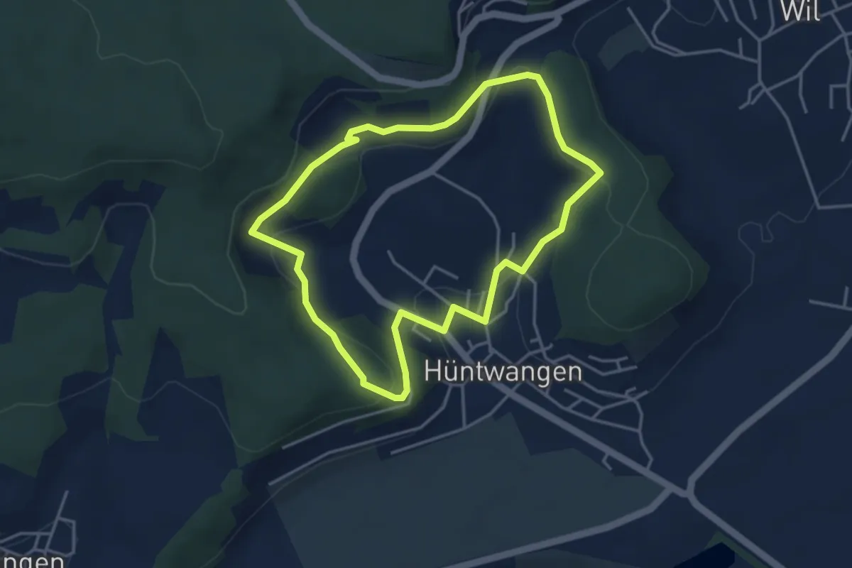
Easy · Trail
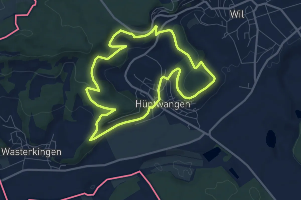
VVH Rundwanderweg (kurz)
3.6 km · ↑ 115 m · 1 h 9 min
Easy · Trail
VVH Rundwanderweg (lang)
6.8 km · ↑ 210 m · 2 h 9 min
Easy · Trail
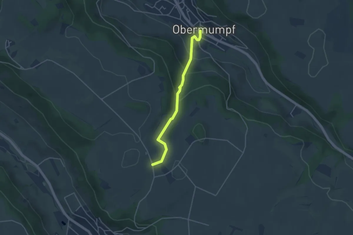
Wabrig - Obermupf
3.3 km · ↑ 167 m · 1 h 9 min
Easy · Trail
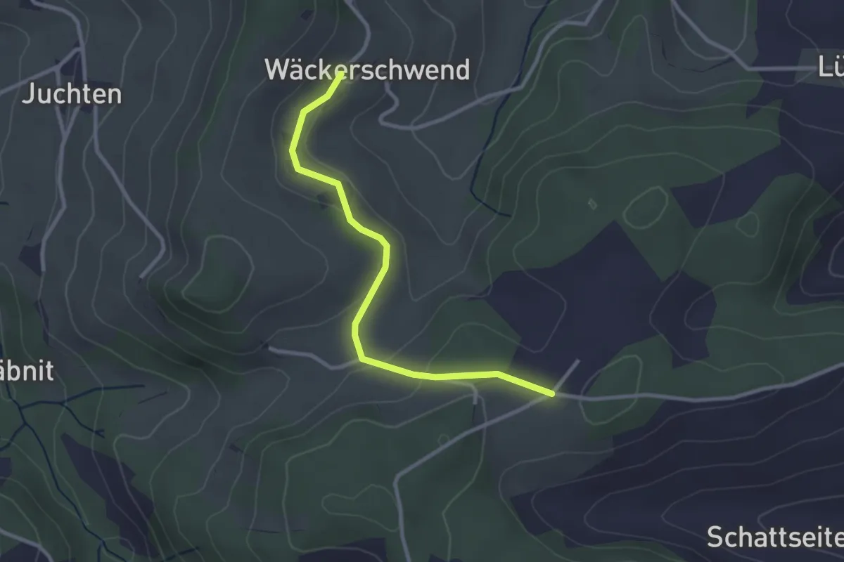
Wäckerschwend - Pk 795
2.8 km · ↑ 80 m · 50 min
Medium · Trail
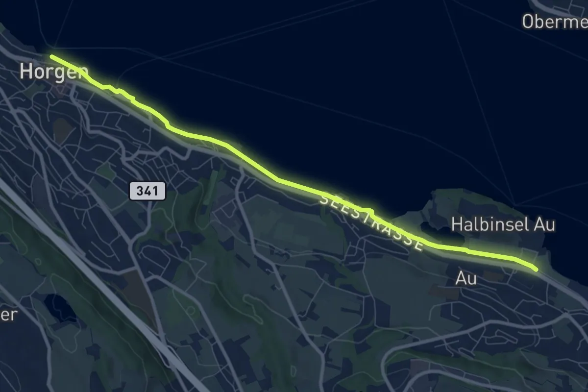
Wädenswiler Seeuferweg
9.1 km · ↑ 18 m · 2 h 11 min