Trails in Switzerland
15,064 hiking trails, each with its route, climb, walking time and grade.
All trails, page 126 of 314
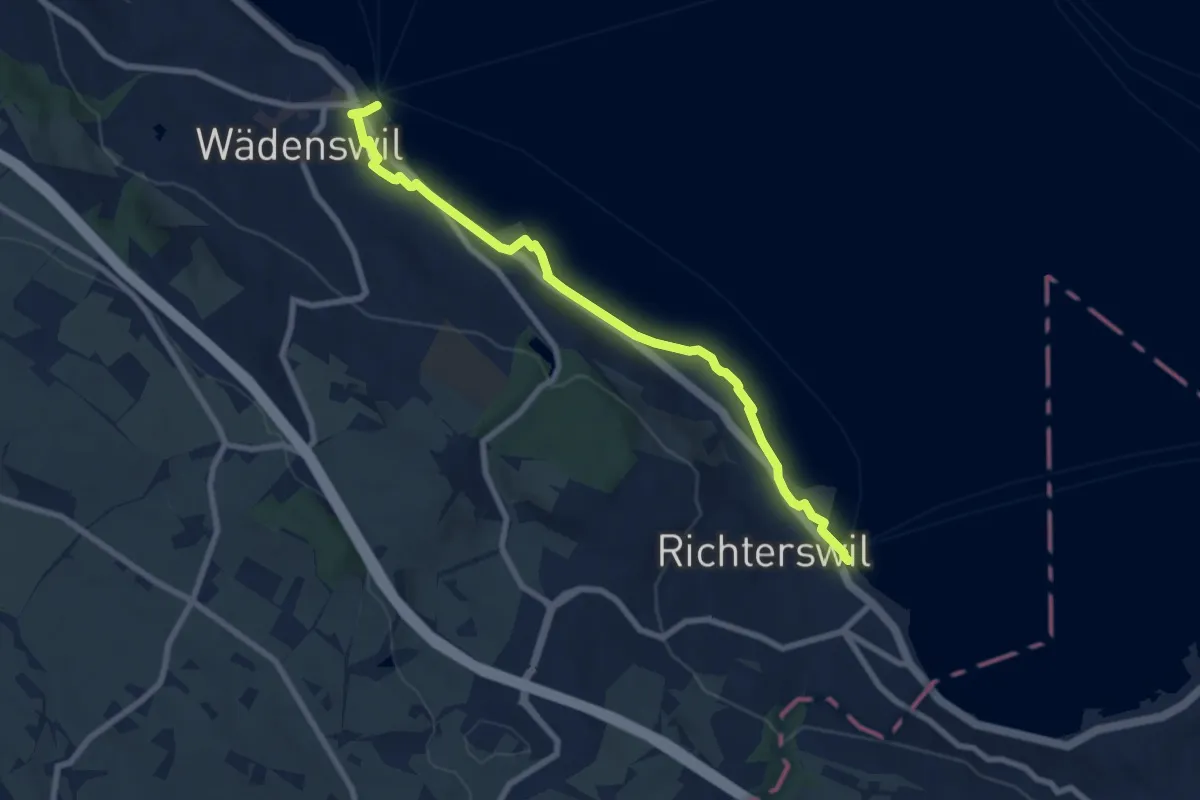
Medium · Trail
Wädenswil - Richterswil (Seeweg)
8.1 km · ↑ 76 m · 2 h 5 min
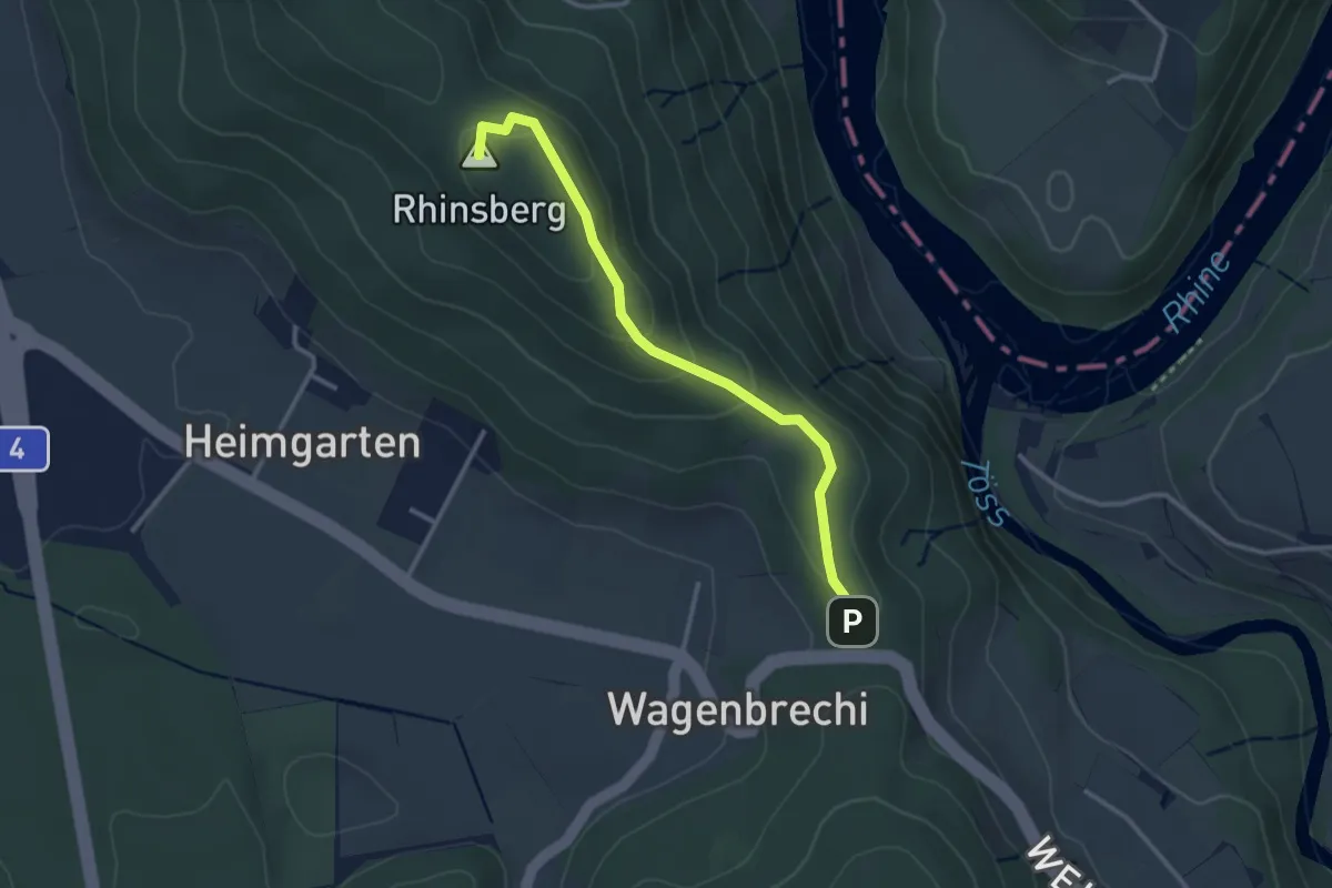
Easy · Summit
Wagenbrechi - Rhinsberg Hochwacht
2.9 km · ↑ 146 m · 59 min
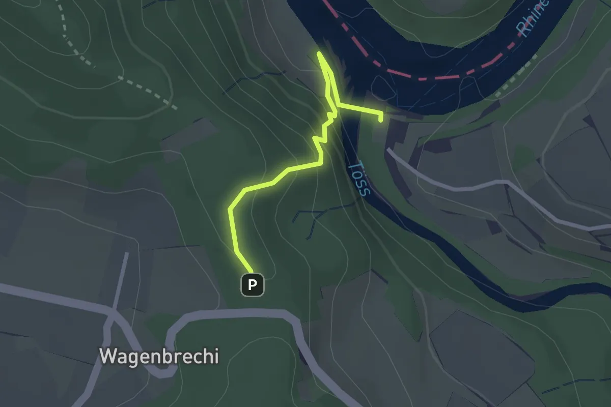
Easy · Trail
Wagenbrechi - Tössegg Schiffsteg
2.1 km · ↑ 166 m · 51 min
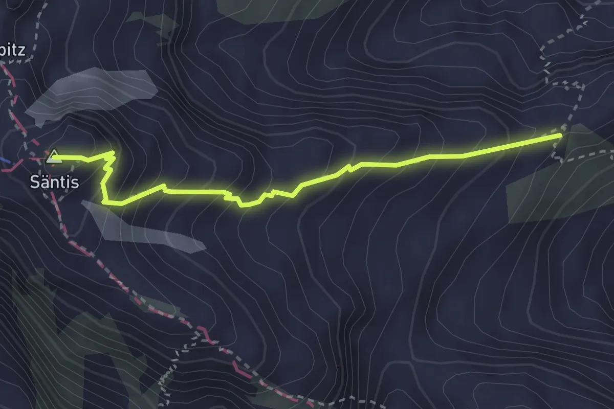
Demanding · Summit
Wagenlücke - Säntis
2.8 km · ↑ 415 m · 1 h 34 min
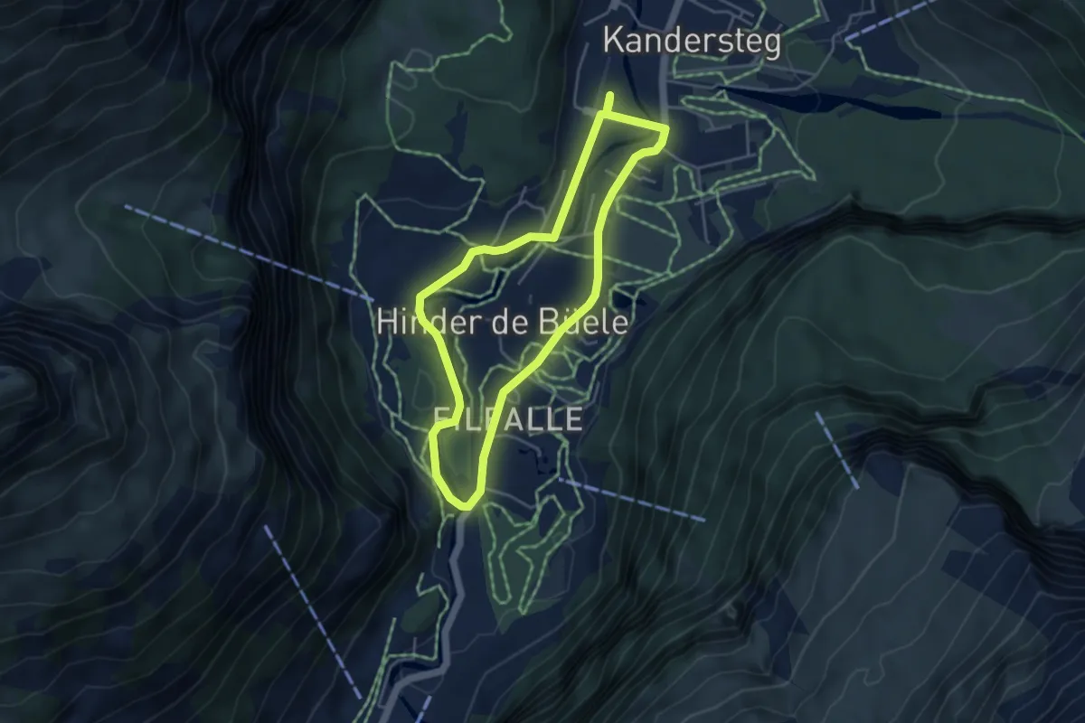
Easy · Trail
Wageti-Rundweg
3.9 km · ↑ 21 m · 1 h 1 min
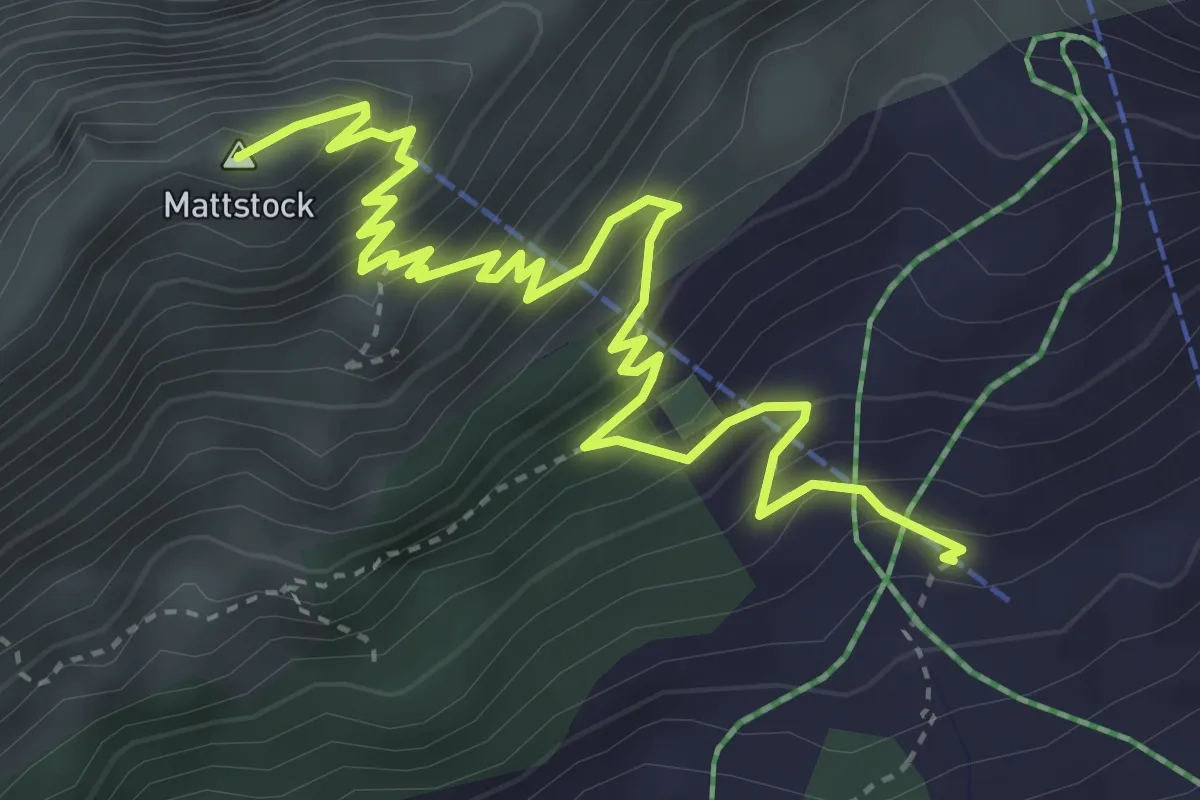
Demanding · Summit
Walau - Mattstock
4.9 km · ↑ 529 m · 2 h 19 min
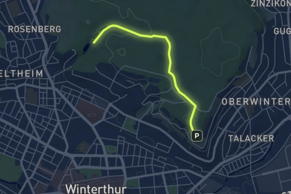
Easy · Trail
Walcheweier – Bäumli
4.3 km · ↑ 104 m · 1 h 14 min
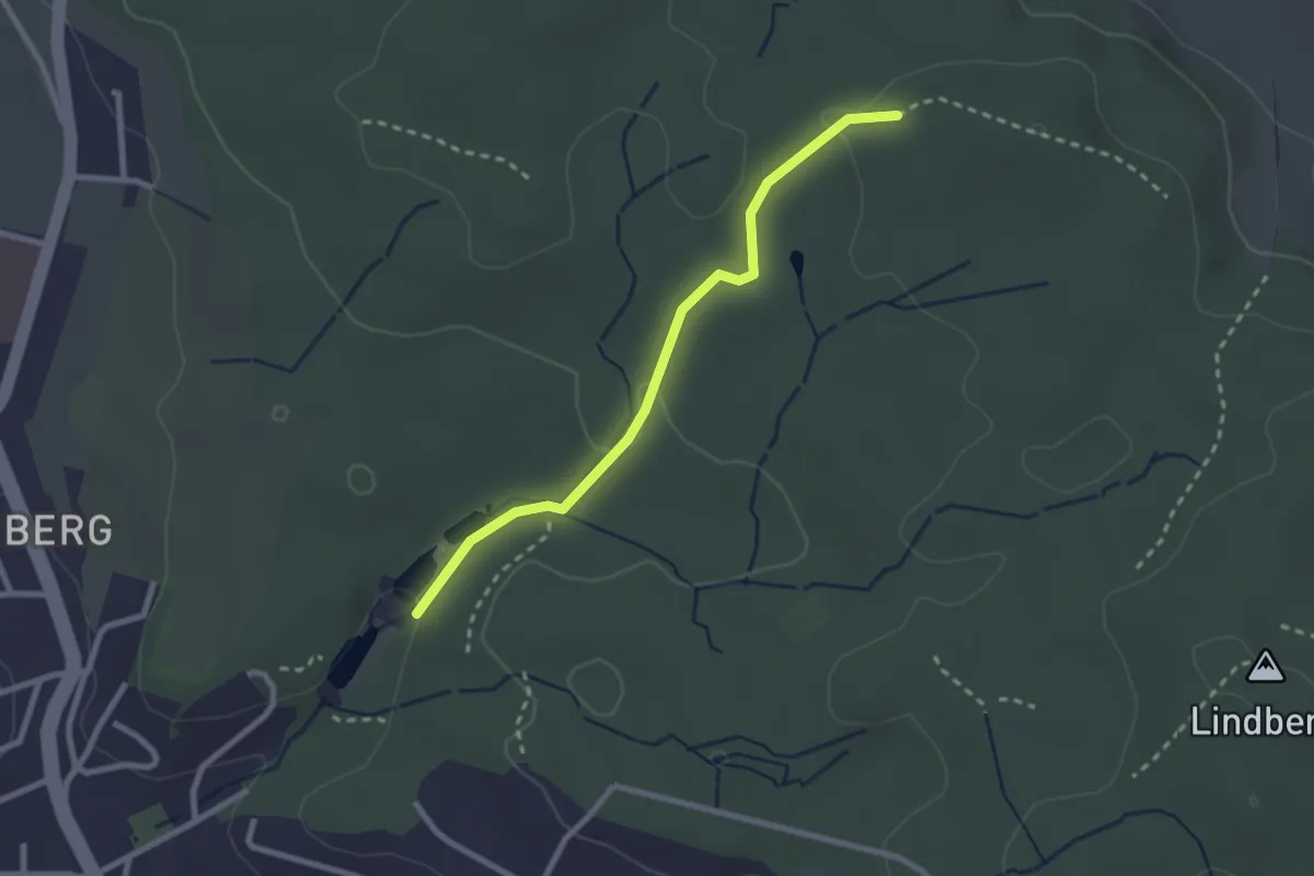
Easy · Trail
Walcheweier – Erlen
2.4 km · ↑ 42 m · 40 min
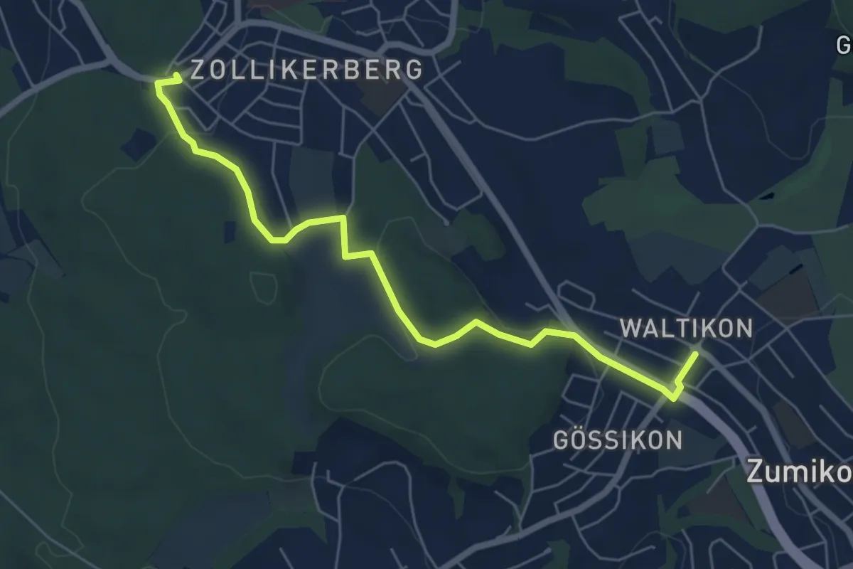
Easy · Trail
Waldburg Station - Waltikon
6.0 km · ↑ 127 m · 1 h 42 min
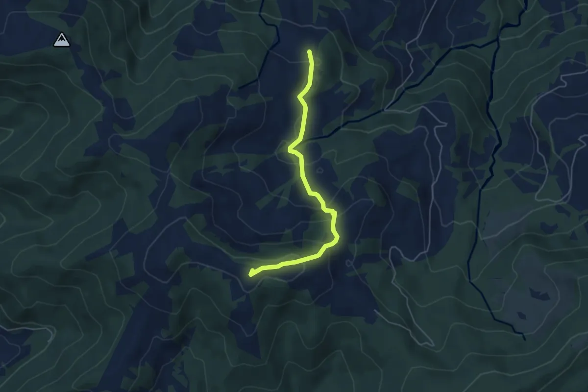
Easy · Trail
Waldeggli - Gueteregg
4.5 km · ↑ 238 m · 1 h 35 min
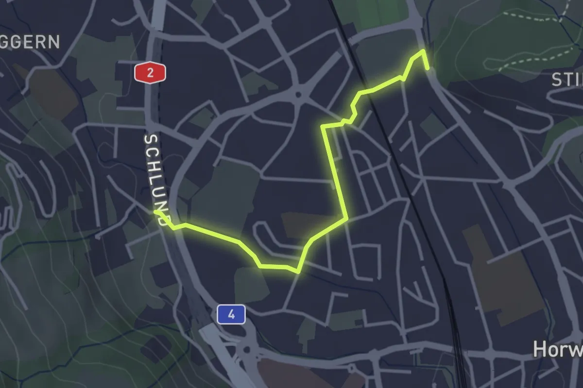
Easy · Trail
Waldegg - Schlund
3.1 km · ↑ 14 m · 46 min
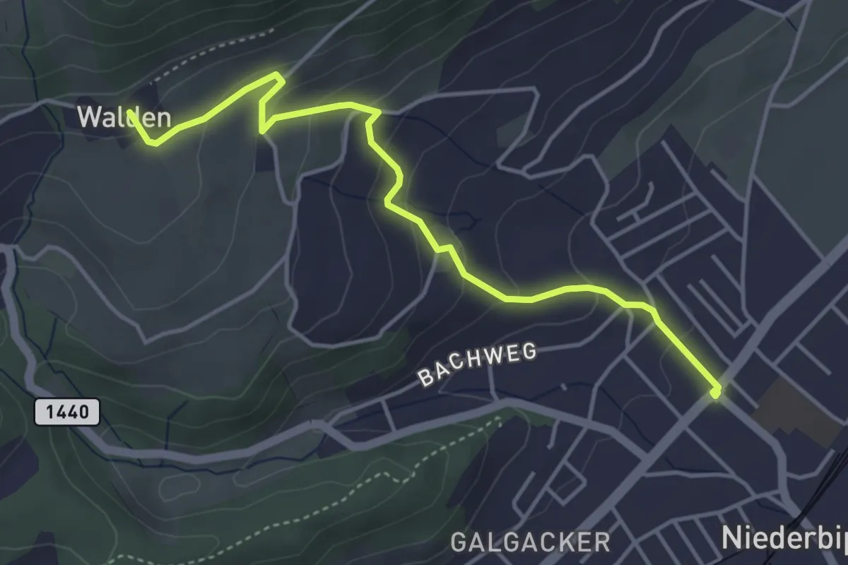
Easy · Trail
Walden - Niederbipp
4.3 km · ↑ 214 m · 1 h 29 min
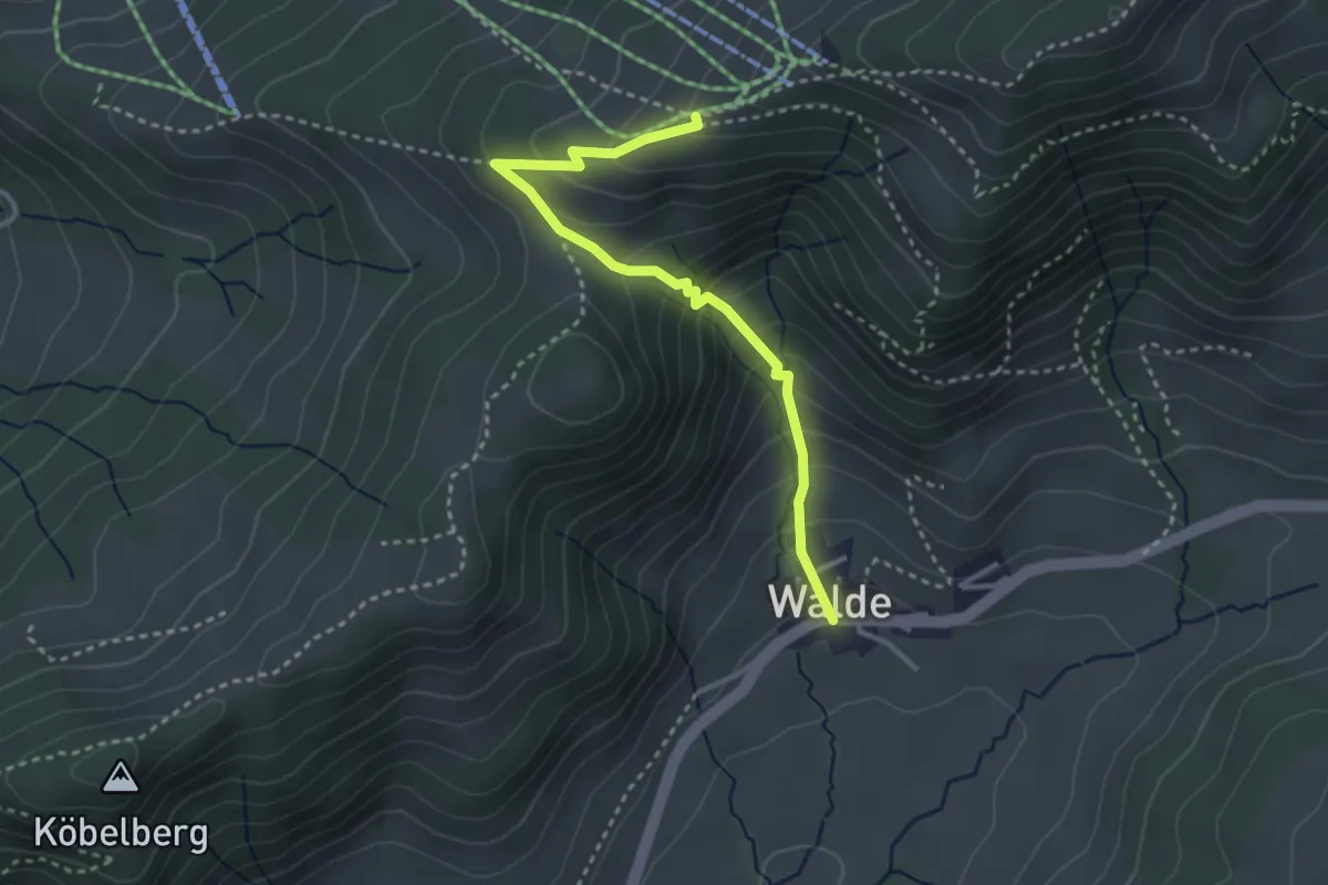
Demanding · Trail
Walde - Obere Ätzmännig
3.2 km · ↑ 301 m · 1 h 24 min
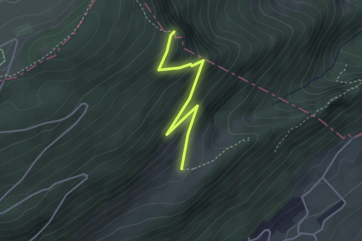
Easy · Trail
Walderalp - Wannenfluh
2.9 km · ↑ 254 m · 1 h 14 min
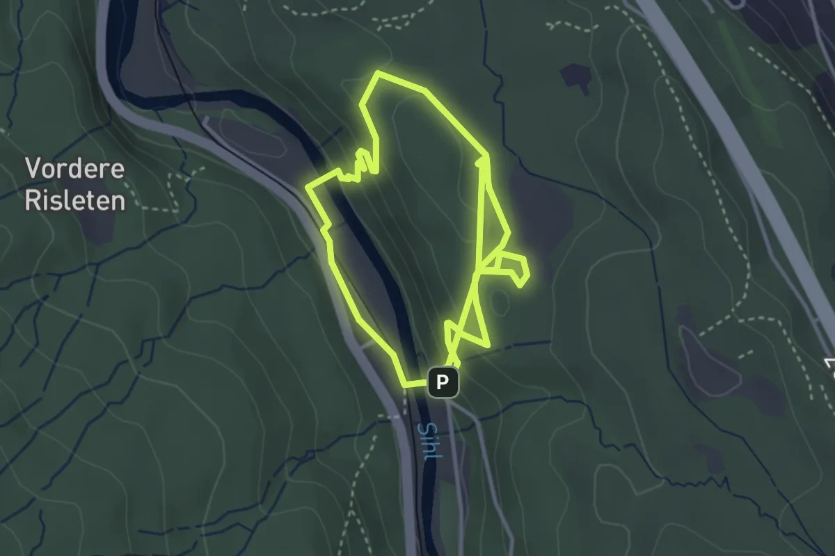
Medium · Trail
Walderlebnispfad
3.4 km · ↑ 163 m · 1 h 10 min
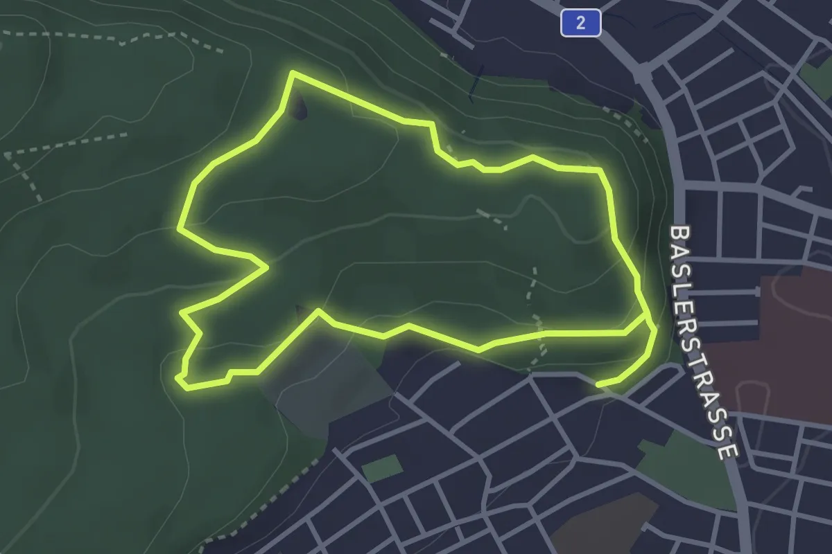
Easy · Trail
Walderlebnispfad Bannwald
6.0 km · ↑ 215 m · 1 h 53 min
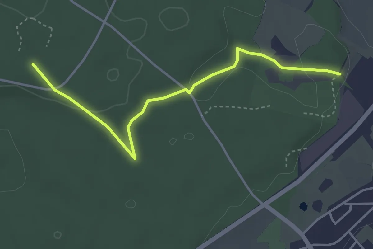
Easy · Trail
Walderlebnispfad Hardwald
3.5 km · ↑ 43 m · 56 min
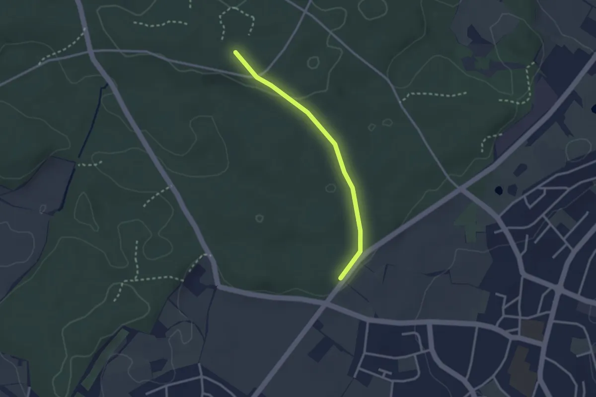
Easy · Trail
Walderlebnispfad Hardwald
2.4 km · ↑ 23 m · 36 min
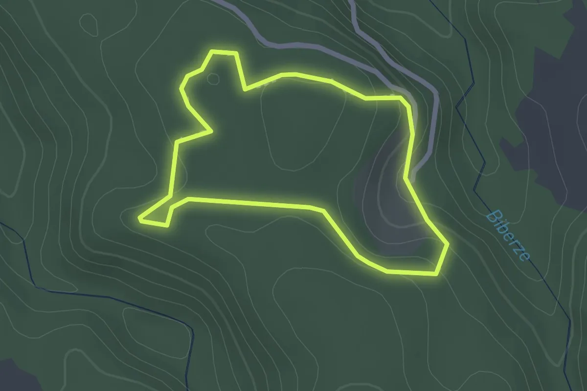
Easy · Trail
Walderlebnisweg Gantrisch
1.8 km · ↑ 60 m · 35 min
Easy · Trail
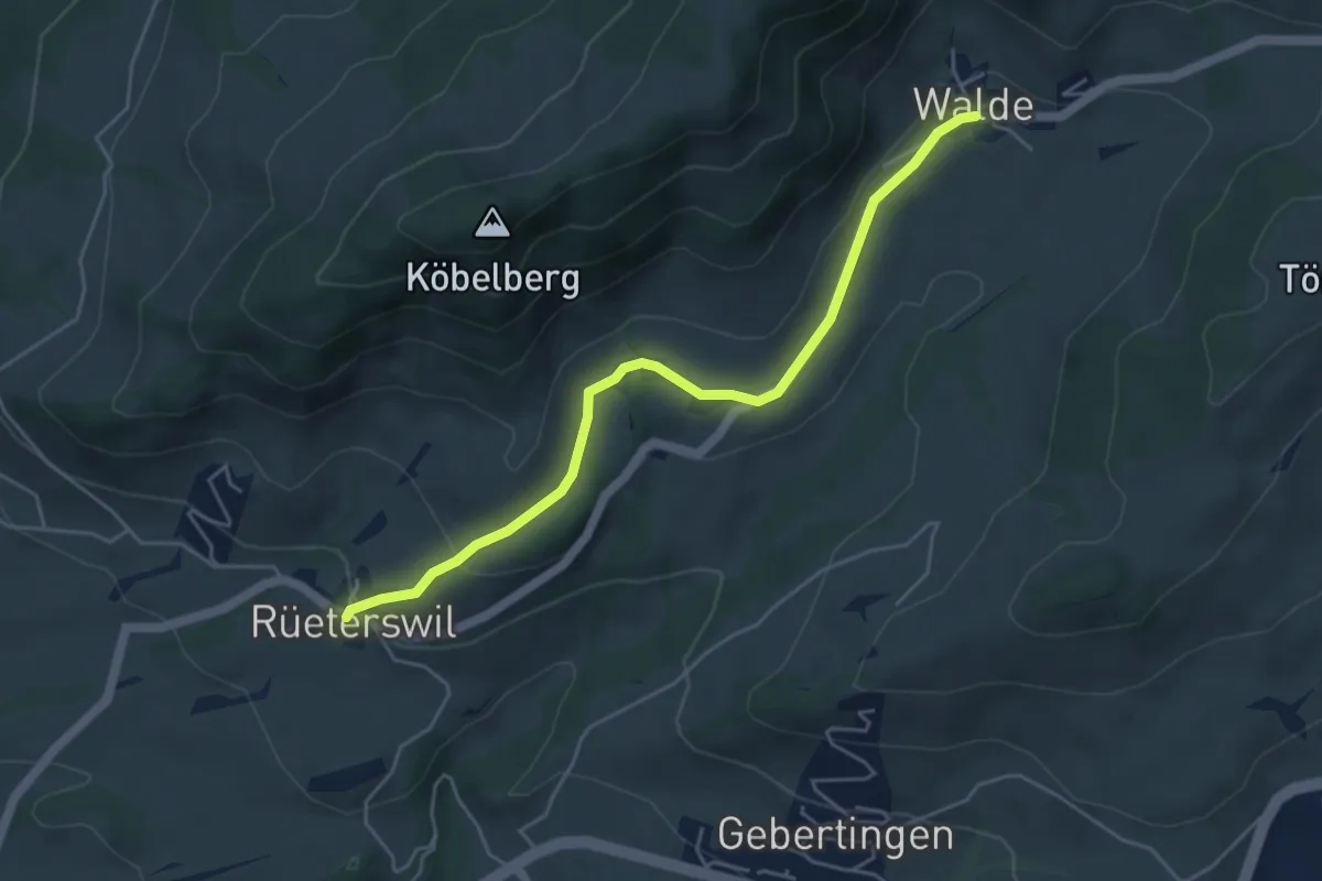
Walde - Rüeterswil Kapelle
4.8 km · ↑ 147 m · 1 h 28 min
Medium · Cabin
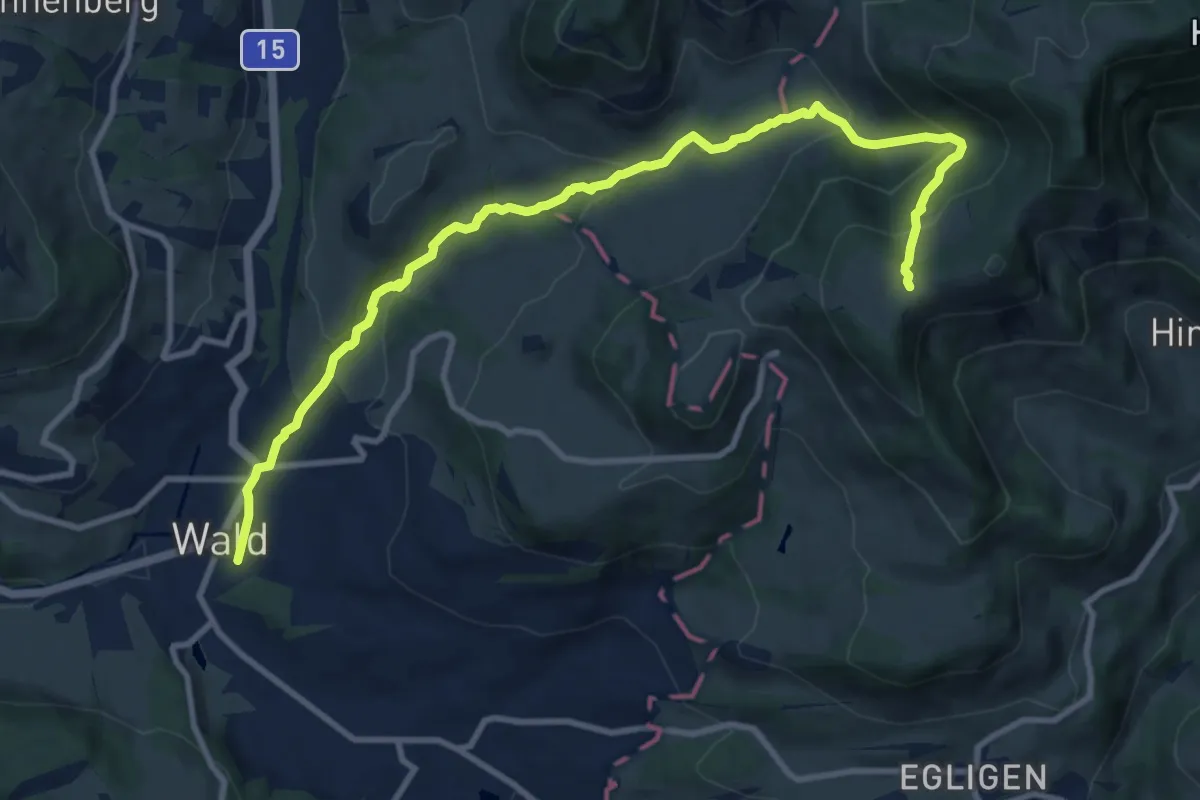
Wald - Farneralp
11.4 km · ↑ 560 m · 3 h 54 min
Easy · Trail
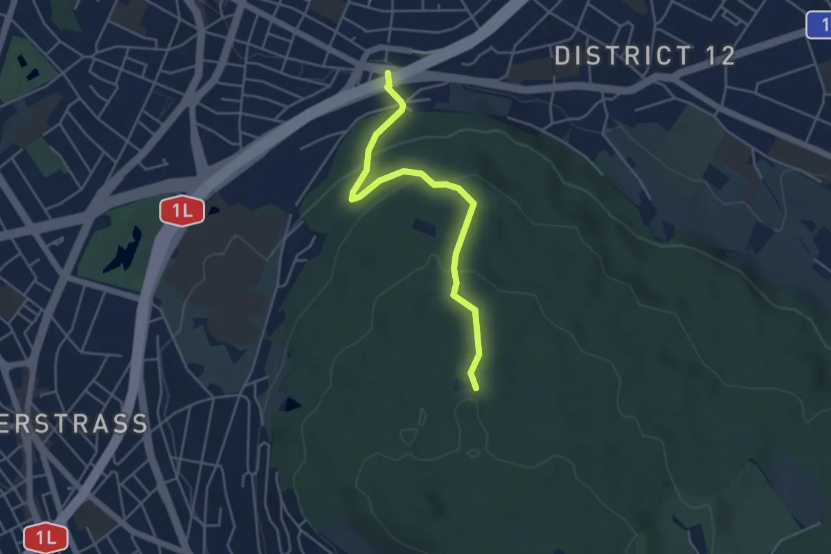
Waldgarten - Waldhüsli
4.0 km · ↑ 186 m · 1 h 21 min
Easy · Trail
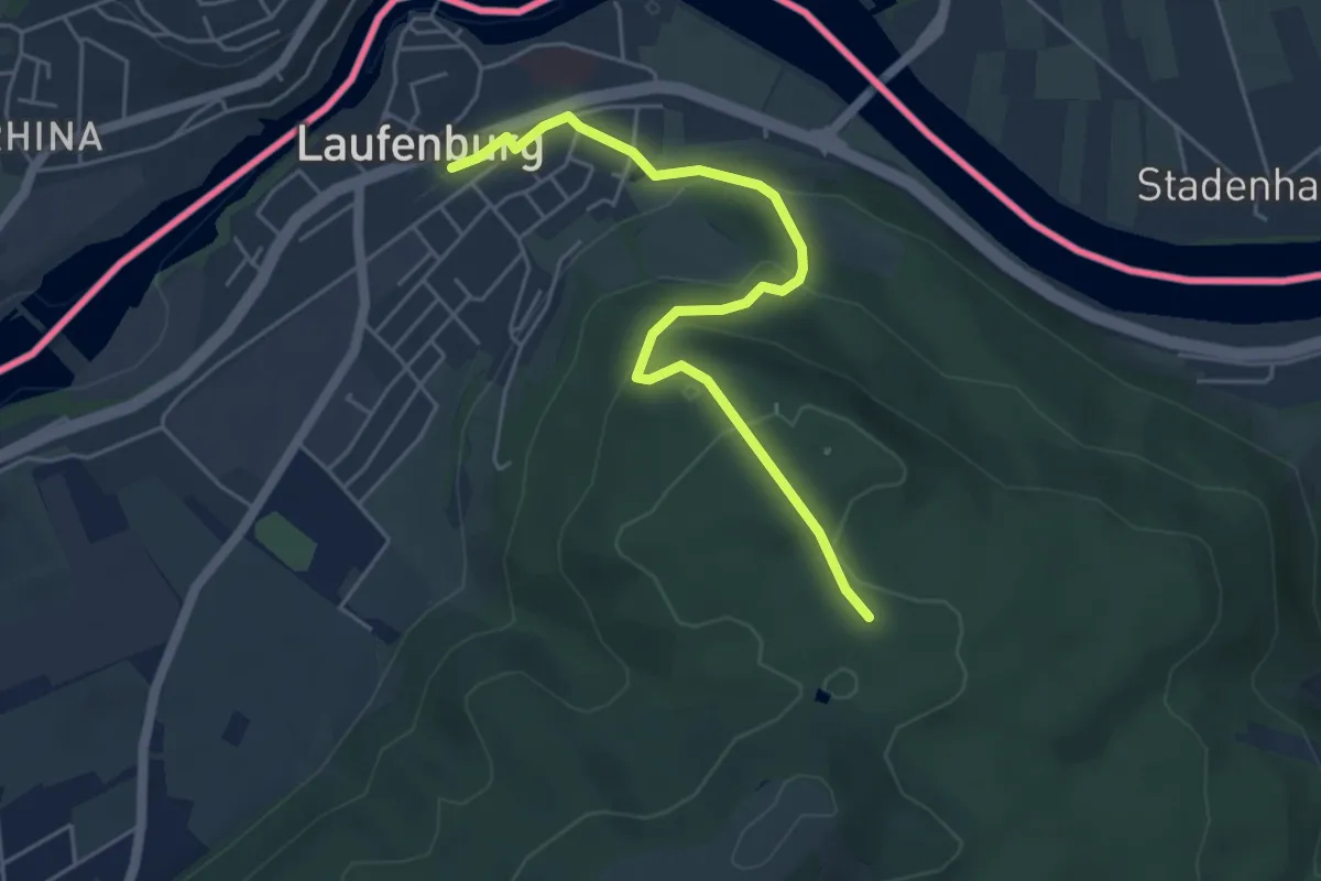
Waldhaus - Laufenburg
5.0 km · ↑ 197 m · 1 h 36 min
Medium · Trail
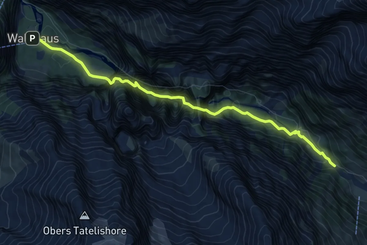
Waldhaus - Pletschenweidli
10.0 km · ↑ 290 m · 2 h 59 min
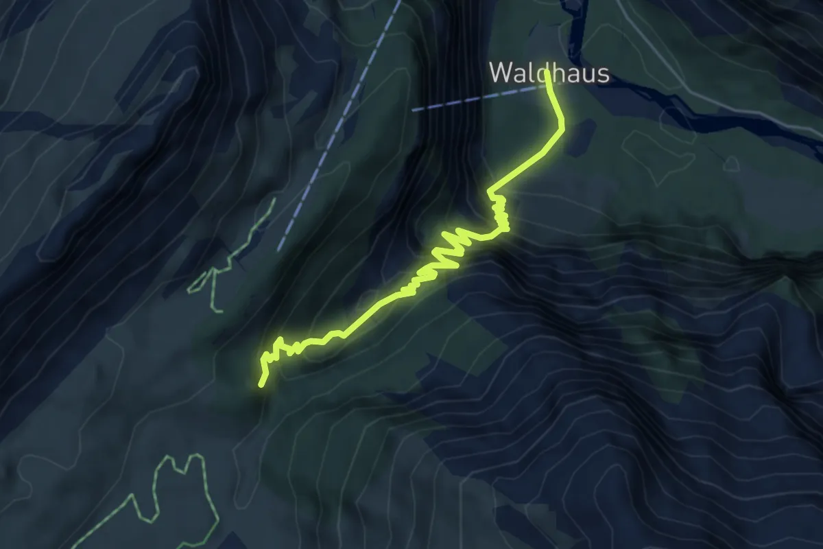
Demanding · Trail
Waldhaus Stierebergli
5.5 km · ↑ 606 m · 2 h 36 min
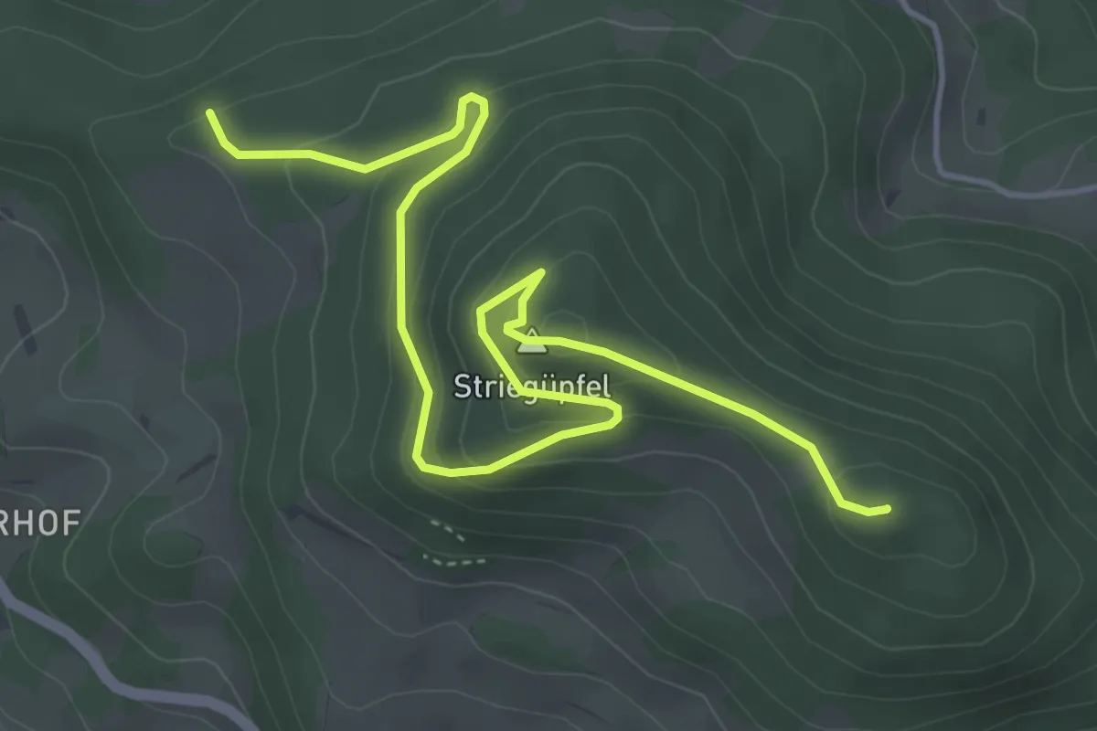
Easy · Summit
Waldhaus Wölflinswil - Strihen - Pt. 866.7 m
5.6 km · ↑ 301 m · 1 h 59 min
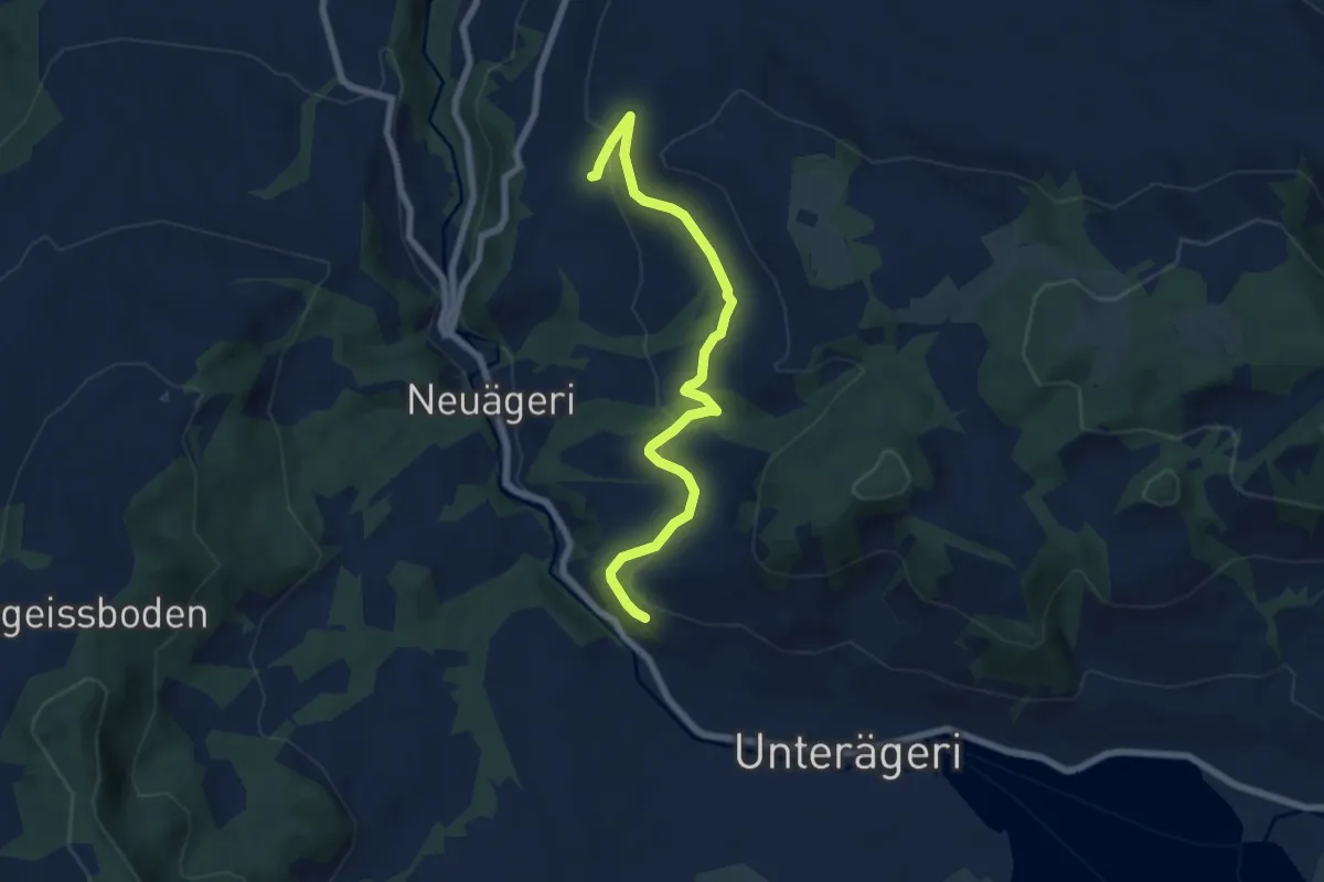
Easy · Trail
Waldheim -Heiterstaldena
7.1 km · ↑ 189 m · 2 h 5 min
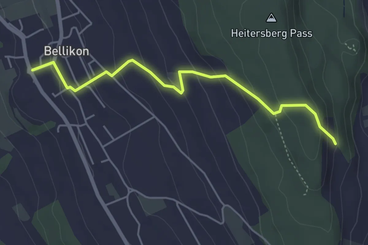
Easy · Trail
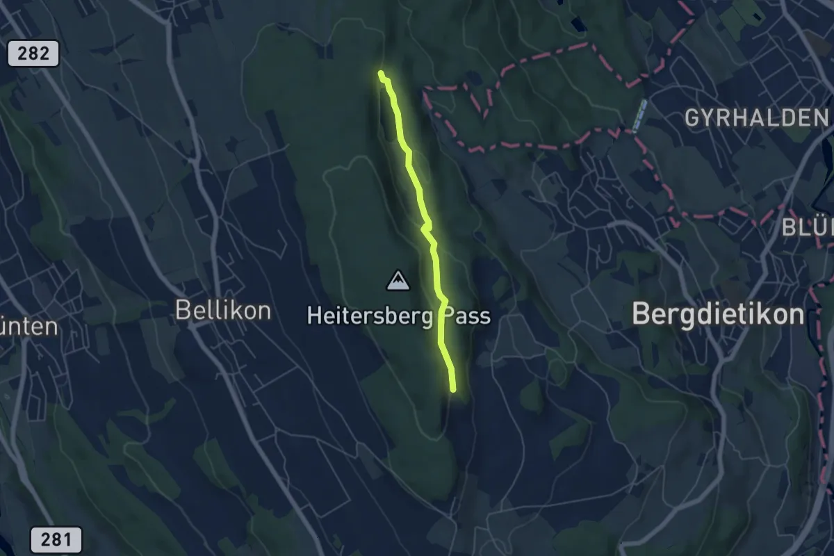
Waldhof - Bellikon
4.3 km · ↑ 231 m · 1 h 31 min
Easy · Trail
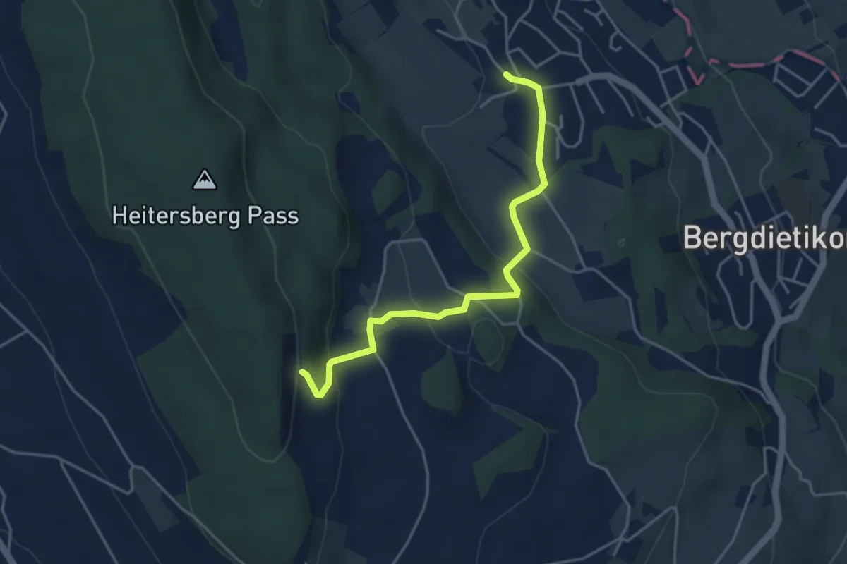
Waldhof - Egelsee
4.2 km · ↑ 117 m · 1 h 15 min
Easy · Trail
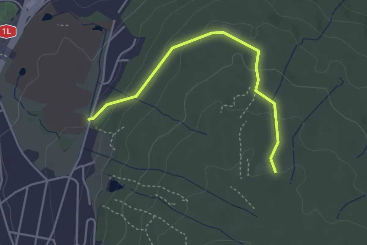
Waldhof - Kindhausen
4.0 km · ↑ 168 m · 1 h 19 min
Easy · Trail
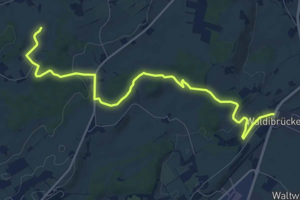
Waldhüsli - Strickhof
3.2 km · ↑ 114 m · 1 h
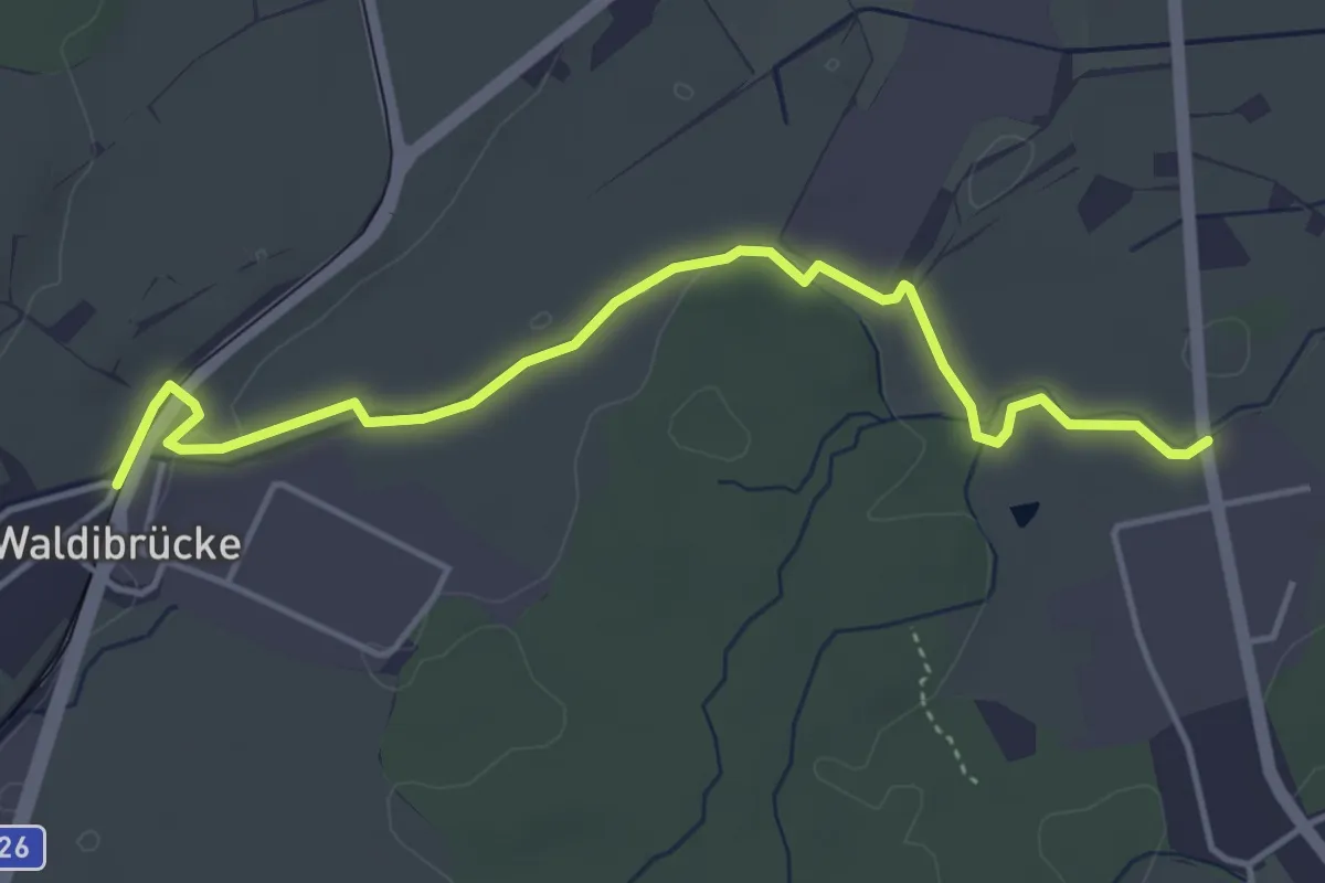
Medium · Trail
Waldibrugg - Hirselen
10.5 km · ↑ 134 m · 2 h 47 min
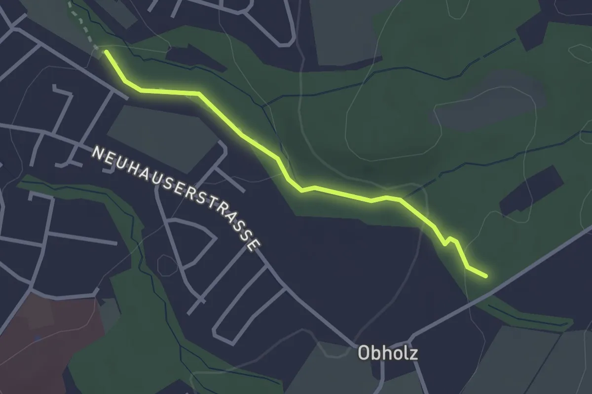
Easy · Trail
Waldibrugg - Schachen
4.5 km · ↑ 17 m · 1 h 7 min
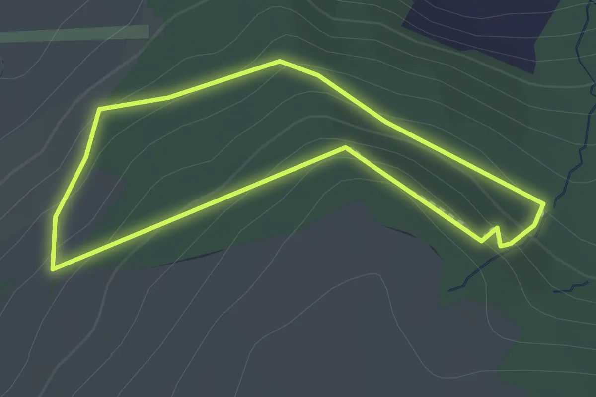
Easy · Trail
Waldlehrpfad
2.3 km · ↑ 65 m · 41 min
Easy · Trail
Waldlehrpfad Buholz
1.7 km · ↑ 69 m · 34 min
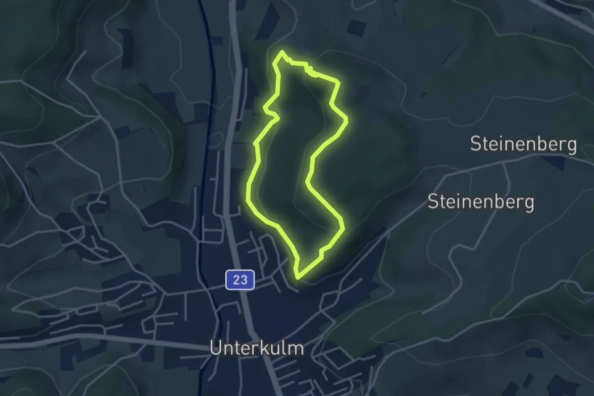
Easy · Trail
Waldlehrpfad Unterkulm
2.8 km · ↑ 146 m · 1 h 1 min
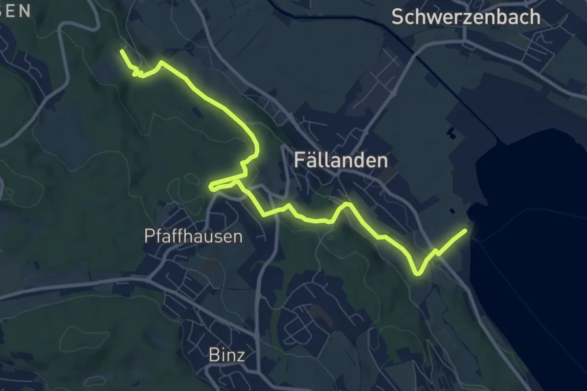
Medium · Trail
Waldmannsburg - Fällanden Rohr
9.9 km · ↑ 326 m · 3 h 3 min
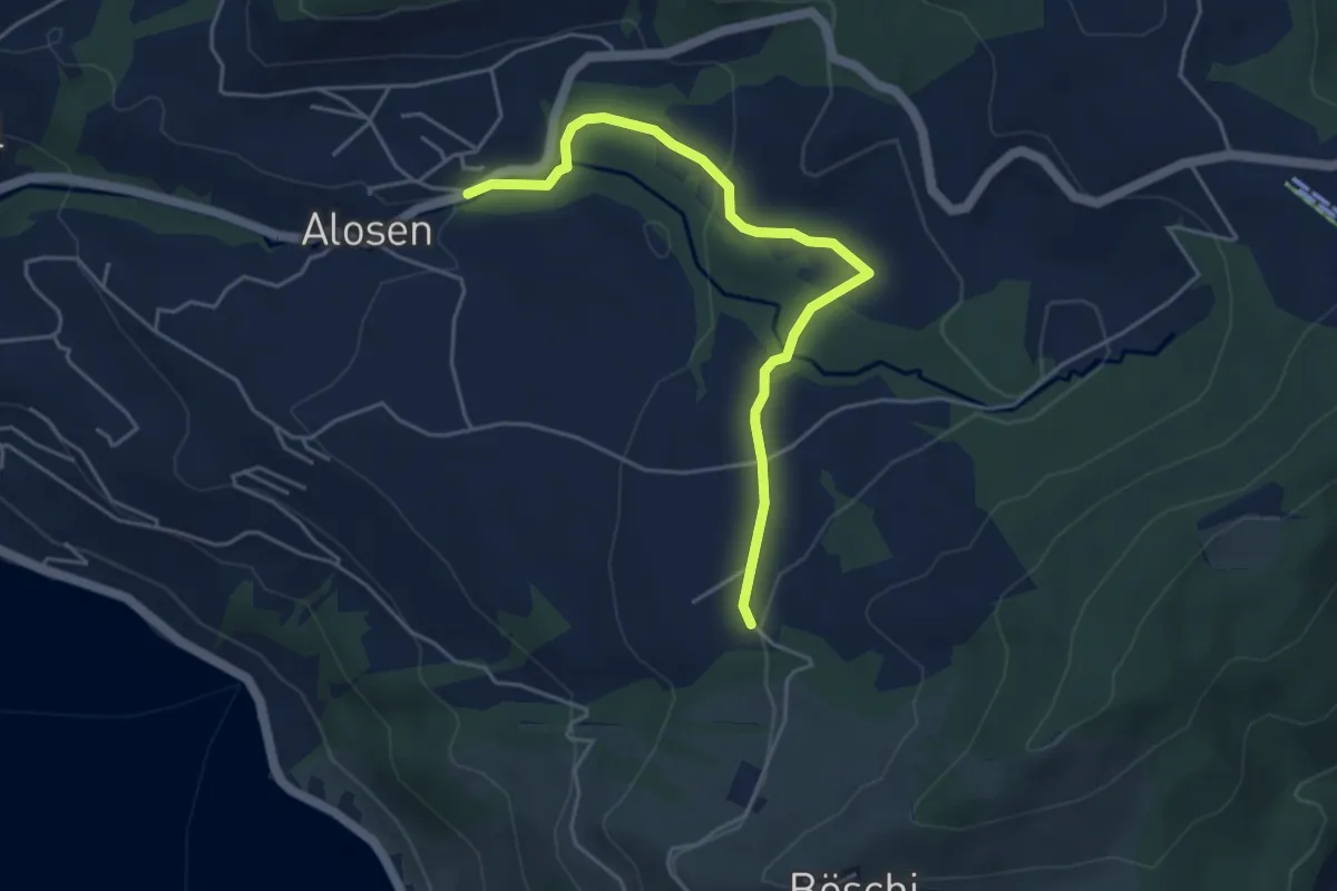
Easy · Trail
Waldschlagchrüz - Alosen
4.8 km · ↑ 102 m · 1 h 21 min
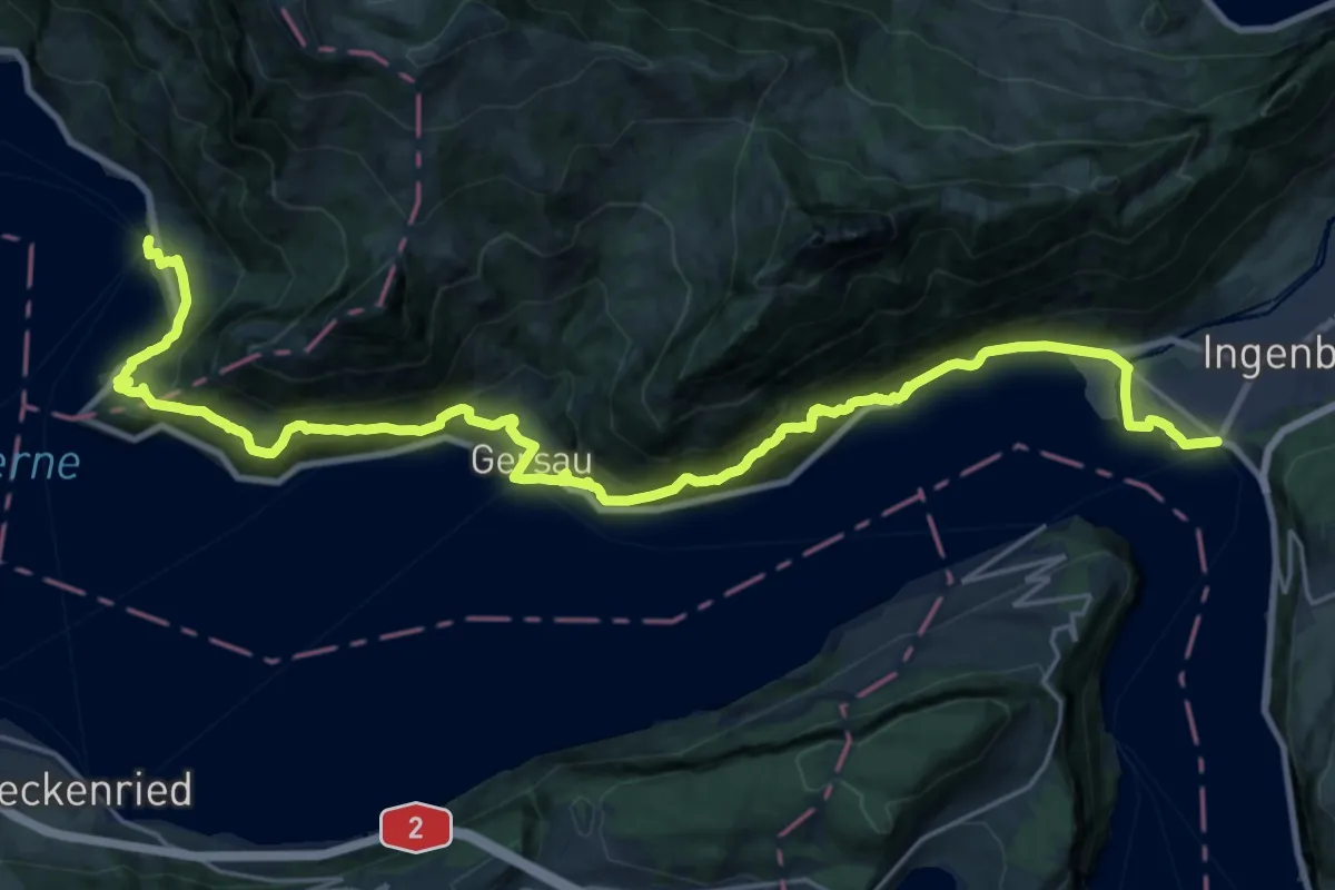
Demanding · Trail
Waldstätterweg - Etappe 1
14.7 km · ↑ 805 m · 5 h 25 min
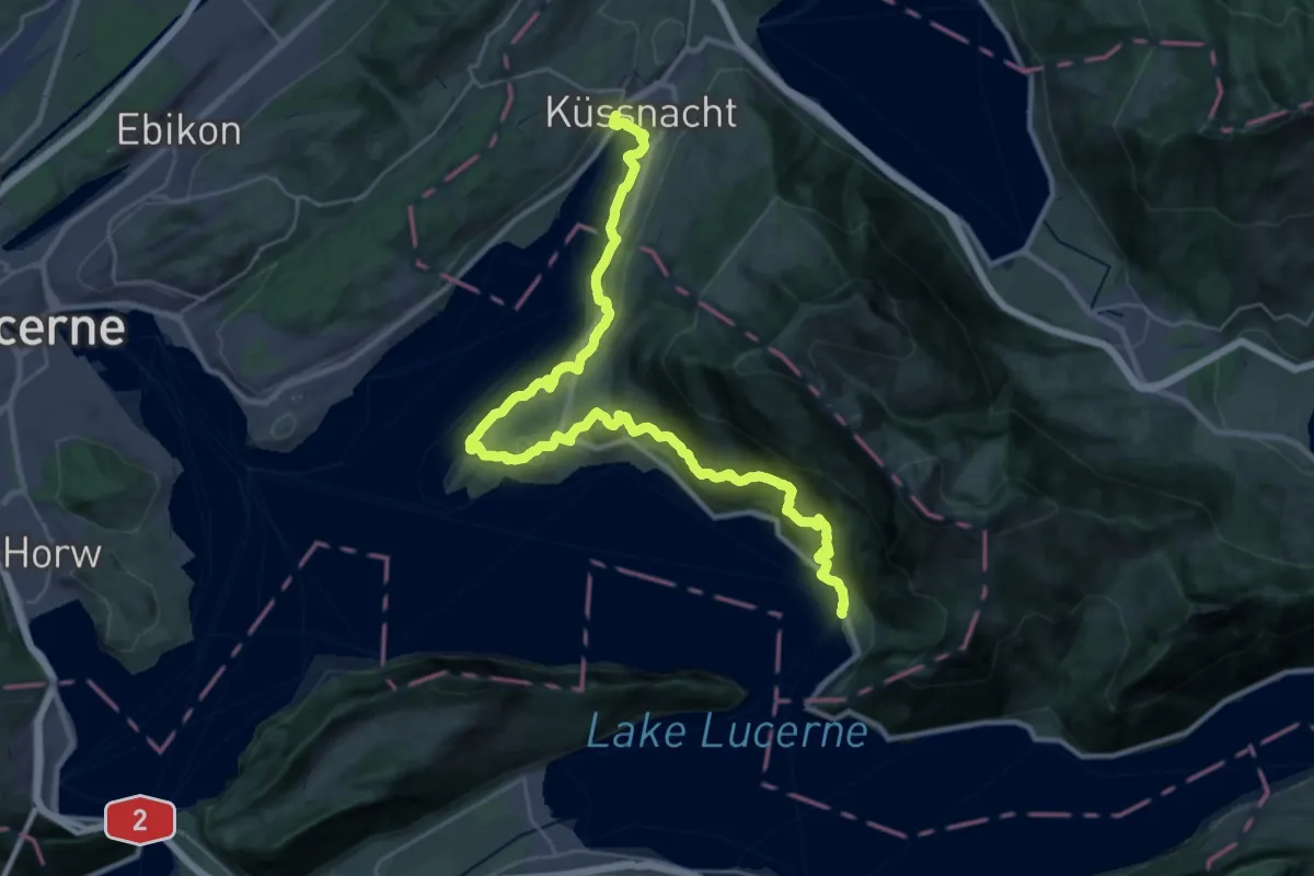
Demanding · Trail
Waldstätterweg - Etappe 2
18.4 km · ↑ 803 m · 6 h 21 min
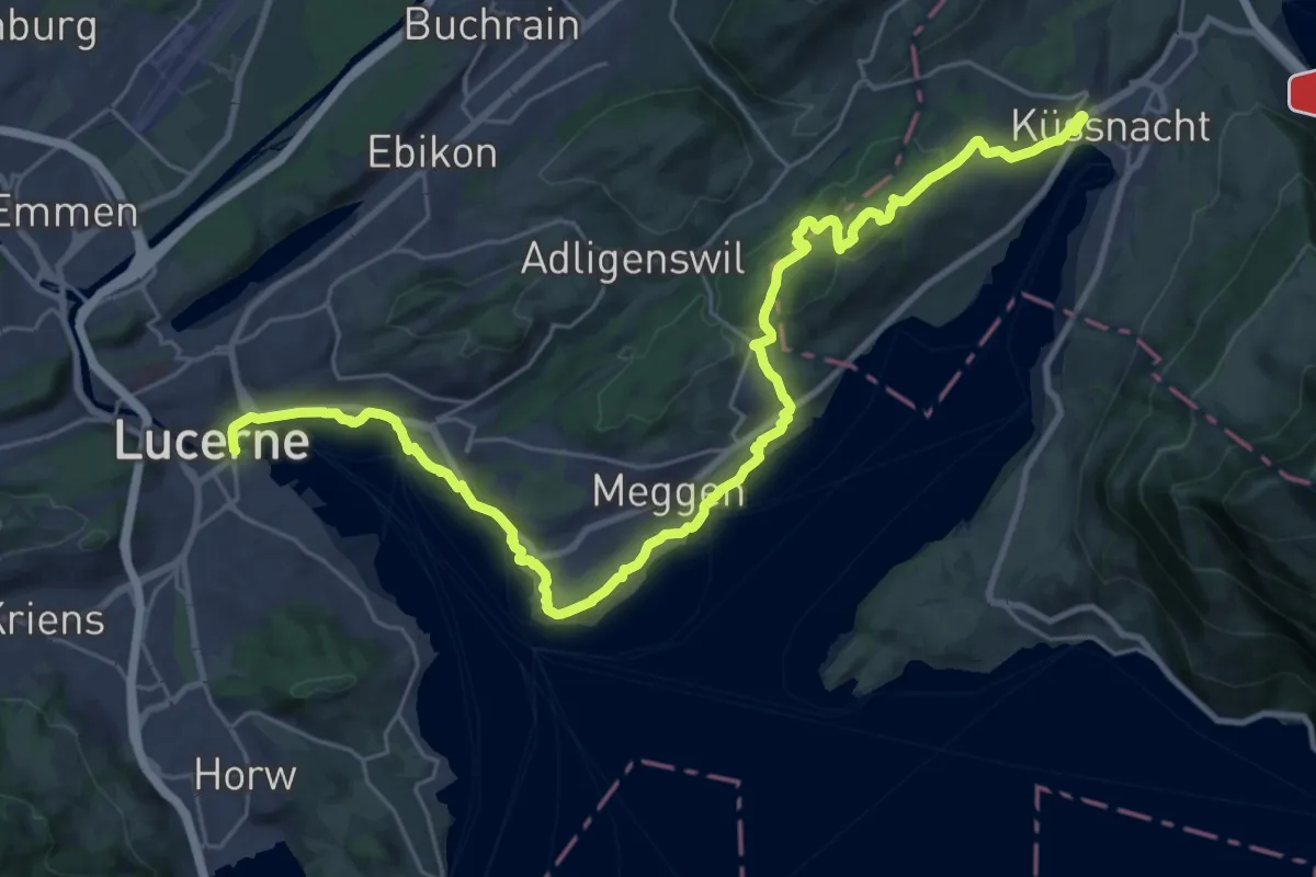
Medium · Trail
Waldstätterweg - Etappe 3
16.9 km · ↑ 334 m · 4 h 57 min
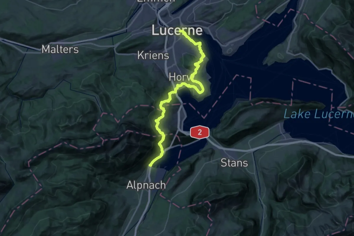
Demanding · Trail
Waldstätterweg - Etappe 4
20.8 km · ↑ 960 m · 7 h 16 min
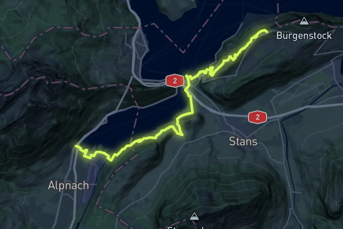
Demanding · Trail
Waldstätterweg - Etappe 5
15.3 km · ↑ 1052 m · 5 h 53 min
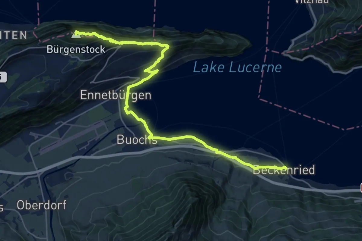
Demanding · Summit
Waldstätterweg - Etappe 6
23.1 km · ↑ 1185 m · 8 h 2 min
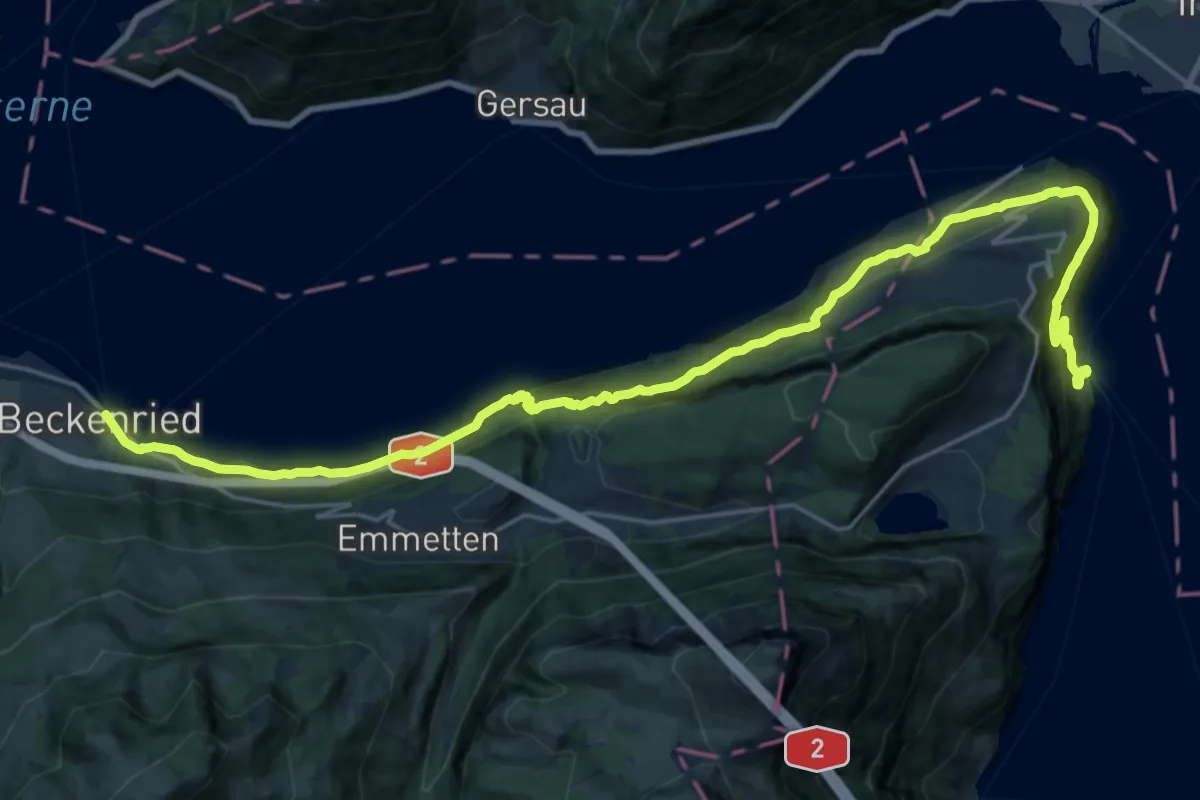
Medium · Trail
Waldstätterweg - Etappe 7
13.2 km · ↑ 769 m · 4 h 58 min
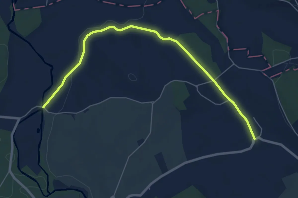
Easy · Trail
Waldweier - Steinhauserwald
5.7 km · ↑ 73 m · 1 h 31 min
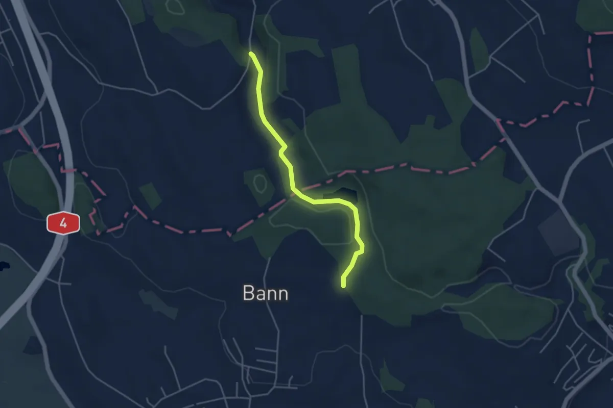
Easy · Trail
Waldweier - Steinhauserwald
3.7 km · ↑ 82 m · 1 h 3 min
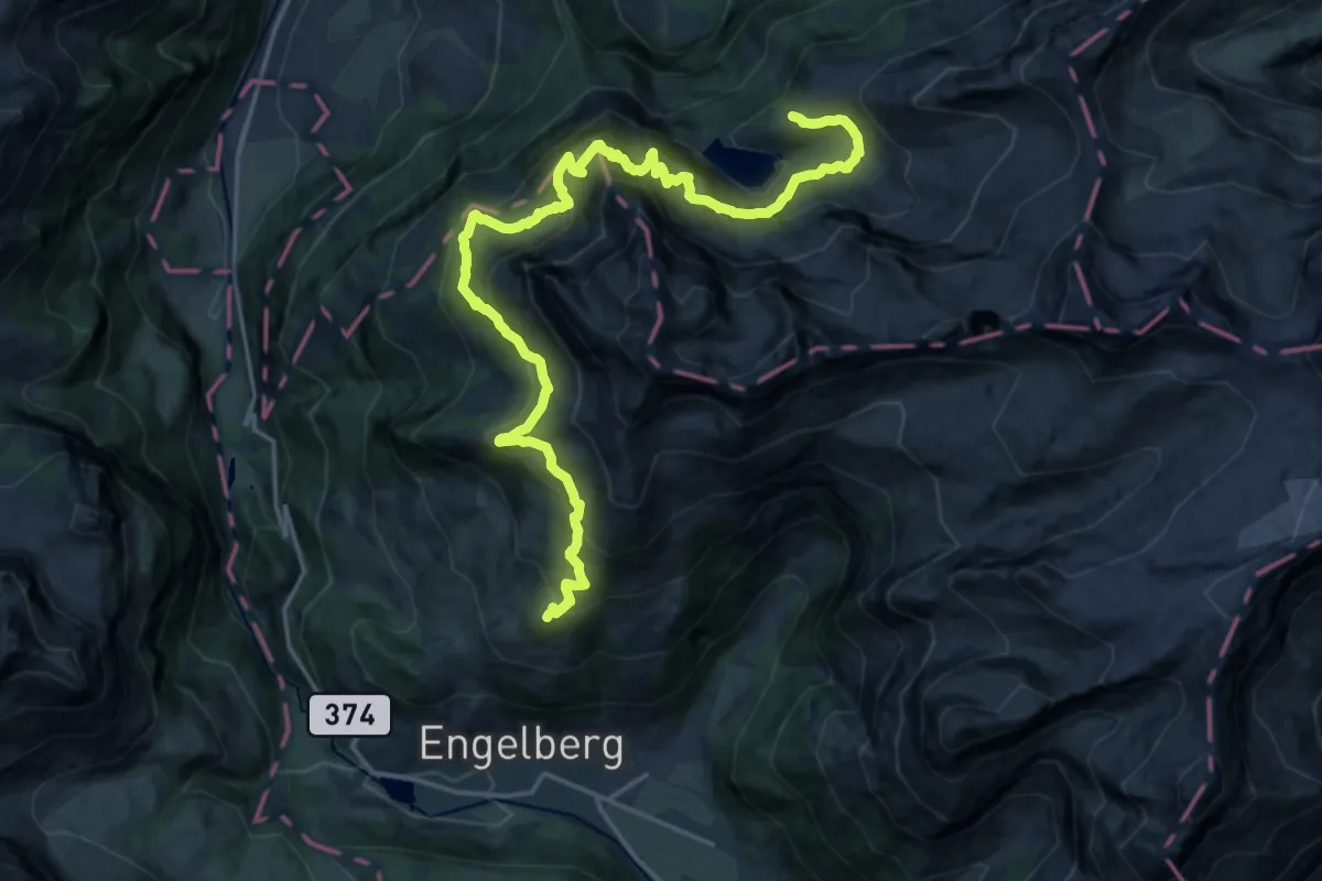
Demanding · Cabin
Walenpfad
11.4 km · ↑ 864 m · 4 h 39 min