Trails in Switzerland
15,064 hiking trails, each with its route, climb, walking time and grade.
All trails, page 128 of 314
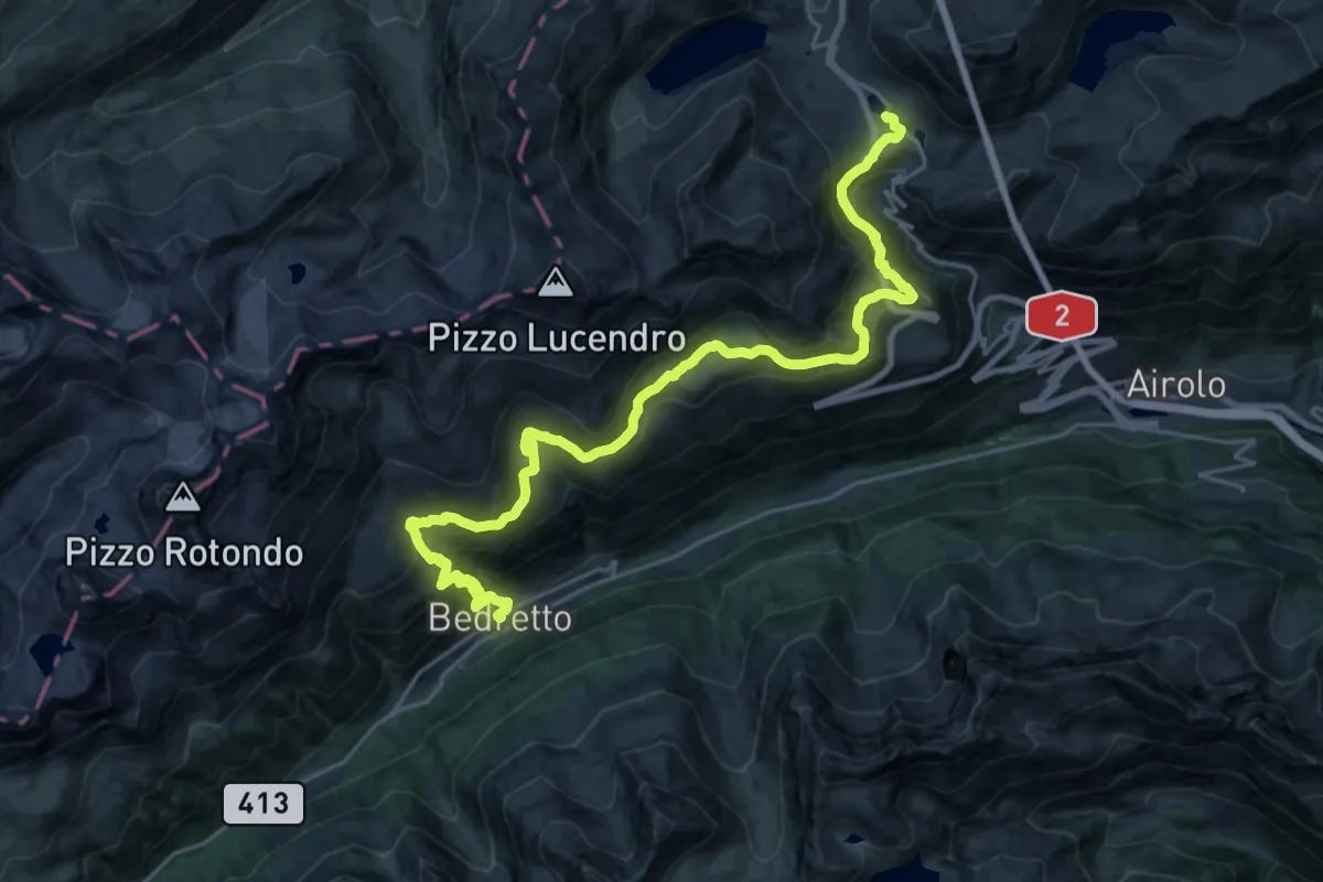
Medium · Trail
Walserweg Gottardo - Etappe 9
14.2 km · ↑ 520 m · 5 h 1 min
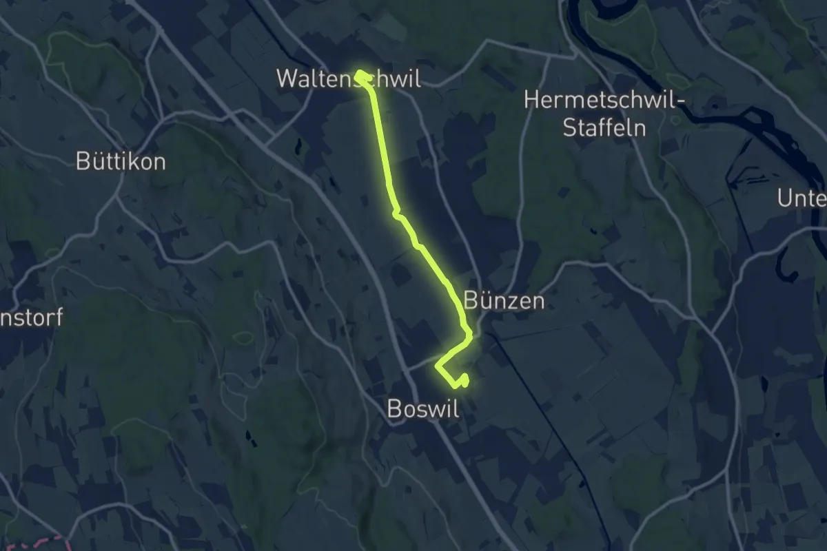
Medium · Trail
Waltenschwil - Bünzen - Boswil
9.6 km · ↑ 26 m · 2 h 20 min
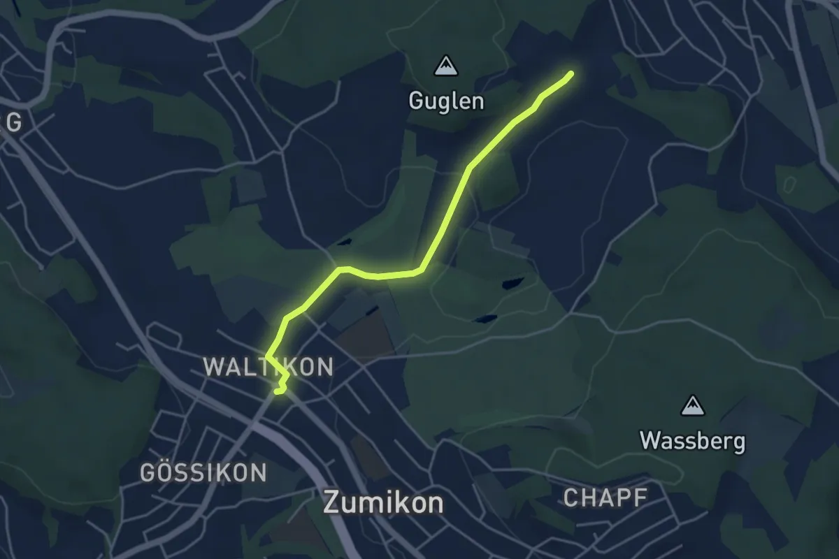
Easy · Trail
Waltikon - Süessblätz
3.9 km · ↑ 37 m · 1 h
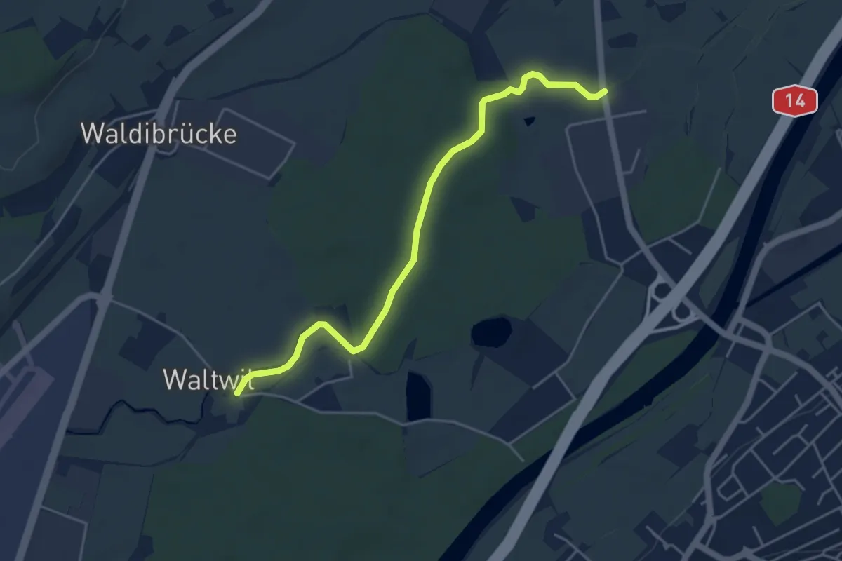
Easy · Trail
Waltwil - Schache
4.5 km · ↑ 14 m · 1 h 5 min
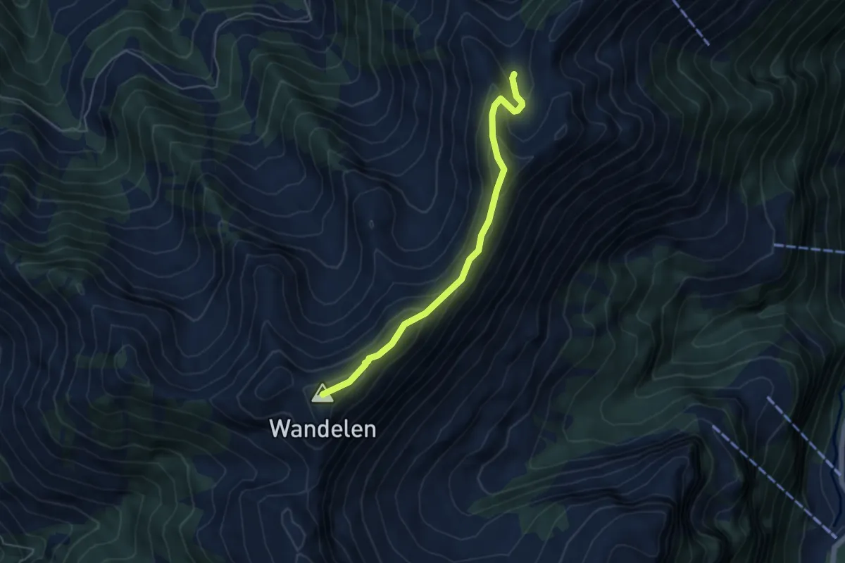
Expert · Summit
Wandelen - Stockalp
4.7 km · ↑ 305 m · 1 h 46 min
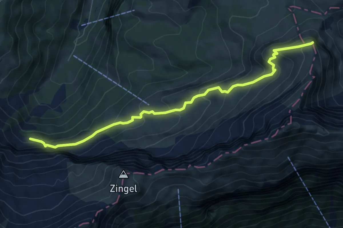
Medium · Summit
Wandeli - Fulberg
7.8 km · ↑ 555 m · 3 h 3 min
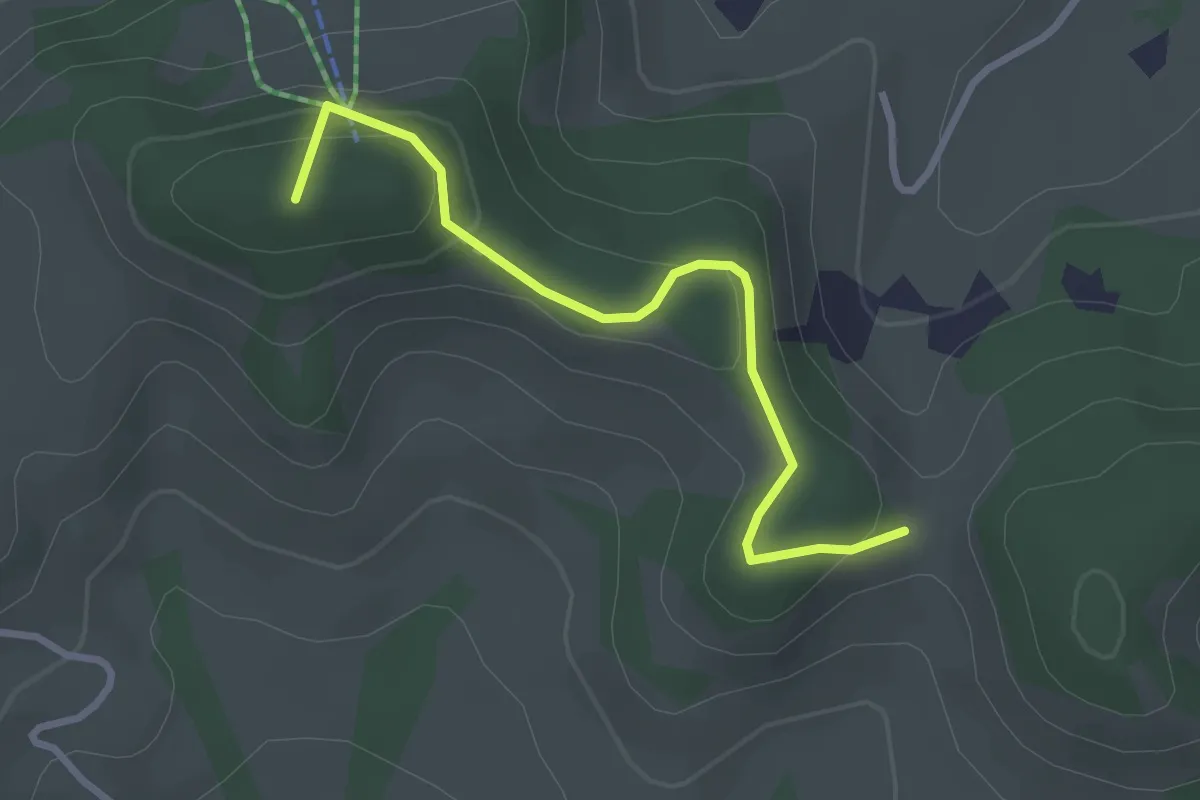
Easy · Summit
Wanderweg
2.8 km · ↑ 158 m · 1 h 1 min
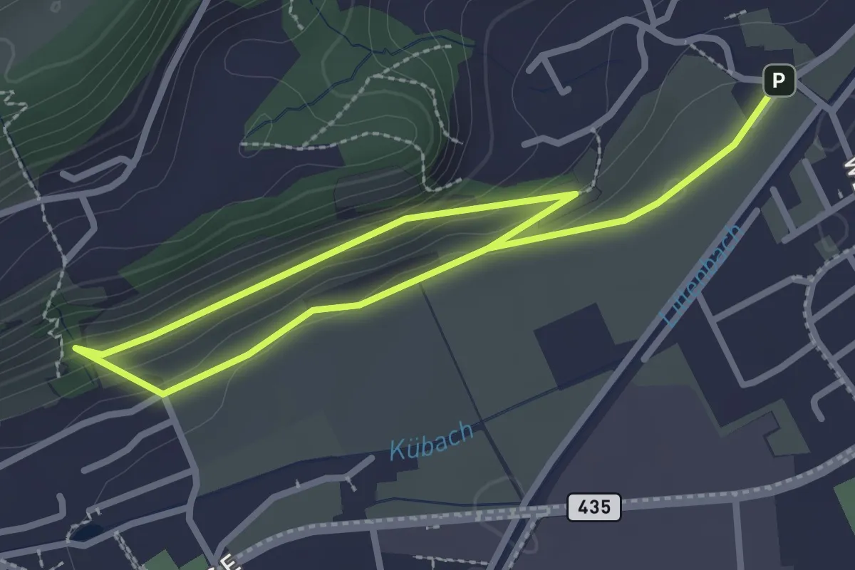
Easy · Trail
Wanderwege SG
3.9 km · ↑ 140 m · 1 h 13 min
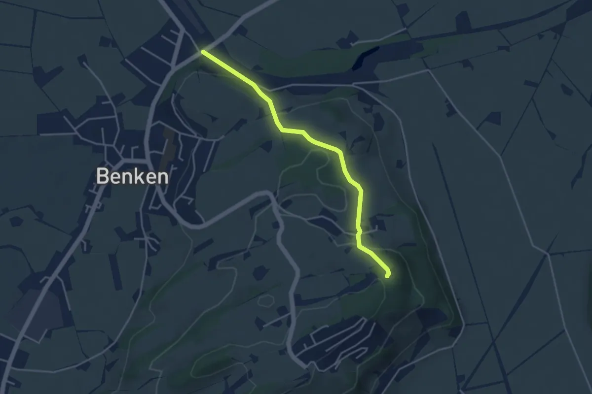
Easy · Trail
Wanderweg Maria Bildstein
3.5 km · ↑ 124 m · 1 h 6 min
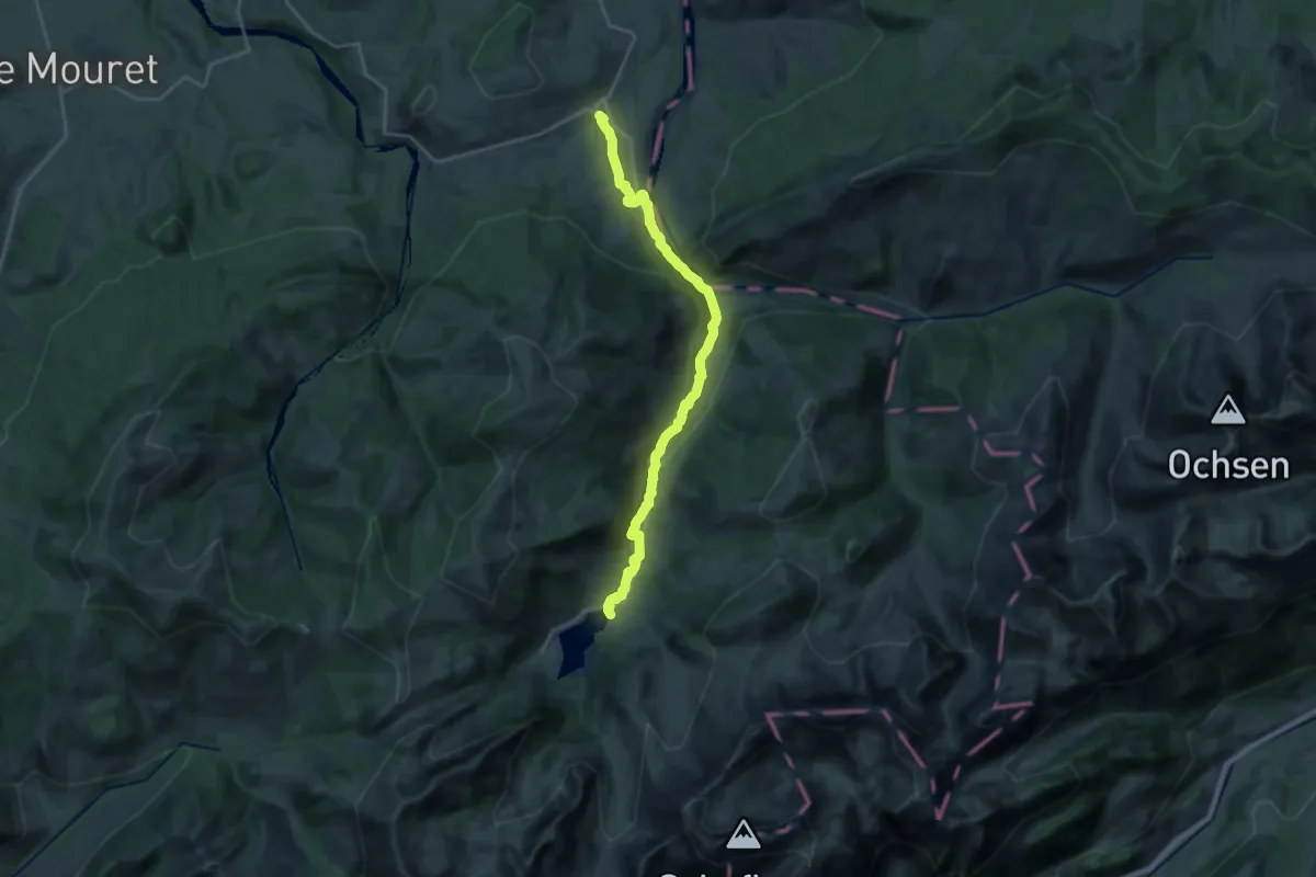
Demanding · Trail
Wanderweg Plaffeien - Schwarzsee
20.6 km · ↑ 420 m · 5 h 47 min
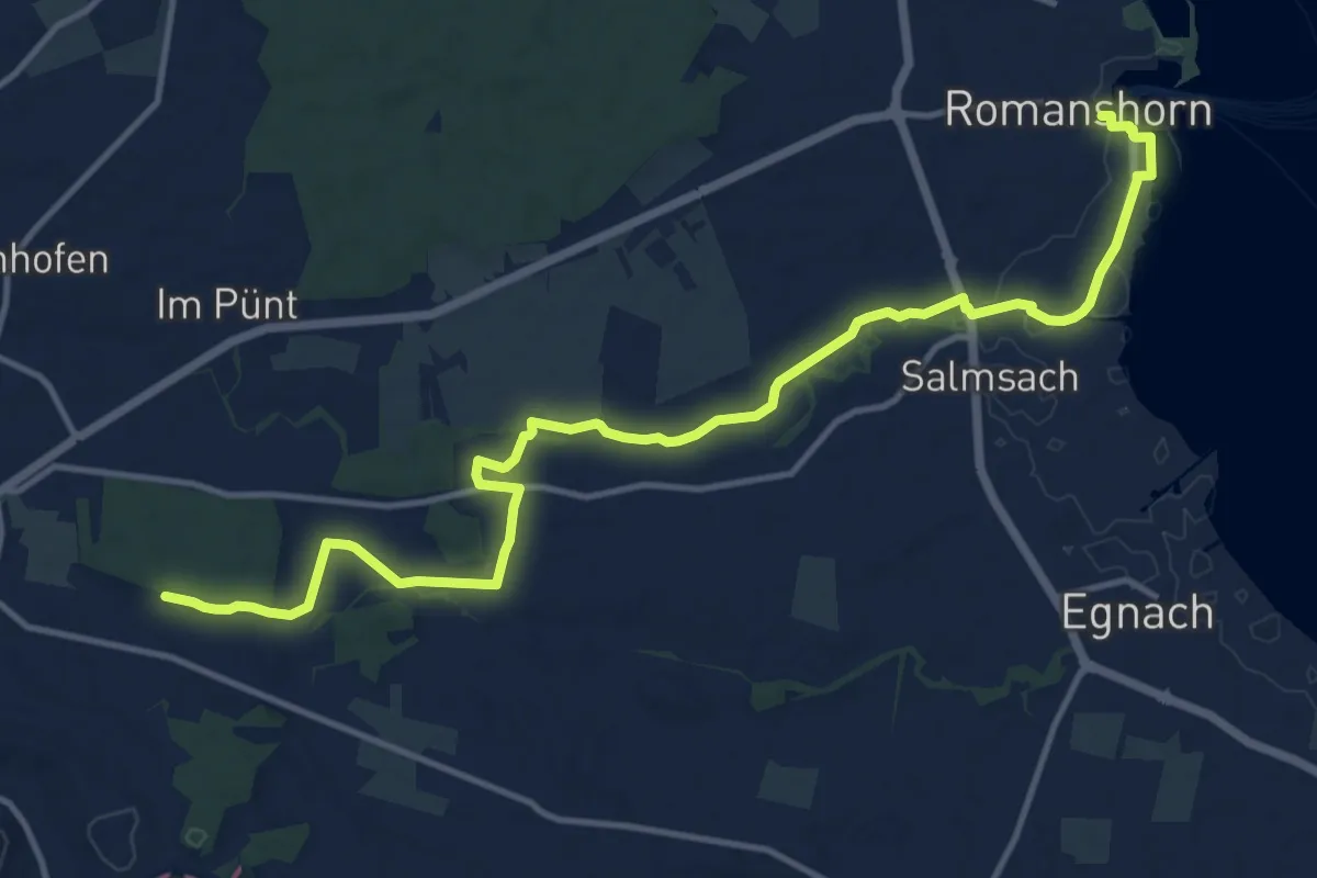
Medium · Trail
Wanderweg Romanshorn - Amriswil
15.2 km · ↑ 59 m · 3 h 44 min
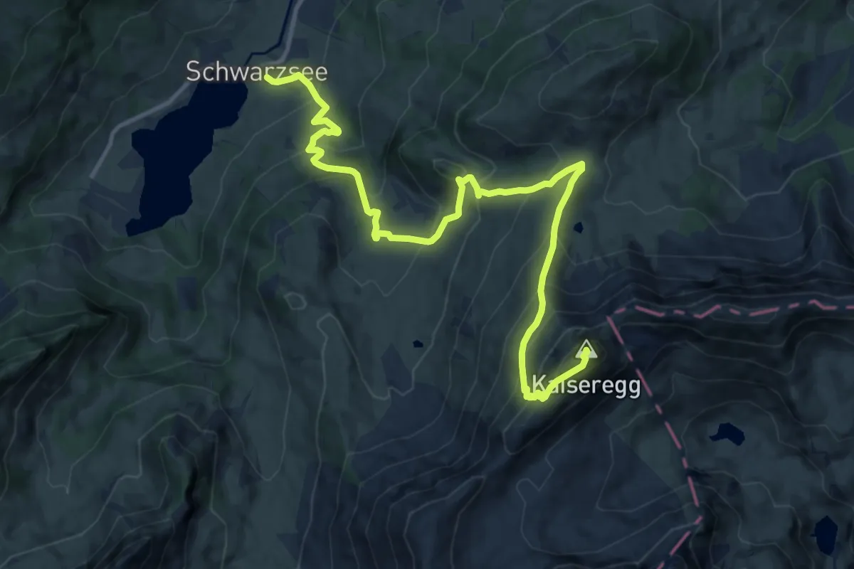
Demanding · Summit
Wanderweg Schwarzsee - Kaiseregg
13.6 km · ↑ 1104 m · 5 h 36 min
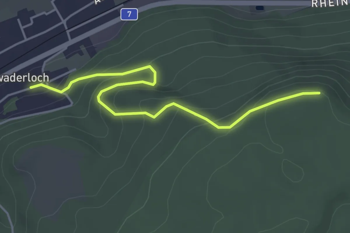
Easy · Trail
Wandflue - Schwaderloch
4.2 km · ↑ 264 m · 1 h 34 min
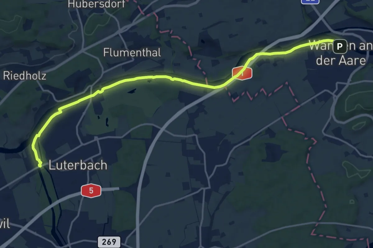
Medium · Trail
Wangen an der Aare - Emmenholz
15.7 km · ↑ 32 m · 3 h 47 min
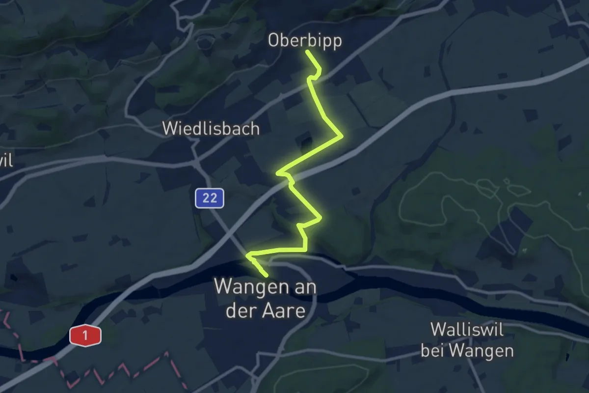
Medium · Trail
Wangen an der Aare - Oberbipp
8.6 km · ↑ 78 m · 2 h 11 min
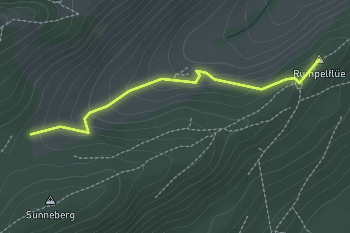
Easy · Summit
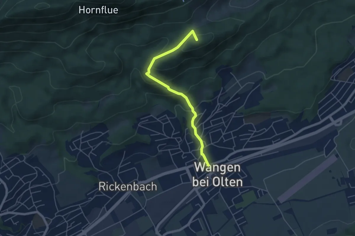
Wangen bei Olten - Rumpelhöchi
1.9 km · ↑ 95 m · 40 min
Easy · Summit
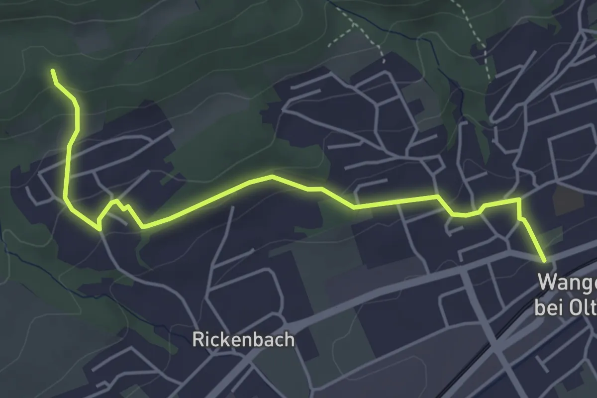
Wangen bei Olten - Rumpelhöchi
4.6 km · ↑ 297 m · 1 h 43 min
Easy · Trail
Wangen bei Olten - Steckenberg
4.5 km · ↑ 172 m · 1 h 27 min
Easy · Trail
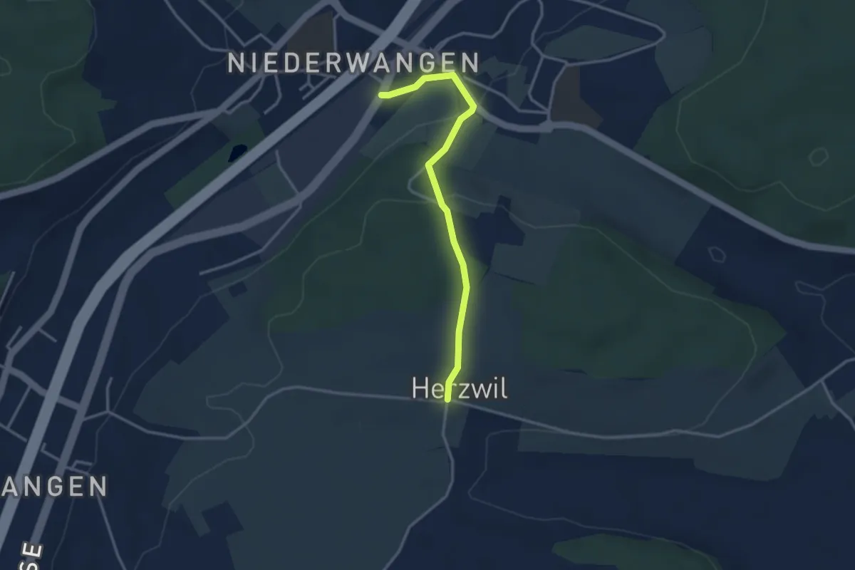
Wangen-brüggli - Herzwil
3.0 km · ↑ 112 m · 57 min
Easy · Trail
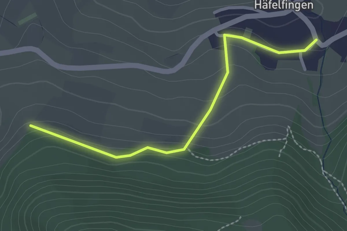
Wannenegg - Häfelfingen
2.3 km · ↑ 93 m · 44 min
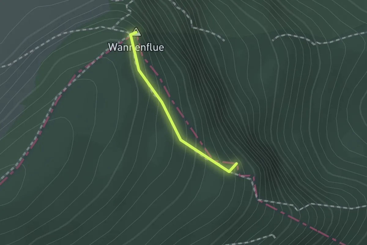
Easy · Summit
Wannenfluh - Schwängimatt
0.9 km · ↑ 122 m · 29 min
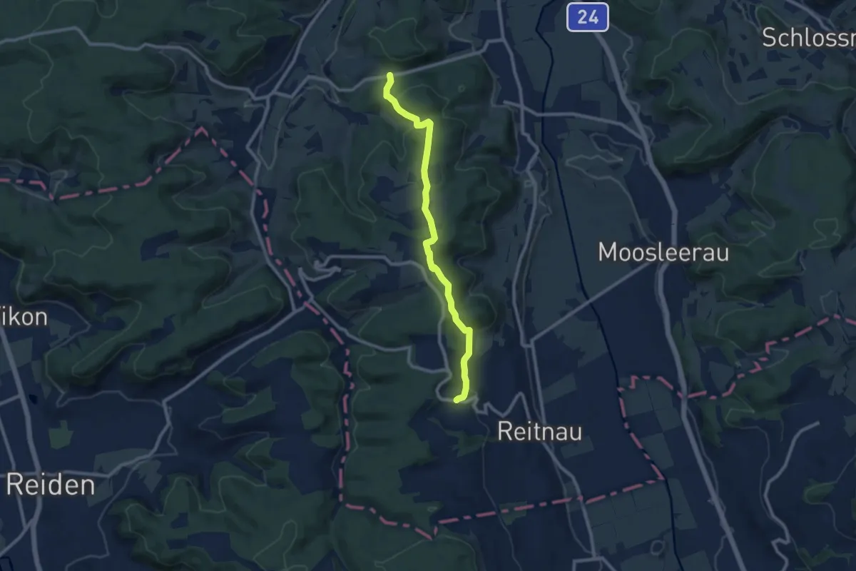
Medium · Trail
Wannenrain - Breiten
8.7 km · ↑ 263 m · 2 h 38 min
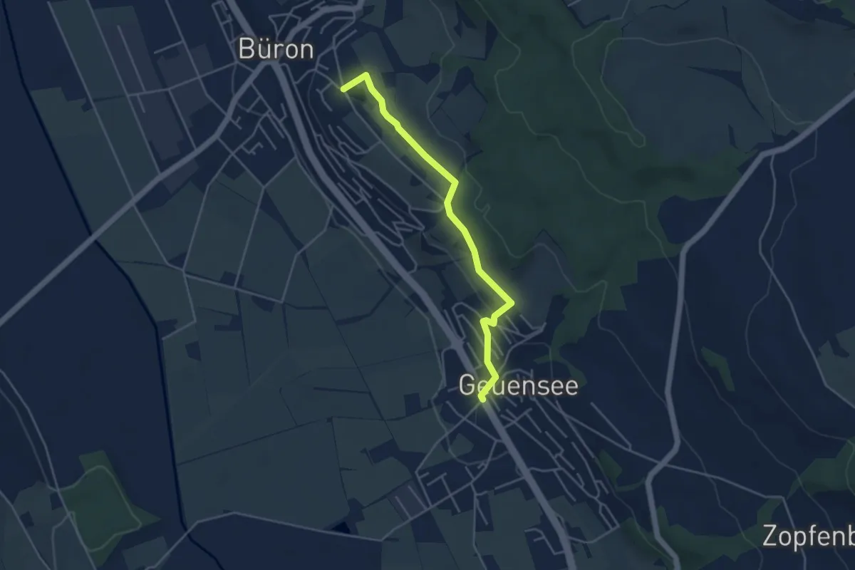
Easy · Trail
Wannenrain - Breiten - Stübisberg
4.1 km · ↑ 102 m · 1 h 11 min
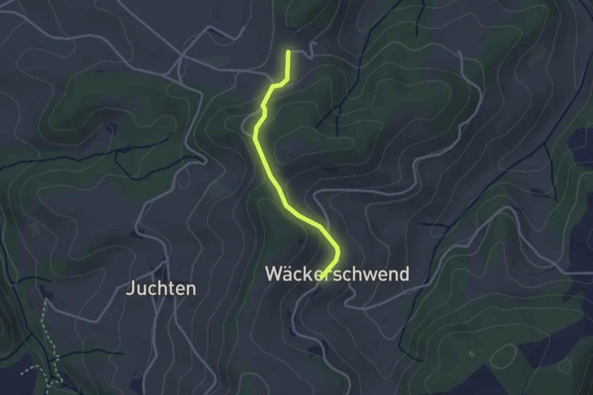
Easy · Trail
Wanntalhöchi - Wäckerschwend
2.3 km · ↑ 78 m · 43 min
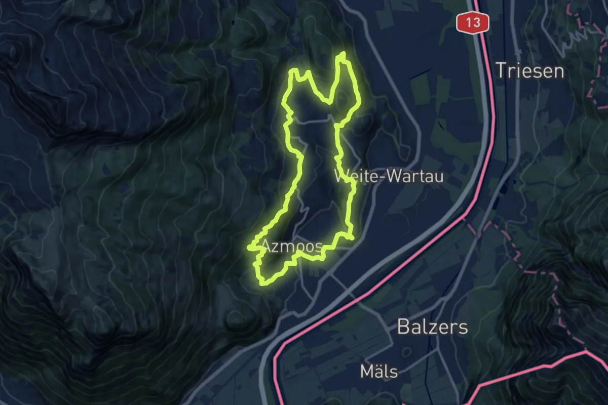
Medium · Trail
Wartauer Sagen- und Geschichtsweg
12.8 km · ↑ 456 m · 4 h 11 min
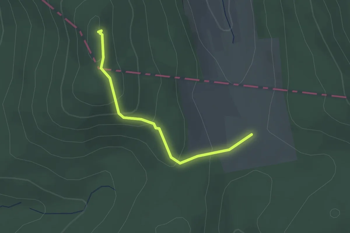
Easy · Trail
Wartburghof - Sälischlössli
2.0 km · ↑ 113 m · 43 min
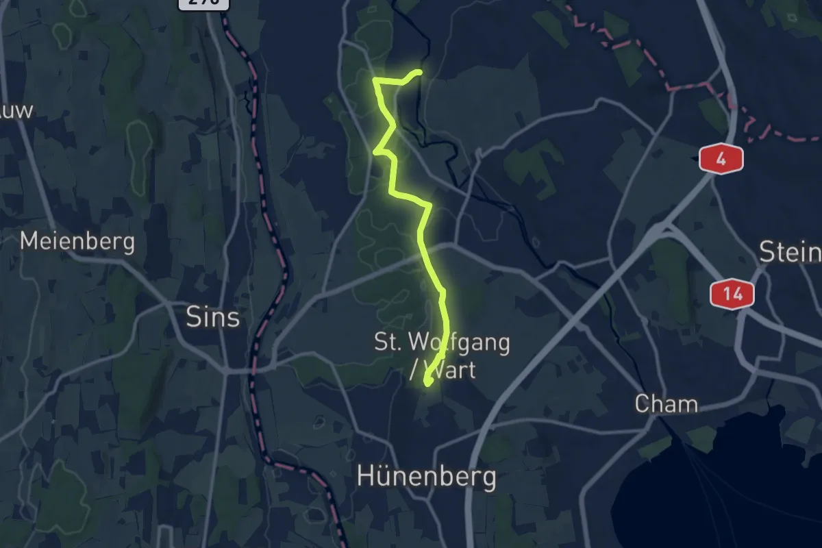
Medium · Trail
Wart - Frauental
9.4 km · ↑ 95 m · 2 h 25 min
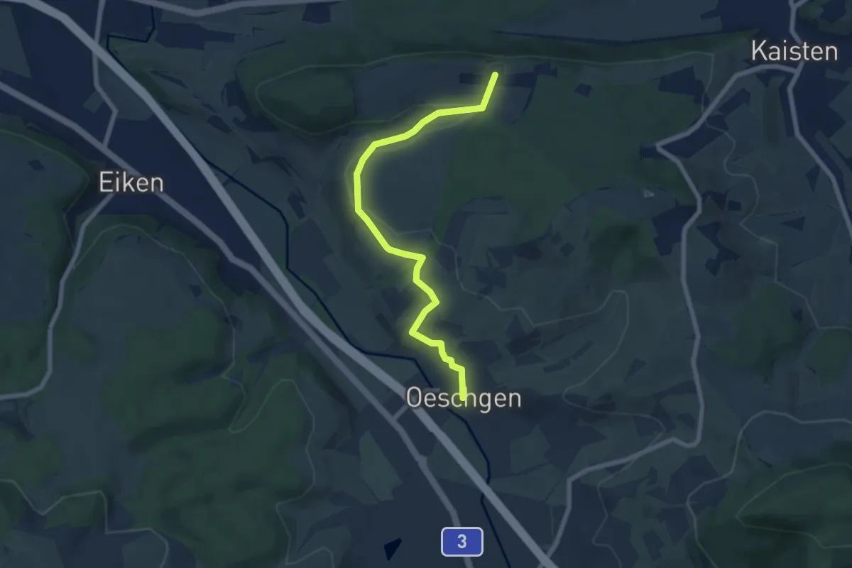
Easy · Trail
Warthöf - Oeschgen
6.2 km · ↑ 123 m · 1 h 44 min
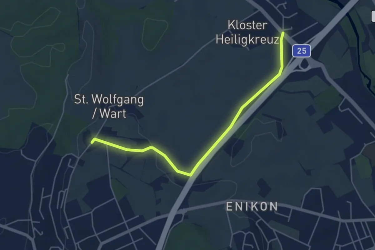
Easy · Trail
Wart - Lindencham
4.3 km · ↑ 27 m · 1 h 5 min
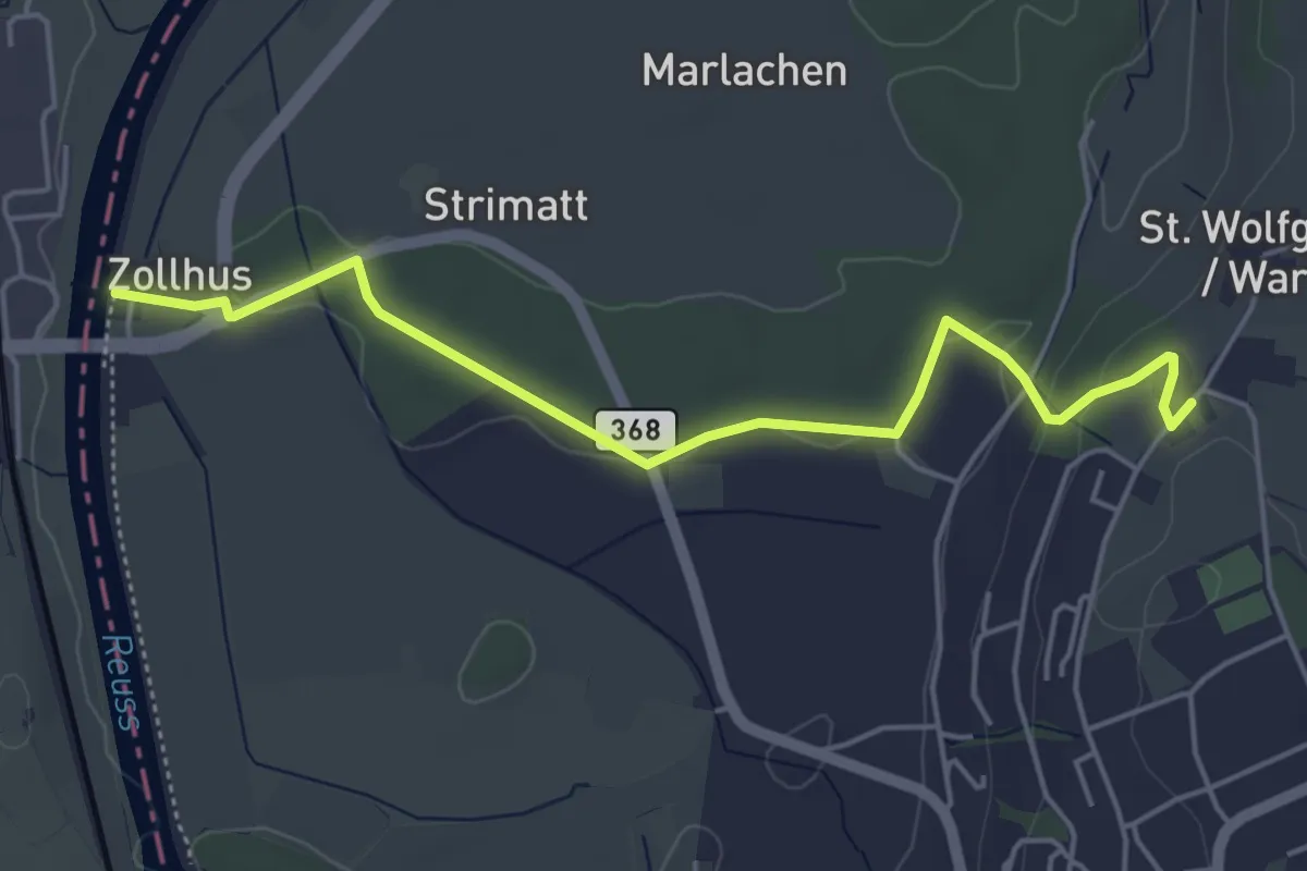
Easy · Trail
Wart - Zollhaus
5.0 km · ↑ 80 m · 1 h 22 min
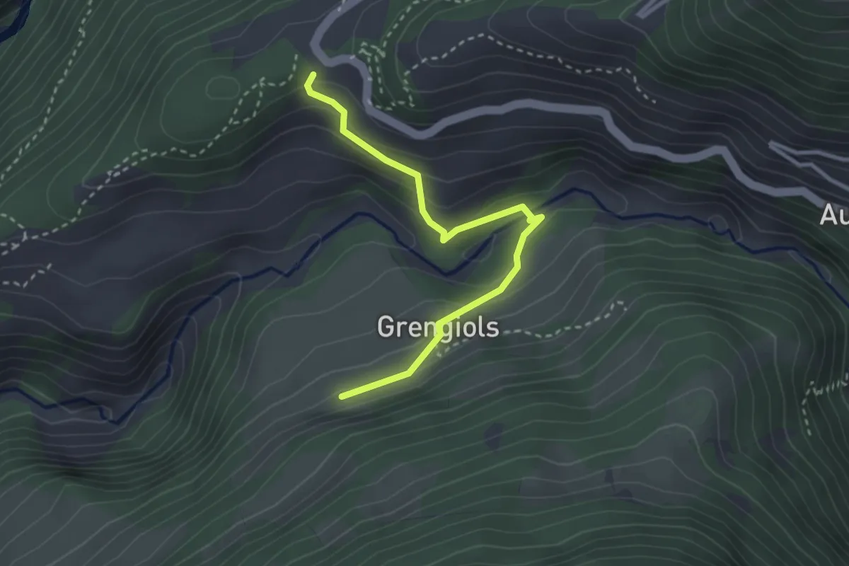
Medium · Trail
Wasen - Hockmatten
3.0 km · ↑ 173 m · 1 h 5 min
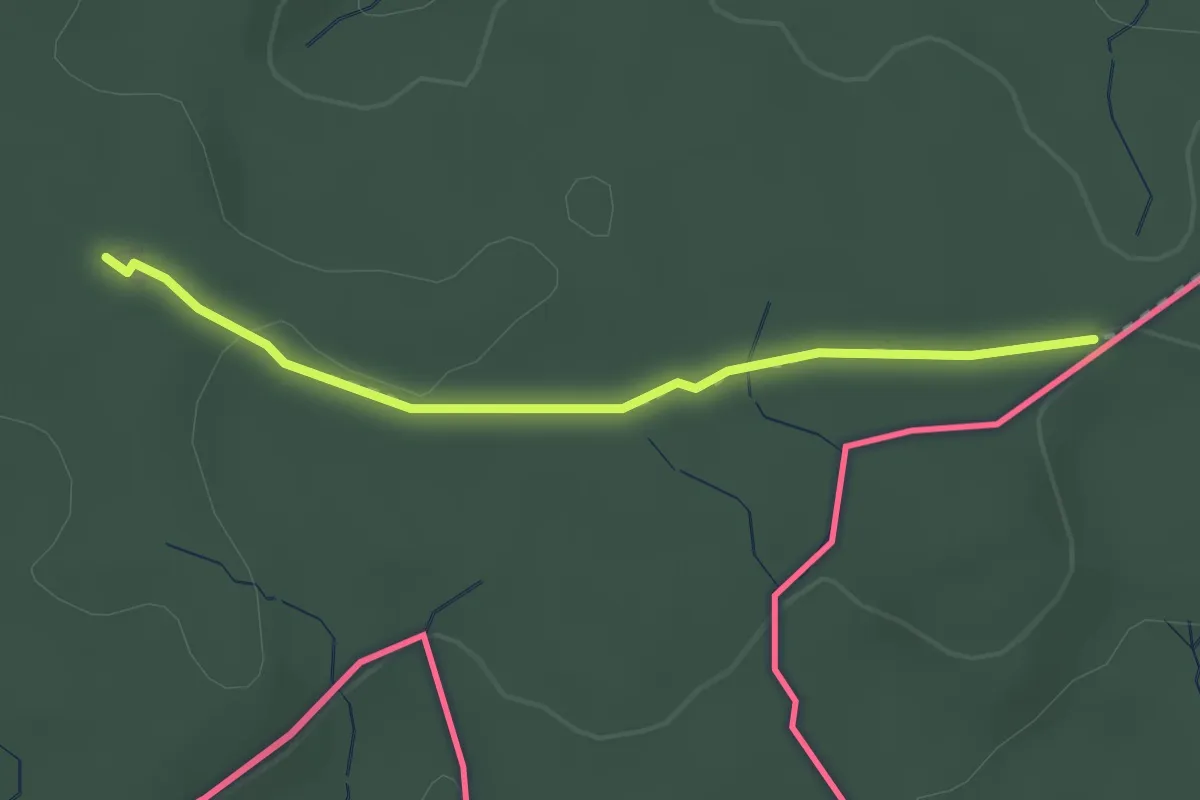
Easy · Trail
Wasenhütte - Eerlebode? - fixme
2.4 km · ↑ 23 m · 37 min
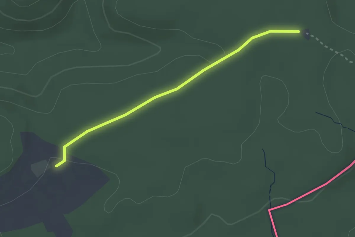
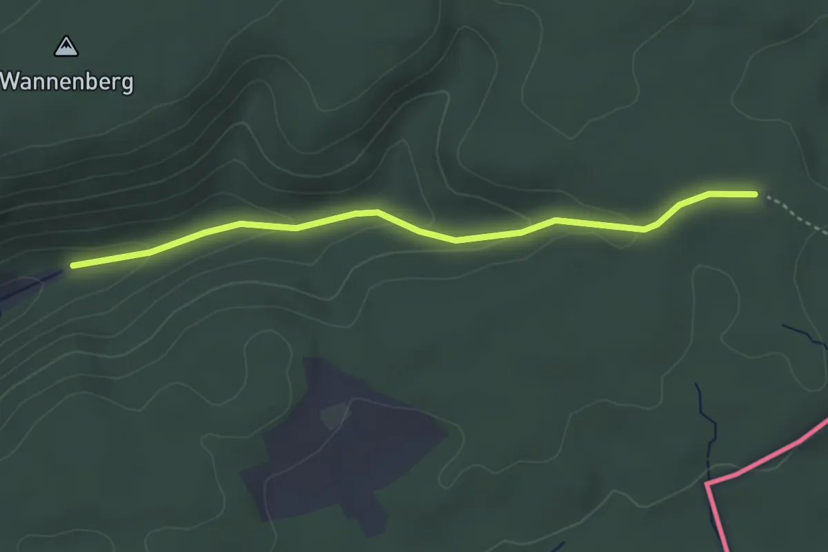
Easy · Trail
Wasenhütte - Rossbärg
2.4 km · ↑ 32 m · 38 min
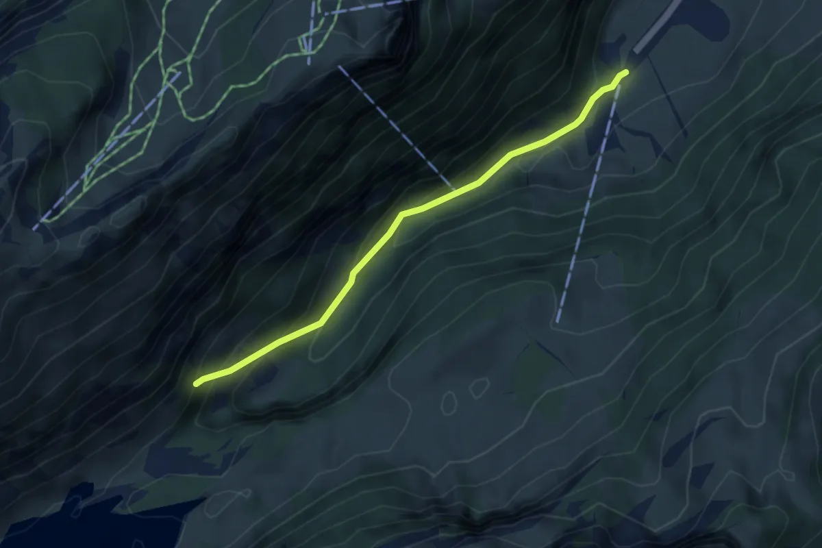
Easy · Trail
Wasenhütte - Stuel - fixme
3.6 km · ↑ 111 m · 1 h 5 min
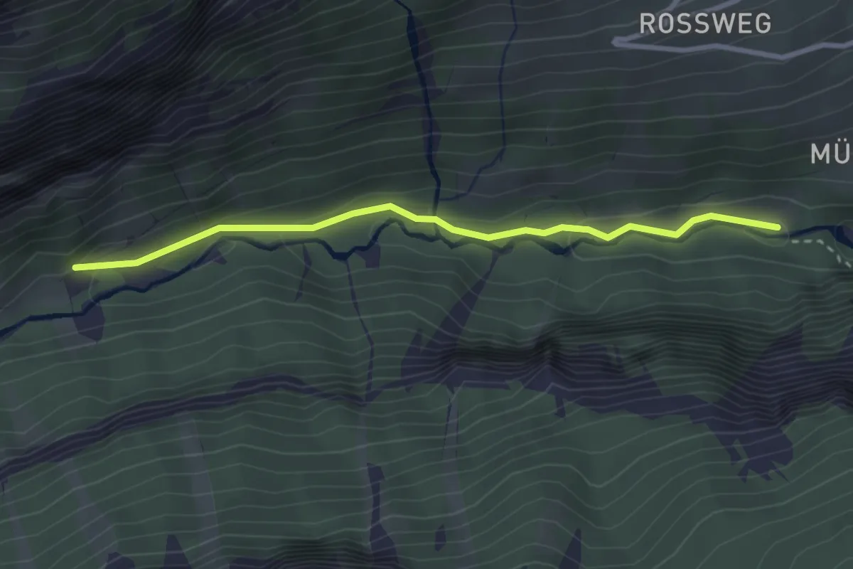
Easy · Trail
Wasserauen - Chobel
3.8 km · ↑ 293 m · 1 h 32 min
Easy · Trail
Wasserbrücke - fixme
2.8 km · ↑ 92 m · 52 min
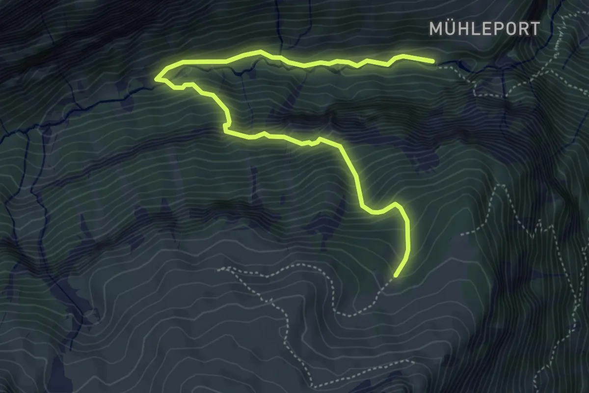
Medium · Trail
Wasserbrücke - Untere Busenalp
6.1 km · ↑ 614 m · 2 h 47 min
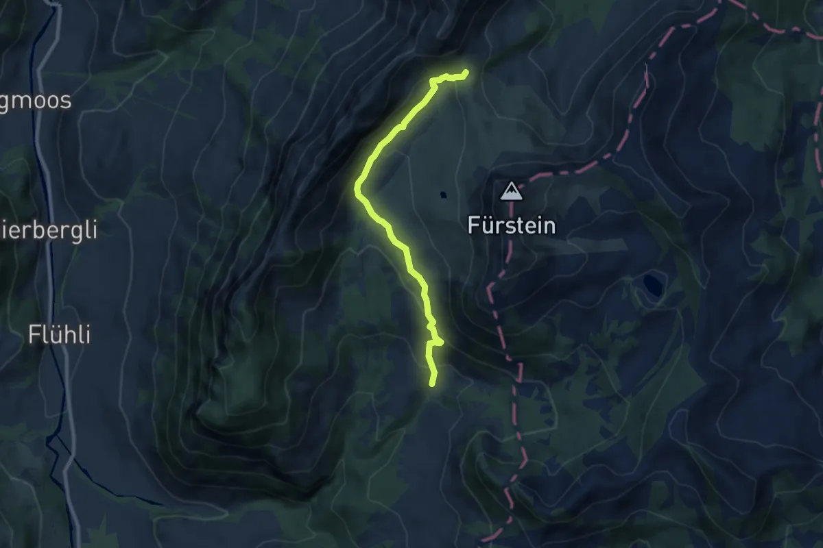
Medium · Trail
Wasserfallenegg - Grön
7.6 km · ↑ 434 m · 2 h 45 min
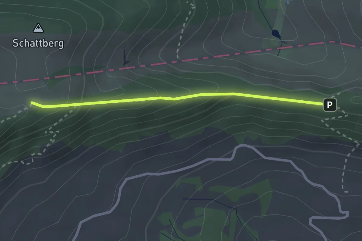
Medium · Trail
Wasserfallen Rochus Kapelle - Passwang
2.2 km · ↑ 241 m · 1 h 2 min
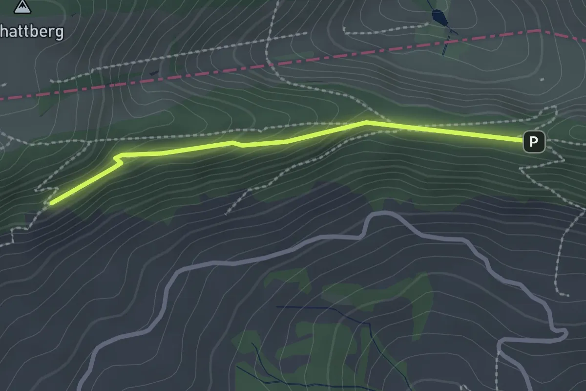
Easy · Trail
Wasserfallen Rochus Kapelle - Passwanghaus
2.1 km · ↑ 187 m · 55 min
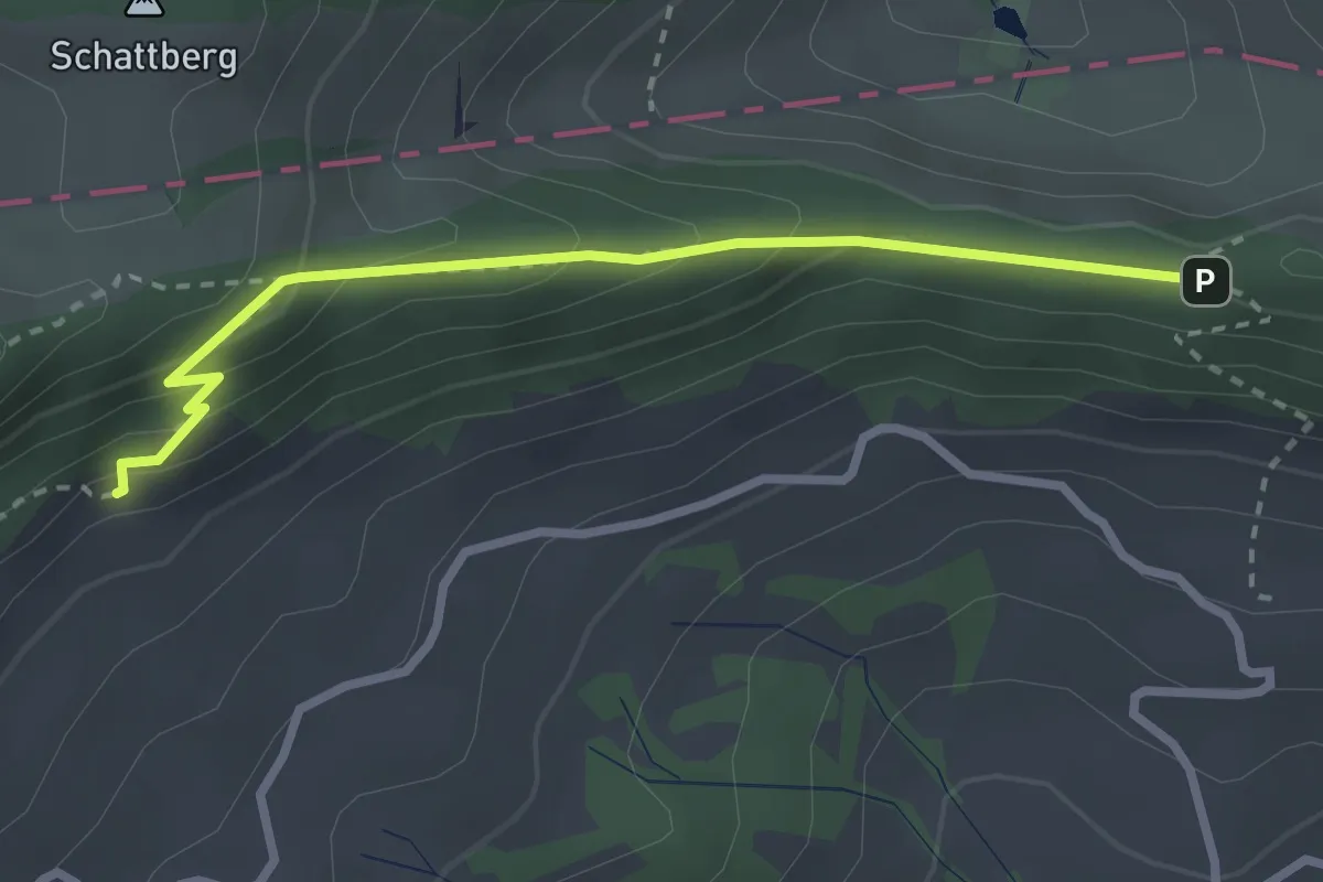
Medium · Trail
Wasserfallen Rochus Kapelle - Passwanghaus
2.7 km · ↑ 290 m · 1 h 16 min
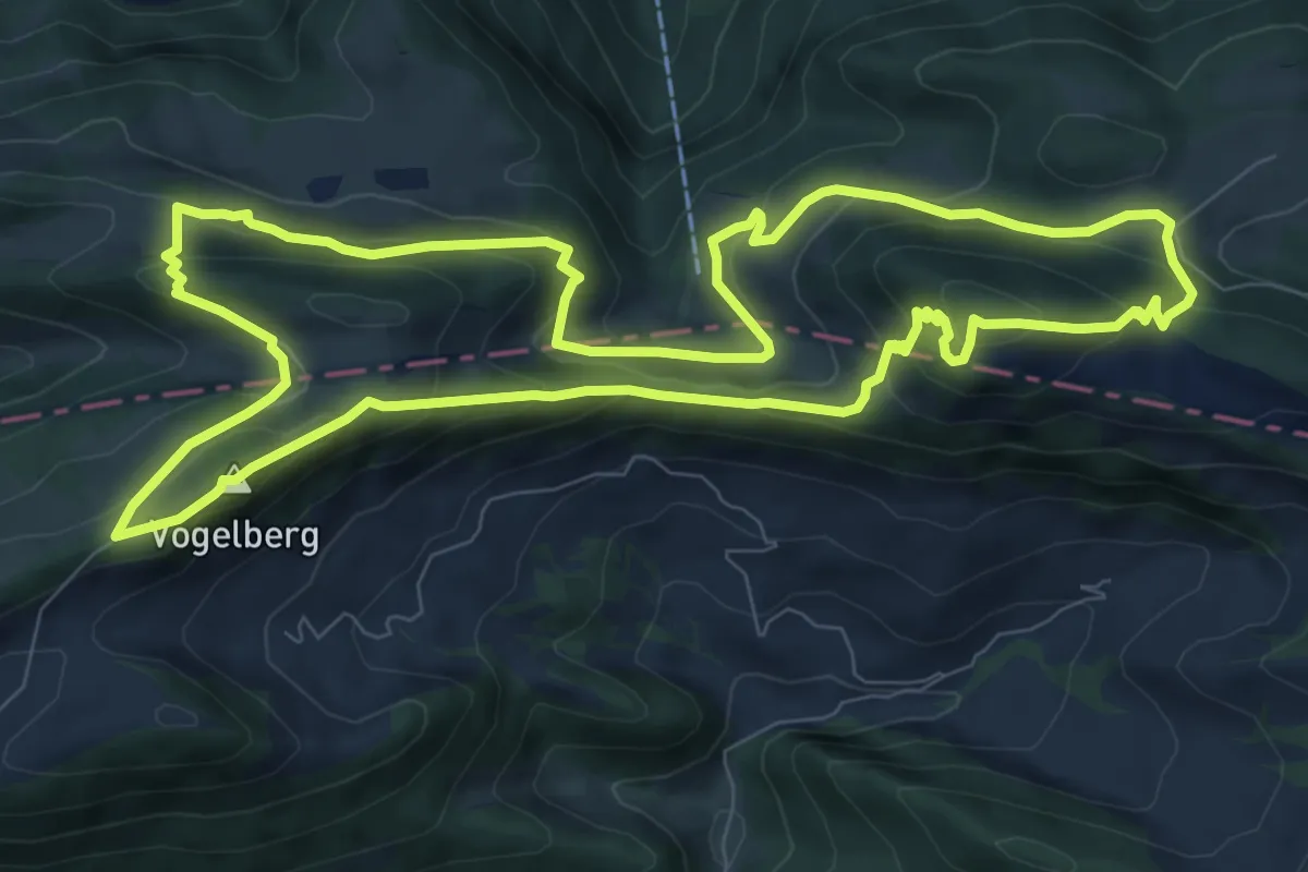
Medium · Summit
Wasserfallen-Rundweg
9.5 km · ↑ 556 m · 3 h 35 min
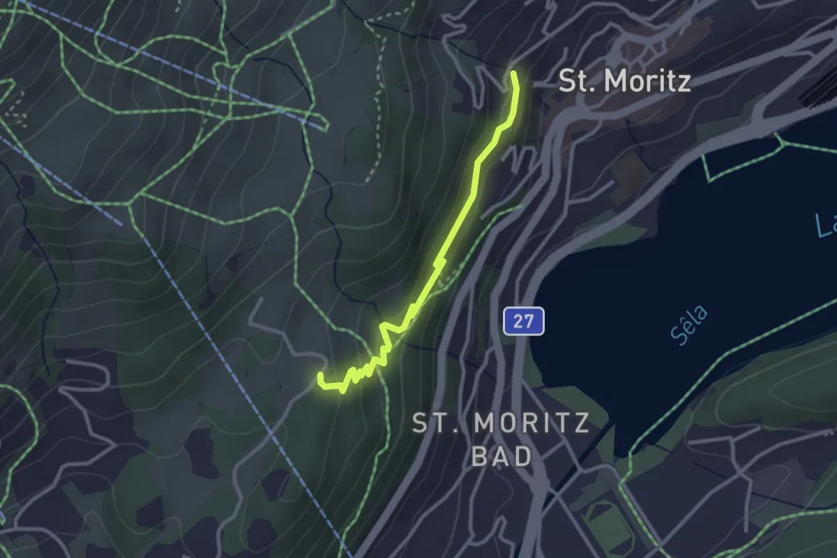
Easy · Trail
Wasserfallpromenade
2.7 km · ↑ 135 m · 56 min
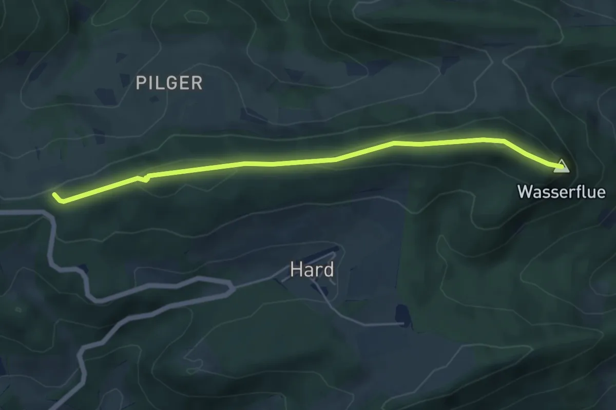
Easy · Summit
Wasserflue-Cholwald
4.9 km · ↑ 131 m · 1 h 26 min
Easy · Trail
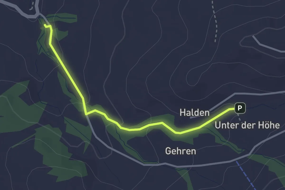
Wasserlehrpfad Hundwil
2.8 km · ↑ 96 m · 51 min
Easy · Trail
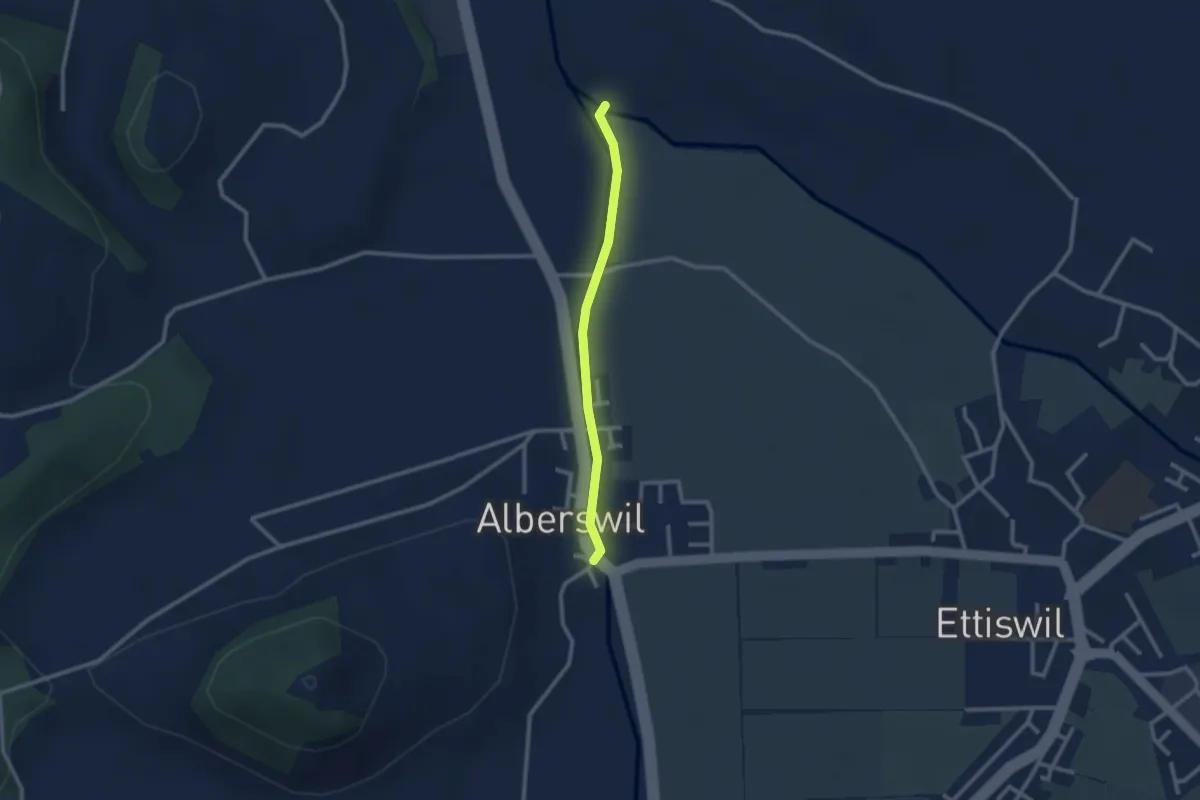
Wässermatte - Alberswil
2.2 km · ↑ 4 m · 32 min
Easy · Trail
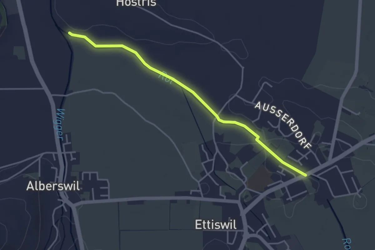
Wässermatte - Riedbruggmüli
3.7 km · ↑ 4 m · 53 min
Easy · Trail
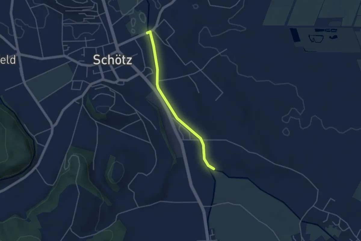
Wässermatte - Wissehuse
3.5 km · ↑ 12 m · 51 min