Trails in Switzerland
15,064 hiking trails, each with its route, climb, walking time and grade.
All trails, page 129 of 314
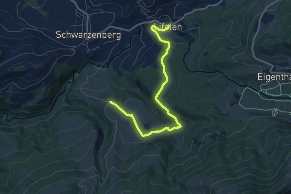
Easy · Trail
Wassermoos - Lifelen
7.3 km · ↑ 201 m · 2 h 10 min
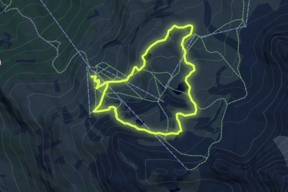
Medium · Trail
Wasserweg «Ils Lejins»
5.7 km · ↑ 388 m · 2 h 17 min
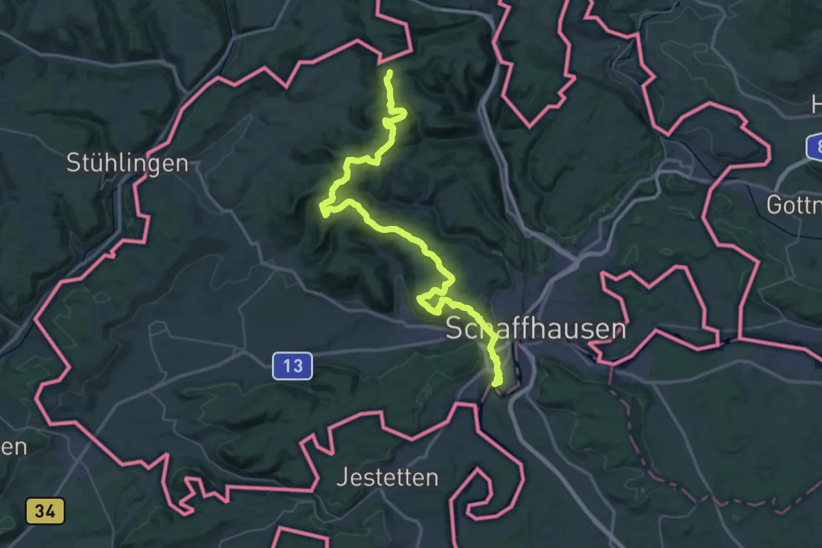
Demanding · Summit
WasserWeltenSteig
43.3 km · ↑ 1158 m · 12 h 45 min
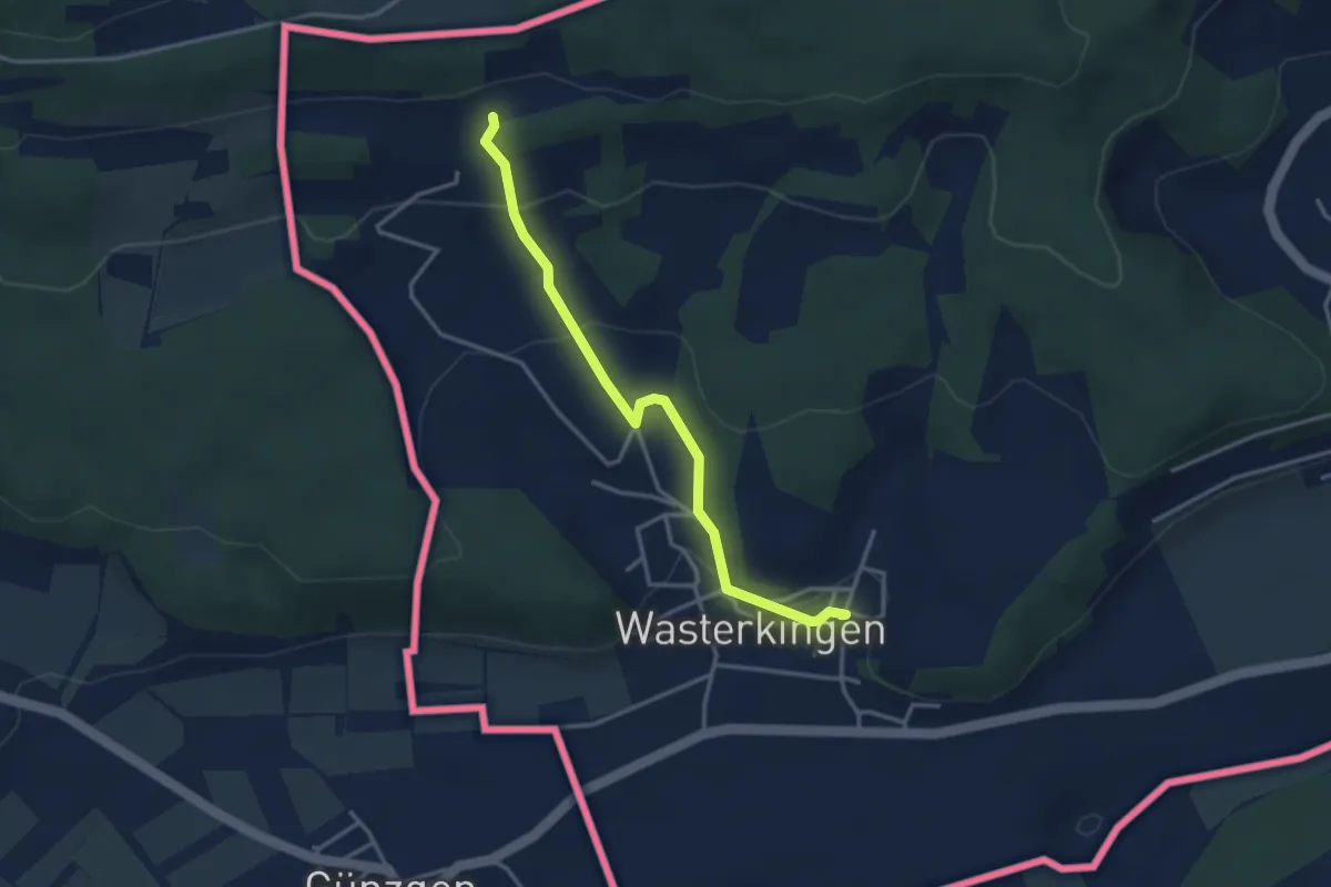
Easy · Trail
Wasterkingen - Bergheim
3.3 km · ↑ 138 m · 1 h 5 min
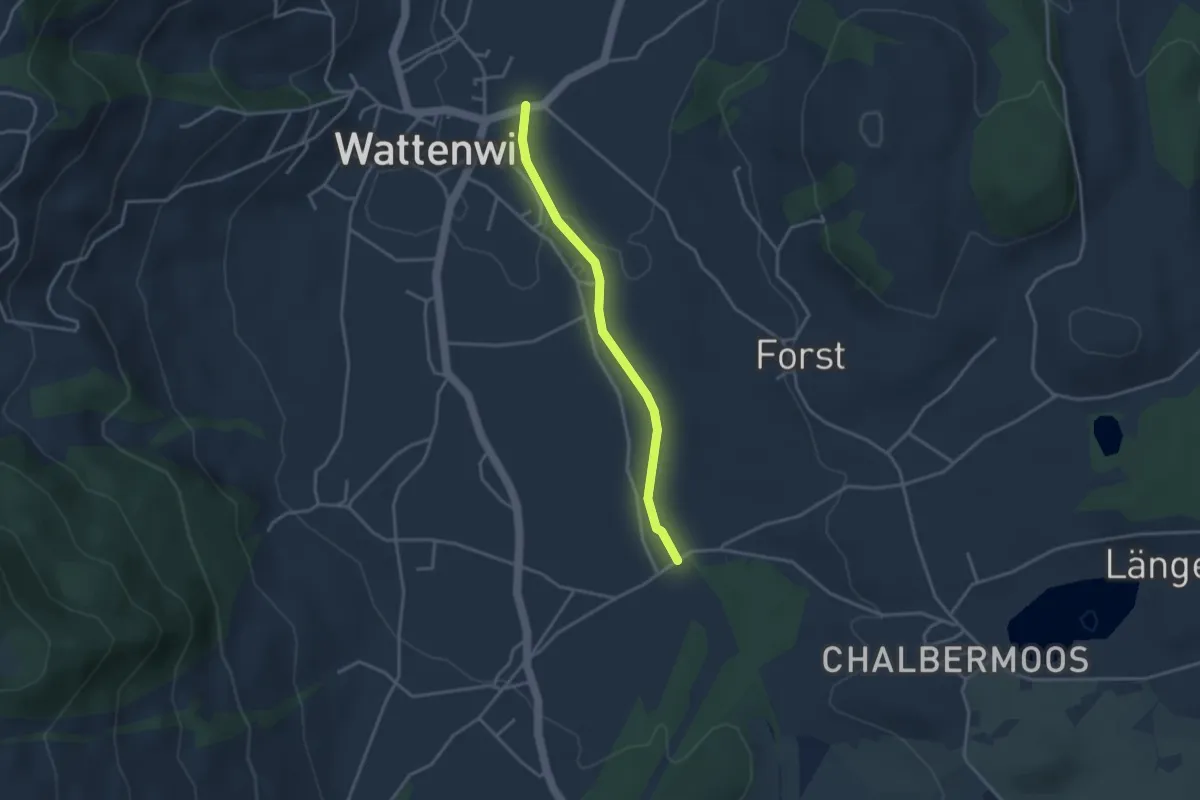
Easy · Trail
Wattenwil - Längmoos
3.1 km · ↑ 26 m · 48 min
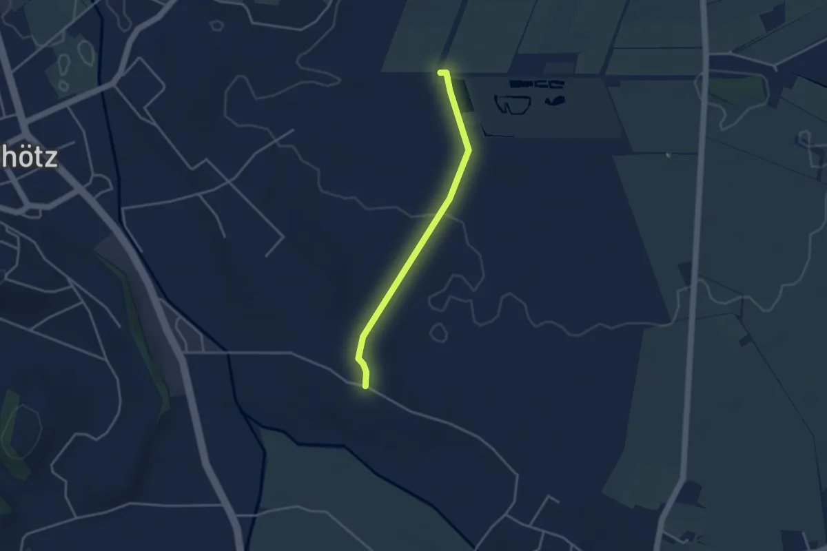
Easy · Trail
Wauwilermoos - Hostris
3.1 km · ↑ 25 m · 47 min
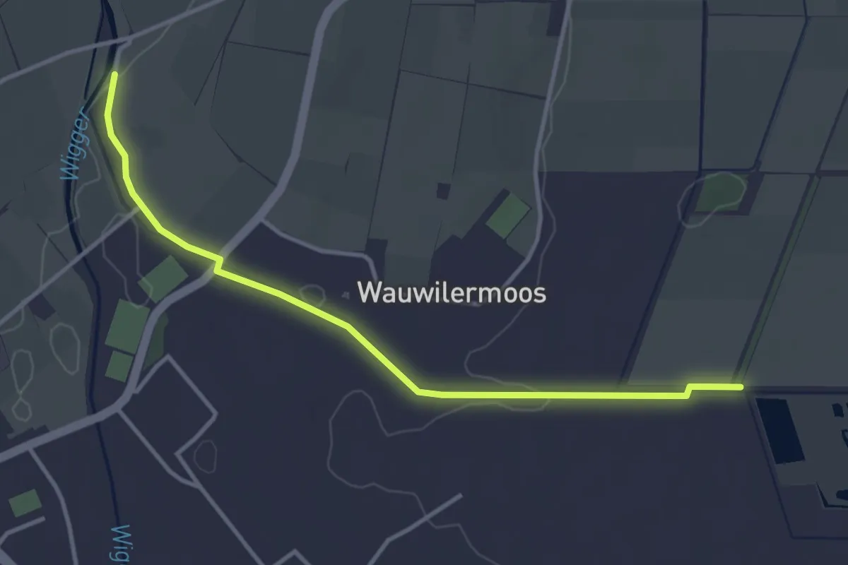
Easy · Trail
Wauwilermoos - Ronmüli
3.7 km · ↑ 8 m · 54 min
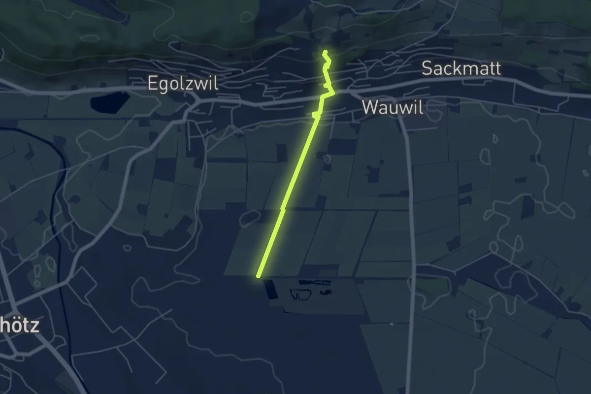
Easy · Trail
Wauwilermoos - Wauwil
3.9 km · ↑ 116 m · 1 h 11 min
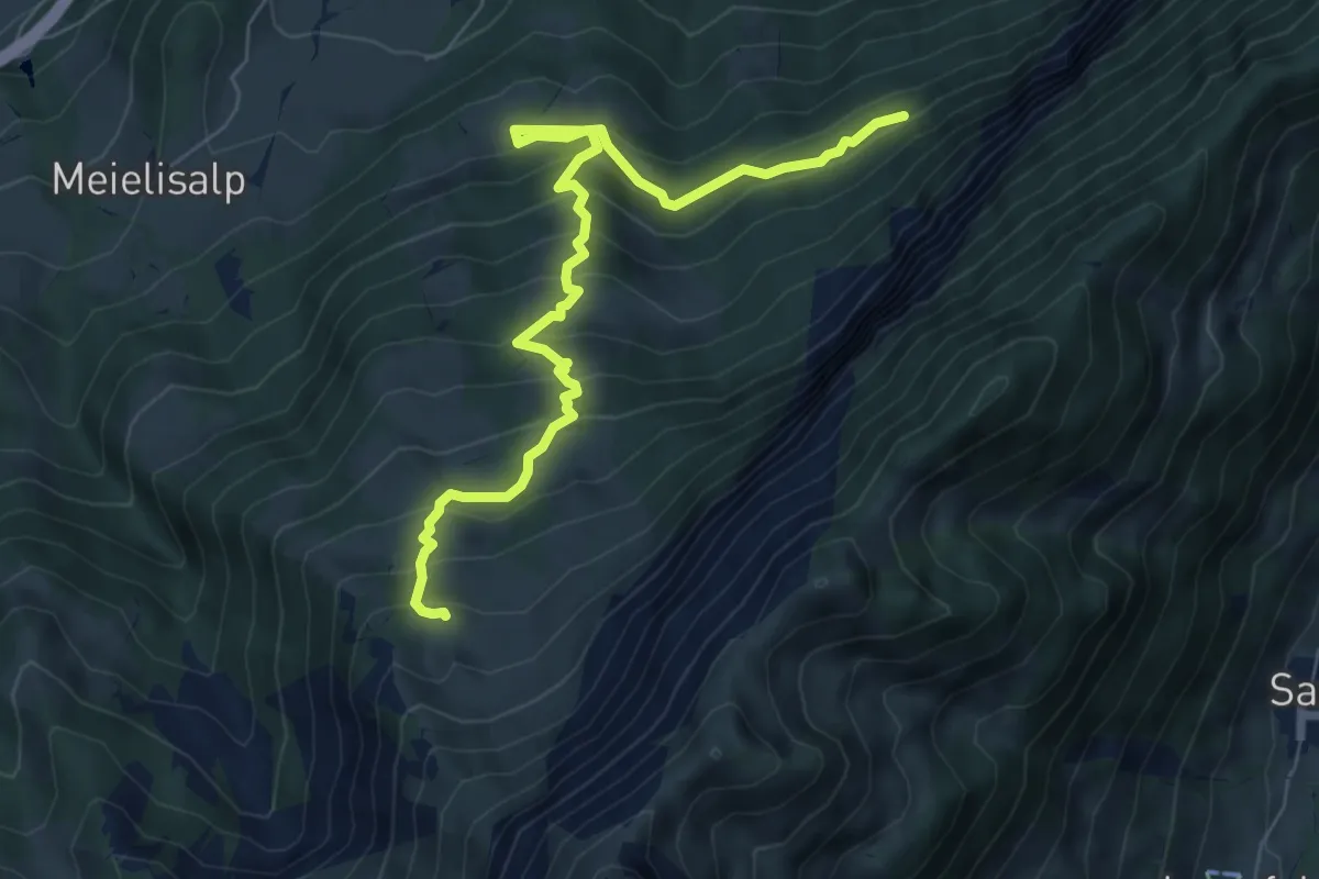
Medium · Trail
Weberweid - Leissigbärgli
7.7 km · ↑ 672 m · 3 h 17 min
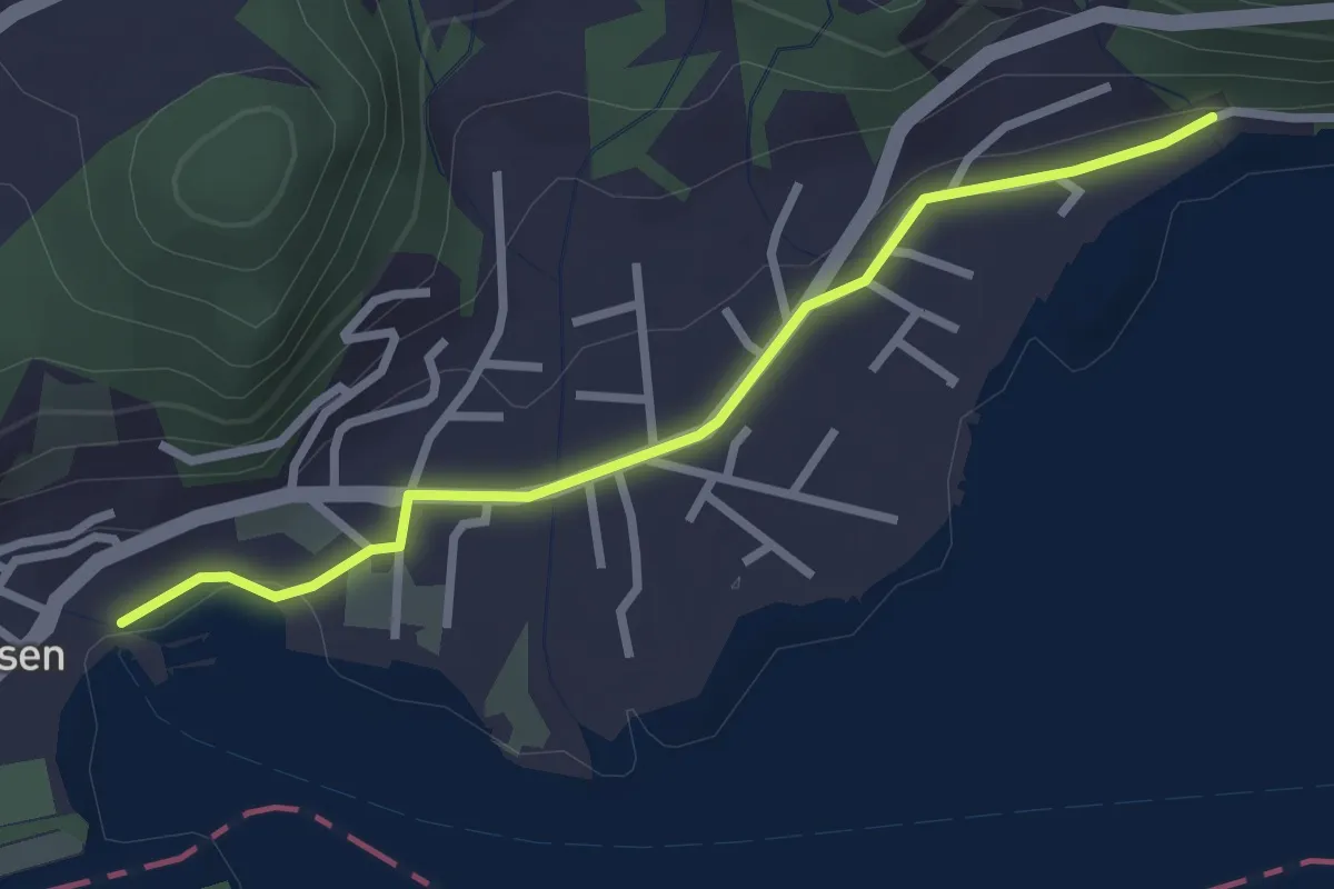
Easy · Trail
Weesen - Flihof
2.7 km · ↑ 26 m · 41 min
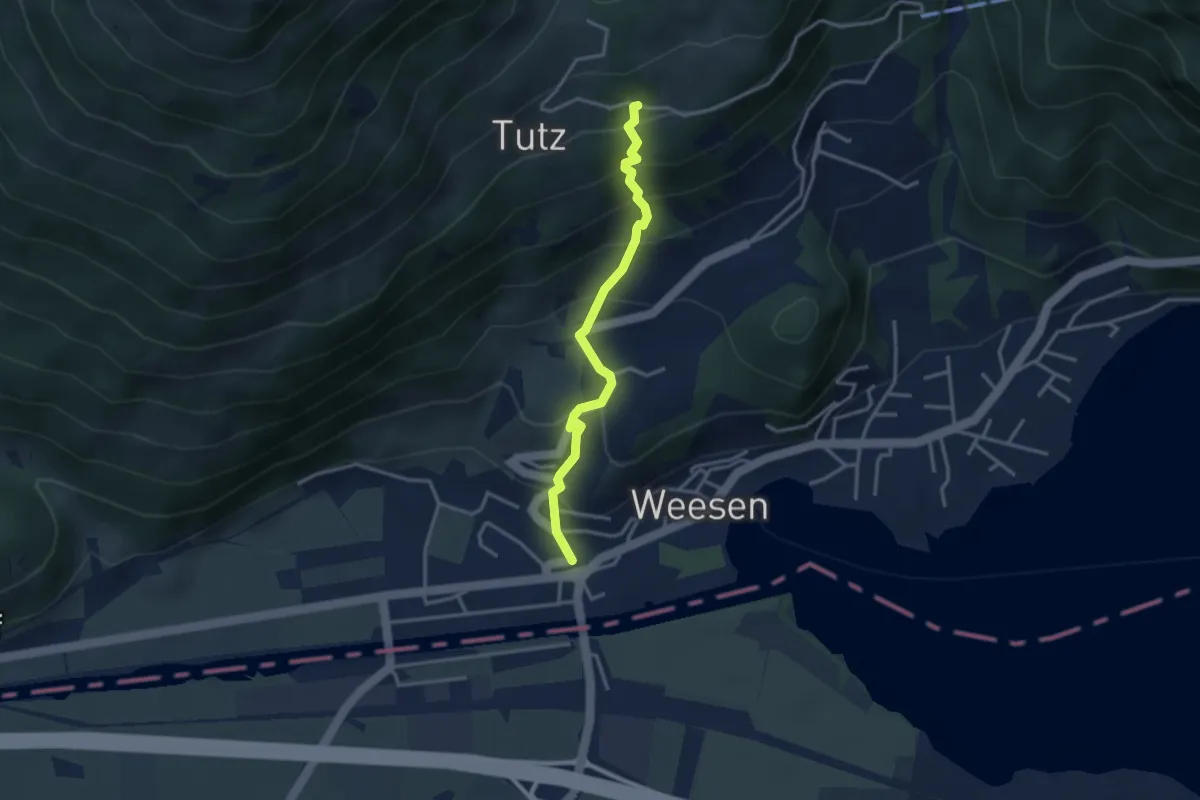
Medium · Trail
Weesen Speerplatz - Tutz
3.1 km · ↑ 336 m · 1 h 28 min
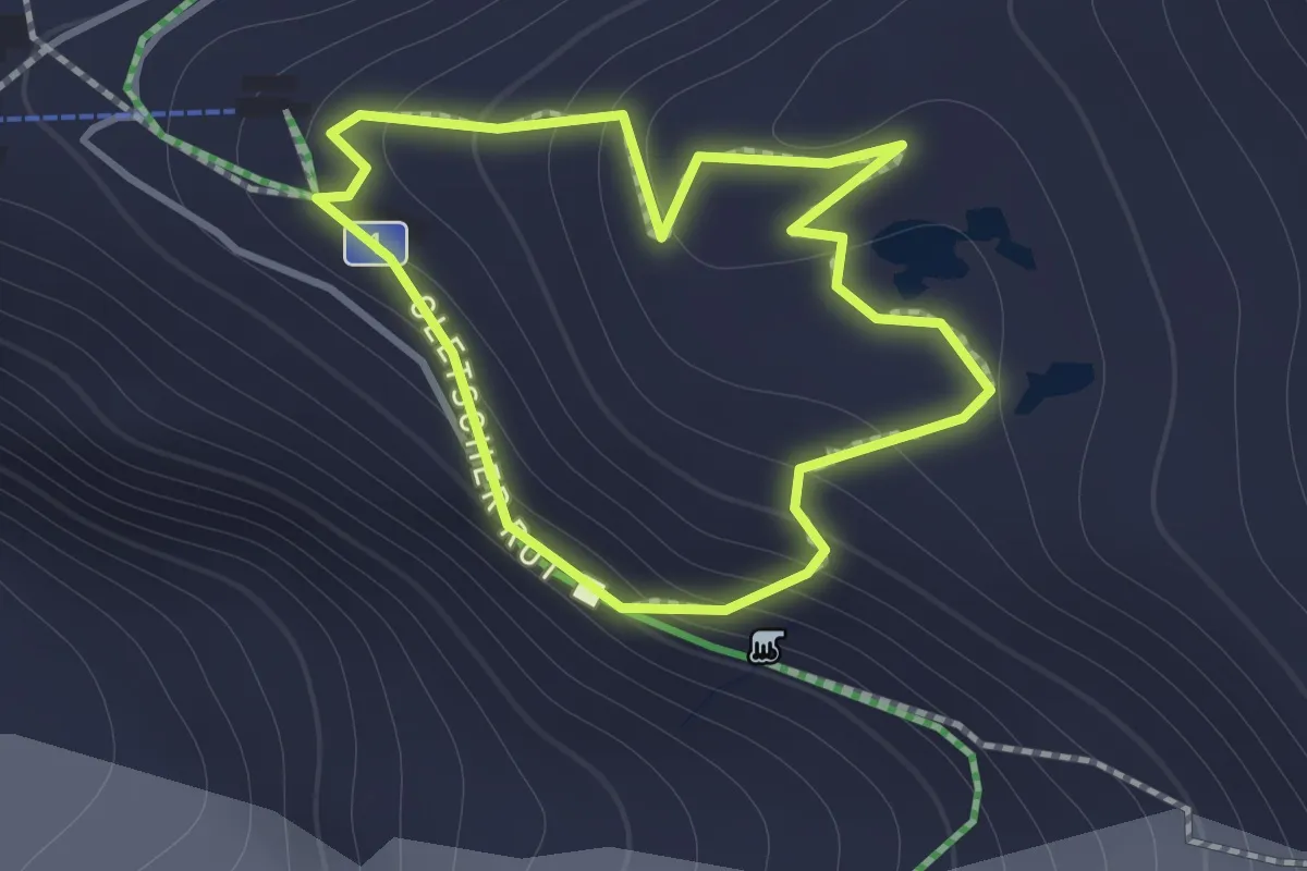
Medium · Cabin
Weg der 18. Viertausender
1.1 km · ↑ 87 m · 28 min
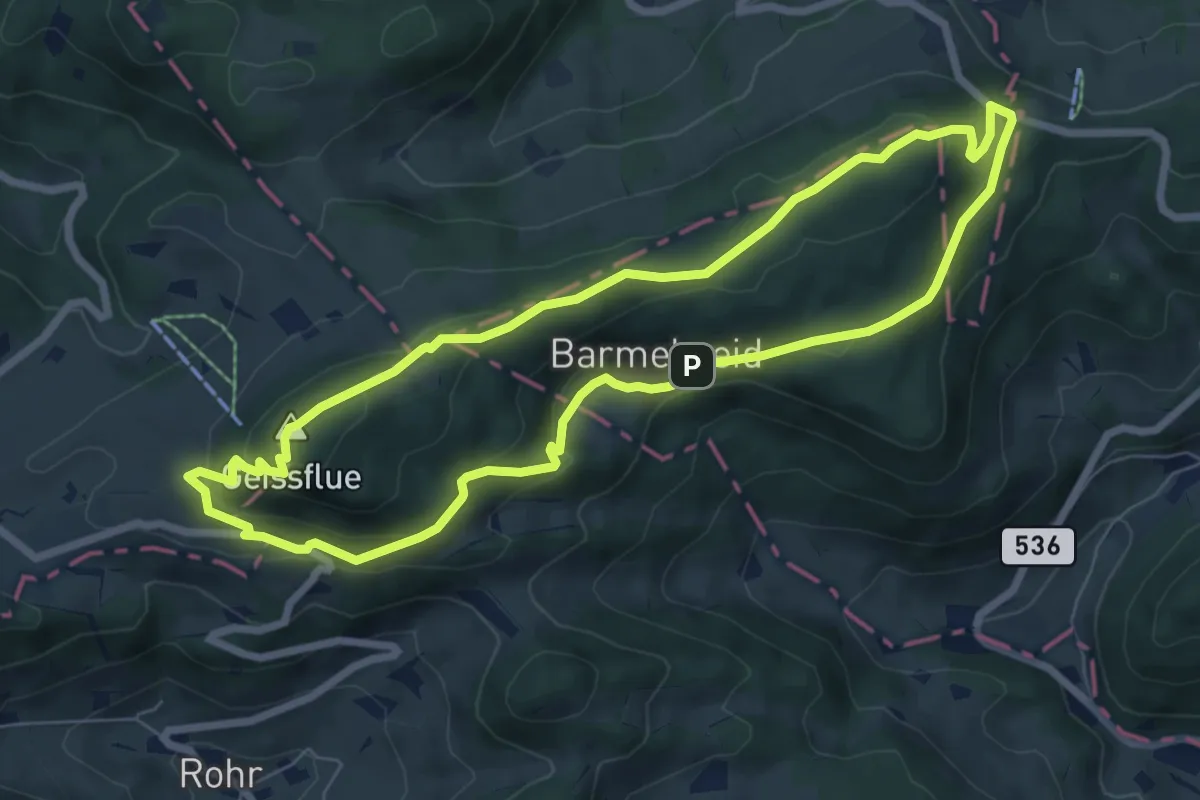
Easy · Summit
Weg der drei Kantone
7.0 km · ↑ 284 m · 2 h 21 min
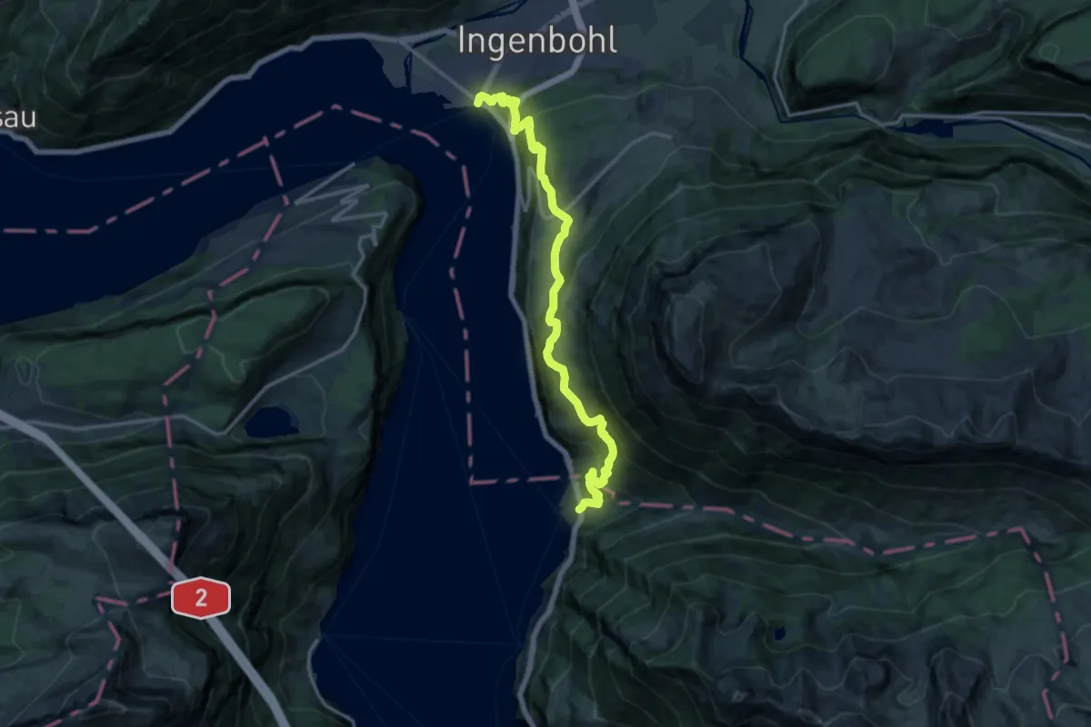
Demanding · Trail
Weg der Schweiz
16.0 km · ↑ 1070 m · 6 h 6 min
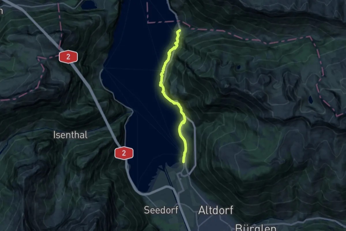
Demanding · Trail
Weg der Schweiz
14.8 km · ↑ 1346 m · 6 h 24 min
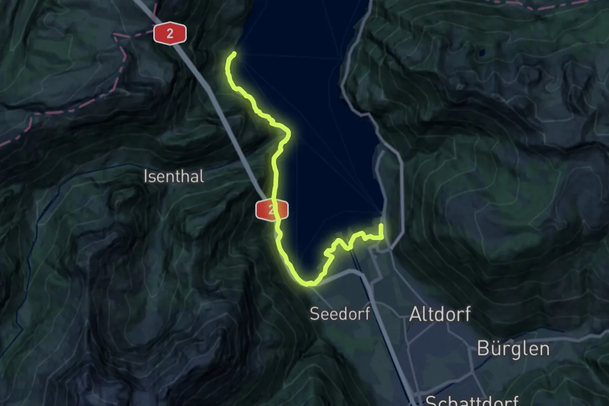
Demanding · Trail
Weg der Schweiz
19.6 km · ↑ 1092 m · 6 h 59 min
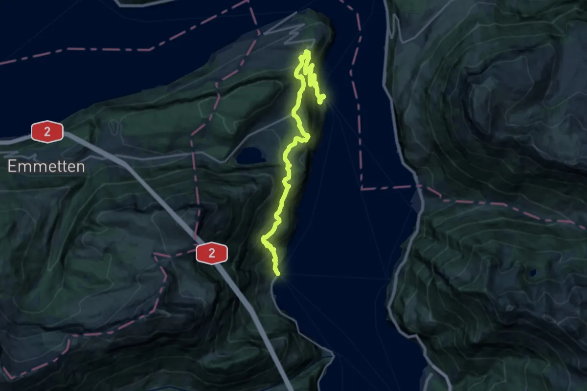
Demanding · Trail
Weg der Schweiz
18.4 km · ↑ 1243 m · 7 h 2 min
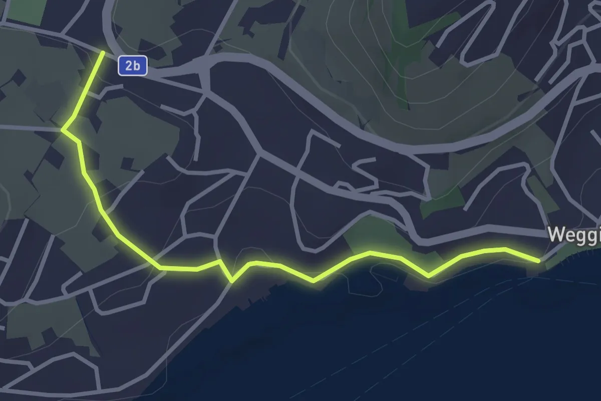
Easy · Trail
Weggis - Zopf
3.0 km · ↑ 77 m · 53 min
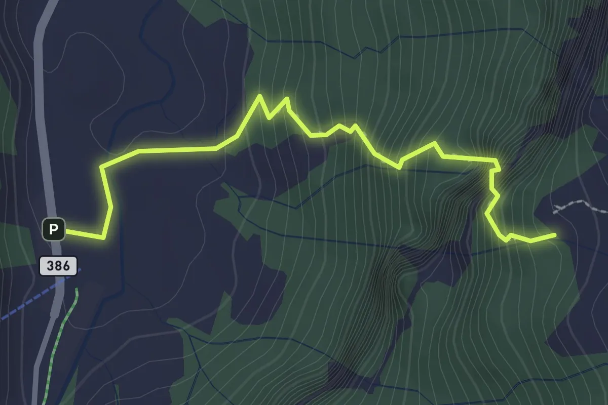
Expert · Trail
Weglosen - Ober Grueb (Leiteren)
2.7 km · ↑ 407 m · 1 h 31 min
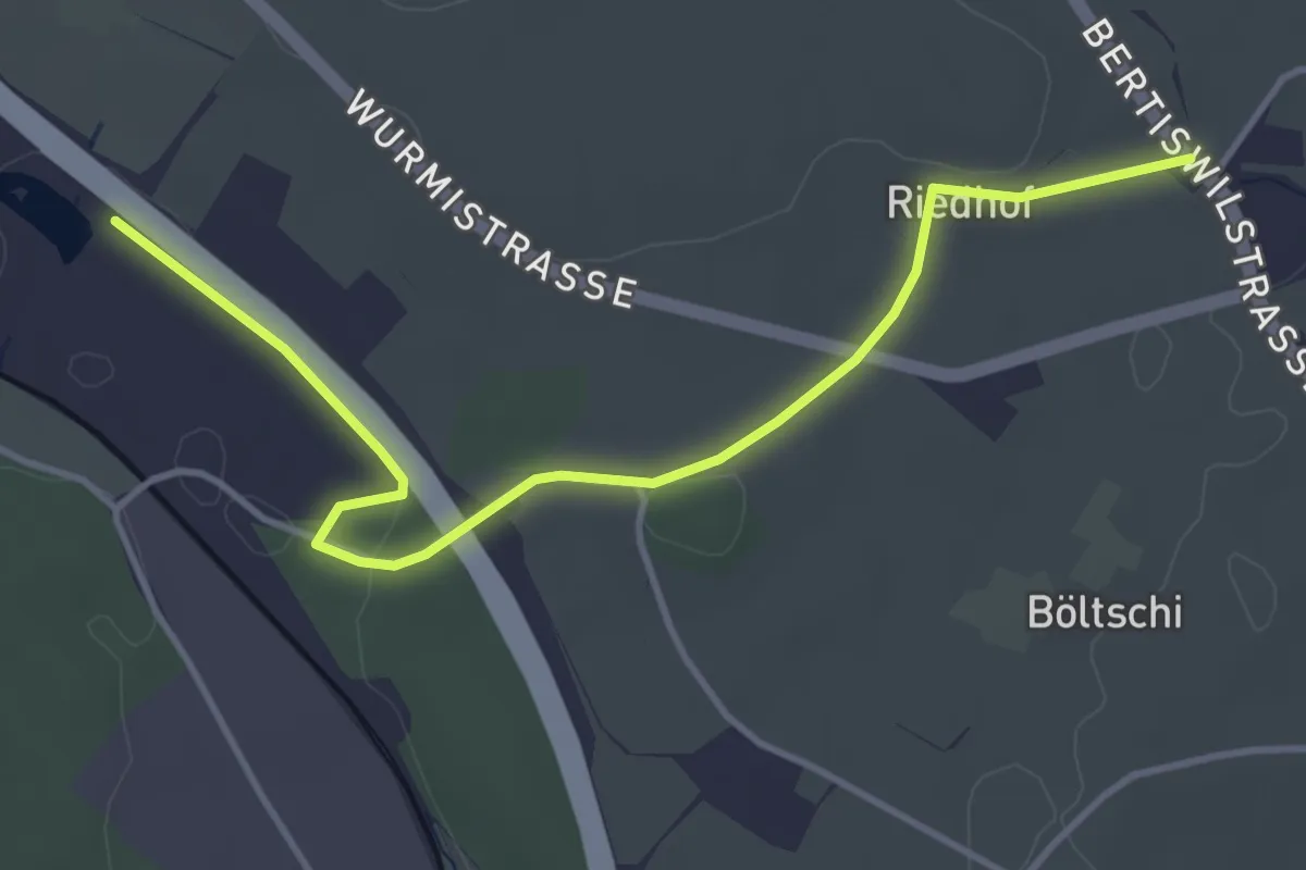
Easy · Trail
Wegscheiden - Bürlimoos
4.4 km · ↑ 27 m · 1 h 5 min
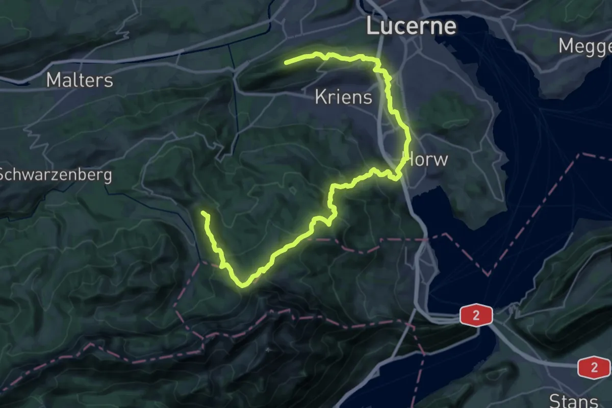
Demanding · Summit
Weg um Kriens
34.3 km · ↑ 1679 m · 11 h 44 min
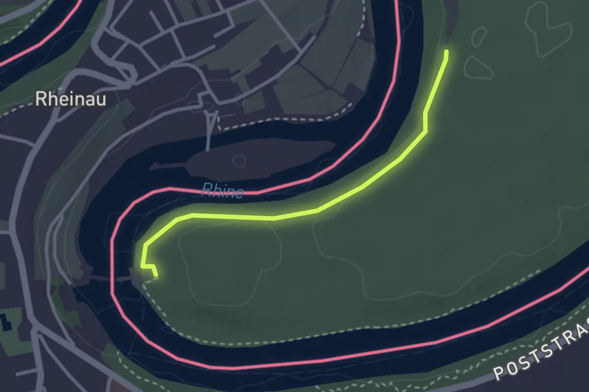
Easy · Trail
Wehrbrücke Rheinau - fixme
2.5 km · ↑ 32 m · 40 min
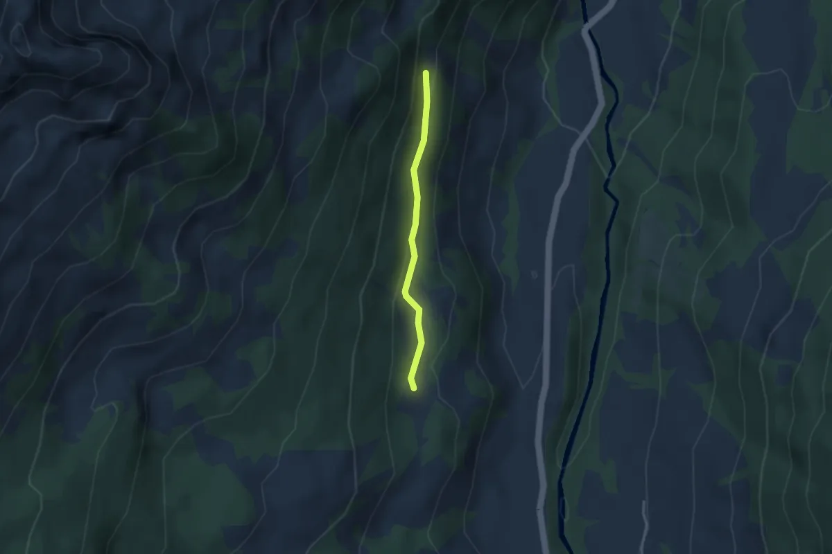
Easy · Trail
Weidboden - fixme
2.5 km · ↑ 60 m · 43 min
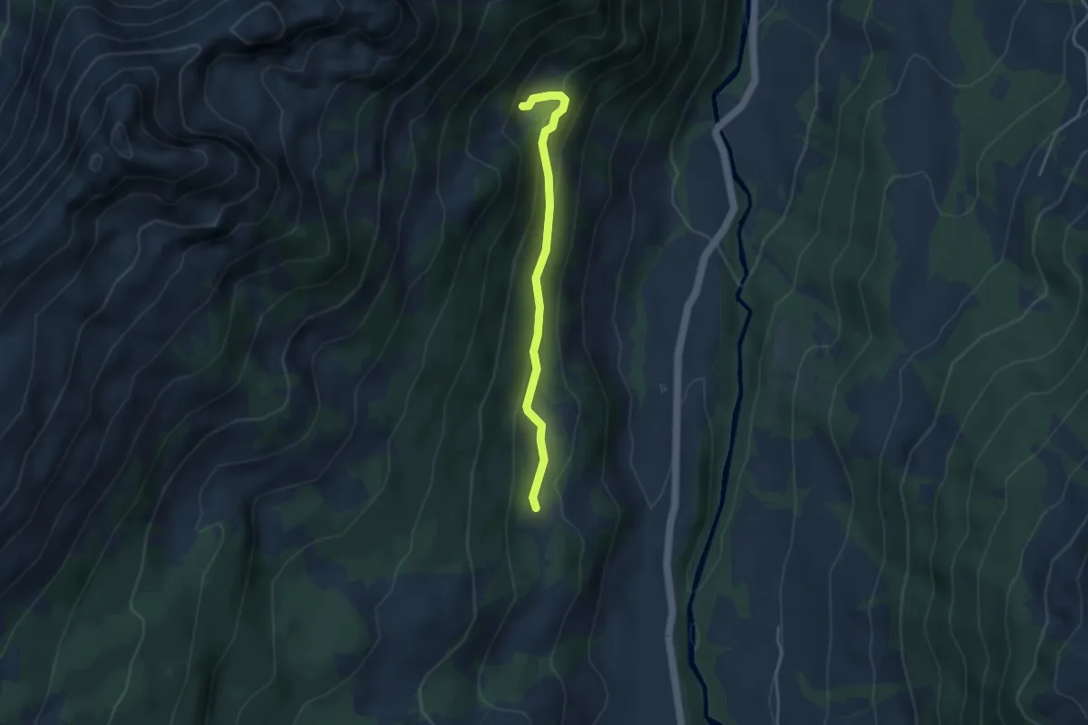
Medium · Trail
Weidboden - Schlüechtli
3.4 km · ↑ 164 m · 1 h 10 min
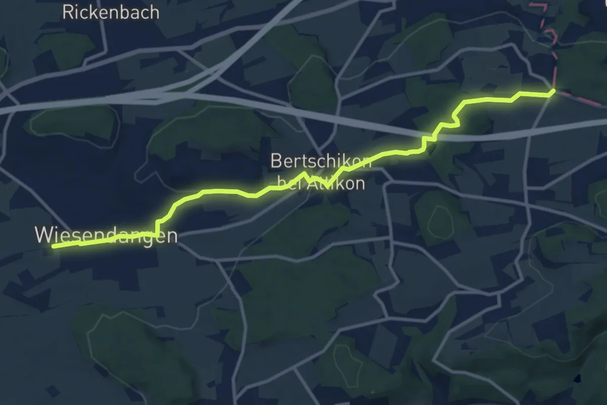
Medium · Trail
Weidhof - Brüelacker
10.5 km · ↑ 146 m · 2 h 48 min
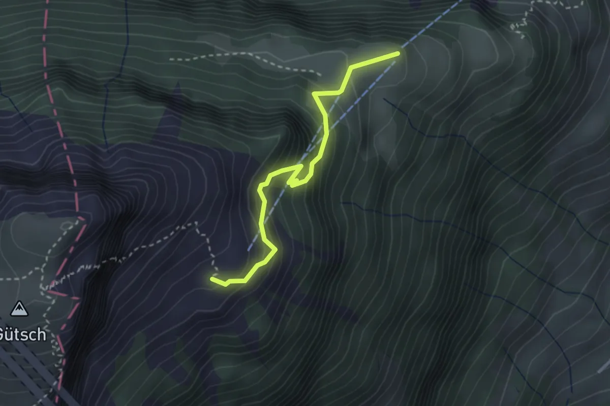
Medium · Trail
Weid - Lauweli
2.7 km · ↑ 338 m · 1 h 23 min
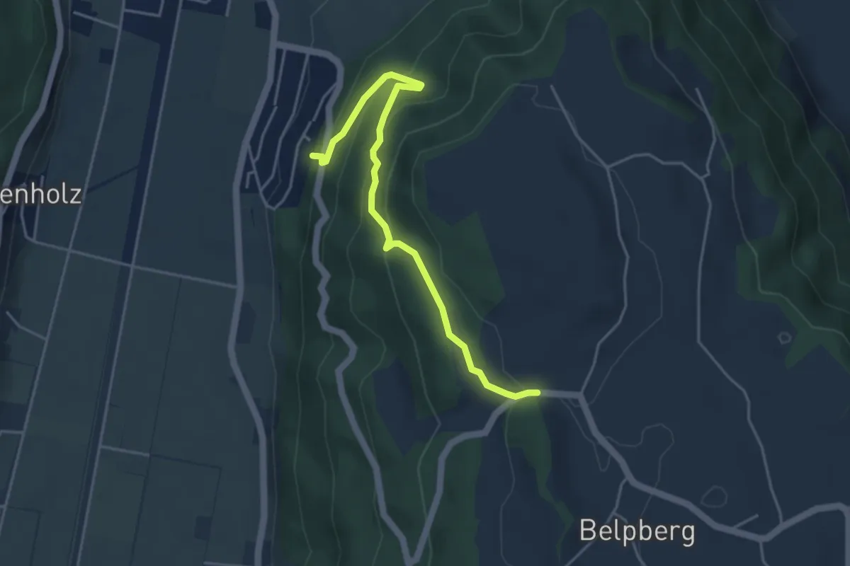
Easy · Trail
Weid - Riedli
4.2 km · ↑ 305 m · 1 h 39 min
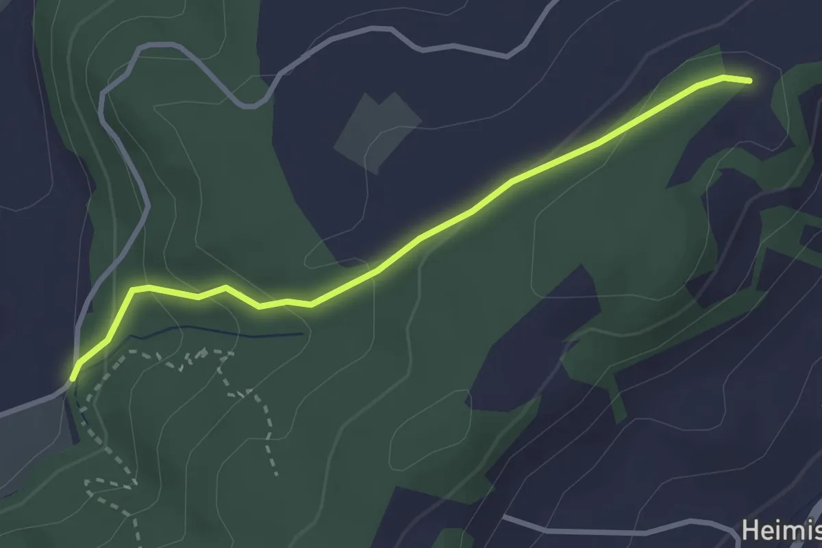
Easy · Trail
Weid - Summerhus
2.8 km · ↑ 143 m · 58 min
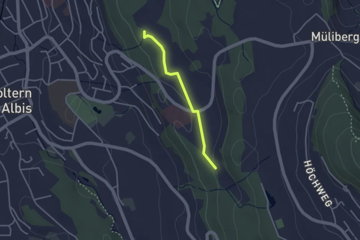
Easy · Trail
Weid - Sunnenbüel
2.3 km · ↑ 23 m · 35 min
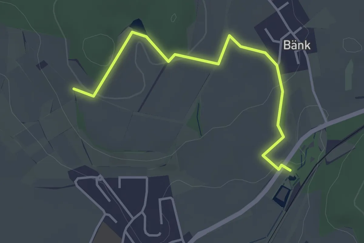
Easy · Trail
Weier Seuzach – Heimenstein
3.5 km · ↑ 75 m · 59 min
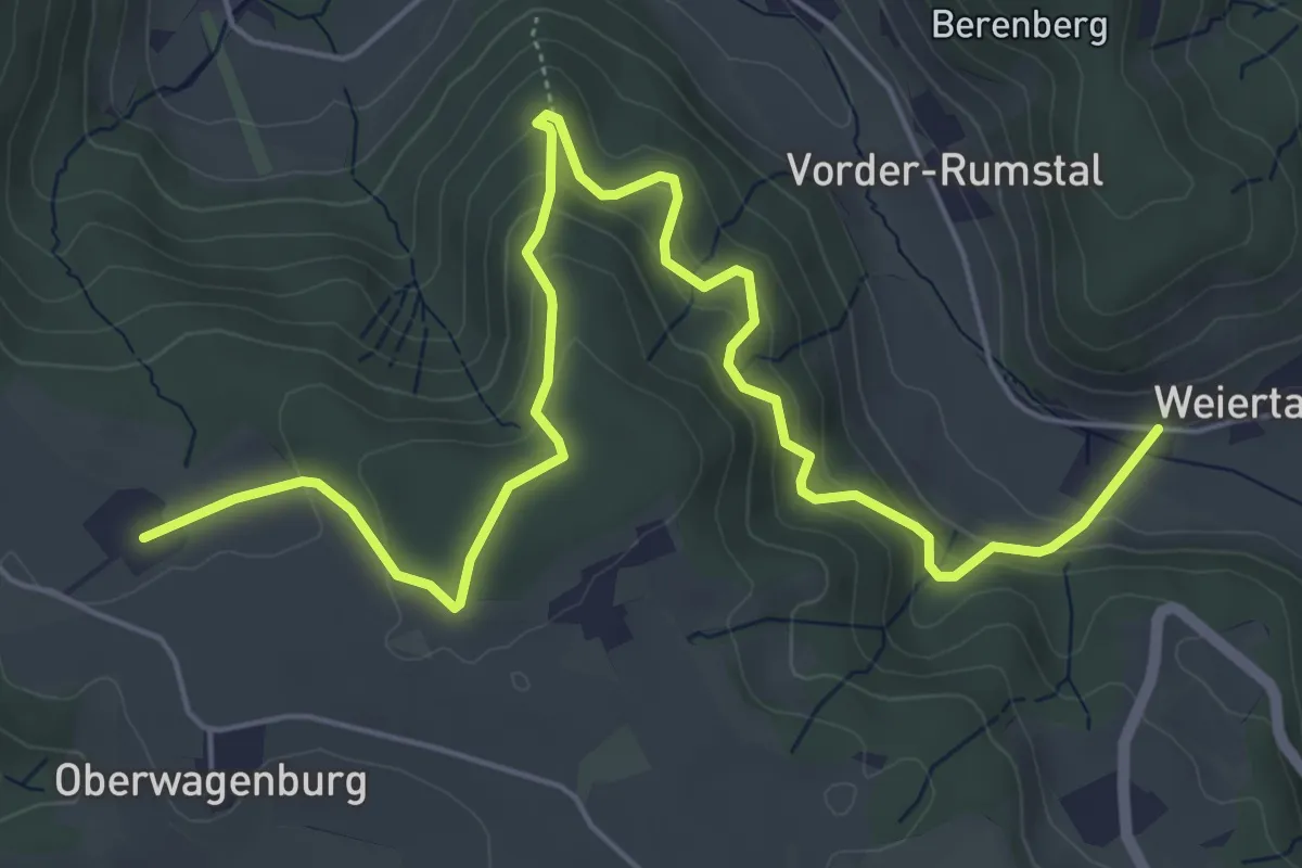
Medium · Trail
Weiertal - Ober Mettmenstetten
7.3 km · ↑ 420 m · 2 h 38 min
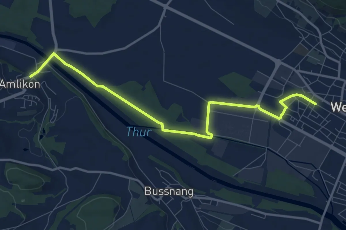
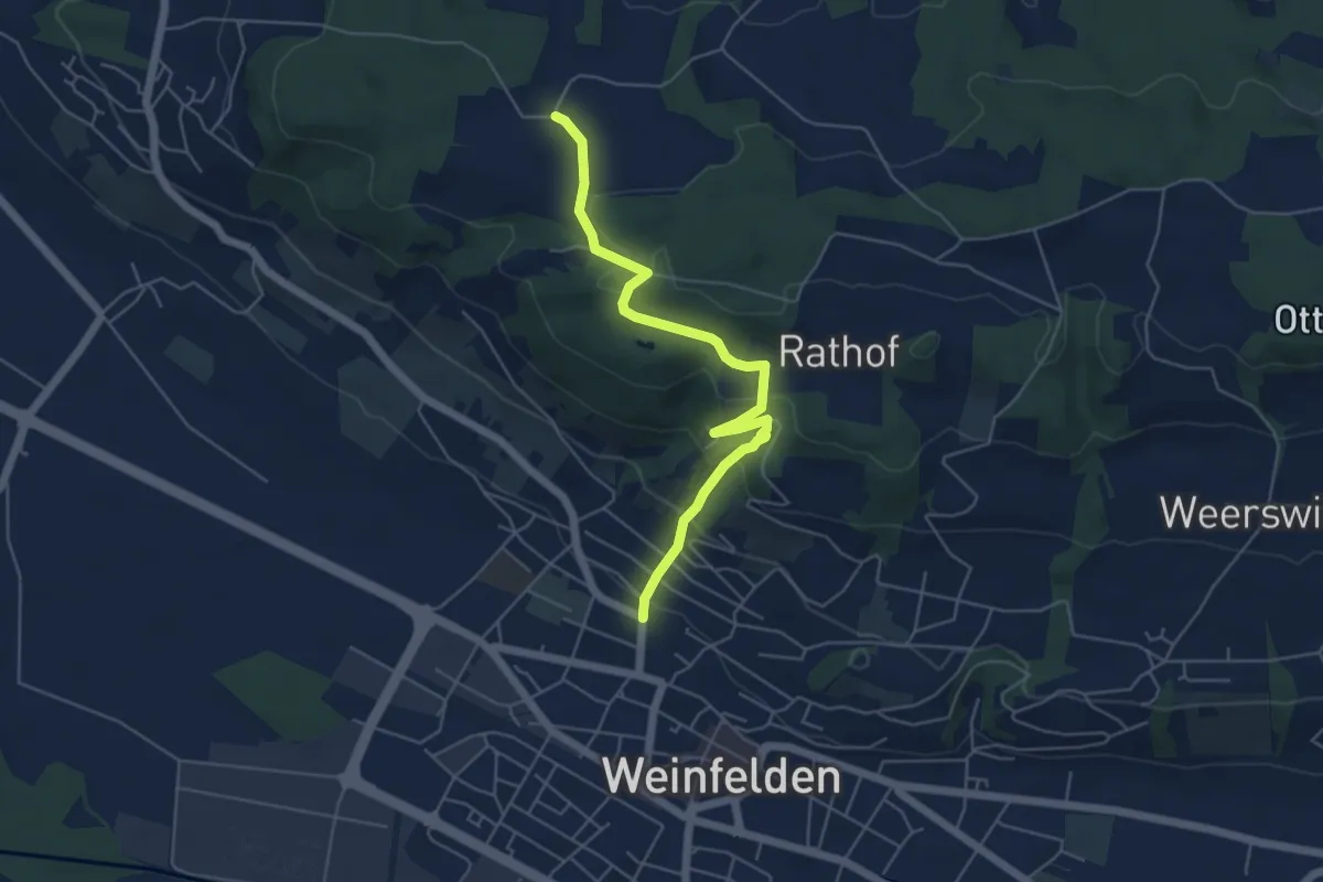
Medium · Trail
Weinfelden - Amlikon
9.2 km · ↑ 52 m · 2 h 17 min
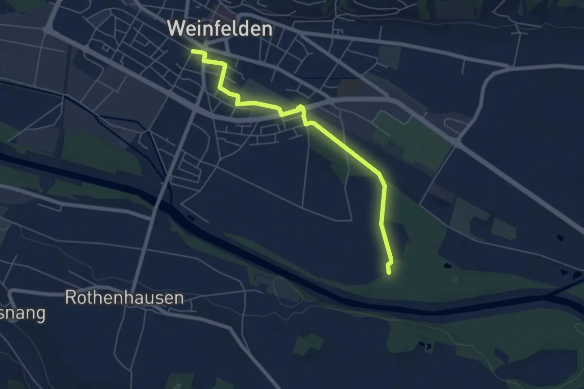
Easy · Trail
Weinfelden - Dattenhueb
5.4 km · ↑ 272 m · 1 h 51 min
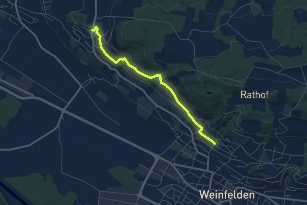
Easy · Trail
Weinfelden - Eierlenwald
5.4 km · ↑ 12 m · 1 h 18 min
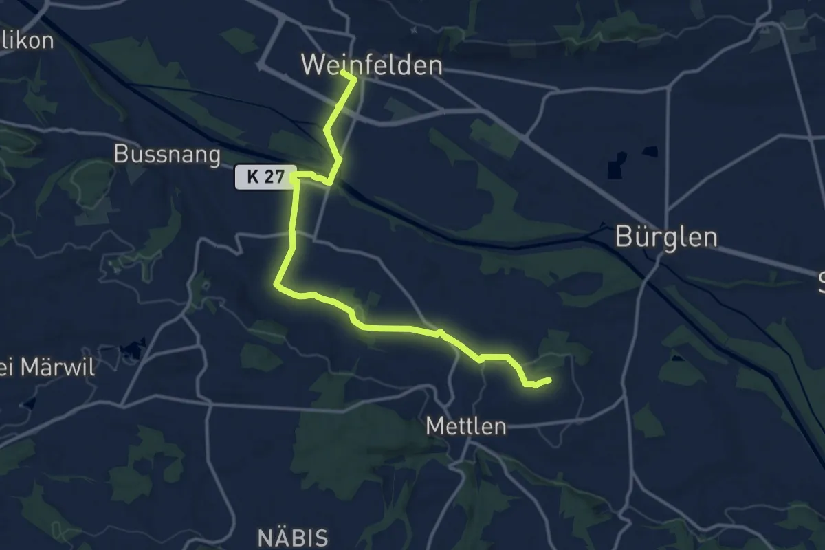
Easy · Trail
Weinfelden - Ottoberg
5.6 km · ↑ 196 m · 1 h 44 min
Medium · Trail
Weinfelden - Wertbühl
13.5 km · ↑ 132 m · 3 h 28 min
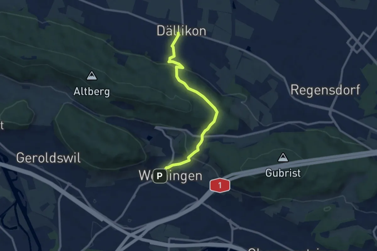
Easy · Trail
Weiningen - Dällikon
6.6 km · ↑ 315 m · 2 h 14 min
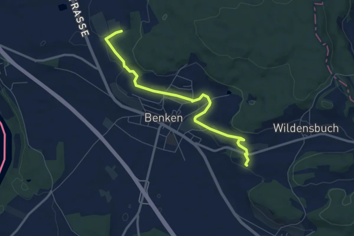
Easy · Trail
Weinwanderweg Route 1
6.6 km · ↑ 129 m · 1 h 50 min
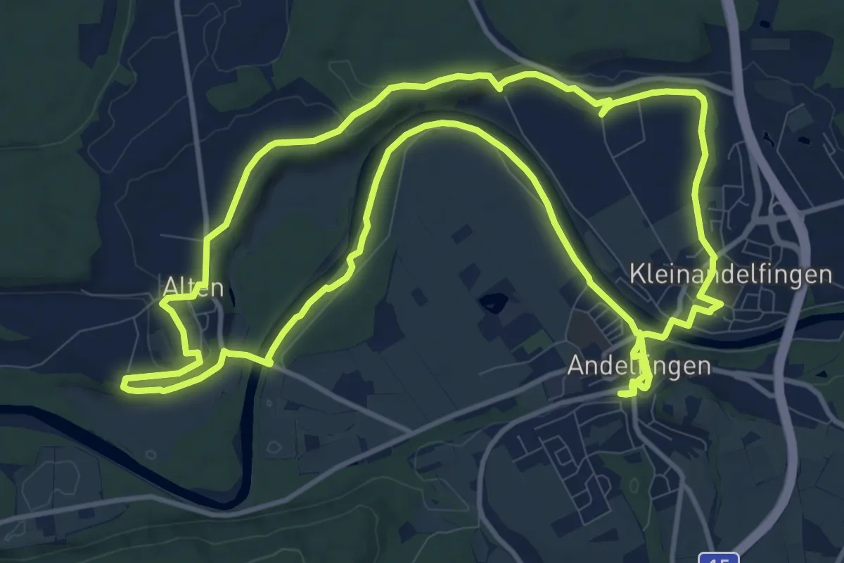
Medium · Trail
Weinwanderweg Route 3
12.6 km · ↑ 166 m · 3 h 32 min
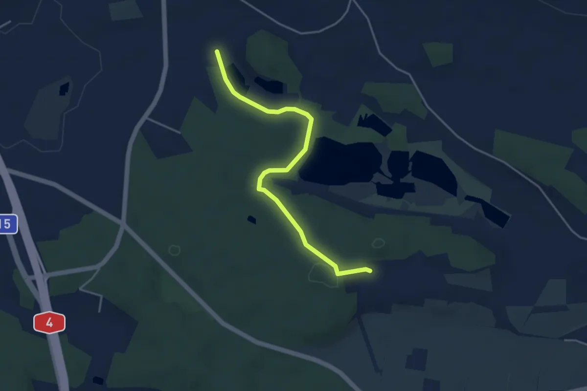
Easy · Trail
Weinwanderweg Route 4
1.9 km · ↑ 43 m · 33 min
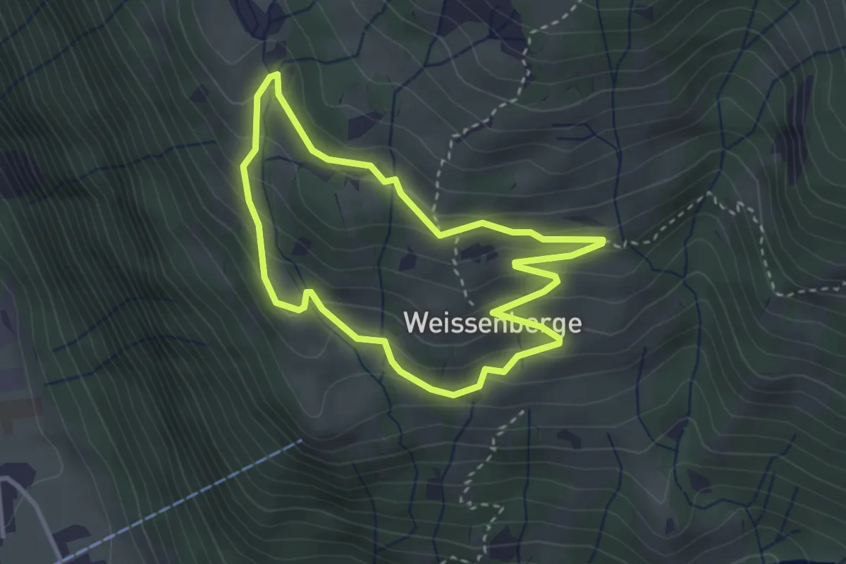
Easy · Trail
Weissenberge-Rundweg
2.8 km · ↑ 199 m · 1 h 8 min
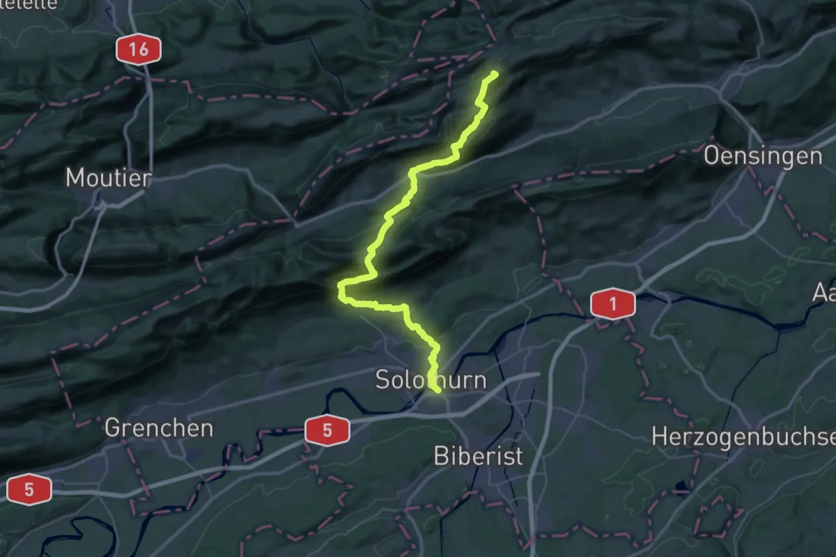
Demanding · Summit
Weissenstein – Passwang Weg
42.0 km · ↑ 2071 m · 14 h 25 min
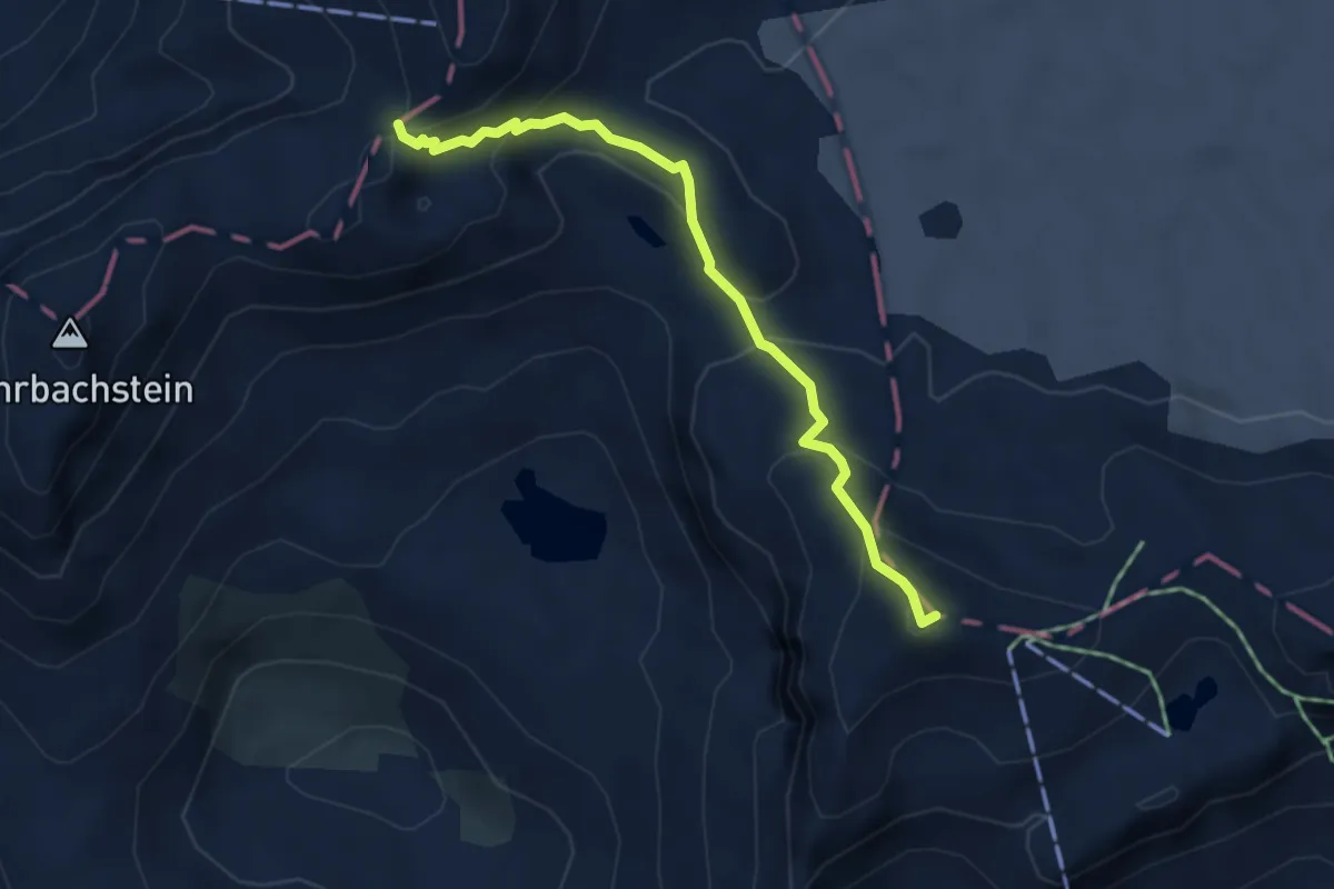
Medium · Summit
Weisshornlücke-Pointe de la Plaine Morte
4.1 km · ↑ 259 m · 1 h 32 min
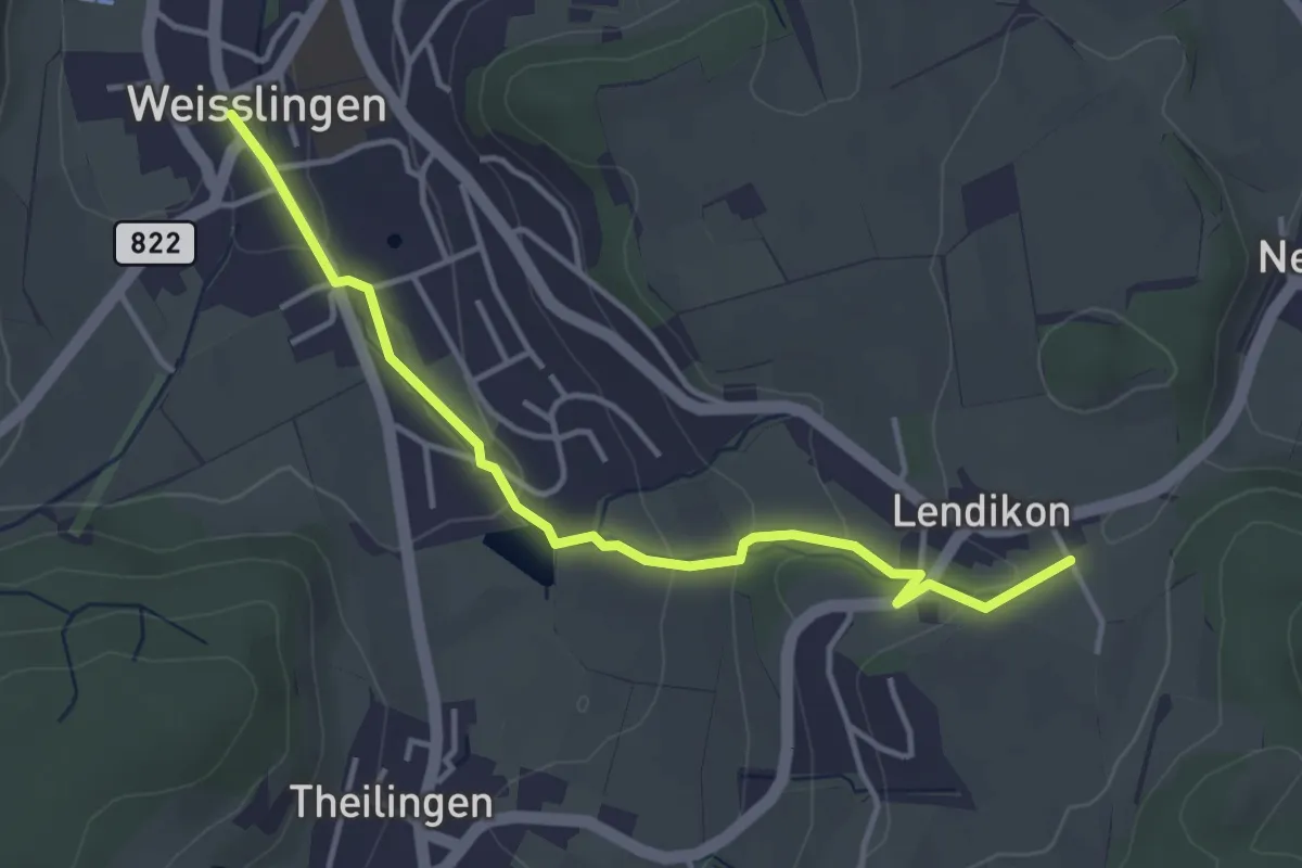
Easy · Trail
Weisslingen – Lendikon
3.9 km · ↑ 105 m · 1 h 9 min
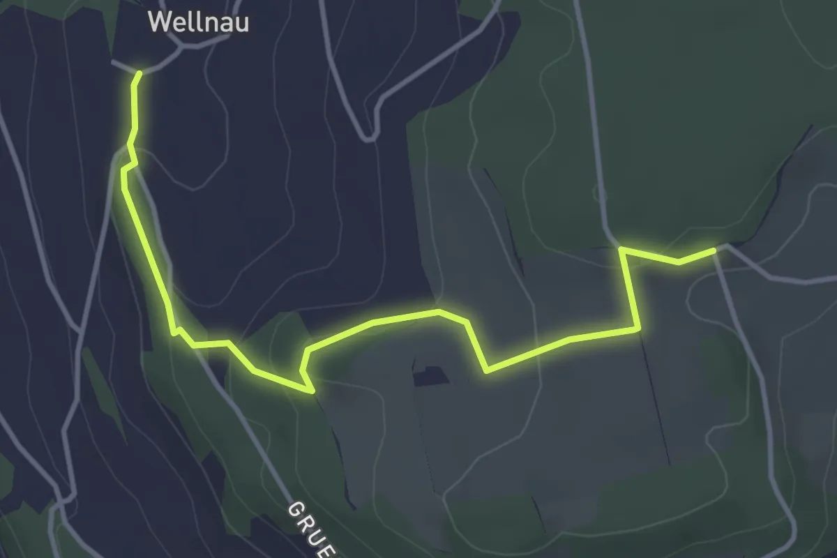
Easy · Trail
Wellnau - Gschweich
4.0 km · ↑ 140 m · 1 h 15 min
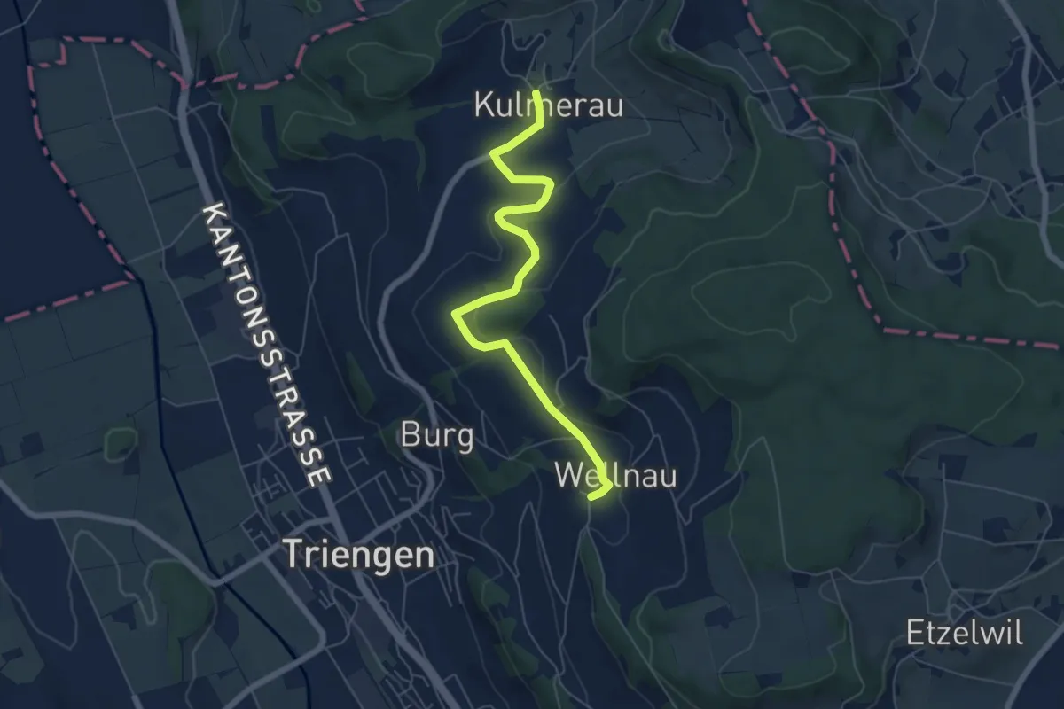
Easy · Trail
Wellnau - Kulmerau
6.1 km · ↑ 119 m · 1 h 42 min
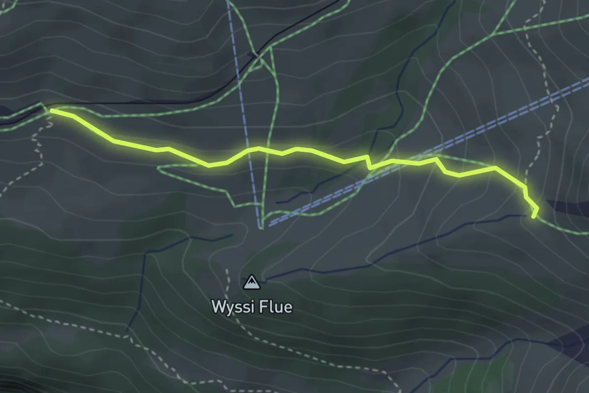
Easy · Trail
Wengernalp - Haaregg
3.1 km · ↑ 149 m · 1 h 3 min
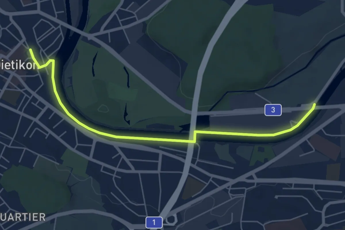
Easy · Trail
Werd - Dietikon
5.6 km · ↑ 8 m · 1 h 21 min