Trails in Switzerland
15,064 hiking trails, each with its route, climb, walking time and grade.
All trails, page 130 of 314
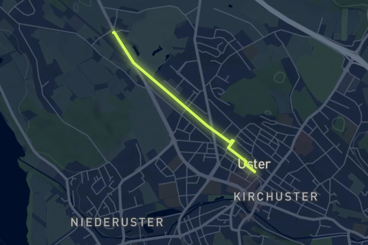
Easy · Trail
Werrikon - Uster
4.0 km · ↑ 8 m · 57 min
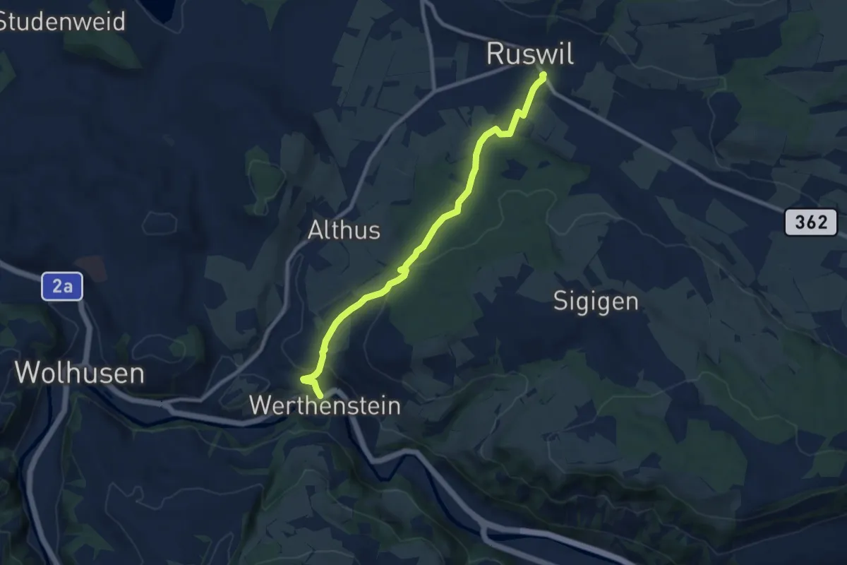
Medium · Trail
Werthenstein - Ruswil
8.5 km · ↑ 225 m · 2 h 29 min
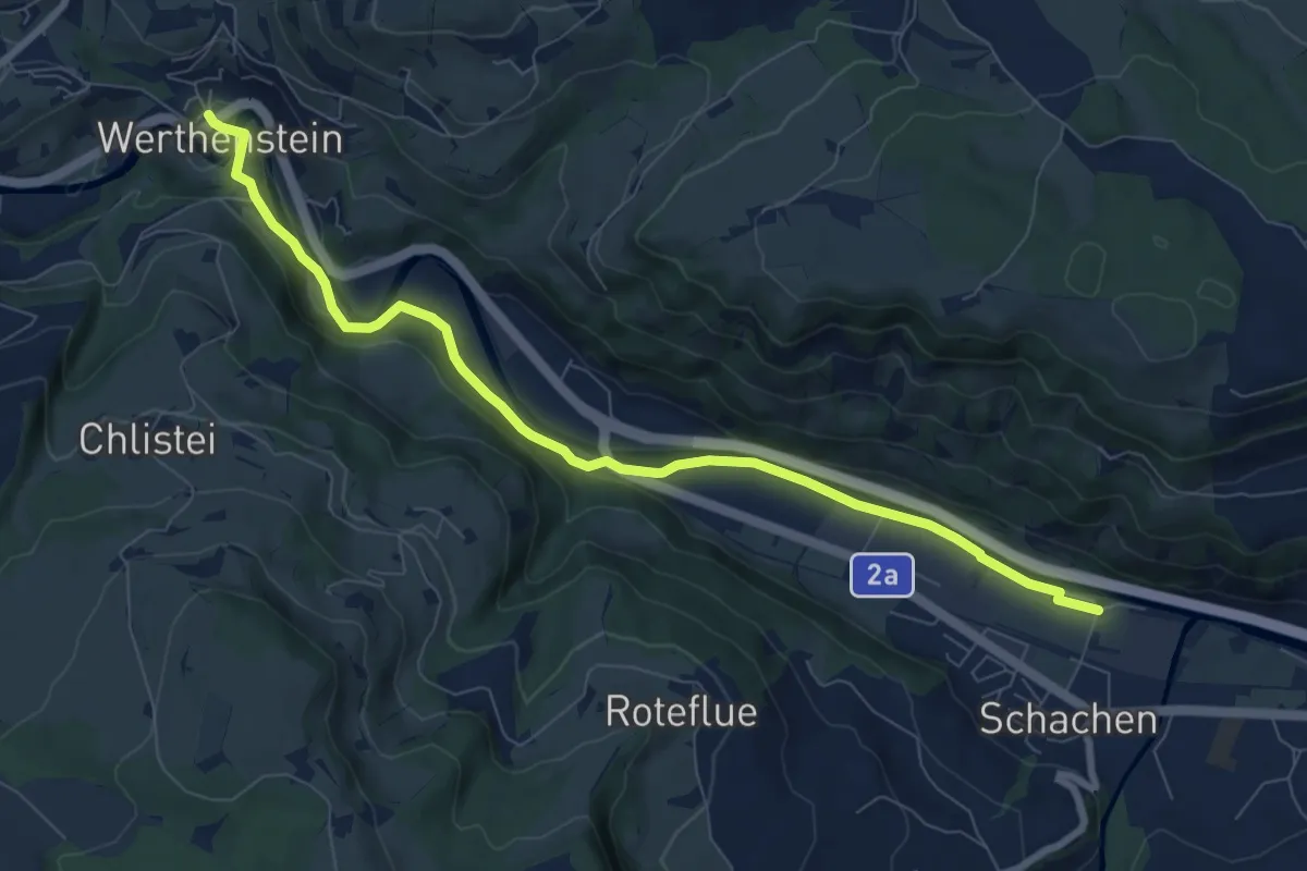
Medium · Trail
Werthenstein - Schachen
8.6 km · ↑ 148 m · 2 h 21 min
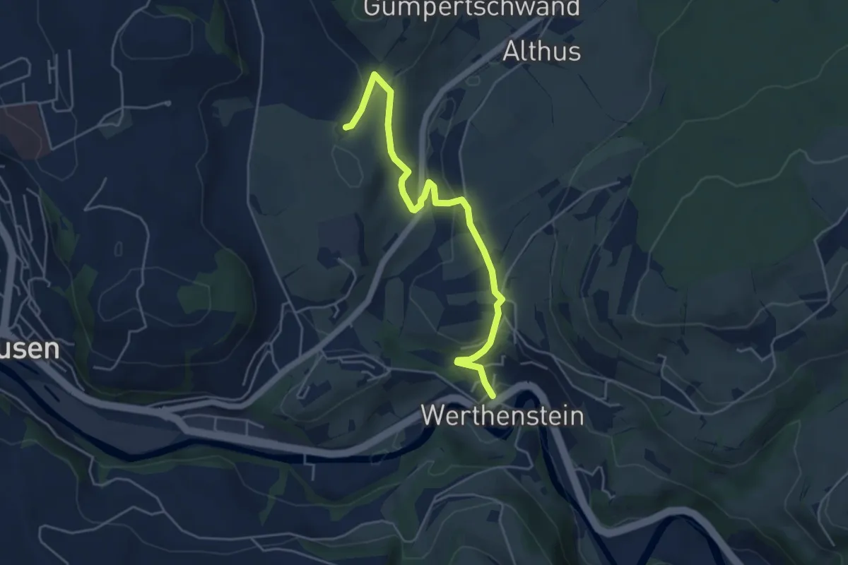
Easy · Trail
Werthenstein - Unter Chriesbaumen
4.8 km · ↑ 131 m · 1 h 25 min
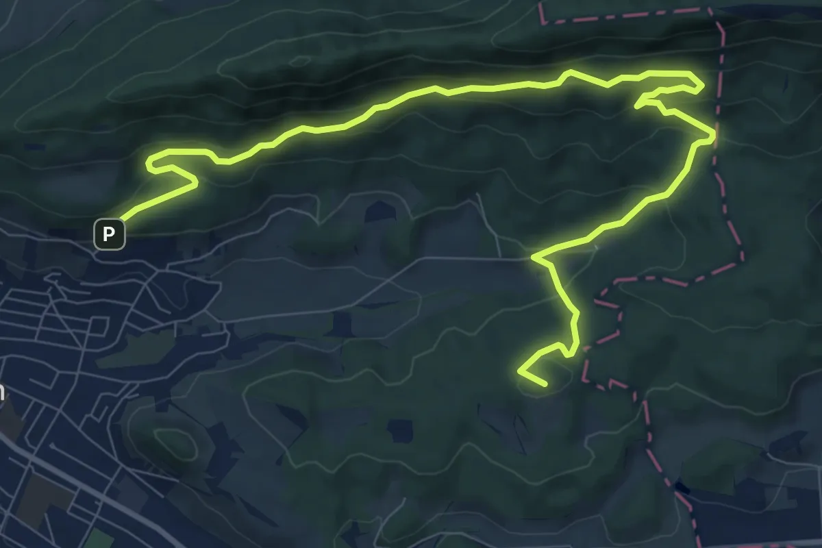
Medium · Summit
Wettingen Route 2 - fixme
12.4 km · ↑ 585 m · 4 h 11 min
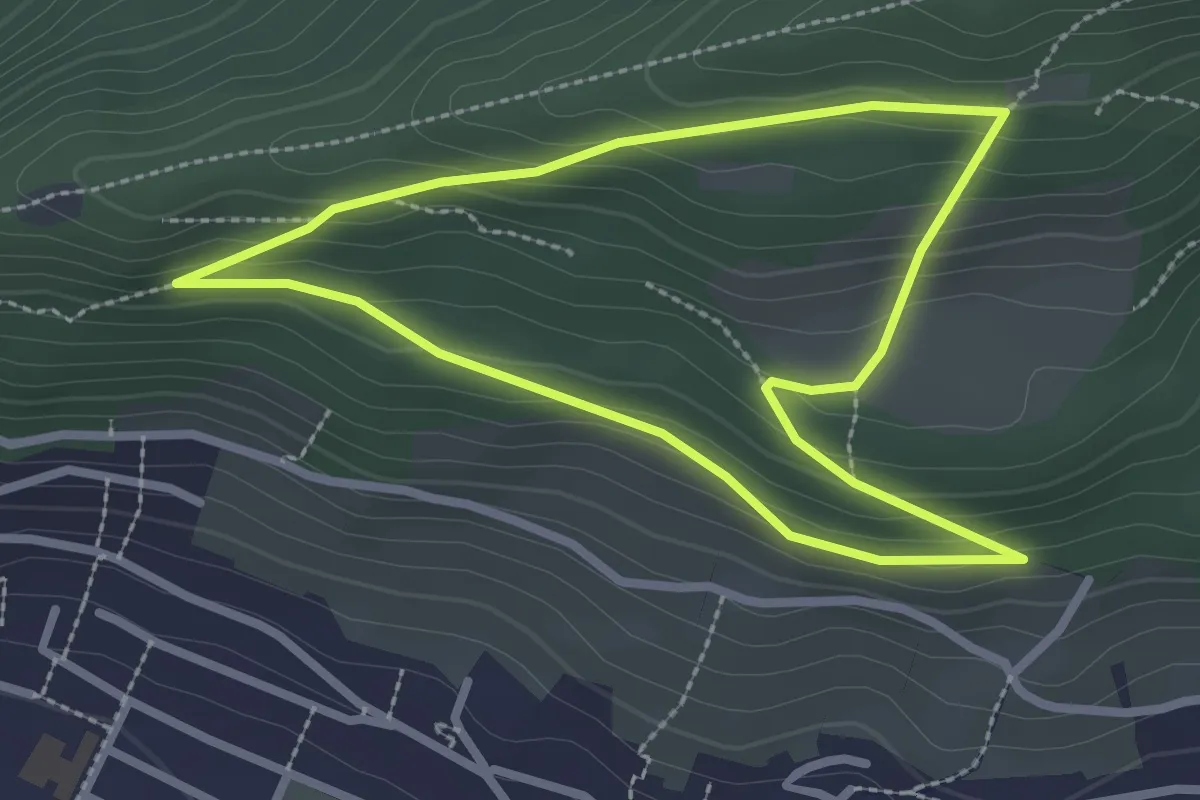
Easy · Trail
Wettingen Route 4
2.5 km · ↑ 128 m · 54 min
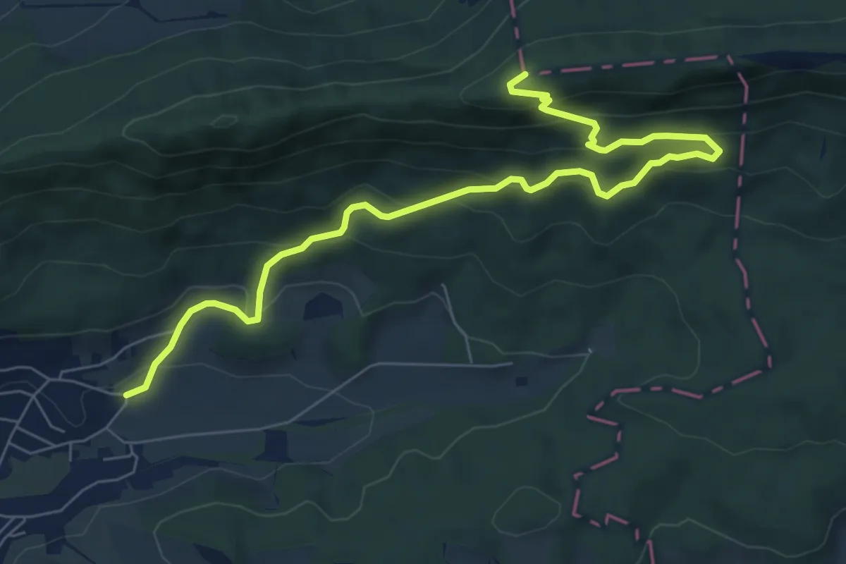
Demanding · Summit
Wettingen Route 5
8.0 km · ↑ 497 m · 2 h 58 min
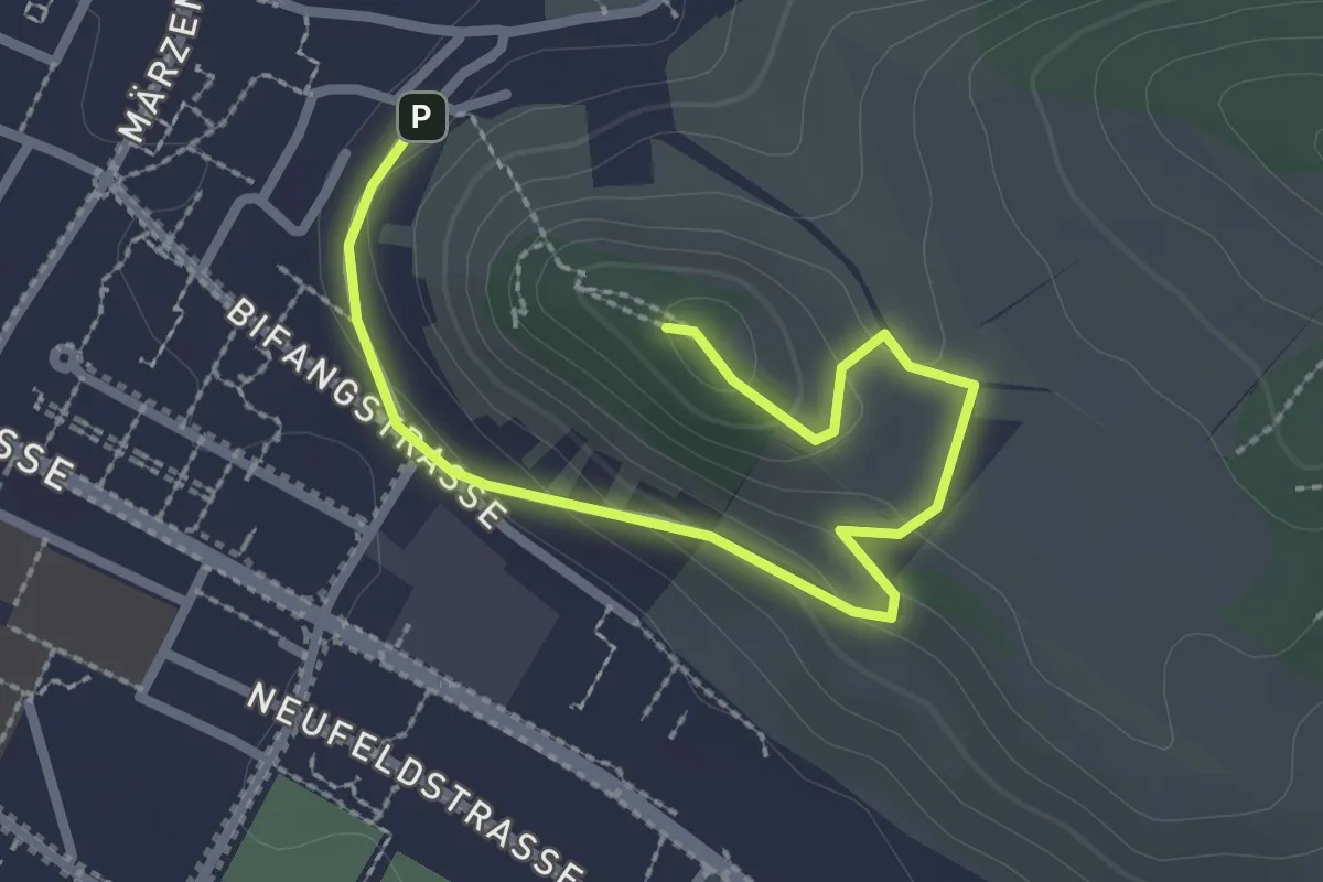
Easy · Summit
Wettingen Route 6 - fixme
2.9 km · ↑ 83 m · 53 min
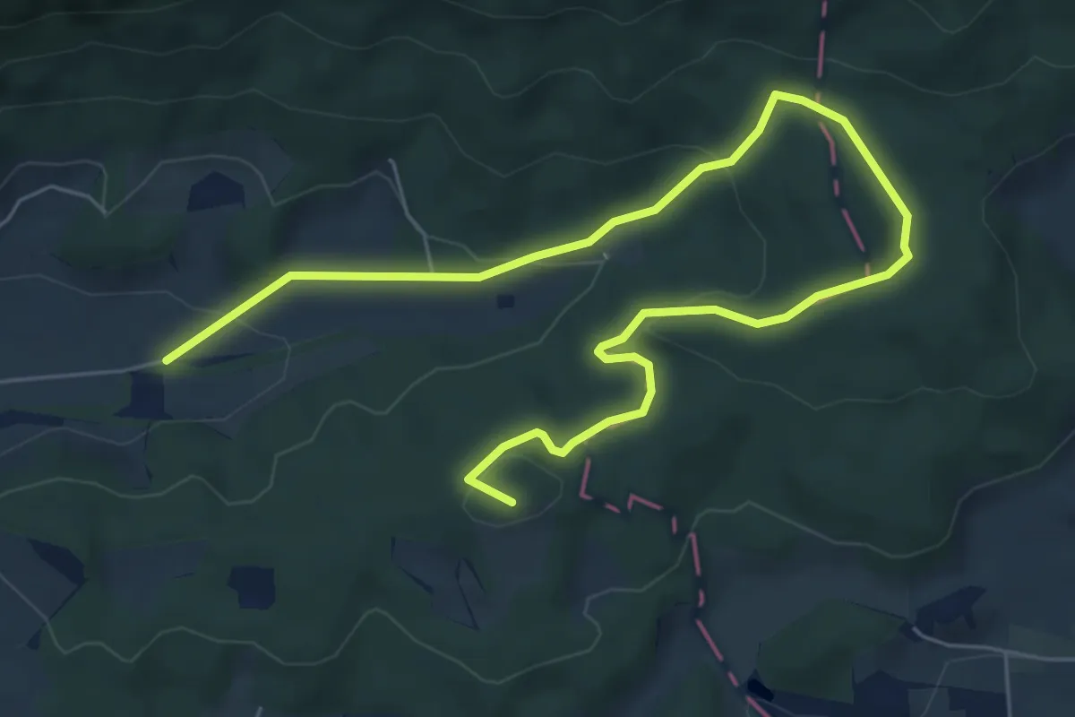
Medium · Summit
Wettingen Route 7 - fixme
8.3 km · ↑ 250 m · 2 h 30 min
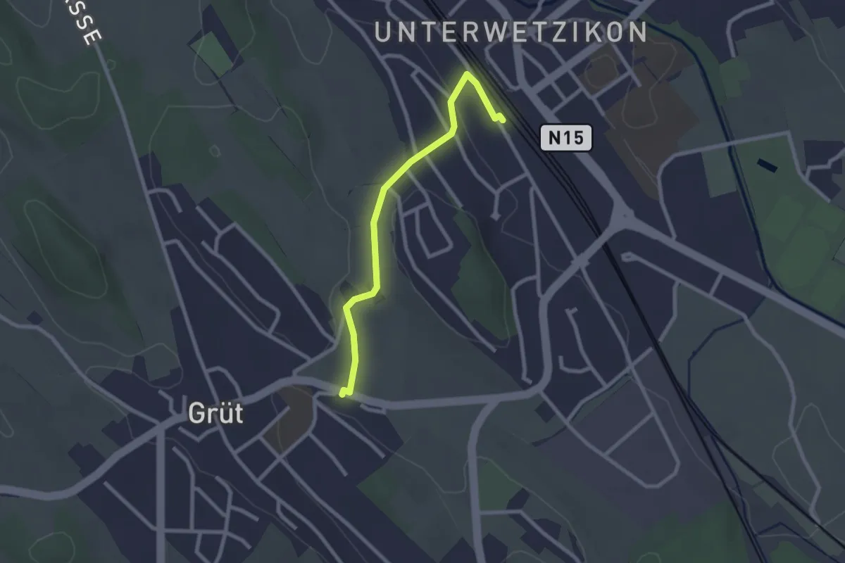
Easy · Trail
Wetzikon - Grüt
2.3 km · ↑ 22 m · 35 min
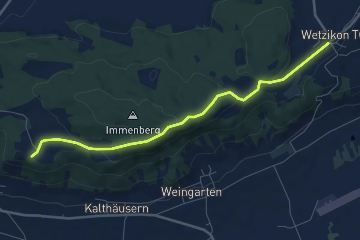
Easy · Trail
Wetzikon - Schloss Sonnenberg
6.6 km · ↑ 204 m · 2 h
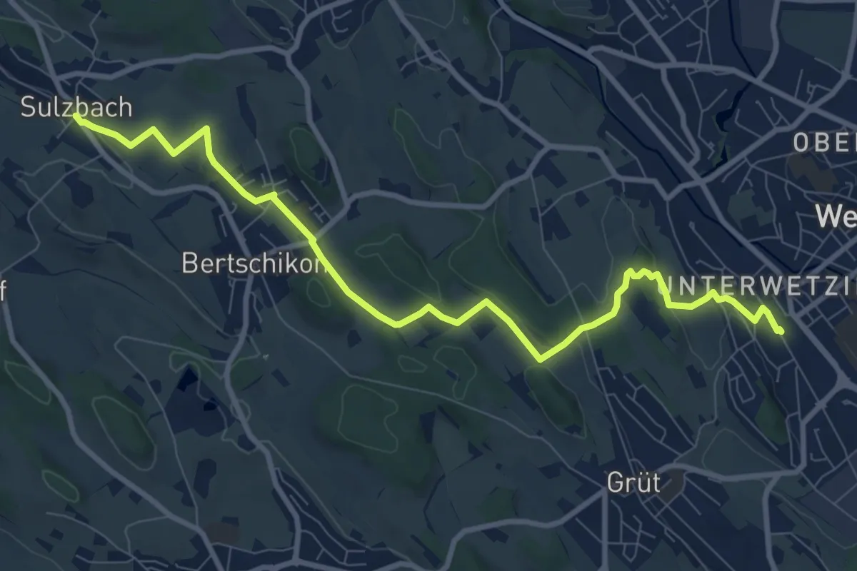
Medium · Trail
Wetzikon - Sulzbach
9.8 km · ↑ 179 m · 2 h 42 min
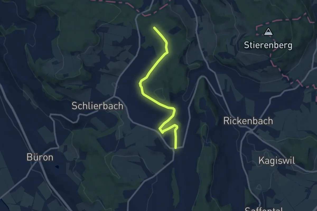
Easy · Trail
Wetzwil - Grütwald
8.0 km · ↑ 135 m · 2 h 11 min
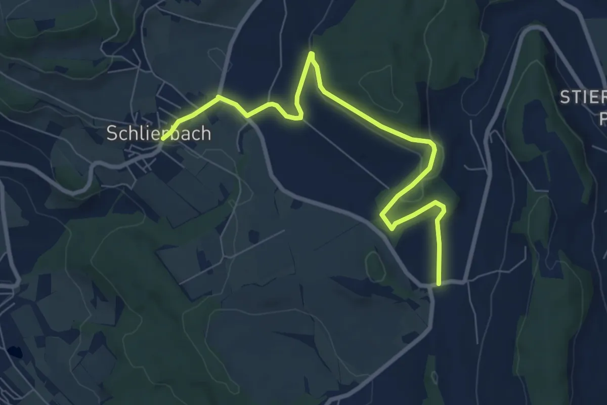
Easy · Trail
Wetzwil - Schlierbach
7.7 km · ↑ 134 m · 2 h 7 min
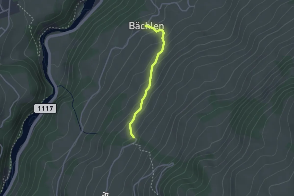
Easy · Trail
Widacher - Bächlen
2.1 km · ↑ 134 m · 47 min
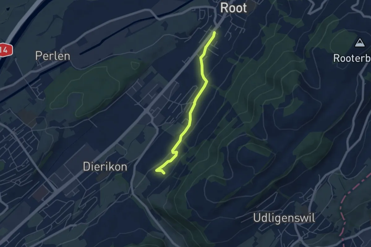
Easy · Trail
Widacher - Root
4.5 km · ↑ 131 m · 1 h 21 min
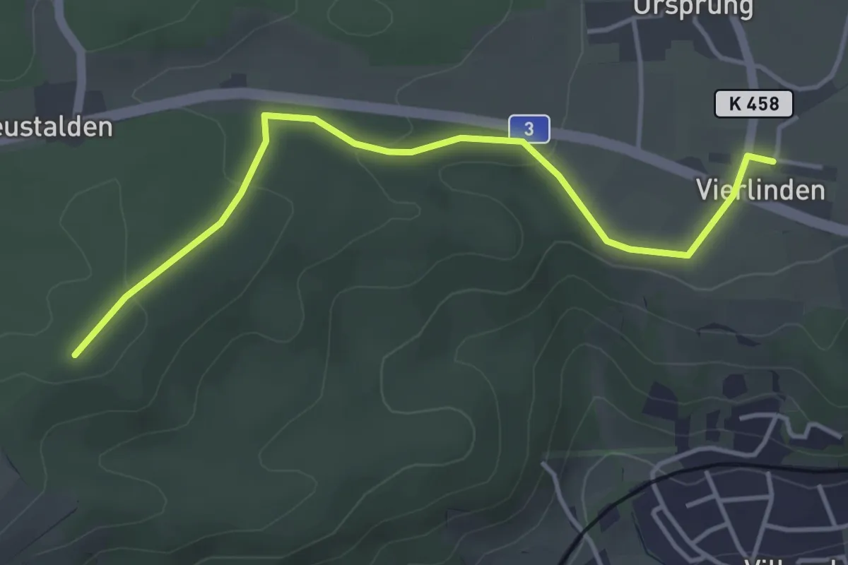
Easy · Trail
Widacher - Vier Linden
4.1 km · ↑ 69 m · 1 h 7 min
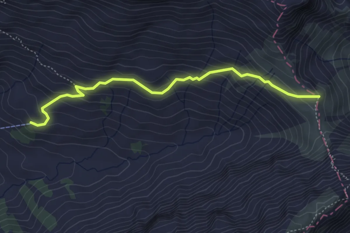
Easy · Trail
Widderen - Sinsgäuer Schonegg
4.5 km · ↑ 286 m · 1 h 41 min
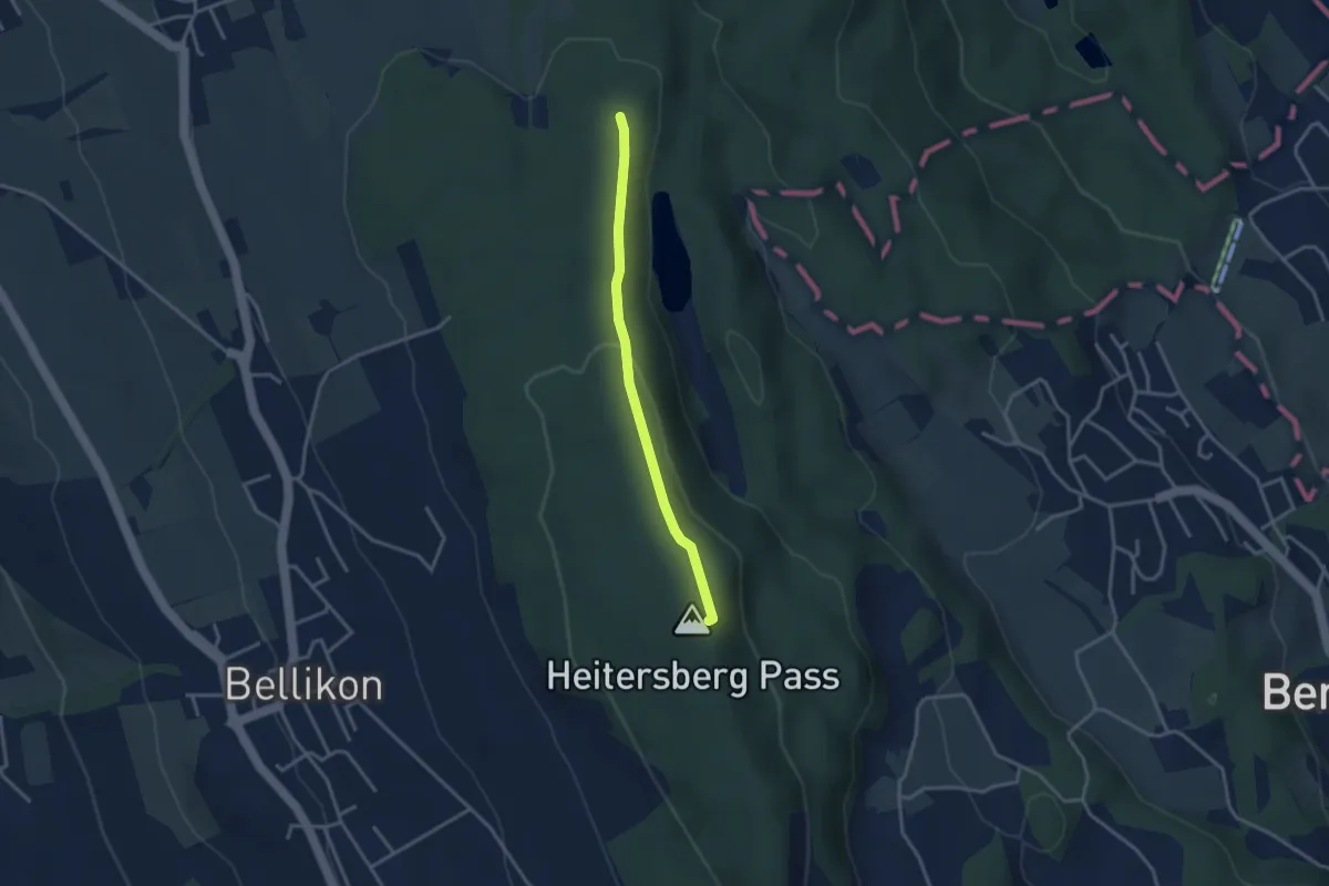
Easy · Summit
Widenhau - Heitersberghöhe
2.9 km · ↑ 62 m · 49 min
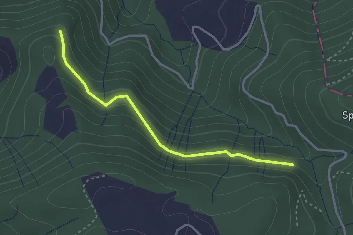
Easy · Trail
Widenwald - Gottschalkenberg Waldstr. - fixme
2.7 km · ↑ 180 m · 1 h 1 min
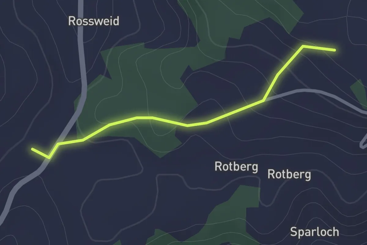
Easy · Trail
Widisberg-Chabisbärg
2.0 km · ↑ 74 m · 38 min
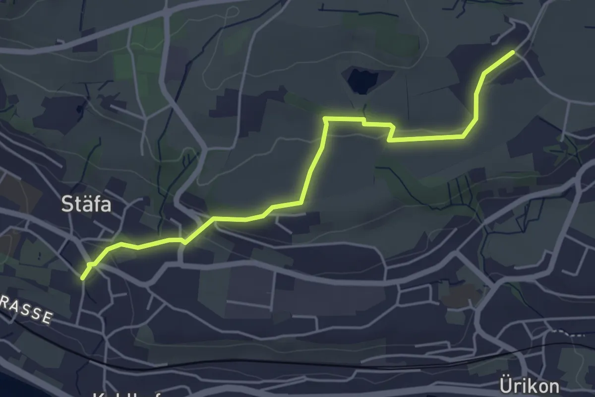
Easy · Trail
Widmen - Dorf
4.6 km · ↑ 89 m · 1 h 17 min
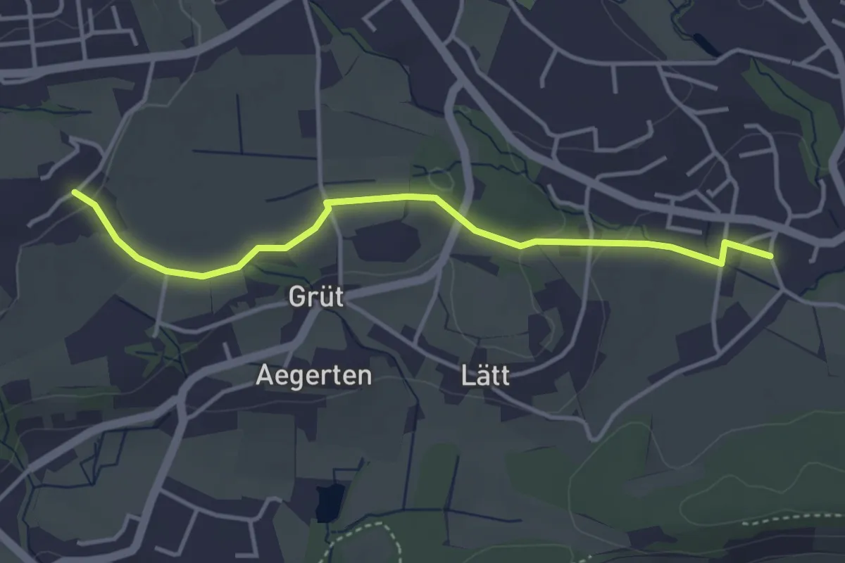
Easy · Trail
Widmen - Langenriet
3.8 km · ↑ 64 m · 1 h 2 min
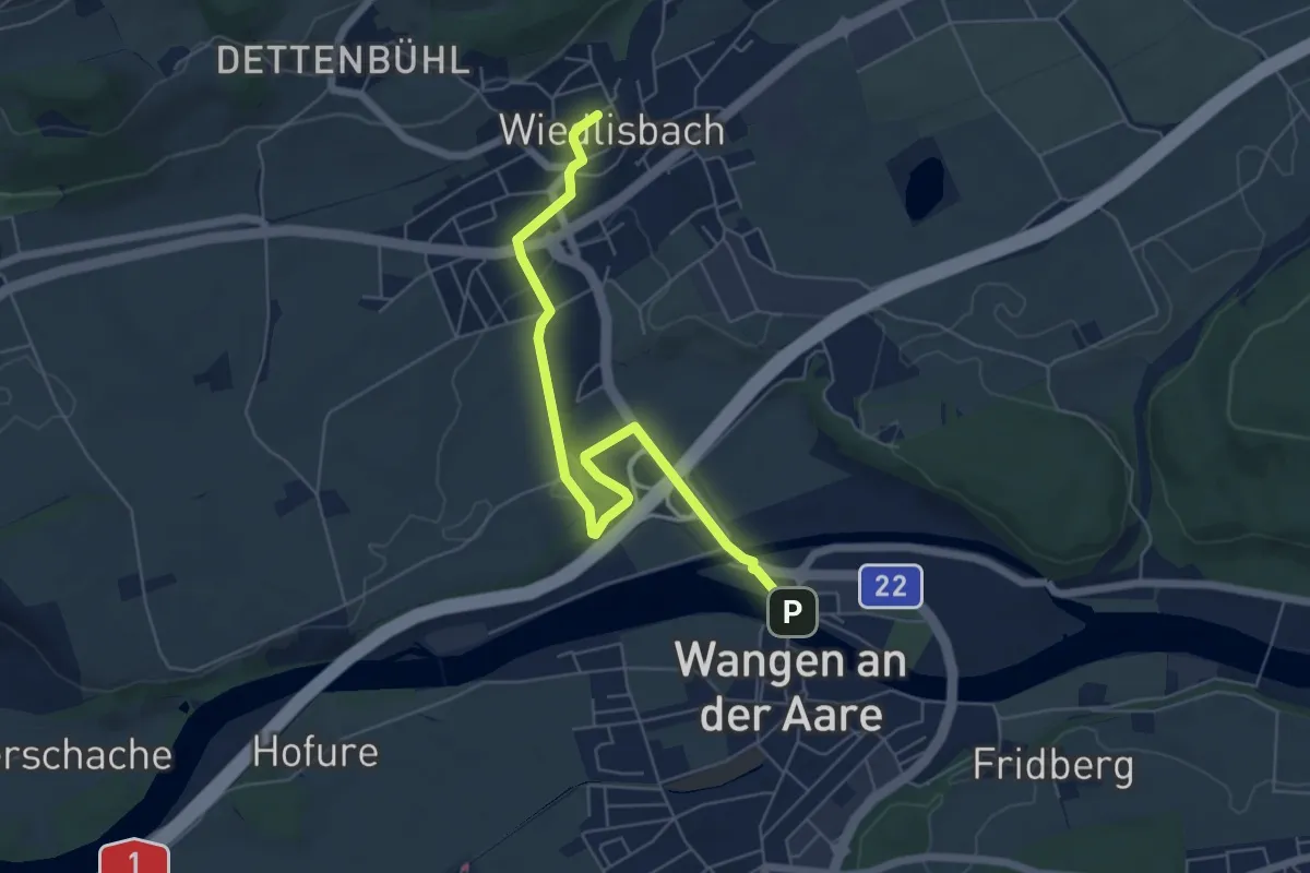
Easy · Trail
Wiedlisbach - Wangen an der Aare
6.2 km · ↑ 65 m · 1 h 36 min
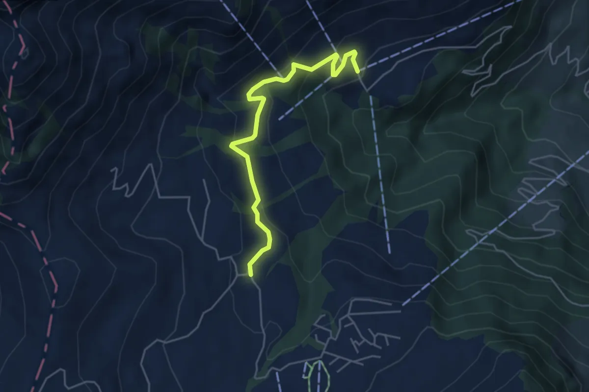
Easy · Trail
Wiesenberg - Stanglisbüel
4.4 km · ↑ 257 m · 1 h 36 min
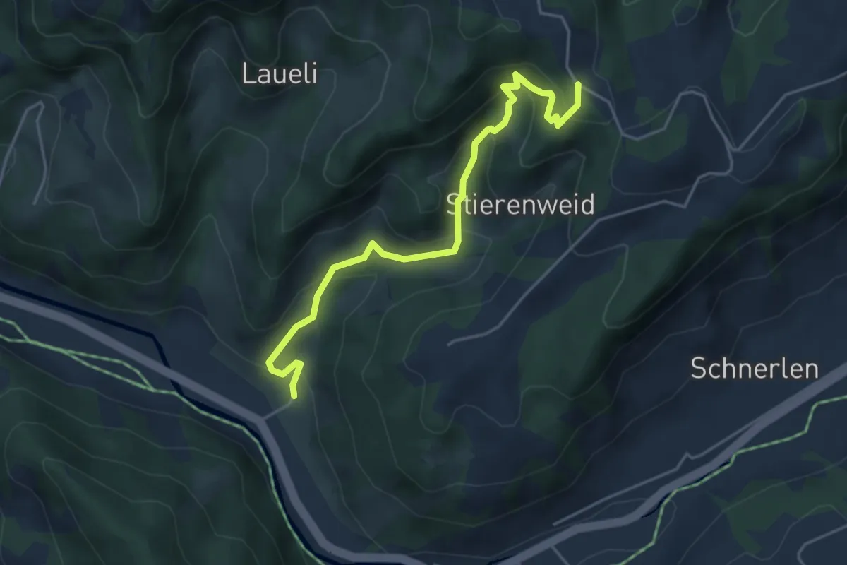
Medium · Trail
Wiesenpfad
4.4 km · ↑ 334 m · 1 h 46 min
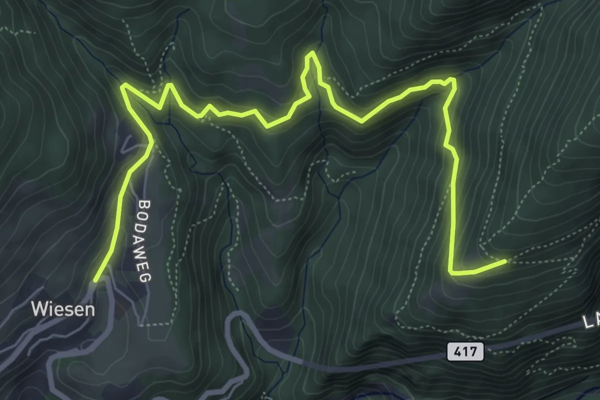
Medium · Trail
Wiesen - Steig
7.6 km · ↑ 460 m · 2 h 47 min
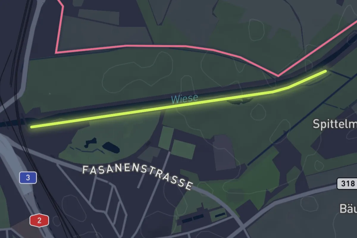
Medium · Trail
Wiesenweg
10.7 km · ↑ 38 m · 2 h 37 min
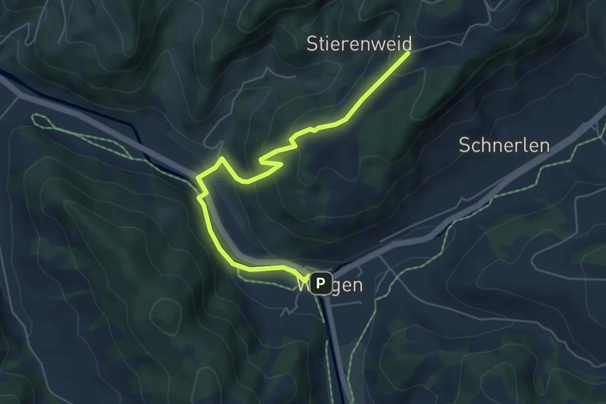
Medium · Trail
Wiggen - Sandbach
5.4 km · ↑ 324 m · 1 h 59 min
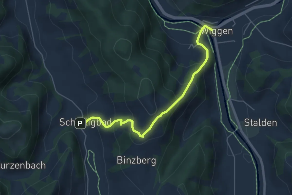
Medium · Trail
Wiggen - Schärligbad
4.4 km · ↑ 356 m · 1 h 49 min
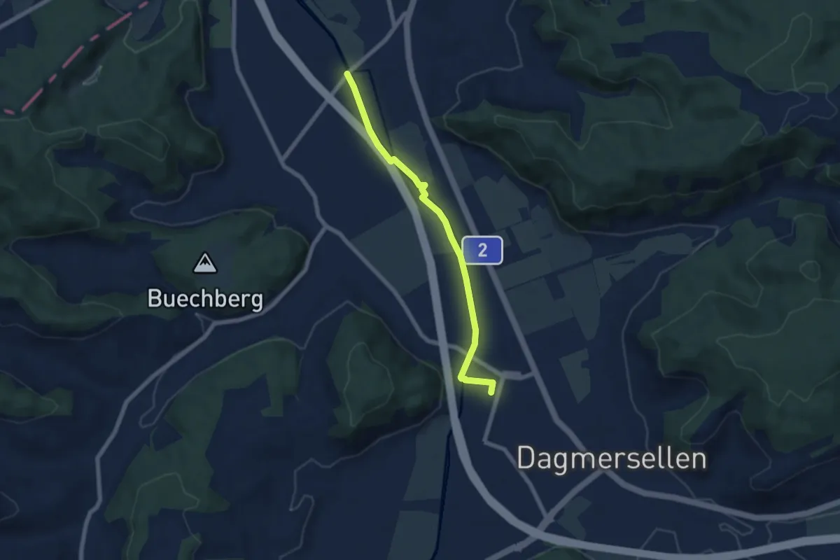
Easy · Trail
Wiggeruferweg
5.8 km · ↑ 13 m · 1 h 24 min
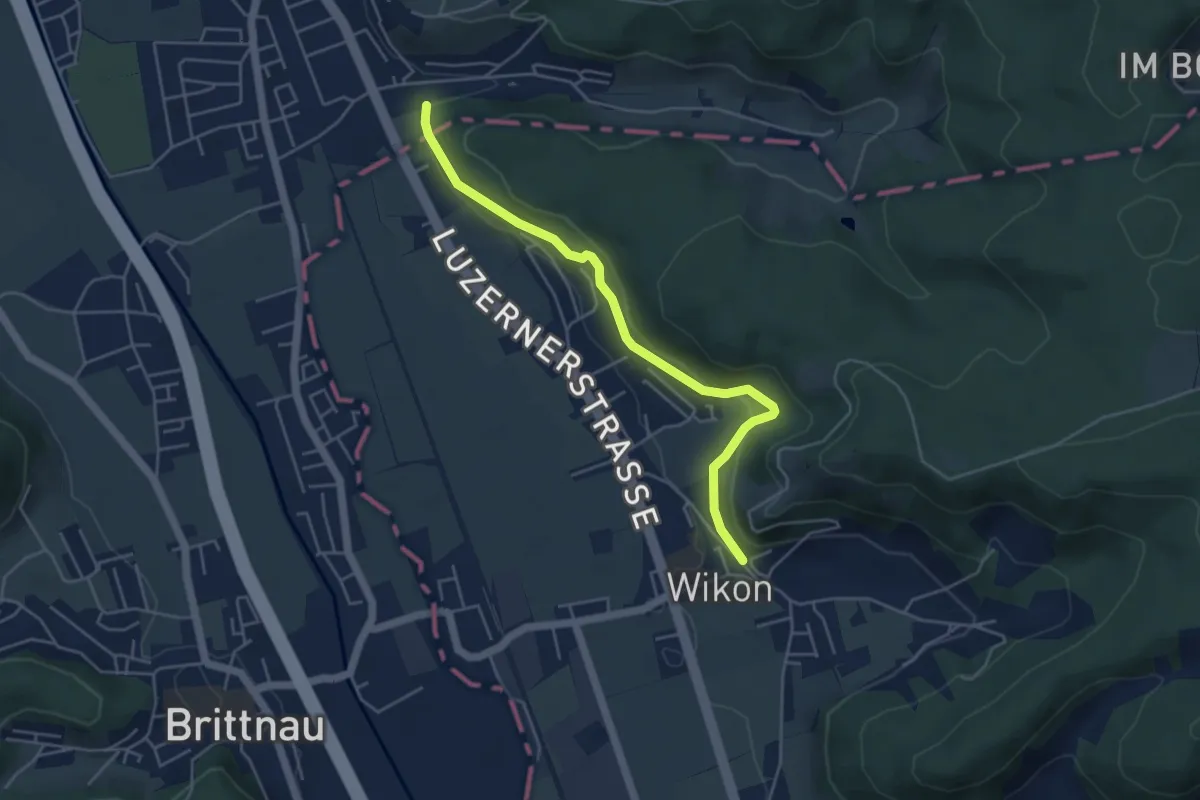
Easy · Trail
Wikon - Rietel
4.6 km · ↑ 160 m · 1 h 27 min
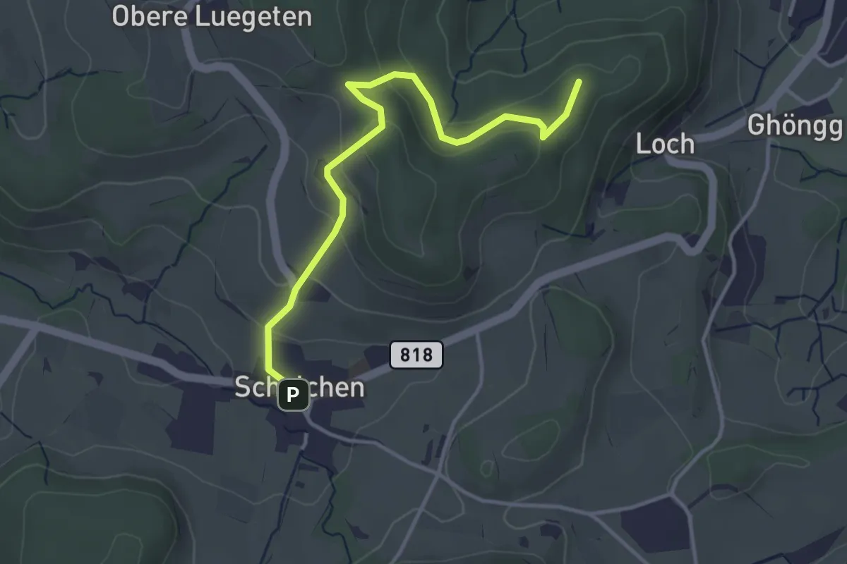
Easy · Summit
Wila Stn. - Schalchen
3.7 km · ↑ 146 m · 1 h 11 min
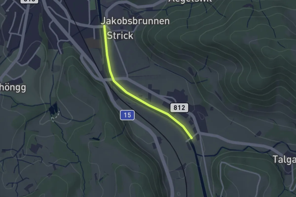
Easy · Trail
Wila – Tablat
2.1 km · ↑ 8 m · 31 min
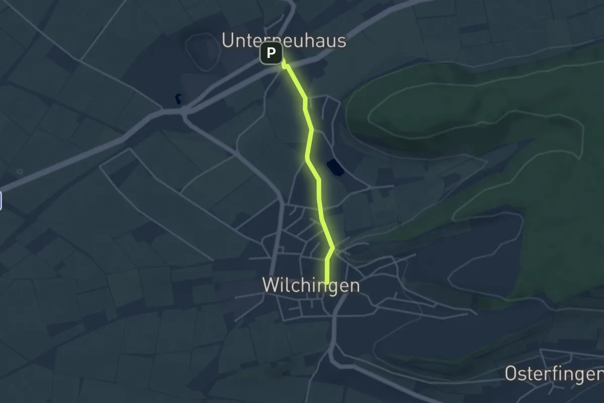
Easy · Trail
Wilchingen Hallau - Wilchingen? - fixme
3.0 km · ↑ 42 m · 48 min
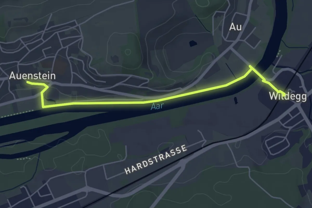
Easy · Trail
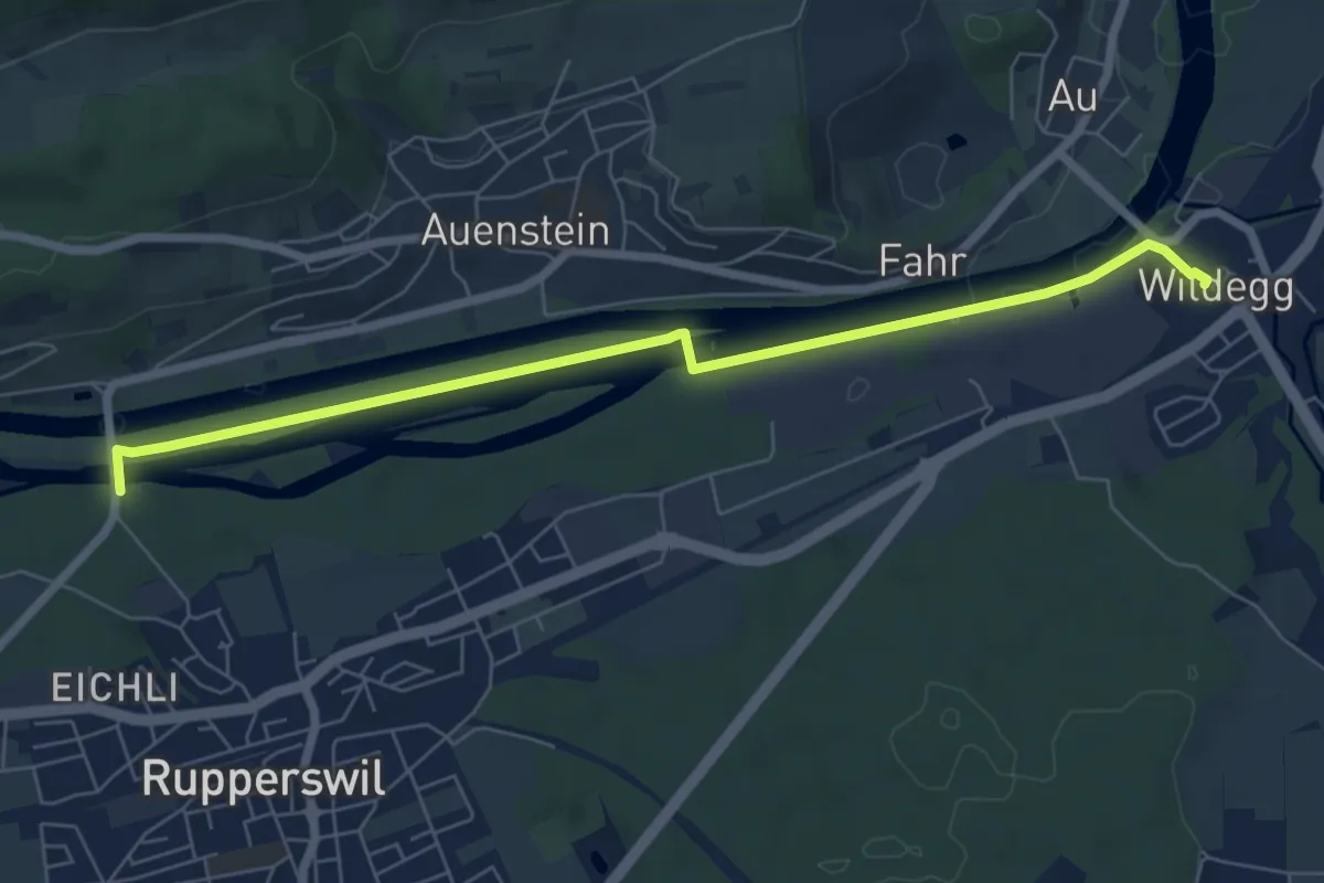
Wildegg - Auenstein
4.9 km · ↑ 23 m · 1 h 12 min
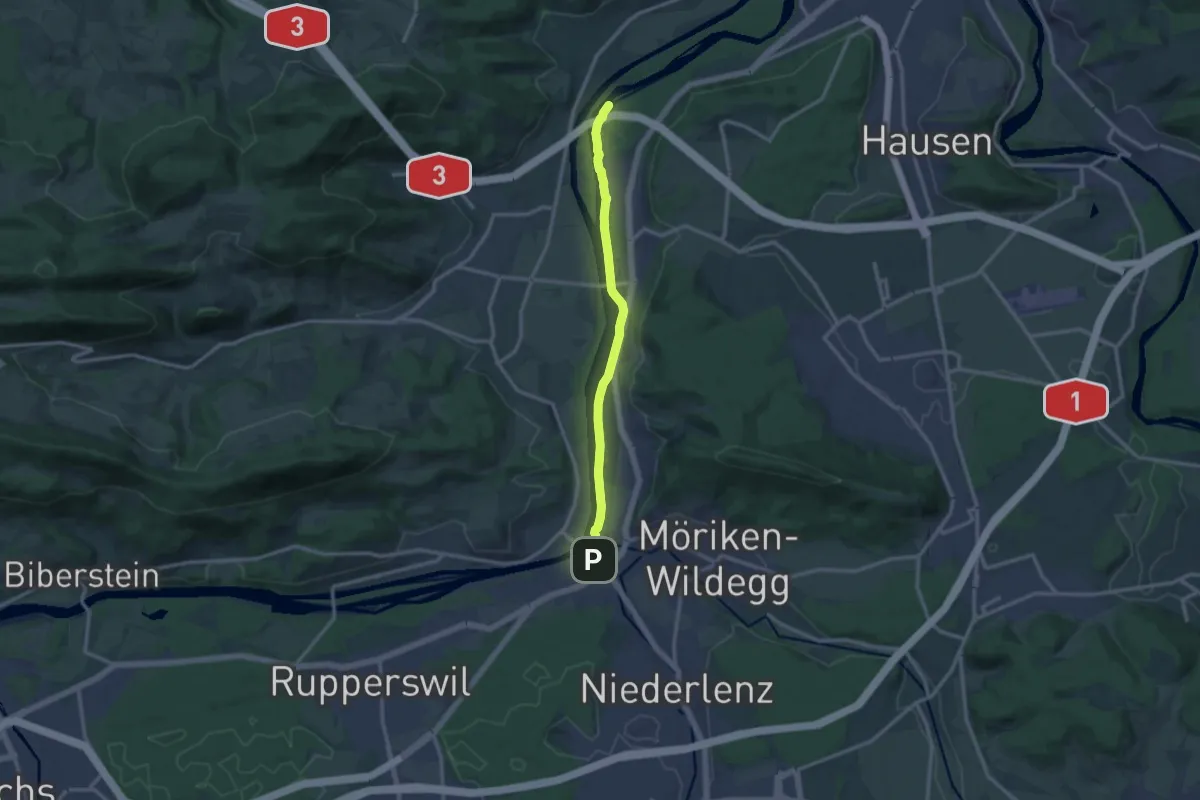
Easy · Trail
Wildegg - Brücke Rupperswil
6.9 km · ↑ 21 m · 1 h 41 min
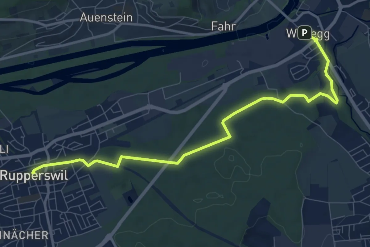
Medium · Trail
Wildegg - Hilfswehr NOK
11.9 km · ↑ 30 m · 2 h 52 min
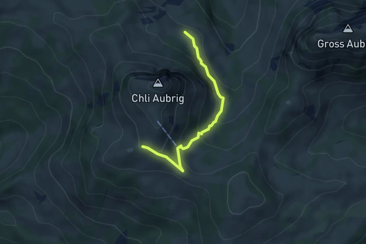
Medium · Trail
Wildegg - Kantonsmitte - Rupperswil
9.1 km · ↑ 102 m · 2 h 22 min
Easy · Trail
Wildegg - Unter Alten
3.7 km · ↑ 253 m · 1 h 25 min
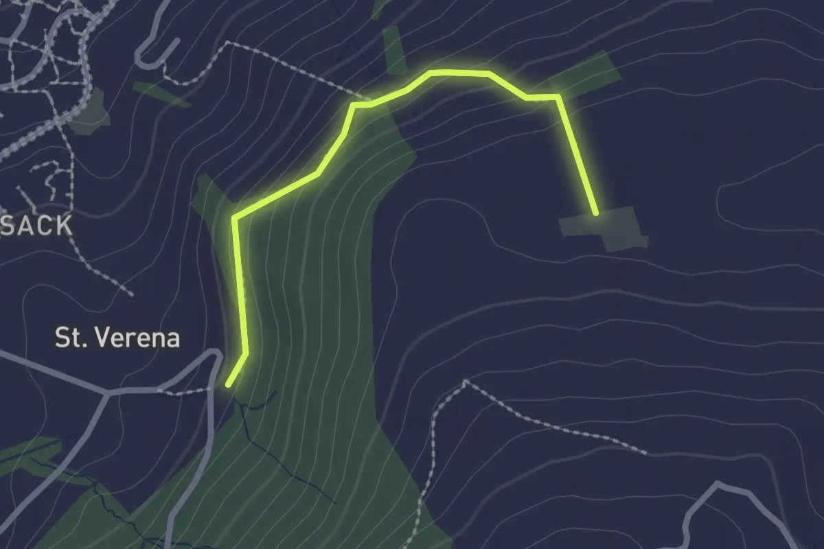
Easy · Trail
Wildenburg - Schönegg - fixme
2.1 km · ↑ 121 m · 45 min
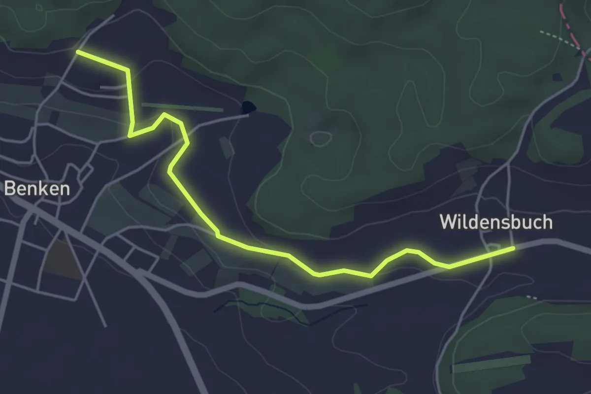
Easy · Trail
Wildensbuch - Guggeeren
4.6 km · ↑ 69 m · 1 h 15 min
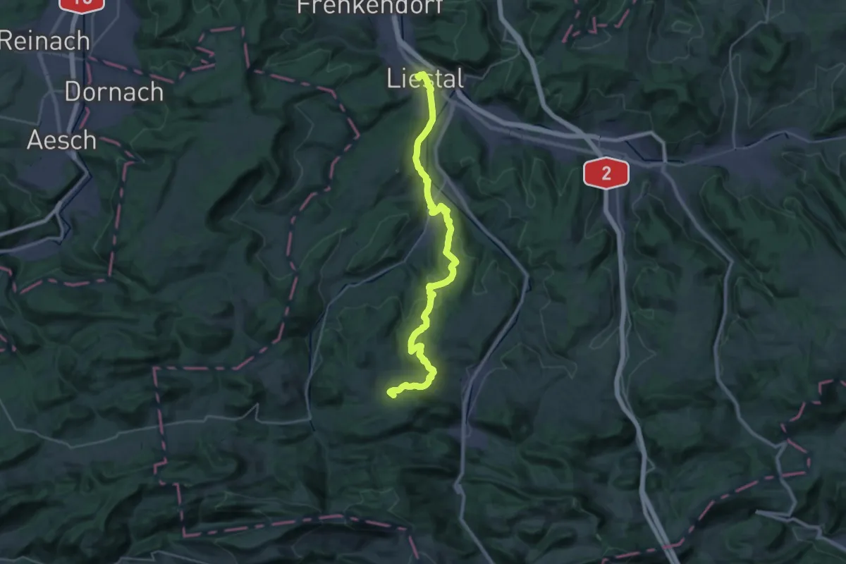
Demanding · Summit
Wildenstein – Rifenstein Weg
26.9 km · ↑ 692 m · 7 h 51 min
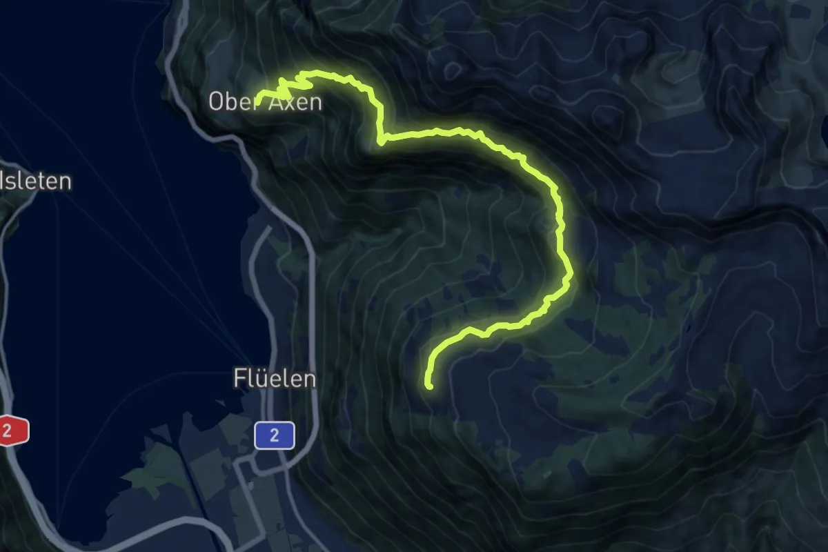
Demanding · Trail
Wildheupfad
14.6 km · ↑ 1145 m · 5 h 56 min
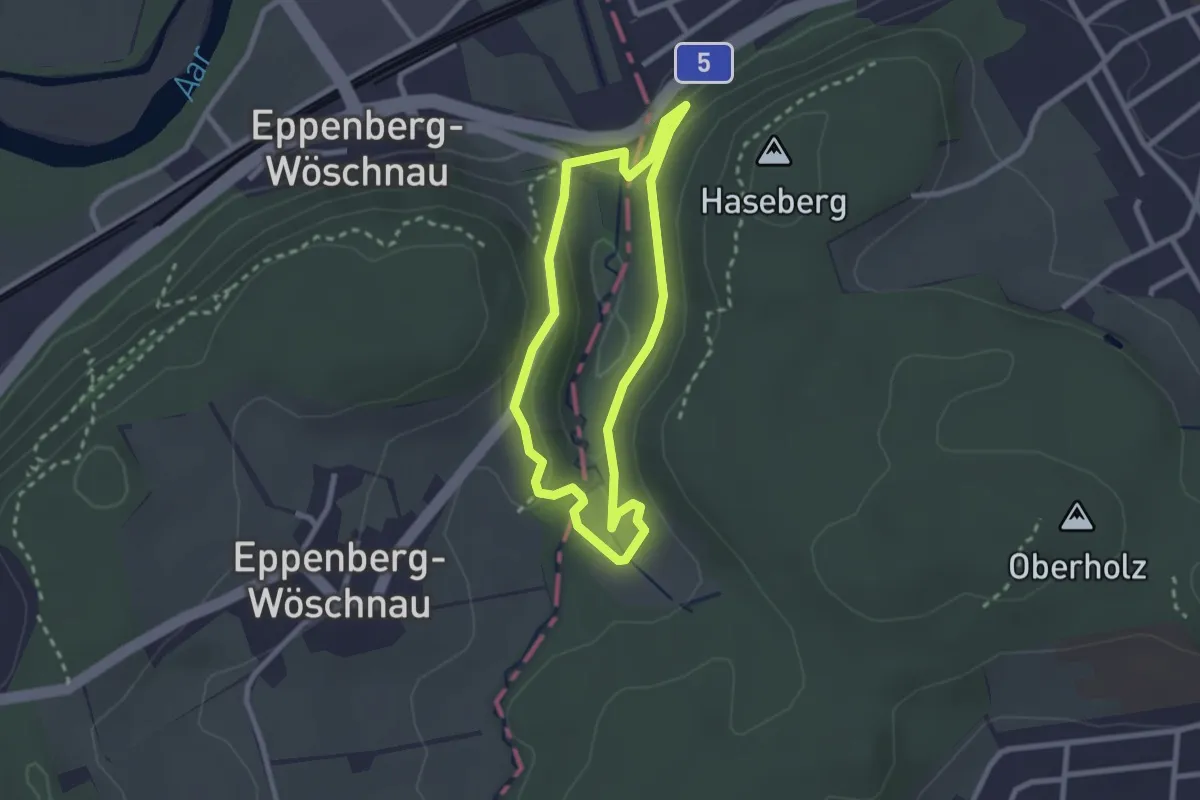
Easy · Trail
Wildpark Roggenhausen Rundweg
2.2 km · ↑ 83 m · 43 min
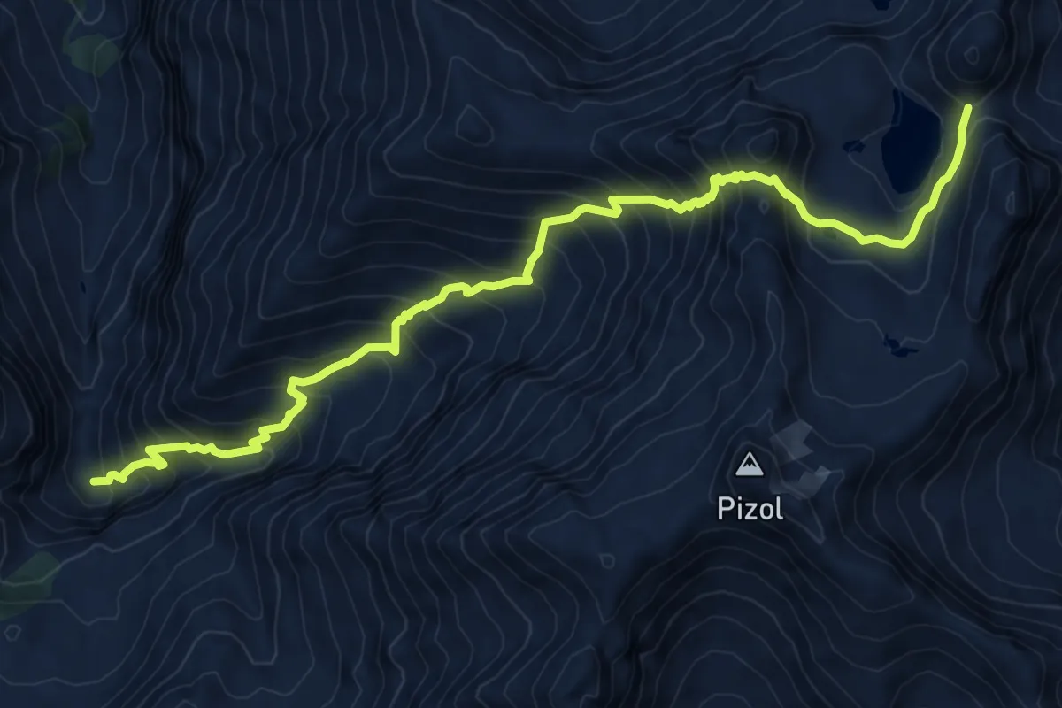
Demanding · Trail
Wildseeluggen-Baföni
10.2 km · ↑ 1183 m · 4 h 59 min
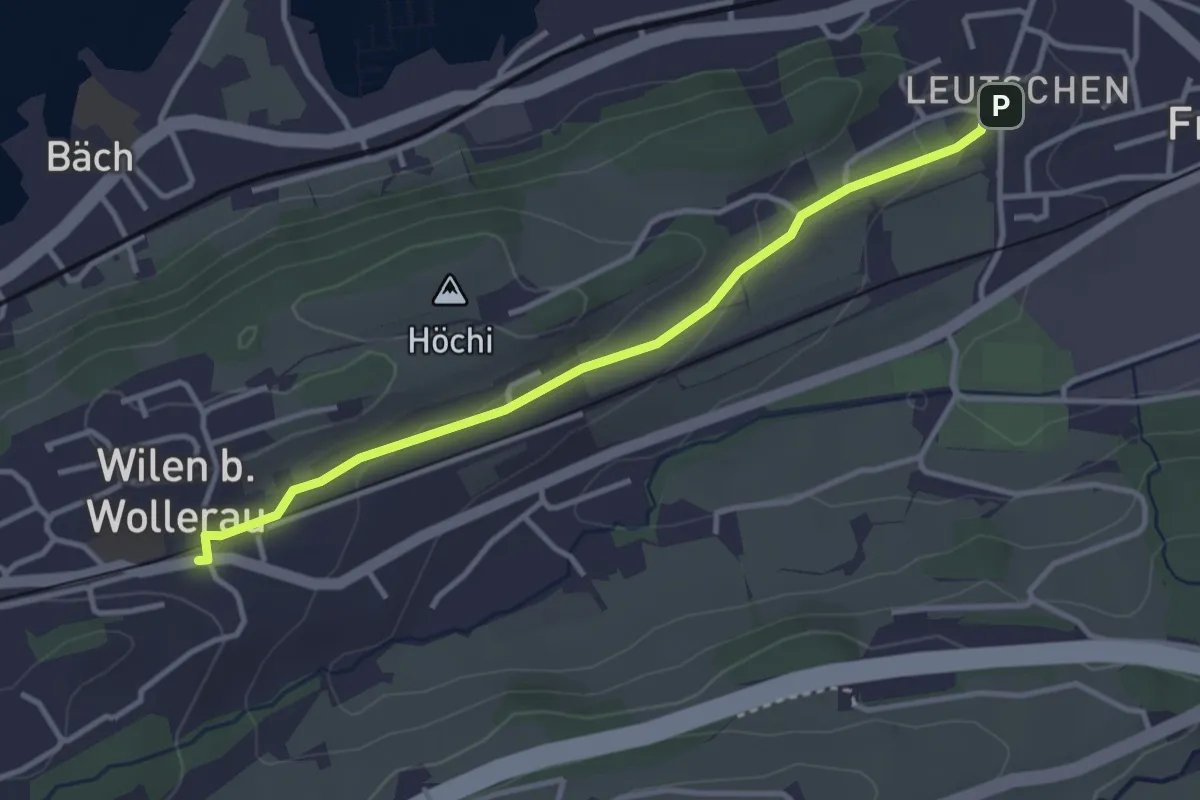
Easy · Trail
Wilen - Leutschen
3.4 km · ↑ 62 m · 56 min
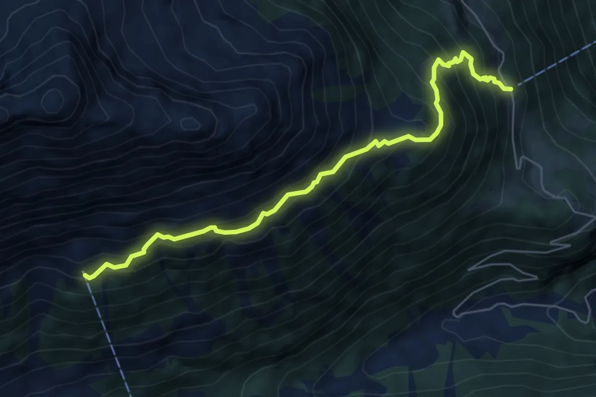
Demanding · Trail
Wilerli Grundbach
6.1 km · ↑ 771 m · 3 h 7 min