Trails in Switzerland
15,064 hiking trails, each with its route, climb, walking time and grade.
All trails, page 131 of 314
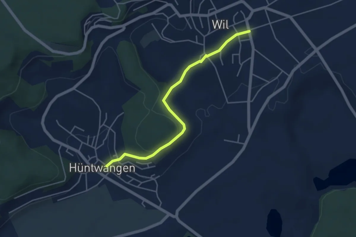
Easy · Trail
Wil - Hüntwangen
3.8 km · ↑ 164 m · 1 h 16 min
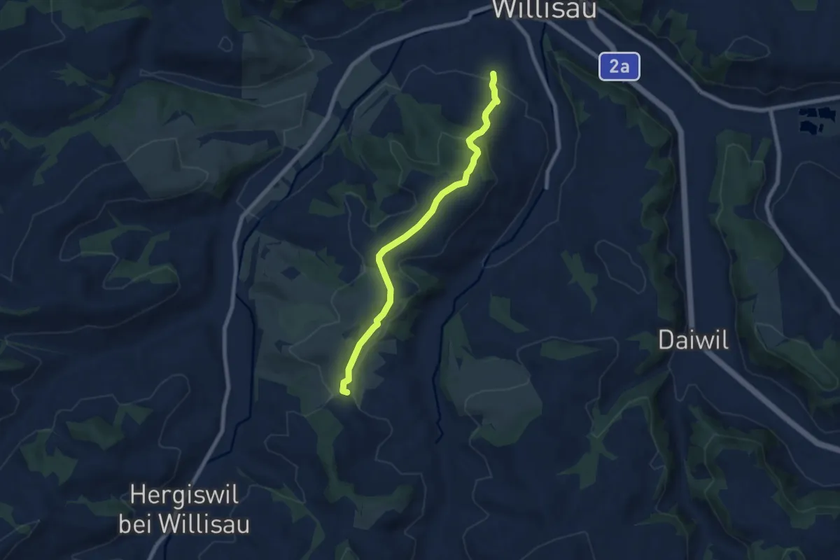
Easy · Trail
Wilisau Schlossfeld - Mörisegg
6.7 km · ↑ 175 m · 1 h 57 min
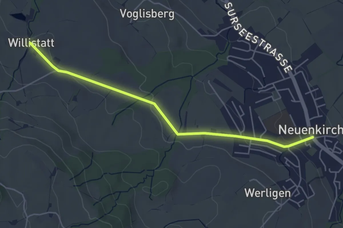
Easy · Trail
Wilistatt - Neuenkirch
4.5 km · ↑ 67 m · 1 h 13 min
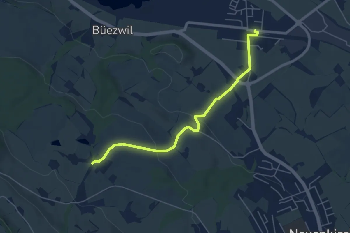
Easy · Trail
Wilistatt - Sempach Station
4.7 km · ↑ 107 m · 1 h 20 min
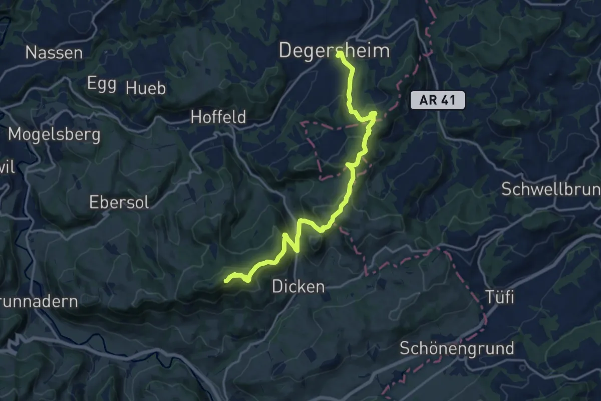
Demanding · Summit
Wilket-Gratweg
14.5 km · ↑ 946 m · 5 h 28 min
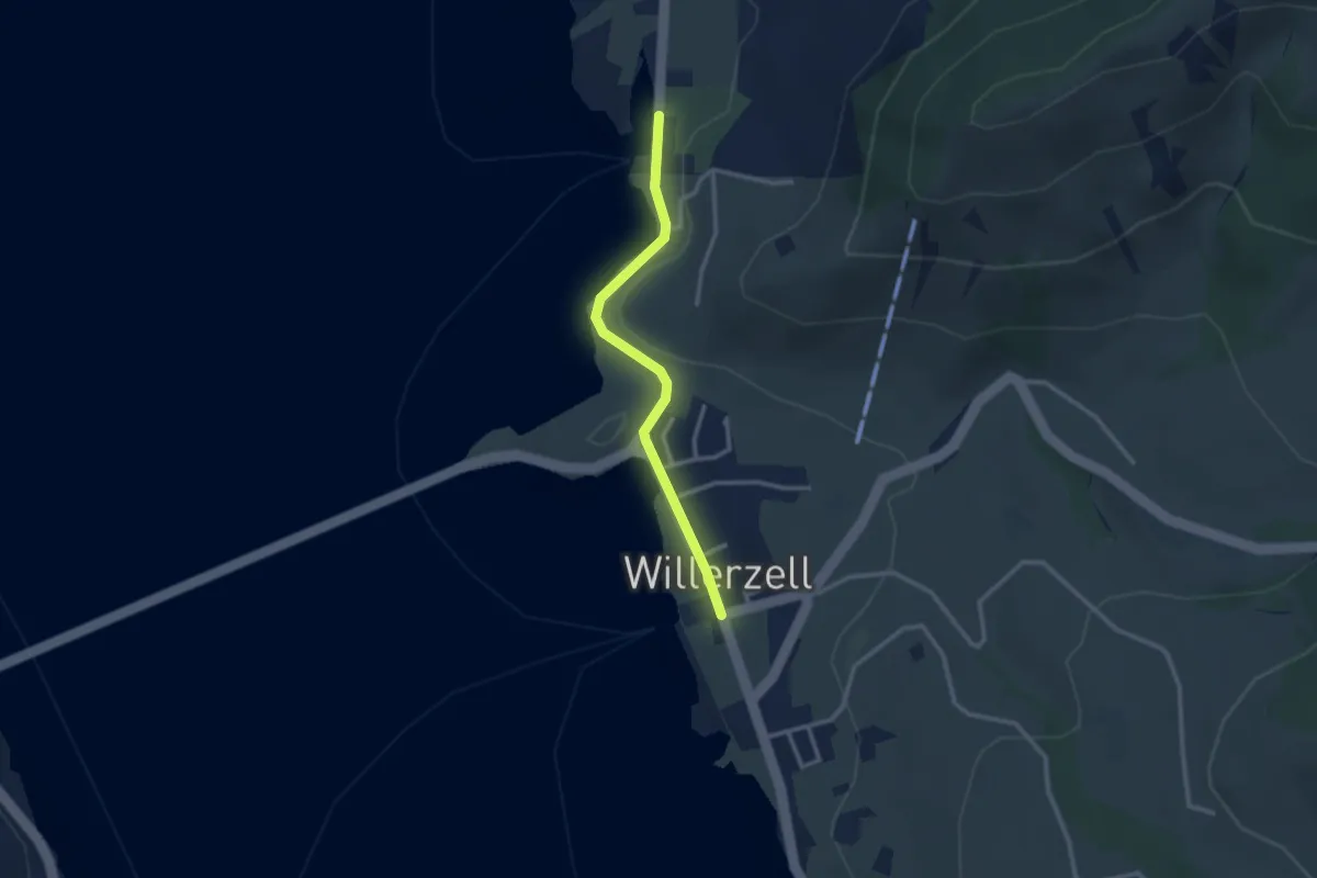
Easy · Trail
Willerzell - Büel (Grüen Aff)
2.5 km · ↑ 31 m · 40 min
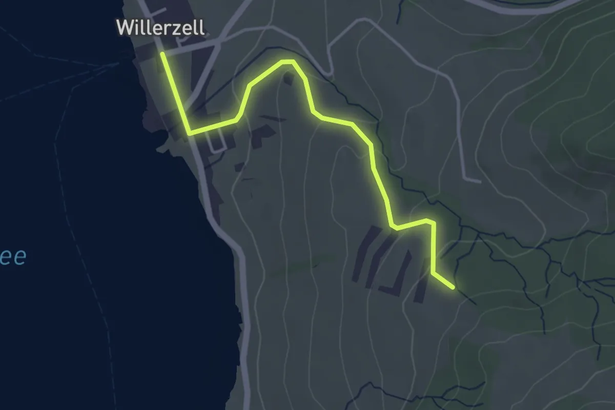
Easy · Trail
Willerzell - Geissweidli
3.7 km · ↑ 116 m · 1 h 7 min
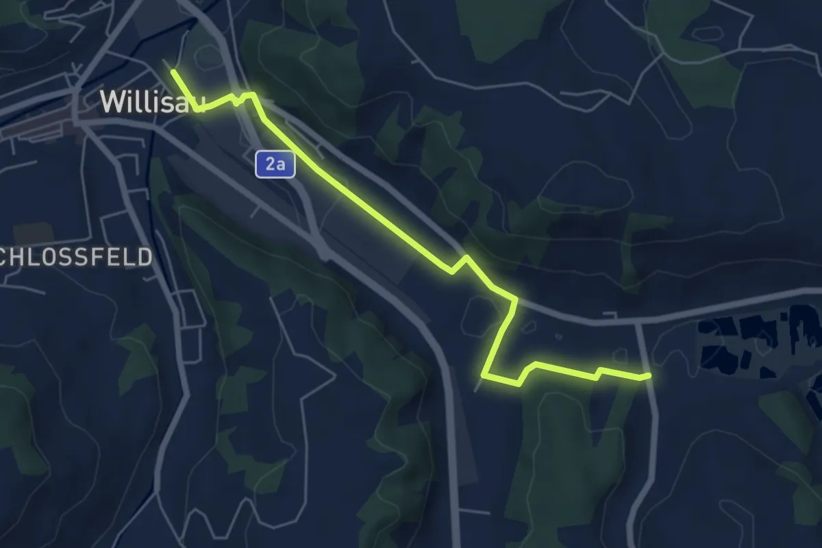
Easy · Trail
Willisau - Ostergau
5.6 km · ↑ 45 m · 1 h 25 min
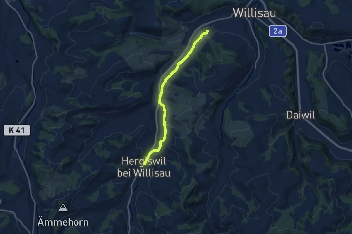
Medium · Trail
Willisau (Schwyzermatt) - Hergiswil
9.0 km · ↑ 104 m · 2 h 21 min
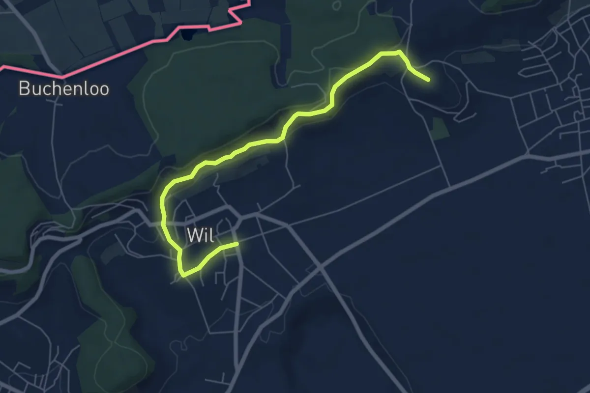
Easy · Trail
Wil - Schürlibuck
6.2 km · ↑ 230 m · 1 h 57 min
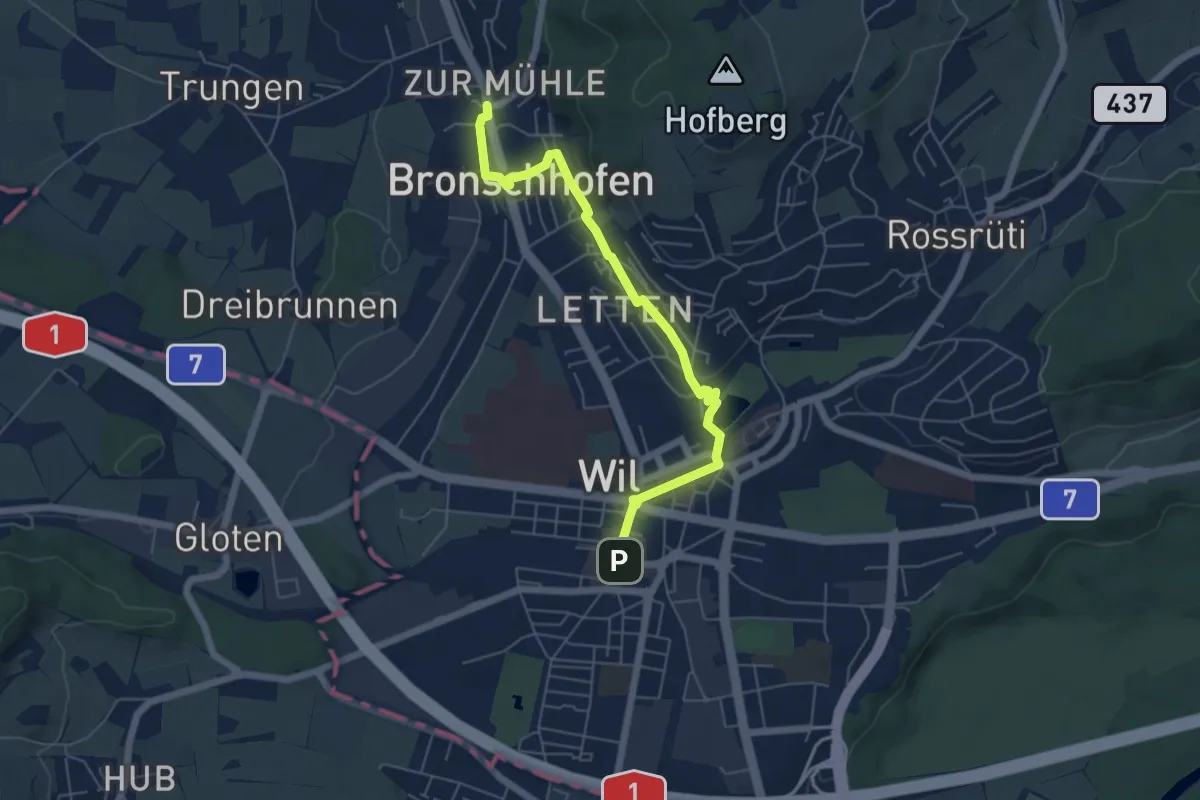
Easy · Trail
Wil - Stadtweiher - Bronschhofen
5.8 km · ↑ 96 m · 1 h 35 min
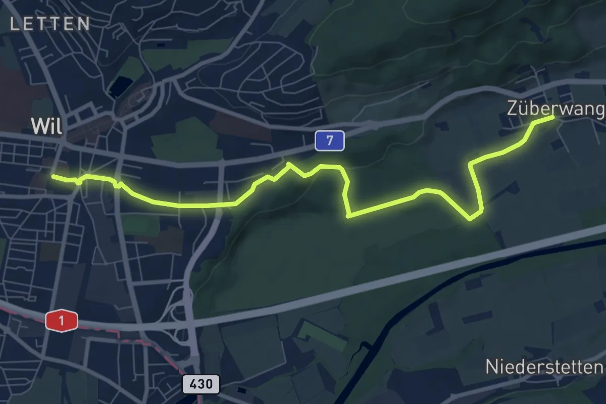
Medium · Trail
Wil - Züberwangen
8.6 km · ↑ 83 m · 2 h 13 min
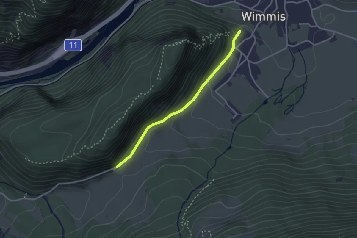
Easy · Trail
Wimmis/Schloss - Spissi
2.4 km · ↑ 145 m · 53 min
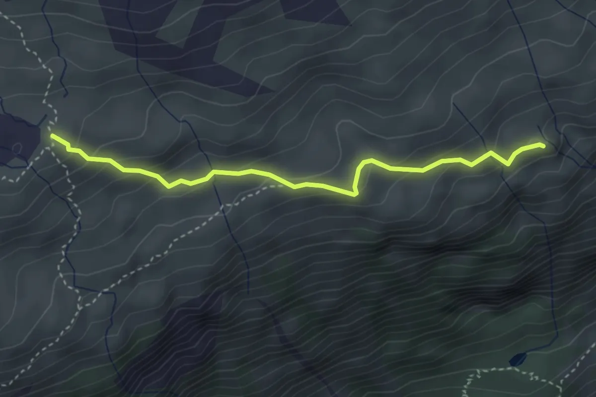
Medium · Cabin
Windgällenhütte - Öfeli
3.4 km · ↑ 245 m · 1 h 20 min
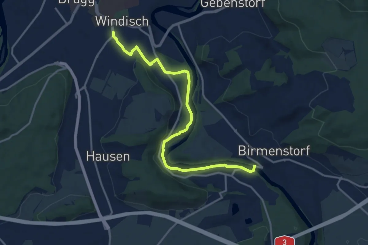
Medium · Trail
Windisch Gemeindehaus - Dägerli - Brücke Birmenstorf
9.9 km · ↑ 161 m · 2 h 41 min
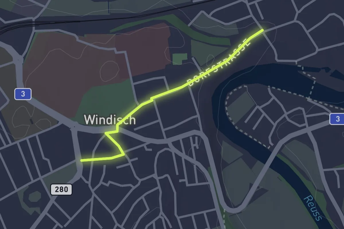
Easy · Trail
Windisch Gemeindehaus - Unterwindisch
2.3 km · ↑ 20 m · 36 min
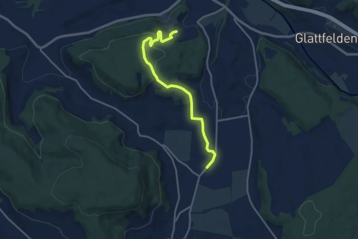
Medium · Trail
Windlach - Zweidlen
8.1 km · ↑ 227 m · 2 h 24 min
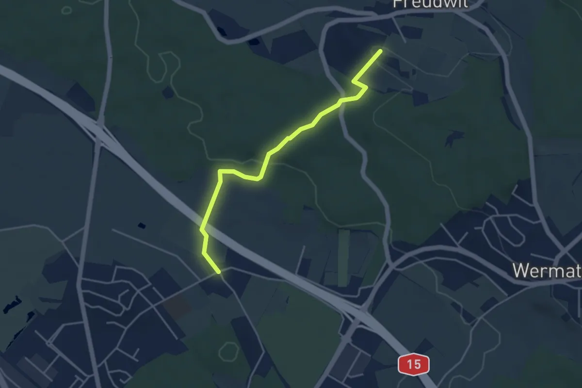
Easy · Trail
Winikon - Hooggen
3.7 km · ↑ 90 m · 1 h 5 min
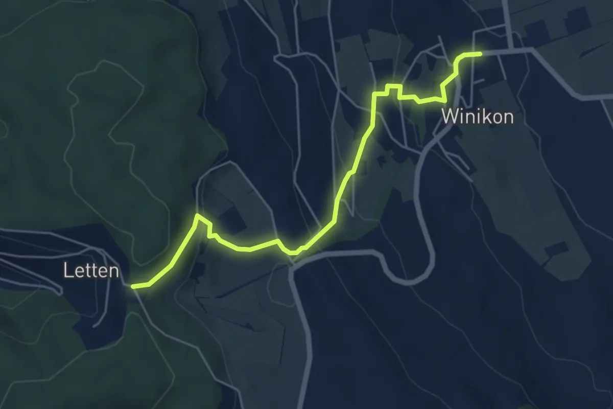
Easy · Trail
Winikon - Lätten
4.9 km · ↑ 230 m · 1 h 40 min
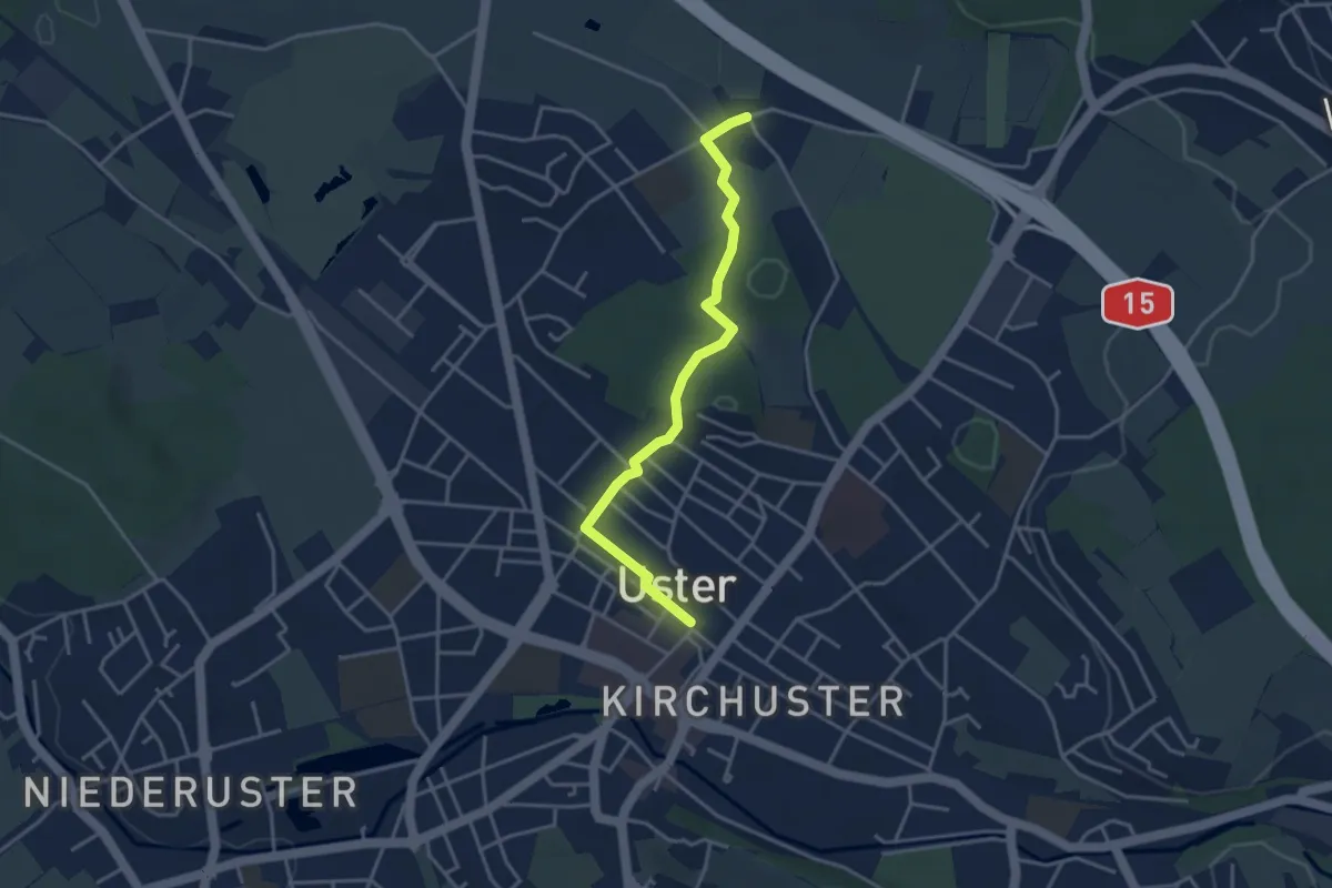
Easy · Trail
Winikon - Uster
3.6 km · ↑ 36 m · 56 min
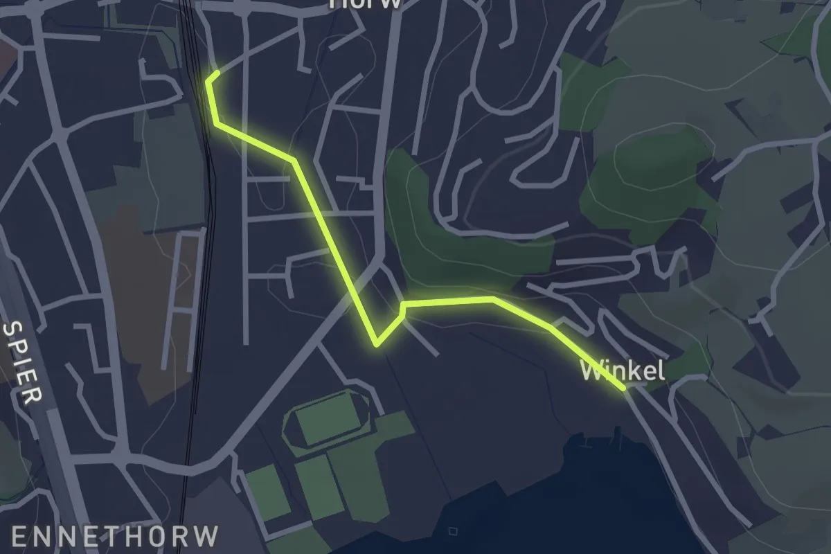
Easy · Trail
Winkel - Horw Bahnhof
2.2 km · ↑ 24 m · 35 min
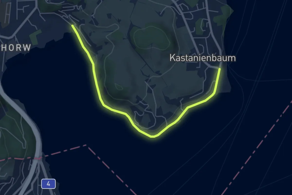
Easy · Trail
Winkel - Spissenegg
5.9 km · ↑ 48 m · 1 h 30 min
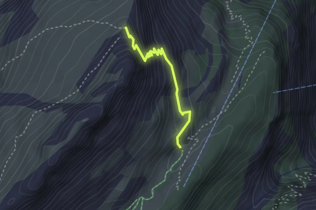
Demanding · Cabin
Winteregghütte - Gratsattel
2.4 km · ↑ 302 m · 1 h 13 min
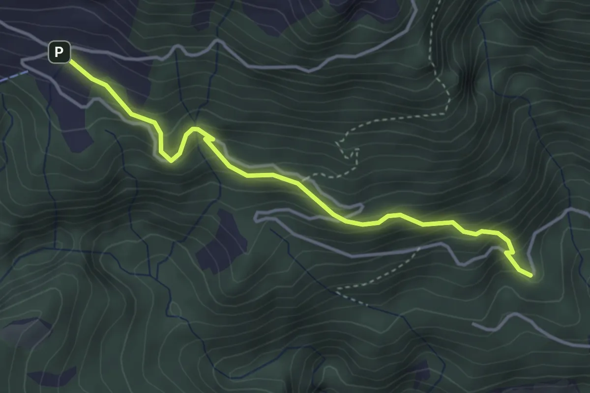
Medium · Trail
Winterhalten - Lütoldsmatt
3.8 km · ↑ 382 m · 1 h 43 min
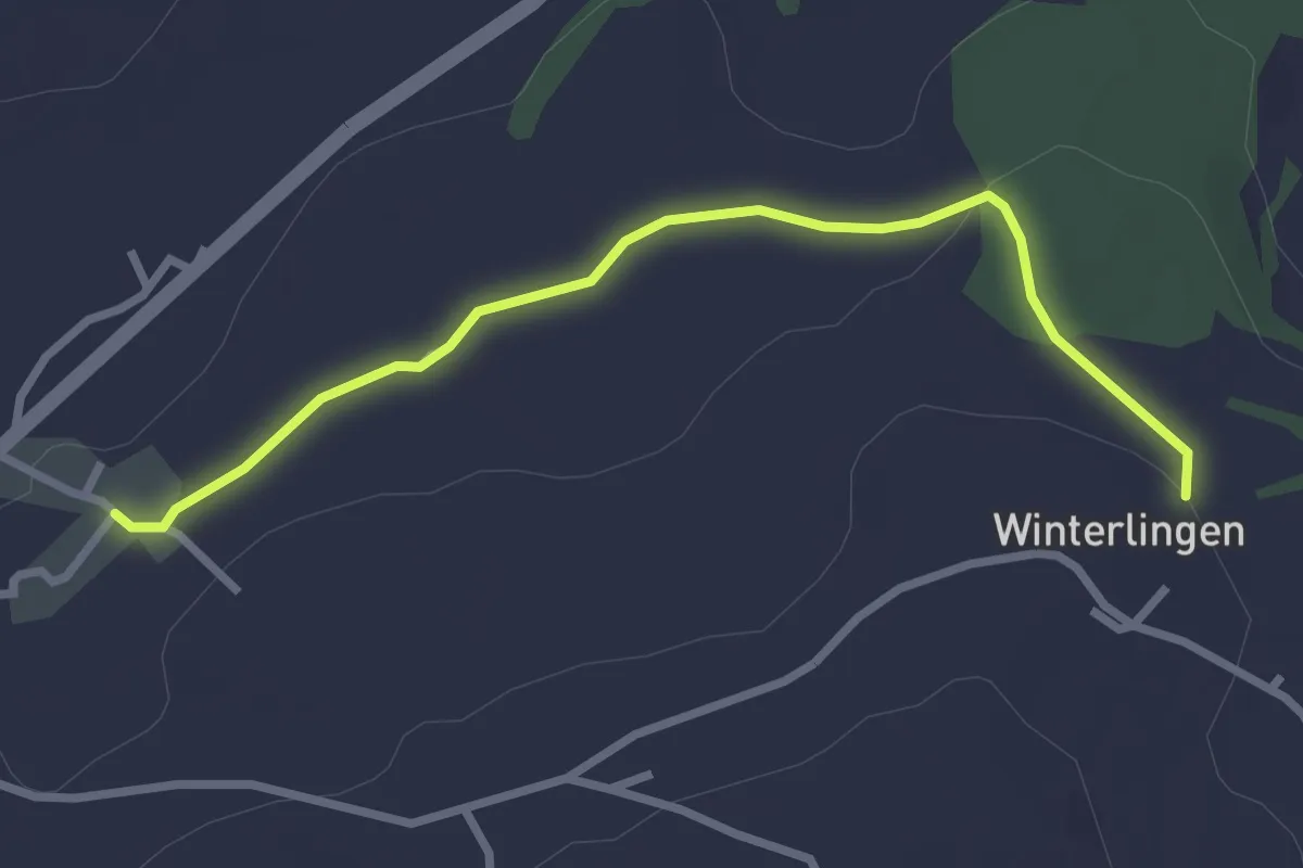
Easy · Trail
Winterlingen - Niedermonten
2.9 km · ↑ 43 m · 47 min
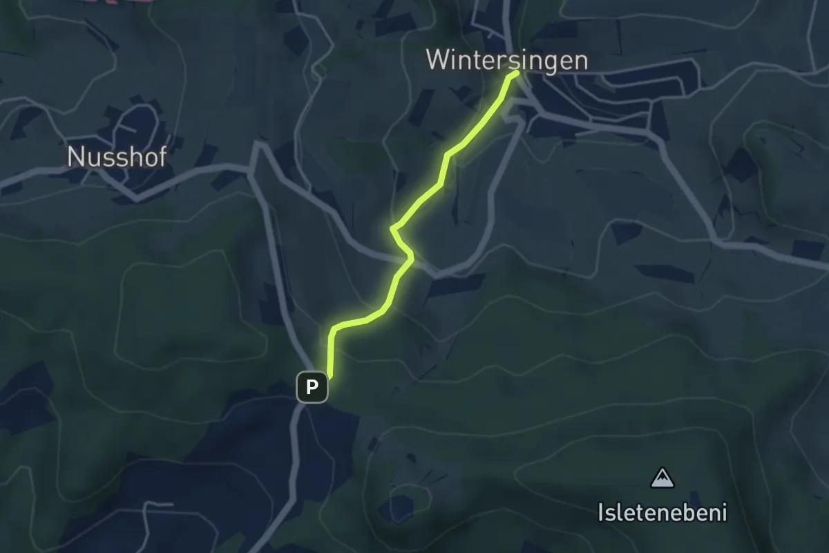
Easy · Trail
Wintersingerhöchi - fixme
3.0 km · ↑ 174 m · 1 h 5 min
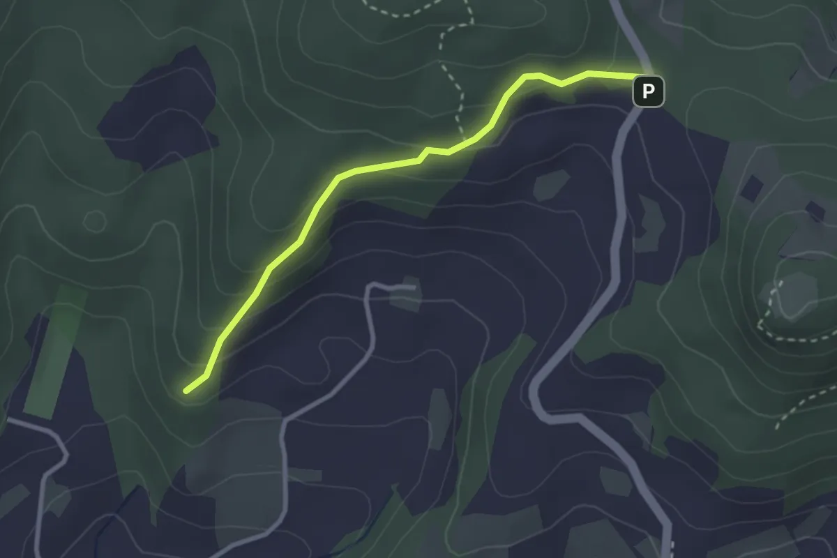
Easy · Trail
Wintersingerhöchi - fixme
2.7 km · ↑ 163 m · 1 h
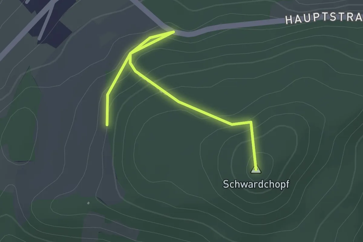
Easy · Summit
Wintersingerhöchi - Hard
2.5 km · ↑ 131 m · 53 min
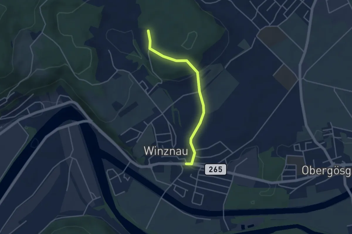
Easy · Trail
Winznau - Balmis
3.3 km · ↑ 86 m · 57 min
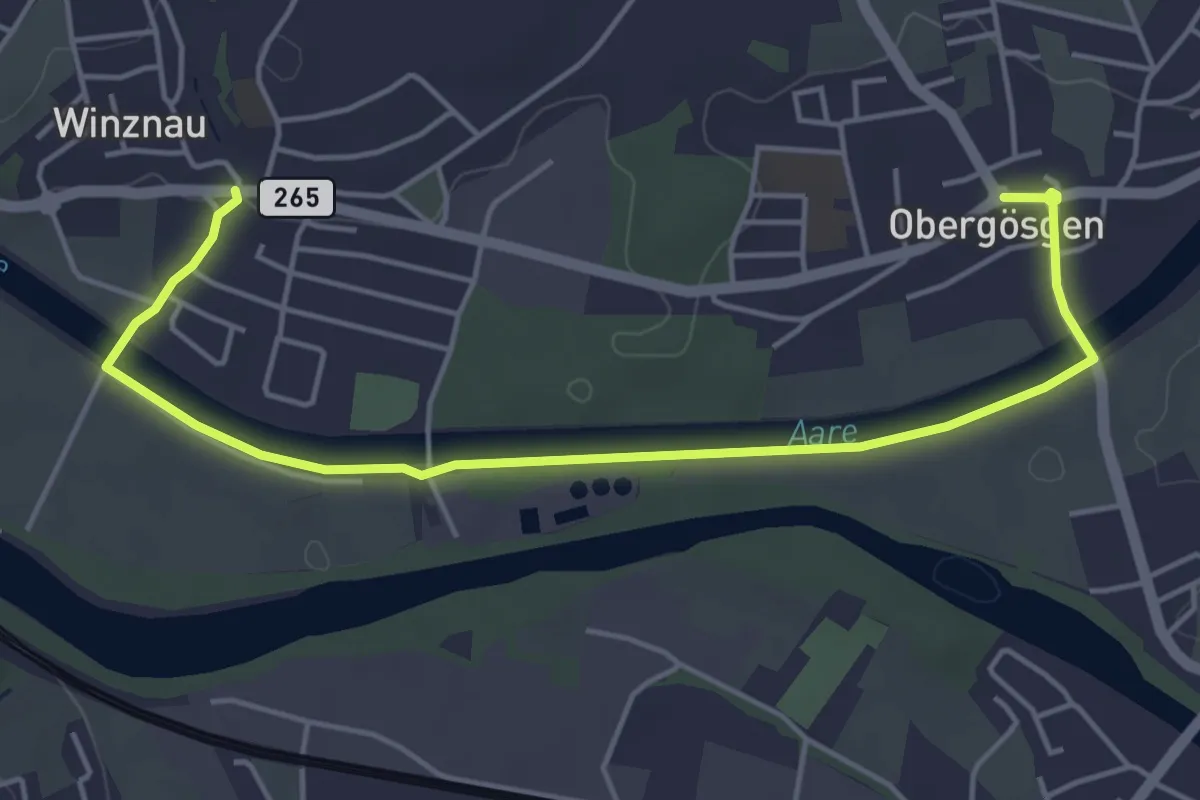
Easy · Trail
Winznau - Obergösgen
5.4 km · ↑ 27 m · 1 h 20 min
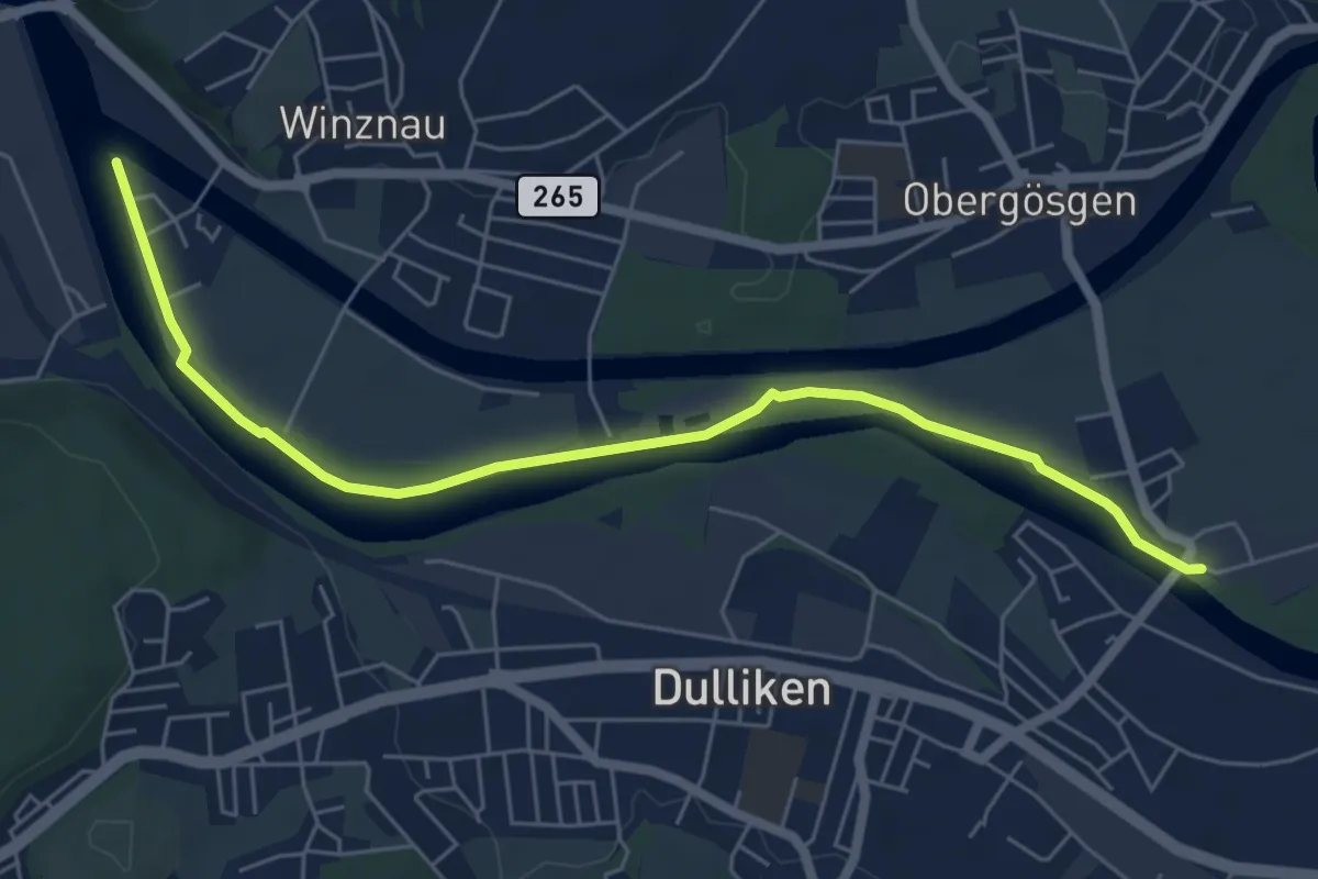
Easy · Trail
Winznau Stauwehr - Ob. Gösgen Schachen
6.4 km · ↑ 4 m · 1 h 31 min
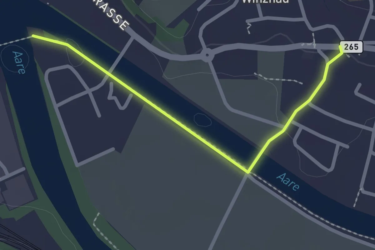
Easy · Trail
Winznau - Winznau Stauwehr
2.1 km · ↑ 18 m · 32 min
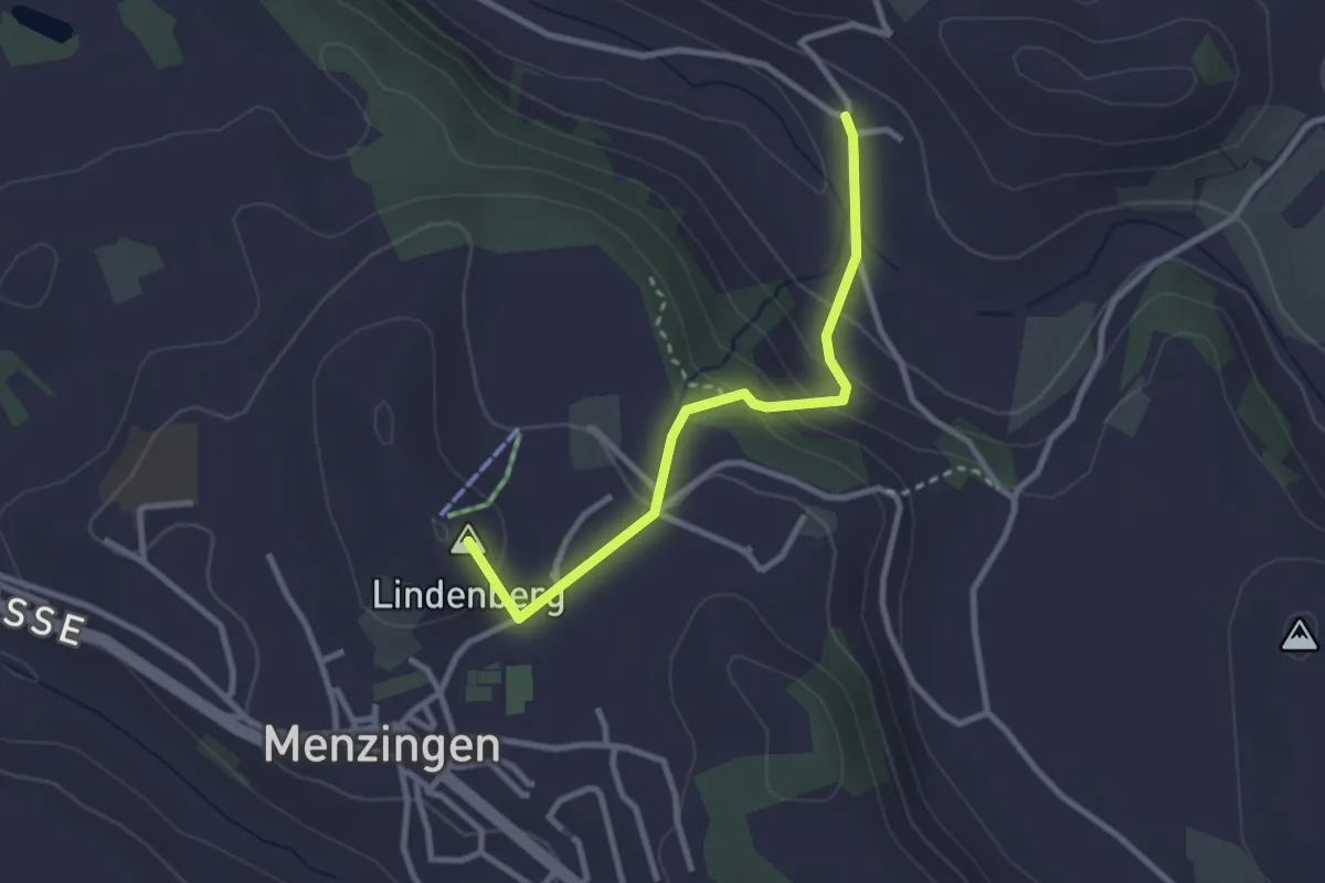
Easy · Summit
Winzwilen - Menzingen
2.7 km · ↑ 152 m · 57 min
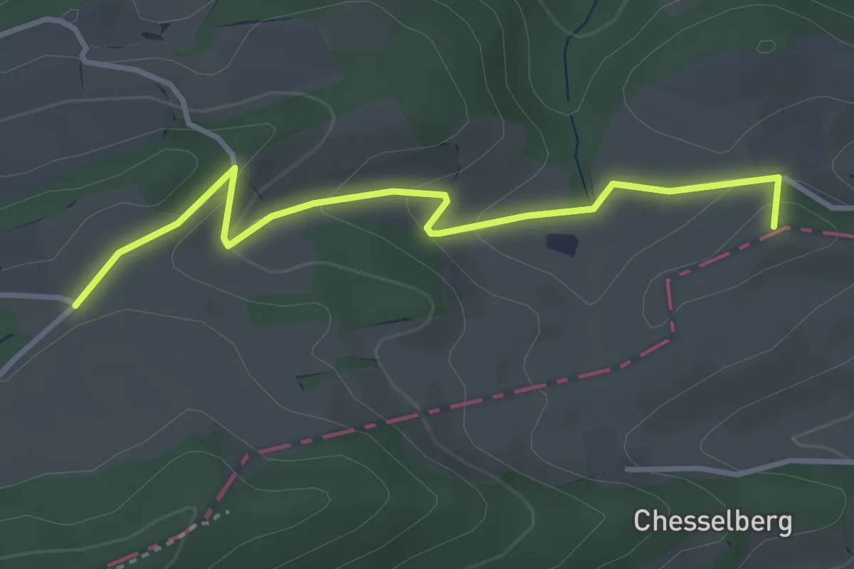
Easy · Summit
Wirblingen - Hauenstein
3.5 km · ↑ 140 m · 1 h 7 min
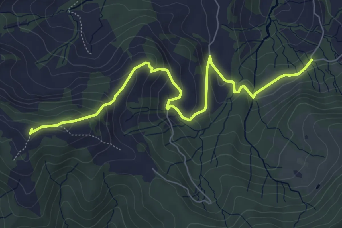
Easy · Trail
Wiselegg - Gueteregg
6.7 km · ↑ 309 m · 2 h 15 min
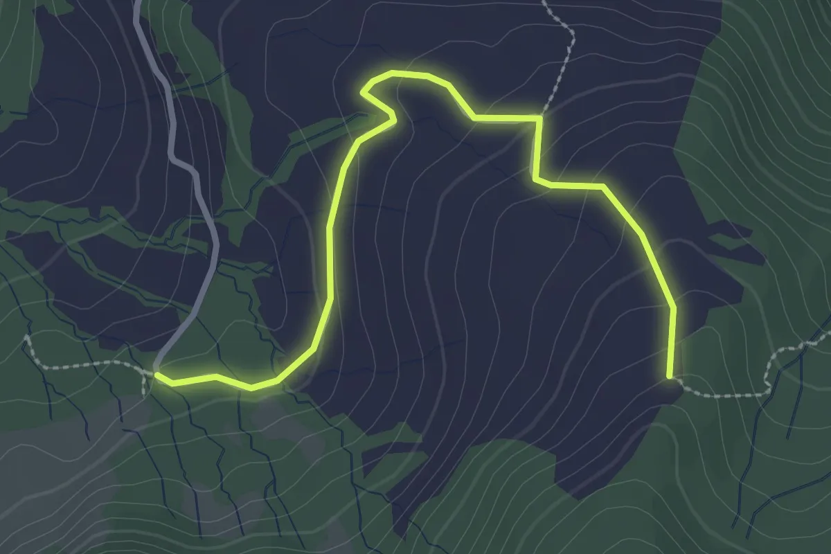
Easy · Trail
Wiselegg - Ruchweid
3.0 km · ↑ 141 m · 1 h
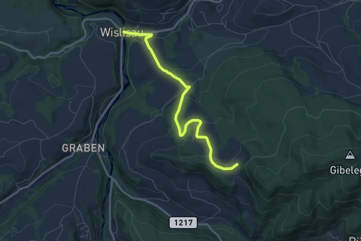
Easy · Trail
Wislisau - Feli
7.0 km · ↑ 263 m · 2 h 13 min
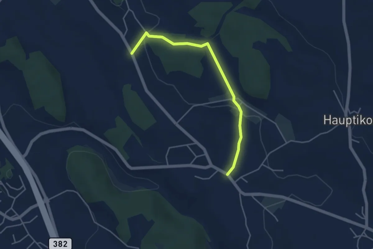
Easy · Trail
Wissenbach - Rossau
3.5 km · ↑ 59 m · 58 min
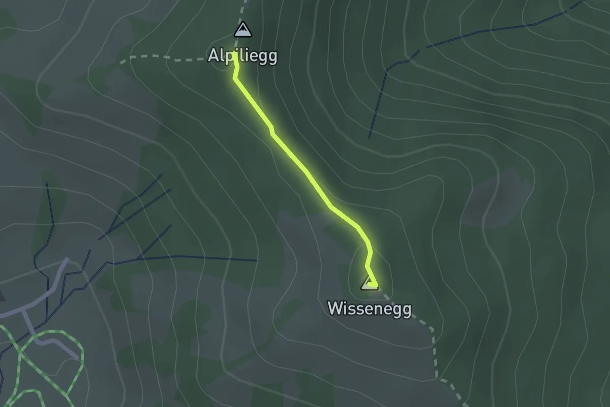
Medium · Summit
Wissenegg - Alpiliegg
1.3 km · ↑ 49 m · 24 min
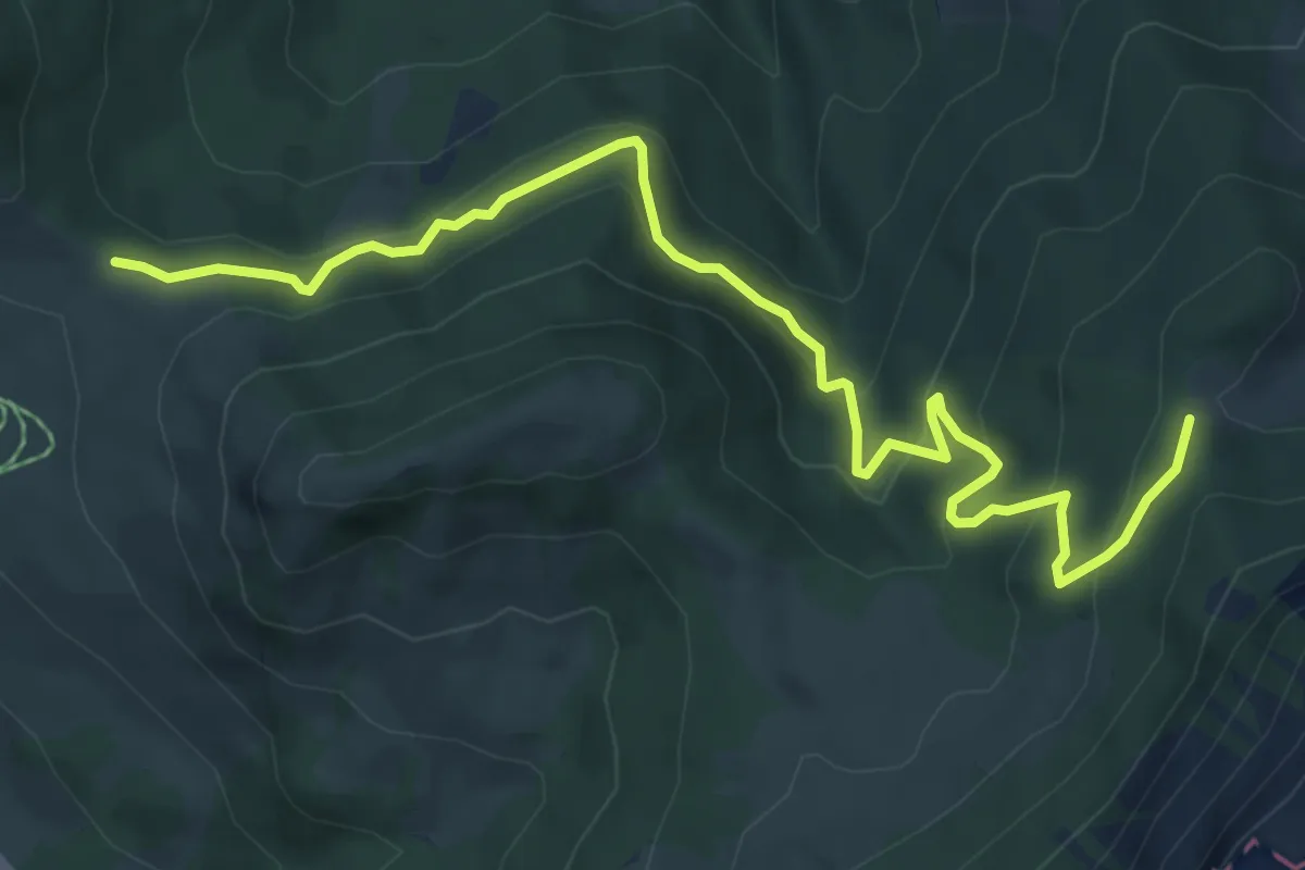
Medium · Trail
Wissenegg - Risetenegg
7.4 km · ↑ 418 m · 2 h 39 min
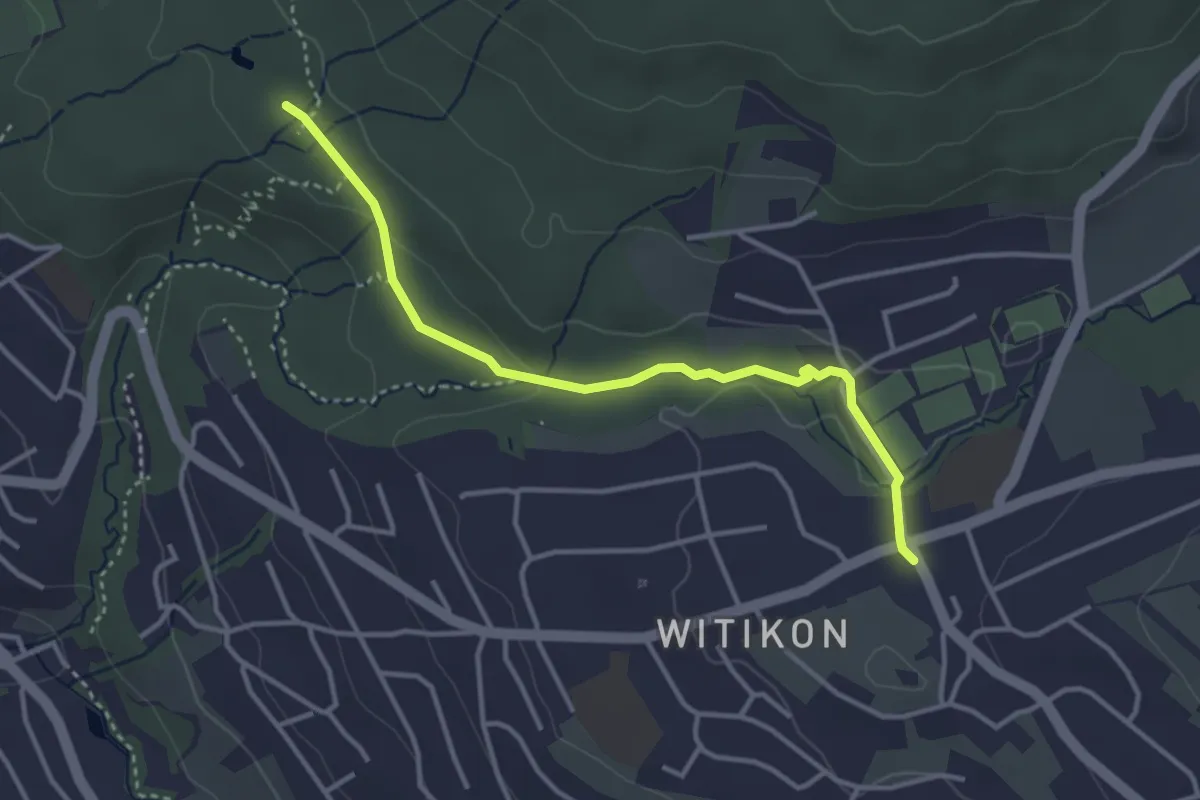
Easy · Trail
Witikon - Degenried
3.5 km · ↑ 57 m · 57 min
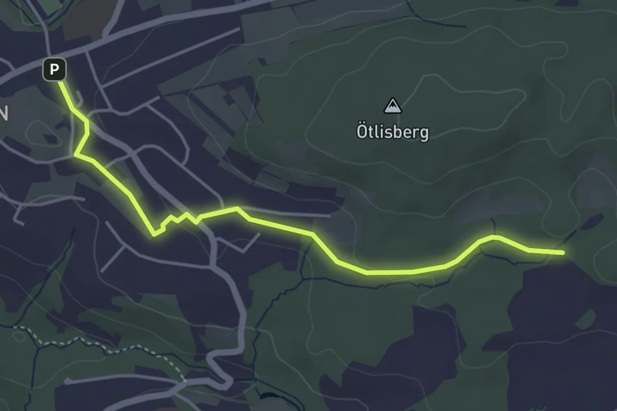
Easy · Trail
Witikon - Detschwingen
4.2 km · ↑ 50 m · 1 h 7 min
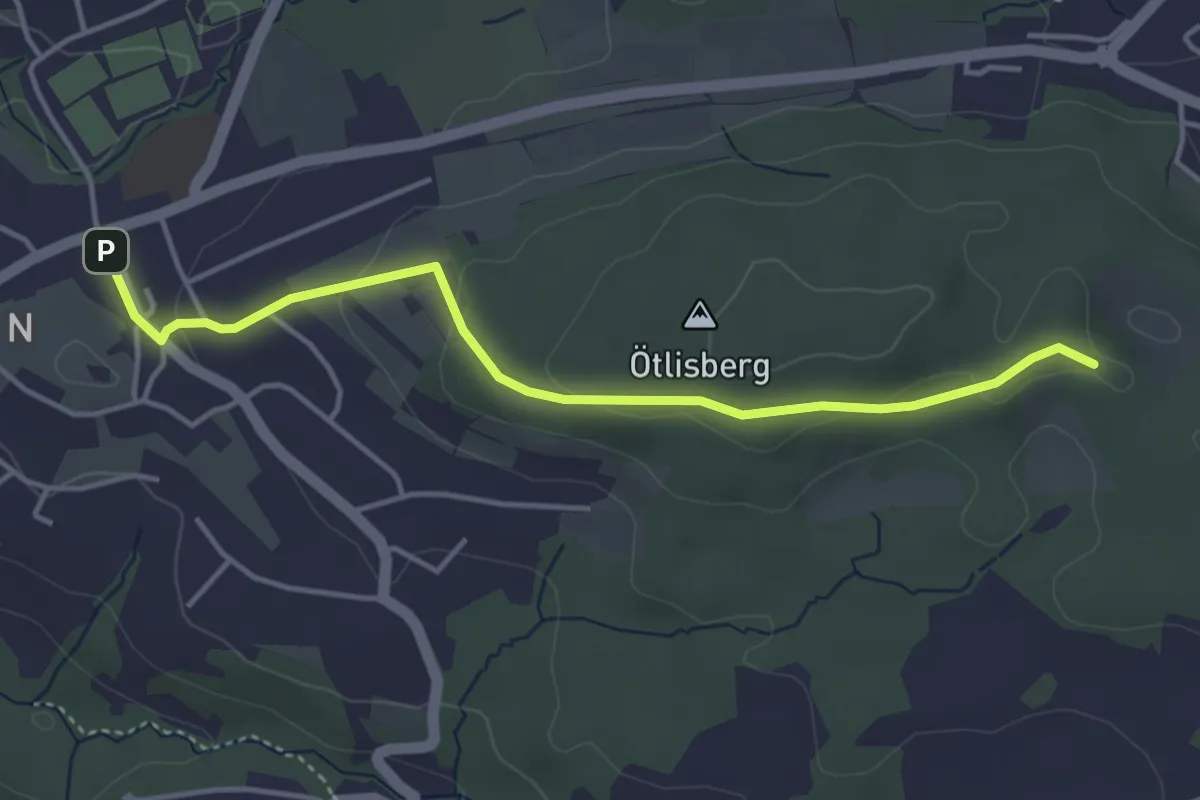
Easy · Trail
Witikon - Fridlimatt
4.1 km · ↑ 106 m · 1 h 12 min
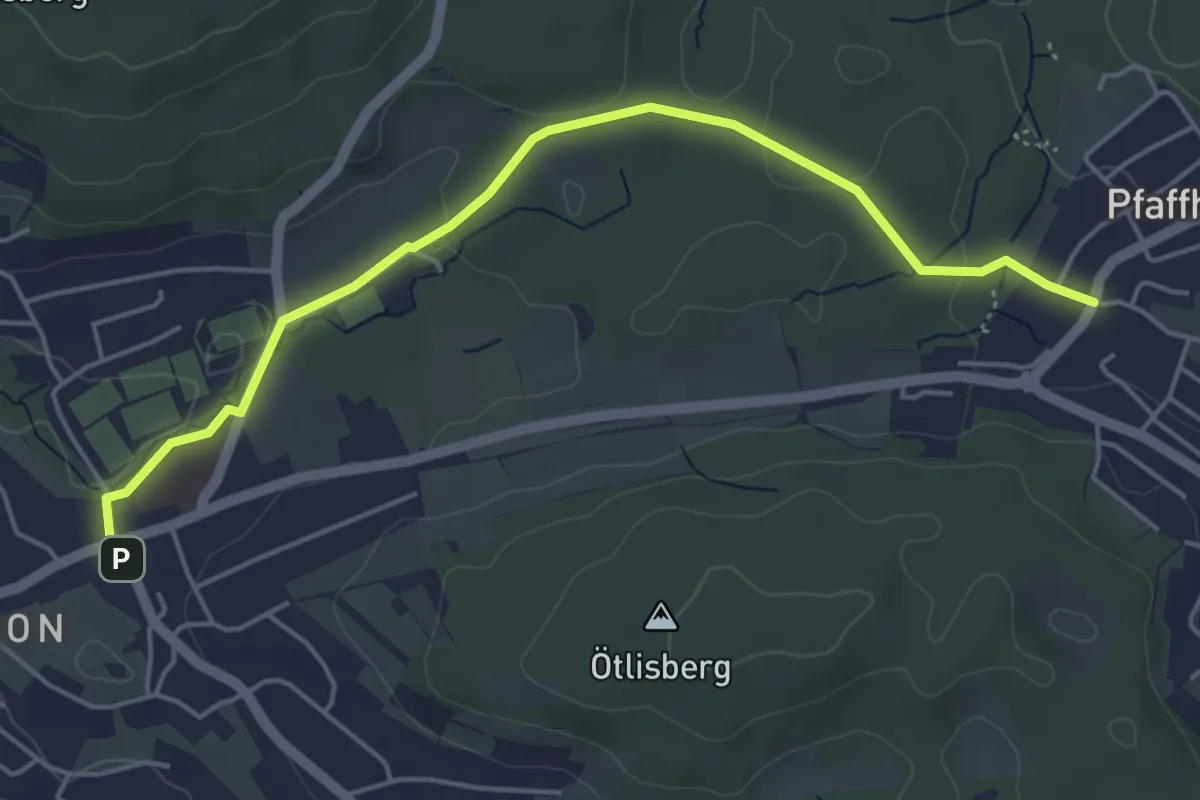
Easy · Trail
Witikon - Pfaffhausen
5.1 km · ↑ 77 m · 1 h 22 min
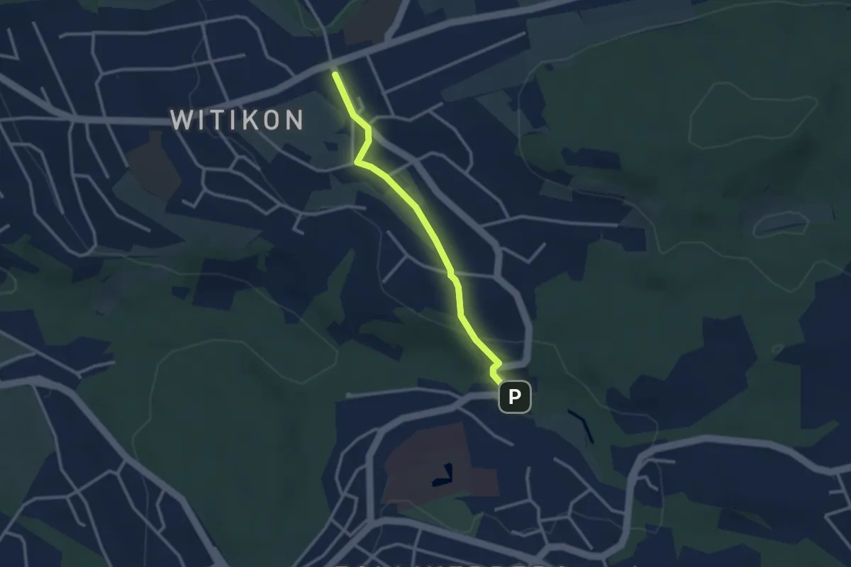
Easy · Trail
Witikon - Trichtenhusen
2.5 km · ↑ 40 m · 41 min
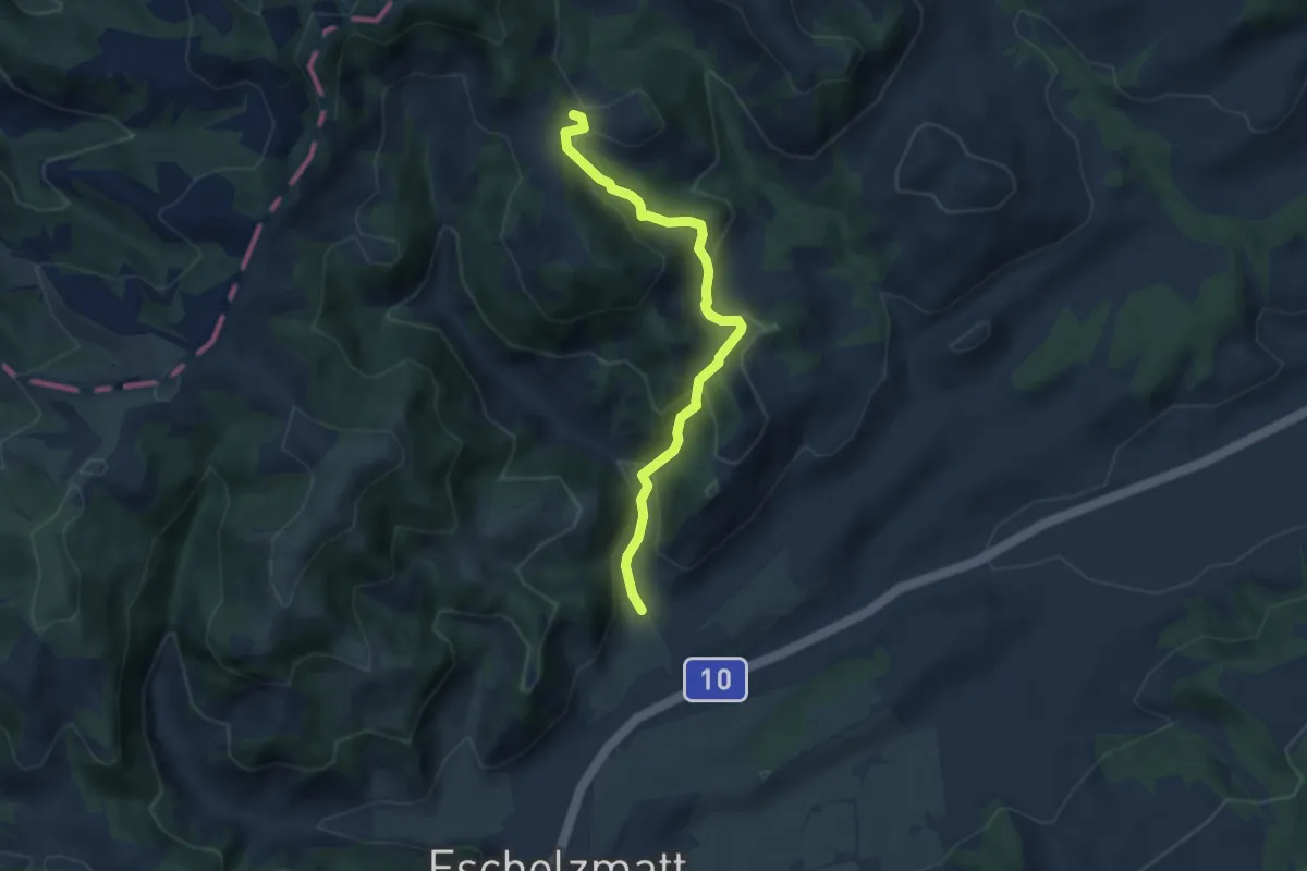
Easy · Trail
Wittenschwändi - Schwandacher
6.0 km · ↑ 319 m · 2 h 6 min
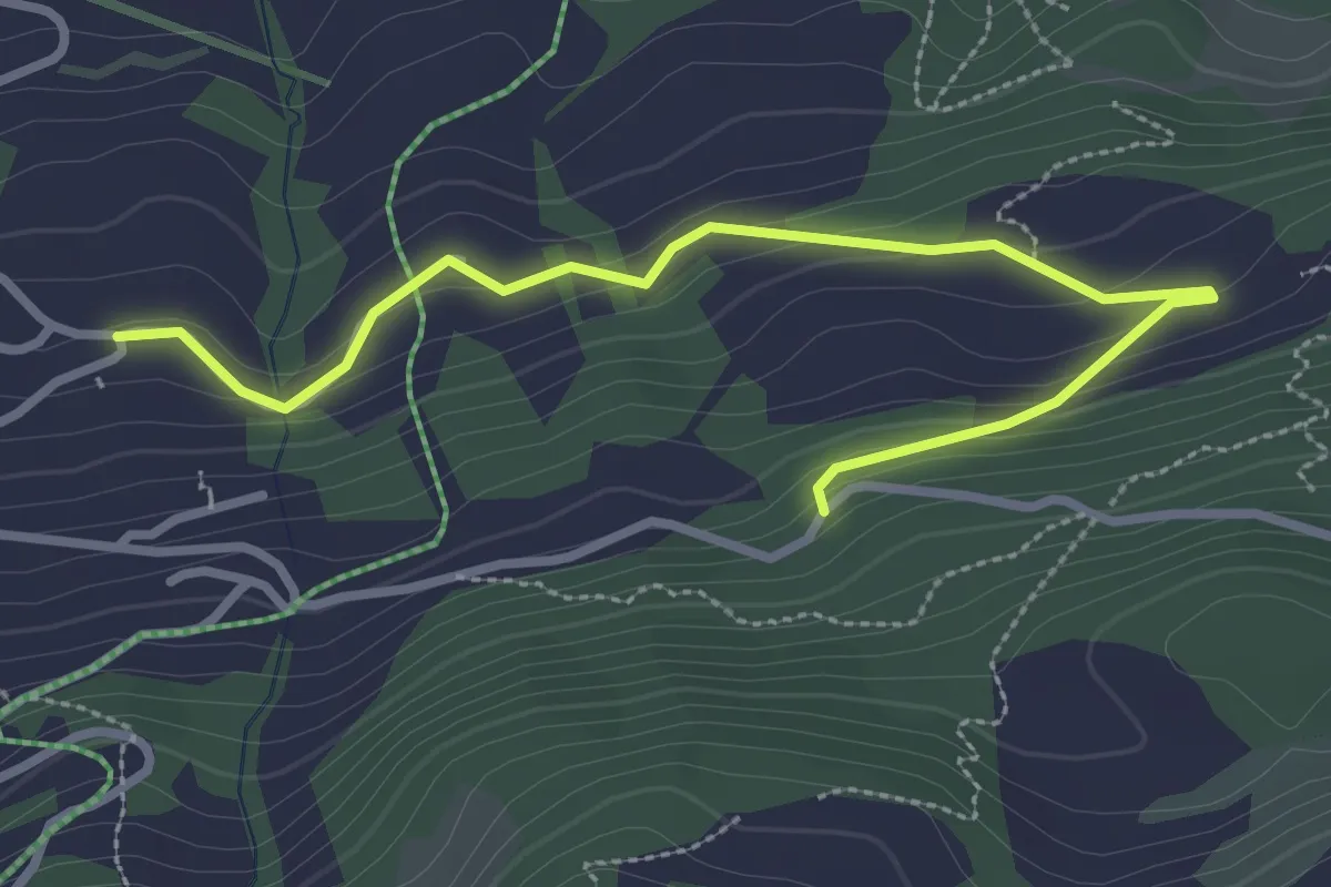
Easy · Trail
Witzeweg
3.3 km · ↑ 126 m · 1 h 3 min
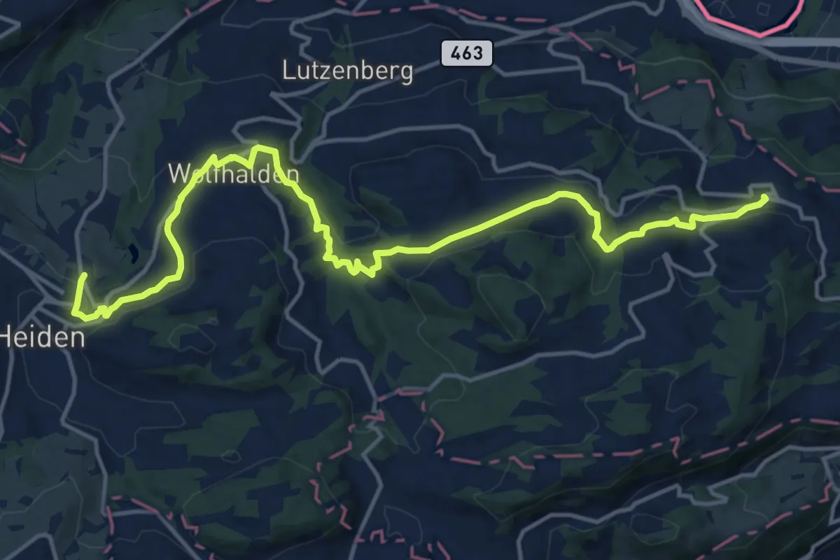
Medium · Trail
Witzweg
15.8 km · ↑ 539 m · 4 h 54 min