Trails in Switzerland
15,064 hiking trails, each with its route, climb, walking time and grade.
All trails, page 132 of 314
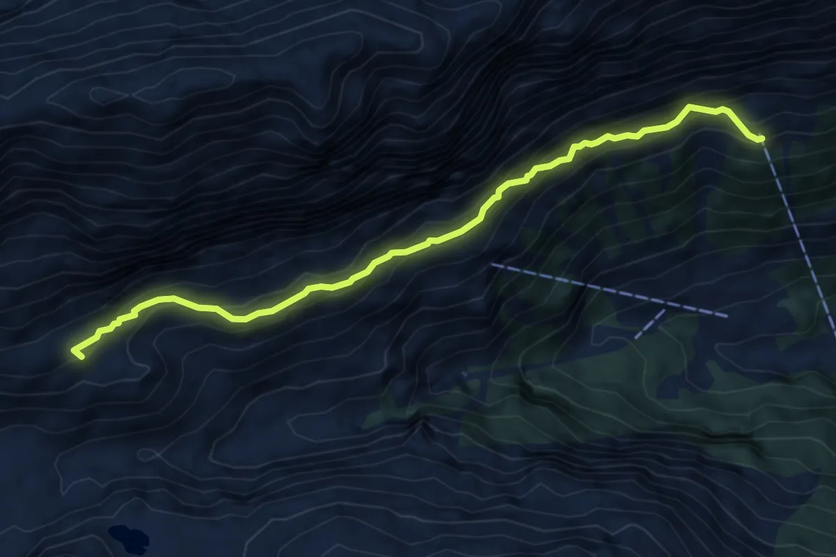
Demanding · Summit
Wllerli Grundbach
6.5 km · ↑ 483 m · 2 h 35 min
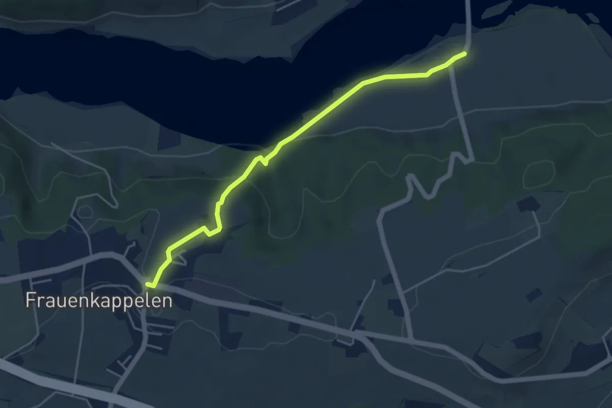
Easy · Trail
Wohlei - Frauenkappelen/Post
4.2 km · ↑ 160 m · 1 h 21 min
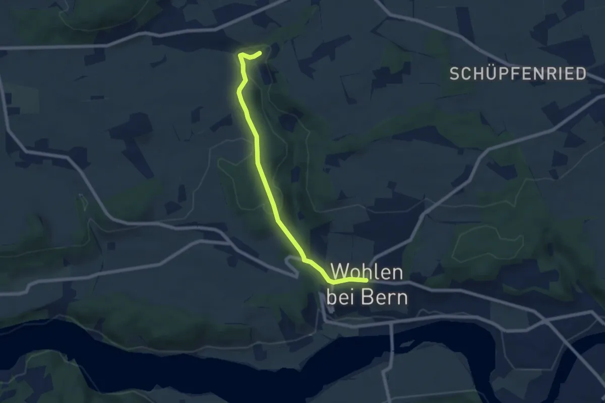
Easy · Trail
Wohlen - Grabenmüli
5.8 km · ↑ 156 m · 1 h 42 min
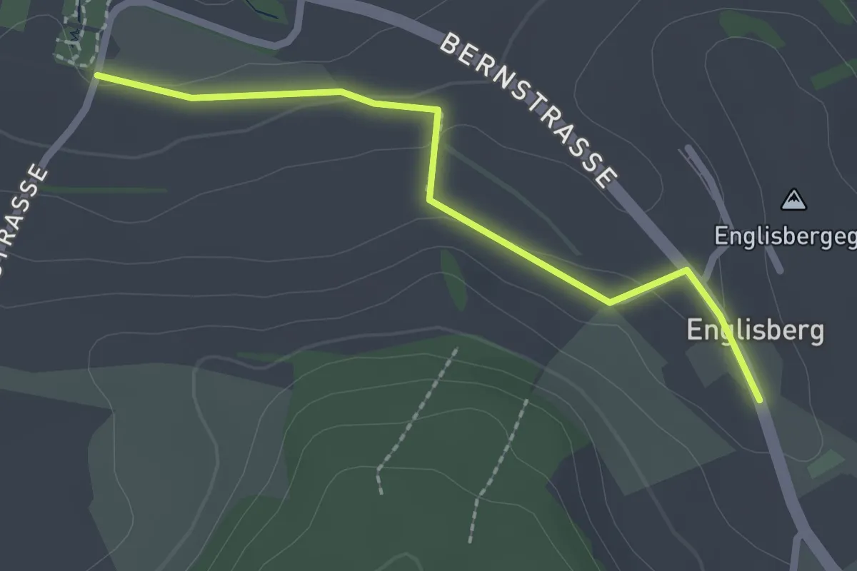
Easy · Trail
Wohnheim Kühlewil - Englisberg
2.1 km · ↑ 42 m · 36 min
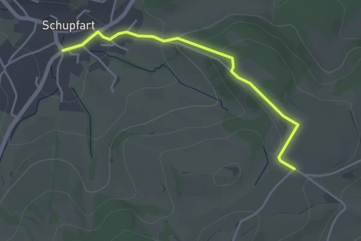
Easy · Trail
Wolberg - Schupfart Postauto
3.2 km · ↑ 104 m · 59 min
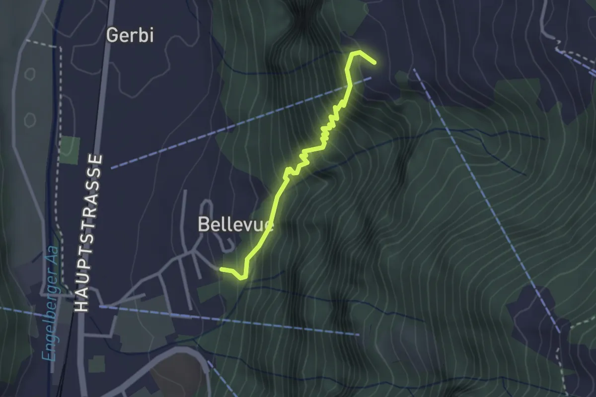
Medium · Trail
Wolfenschiessen - Grunggis
2.4 km · ↑ 367 m · 1 h 22 min
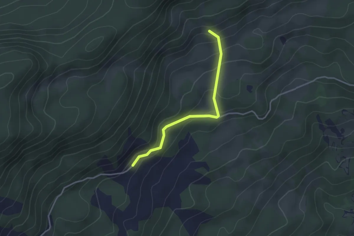
Easy · Trail
Wolfetsmatt - Ritzenmatt
2.8 km · ↑ 175 m · 1 h 2 min
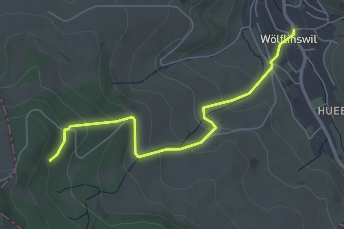
Easy · Trail
Wölflinswil - Lammetholz
4.5 km · ↑ 194 m · 1 h 29 min
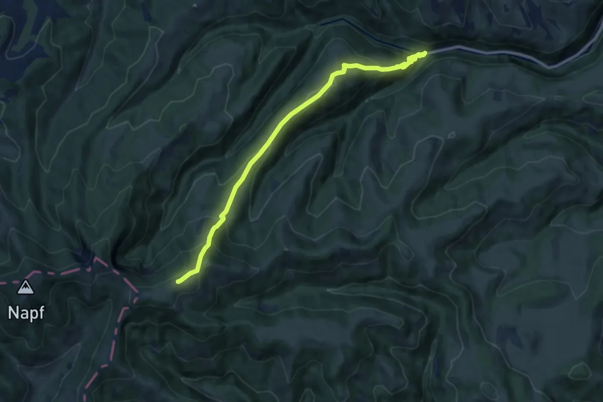
Medium · Trail
Wolf - Oberänzi
8.8 km · ↑ 633 m · 3 h 27 min
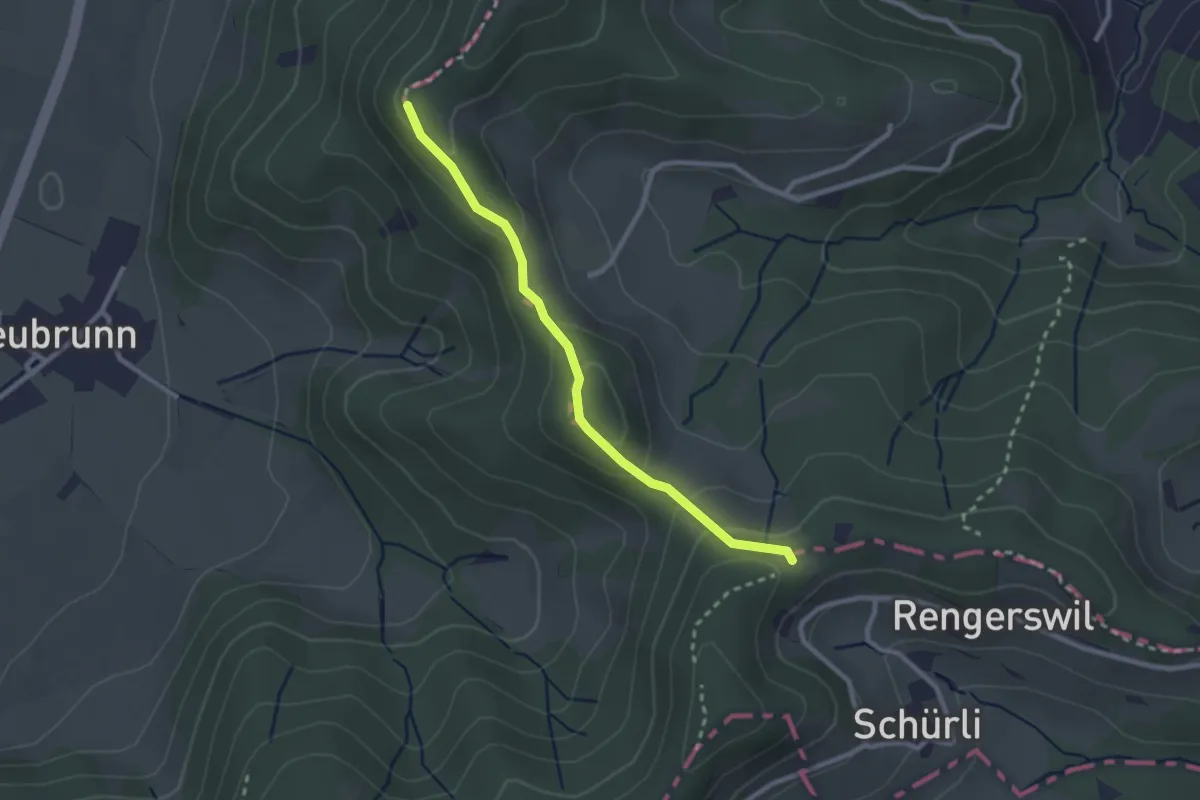
Easy · Trail
Wolfsgrueb-Chabishaupt
2.4 km · ↑ 102 m · 47 min
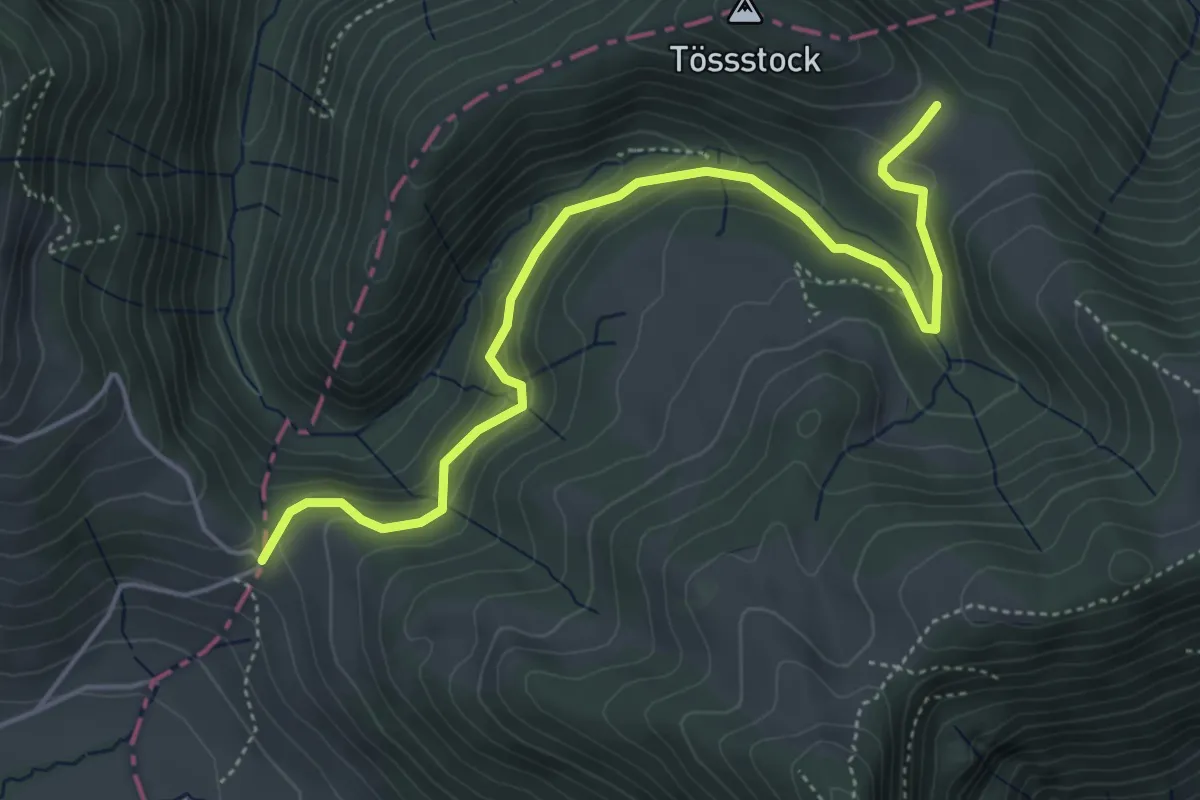
Easy · Trail
Wolfsgrueb-Schwämi
5.2 km · ↑ 260 m · 1 h 47 min
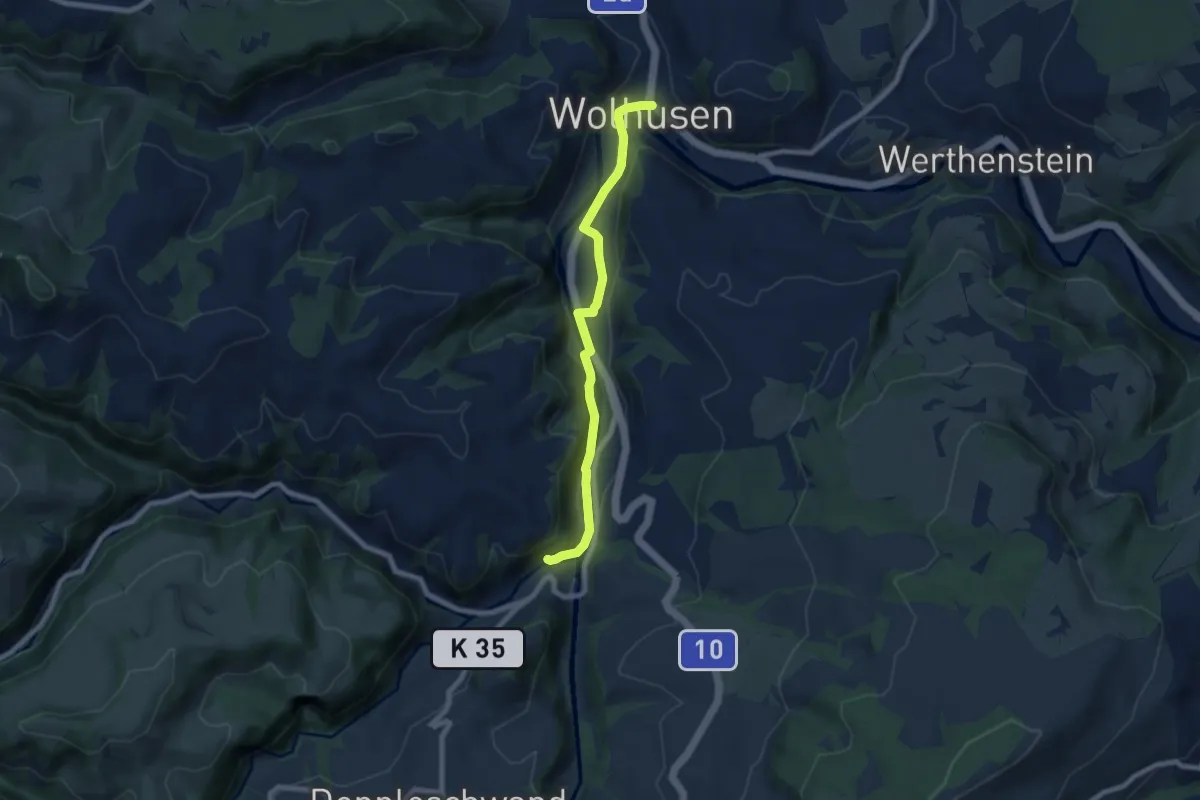
Easy · Trail
Wolhusen - Bruggmatt
7.1 km · ↑ 163 m · 2 h 2 min
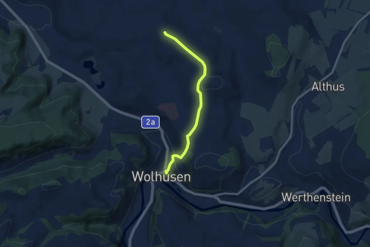
Easy · Trail
Wolhusen - Bueche
5.2 km · ↑ 172 m · 1 h 36 min
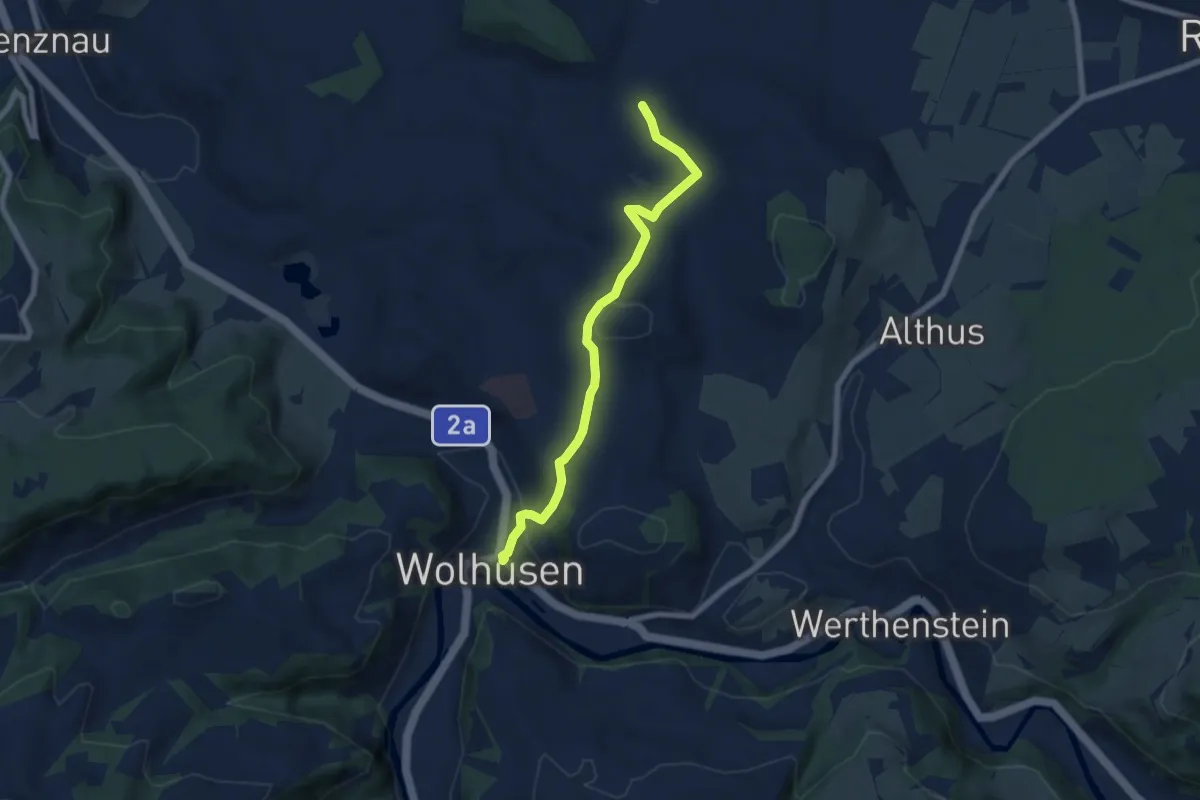
Easy · Trail
Wolhusen - Buholz
6.6 km · ↑ 233 m · 2 h 4 min
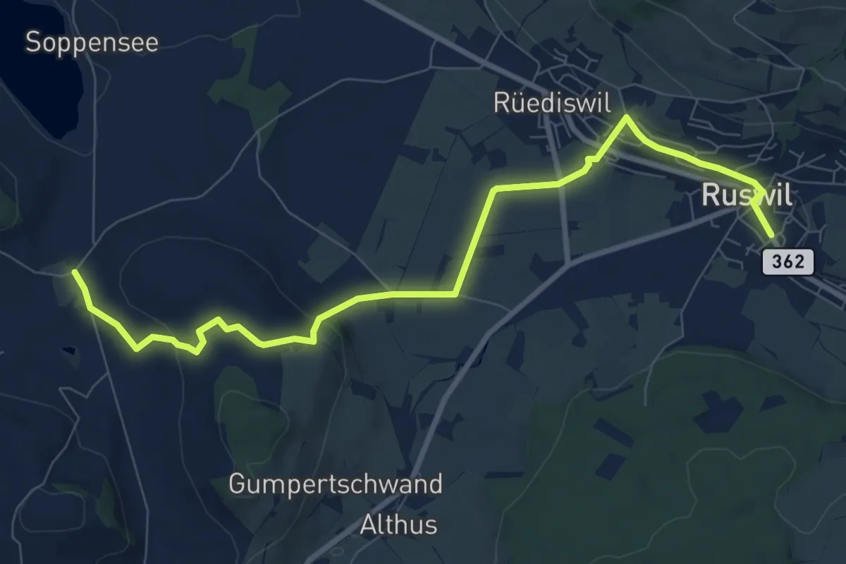
Medium · Trail
Wolhusen - Buholz
9.4 km · ↑ 243 m · 2 h 45 min
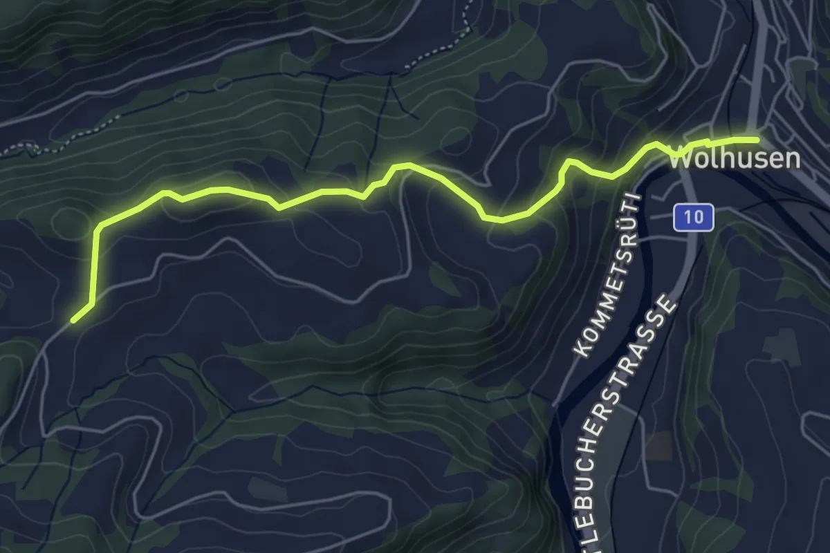
Easy · Trail
Wolhusen - Hasenschwand
5.2 km · ↑ 271 m · 1 h 50 min
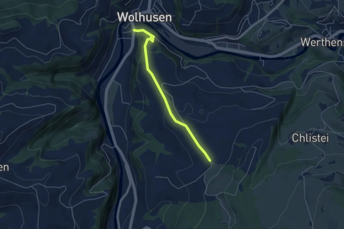
Easy · Trail
Wolhusen - Obermoos
4.2 km · ↑ 147 m · 1 h 18 min
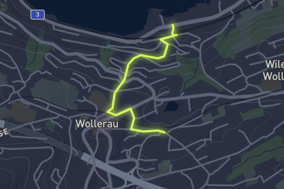
Easy · Trail
Wollerau - Bäch Bahnhof
2.7 km · ↑ 107 m · 52 min
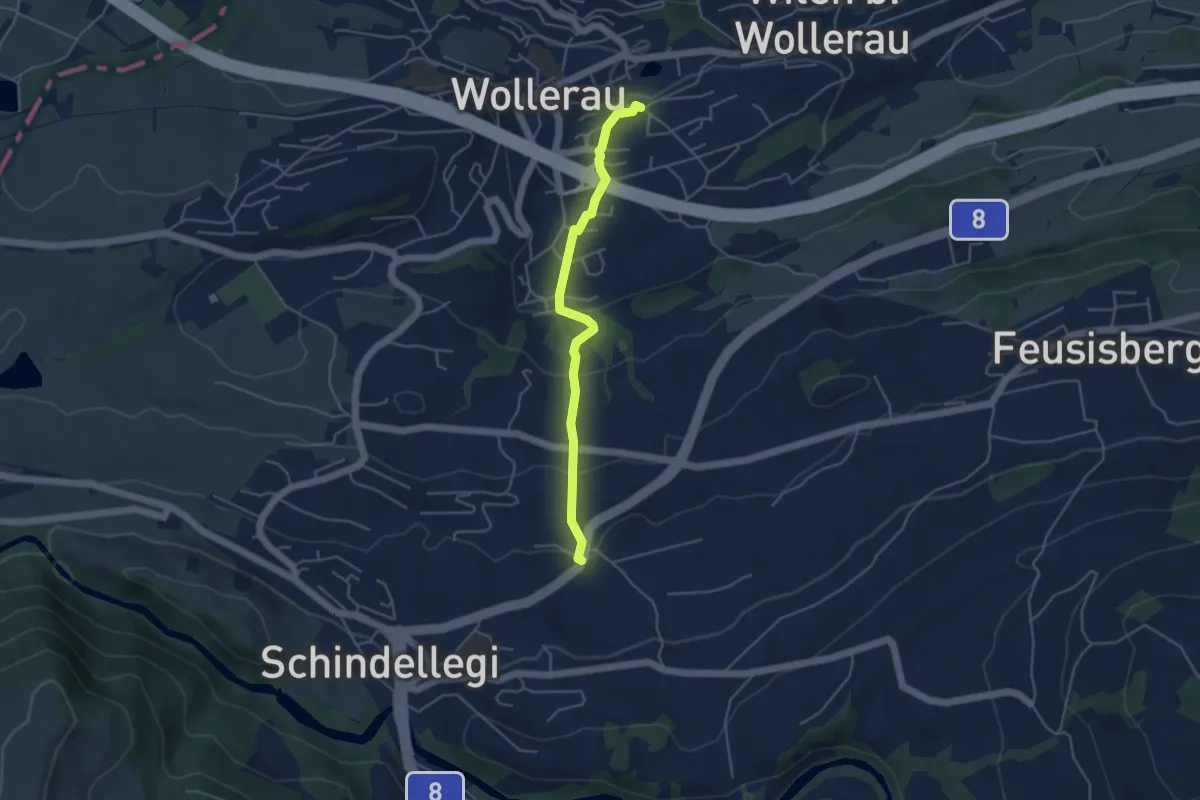
Easy · Trail
Wollerau - Peterschwändi
4.2 km · ↑ 192 m · 1 h 25 min
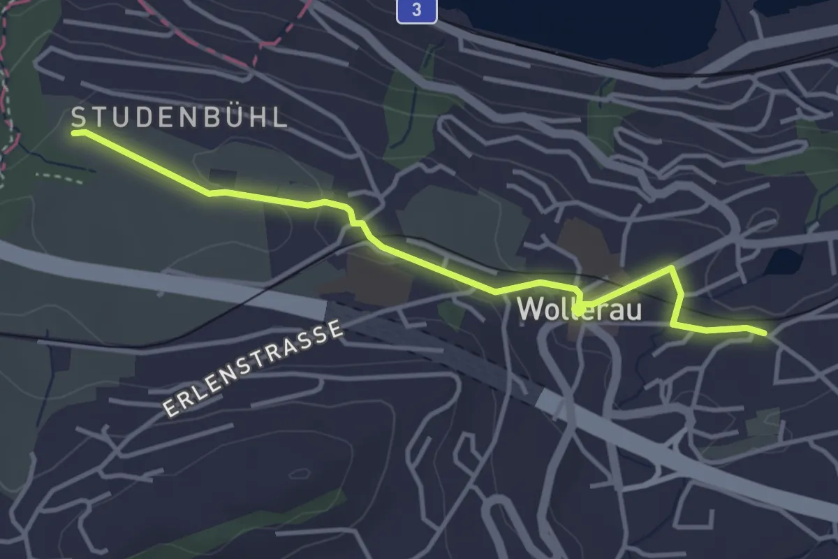
Easy · Trail
Wollerau - Schwalbenboden
3.7 km · ↑ 51 m · 59 min
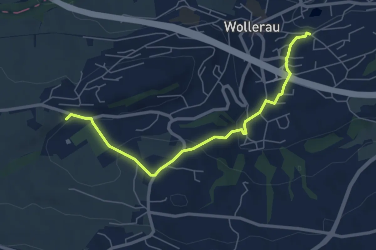
Easy · Trail
Wollerau - Sportplatz Erlen
5.1 km · ↑ 136 m · 1 h 30 min
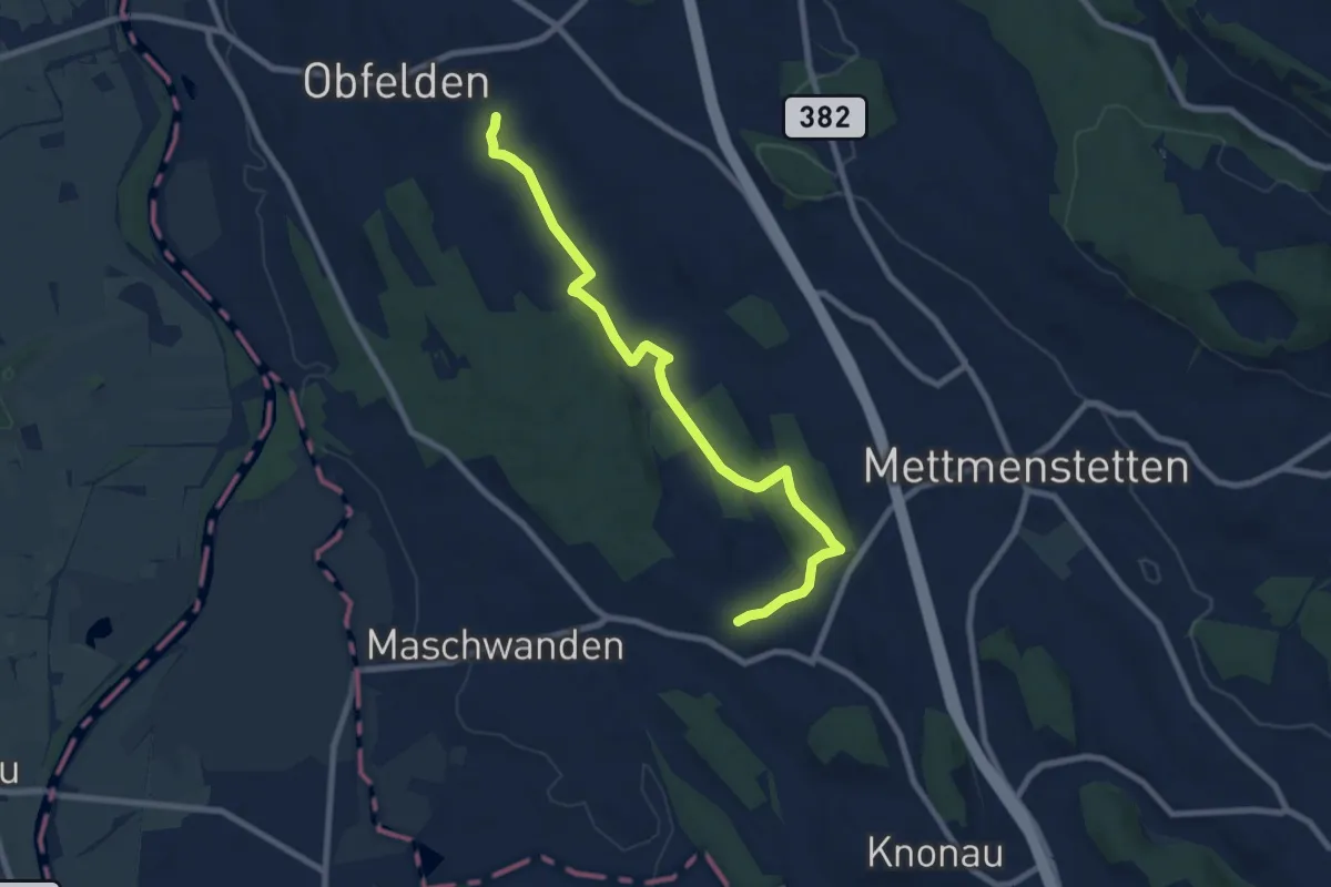
Medium · Trail
Wolsen - Hinteruttenberg
8.6 km · ↑ 107 m · 2 h 15 min
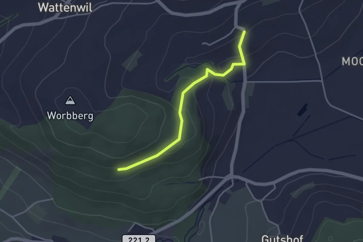
Easy · Trail
Worbberg-Rüttihubelbad
2.9 km · ↑ 104 m · 54 min
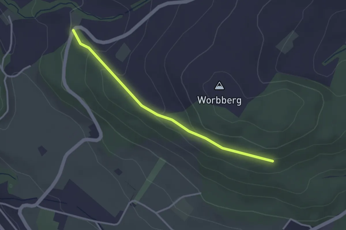
Easy · Trail
Worb/Hasli-Worbberg
2.8 km · ↑ 90 m · 52 min
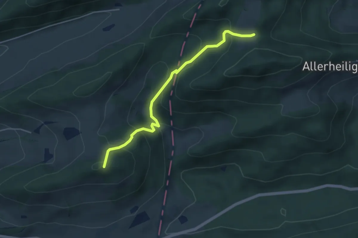
Easy · Summit
Wüesthöchi - Allmend
3.9 km · ↑ 287 m · 1 h 32 min
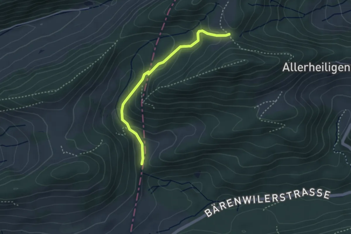
Easy · Trail
Wüesthöchi - Asp
3.1 km · ↑ 186 m · 1 h 9 min
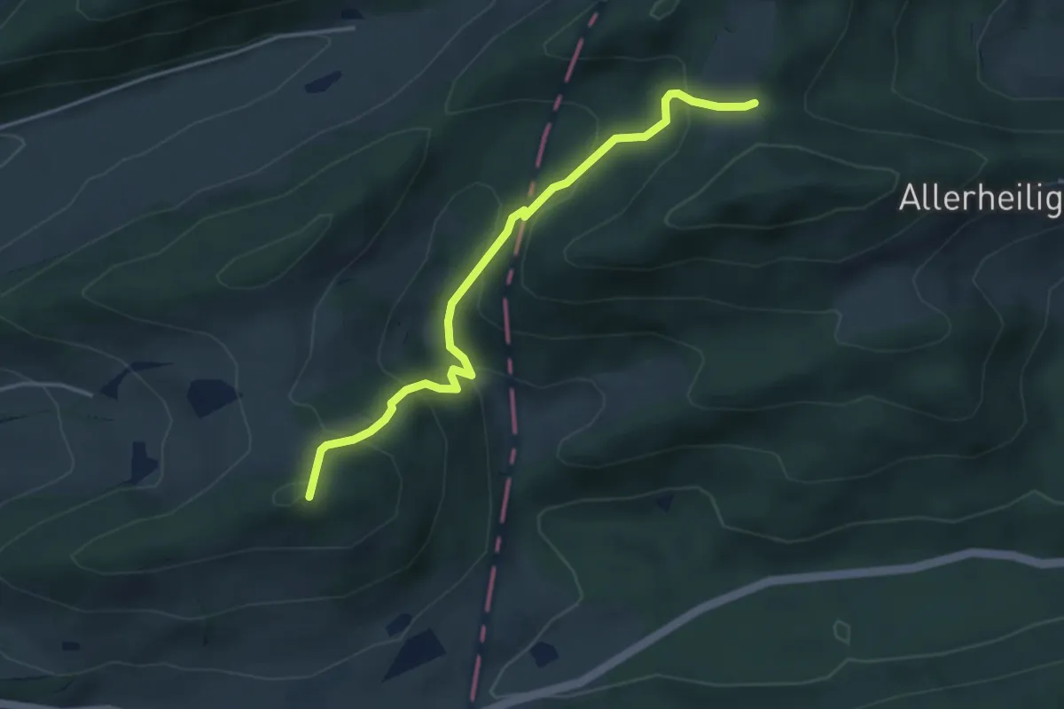
Easy · Summit
Wüesthöchi - fixme
3.9 km · ↑ 283 m · 1 h 32 min
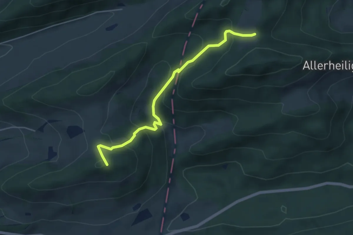
Easy · Summit
Wüesthöchi - Schwängifüeli
4.2 km · ↑ 284 m · 1 h 36 min
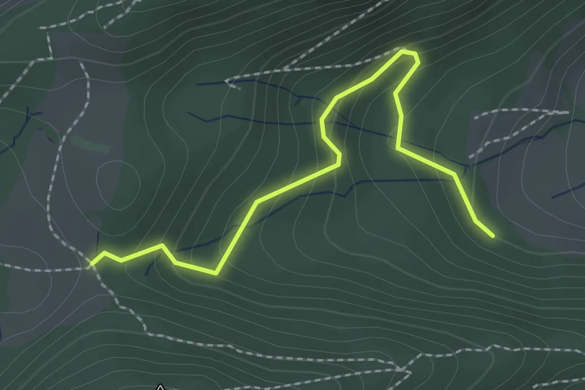
Easy · Trail
Wüesthöchi - Wuestweg
2.2 km · ↑ 122 m · 46 min
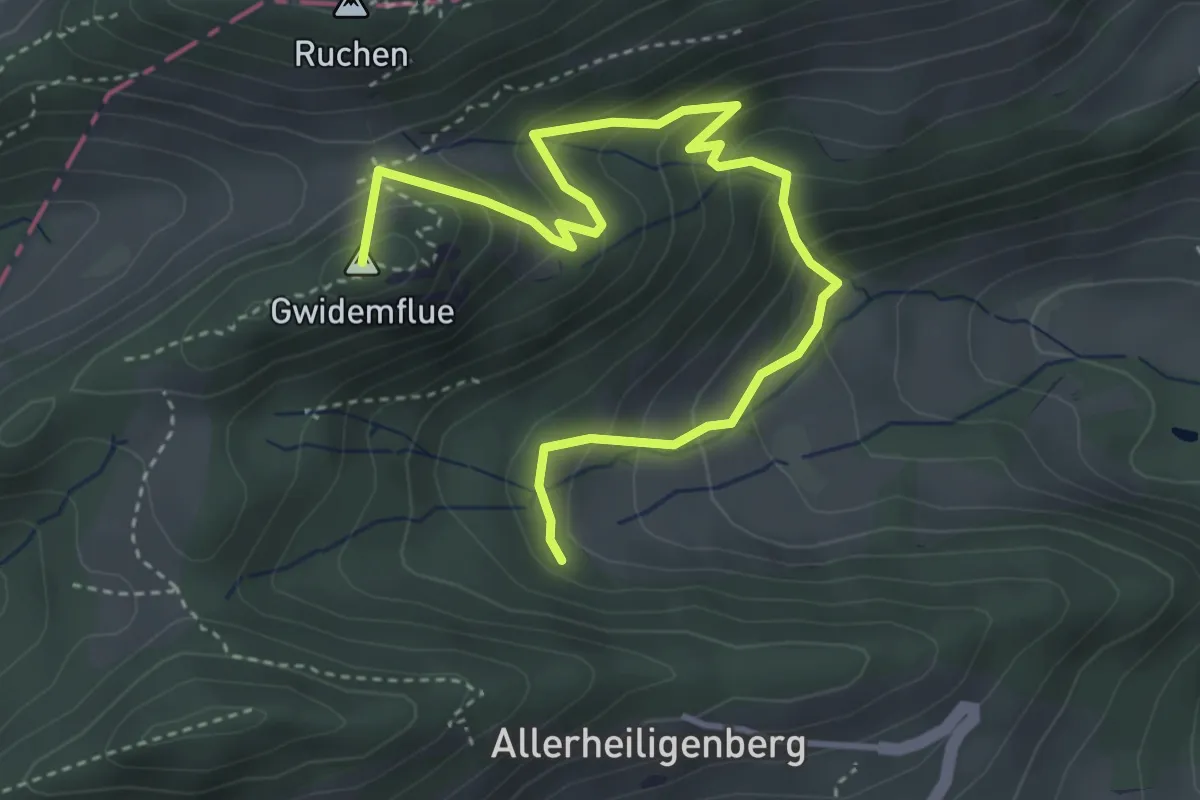
Medium · Summit
Wuestweg - Gwidemhöchi
4.7 km · ↑ 379 m · 1 h 56 min
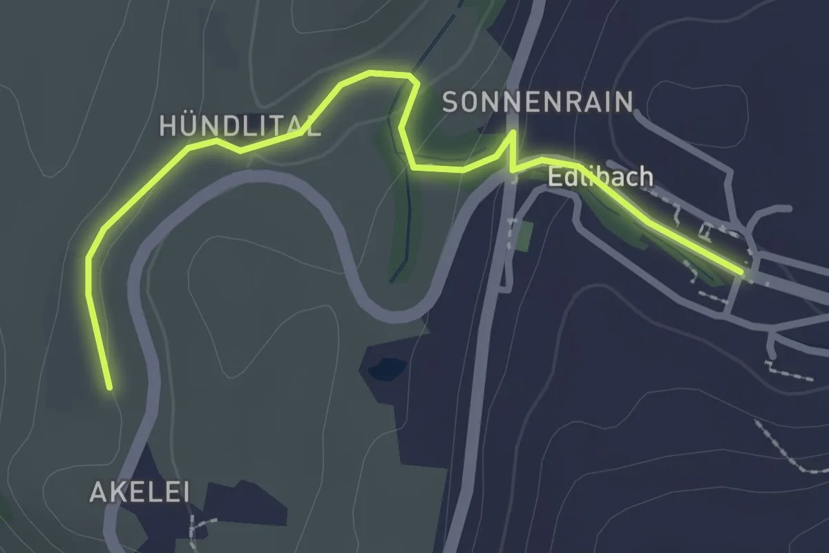
Easy · Trail
Wulfligen - Edlibach
2.5 km · ↑ 76 m · 46 min
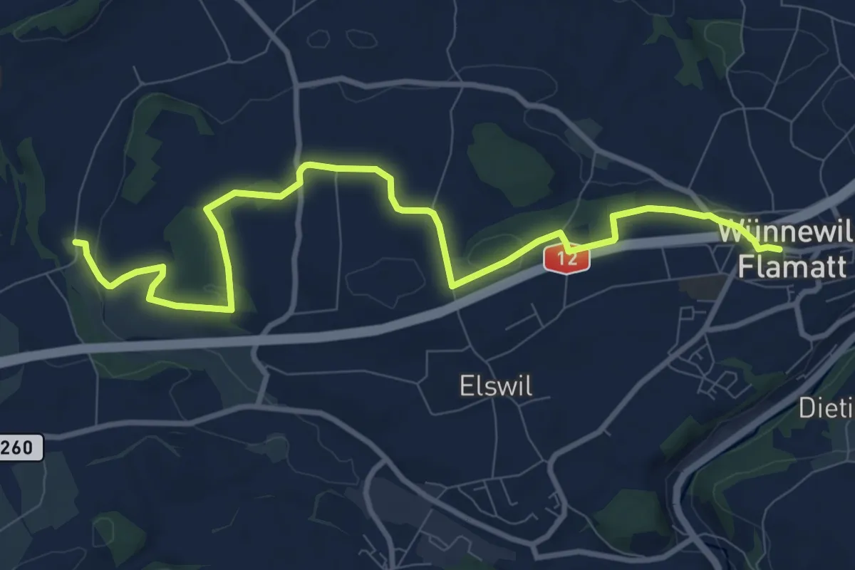
Medium · Trail
Wünnewil - Richterswil
10.8 km · ↑ 181 m · 2 h 57 min
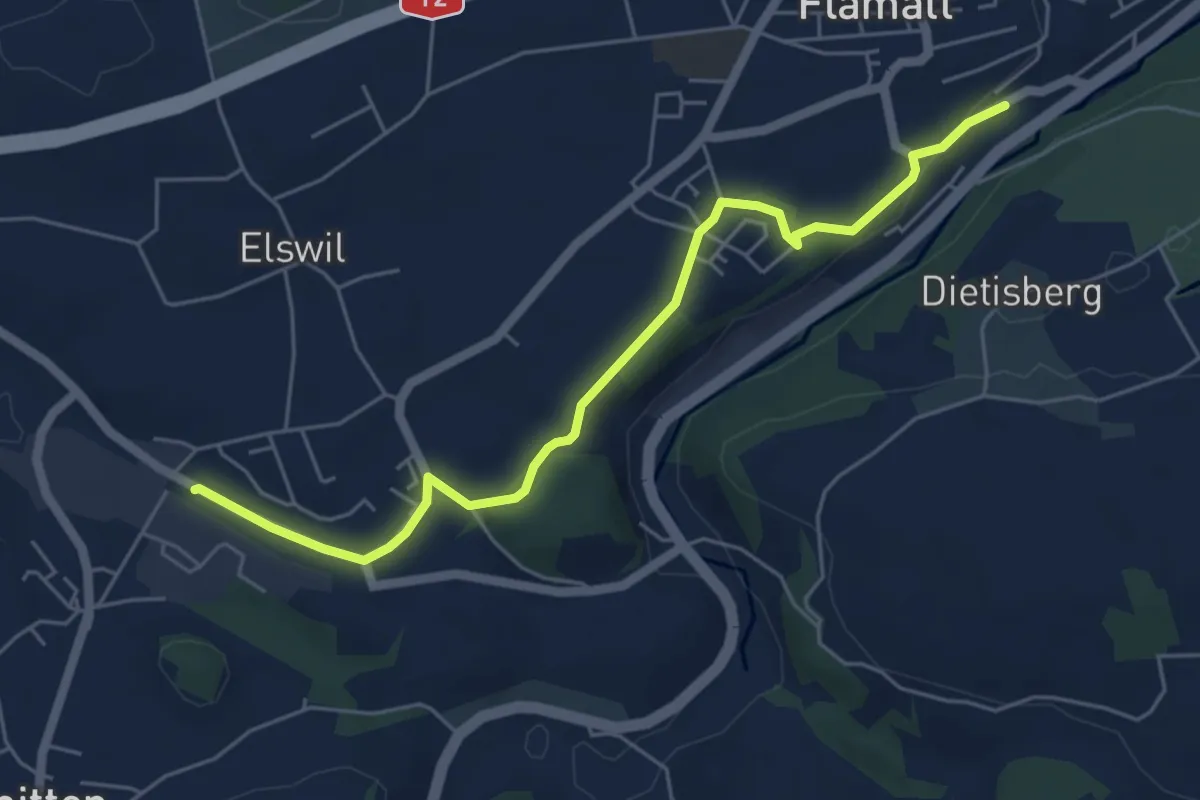
Easy · Trail
Wünnewil SBB - Schmitten Station
5.8 km · ↑ 104 m · 1 h 35 min
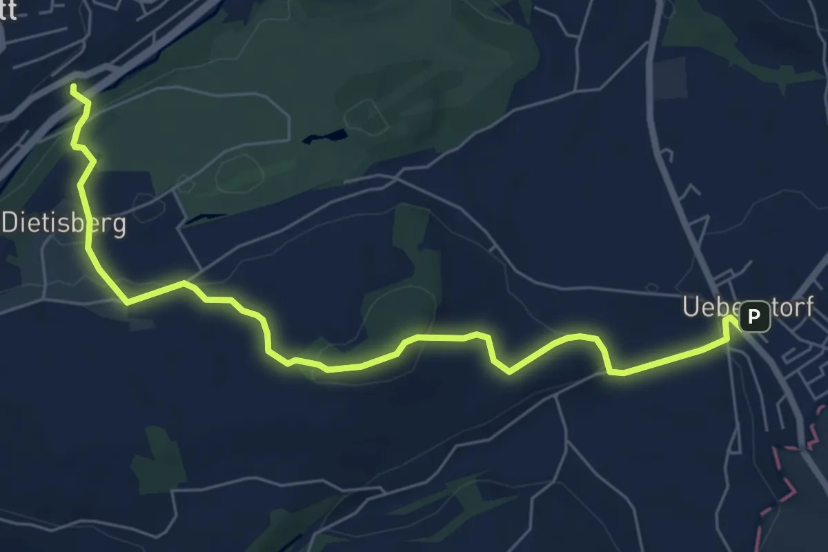
Easy · Trail
Wünnewil SBB - Ueberstorf
7.1 km · ↑ 225 m · 2 h 9 min
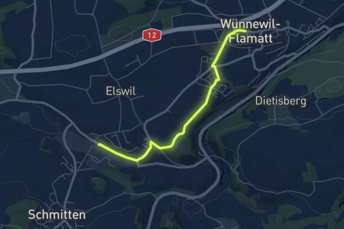
Easy · Trail
Wünnewil - Schmitten Station
5.5 km · ↑ 83 m · 1 h 29 min
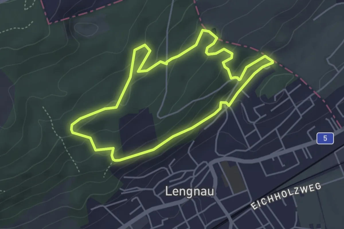
Easy · Trail
Wurzelweg
4.1 km · ↑ 149 m · 1 h 21 min
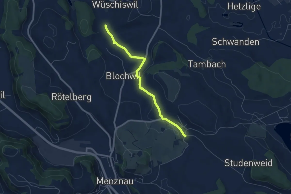
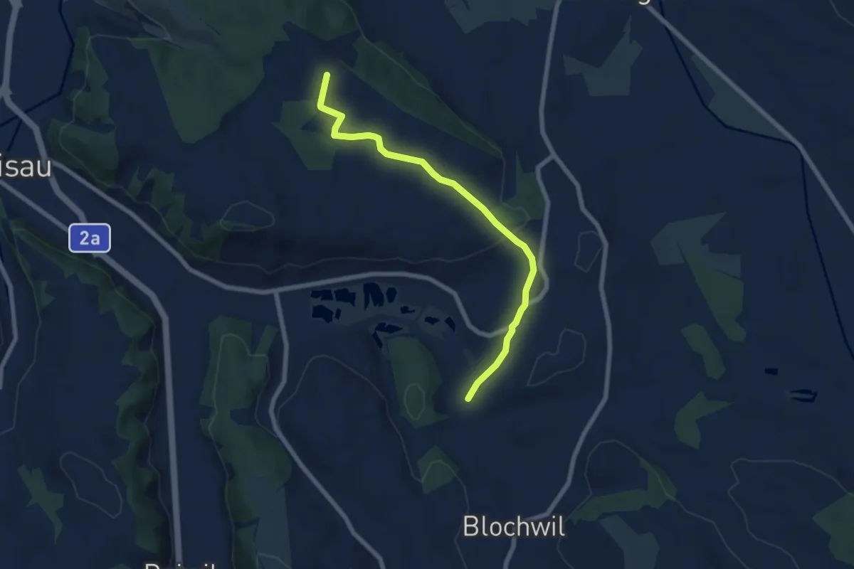
Easy · Trail
Wüschiswil - Geiss
5.5 km · ↑ 80 m · 1 h 28 min
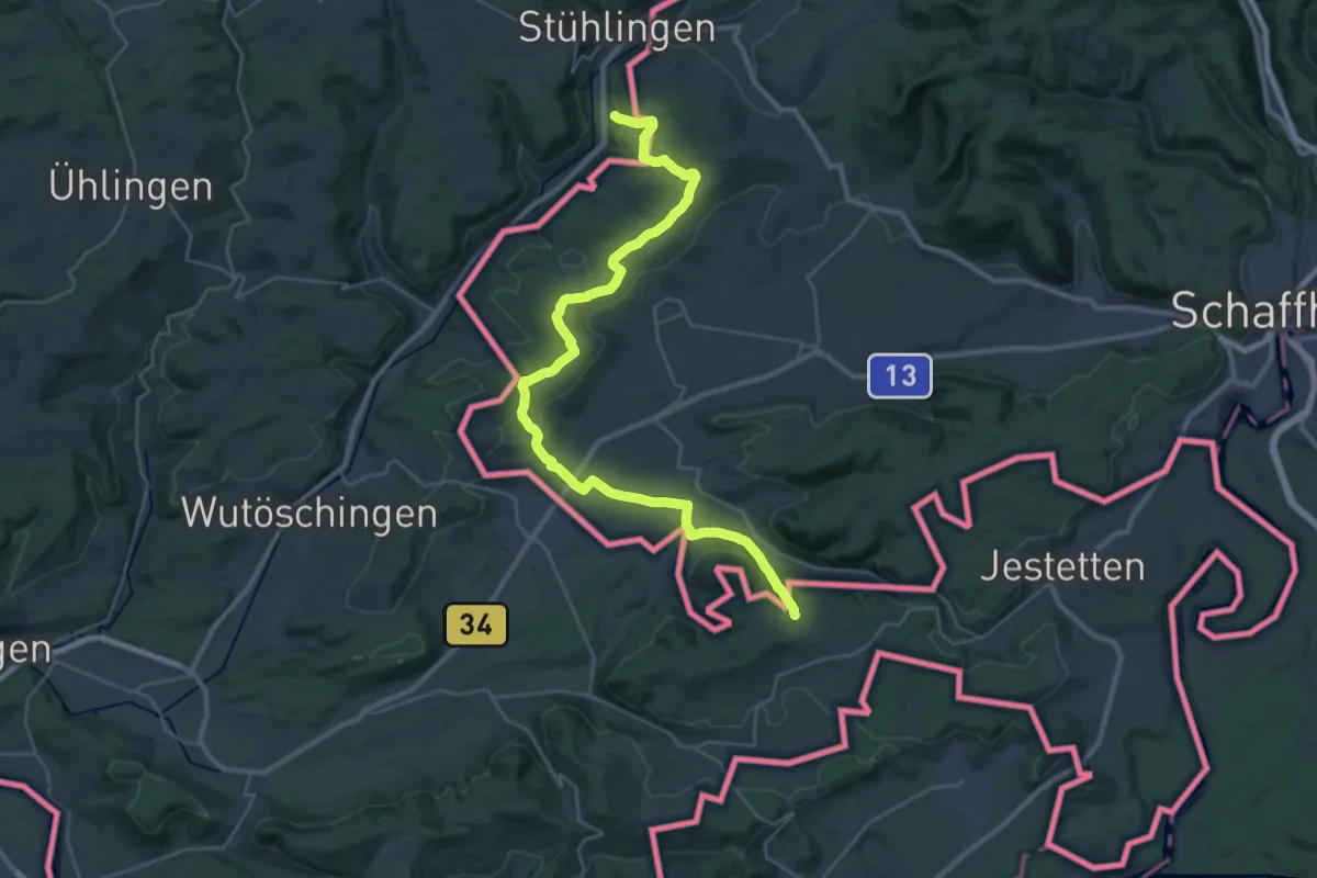
Easy · Trail
Wüschiswil - Wellberg
6.5 km · ↑ 138 m · 1 h 50 min
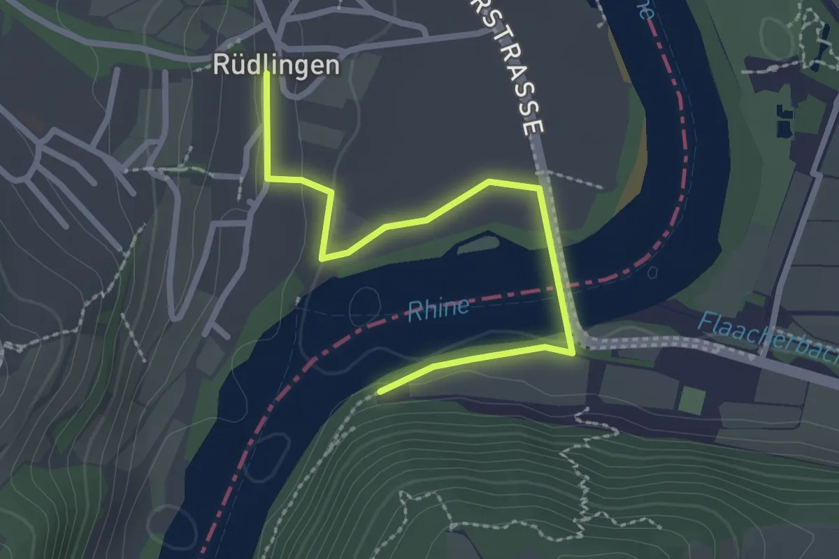
Demanding · Pilgrim path
Wutach-Pilgerweg
18.1 km · ↑ 399 m · 5 h 20 min
Easy · Trail
WWF Biber-Pfad
2.5 km · ↑ 40 m · 40 min
Easy · Trail
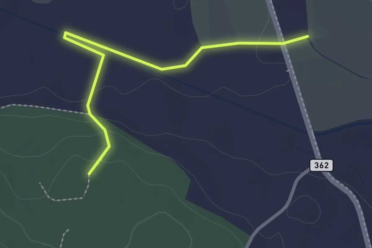
Wydematt - Soppiseewald
2.4 km · ↑ 34 m · 38 min
Easy · Trail
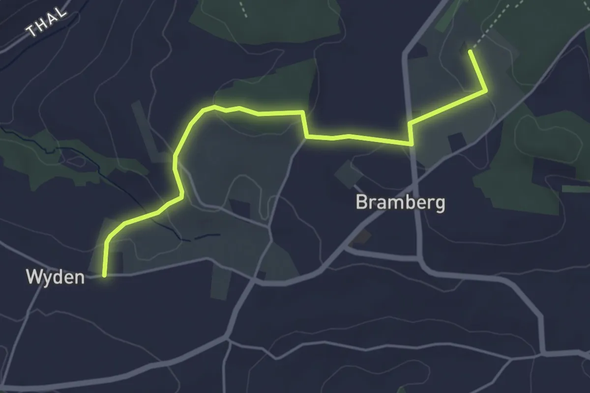
Wyden - Brambergdenkmal
4.5 km · ↑ 95 m · 1 h 17 min
Medium · Trail
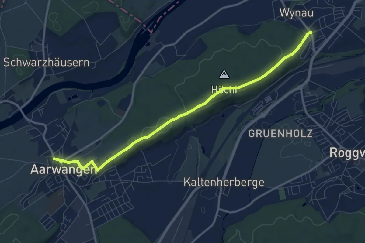
Wynau - Aarwangen
8.9 km · ↑ 187 m · 2 h 30 min
Medium · Trail
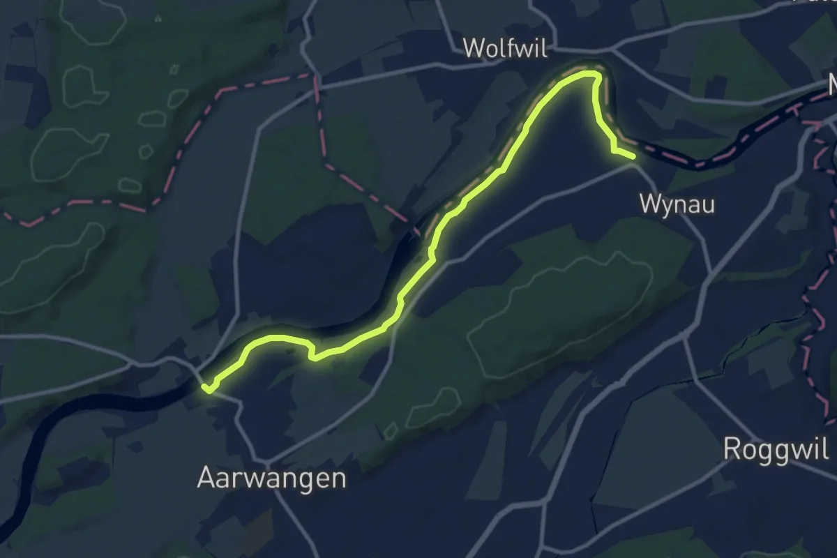
Wynau Kirche - Aarwangen Schloss
10.8 km · ↑ 45 m · 2 h 39 min
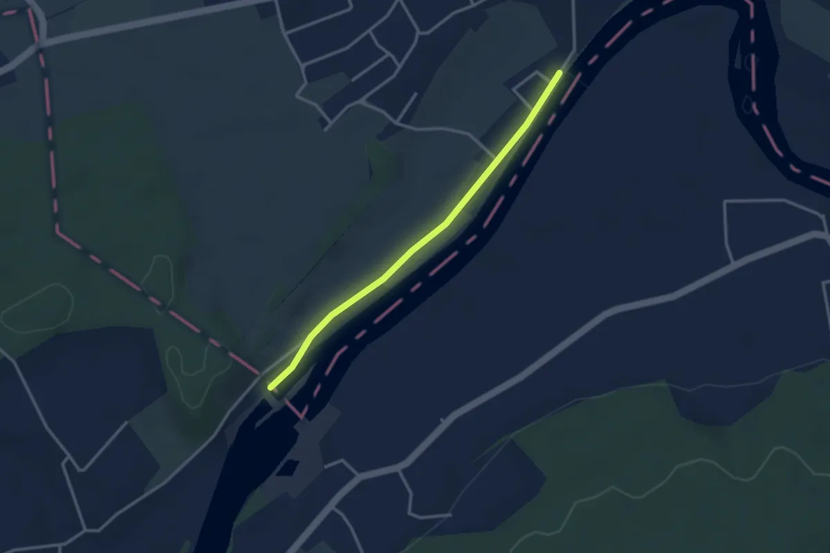
Easy · Trail
Wynau Kraftwerk - Far
2.8 km · ↑ 0 m · 39 min
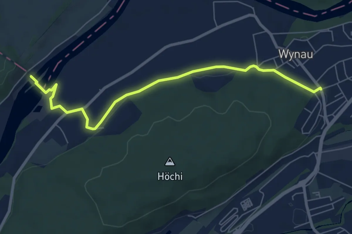
Easy · Trail
Wynau - Wynau Kraftwerk
6.1 km · ↑ 61 m · 1 h 34 min
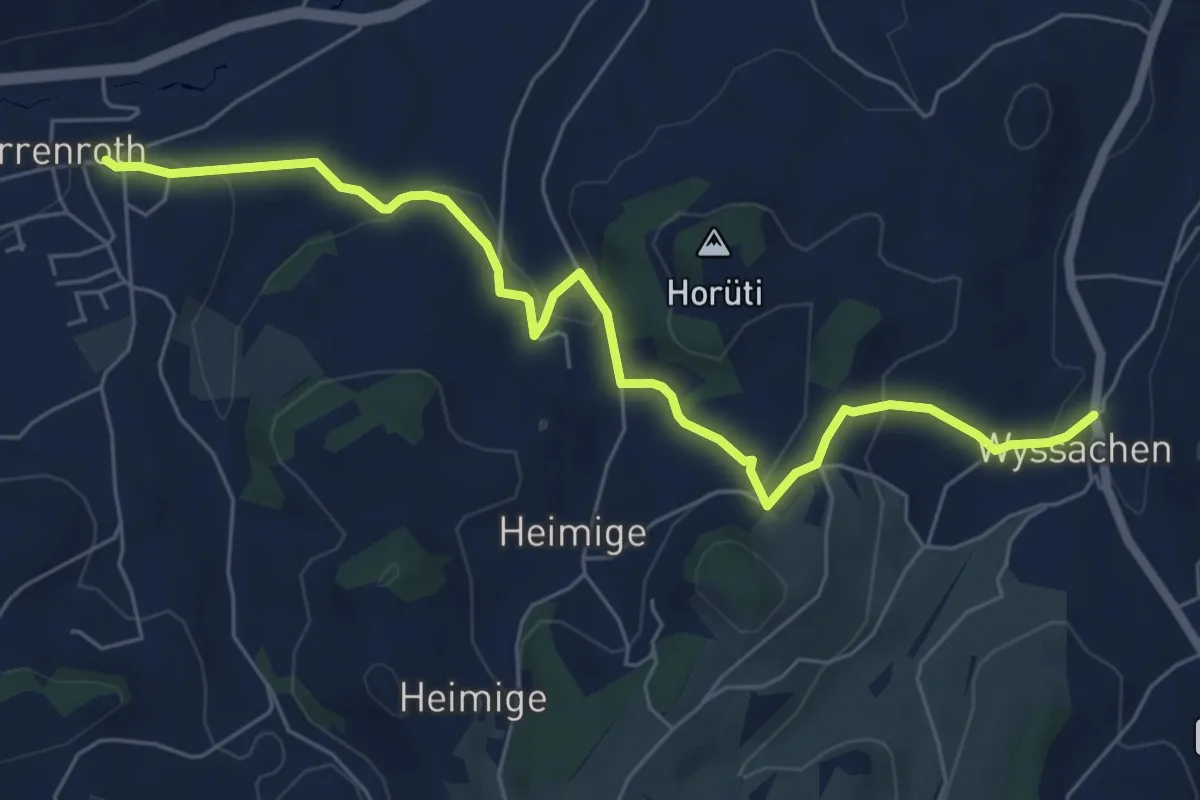
Easy · Trail
Wyssachen - Dürrenroth
6.9 km · ↑ 190 m · 2 h 3 min
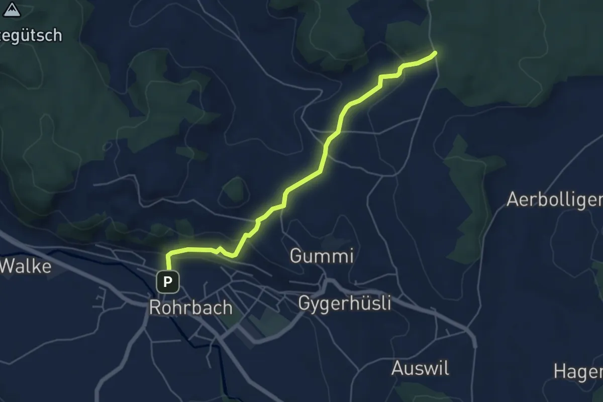
Easy · Trail
Wyssbach - Rohrbach Bahnhof
5.1 km · ↑ 176 m · 1 h 35 min