Trails in Switzerland
15,064 hiking trails, each with its route, climb, walking time and grade.
All trails, page 133 of 314
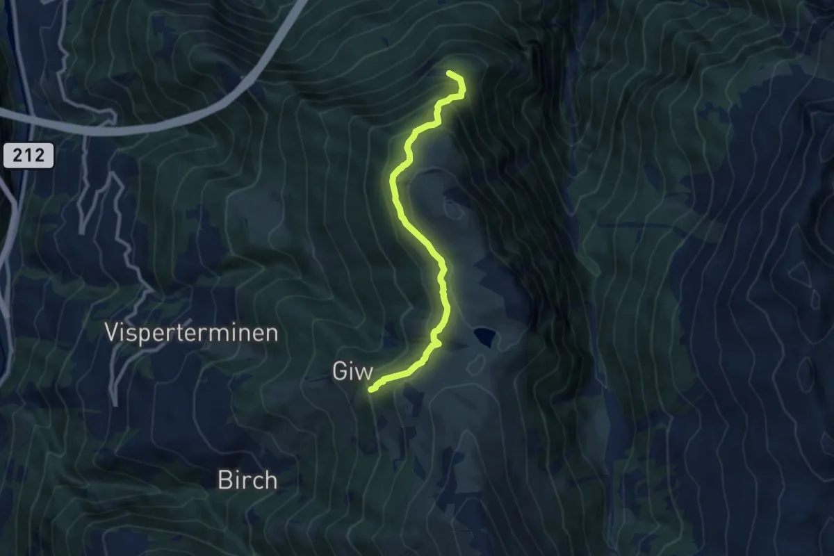
Medium · Trail
Wysse - Giw
8.6 km · ↑ 593 m · 3 h 18 min
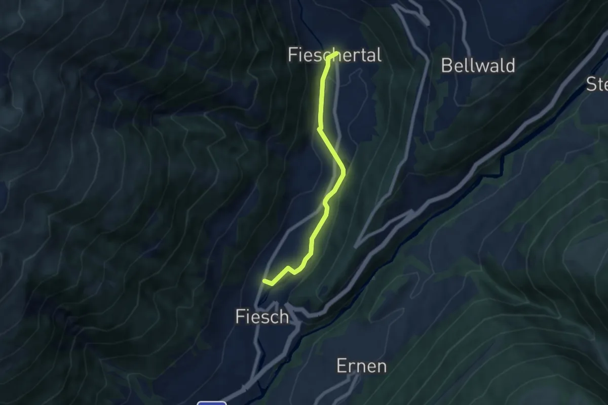
Easy · Trail
Wysswasserweg
5.3 km · ↑ 74 m · 1 h 24 min
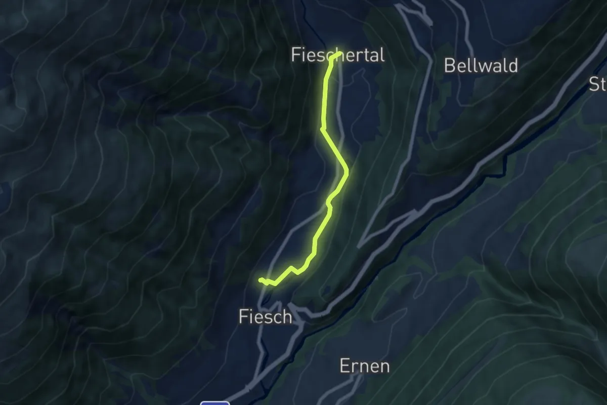
Easy · Trail
Wysswasser Weg
5.5 km · ↑ 81 m · 1 h 28 min
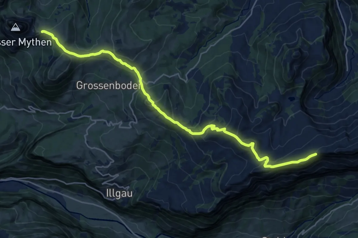
Demanding · Summit
Ybriger 7-Egg-Weg
20.6 km · ↑ 993 m · 7 h
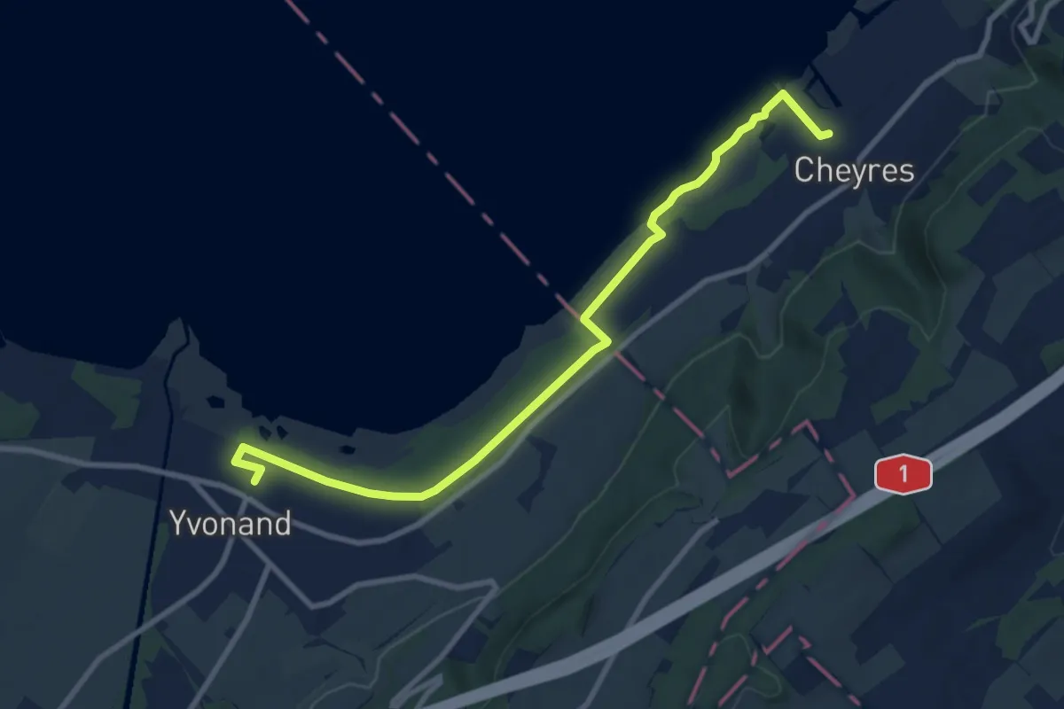
Medium · Trail
Yvonand Gare - Cheyres
9.5 km · ↑ 18 m · 2 h 18 min
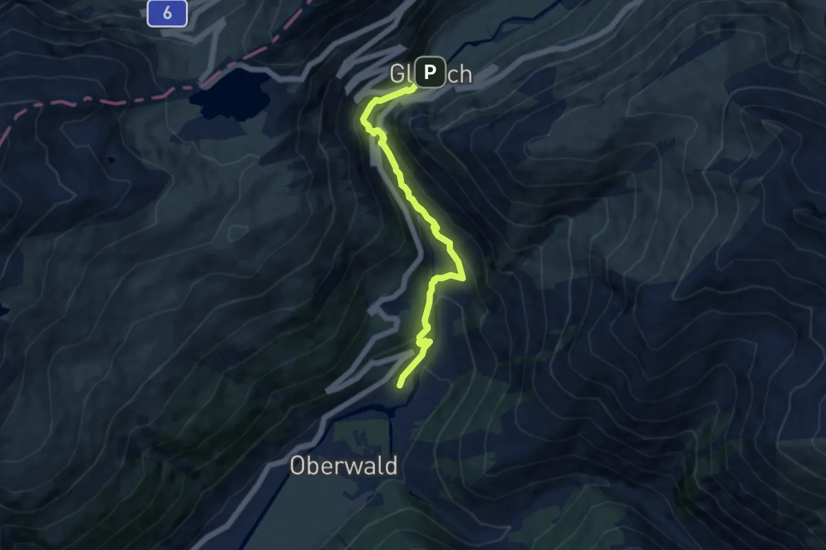
Demanding · Trail
Zahnstangensafari
7.9 km · ↑ 468 m · 2 h 53 min
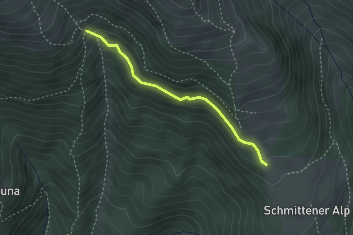
Medium · Trail
Zaplina-Schmittner Alp
2.6 km · ↑ 175 m · 1 h
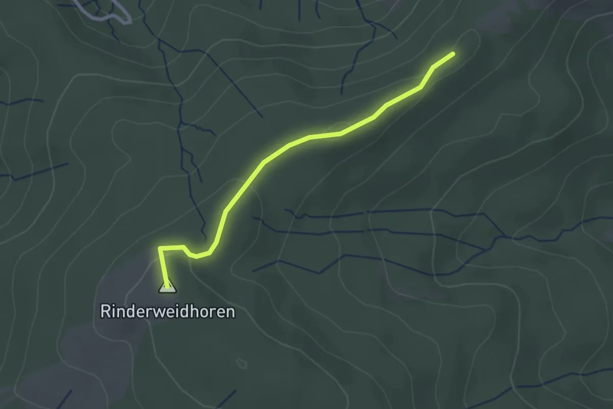
Easy · Summit
Zauggenhütte - Rinderweidhorn
2.3 km · ↑ 58 m · 40 min
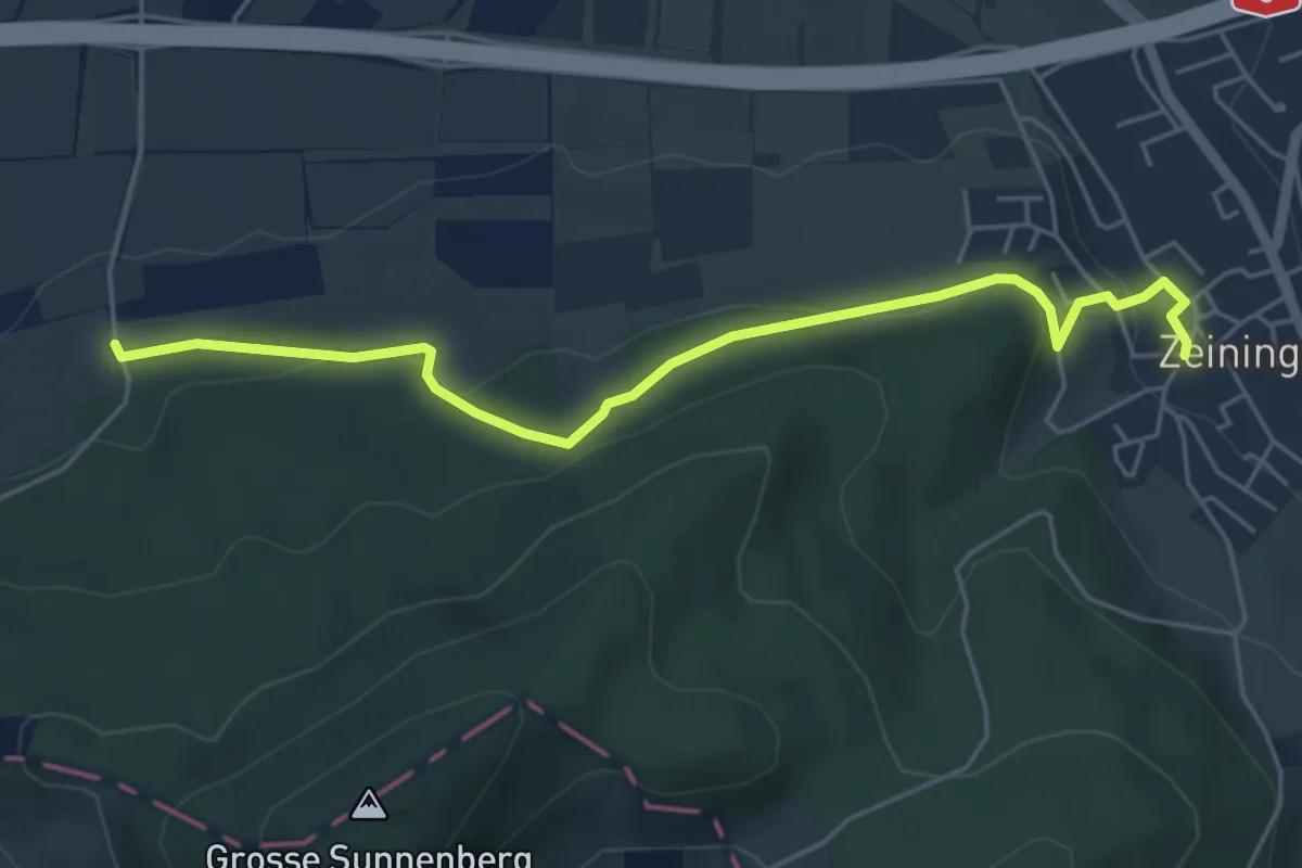
Easy · Trail
Zeiningen - Kymshof
5.3 km · ↑ 174 m · 1 h 37 min
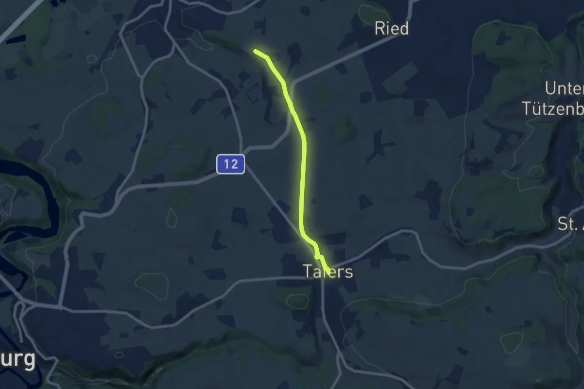
Easy · Trail
Zelgli - Tafers
6.3 km · ↑ 64 m · 1 h 38 min
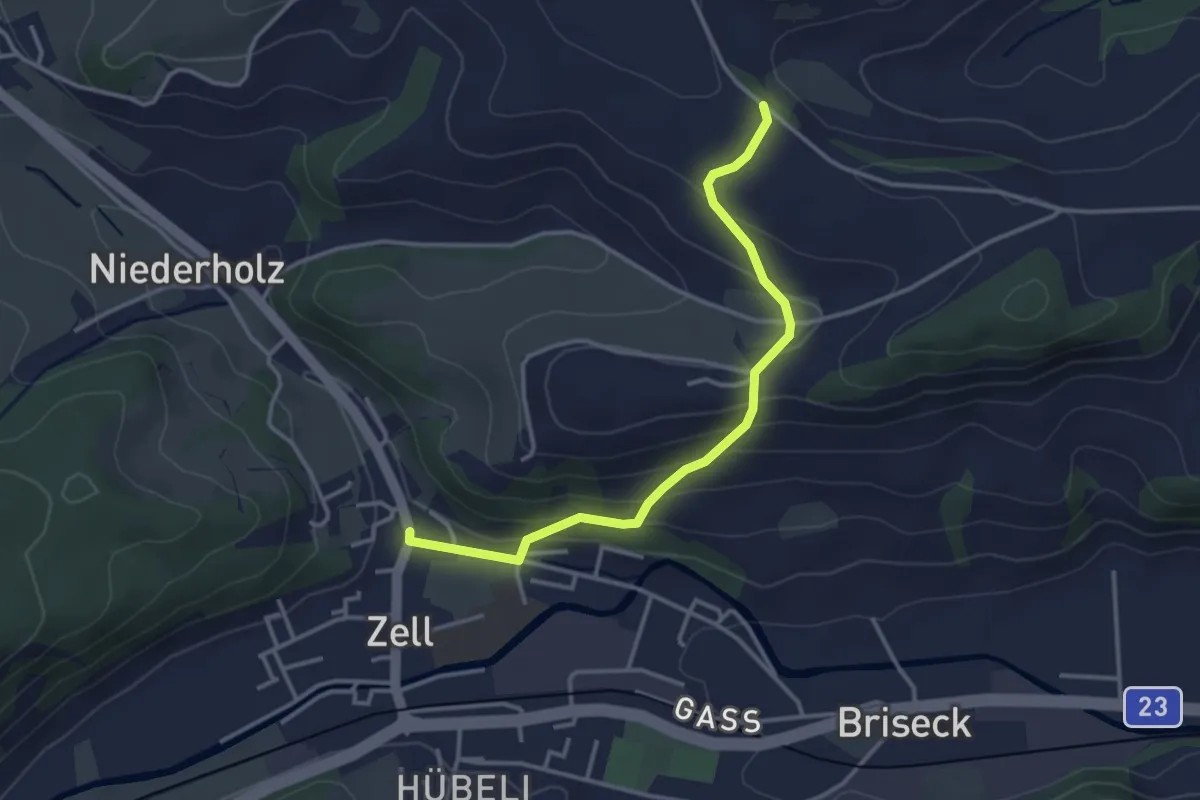
Easy · Trail
Zell - Hünkihof
3.4 km · ↑ 144 m · 1 h 7 min
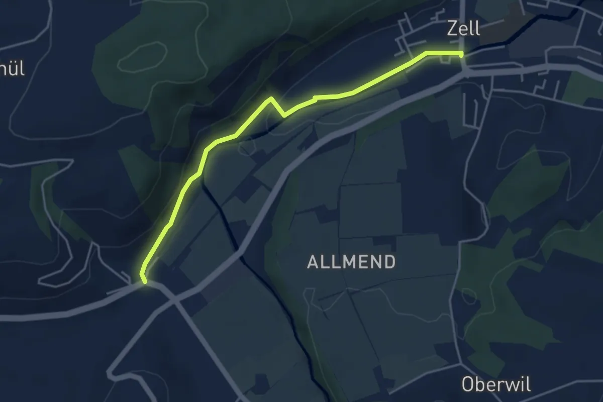
Easy · Trail
Zell - Hüswil
4.0 km · ↑ 75 m · 1 h 6 min
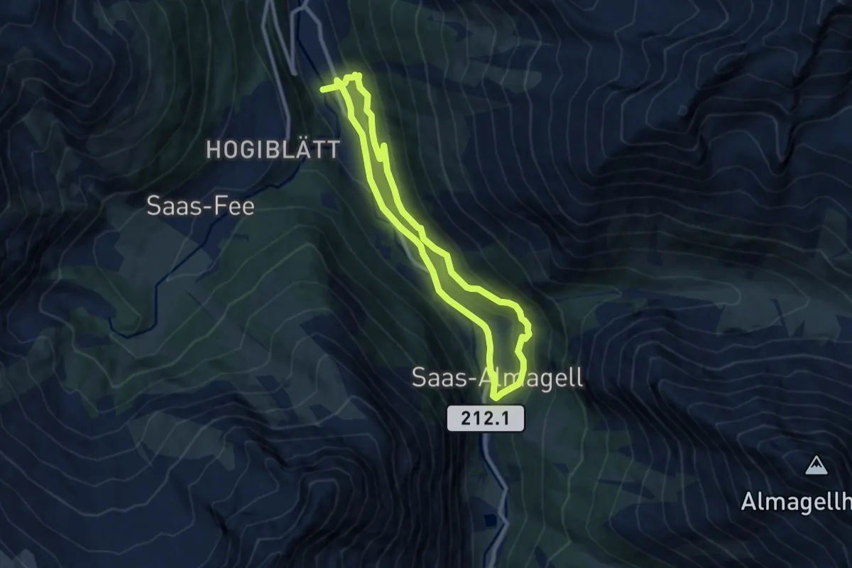
Medium · Trail
Zenlauinen - Saas-Almagell
15.1 km · ↑ 564 m · 4 h 48 min
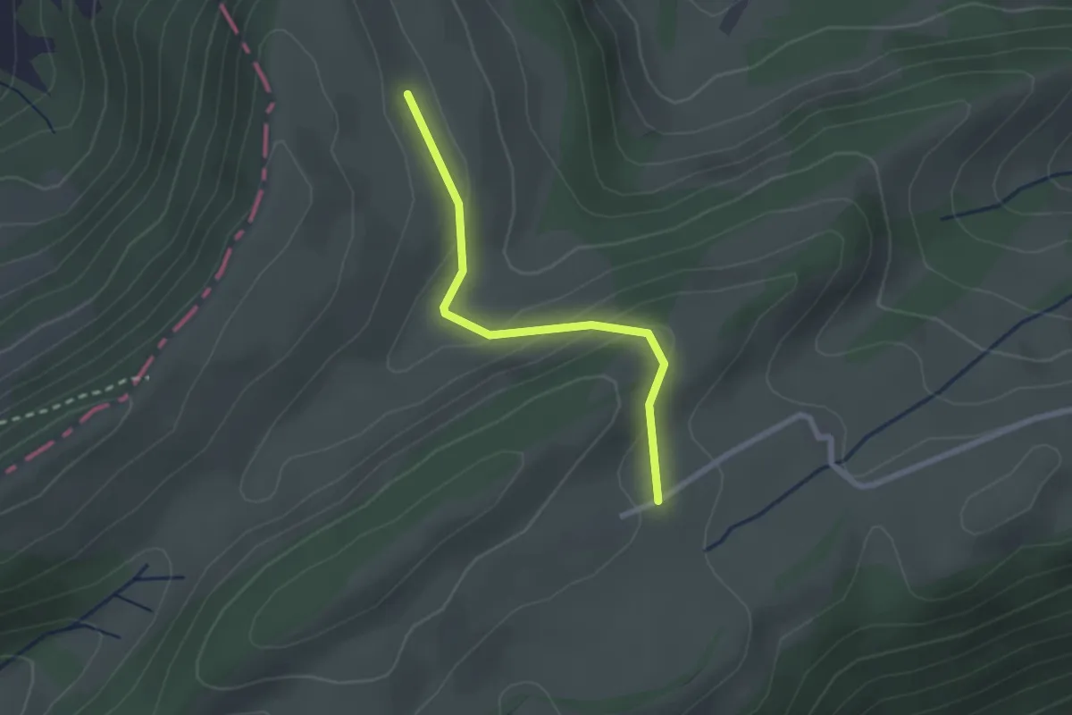
Easy · Trail
Zentner - Matzendörfer Stierenberg
2.1 km · ↑ 81 m · 41 min
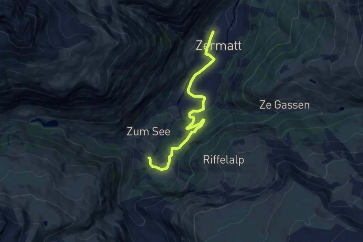
Medium · Trail
Zermatt Furi-Zermatt
9.7 km · ↑ 344 m · 3 h 3 min
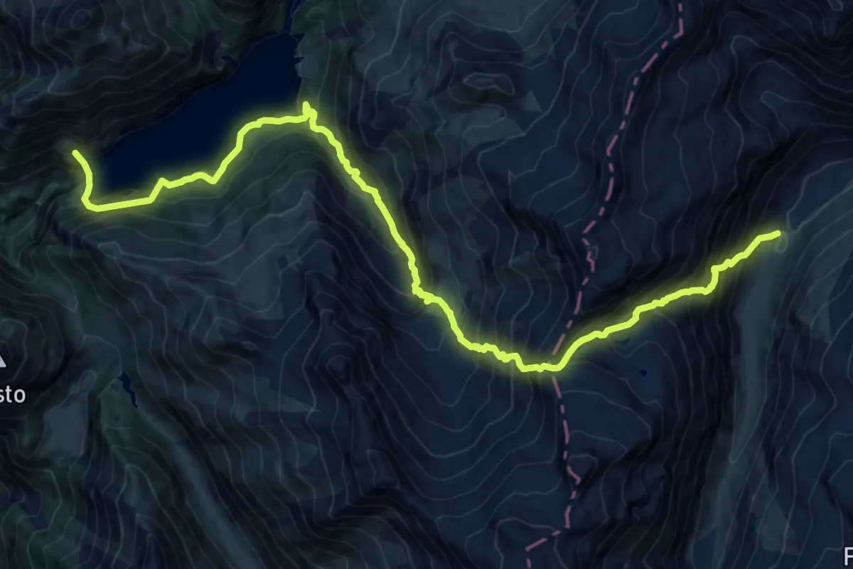
Demanding · Trail
Zervreila - Diga del Luzzone
10.2 km · ↑ 1034 m · 4 h 59 min
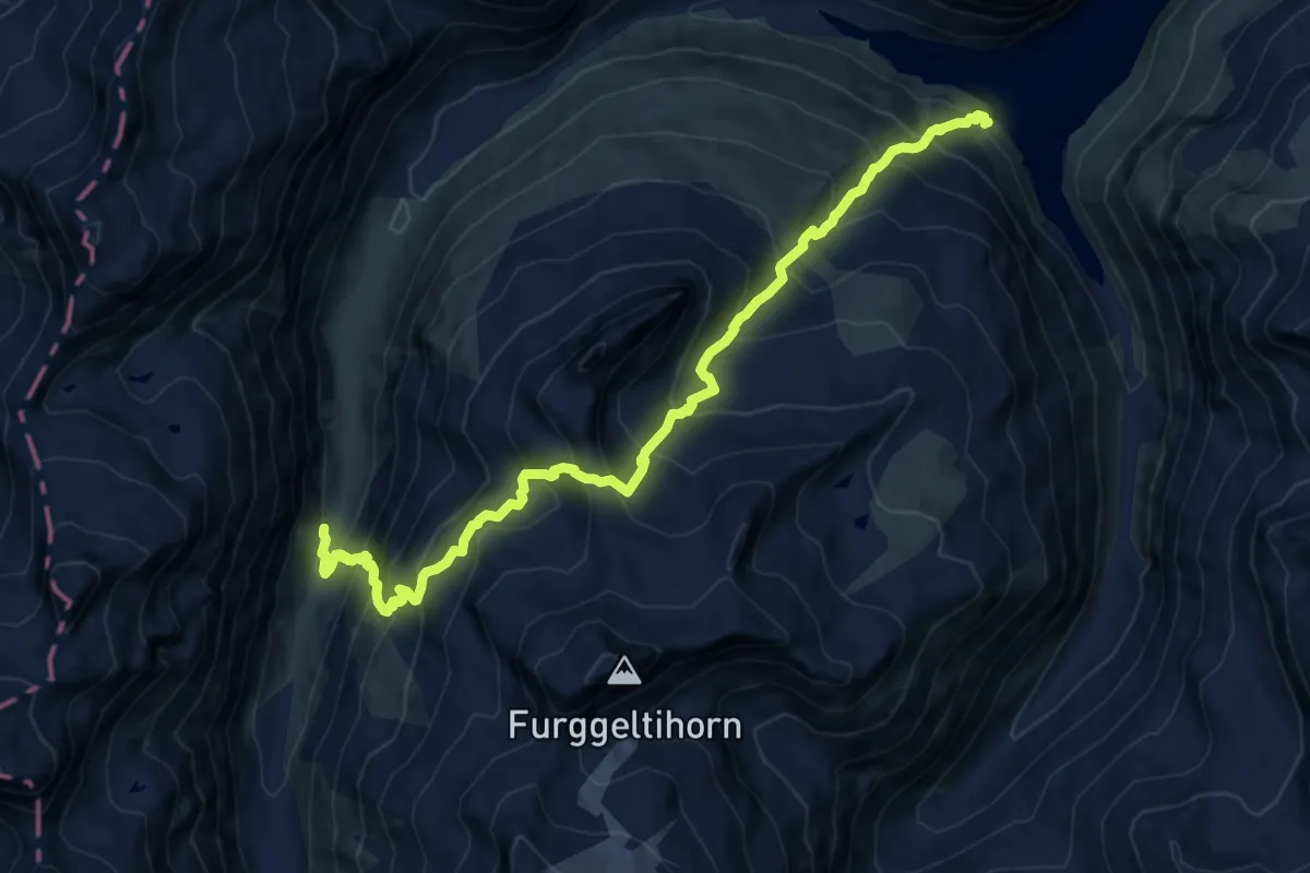
Demanding · Cabin
Zervreila Läntahütte
13.5 km · ↑ 1496 m · 6 h 25 min
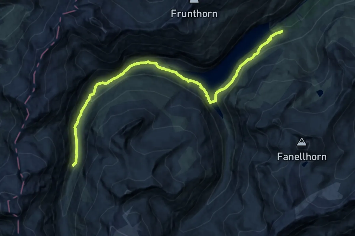
Demanding · Cabin
Zervreila Läntahütte
20.6 km · ↑ 780 m · 6 h 33 min
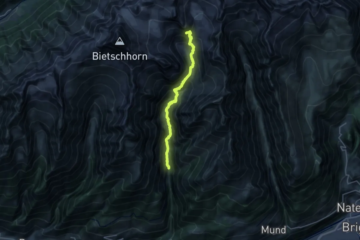
Demanding · Cabin
Ze Steinu - Baltschiederklause SAC
17.0 km · ↑ 1618 m · 7 h 32 min
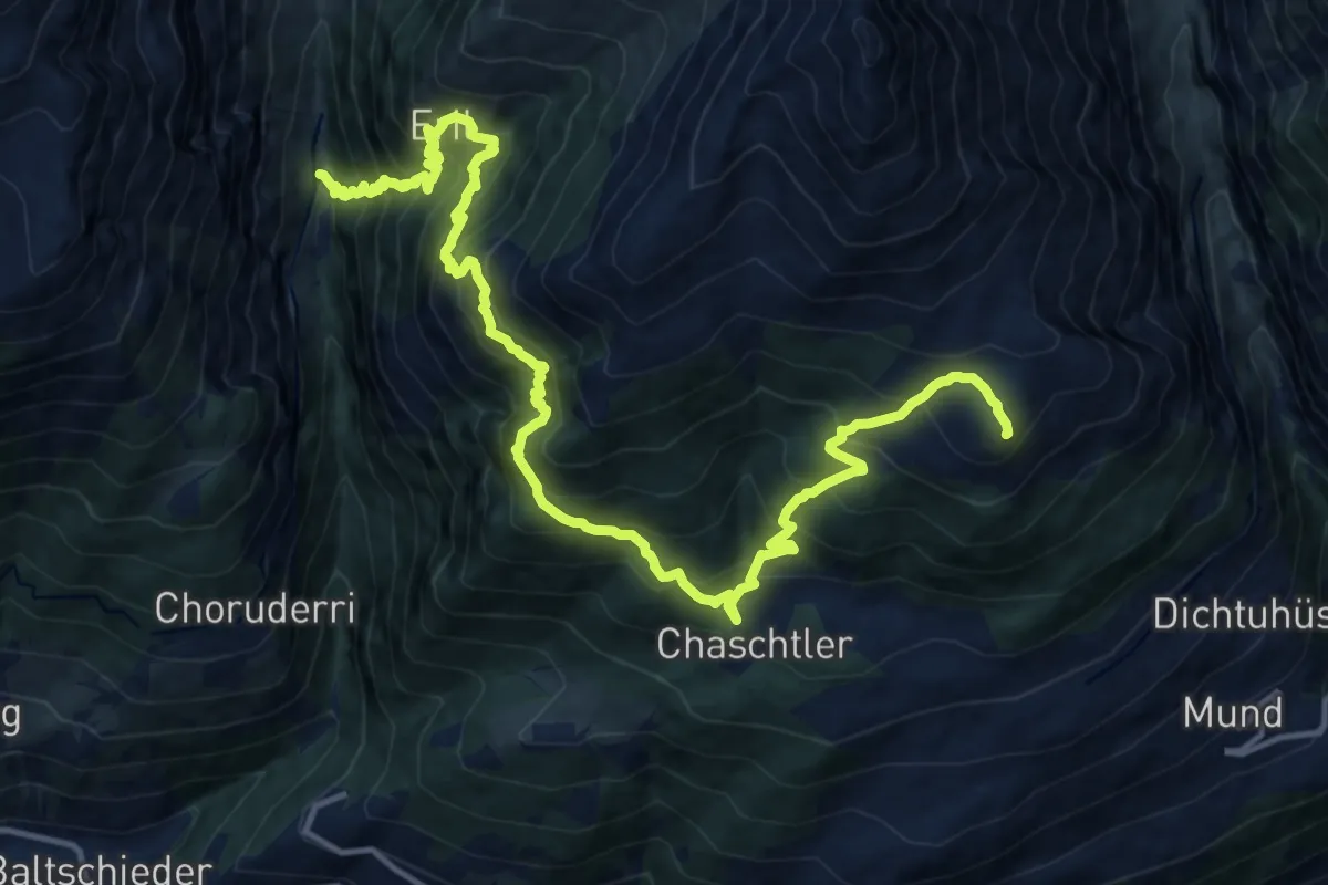
Demanding · Trail
Ze Steinu - Brischeru
9.0 km · ↑ 1455 m · 4 h 59 min
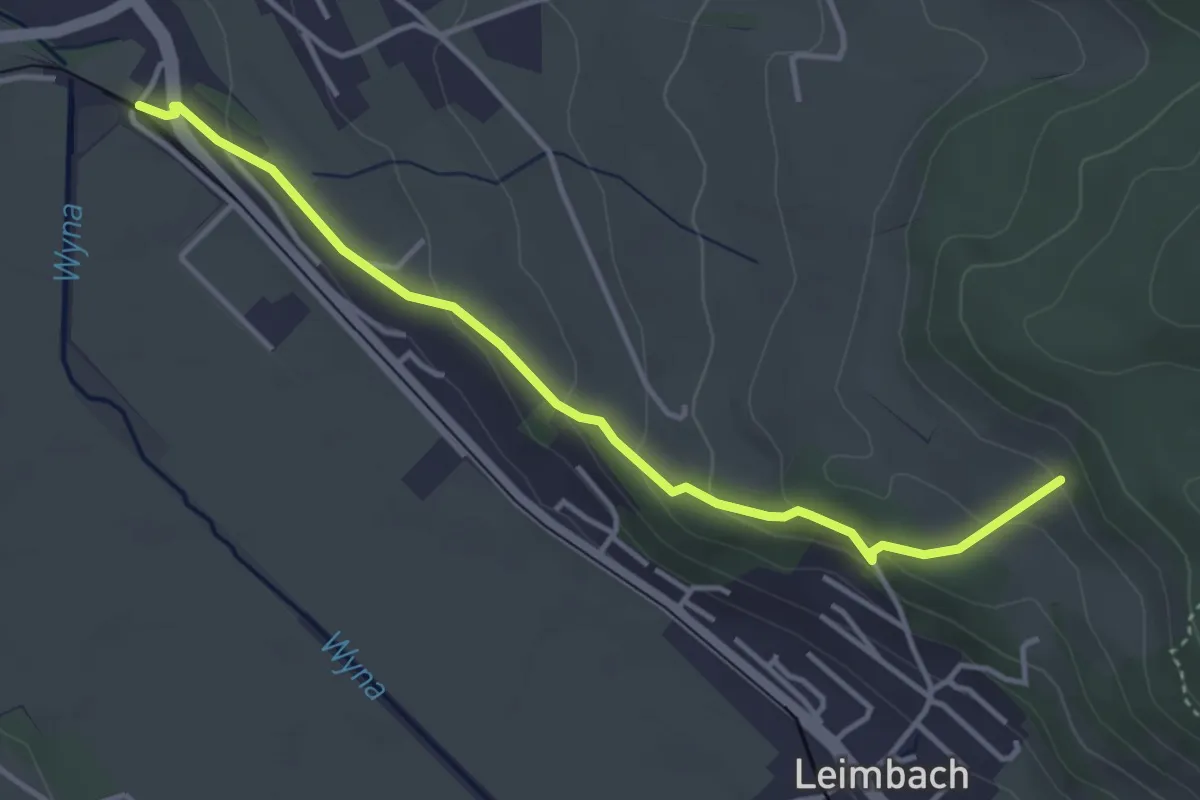
Easy · Trail
Zetzwil - Seeberg
4.0 km · ↑ 177 m · 1 h 19 min
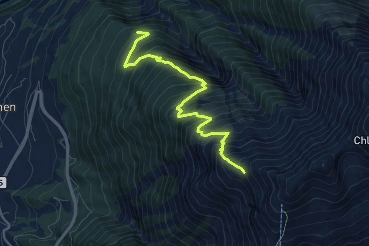
Demanding · Trail
Z'Garden - Fülhorn
8.1 km · ↑ 1014 m · 4 h 7 min
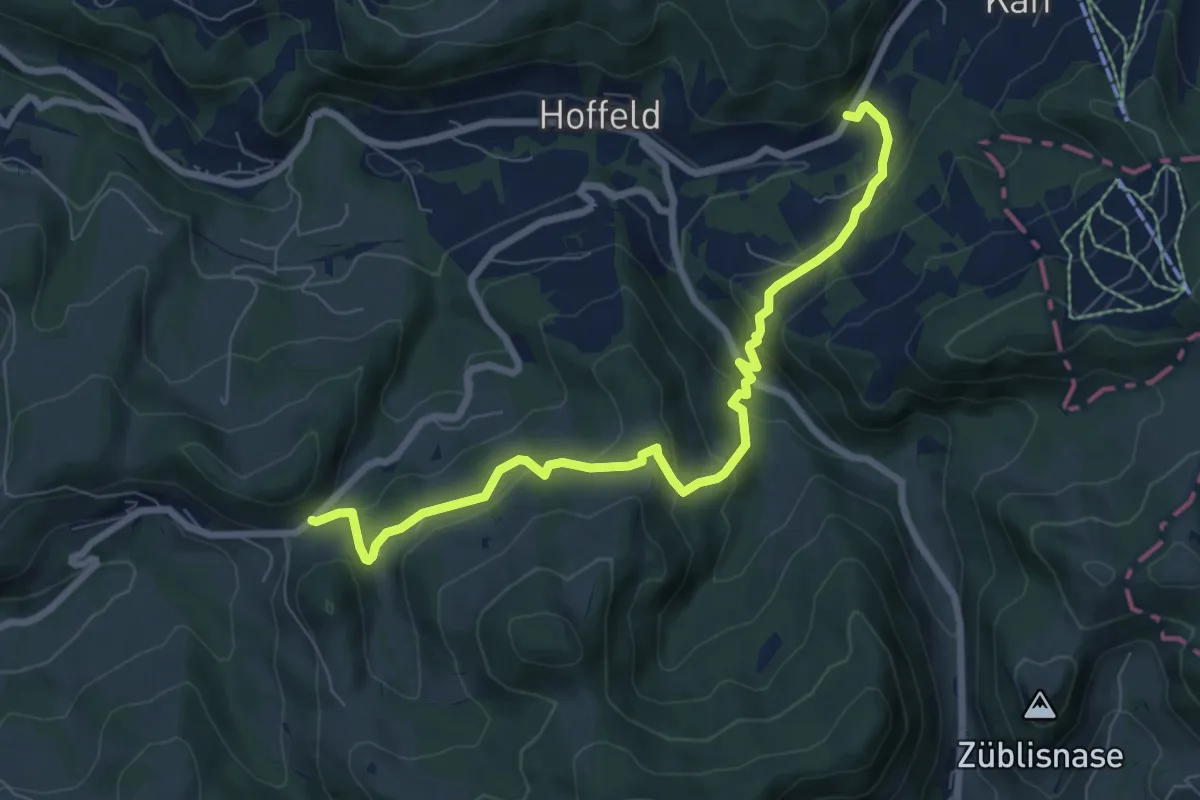
Medium · Trail
Ziegelhütte-Ebersol
7.9 km · ↑ 404 m · 2 h 44 min
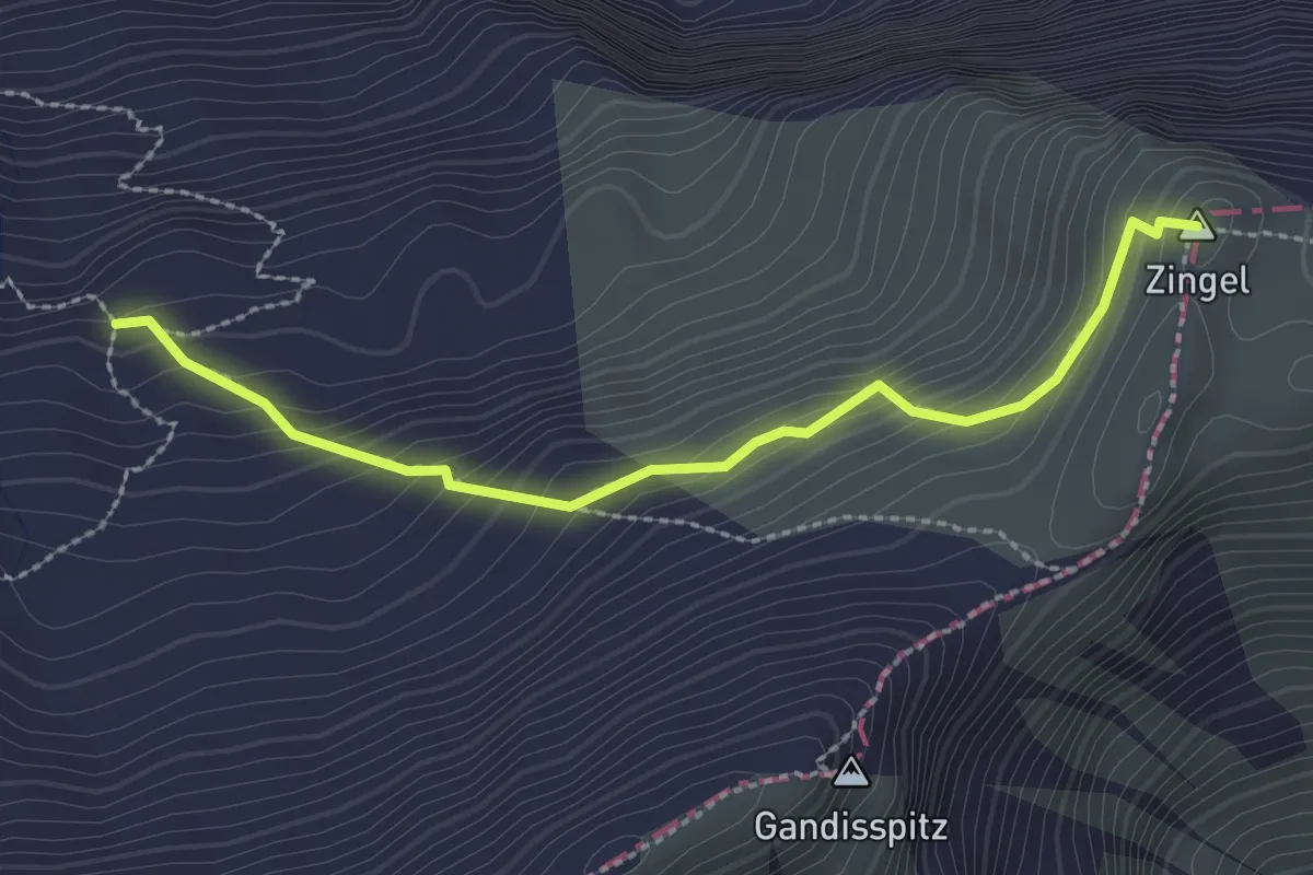
Demanding · Summit
Zingel - Färbital
2.5 km · ↑ 227 m · 1 h 5 min
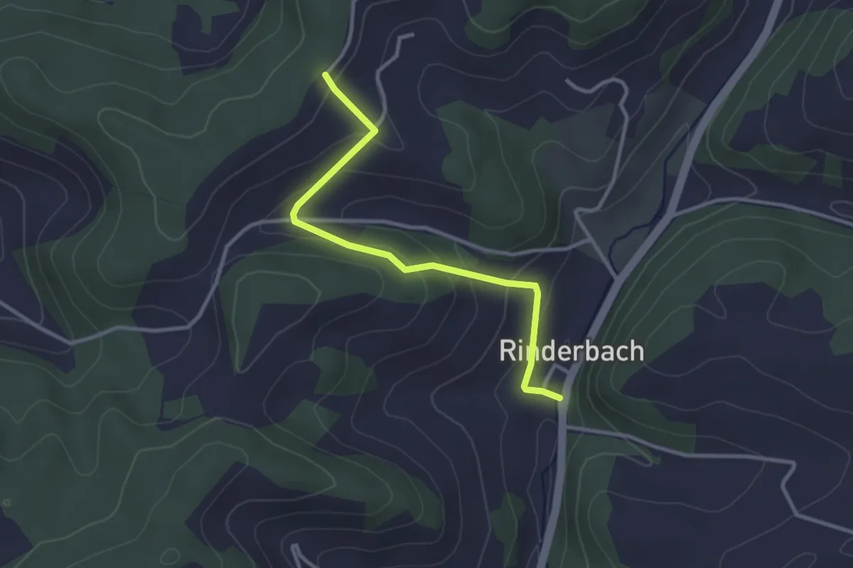
Easy · Trail
Zitistuegg - Vorder Rinderbach
3.0 km · ↑ 134 m · 1 h
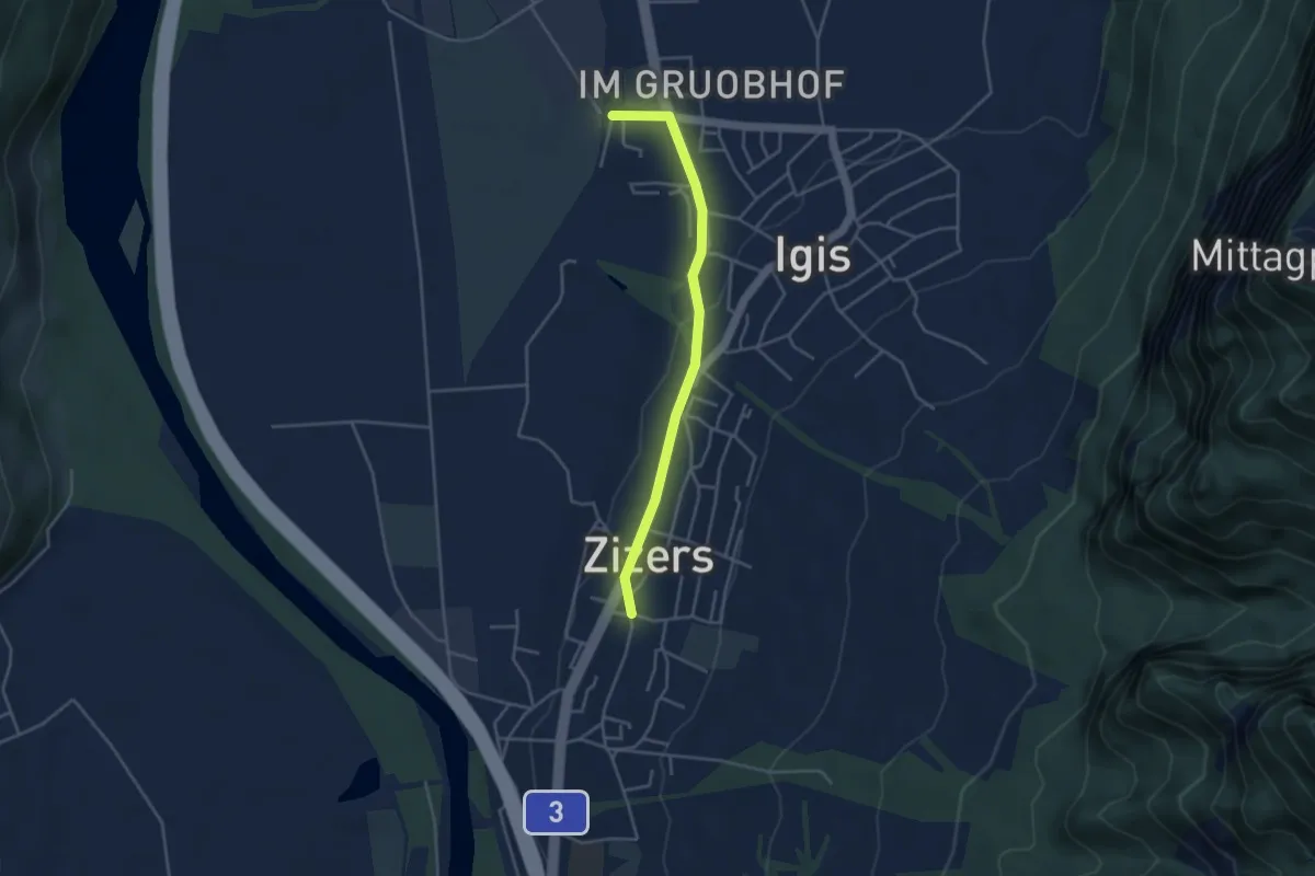
Easy · Trail
Zizers - Igis RhB
3.7 km · ↑ 52 m · 1 h
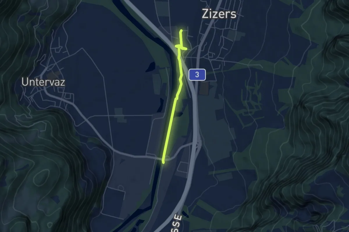
Easy · Trail
Zizers RhB - Untervaz Bahnhof
4.3 km · ↑ 22 m · 1 h 4 min
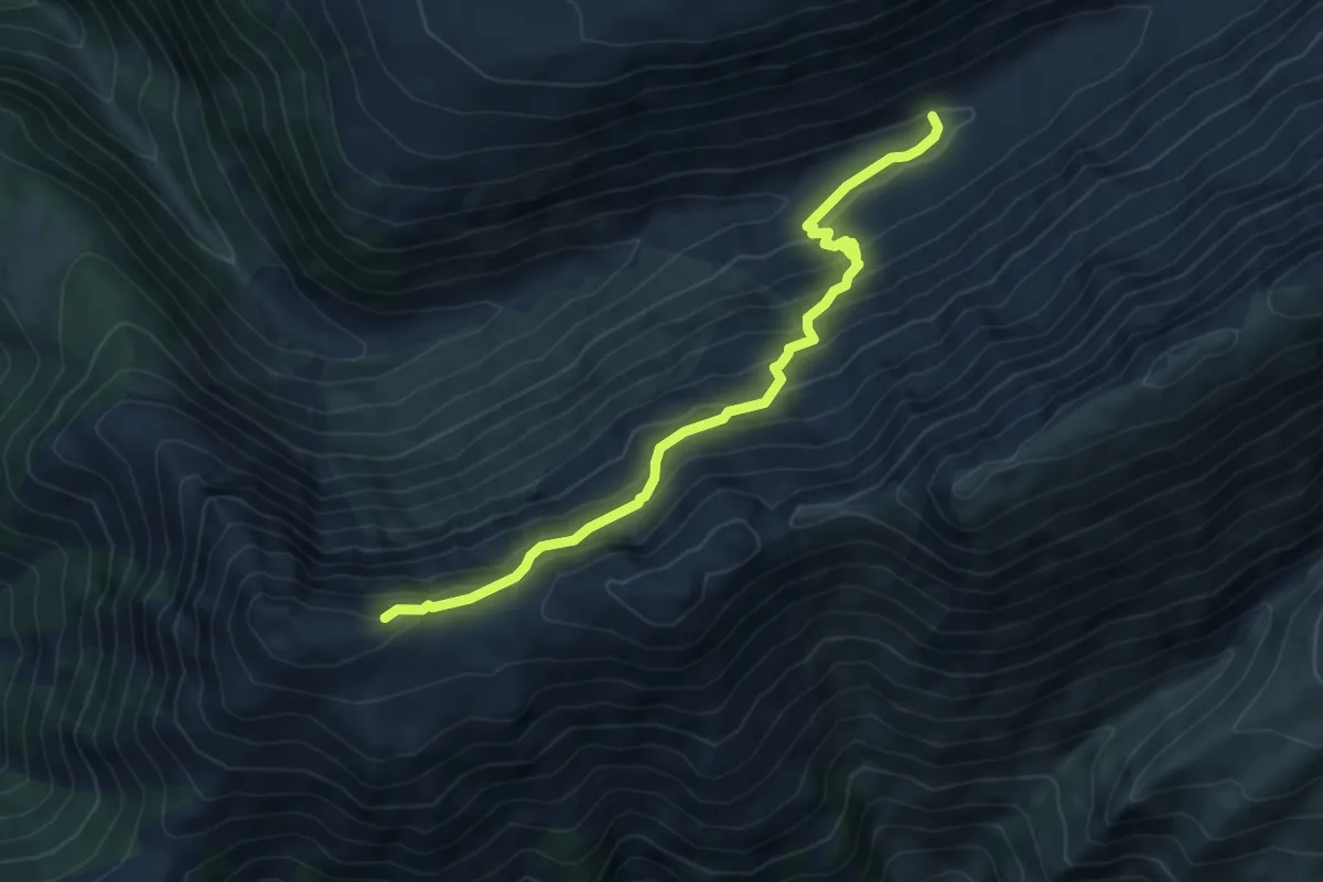
Demanding · Trail
Z'Mübach - Eggerhorn
6.4 km · ↑ 514 m · 2 h 38 min
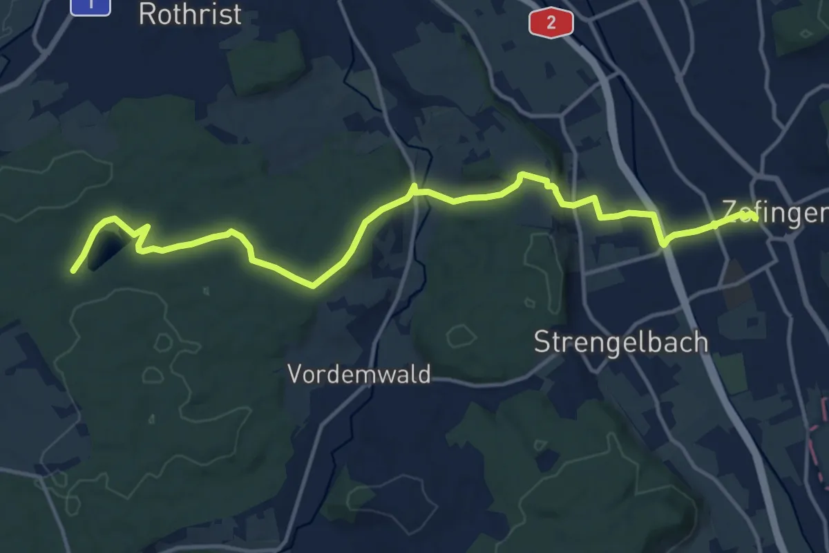
Medium · Trail
Zofingen - Langholz
14.9 km · ↑ 260 m · 4 h 5 min
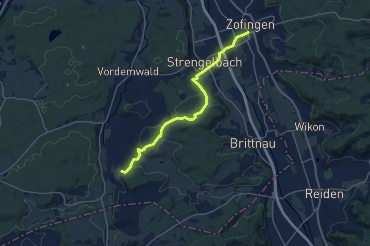
Medium · Trail
Zofingen - Strengelbach - Ob. Sennhof
13.2 km · ↑ 244 m · 3 h 39 min
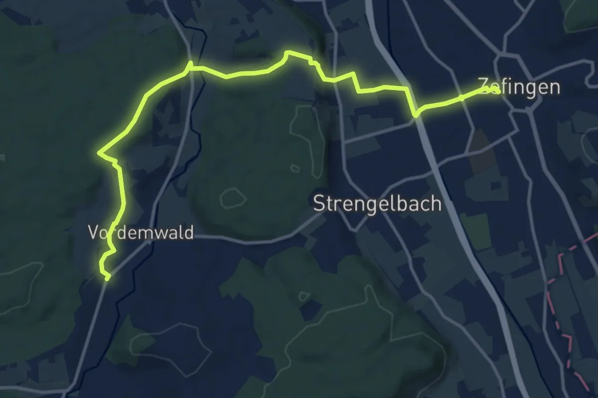
Medium · Trail
Zofingen - Vordemwald
12.3 km · ↑ 240 m · 3 h 25 min
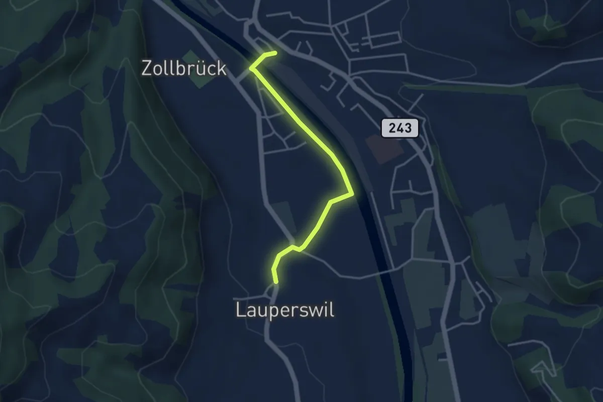
Easy · Trail
Zollbrügg - Lauperswil
3.1 km · ↑ 14 m · 46 min
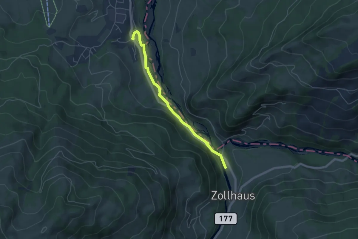
Easy · Trail
Zollhaus - Rufenen
4.7 km · ↑ 106 m · 1 h 20 min
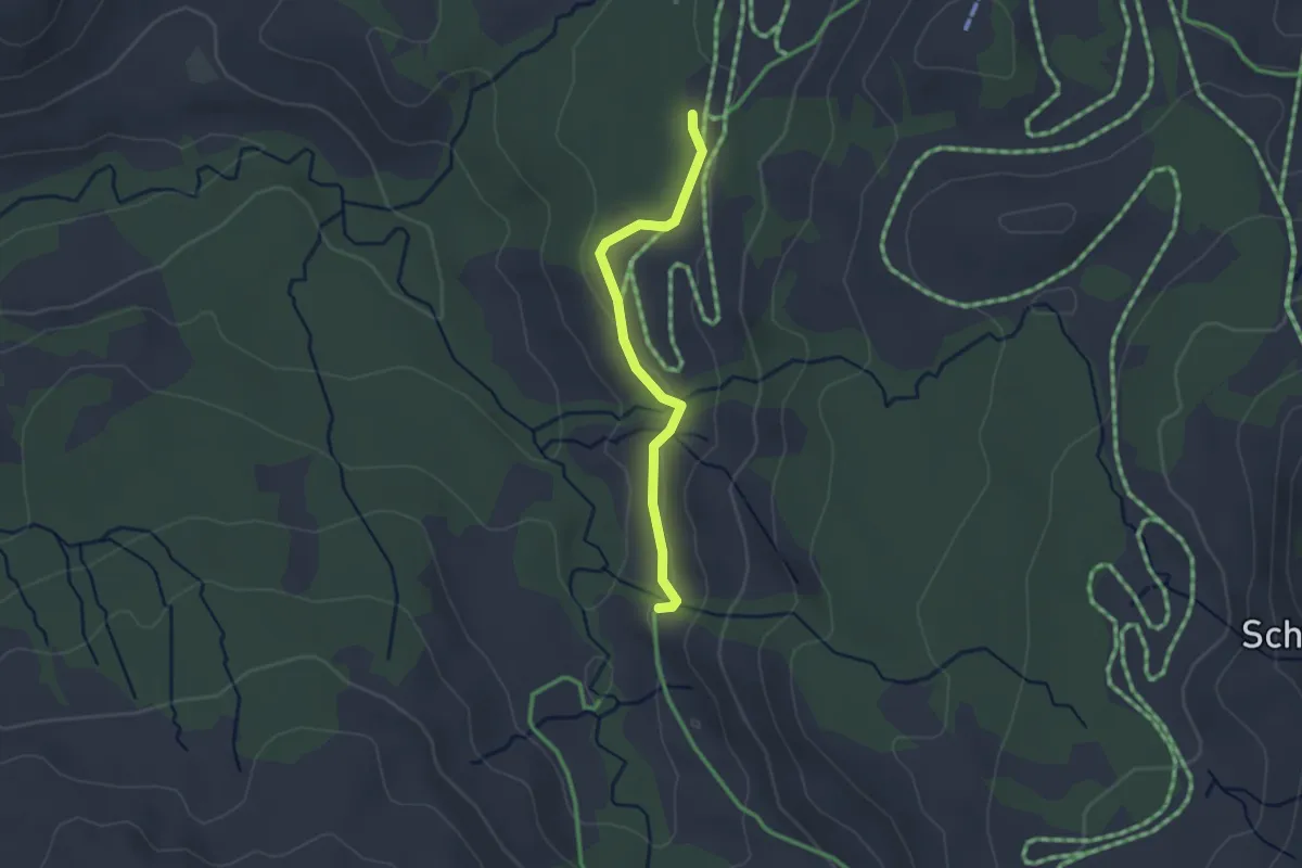
Easy · Trail
Zopf - Blattenschwand
2.3 km · ↑ 68 m · 41 min
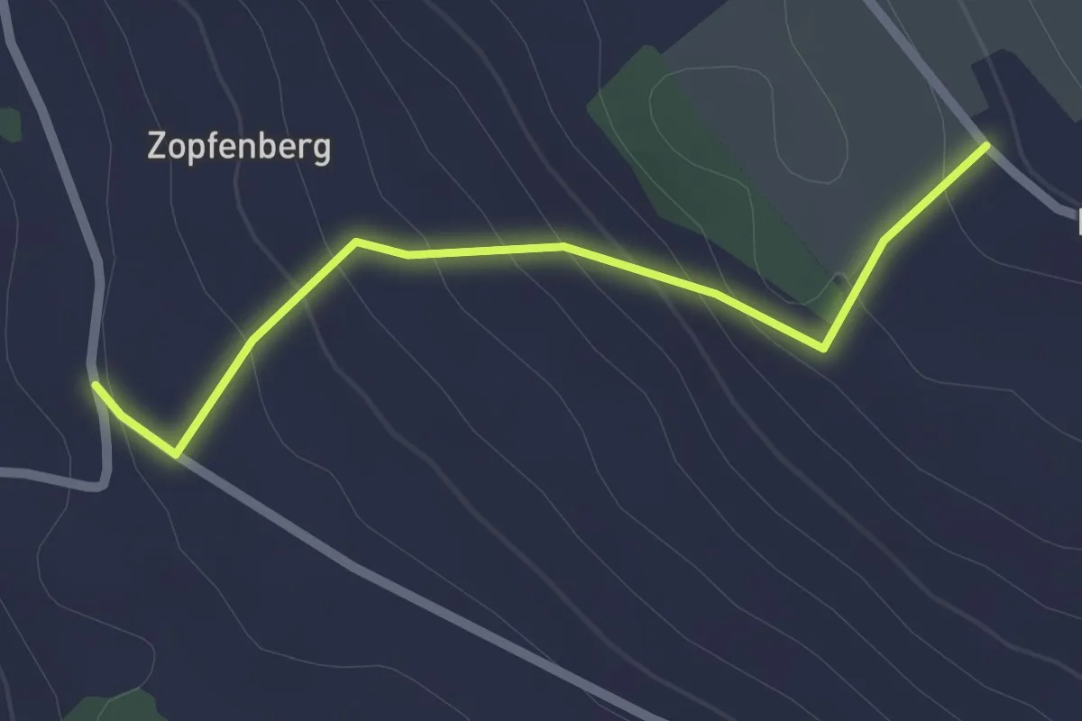
Easy · Trail
Zopfeberg - Buholz
2.1 km · ↑ 118 m · 45 min
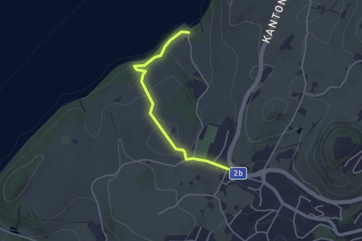
Easy · Trail
Zopf - Rörli
3.0 km · ↑ 74 m · 52 min
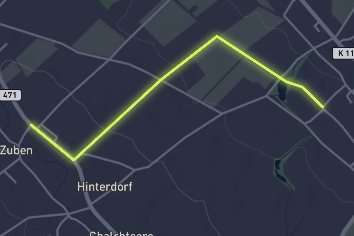
Easy · Trail
Zuben - Altnau
3.4 km · ↑ 51 m · 54 min
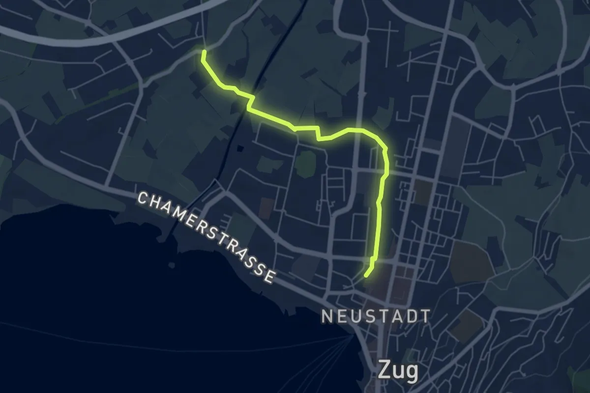
Easy · Trail
Zug Bahnhof - Chollermühli
5.2 km · ↑ 0 m · 1 h 13 min
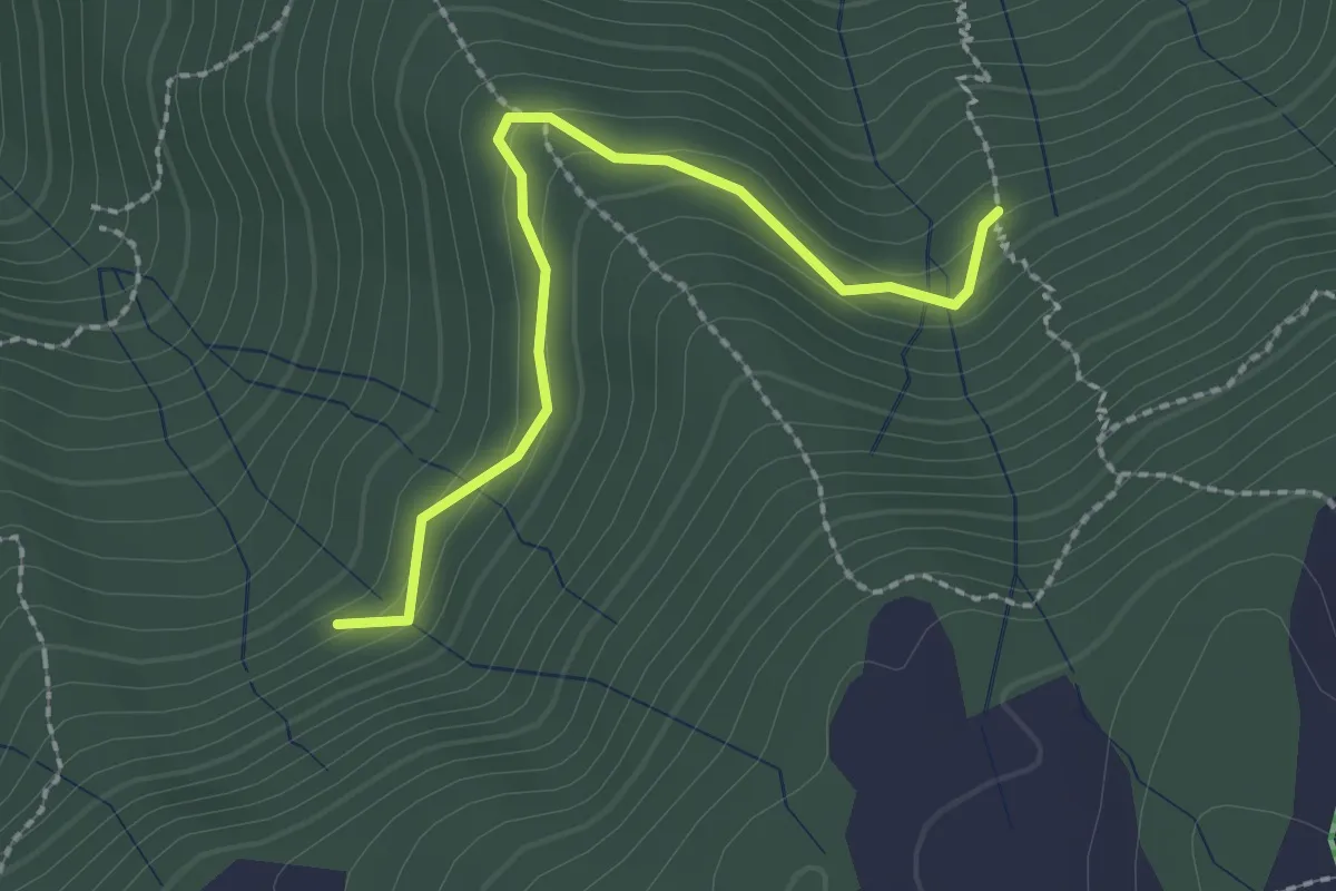
Easy · Trail
Zügli - In den Bächen
2.2 km · ↑ 131 m · 48 min
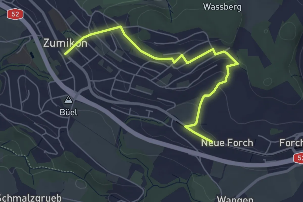
Easy · Trail
Zumikon - Neue Forch
5.2 km · ↑ 140 m · 1 h 32 min
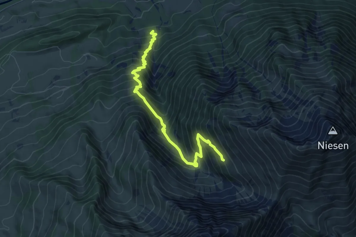
Demanding · Trail
Zünigwald - Obere Stalde
8.6 km · ↑ 921 m · 4 h 2 min
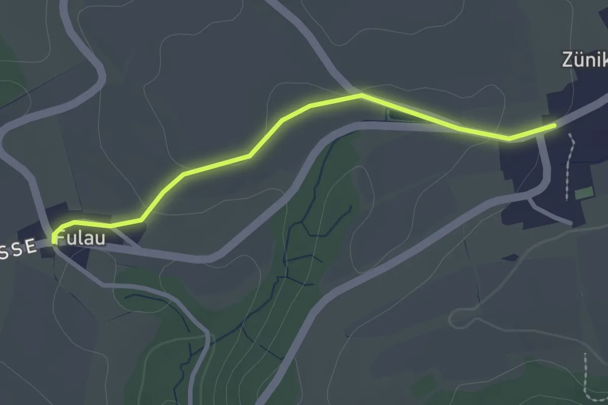
Easy · Trail
Zünikon – Fulau
2.3 km · ↑ 24 m · 35 min
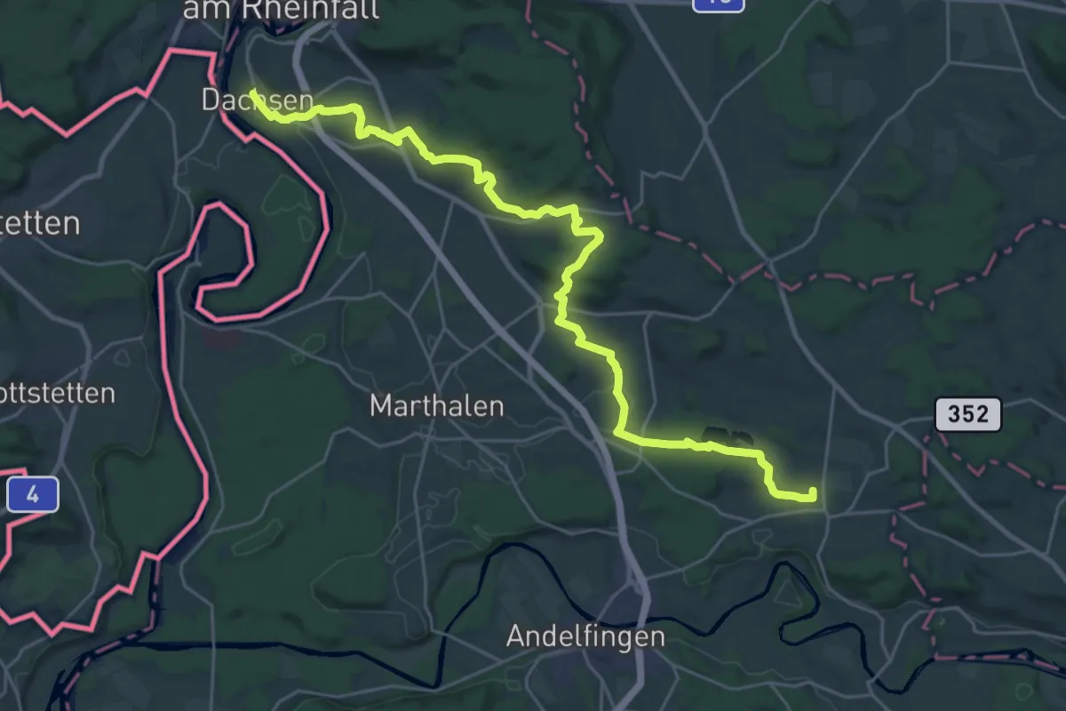
Medium · Trail
Zürcher Weinland Weg
14.9 km · ↑ 231 m · 4 h 14 min
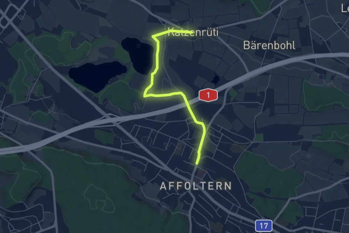
Easy · Trail
Zürich Affoltern - Chatzenrüti
5.7 km · ↑ 48 m · 1 h 27 min
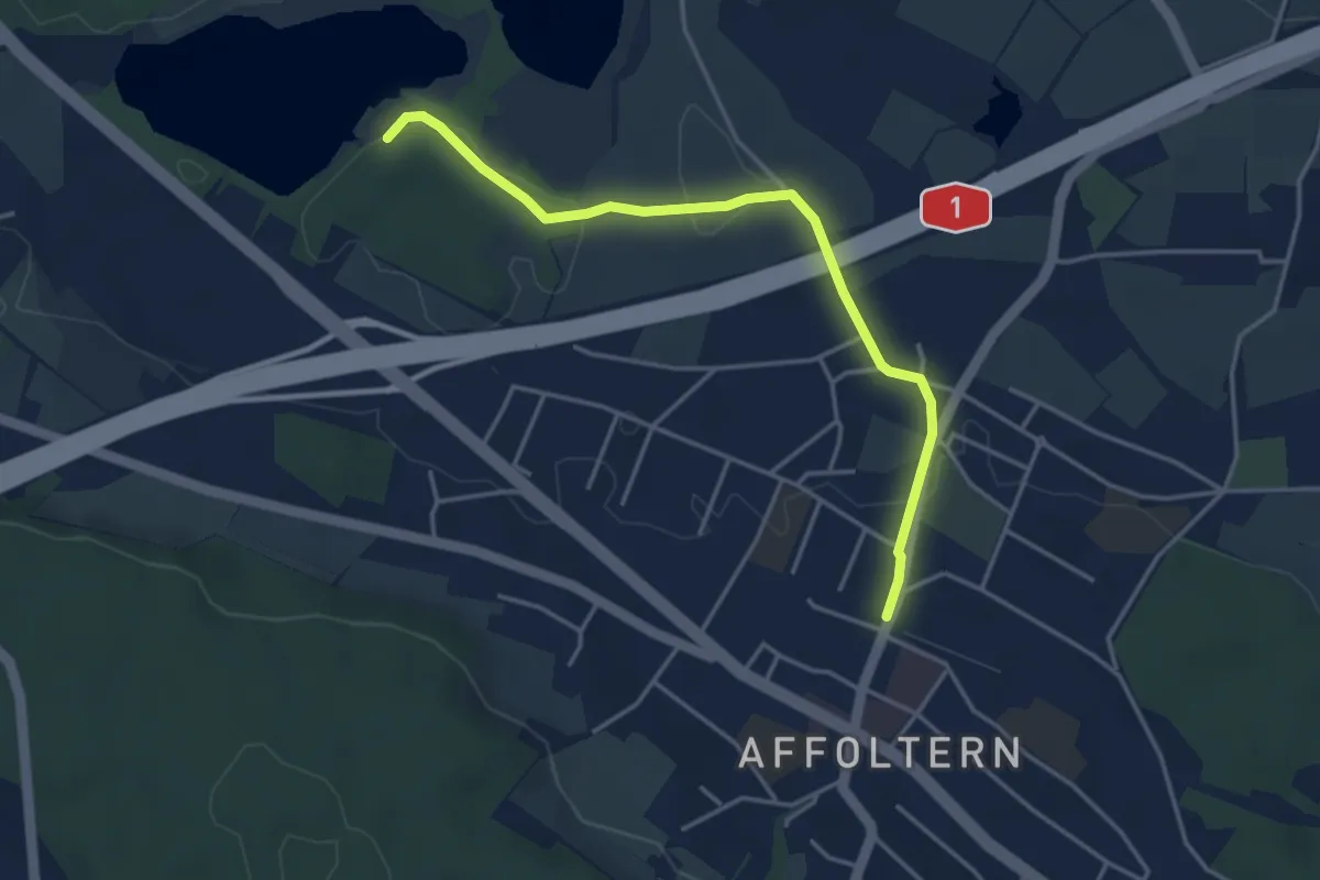
Easy · Trail
Zürich Affoltern - Chatzensee Strandbad
4.0 km · ↑ 39 m · 1 h 2 min
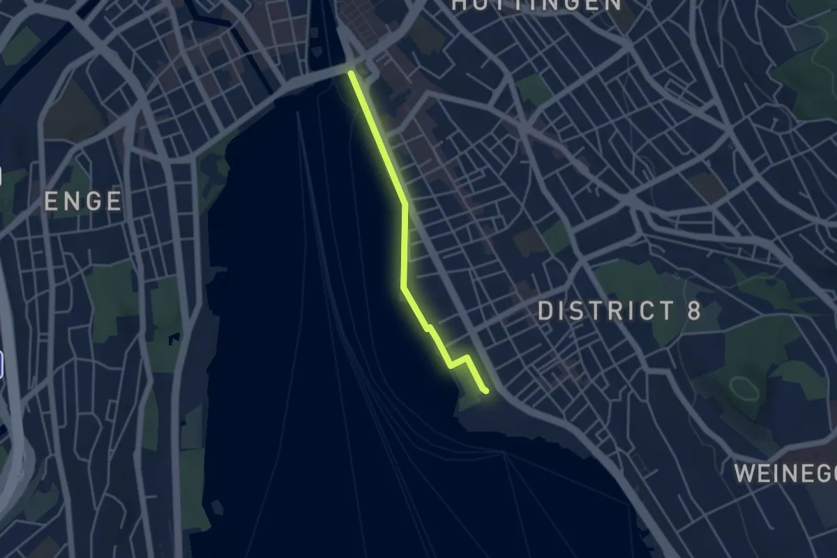
Easy · Trail
Zürichhorn - Bellvue
3.3 km · ↑ 4 m · 47 min
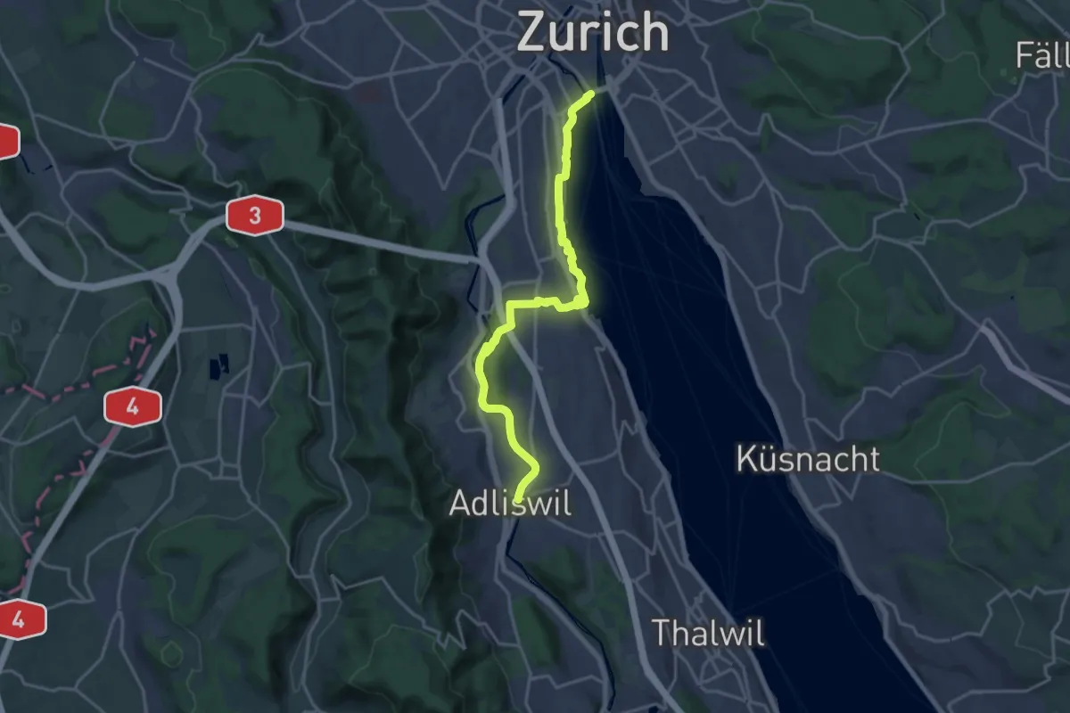
Medium · Trail
Zürichsee Rundweg - Etappe 1
17.8 km · ↑ 258 m · 4 h 45 min
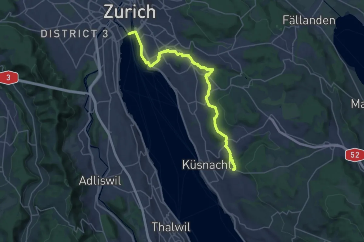
Demanding · Trail
Zürichsee Rundweg - Etappe 10
21.9 km · ↑ 333 m · 5 h 53 min