Trails in Switzerland
15,064 hiking trails, each with its route, climb, walking time and grade.
All trails, page 134 of 314
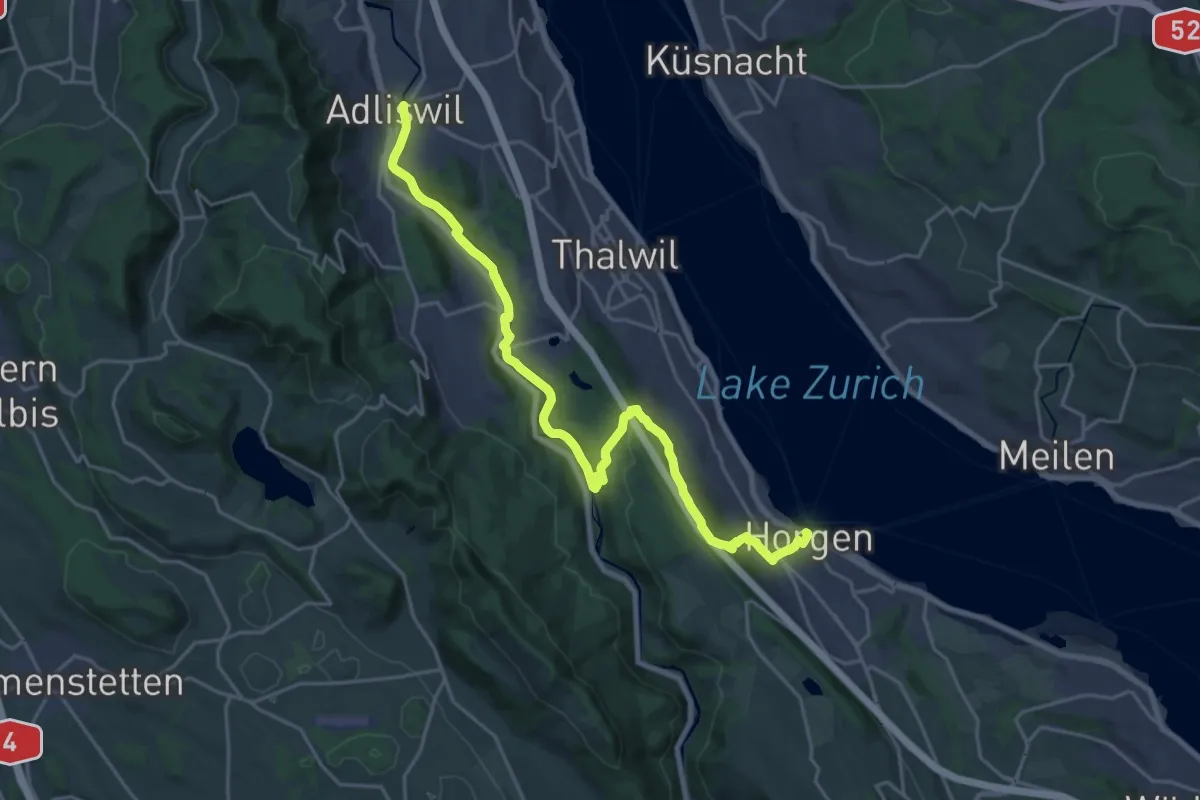
Demanding · Trail
Zürichsee Rundweg - Etappe 2
23.9 km · ↑ 571 m · 6 h 53 min
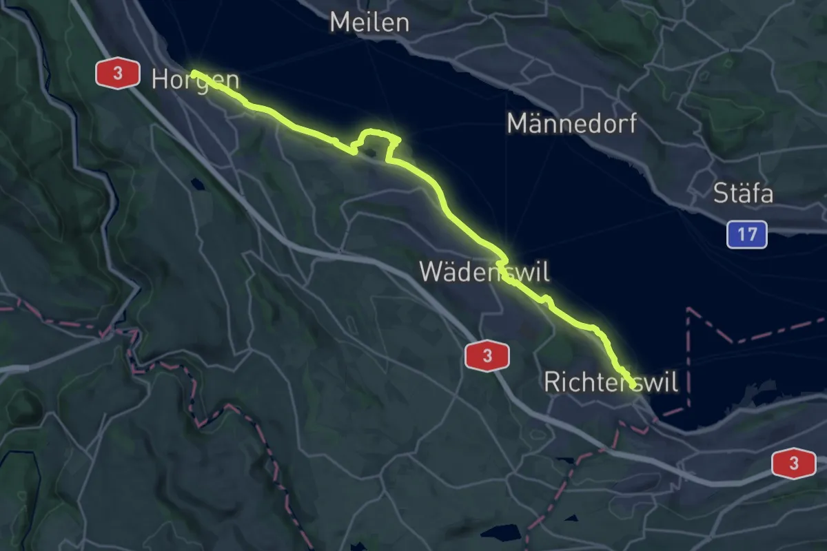
Demanding · Trail
Zürichsee Rundweg - Etappe 3
25.0 km · ↑ 220 m · 6 h 22 min
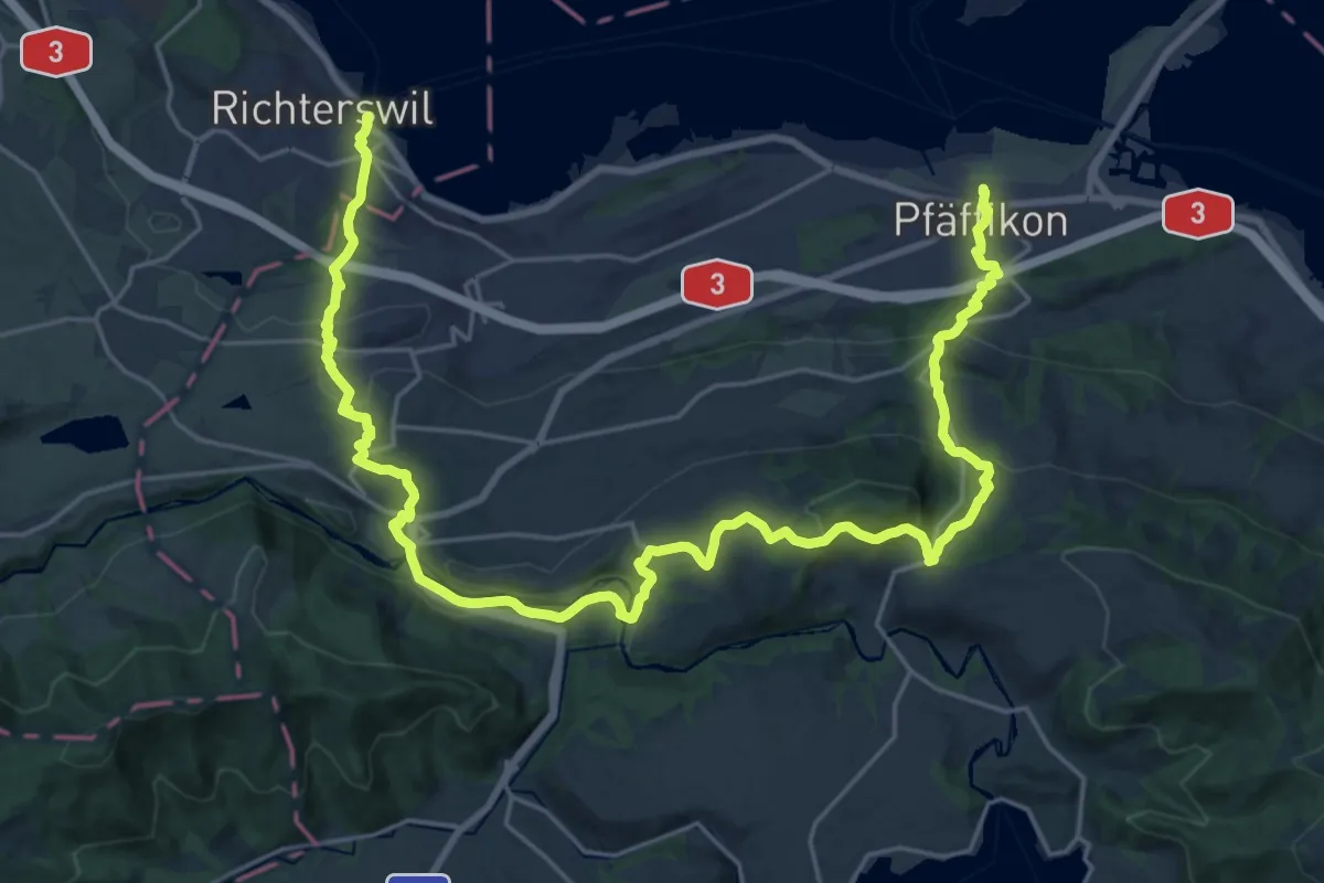
Medium · Trail
Zürichsee Rundweg - Etappe 4
16.3 km · ↑ 657 m · 5 h 30 min
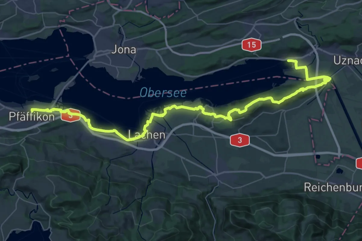
Demanding · Trail
Zürichsee Rundweg - Etappe 5
22.5 km · ↑ 328 m · 6 h 20 min
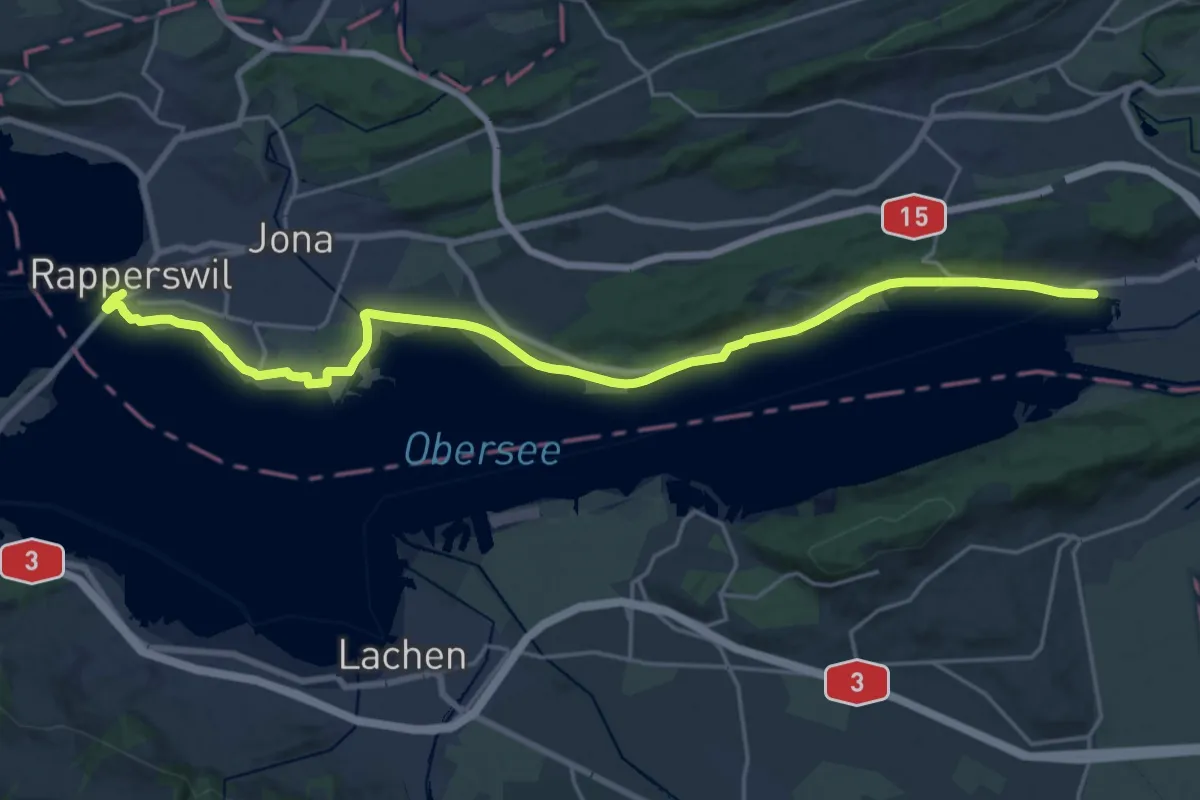
Demanding · Trail
Zürichsee Rundweg - Etappe 6
23.0 km · ↑ 109 m · 5 h 40 min
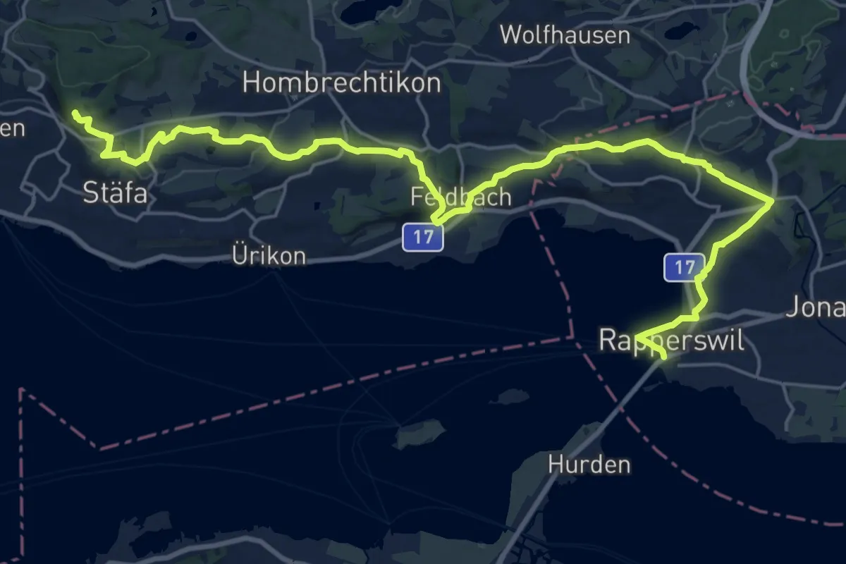
Demanding · Trail
Zürichsee Rundweg - Etappe 7
26.4 km · ↑ 477 m · 7 h 15 min
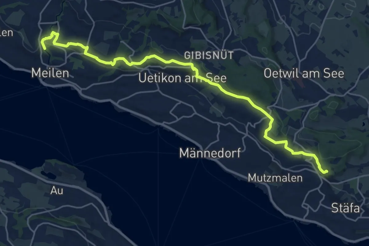
Demanding · Trail
Zürichsee Rundweg - Etappe 8
20.0 km · ↑ 434 m · 5 h 39 min
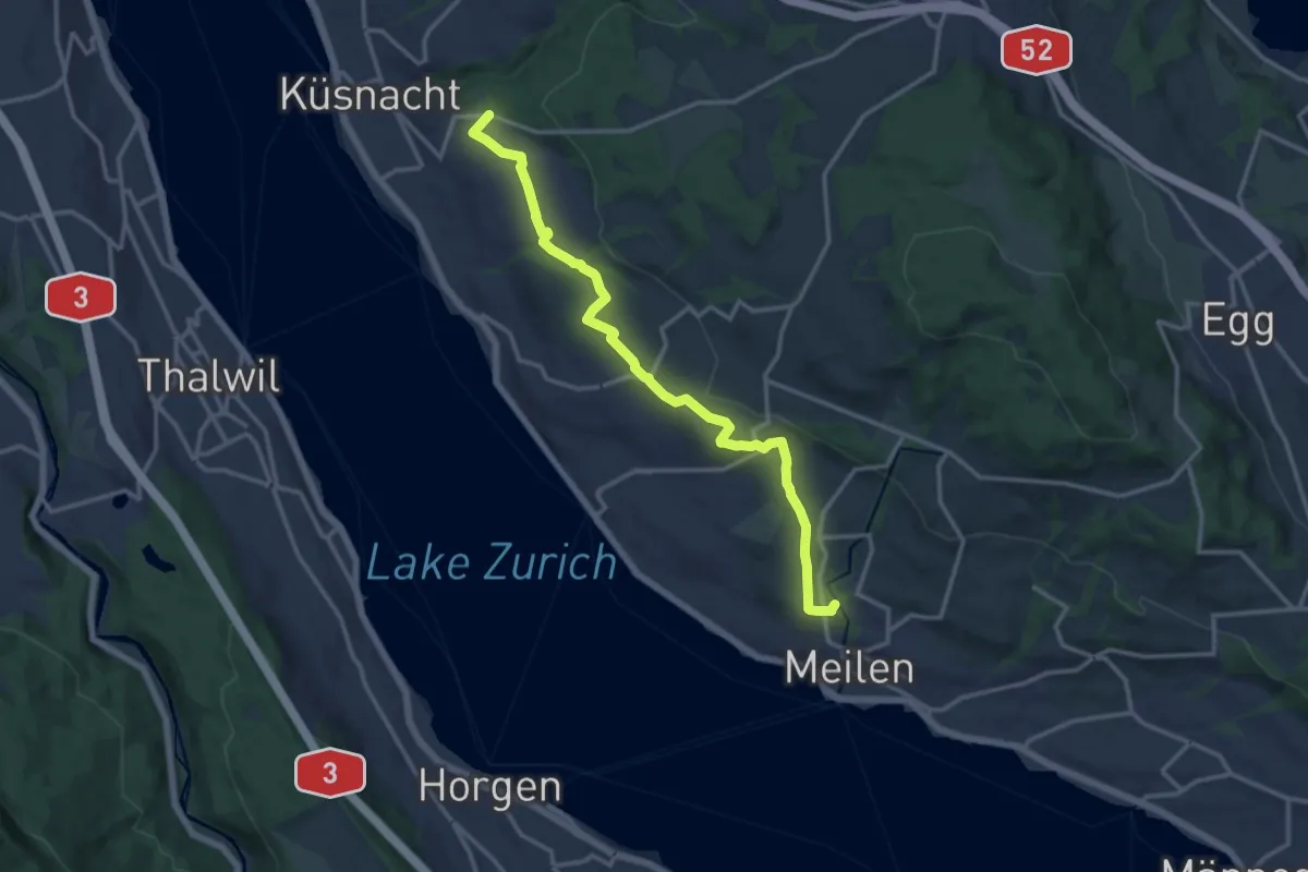
Medium · Trail
Zürichsee Rundweg - Etappe 9
14.2 km · ↑ 227 m · 3 h 51 min
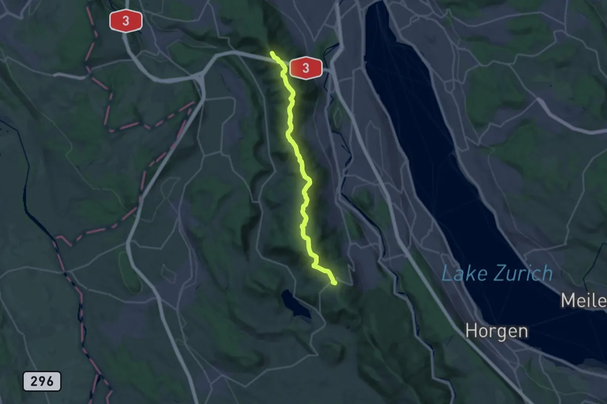
Demanding · Summit
Zürich-Zugerland-Panoramaweg - Etappe 1
19.8 km · ↑ 681 m · 6 h 10 min
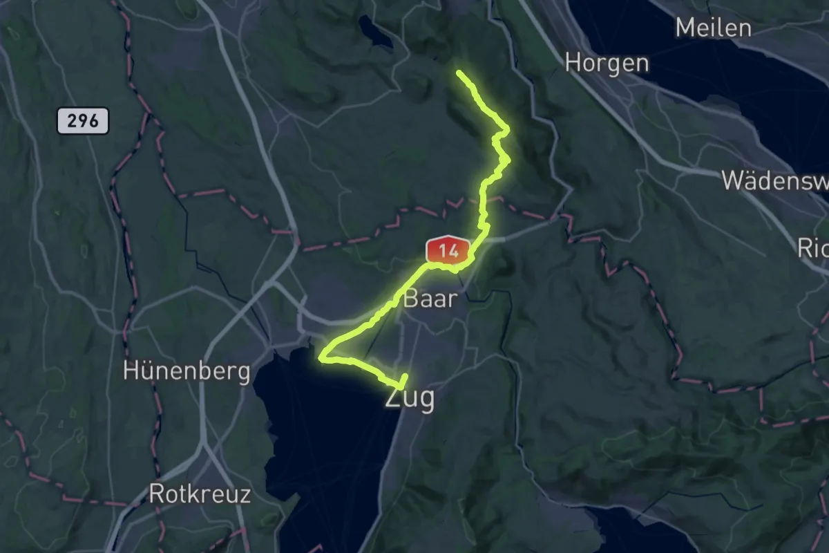
Demanding · Summit
Zürich-Zugerland-Panoramaweg - Etappe 2
35.3 km · ↑ 671 m · 9 h 47 min
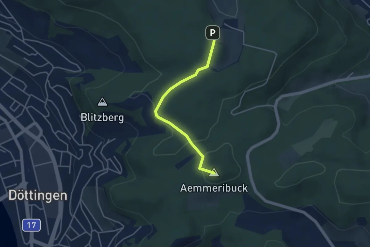
Easy · Summit
Zurzacherberg - Acheberg
2.9 km · ↑ 50 m · 48 min
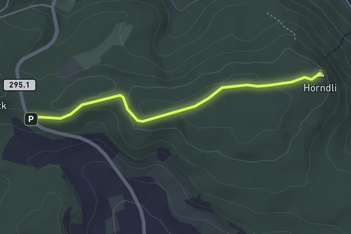
Easy · Summit
Zurzacherberg - Hörndli
3.7 km · ↑ 74 m · 1 h 2 min
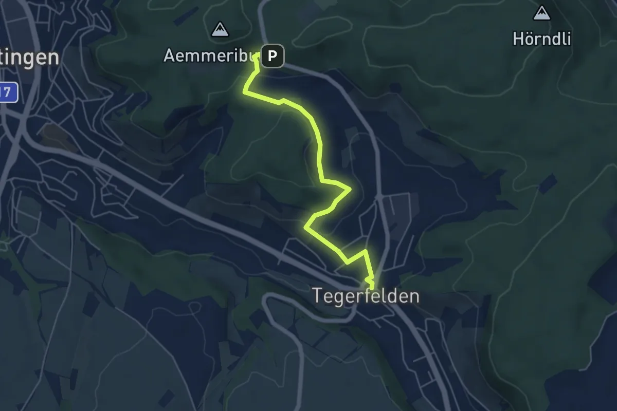
Easy · Trail
Zurzacherberg - Tegerfelden
5.0 km · ↑ 119 m · 1 h 26 min
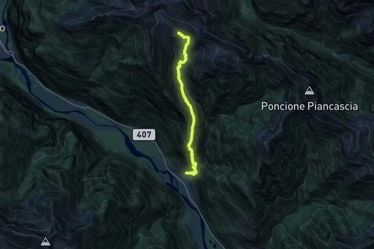
Demanding · Cabin
Zustieg Alpe Spluga
12.9 km · ↑ 1586 m · 6 h 29 min
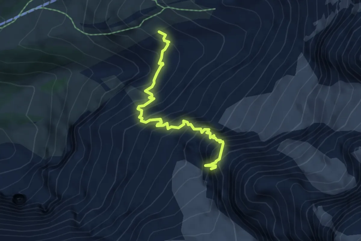
Expert · Cabin
Zustieg Guggihütte
5.3 km · ↑ 1049 m · 3 h 31 min
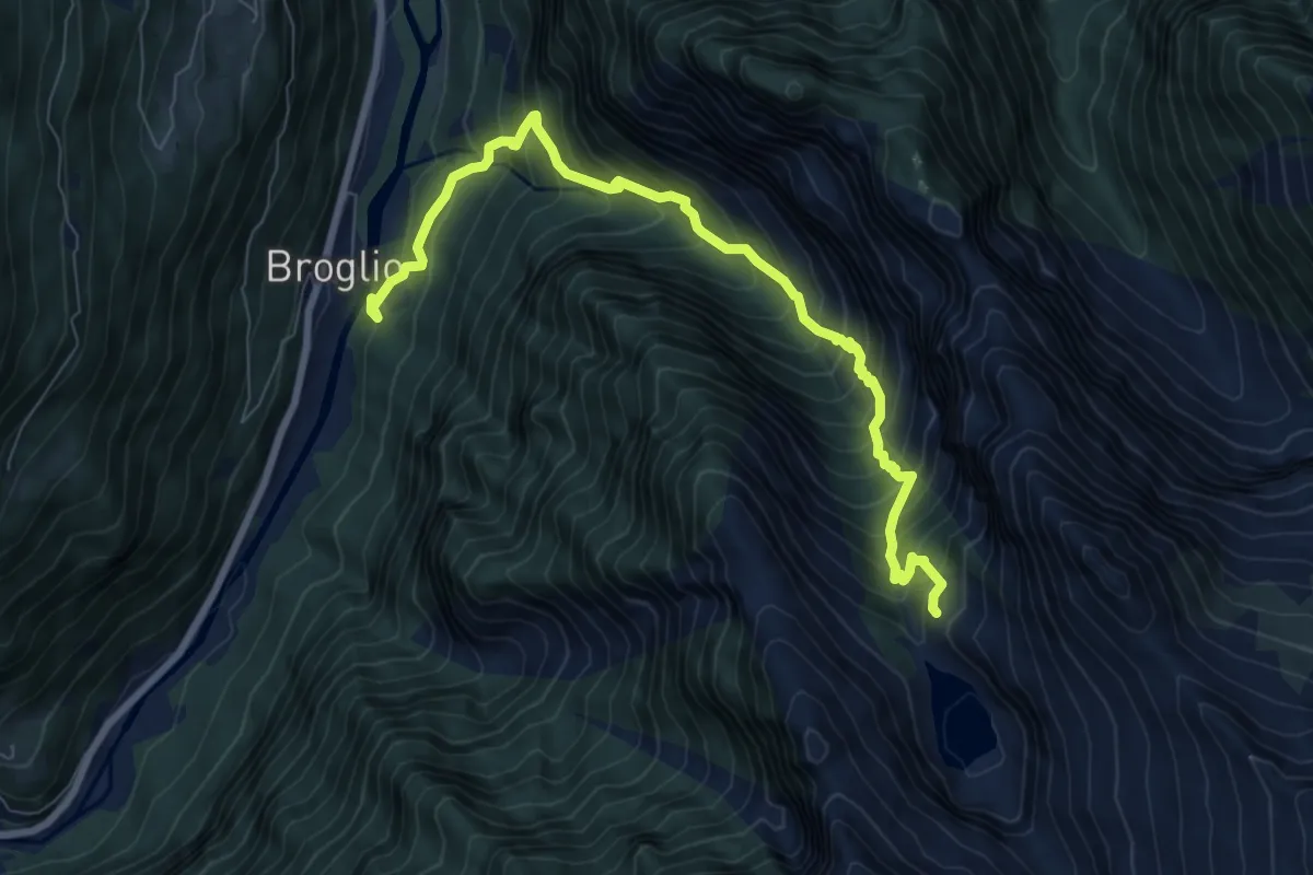
Demanding · Cabin
Zustieg Rifugio Tomeo
8.4 km · ↑ 1080 m · 4 h 20 min
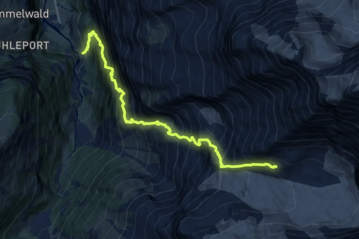
Demanding · Cabin
Zustieg Rottalhütte
10.8 km · ↑ 2193 m · 7 h 18 min
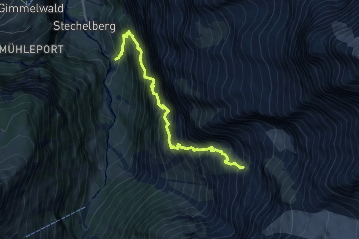
Demanding · Trail
Zustieg Silberhornhütte
6.9 km · ↑ 1441 m · 4 h 45 min
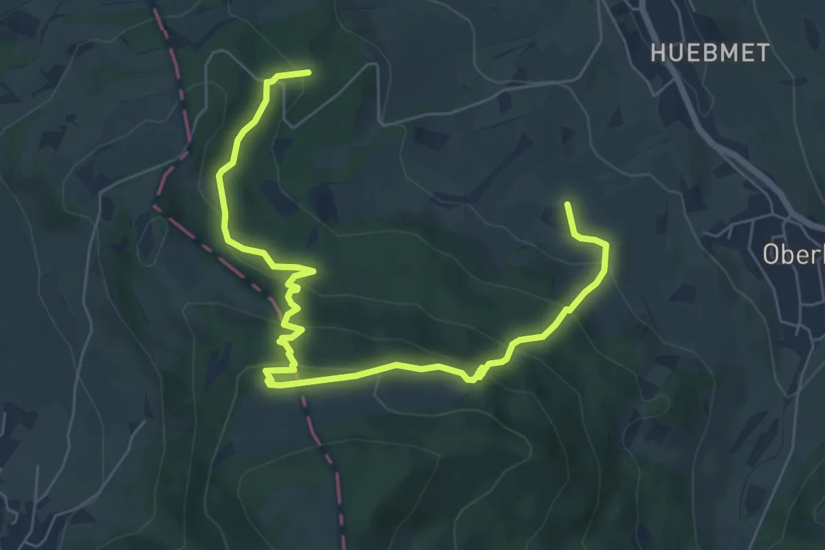
Easy · Trail
Zwei Dörfer-Rundweg
3.8 km · ↑ 195 m · 1 h 25 min
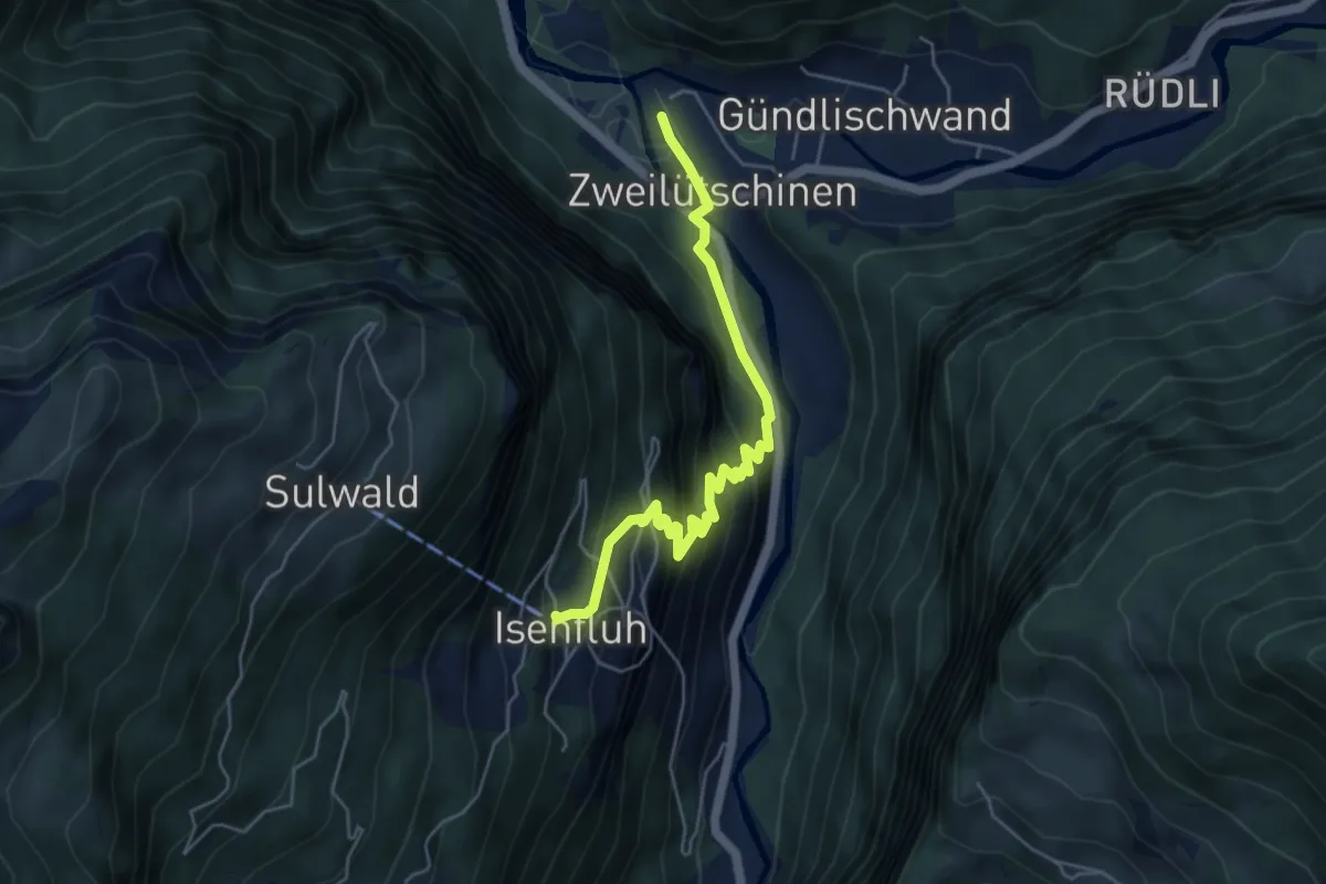
Medium · Trail
Zweilütschinen - Isenfluh
5.2 km · ↑ 477 m · 2 h 15 min
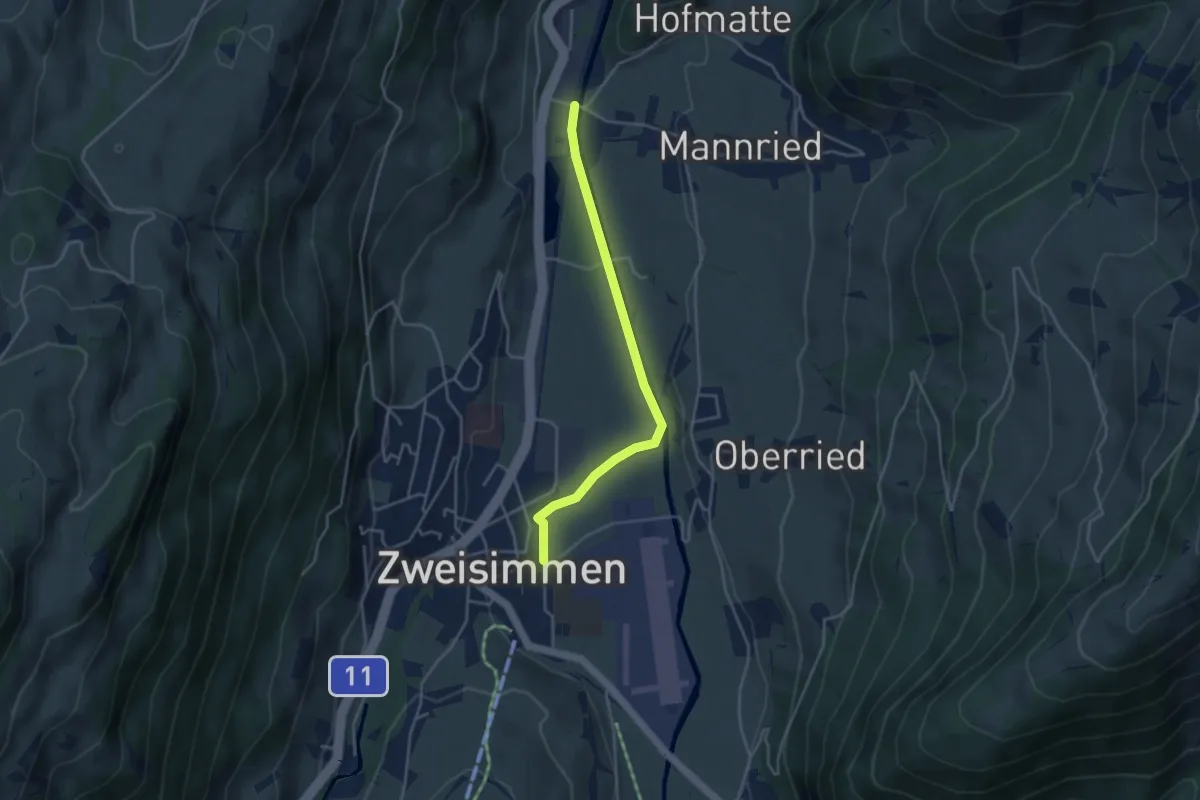
Easy · Trail
Zweisimmen - Forellensee
3.8 km · ↑ 22 m · 56 min
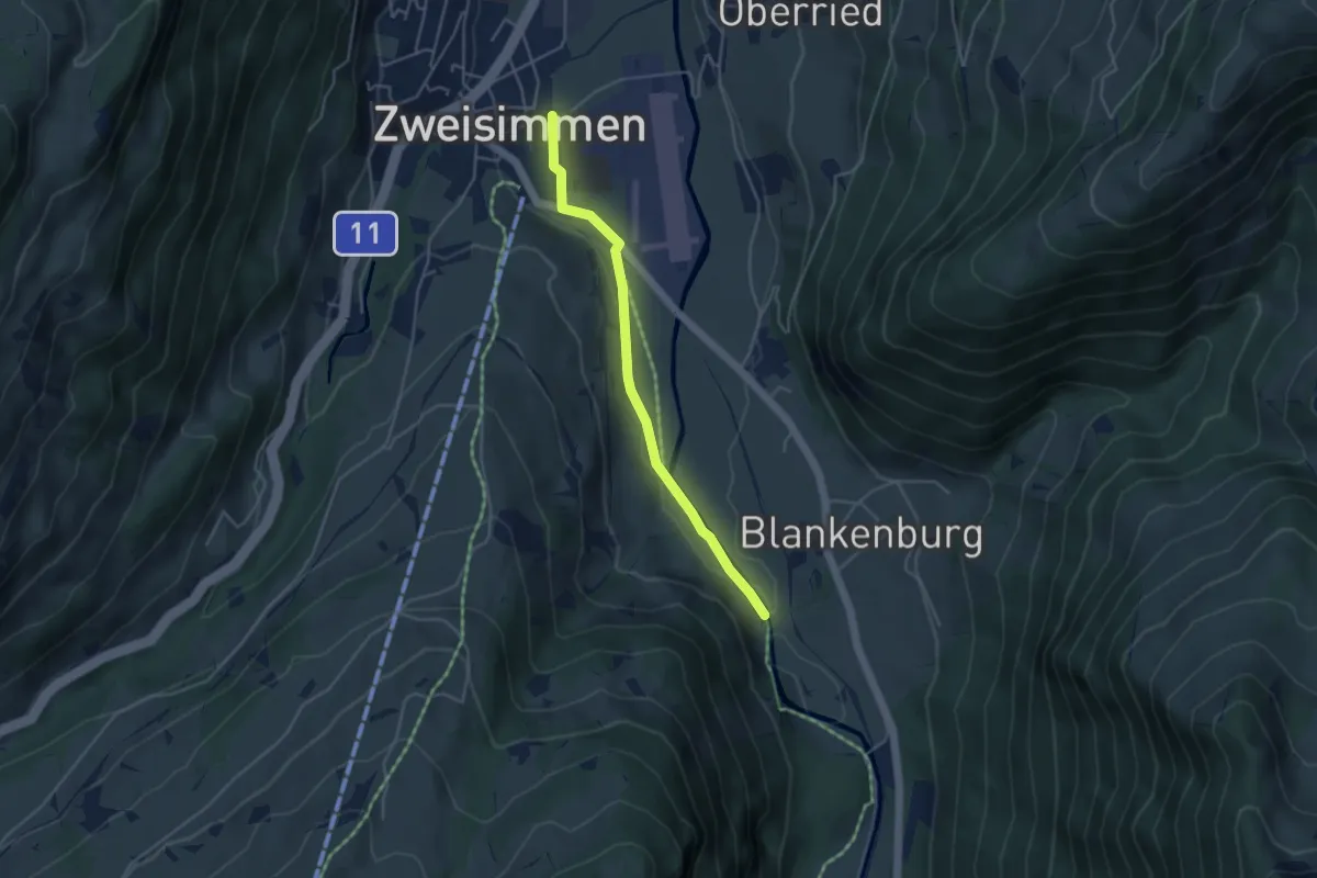
Easy · Trail
Zweisimmen - Hofbrügg
4.0 km · ↑ 56 m · 1 h 4 min
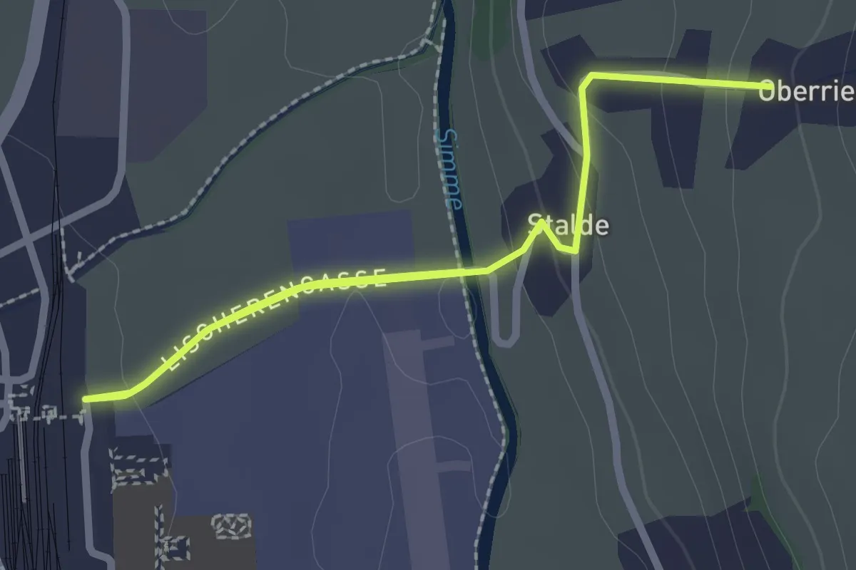
Easy · Trail
Zweisimmen - Oberried
4.1 km · ↑ 76 m · 1 h 8 min
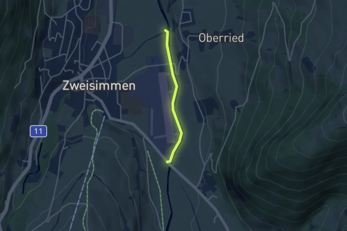
Easy · Trail
Zweisimmen Simmenweg
2.3 km · ↑ 23 m · 36 min
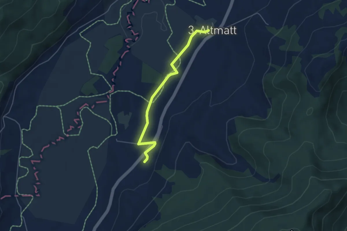
Easy · Trail
Zweite Altmatt - Dritte Altmatt
4.1 km · ↑ 28 m · 1 h 2 min
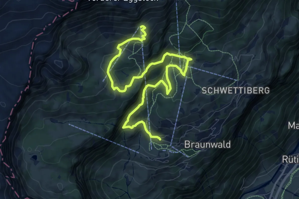
Medium · Cabin
Zwerg-Bartli-Erlebnisweg
12.8 km · ↑ 758 m · 4 h 39 min
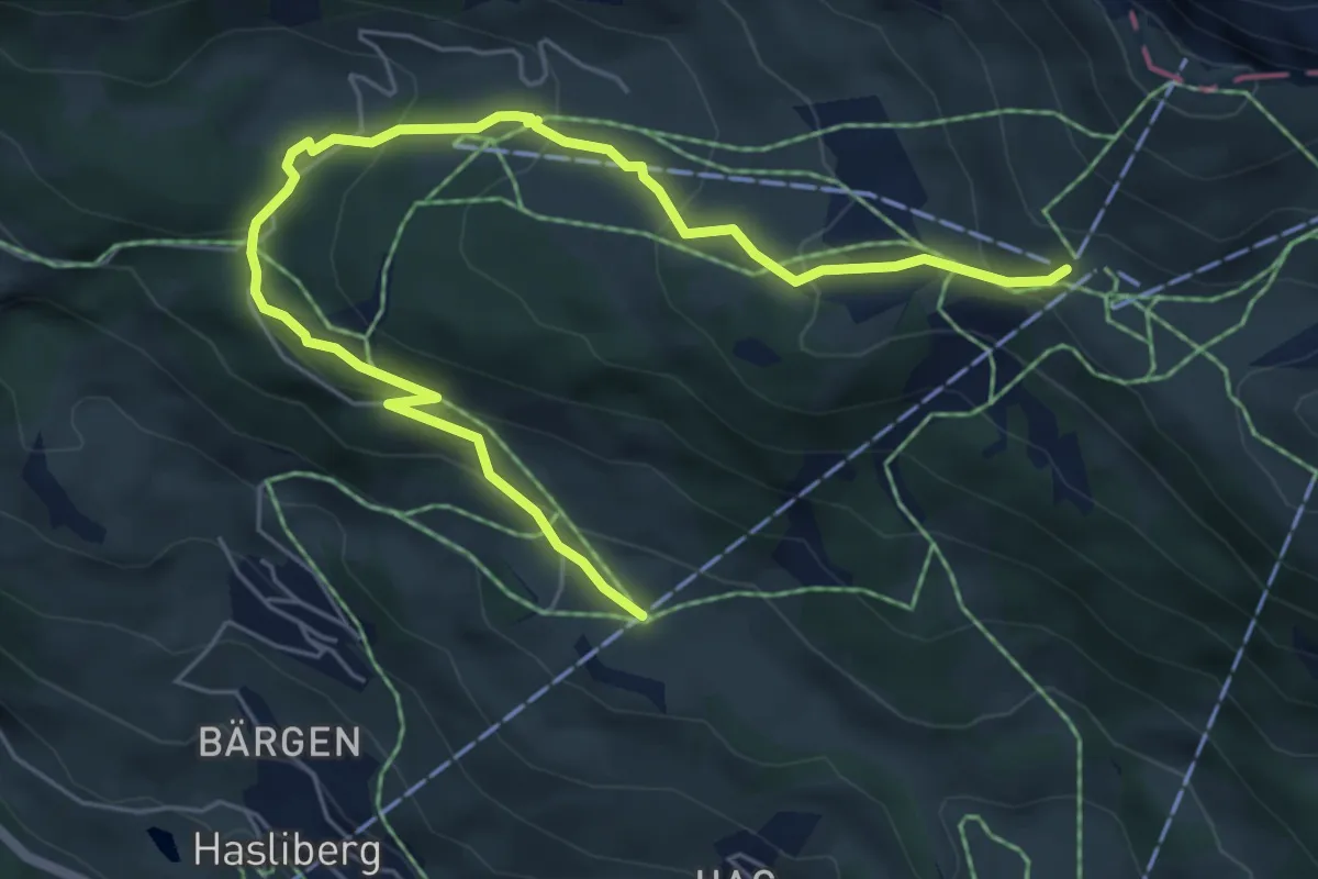
Medium · Trail
Zwergenweg Käserstatt-Lischen
7.0 km · ↑ 398 m · 2 h 31 min
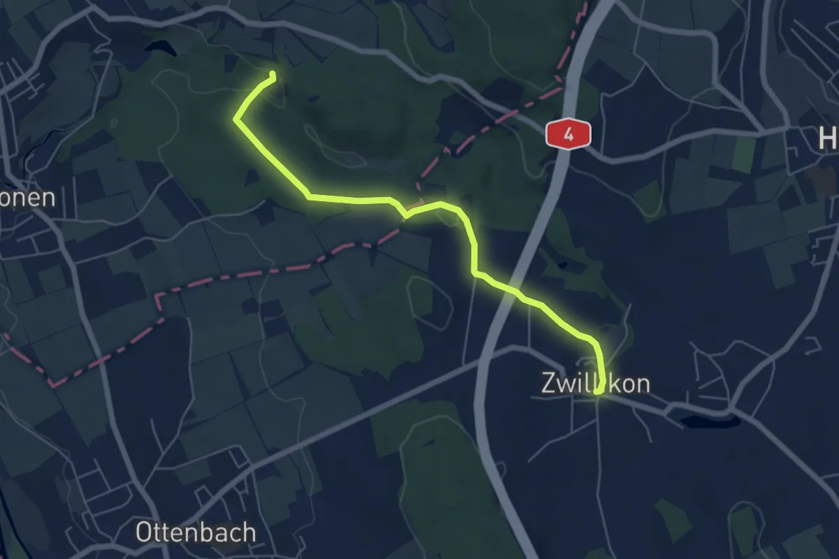
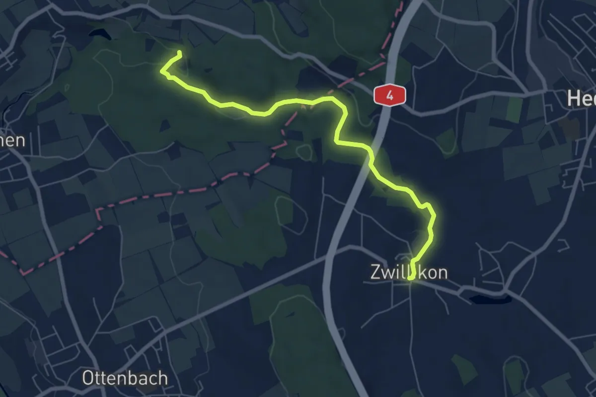
Easy · Trail
Zwillikon - Kapelle Jonental
5.6 km · ↑ 83 m · 1 h 29 min
Easy · Trail
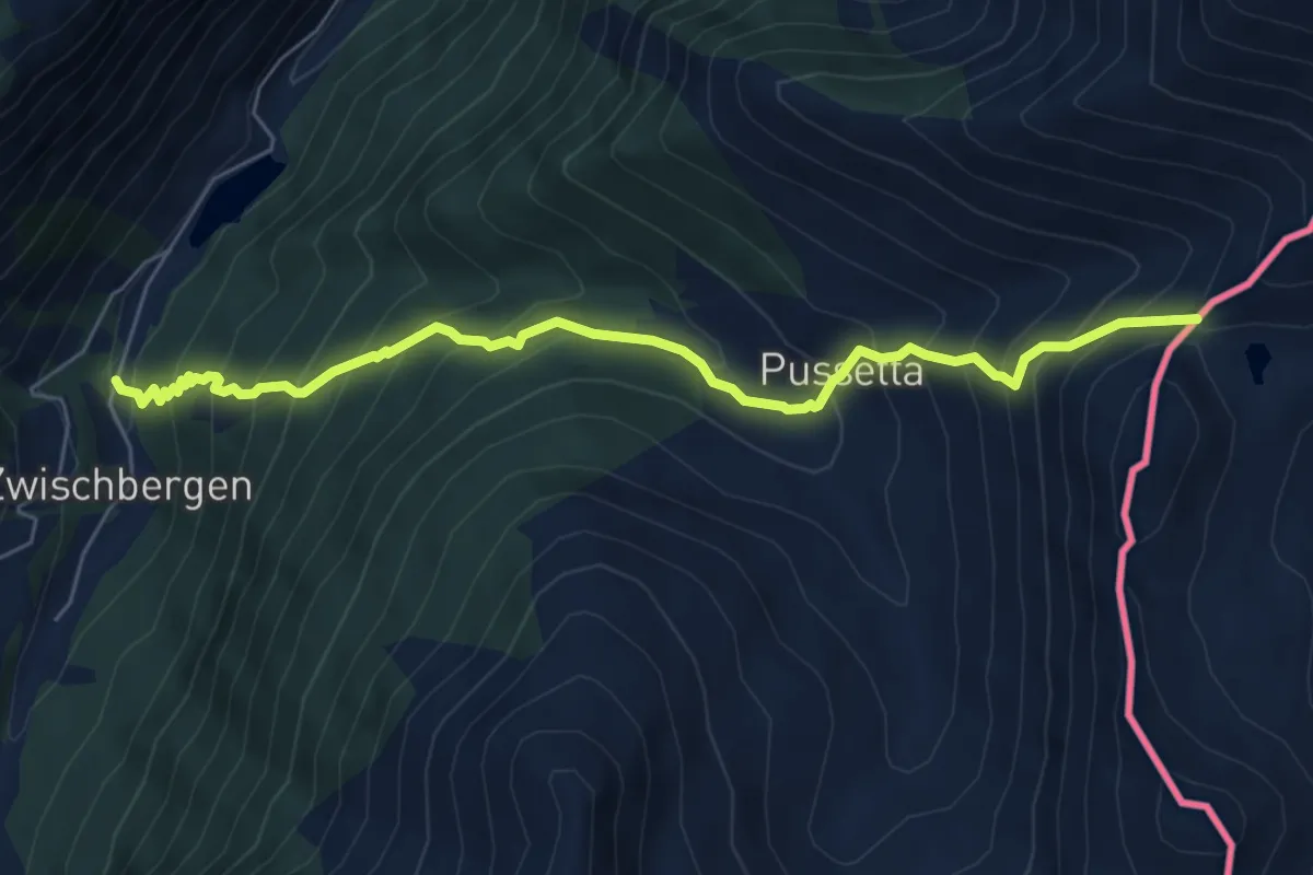
Zwillikon - Kapelle Jonental
6.4 km · ↑ 82 m · 1 h 41 min
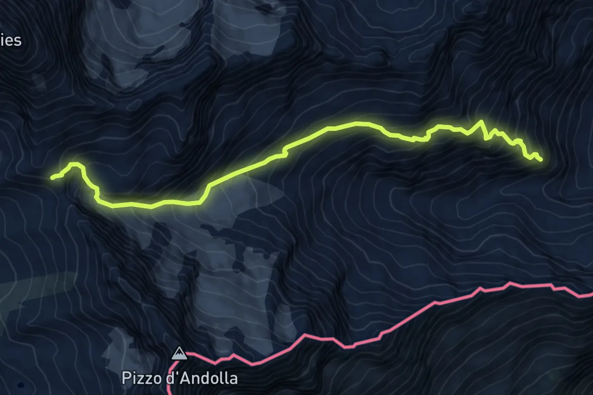
Demanding · Trail
Zwischenbergen - Passo di Monscera
6.6 km · ↑ 805 m · 3 h 19 min
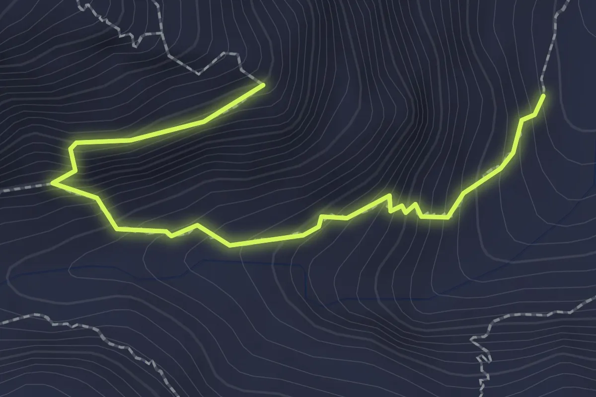
Expert · Trail
Zwischenbergenpassweg
10.8 km · ↑ 1208 m · 5 h 10 min
Demanding · Trail
Zwischenbergenpassweg
2.5 km · ↑ 299 m · 1 h 15 min
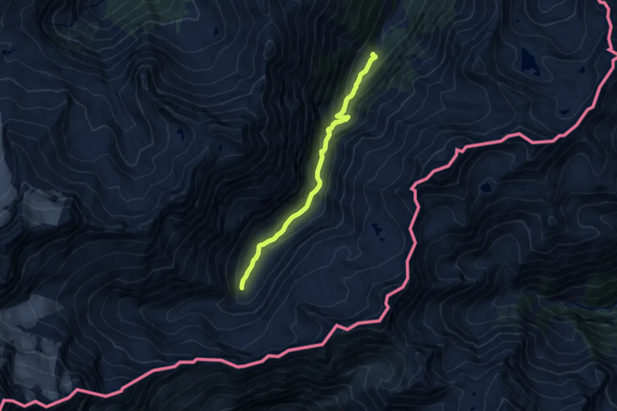
Medium · Trail
Zwischenbergentalweg
9.4 km · ↑ 449 m · 3 h 12 min
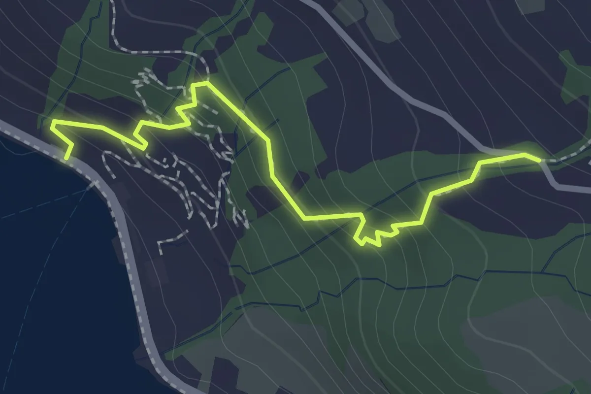
Easy · Trail
Zwüschenbäch - Ländli
2.2 km · ↑ 165 m · 53 min
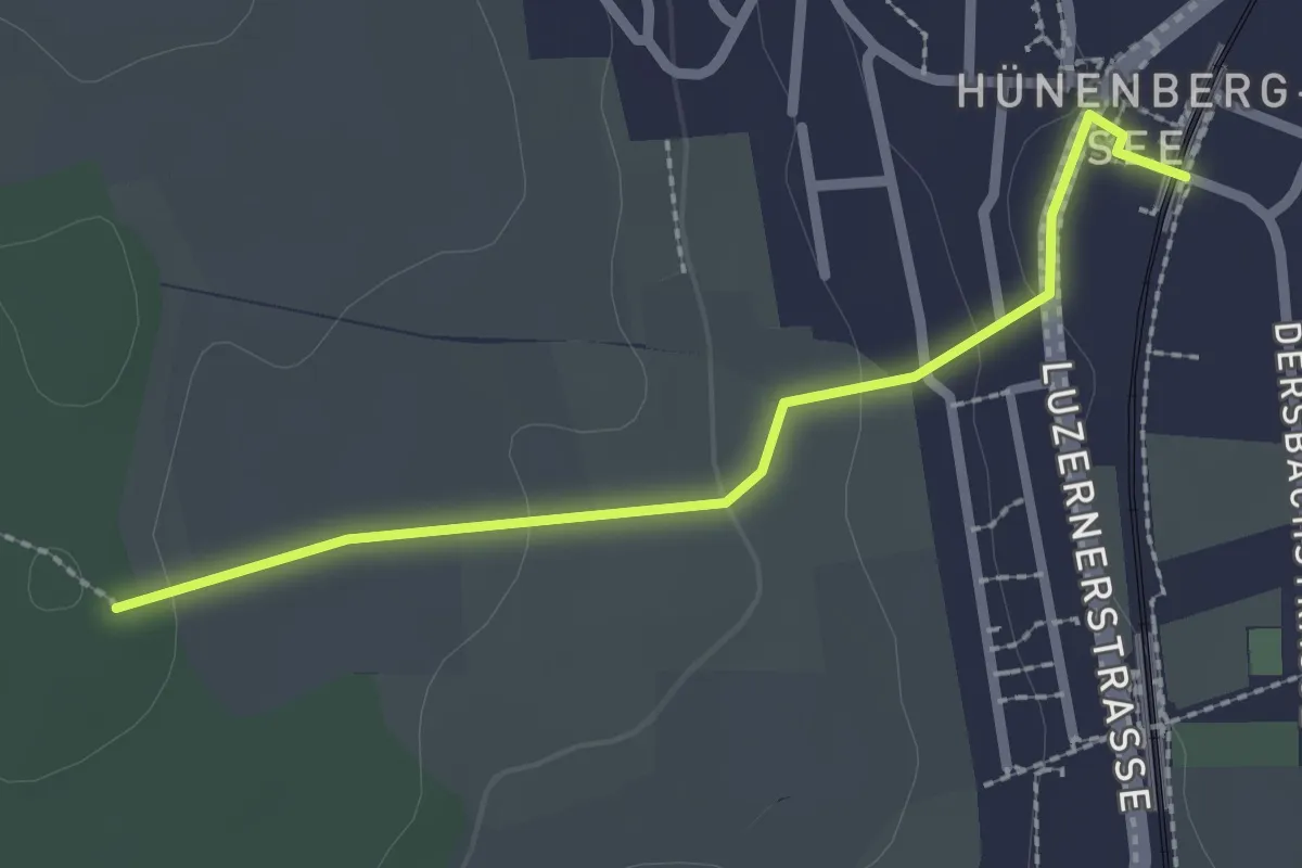
Easy · Trail
Zythus - Langholz
2.3 km · ↑ 60 m · 41 min
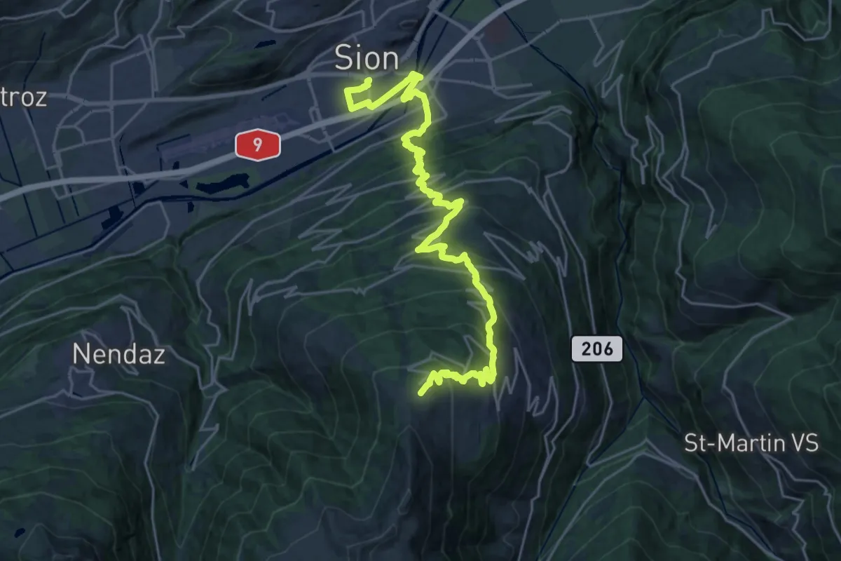
Medium · Trail
00-Tour pédestre du Val d'Hérens
13.8 km · ↑ 46 m · 4 h 21 min
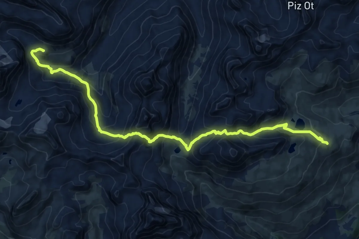
Expert · Cabin
01-Alpenpässe-Weg
10.8 km · ↑ 773 m · 4 h 27 min
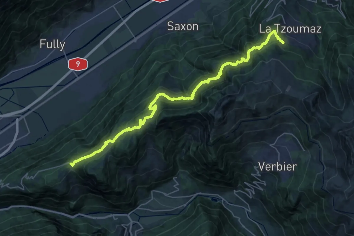
Expert · Trail
01-Chemin des Bisses
13.3 km · ↑ 1086 m · 5 h 31 min
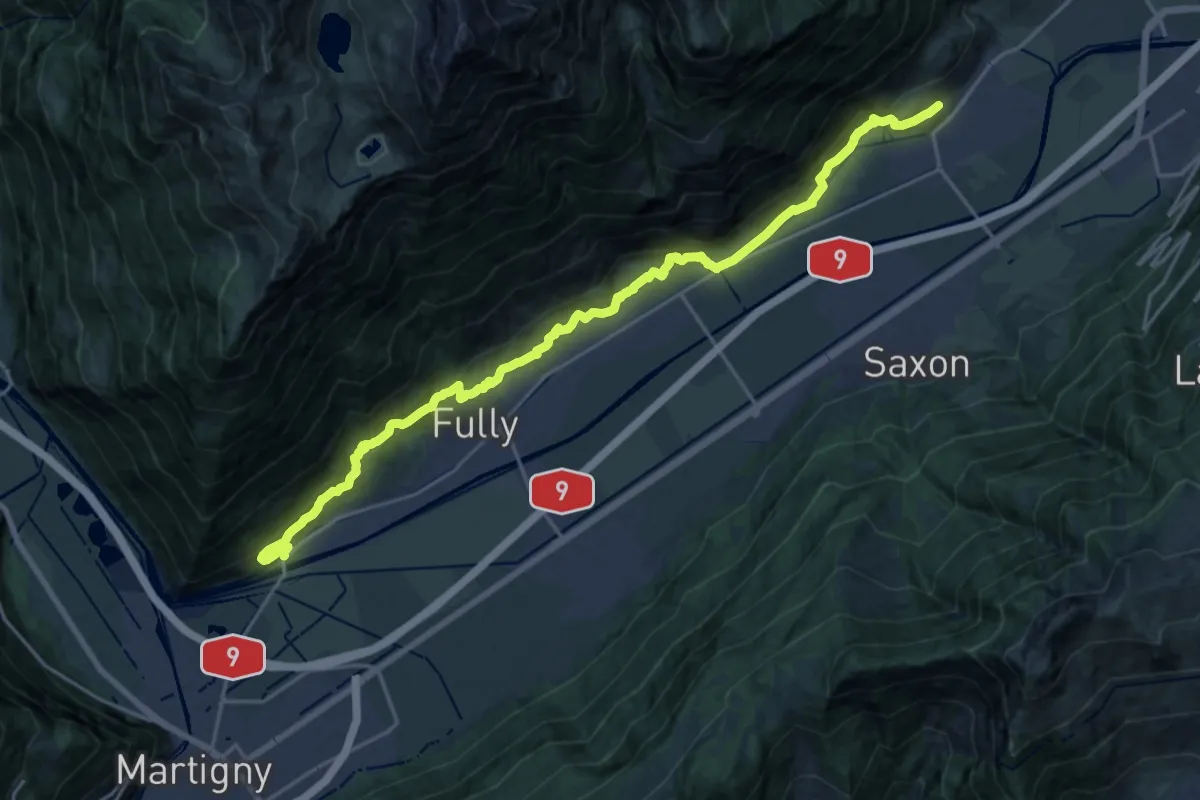
Demanding · Trail
01-Chemin du Vignoble
23.4 km · ↑ 885 m · 7 h 27 min
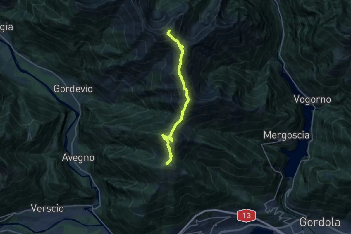
Expert · Summit
01 - Cimetta - Capanna Nimi
13.7 km · ↑ 1529 m · 6 h 33 min
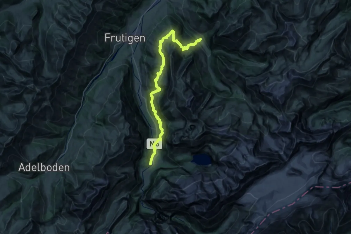
Demanding · Trail
01-Lötschberg Panoramaweg
19.1 km · ↑ 1186 m · 7 h 27 min
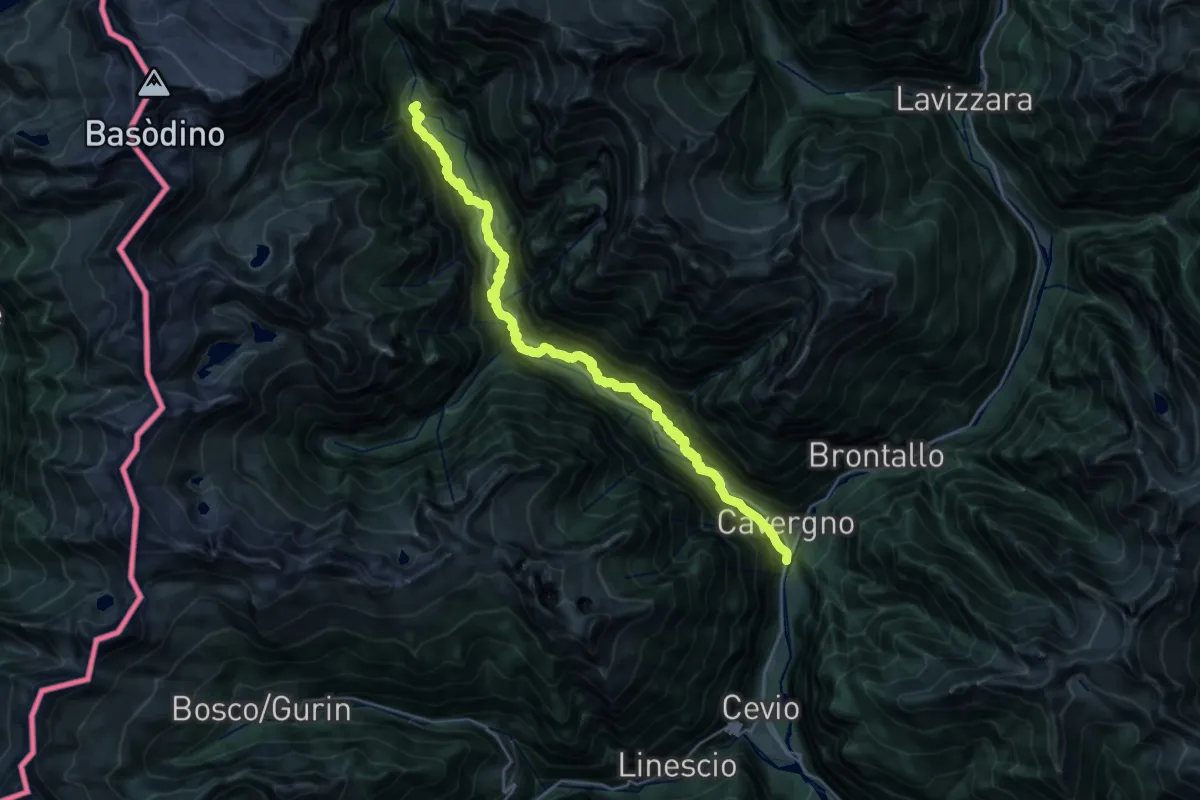
Medium · Trail
01-Sentiero Cristallina
12.8 km · ↑ 288 m · 4 h 5 min
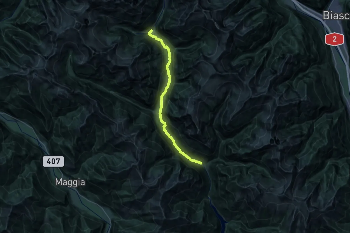
Demanding · Trail
01-Sentiero Verzasca
26.4 km · ↑ 690 m · 7 h 44 min
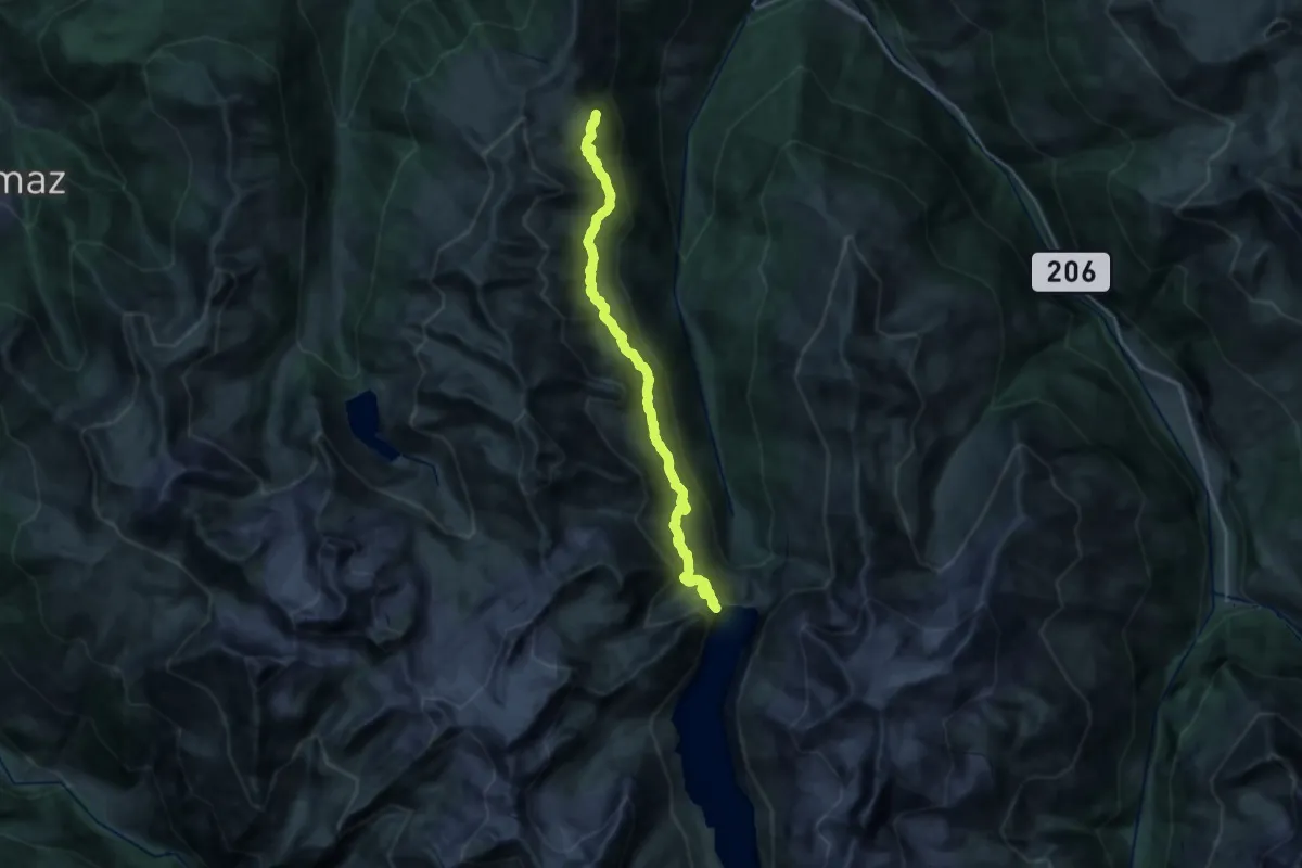
Demanding · Summit
01-Tour pédestre du Val d'Hérens
21.1 km · ↑ 1203 m · 7 h 36 min
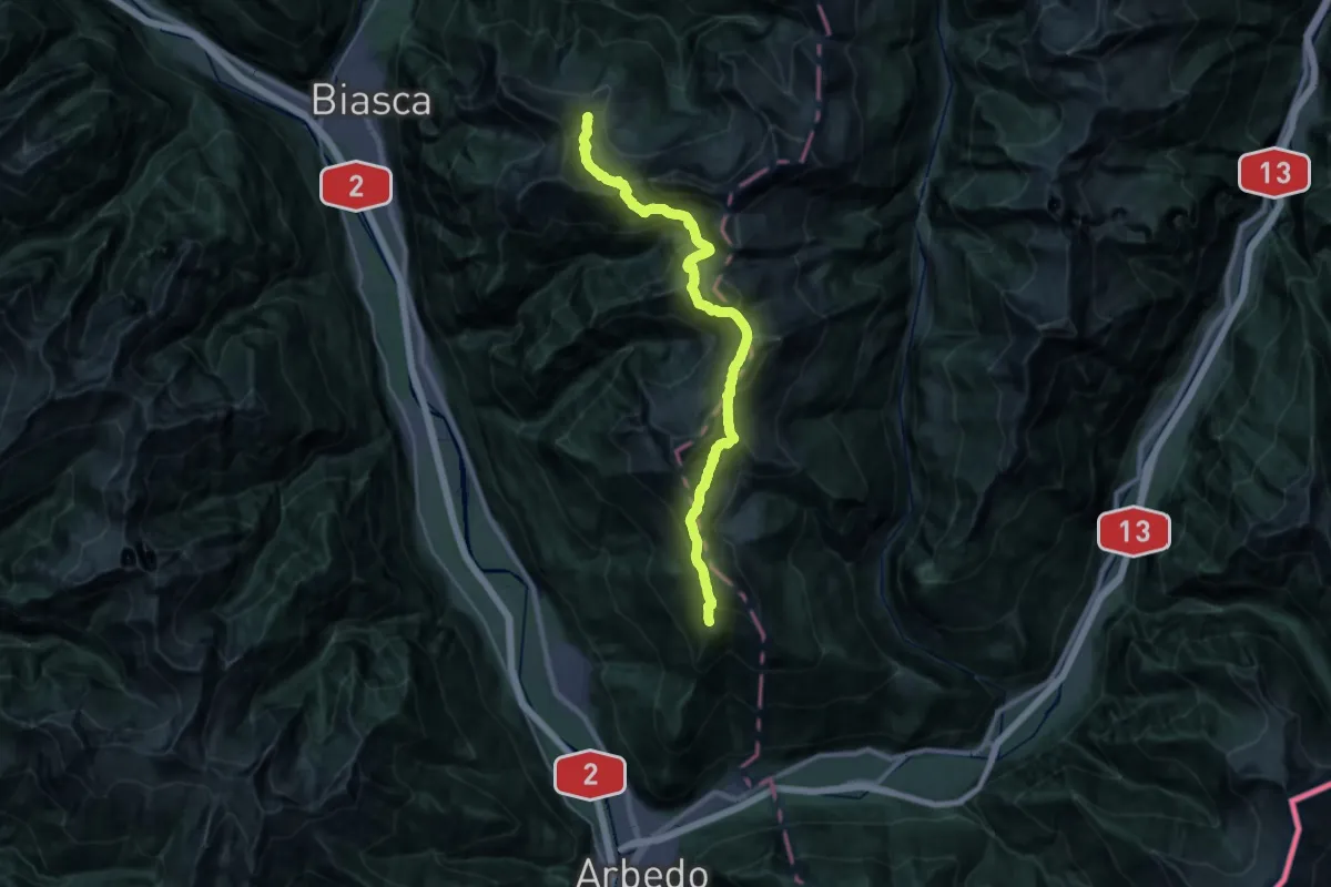
Demanding · Cabin
01-Via Alta Crio
14.6 km · ↑ 1248 m · 6 h 16 min
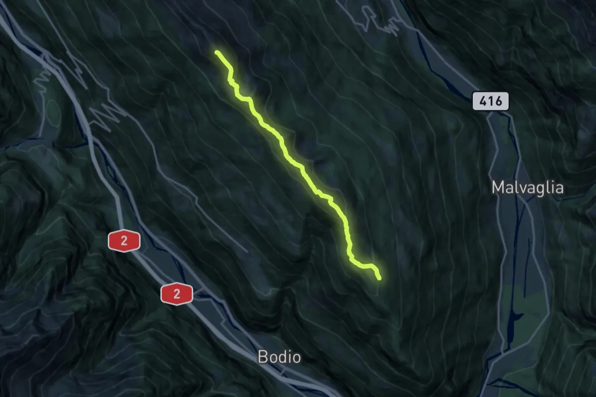
Expert · Summit
01 Via Alta del Sole
13.5 km · ↑ 1083 m · 5 h 31 min
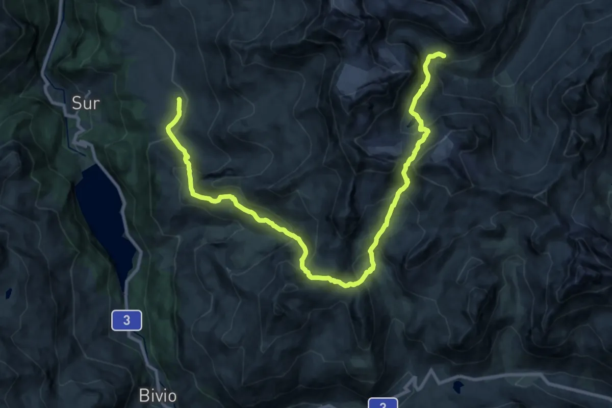
Demanding · Cabin
02-Alpenpässe-Weg
12.6 km · ↑ 1268 m · 5 h 35 min
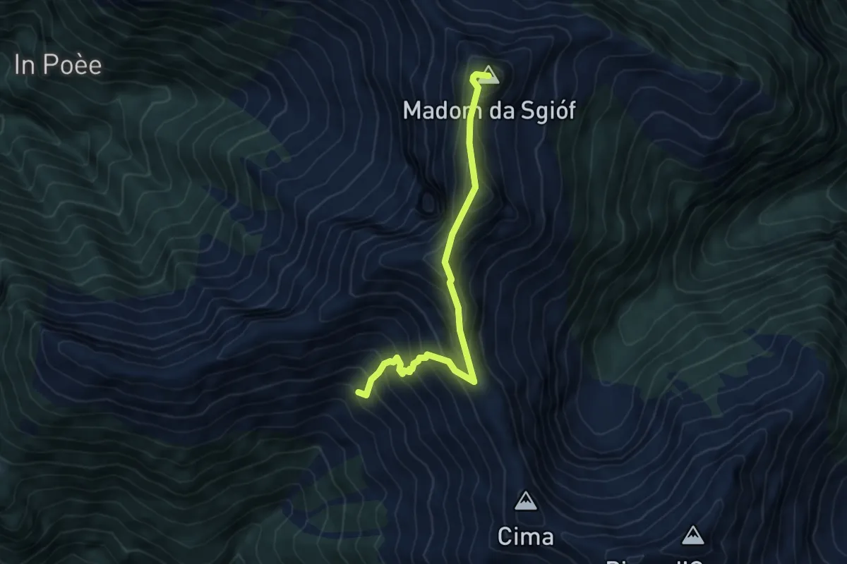
Expert · Summit
02 - Capanna Nimi- Rifugio Alpe Masnee
5.5 km · ↑ 612 m · 2 h 38 min