Trails in Switzerland
15,064 hiking trails, each with its route, climb, walking time and grade.
All trails, page 135 of 314
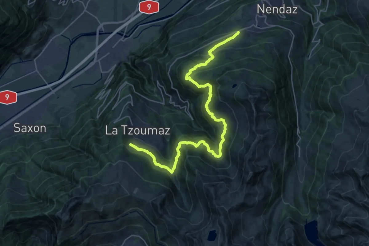
Medium · Trail
02-Chemin des Bisses
13.2 km · ↑ 573 m · 4 h 41 min
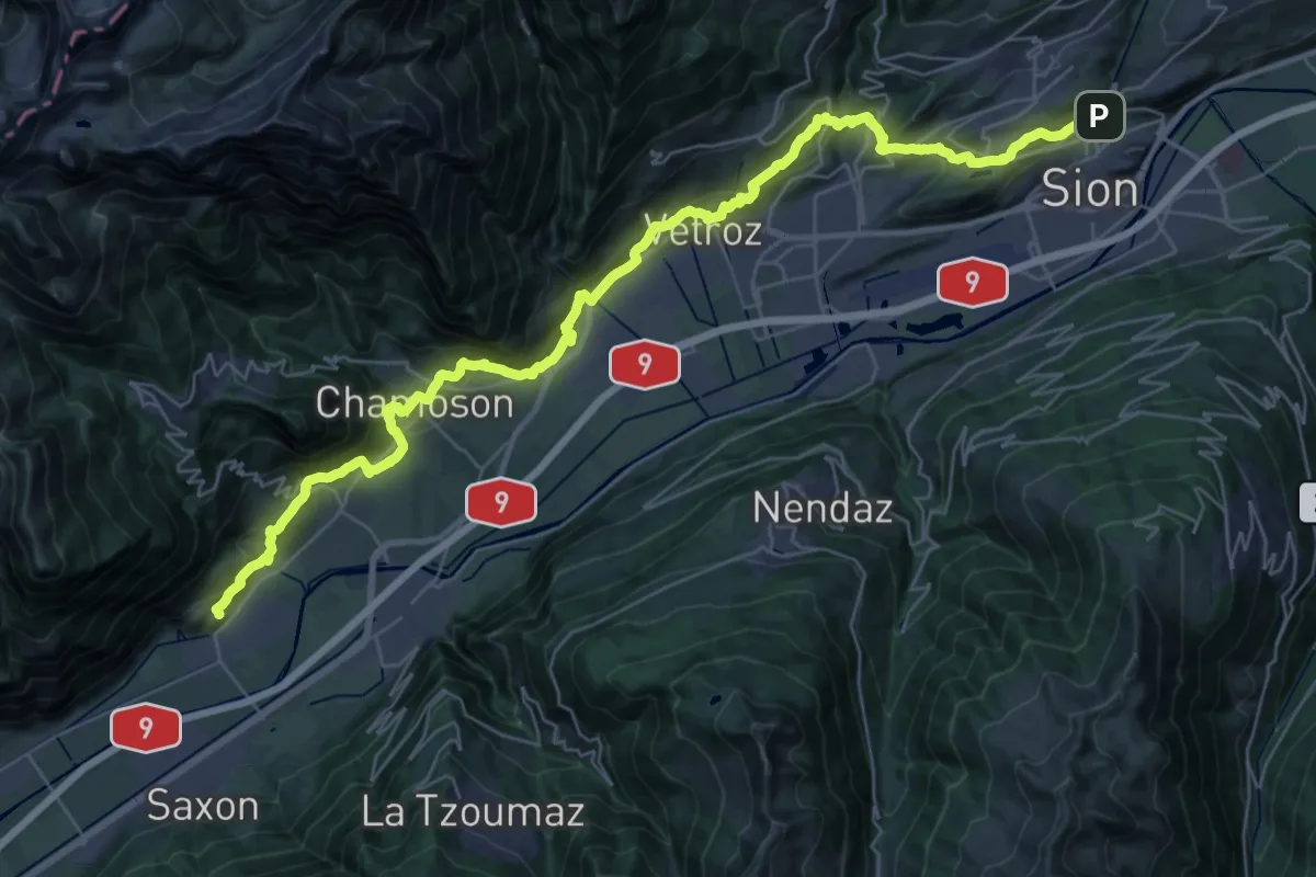
Demanding · Trail
02-Chemin du Vignoble
21.5 km · ↑ 879 m · 7 h 18 min
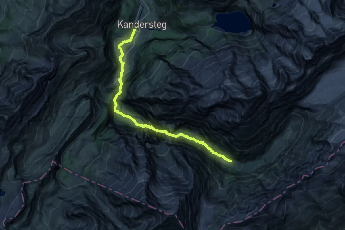
Demanding · Trail
02-Lötschberg Panoramaweg
20.5 km · ↑ 662 m · 6 h 17 min
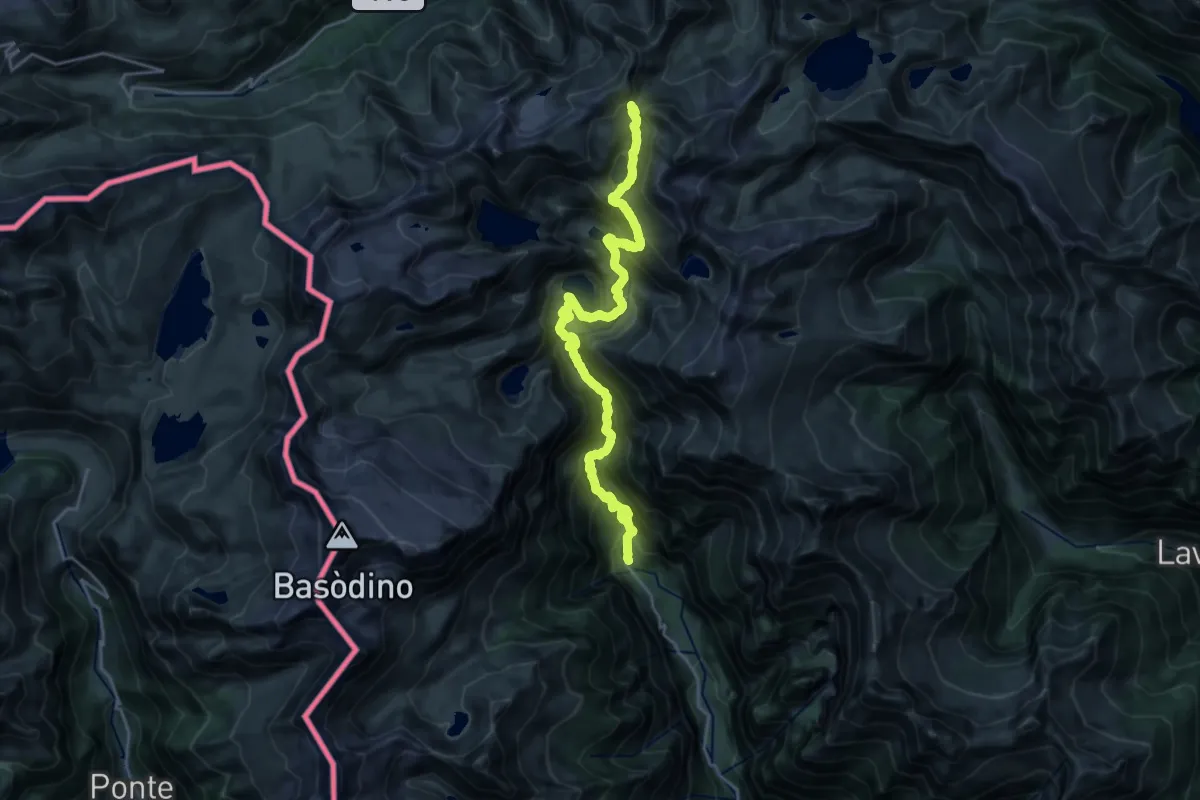
Demanding · Cabin
02-Sentiero Cristallina
12.3 km · ↑ 1778 m · 6 h 6 min
Demanding · Trail
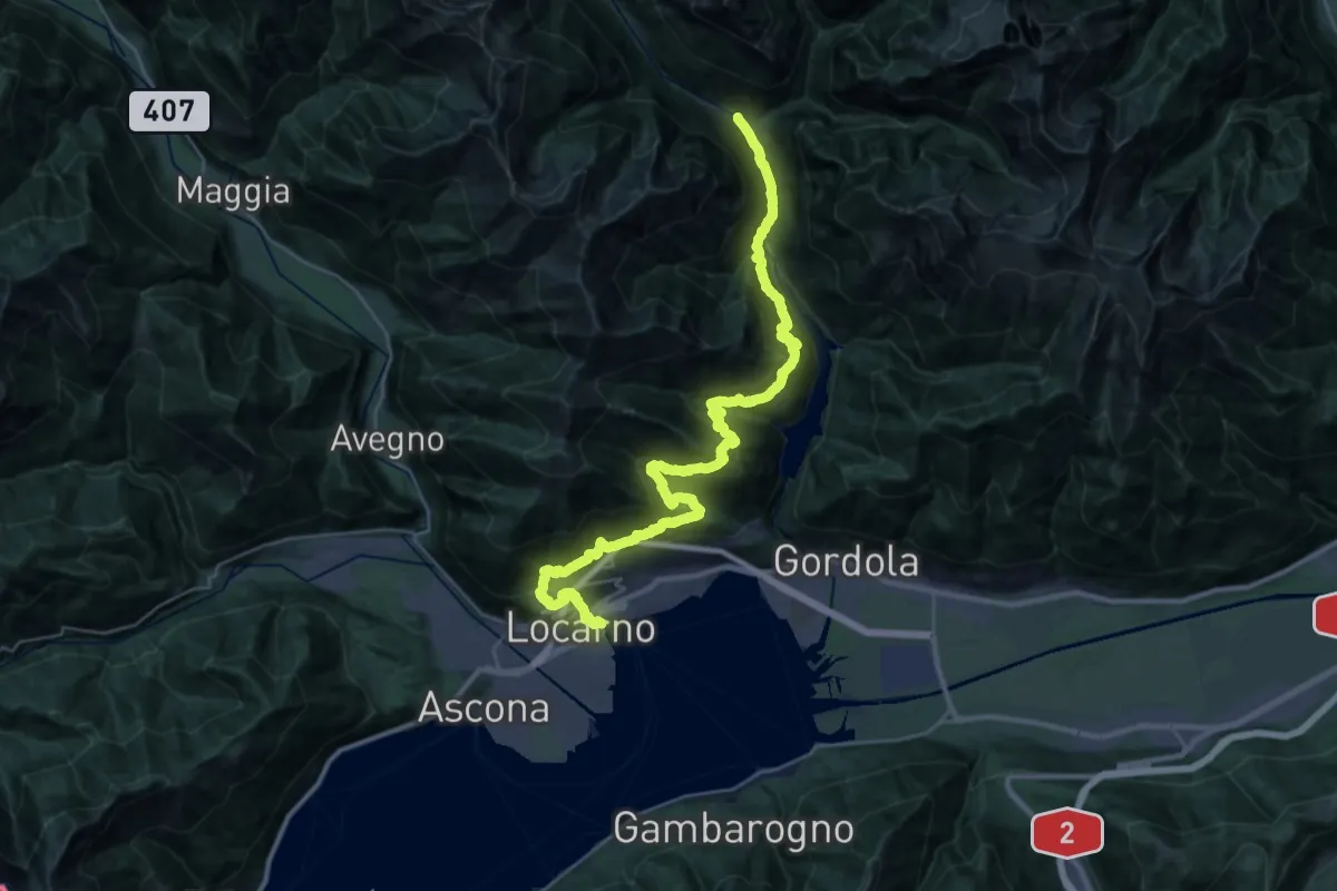
02-Sentiero Verzasca
20.7 km · ↑ 1448 m · 8 h 29 min
Demanding · Trail
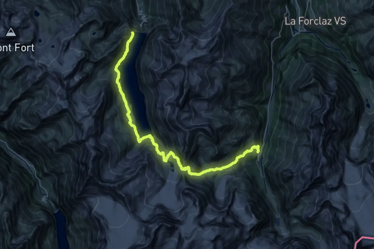
02-Tour pédestre du Val d'Hérens
16.4 km · ↑ 964 m · 6 h 21 min
Demanding · Cabin
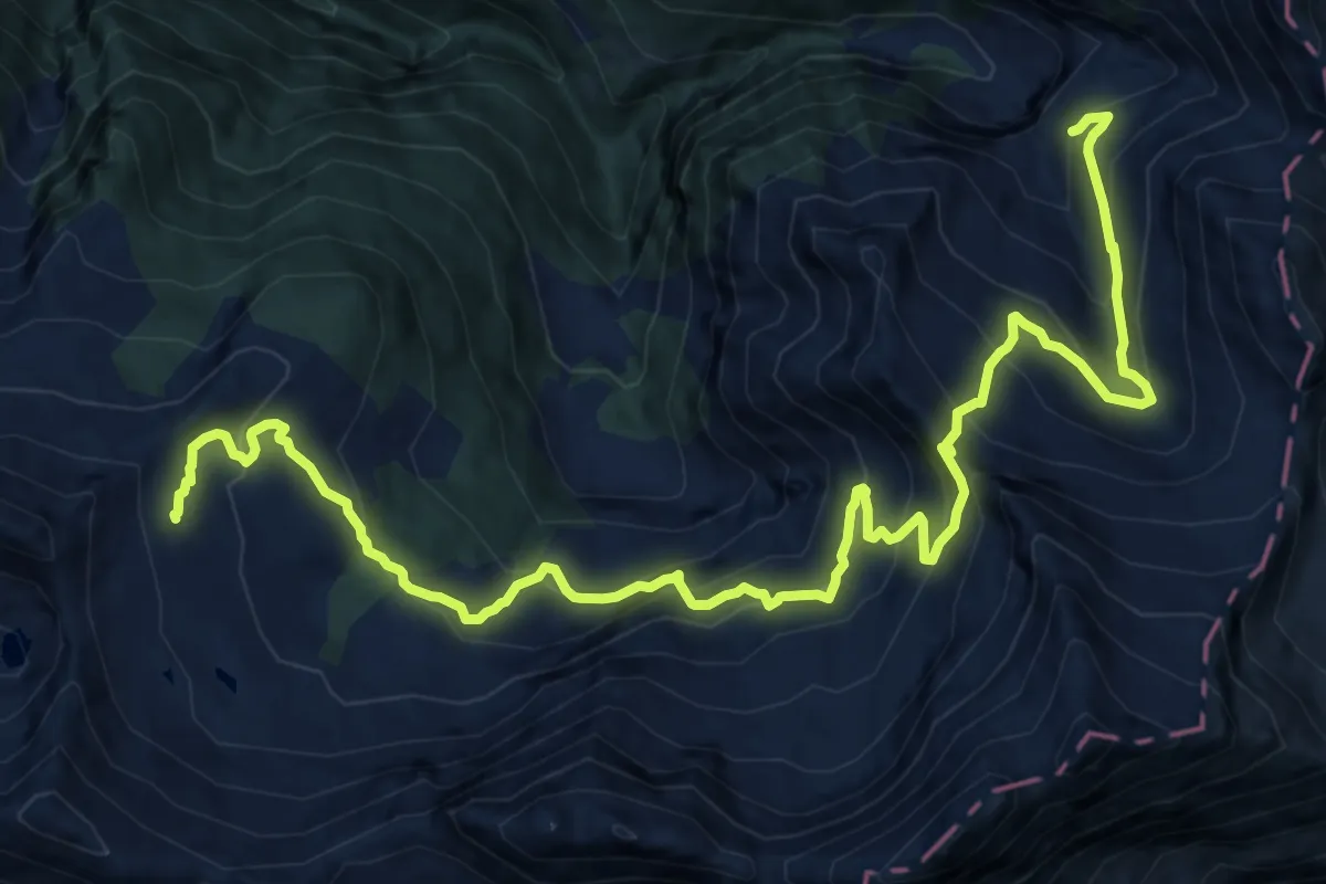
02-Via Alta Crio
18.1 km · ↑ 1379 m · 7 h 16 min
Expert · Summit
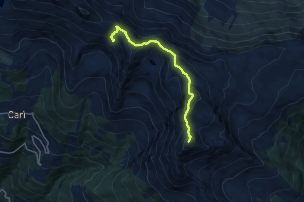
02 Via Alta del Sole
7.8 km · ↑ 629 m · 3 h 12 min
Demanding · Trail
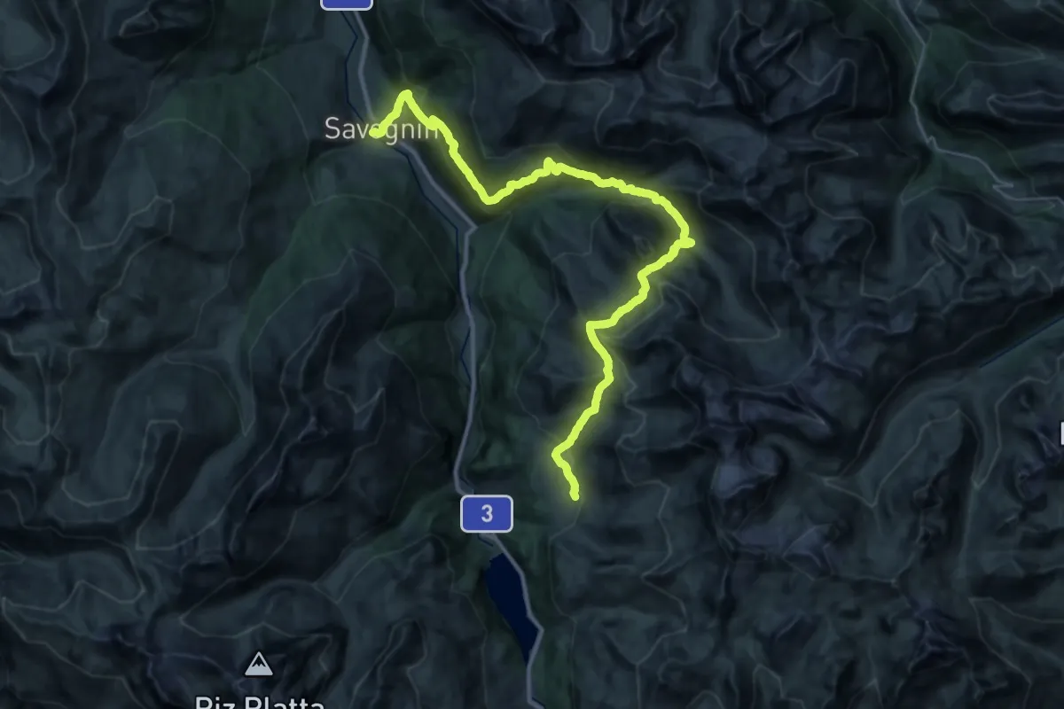
03-Alpenpässe-Weg
19.6 km · ↑ 864 m · 7 h 10 min
Medium · Trail
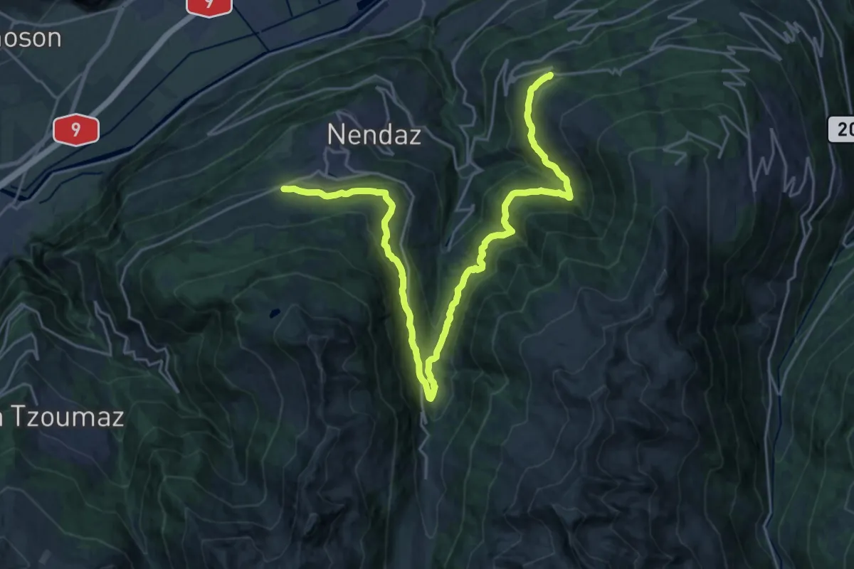
03-Chemin des Bisses
13.4 km · ↑ 530 m · 4 h 32 min
Demanding · Trail
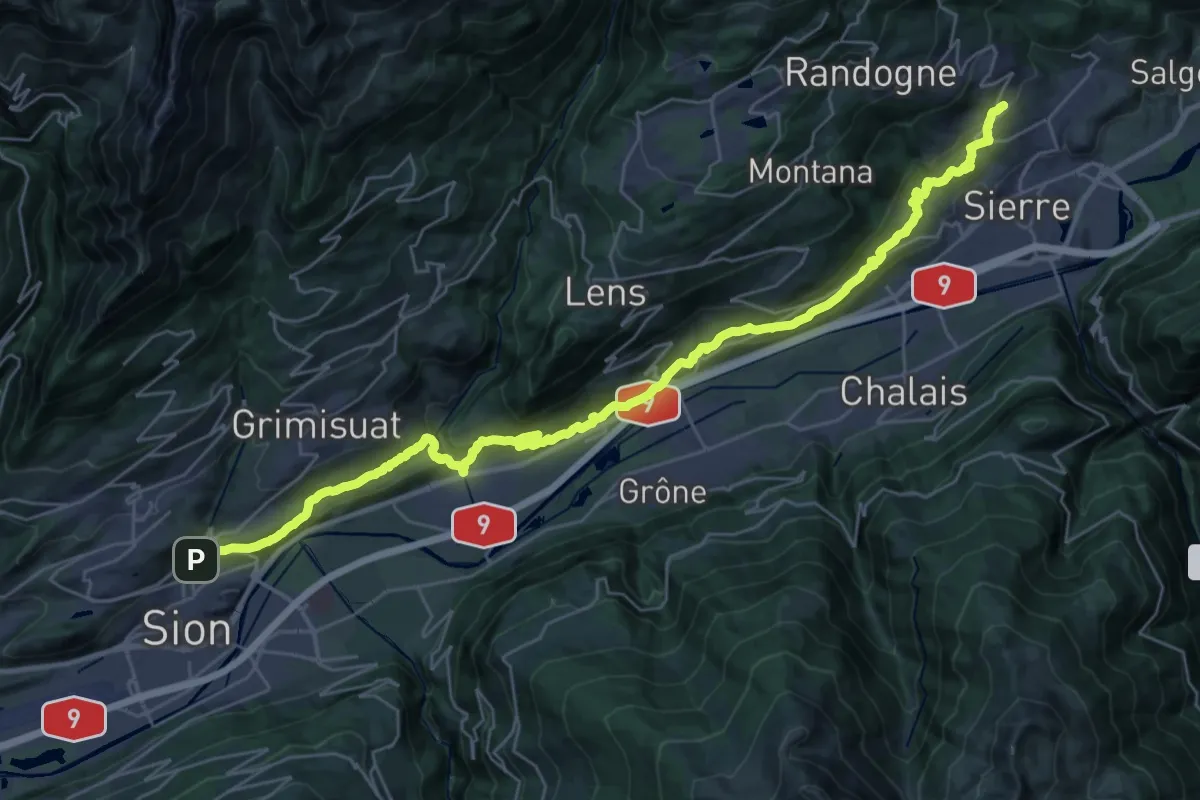
03-Chemin du Vignoble
19.2 km · ↑ 842 m · 6 h 31 min
Demanding · Summit
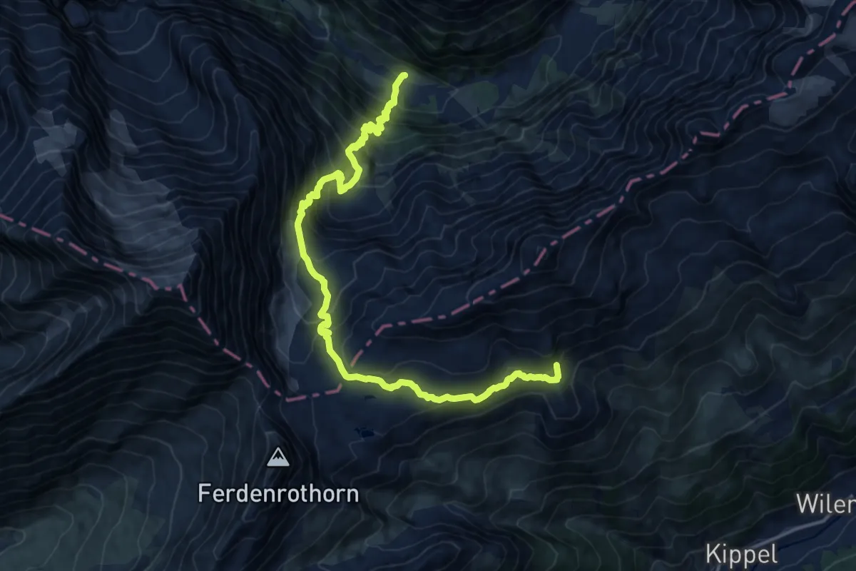
03-Lötschberg Panoramaweg
16.6 km · ↑ 1436 m · 7 h 2 min
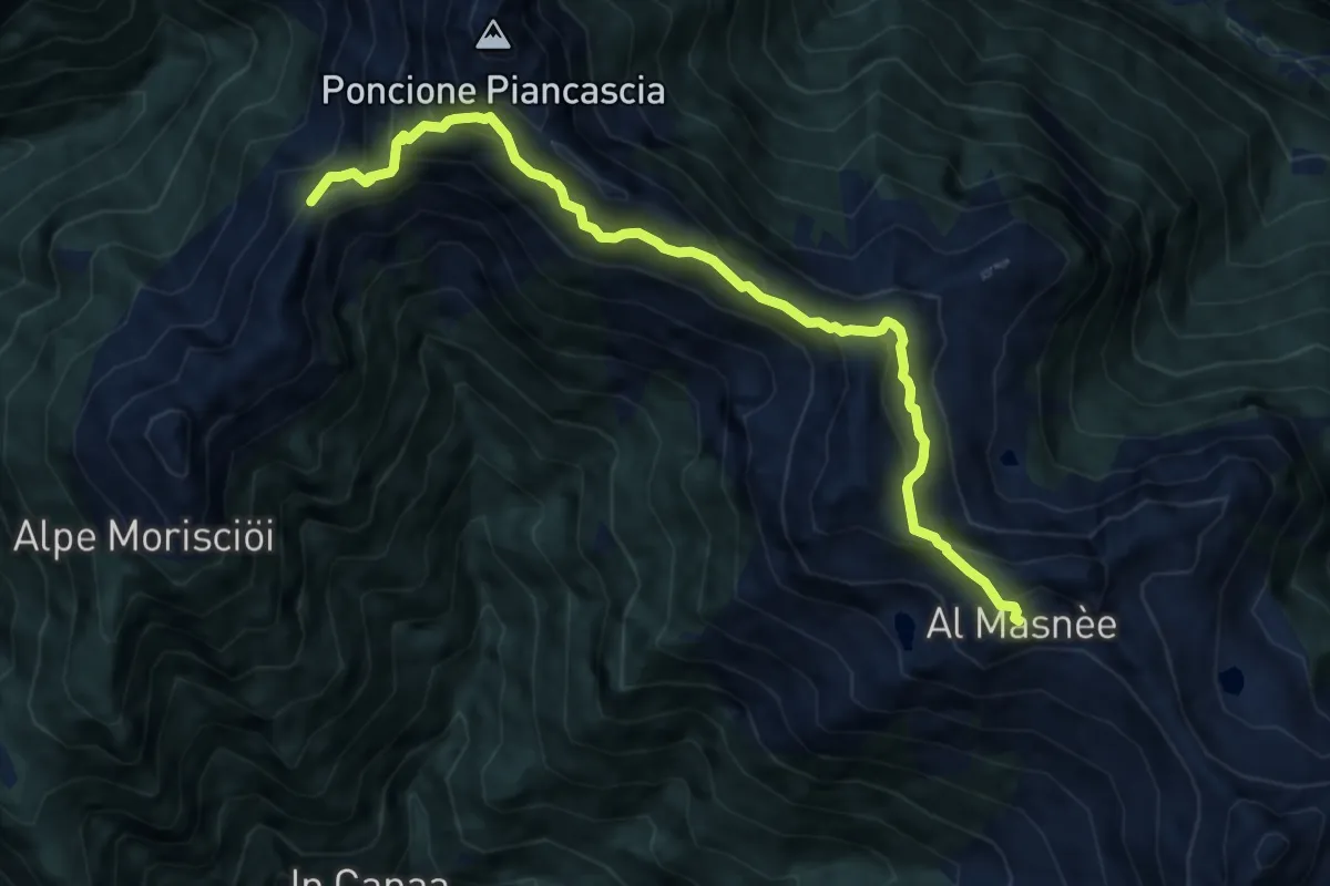
Expert · Summit
03 - Rifugio Alpe Masnee - Capanna Alpe Spluga
9.5 km · ↑ 840 m · 4 h 3 min
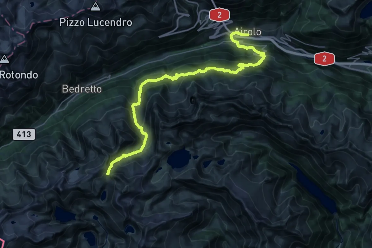
Demanding · Cabin
03-Sentiero Cristallina
16.5 km · ↑ 1743 m · 7 h 12 min
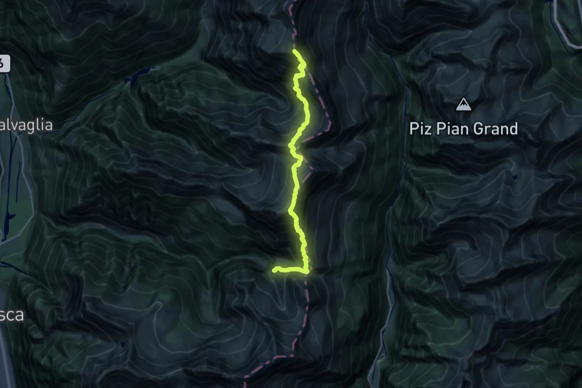
Expert · Summit
03-Via Alta Crio
19.3 km · ↑ 2438 m · 9 h 50 min
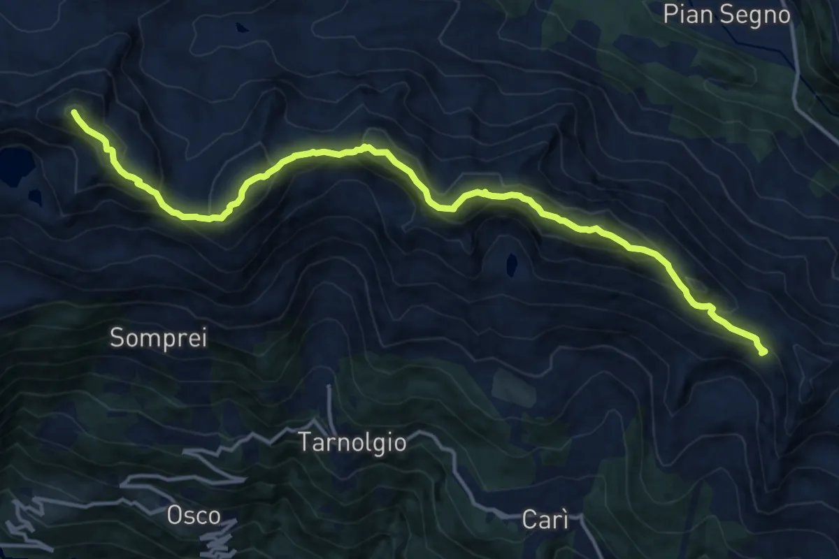
Expert · Summit
03 Via Alta del Sole
15.4 km · ↑ 1424 m · 6 h 43 min
Expert · Cabin
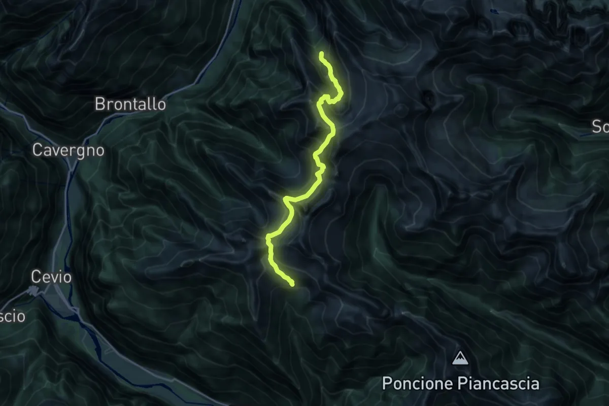
04 - Capanna Alpe Spluga - Capanna Tomeo
16.6 km · ↑ 1847 m · 7 h 56 min
Demanding · Trail
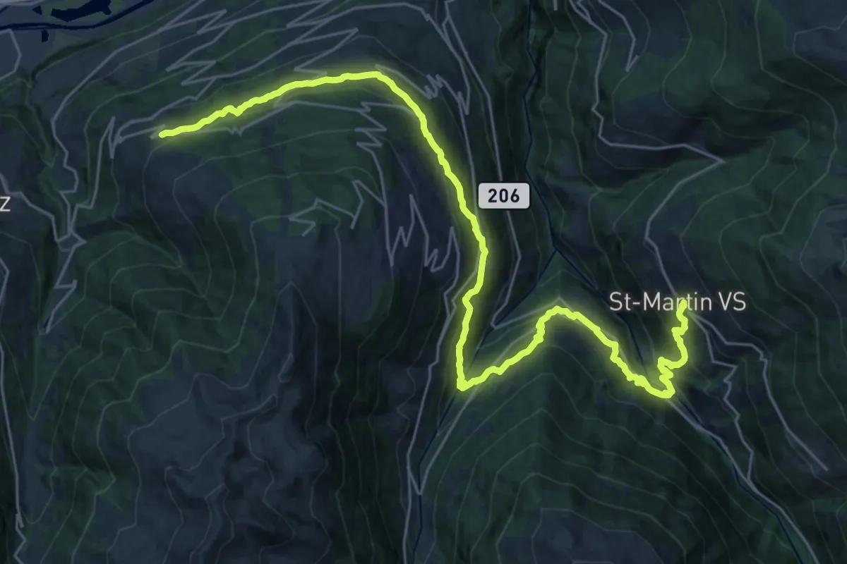
04-Chemin des Bisses
16.4 km · ↑ 916 m · 6 h 4 min
Demanding · Trail
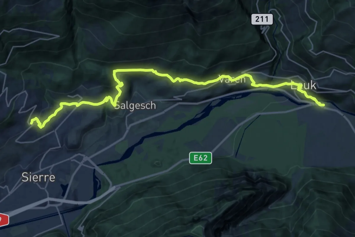
04-Chemin du Vignoble
25.4 km · ↑ 907 m · 7 h 57 min
Demanding · Trail
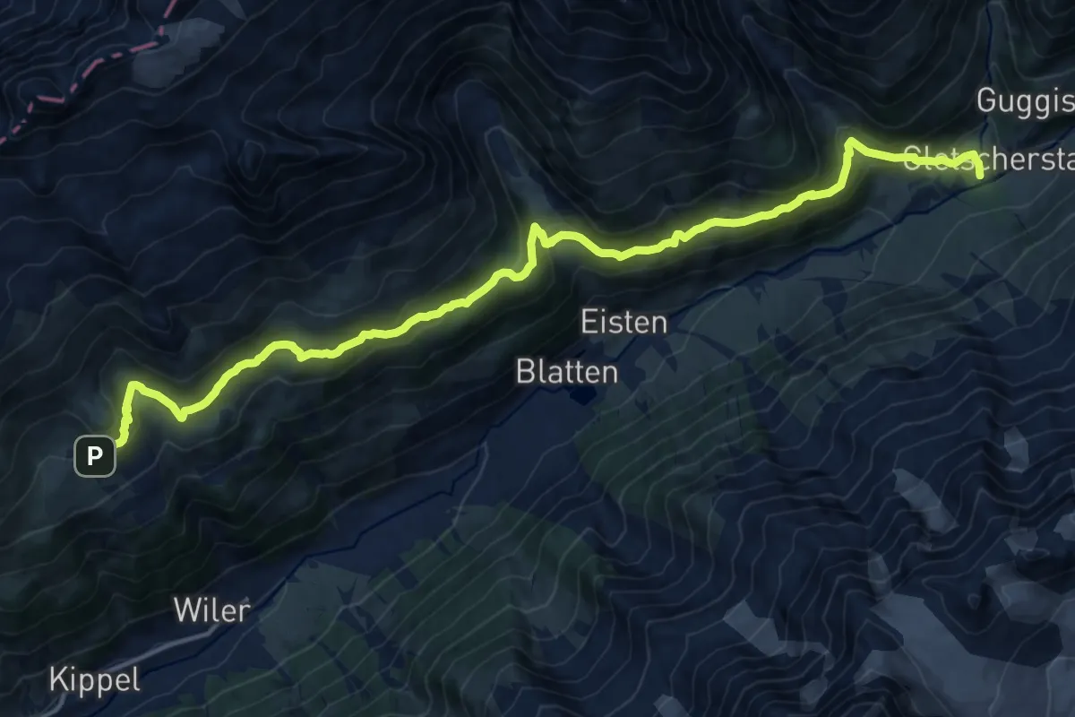
04-Lötschberg Panoramaweg
18.4 km · ↑ 876 m · 6 h 14 min
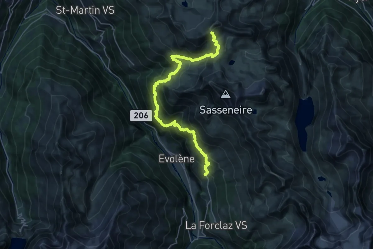
Demanding · Cabin
04-Tour pédestre du Val d'Hérens
12.7 km · ↑ 1795 m · 6 h 26 min
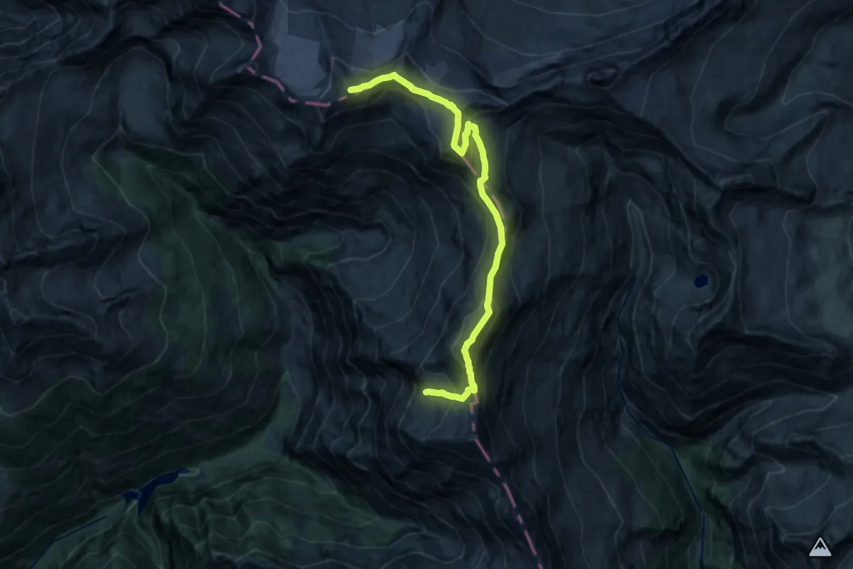
Expert · Summit
04-Via Alta Crio
16.2 km · ↑ 1462 m · 7 h
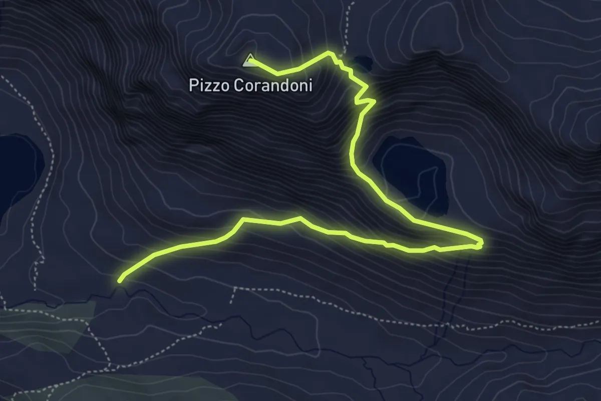
Expert · Summit
04 Via Alta del Sole
6.5 km · ↑ 651 m · 2 h 57 min
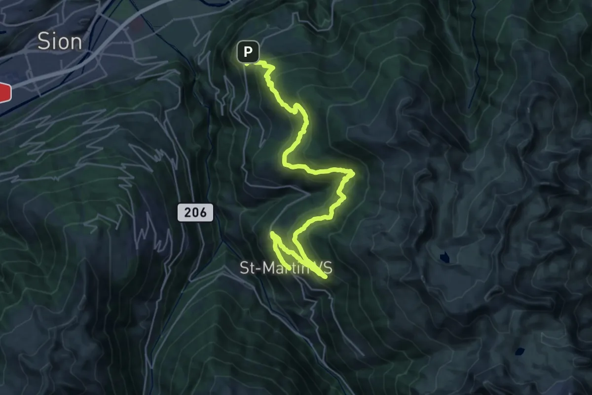
Demanding · Trail
05-Chemin des Bisses
15.7 km · ↑ 899 m · 5 h 49 min
Expert · Cabin
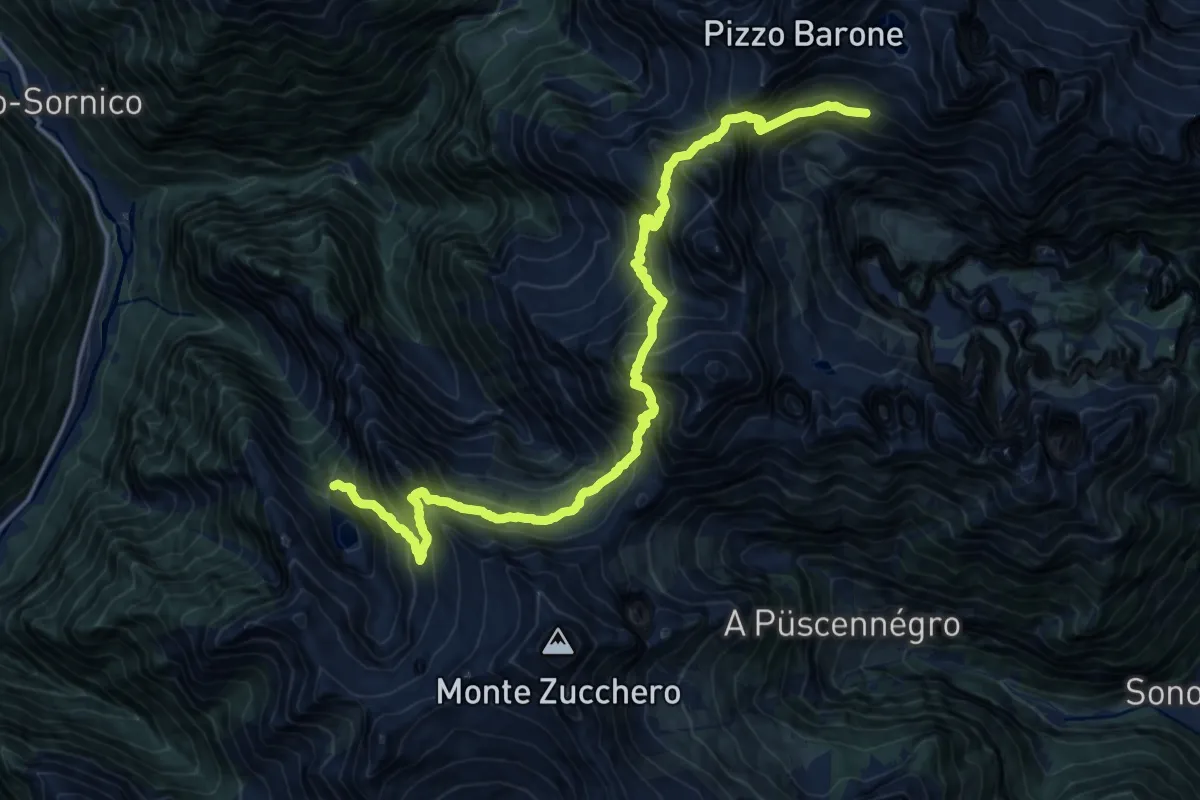
05E - Capanna Tomeo - Capanna Barone
9.7 km · ↑ 1438 m · 5 h 19 min
Demanding · Cabin
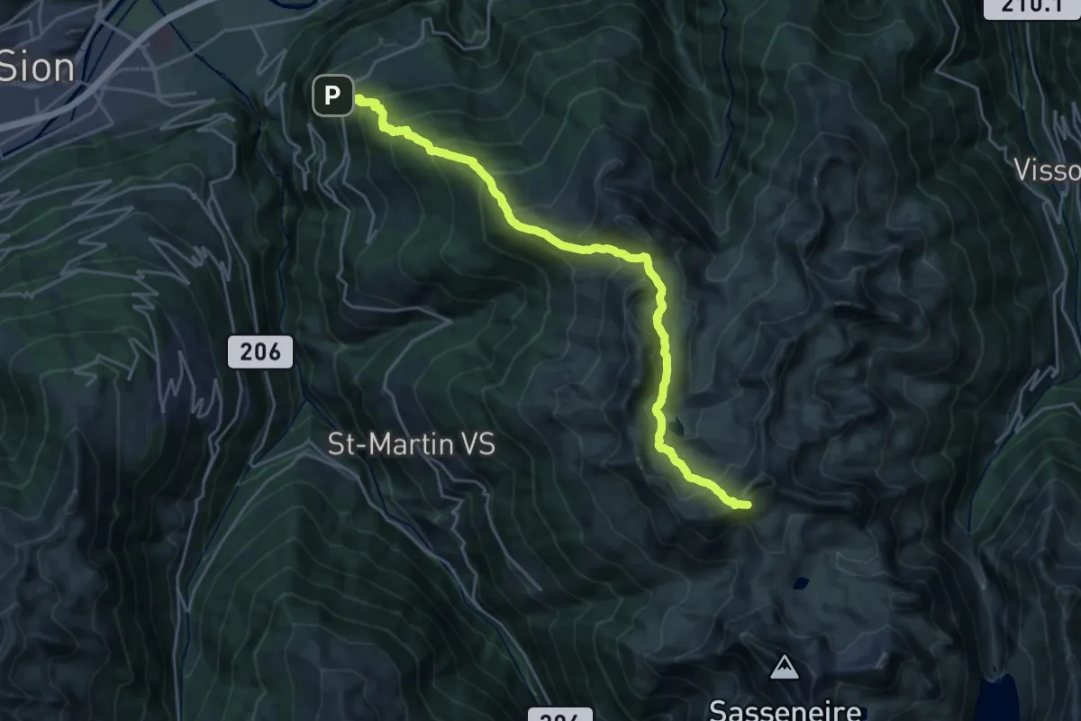
05-Tour pédestre du Val d'Hérens
12.7 km · ↑ 1757 m · 6 h 9 min
Demanding · Summit
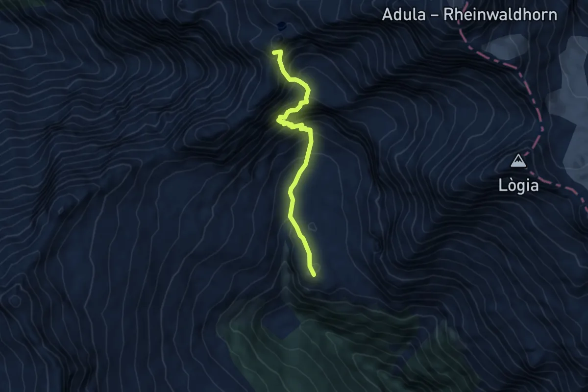
05-Via Alta Crio
5.1 km · ↑ 666 m · 2 h 39 min
Expert · Cabin
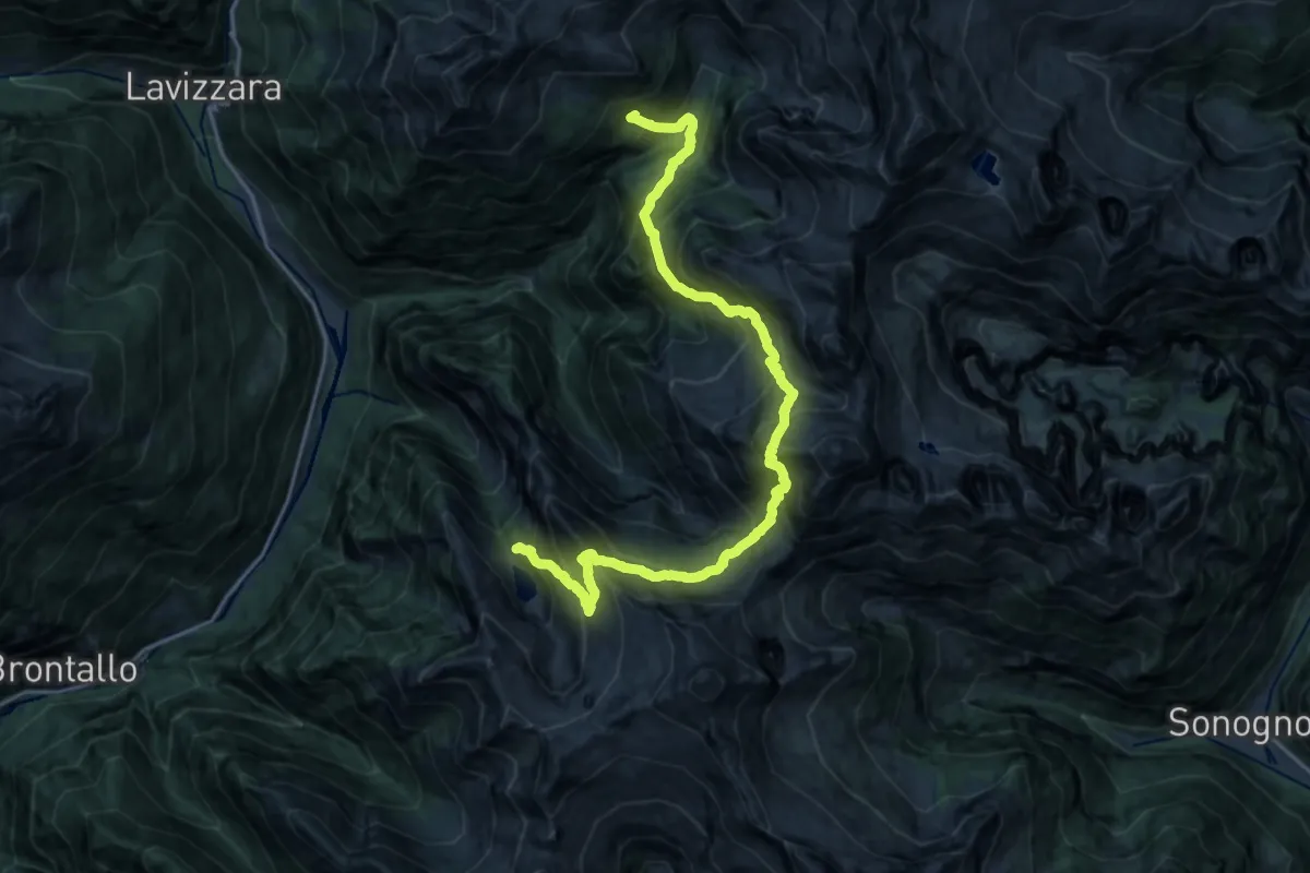
05W - Capanna Tomeo - Rifugio Alpe Fontana
10.6 km · ↑ 1169 m · 5 h 13 min
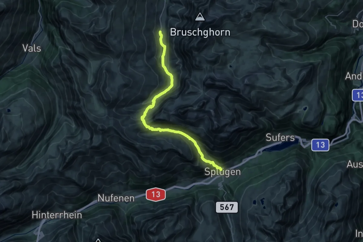
Demanding · Cabin
06-Alpenpässe-Weg
13.4 km · ↑ 1032 m · 5 h 29 min
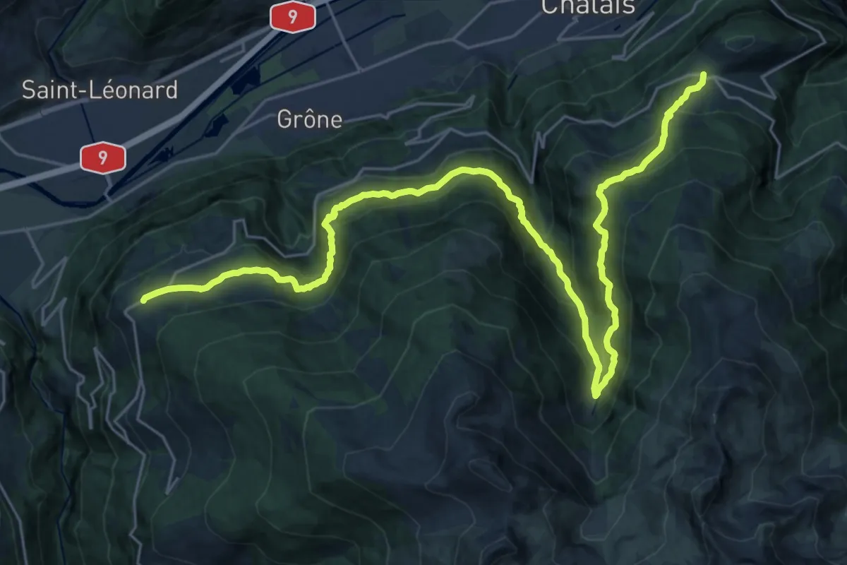
Demanding · Trail
06-Chemin des Bisses
15.7 km · ↑ 946 m · 6 h 1 min
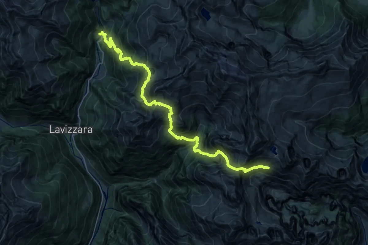
Expert · Cabin
06E - Capanna Barone - Fusio
13.6 km · ↑ 1967 m · 7 h 14 min
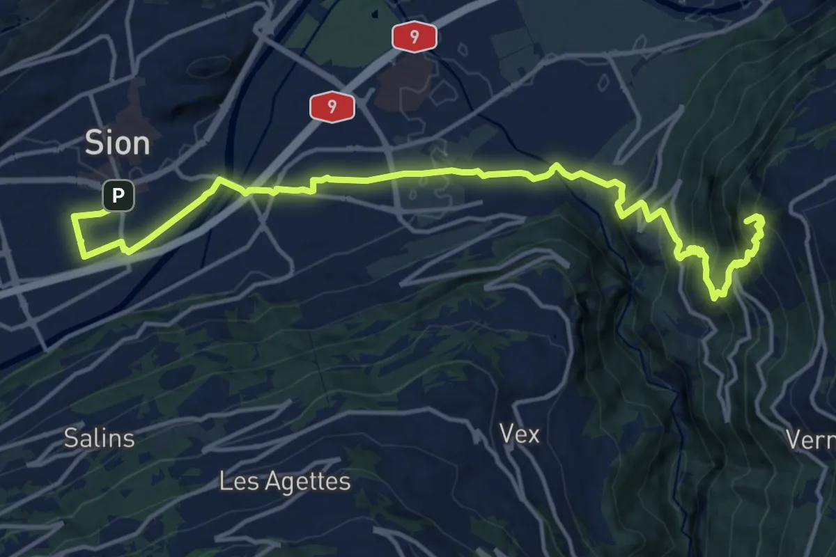
Medium · Summit
06-Tour pédestre du Val d'Hérens
16.8 km · ↑ 789 m · 5 h 41 min
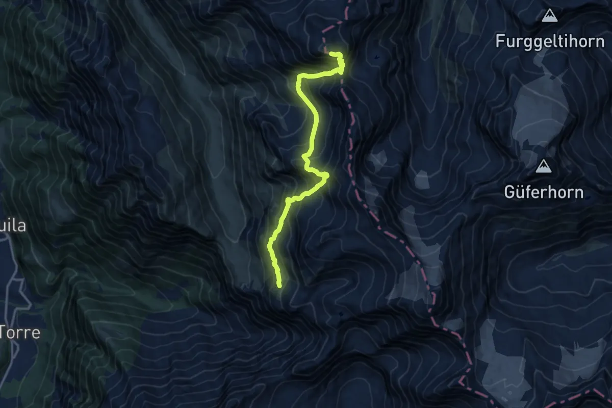
Expert · Summit
06-Via Alta Crio
11.5 km · ↑ 1525 m · 6 h 1 min
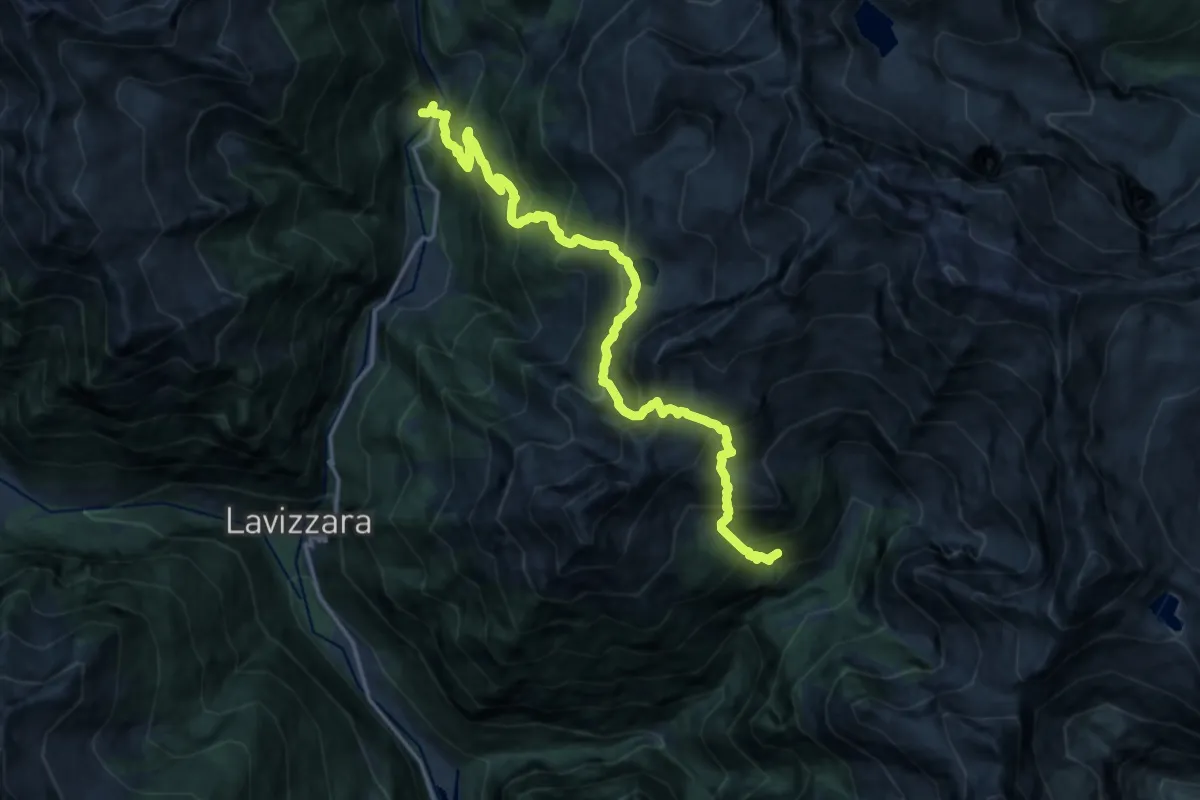
Demanding · Cabin
06W Rifugio Alpe Fontana - Fusio
17.3 km · ↑ 1787 m · 7 h 57 min
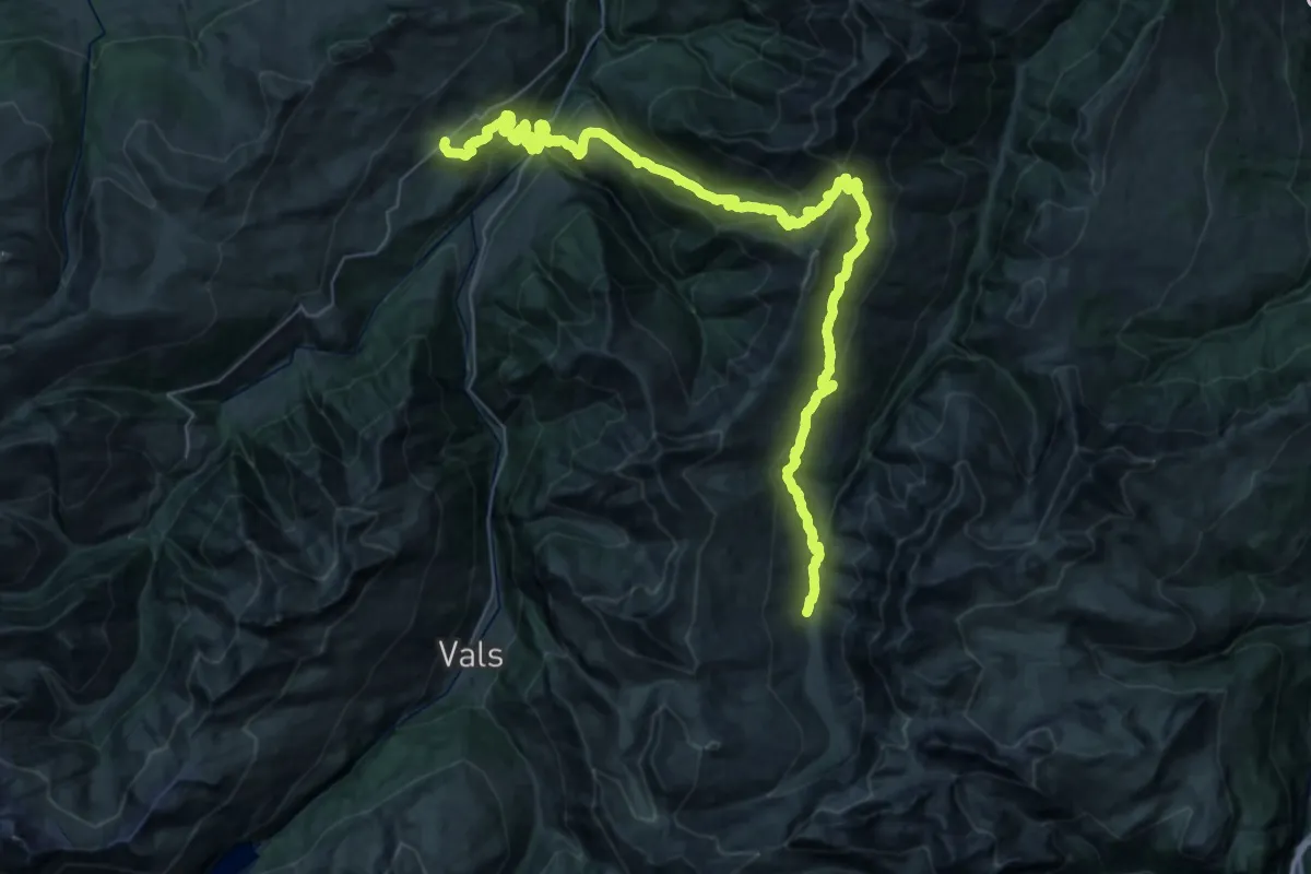
Demanding · Cabin
07-Alpenpässe-Weg
27.8 km · ↑ 1955 m · 10 h 57 min
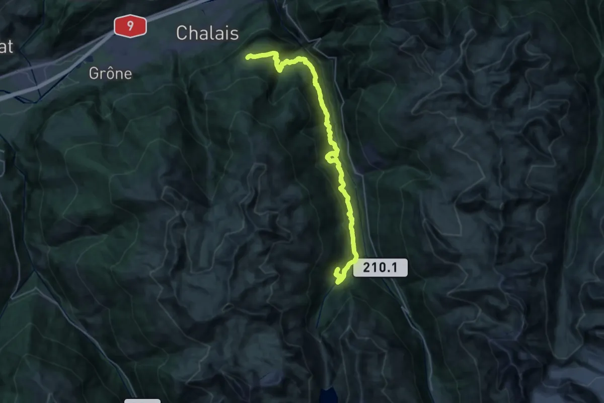
Expert · Trail
07-Chemin des Bisses
16.0 km · ↑ 1245 m · 6 h 34 min
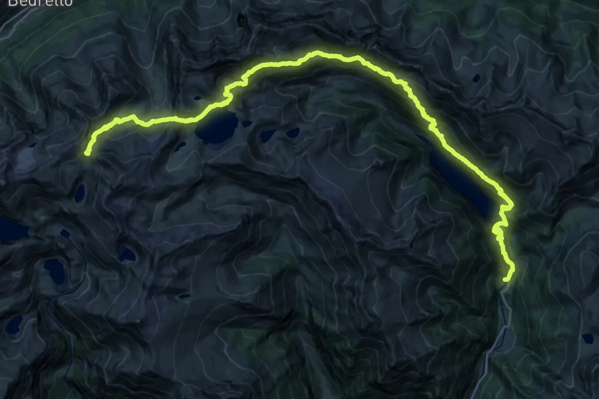
Expert · Cabin
07N - Fusio - Capanna Christallina
18.9 km · ↑ 2194 m · 8 h 51 min
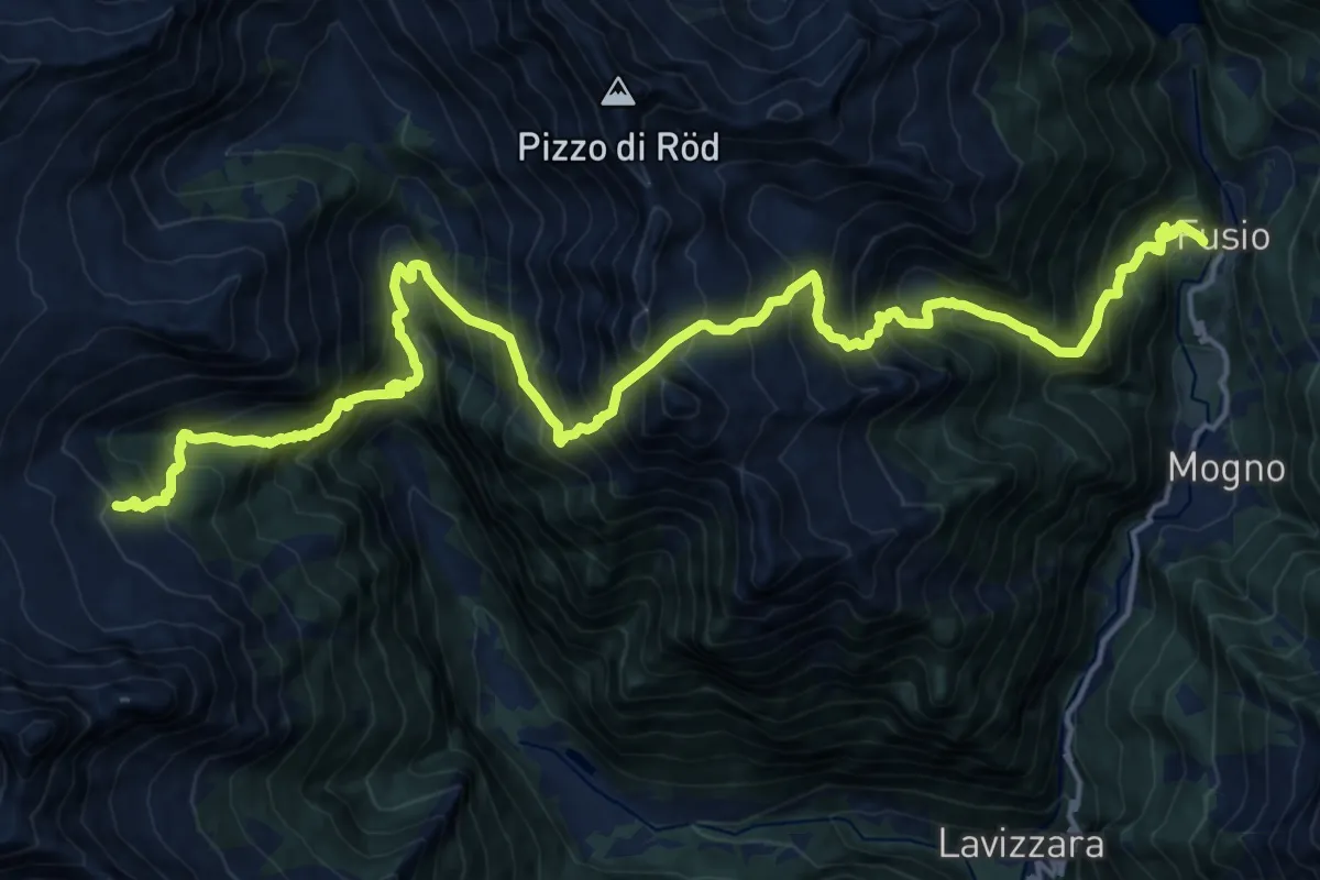
Demanding · Cabin
07S Fusio - Capanna Poncione di Braga
11.5 km · ↑ 1967 m · 6 h 47 min
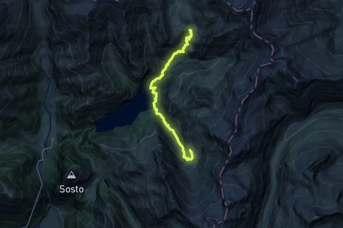
Demanding · Cabin
07-Via Alta Crio
15.2 km · ↑ 1525 m · 6 h 54 min
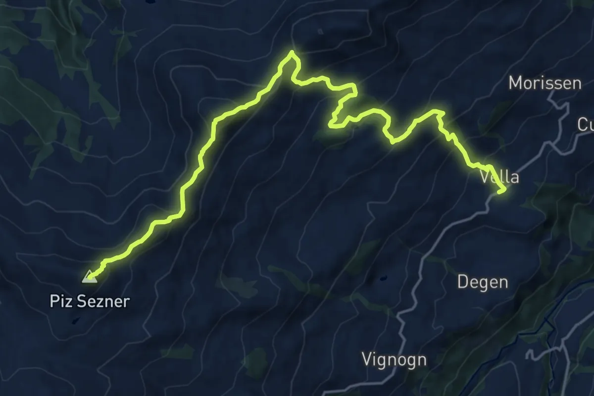
Demanding · Summit
08-Alpenpässe-Weg
19.9 km · ↑ 1327 m · 7 h 34 min
Expert · Summit
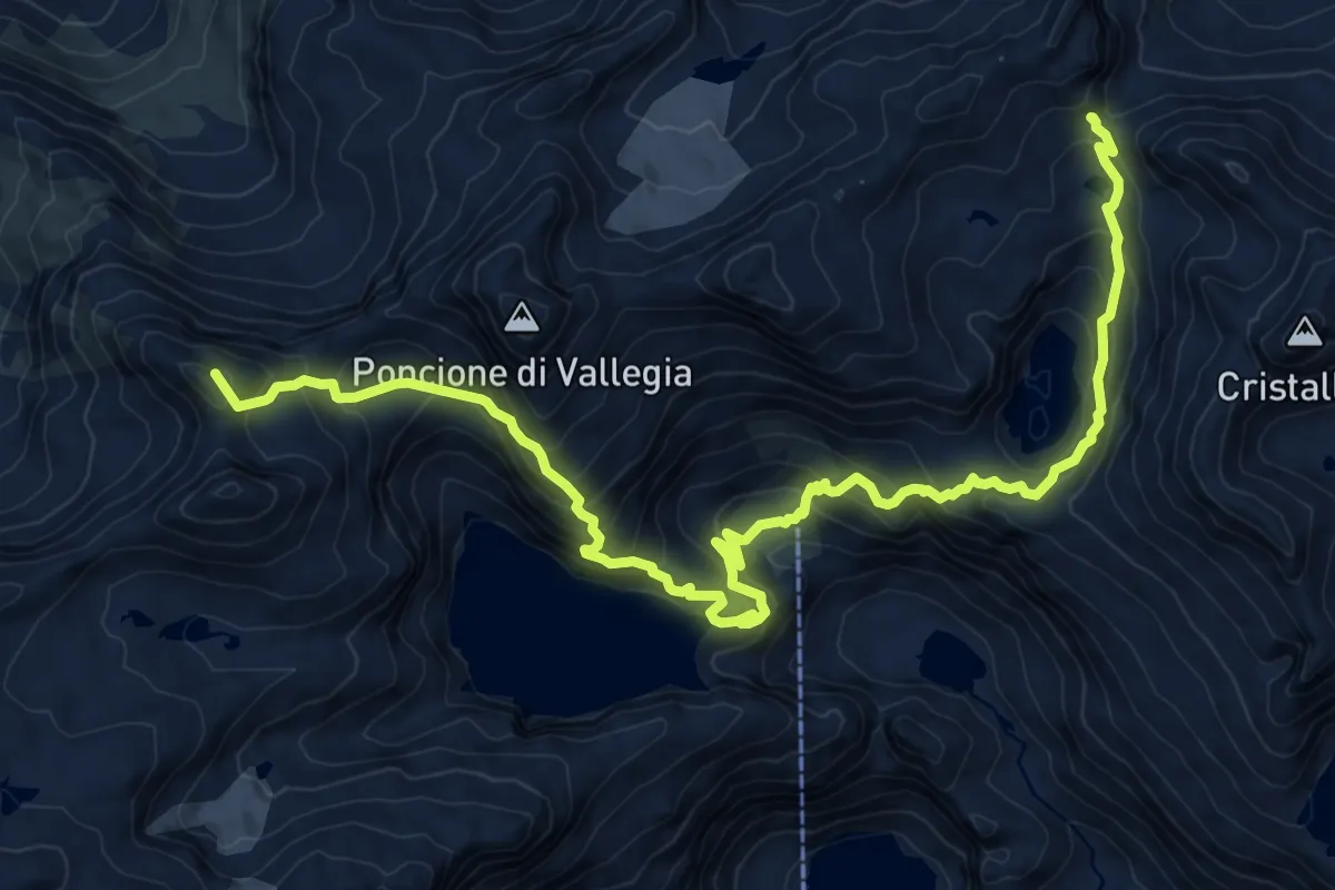
08N - Capanna Cristallina - Rifugio Maria Luisa
13.5 km · ↑ 1166 m · 5 h 43 min
Demanding · Cabin
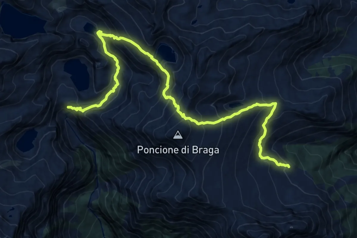
08S Capanna Poncione di Brage - Robiei
9.9 km · ↑ 987 m · 4 h 31 min
Demanding · Cabin
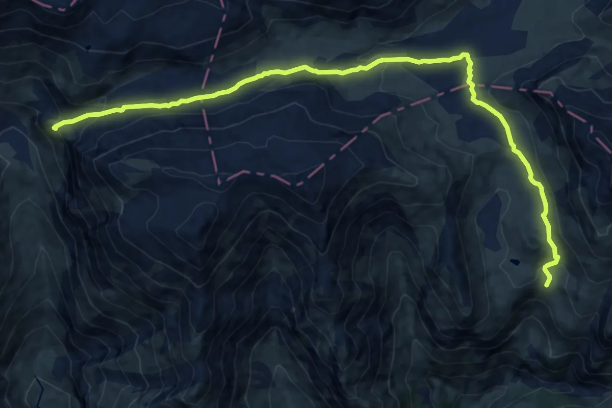
08-Via Alta Crio
14.7 km · ↑ 503 m · 4 h 33 min
Demanding · Trail
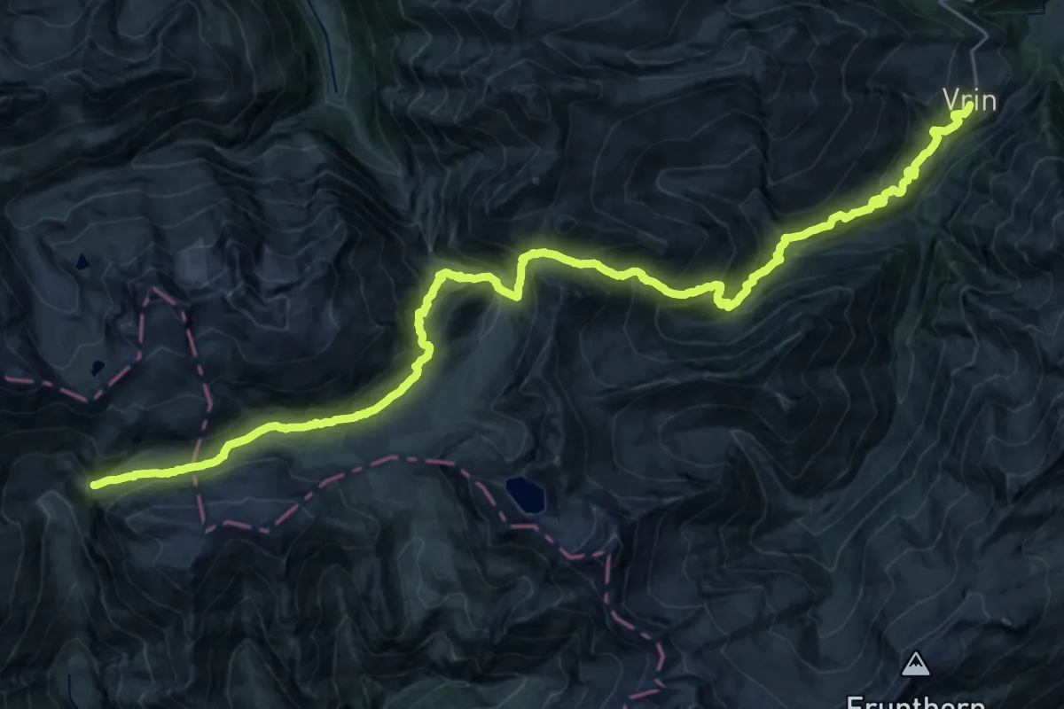
09-Alpenpässe-Weg
17.6 km · ↑ 655 m · 6 h 13 min
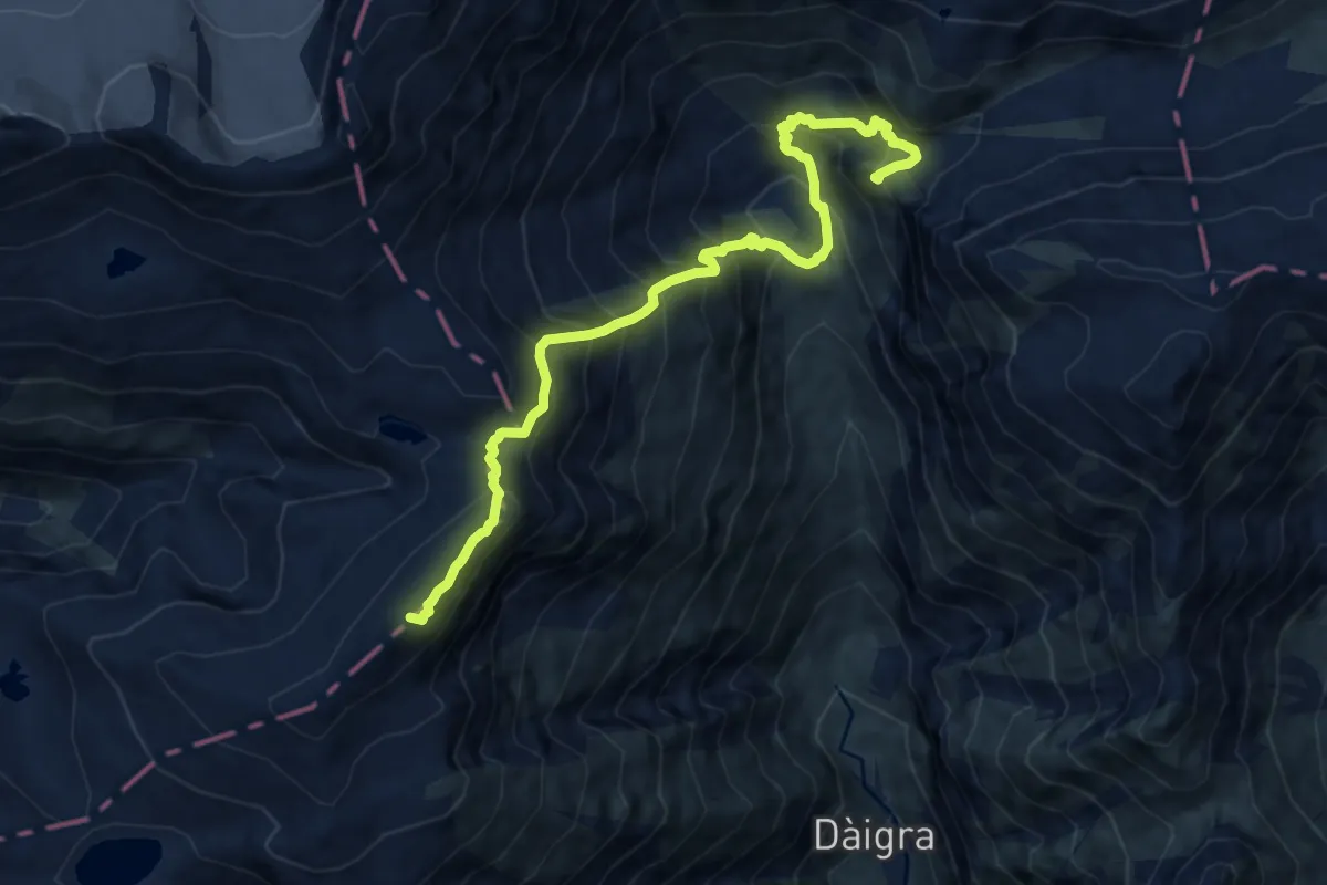
Expert · Summit
09-Via Alta Crio
11.3 km · ↑ 1191 m · 5 h 16 min
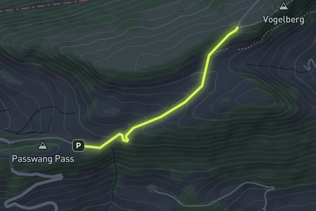
Easy · Trail
1001 - Passwang
3.3 km · ↑ 182 m · 1 h 11 min
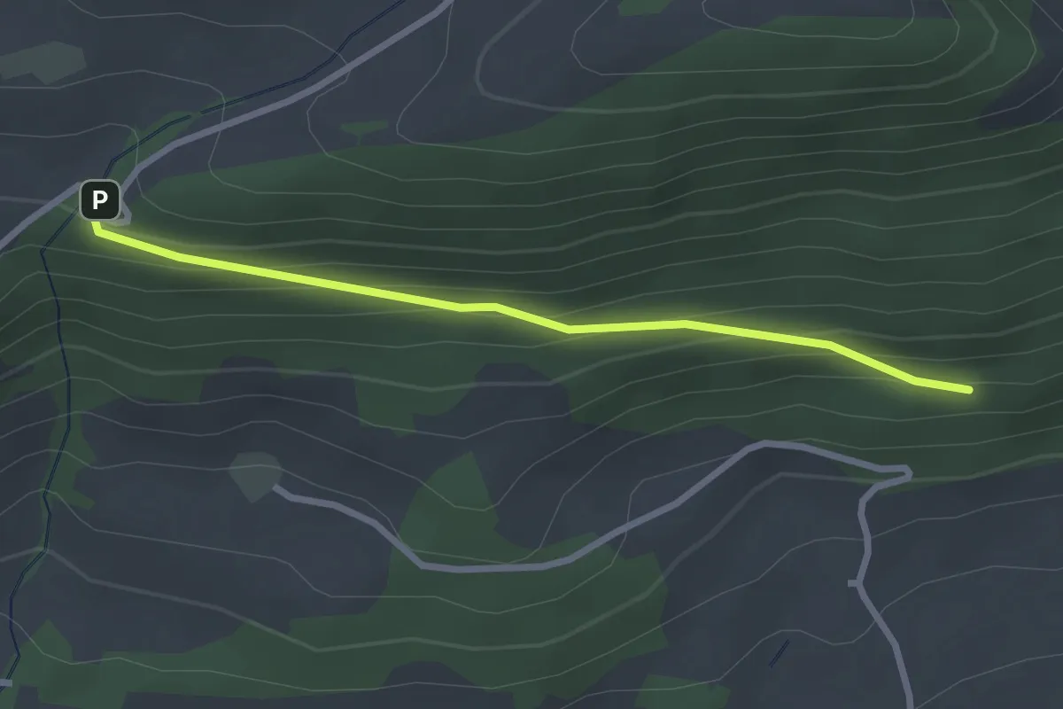
Easy · Trail
1001 - Rotisegg
2.5 km · ↑ 139 m · 54 min
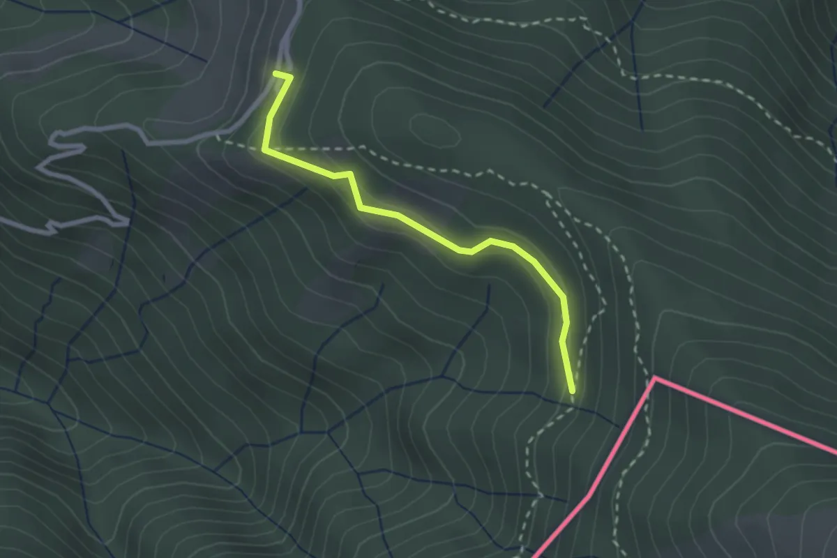
Easy · Cabin
108C Variante Alpone
2.3 km · ↑ 125 m · 48 min