Trails in Switzerland
15,064 hiking trails, each with its route, climb, walking time and grade.
All trails, page 136 of 314
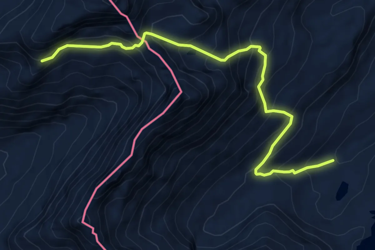
Demanding · Cabin
10 - Rifugio Maria Luisa - Piano delle Creste
8.3 km · ↑ 794 m · 3 h 41 min
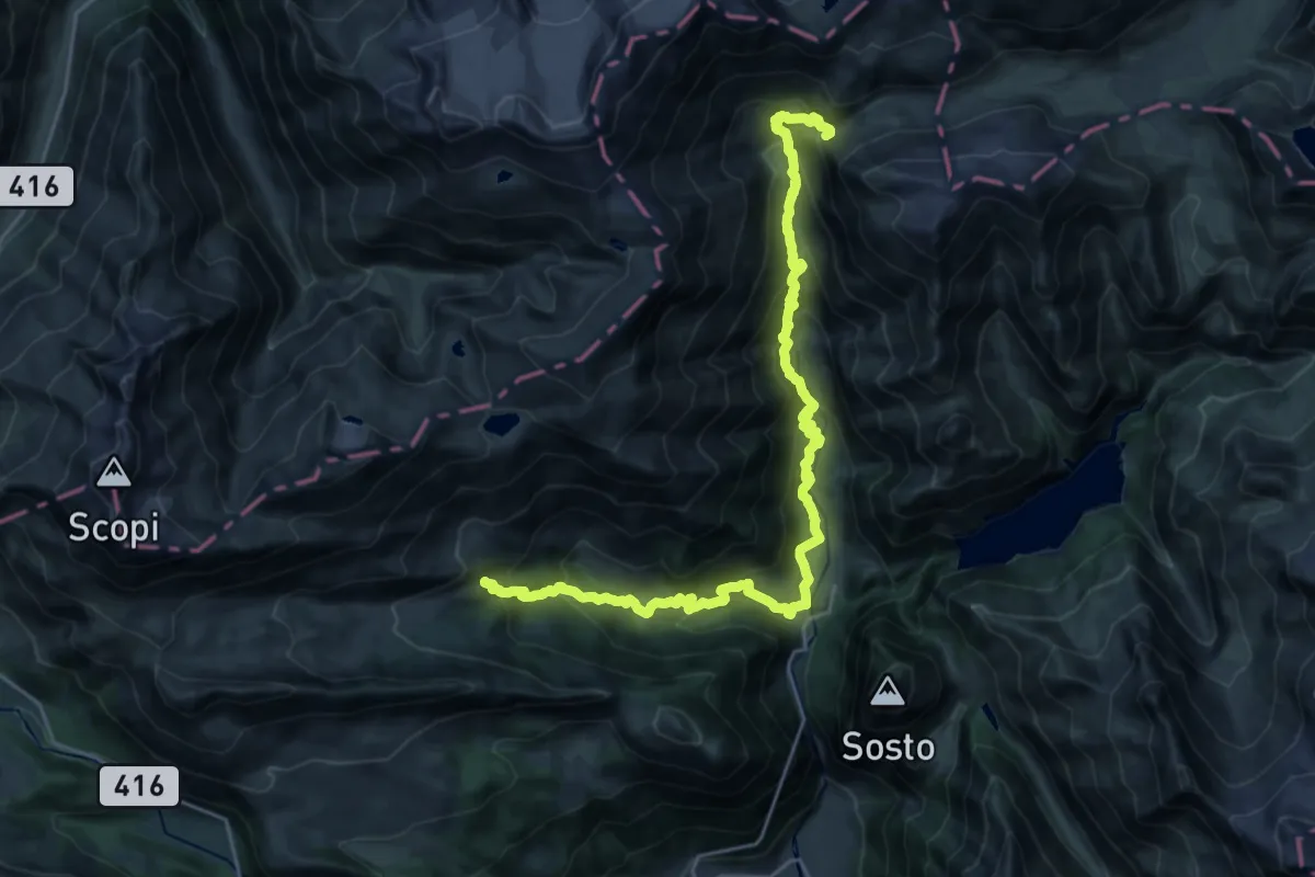
Demanding · Cabin
10-Sentiero dei passi alpini
14.0 km · ↑ 727 m · 5 h 15 min
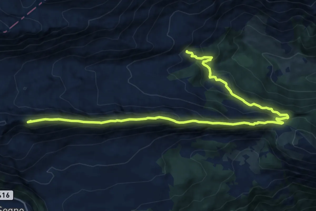
Expert · Summit
10-Via Alta Crio
16.8 km · ↑ 1263 m · 6 h 42 min
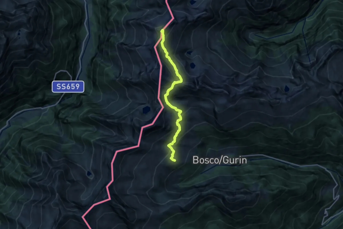
Expert · Summit
11 Capanna Piano delle Creste - Capanna Grossalp
12.6 km · ↑ 1247 m · 5 h 41 min
Demanding · Summit
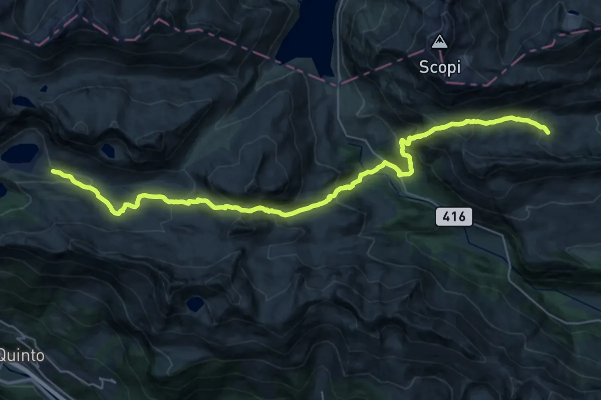
11-Sentiero dei passi alpini
27.9 km · ↑ 1959 m · 10 h 50 min
Medium · Summit
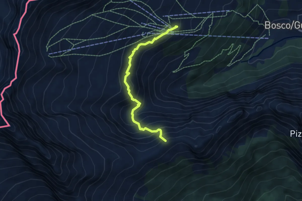
12 - Capanna Grossalp - Cimalmotto
5.4 km · ↑ 528 m · 2 h 25 min
Expert · Cabin
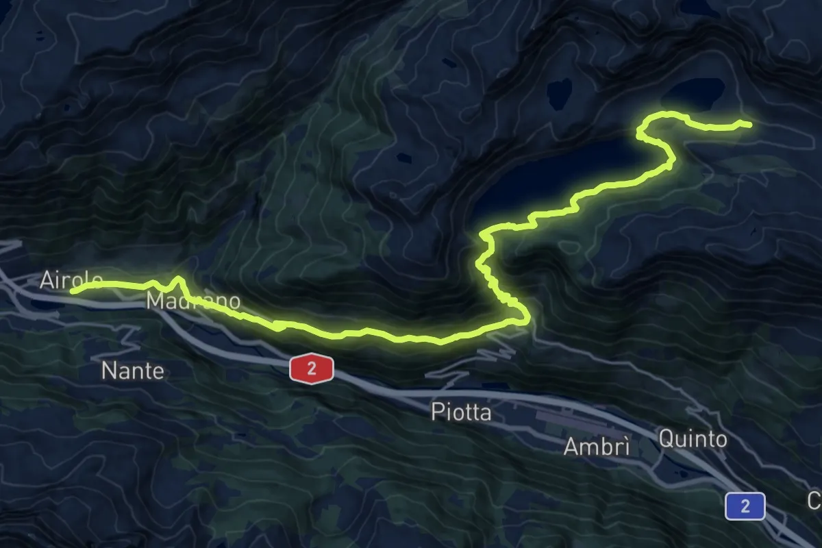
12-Sentiero dei passi alpini
14.1 km · ↑ 1071 m · 5 h 26 min
Demanding · Summit
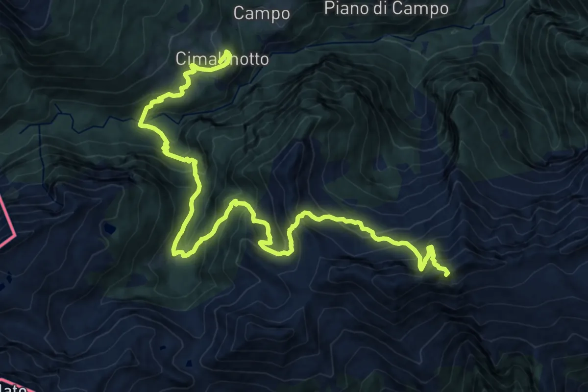
13 - Cimalmotto - Capanna Ribia
20.8 km · ↑ 1929 m · 9 h 6 min
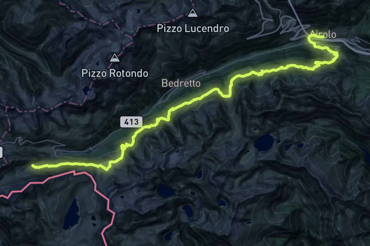
Demanding · Cabin
13-Sentiero dei passi alpini
26.2 km · ↑ 1936 m · 10 h 10 min
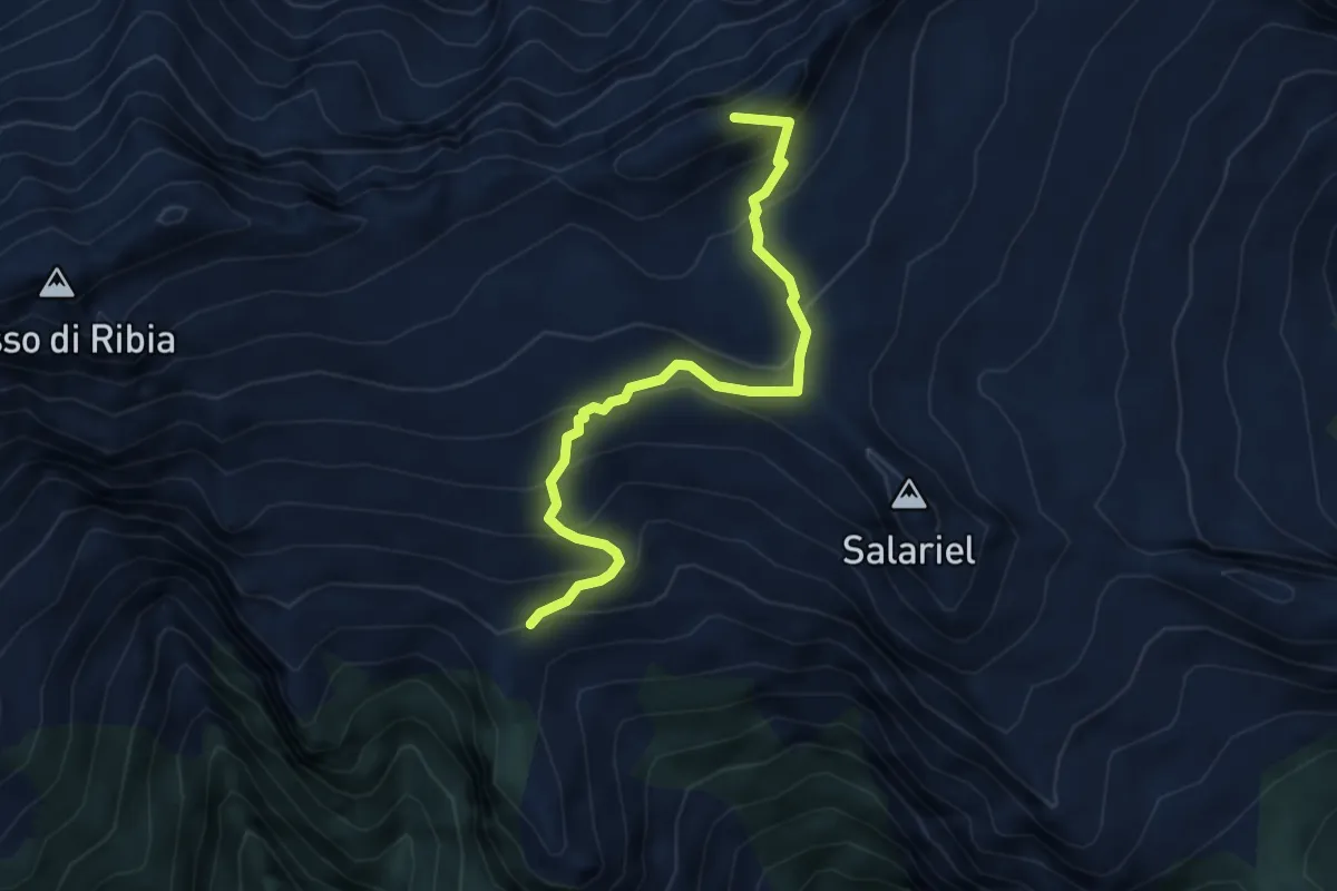
Medium · Summit
14 - Capanna Ribia - Capanna Alzasca
4.8 km · ↑ 414 m · 2 h 2 min
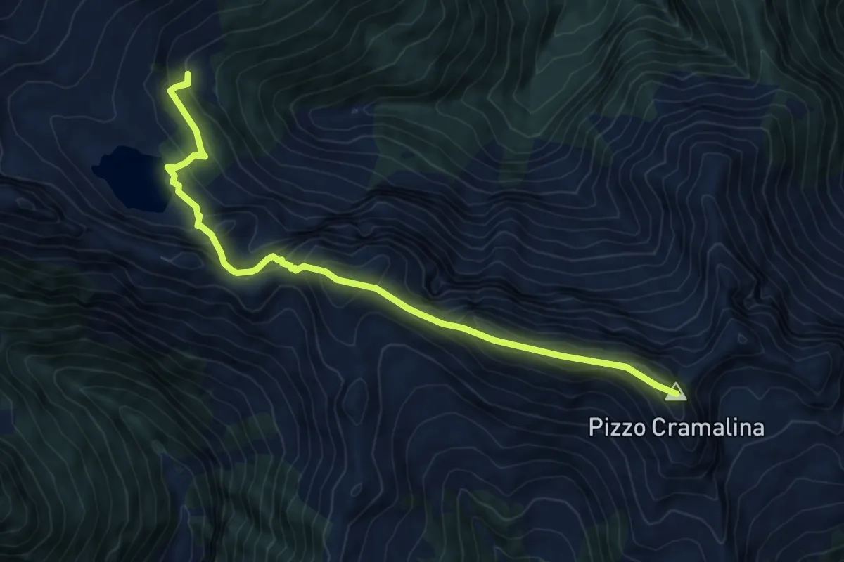
Expert · Summit
15 - Capanna Alcasca - Capanna Canee
8.5 km · ↑ 684 m · 3 h 29 min
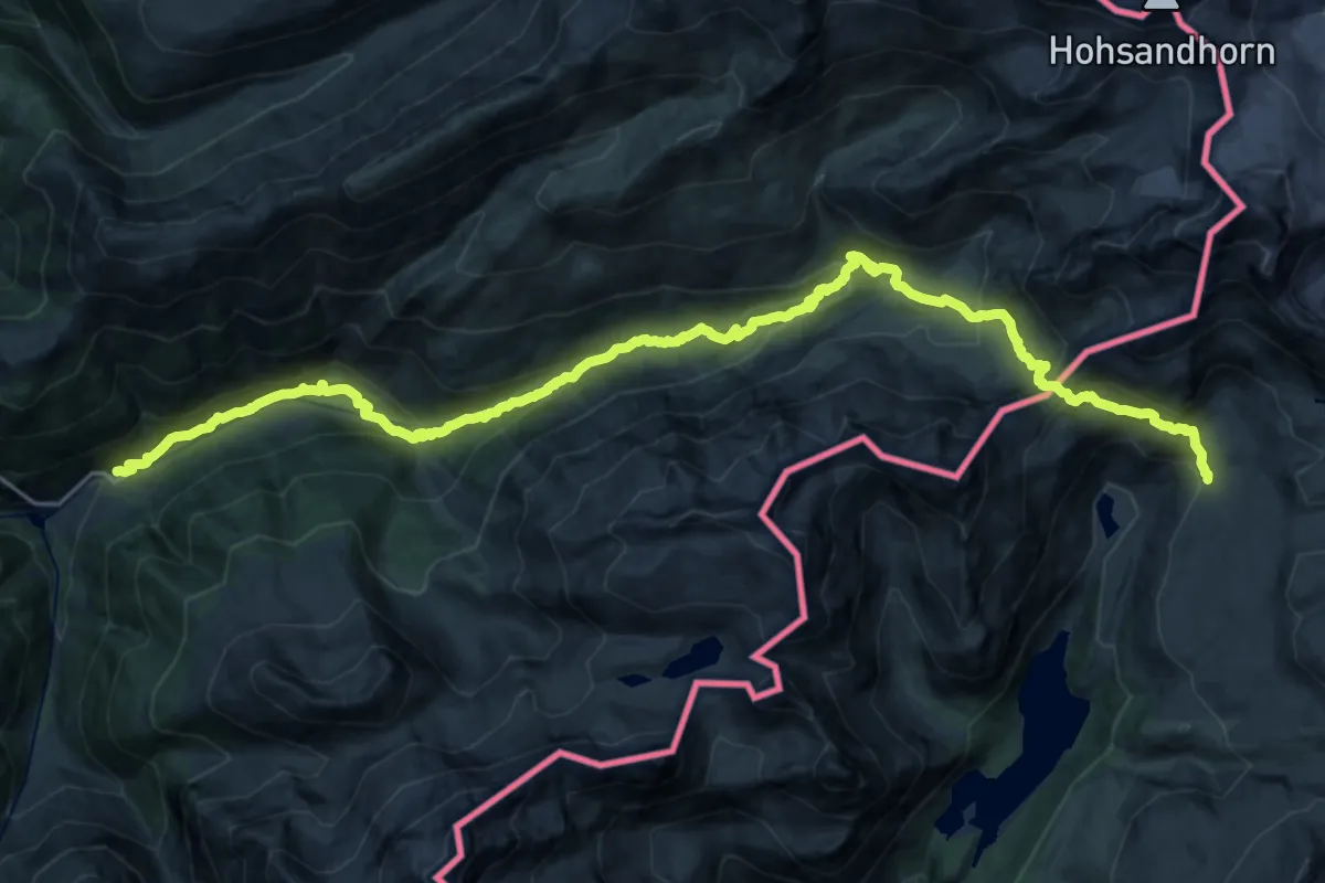
Demanding · Trail
15-Chemin des cols alpins
13.7 km · ↑ 1130 m · 5 h 29 min
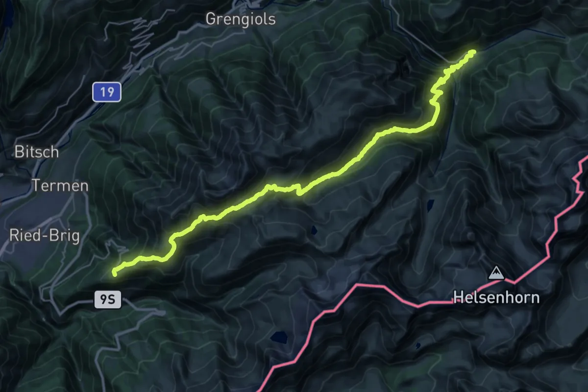
Demanding · Trail
16-Alpenpässe-Weg
16.7 km · ↑ 1033 m · 6 h 38 min
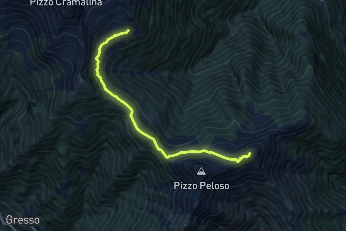
Demanding · Summit
16 - Capanna Alpe di Canaa - Salmone
7.9 km · ↑ 573 m · 3 h 7 min
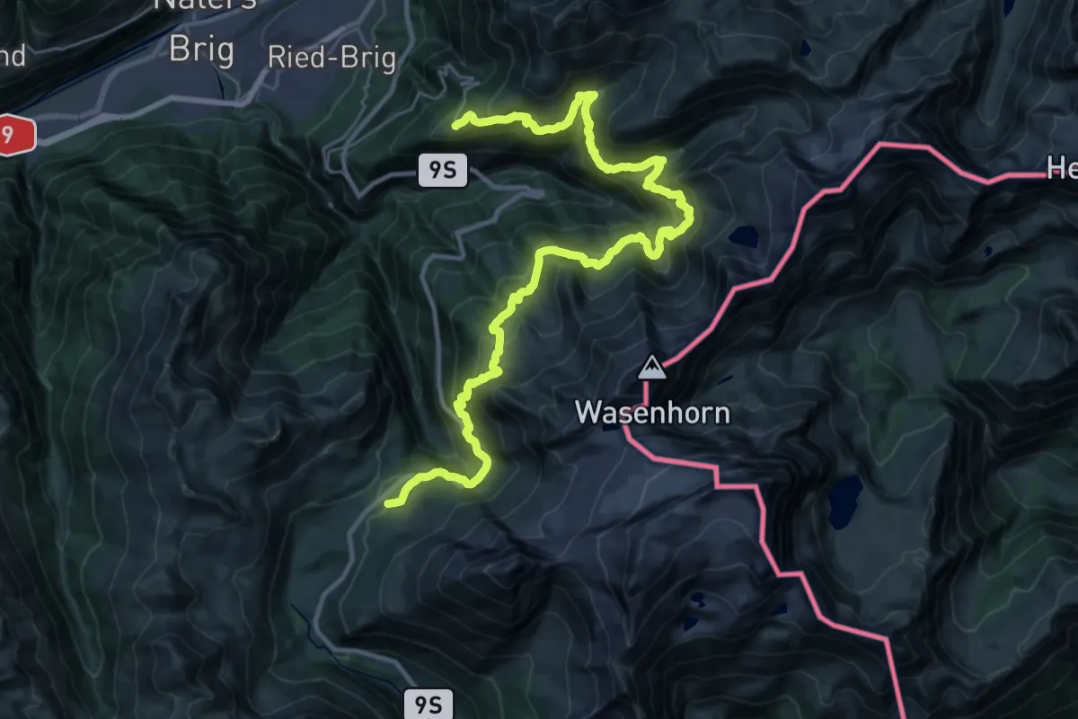
Demanding · Trail
17-Alpenpässe-Weg
18.4 km · ↑ 1407 m · 7 h 35 min
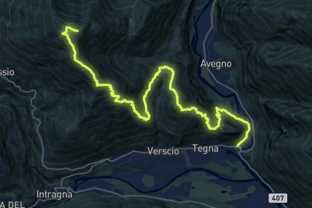
Demanding · Summit
17 - Salmone - Ponte Brolla
20.1 km · ↑ 1886 m · 8 h 50 min
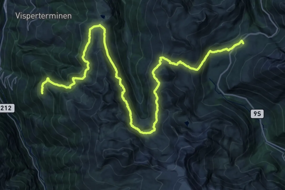
Demanding · Trail
18-Alpenpässe-Weg
23.1 km · ↑ 1230 m · 8 h 30 min
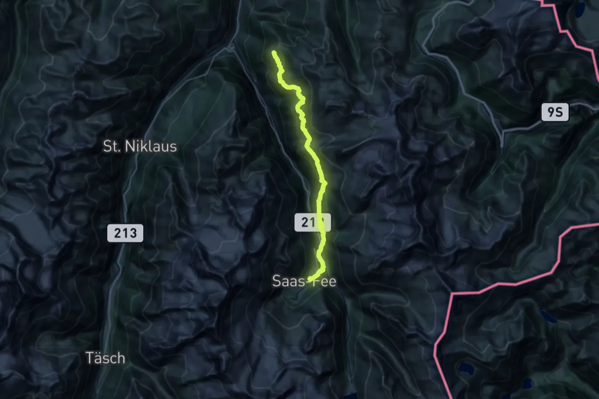
Demanding · Trail
19-Alpenpässe-Weg
17.0 km · ↑ 1140 m · 6 h 41 min
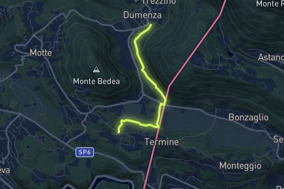
Medium · Trail
207 3V (Tappa 7 Via Verde Varesina)
6.1 km · ↑ 175 m · 1 h 49 min
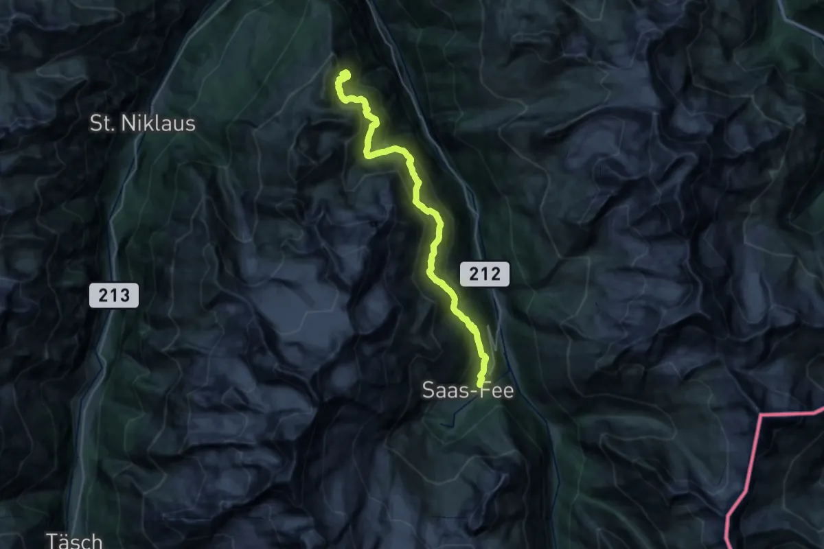
Demanding · Summit
20-Alpenpässse-Weg
27.1 km · ↑ 2316 m · 11 h 25 min
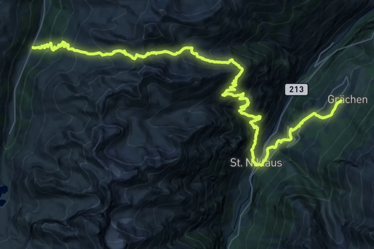
Demanding · Trail
21-Alpenpässe-Weg
21.3 km · ↑ 2001 m · 9 h 34 min
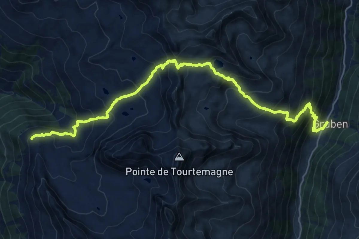
Demanding · Trail
22-Alpenpässe-Weg
10.4 km · ↑ 586 m · 4 h 7 min
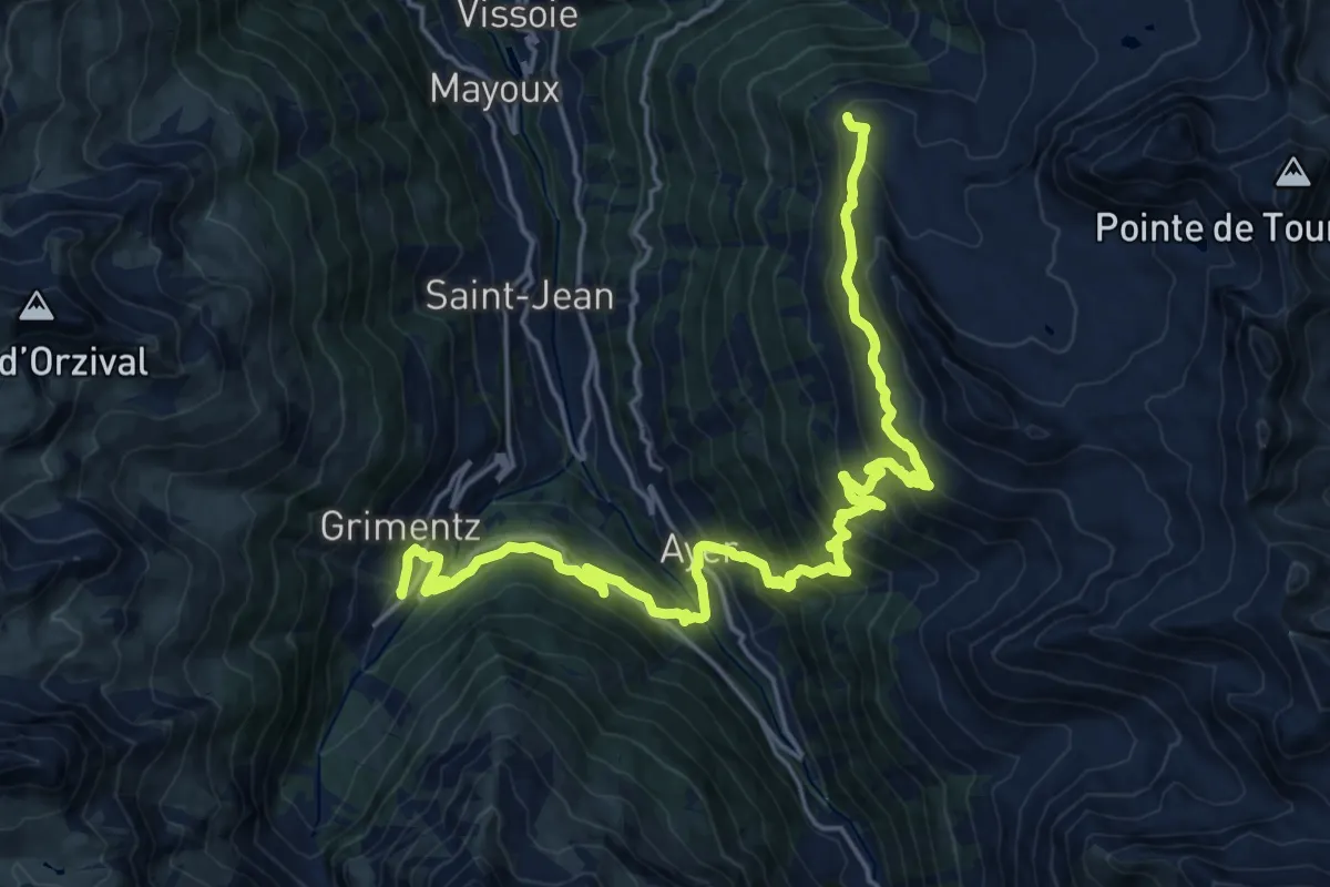
Medium · Trail
23-Chemin des cols alpins
11.9 km · ↑ 495 m · 4 h 25 min
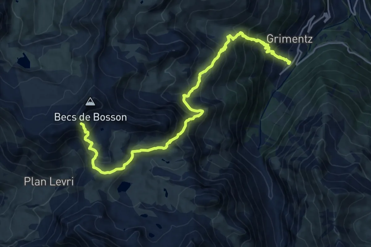
Demanding · Cabin
24-Chemin des cols alpins
18.5 km · ↑ 1487 m · 7 h 36 min
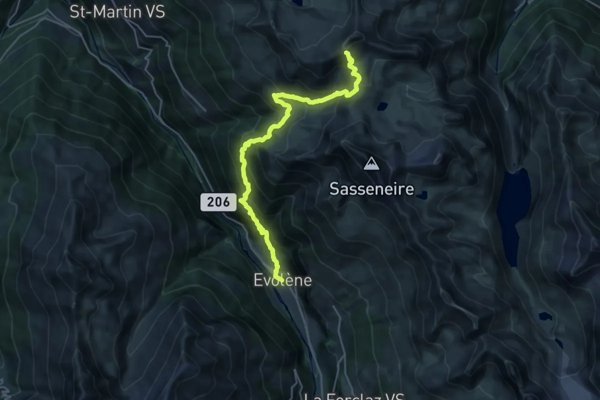
Demanding · Cabin
25-Chemin des cols alpins
10.5 km · ↑ 1671 m · 5 h 27 min
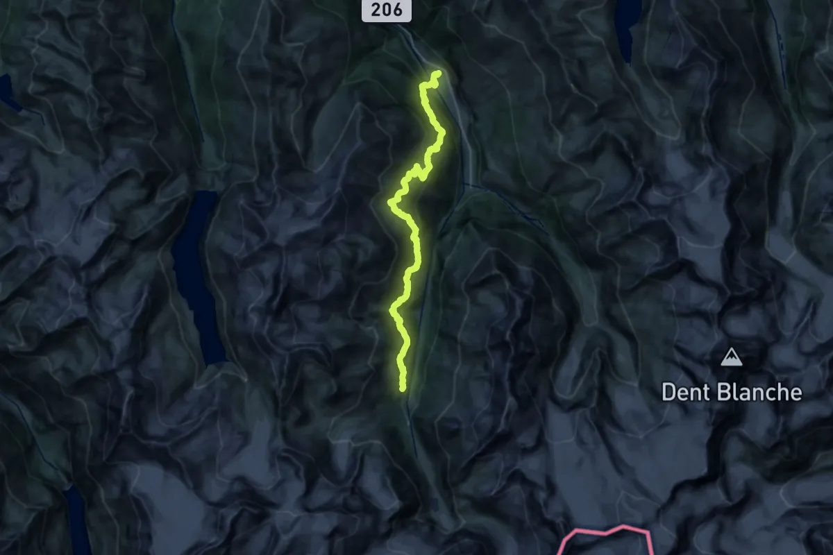
Demanding · Trail
26-Chemin des cols alpins
14.4 km · ↑ 1422 m · 6 h 21 min
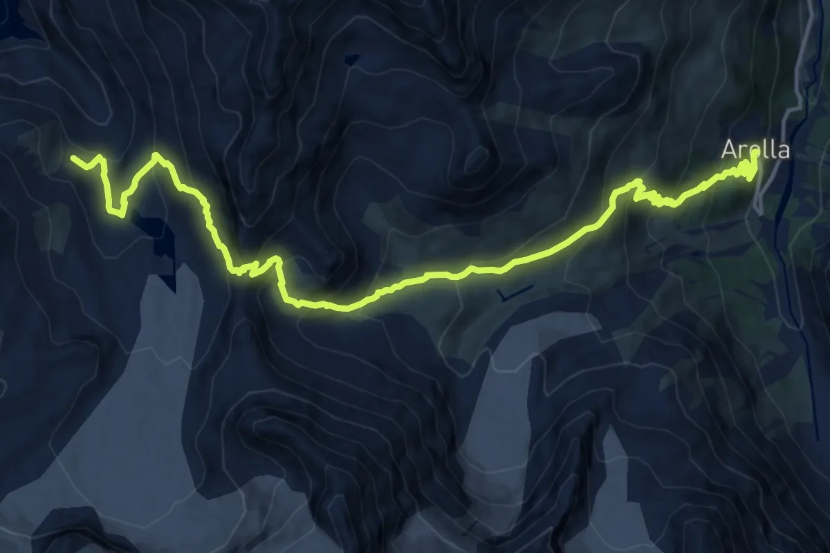
Demanding · Trail
27-Chemin des cols alpins
16.8 km · ↑ 1213 m · 6 h 35 min
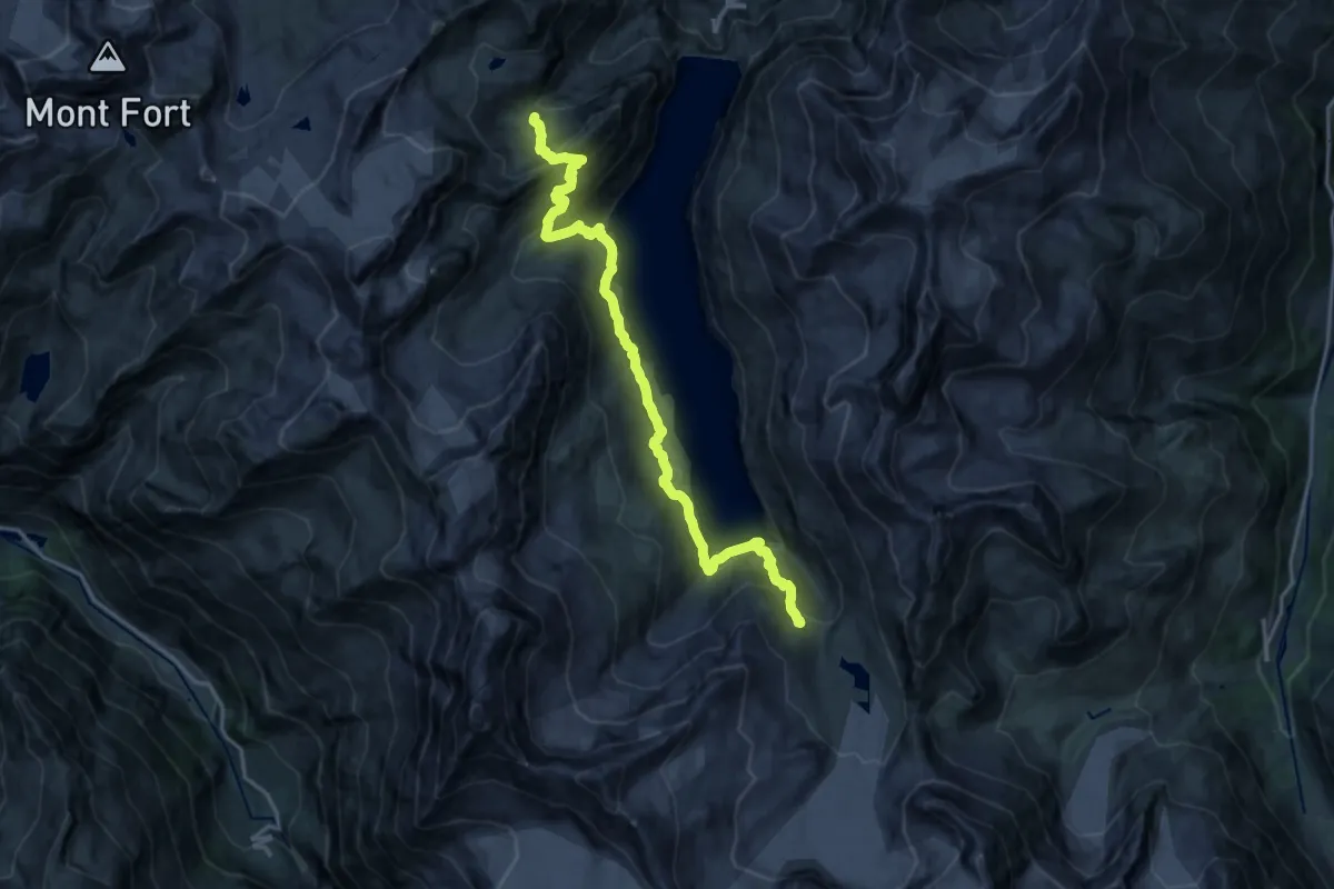
Demanding · Cabin
28-Chemin des cols alpins
18.5 km · ↑ 1236 m · 7 h 3 min
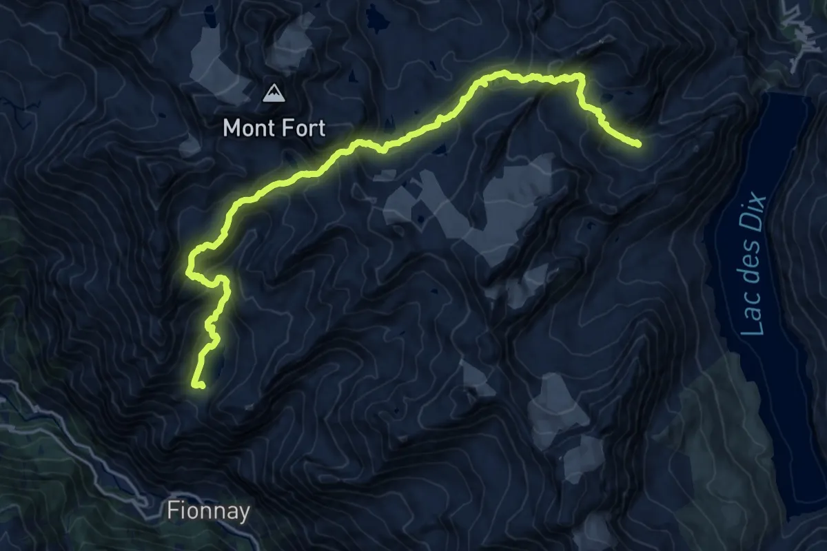
Demanding · Cabin
29-Chemin des cols alpins
10.7 km · ↑ 679 m · 4 h 22 min
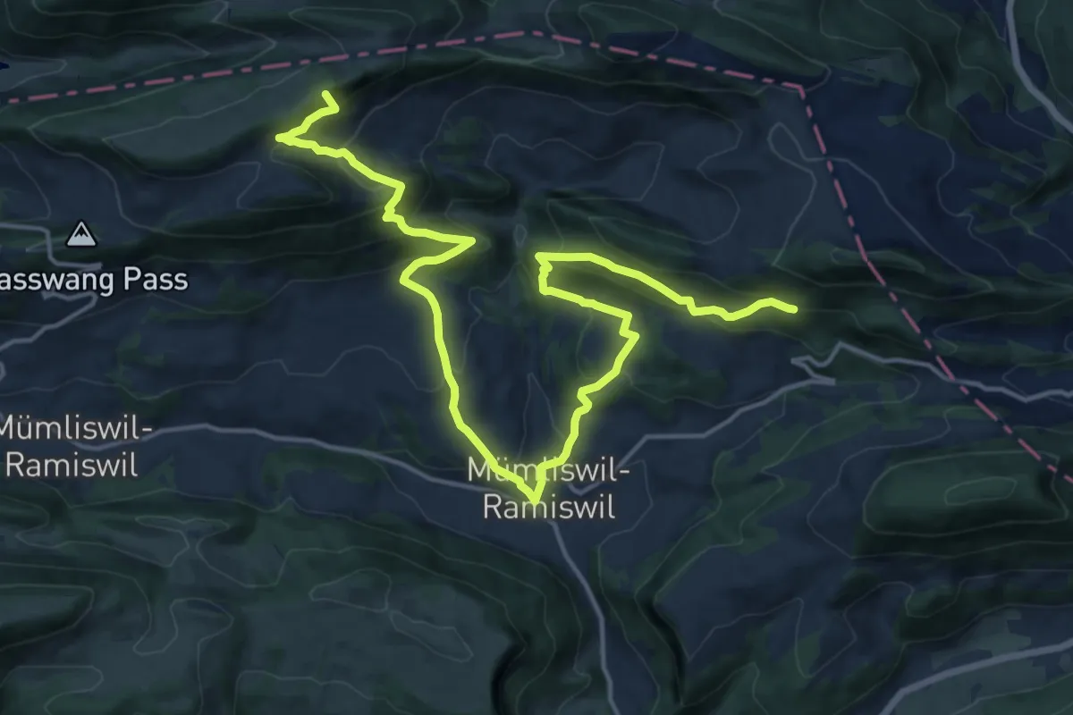
Demanding · Summit
2. Solothurner Waldwanderung
19.8 km · ↑ 1280 m · 7 h 27 min
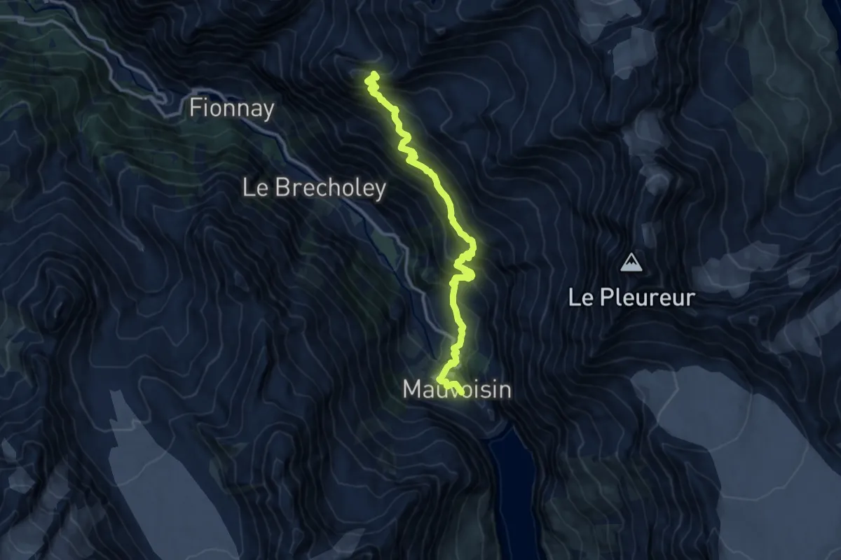
Demanding · Summit
30-Chemin des cols alpins
12.3 km · ↑ 1166 m · 5 h 26 min
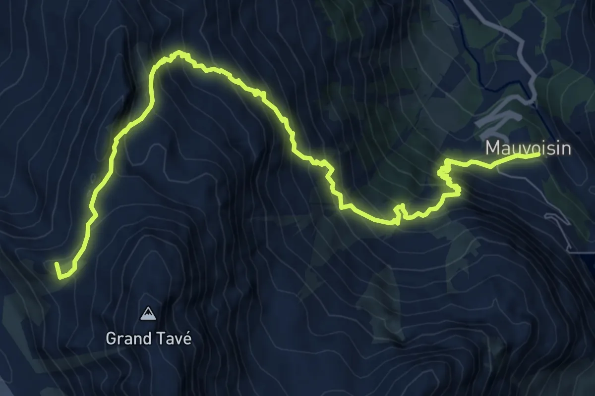
Demanding · Summit
31-Chemin des cols alpins
10.7 km · ↑ 1181 m · 5 h 6 min
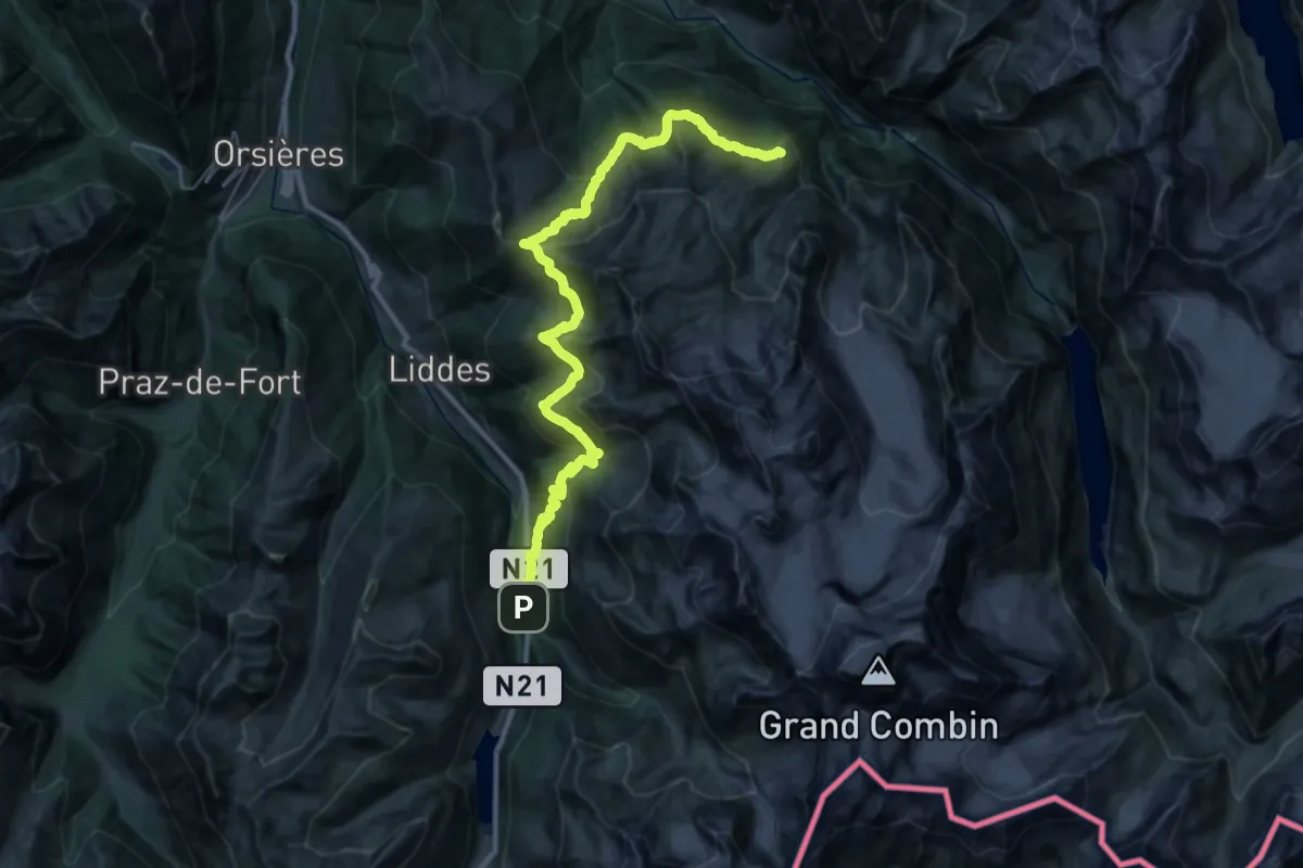
Demanding · Cabin
32-Chemin des cols alpins
18.9 km · ↑ 1405 m · 7 h 33 min
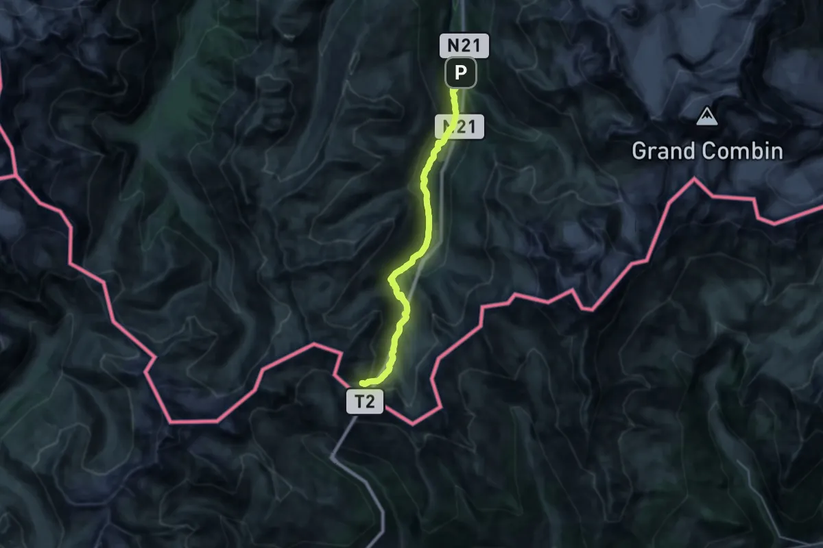
Demanding · Cabin
33-Chemin des cols alpins
22.6 km · ↑ 1173 m · 7 h 52 min
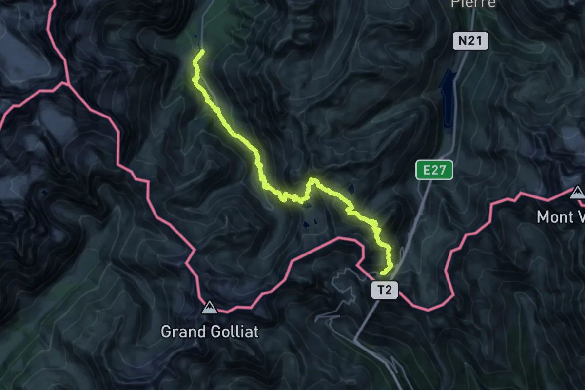
Demanding · Cabin
34-Chemin des cols alpins
14.8 km · ↑ 1566 m · 6 h 39 min
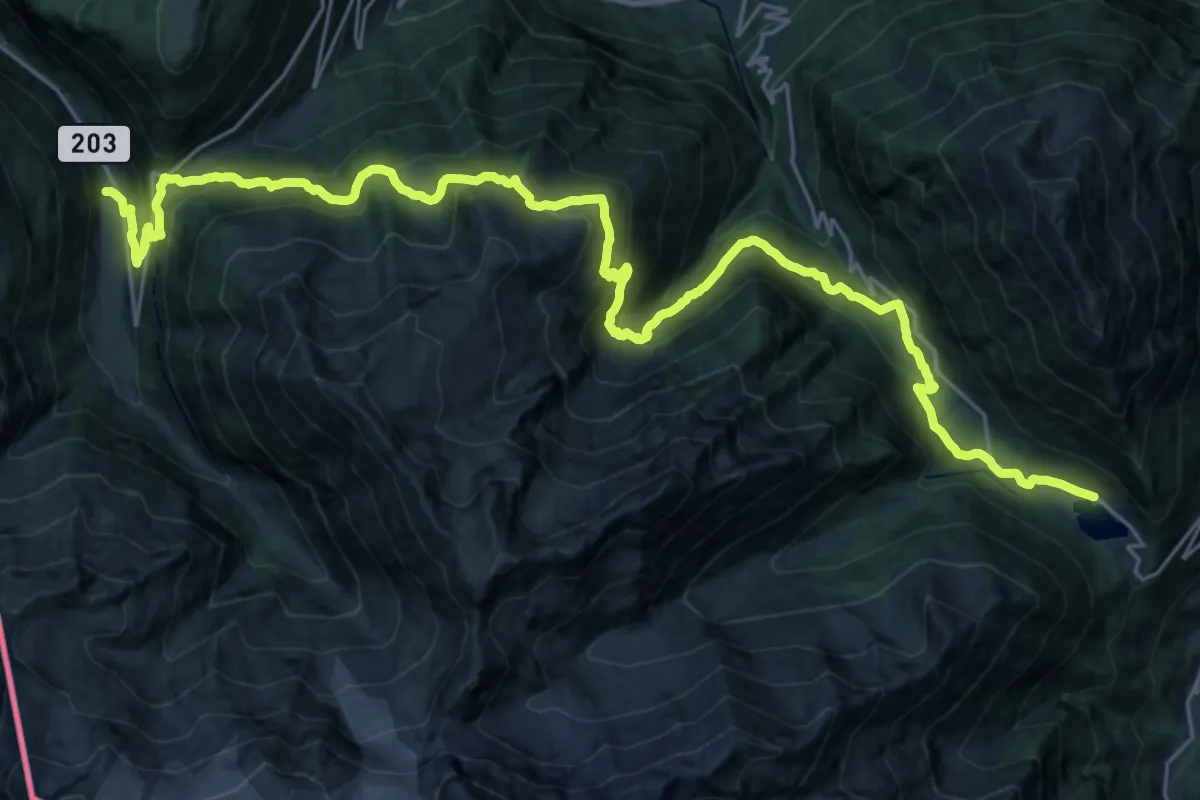
Demanding · Trail
36-Chemin des cols alpins
15.7 km · ↑ 908 m · 5 h 59 min
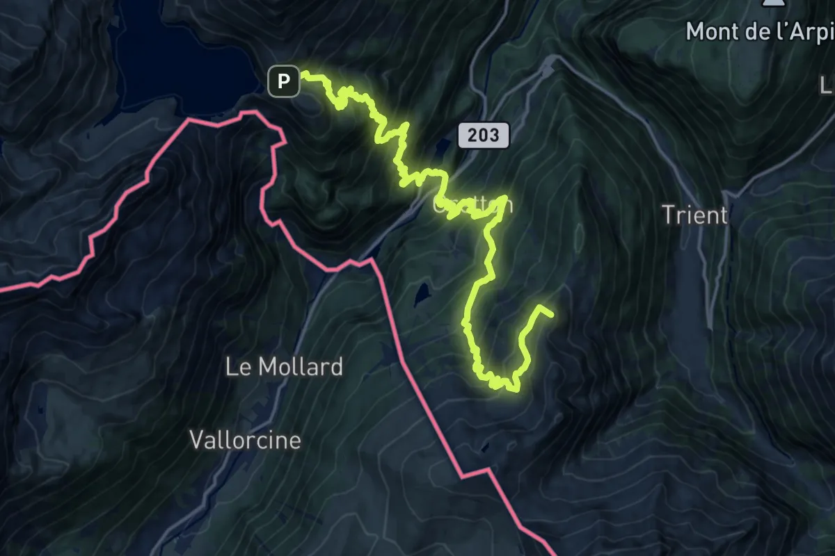
Demanding · Summit
37-Chemin des cols alpins
21.8 km · ↑ 2141 m · 9 h 48 min
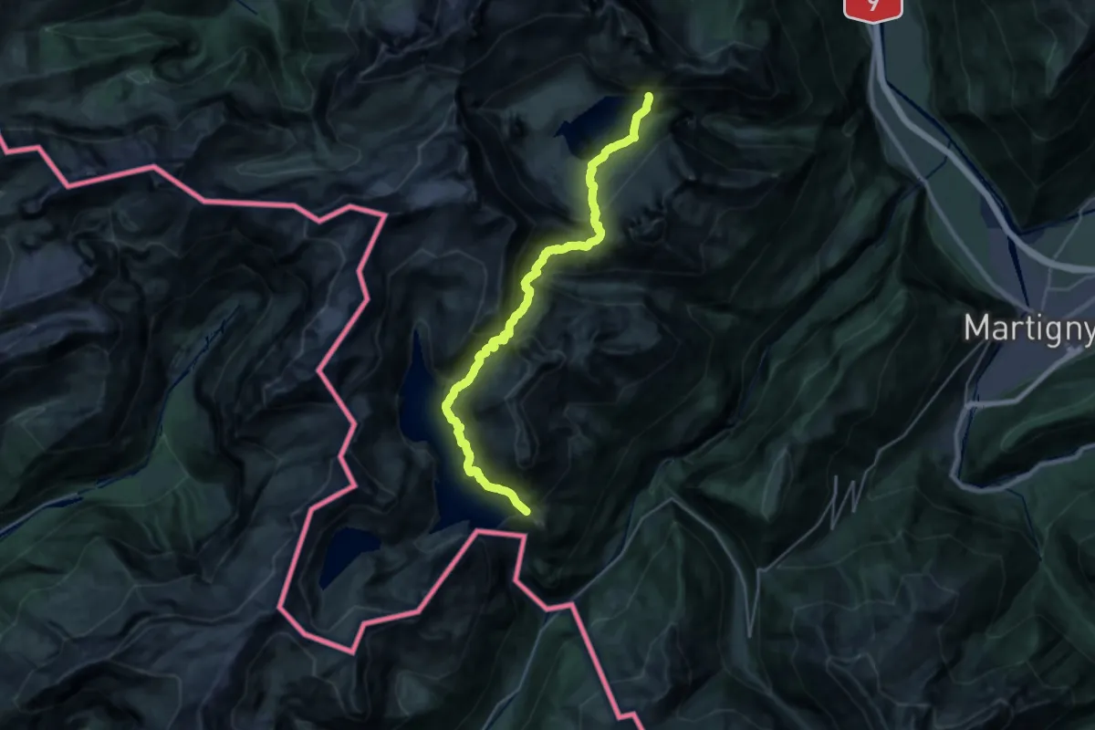
Demanding · Trail
38-Chemin des cols alpins
12.9 km · ↑ 1418 m · 6 h 16 min
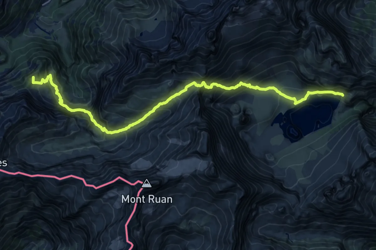
Demanding · Summit
39-Chemin des cols alpins
23.7 km · ↑ 2056 m · 10 h 4 min
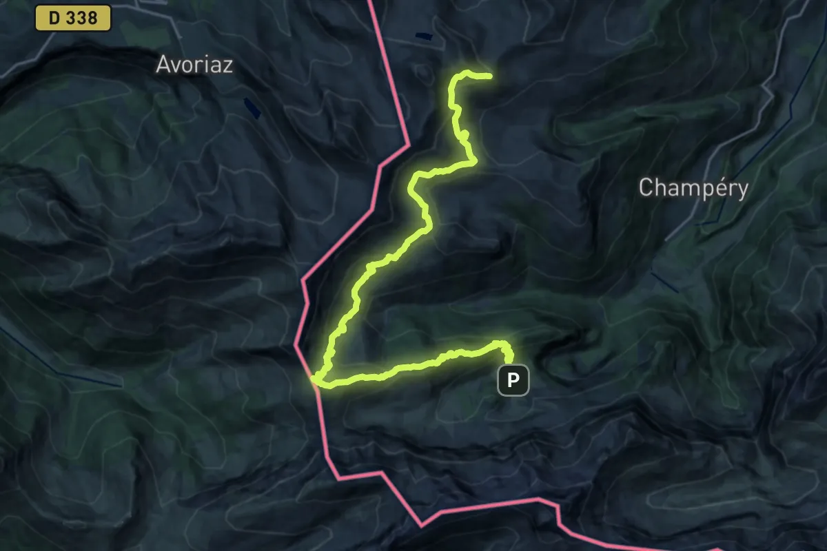
Demanding · Summit
40-Chemin des cols alpins
24.4 km · ↑ 1313 m · 8 h 36 min
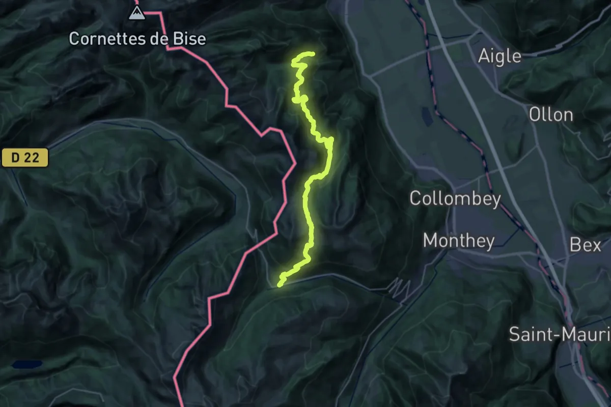
Demanding · Trail
41-Chemin des cols alpins
14.8 km · ↑ 975 m · 5 h 42 min
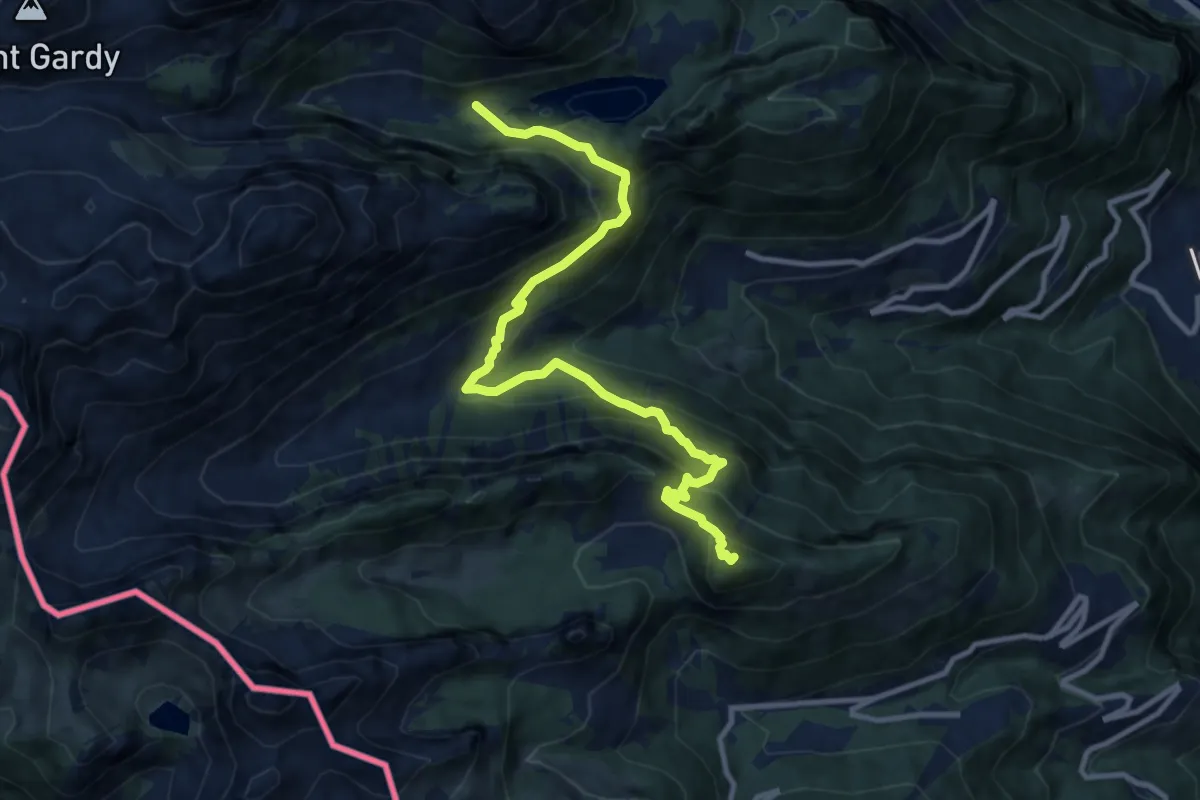
Demanding · Summit
42-Chemin des cols alpins
11.2 km · ↑ 993 m · 4 h 48 min
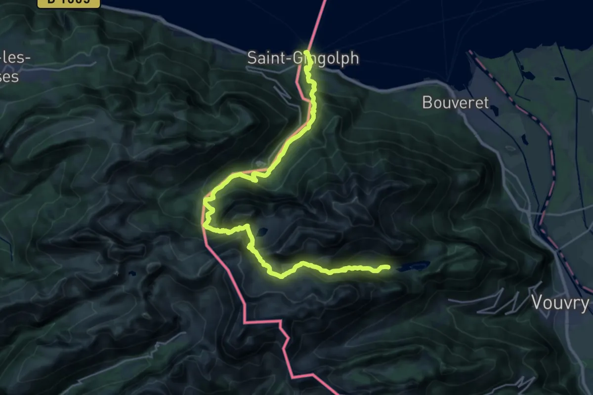
Demanding · Cabin
43-Chemin des cols alpins
13.7 km · ↑ 1654 m · 6 h 29 min
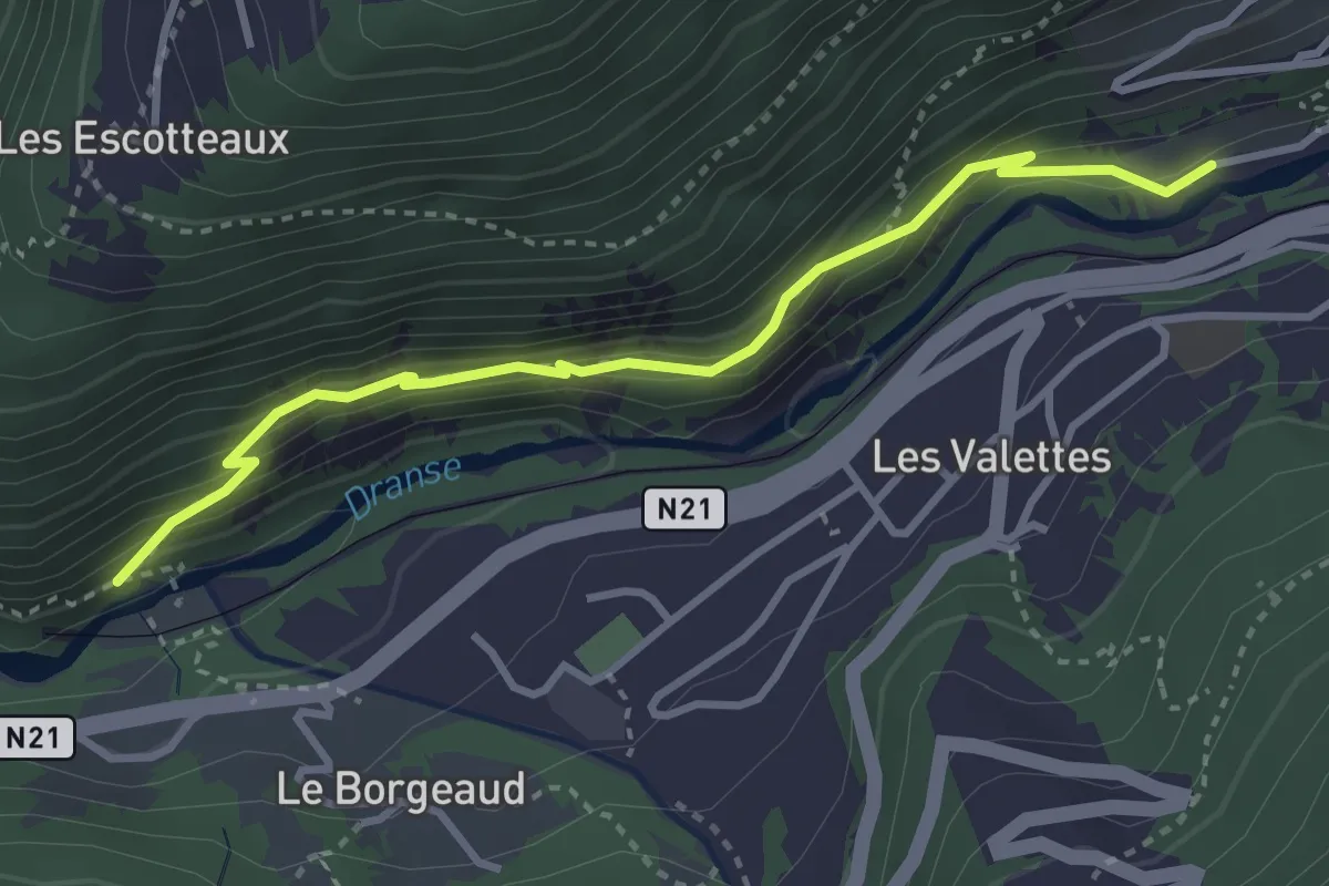
Medium · Trail
582597345 > 582597318
3.5 km · ↑ 301 m · 1 h 28 min
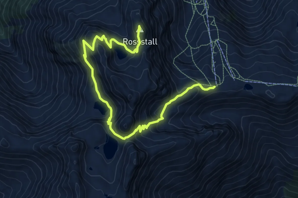
Demanding · Summit
5-Seen-Wanderung
12.5 km · ↑ 840 m · 4 h 46 min
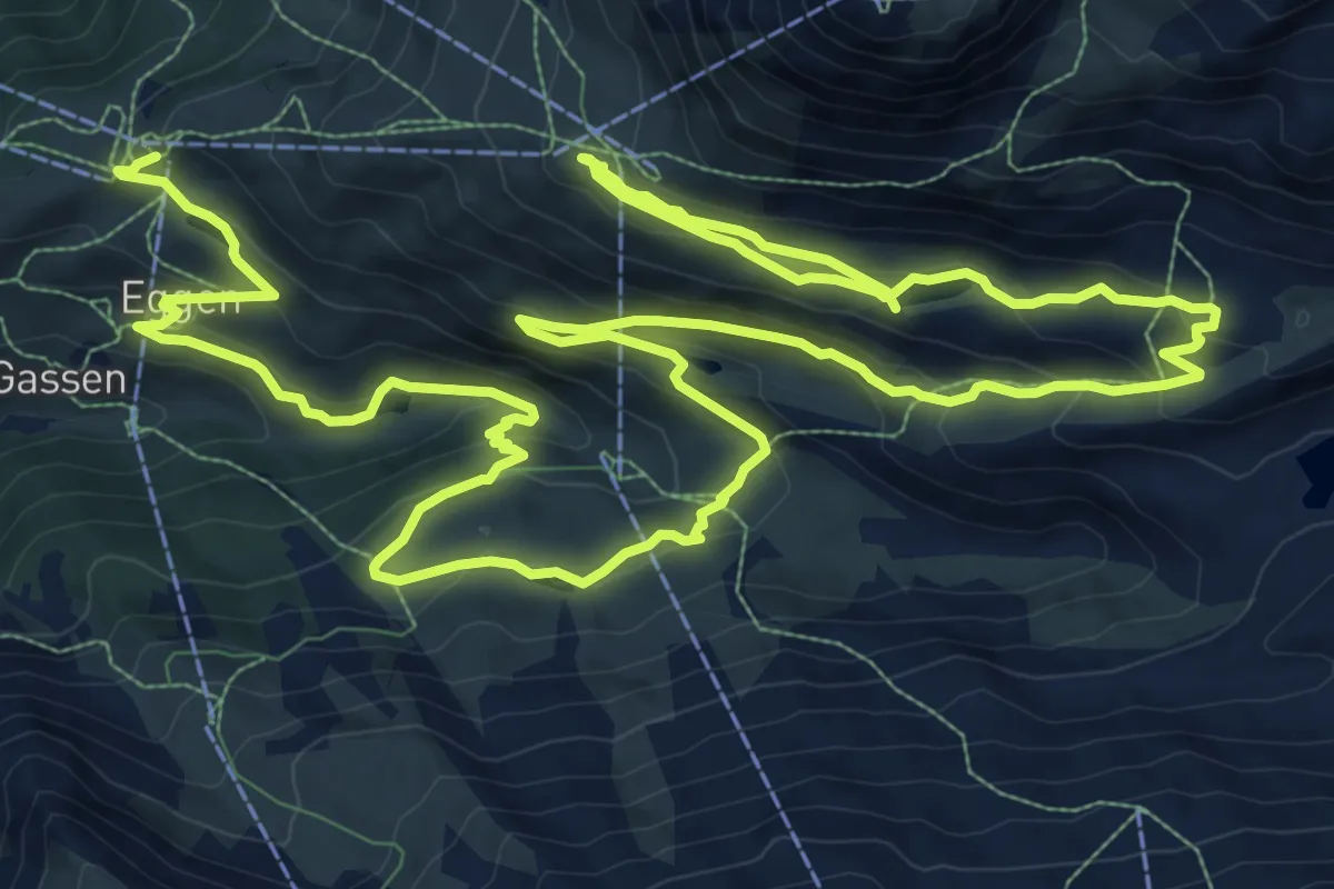
Demanding · Trail
5-Seenweg
23.3 km · ↑ 1143 m · 7 h 59 min
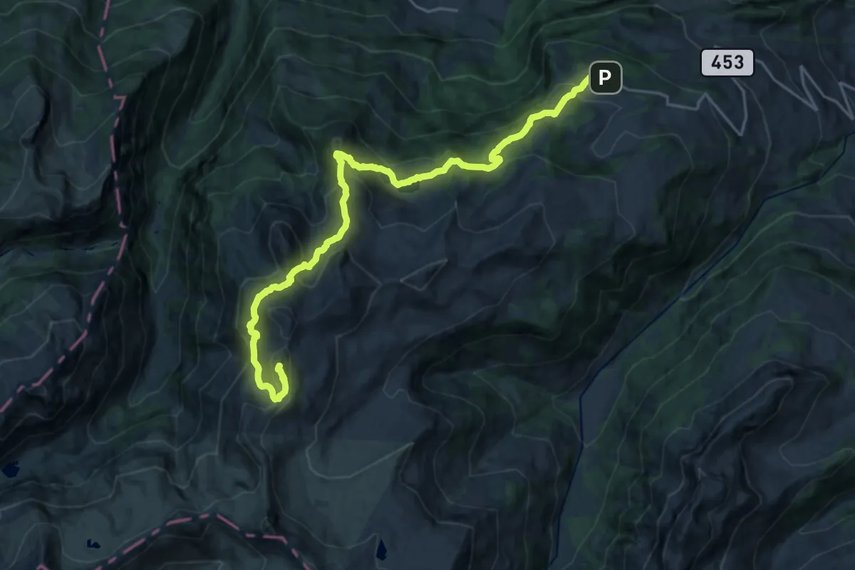
Demanding · Summit
7-Gipfel-Tour Flumserberg
21.7 km · ↑ 1278 m · 7 h 53 min
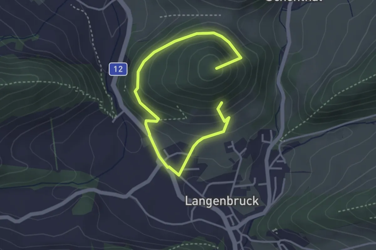
Easy · Summit
800 m - Ober Hauenstein
4.3 km · ↑ 266 m · 1 h 35 min