Trails in Switzerland
15,064 hiking trails, each with its route, climb, walking time and grade.
All trails, page 137 of 314
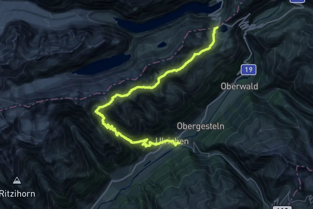
Demanding · Trail
9 Seen-Weg
17.1 km · ↑ 909 m · 6 h 40 min
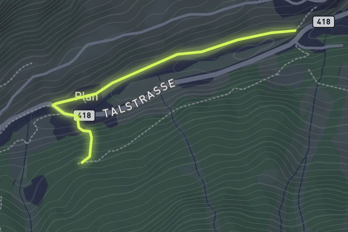
Easy · Trail
Plan – Plazzoi
2.4 km · ↑ 86 m · 46 min
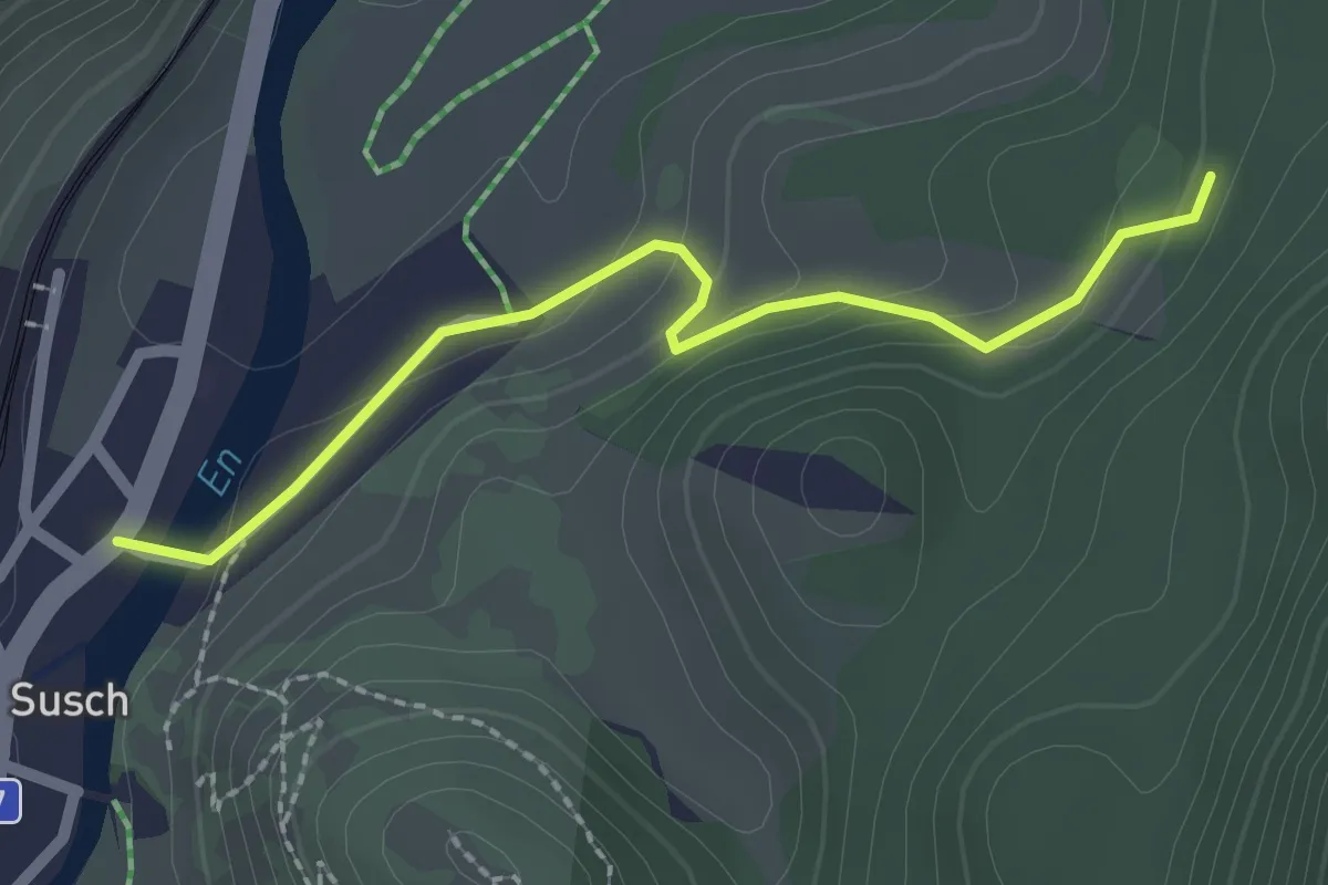
Easy · Trail
God Surpunt – Susch
2.2 km · ↑ 94 m · 43 min
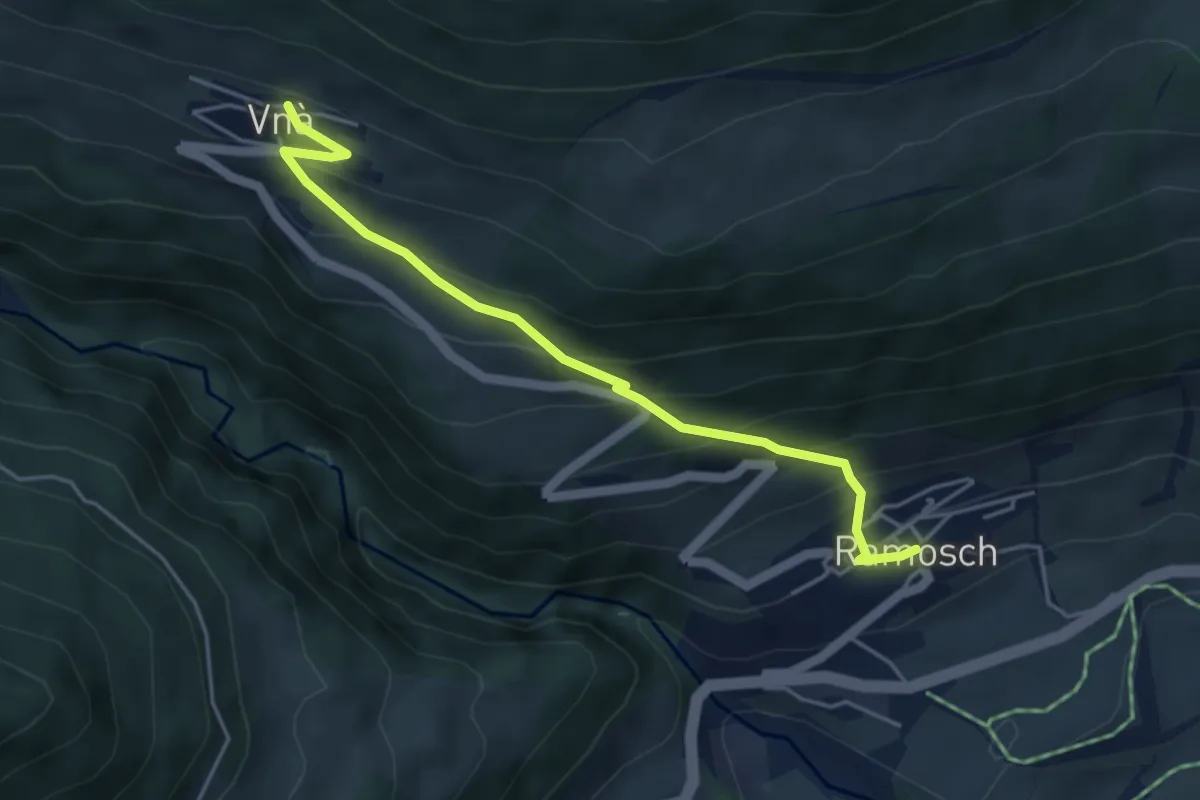
Medium · Trail
Ramosch – Vnà
4.5 km · ↑ 398 m · 1 h 55 min
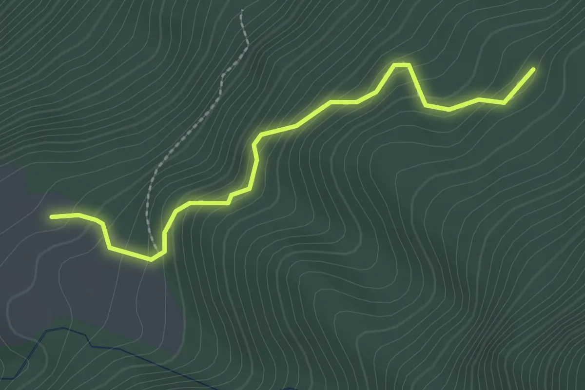
Easy · Trail
Mot da Lita – Ruina Blaua
2.3 km · ↑ 213 m · 1 h 1 min
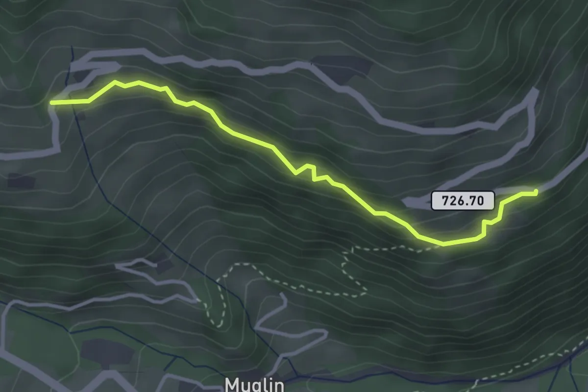
Easy · Trail
Buglios – Valpaschun
3.3 km · ↑ 239 m · 1 h 18 min
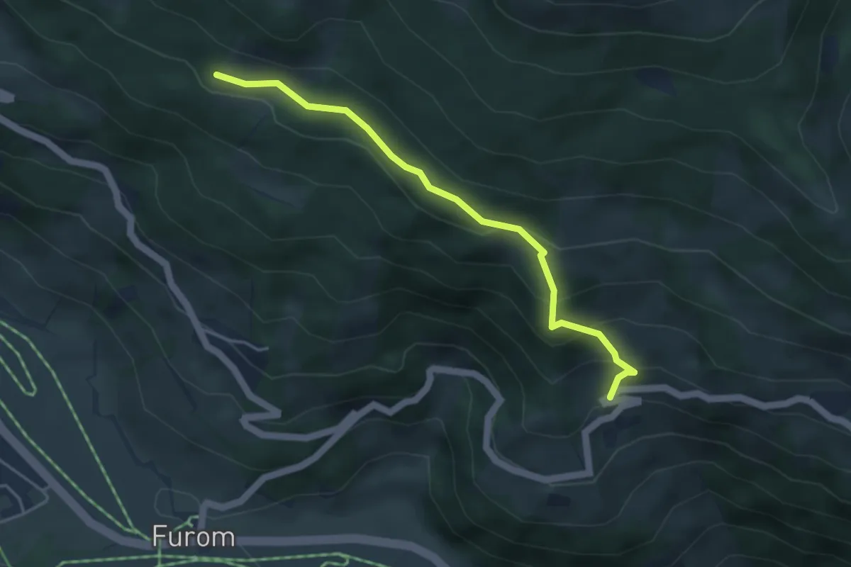
Easy · Trail
Valpaschun – Urschai
3.9 km · ↑ 262 m · 1 h 29 min
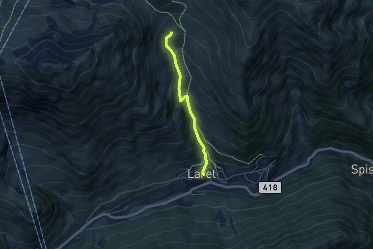
Medium · Trail
Unter Alp – Samnau-Compatsch
3.5 km · ↑ 327 m · 1 h 32 min
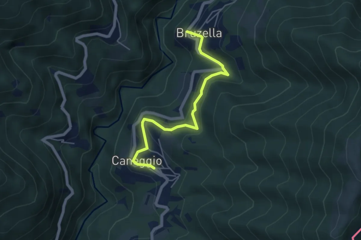
Easy · Trail
Caneggio – Bruzella
4.3 km · ↑ 249 m · 1 h 33 min
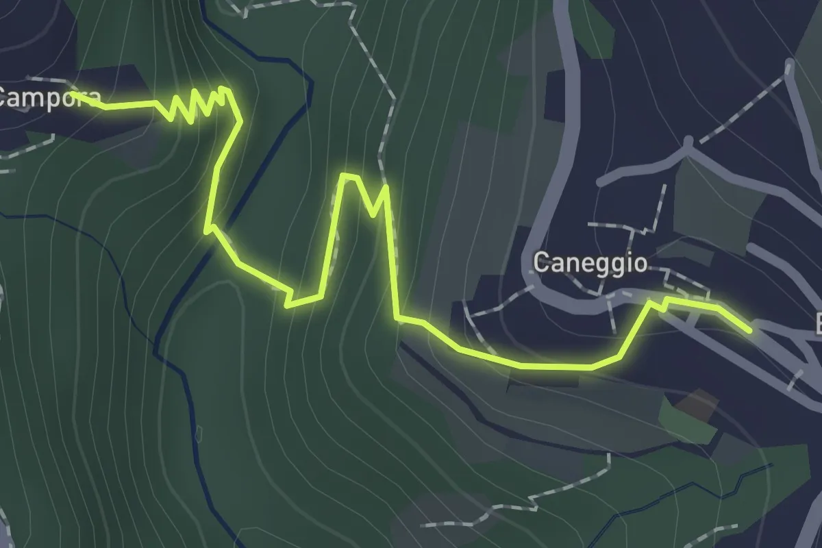
Easy · Trail
Caneggio – Cámpora
2.3 km · ↑ 161 m · 53 min
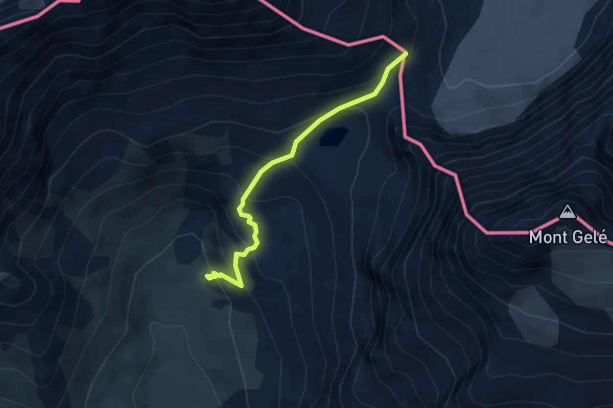
Medium · Trail
Glacier – Colle Fenètre Durand
3.5 km · ↑ 343 m · 1 h 34 min
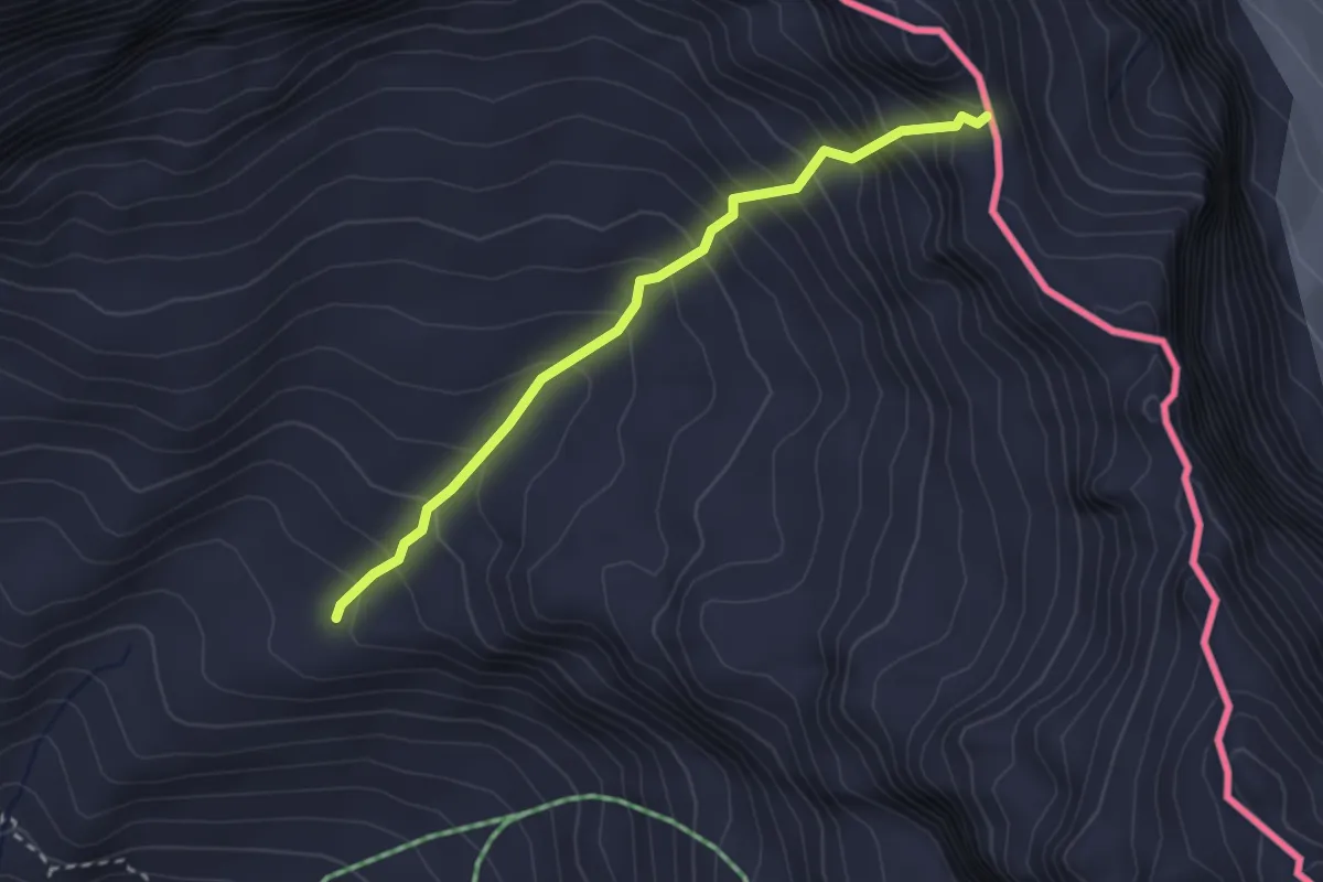
Medium · Trail
Breuil-Cervinia – Anfiteatro del Furggen
2.7 km · ↑ 382 m · 1 h 28 min
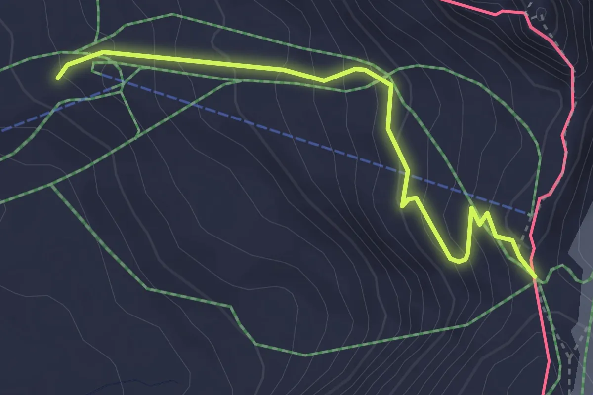
Easy · Cabin
Breuil-Cervinia – Col de Saint-Théodule
3.7 km · ↑ 310 m · 1 h 32 min
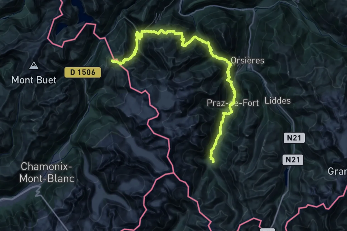
Demanding · Trail
Col du Grand-St-Bernard – La Fouly
37.1 km · ↑ 2563 m · 14 h 31 min
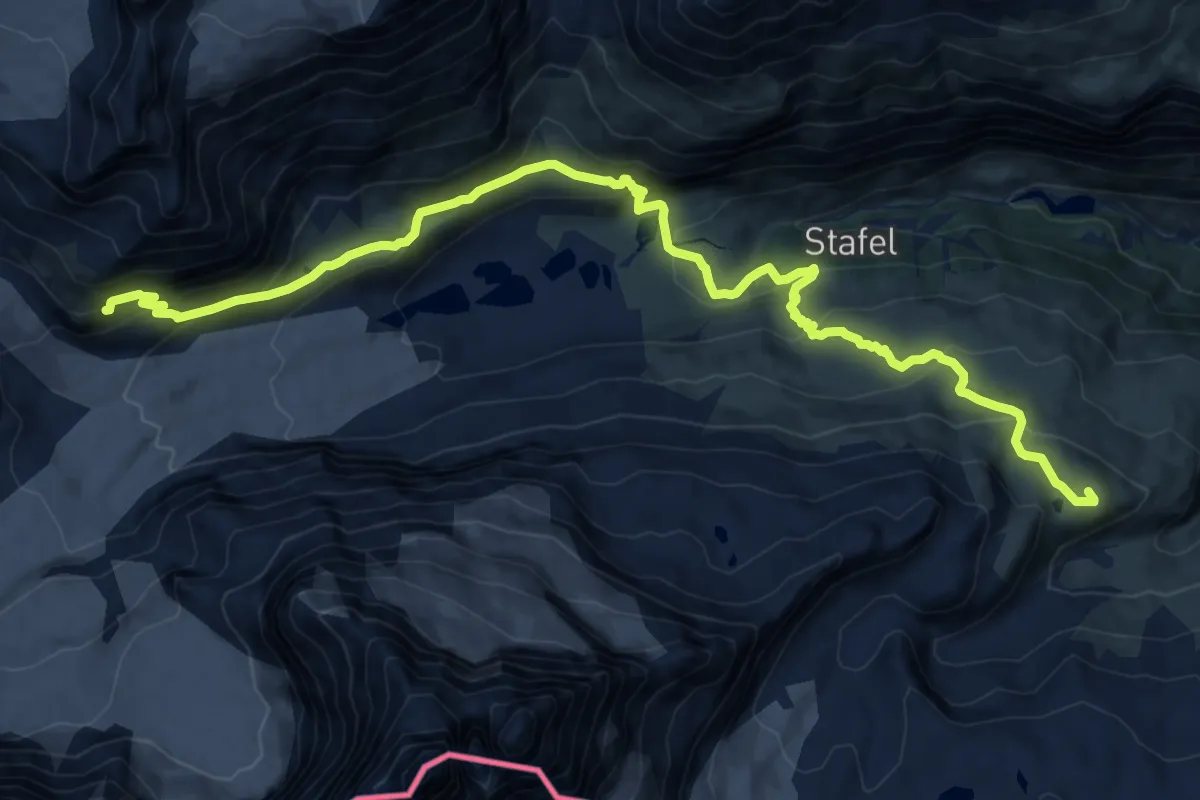
Demanding · Cabin
Schwarzsee – Schönbielhütte SAC
18.4 km · ↑ 985 m · 6 h 29 min
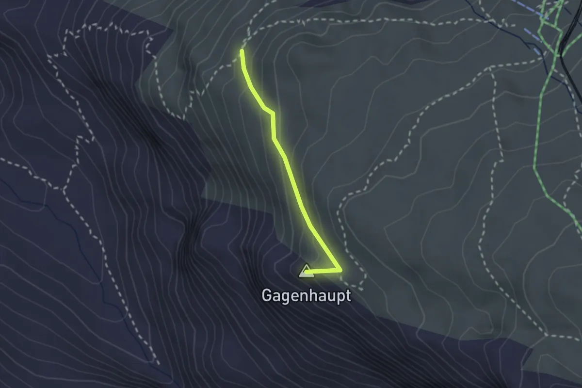
Medium · Summit
Gagenhaupt – Mark Twain Weg
1.8 km · ↑ 142 m · 44 min
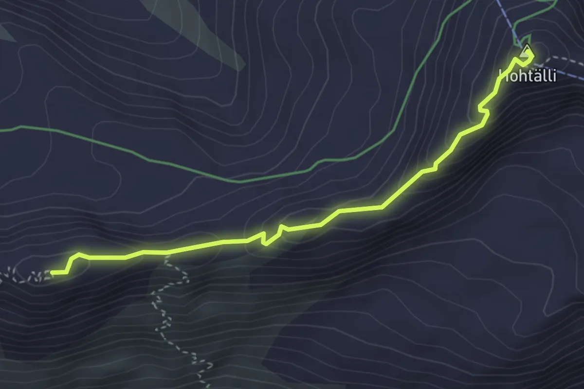
Demanding · Summit
Gornergrat – Hohtälli
3.5 km · ↑ 218 m · 1 h 18 min
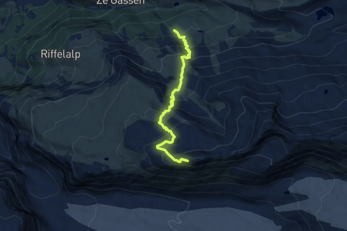
Demanding · Cabin
Ze Seewjinen – Gornergrat
8.9 km · ↑ 783 m · 3 h 48 min
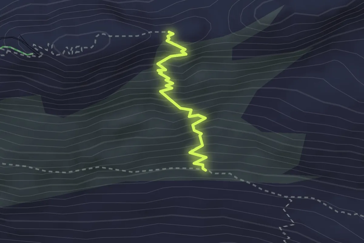
Expert · Trail
Monterosa Hut Trail – Hohtalligrat
2.3 km · ↑ 367 m · 1 h 20 min
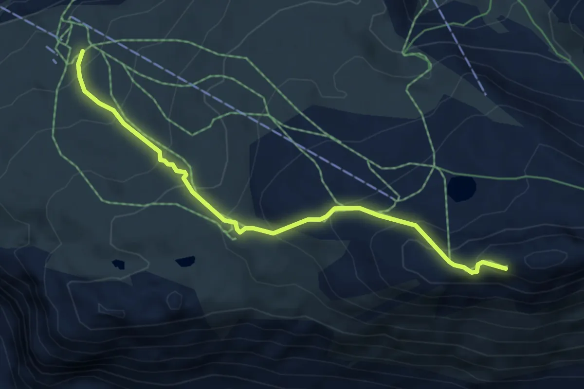
Medium · Trail
Gornergrat – Riffelberg
5.6 km · ↑ 475 m · 2 h 20 min
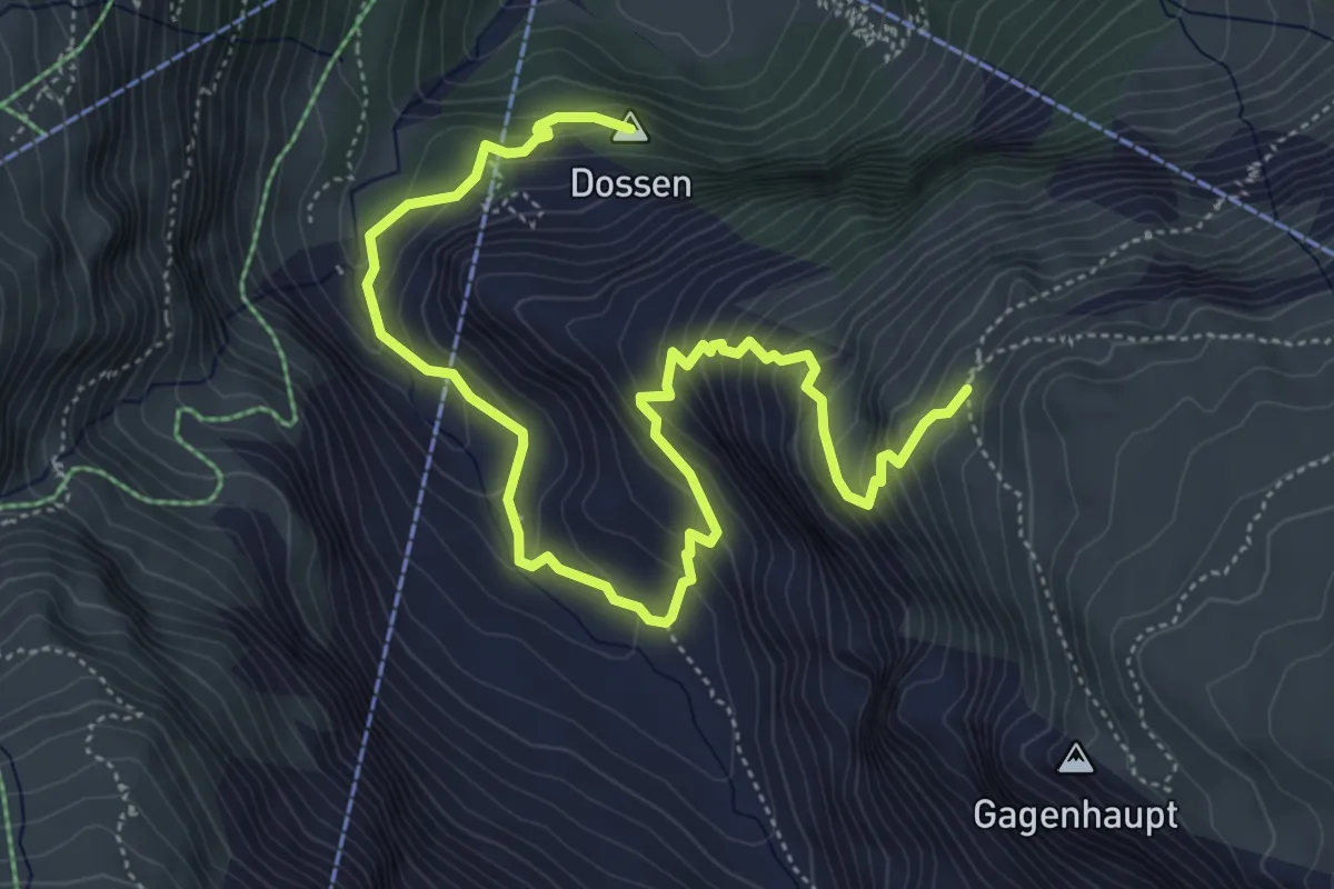
Medium · Summit
Furi – Mark Twain Weg
6.9 km · ↑ 583 m · 2 h 54 min
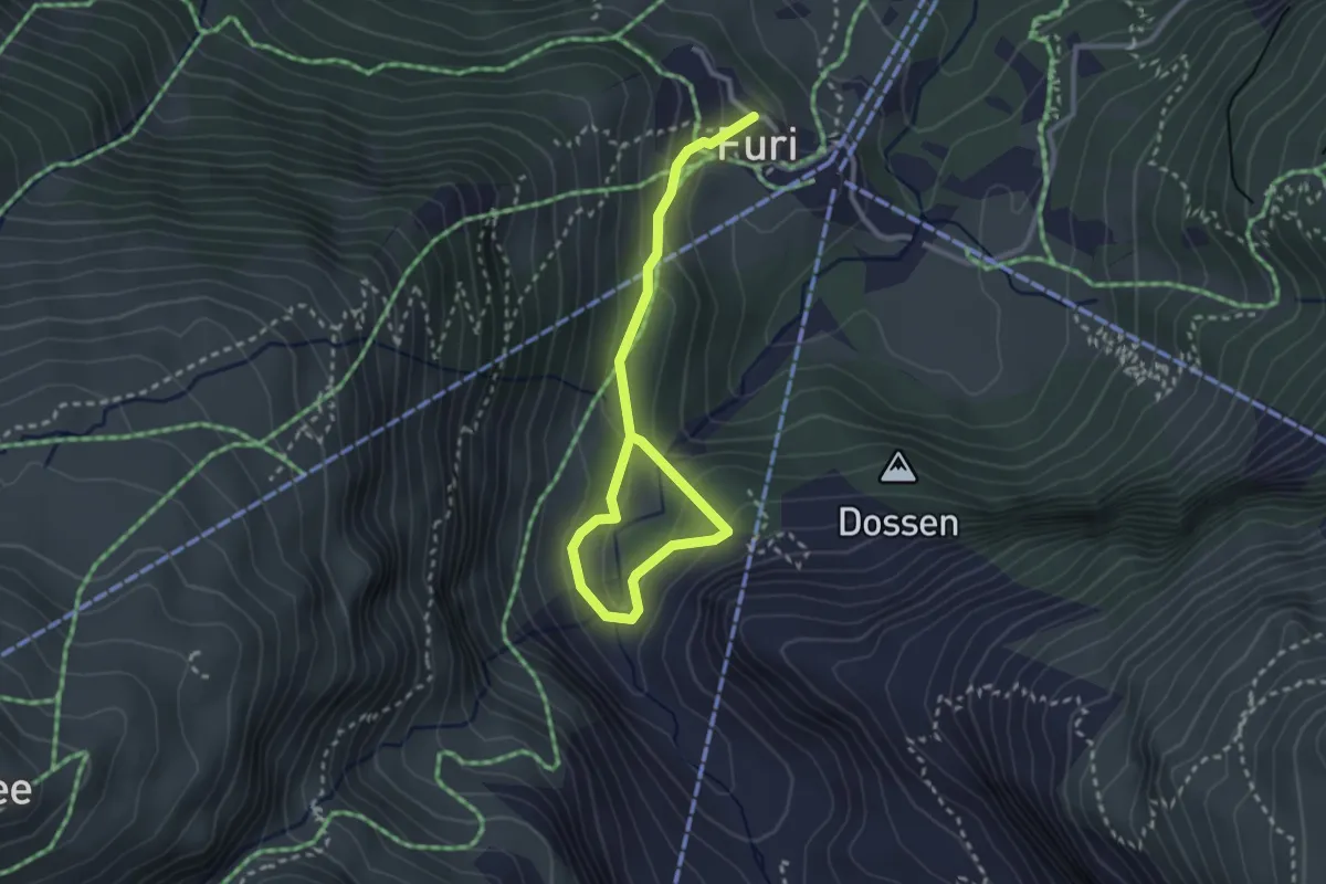
Medium · Trail
Furi – Gletchergarten
3.4 km · ↑ 165 m · 1 h 9 min
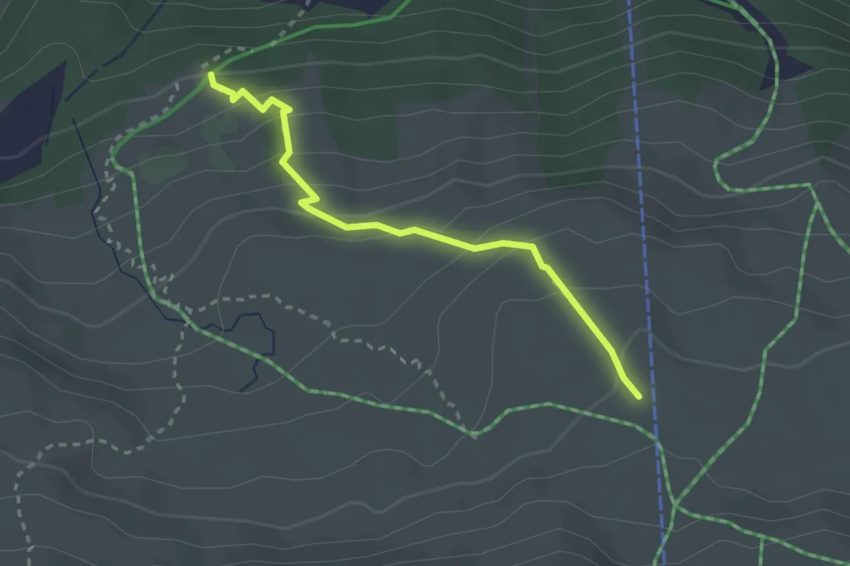
Medium · Trail
Unteri Stafelalp – Stafelalp
2.5 km · ↑ 212 m · 1 h 2 min
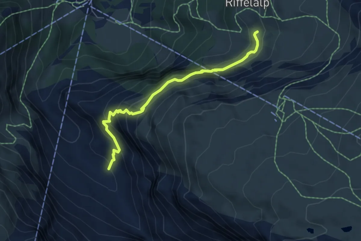
Medium · Trail
Riffelalp – Dristelen
5.2 km · ↑ 435 m · 2 h 10 min
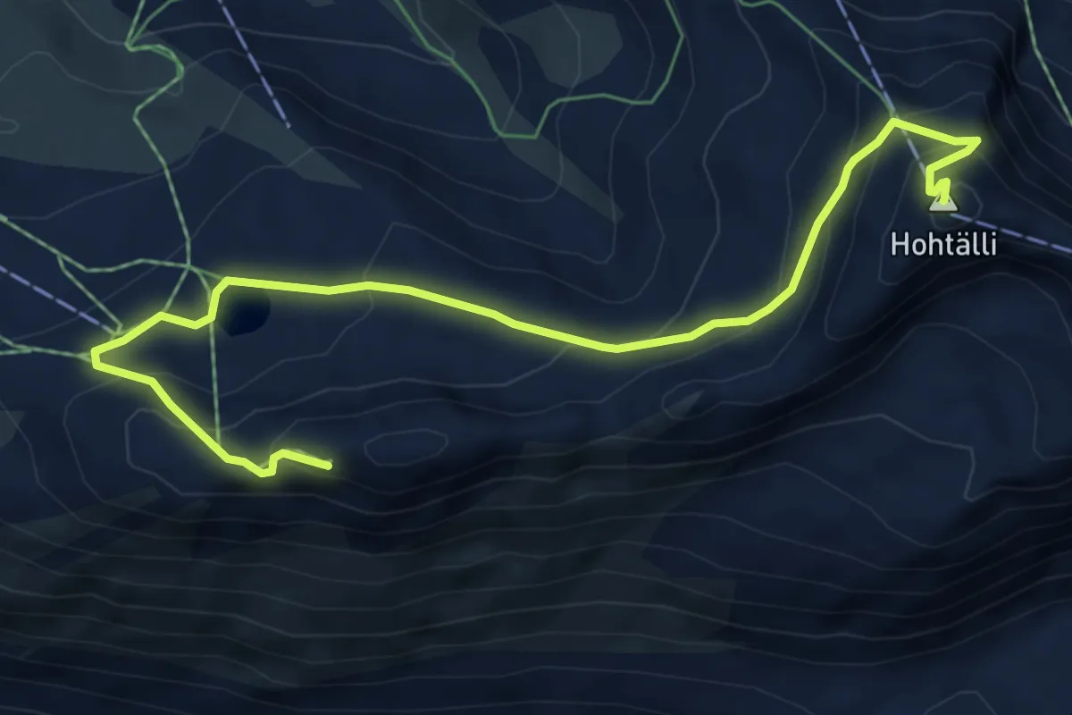
Demanding · Summit
Gornergrat – Hohtalli
7.3 km · ↑ 501 m · 2 h 49 min
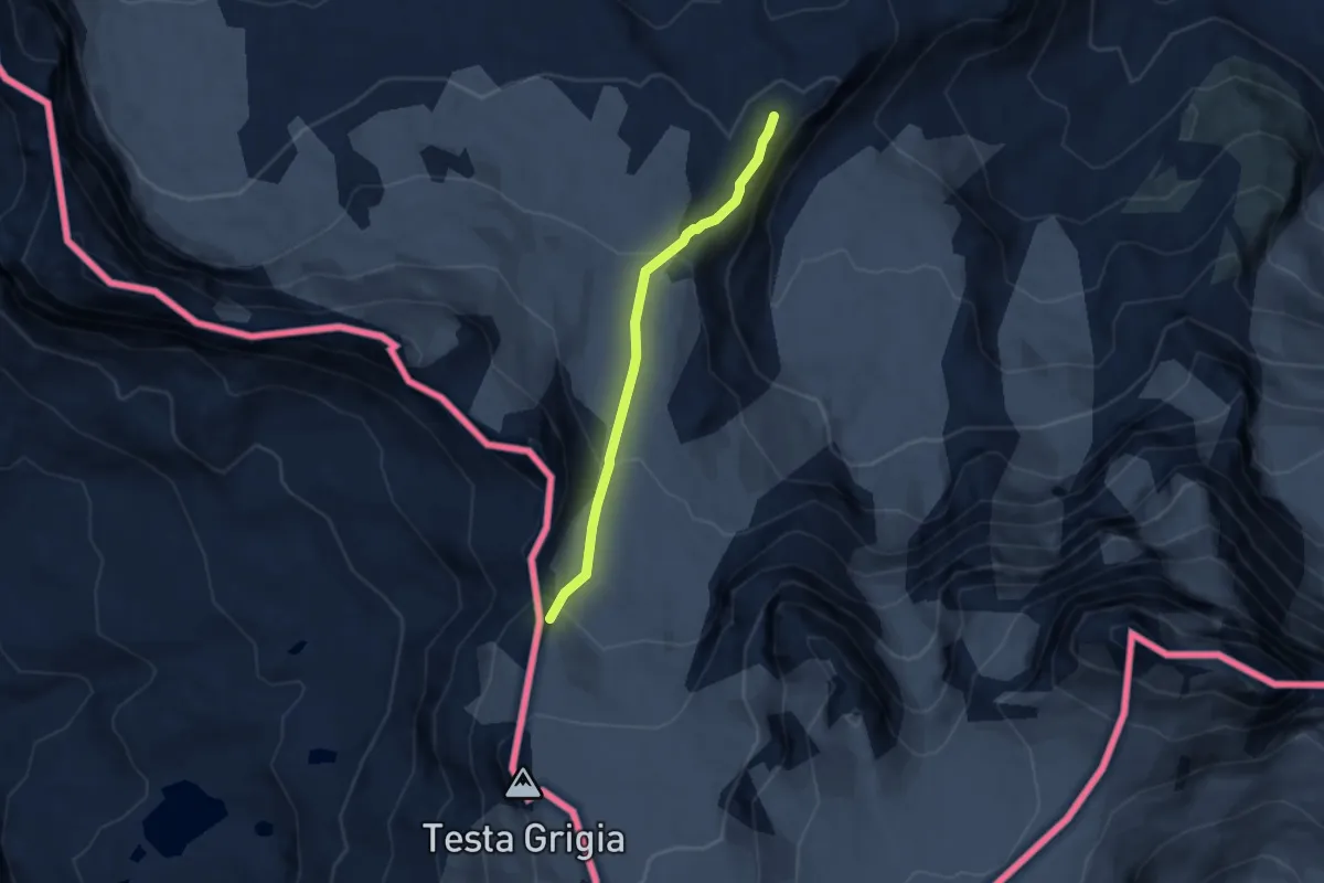
Expert · Cabin
Gandegghütte – Theodulpass
5.8 km · ↑ 298 m · 2 h 2 min
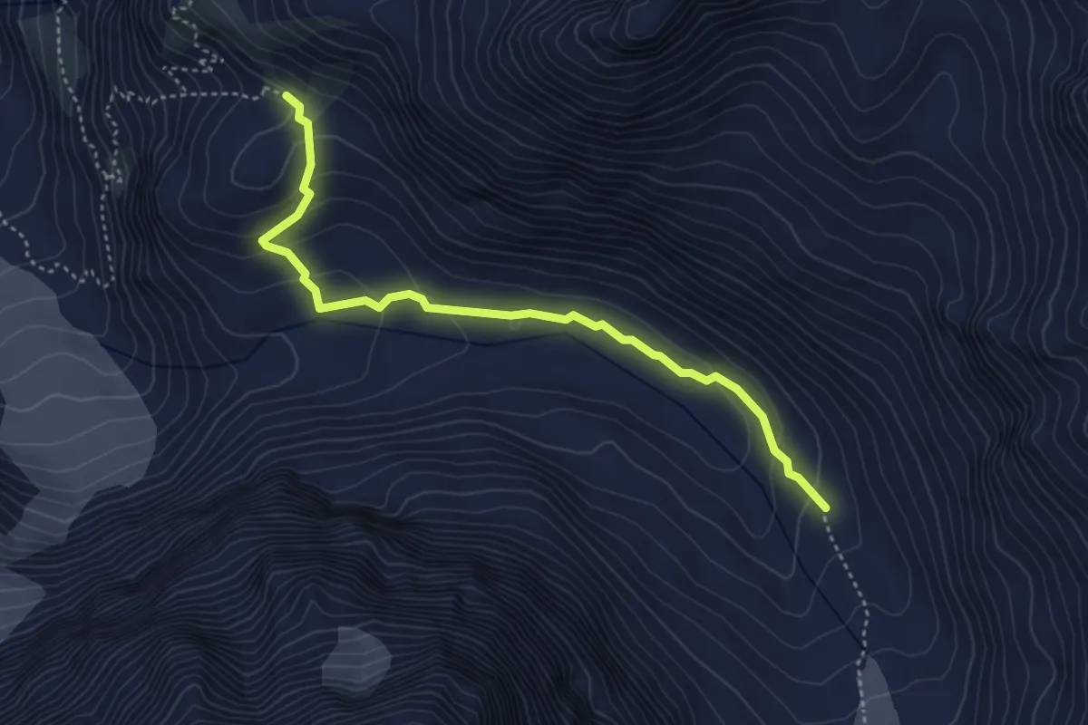
Expert · Trail
Plan-Bertol – Refuge des Bouquetins
4.3 km · ↑ 179 m · 1 h 25 min
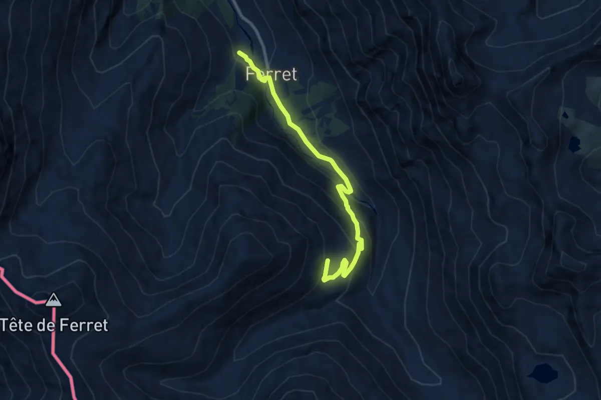
Medium · Cabin
La Peule – Ferret
7.9 km · ↑ 449 m · 2 h 51 min
Medium · Cabin
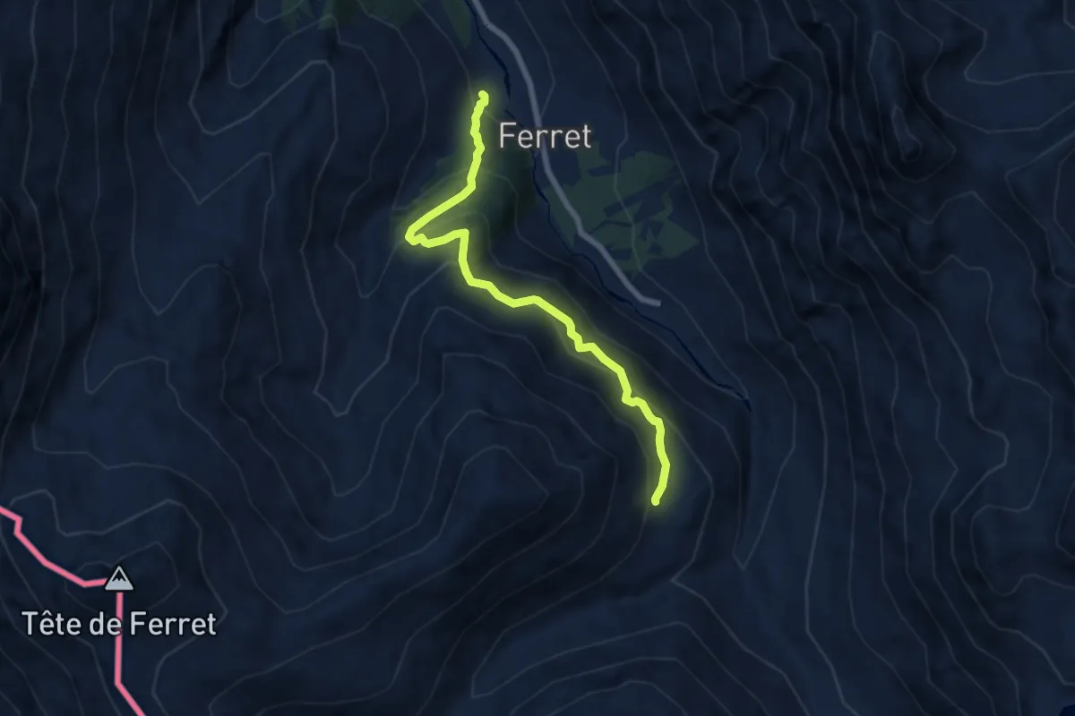
La Peule – Ferret
6.8 km · ↑ 630 m · 2 h 58 min
Medium · Trail
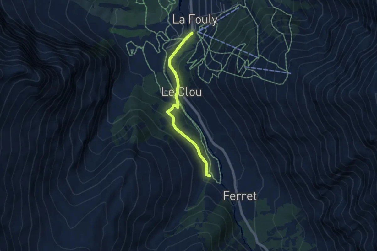
Ferret – La Fouly
3.9 km · ↑ 147 m · 1 h 14 min
Medium · Trail
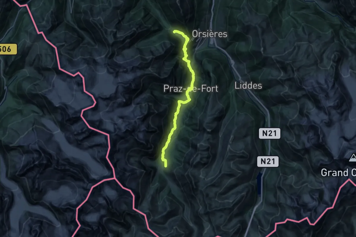
La Fouly – Champex
15.5 km · ↑ 733 m · 5 h 32 min
Easy · Trail
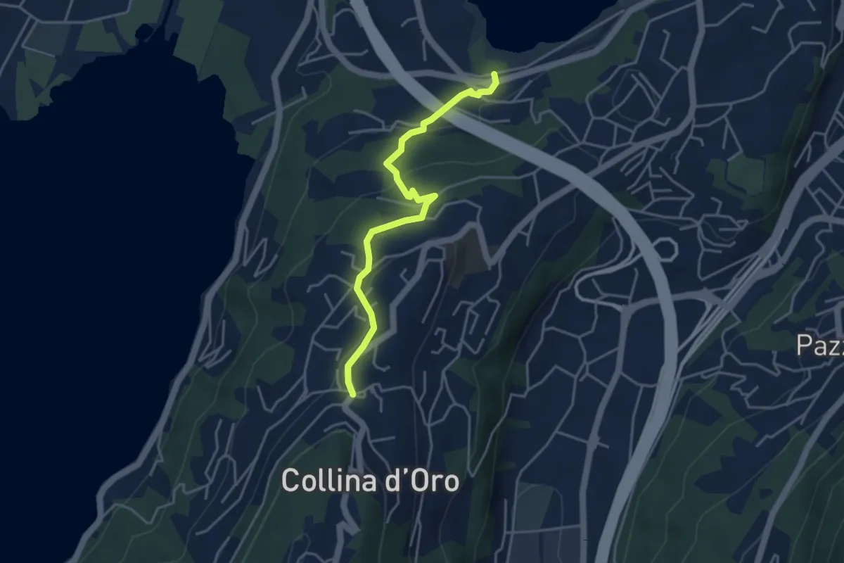
Montagnola – Lago di Muzzano
3.9 km · ↑ 125 m · 1 h 11 min
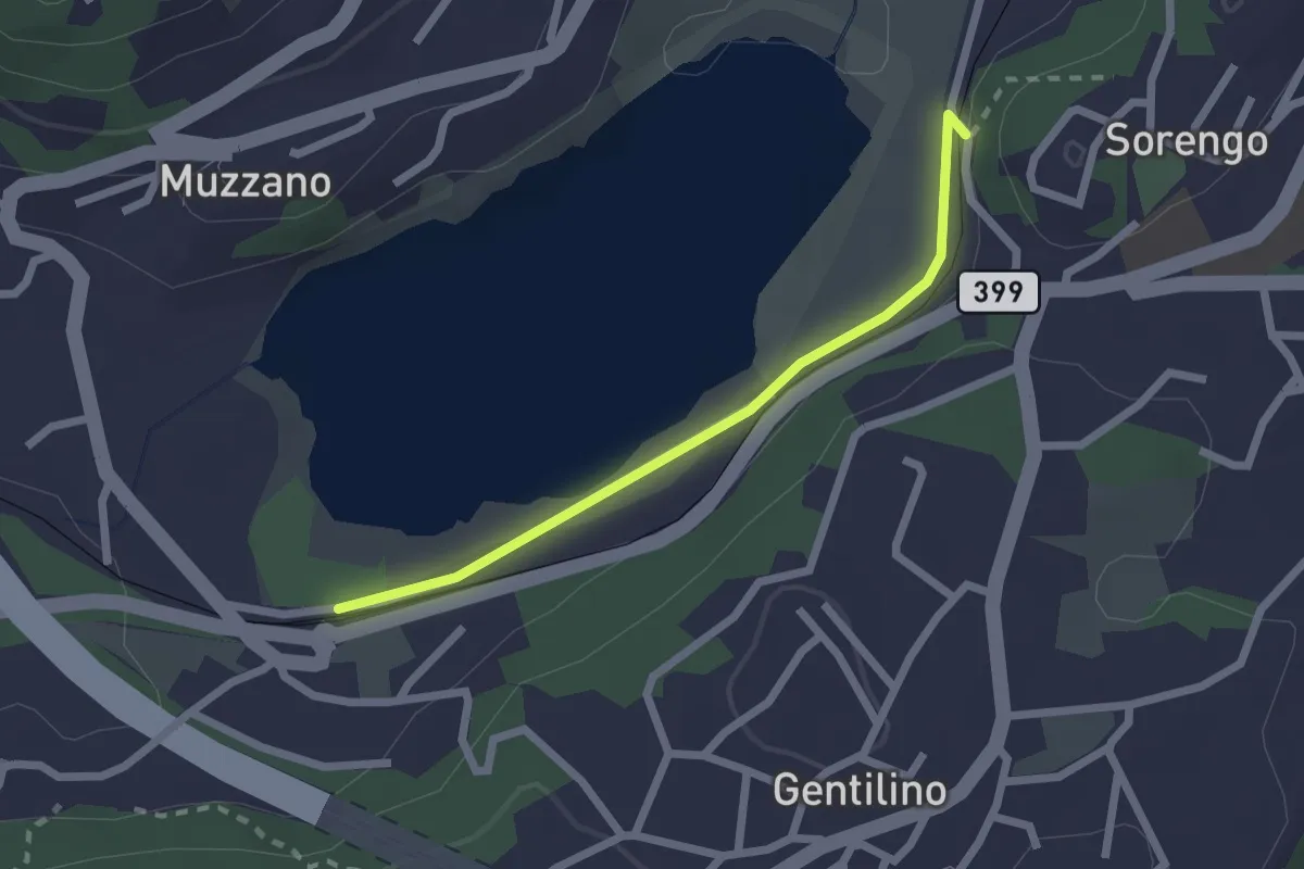
Easy · Trail
Lago di Muzzano – Sorengo Laghetto
2.0 km · ↑ 18 m · 31 min
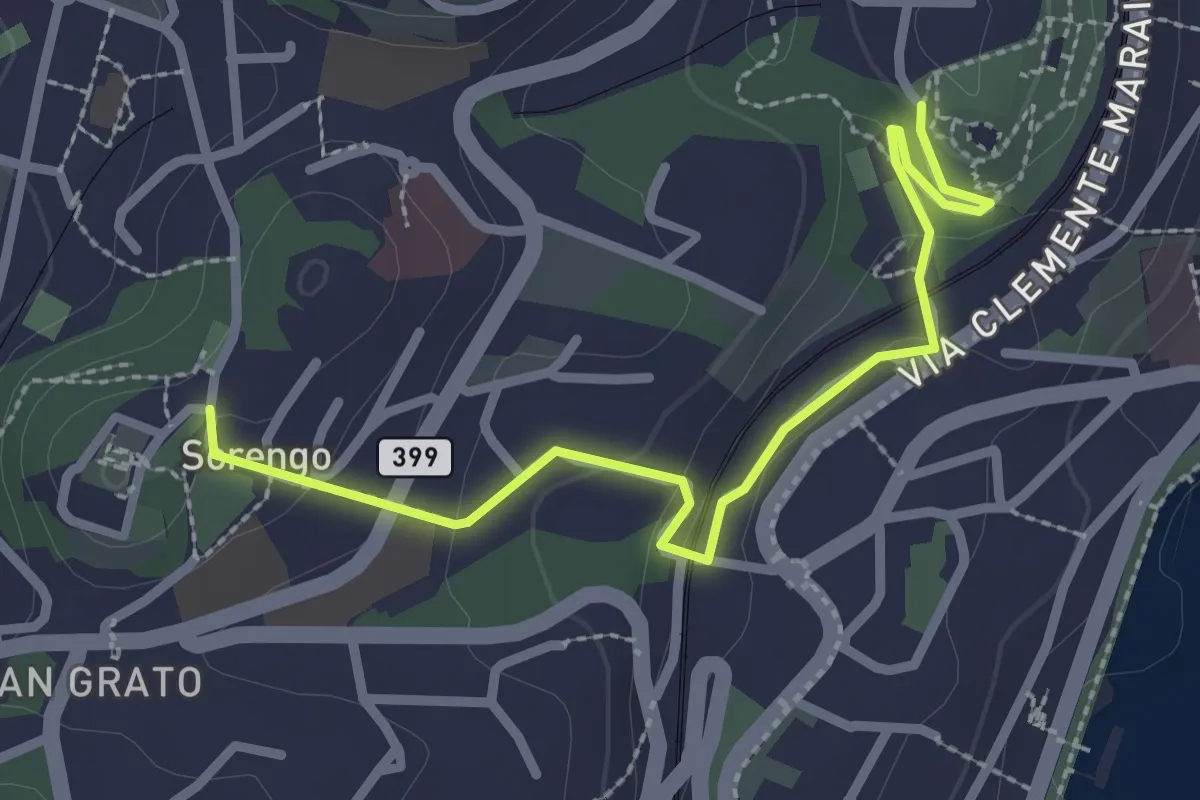
Easy · Trail
Parco Tassino – Loreto
2.8 km · ↑ 109 m · 55 min
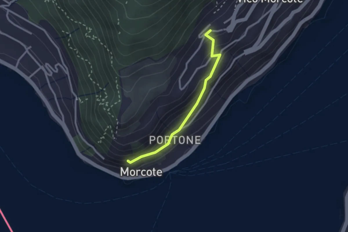
Easy · Trail
Vico Morcote – Santa Maria del Sasso
2.1 km · ↑ 161 m · 51 min
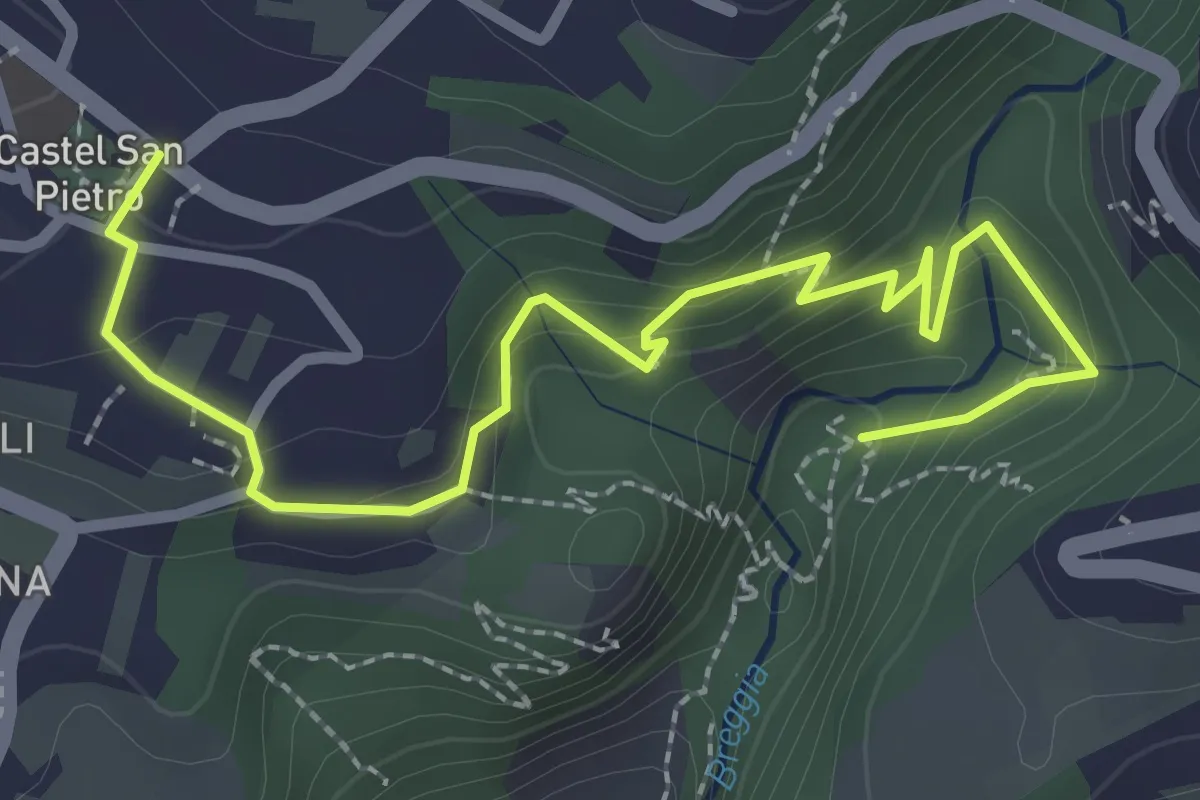
Easy · Trail
Parco Gole della Breggia – Castel San Pietro
3.3 km · ↑ 227 m · 1 h 16 min
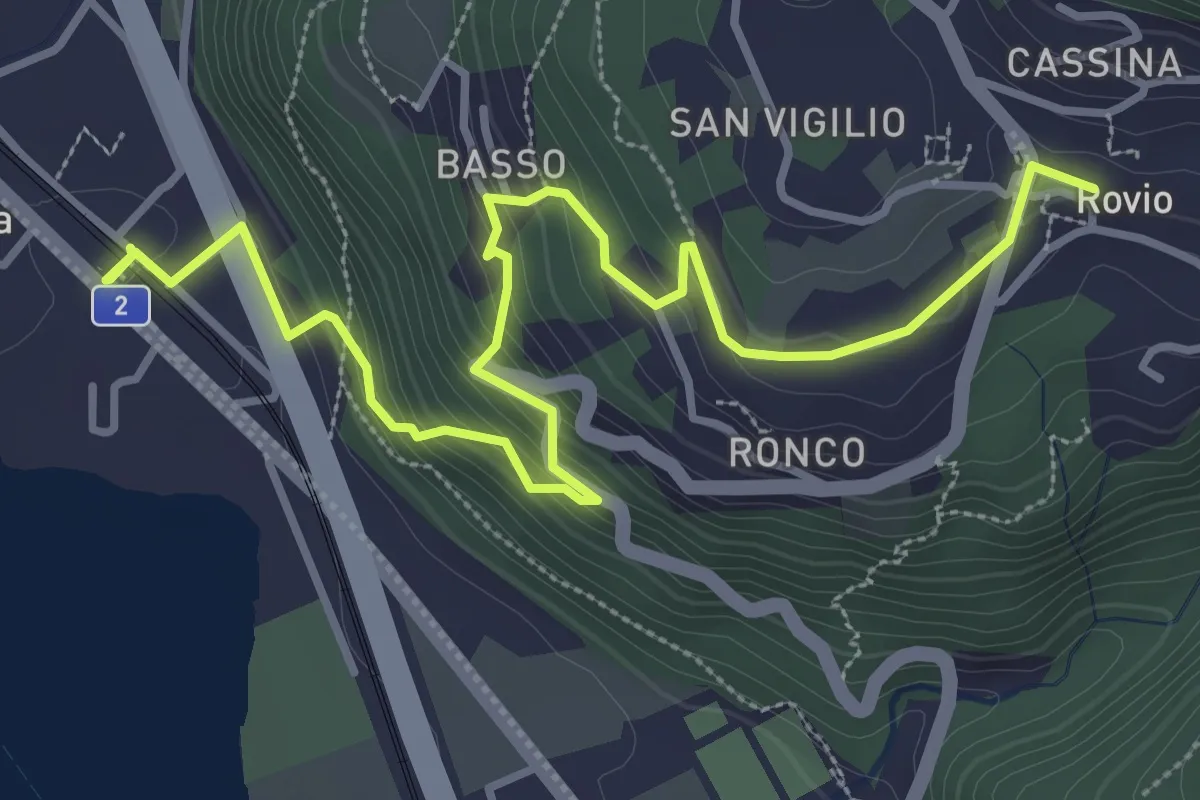
Medium · Trail
Rovio Posta – Maroggia St.ne
4.6 km · ↑ 328 m · 1 h 47 min
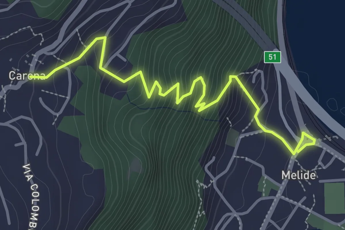
Medium · Trail
Melide – Carona
3.8 km · ↑ 326 m · 1 h 37 min
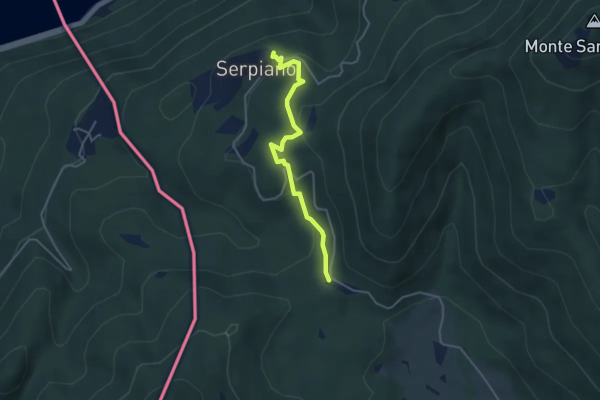
Medium · Trail
Crocifisso – Serpiano
3.2 km · ↑ 156 m · 1 h 6 min
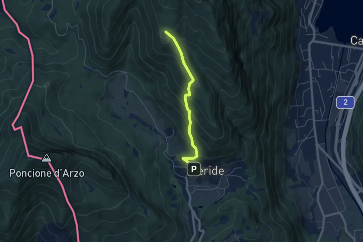
Easy · Trail
Meride – Cassina
4.6 km · ↑ 309 m · 1 h 45 min
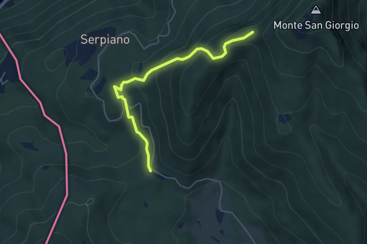
Medium · Trail
Punto 902 – Crocifisso
4.3 km · ↑ 290 m · 1 h 39 min
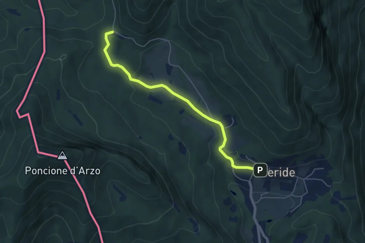
Easy · Trail
Crocifisso – Meride
4.8 km · ↑ 121 m · 1 h 23 min
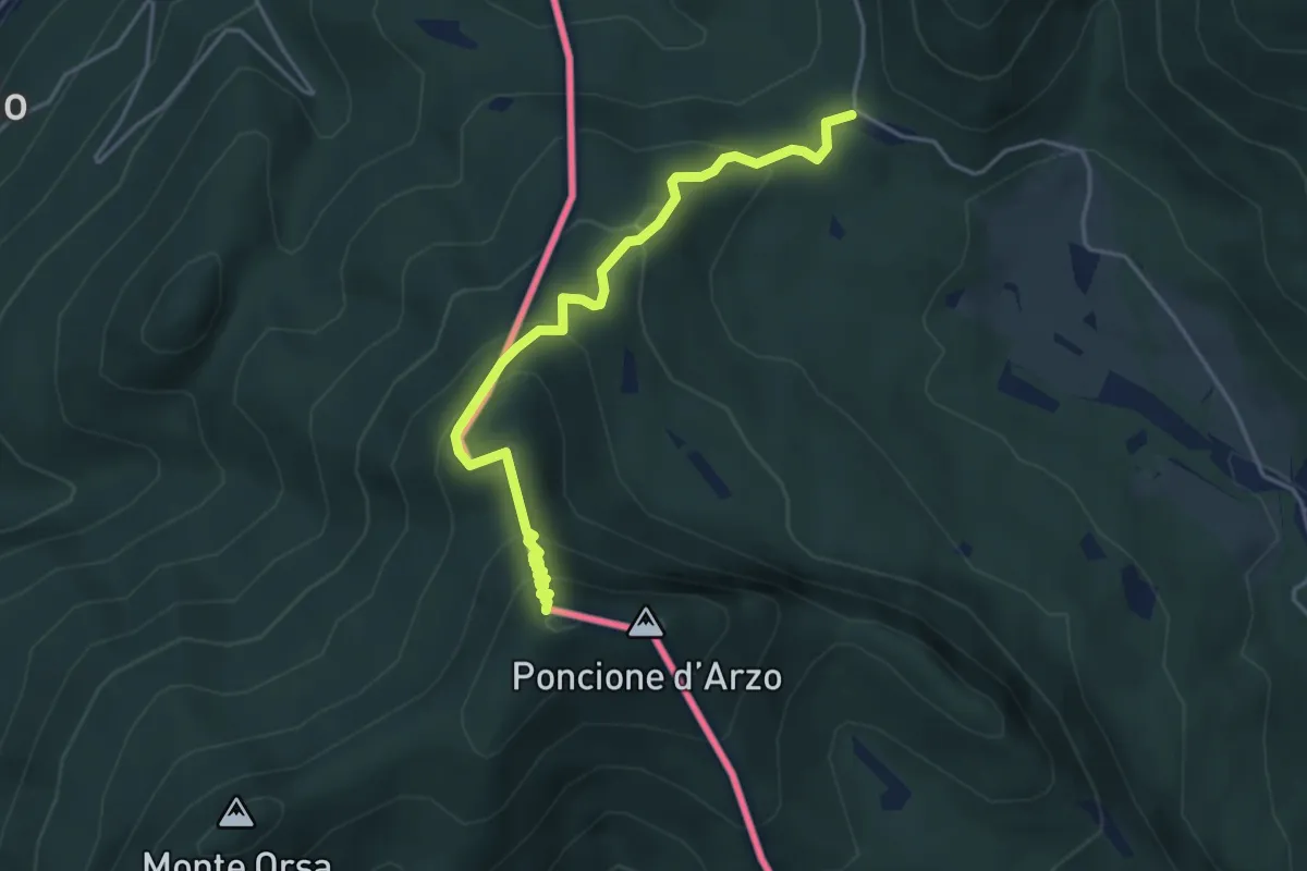
Medium · Summit
Crocifisso – Poncione d'Arzo
4.3 km · ↑ 320 m · 1 h 43 min
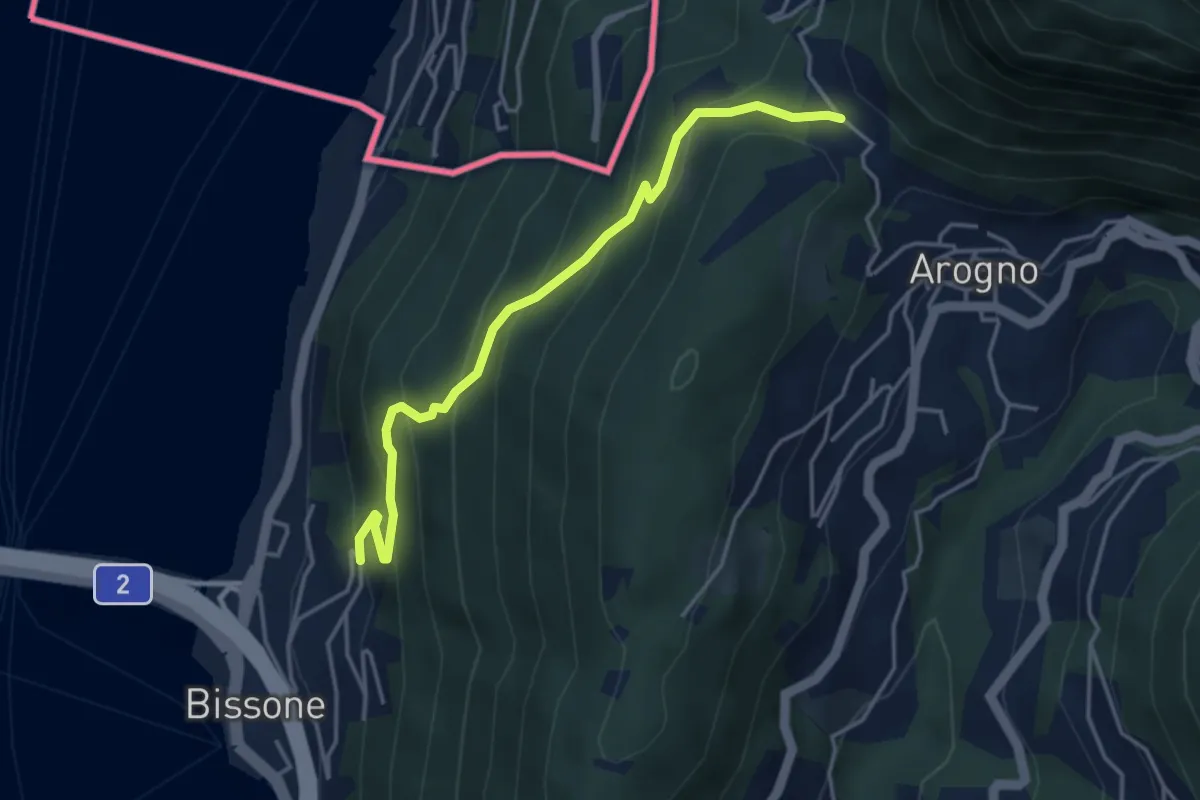
Medium · Trail
S. Vitale – Bissone
4.1 km · ↑ 337 m · 1 h 42 min
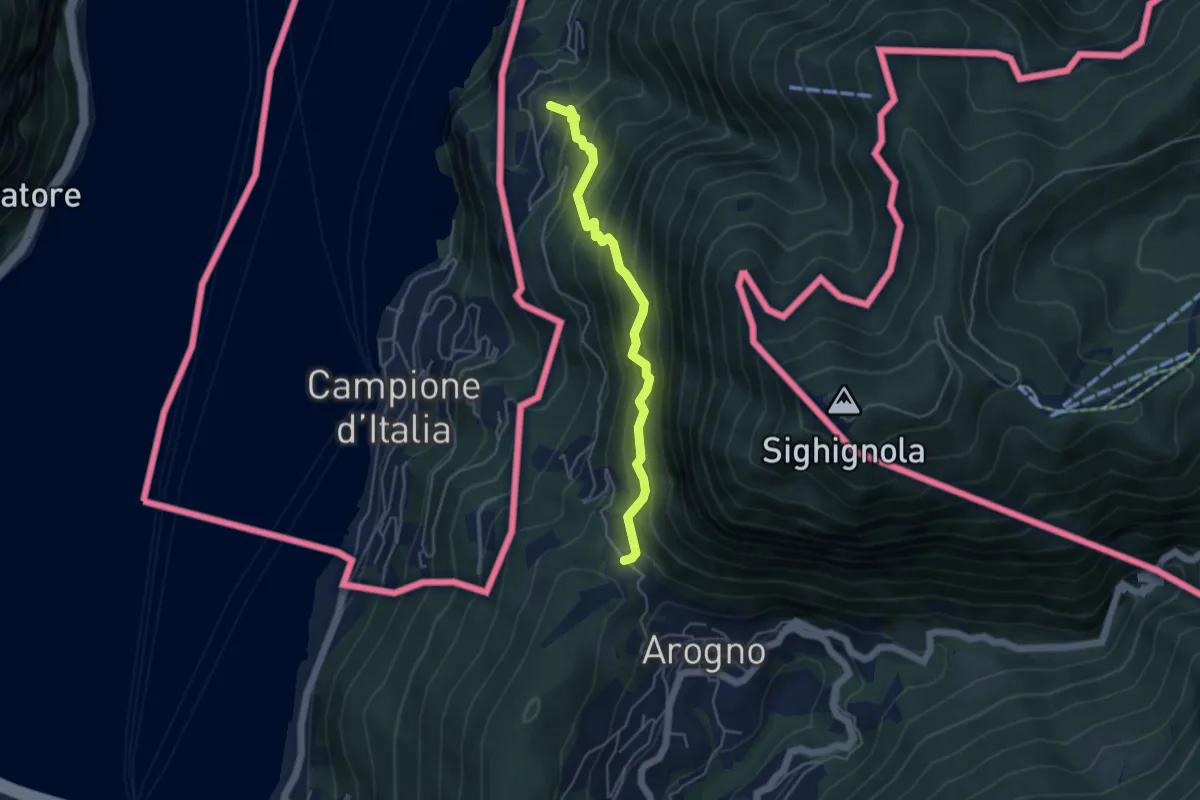
Medium · Trail
S. Vitale – Pugerna
4.4 km · ↑ 515 m · 2 h 10 min
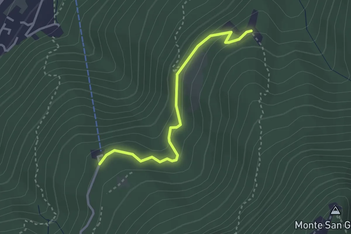
Easy · Trail
Serpiano Statione – Alpe di Brusino
2.7 km · ↑ 164 m · 1 h
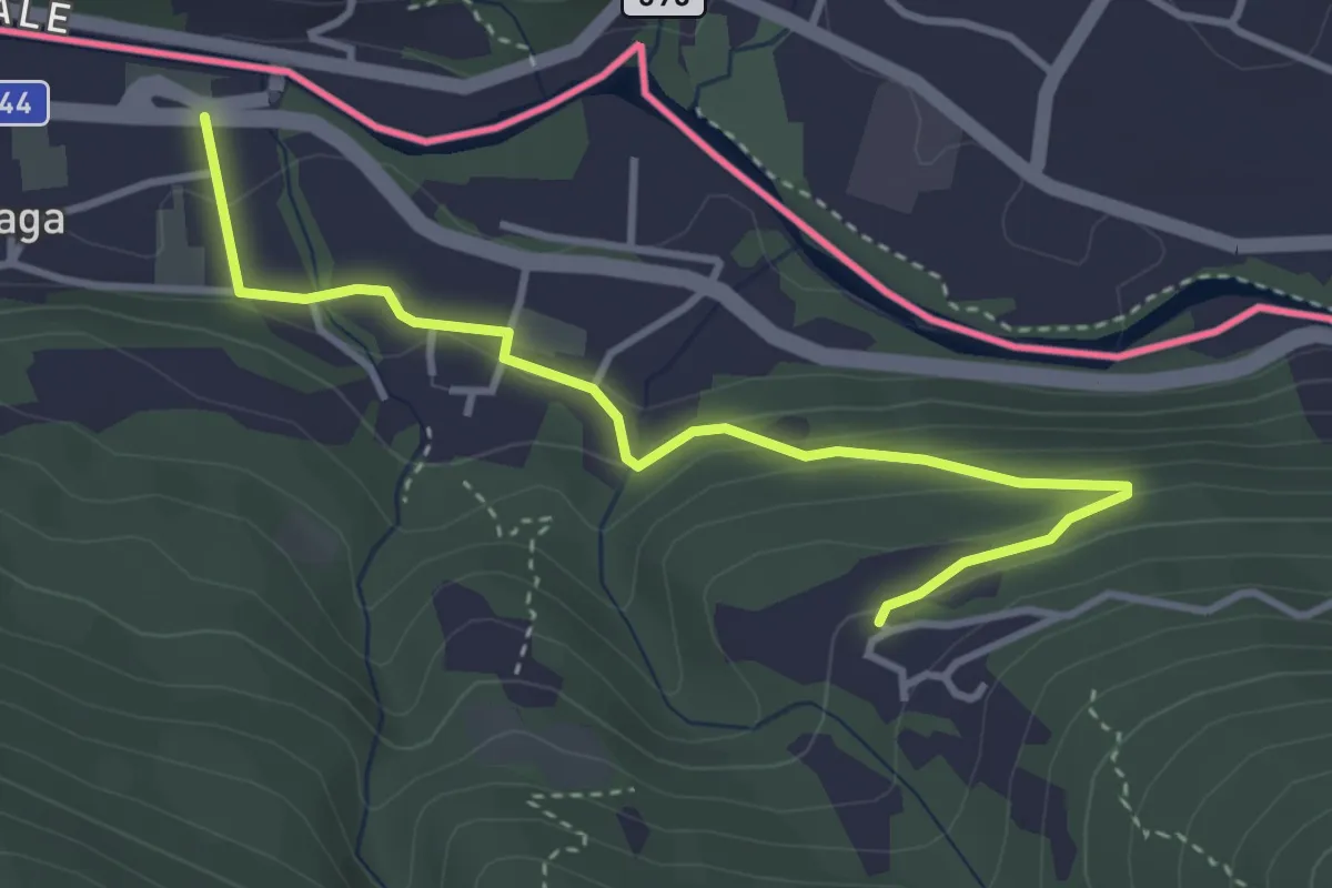
Easy · Trail
Cremenaga – Viconago
3.9 km · ↑ 160 m · 1 h 15 min
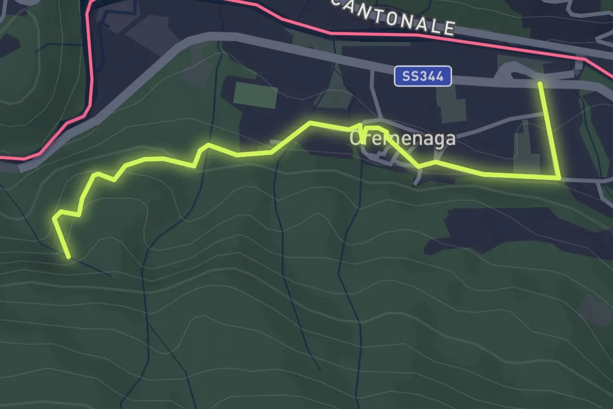
Easy · Trail
Voldomino – Cremenaga
3.6 km · ↑ 186 m · 1 h 16 min