Trails in Switzerland
15,055 hiking trails, each with its route, climb, walking time and grade.
All trails, page 138 of 314
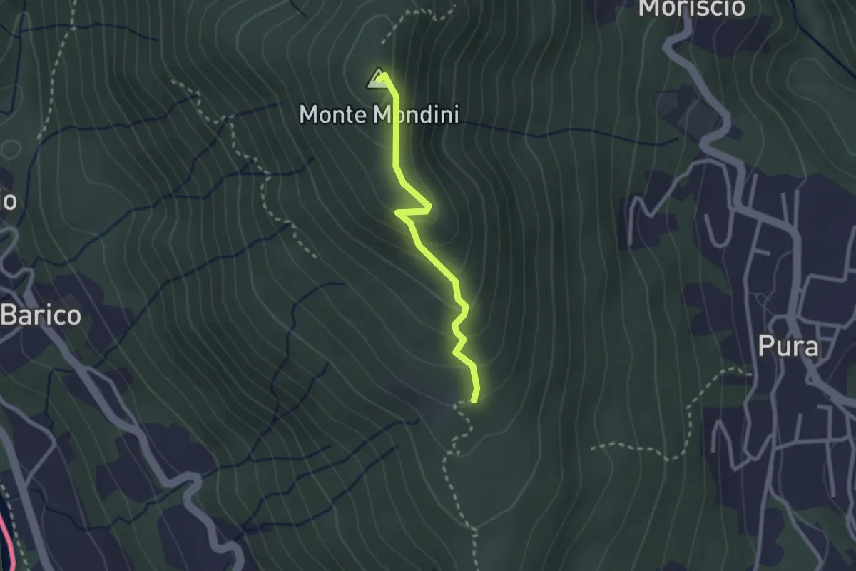
Medium · Summit
Scangei – Monte Mondini
2.2 km · ↑ 153 m · 51 min
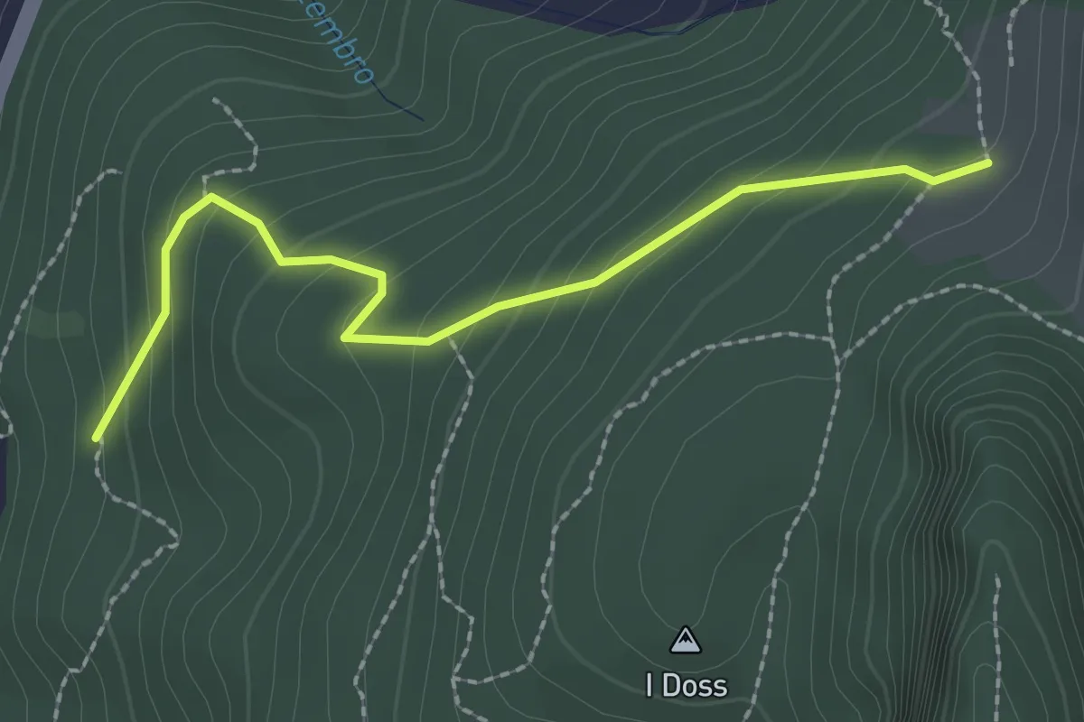
Easy · Trail
Alpe Bogo – Terzera
2.3 km · ↑ 175 m · 55 min
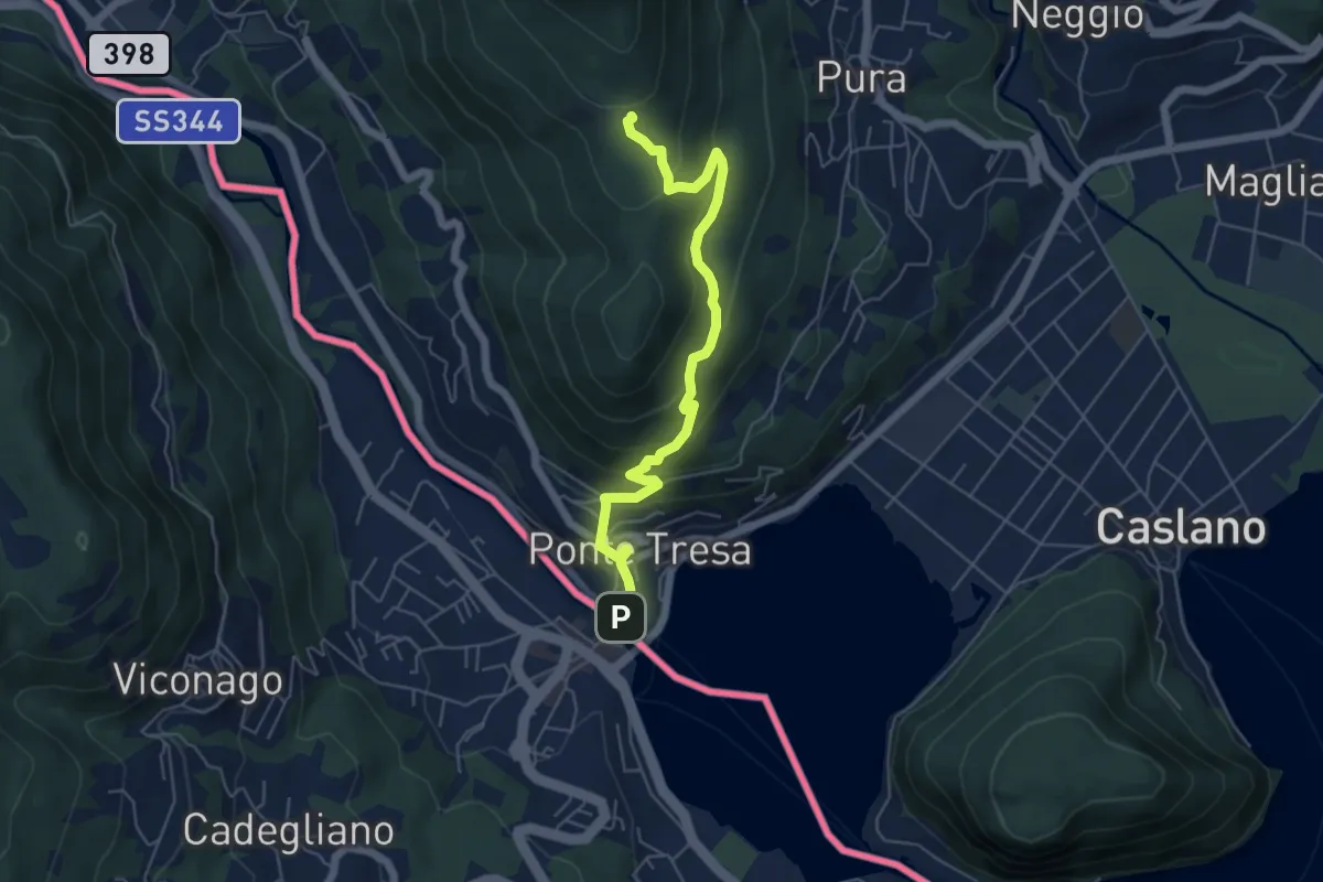
Medium · Trail
Ponte Tresa – Scangei
5.8 km · ↑ 377 m · 2 h 11 min
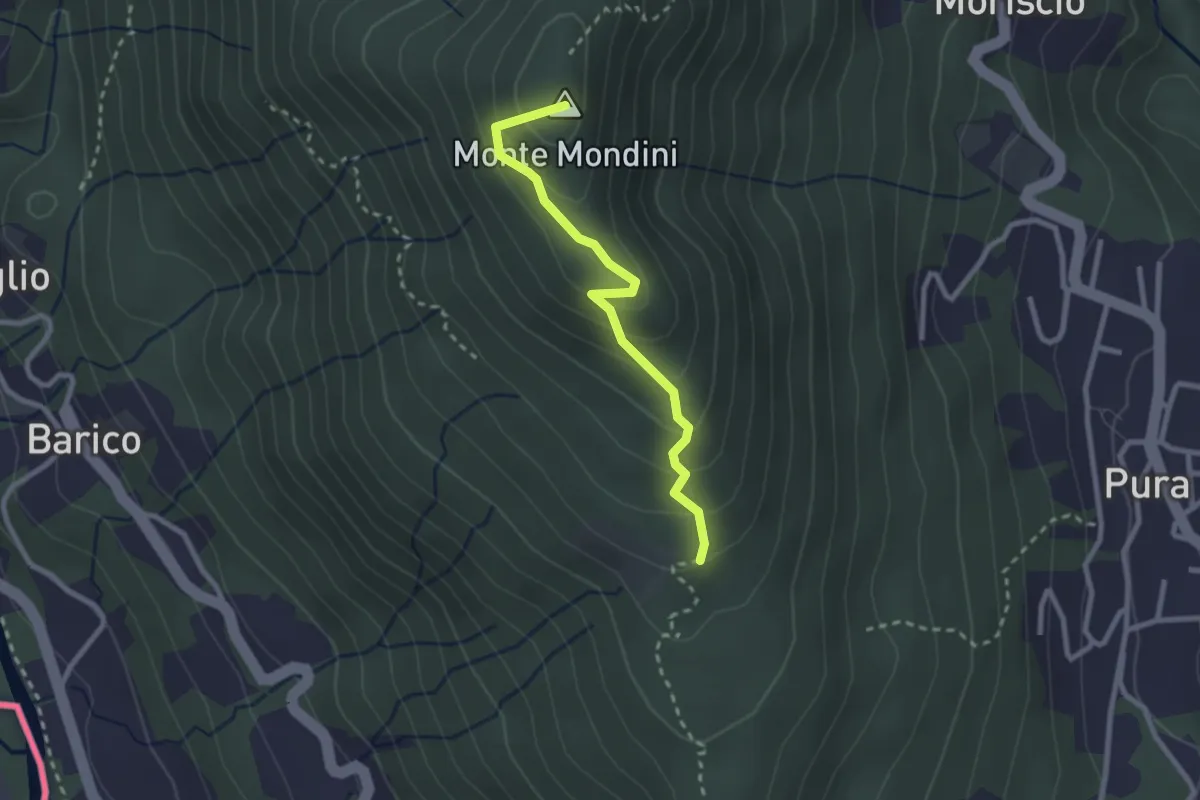
Medium · Summit
Scangei – Curio-Molino
2.4 km · ↑ 171 m · 57 min
Medium · Trail
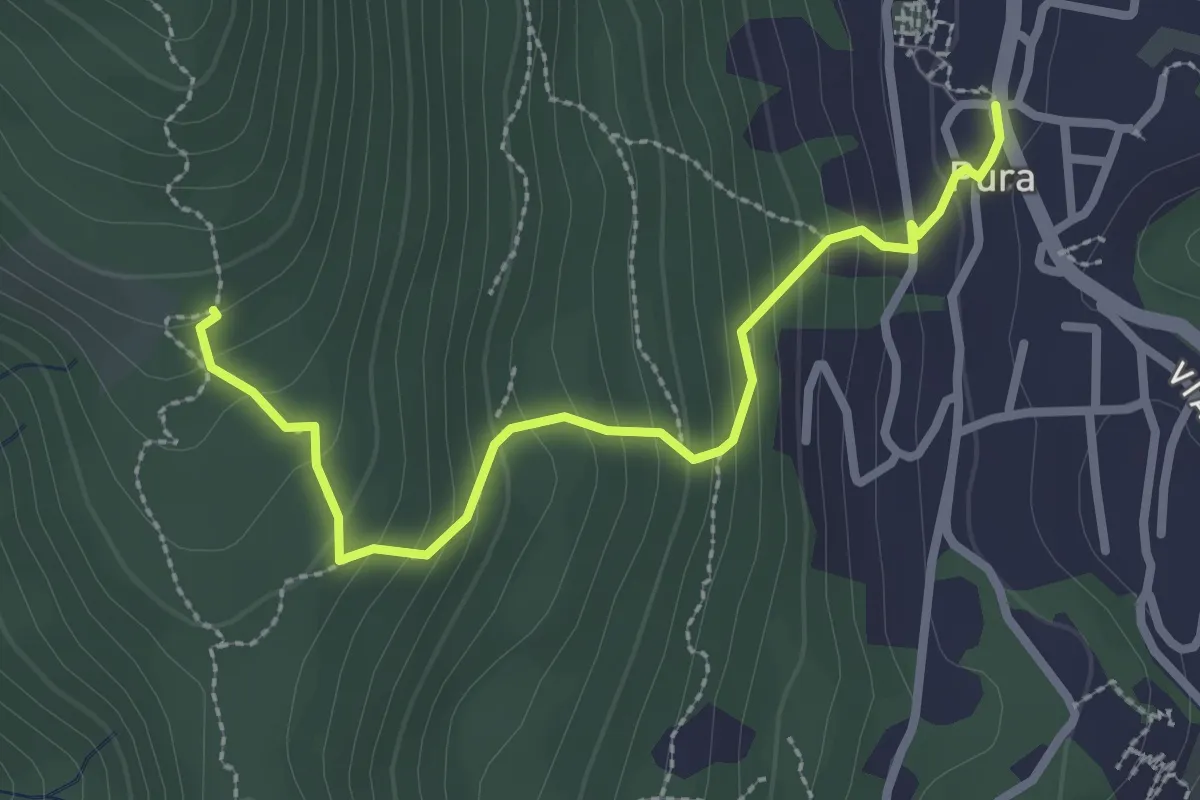
Pura – Scangei
2.8 km · ↑ 250 m · 1 h 13 min
Medium · Trail
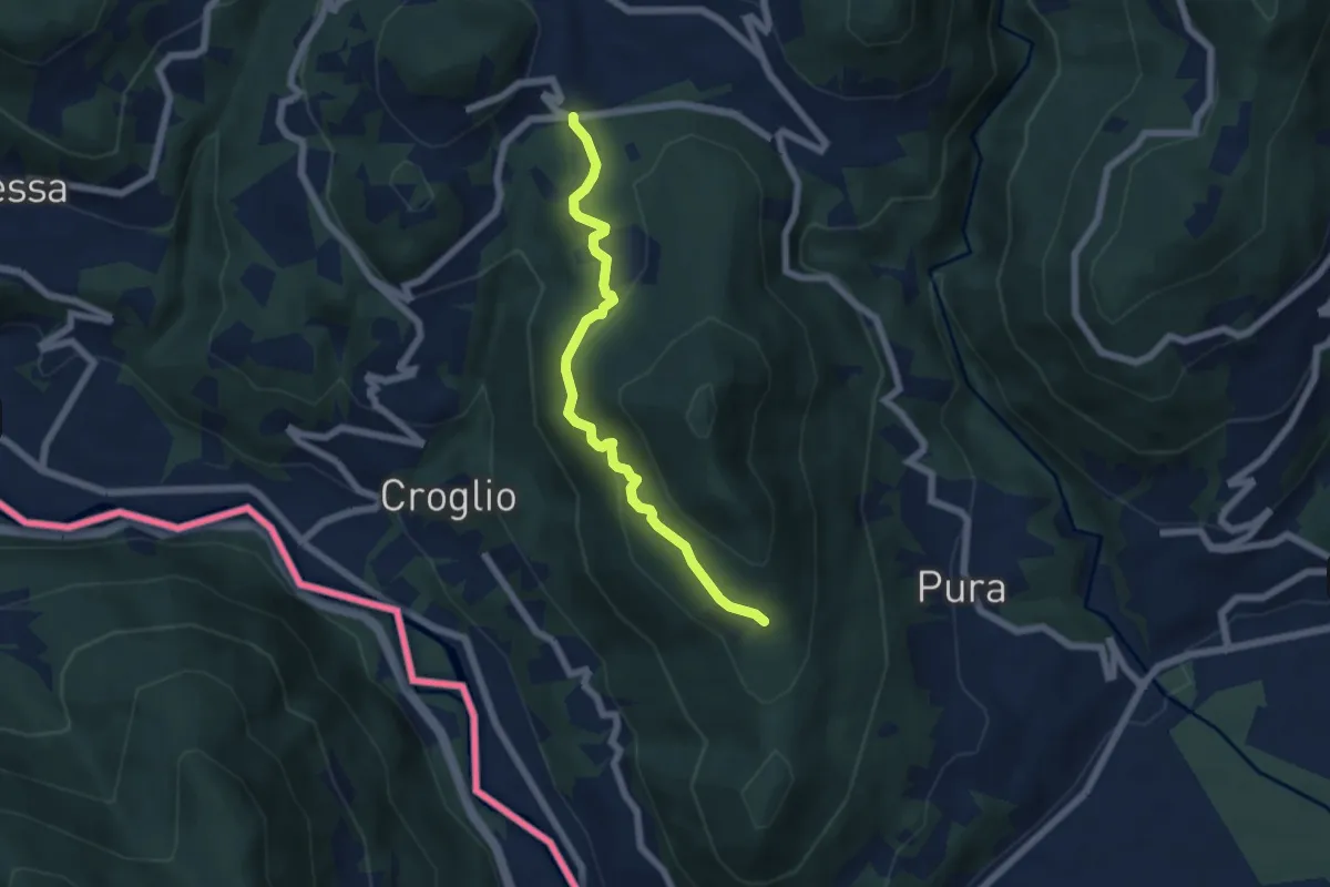
Scangei – Feredino
5.7 km · ↑ 265 m · 1 h 55 min
Easy · Trail
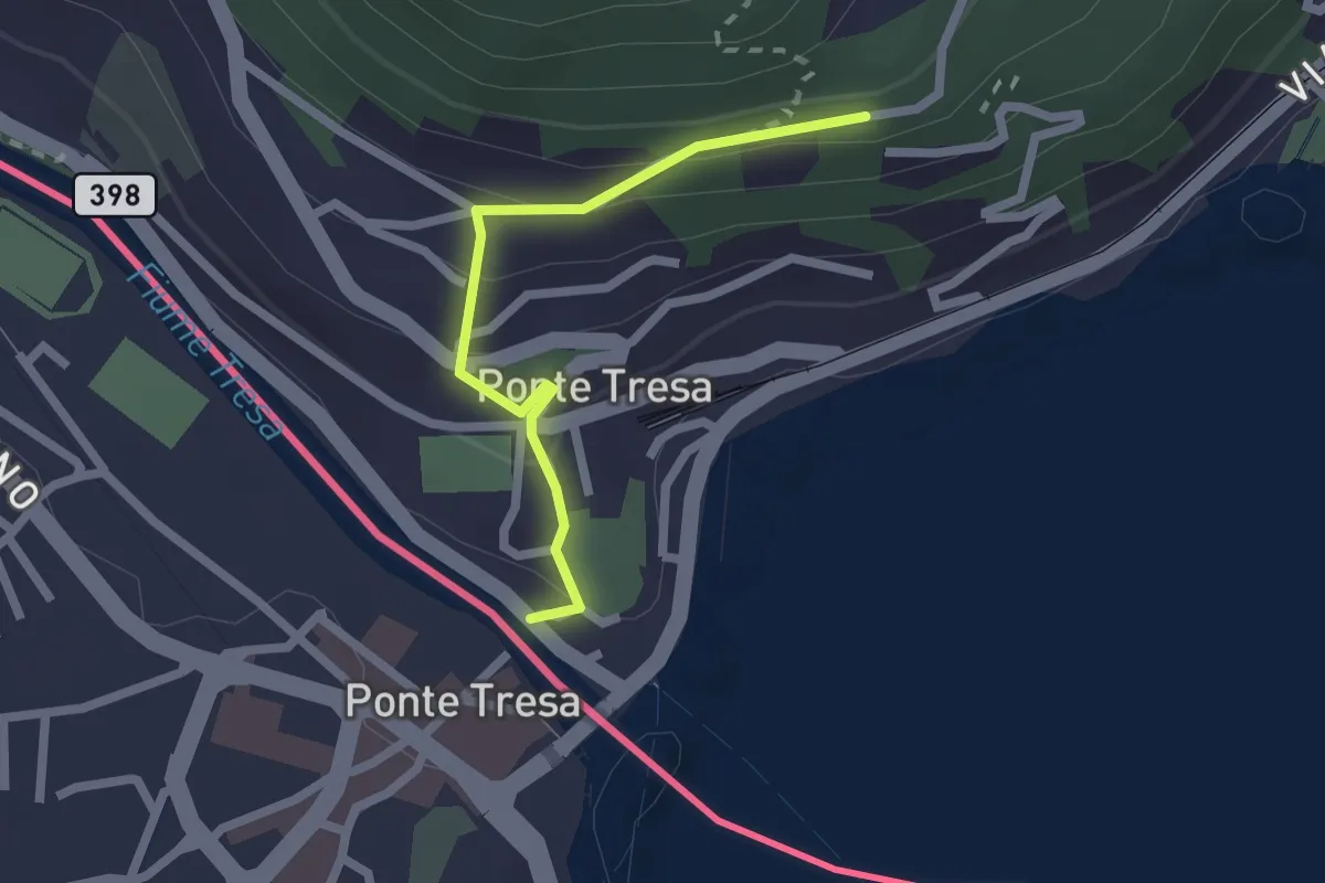
Ponte Tresa – Pura
2.0 km · ↑ 113 m · 43 min
Easy · Summit
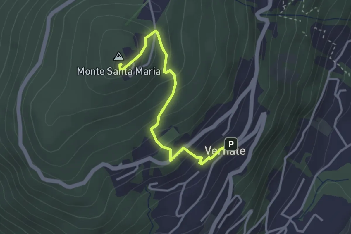
Vernate – Santa Maria
2.9 km · ↑ 214 m · 1 h 9 min
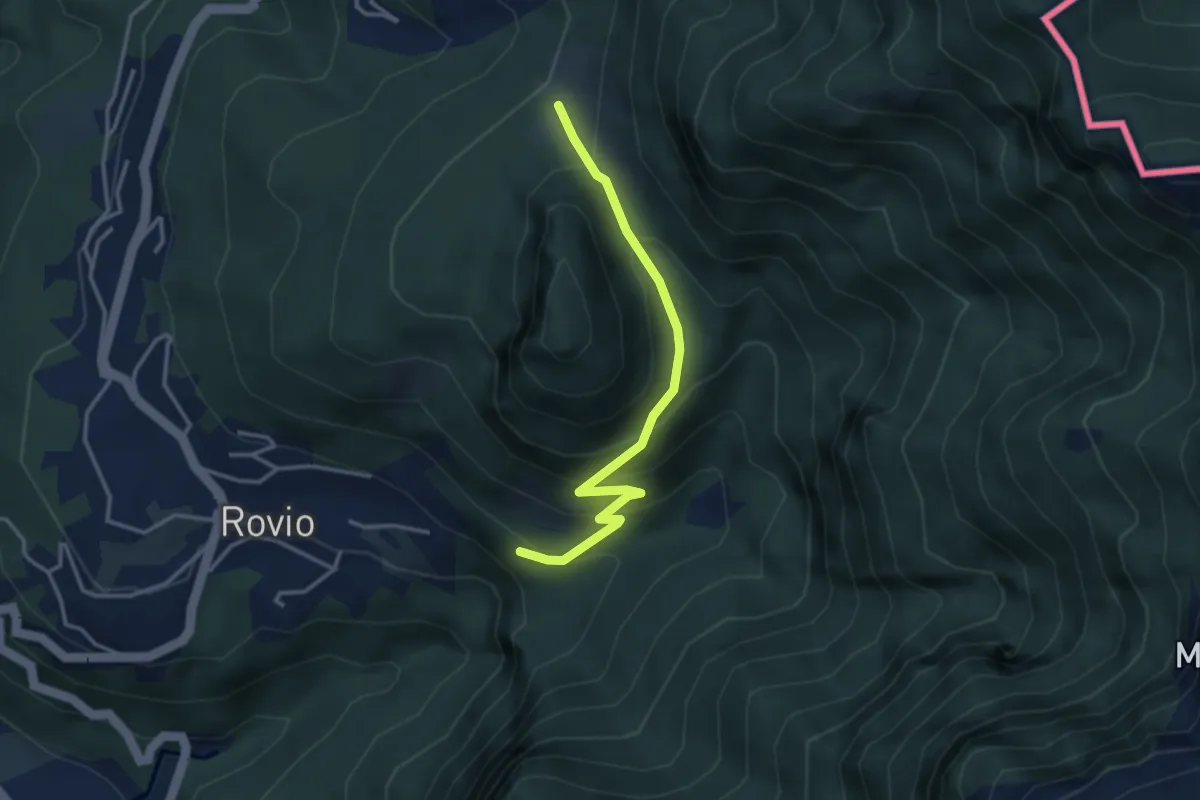
Expert · Trail
Alpe Bogo – Soldino
3.3 km · ↑ 278 m · 1 h 24 min
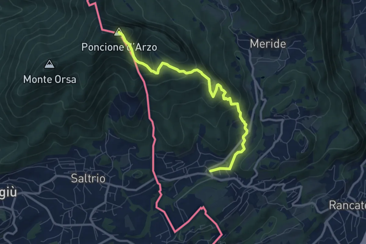
Medium · Summit
Poncione d'Arzo – Arzo
8.0 km · ↑ 537 m · 3 h 3 min
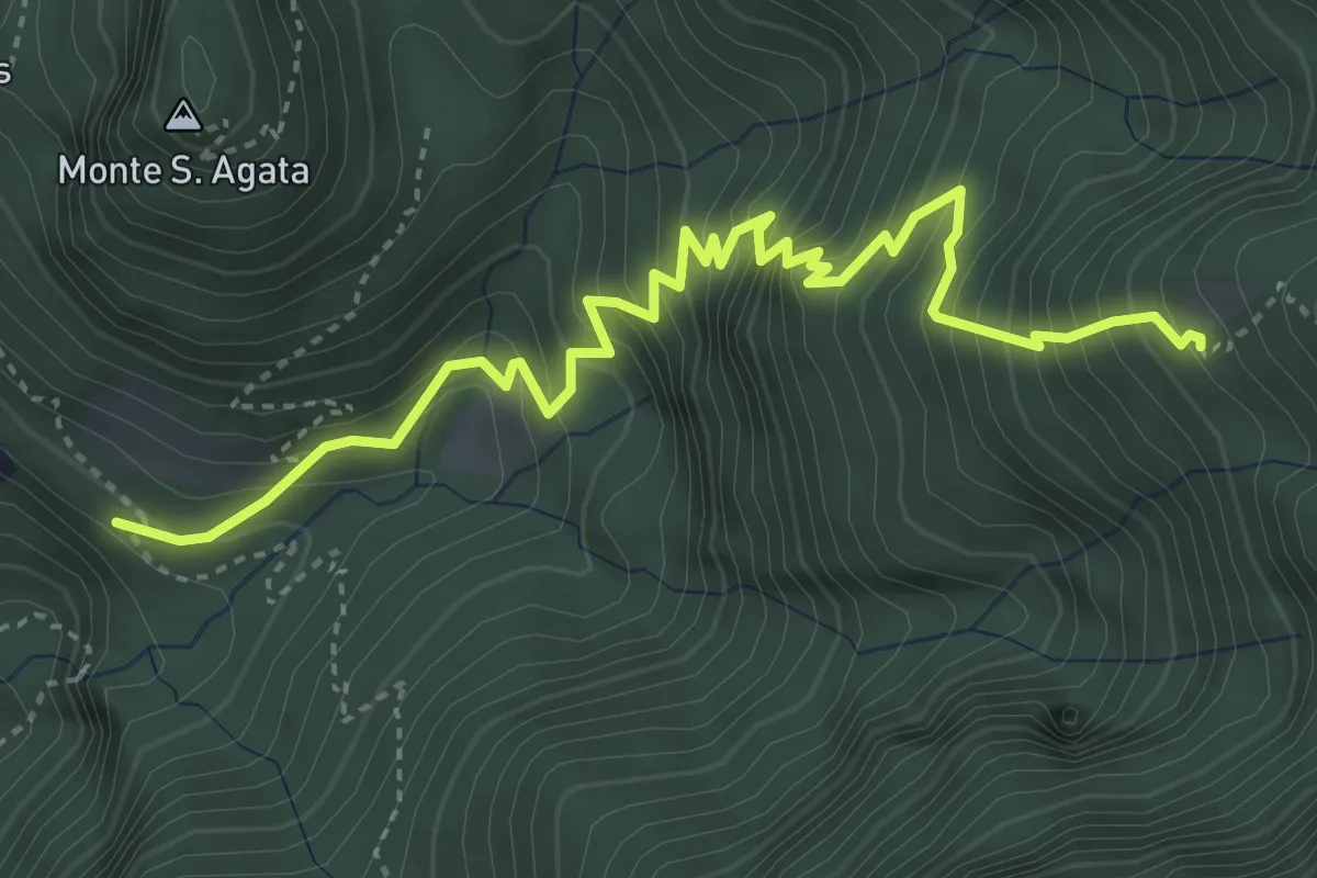
Medium · Trail
Perostabbio – Soldino
4.7 km · ↑ 690 m · 2 h 36 min
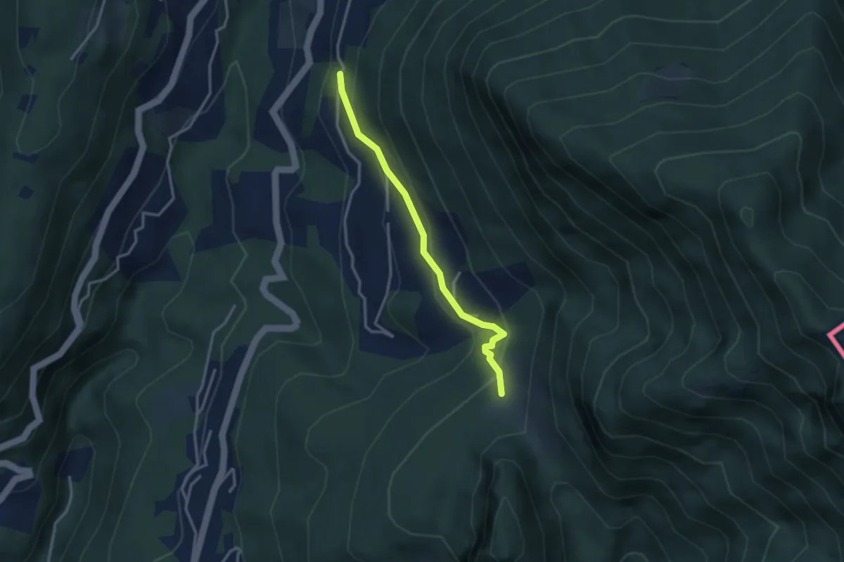
Medium · Trail
Pt. 615 – Alpe Bogo
2.8 km · ↑ 180 m · 1 h 3 min
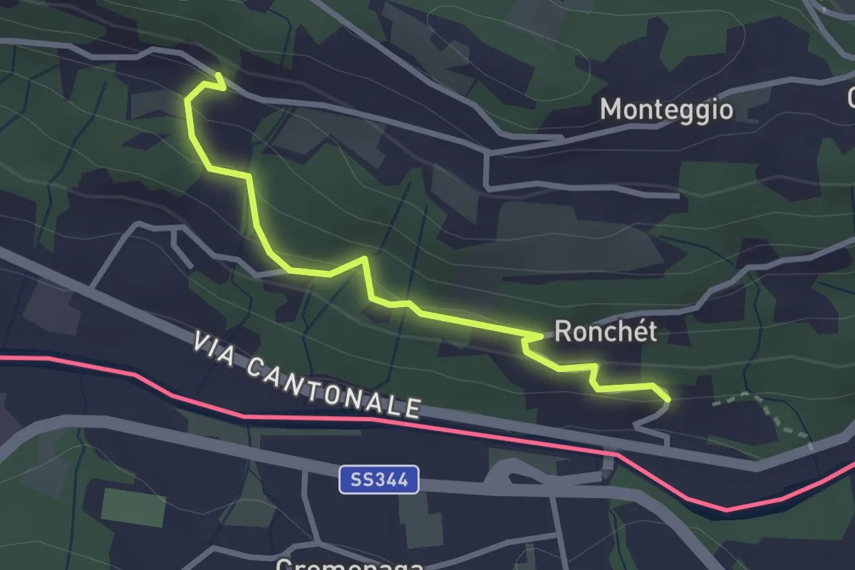
Easy · Trail
Rovedera – Ponte Cremenaga
2.5 km · ↑ 157 m · 56 min
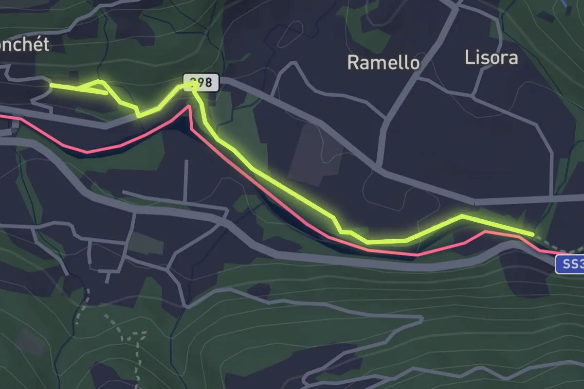
Easy · Trail
Ponte Cremenaga – fixme
3.7 km · ↑ 58 m · 59 min
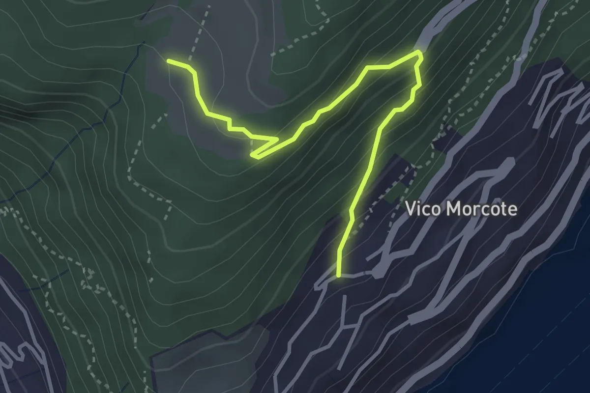
Medium · Trail
Alpe Vicania – Vico Morcote
3.4 km · ↑ 250 m · 1 h 21 min
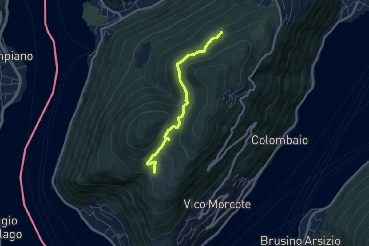
Easy · Trail
Alpe Vicania – Madonna d'Ongero
5.1 km · ↑ 213 m · 1 h 40 min
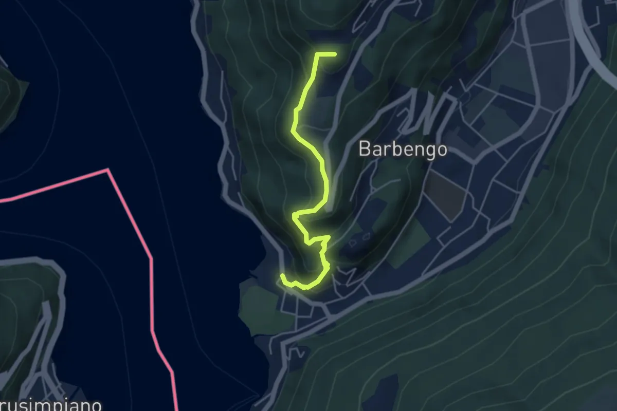
Medium · Summit
Figino – Figino
4.1 km · ↑ 323 m · 1 h 40 min
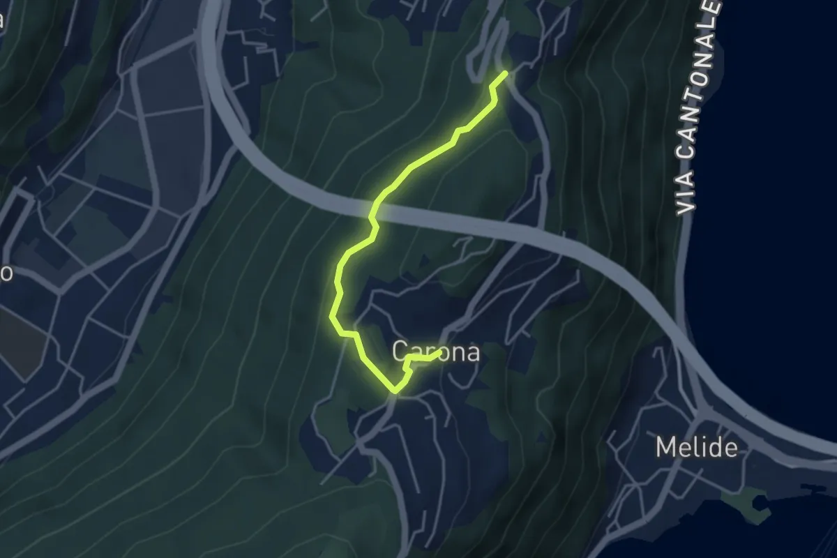
Easy · Trail
Ciona – Carona
3.5 km · ↑ 121 m · 1 h 6 min
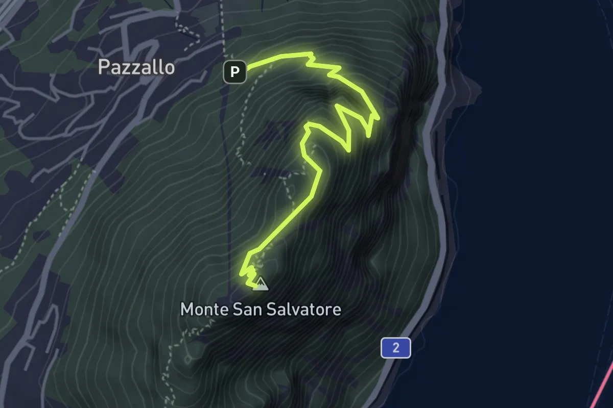
Medium · Summit
Pazzallo Statione – San Salvatore
4.2 km · ↑ 490 m · 2 h 3 min
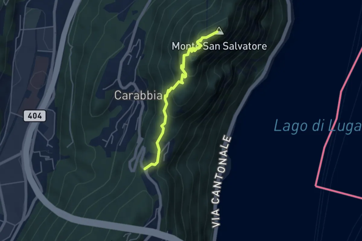
Medium · Summit
San Salvatore – Ciona
3.9 km · ↑ 302 m · 1 h 34 min
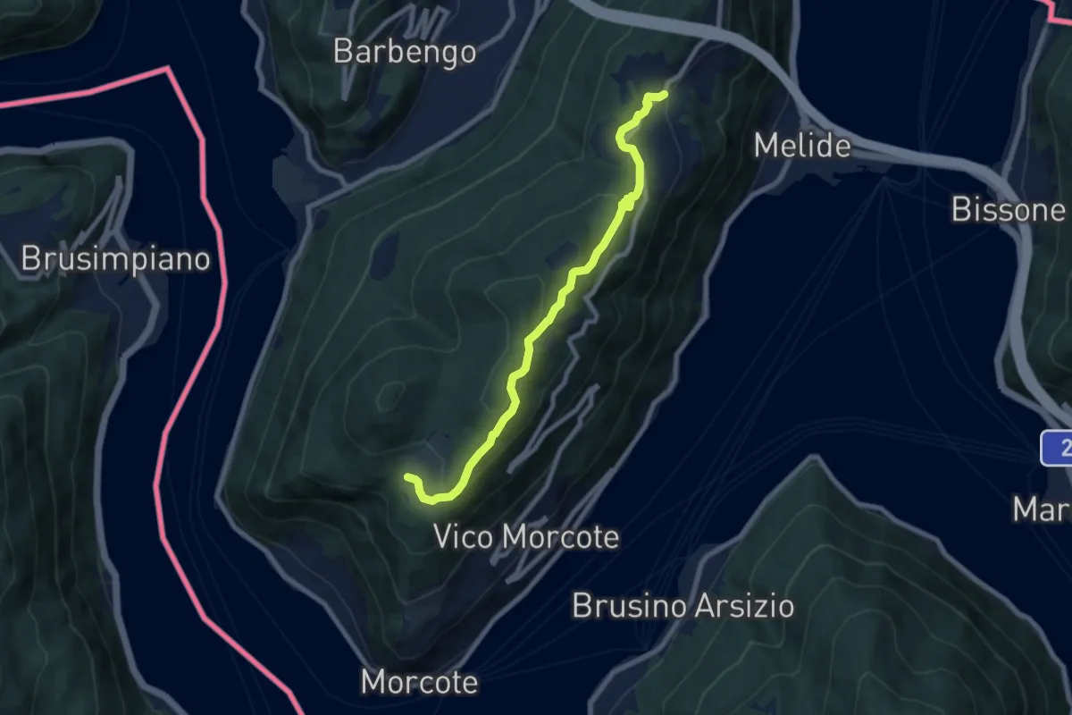
Medium · Trail
Carona – Alpe Vicania
8.0 km · ↑ 330 m · 2 h 36 min
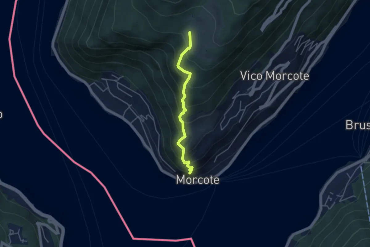
Medium · Trail
Alpe Vicania – Santa Maria del Sasso
3.3 km · ↑ 400 m · 1 h 39 min
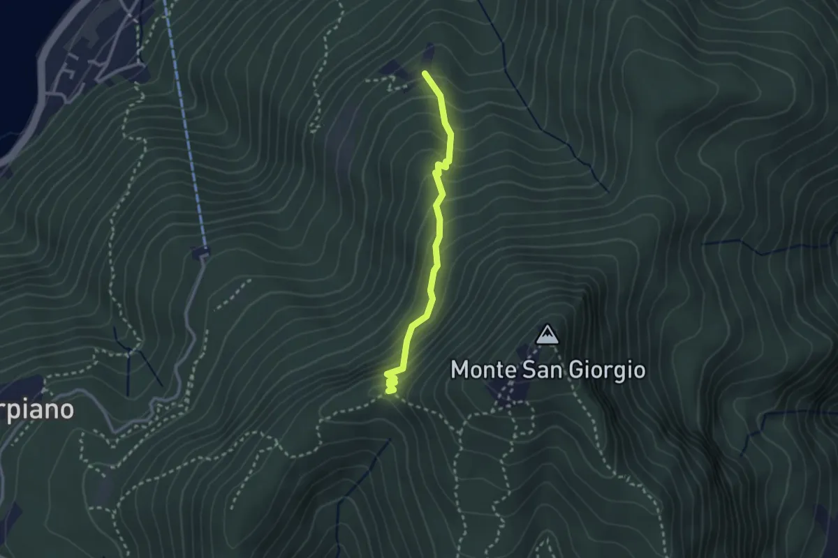
Medium · Trail
Alpe di Brusino – Punto 902
2.4 km · ↑ 262 m · 1 h 8 min
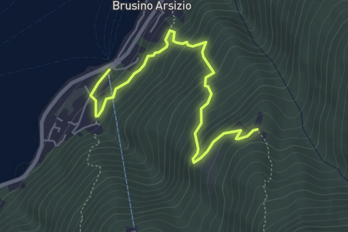
Medium · Trail
Brusino Arsizio Statione – Alpe di Brusino
5.1 km · ↑ 442 m · 2 h 9 min
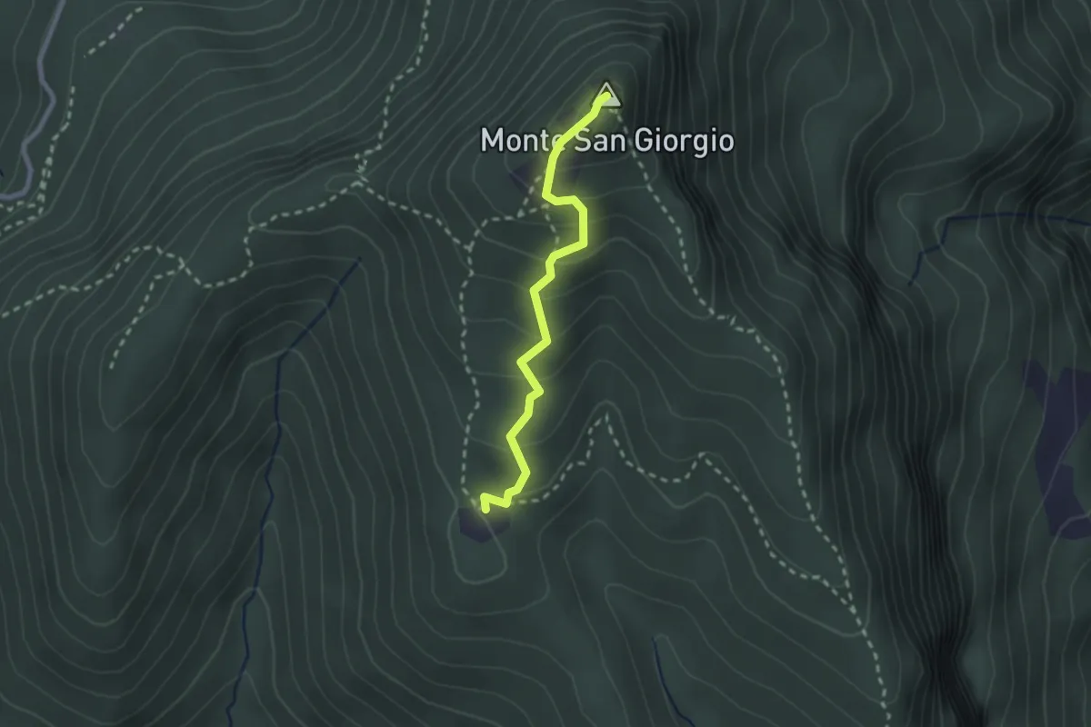
Medium · Summit
Monte San Giorgio – Cassina
2.2 km · ↑ 179 m · 55 min
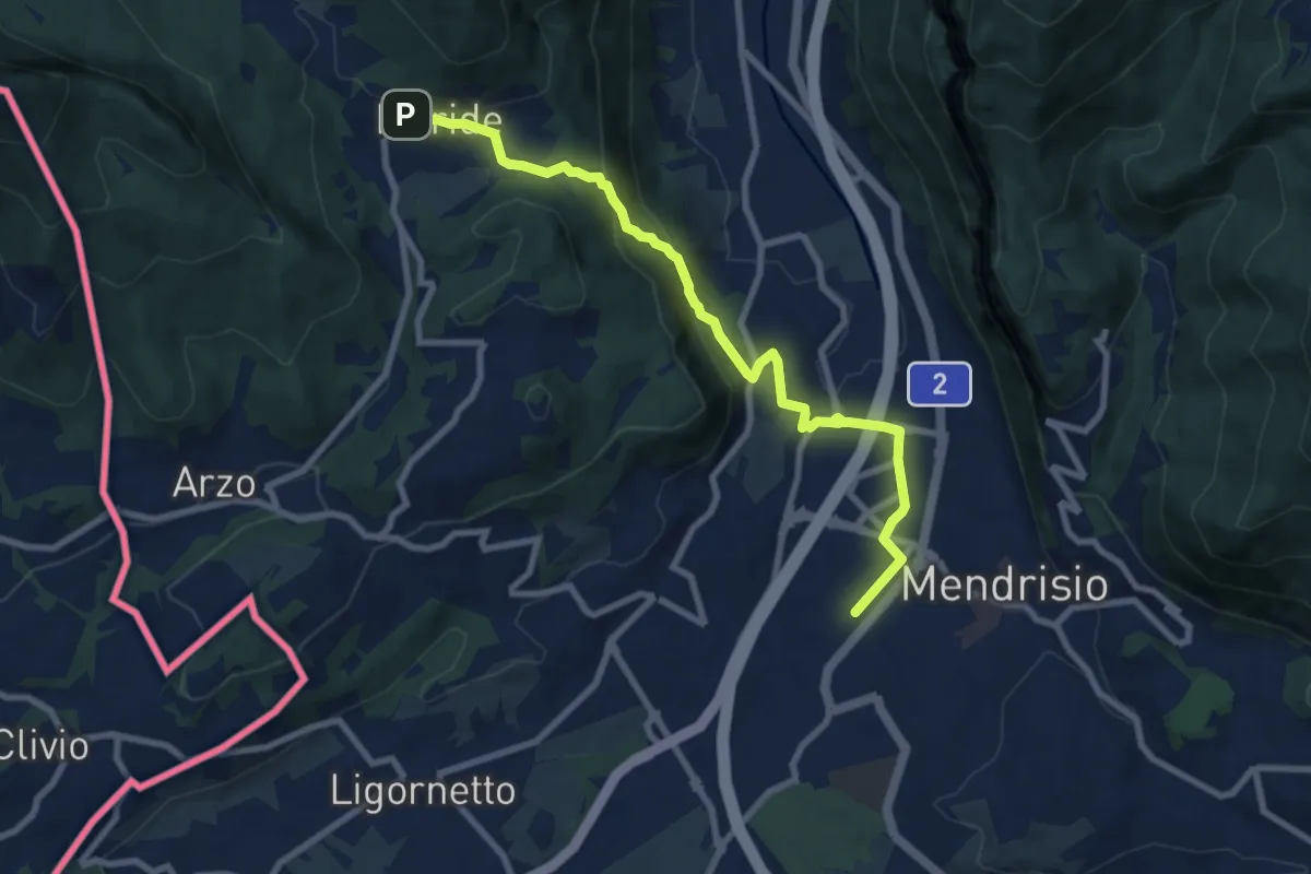
Medium · Trail
Meride – Mendrisio Stazione
8.9 km · ↑ 326 m · 2 h 48 min
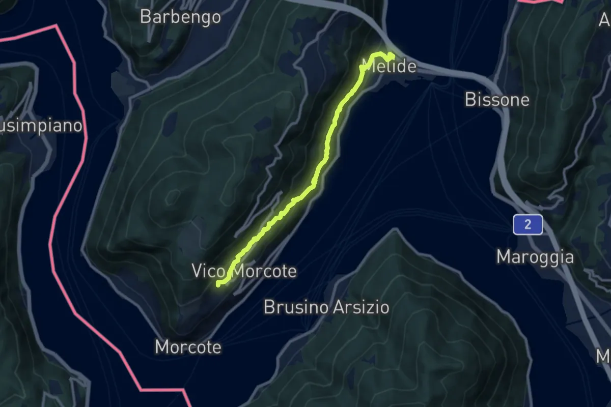
Medium · Trail
Melide – Vico Morcote
8.9 km · ↑ 487 m · 3 h 9 min
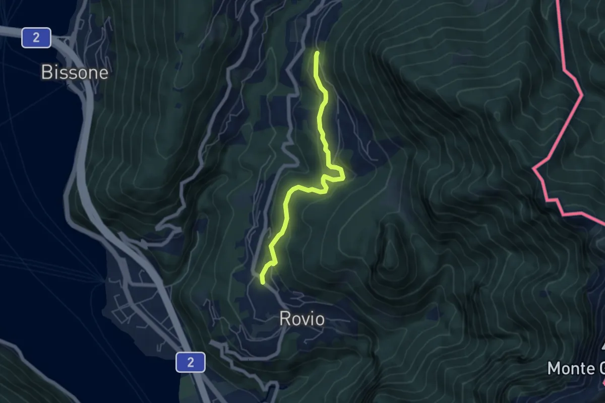
Easy · Trail
Pt. 615 – Ata Matern
5.1 km · ↑ 269 m · 1 h 47 min
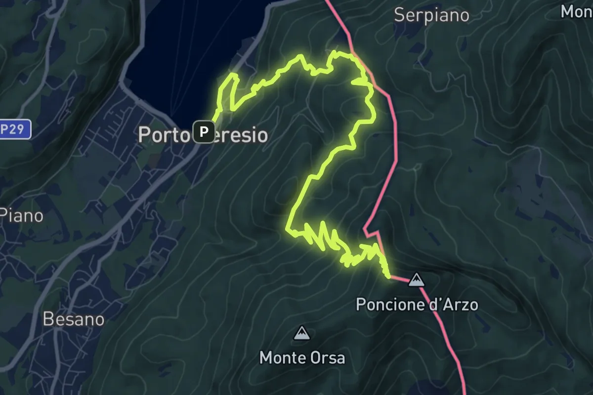
Demanding · Summit
Porto Ceresio – Viggiù (Piazza Europa)
15.3 km · ↑ 1101 m · 5 h 59 min
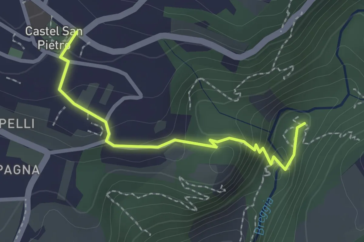
Medium · Trail
Castel San Pietro – Parco Gole della Breggia
2.0 km · ↑ 101 m · 42 min
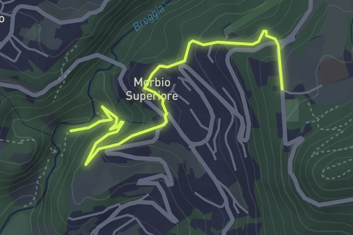
Easy · Trail
Parco Gole della Breggia – Lattecaldo
4.6 km · ↑ 285 m · 1 h 42 min
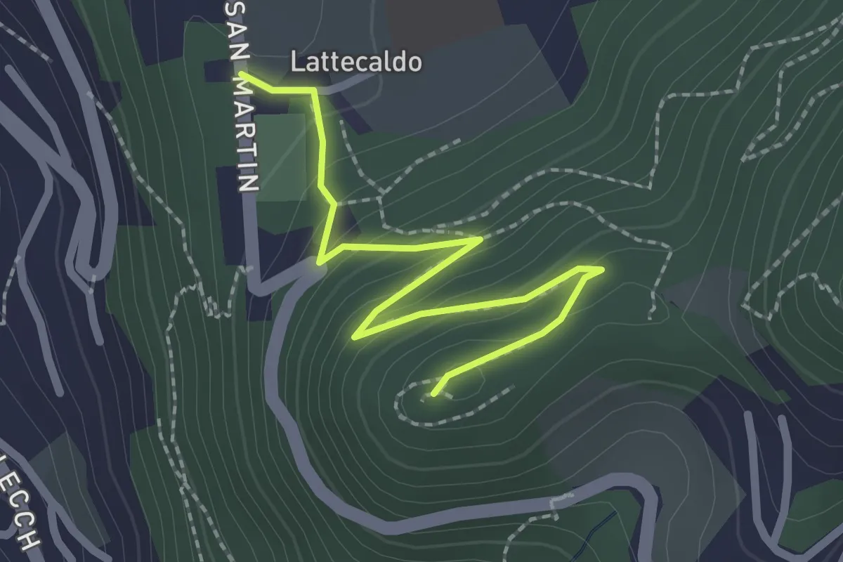
Easy · Trail
Lattecaldo – San Martino
2.3 km · ↑ 138 m · 51 min
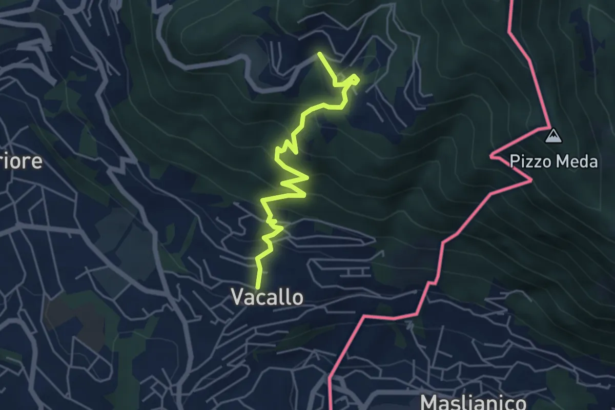
Medium · Trail
Sagno – Vacallo
4.5 km · ↑ 361 m · 1 h 50 min
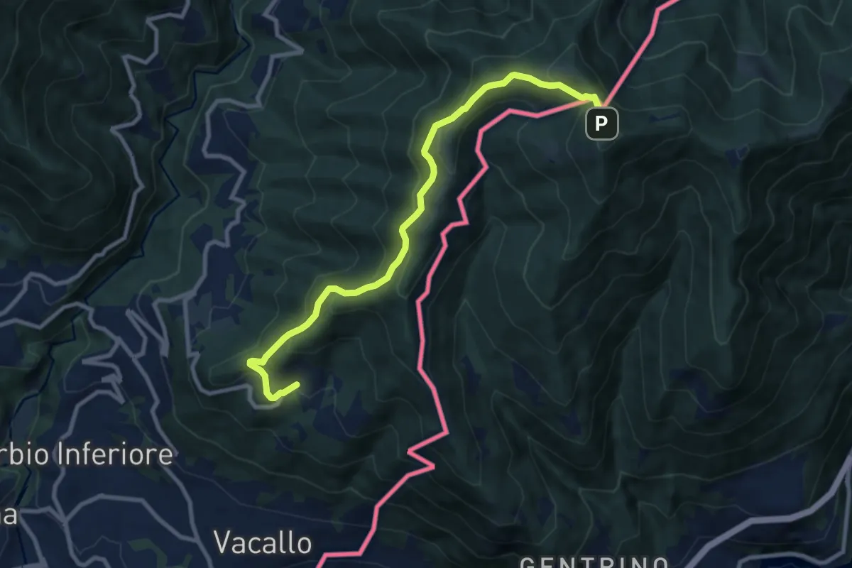
Medium · Trail
Sagno – Monte Bisbino
9.2 km · ↑ 656 m · 3 h 35 min
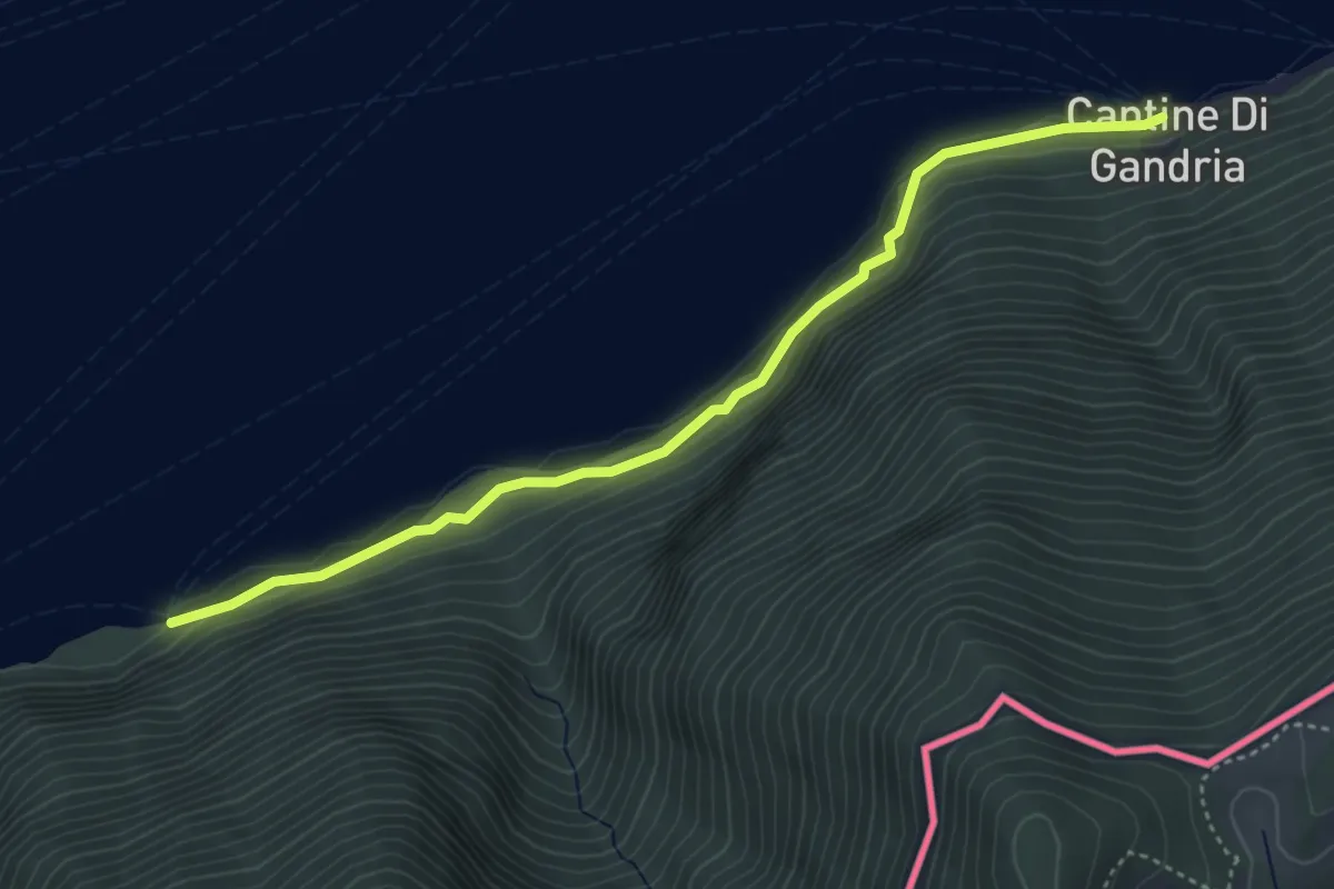
Easy · Trail
Grotto dei Prescatori – Cantine di Gandria
4.4 km · ↑ 220 m · 1 h 30 min
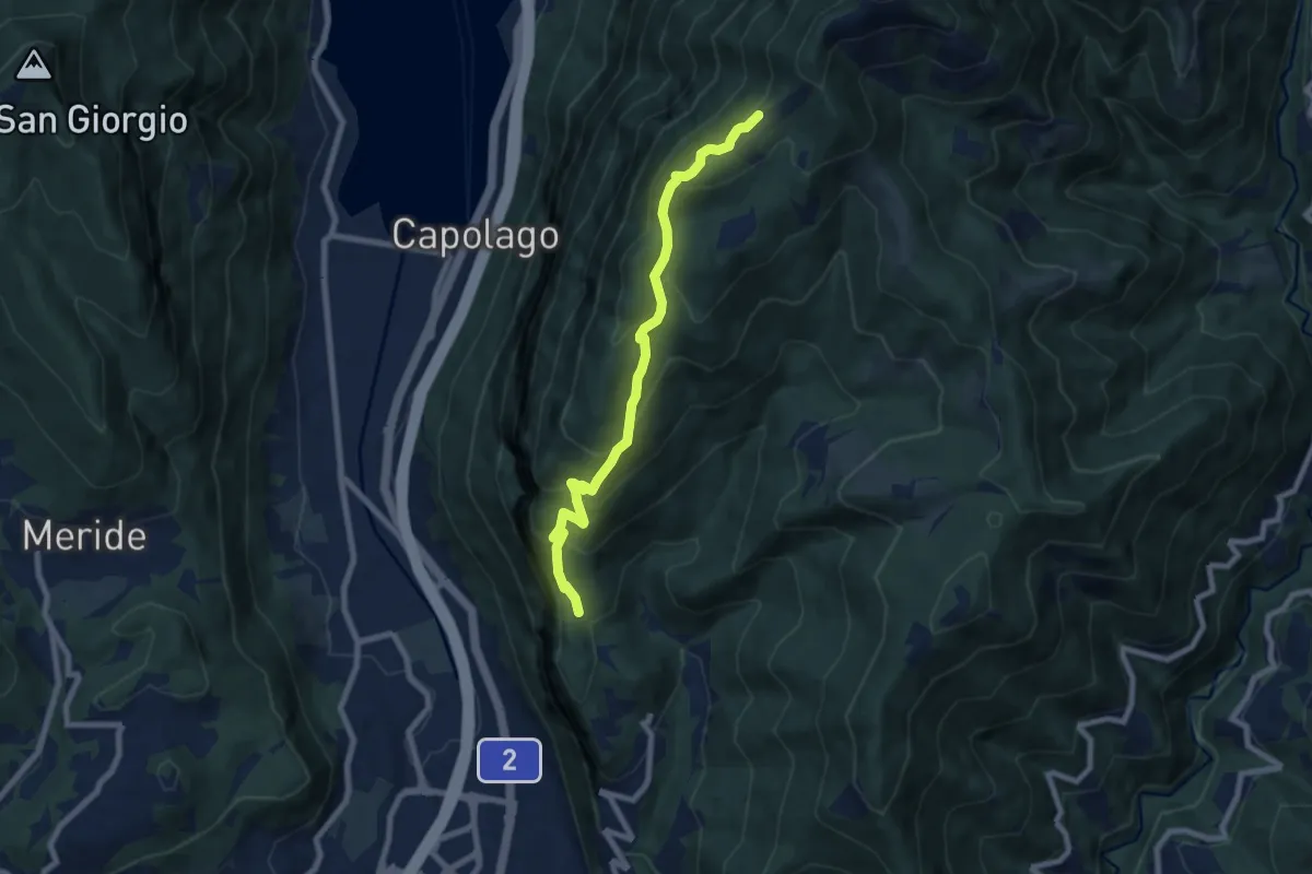
Medium · Cabin
Bellavista – San Nicolao St.ne
7.6 km · ↑ 564 m · 3 h 1 min
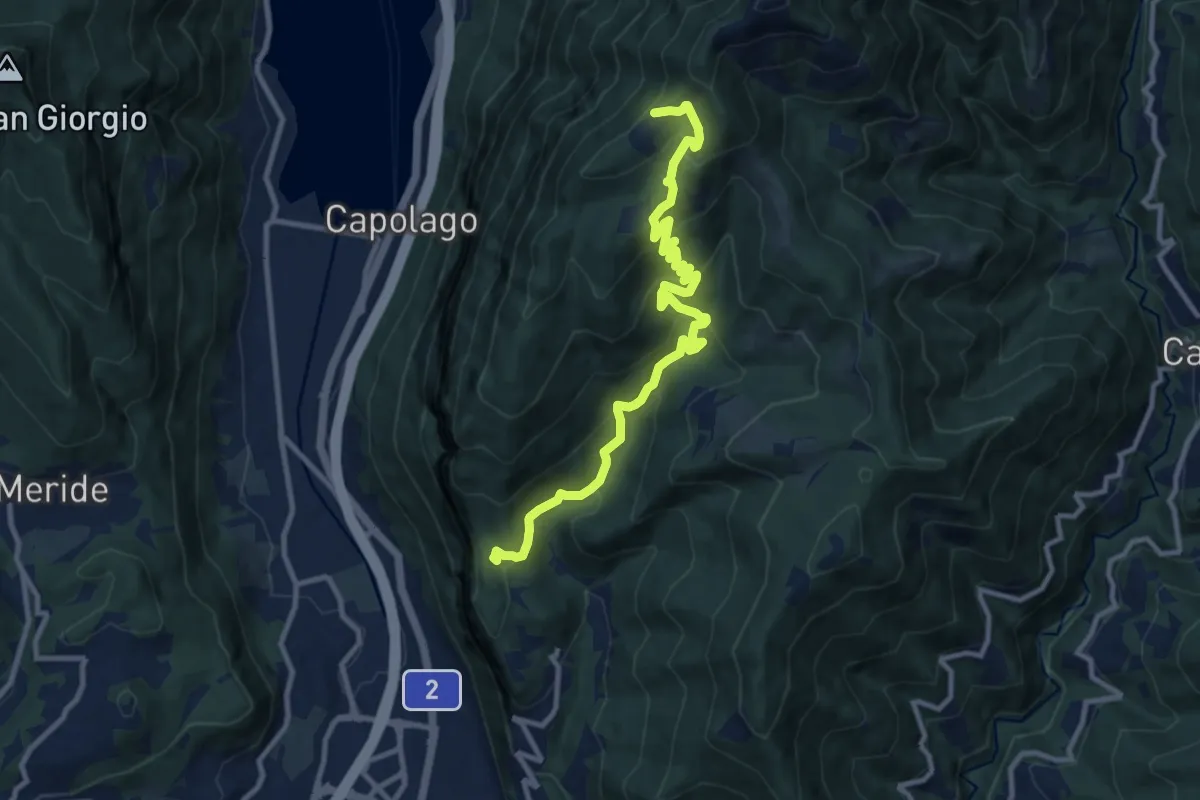
Medium · Cabin
Bellavista St.ne – San Nicolao St.ne
11.4 km · ↑ 779 m · 4 h 23 min
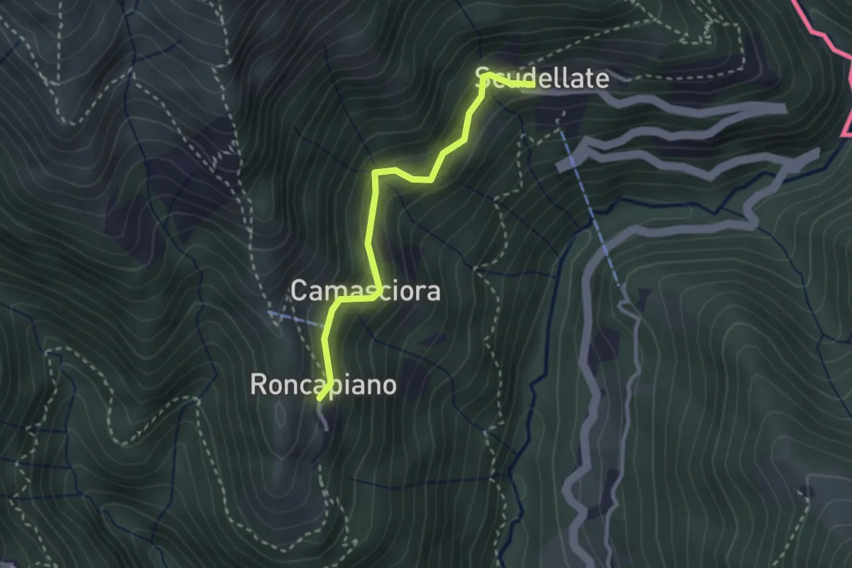
Easy · Trail
Roncapiano – Scudellate
2.4 km · ↑ 229 m · 1 h 4 min
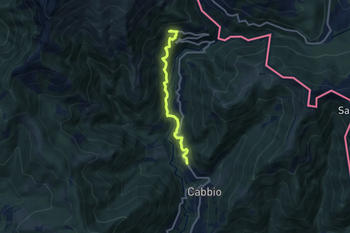
Medium · Trail
Muggio – Scudellate
5.9 km · ↑ 590 m · 2 h 41 min
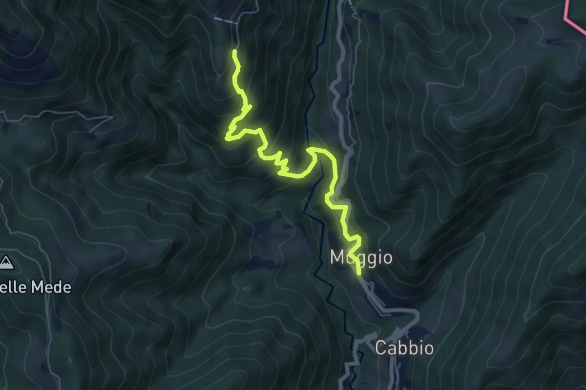
Medium · Trail
Muggio – Roncapiano
6.1 km · ↑ 541 m · 2 h 37 min
Medium · Trail
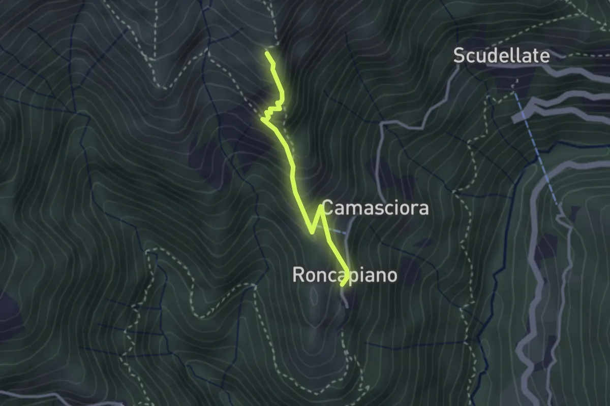
Roncapiano – Nadigh
2.3 km · ↑ 306 m · 1 h 12 min
Easy · Trail
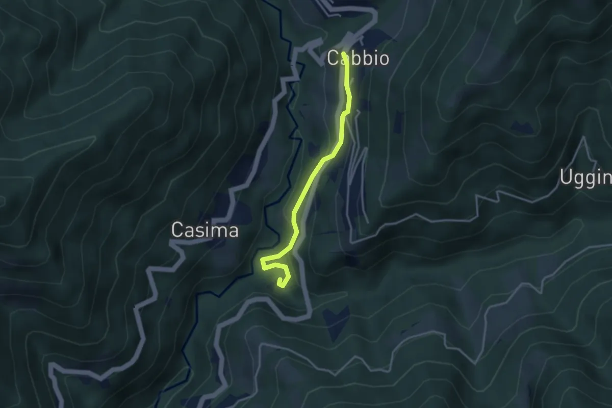
Cabbio – Mulino di Bruzella
2.9 km · ↑ 161 m · 1 h 2 min
Easy · Trail
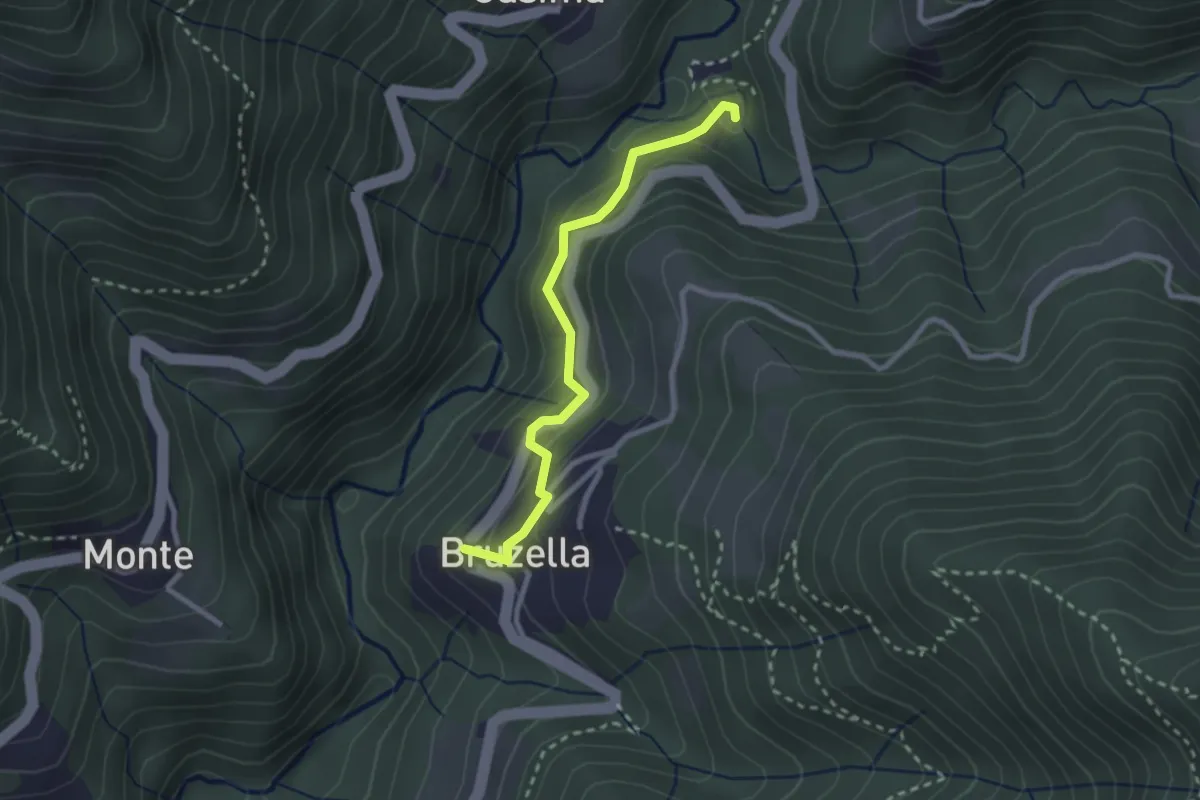
Mulino di Bruzella – Bruzella
2.5 km · ↑ 211 m · 1 h 3 min
Easy · Trail
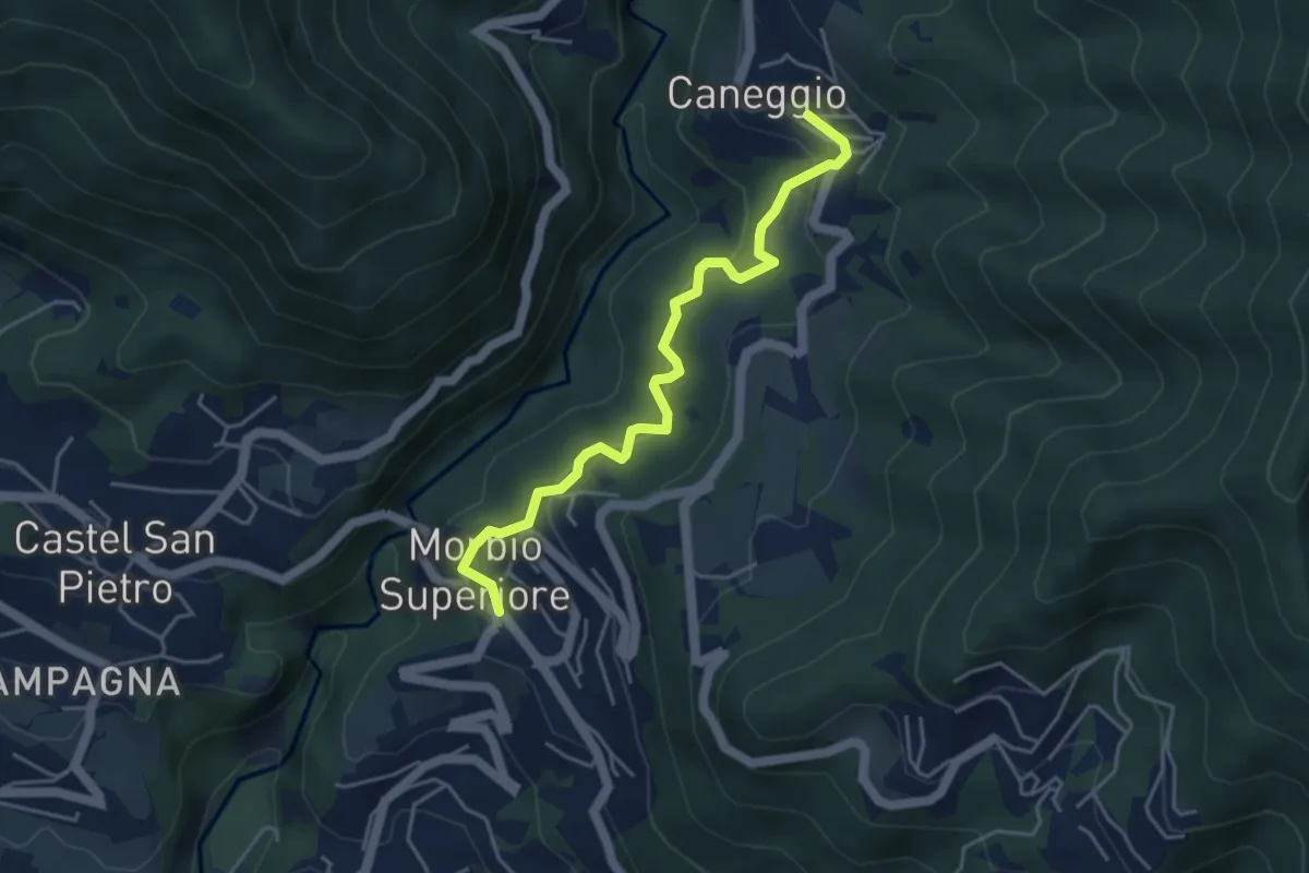
Caneggio – Morbio Superiore
4.5 km · ↑ 274 m · 1 h 40 min
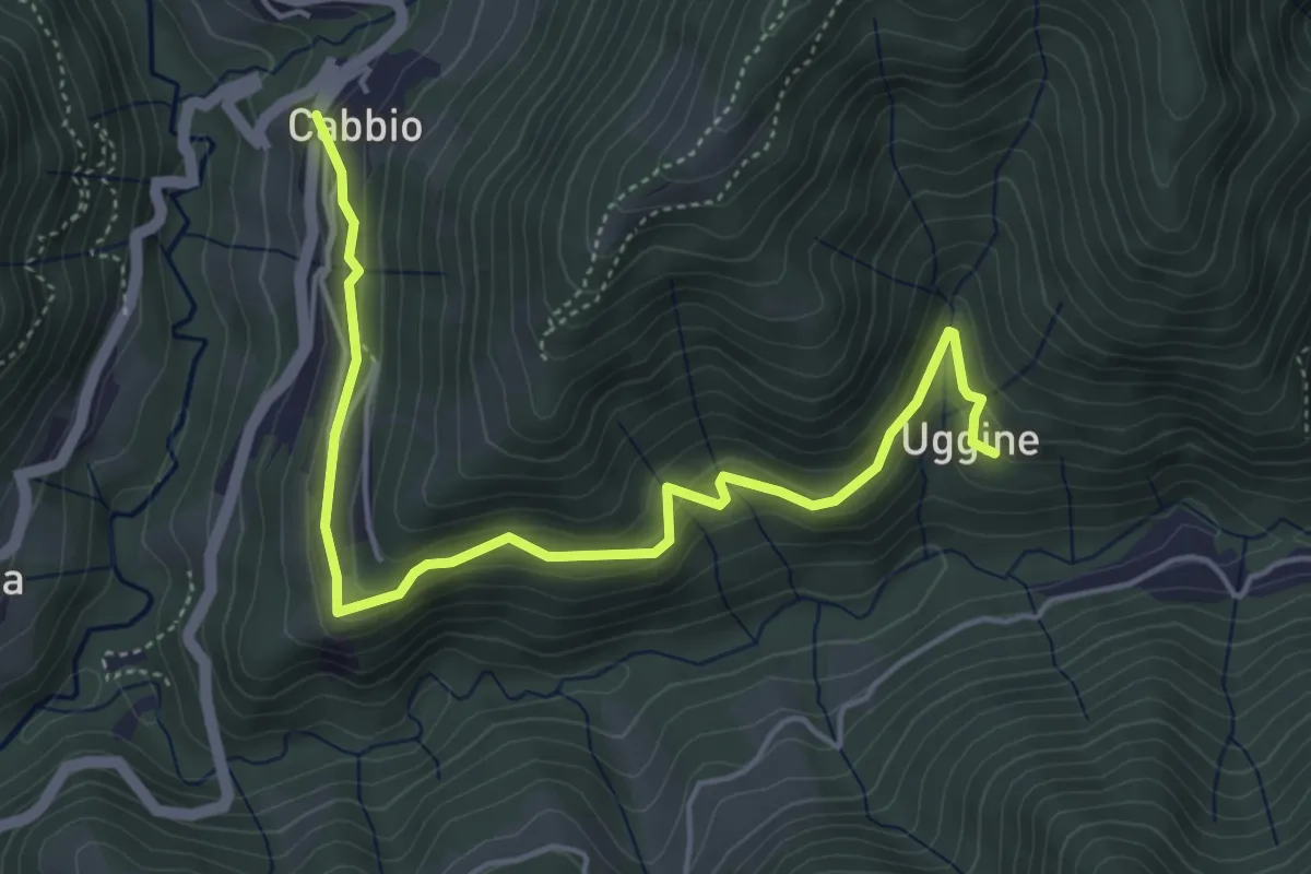
Medium · Trail
Cabbio – Uggine
5.4 km · ↑ 335 m · 2 h
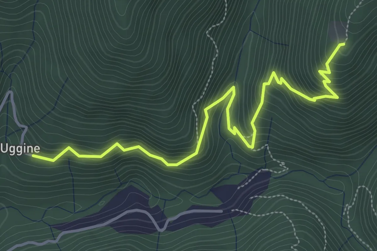
Medium · Trail
Uggine – Alpe del Corno
4.2 km · ↑ 351 m · 1 h 45 min
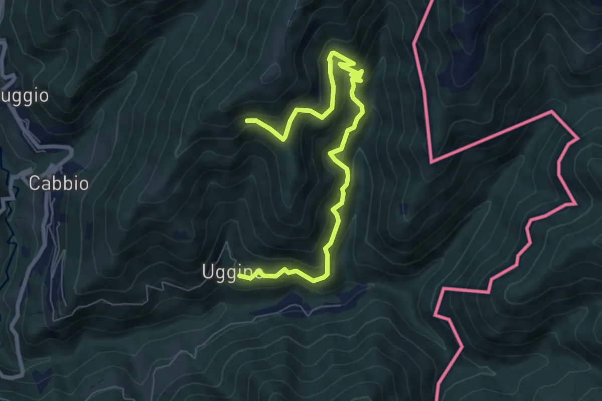
Medium · Trail
Uggine – Arla
7.7 km · ↑ 662 m · 3 h 16 min
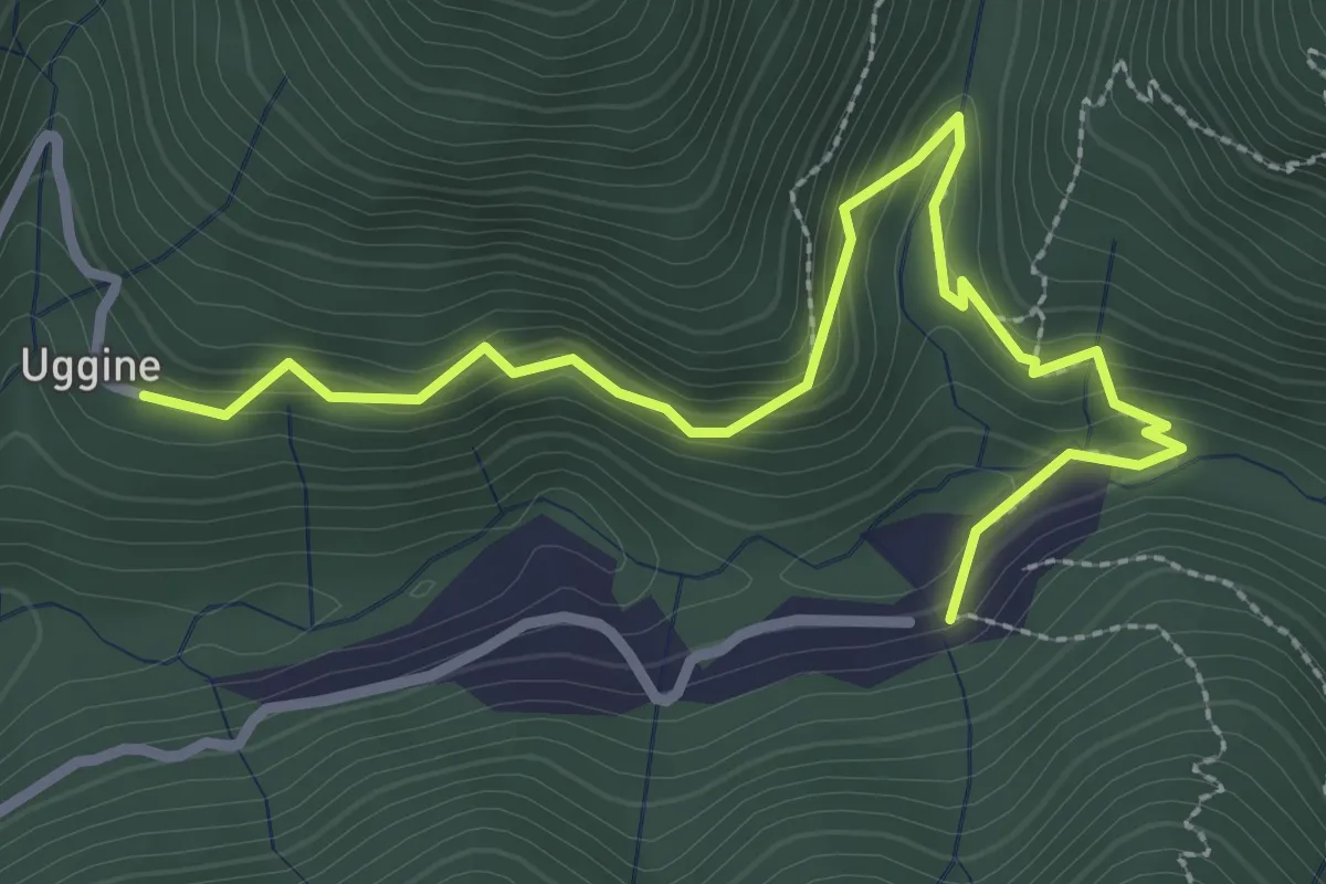
Medium · Trail
Uggine – Crotta
3.4 km · ↑ 180 m · 1 h 12 min