Trails in Switzerland
15,055 hiking trails, each with its route, climb, walking time and grade.
All trails, page 139 of 314
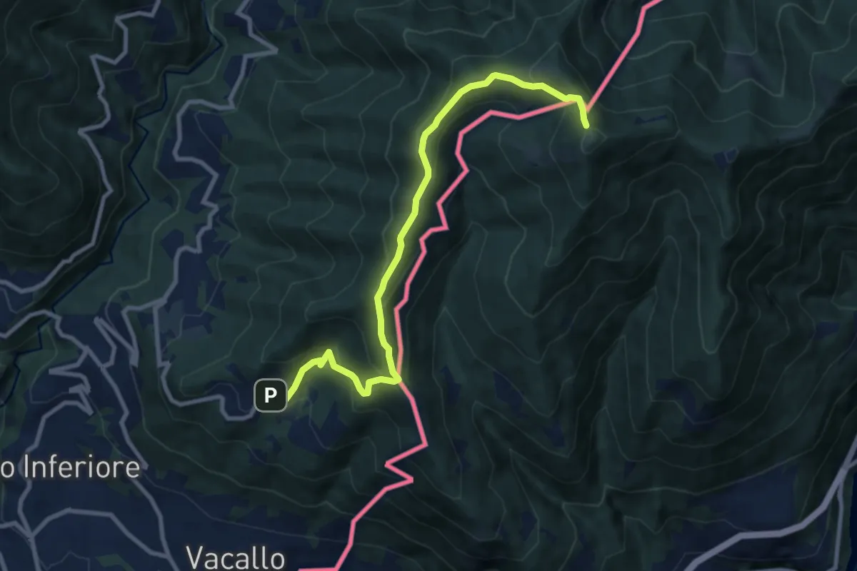
Medium · Trail
Sagno – Monte Bisbino
9.3 km · ↑ 597 m · 3 h 30 min
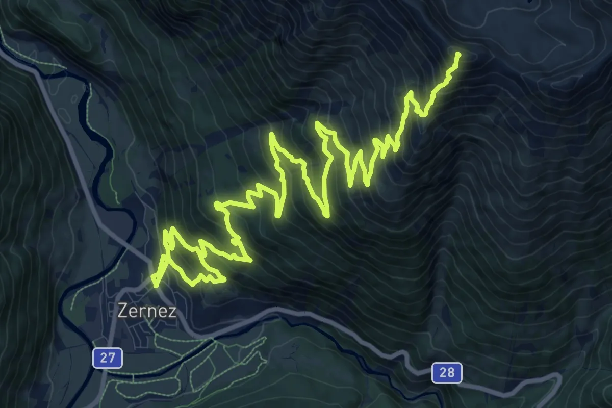
Expert · Summit
Zernez – Macun
22.0 km · ↑ 1770 m · 9 h 1 min
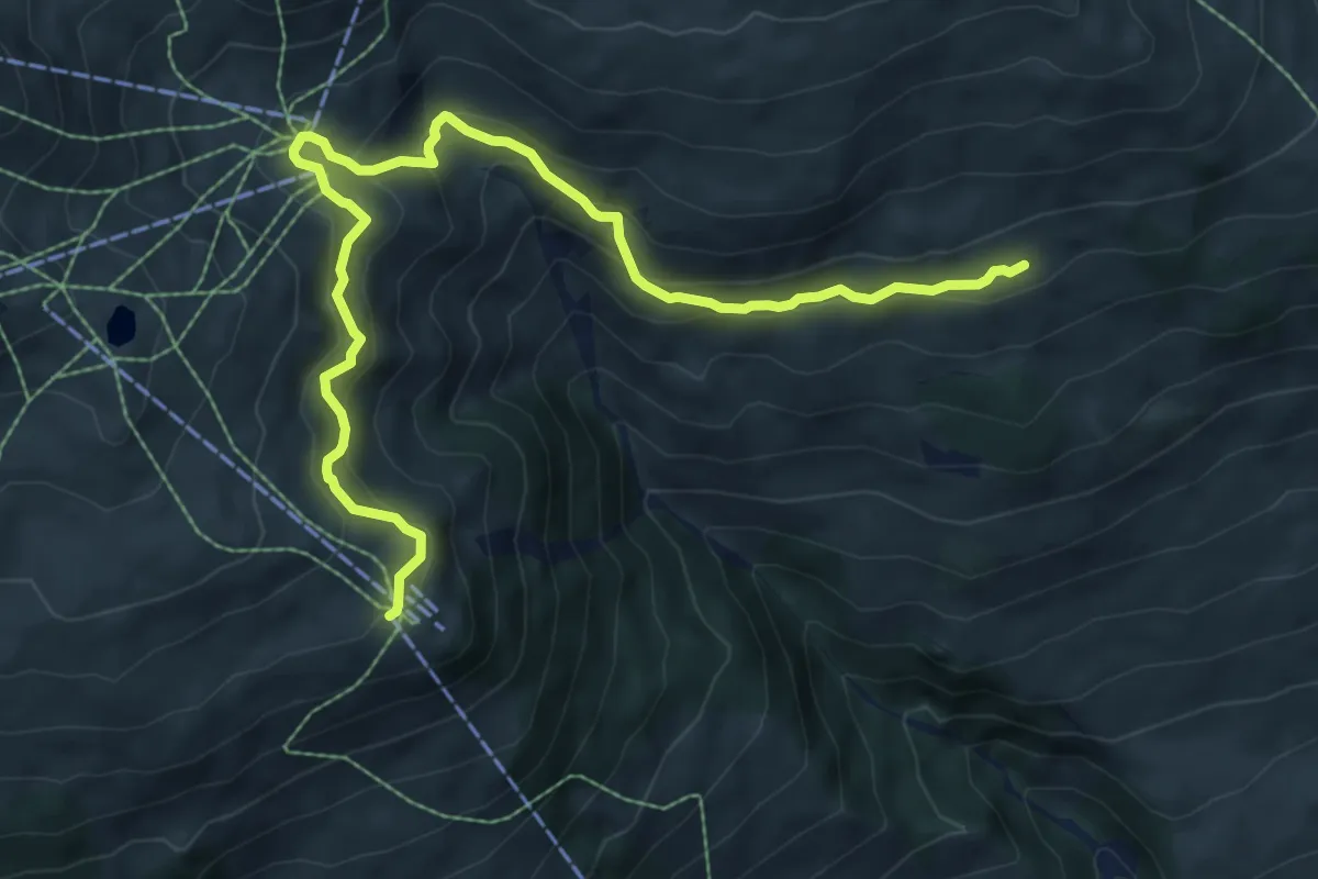
Demanding · Trail
Salez – Motta Naluns
9.1 km · ↑ 465 m · 3 h 9 min
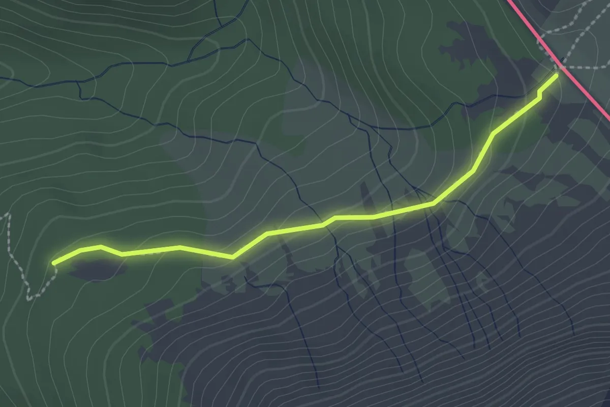
Medium · Trail
199 – Fuorcla del Gal
2.2 km · ↑ 104 m · 45 min
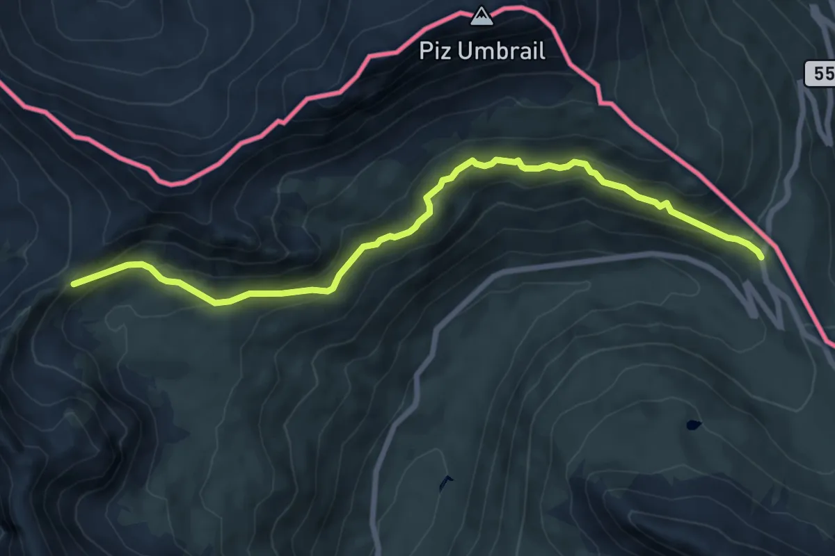
Medium · Trail
Chiesa di San Erasmo (DIga di Cancano) – Bocchetta di Forcola
7.6 km · ↑ 379 m · 2 h 36 min
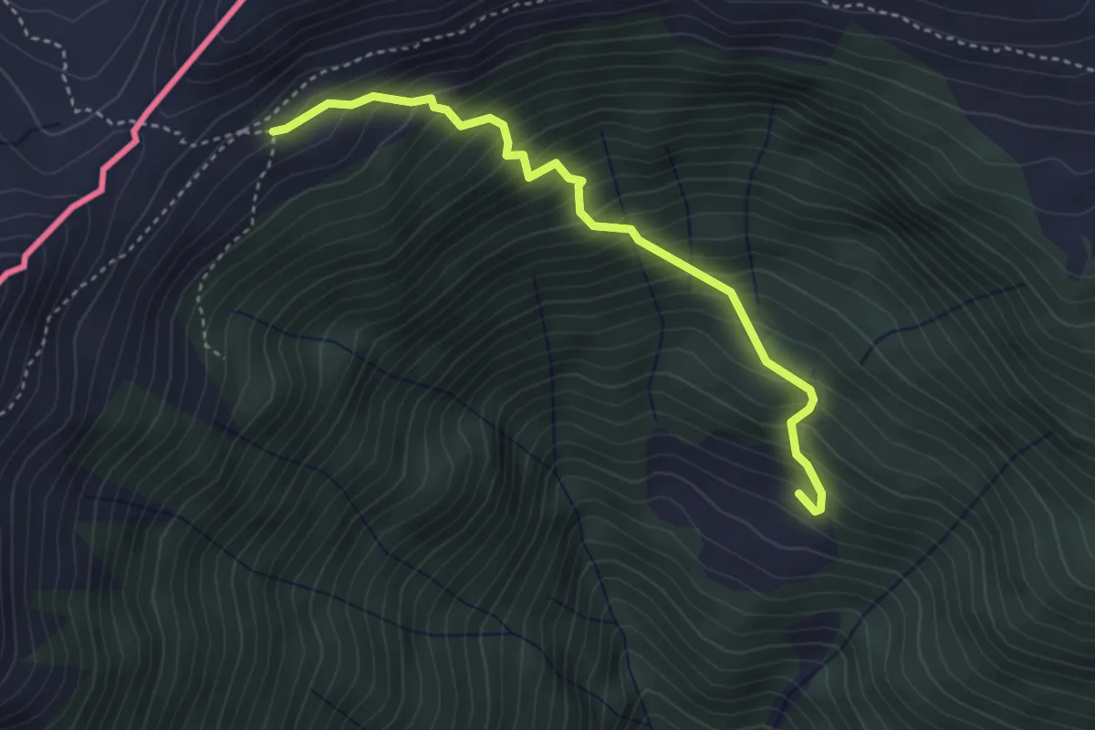
Medium · Trail
Innesto Sentiero 397 – Innesto Sentiero 301
3.7 km · ↑ 541 m · 2 h 3 min
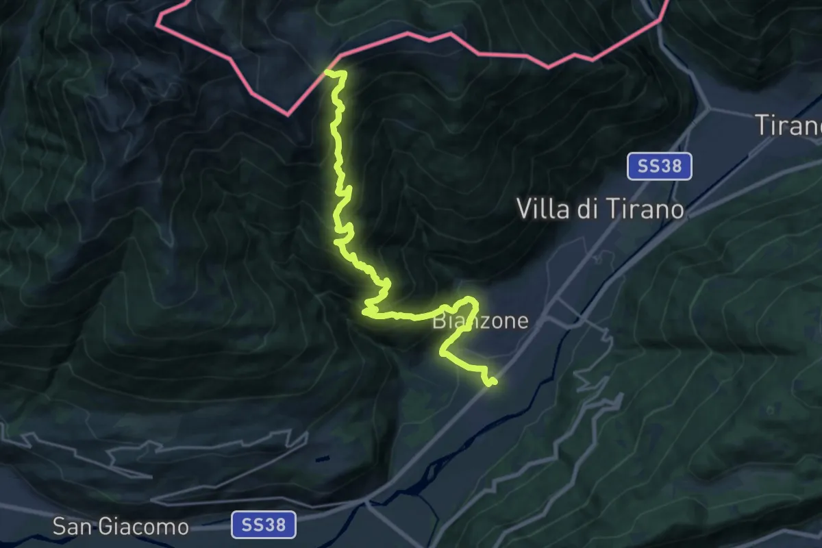
Medium · Trail
Stazione di Bianzone – Col d'Anzana
10.5 km · ↑ 27 m · 3 h 36 min
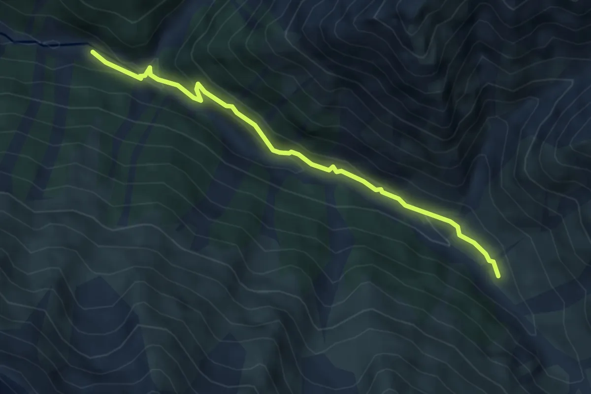
Medium · Trail
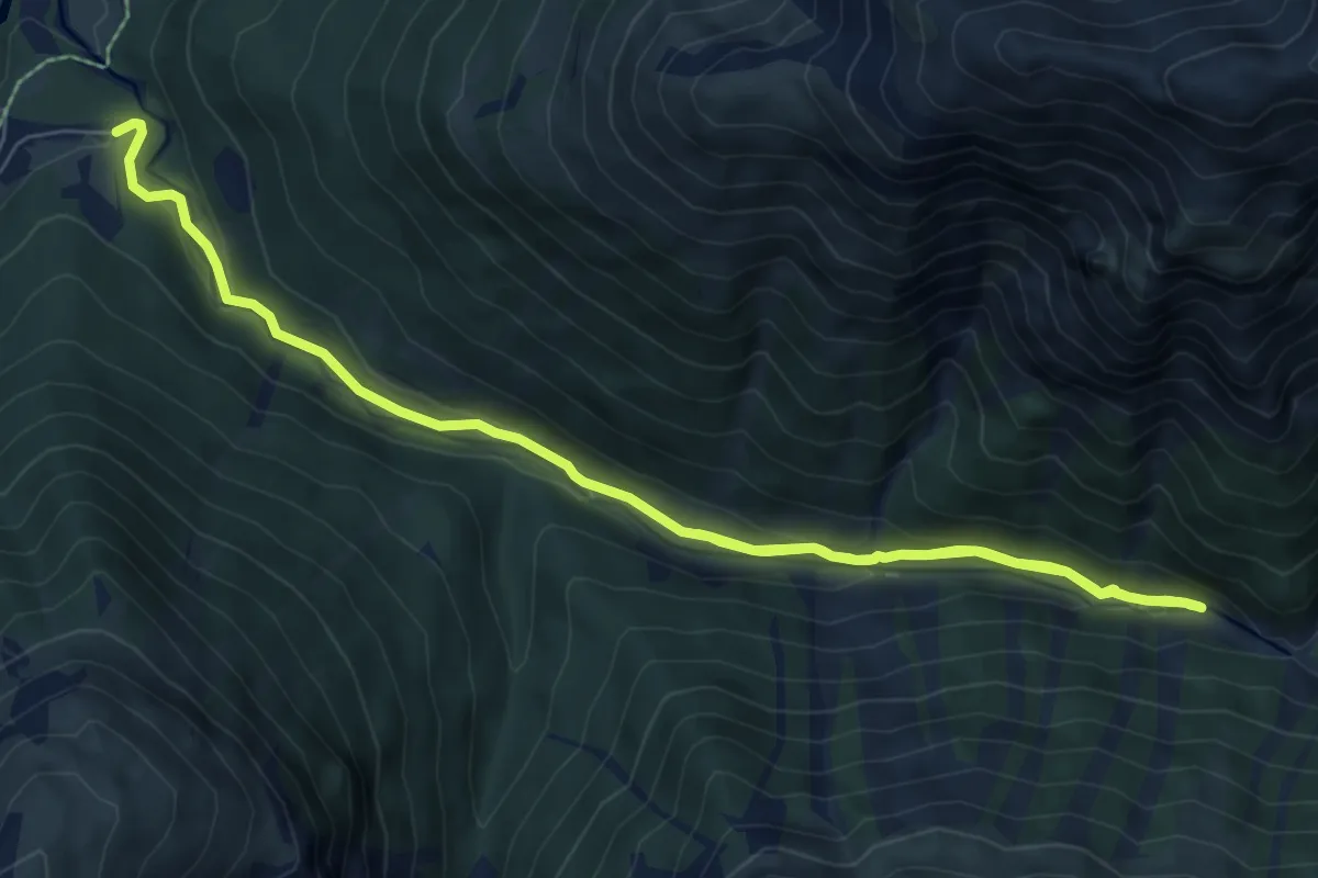
Alp Trupchun – Alp Purcher
5.0 km · ↑ 162 m · 1 h 32 min
Medium · Cabin
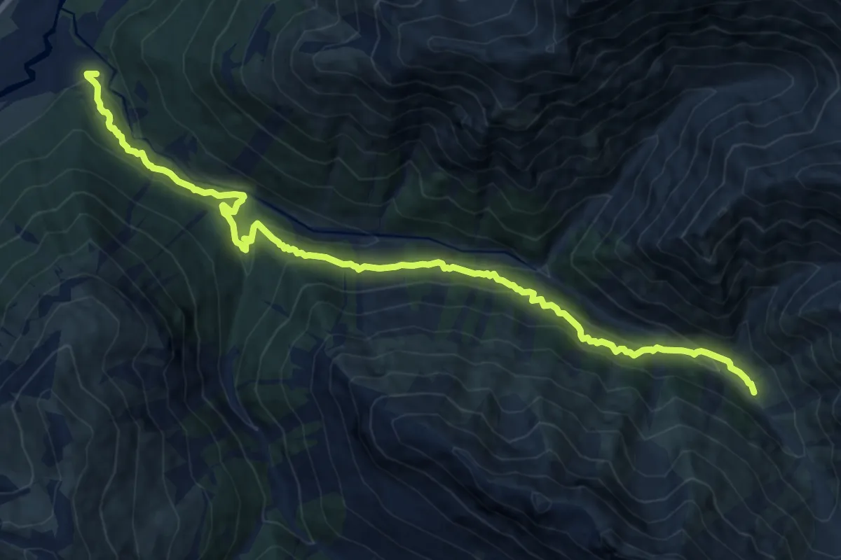
Alp Purcher – Prasüras Parkplatz
10.7 km · ↑ 311 m · 3 h 12 min
Demanding · Trail
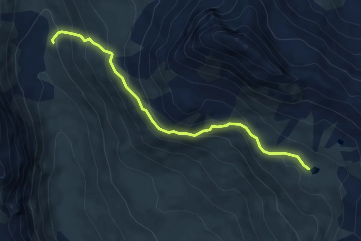
Prasüras Parkplatz – Alp Trupchun
14.9 km · ↑ 903 m · 5 h 29 min
Demanding · Cabin
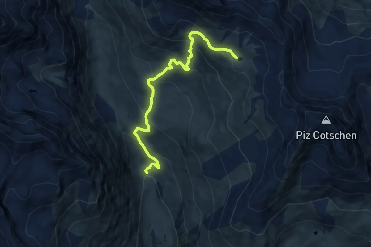
Lai Blau – Tuoi
5.5 km · ↑ 401 m · 2 h 11 min
Medium · Trail
Alp Suot – Lai Blau
8.6 km · ↑ 634 m · 3 h 24 min
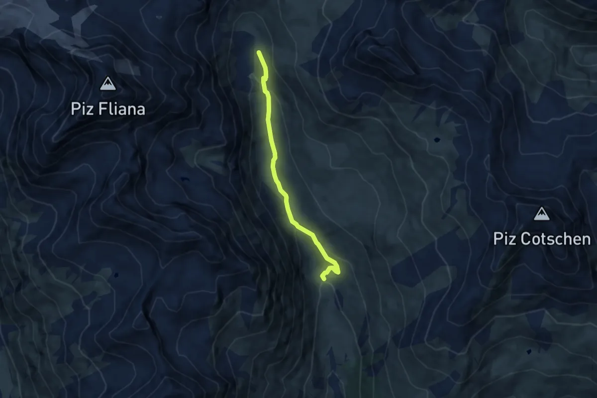
Easy · Cabin
Alp Suot – Tuoi
6.6 km · ↑ 261 m · 2 h 8 min
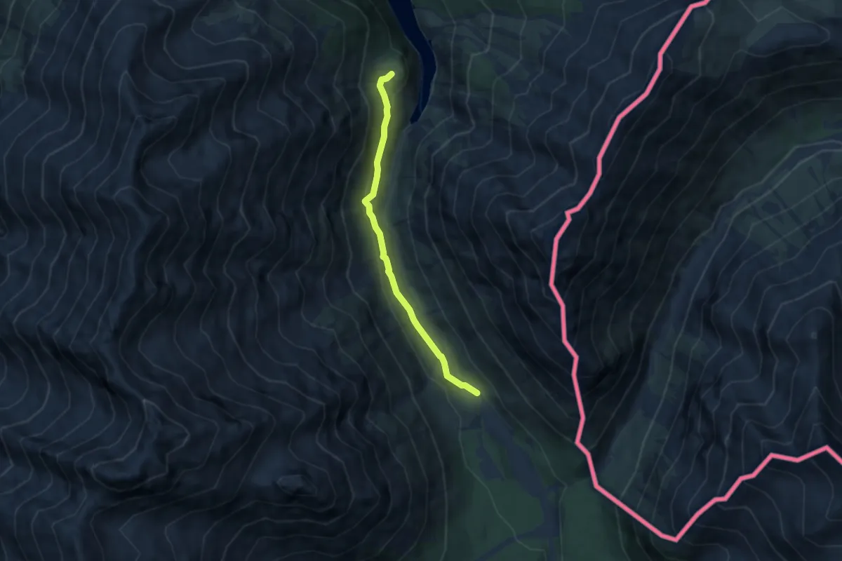
Easy · Trail
Innseto Sentiero 182 – Grasso del Corno
5.8 km · ↑ 241 m · 1 h 54 min
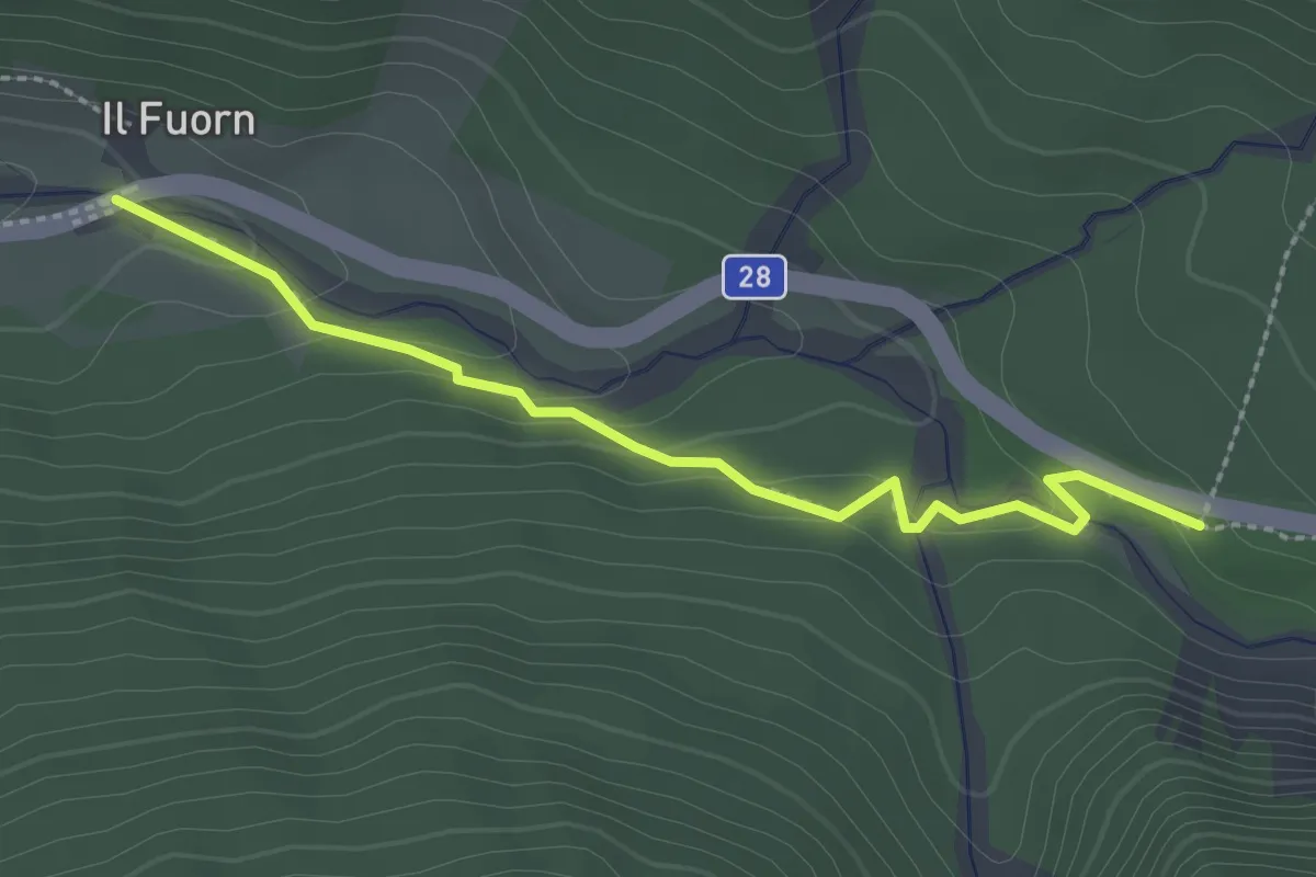
Easy · Trail
Il Fuorn – P7
2.5 km · ↑ 85 m · 46 min
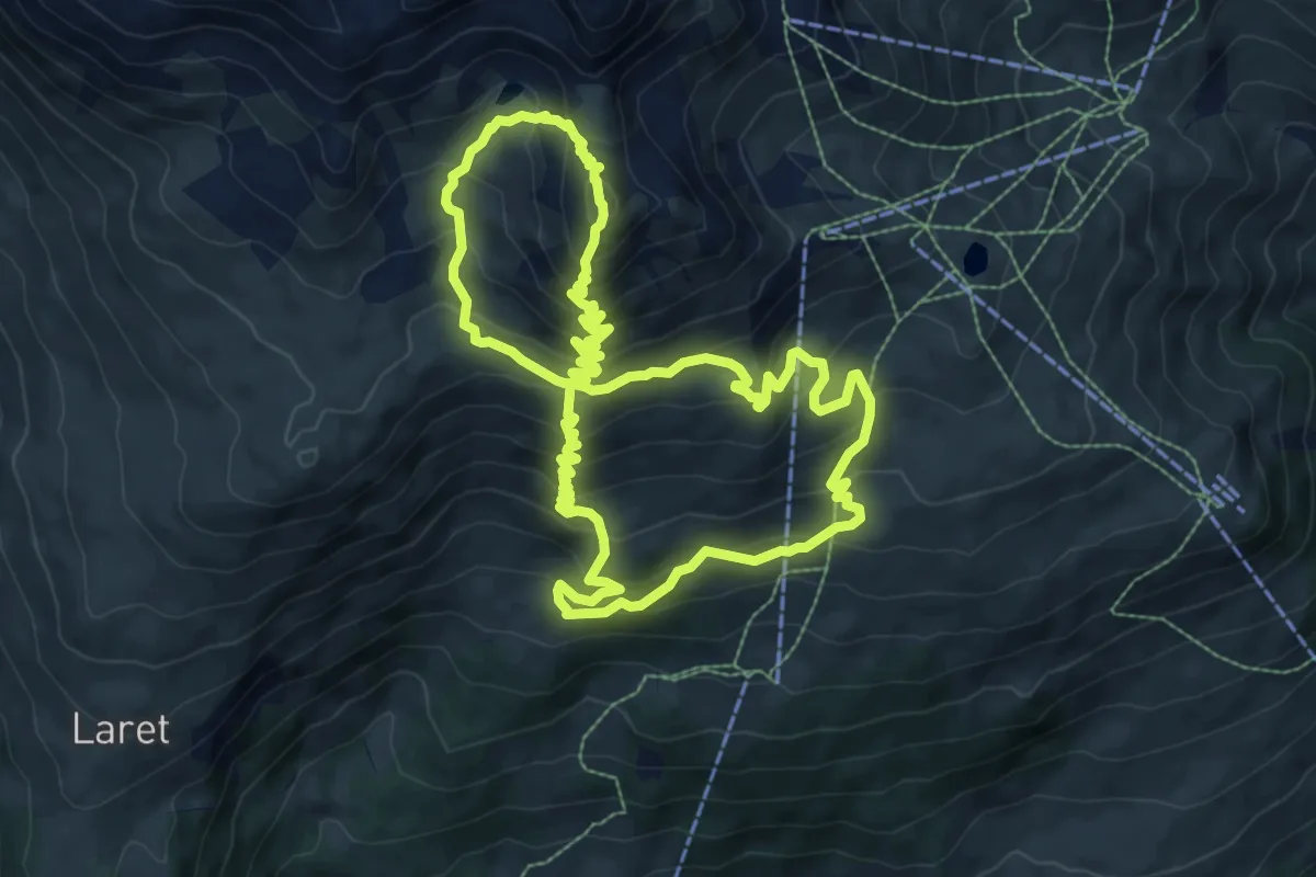
Demanding · Summit
Prui – Piz Clünas
8.9 km · ↑ 689 m · 3 h 42 min
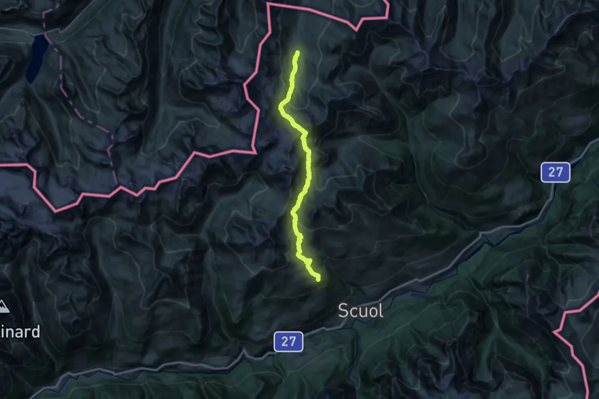
Demanding · Cabin
Heidelberger Hütte – Motta Naluns
14.2 km · ↑ 901 m · 5 h 27 min
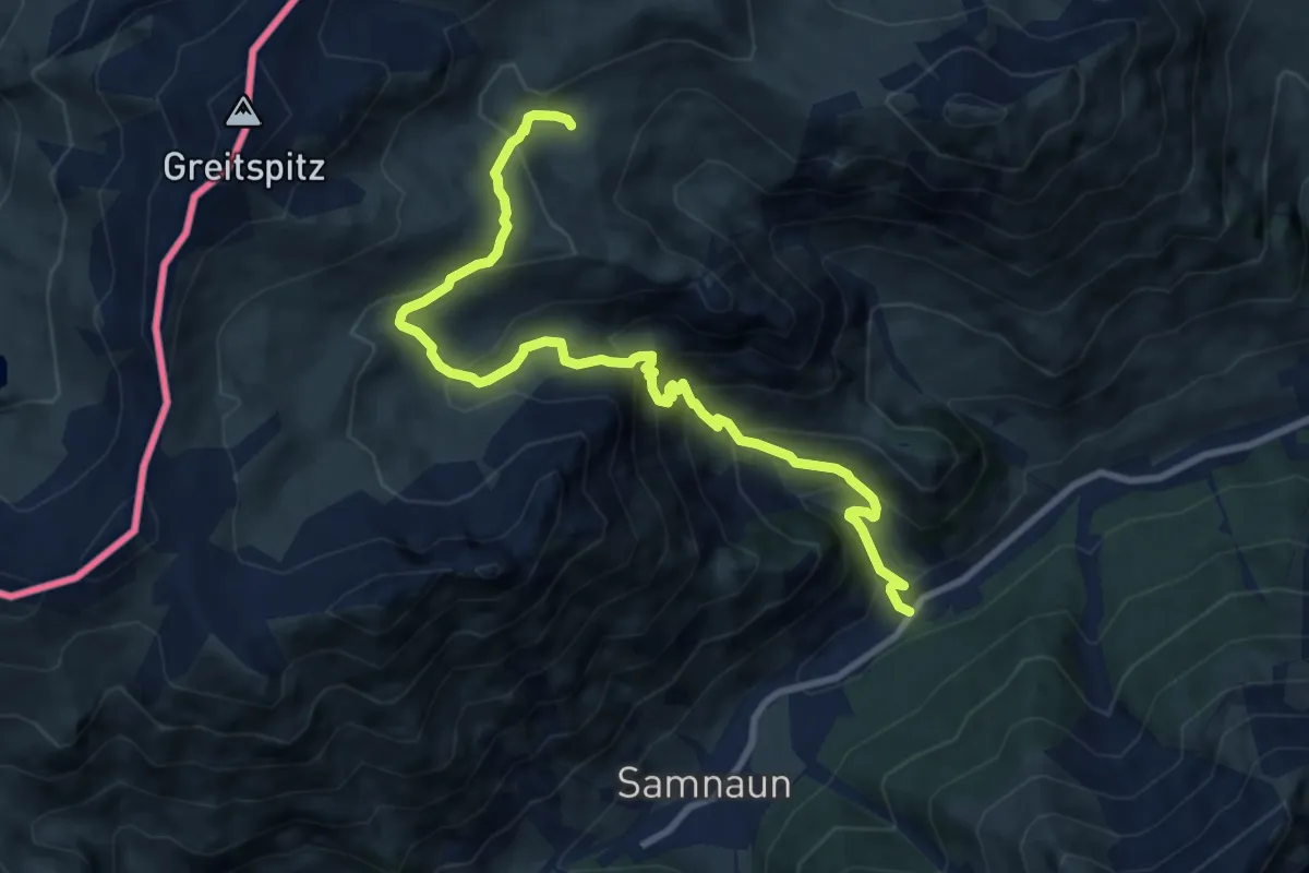
Demanding · Trail
Ravaisch – Ravaischer Salaas
10.2 km · ↑ 841 m · 4 h 14 min
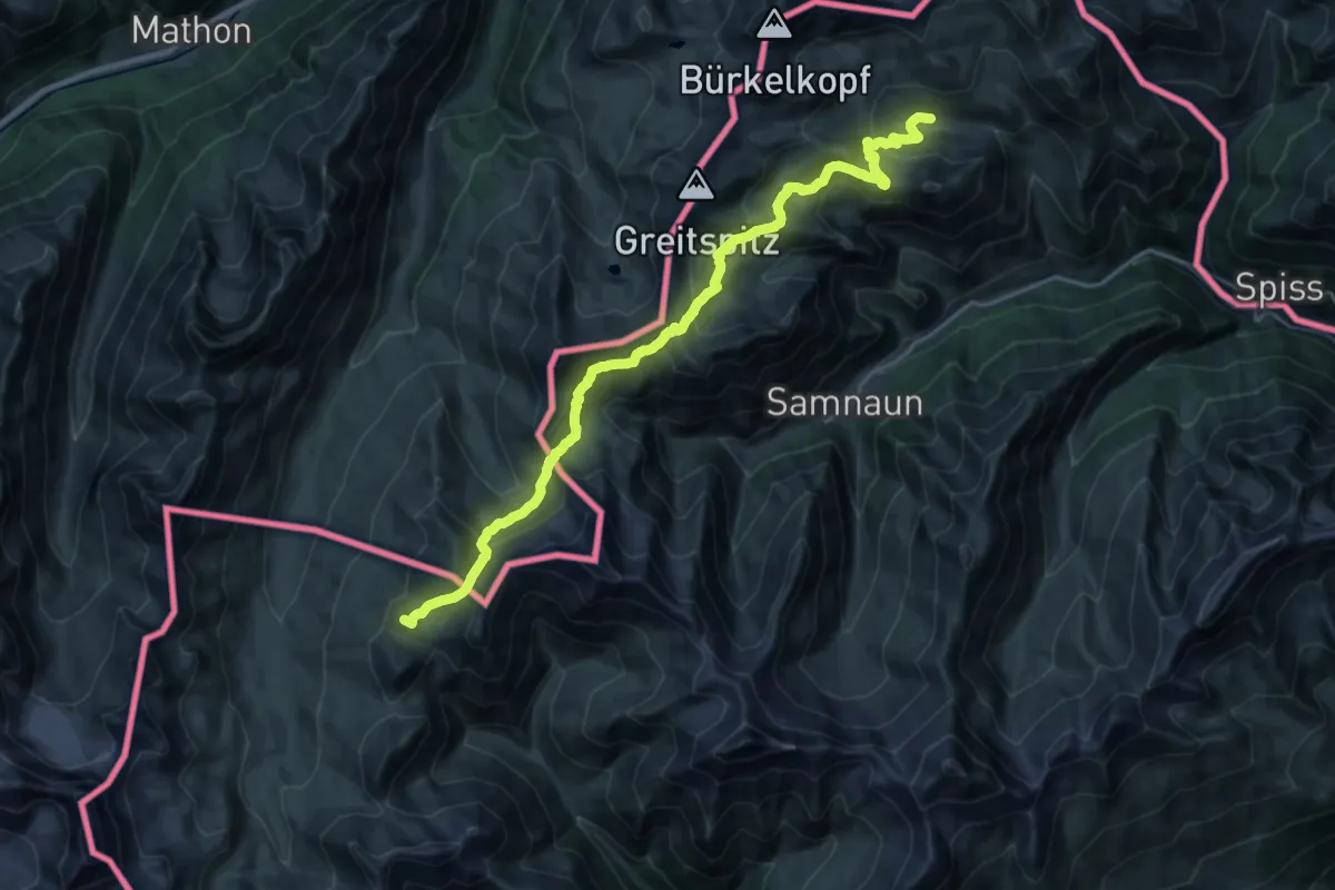
Demanding · Summit
Alp Trida – Heidelberger Hütte
25.6 km · ↑ 1257 m · 8 h 46 min
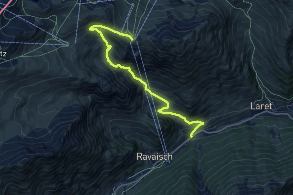
Medium · Trail
Plan – Sattel
9.1 km · ↑ 754 m · 3 h 48 min
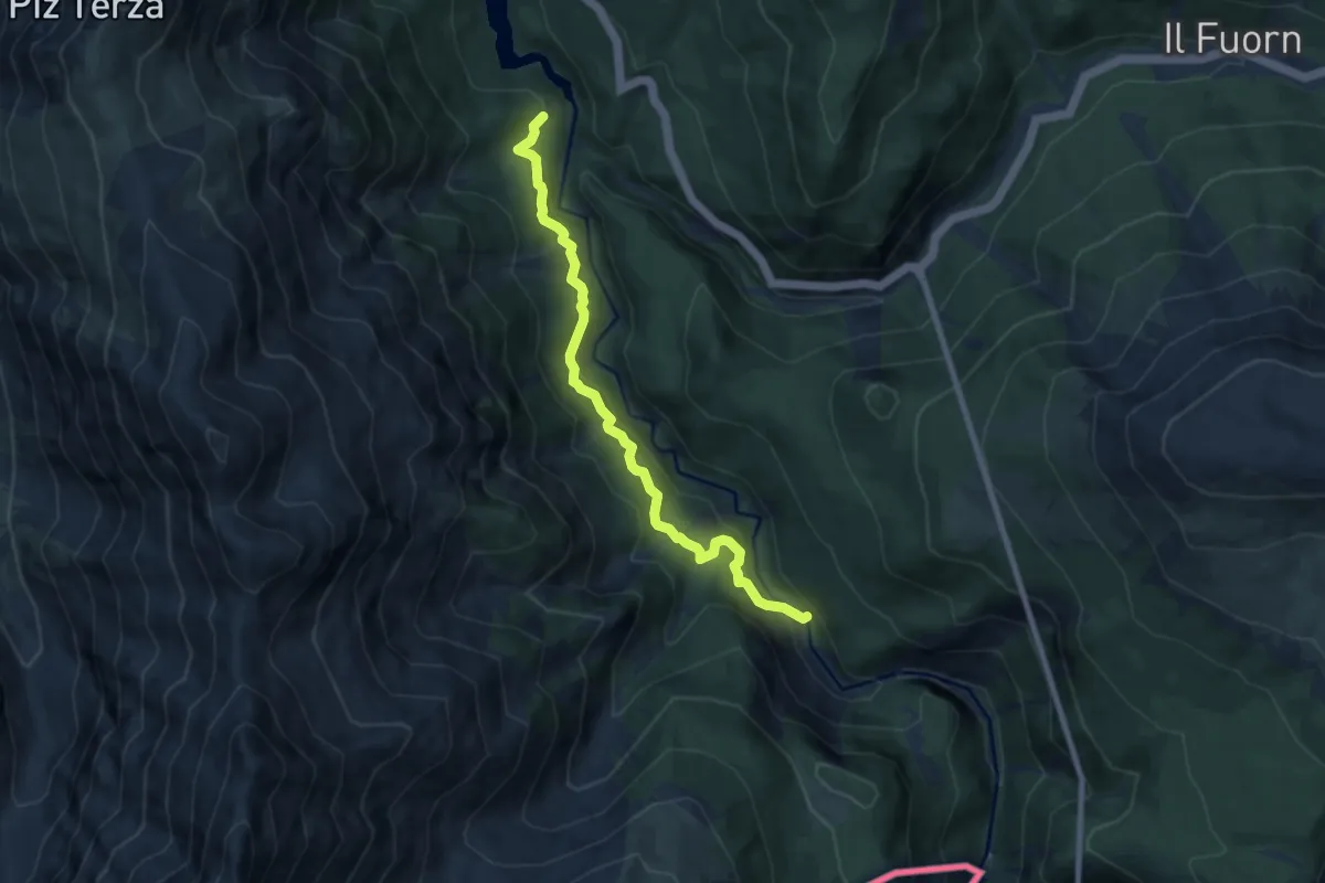
Medium · Trail
Plan Praspöl – Punt Periv
7.7 km · ↑ 402 m · 2 h 41 min
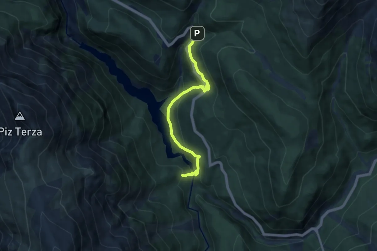
Medium · Trail
Plan Praspöl – P1
6.7 km · ↑ 428 m · 2 h 31 min
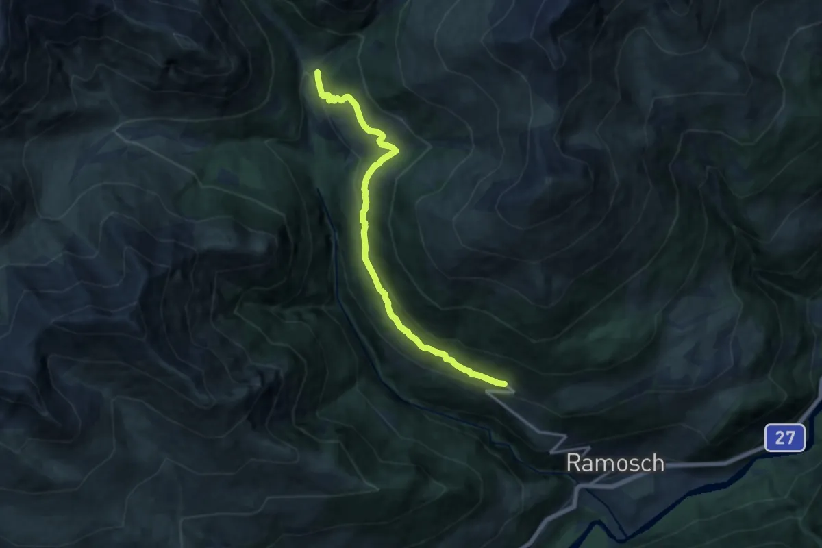
Medium · Trail
Vnà – Griosch
12.2 km · ↑ 562 m · 4 h 6 min
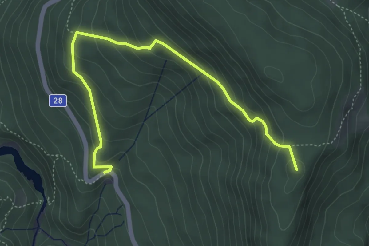
Medium · Summit
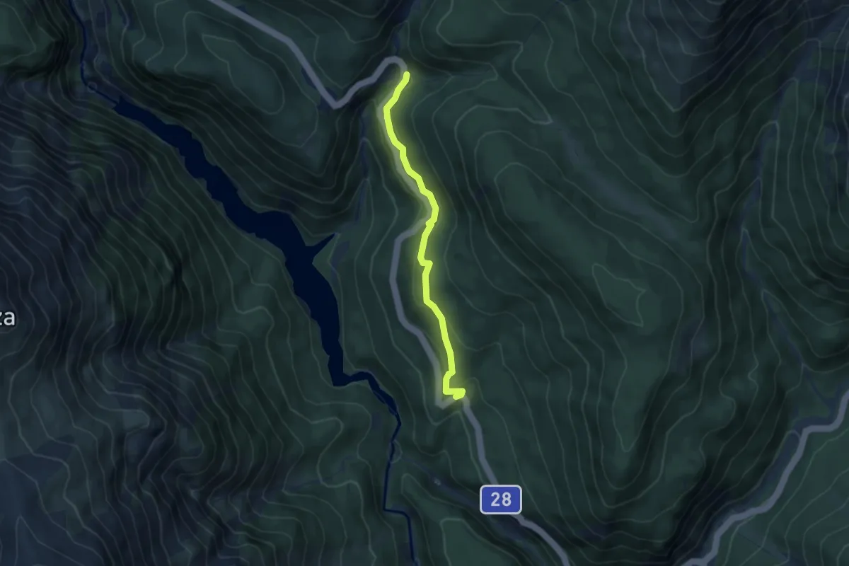
Vallun Chafuol – Alp Grimmels
5.2 km · ↑ 346 m · 1 h 58 min
Medium · Trail
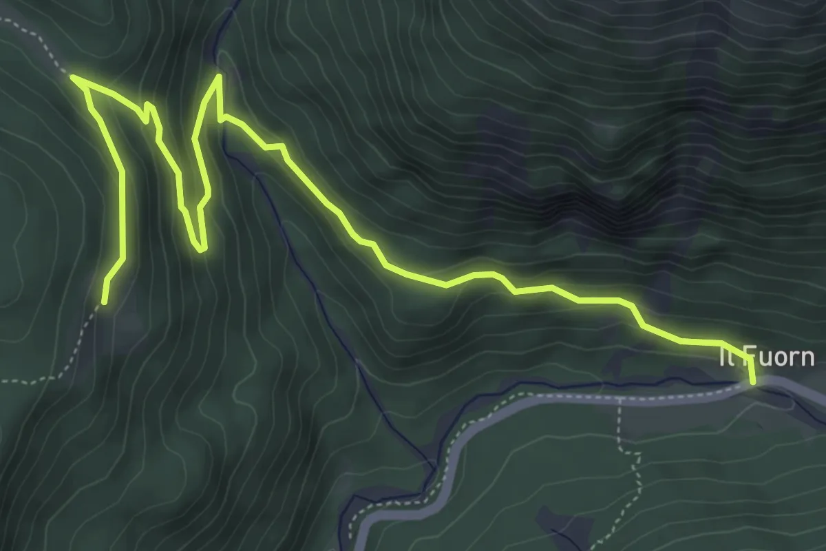
Vallun Chafuol – P1
4.6 km · ↑ 236 m · 1 h 35 min
Medium · Trail
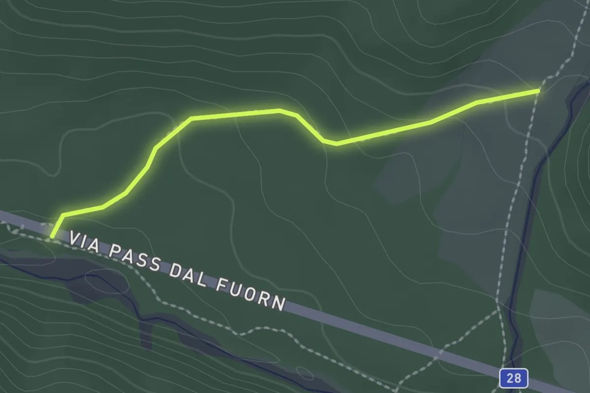
Alp Grimmels – Il Fuorn
7.1 km · ↑ 369 m · 2 h 29 min
Easy · Trail
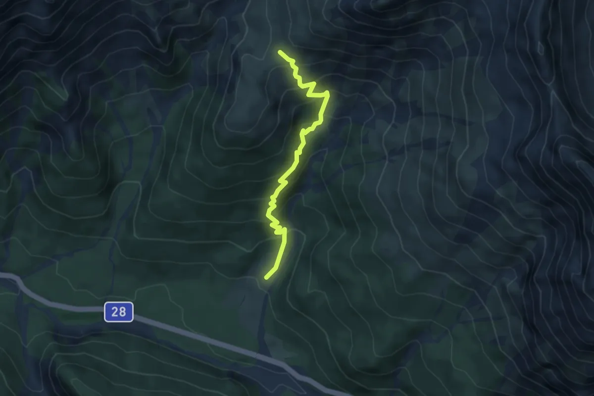
P8 – Stabelchod
2.0 km · ↑ 81 m · 39 min
Medium · Trail
Stabelchod – Margunet
4.6 km · ↑ 412 m · 1 h 59 min
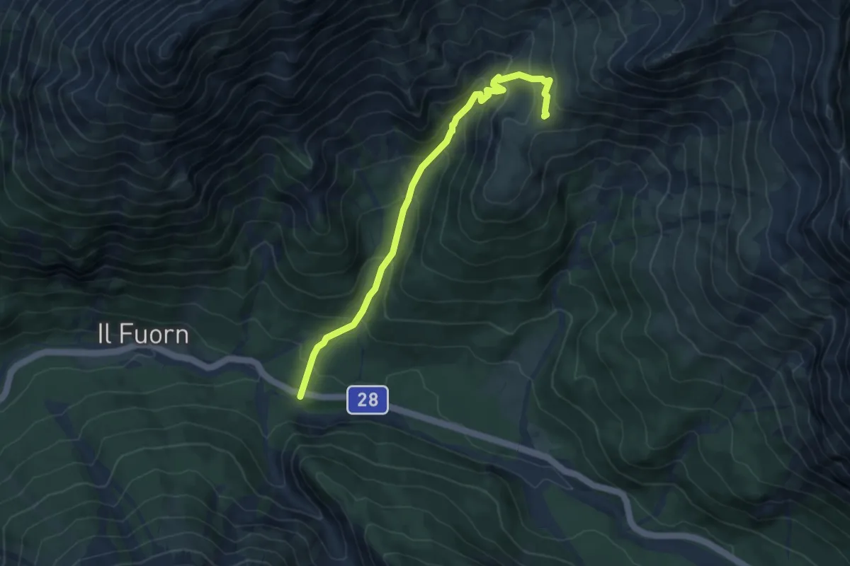
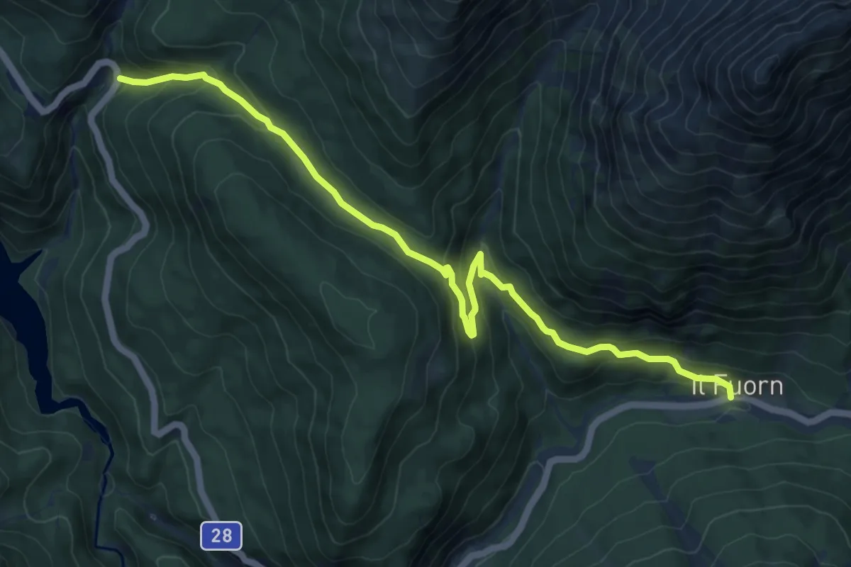
Medium · Trail
P7 – Margunet
6.3 km · ↑ 483 m · 2 h 32 min
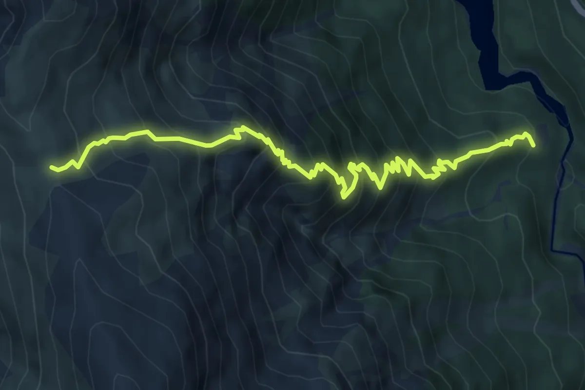
Medium · Trail
Il Fuorn – P1
9.9 km · ↑ 487 m · 3 h 23 min
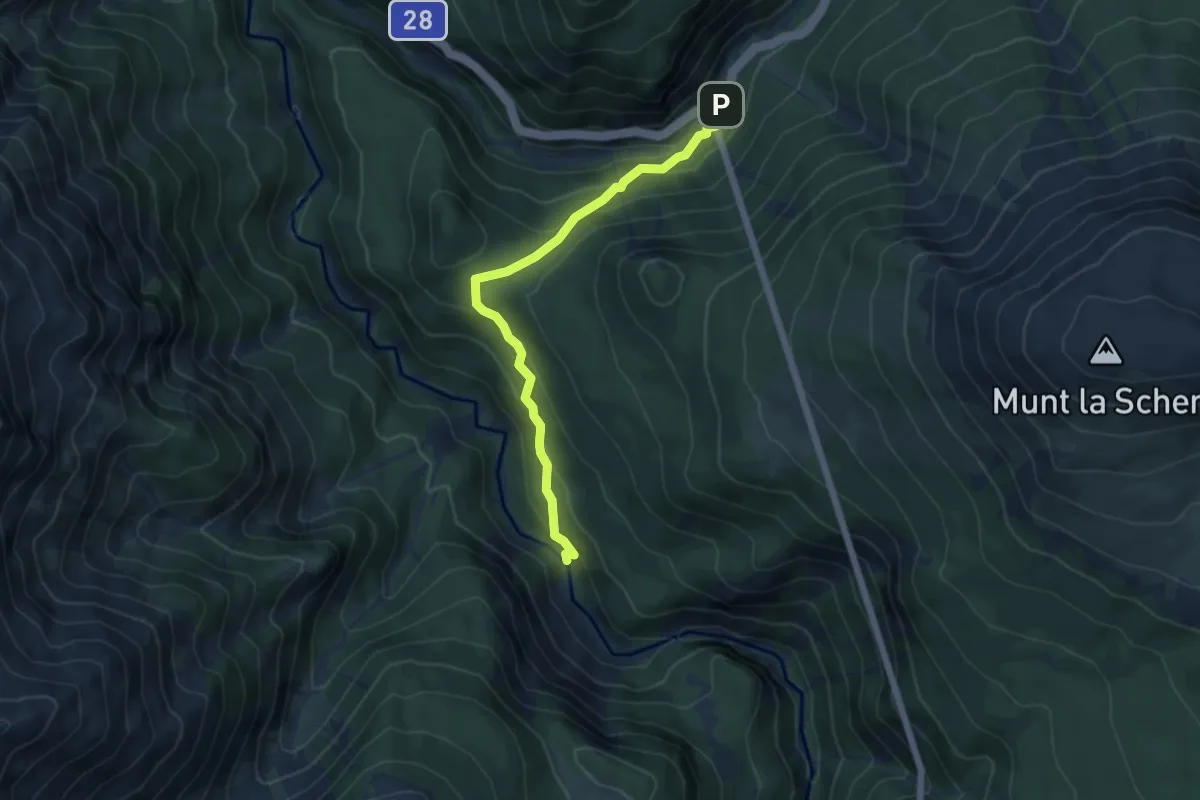
Demanding · Trail
Plan Praspöl – Murter
7.4 km · ↑ 865 m · 3 h 38 min
Medium · Trail
Punt la Drossa – Punt Periv
5.3 km · ↑ 299 m · 1 h 54 min
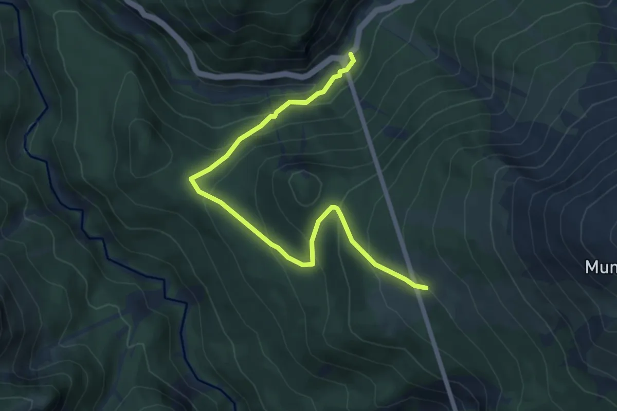
Medium · Trail
Punt la Drossa – Alp la Schera
6.0 km · ↑ 396 m · 2 h 17 min
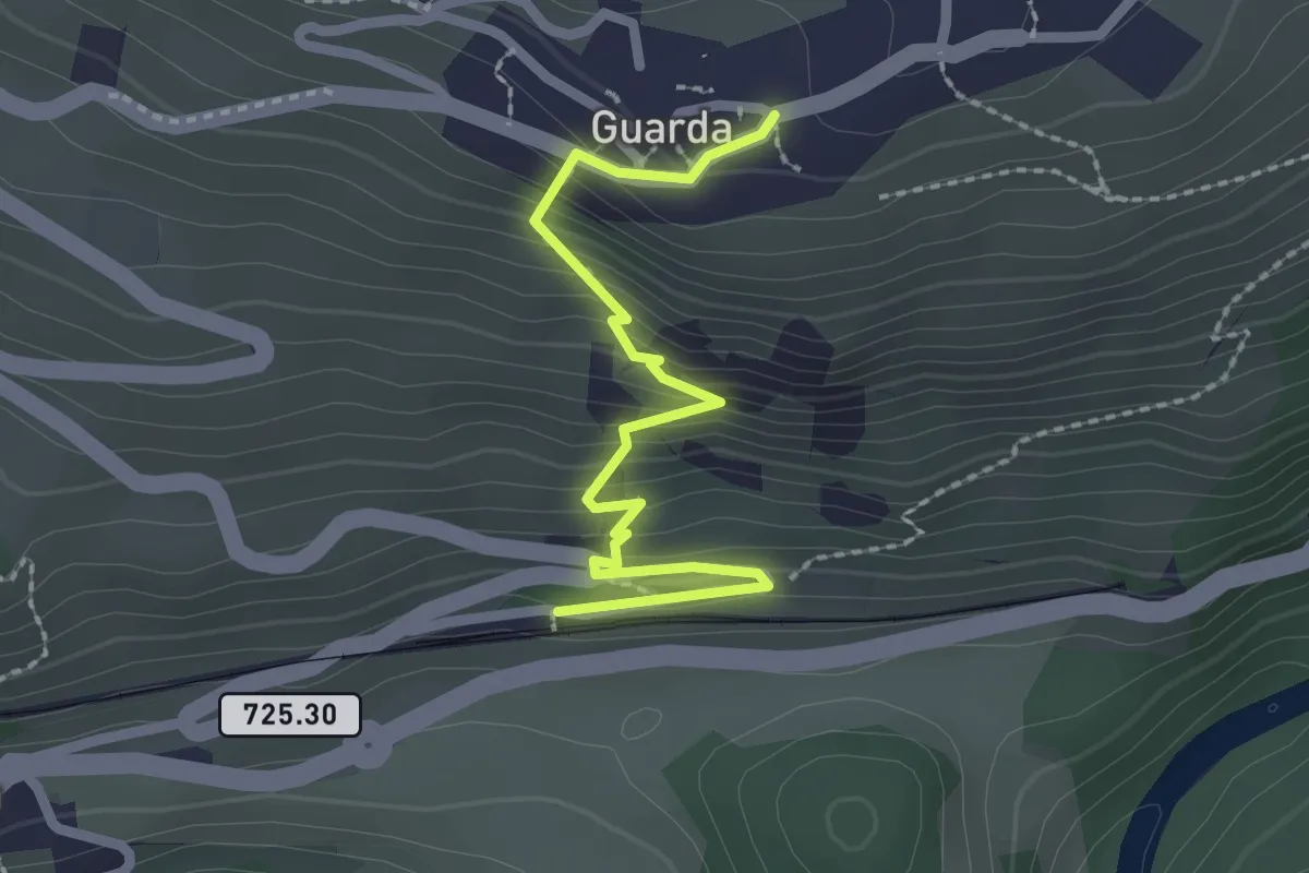
Easy · Trail
Guarda Staziun – Guarda
2.4 km · ↑ 208 m · 1 h 1 min
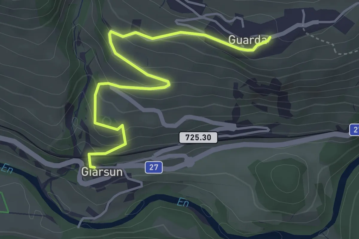
Easy · Trail
Guarda – Giarsun
4.2 km · ↑ 241 m · 1 h 30 min
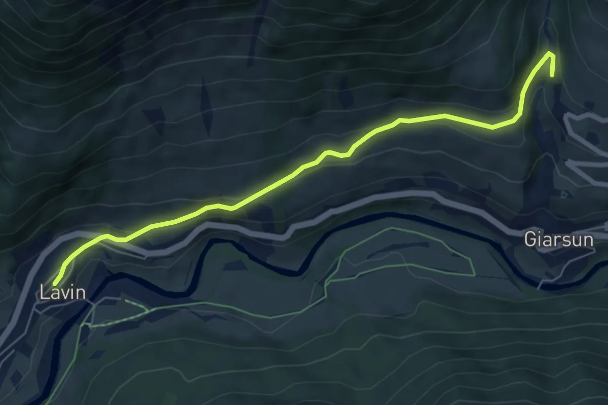
Easy · Trail
Resiga – Lavin
6.1 km · ↑ 176 m · 1 h 49 min
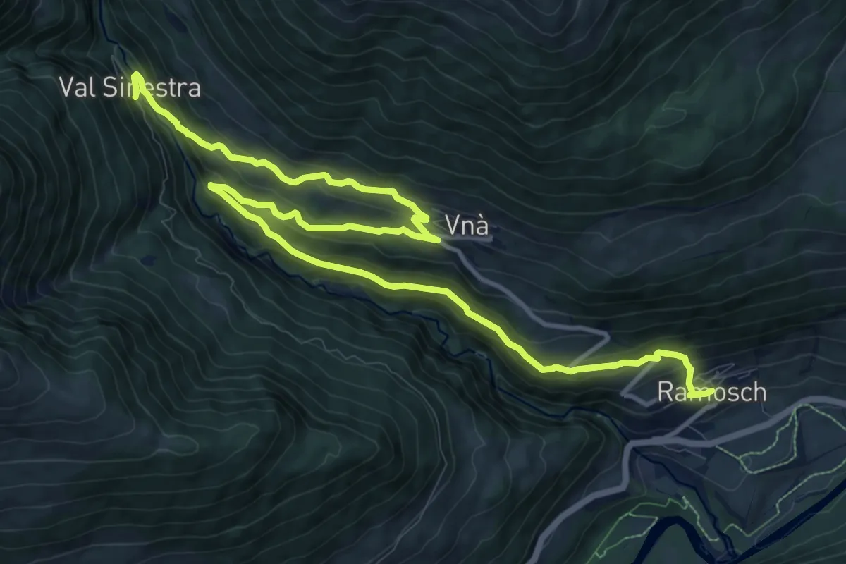
Medium · Trail
Sinestra – Ramosch
15.3 km · ↑ 769 m · 5 h 16 min
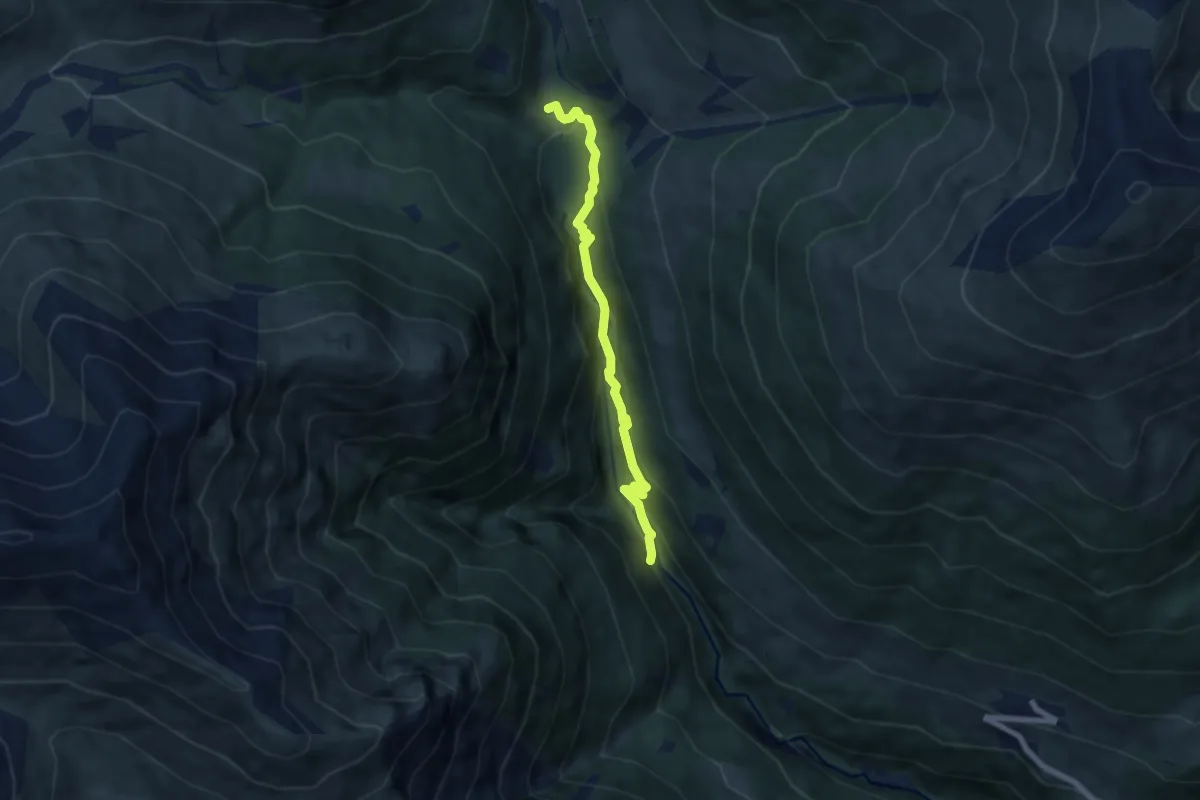
Easy · Trail
Sinestra – Zuort
6.2 km · ↑ 314 m · 2 h 9 min
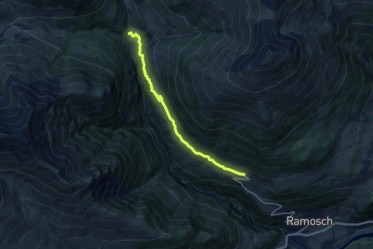
Medium · Trail
Zuort – Vnà
9.6 km · ↑ 437 m · 3 h 13 min
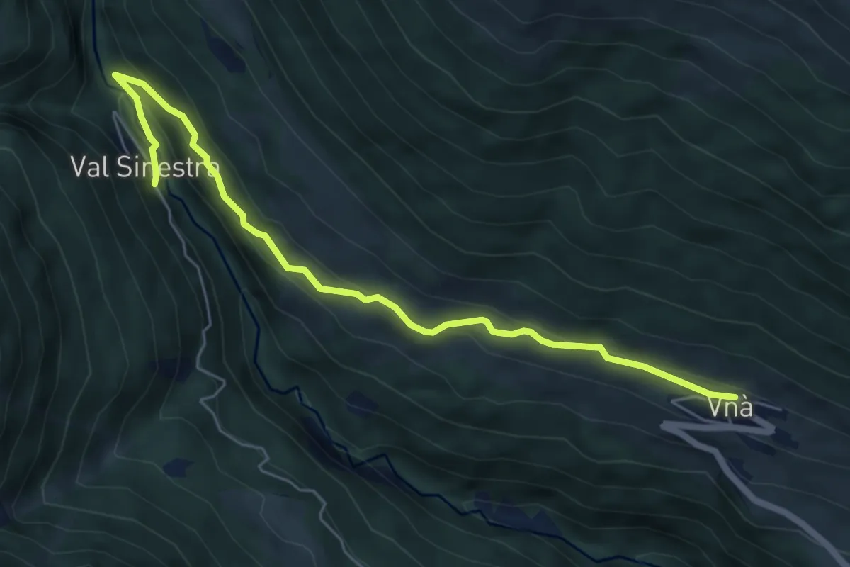
Easy · Trail
Sinestra – Vnà
6.1 km · ↑ 303 m · 2 h 6 min
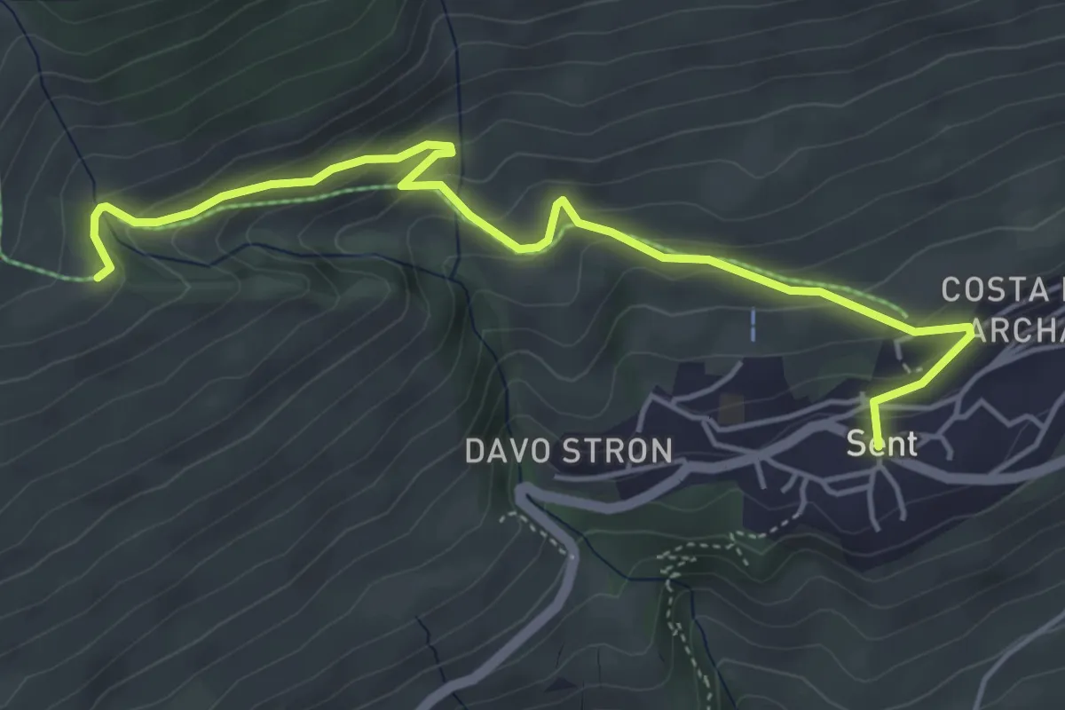
Medium · Trail
Sent – Vastur
5.1 km · ↑ 328 m · 1 h 55 min
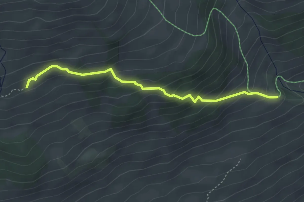
Easy · Trail
Vastur – Salez
3.7 km · ↑ 299 m · 1 h 31 min
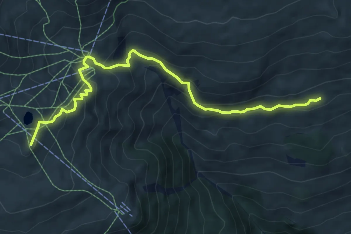
Demanding · Trail
Chamanna da Naluns – Salez
8.1 km · ↑ 471 m · 2 h 55 min
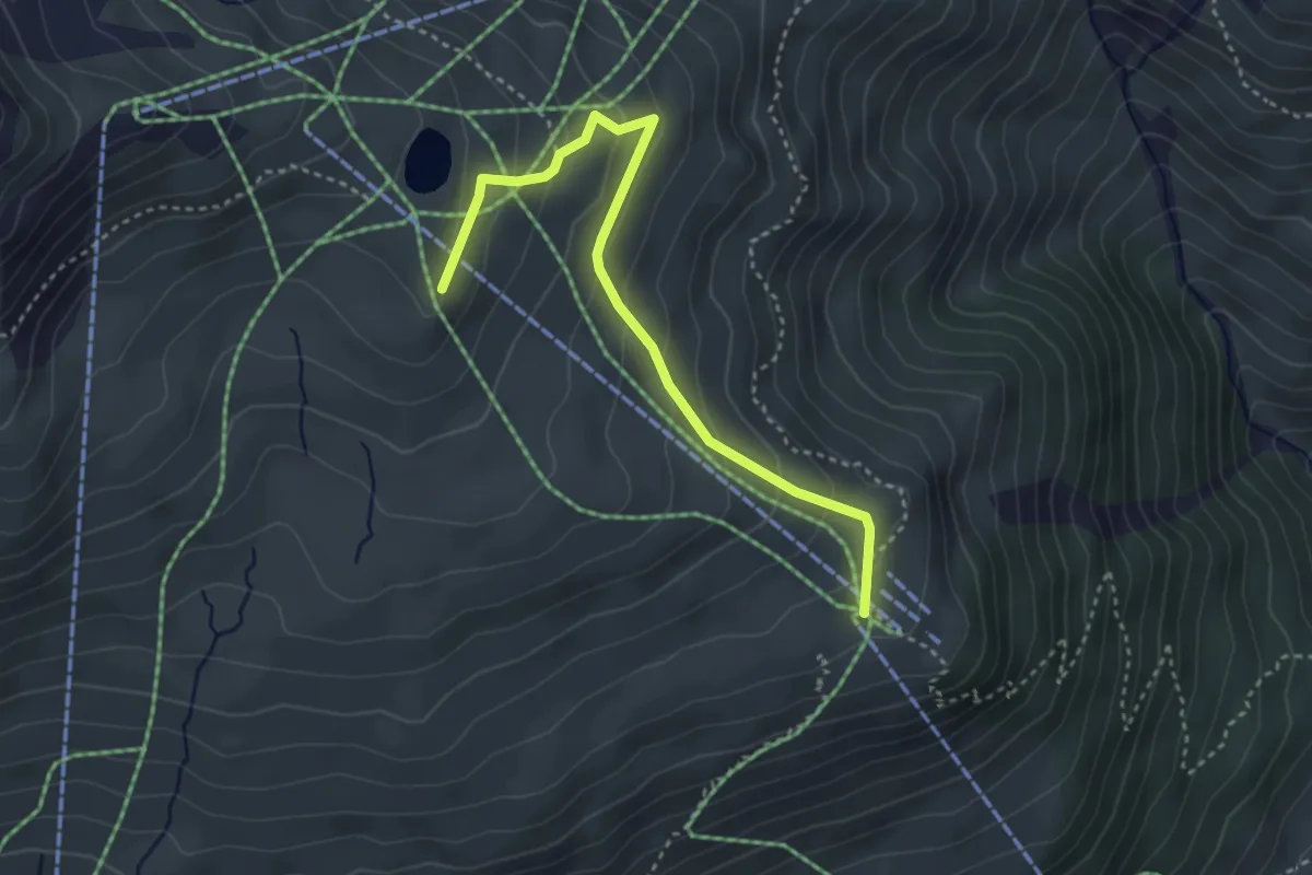
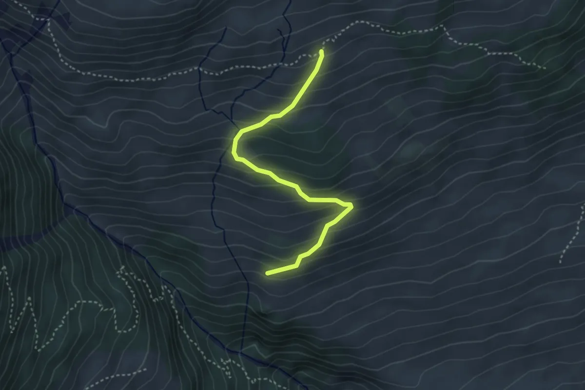
Easy · Trail
Chamanna da Naluns – Motta Naluns
3.6 km · ↑ 216 m · 1 h 19 min
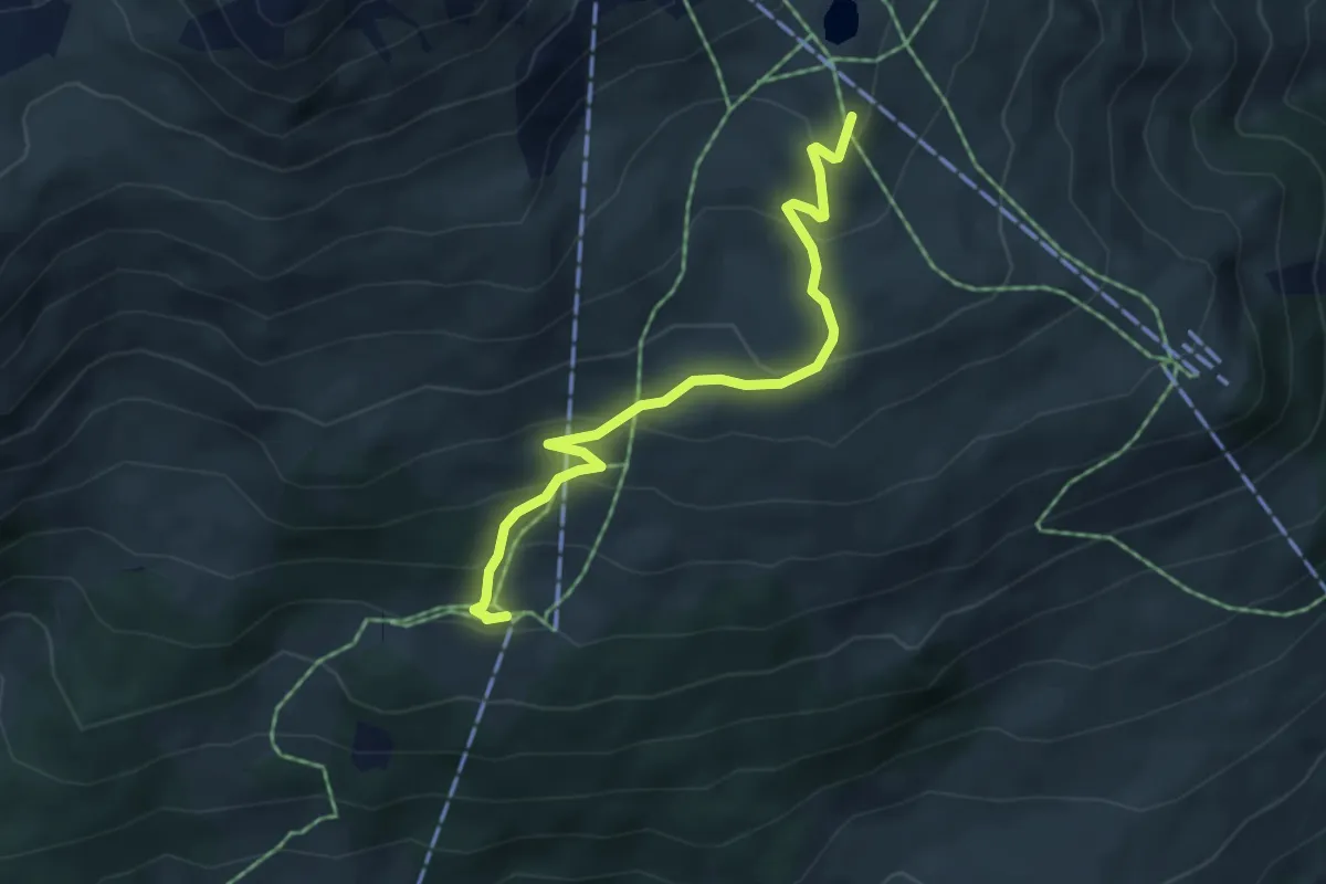
Easy · Trail
Salez – Scuol
3.5 km · ↑ 293 m · 1 h 28 min
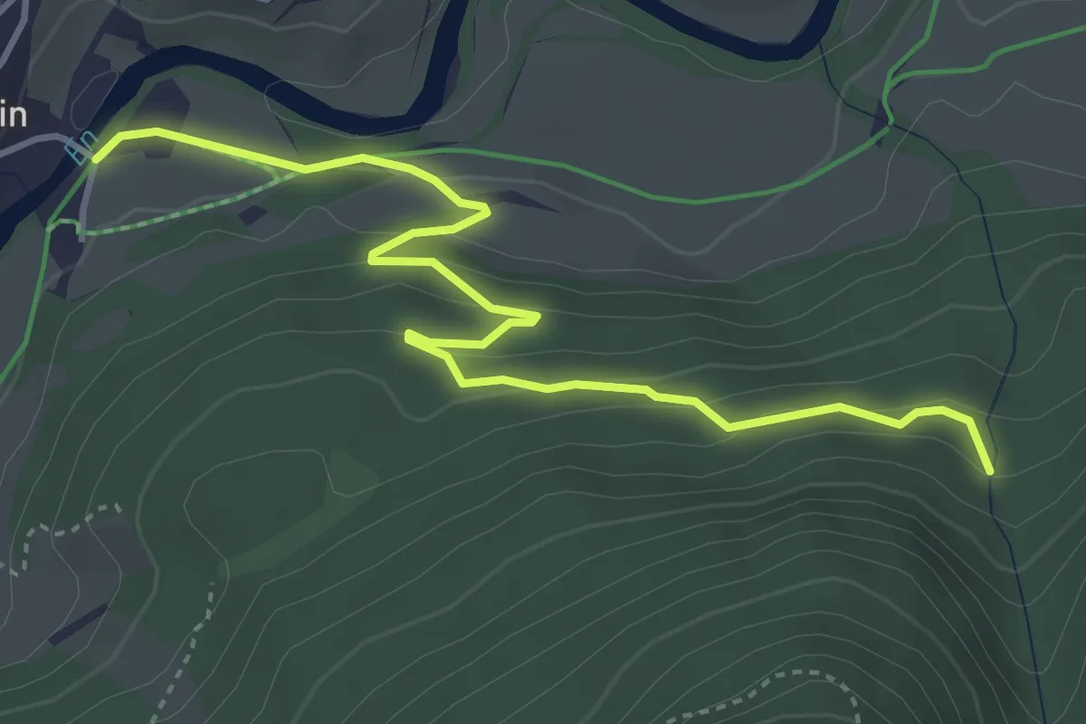
Easy · Trail
Chamanna da Naluns – Prui
4.8 km · ↑ 293 m · 1 h 46 min
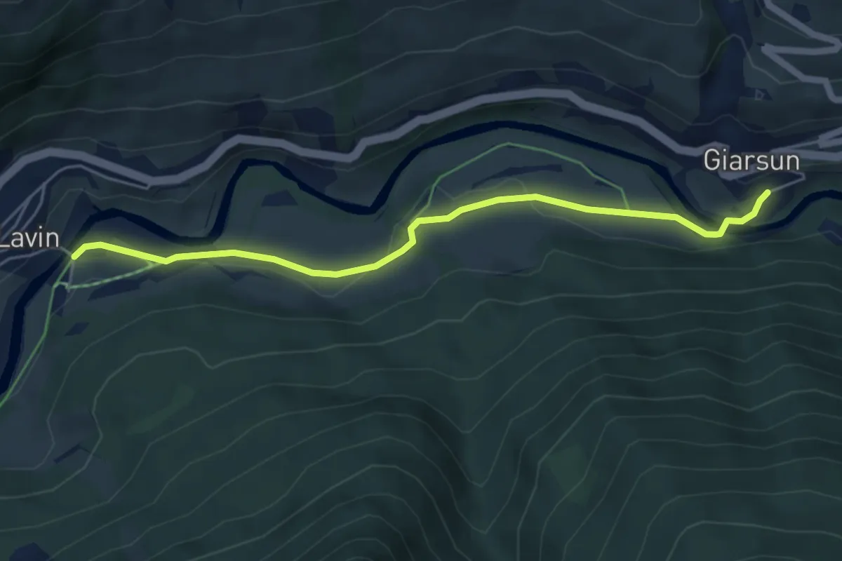
Easy · Trail
Lavin Plans – Zeznina Dadoura
4.4 km · ↑ 210 m · 1 h 30 min
Easy · Trail
Lavin Plans – Giarsun
5.1 km · ↑ 84 m · 1 h 24 min