Trails in Switzerland
15,055 hiking trails, each with its route, climb, walking time and grade.
All trails, page 142 of 314
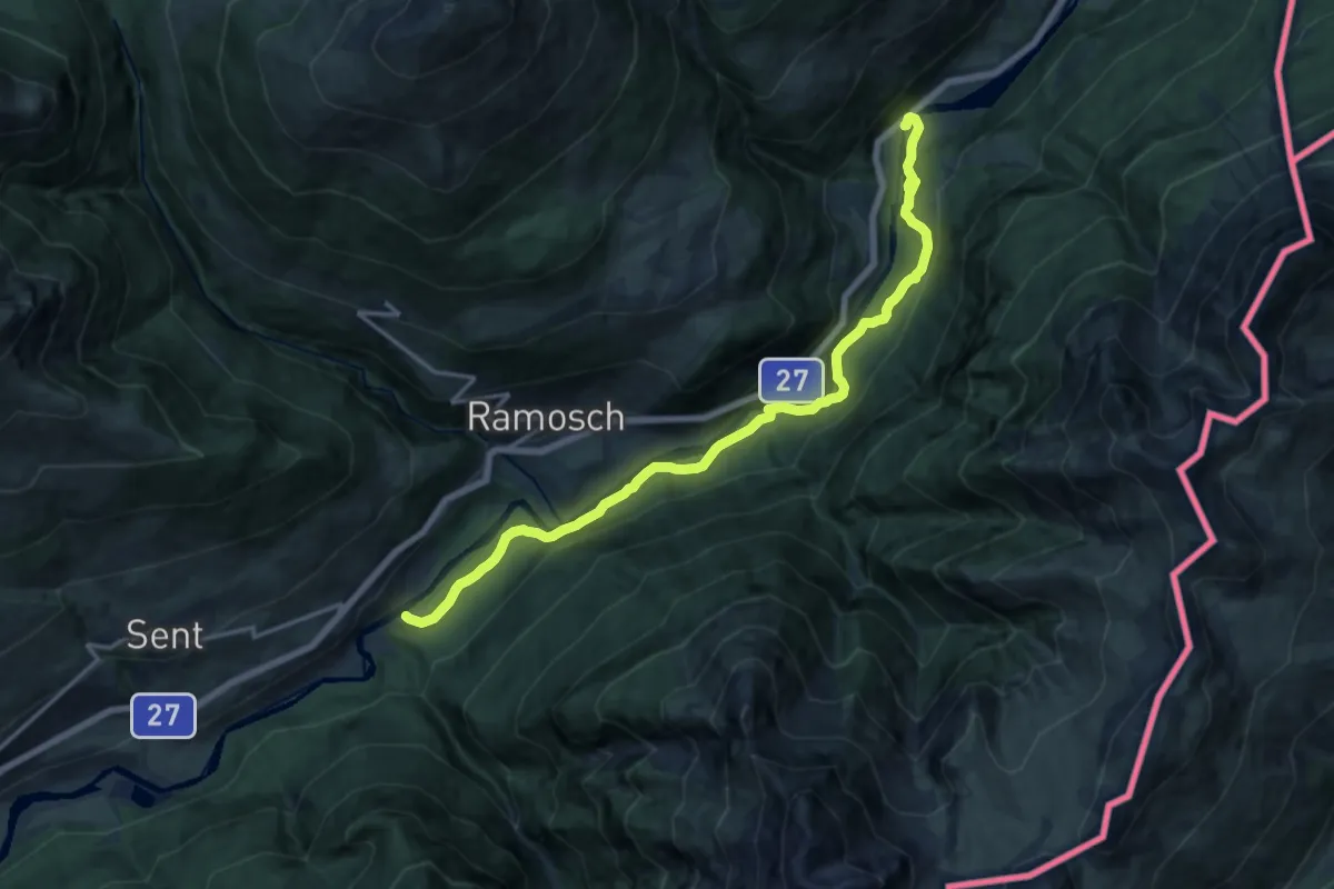
Medium · Trail
Sur En – San Nicla
16.3 km · ↑ 417 m · 4 h 45 min
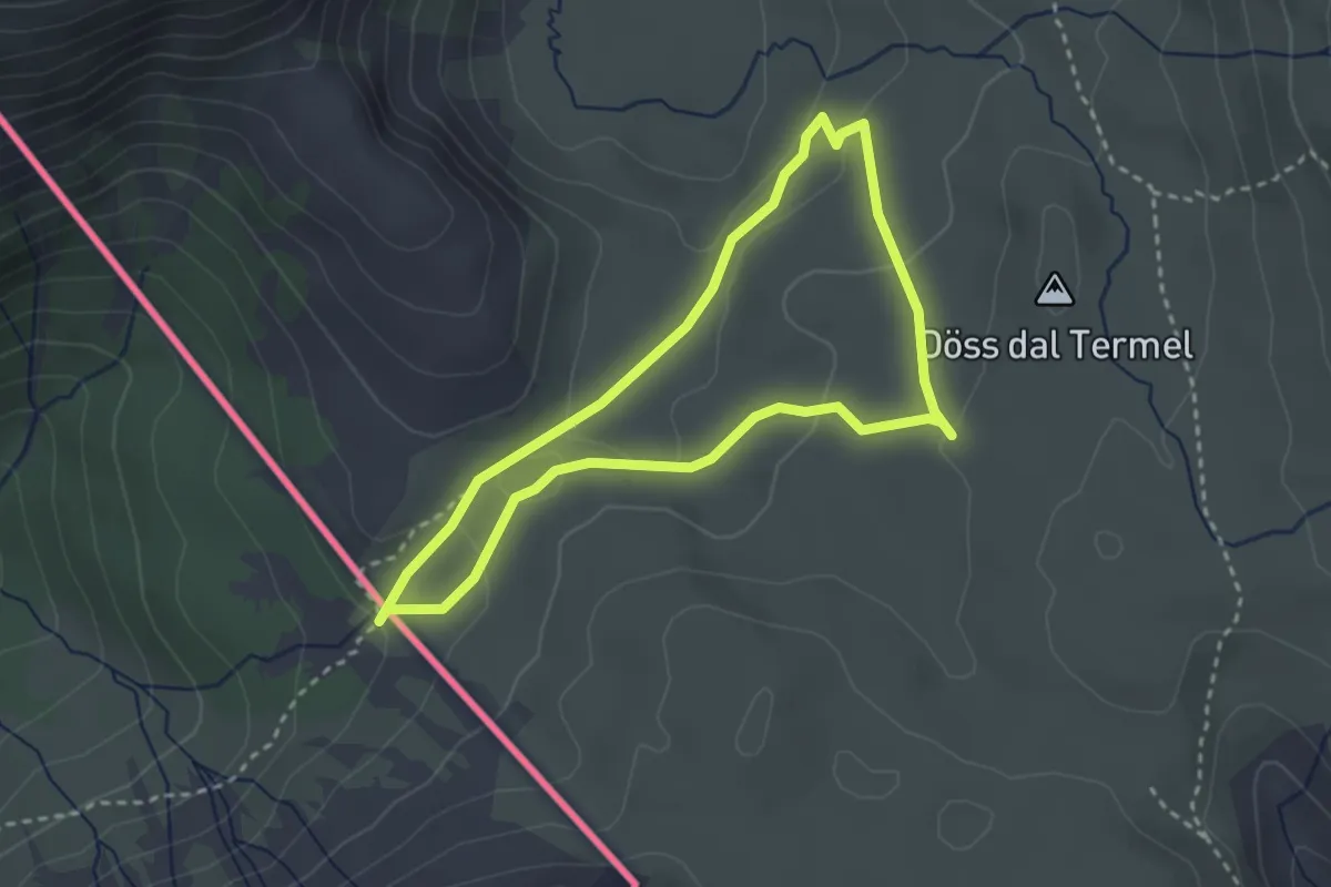
Medium · Trail
Chasa da Cunfin – Fuorcla dal Gal
2.7 km · ↑ 80 m · 50 min
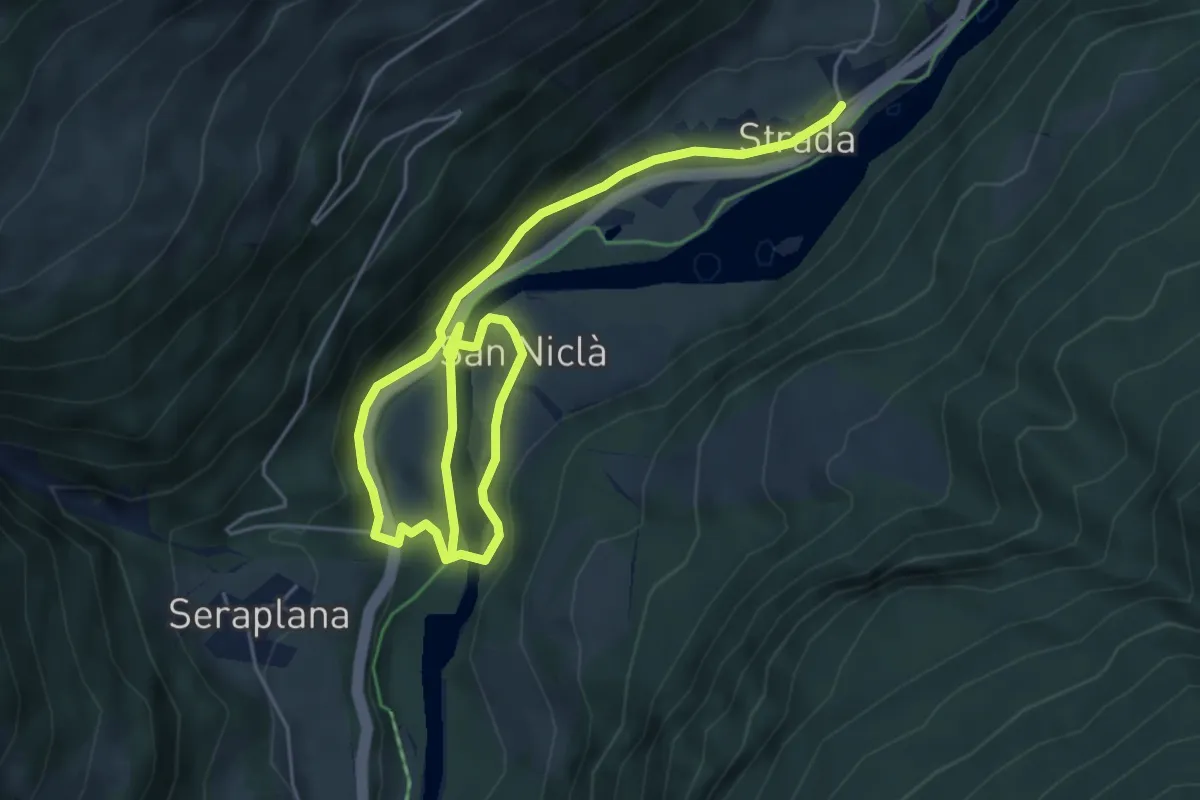
Easy · Trail
Strada – Strada
3.8 km · ↑ 121 m · 1 h 13 min
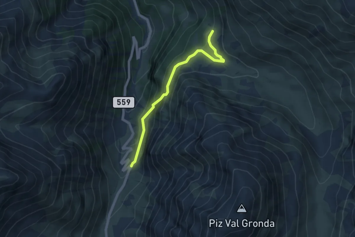
Easy · Trail
Sta. Maria Val M., Val Gronda – Alp Prasura
4.2 km · ↑ 278 m · 1 h 36 min
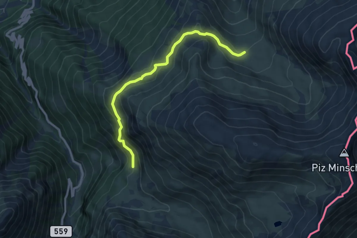
Medium · Trail
Alp Prasura – Alp Sielva
6.3 km · ↑ 399 m · 2 h 22 min
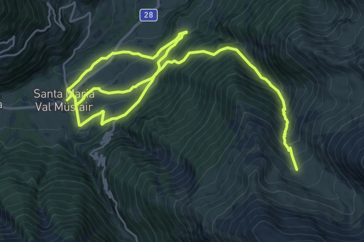
Demanding · Trail
Sta. Maria Val M., Val Gronda – Alp Sielva
20.6 km · ↑ 1389 m · 7 h 52 min
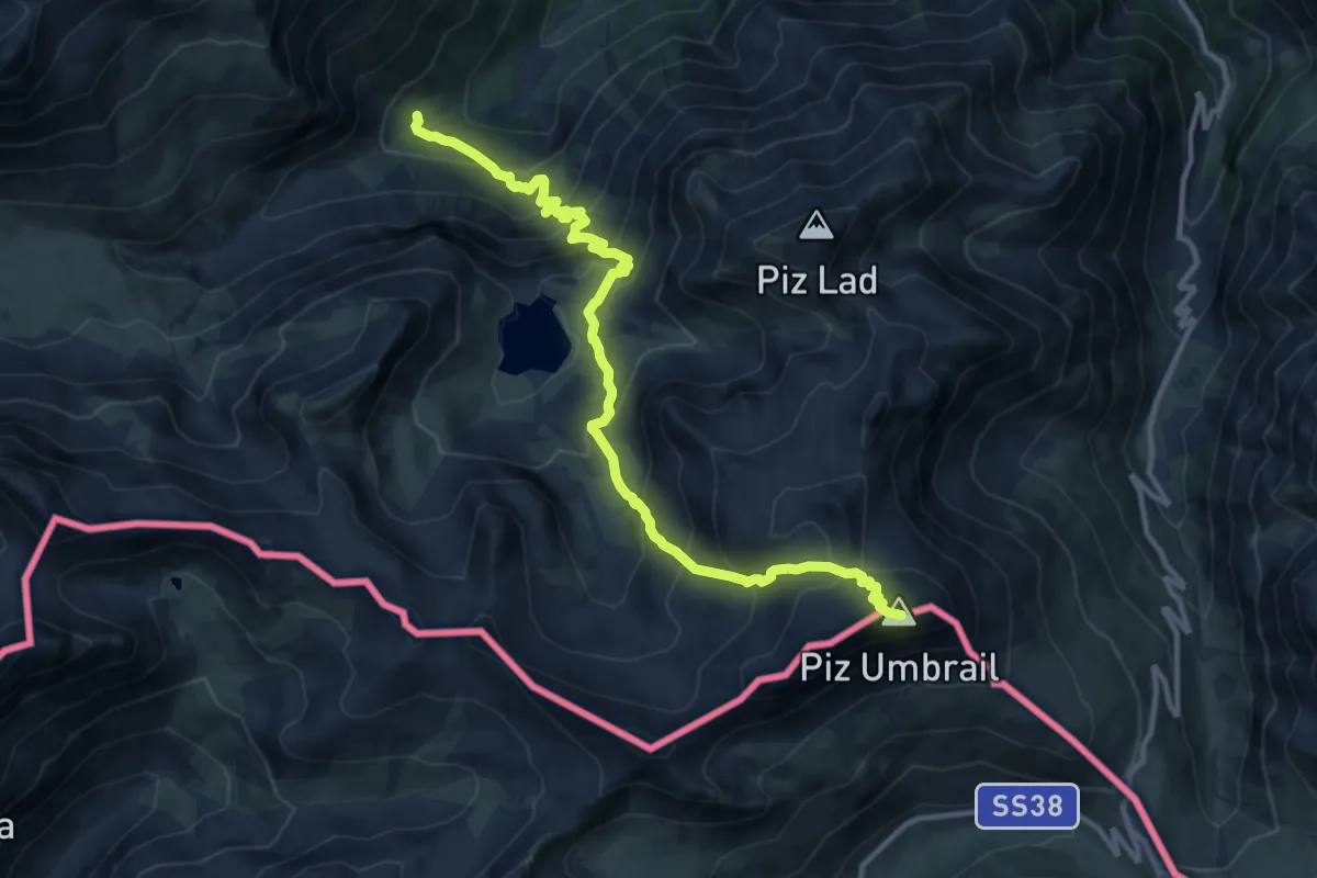
Expert · Summit
Pass Umbrail – Las Clastras
12.5 km · ↑ 1078 m · 5 h 18 min
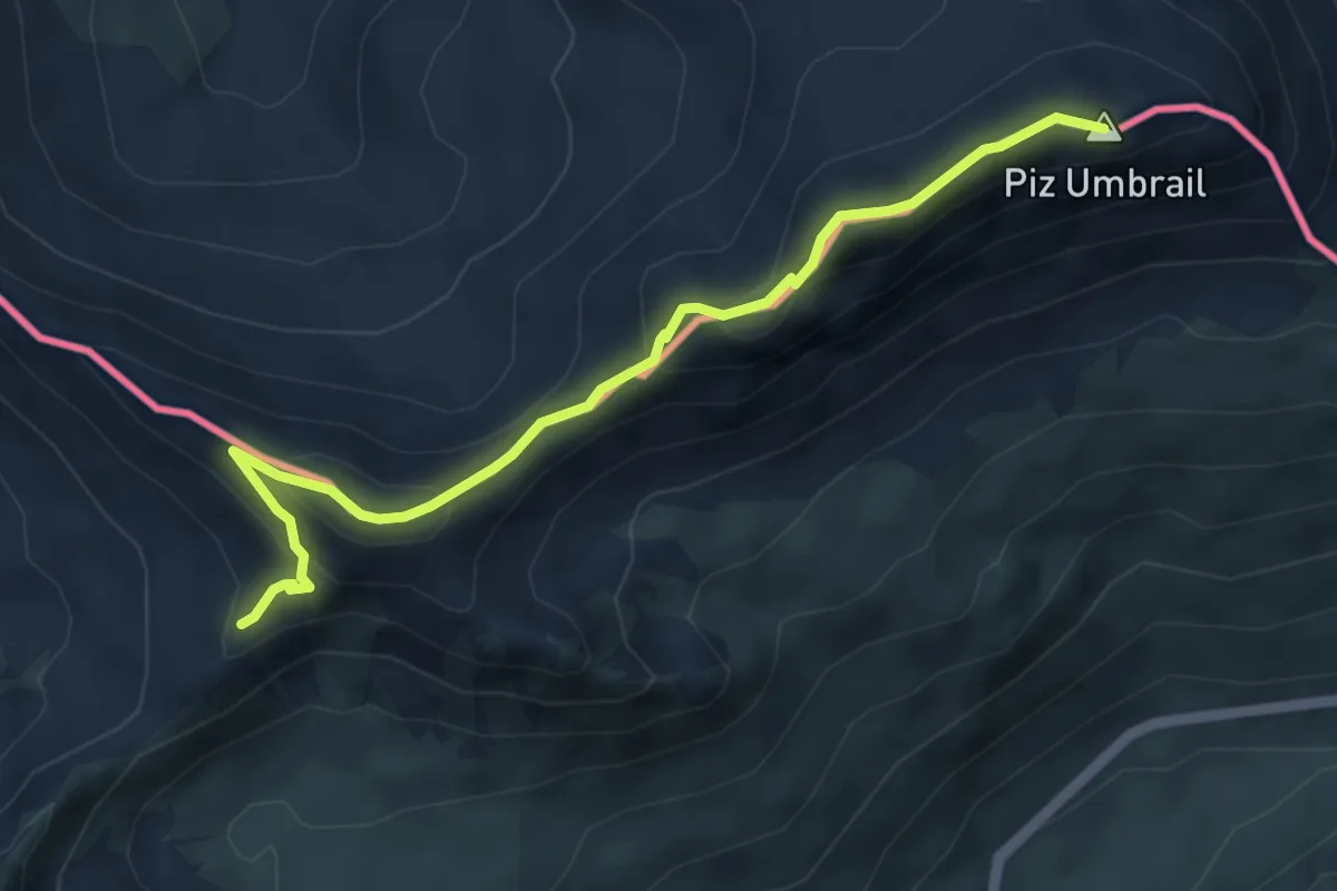
Expert · Summit
Piz Umbrail – Punta da Rims
5.2 km · ↑ 285 m · 1 h 51 min
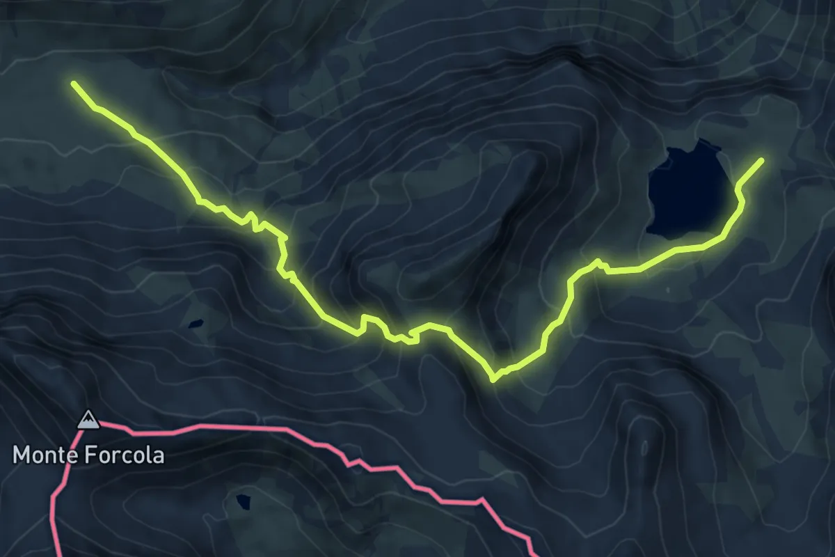
Medium · Trail
Lai da Rims – Doss Radond
9.5 km · ↑ 731 m · 3 h 50 min
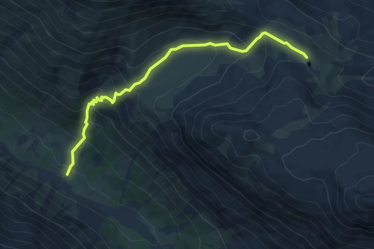
Medium · Trail
Alp Sprella – Lai da Chazfora
6.3 km · ↑ 494 m · 2 h 33 min
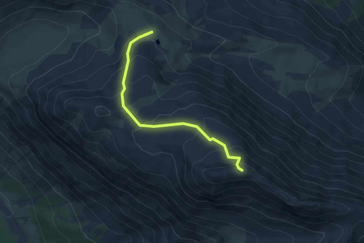
Demanding · Trail
Lai da Chazfora – Piz Turettas
4.4 km · ↑ 336 m · 1 h 46 min
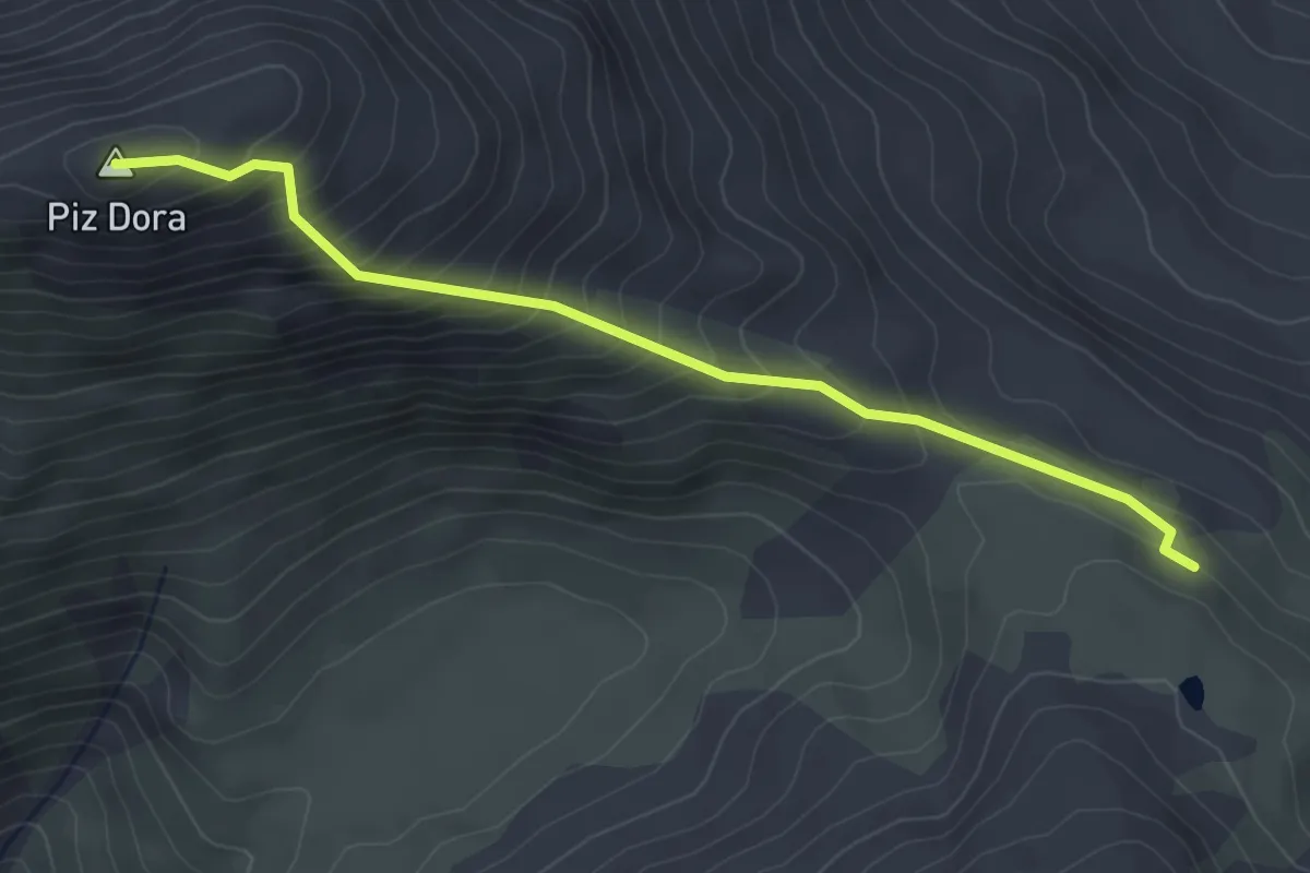
Demanding · Summit
Lai da Chazfora – Piz Dora
3.8 km · ↑ 400 m · 1 h 46 min
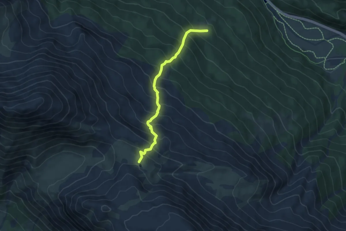
Medium · Trail
Funtauna Grossa – Lai da Chazfora
5.5 km · ↑ 664 m · 2 h 44 min
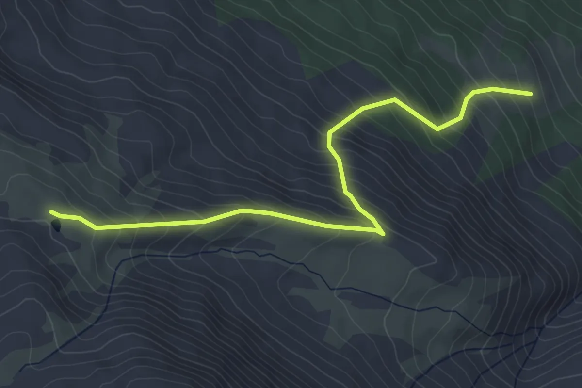
Medium · Trail
Alp Sadra – Lai da Chazfora
5.6 km · ↑ 534 m · 2 h 29 min
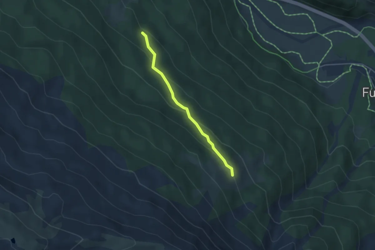
Easy · Trail
Funtauna Grossa – Alp Sadra
3.1 km · ↑ 136 m · 1 h 1 min
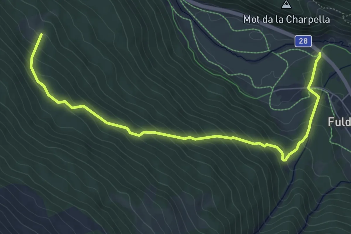
Medium · Trail
Fuldera – Funtauna Grossa
6.8 km · ↑ 443 m · 2 h 34 min
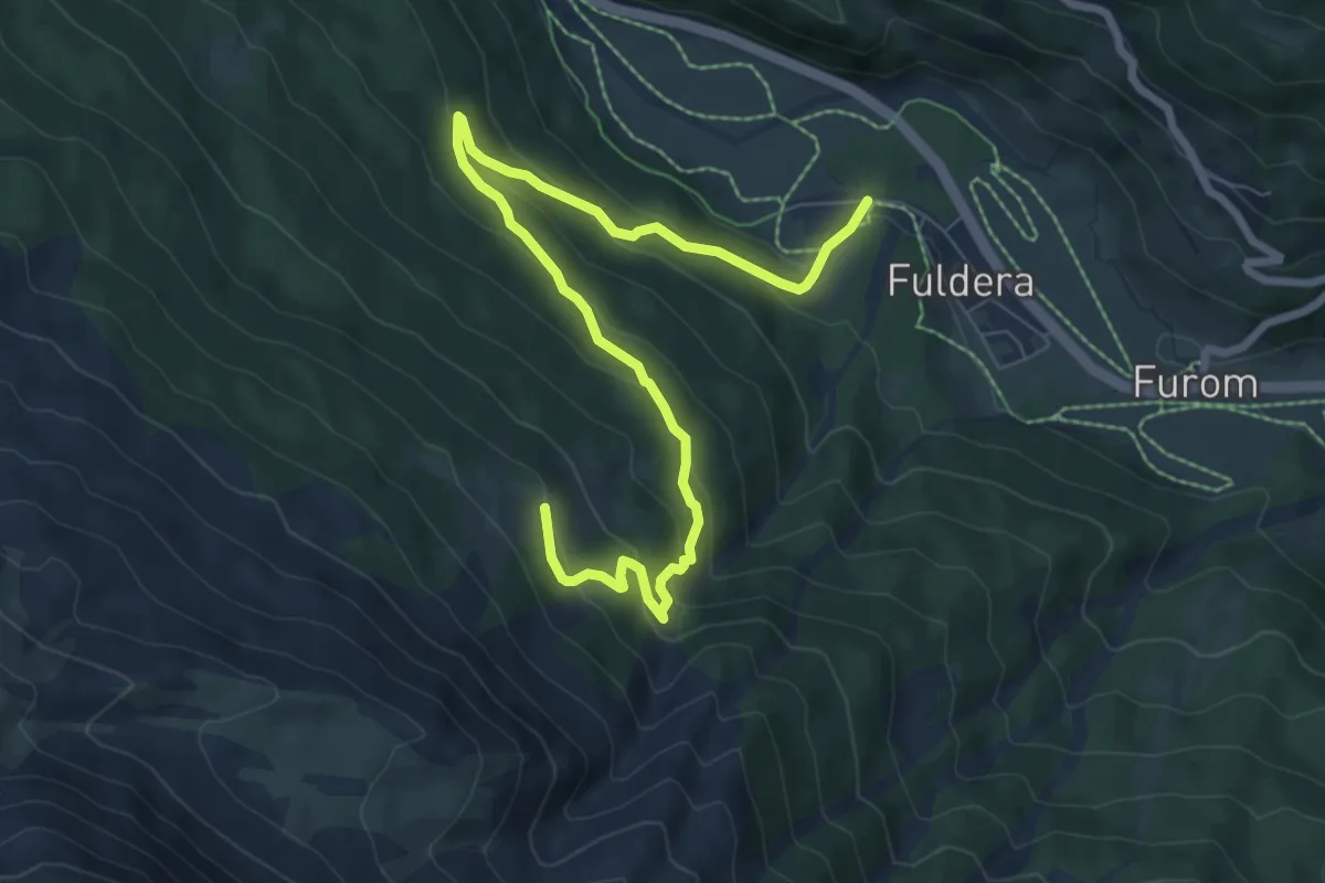
Medium · Trail
Fuldera – Alp Sadra
8.8 km · ↑ 466 m · 3 h 5 min
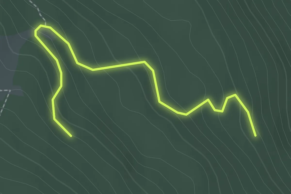
Easy · Trail
Palu Lunga – Funtauna Grossa
2.5 km · ↑ 121 m · 50 min
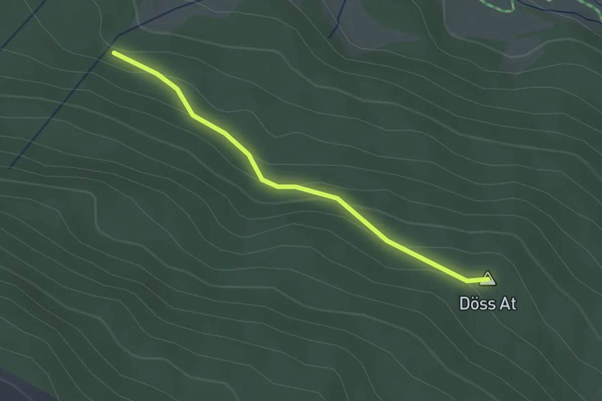
Easy · Summit
Funtauna Grossa – Multa Gronda
2.4 km · ↑ 105 m · 47 min
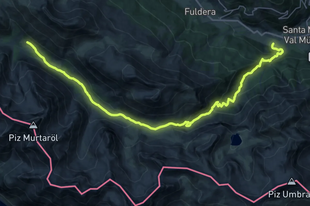
Demanding · Trail
Valchava – Alp Mora
14.4 km · ↑ 903 m · 5 h 13 min
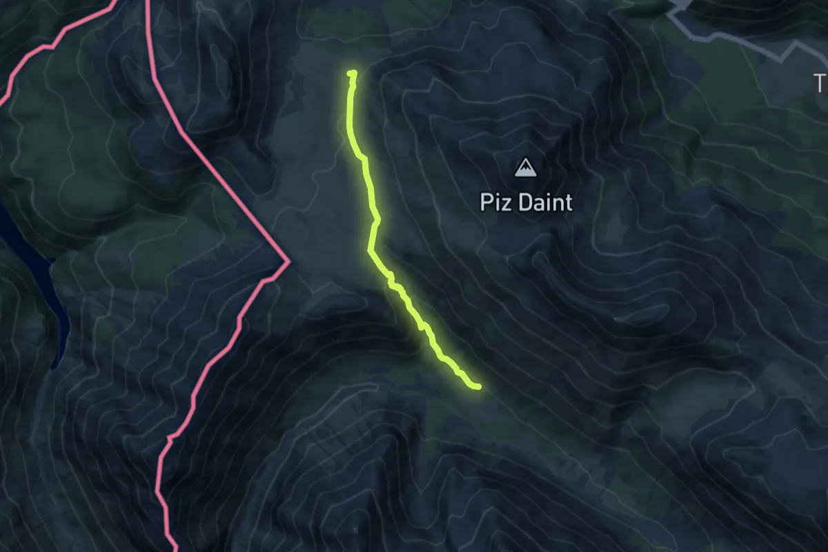
Medium · Summit
Alp Mora – Doss da las Plattas
7.9 km · ↑ 347 m · 2 h 37 min
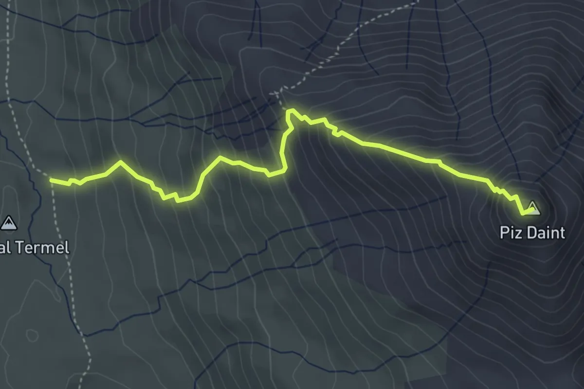
Medium · Summit
Doss dal Termel – Piz Daint
4.5 km · ↑ 605 m · 2 h 22 min
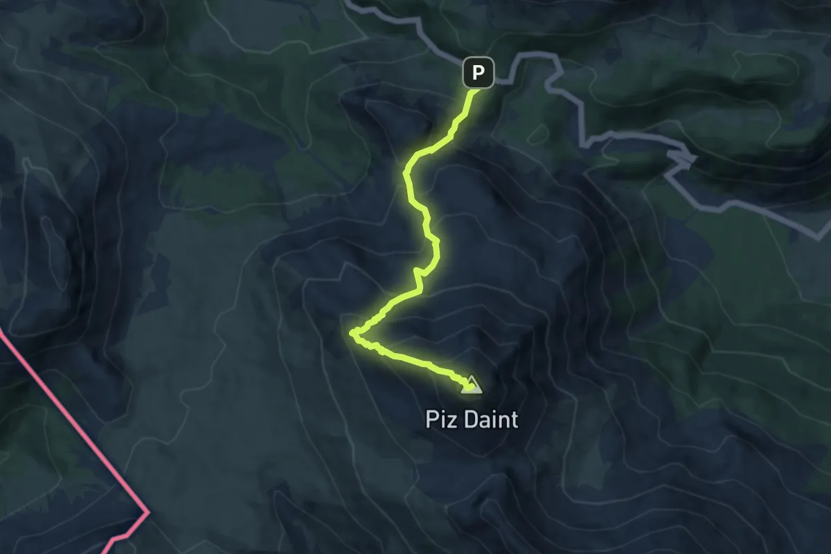
Medium · Summit
Pass dal Fuorn – Piz Daint
8.0 km · ↑ 797 m · 3 h 36 min
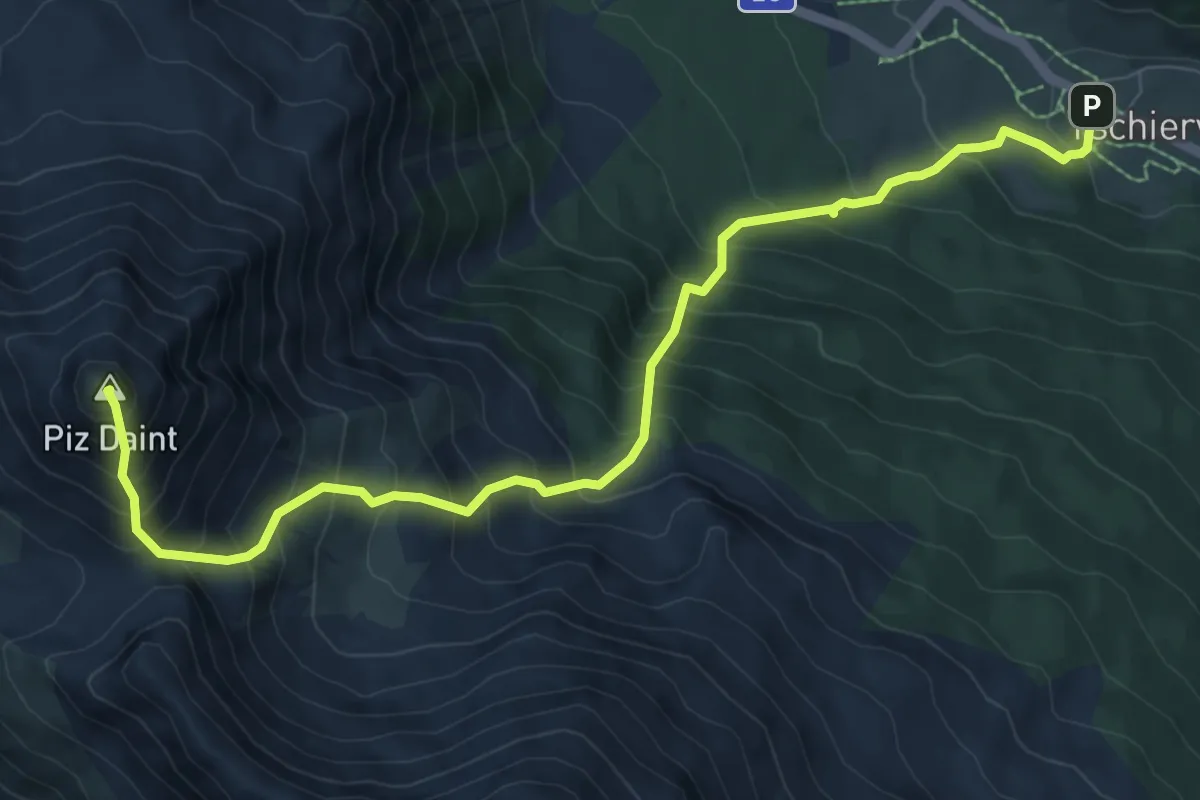
Demanding · Summit
Tschierv – Piz Daint
9.6 km · ↑ 1240 m · 4 h 57 min
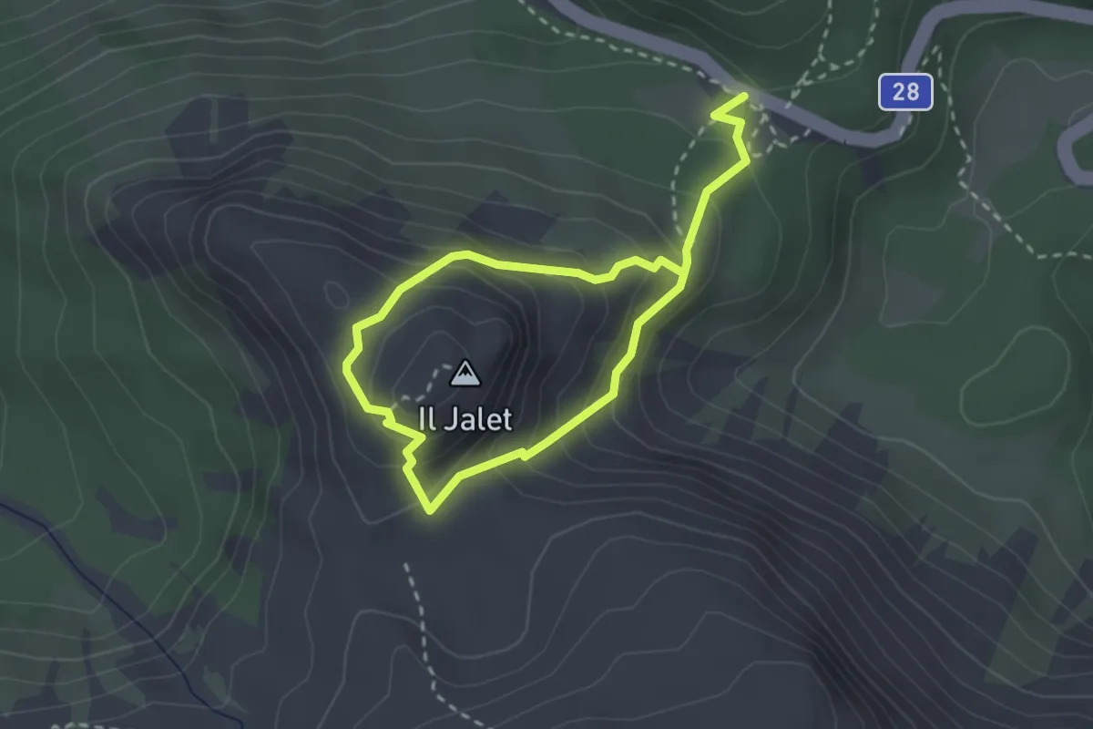
Medium · Summit
Pass dal Fuorn – Il Jalet
2.0 km · ↑ 165 m · 52 min
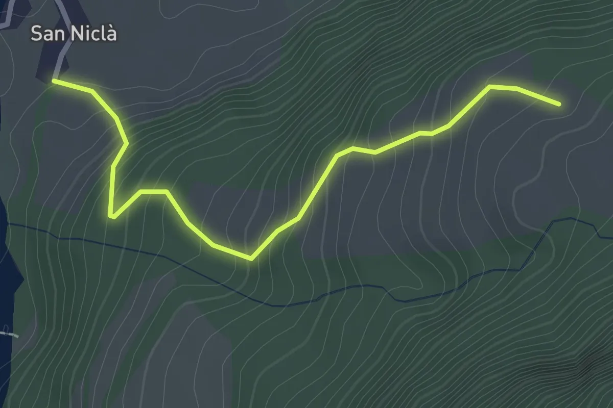
Easy · Trail
San Nicla – Mot da Lita
2.6 km · ↑ 252 m · 1 h 9 min
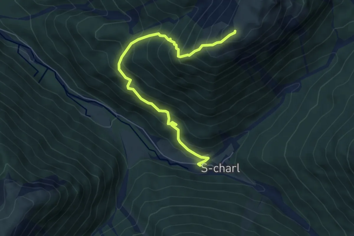
Medium · Summit
S-chanf – Mot Madlain
6.0 km · ↑ 704 m · 2 h 57 min
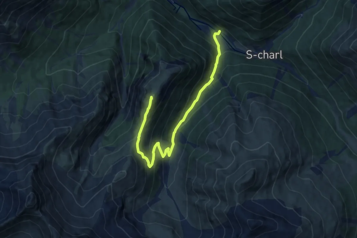
Medium · Summit
Schmelzra – Mot Tavru
10.7 km · ↑ 720 m · 4 h 5 min
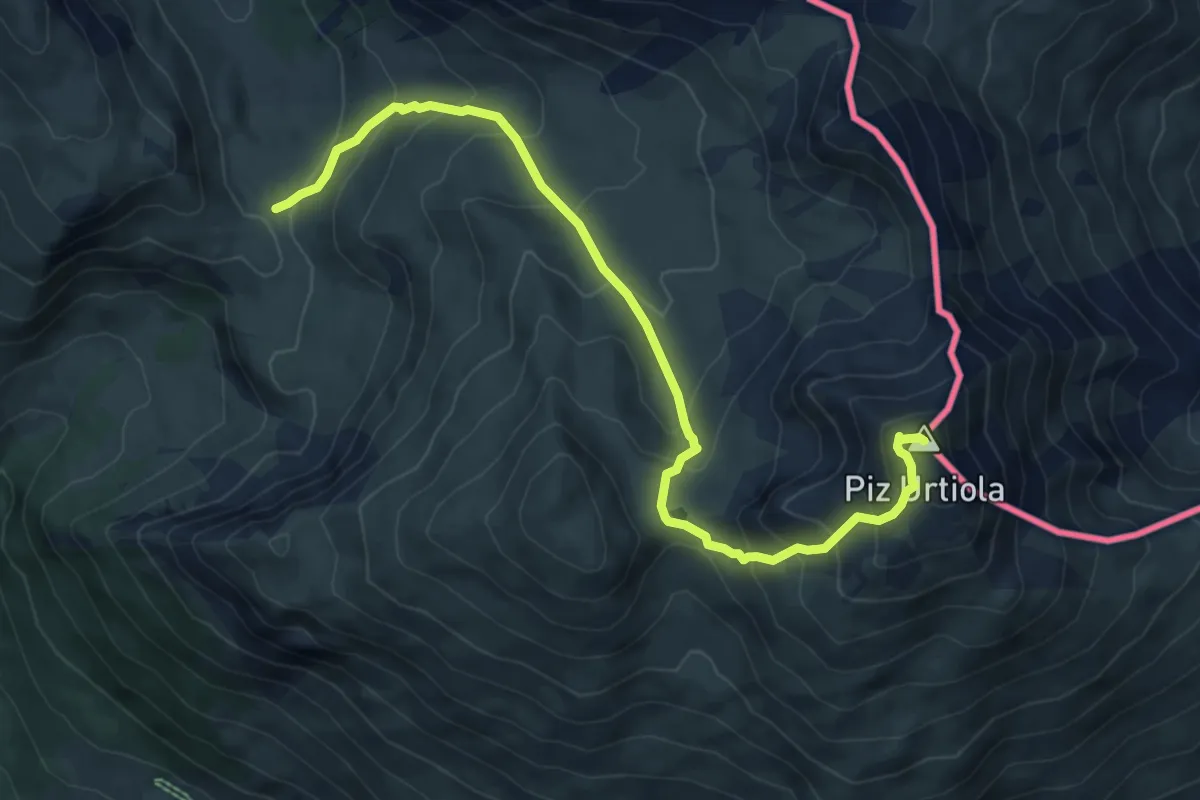
Medium · Summit
Pass da Costainas – Piz Terza
8.6 km · ↑ 676 m · 3 h 30 min
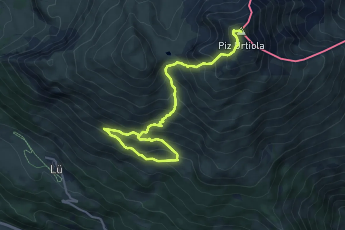
Demanding · Summit
Alp Tabladatsch – Piz Terza
10.0 km · ↑ 849 m · 4 h 12 min
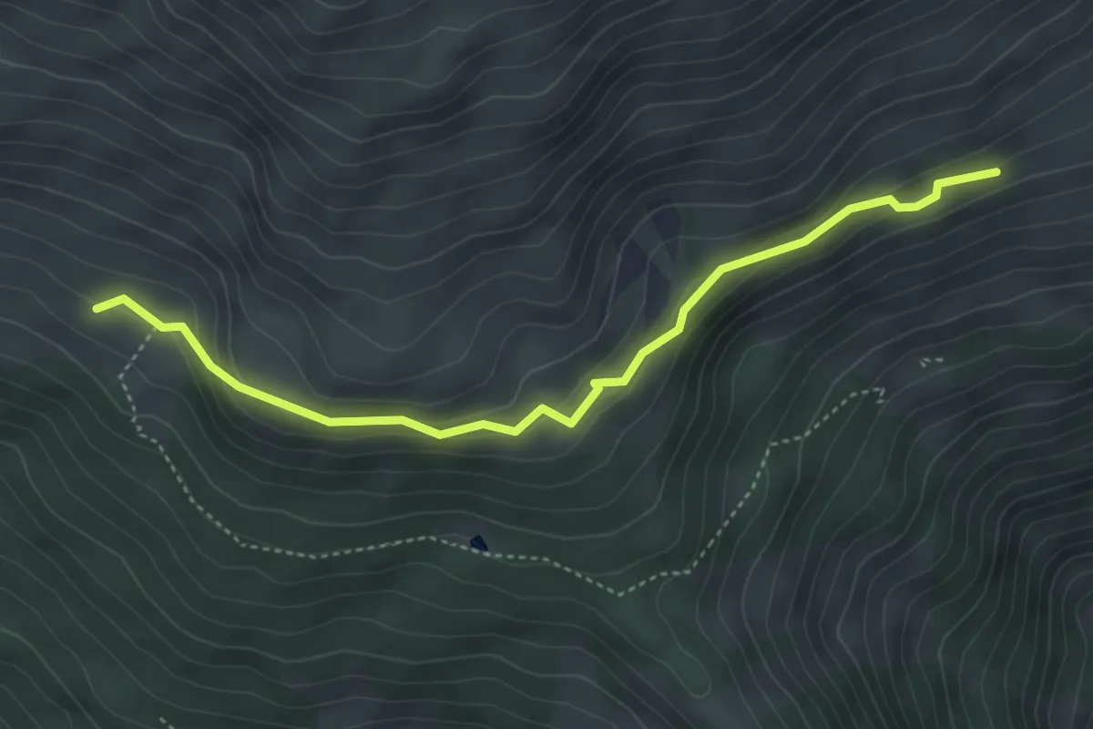
Easy · Trail
Alp Tabladatsch – Alp Terza
4.5 km · ↑ 202 m · 1 h 30 min
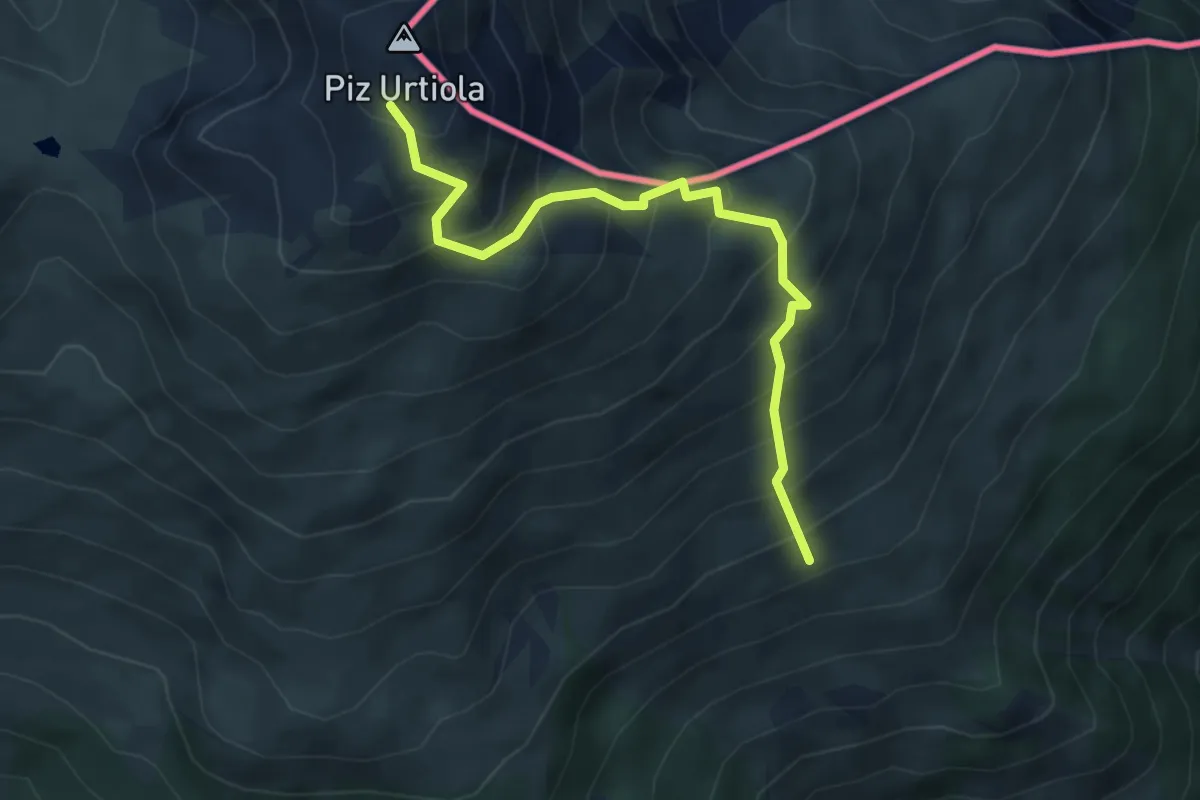
Medium · Trail
Alp Terza – Piz Terza
5.1 km · ↑ 656 m · 2 h 37 min
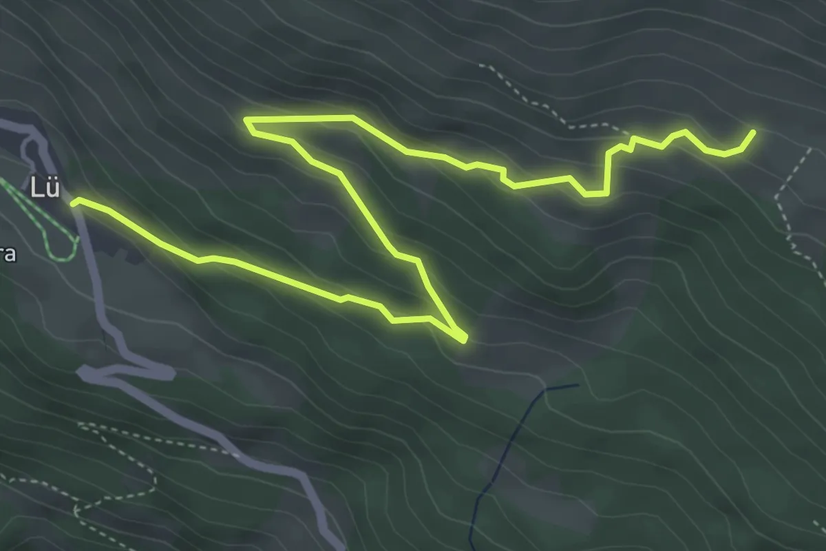
Medium · Trail
Lü – Alp Tabladatsch
6.0 km · ↑ 335 m · 2 h 9 min
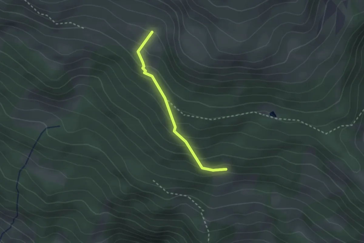
Easy · Trail
Alp Sot – Alp Tabladatsch
2.1 km · ↑ 166 m · 51 min
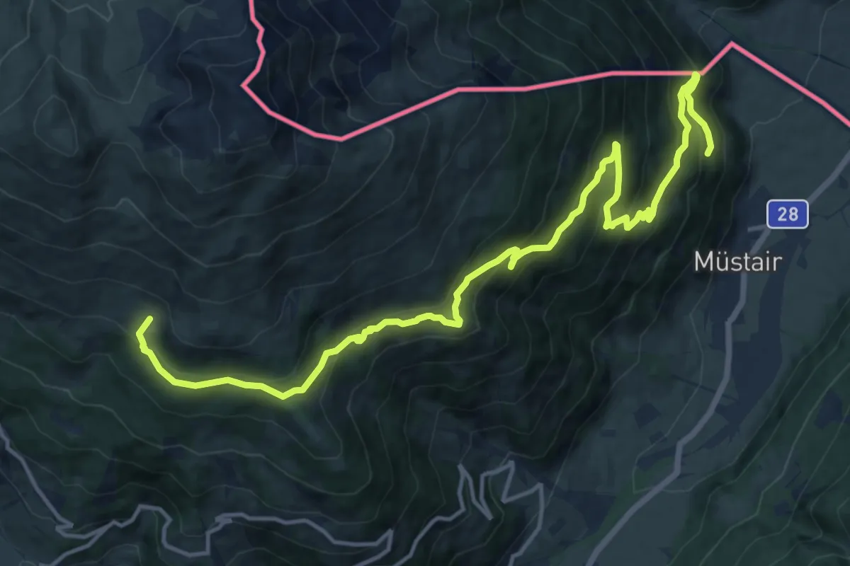
Demanding · Trail
Alp Tabladatsch – Ruinatscha
16.6 km · ↑ 1012 m · 6 h 6 min
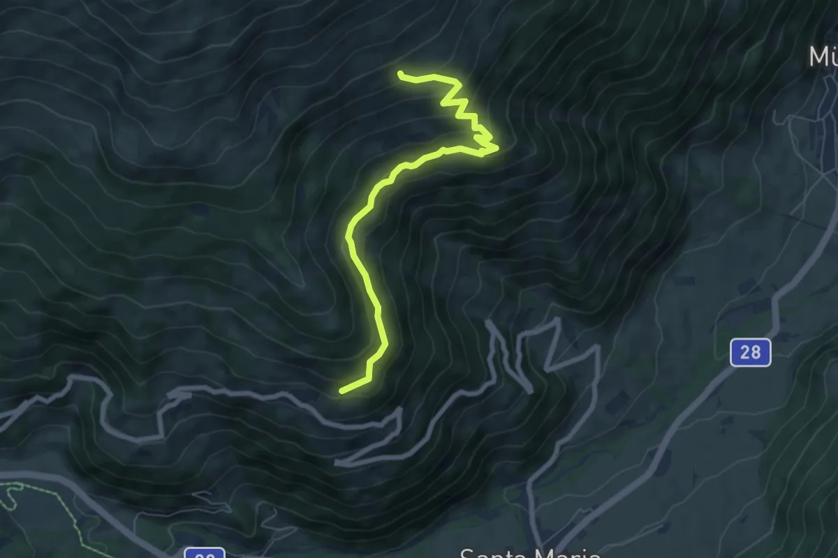
Medium · Trail
Craistas – Alp Terza
6.5 km · ↑ 403 m · 2 h 25 min
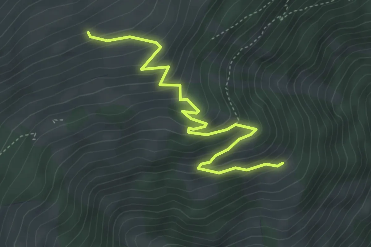
Medium · Trail
Terza – Alp Terza
4.6 km · ↑ 372 m · 1 h 53 min
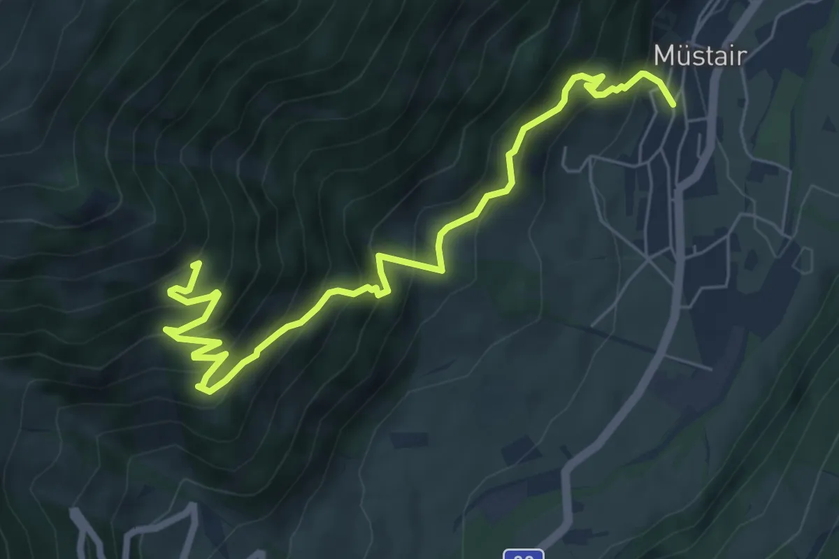
Medium · Trail
Mustair – Terza
7.2 km · ↑ 691 m · 3 h 11 min
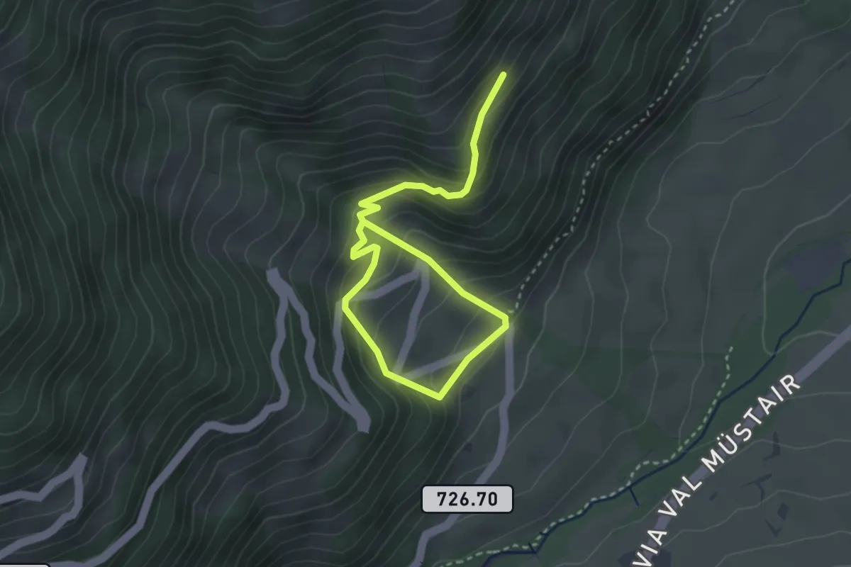
Medium · Trail
Pizzet – Putschai
4.2 km · ↑ 351 m · 1 h 46 min
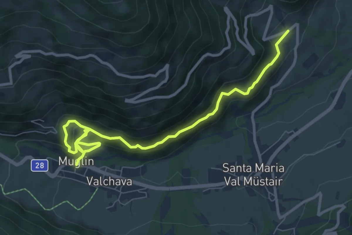
Medium · Trail
Valchava – Pizzet
7.9 km · ↑ 536 m · 3 h 2 min
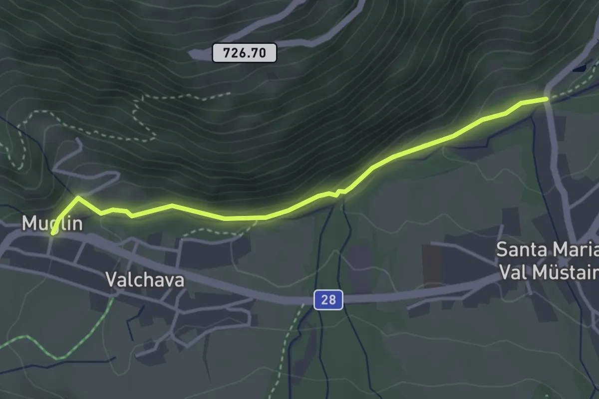
Easy · Trail
Valchava – Plaun Schumpeder
3.3 km · ↑ 105 m · 1 h 1 min
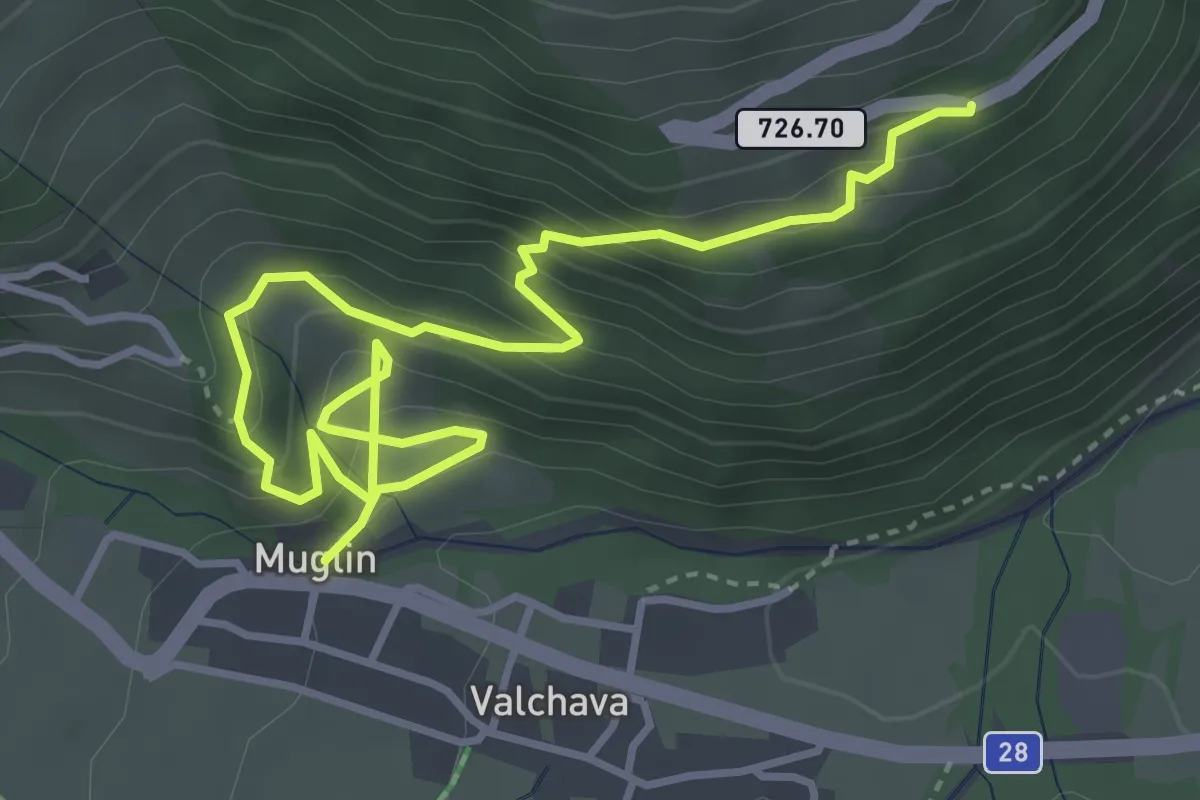
Medium · Trail
Buglios – Valchava
5.0 km · ↑ 398 m · 2 h 3 min
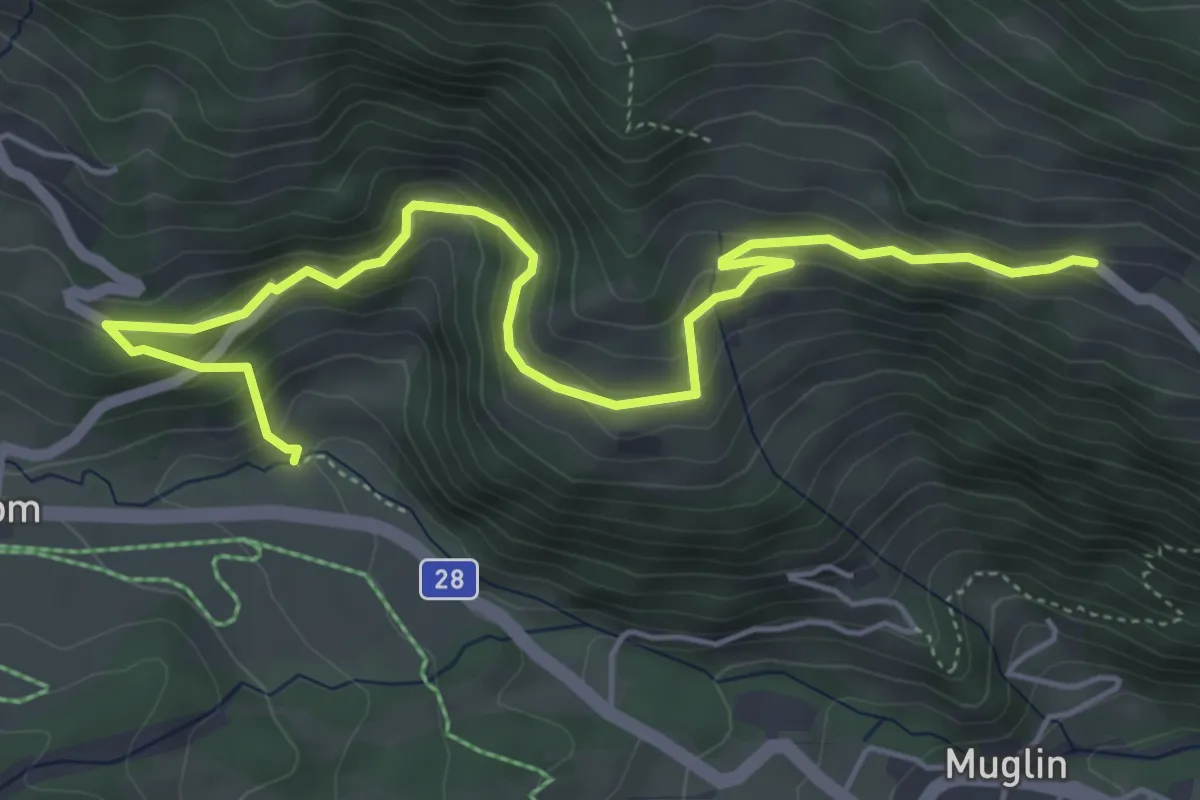
Medium · Trail
Craistas – Bulaseras
6.2 km · ↑ 412 m · 2 h 21 min
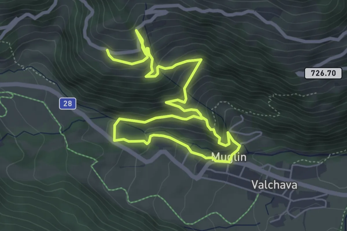
Medium · Trail
Valchava – Valpaschun
8.0 km · ↑ 597 m · 3 h 11 min
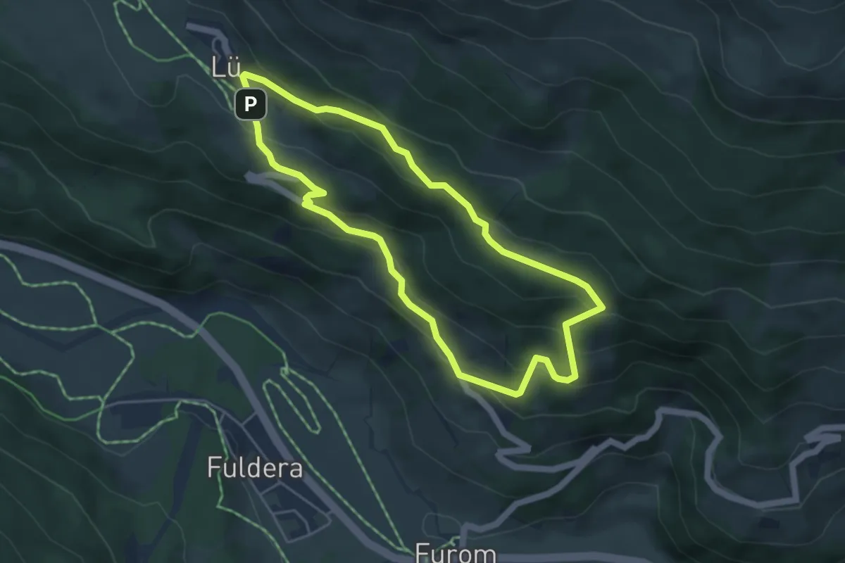
Easy · Trail
Lüsai – Lü
4.2 km · ↑ 242 m · 1 h 34 min
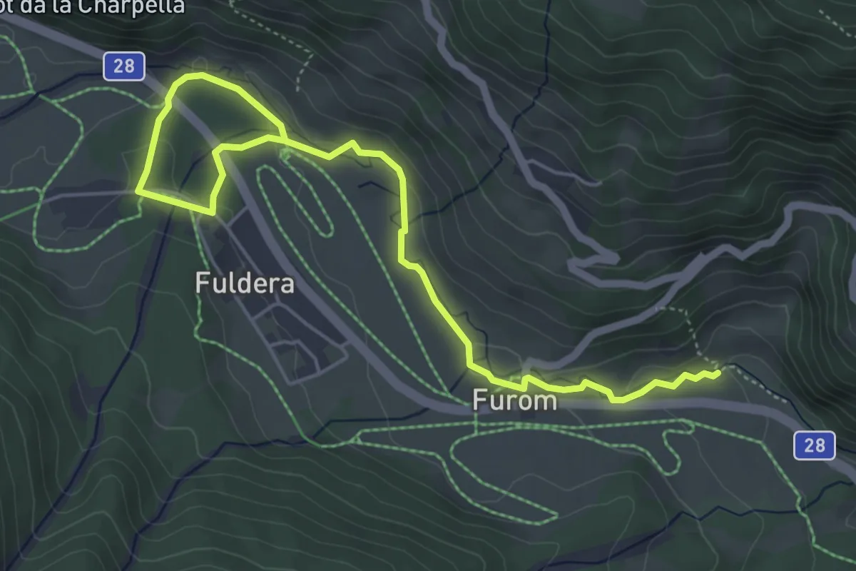
Easy · Trail
Bulseras – Fuldera Daint
6.1 km · ↑ 115 m · 1 h 42 min
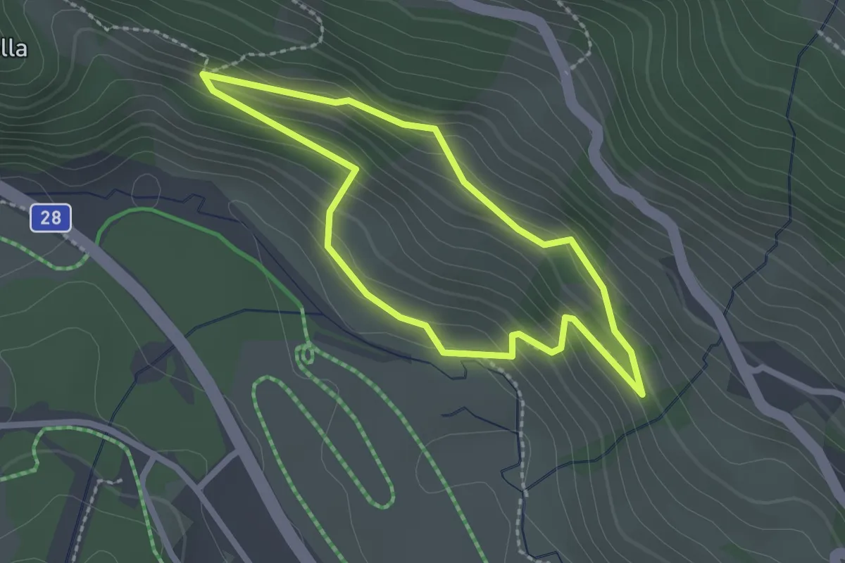
Easy · Trail
Fuldera – Runc
2.0 km · ↑ 121 m · 45 min
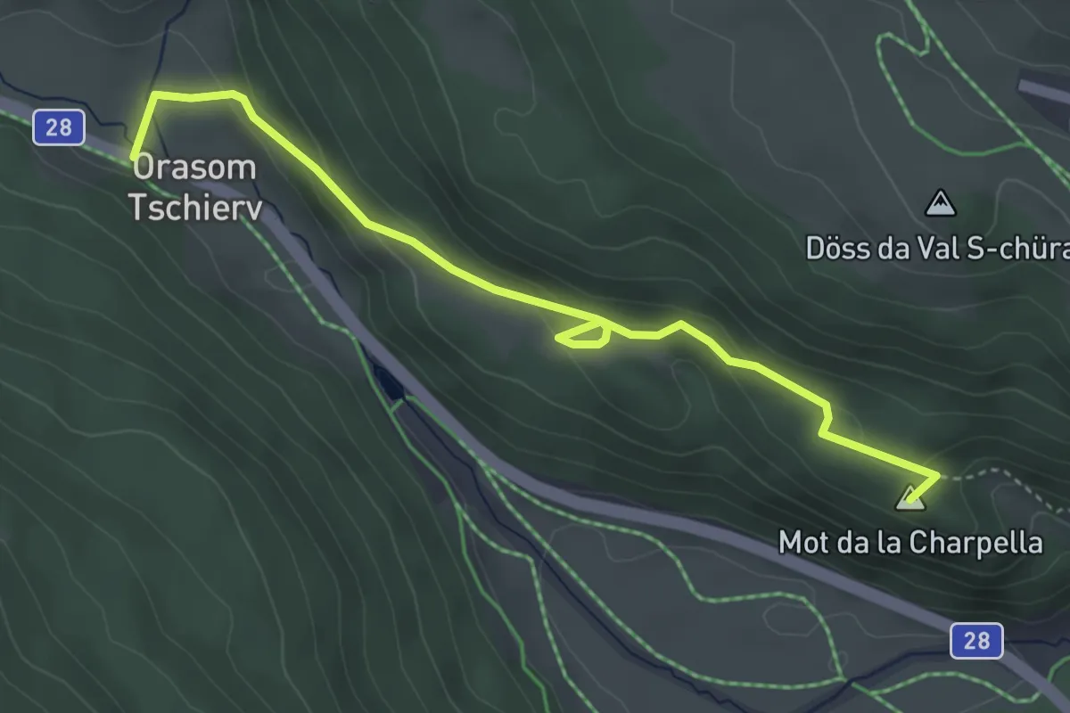
Easy · Summit
Runc – Tschierv, Orasom
4.3 km · ↑ 167 m · 1 h 22 min