Trails in Switzerland
15,055 hiking trails, each with its route, climb, walking time and grade.
All trails, page 143 of 314
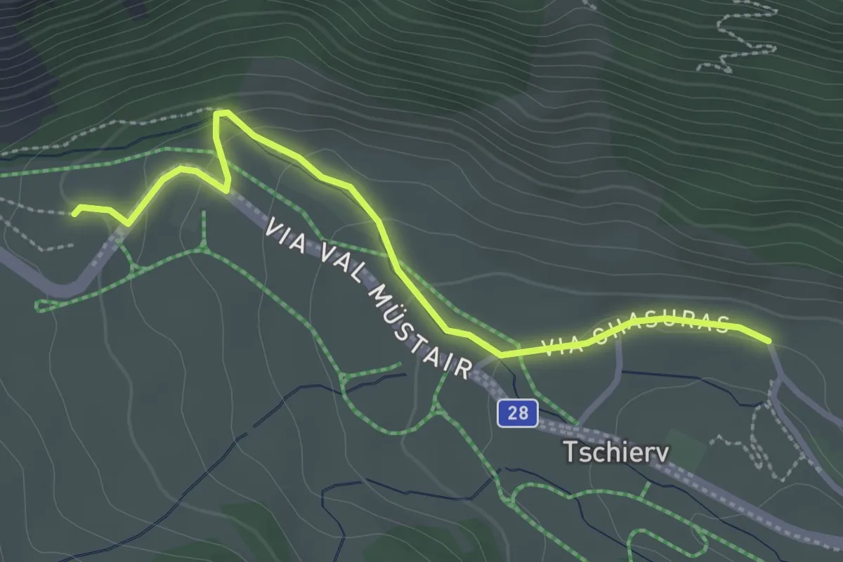
Easy · Trail
Chasuras – Aintasom
2.8 km · ↑ 107 m · 53 min
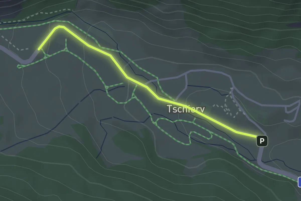
Easy · Trail
Aintasom – Curtin da Plaz
2.7 km · ↑ 84 m · 50 min
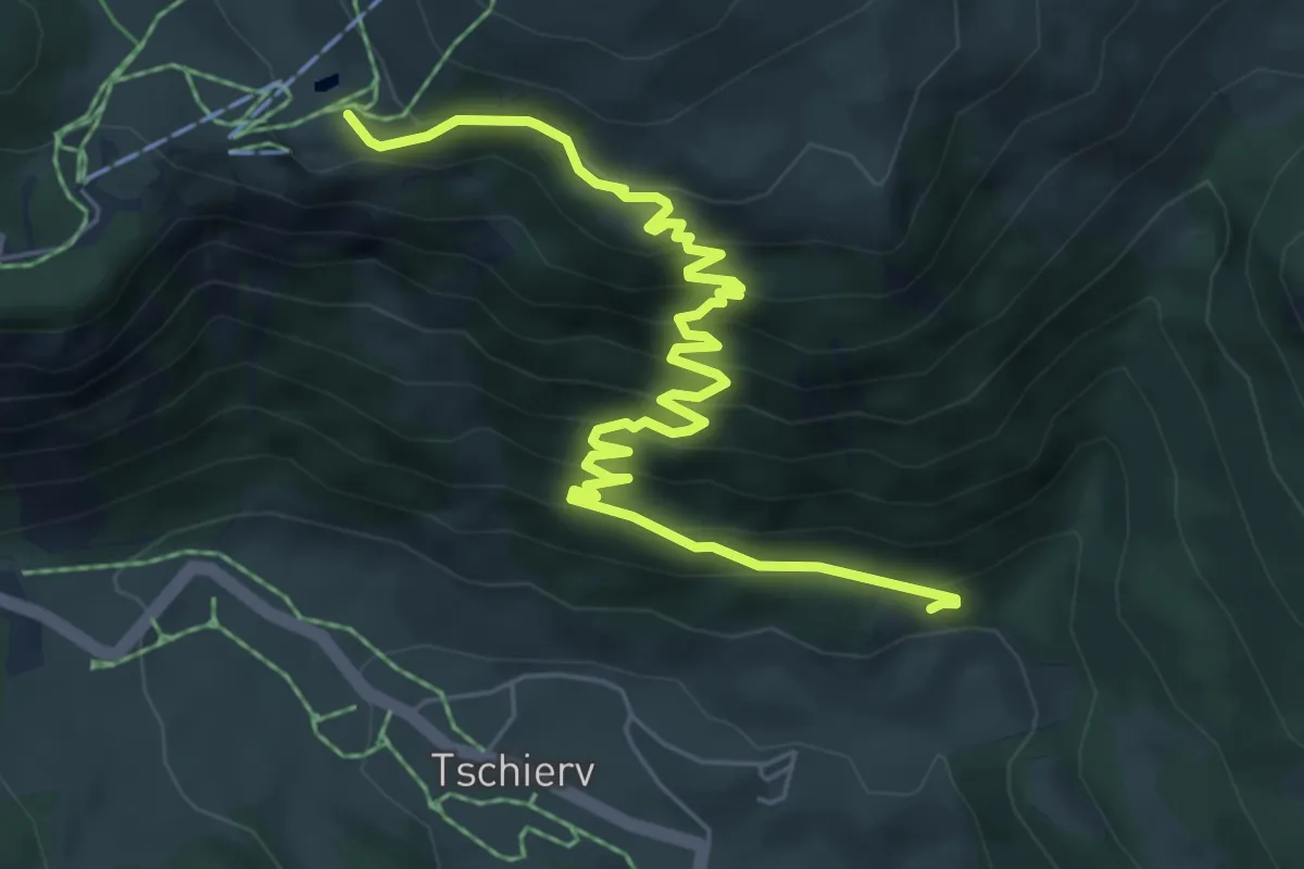
Medium · Trail
Mottas – Alp da Mont
7.4 km · ↑ 554 m · 2 h 57 min
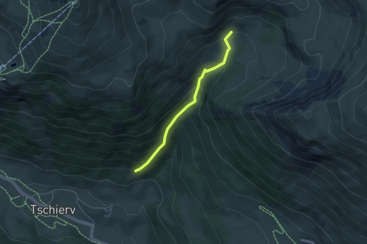
Easy · Trail
Motta – Alp Campatsch
3.6 km · ↑ 311 m · 1 h 31 min
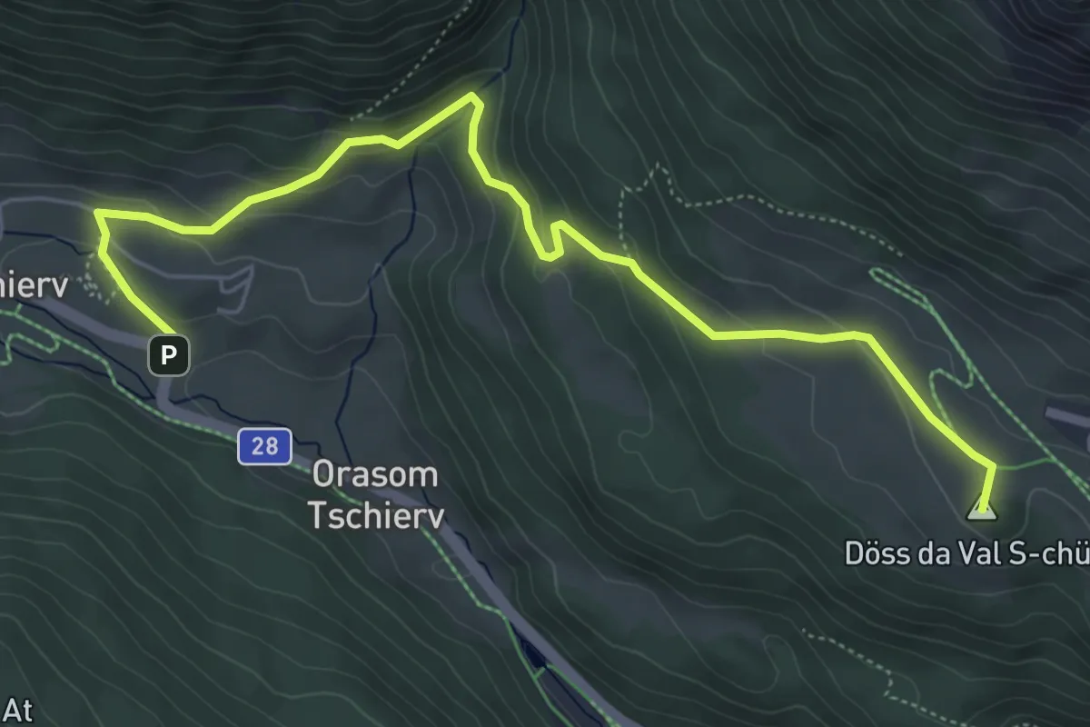
Easy · Summit
Tschierv – Lu
6.5 km · ↑ 292 m · 2 h 10 min
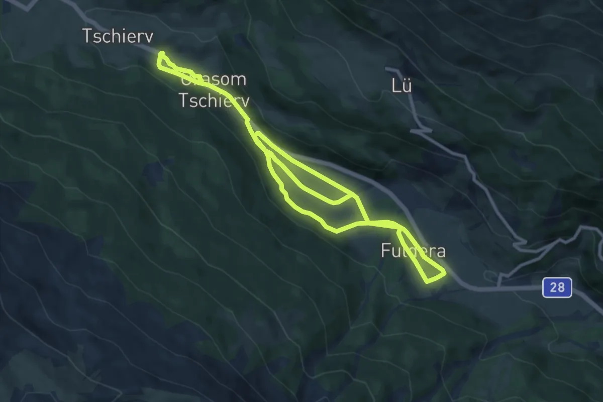
Medium · Trail
Tschierv – Fuldera
15.3 km · ↑ 233 m · 4 h 7 min
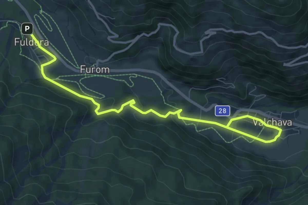
Medium · Trail
Fuldera – Valchava
10.1 km · ↑ 418 m · 3 h 17 min
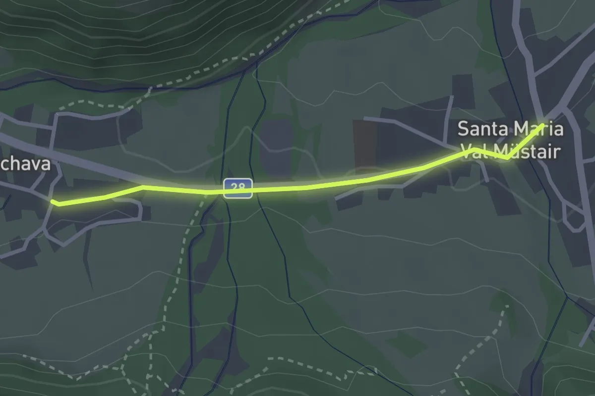
Easy · Trail
Valchava – St. Maria Val Mustair
2.5 km · ↑ 30 m · 39 min
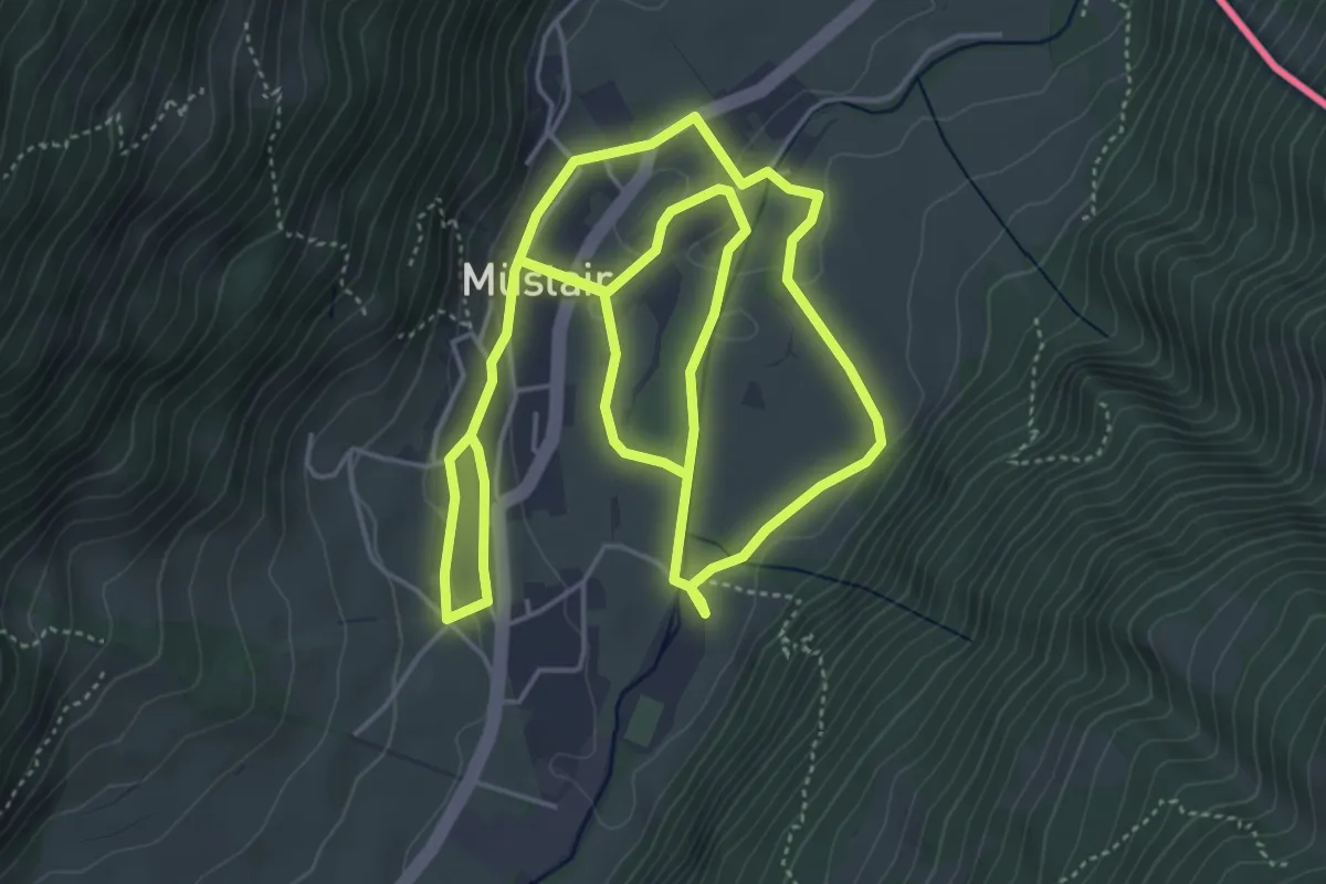
Medium · Trail
St. Maria Val Mustair – Mustair
10.0 km · ↑ 149 m · 2 h 41 min
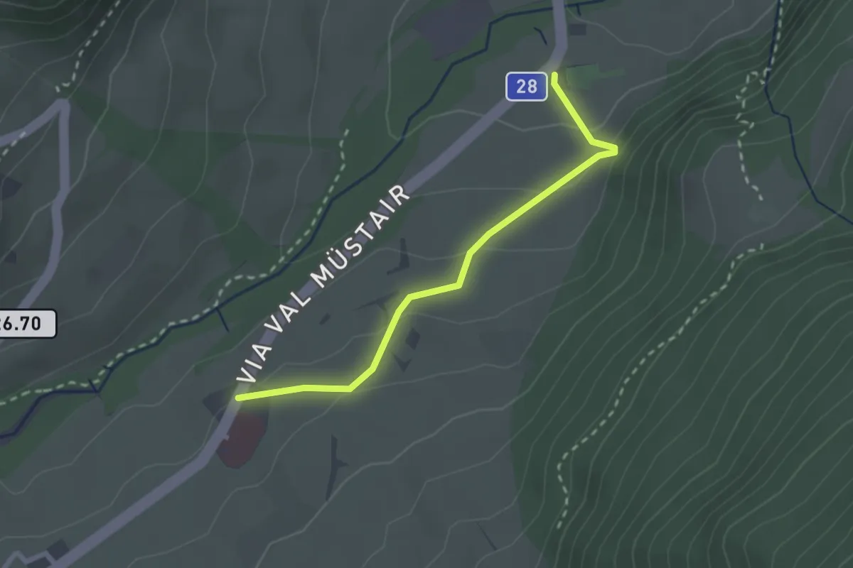
Easy · Trail
Mustair Chavalaina – Center da sanda
2.4 km · ↑ 111 m · 48 min
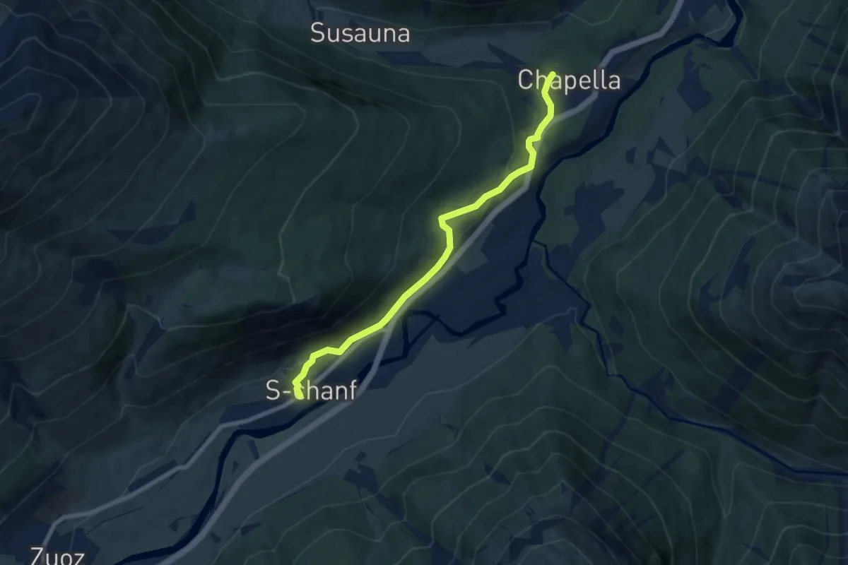
Easy · Trail
S-chanf – Chapella
7.1 km · ↑ 198 m · 2 h 6 min
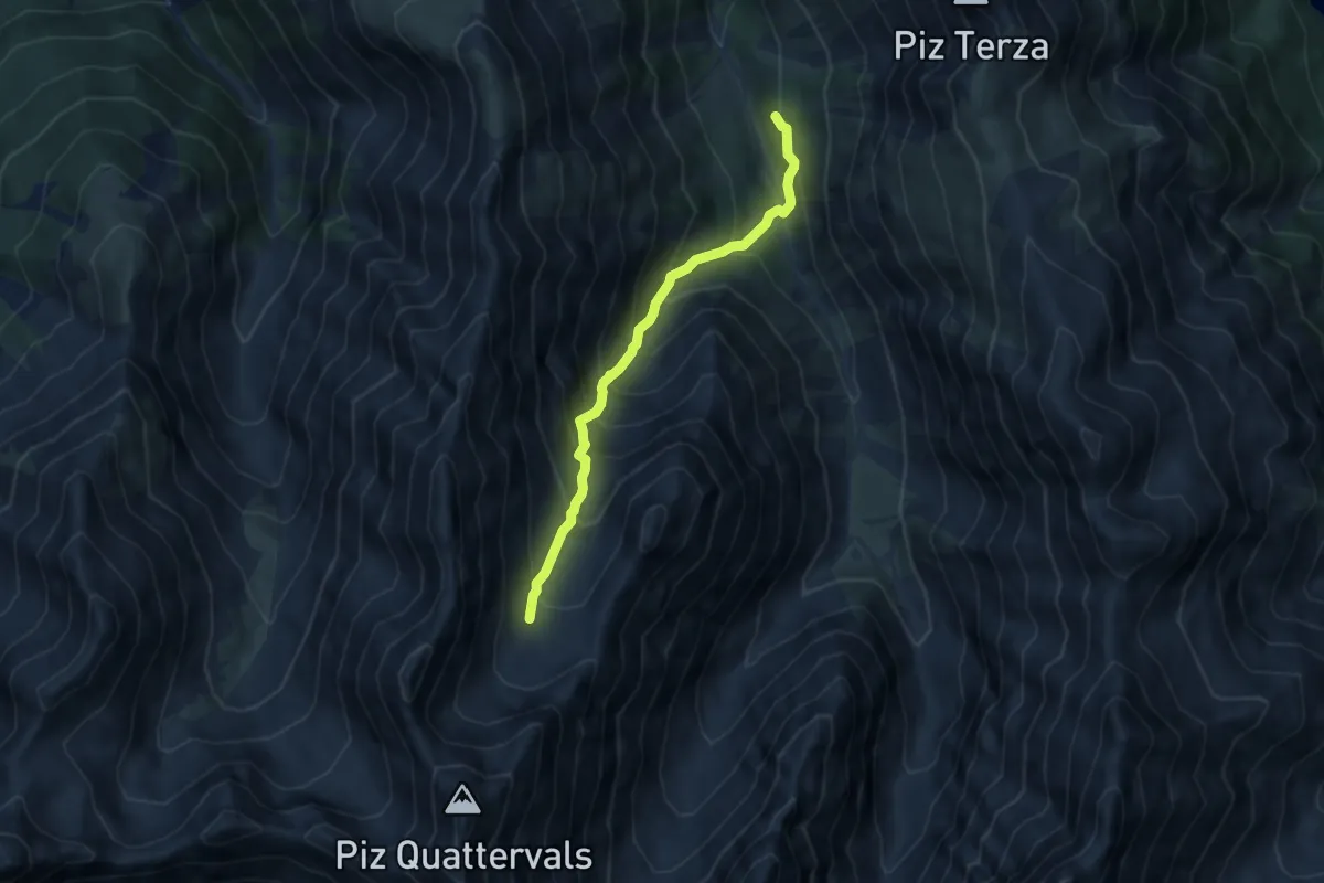
Expert · Cabin
Chamanna Cluozza – Piz Quattervals
7.4 km · ↑ 858 m · 3 h 36 min
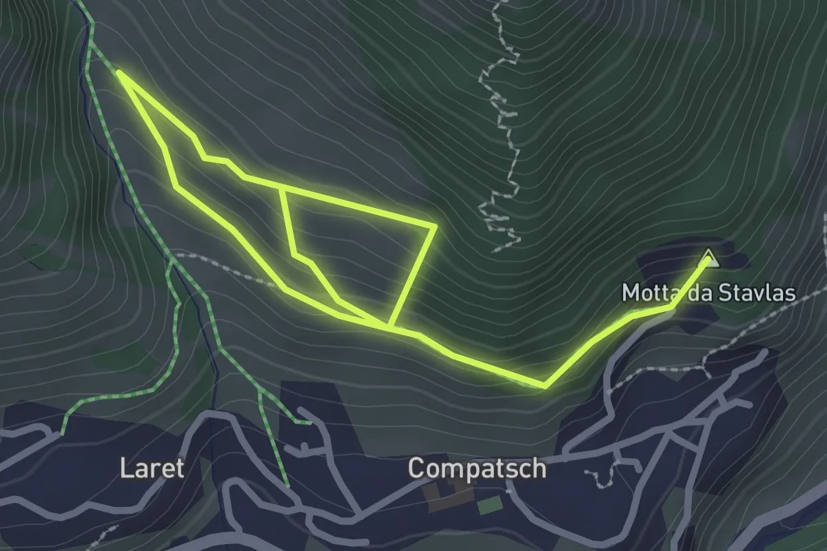
Easy · Summit
Samnau-Compatch – Urezza
3.7 km · ↑ 305 m · 1 h 32 min
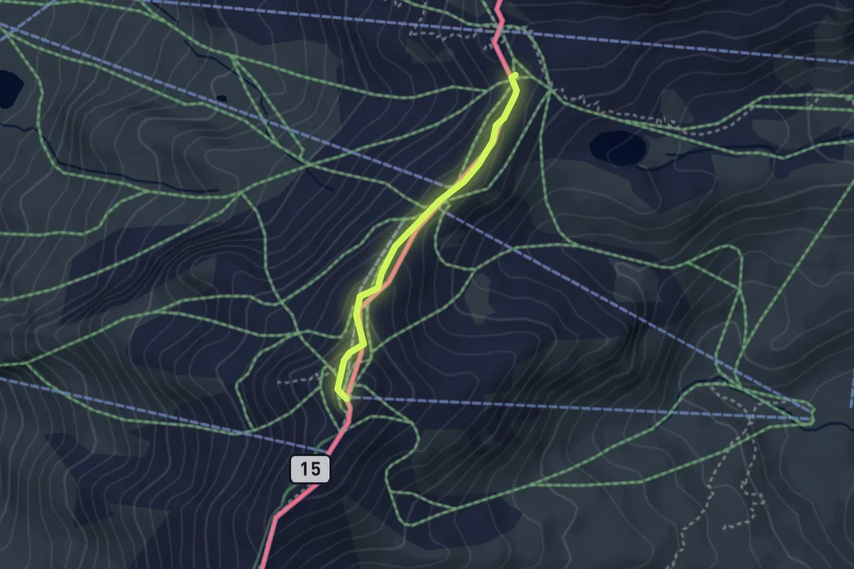
Medium · Summit
Salaaser Kopf – Ausser Viderjoch
2.4 km · ↑ 153 m · 54 min
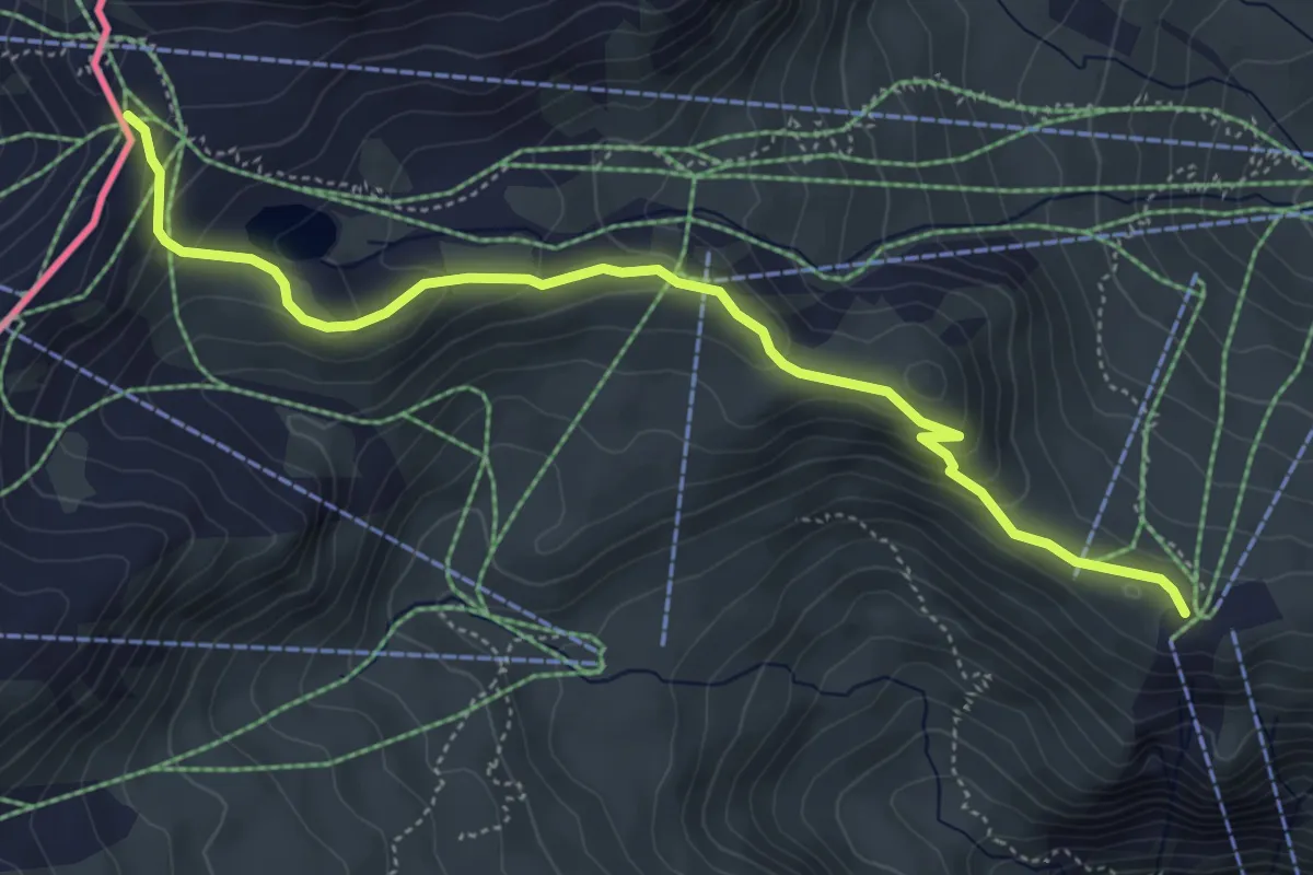
Easy · Trail
Alp Trida – Ausser Viderjoch
5.3 km · ↑ 262 m · 1 h 49 min
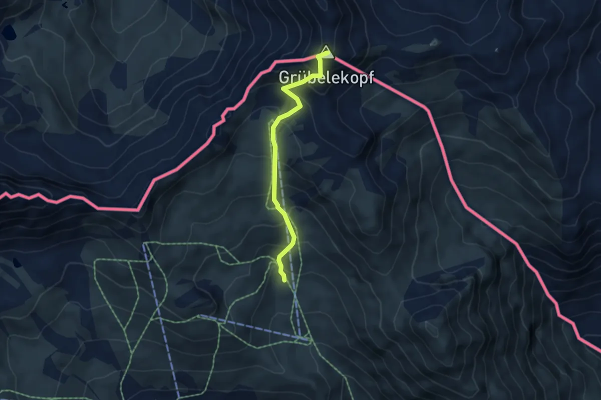
Medium · Summit
Ale Bella – Grubelekopf
4.2 km · ↑ 505 m · 2 h 5 min
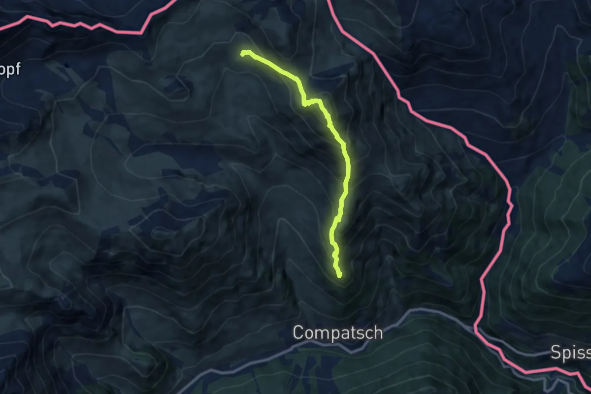
Demanding · Summit
Alp Bella – Piz Urezza
7.2 km · ↑ 841 m · 3 h 31 min
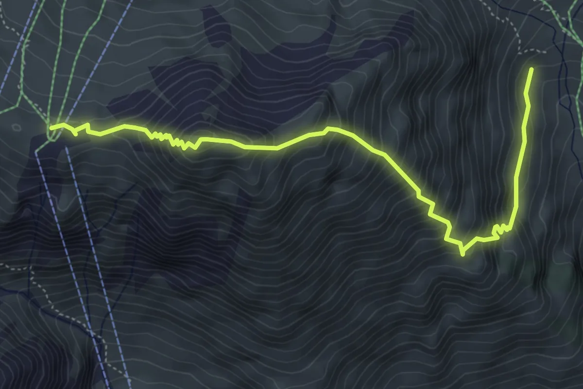
Medium · Trail
Alptrider Sattel – Unter Alp
6.0 km · ↑ 729 m · 3 h
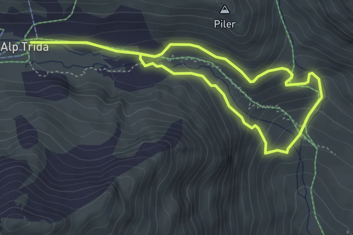
Medium · Trail
Alp Trida – Unter Alp
6.1 km · ↑ 400 m · 2 h 18 min
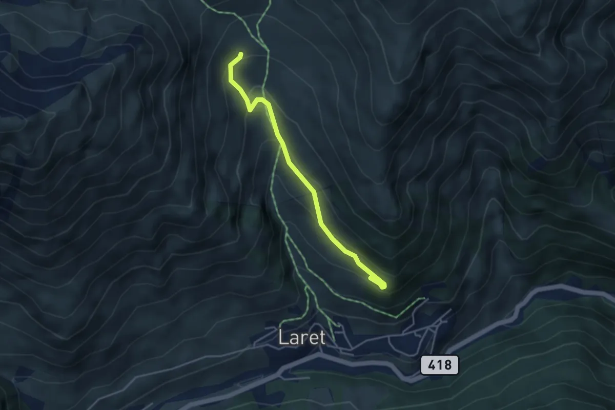
Easy · Trail
Unter Alp – Urezza
3.5 km · ↑ 205 m · 1 h 16 min
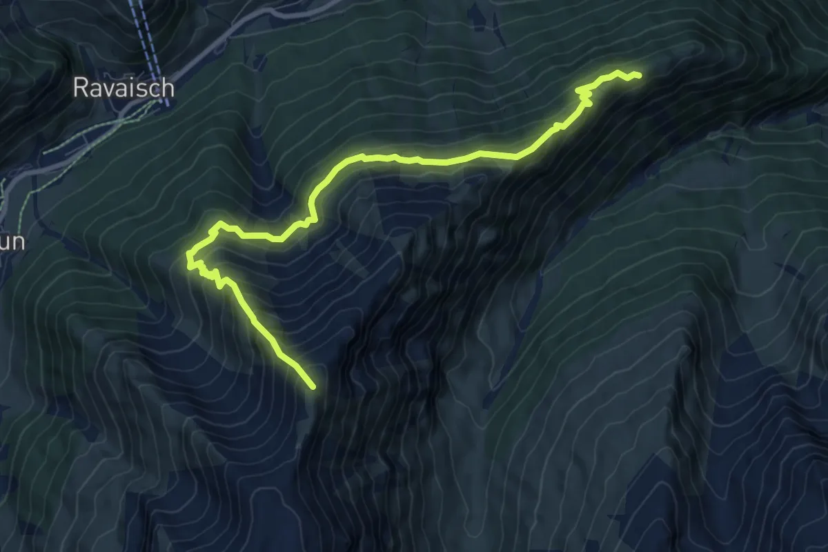
Demanding · Summit
Fuorcla Curschiglias – Piz Motnair
9.6 km · ↑ 889 m · 4 h 12 min
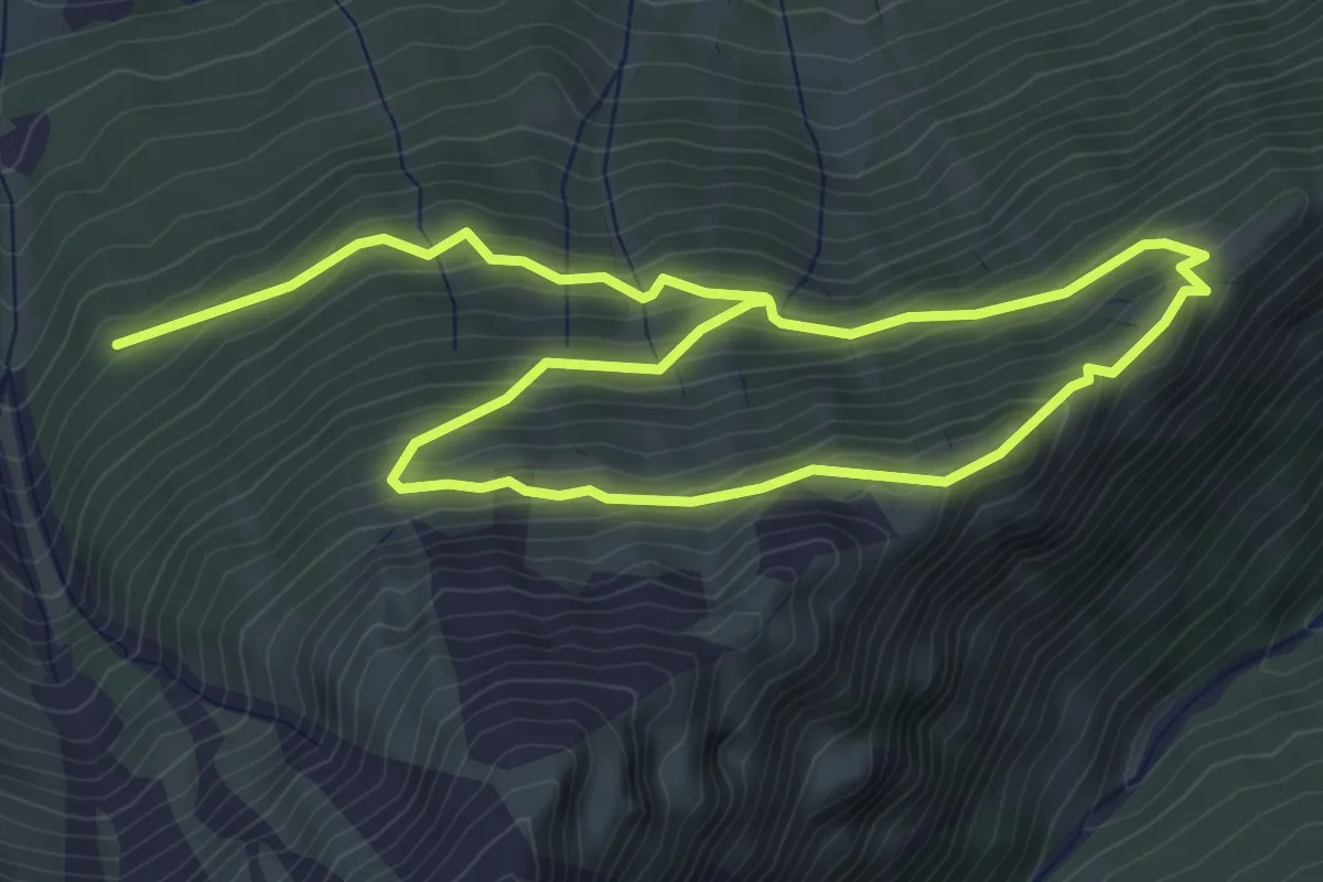
Medium · Trail
Plan Martils – Fuorcla Curschiglias
8.4 km · ↑ 552 m · 3 h 11 min
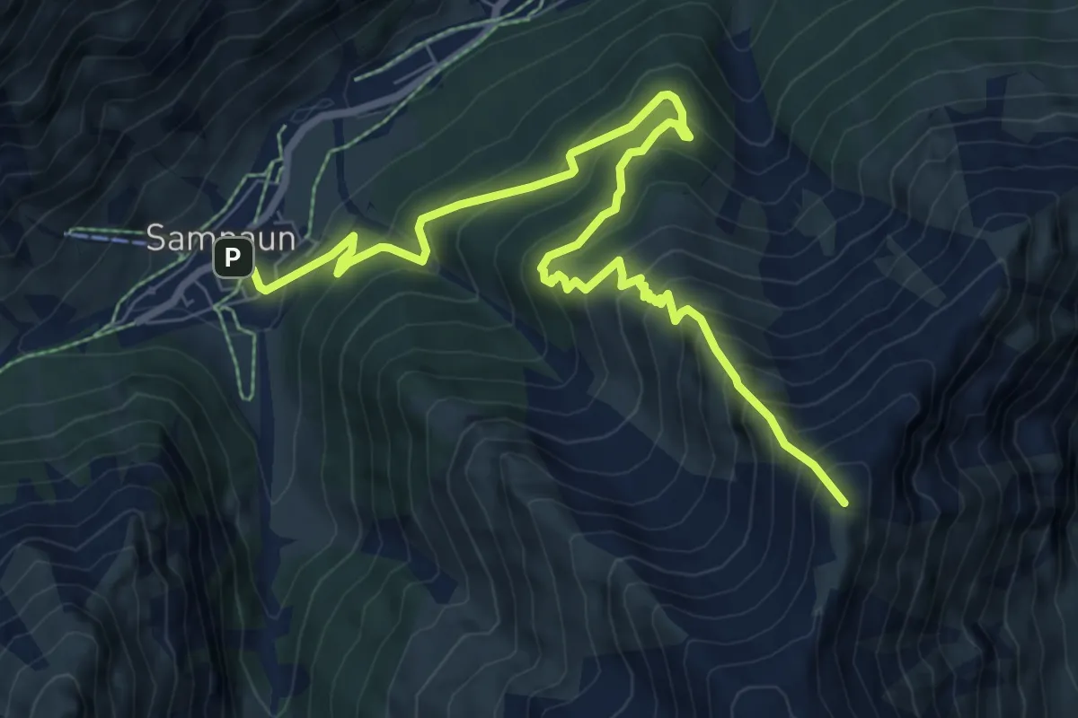
Demanding · Summit
Samnau Dorf – Piz Motnair
9.3 km · ↑ 865 m · 4 h 4 min
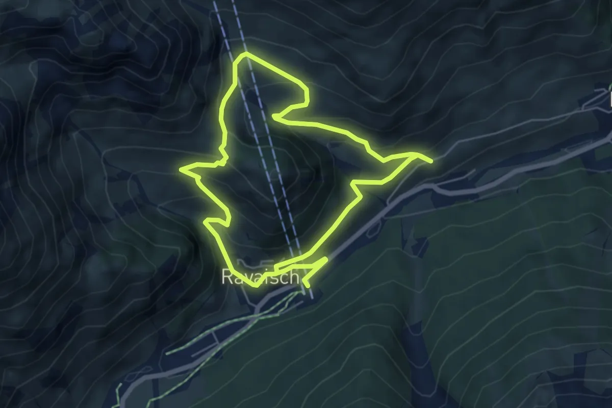
Easy · Trail
Ravaisch – Che d'Mot
4.9 km · ↑ 292 m · 1 h 51 min
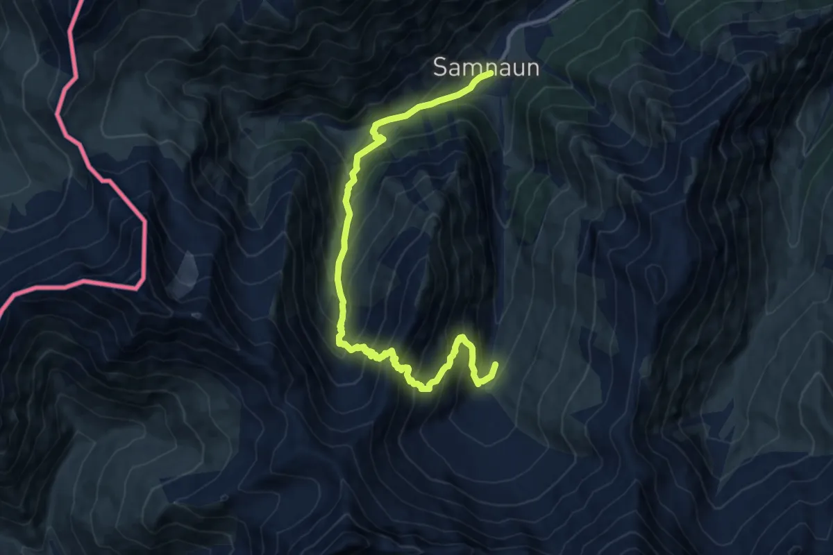
Demanding · Trail
Samndau Dorf – Stammerjoch Abzweig
13.4 km · ↑ 1251 m · 5 h 52 min
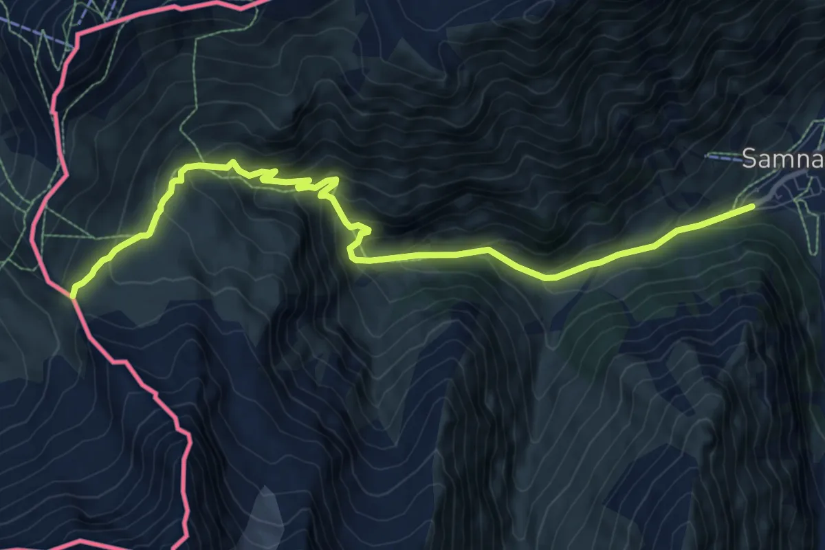
Medium · Trail
Samnau Dorf – Zeblasjoch
10.2 km · ↑ 672 m · 3 h 51 min
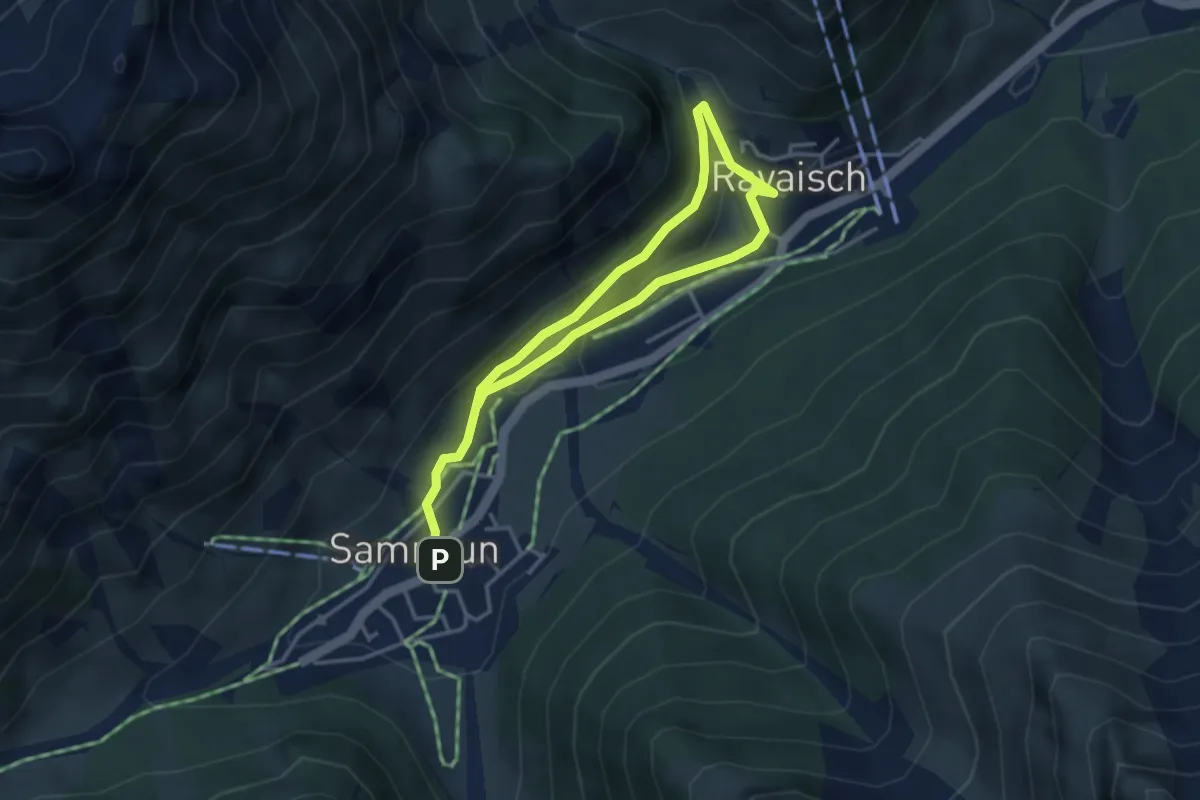
Easy · Trail
Samnau Dorf – Ravaisch
2.7 km · ↑ 70 m · 49 min
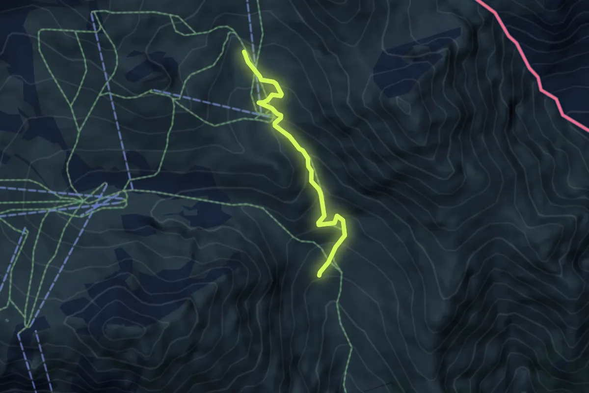
Medium · Trail
Unter Alp – Alp Bella
4.4 km · ↑ 341 m · 1 h 47 min
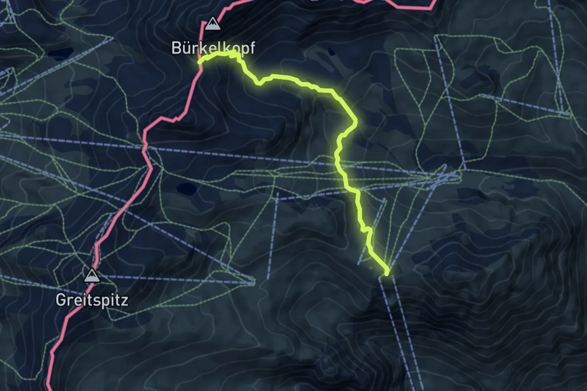
Demanding · Trail
Alptrider Sattel – Flimjoch
6.9 km · ↑ 587 m · 2 h 54 min
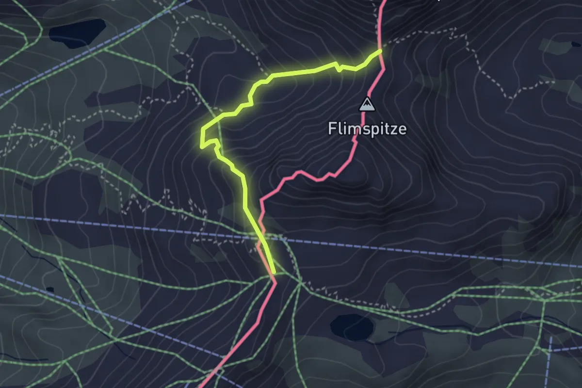
Demanding · Trail
Ausser Viderjoch – Flimjoch
3.2 km · ↑ 278 m · 1 h 21 min
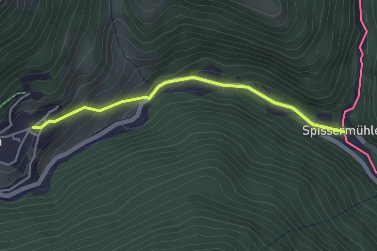
Easy · Trail
Samnau-Compatsch – Spissermuhle
2.8 km · ↑ 210 m · 1 h 7 min
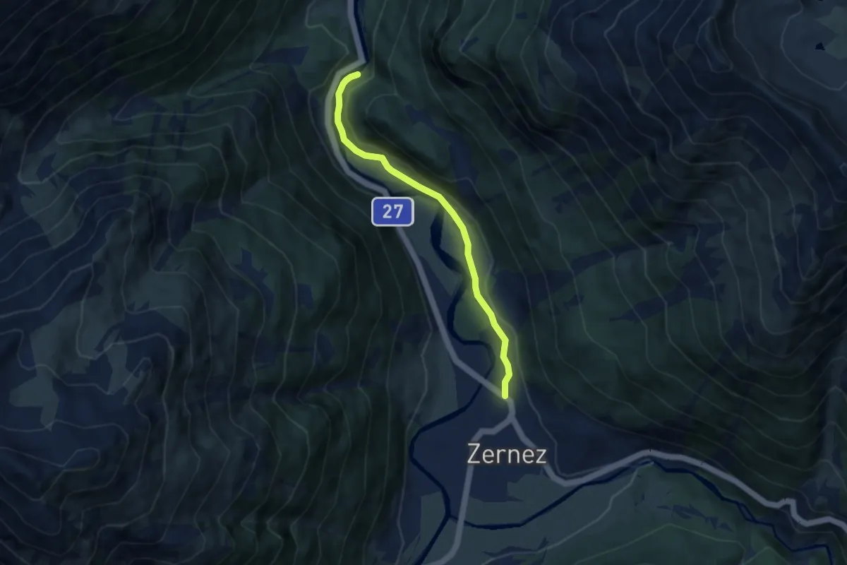
Easy · Trail
Foura da Marti – Zernez
6.2 km · ↑ 150 m · 1 h 47 min
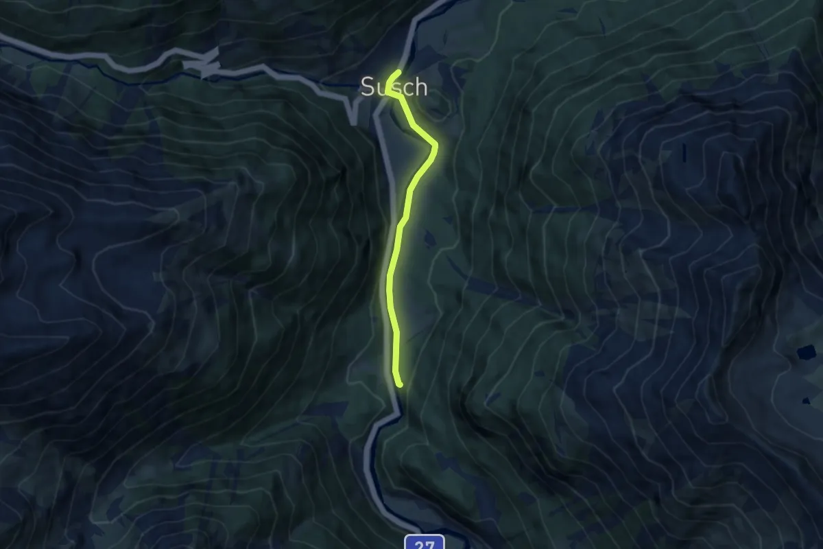
Easy · Trail
Susch – Fourcha
5.9 km · ↑ 86 m · 1 h 35 min
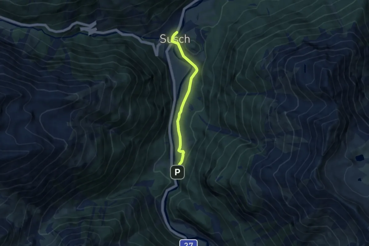
Easy · Trail
Fourcha – Susch
6.1 km · ↑ 66 m · 1 h 35 min
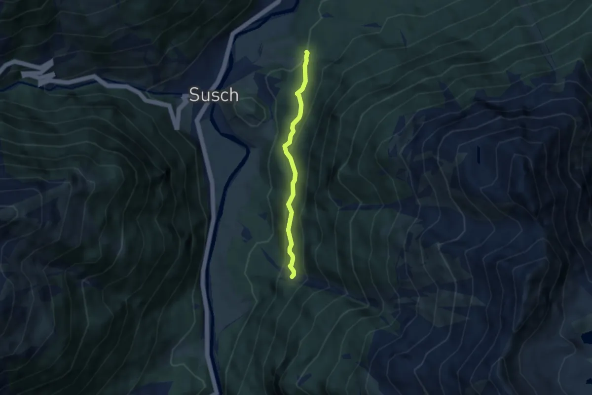
Medium · Trail
God Surpunt – Sandögna
4.5 km · ↑ 287 m · 1 h 41 min
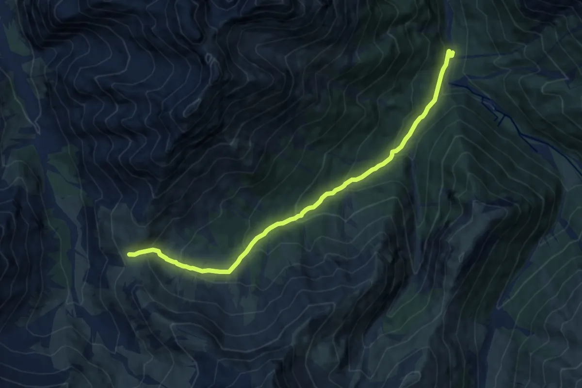
Medium · Trail
Mingèr – Sur il Foss
10.9 km · ↑ 649 m · 3 h 58 min
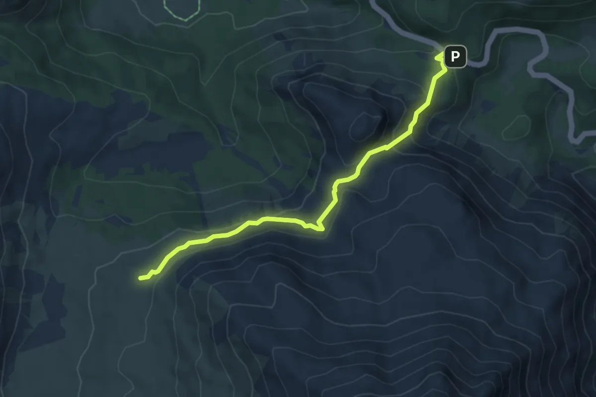
Medium · Summit
Pass dal Fuorn – Jufplaun
5.7 km · ↑ 269 m · 1 h 56 min
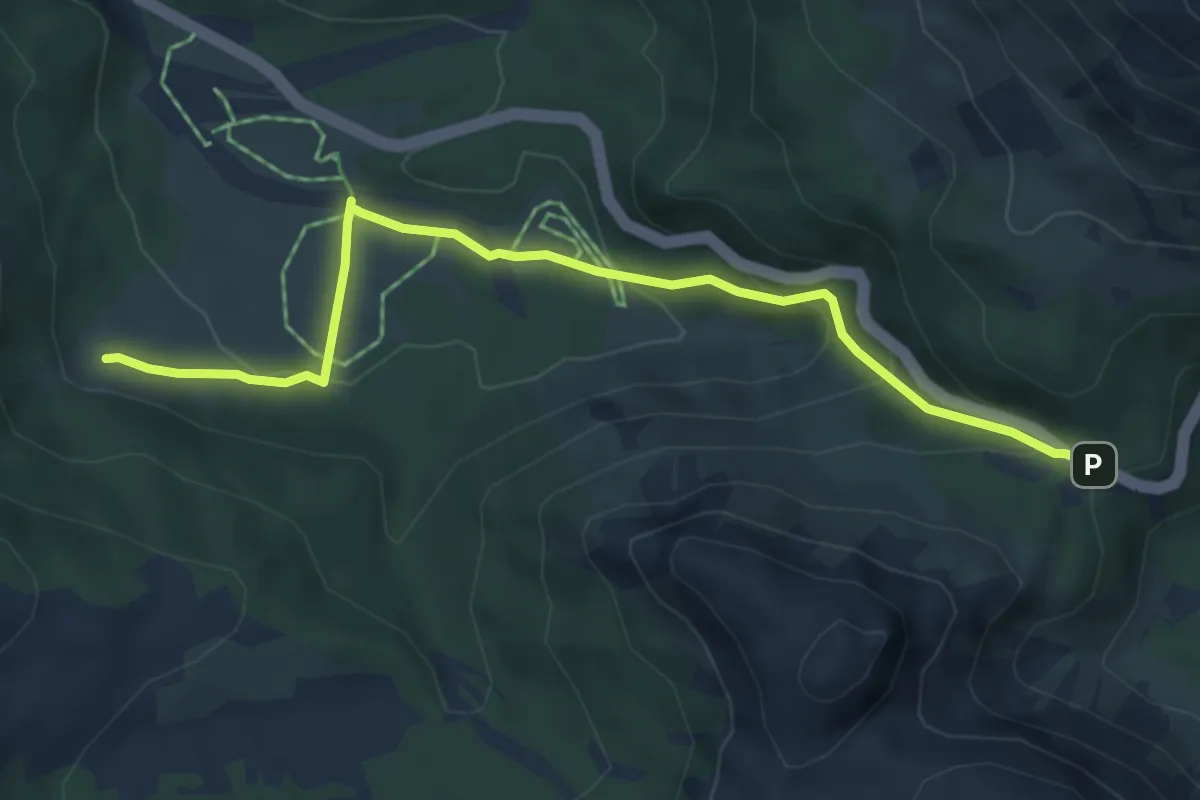
Medium · Trail
Buffalora – Pass dal Fuorn
5.5 km · ↑ 261 m · 1 h 51 min
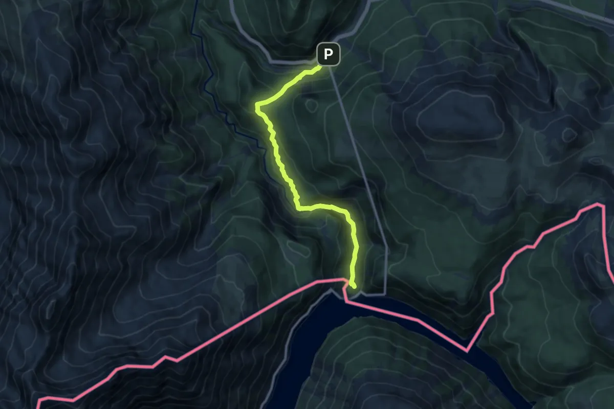
Medium · Trail
Punt dal Gal – Punt la Drossa
9.7 km · ↑ 479 m · 3 h 19 min
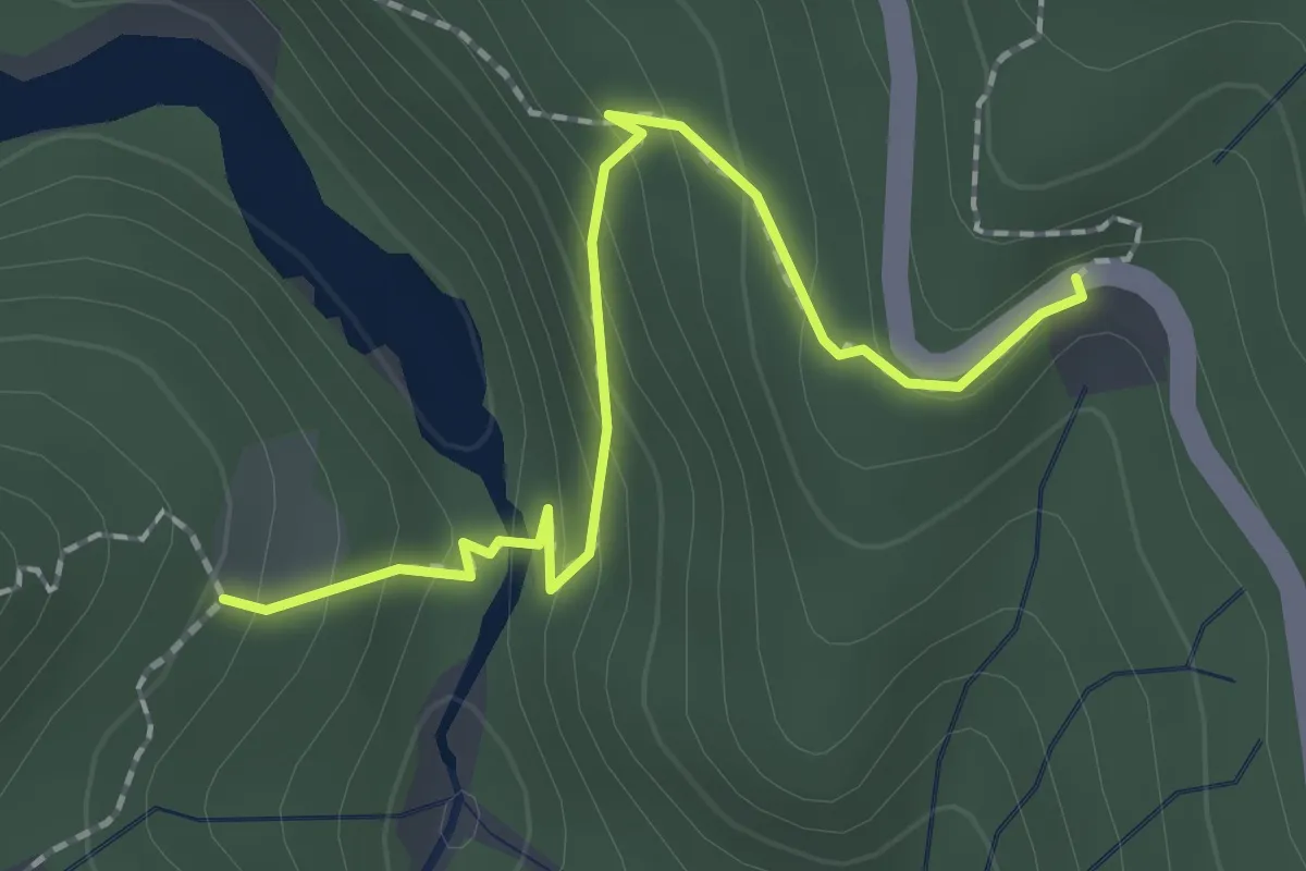
Medium · Trail
Vallun Chafuol – Plan Praspöl
2.0 km · ↑ 117 m · 44 min
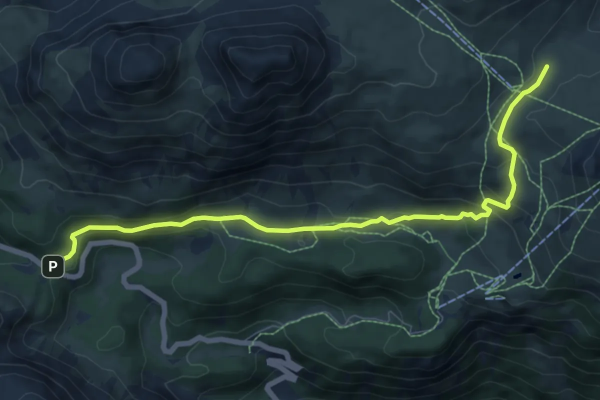
Medium · Trail
Pass dal Fuorn – Funtana da S-charl
8.6 km · ↑ 347 m · 2 h 47 min
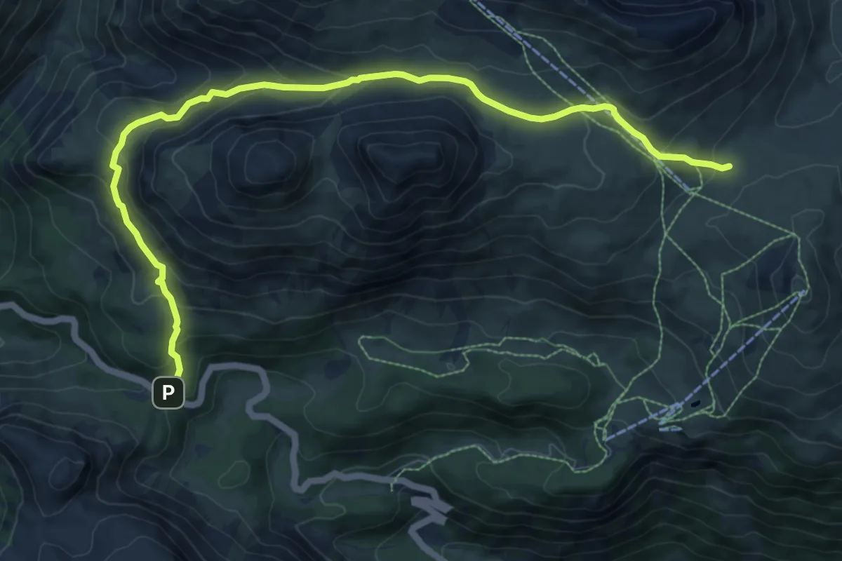
Medium · Trail
Pass dal Fuorn – Funtana da S-charl
10.6 km · ↑ 647 m · 3 h 55 min
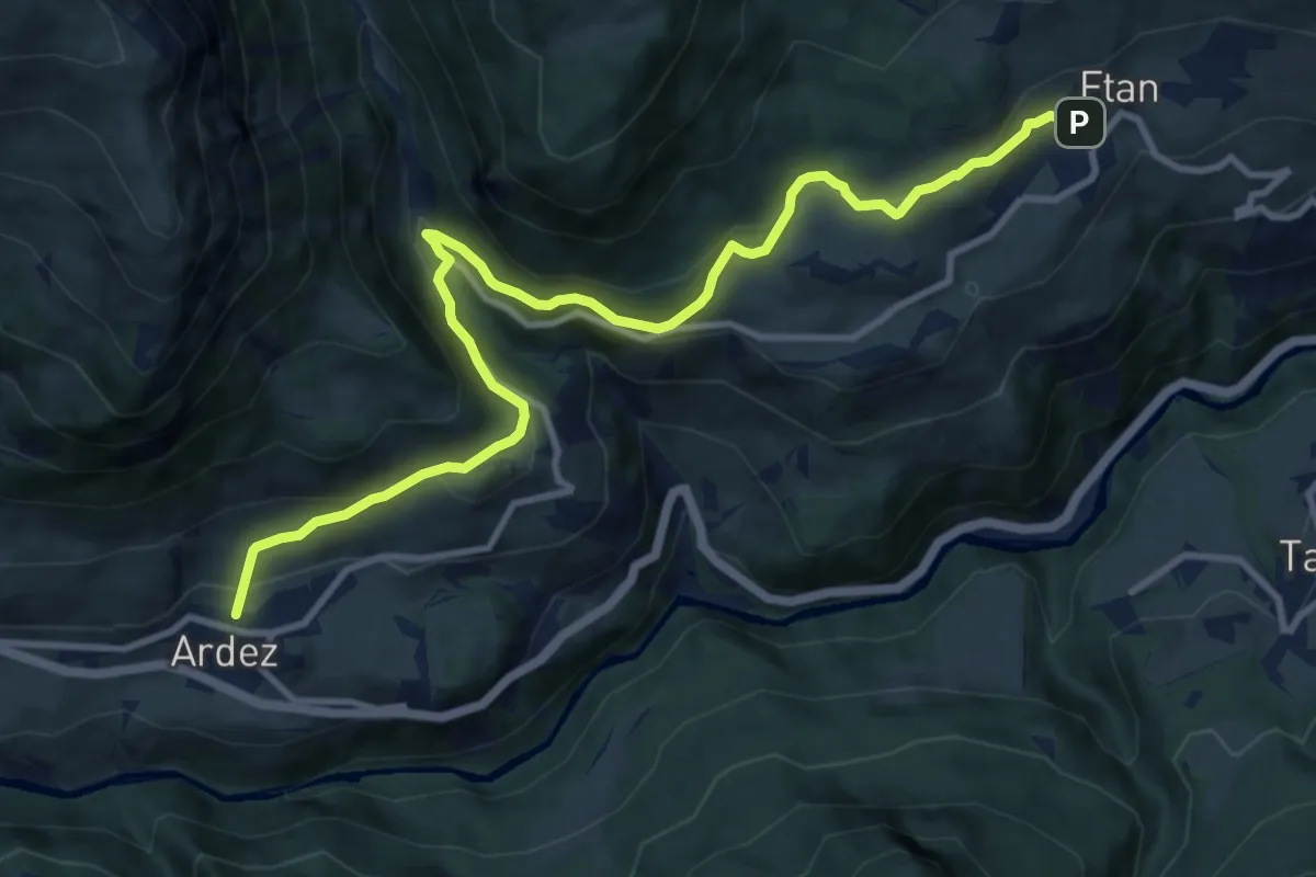
Medium · Trail
Ardez – Ftan
11.7 km · ↑ 453 m · 3 h 45 min
Easy · Summit
Marangun – Lai Blau
2.8 km · ↑ 223 m · 1 h 8 min
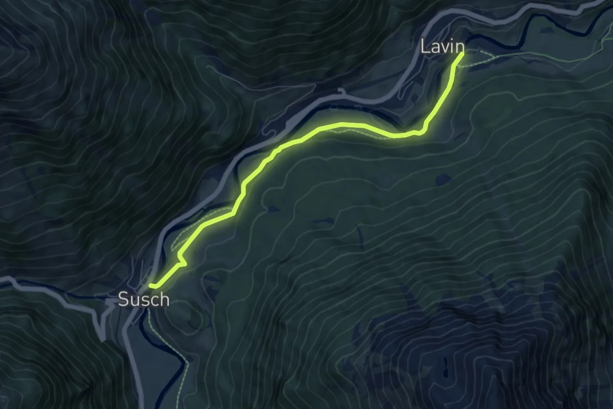
Easy · Trail
Susch – Lavin
7.2 km · ↑ 129 m · 1 h 59 min
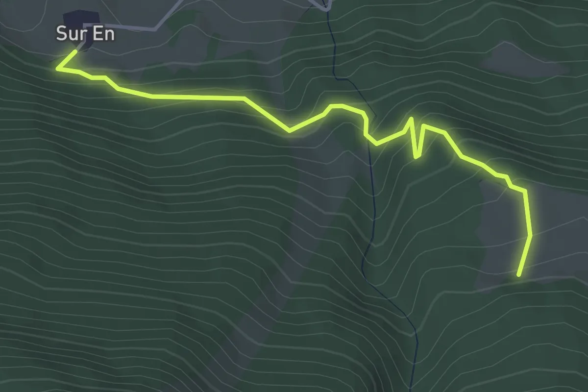
Medium · Trail
Sur En – Alp Sursass
3.9 km · ↑ 329 m · 1 h 38 min
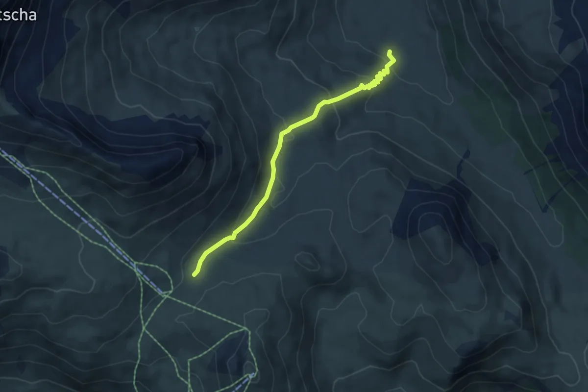
Medium · Trail
Funtana da S-charl – Alp Astras
4.9 km · ↑ 256 m · 1 h 43 min
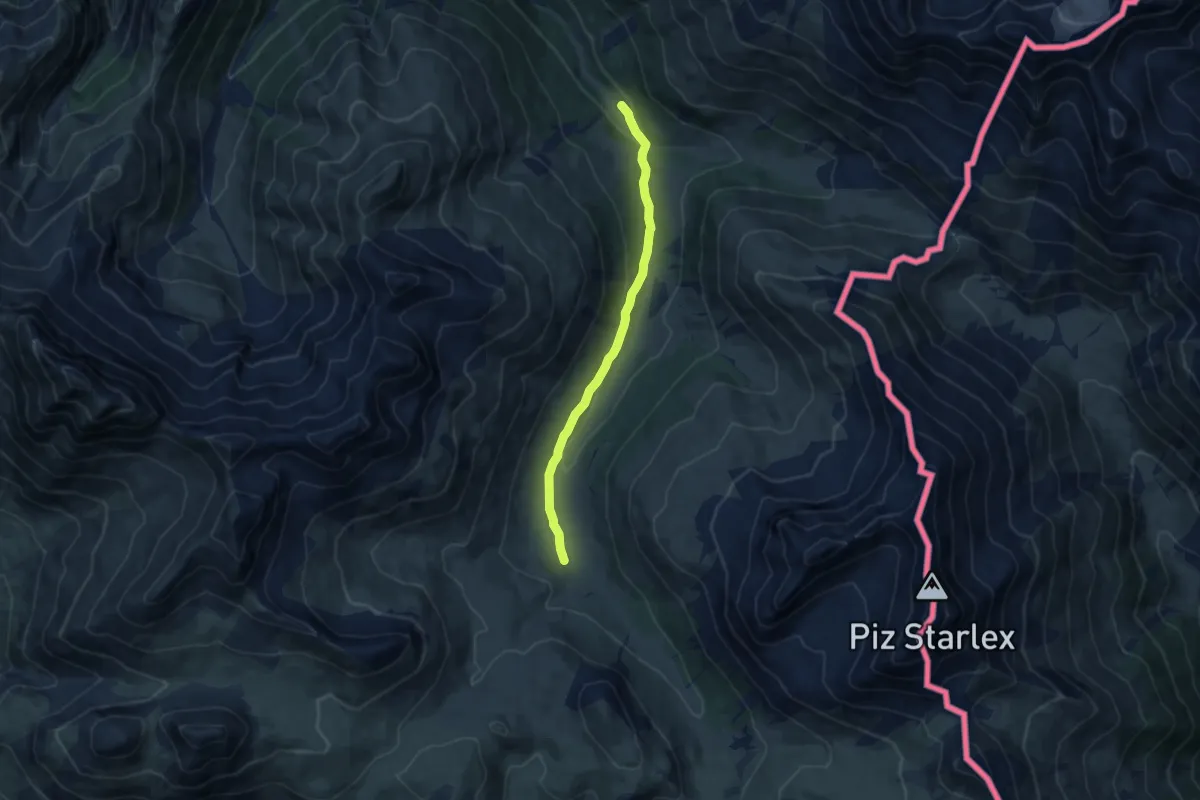
Medium · Trail
Alp Astras – Plan d'Immez
8.6 km · ↑ 174 m · 2 h 24 min