Trails in Switzerland
15,055 hiking trails, each with its route, climb, walking time and grade.
All trails, page 144 of 314
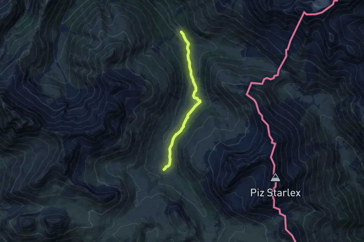
Medium · Trail
Plan d'Immez – Alp Astras
9.2 km · ↑ 265 m · 2 h 45 min
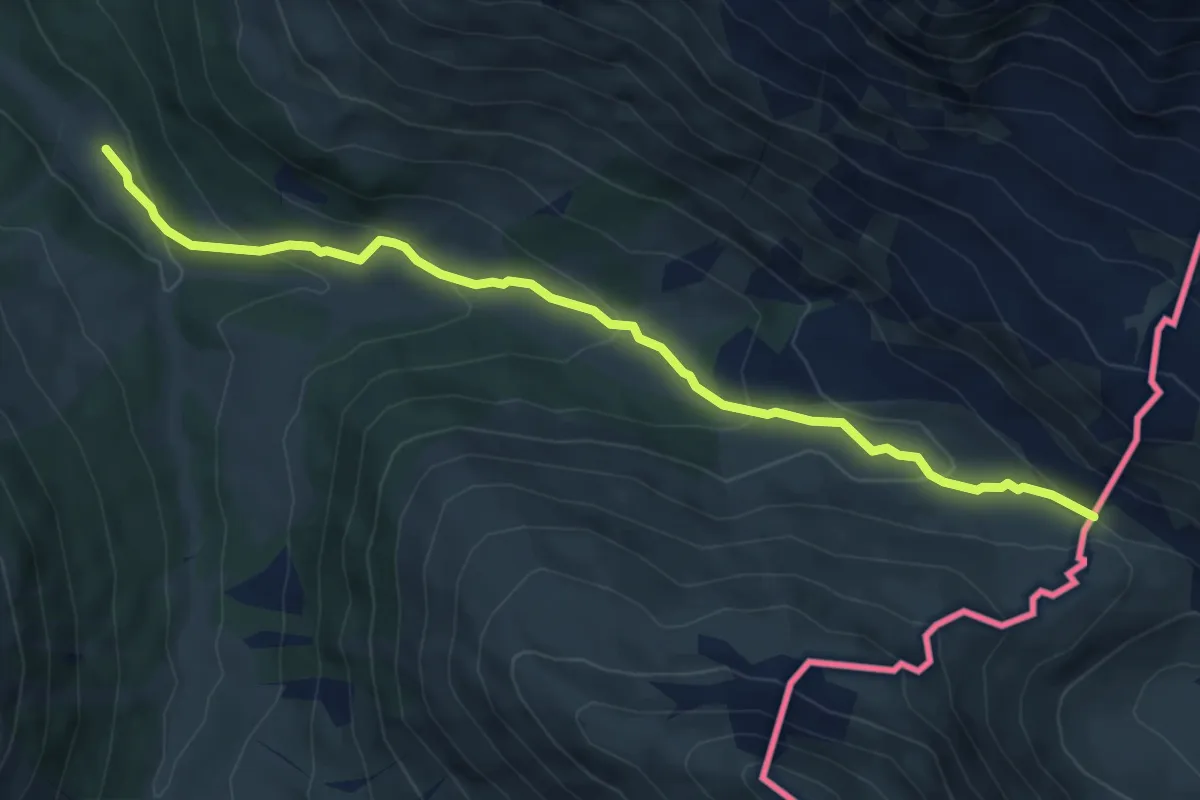
Medium · Trail
Plan d'Immez – Cruschetta
6.5 km · ↑ 324 m · 2 h 14 min
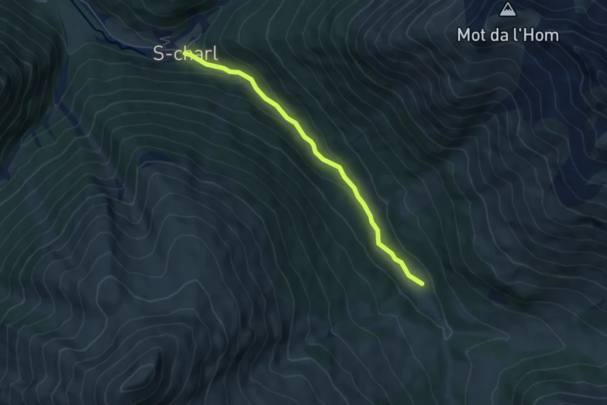
Easy · Trail
S-charl – Plan d'Immez
5.1 km · ↑ 154 m · 1 h 32 min
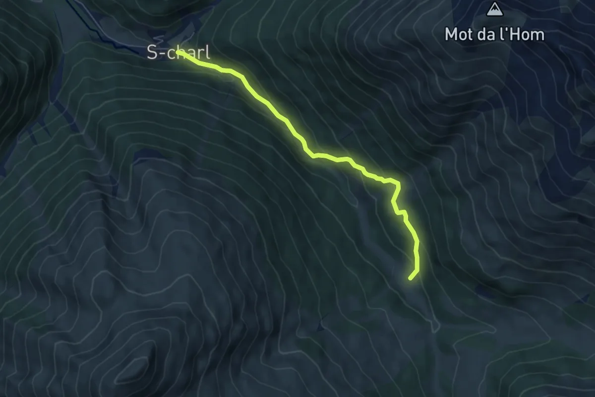
Medium · Trail
S-charl – Plan d'Immez
5.7 km · ↑ 336 m · 2 h 4 min
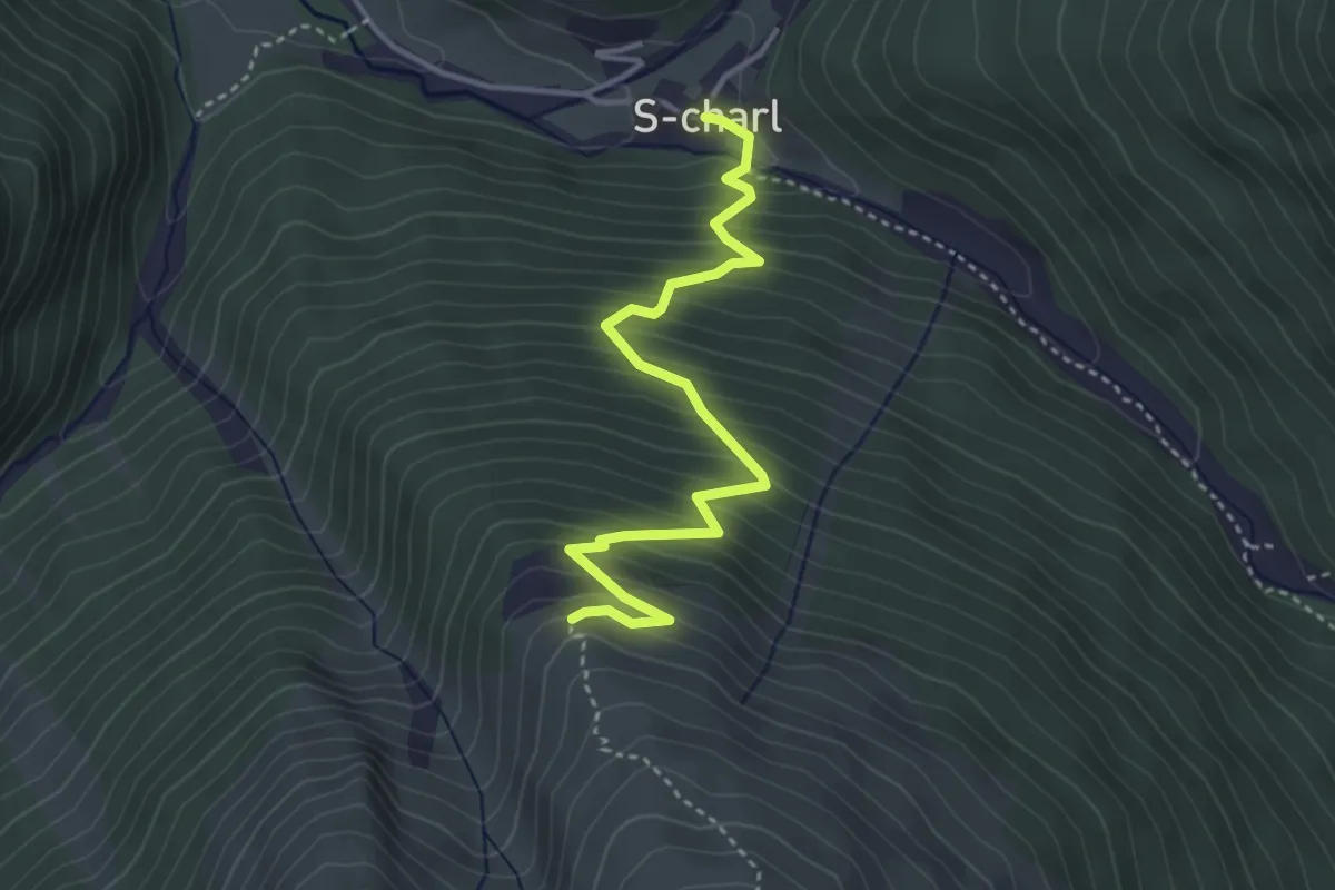
Medium · Trail
S-charl – Ils Mürs
3.8 km · ↑ 461 m · 1 h 54 min
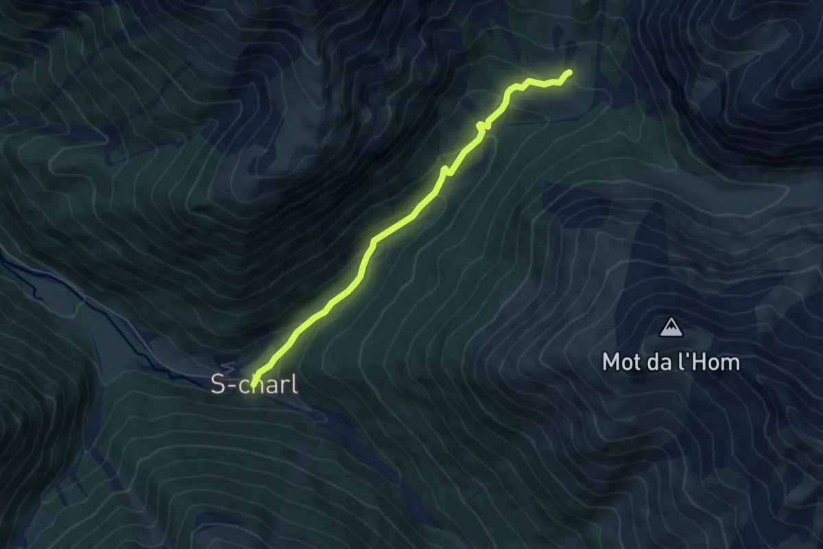
Medium · Trail
S-charl – Alp Sesvenna
5.5 km · ↑ 296 m · 1 h 56 min
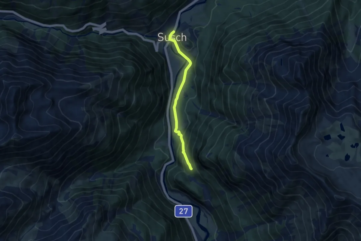
Medium · Trail
Susch – Clüs
7.1 km · ↑ 237 m · 2 h 11 min
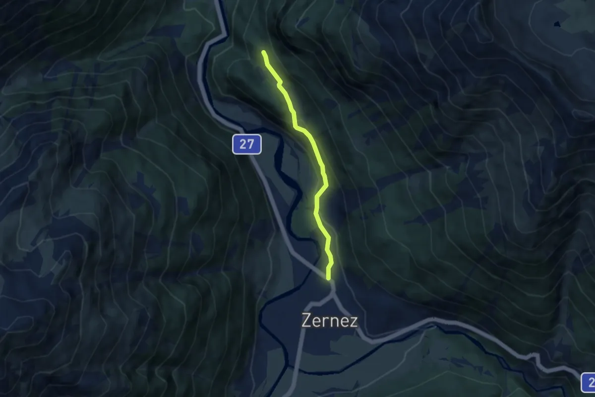
Easy · Trail
Zernez – Clüs
5.3 km · ↑ 206 m · 1 h 42 min
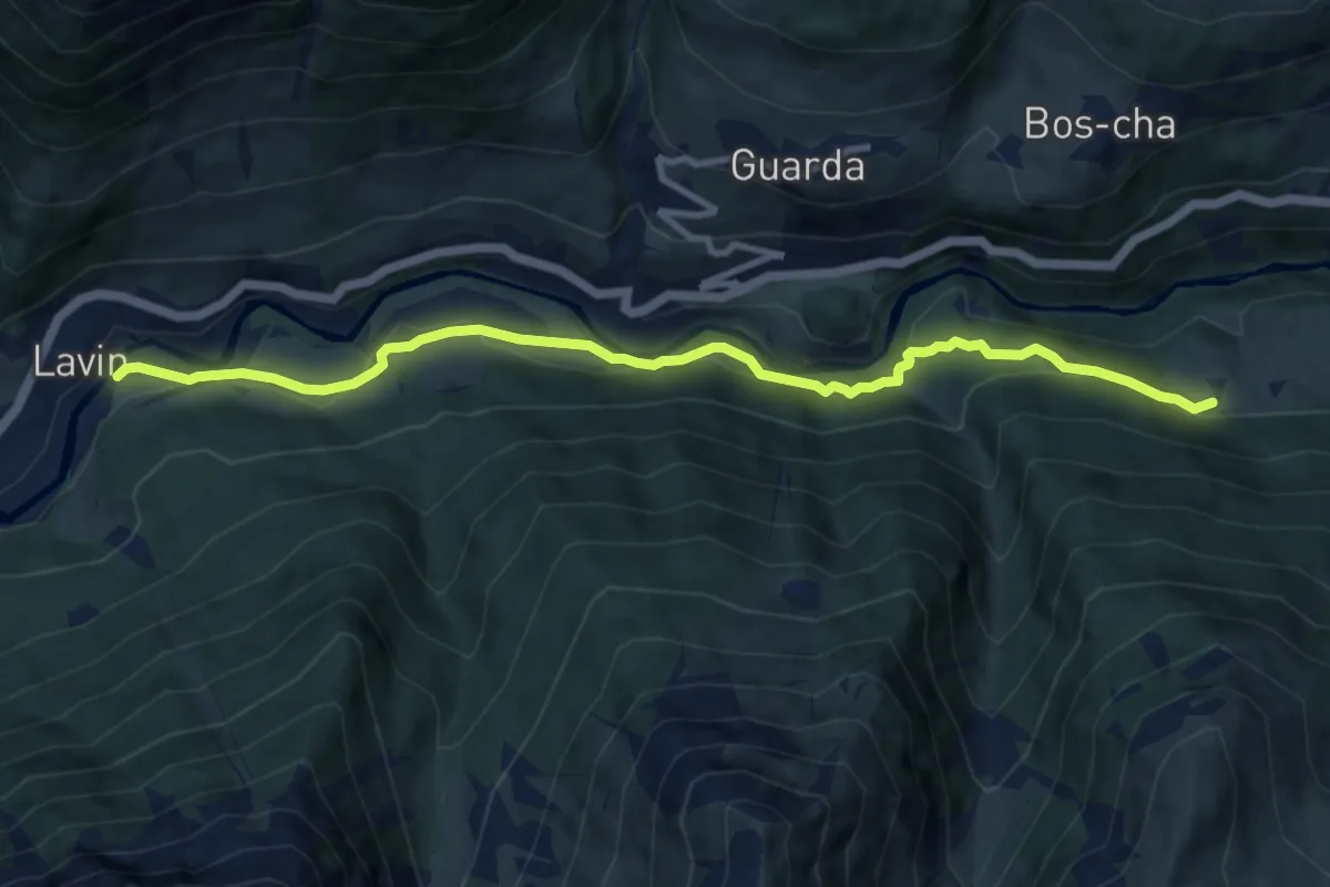
Medium · Trail
Lavin Plans – Sur En
10.4 km · ↑ 256 m · 3 h
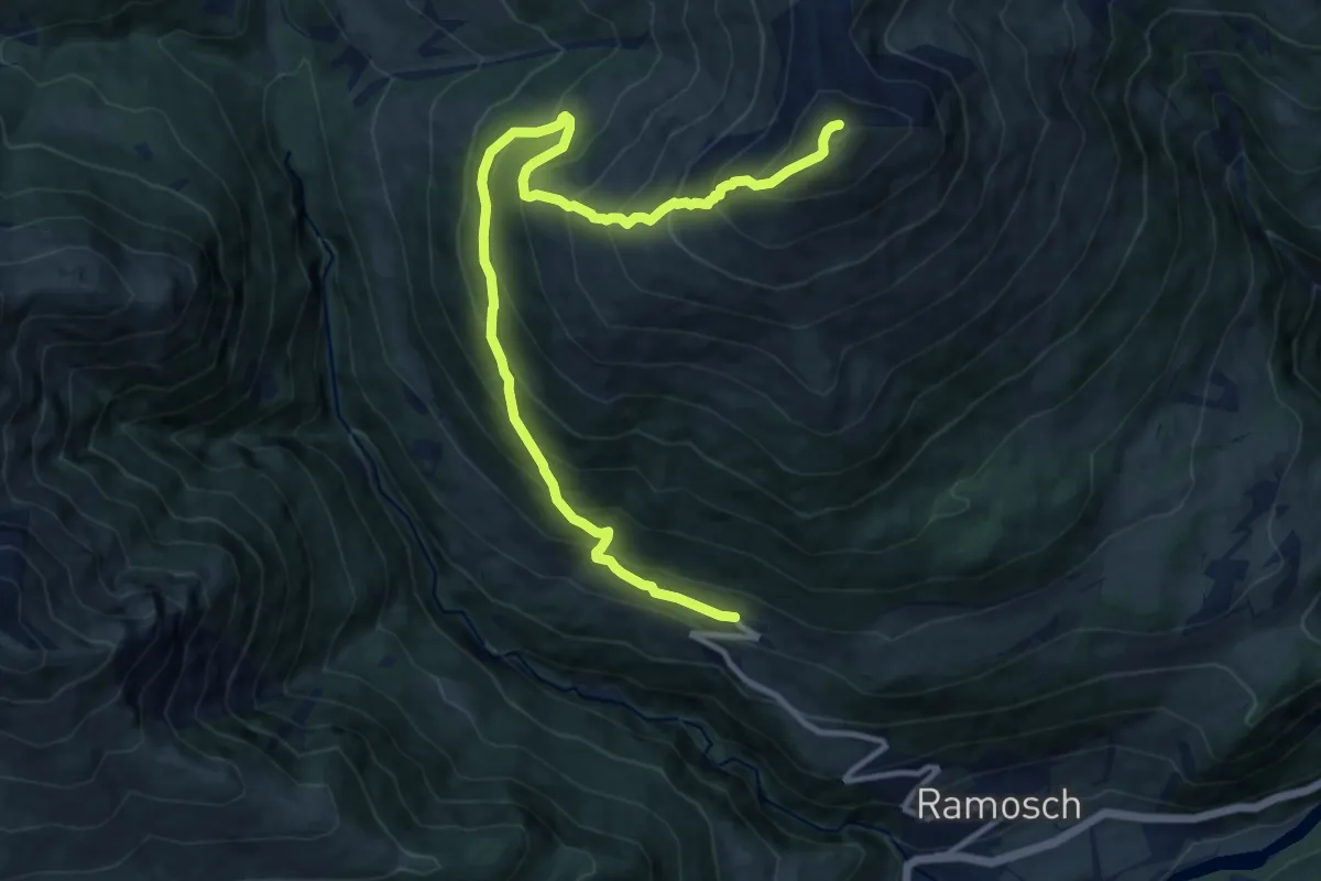
Demanding · Summit
Vnà – Piz Arina
12.9 km · ↑ 1227 m · 5 h 42 min
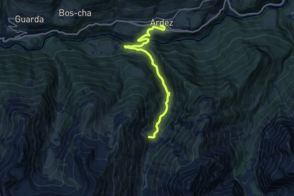
Medium · Trail
Ardez Staziun – Alp Sampuoir
12.0 km · ↑ 796 m · 4 h 33 min
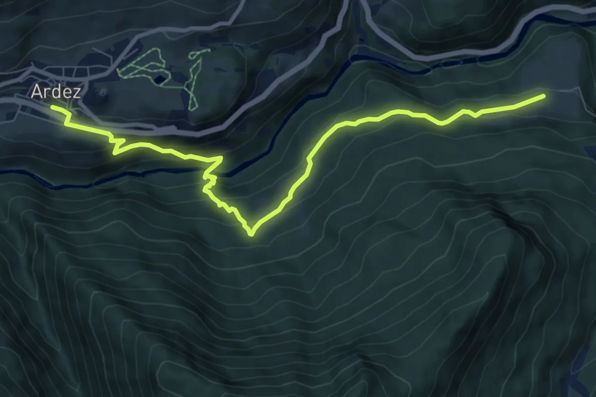
Medium · Trail
Ardez Staziun – Vallatscha
8.9 km · ↑ 502 m · 3 h 11 min
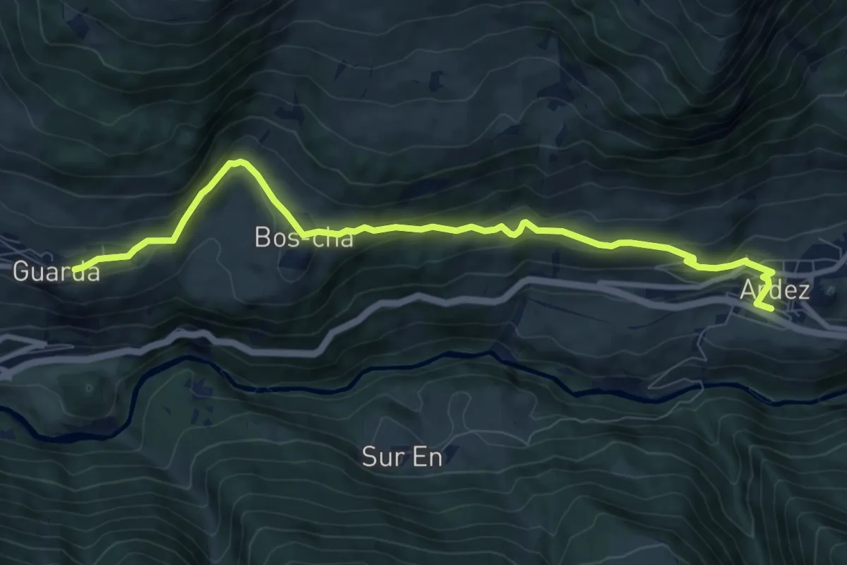
Medium · Trail
Ardez Staziun – Guarda
9.2 km · ↑ 377 m · 3 h
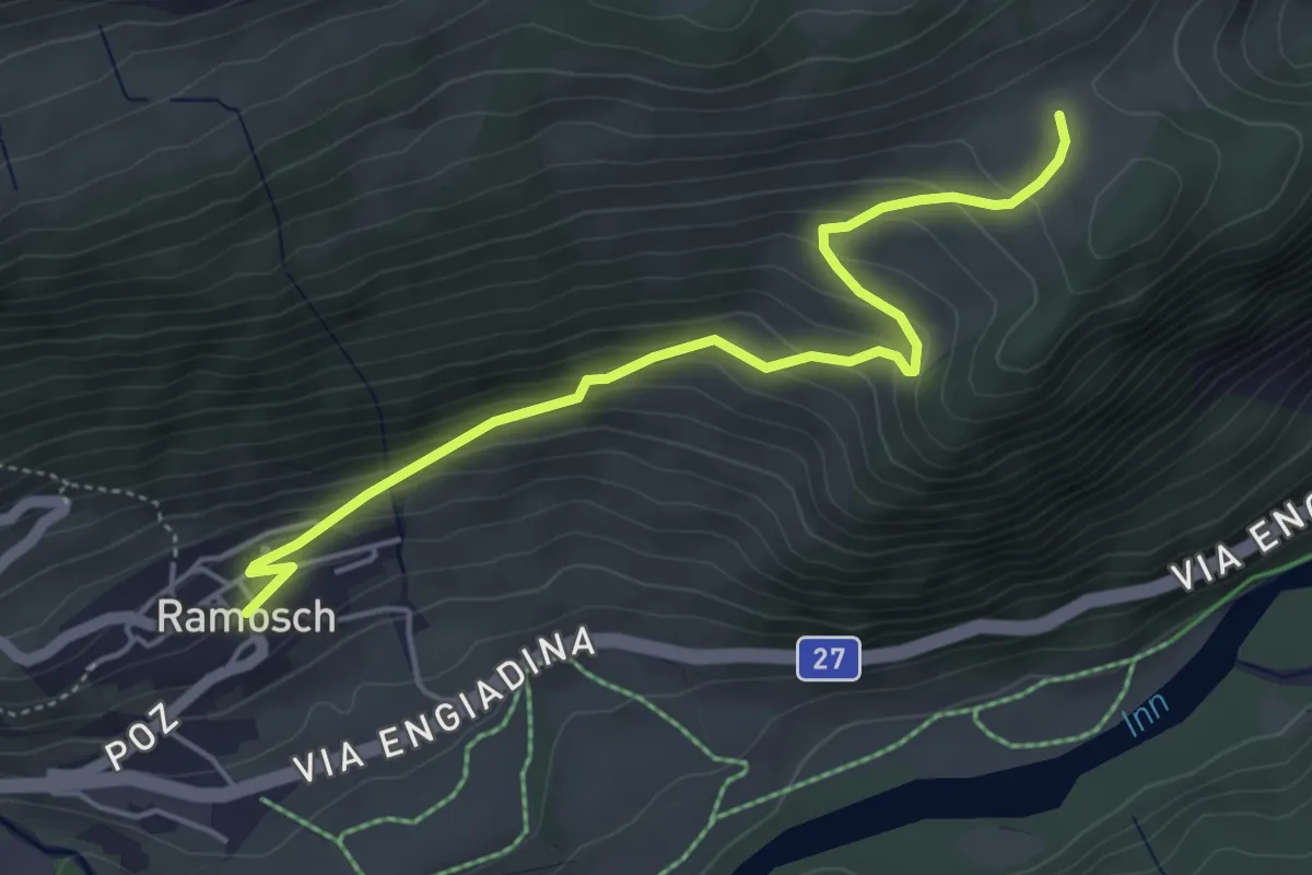
Easy · Trail
Ramosch – Motta
4.7 km · ↑ 310 m · 1 h 47 min
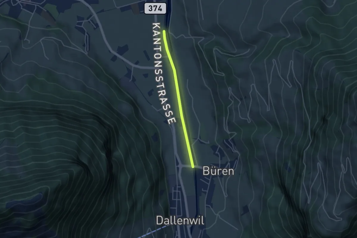
Easy · Trail
Bürenbrücke – Hostettenstäg
3.3 km · ↑ 9 m · 47 min
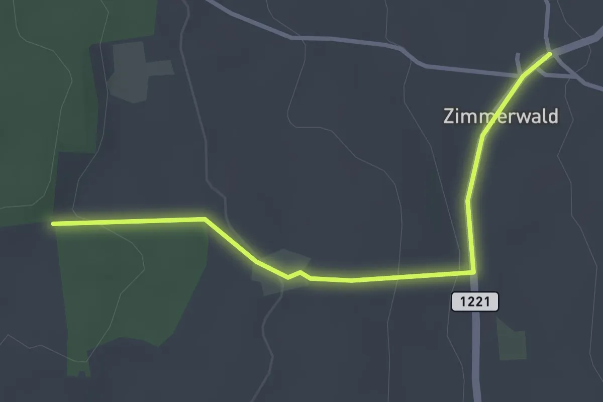
Easy · Trail
Allmid – Zimmerwald
3.0 km · ↑ 84 m · 53 min
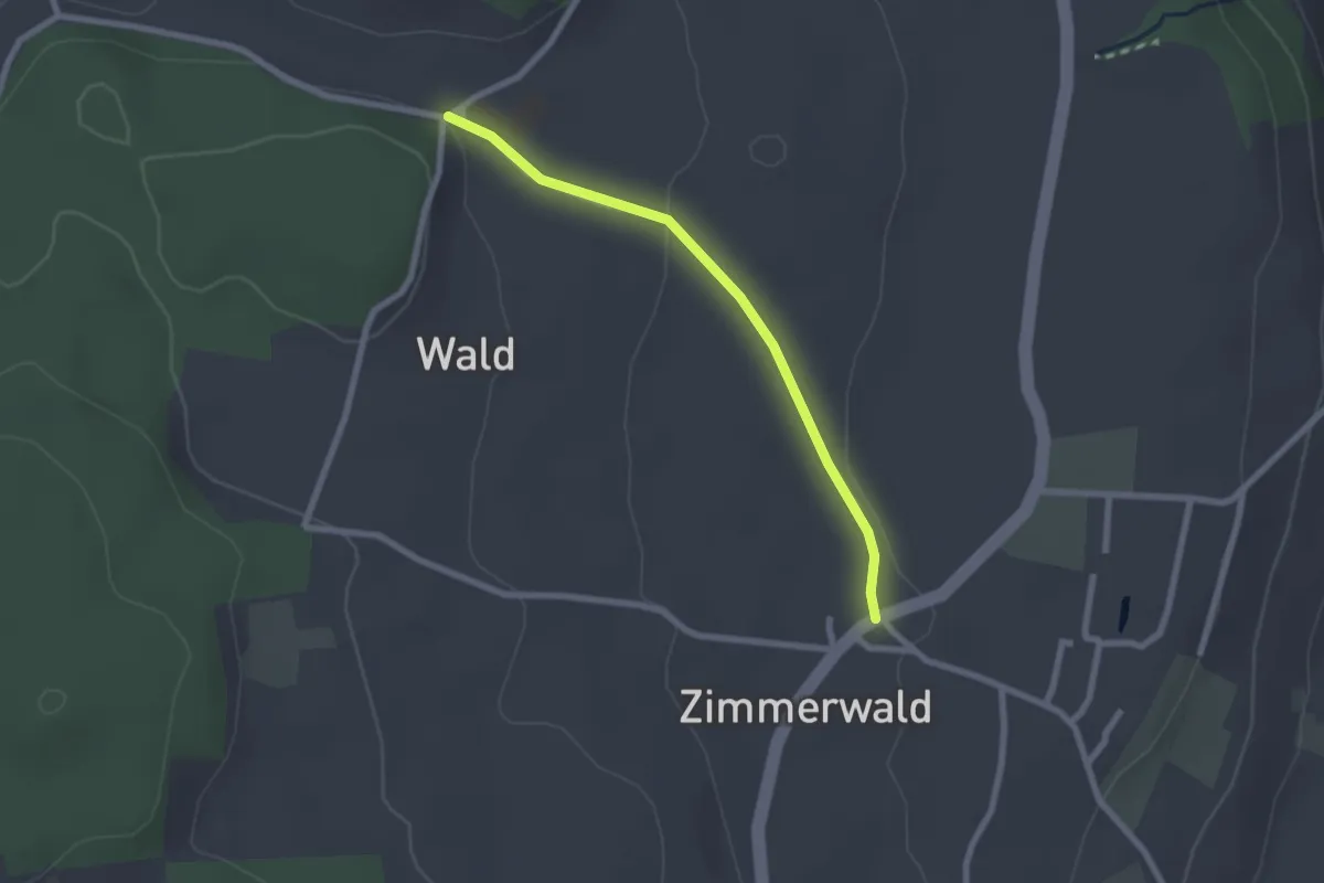
Easy · Trail
Zimmerwald – Undere Wald
2.1 km · ↑ 37 m · 35 min
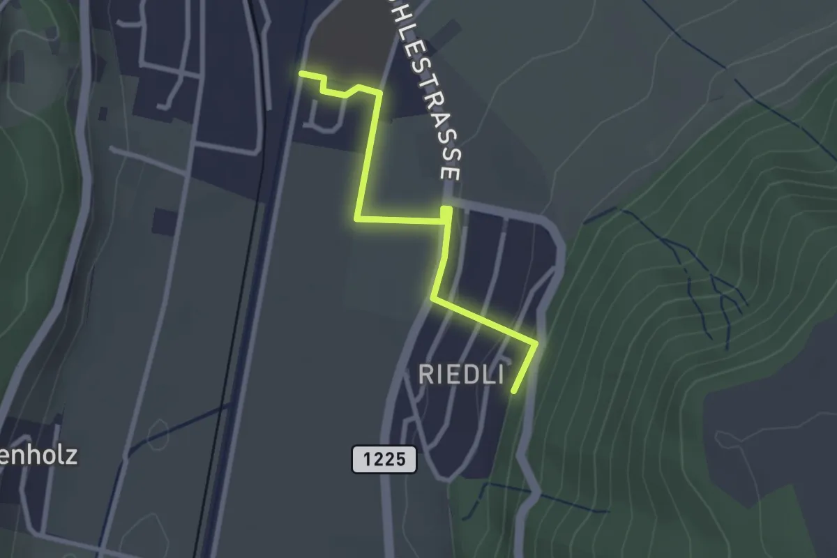
Easy · Trail
Belp – Riedli
2.4 km · ↑ 63 m · 42 min
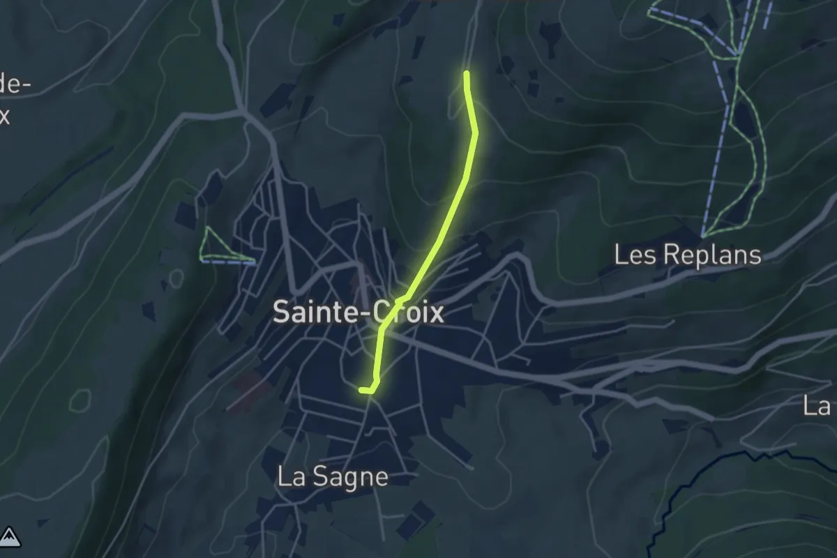
Easy · Trail
Ste-Croix – Les Praises
3.0 km · ↑ 190 m · 1 h 8 min
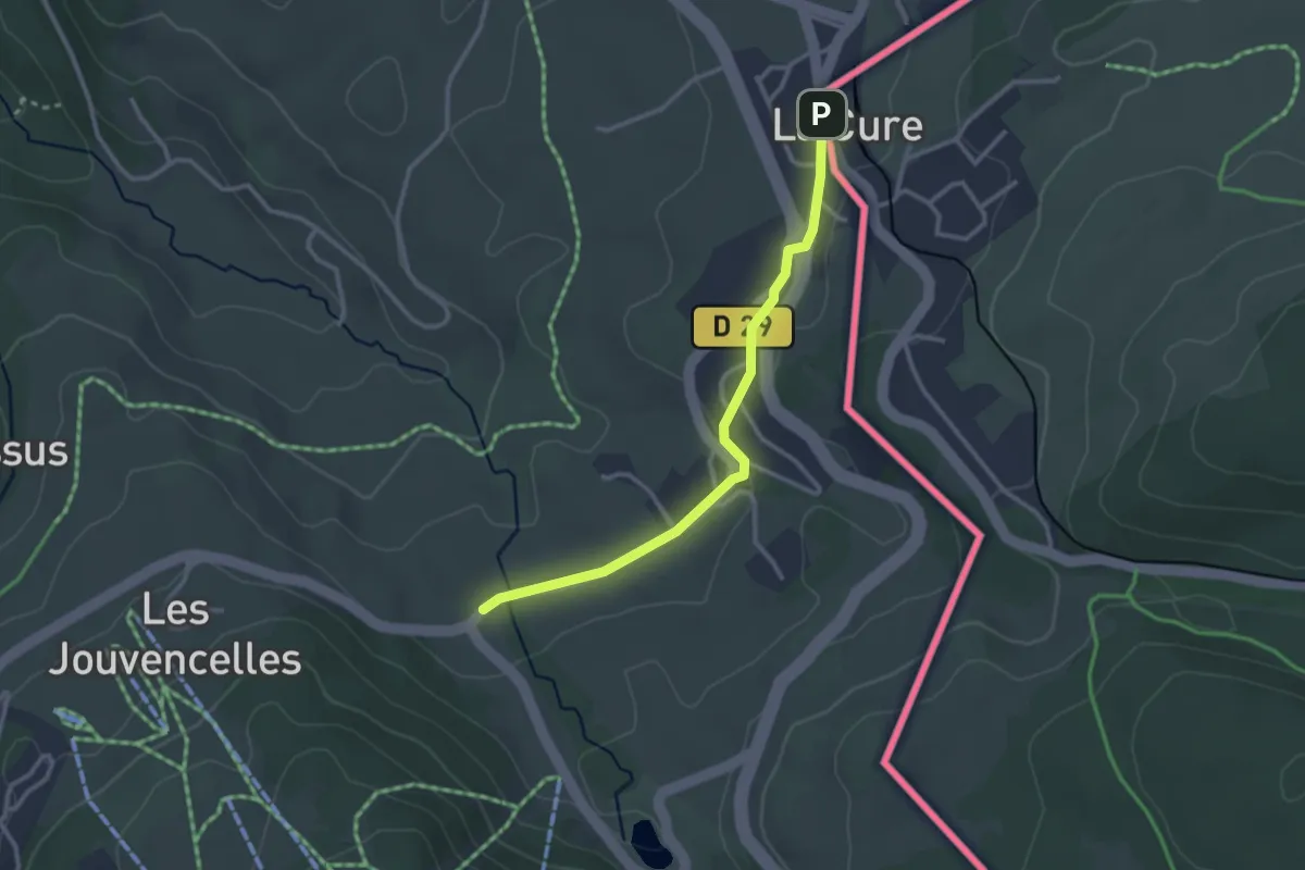
Easy · Trail
Les Cressonnières – La Cure
2.8 km · ↑ 45 m · 45 min
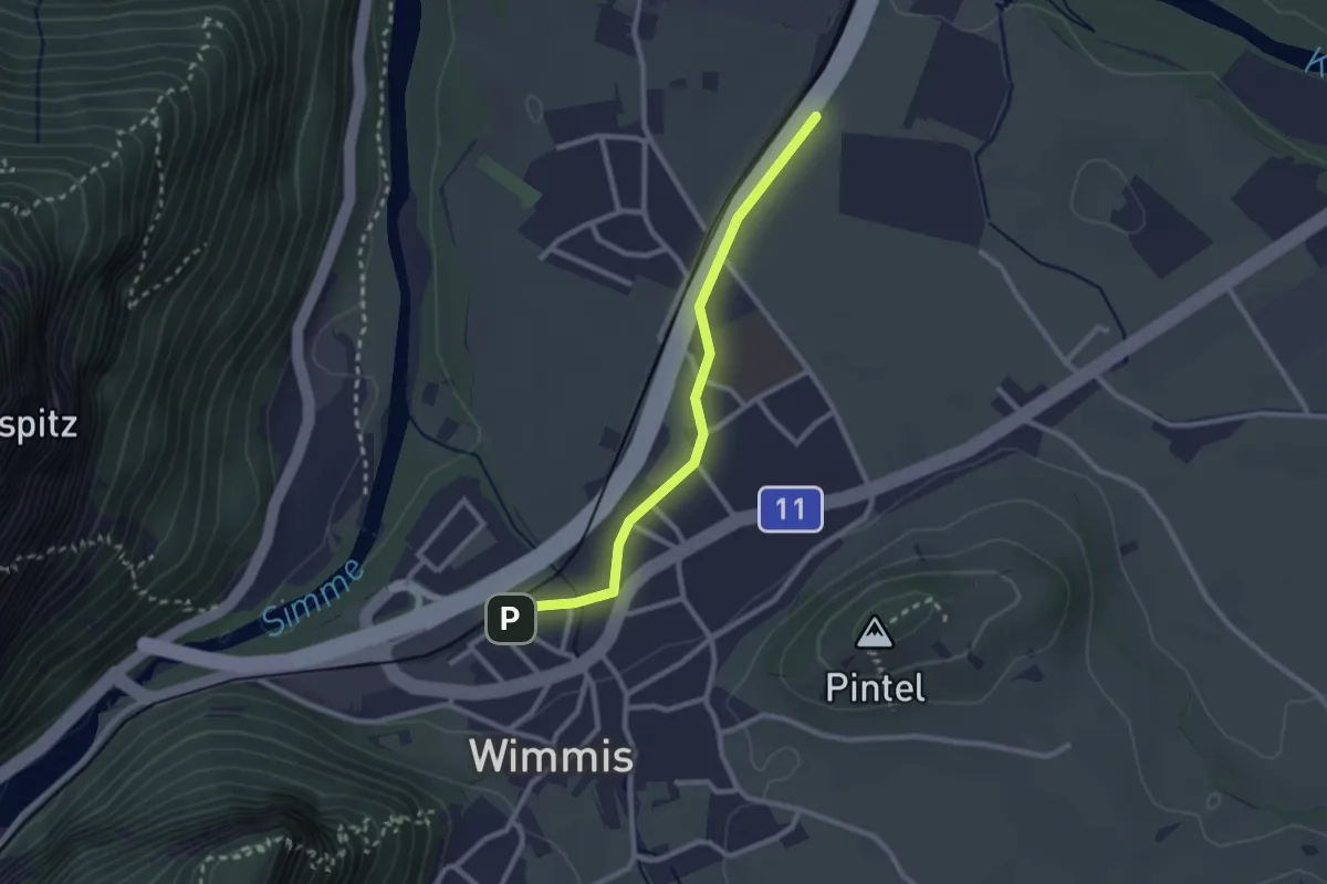
Easy · Trail
Wimmis – Eifeld
2.4 km · ↑ 13 m · 36 min
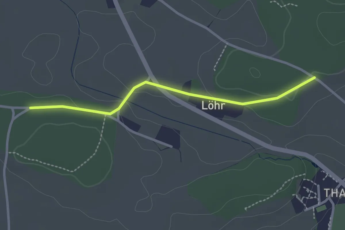
Easy · Trail
Buechwald – Lörwald
2.3 km · ↑ 29 m · 36 min
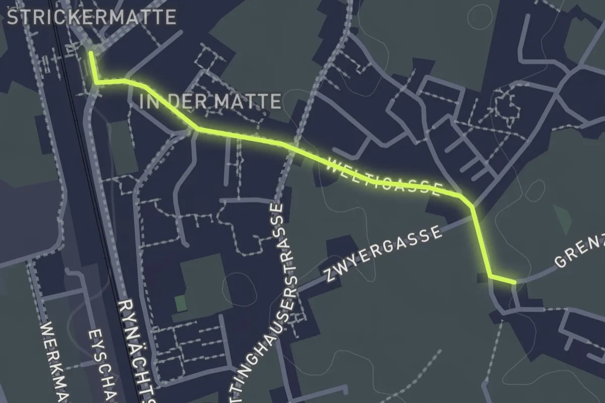
Easy · Trail
Altdorf Bahnhof – Ringli
2.1 km · ↑ 18 m · 32 min
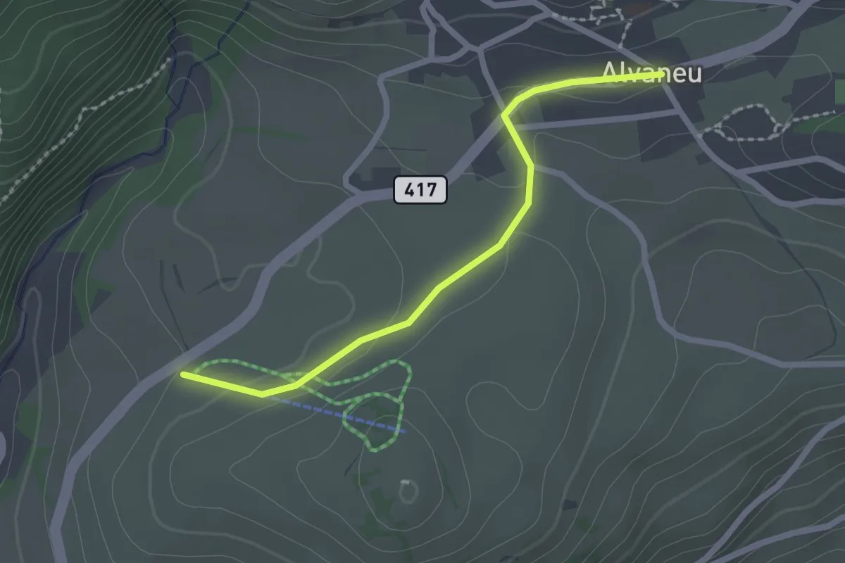
Easy · Trail
Bual – Alvaneu
2.1 km · ↑ 48 m · 35 min
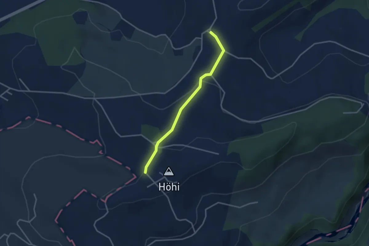
Easy · Trail
Sommerauhöchi – Obermettlen
2.5 km · ↑ 63 m · 44 min
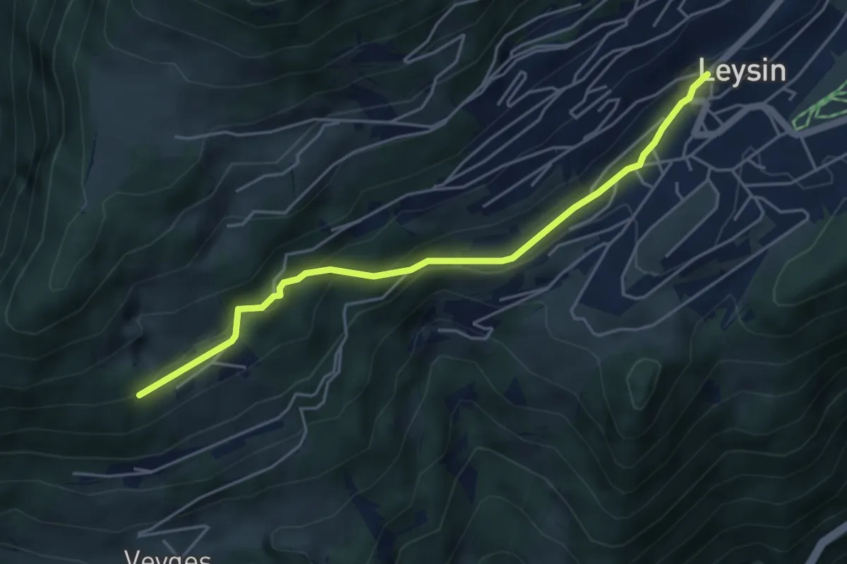
Easy · Trail
Leysin – Prélan
4.6 km · ↑ 196 m · 1 h 30 min
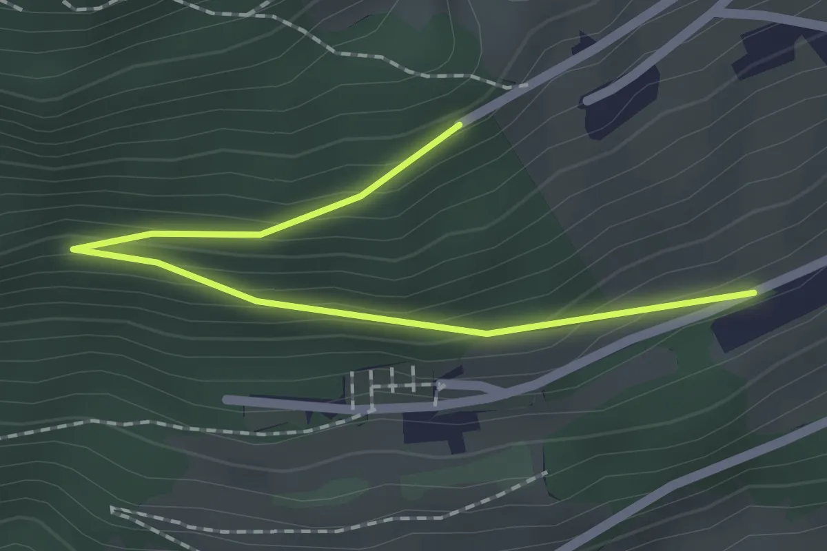
Easy · Trail
Les Larrets – Prélan
2.0 km · ↑ 115 m · 44 min
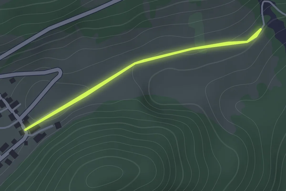
Medium · Trail
Veyges – La Roulaz
1.2 km · ↑ 10 m · 19 min
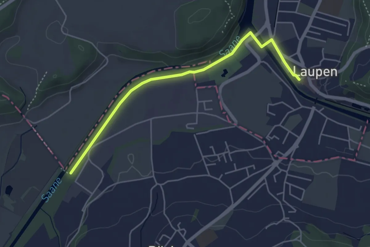
Easy · Trail
Auriedstäg – Laupen
4.3 km · ↑ 26 m · 1 h 4 min
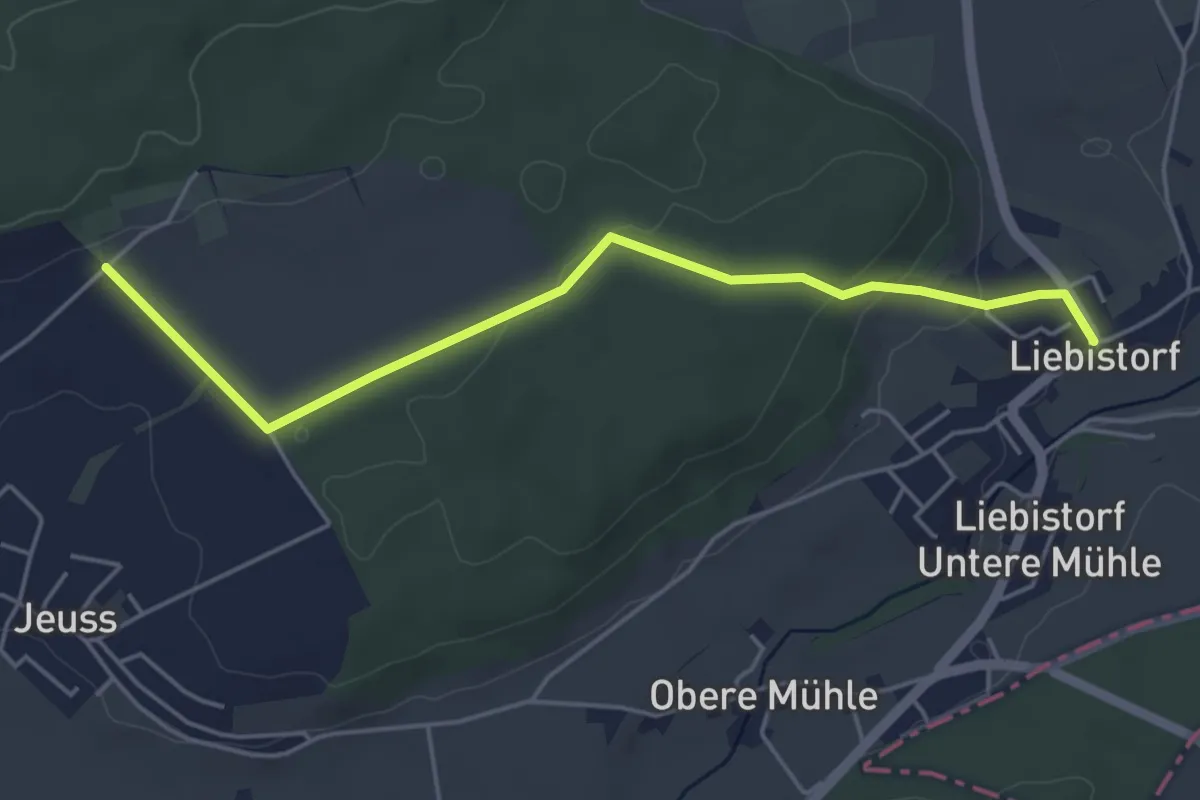
Easy · Trail
Galmguet – Liebistorf
4.8 km · ↑ 106 m · 1 h 23 min
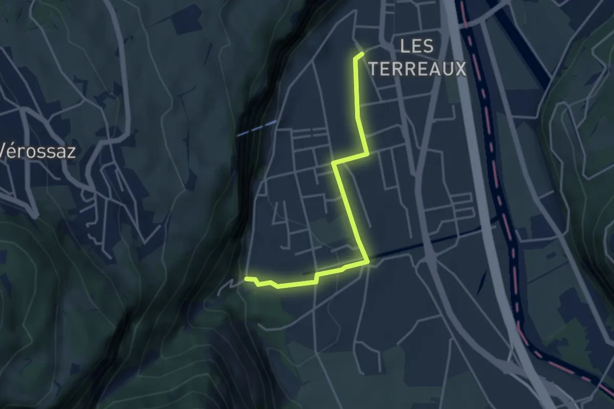
Easy · Trail
St-Maurice Gare – Les Cases
3.3 km · ↑ 77 m · 57 min
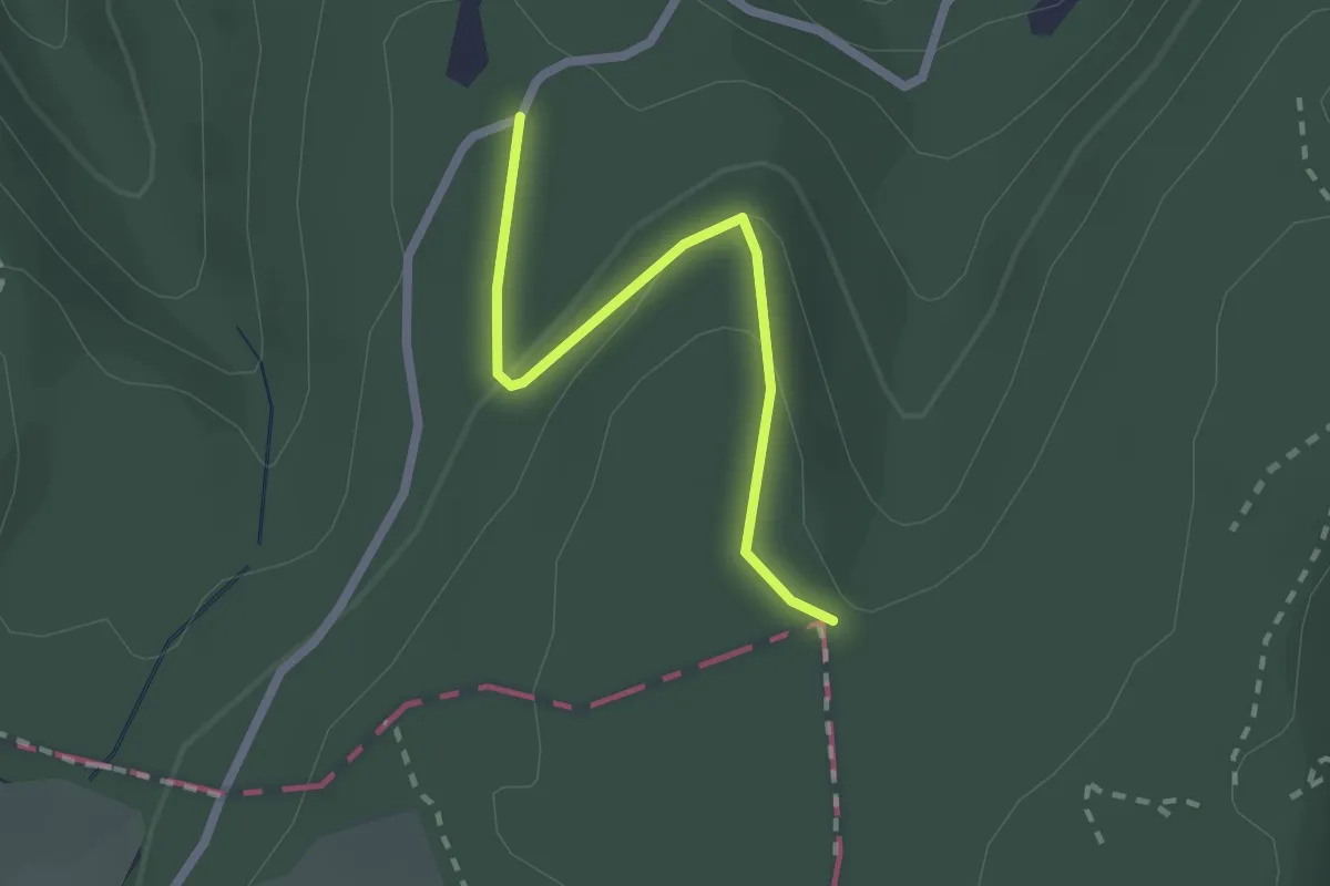
Easy · Trail
Hoher Bannstein – Sulzchopf
2.0 km · ↑ 55 m · 36 min
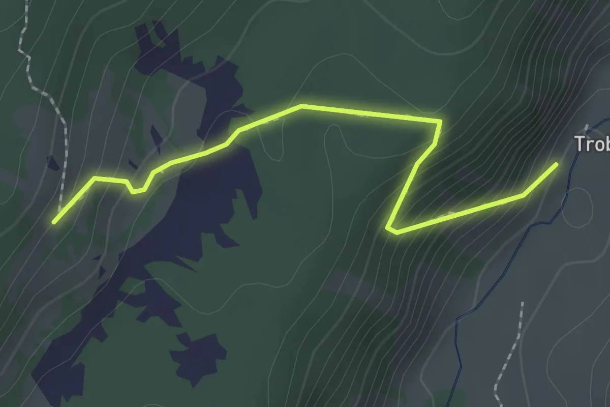
Medium · Trail
Traubachalp – Grünenbergpass
2.1 km · ↑ 151 m · 49 min
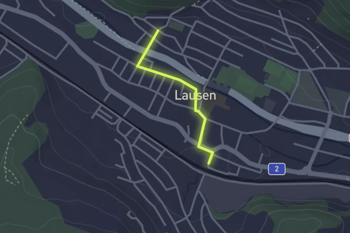
Easy · Trail
Lausen Kirche – Lausen
2.0 km · ↑ 18 m · 30 min
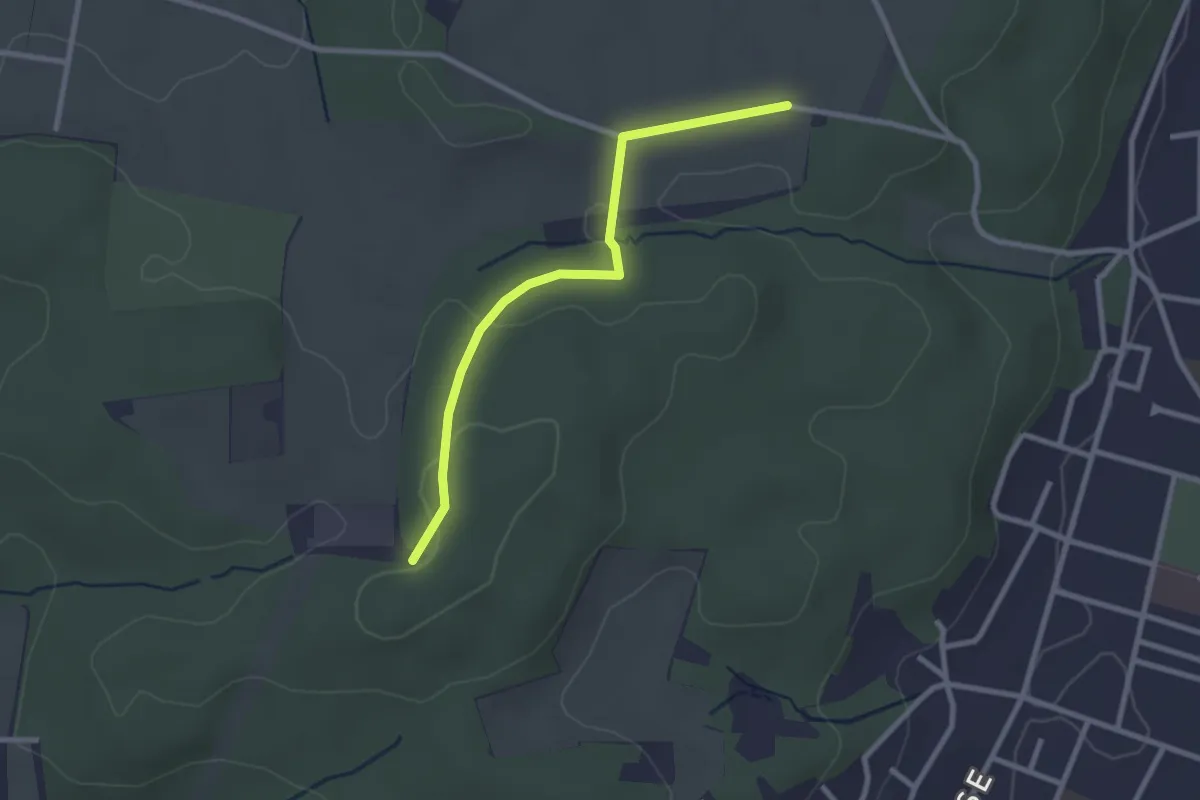
Easy · Trail
Froloo – Spitzenhegli
2.5 km · ↑ 35 m · 40 min
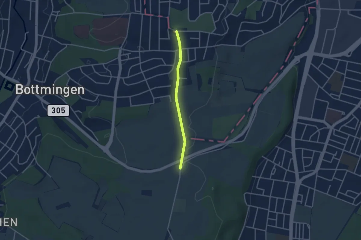
Easy · Trail
Wannen – Batterie
2.4 km · ↑ 5 m · 35 min
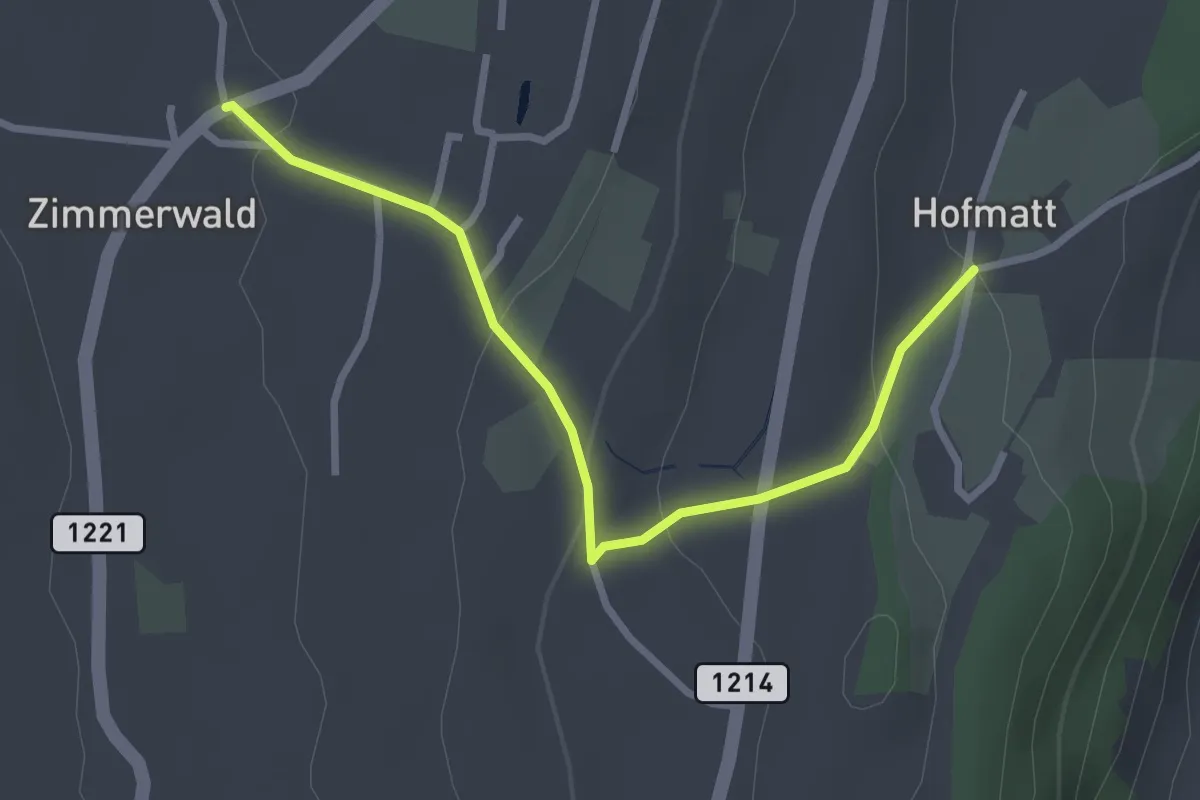
Easy · Trail
Zimmerwald – Hofmatt
2.9 km · ↑ 102 m · 54 min
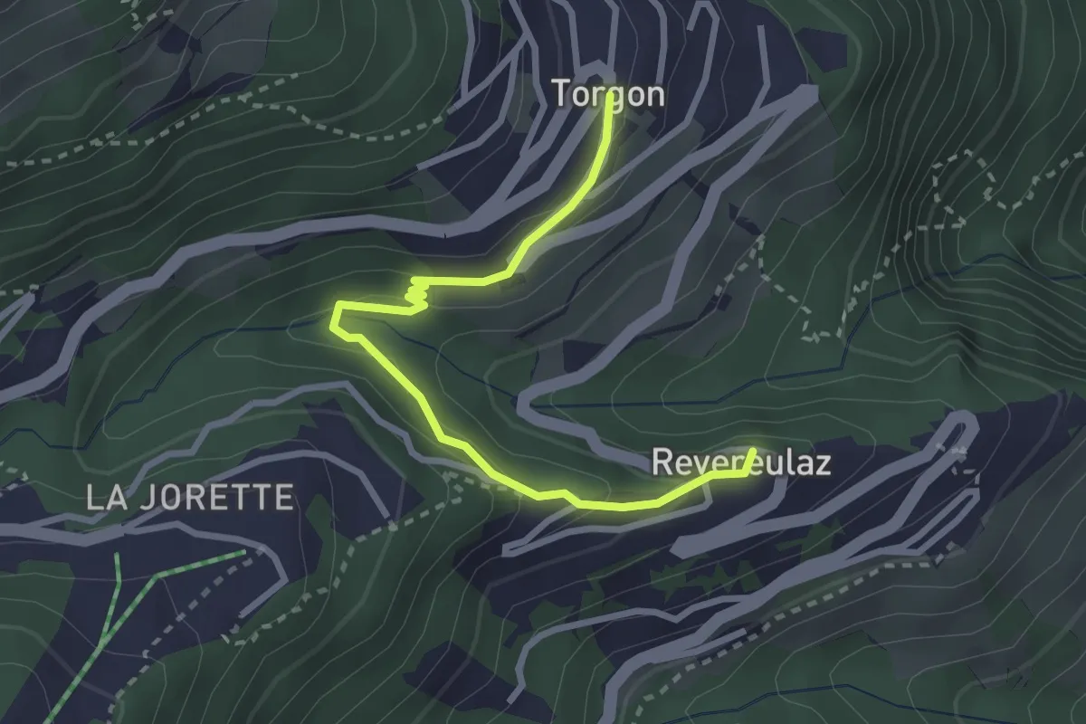
Easy · Trail
Revereulaz – Torgon Village
2.9 km · ↑ 169 m · 1 h 3 min
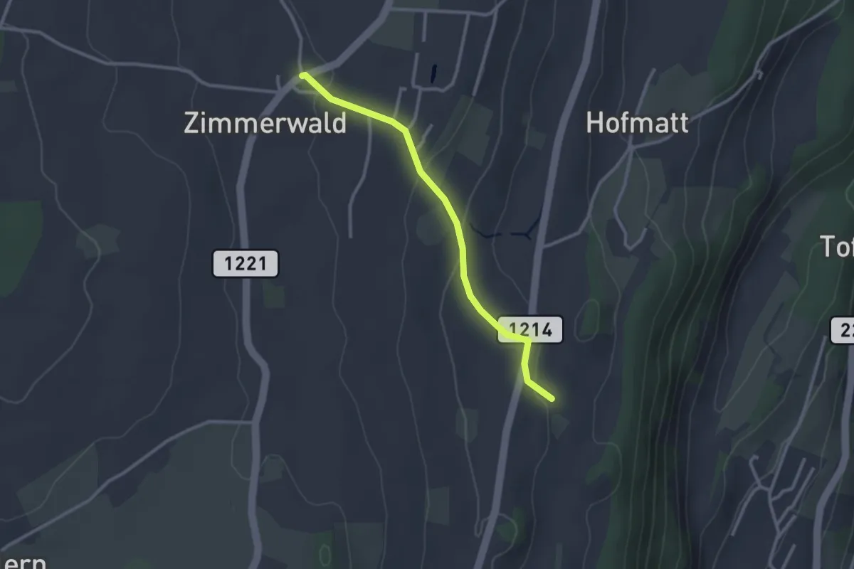
Easy · Trail
Zimmerwald – Rossweid
2.6 km · ↑ 64 m · 45 min
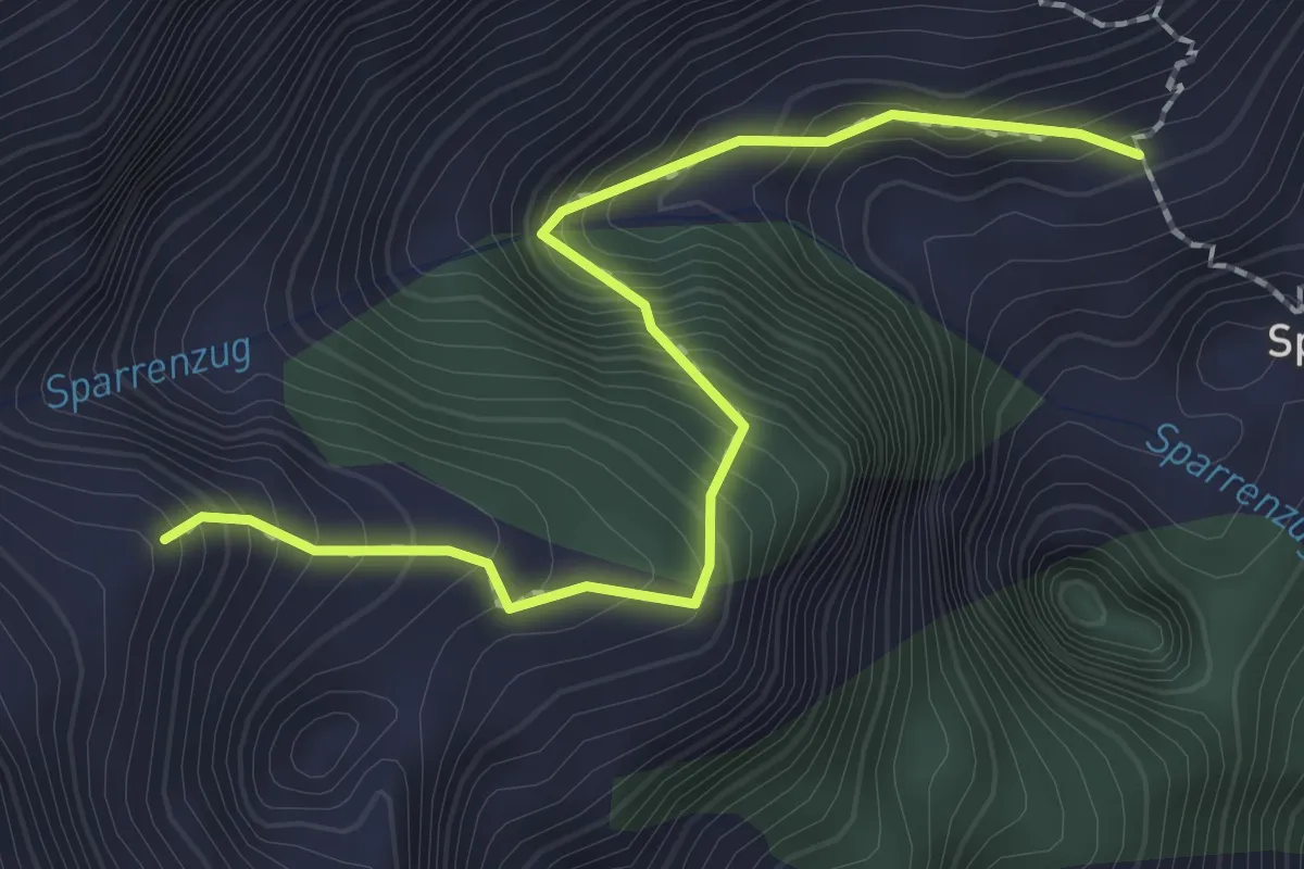
Medium · Trail
Sparren – Sälflue
2.3 km · ↑ 324 m · 1 h 15 min
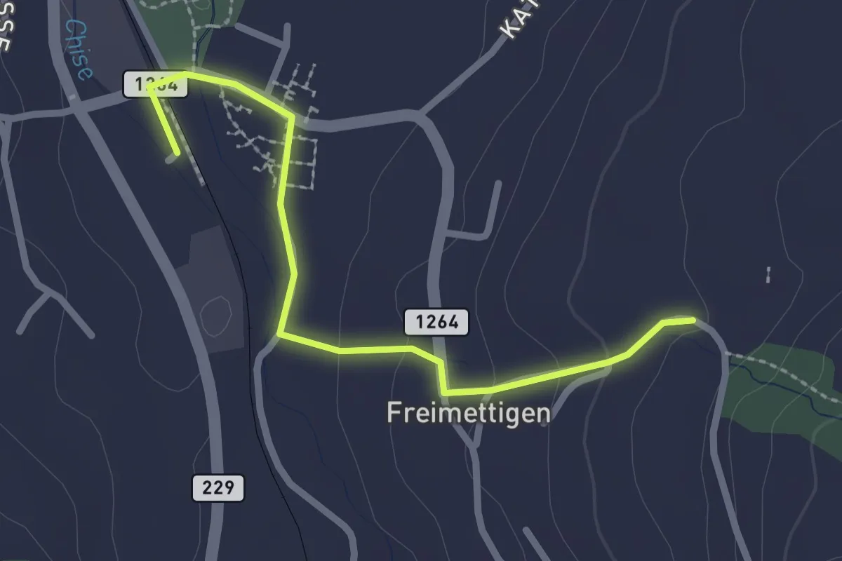
Easy · Trail
Stalden i. E. – Freimettigen
2.4 km · ↑ 53 m · 40 min
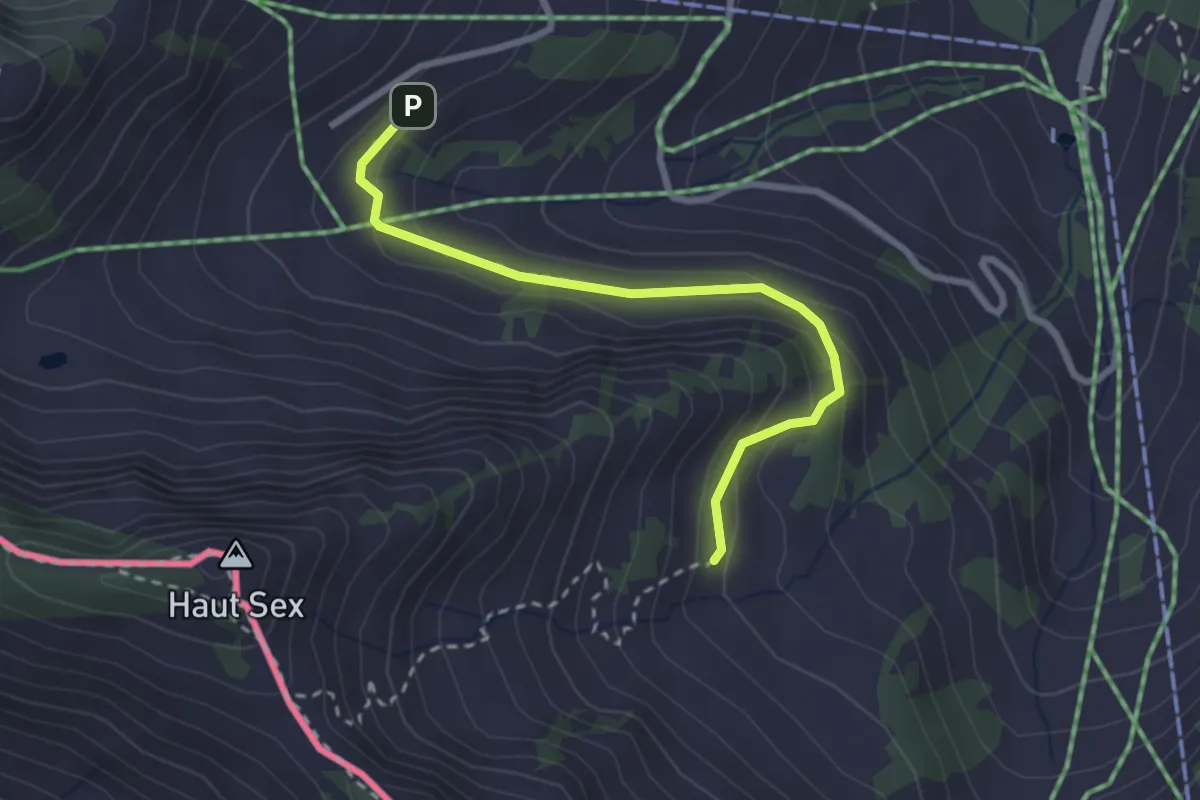
Easy · Trail
Recon – Chétillon
2.7 km · ↑ 155 m · 58 min
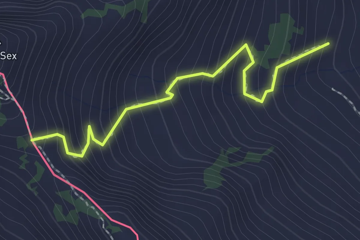
Medium · Trail
Chétillon – Col de Chétillon
2.0 km · ↑ 272 m · 1 h 4 min
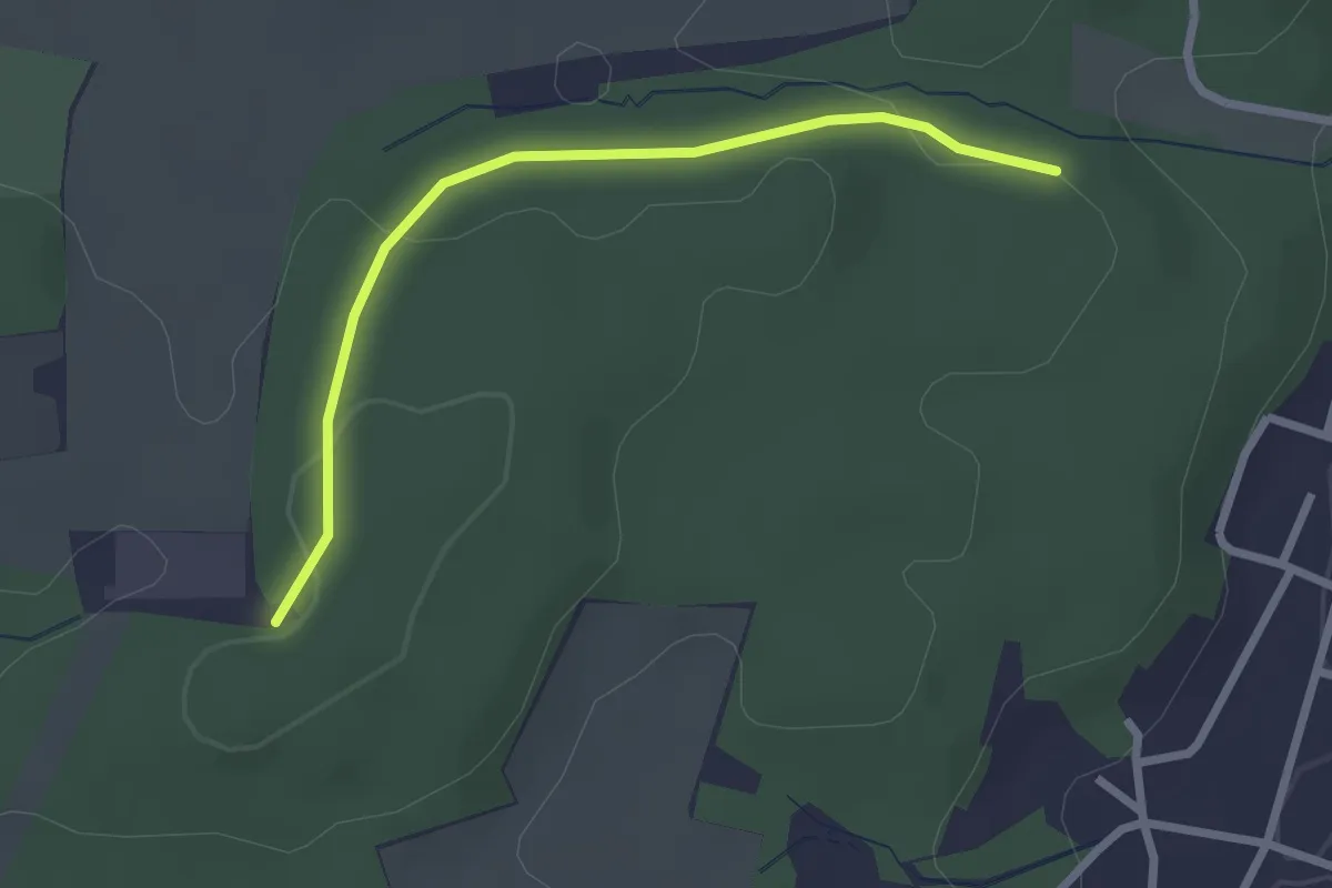
Easy · Trail
Froloo – Reinacherhof
2.4 km · ↑ 44 m · 40 min
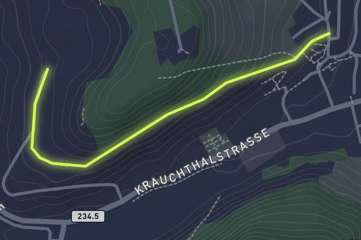
Easy · Trail
Oberburg – Hinterroth
2.5 km · ↑ 106 m · 50 min
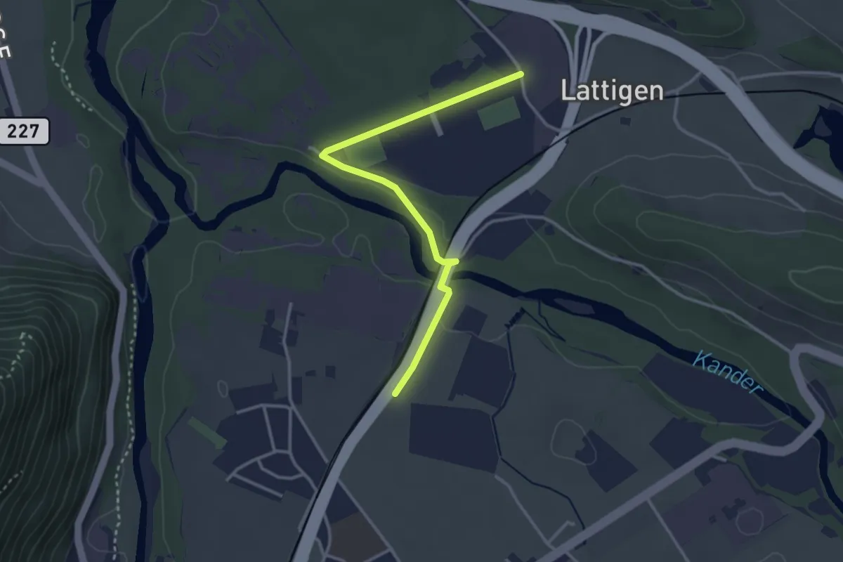
Easy · Trail
Eifeld – Lattigen
3.3 km · ↑ 28 m · 51 min
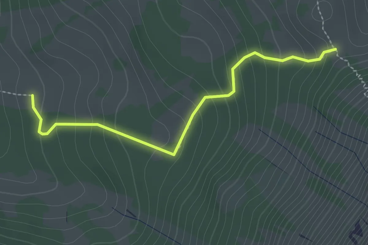
Easy · Trail
Oberi Matte – Zettenalp (Bim Ofe)
2.4 km · ↑ 183 m · 58 min
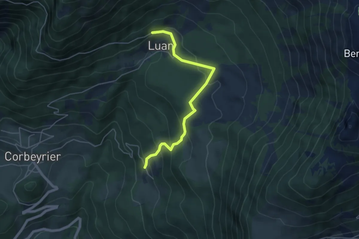
Medium · Trail
Boveau – Luan
4.5 km · ↑ 305 m · 1 h 43 min