Trails in Switzerland
15,055 hiking trails, each with its route, climb, walking time and grade.
All trails, page 145 of 314
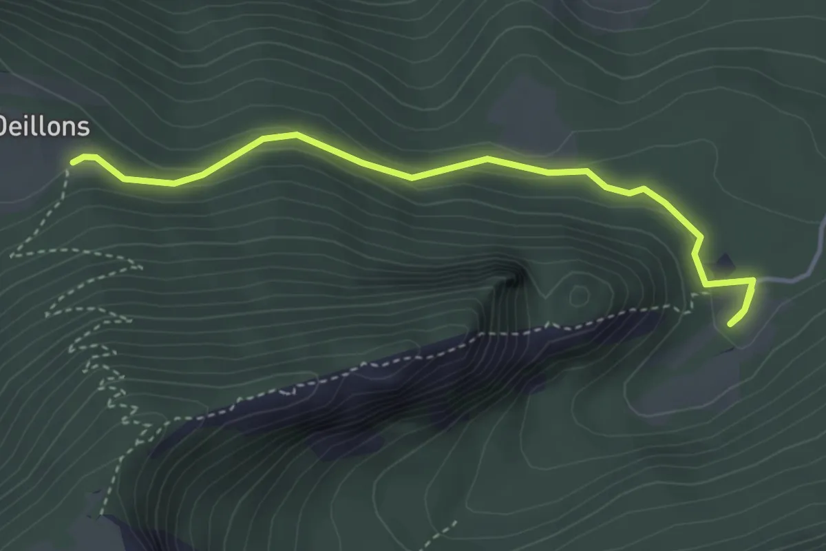
Easy · Trail
Ferme Robert – Les Oeuillons
3.8 km · ↑ 154 m · 1 h 14 min
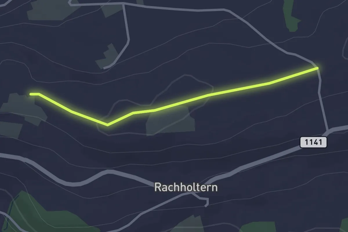
Easy · Trail
Chrüzweg – Lueghubel
2.5 km · ↑ 22 m · 39 min
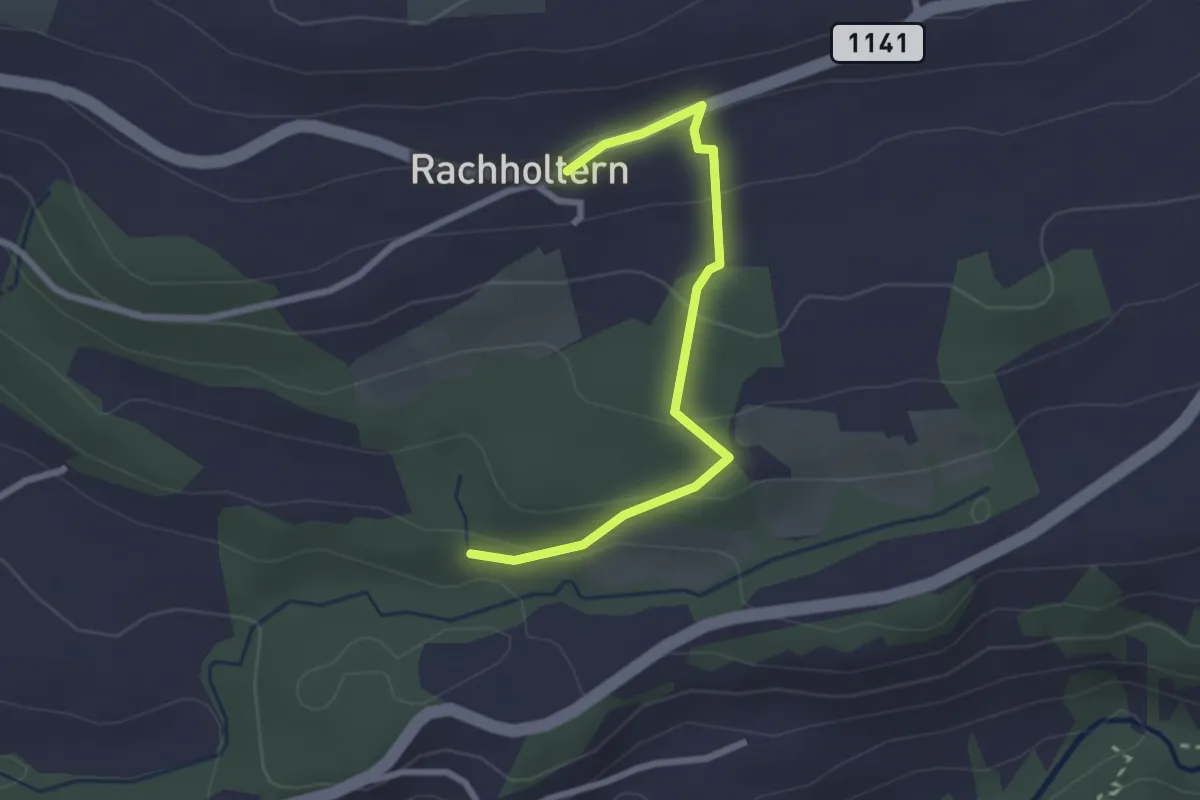
Easy · Trail
Rachholtern – Birchigraben
2.5 km · ↑ 126 m · 52 min
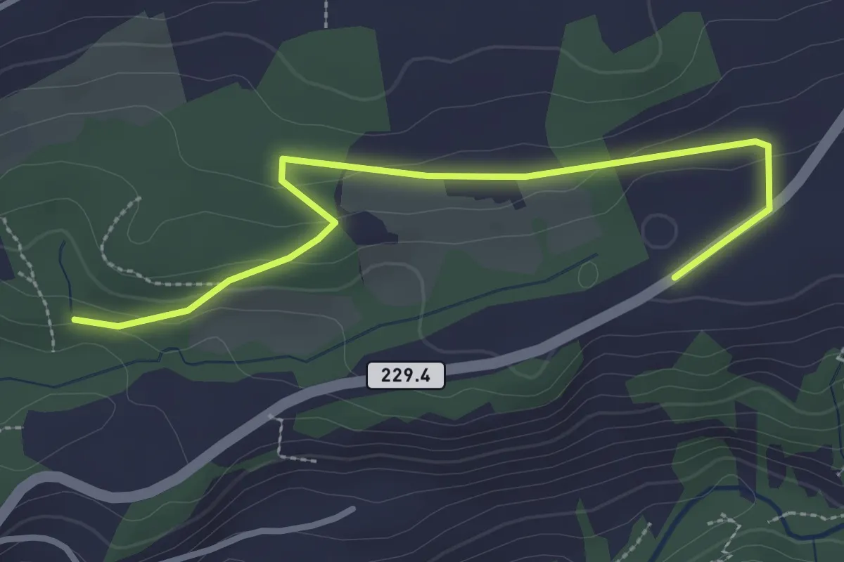
Easy · Trail
Birchigraben – Ober Emberg
3.1 km · ↑ 87 m · 55 min
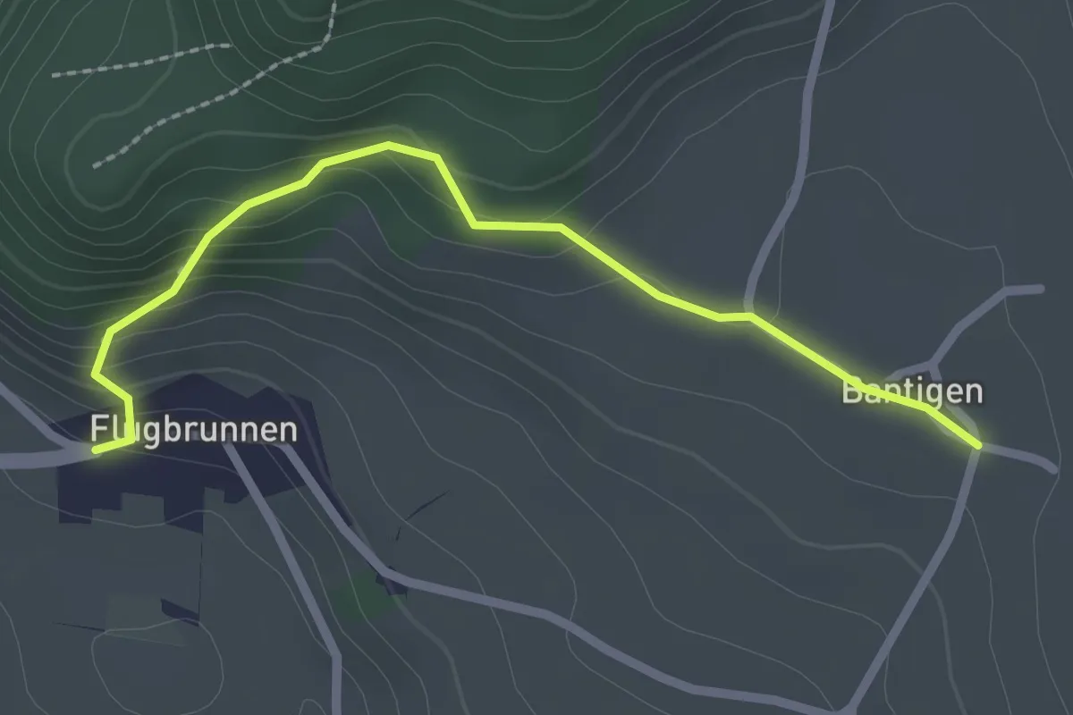
Easy · Trail
Bantigen – Flugbrunnen
2.3 km · ↑ 156 m · 54 min
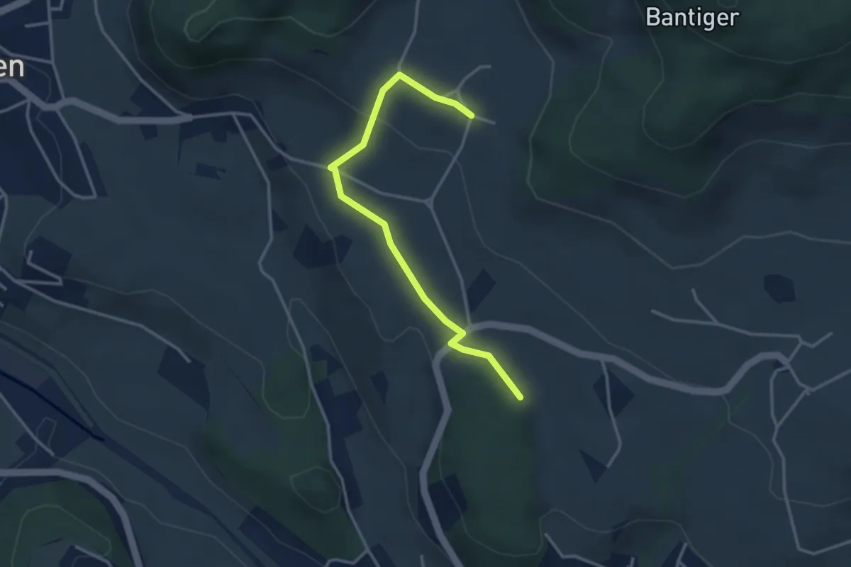
Easy · Trail
Bantigen – Buecholz
3.3 km · ↑ 57 m · 54 min
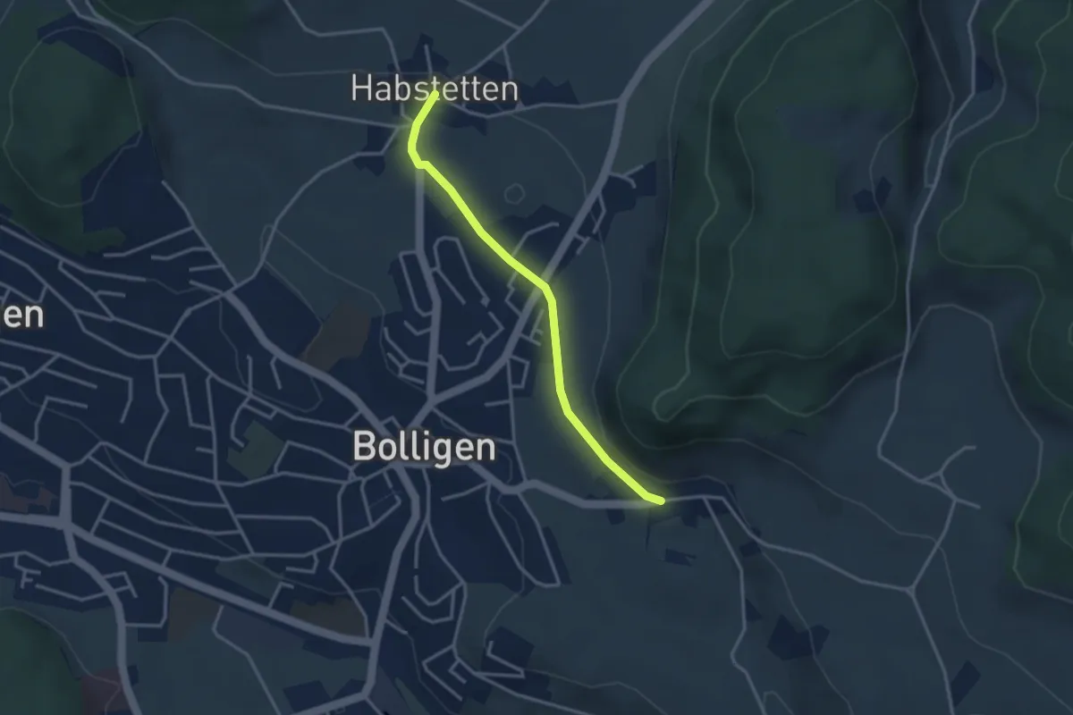
Easy · Trail
Habstetten – Flugbrunnen
3.0 km · ↑ 34 m · 47 min
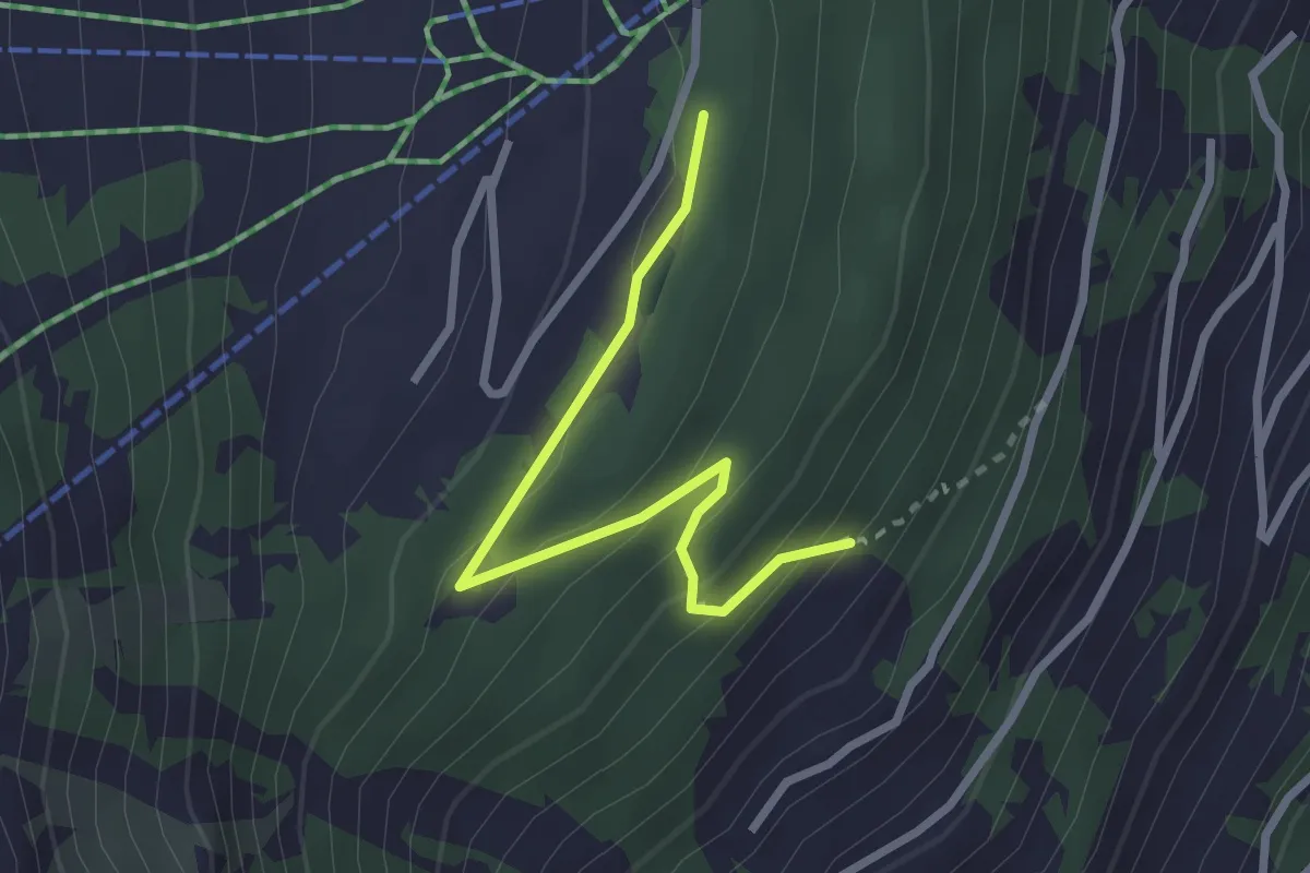
Easy · Trail
Le Mayen – Les Collons
2.6 km · ↑ 171 m · 1 h
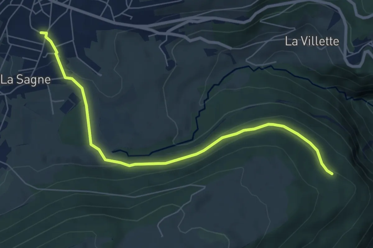
Easy · Trail
L'Onglettaz – Ste-Croix
6.5 km · ↑ 213 m · 2 h
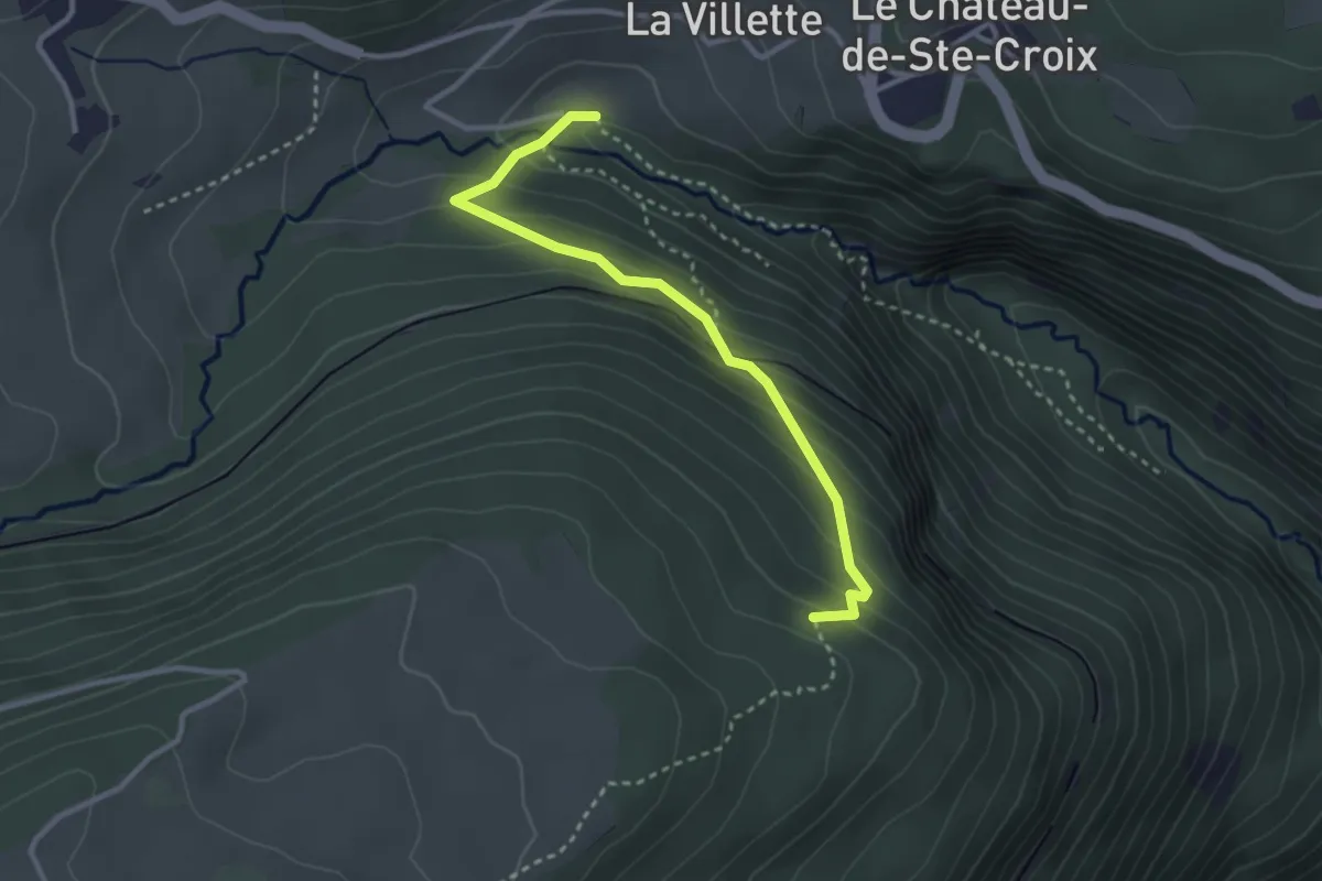
Easy · Trail
L'Onglettaz – Gorges de Covatannaz
3.0 km · ↑ 241 m · 1 h 14 min
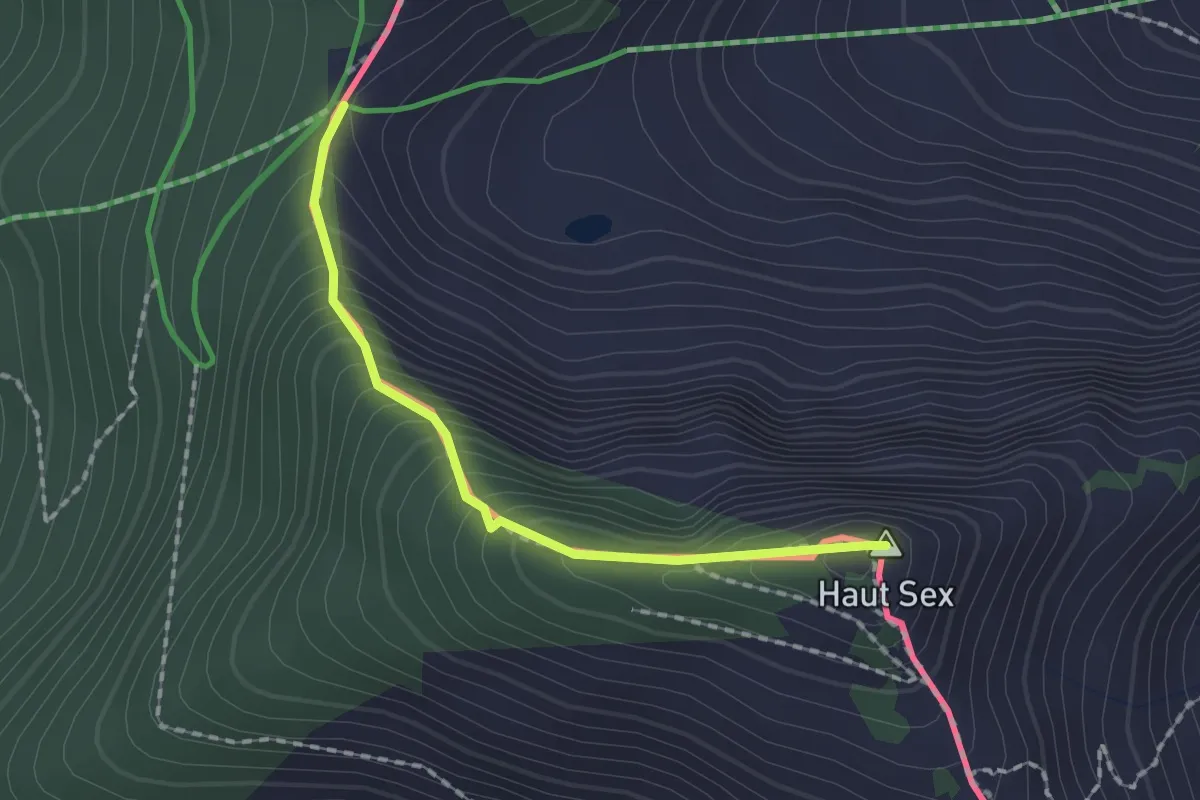
Demanding · Summit
Col de Chétillon – Col de Recon
1.6 km · ↑ 194 m · 48 min
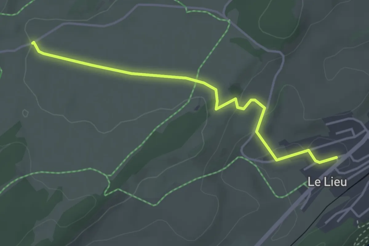
Easy · Trail
L'Allemagne – Le Lieu
3.8 km · ↑ 81 m · 1 h 4 min
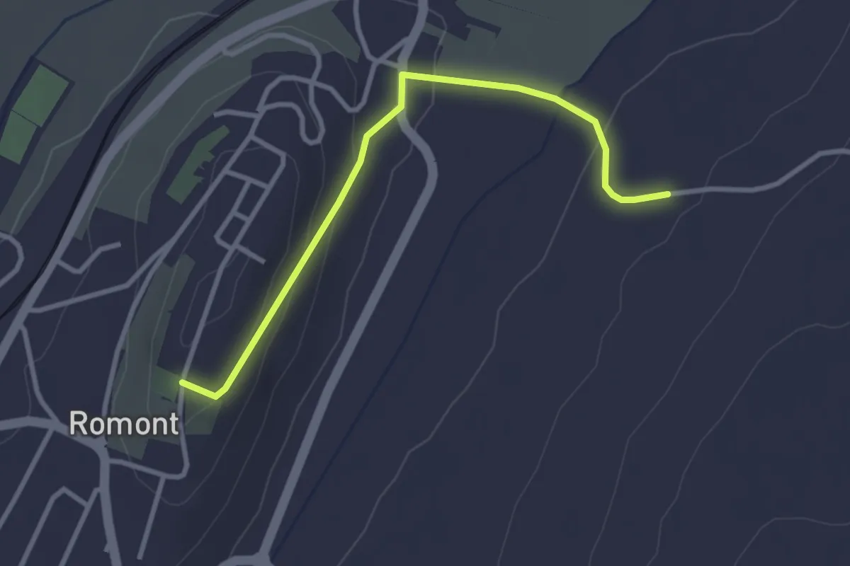
Easy · Trail
Romont – La Neirigue
3.0 km · ↑ 106 m · 56 min
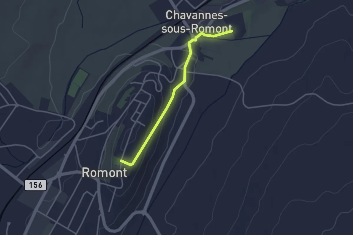
Easy · Trail
Romont – La Fille-Dieu
2.7 km · ↑ 82 m · 50 min
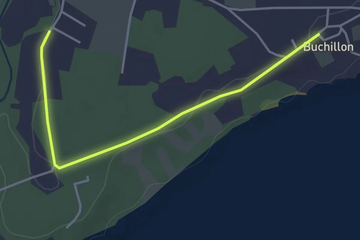
Easy · Trail
Grand Bois – Buchillon
3.4 km · ↑ 18 m · 51 min
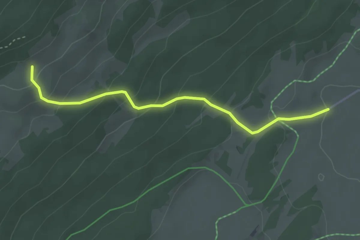
Easy · Trail
Grande Tèpe – L'Allemagne
3.4 km · ↑ 216 m · 1 h 16 min
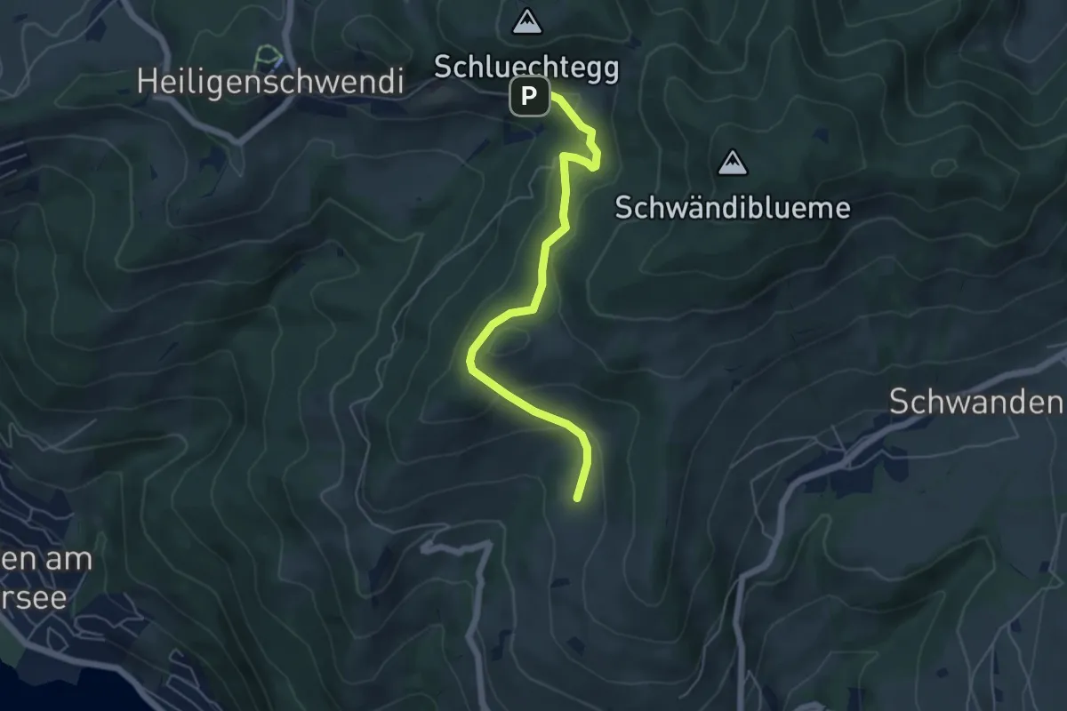
Easy · Trail
Aeschlenallmi – Weide
5.2 km · ↑ 251 m · 1 h 46 min
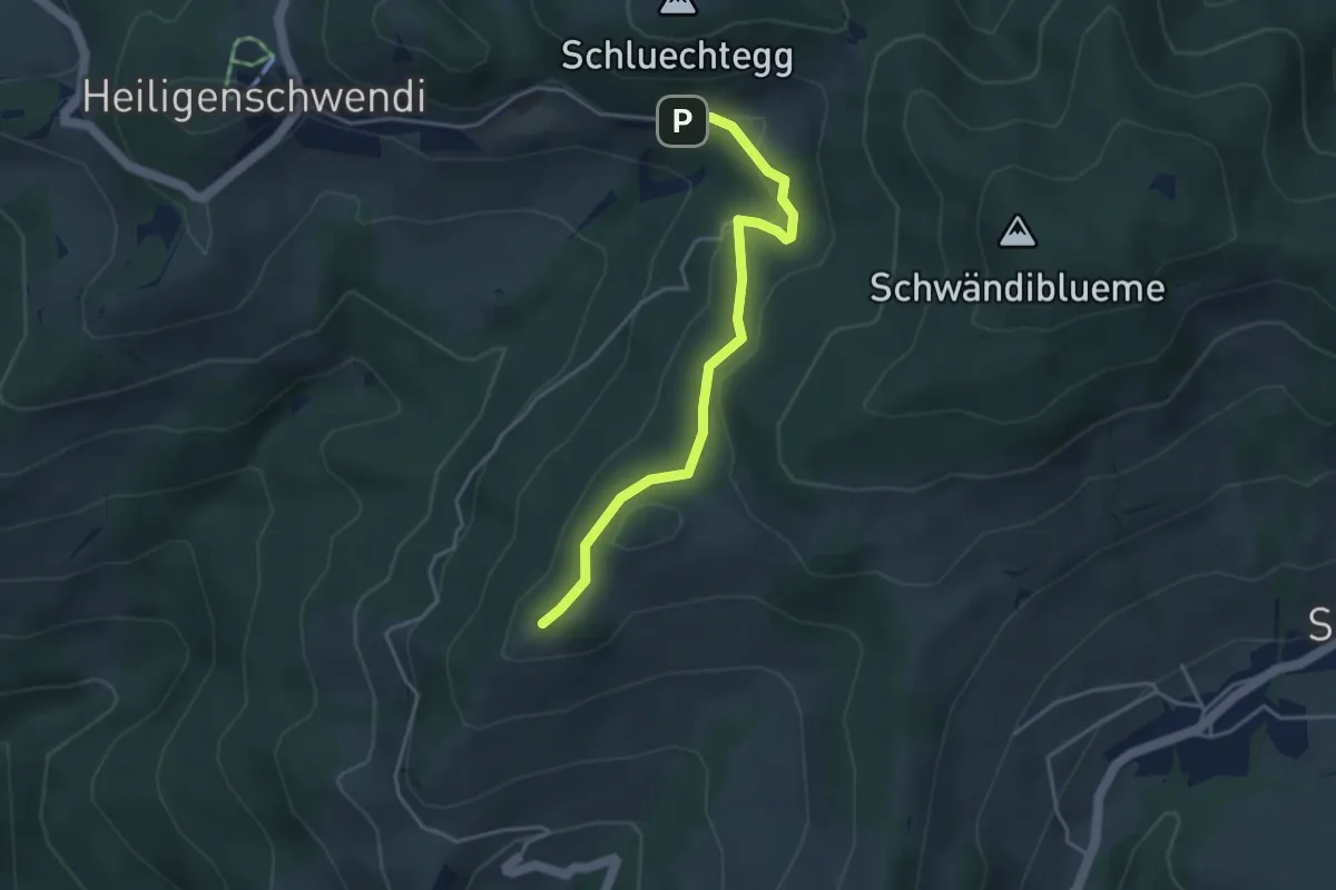
Easy · Trail
Niesenbänkli – Weide
3.9 km · ↑ 140 m · 1 h 13 min
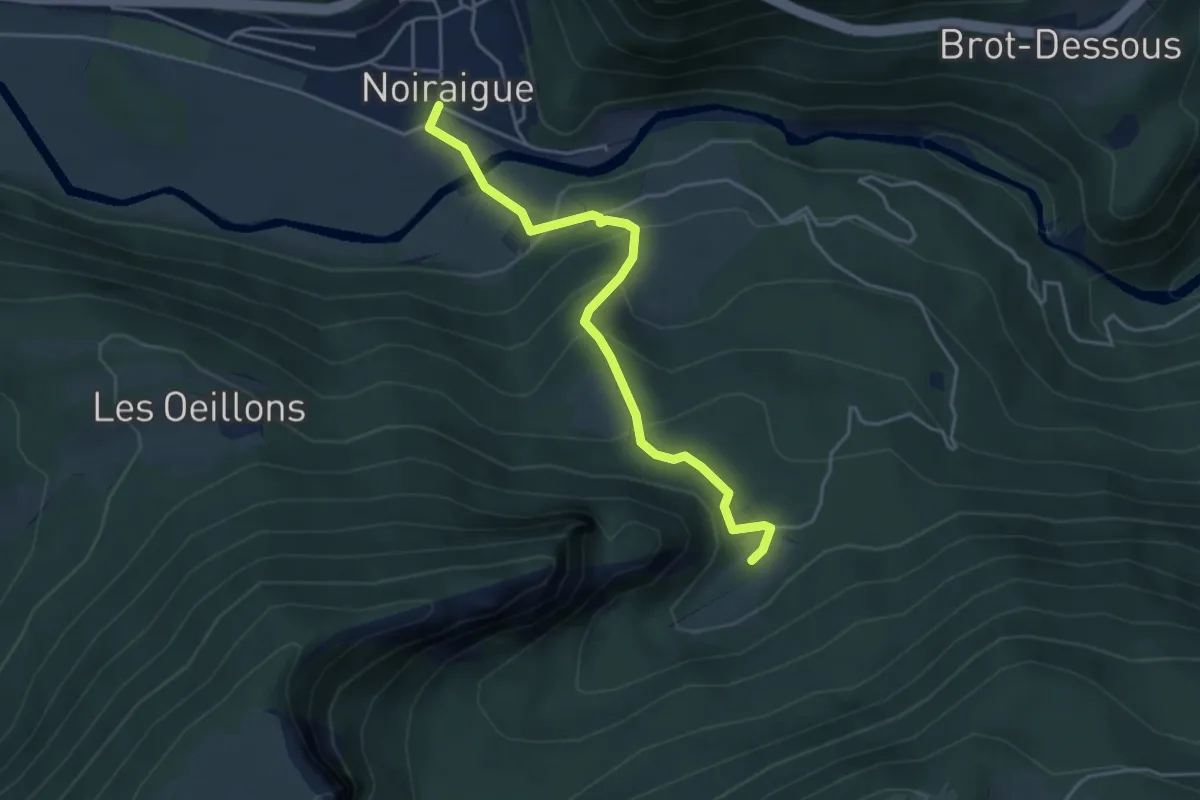
Easy · Trail
Noiraigue – Ferme Robert
4.2 km · ↑ 282 m · 1 h 37 min
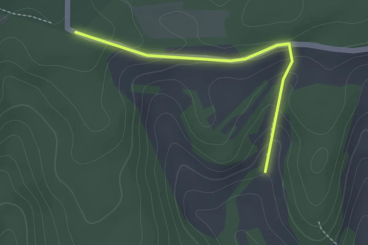
Easy · Trail
Mäserich – Hemmental
2.0 km · ↑ 99 m · 41 min
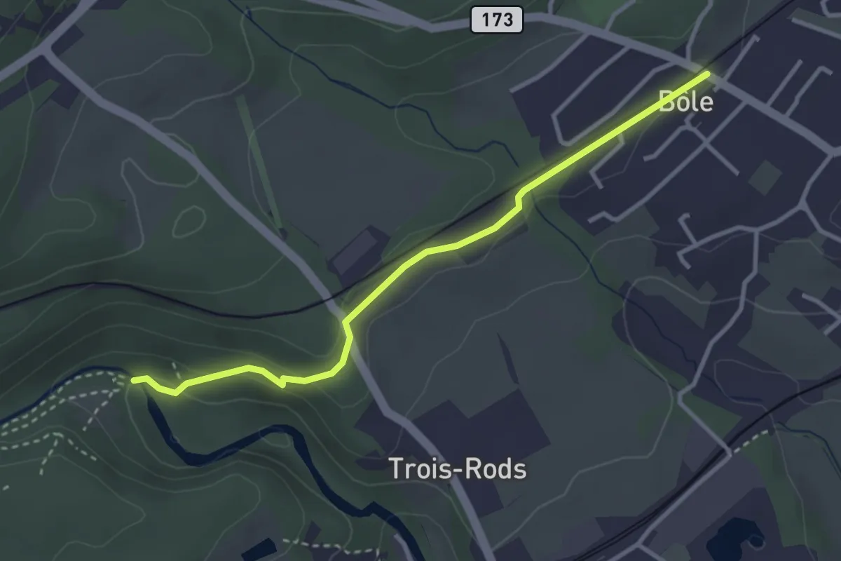
Easy · Trail
Pont des Clées – Bôle
3.2 km · ↑ 79 m · 56 min
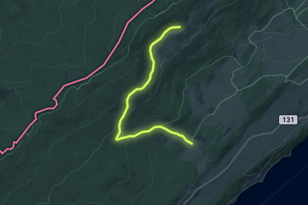
Easy · Trail
Chalet de Combe Noire – Grande Tèpe
7.6 km · ↑ 287 m · 2 h 24 min
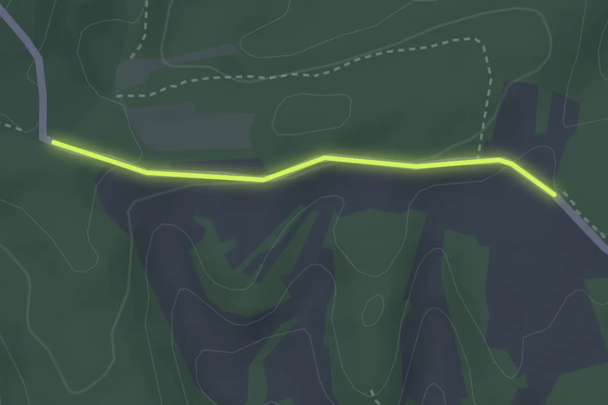
Easy · Trail
Mäserich – Chrüüzwäg
2.3 km · ↑ 55 m · 39 min
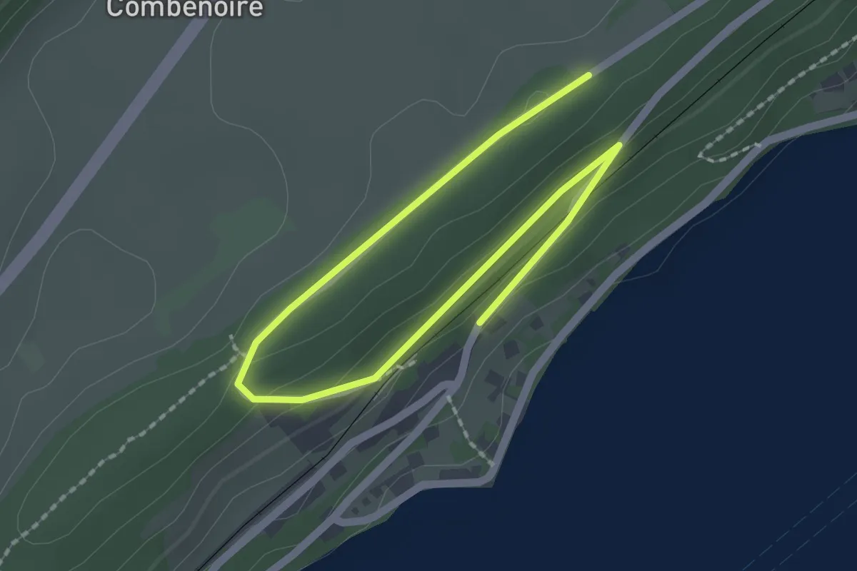
Easy · Trail
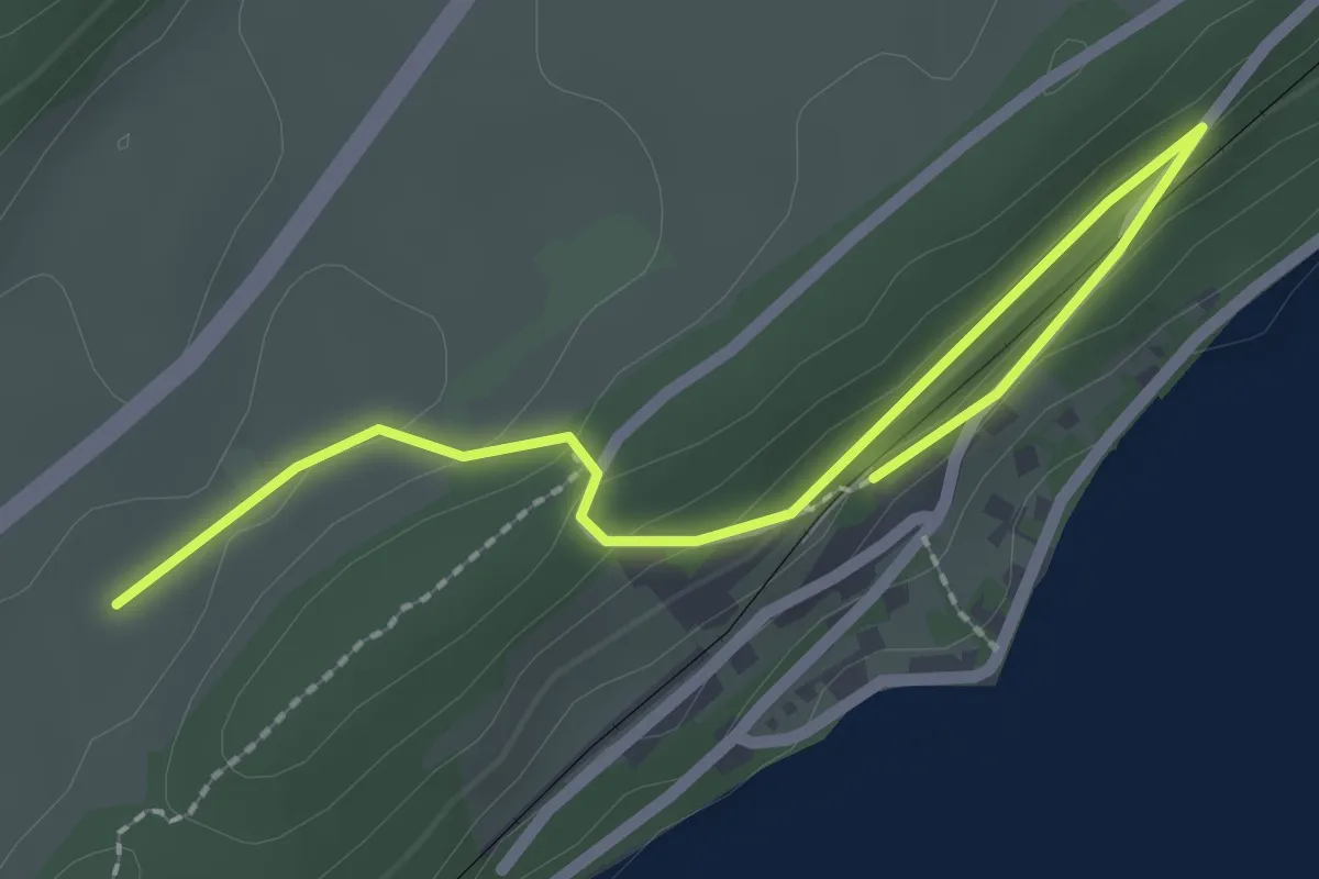
Les Esserts-de-Rive – Les Queues/Le Lieu?
2.8 km · ↑ 65 m · 48 min
Easy · Trail
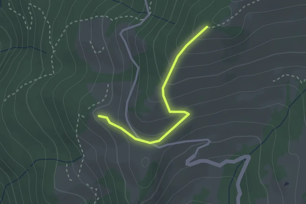
Les Esserts-de-Rive – Combe Noire
2.7 km · ↑ 61 m · 46 min
Easy · Trail
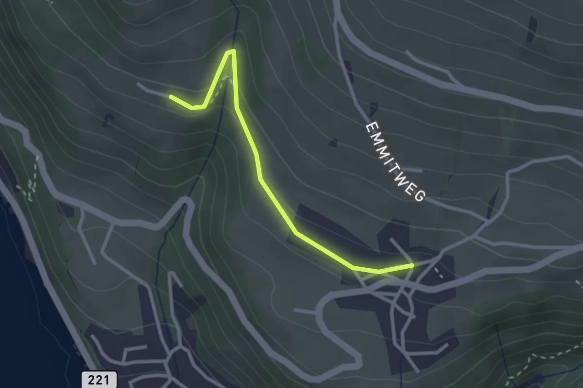
Niesenbänkli – Chrinde
2.1 km · ↑ 179 m · 54 min
Easy · Trail
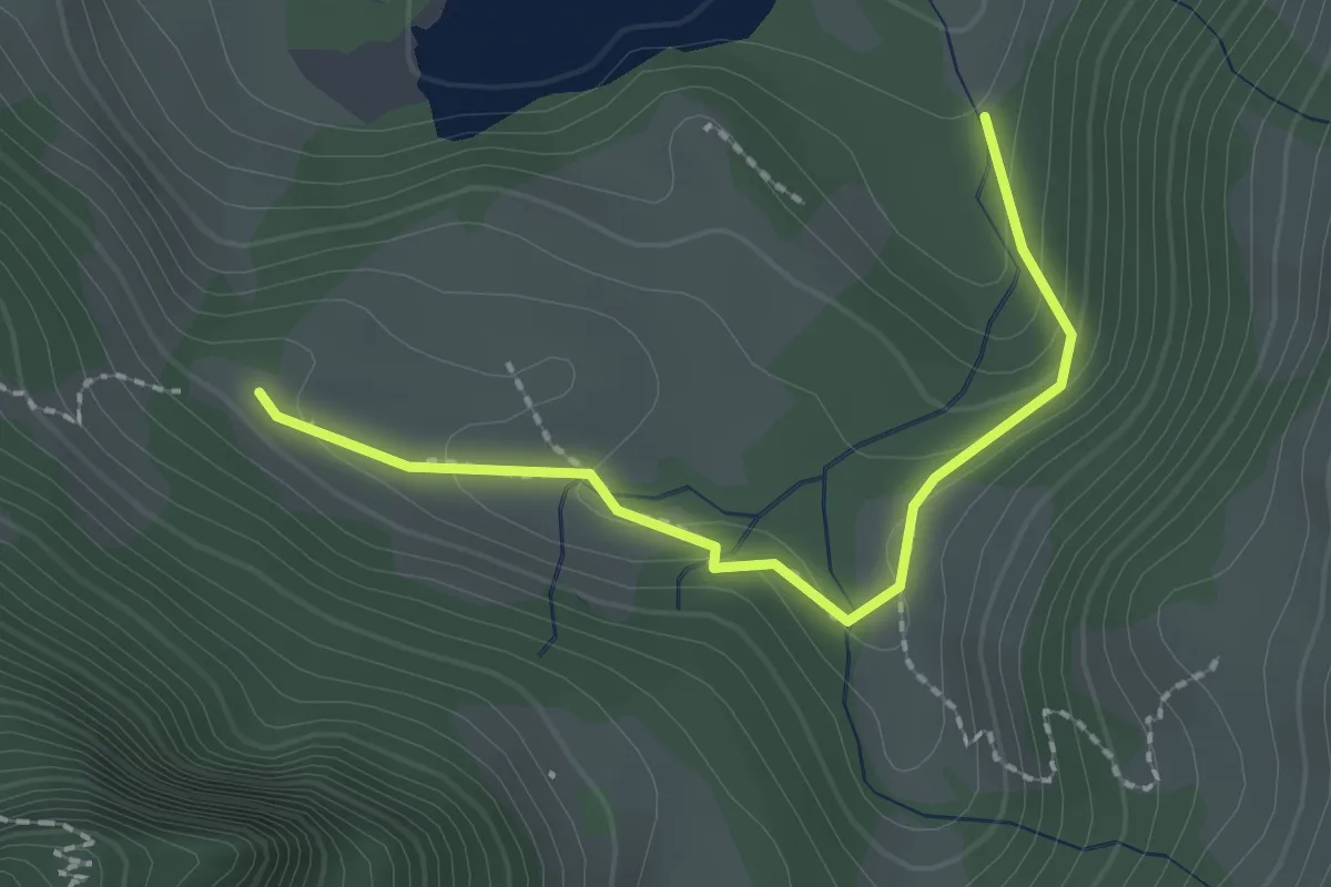
Erizbüel – Aeschlen
2.4 km · ↑ 86 m · 45 min
Medium · Trail
Hubel Rippa – Staldenloch
2.1 km · ↑ 73 m · 39 min
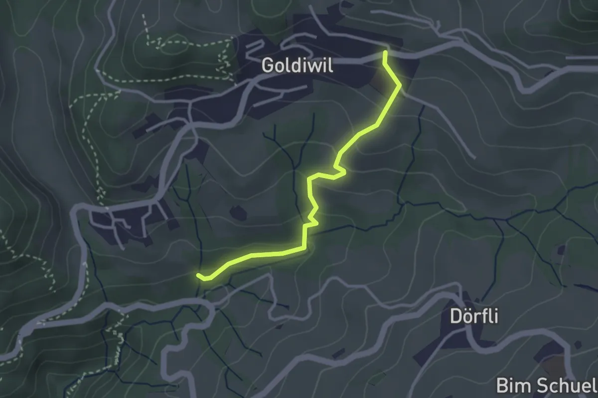
Easy · Trail
Goldiwil – Cholerenschlucht
2.7 km · ↑ 145 m · 57 min
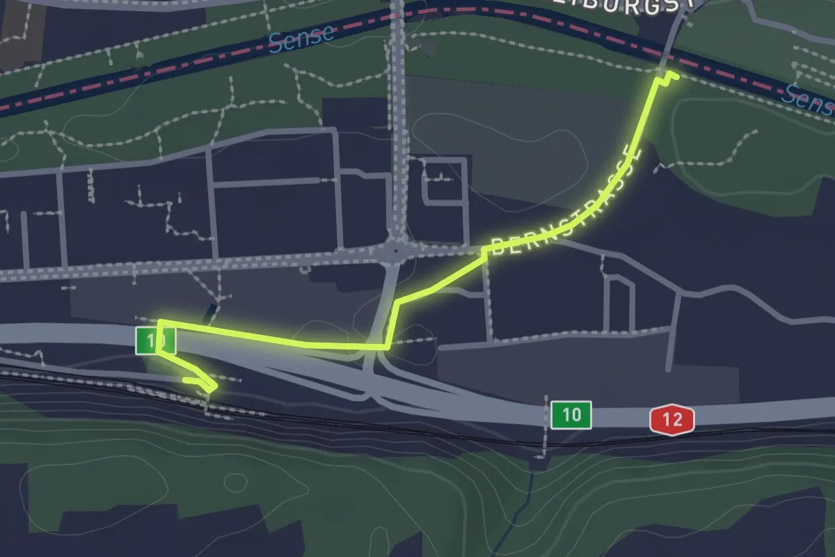
Easy · Trail
Ober Flamatt – Flamatt / Station
2.5 km · ↑ 21 m · 38 min
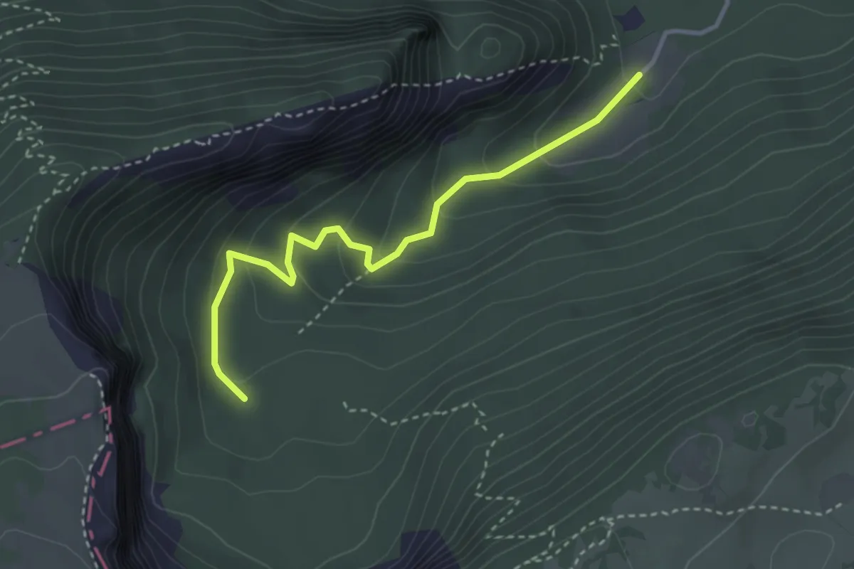
Easy · Trail
Ferme Robert – Fontain Froide
3.3 km · ↑ 188 m · 1 h 11 min
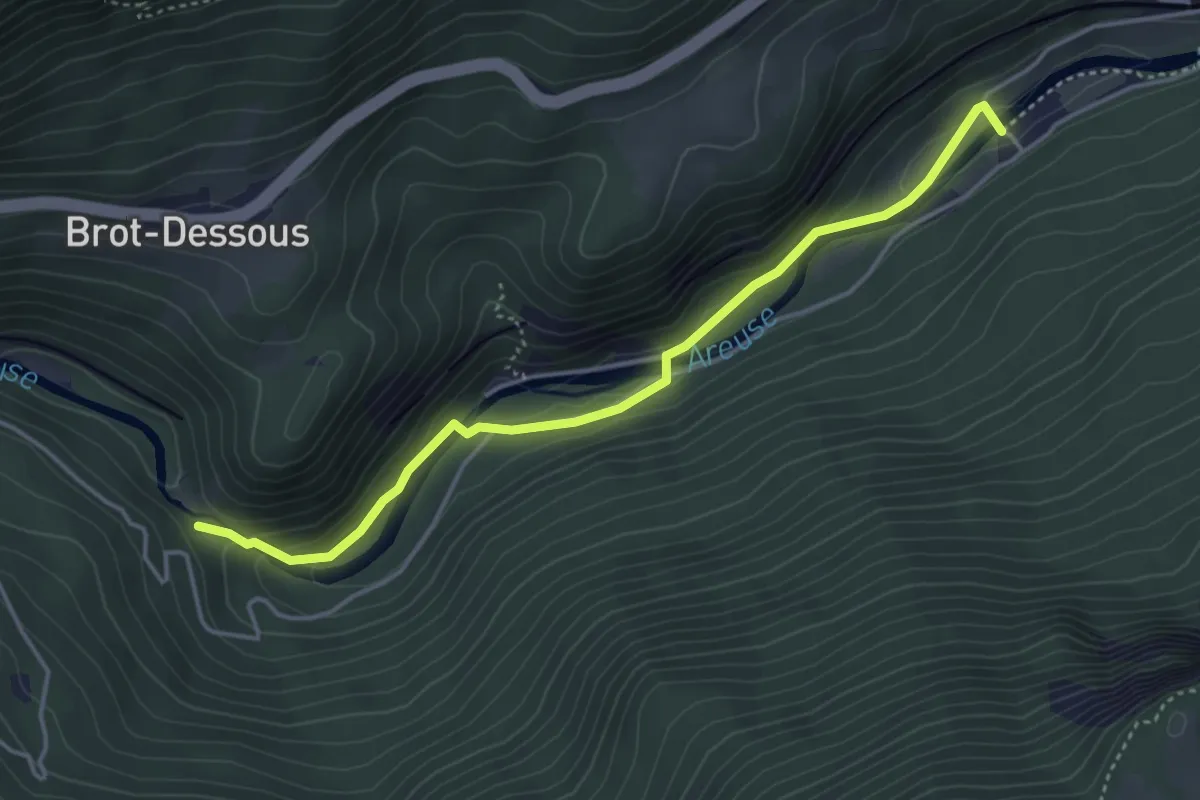
Easy · Trail
Saut de Brot – Champ du Moulin
4.2 km · ↑ 150 m · 1 h 20 min
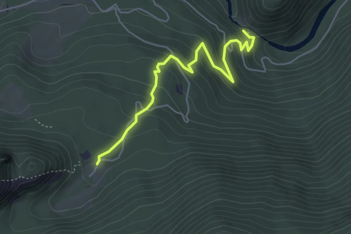
Easy · Trail
Saut de Brot – Ferme Robert
4.2 km · ↑ 259 m · 1 h 34 min
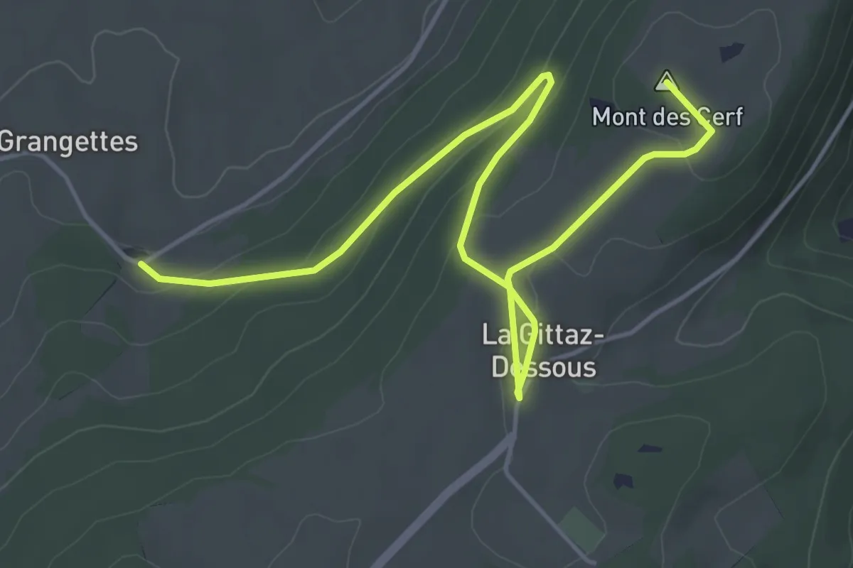
Easy · Summit
Ste-Croix – La Gittaz
6.0 km · ↑ 167 m · 1 h 46 min
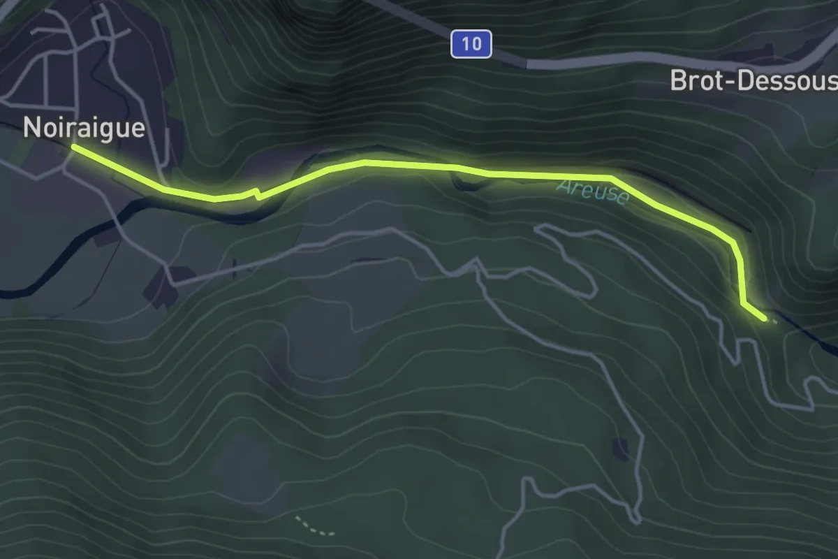
Easy · Trail
Noiraigue – Saut de Brot
4.0 km · ↑ 128 m · 1 h 13 min
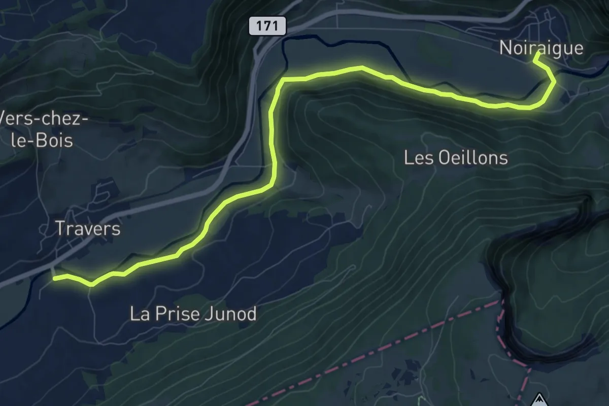
Medium · Trail
Noiraigue – Travers
11.3 km · ↑ 67 m · 2 h 48 min
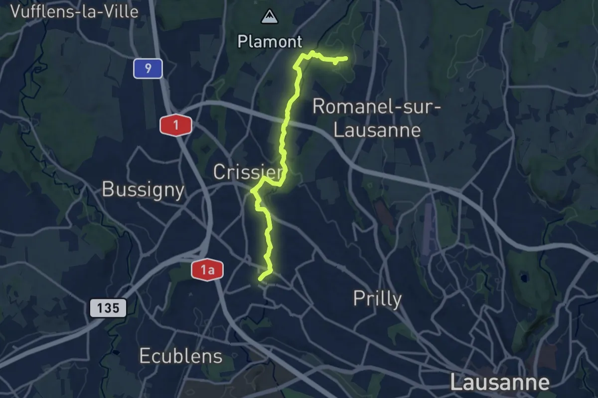
Medium · Trail
Pierre-à-Cambot – Renens
11.9 km · ↑ 186 m · 3 h 12 min
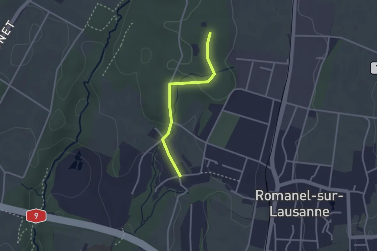
Easy · Trail
Le Taulard – Pierre-à-Cambot
2.2 km · ↑ 42 m · 37 min
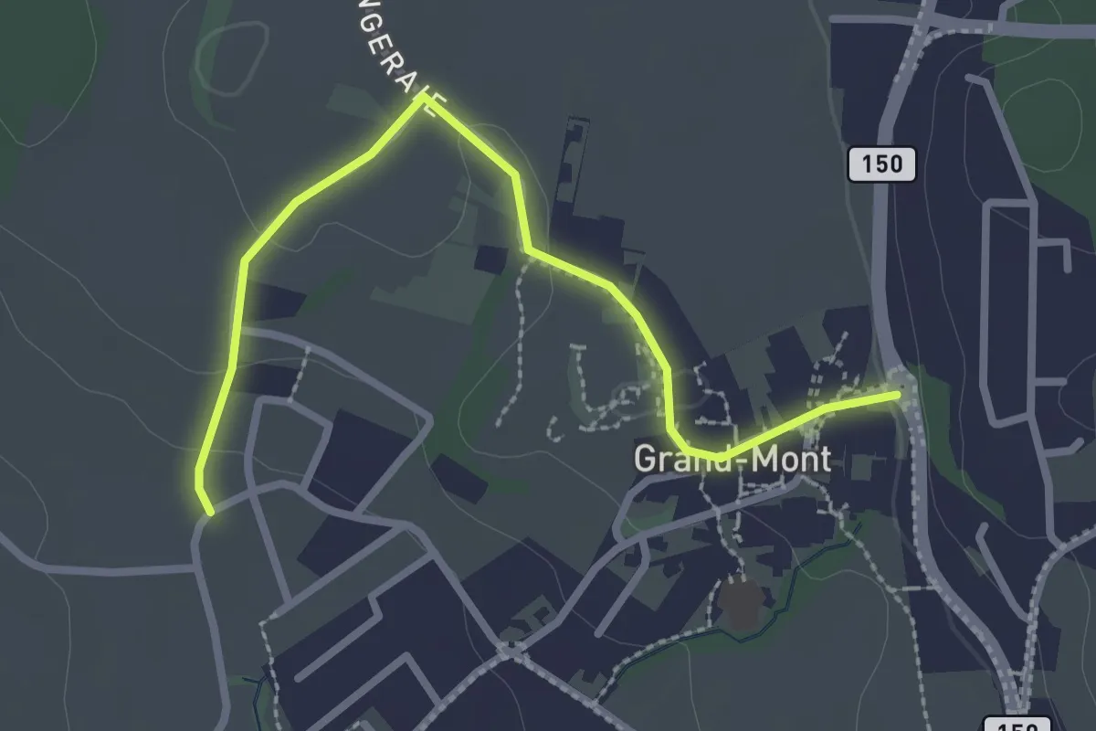
Easy · Trail
Grand Mont – Romanel-sur-Lausanne
2.7 km · ↑ 37 m · 44 min
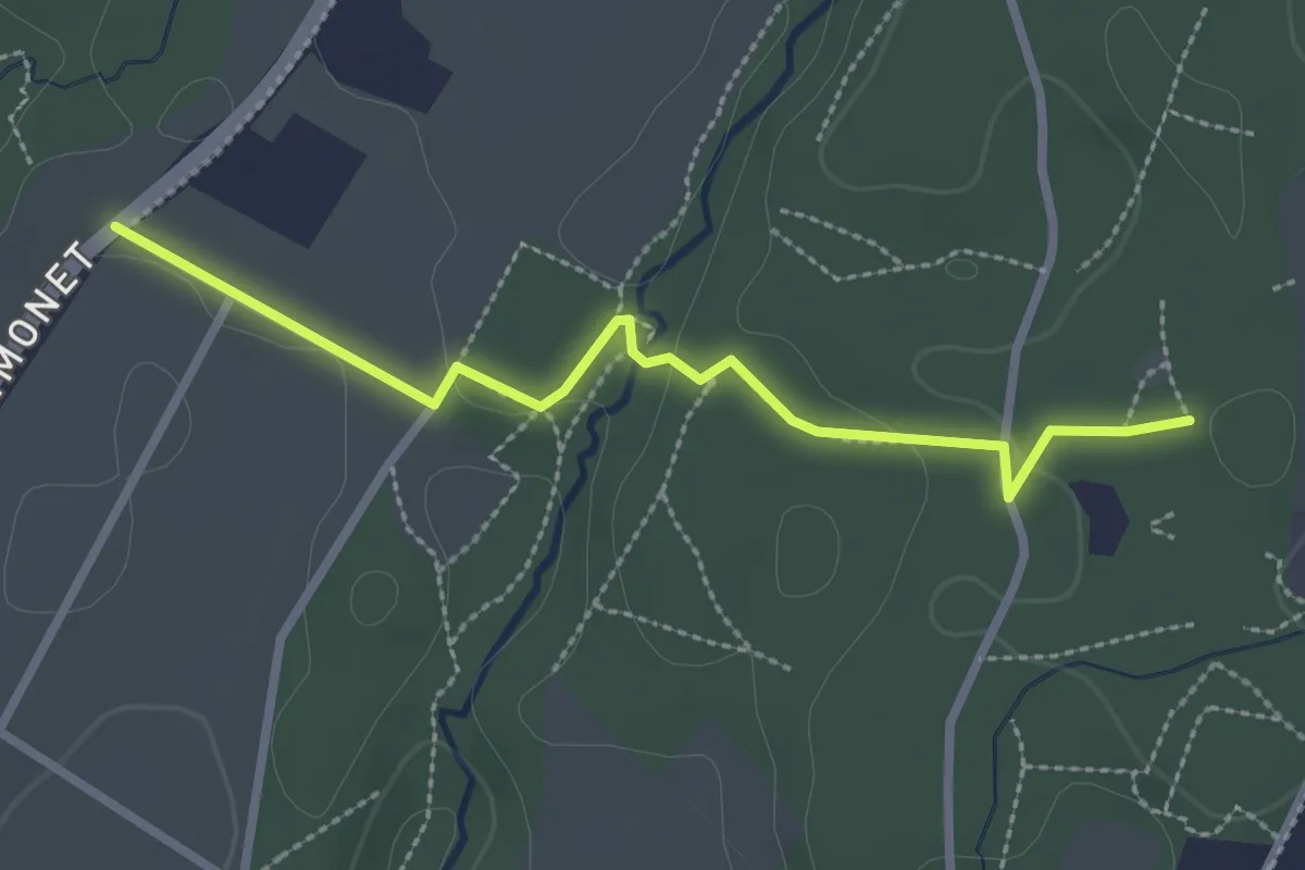
Easy · Trail
Pierre-à-Cambot – Mex
2.7 km · ↑ 43 m · 44 min
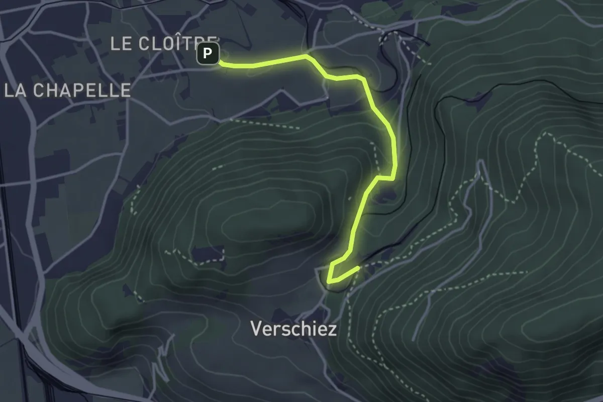
Easy · Trail
Château d'Aigle – Halte de Verschiez
3.3 km · ↑ 134 m · 1 h 4 min
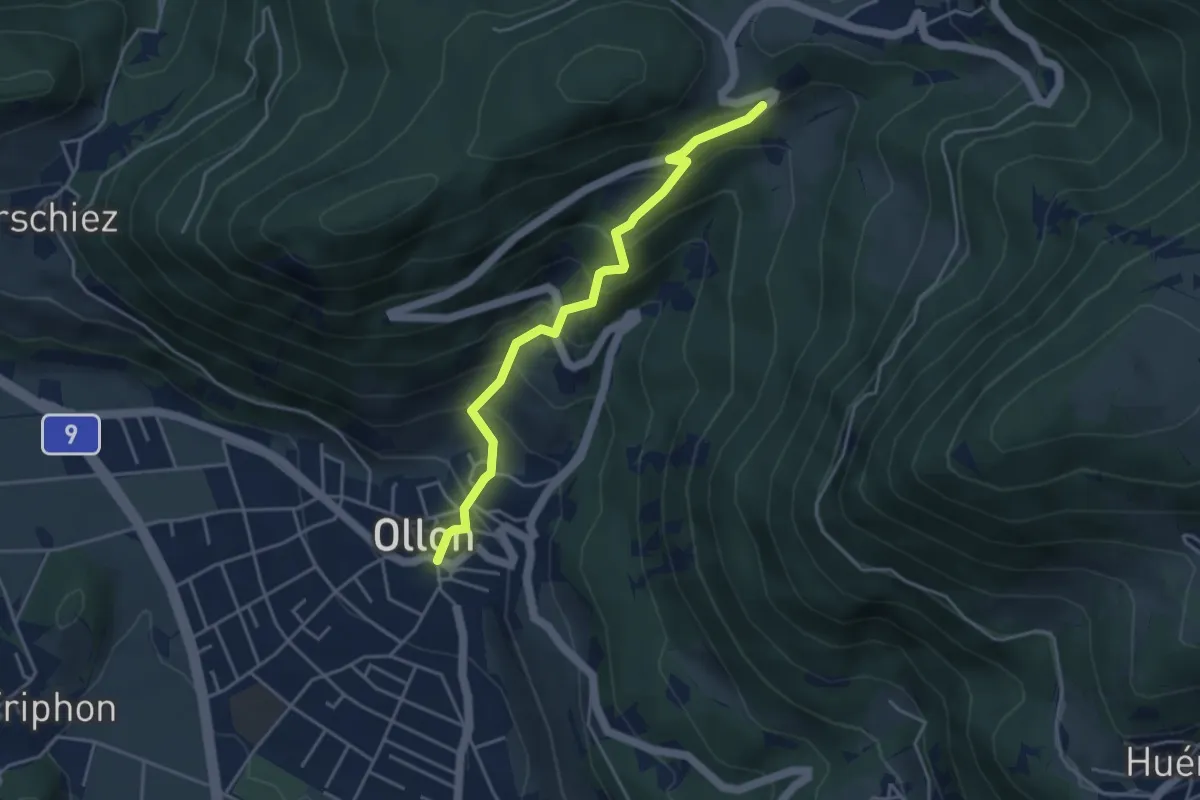
Medium · Trail
Ollon – Panex
4.1 km · ↑ 378 m · 1 h 47 min
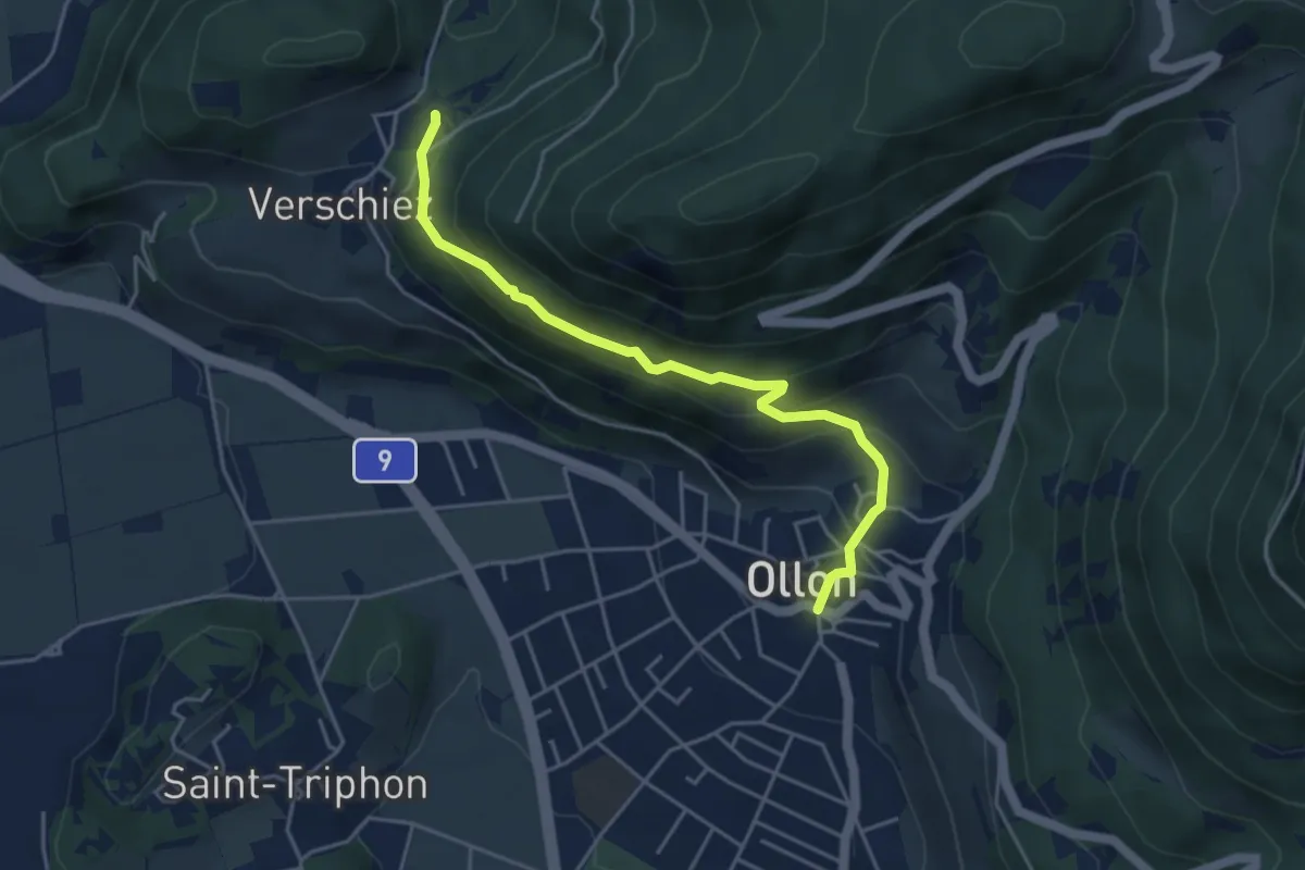
Medium · Trail
Halte de Verschiez – Ollon
4.4 km · ↑ 333 m · 1 h 46 min
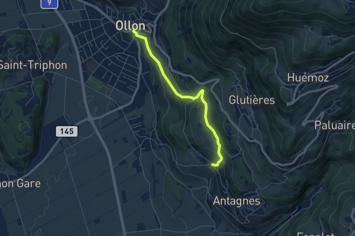
Easy · Trail
Ollon – Antagnes
5.1 km · ↑ 246 m · 1 h 45 min
Easy · Trail
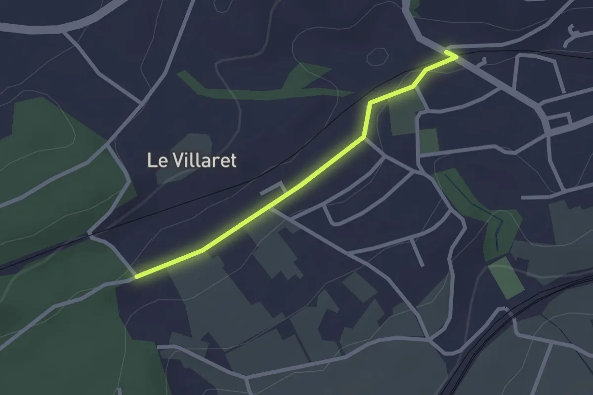
Cormondrèche (Les Nods) – Le Villaret
2.0 km · ↑ 17 m · 31 min
Easy · Trail
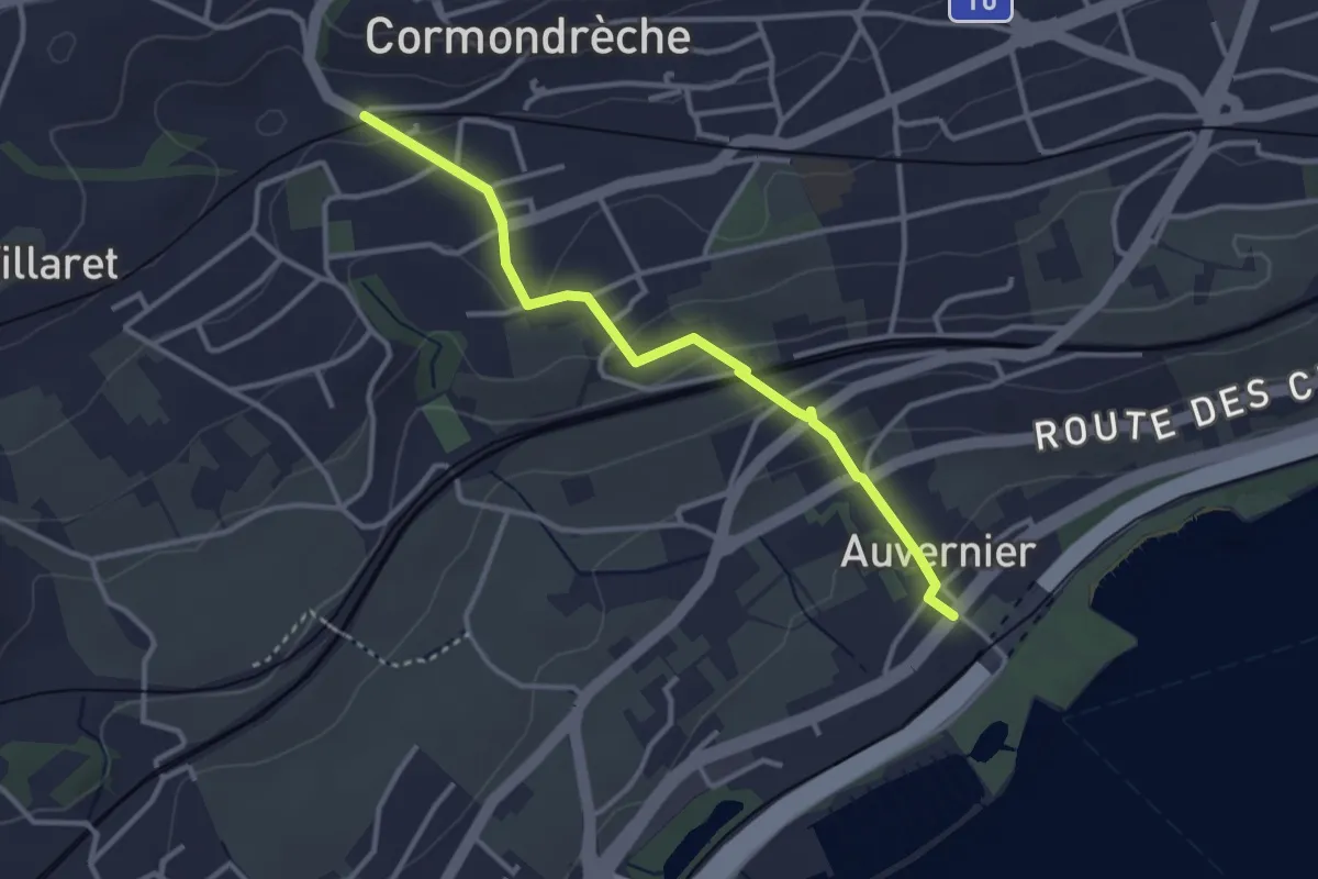
Auvernier – Cormondrèche
3.2 km · ↑ 130 m · 1 h 3 min
Medium · Trail
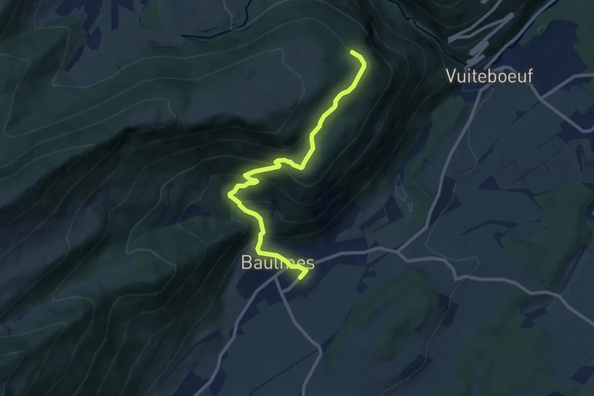
Baulmes – L'Onglettaz
8.1 km · ↑ 507 m · 3 h
Medium · Trail
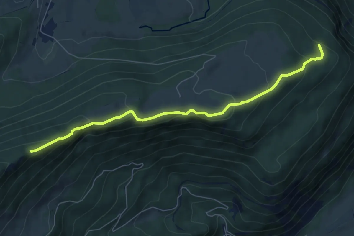
L'Onglettaz – Cave noire
6.6 km · ↑ 329 m · 2 h 17 min