Trails in Switzerland
15,055 hiking trails, each with its route, climb, walking time and grade.
All trails, page 146 of 314
Easy · Trail
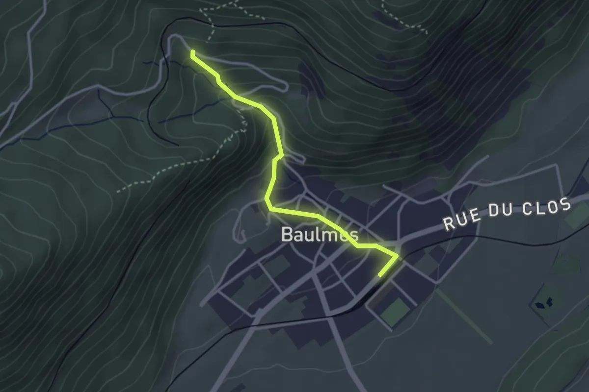
Baulmes – Les Naz
2.8 km · ↑ 196 m · 1 h 5 min
Easy · Trail
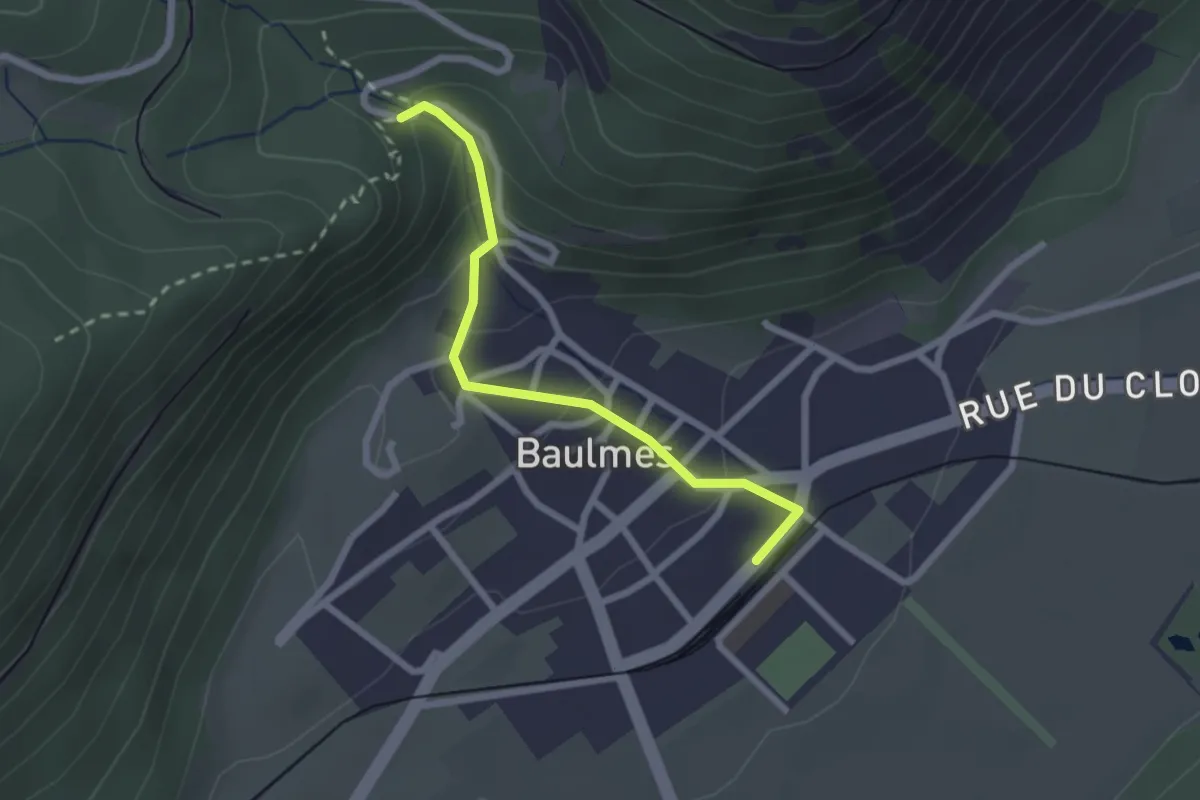
Baulmes – Les Mouilles
2.2 km · ↑ 126 m · 48 min
Medium · Trail
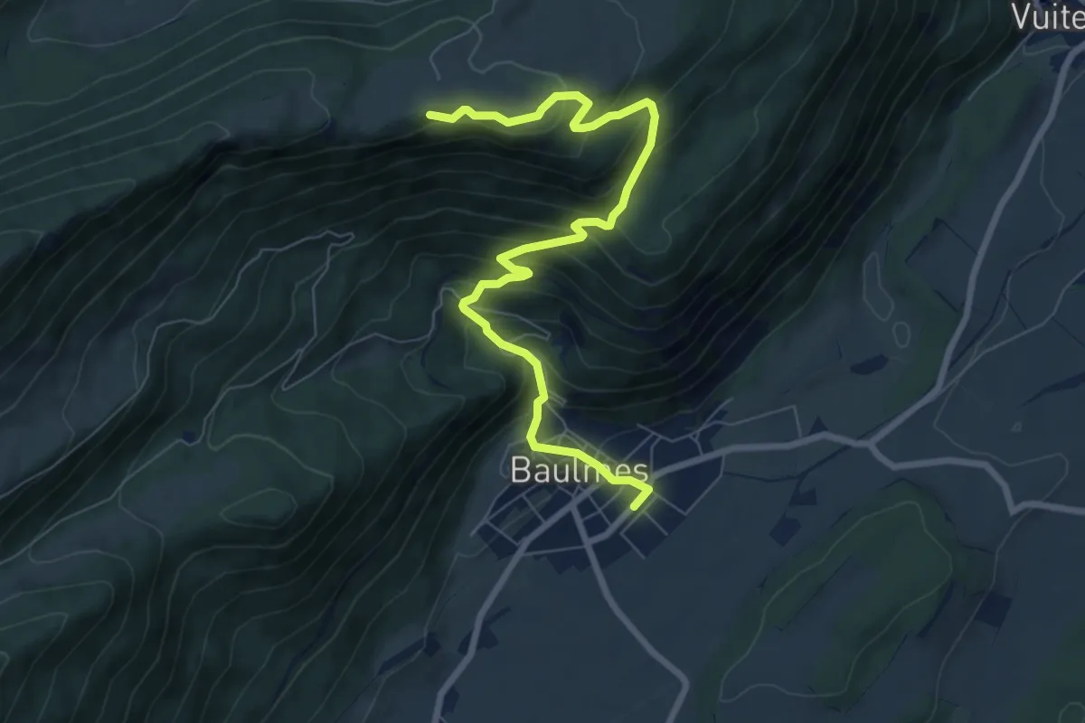
Baulmes – Mont de Baulmes
8.4 km · ↑ 644 m · 3 h 23 min
Medium · Trail
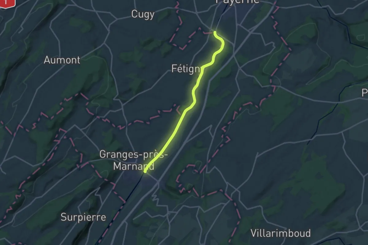
Payerne – Granges-près-Marnand
13.4 km · ↑ 52 m · 3 h 16 min
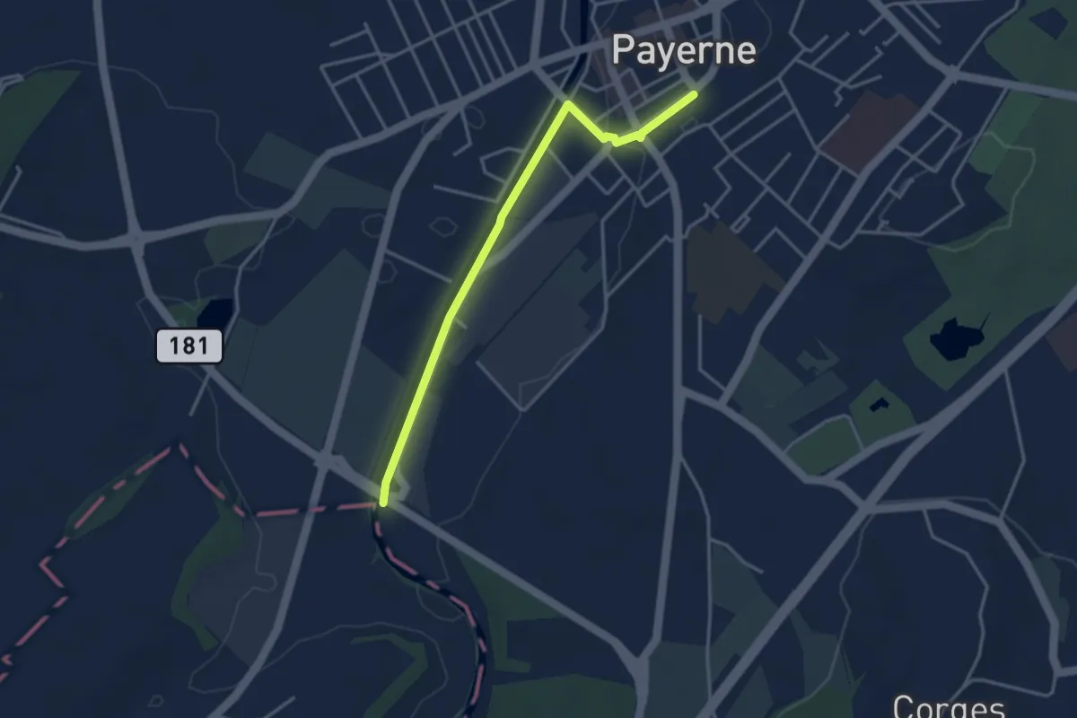
Easy · Trail
Payerne Gare – Payerne
3.5 km · ↑ 4 m · 50 min
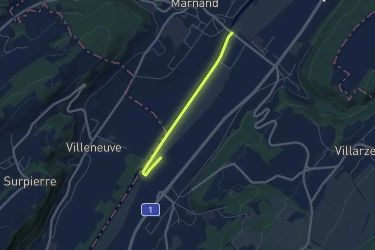
Easy · Trail
Granges-près-Marnand – Henniez
4.6 km · ↑ 4 m · 1 h 5 min
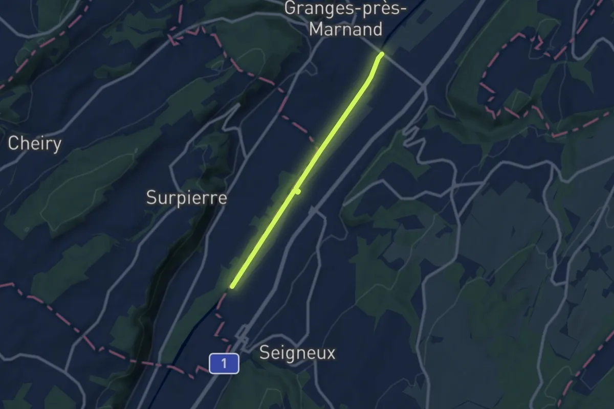
Easy · Trail
Granges-près-Marnand – Lucens
7.0 km · ↑ 9 m · 1 h 40 min
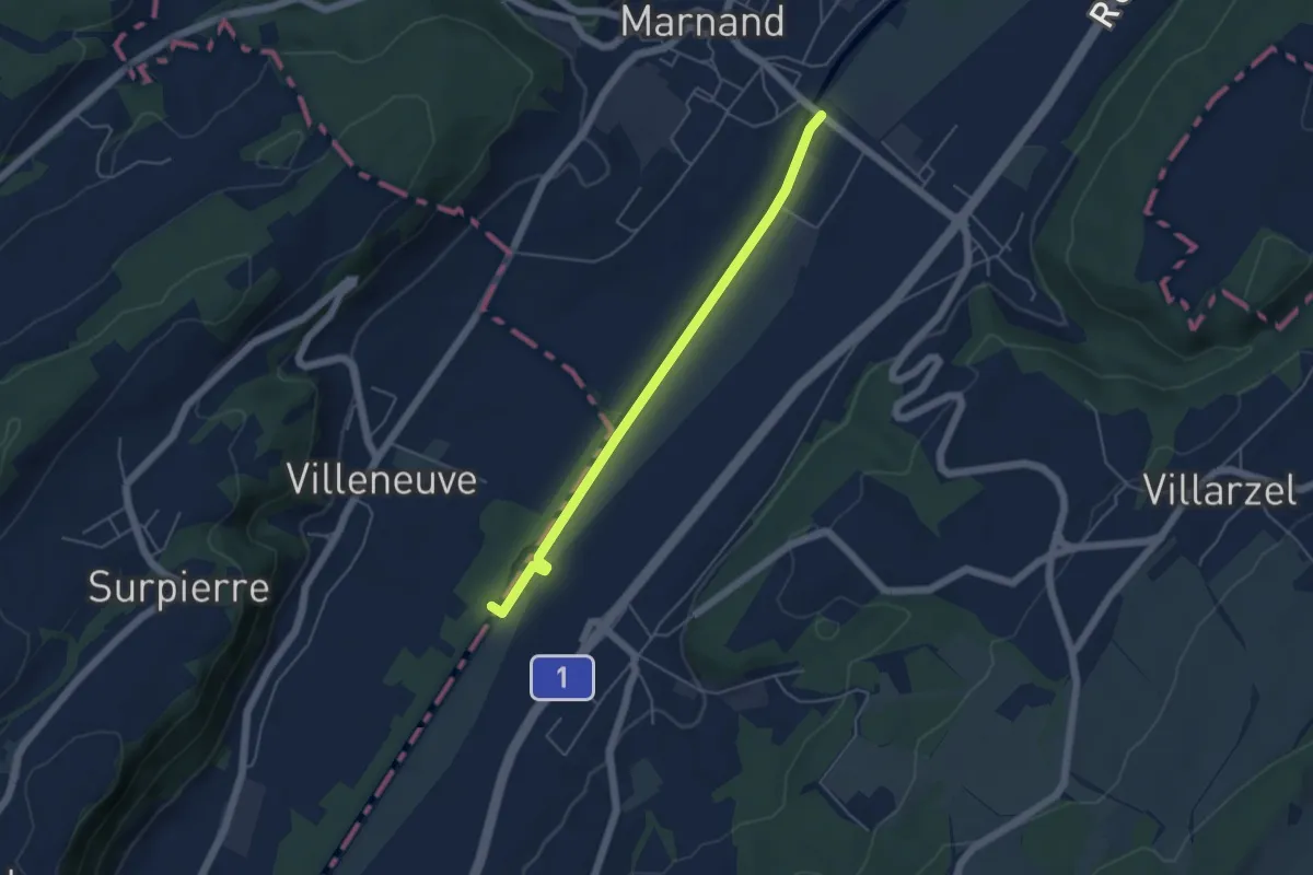
Easy · Trail
Granges-près-Marnand – Villeneuve
4.7 km · ↑ 9 m · 1 h 7 min
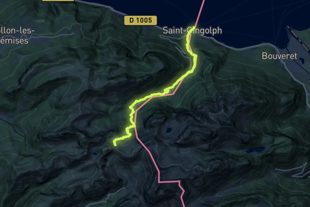
Demanding · Trail
Saint-Gingolph – La Montagne de Neuteu
9.7 km · ↑ 1539 m · 5 h 2 min
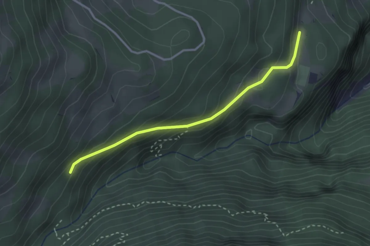
Easy · Trail
La Daille – La Sachia
2.7 km · ↑ 180 m · 1 h 2 min
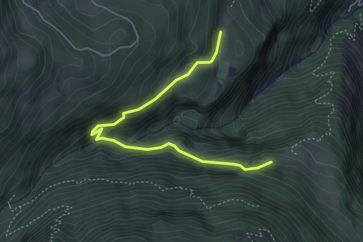
Medium · Trail
Les Praz – La Daille
4.2 km · ↑ 365 m · 1 h 47 min
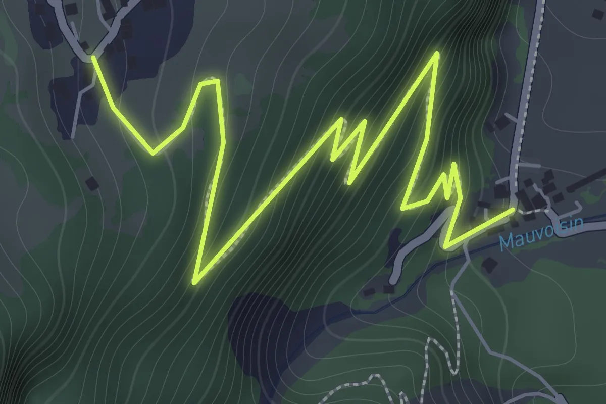
Demanding · Trail
Les Cases – Bassays
2.9 km · ↑ 275 m · 1 h 17 min
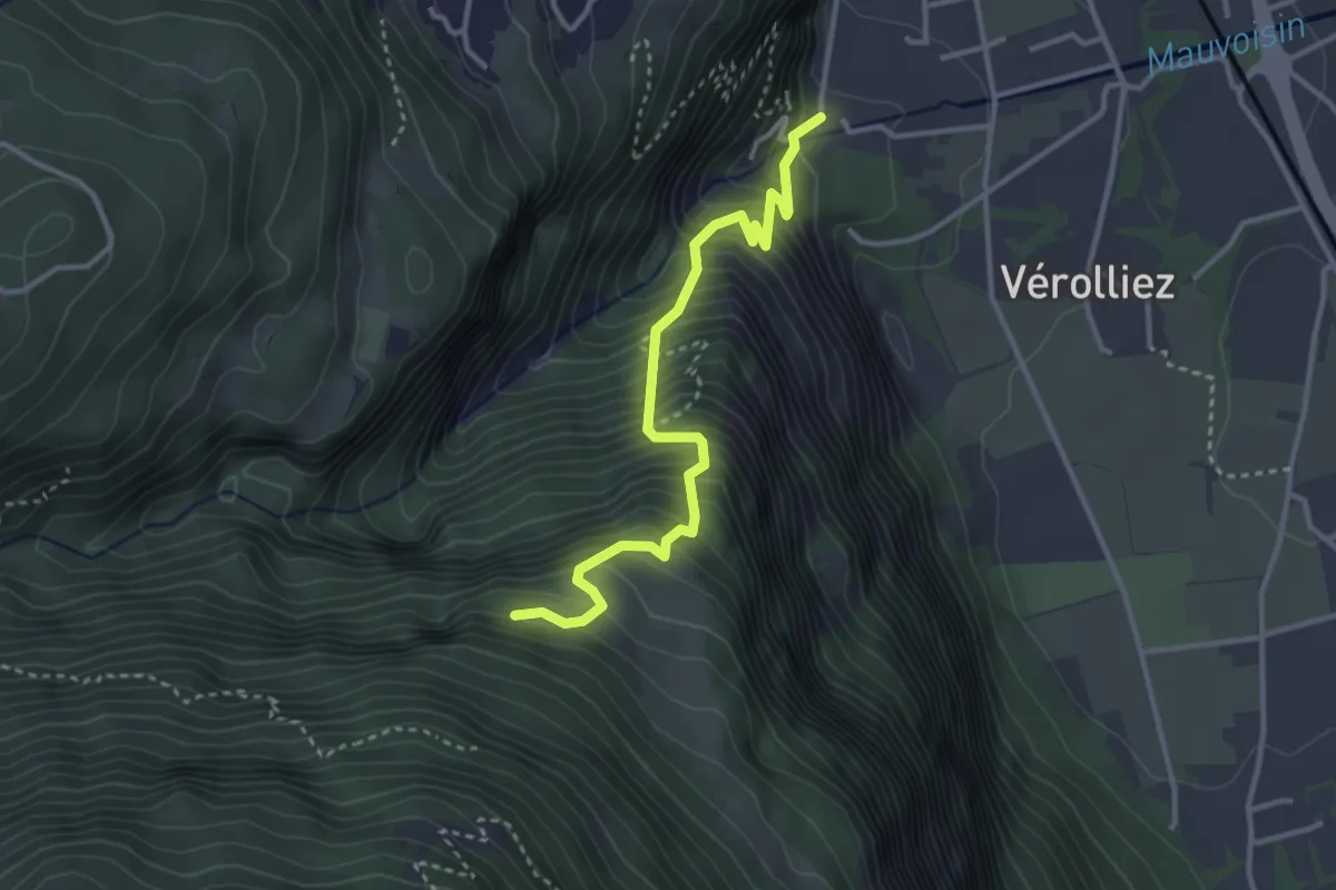
Medium · Trail
Les Cases – Les Praz
3.4 km · ↑ 542 m · 1 h 59 min
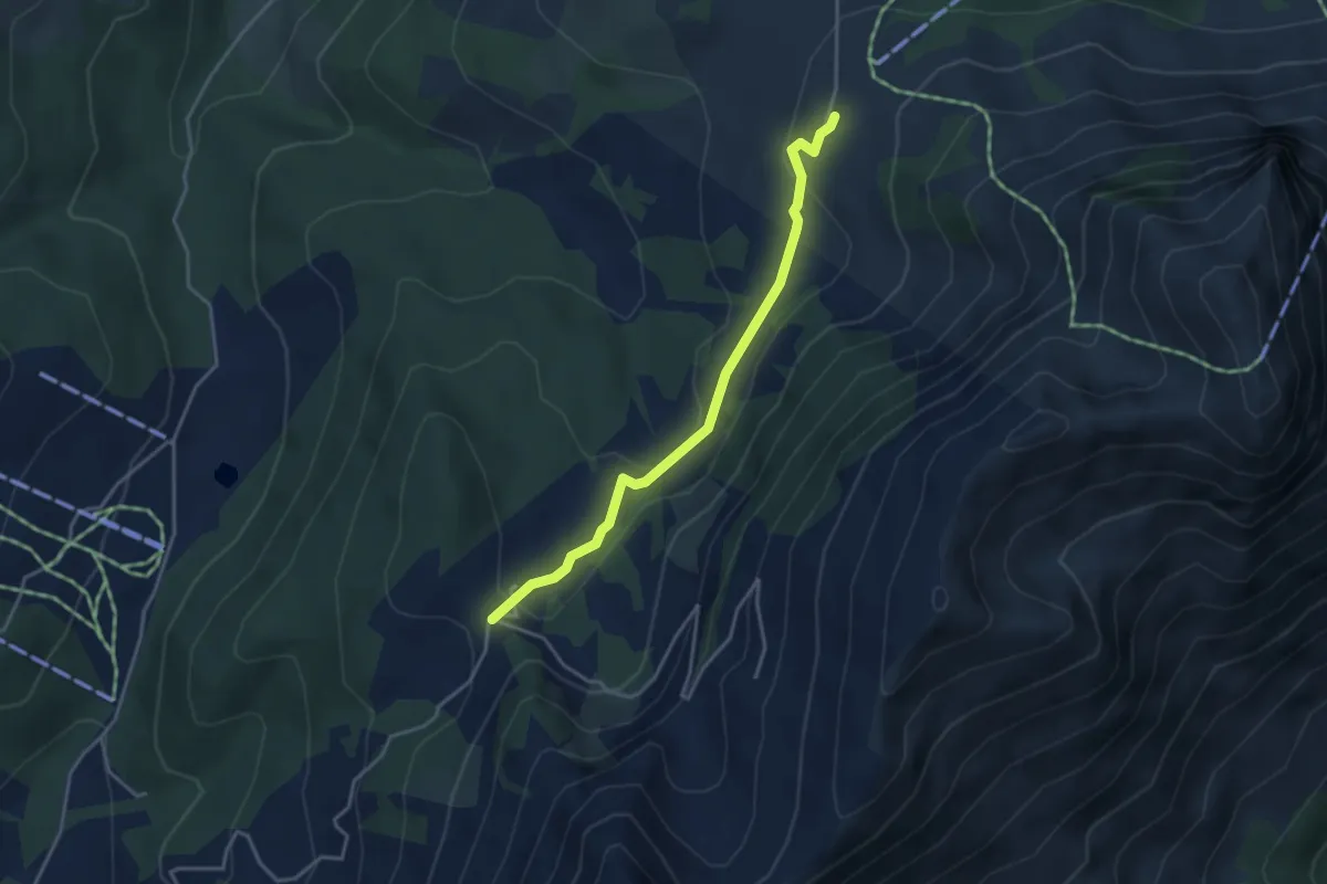
Easy · Cabin
Gros-Plané – Le Villard-Dessus
3.6 km · ↑ 125 m · 1 h 8 min
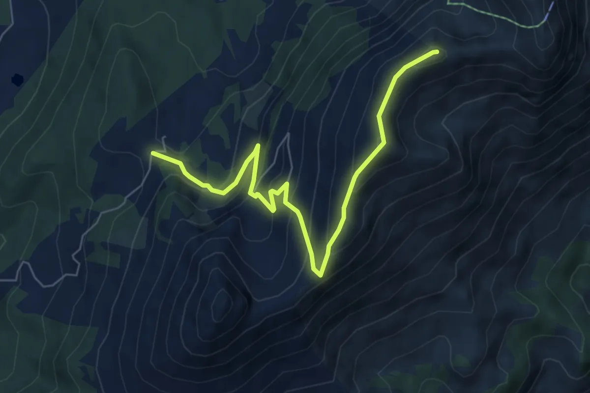
Medium · Summit
Le Villard-Dessus – Moléson
6.7 km · ↑ 467 m · 2 h 35 min
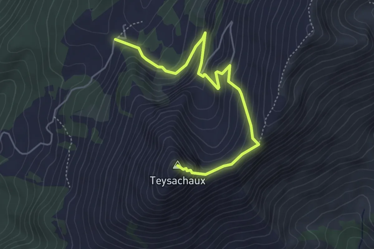
Medium · Summit
Le Villard-Dessus – Teysachaux
5.0 km · ↑ 429 m · 2 h 7 min
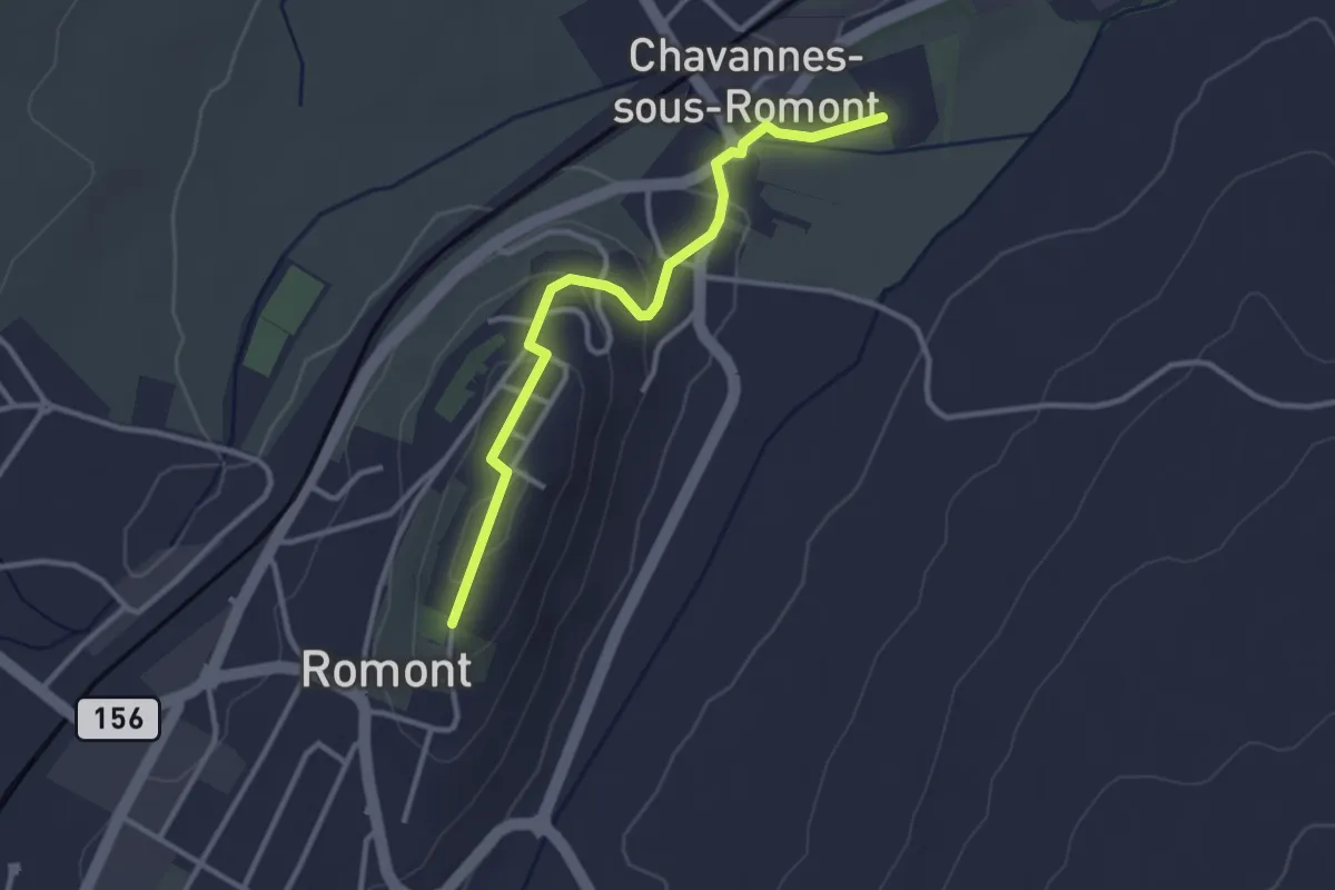
Easy · Trail
Romont – La Fille-Dieu
3.1 km · ↑ 77 m · 53 min
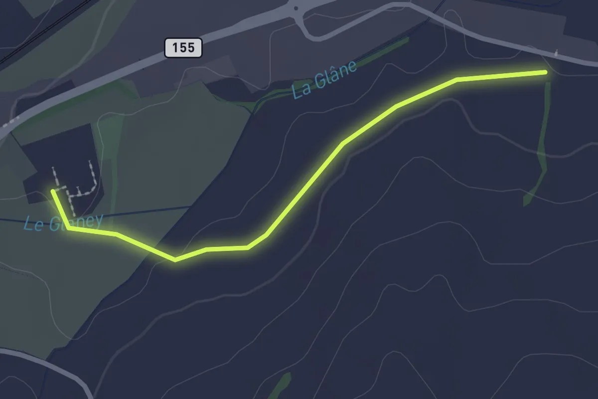
Easy · Trail
La Fille-Dieu – Chavannes-sous-Orsonnens
2.3 km · ↑ 9 m · 33 min
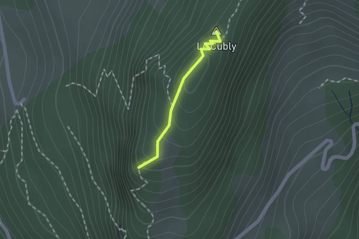
Easy · Summit
Sonloup funi – Le Cubly belvédère
0.9 km · ↑ 69 m · 22 min
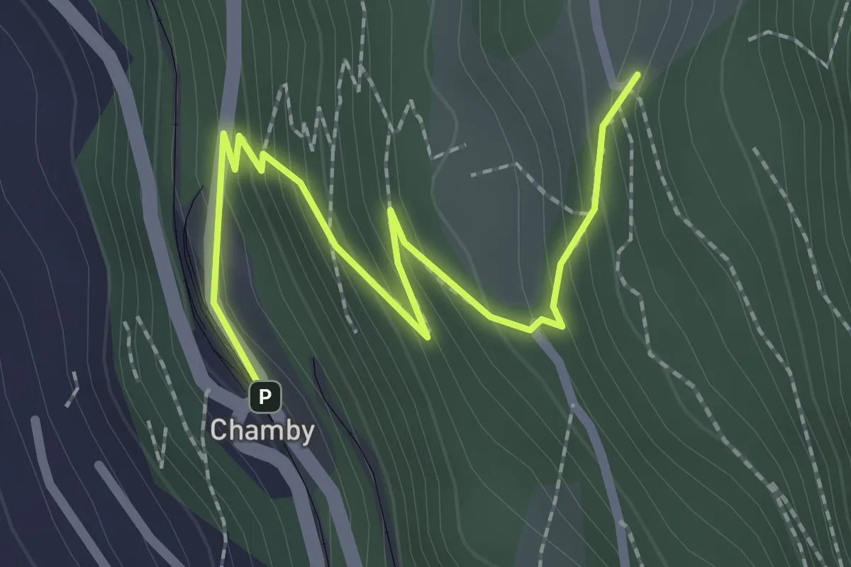
Easy · Trail
Chamby gare – Cubly Dessous
2.4 km · ↑ 206 m · 1 h 1 min
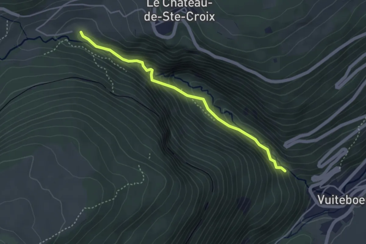
Easy · Trail
Gorges de Covatannaz – Gorges de Covatannaz
3.5 km · ↑ 208 m · 1 h 17 min
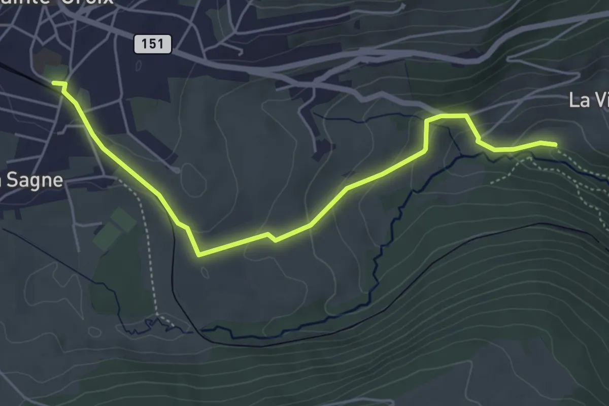
Easy · Trail
Gorges de Covatannaz – Ste-Croix
5.1 km · ↑ 187 m · 1 h 37 min
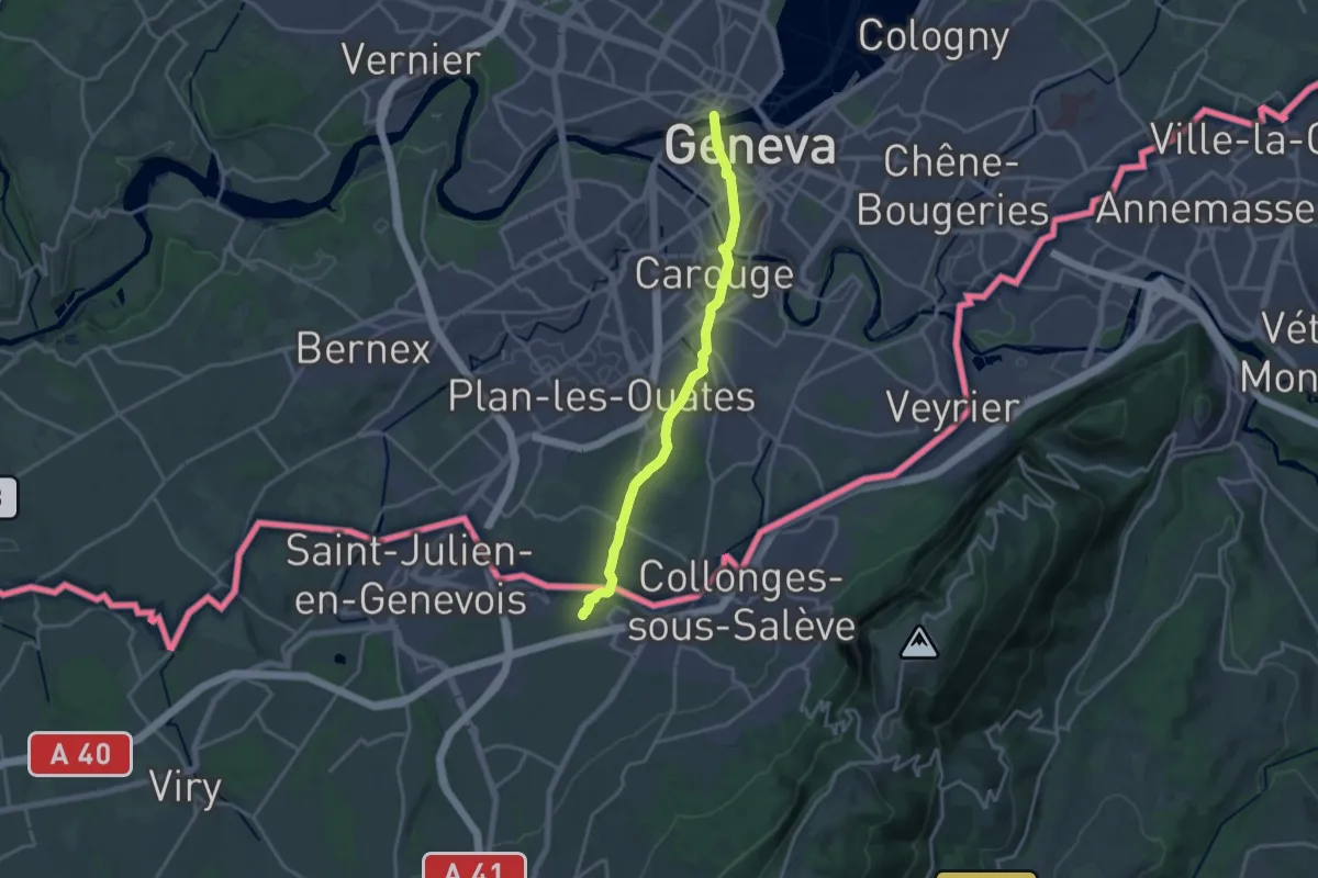
Medium · Trail
Genève – Clennaz
17.0 km · ↑ 160 m · 4 h 21 min
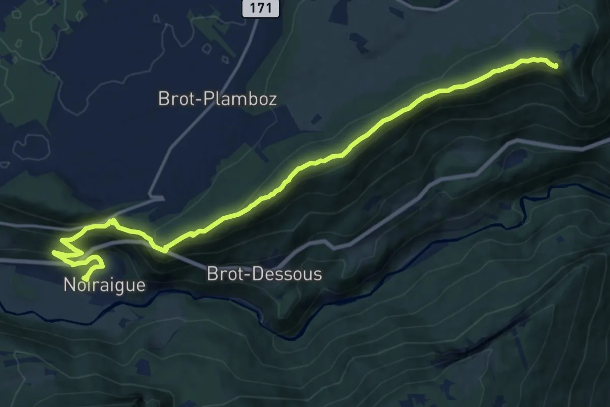
Medium · Summit
La Tourne – Noiraigue
15.5 km · ↑ 683 m · 5 h 8 min
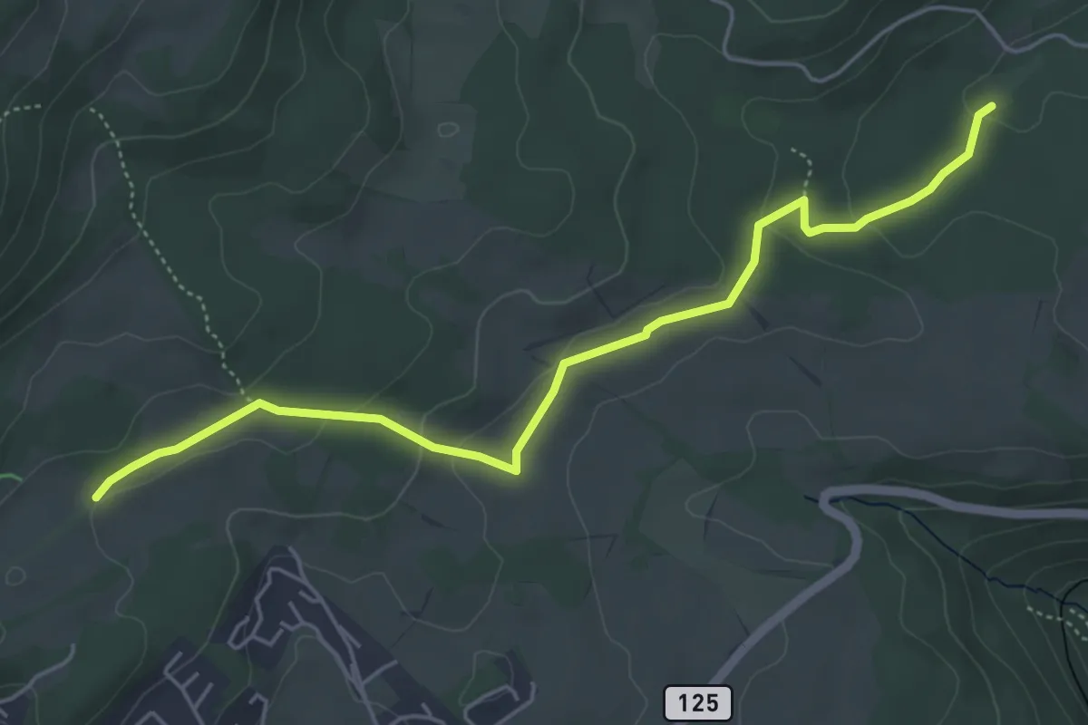
Easy · Trail
Creux des Abériaux – Route de la Prangine
5.4 km · ↑ 132 m · 1 h 34 min
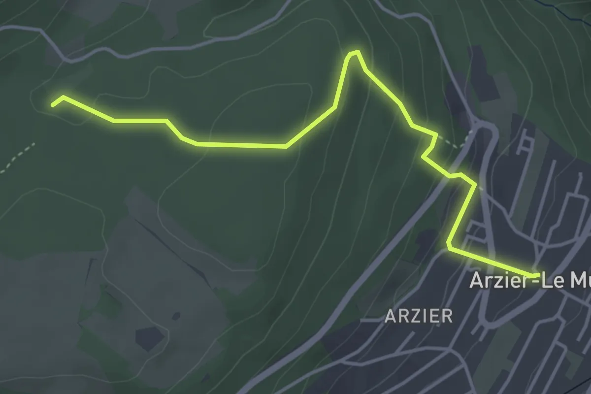
Easy · Trail
Arzier Eglise – Creux des Abériaux
4.3 km · ↑ 189 m · 1 h 26 min
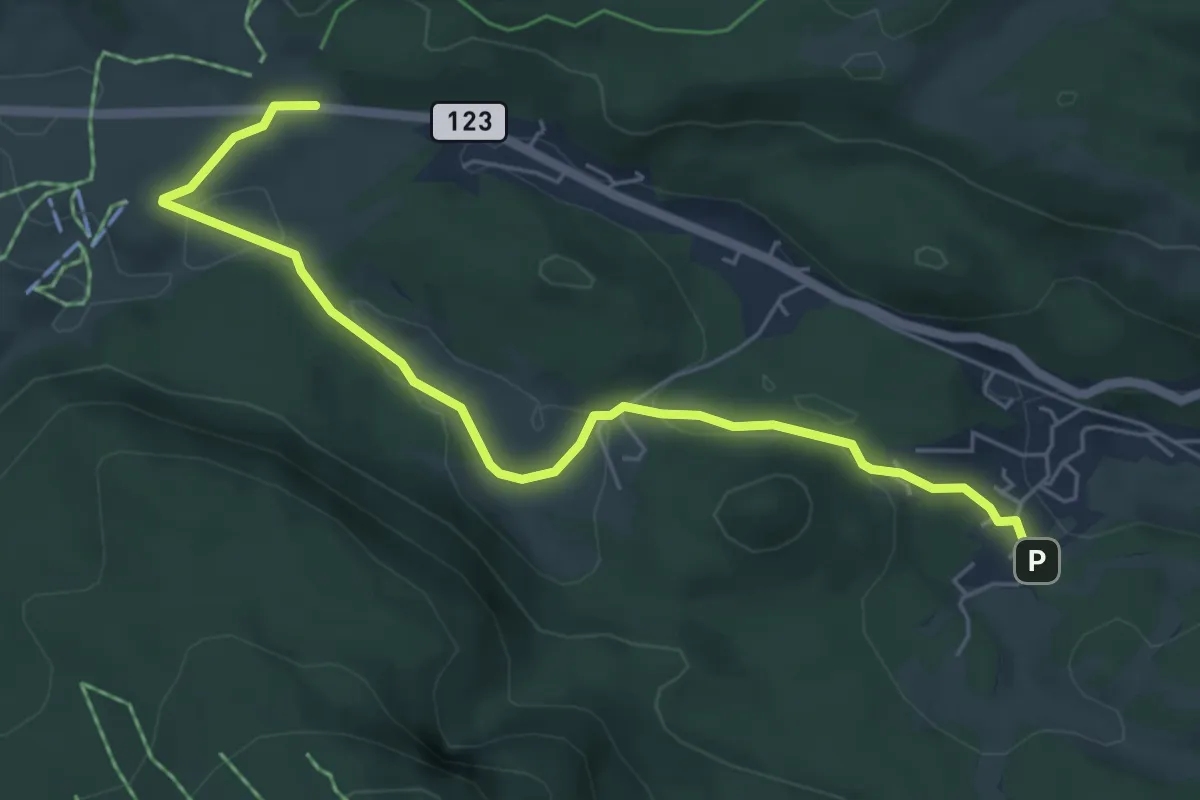
Easy · Trail
La St-Cergue – La Givrine
6.0 km · ↑ 96 m · 1 h 37 min
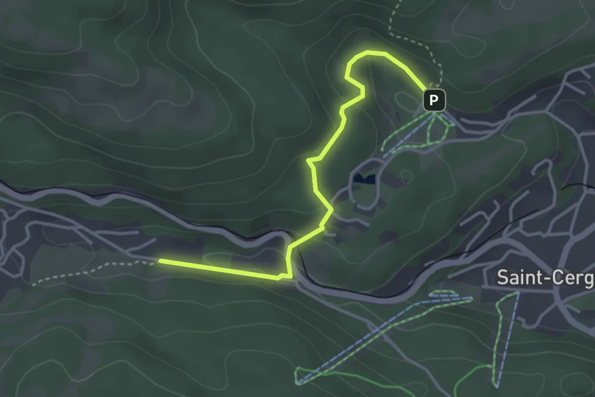
Easy · Trail
Basse Ruche – La Chenalette
3.4 km · ↑ 139 m · 1 h 6 min
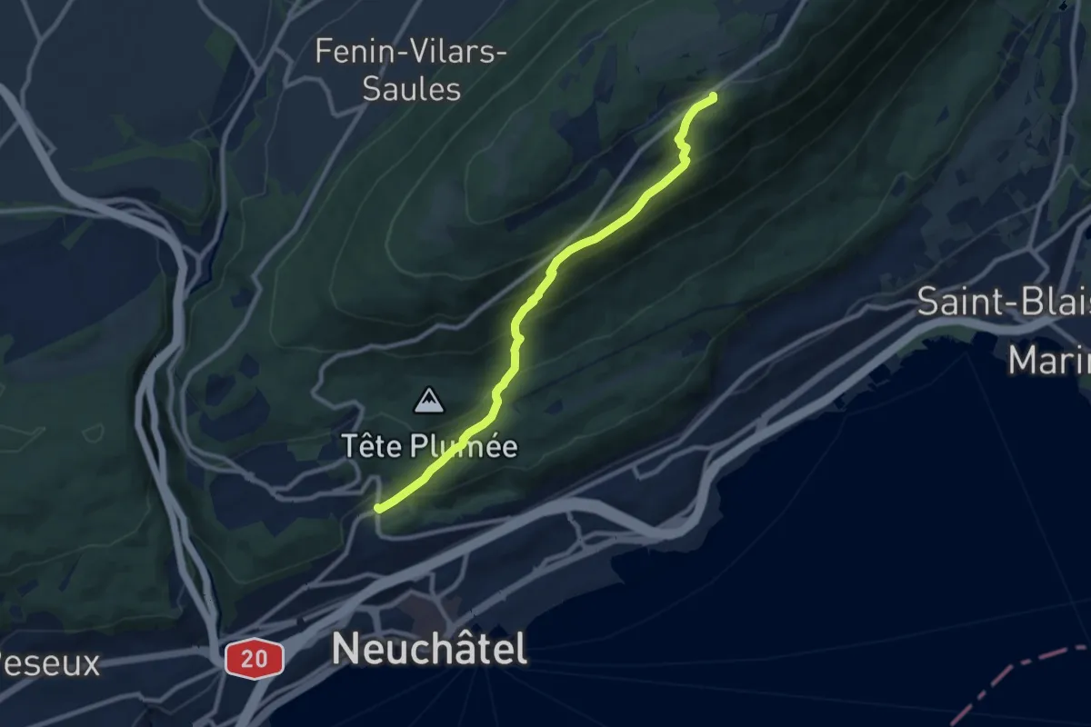
Medium · Trail
Chaumont – Neuchâtel Cadolles
8.9 km · ↑ 527 m · 3 h 15 min
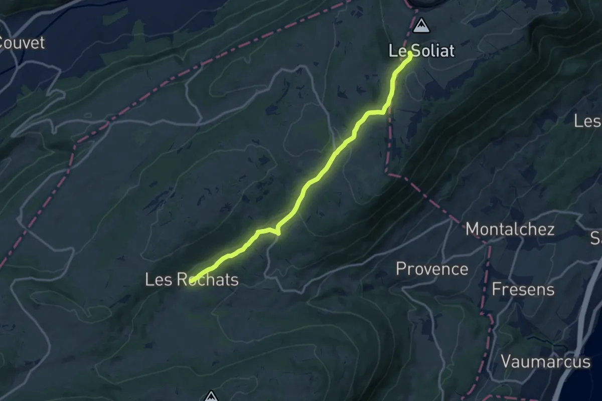
Medium · Trail
Les Rochats – La Baronne
11.8 km · ↑ 298 m · 3 h 26 min
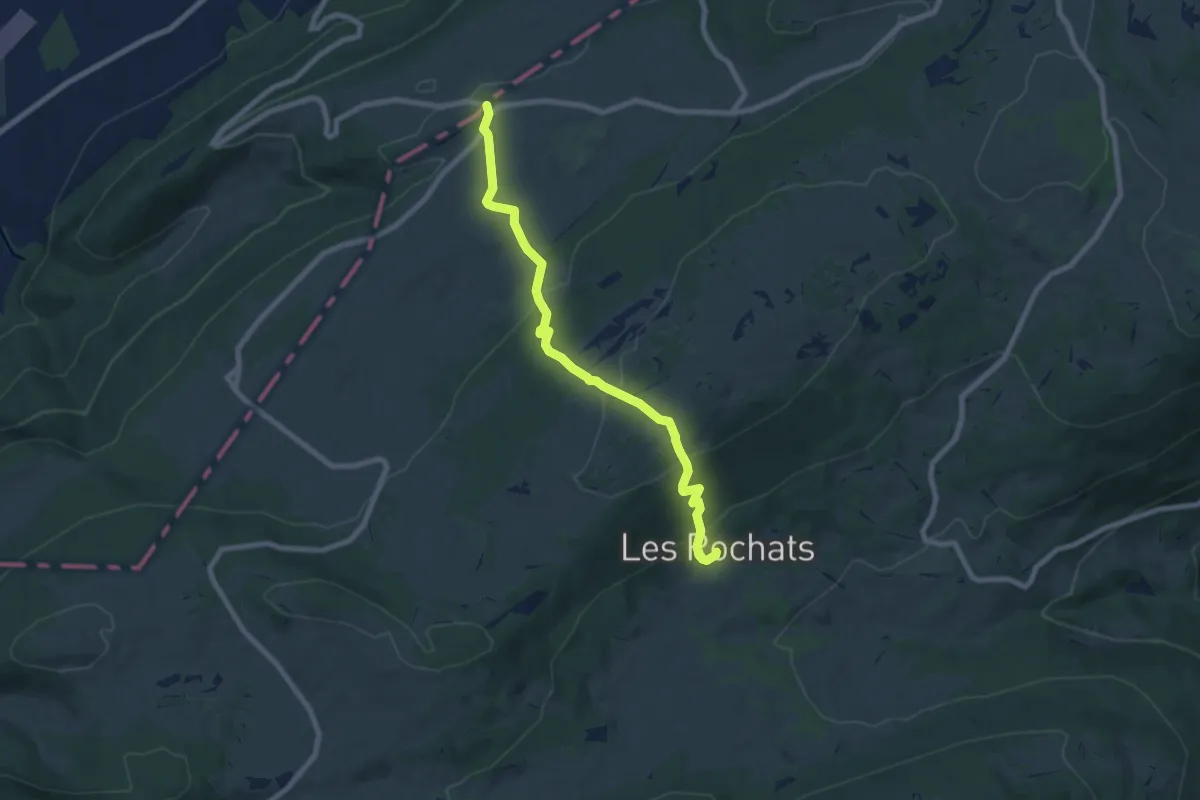
Medium · Trail
Les Rochats – Le Couvent
7.7 km · ↑ 375 m · 2 h 38 min
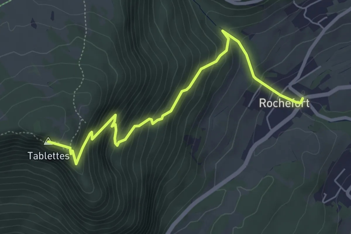
Medium · Summit
Rochefort – Les Tablettes
5.8 km · ↑ 542 m · 2 h 33 min
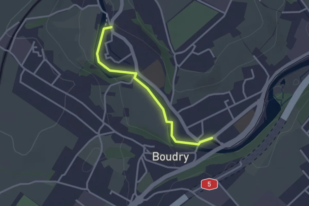
Easy · Trail
Boudry – Boudry Littorail
2.3 km · ↑ 11 m · 35 min
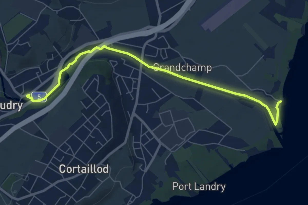
Easy · Trail
Boudry – Plage de Boudry
6.4 km · ↑ 35 m · 1 h 35 min
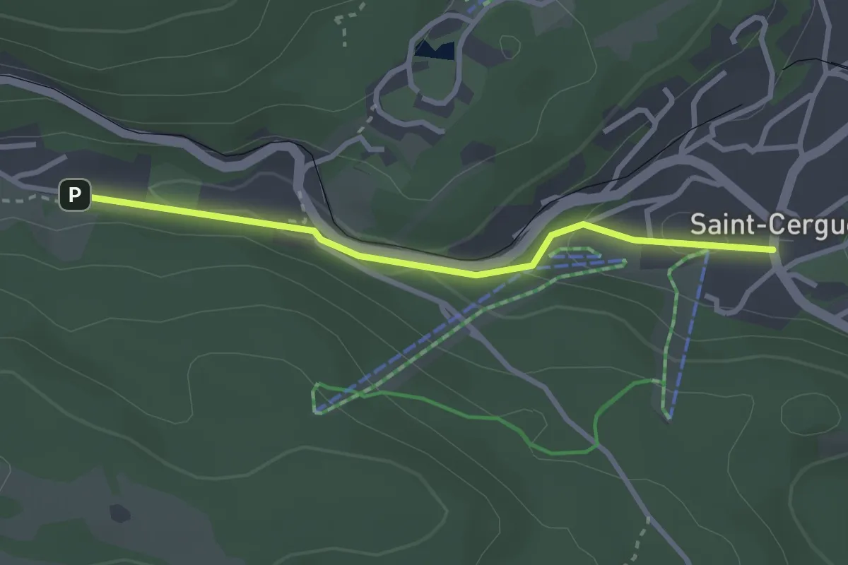
Easy · Trail
St-Cergue – La Chenalette
2.7 km · ↑ 72 m · 47 min
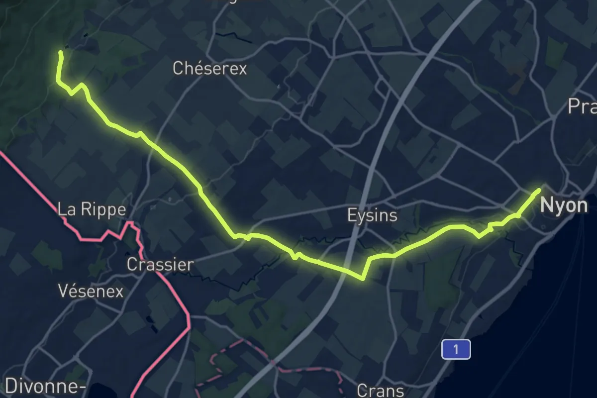
Demanding · Trail
Bonmont – Nyon Gare
19.1 km · ↑ 247 m · 5 h 2 min
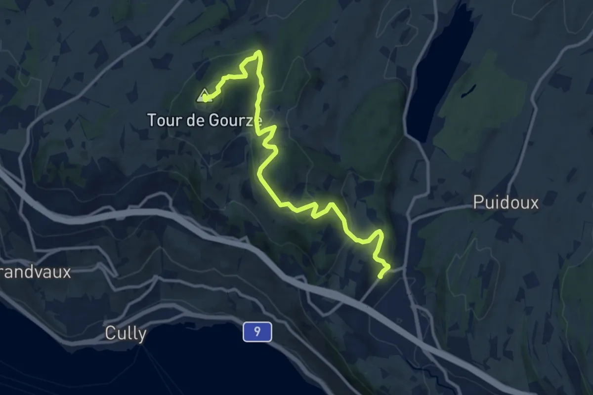
Medium · Summit
Puidoux gare – Tour de Gourze
10.7 km · ↑ 387 m · 3 h 21 min
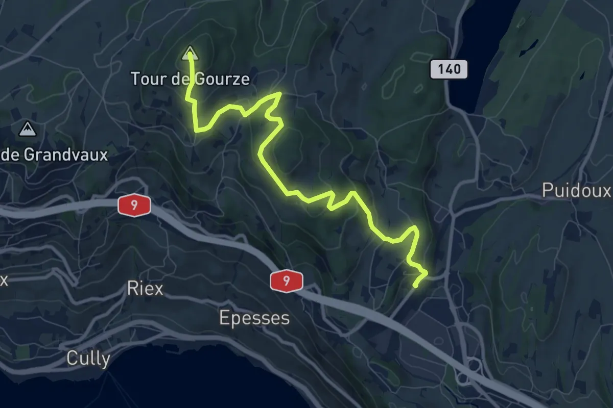
Medium · Summit
Tour de Gourze – Puidoux gare
9.6 km · ↑ 384 m · 3 h 6 min
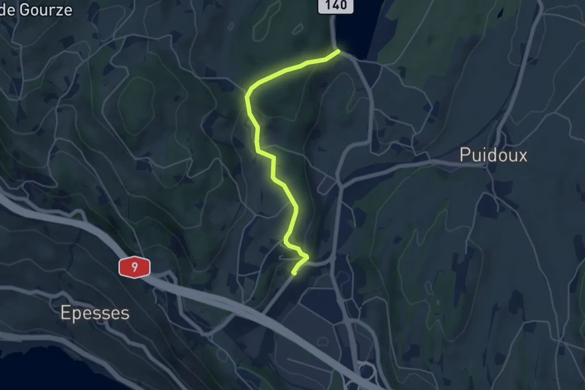
Easy · Trail
Puidoux gare – Lac de Bret
4.3 km · ↑ 157 m · 1 h 22 min
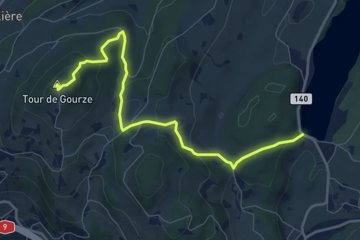
Easy · Summit
Tour de Gourze – Lac de Bret
7.6 km · ↑ 312 m · 2 h 29 min
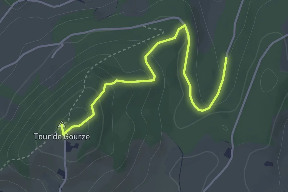
Easy · Summit
Tour de Gourze – Forel Cornes de Cerf
3.4 km · ↑ 158 m · 1 h 9 min
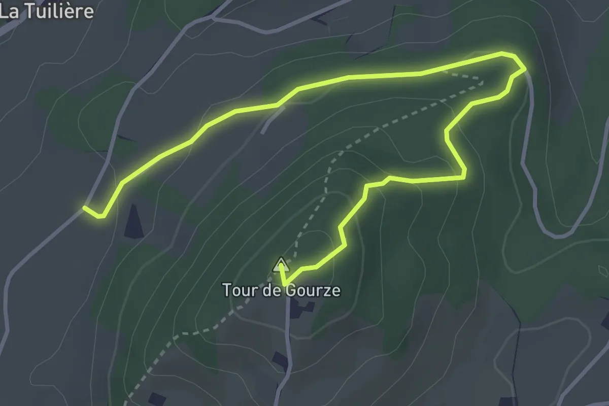
Easy · Summit
Tour de Gourze – Belmont-sur-Lausanne
4.3 km · ↑ 165 m · 1 h 23 min
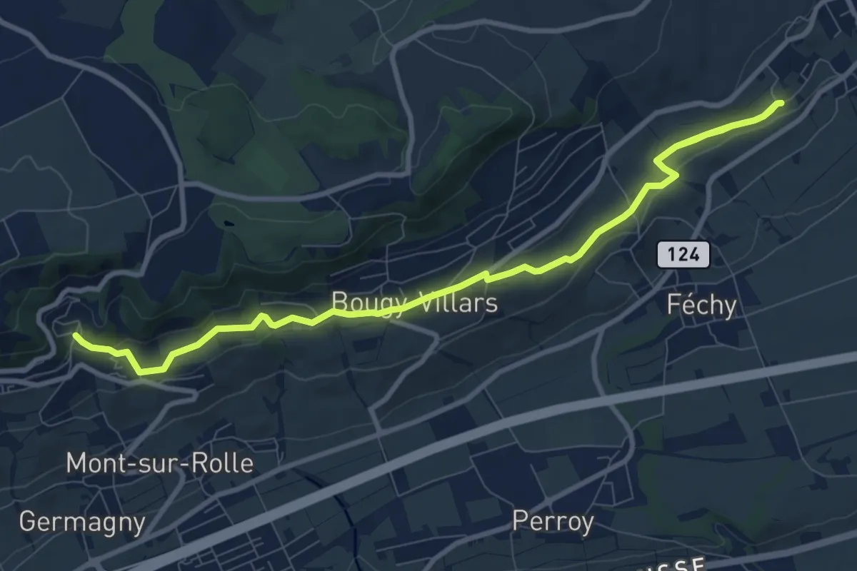
Medium · Trail
Mont Dessus – Aubonne
10.9 km · ↑ 205 m · 3 h 1 min
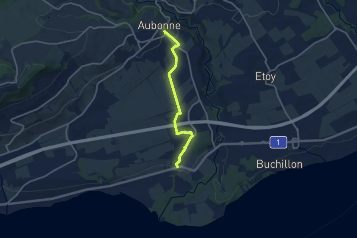
Easy · Trail
Aubonne – Allaman
7.6 km · ↑ 94 m · 2 h
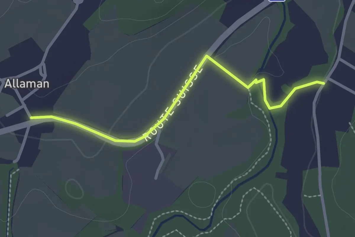
Easy · Trail
Allaman – Grand Bois
2.5 km · ↑ 27 m · 39 min
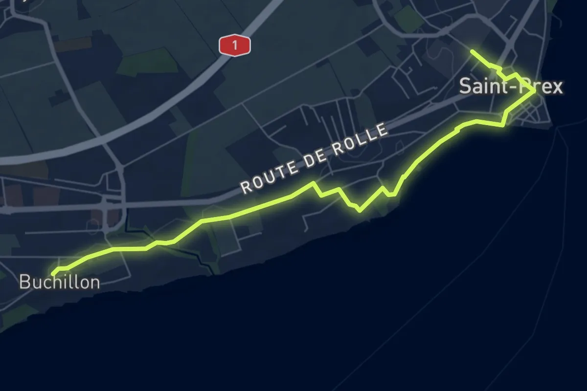
Medium · Trail
Buchillon – St Prex Gare
8.1 km · ↑ 53 m · 2 h 1 min
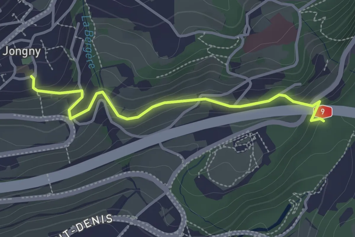
Easy · Trail
Jongy – Pont de Fenil
2.9 km · ↑ 141 m · 1 h
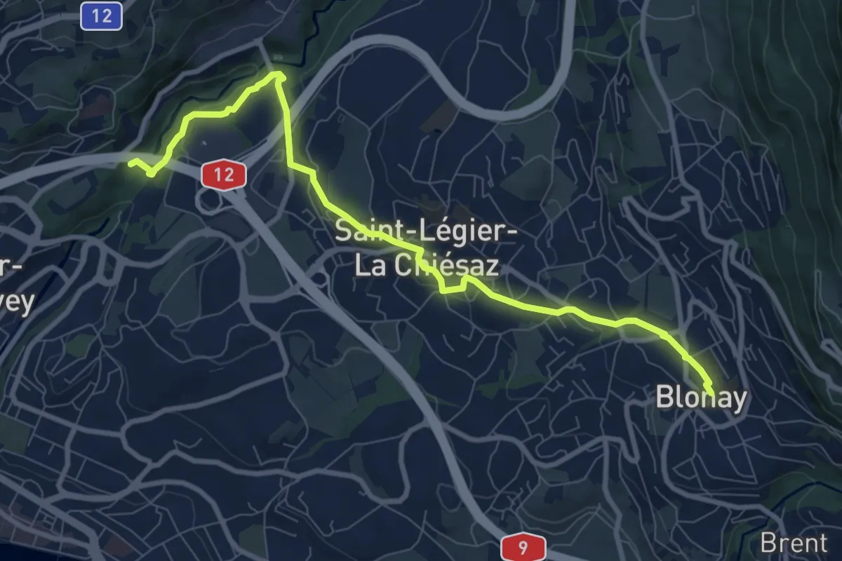
Medium · Trail
Pont de Fenil – Blonay
9.2 km · ↑ 207 m · 2 h 37 min